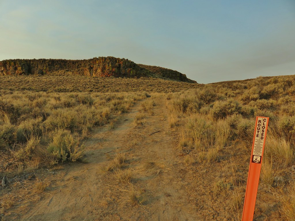
**Note the 2024 Warner Peak Fire burned much of the Hart Mountain Hot Springs Hike.**
Tuesday marked the start of a short stretch of possible showers and thunder storms but not until Tuesday night so we had decided the night before to start the day at Flook Lake in the Hart Mountain National Antelope Refuge. Originally we had planned on doing hikes at Flook Lake, Petroglyph Lake, and Hart Mountain Hot Springs all in the same day, but that plan had changed. We wanted to do Flook Lake before any possible showers because Flook Lake road can become dangerously muddy when wet. We had also moved a side trip to Warner Peak, the high point in the refuge, to our Hart Mountain Hot Springs stop instead of tacking it onto our DeGarmo Canyon hike. The reason for that move was to avoid being exposed at an elevation over 7000′ if a thunder storm rolled in which looked possible both Wednesday and Thursday afternoons. Finally we believed that the road to Petroglyph Lake had been closed adding at least 3 miles to that hike which would have been a little too much distance for one day. If that road turned out to be open we were still planning on doing it along with Flook Lake and the hot springs, but if it was indeed closed we planned on doing it first thing Wednesday morning before DeGarmo Canyon.
We left Lakeview at 5am and headed northeast to Plush stopping along county road 3-13 to admire the sunrise.
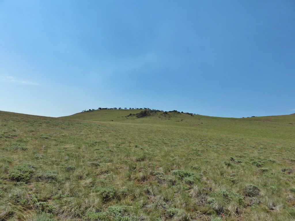
 Hart Mountain in the morning.
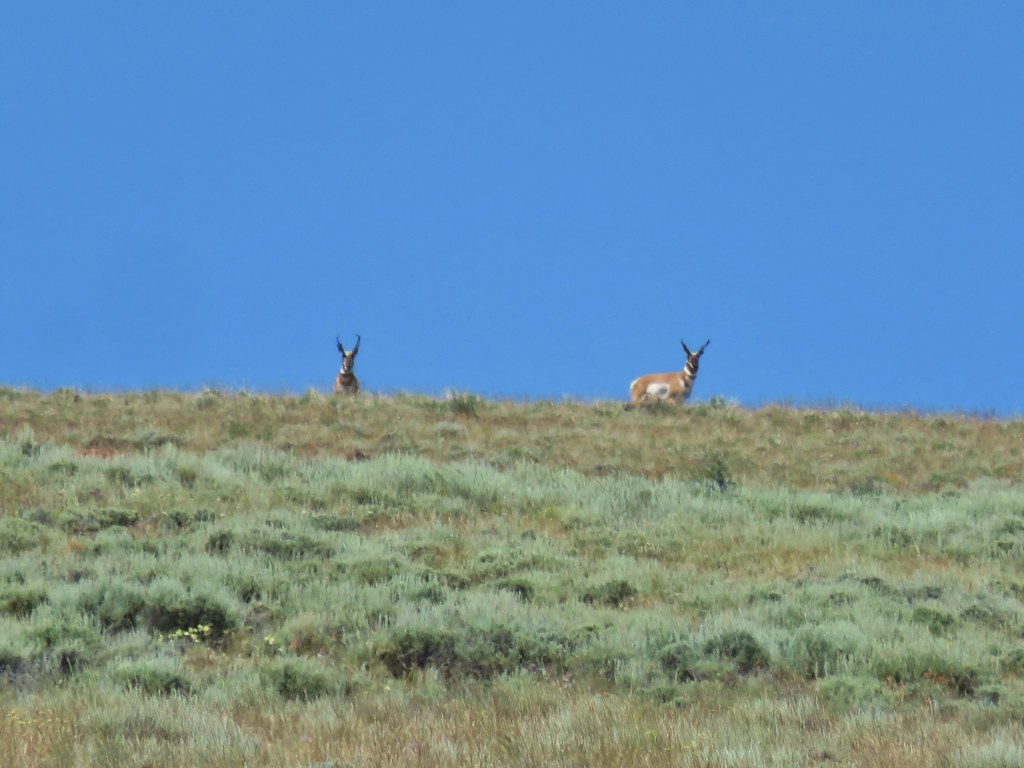
After passing through plush we continued on county road 3-12 (Hart Mountain Road) climbing past the rim of Hart Mountain where we spotted our first pronghorn.
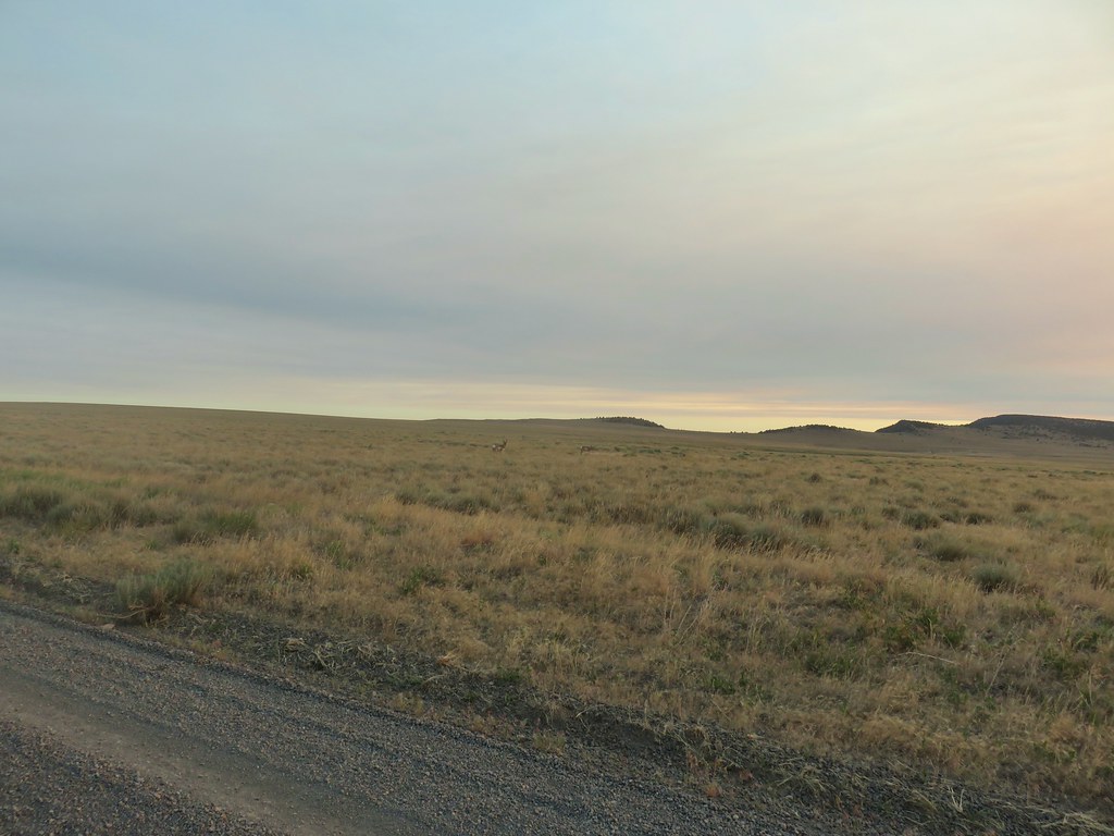
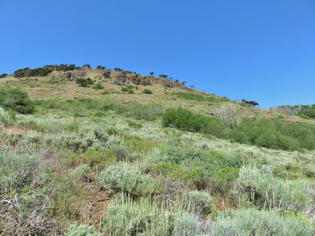
We continued on past Petroglyph Lake Road which was, as we suspected, closed to cars.
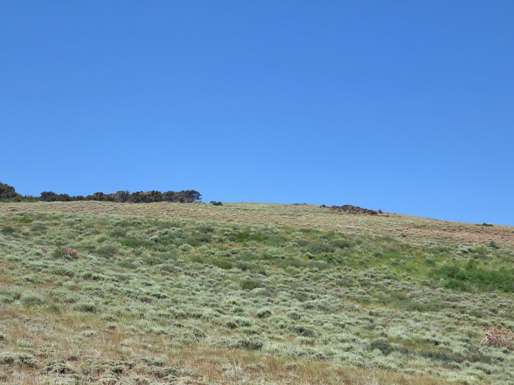
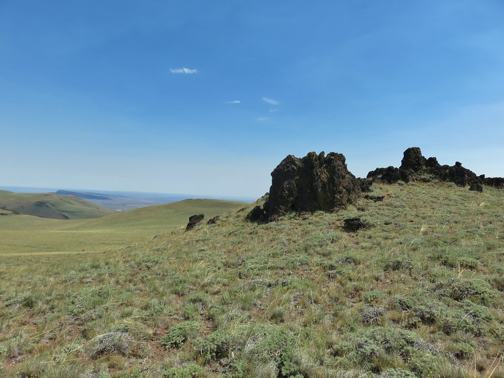
 (photo from the next day)
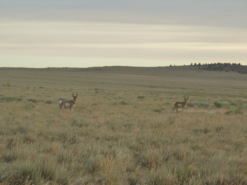
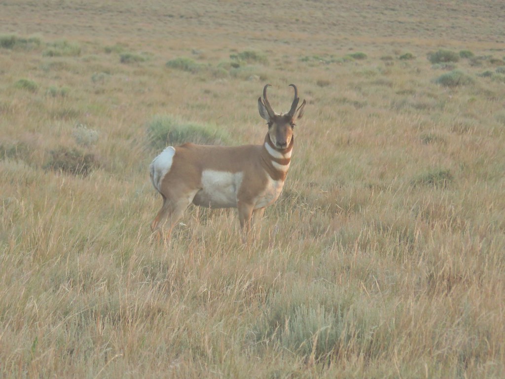
A mile past Petroglyph Lake Road (24 miles from Plush) we came to the refuge headquarters which was closed to visitors due to COVID-19. There were numerous pronghorn antelope near the headquarters.
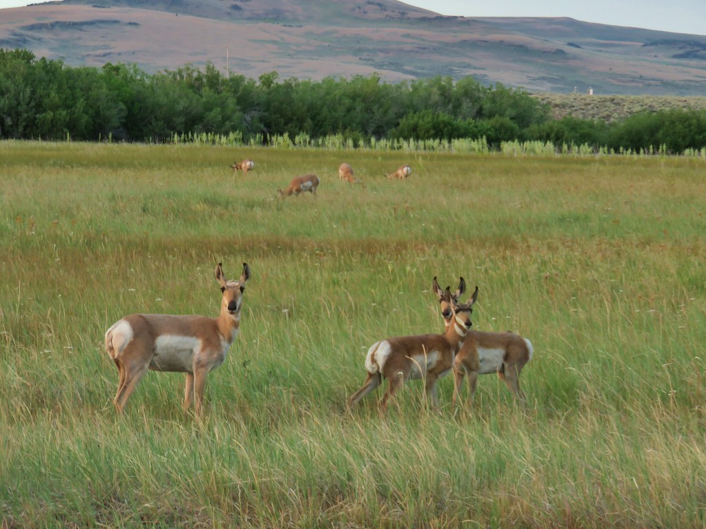 Just a few of the many pronghorn.
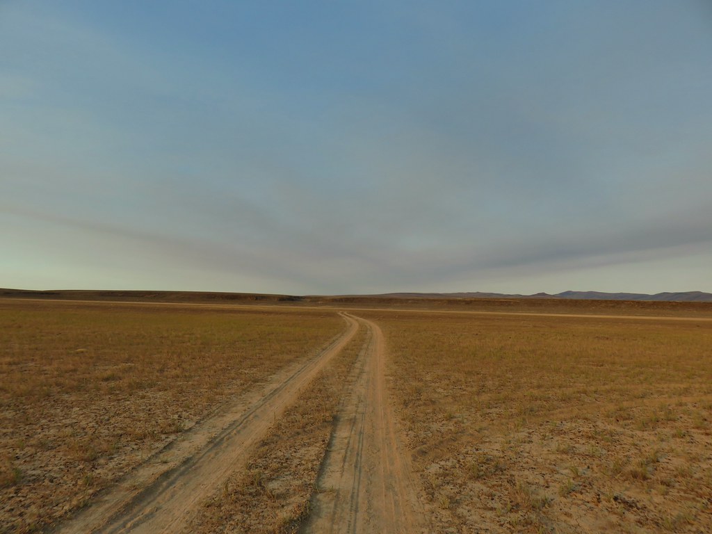
At the far end of the headquarters we veered left following pointers for Frenchglen for 6.7 miles to Flook Lake Road. We turned right onto this rocky dirt track for 1.8 miles (the final 6 on Flook Lake’s former lake bed, now an alkali flat) parking next to a dry reservoir.
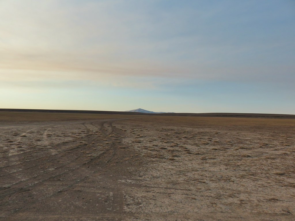 Flook Lake Road continuing on with Beatys Butte in the distance.
 The reservoir
 Steens Mountain on the horizon to the east through smoky skies.
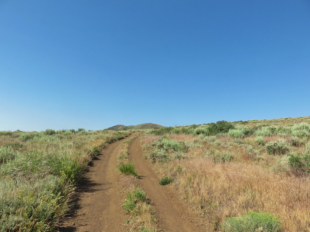
It was going to be another 90 degree day and even with our early start it was already warm as we set off toward a canyon SW of where we had parked. We expected to have to walk cross country for nearly a mile to reach the mouth of the canyon but well worn tire tracks allowed for a little easier walking. (I’m not sure if the road was official or the result of illegal off-road driving which would be very disappointing.)
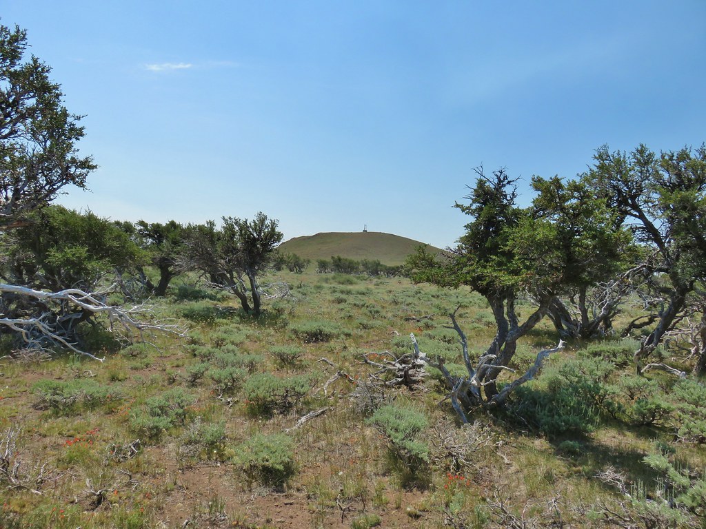
 The canyon we were aiming for from near our car.
 Zoomed in a bit.
The track we were following eventually faded out along an outwash channel.

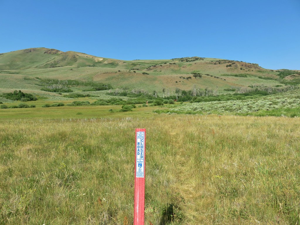
After a short stint walking through sagebrush we picked up another track that went right past a closed to motor vehicles sign.
This track didn’t appear to enter the canyon though and it was cross country through the canyon which was busy with wildlife.
 Rabbit #1
 Rabbit #2
 Rabbit #3
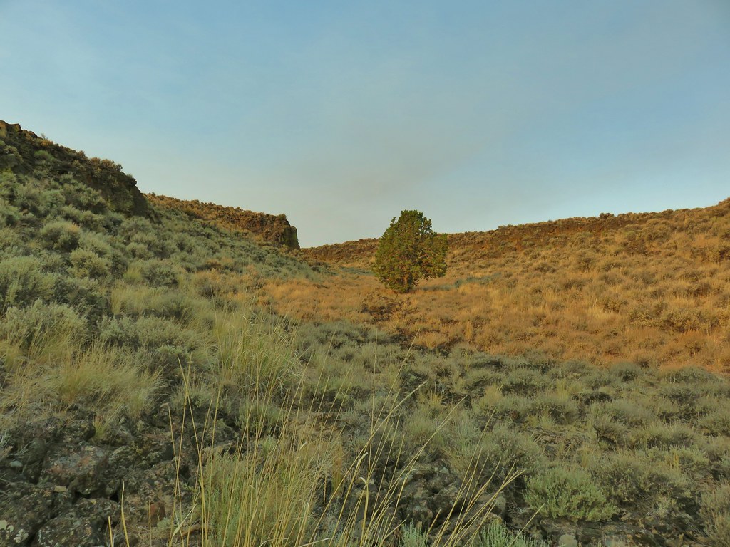 A lone juniper in the canyon.
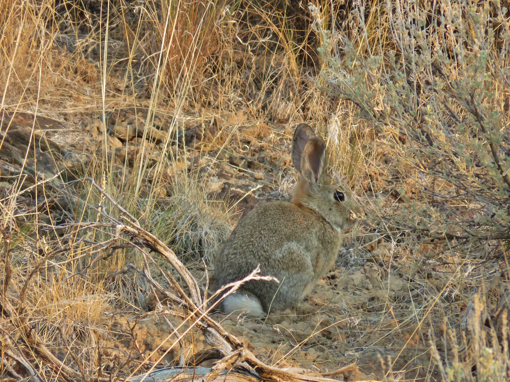
 Rabbit #4
Near the end of this half mile canyon there are some Petroglyphs which are currently being guarded by a yellow bellied marmot.


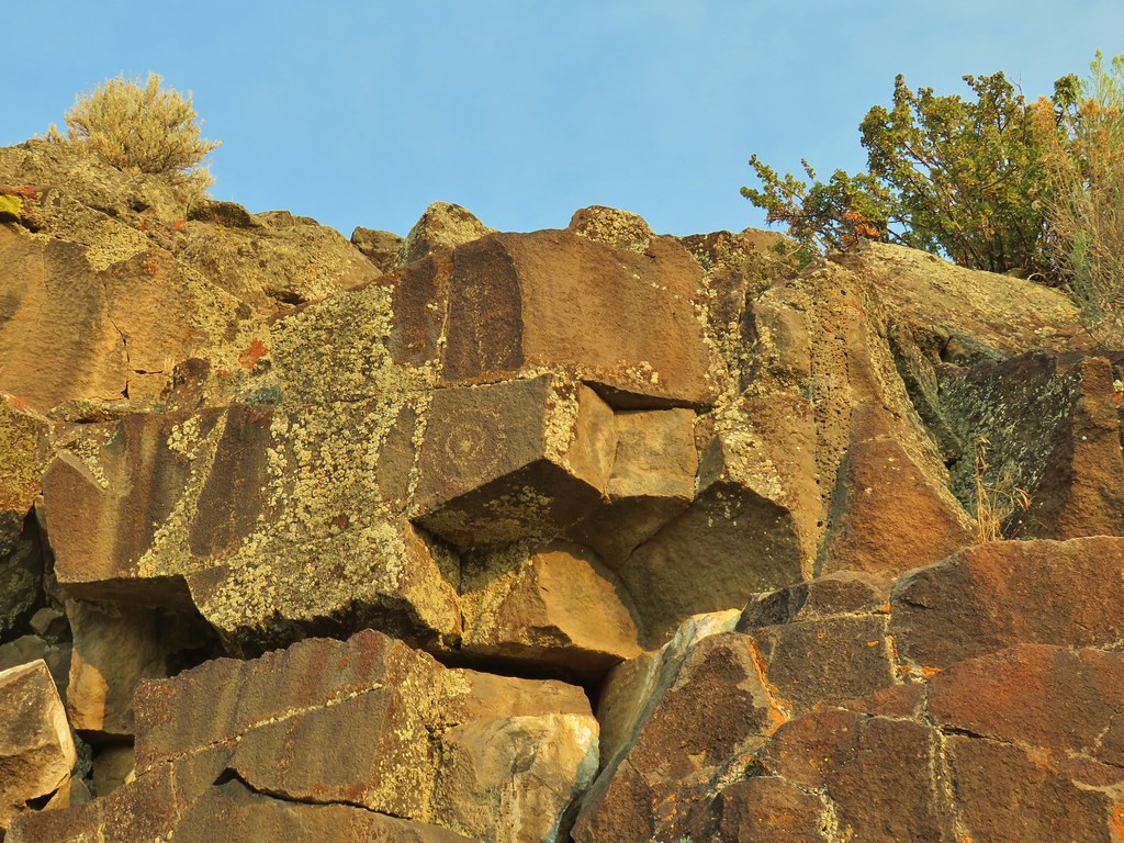

After looking at (and NOT TOUCHING) the petroglyphs we continued to the canyon’s end at Antelope Spring.


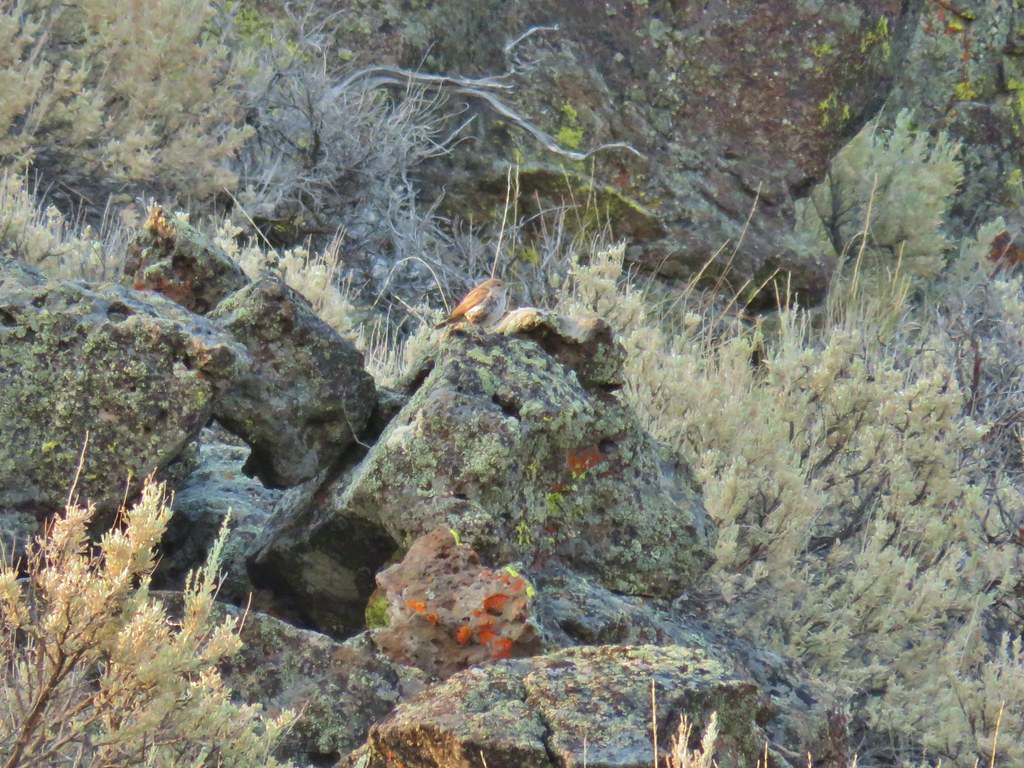
 Horned lark near the spring.
We returned the way we’d come commenting on how far way our car still looked from the mouth of the canyon.

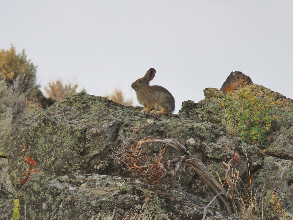
 Rabbit #5, this one was a jack rabbit.
After returning to our car we drove back through the refuge headquarters staying straight following pointers for the hot springs. Keeping right for 4.5 miles brought us to a parking area next to the hot springs.
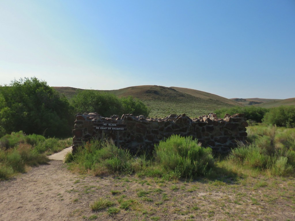
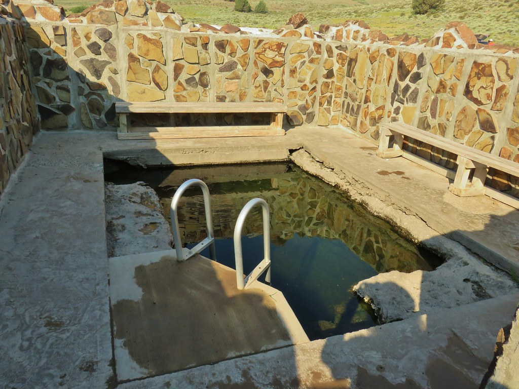
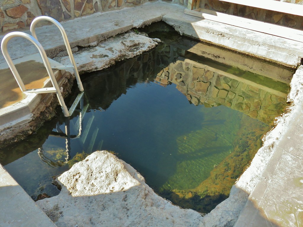
We saved the soak in the 102 degree hot spring for after our hike and set off from the parking lot along a gated road toward the Hot Springs Campground.


This road passed another hot spring before arriving at Barnhardi Road in half a mile near the campground.

 Hawk hanging out near the hot springs.
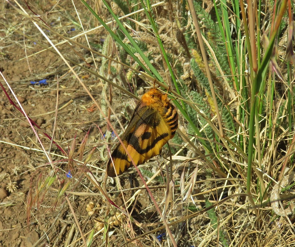
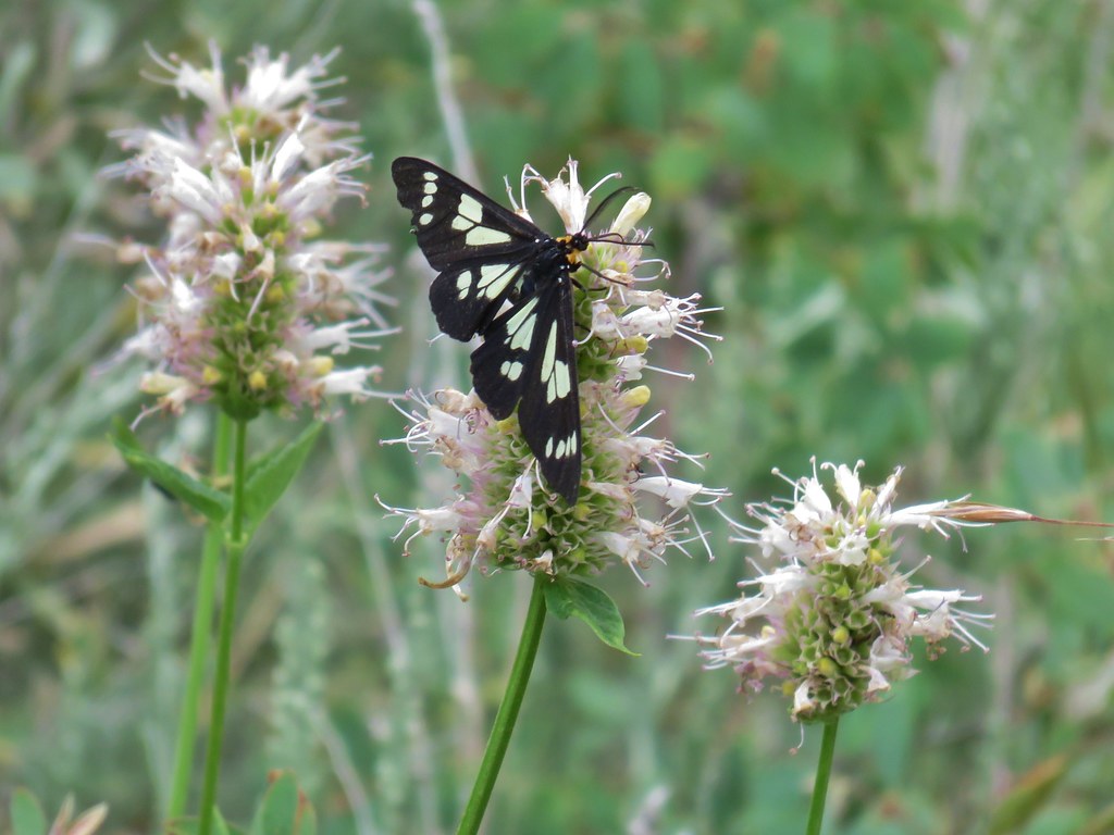
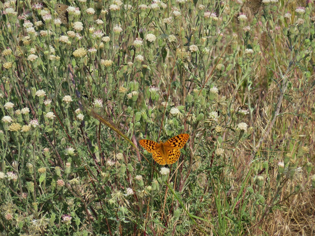 Butterfly on dusty maiden.
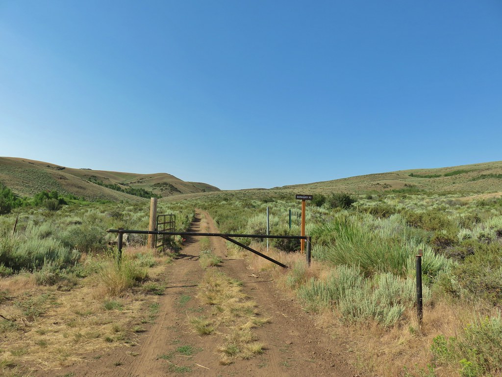
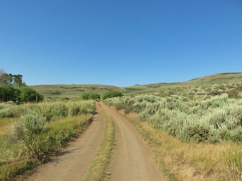 Barnhardi Road
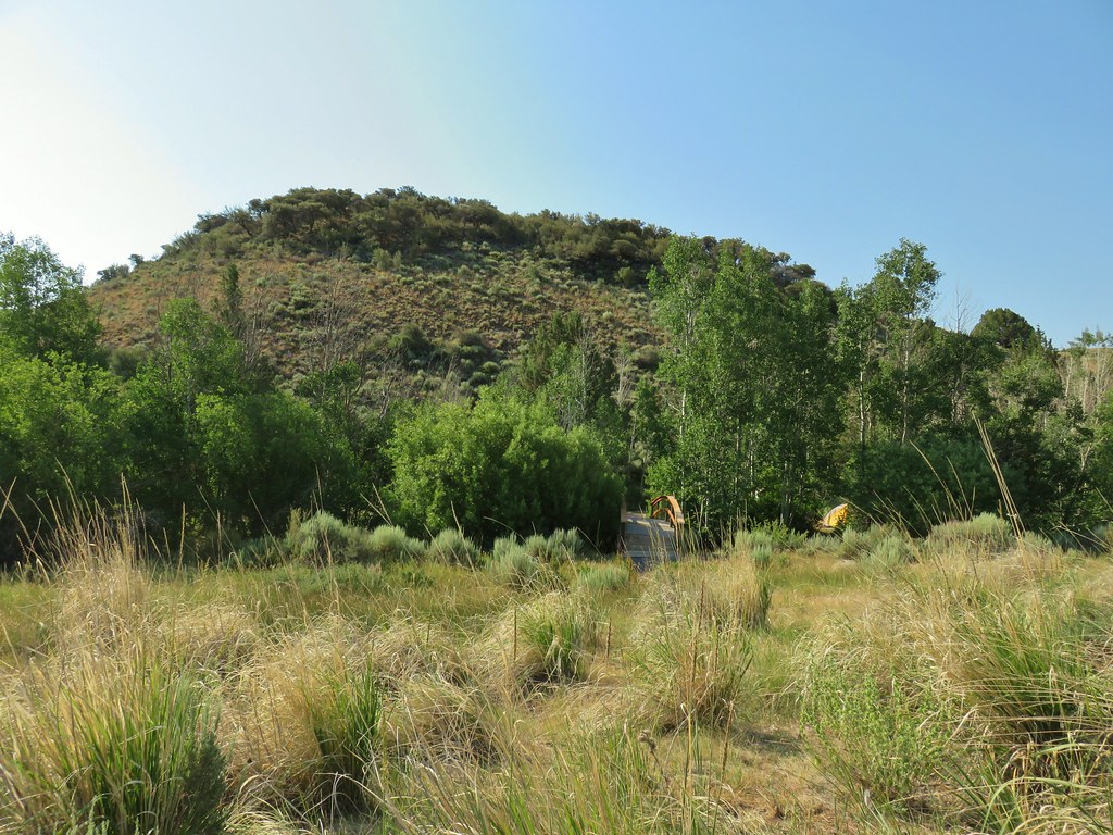 Campground across Rock Creek.
We turned right on Barnhardi Road for .3 miles to a gate.
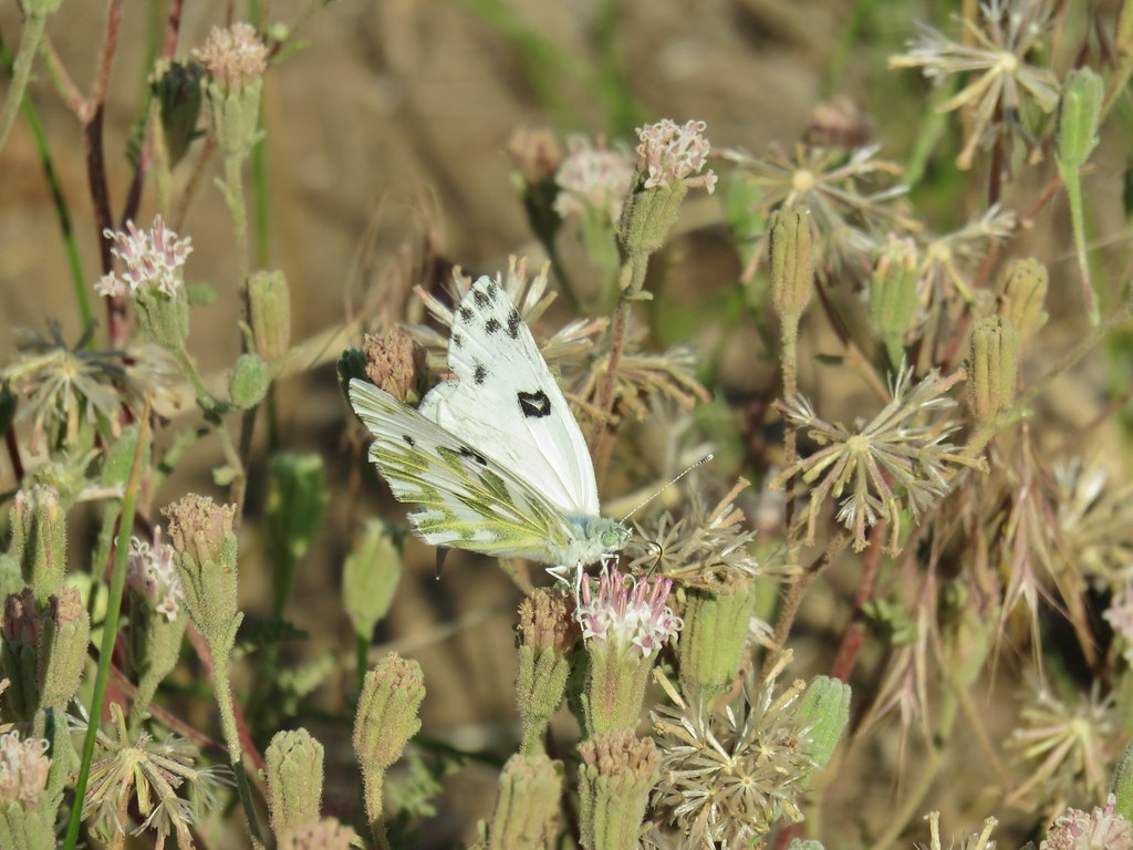 Becker’s white
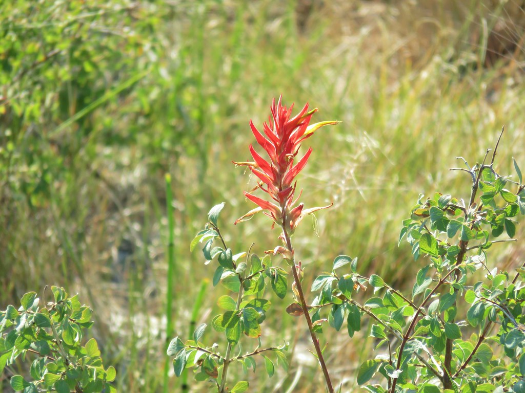 Paintbrush
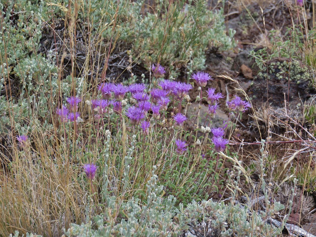
 Sagebrush mariposa lily
We walked past the gate continuing on the road for almost two miles ignoring a road on the right at the 1 mile mark atop a crest.
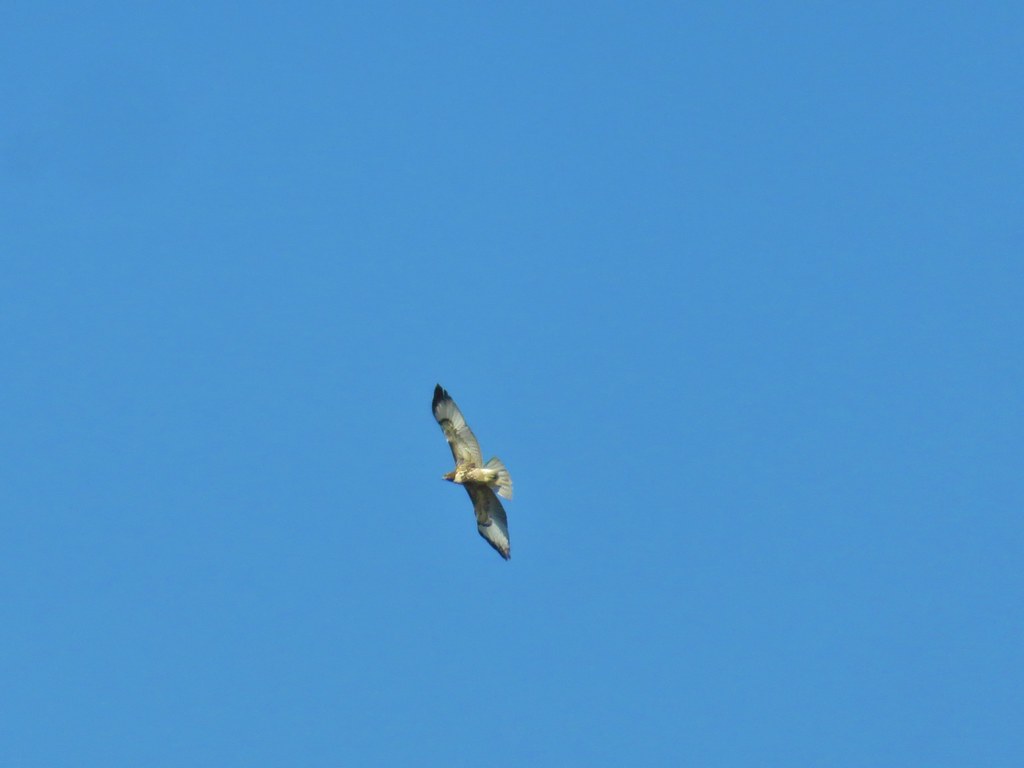 Hawk overhead
 Balsamroot in the sagebrush.
 Wild roses in a quaking aspen stand.
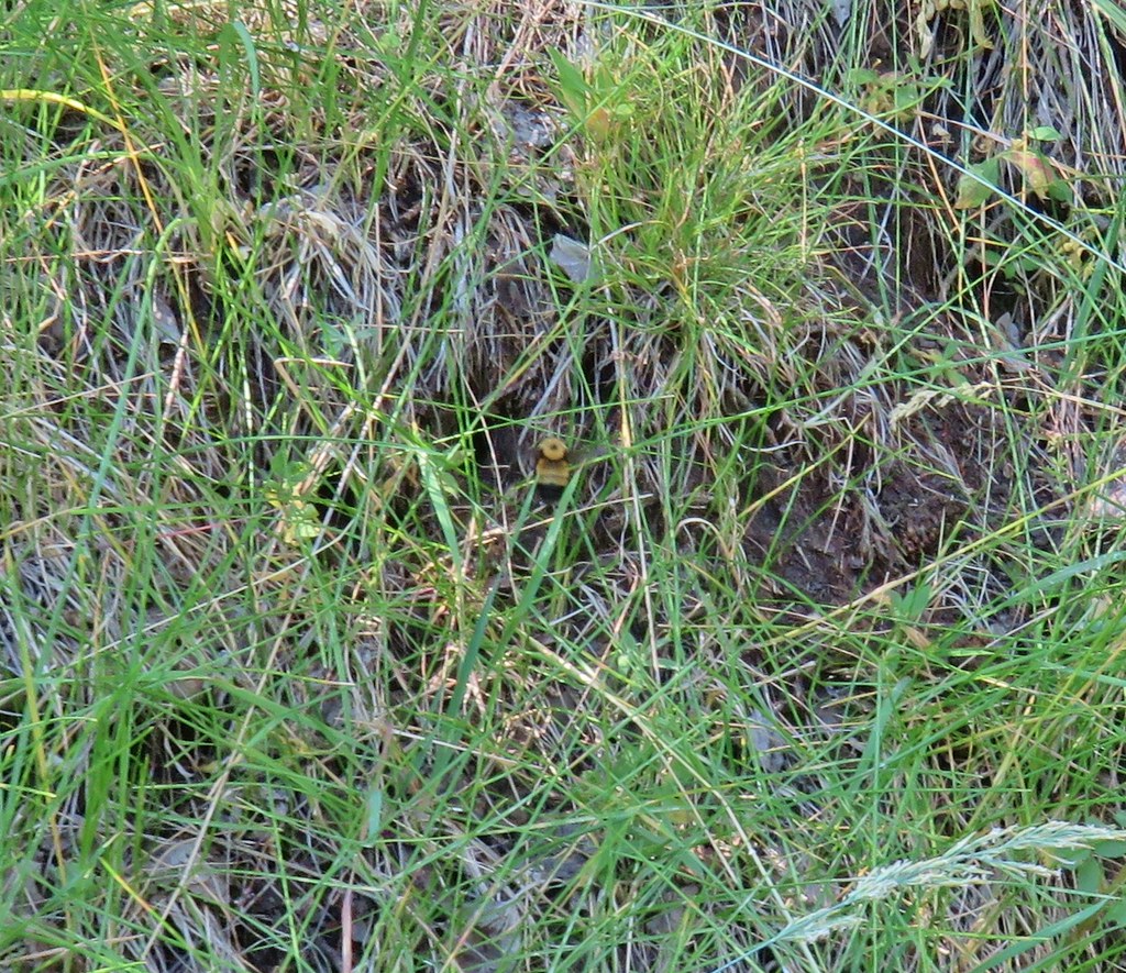 Biggest bumble bee either of us had ever seen.
 Coming up on the crest at the 1 mile mark.
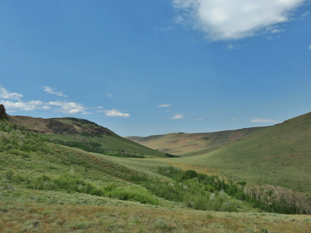
 View after the crest heading down to Barnhardi Basin.
 Sheep moth
Almost two miles from the gate we arrived at a post marking a trail to the collapsing Barnhardi Cabin.
We followed the faint path through a wet meadow filled with mosquitoes to the cabin.
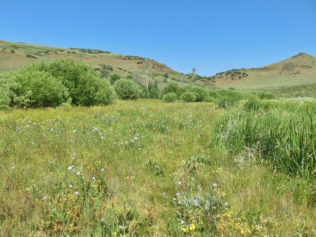 Lewis flax blooming in the meadow.
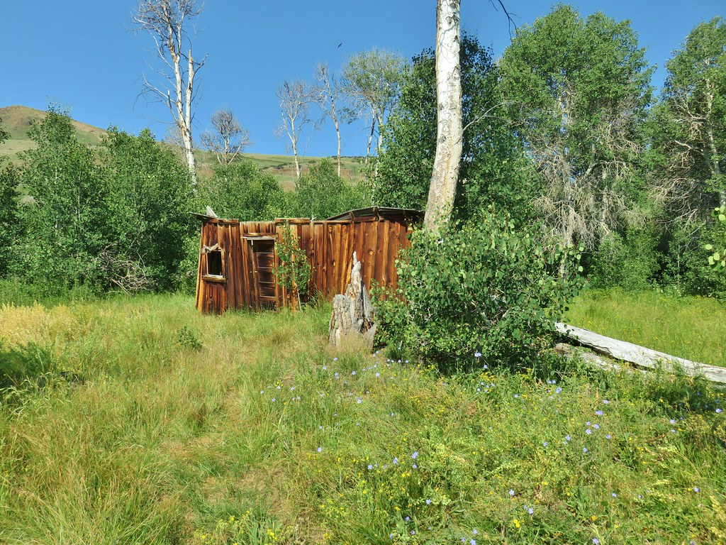 Barnhardi Cabin
Our plan was to hike up to Warner Peak from the cabin following a route described by Sullivan. Our first misstep was not going back a bit from the cabin and getting well away from the marshy area behind the cabin. Instead we simply angled away from the cabin. This led us through the marshy area where there were some nice flowers but also a ton of mosquitoes.


We took a hard right following game trails through the wet area and out a grassy area where a faint path was visible.

Sullivan’s directions were to follow a little creek up through aspen groves to DeGarmo Notch but after fighting through the vegetation and mosquitoes along the creek behind the cabin we decided to try and skirt the aspen groves in the sagebrush. Growing up in the Bend/Redmond area I was used to walking through sagebrush but here the sagebrush was much taller and thicker than I was used to.

 Another sheep moth
It was tough going but we were making progress and came to a spring with yellow monkeyflowers. Near the spring we both thought we heard a rattle although neither of us saw a snake or were 100% sure that it was really what we’d heard.
 The spring.
 White triteleia
We headed away form the spring loudly just in case there were snakes about and decided to cross the creek in a gap between aspen groves. Sullivan’s map showed the route crossing to the other side at some point and we felt this was as good a time as any.

The next obstacle was a rocky knoll to the left of the creek and more aspen. We veered between a bit of a gap in the aspen and sidehilled around the knoll.
 Barnhardi Basin from the side of the knoll.
 View across the creek.
 The knoll was steeper and brushier than it had appeared from below but we managed to make it around.
 Hawk flying around above us.
From the other side of the knoll we got a good look at the next leg of our uphill bushwhack.
 High Point is the peak ahead.
We were being watched from the hillside above as we tried to figure out are next move.
Looking at the map in the guidebook and checking the elevation on our GPS units showed that we were actually above DeGarmo Notch which was shown on the map with an elevation of 6970′ and we were around 7150′ which was fine with us because we would have had to climb up eventually. To get to the notch as shown on the map we would have needed to continue to follow the aspen to their end. From where we were we could see the spot and it would have added needless distance and climbing.
 DeGarmo Notch
We were now heading south west toward High Point as we traversed across the hillside above Barnhardi Basin.
 Paintbrush
 We had to drop under this.
 Warner Peak is straight ahead with a tower on top beyond the line of trees in the distance.
 Barnhardi Basin getting further away.
 Looking back toward DeGarmo Notch.
When we could see beyond High Point we could see that the terrain did some up and down on it’s way to Warner Peak. Our plan was to climb as gradually as possible to avoid having to lose elevation and make it back up later.
 We first aimed for the the small rock outcrop beyond High Point then bent to the right to pass the larger rock outcrop before climbing up to the trees in the distance.
 Passing another canyon coming up from the west.
 Made it past the first outcrop and heading for the right side of the second.
 At the second outcrop.
It was a fairly steep climb from the second outcrop to the trees. I arrived first and was greeted by a doe.


I waited for Heather here to plot the final climb to Warner Peak which was now fully revealed.
It was a fairly level walk from the trees to the start of the final steep climb that brought us to Hart Mountain’s highest point.

From Warner Peak we could see the parking area by the Hot Springs and much of the route we’d taken to get to the summit.
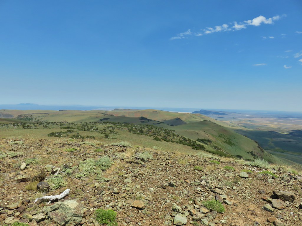 The white patch in the distance to the right just beyond the shadow is the parking area.
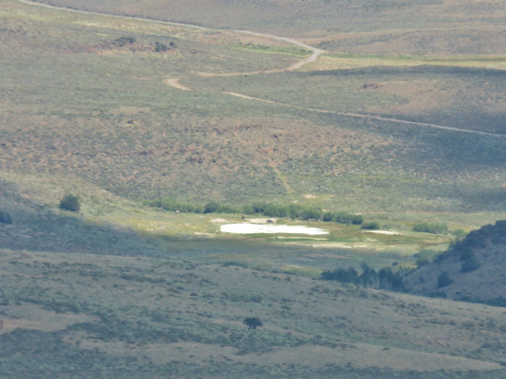 Our car was still there.
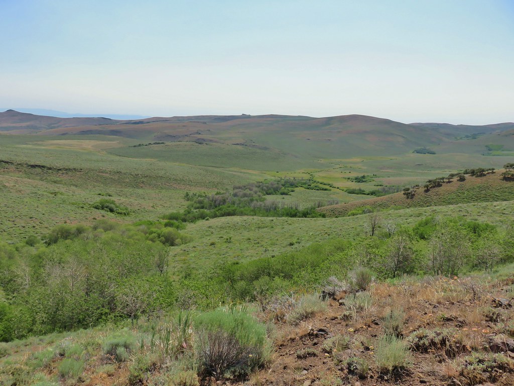
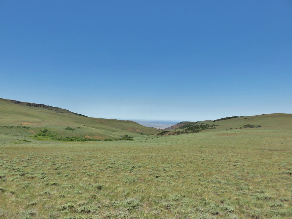
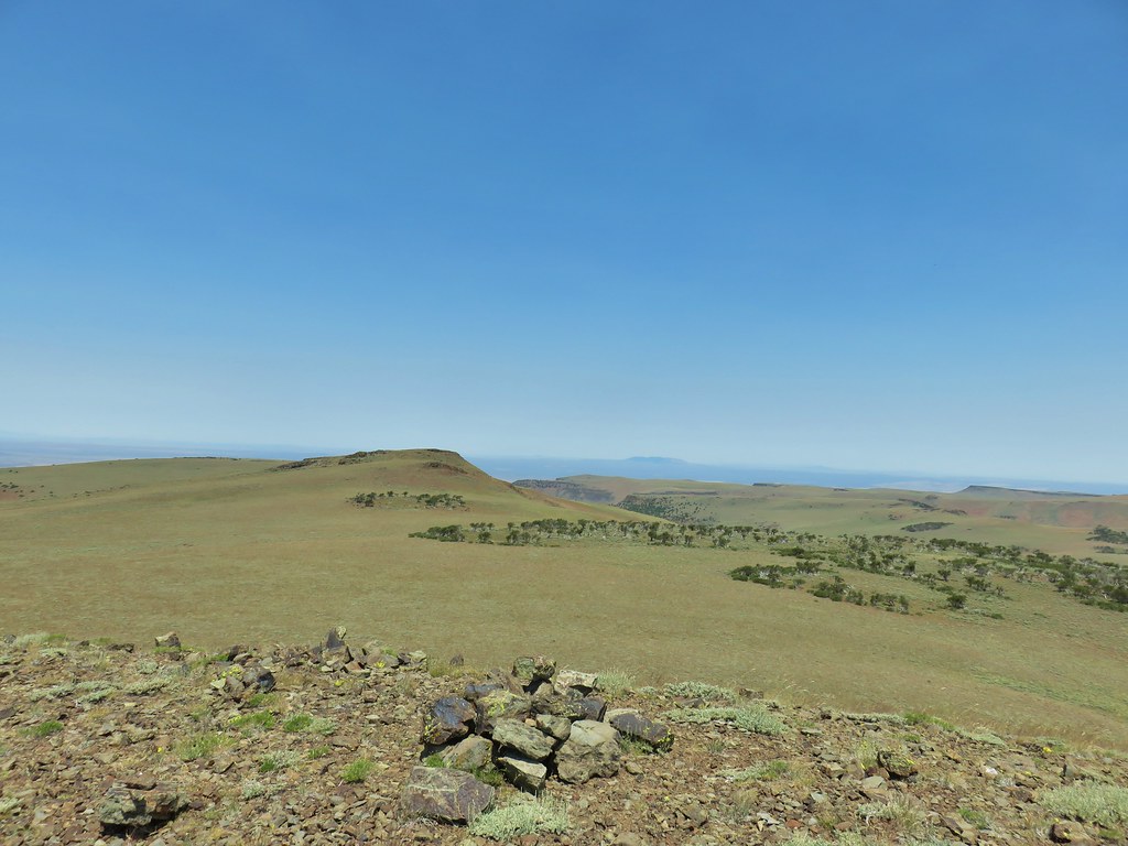
 View south over Hart Mountain.
 SW to Drake Peak with part of Hart Lake visible below the cliffs.
 Looking north toward Juniper Mountain.
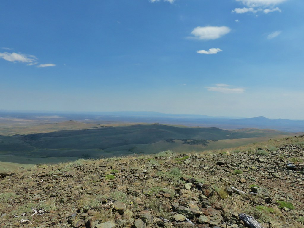 East toward Steens Mountain
After a nice long break we started back down. It was easier going since we weren’t climbing anymore and we knew that we could follow our track up to get back down. The more relaxed walk back allowed us to better enjoy the flowers that were around.
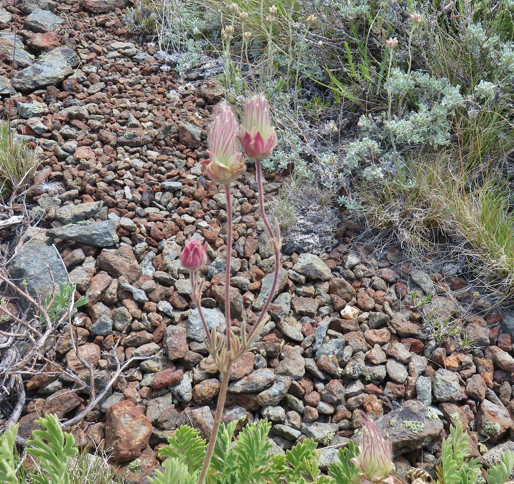 Prairie smoke
 Balloon pod milk vetch
 Paintbrush
 Lupine
 Mountain coyote mint
 Police car moth on hyssop
We avoided the marshy area around the cabin this time and didn’t hear anything that sounded like a rattle. We did however get a good look at an American kestral.

We had considered doing a loop from the cabin that Sullivan describes by following Rock Creek back to the Hot Springs Campground. It was only .3 miles longer but much of it was trailless and we were hot and tired of bushwhacking so we opted to just walk back on Barnhardi Road. As we got back to that road the clouds were moving in quickly.

We shuffled along the road in the heat looking forward to soaking in the Hot Springs before leaving but we still stopped occassionally for photos.

 Butterflies on rabbitbrush
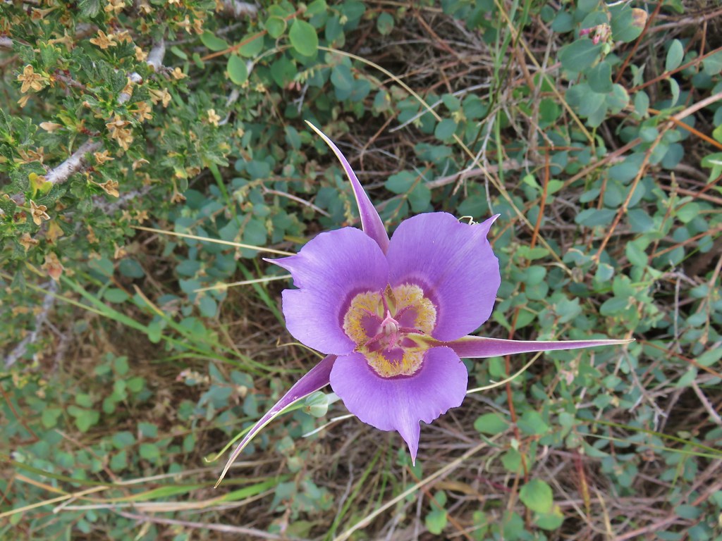 Sagebrush mariposa lily

As we neared the gate on Barnhardi Road two things happened. First we were passed by a mountain biker, the first person we’d encountered since Daly Lake three days earlier and second we finished off our all our water. We were only about a half mile from the car where we had more but we were thankful when we got to the gate and the biker offered us a cold water bottle. We finished that off on our way back to the car and then had our soak before heading back to Lakeview. We never heard any thunder or saw any lightening but a few raindrops hit our windshield on the way back and the wind had picked up so much that there were white caps on Hart Lake as we drove by.
It was another tough day in the heat (although we did get a little chilly on Warner Peak just before heading down). We did 2.7 miles at Flook Lake and another 10.8 to Warner Peak with a combined elevation gain of roughly 2500′.
That night we decided to amend our plan for the next day even further and do the Petroglyph Lake hike followed by the short Warner Valley Overlook Loop that we had passed on our drive to and from the refuge that day. We then would end the day with the shortest option that Sullivan described for DeGarmo Canyon. It would be a shorter day giving us a little more time to rest and an excuse to swing by the Burger Queen in Lakeview and get milk shakes. Happy Trails!
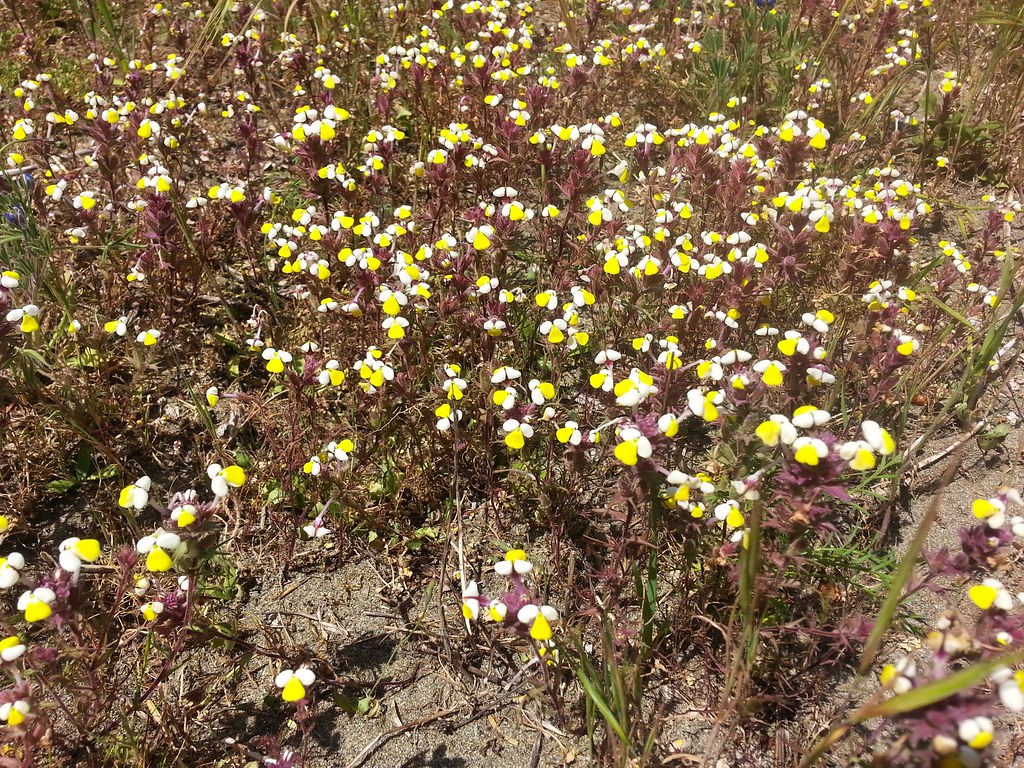 Butter and eggs – Yontocket
 Tomcat clover – Rough and Ready Botanical Wayside
 Dalmation toadflax – Cottonwood Canyon State Park
 Heart-leafed milkweed – Applegate Lake
 California groundcones – Jacksonville
 Geranium – Lost Creek Lake
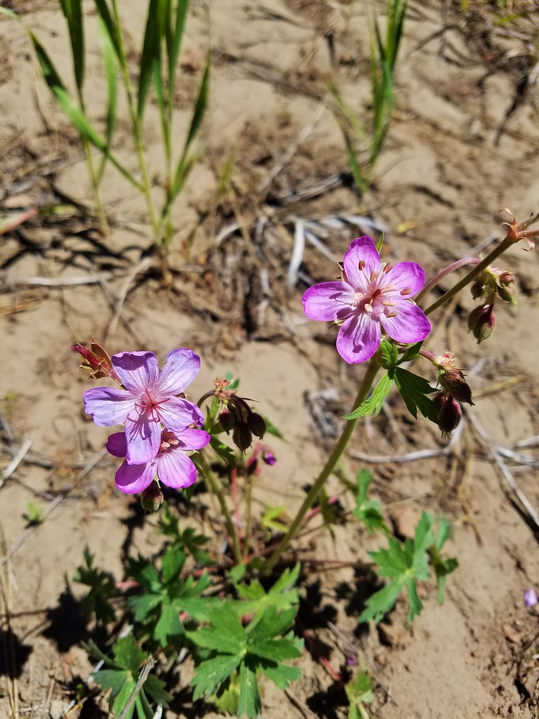 Geranium – Round Mountain
 Rockfringe willowherb – Mt. Eddy
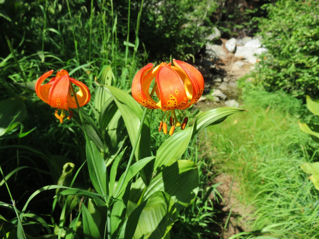 Leopard Lily – Trinity Alps Wilderness
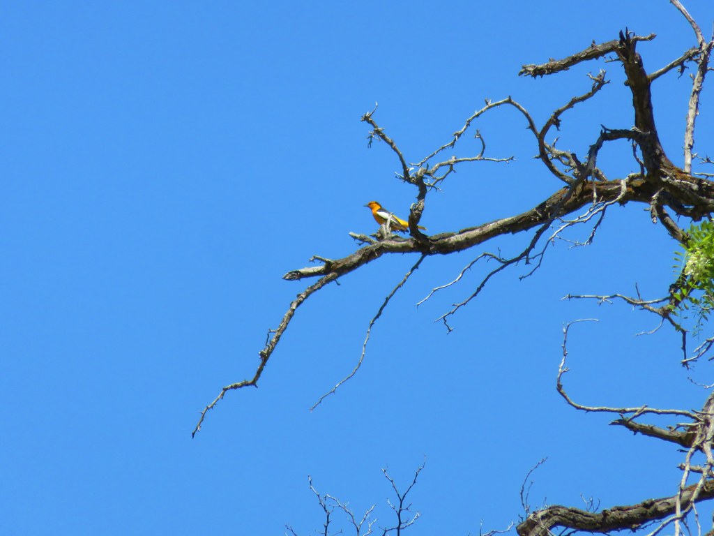 Bullock’s Oriole – Cottonwood Canyon State Park
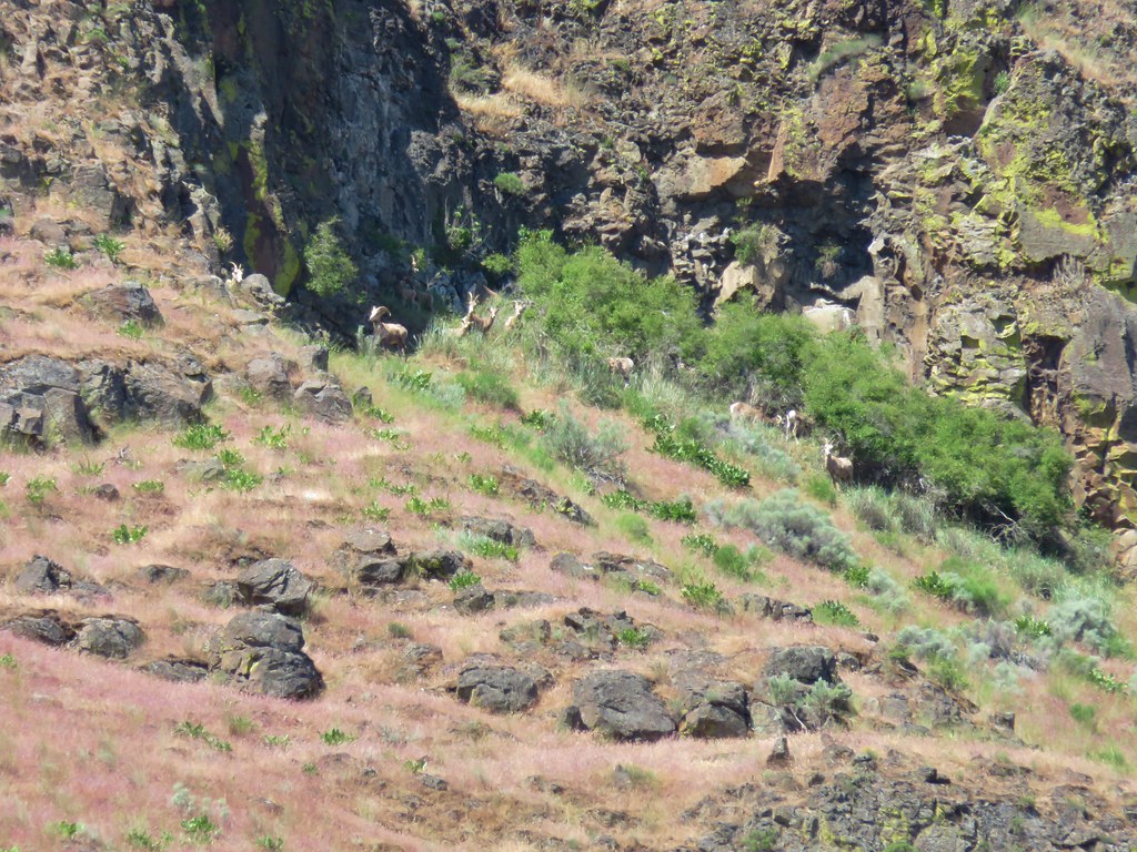 Big horn sheep – Cottonwood Canyon State Park
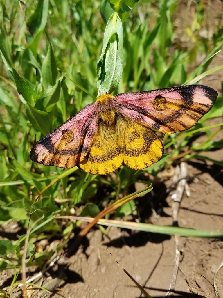 Sheep moth – Grasshopper Meadow
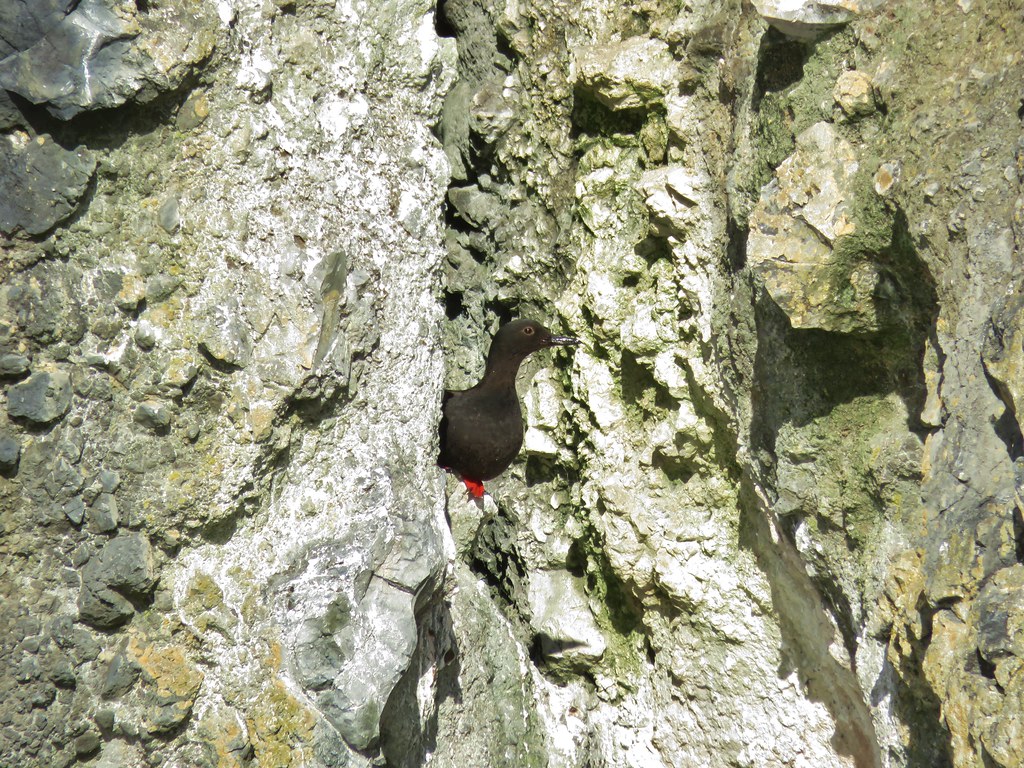 Pigeon guillemot – Yaquina Bay
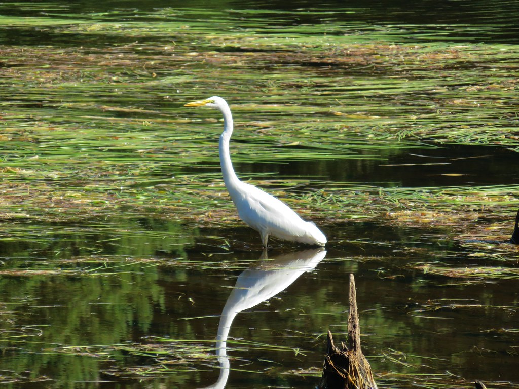 Egret – Cape Disappointment State Park
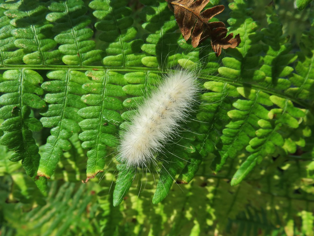 Caterpillar – Cape Disappointment State Park
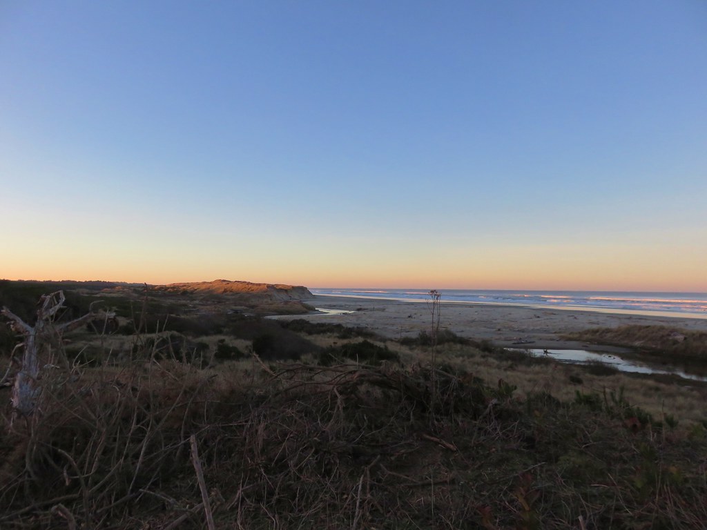 Baker Beach in January
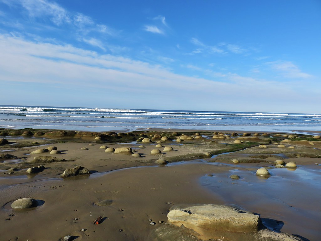 Ona Beach in December
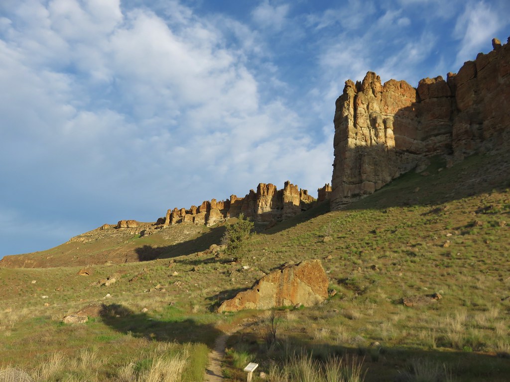 Palisades – Clarno Unit, John Day Fossil Beds, April
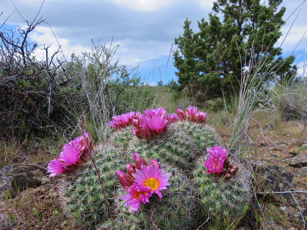 Hedgehog Cactus – Spring Basin Wilderness, April
 Fern Canyon – Prairie Creek State Park, May
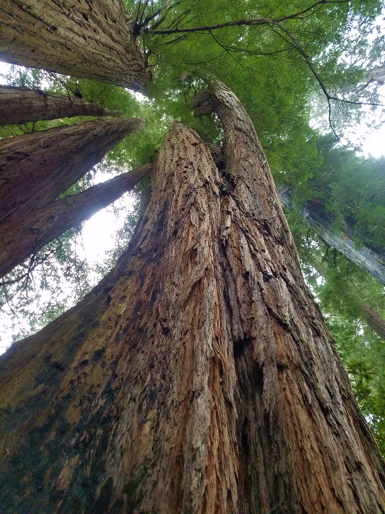 Tall Trees Grove – Redwoods National Park, May
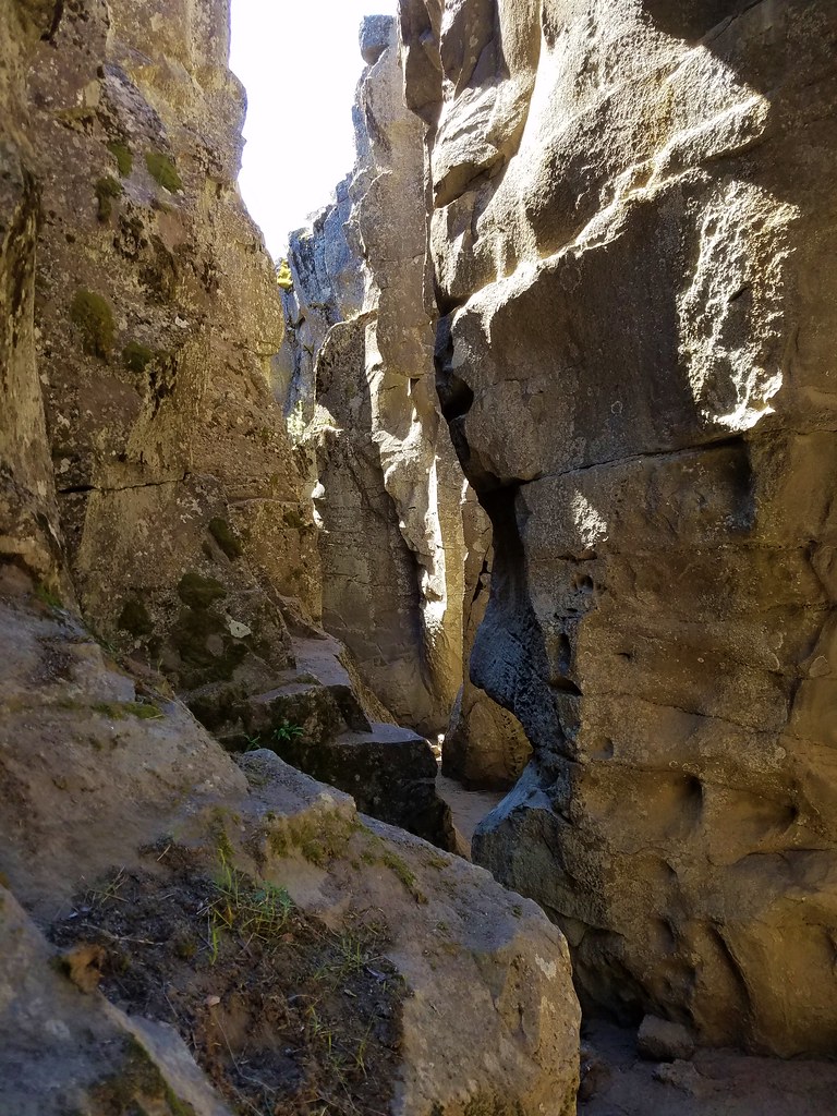 Crack in the Ground, Christmas Valley, May
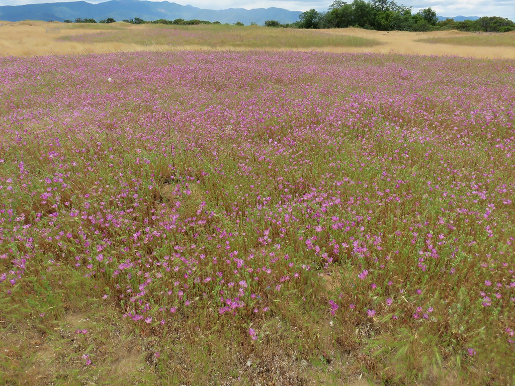 Wildflowers on Lower Table Rock, Medford, June
 North Point – Bridge Creek Wilderness, June
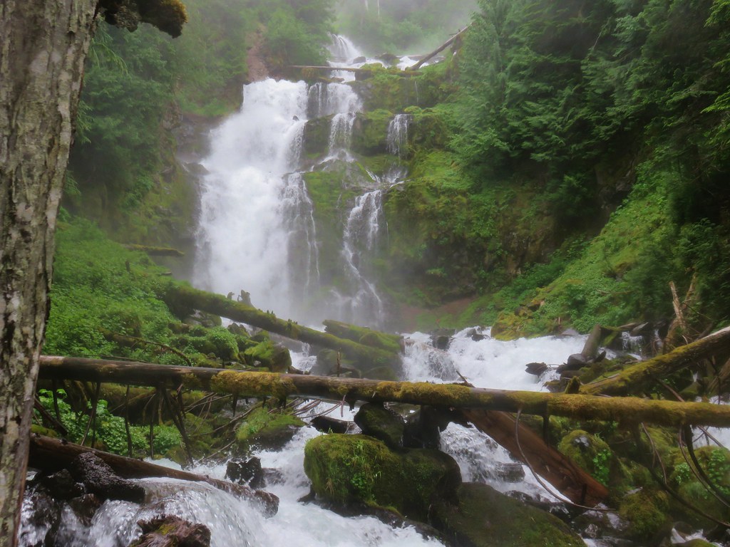 Upper Linton Falls – Three Sisters Wilderness, July
 View from the Summit of Mt. Eddy, July
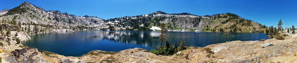 Caribou Lake – Trinity Alps Wilderness, July
 Fireweed along the Vista Ridge Trail – Mt. Hood Wilderness, August
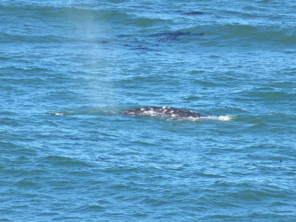 Whale – Yaquina Head, August
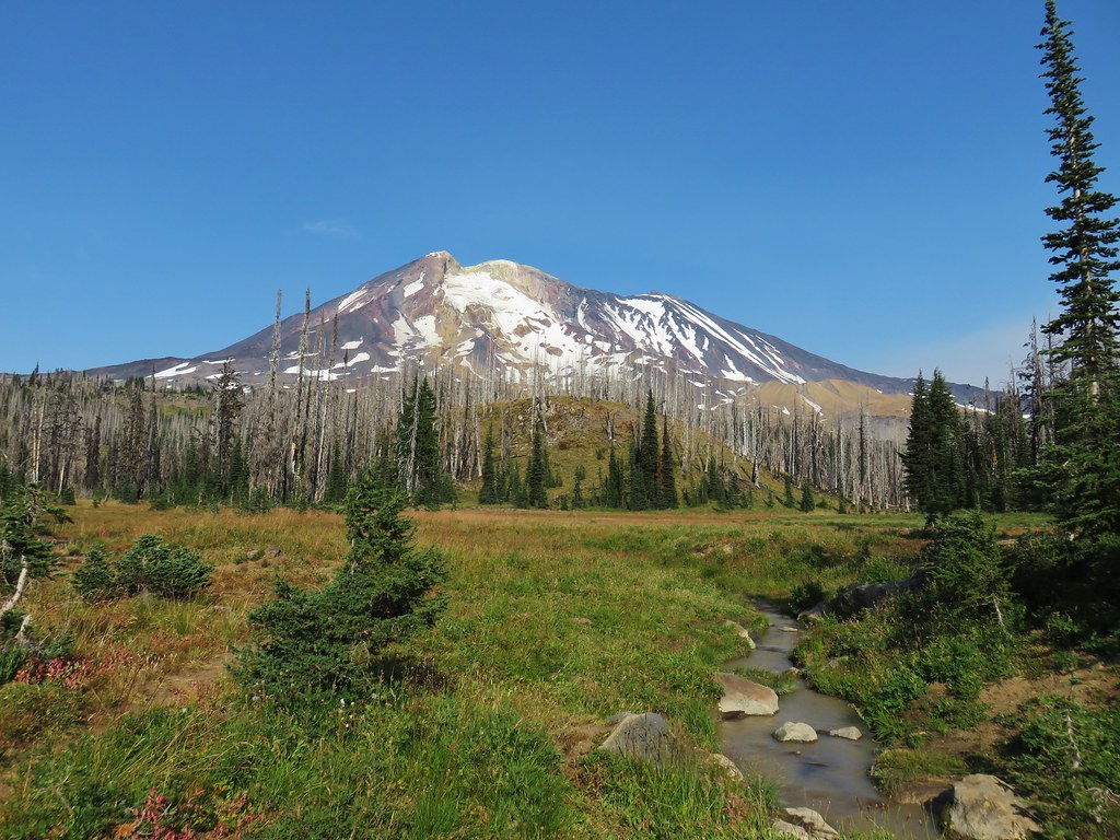 Horseshoe Meadow – Mt. Adams Wilderness, September
 Bull elk – Clatsop Spit, September
 Blue Basin – John Day Fossil Beds, September
 Baldy Lake – North Fork John Day Wilderness, September
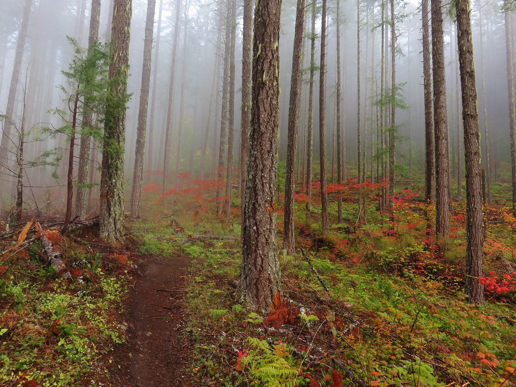 Dead Mountain Trail – Willamette National Forest – October
 Mt. Hood from Tom Dick and Harry Mountain – Salmon-Huckleberry Wilderness, October
 Cummins Creek Wilderness, November