
No Summer trip to Eastern Oregon is complete without at least one thunder storm and ours came early Wednesday morning. When we awoke at 4am in La Grande one was passing overhead nearby. I pulled up the weather forecast for the hike we had planned that day and much like the forecast had been for Mt. Ireland on Saturday there was a slight chance of a thunder storm. We packed up and headed for the Rock Springs Trailhead which was between La Grande where we had been staying and Wallowa where we had reservations for the next two nights. We were following the storm as it passed over the Wallowas but it stayed ahead of us and things looked pretty good when we parked along the shoulder of FR 62 where the Rock Springs Trail headed downhill toward the confluence of the Minam and Little Minam Rivers.
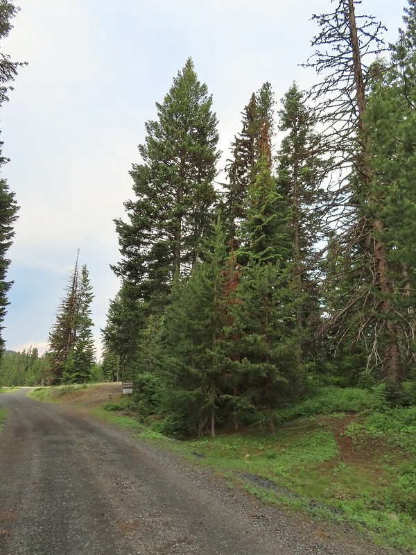 We parked about 200′ north of the actual trailhead per a suggestion by Sullivan in his guidebook.
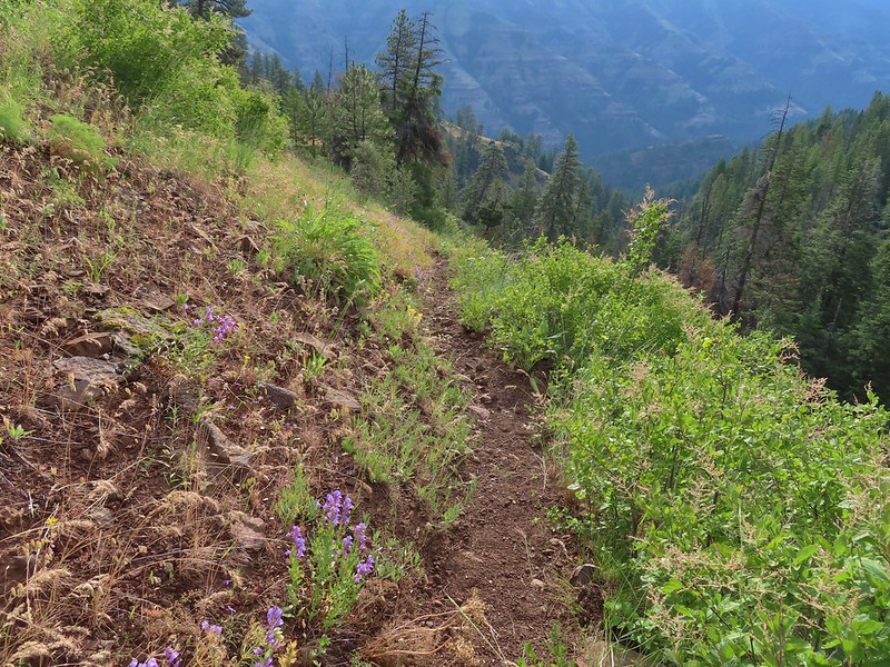
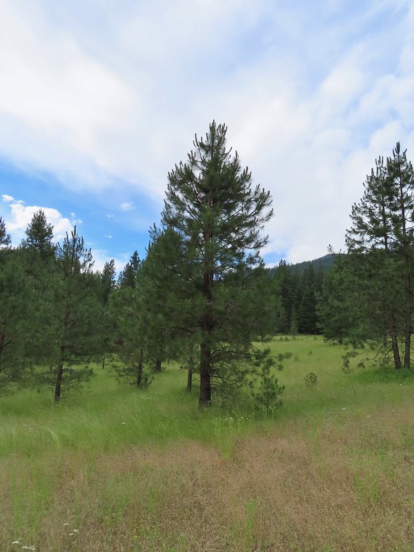
 The Rock Springs Trail at FR 62.
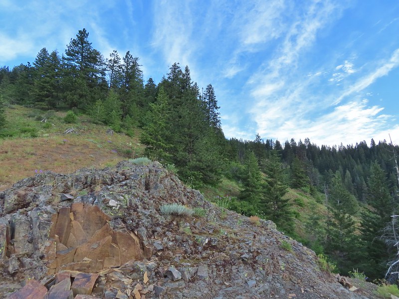
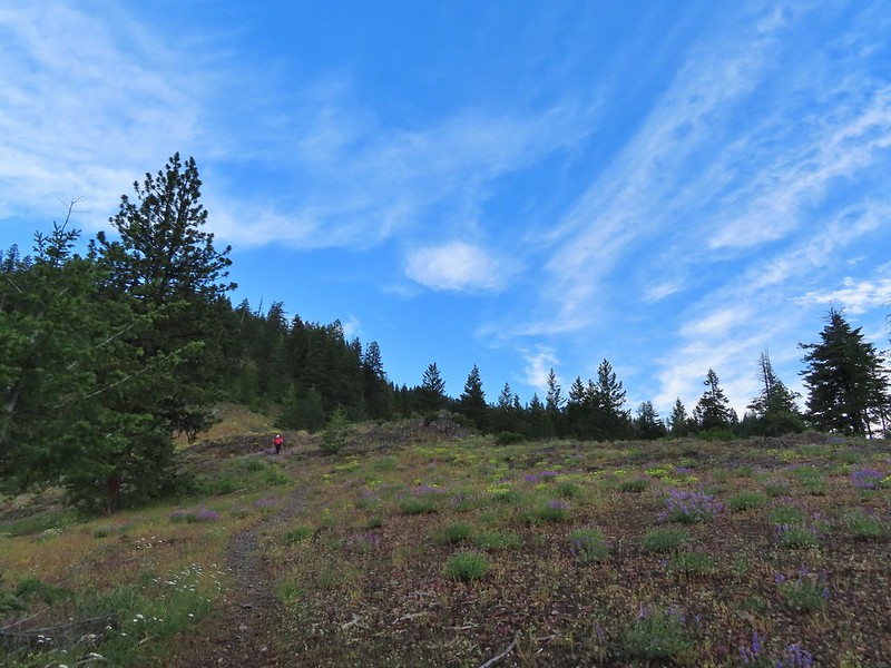
The trail loses approximately 2500′ in the first 3.5 miles, sometimes steeply, passing viewpoints at the 0.7 and 2.0 mile marks. There were views along other stretches of trail though as the trail alternated between open wildflower filled hillsides and forest. It was the least maintained trail that we were on all week with quite a bit of grass and brush encroaching on the trail. It was also the only trail on which we encountered multiple ticks, about a half dozen, during the trip. (The only other tick we saw all week was one on my pants at Mt. Ireland on the first day (post).
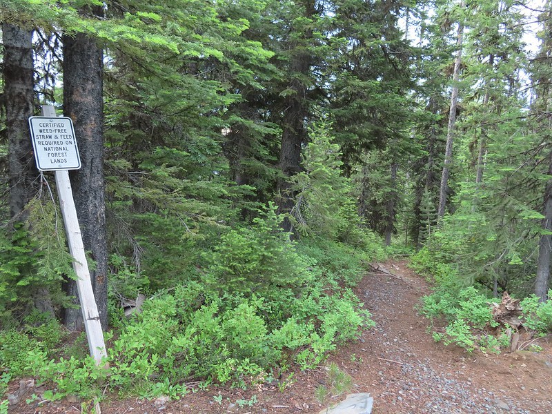
 The trail passed a large rock field just below FR 62 and then entered the Eagle Cap Wilderness.

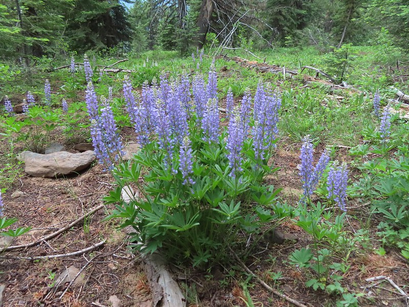 Lupine
 Coralroot


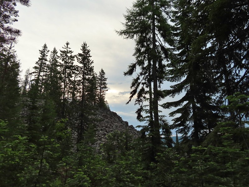
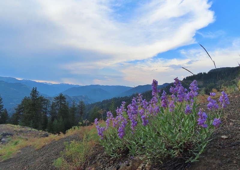
 The edge of the storm clouds.
 Scarlet gilia along the trail.
 Oregon sunshine and tapertip onion
 Nettle-leaf giant hyssop
 View from the trail before the first “viewpoint”.
 Oregon checker-mallow
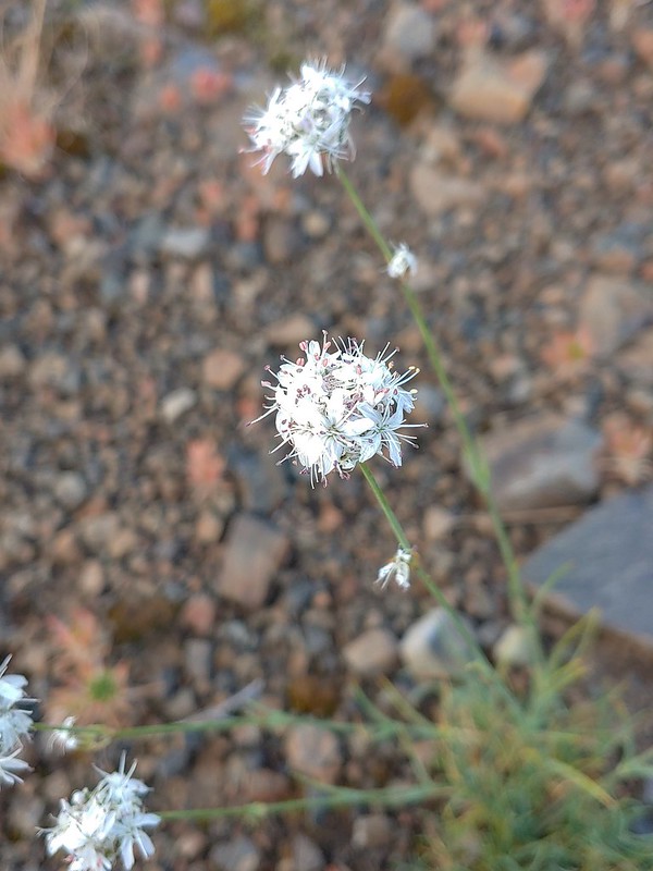
 Assorted wildflowers
 Blue sky following the storm clouds.
 Scabland penstemon
 Penstemon near the first “viewpoint”.
 Yarrow
 Douglas dustymaiden
 Looking back from the viewpoint.
 Buckwheat
 The Point Prominence Lookout atop the high point to the left.
 Ballhead sandwort
 Heather coming down from the viewpoint.
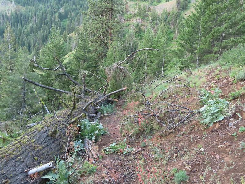 Blowdown over the trail.
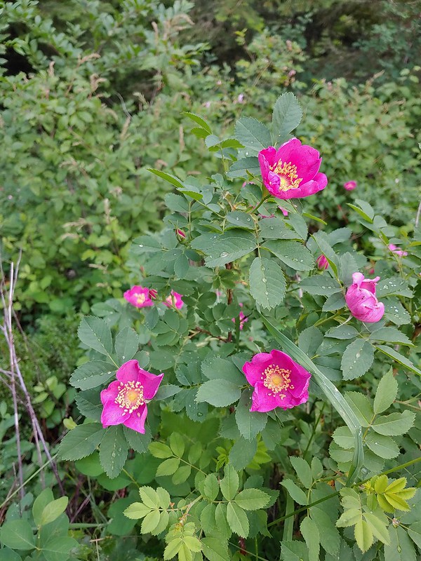 Nookta rose
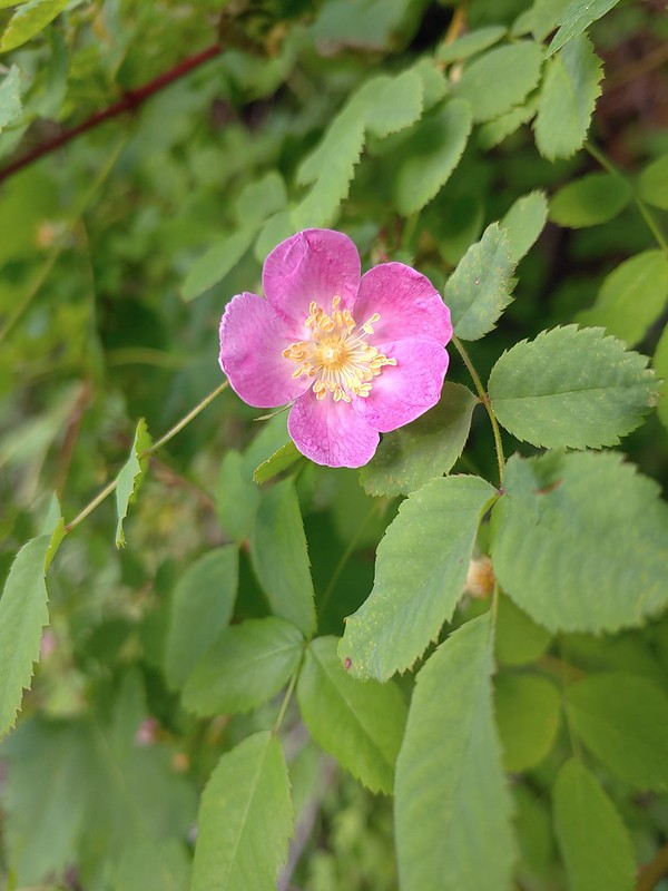 Wood rose
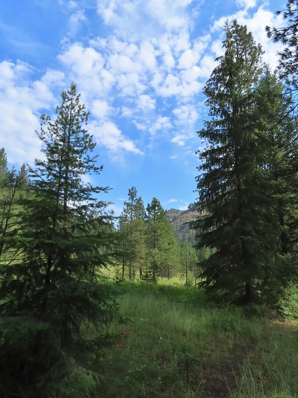
 View to the SE deeper into the Wallowas.

 Mountain parnassian?
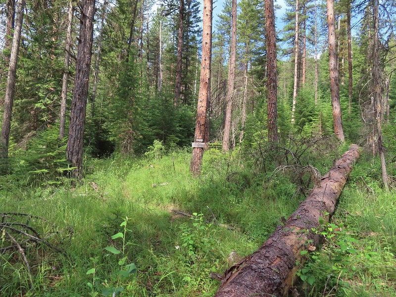
 Back in the trees.
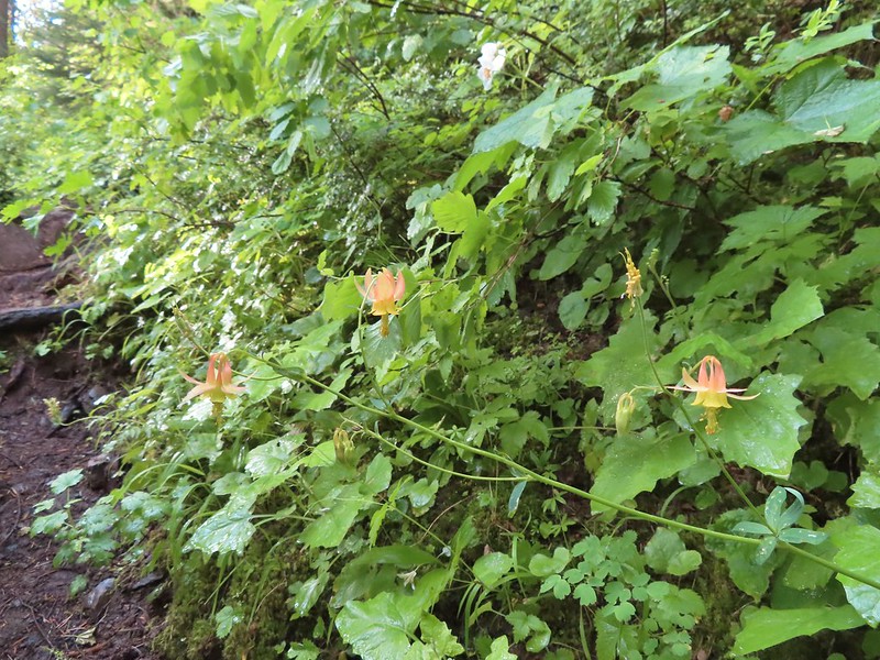 Some pale columbine. At first we thought it might be yellow columbine but it definitely had a red tint.
 Thimbleberry crowding the trail. The storm had left a lot of water on the vegetation which in turn wound up on our legs and shoes.
 Heading down into the valley.
 Elkhorn clarkia
 Approaching the second viewpoint.
 Backbone Ridge which separates the Minam and Little Minam Rivers. We had crossed over that ridge further south on Tuesday when we took the Horse Ranch Trail from Moss Springs to the Minam River (post).
 Grand collomia
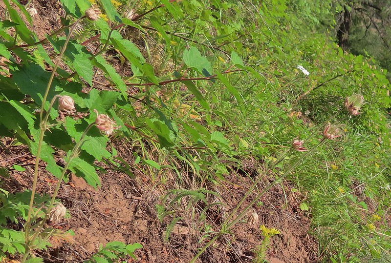 Prairie smoke
 Mock orange along the trail.
 Twin flower and foam flower
 Sign marking the junction of the Rock Springs and Little Minam Trails.
 Possibly a wasp of some sort near the junction.
We turned left at the junction and descended another tenth of a mile where we spotted the first of several structures that used to be part of a lodge.
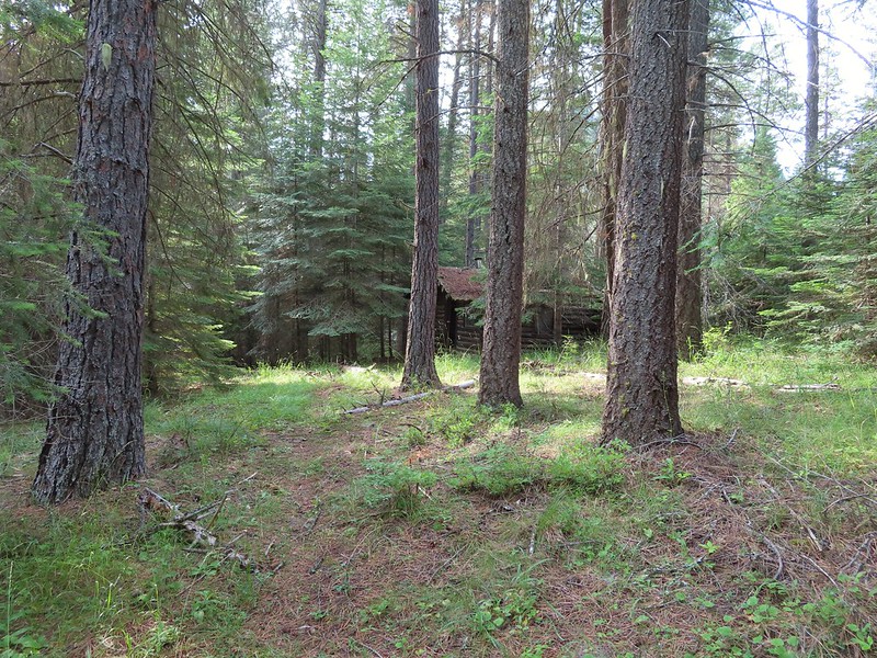 The first cabin ruin.
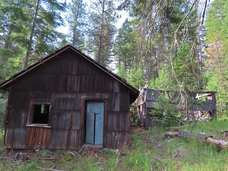
 Almost looks okay from this angle.
 Not so good from this angle.
 The lodge was at the edge of this meadow.
 The lodge
 The fireplace seems to have held up well.
 This cabin didn’t hold up.
Beyond the lodge several faint trails led off into the meadow.

The map in Sullivan’s book appeared to show the main trail turning left after passing the lodge with a spur continuing straight to the Little Minam River and a drinking hole for horses.

We had intended on taking the left hand fork but we wound up at the watering hole instead.
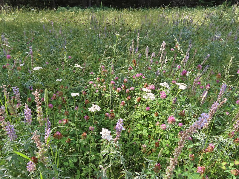 Wildflowers near the watering hole.
 The Little Minam River. We couldn’t quite see the confluence of the two rivers from here despite being very close.
We headed north using our GPS units in an attempt to locate the actual trail which should take us to a dangerous ford three quarters of a mile from the old lodge. After a bit of searching we picked up the faint trail.


 The dangerous ford.
According to Sullivan, horses are able to cross later in the Summer but hikers should follow the Little Minam Trail south to the Horse Ranch Trail and cross the Minam on the footbridge that we had crossed on near Red’s Horse Ranch.
We sat on the rocks along the Minam for a bit before heading back.

On the way back it was a little easier to follow the faint trail which led us to some campsites above the old lodge.
 Here we tried looking for horse hoof prints to stick to the trail.
 Butterfly on yarrow.
 We think this was the trail.
 The campsites where we picked up the Rock Springs Trail again.
We made the 2500′ climb back up, watching for things we missed (and ticks) as we went.
 Lorquin’s admiral
 Looking across the gully we could see the trail cut climbing up the far hillside.
 Pincushion plant
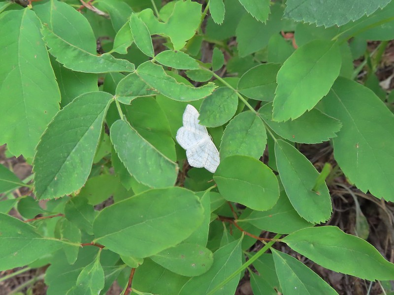 Resting moth
 A plane taking off from Minam Lodge.

 A popular thistle.
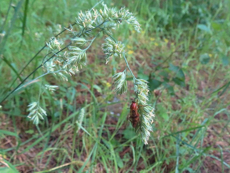
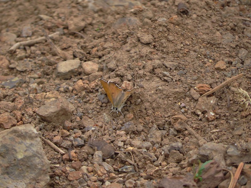 A skipper of some sort.
 We both missed this yellow columbine on the way down.
 View from the upper viewpoint on the way back up.
 A final view from the Rock Springs Trail.
 The cloud cover that moved in turned out to be a blessing as it kept the temperature reasonable as we made the long climb back up.
Our hike here came in just a tad over 9 miles to go with the 2500′ of elevation gain.

The ticks had been a bit of a distraction but the views had been good and there were a lot of wildflowers along the way. At the end of the day it was our least favorite hike of the trip but there was still plenty to enjoy. From the trailhead we drove to Wallow and checked into the Mingo Motel which turned out to be a surprisingly nice room. Happy Trails!
Flickr: Minam River via Rock Springs
