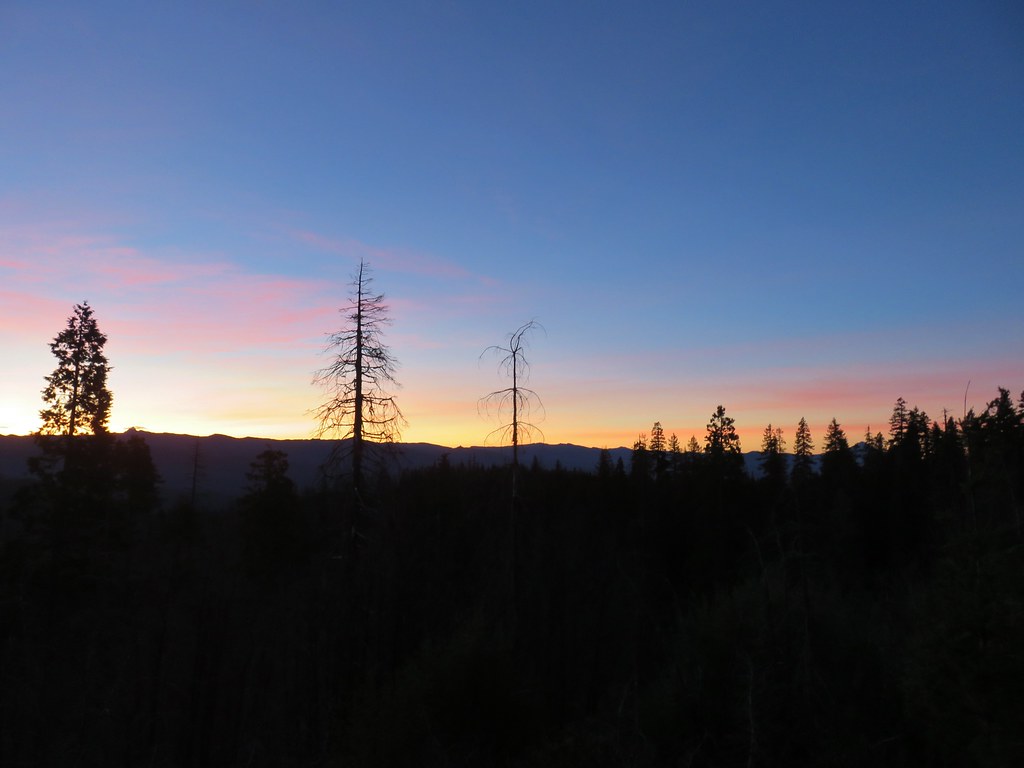
The third day of our long weekend in Union Creek was supposed to be a single hike to Abbott Butte and Elephant Pond in the Rogue-Umpqua Divide Wilderness. The day started as planned as we drove from Union Creek to the Abbott Butte Trailhead.
 Union Peak and Mt. McLoughlin on our drive to the trailhead.
 The peaks of Crater Lake National Park
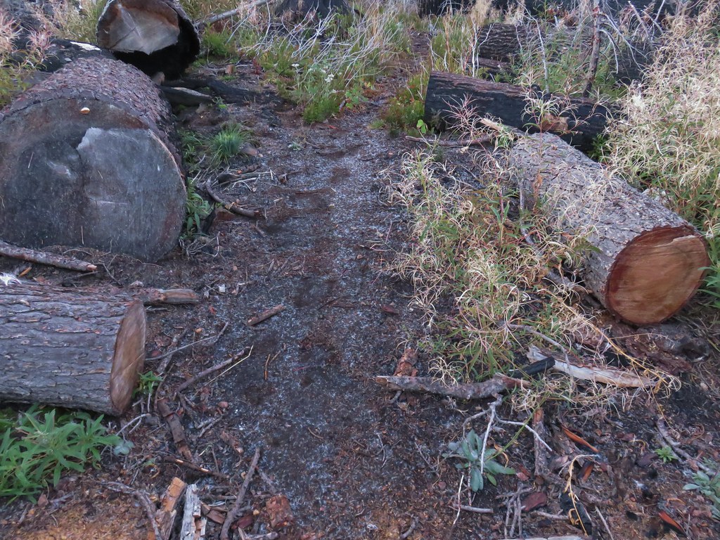
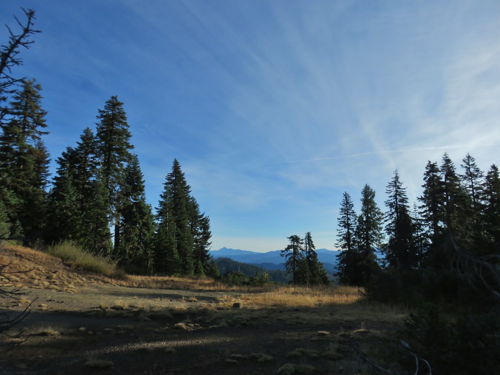
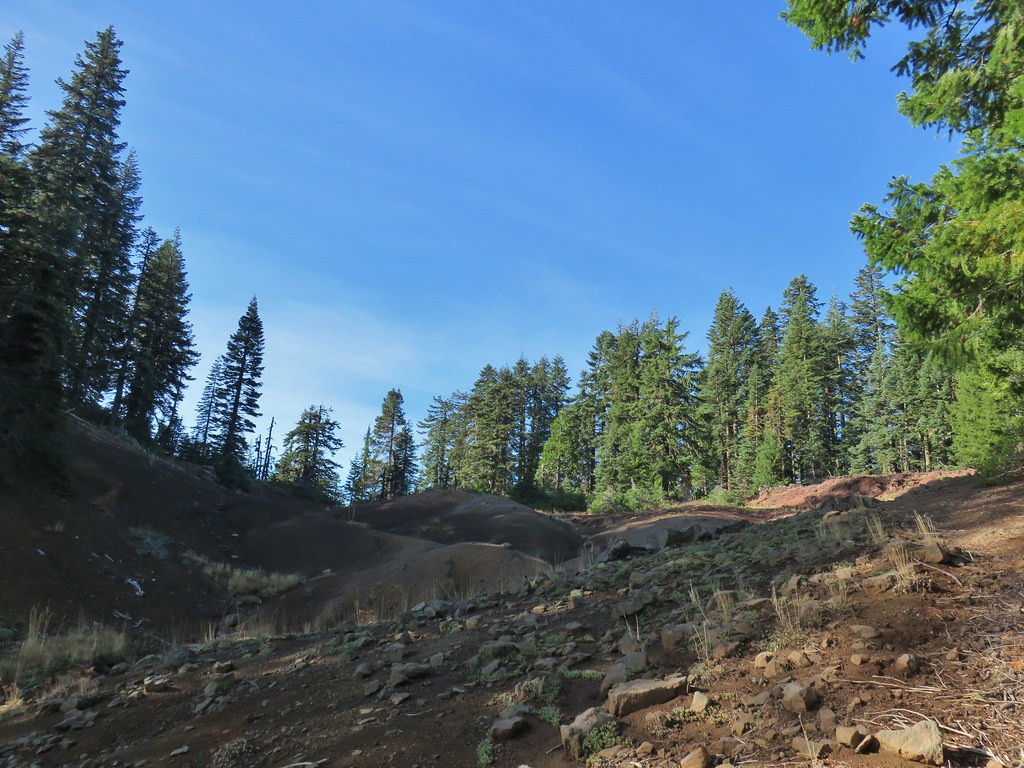
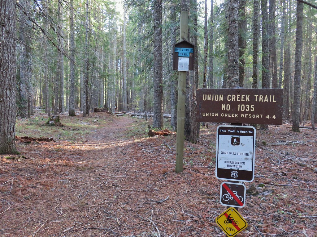
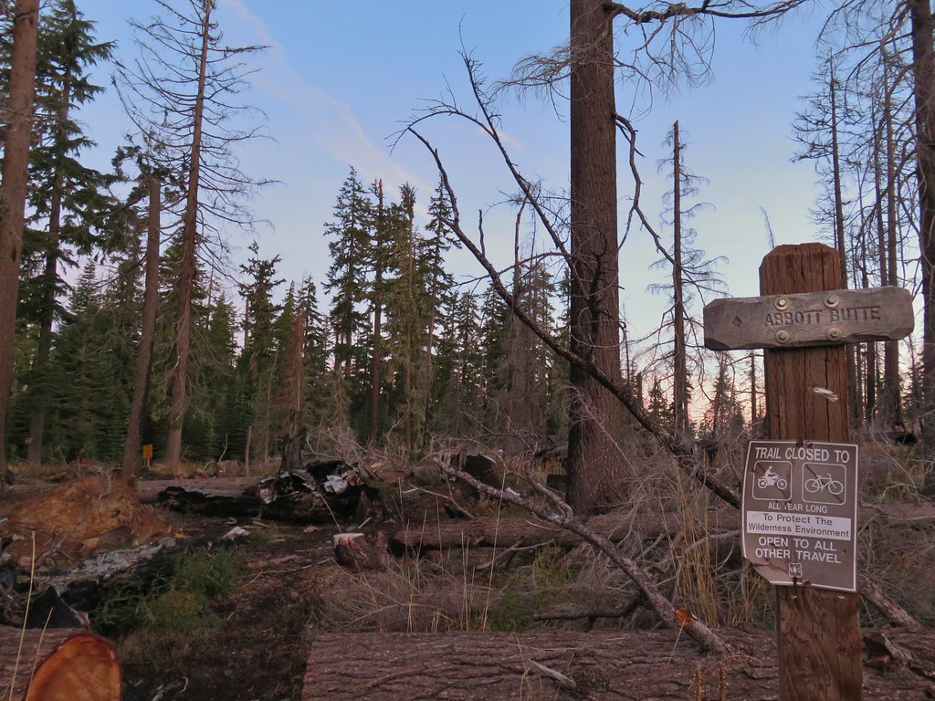 Abbott Butte Trailhead
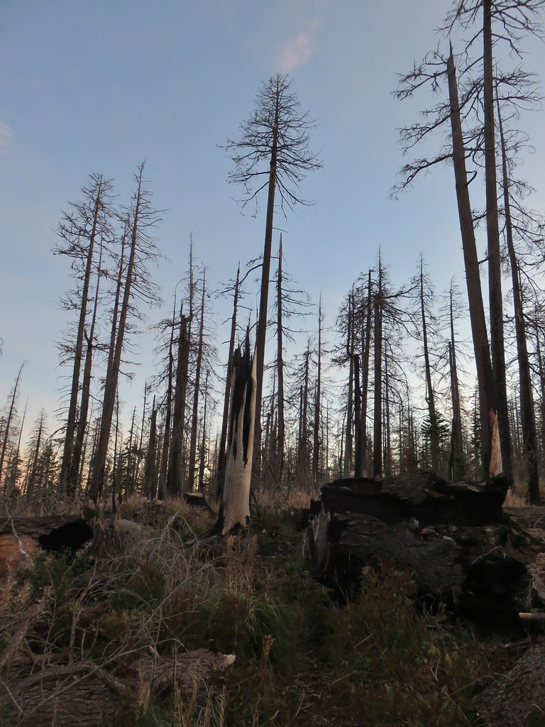
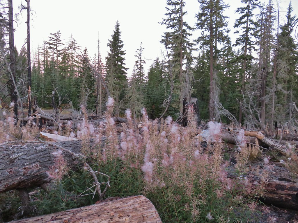
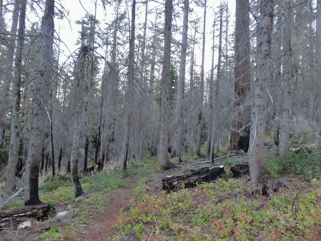
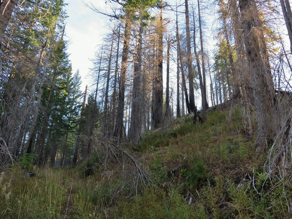
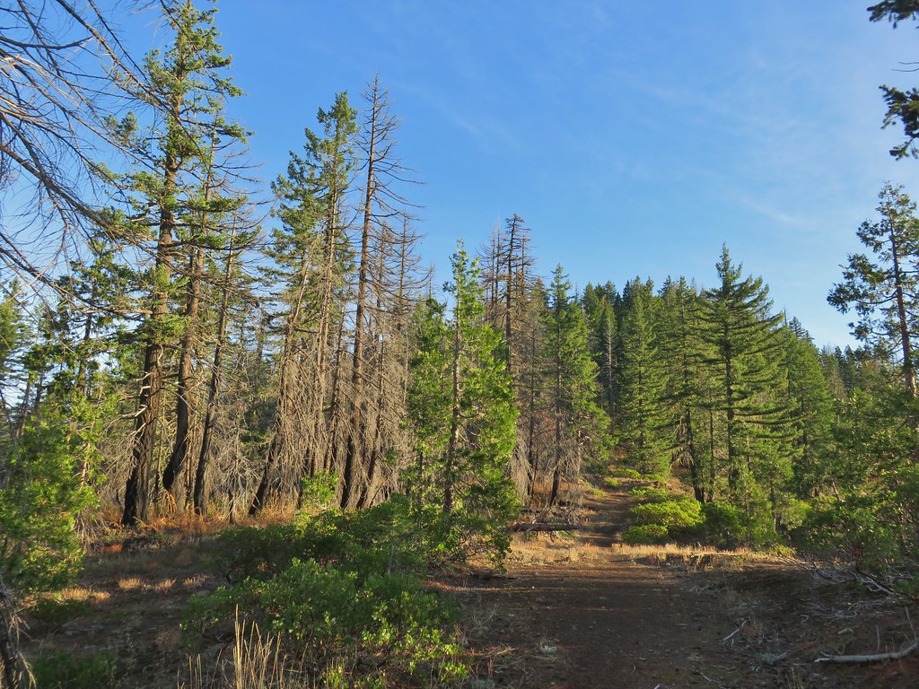
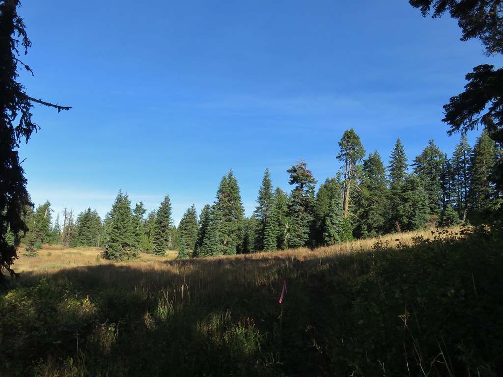
The Rogue-Umpqua Divide Trail begins here at Huckleberry Gap near the southern end of the wilderness. Much of the area burned in a 2017 fire and there was a profuse amount of fireweed present which had gone to seed and left the ground looking as though it had received a dusting of snow.
Just after taking the preceding photo which Heather had stepped to the side of the trail for, we resumed the hike and I immediately heard a ruckus behind me. I turned around to see Heather laying on the trail next to a log. She had gotten tangled some branches and fallen. While nothing was broken she twisted her foot awkwardly. After taking inventory she decided to continue on.
The trail spent the first mile and a half loosing approximately 300′ as it wound around Quartz Mountain before arriving at Windy Gap.
 Huckleberry bushes
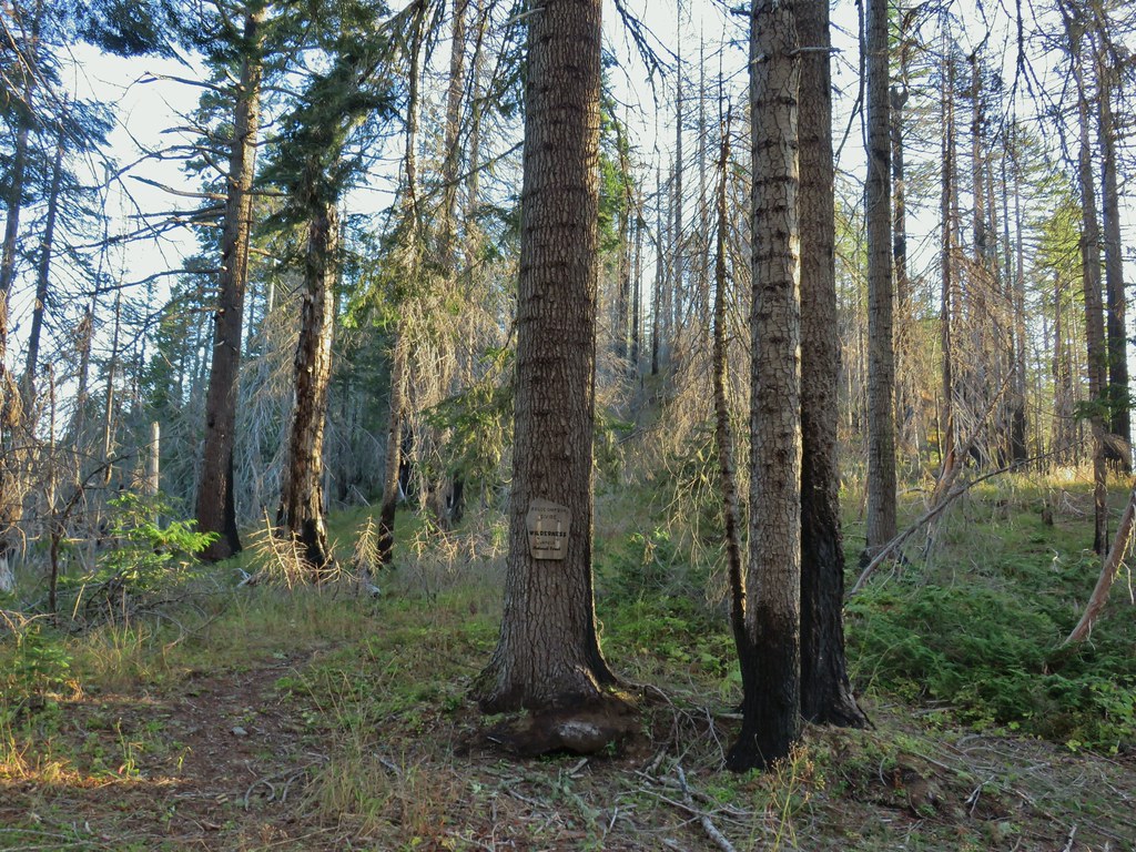
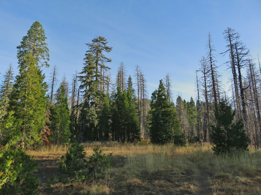
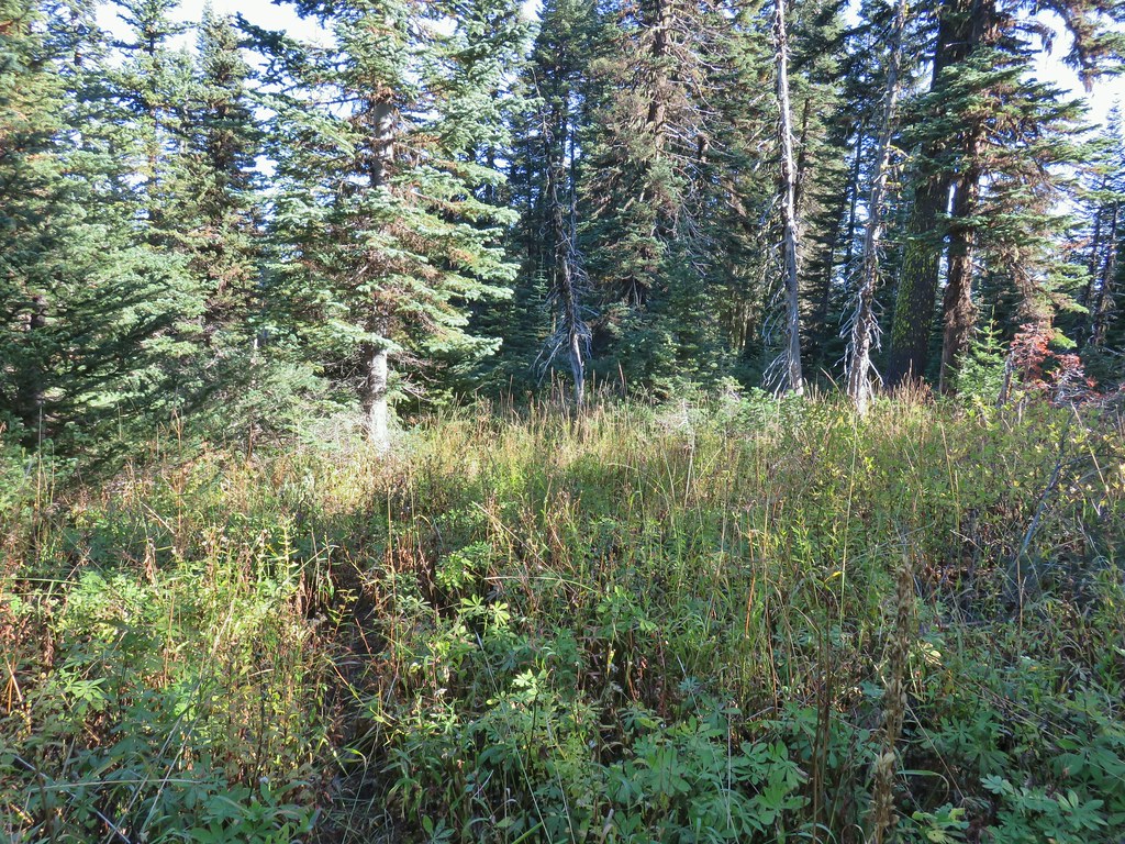
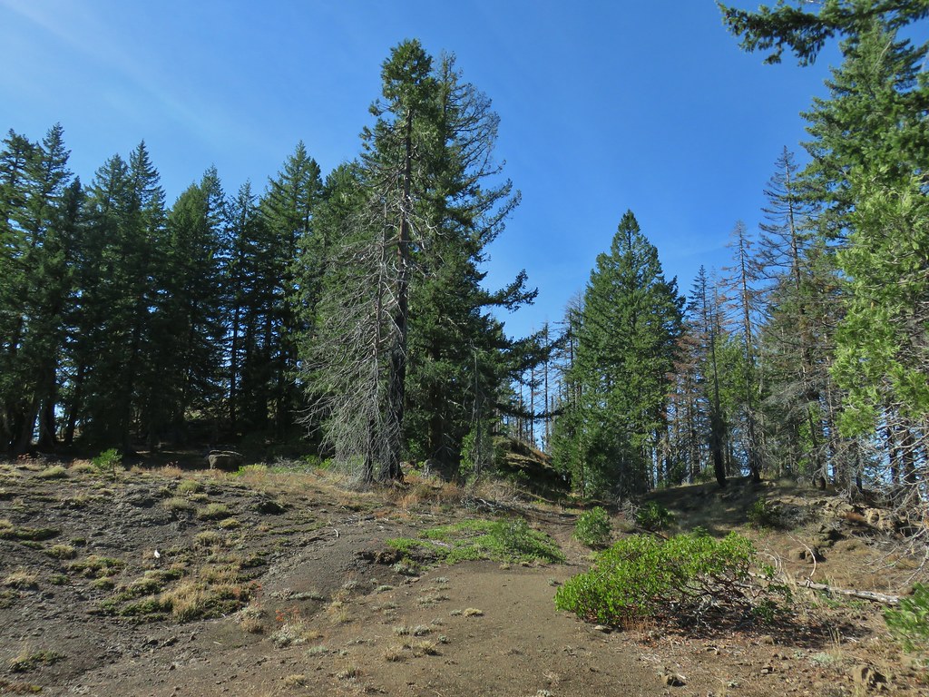
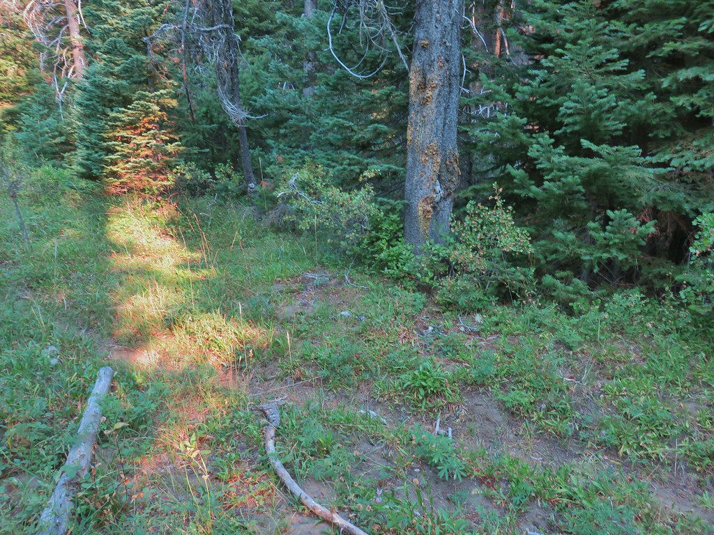
 A section of green trees along the trail.
 Quartz Mountain
 Passing below Quartz Mountain
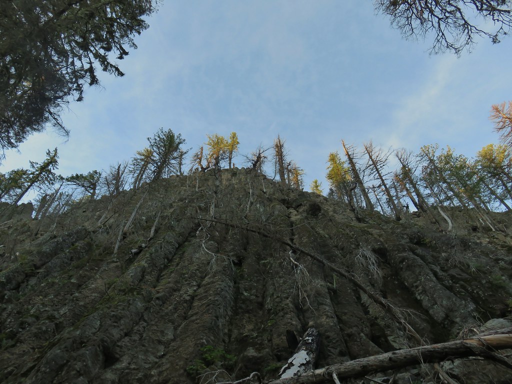
 Abbott Butte from the trail.
Along the way my camera decided to malfunction giving me a lens error when trying to use the zoom function. I eventually had to give up on using the zoom and am now looking for a replacement :(.
At Windy Gap the trail entered the Rogue-Umpqua Divide Wilderness.
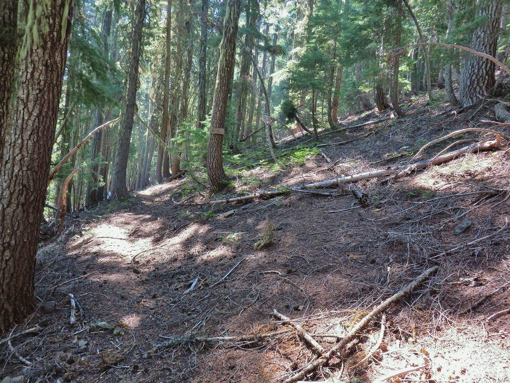
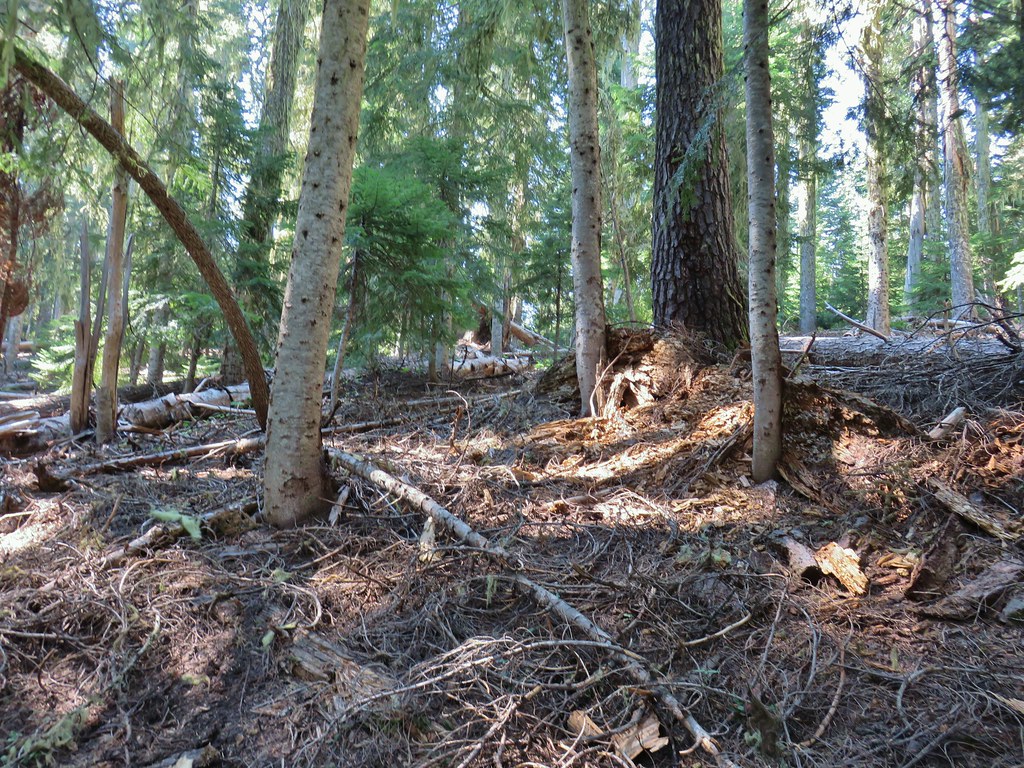
Prior to the fire the trail paralleled an old road bed on the hillside above it but that tread has been mostly lost so we stuck to the road bed.
 On the roadbed
 Pearly everlasting
The road arrived at Sandy Gap .4 miles from Windy Gap.
The peaks of Crater Lake were visible from this gap.
We continued on the road bed form this gap as well. Between the gaps we had at least been able to see where the trail had been on the hillside above but at Sandy Gap the tread had all but vanished.
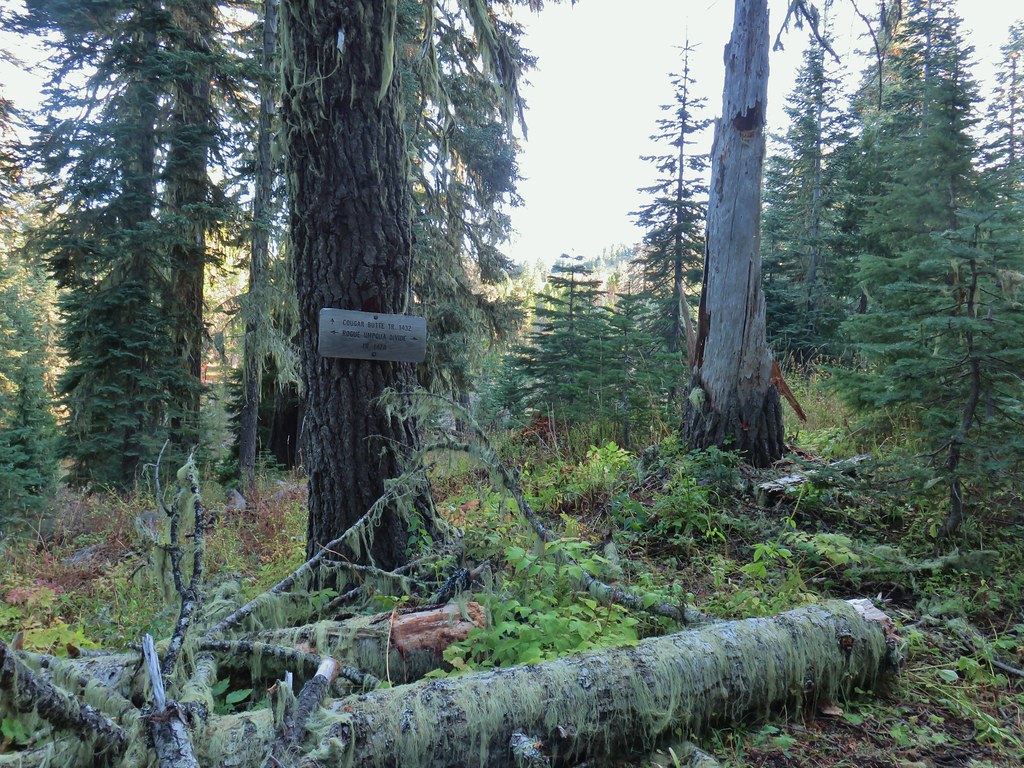
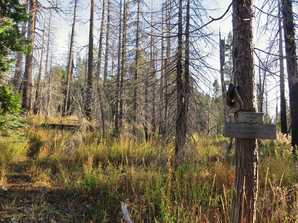
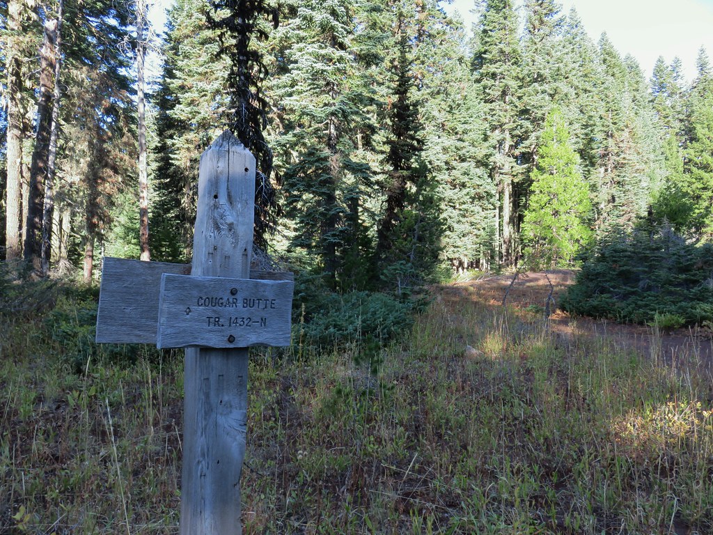
Approximately .7 miles from Sandy Gap we passed a trail sign for the Cougar Butte Trail. The sign was the only evidence that the trail had ever existed from what we could see.
Another tenth of a mile brought us to what in theory was a 4-way junction below Abbott Butte.
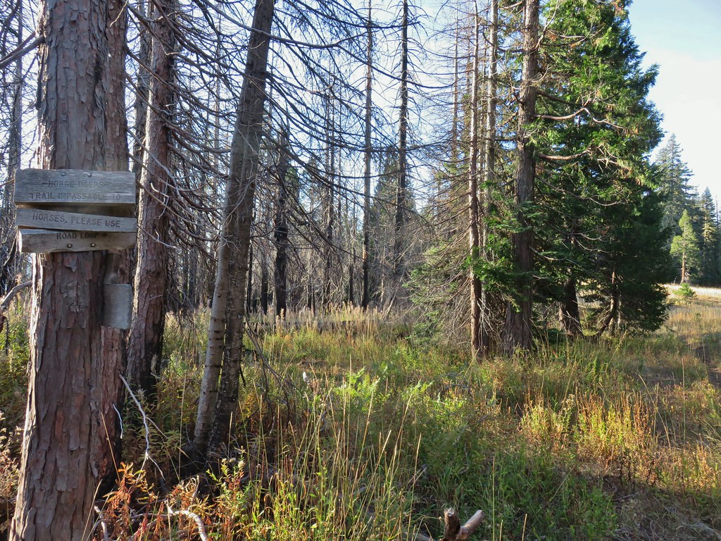 Sign indicating the non-existent trail is not suitable for horses.
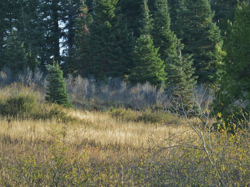
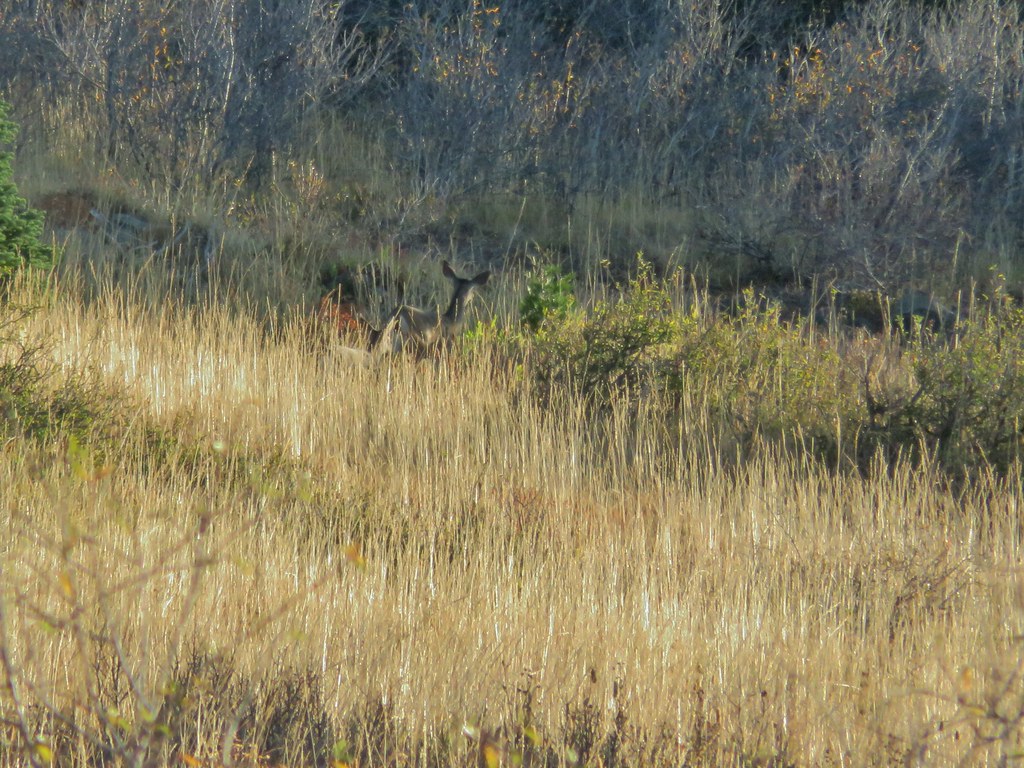
We followed the old road up an open hillside switchbacking three times to the summit of Abbott Butte after a mile. Along the way we spotted a pair of deer near the tree line.


There were also some spectacular views.
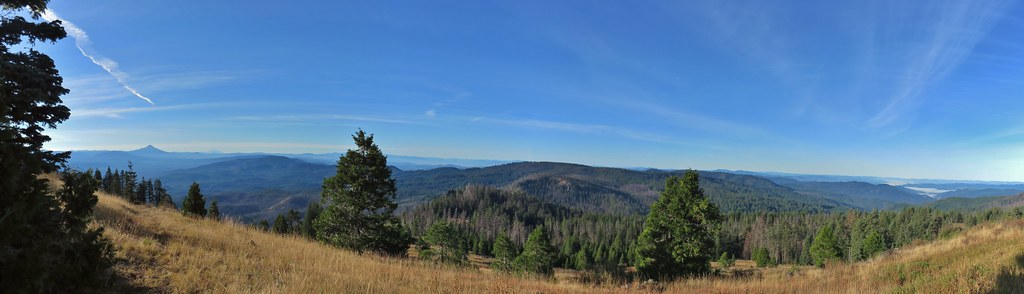 Mt. McLoughlin and Mt. Shasta and a whole lot of other peaks that I should know.
 Mt. Thielsen
 Nearing the summit.
The Abbott Butte Lookout has seen better days. While the stand is still upright the lookout was not and the old sleeping quarters beneath looked near collapse as well.
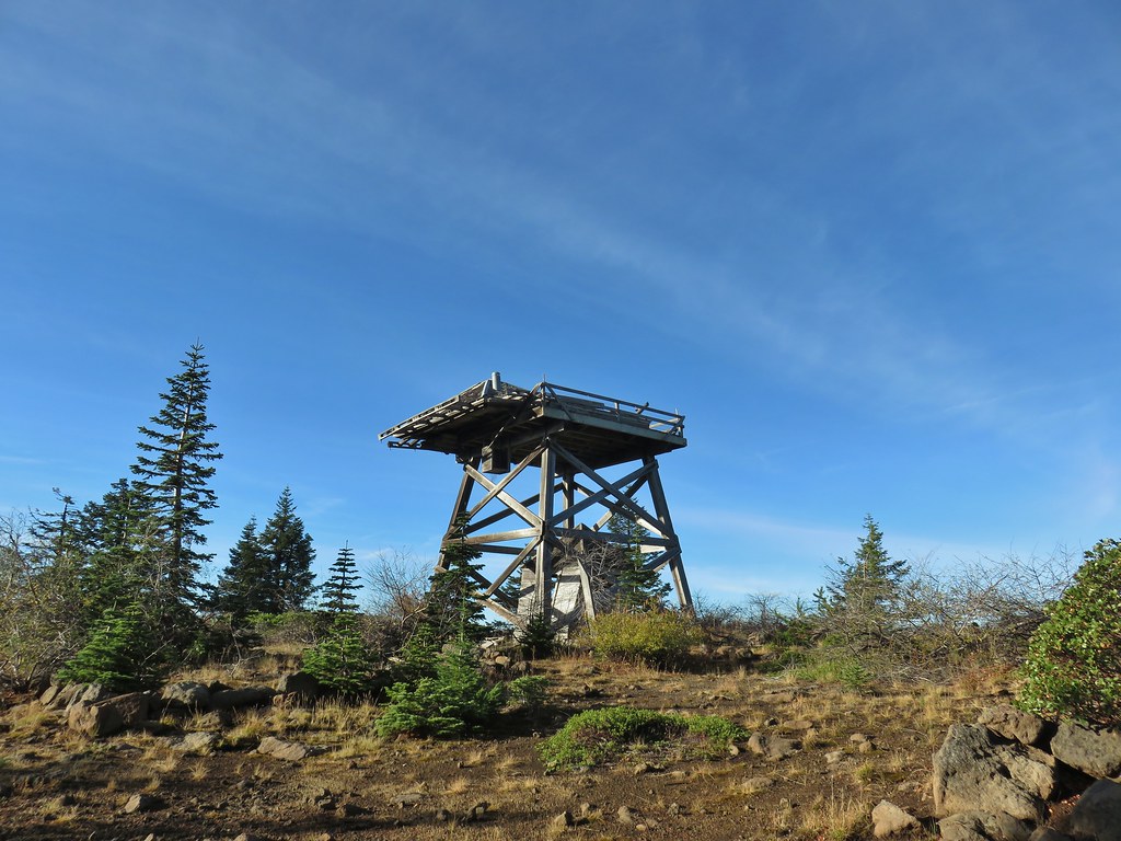 The old lookout on Abbott Butte
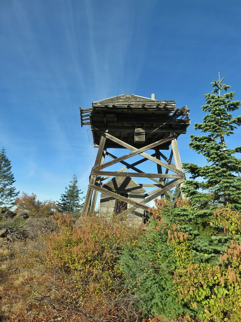
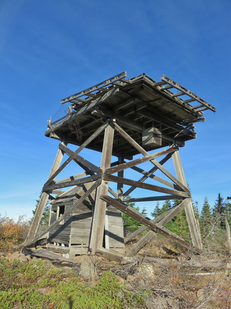
Regardless whoever the idiot was that used wood from the lookout for their precious campfire should be ashamed.
 The old outhouse?
There view south was limited by trees but there was a good view to the east.
 Mt. Thielsen and the peaks of Crater Lake.
After a nice break at the summit we headed back down the road. After .7 miles at the 3rd (lowest) switchback we turned right toward a post.
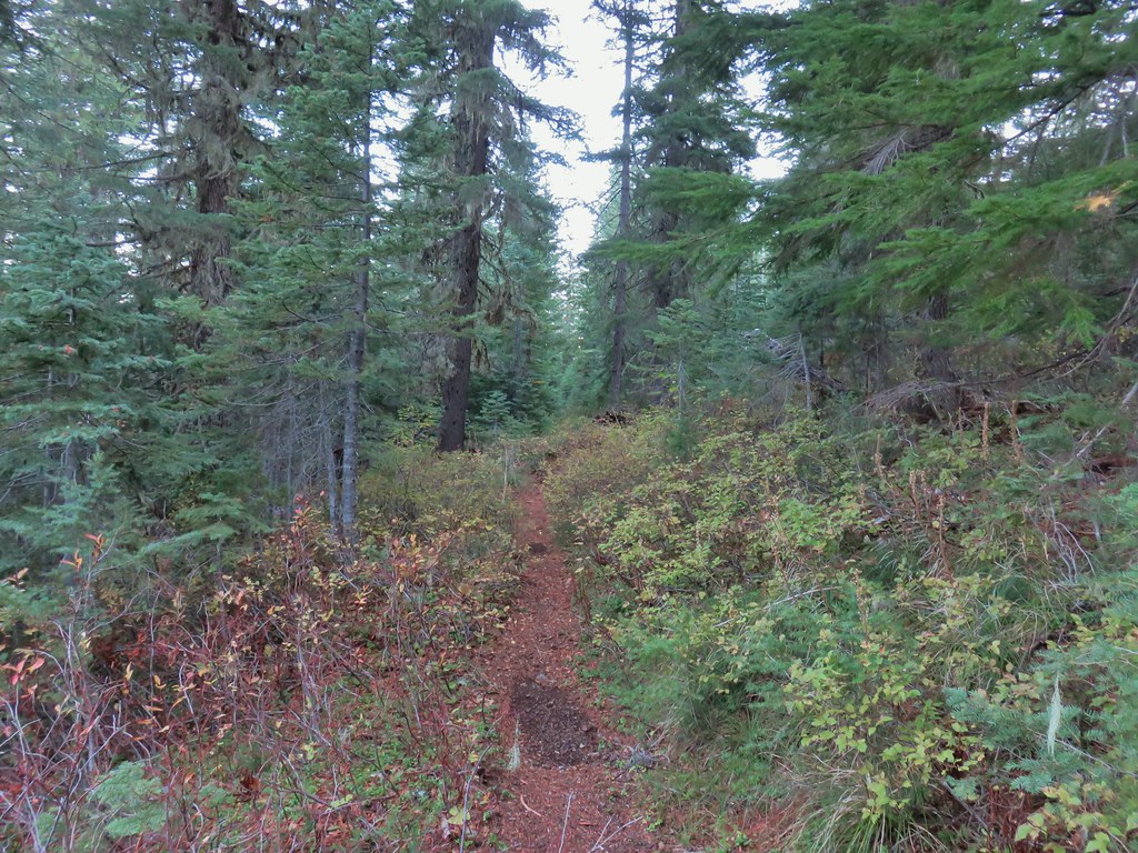
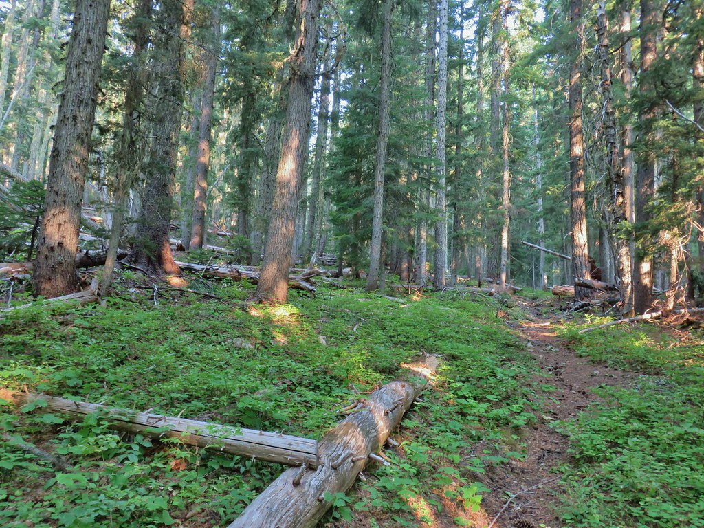
This was the route to the continuation of the Rogue-Umpqua Divide Trail. Our plan was to follow it another 1.3 miles to Elephant Pond. In typical Rogue-Umpqua Divide Fashion the trail alternated between good tread and non-existent as it passed through meadows, green forest and burned forest.
 Flagging marking the route.
 A cairn along the tread ahead.
We passed another sign for the Cougar Butte Trail .4 miles from the switchback and at least this time there was a visible trail.
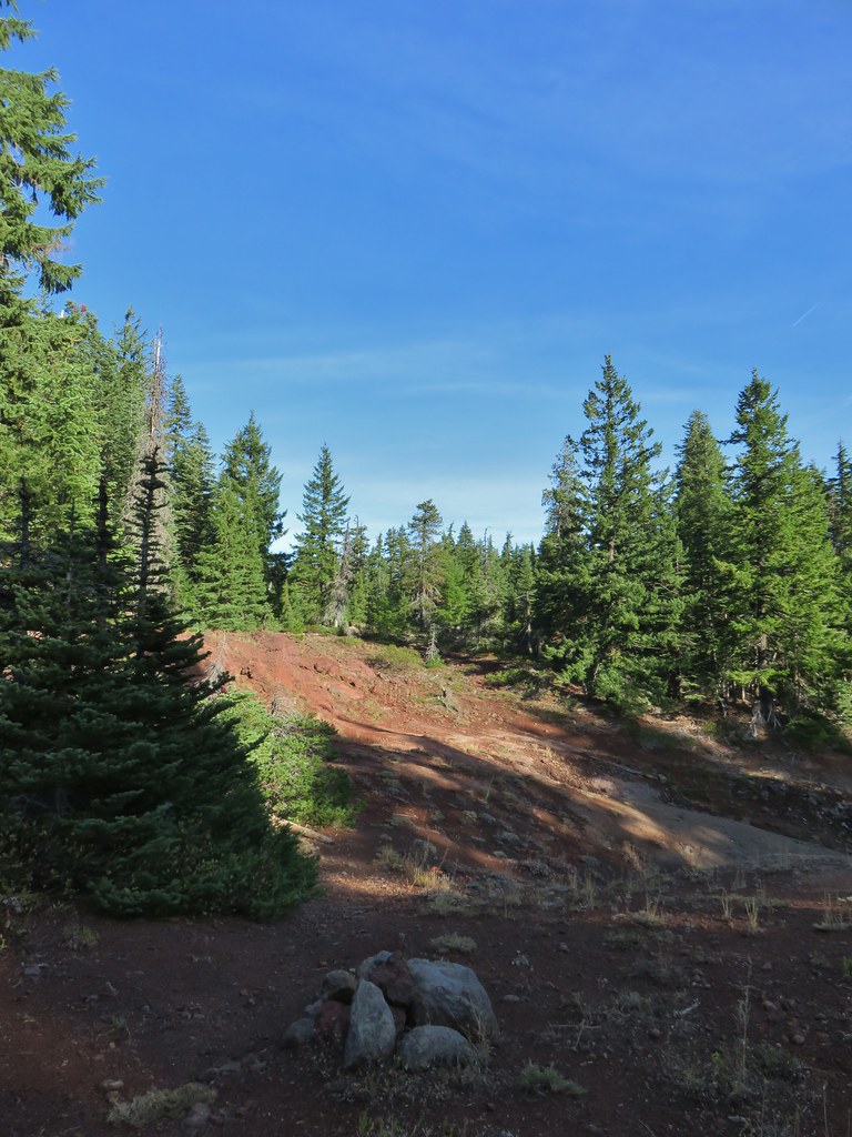
Just beyond this junction the Rogue-Umpqua Divide Trail crossed a cinder field, turned east and headed steeply downhill.
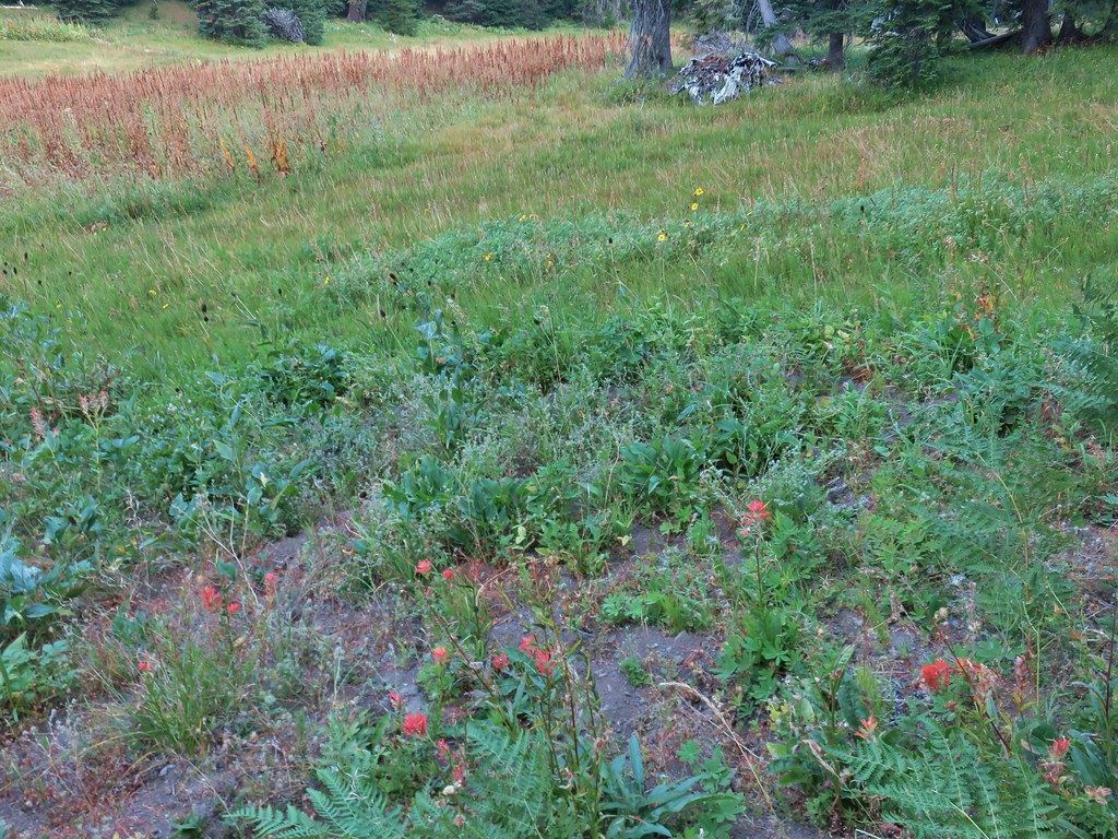
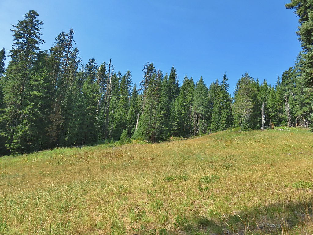
The trail eventually leveled out a bit passing through a series of overgrown meadows. For the first time since early in our first hike in this wilderness we nearly saw other people. We heard someone calling for Tyler but we never saw that person or Tyler.
 This meadow is where we heard the voice.
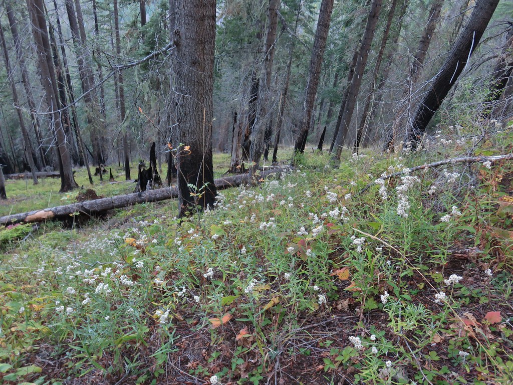
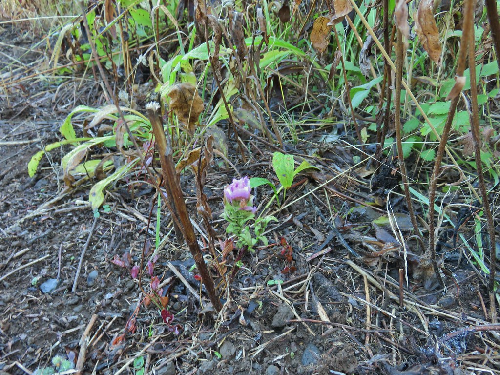
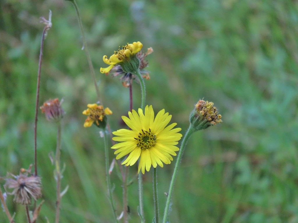
 Another late flower
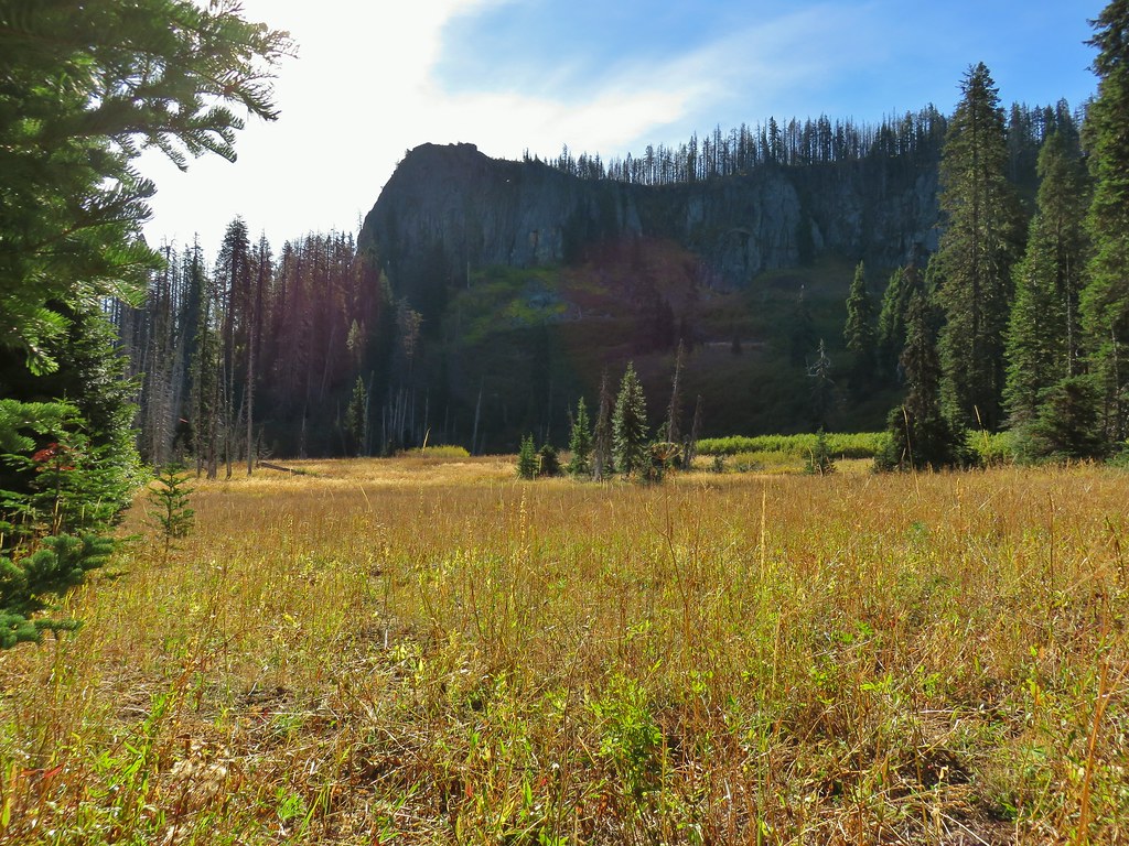
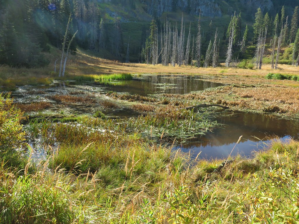
Before we reached Elephants Pond we spotted the rock formation known as Elephants Head.
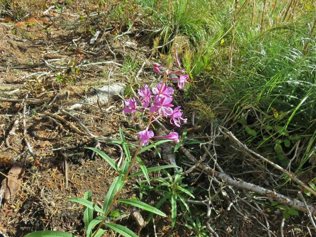 Fireweed that hadn’t gone to seed.
 An owl’s clover
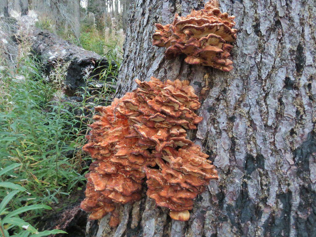
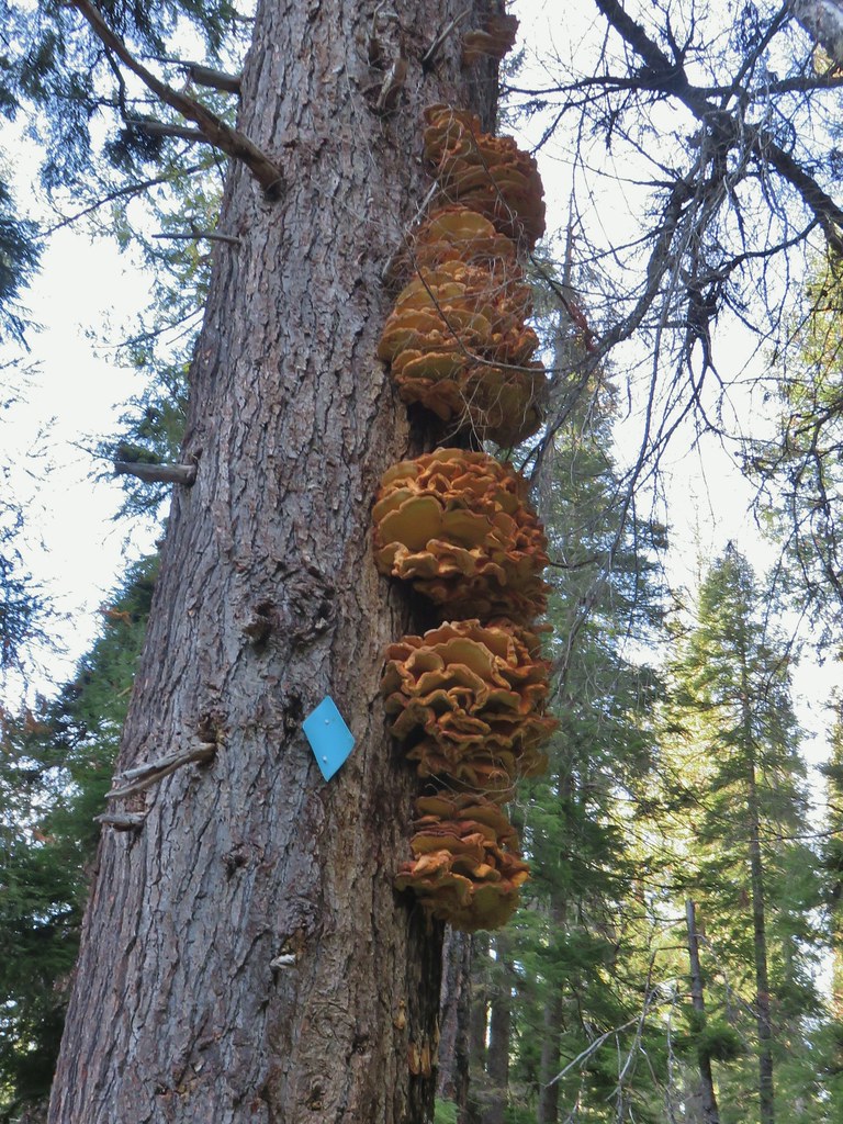
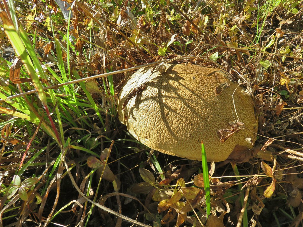 It’s hard to tell from the photo but this mushroom was big.
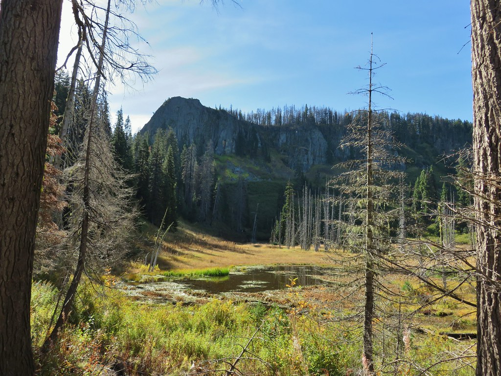
We declared victory at the pond as the trail was growing increasingly faint and entering another section of snags plus Heather’s foot was feeling a bit sore.
We returned the way we’d come only this time when we had reached Sandy Gap I decided to follow the old trail alignment above the road bed.


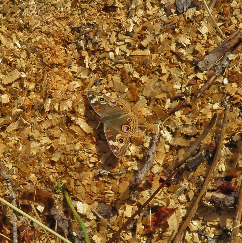
I rejoined Heather on the road near the wilderness boundary and we continued back to the car. Just before reaching it, near where she had fallen earlier we spotted a very pretty butterfly.
This was another enjoyable hike in the Rogue-Umpqua Divide Wilderness, even with the faint tread and our other mishaps. At 10.3 miles it was a good days worth of hiking and we drove back to Union Creek for another round of dinner and pie from Beckie’s Cafe.
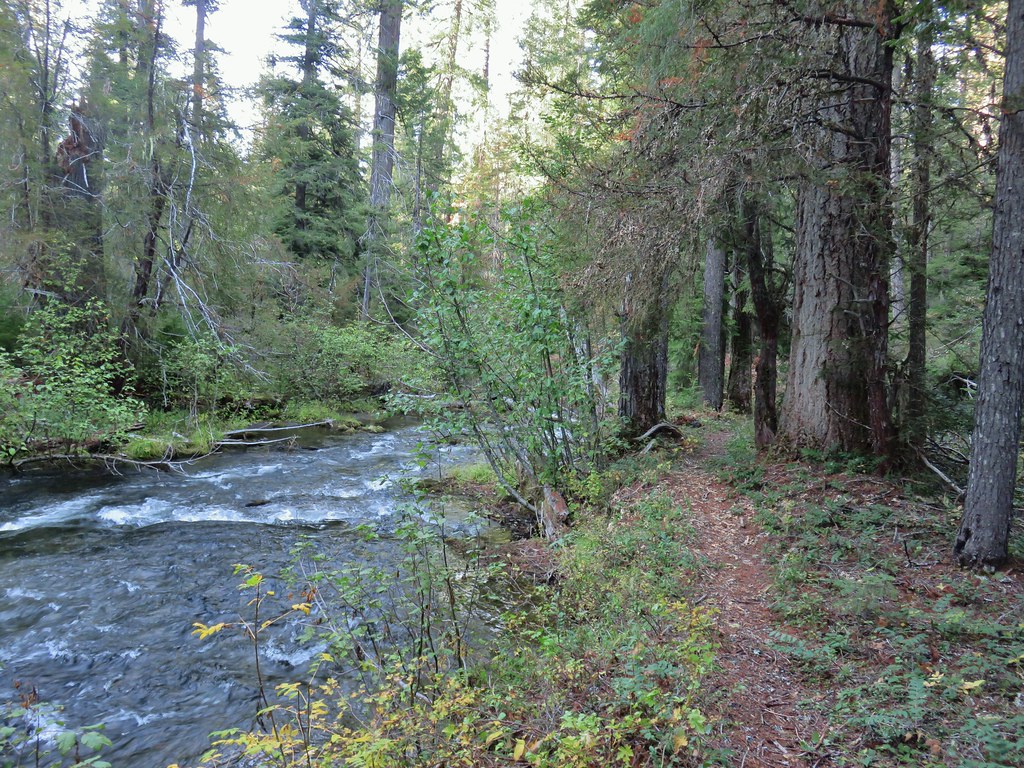
During the return hike and drive we had been discussing possible scenarios for the next days hike given Heather’s tender foot. Our planned hike was an 8.2 mile out and back from the Union Creek Resort along Union Creek to Union Creek Falls. We came up with a few different options making use of the upper trailhead which was only a seven minute drive away. Unfortunately by the time we’d driven back to Union Creek and finished our late lunch/early dinner her foot had swollen and stiffened signaling an end to her hikes this weekend.
While we were waiting for our food I had been checking up on the condition of the Union Creek Trail which as of 2018 was overgrown with quite a bit of blowdown in between the resort and falls. Trip reports as recent as August 2020 confirmed this. The temperature in the morning was going to be just under 40 degrees and an overgrown trail meant wet foliage which wasn’t exactly an enticing combination so a new plan was formed. It was just after 4pm when we finished dinner so with Heather’s blessing I took my leave and drove to the upper trailhead.
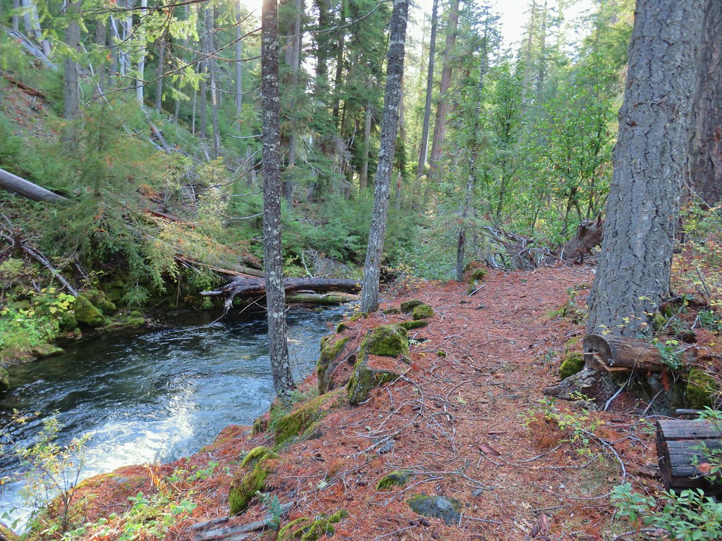
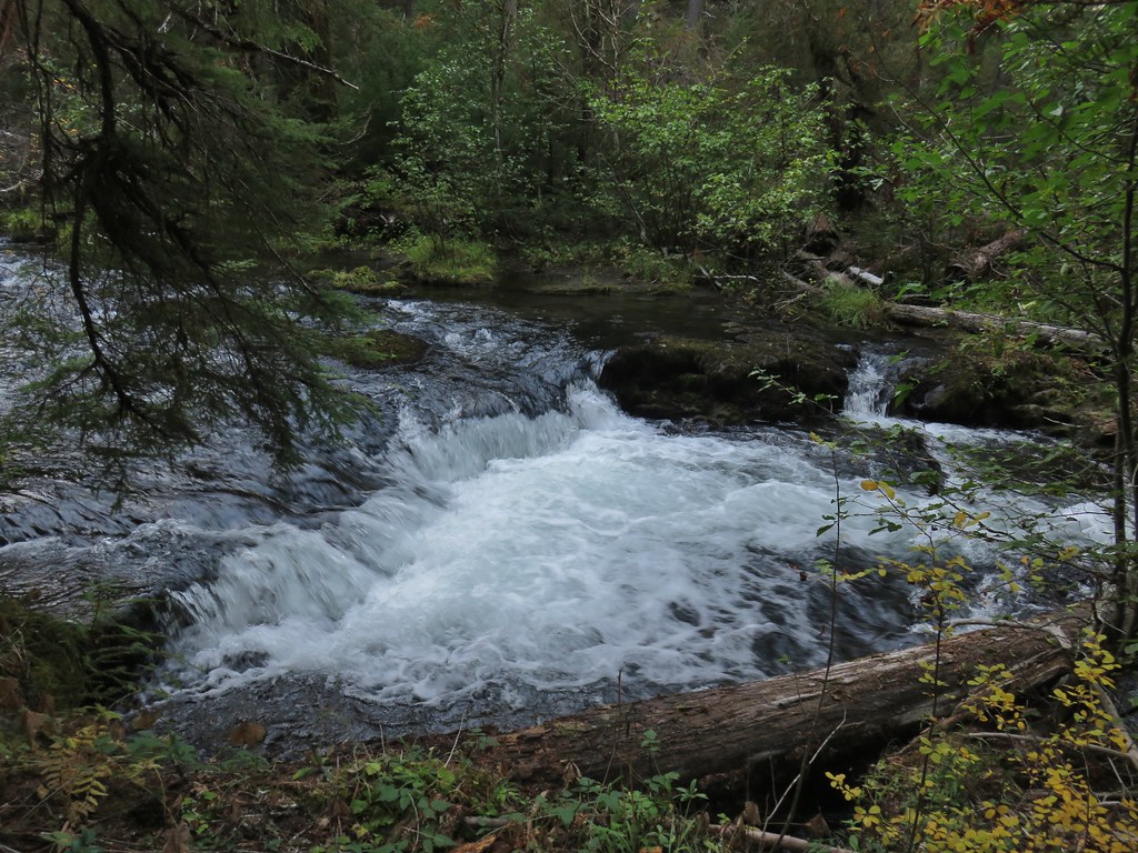
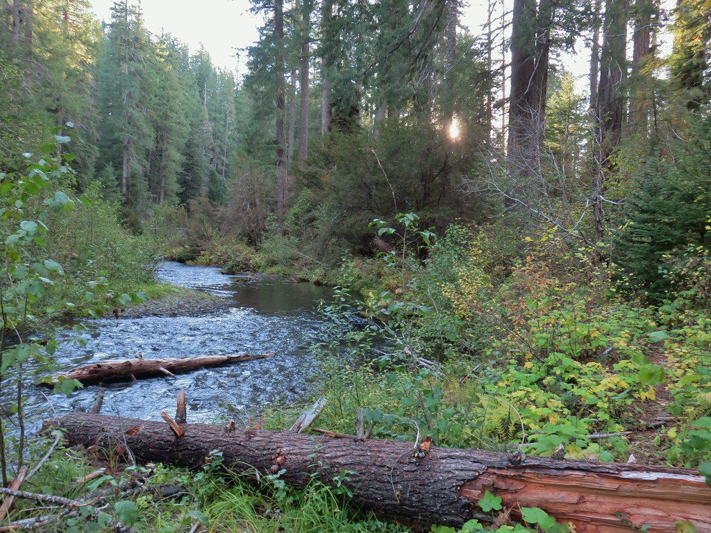
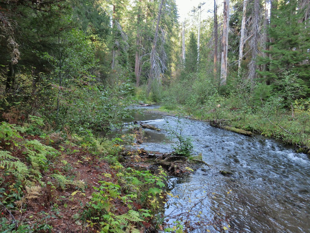
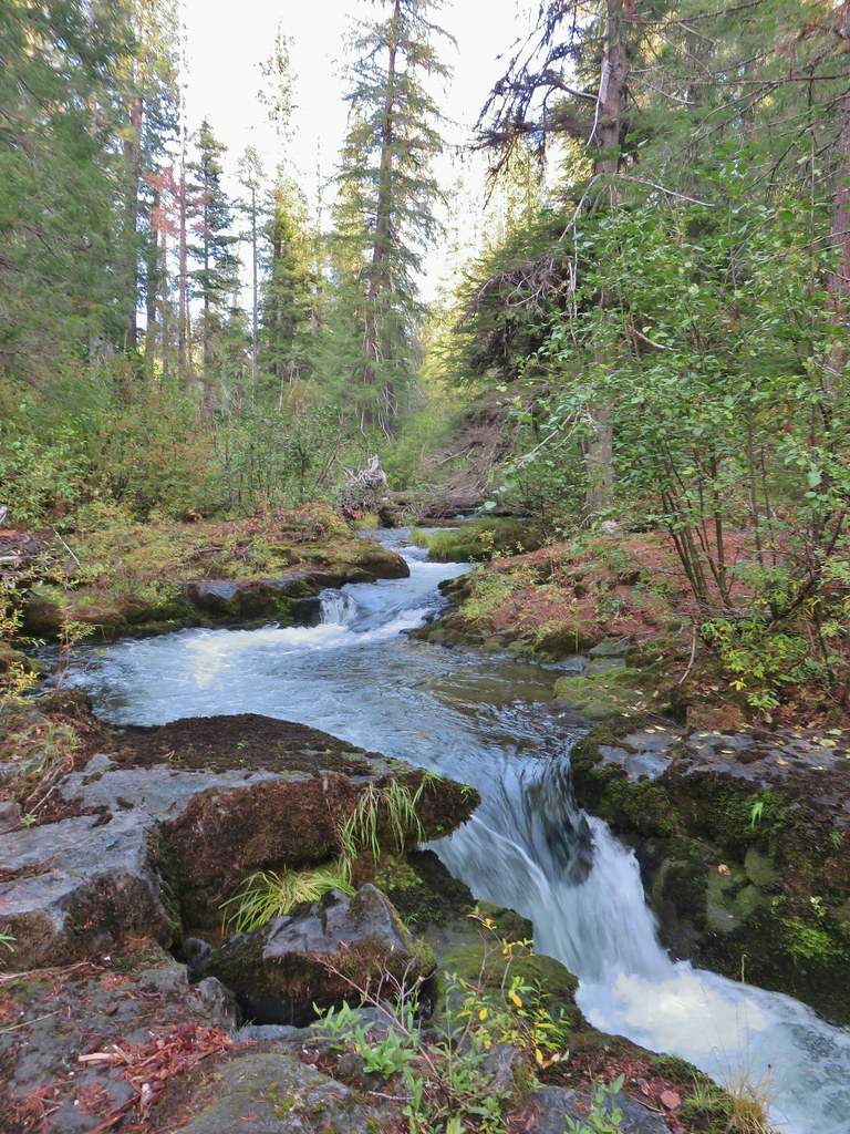
It was a little after 4:30pm when I set off and I gave myself a turn around time of 1 hour (or sooner if the trail conditions warranted). The trail began by descending 100′ in the first quarter a mile to the creek near Union Creek Falls, a small but scenic cascade.


From the falls the trail continued downstream and was in relatively good shape with just a couple of small trees to step over. The creek was lively at first so I made frequent stops to check out several small cascades and chutes.


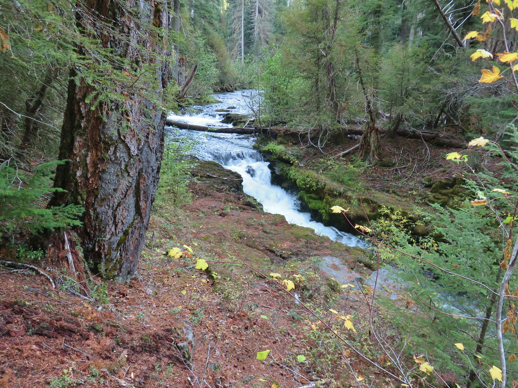

Approximately 1.7 miles from the trailhead the trail conditions really started to deteriorate. I had been encountering a little more blowdown and now I was facing nearly chest high ferns.
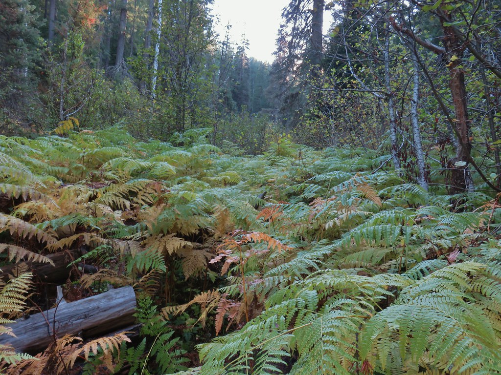
It was passable but I had to watch out for hidden obstacles so my pace slowed as had the creeks.


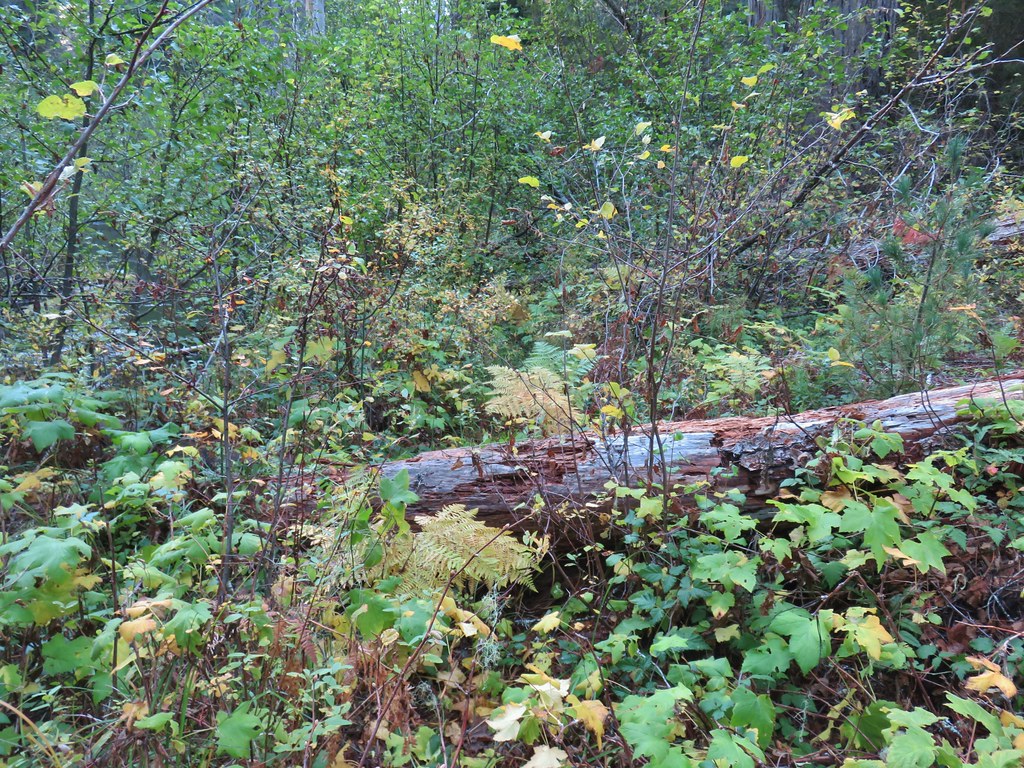
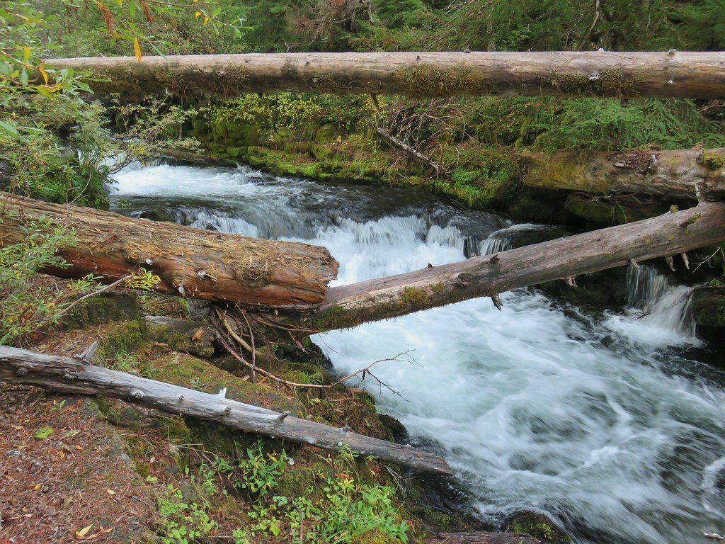
I continued another quarter mile or so before calling it good, 45 minutes into my self-imposed 1 hour turn around time. The wilder show from the creek was over as it continues to calm the closer it gets to the resort. I double timed it back to the car stopping less frequently (an ouzel caught my attention at one point).
 The broken zoom function didn’t let me get a good shot but the ouzel is on a rock in the middle of the creek.
I managed to get 3.9 miles in so almost half of the trail and I got to see a number of nice little cascades along the way. I was however a little damp from the vegetation so I was really glad I hadn’t tried to do the hike first thing in the morning.
I drove back to the resort and found heather sitting by the creek reading. Before turning in for the evening we picked up a cinnamon roll for us and two pieces of pie from Beckie’s to take to my parents the next day. Heather is currently on the mend and will hopefully be back out there hiking and running shortly. Until next time, Happy Trails!

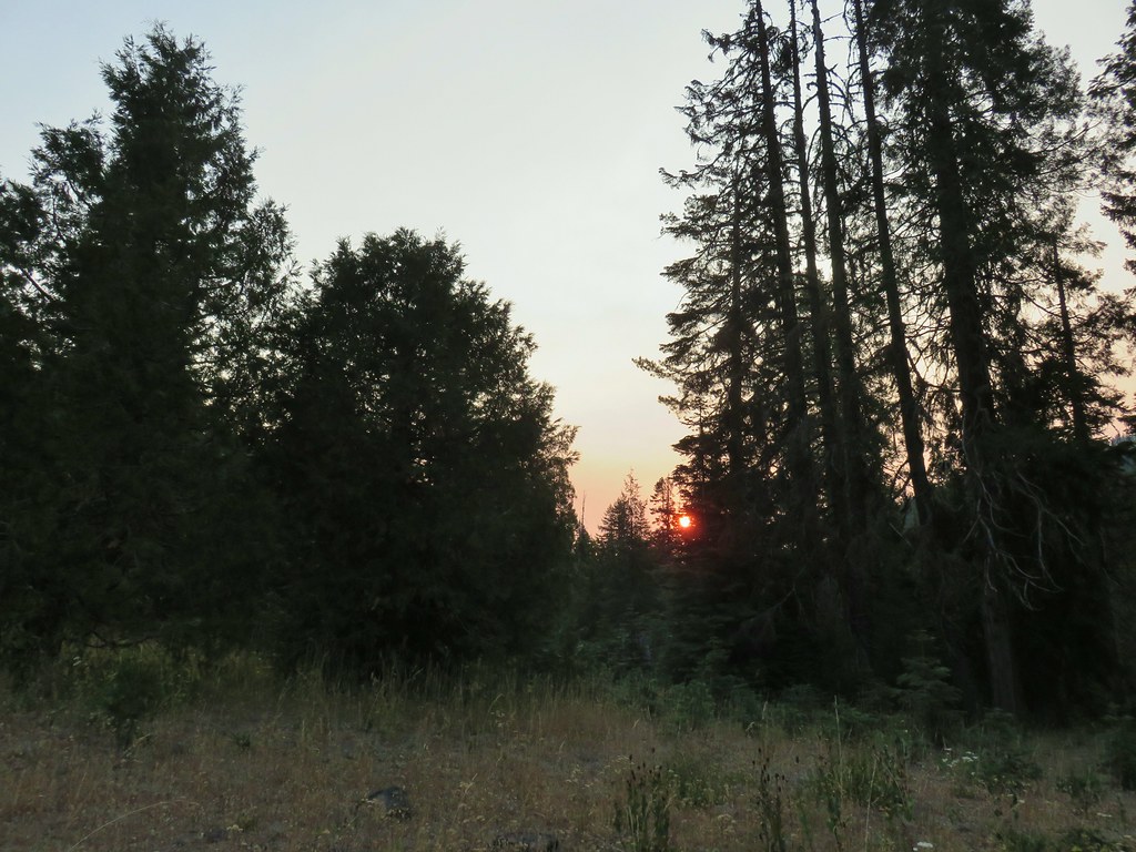 Smokey skies turning the Sun red.


 Little trees surrounding a giant.
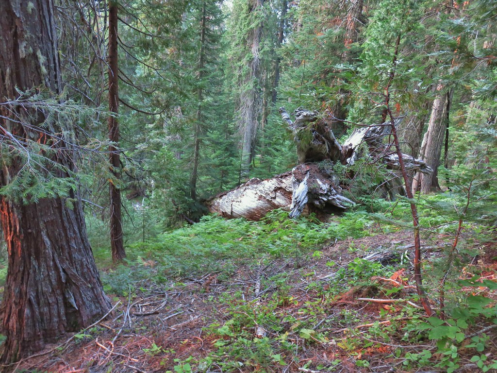 A downed giant.
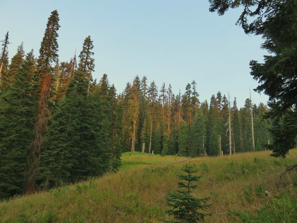

 Madia
Madia Paintbrush


 Goldenrod and other flowers.
 Arnica?
 Columbine
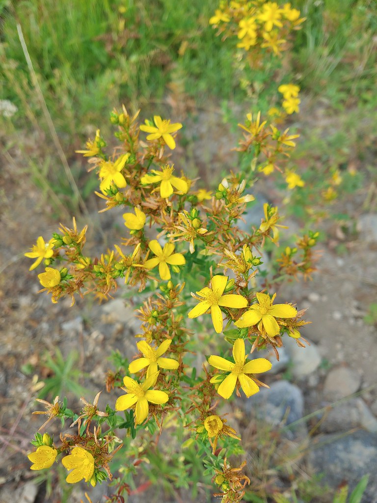 St. John’s wort
 Fleabane (or aster) and coneflower


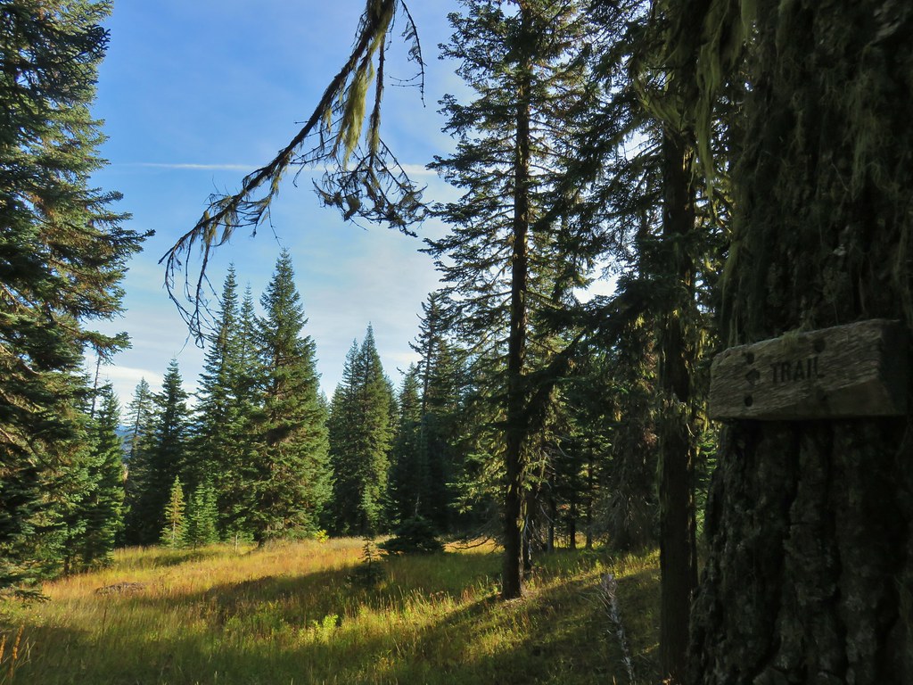
 The trail sign on the left wasn’t particularly descriptive.
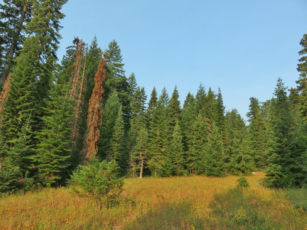
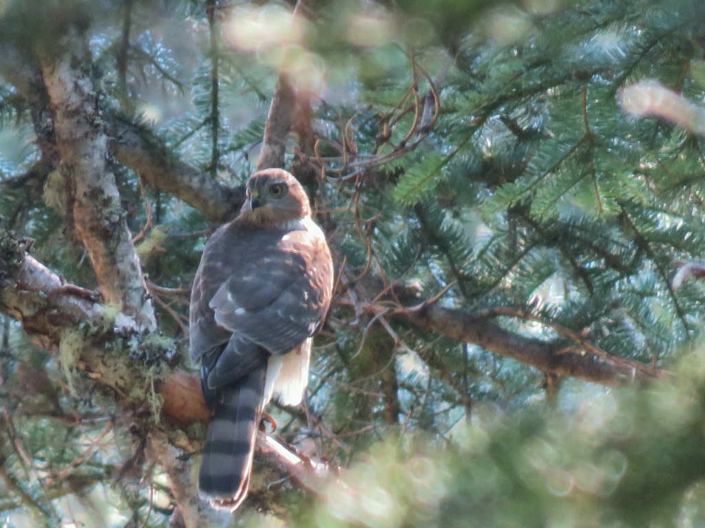
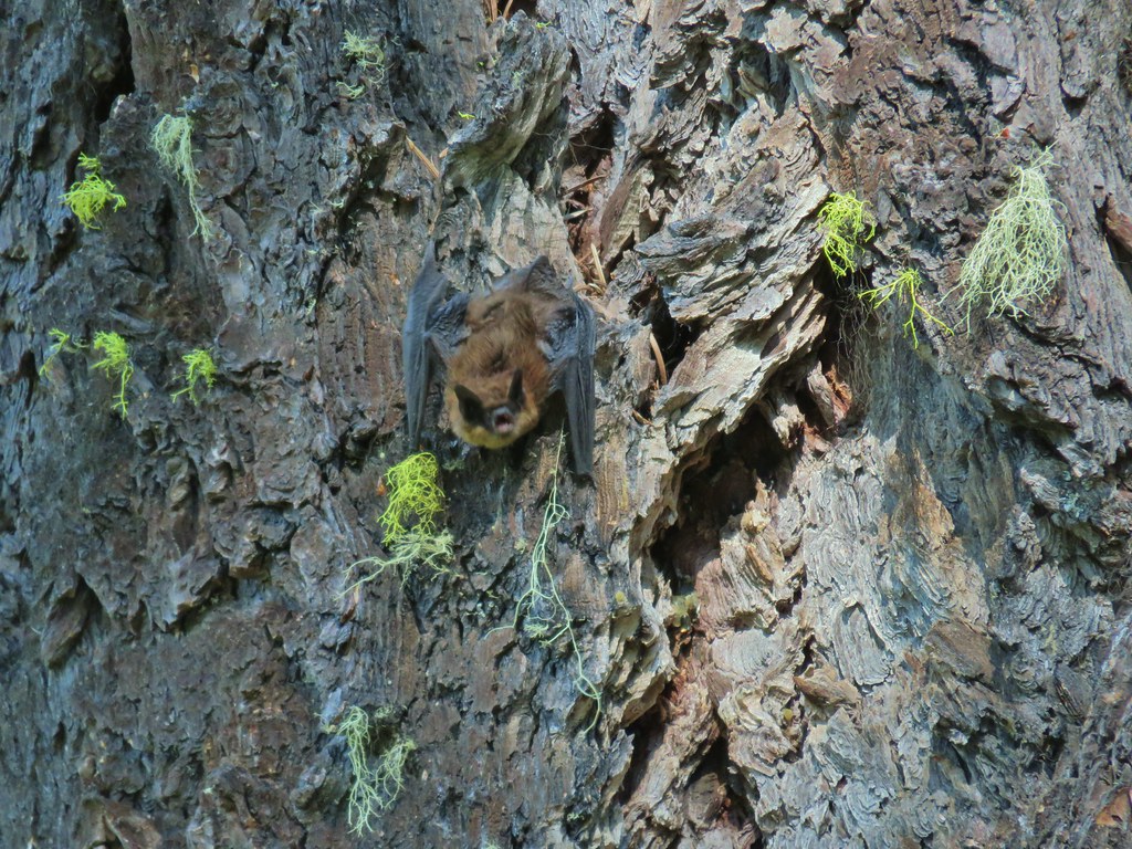
 The owl is in the center of the picture behind the branch with green needles.
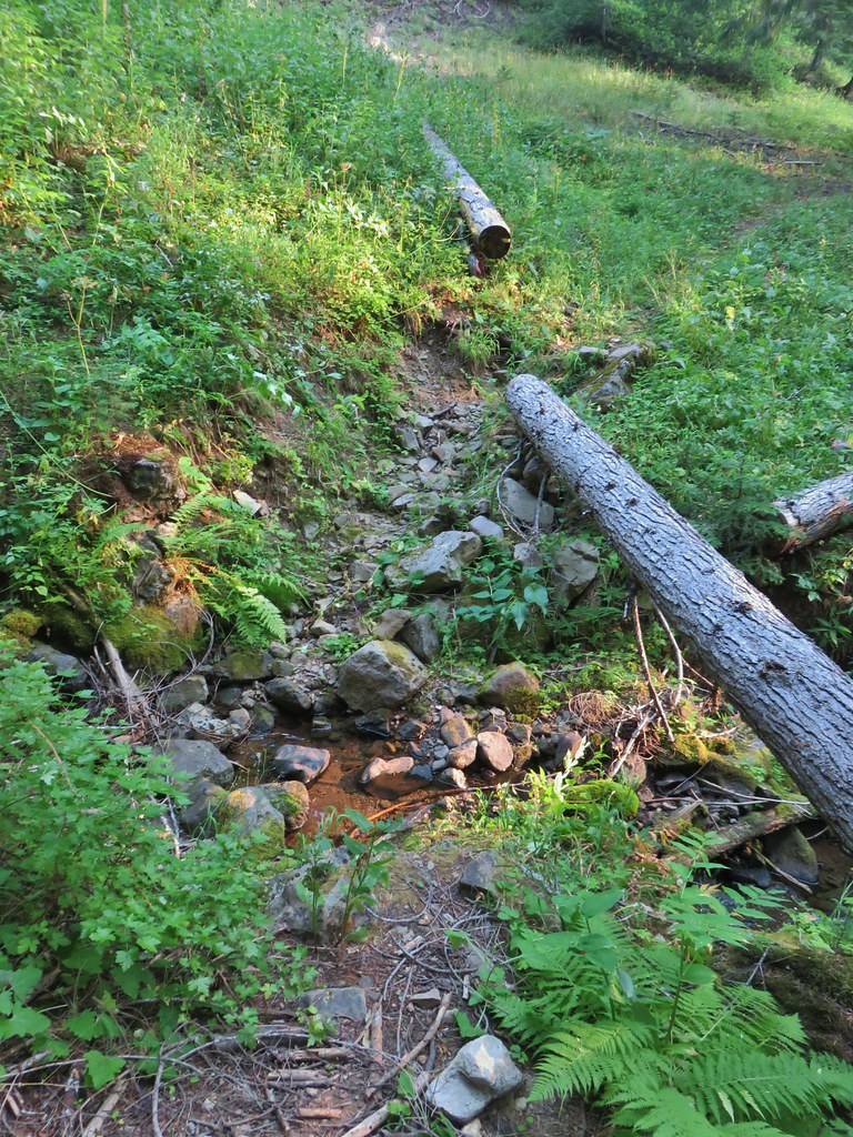 Small stream crossing
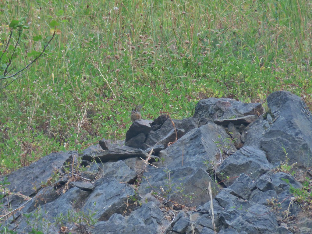 Chipmunk


 Windy Gap
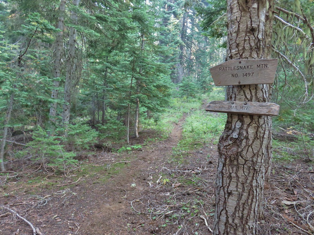


 Near the upper end of the 1.2 mile section we entered a burn scar with views of Mt. Bailey, Mt. Thielsen and Crater Lake.
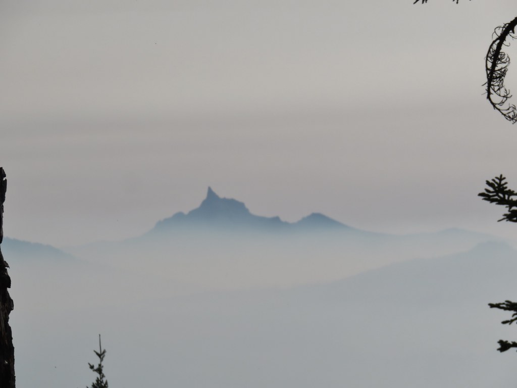 Mt. Thielsen
 High points along the rim of Crater Lake above the smoke.
 A bee photobomb with Mt. Bailey and Mt. Thielsen to it’s right.
 Flagging in the burn scar.
 Nuttall’s linanthus
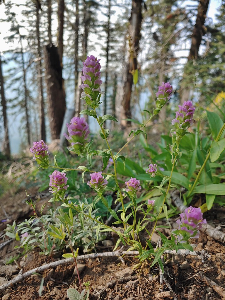 Owls clover
 Golden-mantled ground squirrel.
 The rock cairn.
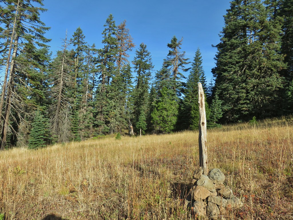
 Nearing the summit.
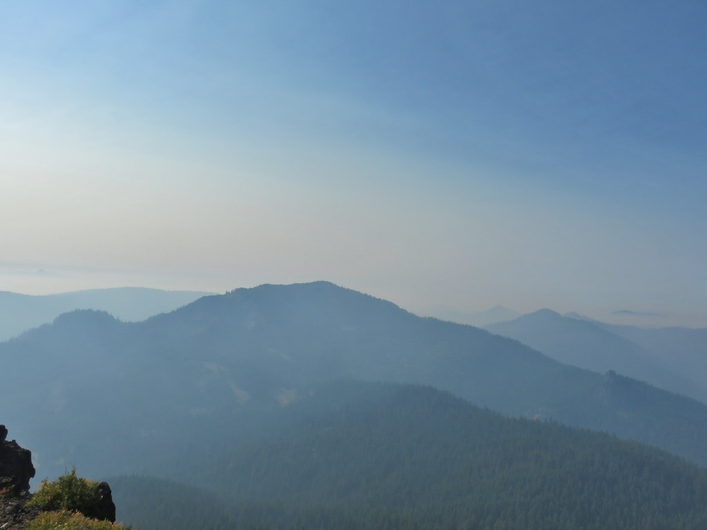
 Mt. McLoughlin
 Hillman Peak and The Watchman at Crater Lake
 Butterfly and bees.
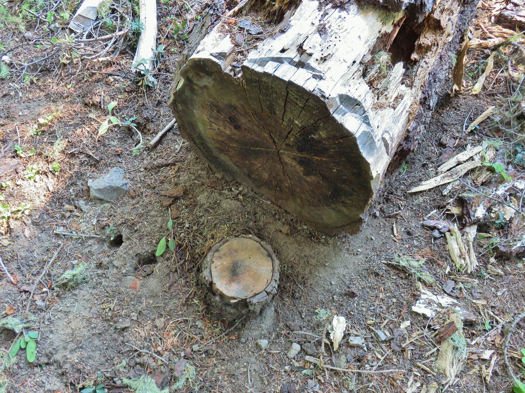 For some reason this cracked us up.
 Heather spotted this cricket on my shoulder (I always have some sort of insect on me for some reason).

 We’d lost the trail here and were just heading for the Castle Creek Trail.
 We came across this faint tread in the trees before reaching the Castle Creek Trail and started following it.
 Apparently it was the actual trail as it popped us out at a trail sign along the Castle Creek Trail.
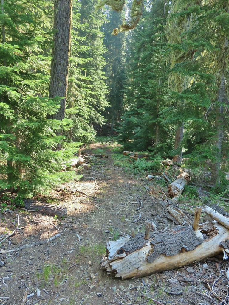

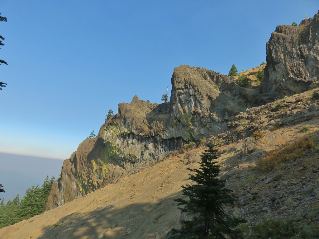
 Rattlesnake Mountain
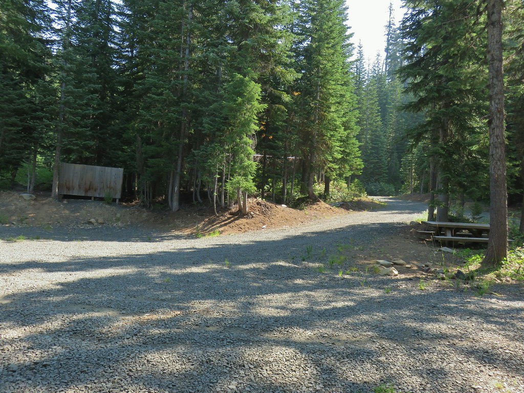 Happy Camp Trailhead
 Rattlesnake Mountain
 Rogue-Umpqua Divide Trail
 Snake in Fish Creek
 Scarlet gilia
 Fish Creek
 Fish in Fish Creek
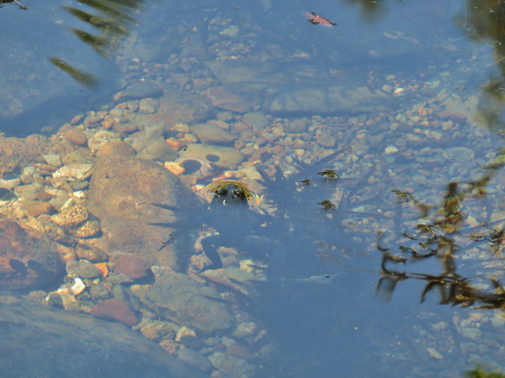 Frog in Fish Creek

 Monkshood
 This frog decided that under Heather’s pack was a nice spot to chill.