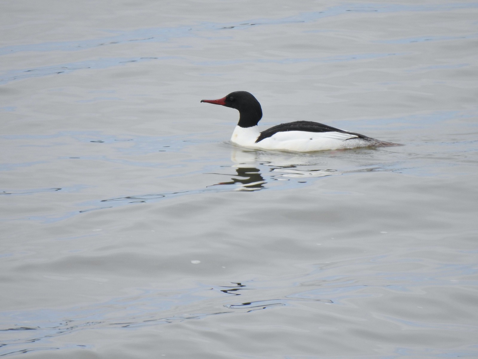
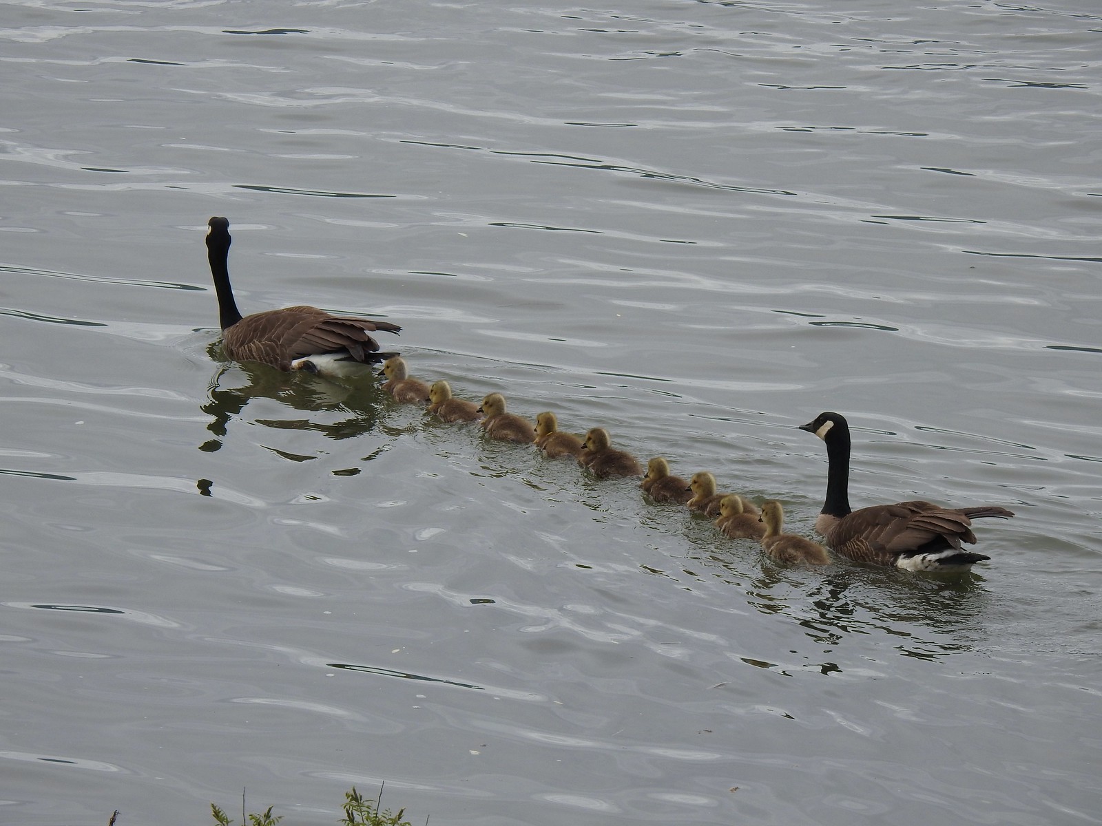
As we did last year we’ve split our wildlife recap into two posts, feathered (post) and featherless. As with all our wildflower and wildlife posts any corrections or additions to our attempts at identifying what we’ve photographed is greatly appreciated. One other note, while we really enjoy taking pictures as a way to record what we see on our hikes, we are by no means photographers. We use our phones and a point and shoot camera on the auto setting, so the pictures are far from professional, but we hope you enjoy them. Finally, we do practice Leave No Trace Principles including Principle 6: Respect Wildlife which means observing from a distance, never feeding, and respecting any area wildlife closures. We urge others to do the same and recreate responsibly.
The highlight of the year was getting to watch a badger make its way down Central Patrol Road in the Malheur National Wildlife Refuge on 9/4/23.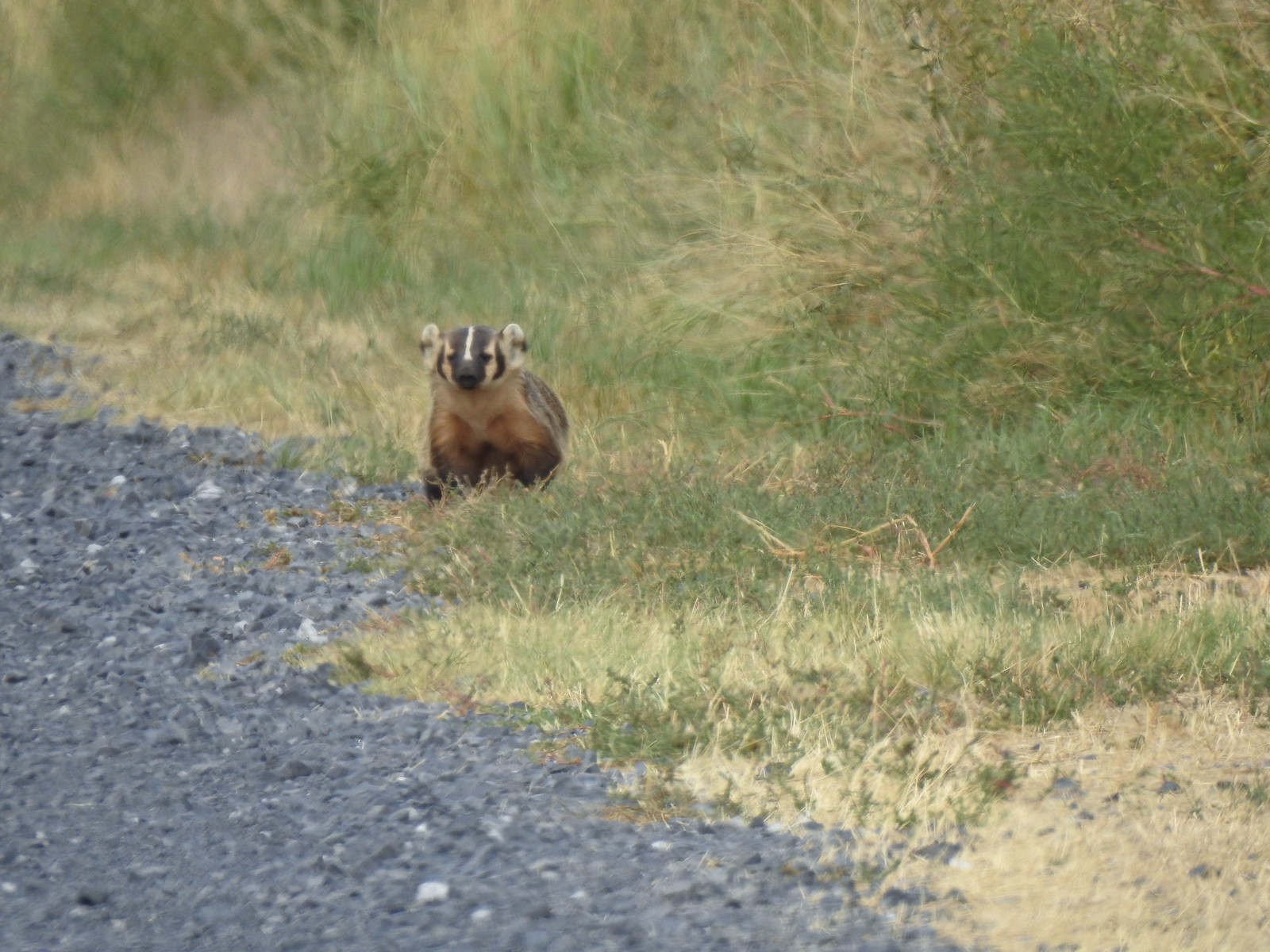
 Harvester ants – 5/29/23, Riley Ranch Preserve, Bend
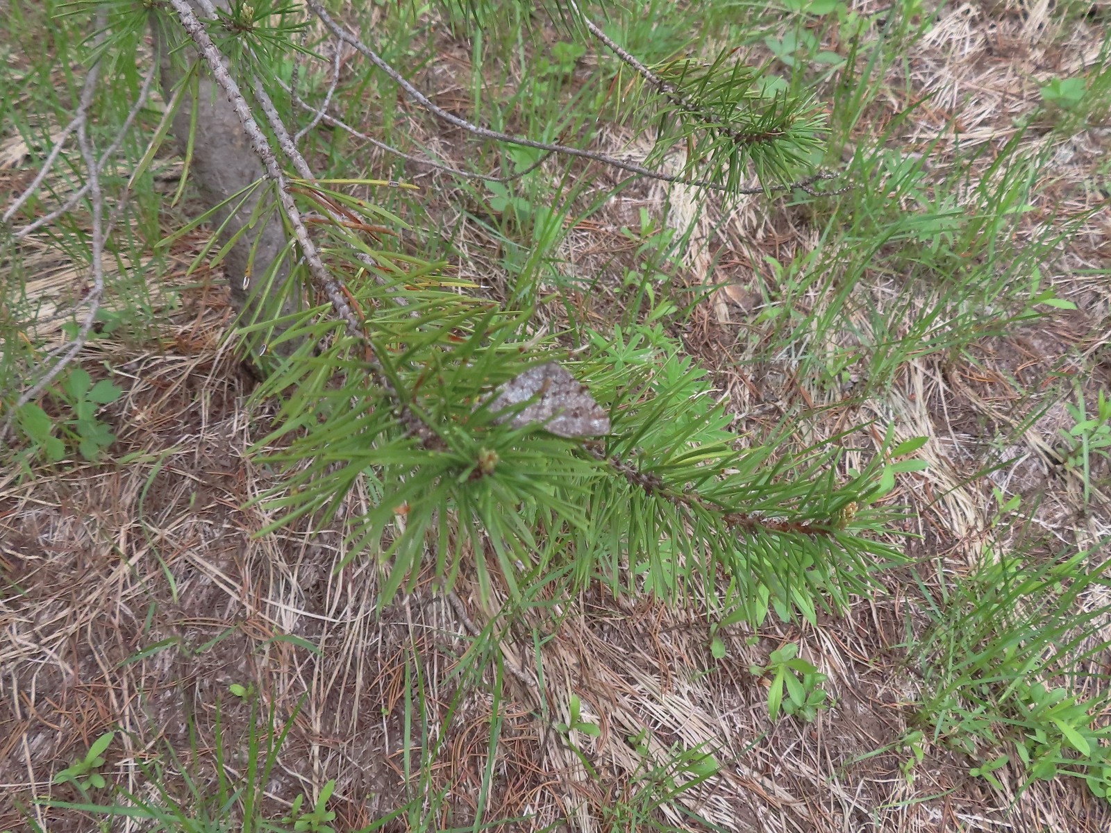
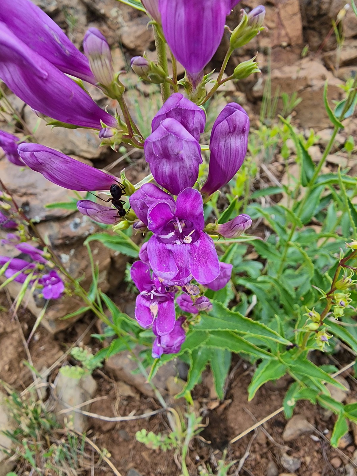 Ant on penstemon – 6/15/23, Hells Canyon National Recreation Area, Wallowa-Whitman National Forest
 Crab spider on a California harebell – 6/25/23, North Umpqua Trail, BLM Roseburg District
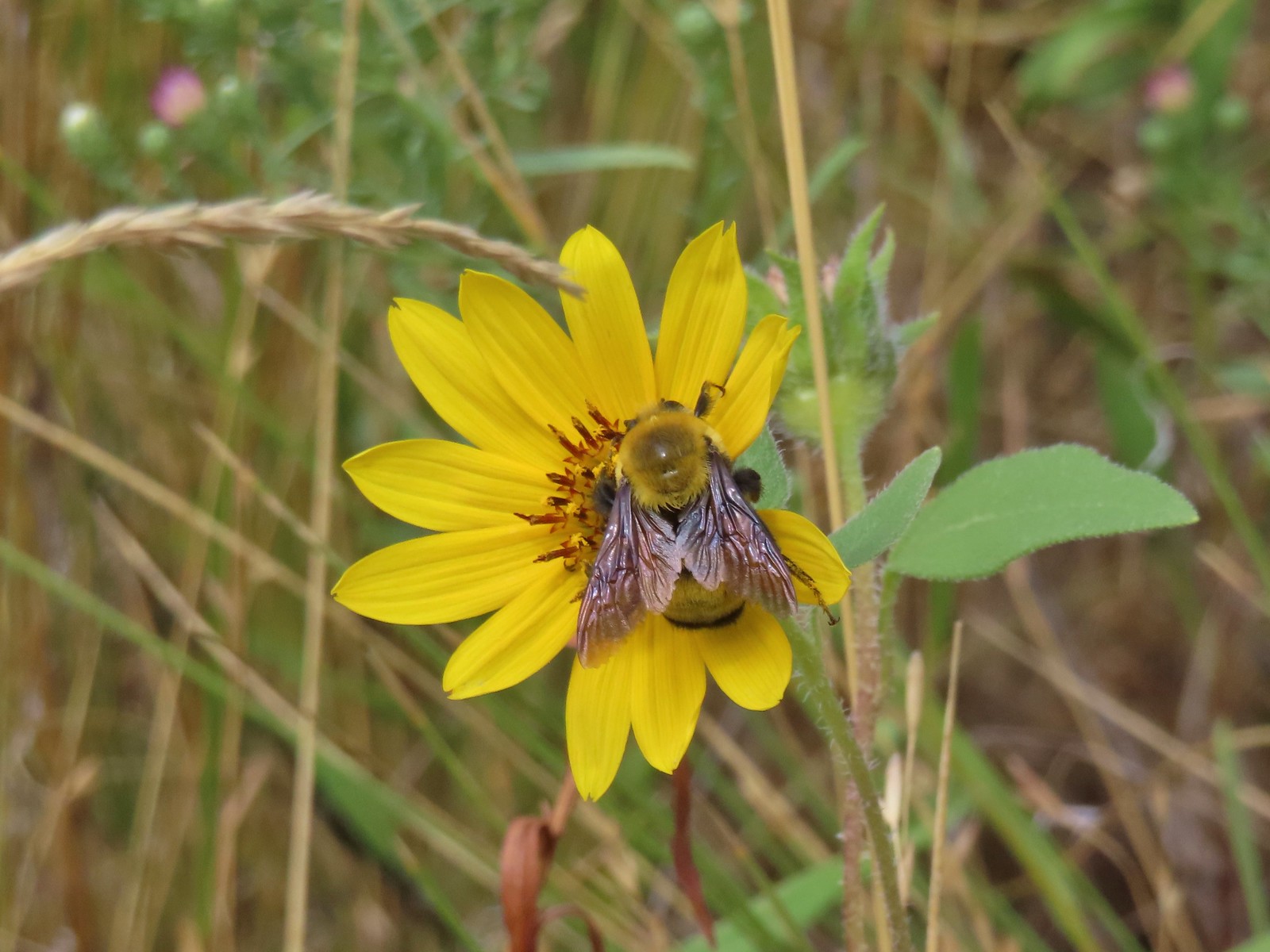 Bee – 9/3/23, Threemile Canyon, BLM Burns District
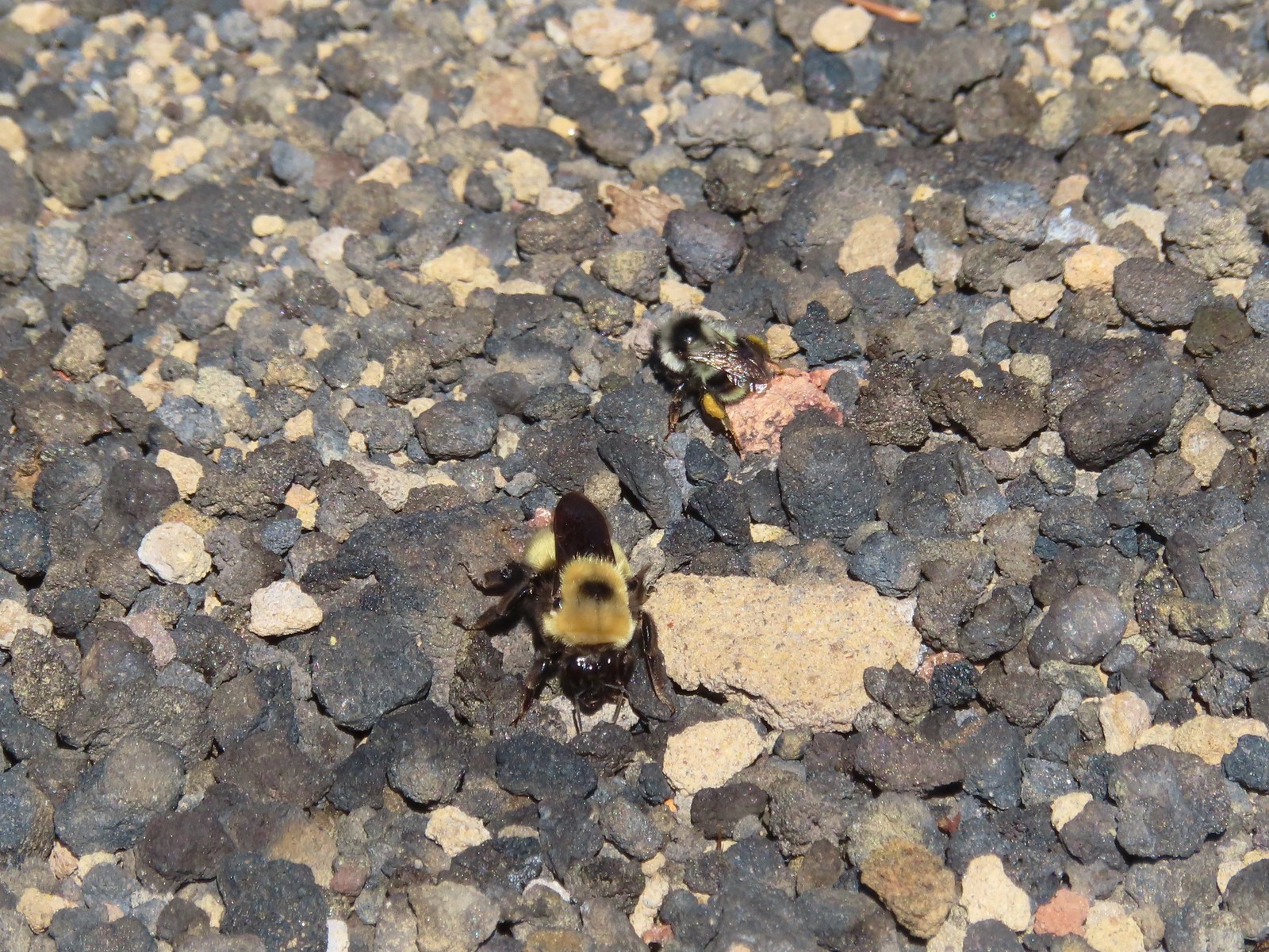 Bees – 7/8/23, Sand Mountain, Willamette National Forest
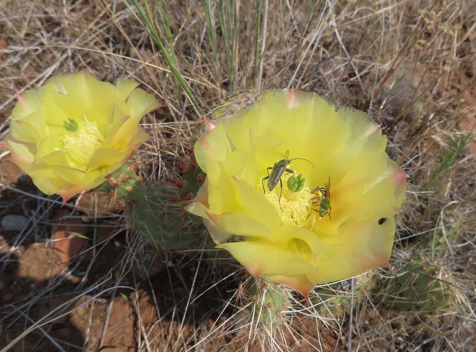 Sweat bee? and a beetle on a prickly pear cactus – 6/15/23, Hells Canyon National Recreation Area, Wallowa-Whitman National Forest
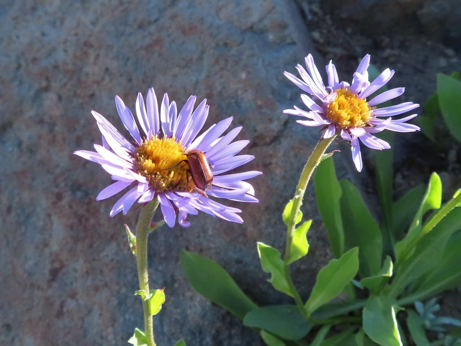 Beetle – 7/31/23, Garfield Peak Trail, Crater Lake National Park
 Beetle – 7/29/23, Stuart Falls Trail, Crater Lake National Park
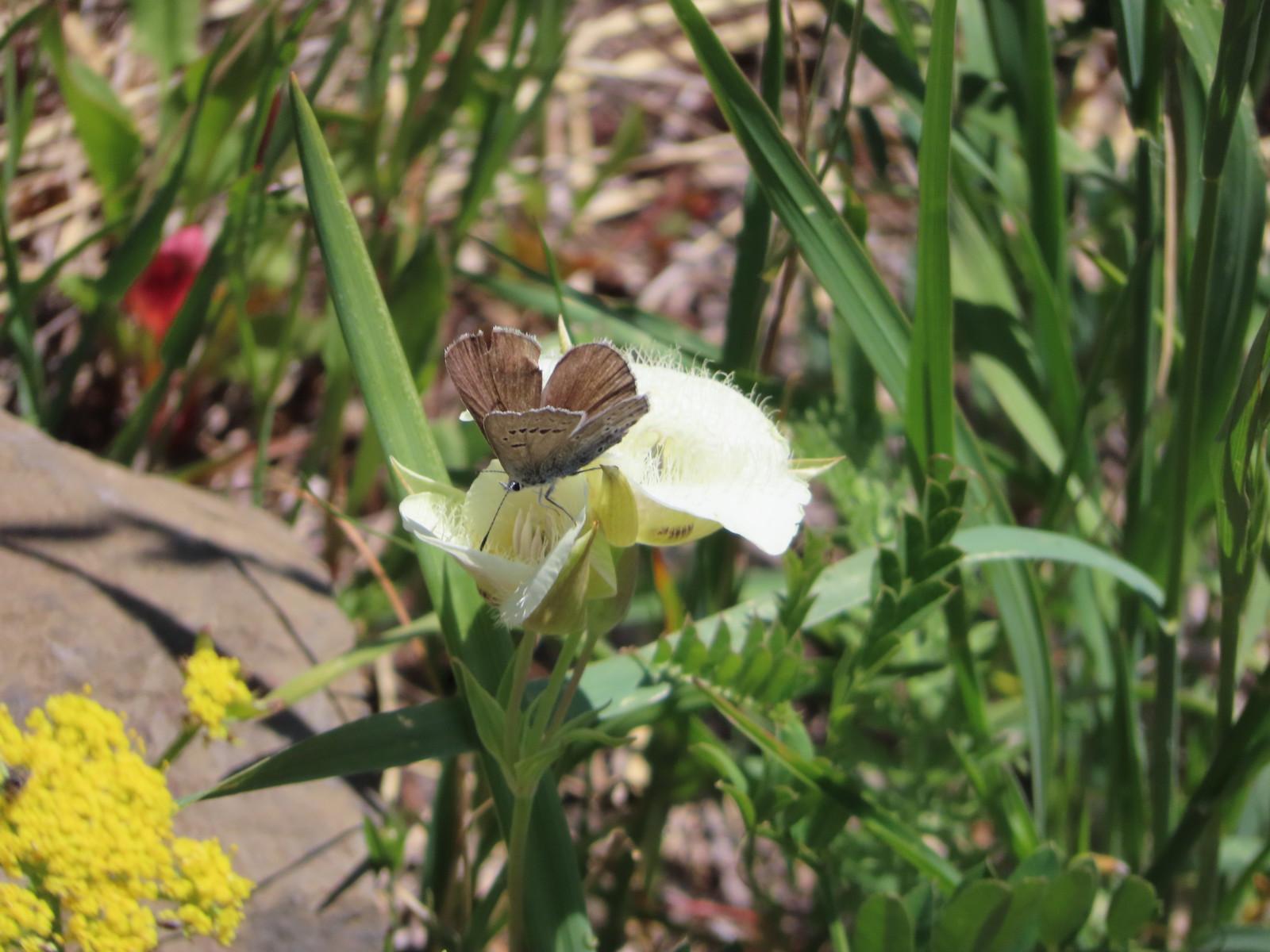
 Beetle on a white mariposa lily – 8/14/23, Main Eagle Creek Trail, Eagle Cap Wilderness
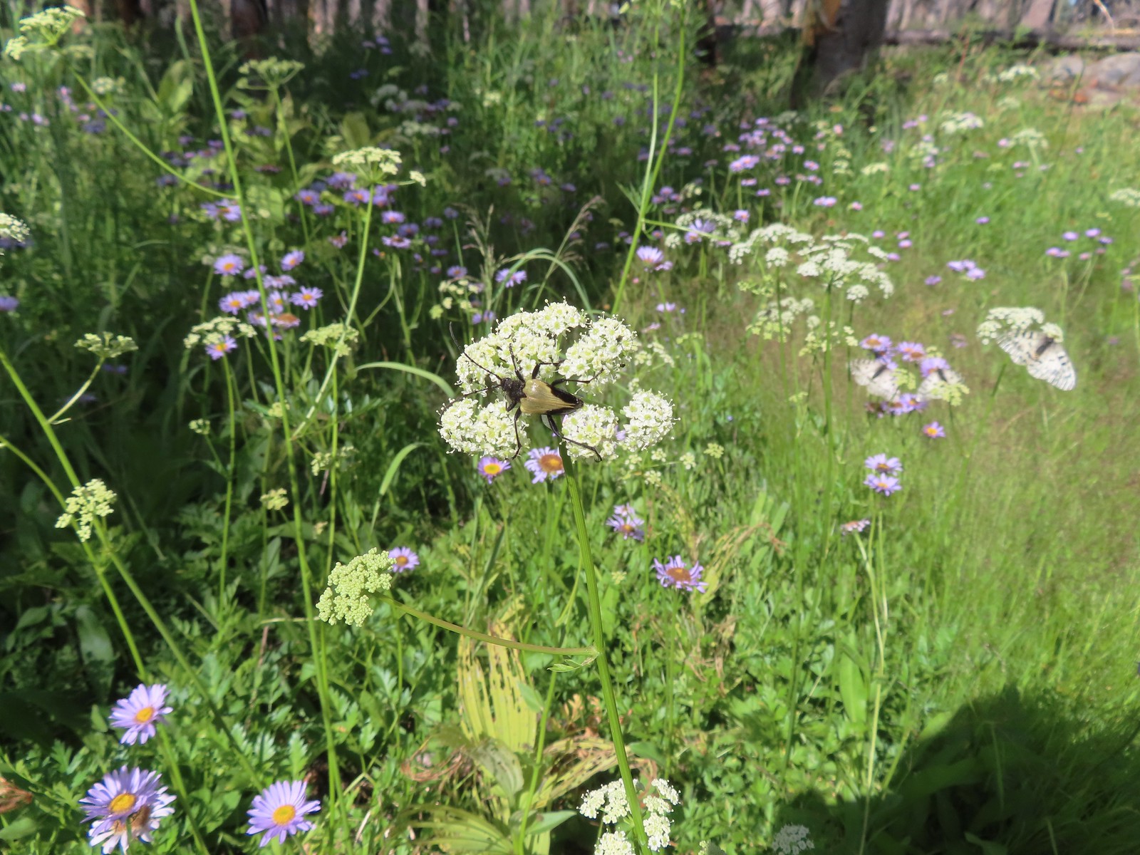
 Beetle and another bug on spirea – 7/4/23, Rocky Top Trail, Santiam State Forest
 Beetles on thistle – 6/15/23, Hells Canyon National Recreation Area, Wallowa-Whitman National Forest
 Ladybug on a daisy – 7/4/23, Natural Arch Trail, Santiam State Forest
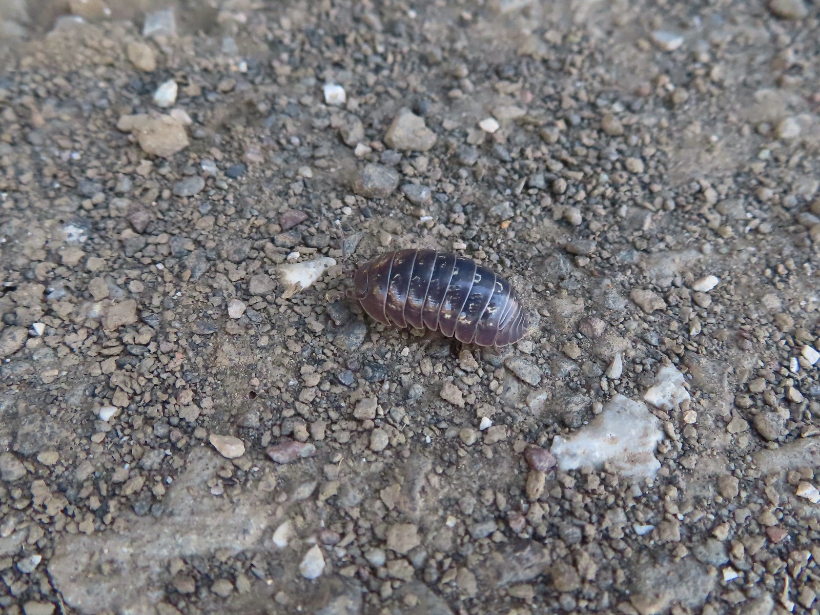 Common pill-bug – 6/25/23, North Bank Habitat, BLM Roseburg District
 Beetle – 5/28/23, Criterion Tract, BLM Prineville District
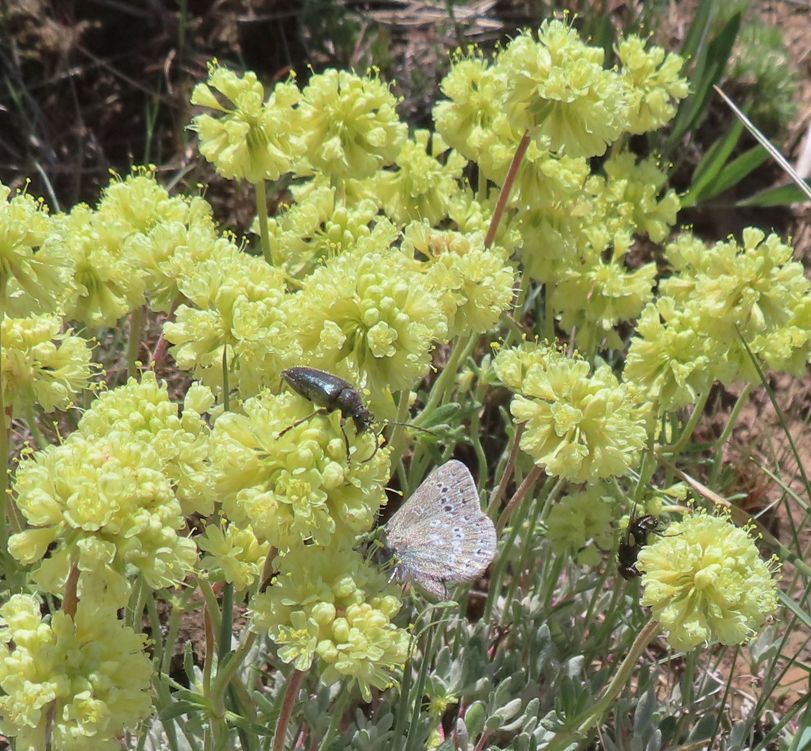 Beetle and a butterfly on buckwheat – 5/28/23, Criterion Tract, BLM Prineville District
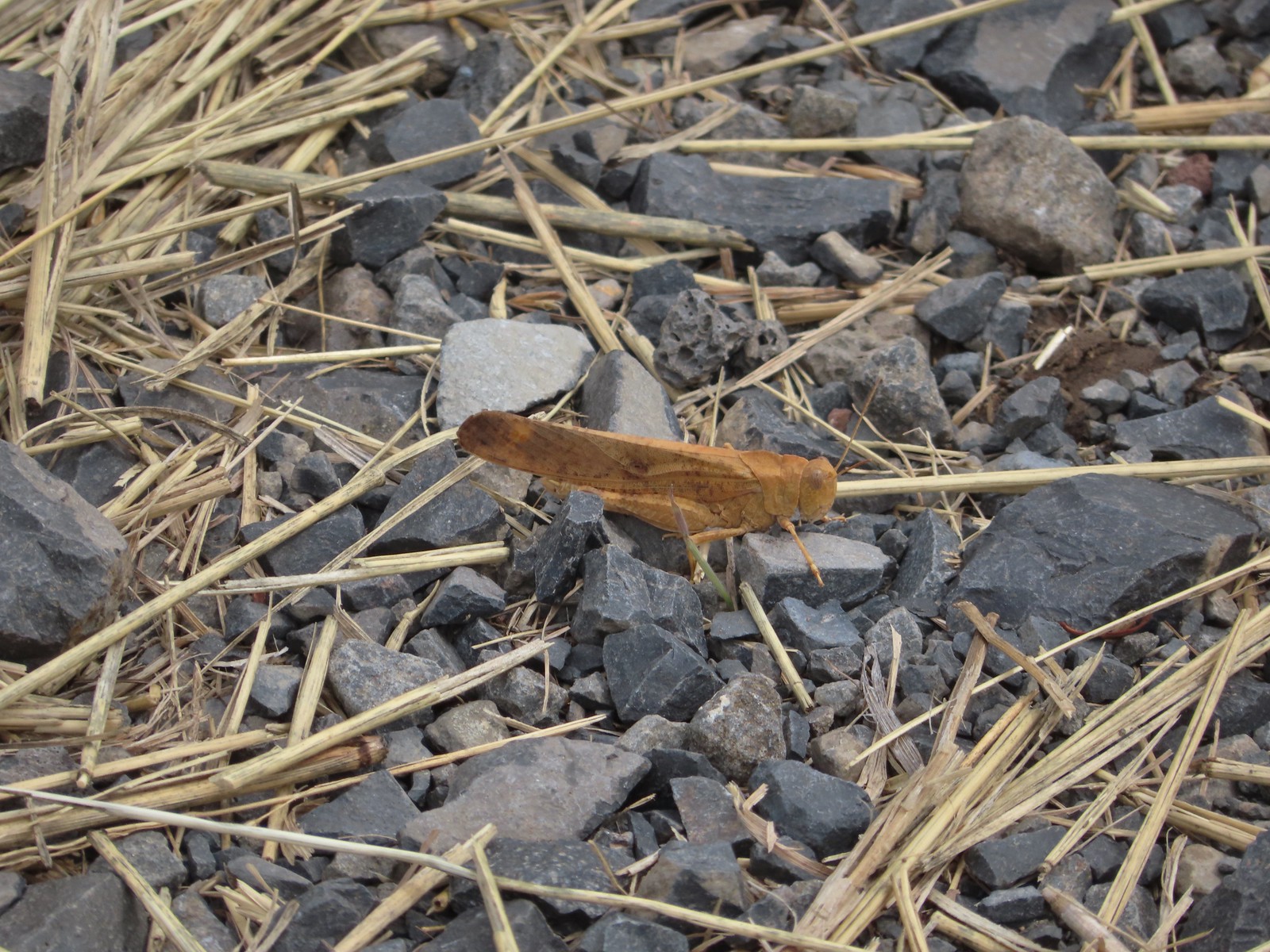 Grasshopper – 9/3/23, P Ranch, Malheur National Wildlife Refuge
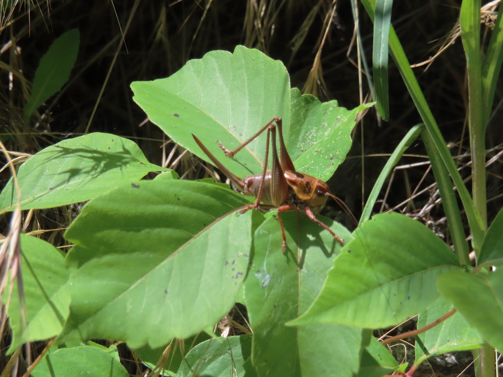 Cricket – 6/14/23, Imnaha Trail, Hells Canyon National Recreation Area
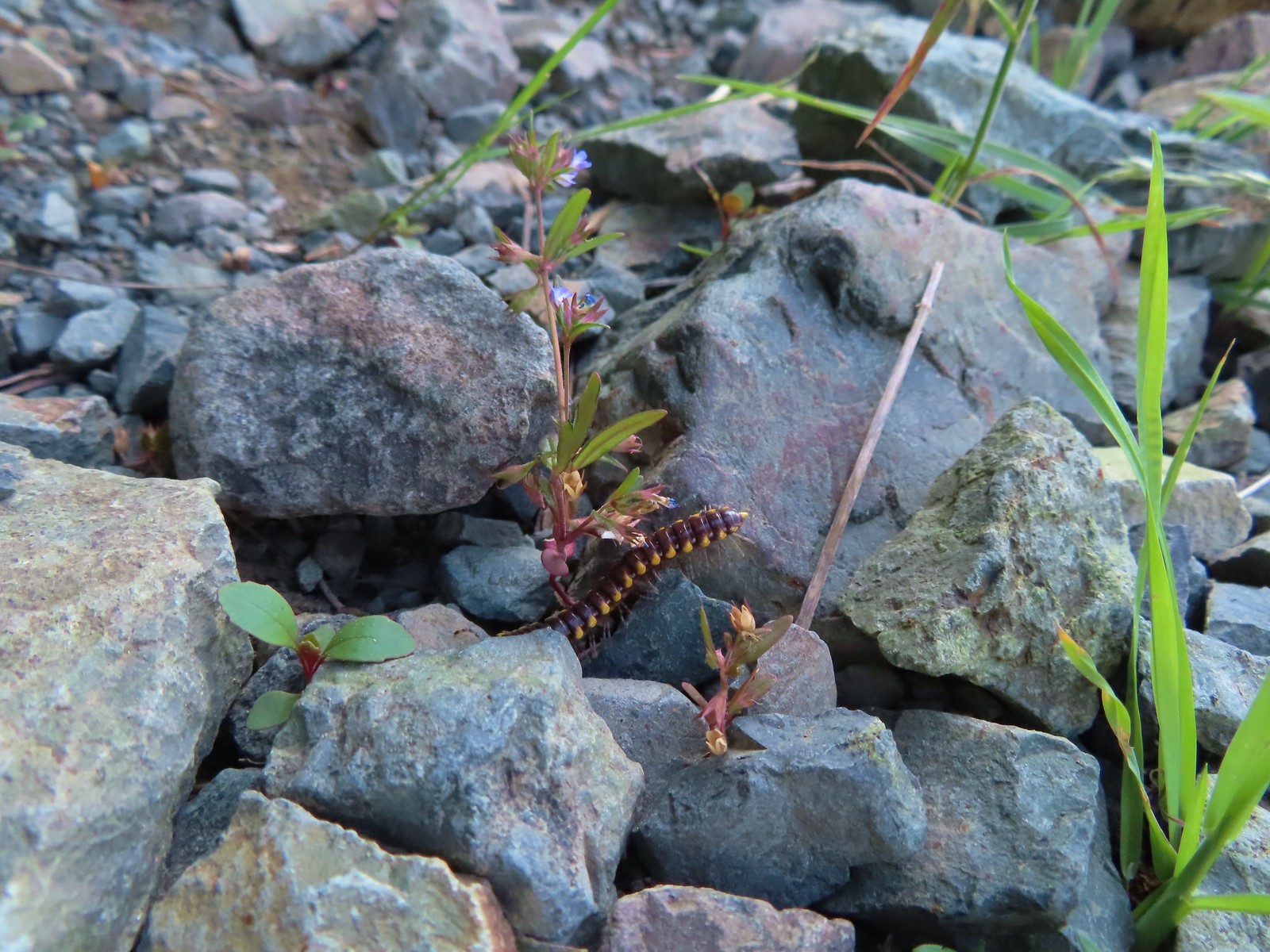
 Caterpillar – 5/28/23, Criterion Tract, BLM Prineville District
 Caterpillar – 7/1/23, Hummocks Trail, Mt. St. Helens National Volcanic Monument, WA
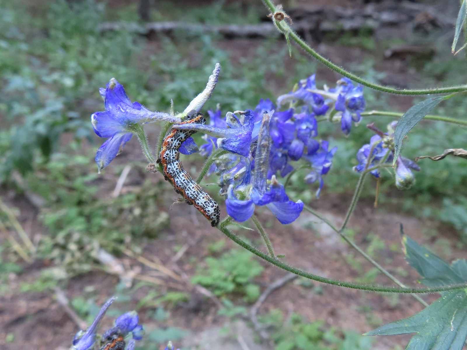 Caterpillar – 8/16/23, West Eagle Trail, Eagle Cap Wilderness
 Millipede – 6/12/23, Imnaha River Trail, Eagle Cap Wilderness
 Millipedes – 6/12/23, Imnaha River Trail, Eagle Cap Wilderness
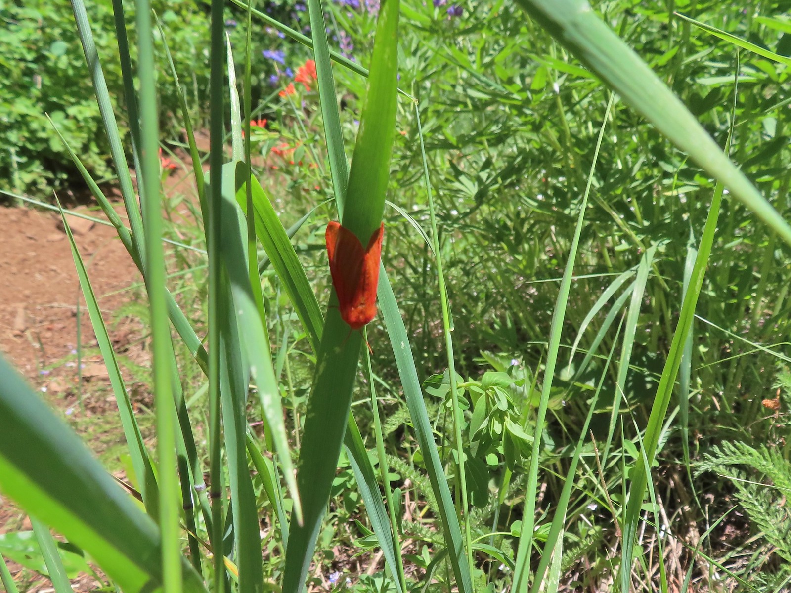
 Eight-spotted Forester-Alypia octomaculata – 7/4/23, Niagra Heights Road, Santiam State Forest
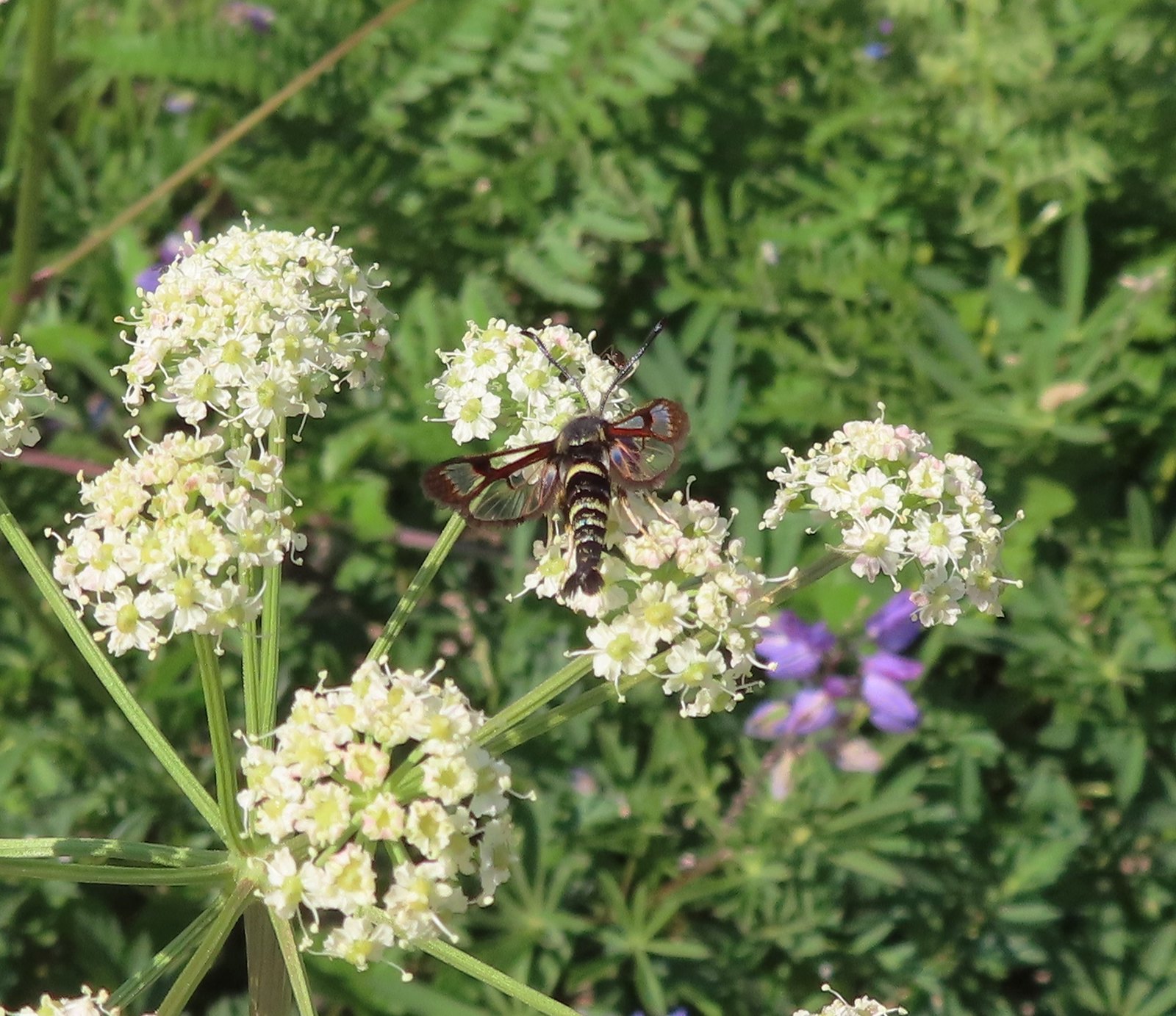 Fireweed Clearwing Moth (Albuna pyramidalis) – 7/4/23, Niagra Heights Road, Santiam State Forest
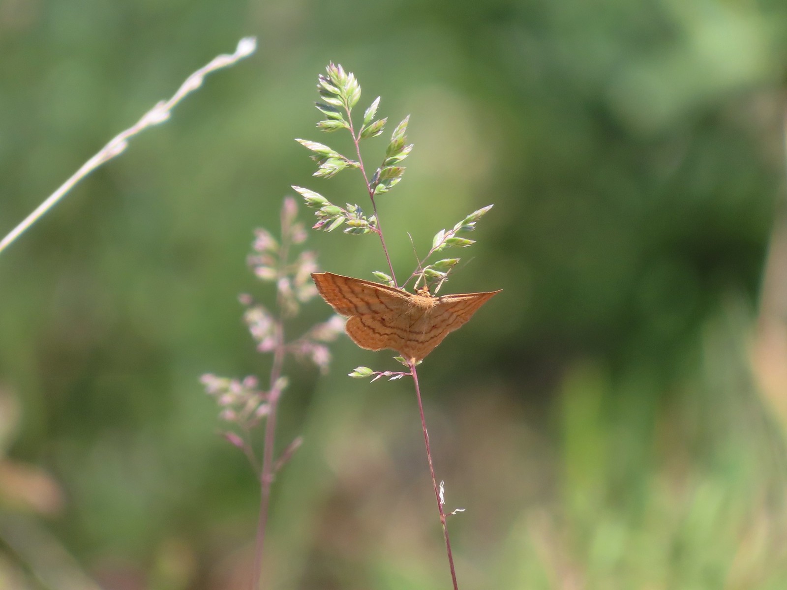
 Moth – 7/4/23, Niagra Heights Road, Santiam State Forest
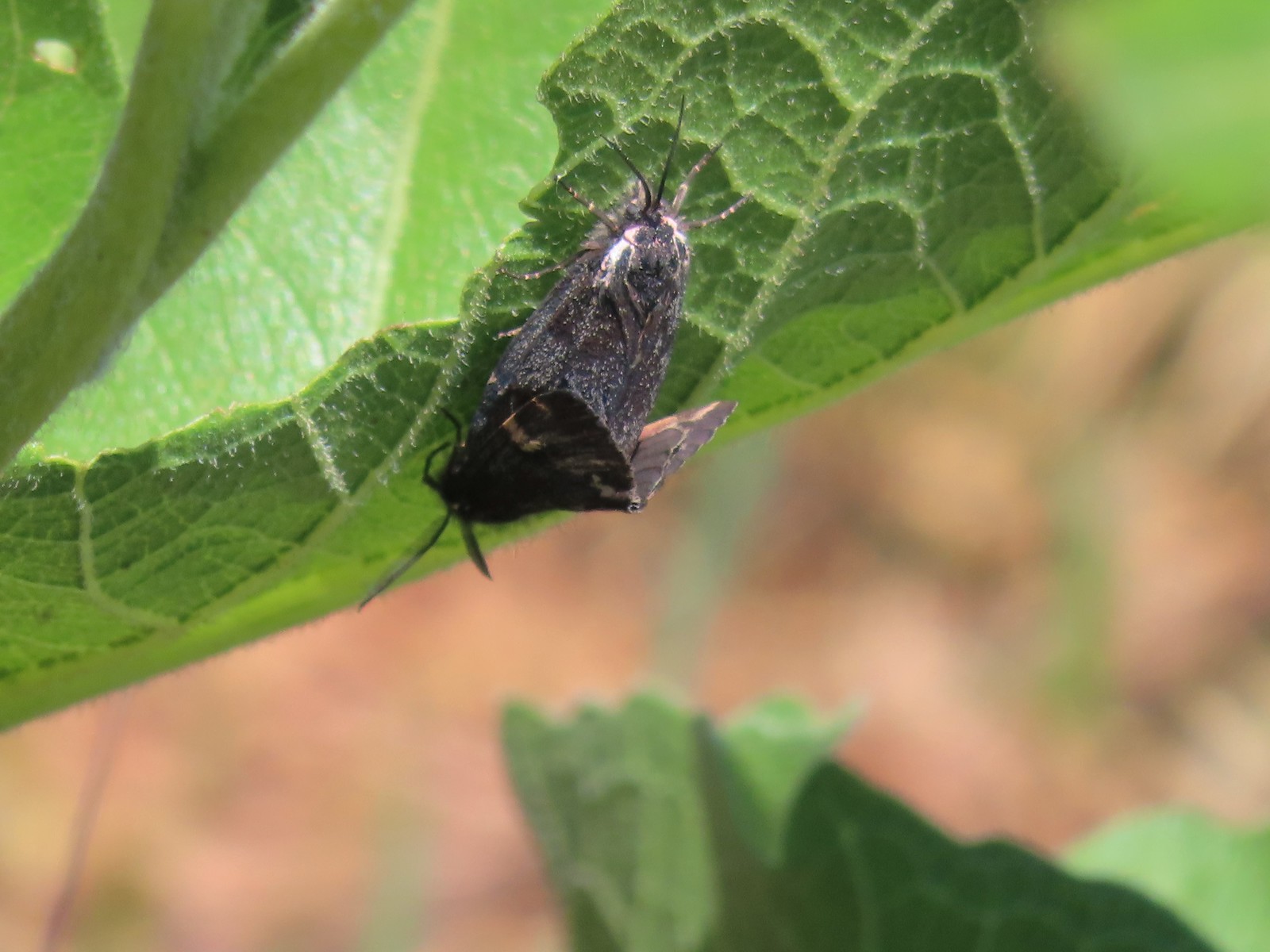 Moths – 6/3/23, Buck Creek Trail, Husum, WA
 Moth – 6/3/23, Buck Creek Trail, Husum, WA
 Moth – 6/3/23, Buck Creek Trail, Husum, WA
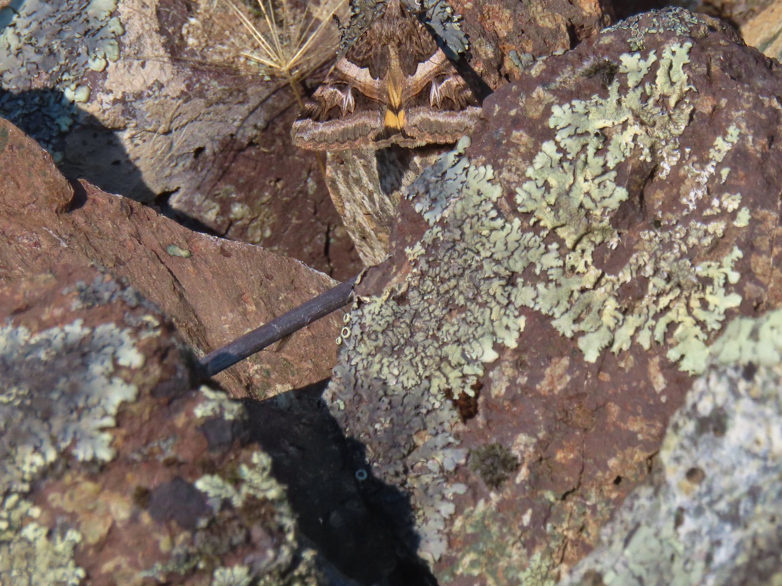 Moth – 6/16/23, Trail 1890, Hells Canyon National Recreation Area
 Moth – 7/4/23, Rocky Top Trail, North Santiam State Park
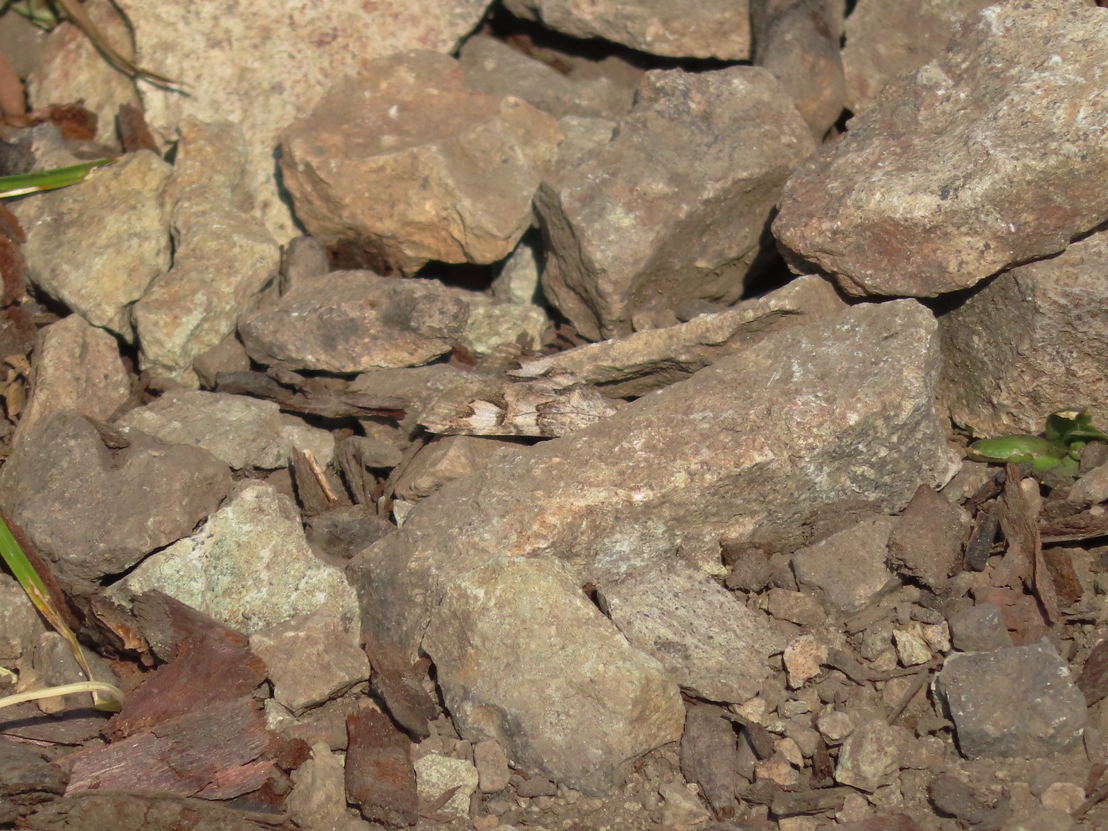
 Moth – 6/25/23, North Umpqua Trail, BLM Roseburg District
 Moth – 6/12/23, Imnaha River Trail, Eagle Cap Wilderness
 Moth – 6/24/23, Rogue River National Recreation Trail, Wild Rogue Wilderness
 Moth – 7/8/23, Santiam Wagon Road, Willamette National Forest
 Sphinx moth – 8/17/23, West Eagle Trail, Eagle Cap Wilderness
 Fly and butterfly – 5/28/23, Criterion Tract, BLM Prineville District
 Boisduval’s blues? – 6/3/23, Buck Creek Trail, Husum, WA
 Acmon blue? – 5/28/23, Criterion Tract, BLM Prineville District
 Eastern tailed blue? – 5/13/23, Graham Oaks Nature Park, Wilsonville
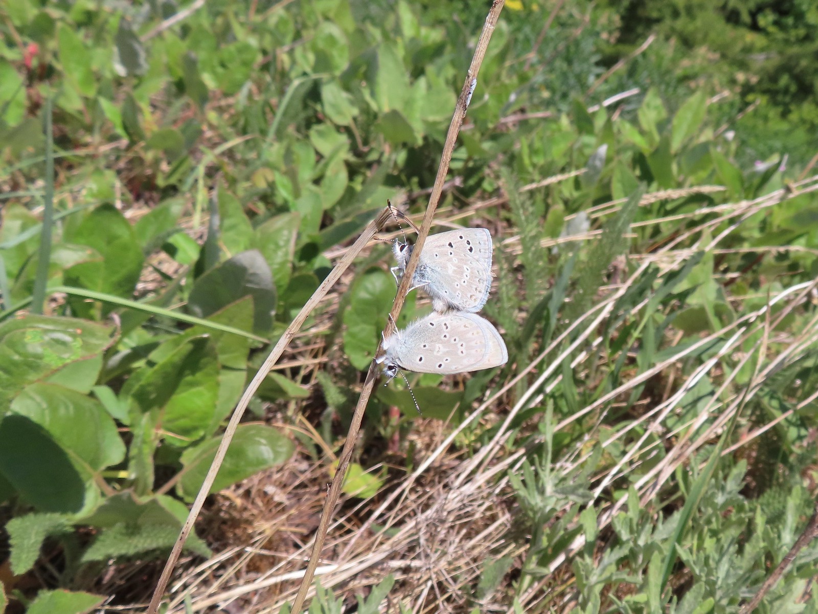
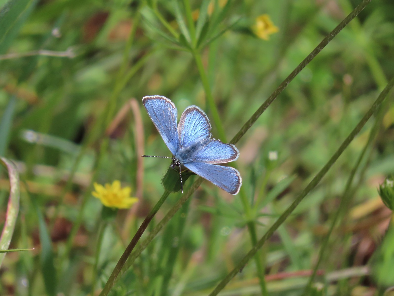 Butterfly in the Lycaenidae family – 5/2/23, Sterling Mind Ditch Trail System, BLM Medford District
 Butterfly in the Lycaenidae family – 5/28/23, Criterion Tract, BLM Prineville District
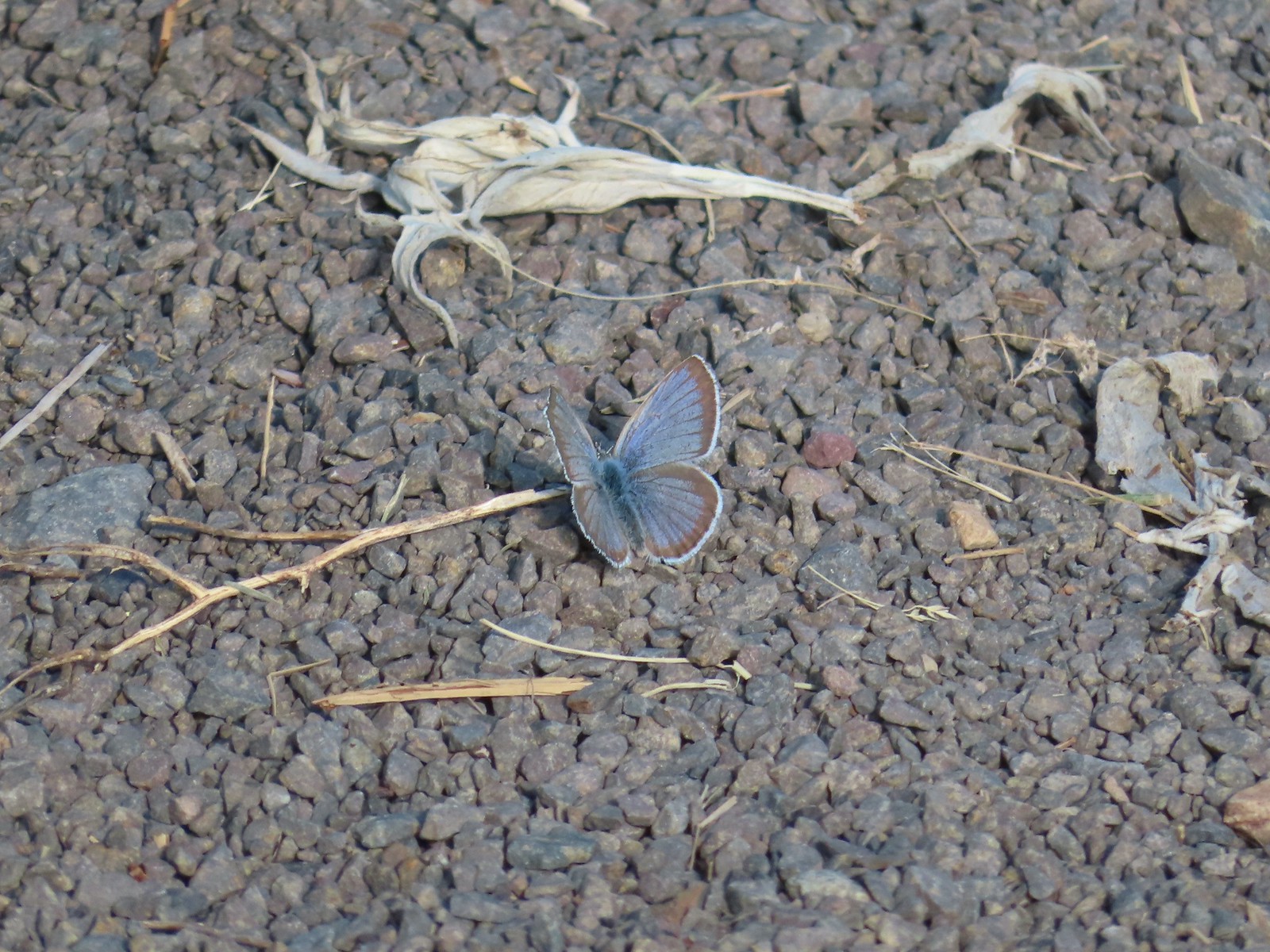
 Butterfly in the Lycaenidae family – 6/15/23, Hells Canyon National Recreation Area, Wallowa-Whitman National Forest
 Butterfly in the Lycaenidae family – 6/13/23, Iwetemlaykin State Heritage Site, Joseph
 Echo azures? – 5/4/23, Forest Road 011, Rogue-River Siskiyou National Forest
 Butterfly in the Lycaenidae family – 6/3/23, Buck Creek Trail, Husum, WA
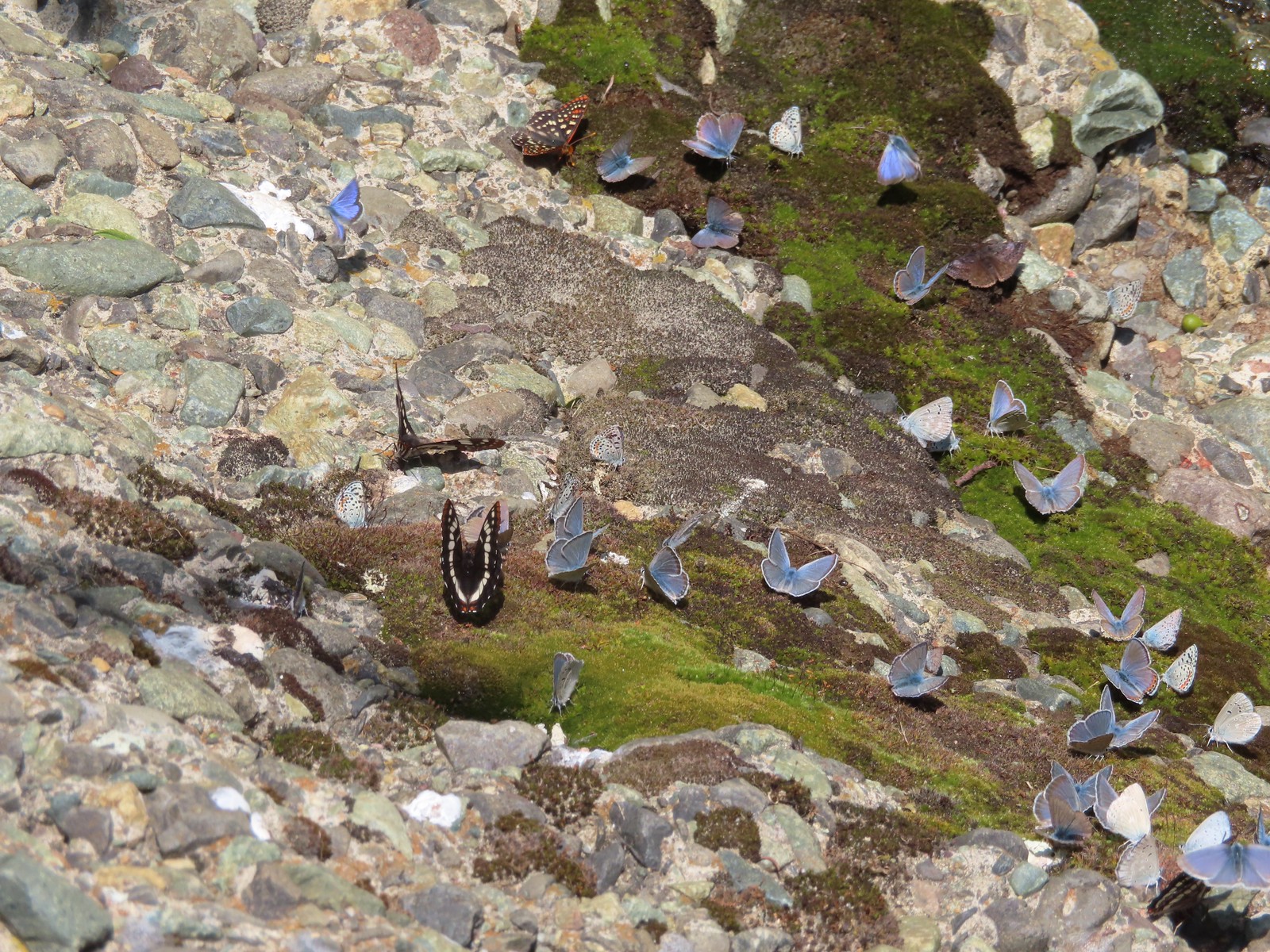
 Butterflies in the Lycaenidae family – 7/4/23, Niagra Heights Road, Santiam State Forest
 Gray hairstreak – 6/11/23, Lewis & Clark Trail, Hermiston
 Thicket hairstreak? – 7/8/23, Sand Mountain, Willamette National Forest
 A hairstreak – 6/3/23, Buck Creek Trail, Husum, WA
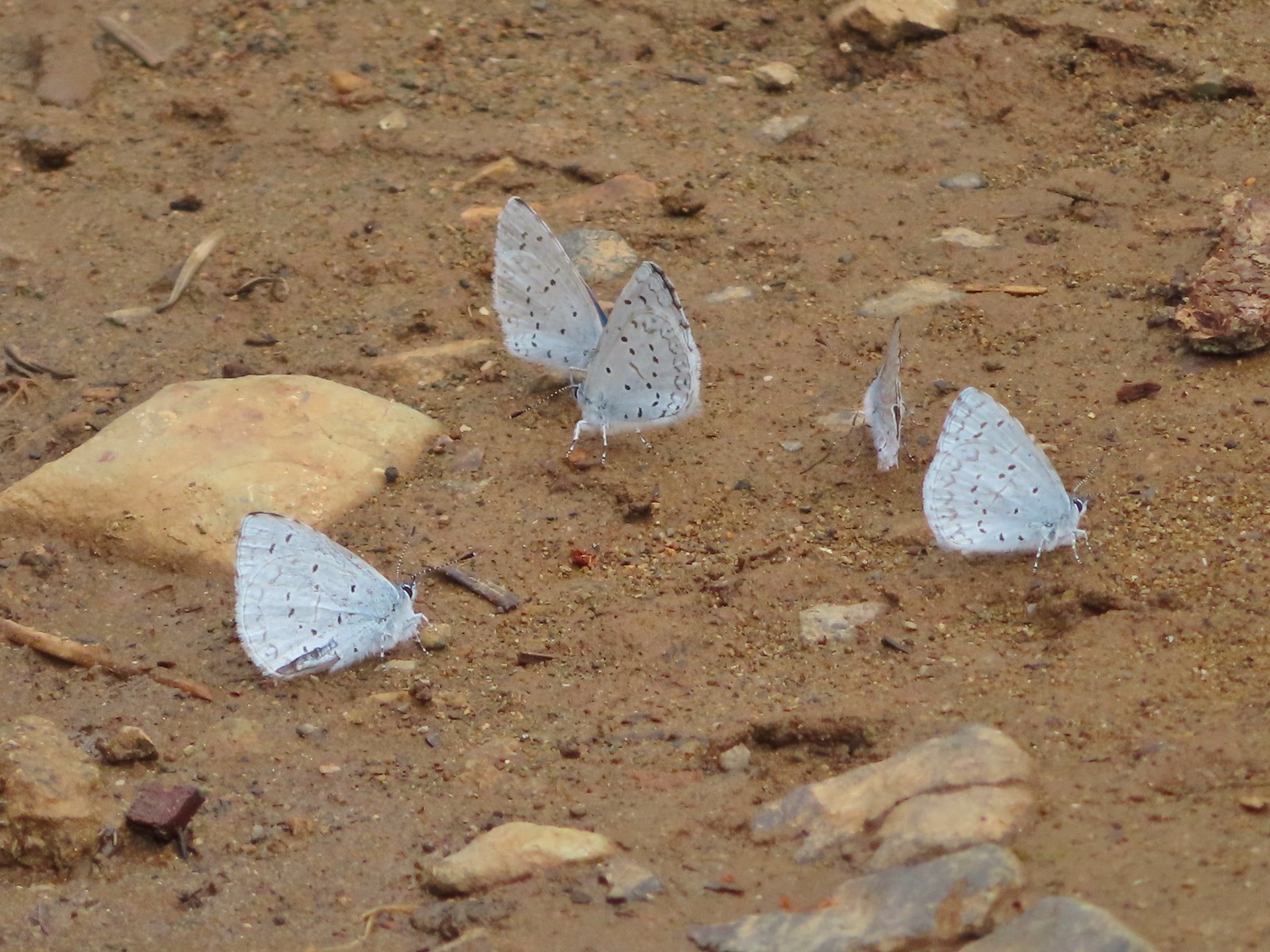
 Various butterflies – 6/16/23, Deep Creek Stairway Trail, Payette National Forest, ID
 Lorquin’s admiral – 6/14/23, Imnaha Trail, Hells Canyon National Recreation Area
 Red admiral – 7/23/23, Metolius River Trail, Deschutes National Forest
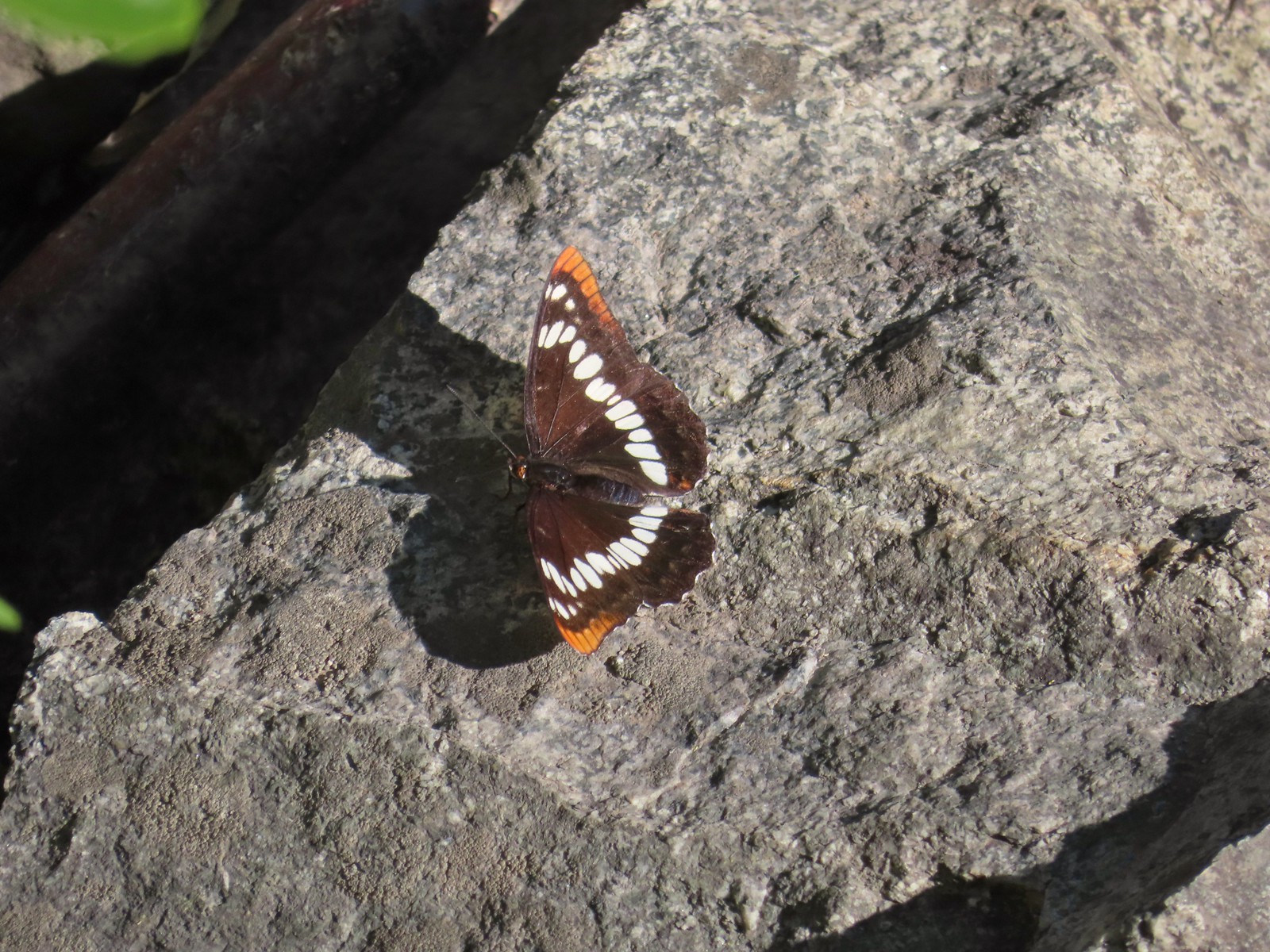
 California sister – 10/8/23, Forest Road 041, Rogue River-Siskiyou National Forest
 Painted lady – 6/12/23, Imnaha River Trail, Eagle Cap Wilderness
 California tortoiseshell – 9/16/23, Fish Lake Trail, Mt. Hood National Forest
 Milbert’s tortoiseshell – 8/14/23, Main Eagle Creek Trail, Eagle Cap Wilderness
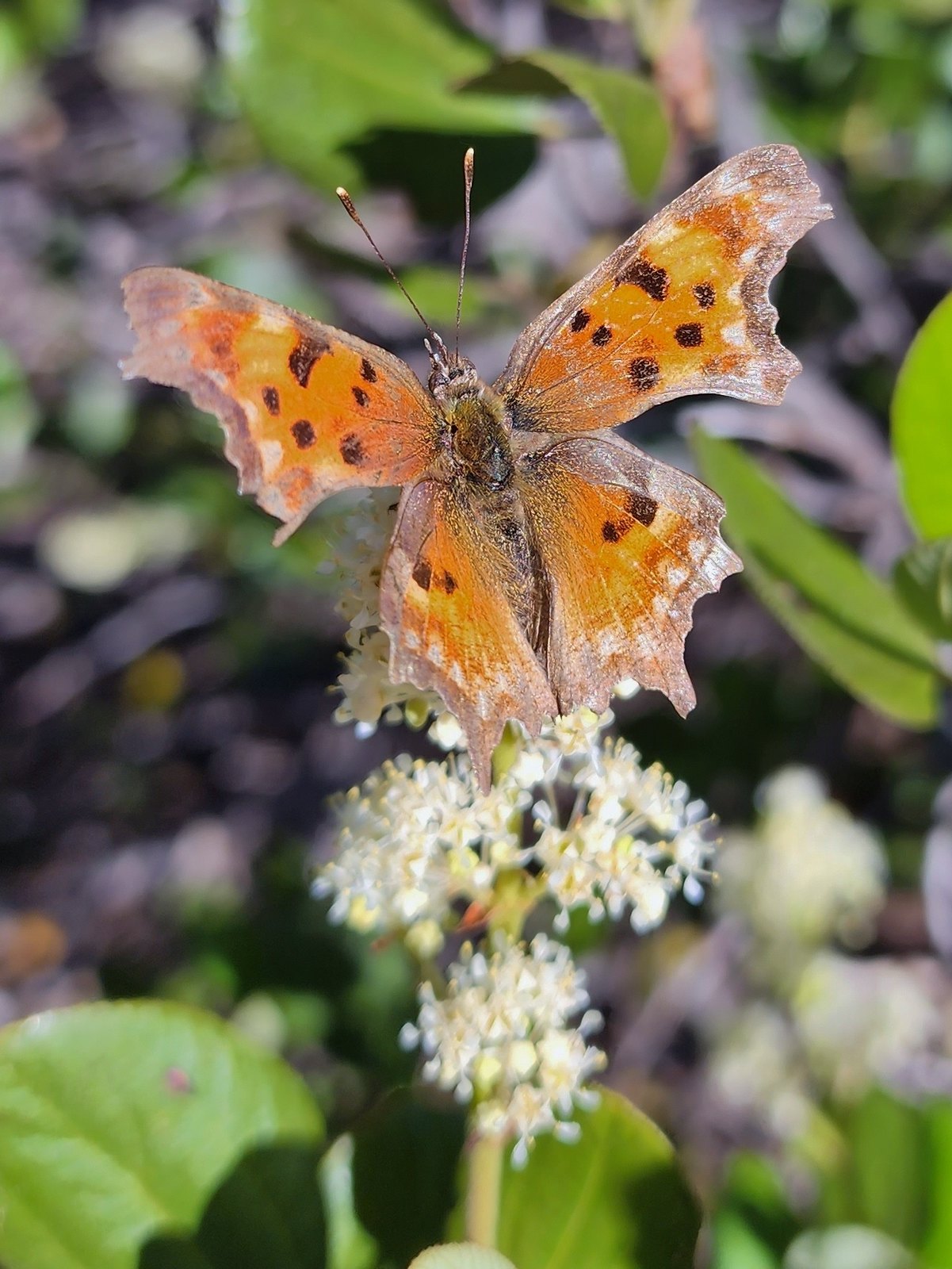 Hoary comma – 7/8/23, Sand Mountain, Willamette National Forest
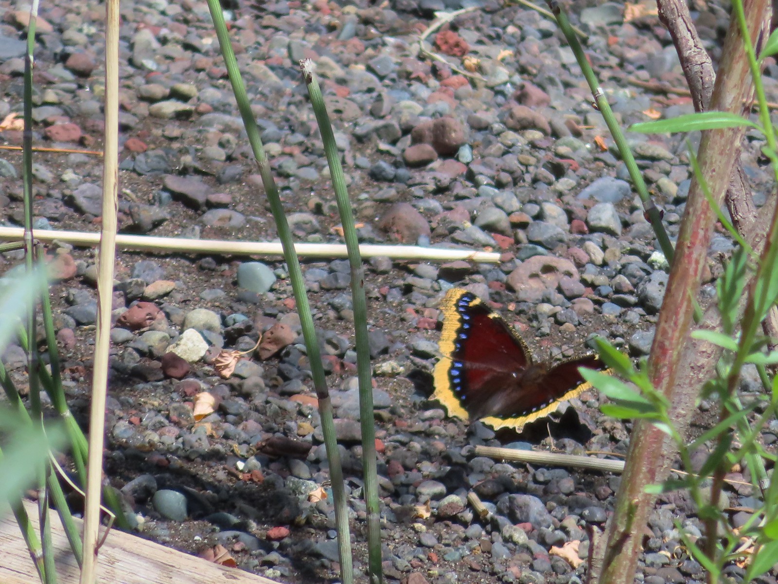 Mourning cloak – 6/14/23, Imnaha Trail, Hells Canyon National Recreation Area
 Common wood nymph – 6/15/23, Hells Canyon National Recreation Area, Wallowa-Whitman National Forest
 Ochre ringlet – 5/28/23, Criterion Tract, BLM Prineville District
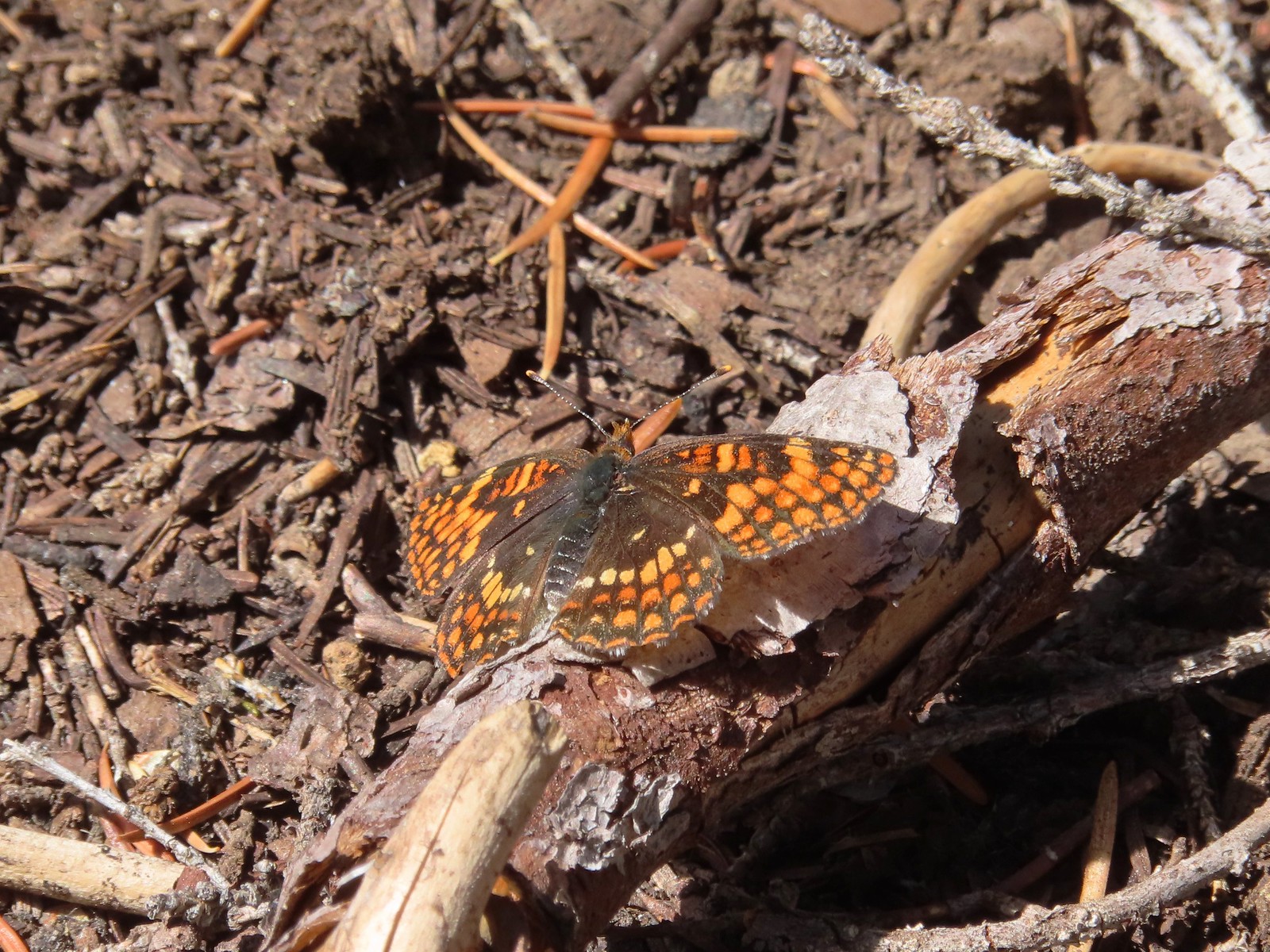 Checkerspot – 7/29/23, Stuart Falls Trail, Crater Lake National Park
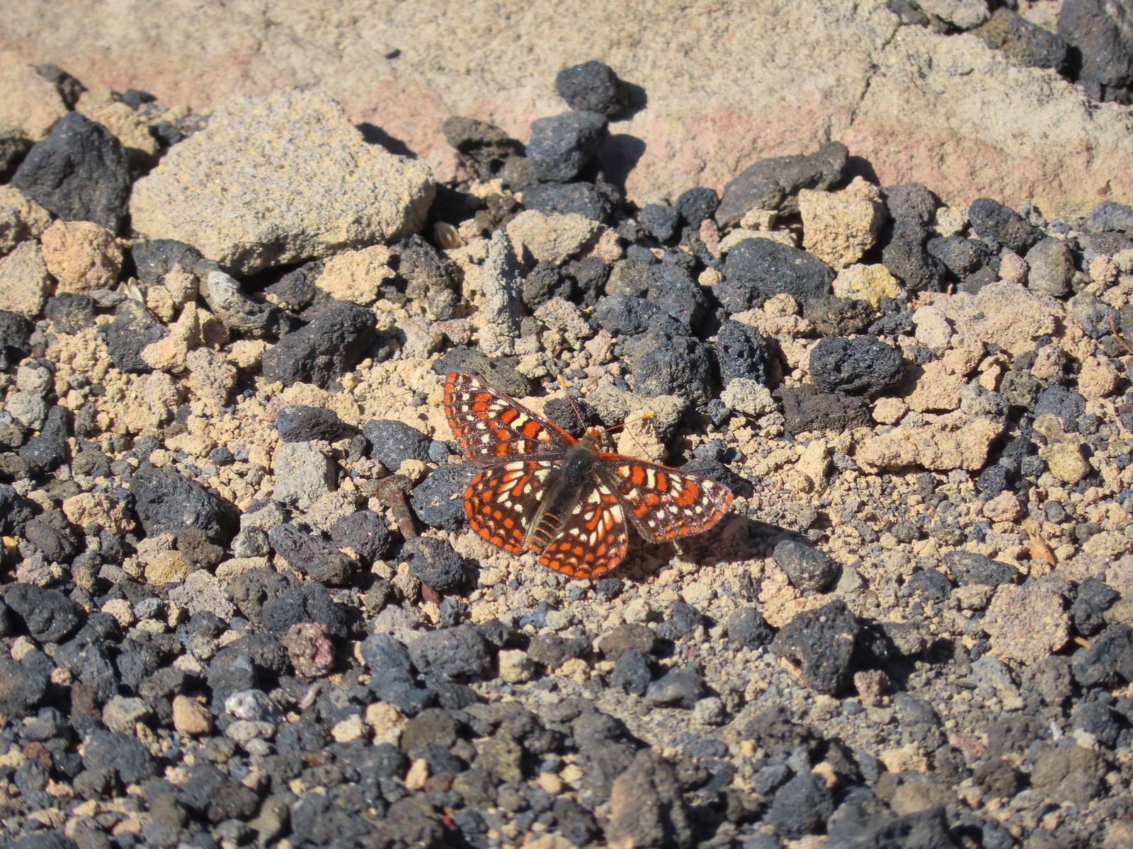
 Checkerspot – 7/1/23, Boundary Trail, Mt. St. Helens National Volcanic Monument, WA
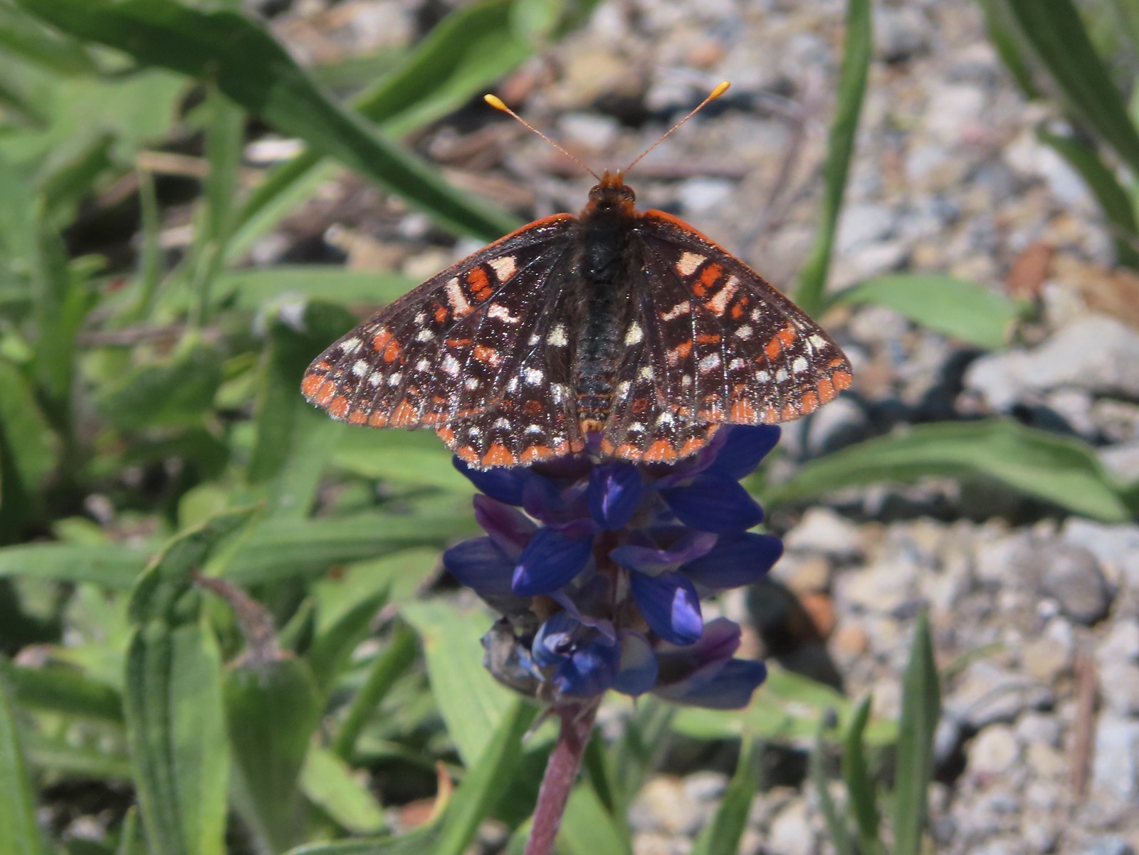
 Snowberry checkerspot – 7/1/23, Boundary Trail, Mt. St. Helens National Volcanic Monument, WA
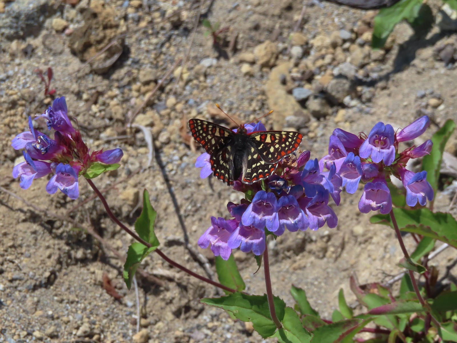
 Edith’s checkerspot – 7/8/23, Sand Mountain, Willamette National Forest
 Mylitta crescent – 6/15/23, Hells Canyon National Recreation Area, Wallowa-Whitman National Forest
 A crescent? – 5/13/23, Graham Oaks Nature Park, Wilsonville
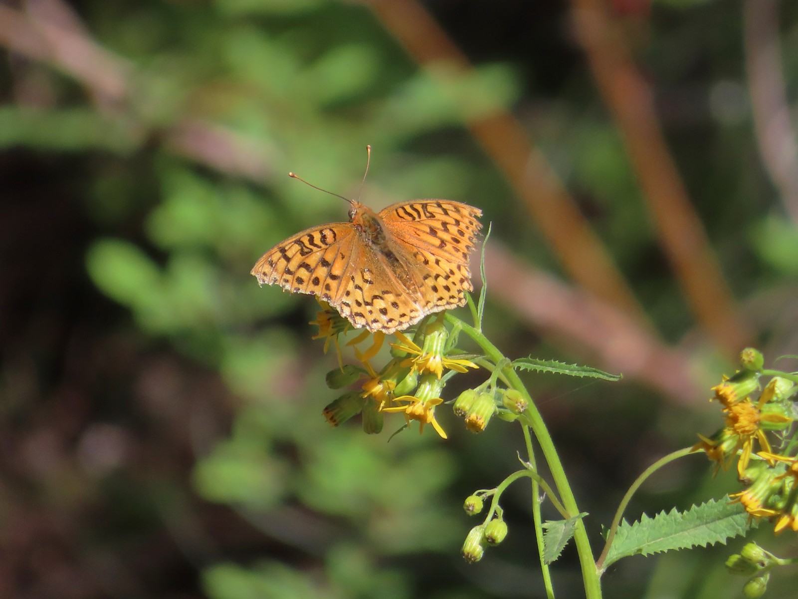
 Fritillary butterflies – 5/28/23, Criterion Tract, BLM Prineville District
 A fritillary – 7/4/23, Rocky Top Trail, Santiam State Forest
 A fritillary – 7/15/23, Forest Road 4610, Mt. Hood National Forest
 Indra swallowtail – 5/4/23, Kerby Flat Trail, Rogue River-Siskiyou National Forest
 Oregon swallowtail? with ladybug – 5/28/23, Criterion Tract, BLM Prineville District
 Swallowtail – 6/3/23, Conboy Lake National Wildlife Refuge, Trout Lake, WA
 Western swallowtails – 6/12/23, Imnaha River Trail, Eagle Cap Wilderness
 Swallowtail – 6/12/23, Imnaha River Trail, Eagle Cap Wilderness
 A sulphur – 9/9/23, Alta Lake Trail, Sky Lakes Wilderness
 Large marble – 5/28/23, Criterion Tract, BLM Prineville District
 Becker’s white – 6/14/23, Imnaha Trail, Hells Canyon National Recreation Area
 Male margined white? – 8/29/23, Newell Creek Canyon Nature Park, Oregon City
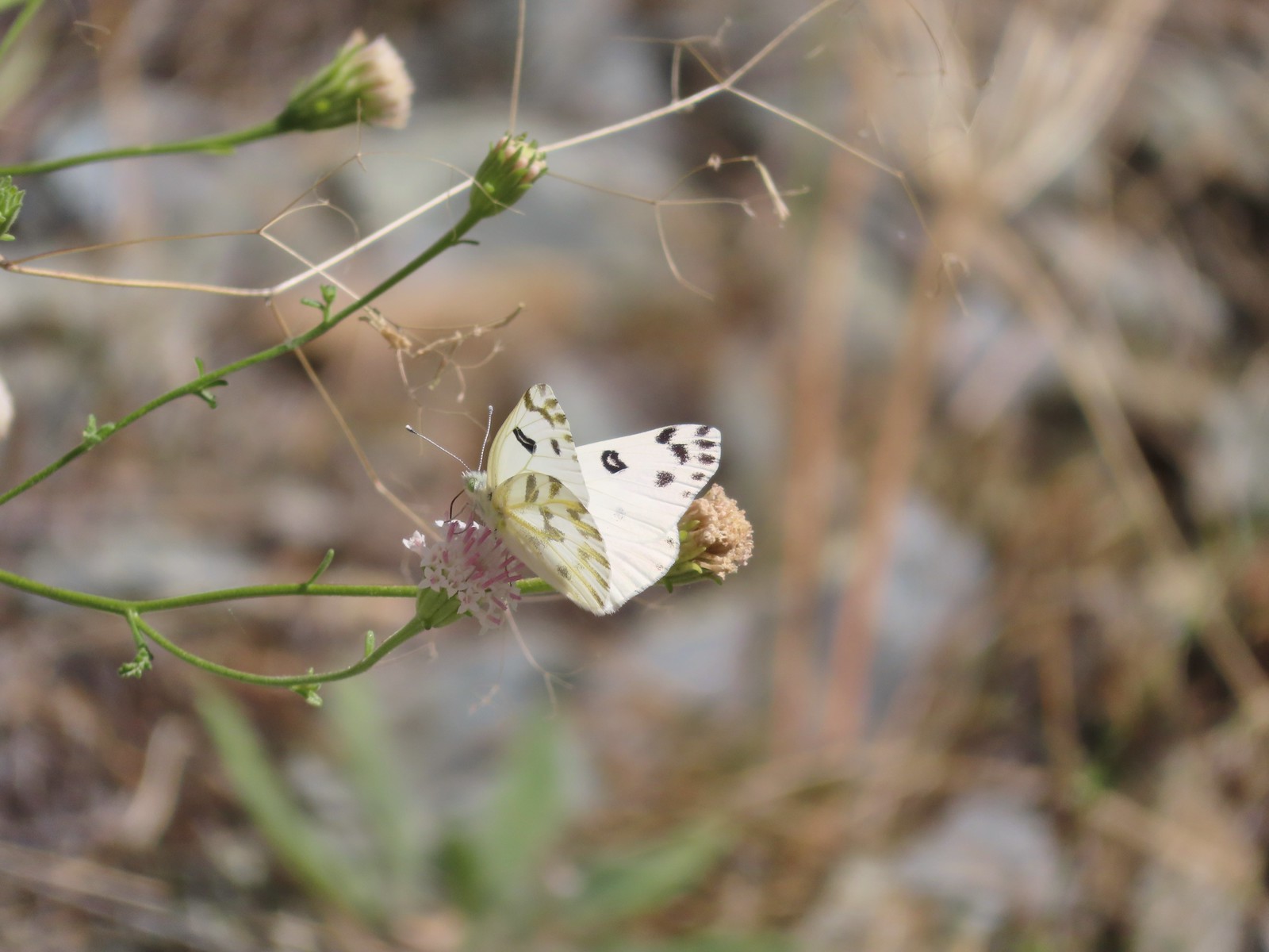
 Mountain parnassian – 6/15/23, Hells Canyon National Recreation Area, Wallowa-Whitman National Forest
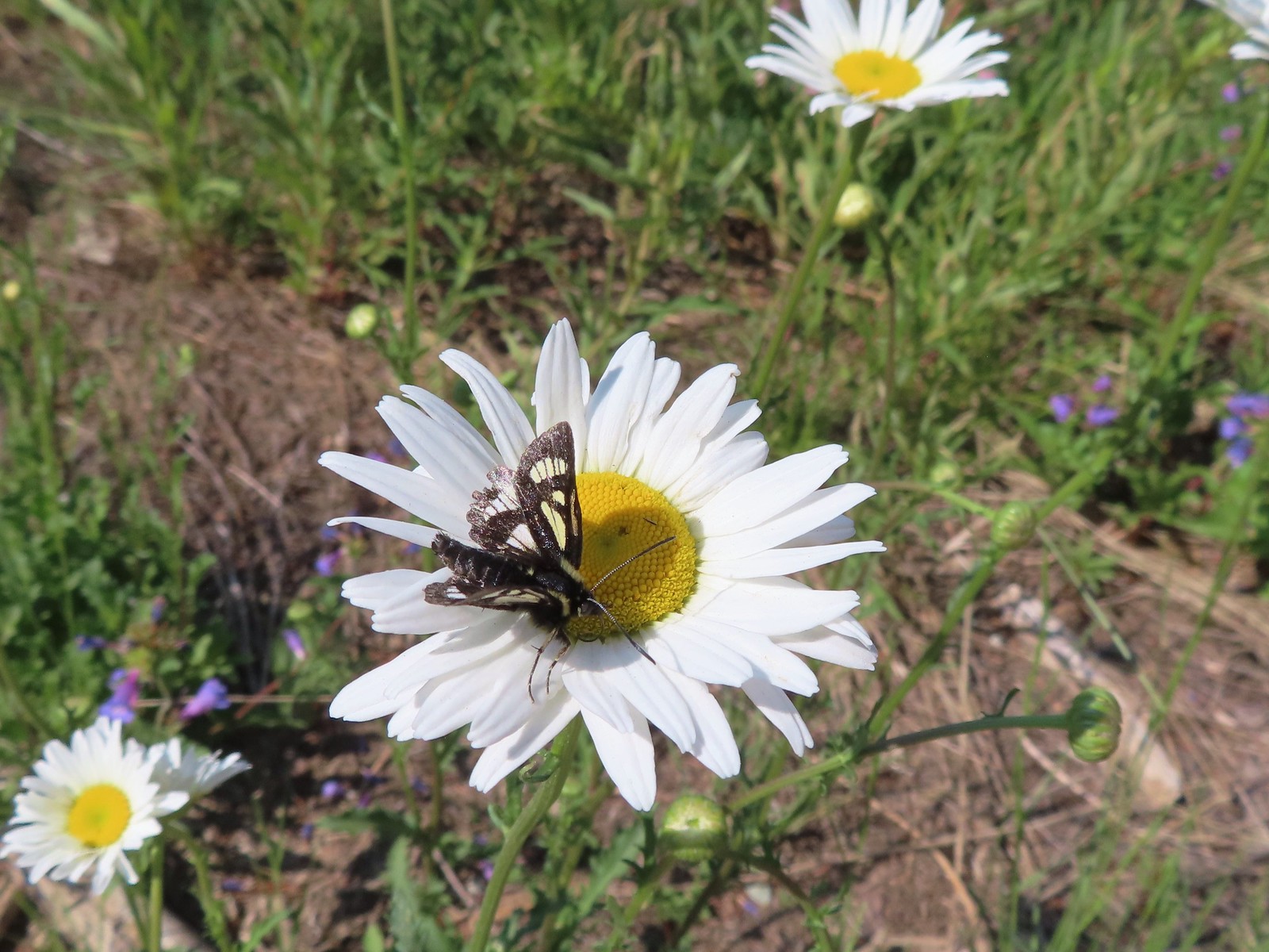
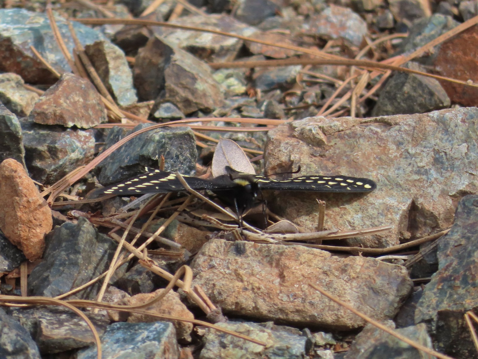
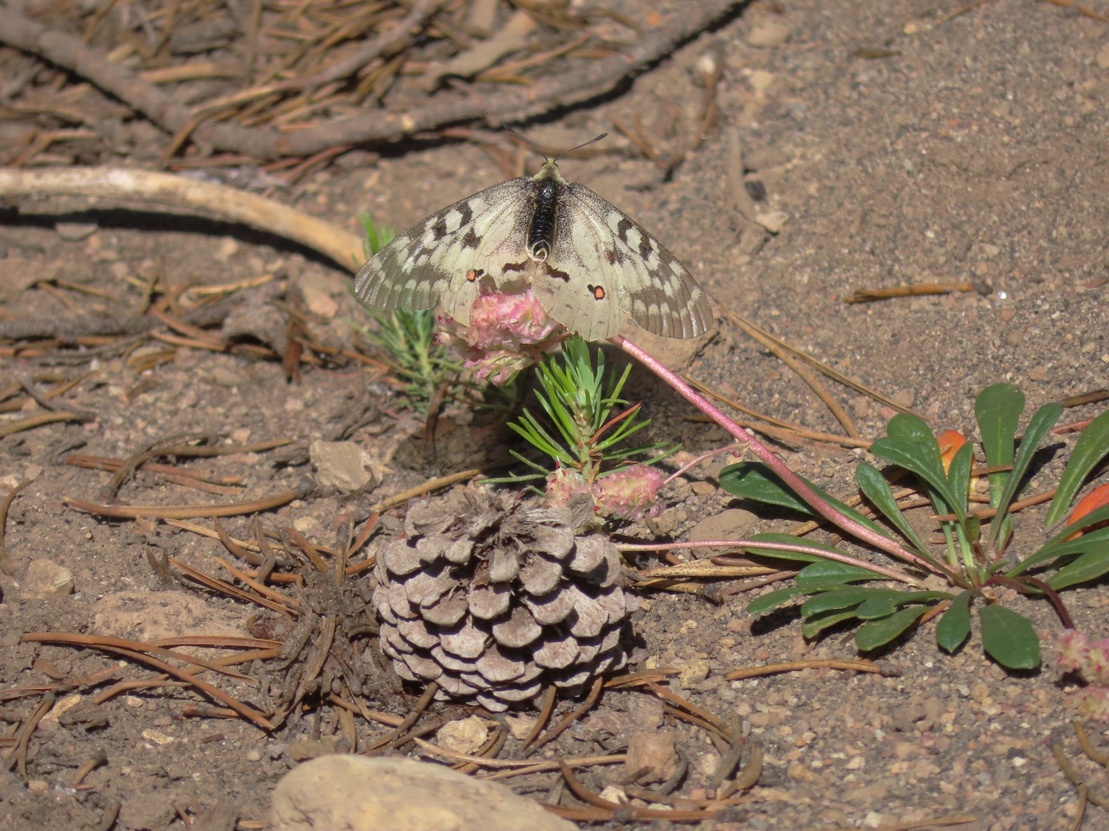 Clodius parnassian – 7/29/23, Pumice Flat Trail, Crater Lake National Park
 Silver-spotted Skipper – 6/14/23, Eureka Bar, Hells Canyon National Recreation Area
 A skipper – 5/28/23, Criterion Tract, BLM Prineville District
 A skipper – 6/12/23, Imnaha River Trail, Eagle Cap Wilderness
 A skipper – 6/24/23, Rogue River National Recreation Trail, Wild Rogue Wilderness
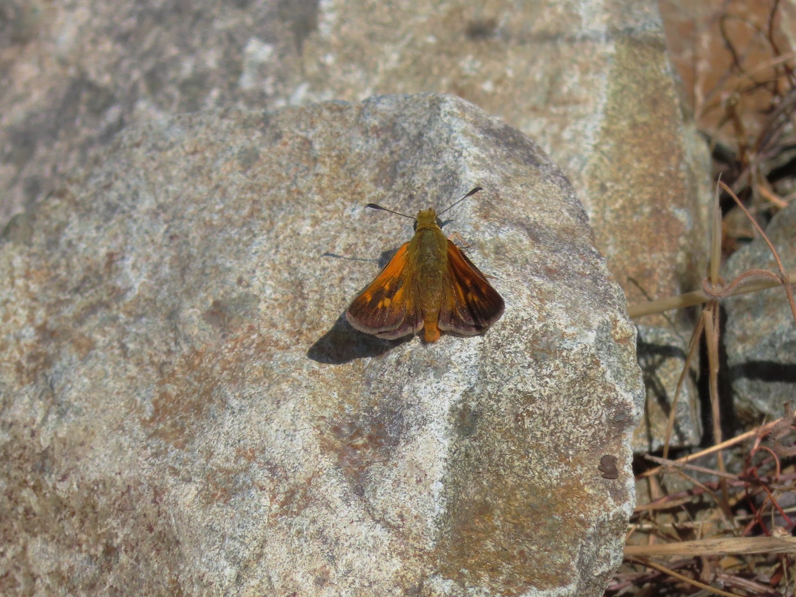
 A skipper – 9/3/23, Threemile Canyon, BLM Burns District
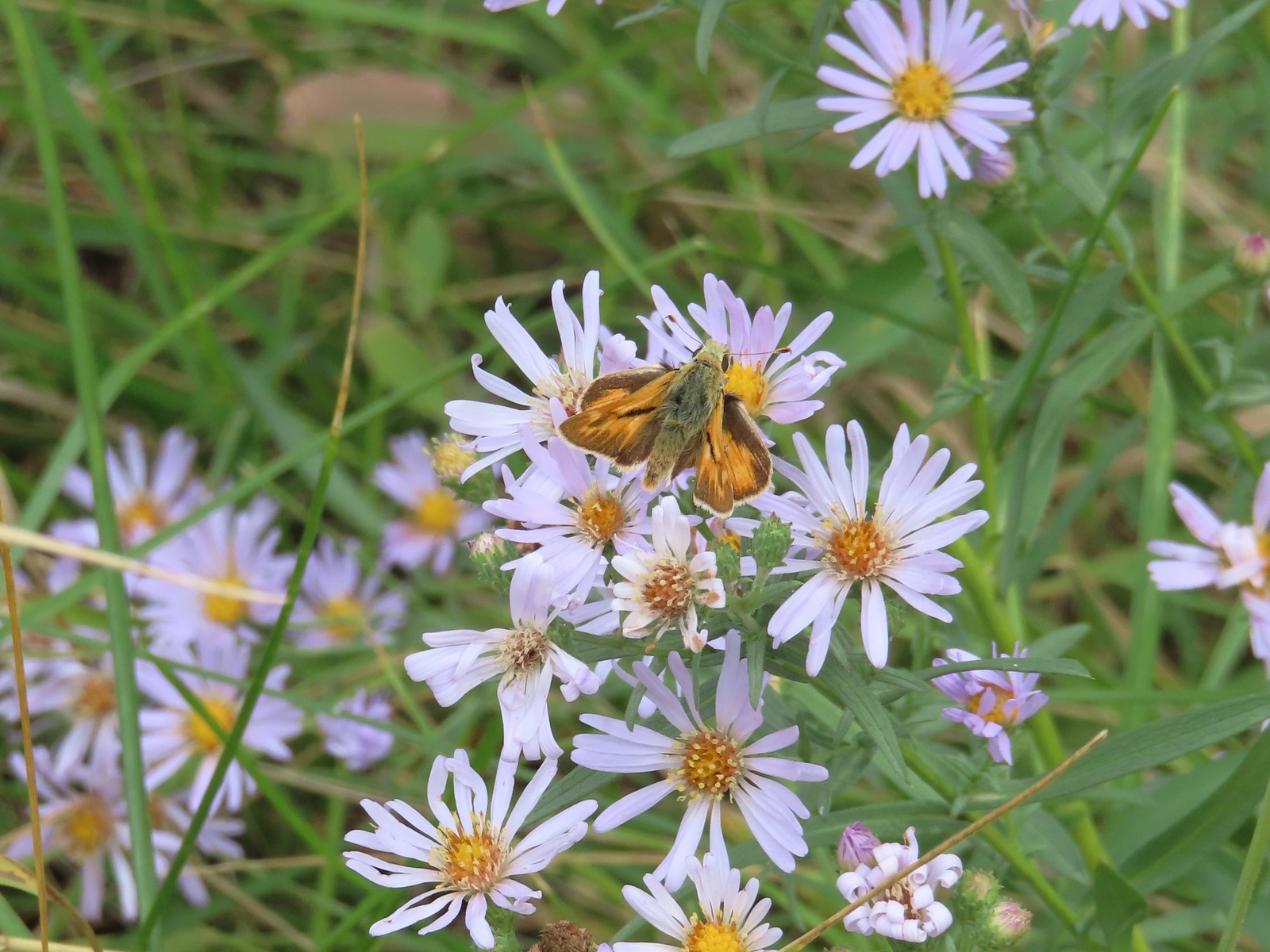
 Skipper on a sagebrush mariposa lily – 7/23/23, Metolius River Trail, Deschutes National Forest
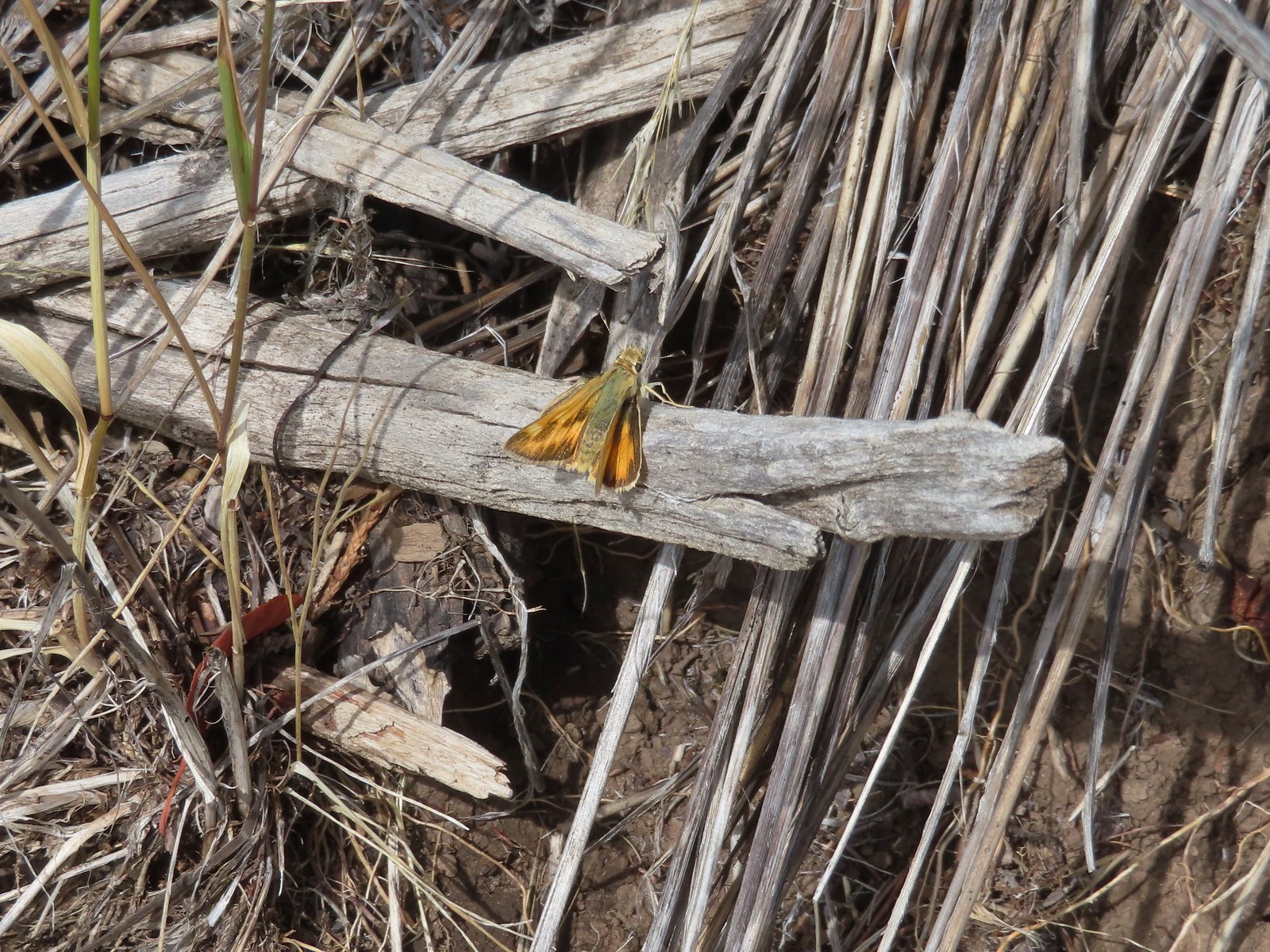
 A skipper – 9/3/23, P Ranch, Malheur National Wildlife Refuge
 Duskywing? – 6/24/23, Rogue River National Recreation Trail, Wild Rogue Wilderness
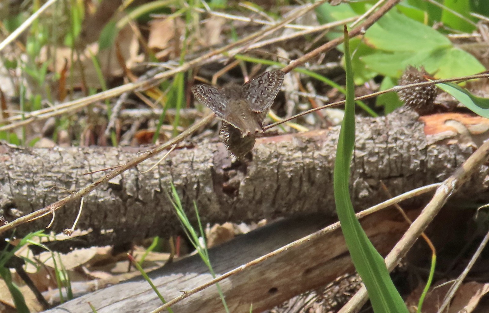 Duskywing – 5/3/23, Waters Creek Interpretive Trail, Rogue River-Siskiyou National Forest
 Dreamy duskywing – 6/12/23, Imnaha River Trail, Eagle Cap Wilderness
 Dragonfly – 6/24/23, Rogue River National Recreation Trail, Wild Rogue Wilderness
 Dragonfly – 7/1/23, Hummocks Trail, Mt. St. Helens National Volcanic Monument, WA
 Dragonfly – 7/15/23, Plaza Lake, Salmon-Huckleberry Wilderness
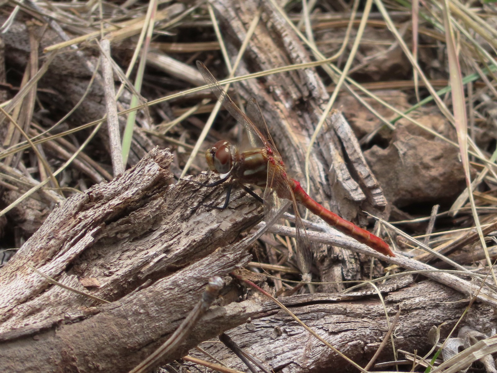
 Dragonfly – 7/31/23, Godfrey Glen Trail, Crater Lake National Park
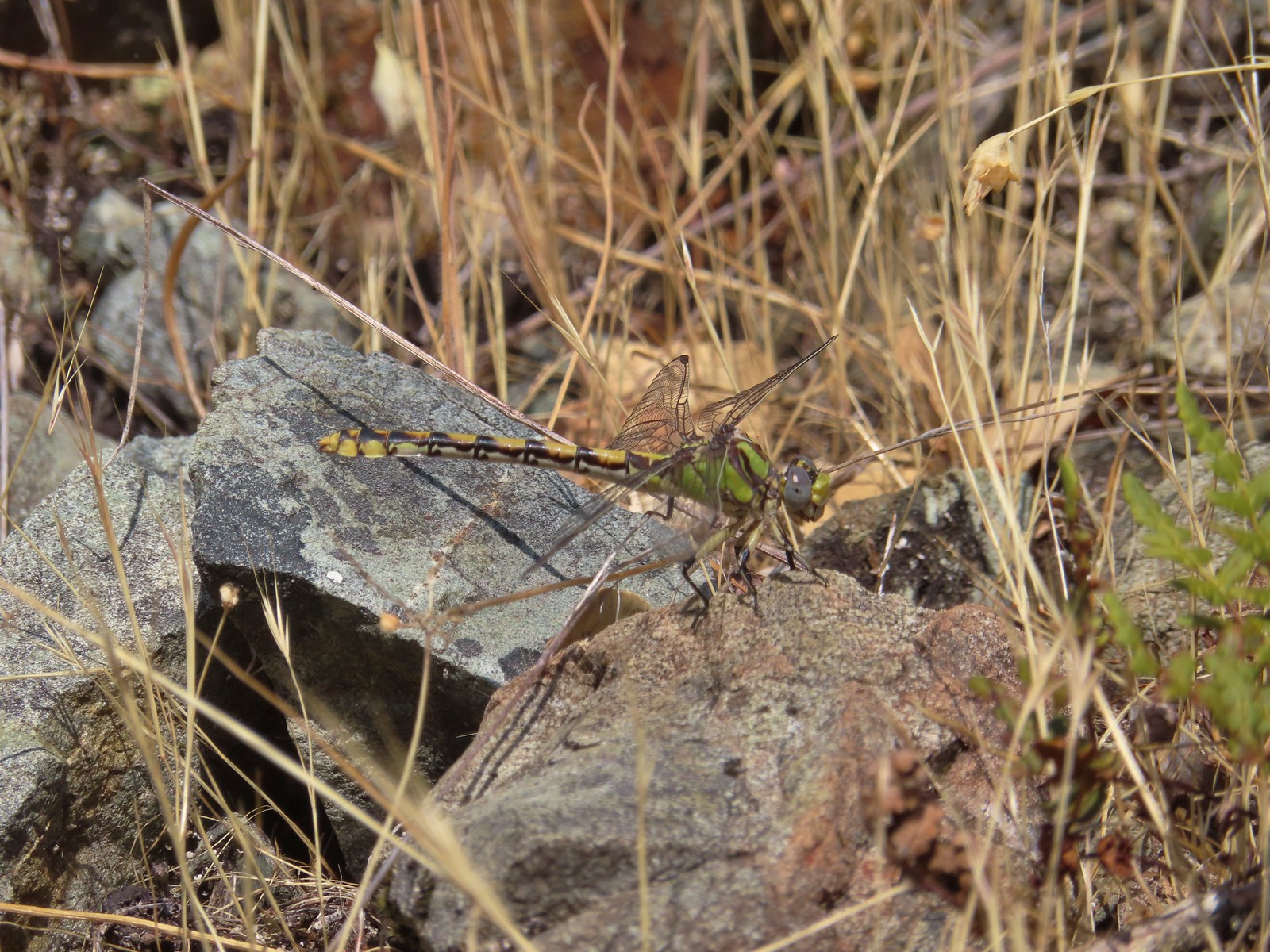
 Dragonfly – 9/2/23, Idlewild Loop Trail, Malheur National Forest
 Slug – 4/29/23, Canemah Bluff Nature Park, Oregon City
 Snail – 4/15/23, Enchanted Valley Trail, Siuslaw National Forest
 Rough skinned newt – 4/15/23, Cape Mountain, Siuslaw National Forest
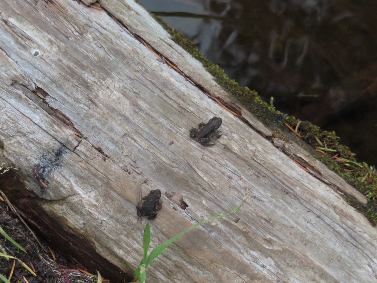
 Tadpoles – 9/9/23, Pacific Crest Trail, Sky Lakes Wilderness
 Western toads – 9/9/23, Pacific Crest Trail, Sky Lakes Wilderness
 Full grown western toad – 9/9/23, Pacific Crest Trail, Sky Lakes Wilderness
 Cascade frog – 9/9/23, Pacific Crest Trail, Sky Lakes Wilderness
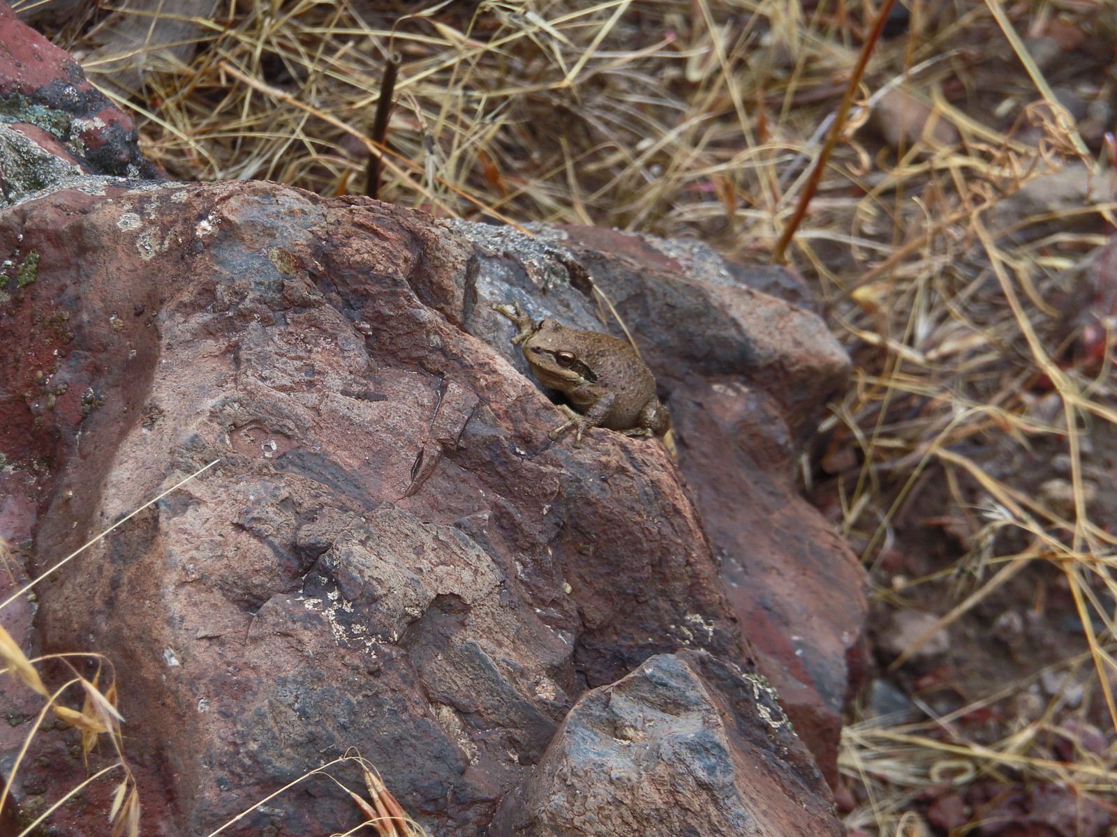 Pacific treefrog – 9/3/23, Threemile Canyon, BLM Burns District
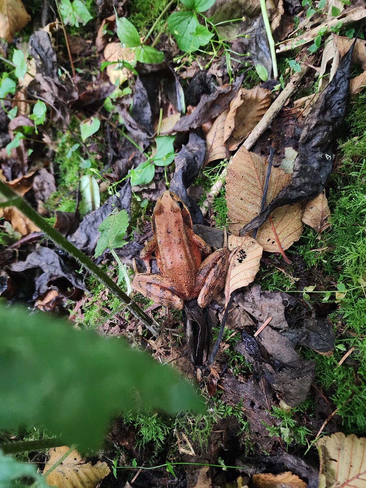 Northern red-legged frog – 8/26/23, Nestucca Bay National Wildlife Refuge, Cloverdale
 Bullfrog (invasive) – 4/22/23, Talking Water Gardens, Albany
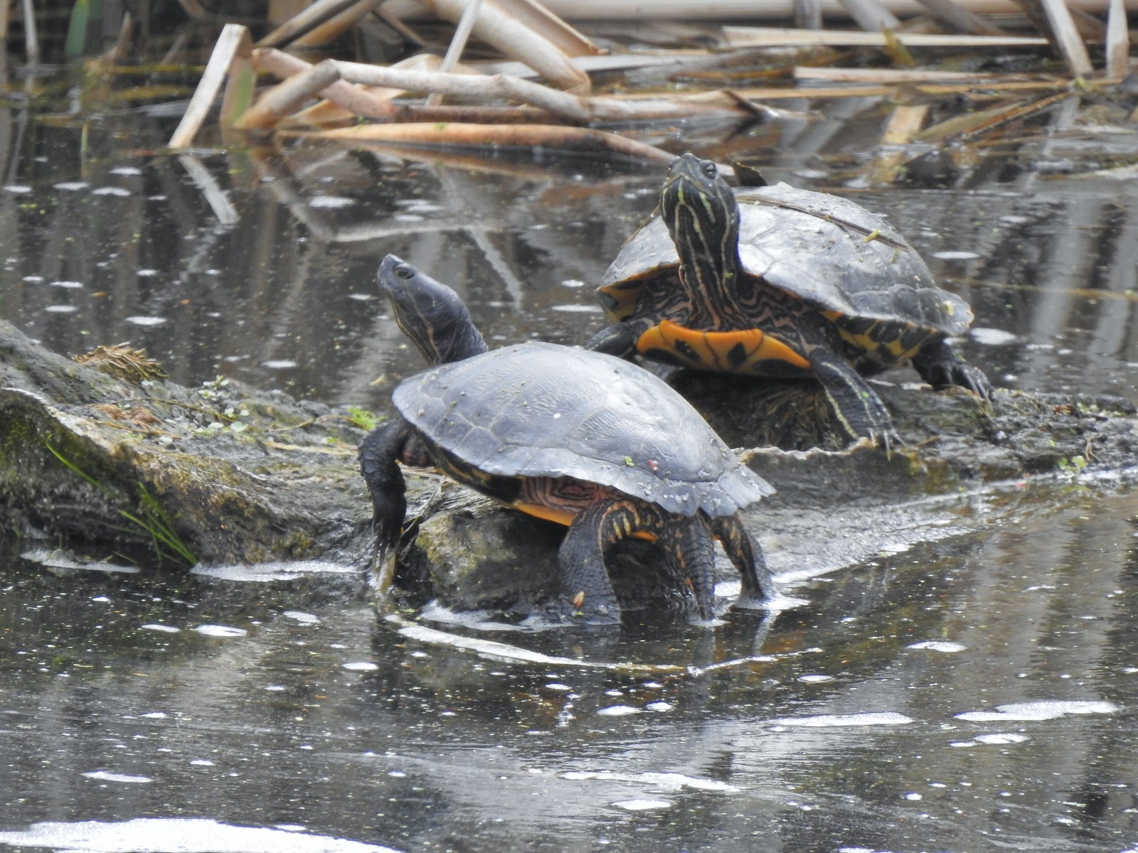 Western pond turtles – 4/22/23, Talking Water Gardens, Albany
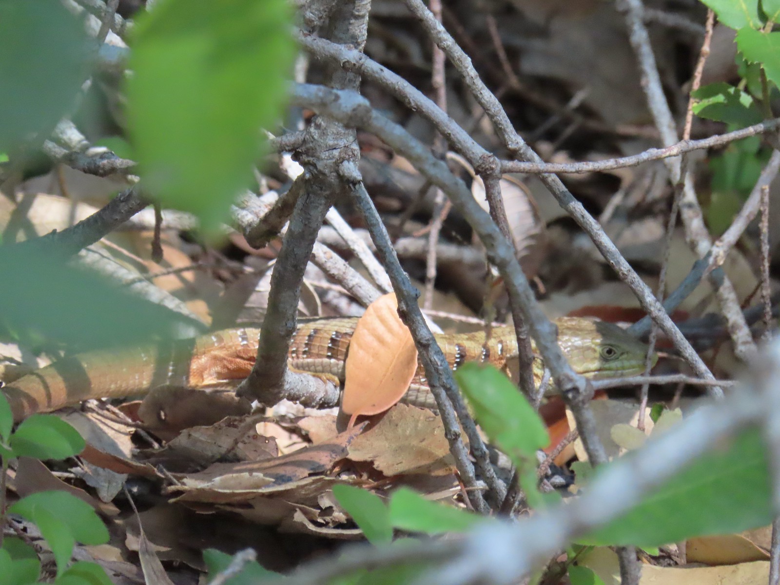 Southern alligator lizard – 6/24/23, Rogue River National Recreation Trail, Wild Rogue Wilderness
 Western fence lizard – 5/3/23, Waters Creek Interpretive Trail, Rogue River-Siskiyou National Forest
 Sagebrush lizard – 7/22/23, Shut-In Trail, Deschutes National Forest
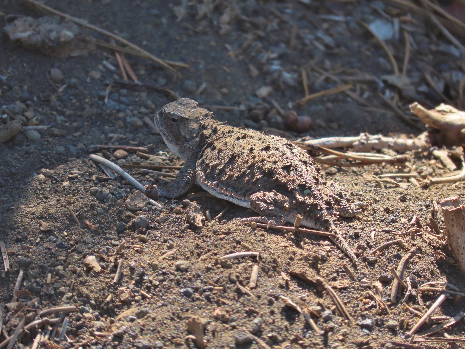 Pygmy short-horned lizard – 7/8/23, Santiam Wagon Road, Willamette National Forest
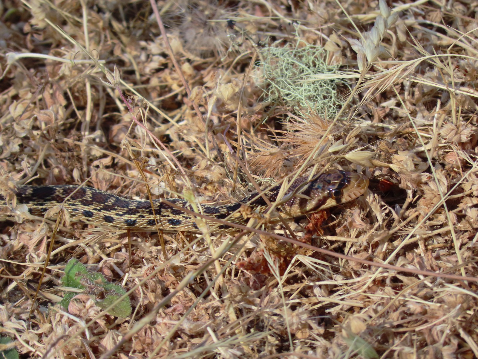 Gopher snake – 6/25/23, North Bank Habitat, BLM Roseburg District
 Garter snake – 4/22/23, Dave Clark Riverfront Path, Albany
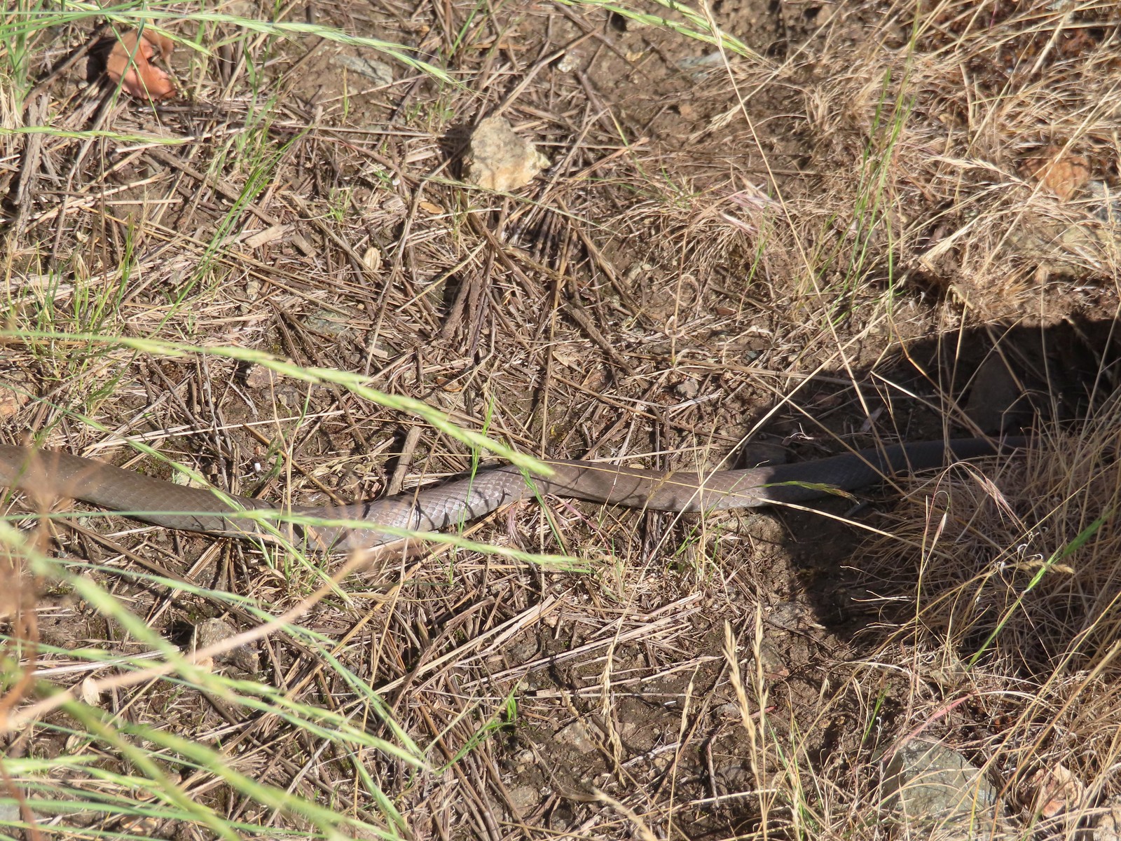 Rubber boa? – 6/14/23, Imnaha Trail, Hells Canyon National Recreation Area
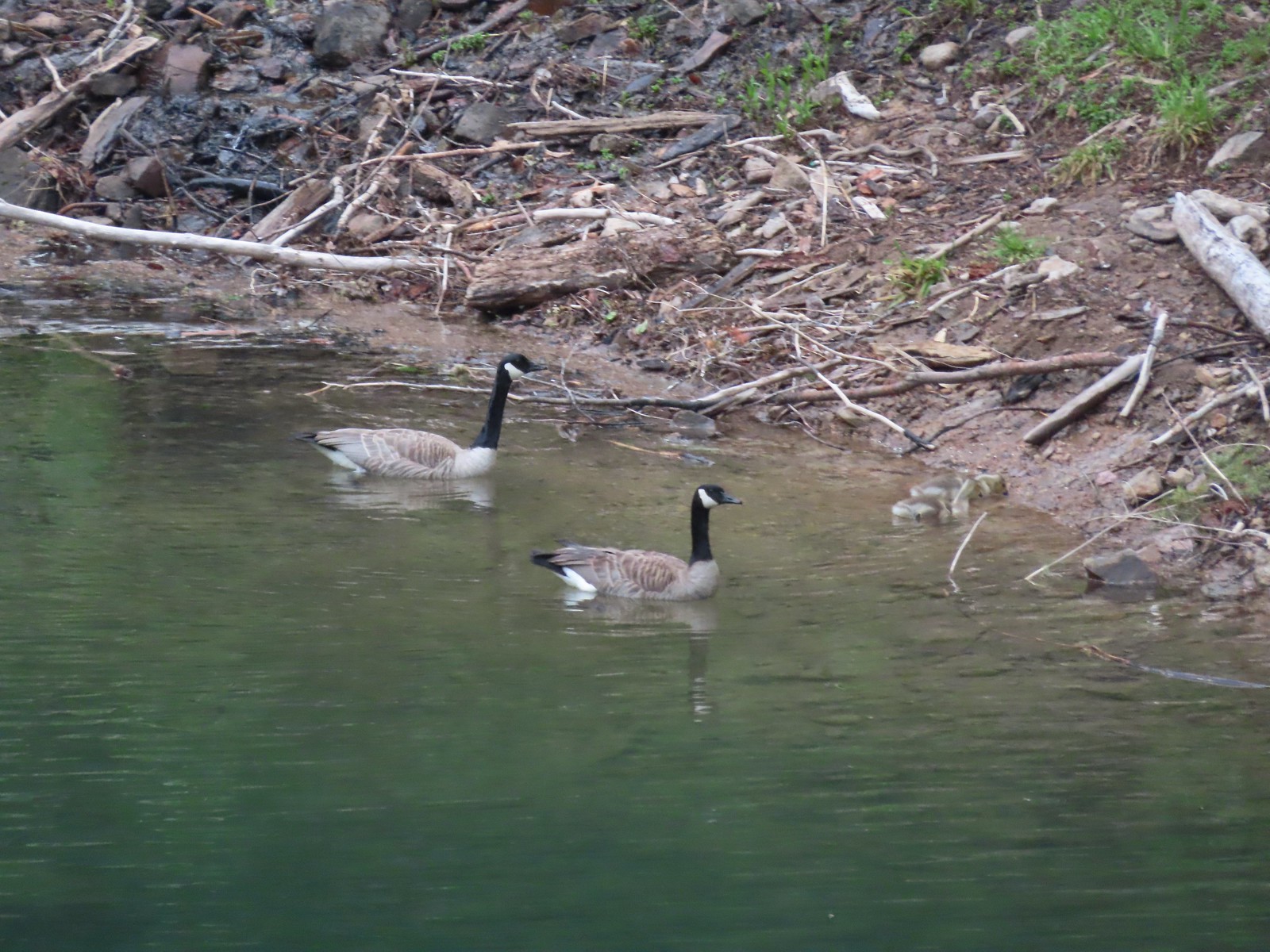
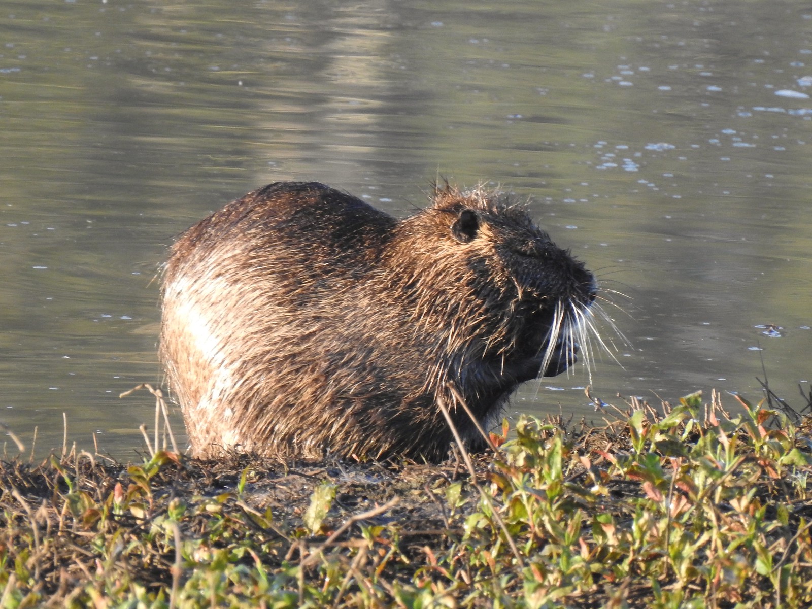 Nutria (invasive) – 5/13/23, Tualatin River National Wildlife Refuge, Sherwood
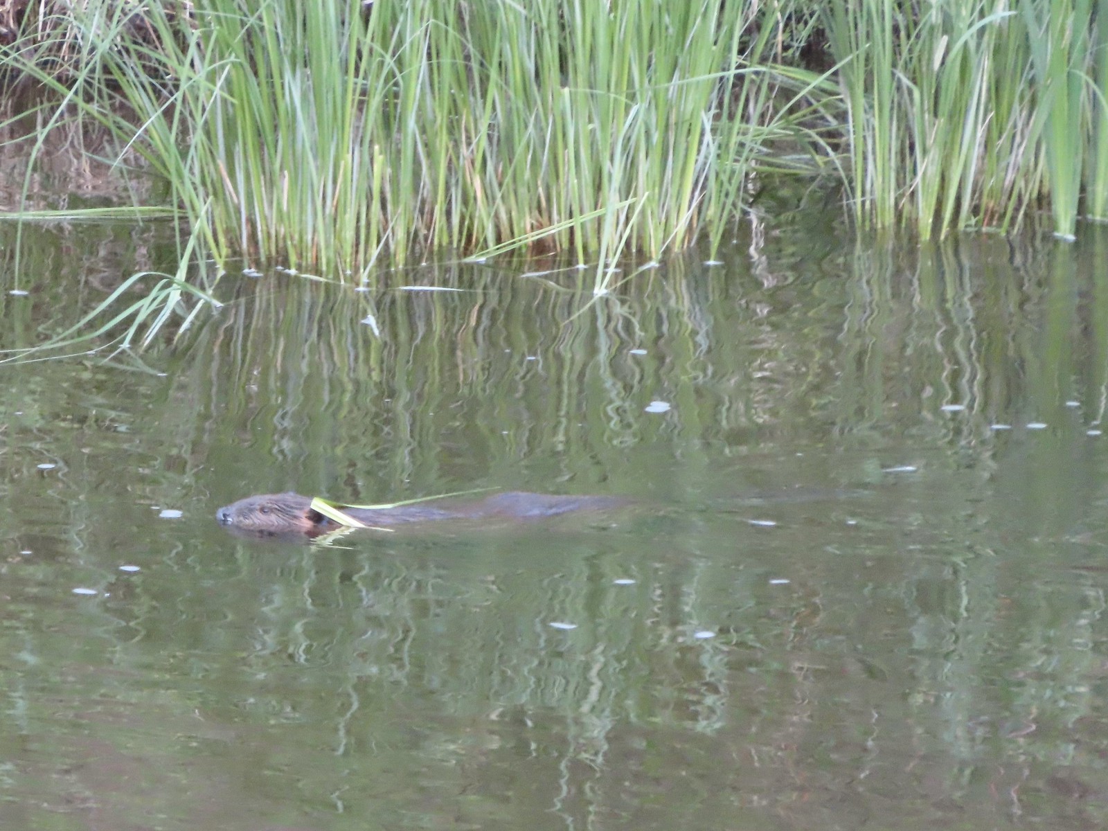 Beaver – 5/29/23, Riley Ranch Preserve, Bend
 Yellow-bellied marmot – 7/31/23, Garfield Peak Trail, Crater Lake National Park
 Gray squirrel – 4/22/23, Dave Clark Riverfront Path, Albany
 Douglas’ squirrel – 4/22/23, Dave Clark Riverfront Path, Albany
 Eastern fox squirrel? – 4/29/23, Newell Creek Canyon Nature Park, Oregon City
 Columbian ground squirrel – 8/16/23, Tombstone Lake Trail, Eagle Cap Wilderness
 Golden-mantled ground squirrel – 7/31/23, Garfield Peak Trail, Crater Lake National Park
 Chipmunk – 8/5/23, McNeil Point scramble trail, Mt. Hood Wilderness
 Pika – 8/5/23, McNeil Point Trail, Mt. Hood Wilderness
 Rabbit – 5/13/23, Tualatin River National Wildlife Refuge, Sherwood
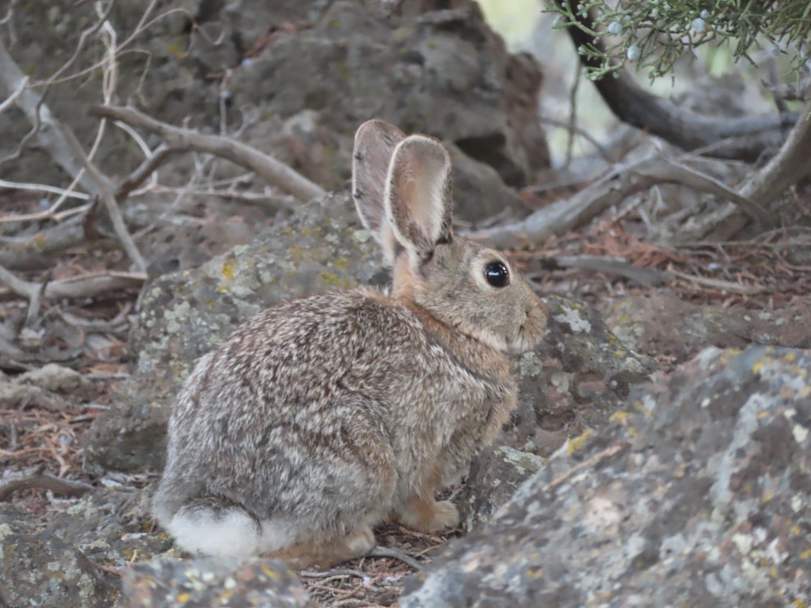 Mountain cottontail – 5/29/23, Riley Ranch Preserve, Bend
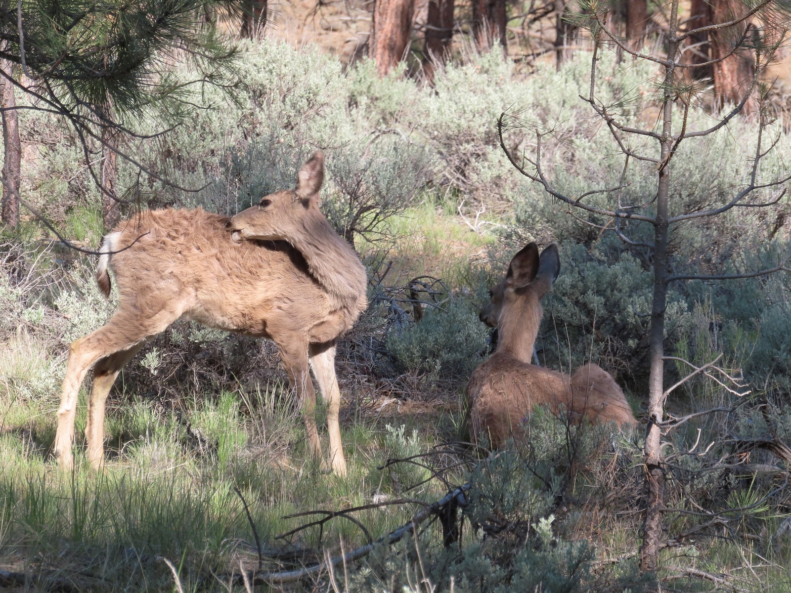
 Fawns – 7/31/23, Garfield Peak Trail, Crater Lake National Park
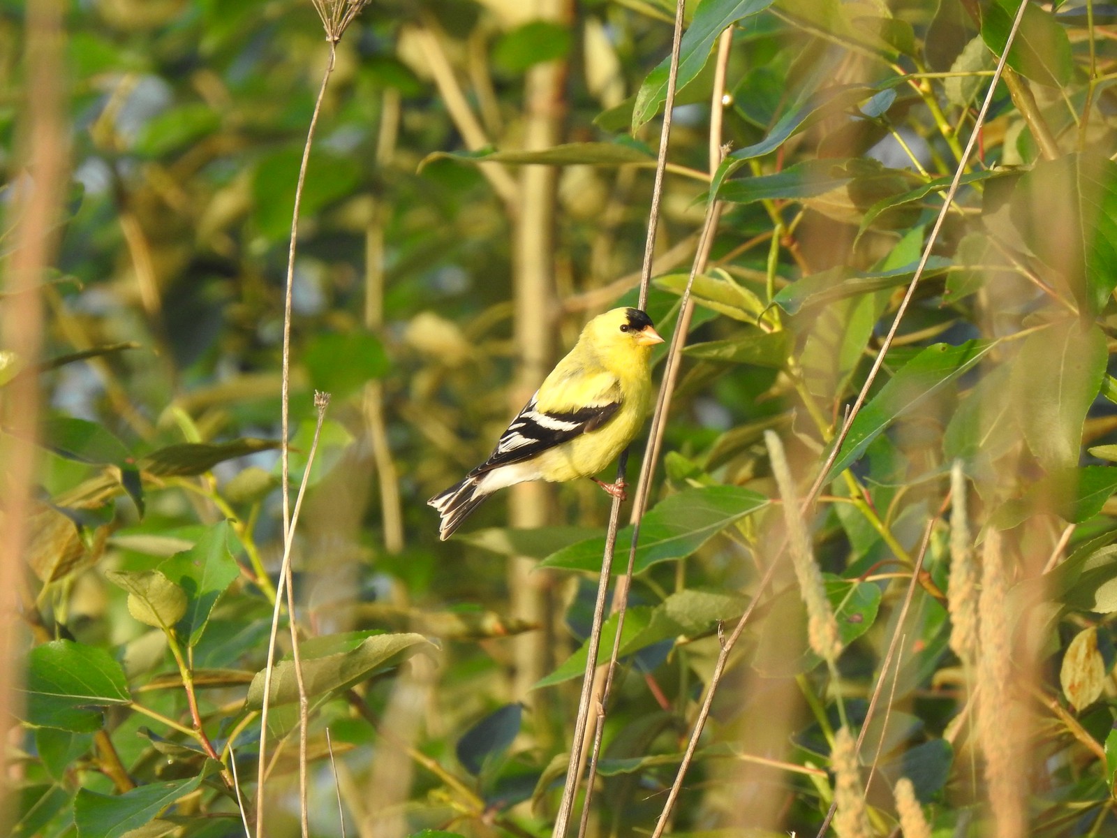
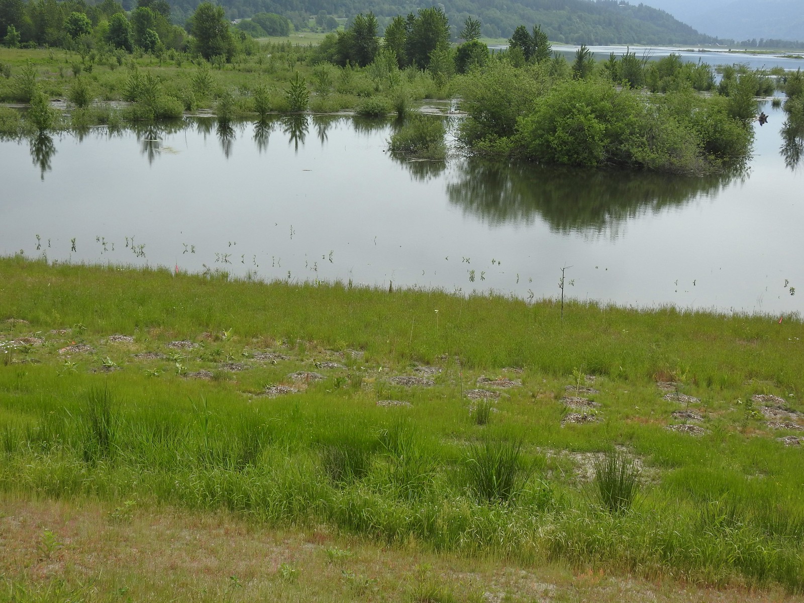
 Doe – 5/20/23, Steigerwald Lake National Wildlife Refuge, Washougal, WA
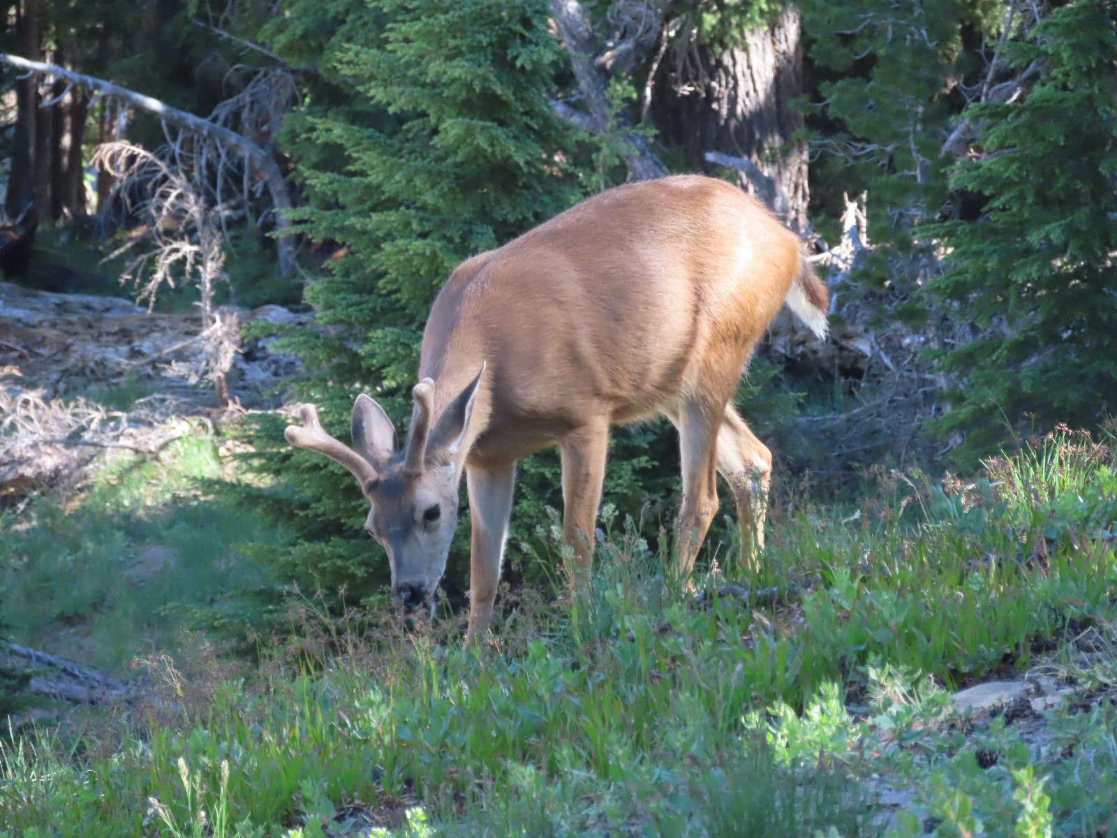 Buck – 7/31/23, Rim Trail, Crater Lake National Park
 Elk – 6/15/23, Buckhorn Road (FR 46), Wallowa-Whitman National Forest
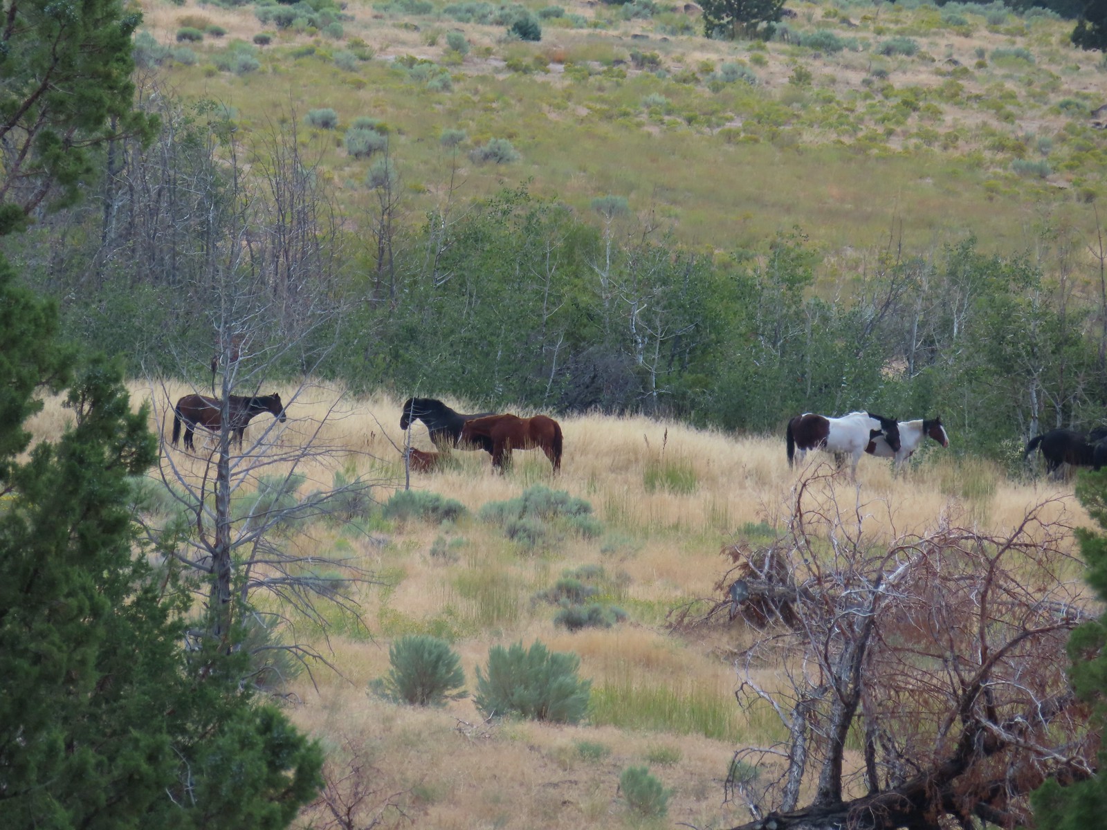 Horses – 9/3/23, Threemile Canyon, BLM Burns District
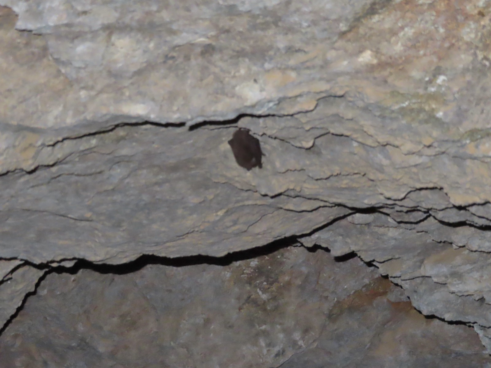 Bat -5/2/23, Sterling Mine Ditch Tunnel, BLM Medford District
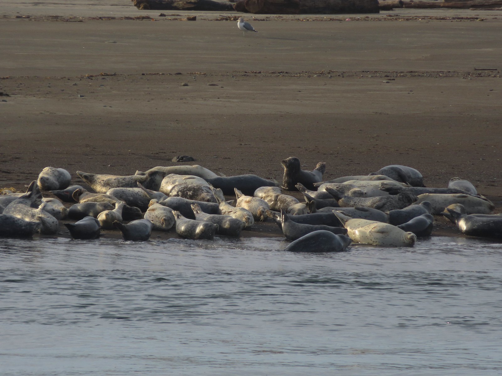 Seals – 11/18/23, Siletz Bay, Lincoln City
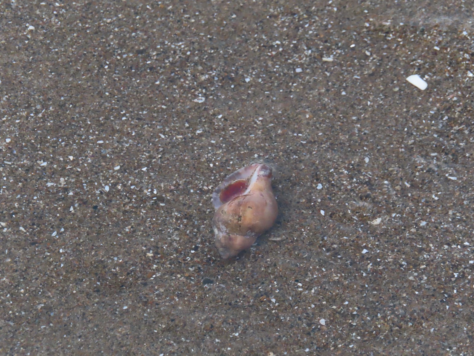 Shell with inhabitant – 11/18/23, Nelscott Beach, Lincoln City
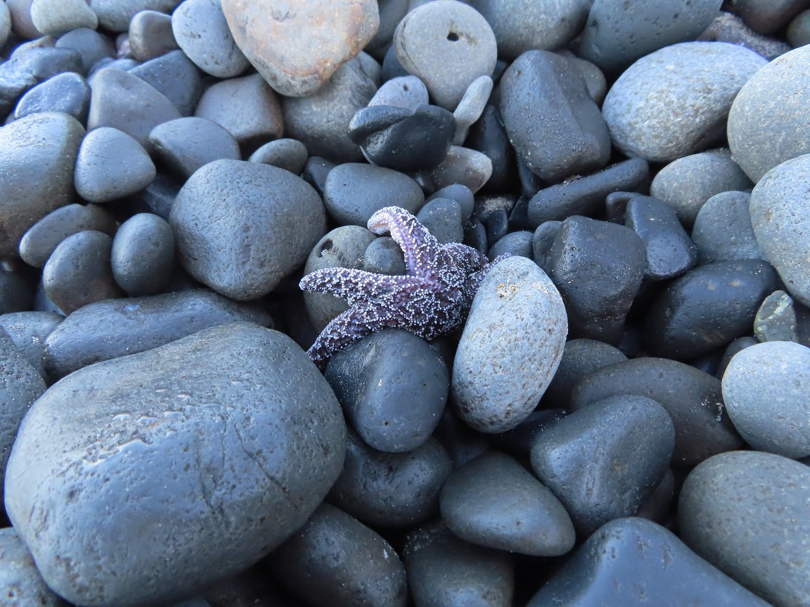 Starfish – 10/28/23, Short Beach, Oceanside
 Trout – 8/16/23, Tombstone Lake, Eagle Cap Wilderness
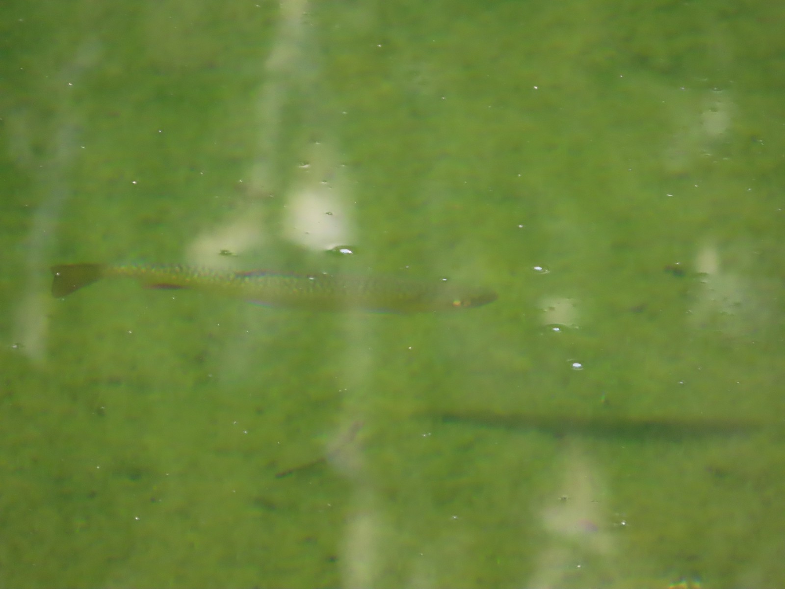
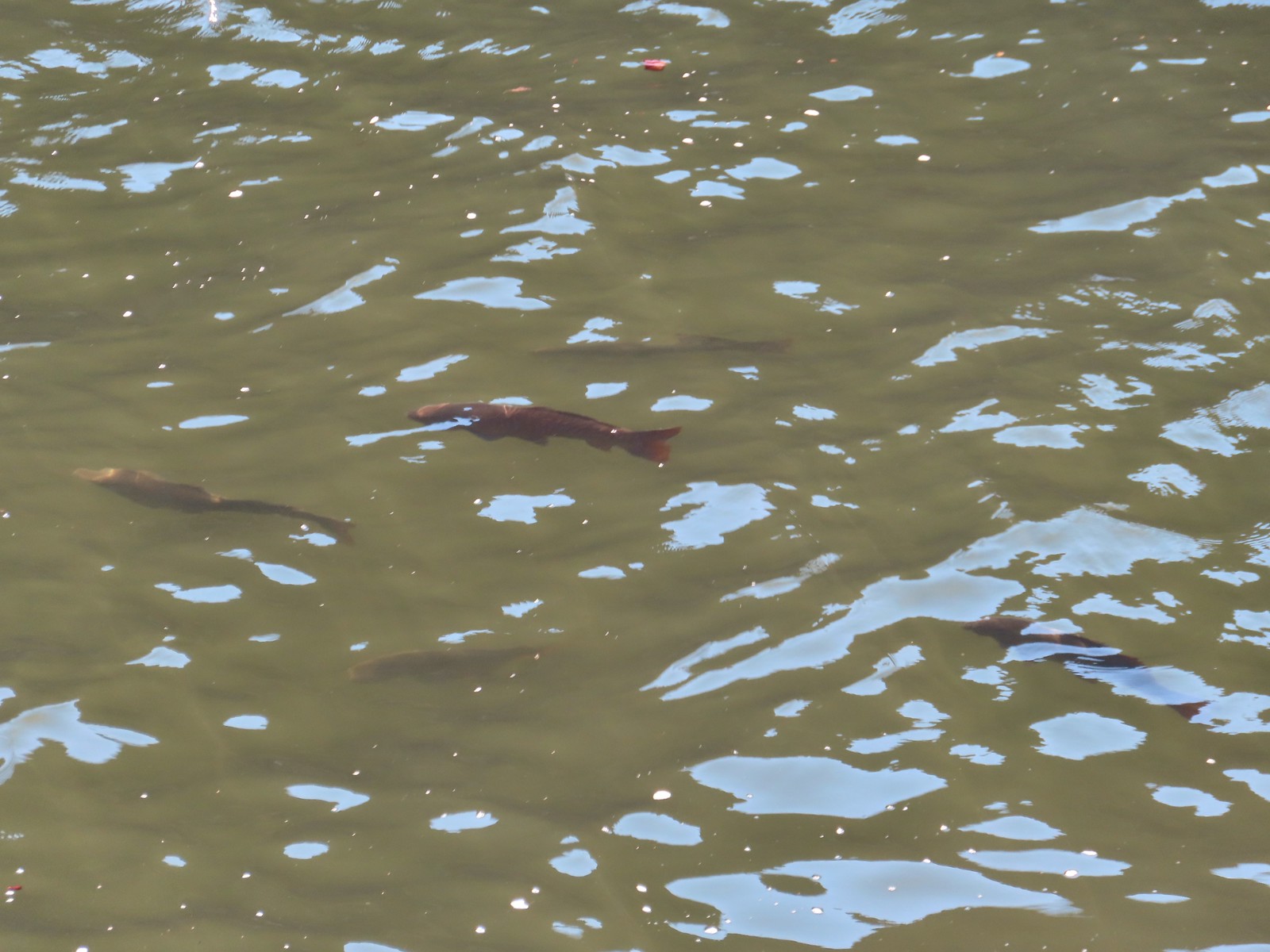 Fish – 6/16/23, Hells Canyon Reservoir, Hells Canyon National Recreation Area


 You can actually see some of the route I explored on the left side between Parvipes Marsh and the butte and at the bottom of the picture wrapping around the butte.
 Manroot
 Camas
Camas Plectritis
 Checkerbloom
 Tolmie’s mariposa lilies


 Morgan Lake with a bit of Moffitti Marsh to the left.
 Columbine
 Iris
Iris
 Robin
Robin Sparrows
 Gold crowned sparrow
 The grass was low enough that the lake was fairly visible. Later in Spring you’re lucky to see any water from the trail.
 Not a great picture due to the distance and light, but there are a couple of ruddy ducks to the left hanging out with some ring-necked ducks.
 Mallards
 American coot
 Gadwalls
 Buffleheads
 Common yellowthroat
 Looking for a bittern.
 American bittern. I could only see the bittern from a very short section of trail and as soon as I lost a little elevation it disappeared from sight. It never flew off, but I couldn’t see it even knowing where it was.
 Following the trail next to Smithfield Road.
 Lots of red-winged blackbirds near the trailhead.
 Finch
Finch Heading back toward Baskett Butte and Moffitti Marsh.
 Northern flicker
 Moffitti Marsh
 American wigeons
 Female common yellowthroat
 Spotted towhee
 I watched a crow chase off a hawk that had apparently gotten too close.
 The official trail heads up the hill to the left. I veered right just beyond the trail sign pointing toward Moffitti Marsh.
 Lilac
Lilac Parvipes Marsh ahead to the right.
 The tractor turned right and drove over a dike at the end of Parvipes Marsh to a field on the other side.
 Deer farther up the hillside.

 This appears to be balsamroot. There were just a couple of patches on the SW side of the butte.
 Cottonwood Pond
 Buttercups and miniature lupine
 Meadow checker-mallow
 Lomatium and plectritis
 South Slough Pond
 I was a bit surprised to find a bench along this route given it isn’t shown as an official trail.
 Grass pea
 More checkerbloom
 Golden paintbrush
 If I hadn’t been looking for the tread I don’t think I would have noticed it.
 Lupine
 Another Tolmie’s mariposa lily
 Western meadowlark
 The overlook ahead.
 The obligatory photo from the overlook.
 Lots of patches of plectritis on the butte.
 Ground squirrel
 Swallow
 Baskett Butte from the Cottonwood Pond parking area.
 Mallards
 Northern pintails
 Northern shovelers
 Lesser scaup. They look a lot like ring-necked ducks only without the ring.
 Ring-necked ducks
 Nap Time.


 Beatys Butte to the SW.
 Rain to the SW as well.


 Threemile Creek could be heard but not seen through the thick brush.
 Lupine
 There was a post but no sign at the junction.
 Wickerstem buckwheat
 The Pueblo Mountains (
 Clouds and rain showers to the SW.
 Threemile Canyon
 The faint Huffman Trail.
 Alvord Peak in the center distance with Pueblo Mountain to the far right.
 Closer look at Alvord Peak in the center.
 Still a little blue sky to the NW.
 Not sure where the fog below came from but it was on a mission to beat us up to the plateau.
 Here comes the fog and some rain.
 Just moments later.
 And here is the fog.

 The final pitch to the plateau.
 Cairn at the end of the trail.
 Exploring is possible as long as you remember where you came up.
 Looking West.
 Looking toward Threemile Canyon.
 Beatys Butte at center with the long fault block of Hart Mountain (

 Cliffs across Threemile Canyon
 Arriving back at the junction with the Threemile Creek Trail.

 Curlycup gumweed
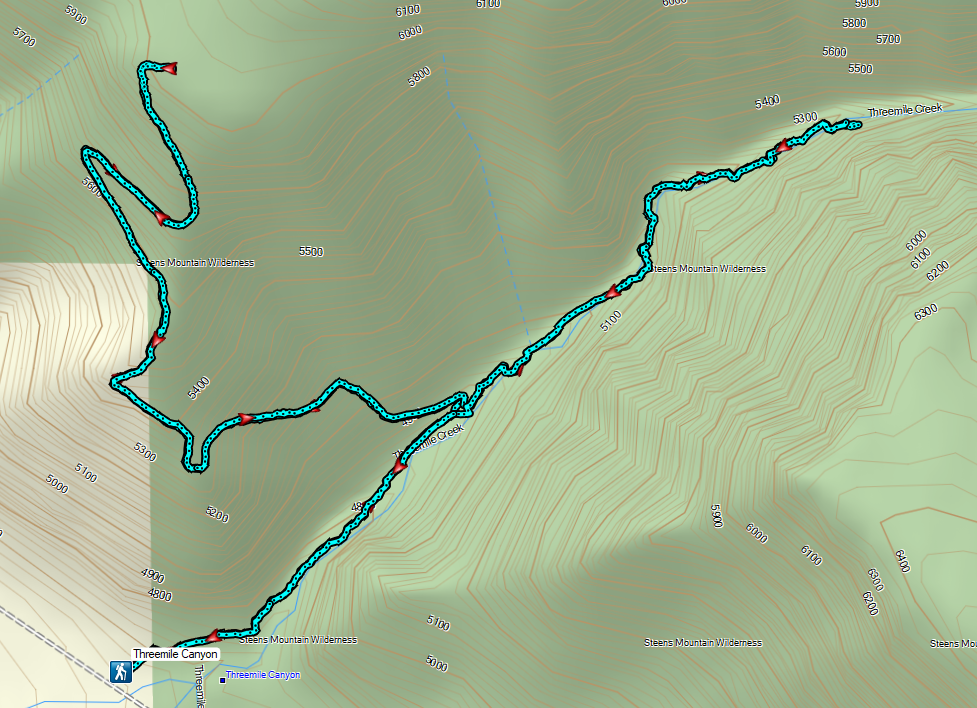
 The trail crossed and at times used dry creek beds and also crossed Threemile Creek several times.
 The easiest crossing of Threemile Creek. Several of the others were not obvious until I pushed through the brush and then the footing was often tricky due to large, slick rocks needing to be navigated (at least in order to stay out of the creek).
 On the trail, I think.
 Elderberry
 Hard to tell by the photo but this puffball was a little bigger than a softball.
 I wouldn’t really describe the area as a meadow but I was 0.9 miles from the junction.
 Looking down at the meadow and post/snag (lower right) from the rocks.
 Sometimes the trail was really only identifiable by which junipers had had limbs cut.
 The drop to the creek here was approximately 2′ and the pool in Threemile Creek was fairly deep making this crossing a bit of a challenge not to slip and fall in.
 Aster
Aster

 Sullivan’s map showed a “Bart Simpson Rock” which we believe was this one.
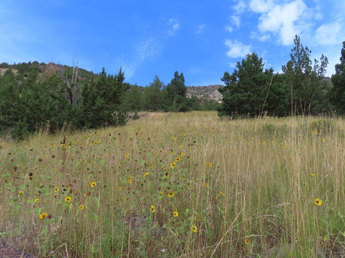
 Nearing the sunflower hillside and trail junction.
 Dragonfly


 Sign for the River Trail.
 The long barn where we’d be heading next.
 We turned around here where the tread became rougher.
 Interpretive signs were scattered along the trails at the P Ranch.
 Lorquin’s admiral and a grasshopper.

 History of the P Ranch which at one time covered 140,000 acres.
 The owl inside the barn.
 Other structures from the ranch.
 The gravel road is in good shape but you don’t want to drive any faster than about 10mph so you don’t miss any wildlife.
 Fawns
Fawns Common nighthawk
 So many red-winged blackbirds.
 Hawk (northern harrier?) in a field.
 More fawns and birds.
 Finch?

 It disappeared in the grass moments later.
 Another hawk
 Sandhill cranes in the field.
 Sandhill cranes


 Crossing the dam.
 Kiger Gorge (
 Kiger Gorge
 Blurry due to distance but there were several deer at the far end of the reservoir.
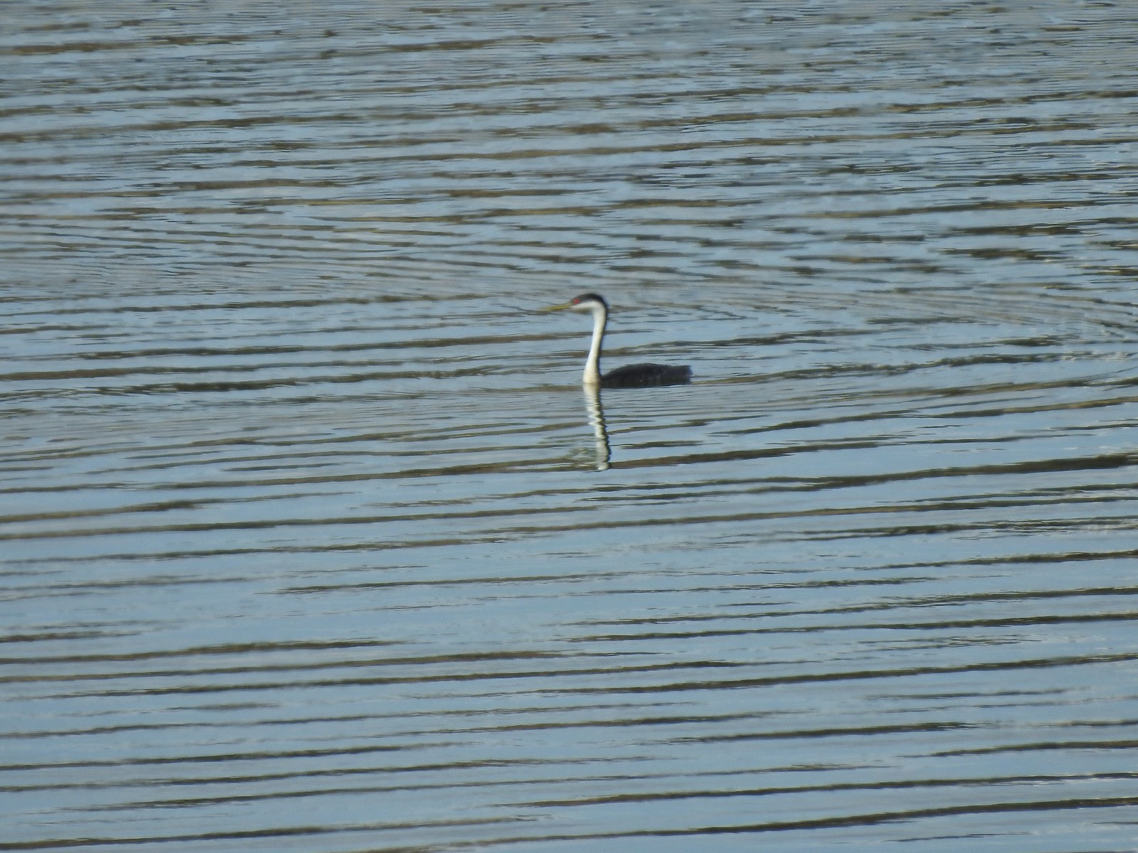 Another long shot, a western grebe.
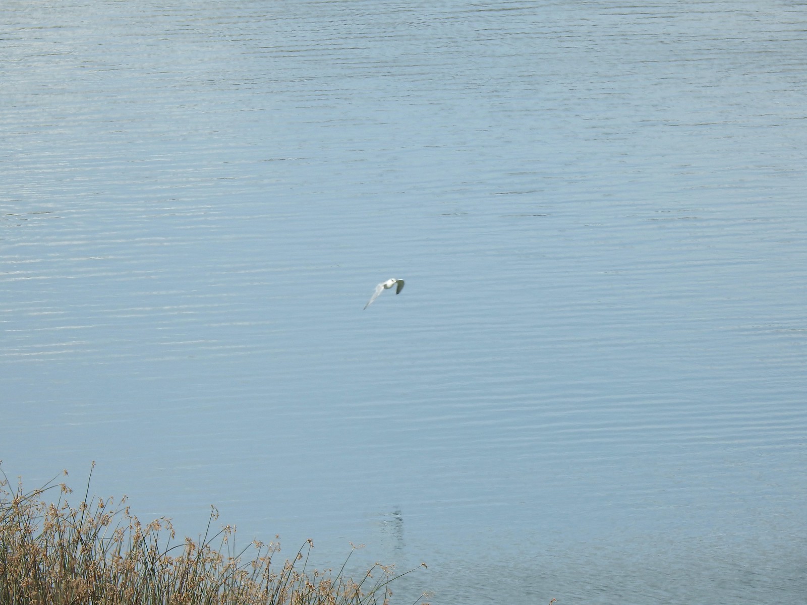 Not certain what this bird was but it dove into the water a couple of times.
 The deer, some ducks, the western grebe and a cormorant were all that direction.
 It also appeared that some rain was on the way.
 Recrossing the dam.
 Pheasant family
 There were at least 5 deer out there.
 Two
Two Three more
 White faced ibis
 California quail
 Pheasant
 A few of at least 10 turkey vultures in the trees above the Refuge Headquarters.
 Malheur Lake from the end of the auto tour.


 Bog Orchid
 Bistort and monkeyflower

 Some sort of orchid?
 Yellow monkeyflower
 Monkshood


 Bistort
 Not sure if this is a robin or ?
 Crater Lake Lodge

 Garfield Peak from behind the lodge.
 The Watchman and Hillman Peak


 Mt. McLoughlin (
 Mt. McLoughlin
 Union Peak
 Paintbrush
 Reservoir structure (built 1931).
 Mt. Bailey (
 Mt. Bailey
 Deer below the trail.
 Western pasque flowers
 Arnica
 One of several patches of snow at the higher elevations.
 Crater Lake Lodge below to the left.
 Mt. Scott (
 Clark’s nutcracker
 Buckwheat
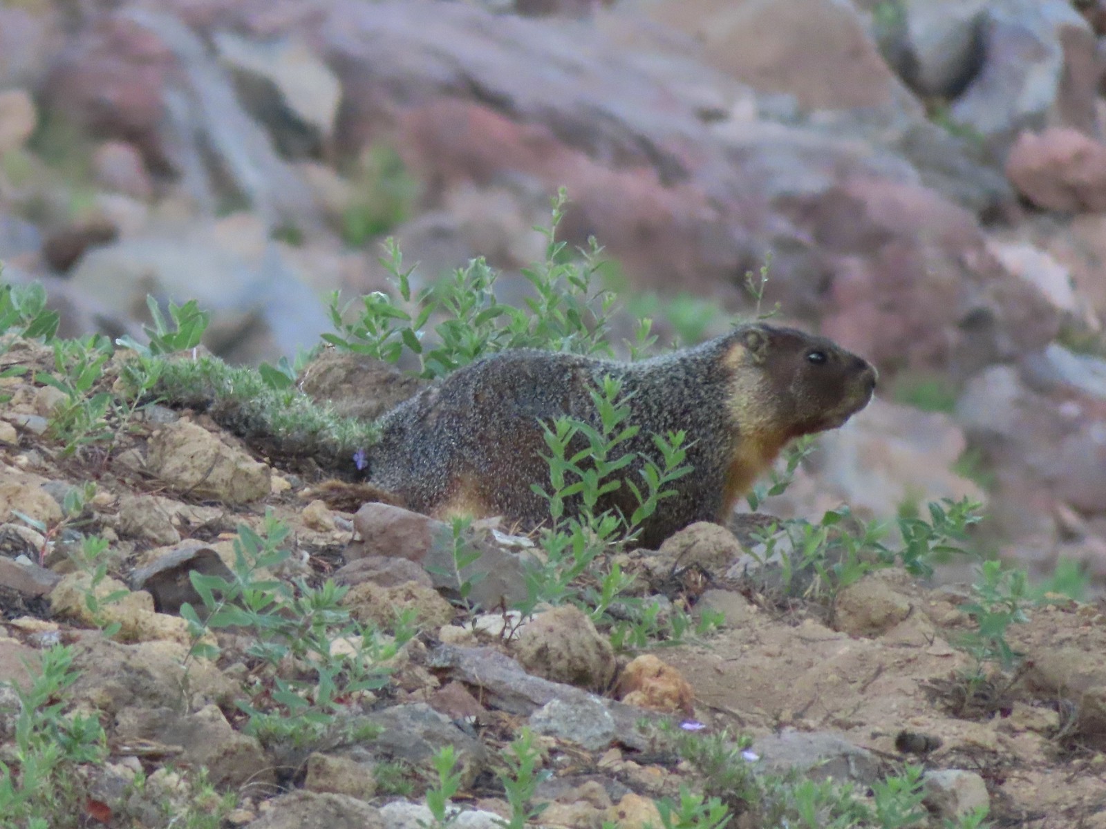 Yellow-bellied marmot
 Bench below the summit of Garfield Peak.
 Partridge foot
 Applegate Peak to the left and Crater Peak (
 Arriving at the summit.
 Mt. Scott above the Phantom Ship.

 It was a bit hard to make out but Mt. Shasta was visible to the south.
 Cowhorn Mountain (
 Crater Lake from the summit of Garfield Peak.
 Blurry photo due to the sheer distance away it was but it looked big.
 Penstemon
 Painted lady
 There were a lot of marmots out.
 Paintbrush, phlox and buckwheat.
 Stonecrop, paintbrush and pearly everlasting.
 The clear blue water of the deepest lake in the United States.
 Yellow-rumped warbler

 False hellebore
 Viewpoint and The Watchman from the trailhead.
 Western pasque flowers above Crater Lake.
 Hillman Peak ahead.


 Lounging on a rock.
 Shasta knotweed
 Rim Drive below the Rim Trail.
 Mt. Bailey and Diamond Peak with Diamond Lake (
 Red Cone with Sawtooth Mountain (
 Silvery Raillardella
 Snow patch on Hillman Peak.
 Penstemon
 Llao Rock
 It took us a moment to notice the two deer ahead along the tree line.
 We spotted the doe but she also had a pair of fawns nearby that bounded off.
 Phlox
Phlox Dwarf lupine
 Devil’s Backbone with Mt. Scott behind.
 Wizard Island
 Devil’s Backbone
 Hillman Peak from Devil’s Backbone.
 Garfield Peak across Crater Lake.

 Saxifrage
 The Watchman
 If I stand perfectly still, they won’t see me.
 Hillman Peak and Llao Rock from the viewpoint at The Watchman Trailhead.
 Rock formations below Hillman Peak.
 Godfrey Glen Trailhead
 The ADA accessible trail made for a nice easy walk.
 Super-heated volcanic gas fused ash creating these pinnacles.

 First viewpoint of Godfrey Glen above Munson Creek.
 Godfrey Glen
 Another viewpoint.
 We could hear Munson Creek but it wasn’t visible in the canyon below.
 One waterfall.
 Another waterfall in the canyon.
 The end of the loop.
 Sinnott Memorial Overlook on the rim to the left.
 View from the overlook.
 Mt. Scott and Garfield Peak from the overlook.
 These numbers blew our minds.

 Swallowtail and a painted lady on penstemon.


 Mt. Bachelor (
 The start of the Juniper Loop.
 Similar to the Metro Parks we’ve recently visited there were small maps on the trail pointers here.
 Middle and North Sister
 Blurry shot of the deer.
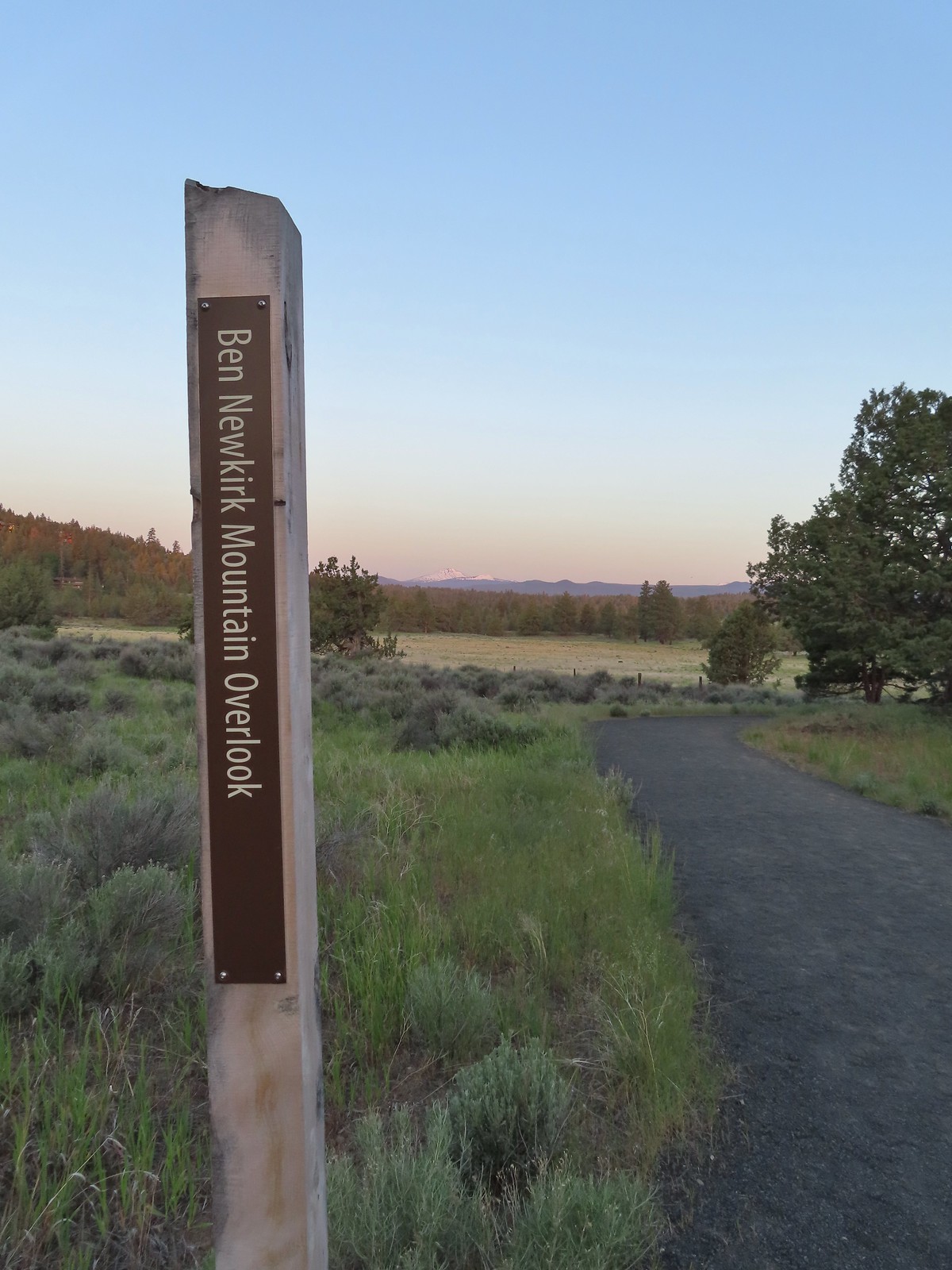
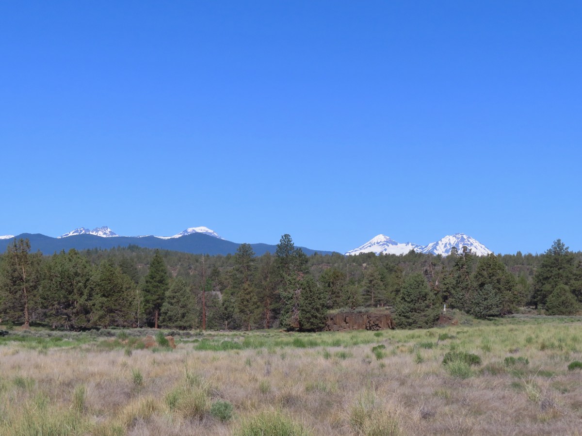
 Mt. Bachelor, Broken Top, and the Three Sisters.
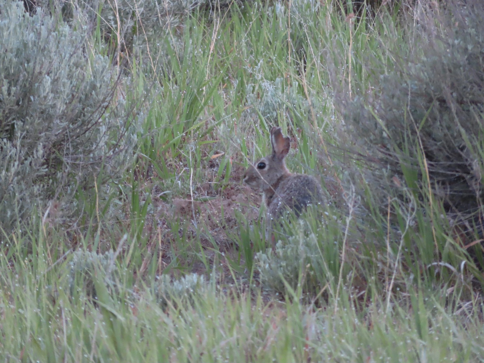 Rabbit
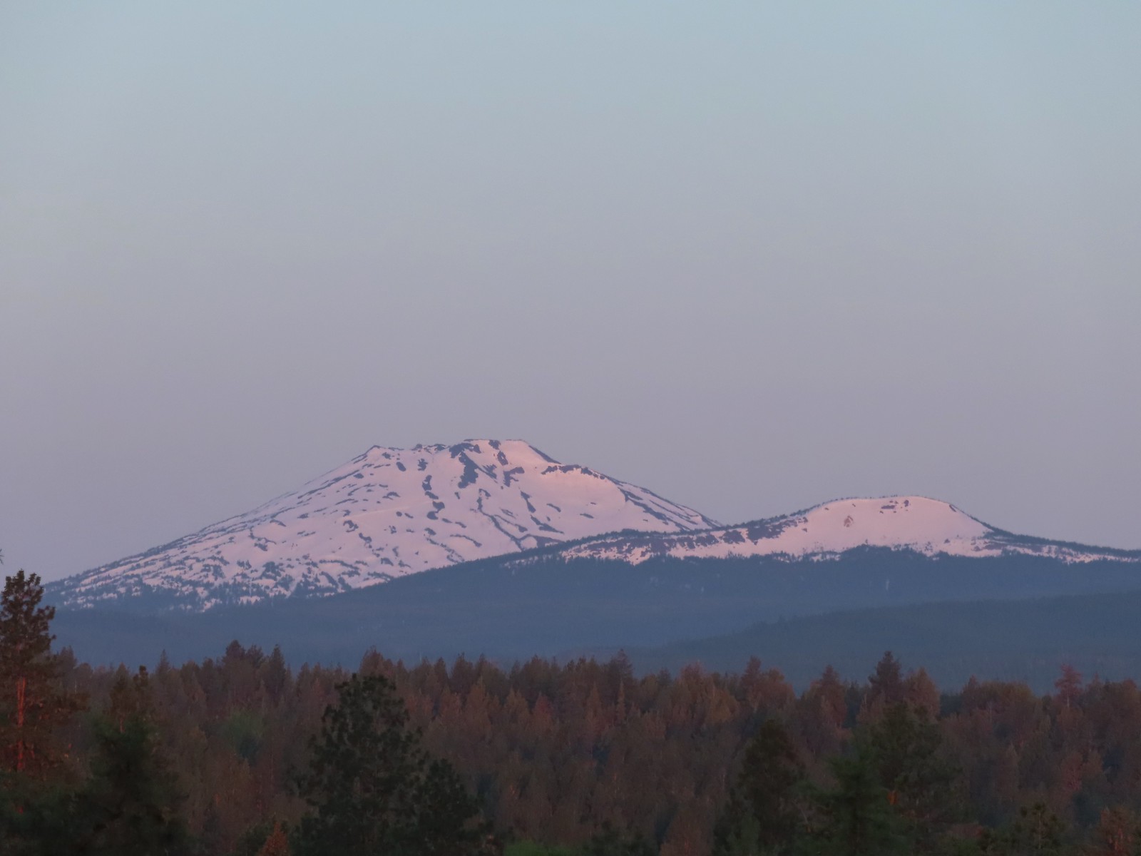 Mt. Bachelor and Tumalo Mountain (
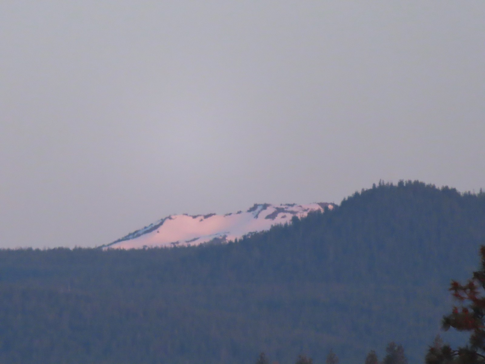 Ball Butte
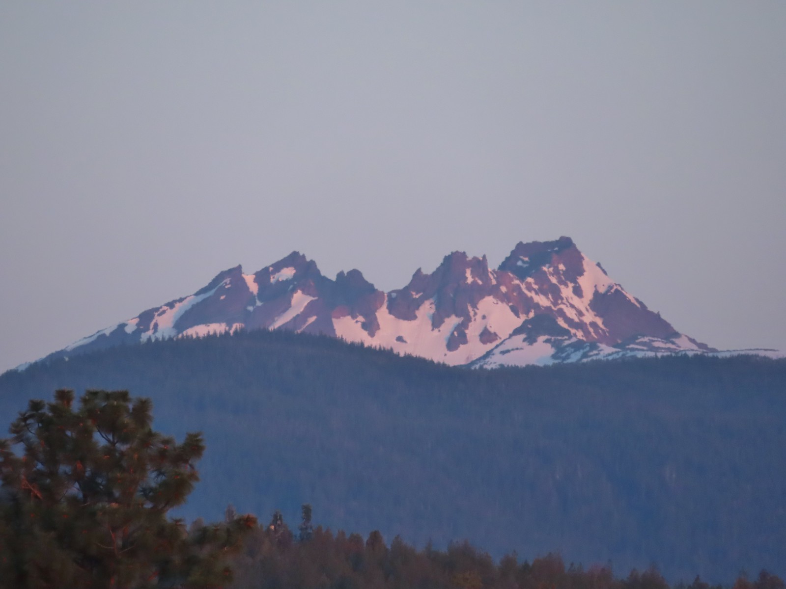 Broken Top (
 South Sister (
 Middle and North Sister
 We passed by the shared Juniper/Sage Flat Trail and continued on the Sage Flat Loop.
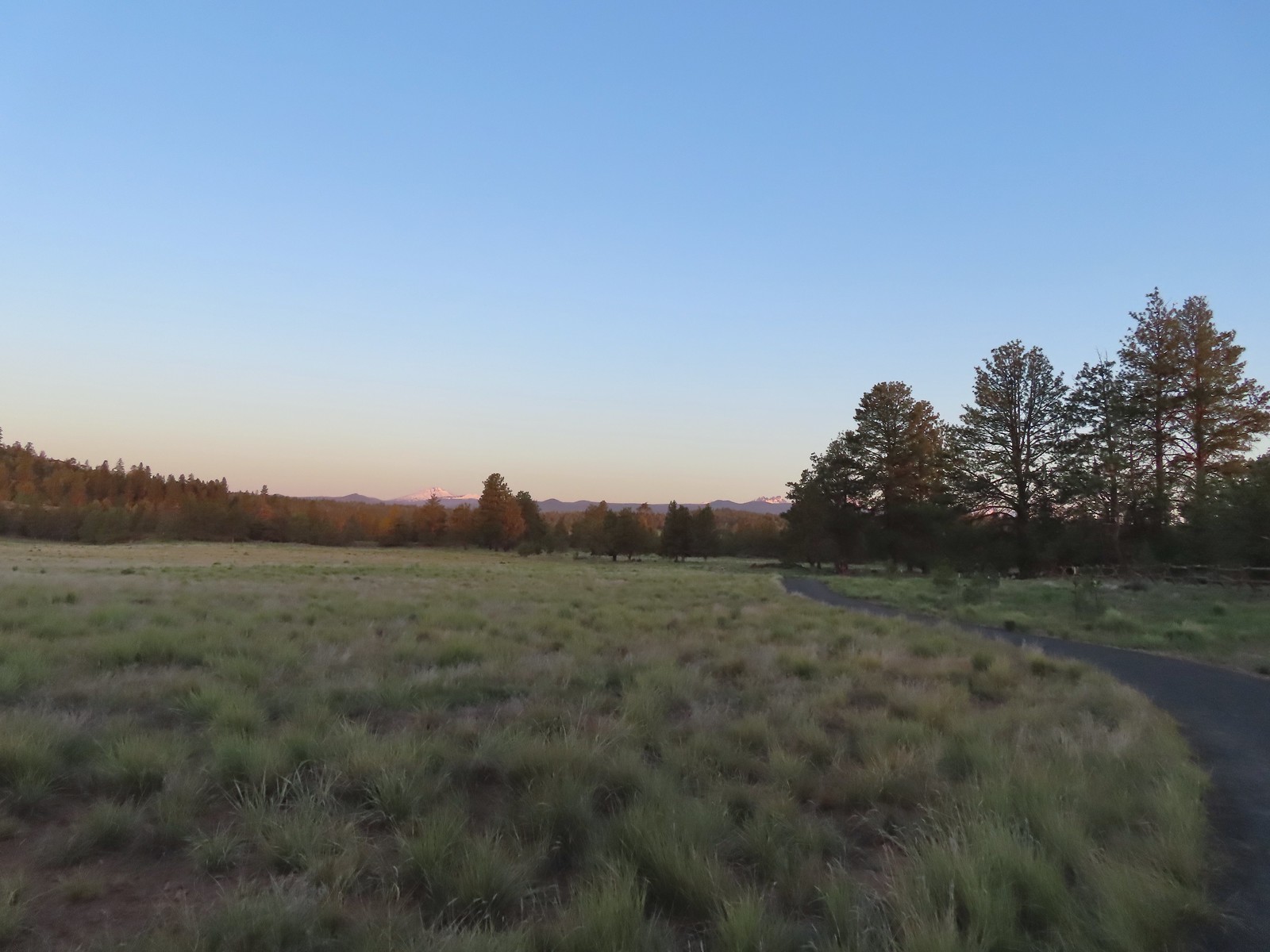 Sageflat Loop
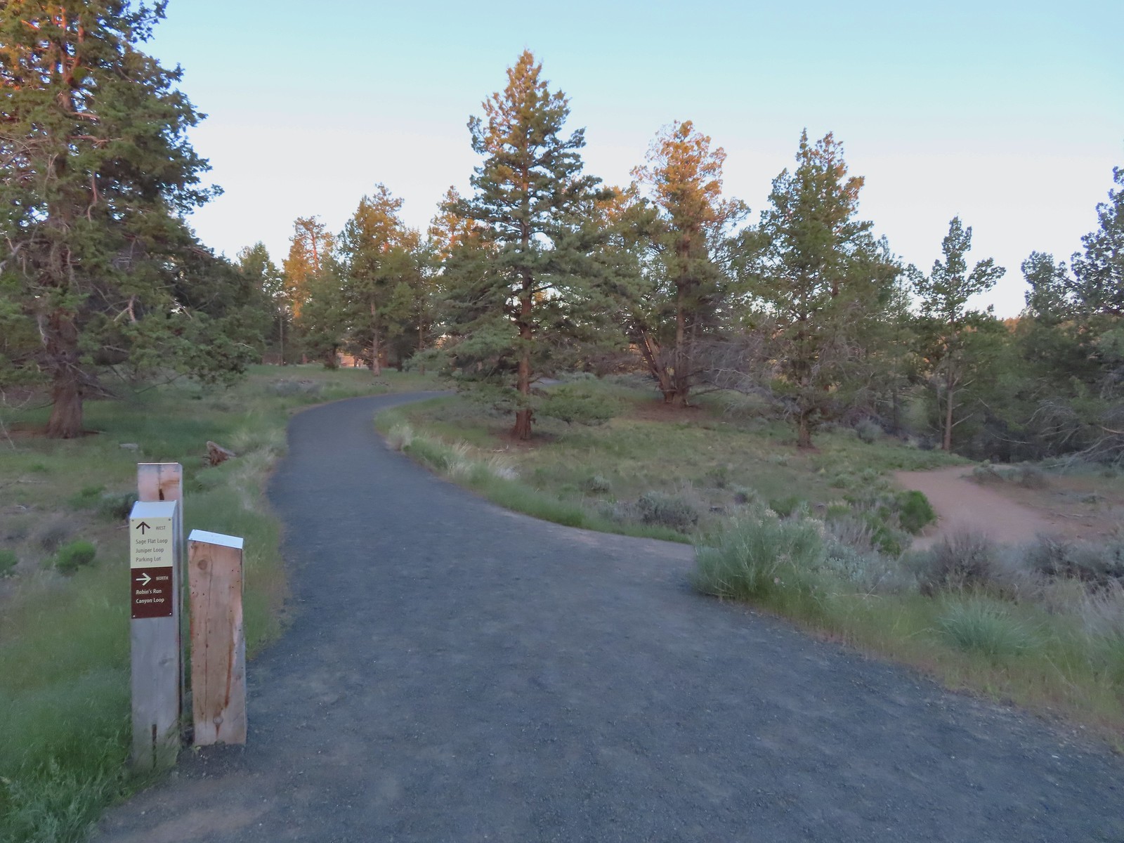
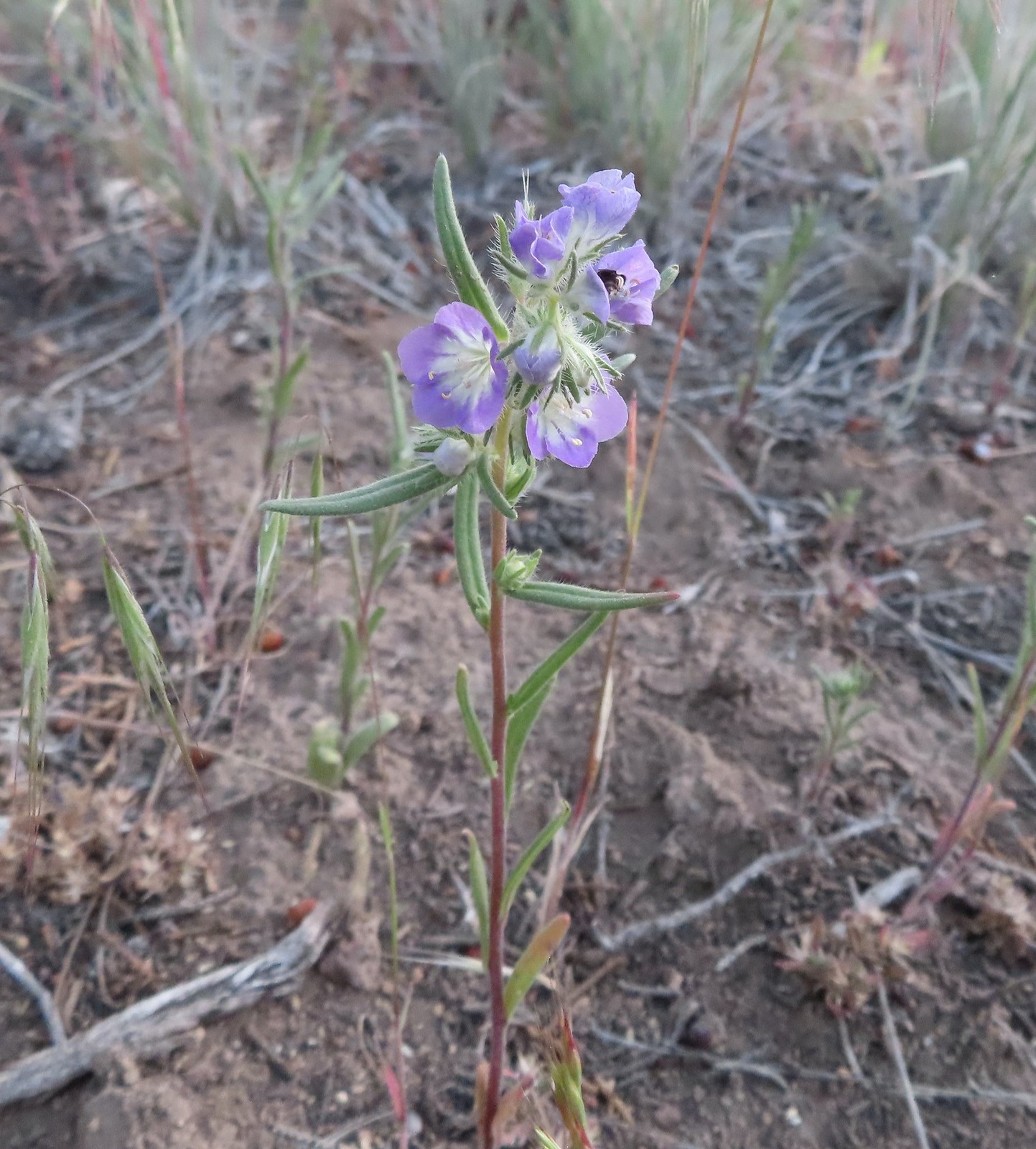 Threadleaf phacelia
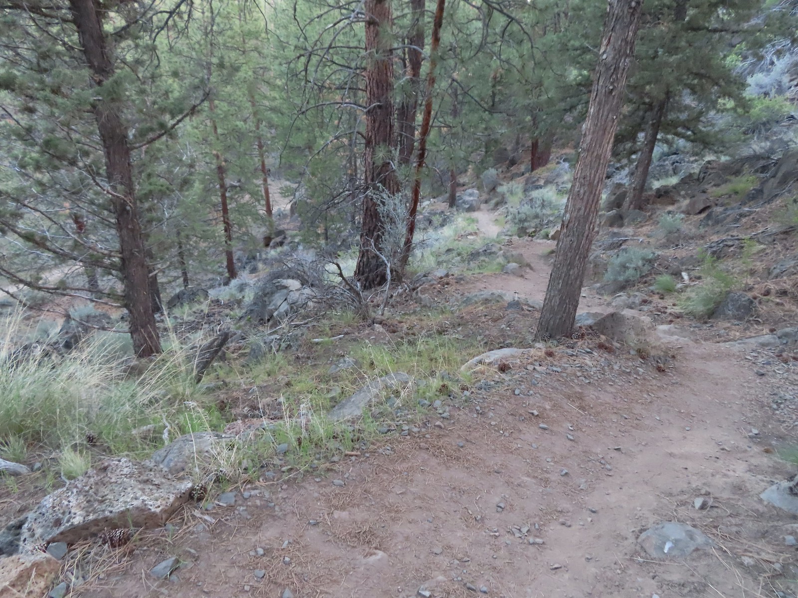
 Balsamroot along the Deschutes.


 Robin
Robin Longhorn plectritis
 Blackheaded grosbeak
 Heather waited below while I climbed the outcrop.
 The bench on top.
 The top of the outcrop.

 Western stoneseed
 Larkspur
 I spotted something head into the river from the grass on the near bank here.
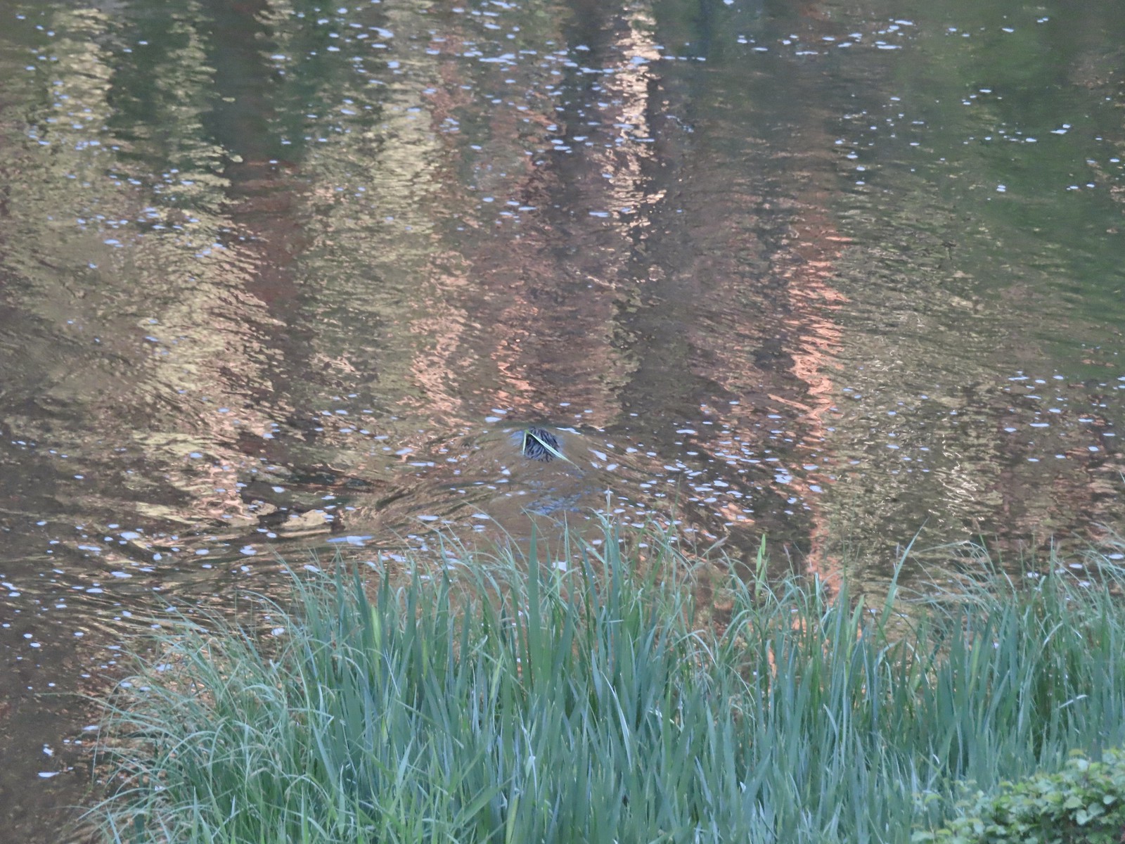 I spotted the grass moving before the animal below which turned out to be a beaver.
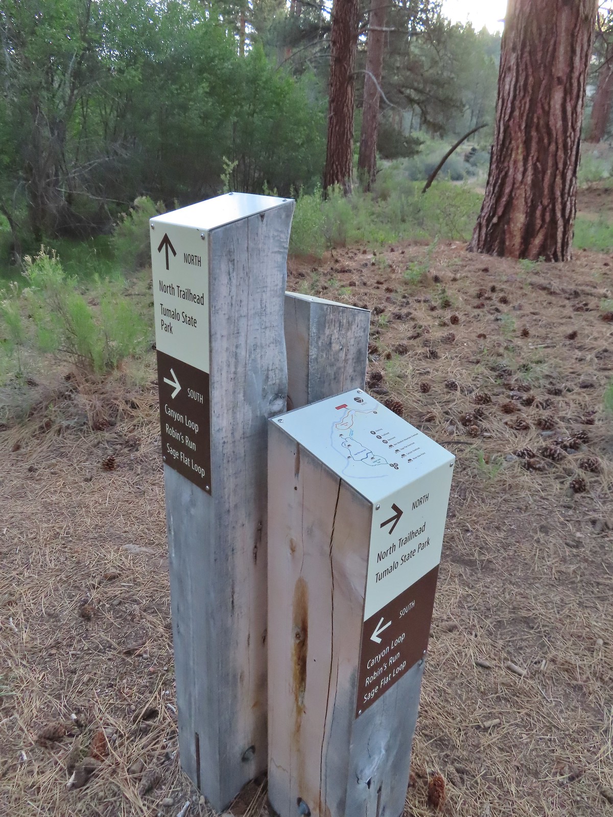 We followed the pointer for Tumalo State Park.
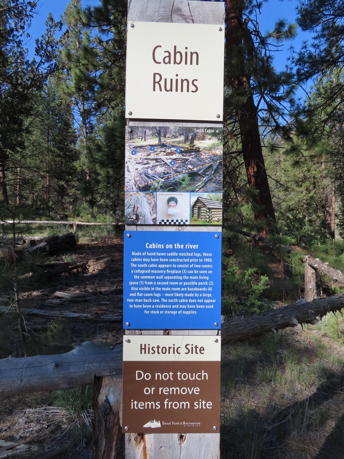
 Cabin ruins
 Western wallflower
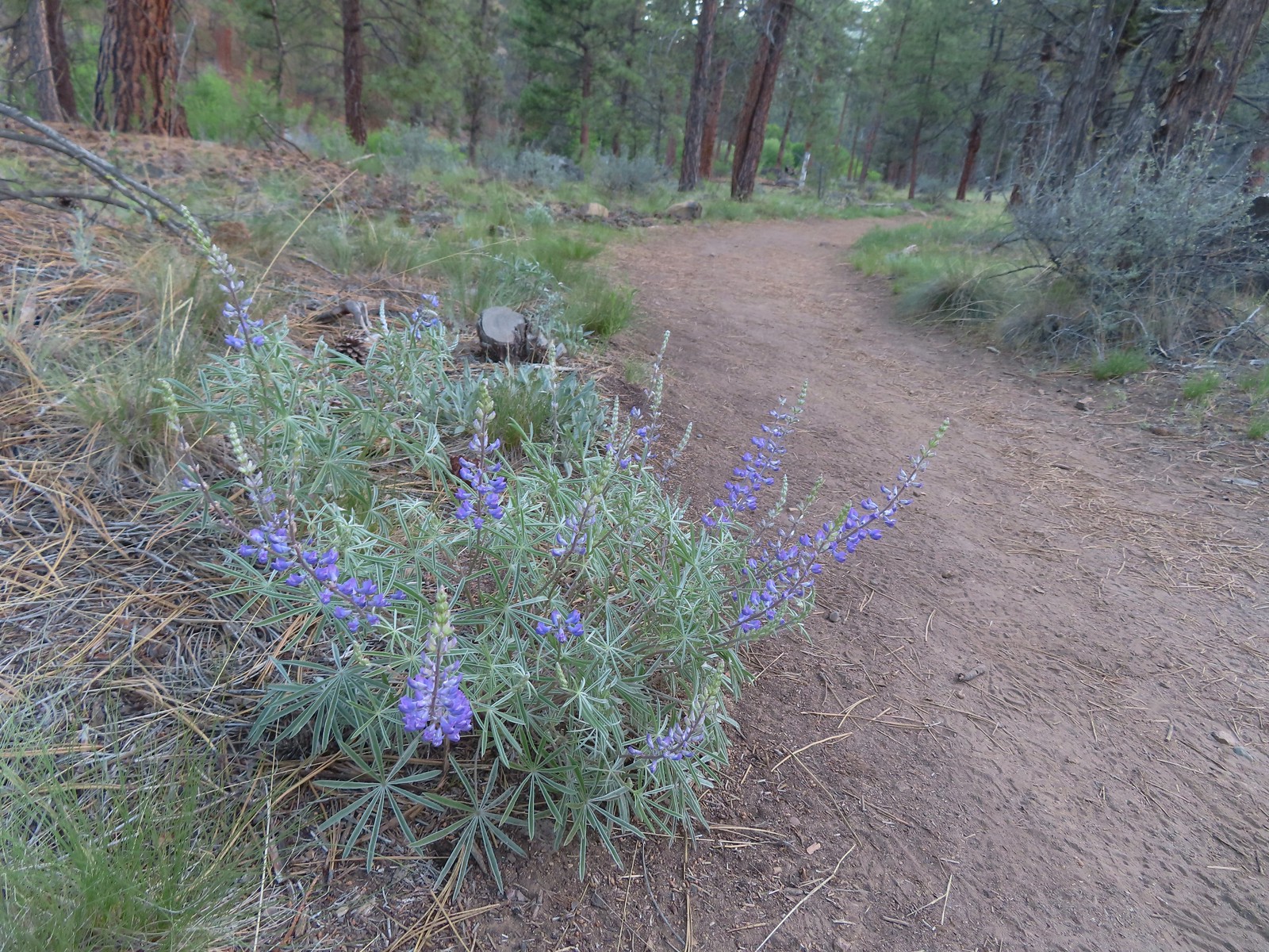 Lupine
 Another river access point.
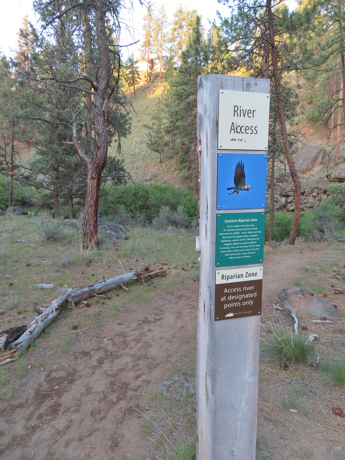
 Rockcress, possibly sicklepod.
 The northern boundary of the Riley Ranch Nature Reserve.
 Threadleaf phacelia
 Tumalo Creek (

 Crossing into Tumalo State Park.
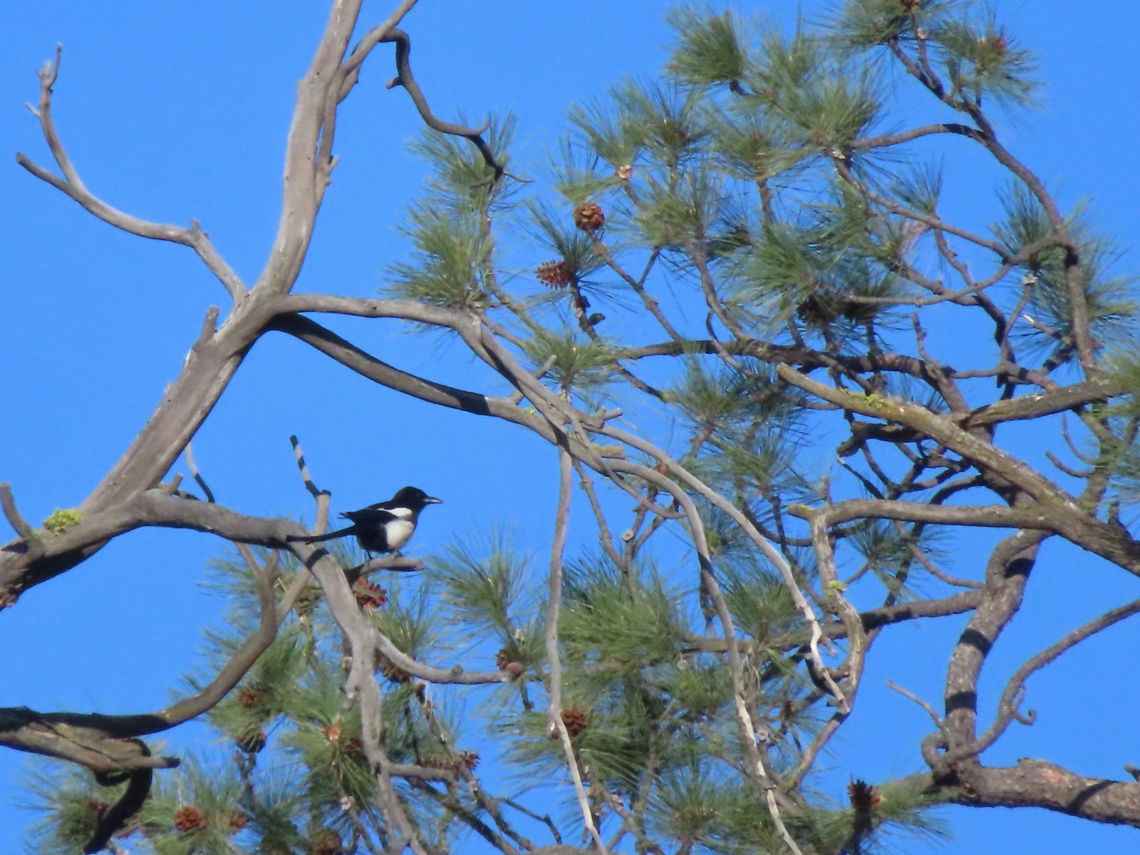 Magpie
 Paintbrush
 Mallards
 Penstemon
 A quarter of a mile from the day use area we crossed a road leading to a private bridge crossing the river.
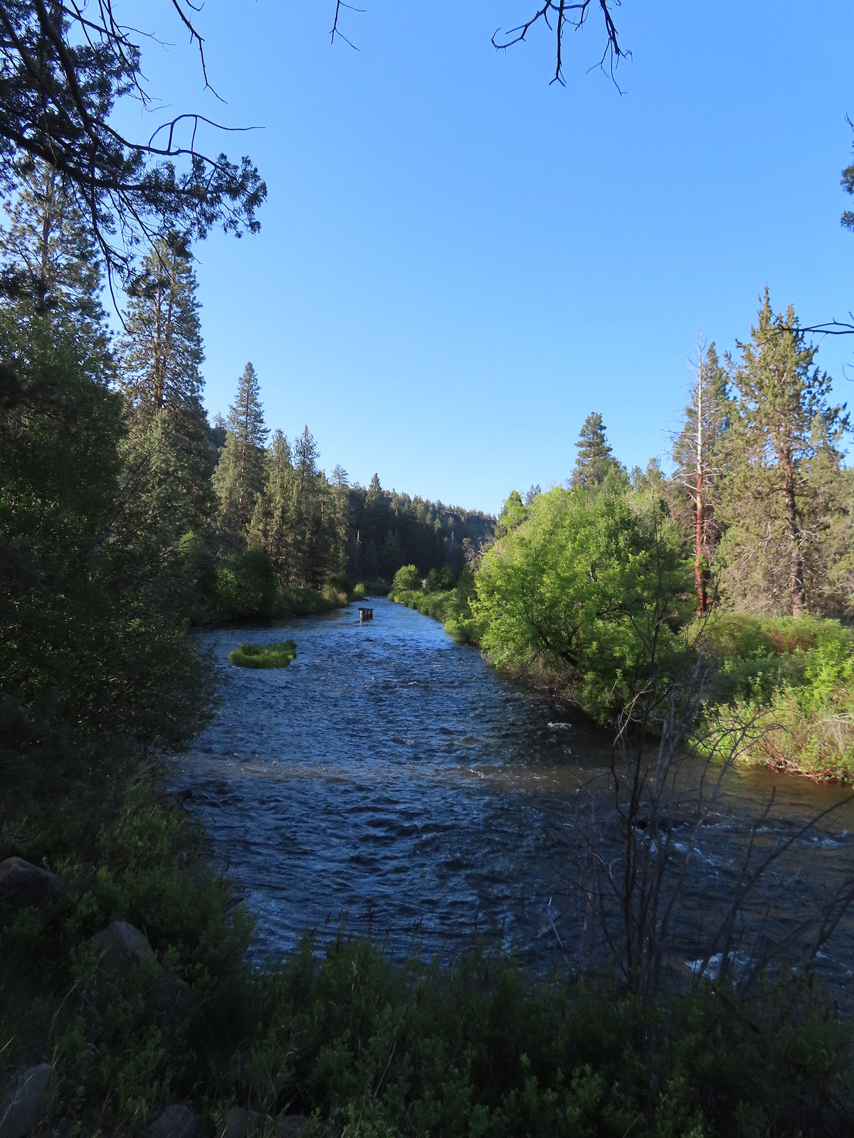 Remains of another bridge in the river.
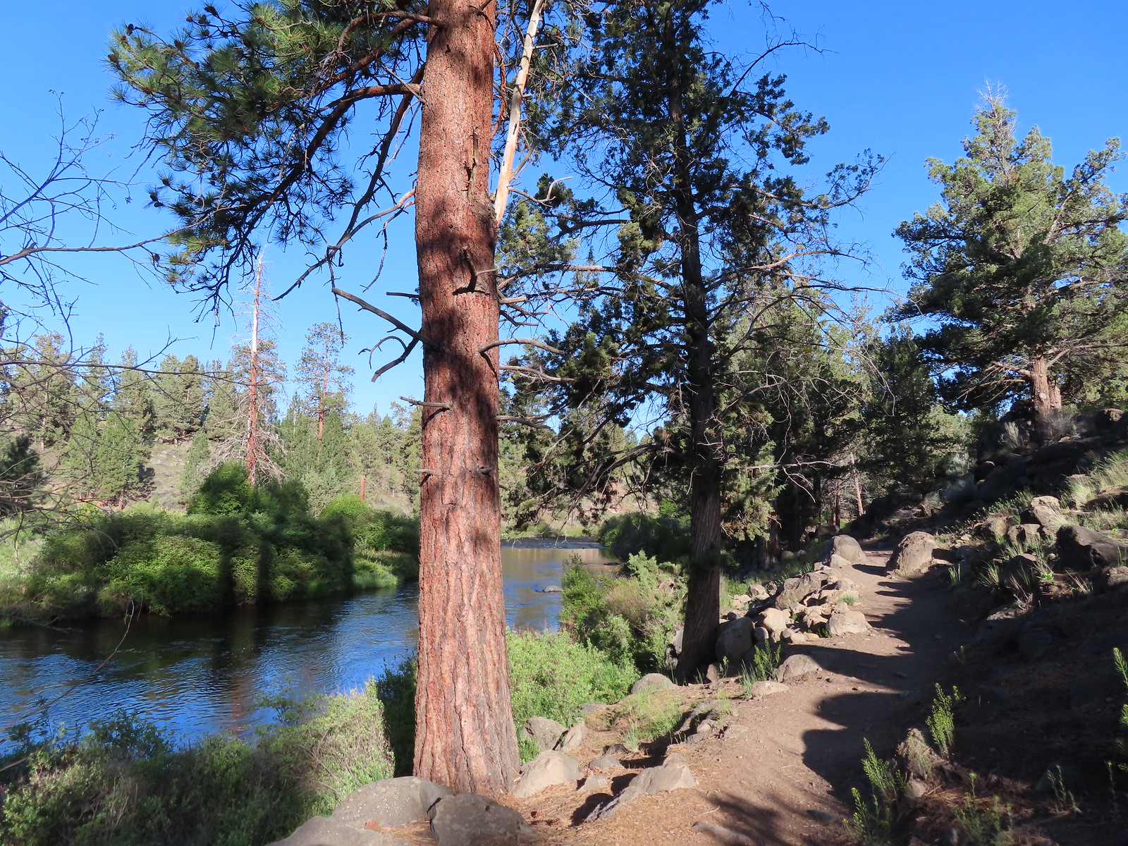
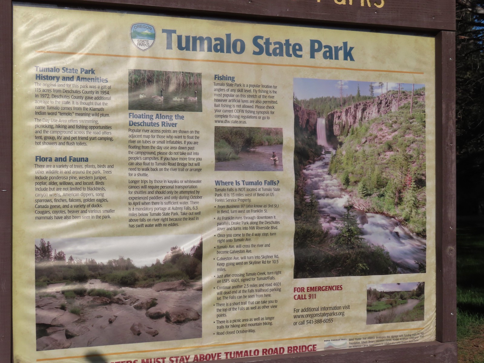
 Tumalo State Park Day Use Area
 Deschutes River at the day use area.
 Kingfisher on the bridge remains. (A bit blurry due to being a long way off.)
 A swallow and a pygmy nuthatch.
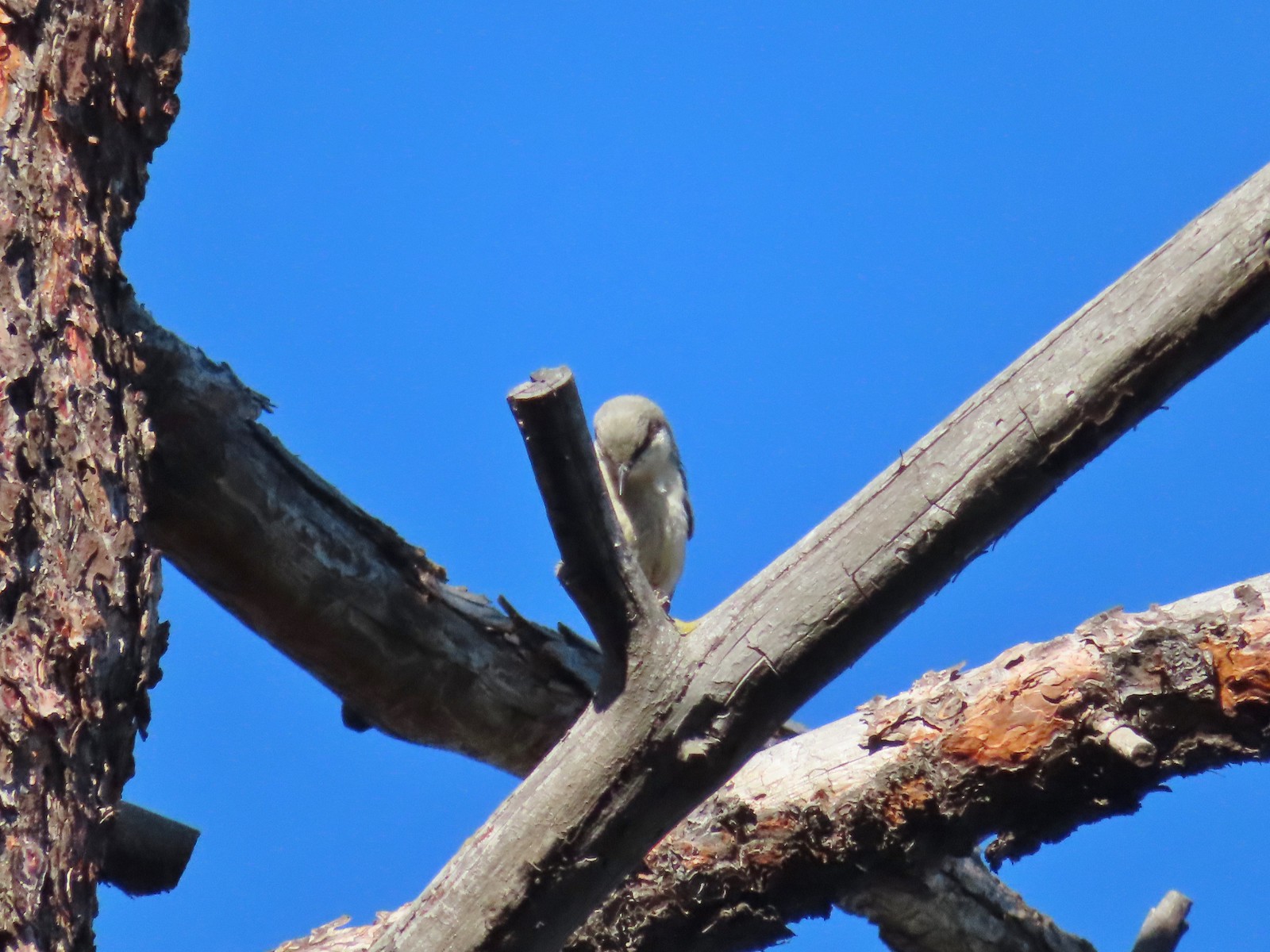 Pygmy nuthatch
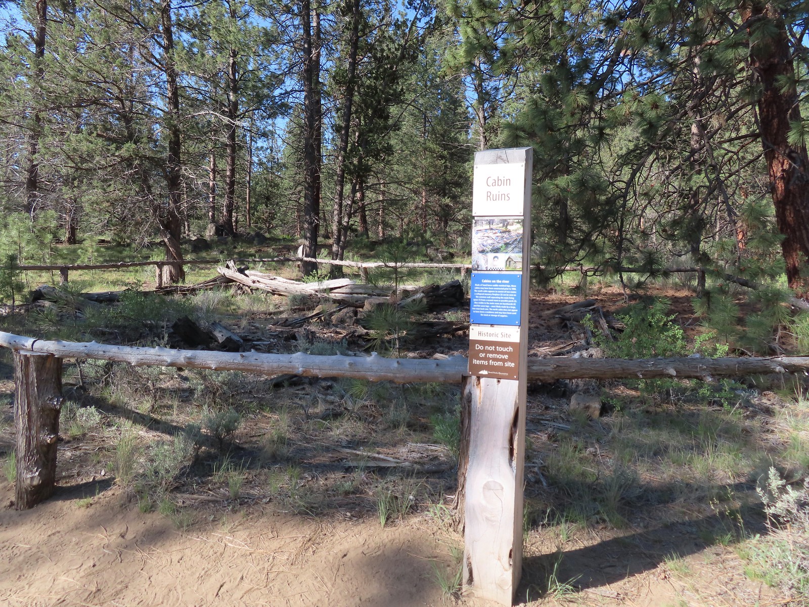
 Bench along the Canyon Loop.
 Northern flicker
 We were distracted enough by the runners that we failed to notice the deer bedded down to the right of the trail. You can see its ears sticking up here.
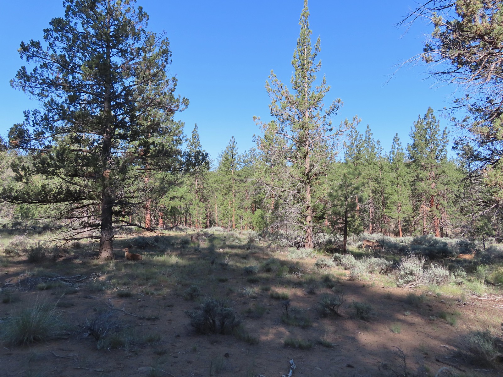 There were at least four deer hanging out here.
 The Sage Flat Loop Trail.
 Spur to the Canyon Overlook.
 Death camas
 Mt. Bachelor and Tumalo Mountain
 Mt. Jefferson
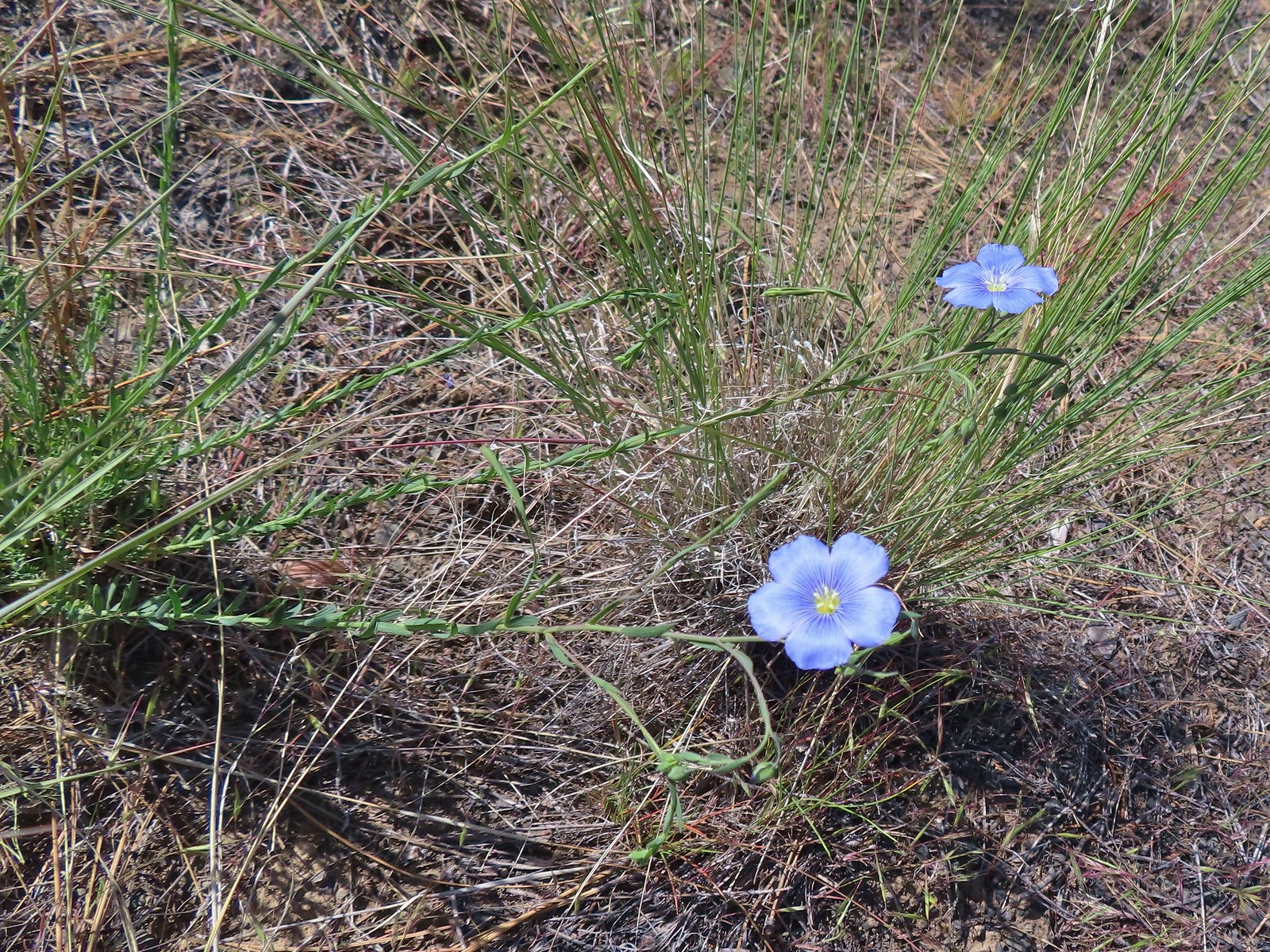 Lewis flax
 Marker for the Sage Flat Overlook.
 Looking back at where the Sage Flat Overlook was.
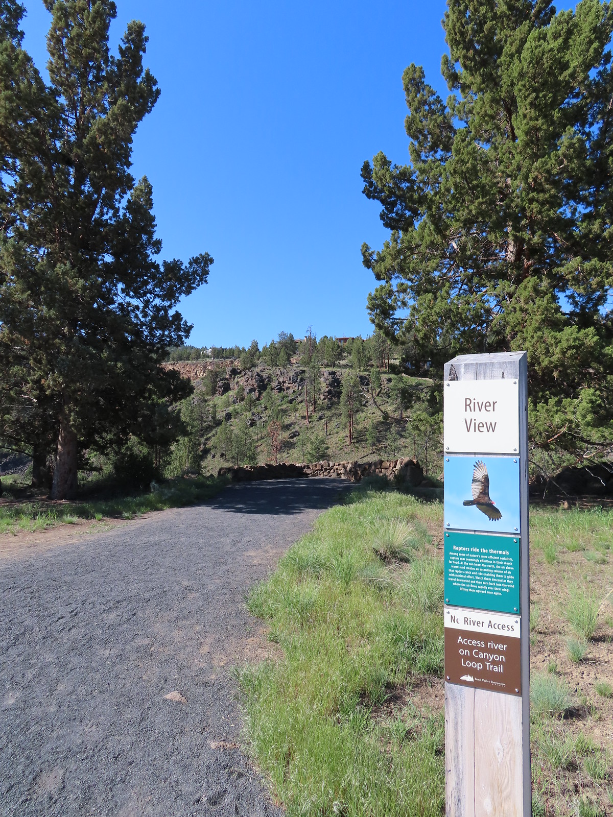

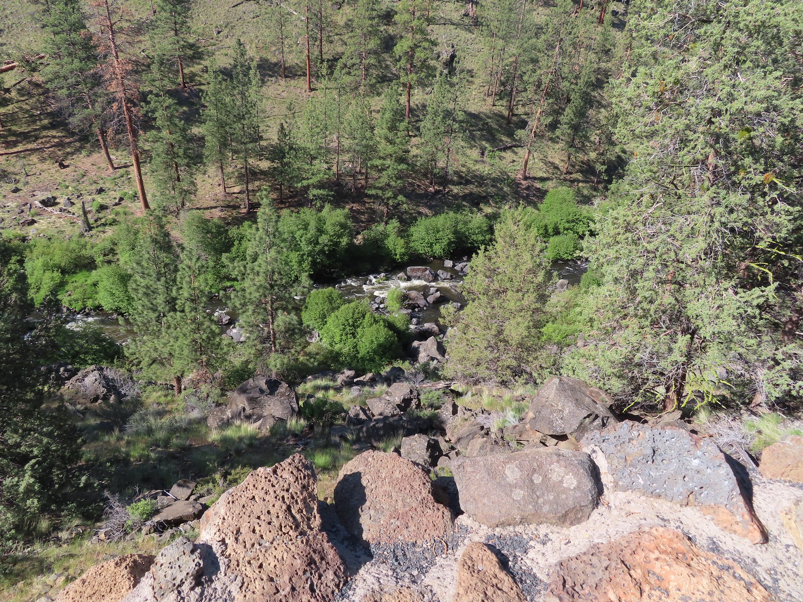
 Lizard near the River Viewpoint.
 The Cascade Mountains
 Black Crater (
 Finishing up the Juniper Loop.
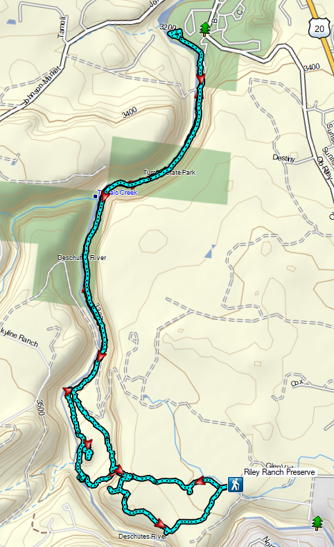

 Our first rhododendron blossom of the year.
 We turned right when the trail met an old logging road.

 Blowout Arm
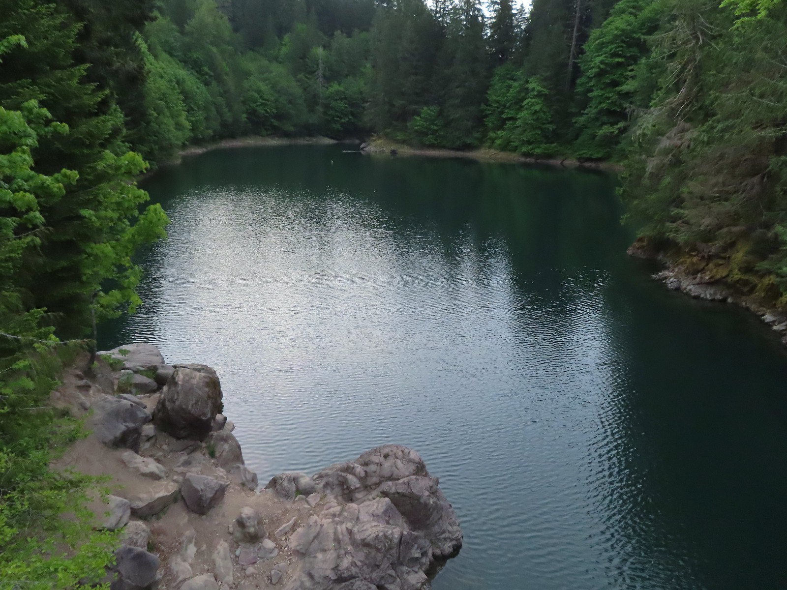 Blowout Creek flowing into Blowout Arm.
 We found our first beargrass on the other side of the bridge.
 Swimmers at Blowout Arm.
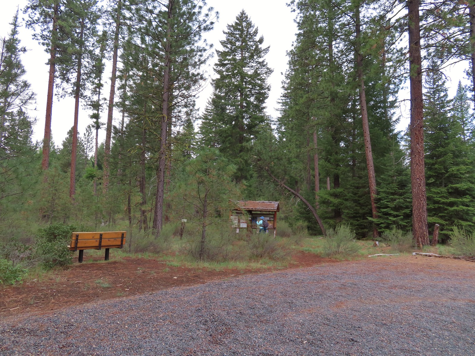
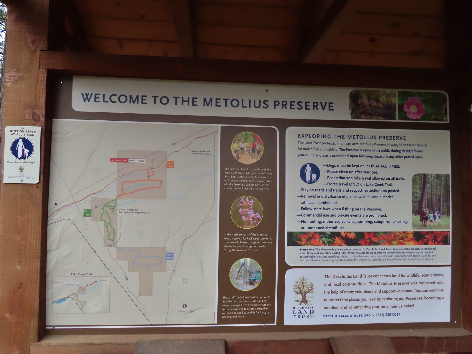
 Sign for the Lake Creek Trail.
 Lake Creek Trail
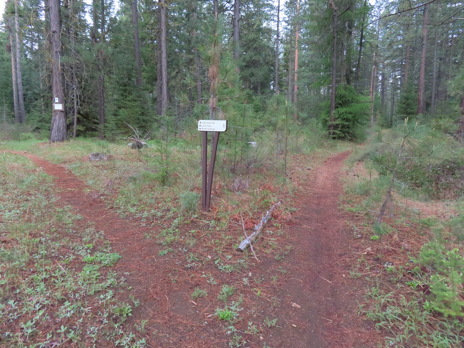 Pointer for the Larch Trails.
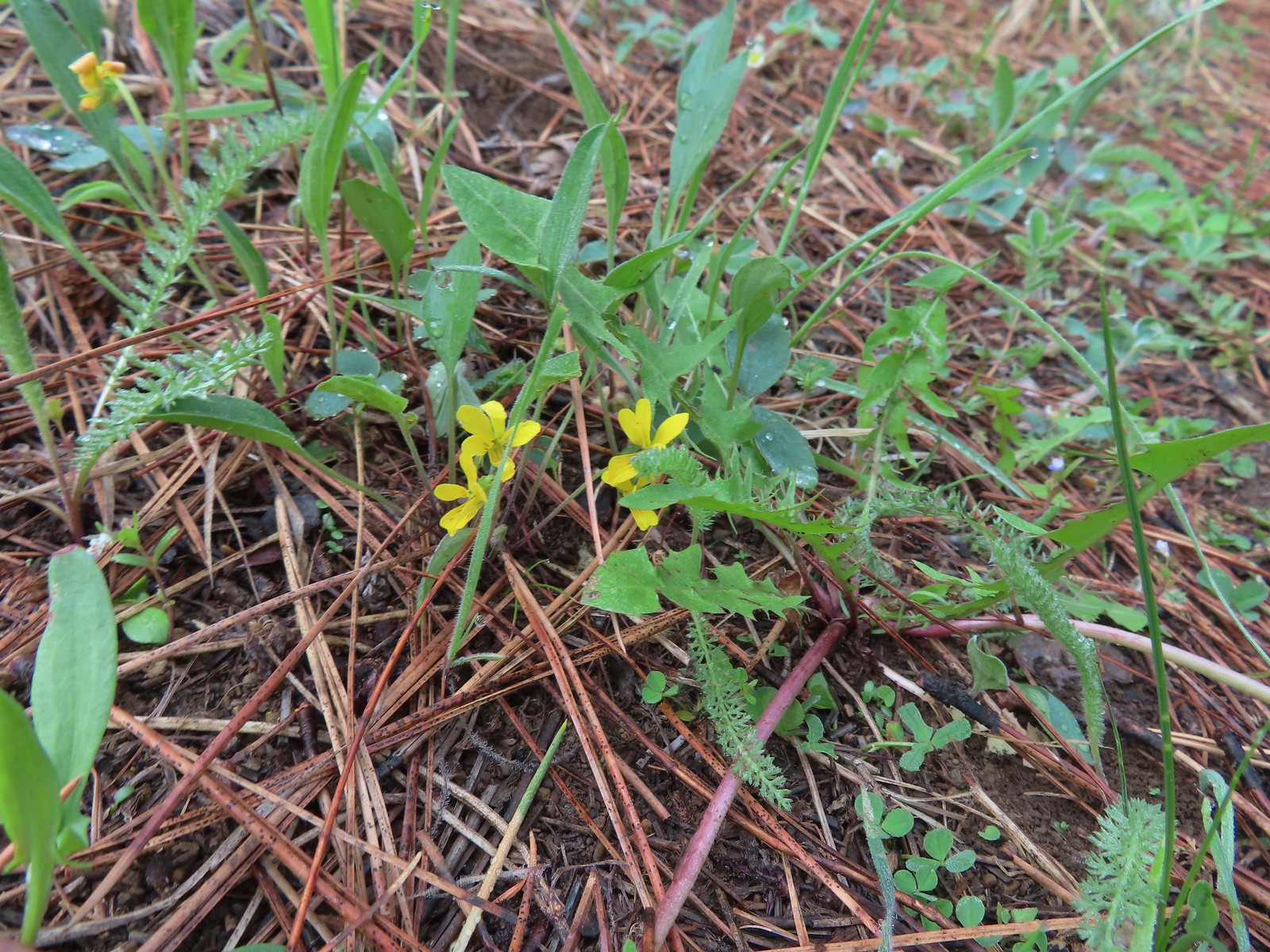 Violets
 Star-flowered solomonseal
 Serviceberry
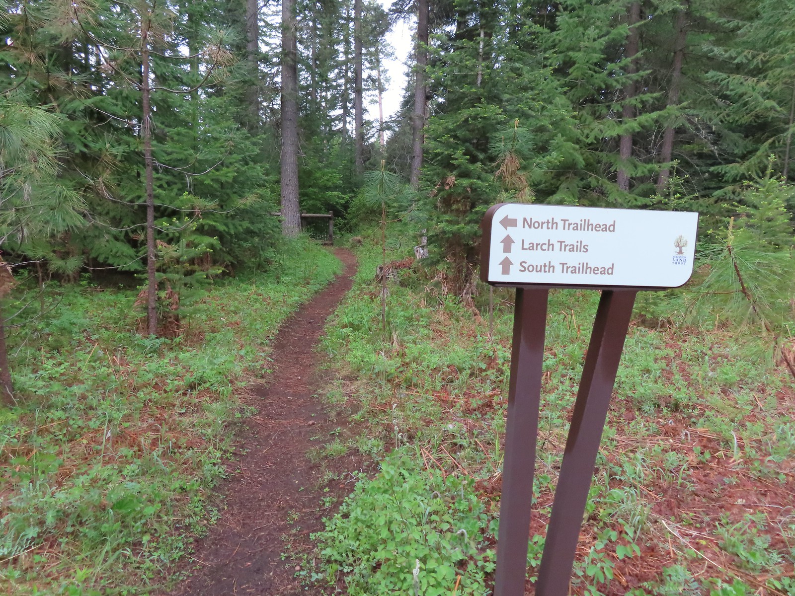

 North Fork Lake Creek

 Middle Fork Lake Creek
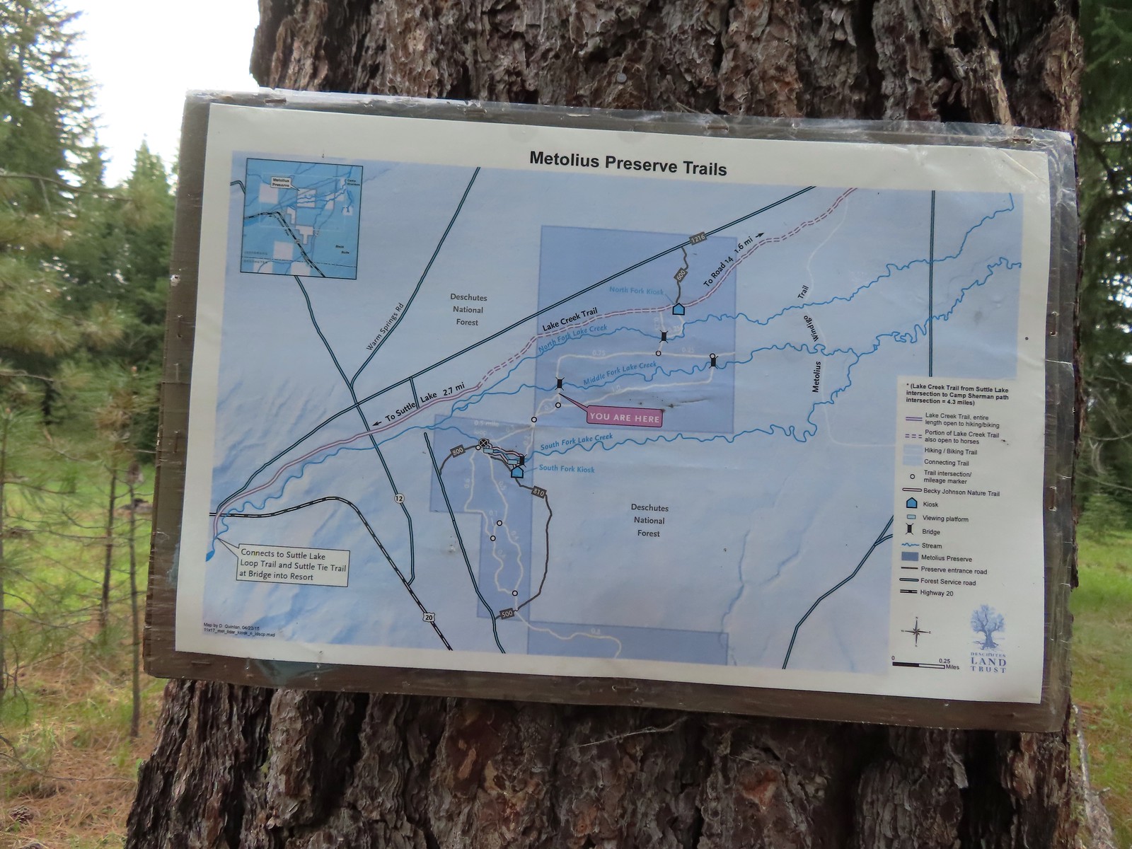 Between the pointers at junctions and a few well-placed maps it was relatively easy to stay on course, as long as we were paying attention.
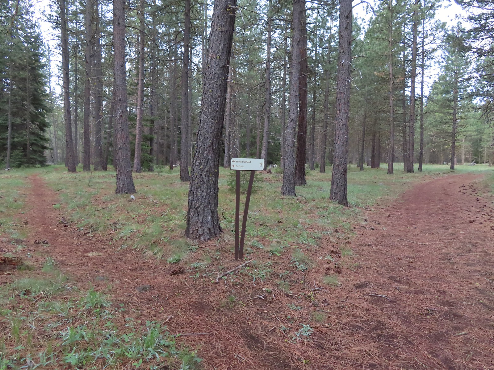 We stayed right again here at the start of the Fir Trails.
 A seasonal tributary of Middle Fork Lake Creek.
 Balsamroot
 Fir Trail reaching a bridge over the South Fork Lake Creek.
 Interpretive sign at the South Fork Lake Creek.
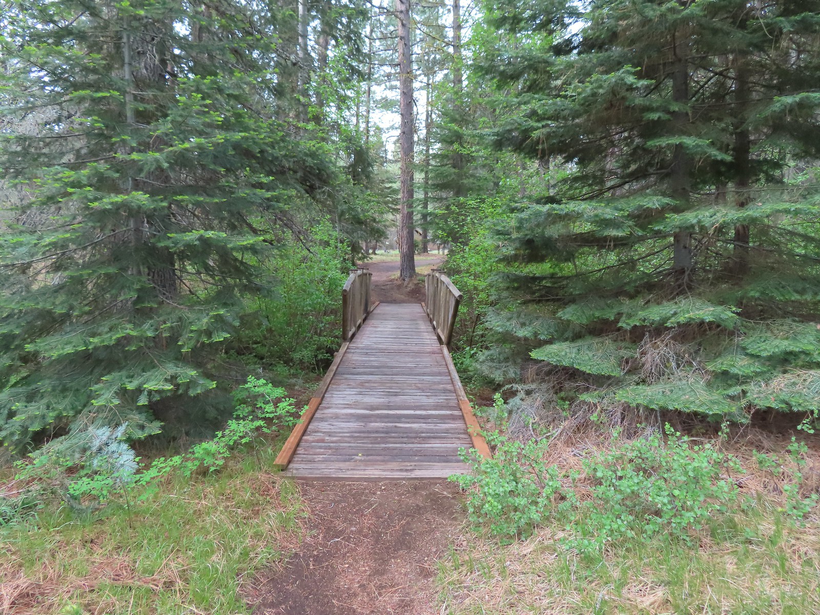 A second footbridge over another branch of the Lake Creek.
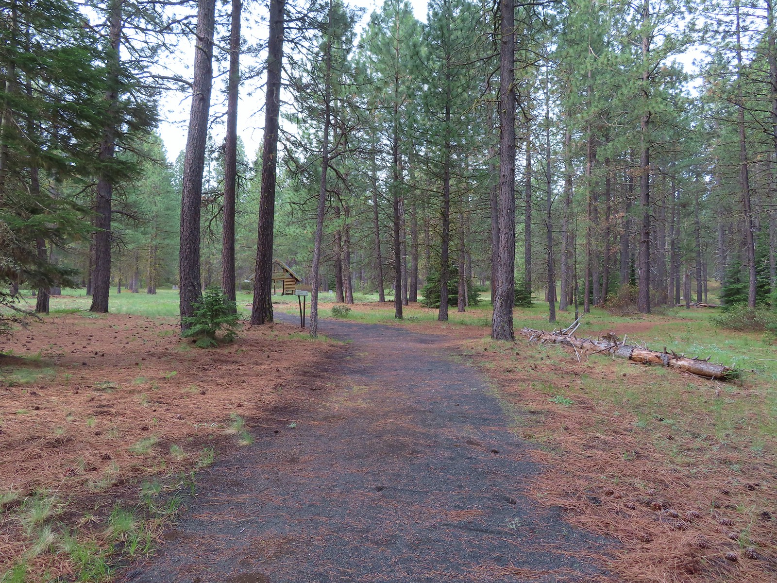
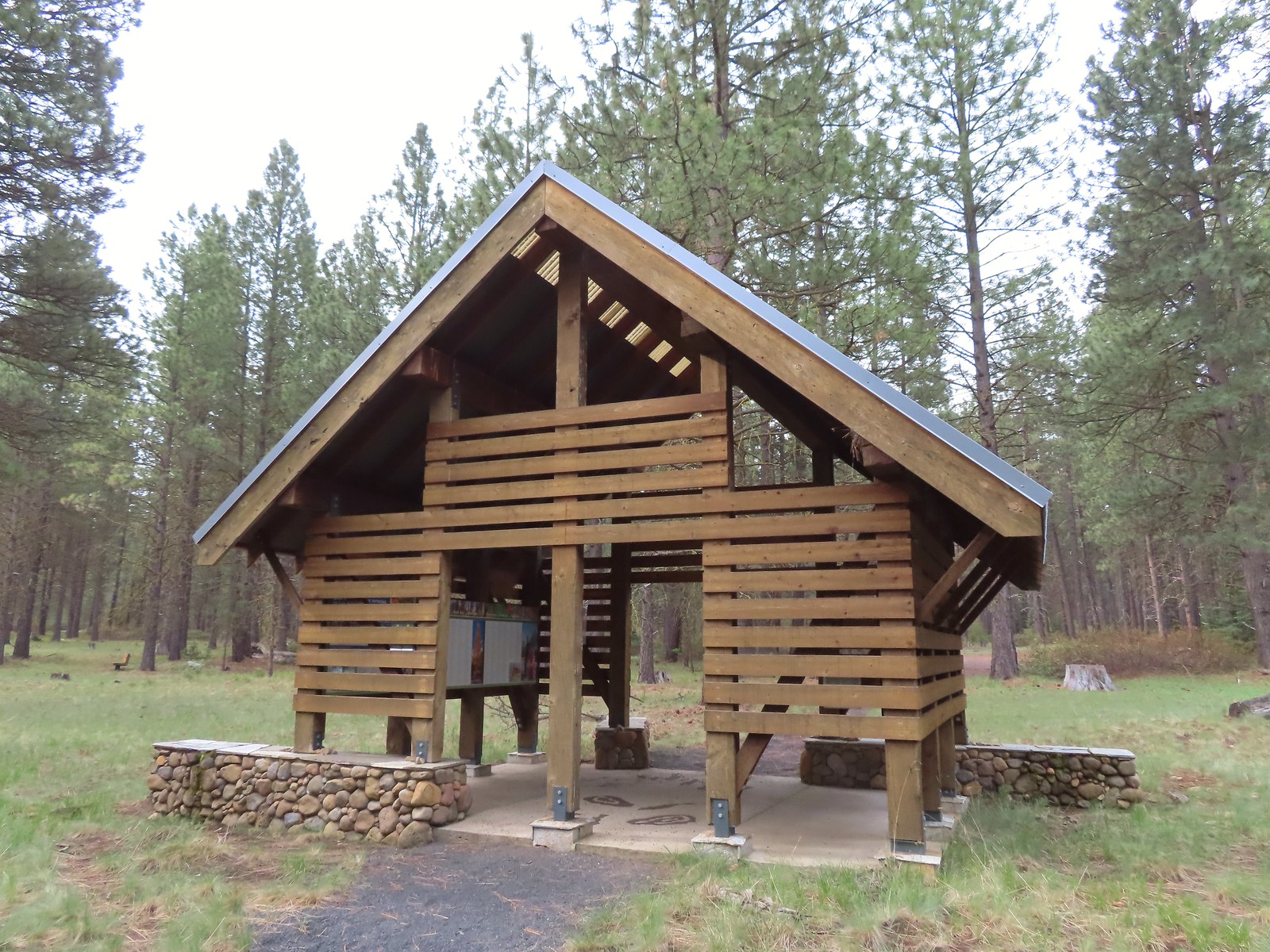 Shelter at the South Trailhead
 The first overlook didn’t have much of a view of the creek but the second one did, along with a nice bench.
 The second overlook.
 Interpretive sign at the second overlook.
 South Fork Lake Creek

 Hound’s tongue with a caterpillar.

 The Fir Trails end at Road 500 (the entrance to the South Trailhead) and the Pine Trails start on the far side.
 Western stoneseed
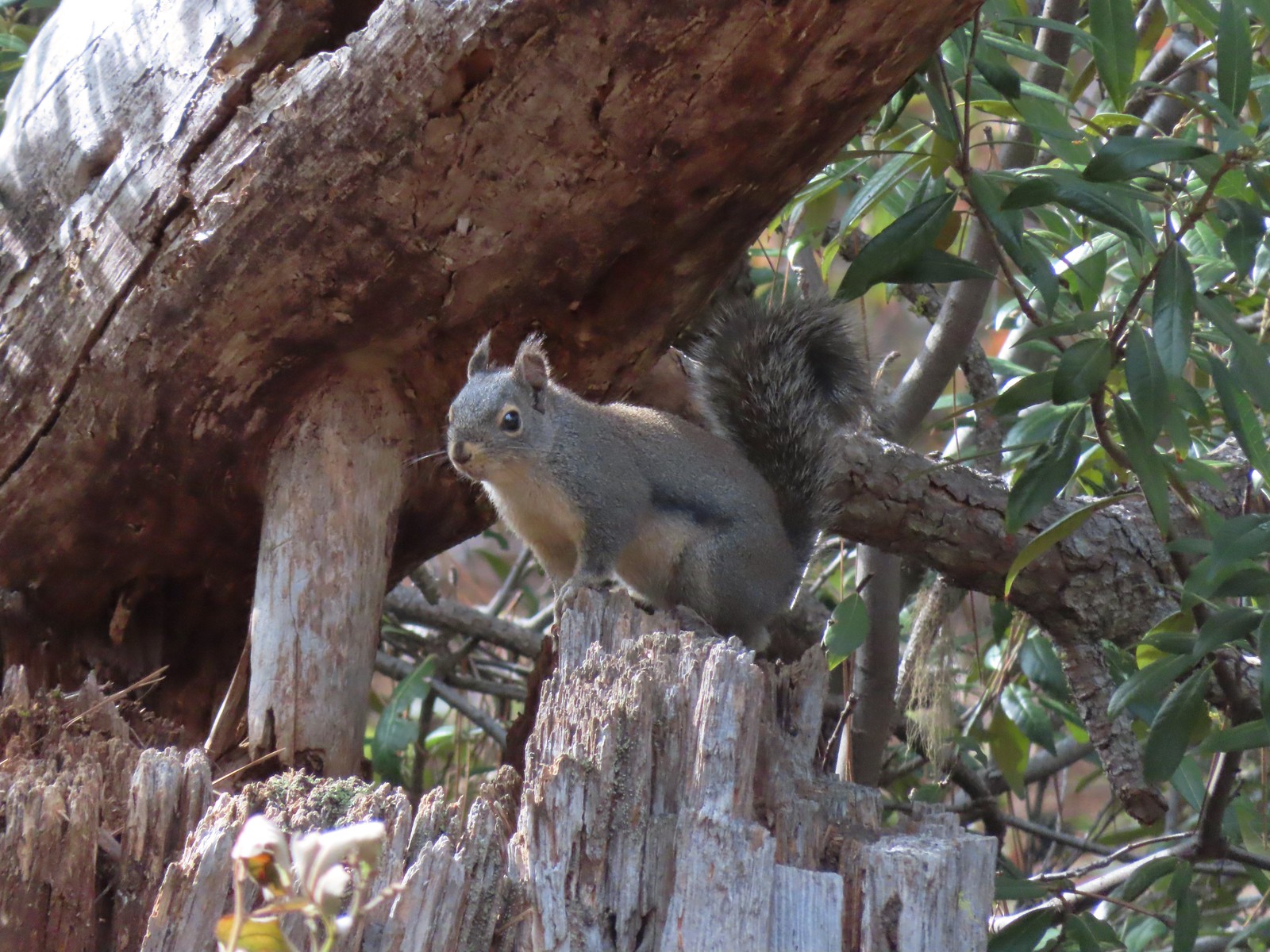 Squirrel
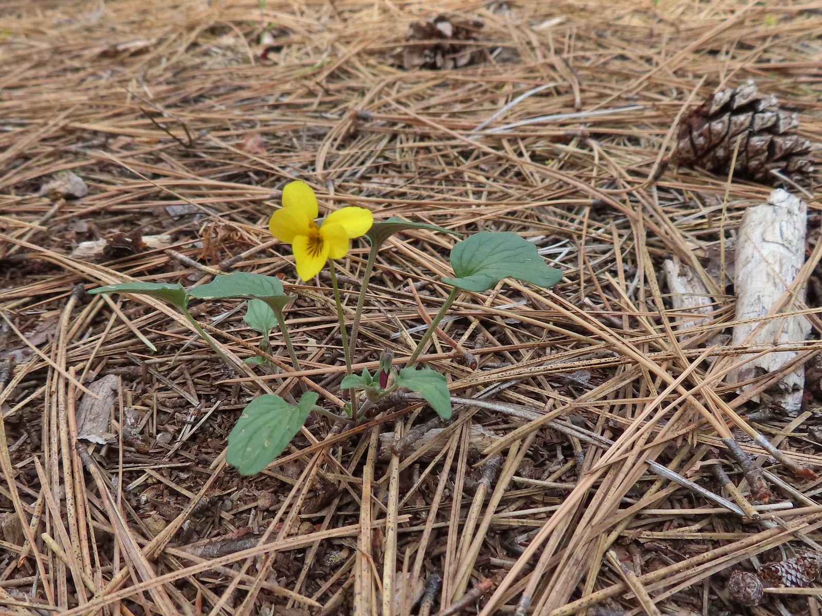 Goosefoot violet
 One of the non-trail roadbeds to the right along the Pine Trails.
 Balsamroot along the Pine Trails.
 There had been some fairly recent thinning happening along the Pine Trails.
 Chirpping sparrows
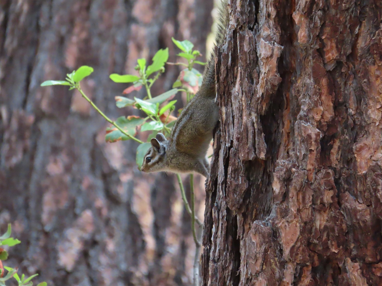 Chipmunks
 Deer along the Fir Trails.
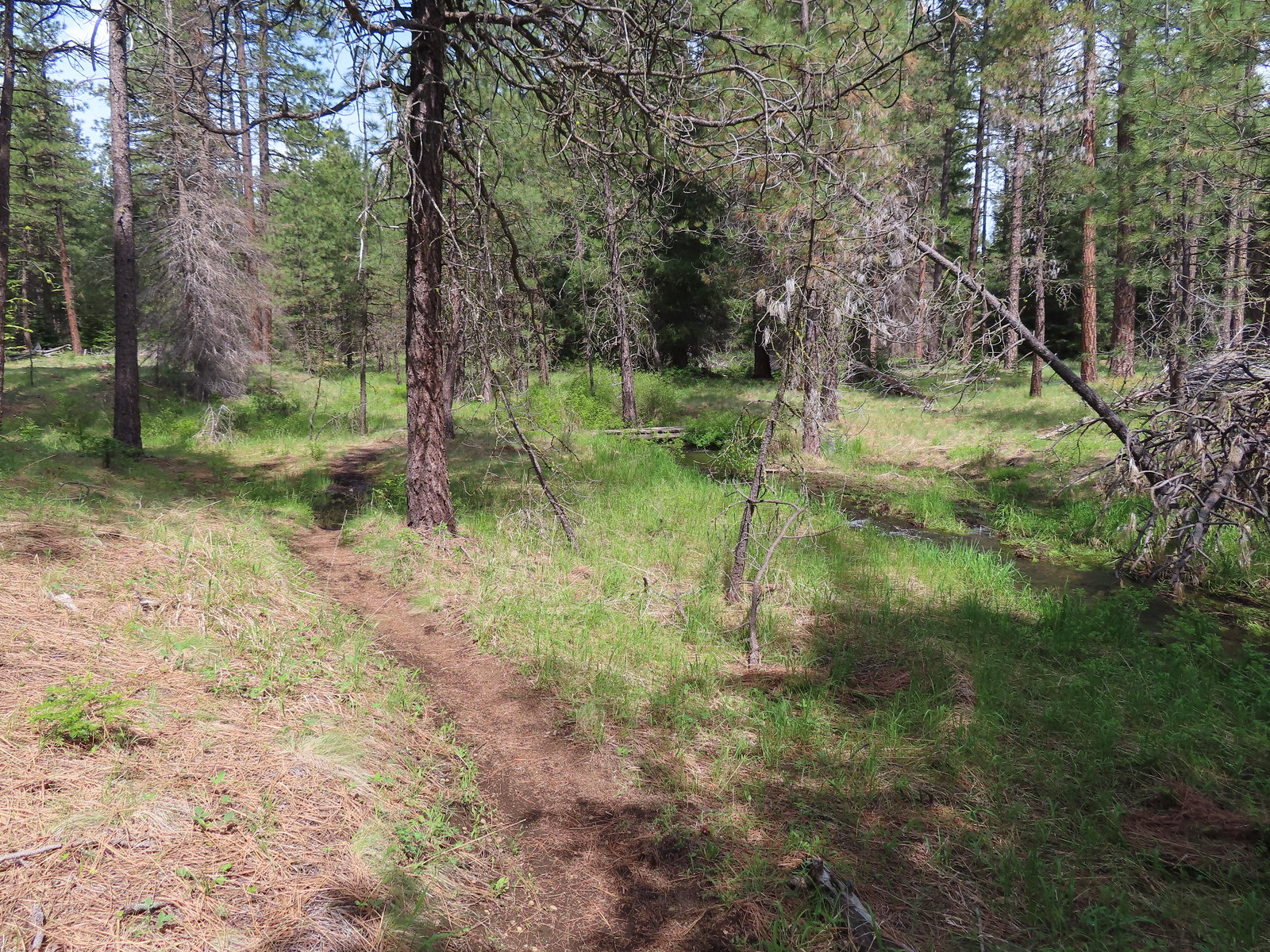 The Fir Trails crossed the seasonal branch on a small footbridge.
 Slender phlox and narrowleaf miner’s-lettuce.

 I took this photo of a swallowtail and then later realized there was a second butterfly on the Oregon grape.
 Lunch
Lunch Bridge over the North Fork Lake Creek.
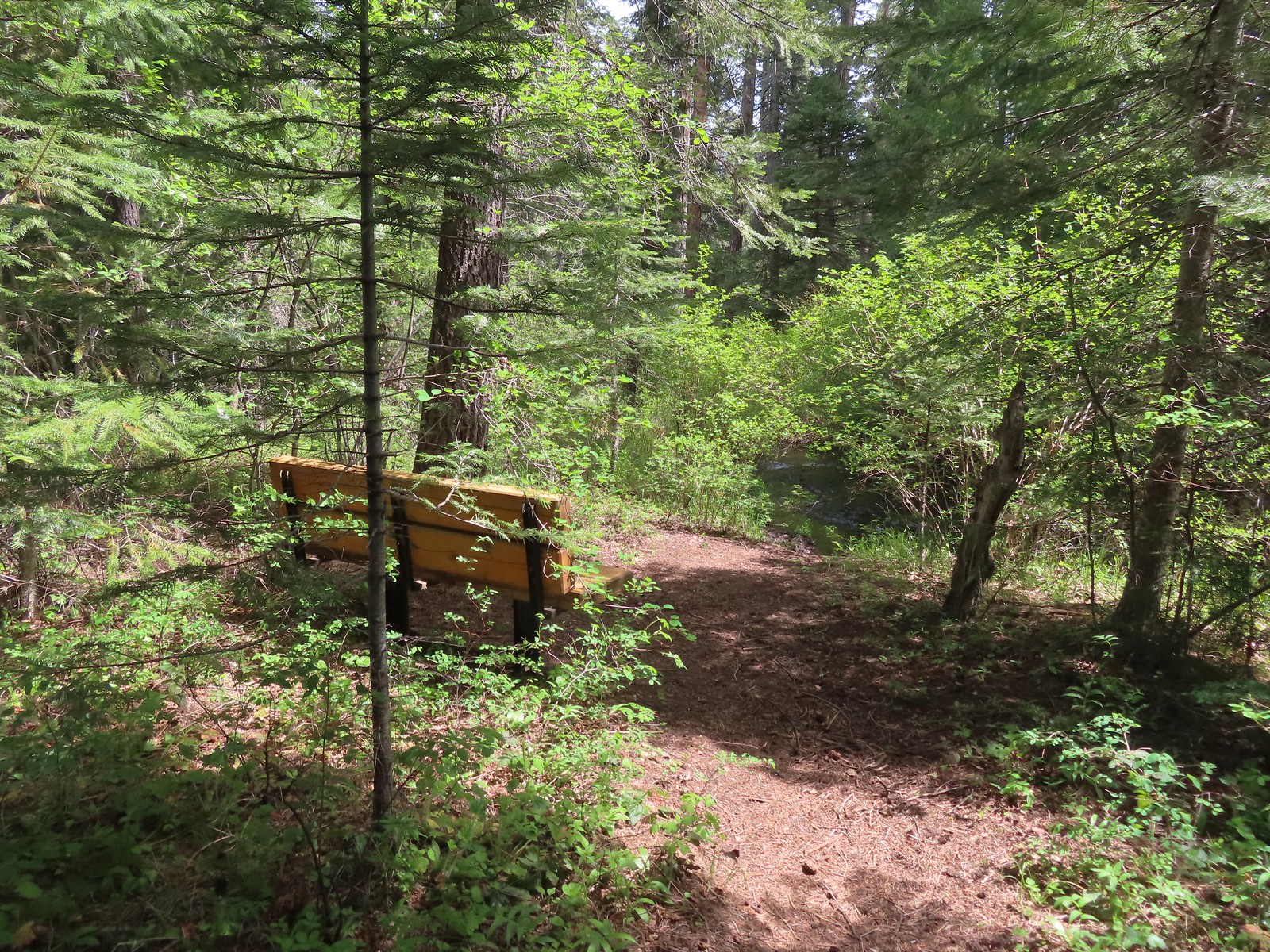 Bench along Lake Creek near the North Trailhead.
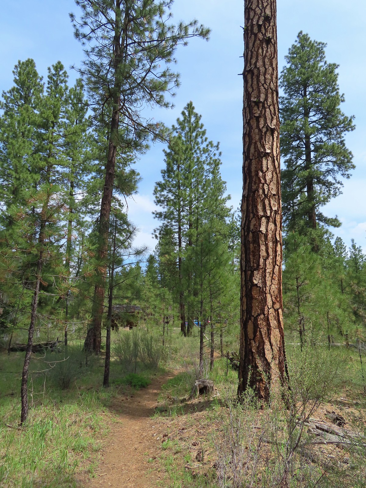 Arriving back at the trailhead.
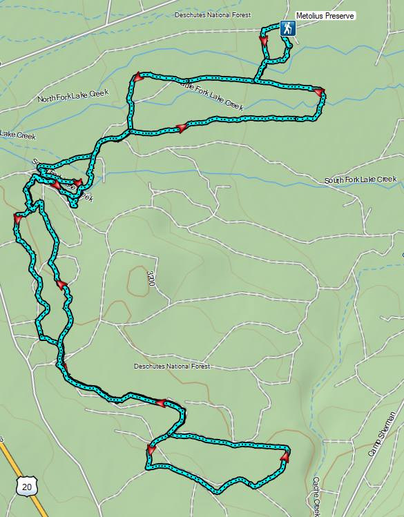

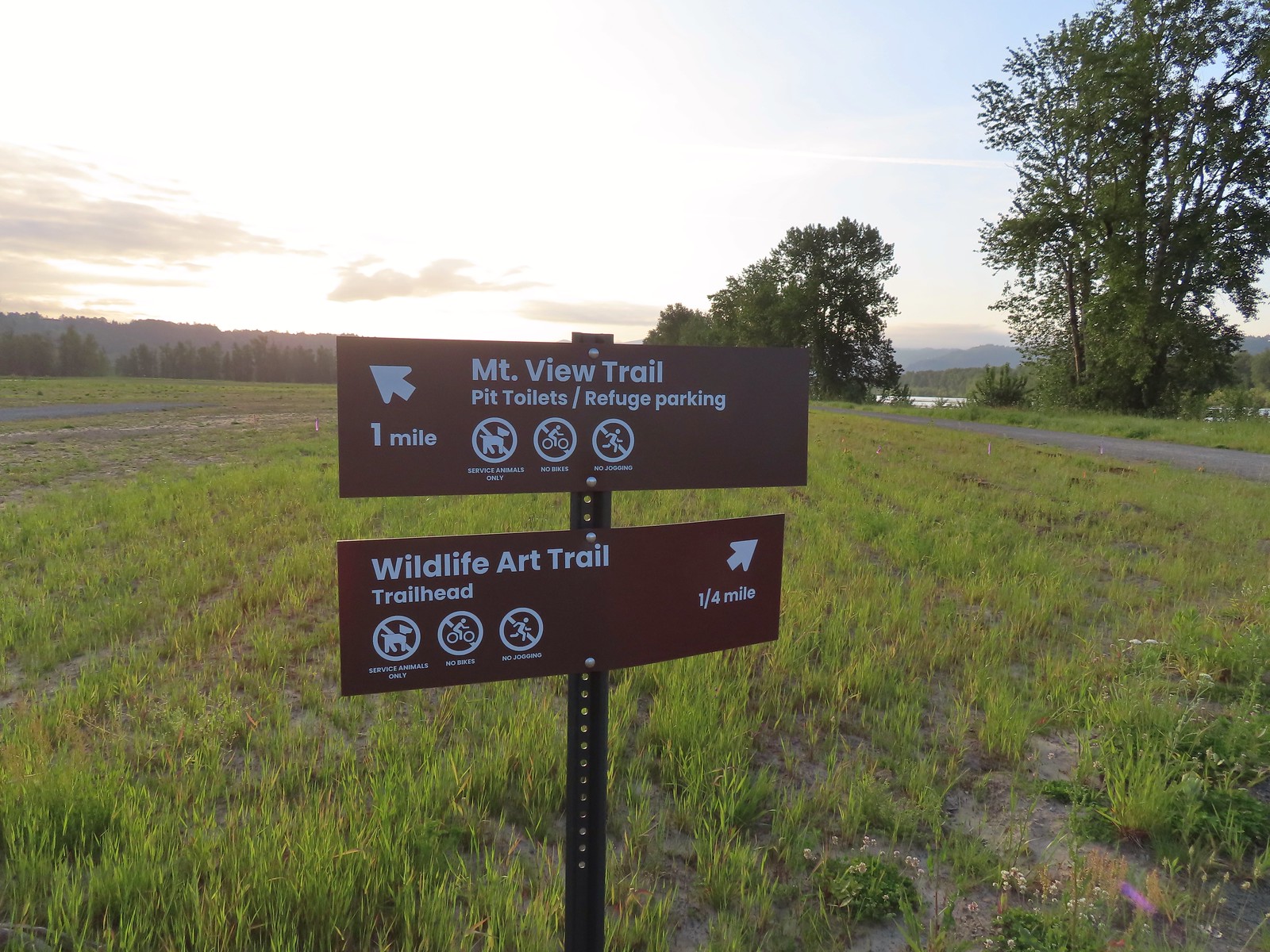
 The Mountain View Trail is named so because of the view of Mt. Hood, which on this morning was hiding behind the clouds on the left side of the photo.
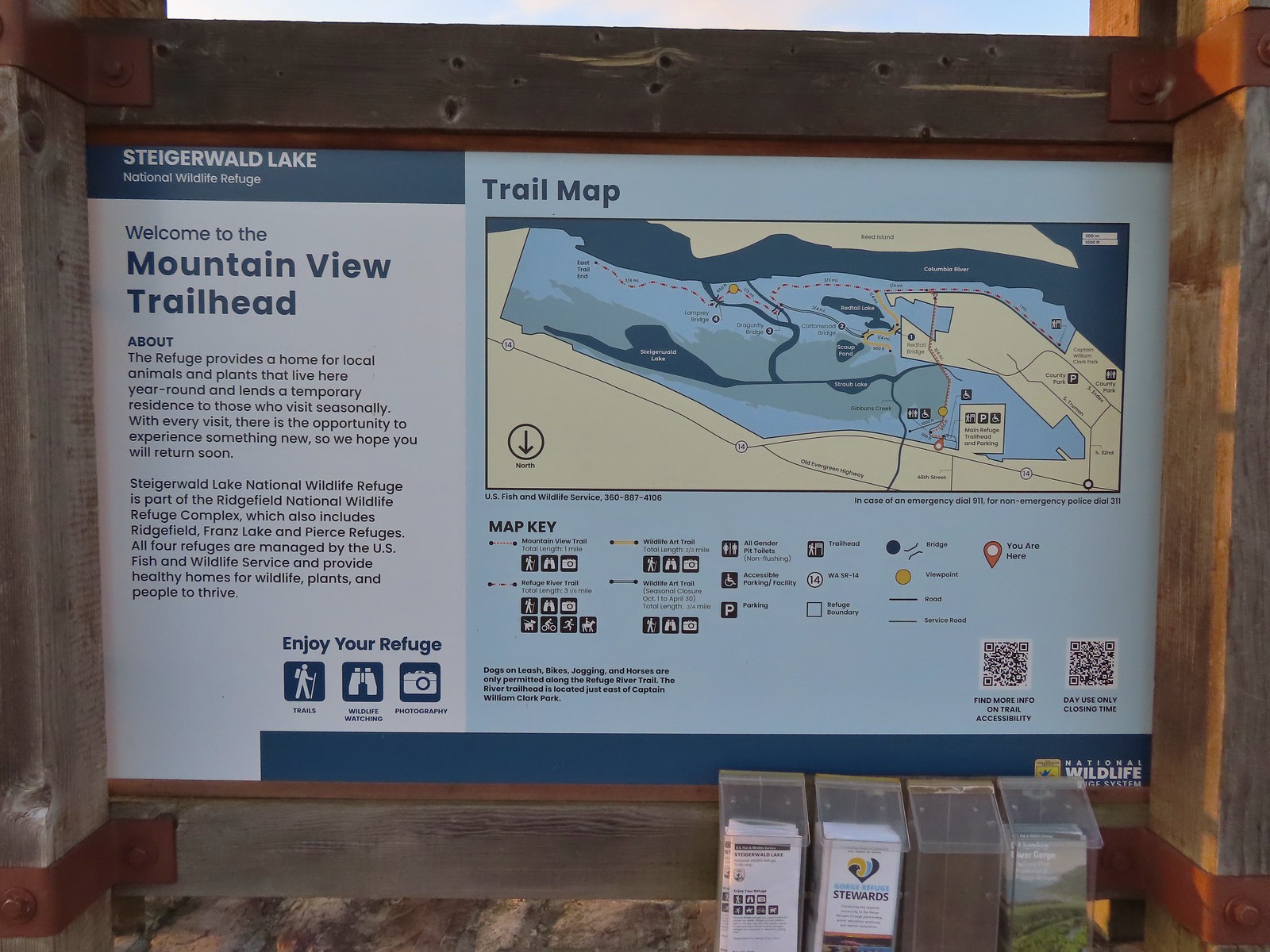 Map and information at the trailhead.
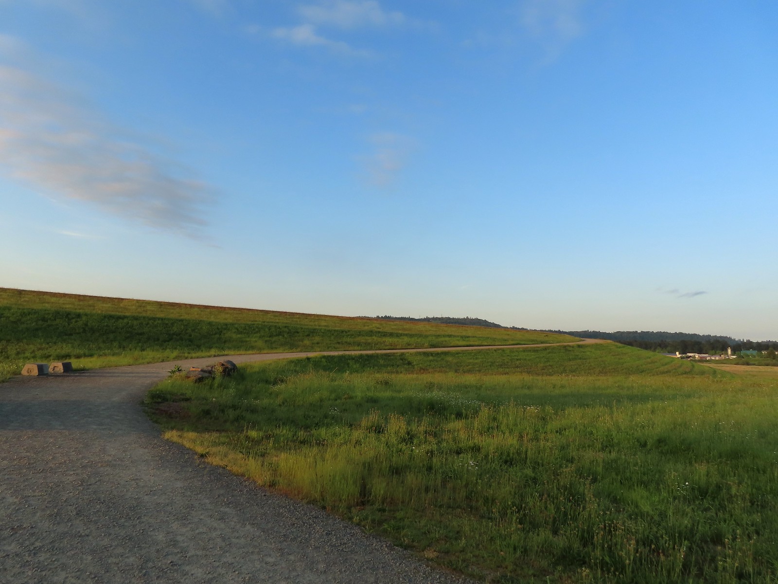
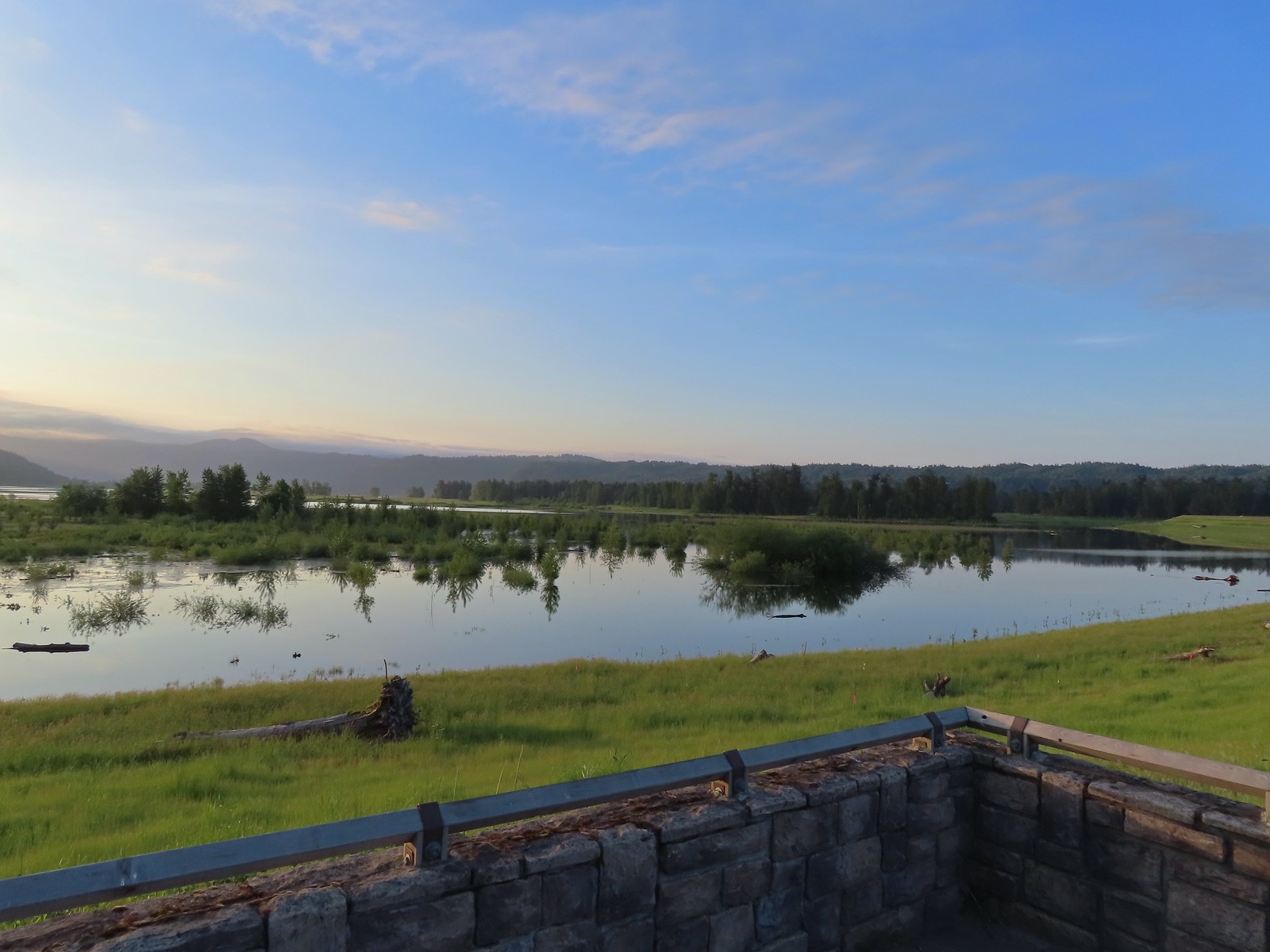 View to the East.
 Looking West toward Washougal.
 Mallards
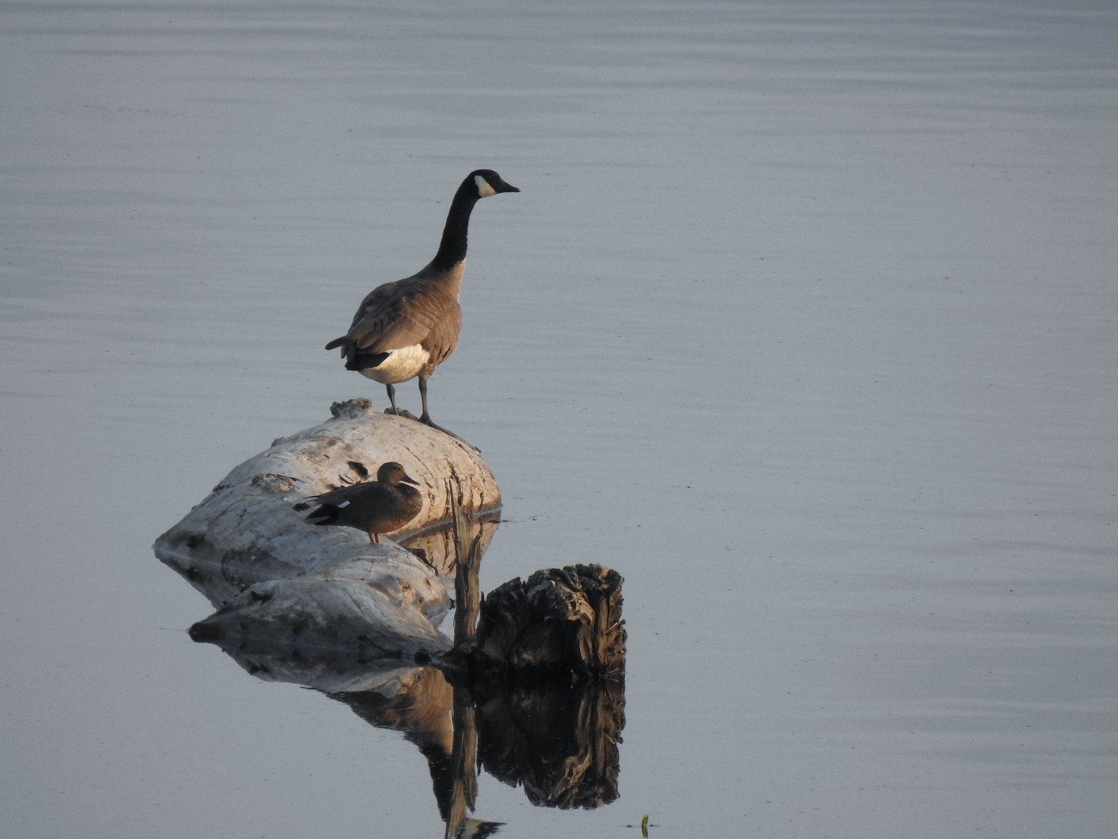 A duck and a goose sharing a log.
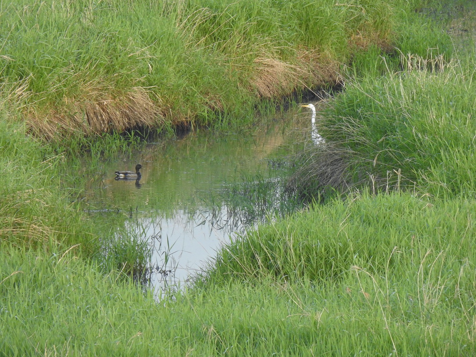 A mallard and an egret in a channel to the West.
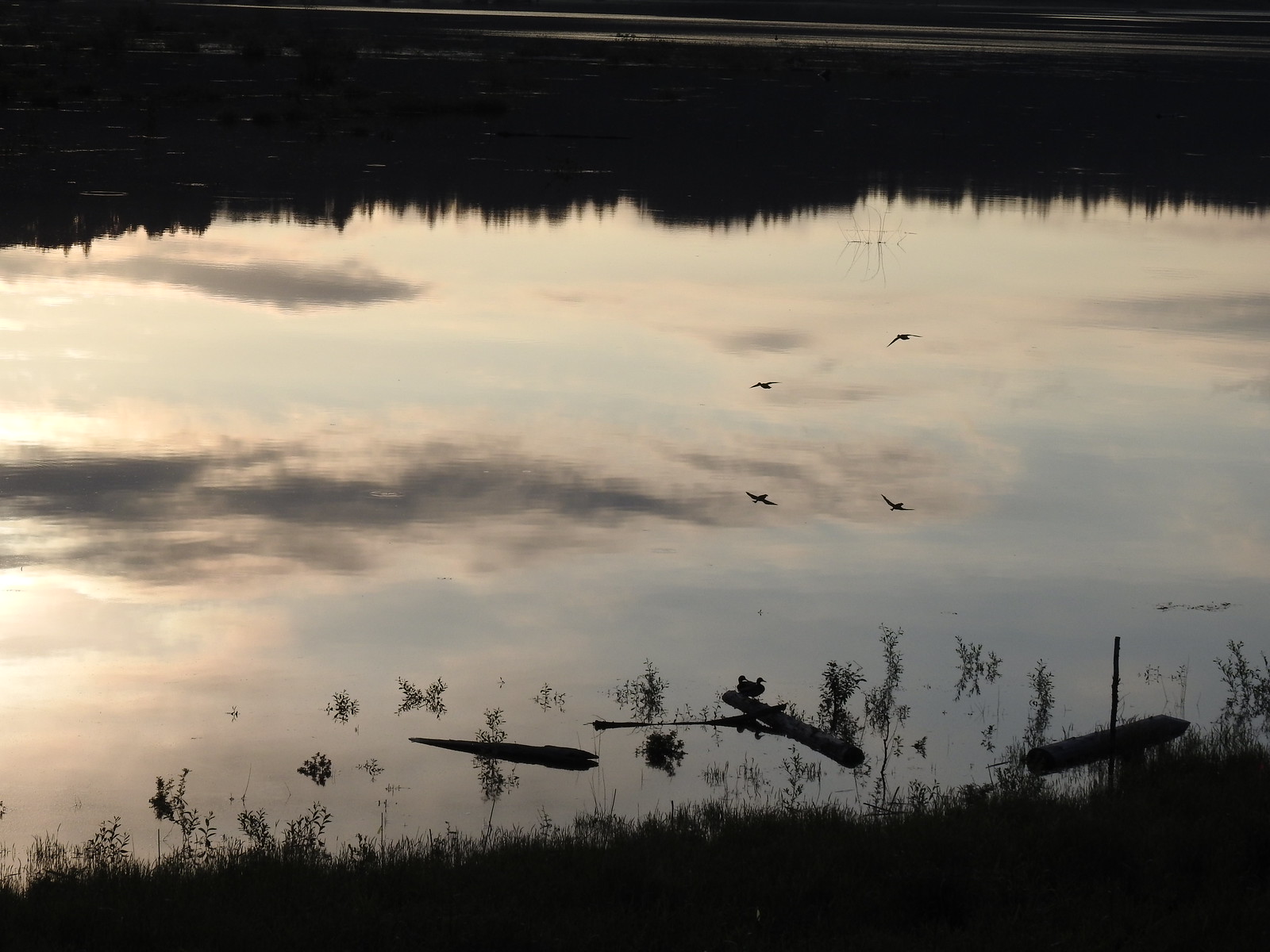 Ducks flying over the wetlands casting clear reflections.
 Water dripping from a mallards bill.
 One of several rabbits we spotted to the West.
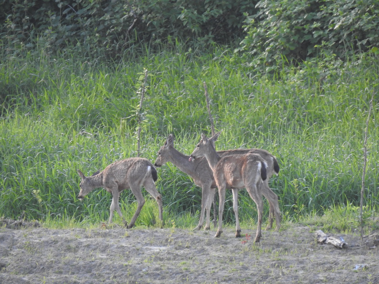 Deer across the wetlands. (The young buck may have been sticking his tongue out at us.)
 Families of geese.
 Wood duck mallard
 Trail sign at the junction with the Refuge River Trail.
 Sparrow
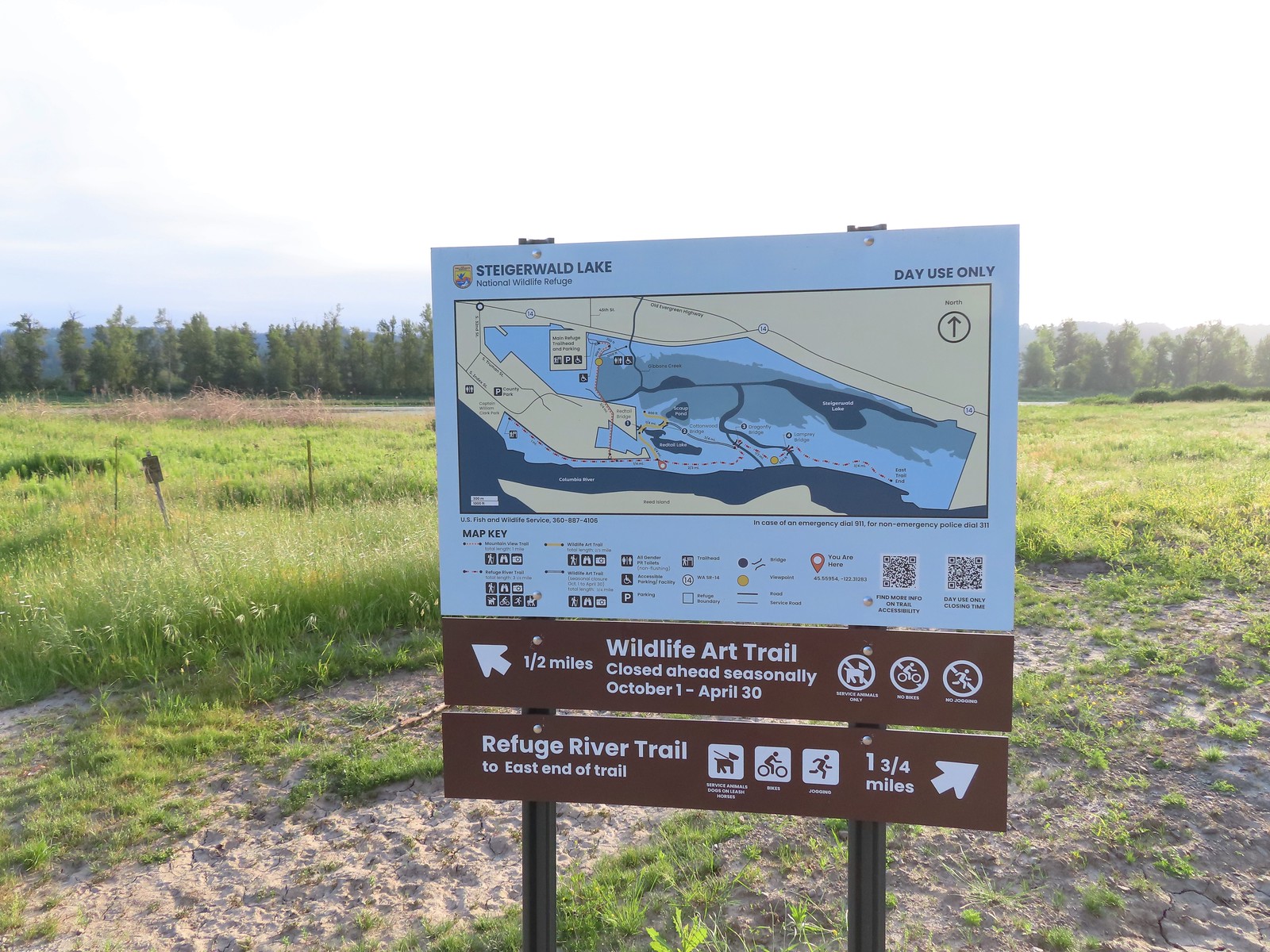
 Coming in for a landing.
 Red Tail Lake to the right of the Wildlife Art Trail.
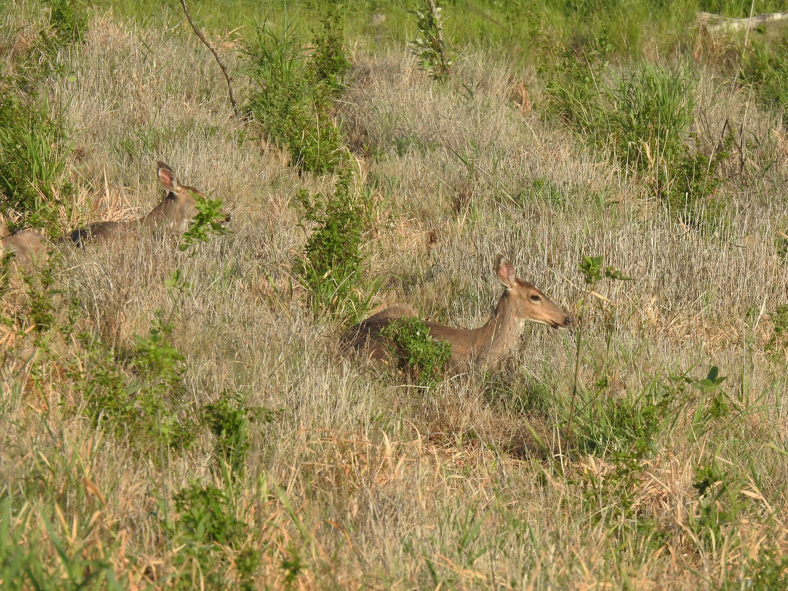 Pretty sure these are the same three we saw from the Mountain View Trail.
 This deer laying along the shore of Red Tail Lake was new though.
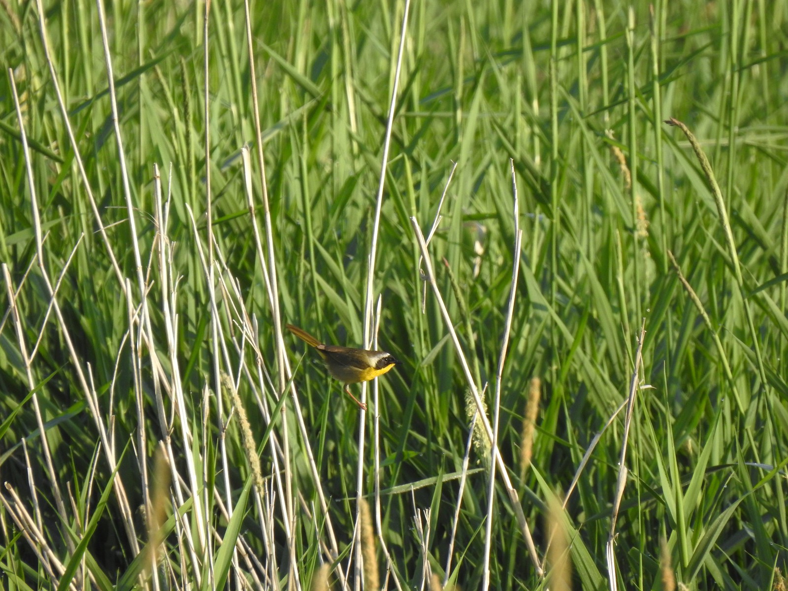 Common yellow throat
 One of many great blue herons that we watched fly overhead throughout the day.
 The Wildlife Art Trail passing around Redtail Lake.
 Gibbons Creek is in that grass somewhere with at least one deer.
 Killdeer along Redtail Lake.
 Turns out the deer laying on the lake shore wasn’t alone.
 Roses
Roses Purple martins
 Just beyond the Cottonwood Bridge the trail forks. To the right is the seasonal section of the loop open May 1st through September 30th. The left-hand fork dead-ends in a tenth of a mile overlooking the wetlands.
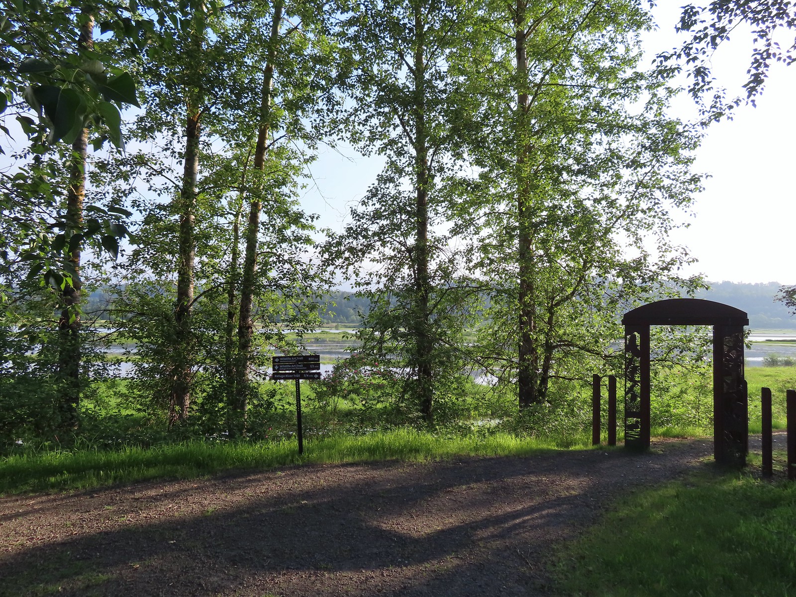 We headed left to the overlook before continuing on the loop.
 Egret at Scaup Pond.
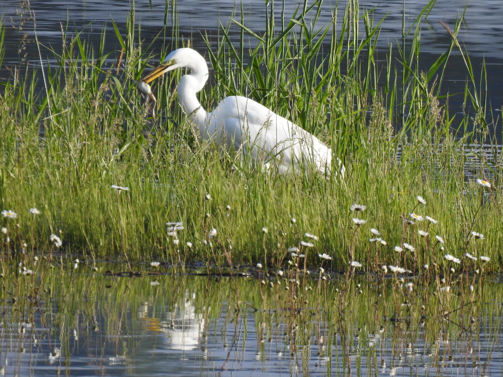 Egret with a frog meal.
 Mushrooms
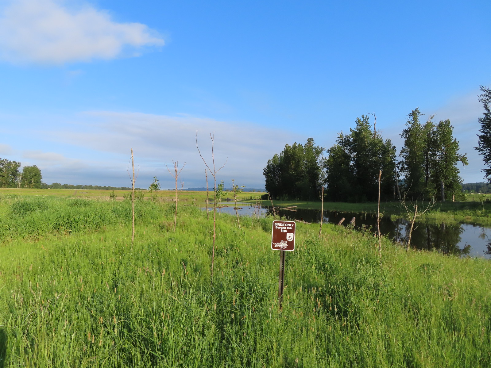 We got a kick out of the “Birds Only Beyond This Sign”.
 Kingfisher
 We’ve only seen two bitterns on our hikes and both times we only spotted them as they flew off from the grassy cover that they’d been hiding in so I was pretty disappointed when I realized I’d been duped, but kudos to the artist because it looked real at first glance to me.

 You have something in your teeth.
 Spotted towhee
 At least two deer in the grass.
 Another American goldfinch.


 Spotted sandpiper
 Oregon sunshine and yarrow
 The Columbia River ahead.
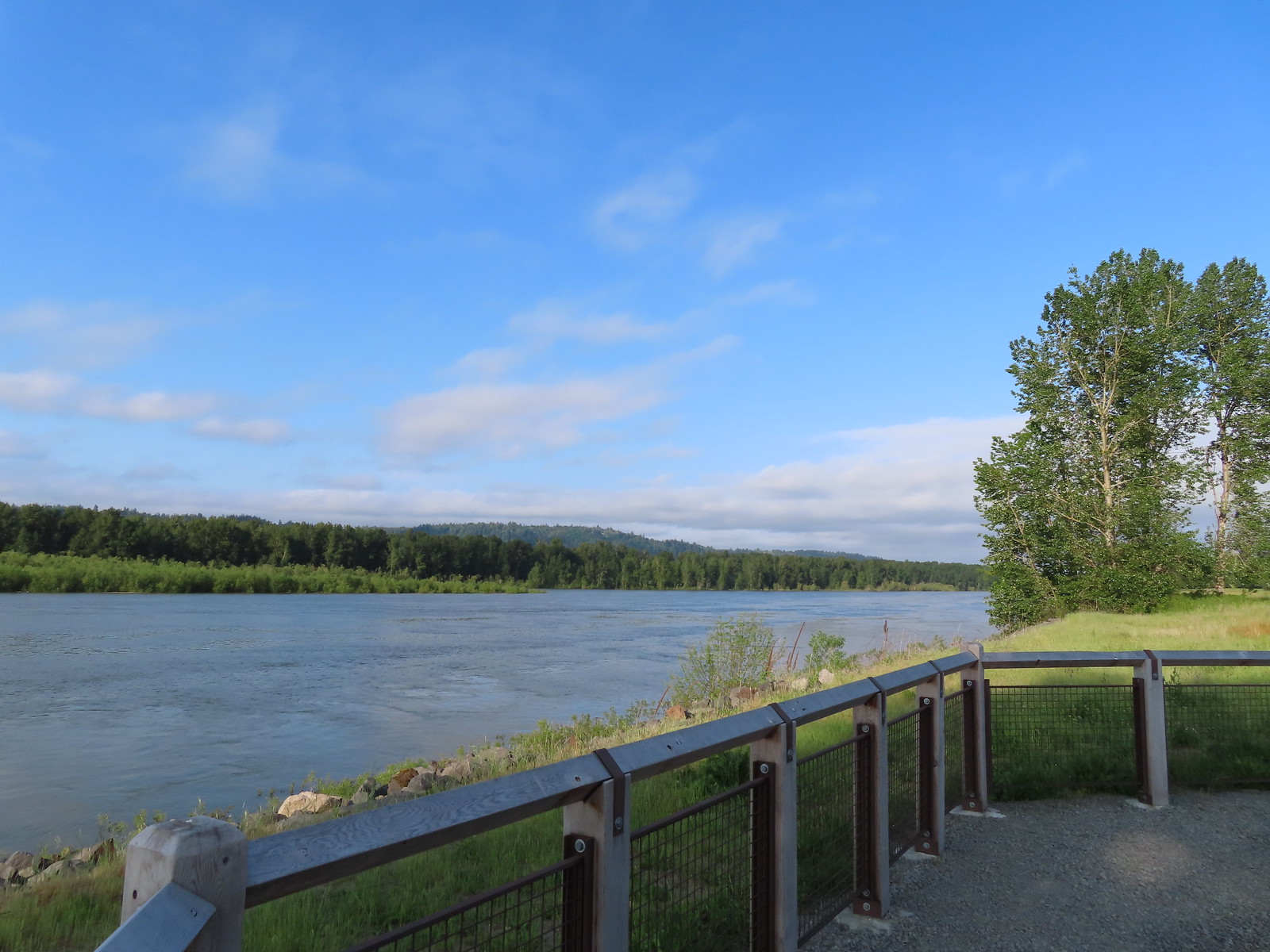 Viewpoint along the Columbia River.
 Approaching the Lampray Brdige.
 Looking back from across the bridge there was a bald eagle in the dead snag along the river.
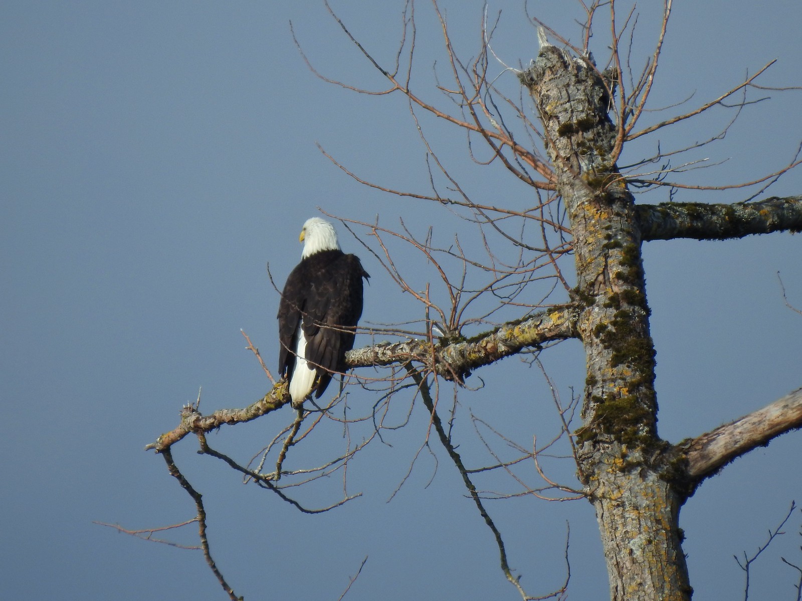
 There were lots of geese along this section of trail.
 Red clover in some Oregon sunshine
 Another spotted sandpiper
 Steigerwald Lake in the distance with a family of geese and crow on a log in the near channel.
 End of the trail.
 It was about 8:15am when we turned around and it was already feeling fairly warm, but there was relief on the way in the form of some clouds coming in from the Pacific.
 Savannah sparrow
 Here come the clouds.
 Double the eagles.
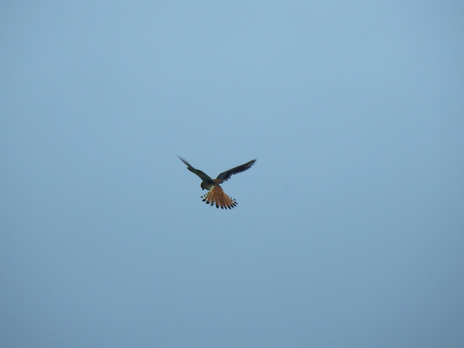 For the second week in a row we got to watch an American Kestral on the hunt.
 Arriving back at the Dragon Fly Bridge and the junction with the Wildlife Art Trail.

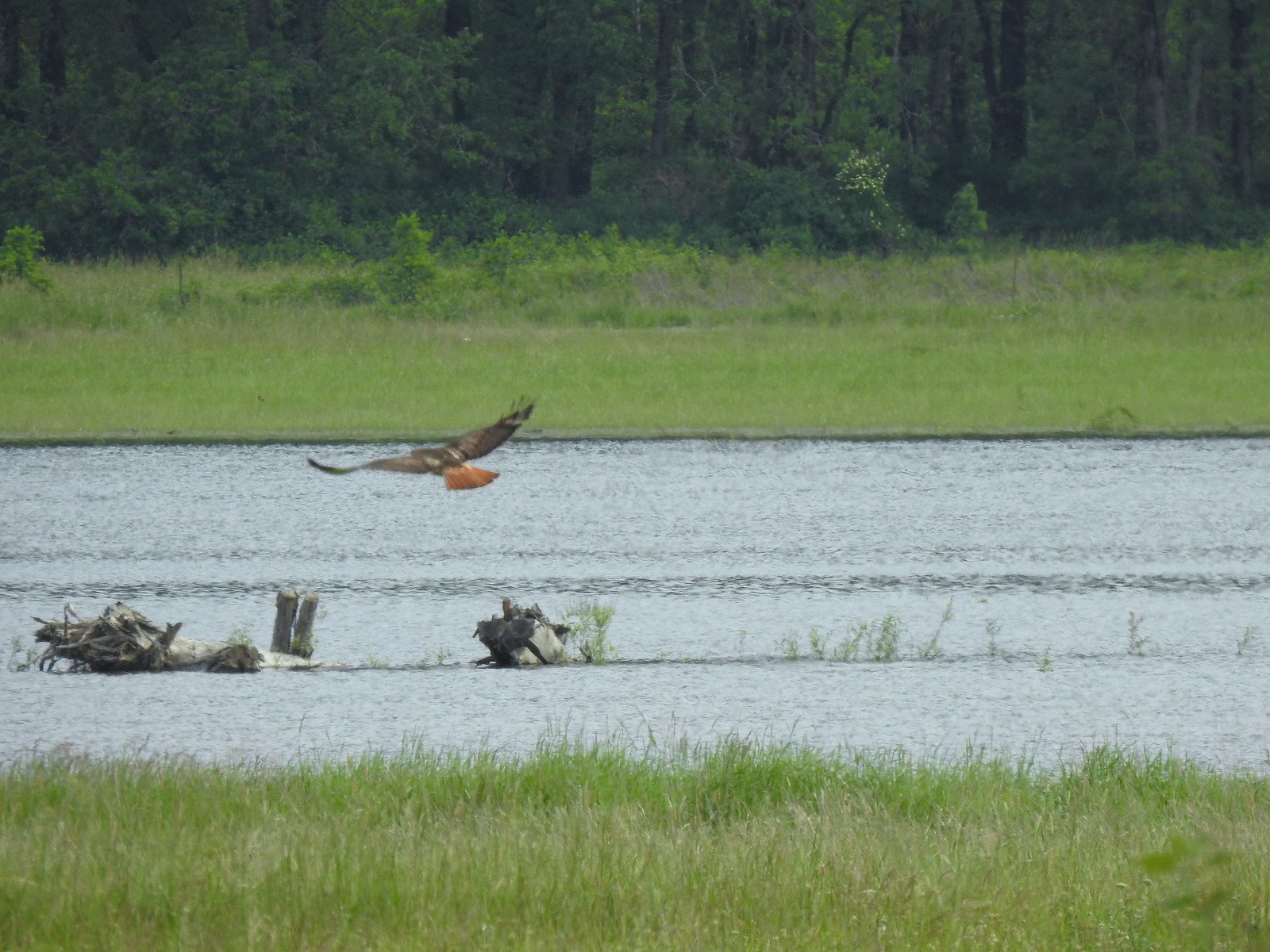 Red tailed hawk
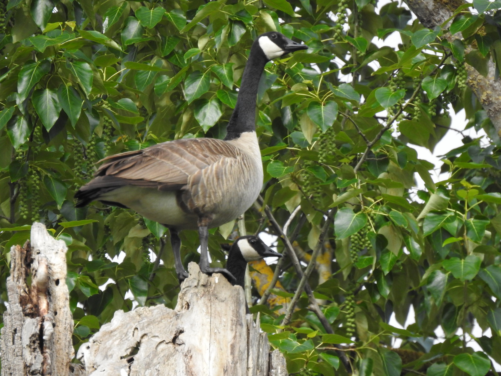 Geese nesting atop a snag.
 More deer in the grass along Gibbons Creek.
 Egret at Redtail Lake.
 Great blue heron at Redtail Lake.
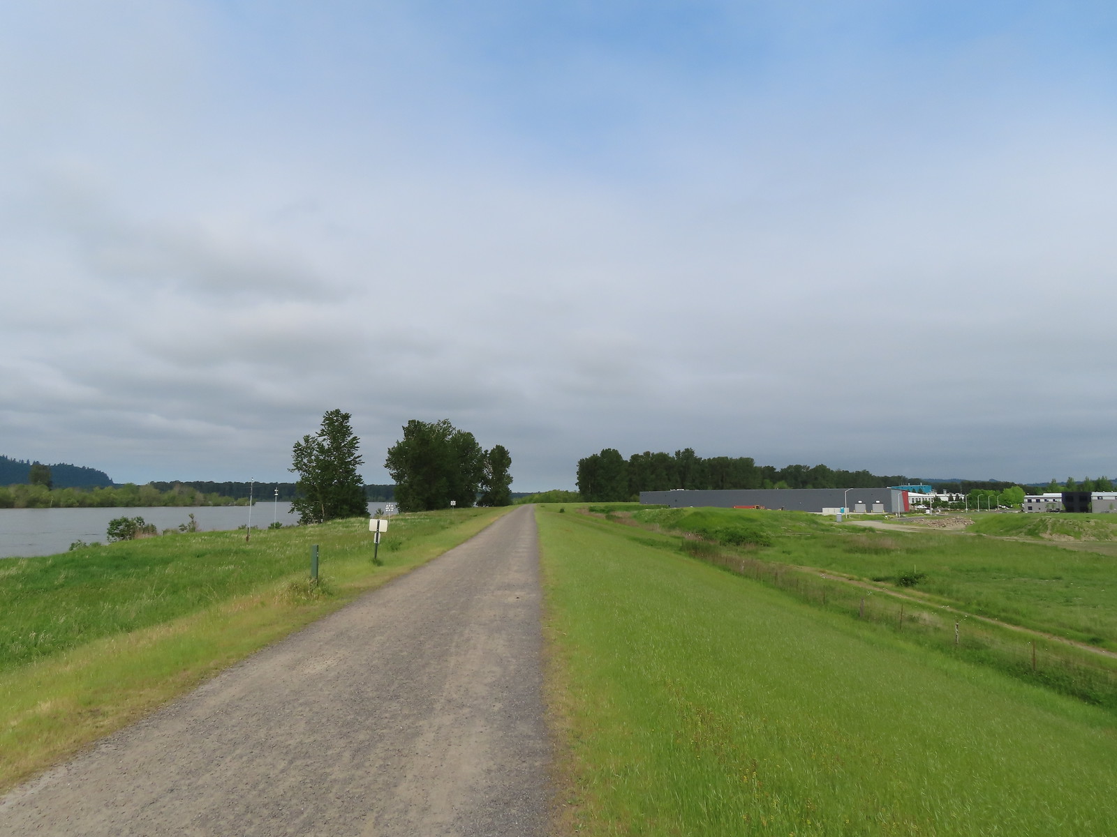
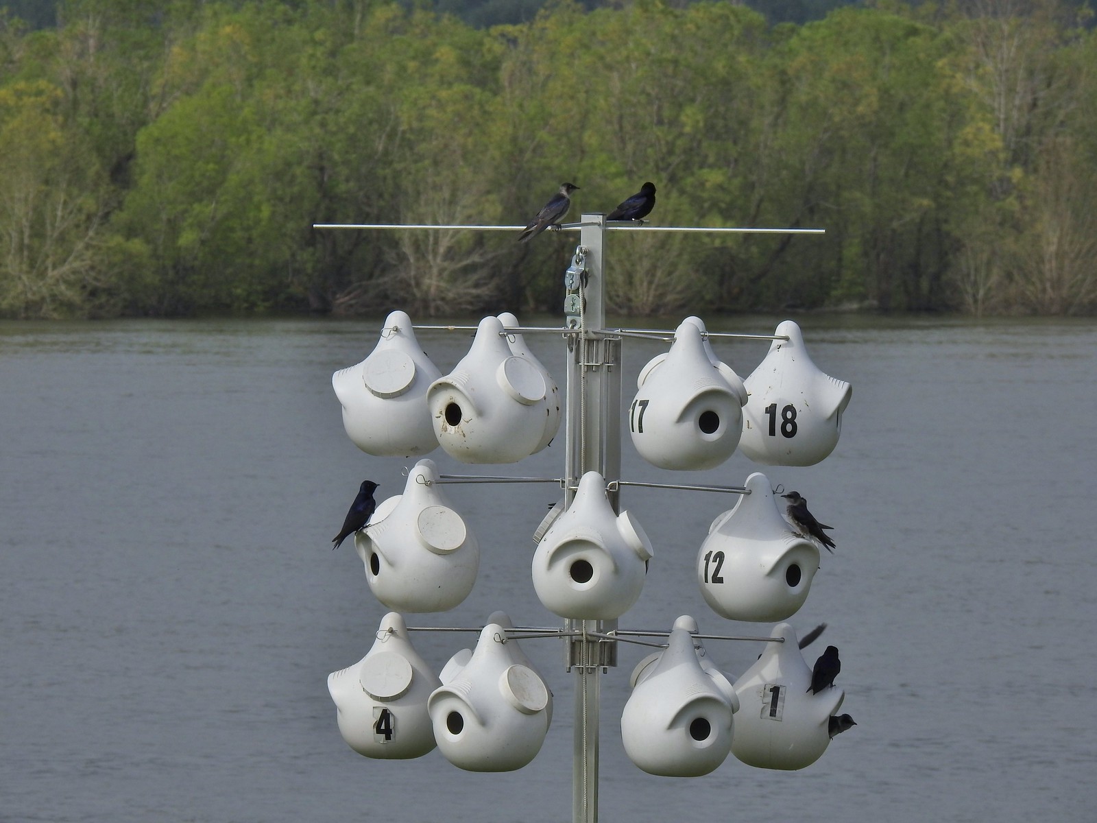 Purple martins
 When the light catches the feathers right it’s obvious where the purple martin’s name comes from.
 Common yellowthroat
 House finch
 A mile from the Mountain View Trail we arrived at the refuge boundary with Captain William Clark Park.
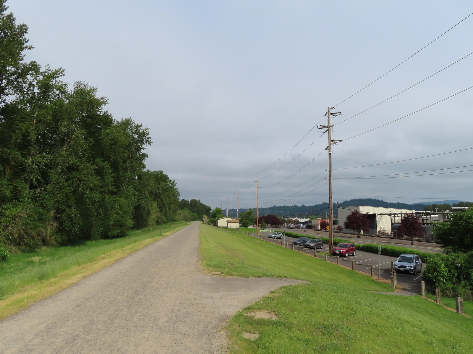 The trail follows a dike to Steamboat Landing.
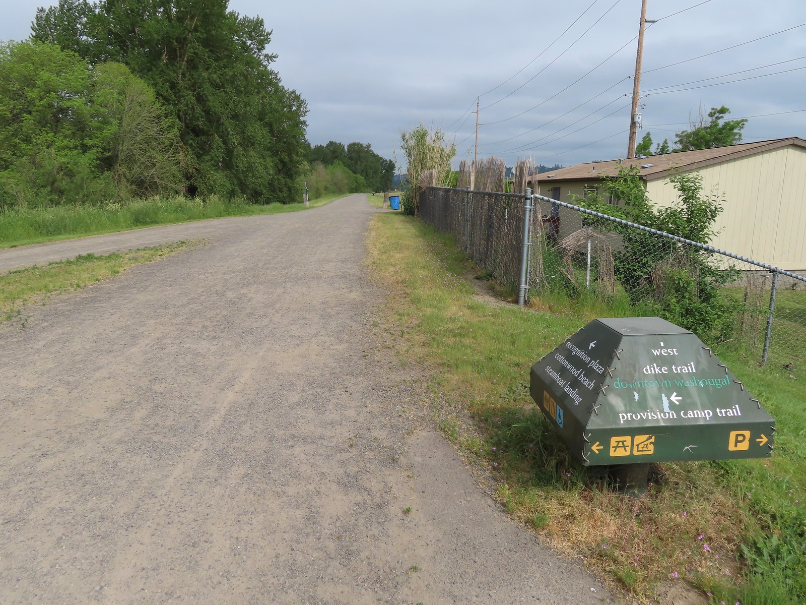
 The Provision Camp Trail


 Northern flicker
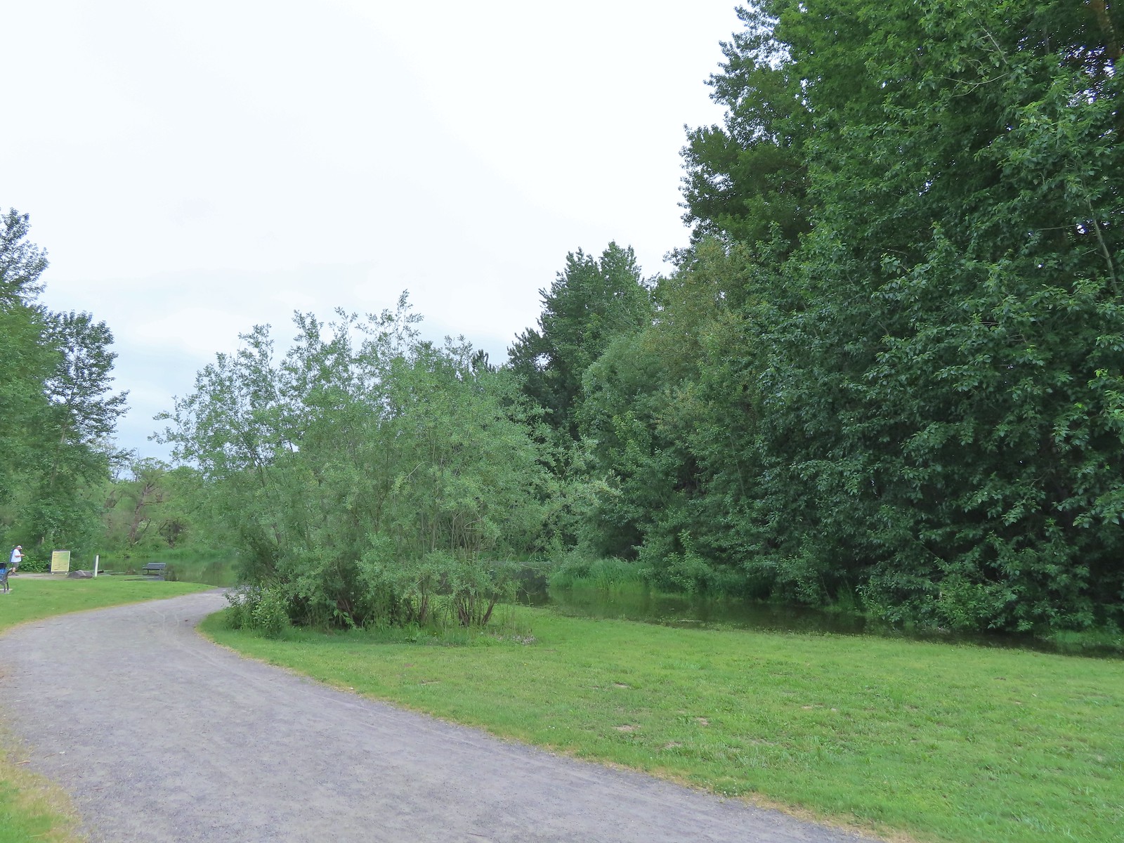 Flooded trail ahead.
 Black headed grosbeak
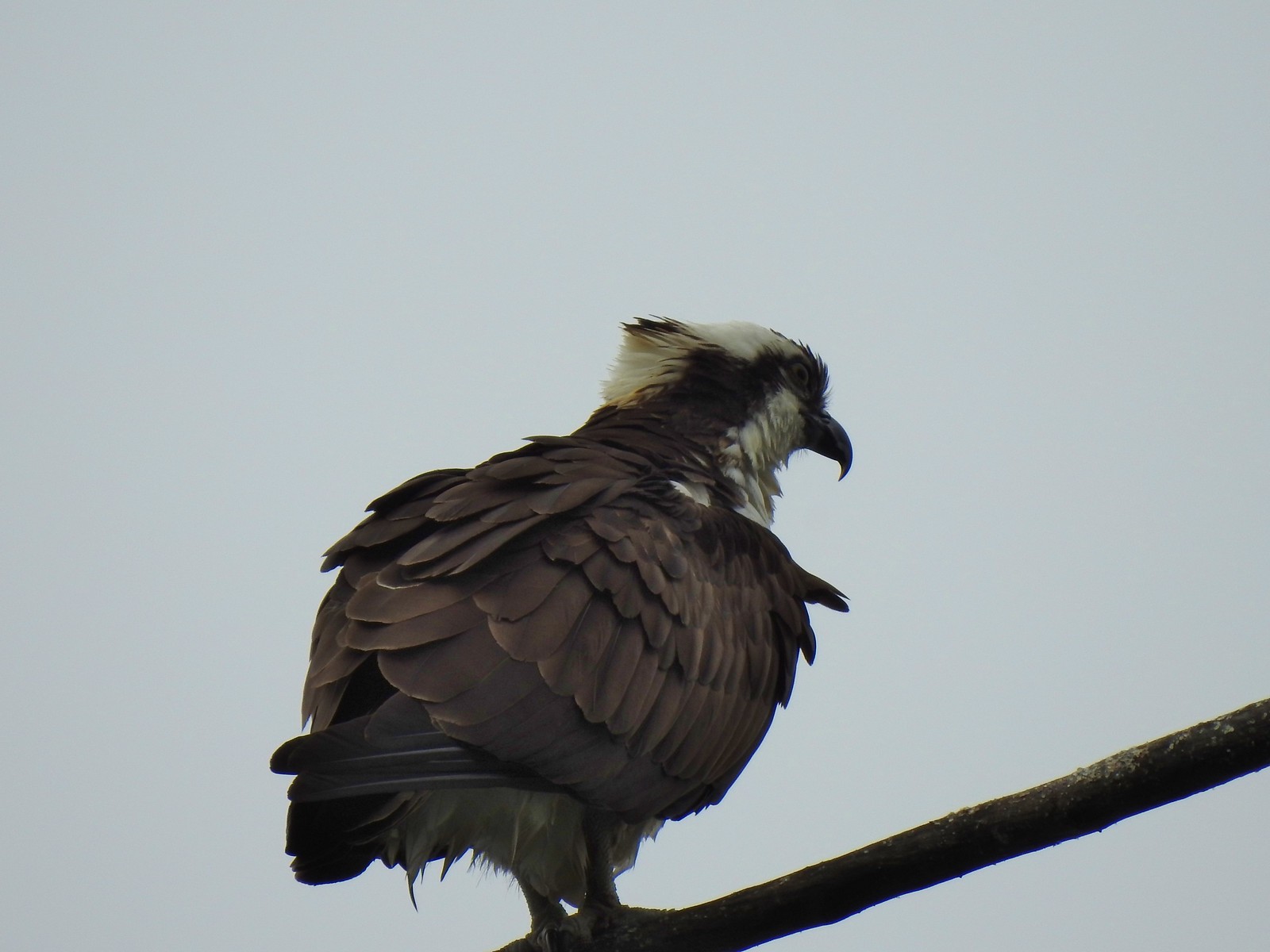 Osprey
 Back on the dike.

 The flooded section of trail from above.
 Turtles!
 Another turtle
 Common merganser
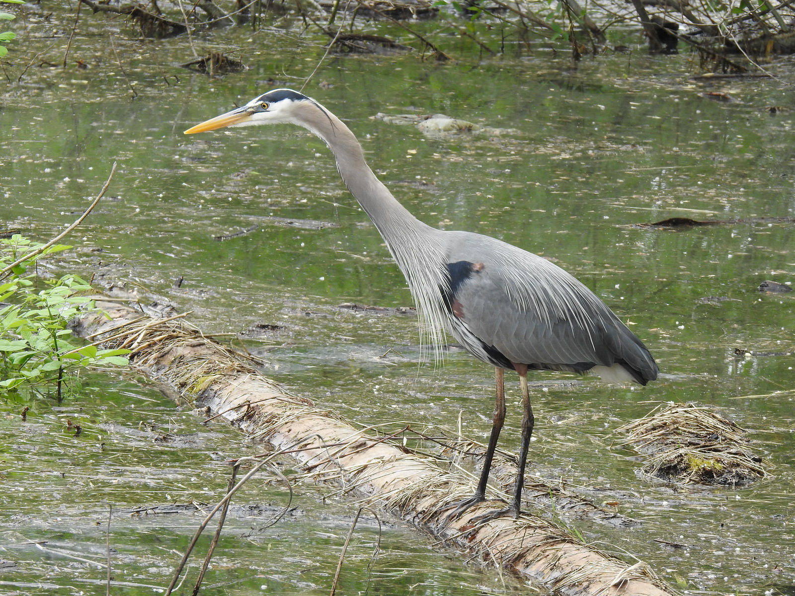 Great blue heron
 Steamboat Landing
 A family of geese out for a float.
 The large “hump” ahead is Larch Mountain (
 Grainy proof of Mt. Hood’s existence.
 Silver Star Mountain (
 The American bittern in the grass.

 We’d been the first car in the lot that morning.


 Ants dropping sawdust from a log along the Catherine Creek Trail. We sat and watched these busy ants for quite a while. They had created a good-sized pile on the ground below.
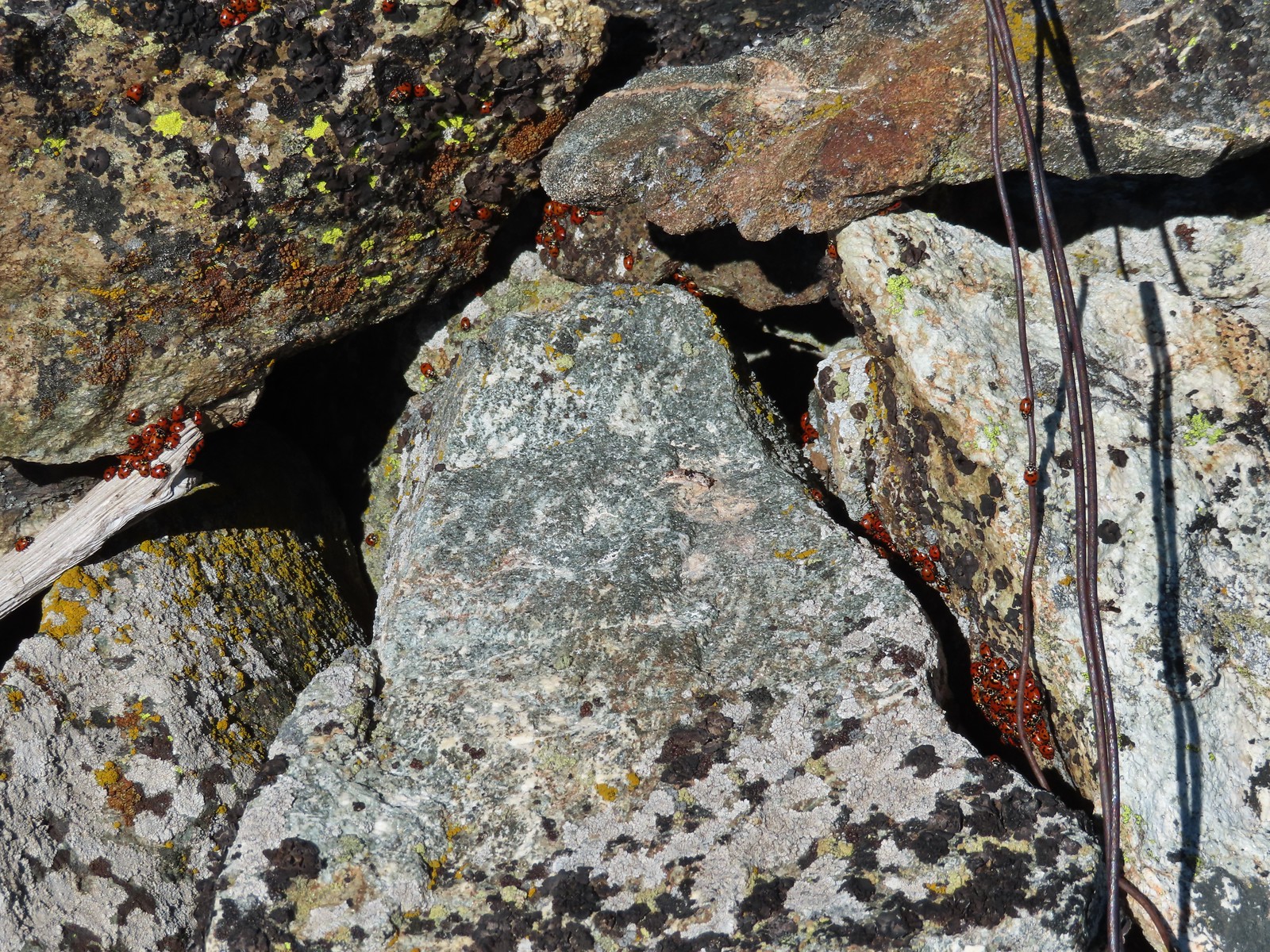 We see a lot of beetles but usually not all at once like these lady bugs on Observation Peak.
 Lady bug – Upper Table Rock
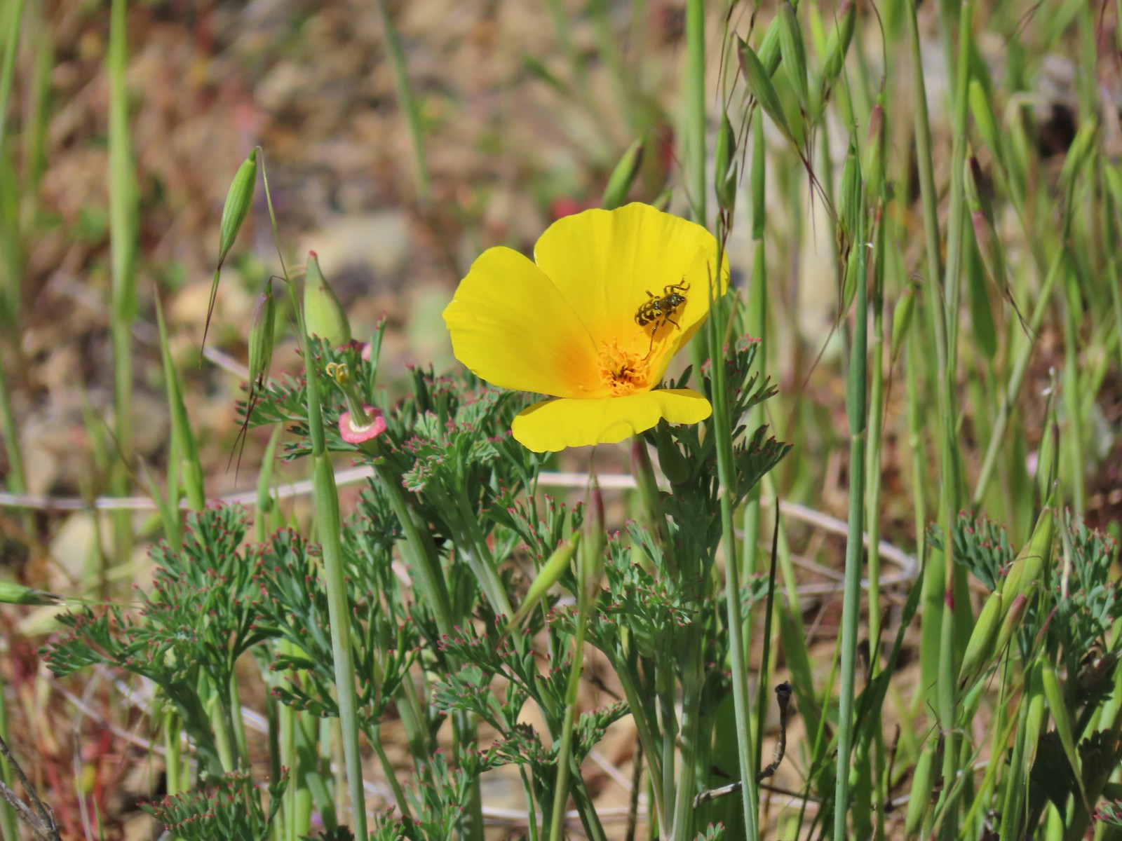 Yellow & black beetle – Mule Mountain
 Redish brown beetle – Siskiyou Wilderness
 Green beetle – Siskiyou Wilderness
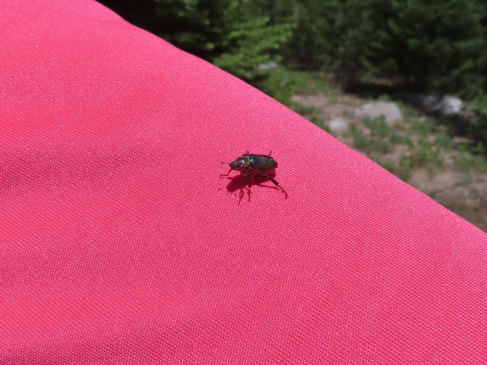 Hitchhiker – Mt. Ireland
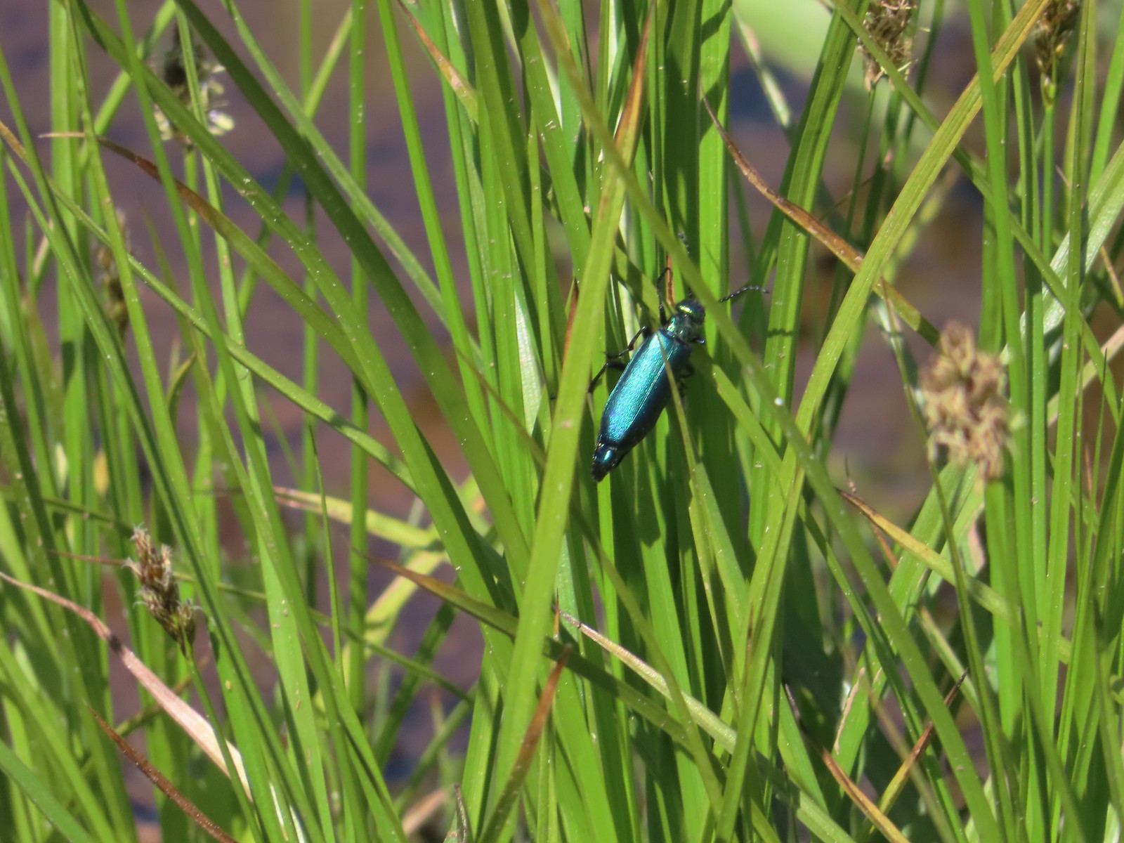 Blueish green beetle – Catherine Creek Meadows
 Small beetle – Catherine Creek Meadows
 Green beetle on a geranium – Eagle Cap Wilderness
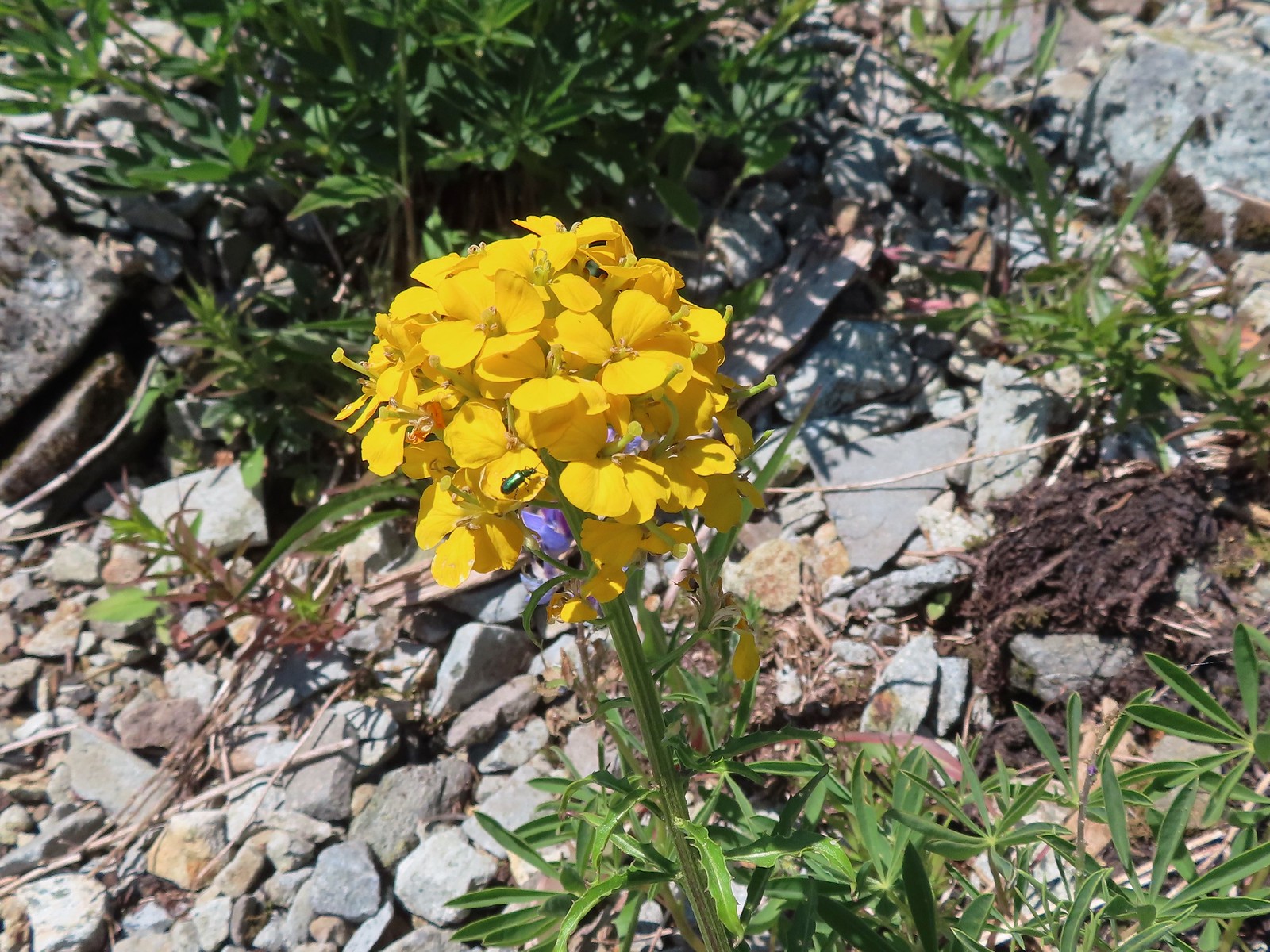 Green beetle on a wallflower – Silver Star Mountain
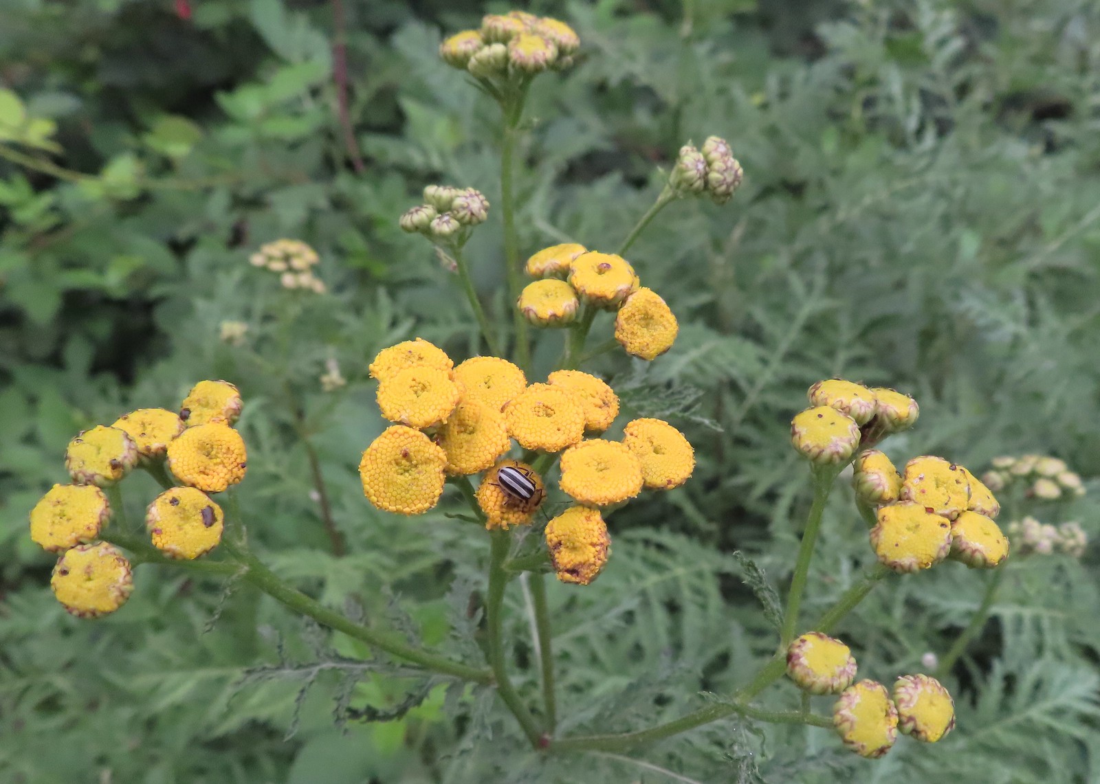 Stripped beetle – Spring Valley Greenway
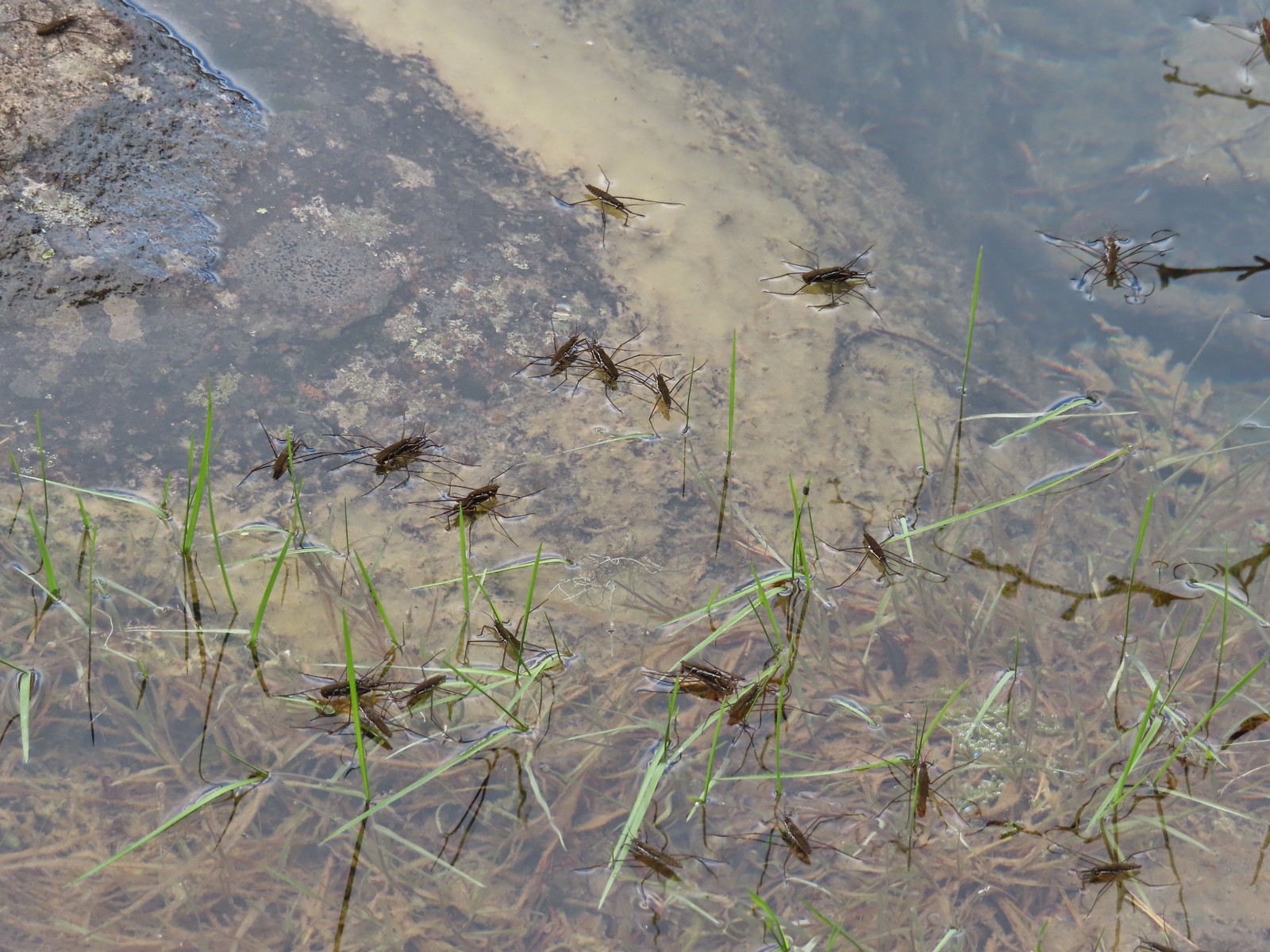 Water skippers – Big Twin Lake
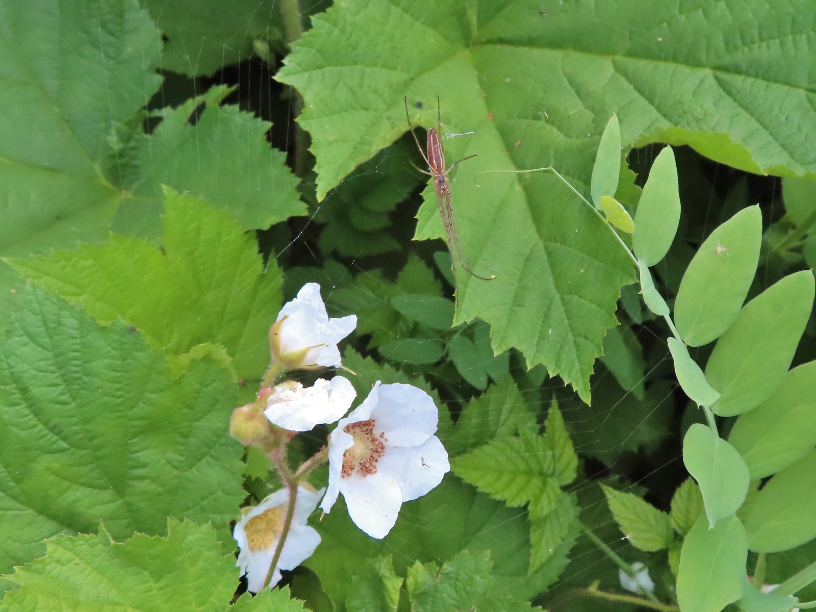 Spider on thimbleberry – Siskiyou Wilderness
 Crab spider – Eagle Cap Wilderness
 Another crab spider – Eagle Cap Wilderness
 Cricket – Pacific Crest Trail
 We are often literally struck by grasshoppers as we hike. Sometimes they stick when they hit us such as this one along the PCT.
 Bee on phacelia – Mule Mountain
 Wet bee on lupine – Julia Butler Hanson Wildlife Refuge
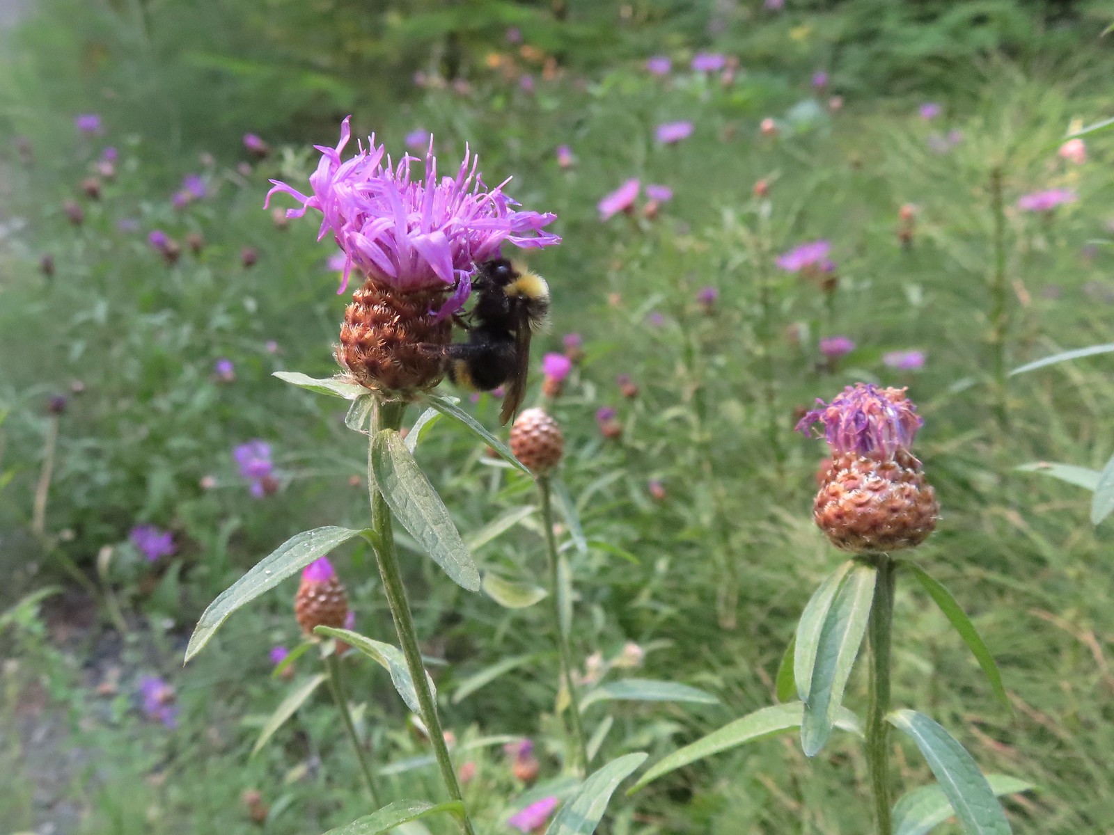 Bumble bee – Hemlock Creek Trail
 Lots of pollen – Mt. Adams Wilderness
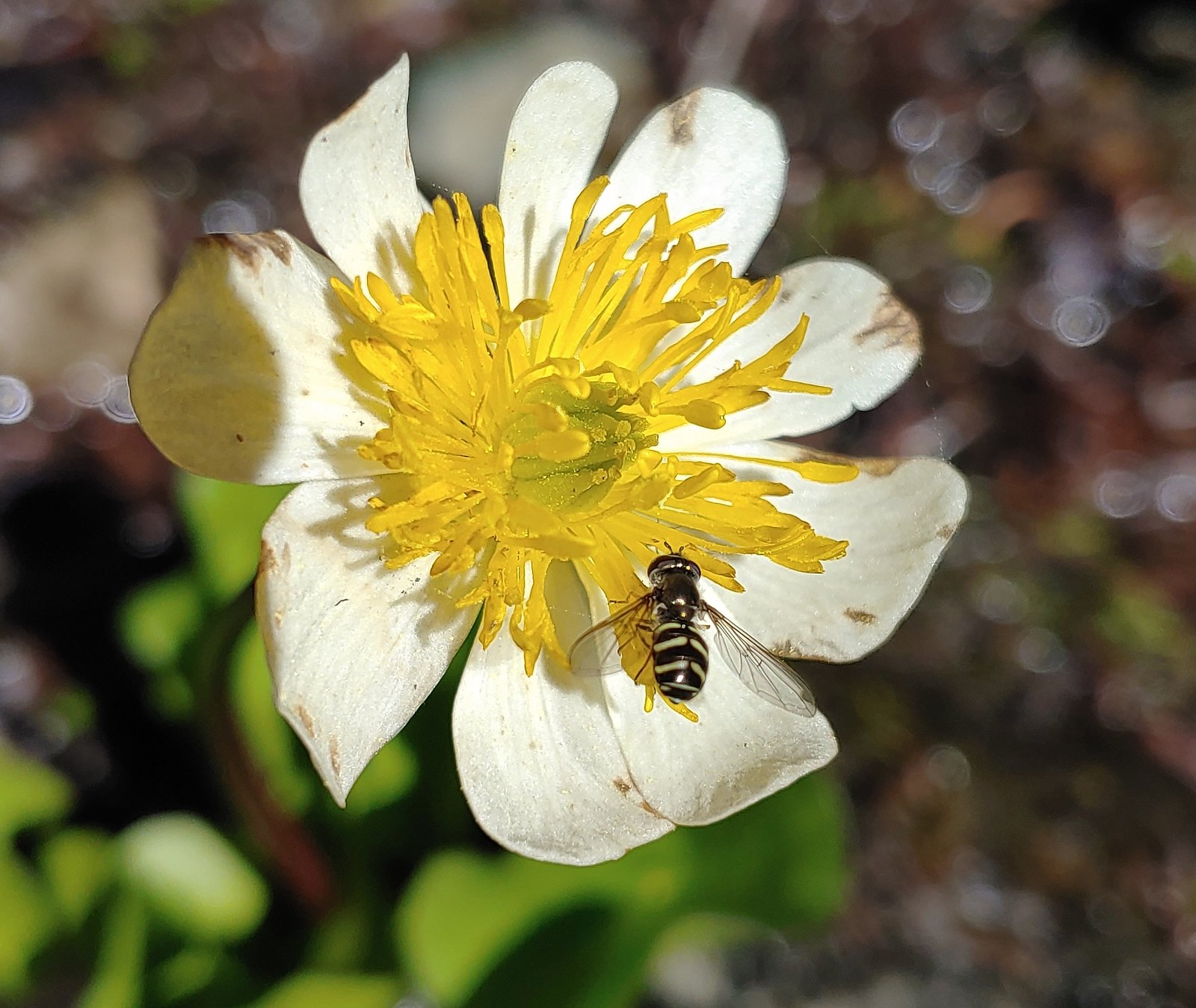 Bee landing on a marsh marigold along the PCT
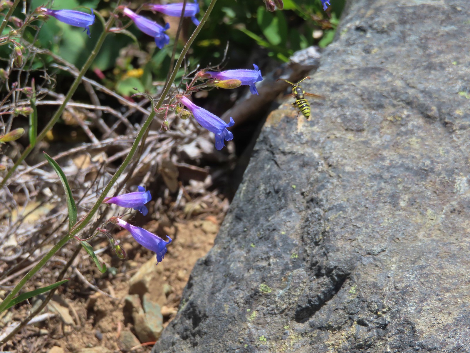 Bee approaching penstemon – Siskiyou Wilderness
 Bee and a tiny ant in a bindweed – Siskiyou Wilderness
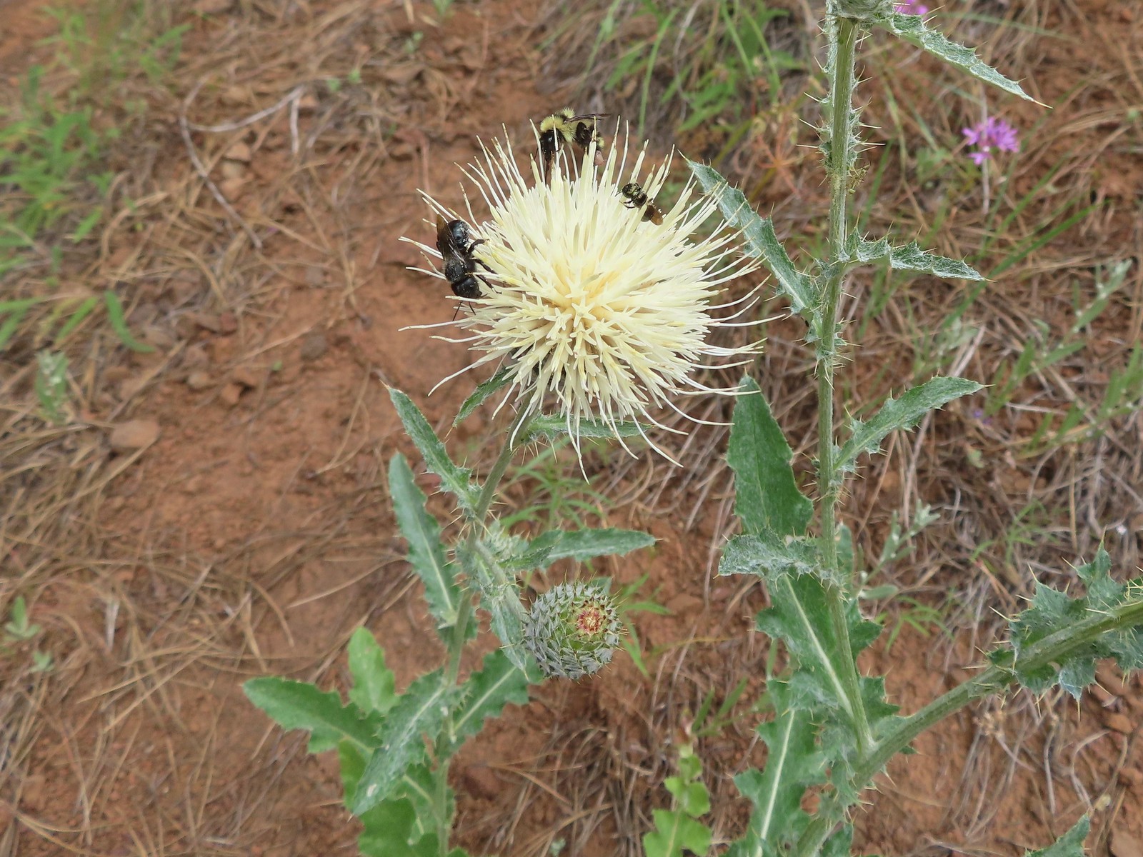 Insects on thistle – Eagle Cap Wilderness
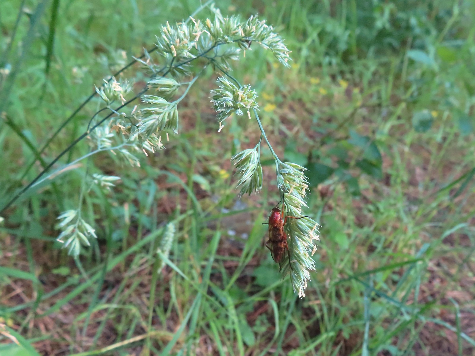 Wasp? – Eagle Cap Wilderness
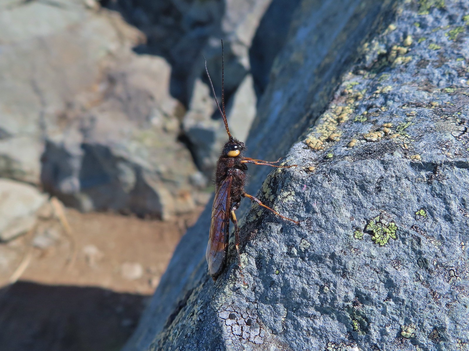 Some sort of wasp – Silver Star Mountain
 Insect along Bear Creek – Eagle Cap Wilderness
 My brother and I used to call these “weird things”; I have no idea what it actually is – Trinity Alps Wilderness
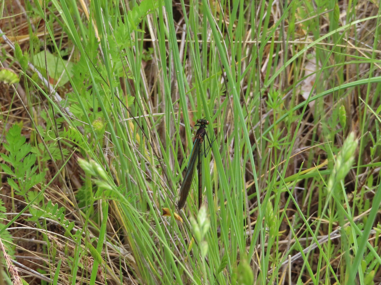 Damsel fly – Denman Wildlife Area
 Damsel fly – Hemlock Lake
 Dragon fly – Goat Marsh Lake
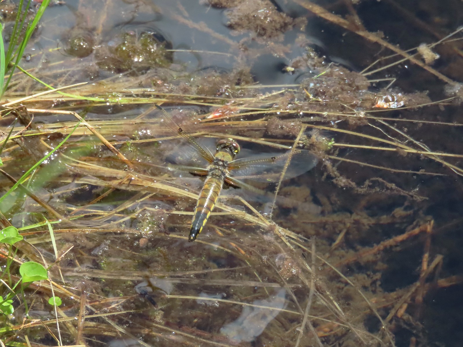 Dragon fly – Siskiyou Wilderness
 Dragon fly – Siskiyou Wilderness
 Dragon fly – Eagle Cap Wilderness
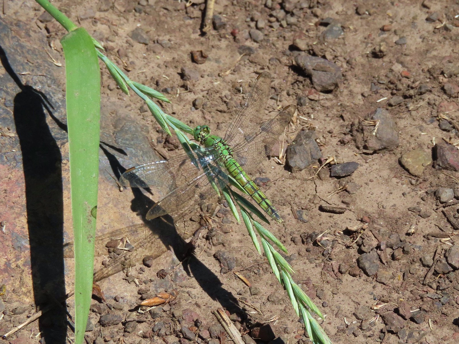 Dragon fly along the Wallowa River – Wallowa Homeland
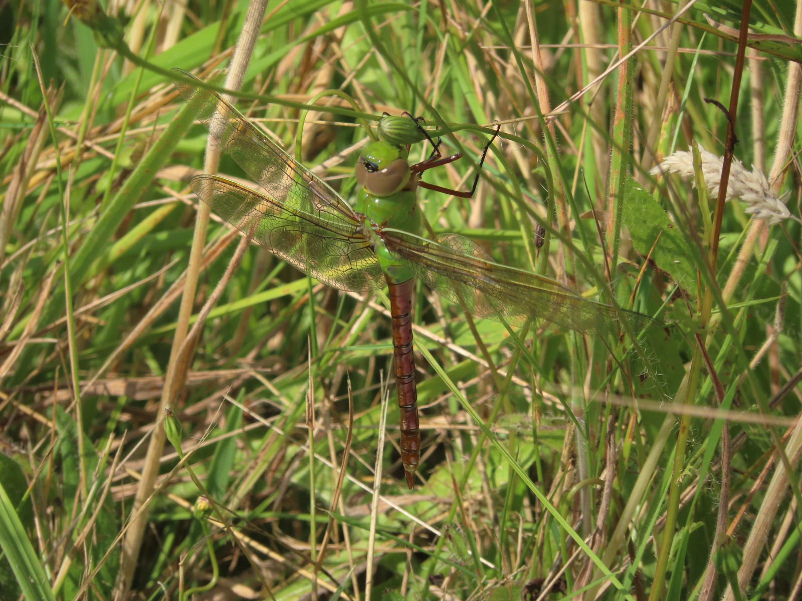 Dragon fly – E.E. Wilson Wildlife Area
 Dragon fly – Hemlock Lake
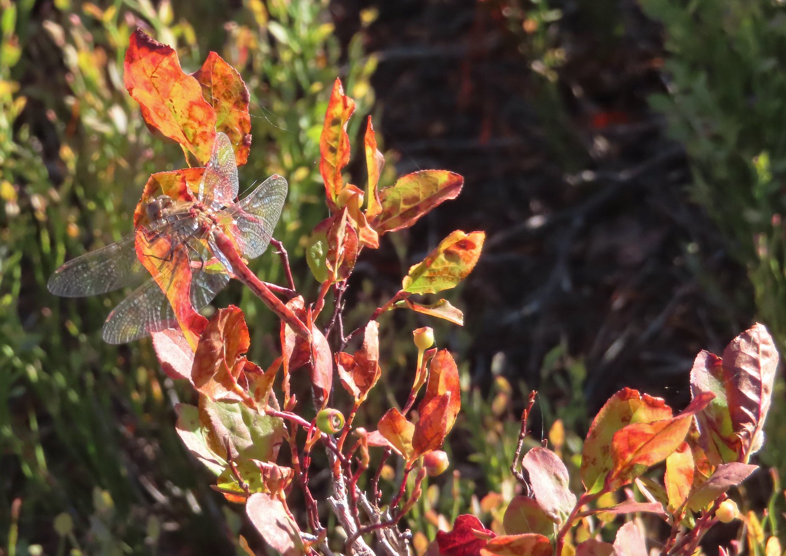 Dragon fly – Sky Lakes Wilderness
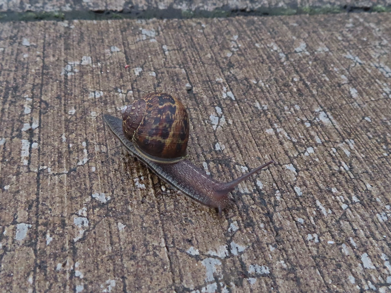 Snail – Rock Creek Trail
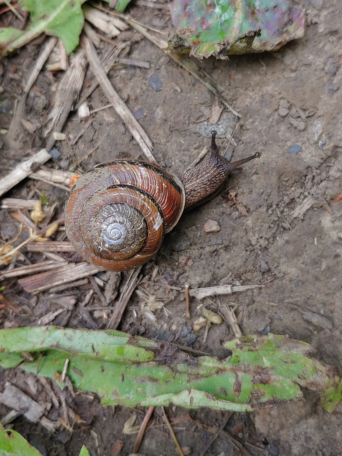 Snail – Applegate Lake
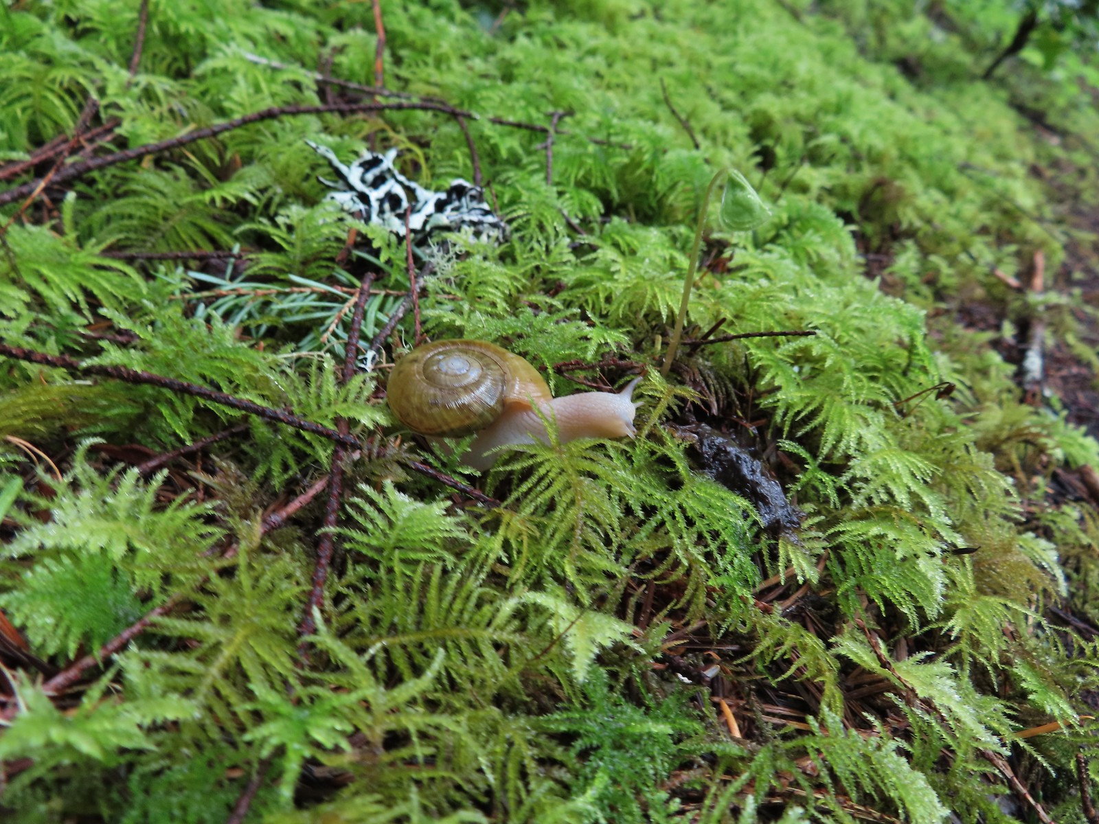 Snail – North Siouxon Trail
 Snail – Julia Hansen Butler Wildlife Refuge
 Snail – Siskiyou Wilderness
 Snail – Cascade Head
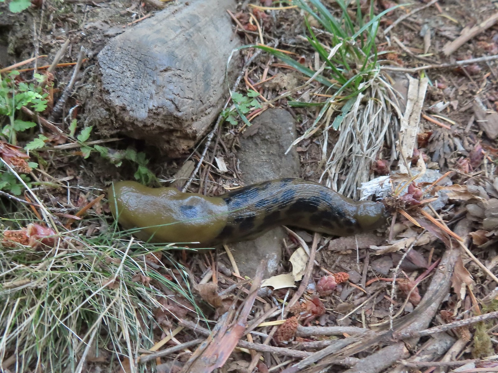 Slug – Larch Mountain Trail
 Slug (and a fly) – Susan Creek Trail
 Slug – Fish Lake
 Slug on lupine – Julia Butler Hansen Wildlife Refuge
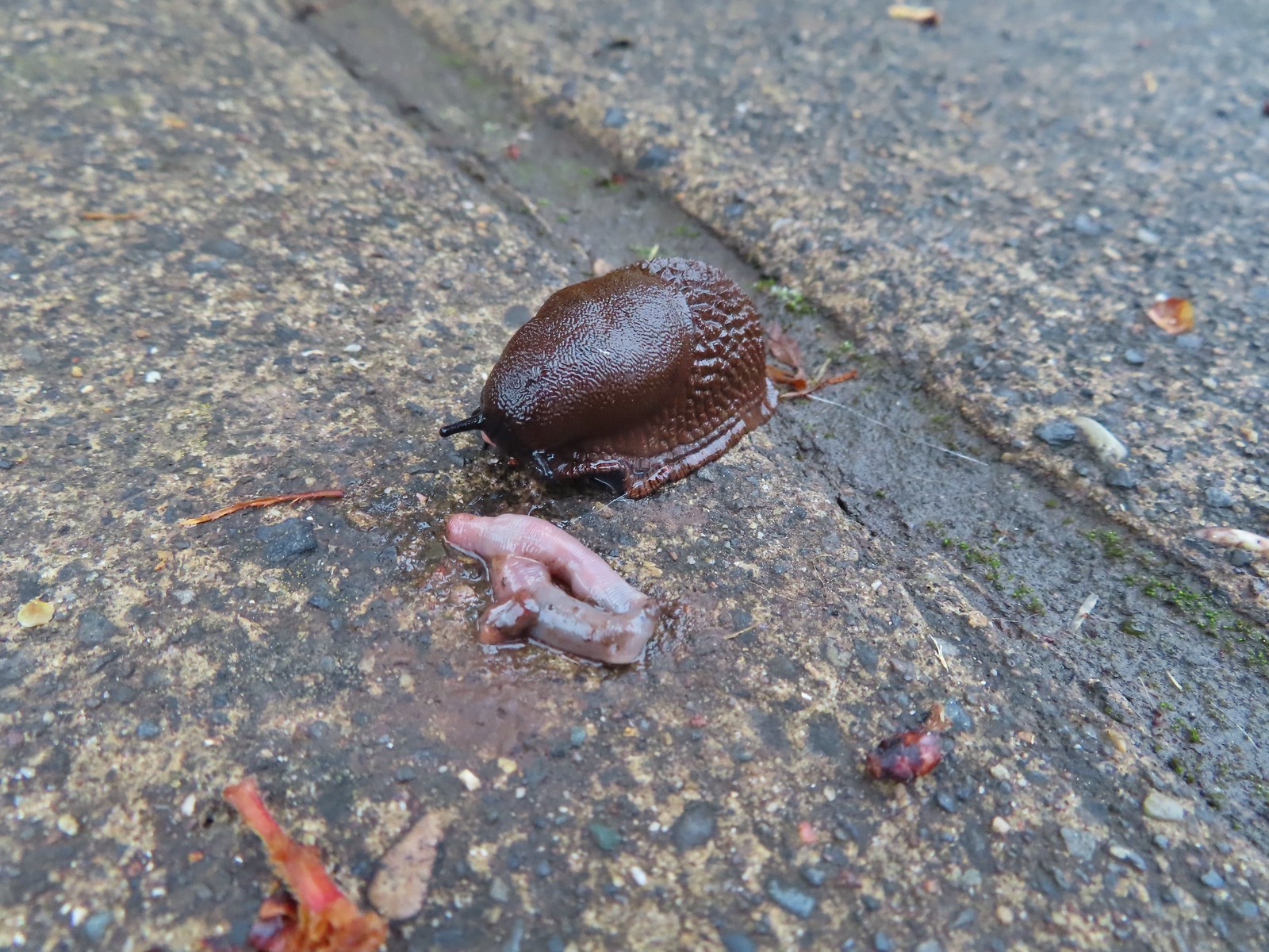 Slug and an unfortunate earth worm – Rock Creek Trail
 Worms – Chehalem Ridge Nature Park
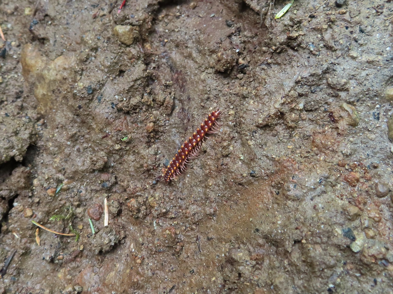 Millipede – North Siouxon Trail
 Millipede – Rock Creek Trail
 Millipede – Illahee Rock
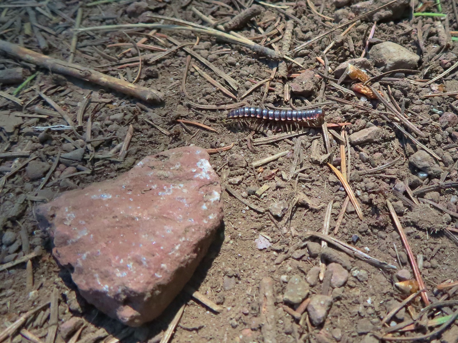 Millipede – Eagle Cap Wilderness
 Wet caterpillar – Yakona Nature Preserve
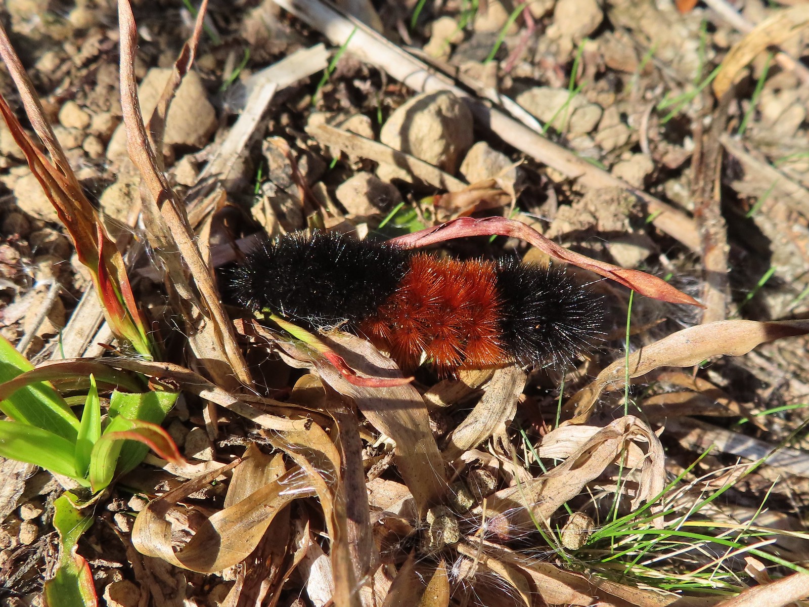 Dry version – Larch Mountain Trail
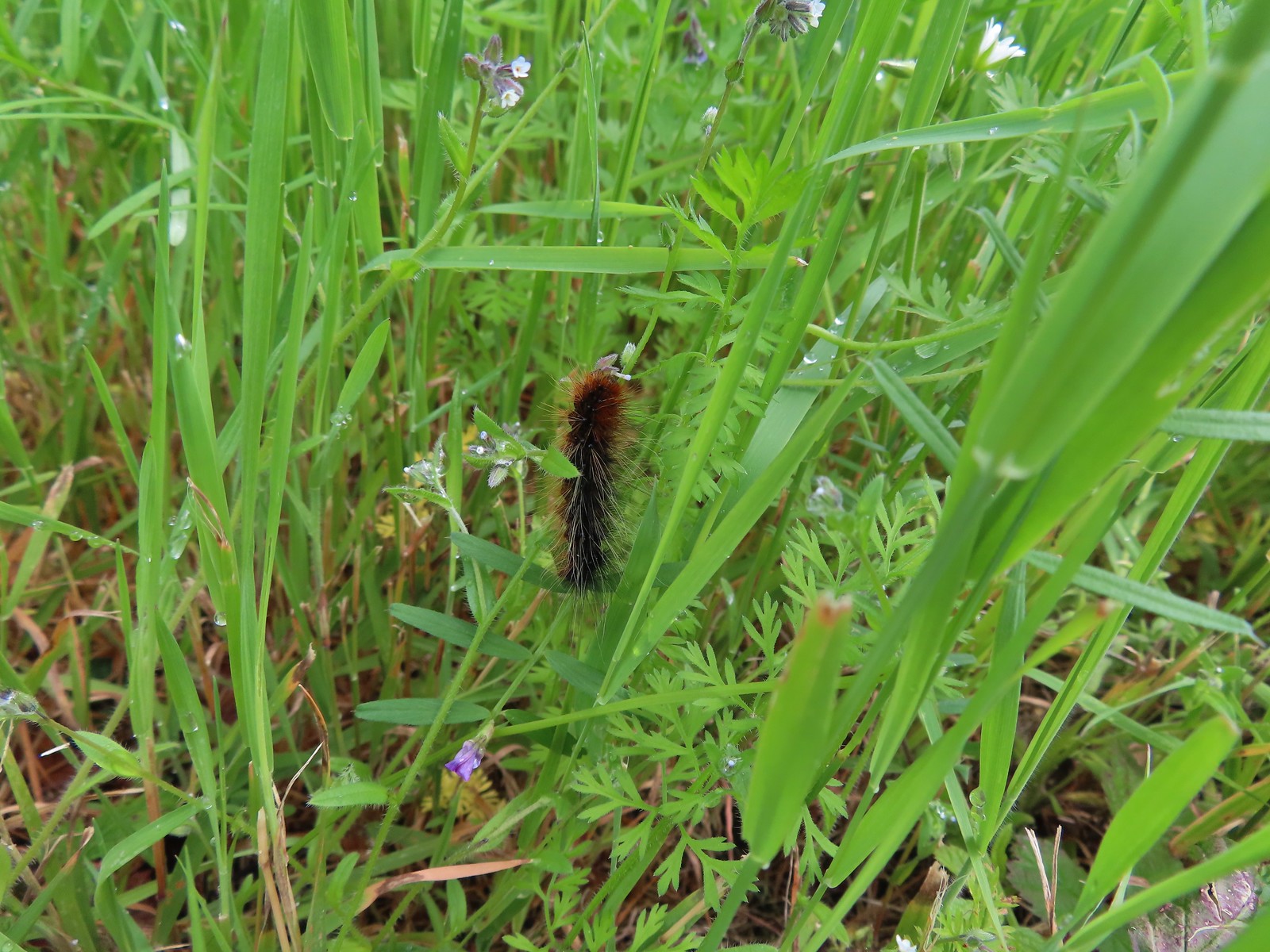 Caterpillar – Julia Butler Hansen Wildlife Refuge
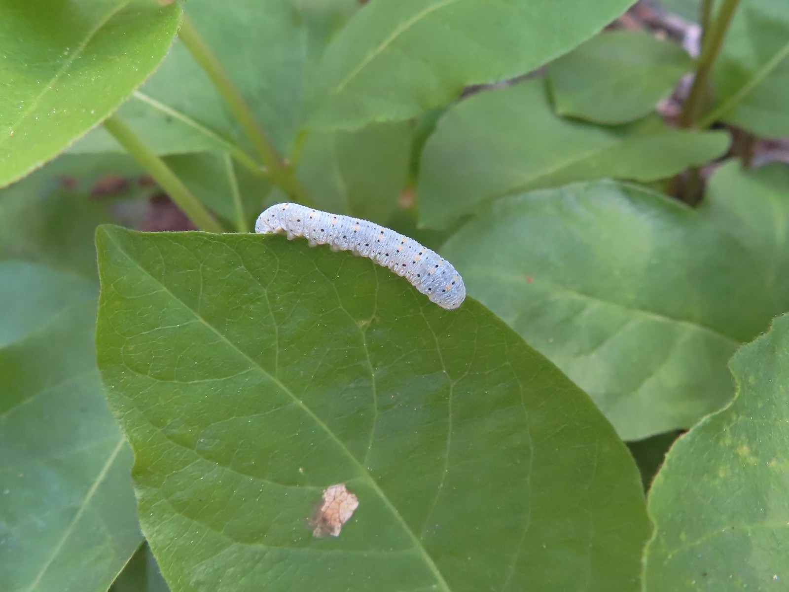 Caterpillar – Siskiyou Wilderness
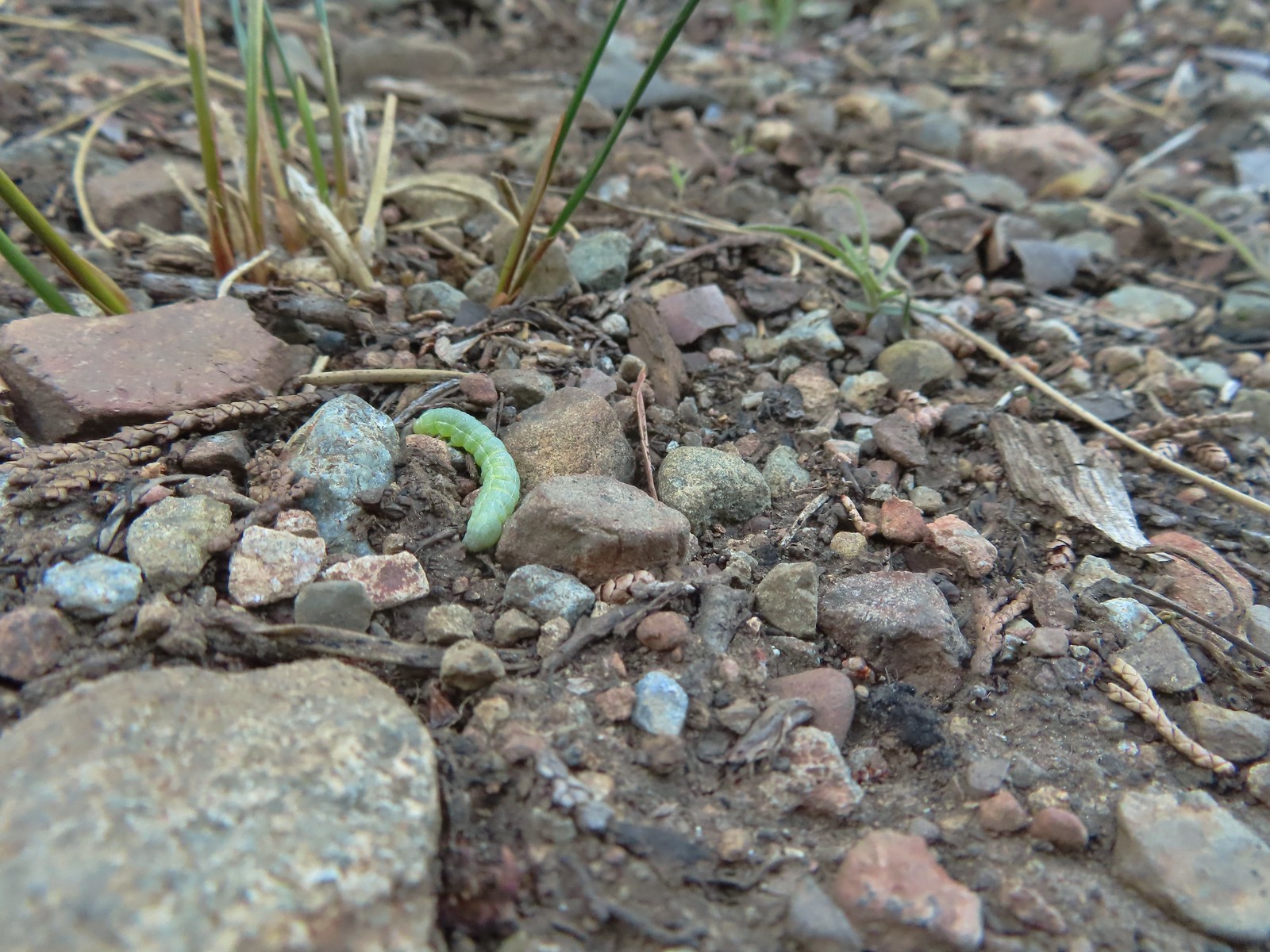 Caterpillar – Siskiyou Wilderness
 Caterpillar – Larch Mountain Trail
 Caterpillar – Larch Mountain Trail
 Caterpillar – Larch Mountain Trail
 Moth – Klickitat Trail
 Moth -Eagle Cap Wilderness
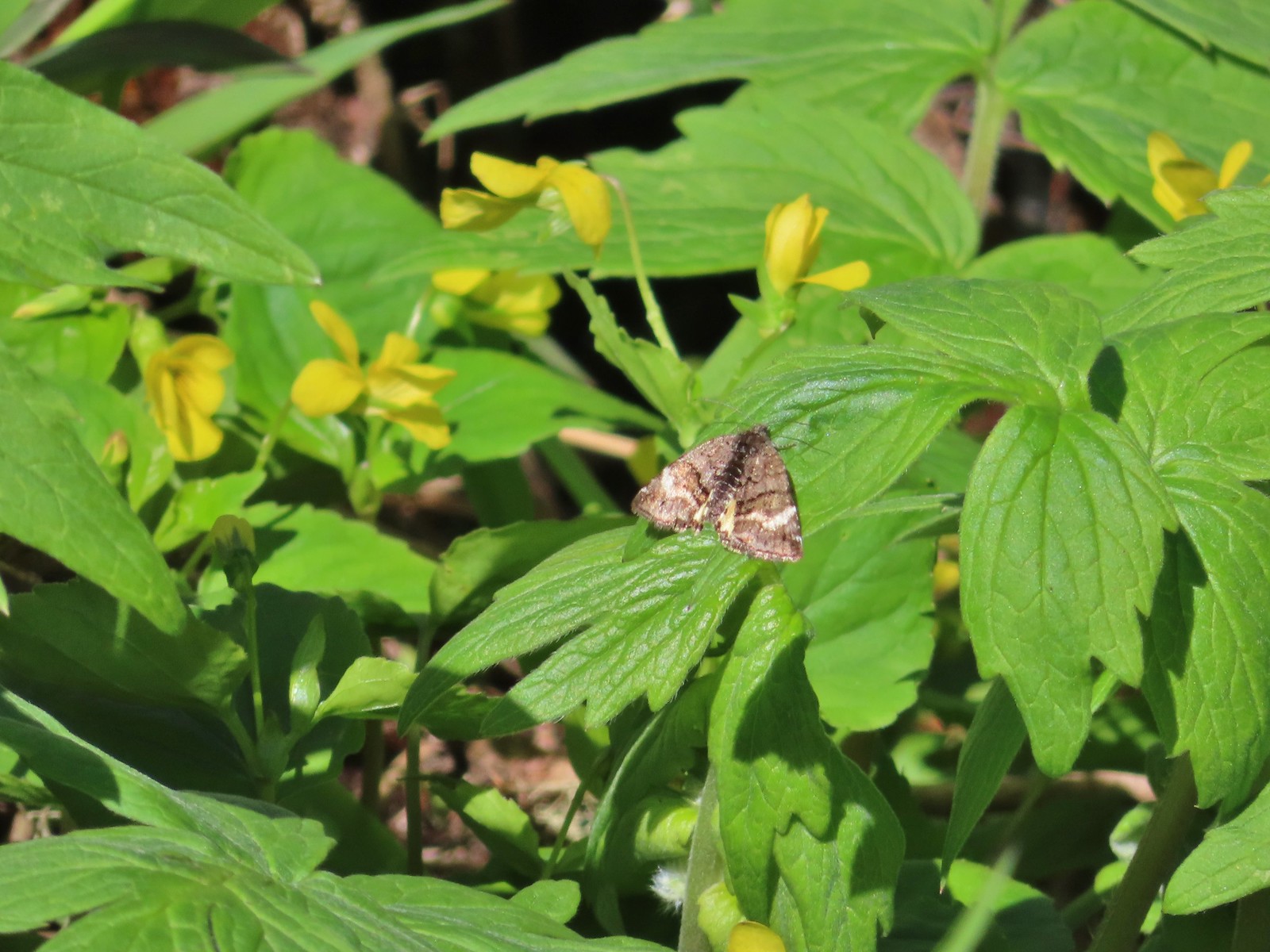 Moth – Twin Lakes
 Moth – Eagle Cap Wilderness
 Moth – Eagle Cap Wilderness
 Moth – Eagle Cap Wilderness
 Moth – Wolf Creek Falls Trail
 Moth – Cascade Head
 Propertius duskywing (Erynnis propertius) – Klickitat Trail
 Duskywing – Siskiyou Wilderness
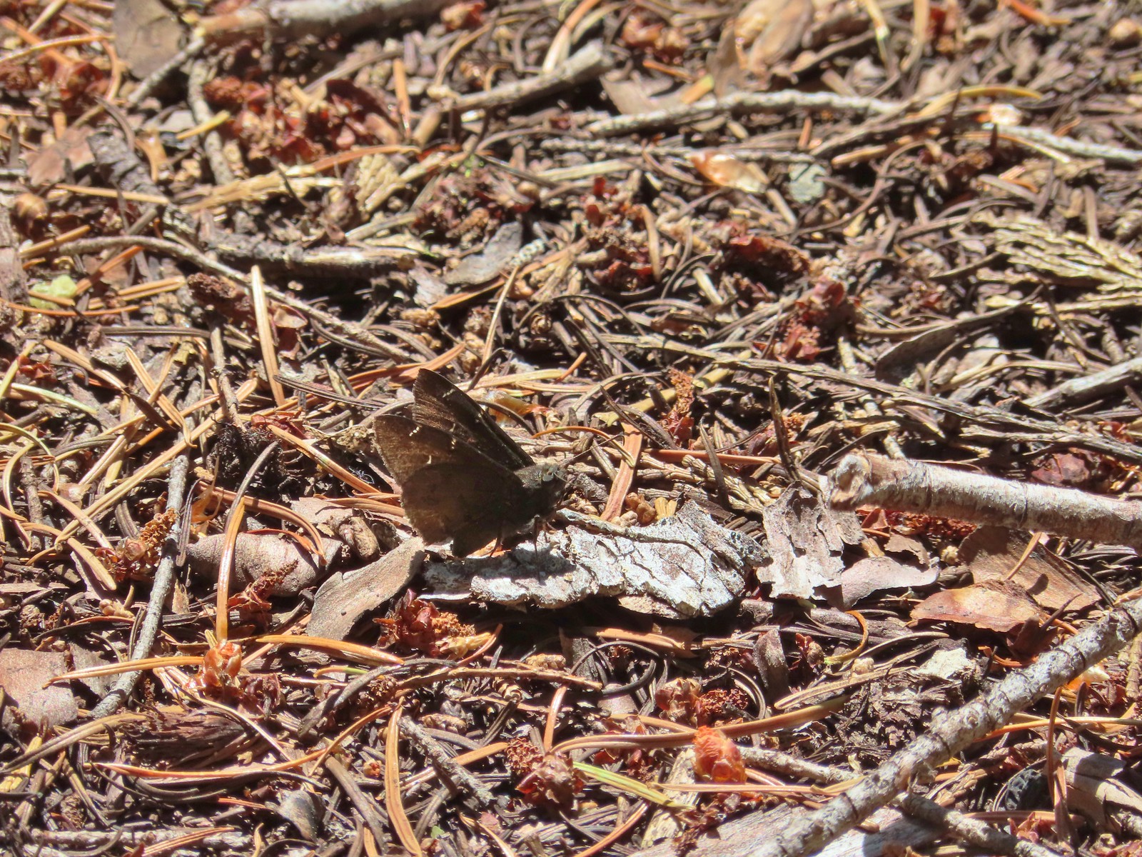 Northern Cloudywing? – Siskiyou Wilderness
 Silver-spotted skipper – Siskiyou Wilderness
 Skipper – Grizzly Peak
 Skipper – Rogue-Umpqua Divide Wilderness
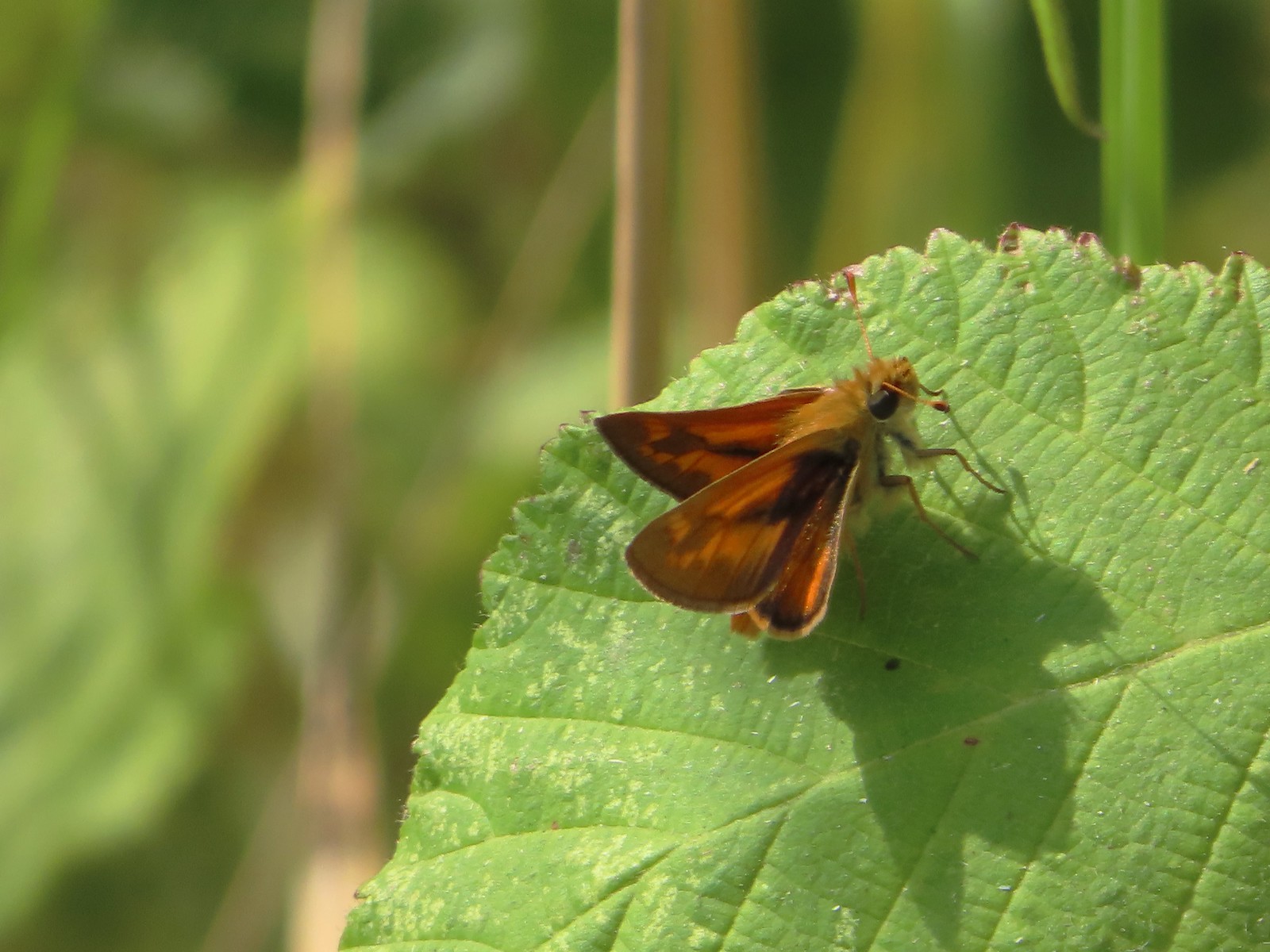 Skipper – E. E. Wilson Wildlife Area
 Hairstreak (bramble?) – Siskiyou Mountains
 Cedar hairstreak – Siskiyou Wilderness
 Hairstreak (possibly thicket) – Eagle Cap Wilderness
 Ochre ringlet – Jack Ash Trail
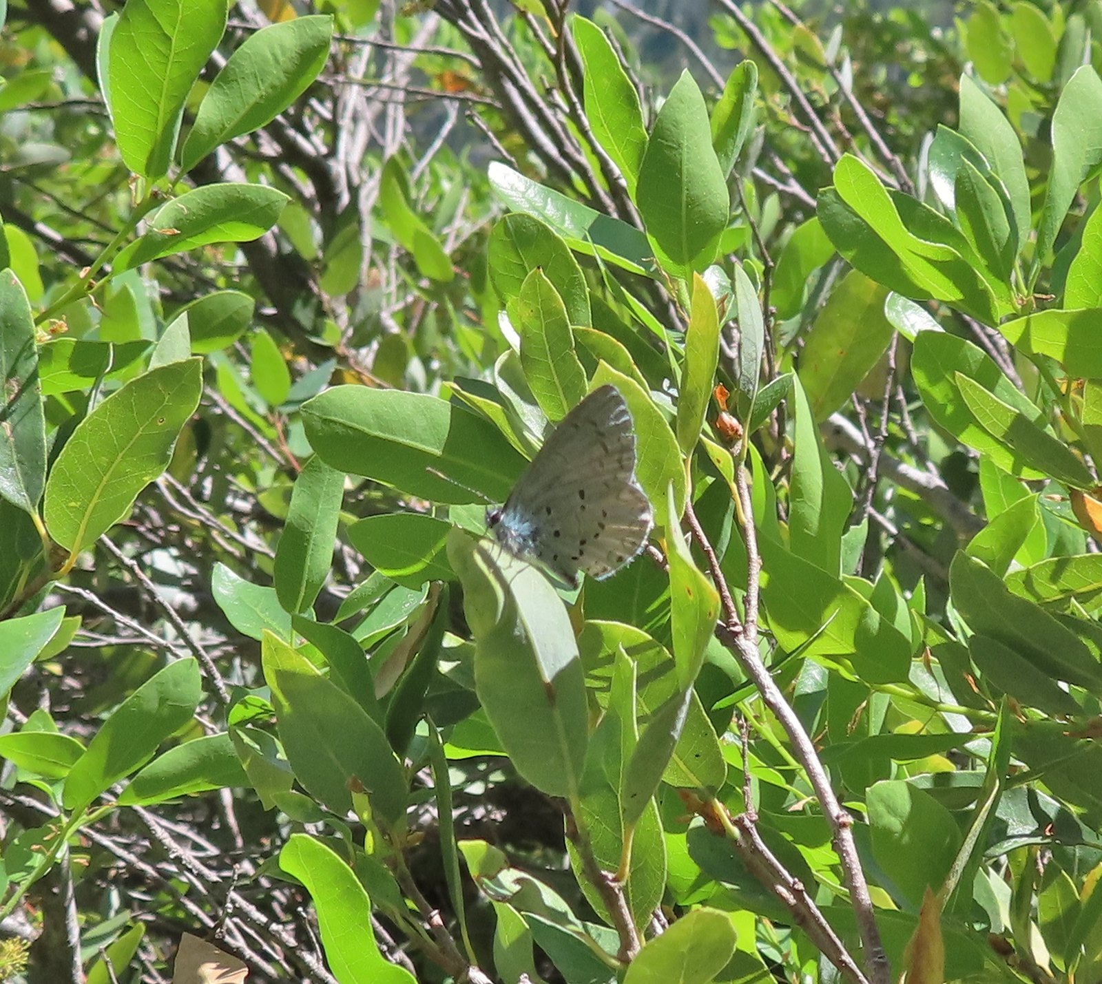 Butterfly – Siskiyou Wilderness
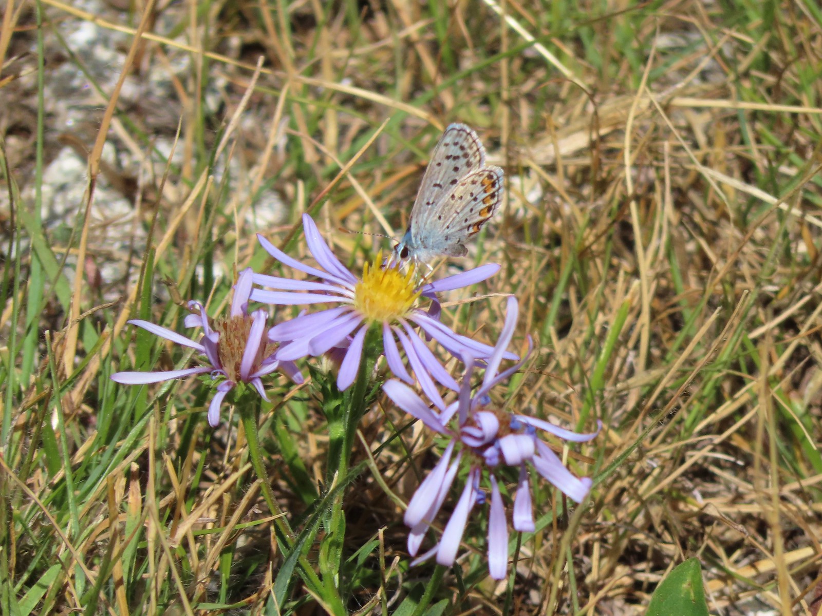 Butterfly – Trinity Alps Wilderness
 Butterfly – Trinity Alps Wilderness
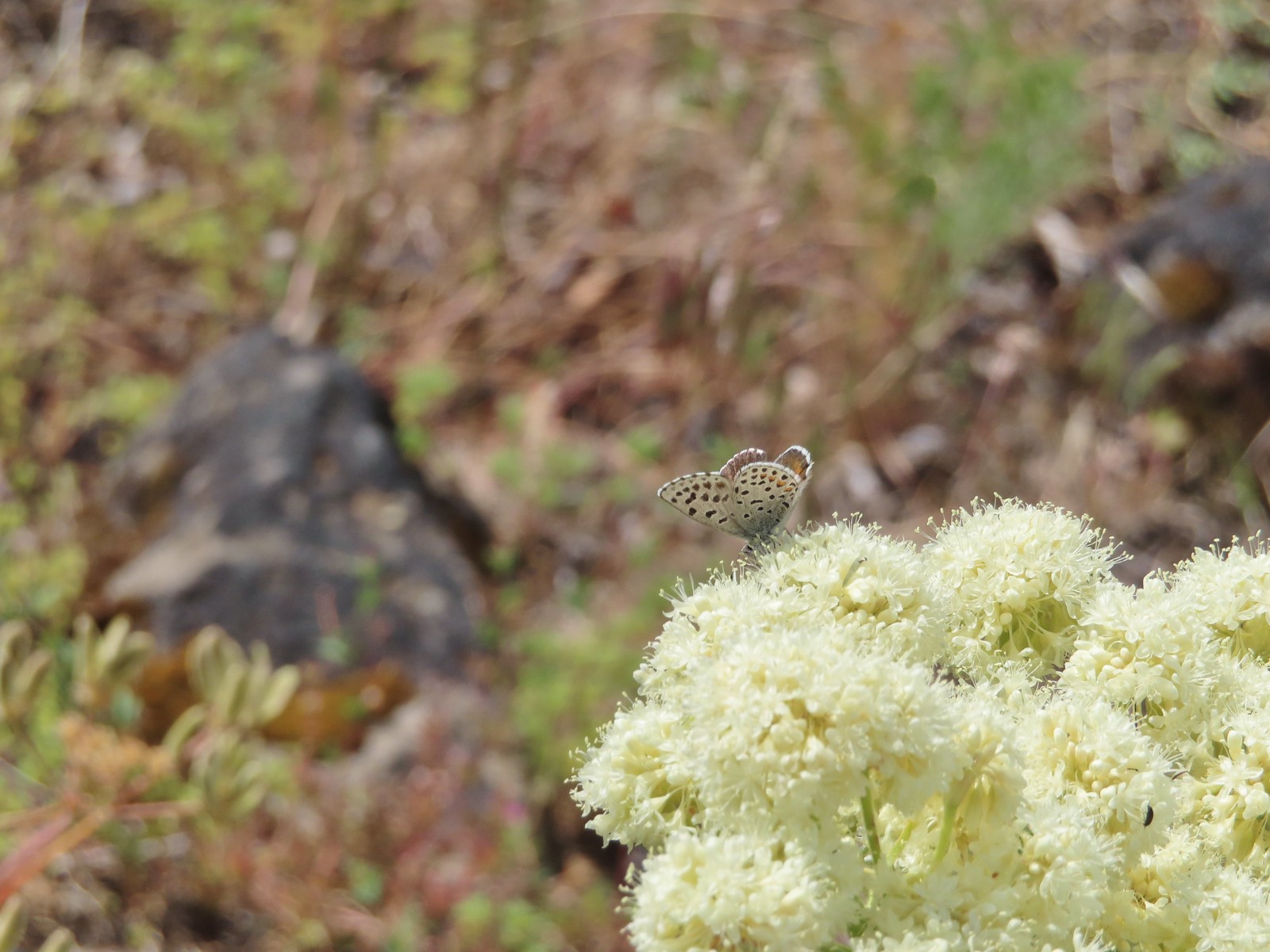 Butterfly – Upper Table Rock
 Butterfly – Mule Mountain
 Butterfly – Eagle Cap Wilderness
 Butterfly – Eagle Cap Wilderness
 Butterfly – Mt. Adams Wilderness
 Butterfly – Mt. Adams Wilderness
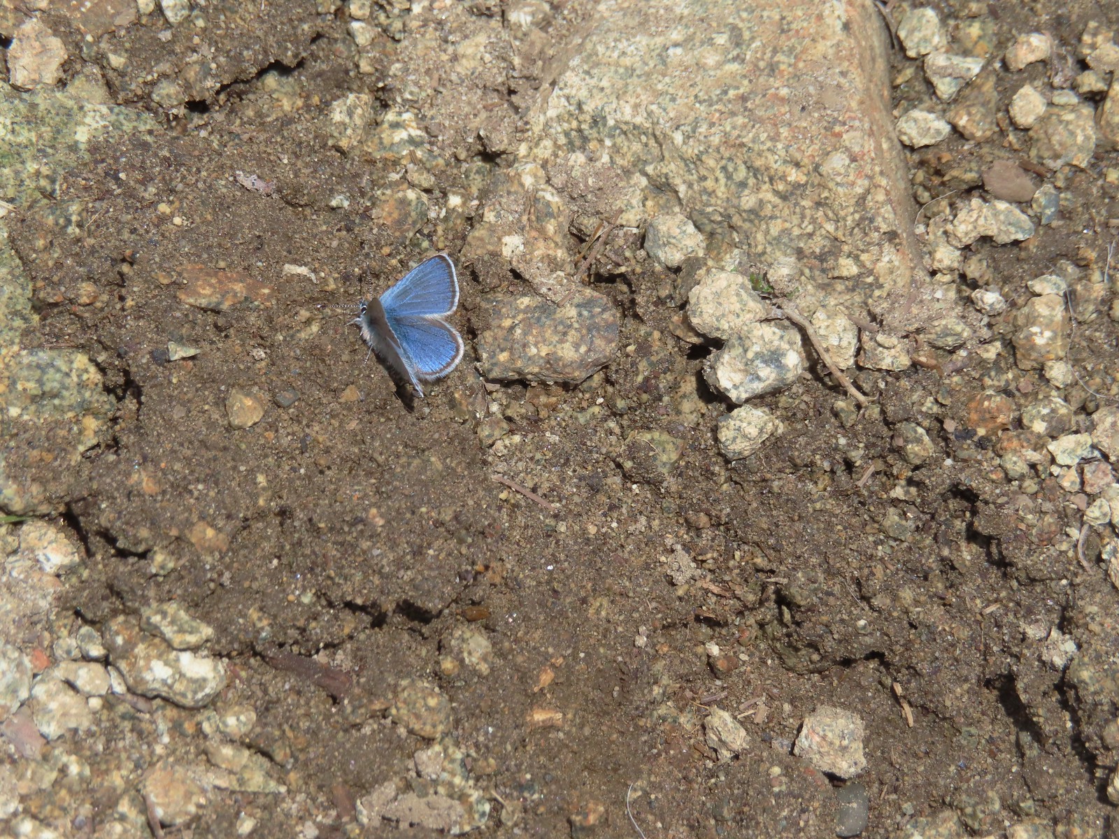 Butterfly – Mt. Ireland
 Butterfly – Trinity Alps Wilderness
 Butterfly – Silver Star Mountain
 Butterfly – Russian Wilderness
 Butterfly – Trinity Alps Wilderness
 Sara’s orangetip – Klickitat Trail
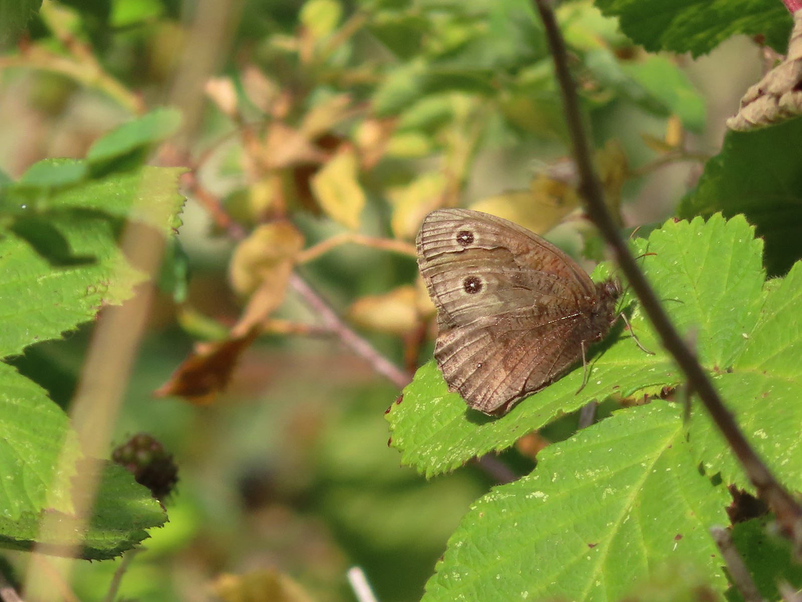 Common woodnymph – E. E. Wilson Wildlife Area
 Another woodnymph – Rogue-Umpqua Divide Wilderness
 Orange sulphur – Siskiyou Wilderness
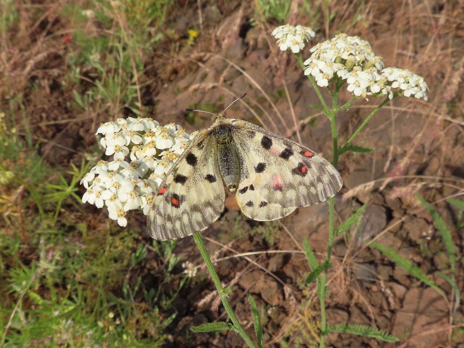 Mountain parnassian – Eagle Cap Wilderness
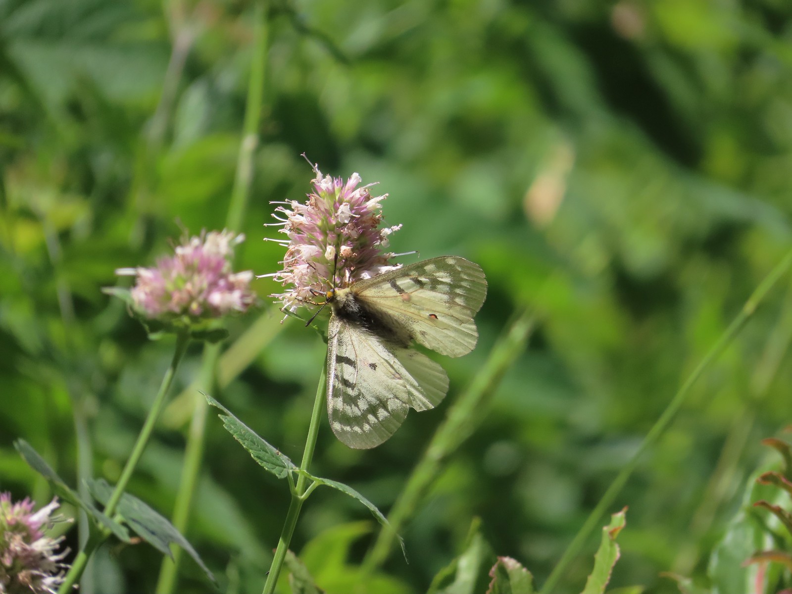 Clodius parnassian – Hemlock Lake
 Western white? – Eagle Cap Wilderness
 Western white – Trinty Alps Wilderness
 Pine white – Russian Wilderness
 Butterfly – Eagle Cap Wilderness
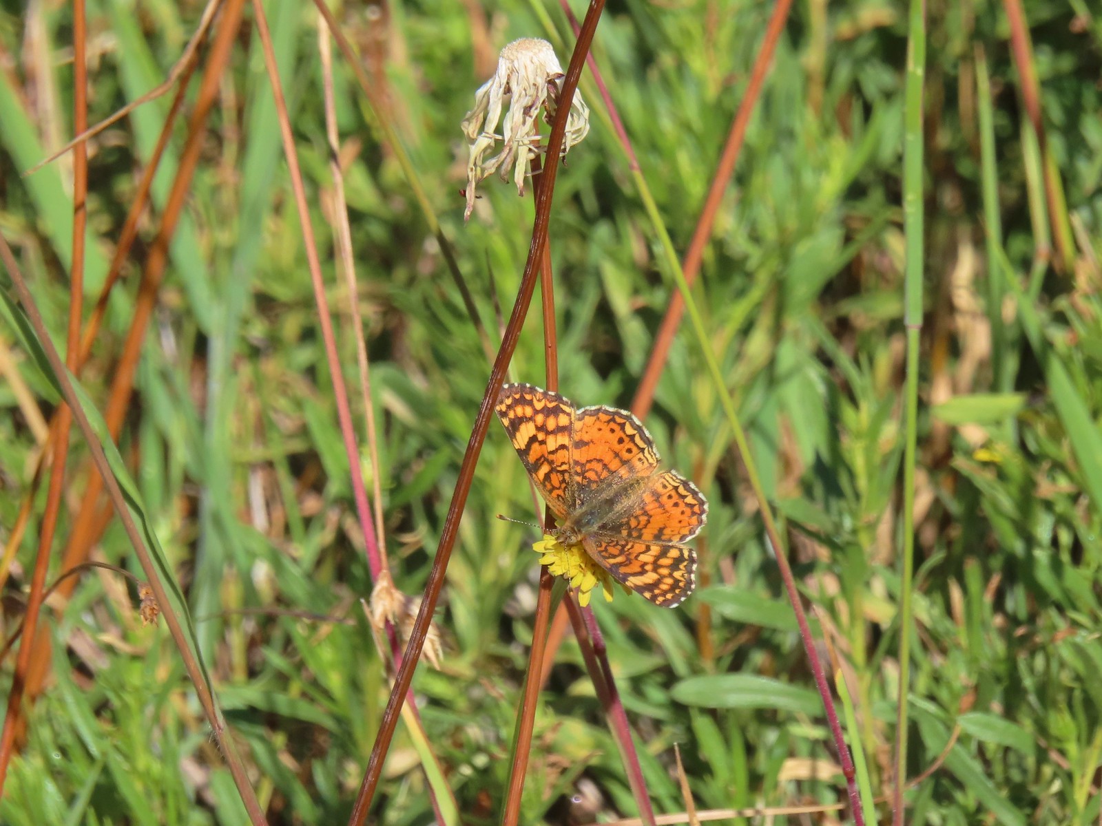 Butterfly – Russian Wilderness
 Butterfly – Mt. Adams Wilderness
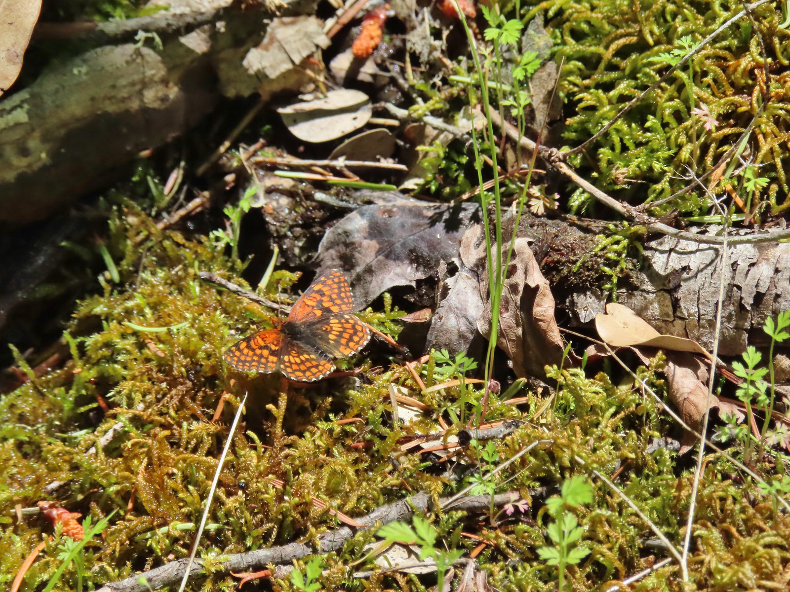 Butterfly – Mule Mountain
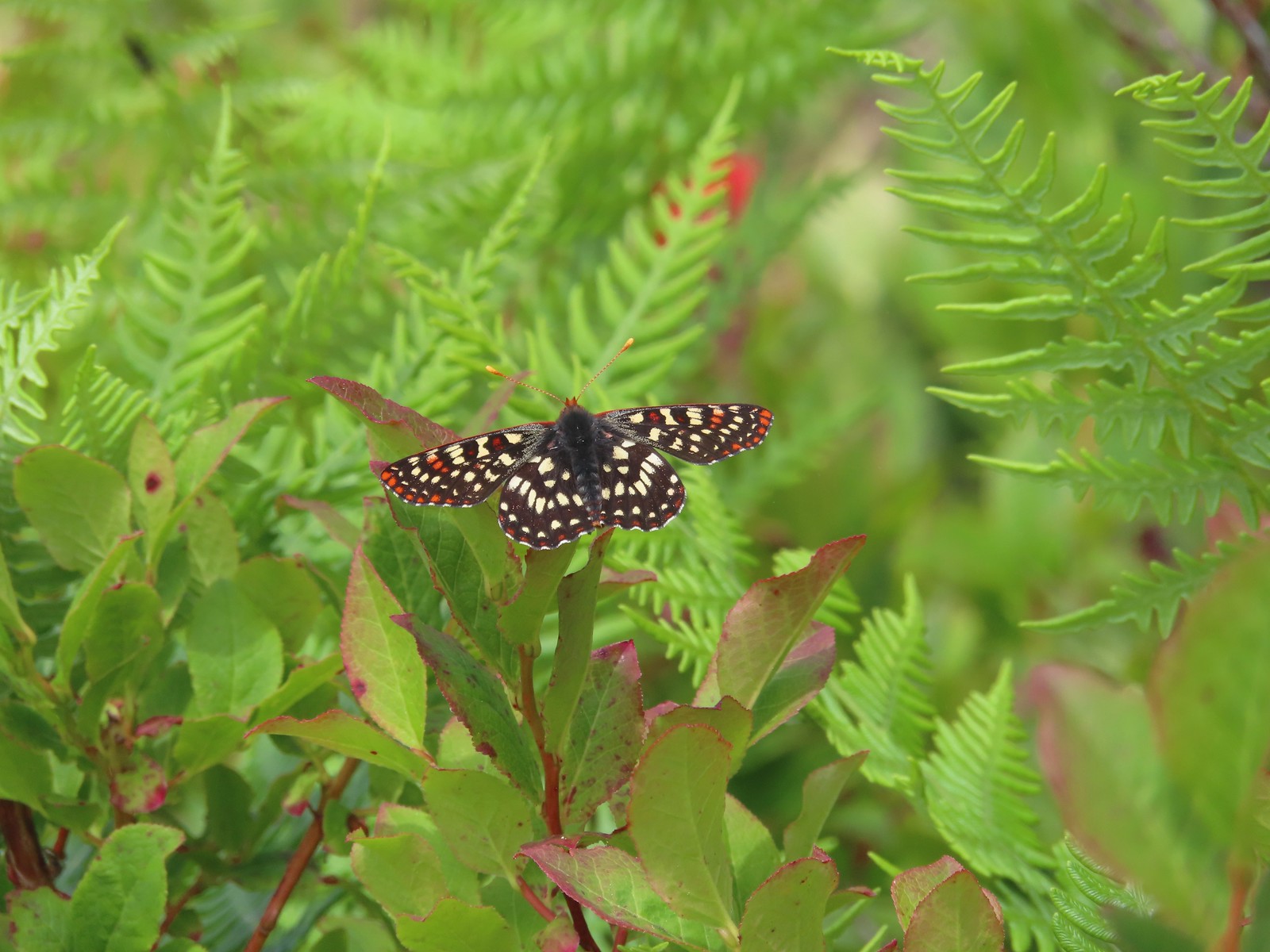 Butterfly – Silver Star Mountain
 Butterfly – Silver Star Mountain
 Butterfly – Silver Star Mountain
 Western meadow fritillary? – Silver Star Mountain
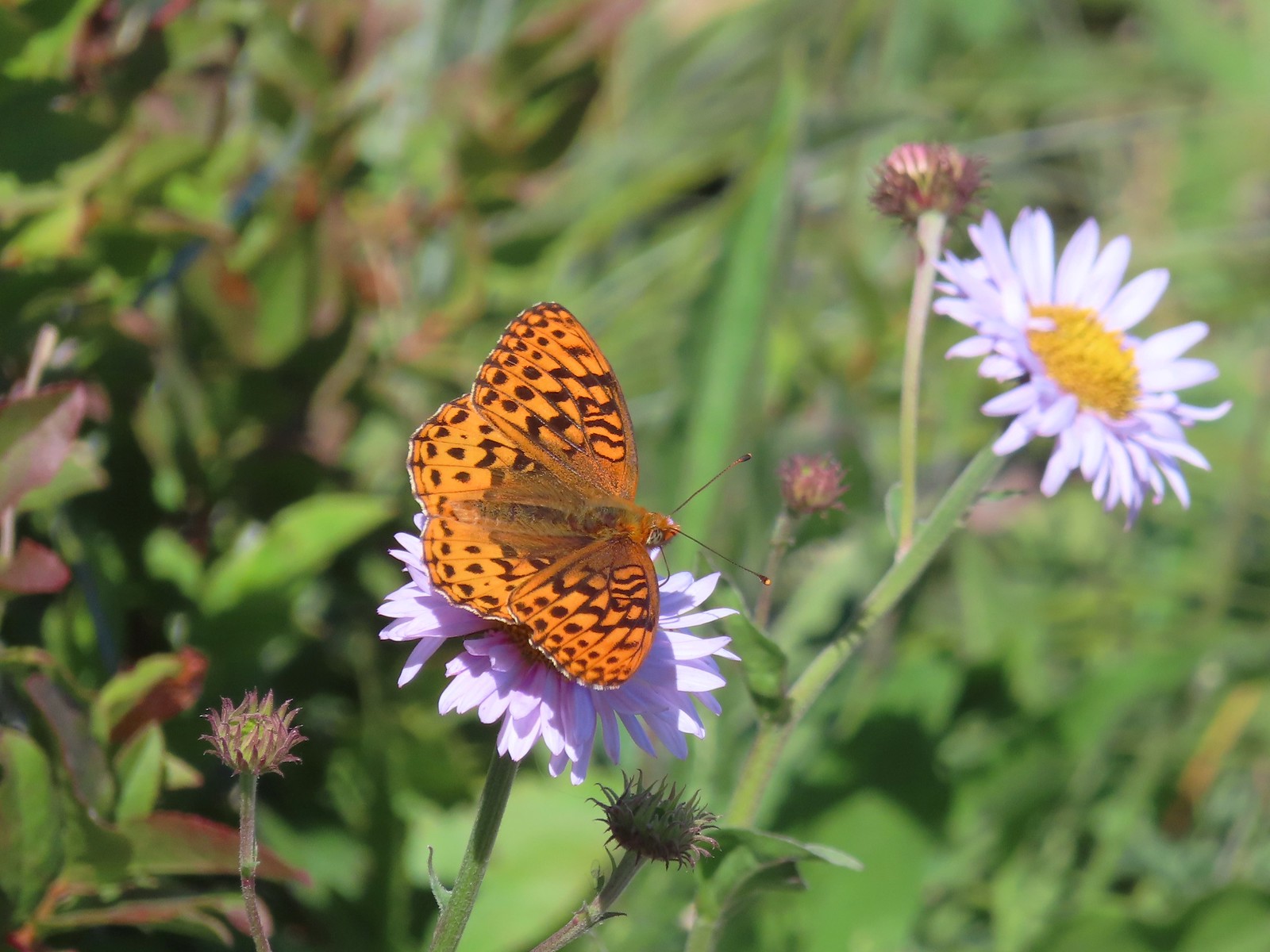 A fritillary – Silver Star Mountain
 A fritillary – Trinity Alps Wilderness
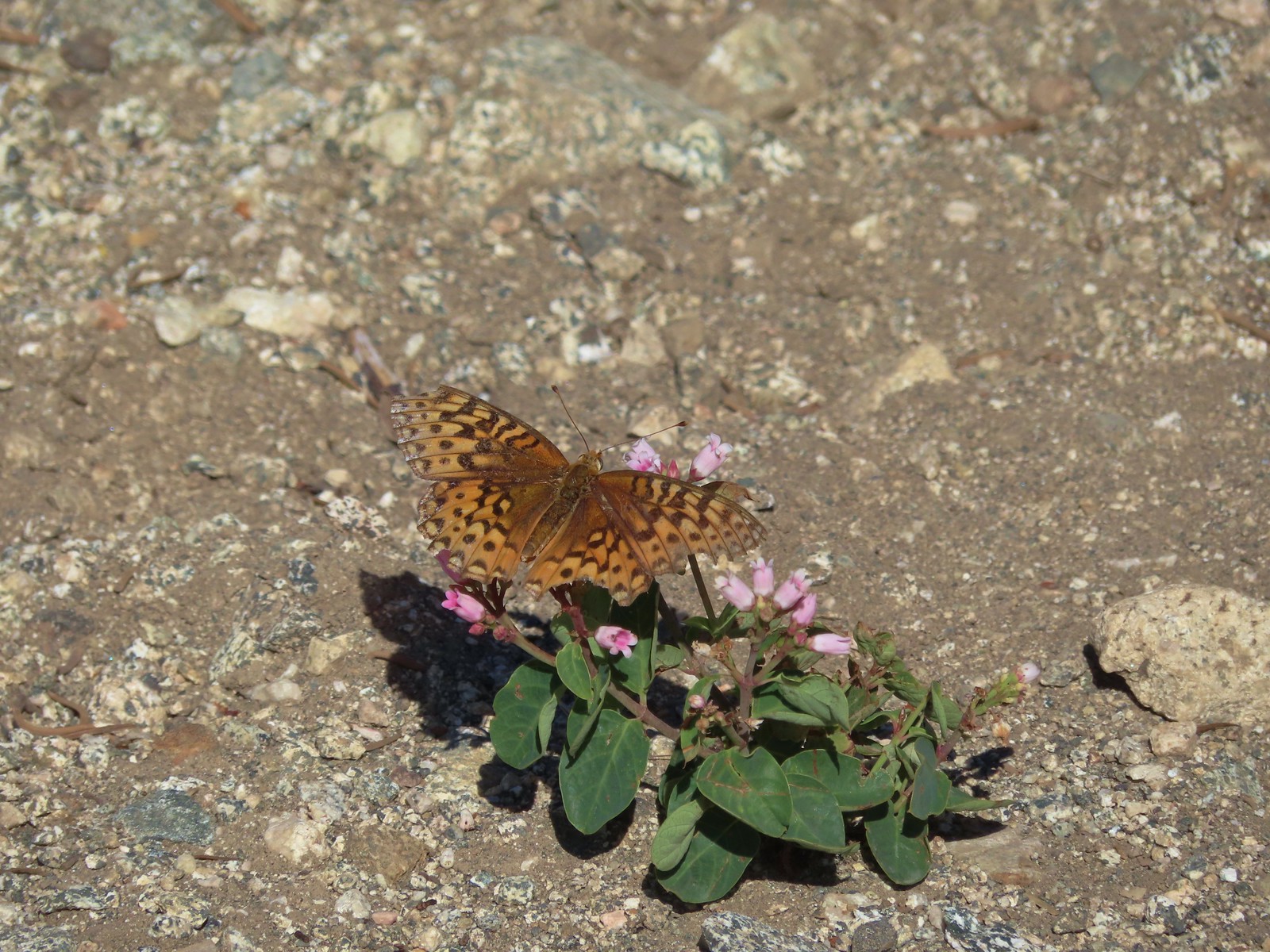 A fritillary -Russian Wilderness
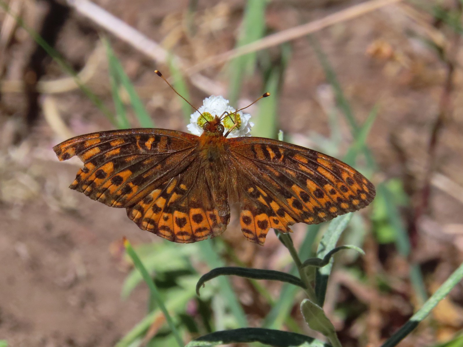 A fritillary – Rogue-Umpqua Divide Wilderness
 Mourning cloak – Klickitat Trail
 California tortoiseshell – Siskiyou Wilderness
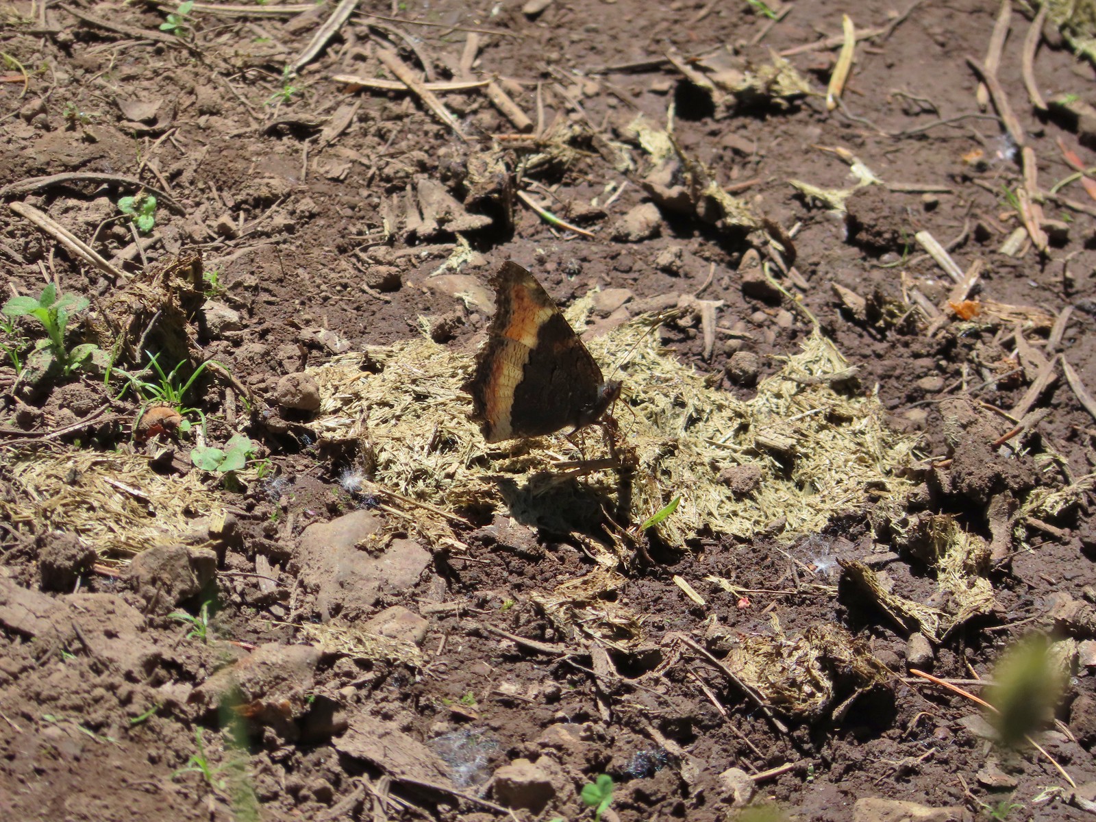 Milbert’s tortoiseshell – Eagle Cap Wilderness
 Lorquin’s admiral – Eagle Cap Wilderness
 Common buckeye – Mt. Shasta Wilderness
 Hoary comma – Sky Lakes Wilderness
 Green comma? – Eagle Cap Wilderness
 Klickitat Trail
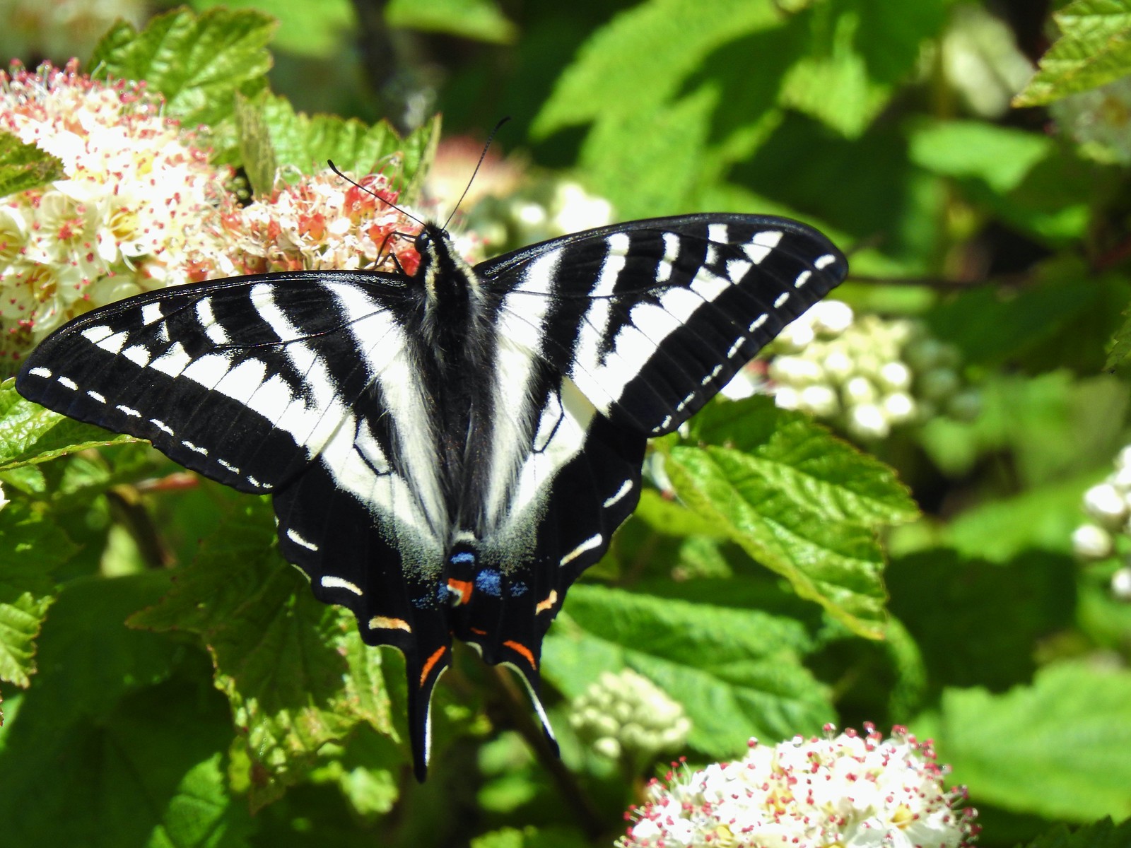 Julia Butler Hanson Wildlife Refuge
 Eagle Cap Wilderness
 Tadpoles – Russian Wilderness
 Tadpole transforming – Mt. Adams Wilderness
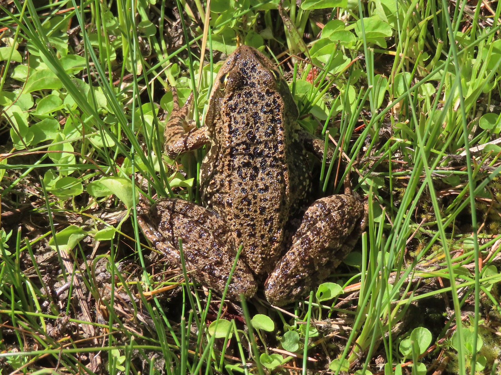 Frog – Russian Wilderness
 Frog – Goat Marsh Lake
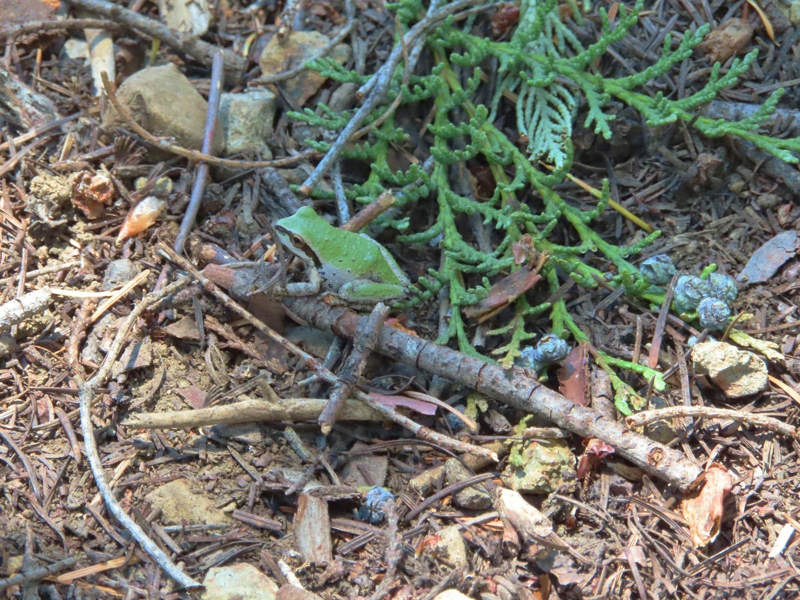 Tree frog – Siskiyou Wilderness
 Frog – Trinity Alps Wilderness
 Toad – Trinity Alps Wilderness
 Toad – Mt. Jefferson Wilderness
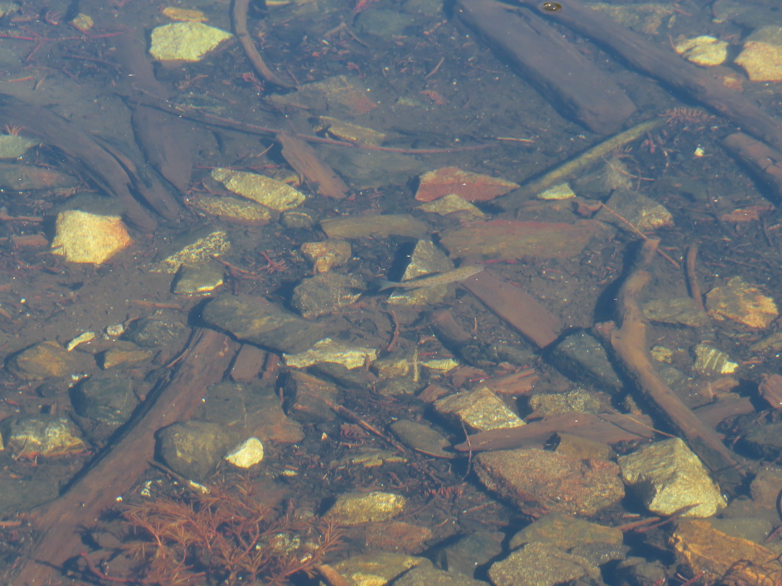 Fish – Siphon Lake
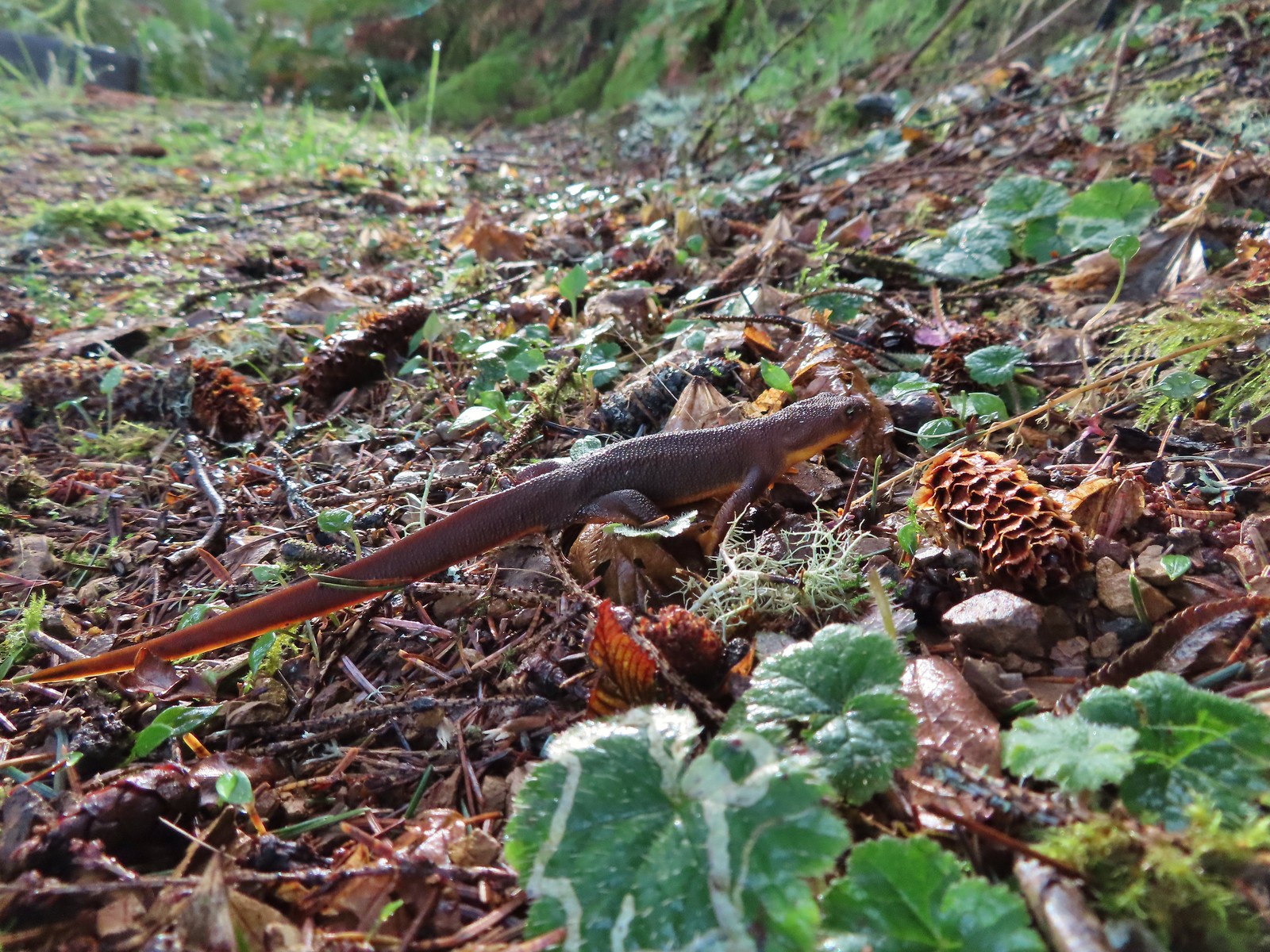 Rough skinned newt – Yakona Nature Preserve
 Western painted turtle – Julia Hansen Butler Wildlife Refuge
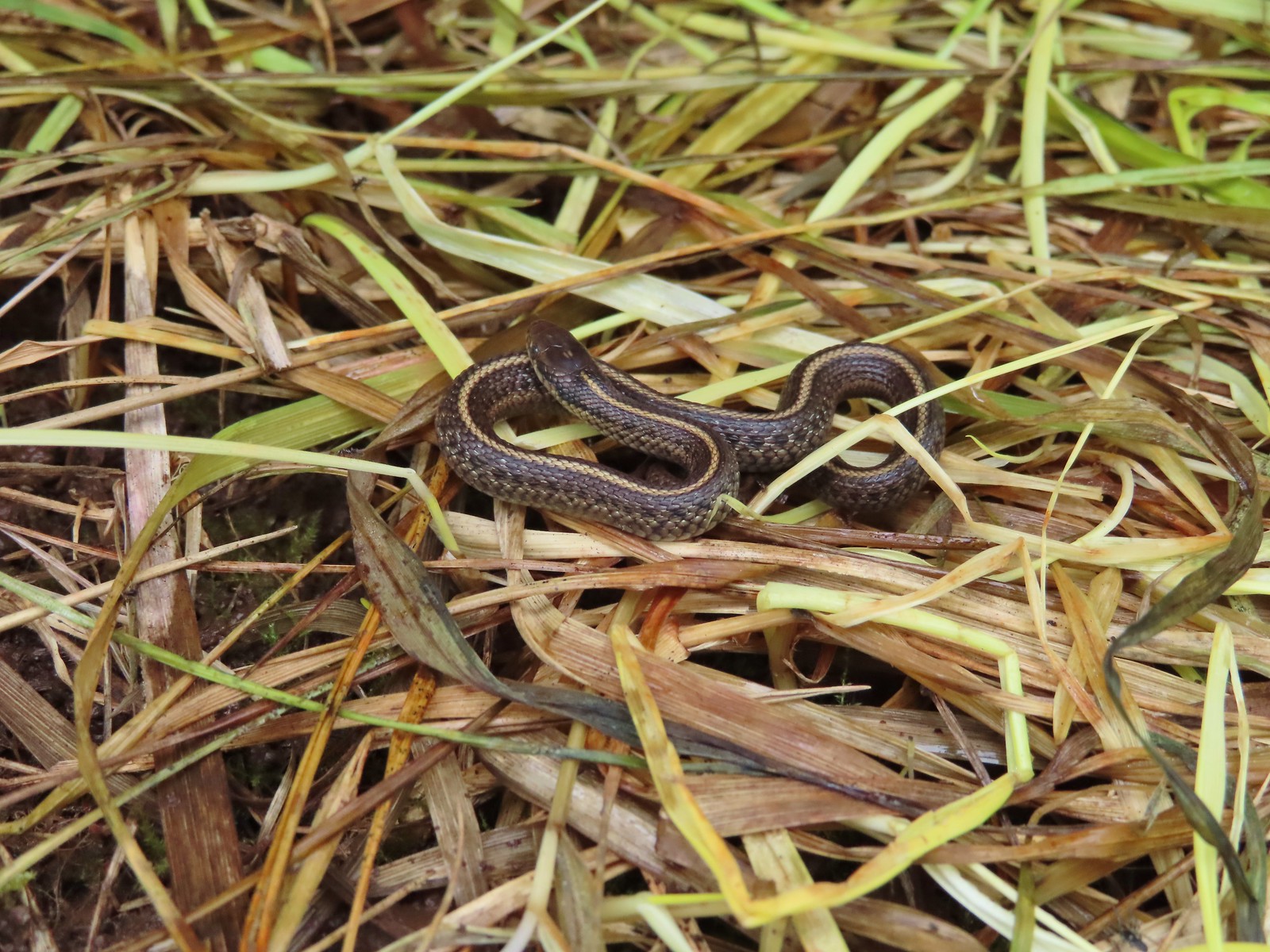 Baby snake – Miller Woods
 Garter snake – Julia Hansen Butler Wildlife Refuge
 Lizard – Mule Mountain
 Lizard – Upper Table Rock
 Lizard – Russian Wilderness
 Lizard – Siskiyou Wilderness
 Lizard – Klickitat Trail
 Lizard – Upper Table Rock
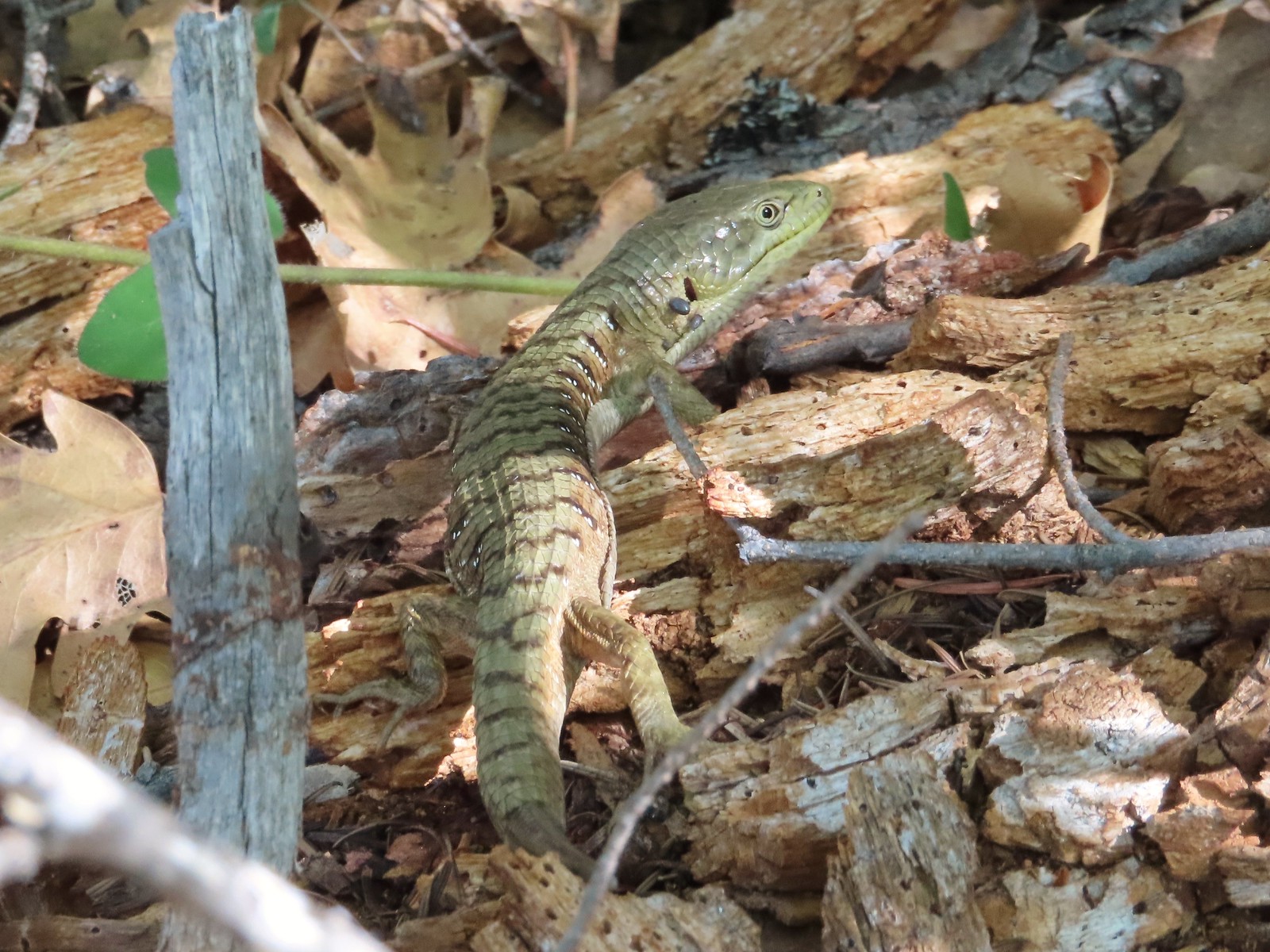 Alligator lizard – Mule Mountain
 Chipmunk – Observation Peak
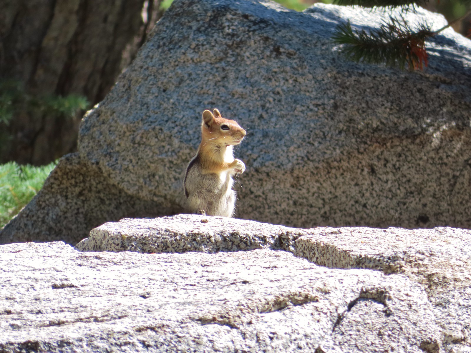 Ground squirrel – Russian Wilderness
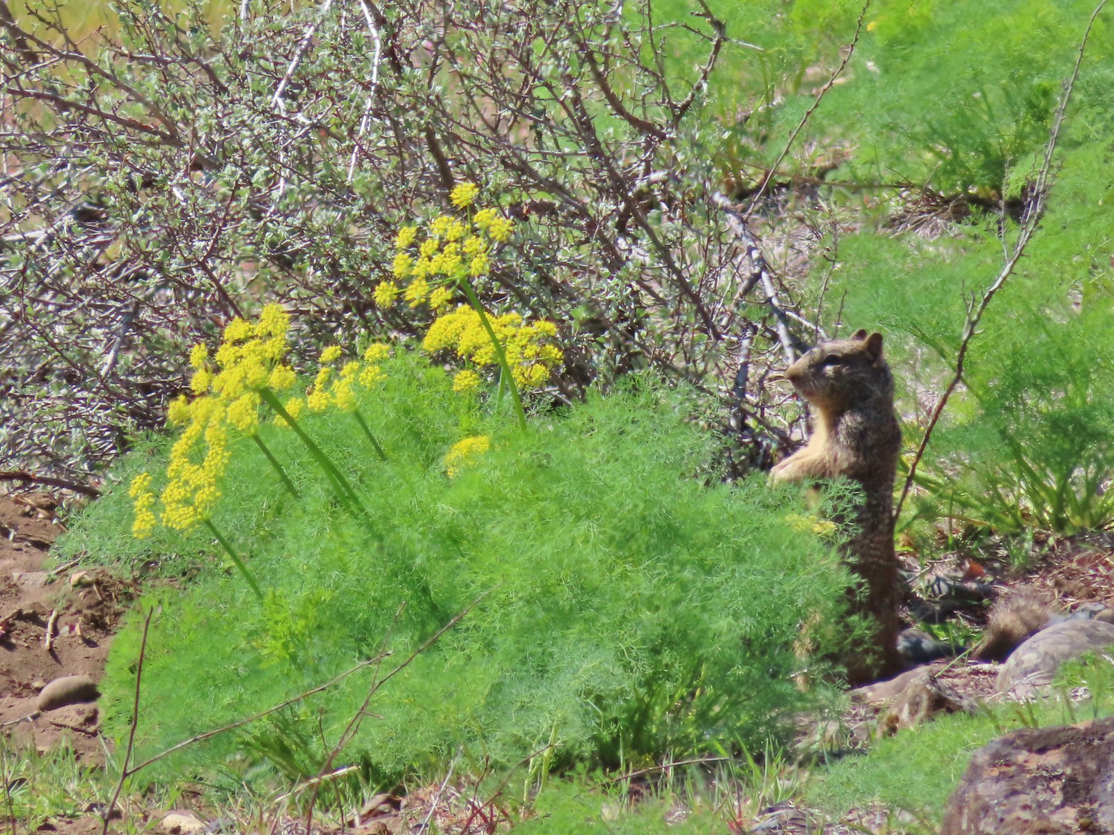 Ground squirrel – Klickitat Trail
 Ground squirrel – Eagle Cap Wilderness
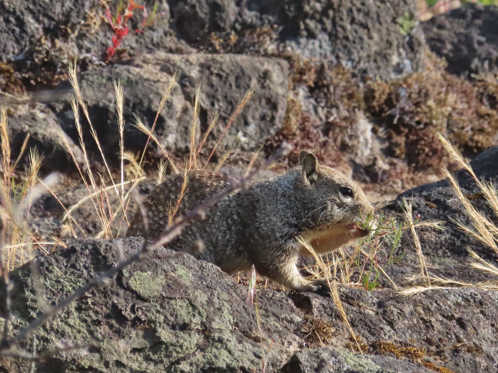 Ground squirrel – Upper Table Rock
 Squirrel – Rock Creek Trail
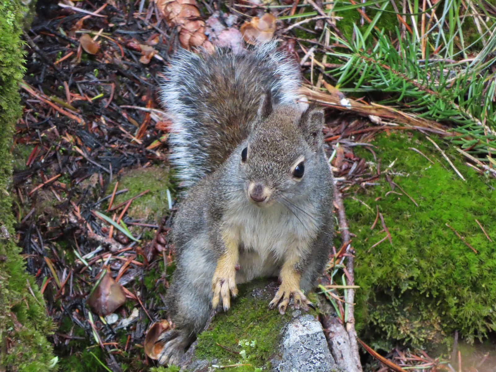 Squirrel – Twin Lakes
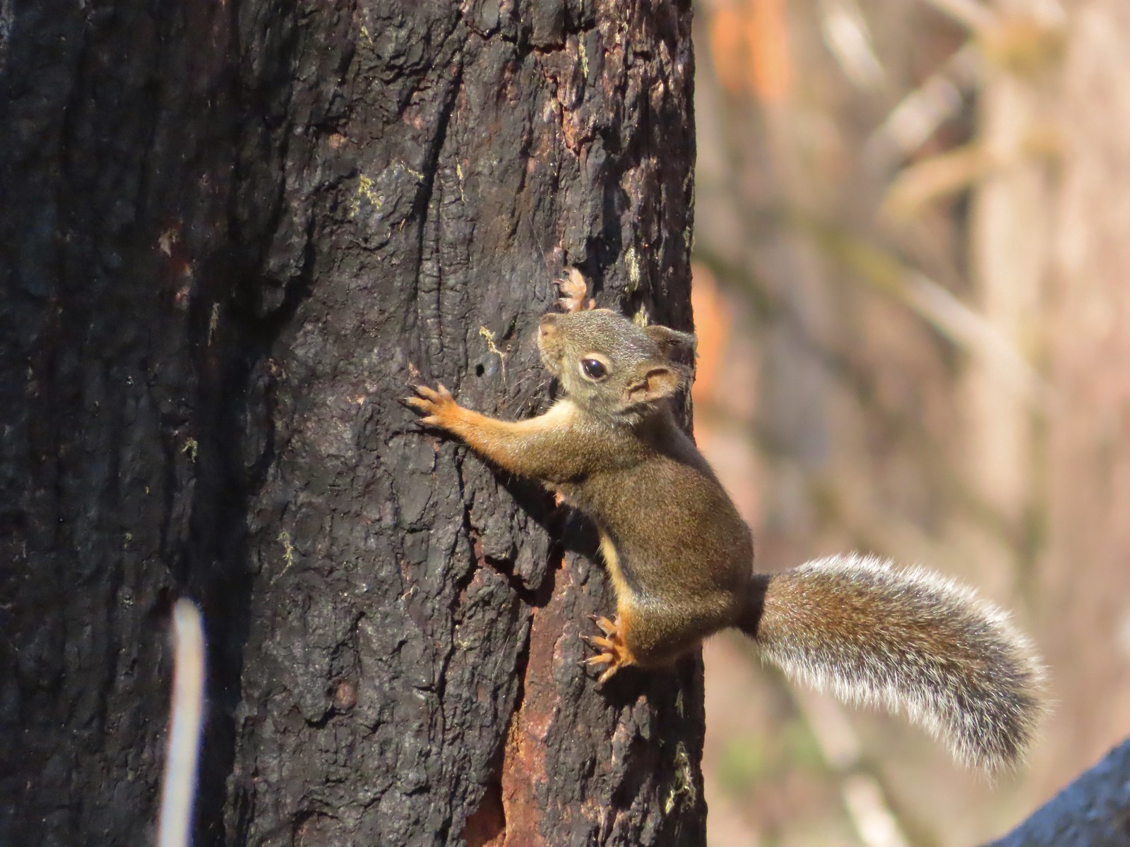 Squirrel – Larch Mountain Trail
 Marmot – Wallowa Homeland
 Jack rabbit – Denman Wildlife Area
 Rabbit – E. E. Wilson Wildlife Area
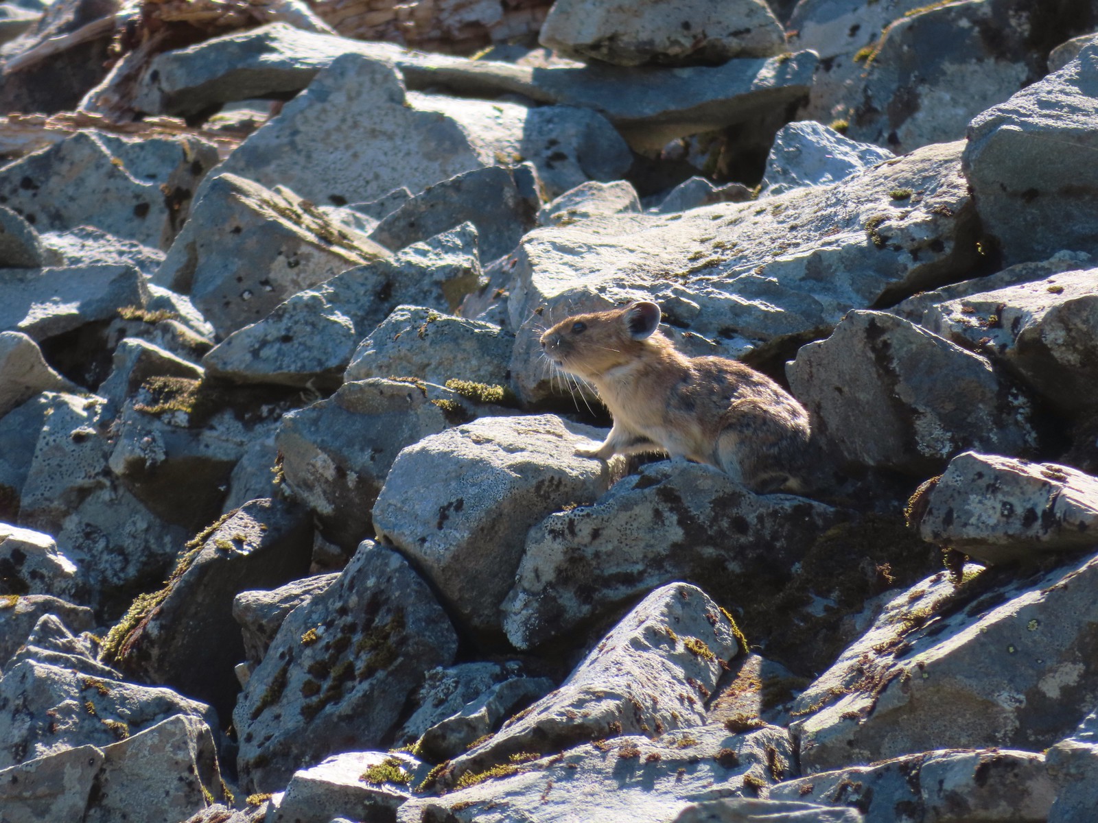 Pika – Silver Star Mountain
 Muskrat – Julia Butler Hansen – Wildlife Refuge
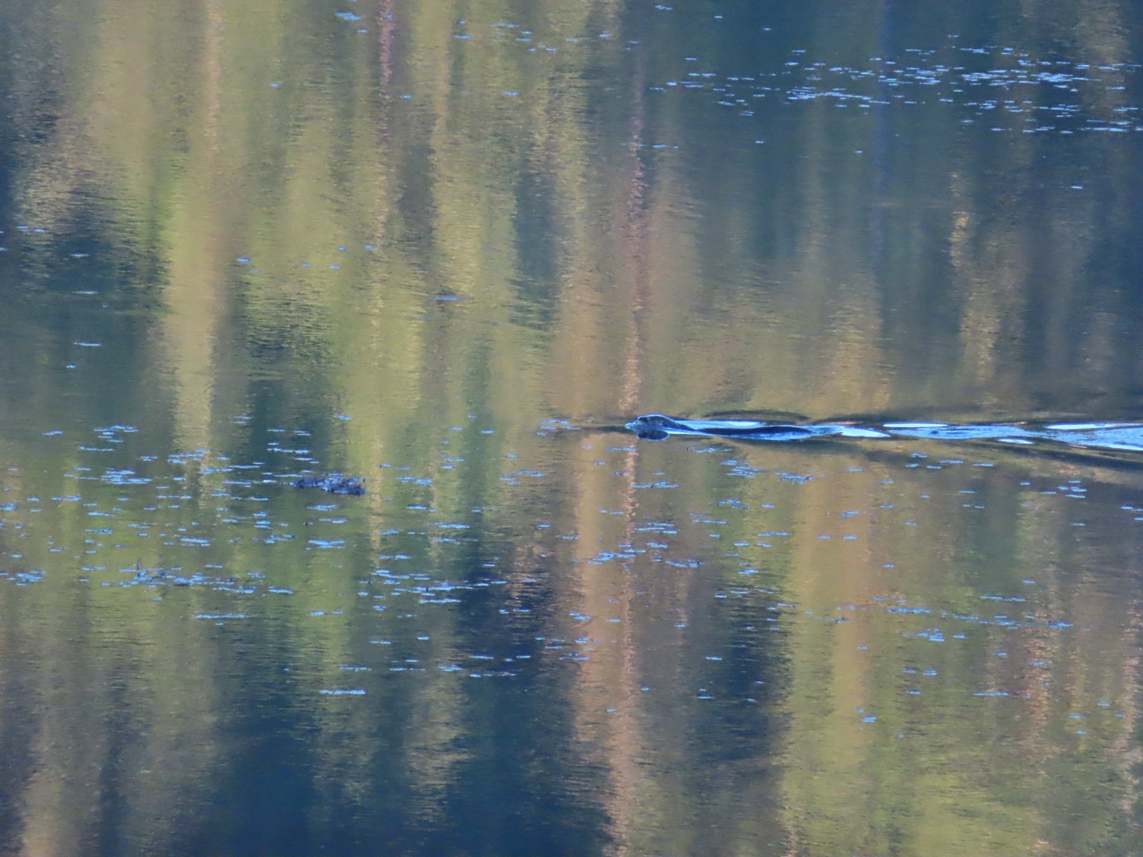 Otter – Killin Wetlands
 Sea lion – Hart’s Cove
 Deer – Memaloose Hills
 Doe – Miller Woods
 Mamma – Roxy Ann Peak
 Fawn – Roxy Ann Peak
 Columbian white-tailed buck – Julia Butler Hansen Wildlife Refuge
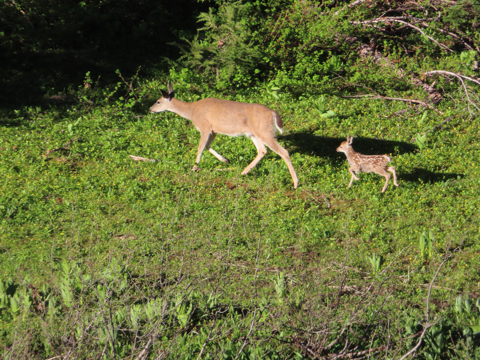 Doe & fawn – Donomore Meadows
 Three bucks – Siskiyou Wilderness
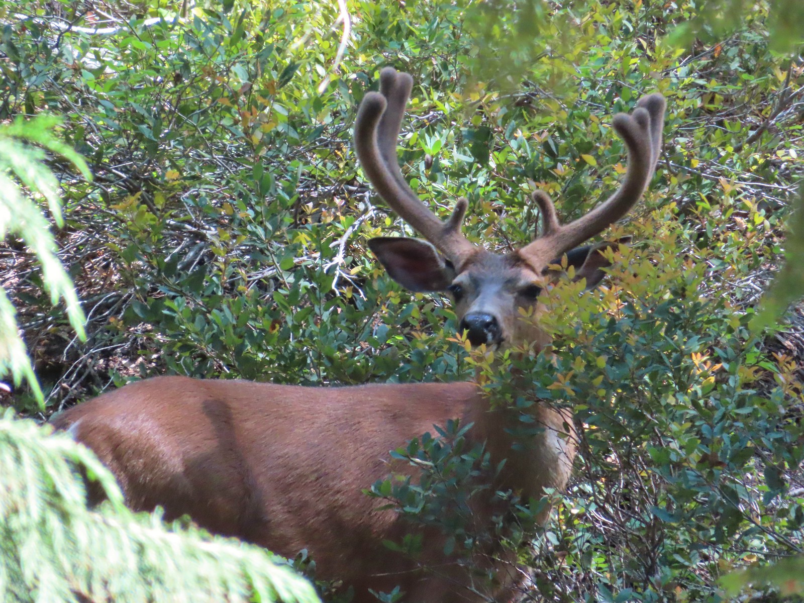 Buck – Siskiyou Wilderness
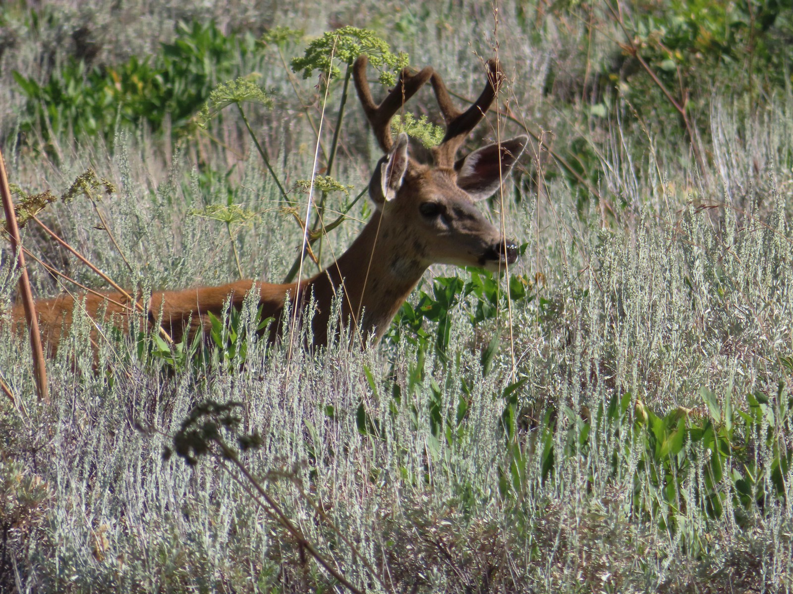 Buck – Trinity Alps Wilderness
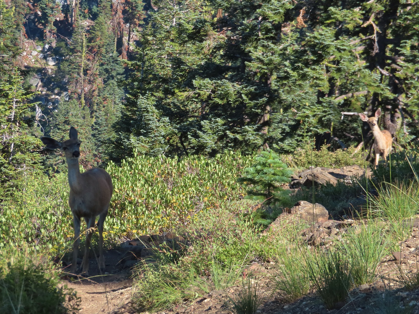 Doe & fawn – Russian Wilderness
 Buck and does – Russian Wilderness
 Two bucks – Crater Lake National Park
 Elk – Yakona Nature Preserve
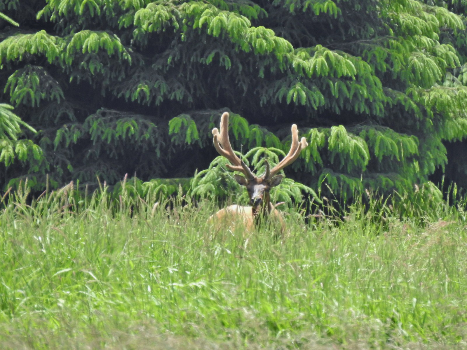 Bull elk – Julia Butler Hansen Wildlife Refuge
 Mountain goat below the Mt. Ireland Lookout – Mt. Ireland
 Domestic goat – Near the Julia Butler Hansen Wildlife Refuge
 Black bear – Siskiyou Wilderness
 The same black bear making eye contact the day before.