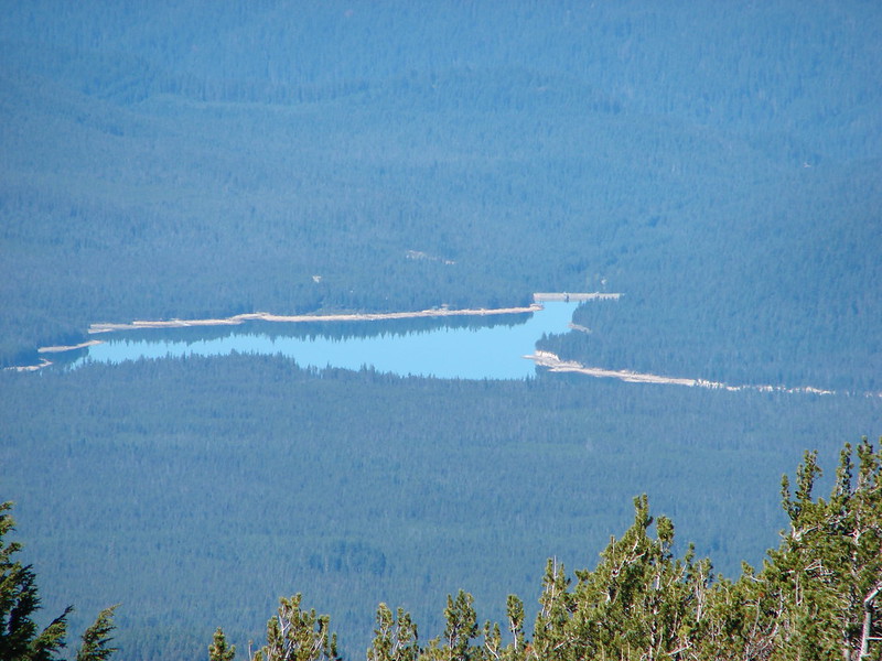
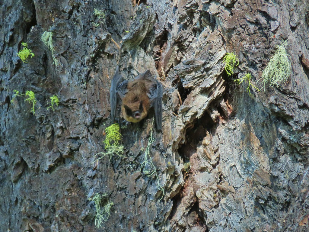
Last year we did something different and split our 2022 wildlife gallery into two posts, one feathered and one featherless. As with all our wildflower and wildlife posts any corrections or additions to our attempts at identifying what we’ve photographed is greatly appreciated. One last note, while we really enjoy taking pictures as a way to record what we see on our hikes, we are by no means photographers. We use our phones and a point and shoot camera on the auto setting, so the pictures are far from professional, but we hope you enjoy them. We also practice Leave No Trace Principles including Principle 6: Respect Wildlife which means observing from a distance, never feeding, and respecting any area wildlife closures.
For this year’s gallery the photos will be in date order, because why not?
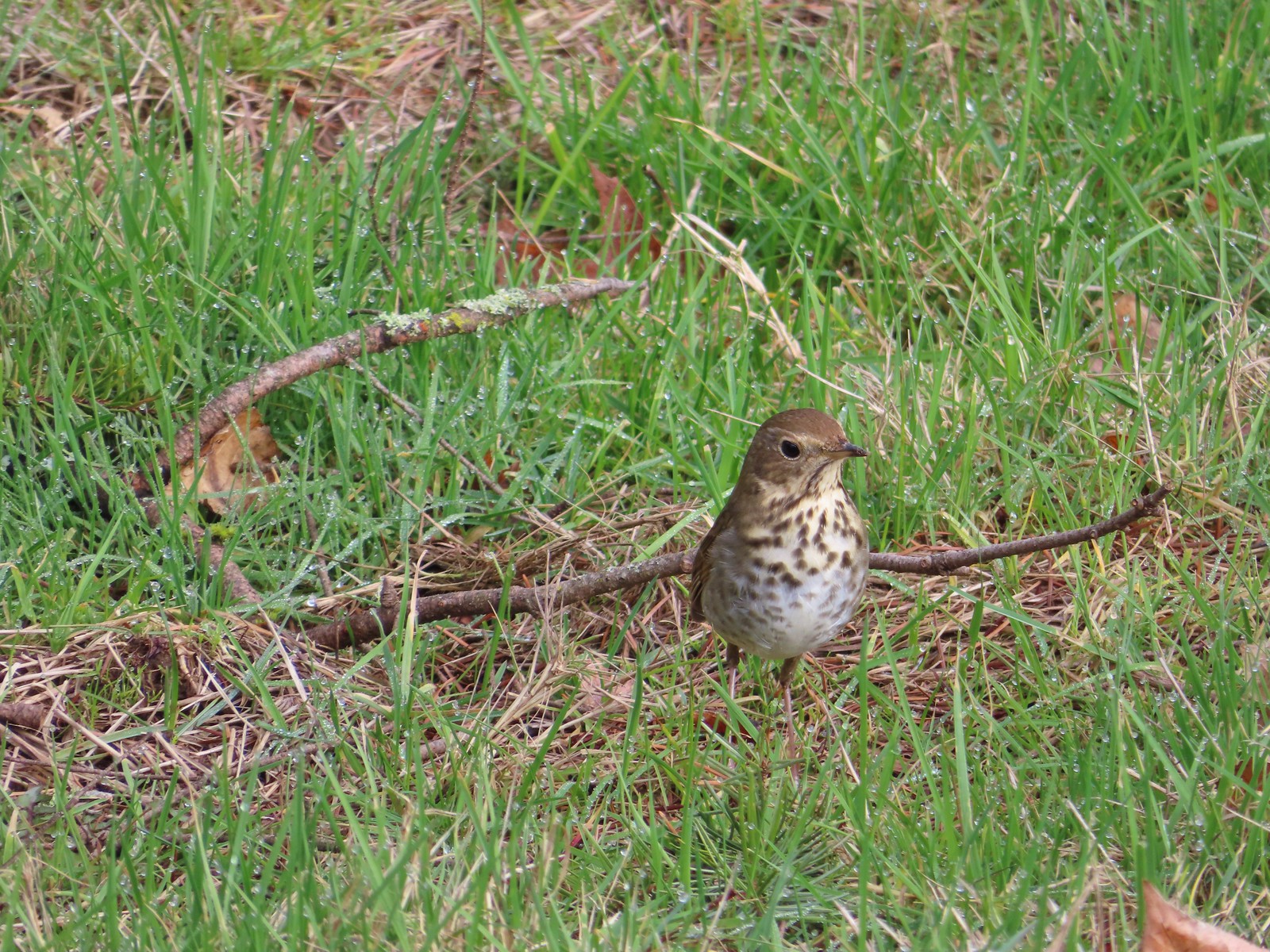 Hermit thrush – 2/11/23, Council Crest Park, Portland
 Pied billed grebe – 3/19/23, Minto-Brown Island Park, Salem
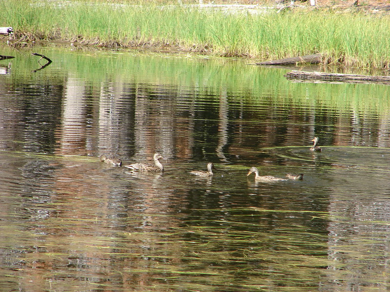
 Ring-necked duck – 3/25/23, Minto-Brown Island Park, Salem
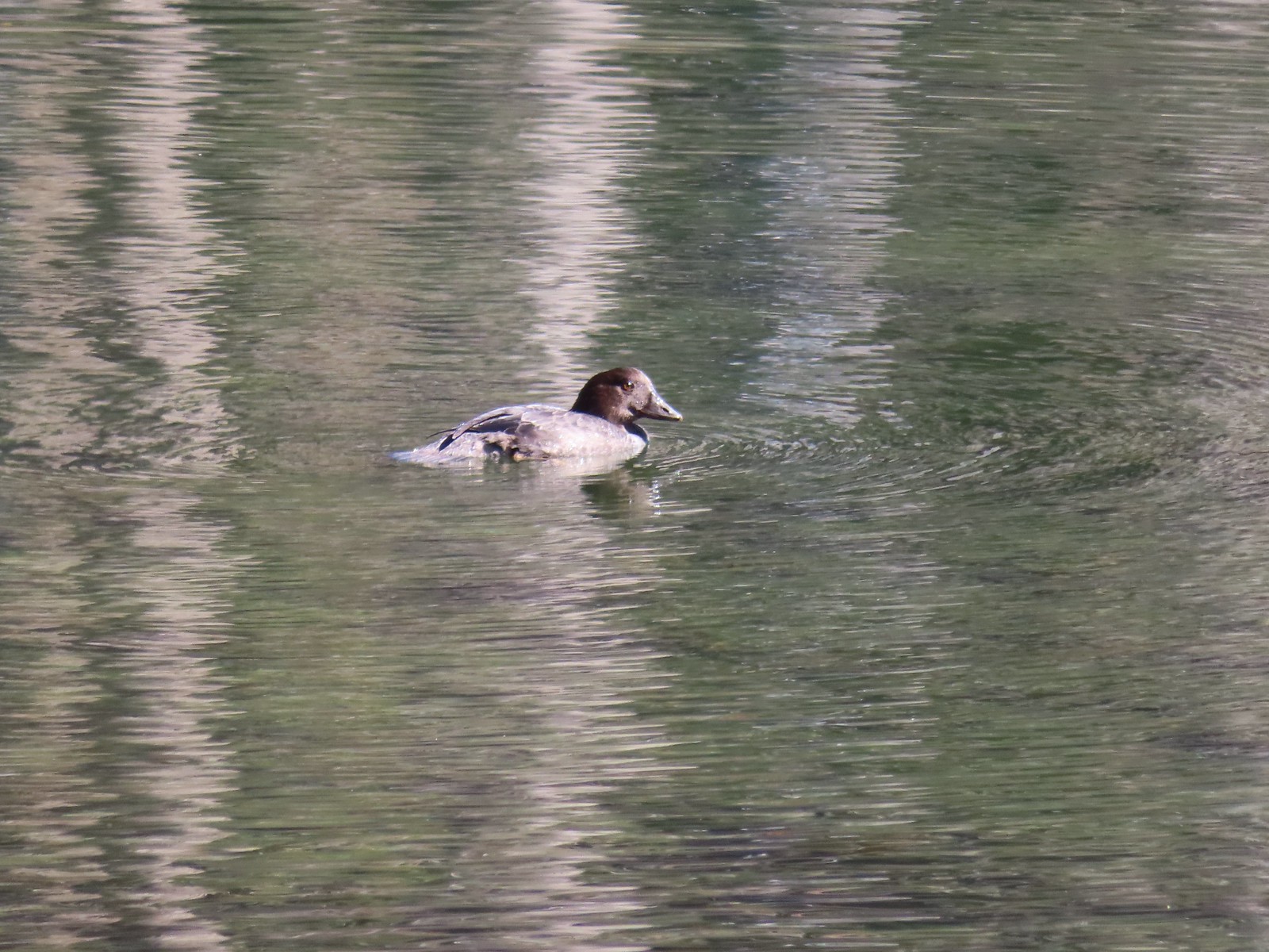
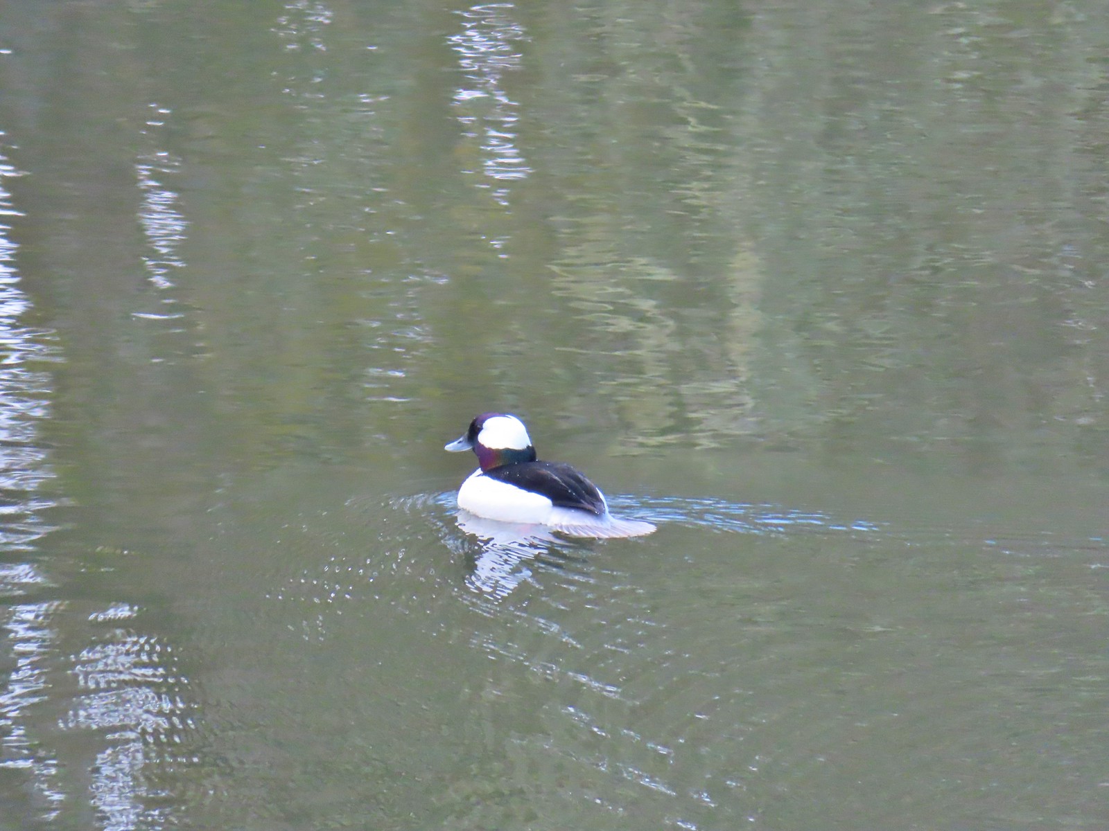 Bufflehead – 3/25/23, Minto-Brown Island Park, Salem
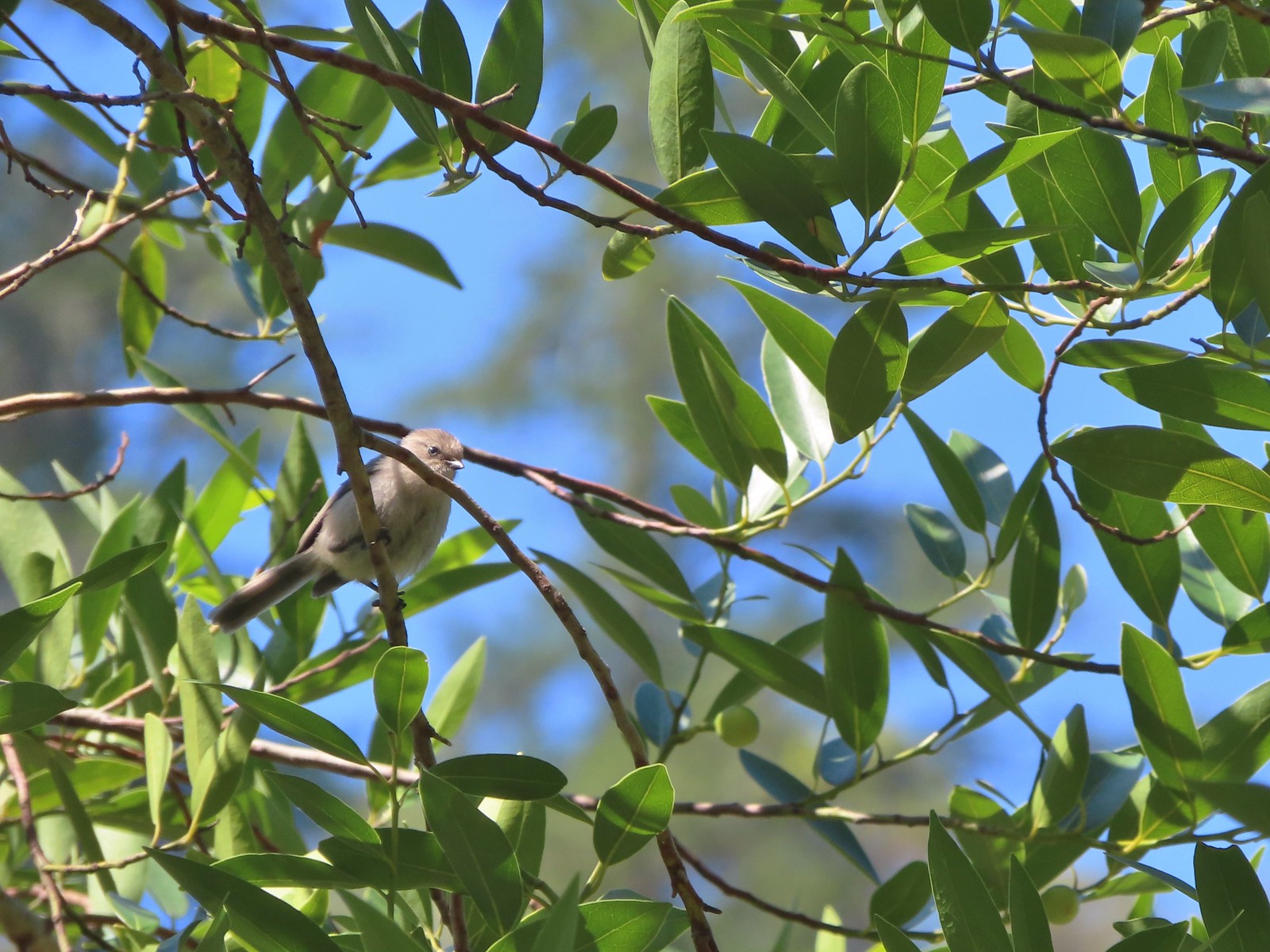
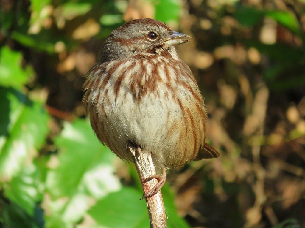
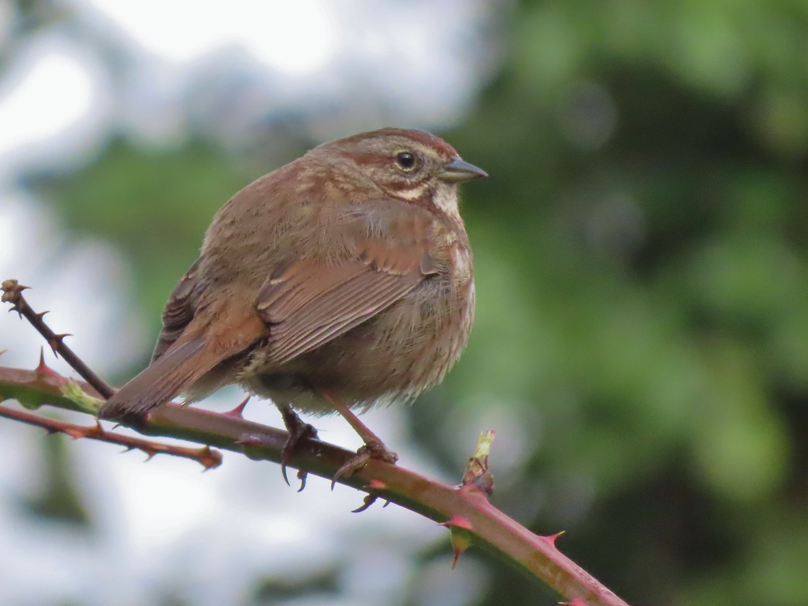 Sparrow – 3/25/23, Minto-Brown Island Park, Salem
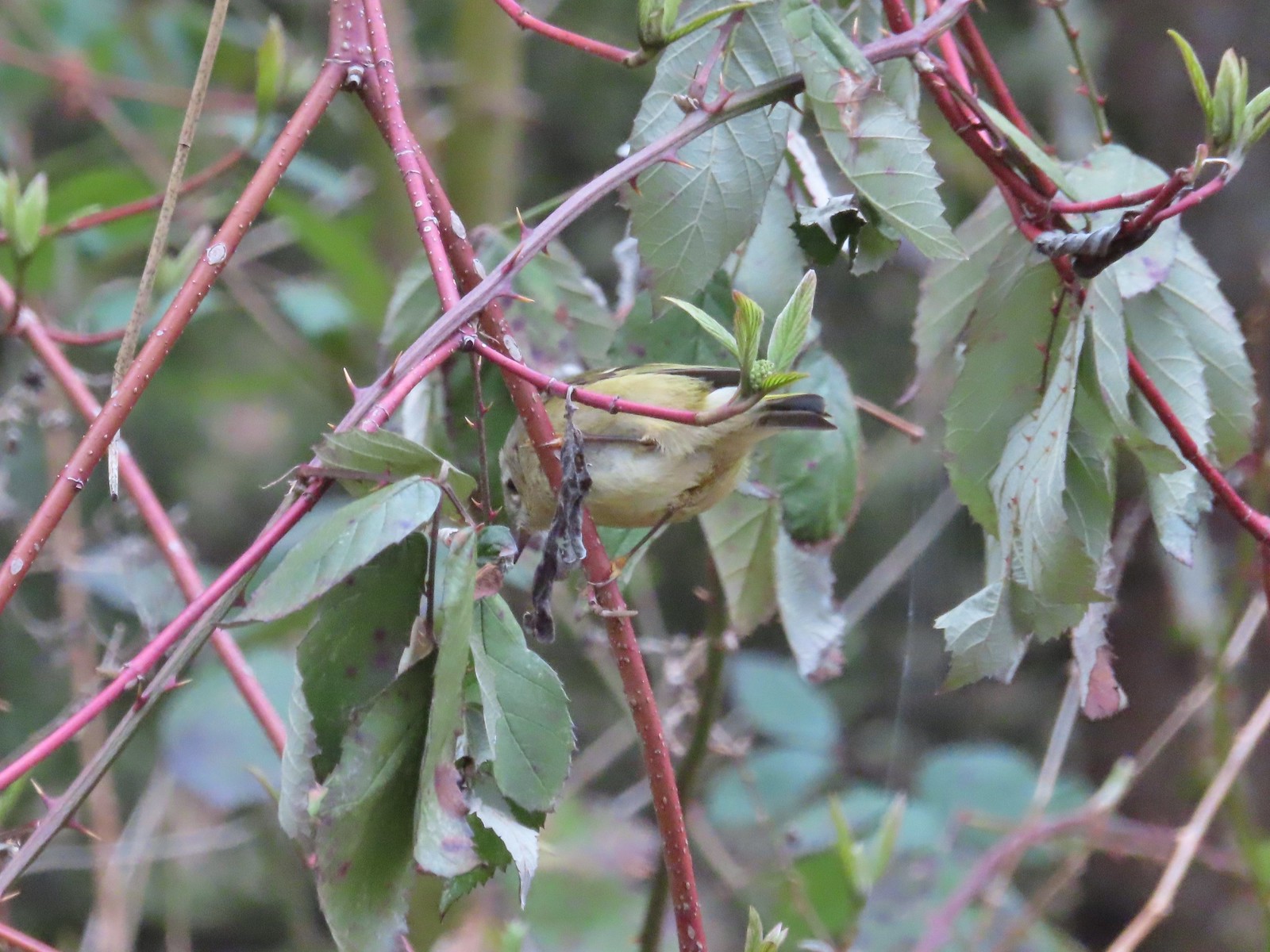
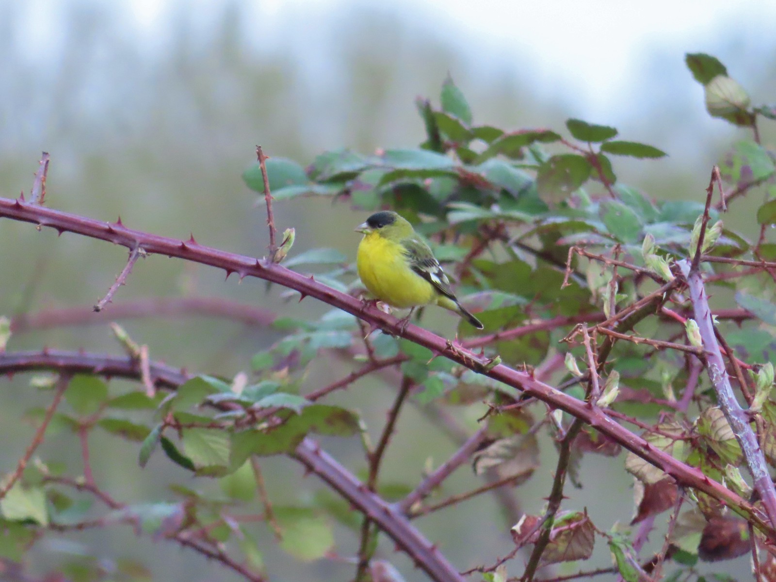 Lesser goldfinch – 4/8/23, Minto-Brown Island Park, Salem
 Ruby-crowned kinglet? – 4/8/23, Minto-Brown Island Park, Salem
 Egret – 4/8/23, Minto-Brown Island Park, Salem
 Marsh wren – 4/13/23, Baskett Slough National Wildlife Refuge, Rickreall
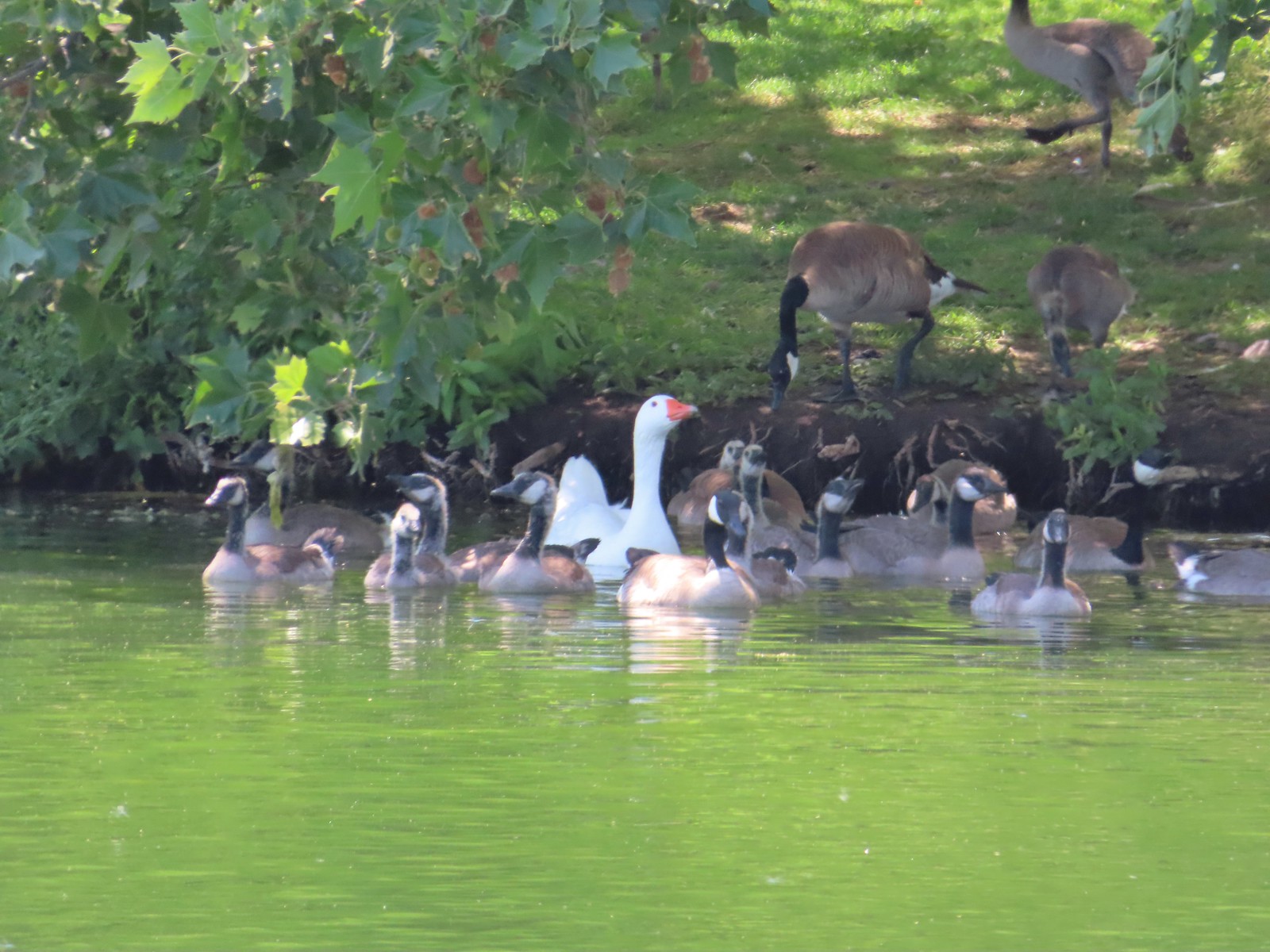
 Geese, I believe both cackling and Canada – 4/13/23, Baskett Slough National Wildlife Refuge, Rickreall
 California quail – 4/13/23, Baskett Slough National Wildlife Refuge, Rickreall
 Northern shoveler – 4/13/23, Baskett Slough National Wildlife Refuge, Rickreall
 Western meadowlark (Oregon’s state bird) – 4/13/23, Baskett Slough National Wildlife Refuge, Rickreall
 Red-winged blackbird – 4/13/23, Baskett Slough National Wildlife Refuge, Rickreall
 Ruddy duck – 4/13/23, Baskett Slough National Wildlife Refuge, Rickreall
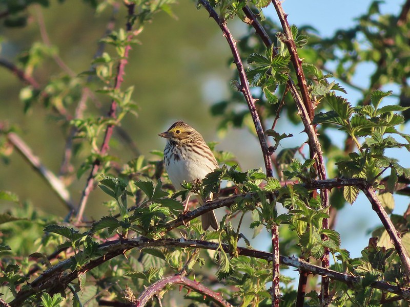
 Savannah sparrow – 4/13/23, Baskett Slough National Wildlife Refuge, Rickreall
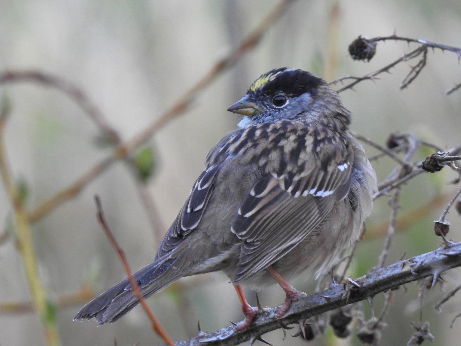 Gold-crowned sparrow – 4/14/23, Minto-Brown Island Park, Salem
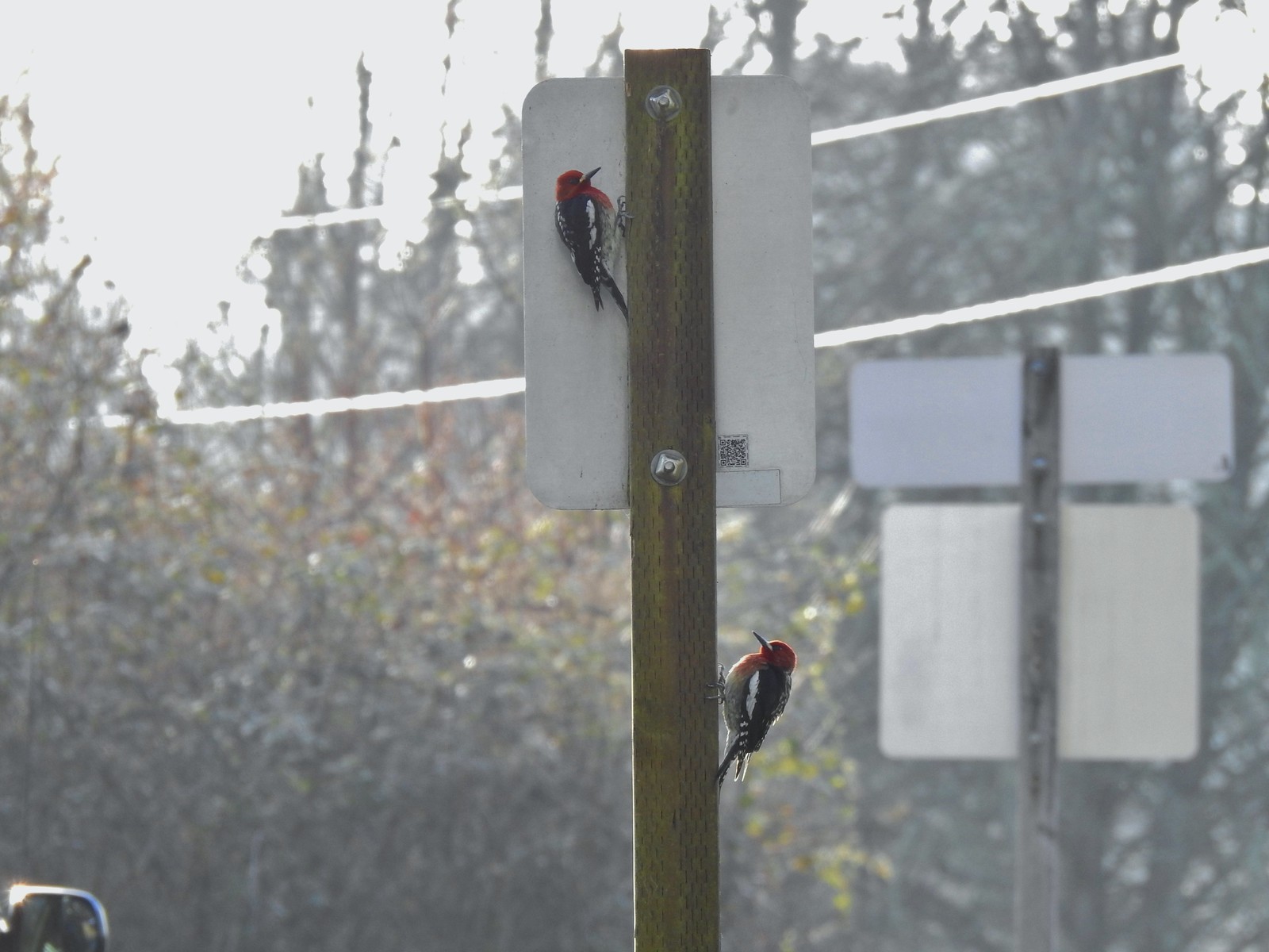 Red-breasted sapsuckers – 4/14/23, Minto-Brown Island Park, Salem
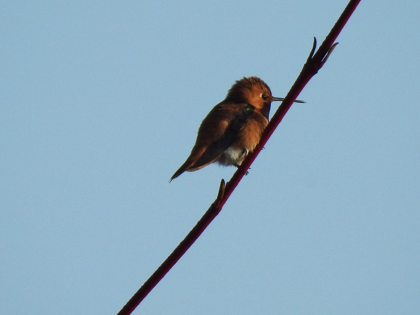 Hummingbird (Rufous?) – 4/14/23, Minto-Brown Island Park, Salem
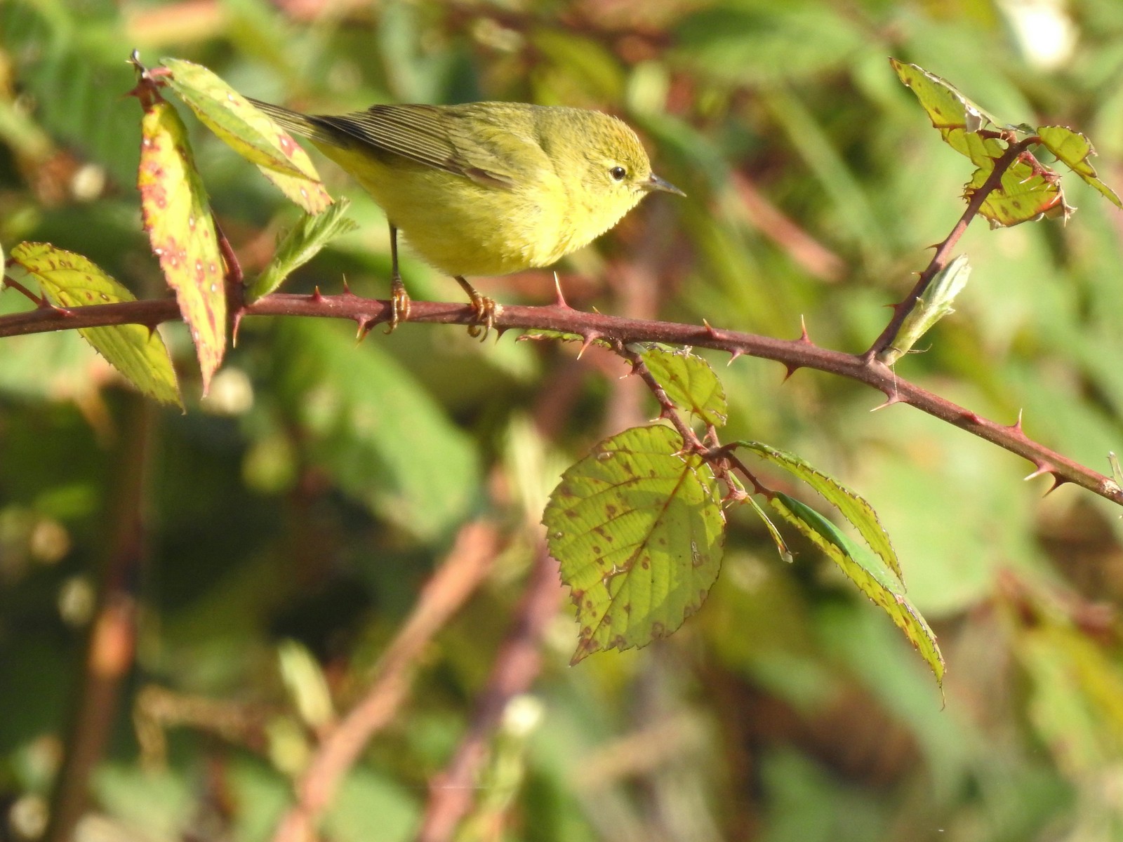 Orange-crowned warbler – 4/14/23, Minto-Brown Island Park, Salem
 Dark-eyed junco – 4/14/23, Minto-Brown Island Park, Salem
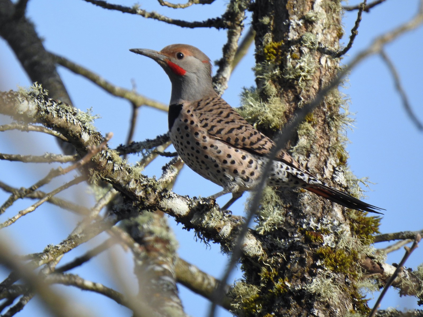 Northern flicker – 4/14/23, Minto-Brown Island Park, Salem
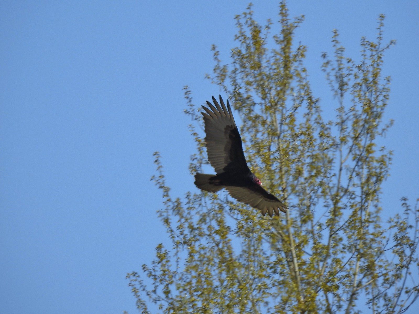 Turkey vulture – 4/14/23, Minto-Brown Island Park, Salem
 Warbler? – 4/22/23, Dave Clark Riverfront Path, Albany
 Osprey – 4/22/23, Dave Clark Riverfront Path, Albany
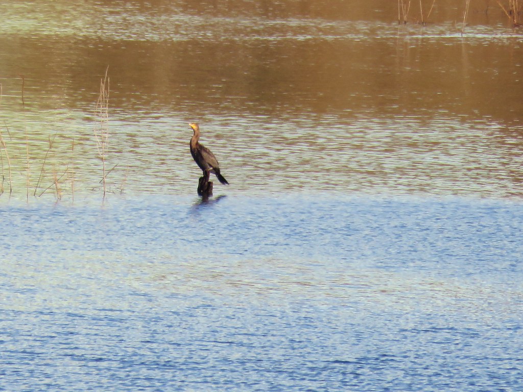
 Cormorant – 4/22/23, Dave Clark Riverfront Path, Albany
 Red-winged blackbird (female) – 4/22/23, Talking Water Gardens, Albany
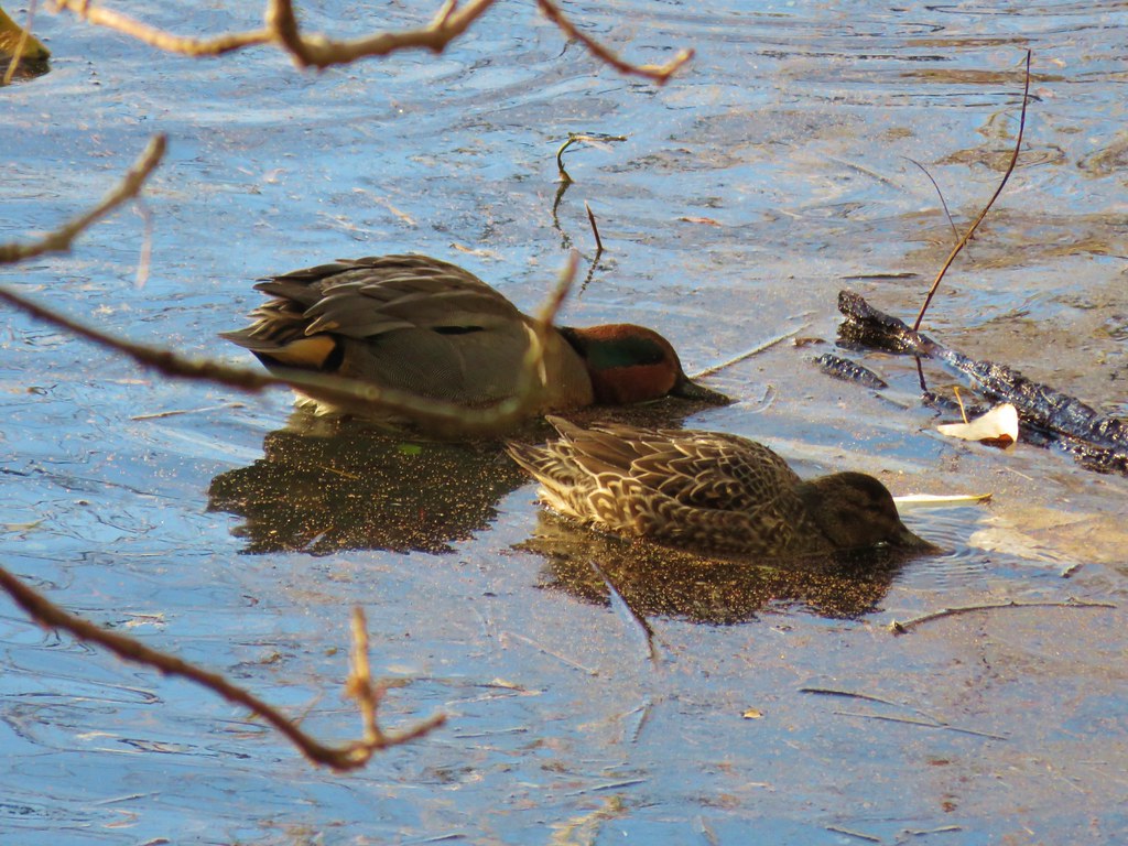
 Green-winged teal – 4/22/23, Talking Water Gardens, Albany
 Yellow-rumped warbler (Audubon’s) – 4/22/23, Talking Water Gardens, Albany
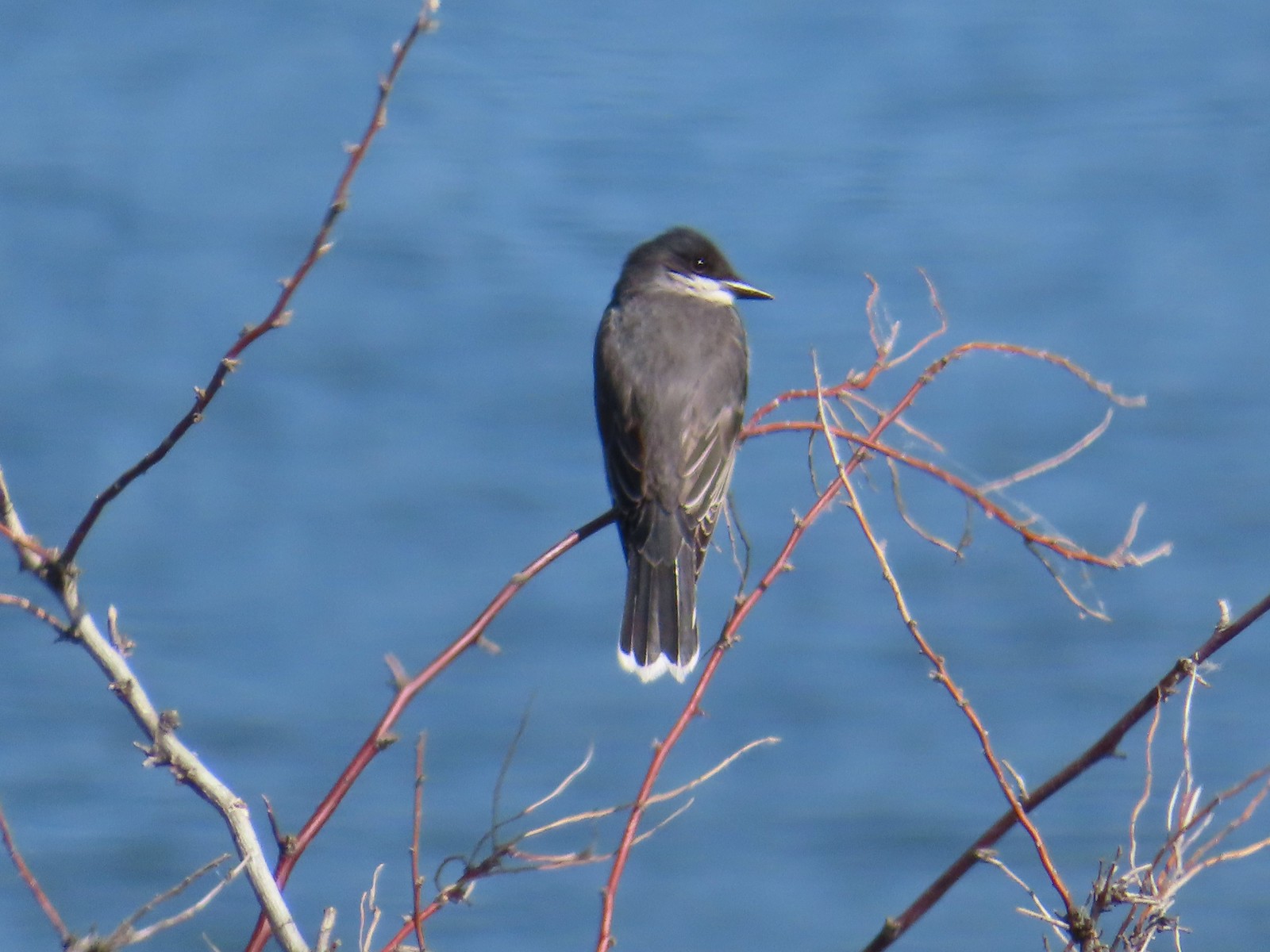
 Black phoebe – 4/22/23, Talking Water Gardens, Albany
 Acorn woodpecker – 4/22/23, Talking Water Gardens, Albany
 Hawk – 4/22/23, Talking Water Gardens, Albany
 Mallards – 4/22/23, Talking Water Gardens, Albany
 Chickadee (chestnut-backed?) – 4/22/23, Talking Water Gardens, Albany
 Nashville warbler – 4/29/23, Canemah Bluff Nature Park, Oregon City
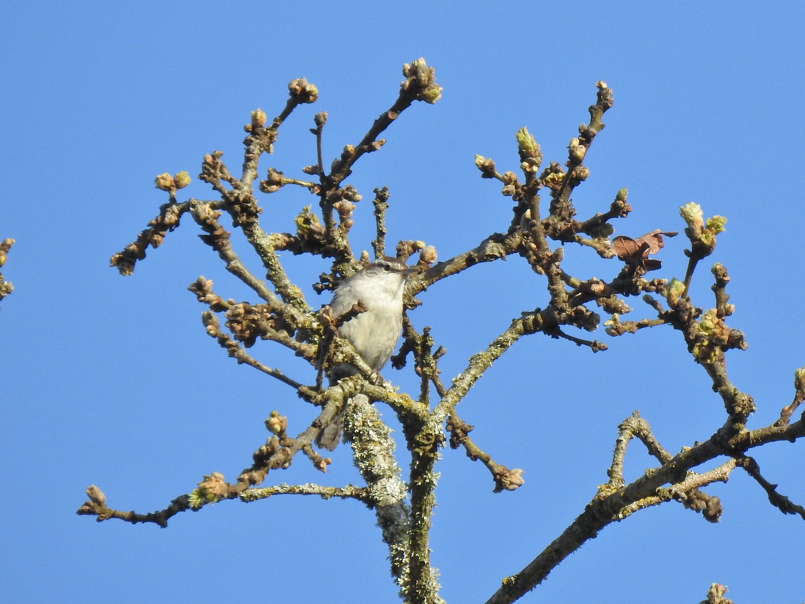 Bewick’s wren – 4/29/23, Canemah Bluff Nature Park, Oregon City
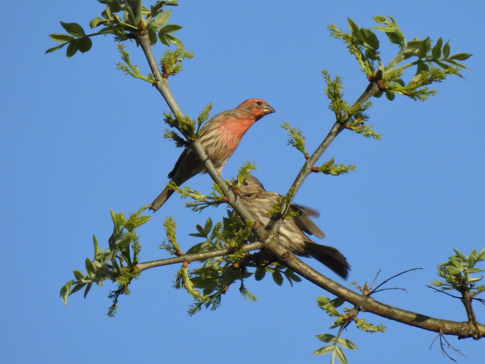 House finches – 4/29/23, Canemah Bluff Nature Park, Oregon City
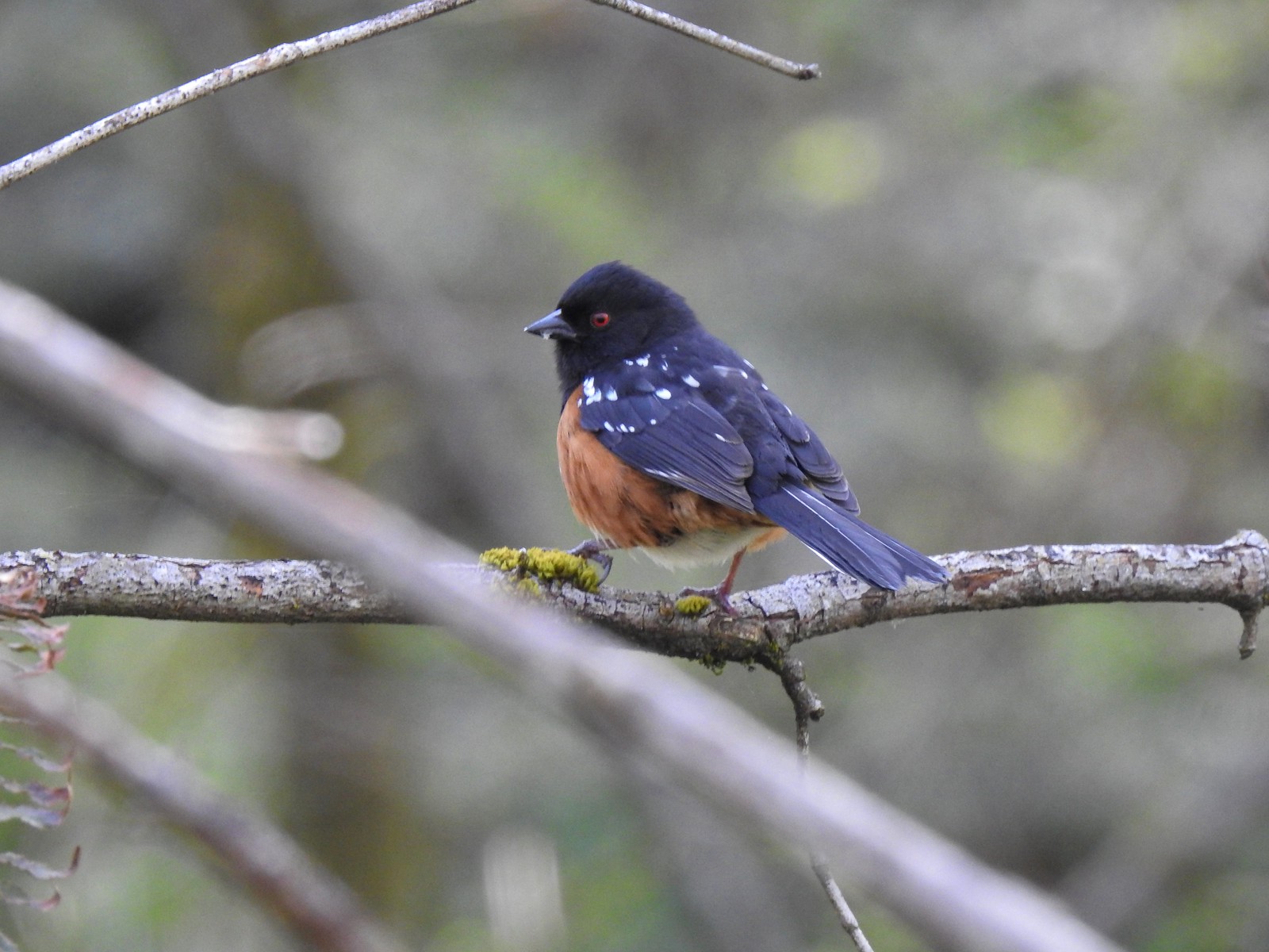 Spotted towhee – 4/29/23 Newell Creek Canyon Nature Park, Oregon City
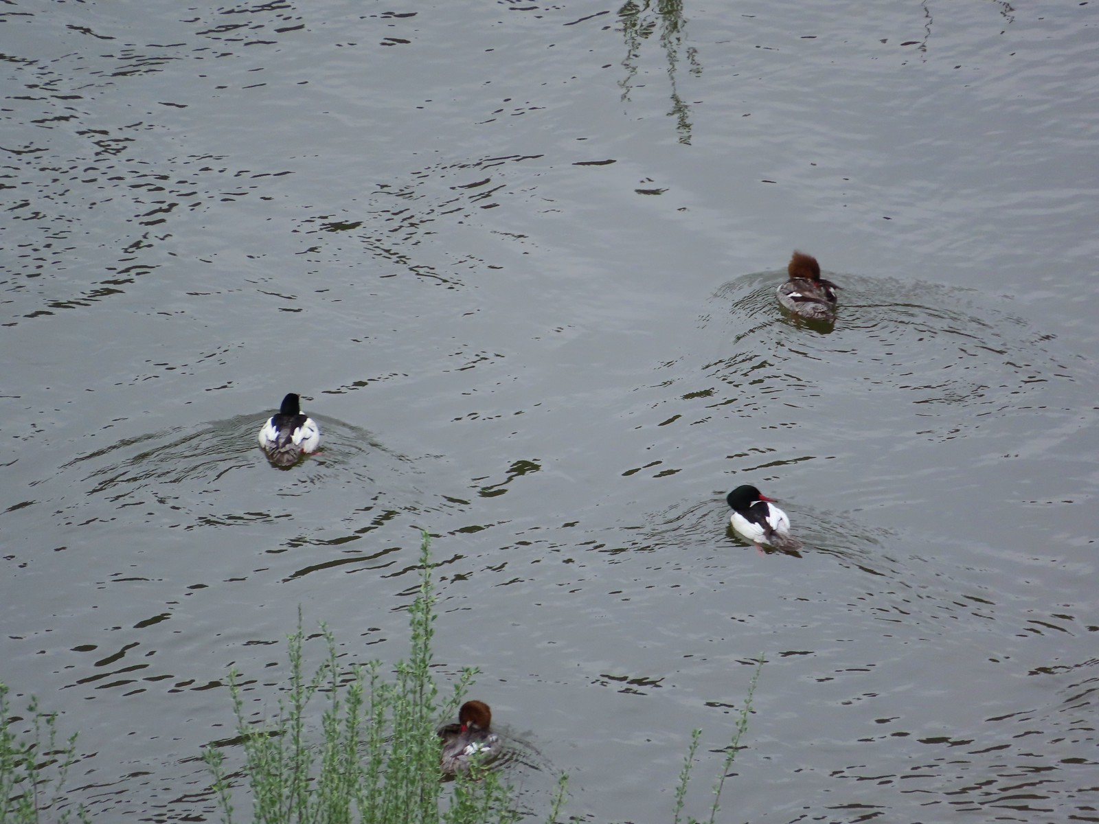 Common mergansers – 5/1/23, Rogue River National Recreation Trail, BLM Medford District
 Bullock’s oriole – 5/1/23, Rogue River National Recreation Trail, BLM Medford District
 American robin – 5/1/23, Rogue River National Recreation Trail, BLM Medford District
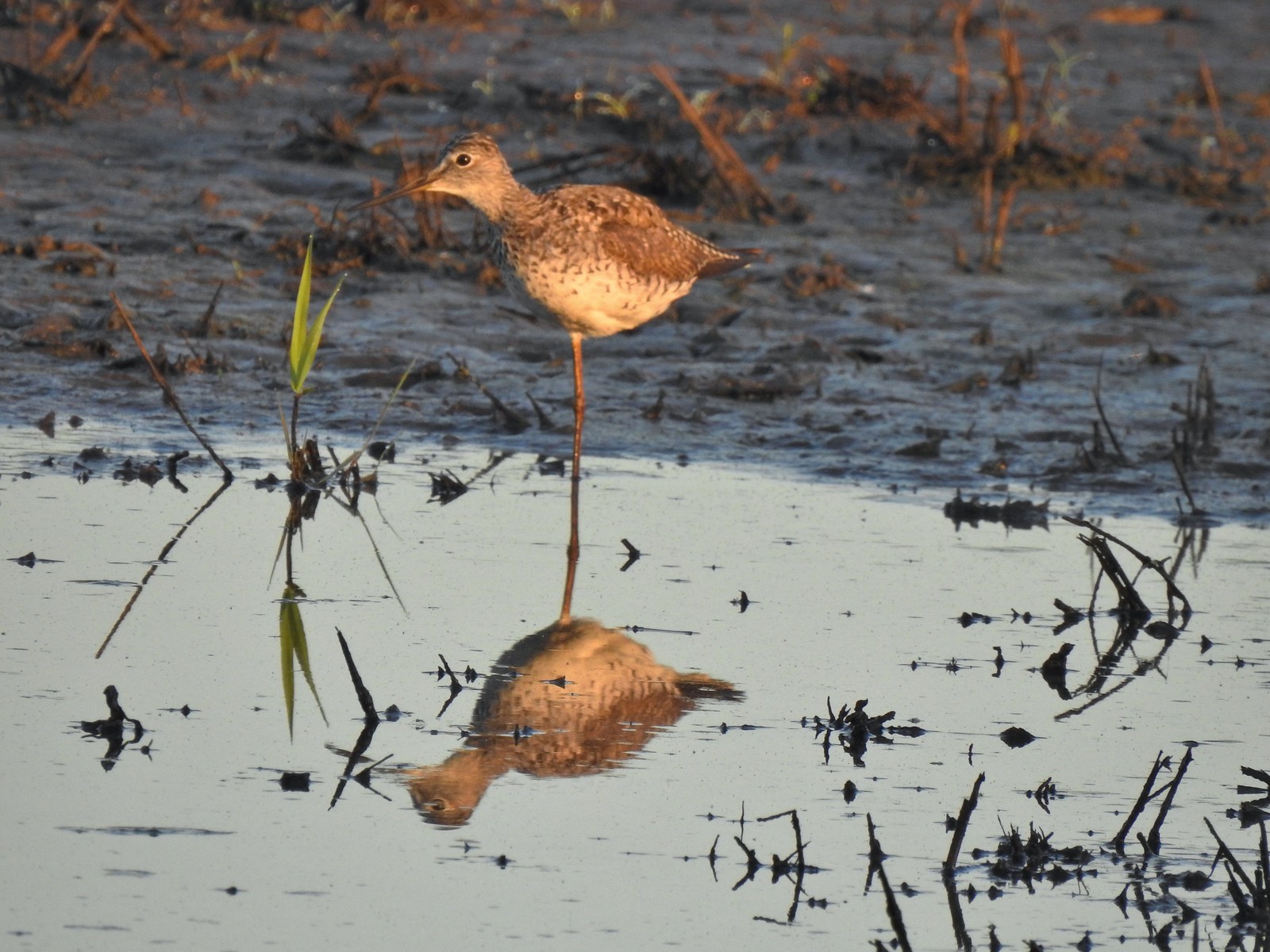 Greater yellowlegs – 5/13/23, Tualatin River National Wildlife Refuge, Sherwood
 Mourning dove – 5/13/23, Tualatin River National Wildlife Refuge, Sherwood
 Gadwall – 5/13/23, Tualatin River National Wildlife Refuge, Sherwood
 Killdeer – 5/13/23, Tualatin River National Wildlife Refuge, Sherwood
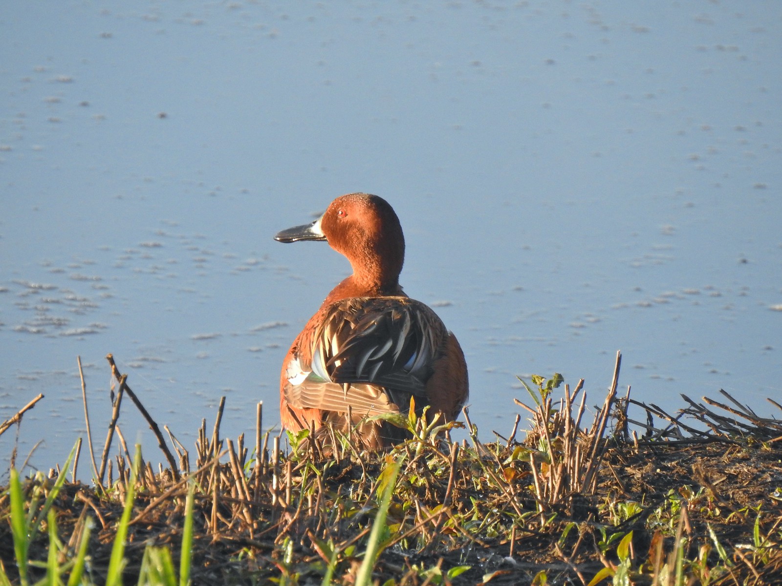 Cinnamon teal – 5/13/23, Tualatin River National Wildlife Refuge, Sherwood
 Anna’s hummingbird – 5/13/23, Tualatin River National Wildlife Refuge, Sherwood
 American kestral – 5/13/23, Graham Oaks Nature Park, Wilsonville
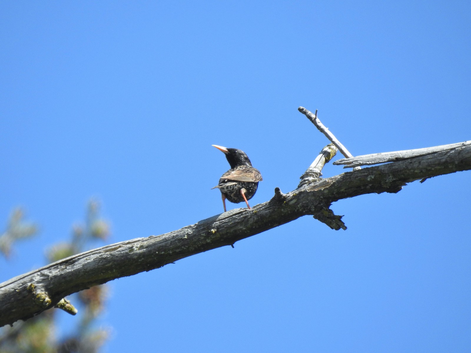 European starling – 5/13/23, Graham Oaks Nature Park, Wilsonville
 Wood duck – 5/23/23, Stigerwald Lake National Wildlife Refuge, Washougal, WA
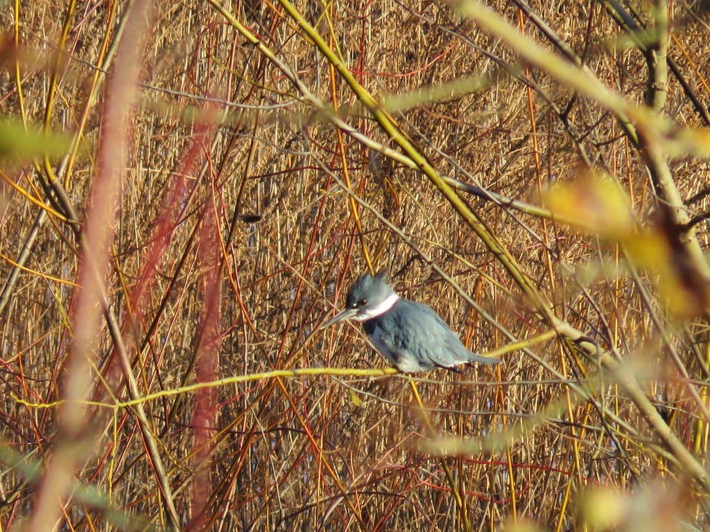
 Belted kingfisher – 5/23/23, Stigerwald Lake National Wildlife Refuge, Washougal, WA
 American goldfinch – 5/23/23, Stigerwald Lake National Wildlife Refuge, Washougal, WA
 Spotted sandpiper – 5/23/23, Stigerwald Lake National Wildlife Refuge, Washougal, WA
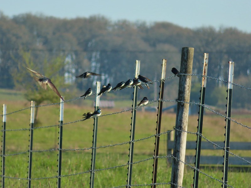
 Purple martin – 5/23/23, Stigerwald Lake National Wildlife Refuge, Washougal, WA
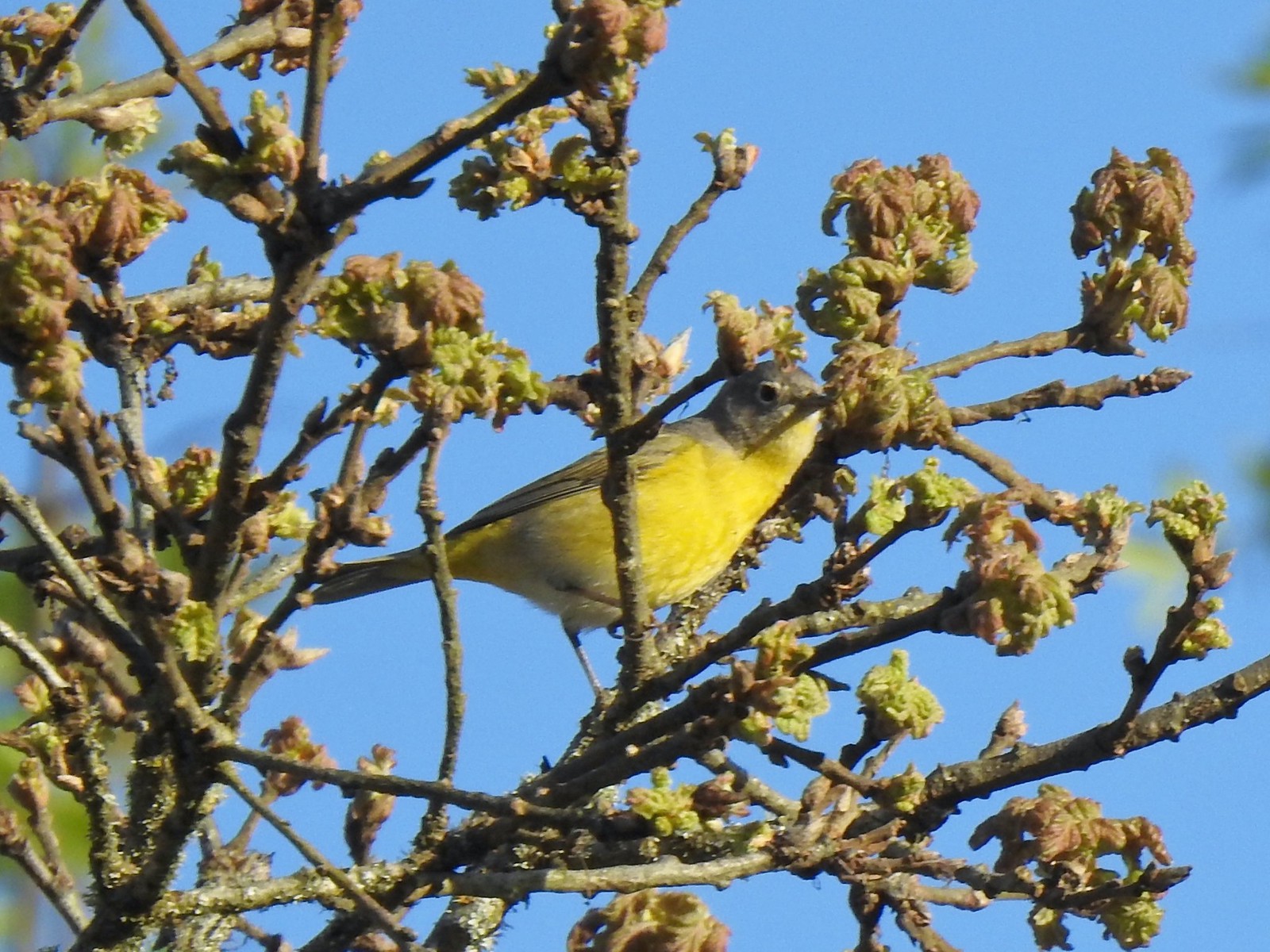
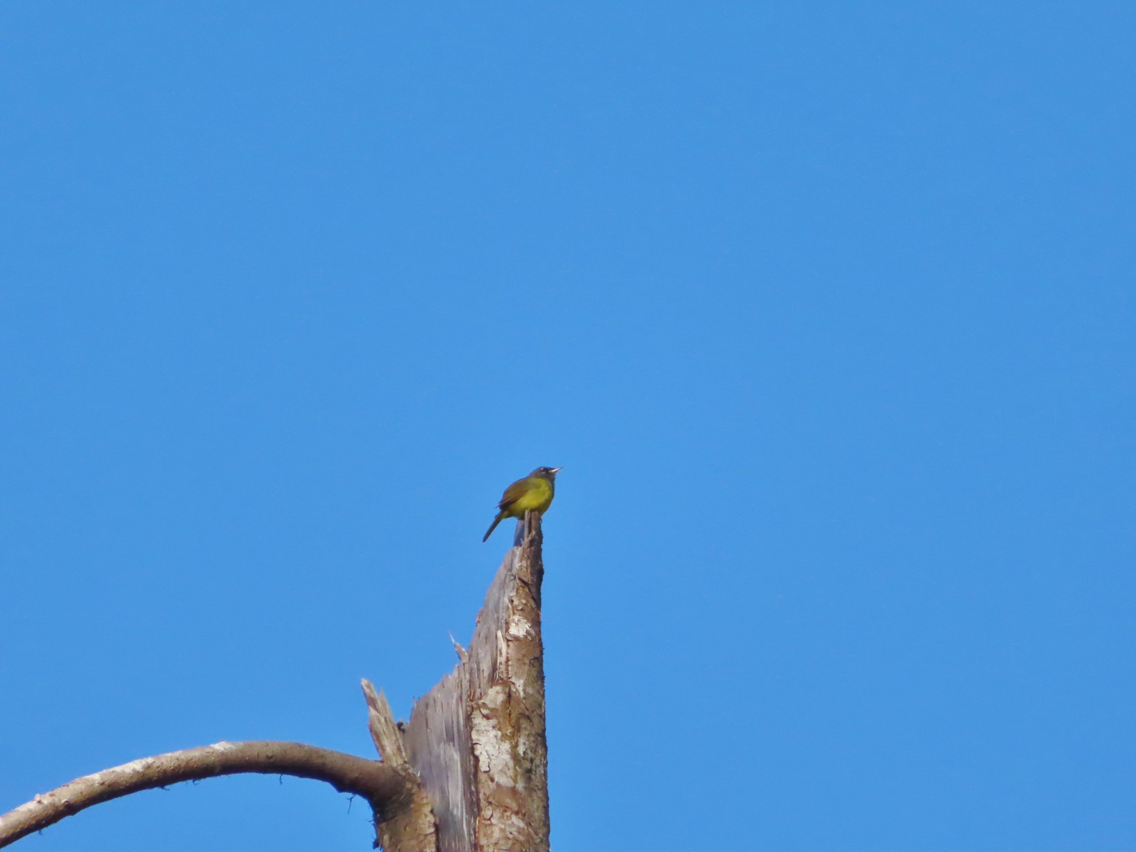
 Common yellowthroat – 5/23/23, Stigerwald Lake National Wildlife Refuge, Washougal, WA
 American bittern – 5/23/23, Stigerwald Lake National Wildlife Refuge, Washougal, WA
 Lark sparrow – 5/28/23, Criterion Tract, BLM Prineville District
 Horned lark – 5/28/23, Criterion Tract, BLM Prineville District
 Mountain bluebird – 5/28/23, Criterion Tract, BLM Prineville District
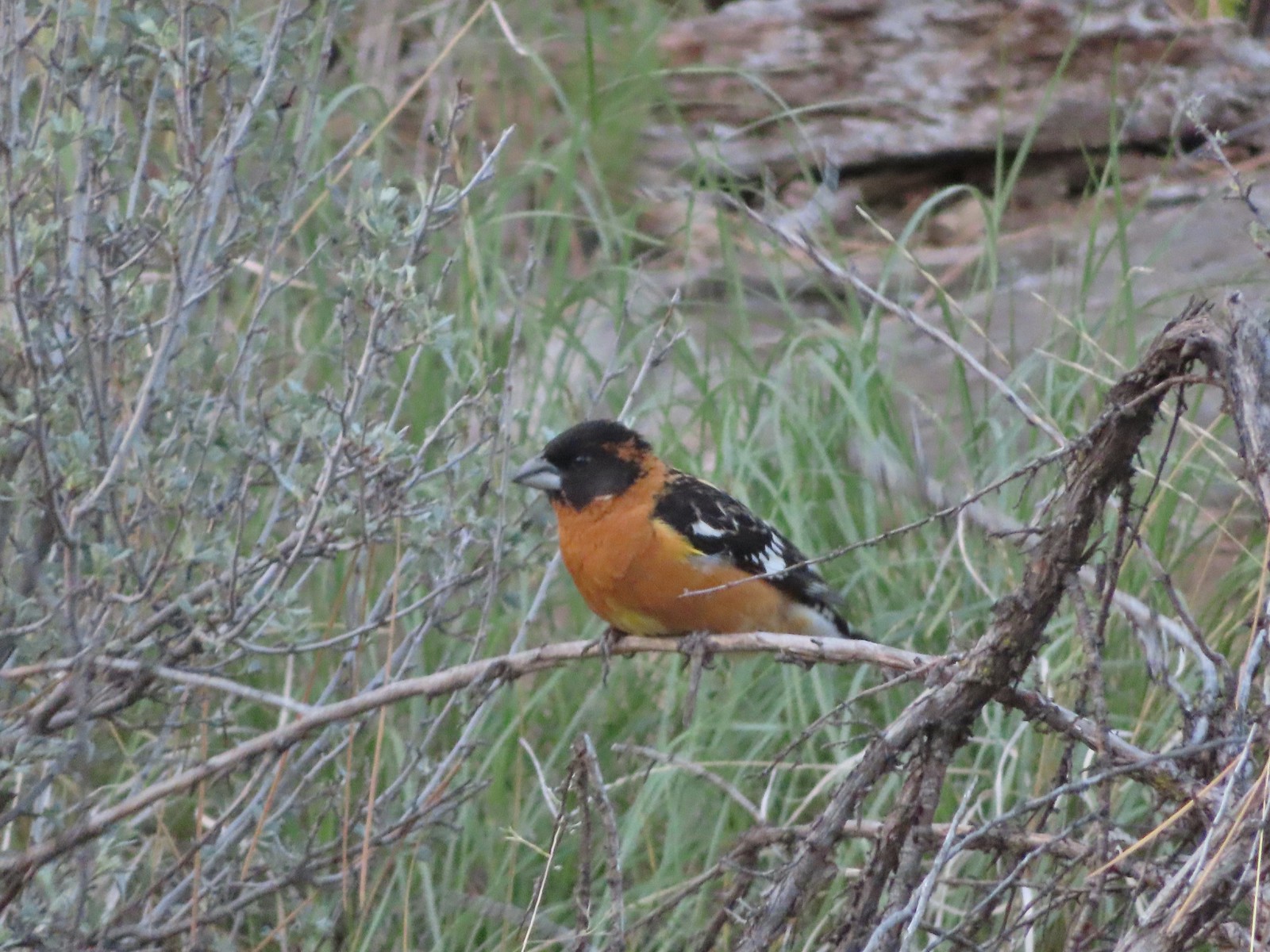 Black-headed grosbeak – 5/29/23, Riley Ranch Preserve, Bend
 Lewis’s woodpecker – 5/29/23, Tumalo State Park, Bend
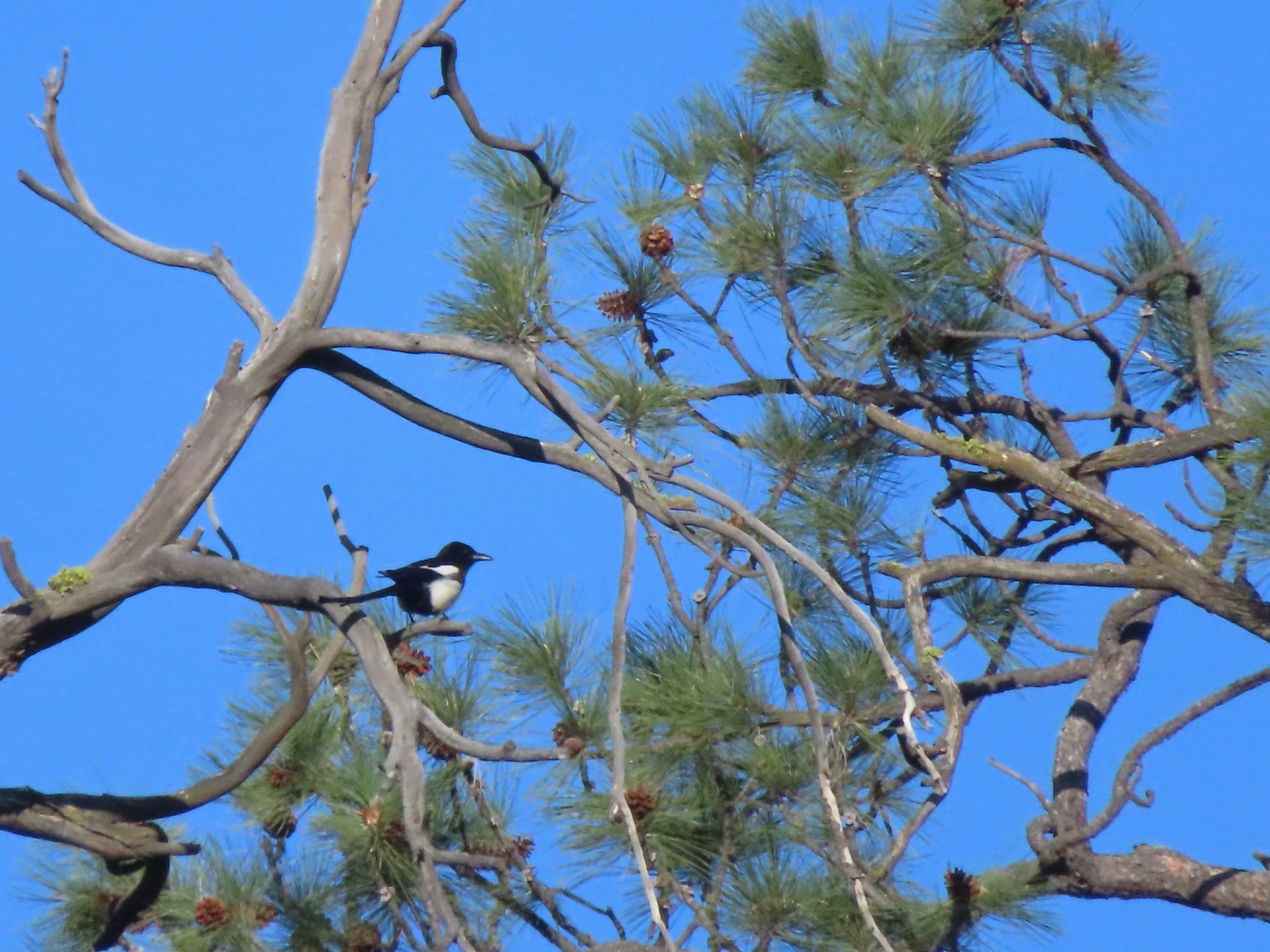 Magpie – 5/29/23, Tumalo State Park, Bend
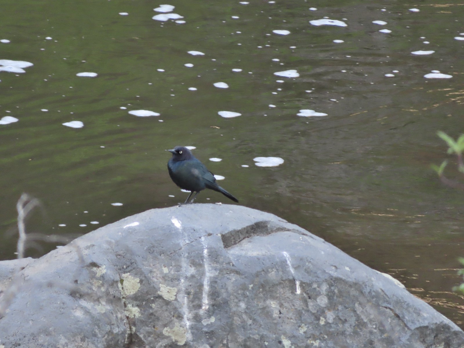 Black-headed cowbird – 5/29/23, Tumalo State Park, Bend
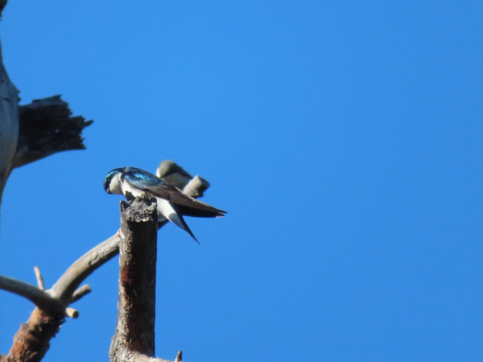 Tree swallow – 5/29/23, Tumalo State Park, Bend
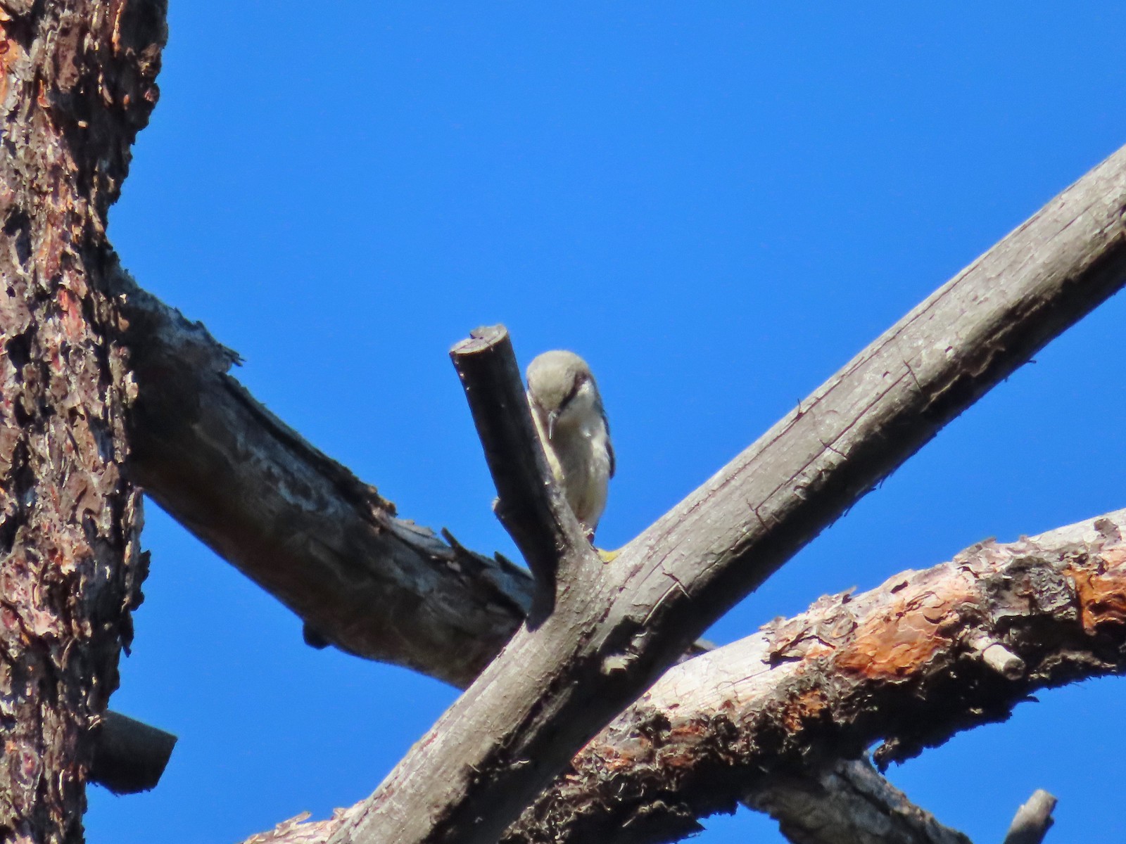 Pygmy nuthatch? – 5/29/23, Tumalo State Park, Bend
 Lazuli bunting – 6/3/23, Conboy Lake National Wildlife Refuge, Trout Lake, WA
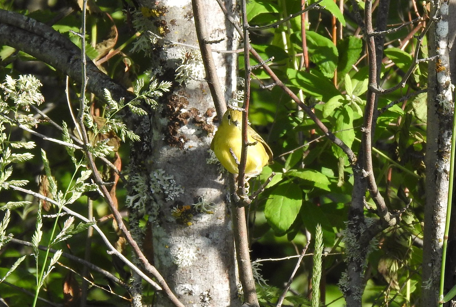 Yellow warbler – 6/3/23, Conboy Lake National Wildlife Refuge, Trout Lake, WA
 Western bluebird – 6/3/23, Conboy Lake National Wildlife Refuge, Trout Lake, WA
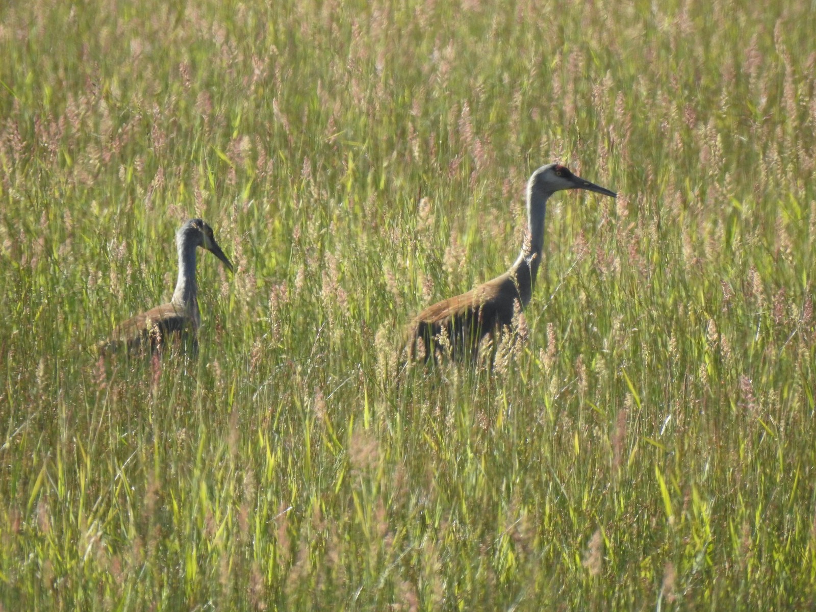 Sandhill cranes – 6/3/23, Conboy Lake National Wildlife Refuge, Trout Lake, WA
 Warbling vireo – 6/3/23, Conboy Lake National Wildlife Refuge, Trout Lake, WA
 Raven – 6/11/23, Lewis & Clark Trail, Hermiston
 Eastern kingbird – 6/11/23, Lewis & Clark Trail, Hermiston
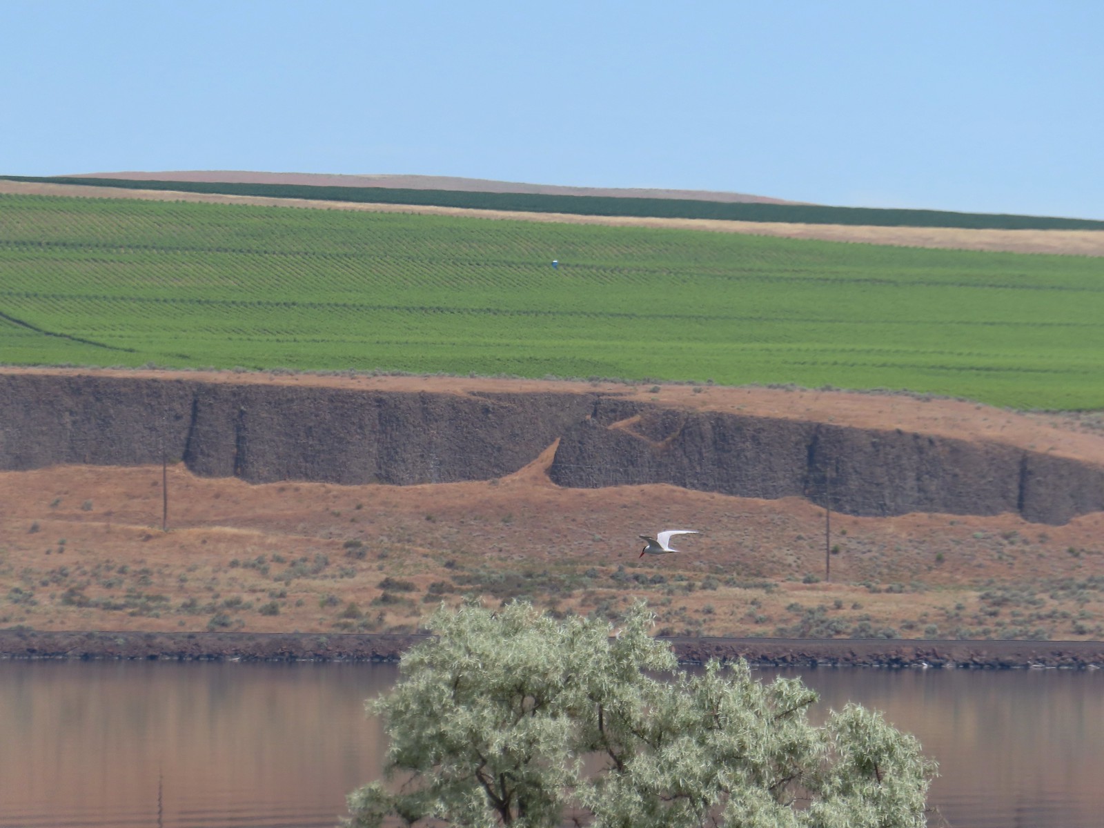 Caspian tern – 6/11/23, Lewis & Clark Trail, Hermiston
 Geese – 6/11/23, Hat Rock State Park, Hermiston
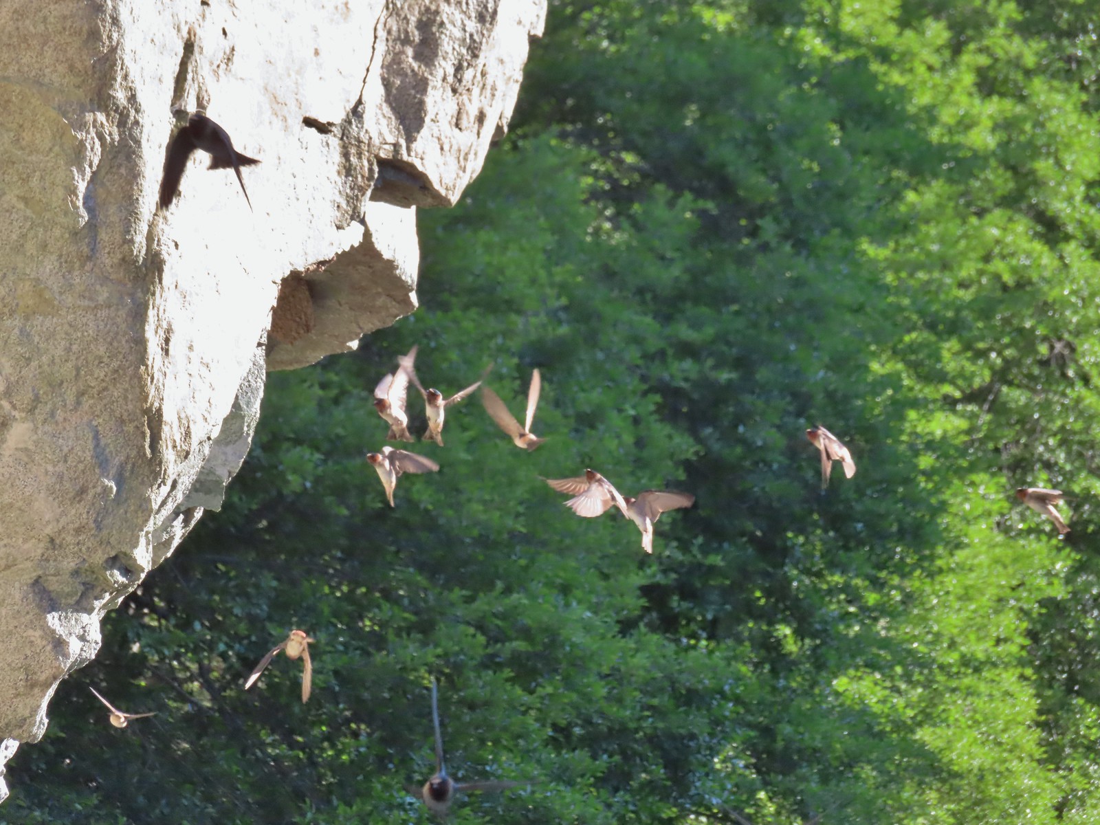 Cliff swallows – 6/14/23, Imnaha Trail, Hells Canyon National Recreation Area
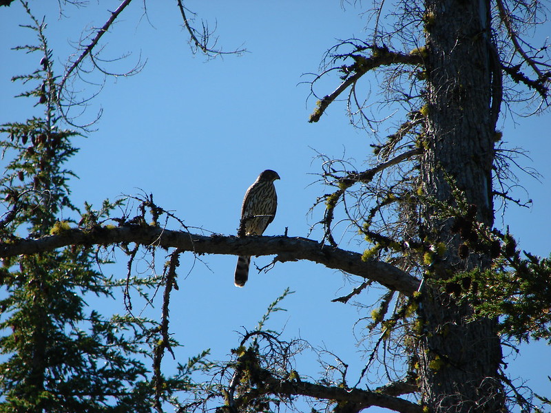
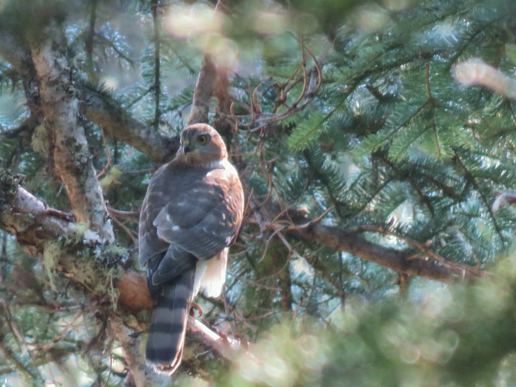
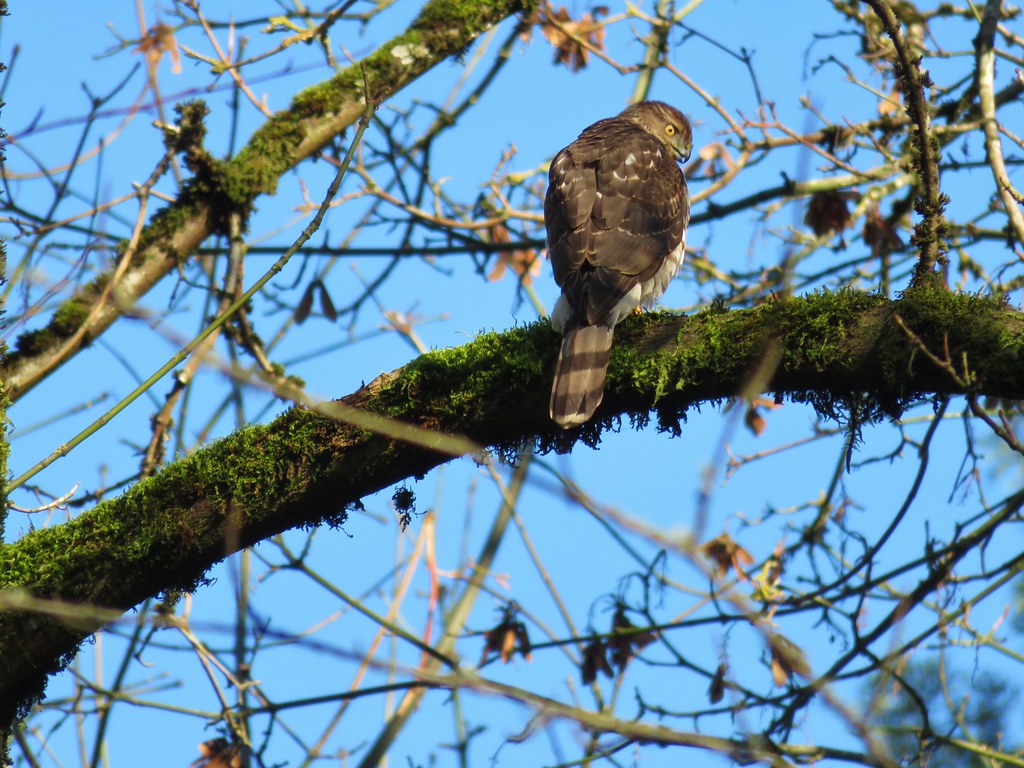
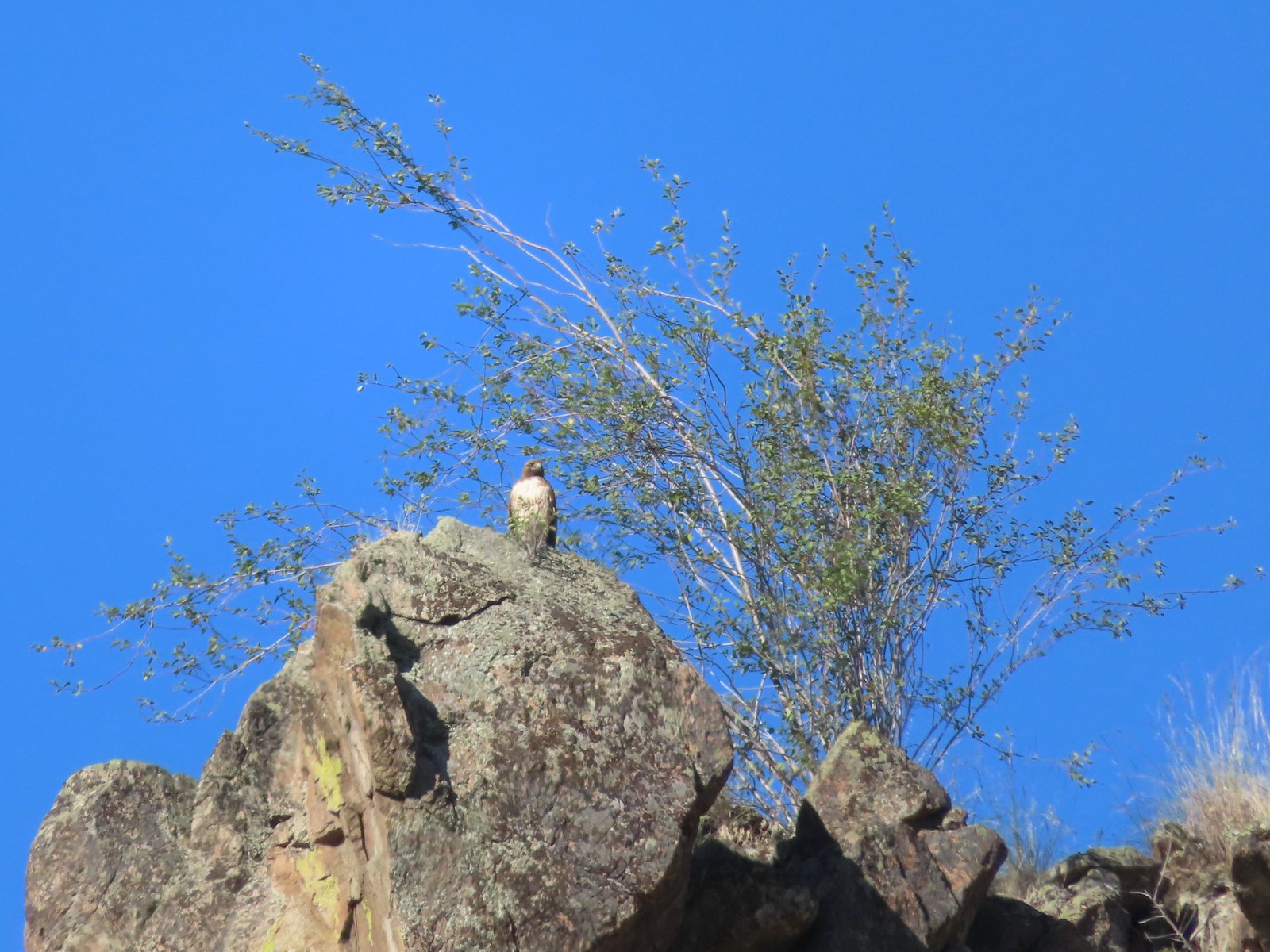 Hawk – 6/14/23, Imnaha Trail, Hells Canyon National Recreation Area
 Common nighthawk – 6/15/23, Hells Canyon National Recreation Area, Wallowa-Whitman National Forest
 Chipping sparrow – 6/15/23, Hells Canyon National Recreation Area, Wallowa-Whitman National Forest
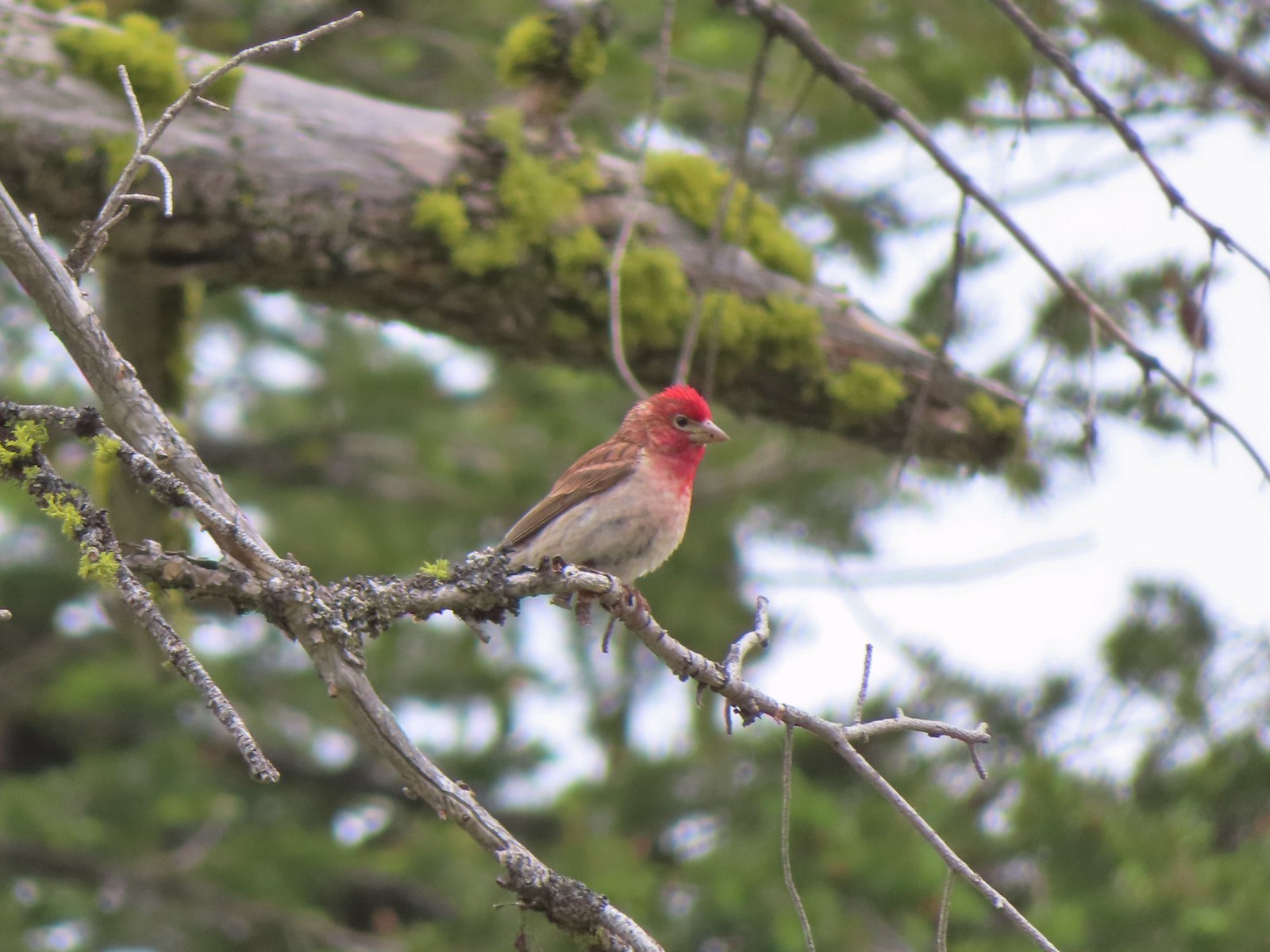 Cassin’s finch – 6/15/23, Hells Canyon National Recreation Area, Wallowa-Whitman National Forest
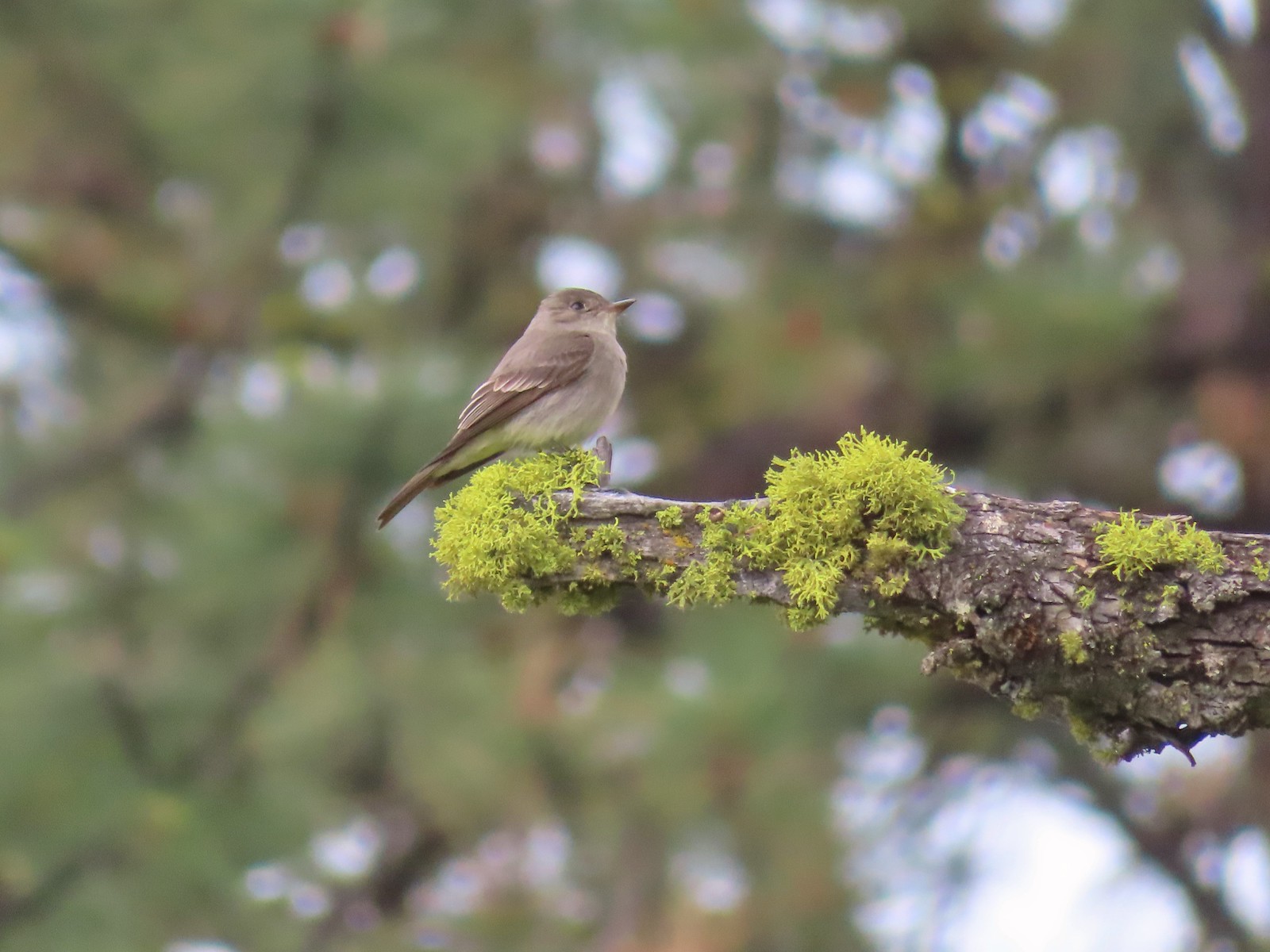 Western wood pee-wee – 6/15/23, Hells Canyon National Recreation Area, Wallowa-Whitman National Forest
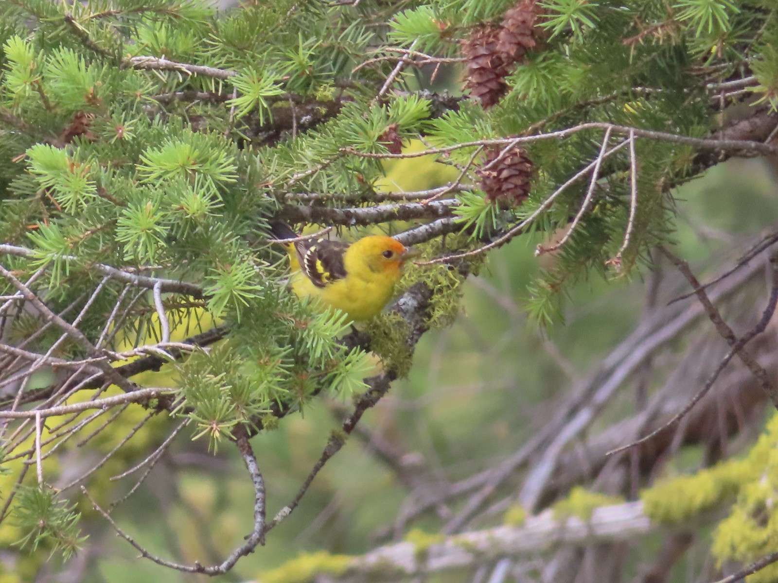 Western tanager – 6/15/23, Hells Canyon National Recreation Area, Wallowa-Whitman National Forest
 Red-eyed vireo – 6/16/23, Trail 1890, Hells Canyon Wilderness
 Bushtit – 6/24/23, Rogue River National Recreation Trail, Wild Rogue Wilderness
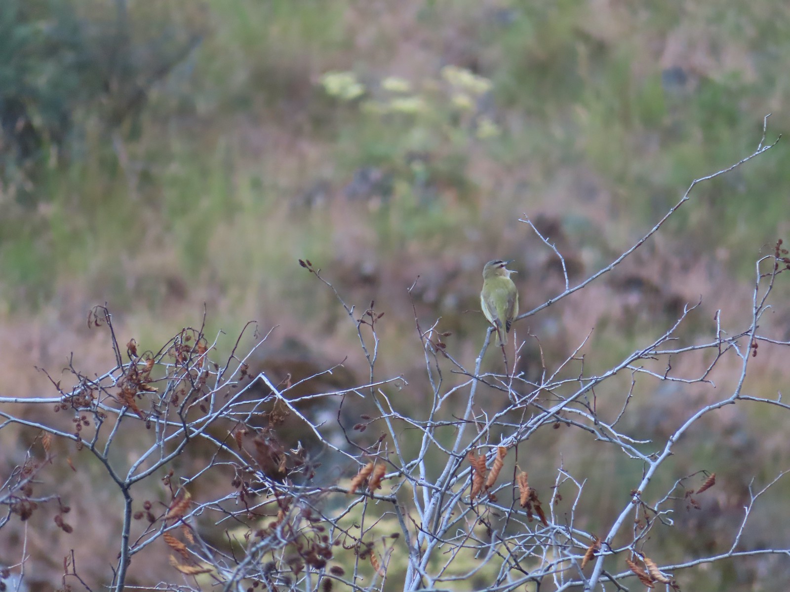
 Macgillivray’s warbler? – 6/25/23, North Umpqua Trail, BLM Roseburg District
 Woodpecker – 6/25/23, North Umpqua Trail, BLM Roseburg District
 Hawk – 6/25/23, North Bank Habitat, BLM Roseburg District
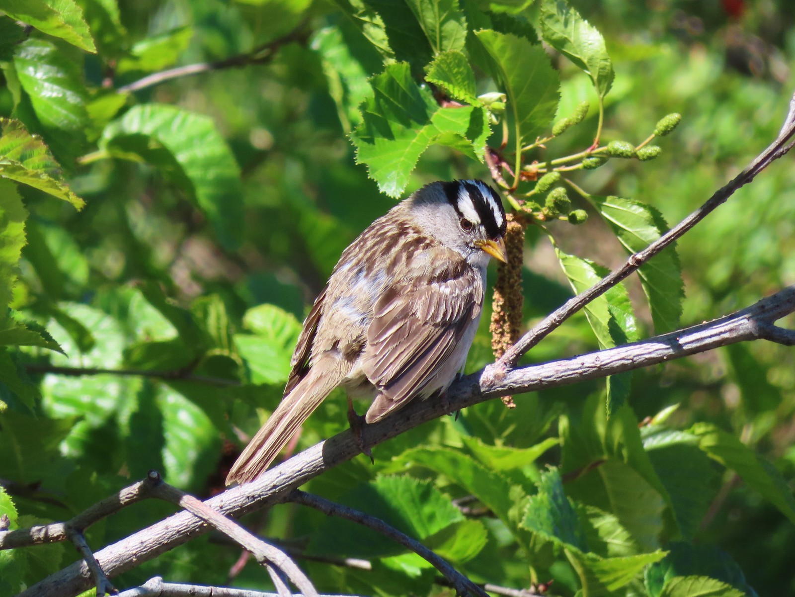 White-crowned sparrow – 7/1/23, Boundary Trail, Mt. St. Helens National Volcanic Monument
 Cedar waxwings – 7/1/23, Boundary Trail, Mt. St. Helens National Volcanic Monument
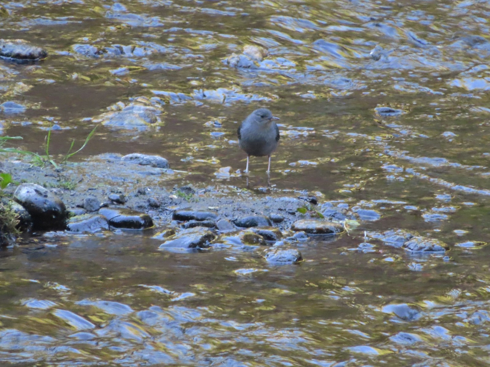 Ouzel – 7/22/23, Metolius River Trail, Deschutes National Forest
 Sooty grouse – 7/22/23, Metolius River Trail, Deschutes National Forest
 Canada jay – 8/5/23, Timberline Trail, Mt. Hood Wilderness
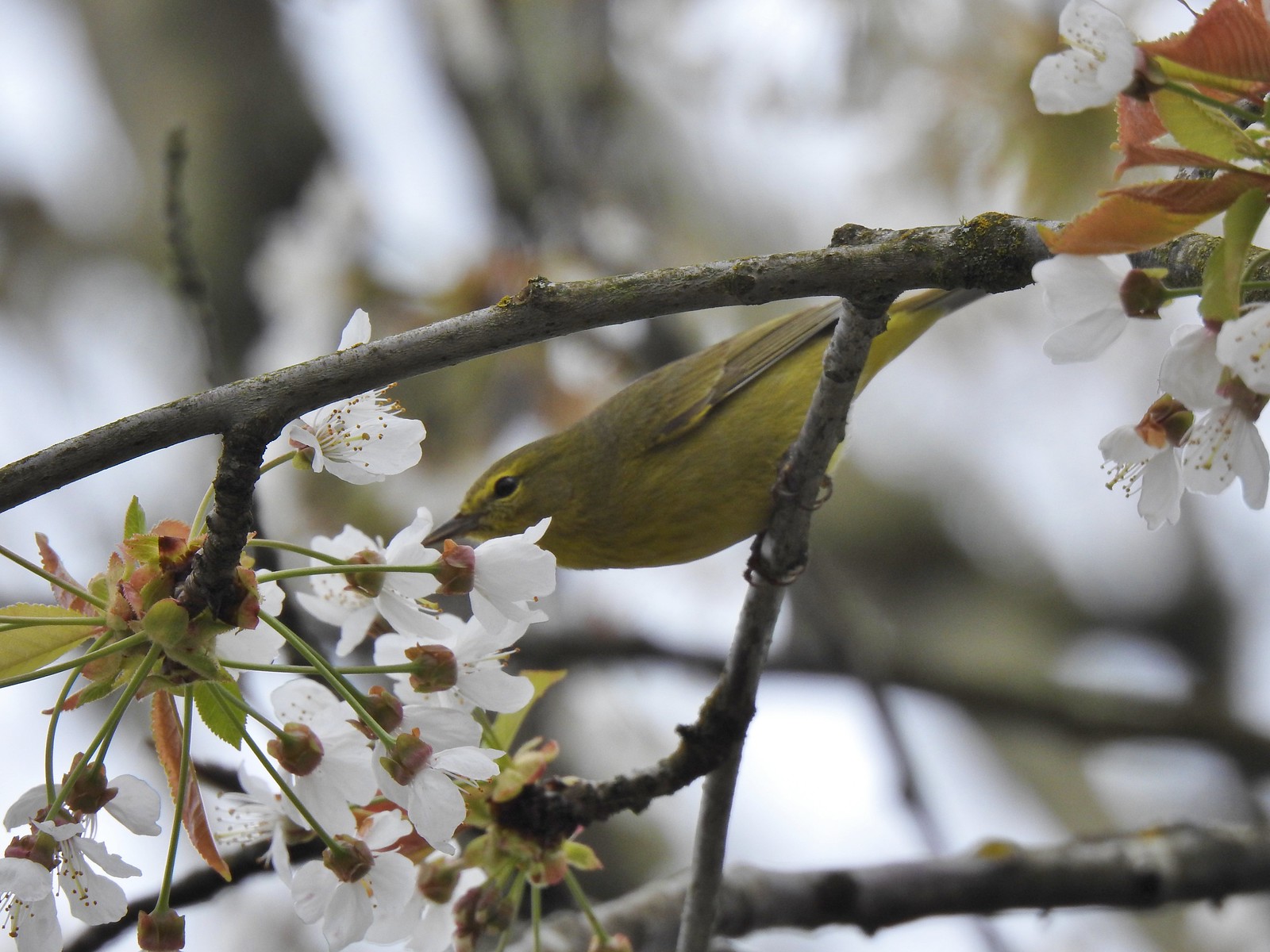
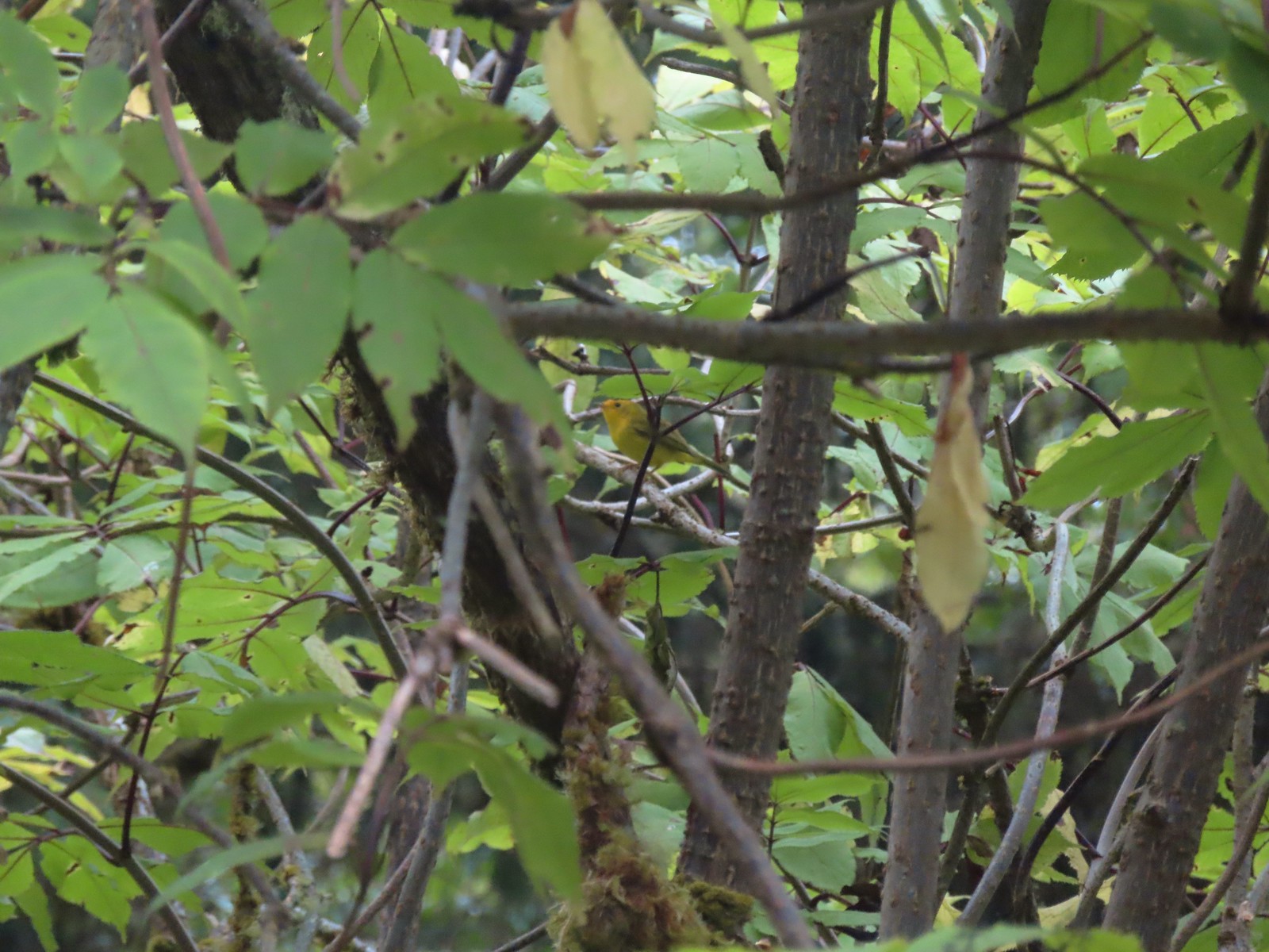 Wilson’s warbler? – 8/29/23, Nestucca Bay National Wildlife Refuge, Cloverdale
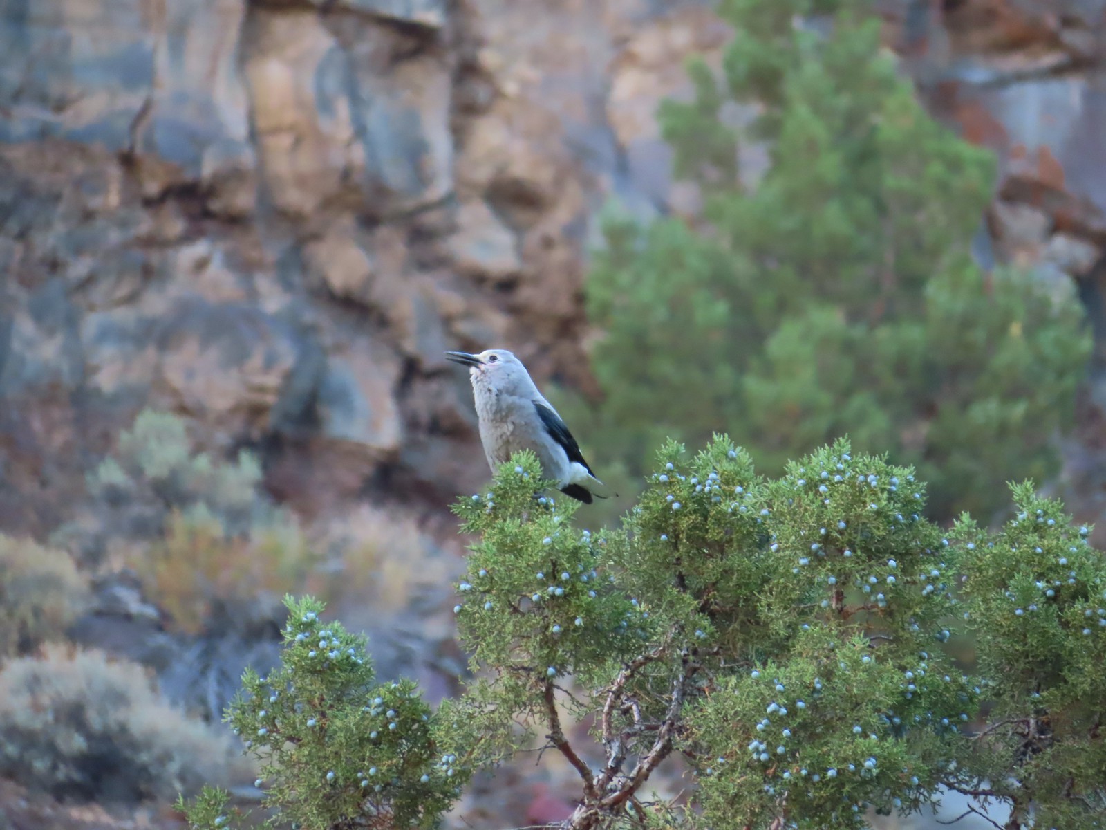 Clark’s nutcrakcer – 9/2/23, Dry River Canyon, BLM Prineville District
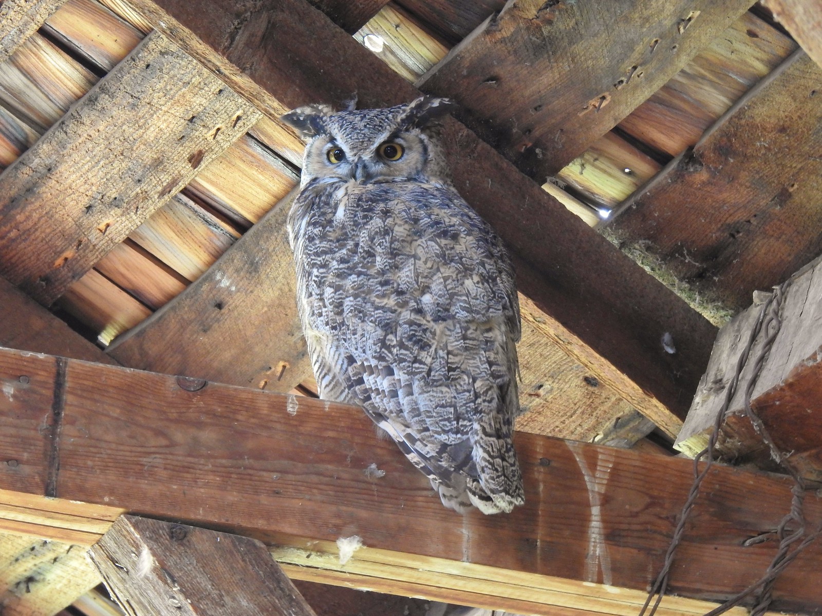 Great horned owl – 9/3/23, P Ranch, Malheur National Wildlife Refuge
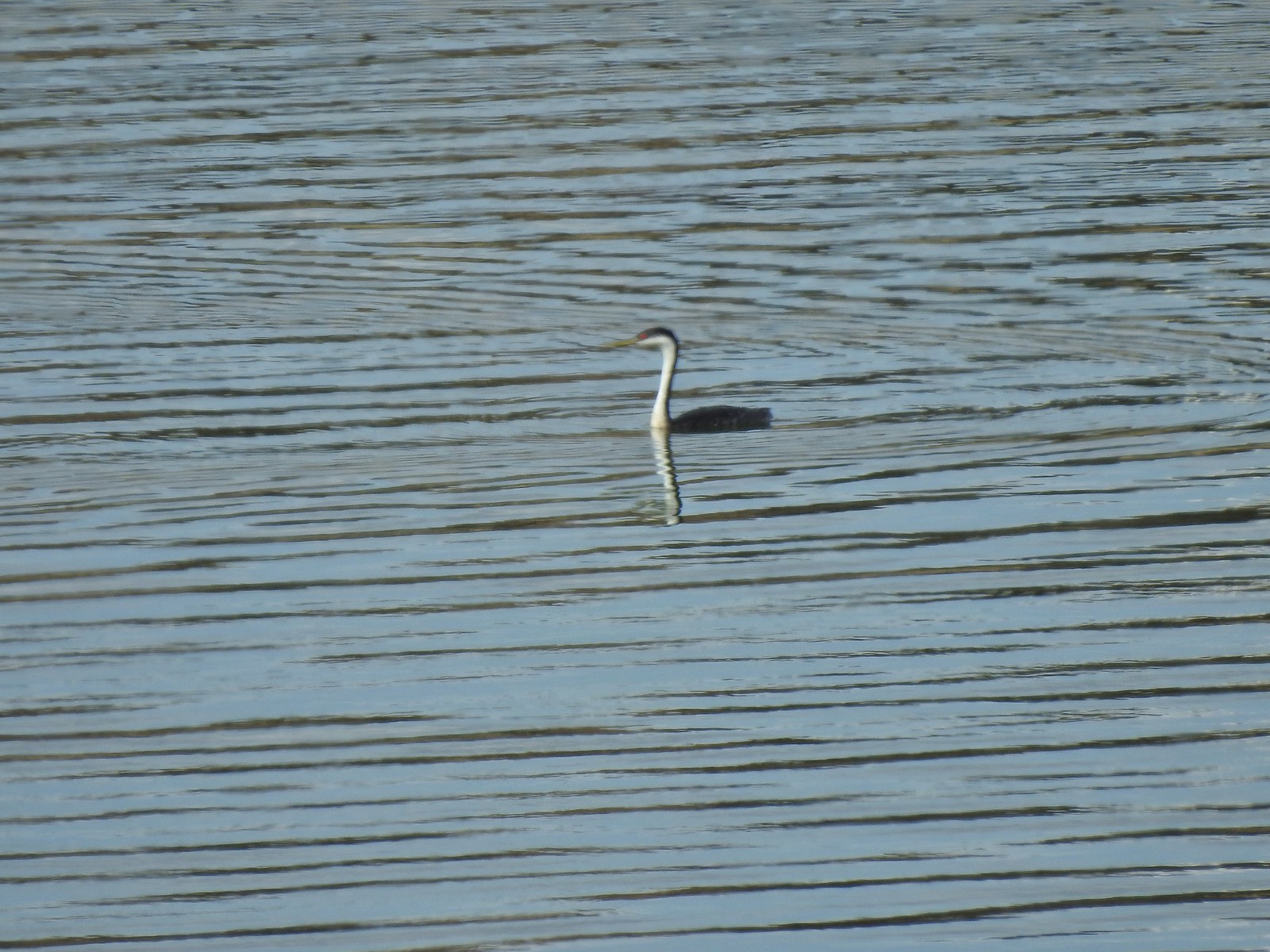 Western grebe – 9/3/23, Krumbo Reservoir, Malheur National Wildlife Refuge
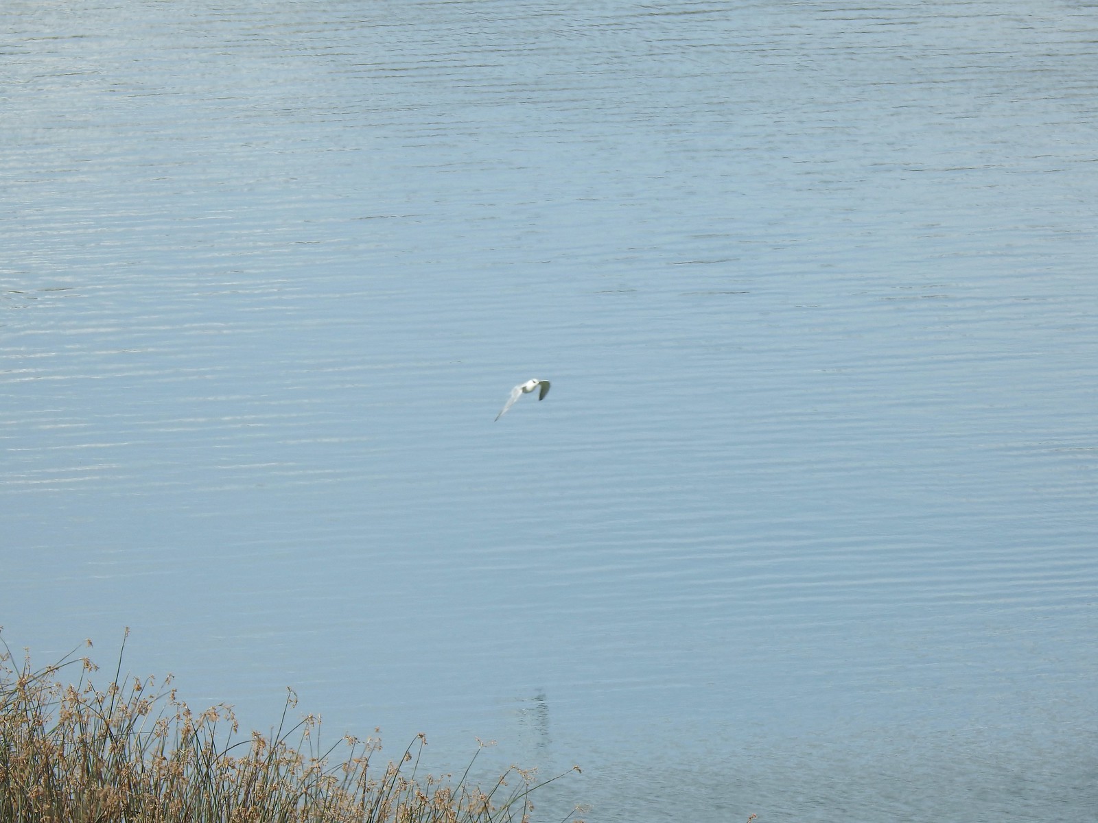 Unidentified bird – 9/3/23, Krumbo Reservoir, Malheur National Wildlife Refuge
 White-faced ibis – 9/3/23, Cental Patrol Road, Malheur National Wildlife Refuge
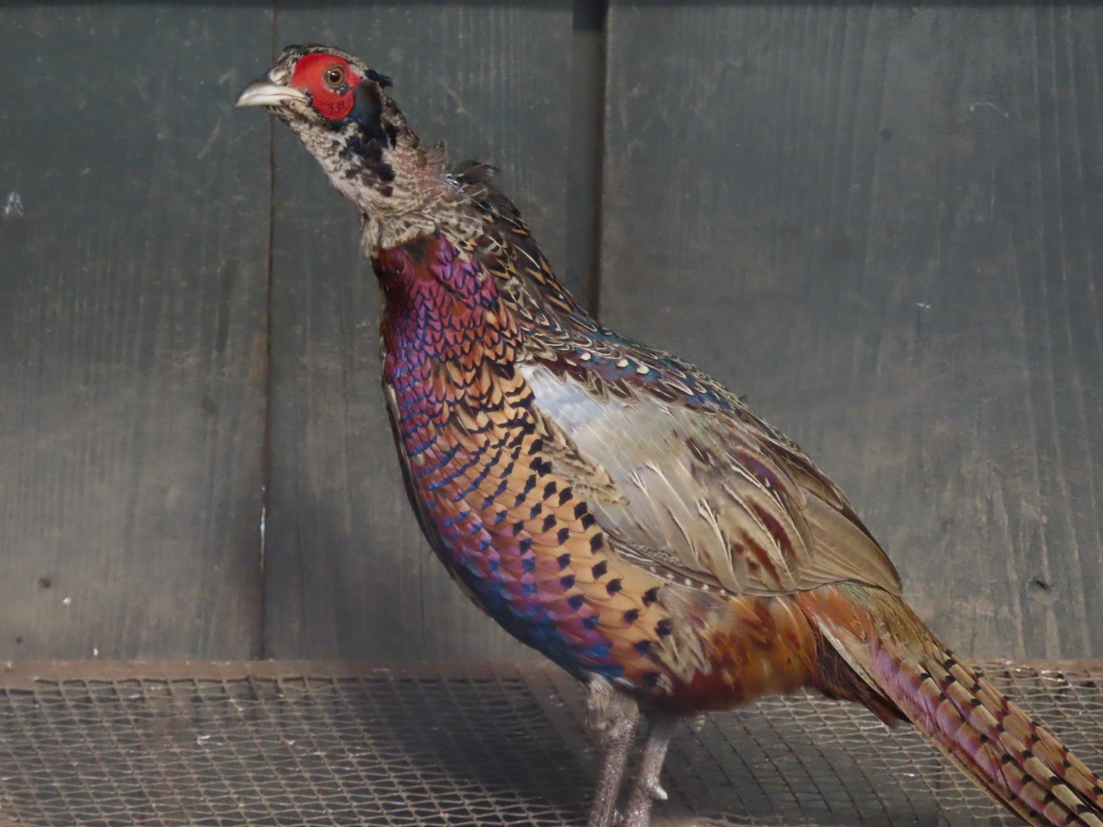
 Ring-necked pheasant – 9/3/23, Central Patrol Road, Malheur National Wildlife Refuge
 Townsends solitaire – 9/4/23 Fryrear Canyon, BLM Prineville District
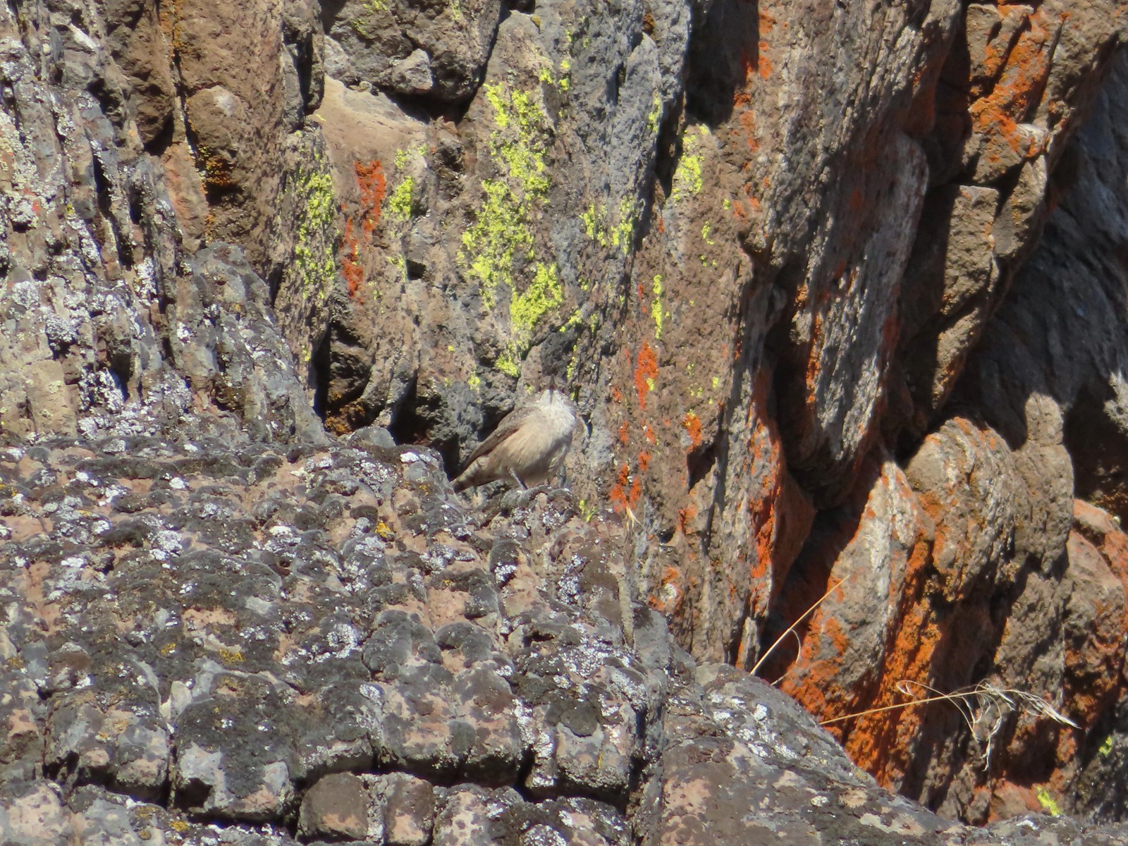 Rock wren? – 9/4/23 Fryrear Canyon, BLM Prineville District
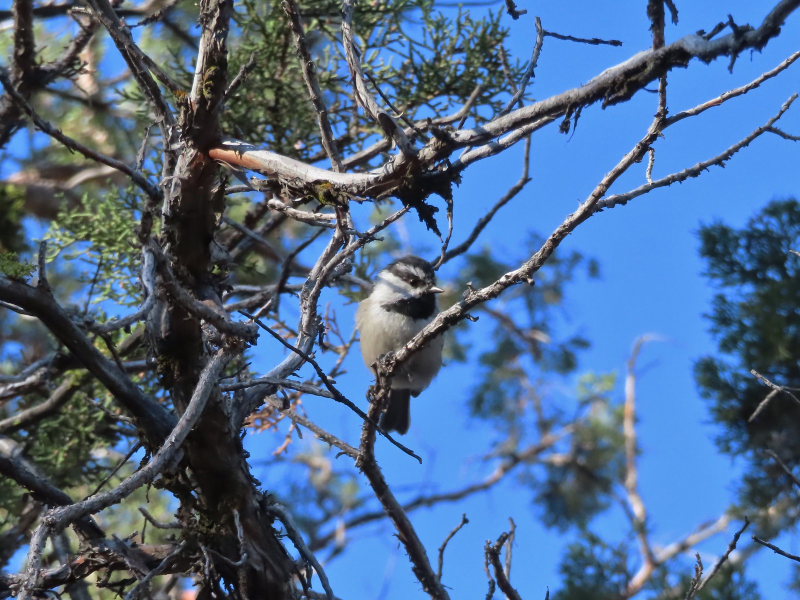 Mountain chickadee – 9/4/23 Fryrear Canyon, BLM Prineville District
 Black-backed woodpecker – 9/9/23, Pacific Crest Trail, Sky Lakes Wilderness
 American pipit – 9/9/23, Devil’s Peak, Sky Lakes Wilderness
 Golden eye – 9/16/23, Fish Lake, Mt. Hood National Forest
 White-breasted nuthatch – 9/16/23, Fish Lake Trail, Mt. Hood National Forest
 Stellar’s jay – 9/30/23, Big Creek Park, Newport
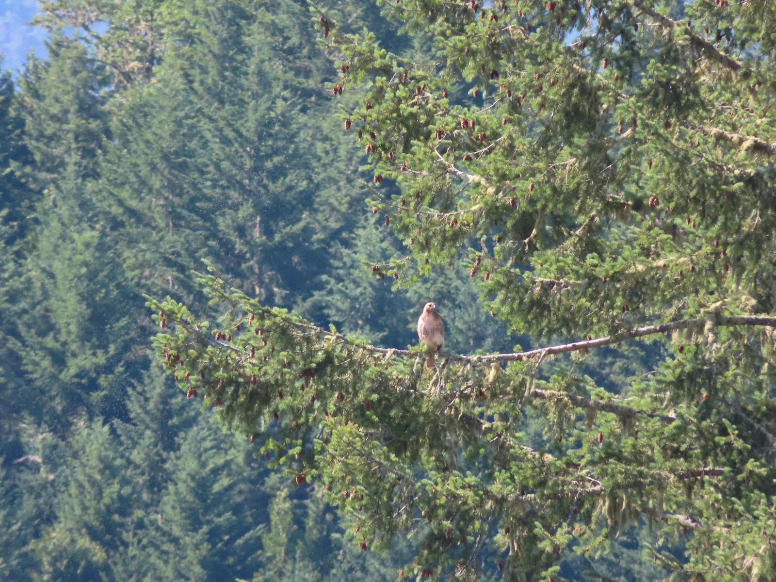
 Red-tailed hawk – 9/30/23, Strom Boulder Ridge, Burnt Woods
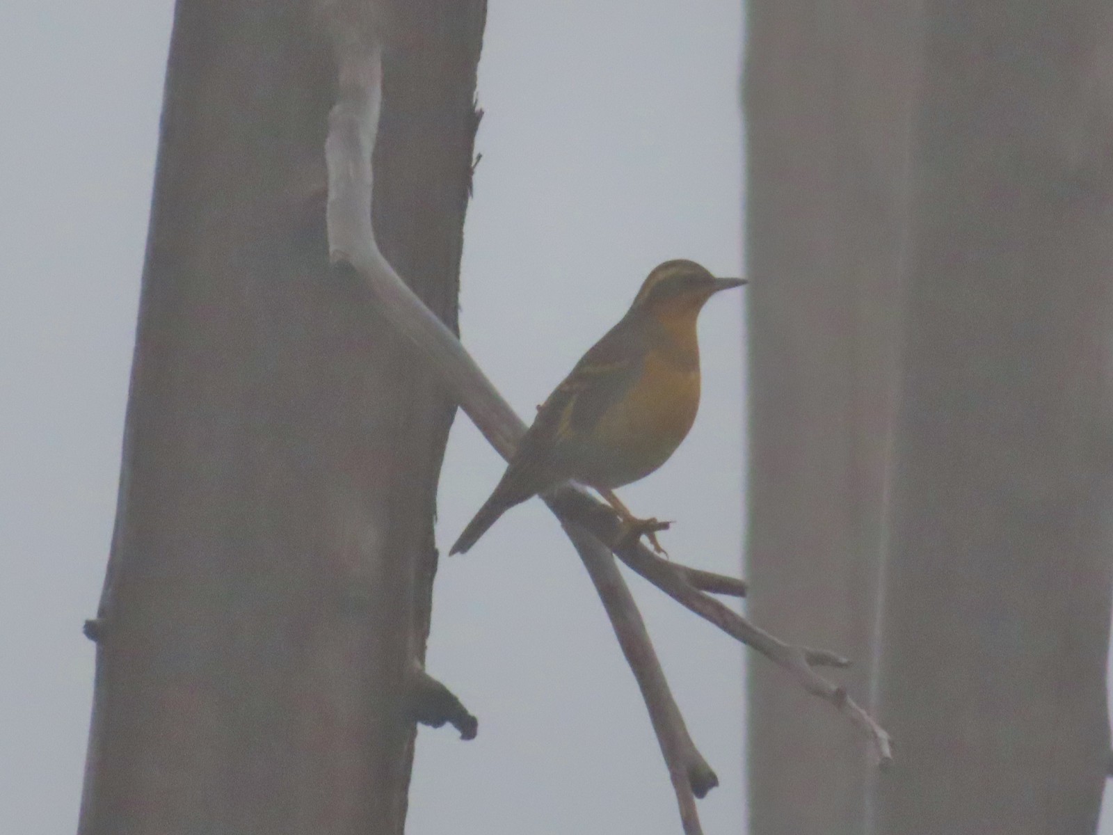 Varied thrush – 10/9/23, Babyfoot Lake Trail, Kalmiopsis Wilderness
 Seagull – 10/28/23, Oceanside Beach, Oceanside
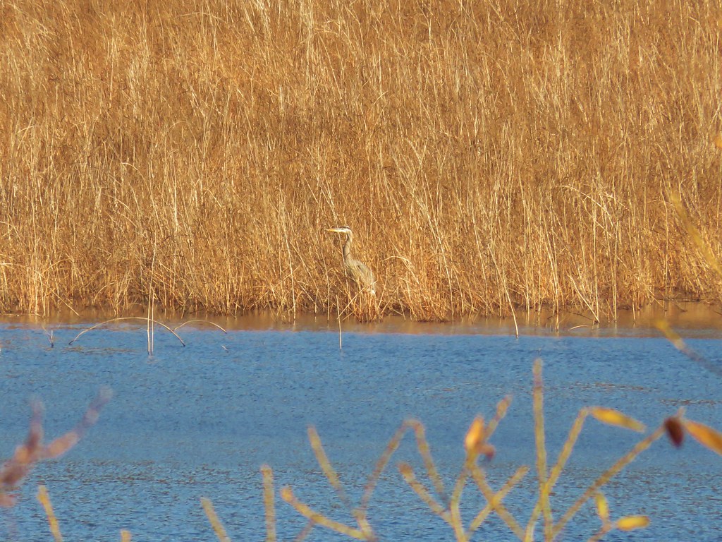
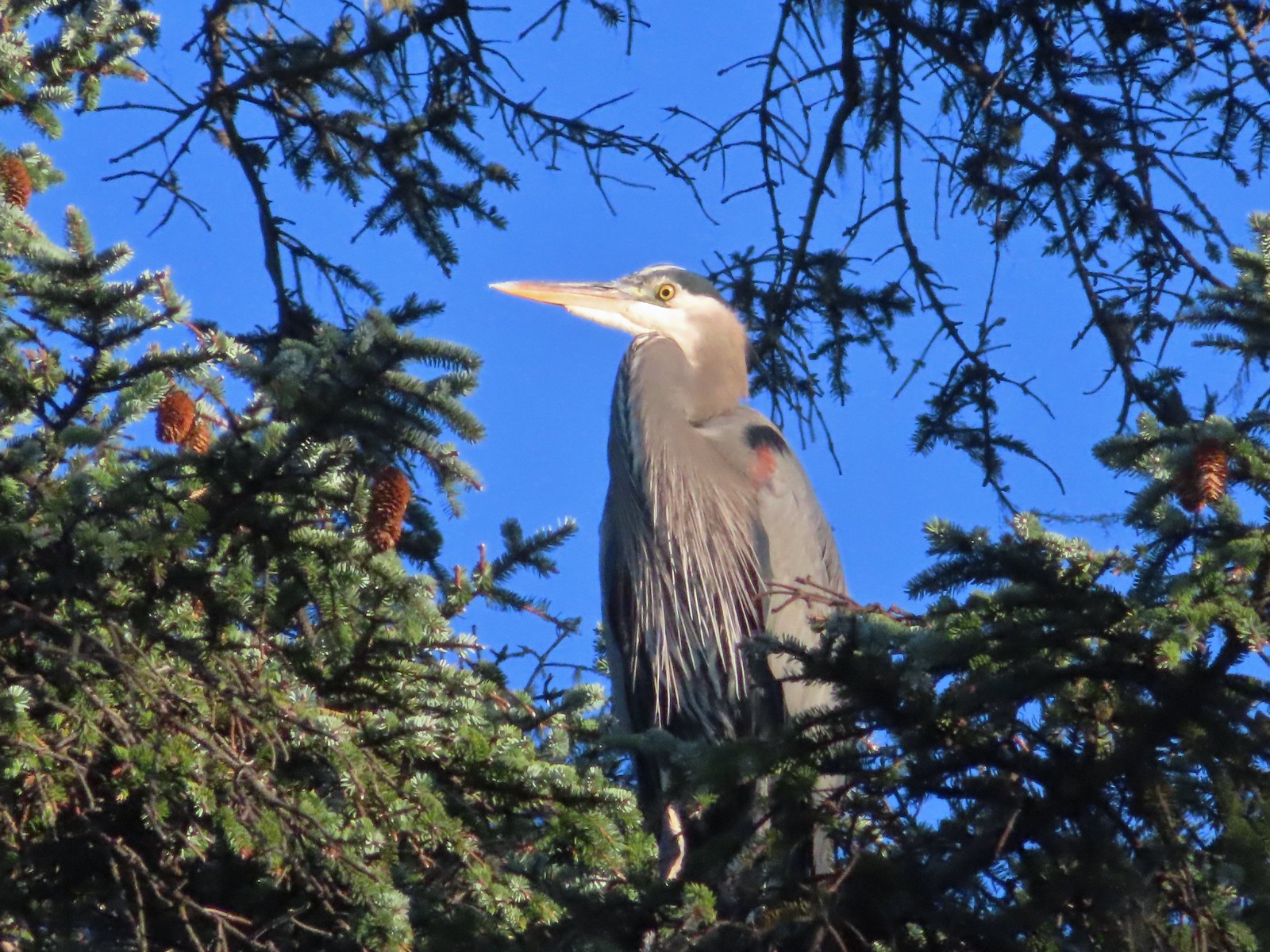 Great blue heron – 10/28/23, Oceanside Beach, Oceanside
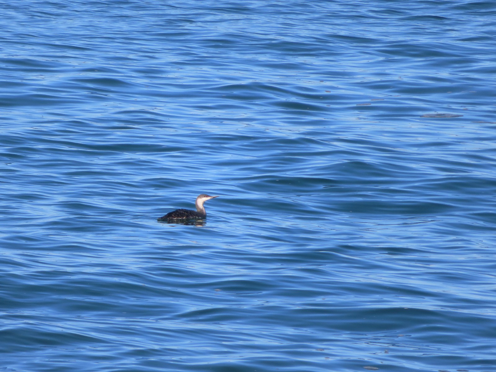 Red-throated loon – 10/28/23, Pacific Ocean, Oceanside
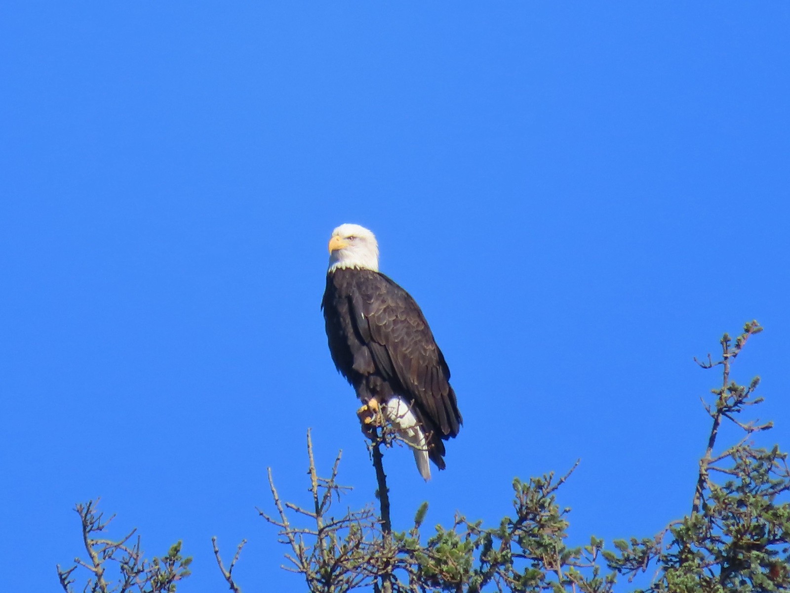 Bald eagle – 10/28/23, Tillamook Wetlands, Tillamook
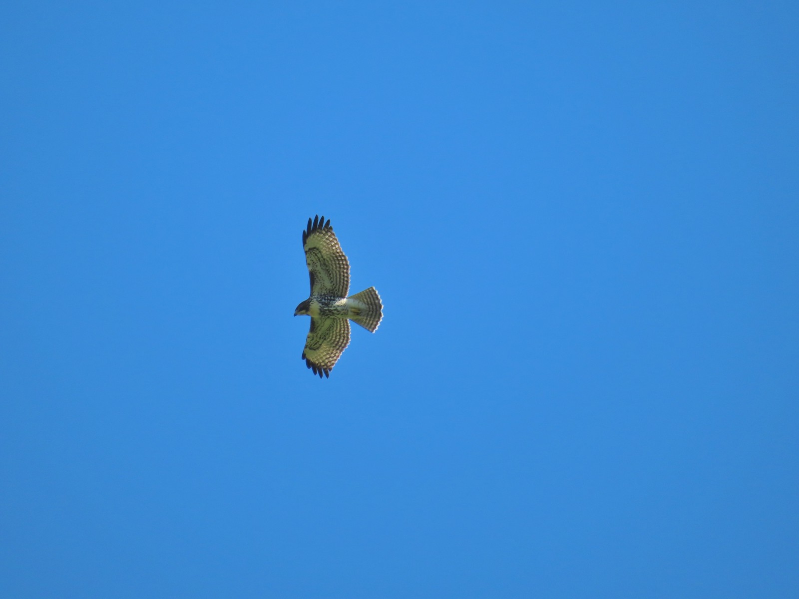 Hawk – 10/28/23, Tillamook Wetlands, Tillamook
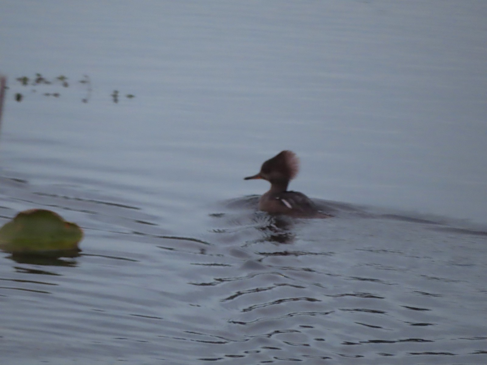 Hooded merganser – 11/18/23, D River, Lincoln City
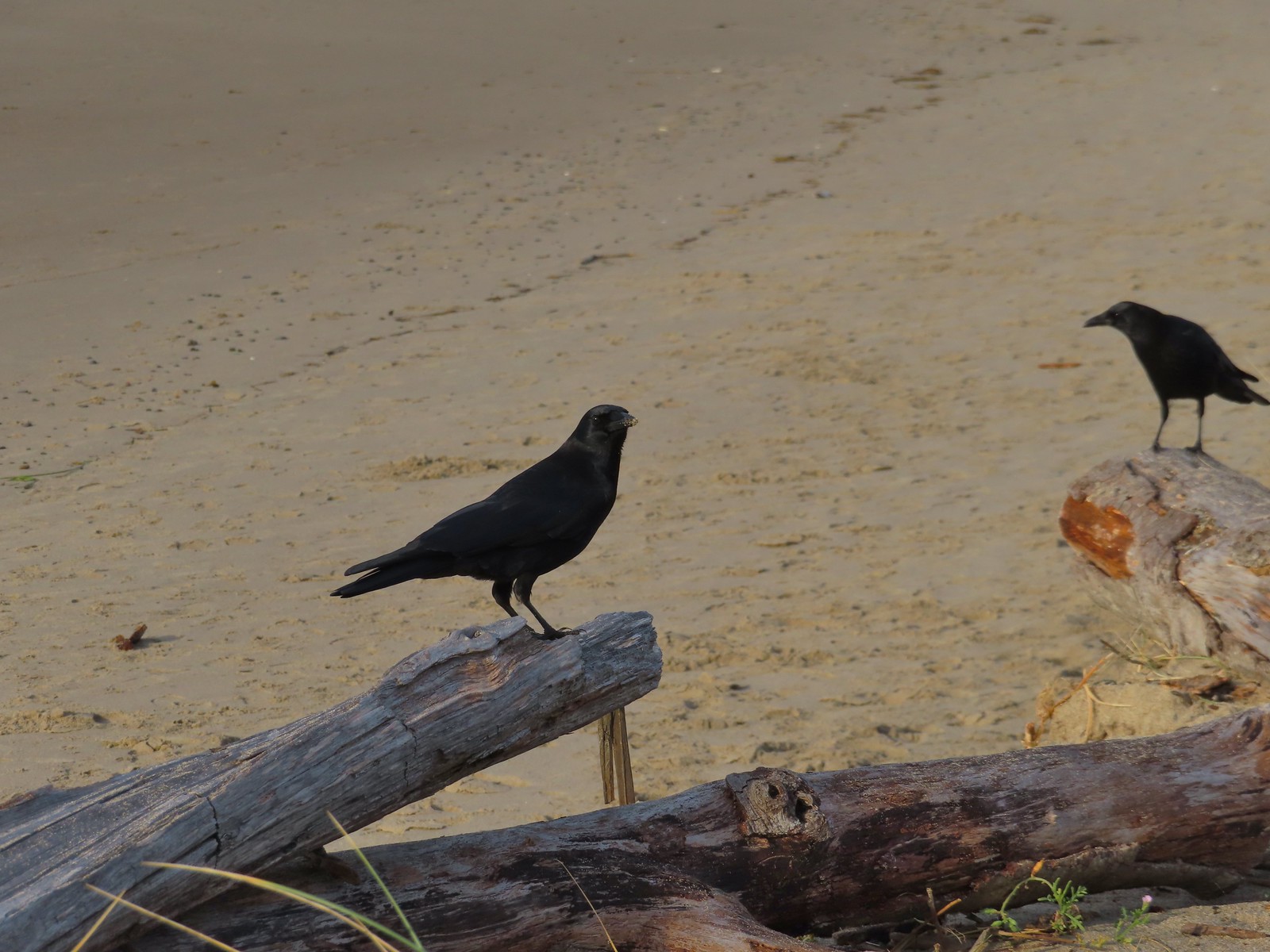 Crows – 11/18/23, Siletz Bay, Lincoln City
 Brown pelicans – 11/18/23, Siletz Bay, Lincoln City

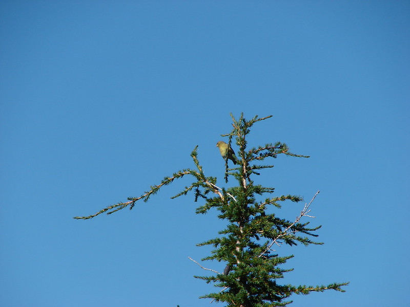
 Hummingbird at Memaloose Hills in May.
 Hummingbird at Upper Table Rock in May.
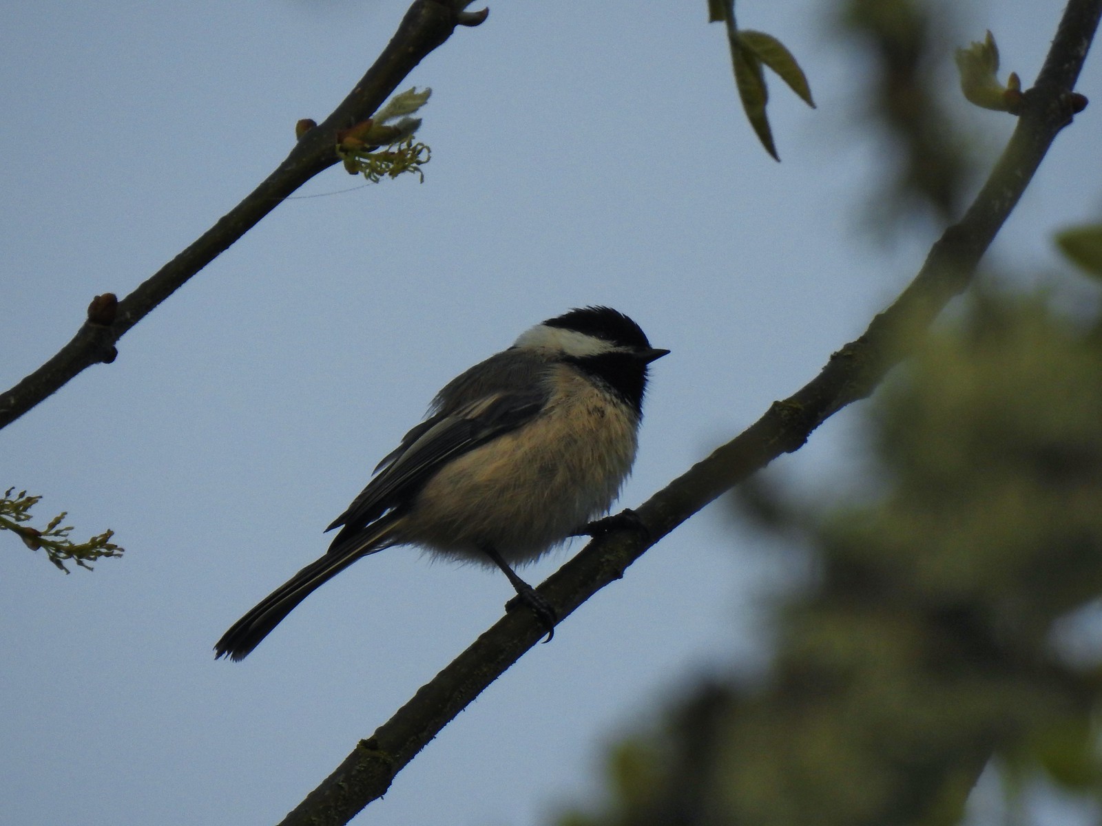 Black capped chickadee at Ankeny Wildlife Refuge in April.
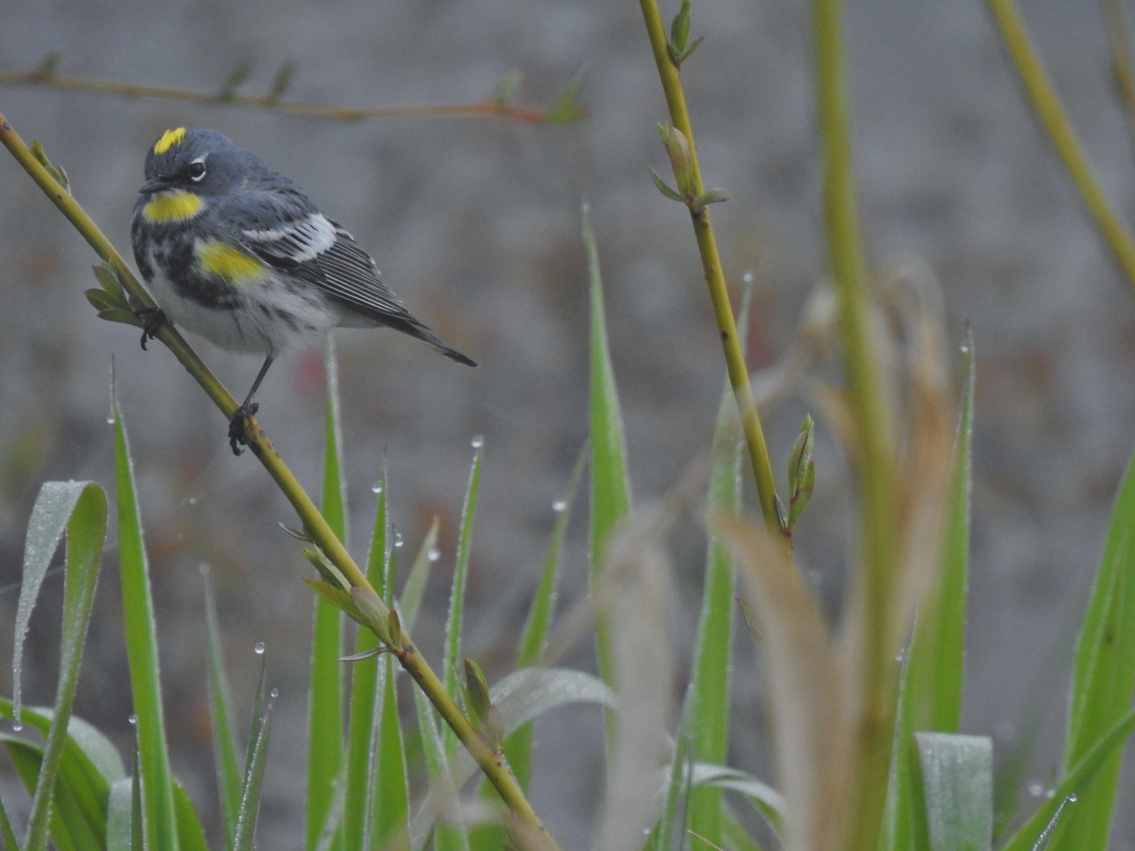 Yellow-rumped warbler (Audubon’s) at Ankeny Wildlife Refuge in April.
 Wren (marsh?) at Ankeny Wildlife Refuge in April.
 White-crowned sparrow at Ankeny Wildlife Refuge in April.
 Sparrow? at Ankeny Wildlife Refuge in April.
 Common yellow throat at Ankeny Wildlife Refuge in April.
 Yellow-rumped warbler (Myrtle) at Ankeny Wildlife Refuge in April.
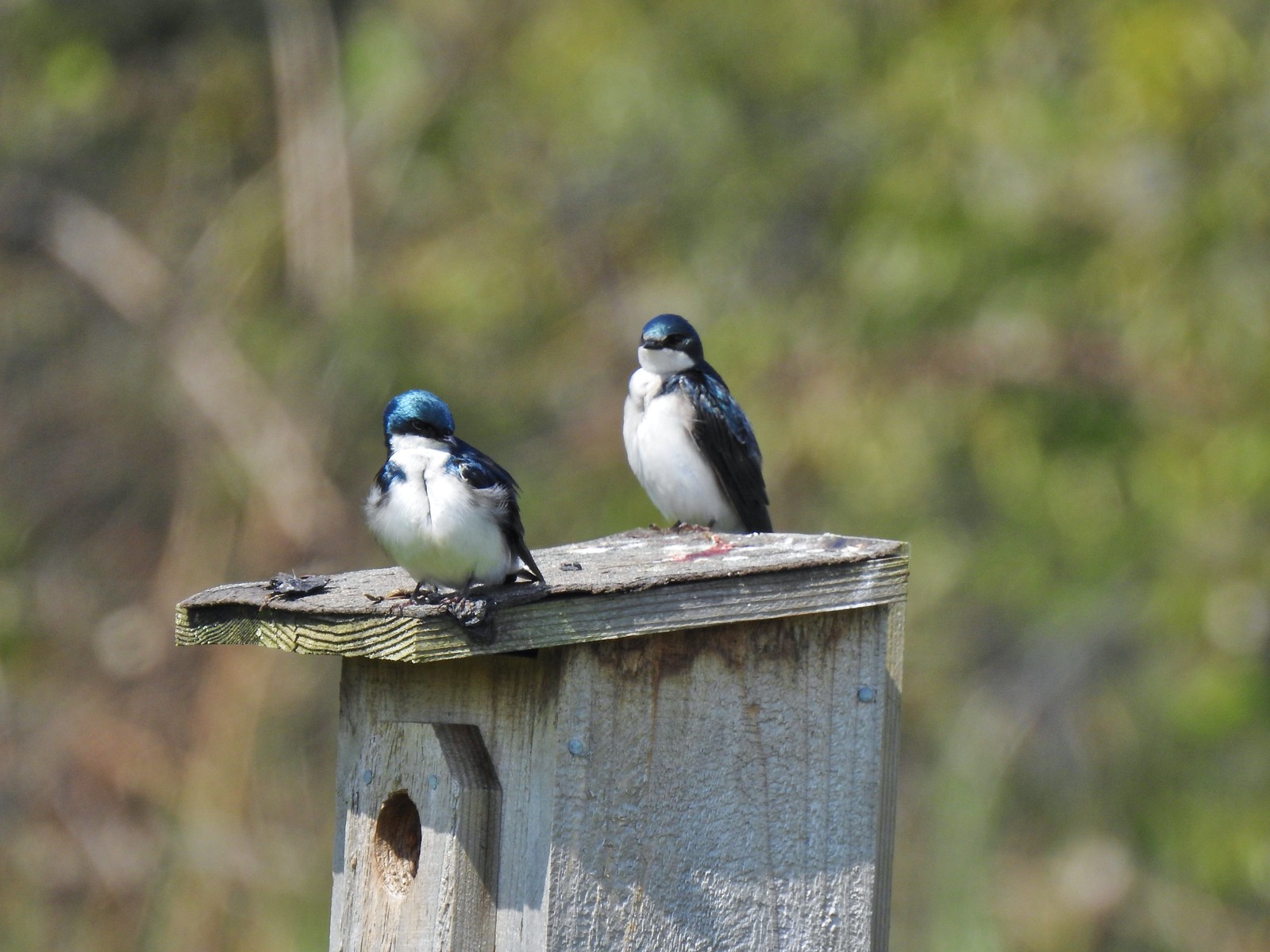 Tree swallows at Ankeny Wildlife Refuge in April.
 White-crowned sparrow and a wren at Miller Woods in May.
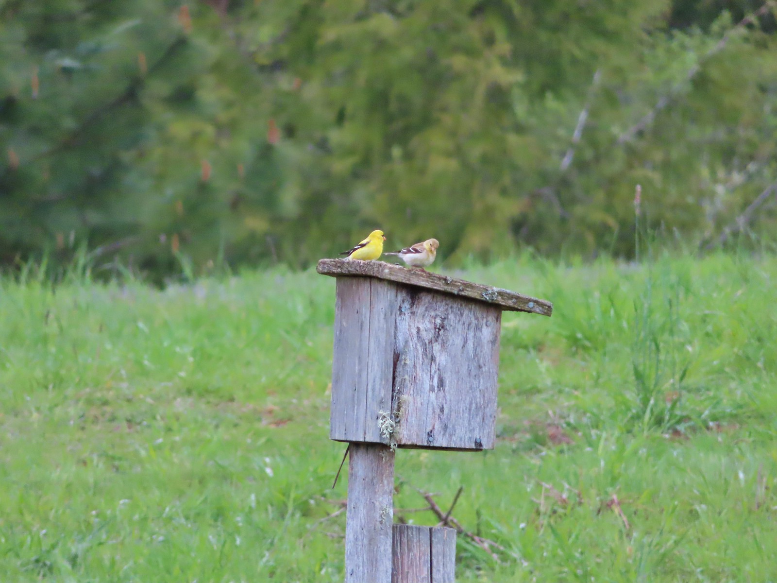 American goldfinch pair at Miller Woods in May.
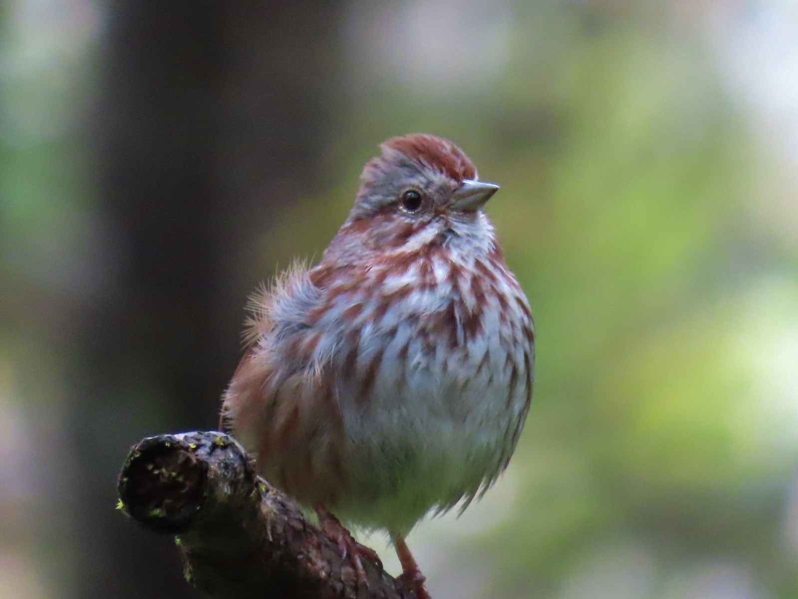 Another sparrow at Miller Woods in May.
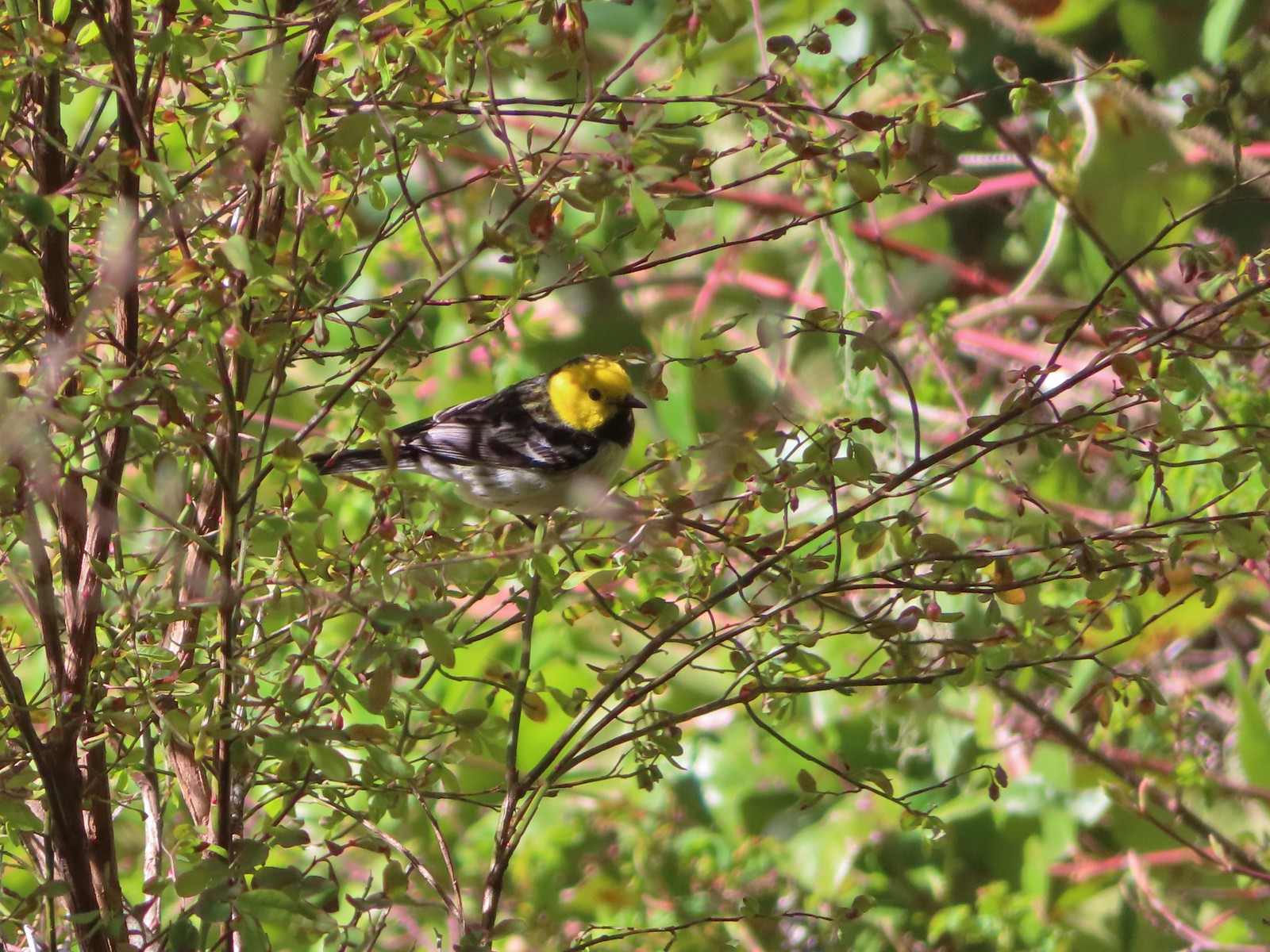 Hermit warbler? near Kings Mountain in May.
 House finch? at Upper Table Rock in May.
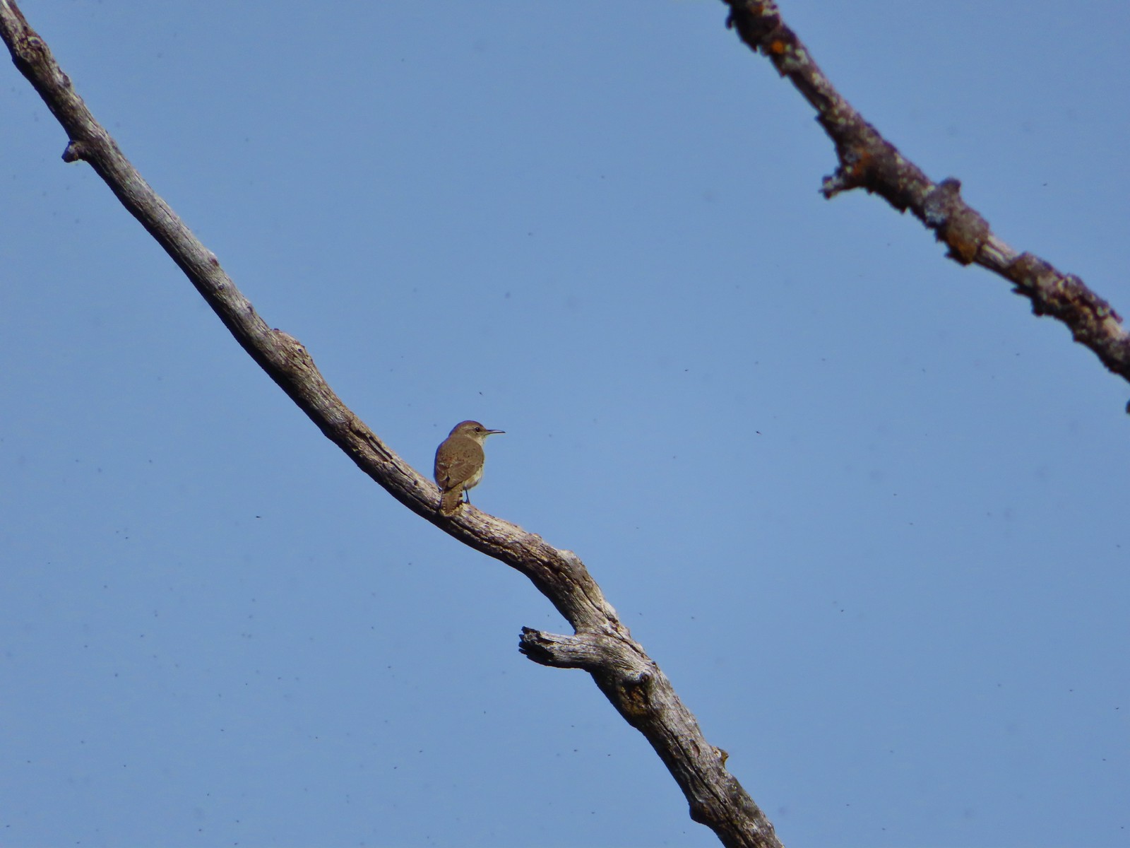 Rock wren? at Upper Table Rock in May.
 Ash-throated flycatcher at Denman Wildlife Area in May.
 Unknown at Denman Wildlife Area in May.
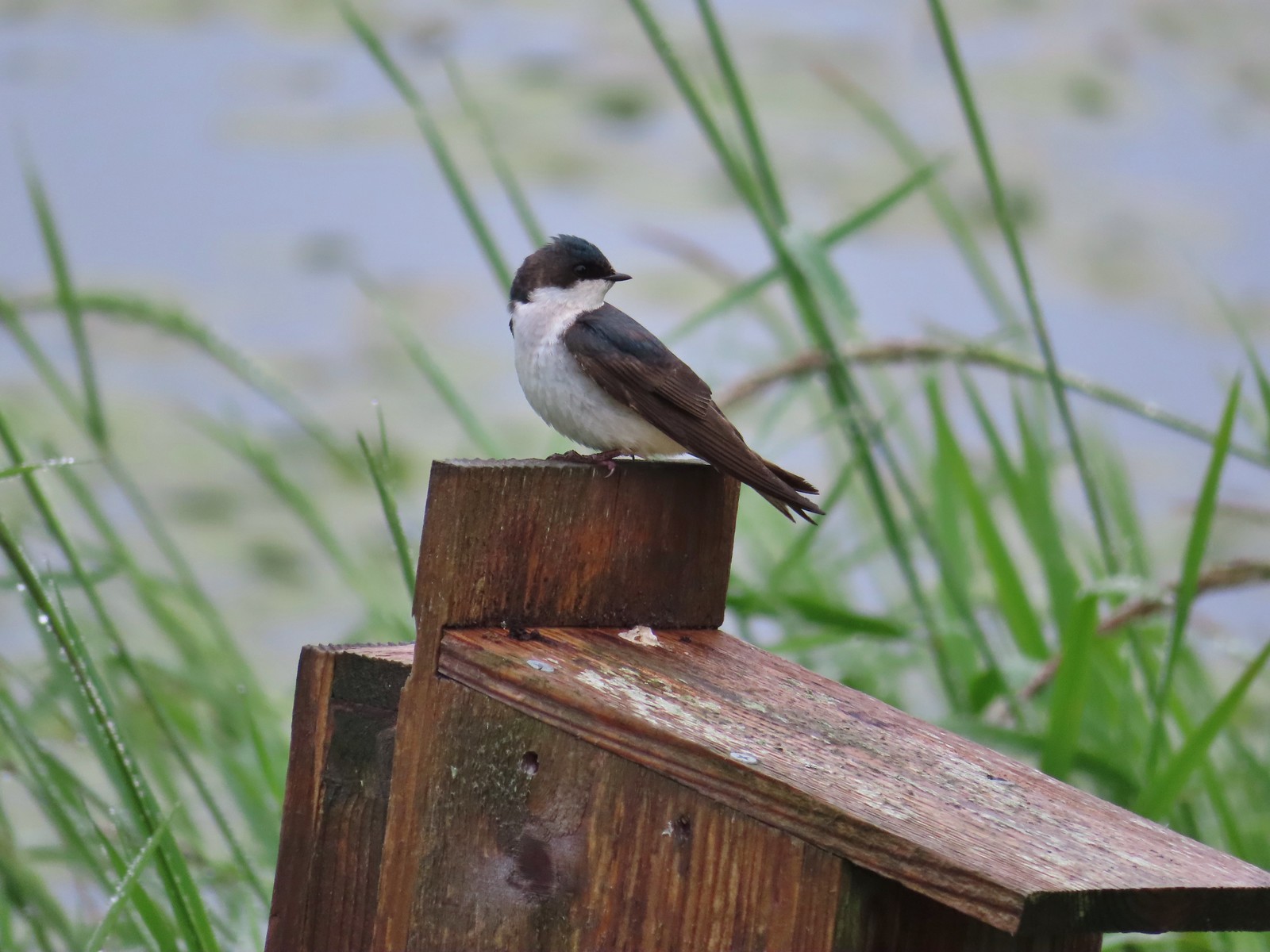 Swallow at Julia Hansen Butler Wildlife Refuge in June.
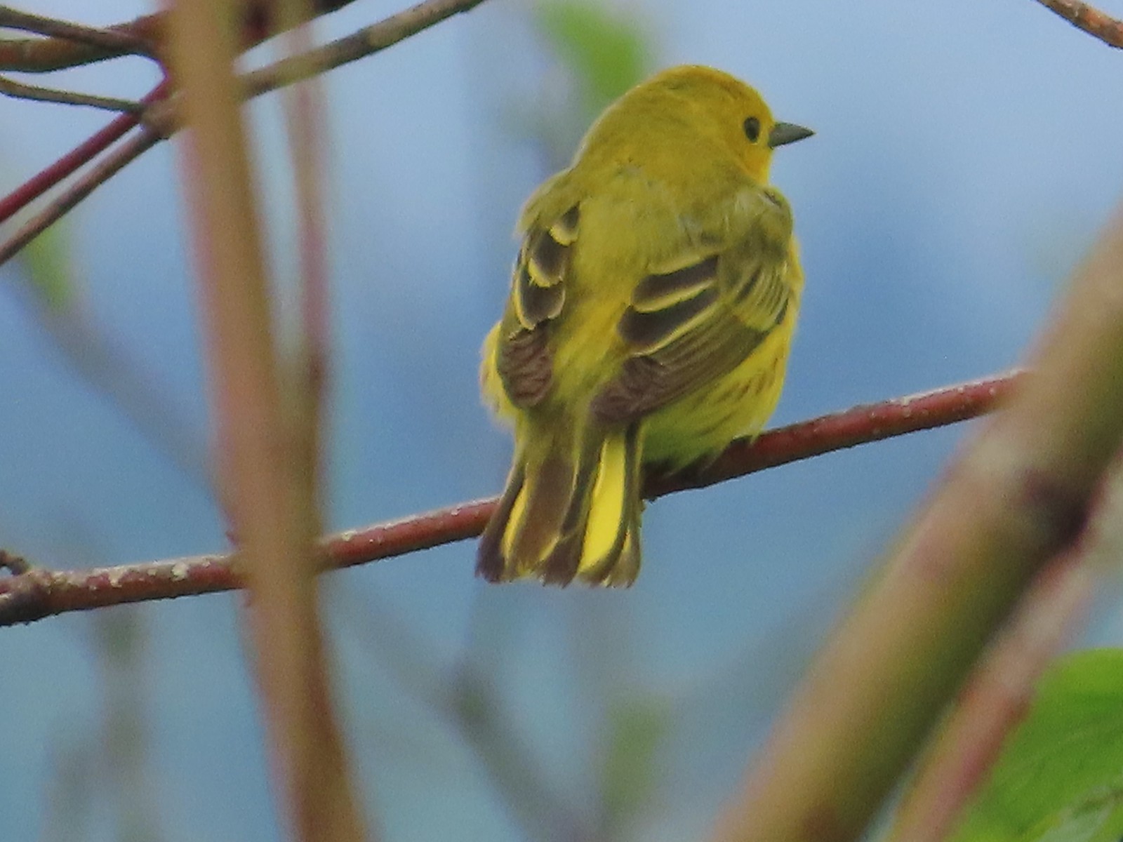 Some sort of warbler? at Julia Hansen Butler Wildlife Refuge in June.
 Purple martins at Julia Hansen Butler Wildlife Refuge in June.
 Another wren at Julia Hansen Butler Wildlife Refuge in June.
 Unknown at Julia Hansen Butler Wildlife Refuge in June.
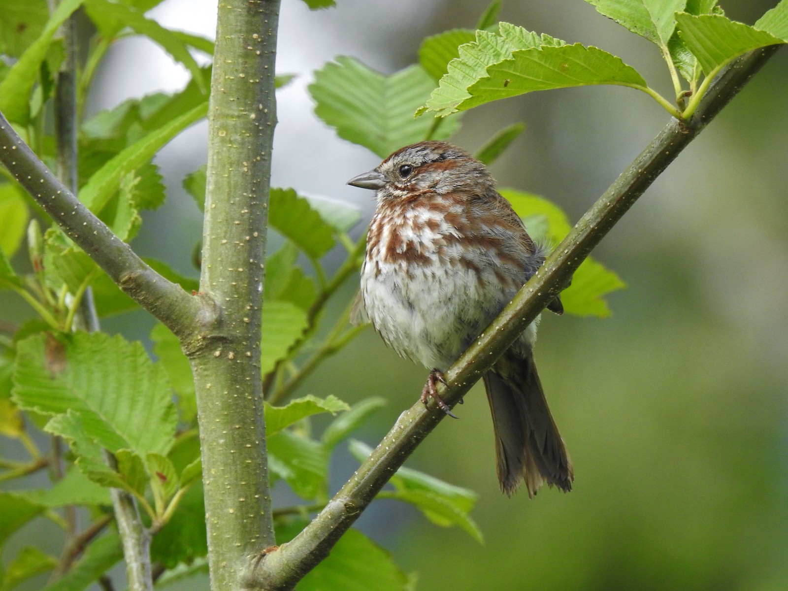 Sparrow? at Julia Hansen Butler Wildlife Refuge in June.
 Warbler? at Julia Hansen Butler Wildlife Refuge in June.
 Black phoebe? at Julia Hansen Butler Wildlife Refuge in June.
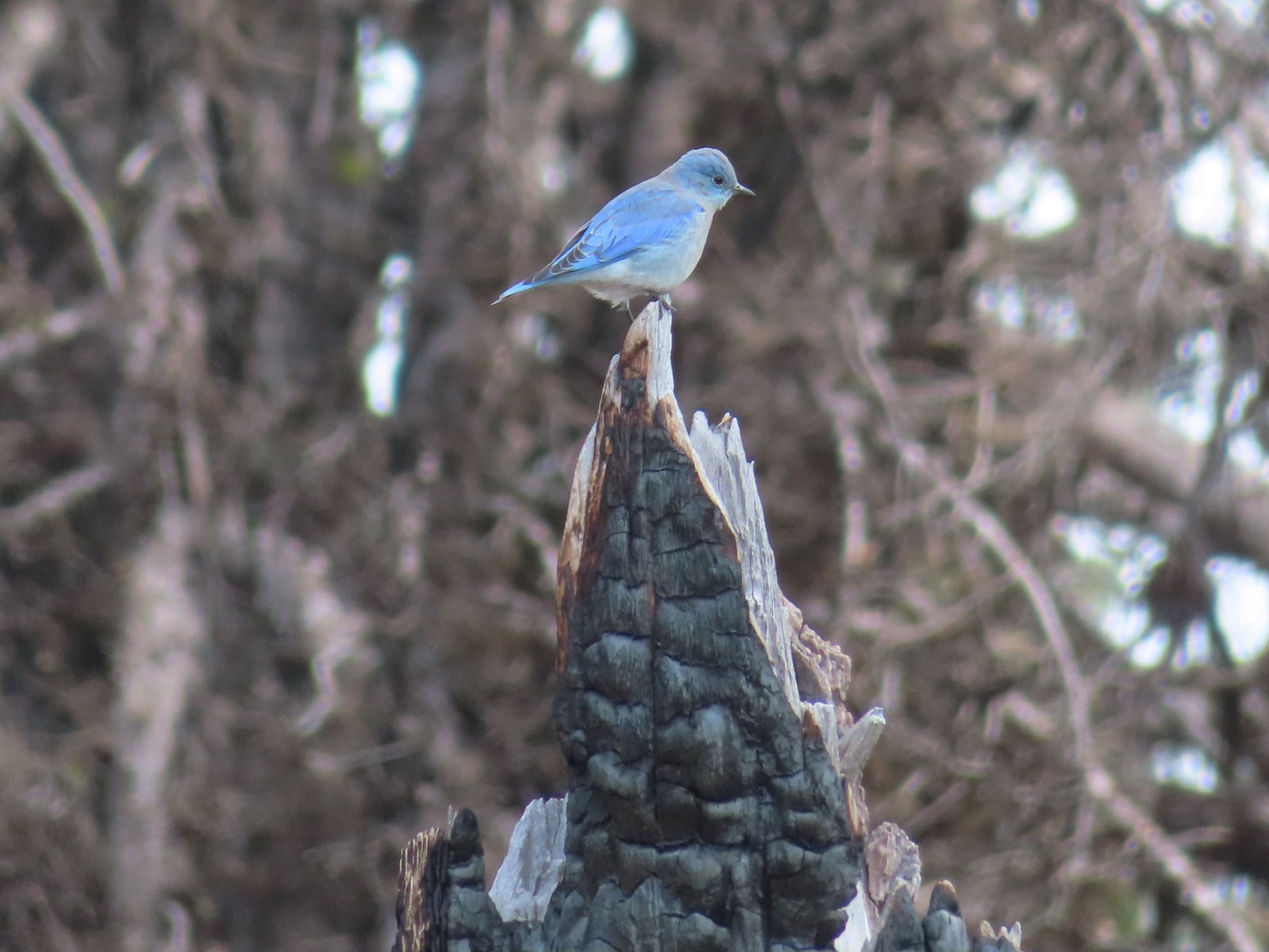 Mountain bluebird near Union Peak in September.
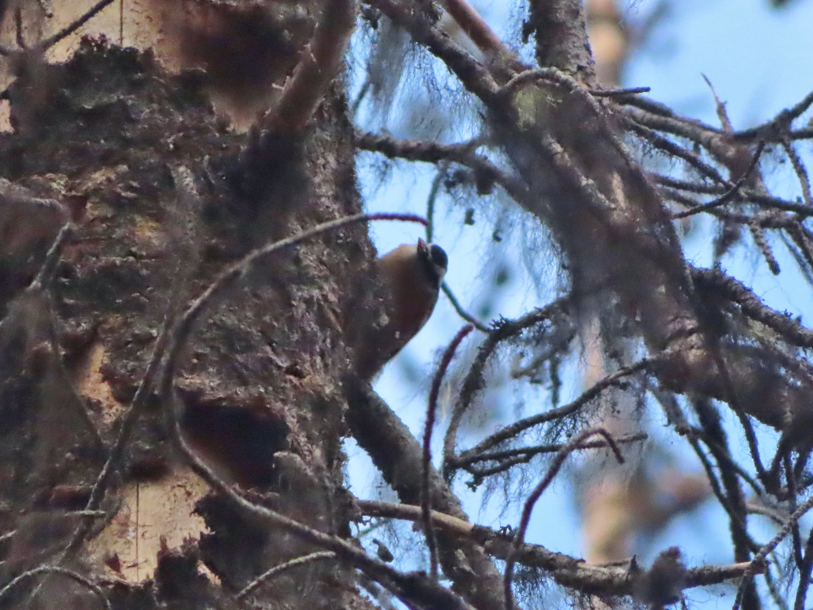 Red-breasted nuthatch (best I could get) at Crater Lake in September.
 Red crossbilss at Crater Lake in September.
 Wren on the Eagle Creek Trail in November.
 Dark eyed junco at Waverly Lake in December.
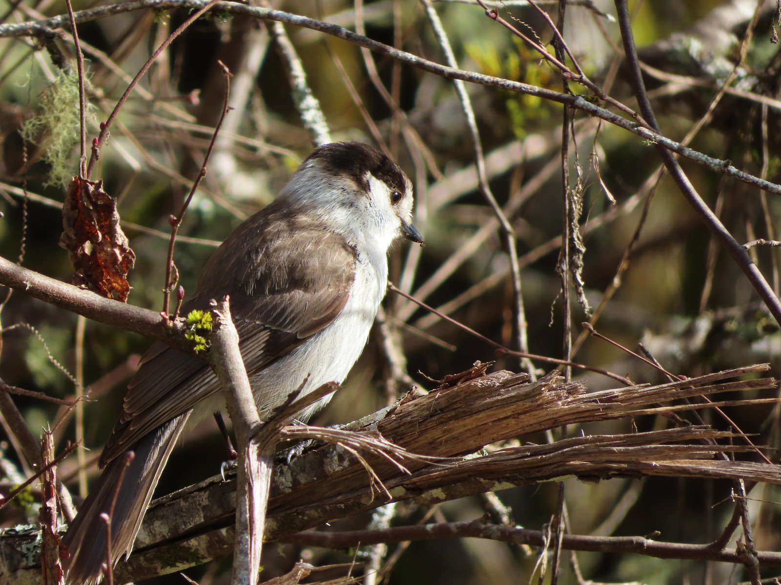 Canada jay (grey jay) along the Crown Zellerbach Trail in March.
 California scrub jay along the Balfour-Klickitat Trail in April.
 Stellar’s jay along the Hood River Pipeline Trail in May.
 Female red-winged blackbird at Ankeny Wildlife Refuge in April.
 Red-winged blackbird at Ankeny Wildlife Refuge in April.
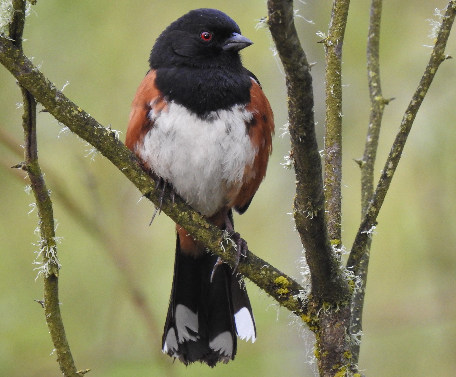 Spotted towhee at Ankeny Wildlife Refuge in April.
 Starlings along the Hood River Pipeline Trail in May.
 Brownheaded cowbird at Upper Table Rock in May.
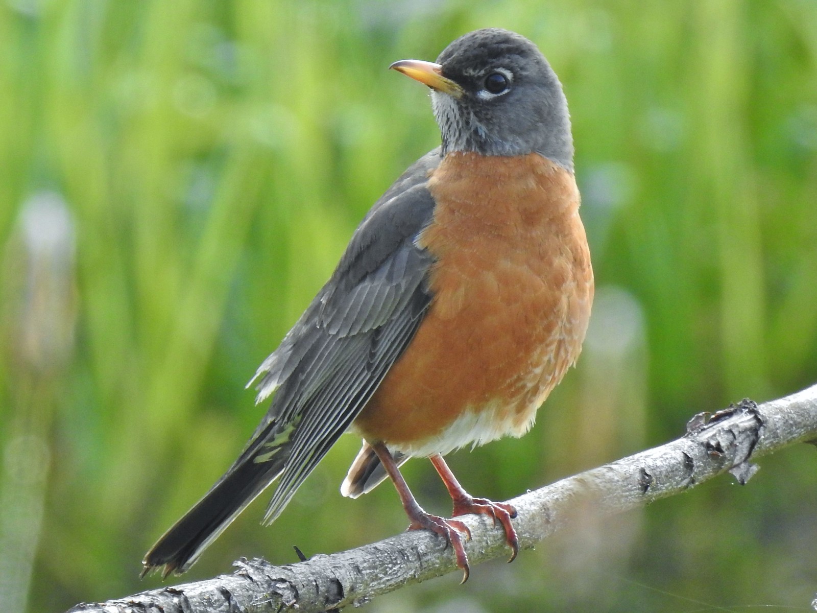 American robin at Ankeny Wildlife Refuge in April.
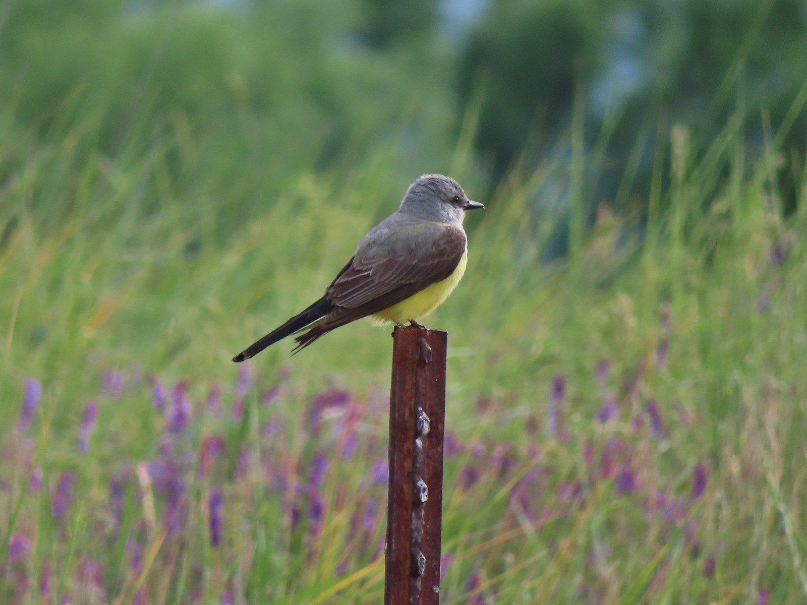 Tropical kingbird? at Denman Wildlife Area in May.
 Black-headed grosbeak (also all I could get) at Applegate Lake in May.
 Lazuli bunting at Roxy Ann Peak in May.
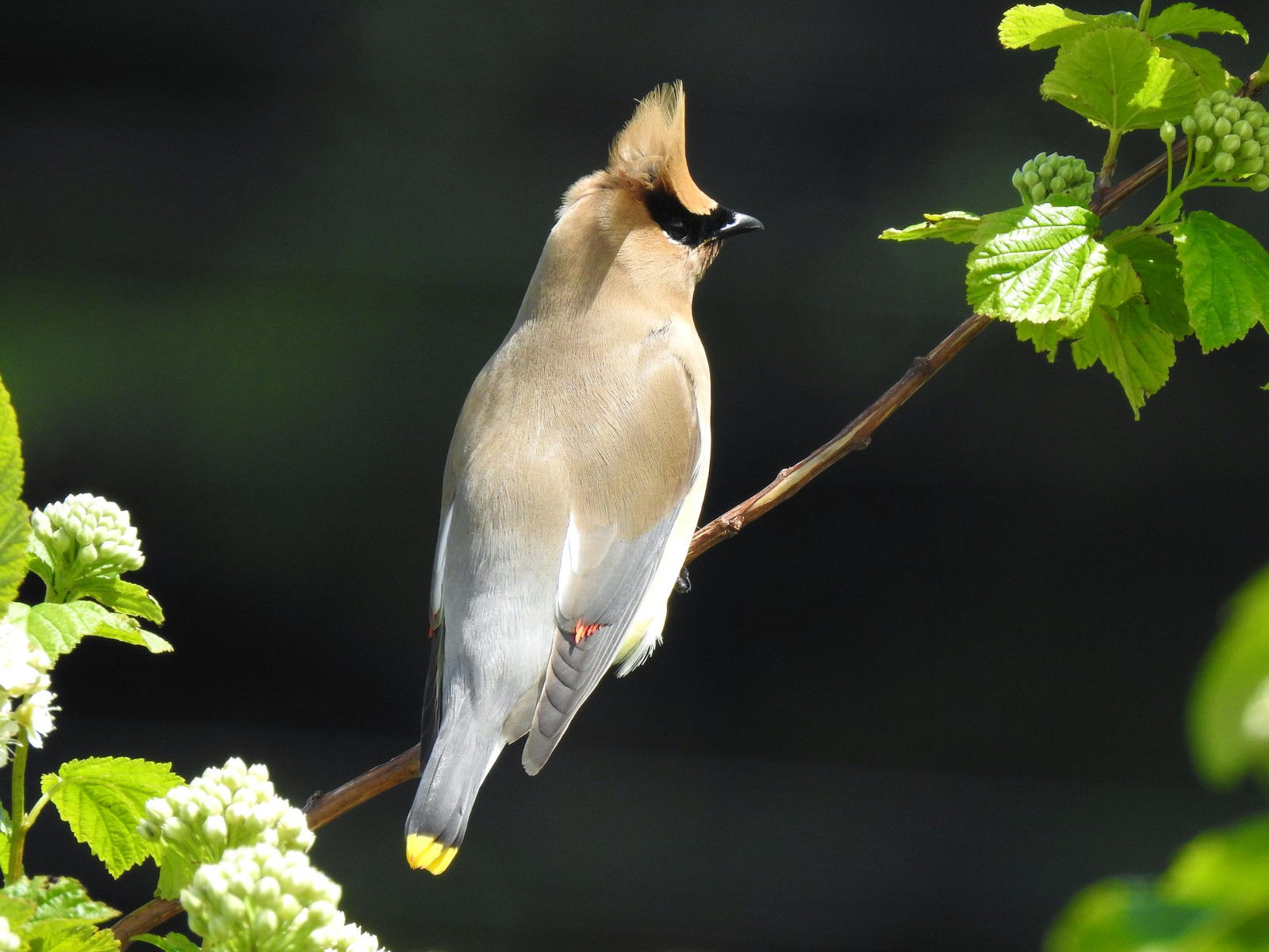 Cedar waxwing at Julia Hansen Butler Wildlife Refuge in June.
 Western tanagers, Siskiyou Wilderness in July.
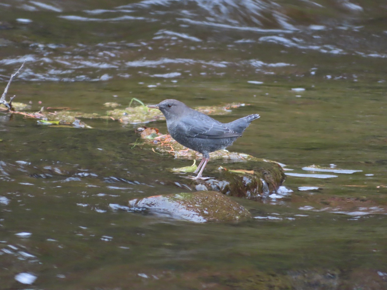 American dipper (Ouzel) near South Umpqua Falls in September.
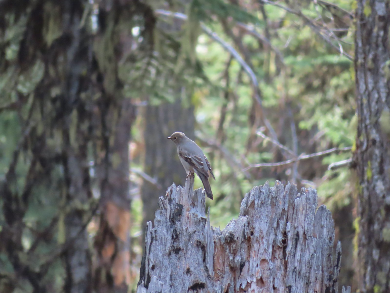 Townsends solitaire at Crater Lake National Park in September.
 Clark’s nutcracker at Crater Lake National Park in September.
 Varied thrush along the Eagle Creek Trail in November.
 Unknown at Cascade Head in October.
 Forest Park in January.
 Northern flicker at Ankeny Wildlife Refuge in April. We seem to see flickers on nearly every hike, but they don’t often sit still long enough for us to get a decent picture.
 Pileated woodpecker at Chehalem Ridge Nature Park in May. We rarely see these but like the flickers, when we do they are very difficult to get a photo of.
 Acorn woodpecker at Denman Wildlife Area in May.
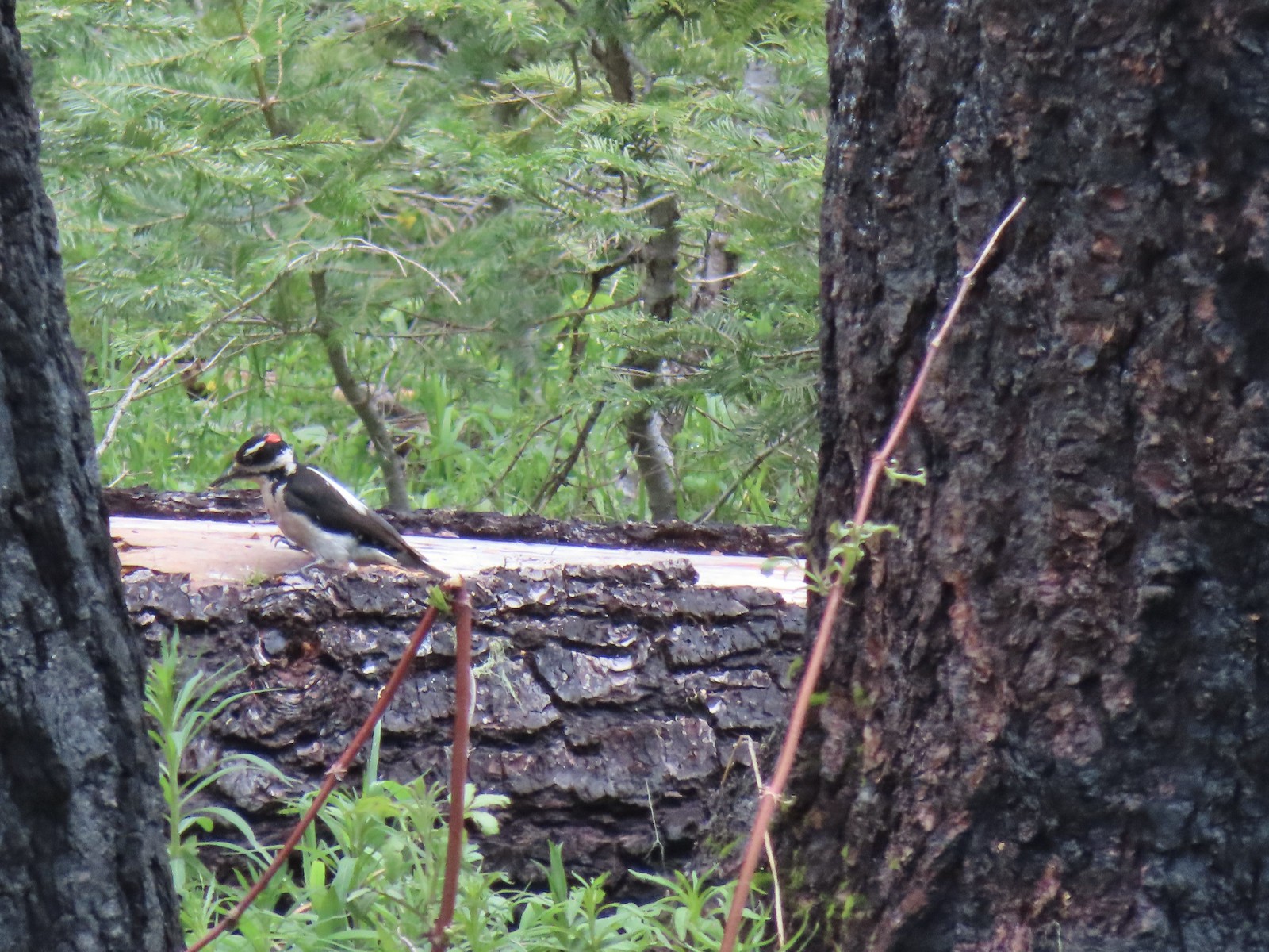 Hairy? woodpecker near Twin Lakes in the Umpqua National Forst in June.
 Red breasted sapsucker at E.E. Wilson Wildlife Area in July.
 Either a hairy or downy woodpecker along the Eagle Creek Trail in November.
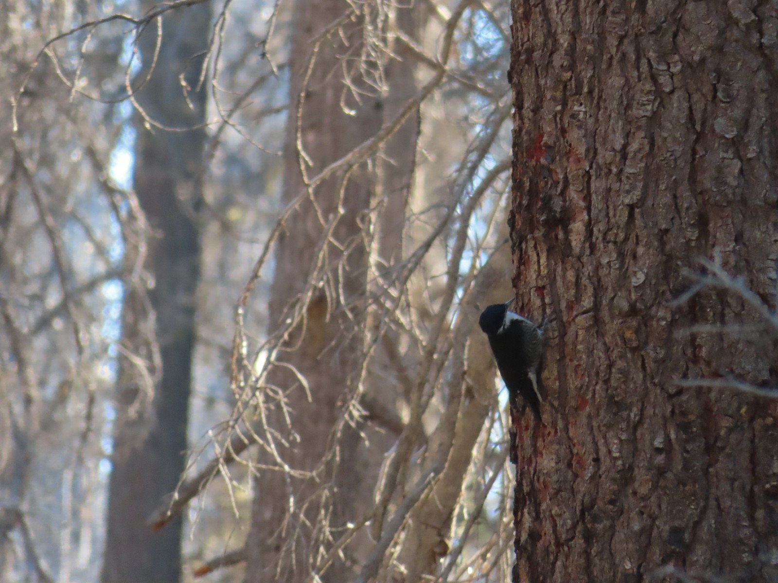 Unknown, Sky Lakes Wilderness in late September.
 Crow along the Crown Zellerbach Trail in March.
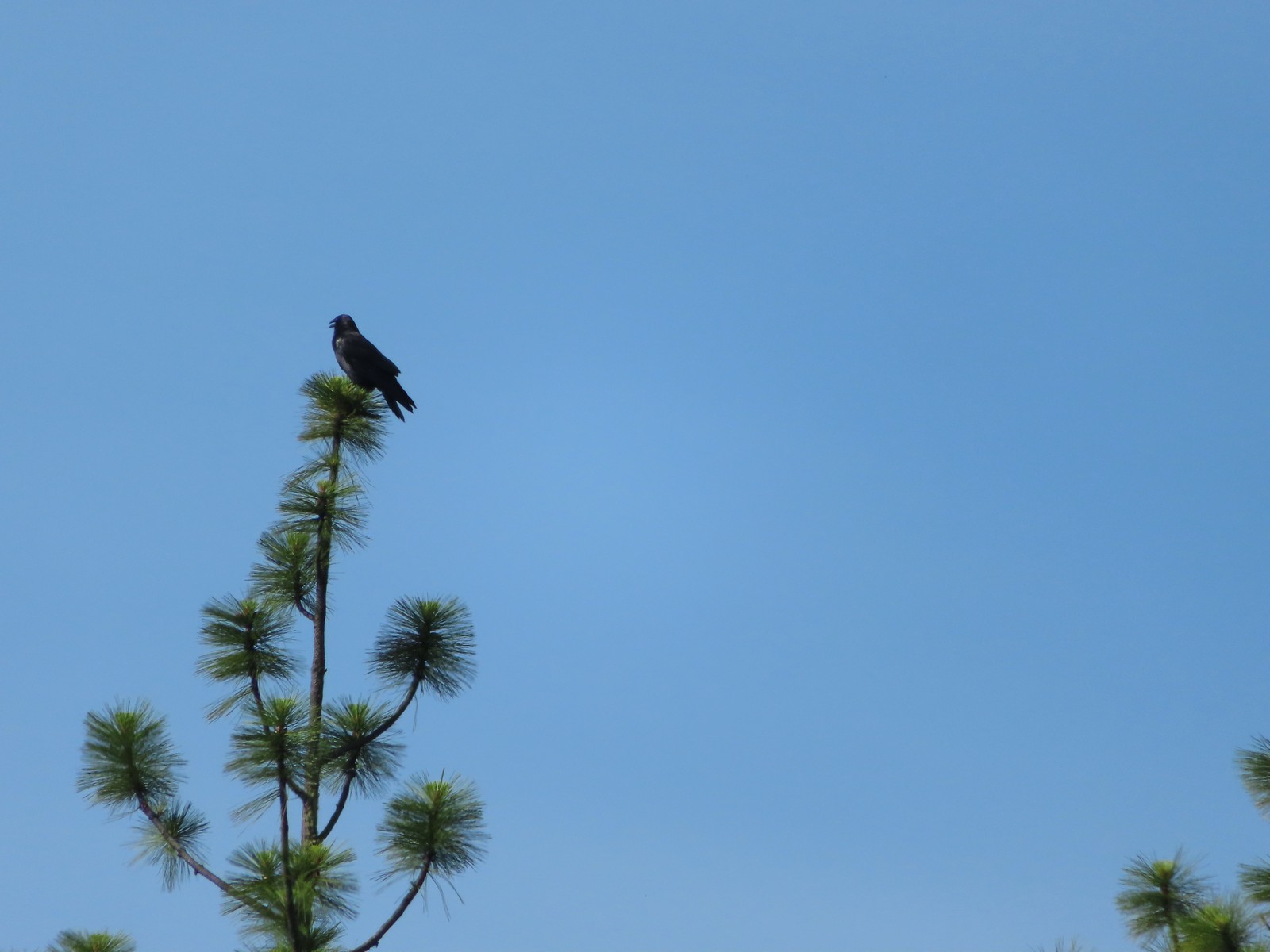 Raven at Upper Table Rock in May.
 Turkey Vulture at Julia Hansen Butler Wildlife Refuge in June.
 American kestral along the Crown Zellerbach Trail in March.
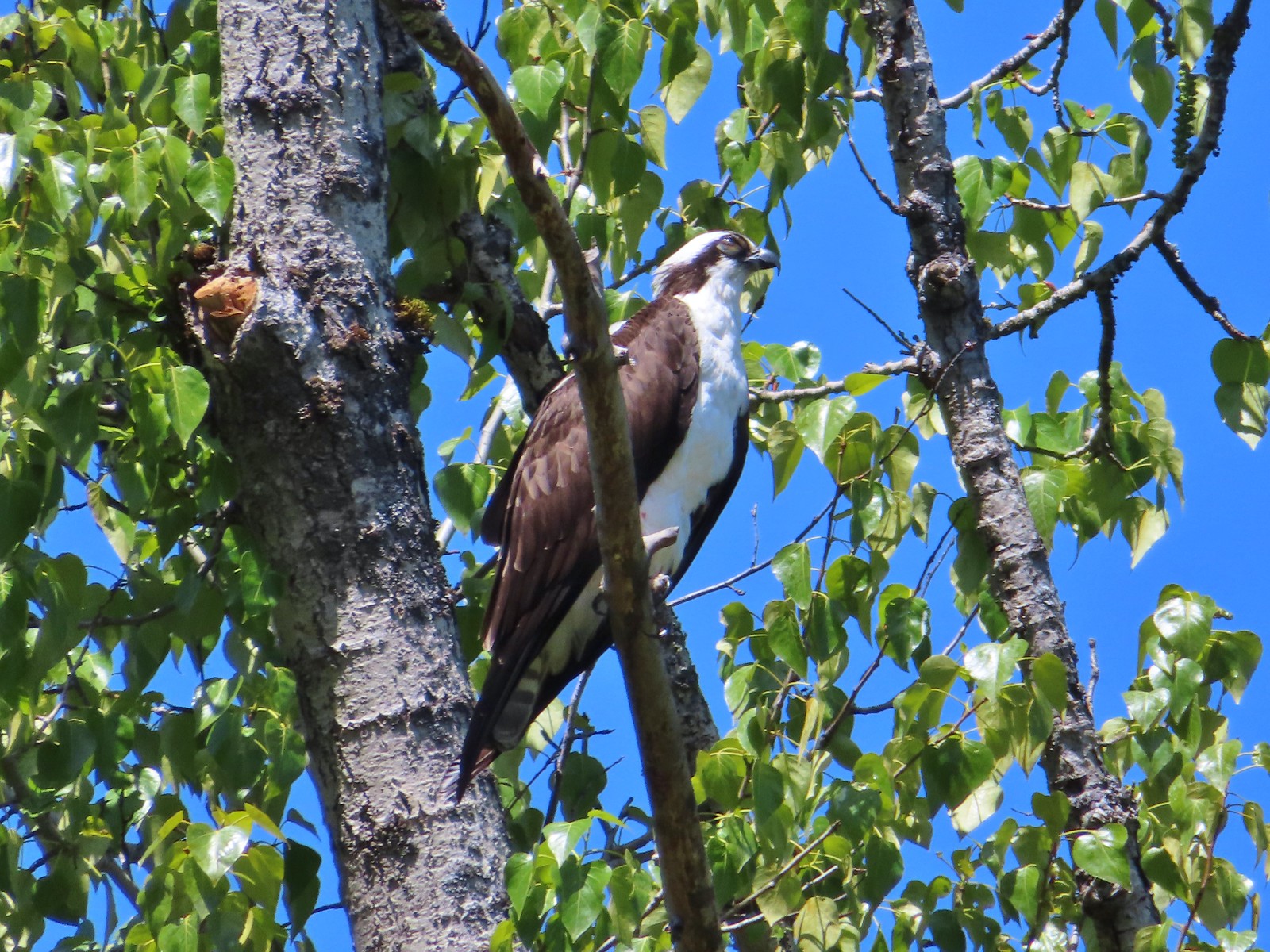 Osprey along the Hood River Pipeline Trail in May.
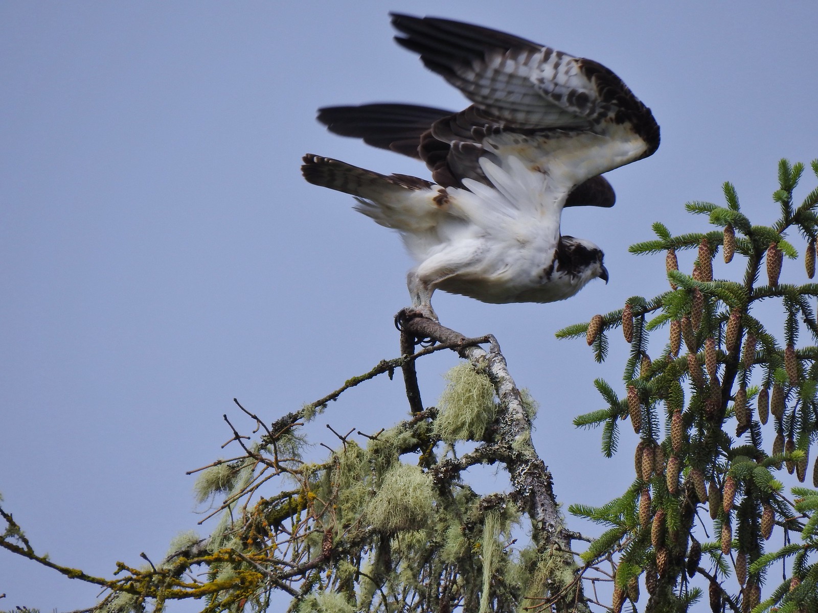 Another osprey at Julia Hansen Butler Wildlife Refuge in June.
 Bald eagle at Julia Hansen Butler Wildlife Refuge in June.
 Eagle in the Sky Lakes Wilderness in September. Not sure if it is a bald or golden.
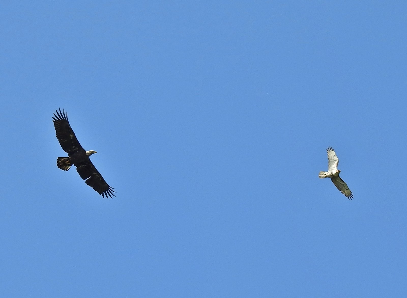 A bald eagle and hawk at Ankeny Wildlife Refuge in April.
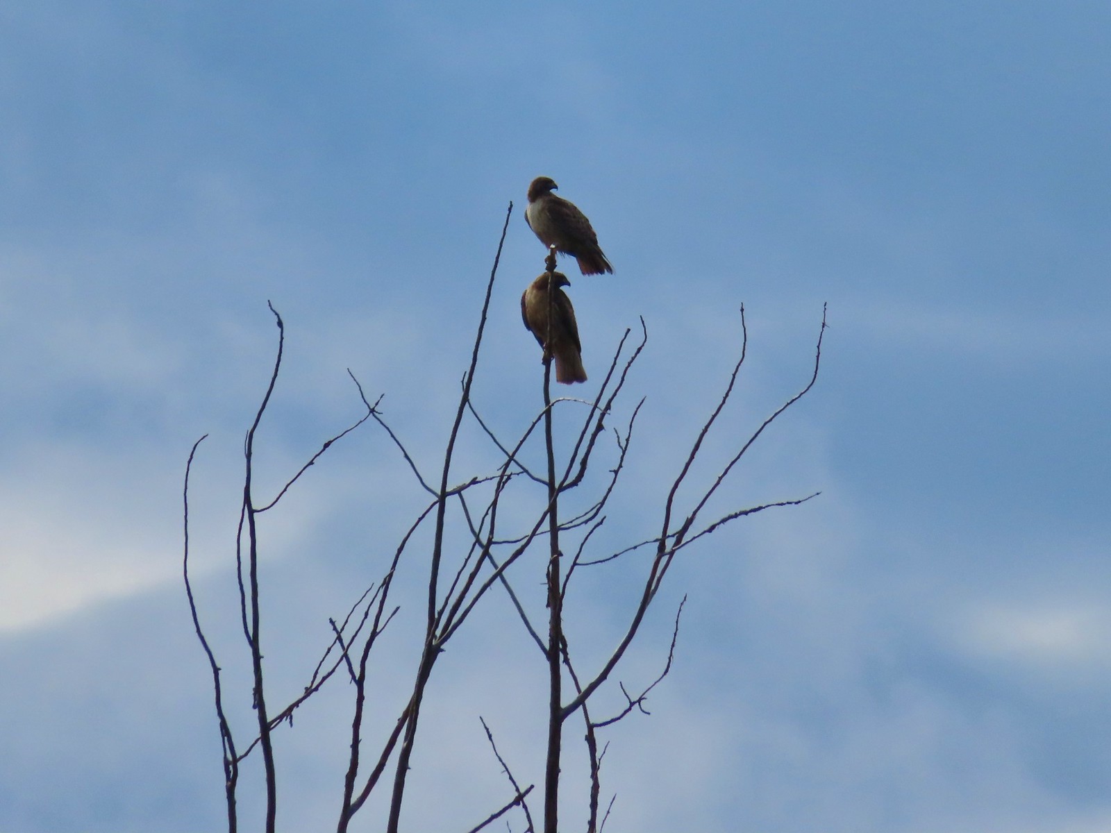 Pair of hawks at Denman Wildlife Area in May.
 Hawk at Denman Wildlife Area in May.
 Hawk at Julia Hansen Butler Wildlife Refuge in June.
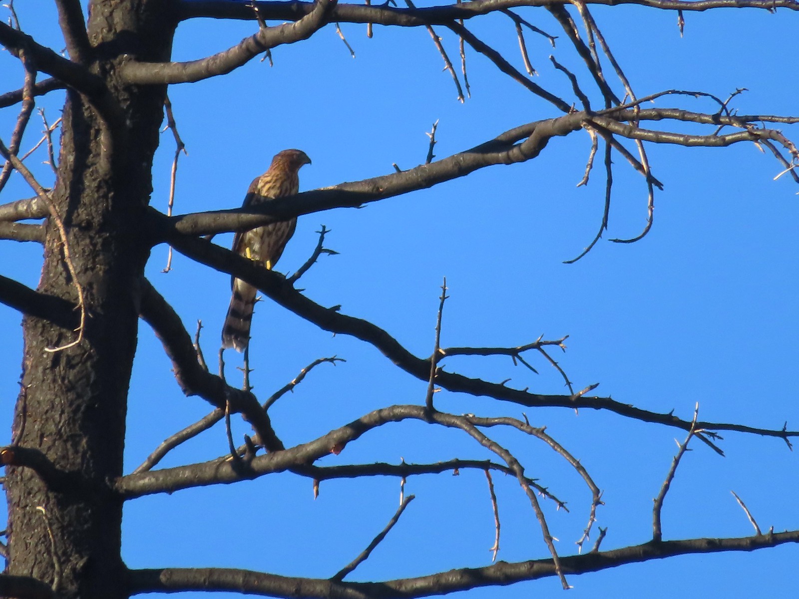 Hawk along the Pacific Crest Trail near Carter Meadows Summit in August.
 Hawk at Crater Lake National Park in September.
 Barred owl at Noble Woods in May.
 Great horned owl at Denman Wildlife Area in May.
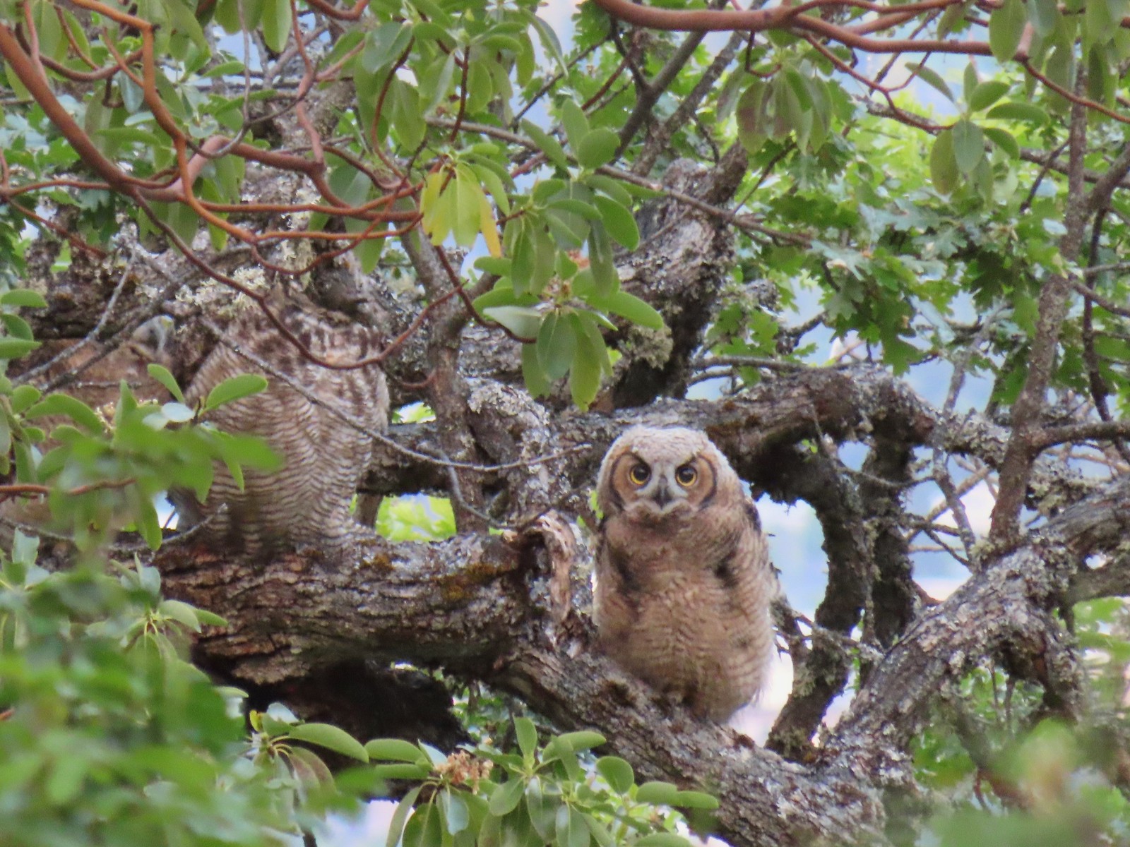 Young great horned owl at Roxy Ann Peak in May.
 Ring-necked pheasant
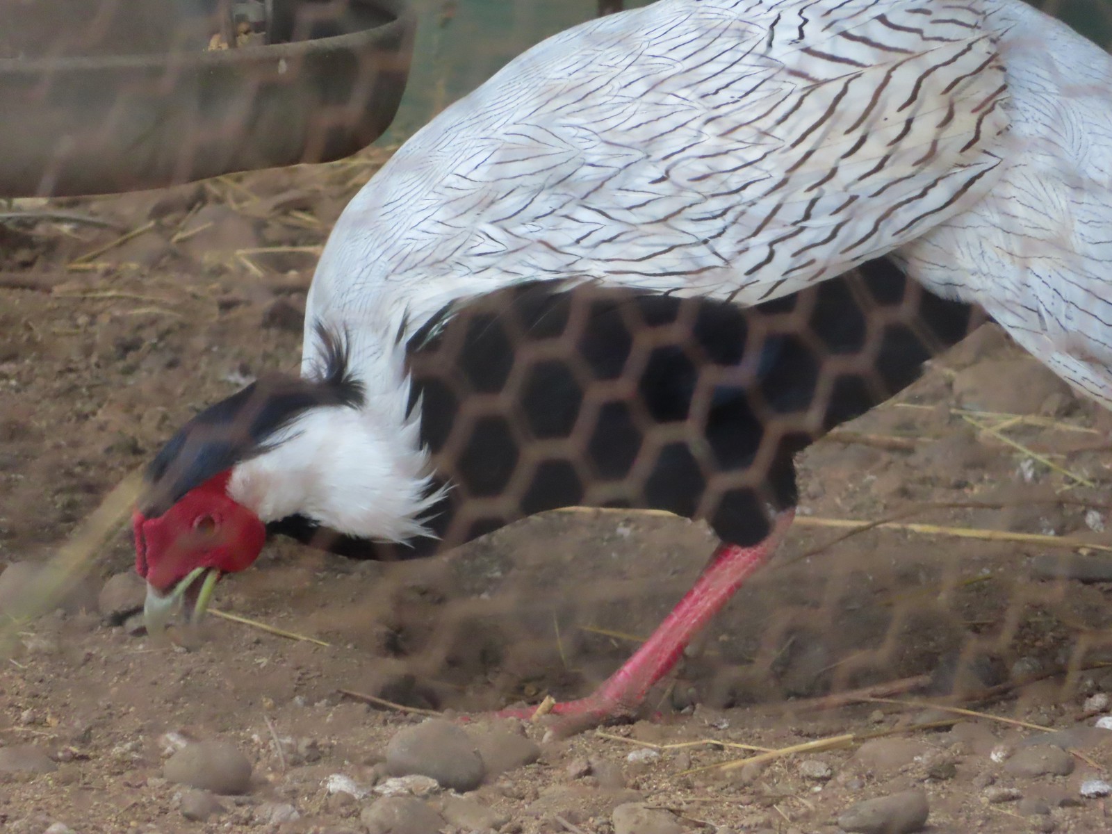 Silver pheasant
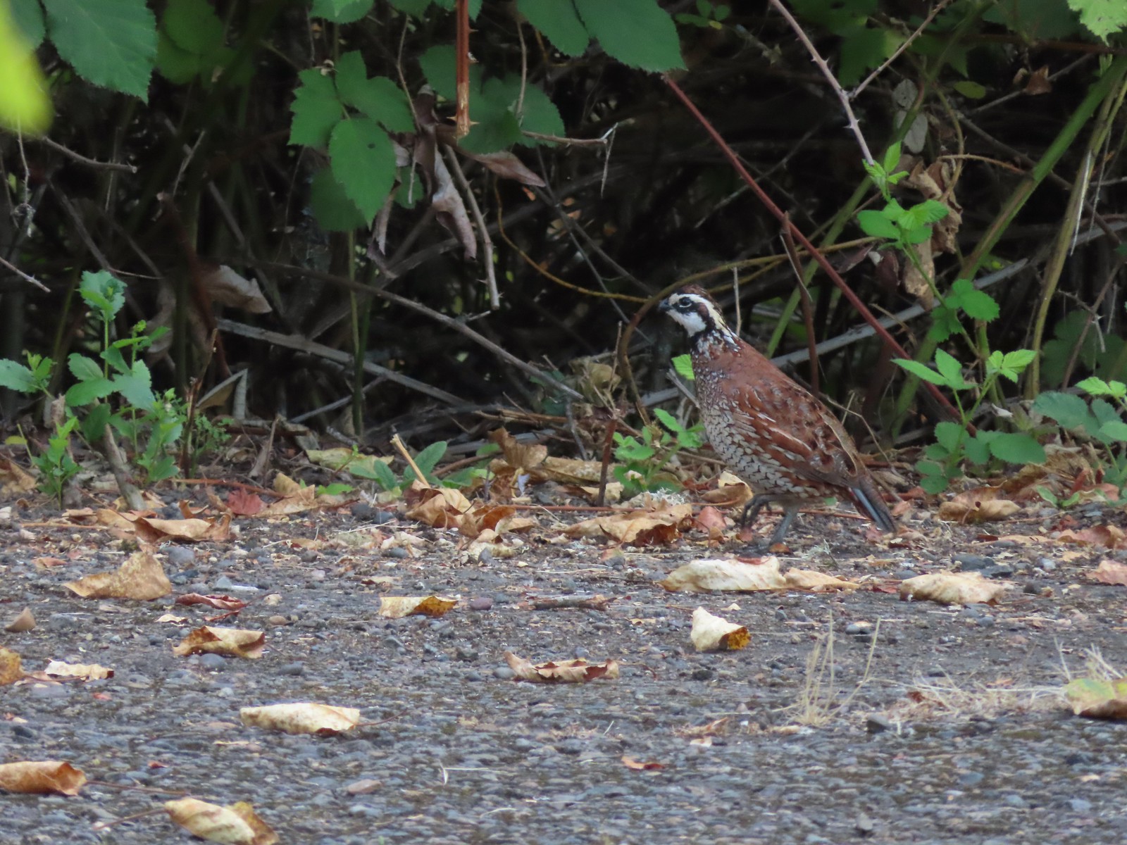 Near the breeding facility at E.E. Wilson Wildlife Area.
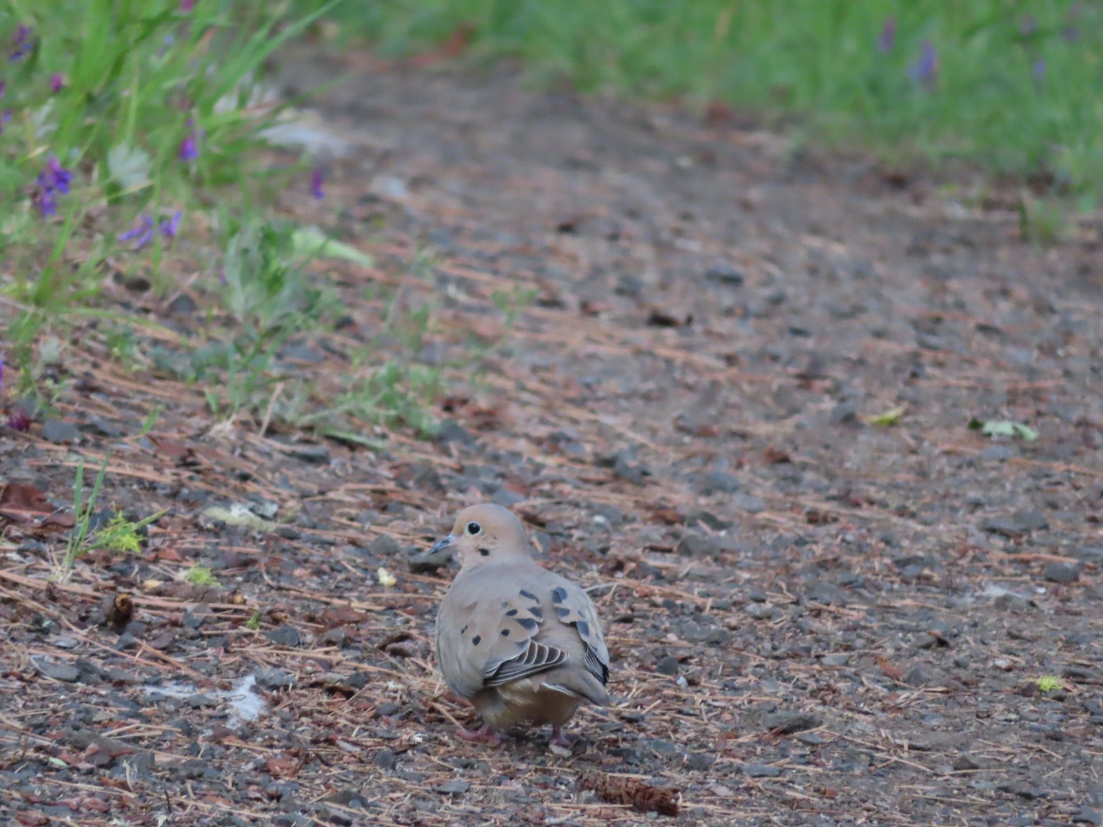 Mourning dove at Roxy Ann Peak a in May.
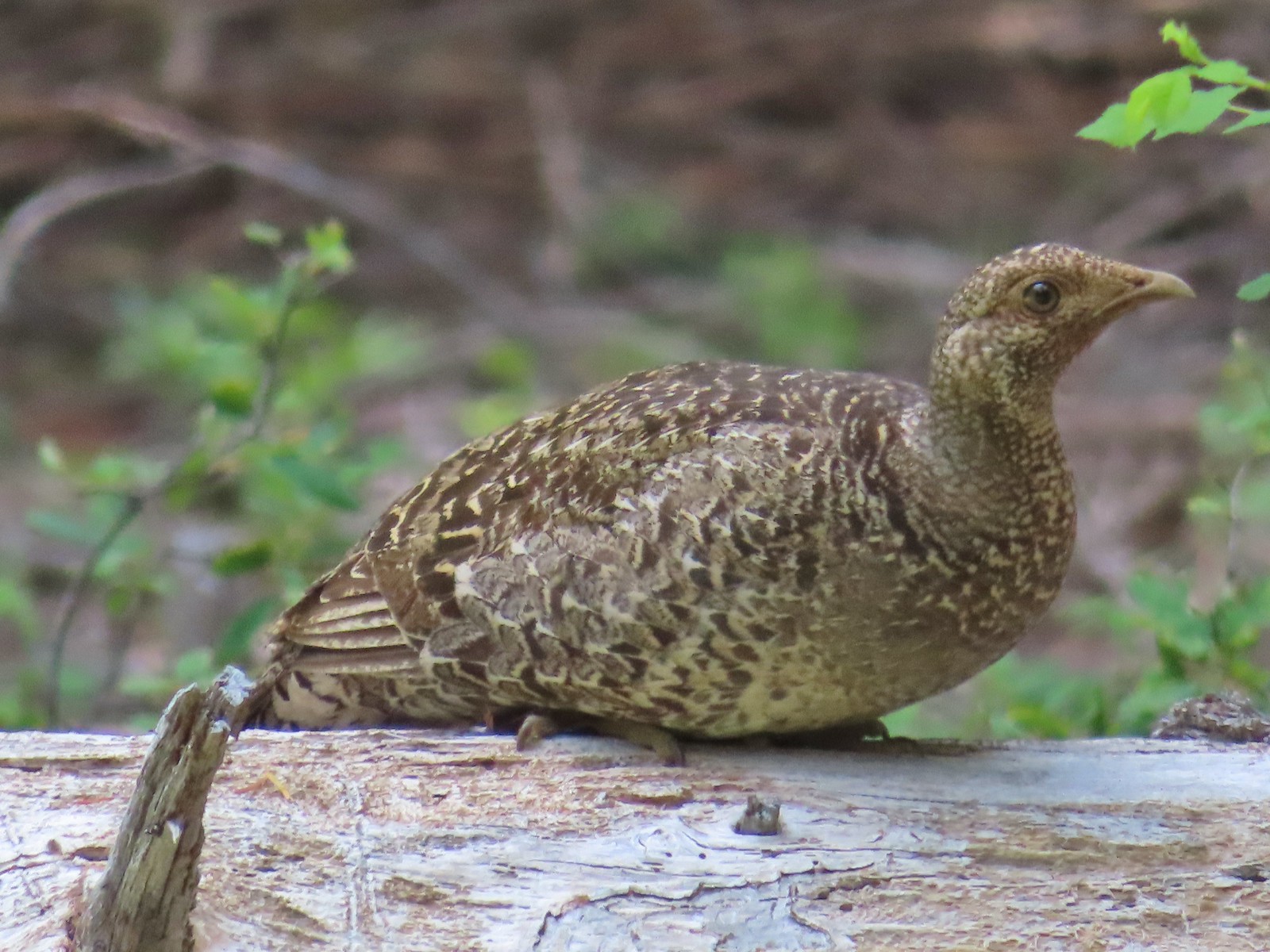 Grouse? in the Siskiyou Wilderness in July.
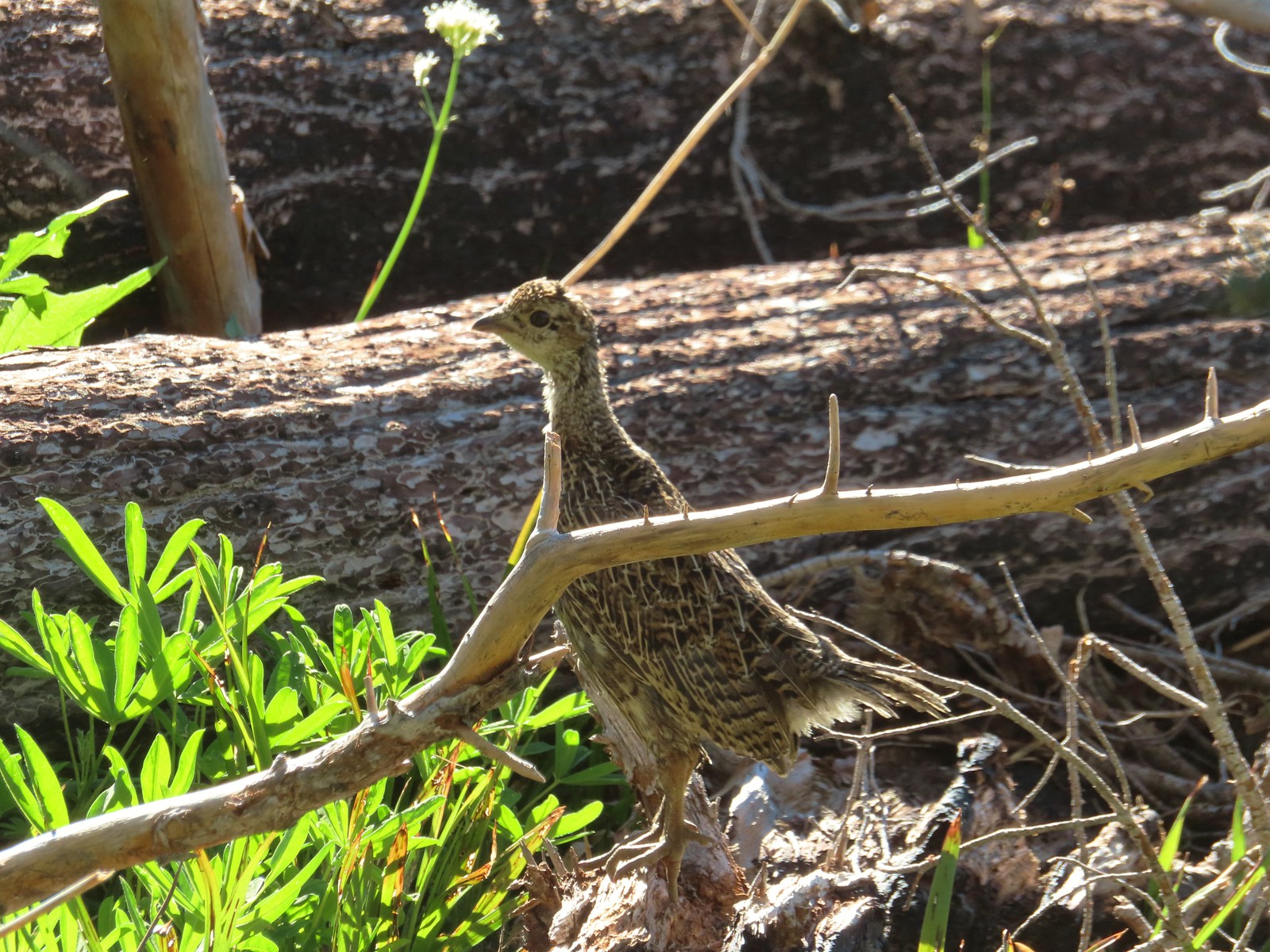 Grouse in the Mt. Adams Wilderness in August.
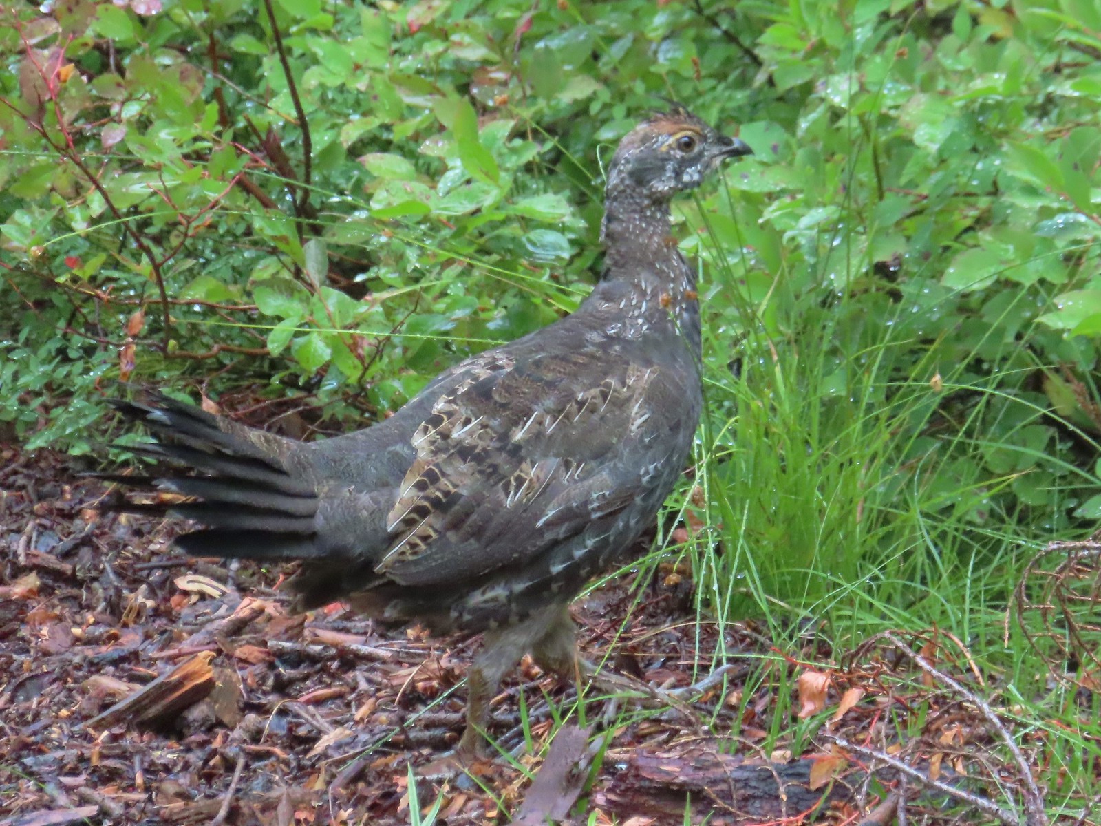 Grouse in the Sky Lakes Wilderness in September.
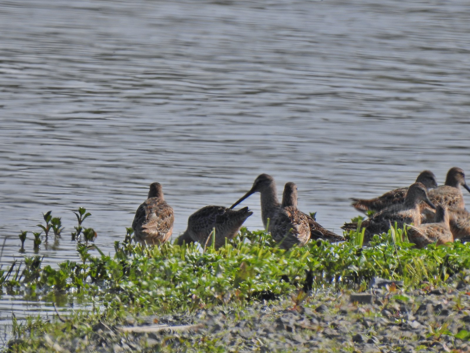 Long billed dowitchers? at Ankeny Wildlife Refuge in April.
 Killdeer at Ankeny Wildlife Refuge in April.
 Sandpiper? at Ankeny Wildlife Refuge in April.
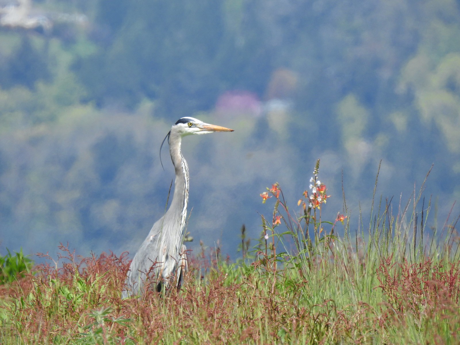 Great blue heron at Ankeny Wildlife Refuge in April.
 Kingfisher at Julia Butler Hansen Wildlife Refuge in June.
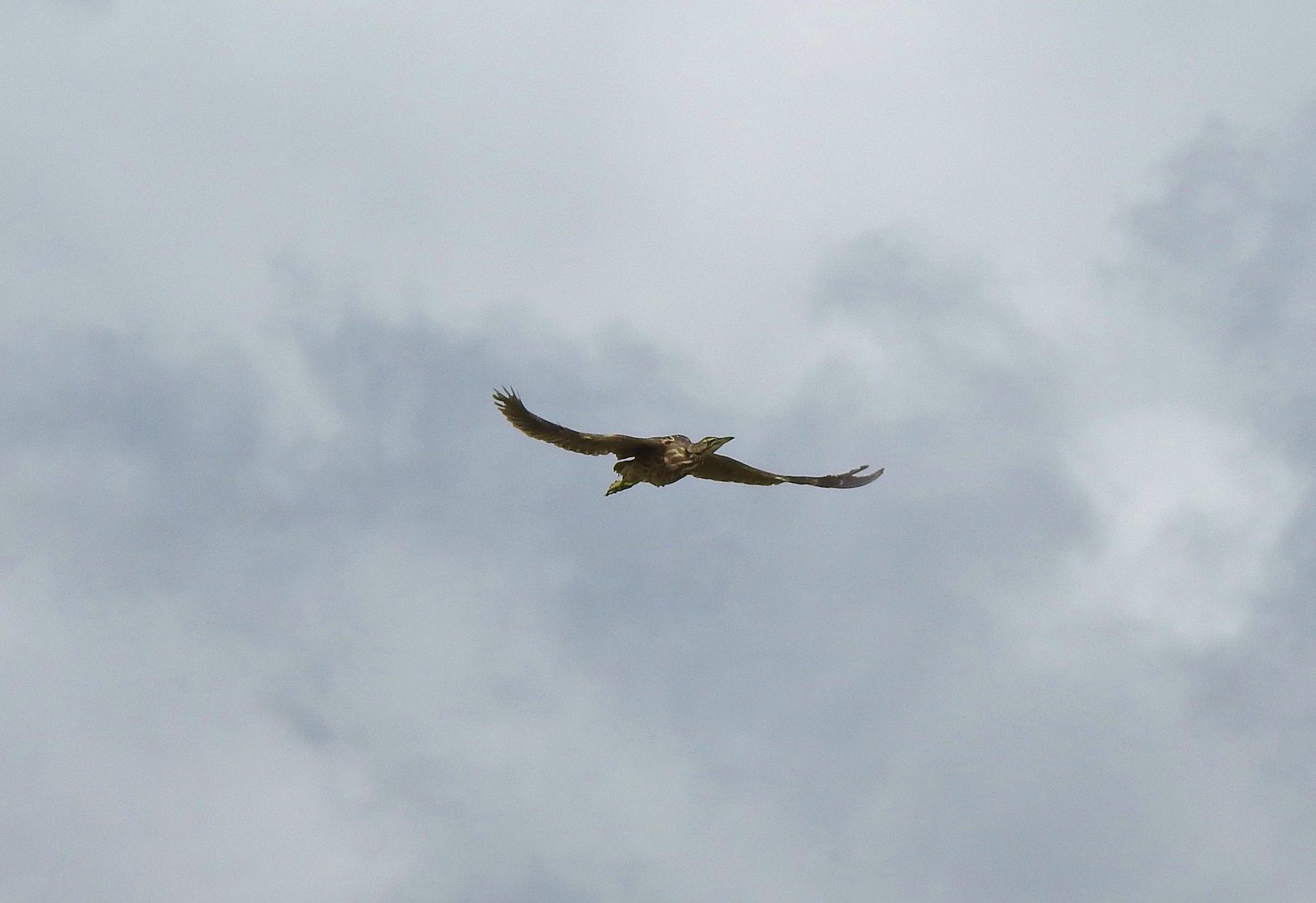 American bittern at Julia Butler Hansen Wildlife Refuge in June.
 White pelicans at Julia Butler Hansen Wildlife Refuge in June.
 Hooded mergansers at Yakona Nature Preserve in February.
 Common mergansers along the Klickitat Trail in April.
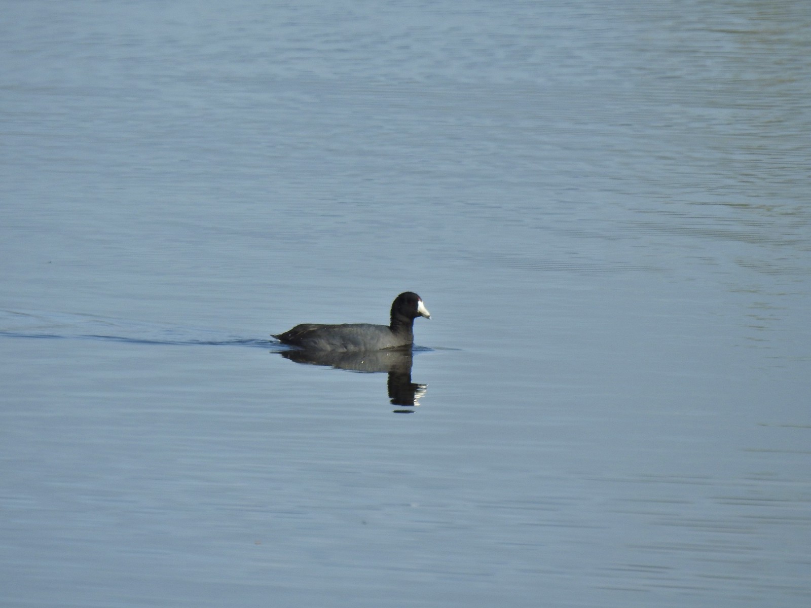 American coot at Ankeny Wildlife Refuge in April.
 Cinnamon teal at Ankeny Wildlife Refuge in April.
 Ring-necked ducks (and an American coot) at Ankeny Wildlife Refuge in April.
 Northern shoveler at Ankeny Wildlife Refuge in April.
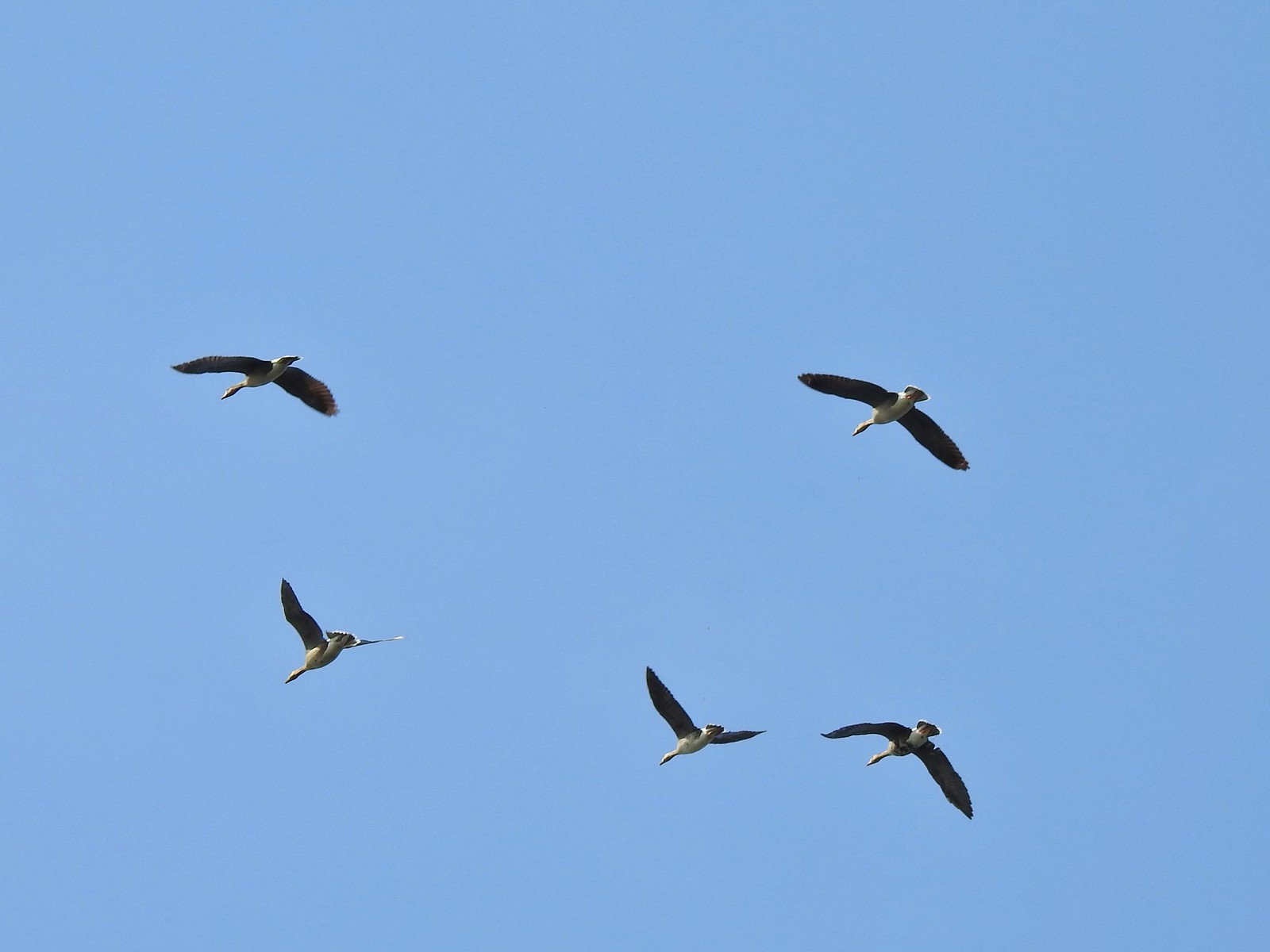 White-fronted geese at Ankeny Wildlife Refuge in April.
 Mallard along the Hood River Pipeline Trail in May.
 Wood duck at Denman Wildlife Area in May.
 Not sure if this is a ruddy duck at Waverly Lake in December.
 Mostly American widgeons with a green winged teal and a female bufflehead or two mixed in at Talking Water Gardens in December.
 Bufflehead at Talking Water Gardens in December.
 Canada geese at Applegate Lake in May.
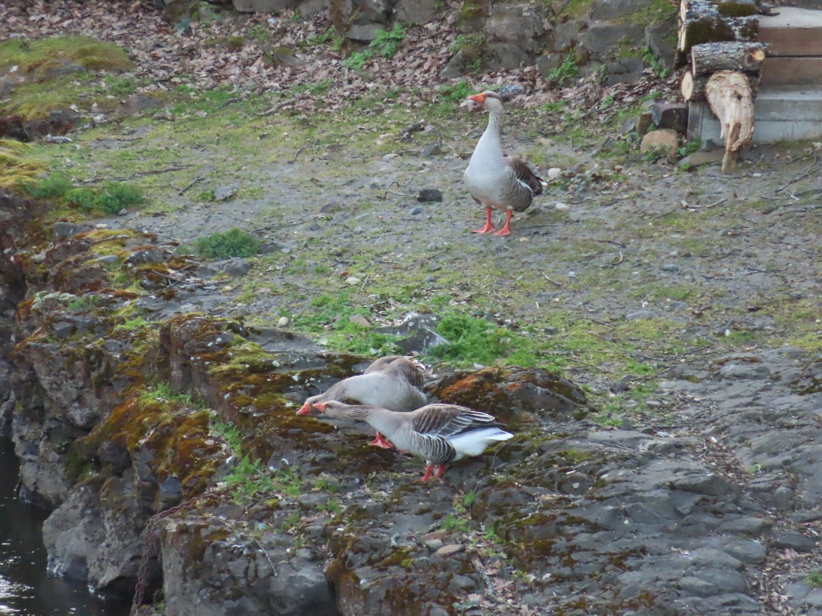 Domestic geese near the Klickitat Trail in April.
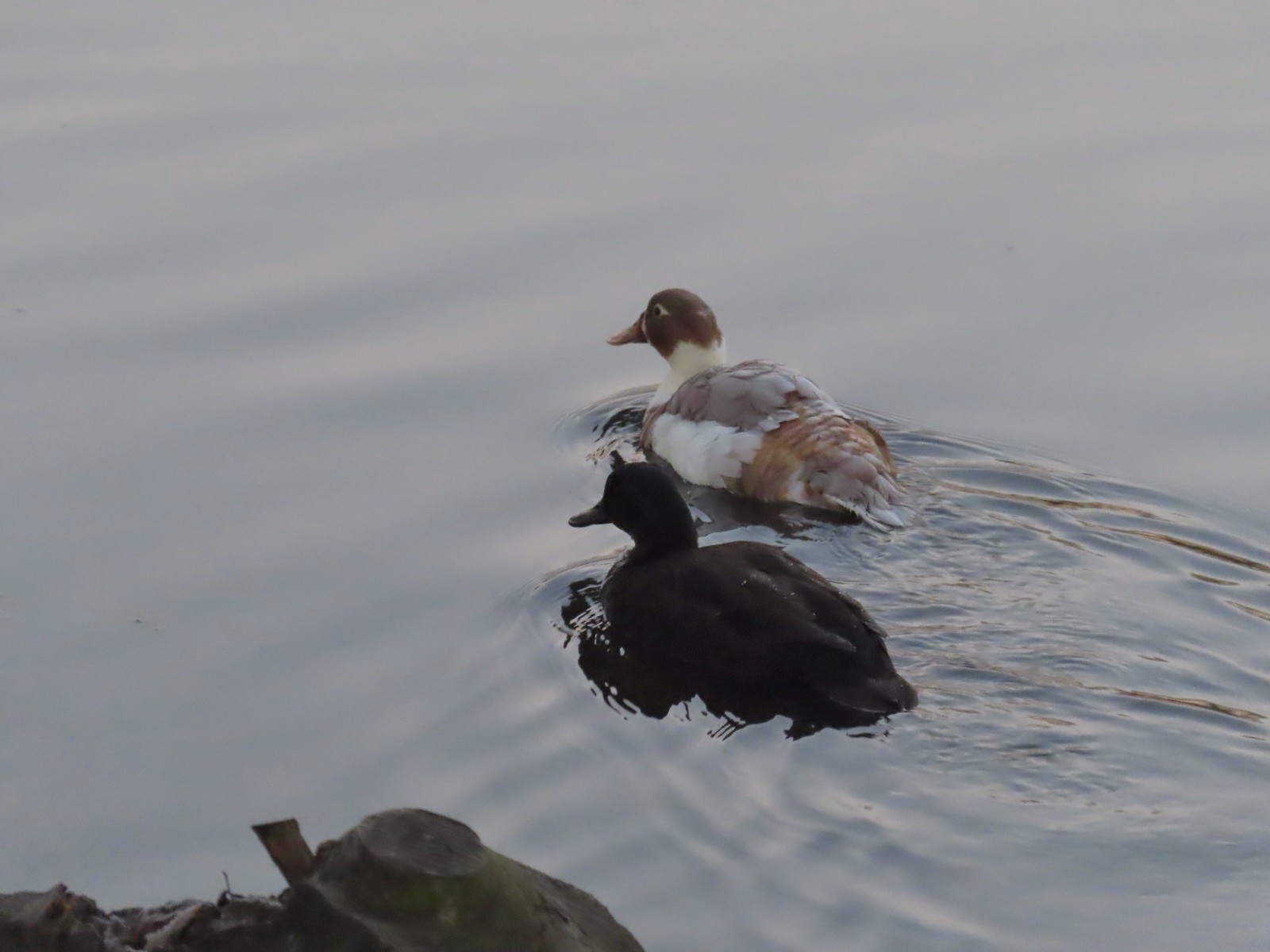 Domestic or hybrid? ducks at Waverly Lake in December.
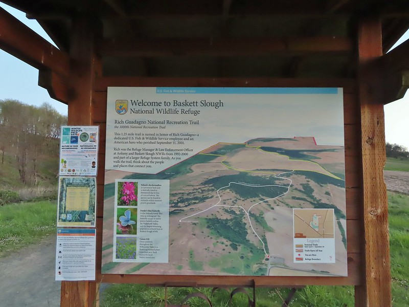
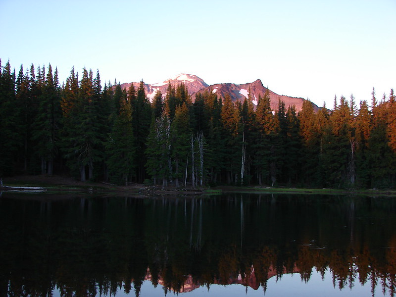
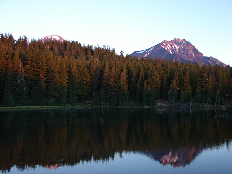
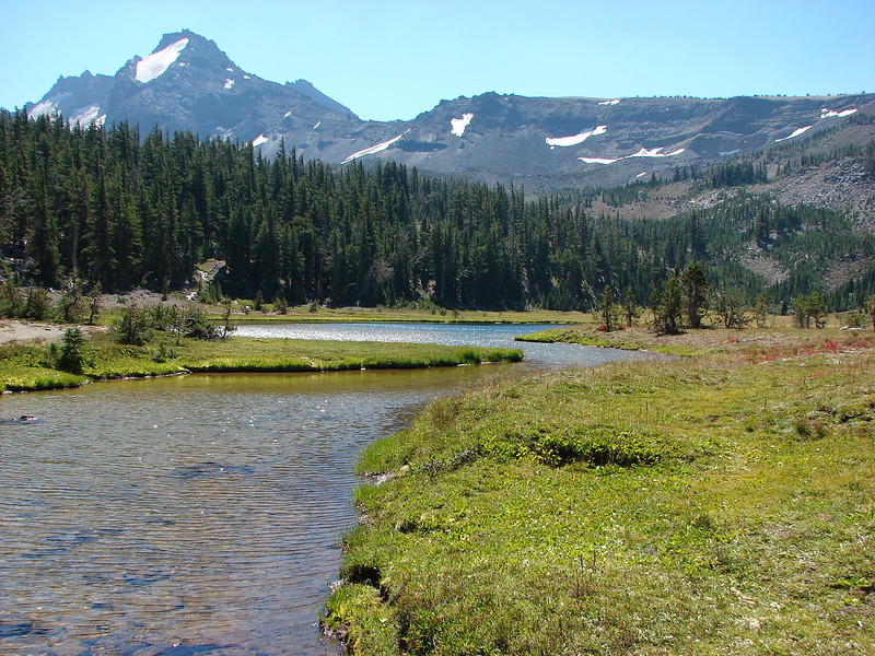
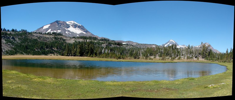
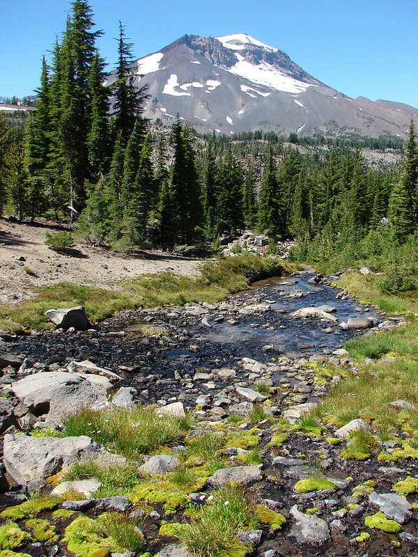
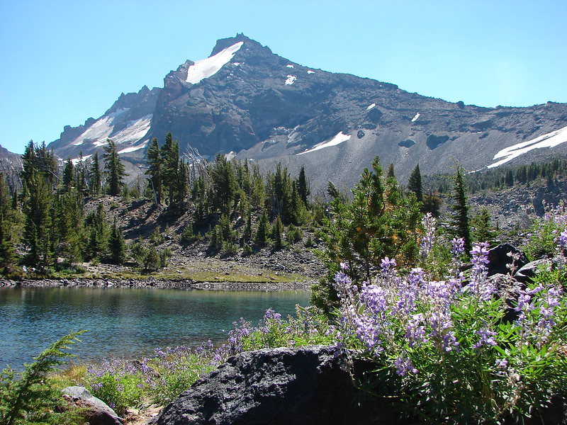
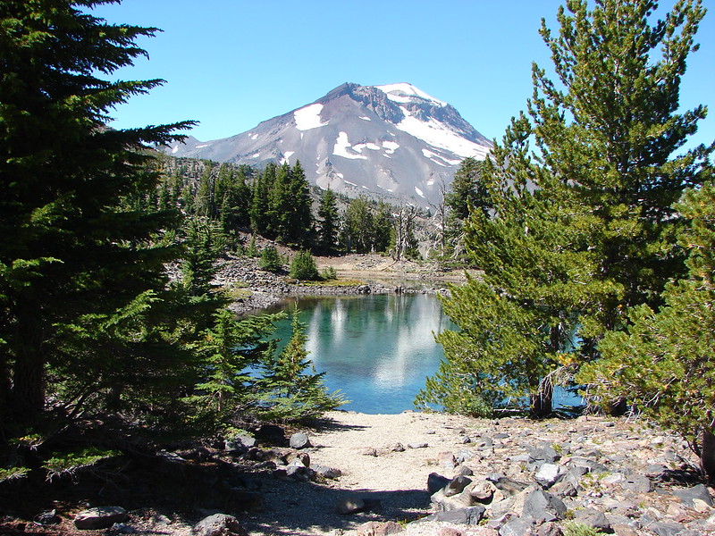
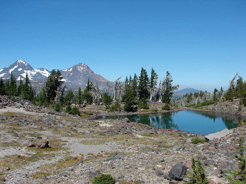
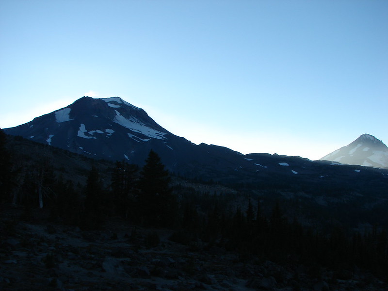
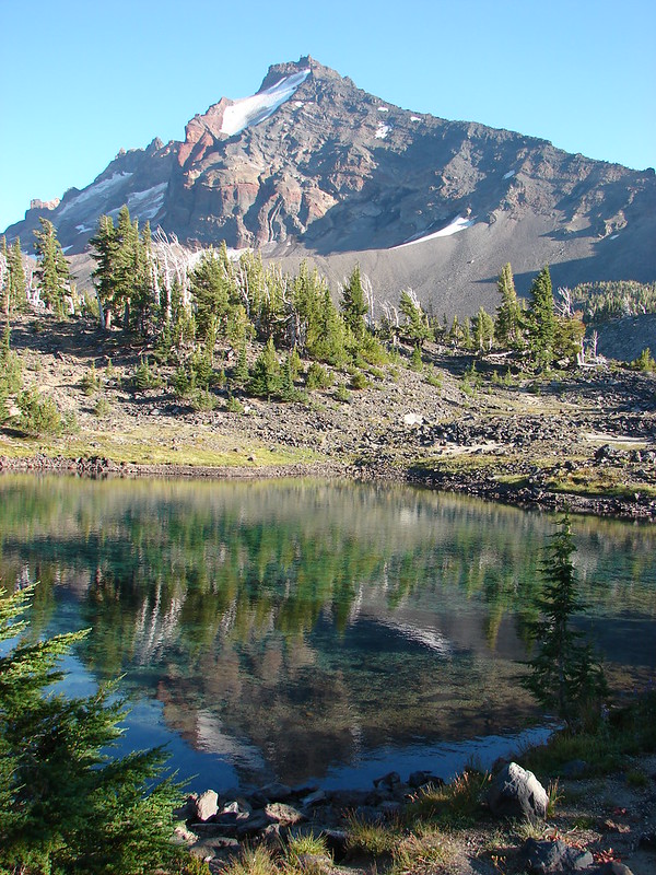
 Mt. Jefferson from the trailhead.
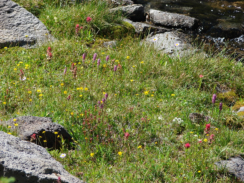
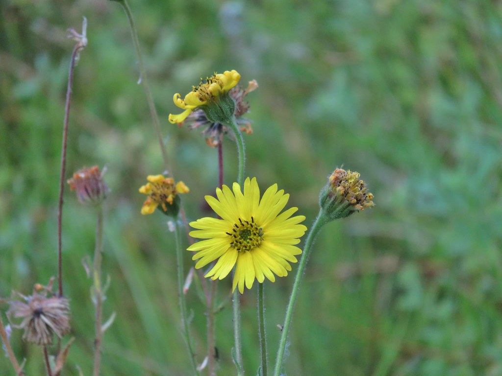
 A few lupine and buttercups
 Camas
Camas Castilleja levisecta – Golden Paintbrush
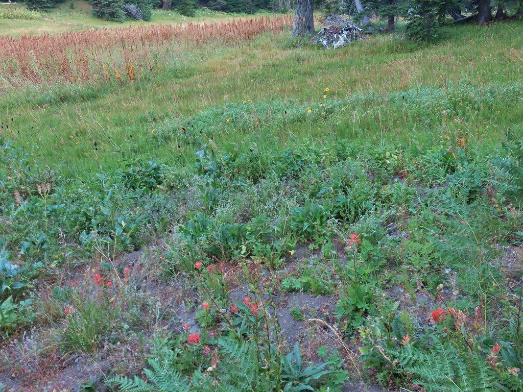
 A few little flowers starting to open up.
 View from the deck.
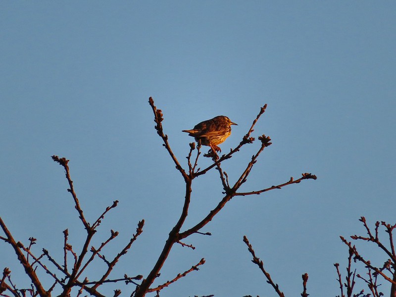 Western meadowlark


 Camas pretending to be part of a lupine plant.
 White crowned sparrow
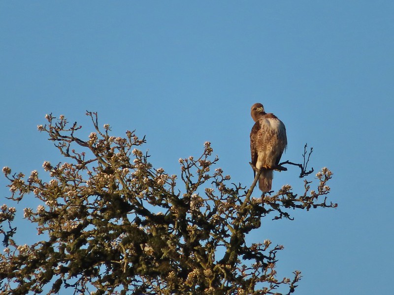 Hawk
Hawk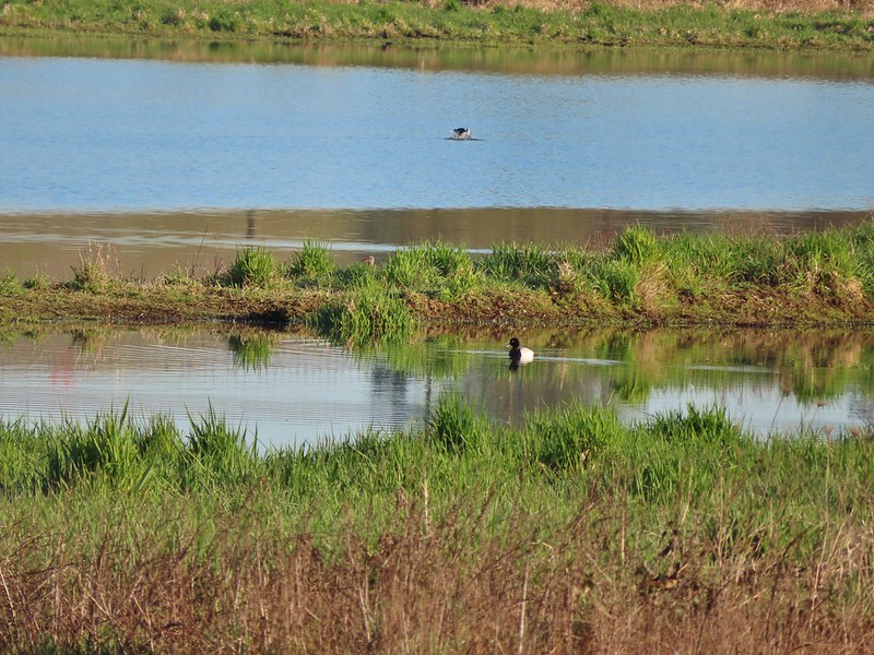 Lesser scaup
 American wigeons
 Pied billed grebe
 Yellowlegs
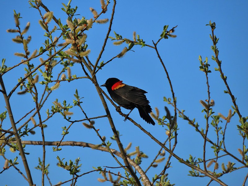

 Savannah sparrow
 Swallows
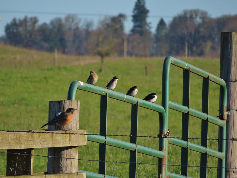 A robin, a western bluebird and swallows
 A green winged teal and a cinnamon teal in a small marsh.
 This scrub jay wasn’t shy.
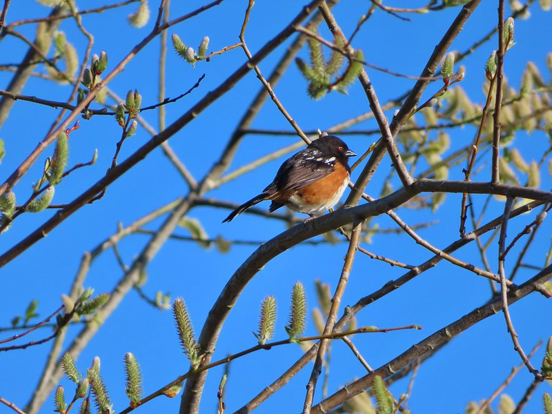 Neither was this serious looking spotted towhee
 Norther shovelers heading to the opposite side of the lake.
 A bufflehead and some lesser scaups
 Canada goose flyover
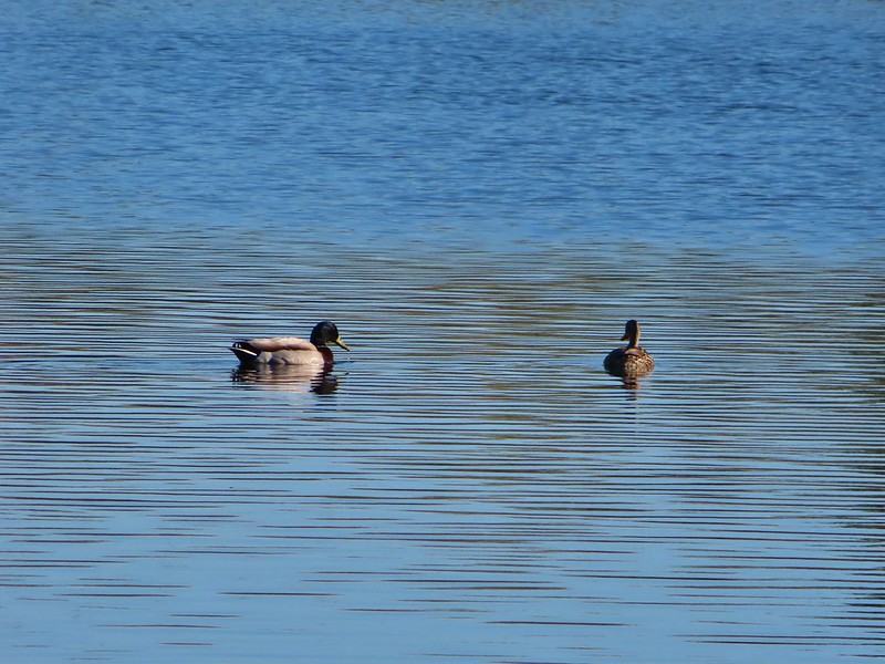 Mallard pair
 Old out building below Baskett Butte.
 Not only was this uphill but we didn’t know for sure where it might lead.
 Along the field we went.

 Looking uphill along the row of brush.
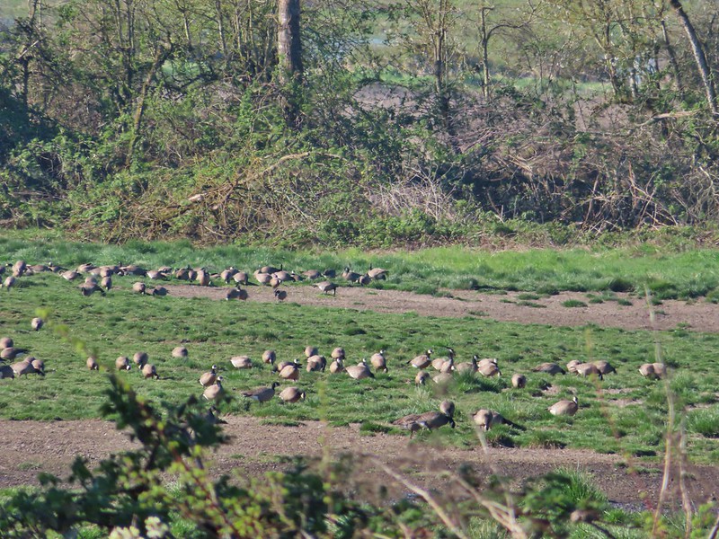 An extremely small portion of the geese.
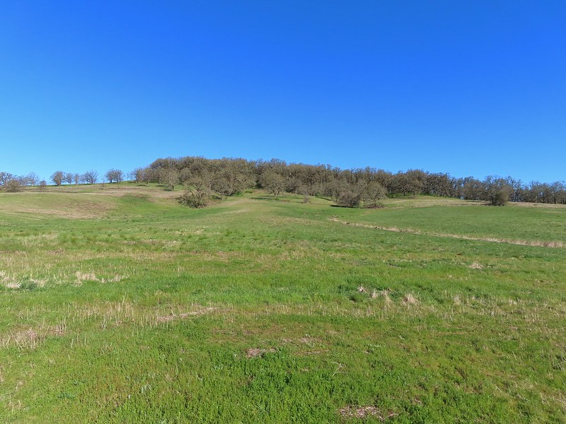 Baskett Butte from the field.

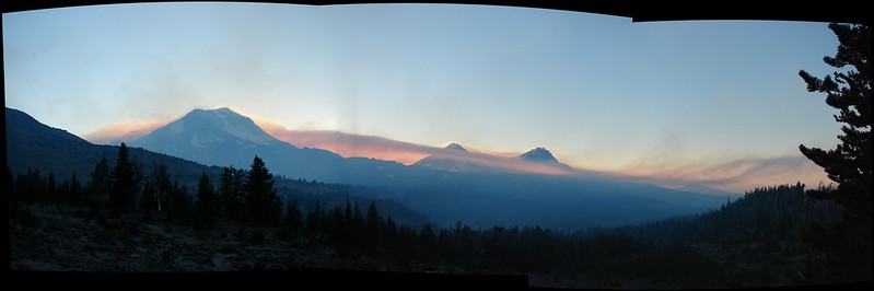
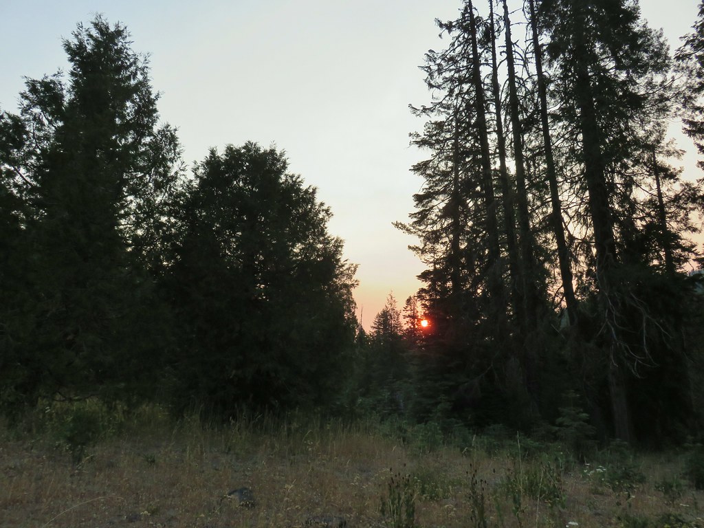 Smokey skies turning the Sun red.


 Little trees surrounding a giant.
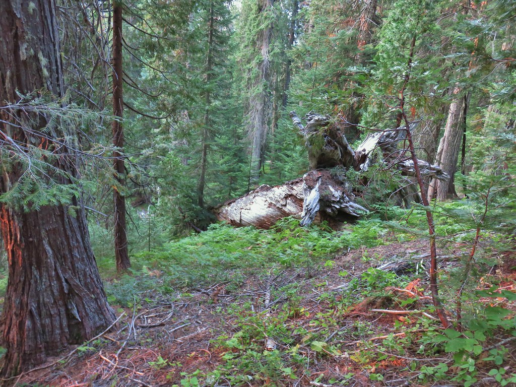 A downed giant.
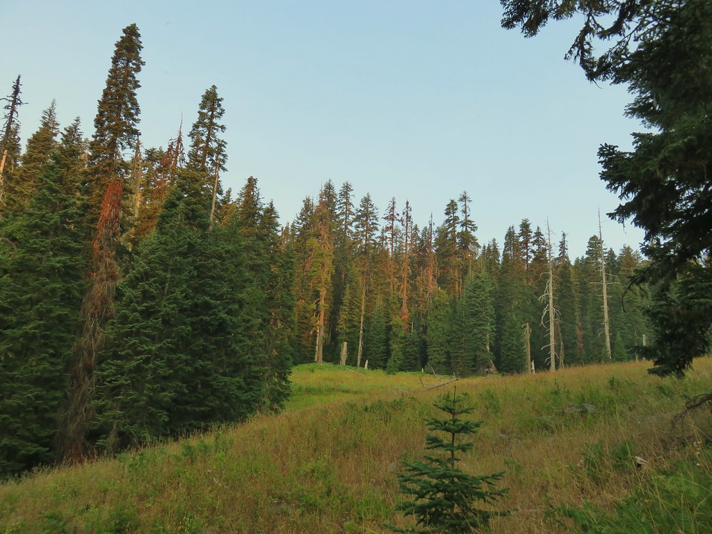

 Madia
Madia Paintbrush
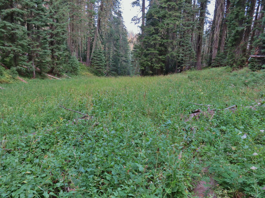


 Goldenrod and other flowers.
 Arnica?
 Columbine
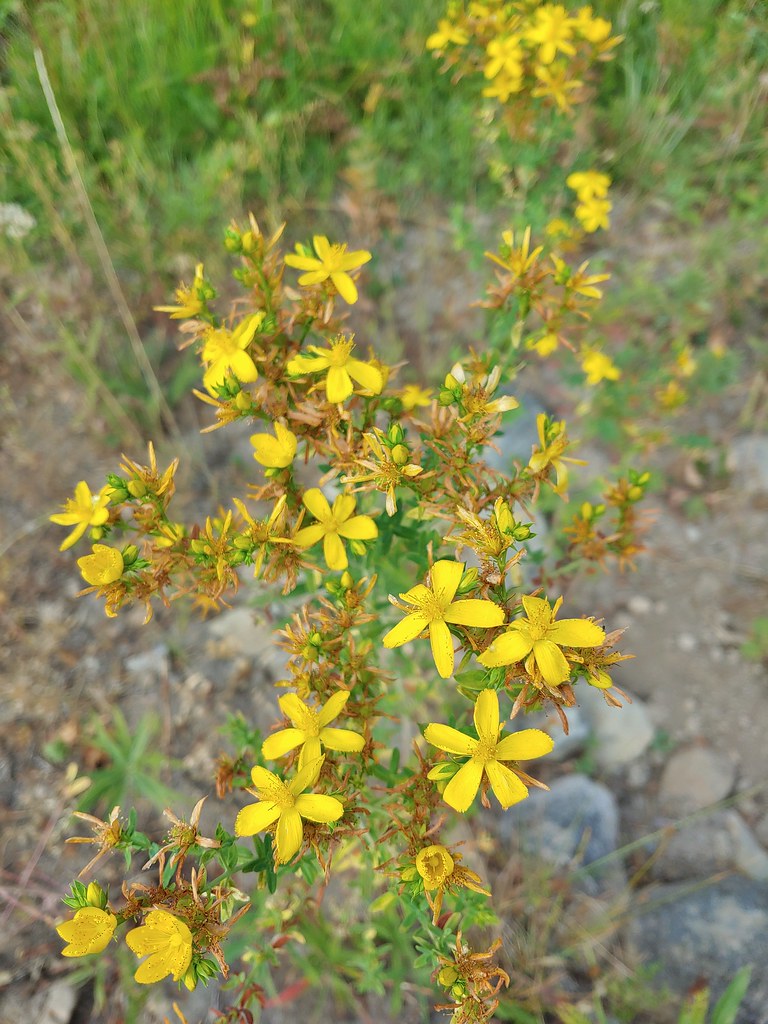 St. John’s wort
 Fleabane (or aster) and coneflower


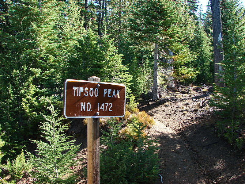
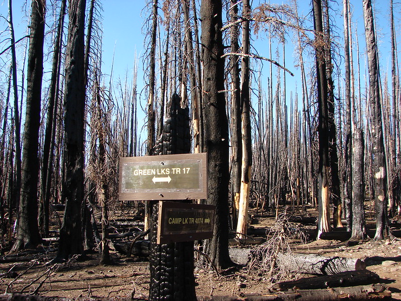
 The trail sign on the left wasn’t particularly descriptive.
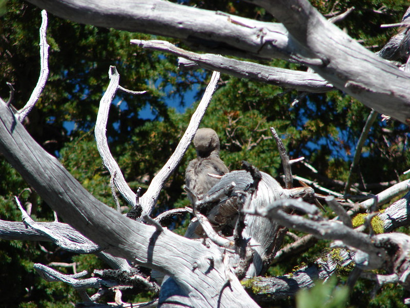
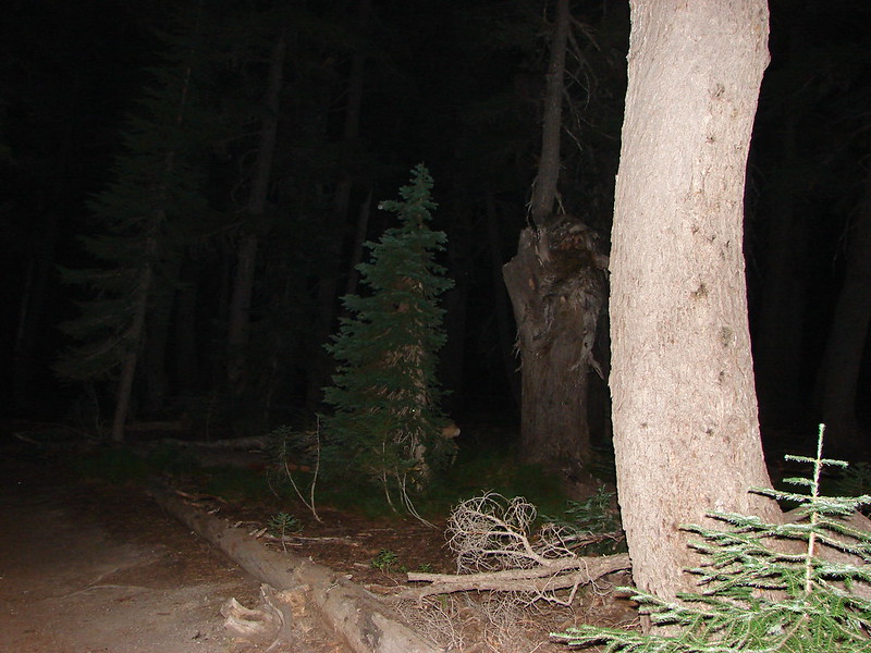
 The owl is in the center of the picture behind the branch with green needles.
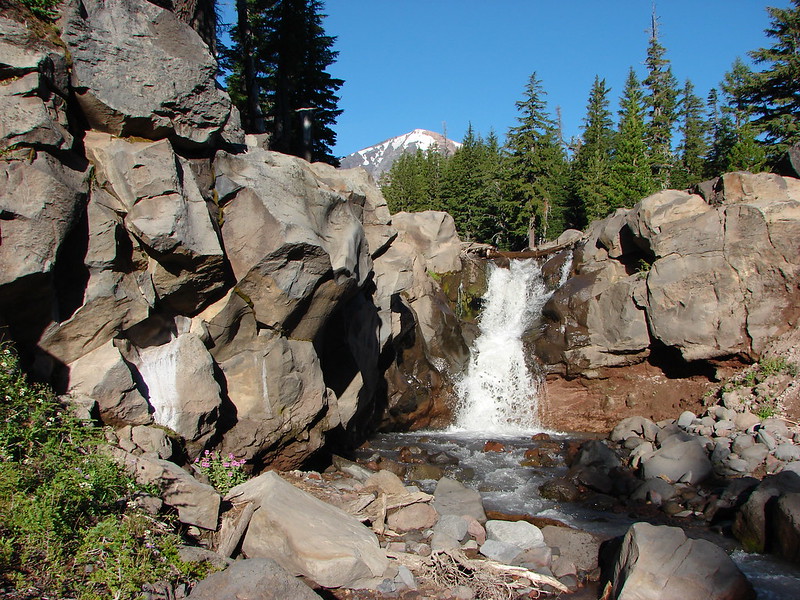
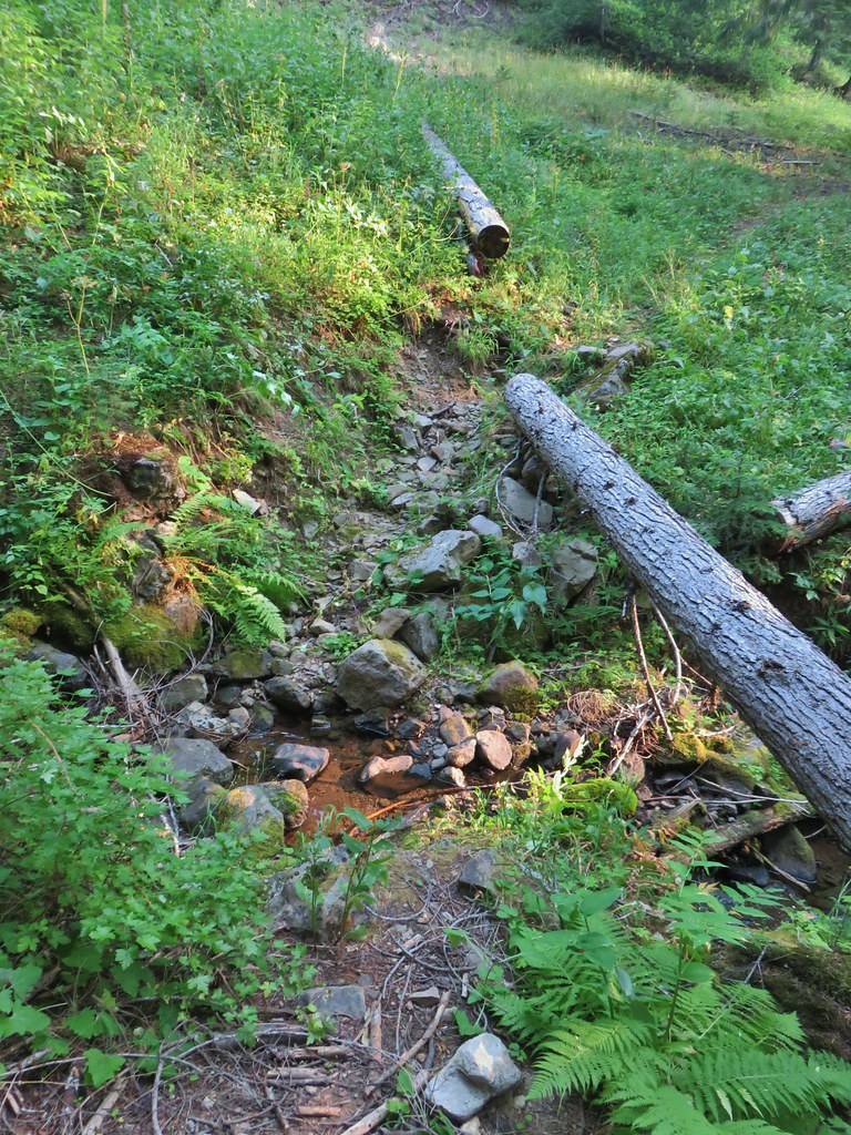 Small stream crossing
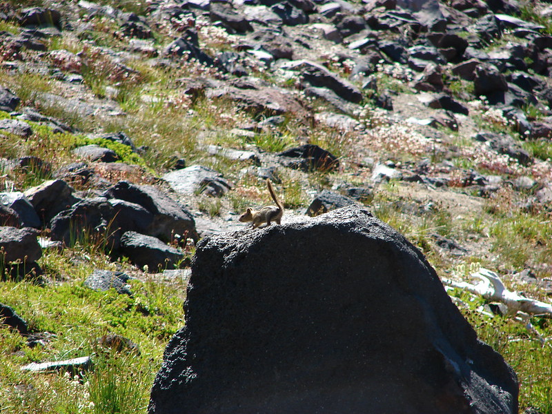
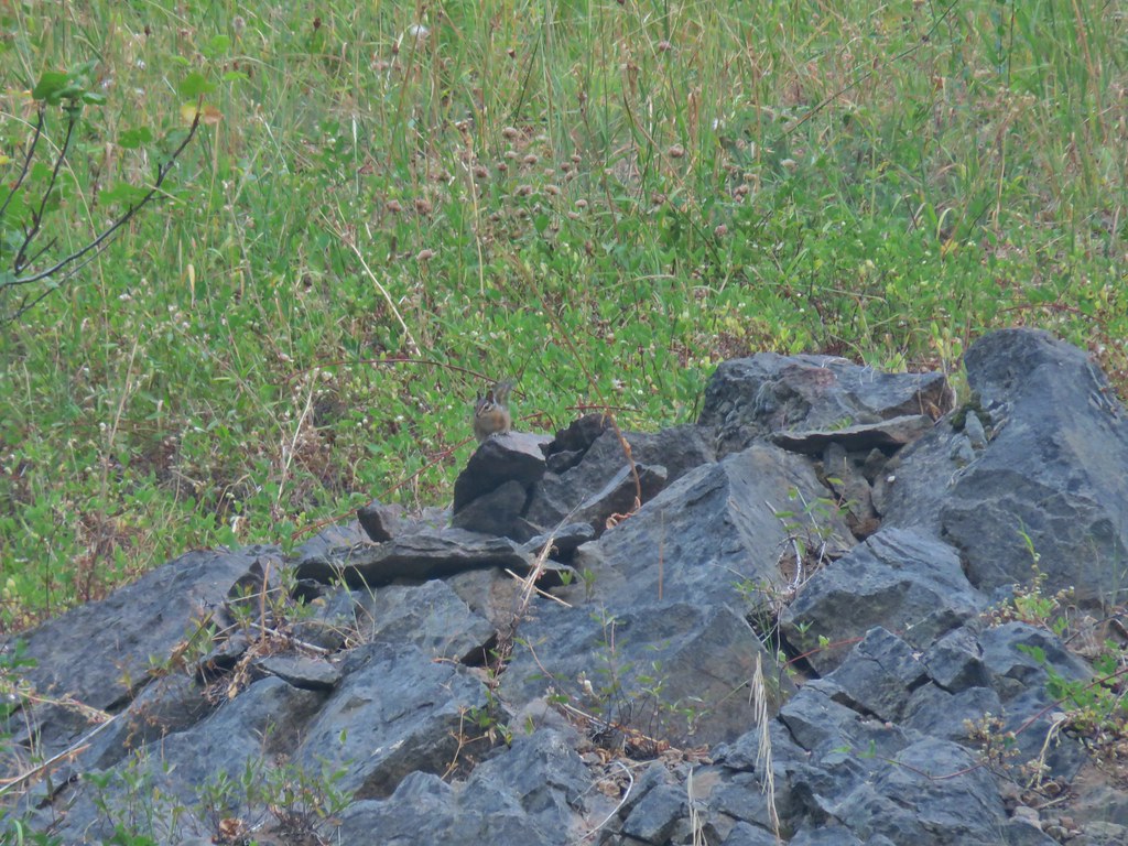 Chipmunk


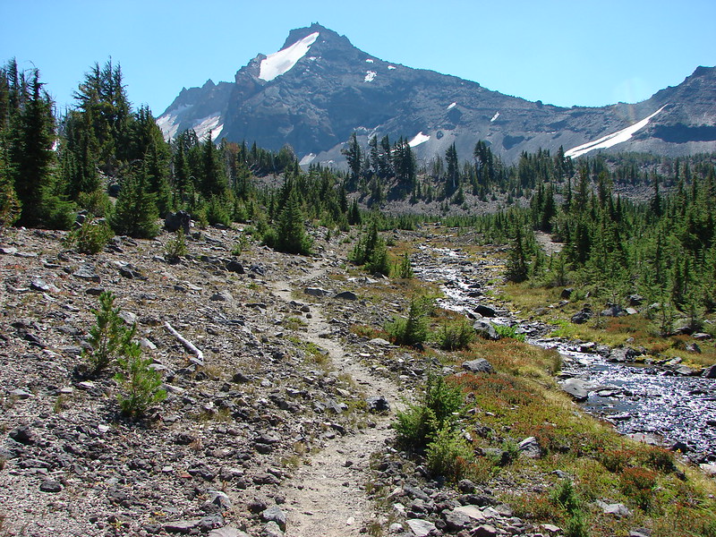
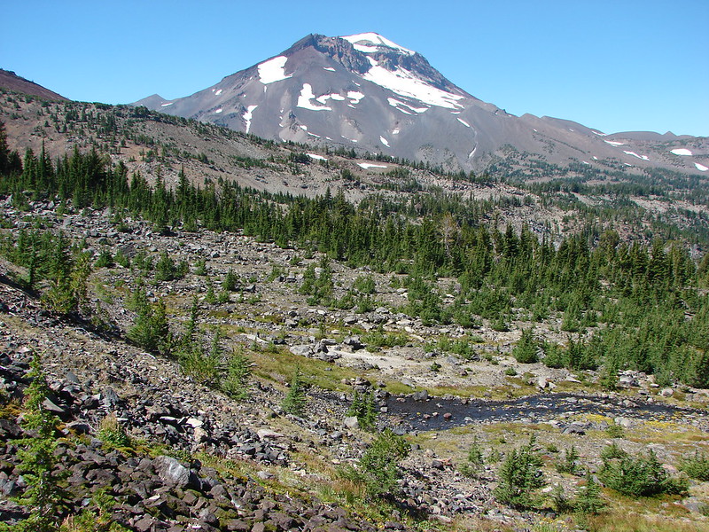
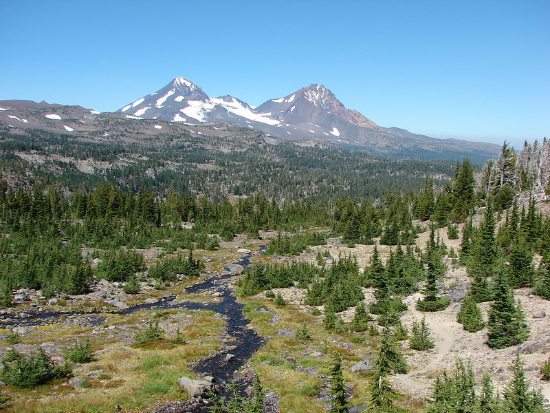
 Windy Gap
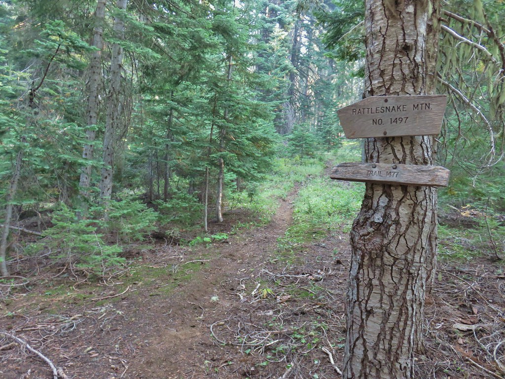


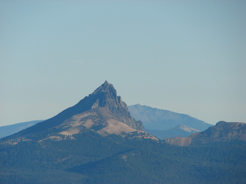
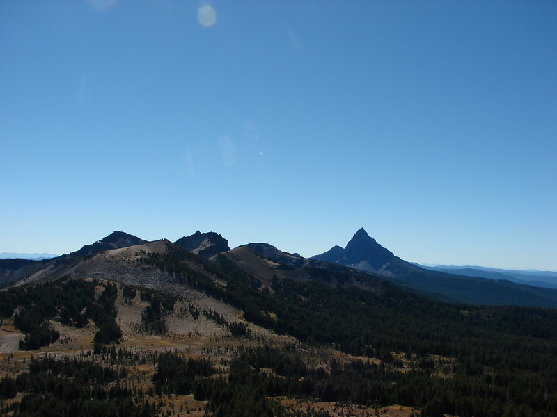
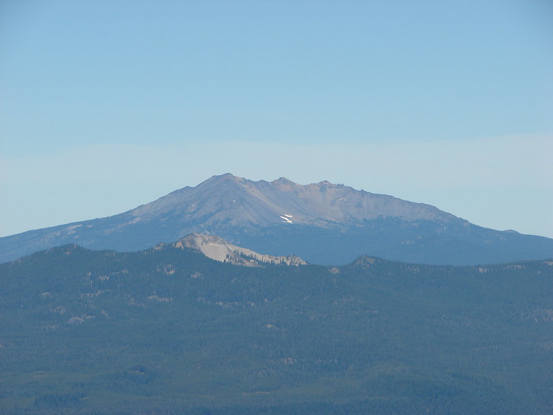
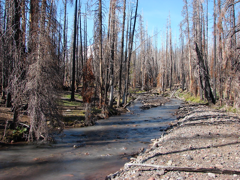
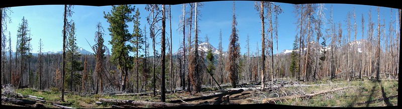
 Near the upper end of the 1.2 mile section we entered a burn scar with views of Mt. Bailey, Mt. Thielsen and Crater Lake.
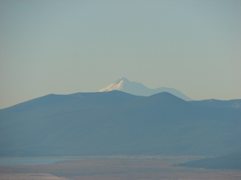
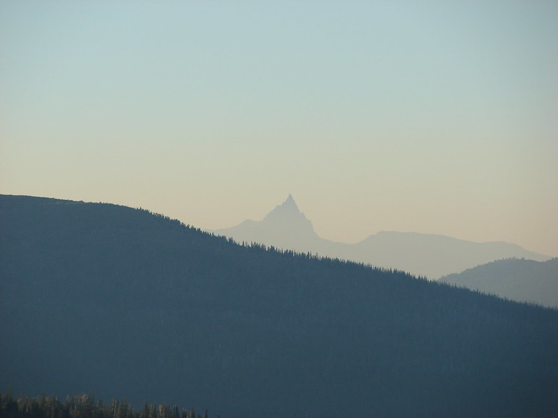
 Mt. Thielsen
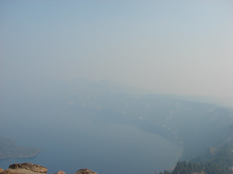
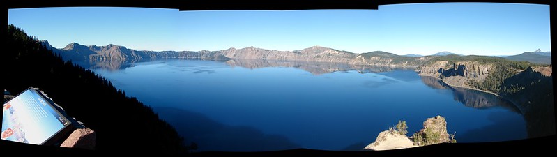
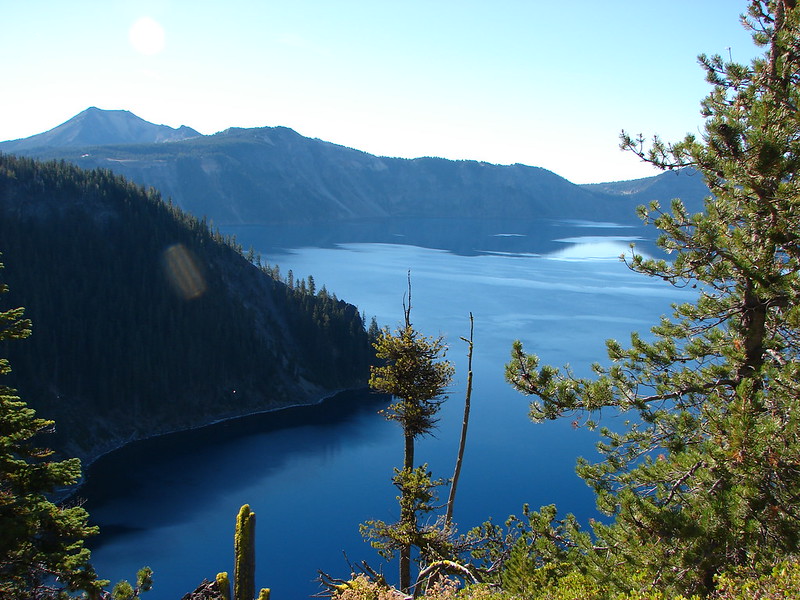
 High points along the rim of Crater Lake above the smoke.
 A bee photobomb with Mt. Bailey and Mt. Thielsen to it’s right.
 Flagging in the burn scar.
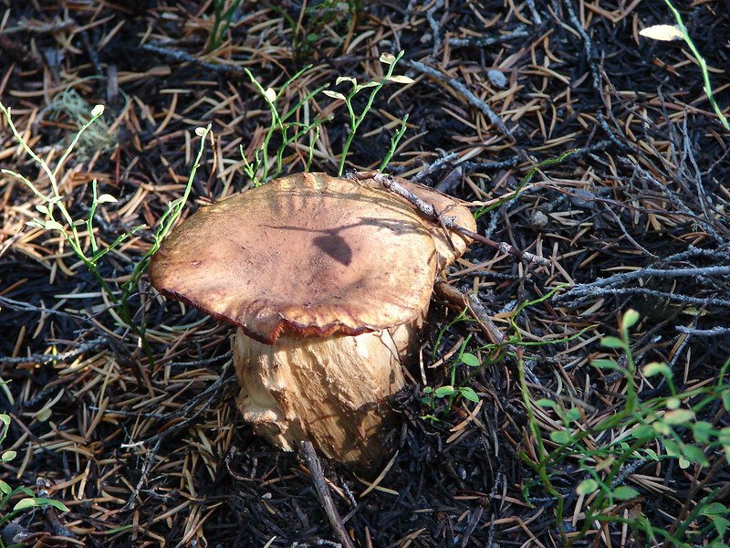
 Nuttall’s linanthus
 Owls clover
 Golden-mantled ground squirrel.
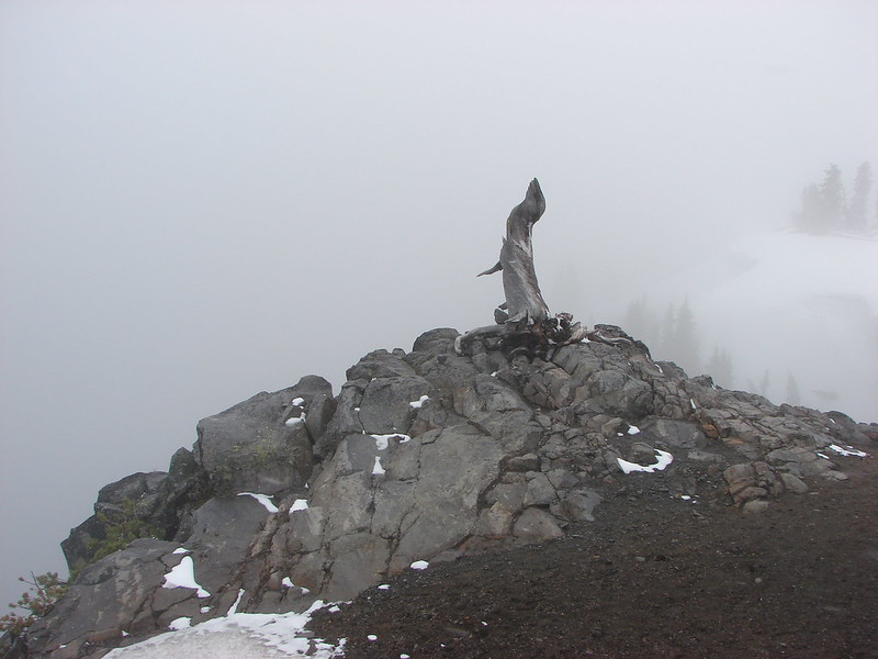
 The rock cairn.
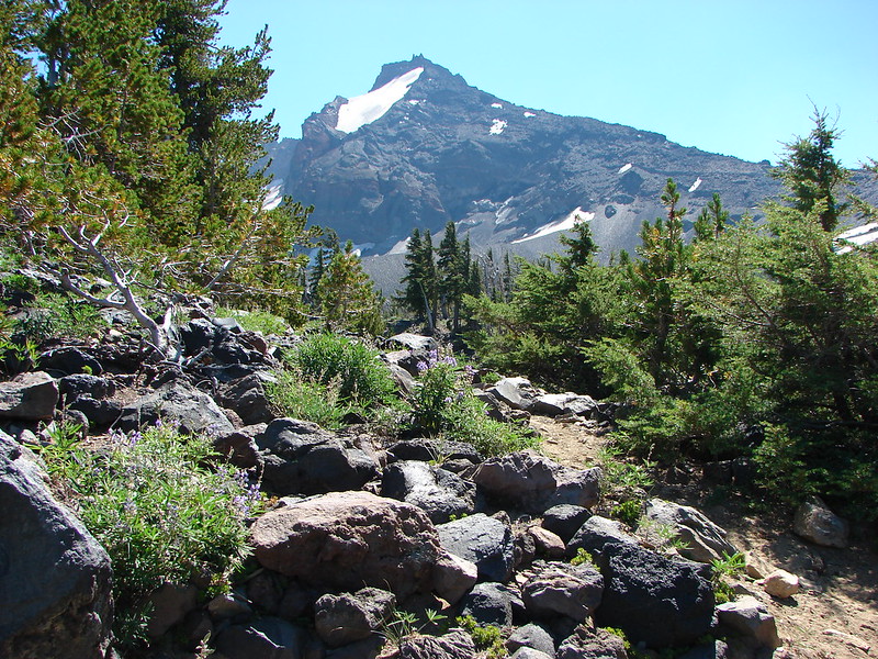
 Nearing the summit.
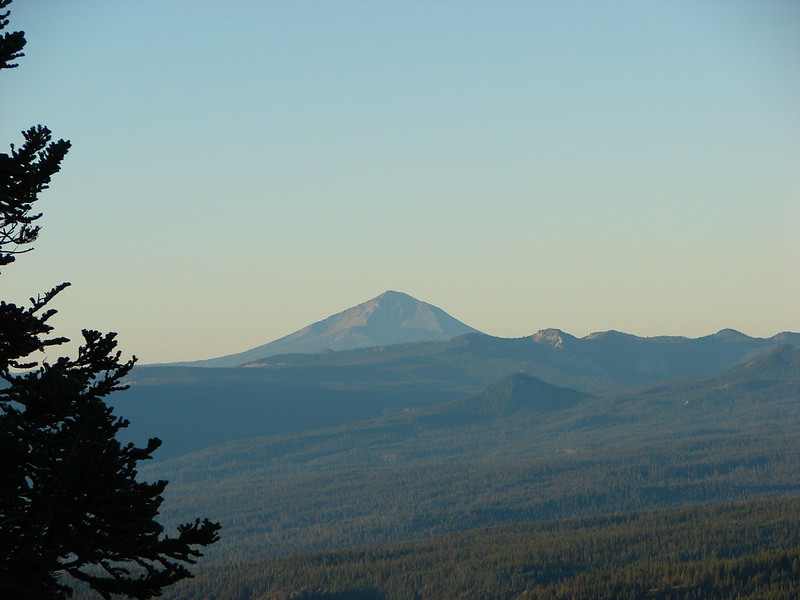
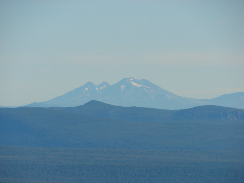
 Mt. McLoughlin
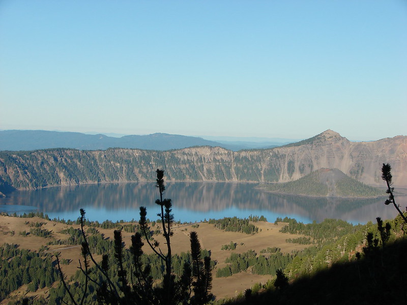
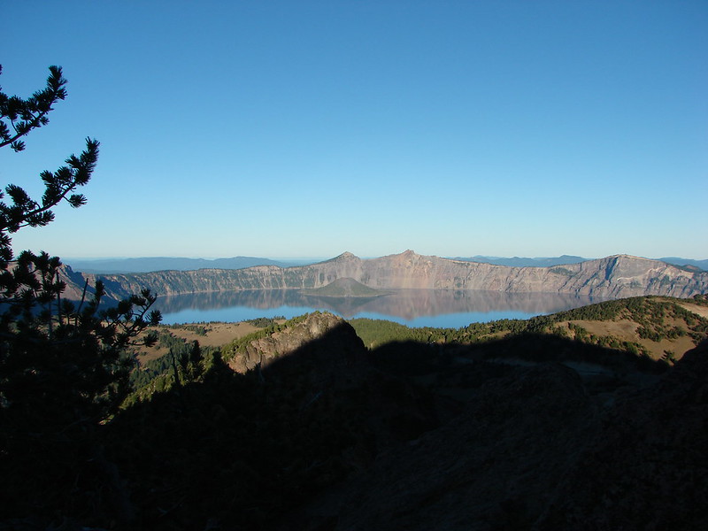
 Hillman Peak and The Watchman at Crater Lake
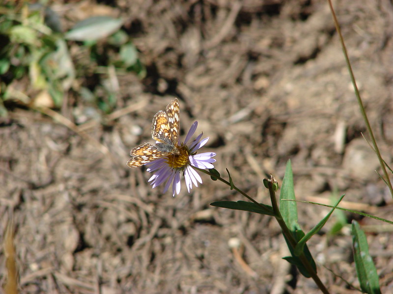
 Butterfly and bees.
 For some reason this cracked us up.
 Heather spotted this cricket on my shoulder (I always have some sort of insect on me for some reason).

 We’d lost the trail here and were just heading for the Castle Creek Trail.
 We came across this faint tread in the trees before reaching the Castle Creek Trail and started following it.
 Apparently it was the actual trail as it popped us out at a trail sign along the Castle Creek Trail.

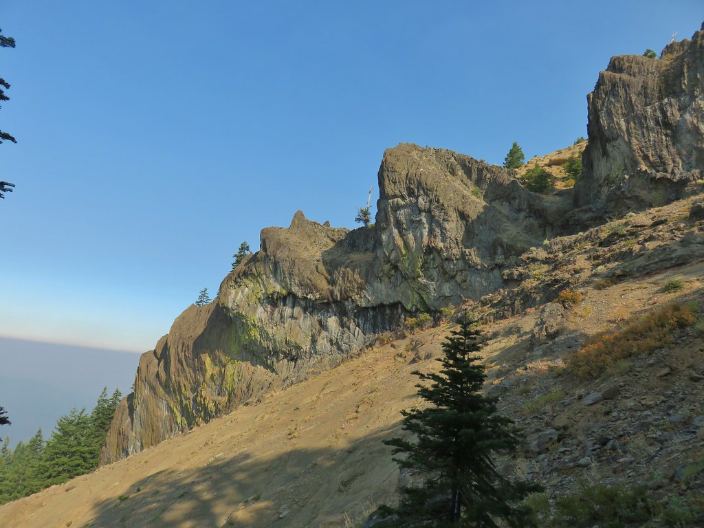
 Rattlesnake Mountain
 Happy Camp Trailhead
 Rattlesnake Mountain
 Rogue-Umpqua Divide Trail
 Snake in Fish Creek
 Scarlet gilia
 Fish Creek
 Fish in Fish Creek
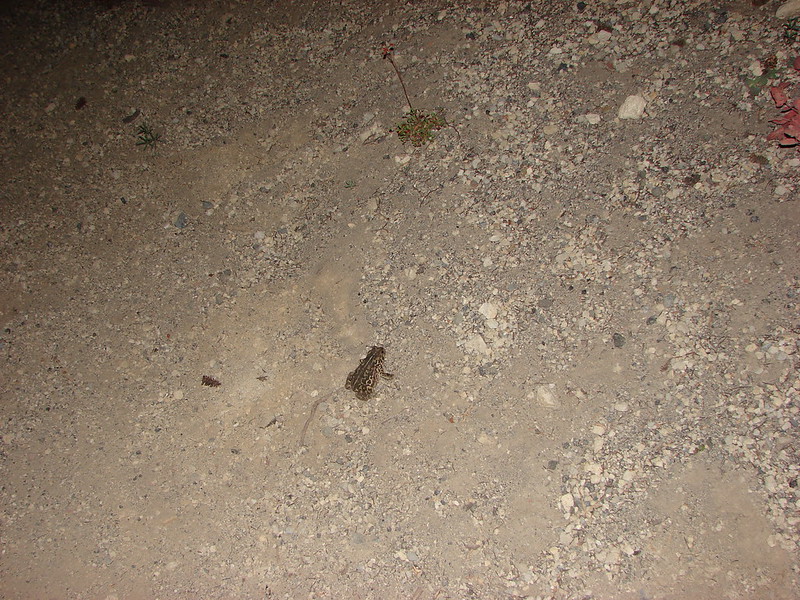
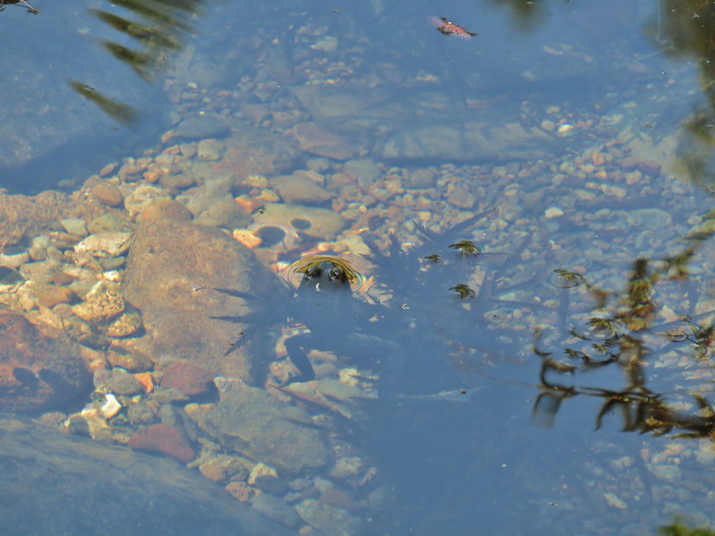 Frog in Fish Creek

 Monkshood
 This frog decided that under Heather’s pack was a nice spot to chill.

 Green-winged teal
 Wood duck
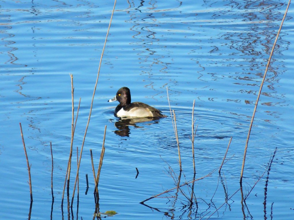 Ring necked duck?
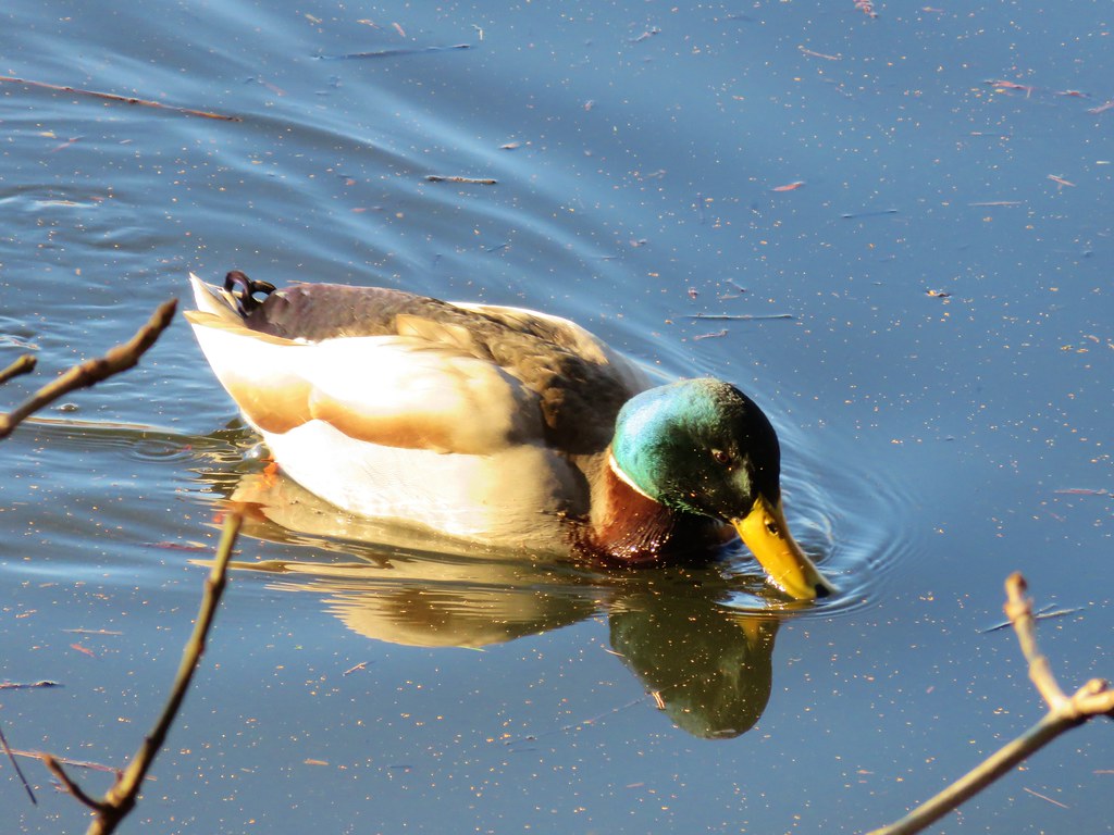 Mallard
 Not sure what kind of duck is in the upper left hand corner.