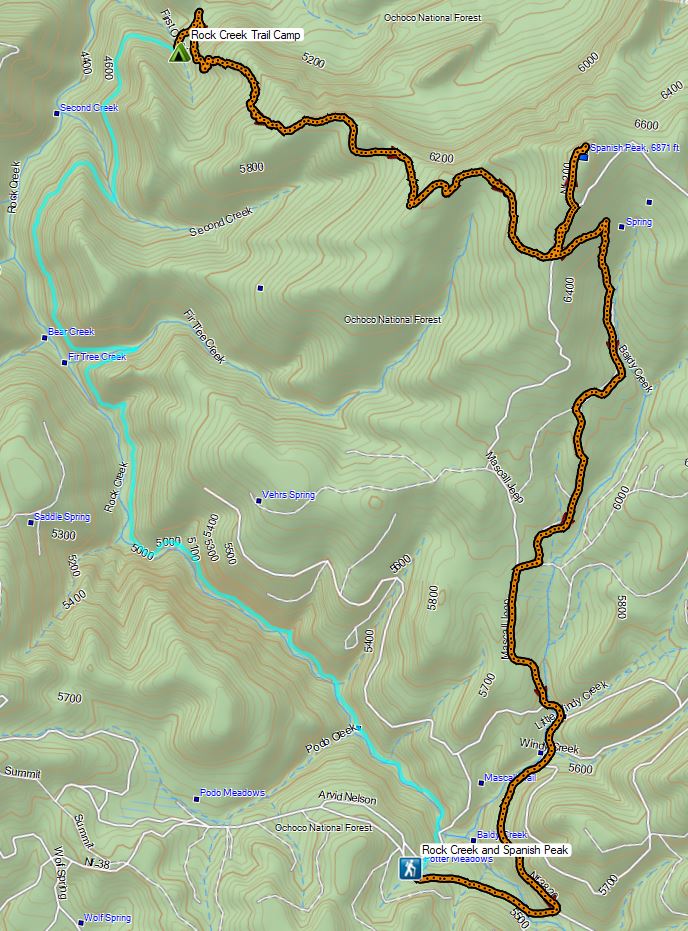
After spending the night camped near First Creek along the Rock Creek/Ochoco Mountain Trail we got an early (6:30am) start to hopefully climb up the 2000 plus feet to the summit of Spanish Peak before the day got too hot. According to Sullivan’s map (which matched the Forest Service’s map) it was 5.3 miles to the summit.
Just 0.2 miles from where we had made our makeshift campsite we came to an established campsite in a saddle near where the Ochoco Mountain Trail supposedly turned uphill to start the climb.
 Continuing along the Waterman Ditch.
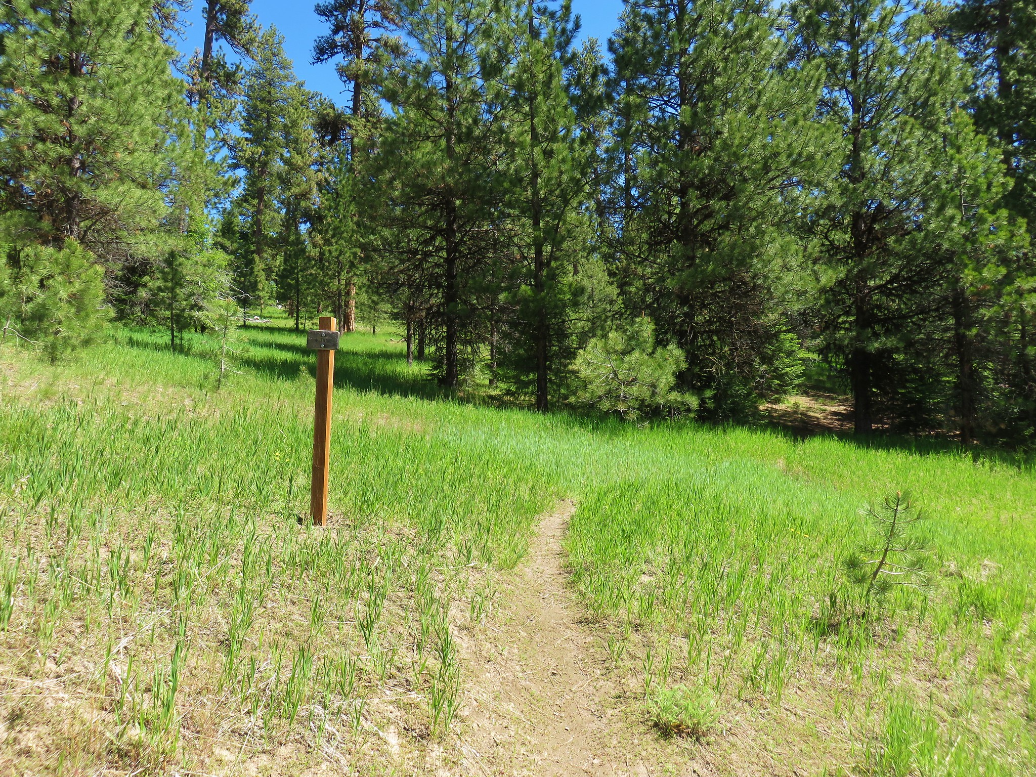
 If this trail sign was marking a junction it wasn’t clear where the other trail was.
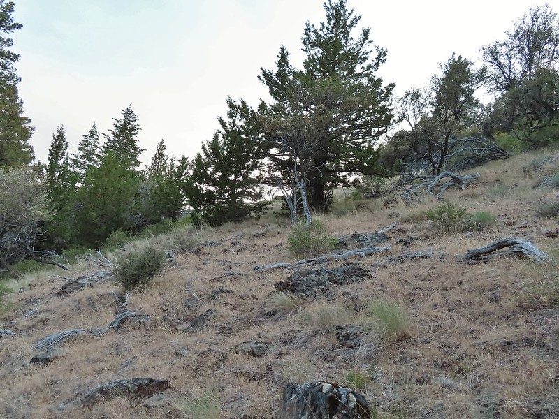
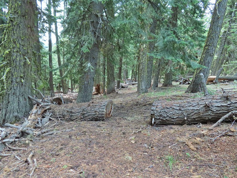
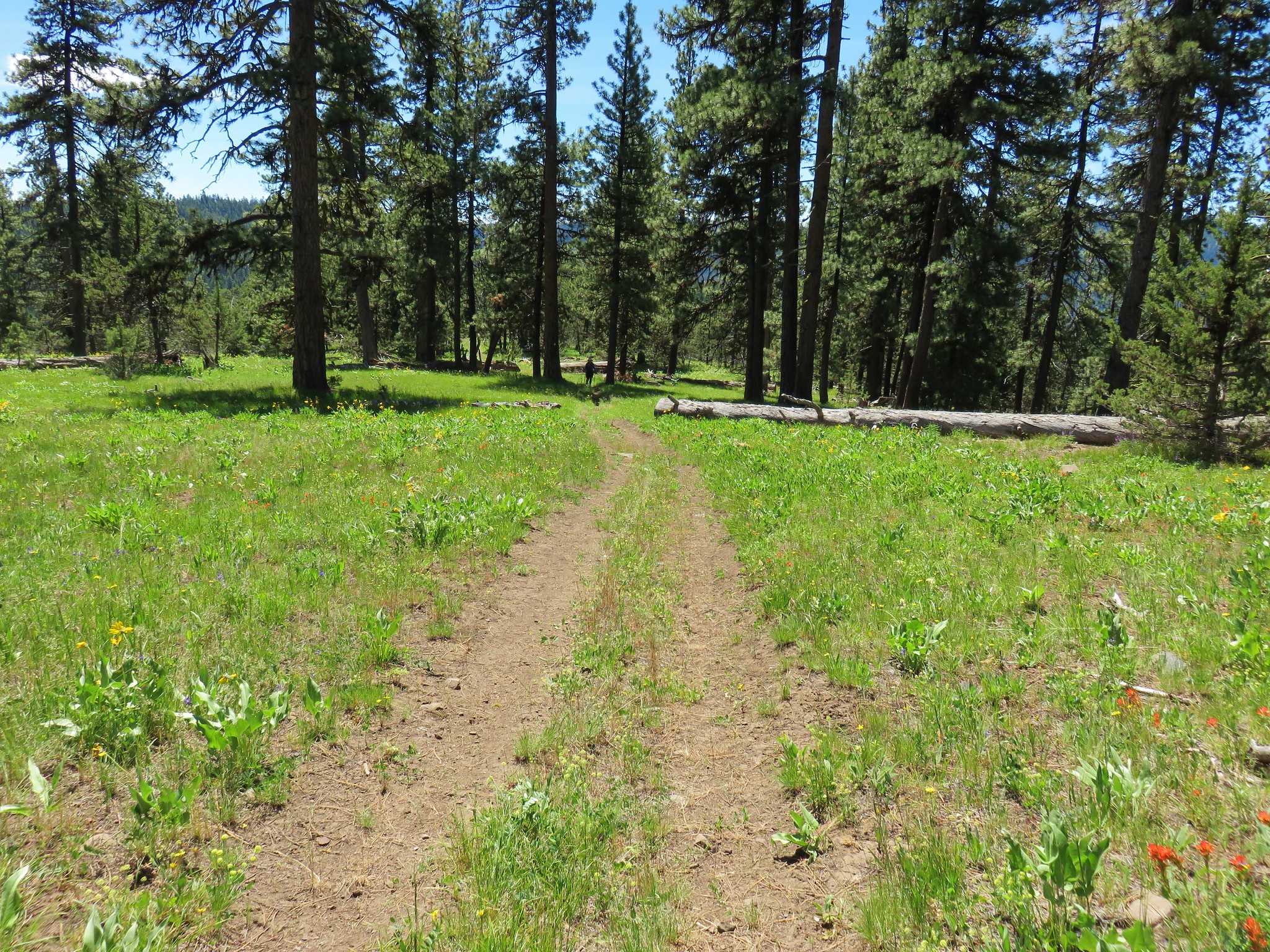
 Campsite at the saddle.
There was no clear tread other than the continuation of the Rock Creek Trail to the north where it ends at the National Forest Boundary in another mile. There was however a sign for the “Rim Trail” on a tree uphill from the trail.
 The Rim Trail sign on a tree trunk.
We headed uphill to the sign and picked up what appeared to be a rough trail but it also looked like it could have been an elk trail.

We tried our best to follow it uphill but there were no blazes, flagging, or cut logs to indicate that it really was an actual trail and in less than a half mile we lost it in brush.

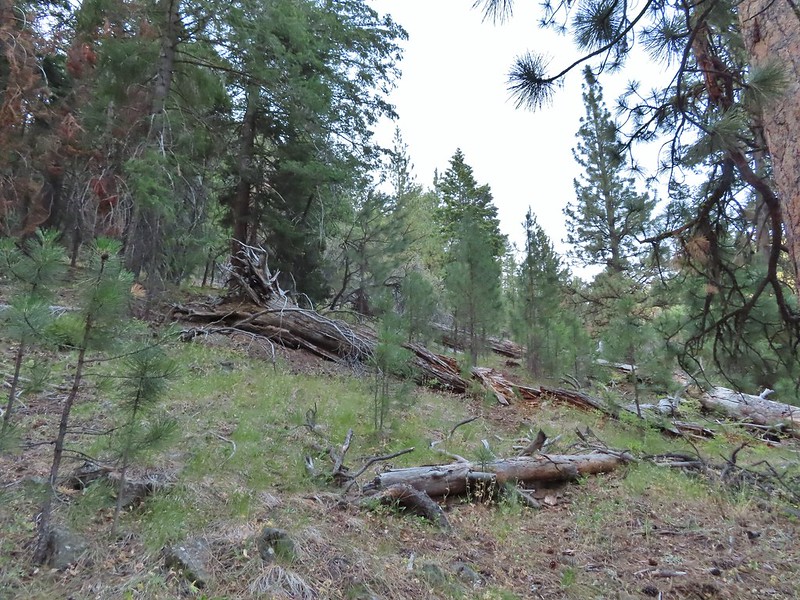
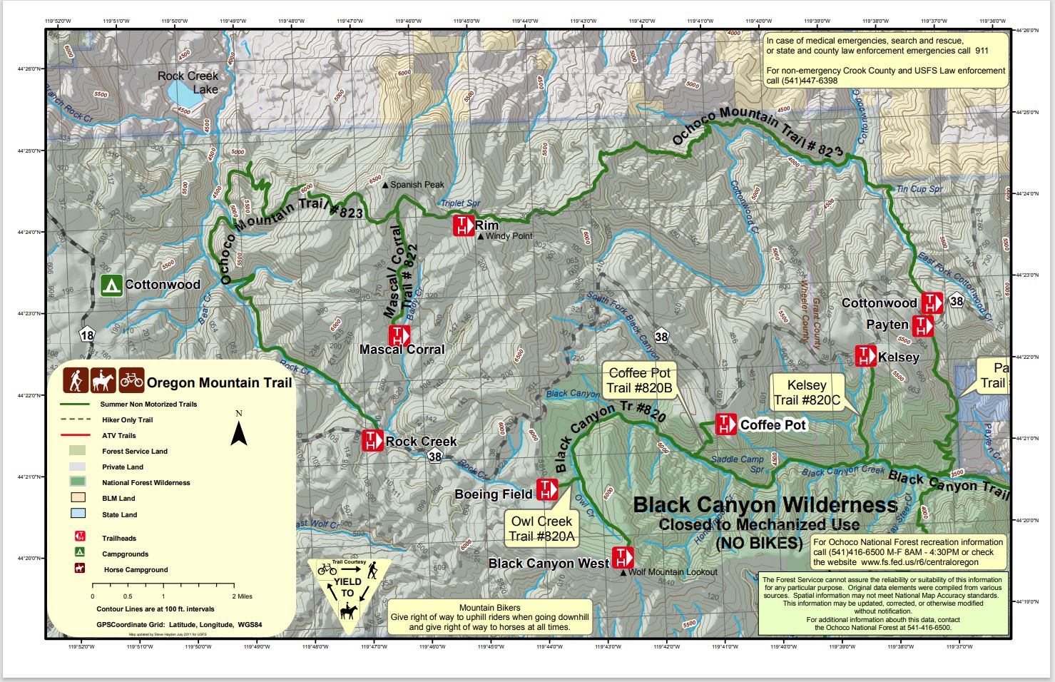
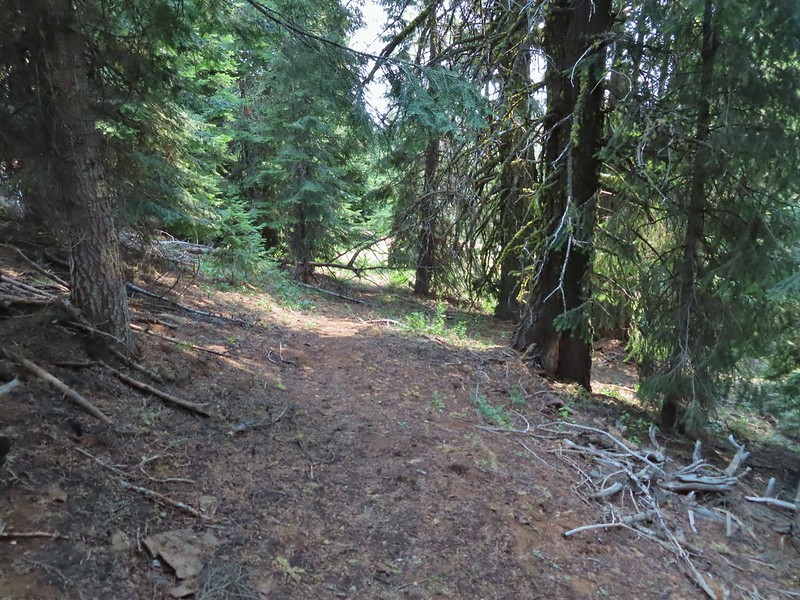
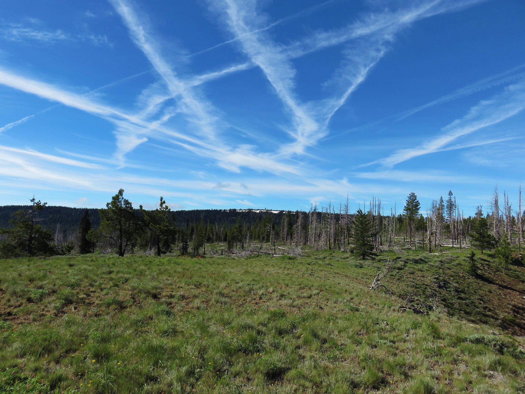
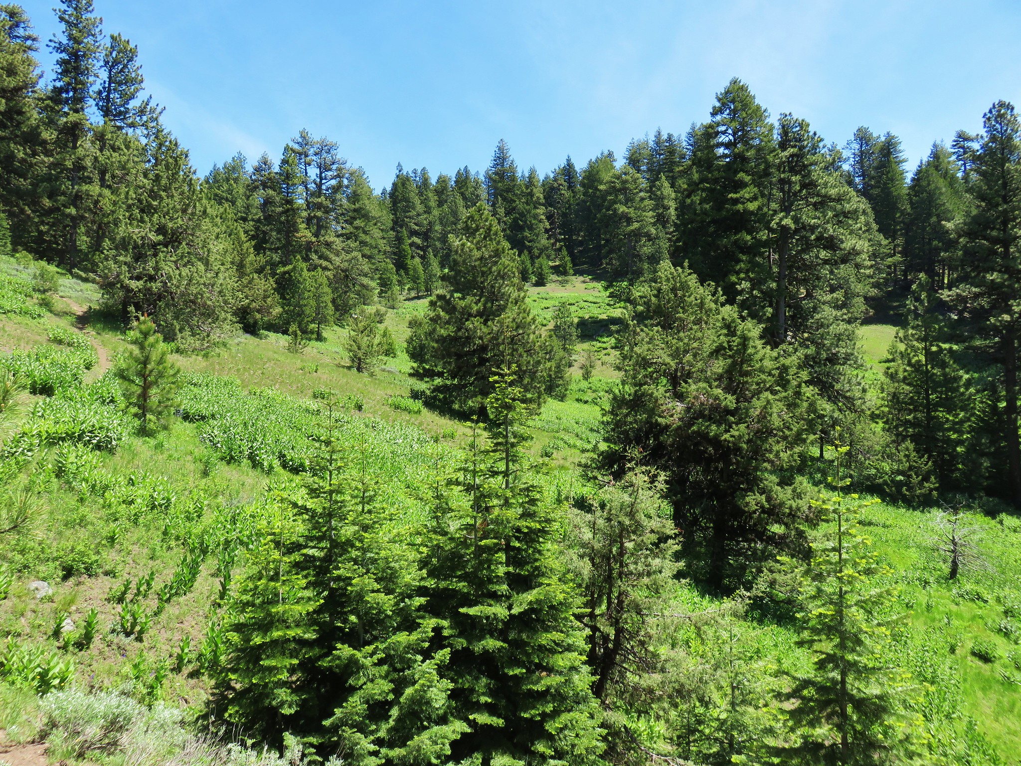
The hike had suddenly become an off-trail adventure. Between the Sullivan’s and the Forest Service map we knew the general route that the trail supposedly took so we did our best to recreate it at first. That meant a series of switchbacks up a steep hillside through a sagebrush meadow above First Creek.


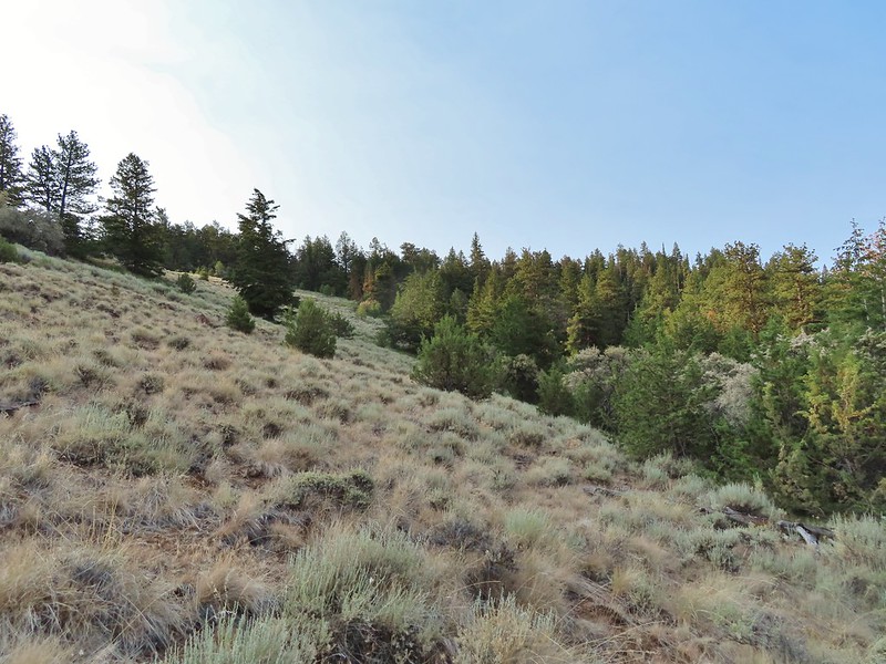
The trail then supposedly wrapped around the ridge between First and Second Creeks arriving at a rock cairn along a rim 2.5 miles from the saddle. We thought that we might rediscover the tread as we switchbacked up, but we did not. As we compared the maps with our GPS we noticed that we weren’t that far below the top of the ridge and that it might be possible to simply climb over the ridge taking a more direct route to the rim cairn. We decided that was our safest bet as we weren’t sure if we would find the trail wrapping around the ridge and even if we did a large downed tree in the wrong spot could make it impassable. We followed game trails through a small stand of trees into more sagebrush on top of the ridge.

 Rock Creek Lake
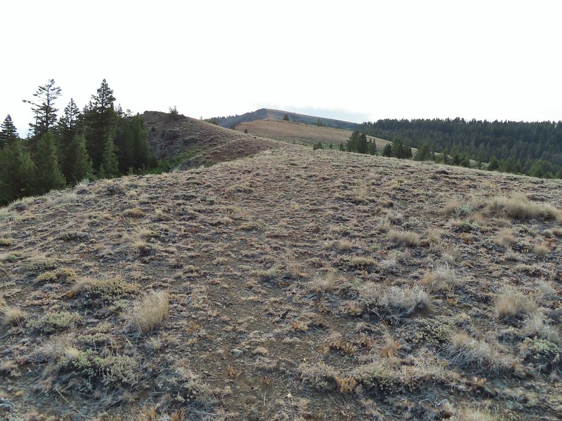
 Gaining the ridge.
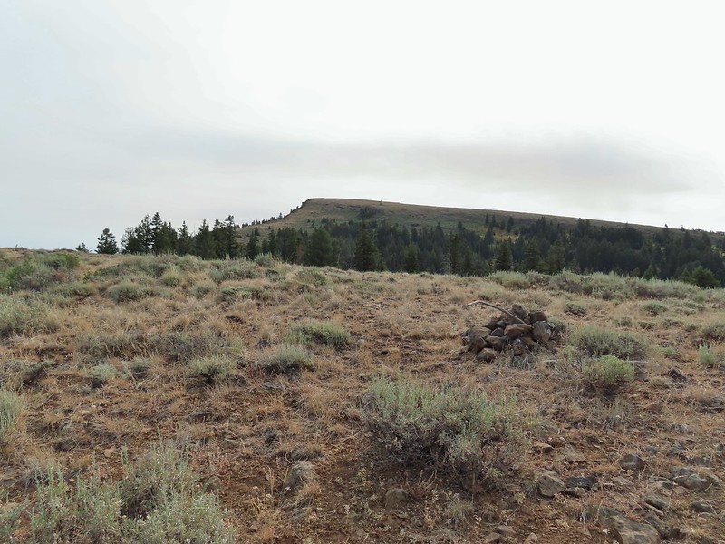
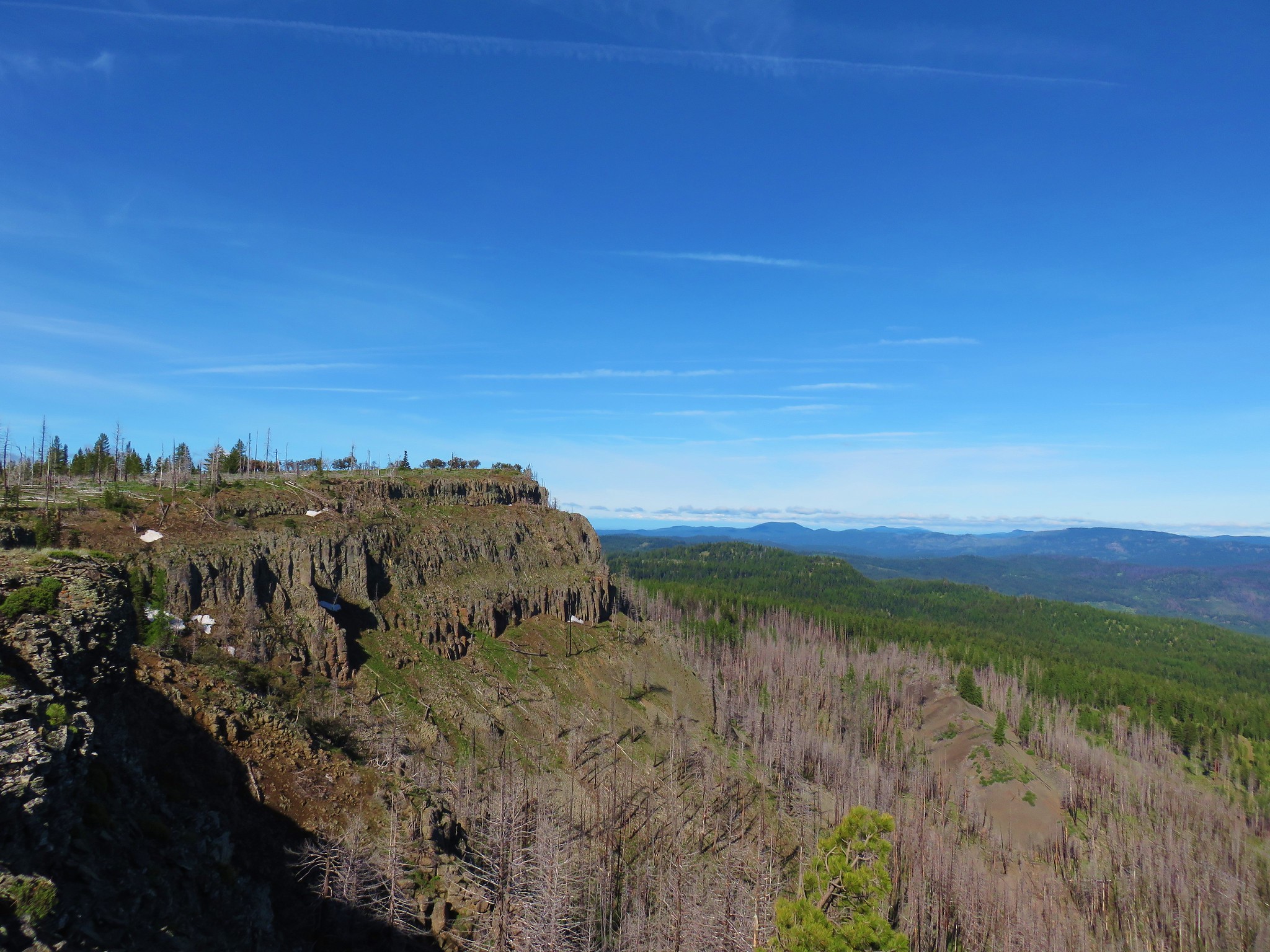
We found the trail again on top of the ridge and were soon following rock cairns to the rim.


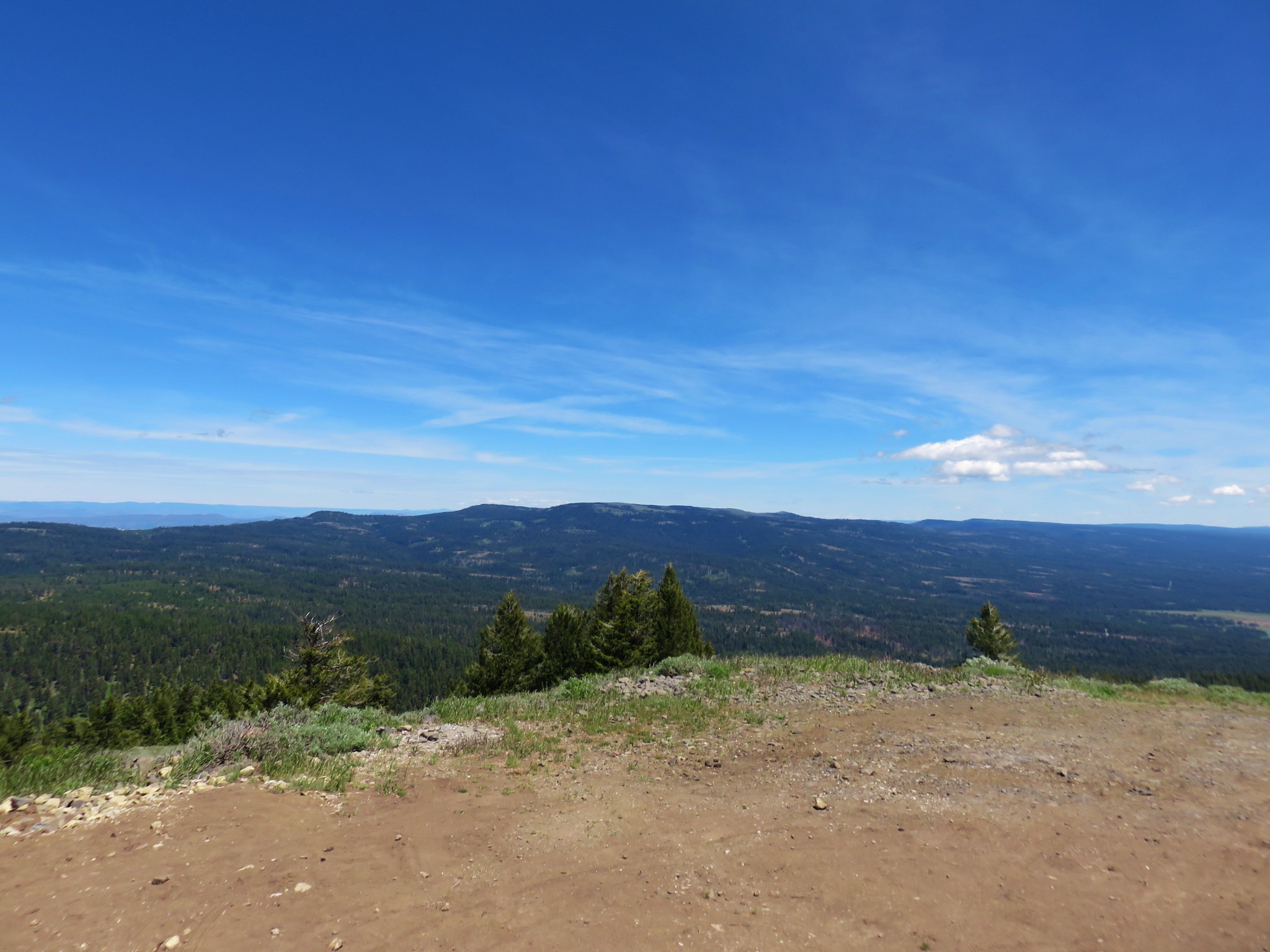
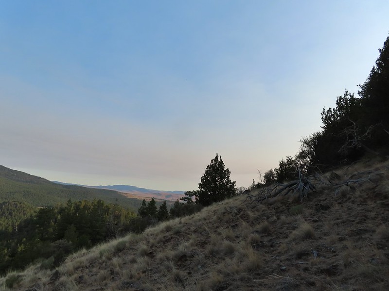
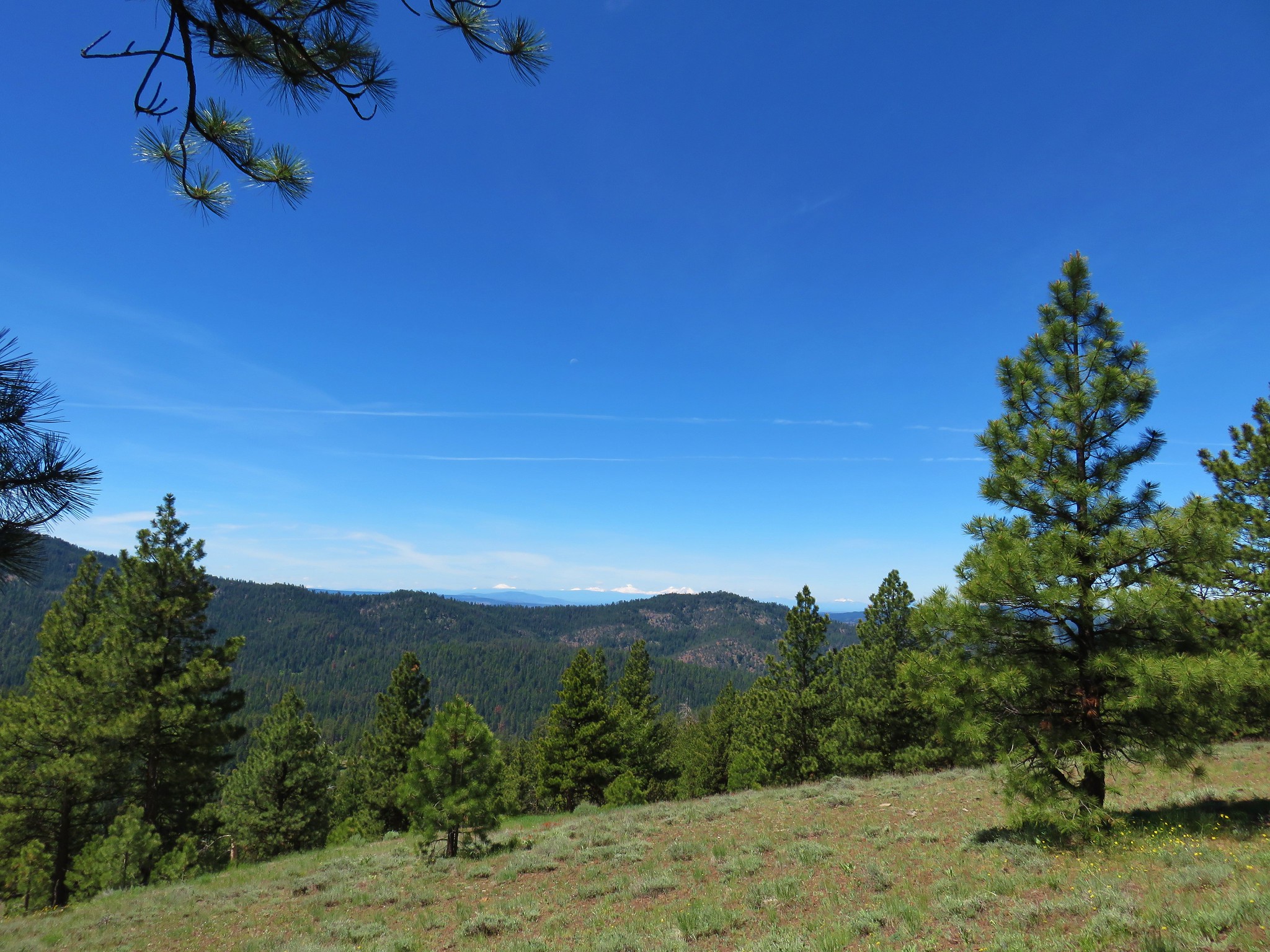
 View from the rim.
 Spanish Peak
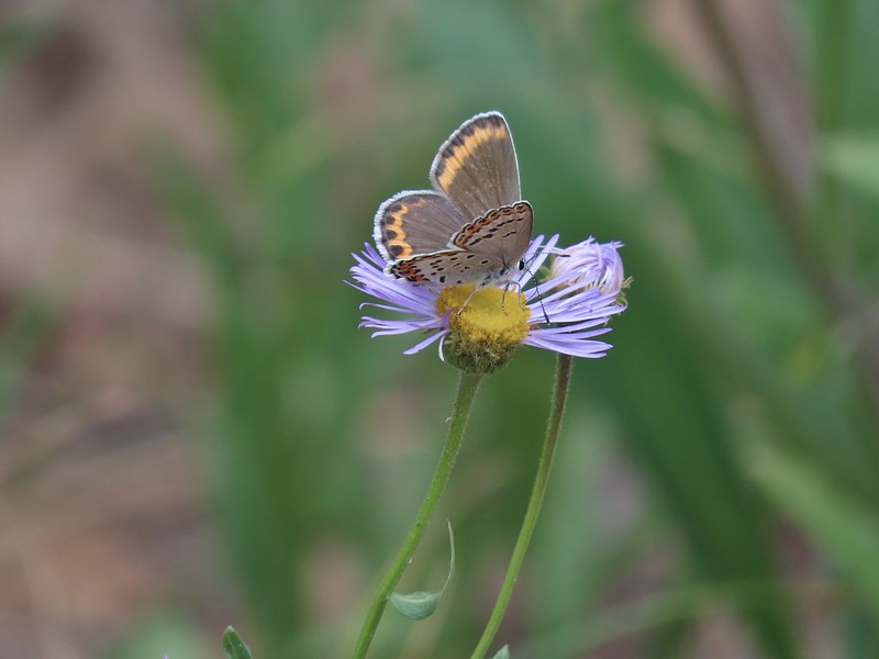
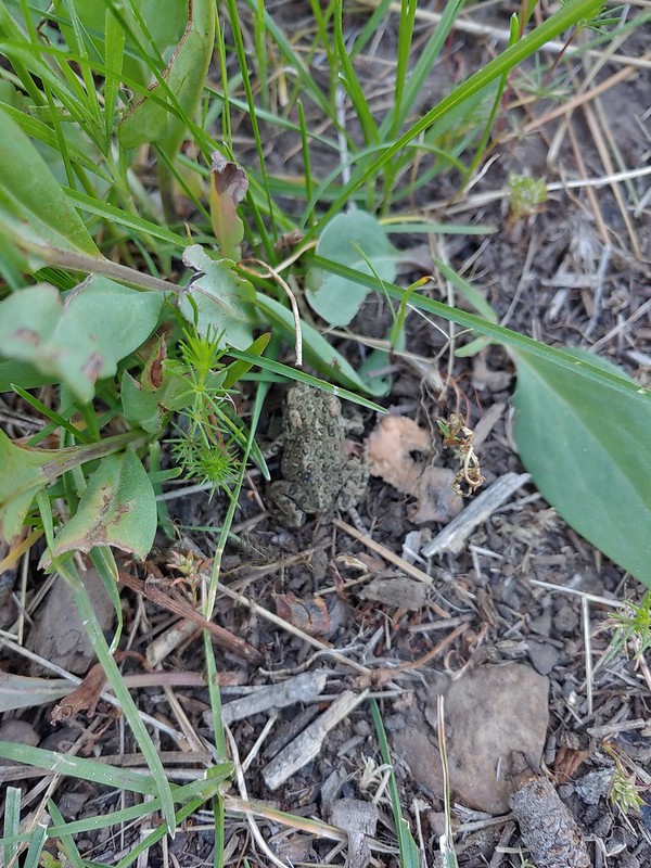
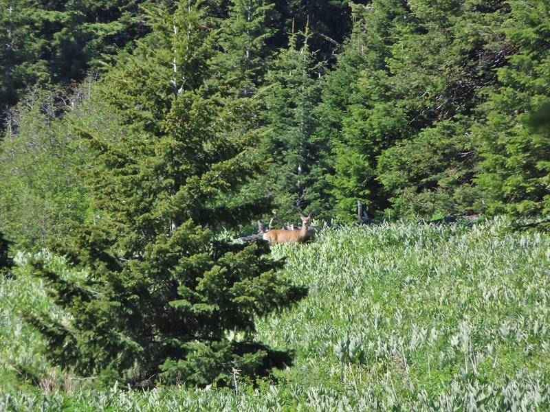
 A local
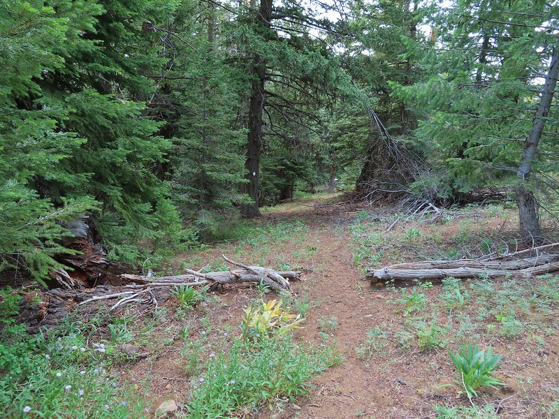
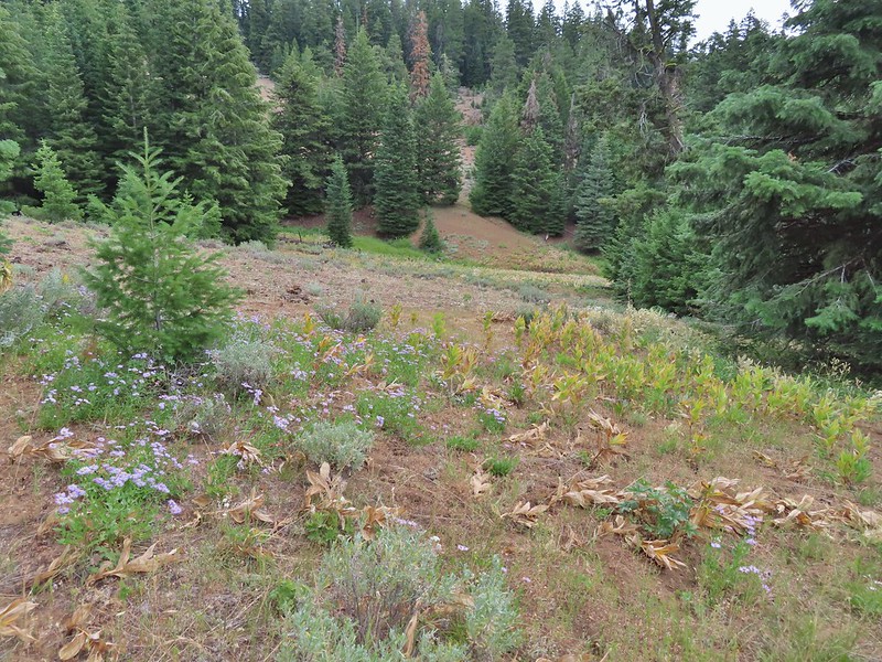
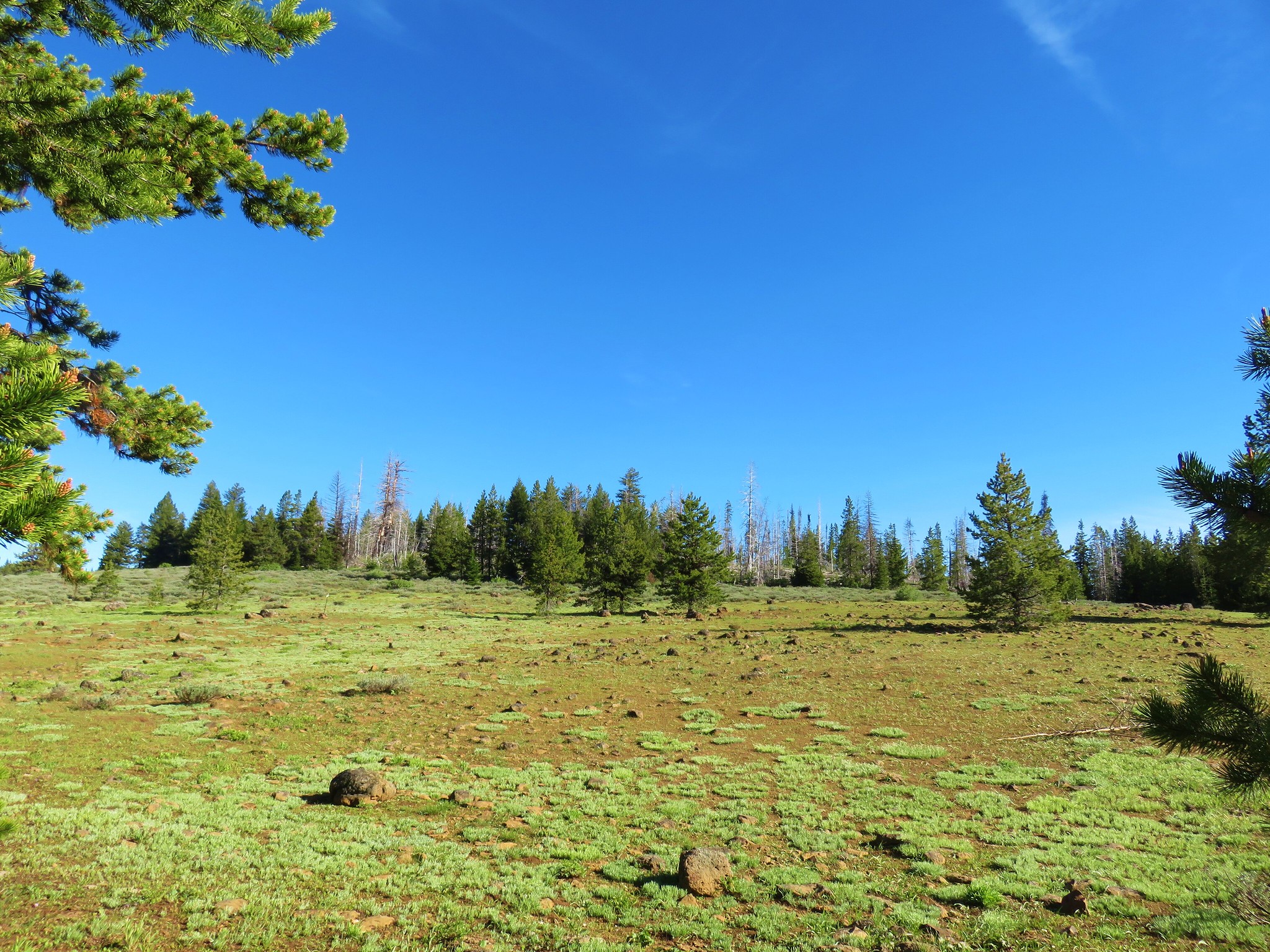
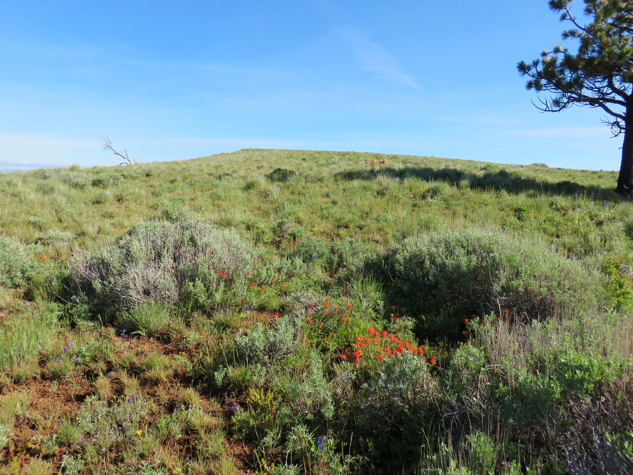
The trail was easy to follow along the rim but soon it came into some trees (and past a few wildflowers) where it appeared maintenance hadn’t been performed for a bit.
 Astter
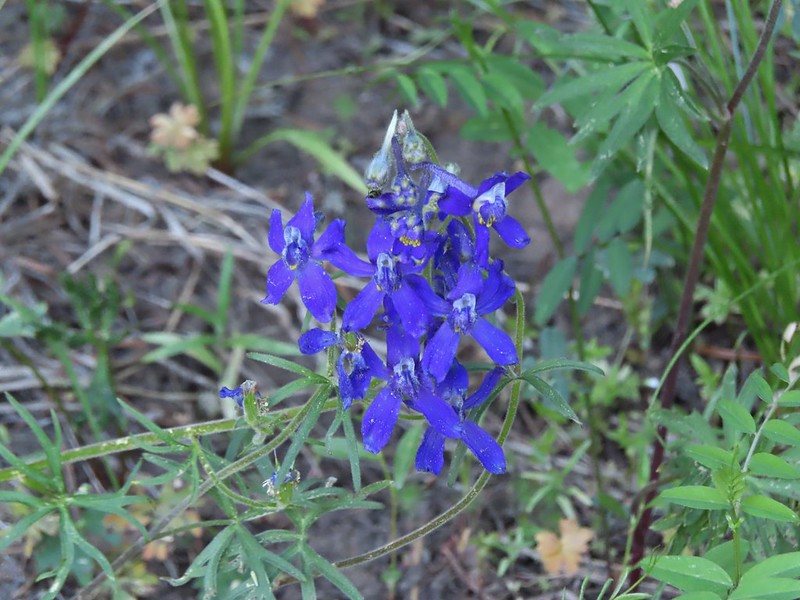
 Some sort of delphinium I think.
 Downed trees across the trail ahead.
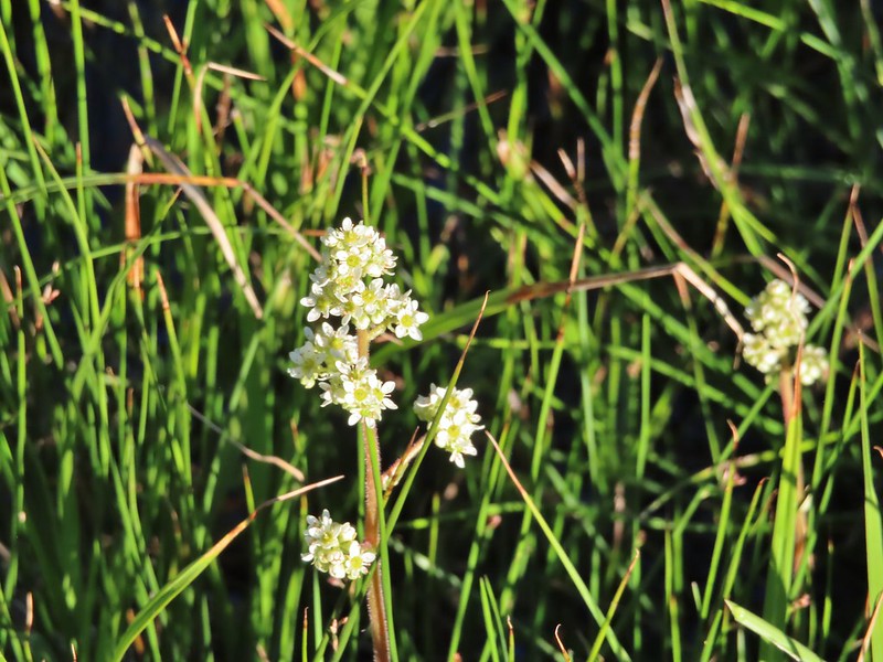
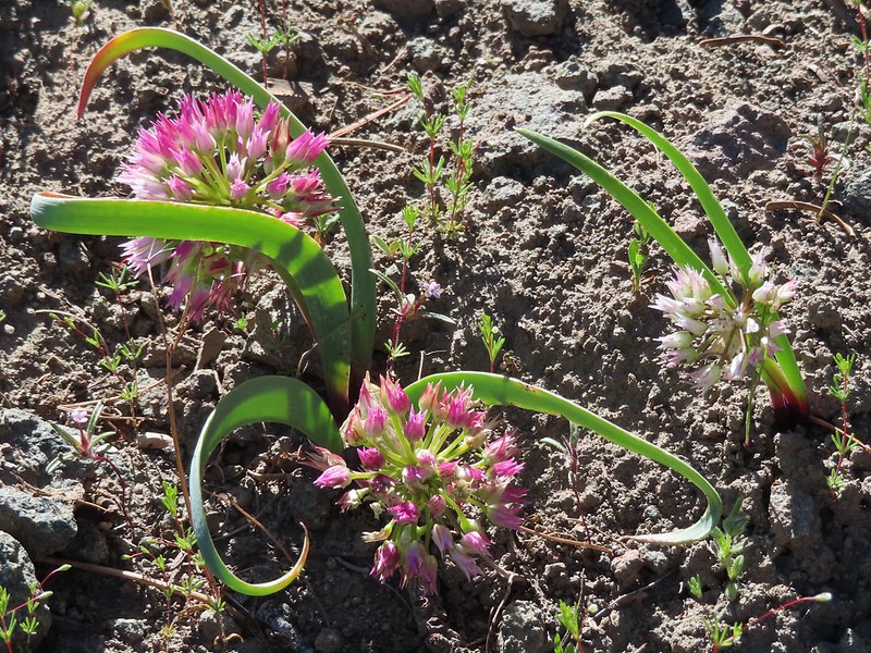
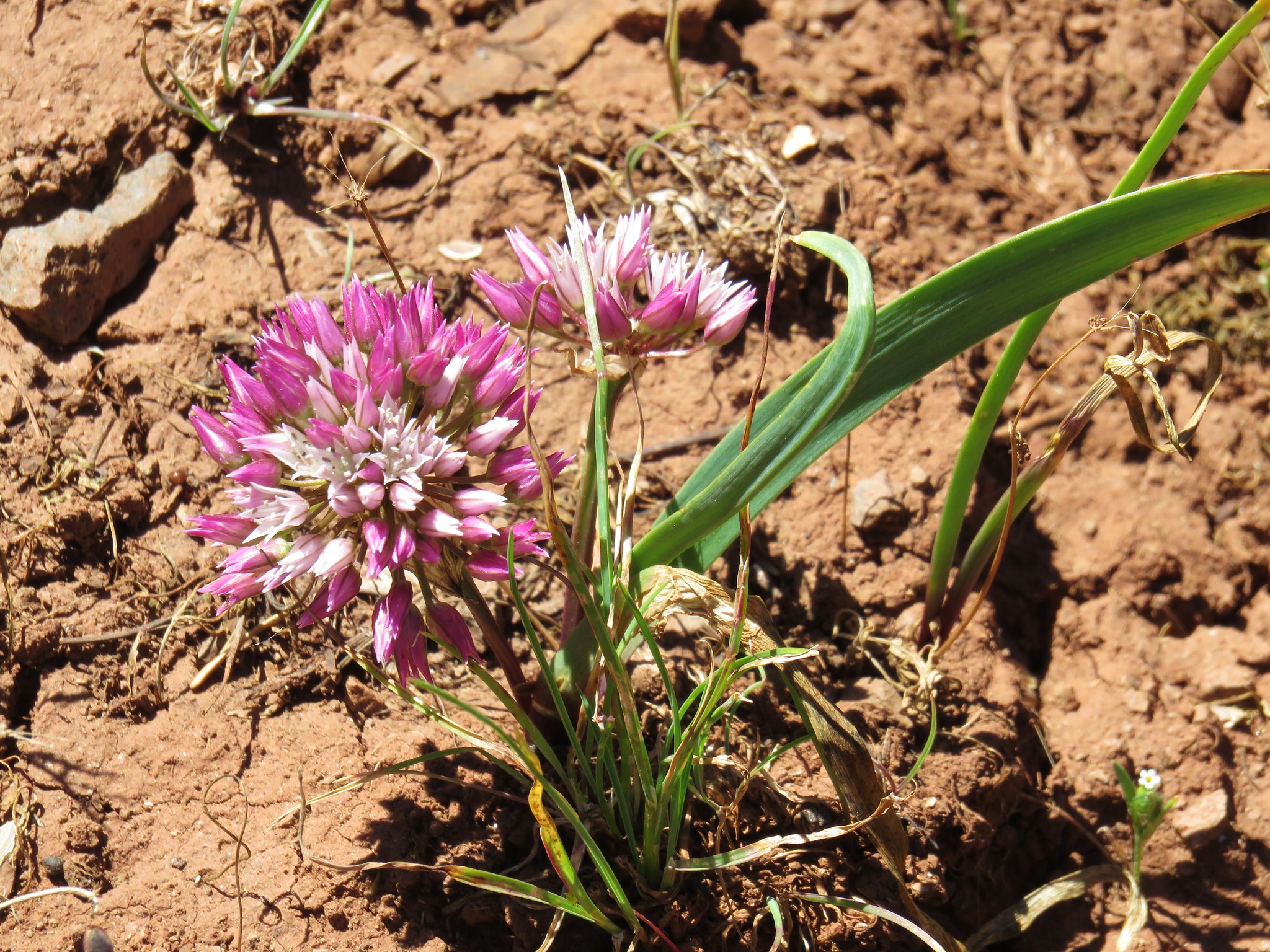
 Interestingly camouflaged beetle on the upper onion.
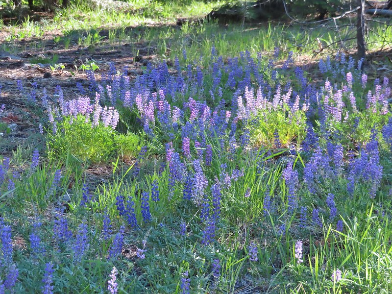
 Lupine
 A checkermallow
 Some more downed trees that we had to go around.
We briefly left the trees and were back to cairns in the sagebrush but soon reentered the trees and encountered more obstacles.


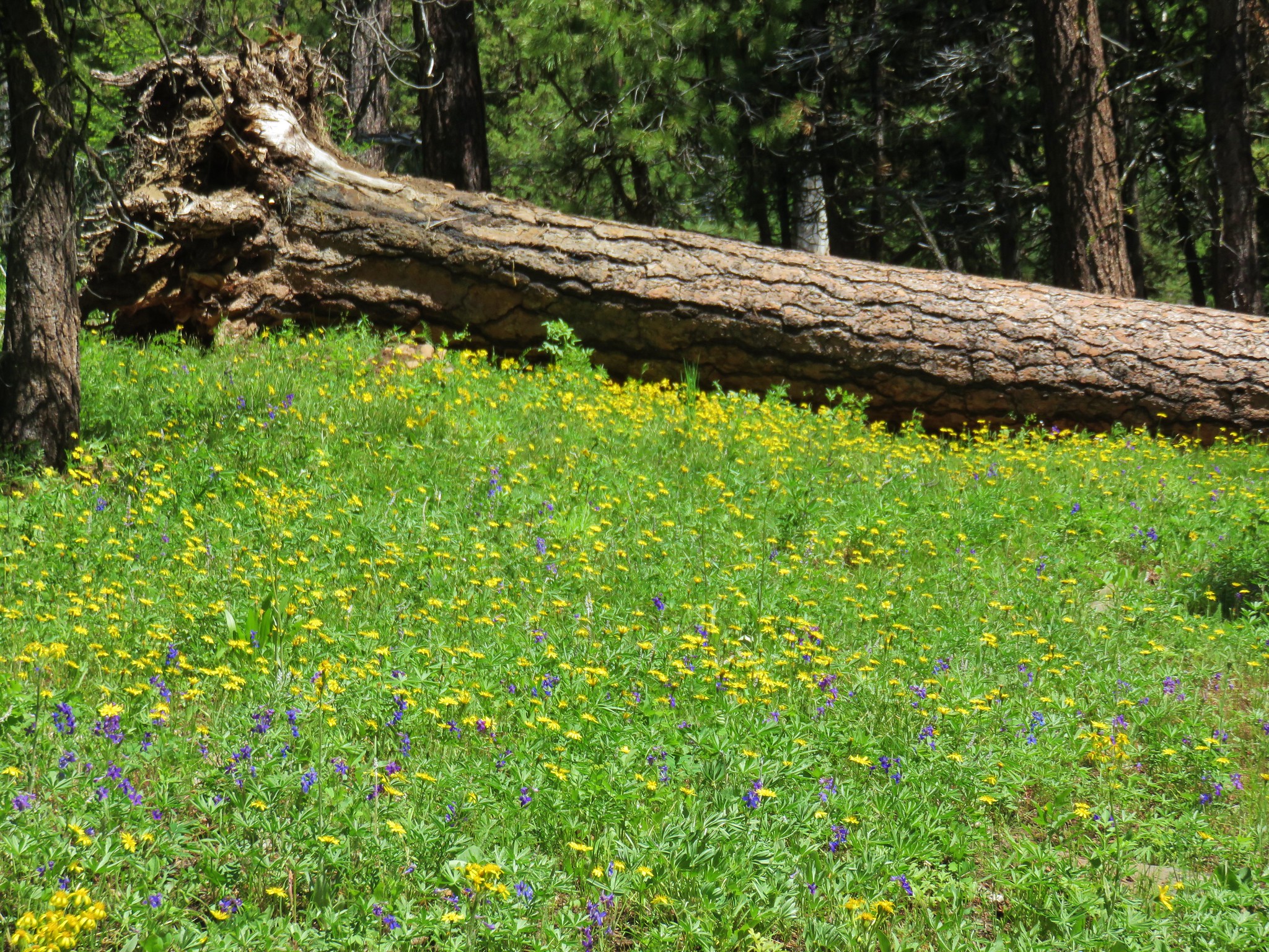
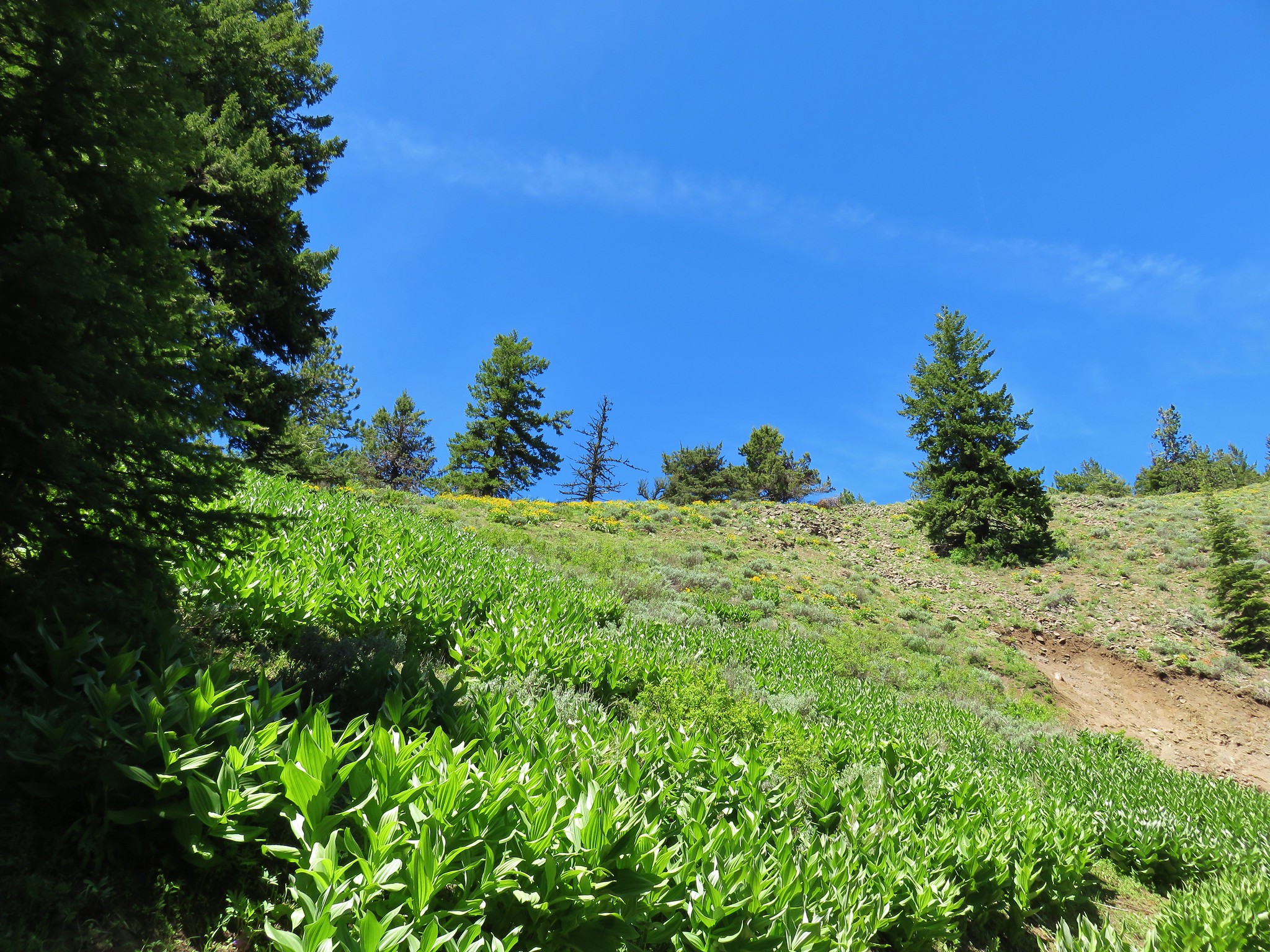
After passing through a couple of meadows we came to a rocky hillside below Spanish Peak where we left the trail and headed uphill following a few scattered cairns along what was shown on the GPS as the “Mascall Jeep Track”.


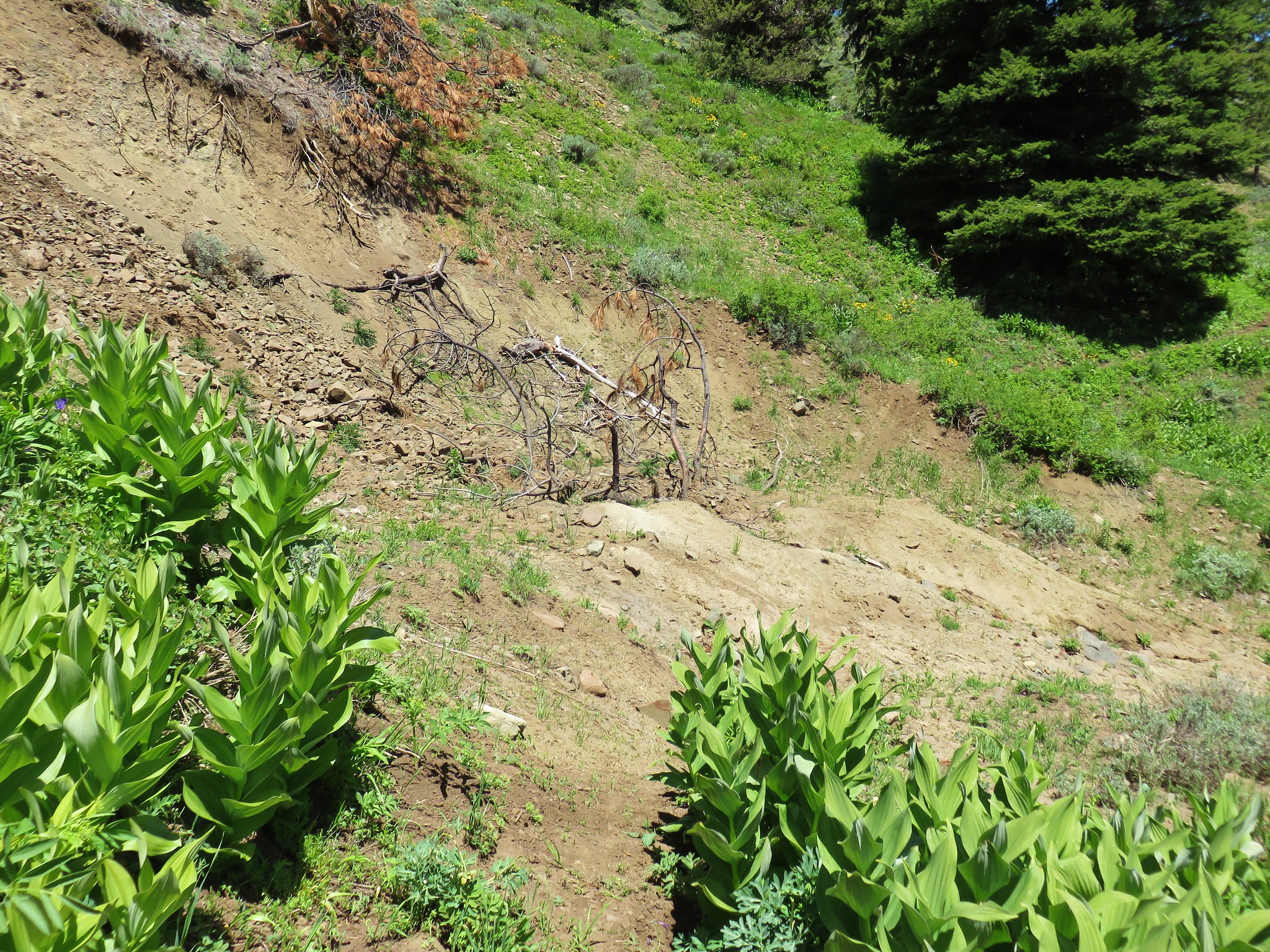
 We left the trail here, note the small cairn on the left.
 Heading uphill.
 Scarlet gilia
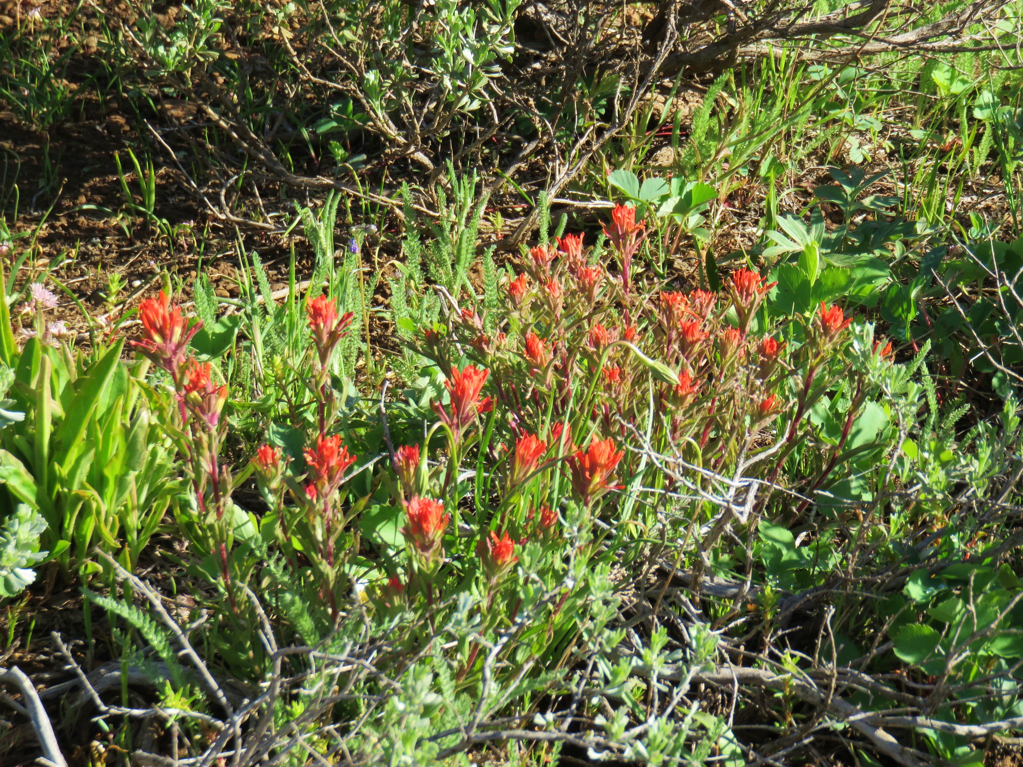
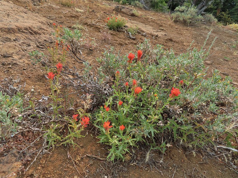 Paintbrush
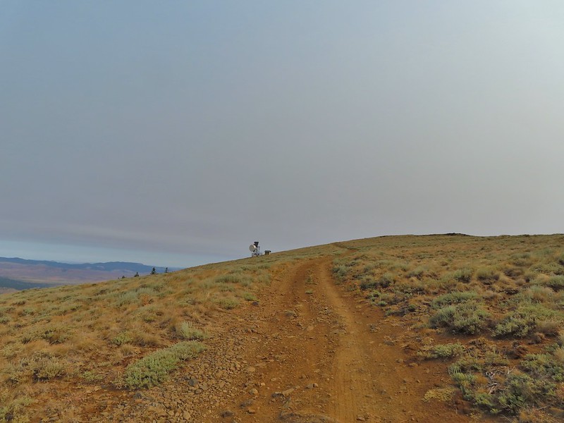
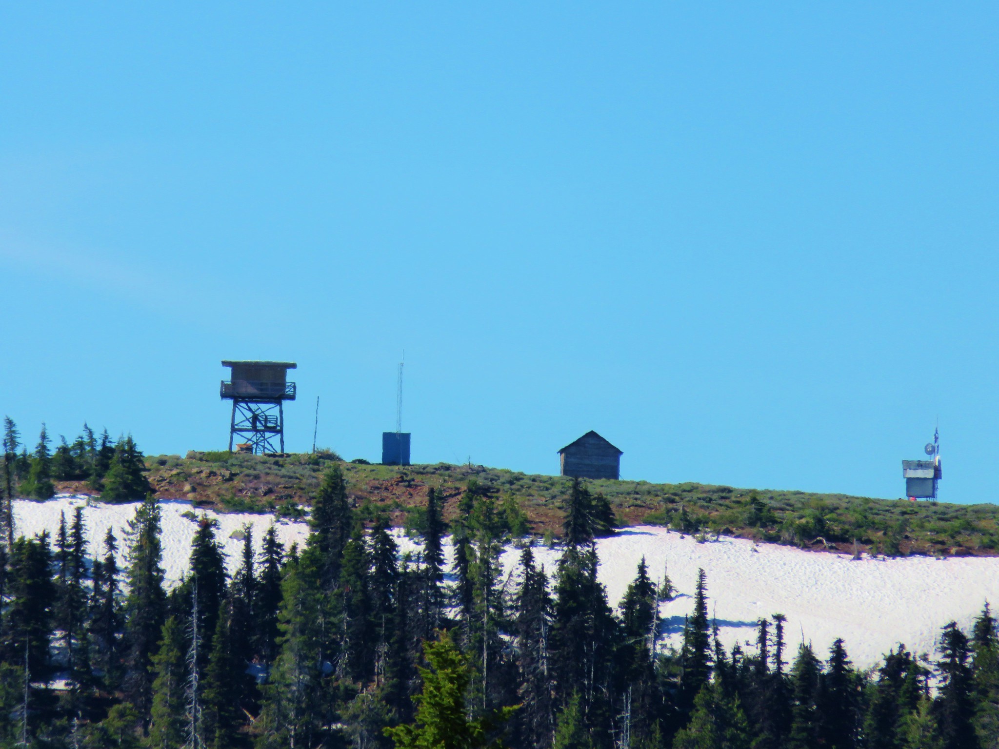
After a third of a mile we came to Spanish Peak Road, a dirt track to the radio tower and former lookout site atop Spanish Peak.
 //embedr.flickr.com/assets/client-code.js
We turned left on the road and followed it another 0.3 miles up to the summit.
 The site of the former lookout.
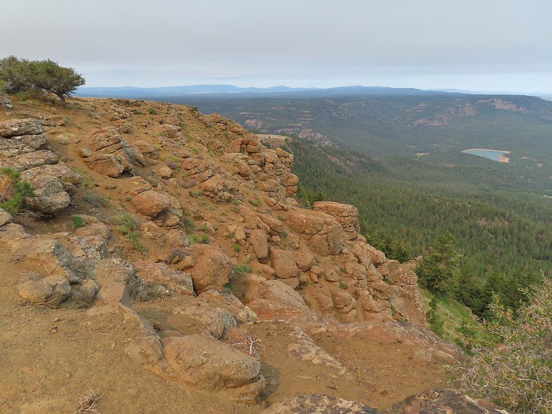
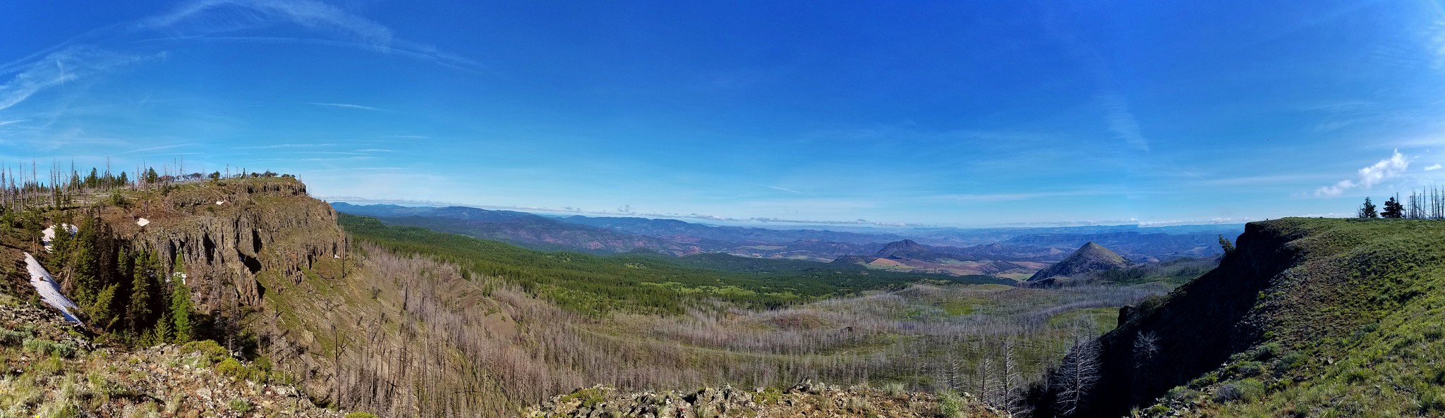
The view was impacted by the “widespread haze” that had been forecasted but we could still make out quite a bit (and at least it didn’t smell smokey).
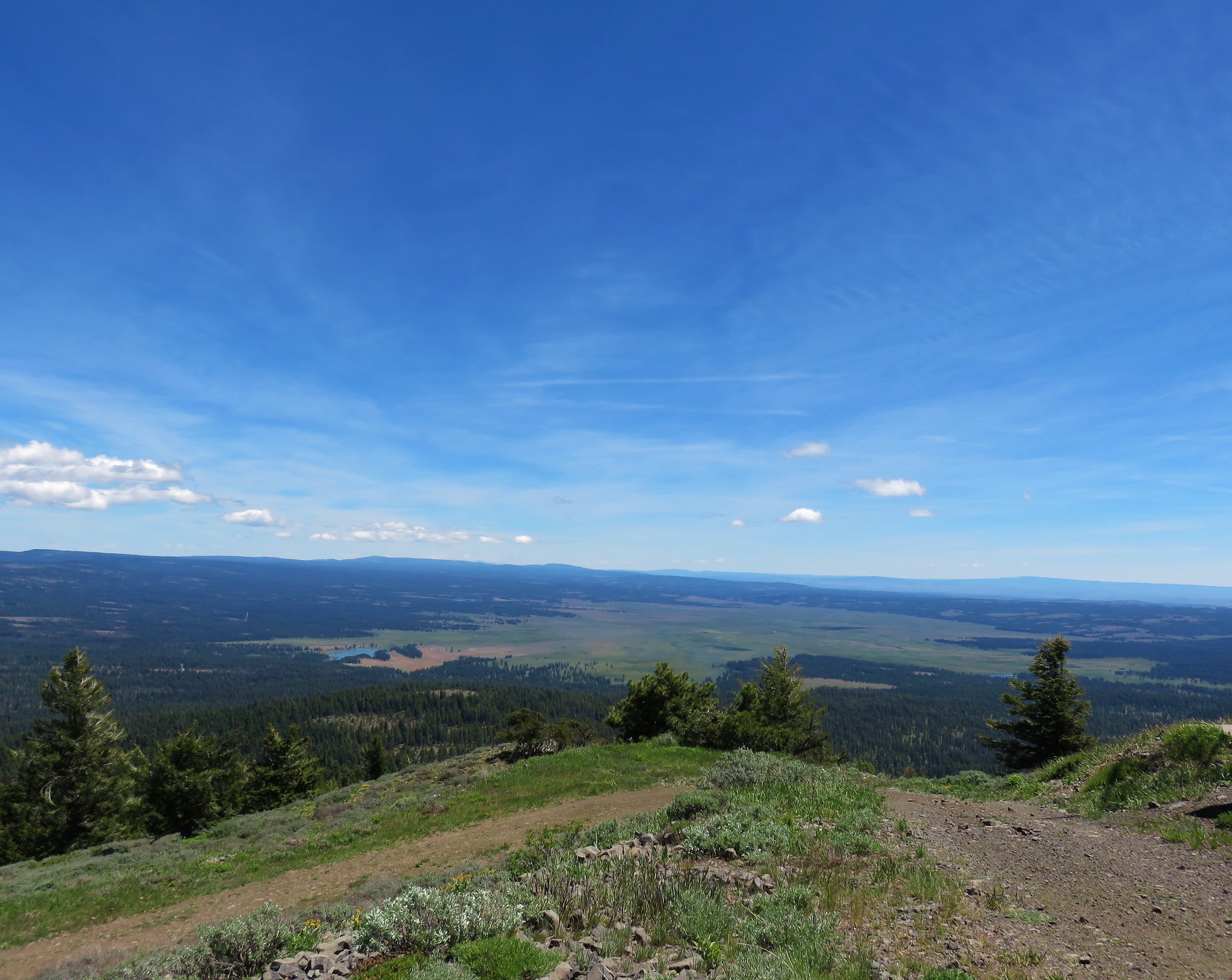
 Looking out toward the John Day River valley.
 SE to Windy Point.
 West to Rock Creek Lake and on the horizon the flat topped Lookout Mountain (post) and pointier Round Mountain (post) in the Ochocos.
 NE to the John Day River Valley.
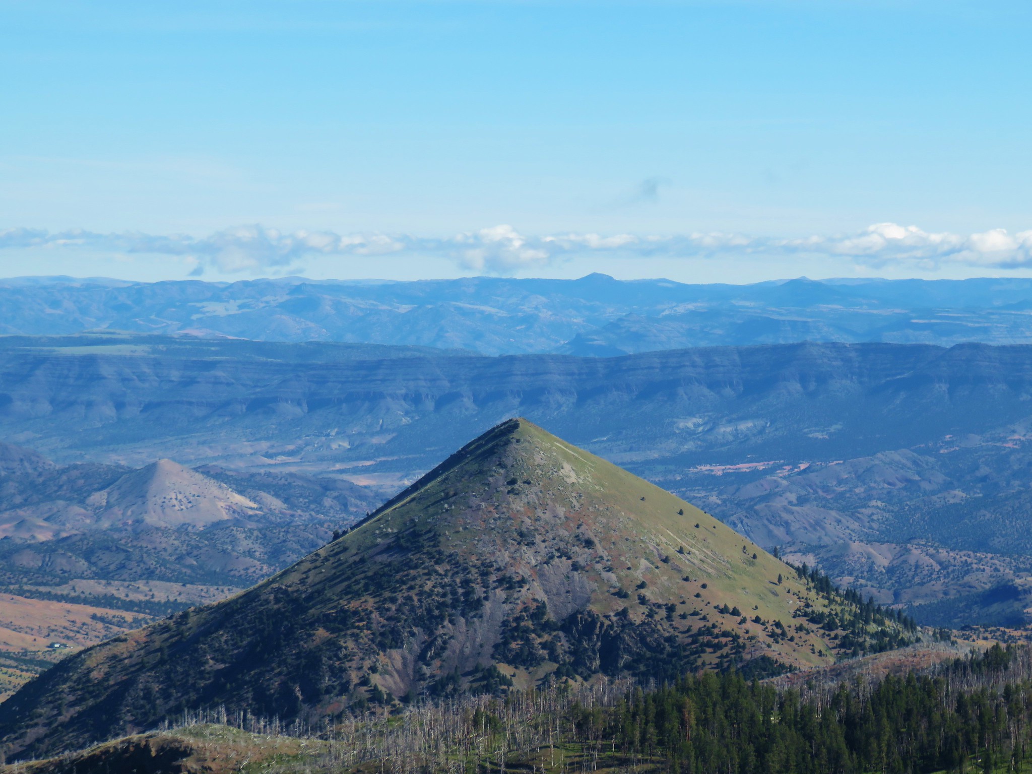
 Lookout and Round Mountain and the rim that we had hiked up below Spanish Peak.
 The Pisgah Lookout on the far side of the Bridge Creek Wilderness (post).
 A hazy Mount Hood to the NW.
After taking a break at the summit we returned down the road to the jeep track and followed it back down to the Ochoco Mountain Trail where we turned left into some trees.

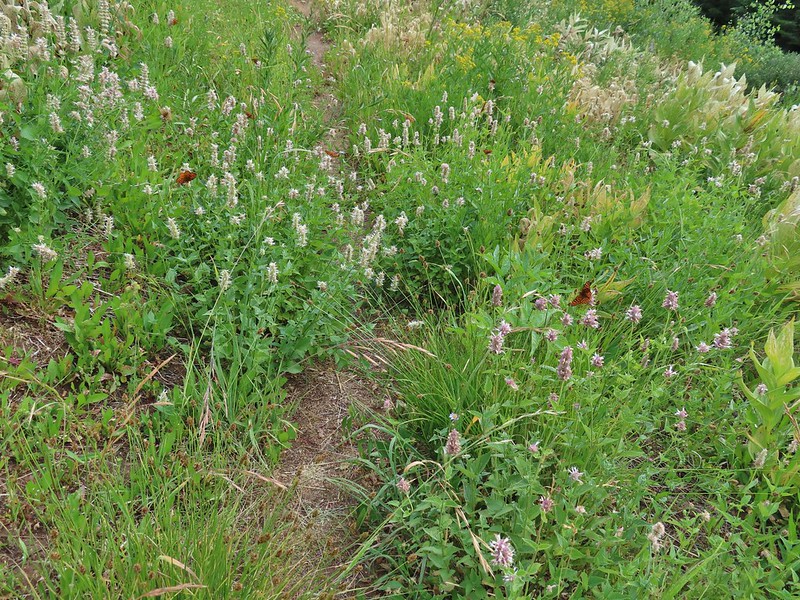
We passed through a meadow filled with fritiallry butterflies who were loving the remaining hyssop blossoms.

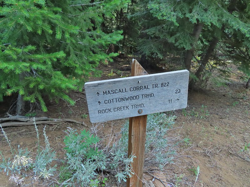
After 0.3 miles back on the Ochoco Mountain Trail we came to a signed junction with the Mascall Corral Trail.
Here we made a hard right and headed steeply downhill along the Baldy Creek drainage.

This trail was in a little better shape having seen some maintenance.
 Baldy Creek was on our left.
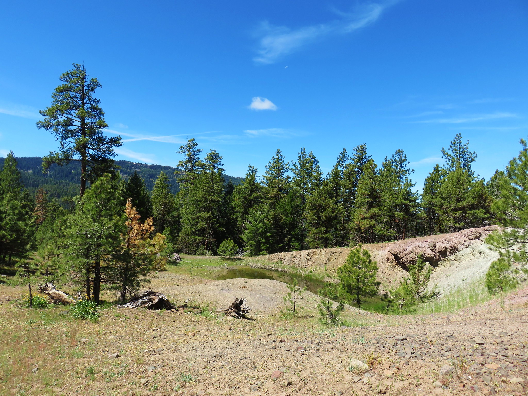
The trail soon followed old roadbeds, including another section of the Mascall Jeep Track and just under three miles from the junction arrived at the Mascall Corrals Trailhead

 Red-tailed hawk

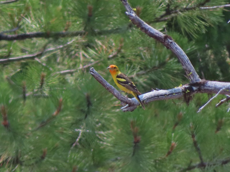 Western tanager
 Arriving at the trailhead.
 Signage at the trailhead.
From this trailhead we turned right and followed Forest Road 3820 one and a quarter miles (some of which was disappointingly uphill) to Arvid Nelson Road where we turned right for another 0.8 miles to the Rock Creek Trailhead and our waiting car.
 Baldy Creek below FR 3820.
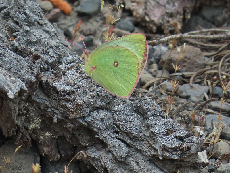 A sulphur butterfly of some sort.
 A watermellon or June bug as we called them growing up.
 FR 3820 meeting Arvid Nelson Road.
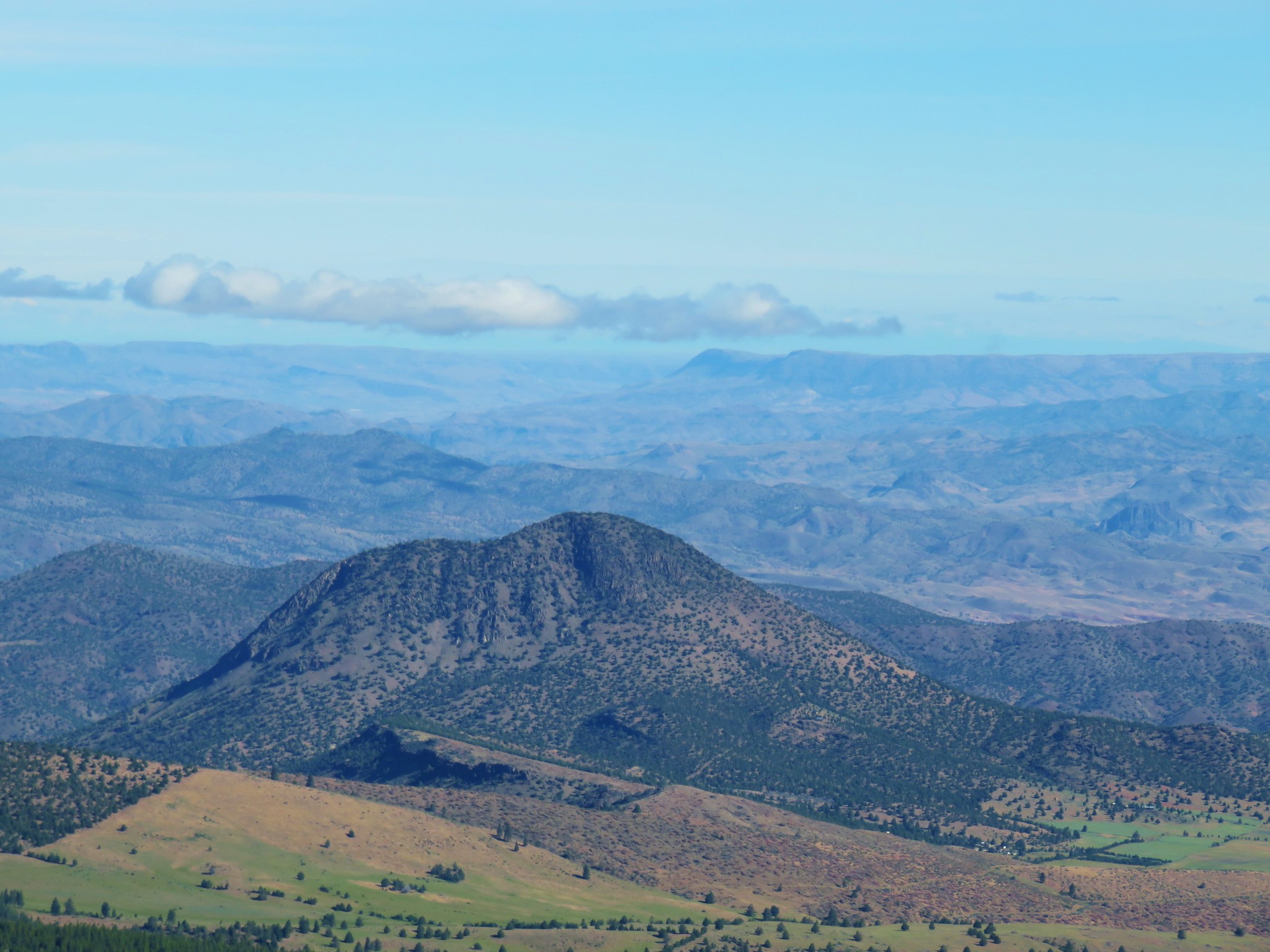
 Spanish Peak from Arvid Nelson Road.
This was an 11.5 mile hike with almost 2500′ of elevation gain. The off-trail scramble above First Creek had made the hike a lot more difficult than planned, made more so by having our full backpacks instead of a lighter day pack, but it had been fun (mostly) and despite the haze we had decent views on the day.
From the Rock Creek Trailhead we drove to Highway 26 then headed east to John Day where we checked into the Dreamers Lodge then had a nice dinner at the Outpost Pizza Pub & Grill before turning in for the night. Happy Trails!
Flickr: Spanish Peak


 American coot and a duck family.
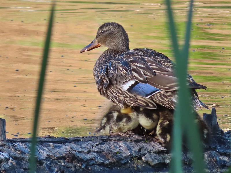
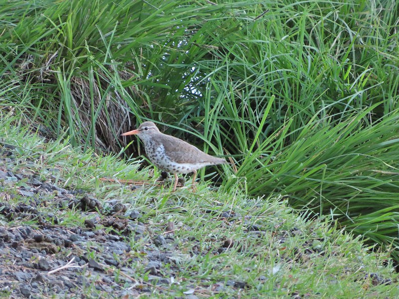 Spotted sandpiper
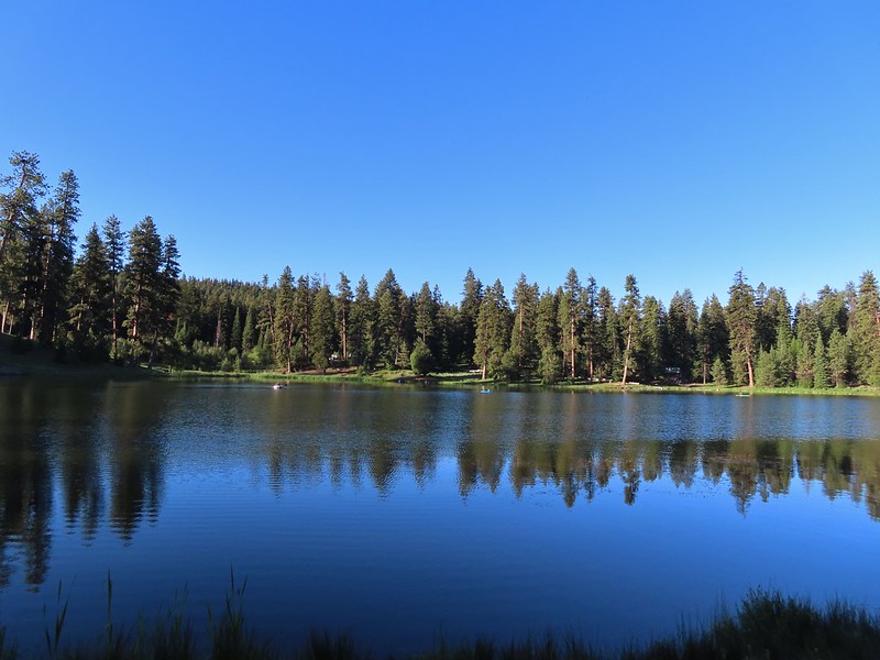
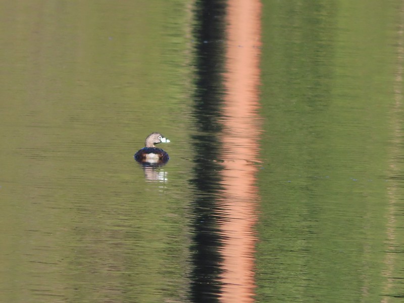 Pied billed grebe


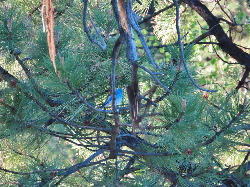 Mountain bluebird
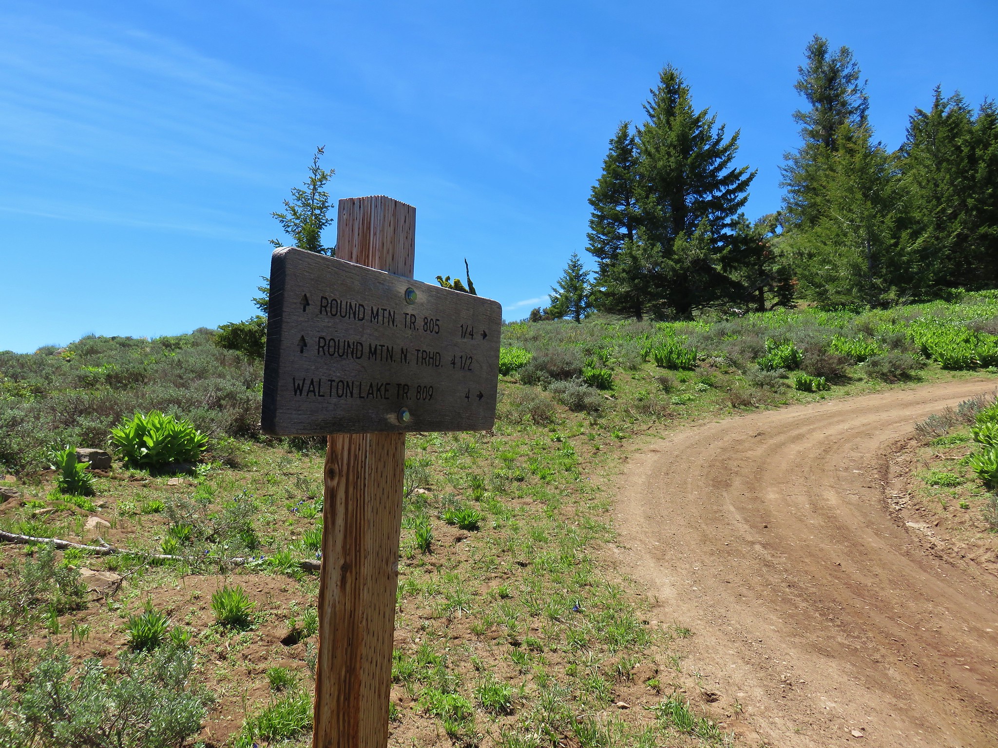
 The spur of the Walton Lake Trail that leads to the Round Mountain Trail.


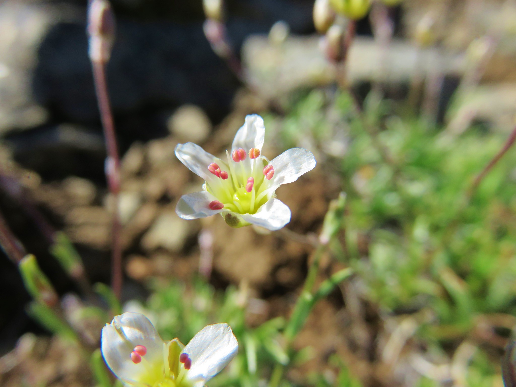
 A saxifrage.


 Larkspur


 Chocolate lily
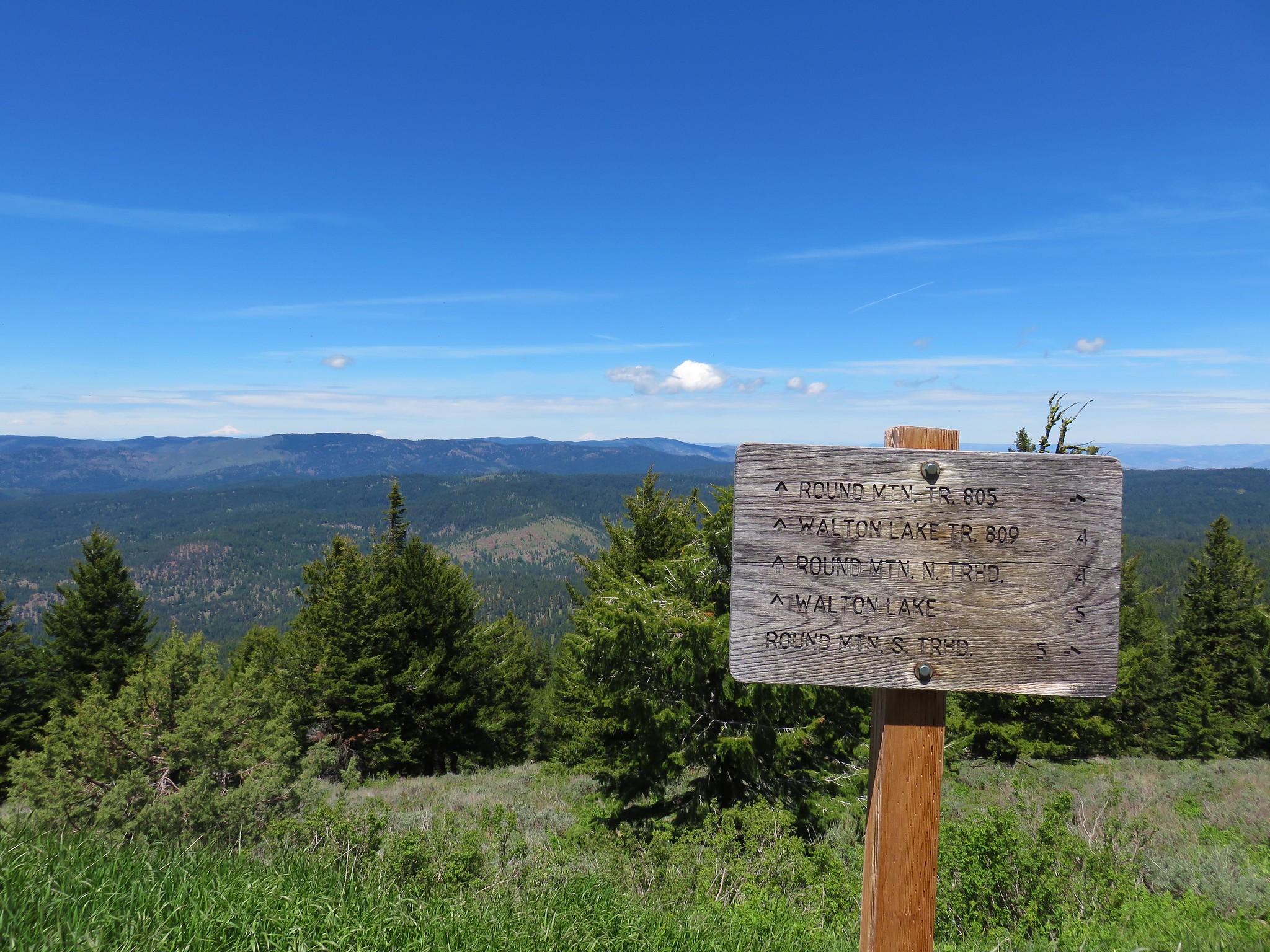
 The rocky plateau with Round Mountain to the right.
 Death camas
 A wild onion
 Yarrow
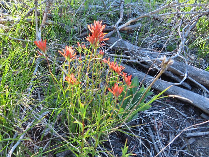 Paintbrush
 Valerian along the trail.
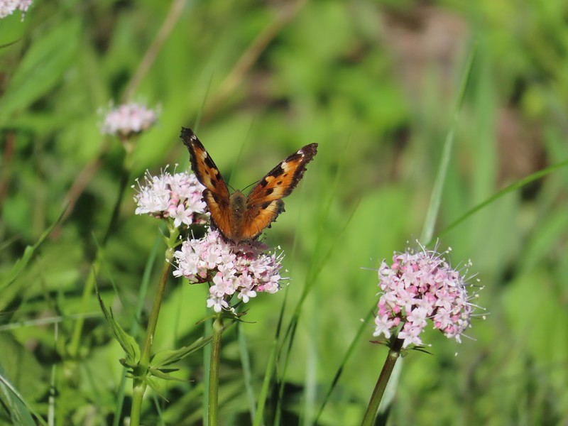 California tortoiseshell on valerian.
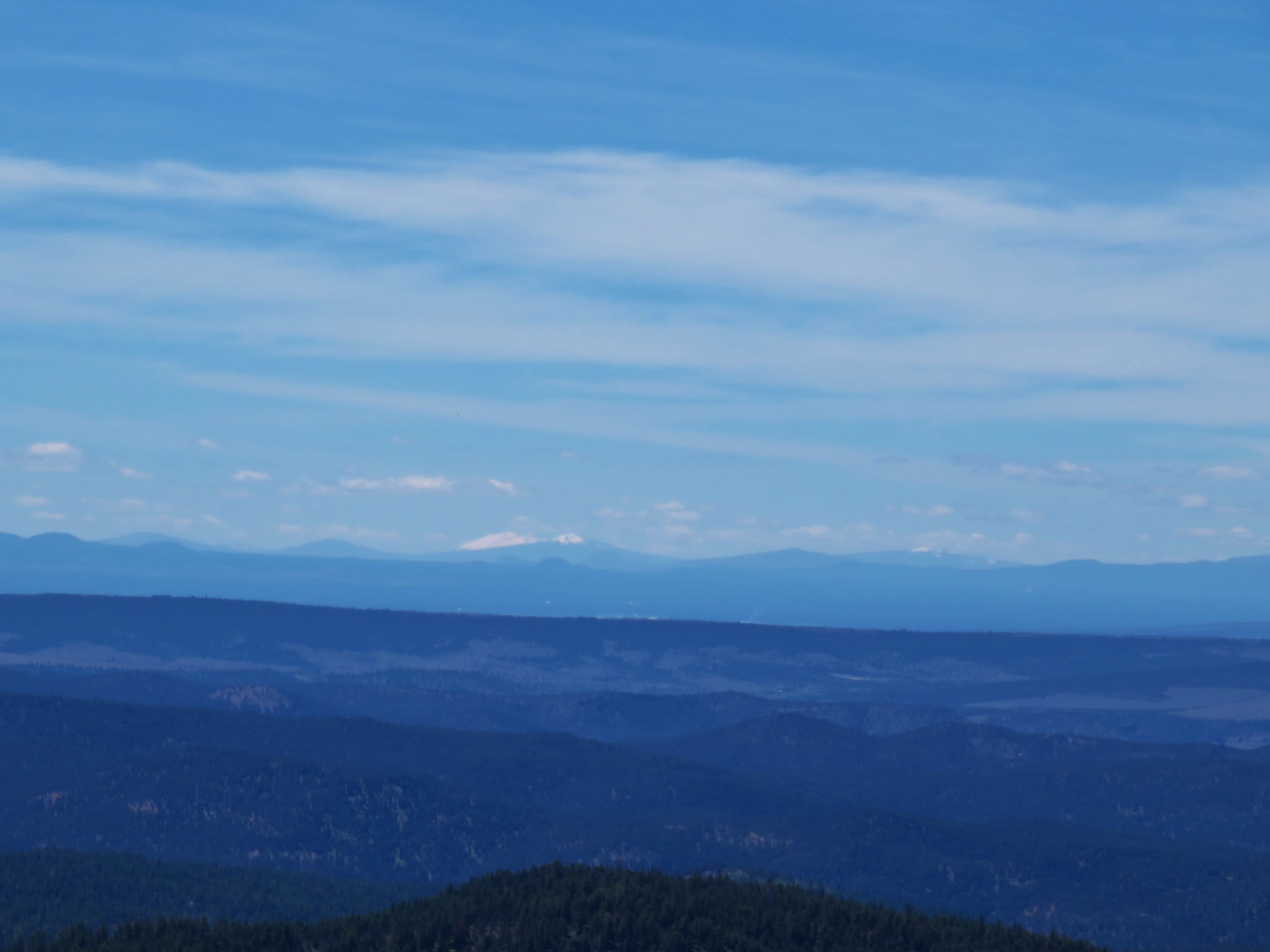
 Mt. Jefferson from the trail.
 Maybe a miterwort?
 Milbert’s tortoiseshell
 Scissors Spring
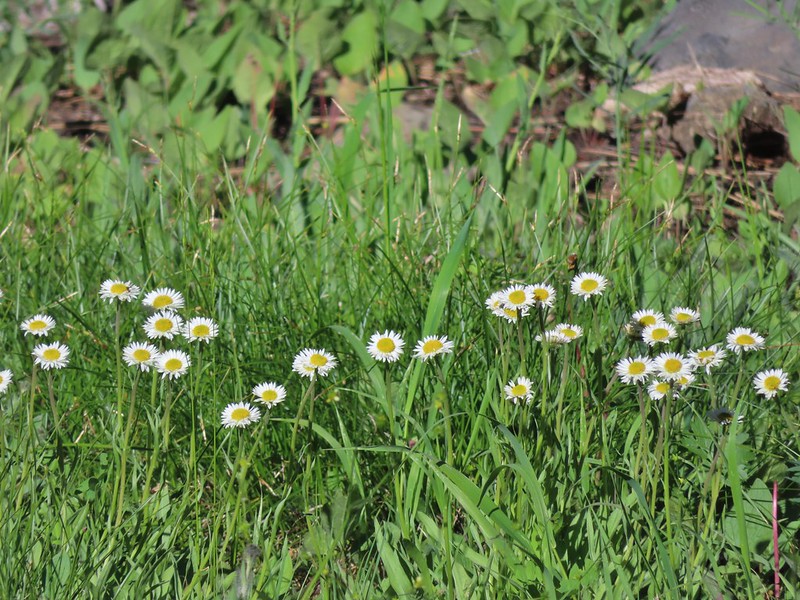 A fleabane
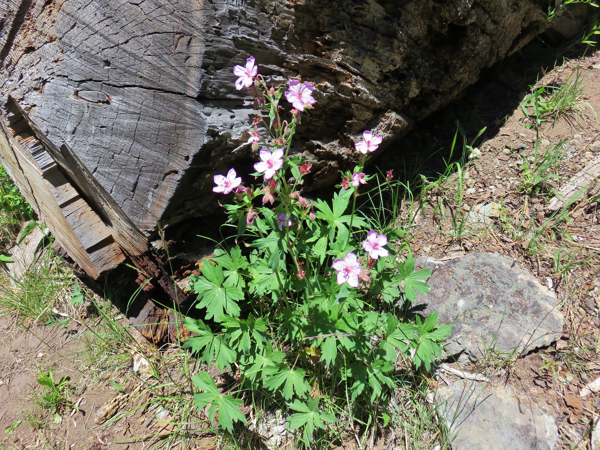
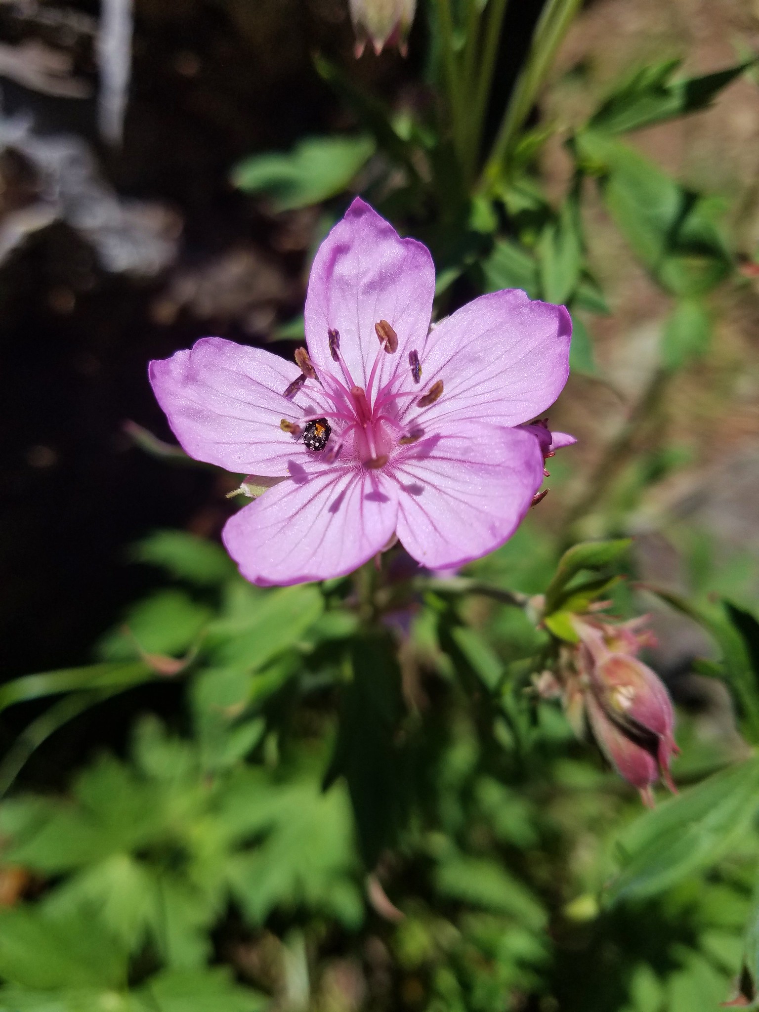
 Geranium
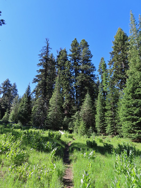

 Woodpecker
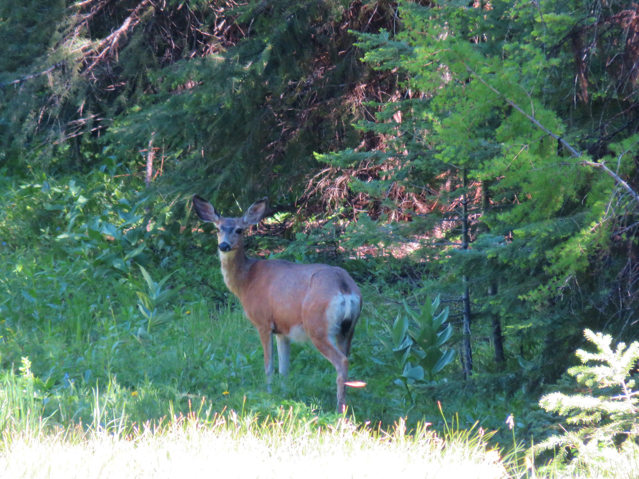
 Another doe
 A comma butterfly of some sort.
 Possibly some sort of phlox?
 Another wild onion
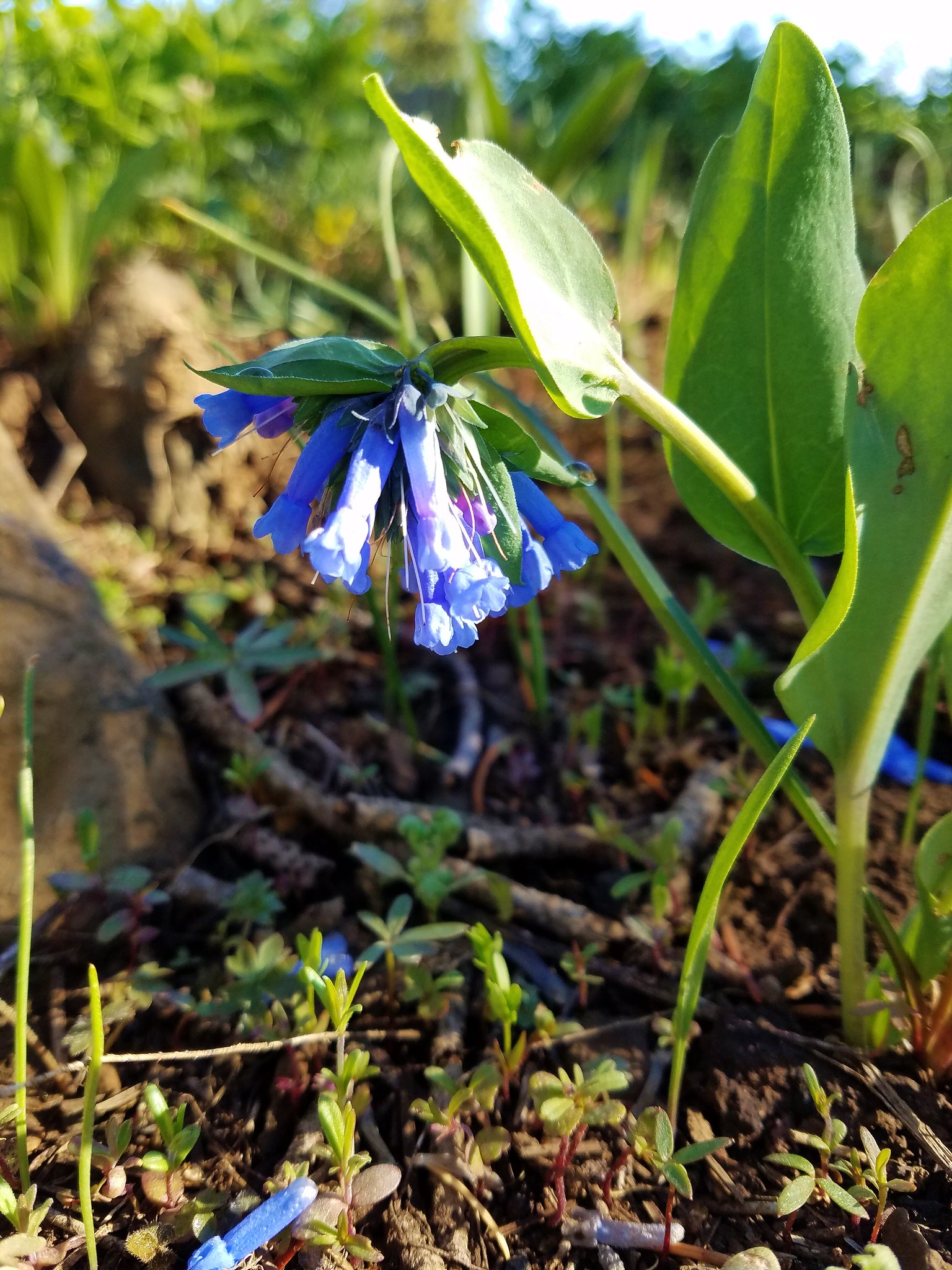
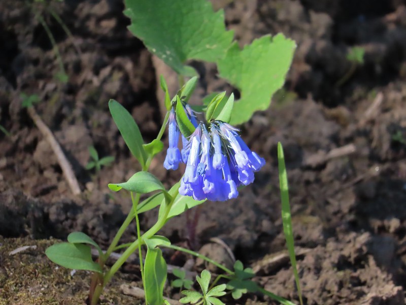 Mountain bluebells
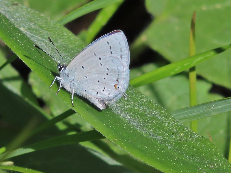
 Threeleaf lewisia
 Butterfly on Jessica stickseed
 A larkspur, Jessica stickseed, and hyssop
 Robin
Robin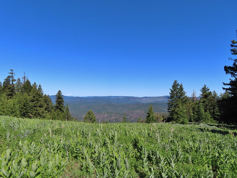 Mountain view from a meadow.
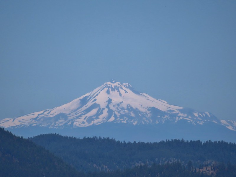 Mt. Jefferson
 Mt. Hood
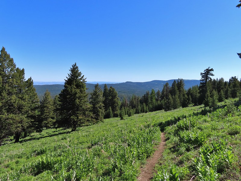
 Viewpoint at one of the switchbacks. Cascade Mountains from Diamond Peak to Mt. Jefferson.
 Diamond Peak
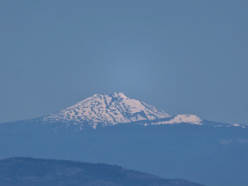 Mt. Bachelor
 Ball Butte and Broken Top
 Three Sisters
 Mt. Washington
 Three Fingered Jack
 Mt. Jefferson
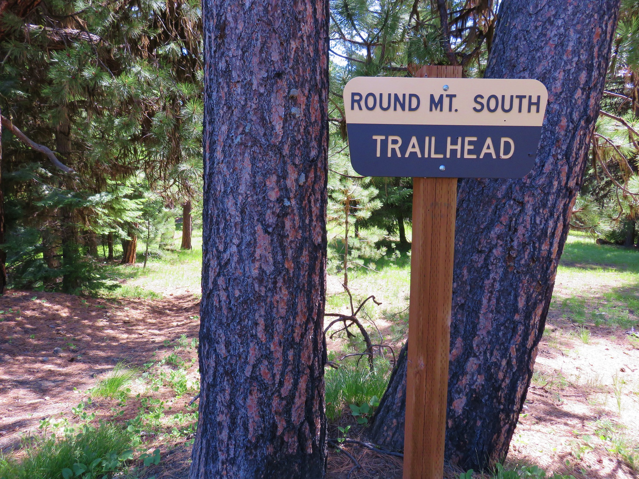
 The trail sign along Round Mountain Road up the hill.
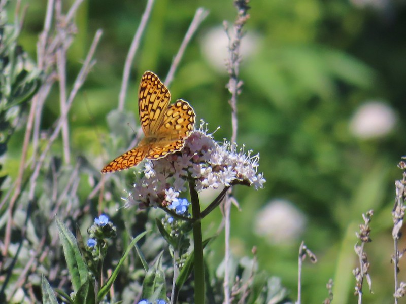 Fritillary butterfly
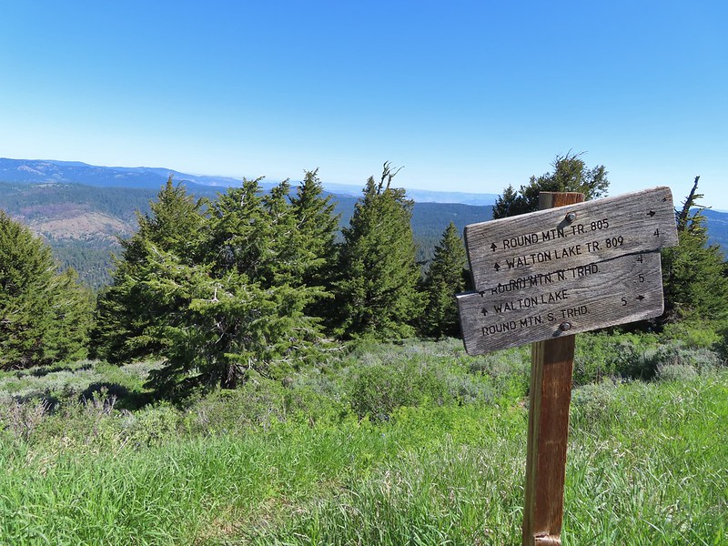
 Silky phacelia
 Prairie smoke
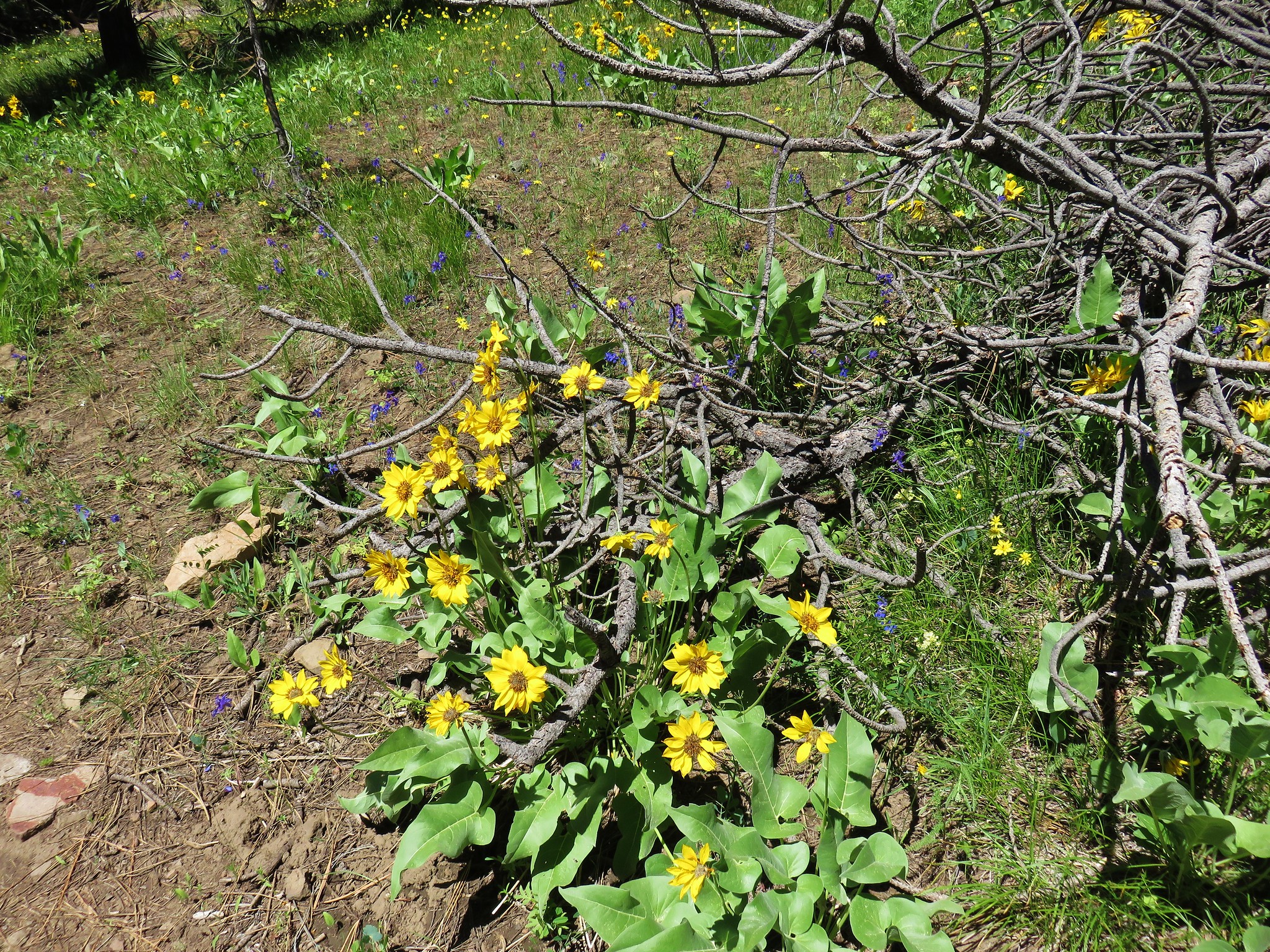
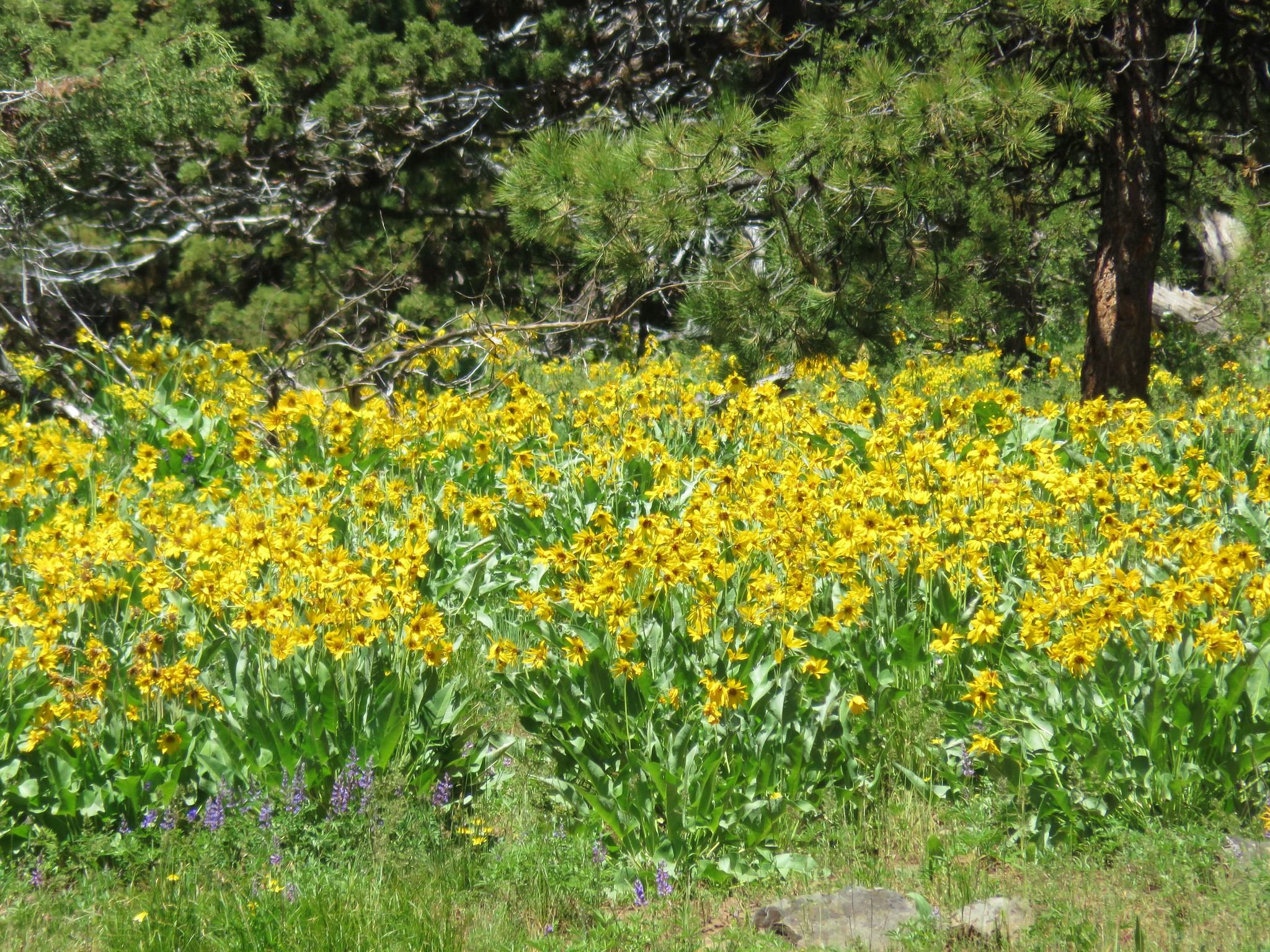
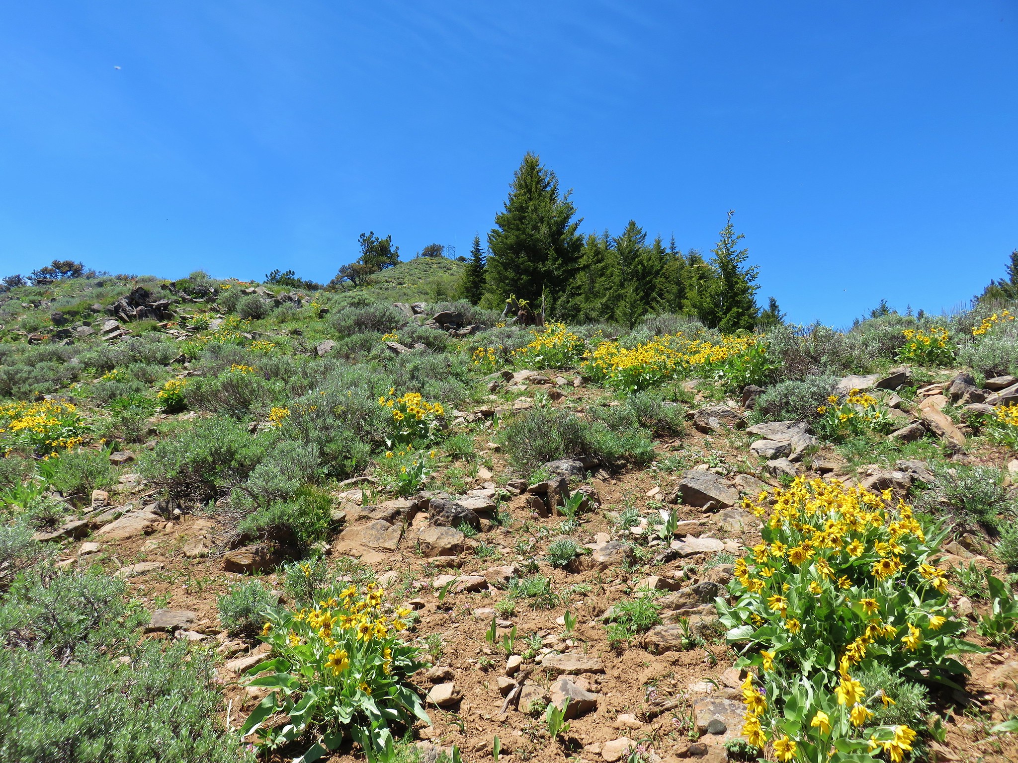
 Balsamroot
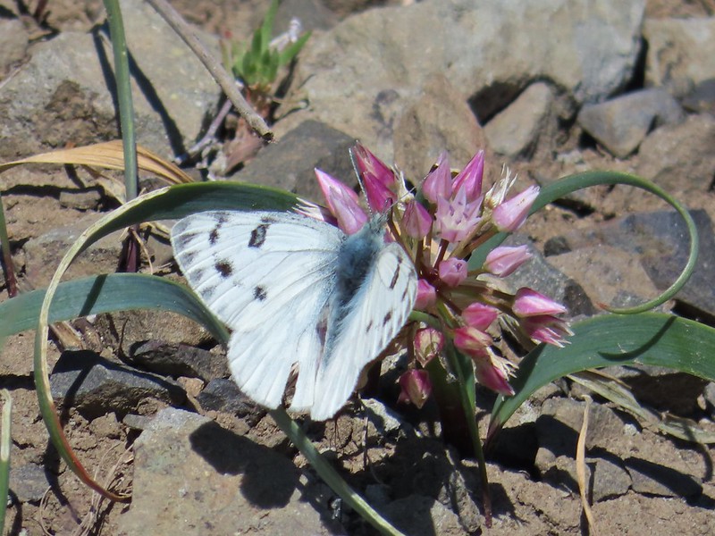 Butterfly on an onion
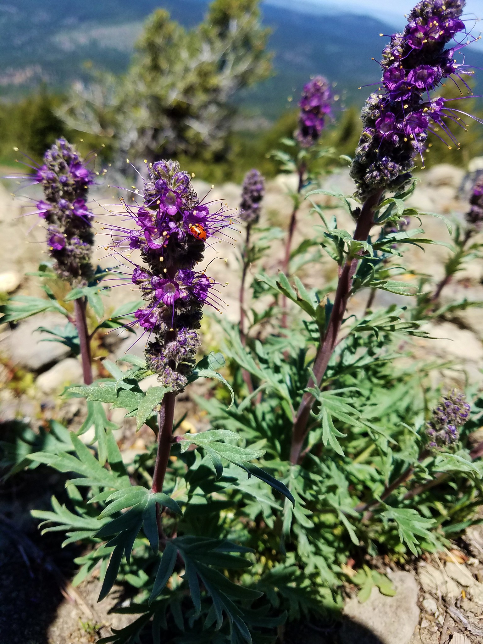
 Ladybug on lupine
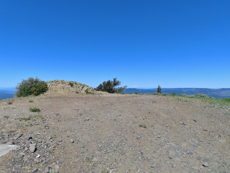 Round Mountain summit
 And occasionally land.
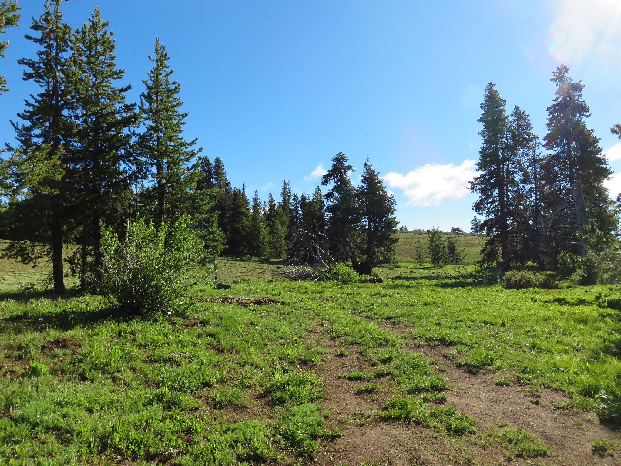
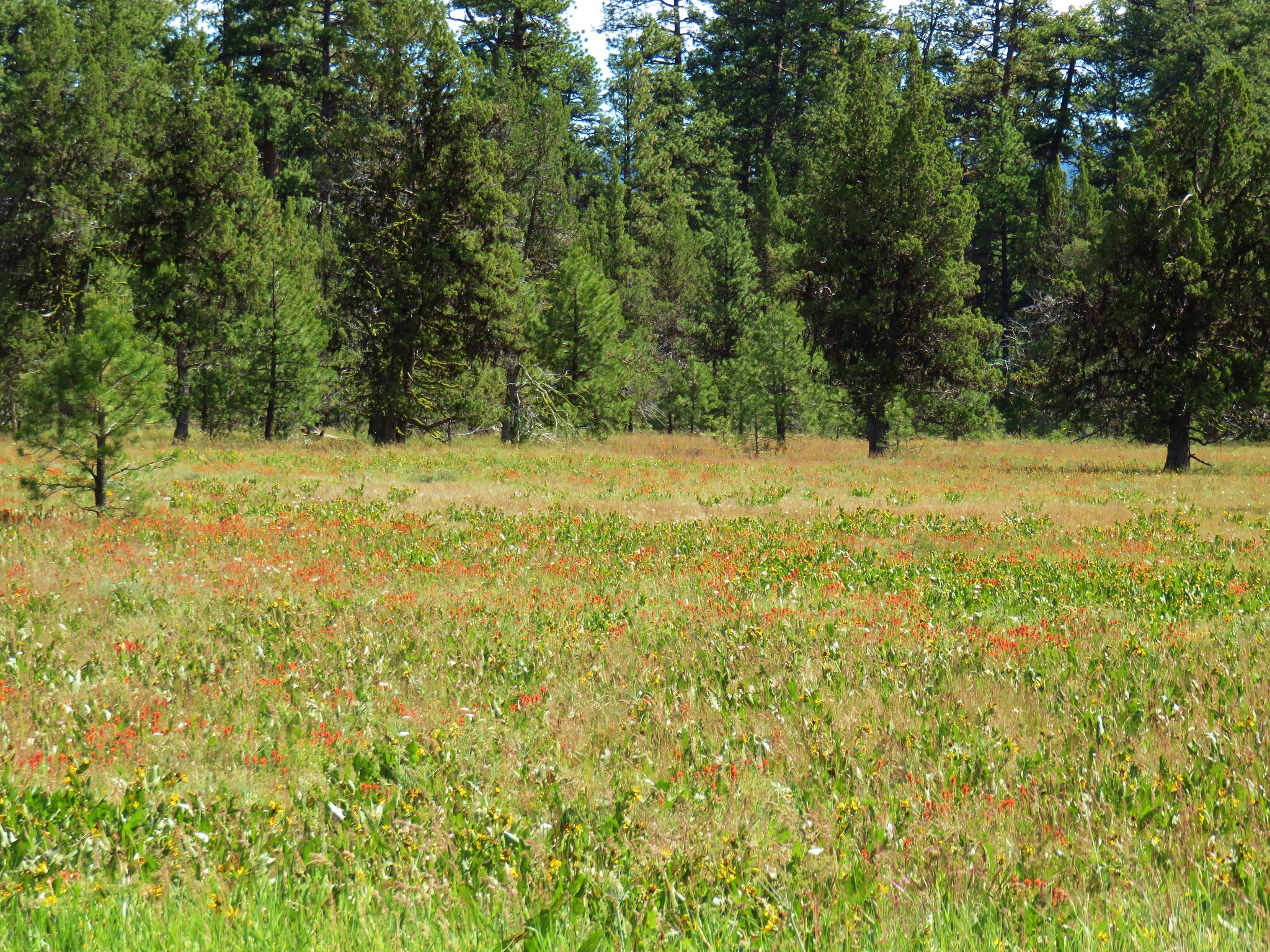
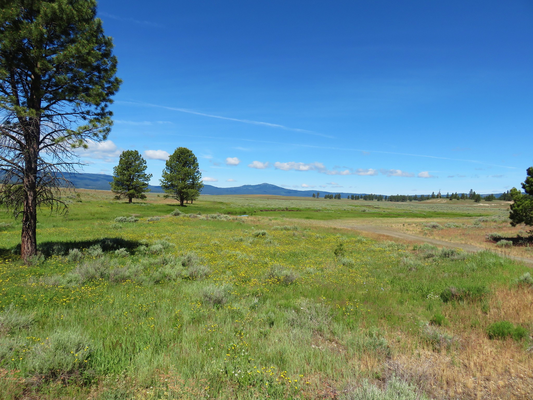
 Big Summit Prairie
 Lookout Mountain (
 Mt. Hood
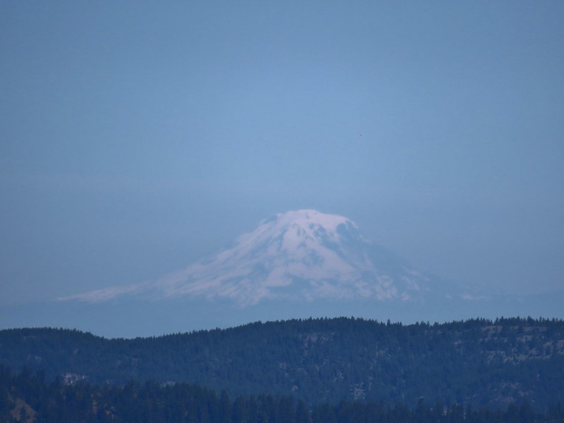 Mt. Adams
 Not too horrible of a photo of the orangetip on one of its many passes.
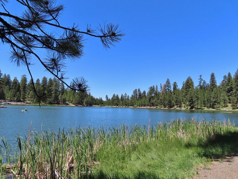
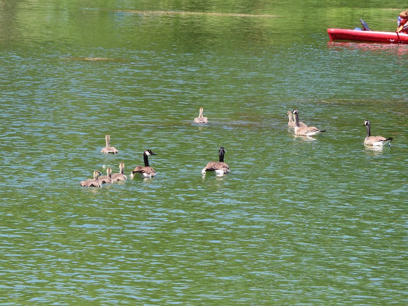
 A coot, a spotted sandpiper and ducks.
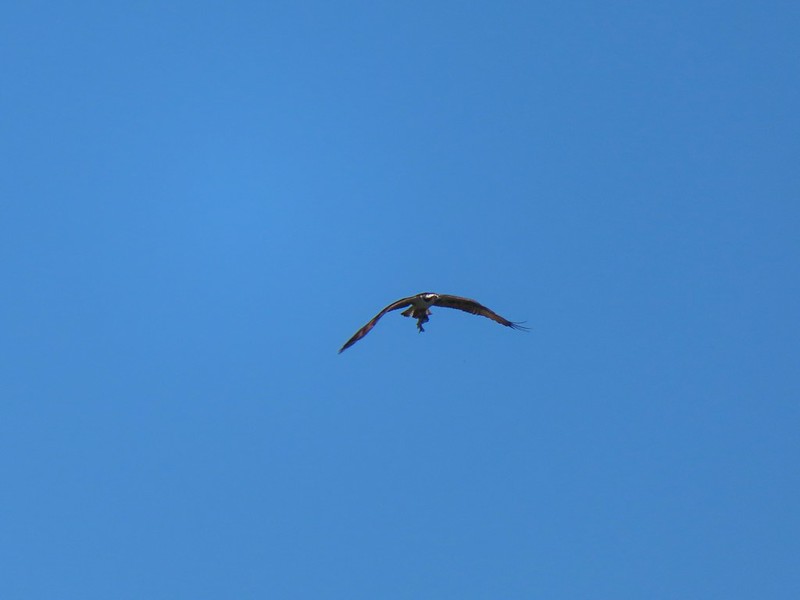 Osprey with a recently caught fish (we got to see the dive)
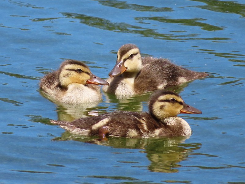 Ducklings
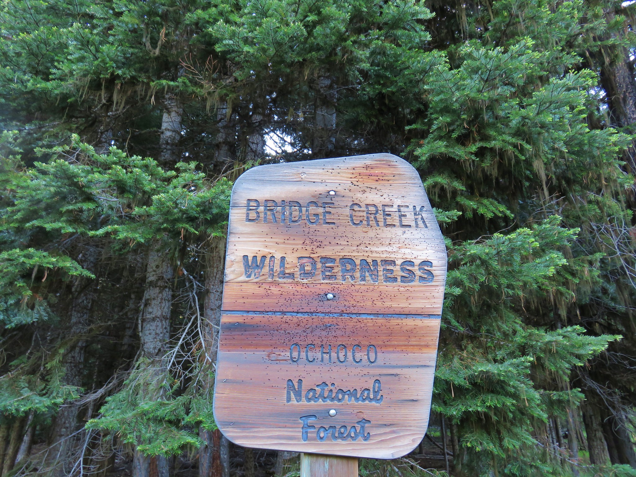


 Larkspur
 Old man’s whiskers
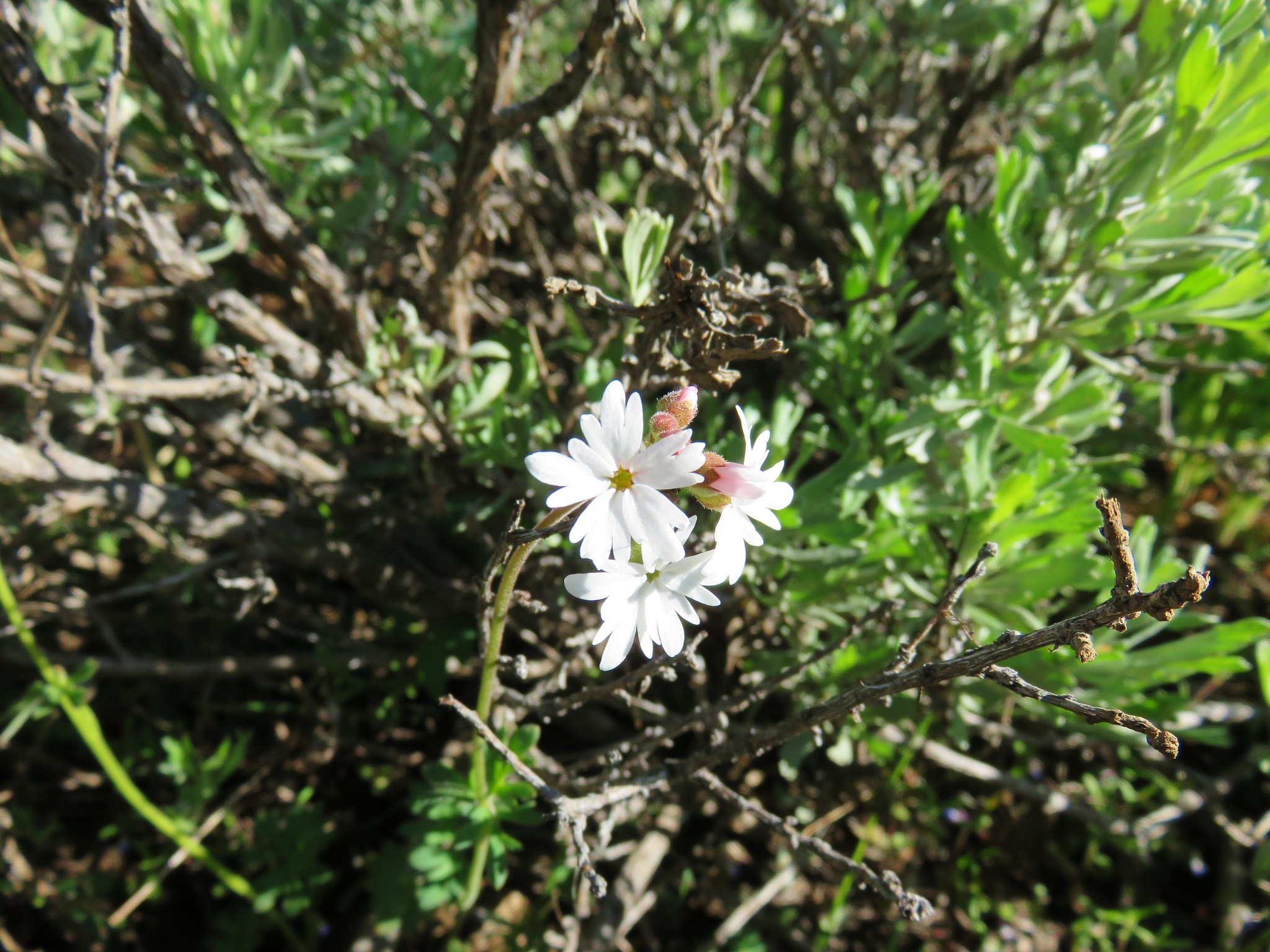 Woodland stars
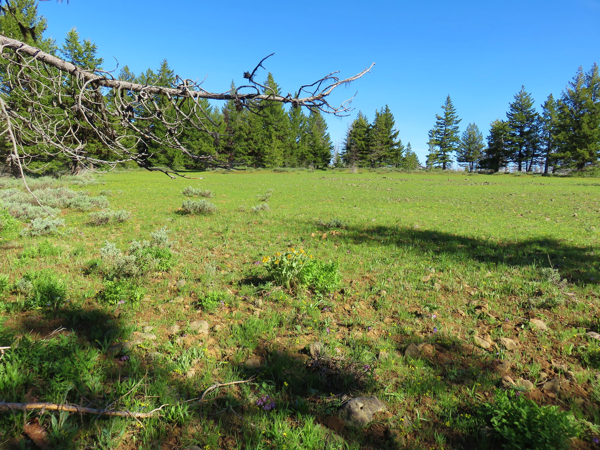
 Bluebells
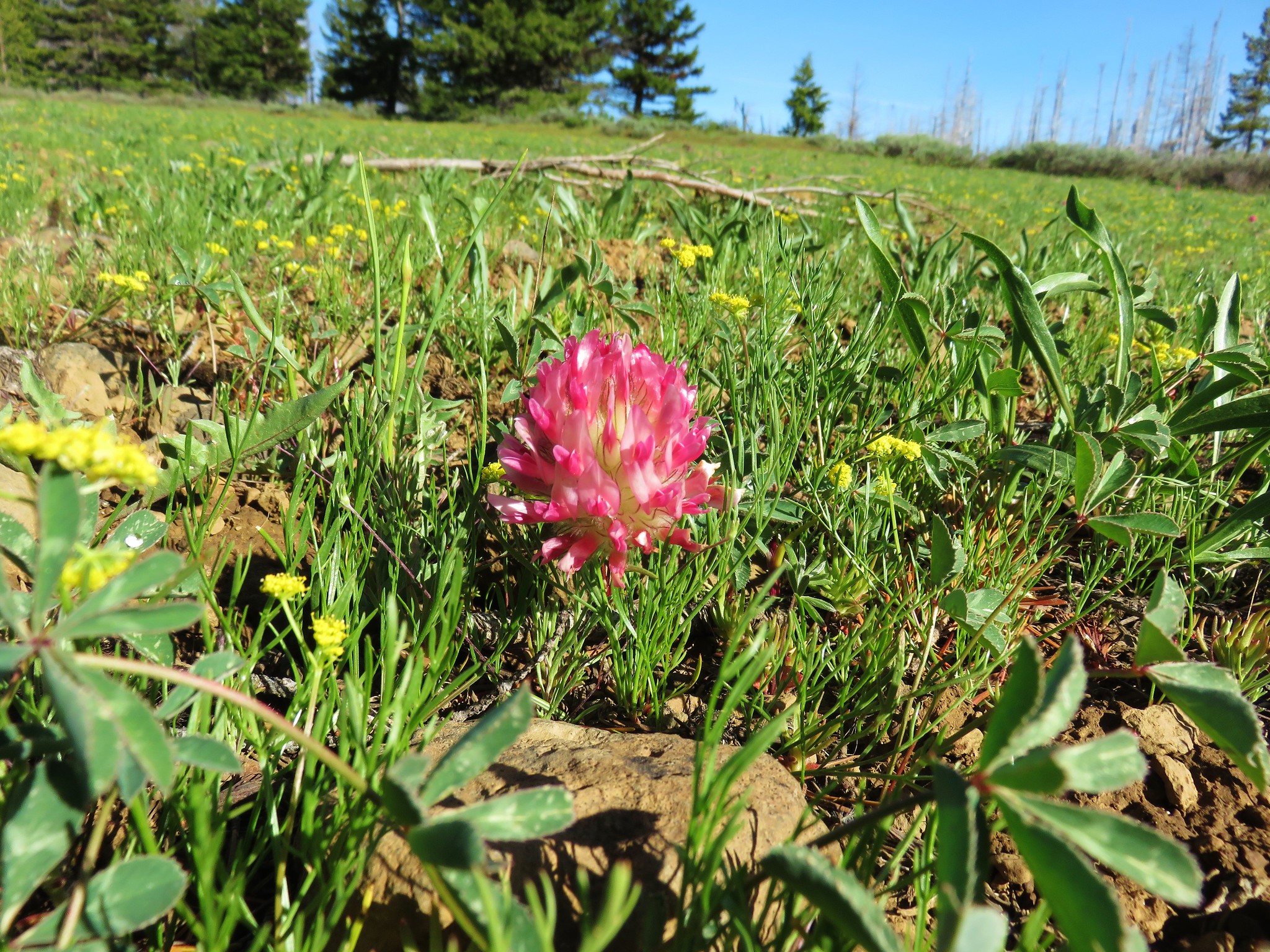 Big-head clover
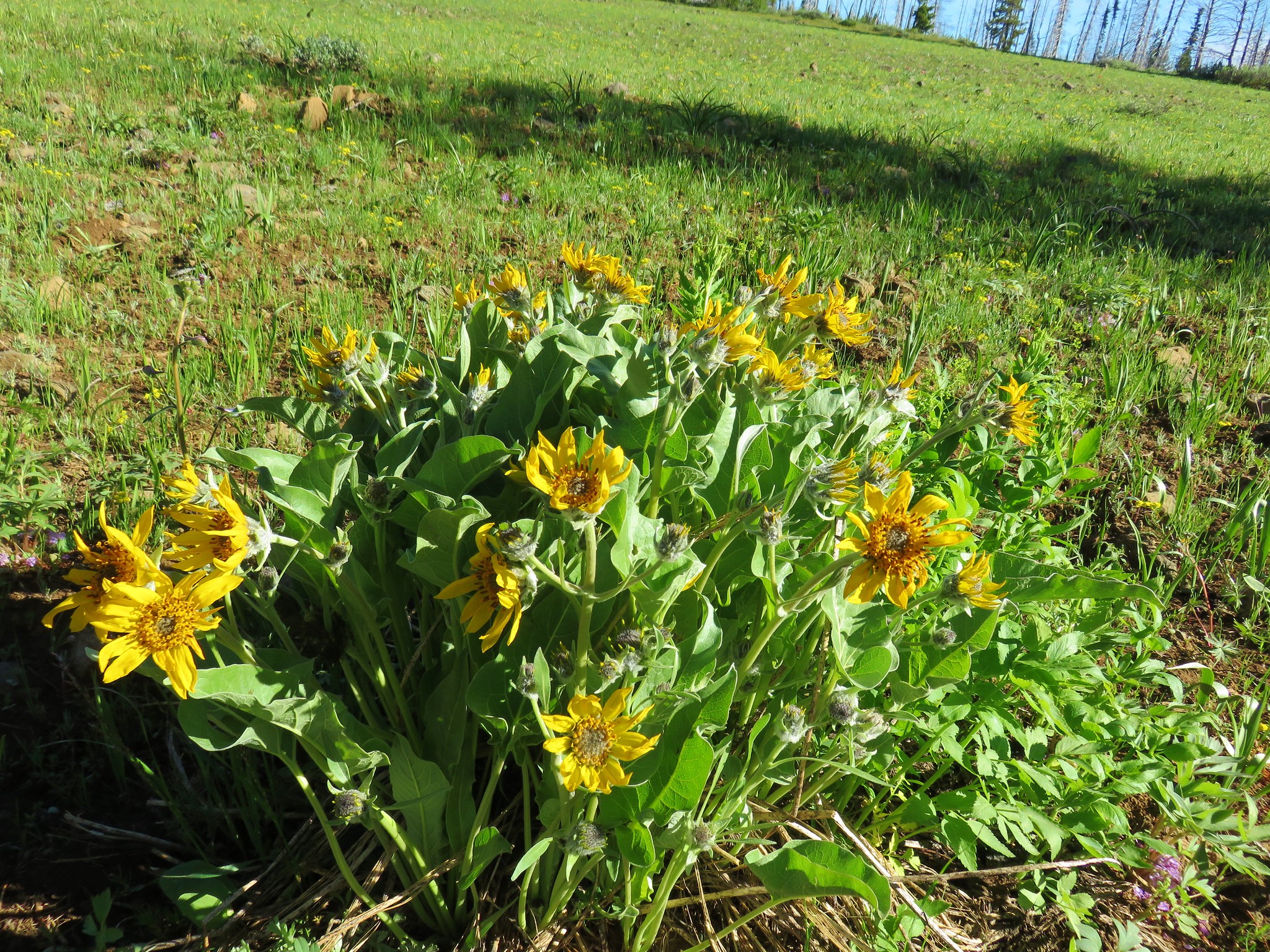 Balsamroot
 Jessica sticktight
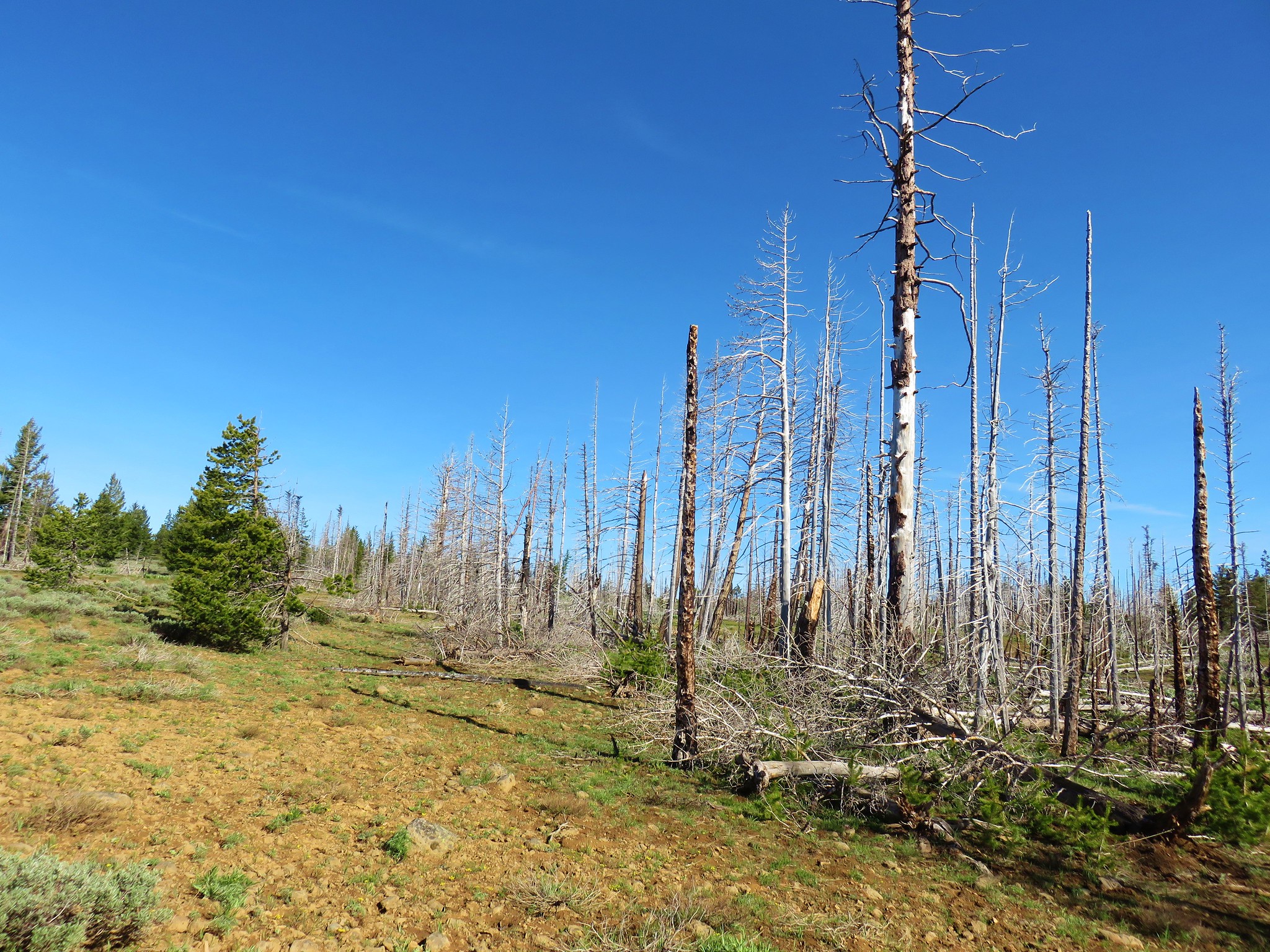


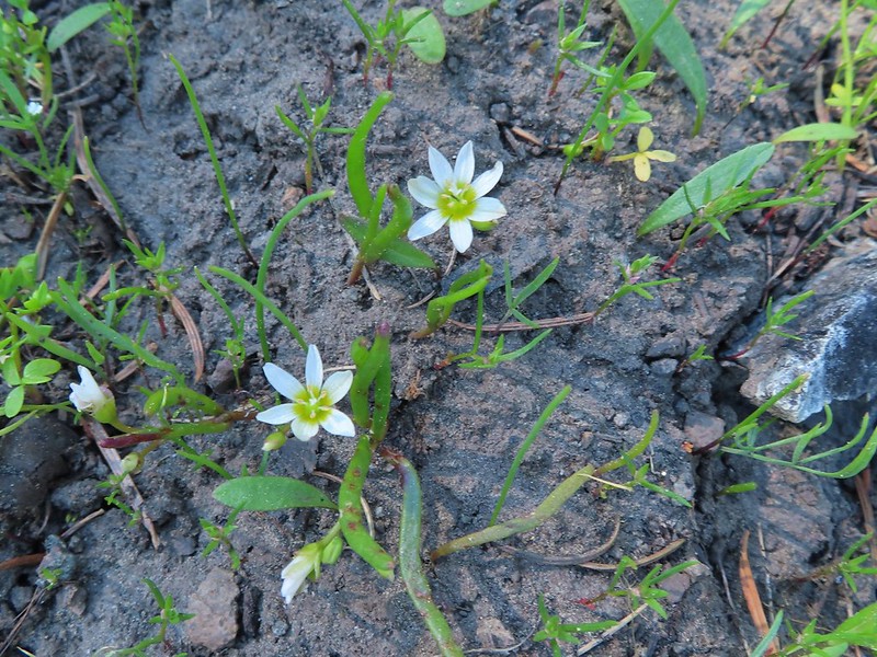
 Sandwort
 A stonecrop?
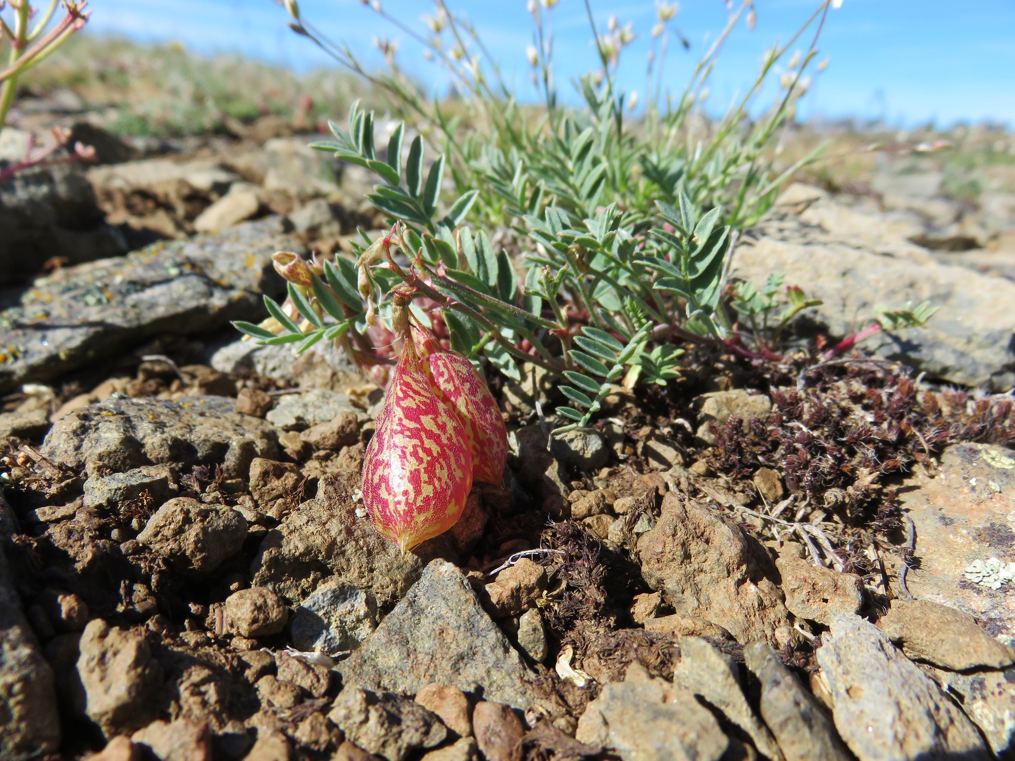 Balloon pod milk vetch


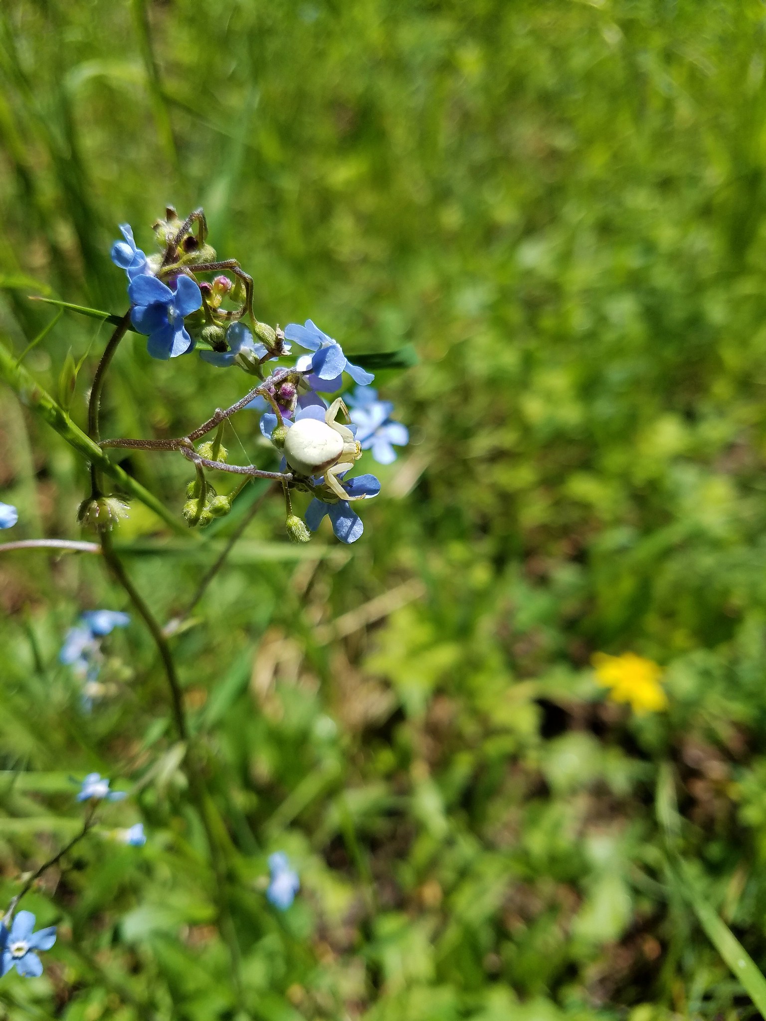 Crab spider
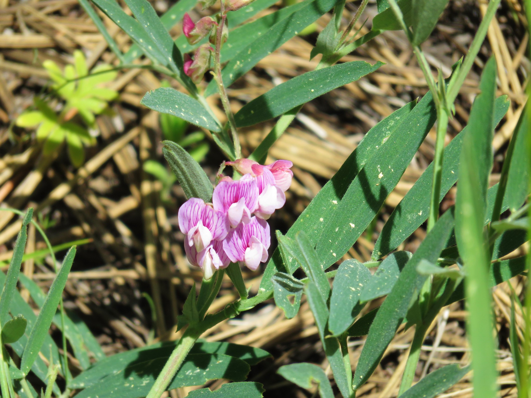 Torrey’s peavine
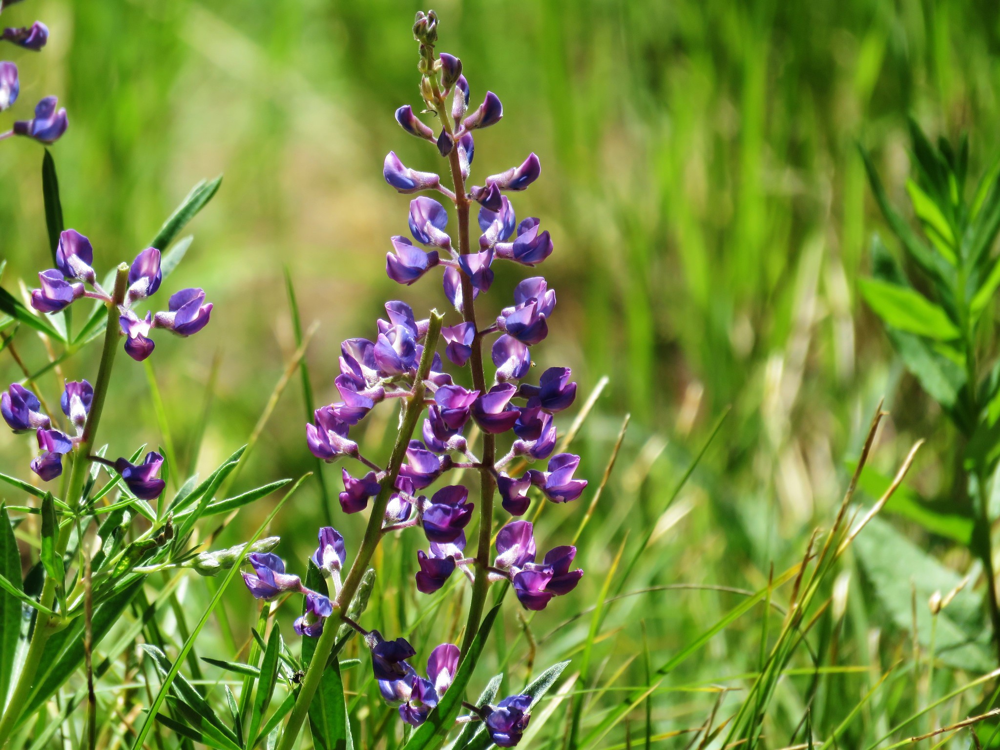 Lupine
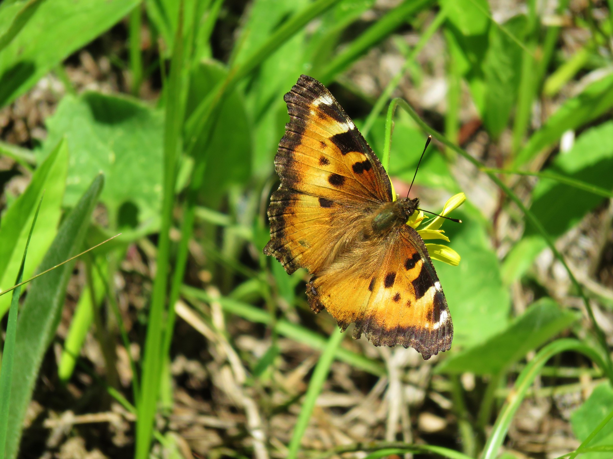 Tortoiseshell butterfly
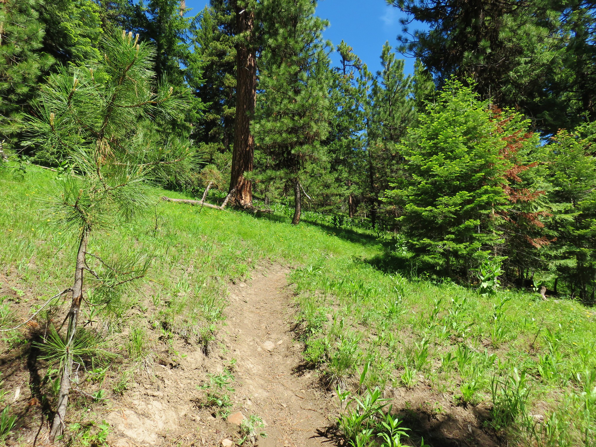
 Balsamroot and larkspur
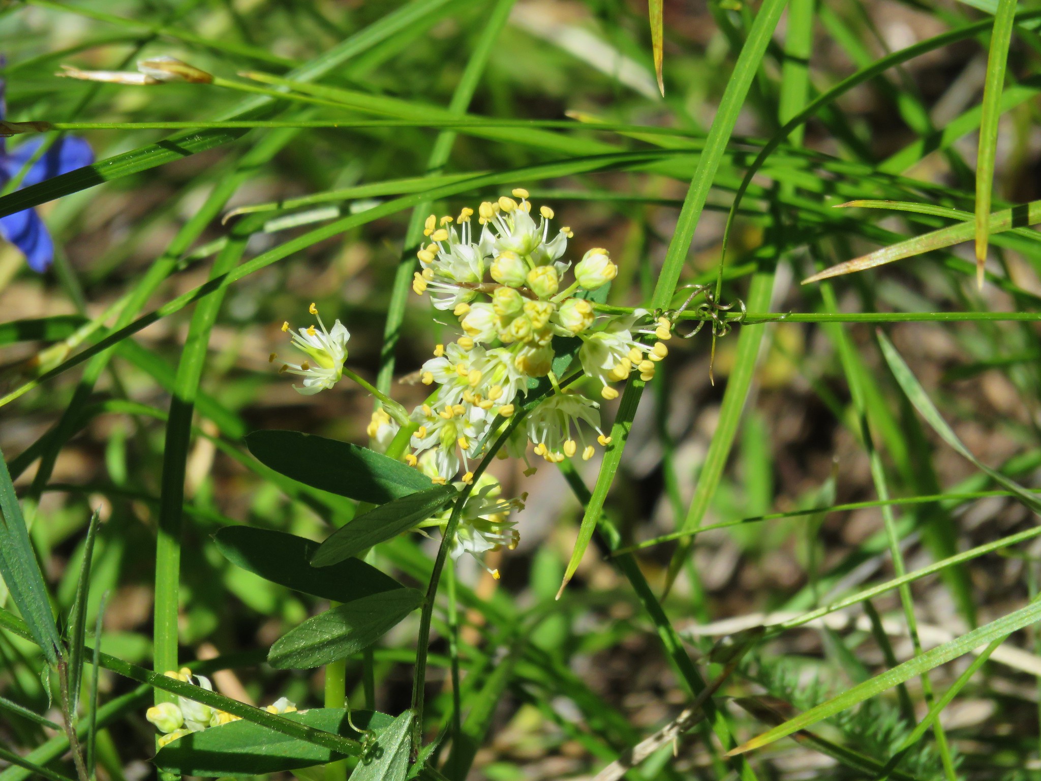 Death camas
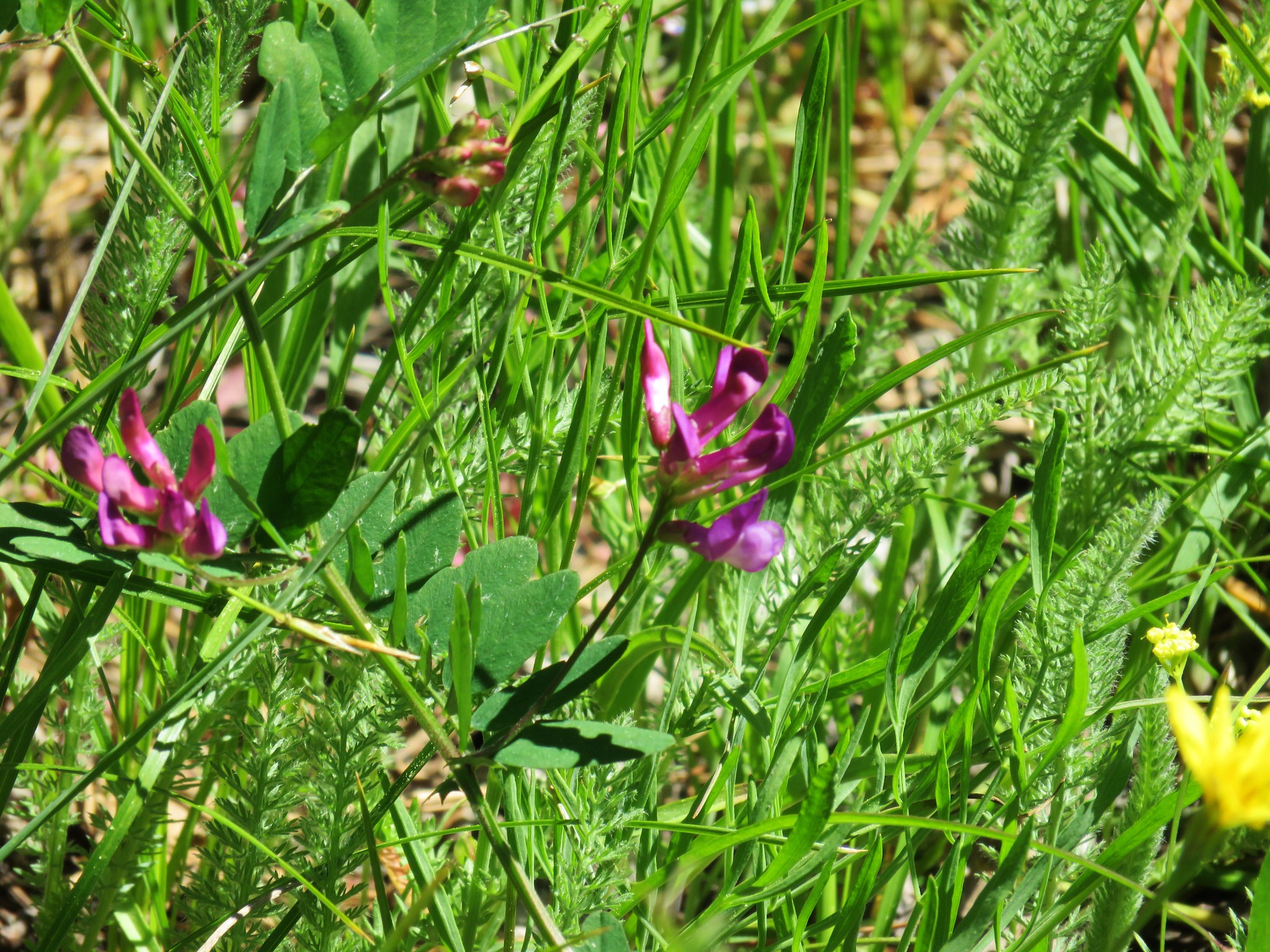 Vetch
Vetch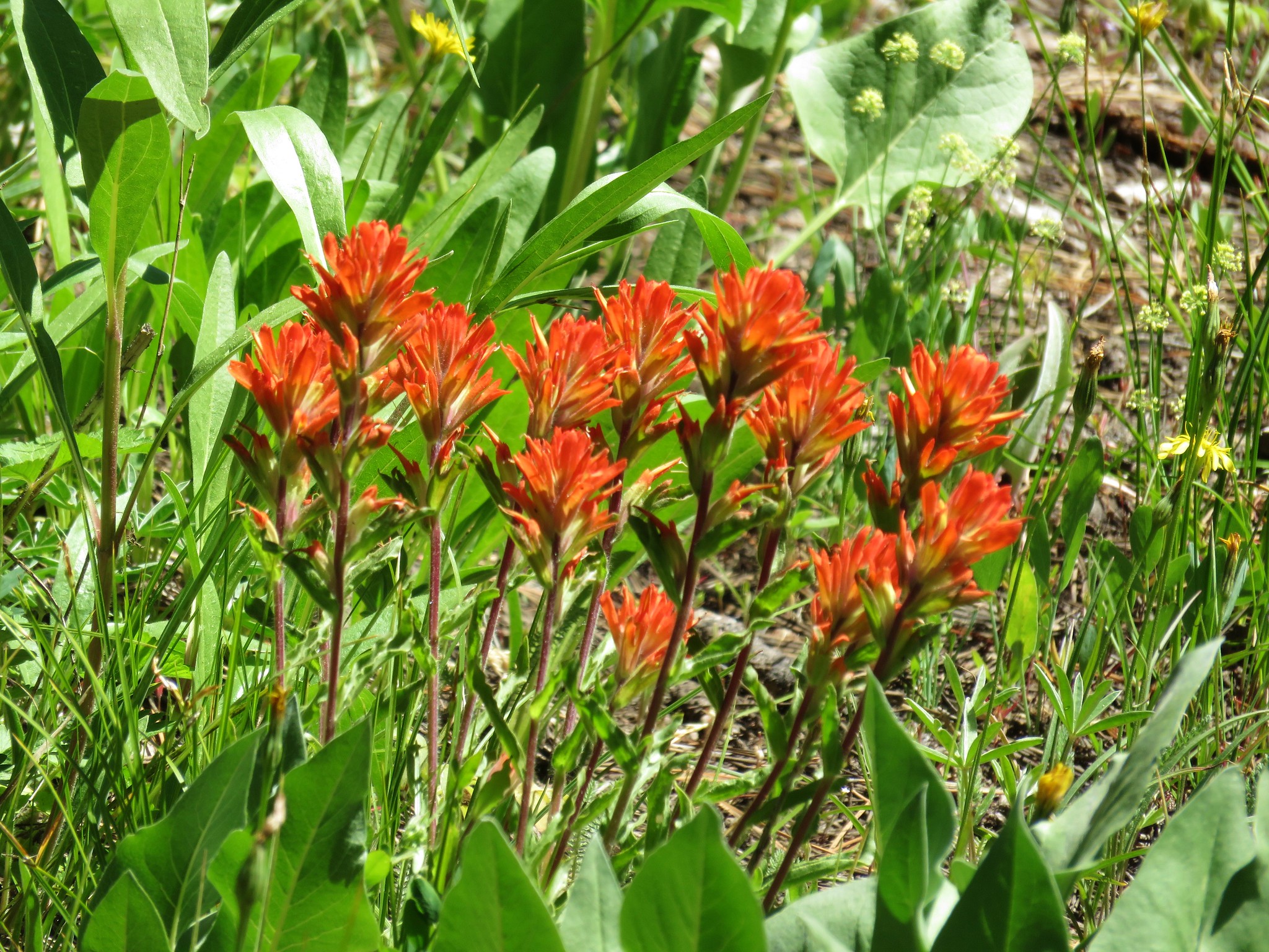 Paintbrush
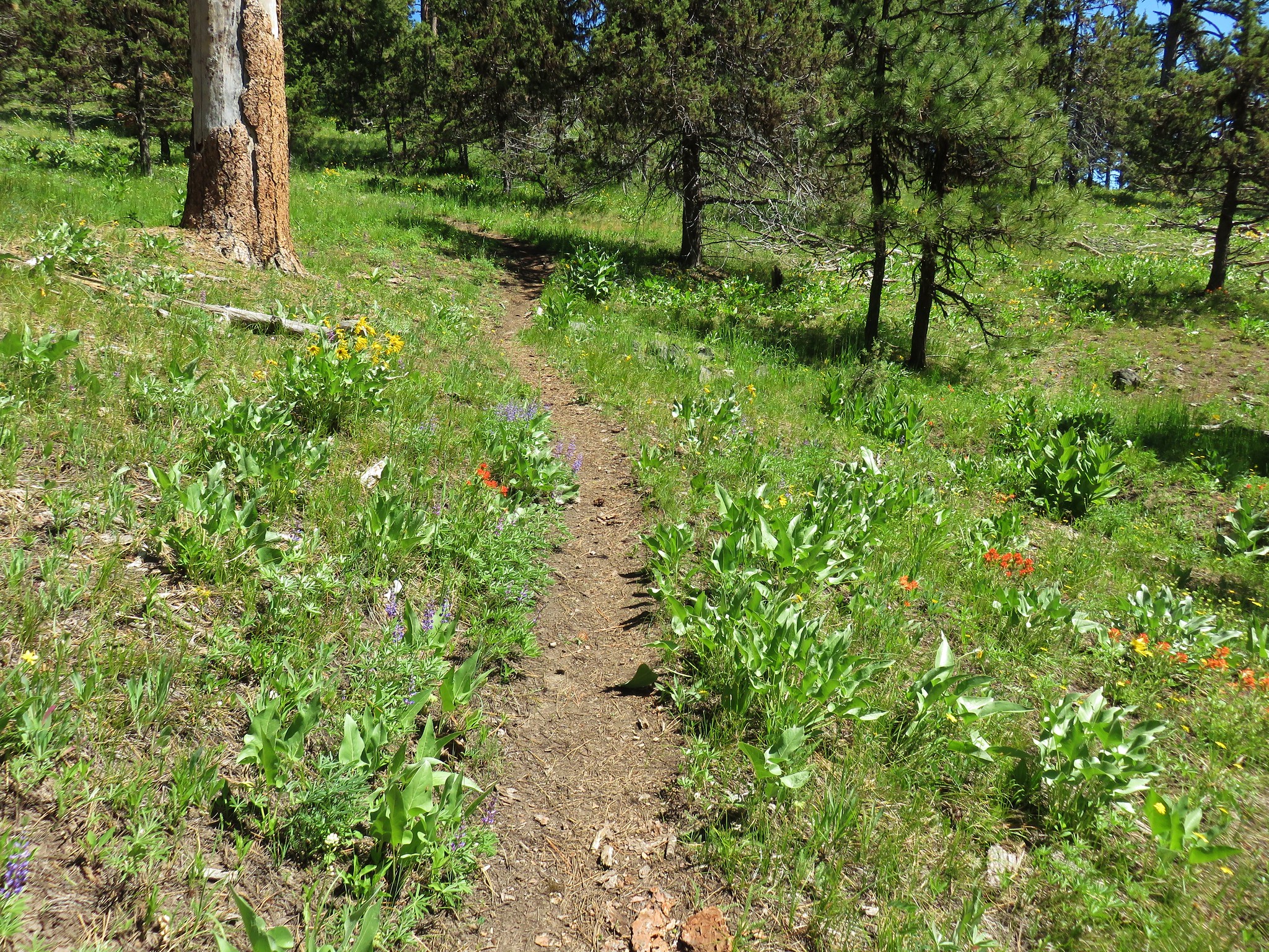
 Prospect Pond (and Lookout Mountain beyond)
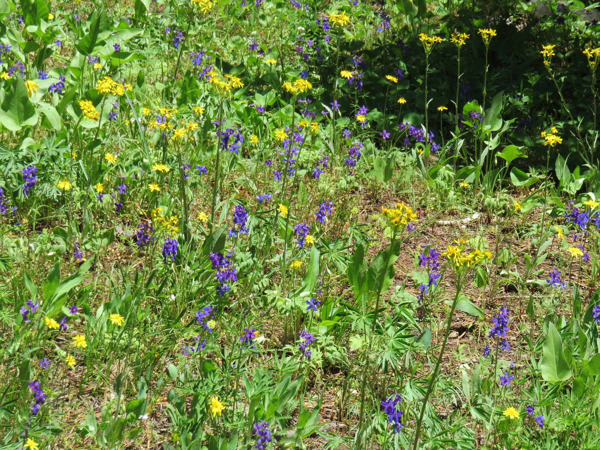


 Diamond and Maiden Peaks
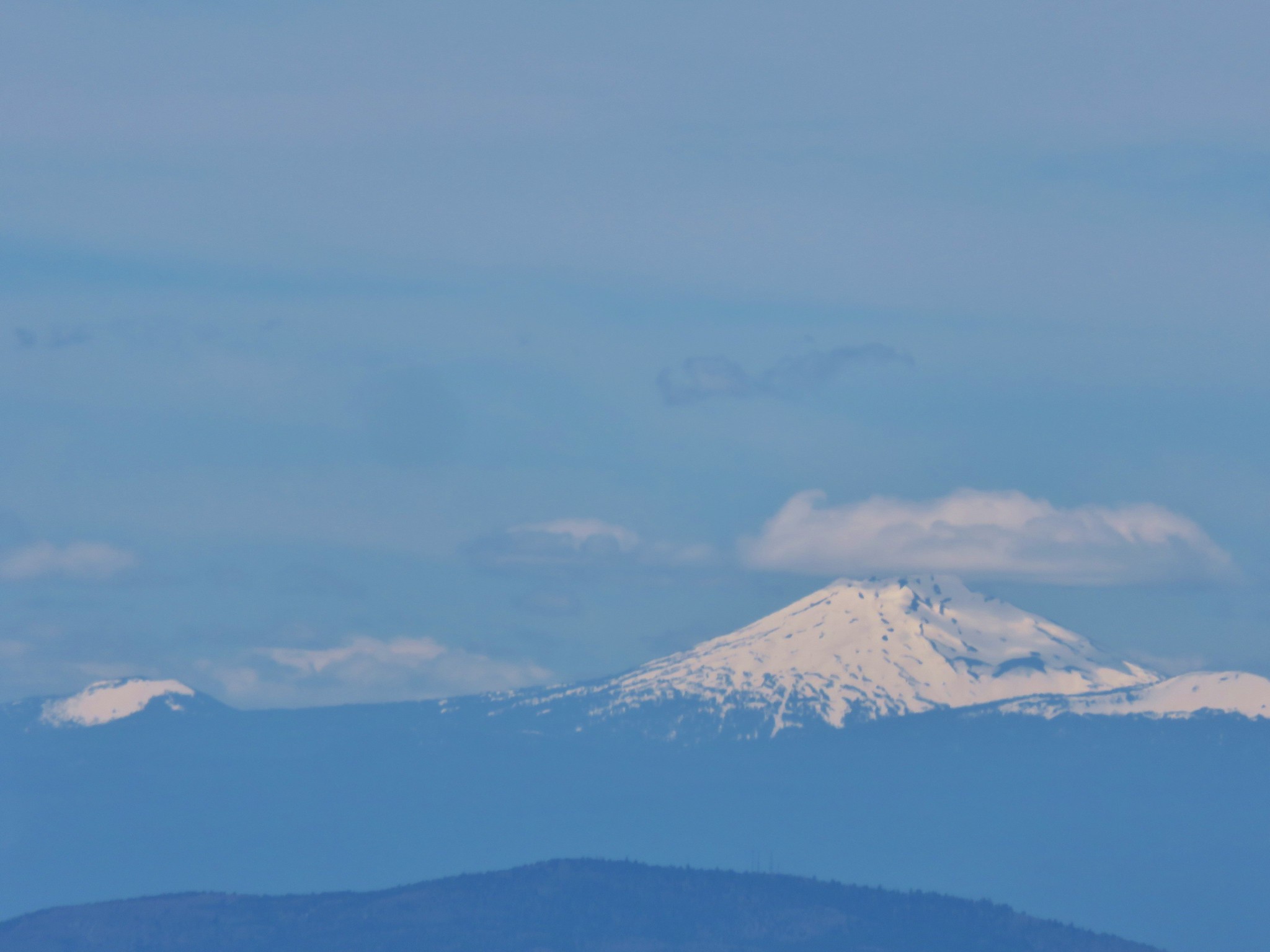 Mt. Bachelor
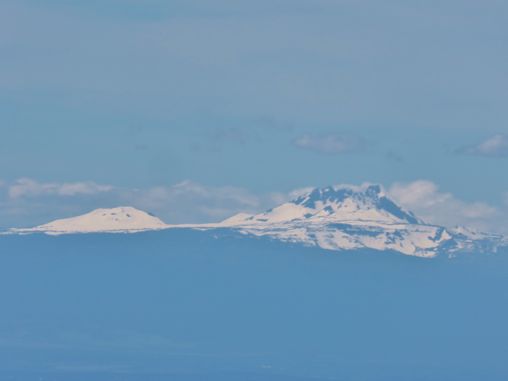 Ball Butte and Broken Top
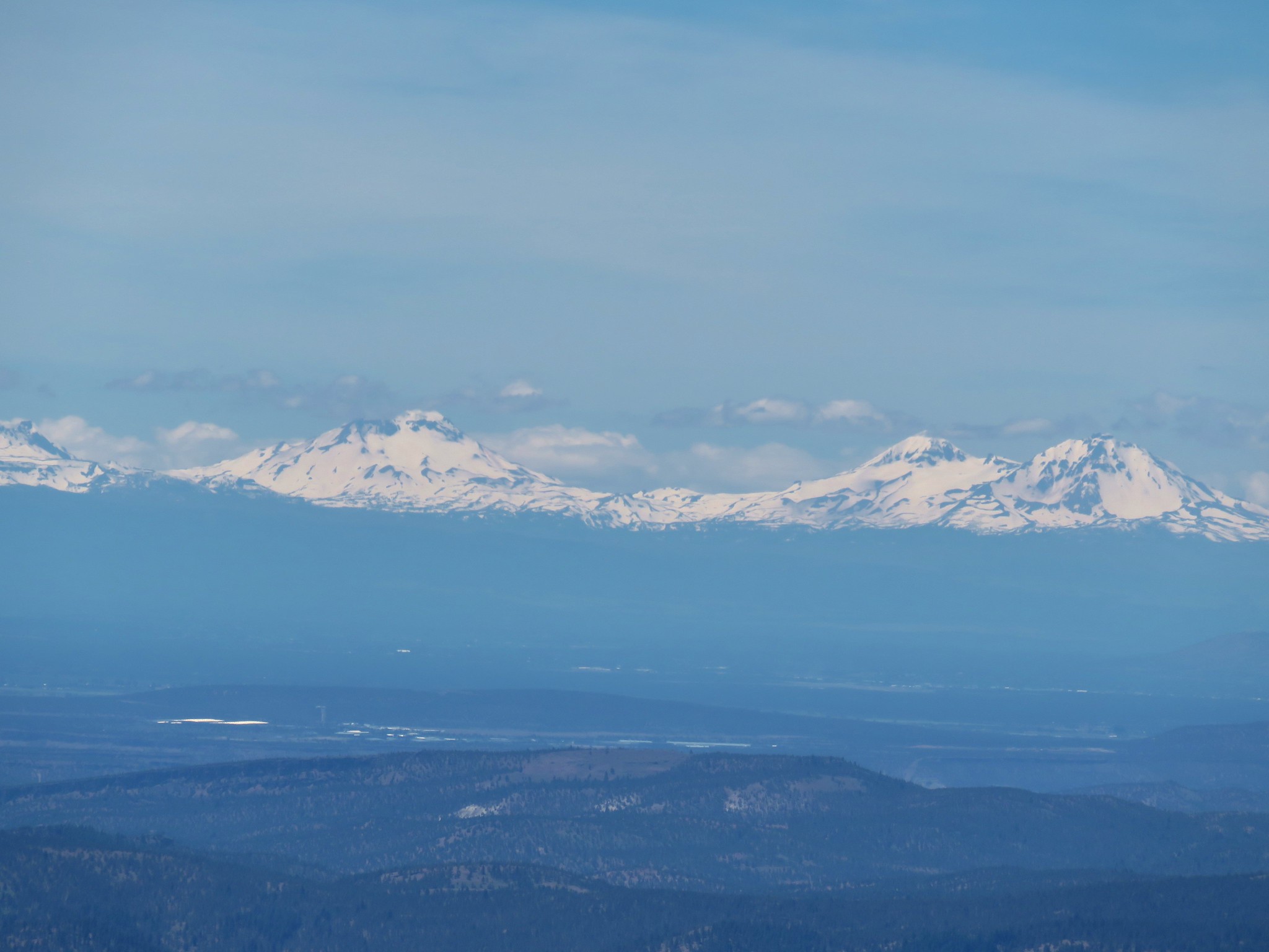 The Three Sisters
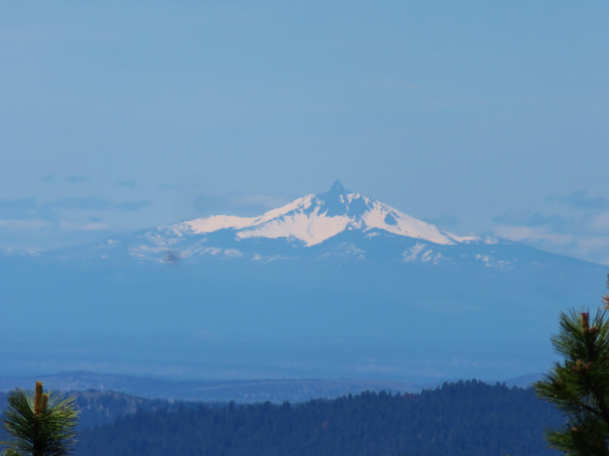 Mt. Washington
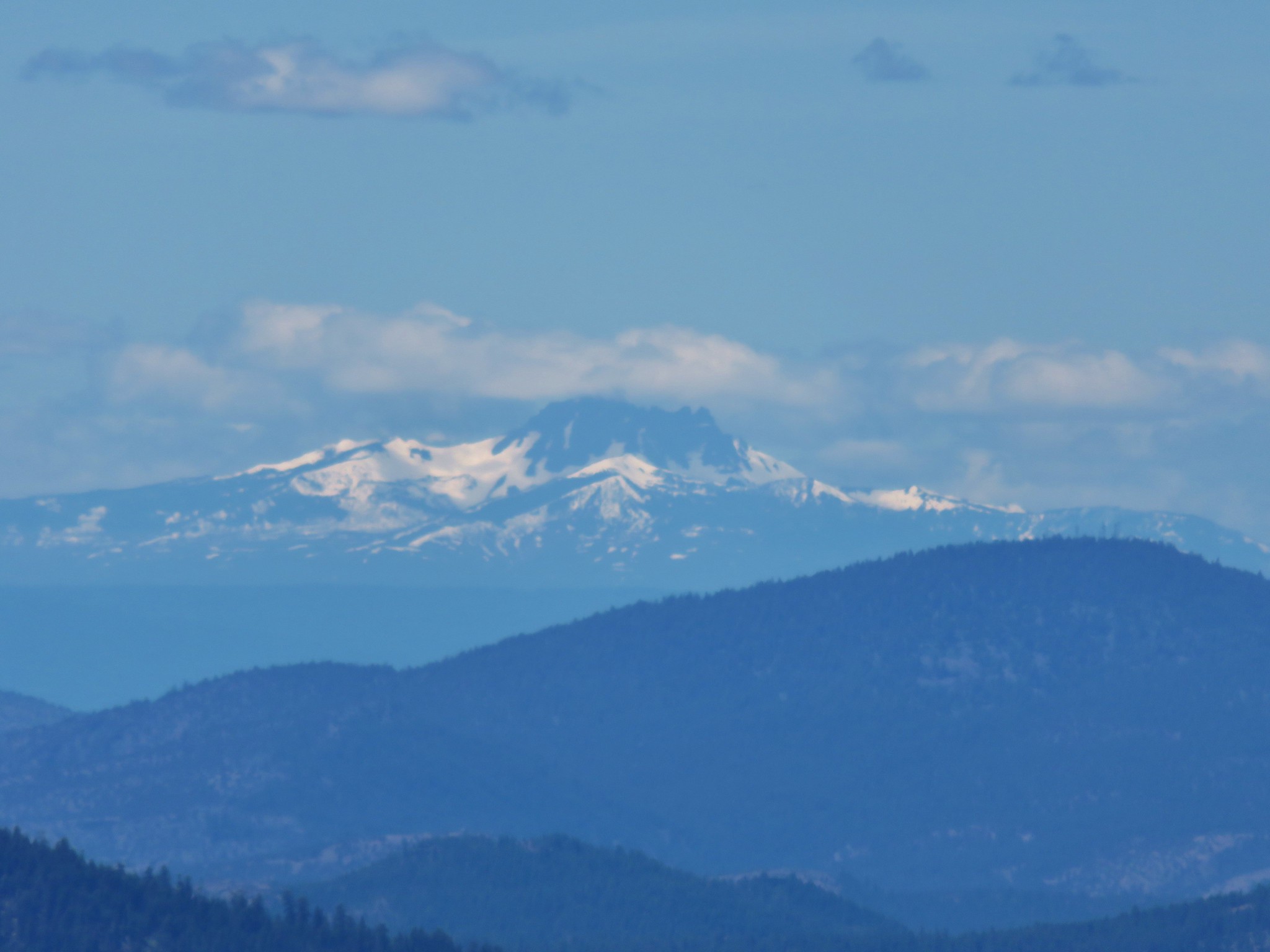 Three Fingered Jack
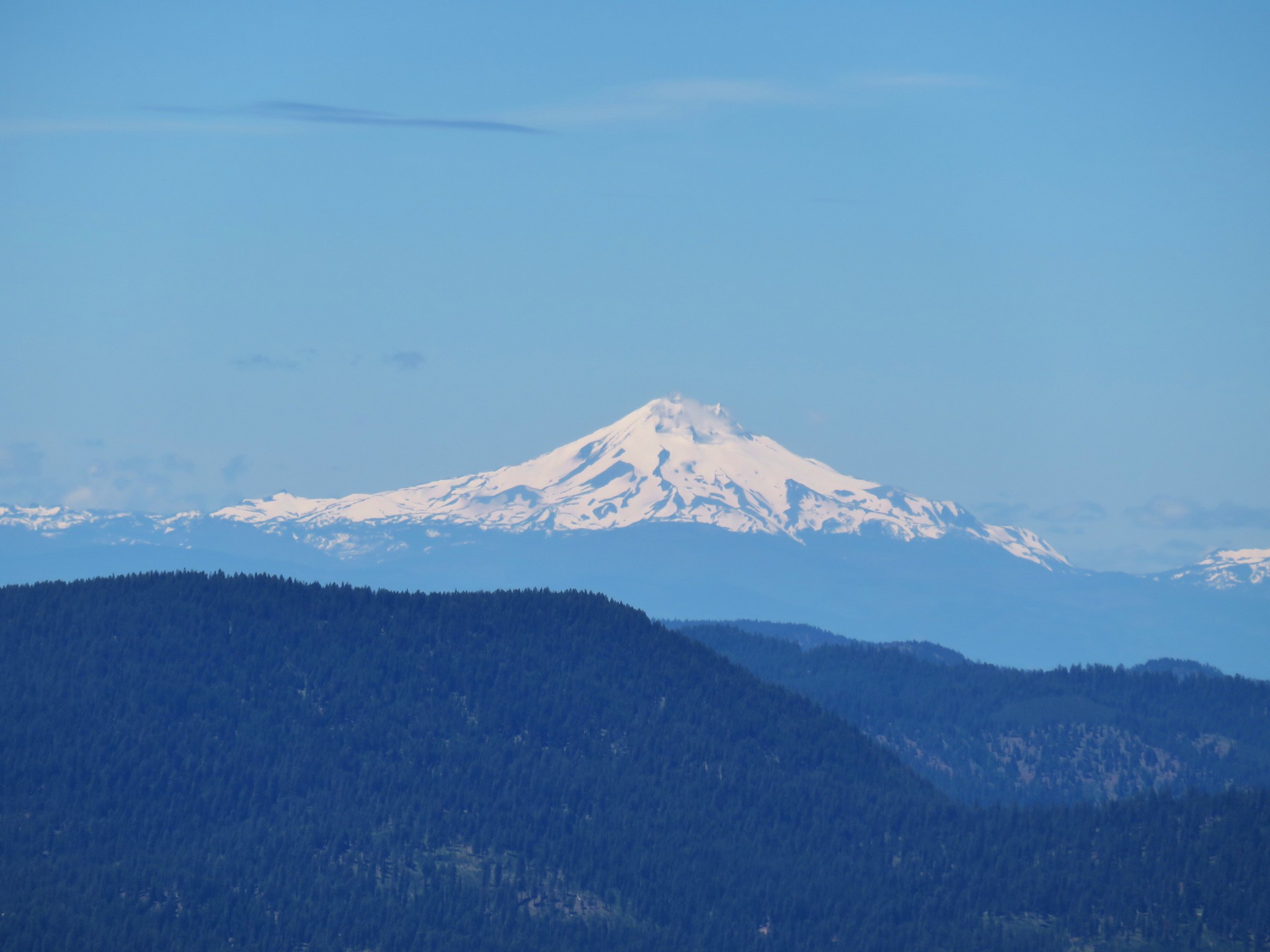 Mt. Jefferson
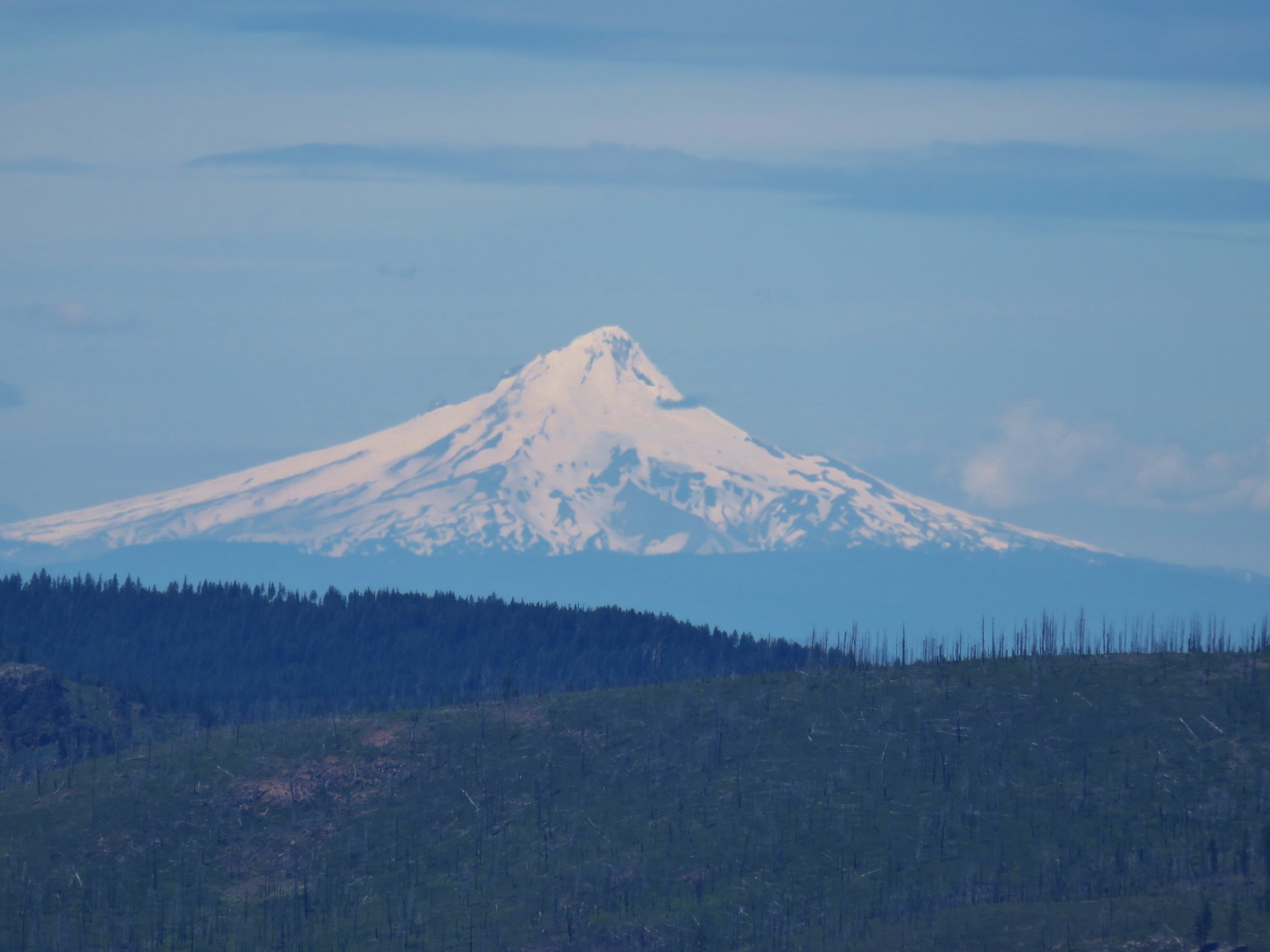 Mt. Hood
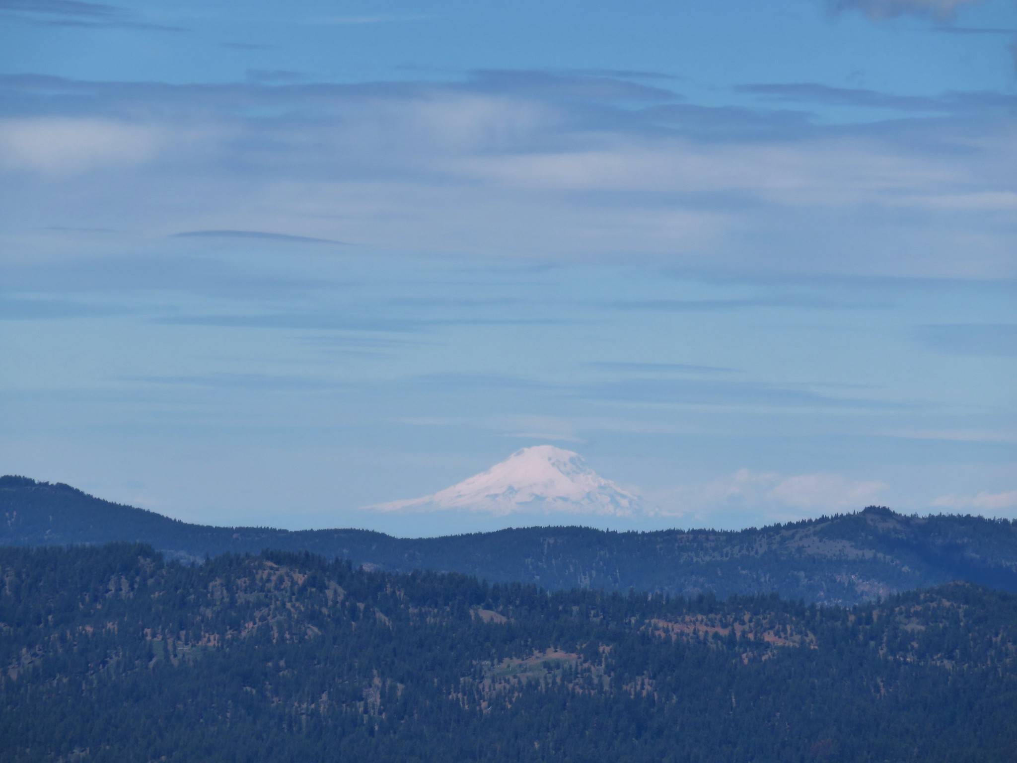 Mt. Adams