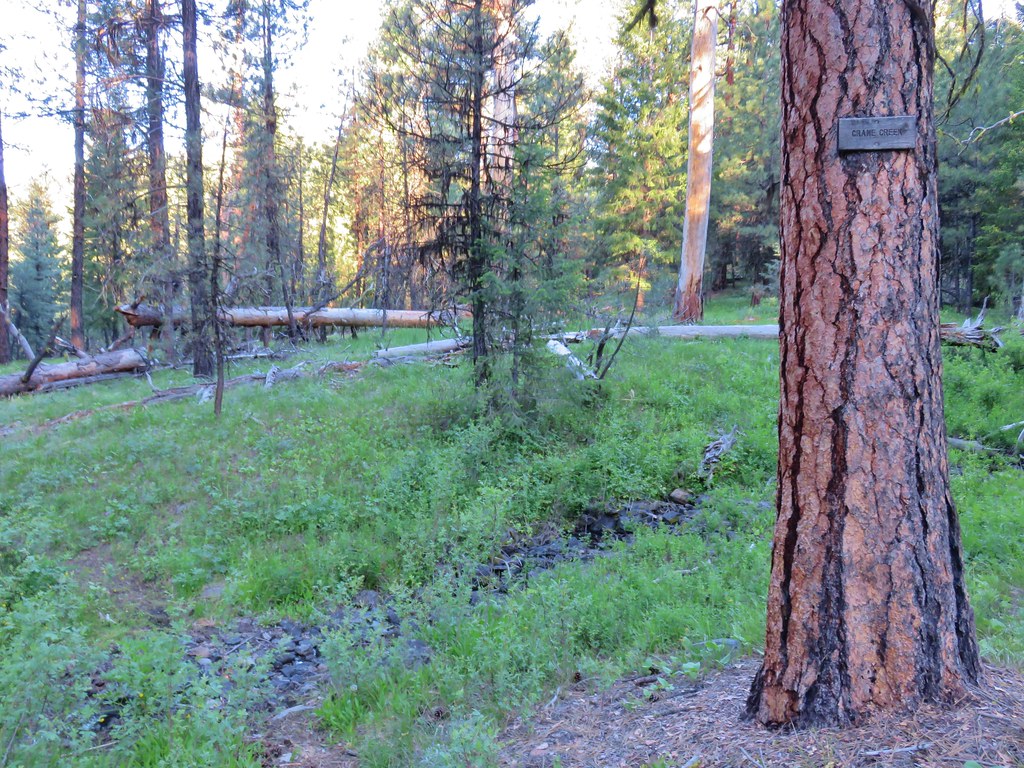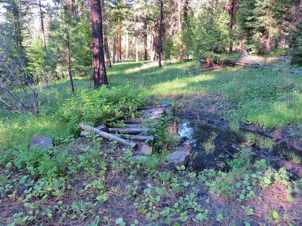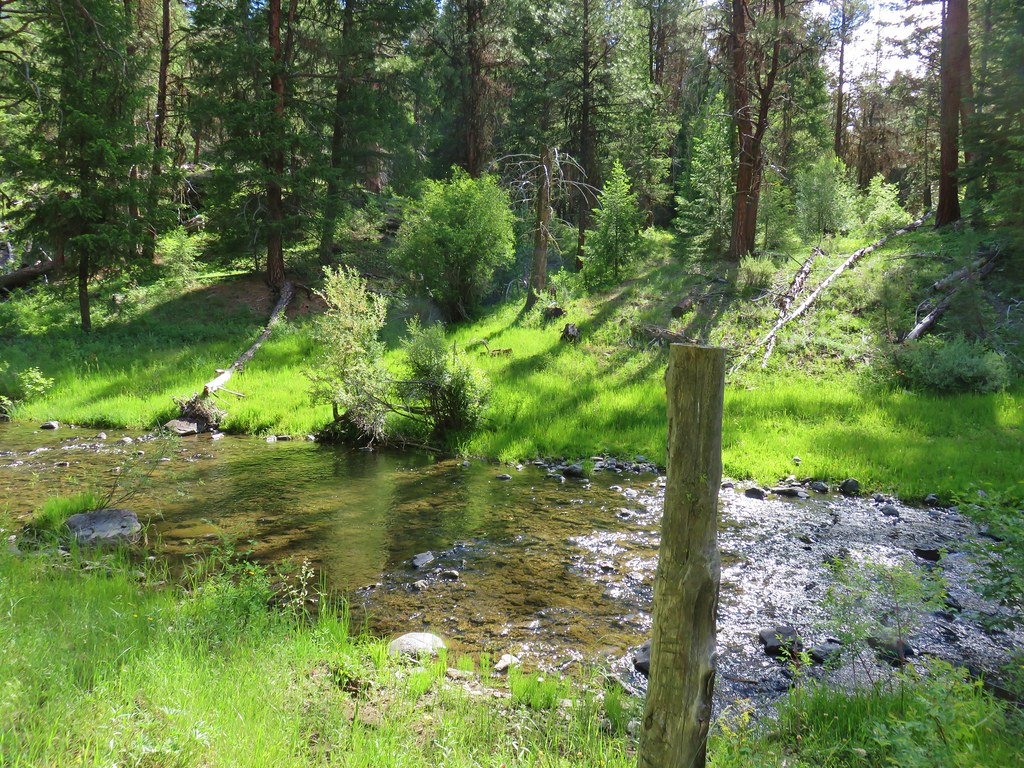
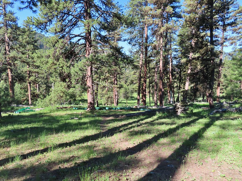
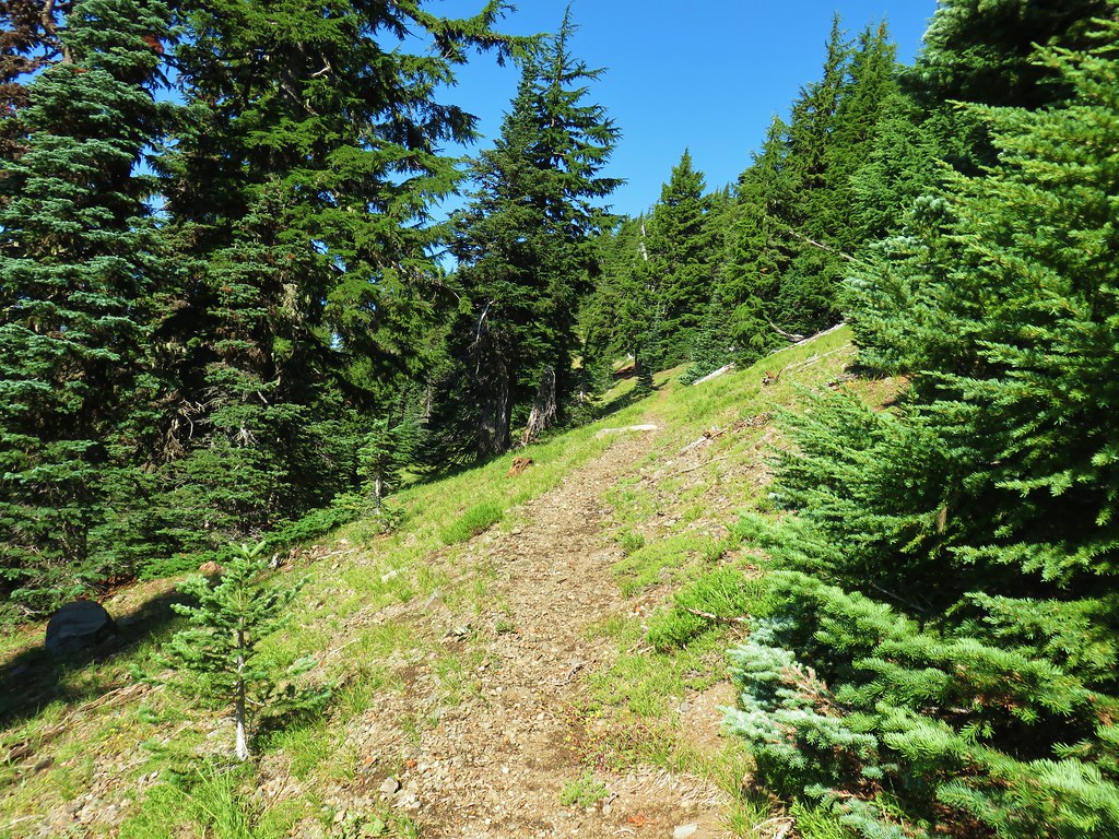
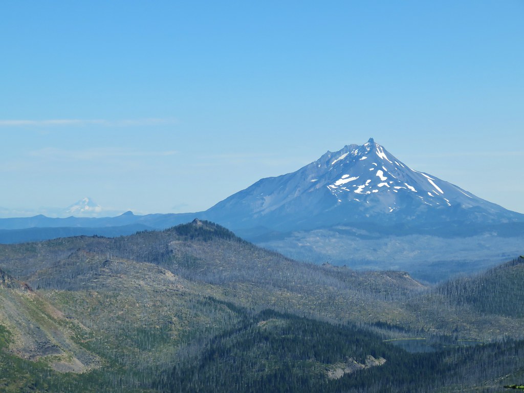
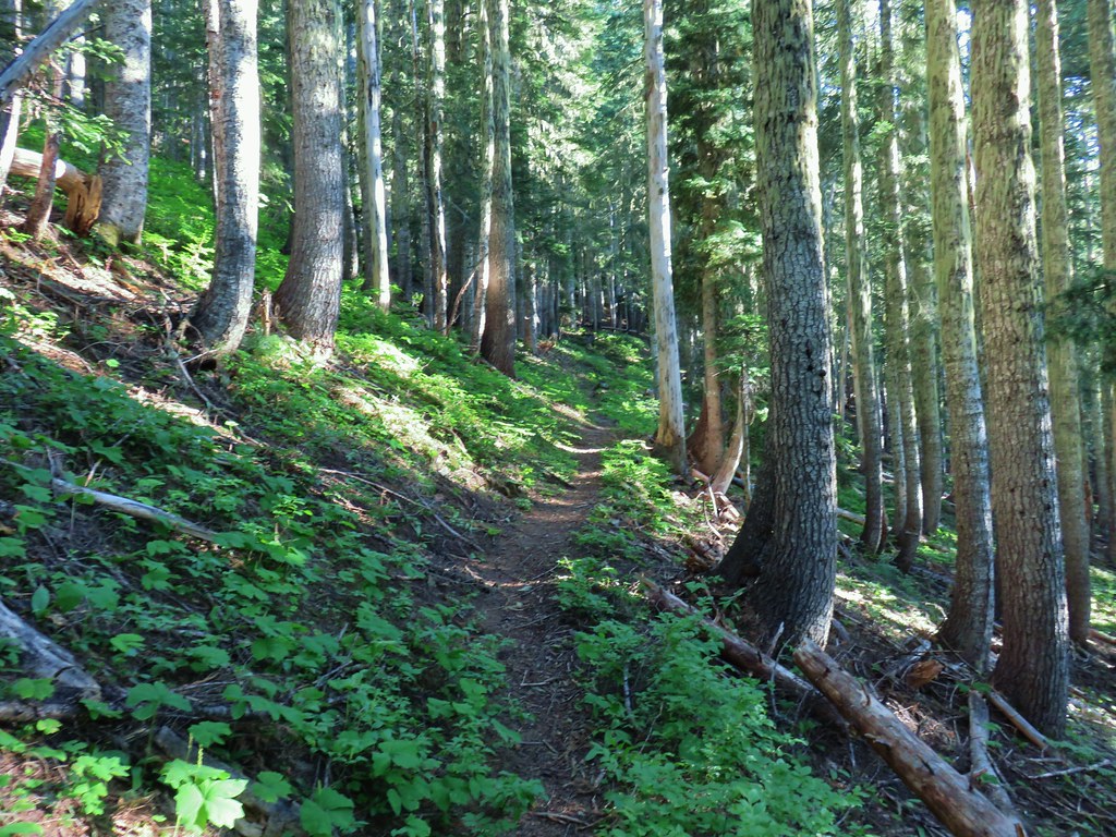
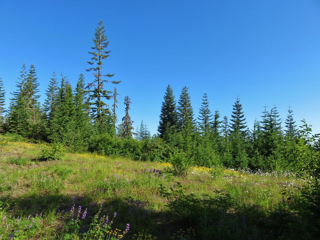
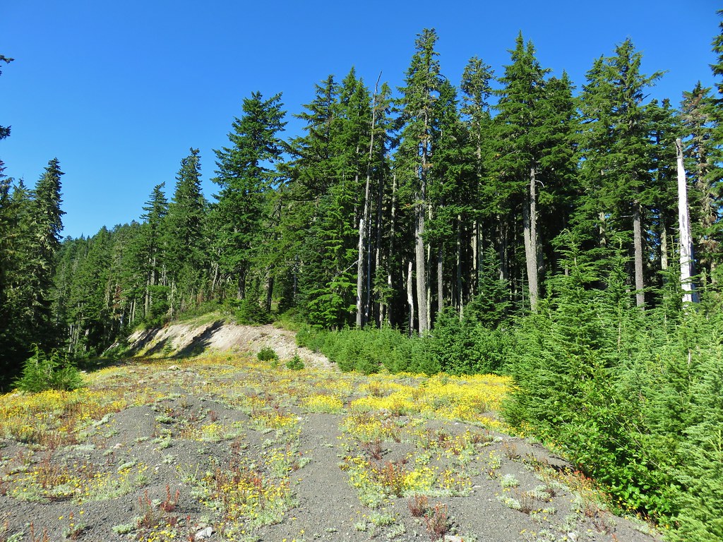
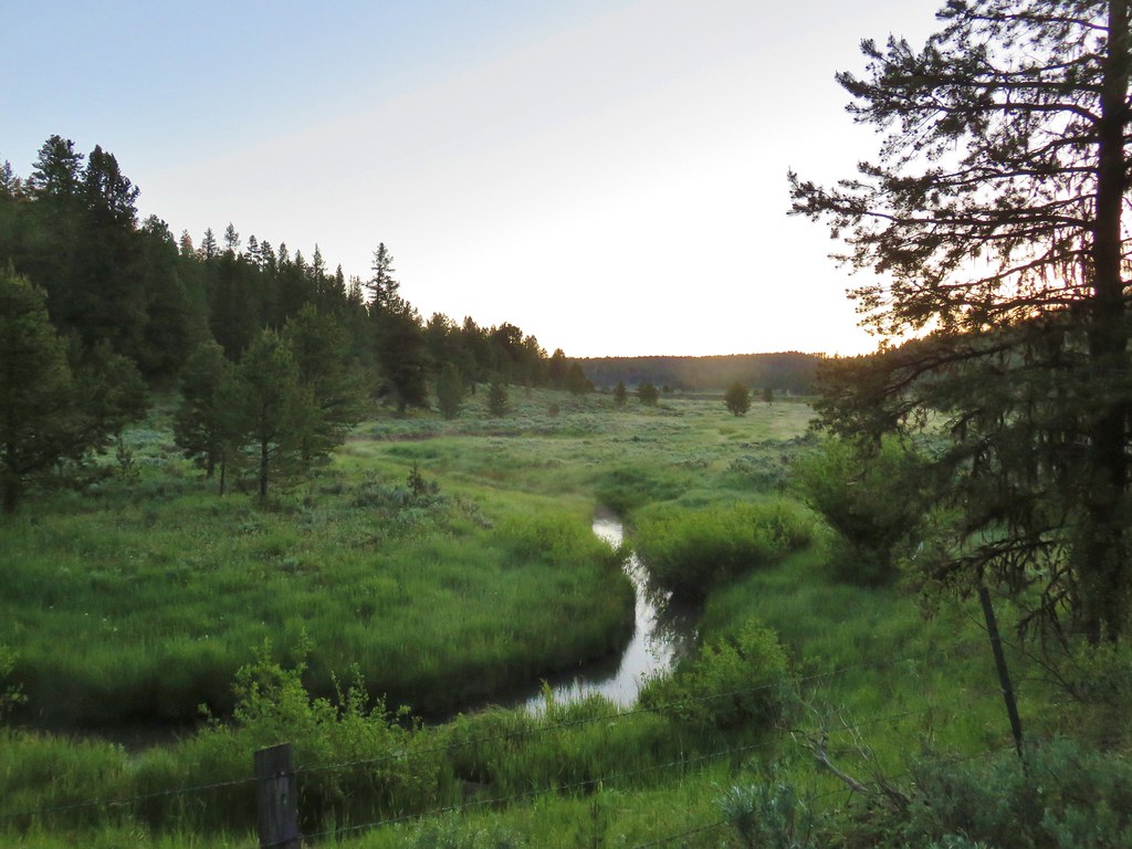
Part two of 2025 wildlife wrap-up is a collection of the non-bird critters that we were able to get a photo of during our 2025 outings. I checked one animal off the list of those that we hadn’t seen while hiking during our Tygh Creek hike in May when I spotted a skunk making its way up the trail ahead. Heather unfortunately missed out on that sighting. We also saw a sea otter during our visit to Olympic National Park in May however it was so far away that we weren’t sure what we were looking at until we were able to look at the couple of photos that I had taken. It was exciting to have seen one, but it would have been more exciting had we realized what we were seeing at the time. The other exciting (and scariest) sighting was just our second rattlesnake in the Criterion Tract along the Deschutes River, also in May. We didn’t see it until we heard the loud hiss and rattle letting us know that we were getting too close.

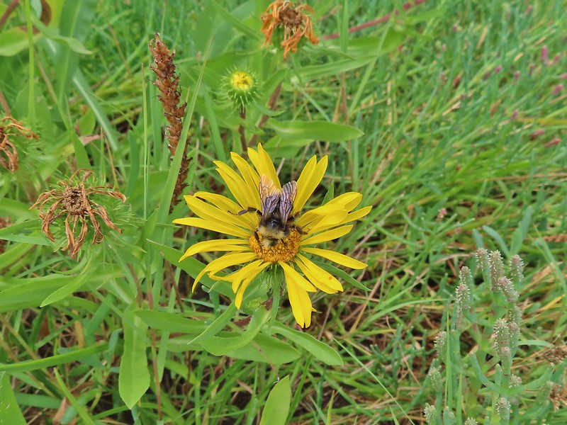
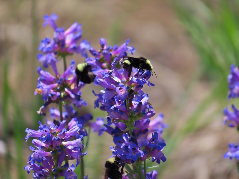
Bumble bee – Mt. Hood National Forest, 05/24/25.

Bee swarm – William L. Finley National Wildlife Refuge, 04/30/25.

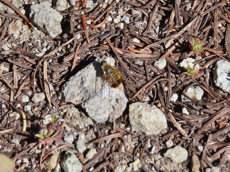
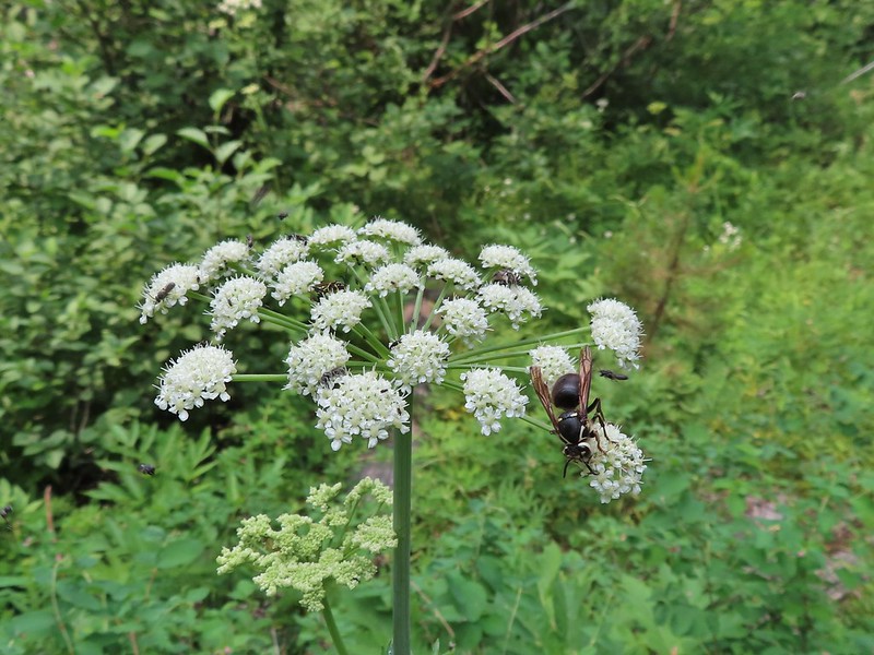
Unknown bee species – Criterion Tract, 05/25/25.

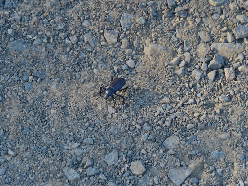
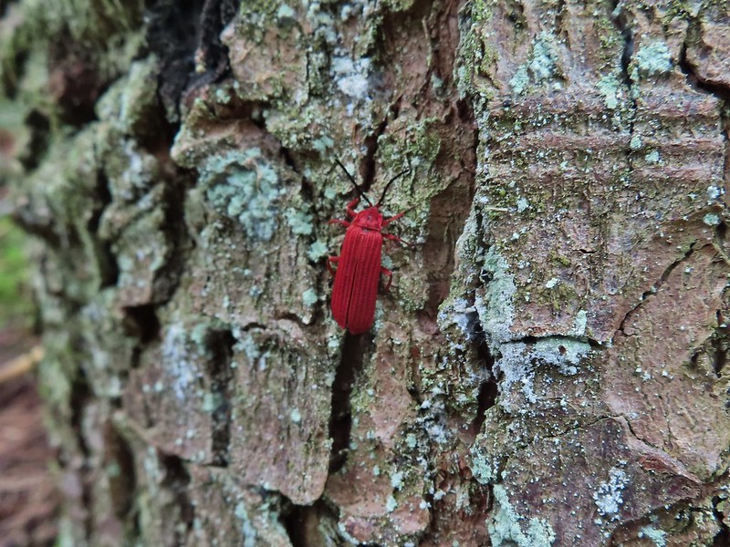
Beetle – Criterion Tract, 05/25/25.

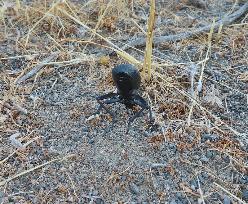
Beetle – Criterion Tract, 05/25/25.

Beetles – Mt. Jefferson Wilderness, 07/14/25.

Beetles – Mt. Hood National Forest, 06/14/25.

Isopod – Olympic National Park, 05/15/25.

Western sea slater (Ligia occidentalis) – Olympic National Park, 05/14/25.

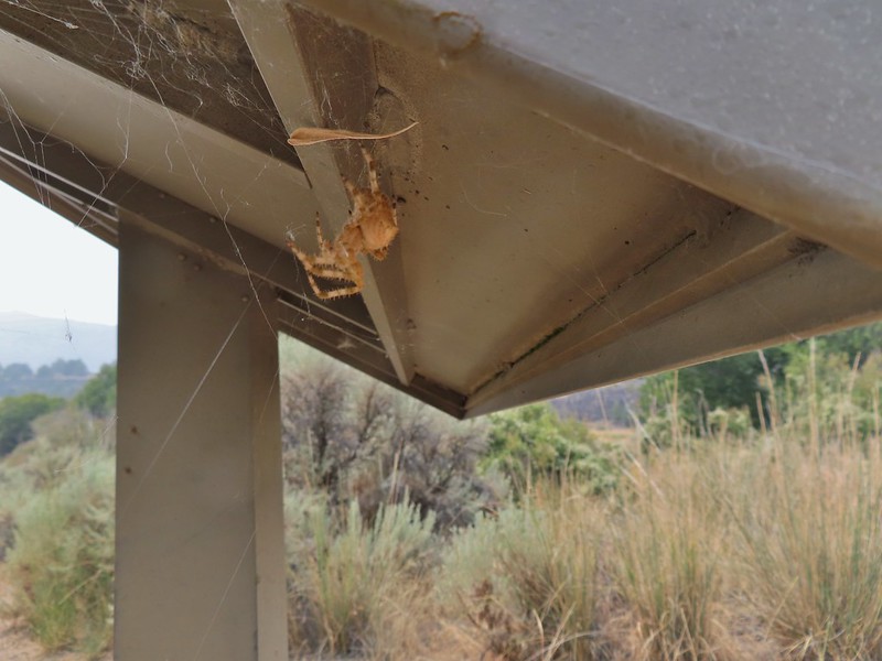
Spider hiding in the camas – Thurston Hills, 04/19/25.

Crab spider – Clearwater River Trail, 06/21/25.

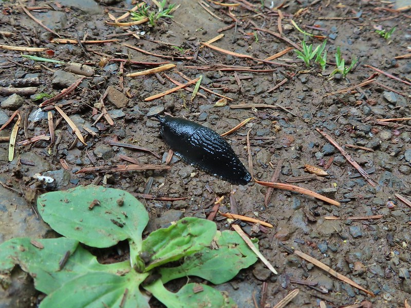
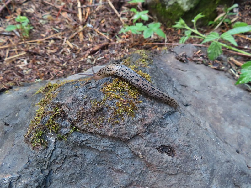
Slug – Thurston Hills, 04/19/25.

Slug – Fern Ridge Wildlife Area, 05/03/25.

Slug – Olympic National Park, 05/13/25.

Slug – Olympic National Park, 05/12/25.

Slug – Olympic National Park, 05/15/25.

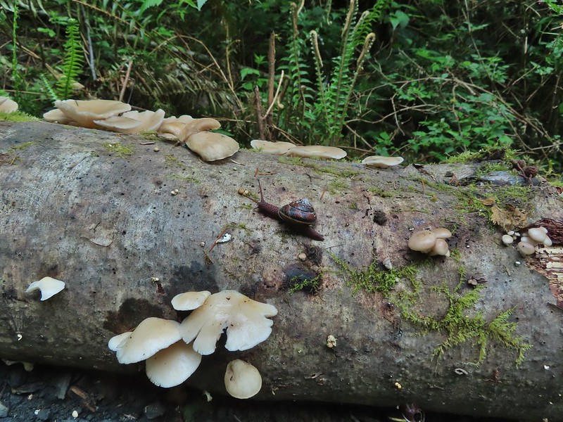
Snail – Oswald West State Park, 04/05/25.

Snail – Loon Lake Recreation Area, 05/03/25.

Snail – Fern Ridge Wildlife Area, 05/03/25.

Snail – Umpqua National Forest, 05/31/25.

Dragon flies – Mt. Washington Wilderness, 07/19/25.

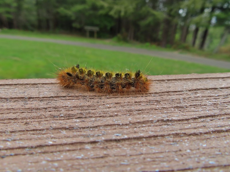
Caterpillar – Olympic National Park, 05/13/25.

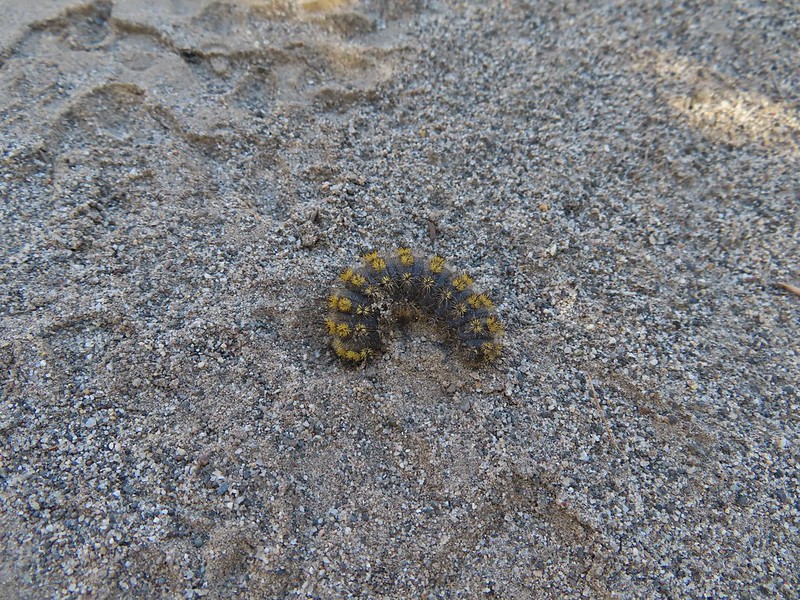
Caterpillars – Mt. Jefferson Wilderness, 07/17/25.

Cinnabar moth – Mt. Jefferson Wilderness, Linn County Oregon, 07/17/25.

Plume moth – Mt. Jefferson Wilderness, Linn County Oregon, 07/17/25.

Moth – Mt. Jefferson Wilderness, Marion County Oregon, 07/14/25.

Moth – Mt. Washington Wilderness, Linn County Oregon, 07/19/25.

Moth – Mt. Hood National Forest, Wasco County Oregon, 06/14/25.

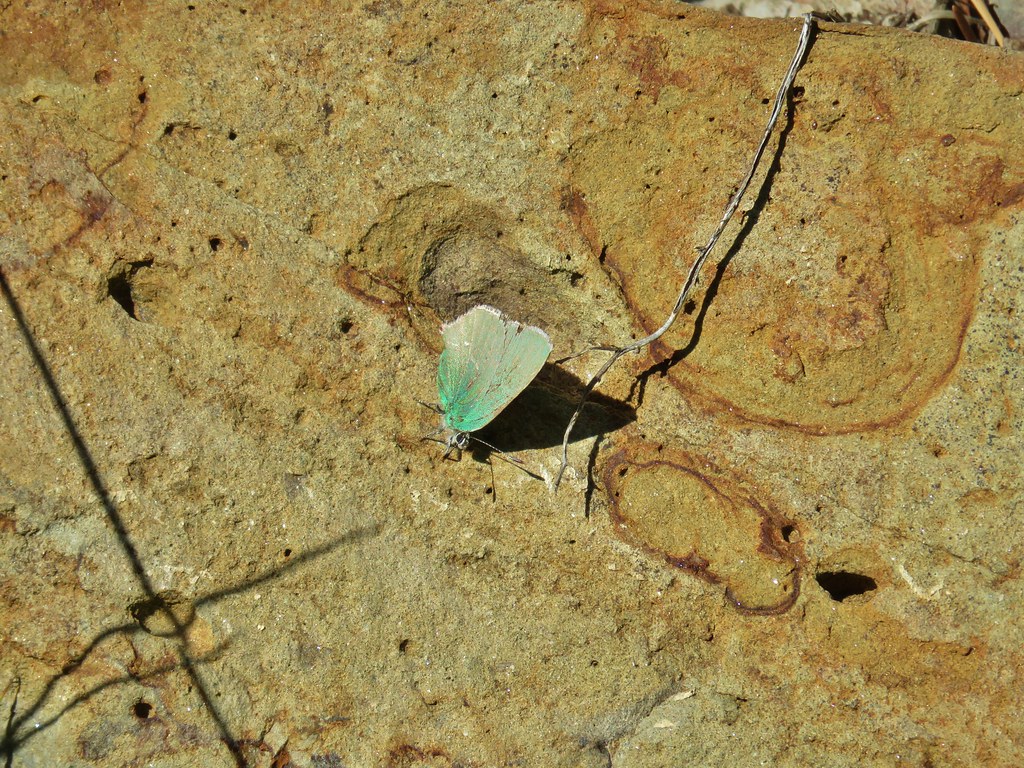
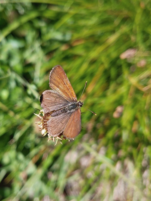
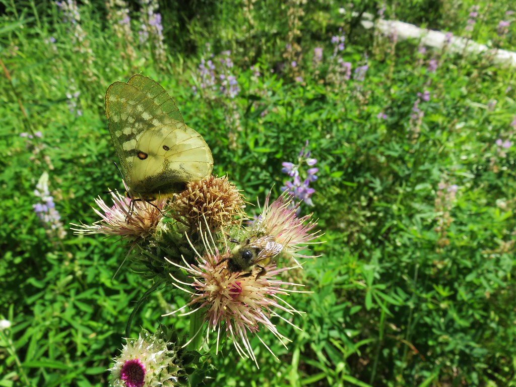
Brown elfin (and fly) – Mt. Hood National Forest, Wasco County Oregon, 05/24/25.

Ochre ringlet – Criterion Tract, Wasco County Oregon, 05/25/25.

Cabbage White – Tualatin River National Wildlife Refuge, Washington County Oregon, 05/01/25.

Margined white – Oswald West State Park, Tillamook County Oregon, 04/05/25.

Western white? – Mt. Hood National Forest, Hood River County Oregon, 07/12/25.

California tortoiseshell – Mt. Hood National Forest, Hood River County Oregon, 07/12/25.

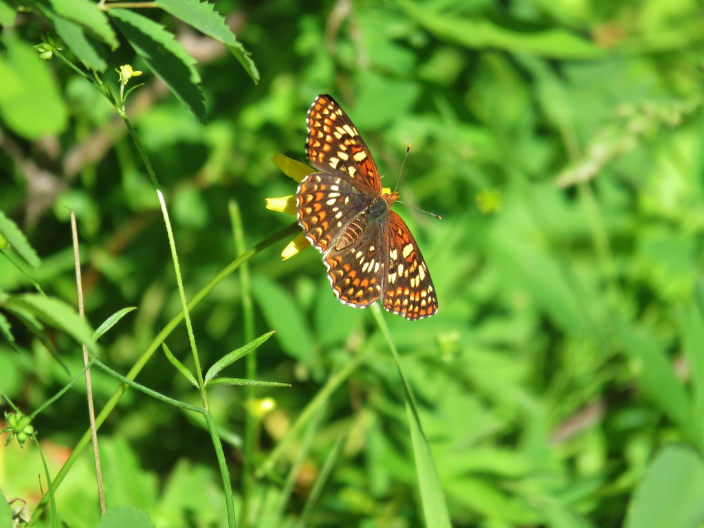
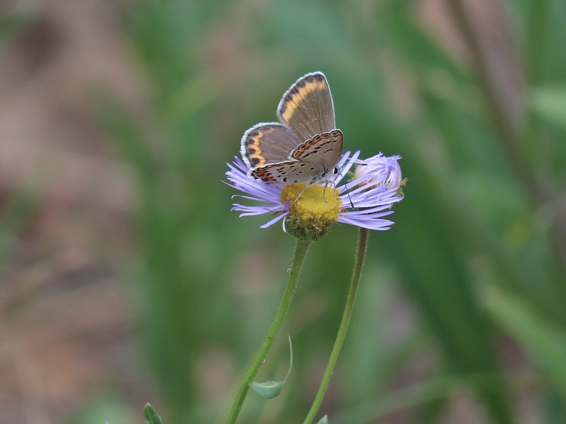
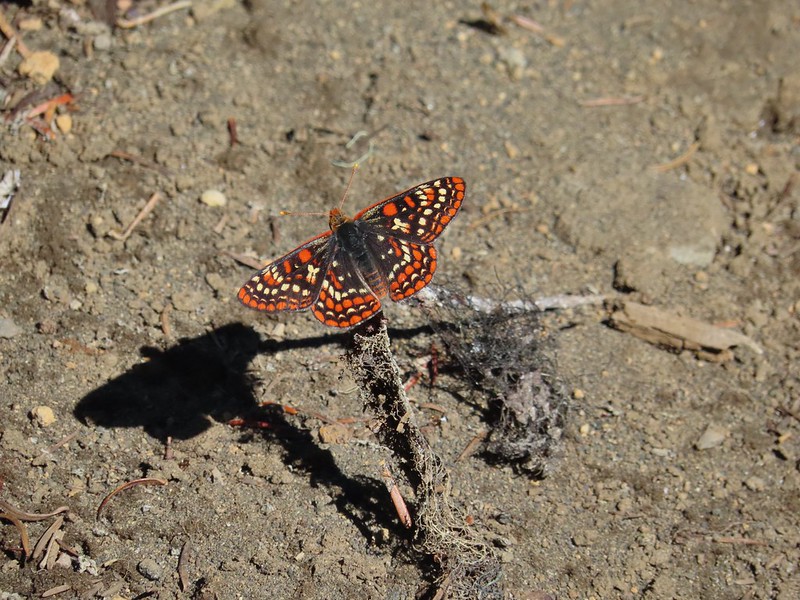
Sagebrush checkerspot (f) – Criterion Tract, Wasco County Oregon, 05/25/25.

Sagebrush checkerspot? (m) – Criterion Tract, Wasco County Oregon, 05/25/25.

Checkerspot (Hoffman’s?) – Mt. Hood National Forest, Hood River County Oregon, 07/12/25.

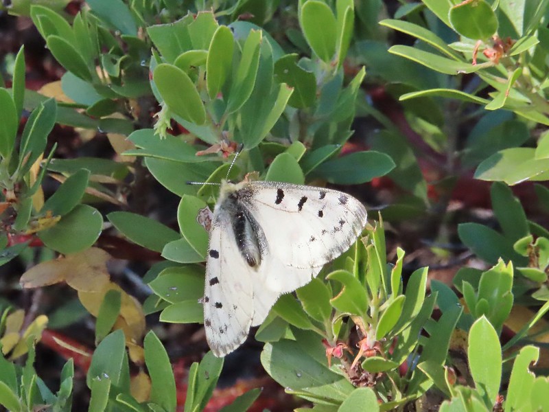
Clodius Parnassian – Sourgrass Mountain, Lane County Oregon, 06/28/25.

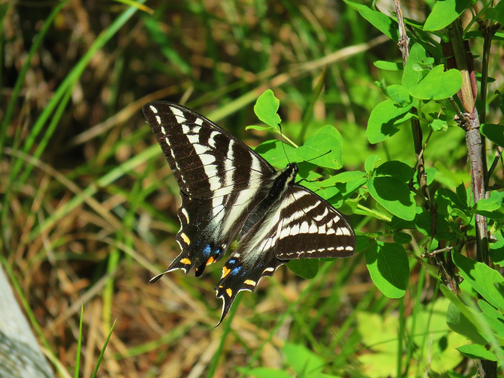
Propertius duskywing – Mt. Hood National Forest, Wasco County Oregon, 06/14/25.

Possibly a Pacuvius Duskywing (Erynnis pacuvius) – Mt. Hood National Forest, Wasco County Oregon, 05/24/25.

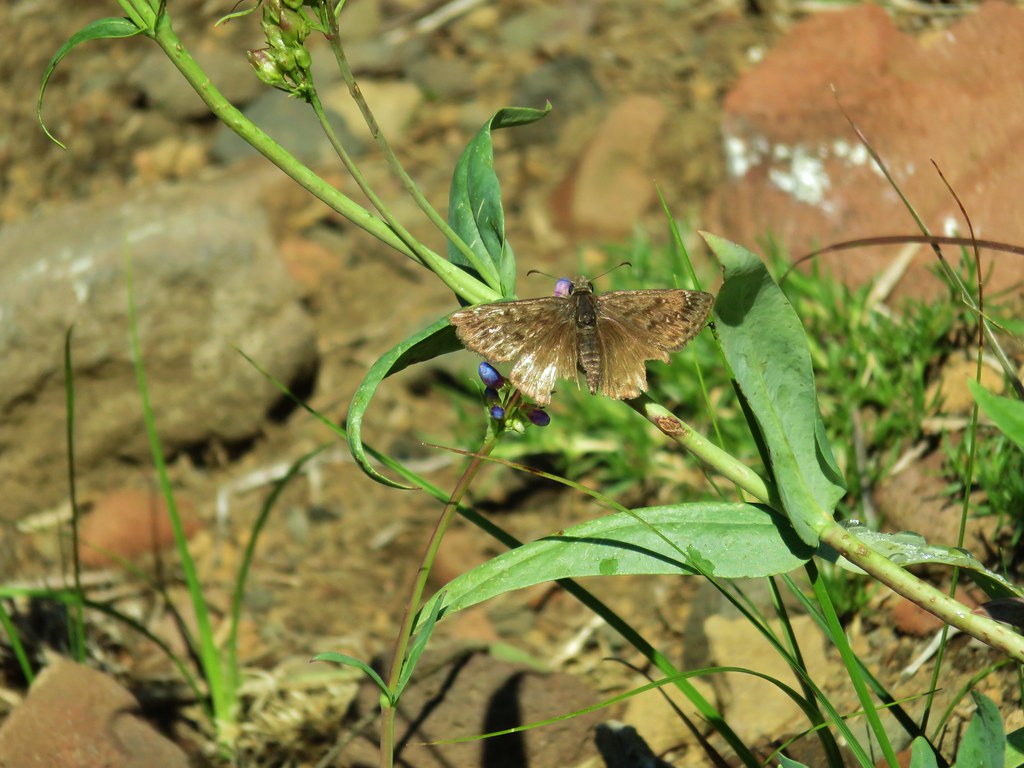
A skipper – Criterion Tract, Wasco County Oregon, 05/25/25.

Field crescent – Mt. Washington Wilderness, Linn County Oregon, 07/19/25.

Meadow fritillary – Mt. Rainier National Park, Yakima County Washington, 08/08/25.

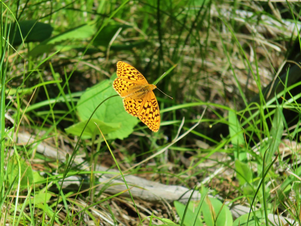
A fritillary but not sure which one. – Criterion Tract, Wasco County Oregon, 05/25/25.

Another of the fritillaries. – Mt. Jefferson Wilderness, Linn County Oregon, 07/17/25.

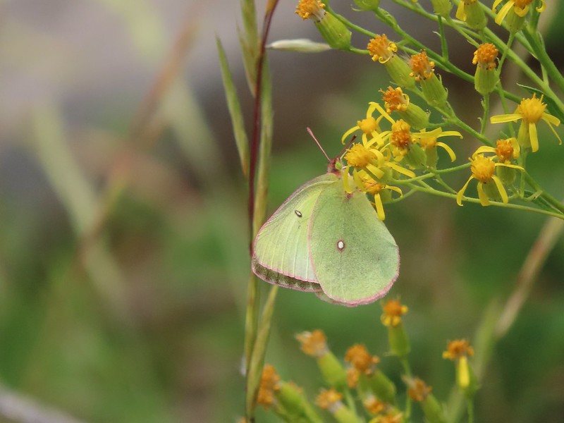
Wester sulphur – Mt. Hood National Forest, Wasco County Oregon, 06/14/25.

Indra swallowtail – Criterion Tract, Wasco County Oregon, 05/25/25.

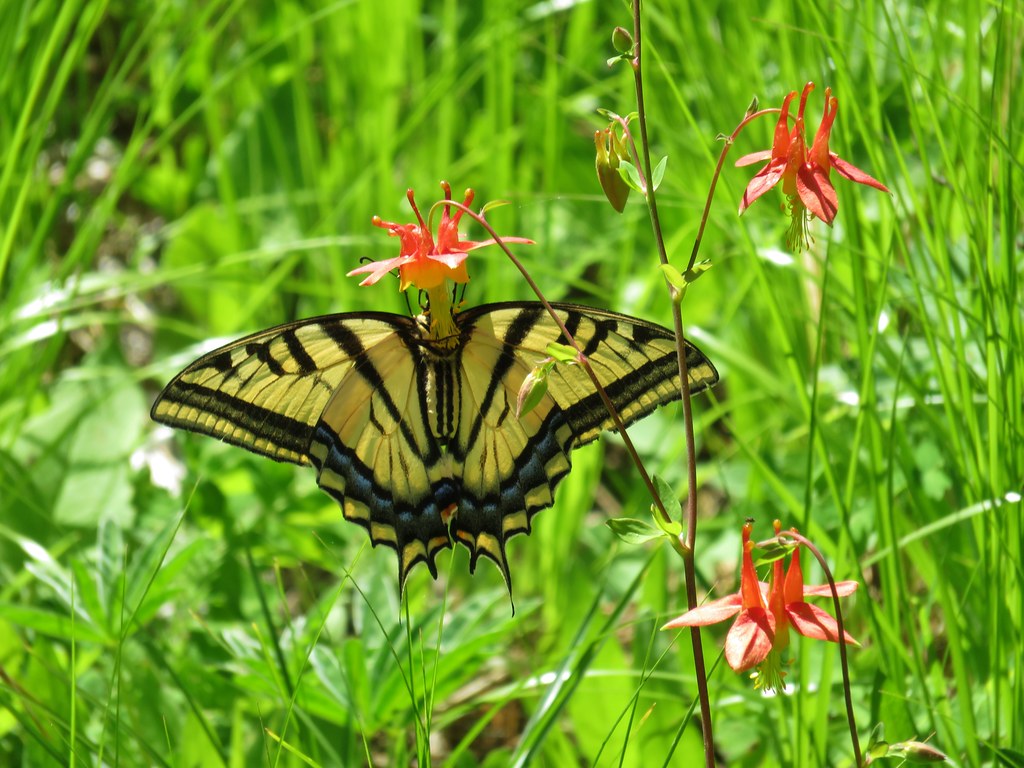
Pale tiger swallowtail – Mt. Hood National Forest, Wasco County Oregon, 06/14/25.
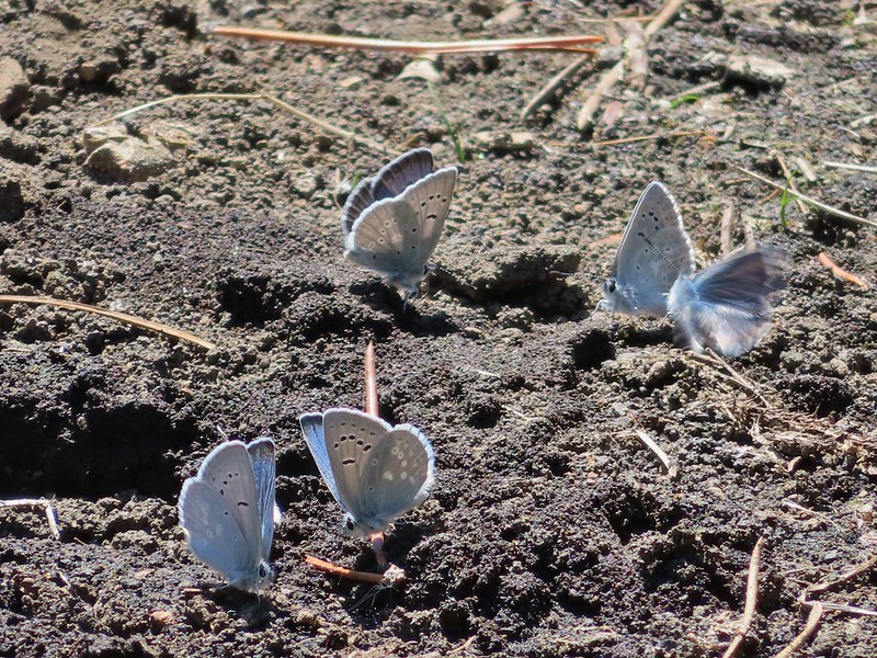
When it comes to the Lycaenidae Family (Gossamer Wings) I am almost always out of my depth trying to identify them.
Mt. Jefferson Wilderness, Marion County Oregon, 07/14/25.

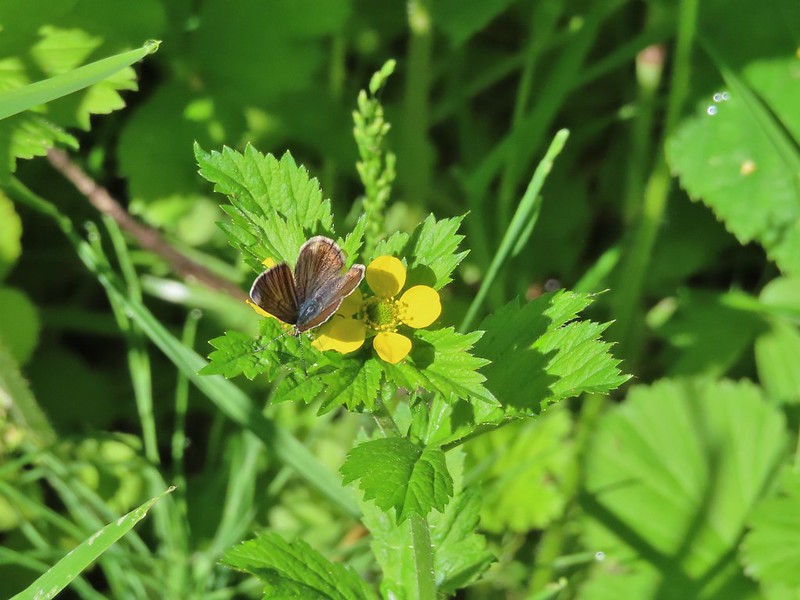
Mt. Hood National Forest, Wasco County Oregon, 05/24/25.

Mt. Washington Wilderness, Linn County Oregon, 07/19/25.

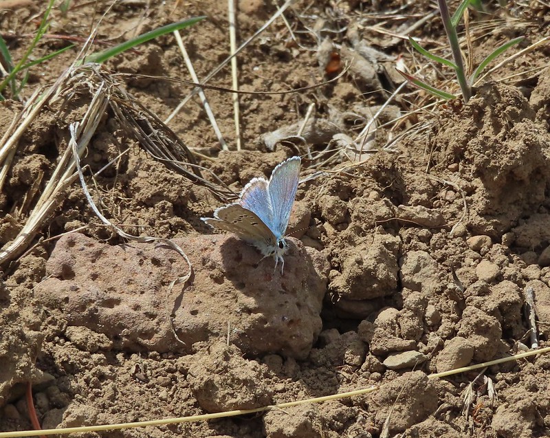
Criterion Tract, Wasco County Oregon, 05/25/25.

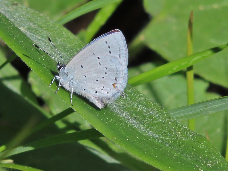
Olympic National Park, Clallam County Washington, 05/13/25.

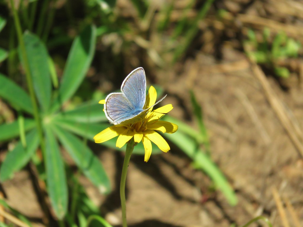
These might be Echo Azures – Mt. Hood National Forest, Wasco County Oregon, 05/24/25.

Crab – Olympic National Park, Clallam County Wasing 05/14/25.

Hermit Crab – Olympic National Park, 05/14/25.

Velalla velella – Olympic National Park, 05/14/25.

Anemones – Olympic National Park, 05/14/25.

Starfish – Olympic National Park, 05/14/25.

Lions mane jellyfish – Rockaway Beach, 09/06/25.

Sealion – Olympic National Park, 05/14/25.

Seals – Olympic National Park, 05/15/25.

Sea otter, albeit a poor picture – Olympic National Park, 05/14/25.

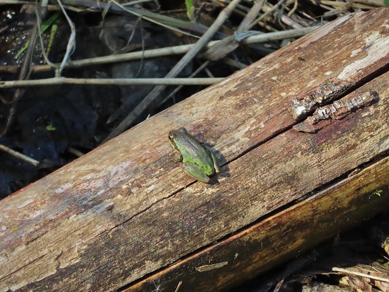
Tree frog – Mt. Washington Wilderness, 07/19/25.

Frog – Mt. Jefferson Wilderness, 07/14/25.

Bullfrog (invasive) – Ankeny National Wildlife Refuge, 04/28/25.

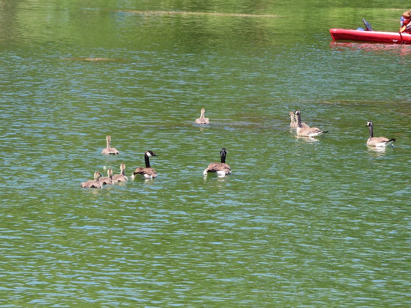
Painted and western pond turtles – William L. Finley National Wildlife Refuge, 04/30/25.

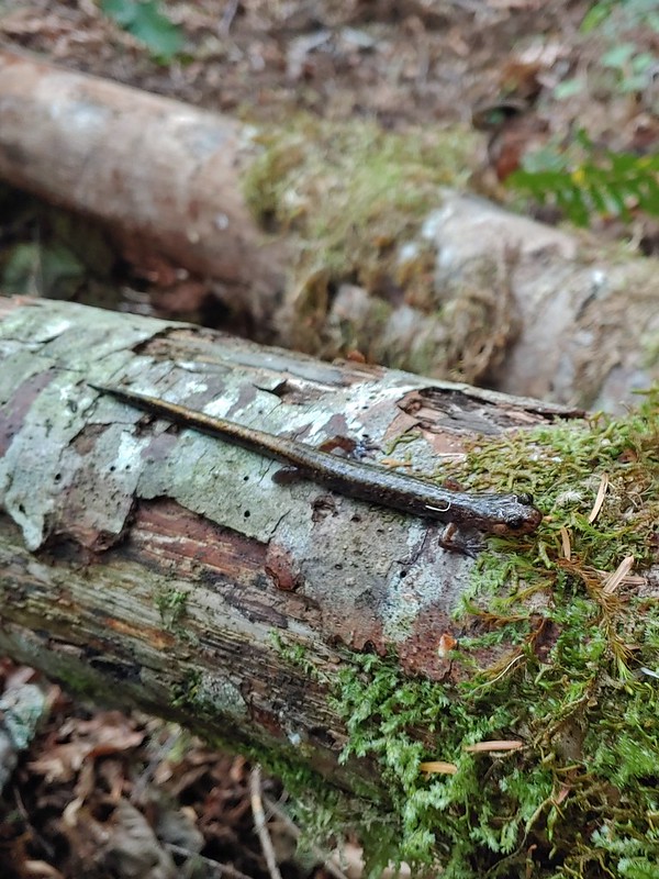
Dunn’s salamander – Thurston Hills, 04/19/25.

Rough skinned newt – Driftwood Beach, 01/11/25.

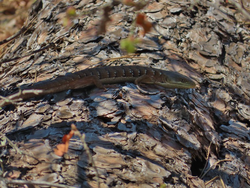
Lizard – Mt. Hood National Forest, 05/24/25.

Snake – Ankeny National Wildlife Refuge, 04/28/25.

Snake – McDonald-Dunn Forest, 07/05/25.

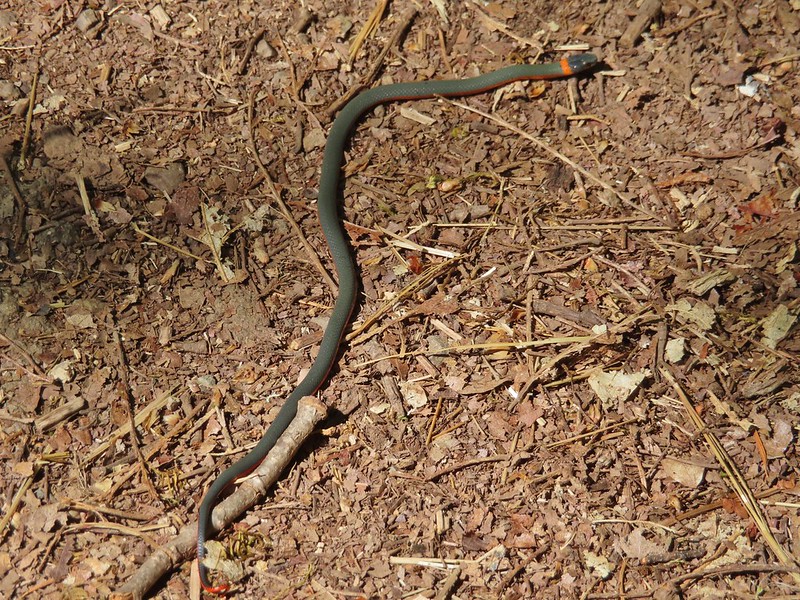
Western racer – Mt. Hood National Forest, 05/24/25.

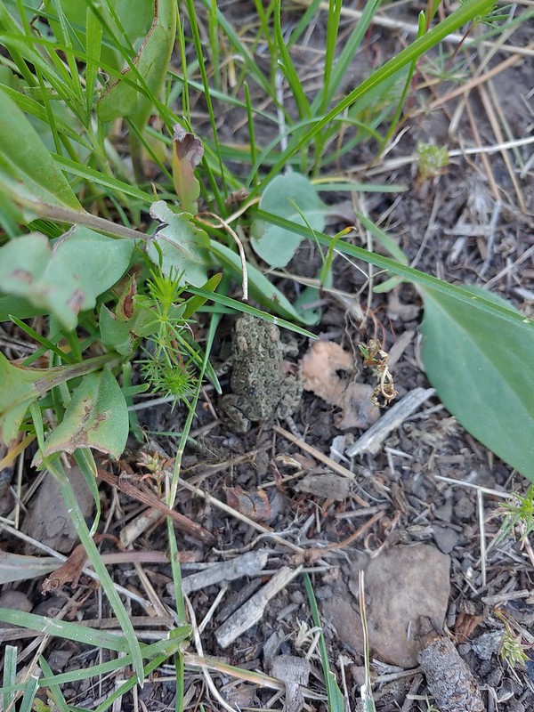
Western rattlesnake – Criterion Tract, 05/25/25.

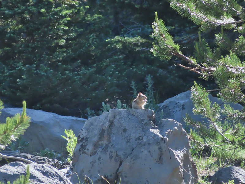
Olympic chipmunk – Olympic National Park, 05/13/25.

Townsend’s? chipmunk – Silver Falls State Park, 10/13/25.

Yellow pine chipmunk – Mt. Rainier National Park, 08/04/25.

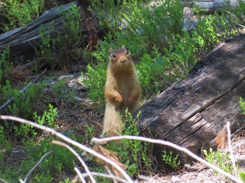
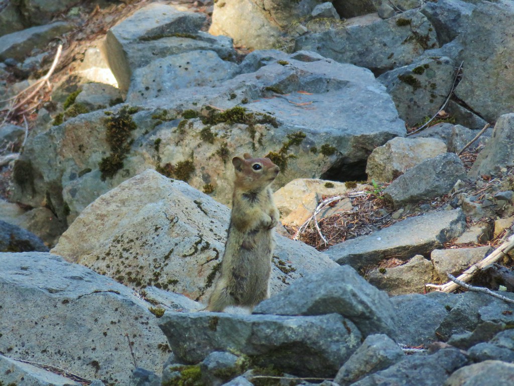
Golden-mantled ground squirrel – Mt. Rainier National Park, 08/04/25.

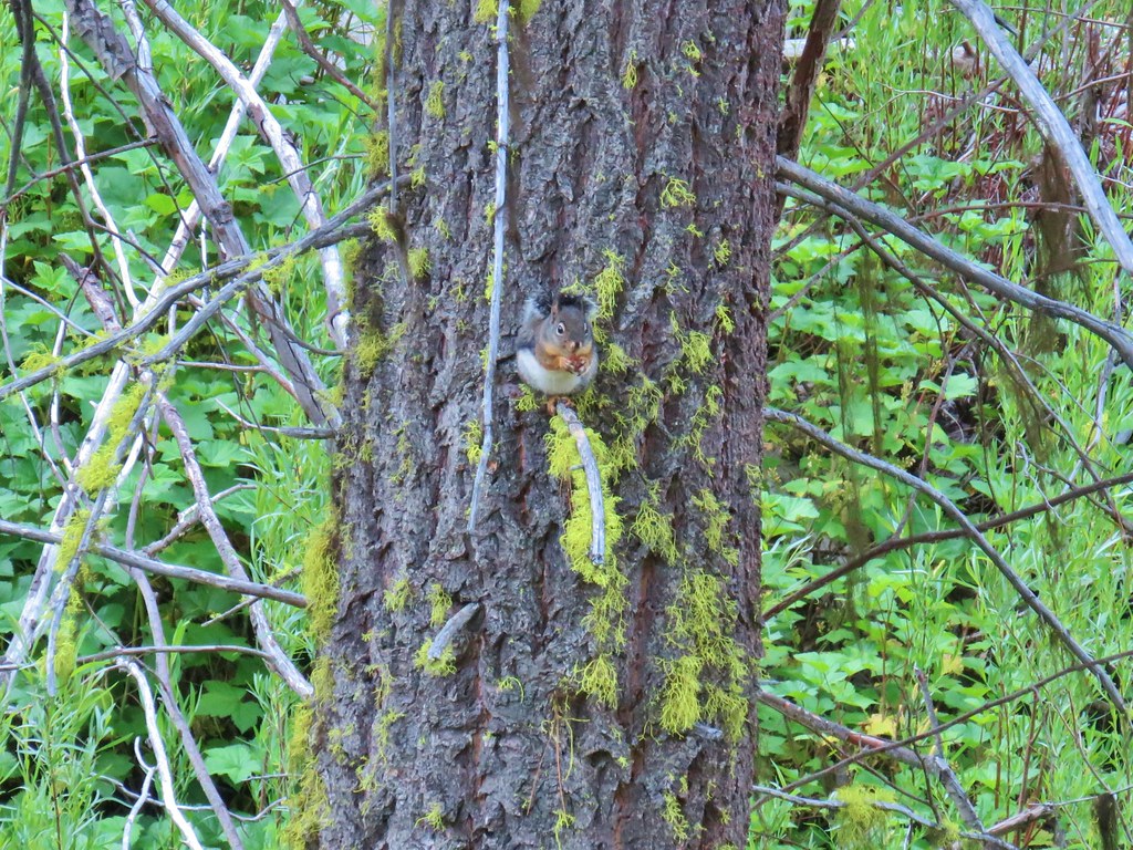
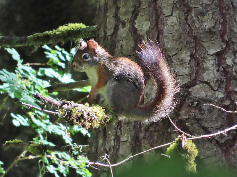
Douglas’ squirrel – Olympic National Park, 05/13/25.

Western gray squirrel – William L. Finely National Wildlife Refuge, 04/30/25.

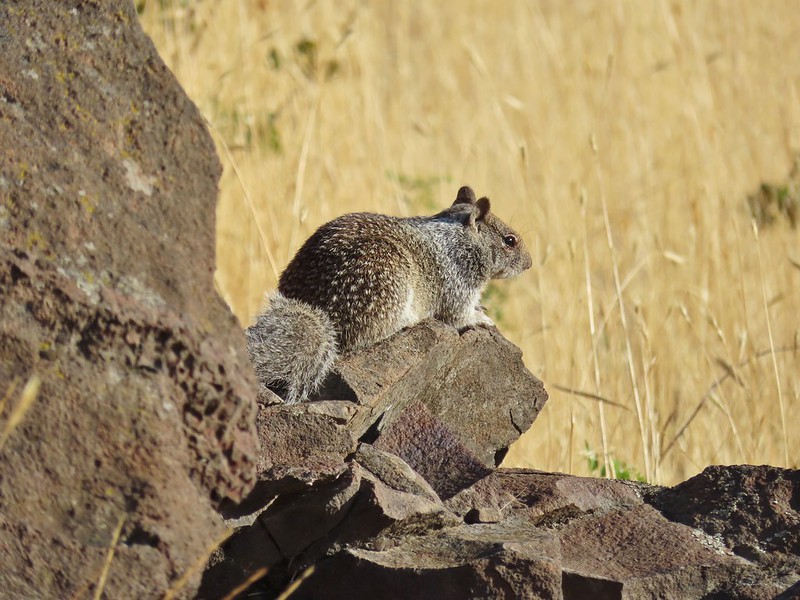
California ground squirrel – E. E. Wilson Wildlife Area, 04/27/25.

Nutria (invasive) – Tualatin River National Wildlife Refuge, 05/01/25.

Yellow-bellied marmot – Three Sisters Wilderness, 07/15/25.

Hoary marmot – Mt. Rainier National Park, 08/05/25.

Pika – Mt. Jefferson Wilderness, 07/14/25.

Rabbit – Ankeny National Wildlife Refuge, 04/28/25.

Racoon – Olympic National Park, 05/14/25.

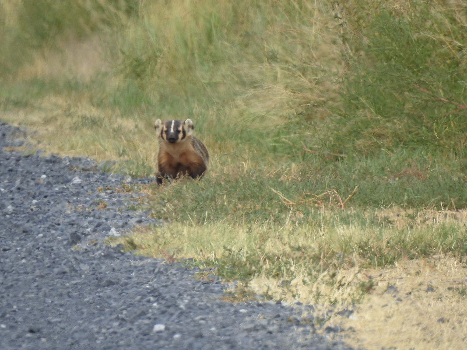
Skunk – Mt. Hood National Forest, 05/26/25.

Coyote – William L. Finley National Wildlife Refuge, 04/30/25.

Black-tailed deer – Mt. Rainier National Park, 08/04/25.

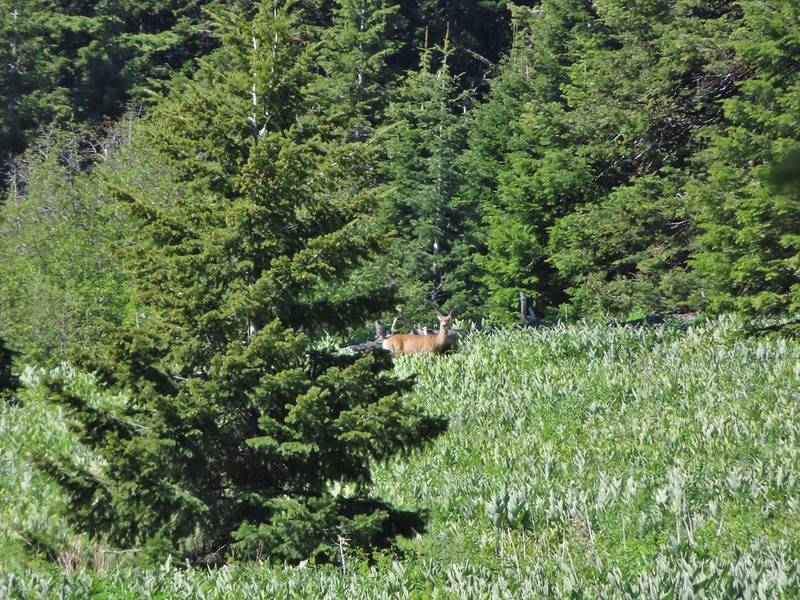
Mule deer – Criterion Tract, 05/25/25.

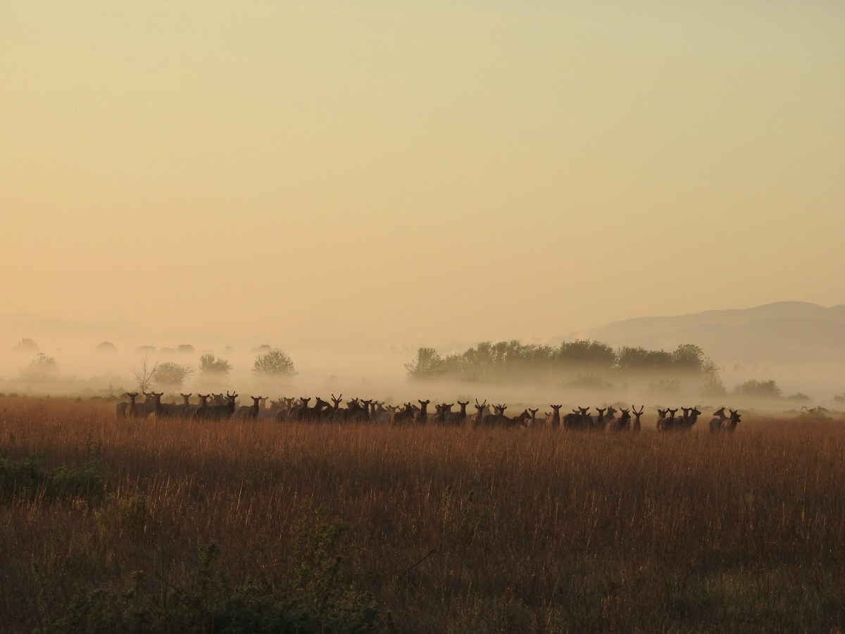
Elk – Elk Run Trail, 10/11/25.

Mountain goats – Mt. Rainier National Park, 08/05/25.
Being fortunate enough to witness animals in their natural habitat is one of the perks of hiking and we hope to see many more this coming year. We’re still on the lookout for several species that are possibilities. Most notable and likely of these are porcupines, giant pacific salamanders, and cougars. Much less likely but possible are wolves, wolverines, and moose among others. Happy Trails!


 East Peak
 Spreading dogbane
 The start of the McCully Creek Trail (to the left).


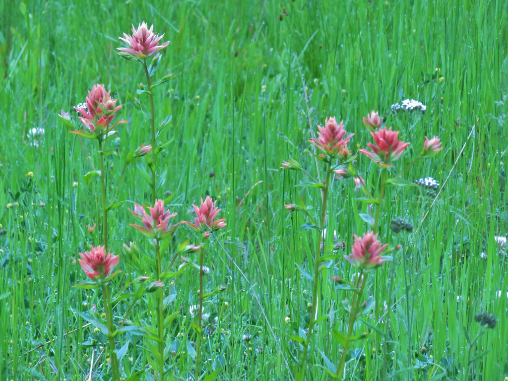
 Paintbrush and pussytoes along with the lupine.
 Pink pyrola
 Monkshood
 Tall bulebells
 Penstemon
 Entering the Eagle Cap Wilderness.
 Yellow columbine
 Arnica and fleabane
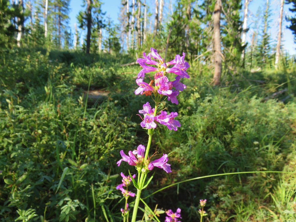
 Coiled lousewort
 The McCully Creek crossing.
 Elephants head at the crossing.
 Paintbrush in the meadow.
 Fleabane (or aster) in the meadow.
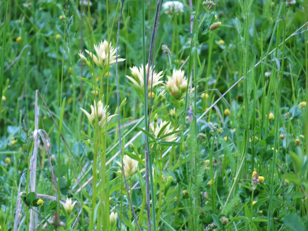
 Wallowa paintbrush
 Cusick’s speedwell

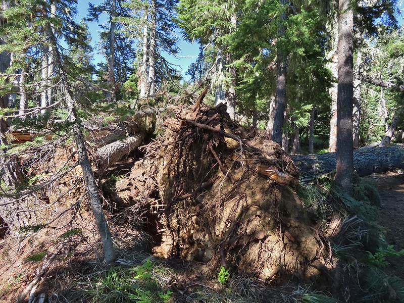
 The first blowdown we encountered.

 Heading cross-country to McCully Creek.
 Where I recrossed the creek.
  Heading down to a flat opening which could serve as a campsite.
 Arriving at the first meadow.
 Aneroid Mountain

 A few flowers in the meadow.
 Bistort
 Shooting stars

 Looking down toward where I left the trail to bushwack to the meadow.
 Jacob’s ladder
 Orange agoseris
 Fritillary
 Crescent
 Bog orchid
 Tortoiseshell
 Red-breasted nuthatch


 The gate on the service road had been opened at some point.
 Swallowtail

 Valerian along the trail.
 Vanilla leaf and anemones carpeting the forest floor.
 Star-flowered false solomonseal.
 Coneflower with lupine behind.
 Penstemon


 Monkeyflower
 Lupine
 Sub-alpine mariposa lily
 Moth on fleabane.
 Waterleaf
 Tiger lily
 Pussytoes
 From left to right the peaks with snow are: The Twins (
 Diamond Peak
 Grasshopper Mountain above the meadow.
 The post in the rocky area.
 When we visited in 2017 it had been mid-July, and the larkspur show was over.
 A cairn marks the Grasshopper Mountain Trail.

 Looking out over the meadow.
 Fuji Mountain and Diamond Peak
 The saddle below Grasshopper Mountain.
 The Three Sisters and Broken Top
 Mt. Bachelor
 The last of the snow, at least it is all we saw.
 Glacier lilies near the tiny snow patch.
 It was evident that the trail does get maintained on occasion, but none of it appeared recent near Grasshopper Mountain.
 Anemone
 Violets
 Bleeding heart
 Oregon bluebells
 The Three Sisters and Broken Top were visible from this area.
 Back on the slightly overgrown trail.
 Mt. Jefferson and Three Fingered Jack
 Bears appear to use the trail more than hikers. This was the largest of three piles we’d pass on the day.
 Arnica
 This is both the trail and a front (back) door.
 Valerian and tall bluebells
 Fairy bells
 Meadowrue
 Moth on valerian.
 Jacob’s-ladder
 While the trail was overgrown in places it was passable and the tread was in pretty good shape.
 Fringecup
 Possibly a speedwell but unsure and it was the only one we saw.
 More blowdown to maneuver around.
 Edith’s checkerspot
 Trail passing through an area full of monkeyflower and larkspur.
 Cinquefoil, larkspur, and buckwheat
 Scarlet gilia
 Paintbrush
 Bluehead gilia and silverleaf phacelia
 The rocky area from the trail as it crossed the ridge.
 Columbine crowding the trail.
 The wildflower covered rocks on the way back.
 Arrowleaf buckwheat and Oregon sunshine
 The Three Sisters and Broken Top with some clouds moving in.

 Paintbrush surrounded by buckwheat, bluehead gilia, and stonecrop.
 Scarlet gilia
 Wallflower
 Wild rose
 Beargrass near the outcrop.
 The outcrop from the trail.
 Blowdown
 More blowdown
 Western meadow fritillary
 Bunchberry
 Recent trail maintenance! There were a couple of cut trees in the final mile, but there were also still many to step over.
 The trail dropped low enough that there were several rhododendron blooming.
 Queen’s cup.
 South Sister (

 Had I not just come down the trail I might not have even noticed it was there.
 Cardwell’s penstemon
 Starflower
 Ginger
 Mt. Bachelor through the trees.
 Musk monkeyflower
 Grasshopper Mountain from the outcrop.
 Cliff beardtongue
 Blue-eyed Mary
 Cicada, not a pollinator but interesting to see.
 Solomonseal
 Variable-leaf collomia
 Honeysuckle
 Oregon grape
 Pollinator 1
 Pollinator 2
 Pollinator 3 (Clodius parnassian)
 Bees on bastard toadflax
 Checkerspot on groundsel
 Naked broomrape (Aphyllon purpureum)
 Penstemon
 Our guess is this is mile three from Grasshopper Saddle. We didn’t notice any other numbers and missed this one on our first pass.
 Dwarf bramble
 Strawberry
 Cinquefoil
 It started clouding up in the afternoon.
 Back at the saddle below Grasshopper Mountain.
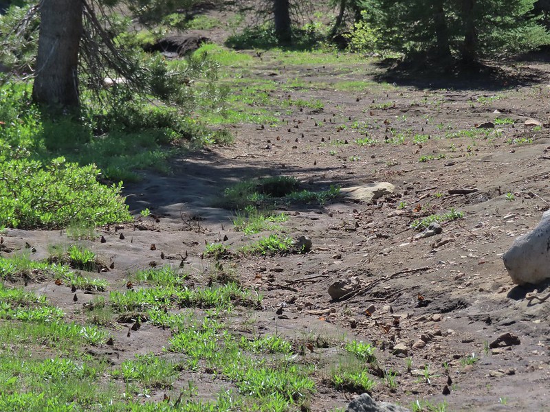
 Great artic butterfly. There were a lot of these flying about. Their dorsum is a bright orange, but they rarely would open their wings when they landed.
 The checkerspots on the other hand are happy to open their wings.
 False hellebore
 It clouded up over Diamond Peak as well.
 Lewis flax
 Orange agoseris
 A Lycaendae on a lupine leaf.
 Moth on a mariposa lily.
 Butterflies gathering at the spring.
 The Prius at the TH. We parked on the shoulder in a pullout.

 Harvester ants – 5/29/23, Riley Ranch Preserve, Bend
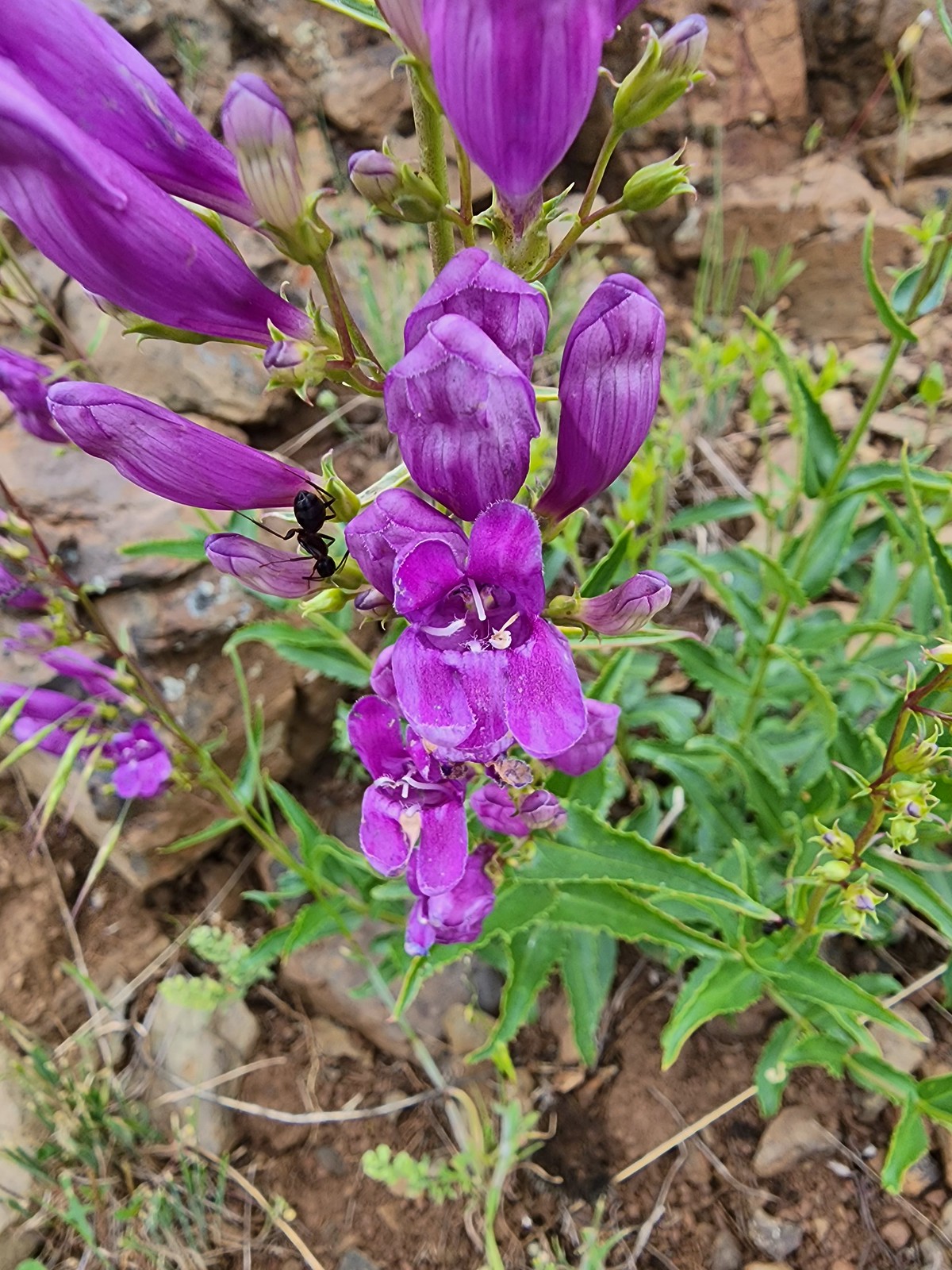 Ant on penstemon – 6/15/23, Hells Canyon National Recreation Area, Wallowa-Whitman National Forest
 Crab spider on a California harebell – 6/25/23, North Umpqua Trail, BLM Roseburg District
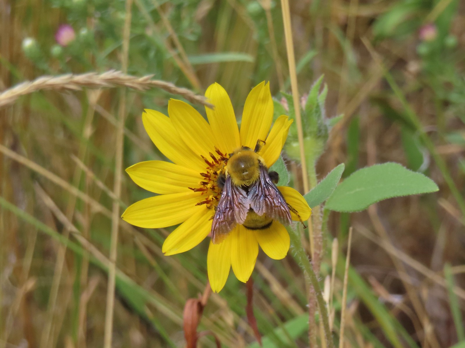 Bee – 9/3/23, Threemile Canyon, BLM Burns District
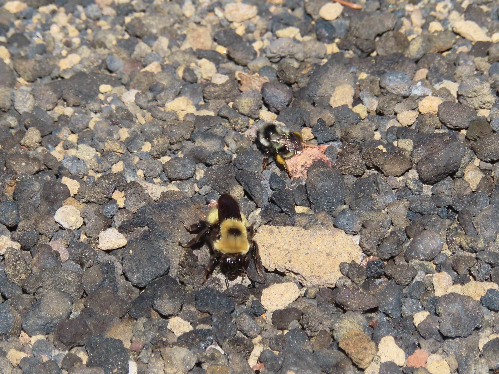 Bees – 7/8/23, Sand Mountain, Willamette National Forest
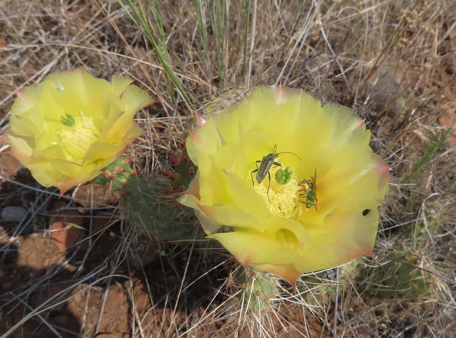 Sweat bee? and a beetle on a prickly pear cactus – 6/15/23, Hells Canyon National Recreation Area, Wallowa-Whitman National Forest
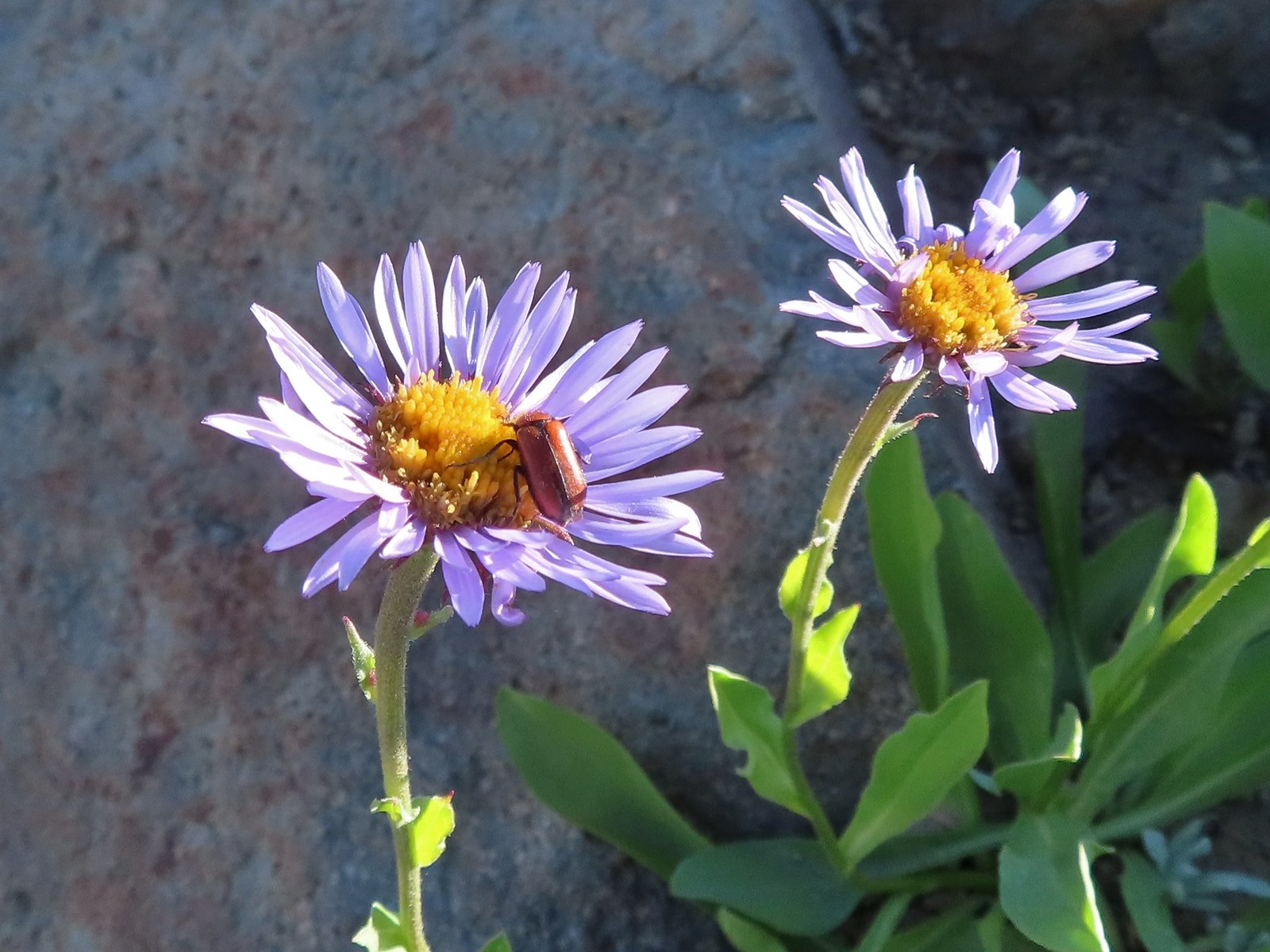 Beetle – 7/31/23, Garfield Peak Trail, Crater Lake National Park
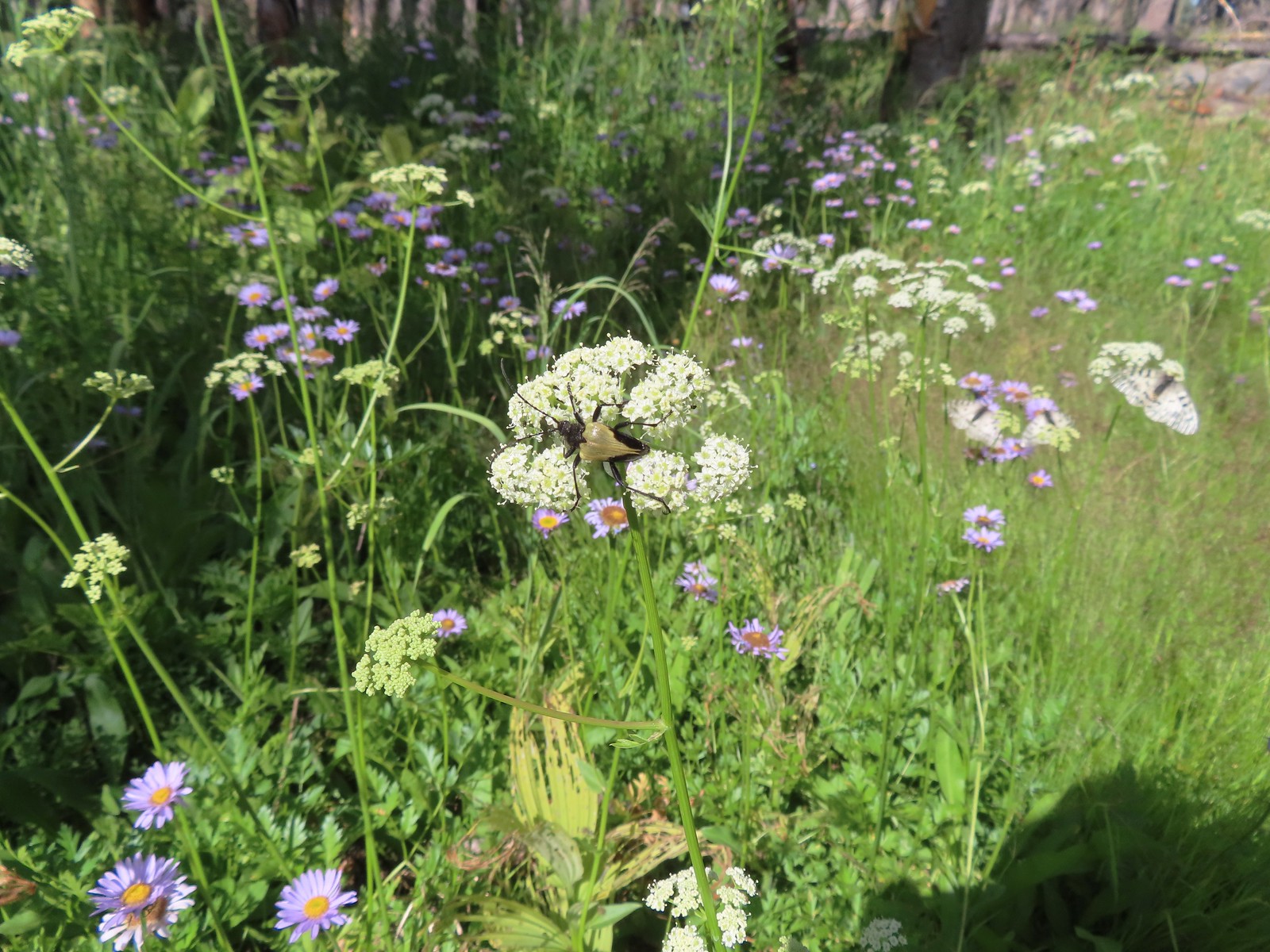 Beetle – 7/29/23, Stuart Falls Trail, Crater Lake National Park
 Beetle on a white mariposa lily – 8/14/23, Main Eagle Creek Trail, Eagle Cap Wilderness
 Beetle and another bug on spirea – 7/4/23, Rocky Top Trail, Santiam State Forest
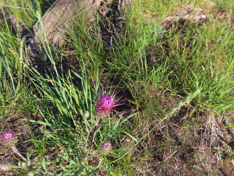
 Beetles on thistle – 6/15/23, Hells Canyon National Recreation Area, Wallowa-Whitman National Forest
 Ladybug on a daisy – 7/4/23, Natural Arch Trail, Santiam State Forest
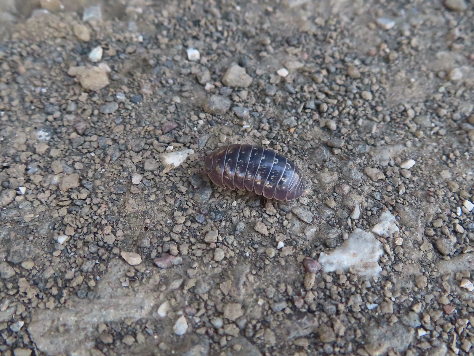 Common pill-bug – 6/25/23, North Bank Habitat, BLM Roseburg District
 Beetle – 5/28/23, Criterion Tract, BLM Prineville District
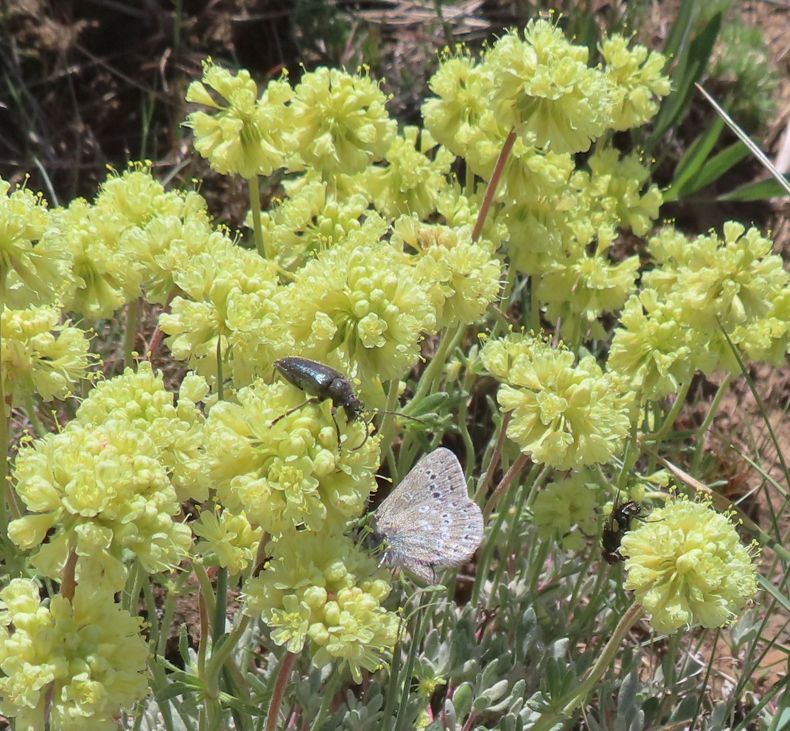 Beetle and a butterfly on buckwheat – 5/28/23, Criterion Tract, BLM Prineville District
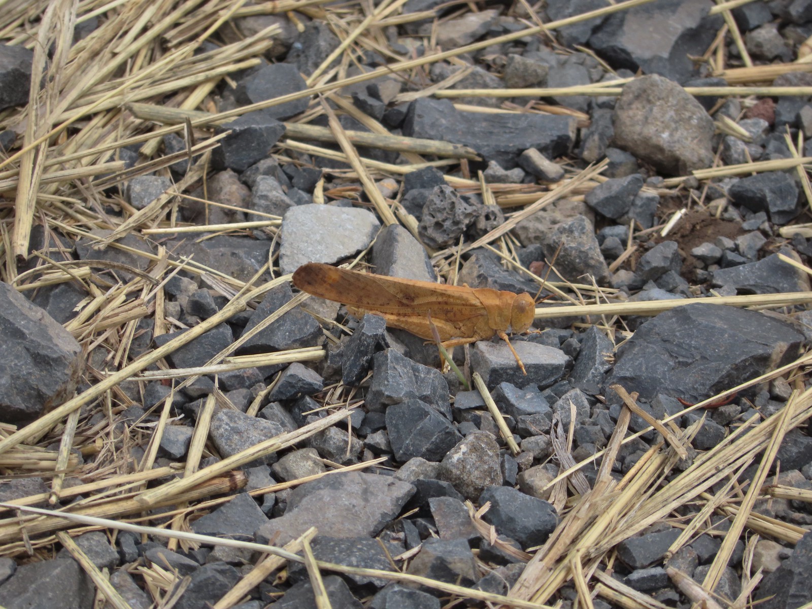 Grasshopper – 9/3/23, P Ranch, Malheur National Wildlife Refuge
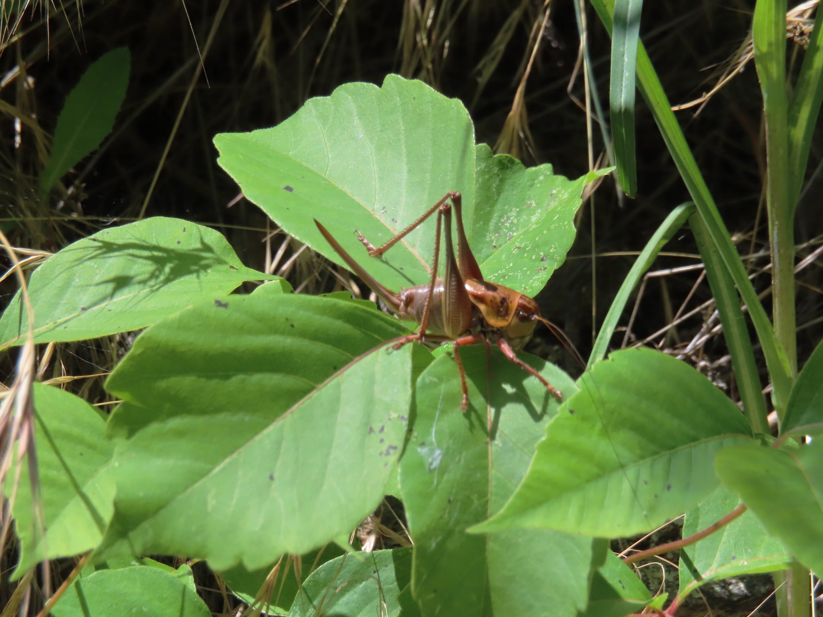 Cricket – 6/14/23, Imnaha Trail, Hells Canyon National Recreation Area
 Caterpillar – 5/28/23, Criterion Tract, BLM Prineville District
 Caterpillar – 7/1/23, Hummocks Trail, Mt. St. Helens National Volcanic Monument, WA
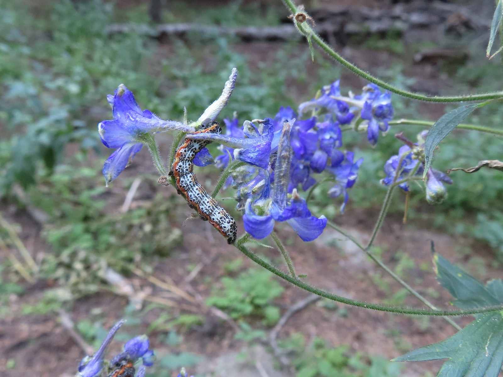 Caterpillar – 8/16/23, West Eagle Trail, Eagle Cap Wilderness
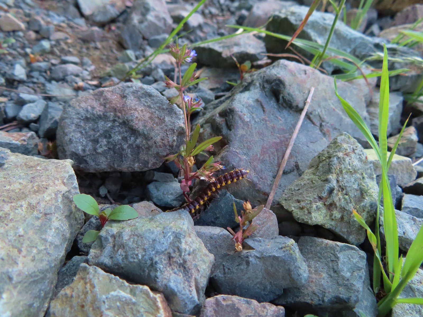 Millipede – 6/12/23, Imnaha River Trail, Eagle Cap Wilderness
 Millipedes – 6/12/23, Imnaha River Trail, Eagle Cap Wilderness
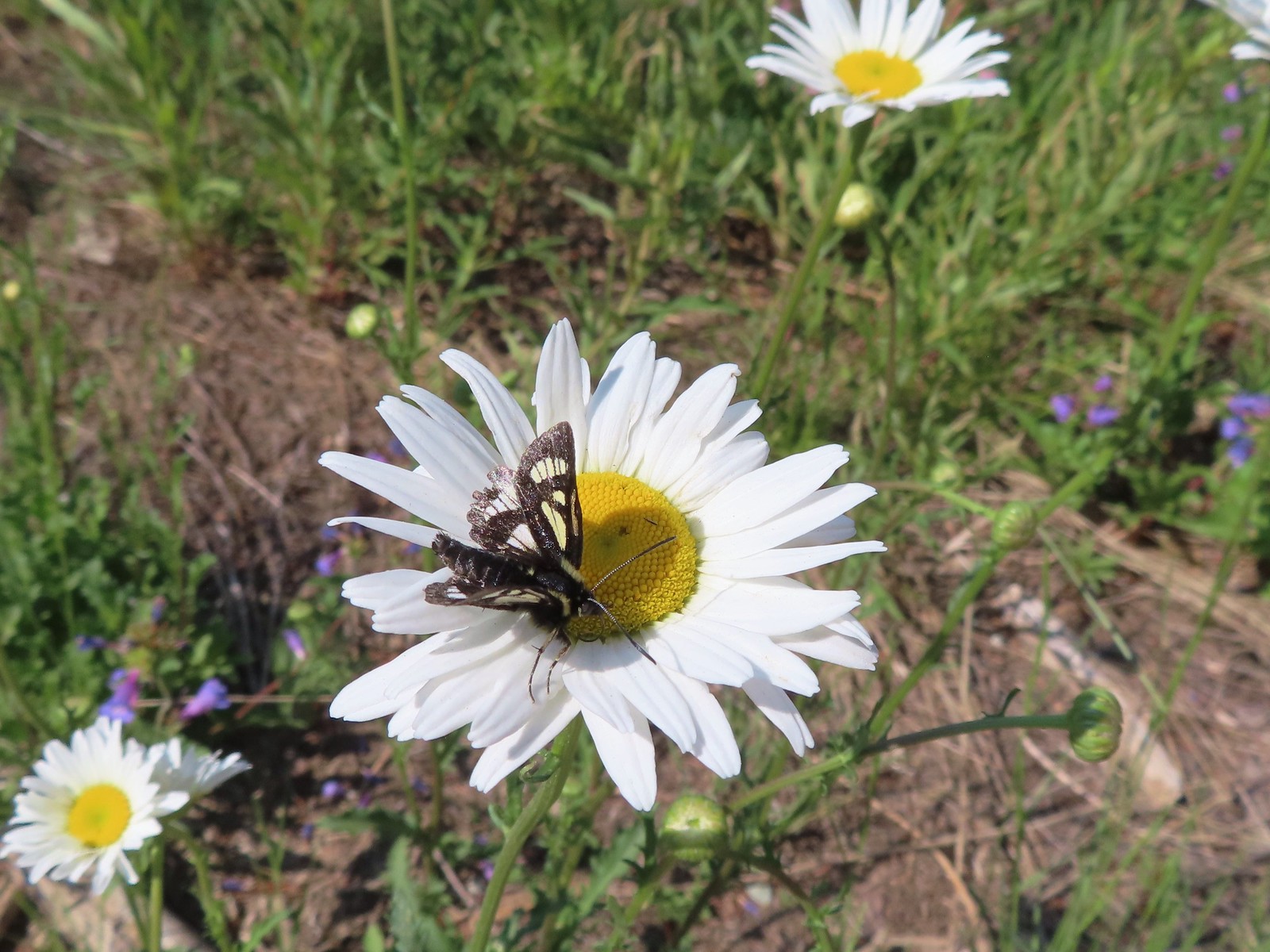 Eight-spotted Forester-Alypia octomaculata – 7/4/23, Niagra Heights Road, Santiam State Forest
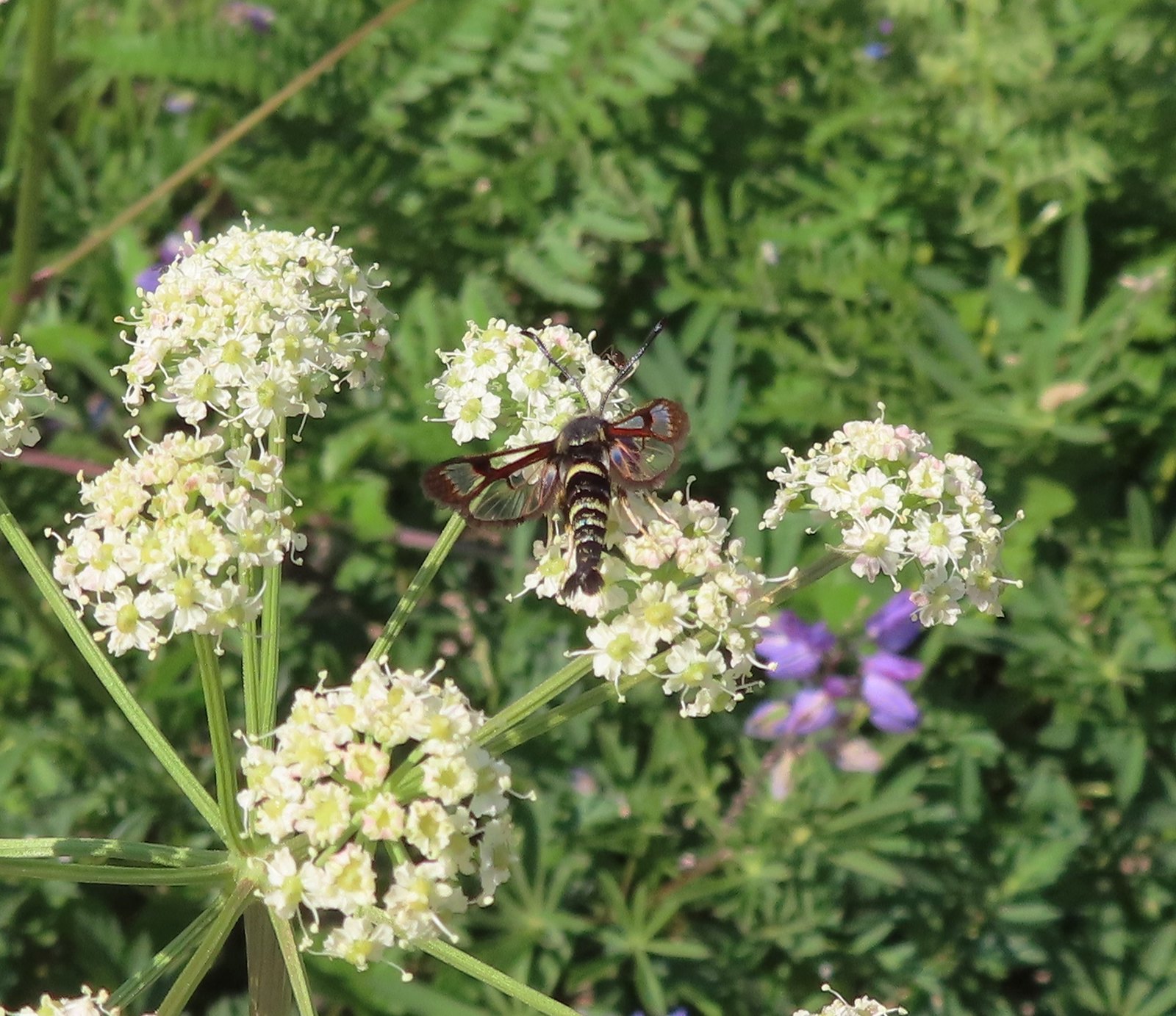 Fireweed Clearwing Moth (Albuna pyramidalis) – 7/4/23, Niagra Heights Road, Santiam State Forest
 Moth – 7/4/23, Niagra Heights Road, Santiam State Forest
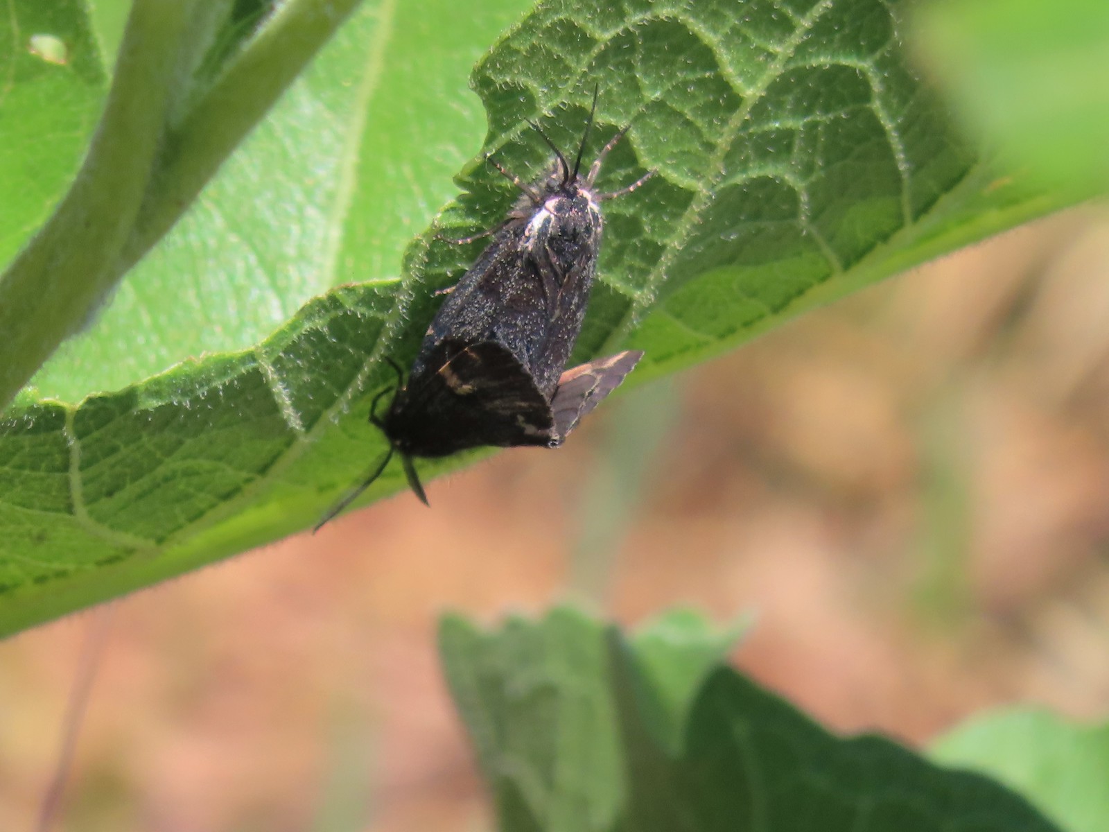 Moths – 6/3/23, Buck Creek Trail, Husum, WA
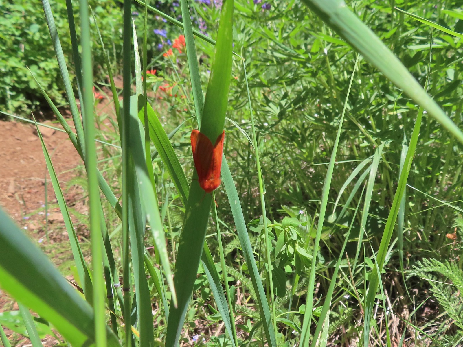 Moth – 6/3/23, Buck Creek Trail, Husum, WA
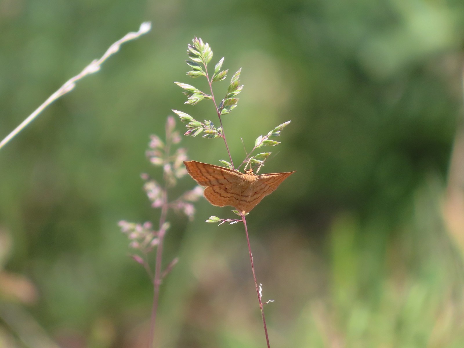 Moth – 6/3/23, Buck Creek Trail, Husum, WA
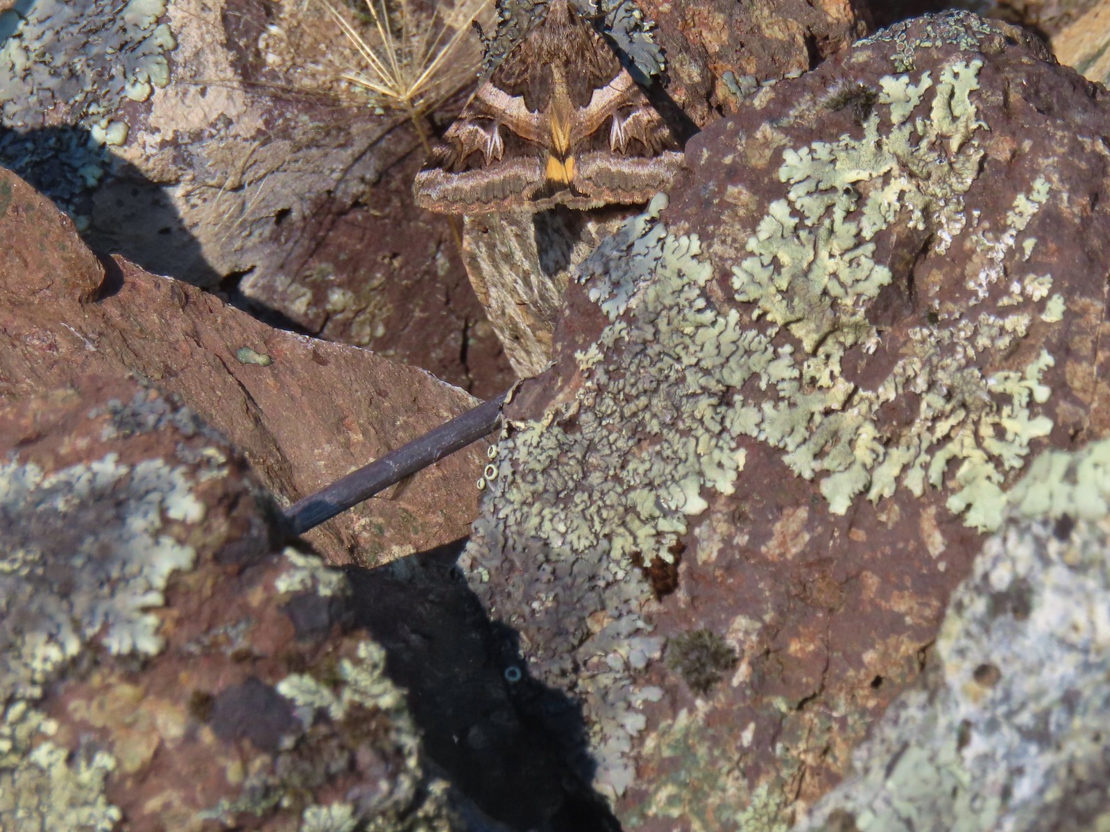 Moth – 6/16/23, Trail 1890, Hells Canyon National Recreation Area
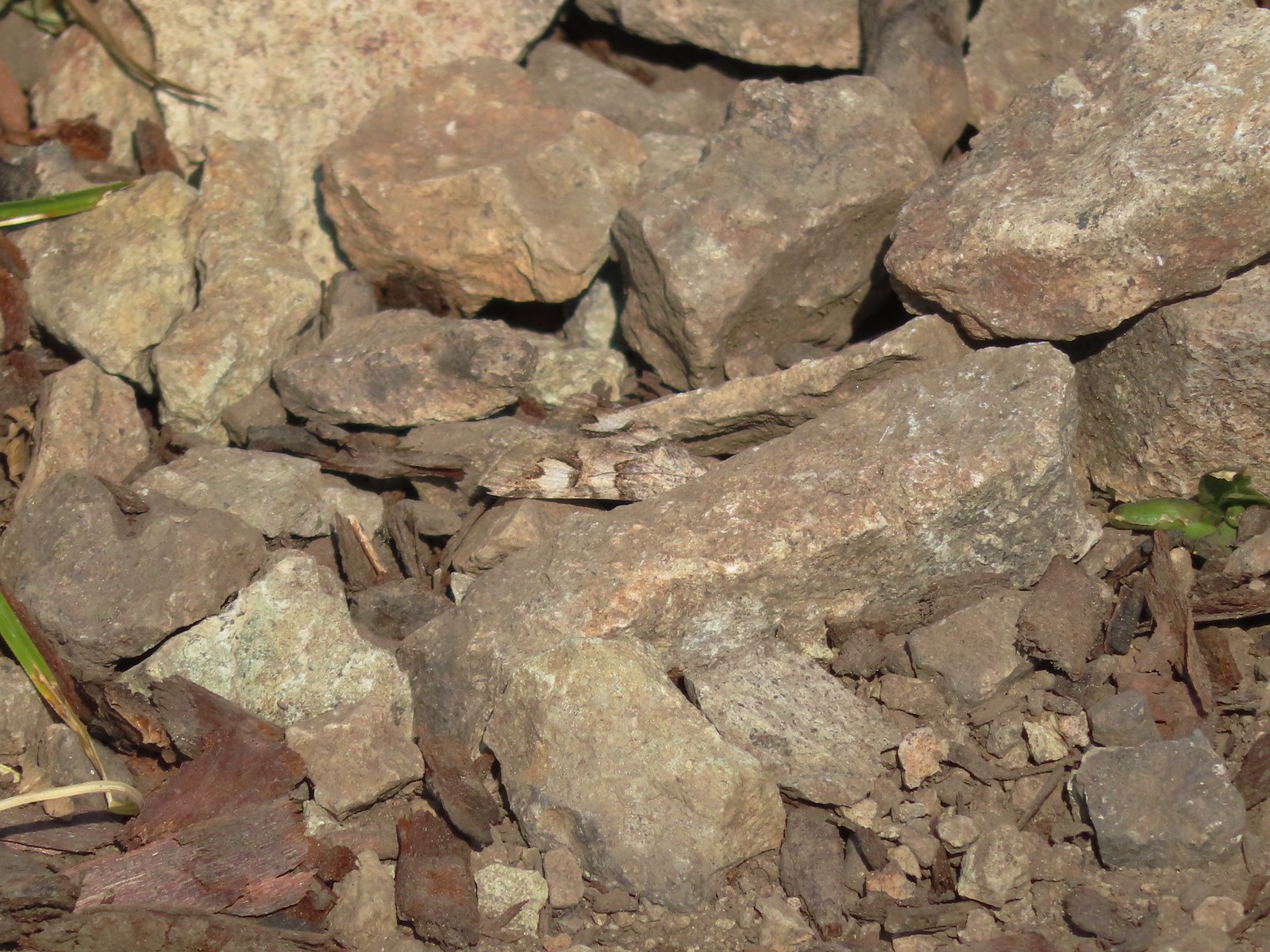 Moth – 7/4/23, Rocky Top Trail, North Santiam State Park
 Moth – 6/25/23, North Umpqua Trail, BLM Roseburg District
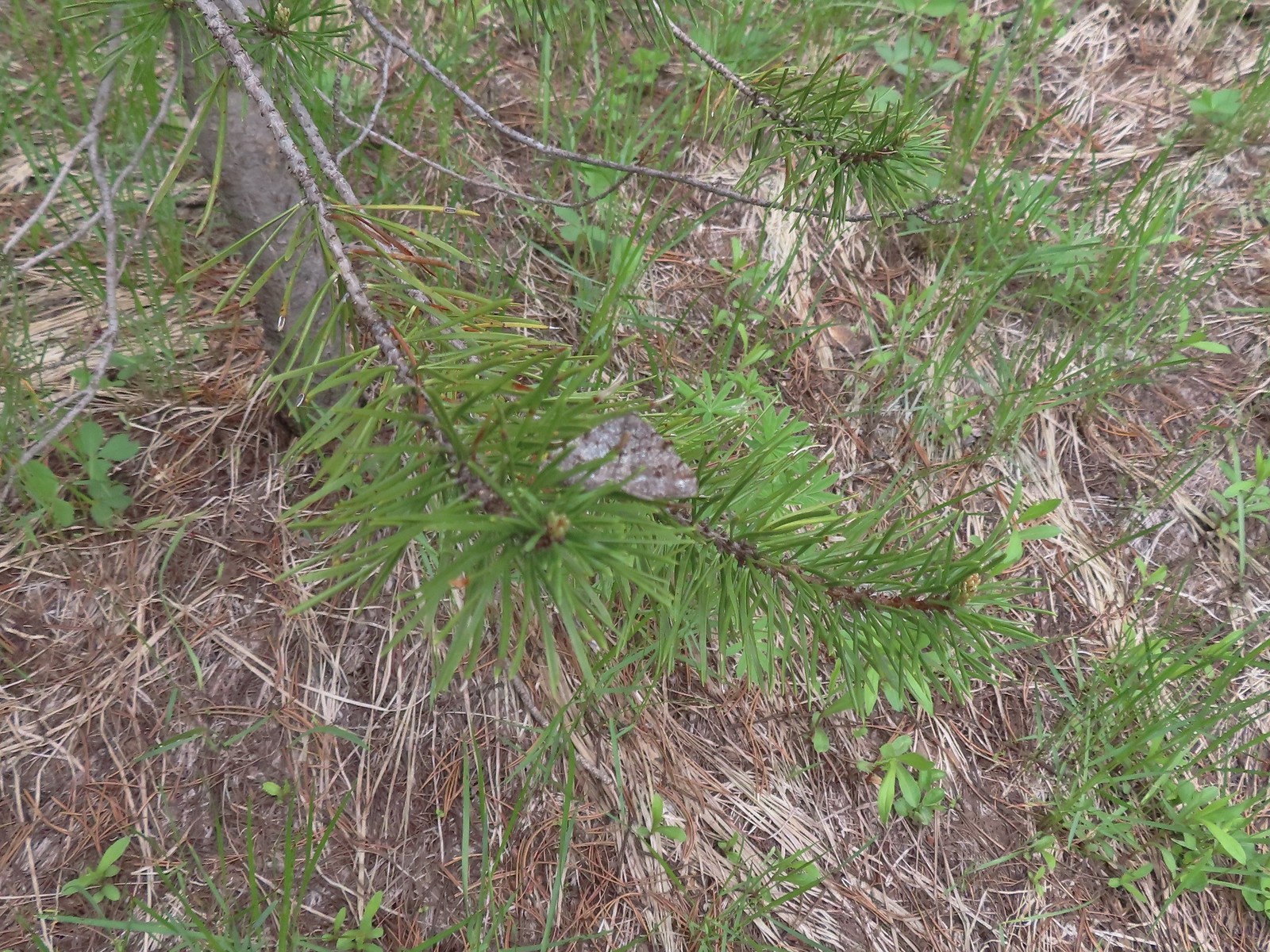 Moth – 6/12/23, Imnaha River Trail, Eagle Cap Wilderness
 Moth – 6/24/23, Rogue River National Recreation Trail, Wild Rogue Wilderness
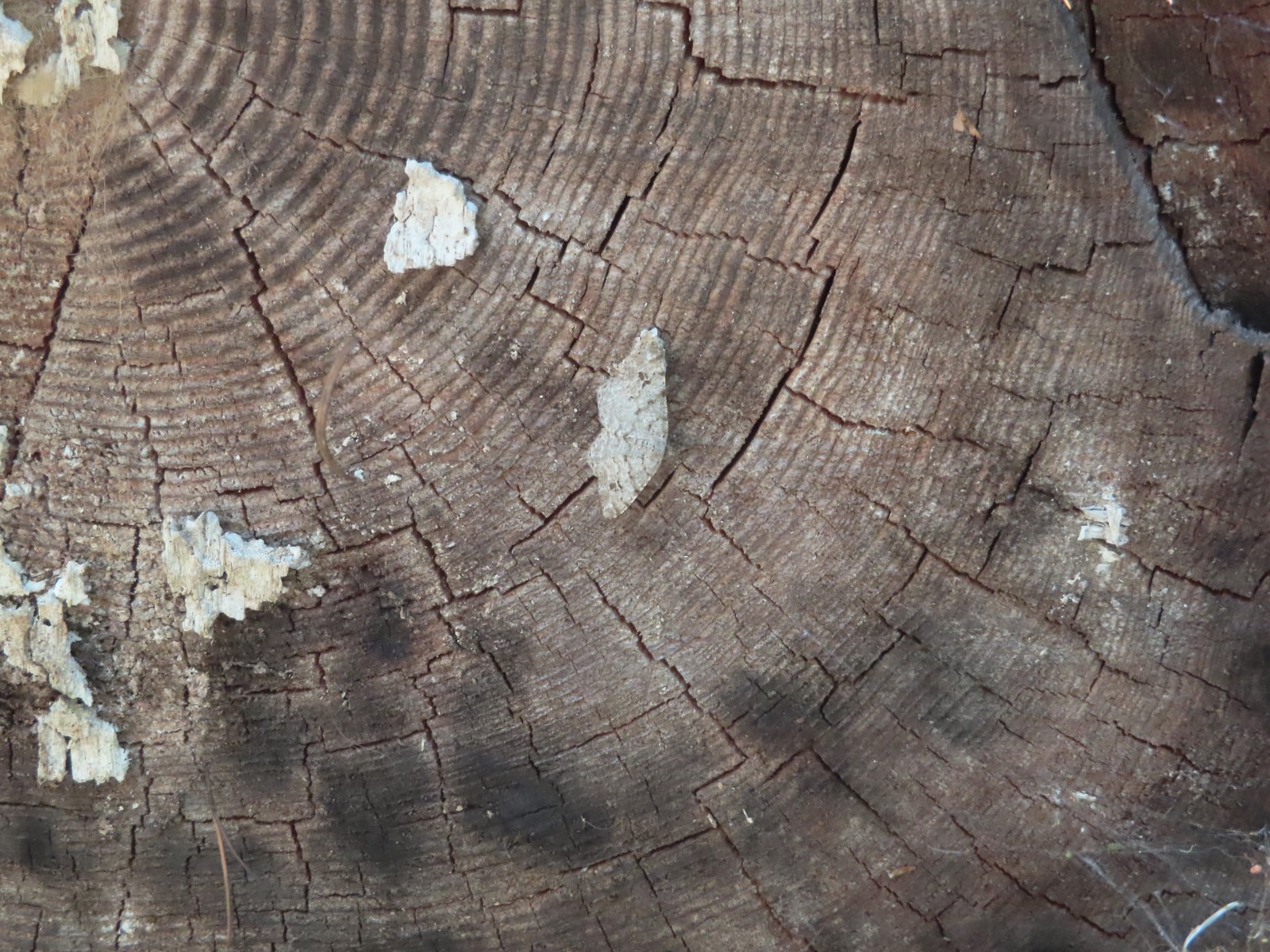 Moth – 7/8/23, Santiam Wagon Road, Willamette National Forest
 Sphinx moth – 8/17/23, West Eagle Trail, Eagle Cap Wilderness
 Fly and butterfly – 5/28/23, Criterion Tract, BLM Prineville District
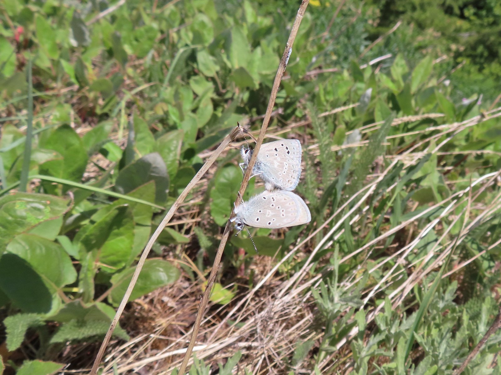 Boisduval’s blues? – 6/3/23, Buck Creek Trail, Husum, WA
 Acmon blue? – 5/28/23, Criterion Tract, BLM Prineville District
 Eastern tailed blue? – 5/13/23, Graham Oaks Nature Park, Wilsonville
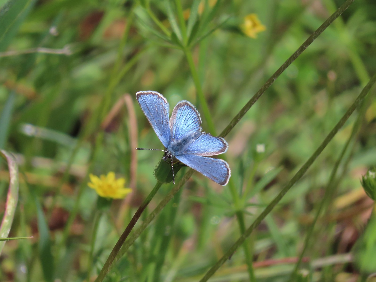 Butterfly in the Lycaenidae family – 5/2/23, Sterling Mind Ditch Trail System, BLM Medford District
 Butterfly in the Lycaenidae family – 5/28/23, Criterion Tract, BLM Prineville District
 Butterfly in the Lycaenidae family – 6/15/23, Hells Canyon National Recreation Area, Wallowa-Whitman National Forest
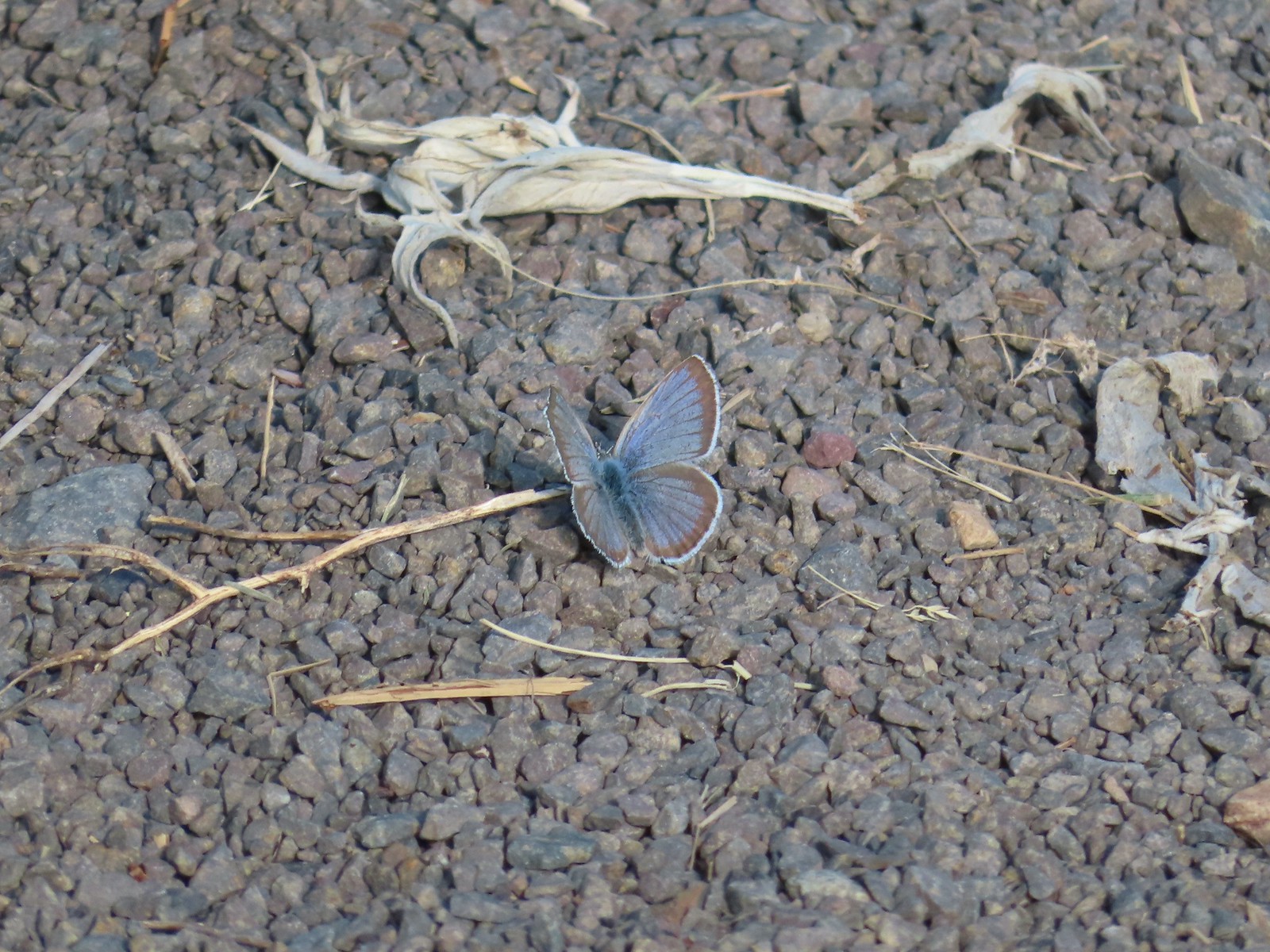 Butterfly in the Lycaenidae family – 6/13/23, Iwetemlaykin State Heritage Site, Joseph
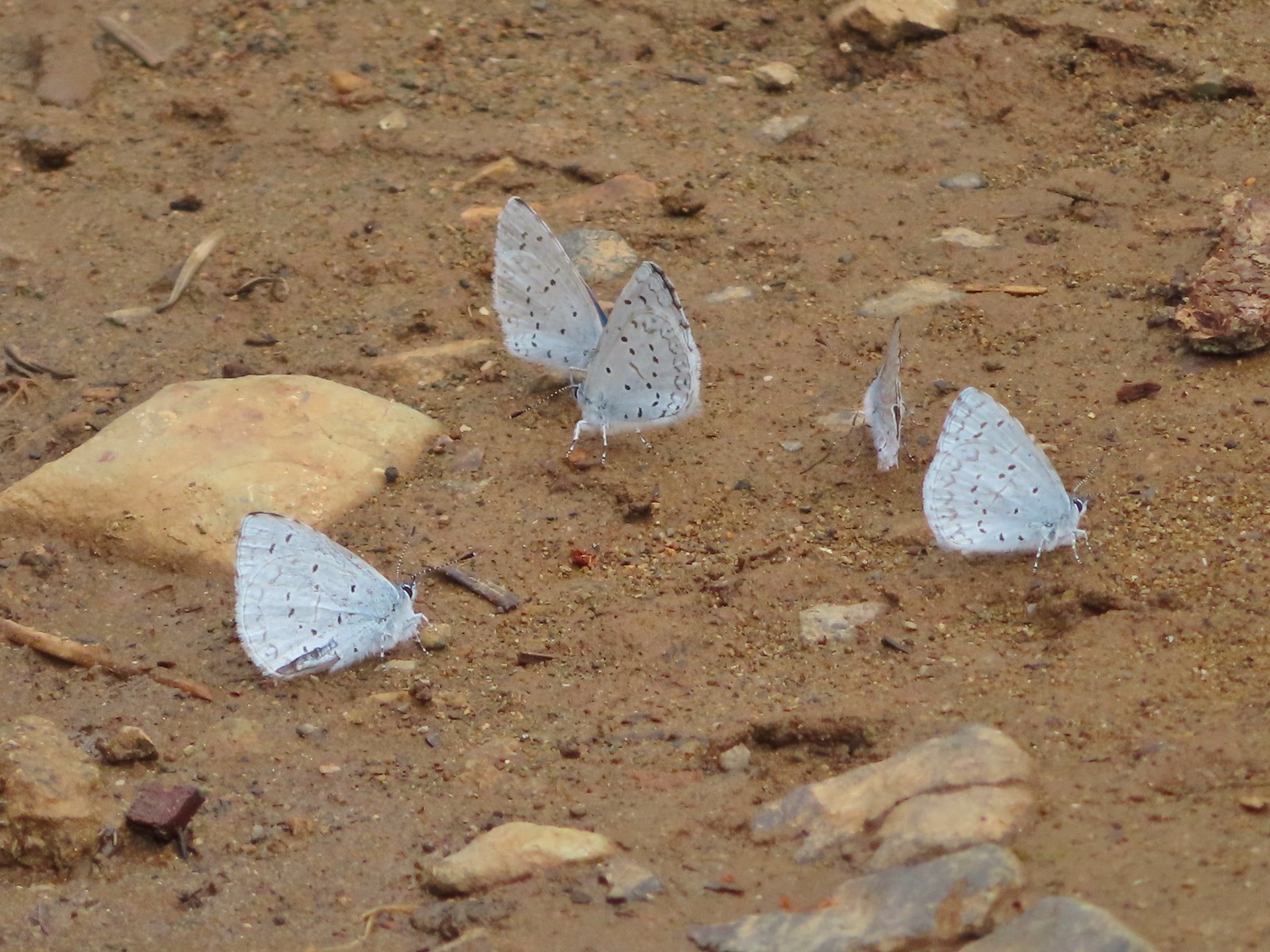 Echo azures? – 5/4/23, Forest Road 011, Rogue-River Siskiyou National Forest
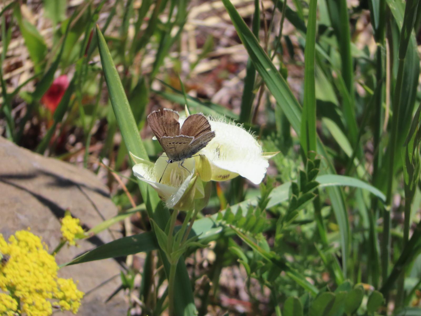 Butterfly in the Lycaenidae family – 6/3/23, Buck Creek Trail, Husum, WA
 Butterflies in the Lycaenidae family – 7/4/23, Niagra Heights Road, Santiam State Forest
 Gray hairstreak – 6/11/23, Lewis & Clark Trail, Hermiston
 Thicket hairstreak? – 7/8/23, Sand Mountain, Willamette National Forest
 A hairstreak – 6/3/23, Buck Creek Trail, Husum, WA
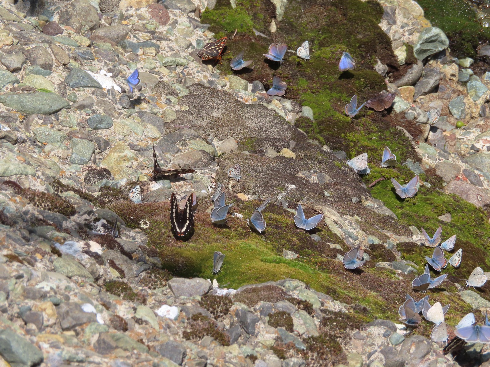 Various butterflies – 6/16/23, Deep Creek Stairway Trail, Payette National Forest, ID
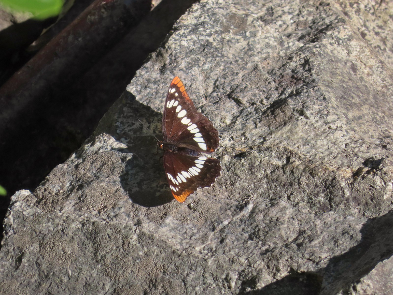 Lorquin’s admiral – 6/14/23, Imnaha Trail, Hells Canyon National Recreation Area
 Red admiral – 7/23/23, Metolius River Trail, Deschutes National Forest
 California sister – 10/8/23, Forest Road 041, Rogue River-Siskiyou National Forest
 Painted lady – 6/12/23, Imnaha River Trail, Eagle Cap Wilderness
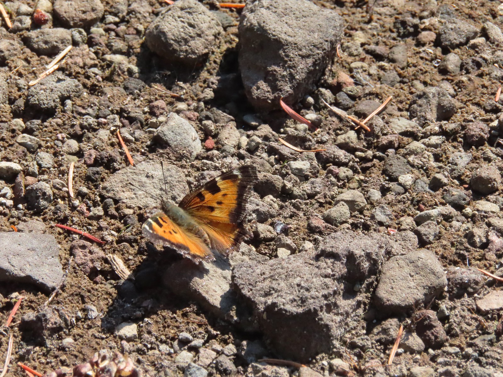 California tortoiseshell – 9/16/23, Fish Lake Trail, Mt. Hood National Forest
 Milbert’s tortoiseshell – 8/14/23, Main Eagle Creek Trail, Eagle Cap Wilderness
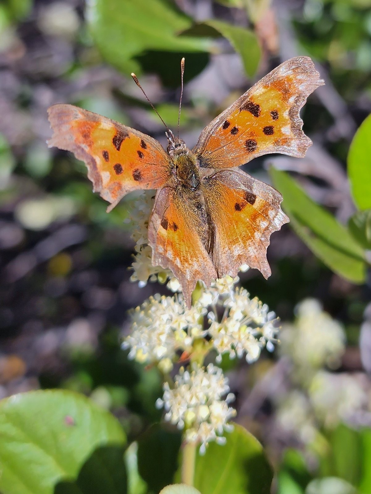 Hoary comma – 7/8/23, Sand Mountain, Willamette National Forest
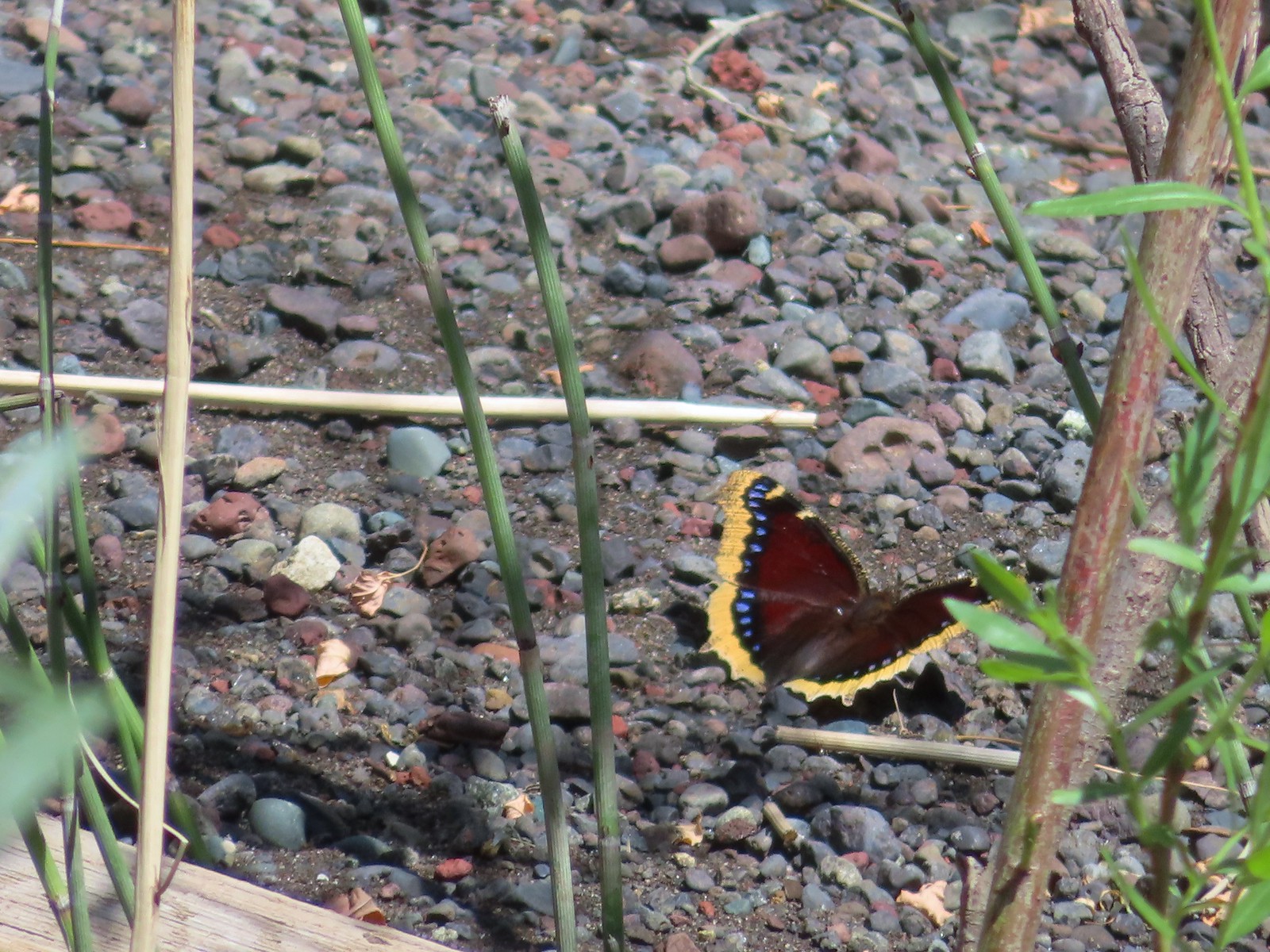 Mourning cloak – 6/14/23, Imnaha Trail, Hells Canyon National Recreation Area
 Common wood nymph – 6/15/23, Hells Canyon National Recreation Area, Wallowa-Whitman National Forest
 Ochre ringlet – 5/28/23, Criterion Tract, BLM Prineville District
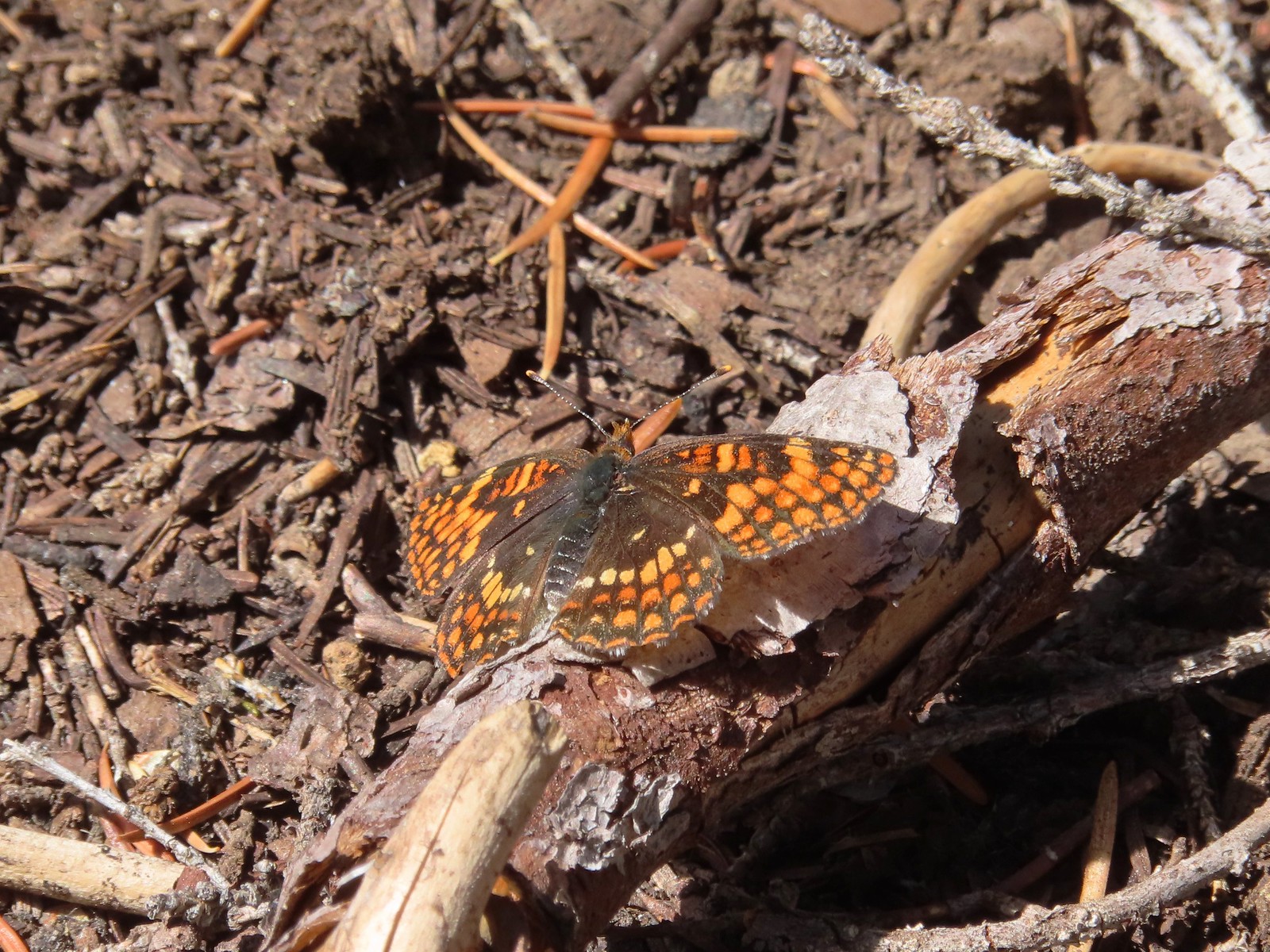 Checkerspot – 7/29/23, Stuart Falls Trail, Crater Lake National Park
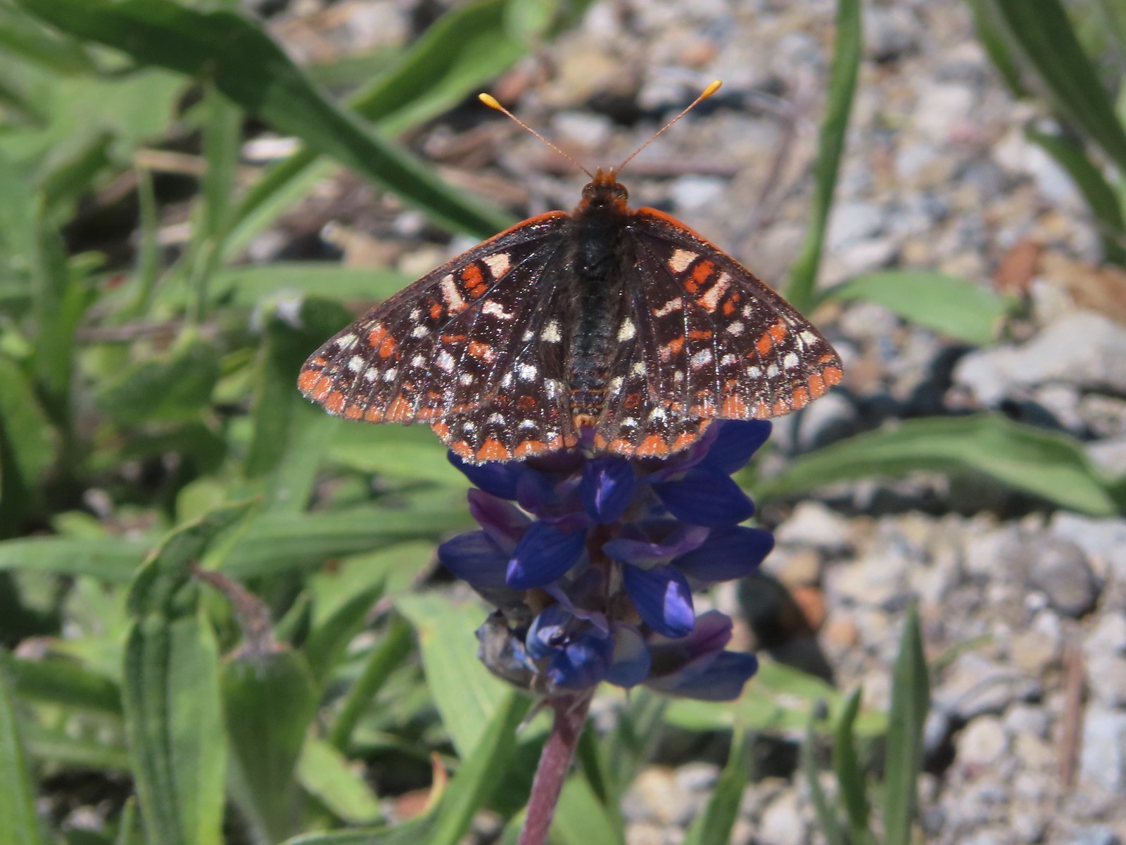 Checkerspot – 7/1/23, Boundary Trail, Mt. St. Helens National Volcanic Monument, WA
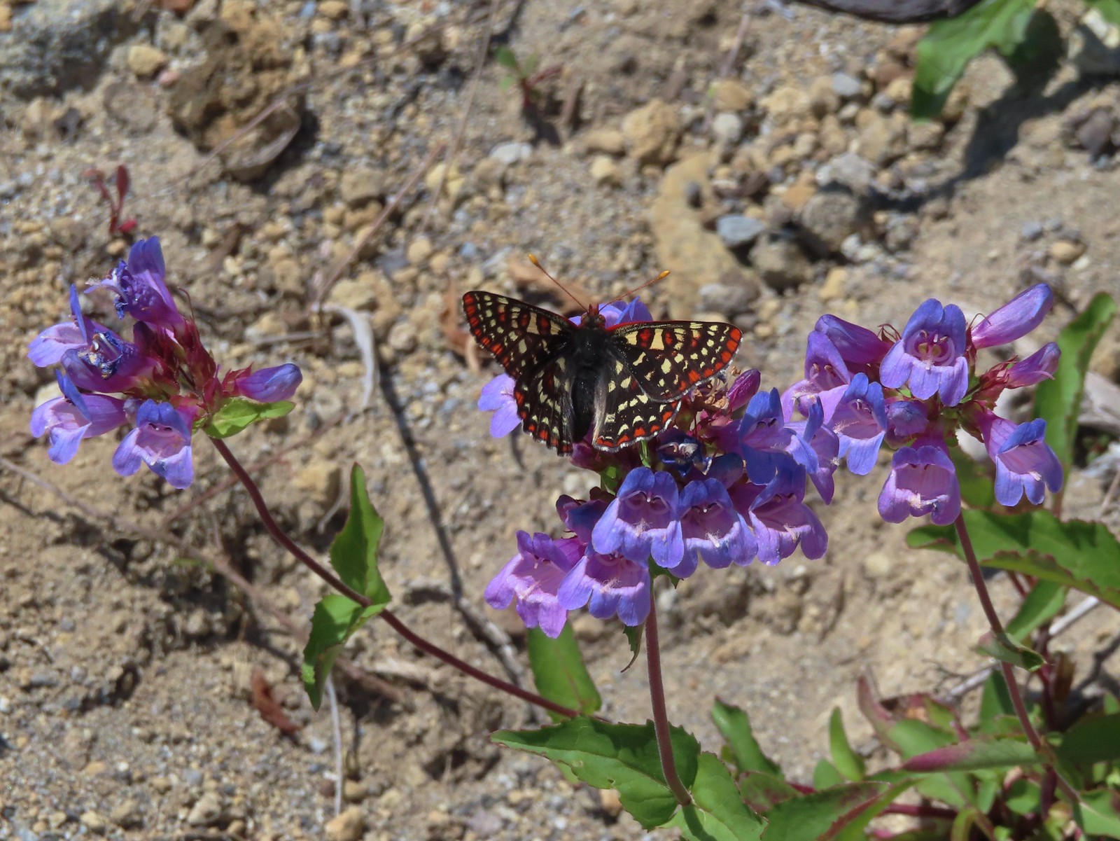 Snowberry checkerspot – 7/1/23, Boundary Trail, Mt. St. Helens National Volcanic Monument, WA
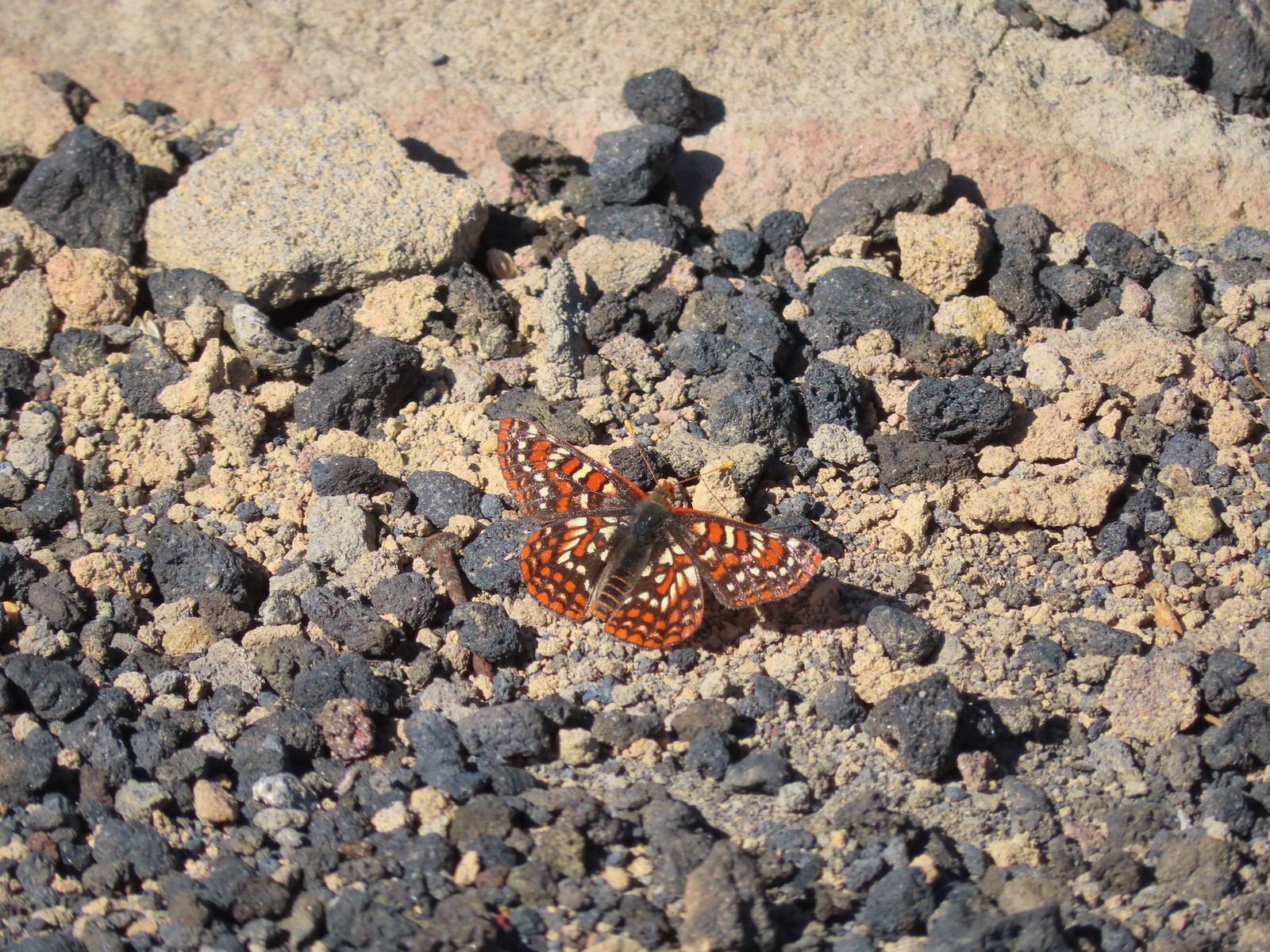 Edith’s checkerspot – 7/8/23, Sand Mountain, Willamette National Forest
 Mylitta crescent – 6/15/23, Hells Canyon National Recreation Area, Wallowa-Whitman National Forest
 A crescent? – 5/13/23, Graham Oaks Nature Park, Wilsonville
 Fritillary butterflies – 5/28/23, Criterion Tract, BLM Prineville District
 A fritillary – 7/4/23, Rocky Top Trail, Santiam State Forest
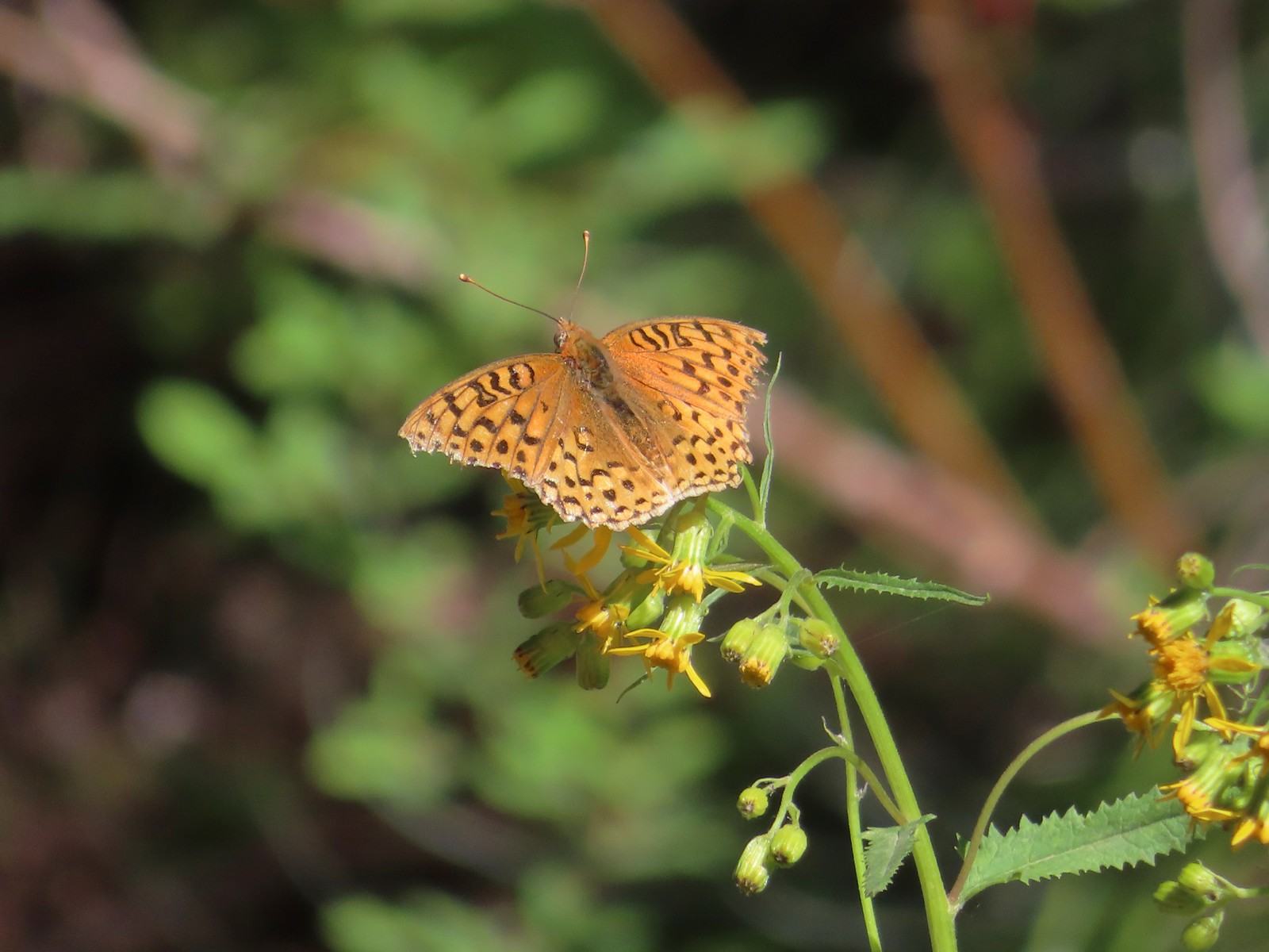 A fritillary – 7/15/23, Forest Road 4610, Mt. Hood National Forest
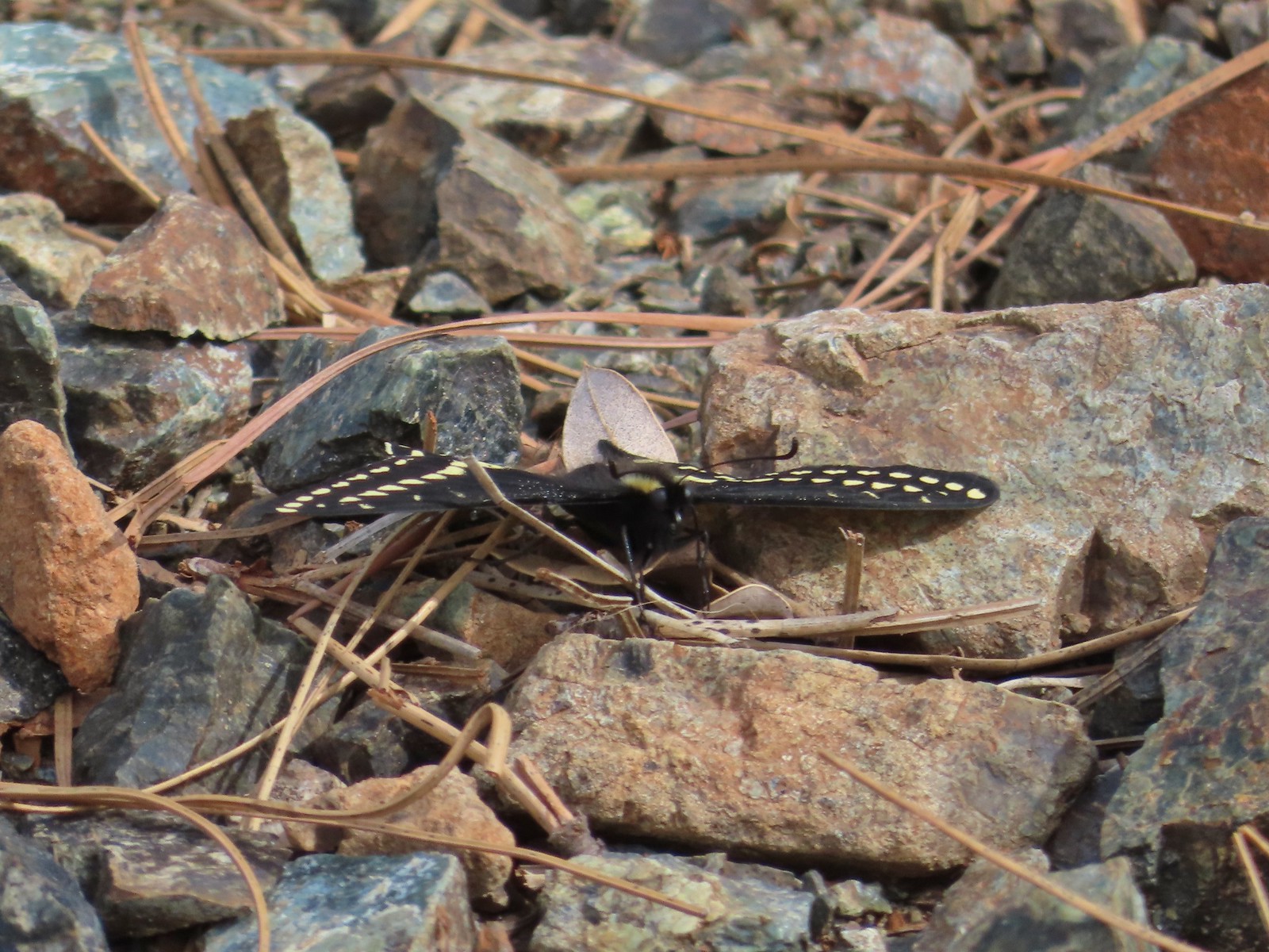 Indra swallowtail – 5/4/23, Kerby Flat Trail, Rogue River-Siskiyou National Forest
 Oregon swallowtail? with ladybug – 5/28/23, Criterion Tract, BLM Prineville District
 Swallowtail – 6/3/23, Conboy Lake National Wildlife Refuge, Trout Lake, WA
 Western swallowtails – 6/12/23, Imnaha River Trail, Eagle Cap Wilderness
 Swallowtail – 6/12/23, Imnaha River Trail, Eagle Cap Wilderness
 A sulphur – 9/9/23, Alta Lake Trail, Sky Lakes Wilderness
 Large marble – 5/28/23, Criterion Tract, BLM Prineville District
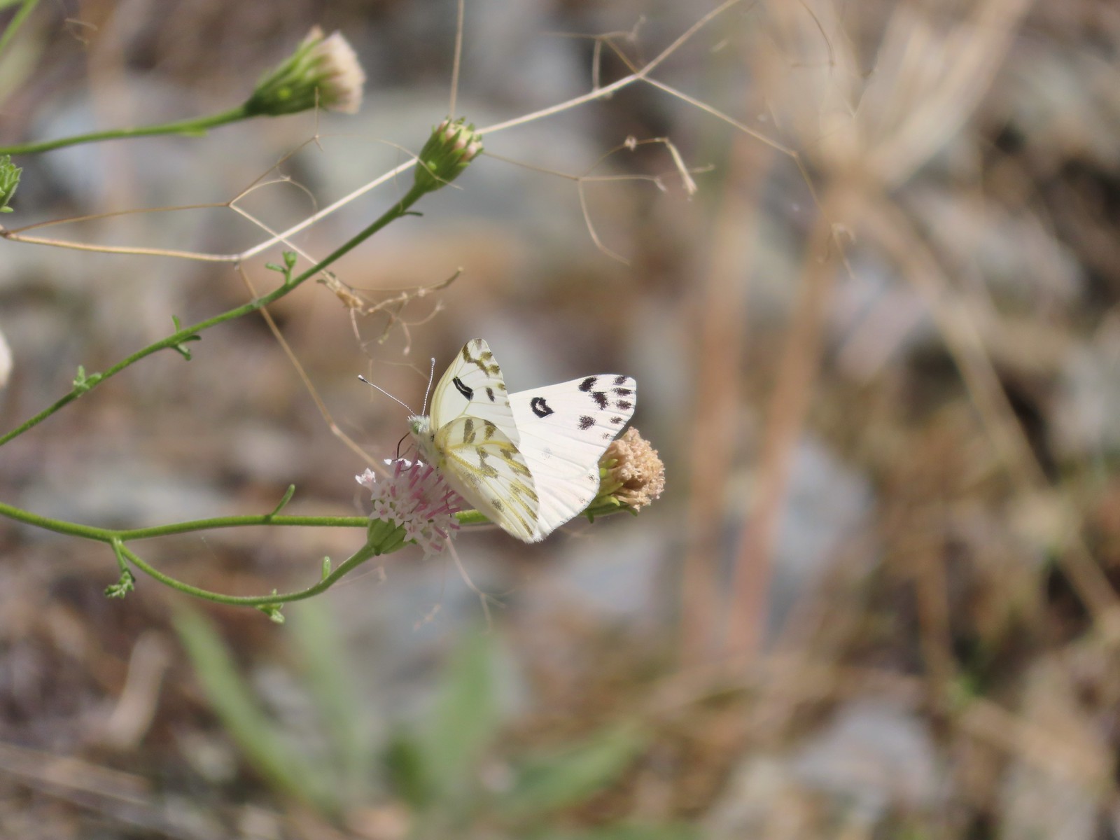 Becker’s white – 6/14/23, Imnaha Trail, Hells Canyon National Recreation Area
 Male margined white? – 8/29/23, Newell Creek Canyon Nature Park, Oregon City
 Mountain parnassian – 6/15/23, Hells Canyon National Recreation Area, Wallowa-Whitman National Forest
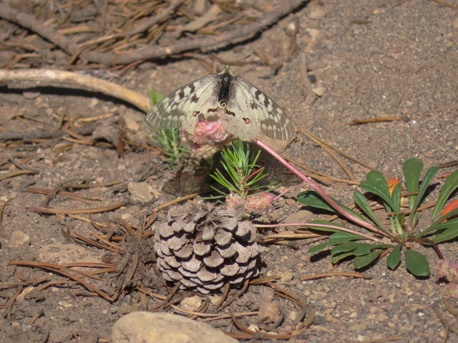 Clodius parnassian – 7/29/23, Pumice Flat Trail, Crater Lake National Park
 Silver-spotted Skipper – 6/14/23, Eureka Bar, Hells Canyon National Recreation Area
 A skipper – 5/28/23, Criterion Tract, BLM Prineville District
 A skipper – 6/12/23, Imnaha River Trail, Eagle Cap Wilderness
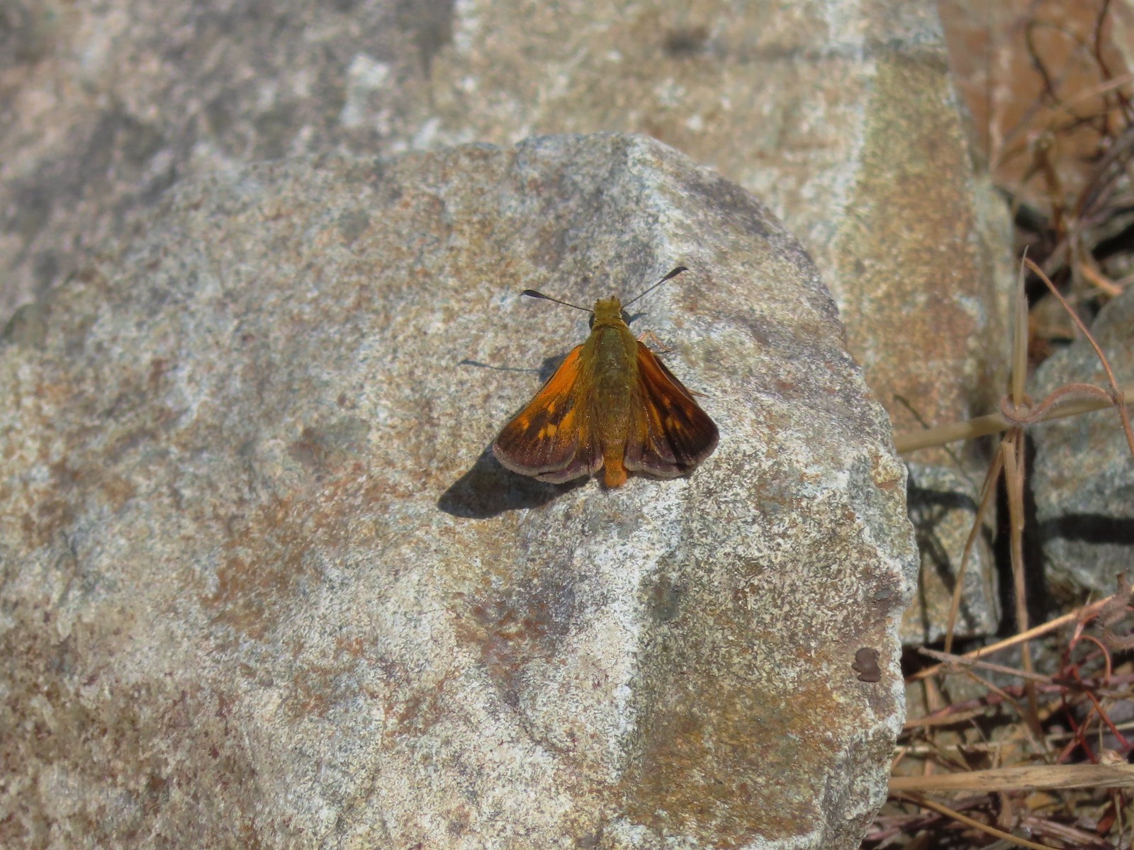 A skipper – 6/24/23, Rogue River National Recreation Trail, Wild Rogue Wilderness
 A skipper – 9/3/23, Threemile Canyon, BLM Burns District
 Skipper on a sagebrush mariposa lily – 7/23/23, Metolius River Trail, Deschutes National Forest
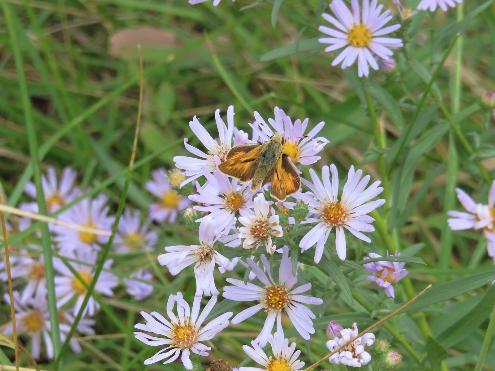 A skipper – 9/3/23, P Ranch, Malheur National Wildlife Refuge
 Duskywing? – 6/24/23, Rogue River National Recreation Trail, Wild Rogue Wilderness
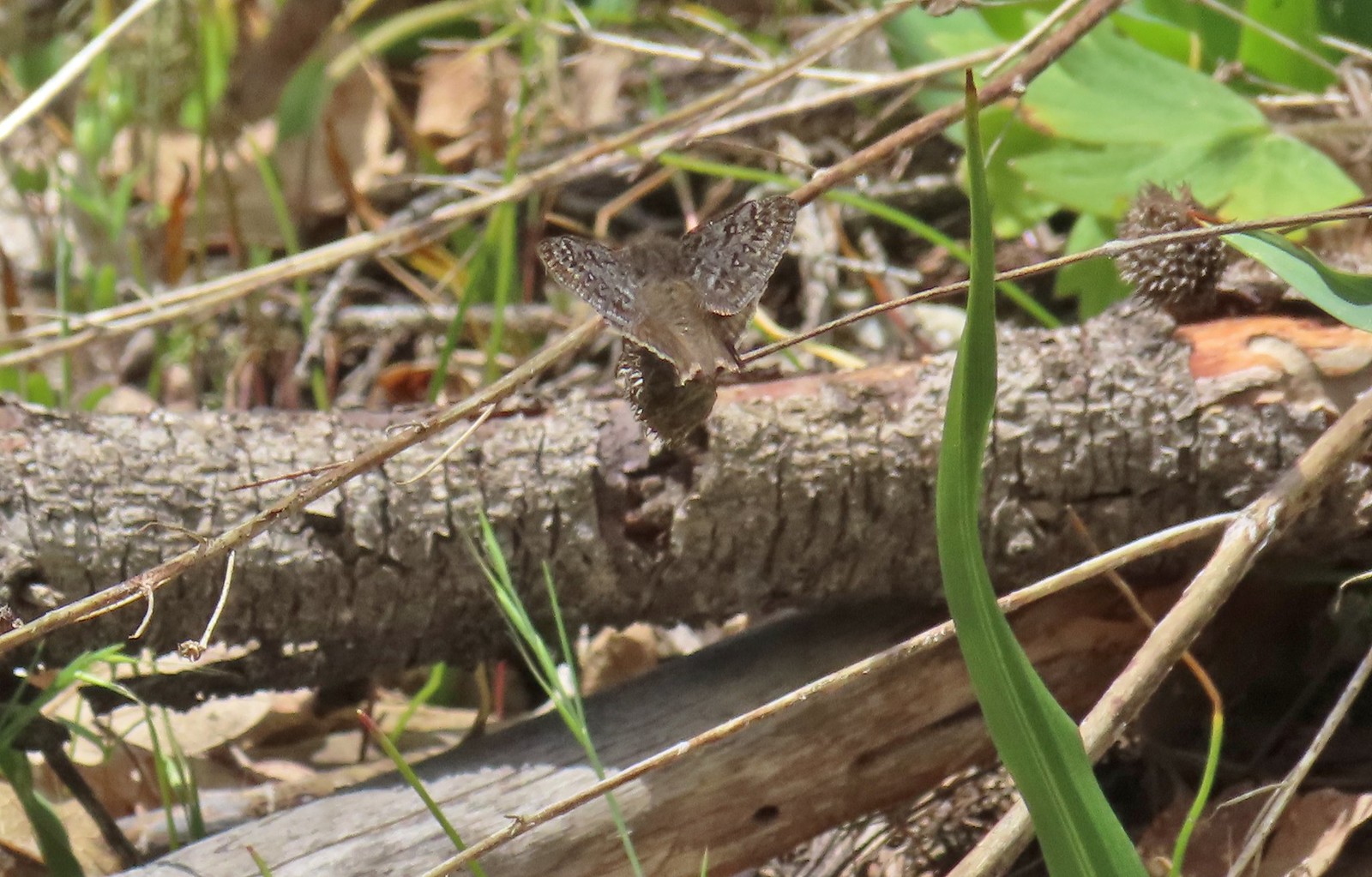 Duskywing – 5/3/23, Waters Creek Interpretive Trail, Rogue River-Siskiyou National Forest
 Dreamy duskywing – 6/12/23, Imnaha River Trail, Eagle Cap Wilderness
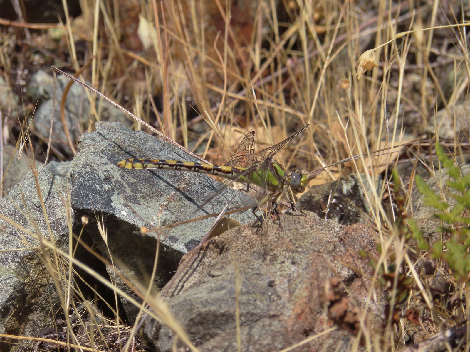 Dragonfly – 6/24/23, Rogue River National Recreation Trail, Wild Rogue Wilderness
 Dragonfly – 7/1/23, Hummocks Trail, Mt. St. Helens National Volcanic Monument, WA
 Dragonfly – 7/15/23, Plaza Lake, Salmon-Huckleberry Wilderness
 Dragonfly – 7/31/23, Godfrey Glen Trail, Crater Lake National Park
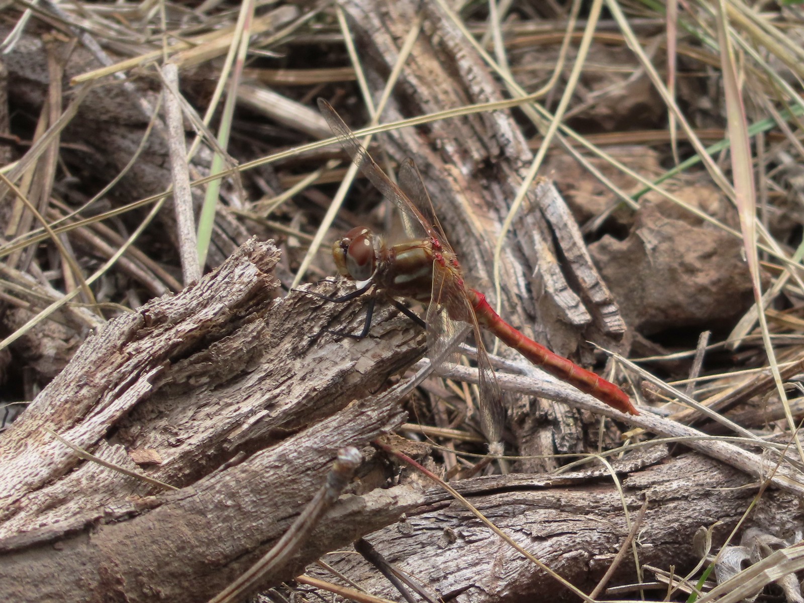 Dragonfly – 9/2/23, Idlewild Loop Trail, Malheur National Forest
 Slug – 4/29/23, Canemah Bluff Nature Park, Oregon City
 Snail – 4/15/23, Enchanted Valley Trail, Siuslaw National Forest
 Rough skinned newt – 4/15/23, Cape Mountain, Siuslaw National Forest
 Tadpoles – 9/9/23, Pacific Crest Trail, Sky Lakes Wilderness
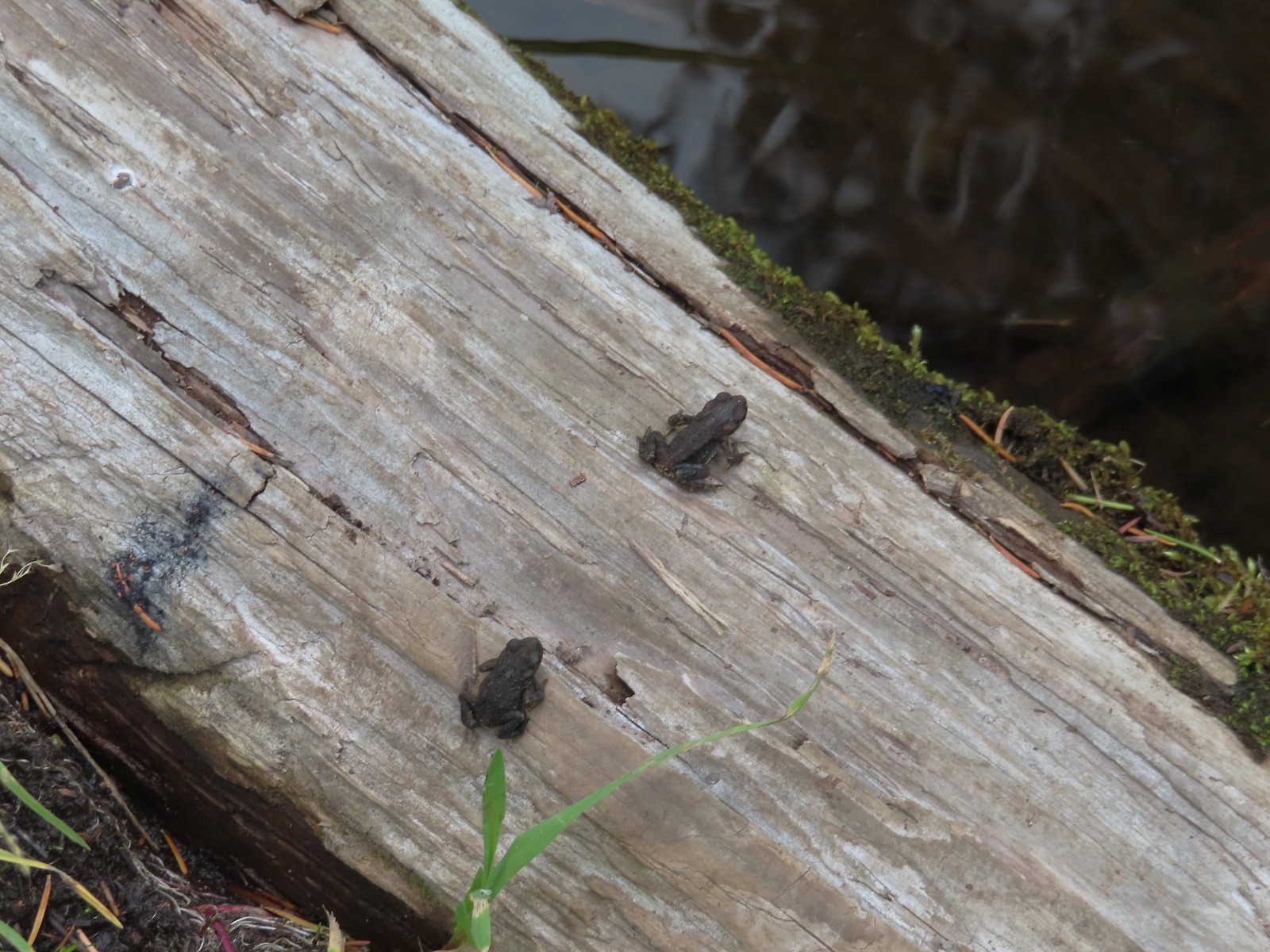 Western toads – 9/9/23, Pacific Crest Trail, Sky Lakes Wilderness
 Full grown western toad – 9/9/23, Pacific Crest Trail, Sky Lakes Wilderness
 Cascade frog – 9/9/23, Pacific Crest Trail, Sky Lakes Wilderness
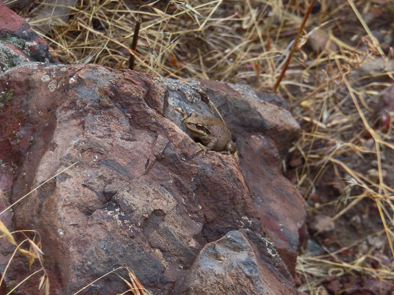 Pacific treefrog – 9/3/23, Threemile Canyon, BLM Burns District
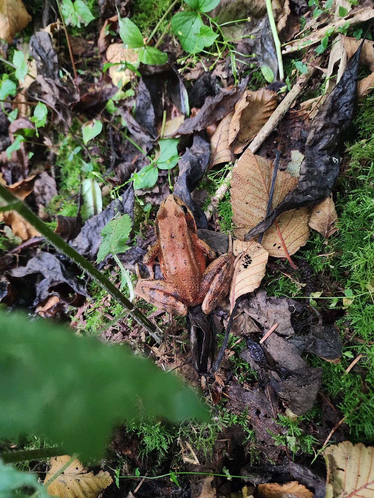 Northern red-legged frog – 8/26/23, Nestucca Bay National Wildlife Refuge, Cloverdale
 Bullfrog (invasive) – 4/22/23, Talking Water Gardens, Albany
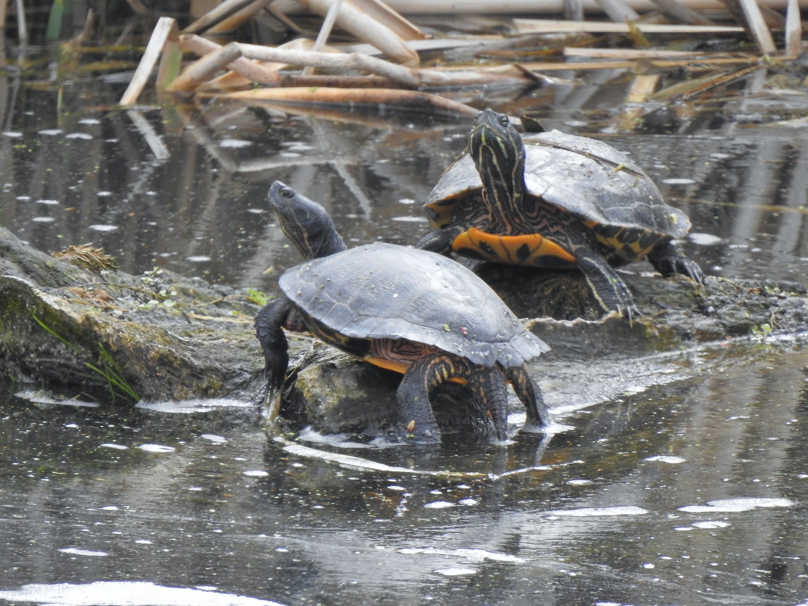 Western pond turtles – 4/22/23, Talking Water Gardens, Albany
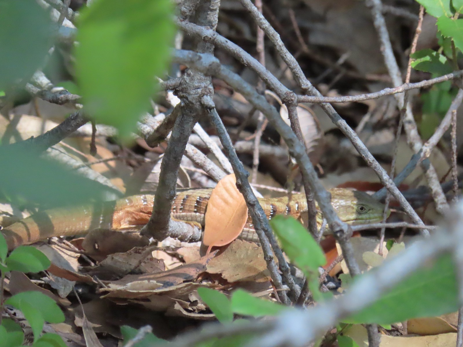 Southern alligator lizard – 6/24/23, Rogue River National Recreation Trail, Wild Rogue Wilderness
 Western fence lizard – 5/3/23, Waters Creek Interpretive Trail, Rogue River-Siskiyou National Forest
 Sagebrush lizard – 7/22/23, Shut-In Trail, Deschutes National Forest
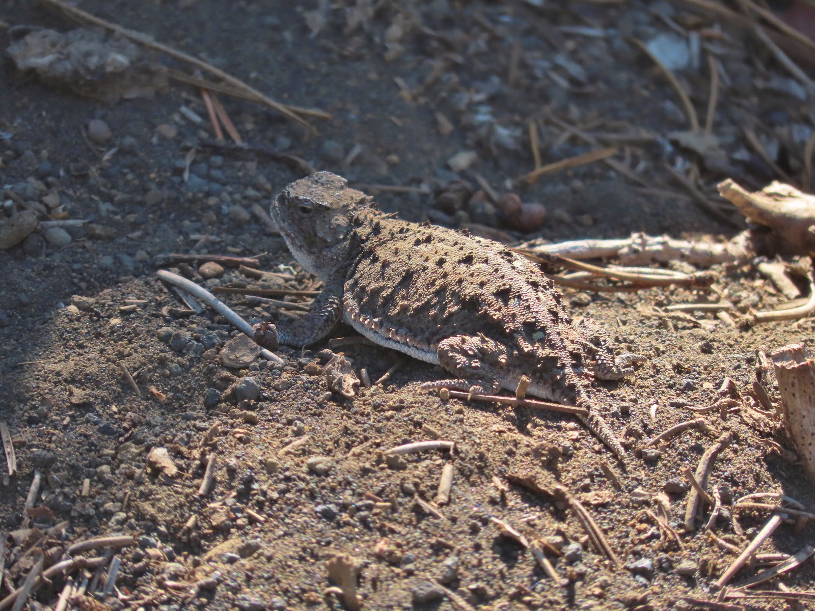 Pygmy short-horned lizard – 7/8/23, Santiam Wagon Road, Willamette National Forest
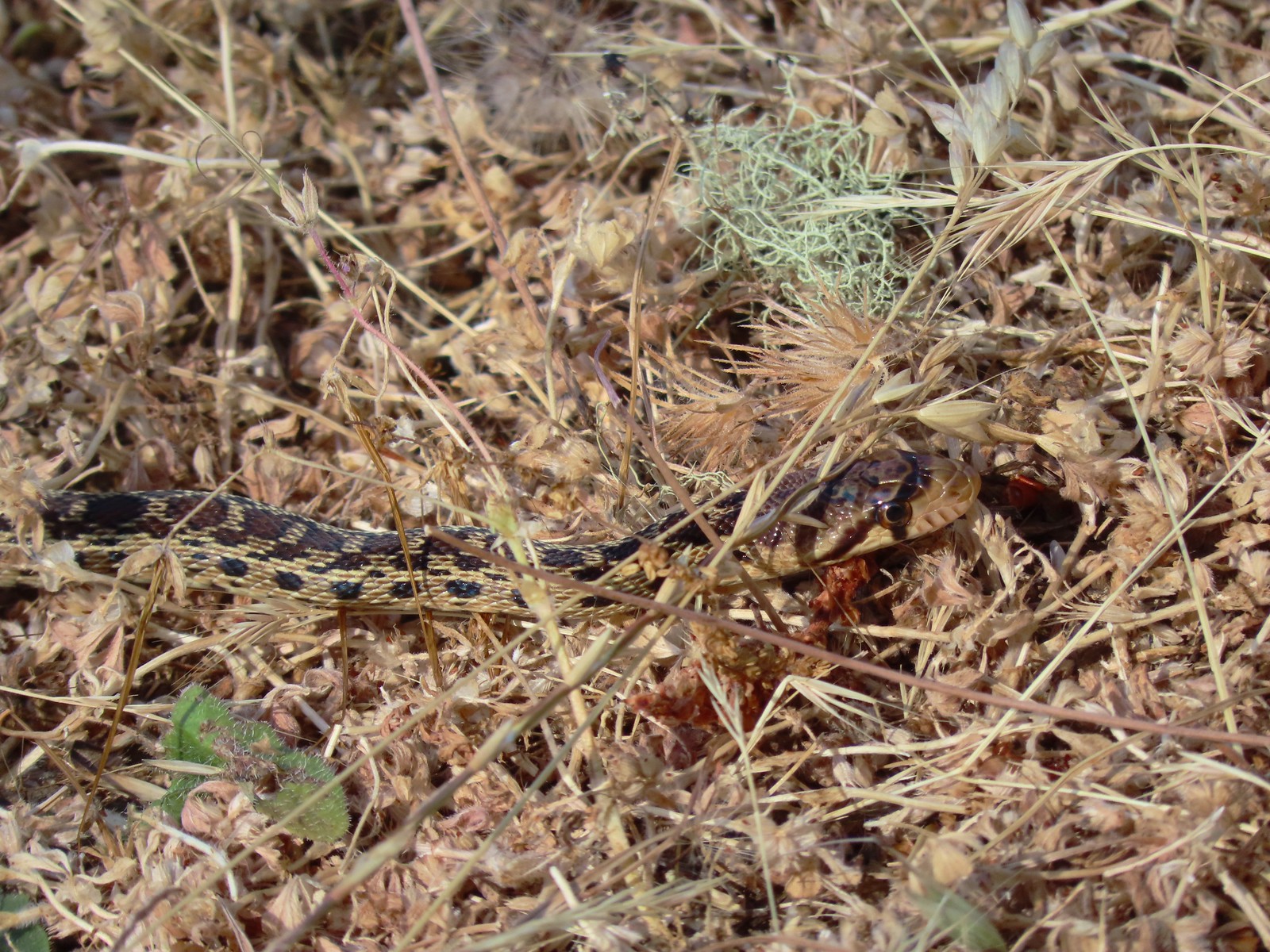 Gopher snake – 6/25/23, North Bank Habitat, BLM Roseburg District
 Garter snake – 4/22/23, Dave Clark Riverfront Path, Albany
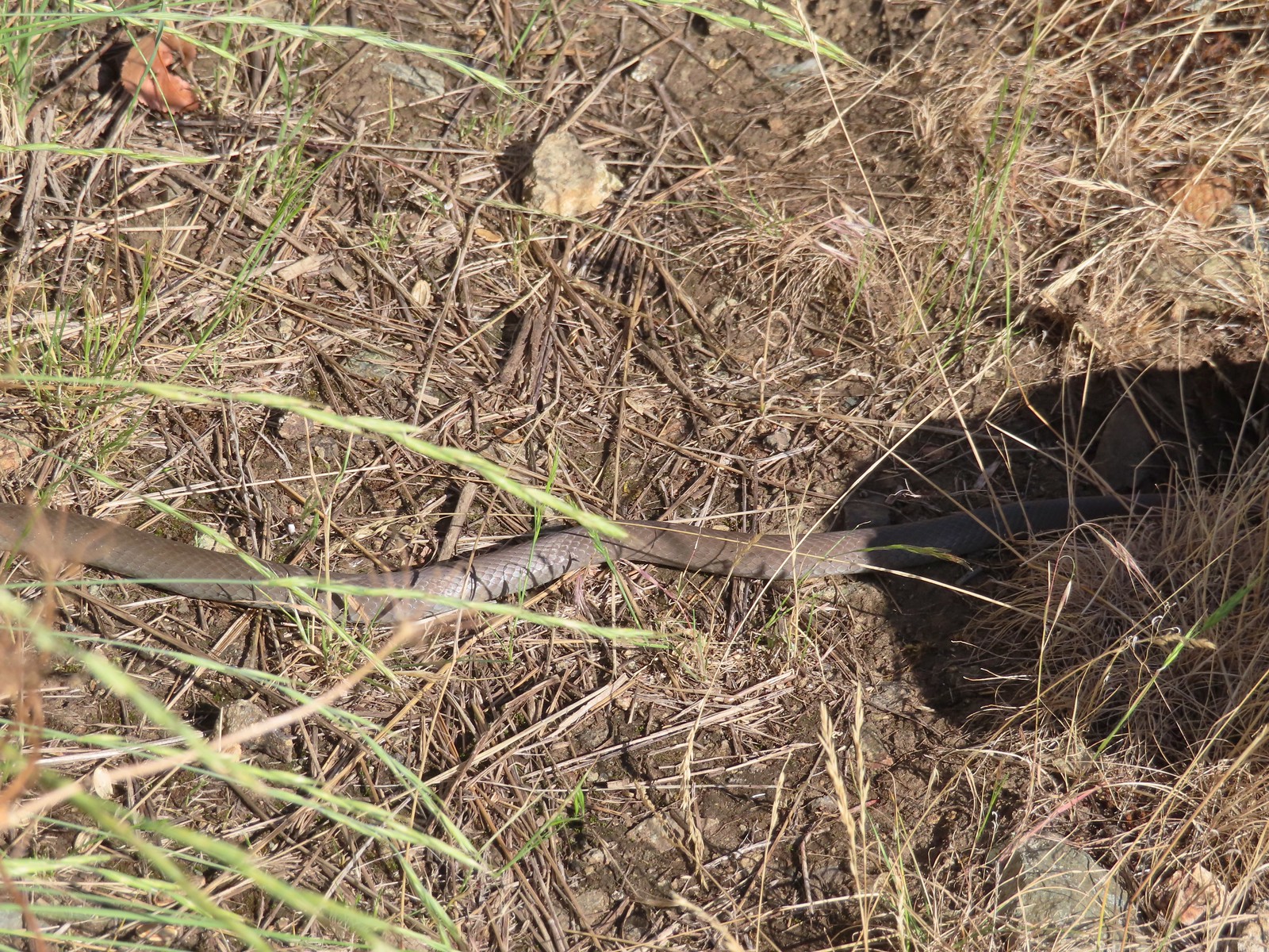 Rubber boa? – 6/14/23, Imnaha Trail, Hells Canyon National Recreation Area
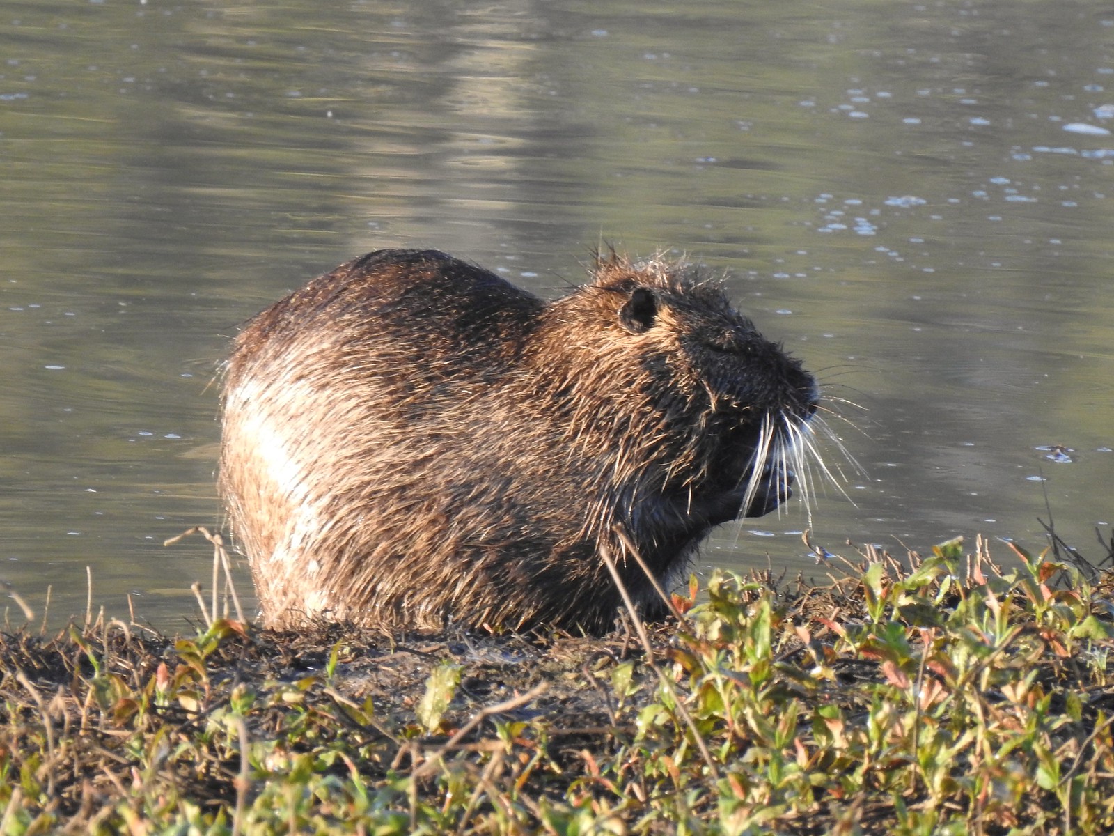 Nutria (invasive) – 5/13/23, Tualatin River National Wildlife Refuge, Sherwood
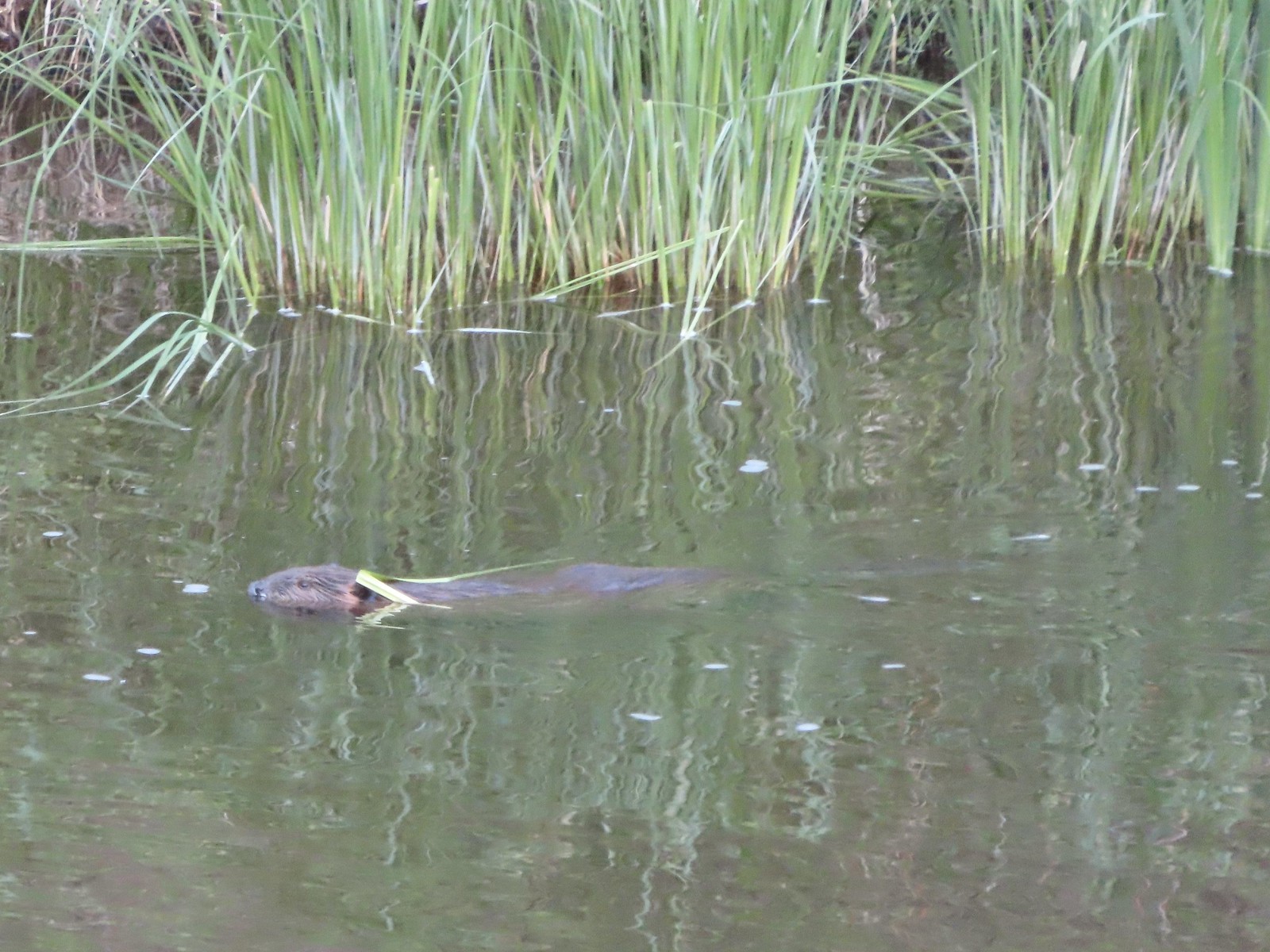 Beaver – 5/29/23, Riley Ranch Preserve, Bend
 Yellow-bellied marmot – 7/31/23, Garfield Peak Trail, Crater Lake National Park
 Gray squirrel – 4/22/23, Dave Clark Riverfront Path, Albany
 Douglas’ squirrel – 4/22/23, Dave Clark Riverfront Path, Albany
 Eastern fox squirrel? – 4/29/23, Newell Creek Canyon Nature Park, Oregon City
 Columbian ground squirrel – 8/16/23, Tombstone Lake Trail, Eagle Cap Wilderness
 Golden-mantled ground squirrel – 7/31/23, Garfield Peak Trail, Crater Lake National Park
 Chipmunk – 8/5/23, McNeil Point scramble trail, Mt. Hood Wilderness
 Pika – 8/5/23, McNeil Point Trail, Mt. Hood Wilderness
 Rabbit – 5/13/23, Tualatin River National Wildlife Refuge, Sherwood
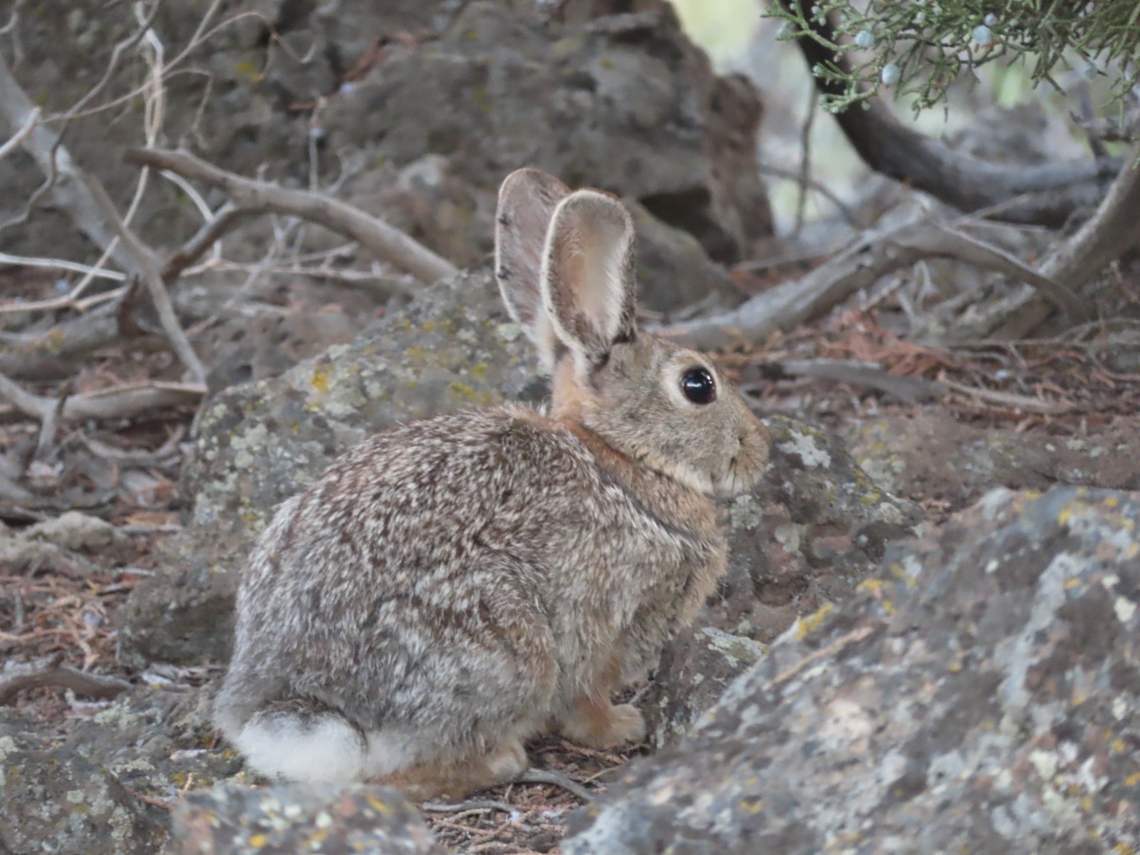 Mountain cottontail – 5/29/23, Riley Ranch Preserve, Bend
 Fawns – 7/31/23, Garfield Peak Trail, Crater Lake National Park
 Doe – 5/20/23, Steigerwald Lake National Wildlife Refuge, Washougal, WA
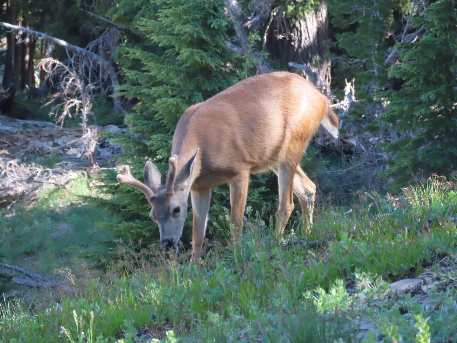 Buck – 7/31/23, Rim Trail, Crater Lake National Park
 Elk – 6/15/23, Buckhorn Road (FR 46), Wallowa-Whitman National Forest
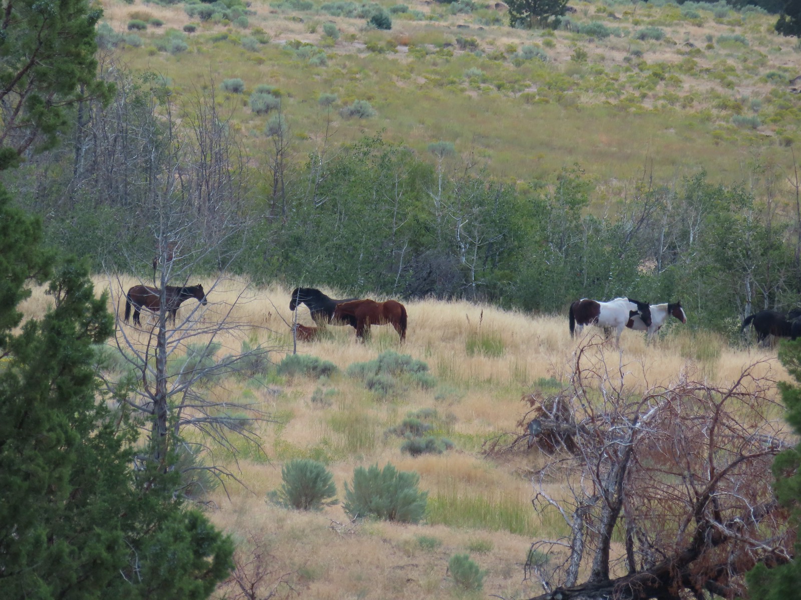 Horses – 9/3/23, Threemile Canyon, BLM Burns District
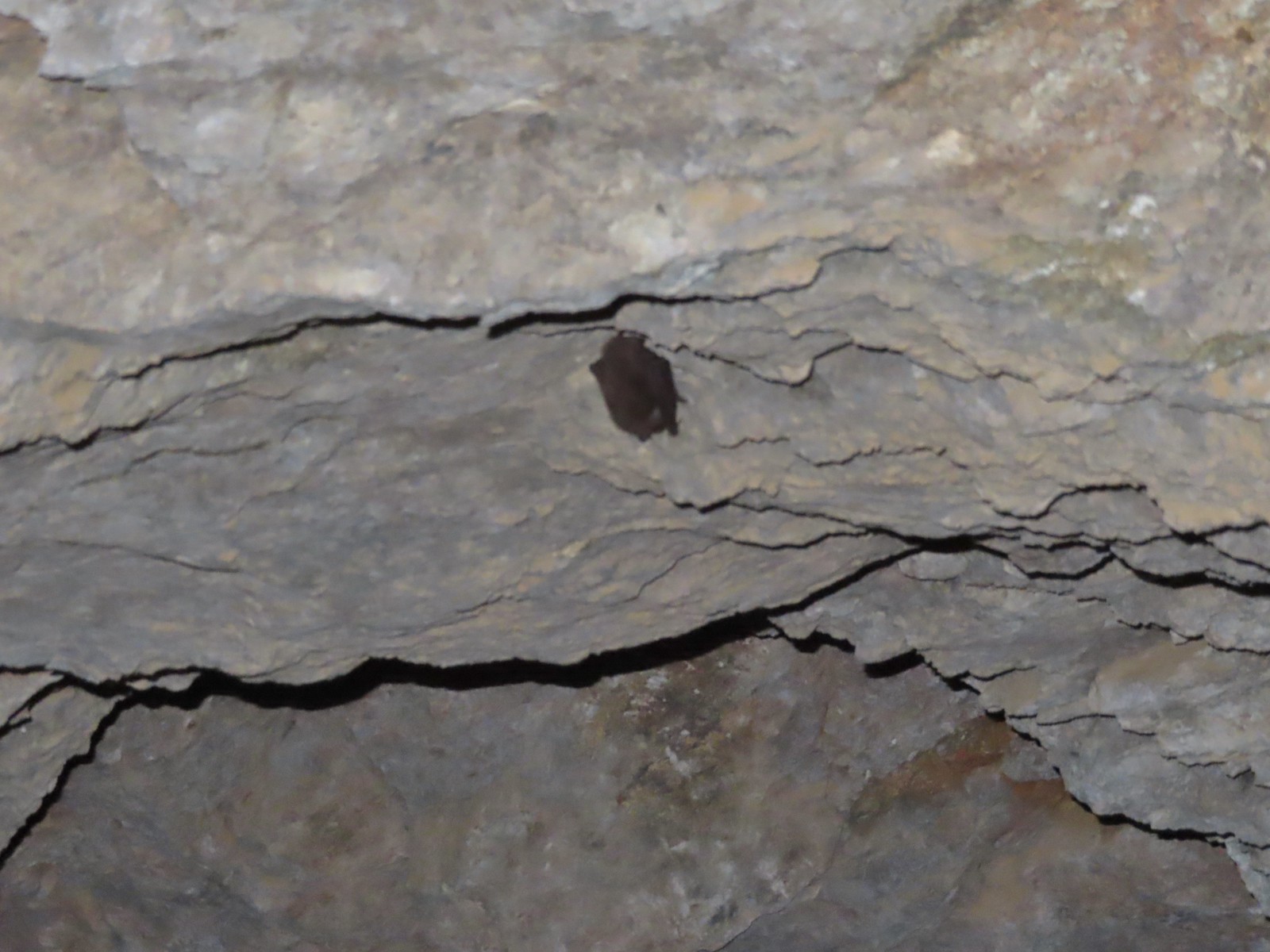 Bat -5/2/23, Sterling Mine Ditch Tunnel, BLM Medford District
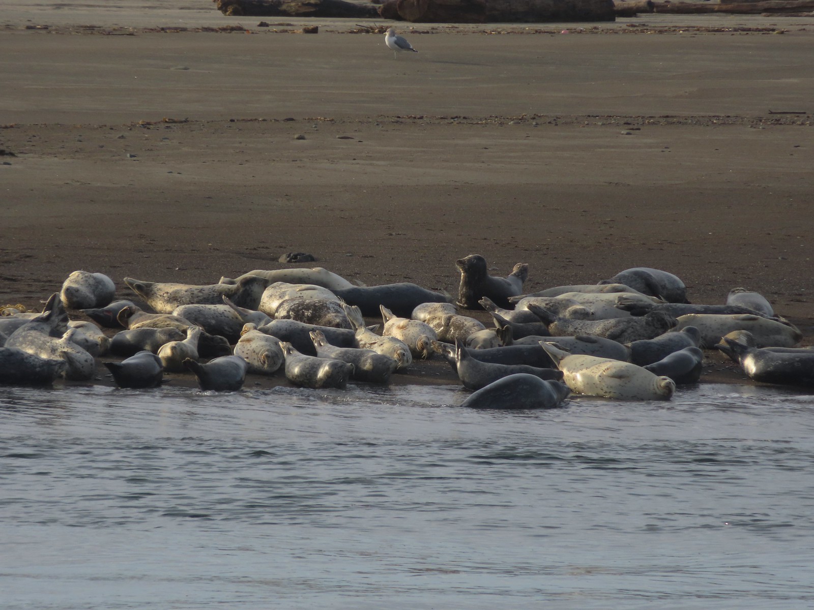 Seals – 11/18/23, Siletz Bay, Lincoln City
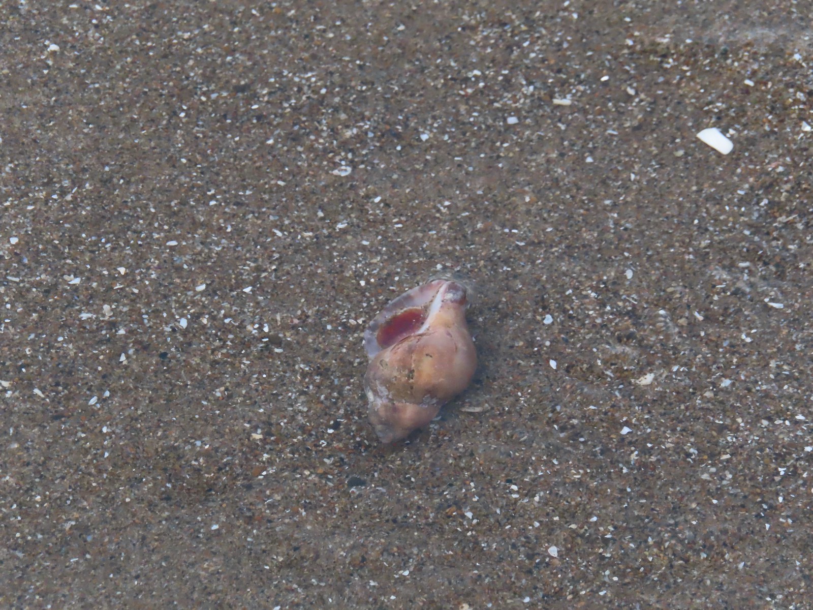 Shell with inhabitant – 11/18/23, Nelscott Beach, Lincoln City
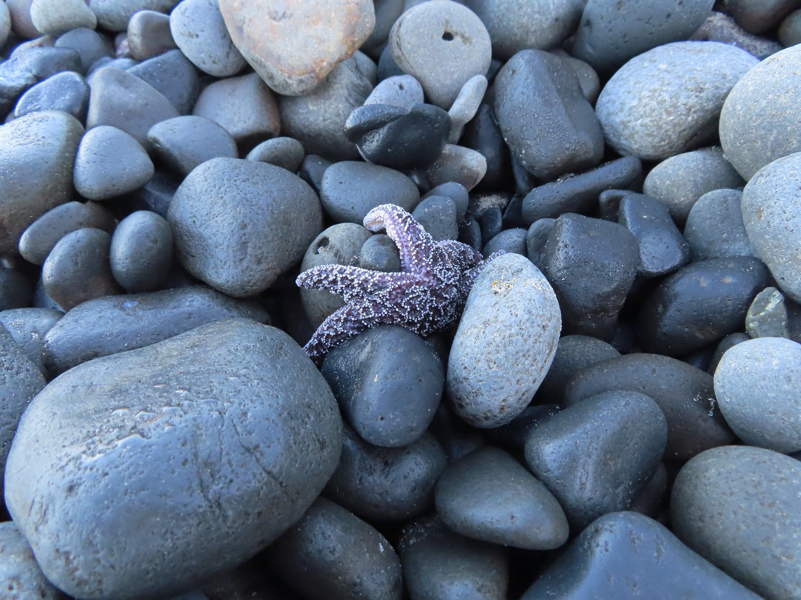 Starfish – 10/28/23, Short Beach, Oceanside
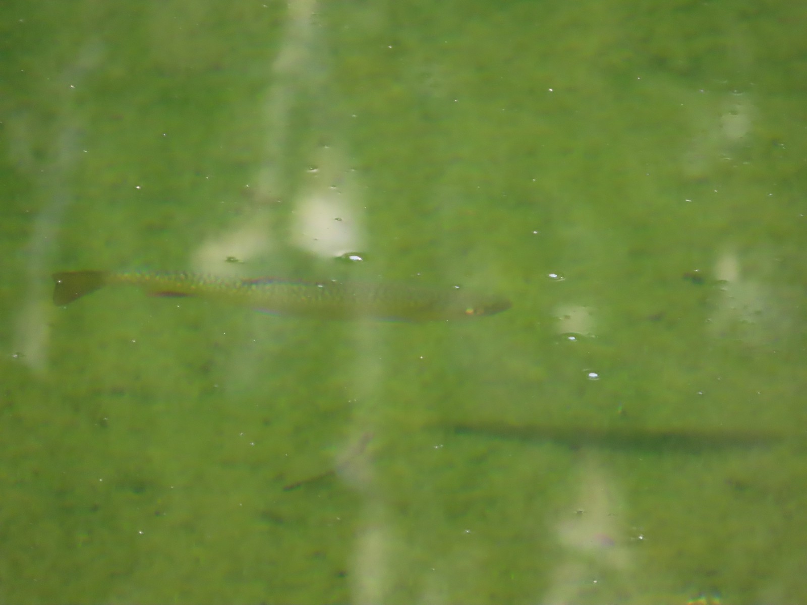 Trout – 8/16/23, Tombstone Lake, Eagle Cap Wilderness
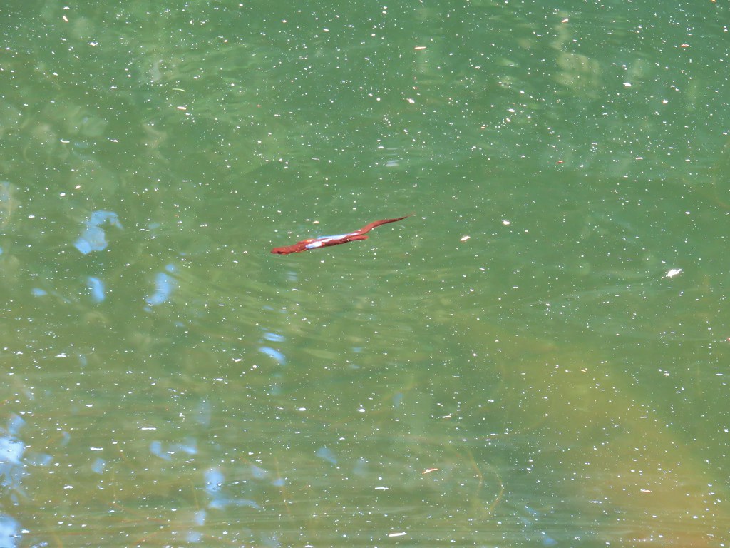
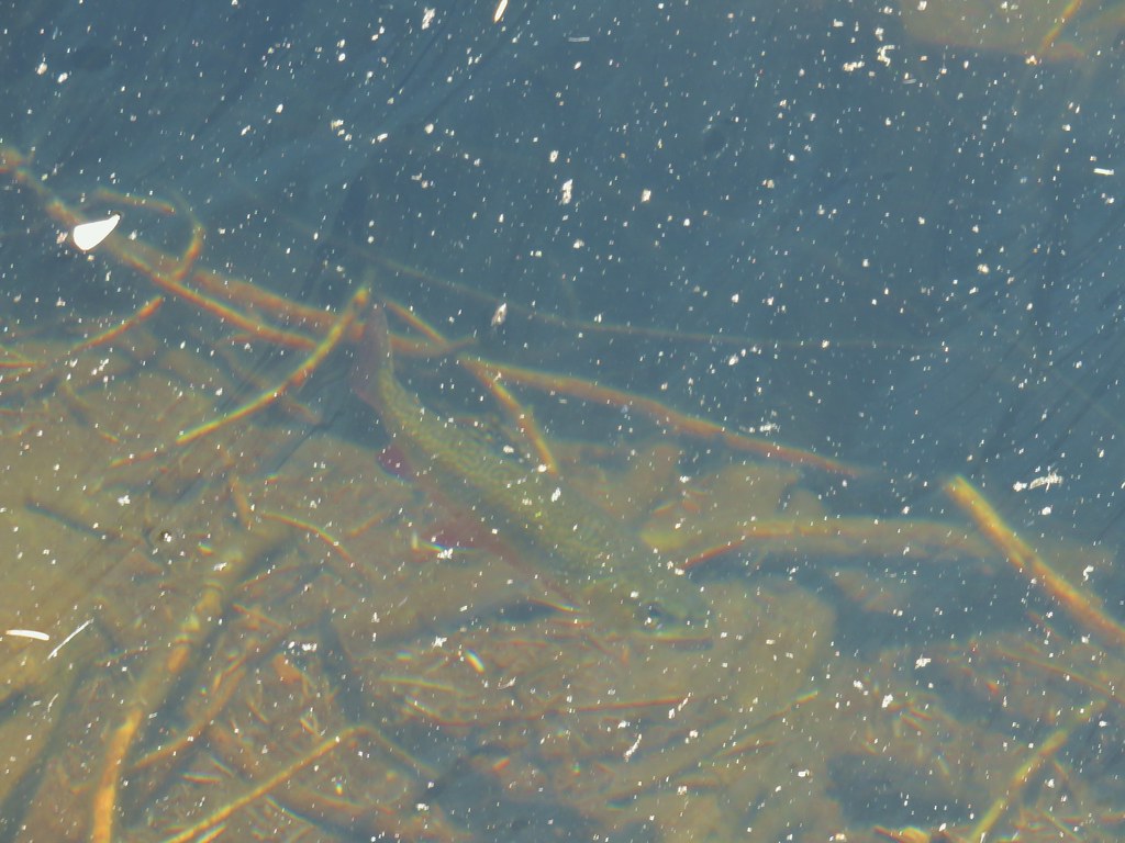
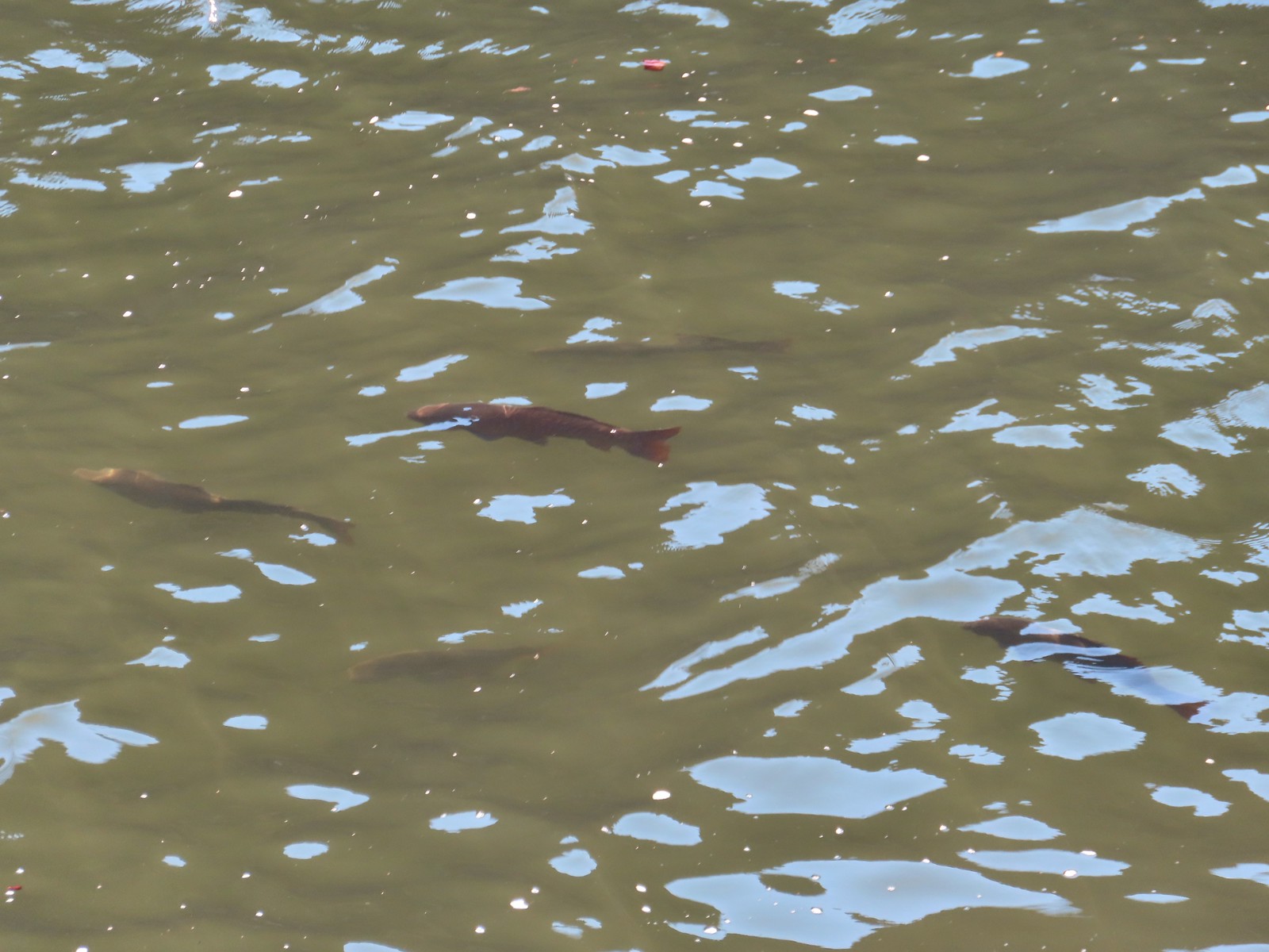 Fish – 6/16/23, Hells Canyon Reservoir, Hells Canyon National Recreation Area
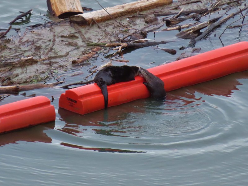 River Otters on a boom at Dorena Lake
 American bittern flying over Fern Ridge Wildlife Area
 Raccoons at South Slough Estuary
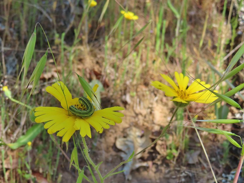

 Several species

 One of the sulphurs
 Another sulphur
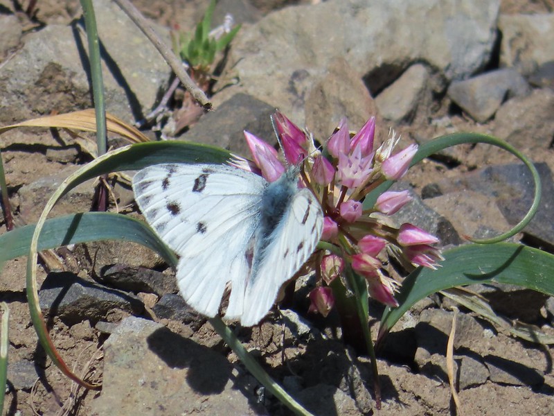 Becker’s white
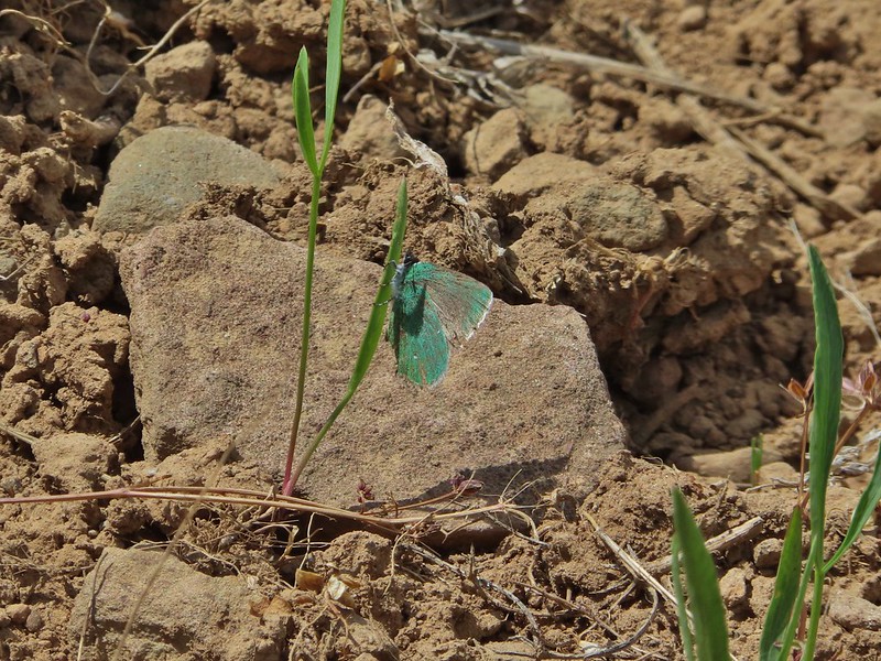 A hairstreak
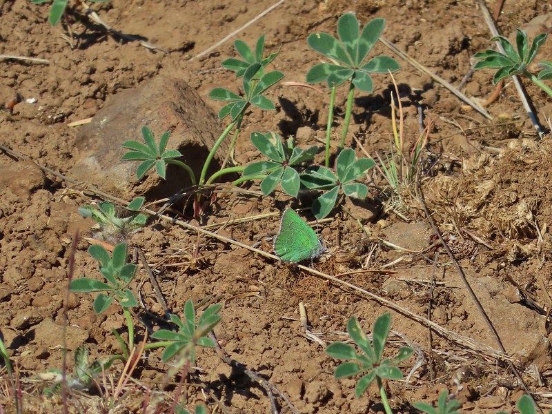 Also a hairstreak
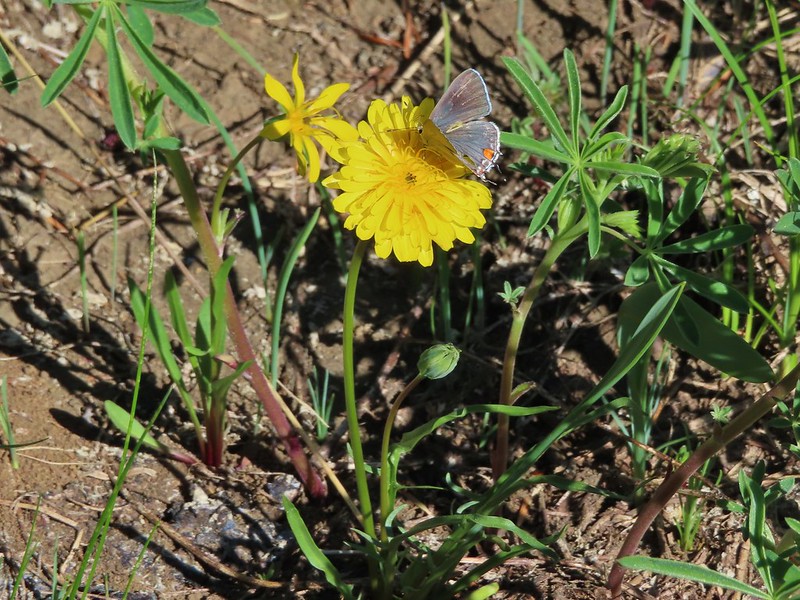


 Cabbage white
 California tortoiseshell
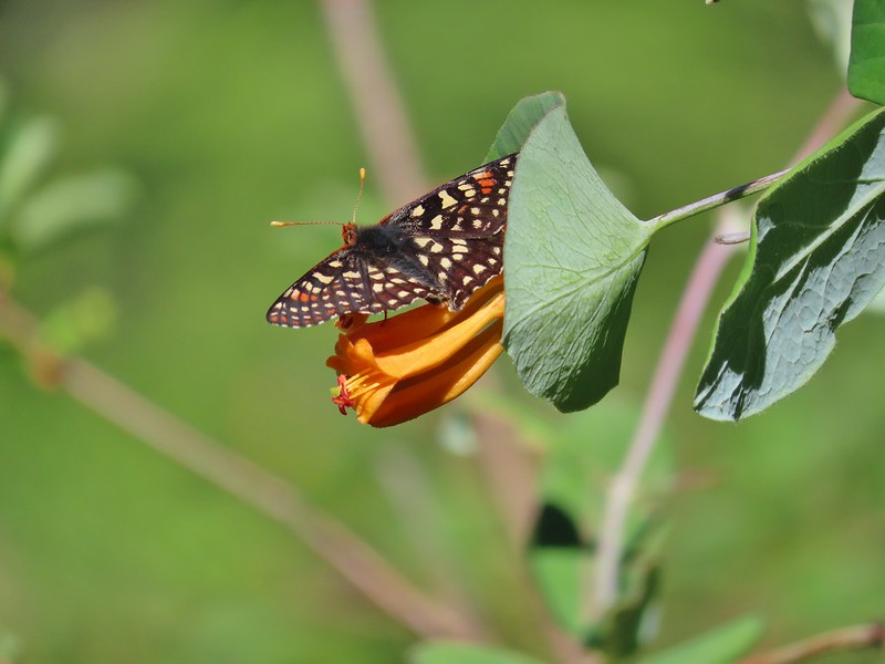 A checkerspot
 Chlosyne acastus – sagebrush checkerspot, female
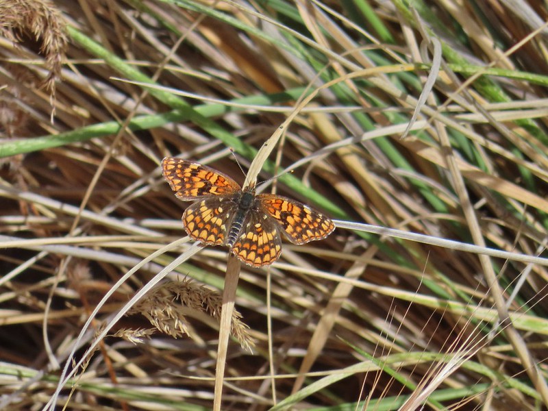 Chlosyne acastus – sagebrush checkerspot, male?
 Cloudis parnassian
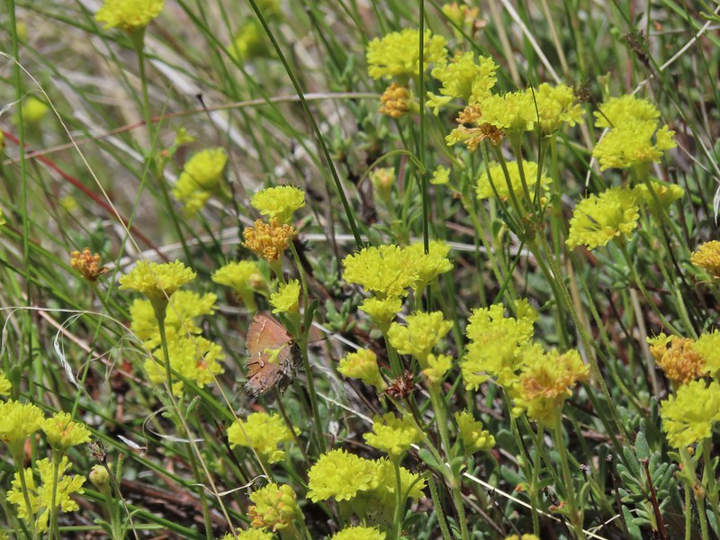 Cedar hairstreak
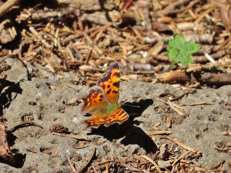 Green comma?
 Hoary comma
 Juba skipper – Hesperia juba
 Langton’s Forester Moth
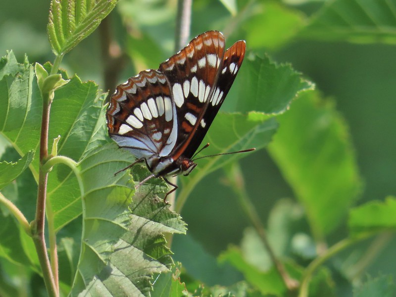 Lorquin’s admiral
 Milbert’s tortoiseshell
 Moth
Moth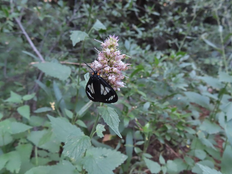 A moth, possibly Gnophaela latipennis
 Moth
Moth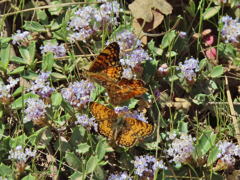 Mylitta crescents
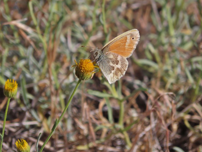 Ochre ringlet
 Orange tip
 Possibly a Boisduval’s blue – Icaricia icarioides
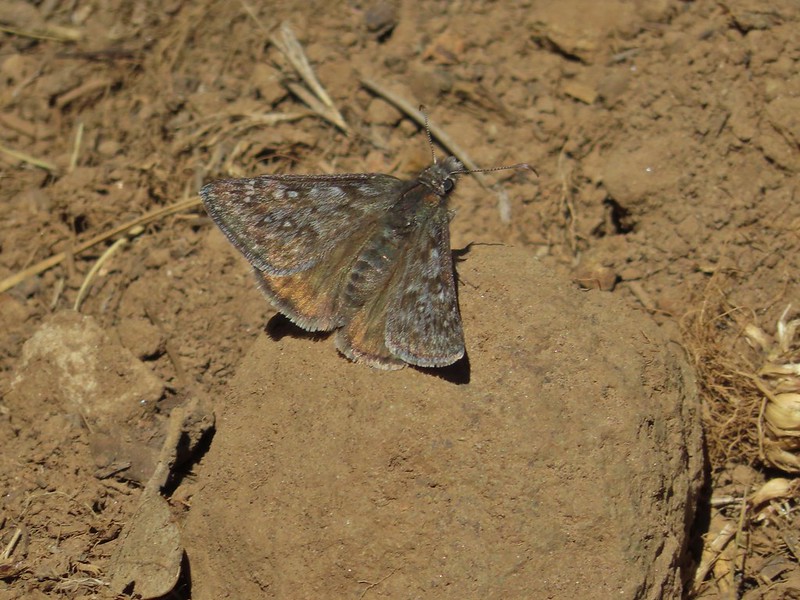 Propertius duskywing – Erynnis propertius
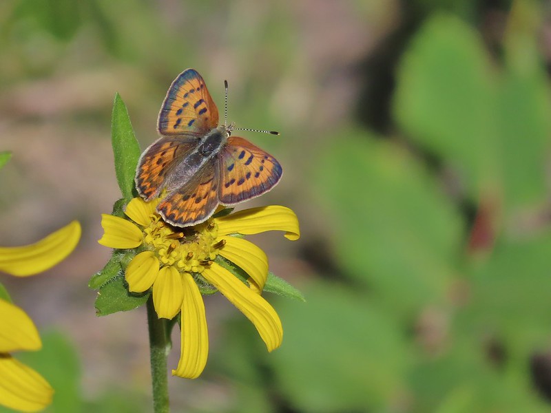 Purplish copper
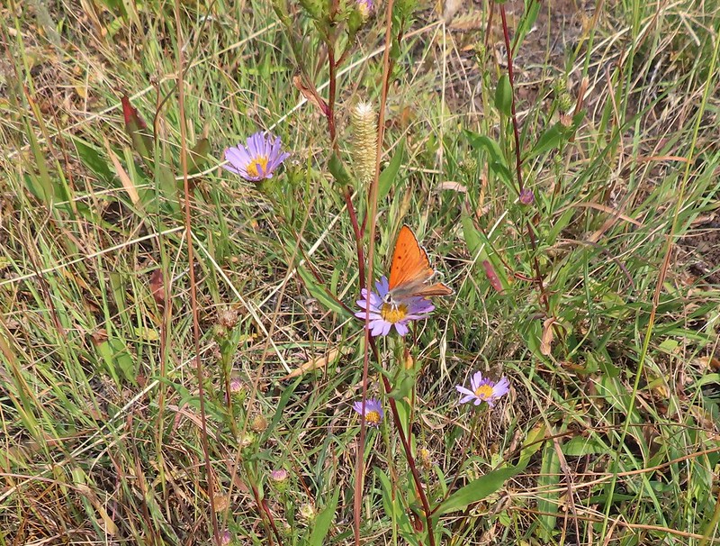 Possibly another purplish copper, Steens Mountain Wilderness 8/17.
 Sheep moth
 Silvery blue?
 A skipper
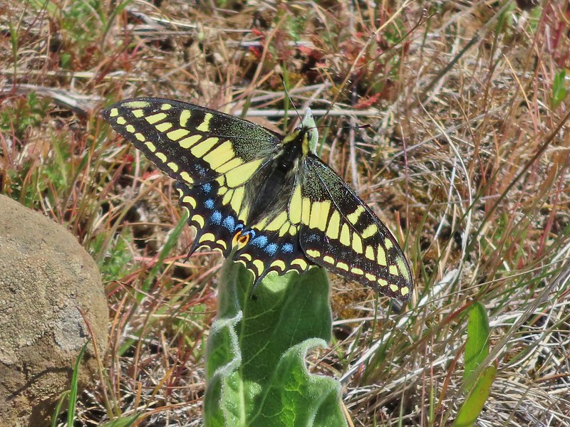 Anise swallowtail
 Indra swallowtail
 Possibly a pale swallowtail -Ninemile Ridge
 Possibly a western swallowtail -Devil’s Staircase Wilderness
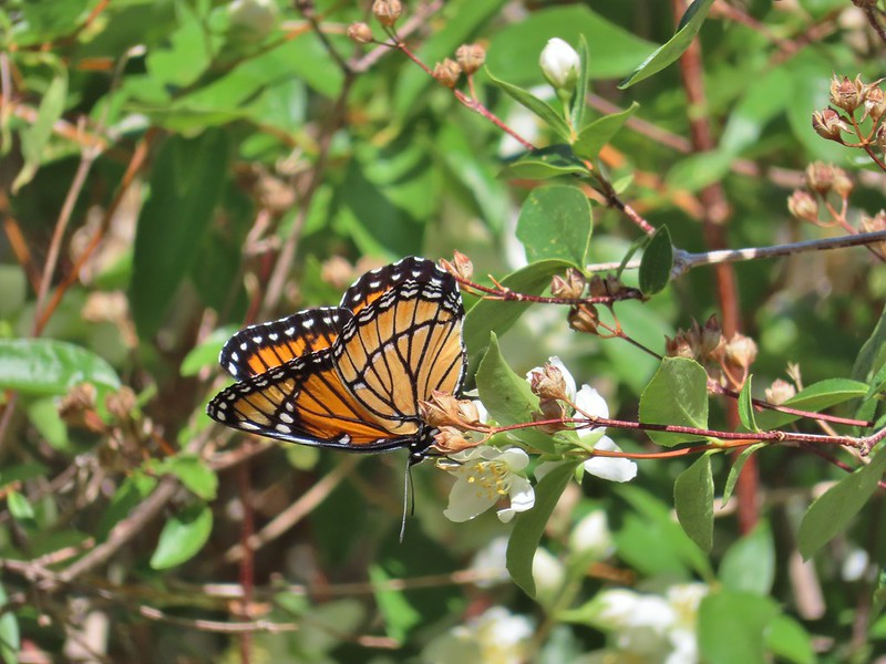 Viceroy
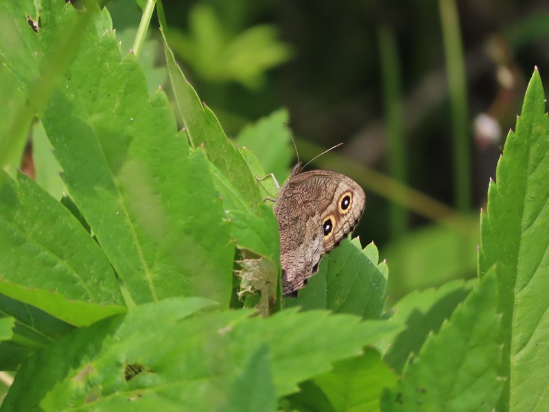 July 19th, Ochoco Mountains
 August 17th Steens Mountain Wilderness
 August 19th Steens Mountain Wilderness
 One of the fritillary butterflies I think.


 Flying ants at the summit of Mt. Bachelor

 Cicada
 Ladybug

 Find the beetle
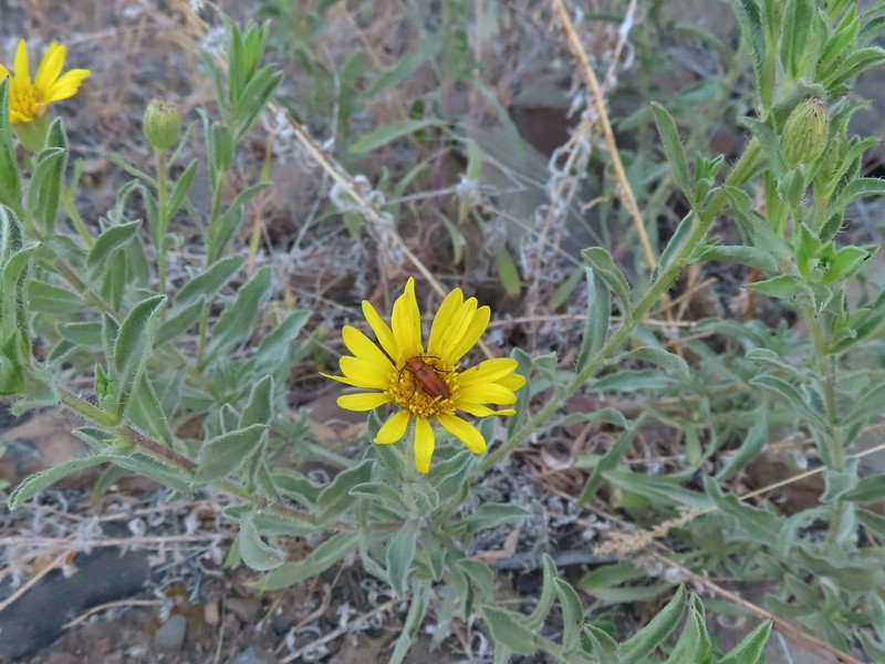
 Dictyoptera aurora?
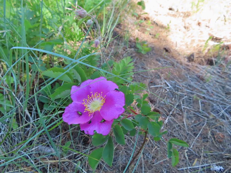
 Crab spider
 Spot the spider
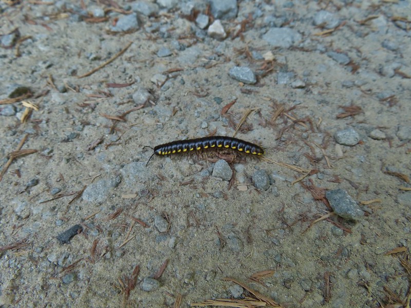
 Praying mantis
 June bug
 Damsel fly
 Dragon fly
 Dragon fly
 Dragon fly
 Dragon fly


 Alligator lizard
 Ring necked snake
 Turtle
 Western fence lizards
 Dunn’s salamander?
 Rough skinned newt
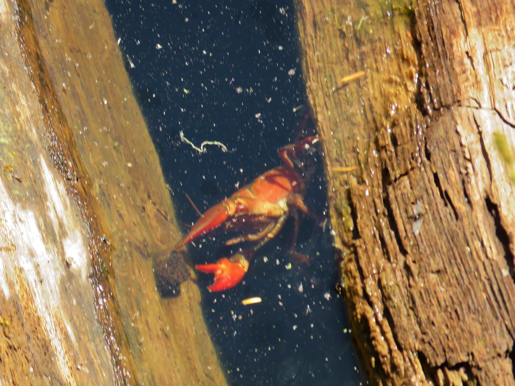
 Crawdad surrounded by rough skinned newts
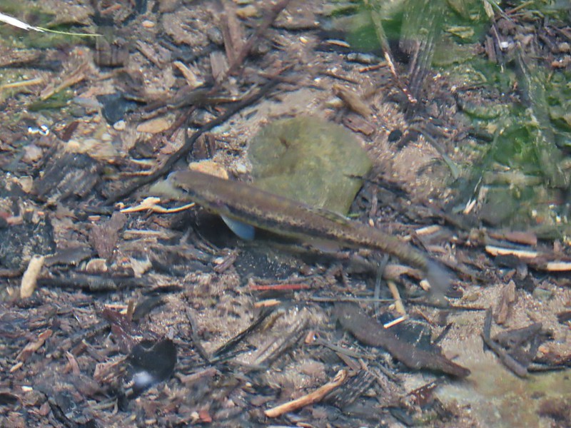 Fish in Black Canyon Creek
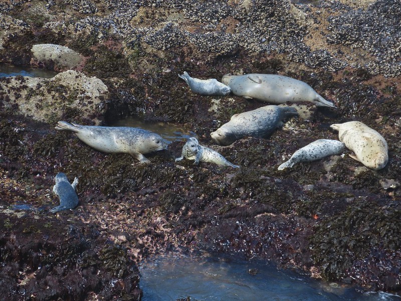 Seals
Seals Sea lions
 Nutria
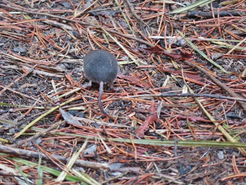 Hindquarters of what we believe to have been a mole.
 Indian Heaven Wilderness
 Badger Creek Wilderness
 Golden mantled-ground squirrel


 Pika
Pika Mountain cottontail
 Eastern cottontail
 Snowshoe hare
 Jack rabbit
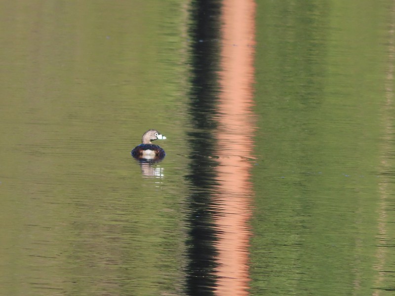
 Ring-necked duck and a lesser scaup
 American coot, spotted sandpiper and mallards on a log
 American wigeons
 Green-winged teals
 Cinnamon teal
 Mallards, a cinnamon teal and a pied billed grebe
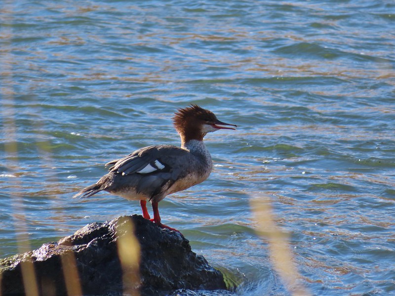 Common merganser
 A female hooded merganser? and buffleheads
 Northern pintails
 Northern shovelers
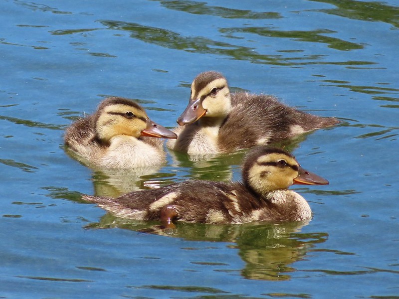 Ducklings
 Canada geese
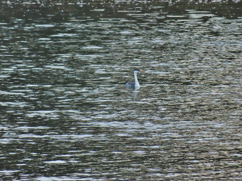 Western grebe
 Bird at the Formal Gardens at Shore Acres State Park
 At least two types of egrets and a bunch of ducks at Malhuer Wildlife Refuge
 Egret
Egret Great blue heron
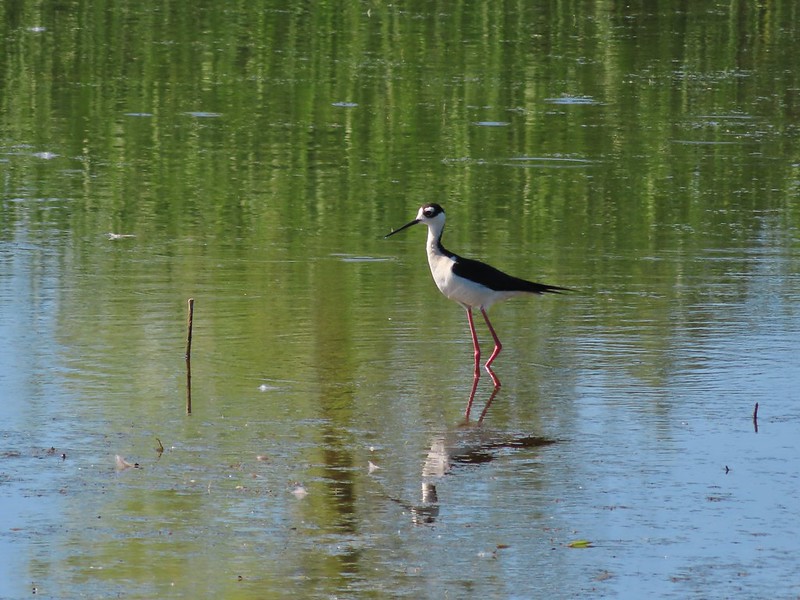 Black-necked stilt
 Dunlins
 Yellowlegs?
 White faced ibis
 Whimbrels
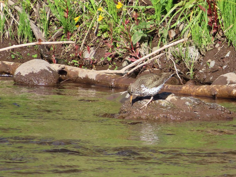 Spotted sandpiper
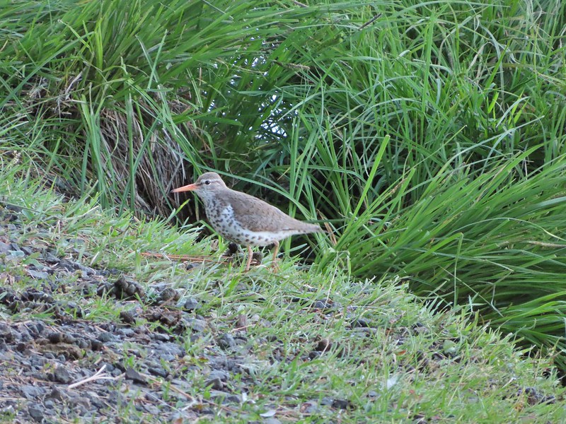
 Another sandpiper
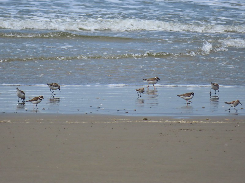 A couple of types of shorebirds
 White pelican
 Seagull
 Cormorants
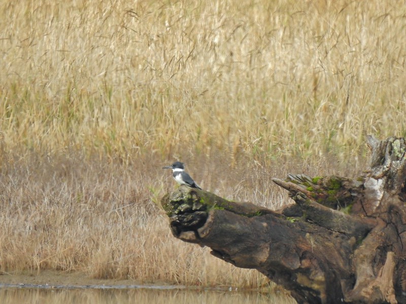 Kingfisher
 American dipper aka ouzel
 A couple of American bushtits
 Bewick’s wren?
 Canyon wren?
 Wren? at Horsethief Butte near The Dalles.
 No idea, seen along the Alder Springs Trail in Central Oregon.
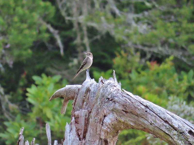 Possibly a flycatcher?
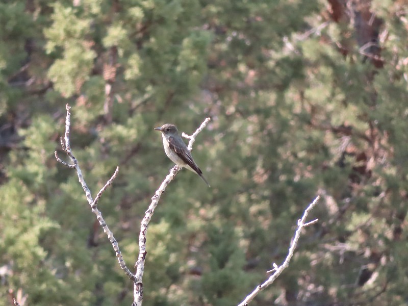 A flycatcher
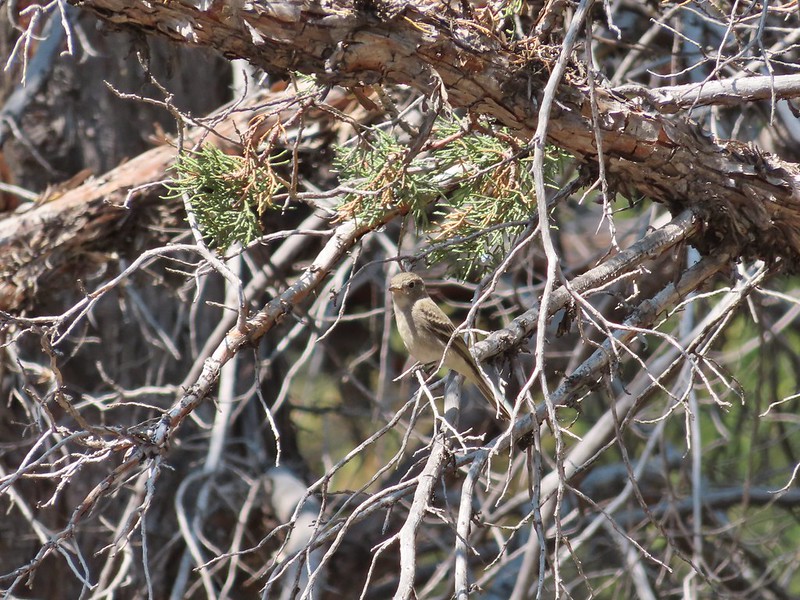 Flycatcher?
 Another no clue, seen near a creek in the Ochoco Mountains.
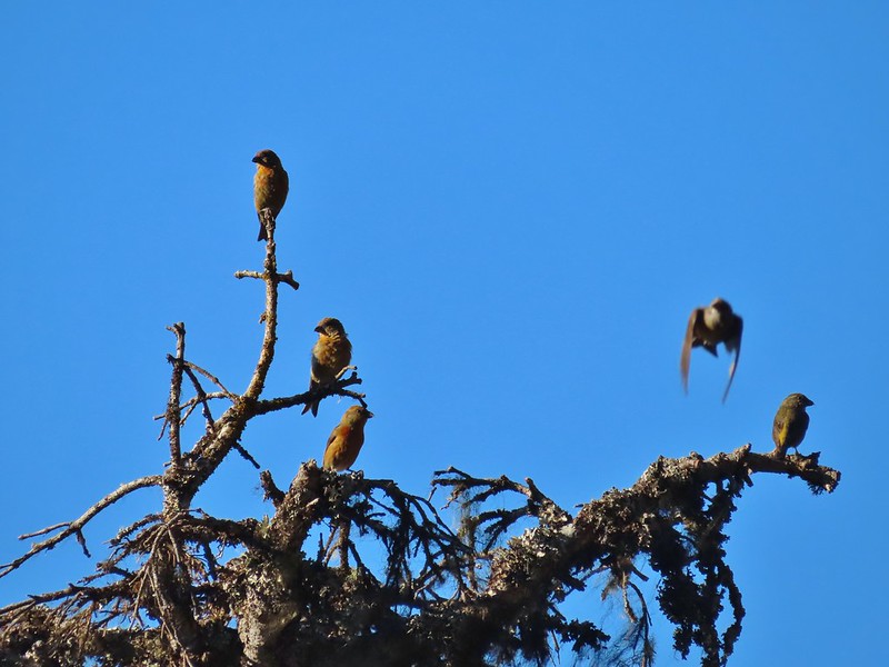 Crossbills? (based on the crossed beaks)
 Black headed grosebeak
 Black phoebe
 California scrub jays
 Gray jay
 Stellar’s jay
 Pinyon jay
 Clark’s nutcracker
 Brewer’s blackbird
 Yellow headed blackbird
 Red winged blackbird
 Starling
 Cedar waxwings
 Common yellowthroat
 Dark eyed junco
 Chestnut-backed chickadee
 Mountain chickadee
 Possibly an orange crowned warbler
 Ruby crowned kinglet
 A finch
 A finch
 A finch
 Green-tailed towhee
 Spotted towhee
 Pipit
Pipit Townsend’s solitaire
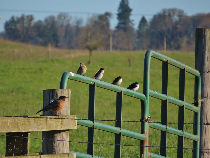 Robin, western bluebird and swallows
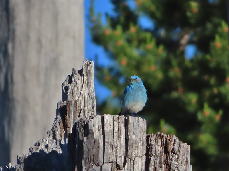 Mountain bluebird
 Lazuli bunting
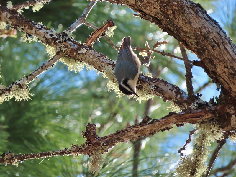 Red breasted nuthatch
 Yellow-rumped warbler
 Western meadowlark
 Western tanager – male
 Western tanager – female
 Western wood-pewee
 Rufous sided hummingbird
 Chipping sparrow?
 White crowned sparrows
 Savannah sparrow
 Sparrow
 Sparrow?
 Lark sparrow
 Downy woodpecker?
 Lewis’s woodpecker
 Northern flicker
 Red breasted sapsucker
 A woodpecker
 A woodpecker
 Killdeer
 Mourning dove
 Grouse, leaning toward sooty
 Not sure which type of grouse this is.
 Ruffed grouse?
 Sage grouse
 California quail
 Turkeys
 Rooster at Cape Arago State Park
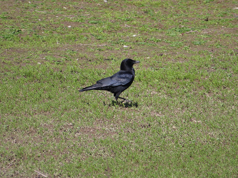 Crow
Crow Turkey vulture
 A magpie and some sort of hawk
 A hawk
 Hawk in flight
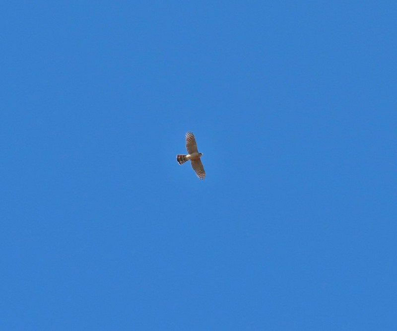 Cooper’s hawk?
 Hawk in the Pueblo Mountains
 Red-tailed hawk
 Hawk or?
 Northern harrier
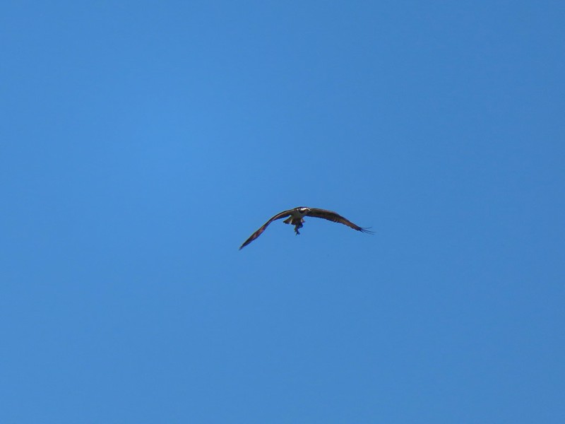
 Osprey (with meal)
 Bald eagle
 Great horned owl
 American kestral
 Common nightwawk
 Northern shrike
 Coyote
 Wild horses at Steens Mountain
 Not wild cows along the Little Malhuer Trail
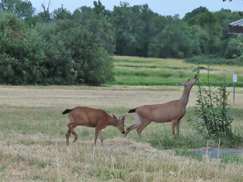 Columbian black-tailed deer
 Columbian white-tailed deer
 Mule deer fawn
 Elk in the Aldrich Mountains
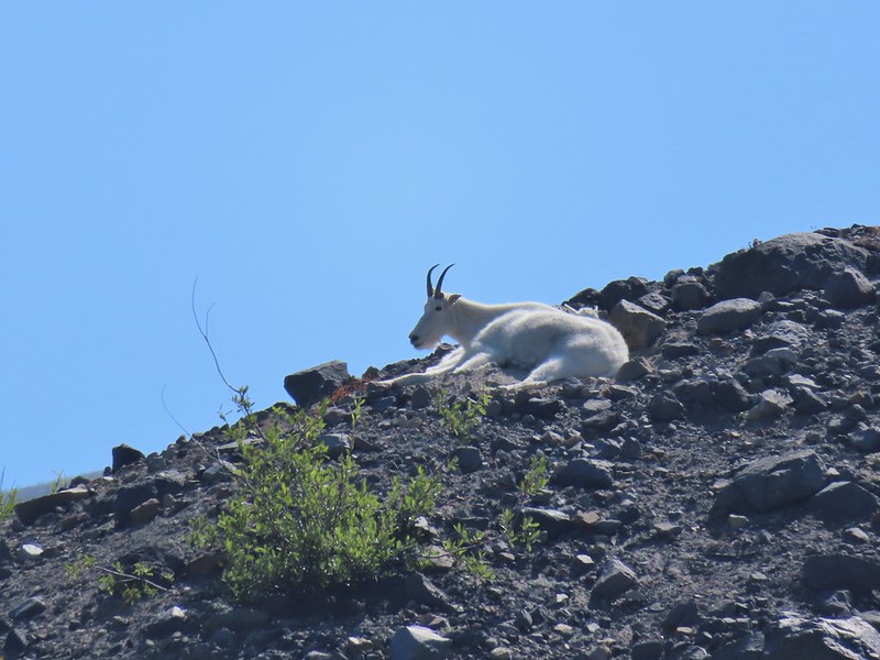 Mountain goat

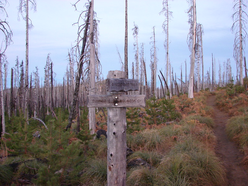 Trail sign at the junction on 10/13/2012.
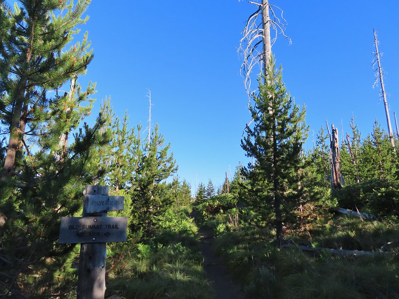 Trail sign at the junction on 07/03/2021.
 Entering the Mt. Jefferson Wilderness in 2012 (0.3 miles from the TH).
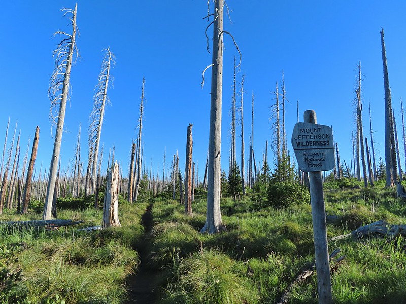 Entering the wilderness in 2021.
 Cache Mountain, Black Crater (post), Tam McArthur Rim & Broken Top (post), North & Middle Sister, Mt. Washington, and Hayrick Butte (flat top on the right).
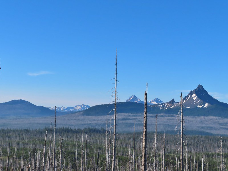

 A thistle
 Penstemon
 Bleeding heart
 Pussytoes
 California stickseed
 Another penstemon


 There was a good amount of scarlet gilia blooming along this section of trail.
 Three Fingered Jack
 One of the ponds.
 Queen’s cup
 Another pond with Maxwell Butte (
 Unnamed lake along the trail with Maxwell Butte behind.
 Lupine
 Sub-alpine mariposa lilies
 Woodpecker
 The view south.


 Beargrass
 Recent snow melt is another recipe for mosquitos.
 Another creek crossing.
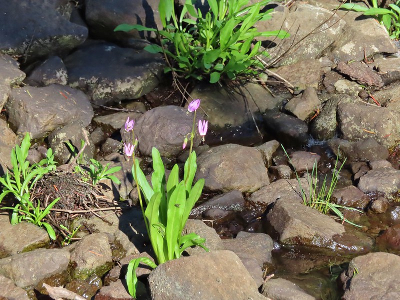 Shooting star
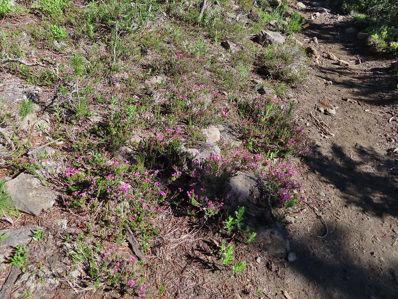 Mountain heather. Typically if we see this blooming we expect there to be mosquitos.
 Alpine false dandelion
 One of several snow patches at the tree line.
 Nearing the end of the opening.
 More snow in the trees.
 Trees & melting snow = more mosquitos.
 Not Santiam Lake but a very pretty unnamed lake just to the left of the trail approximately 0.4 miles from Santiam Lake.

 Mt. Jefferson behind Red Butte
 Duffy Butte on the left.
 Three Fingered Jack
 Paintbrush, shooting stars, and buttercups.
 Just one of several large uprooted trees along the shore.

 The “topographic feature” ahead on the right where we planned on turning for Lower Berley Lake.
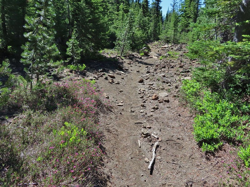 Mountain heather along the trail, it was warm and sunny enough that the mosquitos weren’t as bad this time by.
 Threeleaf lewisia
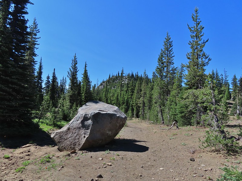 Getting closer to the hill where we planned on turning.
 California tortoiseshell butterflies in the bed of Lost Lake Creek.


 Three Fingered Jack from the rocks.
 More tortoiseshells
 A butterfly photo bomb


 The bed was popular with the butterflies.
 Cross country to Upper Berley Lake, the doe was in this meadow and headed in the direction of the patch of snow at the far end.
 Upper Berley Lake
 We wound up finding the same “user trail” and followed it down to the lower lake.
 California tortoiseshell butterflies along Lower Berley Lake.
 Three Fingered Jack and about a half dozen butterflies.
 The hillside on the right was rocky.
 The trail dropping down from the saddle with Mt. Washington and the North Sister ahead.

 Found it!

 Yellow beetle on lupine.
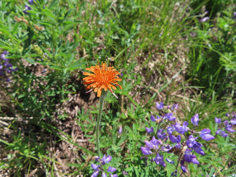 Orange agoseris
 Back at the PCT.
 Black Crater, Broken Top, North & Middle Sister, Mt. Washington, Hayrick Butte, and Hoodoo Butte from the viewpoint.


 American coot and a duck family.
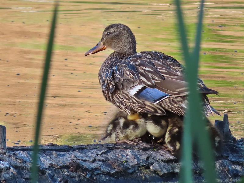
 Spotted sandpiper
 Pied billed grebe


 Mountain bluebird
 The spur of the Walton Lake Trail that leads to the Round Mountain Trail.


 A saxifrage.


 Larkspur


 Chocolate lily
 The rocky plateau with Round Mountain to the right.
 Death camas
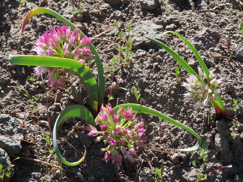
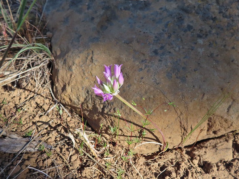 A wild onion
 Yarrow
 Paintbrush
 Valerian along the trail.
 California tortoiseshell on valerian.
 Mt. Jefferson from the trail.
 Maybe a miterwort?
 Scissors Spring
 A fleabane
 Geranium

 Woodpecker
 Another doe
 Possibly some sort of phlox?
 Another wild onion
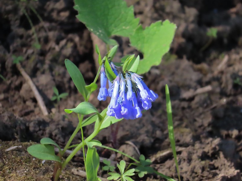 Mountain bluebells
 Threeleaf lewisia
 Butterfly on Jessica stickseed
 A larkspur, Jessica stickseed, and hyssop
 Robin
Robin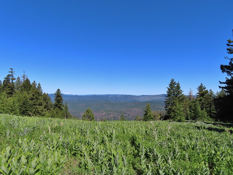 Mountain view from a meadow.
 Mt. Jefferson
 Mt. Hood
 Viewpoint at one of the switchbacks. Cascade Mountains from Diamond Peak to Mt. Jefferson.
 Diamond Peak
 Mt. Bachelor
 Ball Butte and Broken Top
 Three Sisters
 Mt. Washington
 Three Fingered Jack
 Mt. Jefferson
 The trail sign along Round Mountain Road up the hill.
 Fritillary butterfly
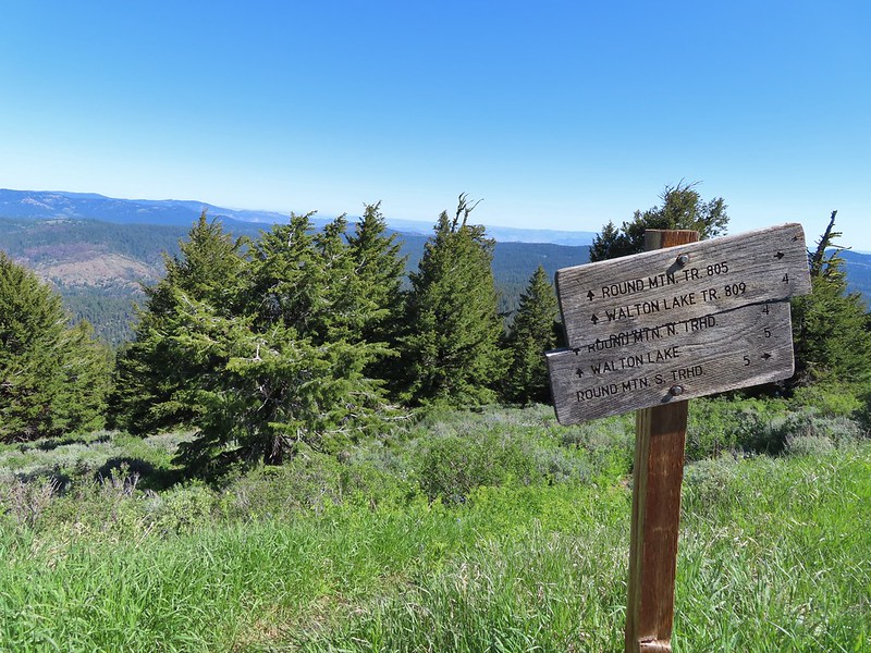
 Silky phacelia
 Prairie smoke
 Balsamroot
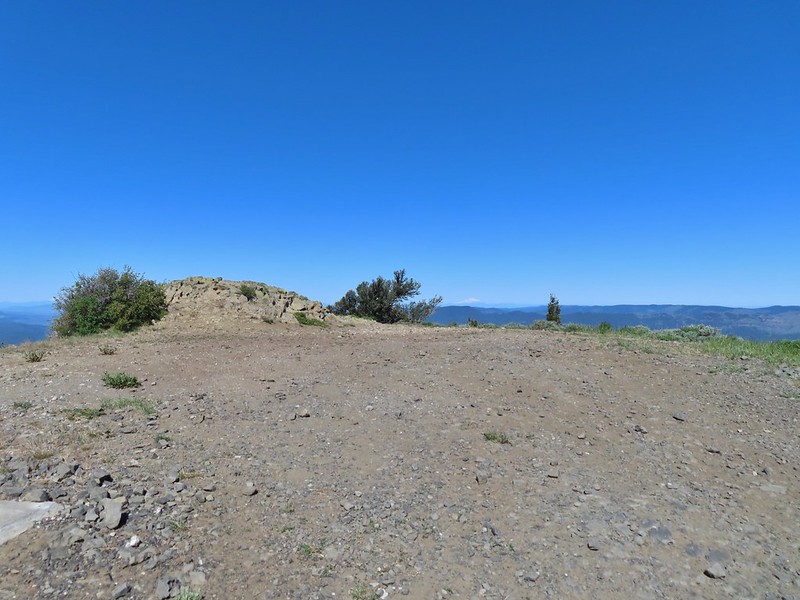 Round Mountain summit
 And occasionally land.
 Big Summit Prairie
 Lookout Mountain (
 Mt. Hood
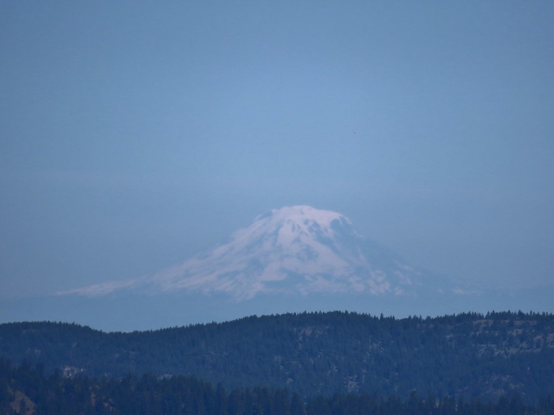 Mt. Adams
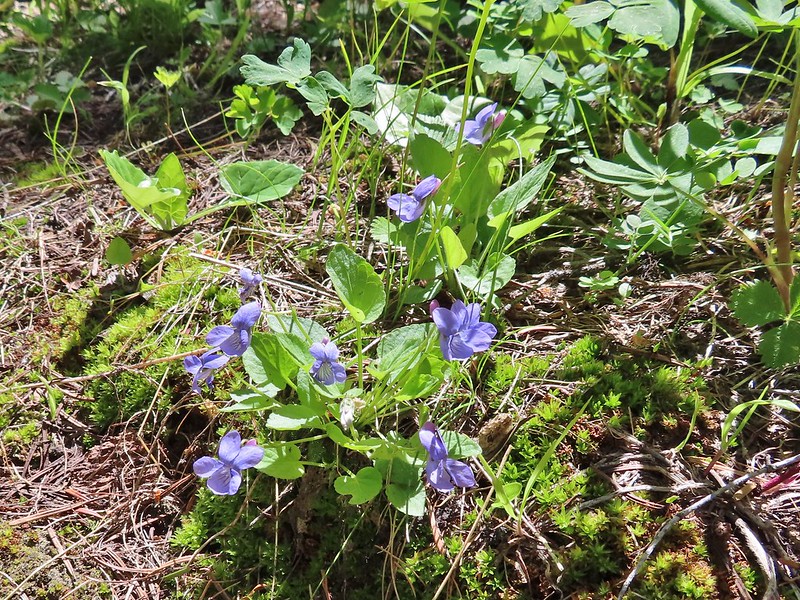
 Not too horrible of a photo of the orangetip on one of its many passes.
 Osprey with a recently caught fish (we got to see the dive)


 The wilderness sign in 2015.

 2015
2015
 2015
2015

 2015
2015
 Penstemon
 Lousewort
 Scarlet gilia
 A couple of short (and late) beargrass plumes.

 This looked like prime pika habitat to us.


 Hogg Rock (near left), flat topped Hayrick Butte next to Hoodoo Butte, Mt. Washington with Broken Top behind left and the Three Sisters behind right.
 Mt. Hood in the distance to the left of Mt. Jefferson.

 Mt. Jefferson and Three Fingered Jack with Santiam Lake in the forest below.
 The view south.
 Broken Top, Mt. Washington, and the Three Sisters with Hayrick Butte in the forefront.
 Santiam Lake
 Duffy Lake (
 Mowich Lake
 Paintbrush in the crater.


 Pika
Pika Golden-mantled ground squirrel in the same rocky area as the pika.
 Spur road leading to the trail from the pullout.
 Signage at the end of the closed spur.
 Thimbleberry crowding the trail.
 Devil’s club along the trail. We each had our hands brush against some and it doesn’t feel pleasant.
 Lupine and paintbrush in the thimbleberries as the trail enters the forest.
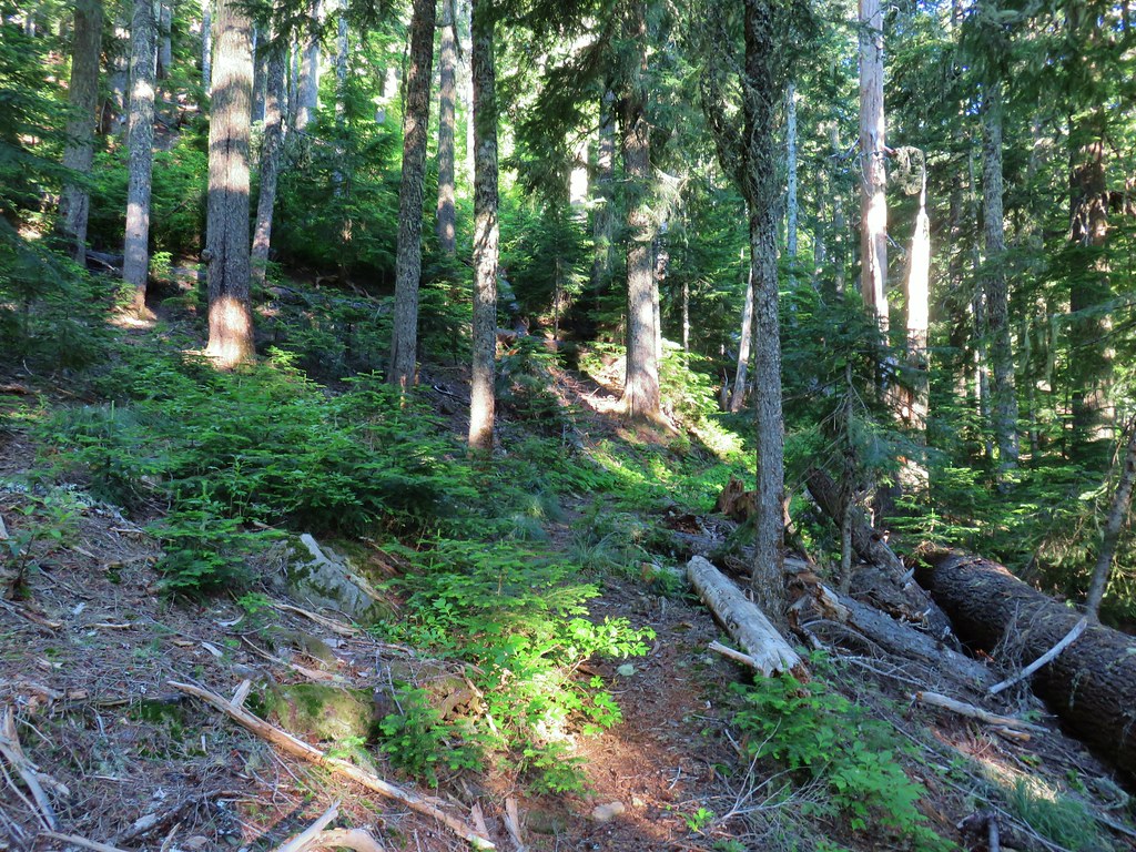
 It looked like these two trees fell out of the same hole but in different directions.
 Anemone and queen’s cup
 Beargrass and huckleberry bushes.
 Schreiner Peak in front of Mt. Jefferson.
 Small sign on the tree marking the trail to Thunder Mountain’s summit.
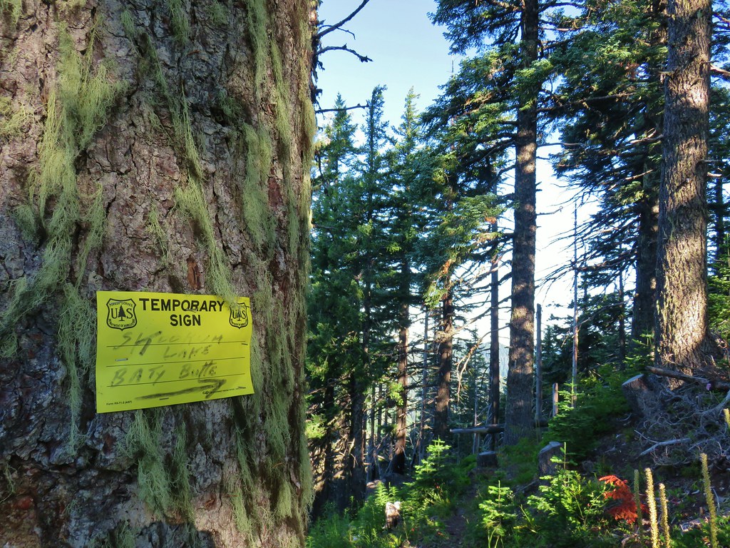
 Columbine
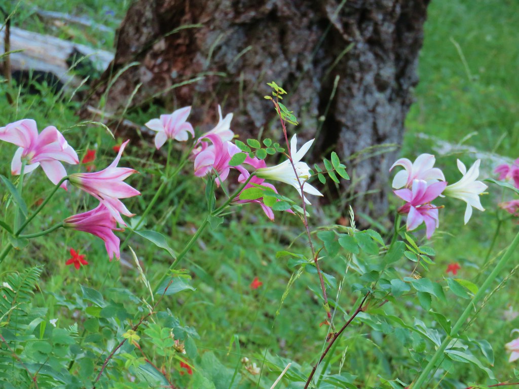 Washington lilies
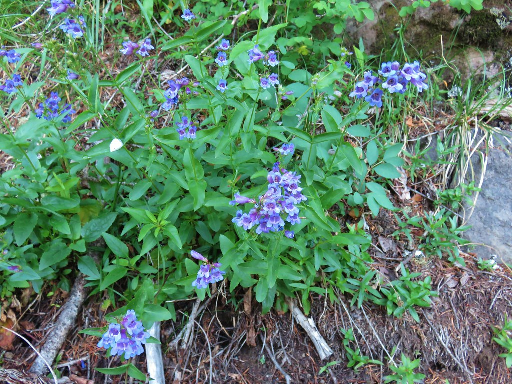 Penstemon
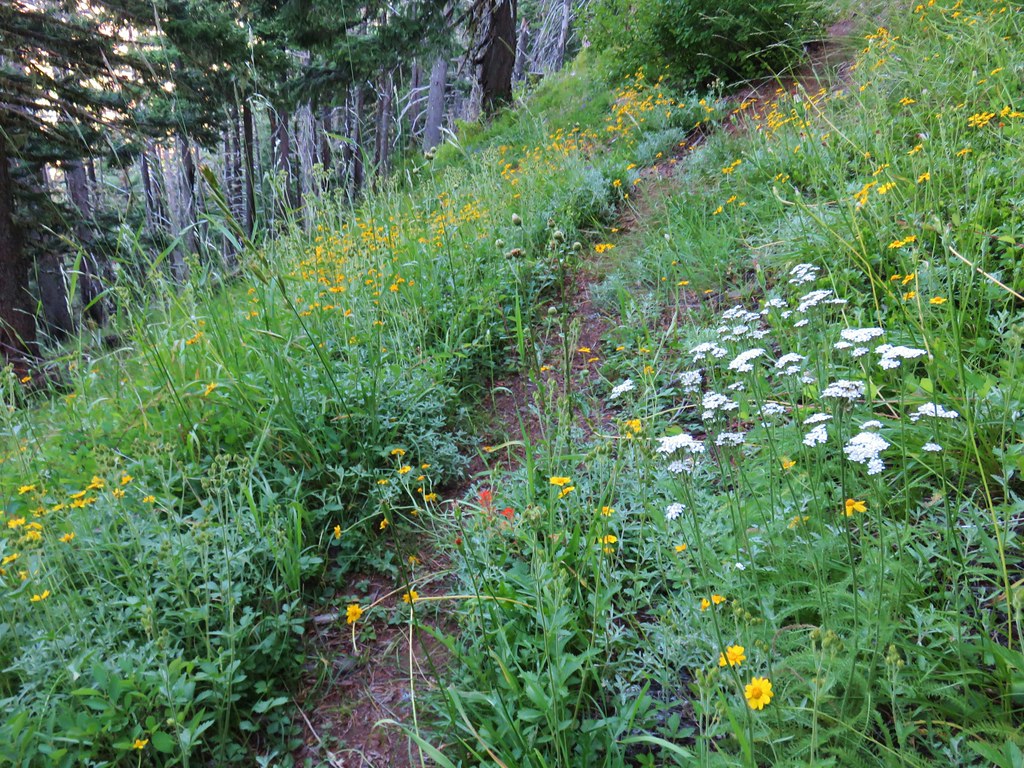 Assorted flowers
 Washington lilies
 Oregon sunshine
 Scouler’s bluebells
 Columbine and a couple different types of penstemon.
 Cat’s ear lily
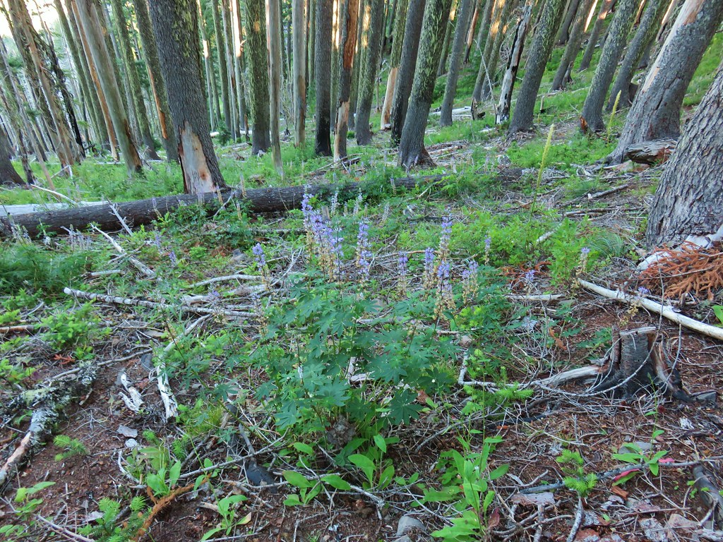 Lupine
 Pyrola
 Skookum Lake Trail below coming out of the horseshoe turn.

 Mt. Hood
 Mt. Rainier
 The trail skirts a talus slope above the meadow.
 Finally leveling out by the meadow after losing approximately 700′.
 I missed the sign until we had come back and started down the Skookum Lake Trail.
 Tall bluebells
 The yellow might be a groundsel.
 Aster
Aster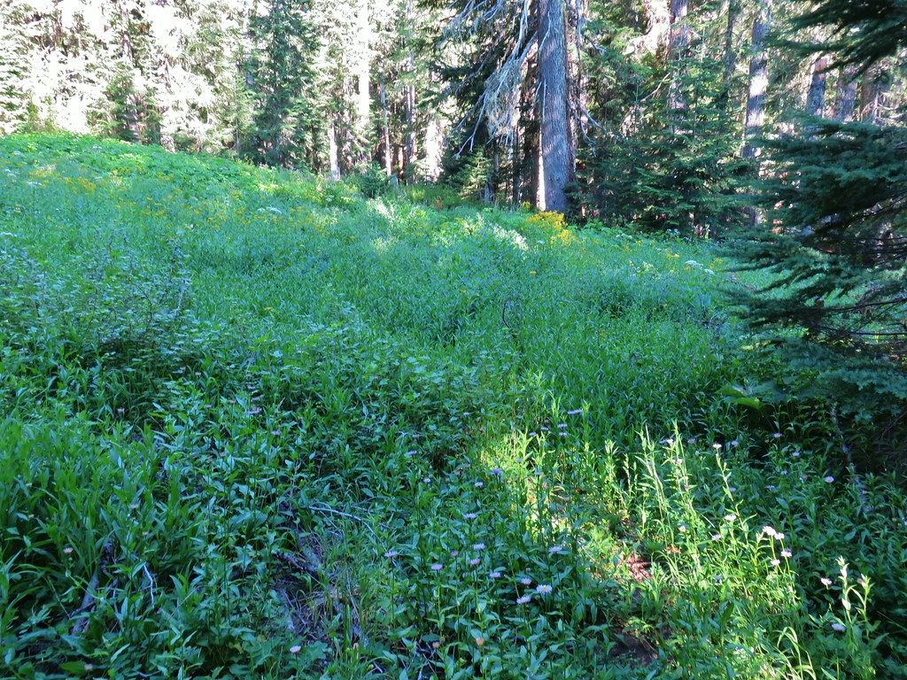


 Paintbrush, penstemon and lupine

 Mostly past lupine

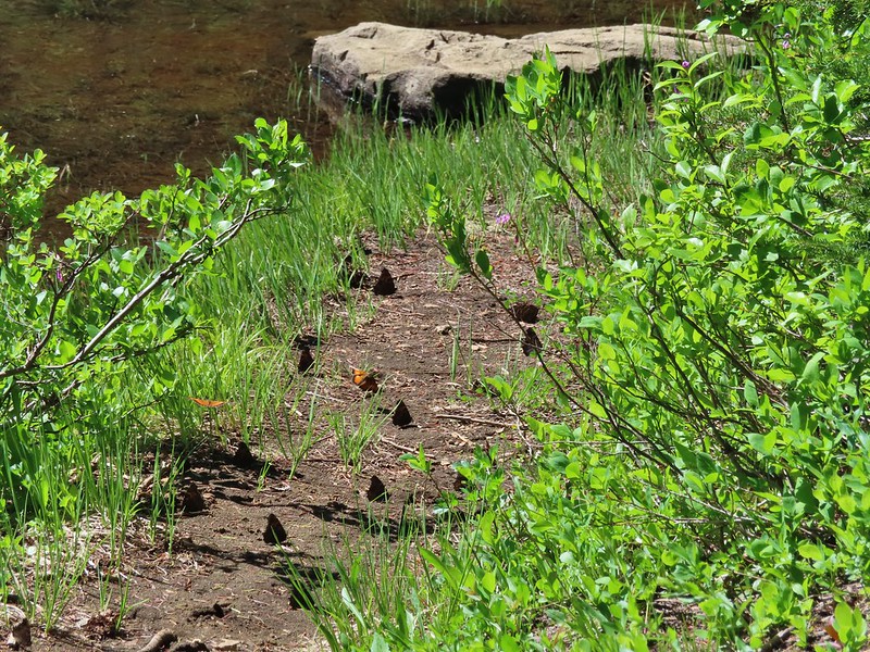
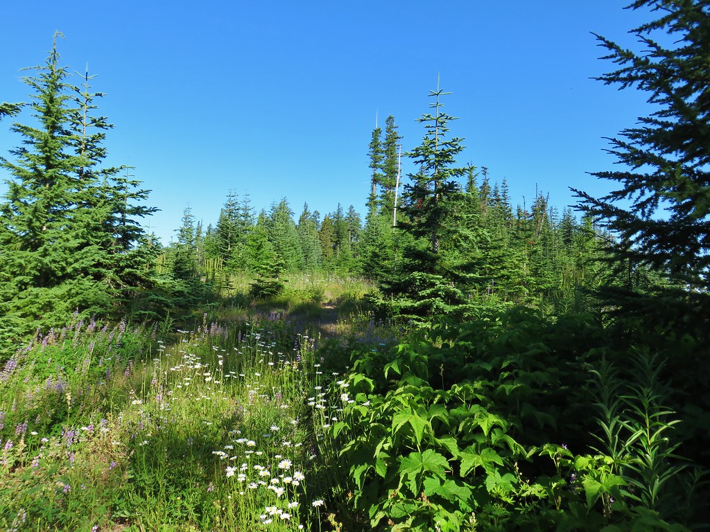
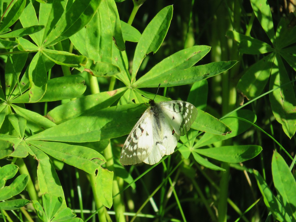
 Several butterflies on Oregon sunshine.
 Scarlet gilia
 Fireweed
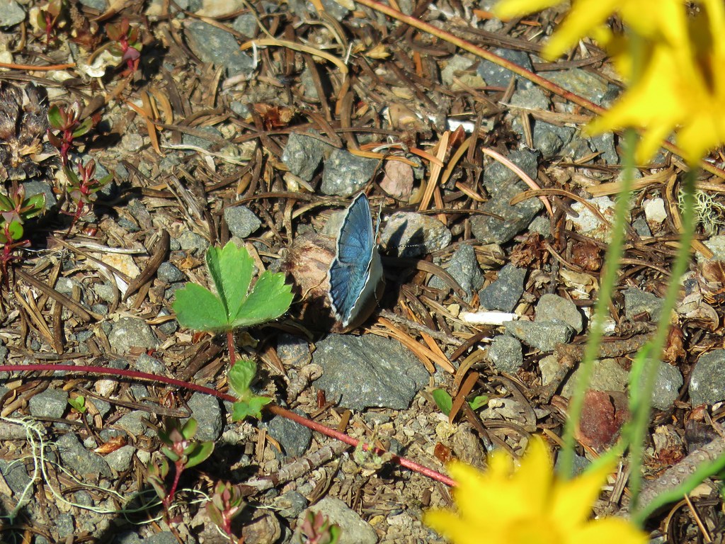

 Left is the wrong way on the return, the correct route is to the right through the brush.
 Flagging marking the correct path.


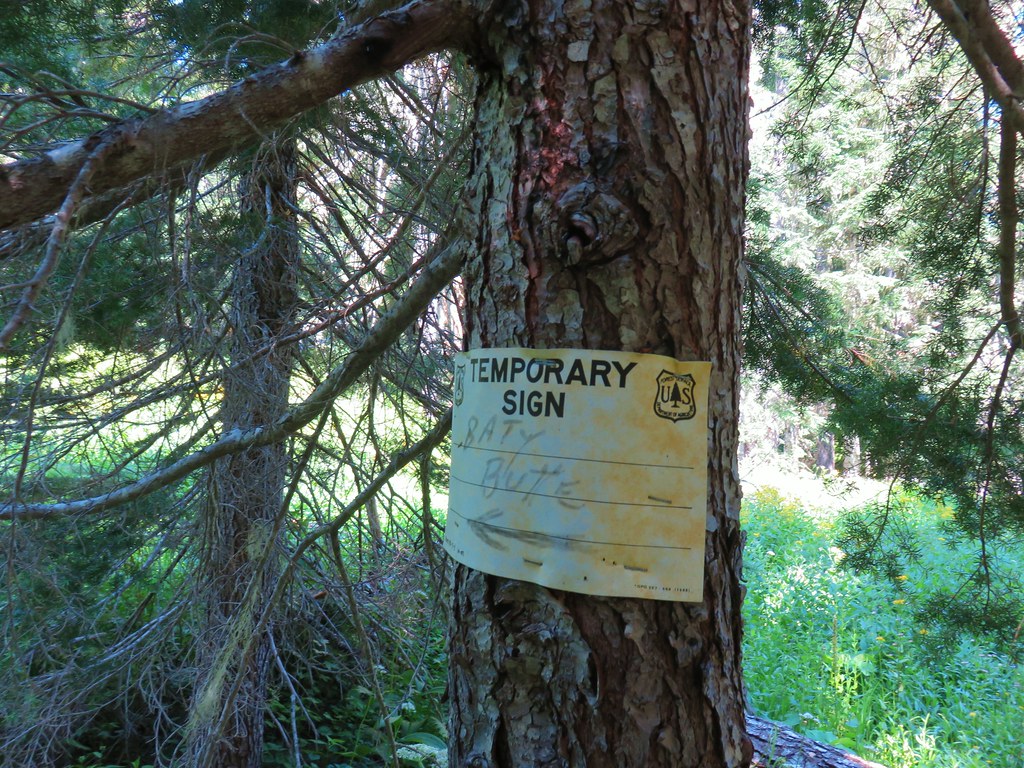
 Baty Butte Trail to the right.
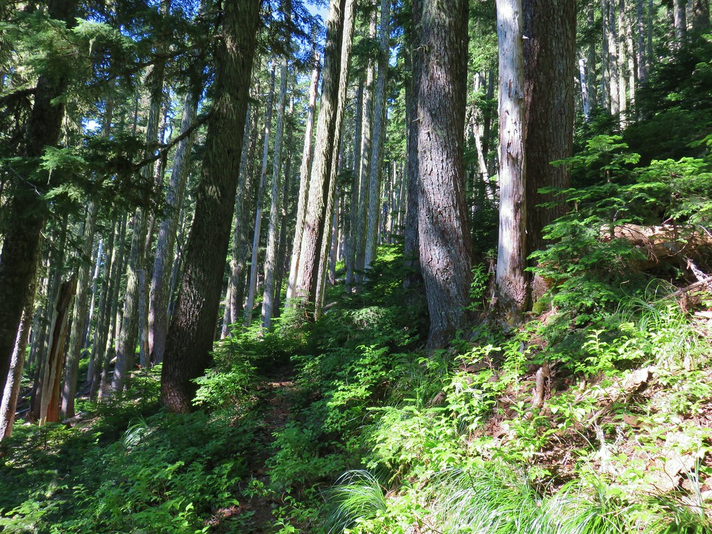
 Baty Butte Trail starting to curve around the ridge.
 Scramble route up the ridge.
 Looking down from the start of the spine.


 Mt. Jefferson
 Three Fingered Jack, Mt. Washington, and the Three Sisters.
 Rooster Rock is the formation to the far left.
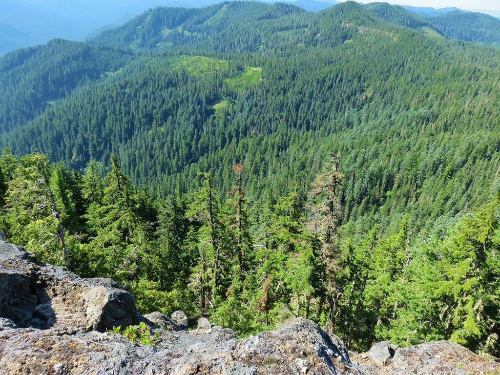 Looking down from Baty Butte.

 Orange agoseris
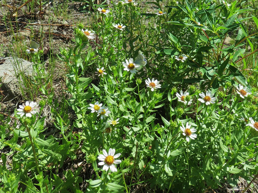
 Pearly everlasting
 Penstemon
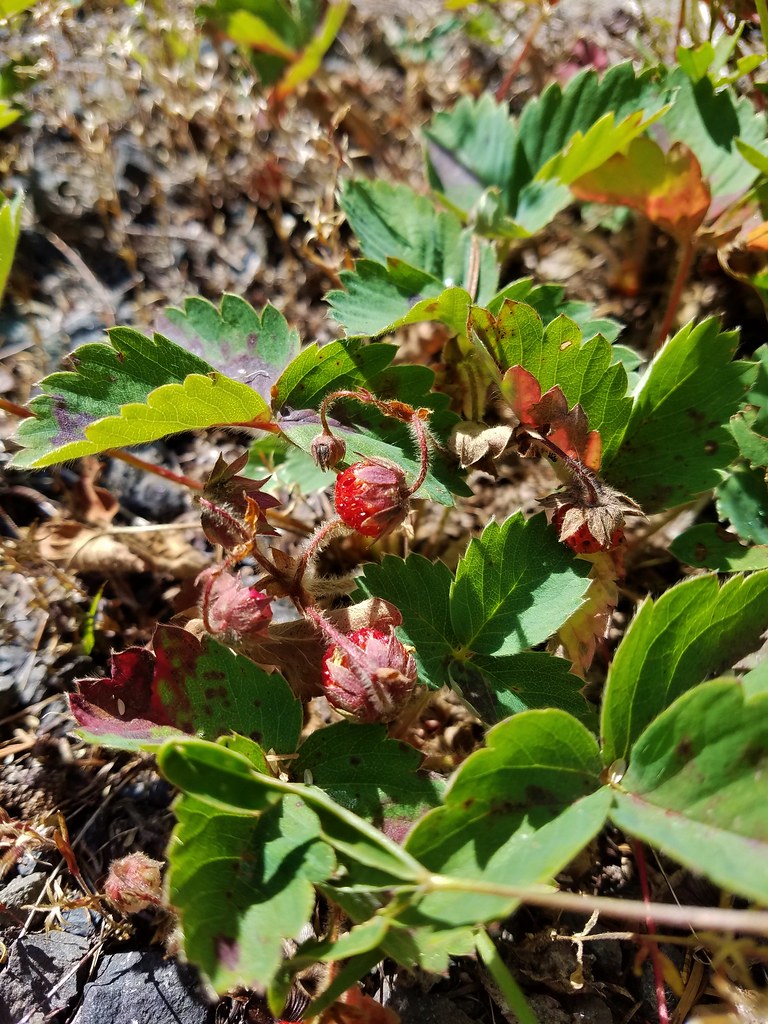

 Monkeyflower along the trail.
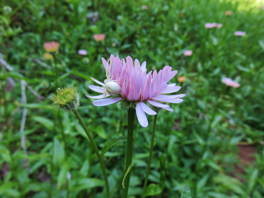 Crab spider on aster.
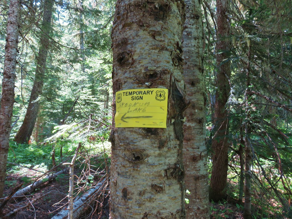
 Rhododendron along the Skookum Lake Trail.


 Small sign on a tree marking the trail to the summit of Thunder Mountain.

 The view north.
 Mt. St. Helens
 Mt. Rainier and Mt. Adams beyond Fish Creek Mountain (
 Mt. Hood
 Mt. Jefferson
 Old man’s whiskers and a chocolate lily
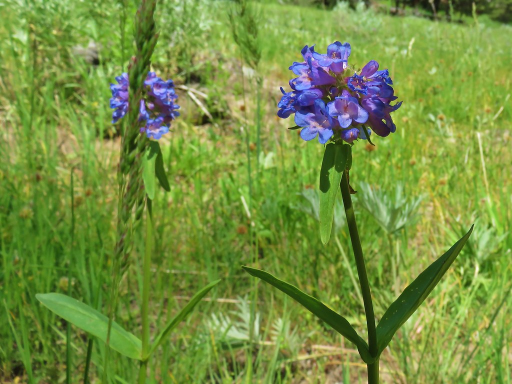 Penstemon
 Death camas
 A clover
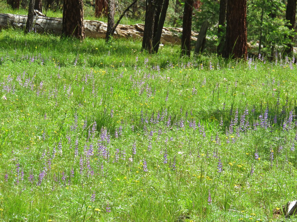 Lupine
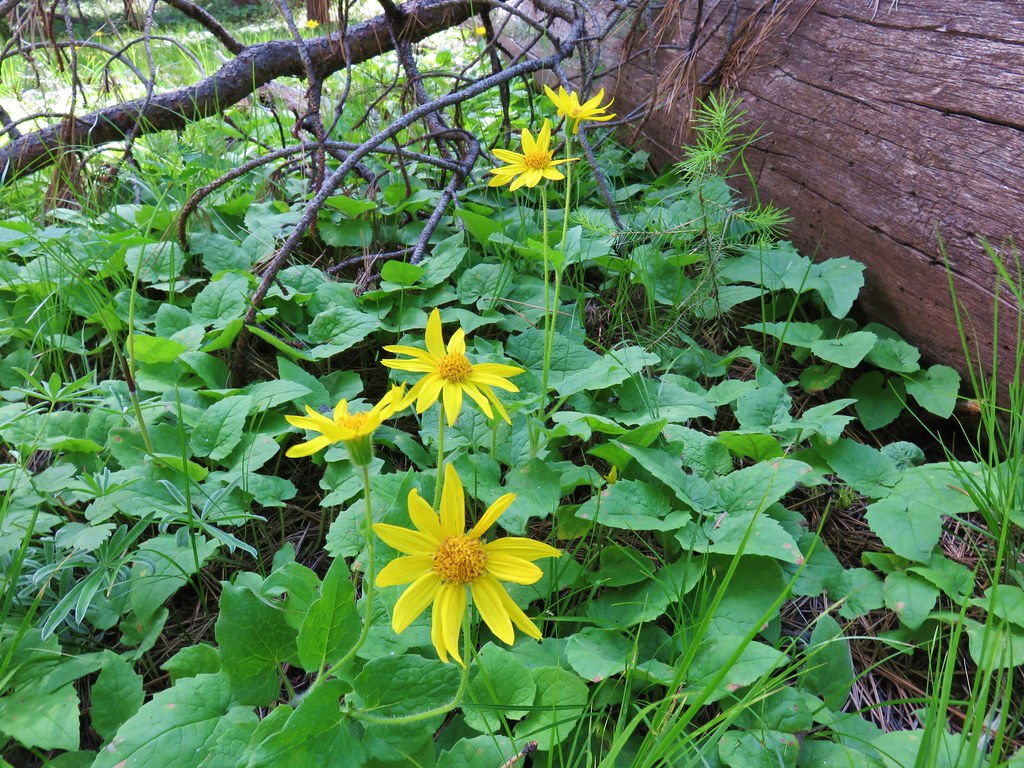 Arnica
 Large-flower triteleia
 Oregon sunshine
 Sticky geranium
 Woodland star
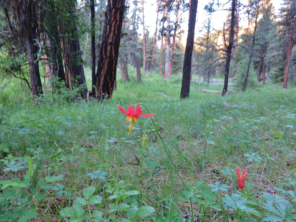 Columbine
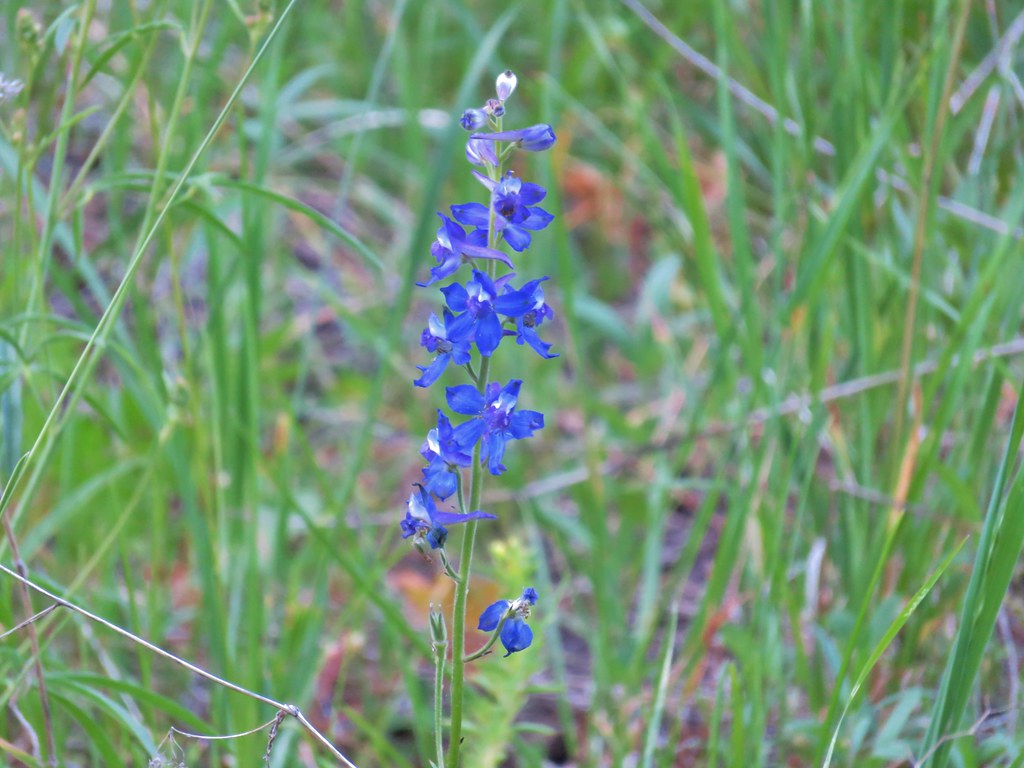 Larkspur