
With November quickly coming to an end we hadn’t managed to get out on a trail yet. We skipped the first two weekends due to poor weather and then spent most of the next week at theme parks in Southern California (post). While we got plenty of walking in at the parks, I didn’t consider those days as our monthly outing. Both Heather and I came down with head colds following our return home, so another weekend came and went without a hike. The forecast was dry for Thanksgiving which provided an opportunity to get a morning hike in. I was feeling better, but Heather was still dealing with a lingering cough, so I set out alone to check out the newest trailhead at nearby Silver Falls State Park.
The North Canyon Trailhead was opened in June 2023 followed by the North Rim Trail in July 2023. I was looking forward to checking out these new features, so I parked at the new trailhead and set off following pointers for the North Rim Trail.


The route I’d planned was to take the new trail 0.8-miles to the North Falls Trailhead then take a 0.6-mile out-and-back detour on the Upper North Falls Trail to visit Upper North Falls. After returning to the North Falls Trailhead I would take the Trail of Ten Falls down into the canyon passing behind North Falls and following this trail past Twin Falls to the Winter Falls Trail where I would turn left to visit Winter Falls and then climb out of the canyon to the Winter Falls Trailhead.
At the Winter Falls Trailhead I would again pick up the Trail of Ten Falls aka the Rim Trail where I would turn right and follow it past the Nature Store. Shortly after passing the Nature Store the Trail of Ten Falls heads down into the canyon again to pass behind South Falls. The trail is also known as the Canyon Trail between this point and where it heads into the canyon near the North Falls Trailhead. I would follow the Trail of Ten Falls/Canyon Trail behind South and then Lower South Falls on the South Fork Silver Creek. The trail eventually leaves the south fork behind and then later crosses the North Fork Silver Creek before passing Lower North Falls. A short spur trail just East of North Falls leads to Double Falls on Hult Creek. After crossing Hult Creek the Trail of Ten Falls passes Drake Falls followed by Middle North Falls. I would take another short spur trail leading behind Middle North Falls before continuing another half mile to a junction with the Twin Falls Trail. Finally I would take the Twin Falls Trail uphill a half mile back to the North Canyon Trailhead. This route resulted in an approximately 8.8-mile hike with close to 1000′ of elevation gain.

I chose the route because it included roughly 1.5-miles of trail that was new to me. The new-to-me trail included the North Rim Trail, Twin Falls Trail, and a short section of the Winter Falls Trail (between Winter Falls and the Winter Falls Trailhead). I chose the direction (clockwise) because the last two times I’d visited the waterfalls I’d been going the opposite direction, so I wanted a different perspective this time around.
Onward to the pictures!
 The North Rim Trail heads left at a fork with the Twin Falls Trail a short distance from the parking lot.
 I stuck to the North Rim Trail here leaving another (short) trail to do next time.
 The Nature Play Area along the loop trail I didn’t take.

 One of two bridges along the North Rim Trail.
 Railing near the North Falls Viewpoint.
 North Falls from the viewpoint.
 North Falls
 Map located at the North Falls Trailhead.
 Upper North Falls from the Upper North Falls Trail.
 Upper North Falls.
 The split in the Trail of Ten Falls where the Canyon Trail heads down to North Falls.
 North Falls
 Trail behind North Falls.
 Behind North Falls.

 I will always take pictures of these large boulders in the creek.
 Hair ice, a phenomenon that only occurs on rotting wood when the correct mix of moisture, atmospheric conditions, and temperature combines with the fungus Exidiopsis effusa. There were quite a few occurrences this morning.
 Trail marker at the Twin Falls Trail junction.
 Twin Falls
 Twin Falls is a tough one to get a good clear view of the full waterfall. Recent rainfall had provided good flow for this fall which helps with the visibility.
 This is Twin Falls on July 7, 2006.
 All the rain had the side creeks and falls flowing as well.
 Nearing the Winter Falls Trail and its bridge over the creek.
 The view from the bridge.
 Winter Falls from the Winter Falls Trail.
 Winter Falls
It’s a steep couple of tenths of a mile climb from Winter Falls up to the trailhead which warmed me up enough that I removed my beanie, buff, and made a switch to lighter gloves shortly after I’d turned back onto the Trail of Ten Falls/Rim Trail.


 The forecast had called for sunny skies, but we were also dealing with an air stagnation warning. For a brief moment I thought the fog might burn off, but that never materialized and by the time I arrived at South Falls more fog had rolled in.

 There are some nice big trees scattered throughout the park.


 Trail of Ten Falls/Canyon Trail above South Falls.
 South Falls

 Behind South Falls
 For a short loop just to South Falls you can cross the bridge and return to the rim.


 The trail below heading for Lower South Falls.

 From behind Lower South Falls. I scared a poor woman so badly as I neared the falls. She was setting her phone up on a tripod for a selfie and didn’t see me coming nor could she hear me with the roar of the falls until I was just a couple of feet away. When I said that I was just going to sneak behind her she let out the loudest scream I’ve heard in a while.
 Ankle deep pools behind the falls.
 Lower South Falls
 The mile long Maple Trail (right) allows for a shorter loop to both the falls on South Fork Silver Creek.
 This is now the North Fork Silver Creek.
 Unnamed falls on a side creek.
 The footbridge over the North Fork Silver Creek.
 Pool below the bridge.
 Lower North Falls
 Footbridge over Hult Creek and the spur trail to Double Falls.
 Double Falls

 Back on the Canyon Trail.
 More fog.
 Drake Falls
 Middle North Falls
 Spur trail (right) to Middle North Falls.

 Behind Middle North Falls.
 Splash pool

 The Winter Falls Trail footbridge spanning the creek ahead on the right.
 Chipmunk.
I saw a few birds (and heard several more) and saw a deer on my drive through the park, but this was the only wildlife that I managed to even try and get a photo of on the hike.
 Twin Falls again which meant I was nearly to the Twin Falls Trail.

 Twin Falls Trail junction.
It was another stiff climb out of the canyon. There was a bench at a switchback with a somewhat obstructed view of Twin Falls.


 The Twin Falls Trail leveled out near its end.
 Arriving back at the junction with the North Rim Trail.
 I spotted several ruffed grouse as I was driving out of the trailhead.
I really enjoyed this loop. It began and ended with waterfalls and saved Middle North Falls, which I’ve decided is my favorite of the ten, until near the end. It was also a great time of the year to visit to see the falls full from the recent rains. This was my seventh visit to the park and even with my 2022 perimeter loop (post) there are still a number of trails I’ve yet to explore away from the waterfall area. I’m already looking at possible routes for the next visit. Happy Trails!
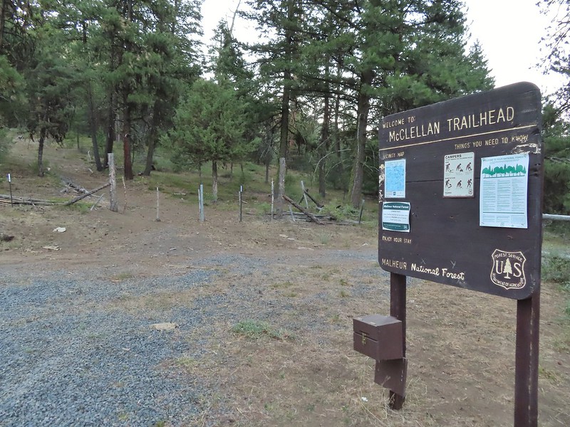


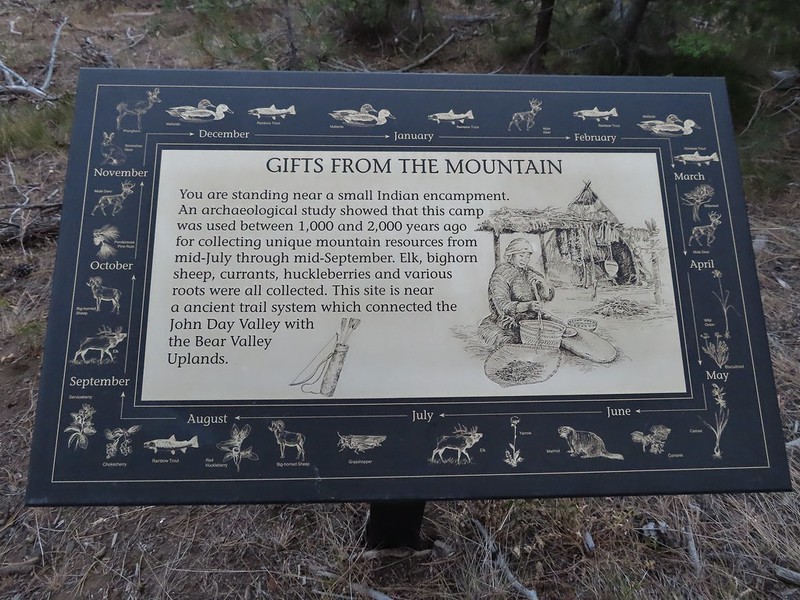 A lone interpretive sign near the beginning of the trail.
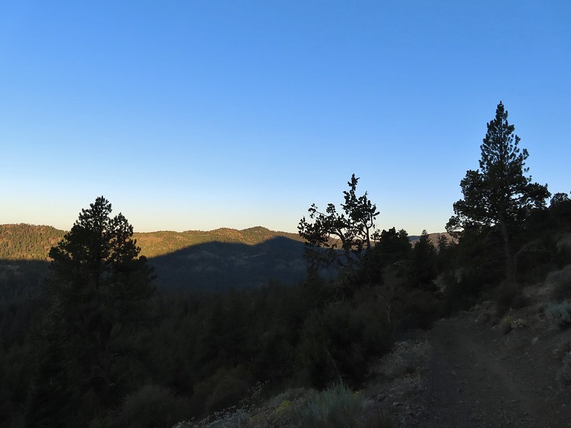
 The saddle
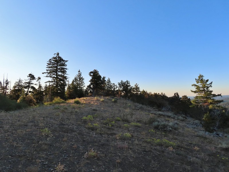
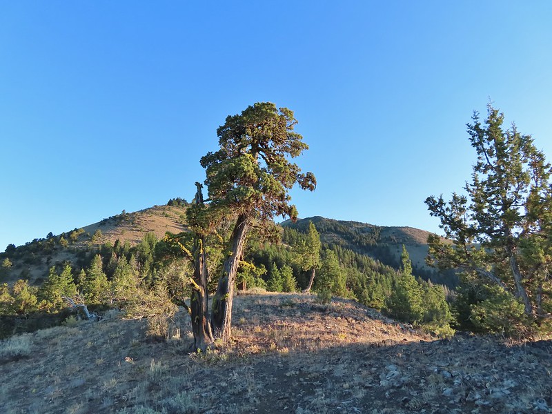 Fields Peak from the saddle.
 Heather arriving at the saddle.
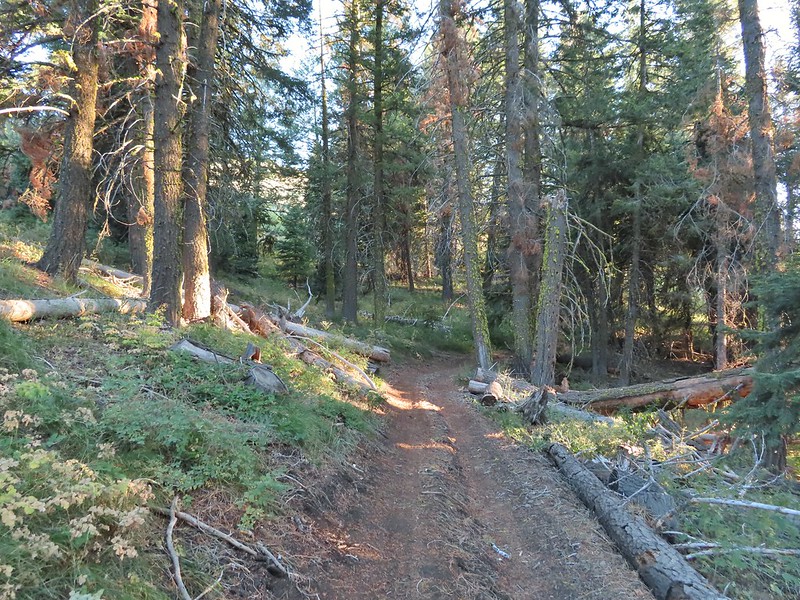 A rare level section.
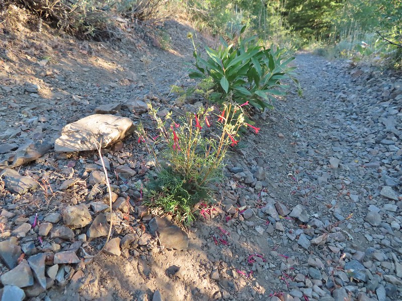 Scarlet gilia in the middle of the OHV track.
 Nearing the trail junction.
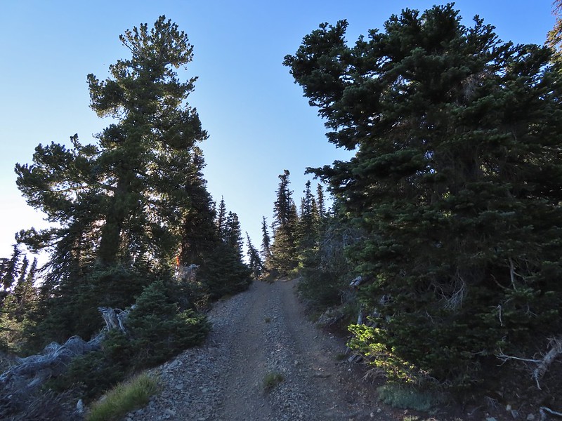
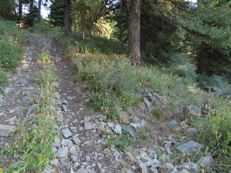 The McClellan Mountain Trail to the right.
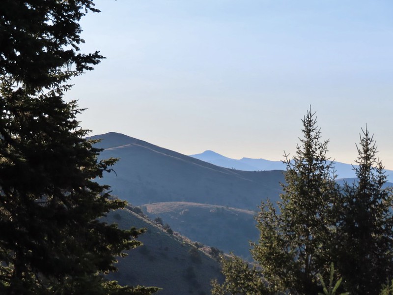 A peak east to McClellan Mountain and the more distant Strawberry Mountain (
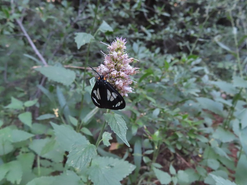 We saw a number of these moths sleeping on the hyssop.
 Hyssop and sunflowers
 Paintbrush
 Looking up Fields Peak.
 Mountain coyote mint
 Shadow of Fields Peak
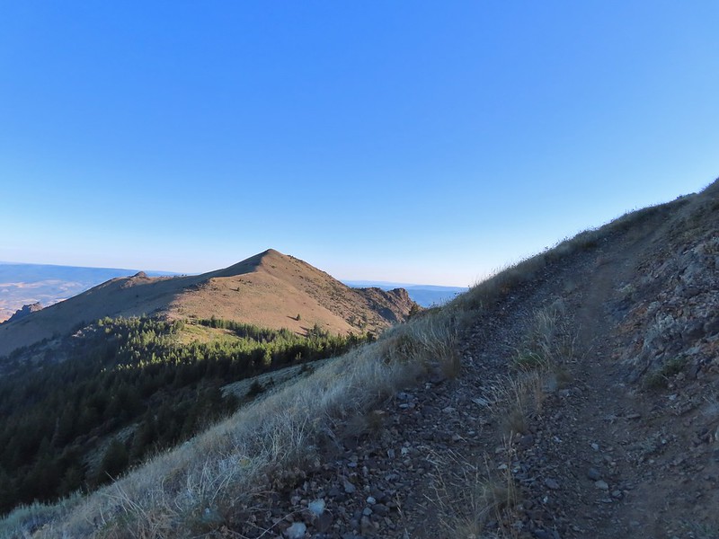
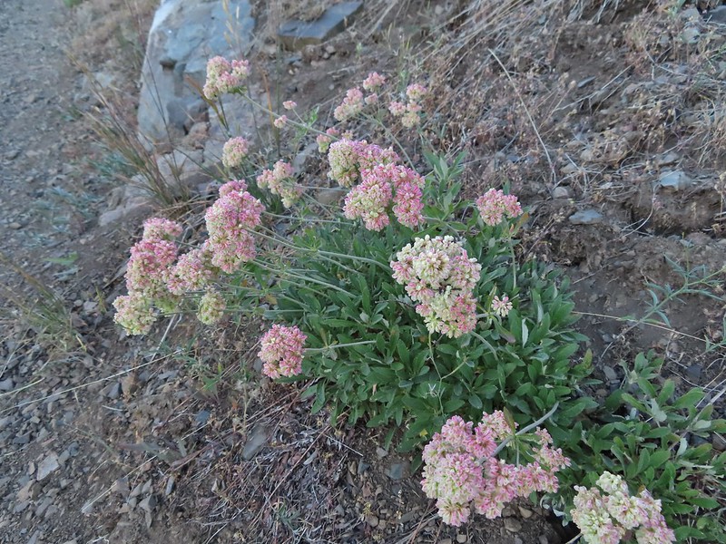 Buckwheat
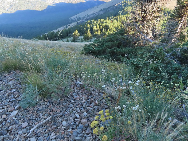
 A few trees near the top.
 Final steep pitch to the summit.
 View west, Aldrich Mountain is the high point to the near right.
 View north
 McClellan Mountain and the Strawberry Mountain Range to the east.
 Logan Valley to the SE.
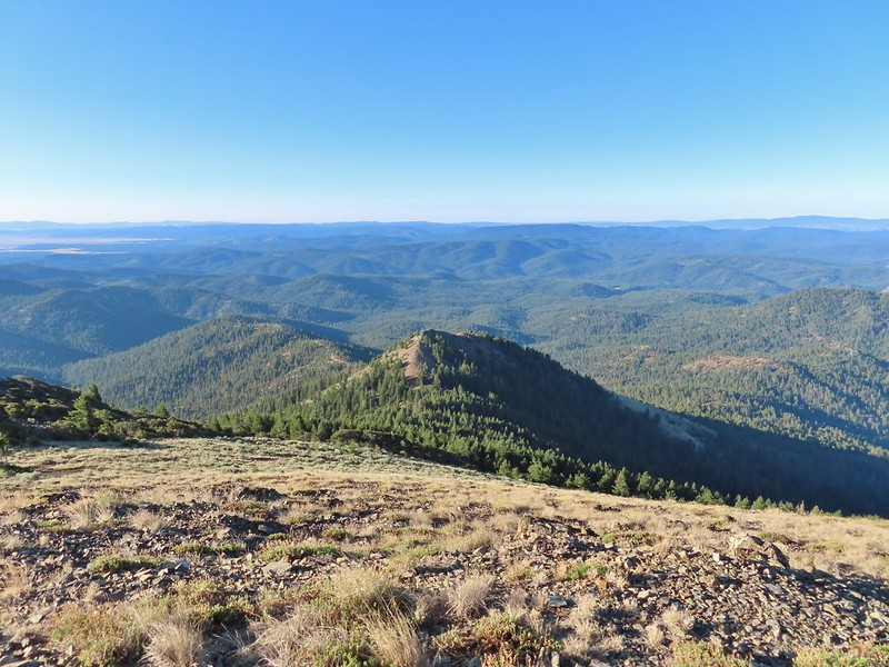 The view south.

 More moths
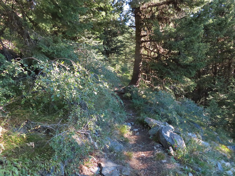
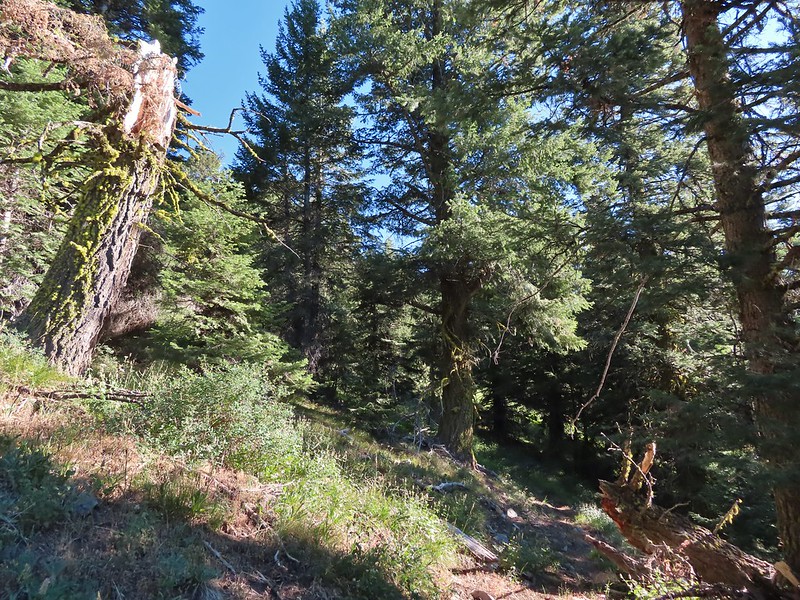
 Hillside above the trail.
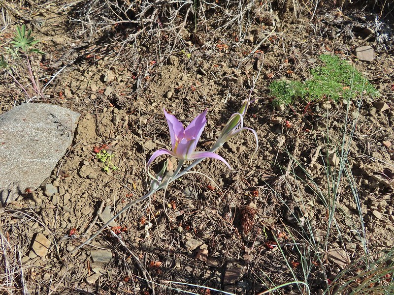 Sagebrush mariposa lily
 Approaching the saddle where we would cross the the north side of the hill ahead.
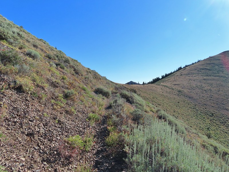 The first saddle with Moon Mountain behind.
 Looking back along the trail.
 Looking back from the saddle.
 The north side had a few more trees.
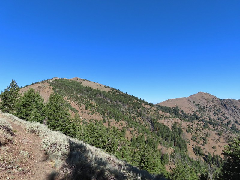 Looking back toward Fields Peak
 We passed through a rocky section near the second saddle.
 McClellan Mountain from the second saddle.
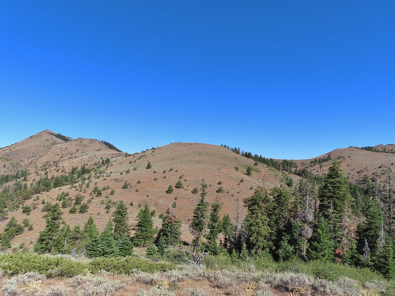
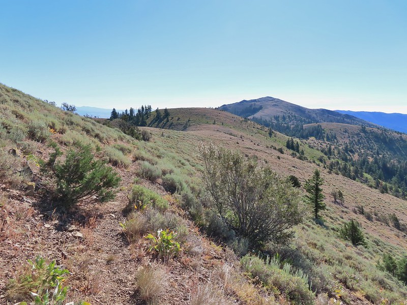 Approaching the third saddle.
 Moon Mountain
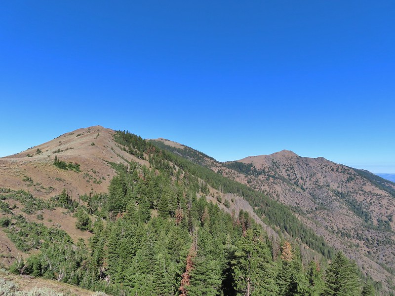 Fields Peak (center).
 McClellan Mountain as we approached the fourth saddle.
 Looking back you can sort of make out the trail angling down the near hillside.
 Looking up McClellan Mountain.
 In the middle of the center hill to the left of the tree in the foreground is the line of what turned out to be 5 bull elk.
 Blurry due to the elk moving and the deep zoom.
 Four of the bulls stopped to look back at us.
 The fifth and largest bull on top of the ridge waiting for the rest.
 An old fence line on the hill.
 Fields Peak on the left, an unnamed peak in the center and Moon Mountain on the right.
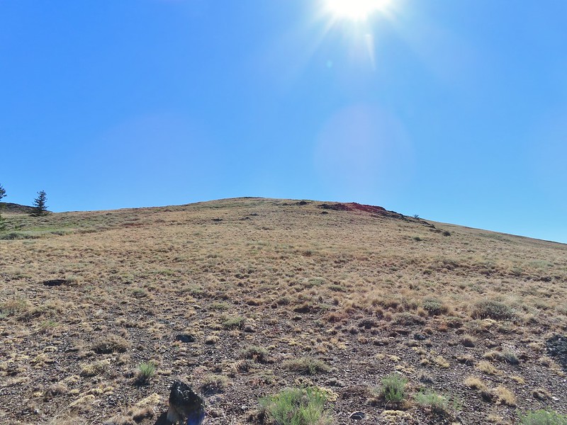
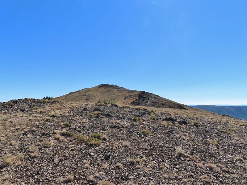 False summit (there’s always at least one). After some debate we went to the left of the rock outcrop which worked out well.
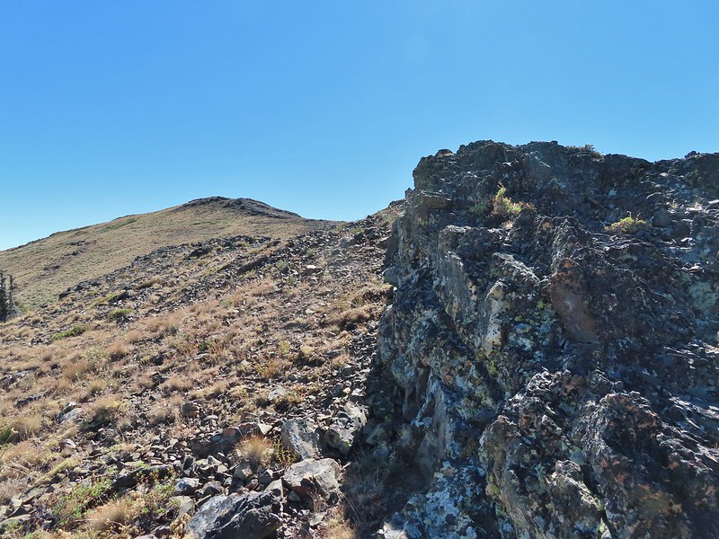 Passing the rock outcrop.
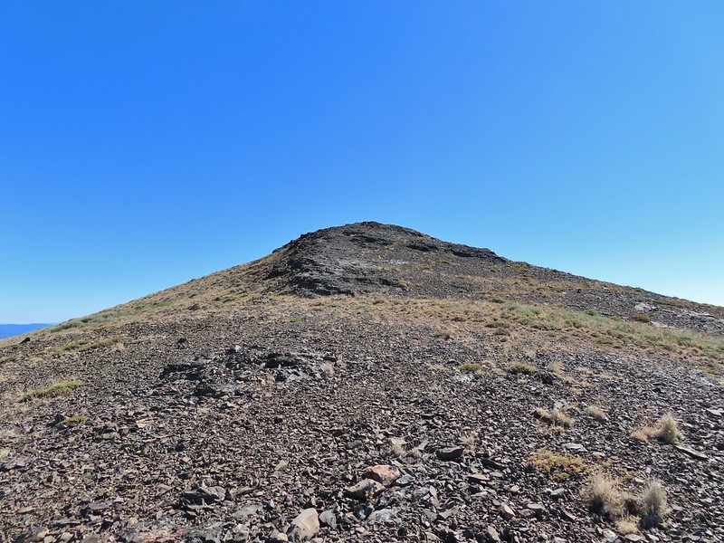 Almost there.
 The Greenhorn Mountains, Elkhorns, Dixie Butte and the Strawberry Mountains from left to right in the distance.
 Looking back at Fields Peak
 The John Day River Valley.
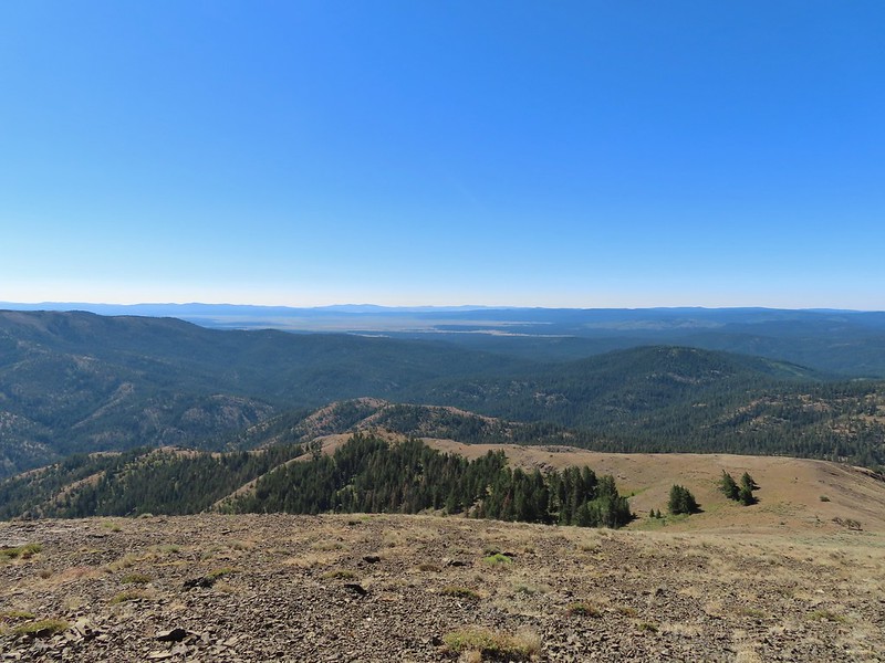 Logan Valley
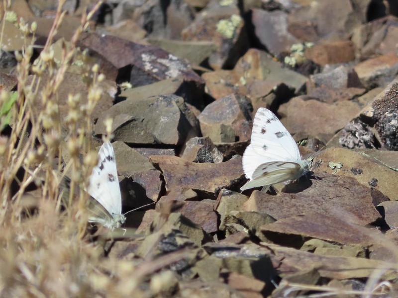 Company at the summit.
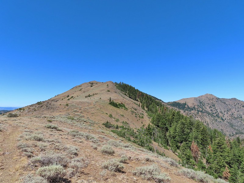 Passing back through Phlox Saddle.
 A better look at the rocky section of trail.
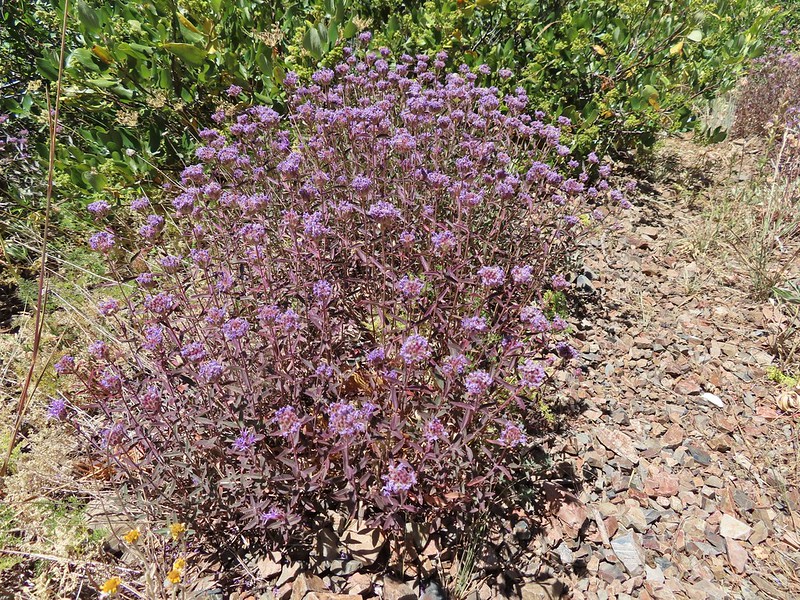 Mountain coyote mint, one of only a couple with this coloration on the stems.
 Butterfly and a beetle.
 Sagebrush mariposa lily
 Ruffed grouse
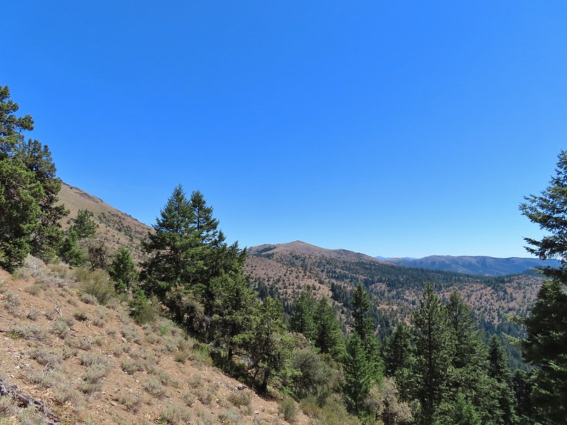 A final look at McClellan Mountain.
