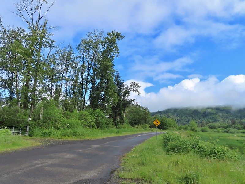
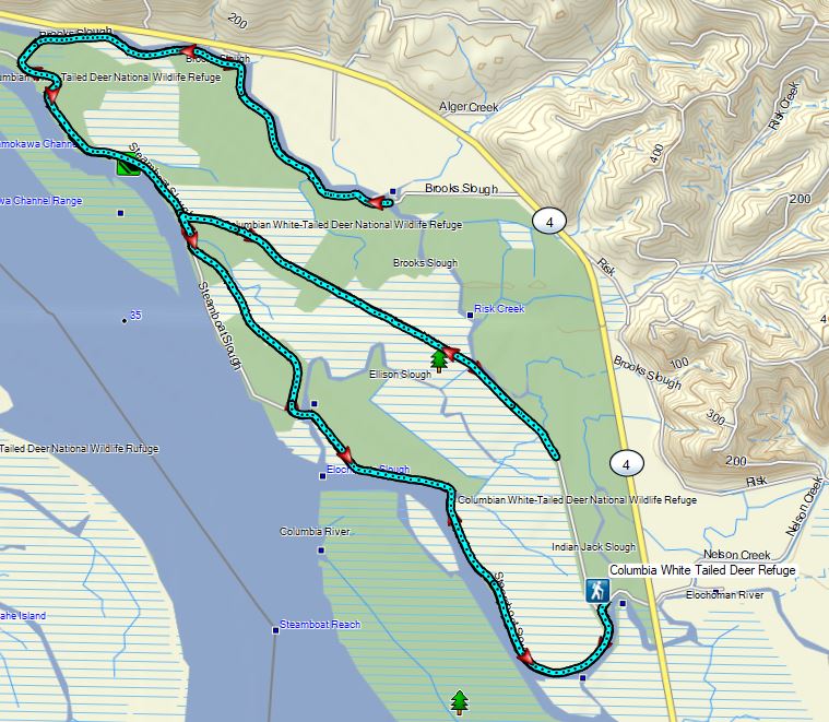
Another rainy weekend was in the forecast which had us questioning whether or not it was worth heading out. Our original plan had involved a hike with mountain views so we wanted to save that for a day with a clearer forecast. This had us looking for something that wasn’t view dependent. The Julia Butler Hansen Refuge a.k.a the Columbian White-Tailed Deer Refuge fit that bill and was on our schedule during the month of June in 2025. I had it penciled in for June due to one of the trails in the refuge, the Center Road Trail, only being open to hiking from June through September. While a refuge hike is typically okay on a rainy overcast day it had poured Friday and we were expecting Saturday to be similar and weren’t keen on driving over two hours to be drenched for an entire 12 mile hike. Friday evening we had all but decided to take the weekend off but just to be sure I pulled up the NOAA forecast for the refuge. To our surprise there was just a 10% chance of showers in the morning followed by partly sunny skies and a high in the low 60s. That sold us and we got our packs ready for a 5am departure the next morning.
After a brief conversation with a very friendly Washington State Trooper (I completely missed a 45mph sign and was given a warning) we pulled into the refuge HQ (open Mon-Fri 7:30am – 4pm). We had gotten the hike for this idea from the “more hikes” section of Sullivan’s “100 Hikes/Travel Guide Oregon Coast & Coast Range” guidebook as well as an entry in the Oregon Hikers Field Guide describes a 6.1 mile loop, which for reasons that will become evident later, is no longer possible. (I have contacted both with updated information.)


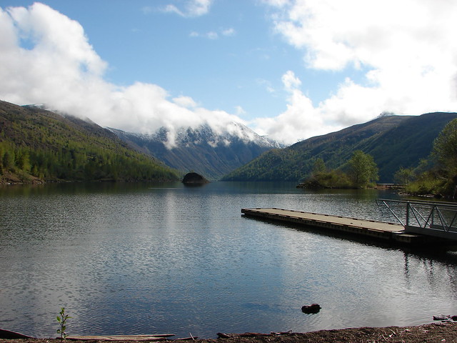
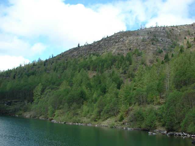
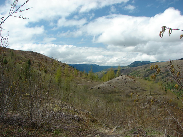
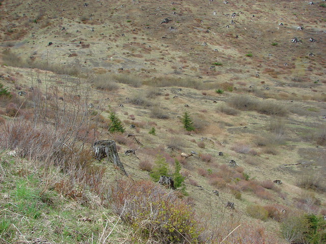
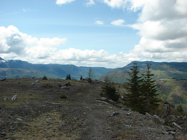
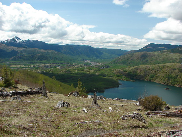
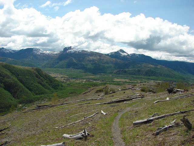
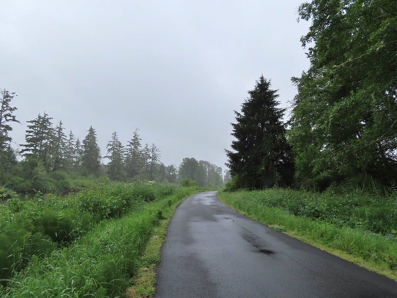
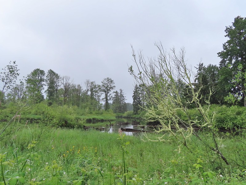
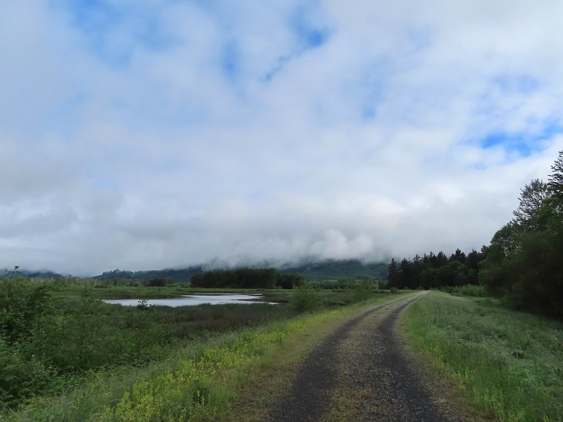
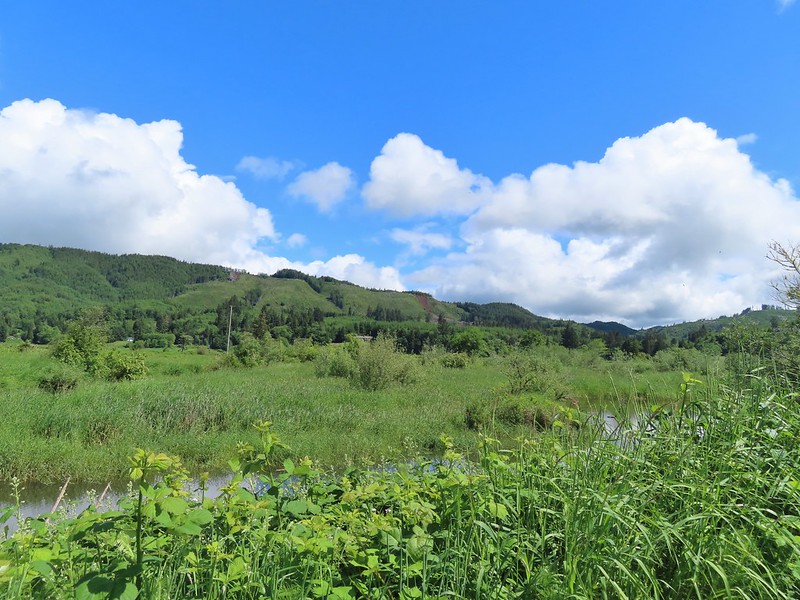
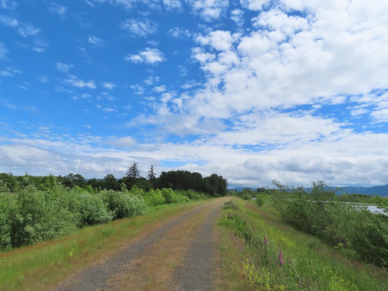
 A damp and cloudy morning.
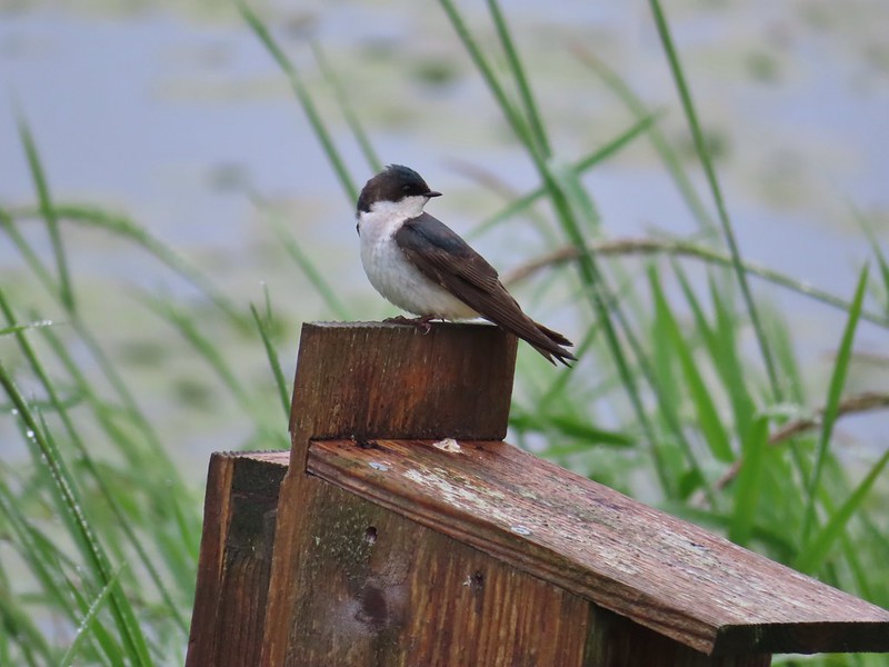 Swallow
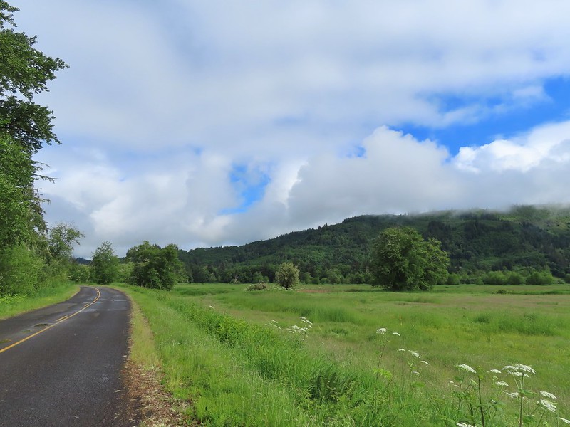
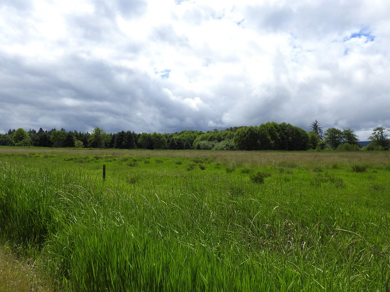
Our plan had been to to the described loop but after reaching the far end of the loop we were going to do an out-and-back along Steamboat and Brooks Slough Roads to add a little hiking time since a six mile loop would likely violate our rule of not having our driving time be greater than our hiking time on day trips. From the HQ we walked out of the parking lot onto Steamboat Slough Road and turned right crossing Indian Jack Slough. The loop description was to then turn right through a gate into the refuge shed/garage yard.
 Indian Jack Slough and the garage from Refuge HQ.
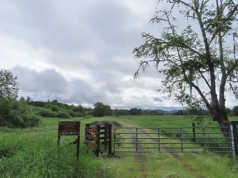
The gate, including a secondary pedestrian gate were padlocked and there were “Area Closed” signs on the driveway gate. This was a bit unexpected, but shouldn’t have been if we’d have read the Refuge website more closely. What we discovered after our hike was that at some point a 0.3 section of Center Road, from Steamboat Slough Road west, had been closed to the public making the loop impossible and leaving the Center Road Trail as a 5 mile round trip out-and-back. At this point though we weren’t sure what was going on so we decided to simply head out Steamboat Slough Road and were prepared to skip Center Road and make the hike a simple out-and-back.
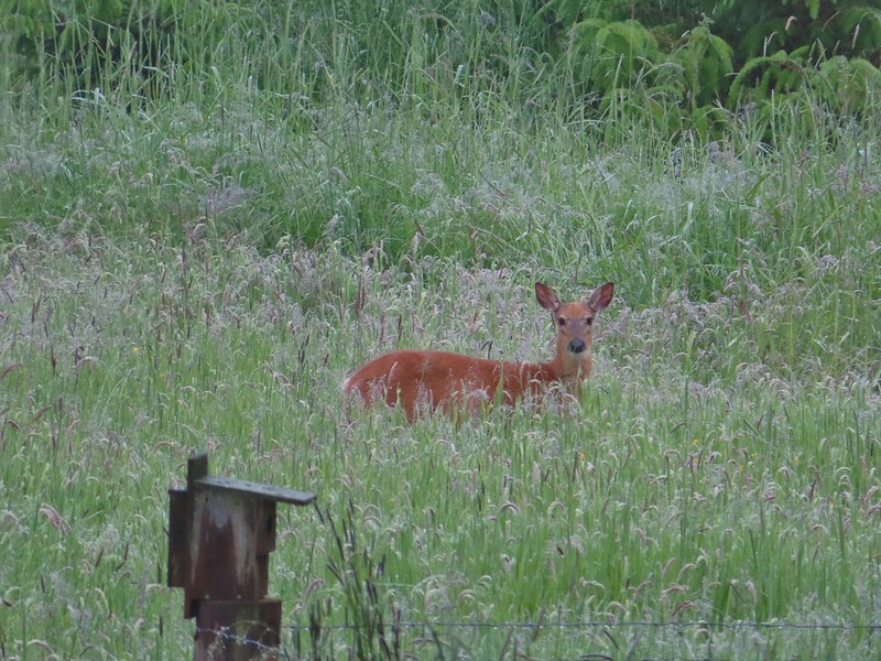
Beyond the shed/garage there was a living quarters and just beyond that we spotted the first Columbian White-tailed deer of the day.
We followed this road for 2.3 miles to the start of the White-tail Trail. It is possible to drive to this trail and park at the nearby dead end of Steamboat Slough Road.
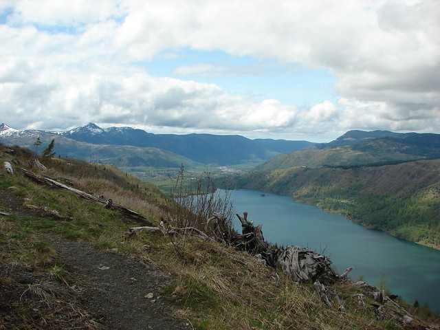
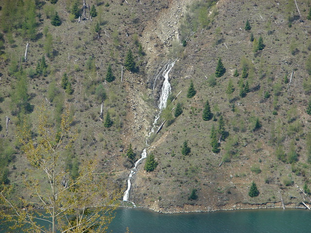
 Elochoman Slough
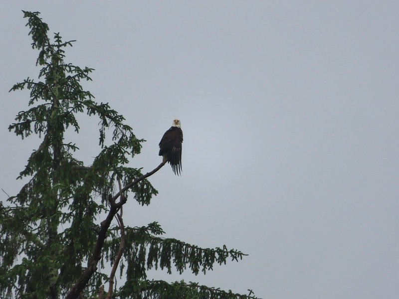
 The first of many bald eagles we spotted (atop the dead tree across the slough).
 Working on drying out.
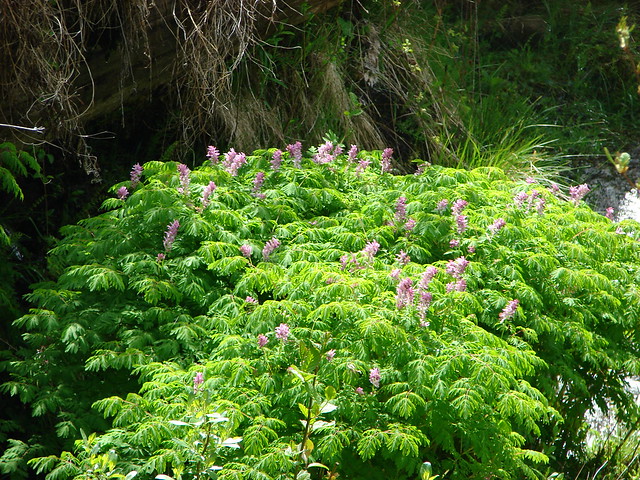
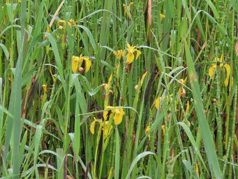 Lots of non-native yellow flag iris in the area.
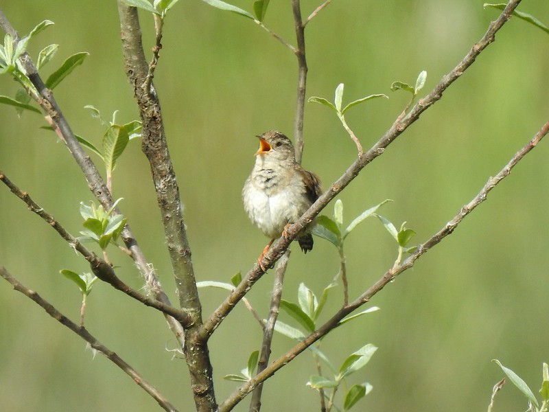
 Little birds such as this sparrow were everywhere but rarely sat still.
 A different eagle waiting to dry.
 There are at least 5 birds in the tree including four goldfinches.
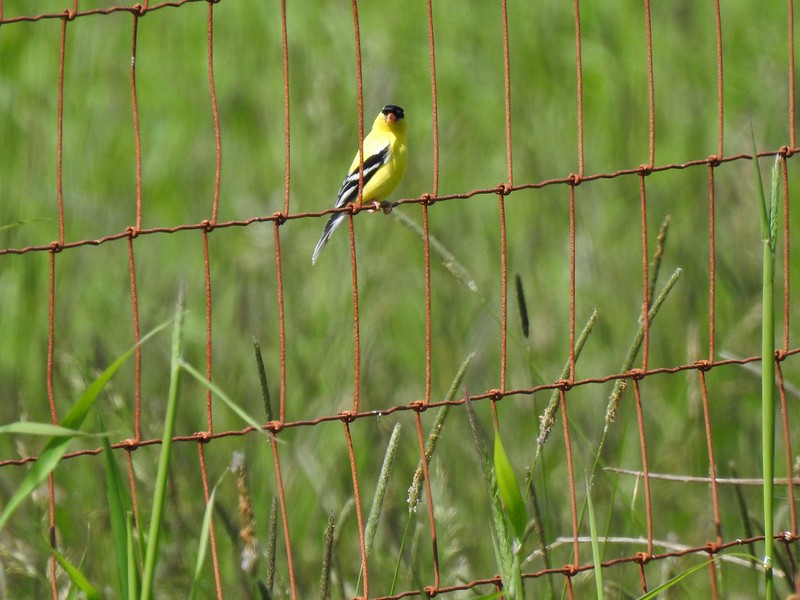
 A male goldfinch takes off.
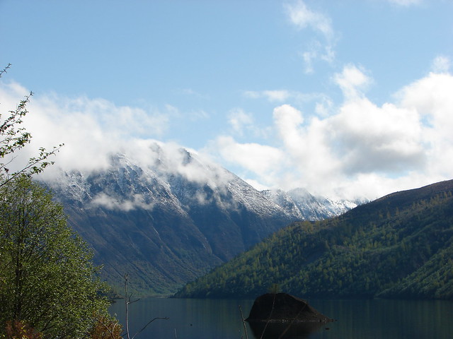
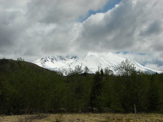
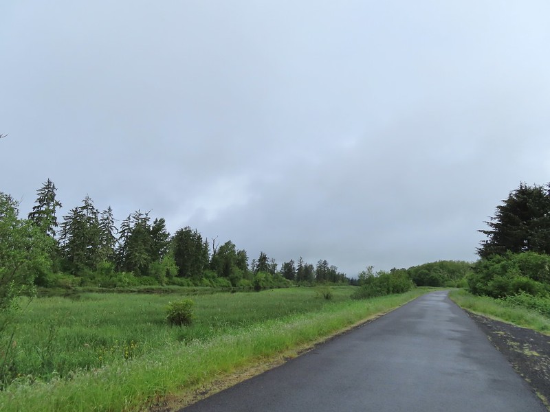
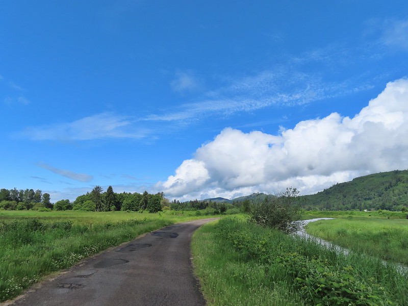
 The morning clouds were starting to break up as forecasted.
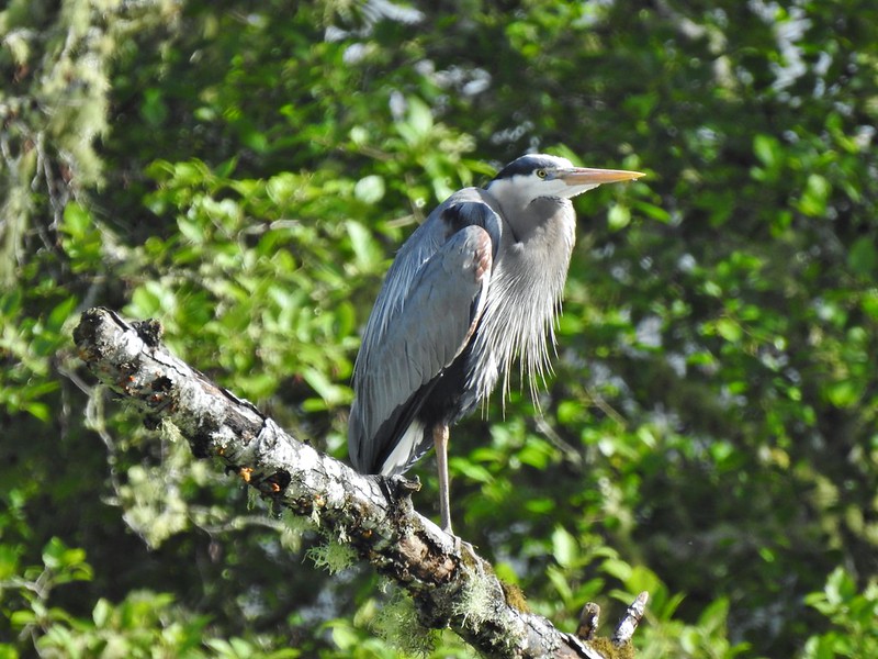
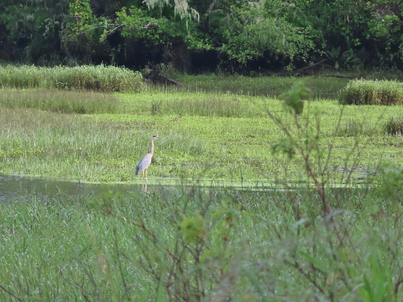 One of many great blue herons.


 A male wood duck.
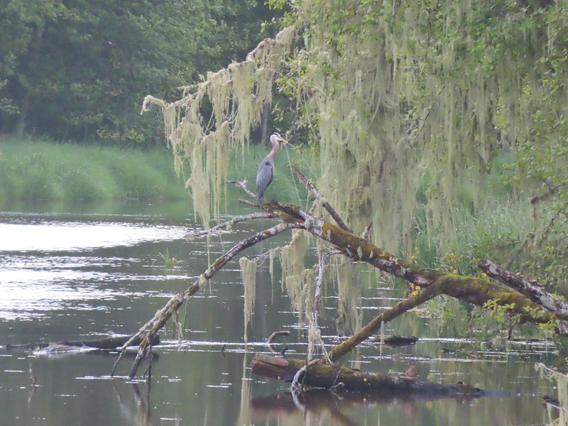 Another great blue heron with the female wood duck on the log below.
 The first of several osprey.
 Cattle in a field along the road.
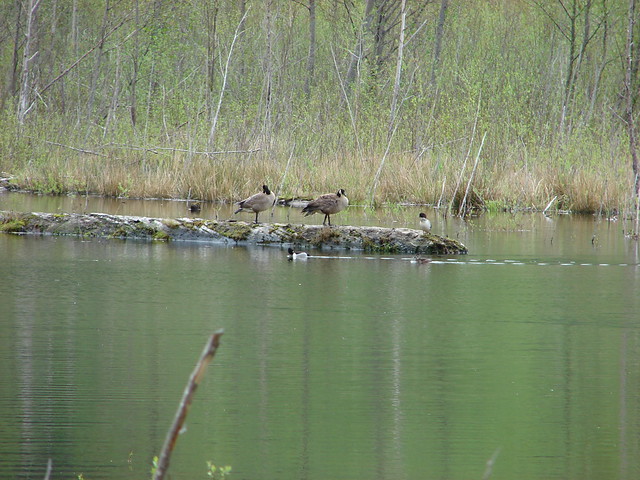
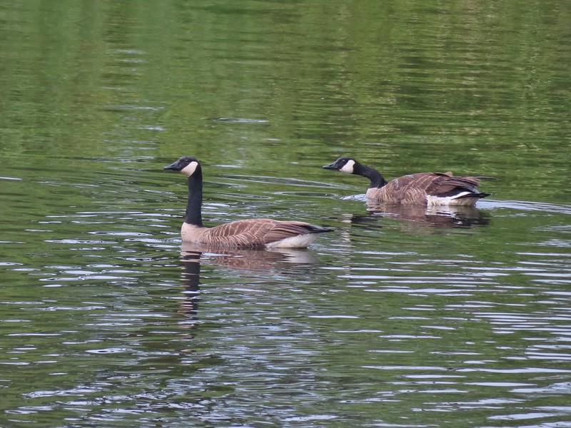 Geese
Geese
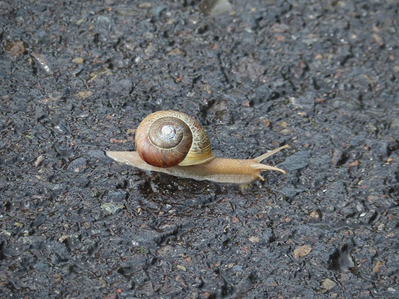 Snail crossing the road.
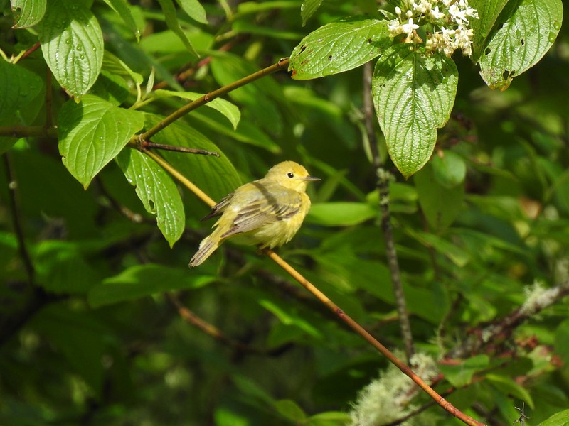
 Maybe a yellow warbler. I had to use the digital zoom to get between the branches so it’s not the clearest photo.
The start of the mile long White-tail trail which travels along a setback levee.

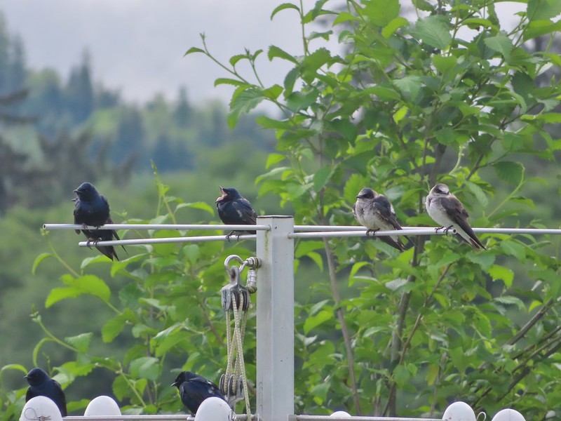
 There was a pole with a bunch of bird nests hung from it near the start of the trail. We’d never seen one like it before.

It turned out to be nests for purple martins, a bird that as far as we know we hadn’t seen before.
 Bald eagle in the same area.
 Slug on lupine
 A different type of lupine.

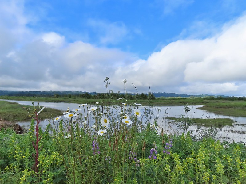 Lupine, daisies and yellow gland-weed.

 Bumble bee needing to dry out.
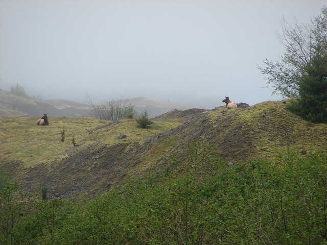
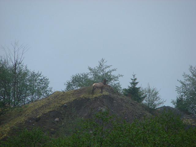
We spotted more white-tailed deer along the levee, a pair of young bucks.


 A look at the white tail. He gave us a better look but in that one he was also doing his business so we stuck with this uncentered, slightly blurry version.
There was also a great blue heron sitting in a nearby snag.

While we were keeping an eye on the bucks and the heron to the inland side of the levee there were geese, ducks, and various small birds all around us.
 Guessing marsh wren.
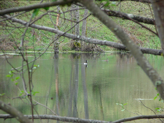
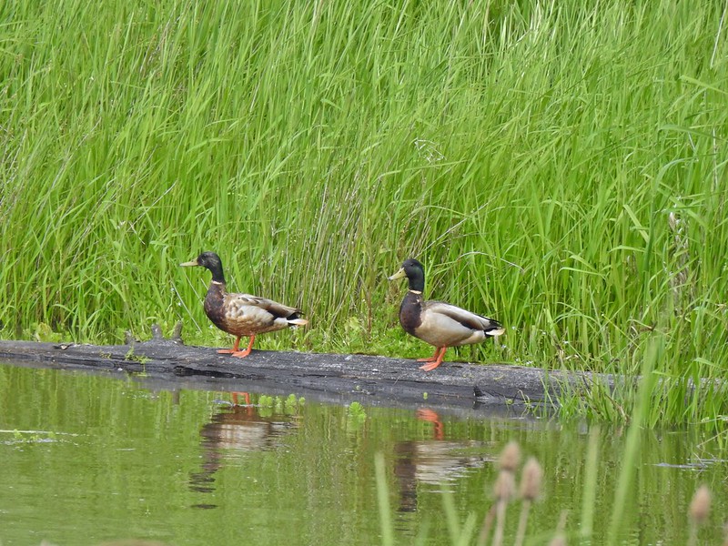
 Ducks
Ducks
 Goose with goslings.
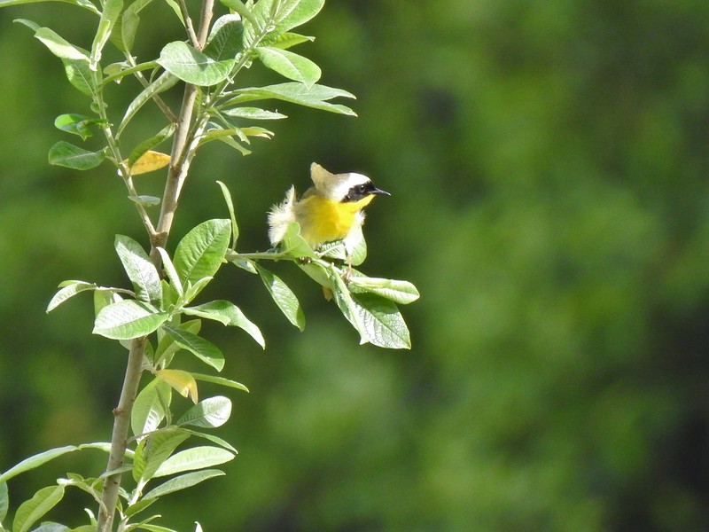 Common yellow throat.
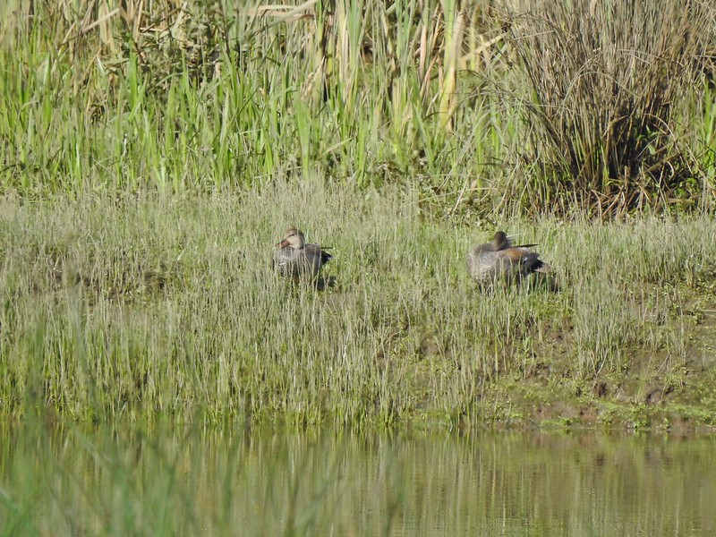
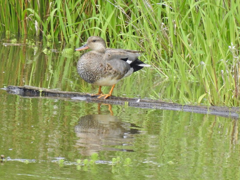
 Male gadwall?
We eventually tore ourselves away from the wildlife bonanza and continued on.

 There was pretty much non-stop bird song throughout the day.
 Traffic on the Columbia River.
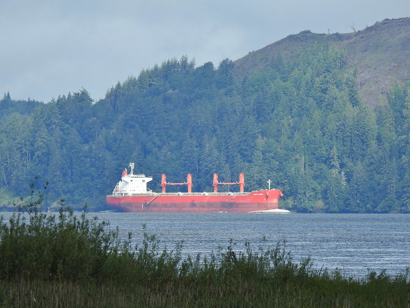 The Santa Maria on the Columbia.
 Female brown-headed cowbird?
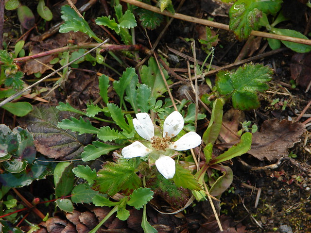
 Flowers along the levee.
 American robin
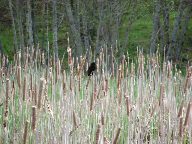
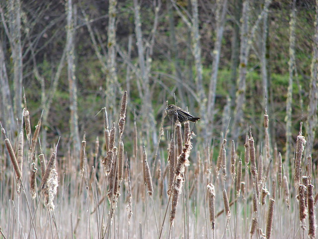
 Red-winged blackbird chasing a heron.
When we reached the end of the White-tail Trail we turned right onto Steamboat Slough Road. You can also park near this end of the trail but you must come from the west as Steamboat Slough Road is missing a section (which is why you hike on the levee).

We followed this two-lane version of the road for approximately 1.25 miles to a fork and turned right on Brooks Slough Road. After just 0.2 miles we passed the western end of the Center Road Trail. This end was clearly open. We talked ourselves into believing that either we missed where we were actually supposed to go or that they just hadn’t unlocked the gate yet since we were still unaware of the updated rules for the trail and decided that we would take this trail on our way back and we could do the loop after all.
 Note the sign does not indicate that you cannot reach the HQ from the road, it simply says it is 5 miles round trip. Online it adds that hikers must exit the trail the way they entered.
 Roses along the road.
 Muskrat
 Warbler
 Osprey
 Brooks Slough Road junction.
We turned right and followed this narrow one-lane road along Brooks Slough. For the first mile it ran parallel to Highway 4 then it veered away becoming a quieter walk.

 Another eagle sitting near the top of the first tall tree on the far side of the slough.

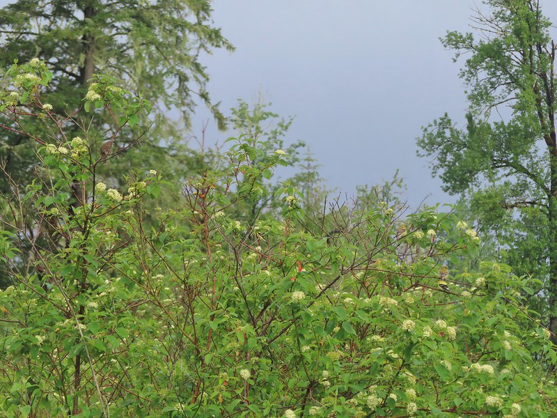
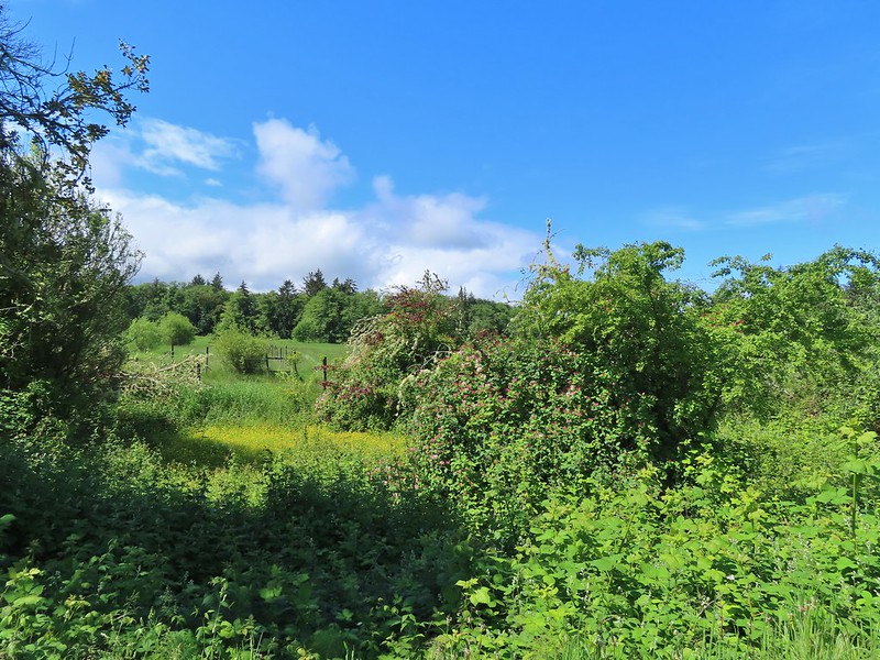
 Interesting shrub along the road.
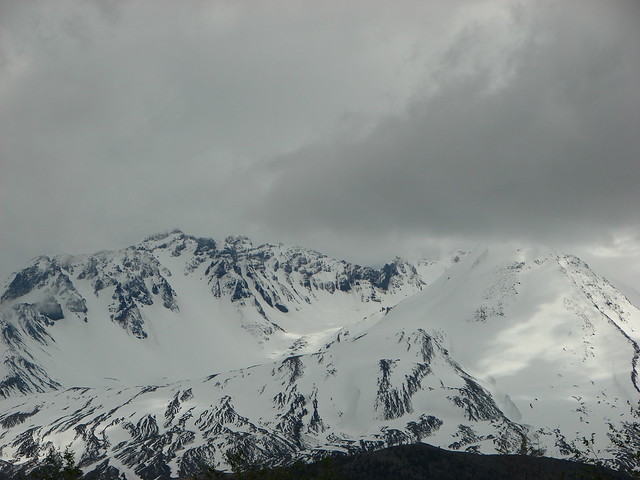
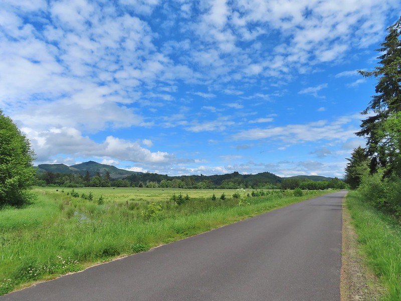
 The partly sunny skies had indeed materialized.
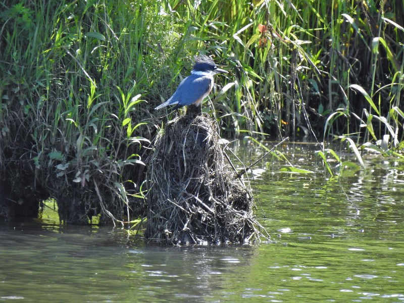 Kingfisher
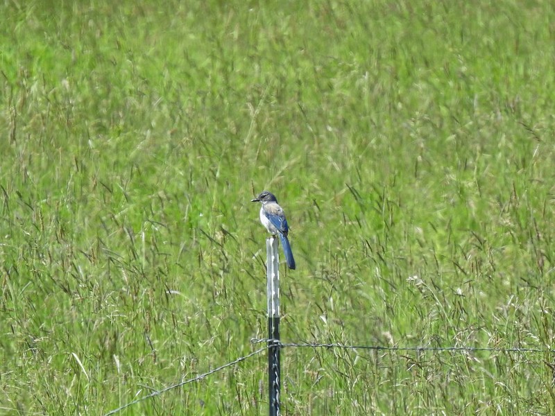 California scrub jay
 White pelicans
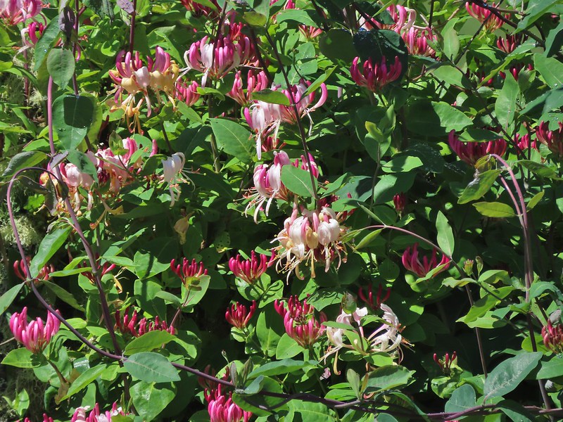 Some sort of ornamental shrub/tree but it had cool flowers.
 Turkey vulture
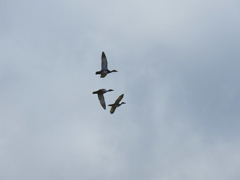 Couldn’t tell what type of ducks they were.
We followed the road for approximately 2 miles to what was shown on the GPS as Alger Creek.
 Alger Creek somewhere in the grass flowing into Brooks Slough.
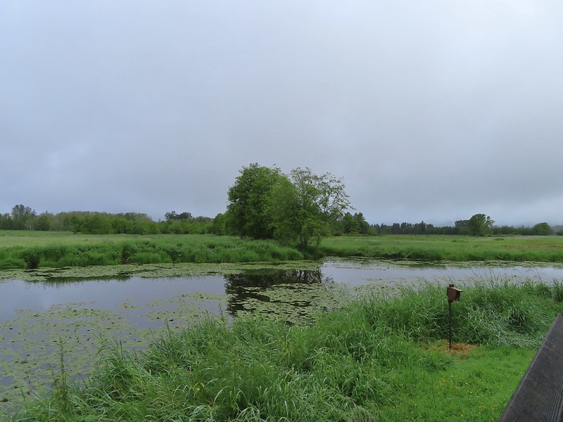
 Pond on the other side of the road.
 Black pheobe?
After a short break we headed back. It was actually starting to feel warm now but we distracted ourselves with even more wildlife.
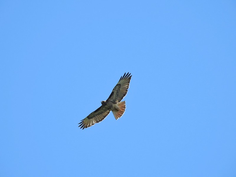 Red-tailed hawk
 American goldfinch
 Swallowtail
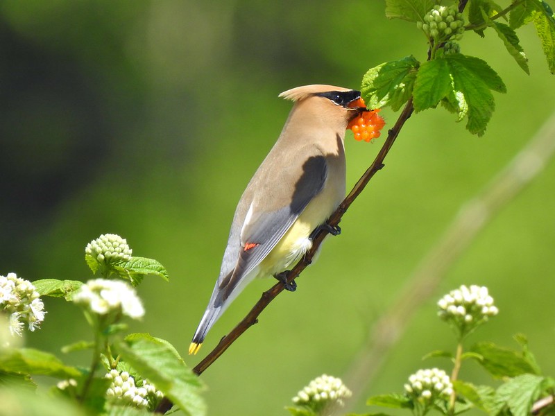 Cedar waxwing with a salmonberry.

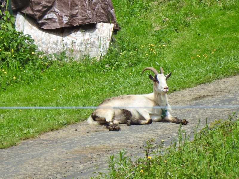 Goat lounging in a driveway across the highway. There had actually been a black goat in nearly the same spot on our first pass.
 Caterpillar
When we got back to Center Road we reread the signage and stuck to our plan to try and complete the loop.

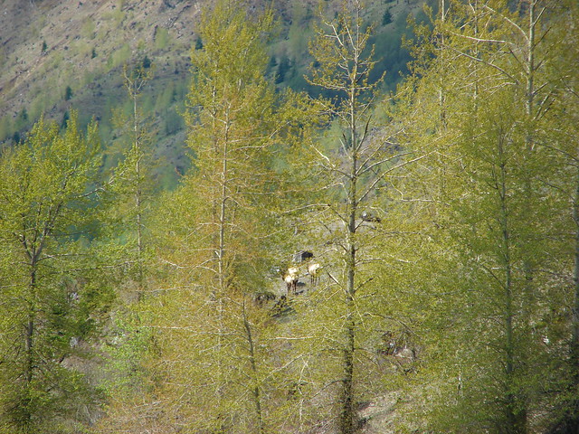
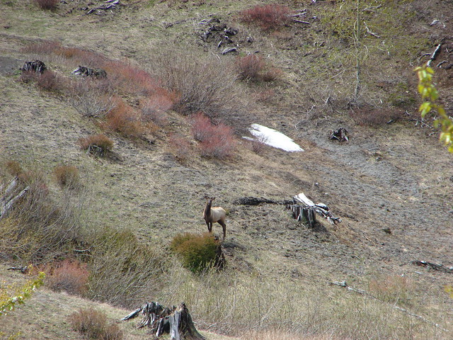
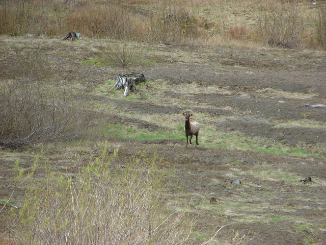
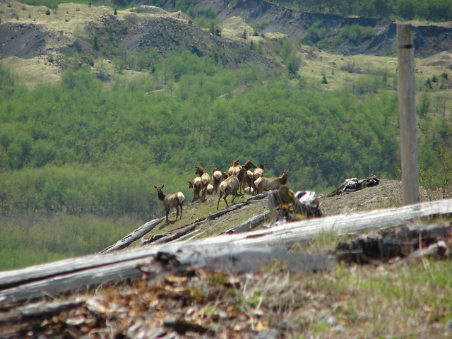
We had been discussing all the different wildlife that we’d seen already and I mentioned that the only thing missing was a turtle. Not long after starting down Center Road I noticed something brown (that didn’t look like a cow) in the distance near the tree line. As I was staring at it a large set of antlers raised from the grass and I realized it was a bull elk.
 The elk is in the center of the photo near the tree line.
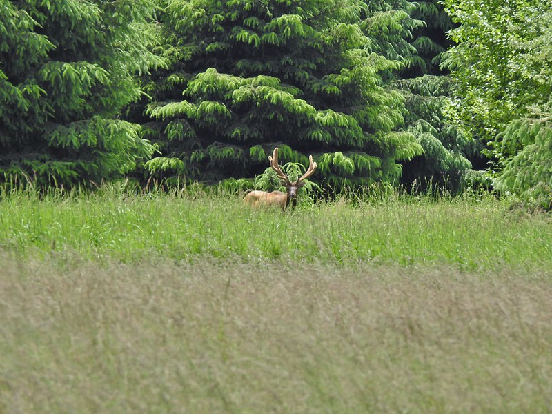
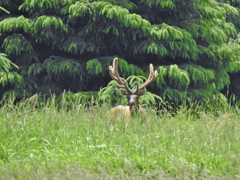
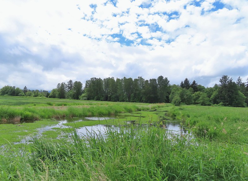
We watched him as he munched on grass for quite a while before moving on. At that point I said something to the effect of forgetting about the turtle because that was better. It wasn’t too much longer before we came to some more wetlands. Lo and behold there was a turtle.

Many pictures followed before resuming our hike.

Heather spotted a pair of egrets in a distant tree which proved impossible to get a decent picture of.
 Here is a not so decent picture of the egrets.
We also startled up a pair of American bitterns.
 One of the bitterns in flight.
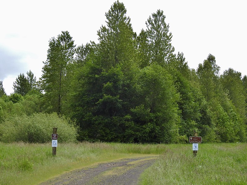
After 2 miles we spotted a set of posts with signs where we finally understood that the Center Road Trail no longer runs the entire length of the roadbed now.

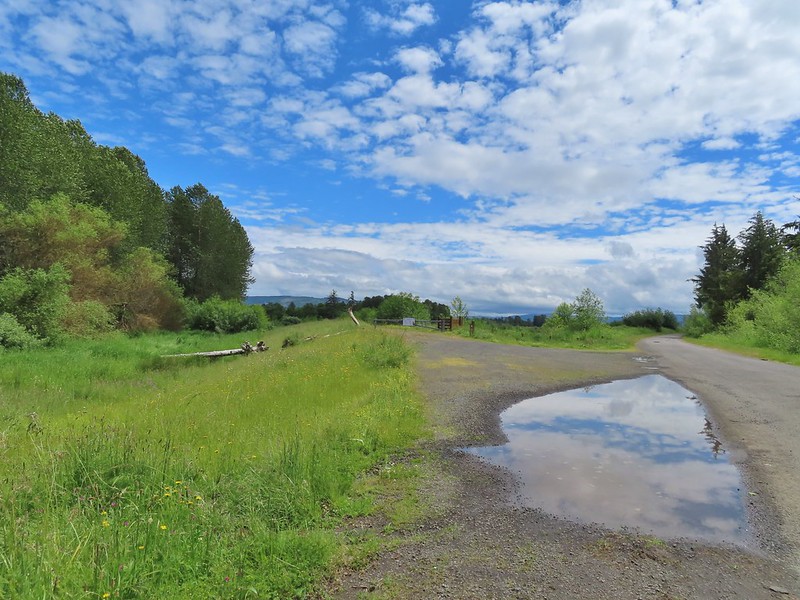
We were less than half a mile from the HQ which was visible from where we were but we obeyed the signs and turned around. It would have been about a perfect distance for us as we were at the 12.1 mile mark when we had gotten to the closed area. Now we had to backtrack two miles on Center Road before the mile long White-tail Trail and the 2.3 mile road walk back to the HQ parking lot. Not only was this a lot longer than we’d planned but the surface had been mostly paved and what wasn’t paved was packed gravel road beds so our feet were really protesting as we retraced our steps.

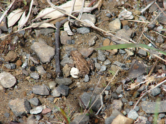
 Heather spotted this garter snake along Center Road. Another animal to add to the days list.
 Back at the White-tail Trail.
 It had cooled down again which provided some relief as we trudged back.
 A second turtle
 Mallards
 Way more water in the afternoon.
 Another kingfisher. It was in the same tree as the heron had been earlier that morning when we were watching the bucks.
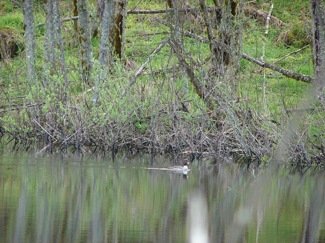
 Family swim
 By Steamboat Slough Road we had all kinds of blisters/hotspots on our feet.
 Arriving back at the refuge HQ.
I got to the car first, changed shoes and drove back to pick up Heather who was only about a quarter mile behind me. My GPS read 17.5 miles of almost entirely flat hiking.
Fortunately I had thought to bring my parents camera which has more powerful zoom than my point and shoot and also our binoculars which Heather had been using since there was so much wildlife to be seen. We encountered a couple of other hikers on the White-tail Trail as well as a pair of cyclists and several cars along the various roads but for the most part it was a fairly peaceful (long) hike. The one thing we kept coming back to was that if we hadn’t done the hike the we did we wouldn’t have seen some of the wildlife that we encountered. Was it worth the blisters though? You betcha – Happy Trails!


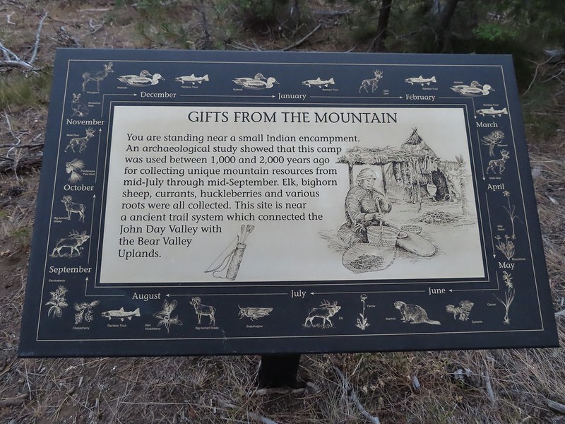 A lone interpretive sign near the beginning of the trail.
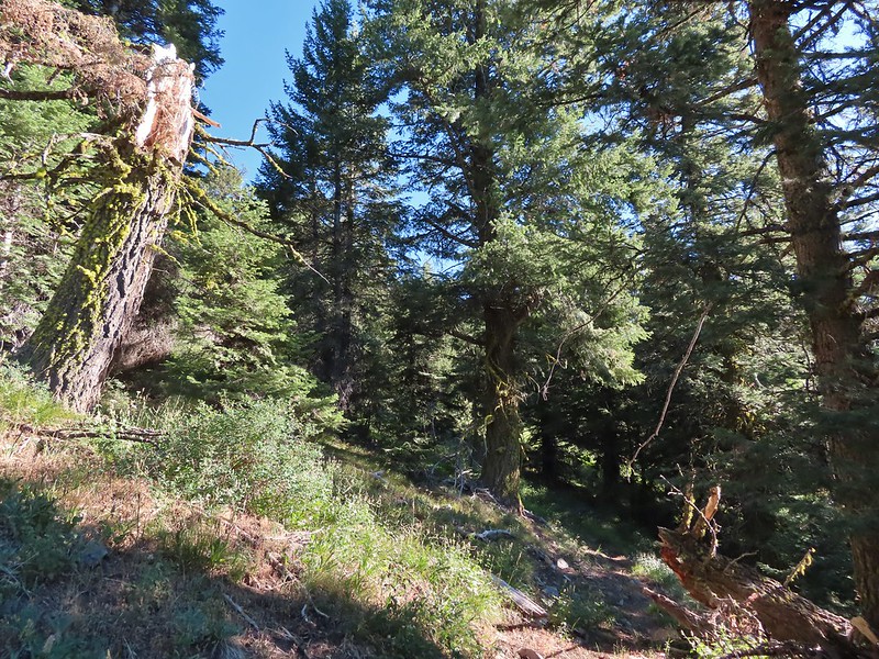
 The saddle
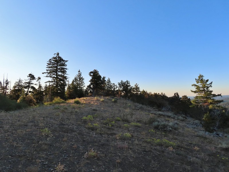
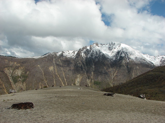
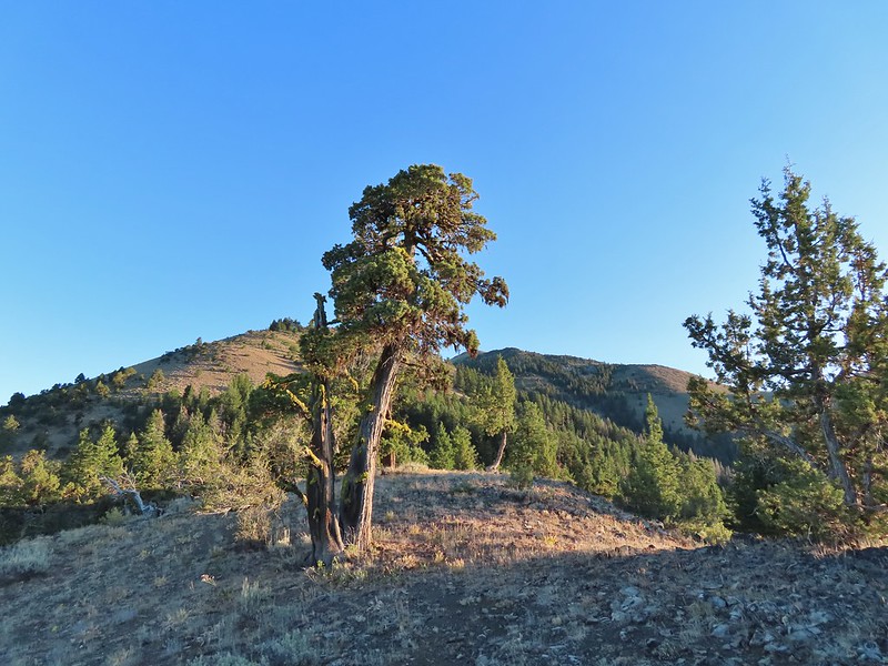 Fields Peak from the saddle.
 Heather arriving at the saddle.
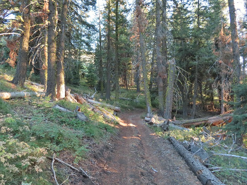 A rare level section.
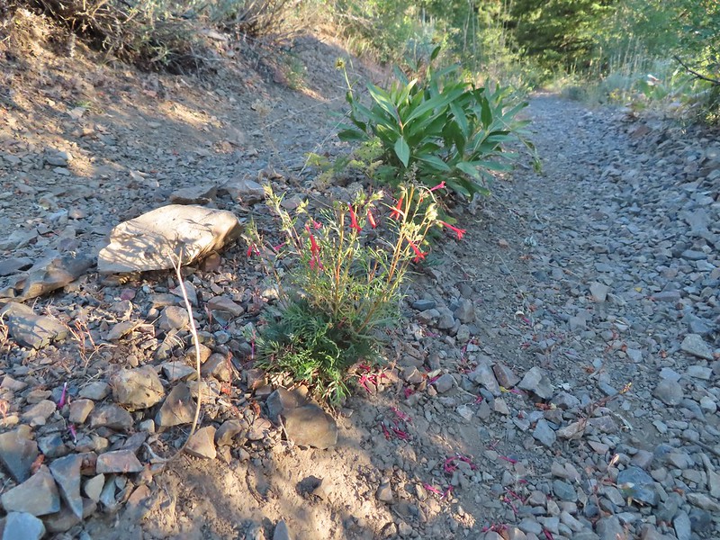 Scarlet gilia in the middle of the OHV track.
 Nearing the trail junction.
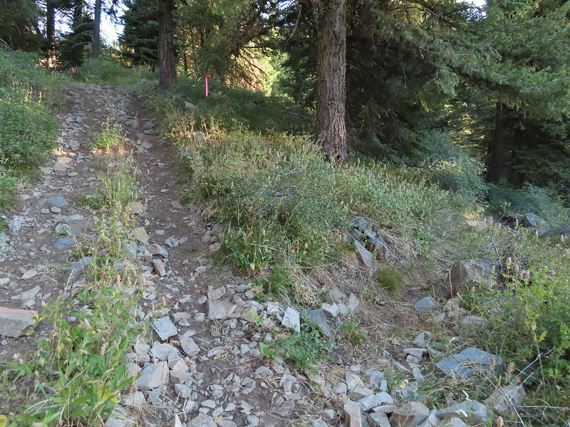 The McClellan Mountain Trail to the right.
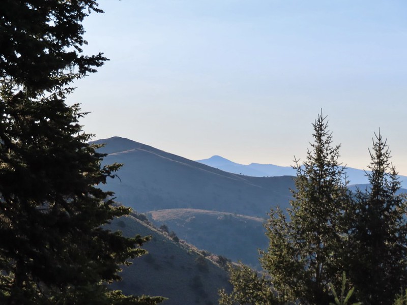 A peak east to McClellan Mountain and the more distant Strawberry Mountain (
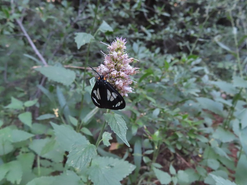 We saw a number of these moths sleeping on the hyssop.
 Hyssop and sunflowers
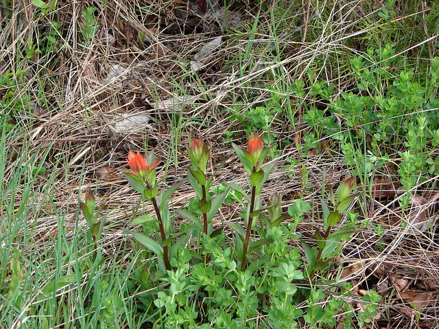
 Paintbrush
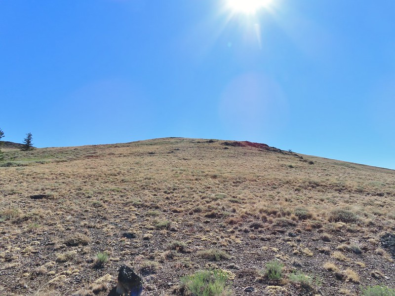
 Looking up Fields Peak.
 Mountain coyote mint
 Shadow of Fields Peak
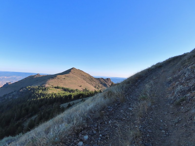
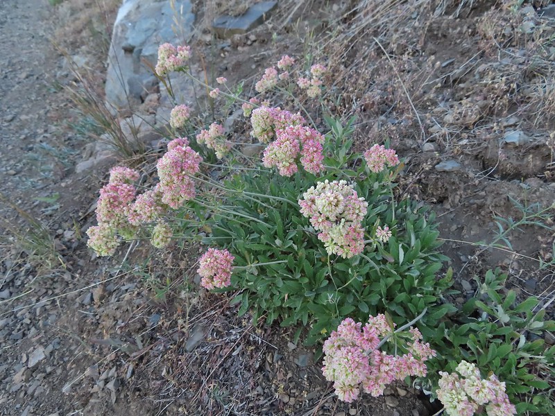 Buckwheat
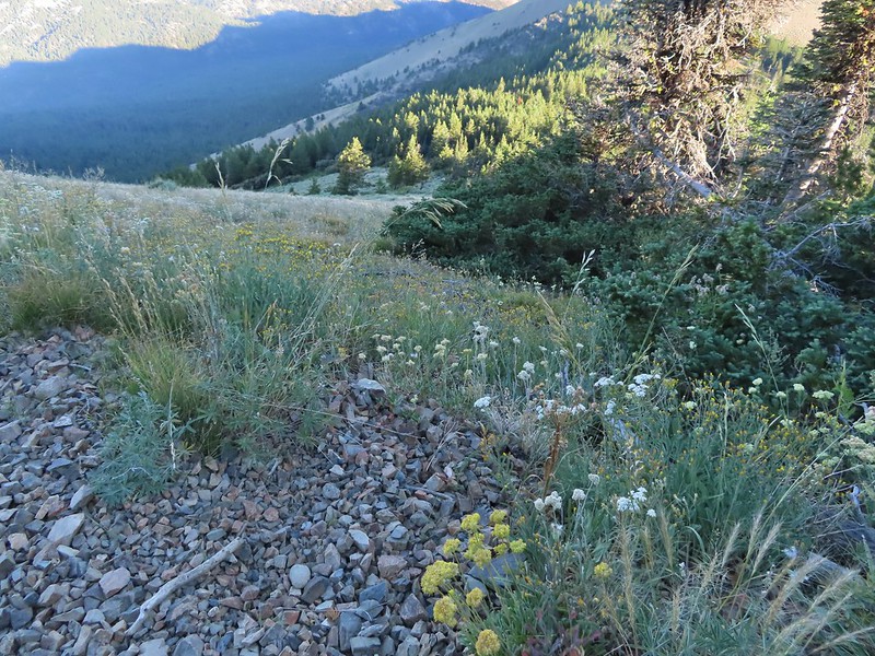
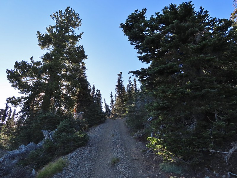 A few trees near the top.
 Final steep pitch to the summit.
 View west, Aldrich Mountain is the high point to the near right.
 View north
 McClellan Mountain and the Strawberry Mountain Range to the east.
 Logan Valley to the SE.
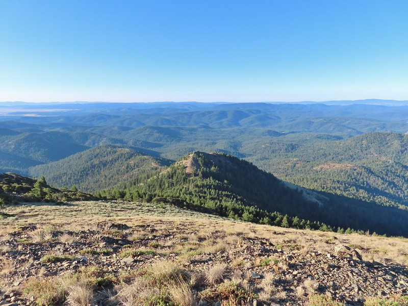 The view south.

 More moths
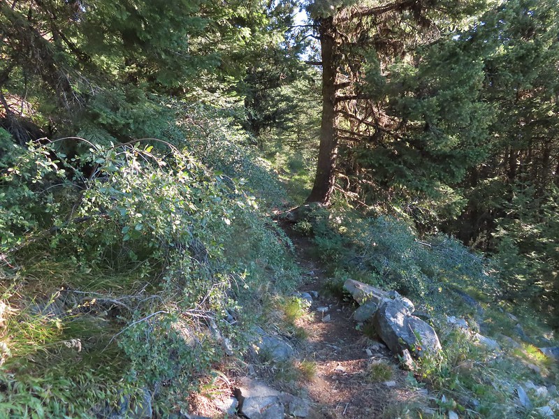
 Hillside above the trail.
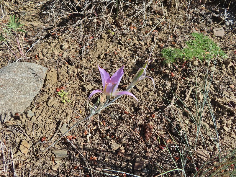 Sagebrush mariposa lily
 Approaching the saddle where we would cross the the north side of the hill ahead.
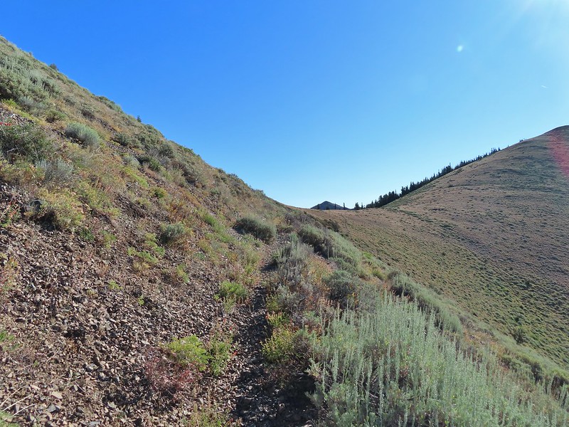 The first saddle with Moon Mountain behind.
 Looking back along the trail.
 Looking back from the saddle.
 The north side had a few more trees.
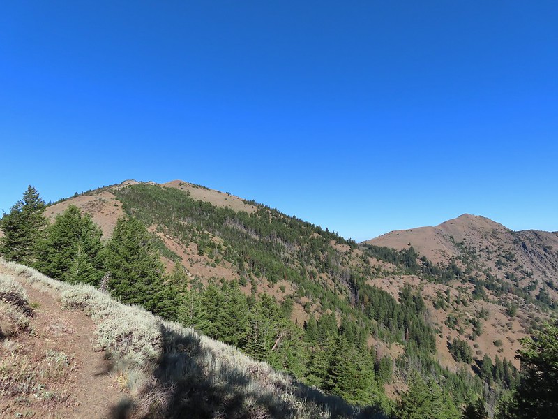 Looking back toward Fields Peak
 We passed through a rocky section near the second saddle.
 McClellan Mountain from the second saddle.
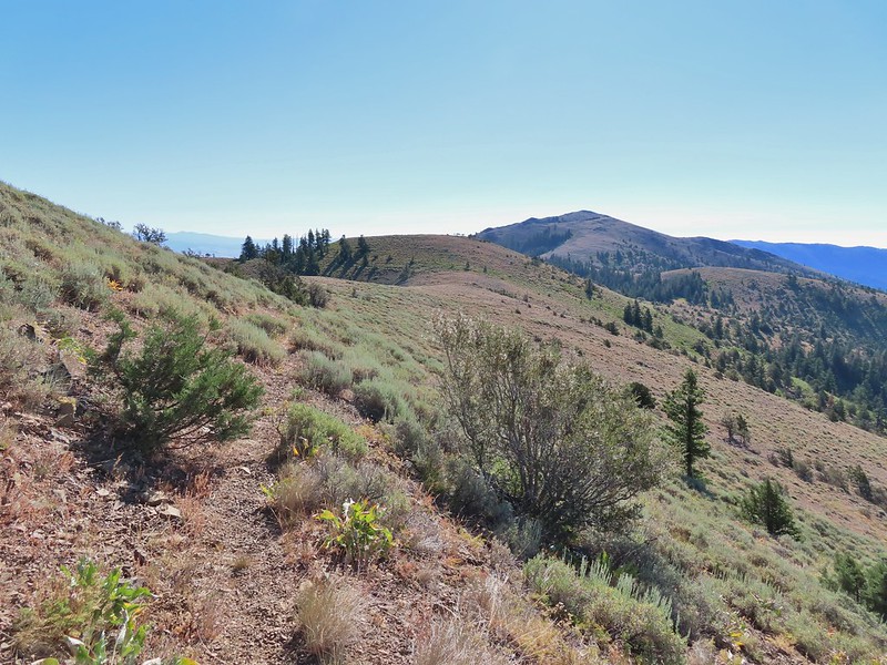 Approaching the third saddle.
 Moon Mountain
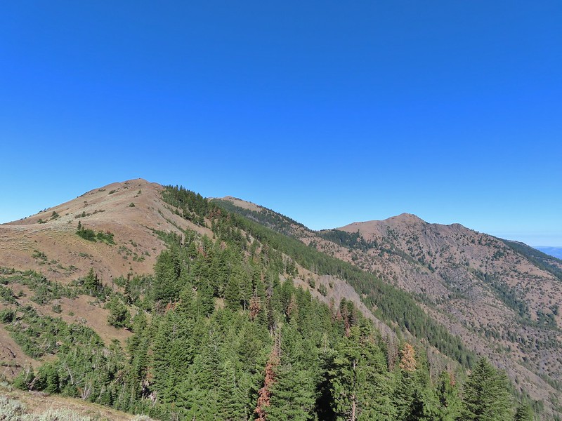 Fields Peak (center).
 McClellan Mountain as we approached the fourth saddle.
 Looking back you can sort of make out the trail angling down the near hillside.
 Looking up McClellan Mountain.
 In the middle of the center hill to the left of the tree in the foreground is the line of what turned out to be 5 bull elk.
 Blurry due to the elk moving and the deep zoom.
 Four of the bulls stopped to look back at us.
 The fifth and largest bull on top of the ridge waiting for the rest.
 An old fence line on the hill.
 Fields Peak on the left, an unnamed peak in the center and Moon Mountain on the right.
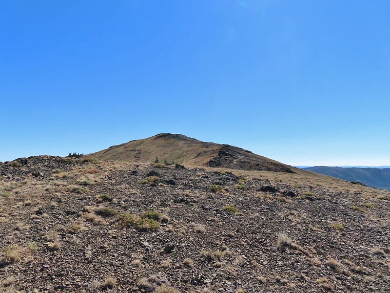 False summit (there’s always at least one). After some debate we went to the left of the rock outcrop which worked out well.
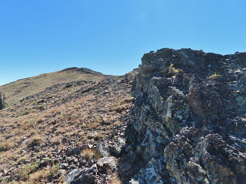 Passing the rock outcrop.
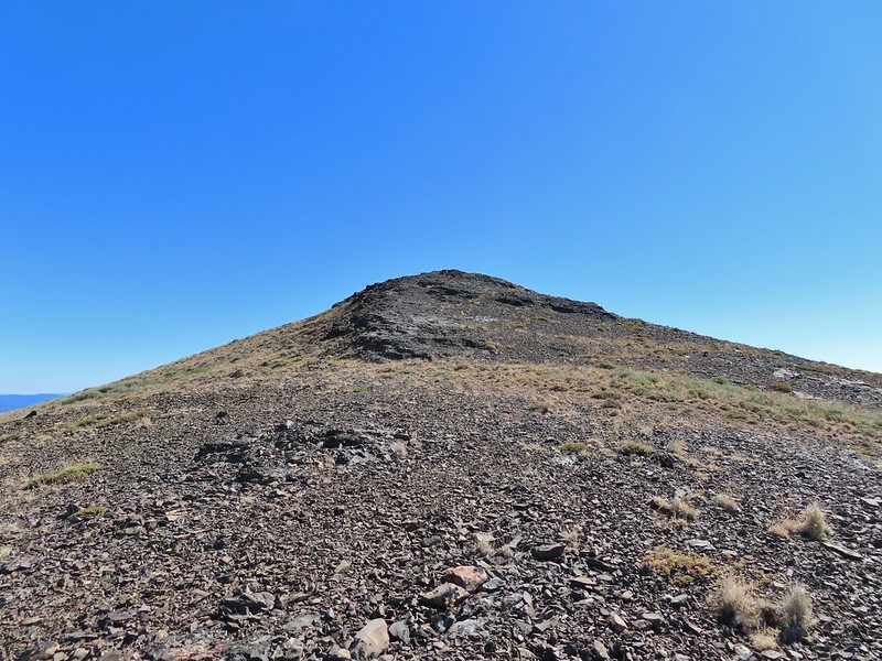 Almost there.
 The Greenhorn Mountains, Elkhorns, Dixie Butte and the Strawberry Mountains from left to right in the distance.
 Looking back at Fields Peak
 The John Day River Valley.
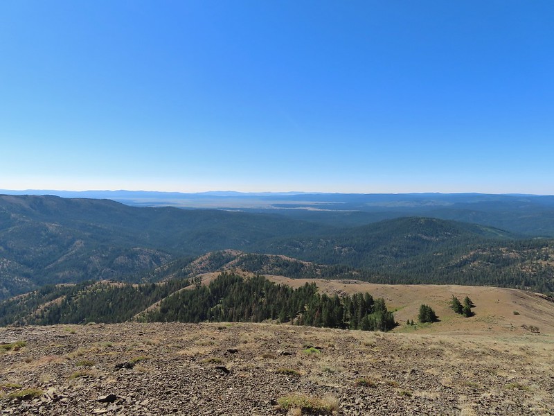 Logan Valley
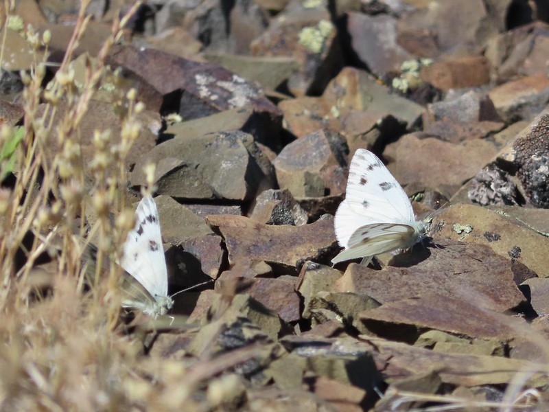 Company at the summit.
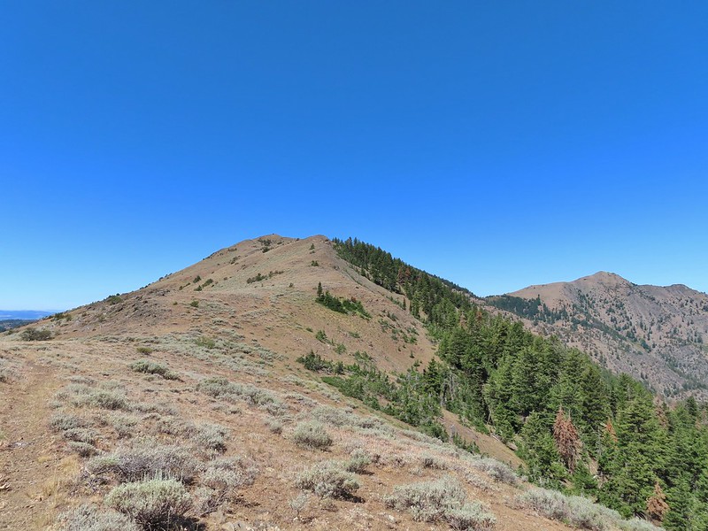 Passing back through Phlox Saddle.
 A better look at the rocky section of trail.
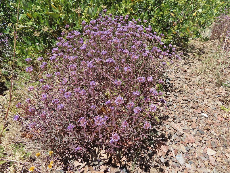 Mountain coyote mint, one of only a couple with this coloration on the stems.
 Butterfly and a beetle.
 Sagebrush mariposa lily
 Ruffed grouse
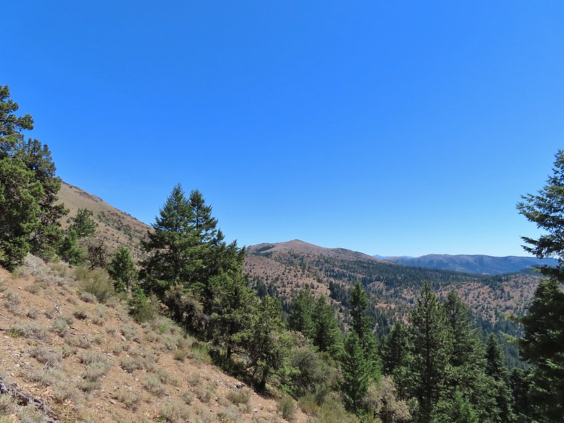 A final look at McClellan Mountain.