When we had gone to sleep the night before we weren’t sure if we would be continuing our trip or hiking back to the car after only one night due to Heather having gotten sick during the night. She was feeling pretty good in the morning though and was fairly certain she had just overheated the day before, so we decided to move ahead with our plans and see how she held up.
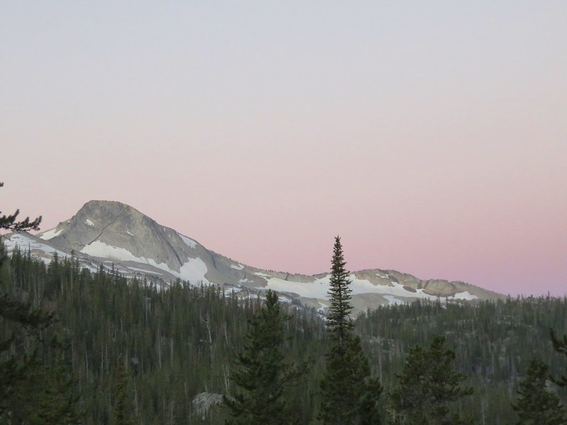
We had breakfast and watched as the morning light slowly made it’s way into the Ice Lake basin.
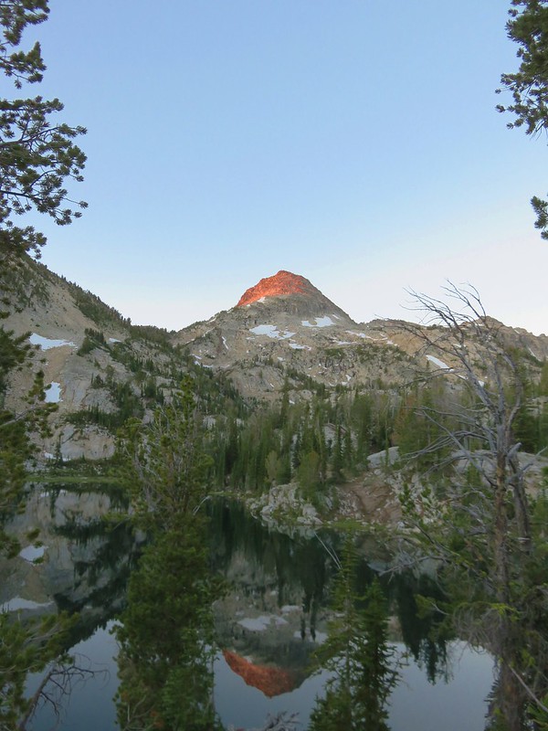
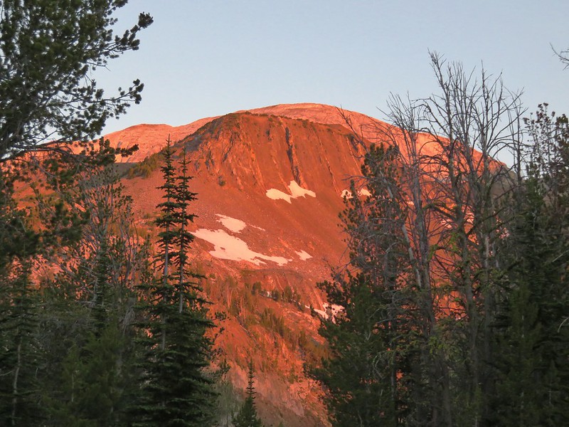
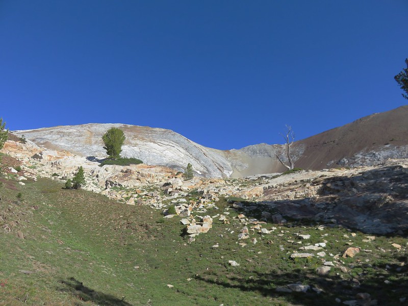
The Matterhorn catching the morning sunlight.
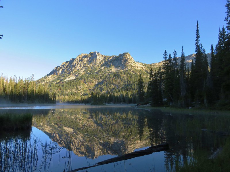
Our plan for the day was to take our day packs and hike up to the 9826′ summit of the Matterhorn before packing up camp and heading further up the West Fork Wallowa River. To reach the Matterhorn we would need to follow a use trail on the west side of Ice Lake up almost 2000′. We had explored some of the south side of the lake the day before so we went around the north side of the lake to reach the use trail. This proved to be a good choice as there was no wind allowing for some beautiful reflections in the lake.


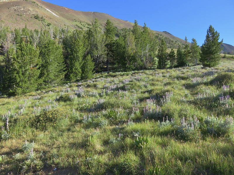
The lupine was just starting to bloom along the north shore as well.

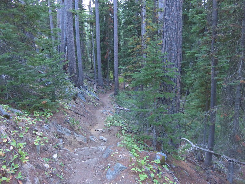
The trail crossed an inlet creek at the west end of the lake and then grew fainter as it headed uphill.
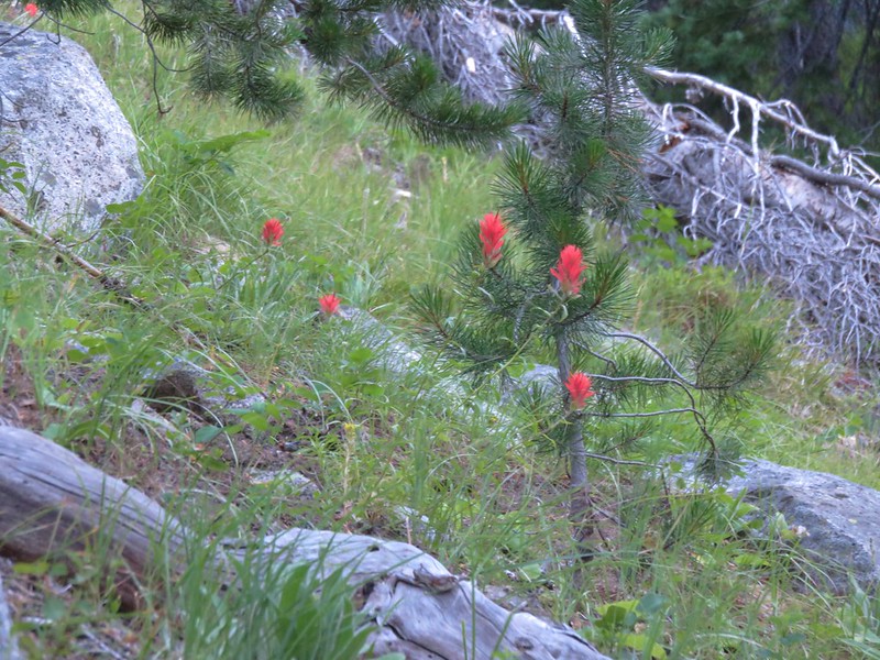
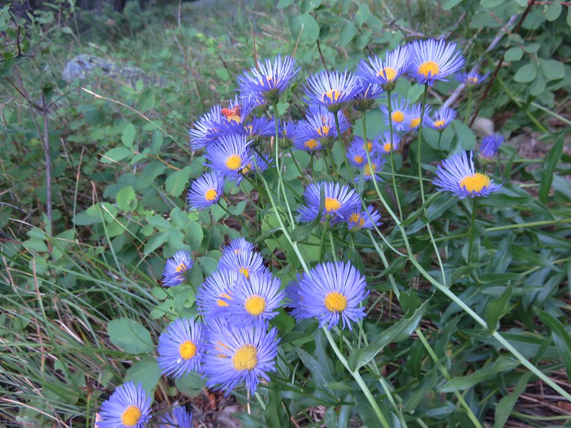
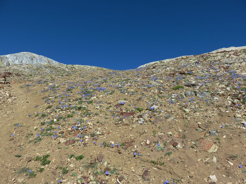
The scenery grew more alpine like as we climbed. A few trees dotted the rocky landscape and wildflowers added color.
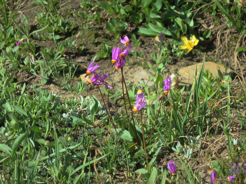
Alpine shooting star
Alpine springbeauty
Lewis flax and wallflowers

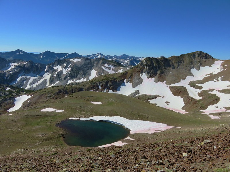
Ice Lake was getting further away as we continued up.
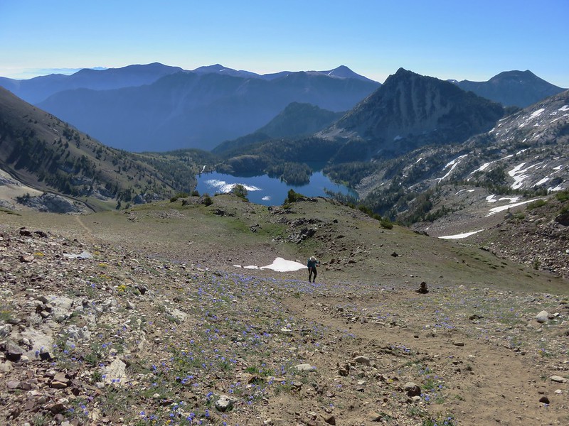
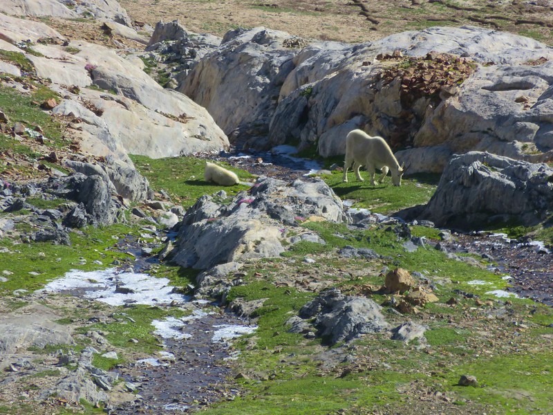
The path led to a marble outcrop that overlooked a basin where we spotted a pair of mountain goats.
In addition to Ice Lake below there were a couple of snow melt tarns visible below the trail.


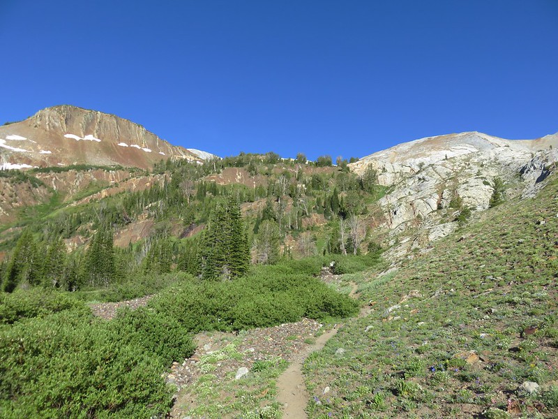
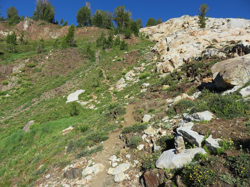
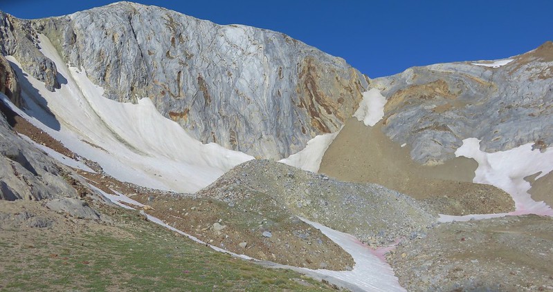
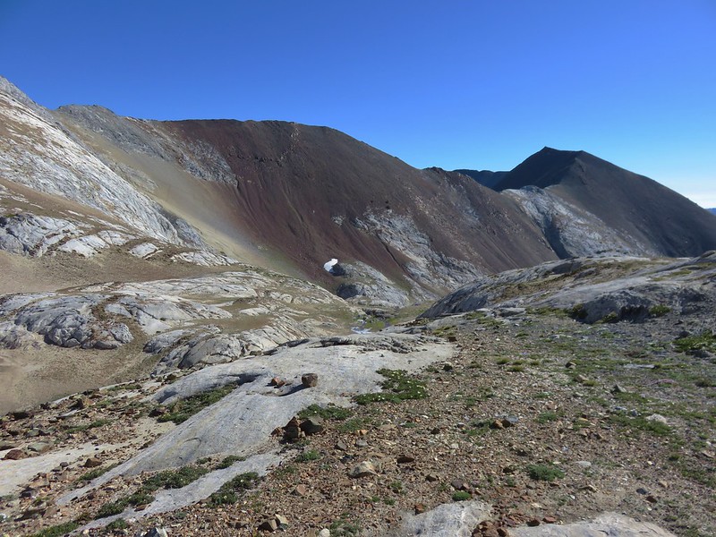
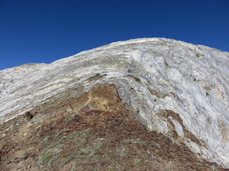
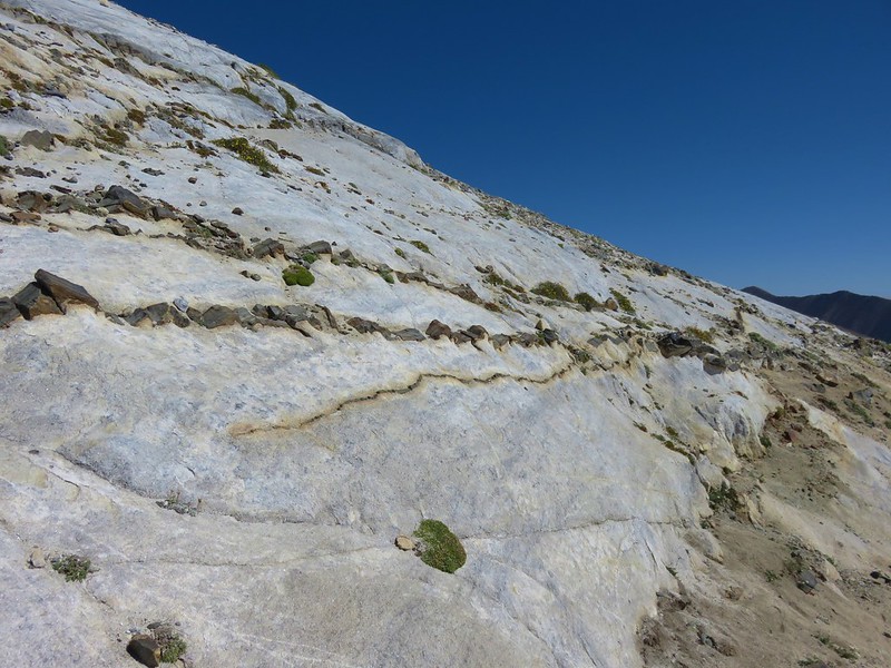
The trail had been fairly easy to follow but it became more difficult after crossing a section of red rocks and starting up the marble of the Matterhorn.
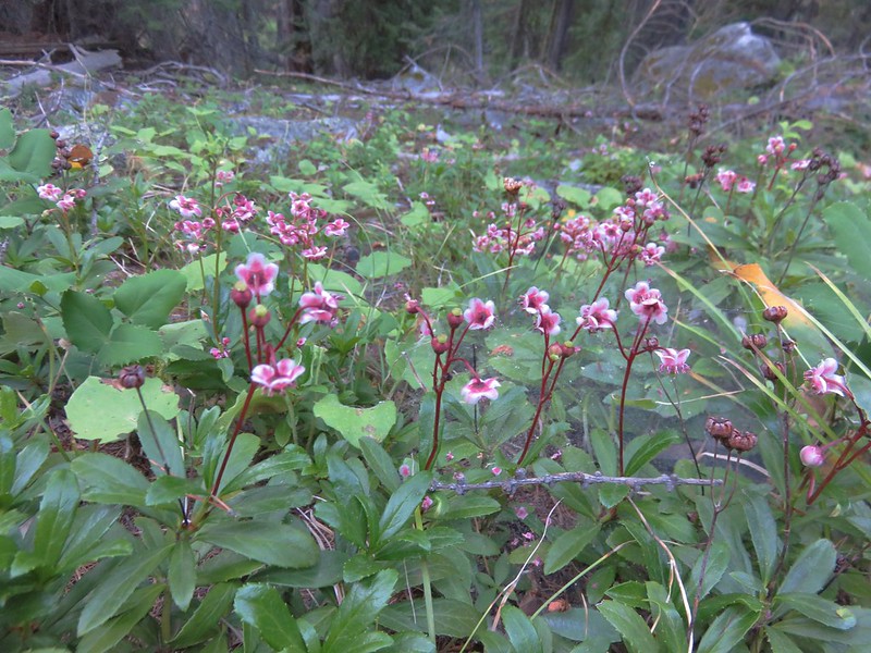
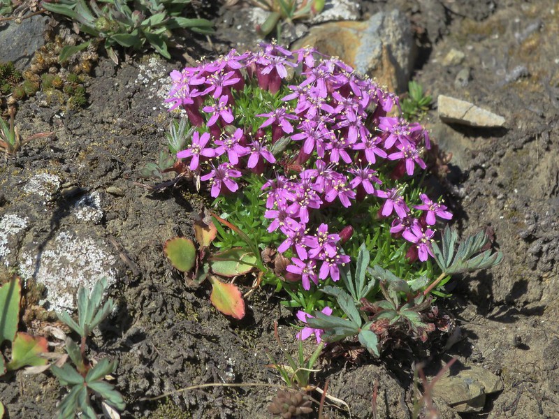
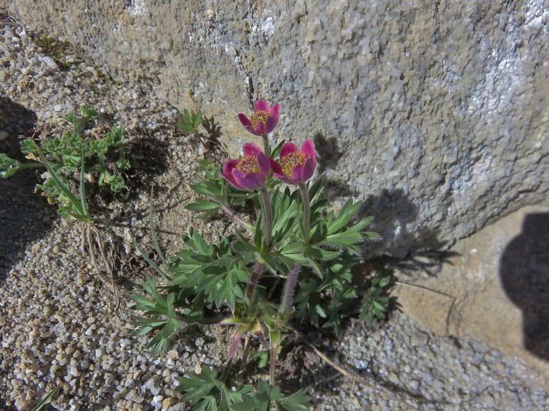
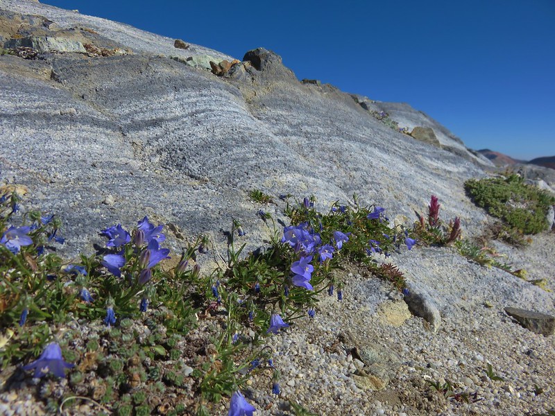
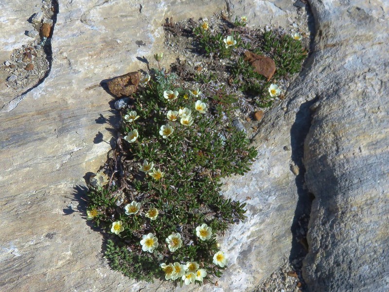
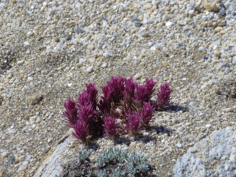
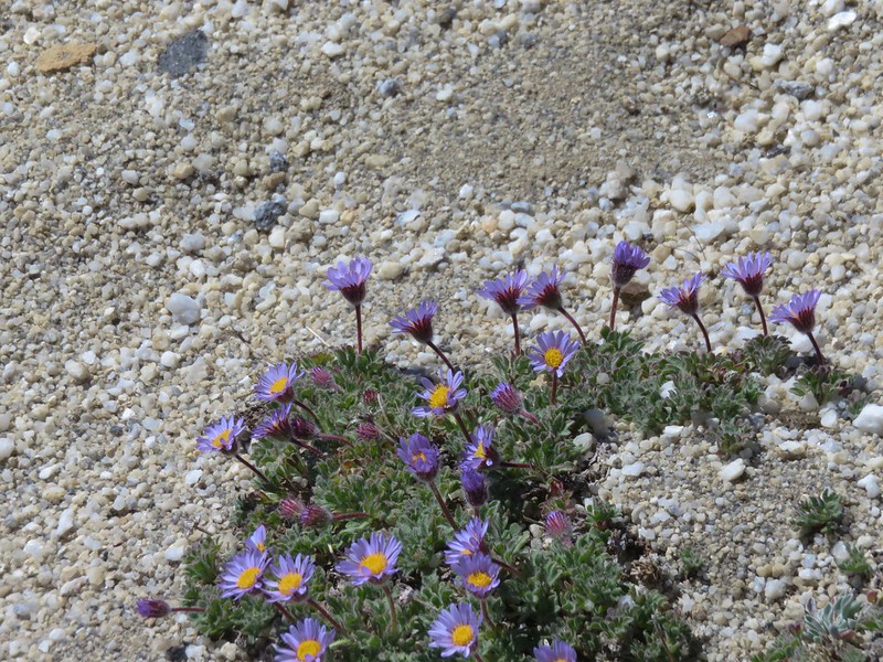
Despite the rocky terrain several different wildflowers had managed to find footholds.


Once we were on the marble we worked our way up following cairns and whatever footprints we could find in the areas of dirt that were present. A couple of times we realized we had lost the shoe prints and were only following mountain goat hoof prints. We made our way up to a surprisingly wide ridge top and followed it south toward the summit of the Matterhorn.
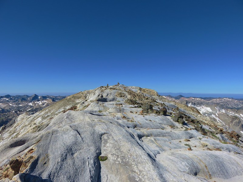
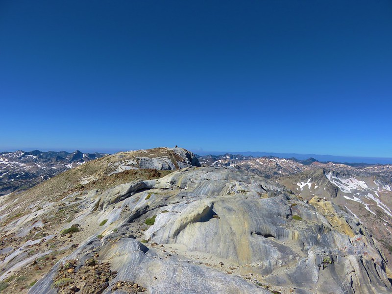
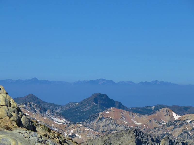
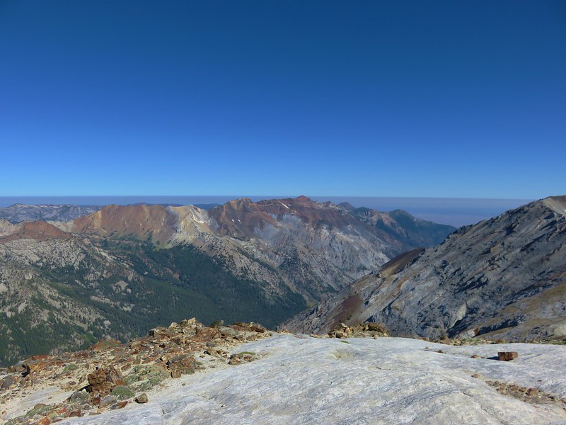
The view of the Wallowas was amazing. Smokey skies surrounded us limiting the visible distance, but we couldn’t complain.
The Elkhorns
The Lostine Valley
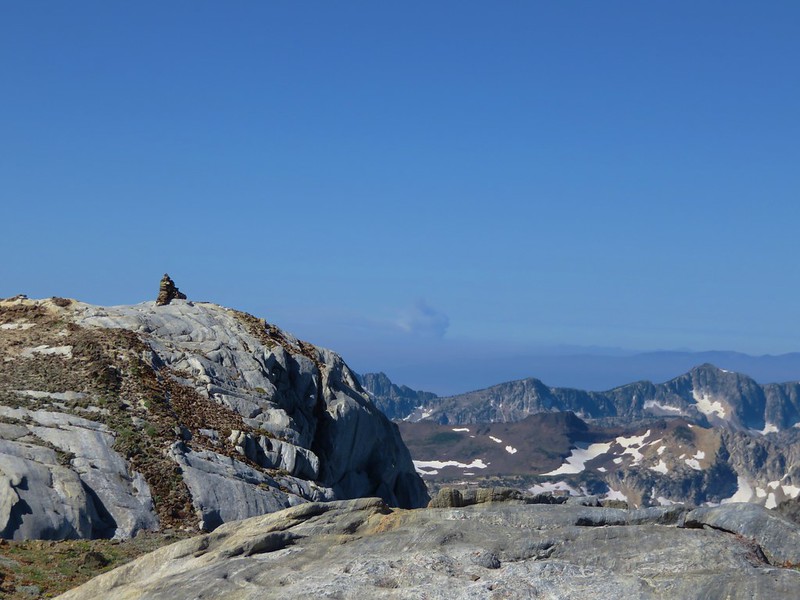
Cairn marking the summit of the Matterhorn with a smoke plume from a wildfire in Idaho in the distance.
Eagle Cap in the center of the Eagle Cap Wilderness.

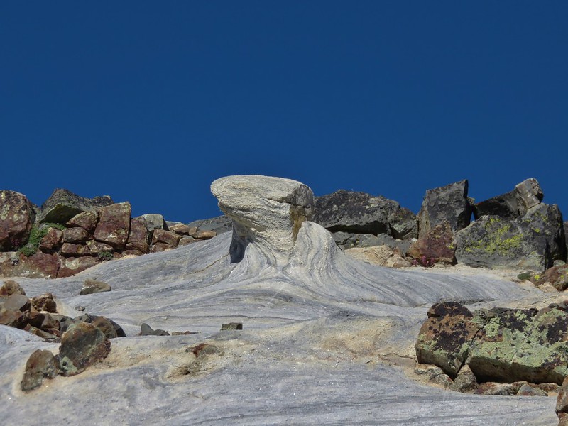
In addition to the great views were some interesting rock features.
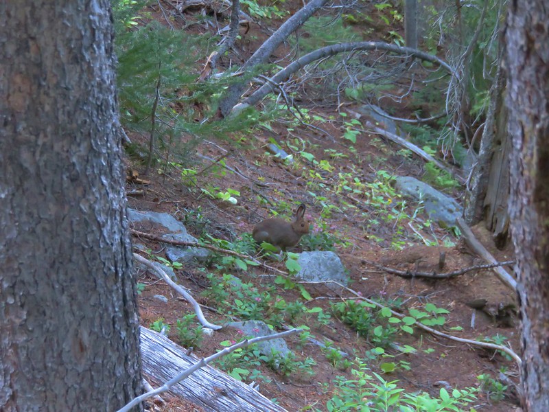
We headed back down from the summit stopping along the way to chat with another hiker on his way up. After packing up we took the Ice Lake Trail back down to the West Fork Wallowa Trail. We were surprised by the number of hikers we passed heading up to Ice Lake on a Monday.
When we arrived back at the junction with the West Fork Wallowa Trail Heather was doing well so we continued with our trip and took the trail south toward Sixmile Meadow. 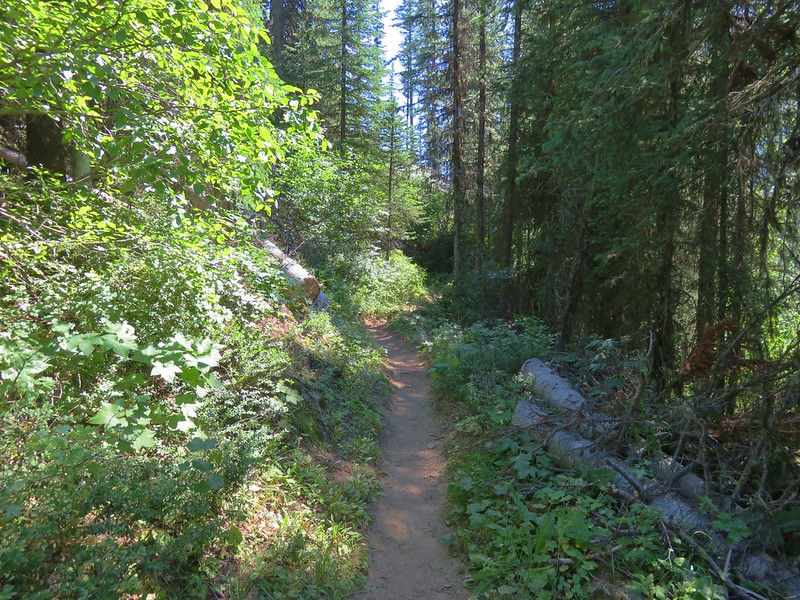
This 3.3 mile section of the West Fork Wallowa Trail wasn’t the most exciting trail we’d been on, but to be fair it was following up Ice Lake and the Matterhorn. We also had remembered the distance incorrectly thinking it was only about 1.5 miles to the meadow causing it to seem like it was taking forever to get there.
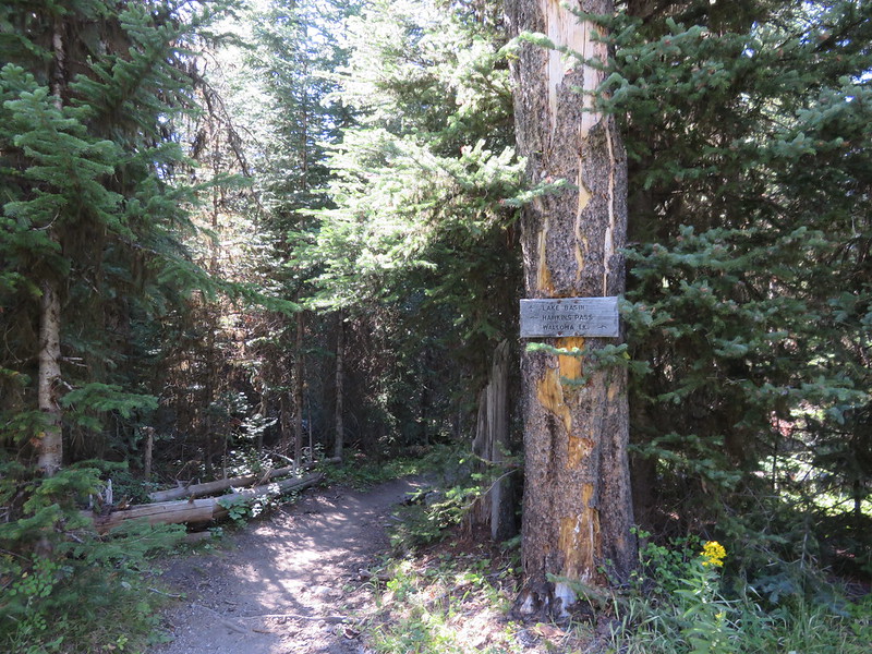
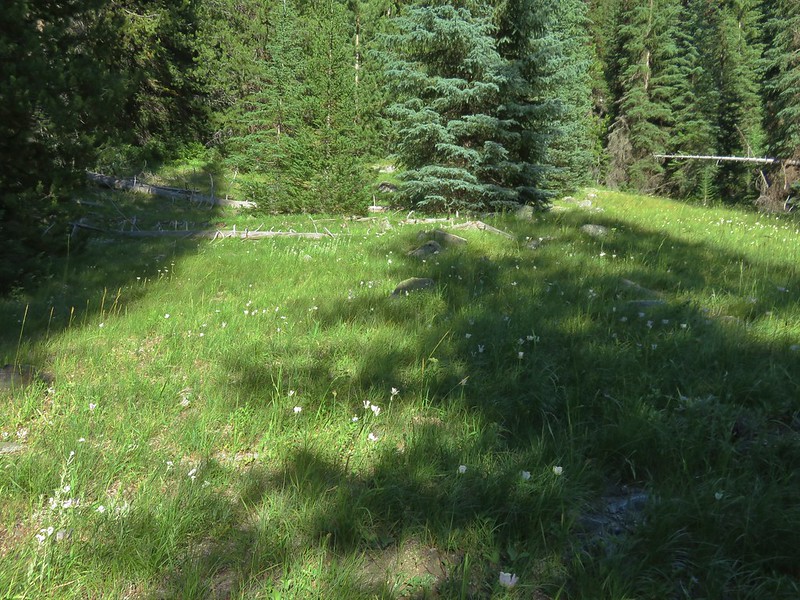
We had originally considered setting up camp at Sixmile meadow but after passing the junction with the Lakes Basin Trail at the edge of the meadow we only saw one campsite which was closer to the trail and more exposed than we wanted to be.

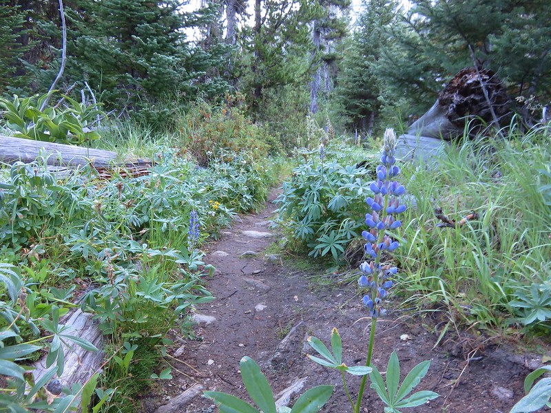
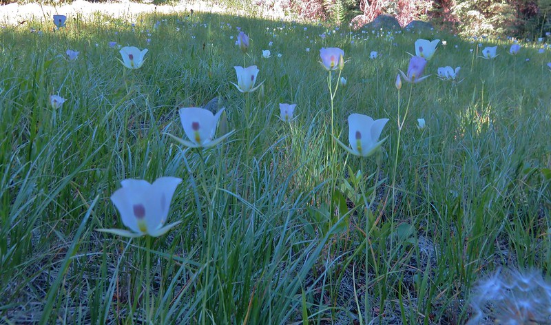
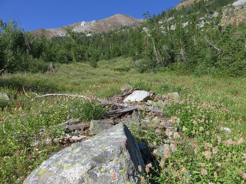
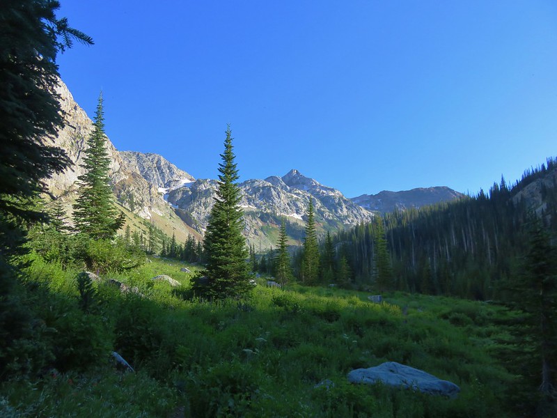
We decided to continue further along the West Fork Wallowa Trail planning on stopping at the first good campsite we found. That proved to be more difficult than we had expected. The scenery along the trail improved beyond Sixmile Meadow as open wildflower meadows replaced the forest but there was a lack of noticeable campsites and the couple we saw were already occupied.
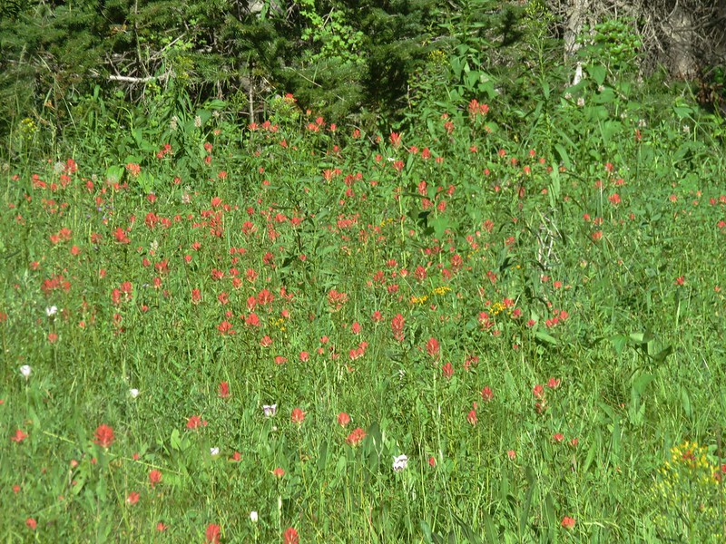

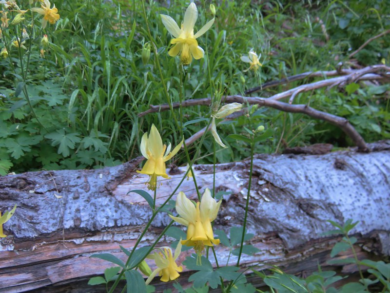
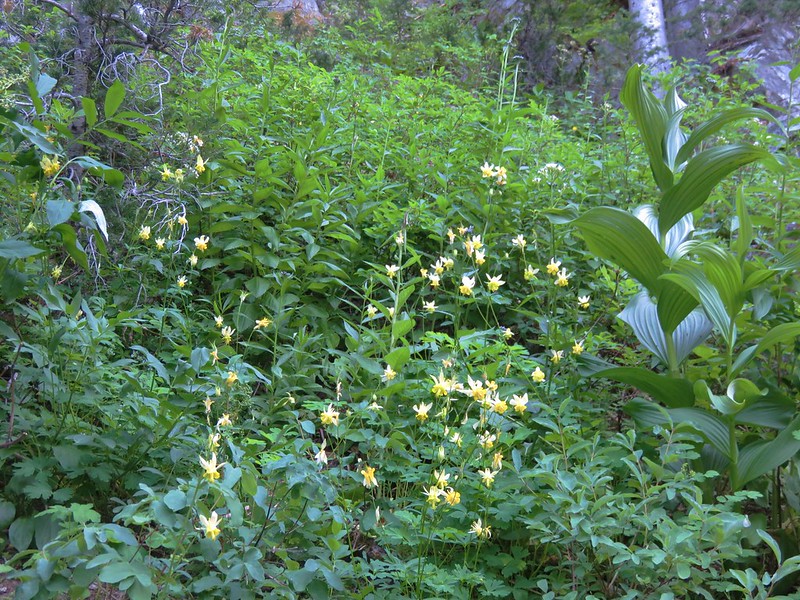
One of the more interesting flowers we had been seeing on the trip were yellow columbine which was becoming more profuse in these higher meadows.
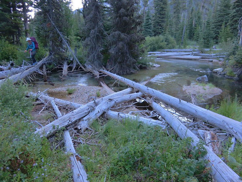
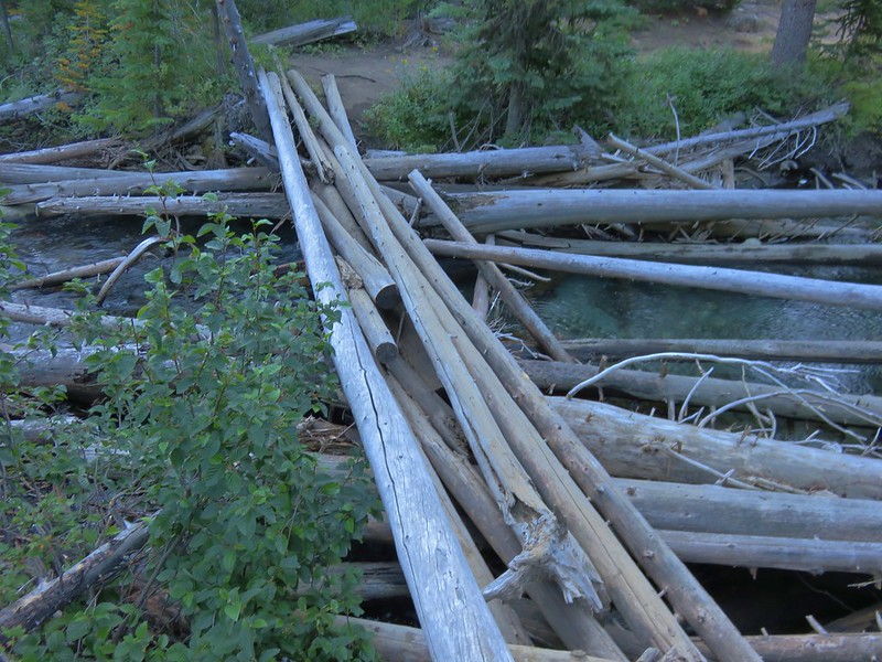
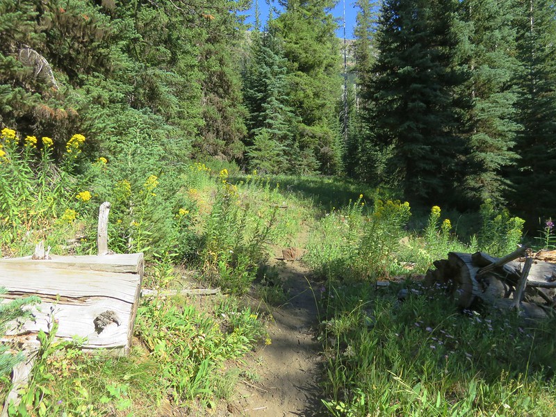
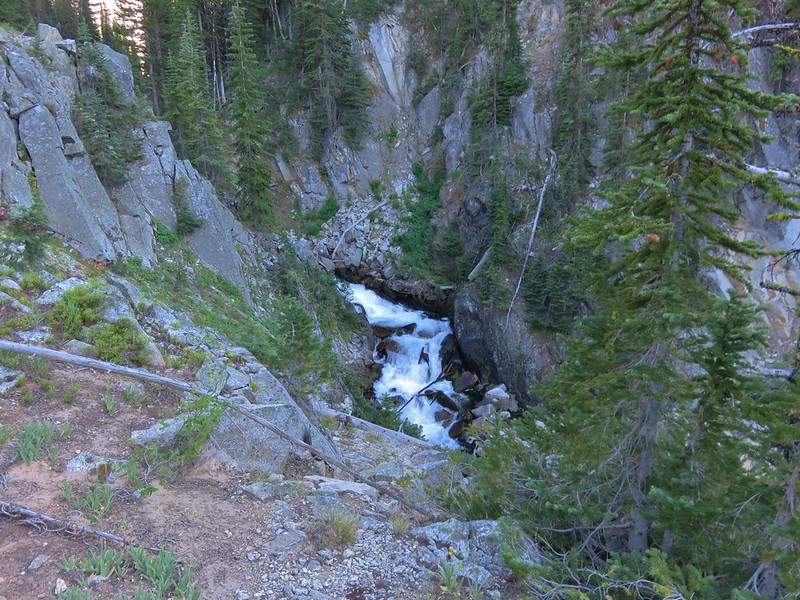
After passing an unsigned junction with the trail up to Polaris Pass the West Fork Wallowa Trail passed through a narrow canyon before entering another meadow.
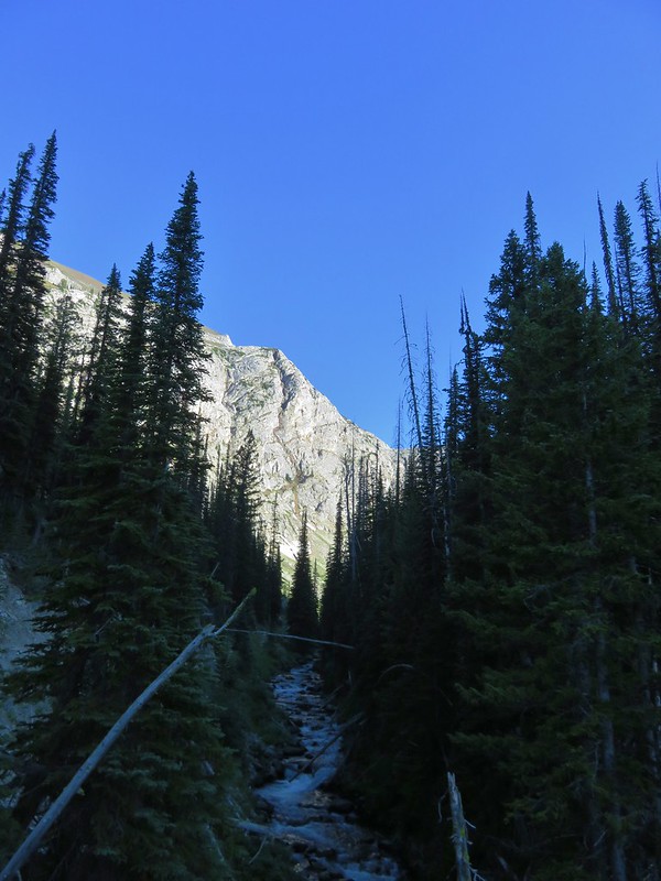
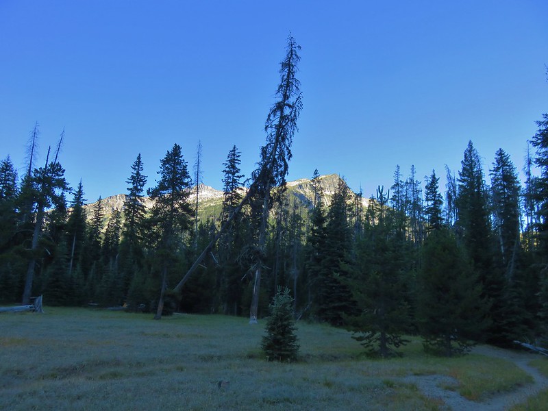
It was getting close to 6pm and we were getting a little tired and anxious about finding a suitable campsite. Our worst case scenario was to push on to Frazier Lake but that would mean possibly fording the river, another climb and an additional mile plus of hiking. Luckily as we passed through this meadow we spotted a faint path to the left which led to a small campsite next to some trees. We quickly claimed the spot and set up the tent.
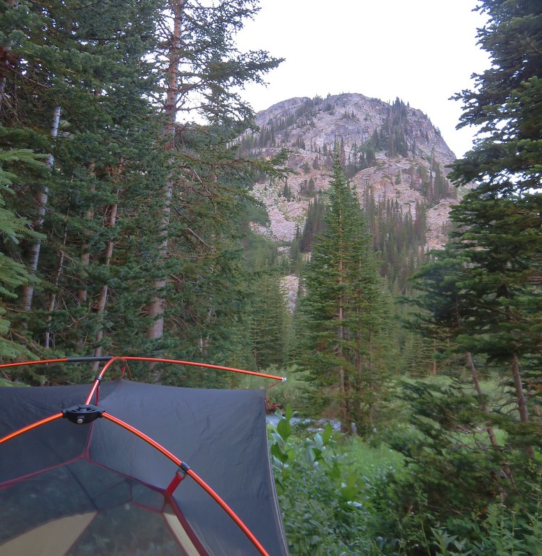
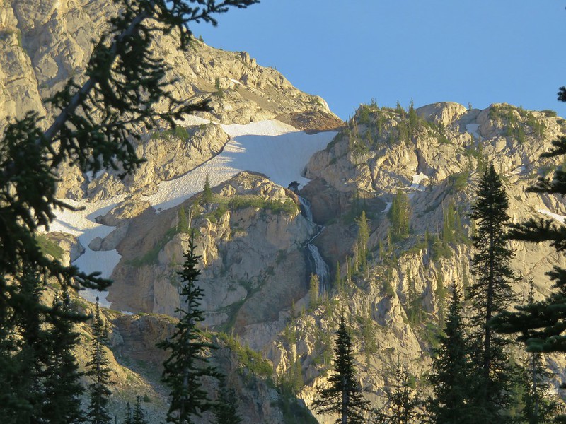
We had gone quite a bit further than we’d originally planned that day ending up having covered 16.7 miles for the day, but this site turned out to be wonderful. The sounds of the nearby river was joined by the distant roar of several waterfalls cascading down the surrounding cliffs.

Heather was starting to feel a little under the weather again as we turned in for the night and we decided that we would try and take it a little easier the next day. We had already cut down the distance we needed to go to get to our next planned stop at Mirror Lake and we decided that instead of an afternoon side trip we would just hang out around the lake. Happy Trails!
Flickr: https://www.flickr.com/photos/9319235@N02/albums/72157671954055746