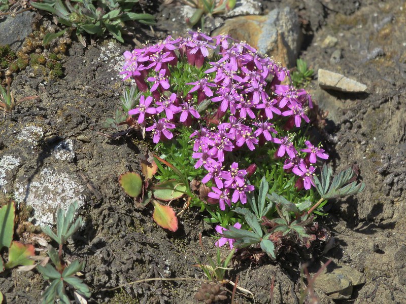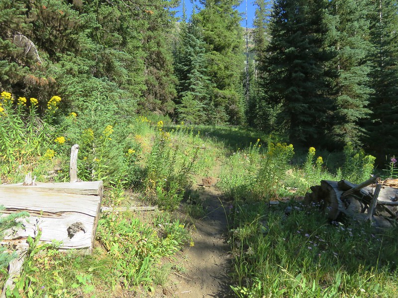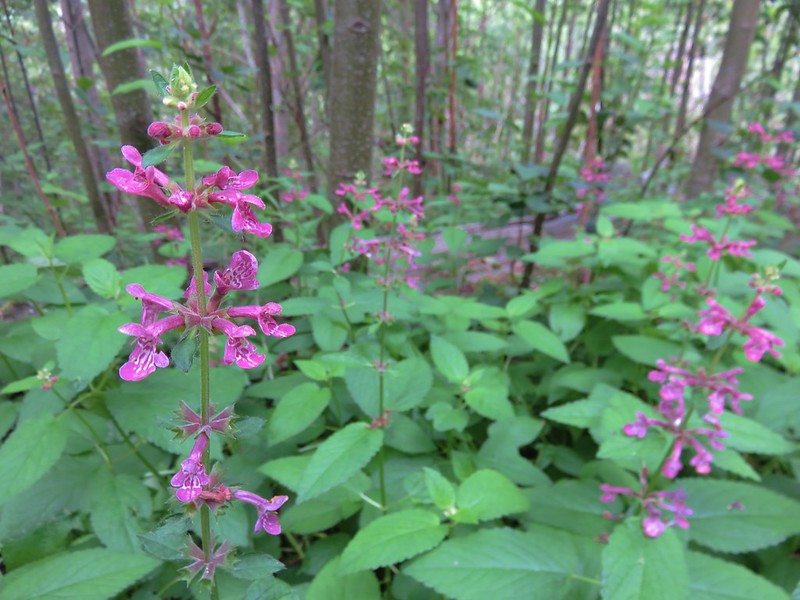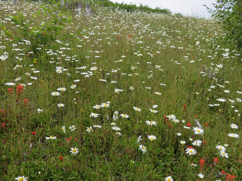
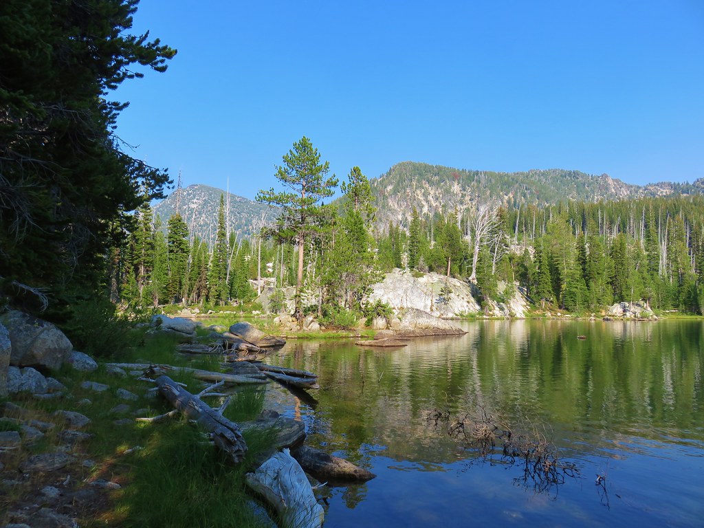
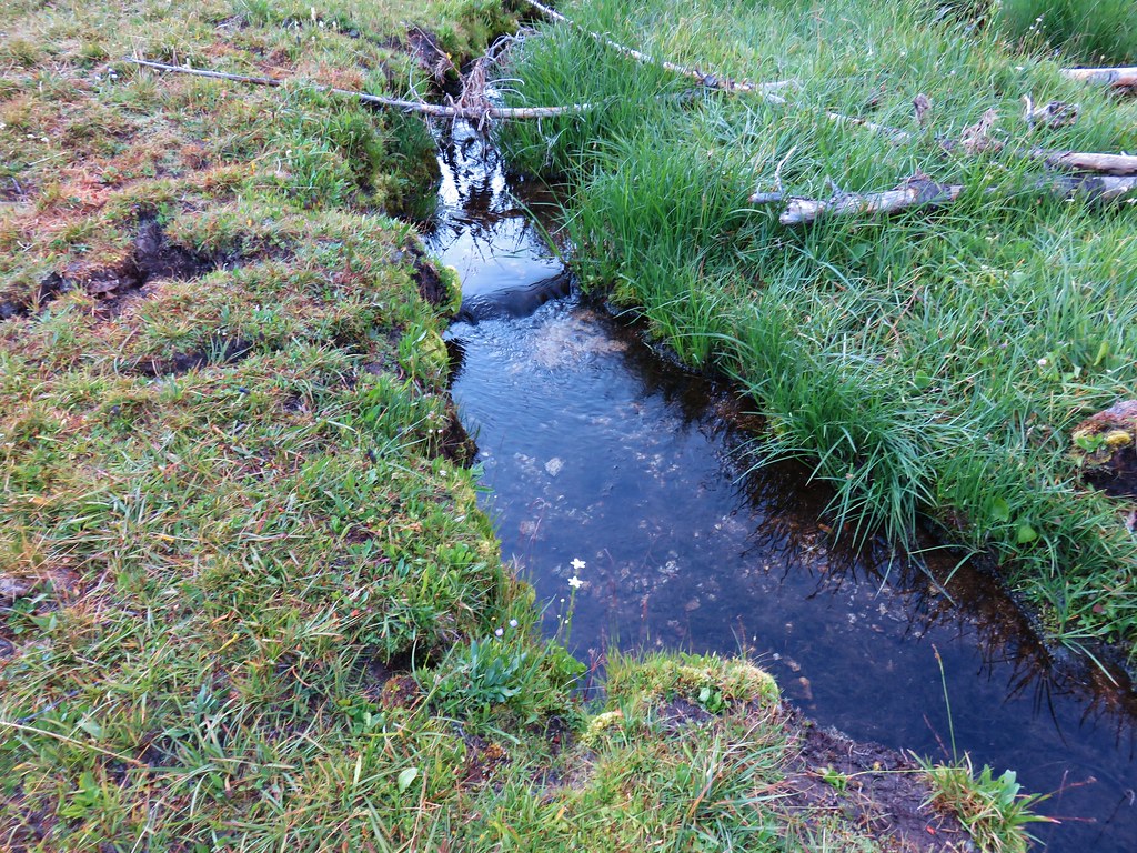
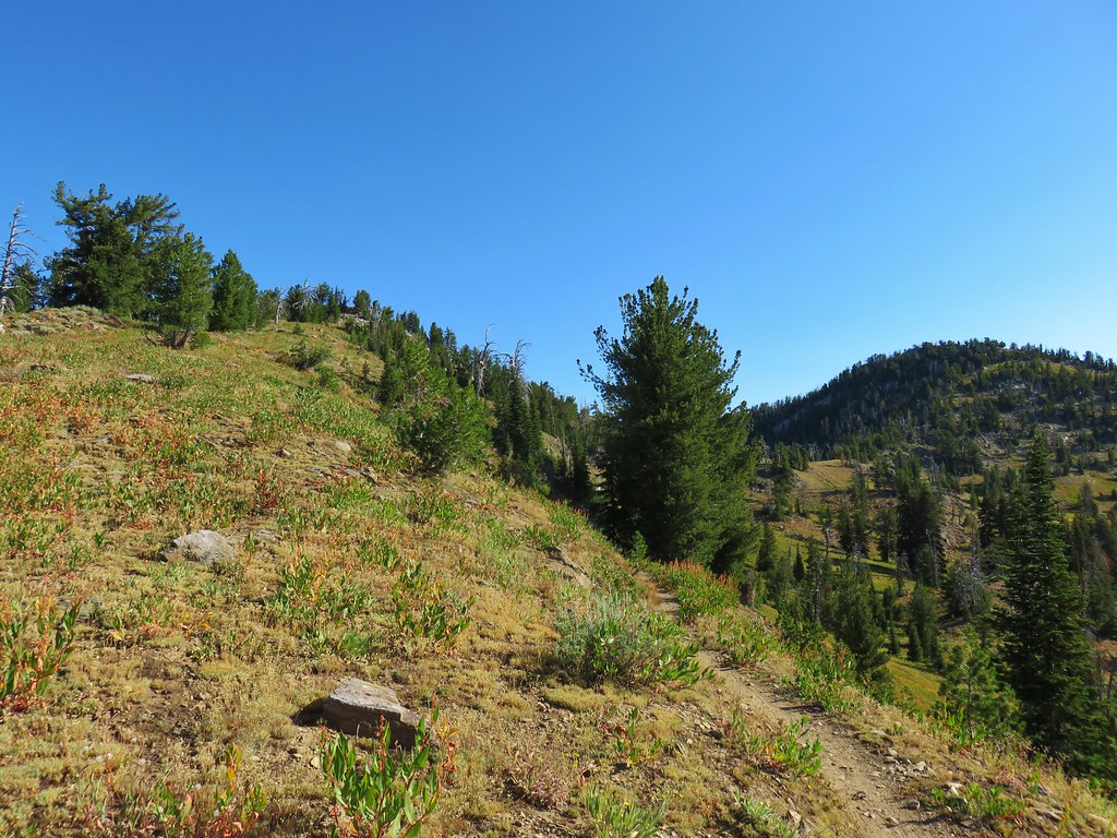
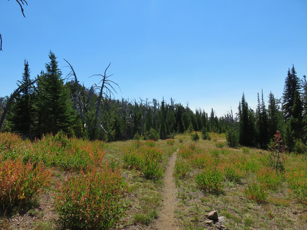
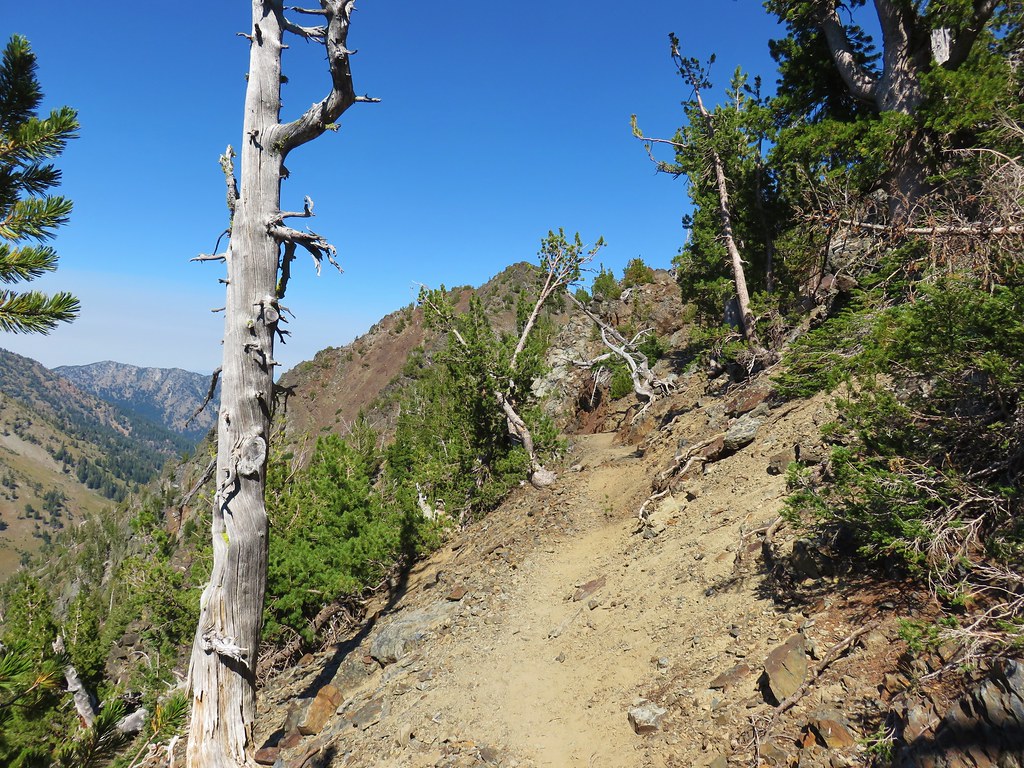
Part two of 2025 wildlife wrap-up is a collection of the non-bird critters that we were able to get a photo of during our 2025 outings. I checked one animal off the list of those that we hadn’t seen while hiking during our Tygh Creek hike in May when I spotted a skunk making its way up the trail ahead. Heather unfortunately missed out on that sighting. We also saw a sea otter during our visit to Olympic National Park in May however it was so far away that we weren’t sure what we were looking at until we were able to look at the couple of photos that I had taken. It was exciting to have seen one, but it would have been more exciting had we realized what we were seeing at the time. The other exciting (and scariest) sighting was just our second rattlesnake in the Criterion Tract along the Deschutes River, also in May. We didn’t see it until we heard the loud hiss and rattle letting us know that we were getting too close.

Bumble bee – Mt. Hood National Forest, 05/24/25.

Bee swarm – William L. Finley National Wildlife Refuge, 04/30/25.

Unknown bee species – Criterion Tract, 05/25/25.

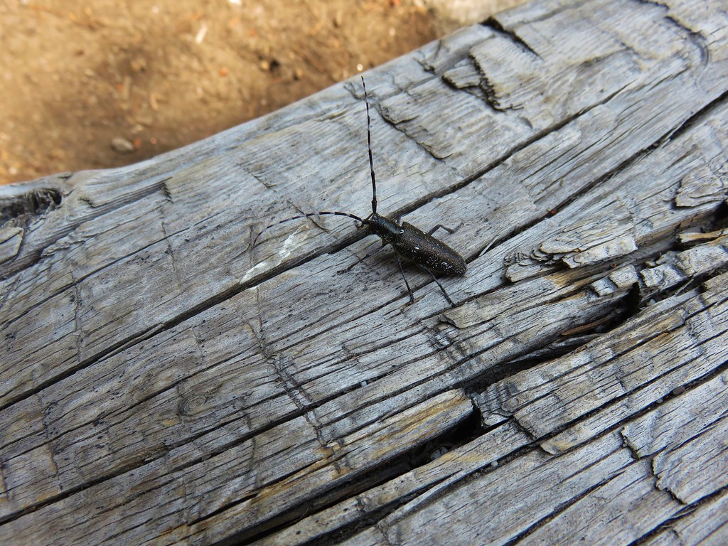
Beetle – Criterion Tract, 05/25/25.

Beetle – Criterion Tract, 05/25/25.

Beetles – Mt. Jefferson Wilderness, 07/14/25.

Beetles – Mt. Hood National Forest, 06/14/25.

Isopod – Olympic National Park, 05/15/25.

Western sea slater (Ligia occidentalis) – Olympic National Park, 05/14/25.

Spider hiding in the camas – Thurston Hills, 04/19/25.

Crab spider – Clearwater River Trail, 06/21/25.

Slug – Thurston Hills, 04/19/25.

Slug – Fern Ridge Wildlife Area, 05/03/25.

Slug – Olympic National Park, 05/13/25.

Slug – Olympic National Park, 05/12/25.

Slug – Olympic National Park, 05/15/25.

Snail – Oswald West State Park, 04/05/25.

Snail – Loon Lake Recreation Area, 05/03/25.

Snail – Fern Ridge Wildlife Area, 05/03/25.

Snail – Umpqua National Forest, 05/31/25.

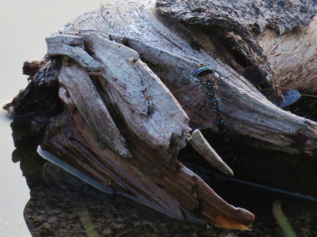
Dragon flies – Mt. Washington Wilderness, 07/19/25.

Caterpillar – Olympic National Park, 05/13/25.

Caterpillars – Mt. Jefferson Wilderness, 07/17/25.

Cinnabar moth – Mt. Jefferson Wilderness, Linn County Oregon, 07/17/25.

Plume moth – Mt. Jefferson Wilderness, Linn County Oregon, 07/17/25.

Moth – Mt. Jefferson Wilderness, Marion County Oregon, 07/14/25.

Moth – Mt. Washington Wilderness, Linn County Oregon, 07/19/25.

Moth – Mt. Hood National Forest, Wasco County Oregon, 06/14/25.

Brown elfin (and fly) – Mt. Hood National Forest, Wasco County Oregon, 05/24/25.

Ochre ringlet – Criterion Tract, Wasco County Oregon, 05/25/25.

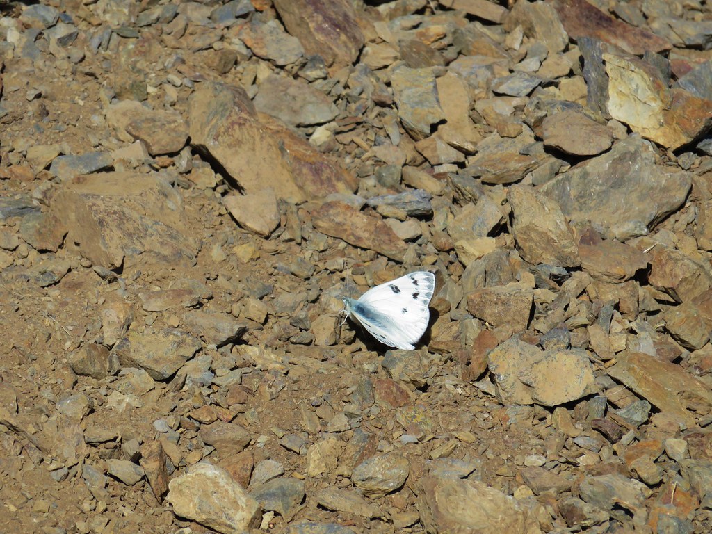
Cabbage White – Tualatin River National Wildlife Refuge, Washington County Oregon, 05/01/25.

Margined white – Oswald West State Park, Tillamook County Oregon, 04/05/25.

Western white? – Mt. Hood National Forest, Hood River County Oregon, 07/12/25.

California tortoiseshell – Mt. Hood National Forest, Hood River County Oregon, 07/12/25.

Sagebrush checkerspot (f) – Criterion Tract, Wasco County Oregon, 05/25/25.

Sagebrush checkerspot? (m) – Criterion Tract, Wasco County Oregon, 05/25/25.

Checkerspot (Hoffman’s?) – Mt. Hood National Forest, Hood River County Oregon, 07/12/25.

Clodius Parnassian – Sourgrass Mountain, Lane County Oregon, 06/28/25.

Propertius duskywing – Mt. Hood National Forest, Wasco County Oregon, 06/14/25.

Possibly a Pacuvius Duskywing (Erynnis pacuvius) – Mt. Hood National Forest, Wasco County Oregon, 05/24/25.

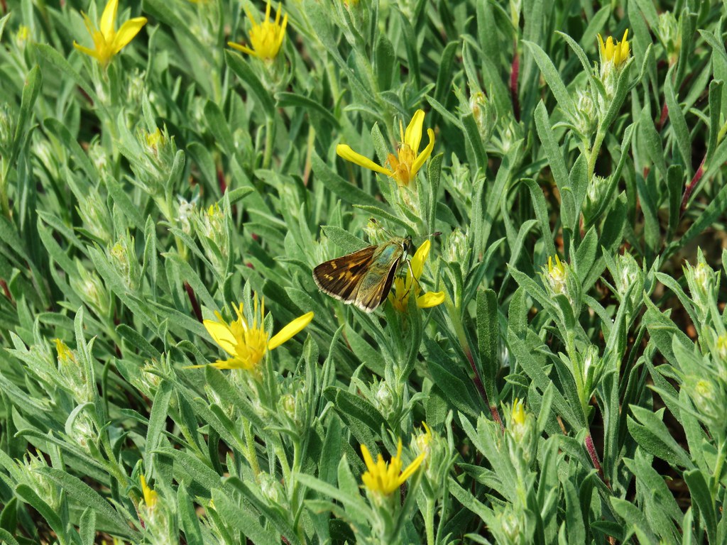
A skipper – Criterion Tract, Wasco County Oregon, 05/25/25.

Field crescent – Mt. Washington Wilderness, Linn County Oregon, 07/19/25.

Meadow fritillary – Mt. Rainier National Park, Yakima County Washington, 08/08/25.

A fritillary but not sure which one. – Criterion Tract, Wasco County Oregon, 05/25/25.

Another of the fritillaries. – Mt. Jefferson Wilderness, Linn County Oregon, 07/17/25.

Wester sulphur – Mt. Hood National Forest, Wasco County Oregon, 06/14/25.

Indra swallowtail – Criterion Tract, Wasco County Oregon, 05/25/25.

Pale tiger swallowtail – Mt. Hood National Forest, Wasco County Oregon, 06/14/25.
When it comes to the Lycaenidae Family (Gossamer Wings) I am almost always out of my depth trying to identify them.
Mt. Jefferson Wilderness, Marion County Oregon, 07/14/25.

Mt. Hood National Forest, Wasco County Oregon, 05/24/25.

Mt. Washington Wilderness, Linn County Oregon, 07/19/25.

Criterion Tract, Wasco County Oregon, 05/25/25.

Olympic National Park, Clallam County Washington, 05/13/25.

These might be Echo Azures – Mt. Hood National Forest, Wasco County Oregon, 05/24/25.

Crab – Olympic National Park, Clallam County Wasing 05/14/25.

Hermit Crab – Olympic National Park, 05/14/25.

Velalla velella – Olympic National Park, 05/14/25.

Anemones – Olympic National Park, 05/14/25.

Starfish – Olympic National Park, 05/14/25.

Lions mane jellyfish – Rockaway Beach, 09/06/25.

Sealion – Olympic National Park, 05/14/25.

Seals – Olympic National Park, 05/15/25.

Sea otter, albeit a poor picture – Olympic National Park, 05/14/25.

Tree frog – Mt. Washington Wilderness, 07/19/25.

Frog – Mt. Jefferson Wilderness, 07/14/25.

Bullfrog (invasive) – Ankeny National Wildlife Refuge, 04/28/25.

Painted and western pond turtles – William L. Finley National Wildlife Refuge, 04/30/25.

Dunn’s salamander – Thurston Hills, 04/19/25.

Rough skinned newt – Driftwood Beach, 01/11/25.

Lizard – Mt. Hood National Forest, 05/24/25.

Snake – Ankeny National Wildlife Refuge, 04/28/25.

Snake – McDonald-Dunn Forest, 07/05/25.

Western racer – Mt. Hood National Forest, 05/24/25.

Western rattlesnake – Criterion Tract, 05/25/25.

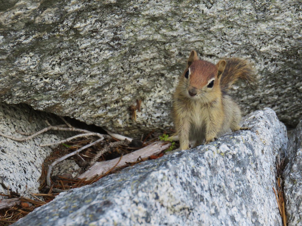
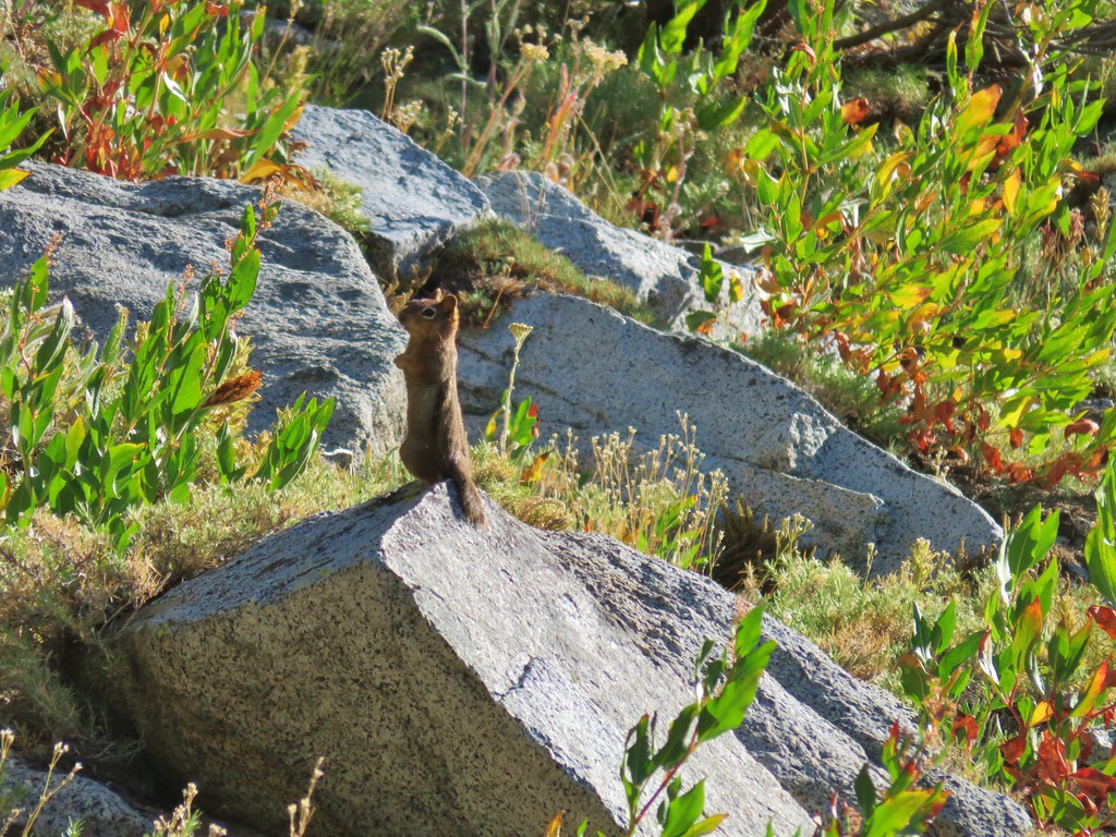
Olympic chipmunk – Olympic National Park, 05/13/25.

Townsend’s? chipmunk – Silver Falls State Park, 10/13/25.

Yellow pine chipmunk – Mt. Rainier National Park, 08/04/25.

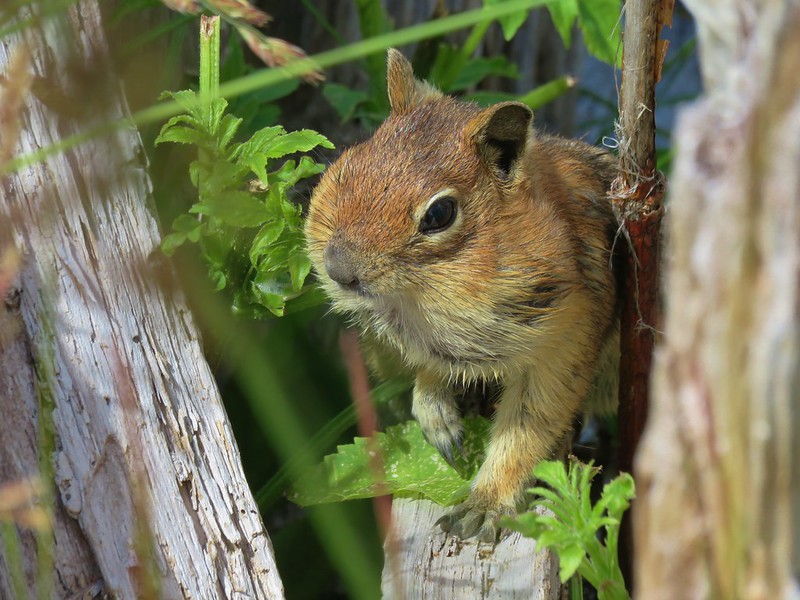
Golden-mantled ground squirrel – Mt. Rainier National Park, 08/04/25.

Douglas’ squirrel – Olympic National Park, 05/13/25.

Western gray squirrel – William L. Finely National Wildlife Refuge, 04/30/25.

California ground squirrel – E. E. Wilson Wildlife Area, 04/27/25.

Nutria (invasive) – Tualatin River National Wildlife Refuge, 05/01/25.

Yellow-bellied marmot – Three Sisters Wilderness, 07/15/25.

Hoary marmot – Mt. Rainier National Park, 08/05/25.

Pika – Mt. Jefferson Wilderness, 07/14/25.

Rabbit – Ankeny National Wildlife Refuge, 04/28/25.

Racoon – Olympic National Park, 05/14/25.

Skunk – Mt. Hood National Forest, 05/26/25.

Coyote – William L. Finley National Wildlife Refuge, 04/30/25.

Black-tailed deer – Mt. Rainier National Park, 08/04/25.

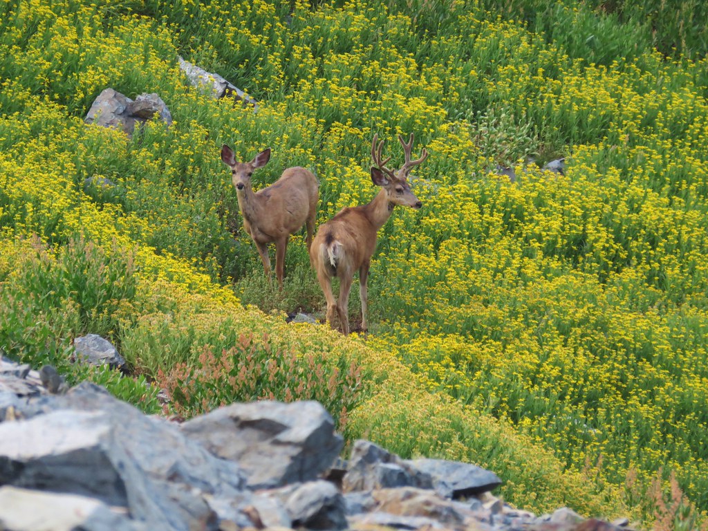
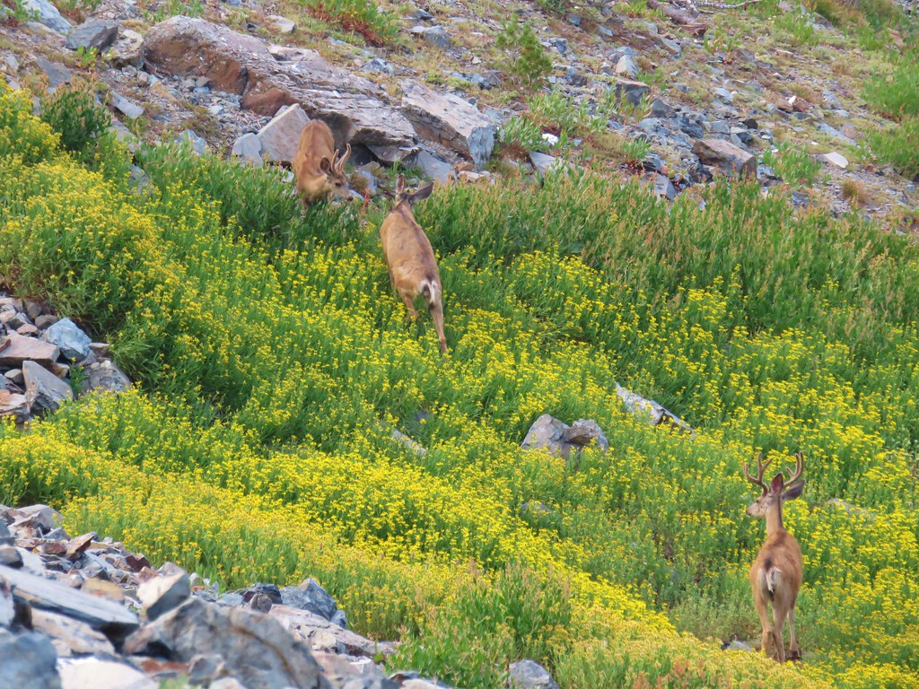
Mule deer – Criterion Tract, 05/25/25.

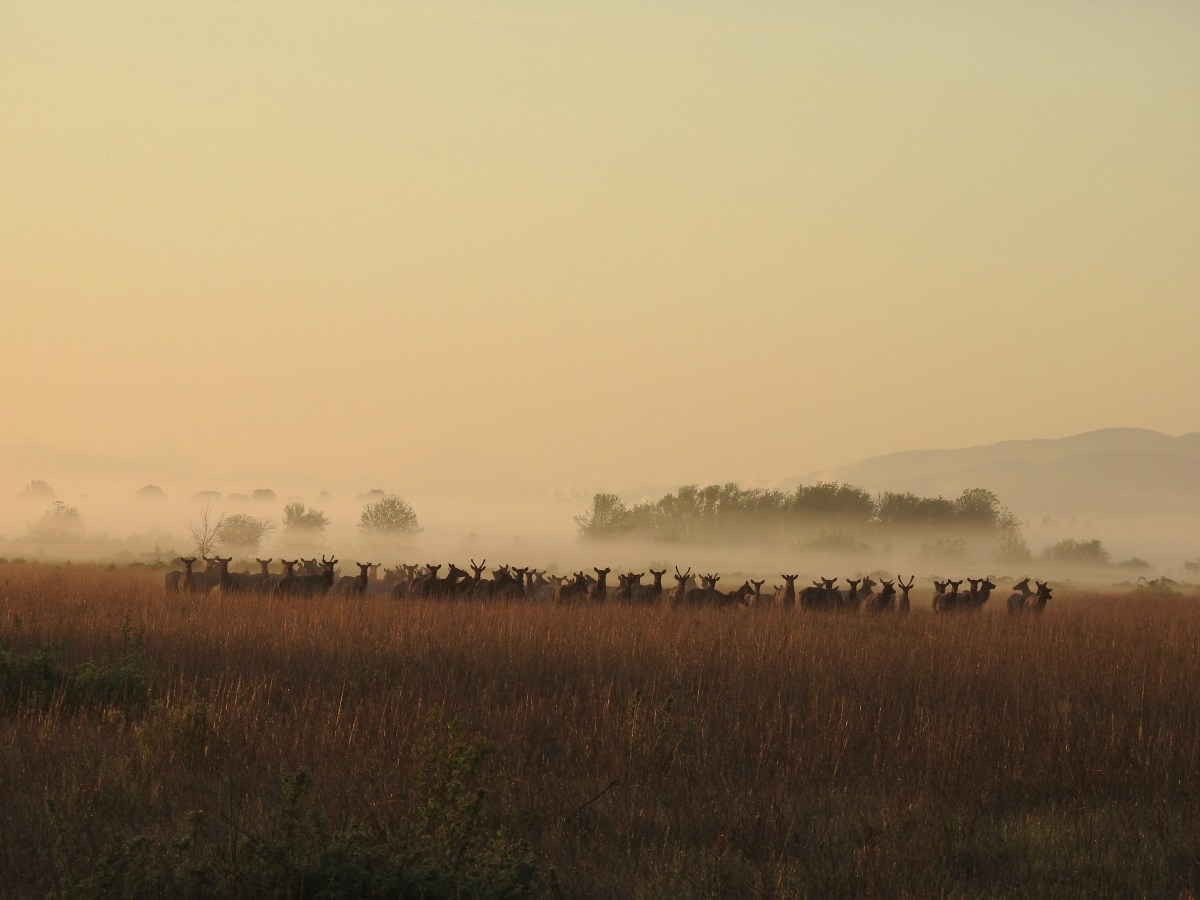
Elk – Elk Run Trail, 10/11/25.

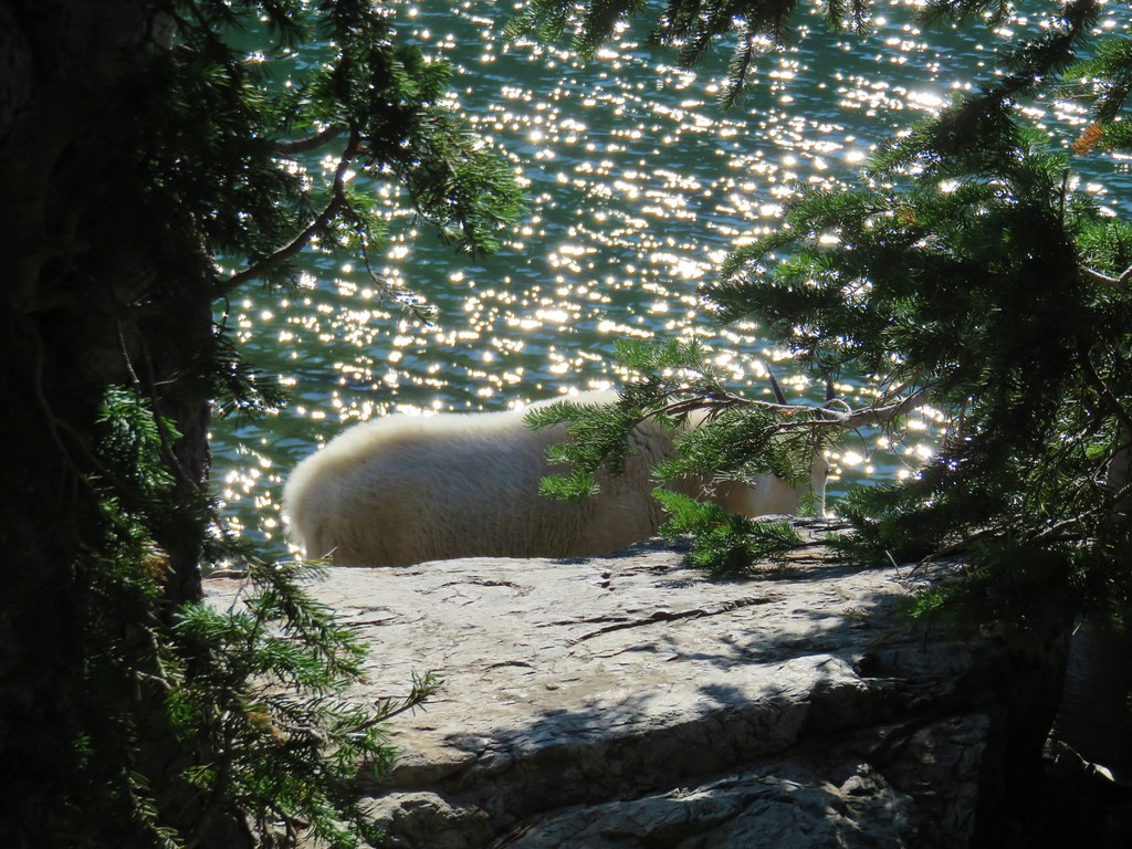
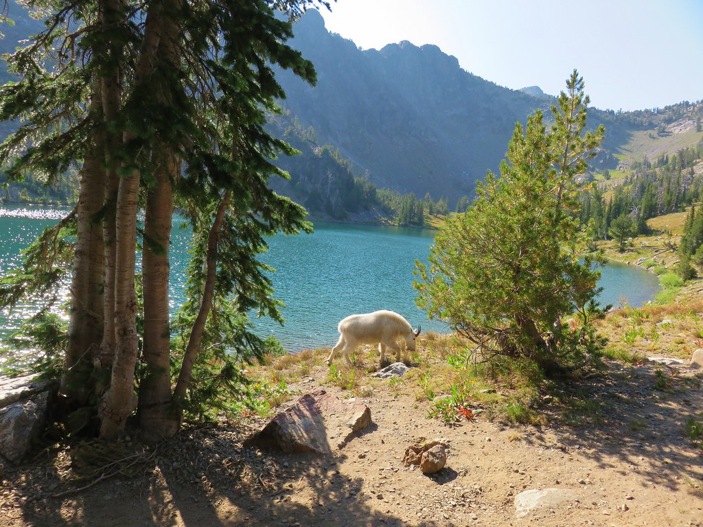
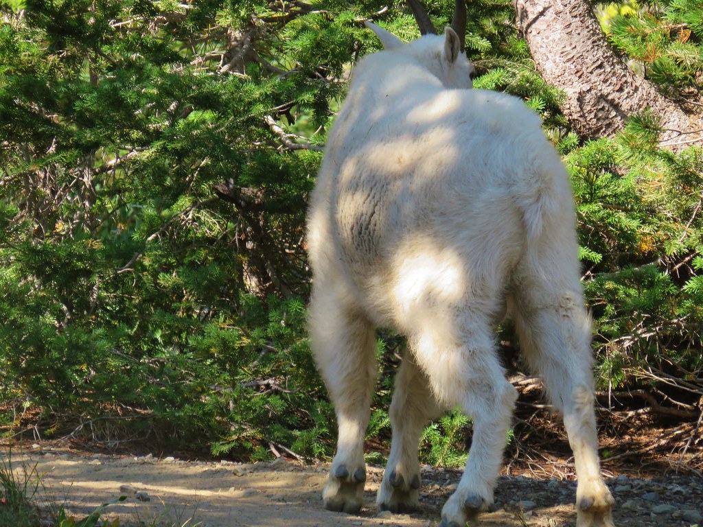
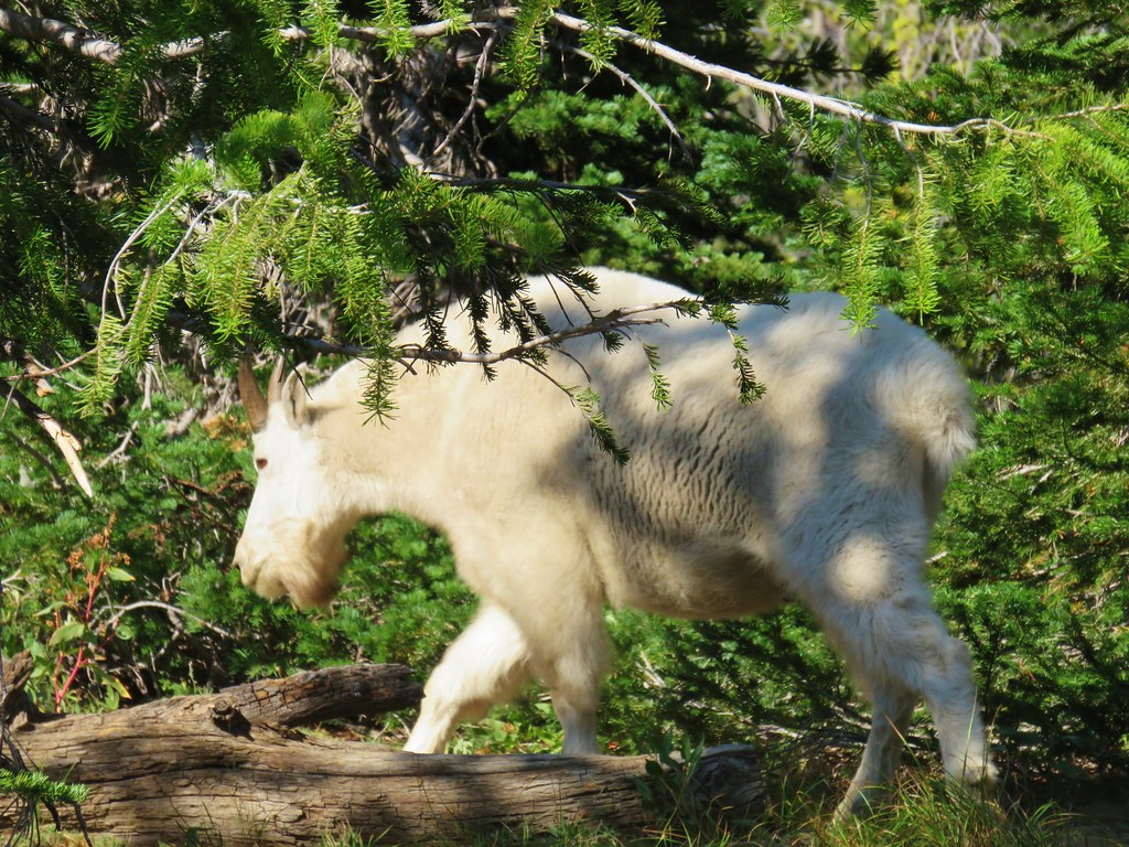
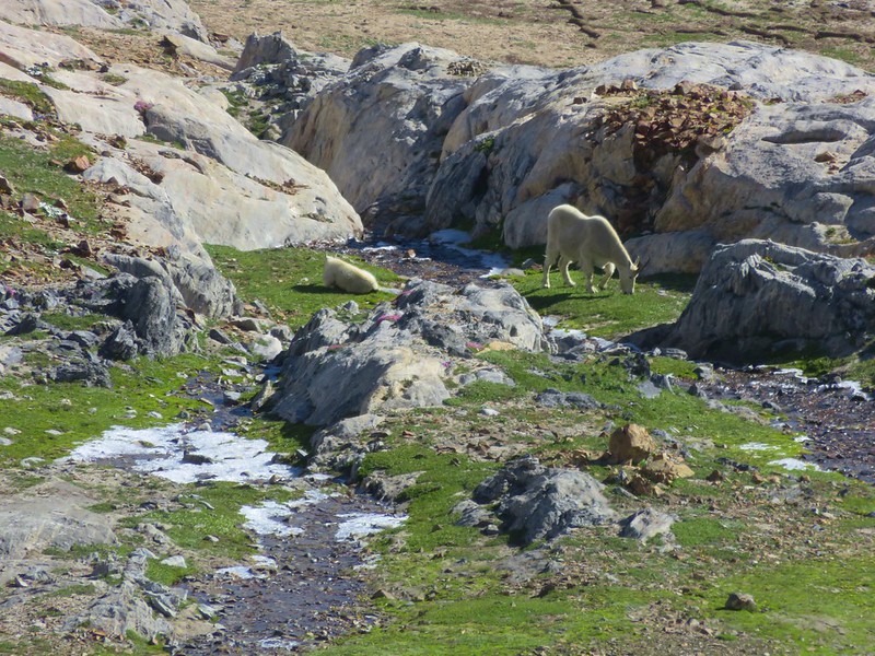
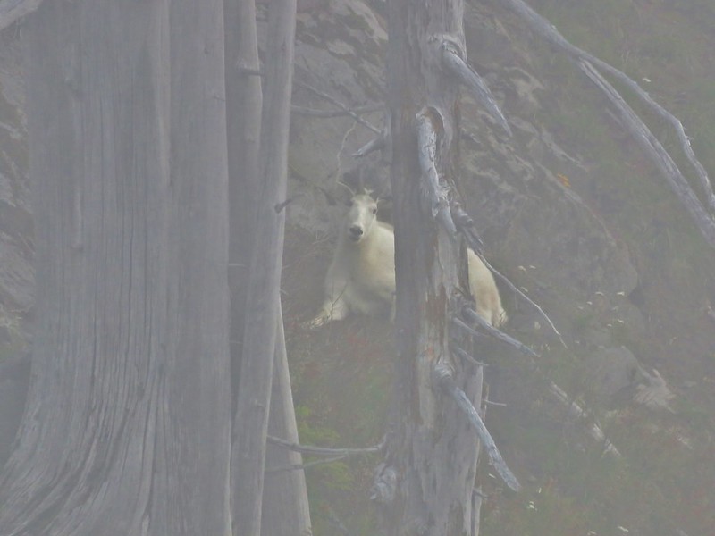
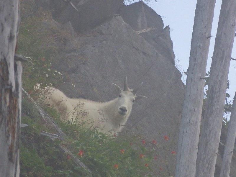
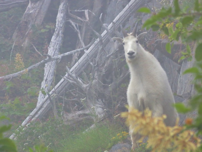
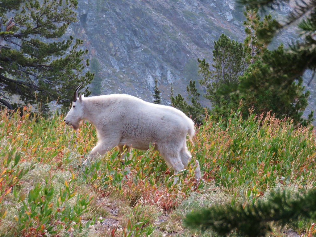
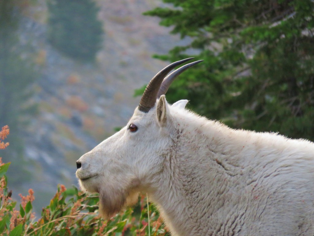
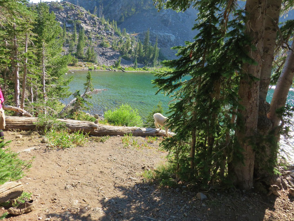
Mountain goats – Mt. Rainier National Park, 08/05/25.
Being fortunate enough to witness animals in their natural habitat is one of the perks of hiking and we hope to see many more this coming year. We’re still on the lookout for several species that are possibilities. Most notable and likely of these are porcupines, giant pacific salamanders, and cougars. Much less likely but possible are wolves, wolverines, and moose among others. Happy Trails!


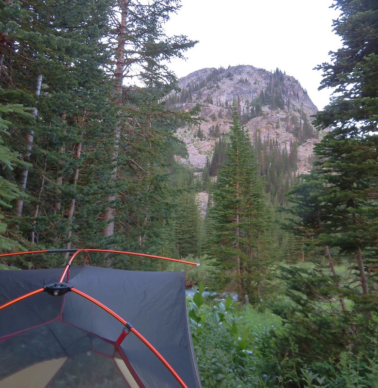
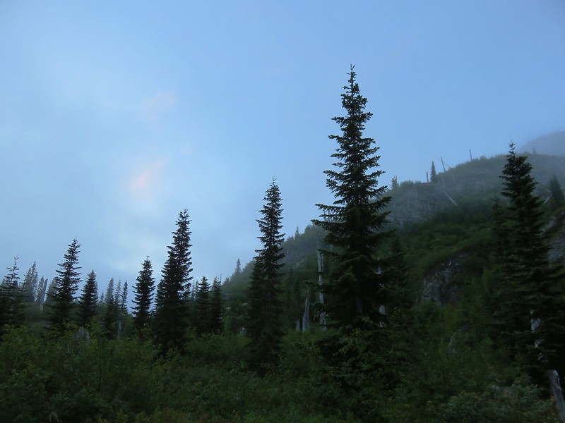
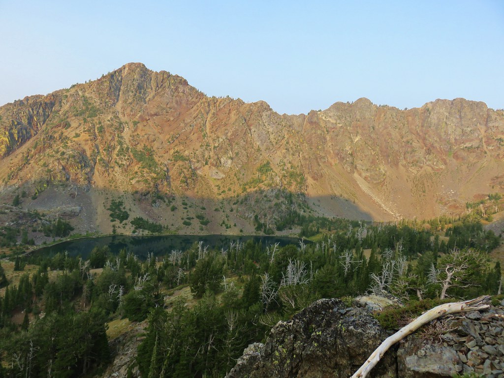
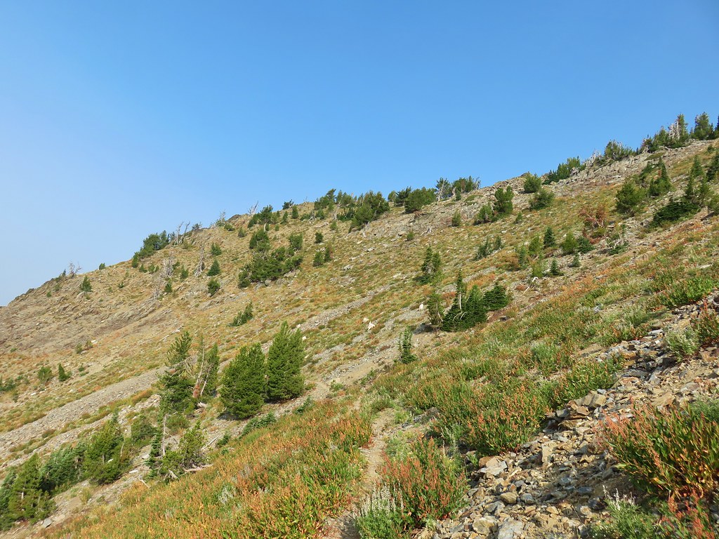
 Another reminder that overnight permits are required in the wilderness.
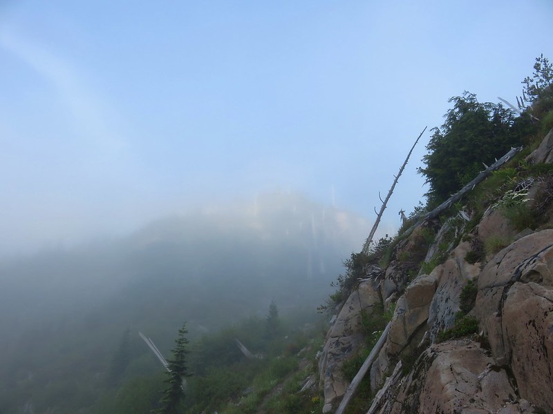
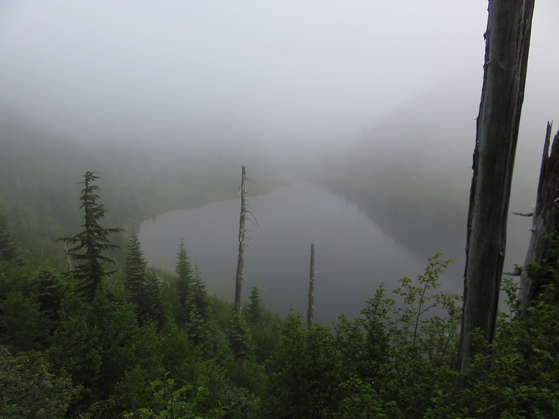
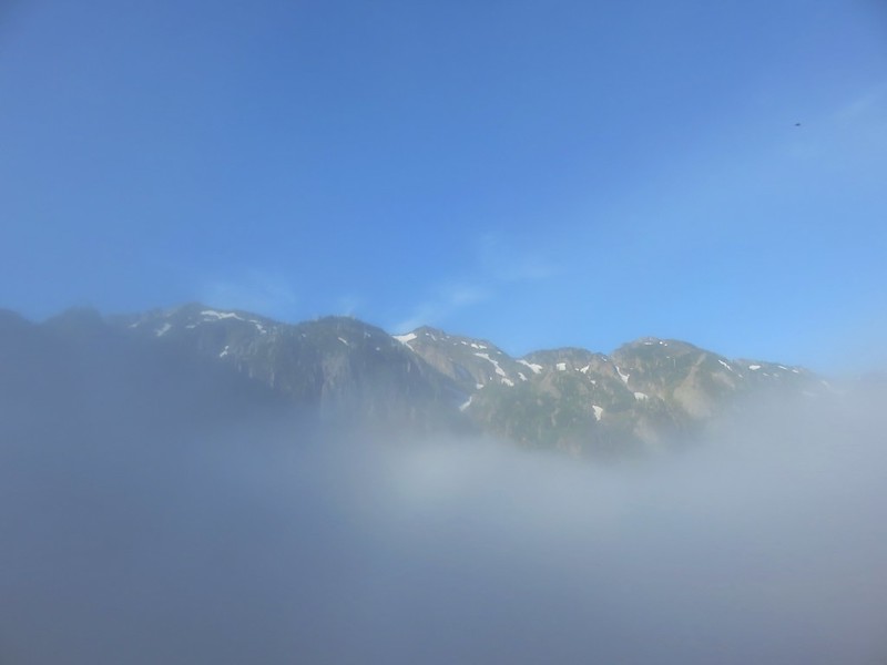
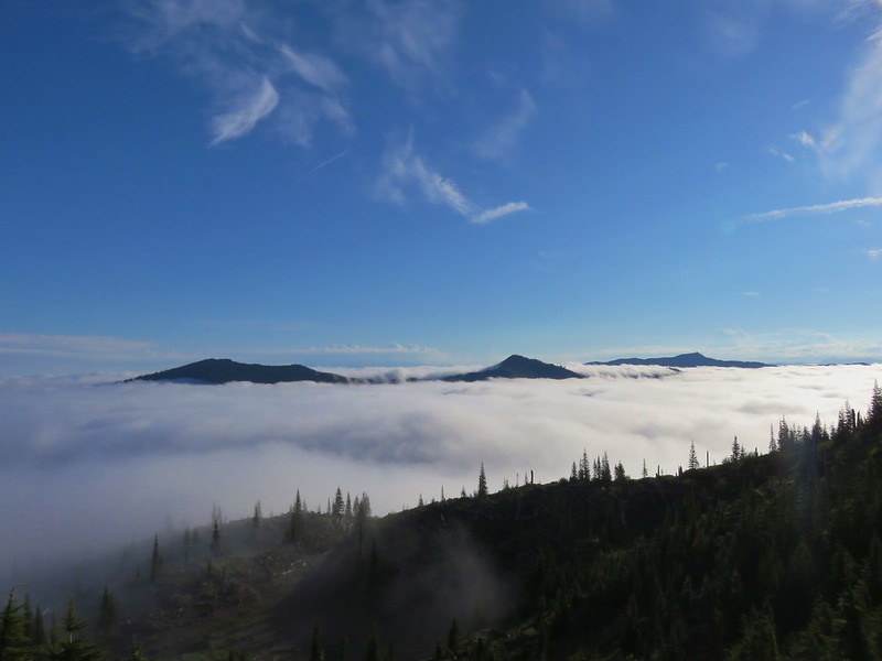
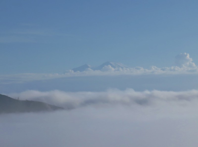
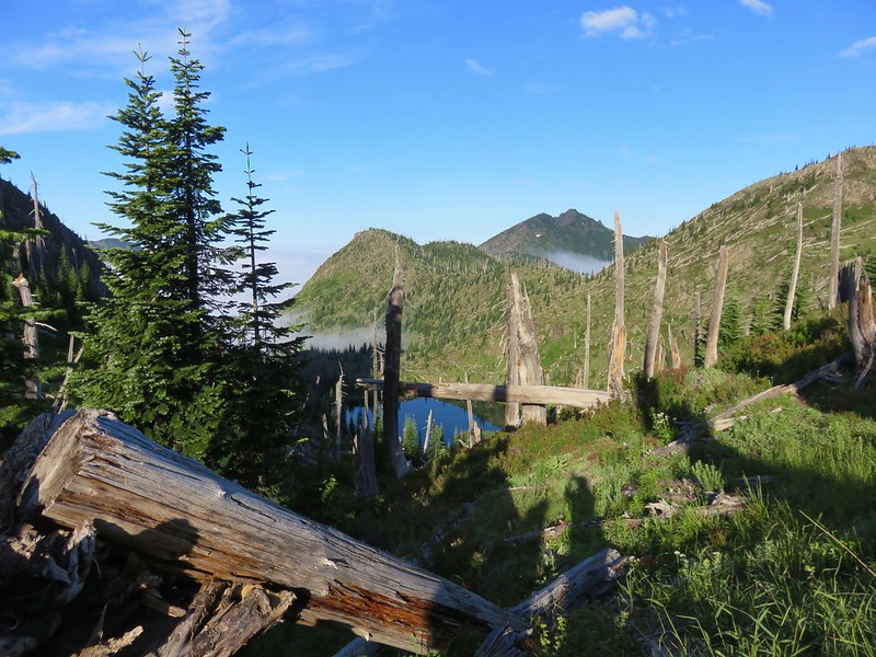
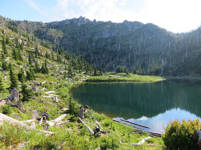
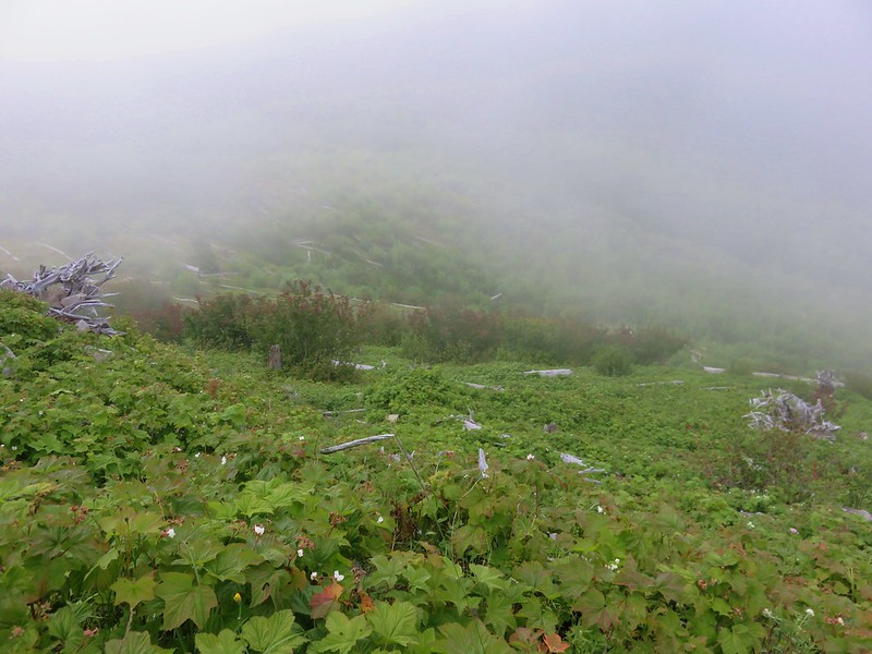
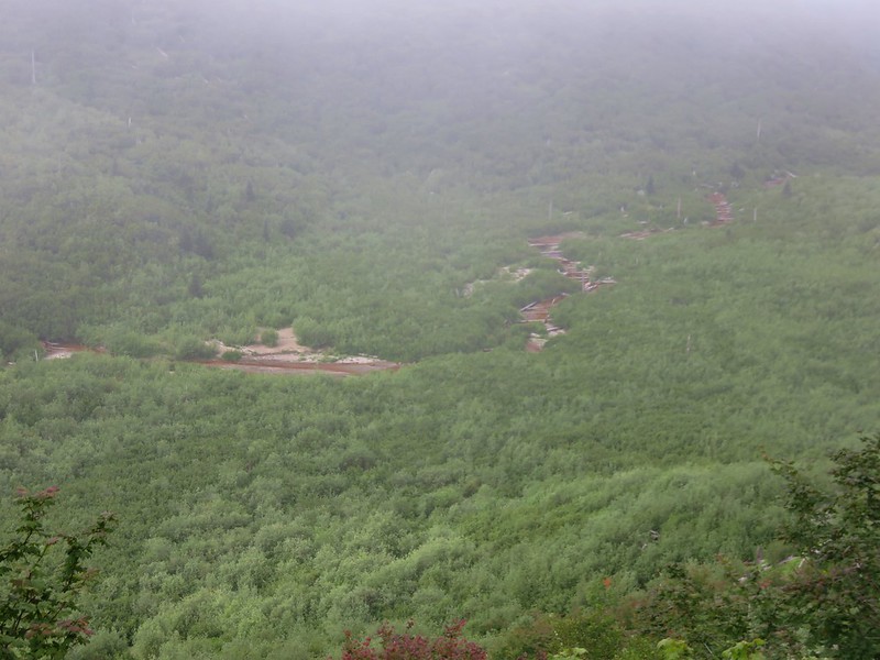
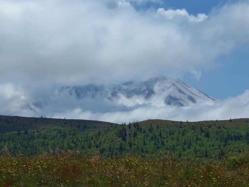
 Low clouds in the valley.
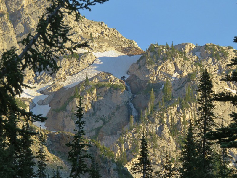
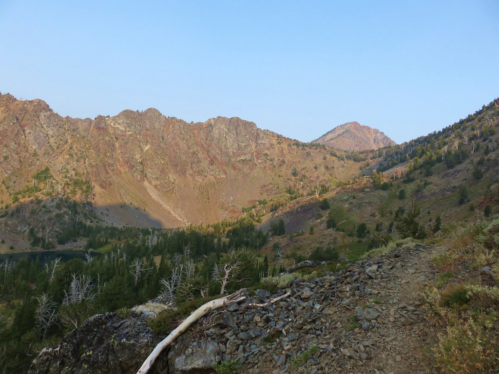
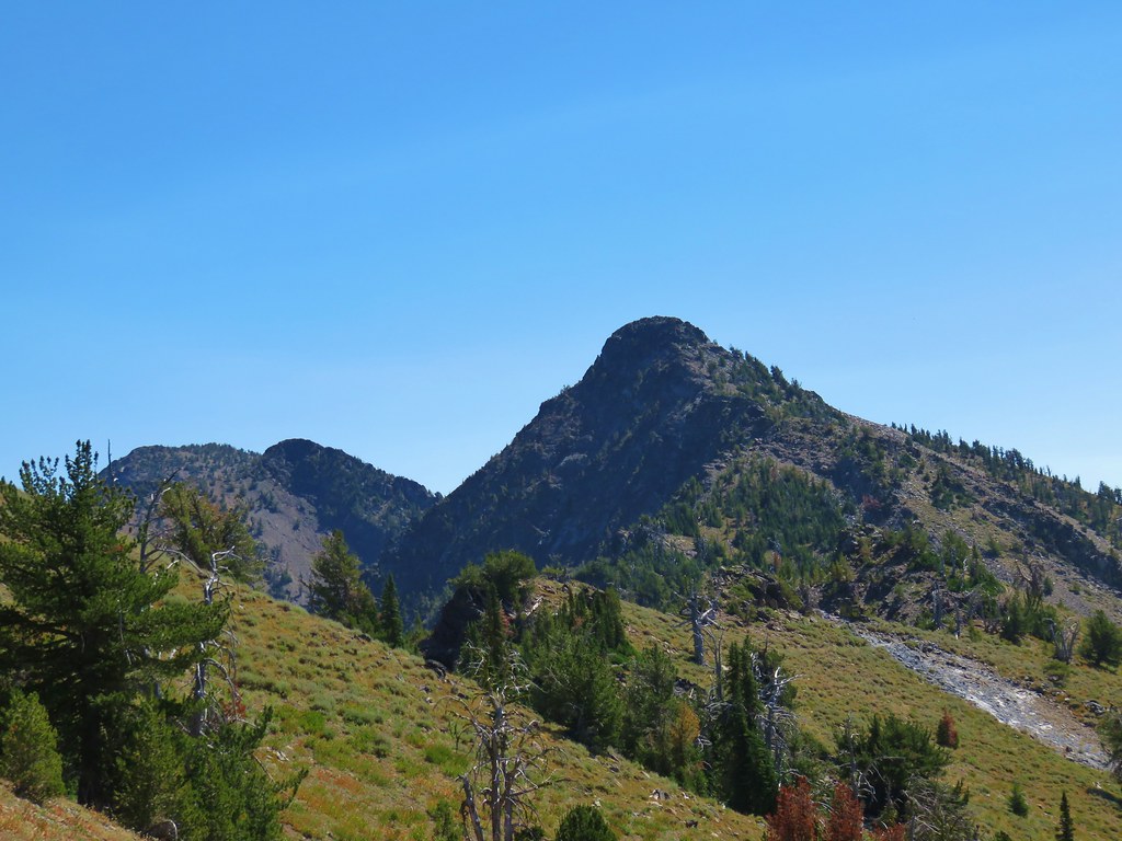
 Mt. Jefferson through some of the snags with a few surviving trees on the right.
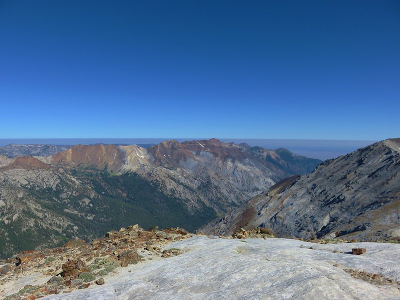
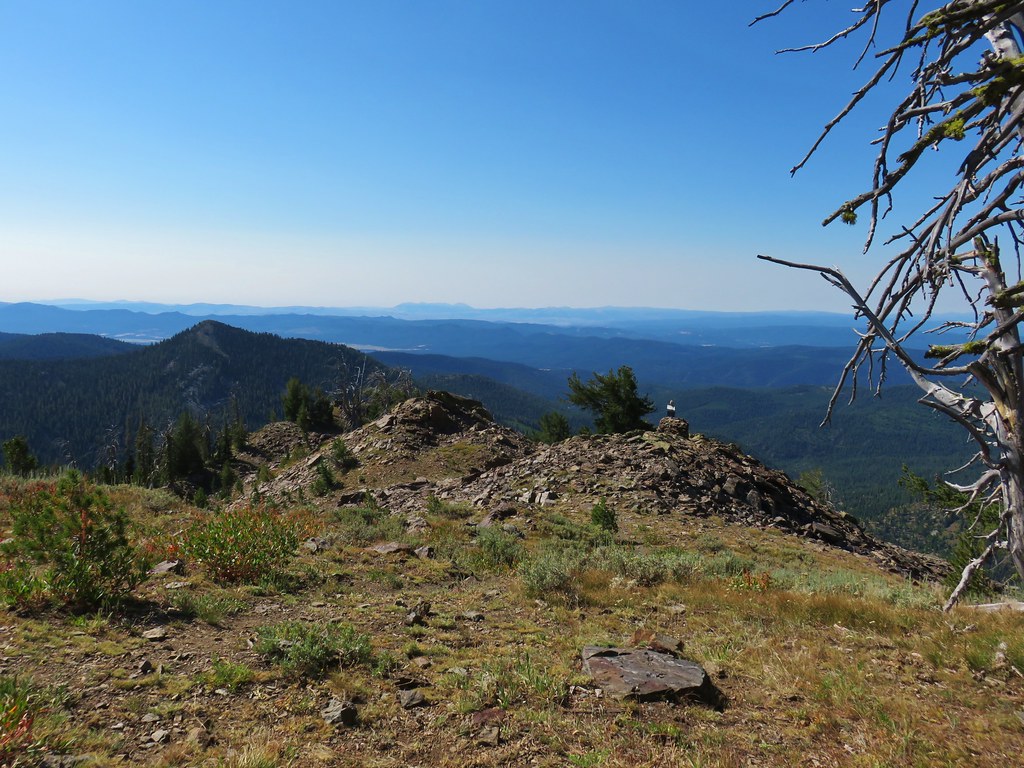
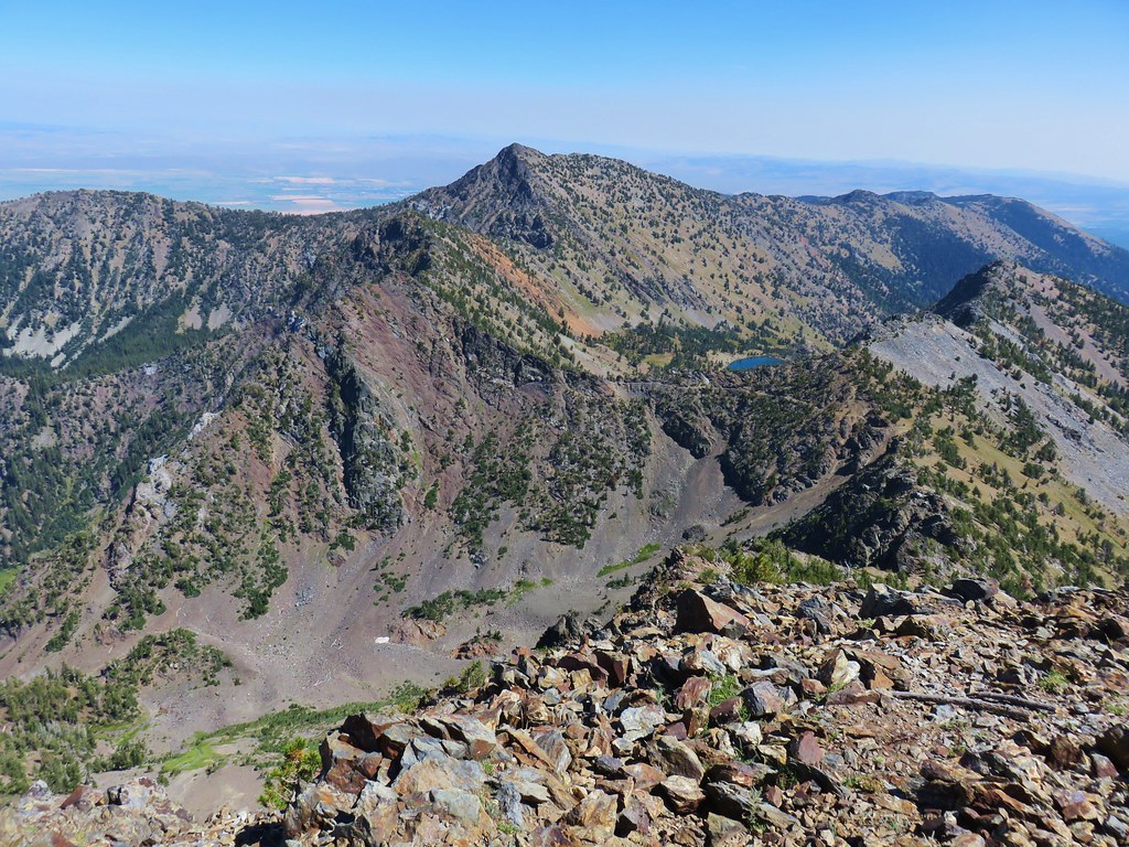
 Mt. Jefferson from the junction, note the rock cairn on the left marking the PCT.
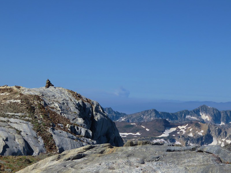
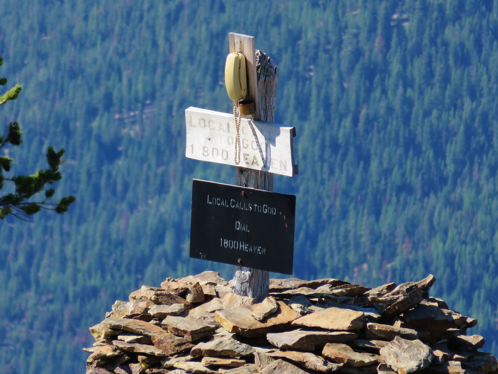
 The cairn at the junction.
 Triangulation Peak (
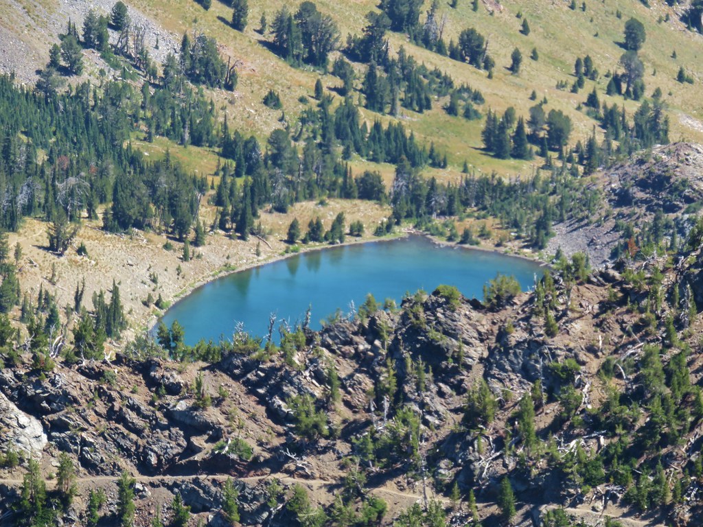
 Whitewater Lake
 Triangulation Point and Bocca Cave (Trailheads still closed.)
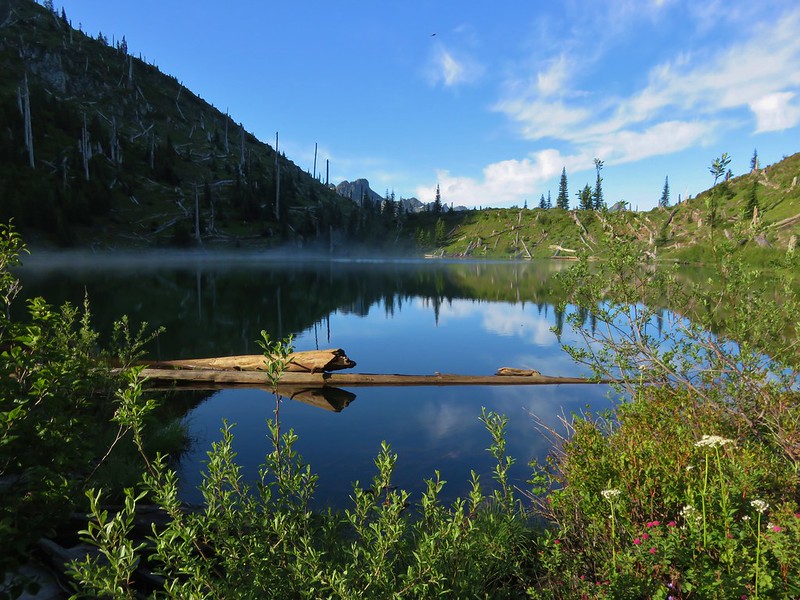
 Tarn 0.3-miles from the junction.
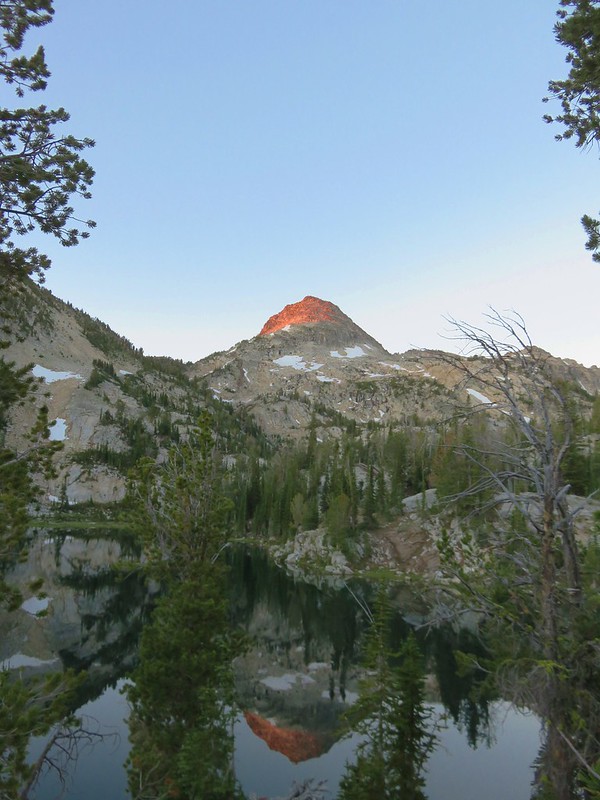
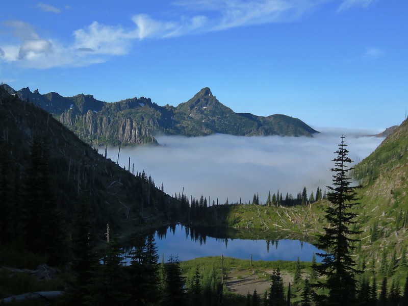
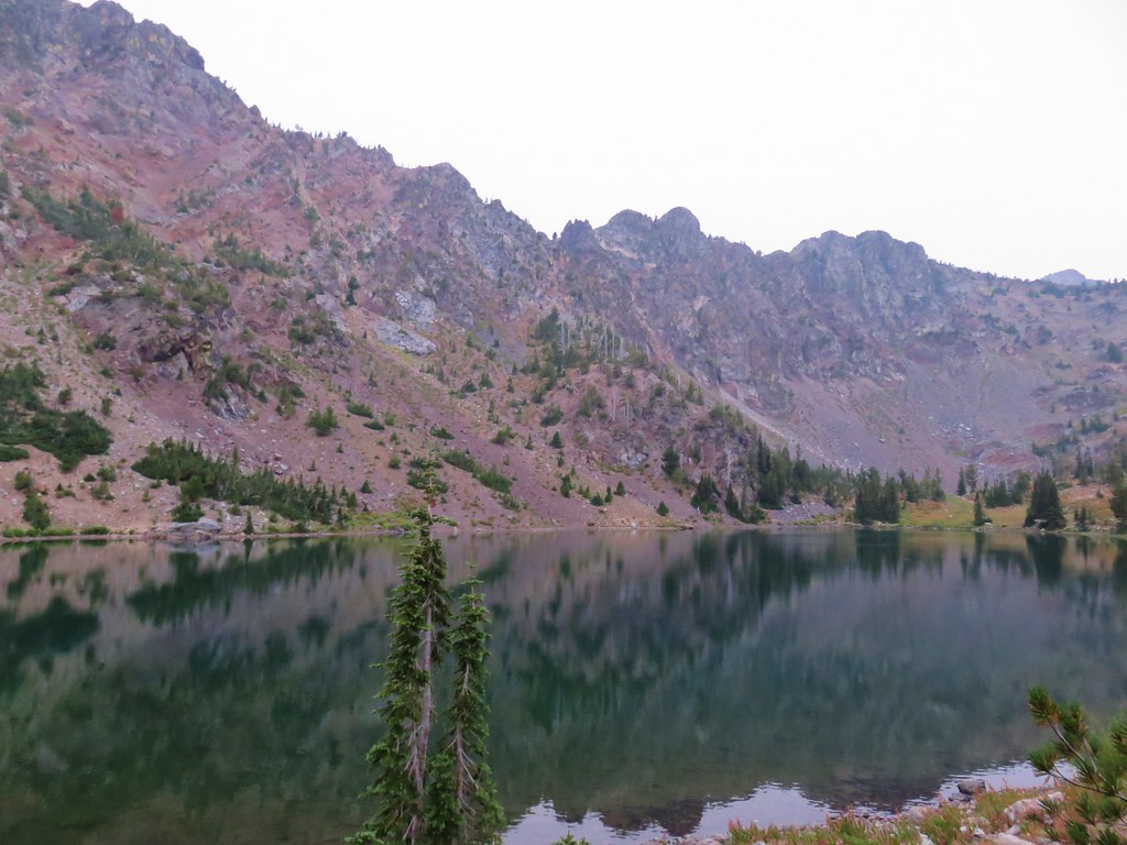
 Mt. Jefferson reflecting in the tarn.
 Ducks on the tarn.
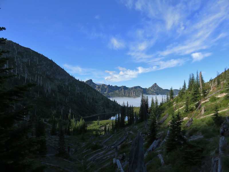
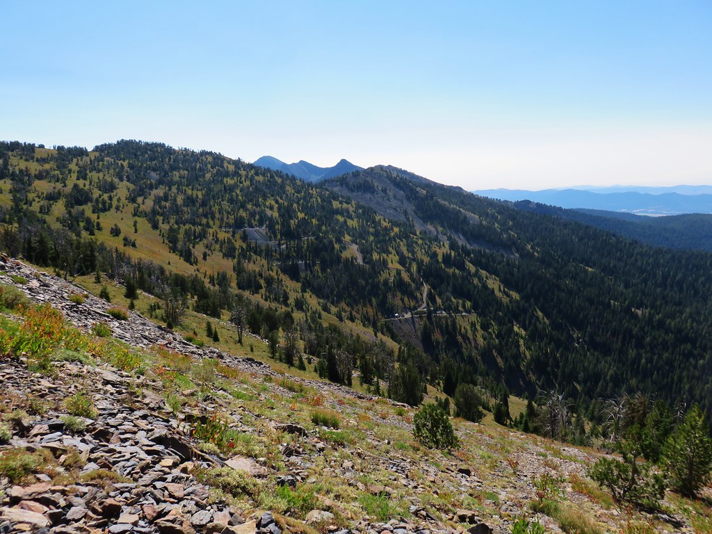
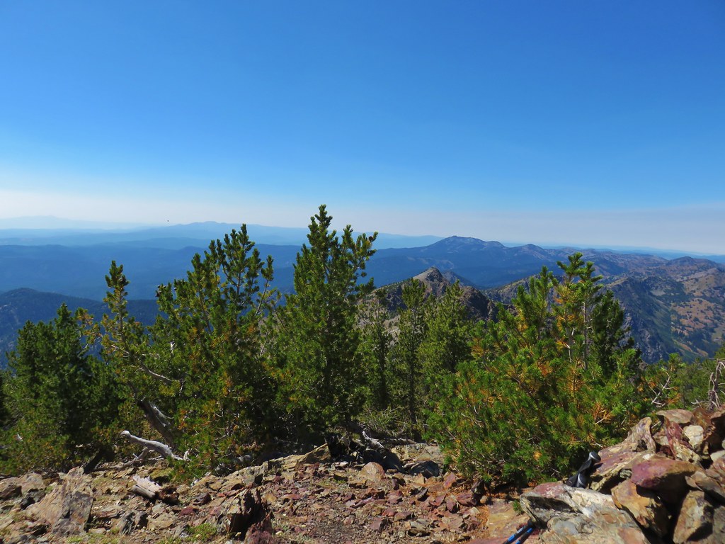
 The Sentinel Hills with Park Butte behind to the right. The Whitewater Trail (
 The fires did open up fairly consistent views of the mountain.
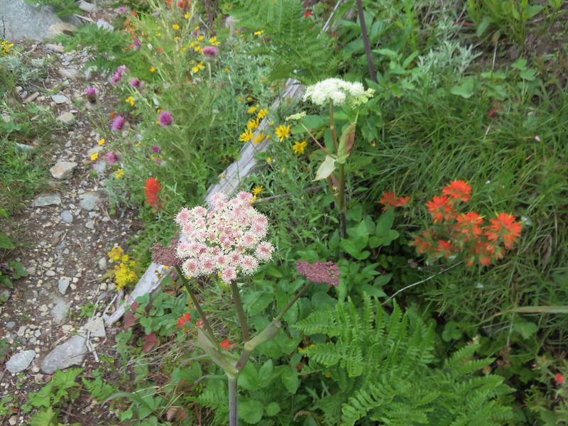
 A few remaining penstemon blossoms.
 Heading down to the Russell Creek crossing.
 This can be a tricky crossing at times, but there was a makeshift bridge which made it fairly easy this time.
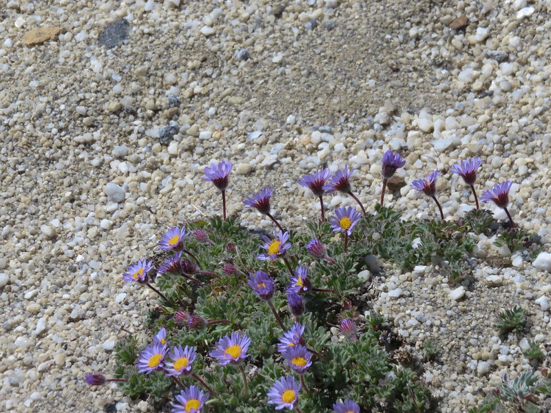
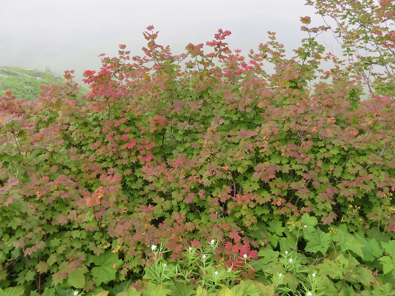
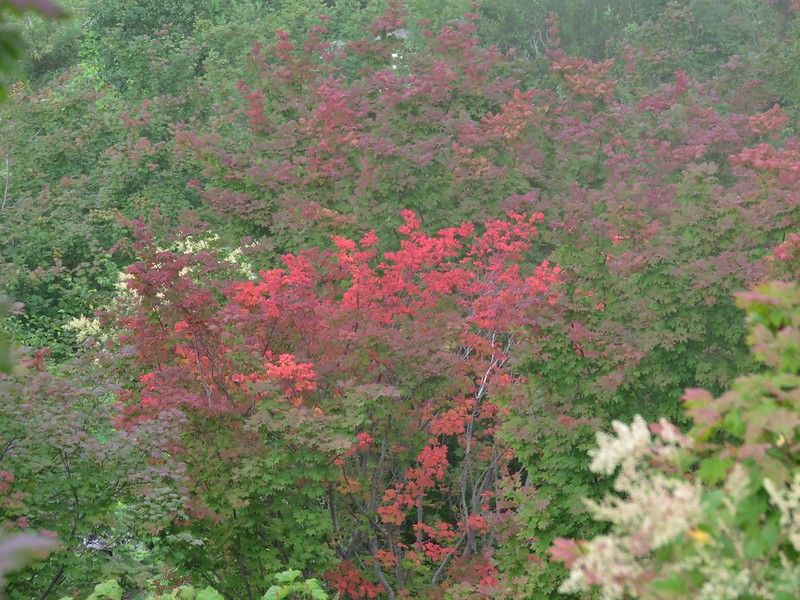
 Aster and pearly everlasting near the creek.
 We started seeing more trees that had survived the fire as we got closer to Jefferson Park.
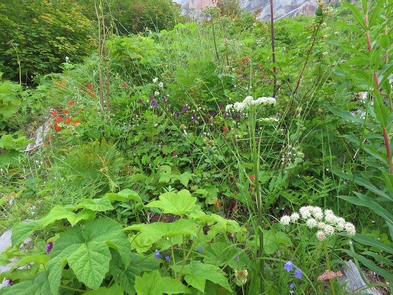
 Gentians and aster
 Grass-of-parnassus
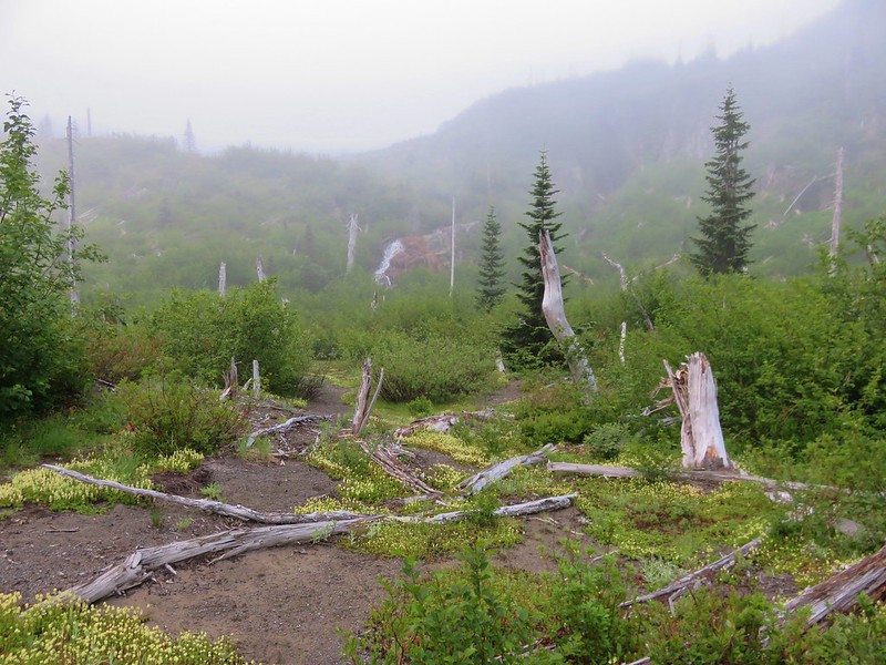
 There were patches of burned forest along this stretch.
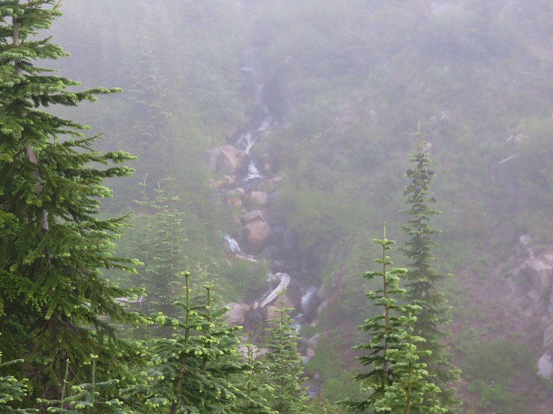
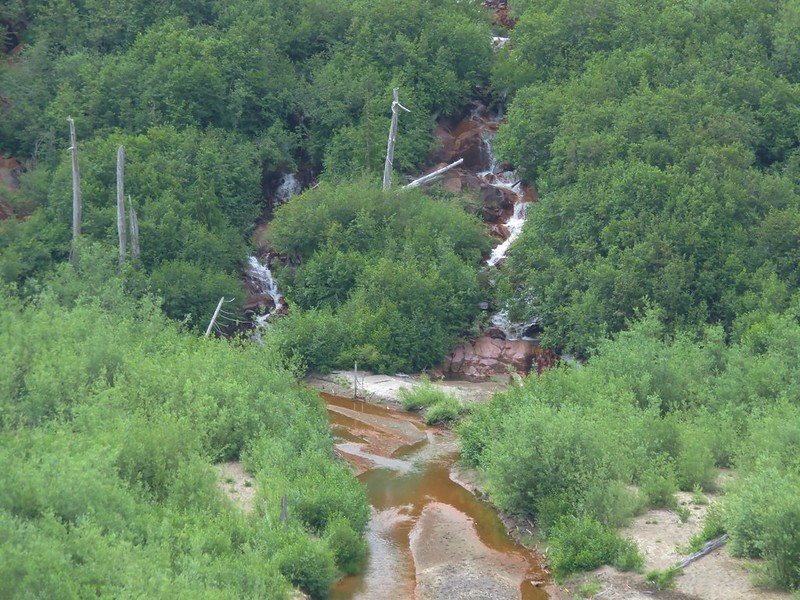
 Approximately 0.4-miles from the junction the trail crosses Whitewater Creek.
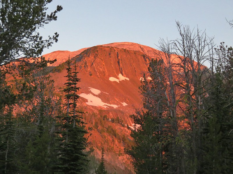
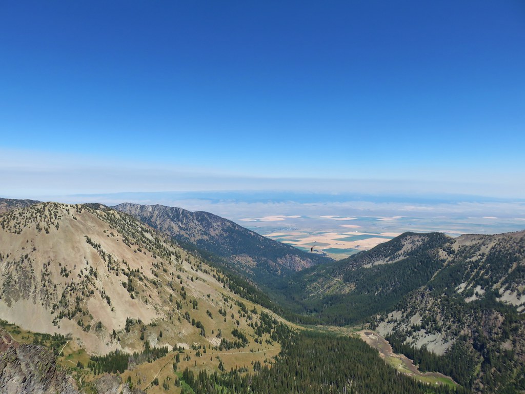
 From the other side of Whitewater Creek the views of Mt. Jefferson are amazing.
 Based on the barred sides I believe this is a black-backed woodpecker.
 Unofficial use trails are an issue in Jefferson Park which has prompted the Forest Service to install a number of “Closed for Rehabilitation” sign such as the one on the left side of the trail.
 They’ve also added quite a few signs to indicated sanctioned trails. Typically in wilderness areas the Forest Service tries to keep signage to a minimum, but overuse has led them to add additional signs.
 Another sign with Park Butte in background.
 The last of the pointers for Scout Lake.
 PCT heading for Park Butte and Park Ridge.
 Russell Lake pointer.


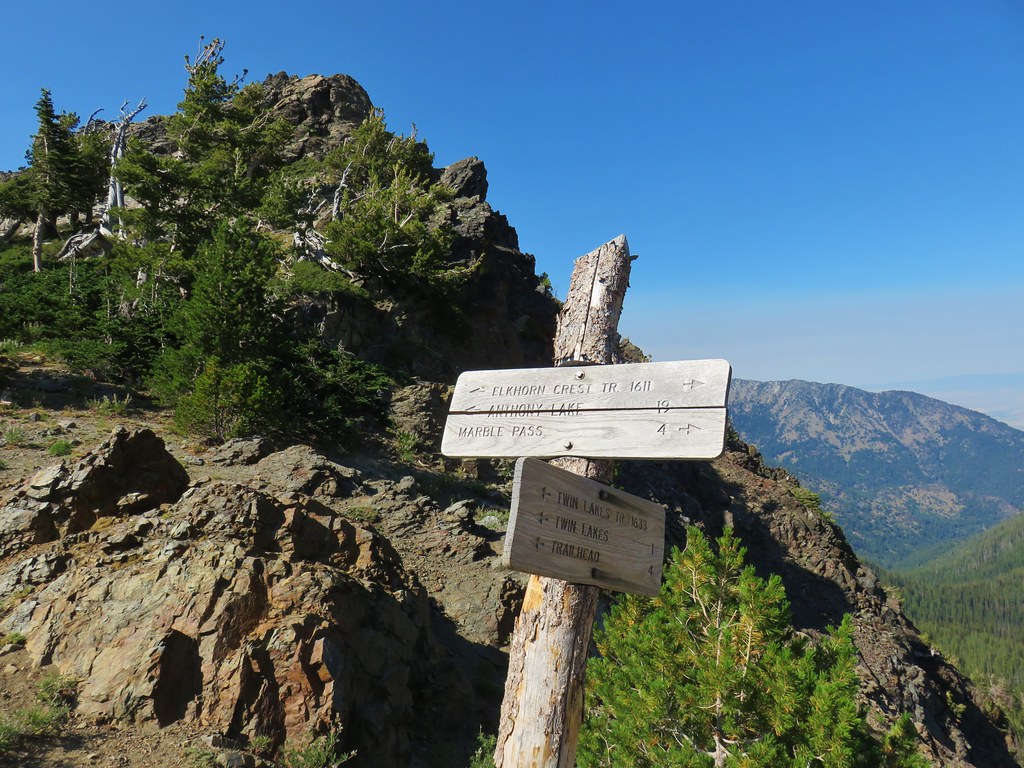
 This pointer refers to trail 1880 as “Pine Creek” but other signs and the Forest Service website refer to it as “Pine Lakes”.
 This one says Pine Lakes.
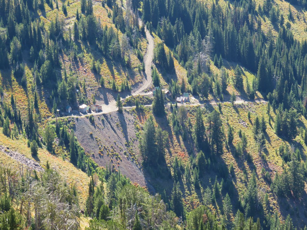
 Sign for the Packstation.
 Squirrel with breakfast at the packstation.
 Old footbridge over a dry creek bed. It didn’t look particularly safe so I stuck to the road.
 The dry creek bed crossing.
 Black cows on the trail ahead.
 Coneflower
 Snowberry
 West Fork Pine Creek
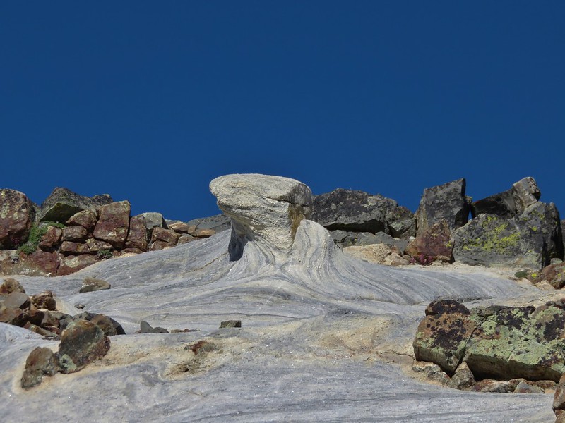
 Formation on the hillside.
 Western clematis
 Paintbrush
 Fireweed
 The bridge felt stable despite being slanted at a 45-degree angle.
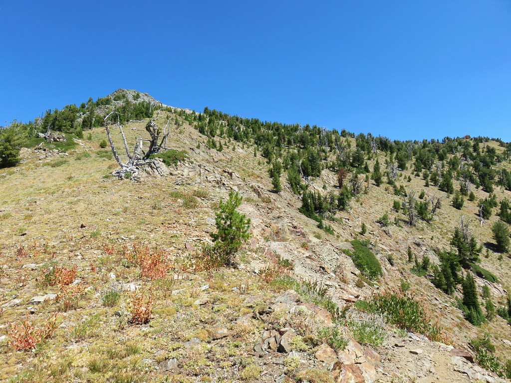
 View from the trail.

 The second bridge.
 West Fork Pine Creek
 Heather caught this cool cloud from her currently cow free hike. (She would run into them later where they’d ducked off the trail in front of me.)
 Looking back down at the campsite.
 The use trail straight ahead at the switchback.

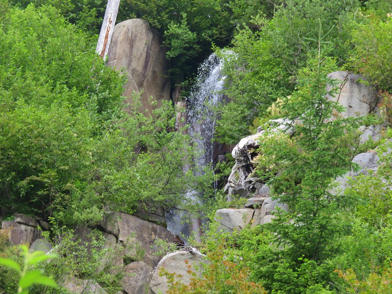
 The base of Chute Falls.


 Looking back down the valley.
 View up the valley.
 Wilderness sign on the tree marking the boundary.
 The Pine Lakes are back up there somewhere.
 Somewhere on the other side of the peaks on the left is the Schneider Cabin where we’d hiked the day before.
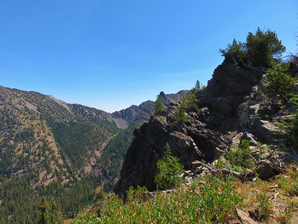
 Cliffs above the trail.
 I spy mountain goats!
 A zoomed in photo of the mountain goats.


 I believe that is Cornucopia Peak on the left.
 Going up.
 Fireweed above the trail.
 Paintbrush along the trail.
 The forest on the other side of the pass.
 West Fork Pine Creek
 There was a large waterfall flowing down from the outlet of the Pine Lakes. (Not West Fork Pine Creek whose headwaters were beyond the meadowed basin.
 West Fork Pine Creek begins somewhere above the basin at the far end.
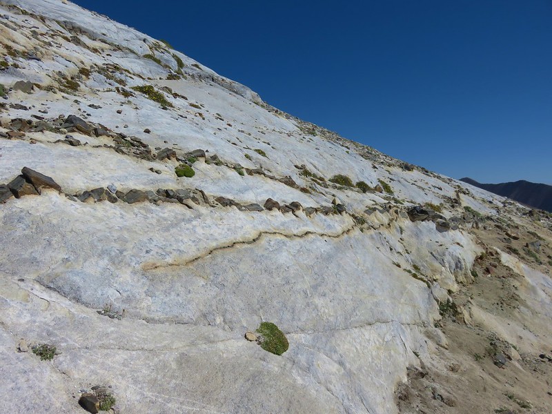
 Rock formations along the cliffs.
 Arnica and pearly everlasting
 I tried to get a clearer look at the large waterfall but couldn’t find a clear line of sight.

 Gentians along the trail.
 Evidence of an avalanche at the far end of this meadow. It took a lot of trail maintenance to clear the snapped trees from the trail.
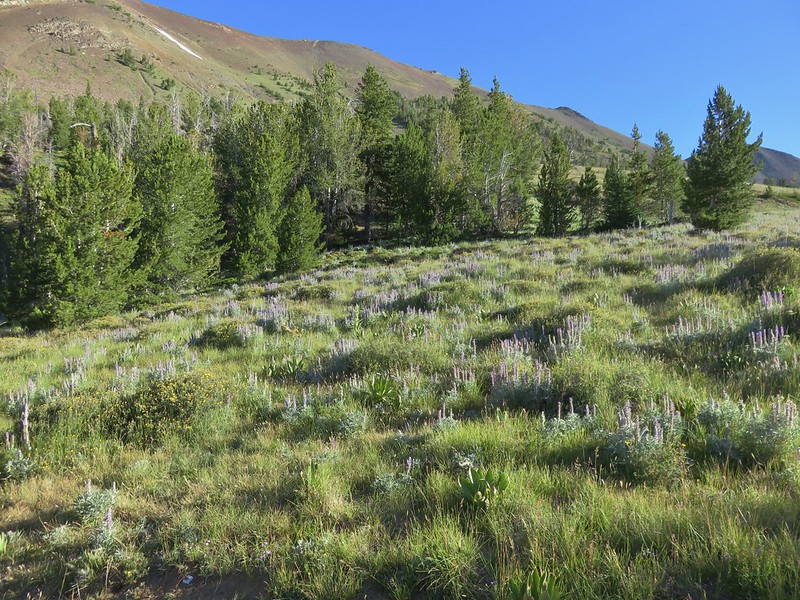
 Wildflowers lining the trail.
 A doe that turned out to be on the trail above me. There was a switchback just ahead of where I was.


 The forest in the basin.
 The Pine Lakes are in the basin ahead.
 Arnica and aster?
 Monkshood
 Seep along the trail.
 Grass of parnassus
 American sawort
 Something had been bedded down in this little bowl below the trail.
 Goldenrod
 The valley I’d come up to the right.
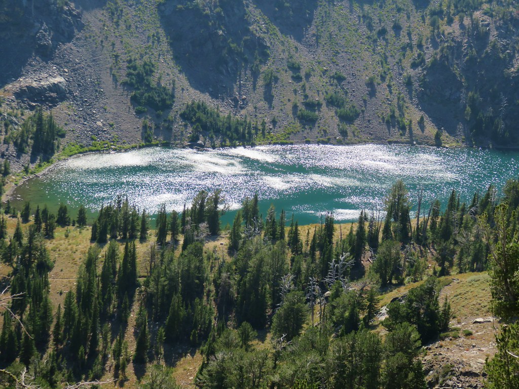
 Nearly 5-miles from Chute Falls I arrived at the dam at the outlet of Lower Pine Lake. A number of lakes in the Wallows were dammed to control water flow to the surrounding communities.
 Lower Pine Lake

 Lower Pine Lake
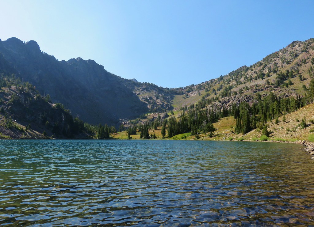
 Lower Pine Lake from between the two lakes.
 Upper Pine Lake from the same spot.
 Upper Pine Lake.


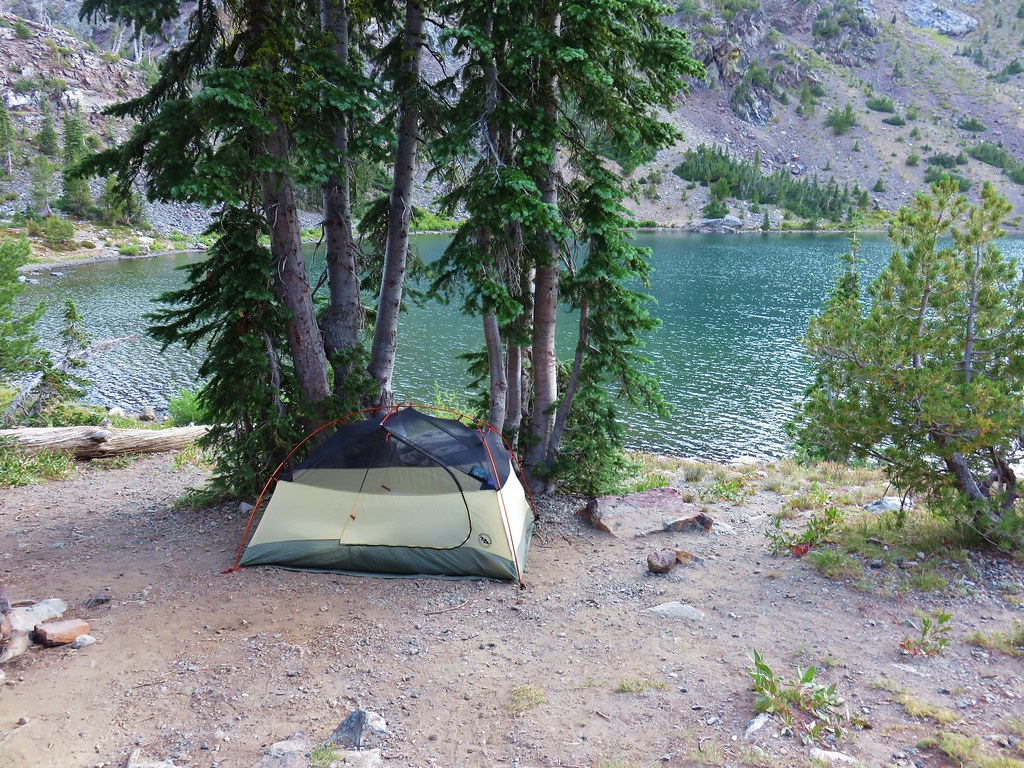
 The view from my break spot.
 Shrubby cinquefoil
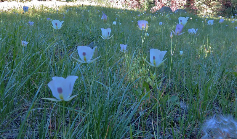
 White mariposa lily, the only one I spotted, and I’d missed it on the way up.
 Yellow columbine, I also missed this on the first pass.
 Dusky flycacther
 A meadow and the forest in the lower basin.
 Fritillary on pearly everlasting
 Trail maintenance in the avalanche section.
 Loved the rock colors in the area.
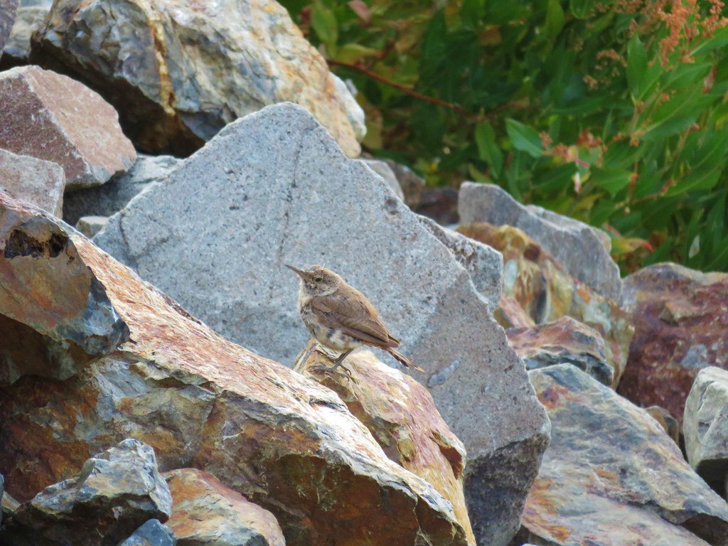
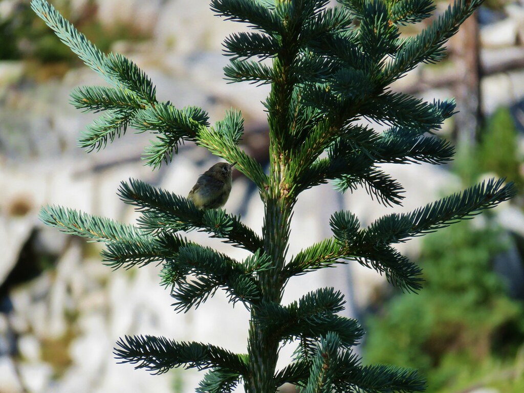
 I’m guessing some sort of wren.
 Caterpillers
 Herding the cattle back past the damaged bridge.
 West Fork Pine Creek.
 The footbridge across the East Fork Pine Creek ahead. We’d left the cows behind here and made our way back to the trailhead.

 Ants dropping sawdust from a log along the Catherine Creek Trail. We sat and watched these busy ants for quite a while. They had created a good-sized pile on the ground below.
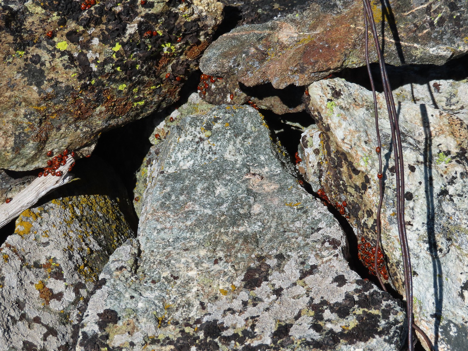 We see a lot of beetles but usually not all at once like these lady bugs on Observation Peak.
 Lady bug – Upper Table Rock
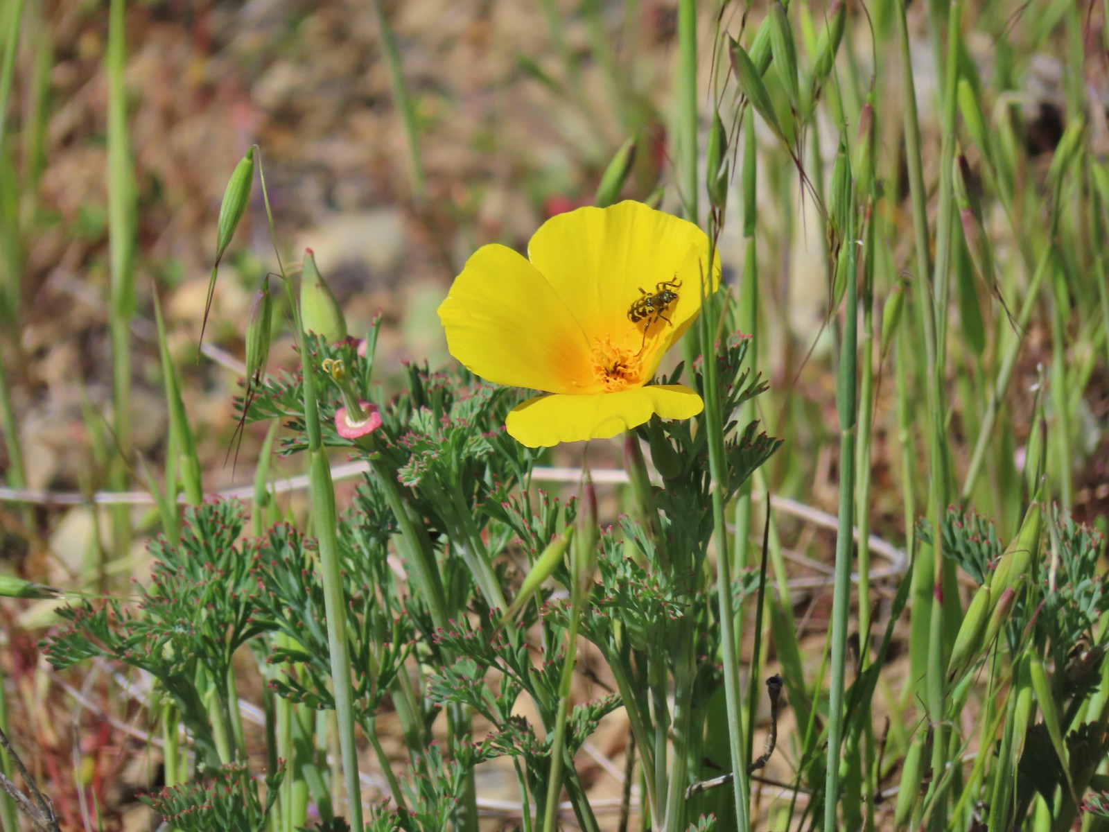 Yellow & black beetle – Mule Mountain
 Redish brown beetle – Siskiyou Wilderness
 Green beetle – Siskiyou Wilderness
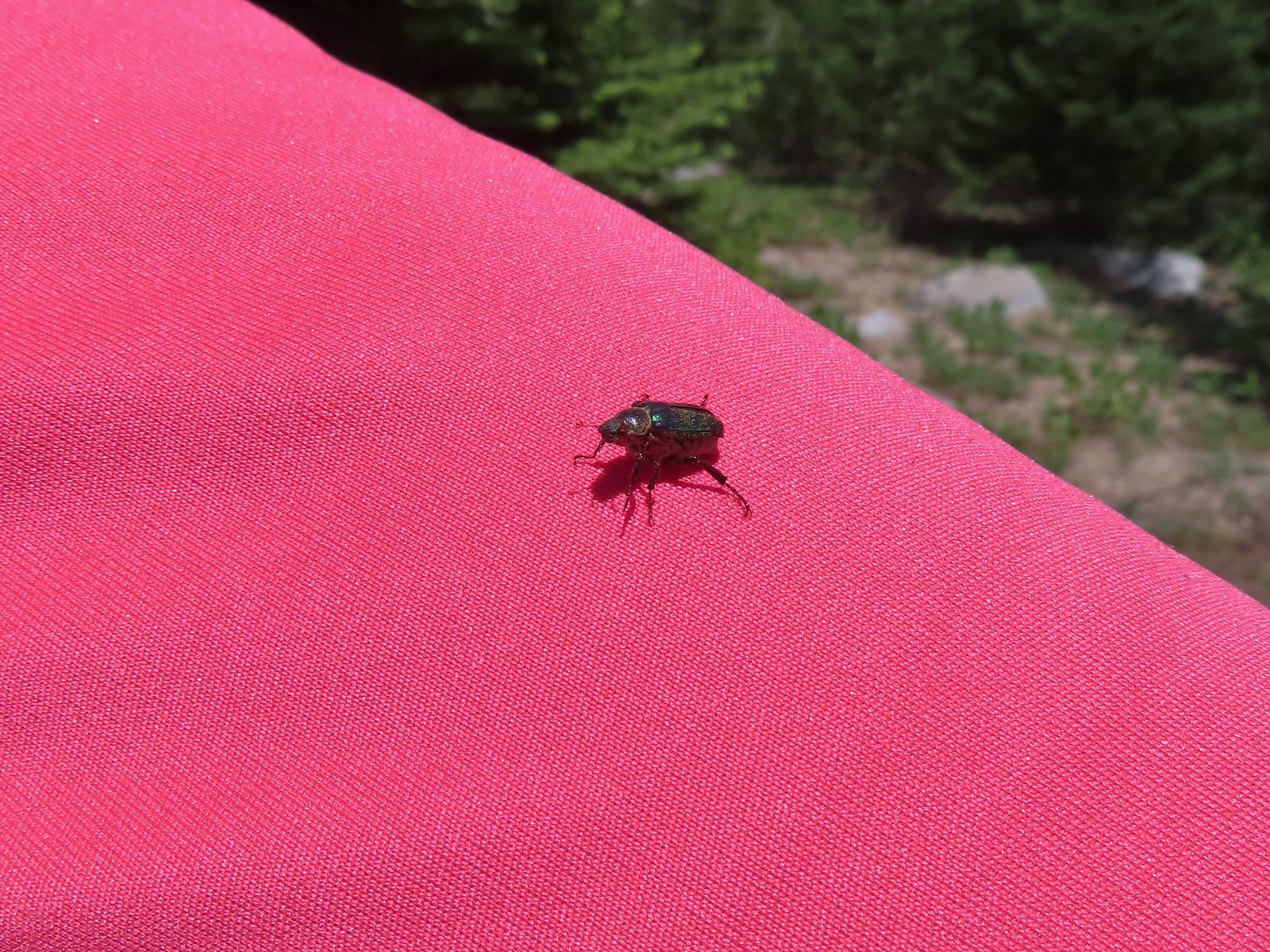 Hitchhiker – Mt. Ireland
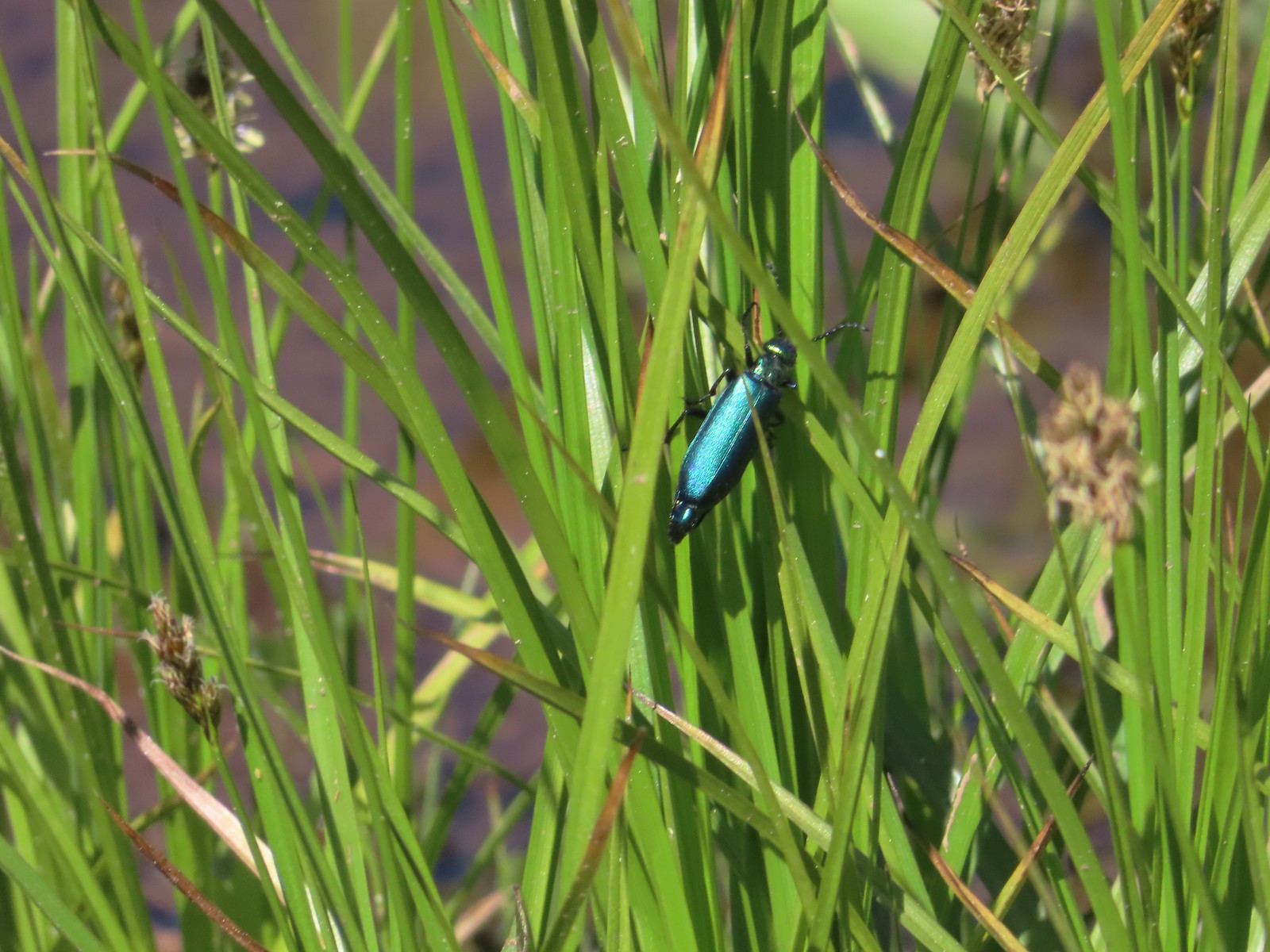 Blueish green beetle – Catherine Creek Meadows
 Small beetle – Catherine Creek Meadows
 Green beetle on a geranium – Eagle Cap Wilderness
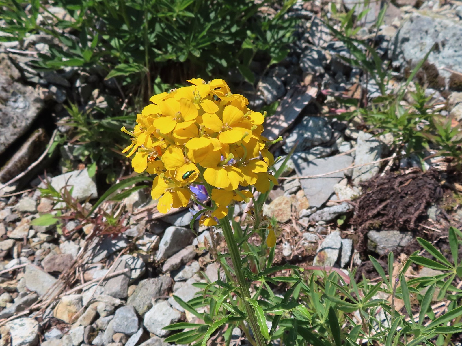 Green beetle on a wallflower – Silver Star Mountain
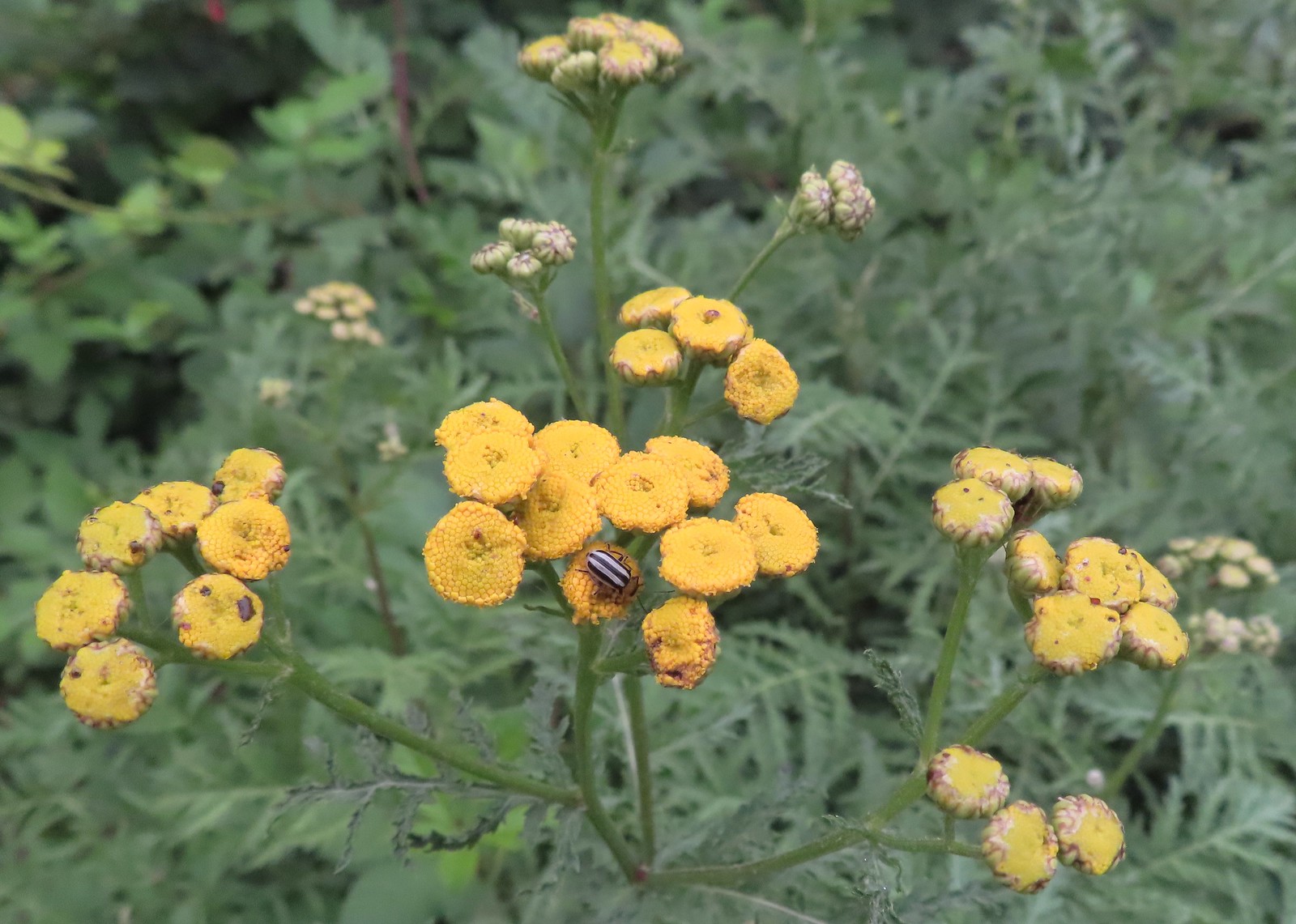 Stripped beetle – Spring Valley Greenway
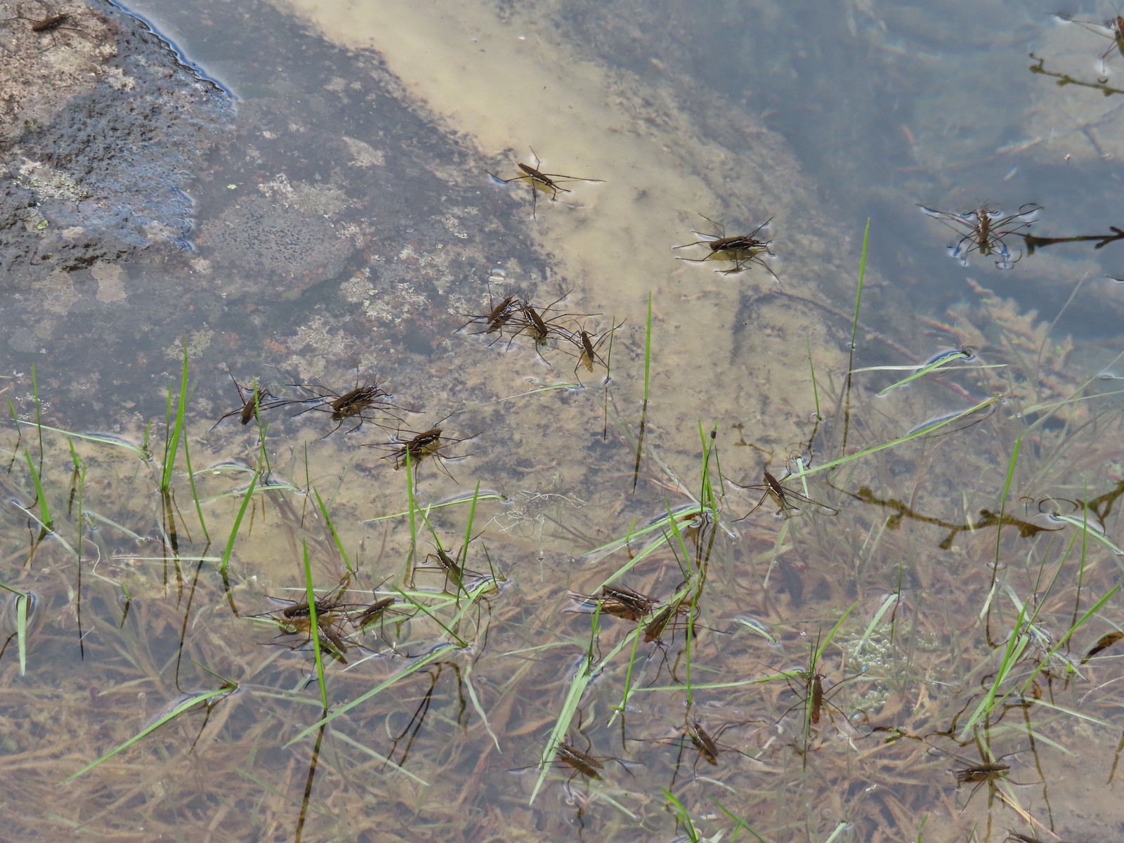 Water skippers – Big Twin Lake
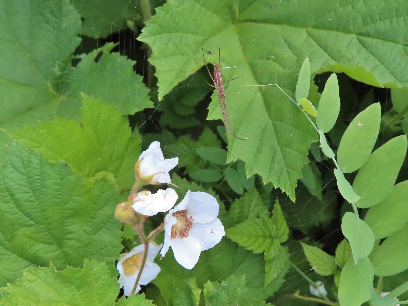 Spider on thimbleberry – Siskiyou Wilderness
 Crab spider – Eagle Cap Wilderness
 Another crab spider – Eagle Cap Wilderness
 Cricket – Pacific Crest Trail
 We are often literally struck by grasshoppers as we hike. Sometimes they stick when they hit us such as this one along the PCT.
 Bee on phacelia – Mule Mountain
 Wet bee on lupine – Julia Butler Hanson Wildlife Refuge
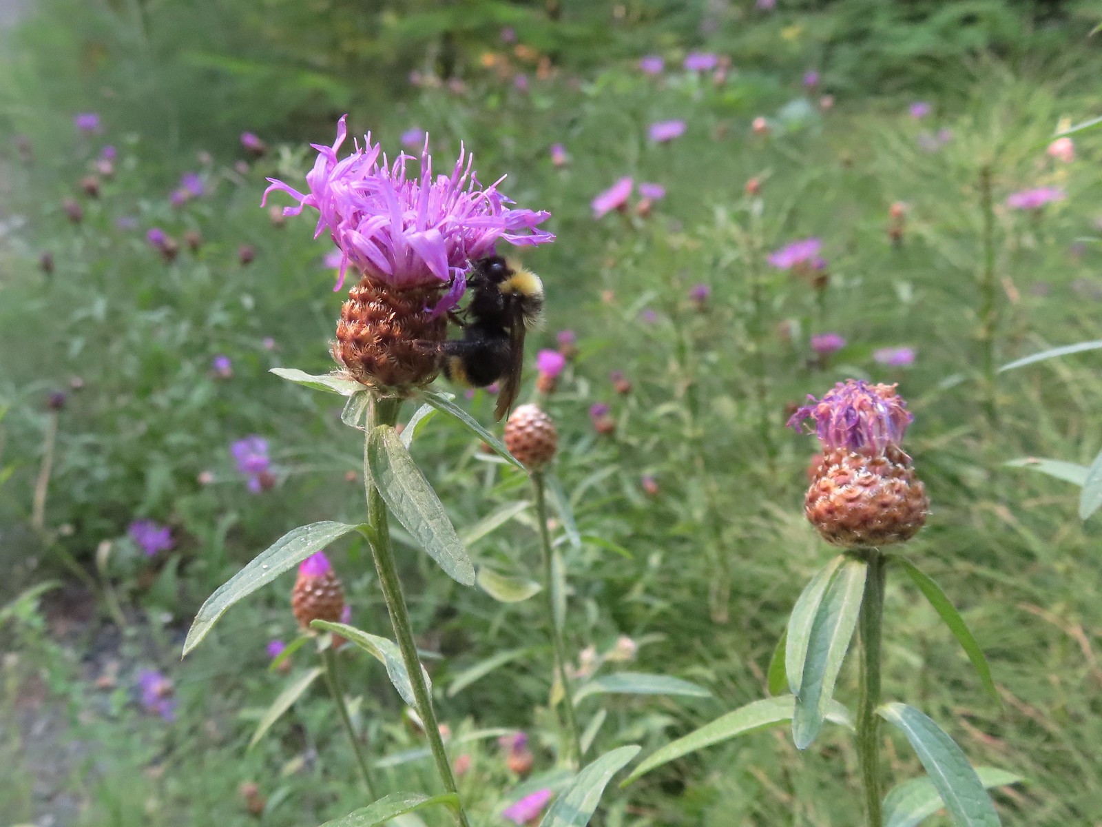 Bumble bee – Hemlock Creek Trail
 Lots of pollen – Mt. Adams Wilderness
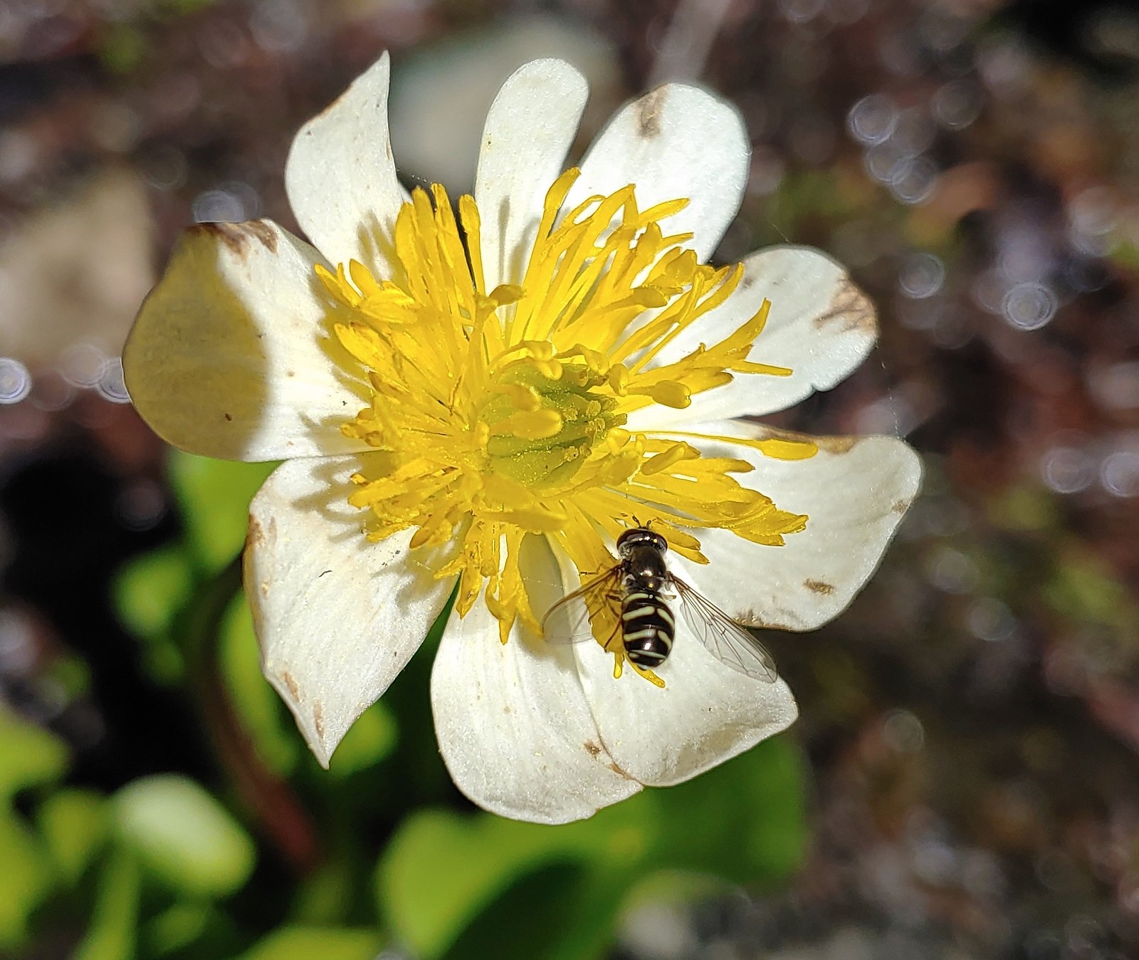 Bee landing on a marsh marigold along the PCT
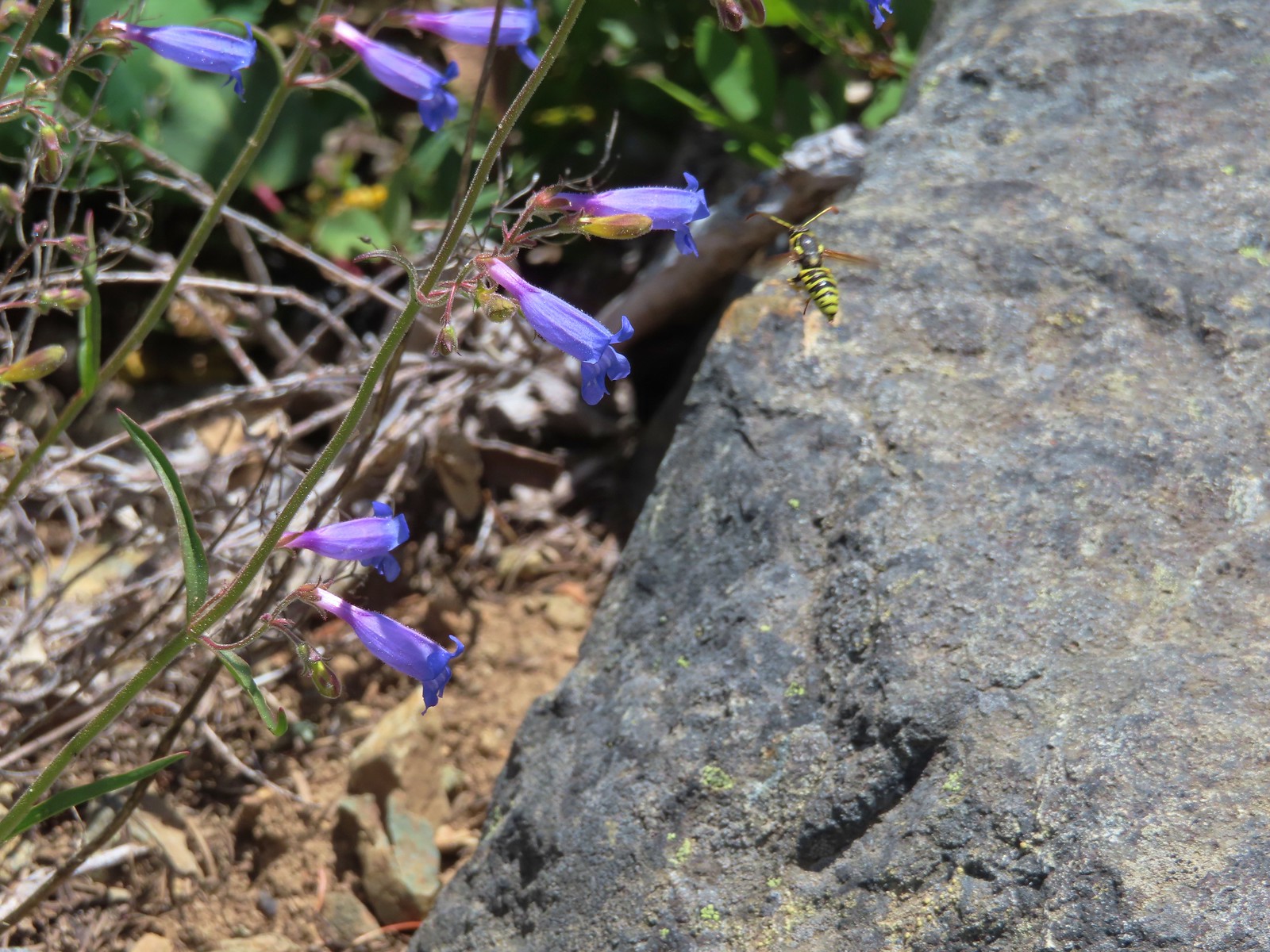 Bee approaching penstemon – Siskiyou Wilderness
 Bee and a tiny ant in a bindweed – Siskiyou Wilderness
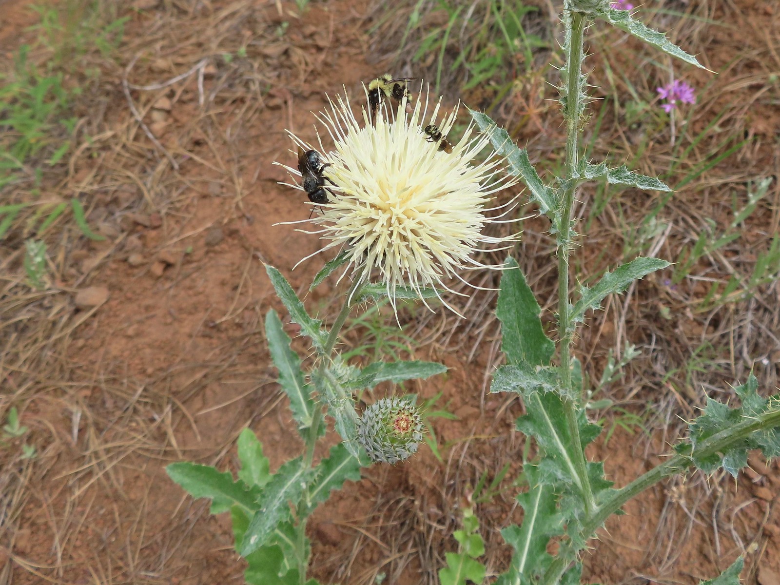 Insects on thistle – Eagle Cap Wilderness
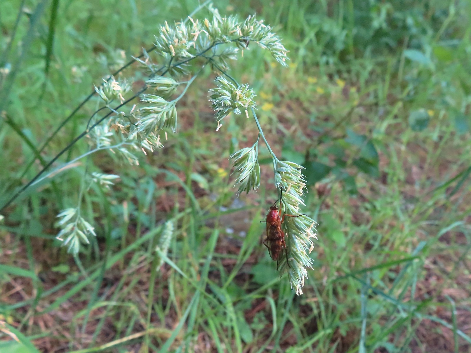 Wasp? – Eagle Cap Wilderness
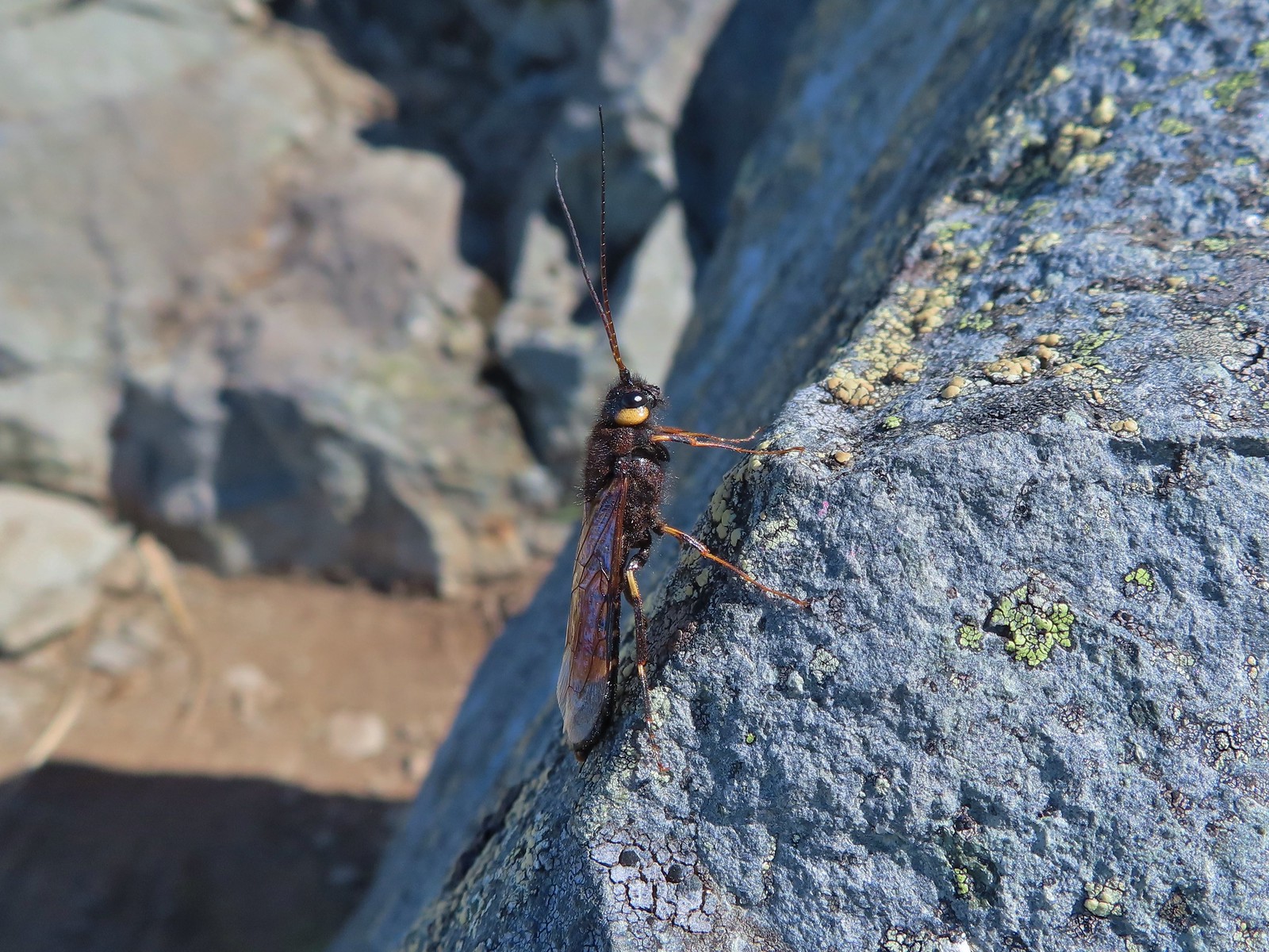 Some sort of wasp – Silver Star Mountain
 Insect along Bear Creek – Eagle Cap Wilderness
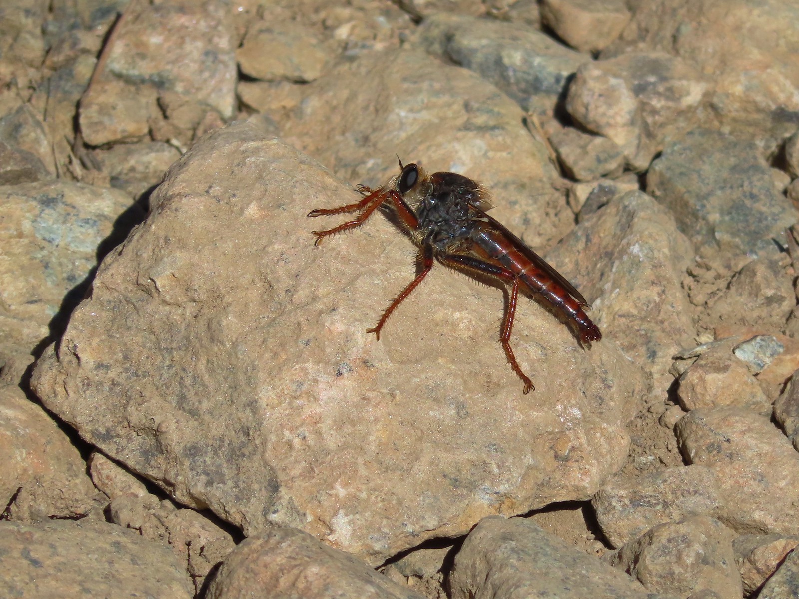 My brother and I used to call these “weird things”; I have no idea what it actually is – Trinity Alps Wilderness
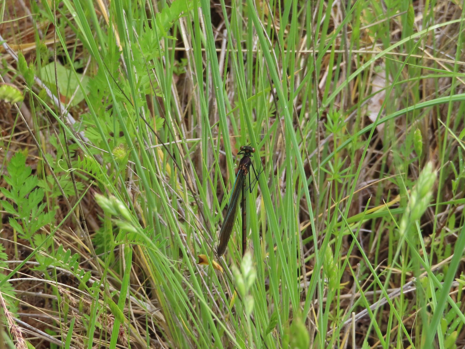 Damsel fly – Denman Wildlife Area
 Damsel fly – Hemlock Lake
 Dragon fly – Goat Marsh Lake
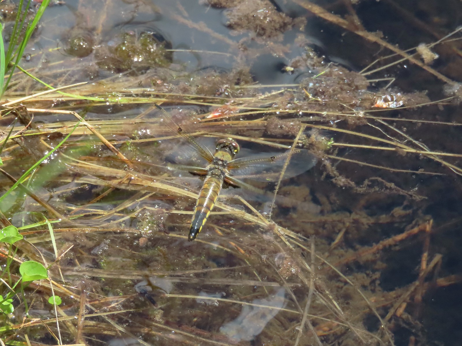 Dragon fly – Siskiyou Wilderness
 Dragon fly – Siskiyou Wilderness
 Dragon fly – Eagle Cap Wilderness
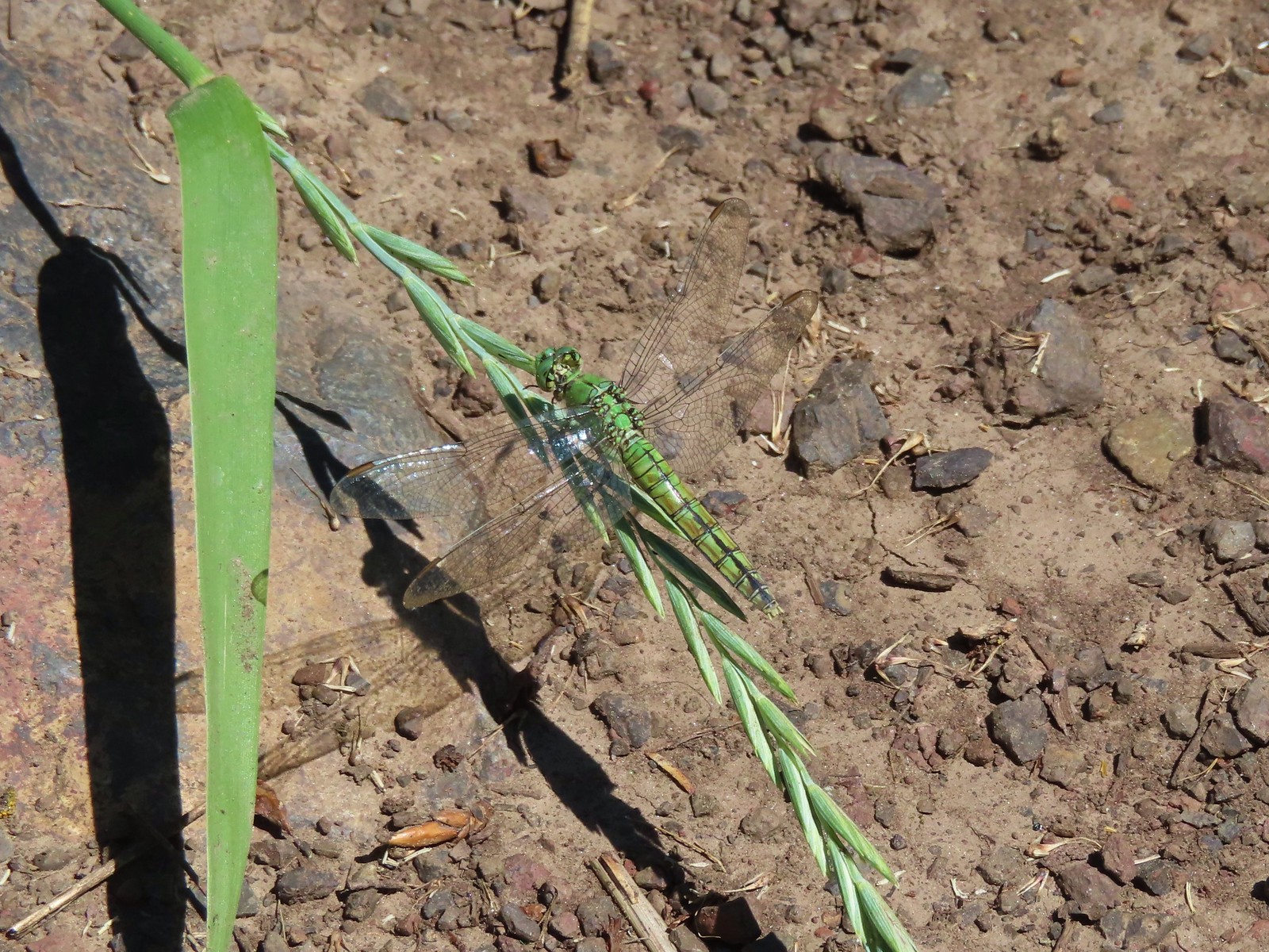 Dragon fly along the Wallowa River – Wallowa Homeland
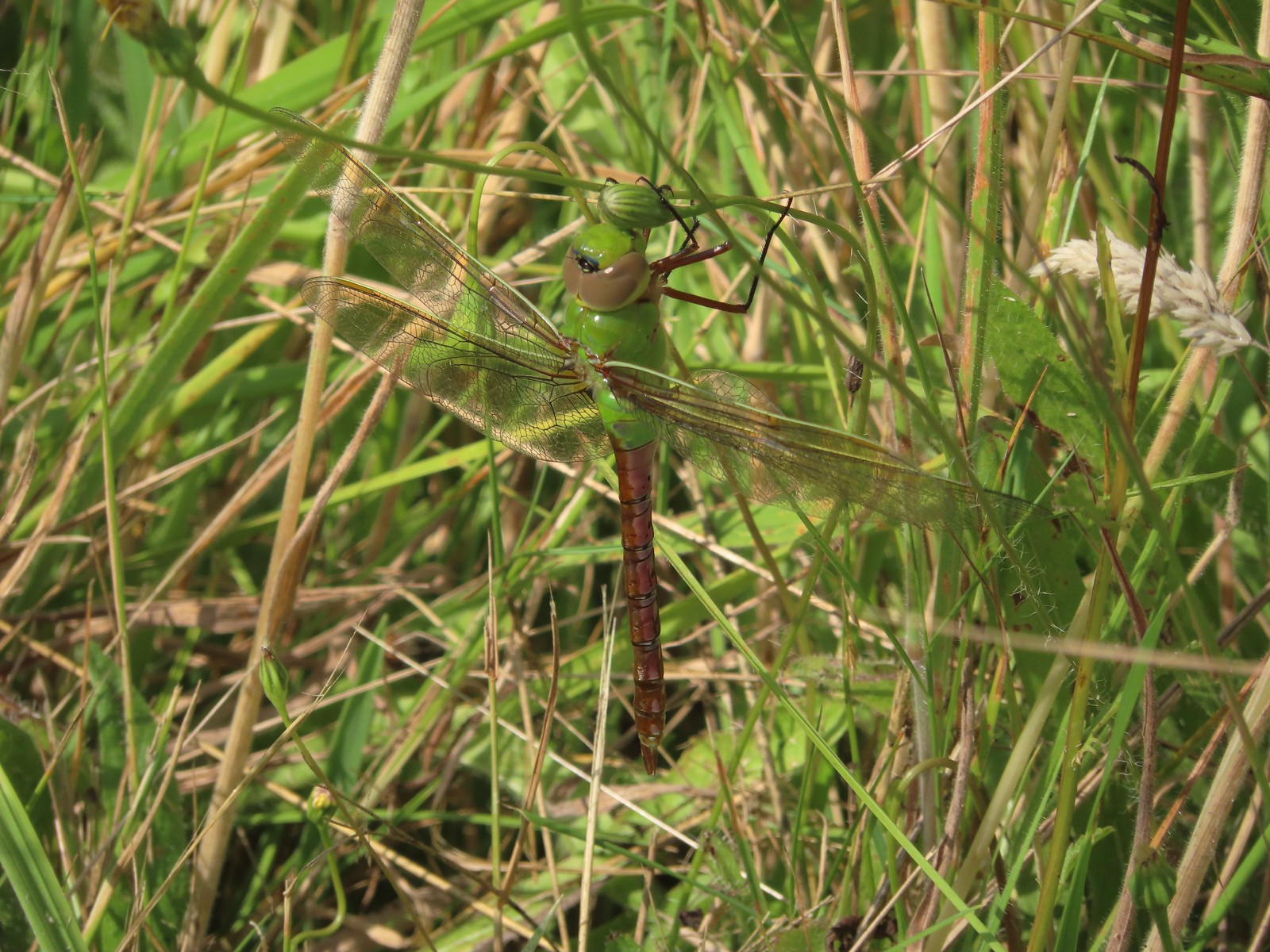 Dragon fly – E.E. Wilson Wildlife Area
 Dragon fly – Hemlock Lake
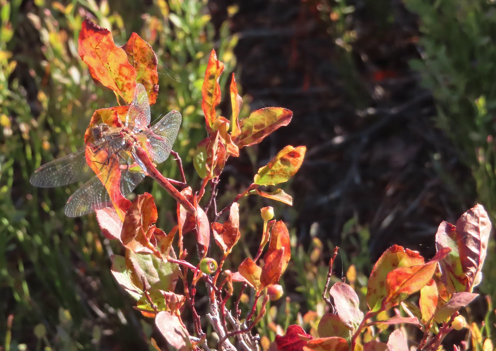 Dragon fly – Sky Lakes Wilderness
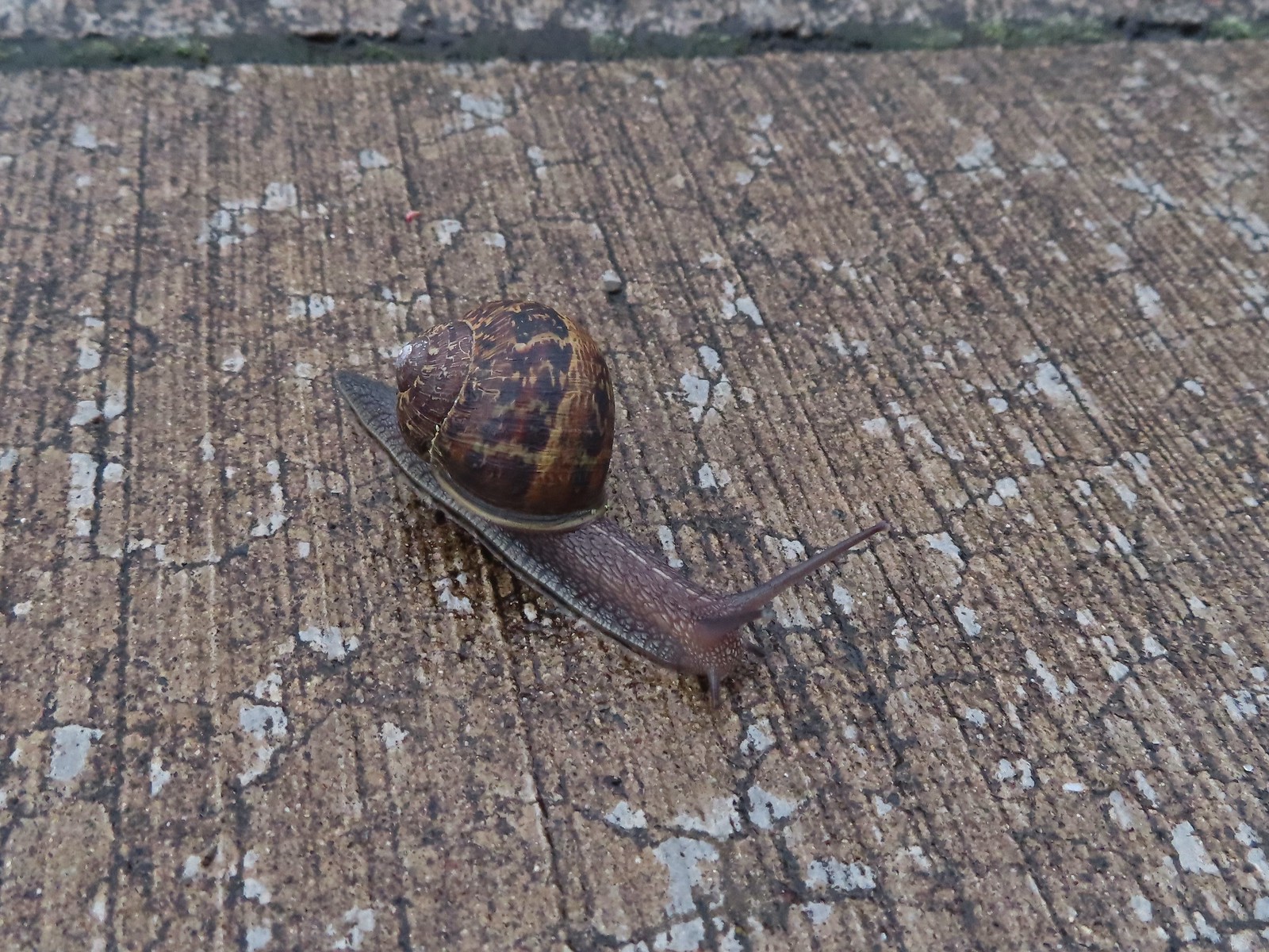 Snail – Rock Creek Trail
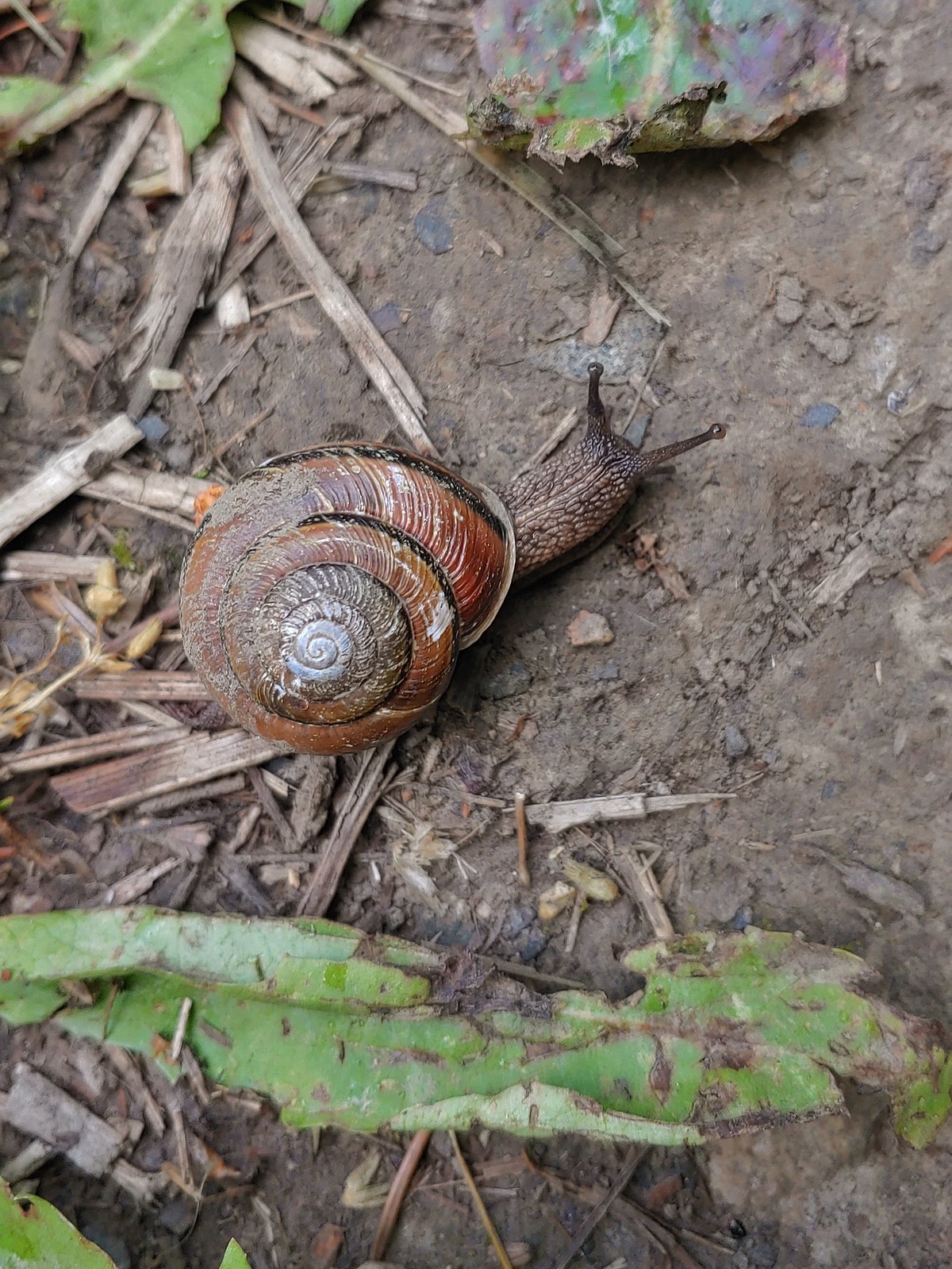 Snail – Applegate Lake
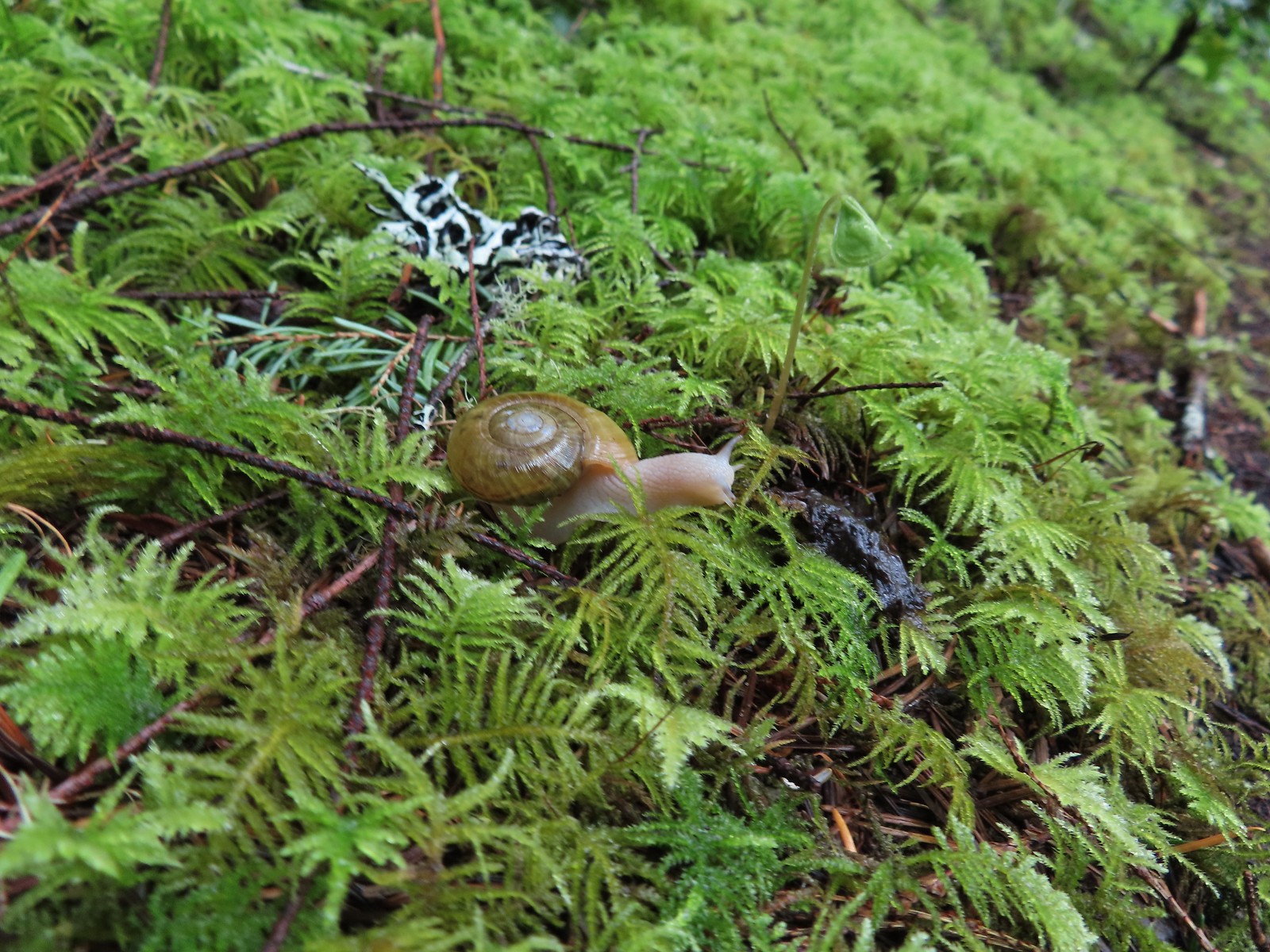 Snail – North Siouxon Trail
 Snail – Julia Hansen Butler Wildlife Refuge
 Snail – Siskiyou Wilderness
 Snail – Cascade Head
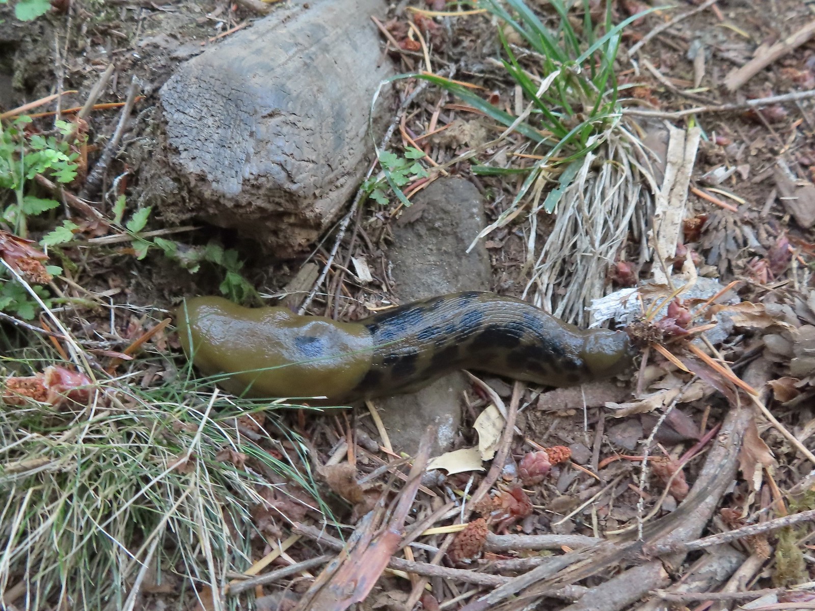 Slug – Larch Mountain Trail
 Slug (and a fly) – Susan Creek Trail
 Slug – Fish Lake
 Slug on lupine – Julia Butler Hansen Wildlife Refuge
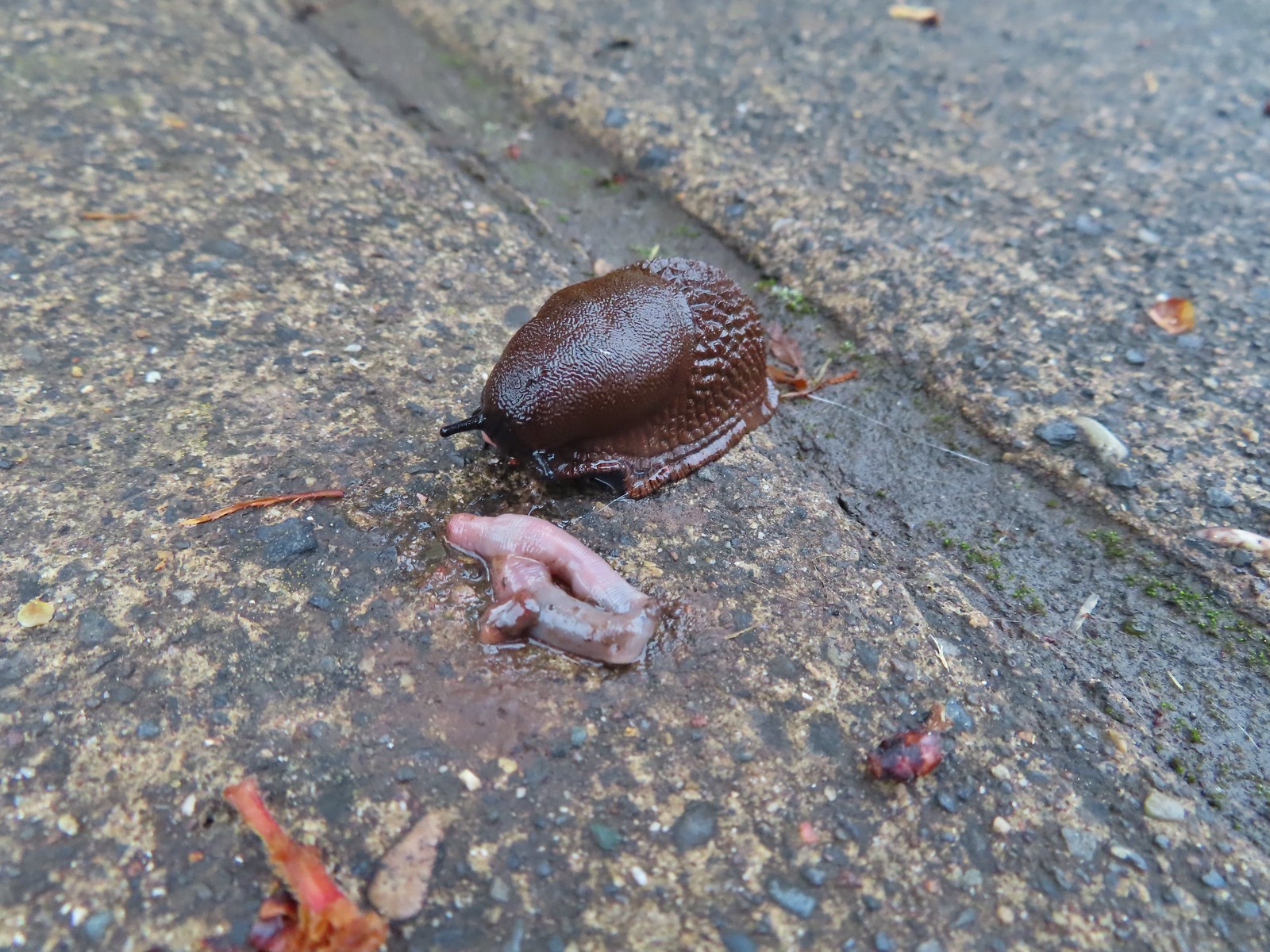 Slug and an unfortunate earth worm – Rock Creek Trail
 Worms – Chehalem Ridge Nature Park
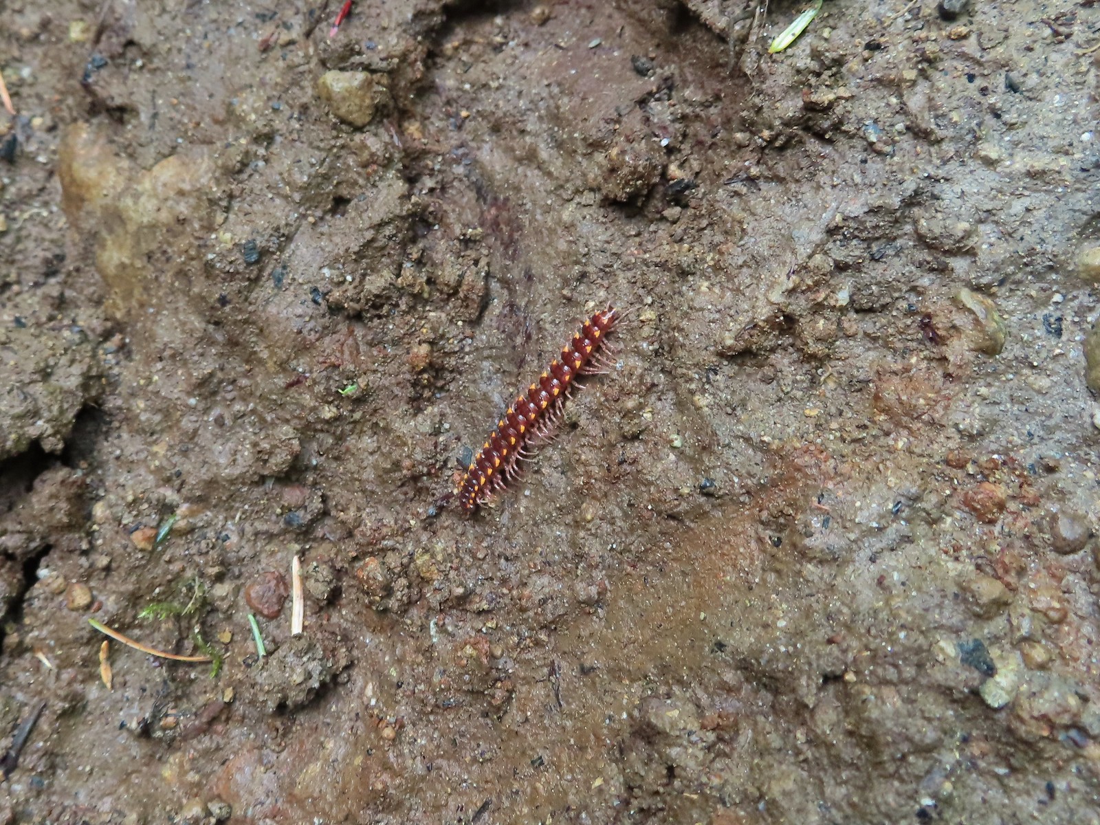 Millipede – North Siouxon Trail
 Millipede – Rock Creek Trail
 Millipede – Illahee Rock
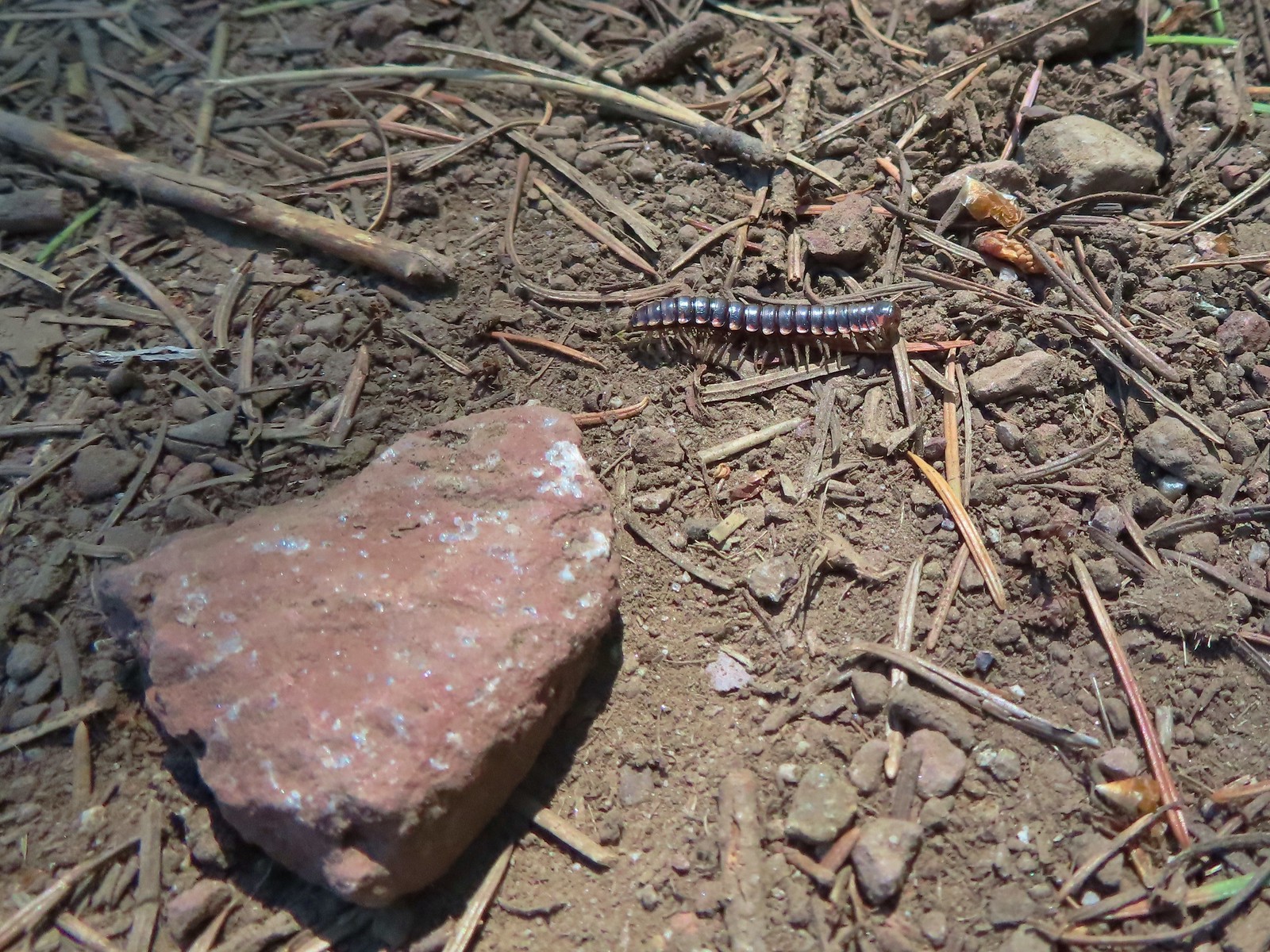 Millipede – Eagle Cap Wilderness
 Wet caterpillar – Yakona Nature Preserve
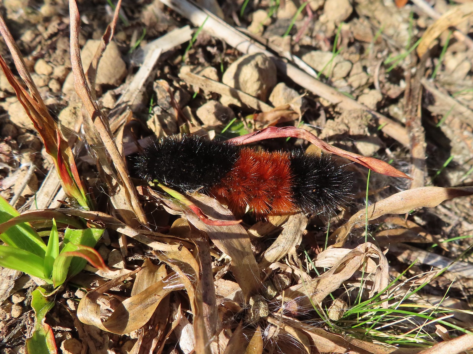 Dry version – Larch Mountain Trail
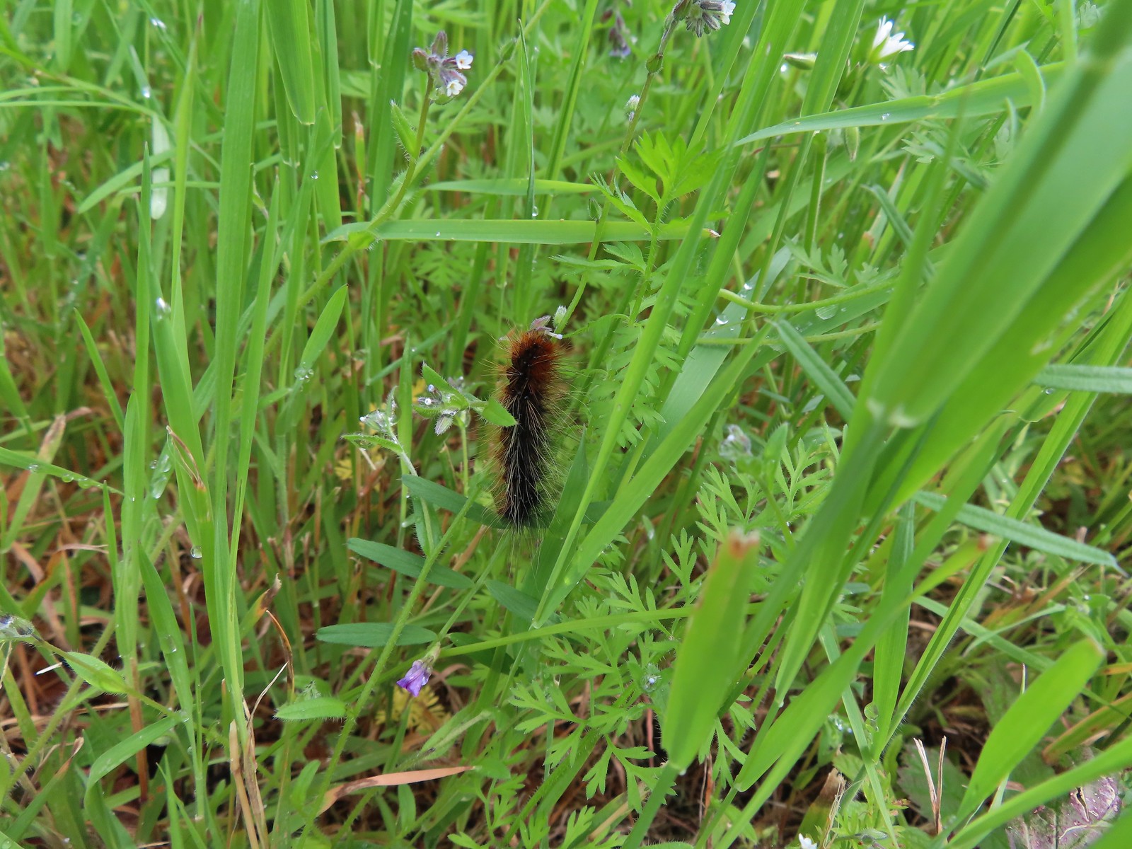 Caterpillar – Julia Butler Hansen Wildlife Refuge
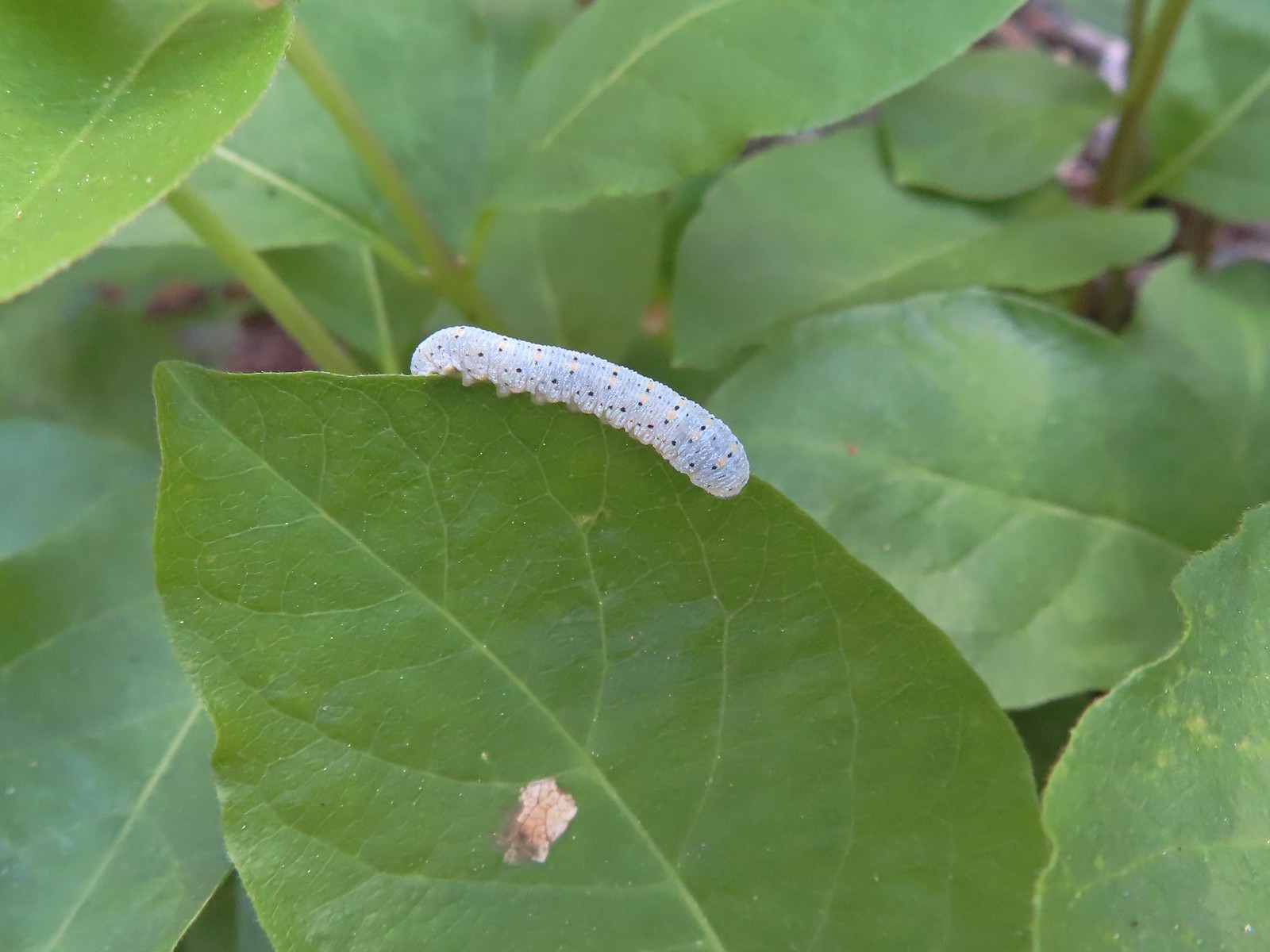 Caterpillar – Siskiyou Wilderness
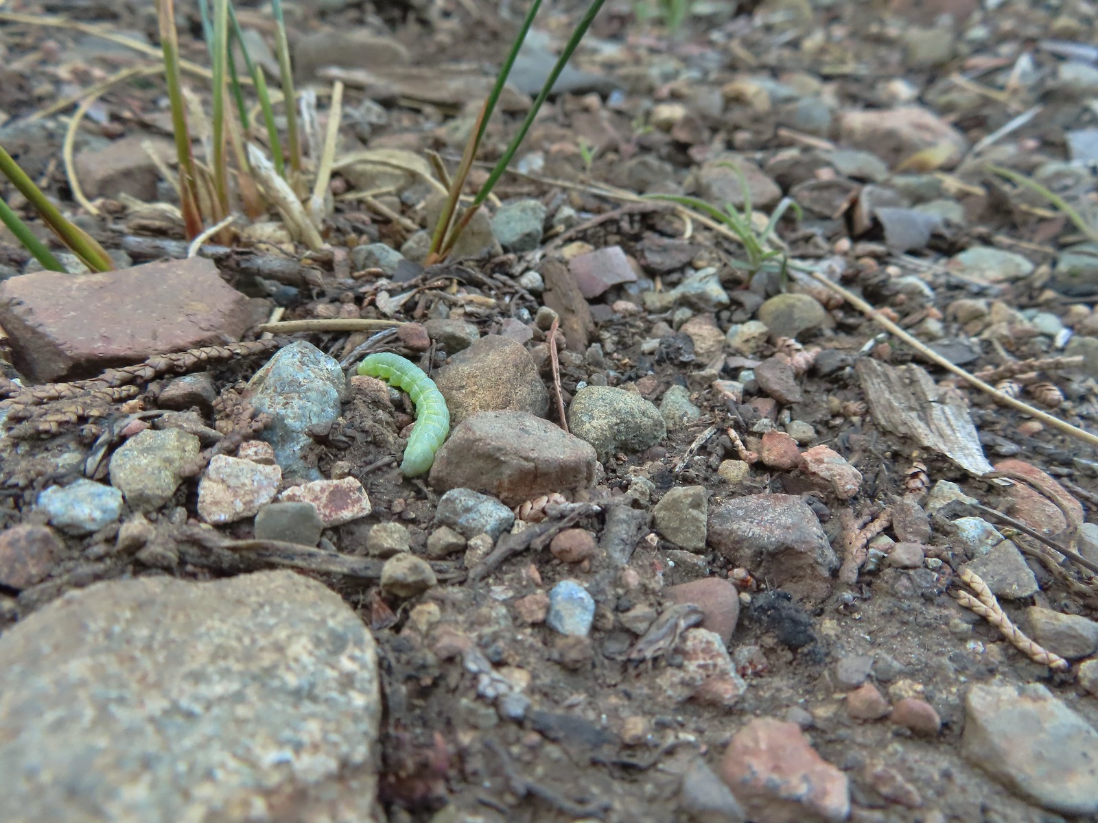 Caterpillar – Siskiyou Wilderness
 Caterpillar – Larch Mountain Trail
 Caterpillar – Larch Mountain Trail
 Caterpillar – Larch Mountain Trail
 Moth – Klickitat Trail
 Moth -Eagle Cap Wilderness
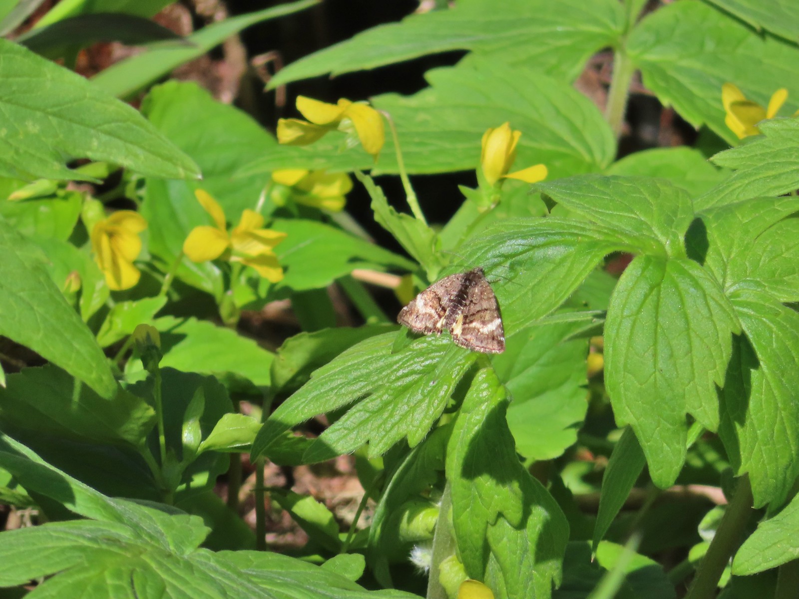 Moth – Twin Lakes
 Moth – Eagle Cap Wilderness
 Moth – Eagle Cap Wilderness
 Moth – Eagle Cap Wilderness
 Moth – Wolf Creek Falls Trail
 Moth – Cascade Head
 Propertius duskywing (Erynnis propertius) – Klickitat Trail
 Duskywing – Siskiyou Wilderness
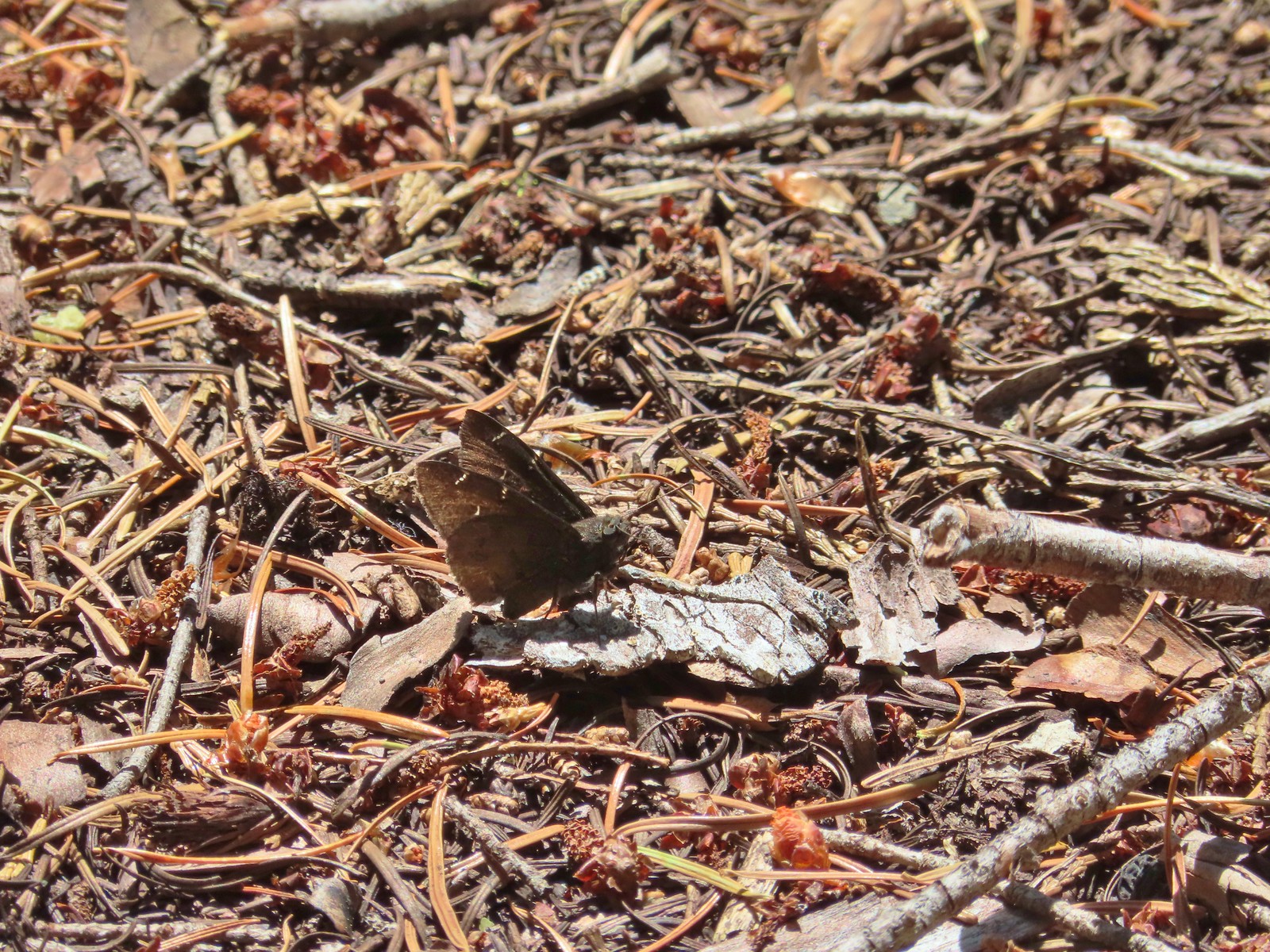 Northern Cloudywing? – Siskiyou Wilderness
 Silver-spotted skipper – Siskiyou Wilderness
 Skipper – Grizzly Peak
 Skipper – Rogue-Umpqua Divide Wilderness
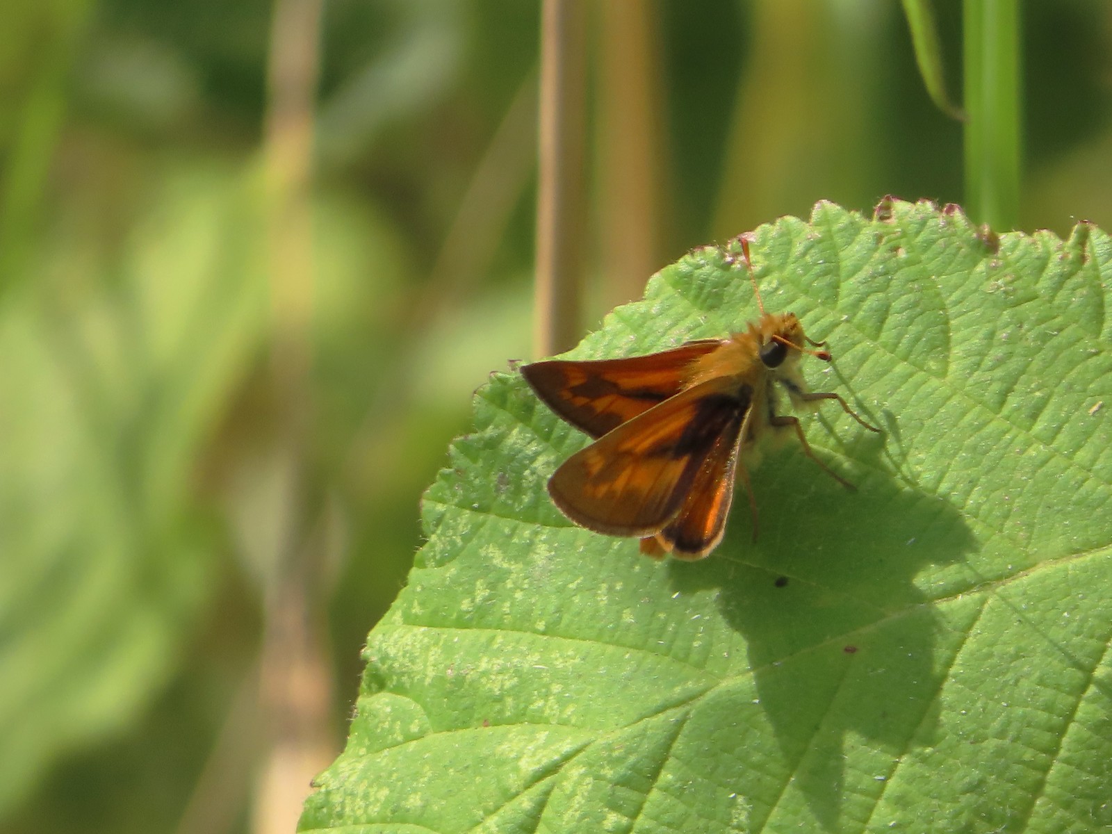 Skipper – E. E. Wilson Wildlife Area
 Hairstreak (bramble?) – Siskiyou Mountains
 Cedar hairstreak – Siskiyou Wilderness
 Hairstreak (possibly thicket) – Eagle Cap Wilderness
 Ochre ringlet – Jack Ash Trail
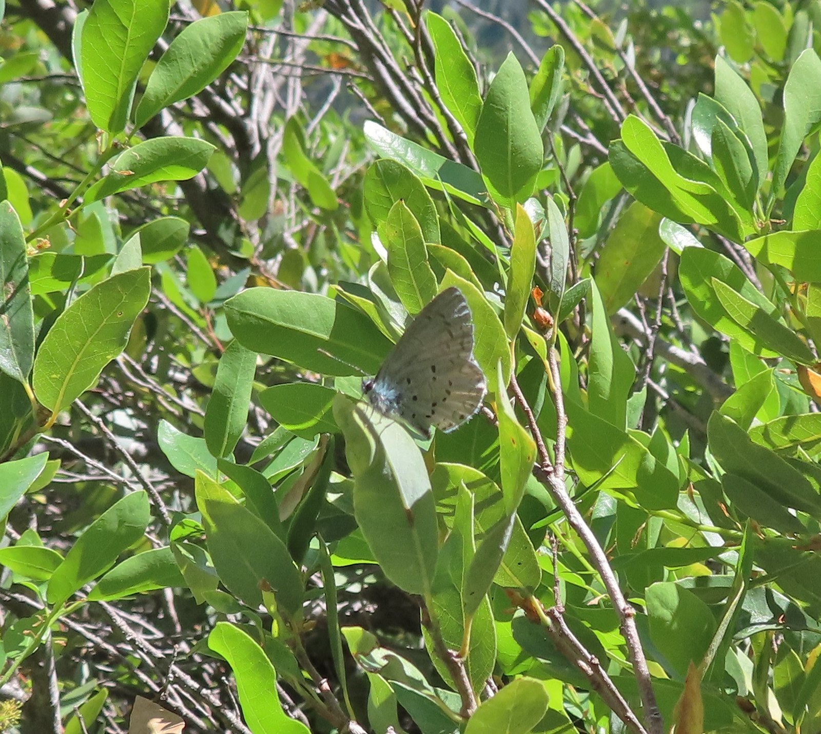 Butterfly – Siskiyou Wilderness
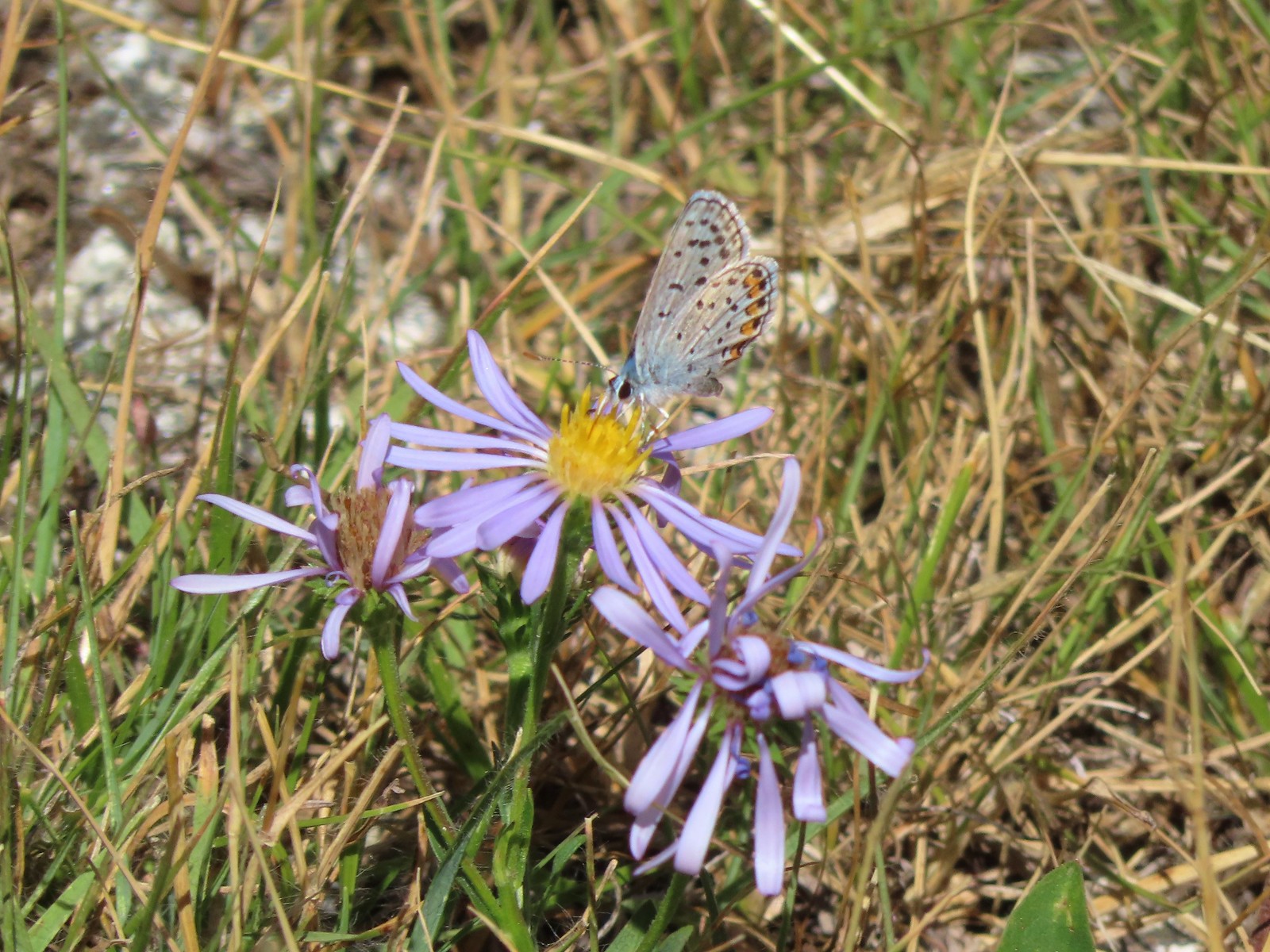 Butterfly – Trinity Alps Wilderness
 Butterfly – Trinity Alps Wilderness
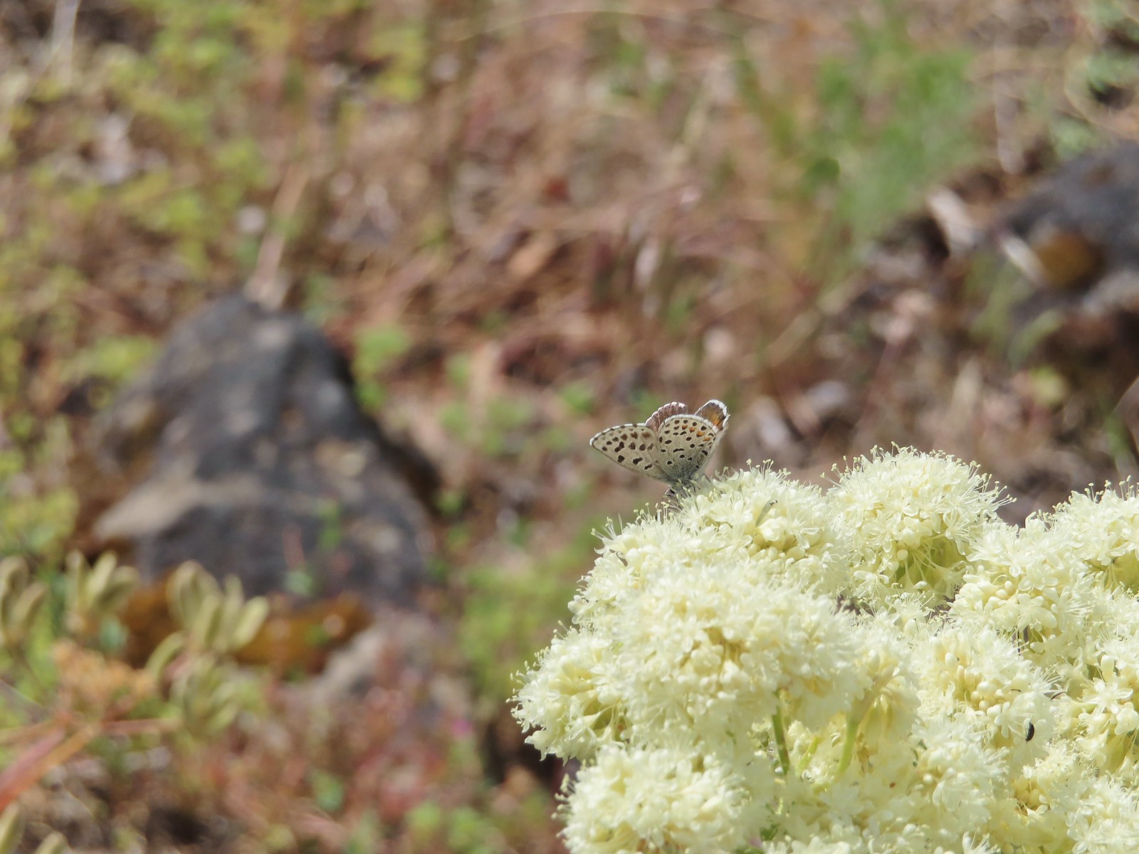 Butterfly – Upper Table Rock
 Butterfly – Mule Mountain
 Butterfly – Eagle Cap Wilderness
 Butterfly – Eagle Cap Wilderness
 Butterfly – Mt. Adams Wilderness
 Butterfly – Mt. Adams Wilderness
 Butterfly – Mt. Ireland
 Butterfly – Trinity Alps Wilderness
 Butterfly – Silver Star Mountain
 Butterfly – Russian Wilderness
 Butterfly – Trinity Alps Wilderness
 Sara’s orangetip – Klickitat Trail
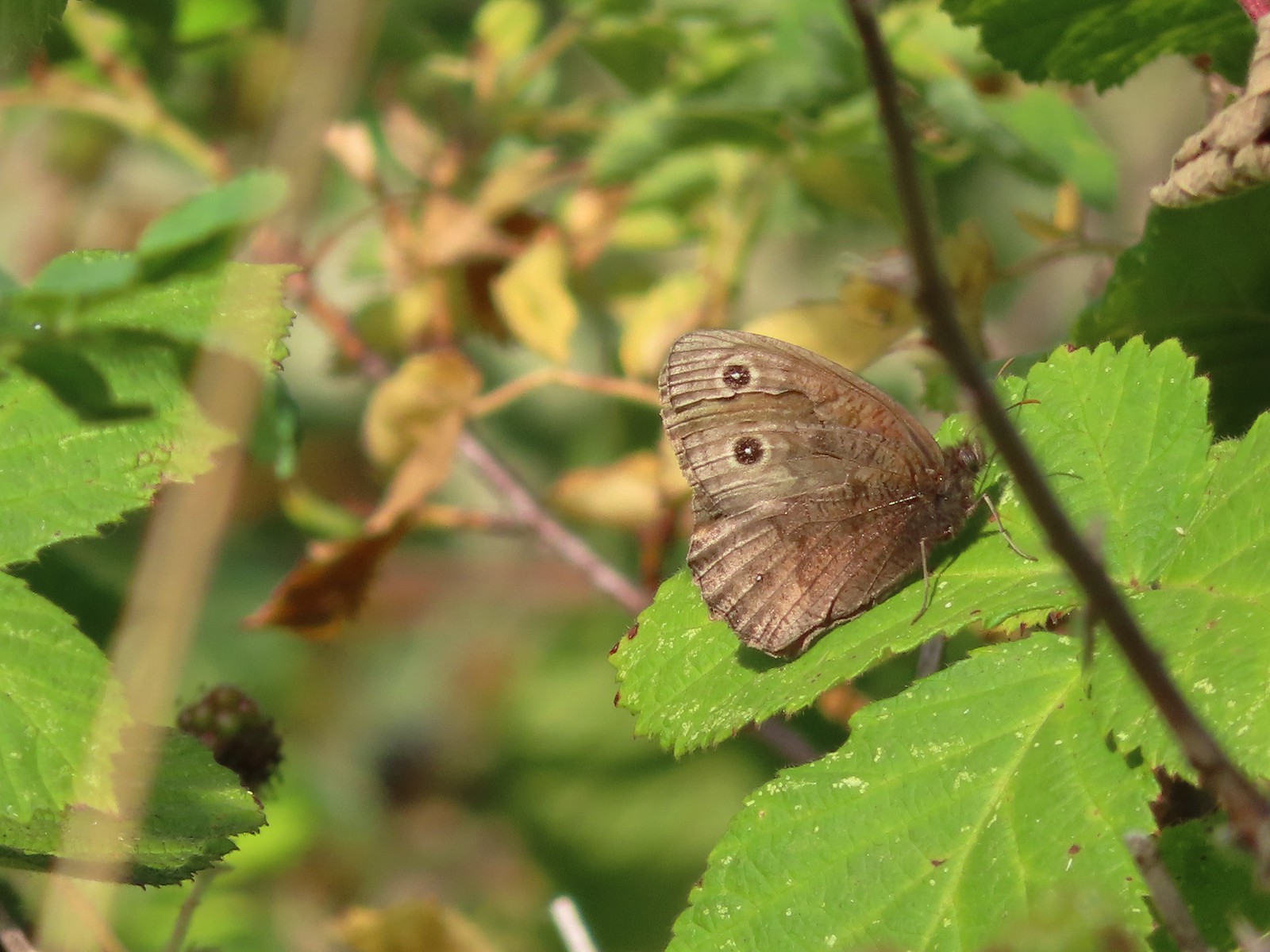 Common woodnymph – E. E. Wilson Wildlife Area
 Another woodnymph – Rogue-Umpqua Divide Wilderness
 Orange sulphur – Siskiyou Wilderness
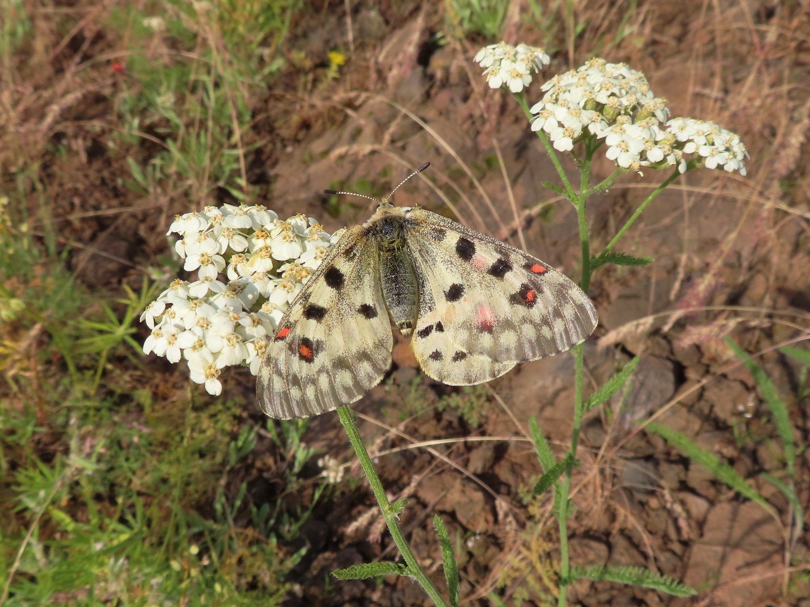 Mountain parnassian – Eagle Cap Wilderness
 Clodius parnassian – Hemlock Lake
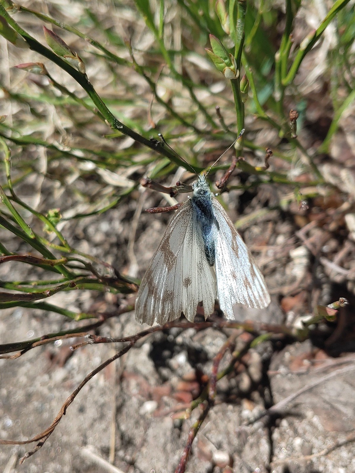 Western white? – Eagle Cap Wilderness
 Western white – Trinty Alps Wilderness
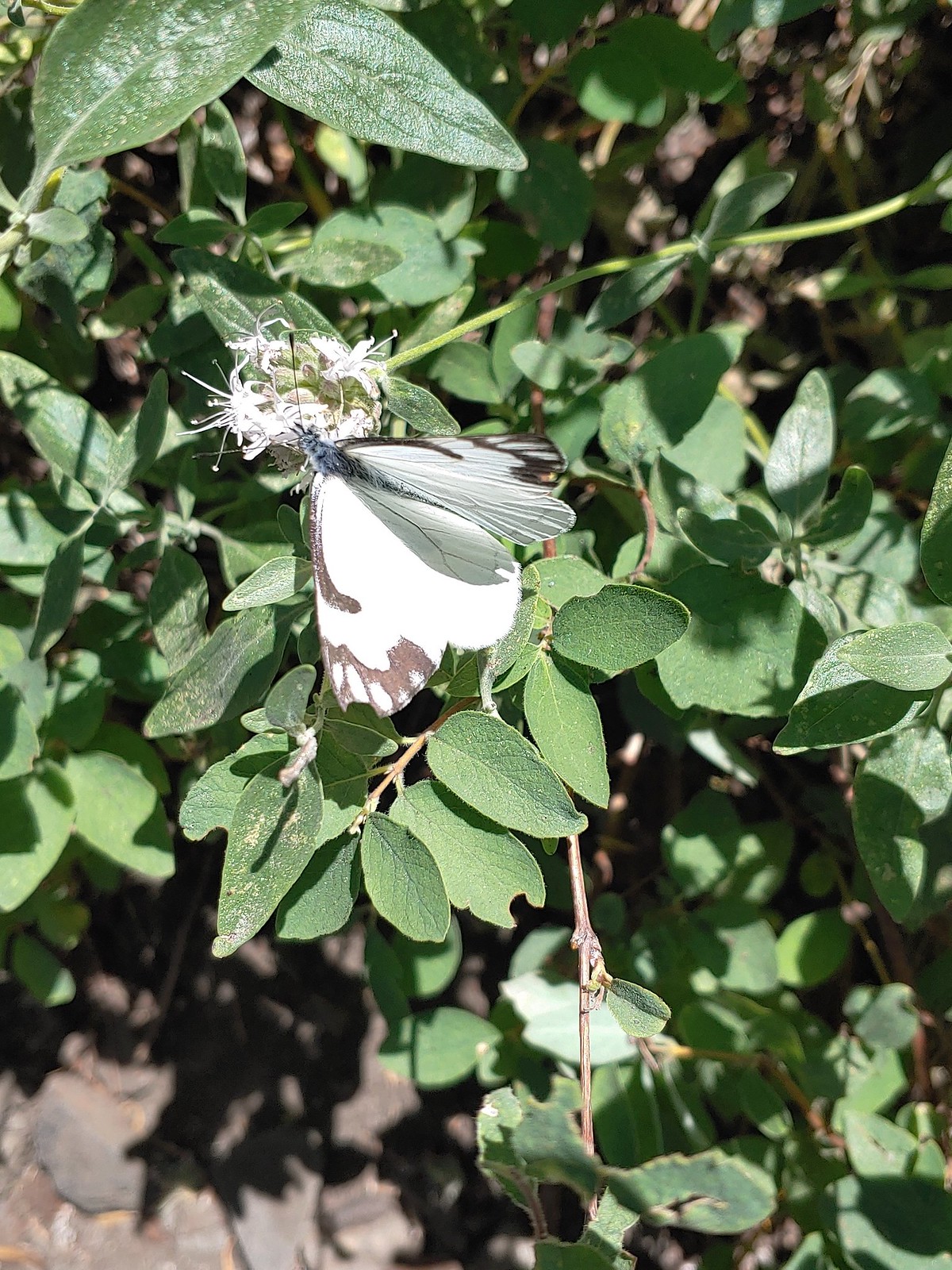 Pine white – Russian Wilderness
 Butterfly – Eagle Cap Wilderness
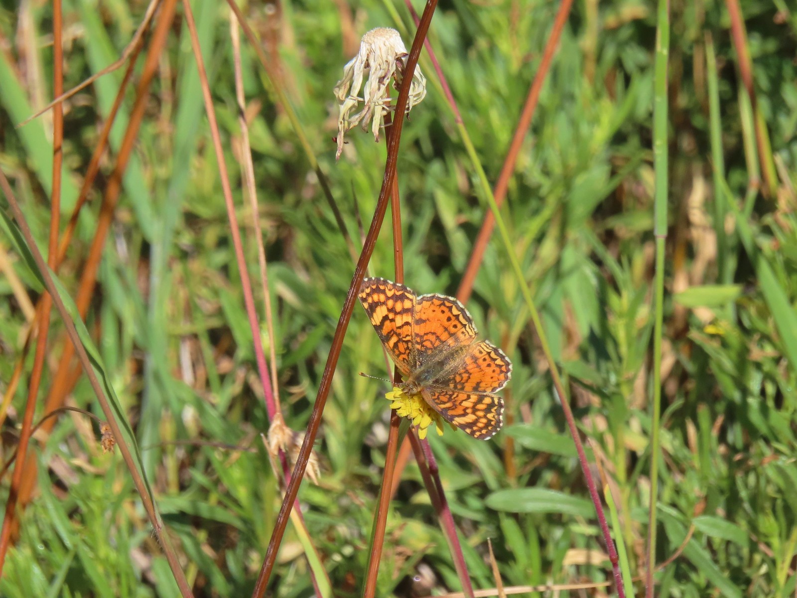 Butterfly – Russian Wilderness
 Butterfly – Mt. Adams Wilderness
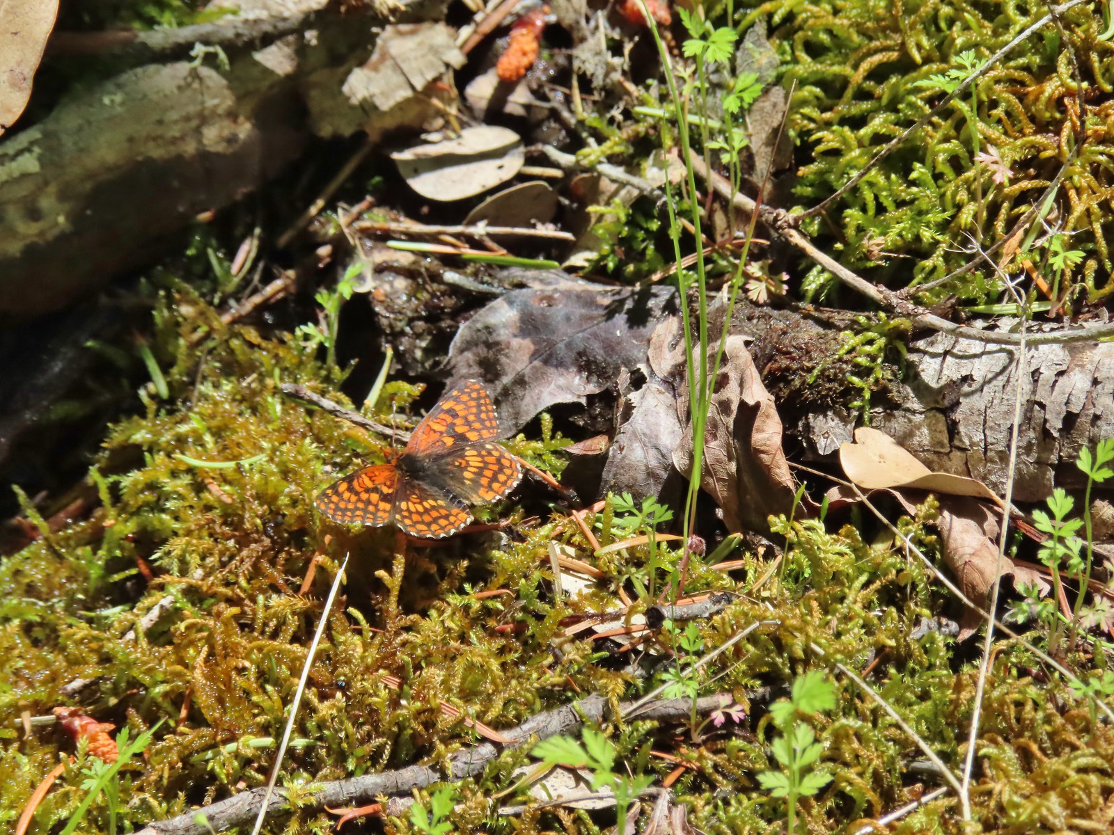 Butterfly – Mule Mountain
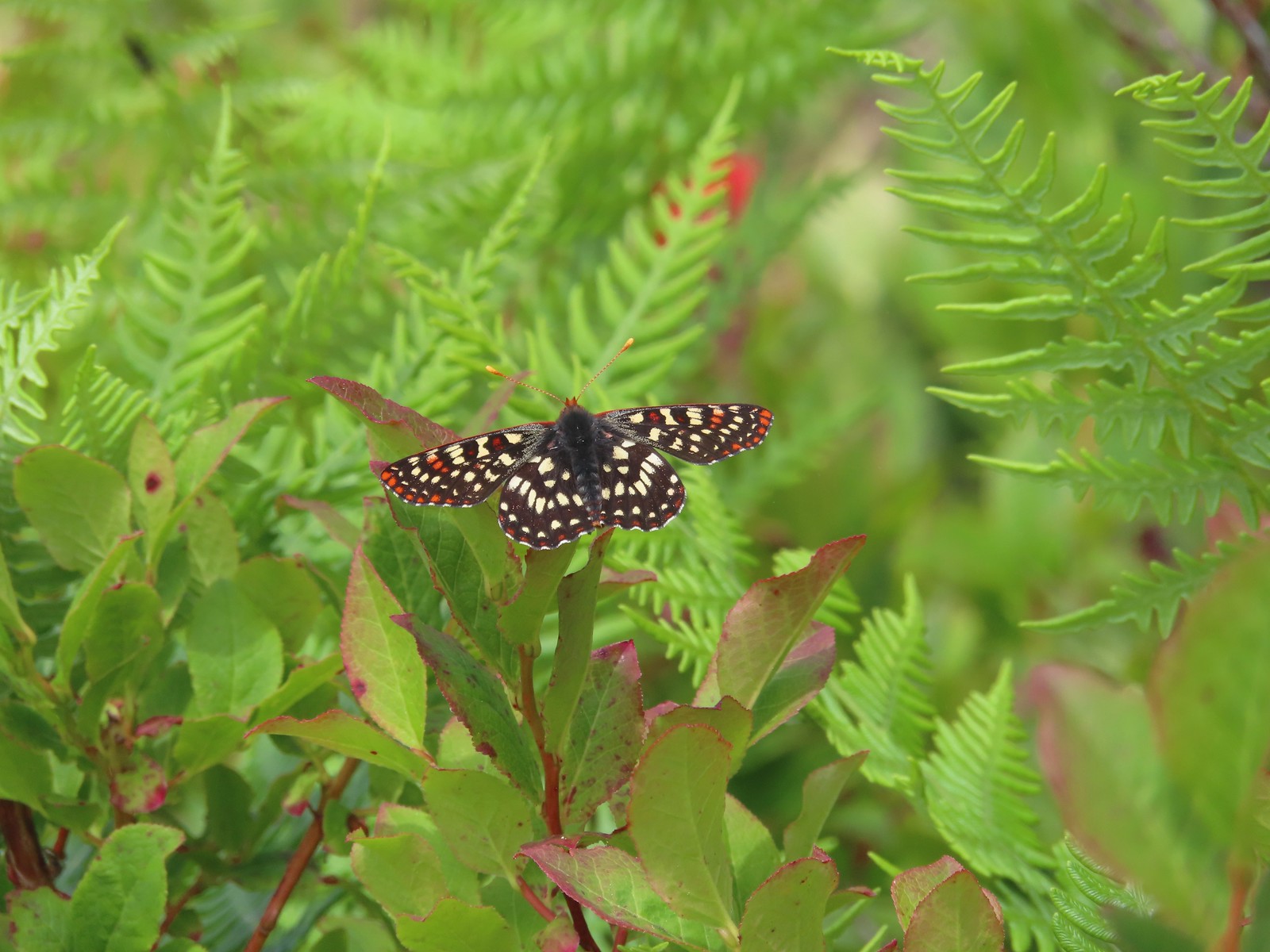 Butterfly – Silver Star Mountain
 Butterfly – Silver Star Mountain
 Butterfly – Silver Star Mountain
 Western meadow fritillary? – Silver Star Mountain
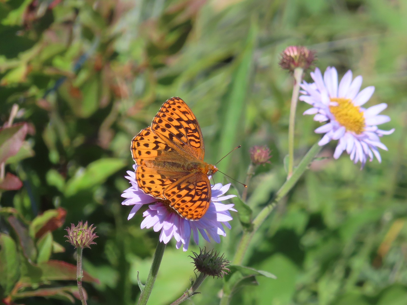 A fritillary – Silver Star Mountain
 A fritillary – Trinity Alps Wilderness
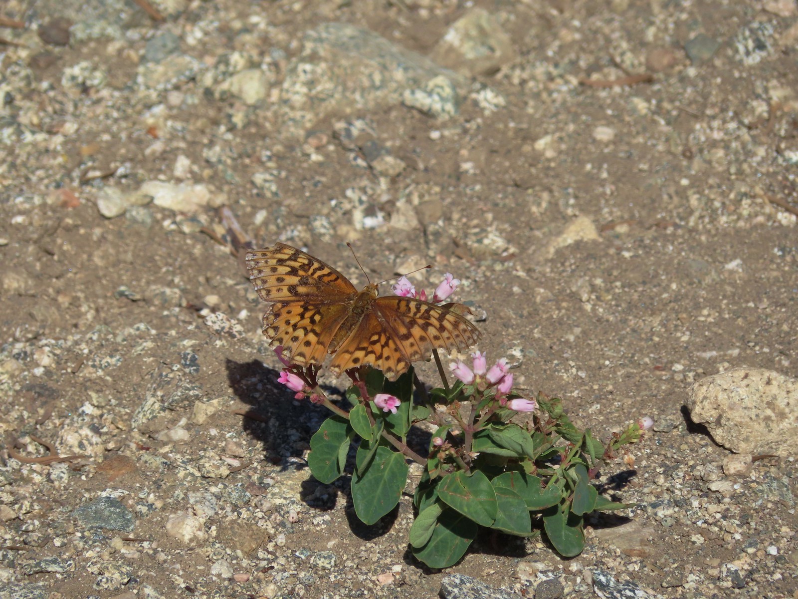 A fritillary -Russian Wilderness
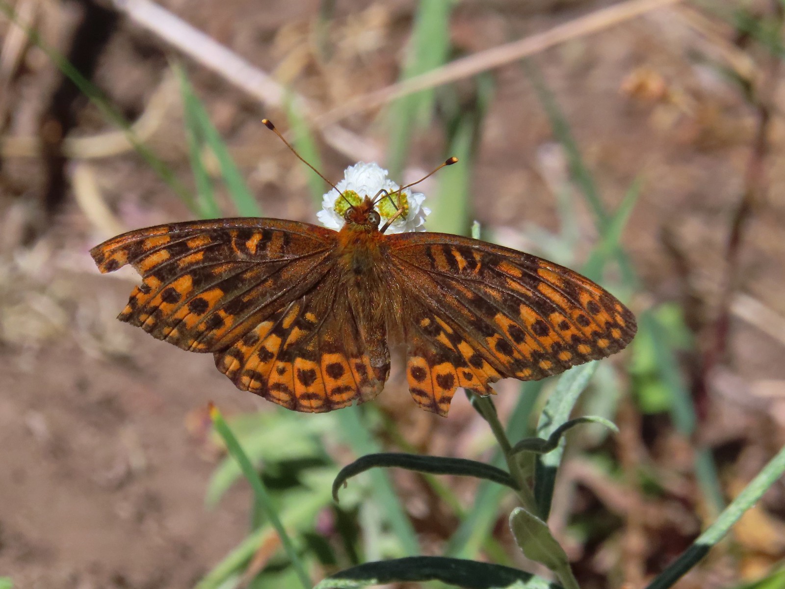 A fritillary – Rogue-Umpqua Divide Wilderness
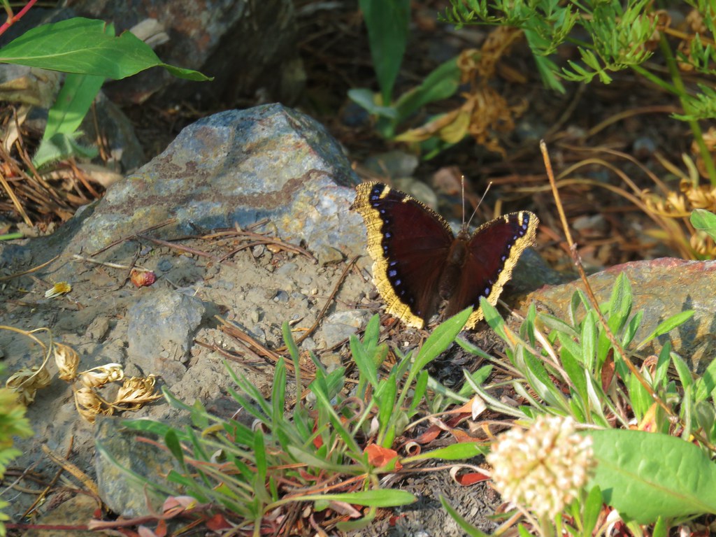
 Mourning cloak – Klickitat Trail
 California tortoiseshell – Siskiyou Wilderness
 Milbert’s tortoiseshell – Eagle Cap Wilderness
 Lorquin’s admiral – Eagle Cap Wilderness
 Common buckeye – Mt. Shasta Wilderness
 Hoary comma – Sky Lakes Wilderness
 Green comma? – Eagle Cap Wilderness
 Klickitat Trail
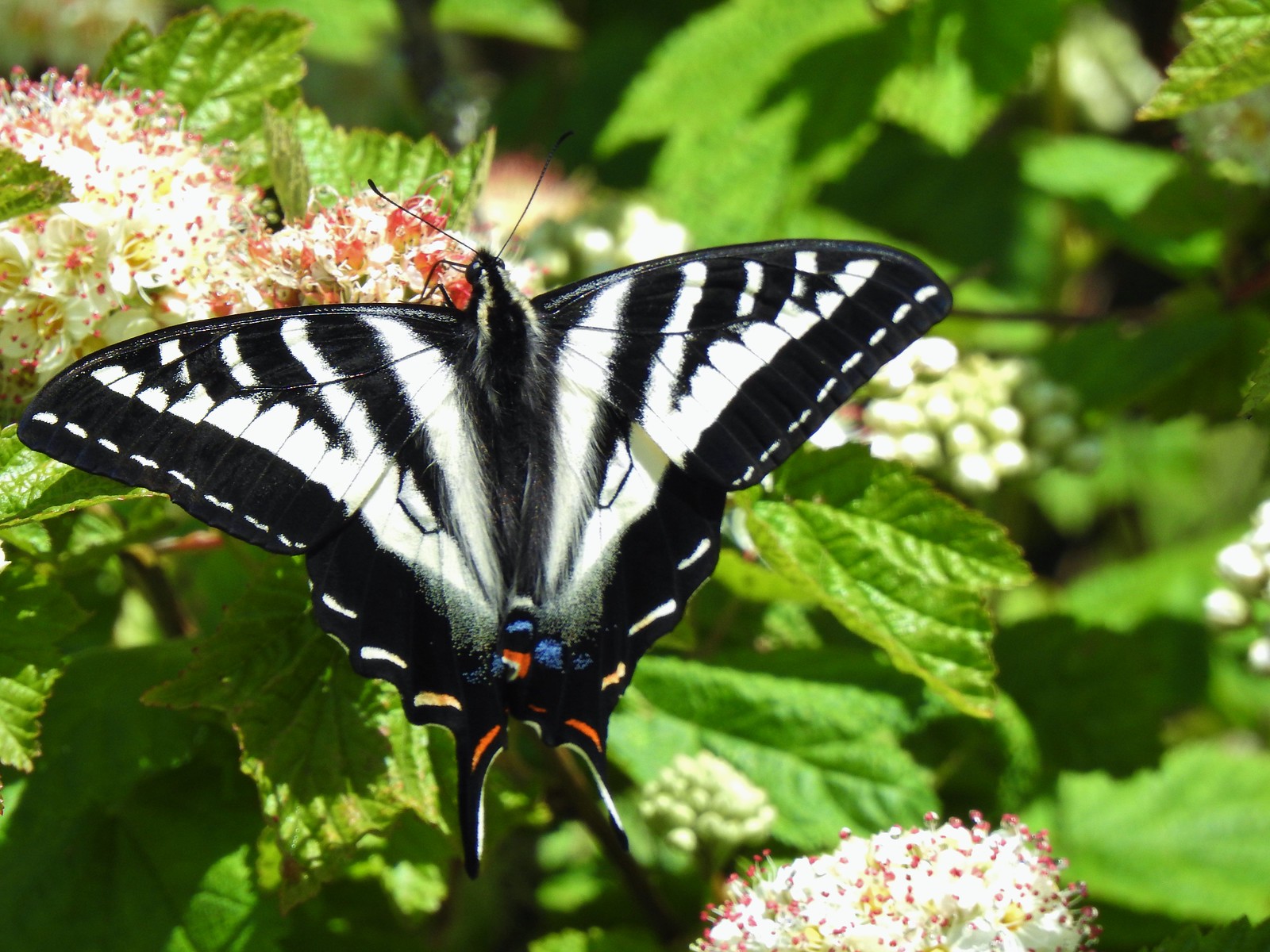 Julia Butler Hanson Wildlife Refuge
 Eagle Cap Wilderness
 Tadpoles – Russian Wilderness
 Tadpole transforming – Mt. Adams Wilderness
 Frog – Russian Wilderness
 Frog – Goat Marsh Lake
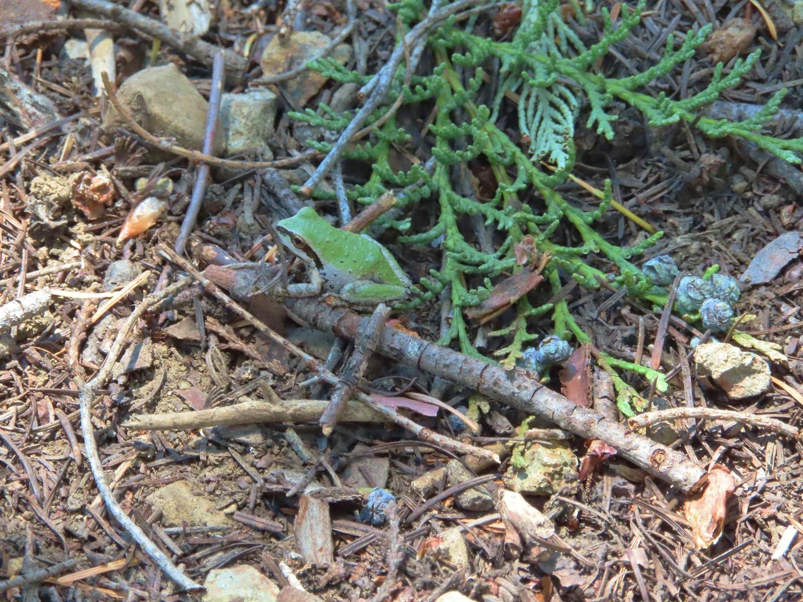 Tree frog – Siskiyou Wilderness
 Frog – Trinity Alps Wilderness
 Toad – Trinity Alps Wilderness
 Toad – Mt. Jefferson Wilderness
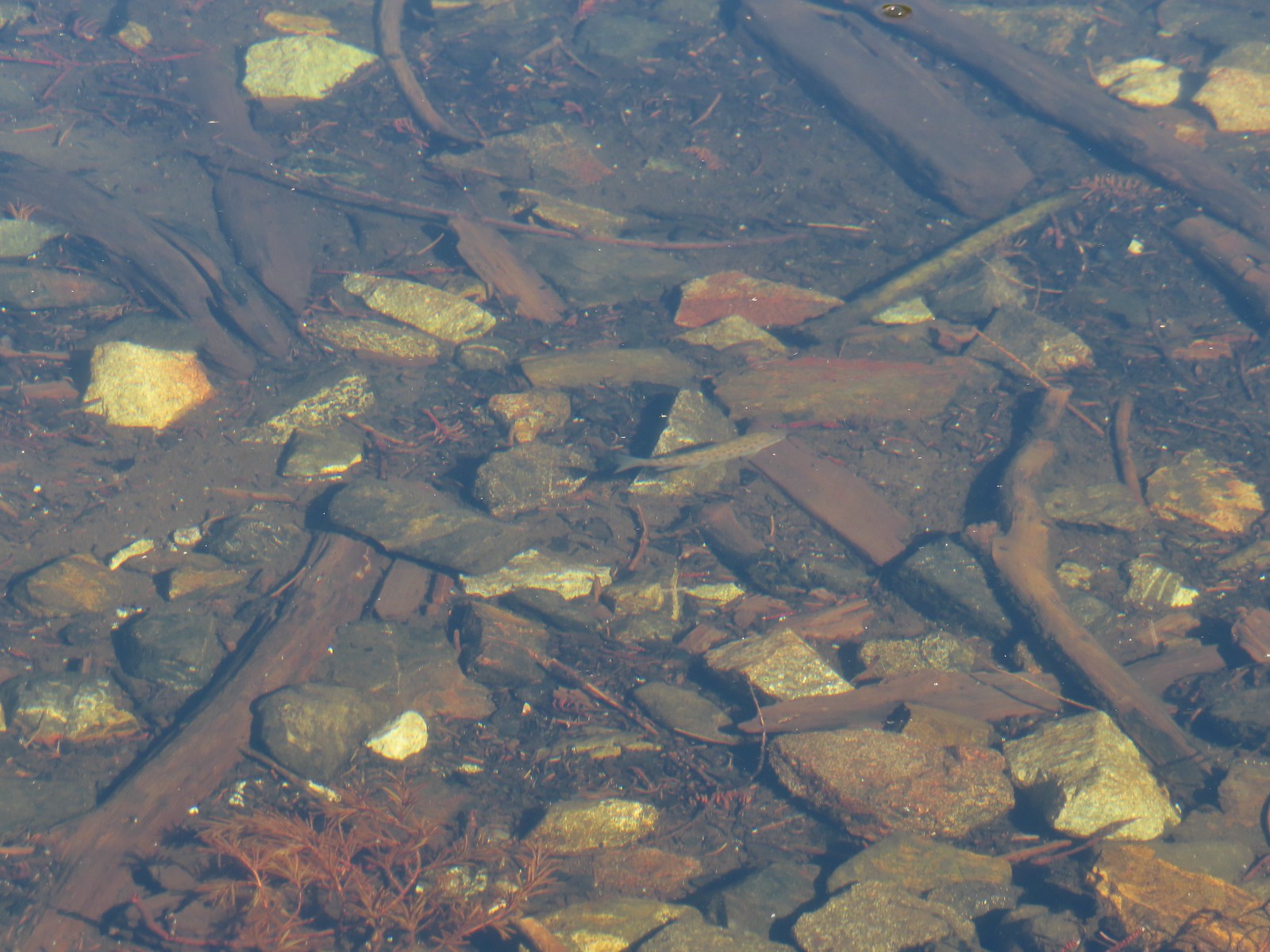 Fish – Siphon Lake
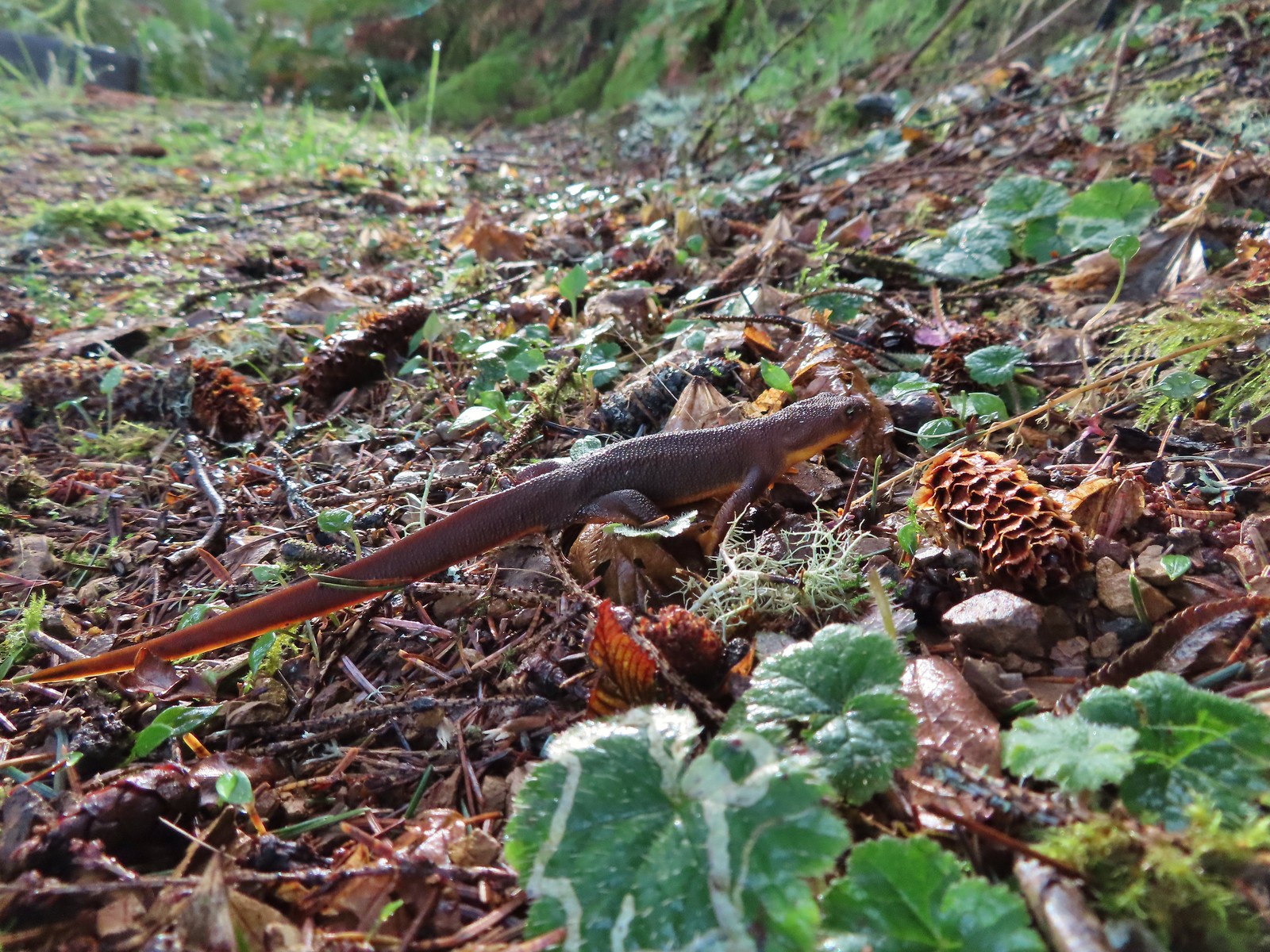 Rough skinned newt – Yakona Nature Preserve
 Western painted turtle – Julia Hansen Butler Wildlife Refuge
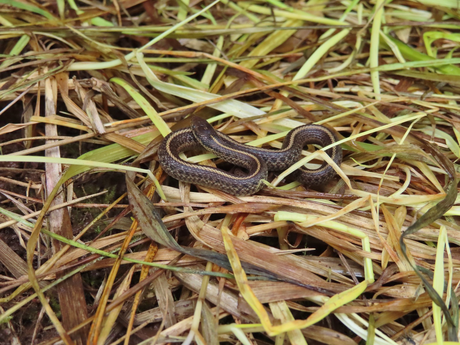 Baby snake – Miller Woods
 Garter snake – Julia Hansen Butler Wildlife Refuge
 Lizard – Mule Mountain
 Lizard – Upper Table Rock
 Lizard – Russian Wilderness
 Lizard – Siskiyou Wilderness
 Lizard – Klickitat Trail
 Lizard – Upper Table Rock
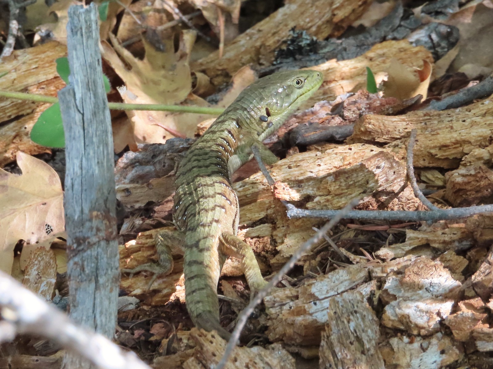 Alligator lizard – Mule Mountain
 Chipmunk – Observation Peak
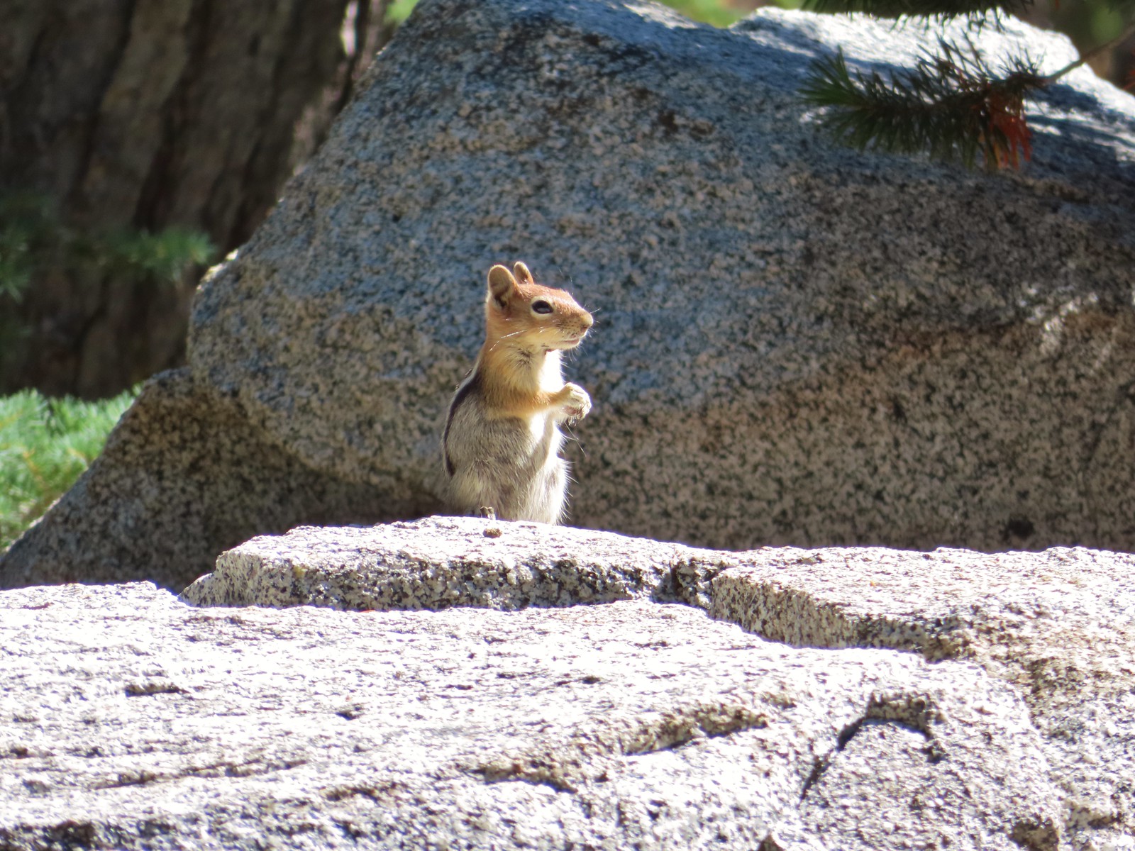 Ground squirrel – Russian Wilderness
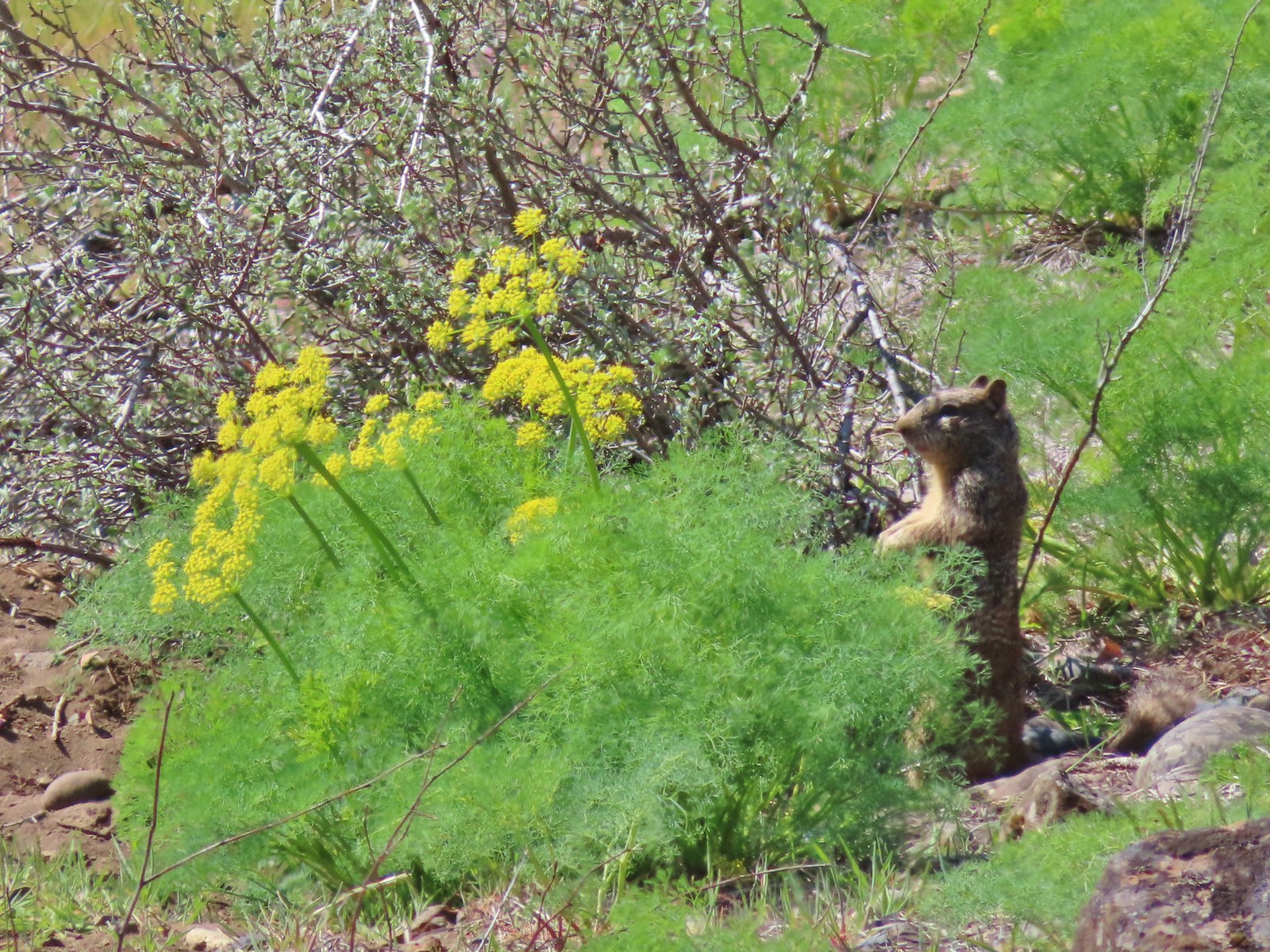 Ground squirrel – Klickitat Trail
 Ground squirrel – Eagle Cap Wilderness
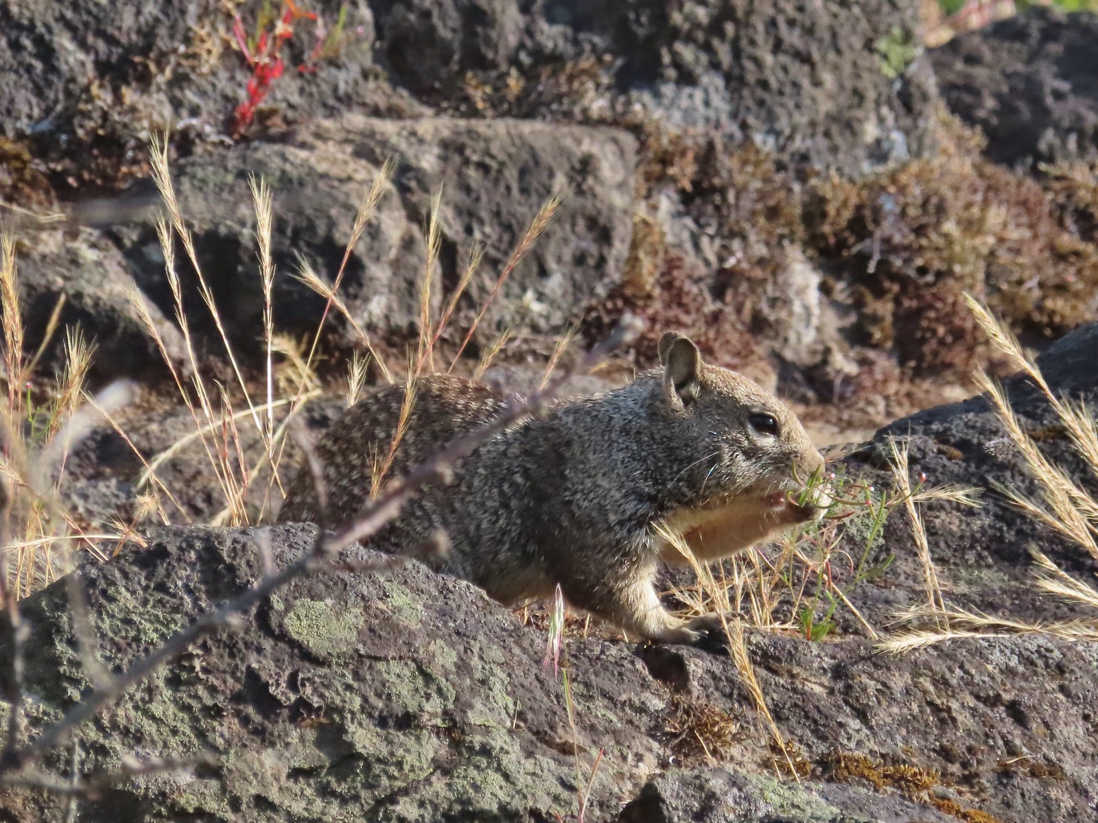 Ground squirrel – Upper Table Rock
 Squirrel – Rock Creek Trail
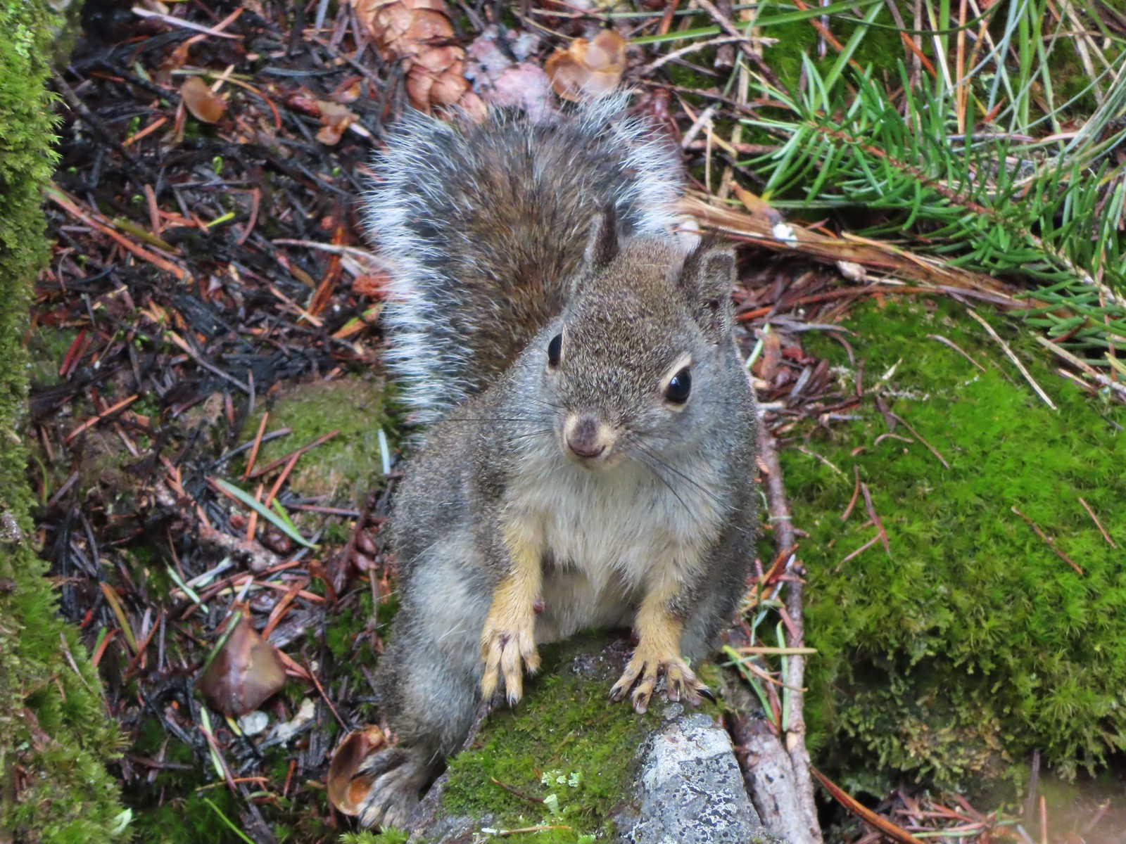 Squirrel – Twin Lakes
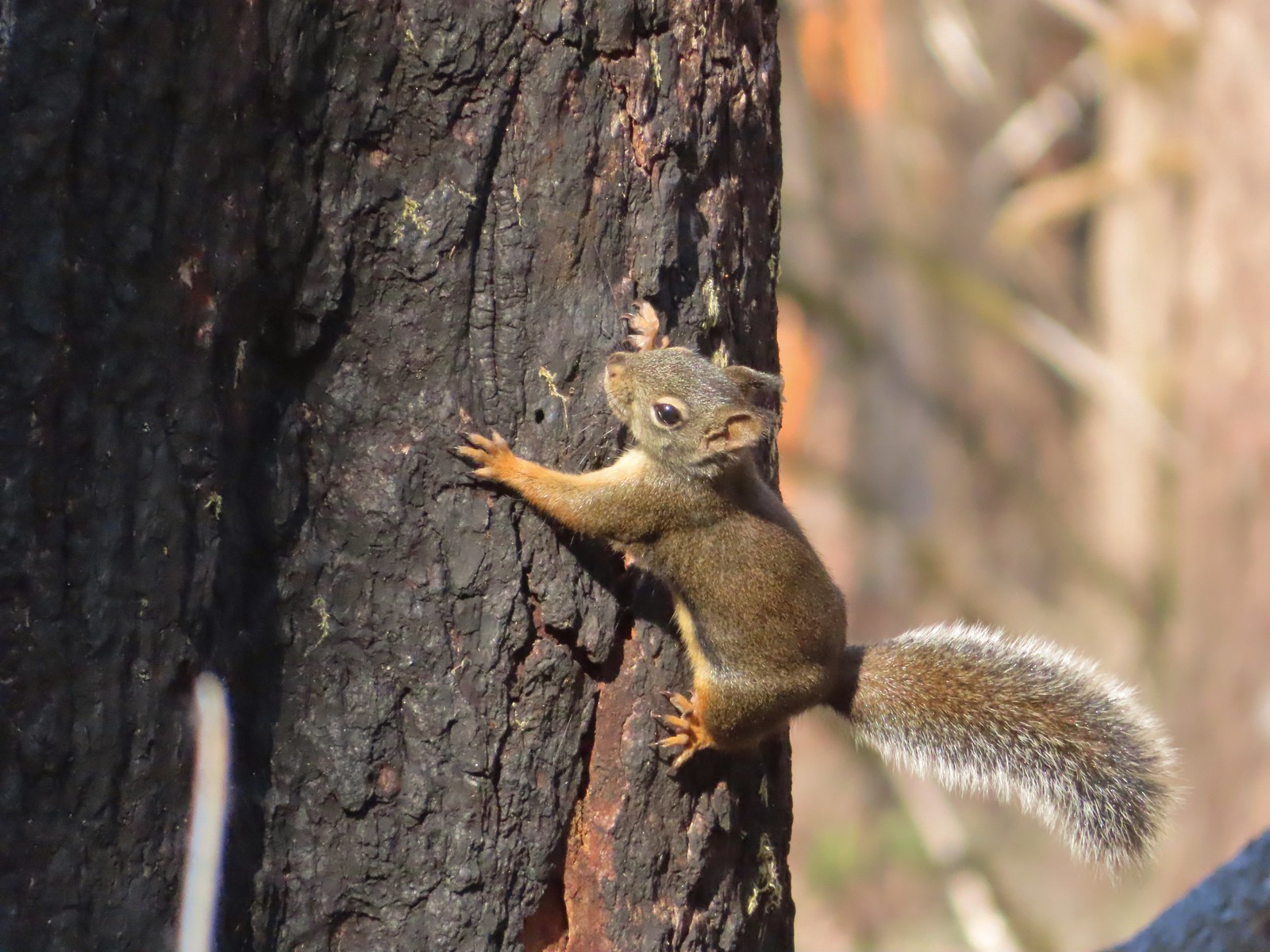 Squirrel – Larch Mountain Trail
 Marmot – Wallowa Homeland
 Jack rabbit – Denman Wildlife Area
 Rabbit – E. E. Wilson Wildlife Area
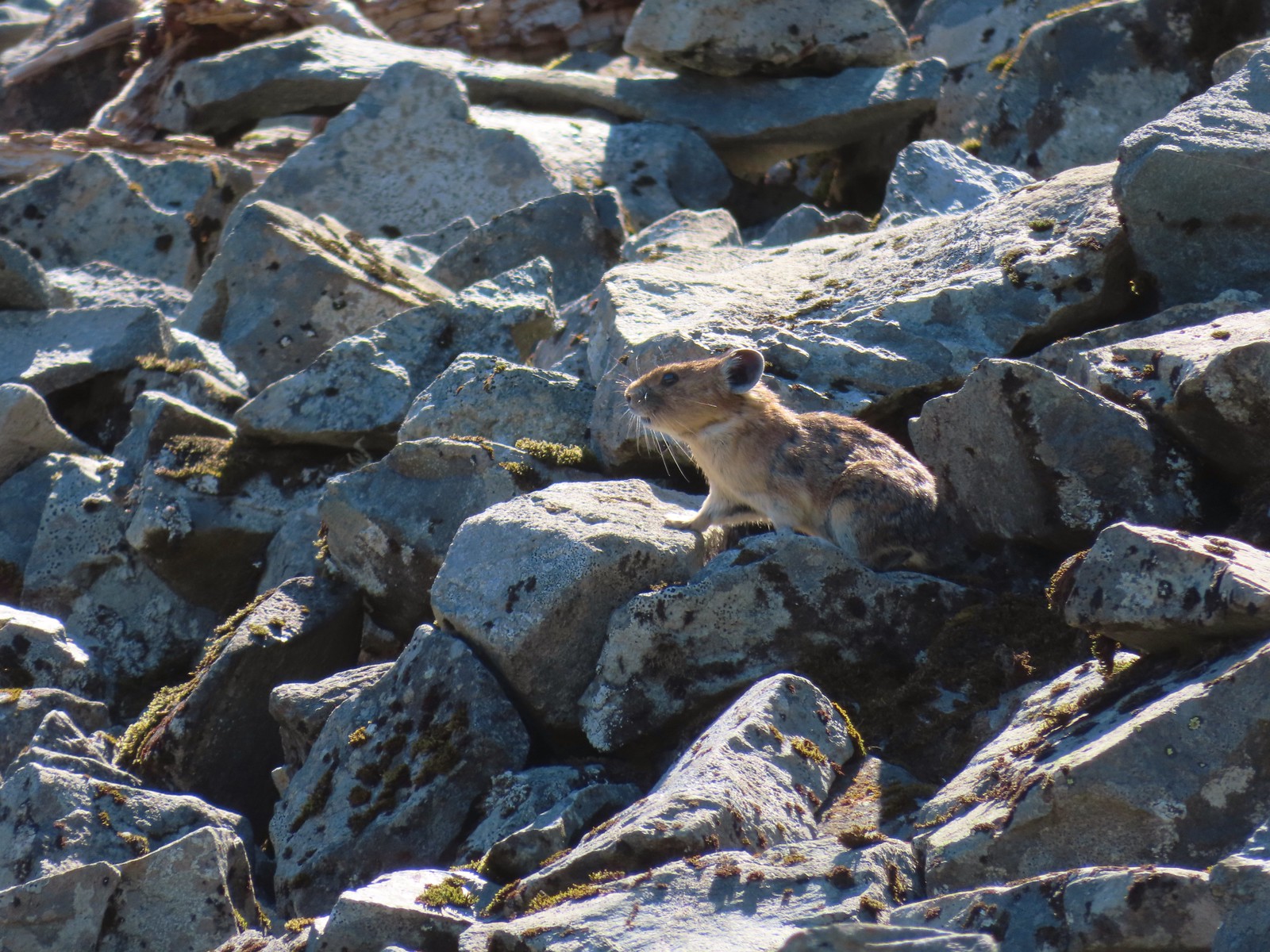 Pika – Silver Star Mountain
 Muskrat – Julia Butler Hansen – Wildlife Refuge
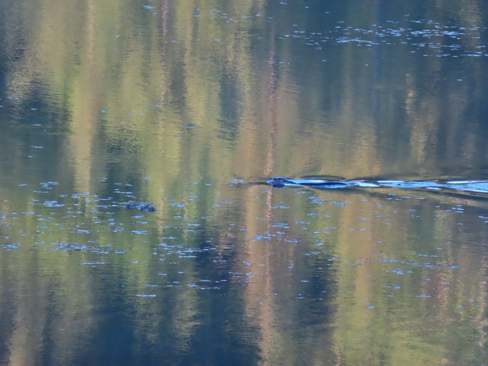 Otter – Killin Wetlands
 Sea lion – Hart’s Cove
 Deer – Memaloose Hills
 Doe – Miller Woods
 Mamma – Roxy Ann Peak
 Fawn – Roxy Ann Peak
 Columbian white-tailed buck – Julia Butler Hansen Wildlife Refuge
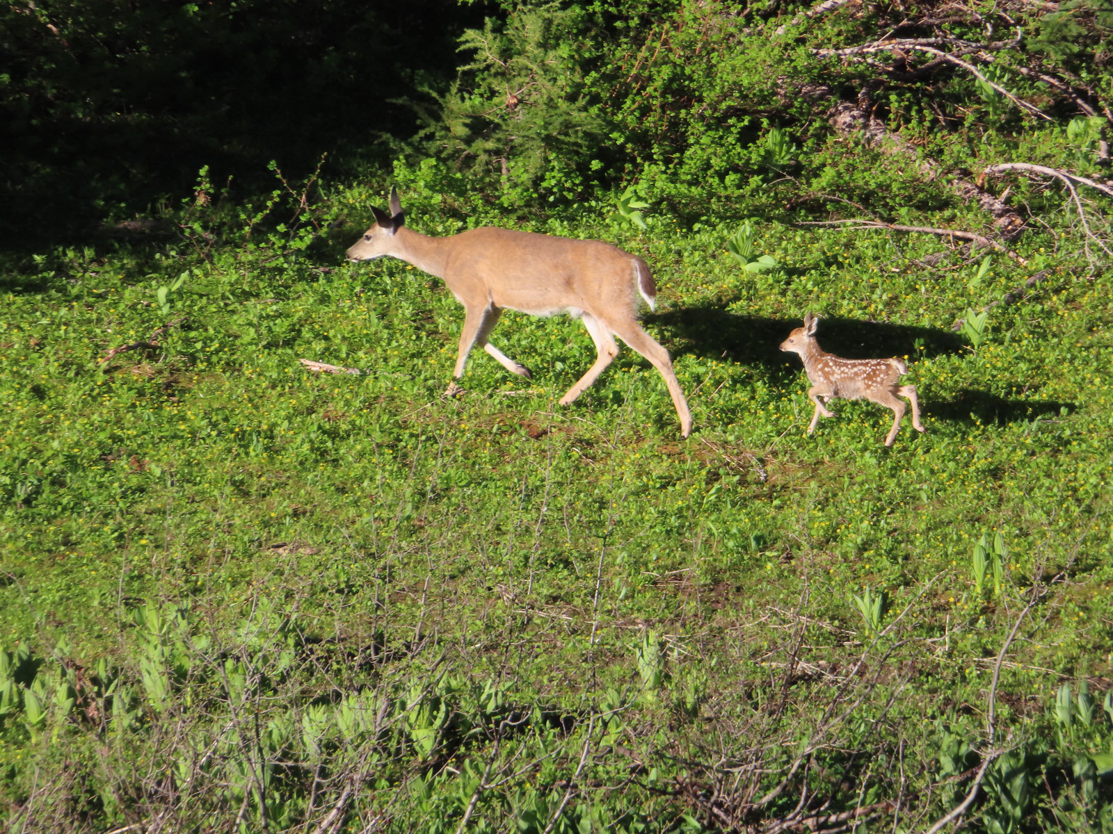 Doe & fawn – Donomore Meadows
 Three bucks – Siskiyou Wilderness
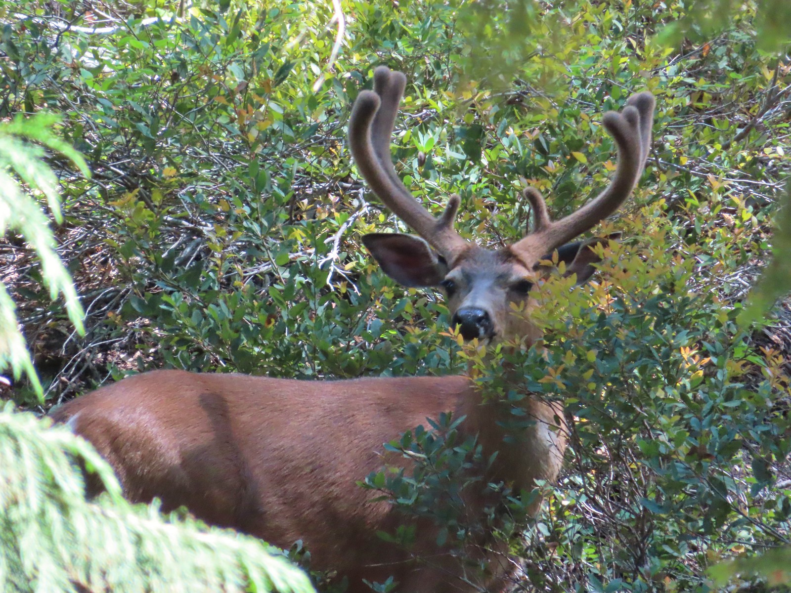 Buck – Siskiyou Wilderness
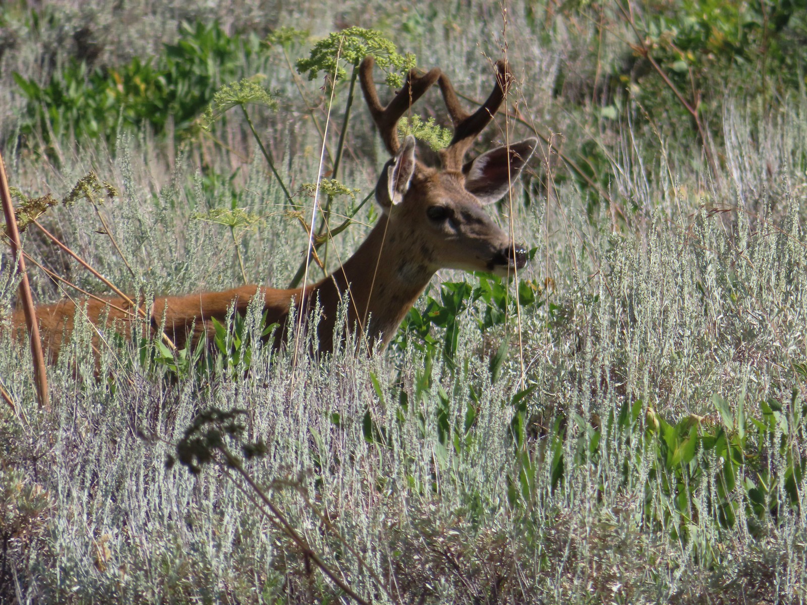 Buck – Trinity Alps Wilderness
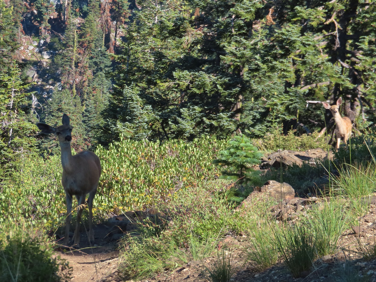 Doe & fawn – Russian Wilderness
 Buck and does – Russian Wilderness
 Two bucks – Crater Lake National Park
 Elk – Yakona Nature Preserve
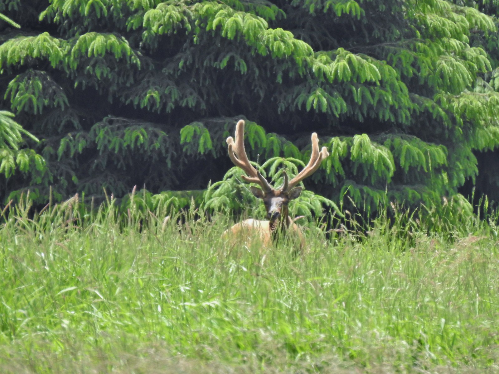 Bull elk – Julia Butler Hansen Wildlife Refuge
 Mountain goat below the Mt. Ireland Lookout – Mt. Ireland
 Domestic goat – Near the Julia Butler Hansen Wildlife Refuge
 Black bear – Siskiyou Wilderness
 The same black bear making eye contact the day before.
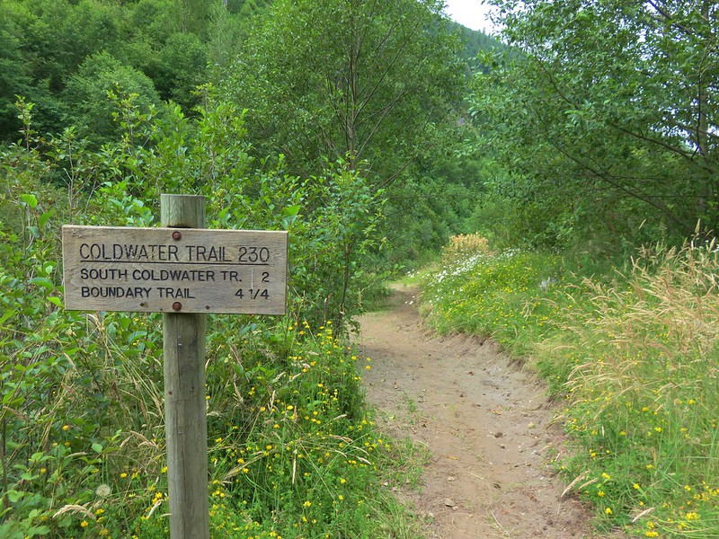
 A small sign post was all that marked the trailhead.
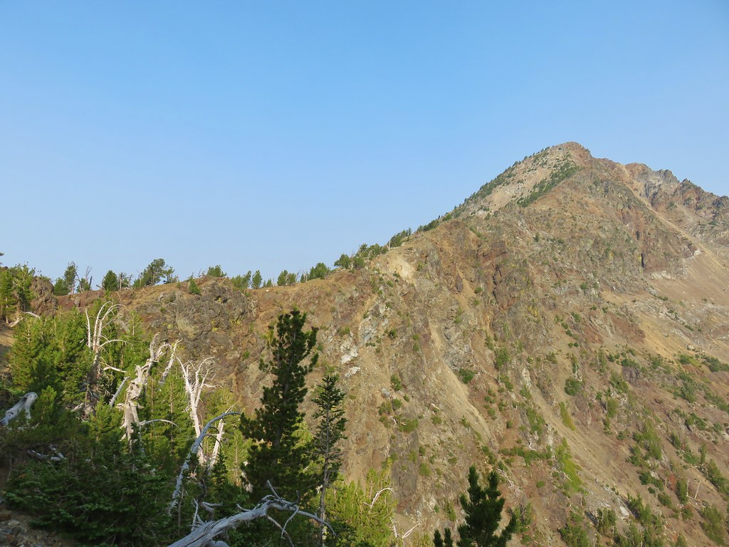
 Mt. Ireland from the junction.
 Hound’s tongue
 Flagging on the left marking the “trail”.
 Another flag hanging on the tree to the right.
 Another glimpse of Mt. Ireland.
 Small meadow near FR 142 along a tributary of East Fork Boundary Creek.
 Trail sign at FR 142.

 Jacob’s ladder
 This was one of three trees across the trail, all of which were easily navigated.
 Ironside Mountain in the distance.
 Phlox
Phlox Brown’s peony
 Nearing the junction.
 Heading uphill.
 Pussy paws
 Mt. Ireland ahead.
 Rock Creek Butte (
 Paintbrush
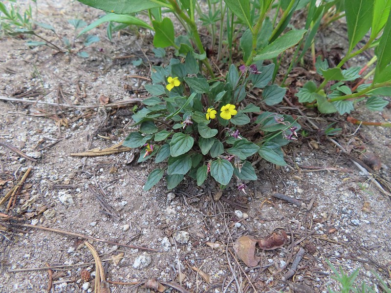 Goosefoot violet
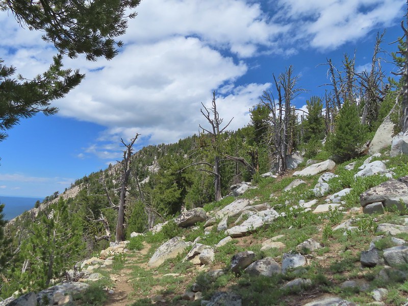
 Vinegar Hill in the Greenhorn Mountains (
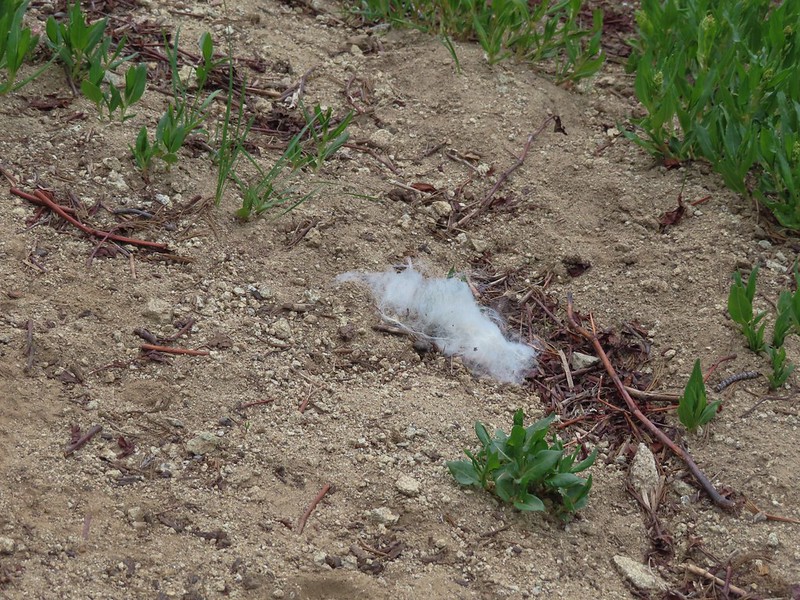 Mountain goat fur on the trail.
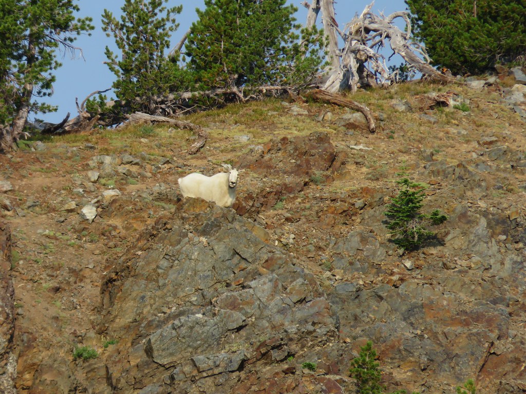
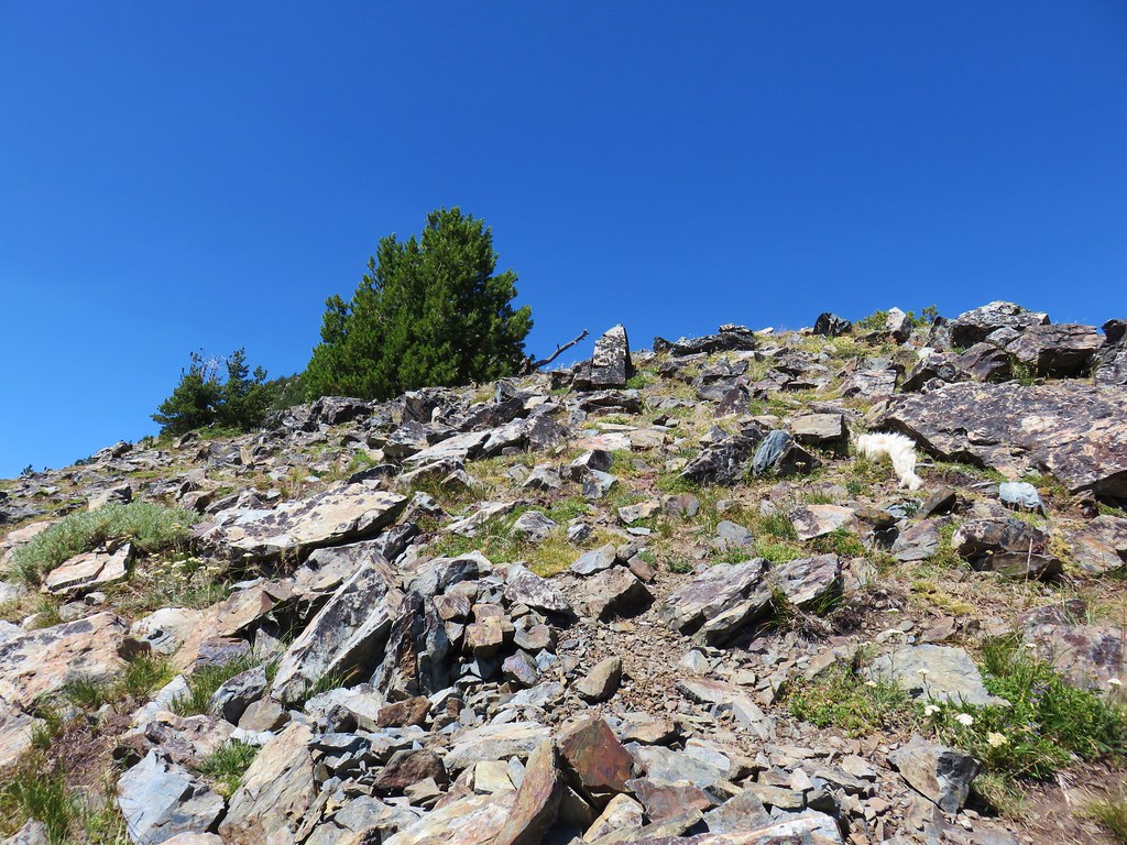
 Just to the right of the silver stump in the center of the photo is one of the goats.
 One of the goats below the lookout tower.
 Zoomed in shot of one of the goats leaving upon my arrival.
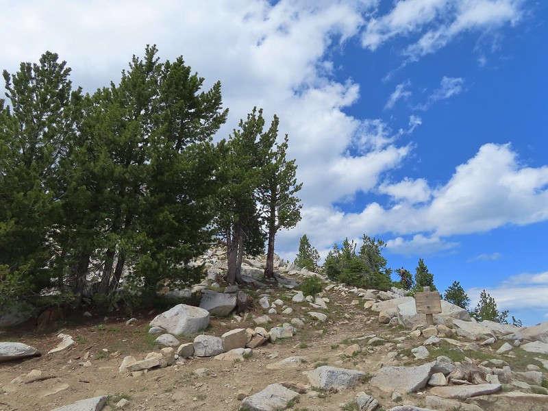 Arriving at the saddle.
 Baldy Lake below Mt. Ireland.
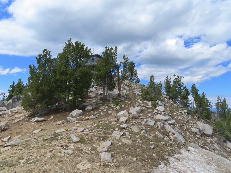 The tower from the saddle.
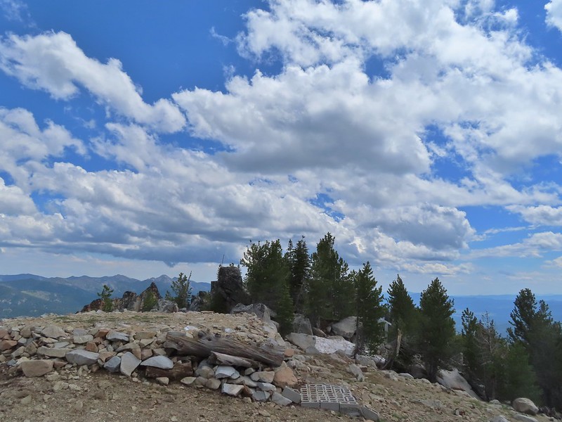 The helipad.
 Being watched.
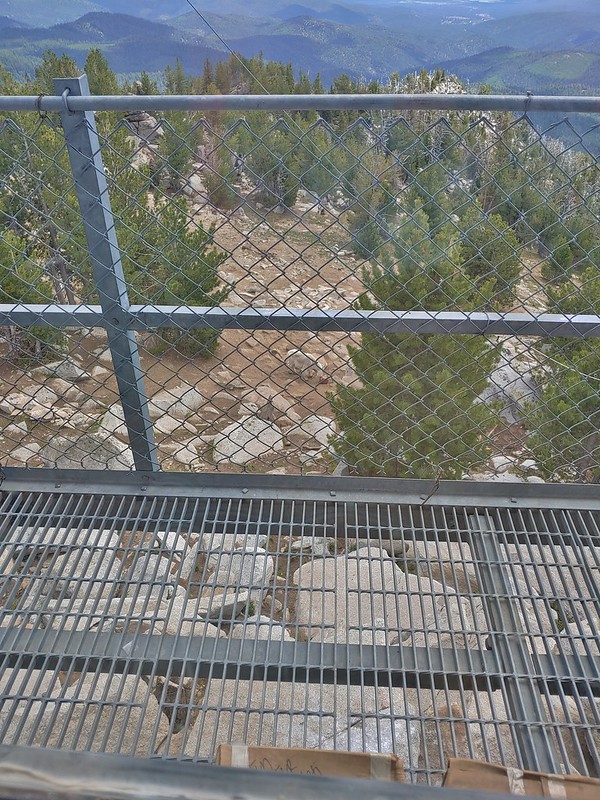 The kid was on the other side of mom.
 The Elkhorns from the tower.
 The snowy Wallowa Mountains beyond a gap in the Elkhorns.
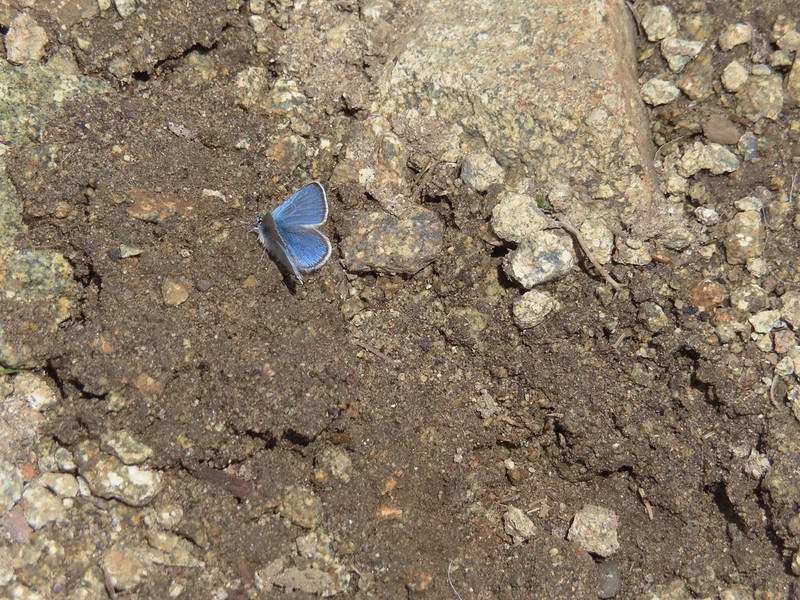
 Milbert’s tortoiseshell
 Vinegar Hill with Dixie Butte to the left and Strawberry Mountain (
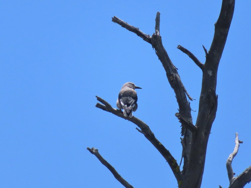 Clark’s nutcracker
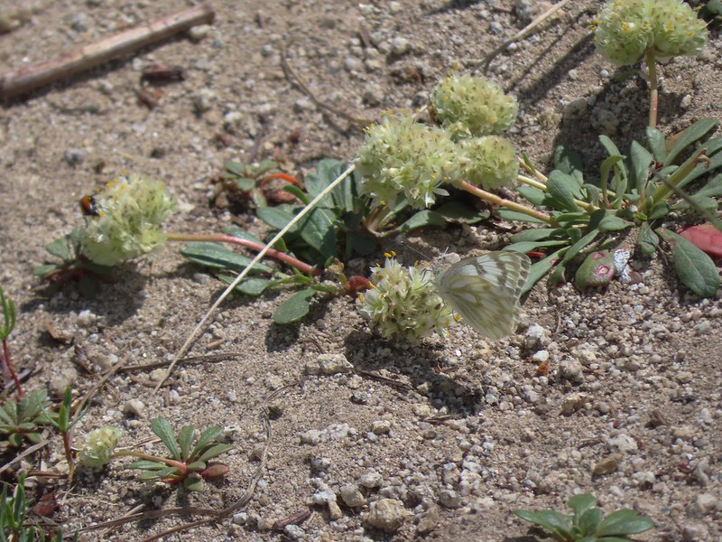 Butterfly on pussy paws.
 A comma?
 Beetle on arnica.
 Hookedspur violet


 Mt. Ruth to the north
 Rock Creek Butte to the south
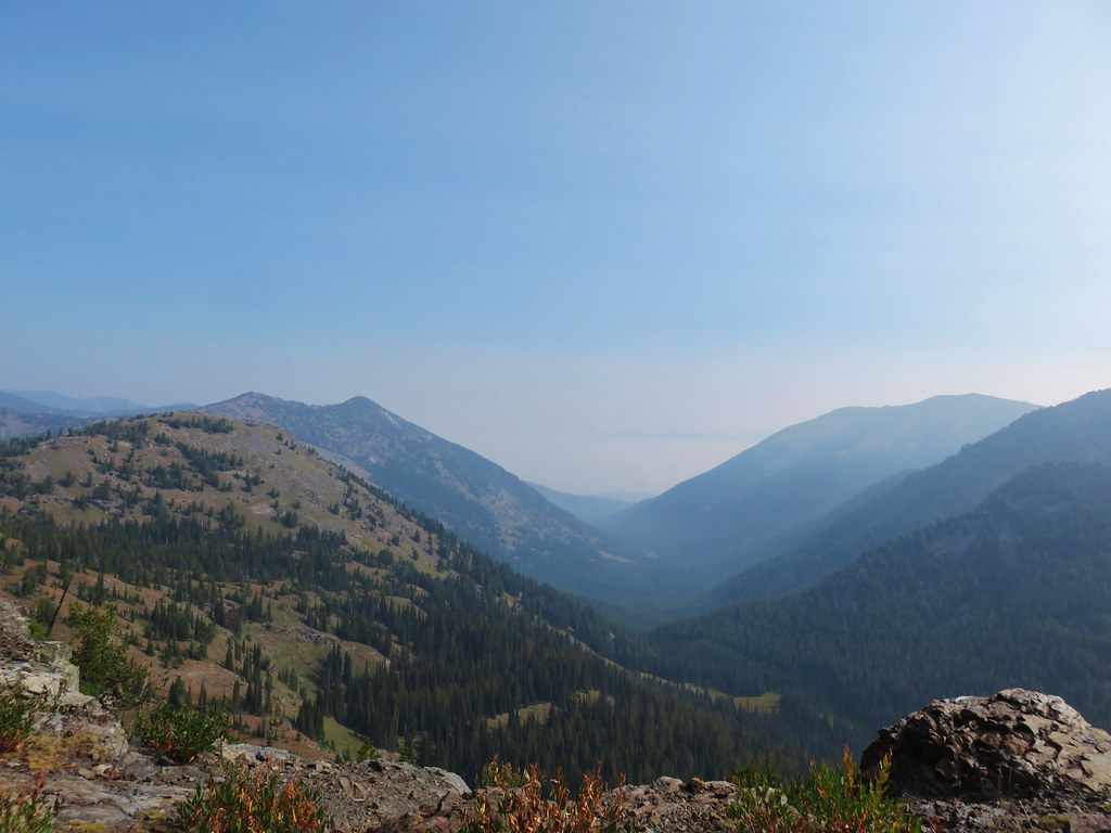 Looking east toward the Wallowas
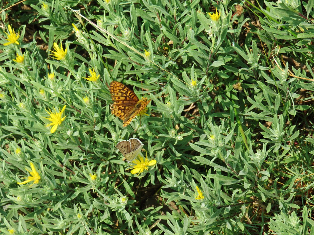
 One of the does (the fawn dashed by moments later)
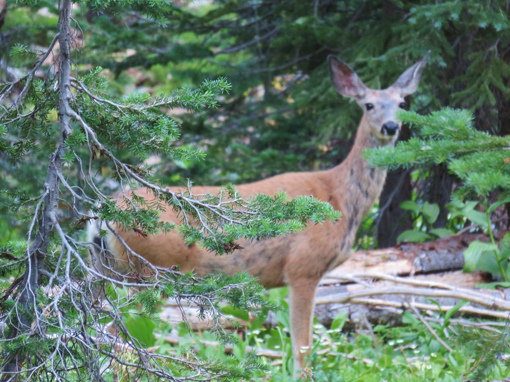 Close-up of the doe


 Looking up “not” Rock Creek Butte
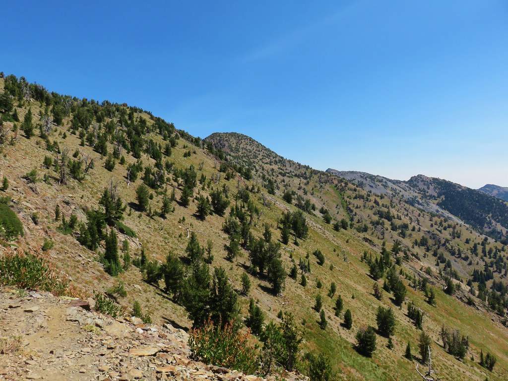 Rock Creek Butte is still a little ways away.
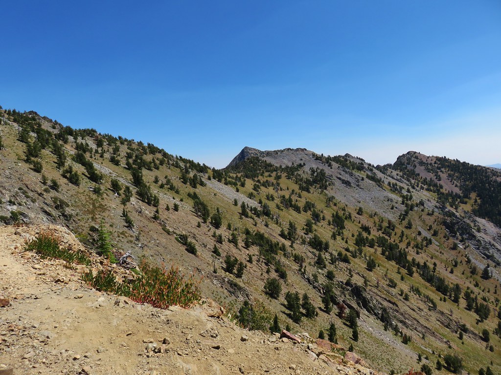 Looking ahead to the saddle.
 Nearing the saddle.
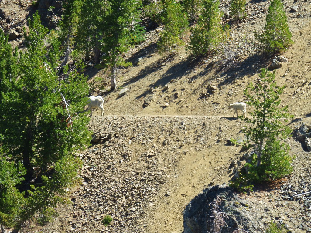


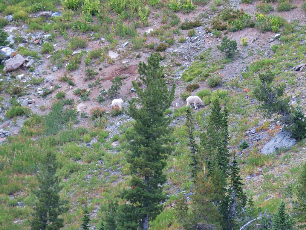
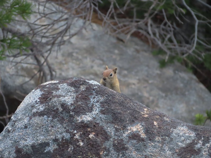
 Notice the golden-mantled ground squirrel sitting atop the large rock overlooking the lake.
 (Full disclosure neither of us noticed the goats until I was looking through the pictures at home.)
 Looking back at the summit cairn from the Rock Creek Lake overlook.
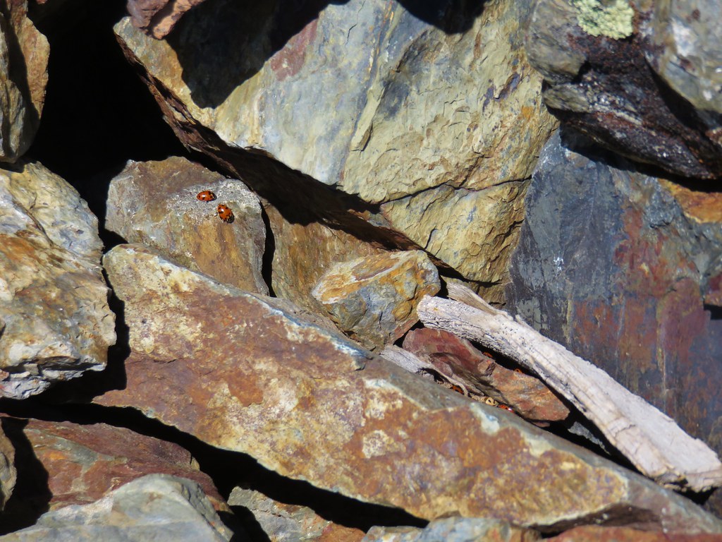
 You can see Heather’s arm on the left side of the photo.