Categories
Blue Mountains - South Hiking Oregon Trip report

North Fork John Day River

A day after a cold, wet hike in the North Fork John Day Wilderness by Olive Lake we were headed back to that wilderness for another go around. We had decided to hike the North Fork John Day River on Tuesday because it was the lowest elevation hike we had lined up for the week and Tuesday was supposed to be the coldest day of the week.

We waited until 7am to leave Sumpter hoping that the slightly later than normal start would allow time for any potential snow on the roads to clear, especially over the 5860′ Blue Springs Summit between Granite and Sumpter. Ironically there was only a few patches of snow along the road at the summit but 15 miles further north the trees were flocked and snow was falling steadily at the 5500′ Crane Creek Trailhead. There was a good chance we would passing by this trailhead on our hike if everything went according to plan.

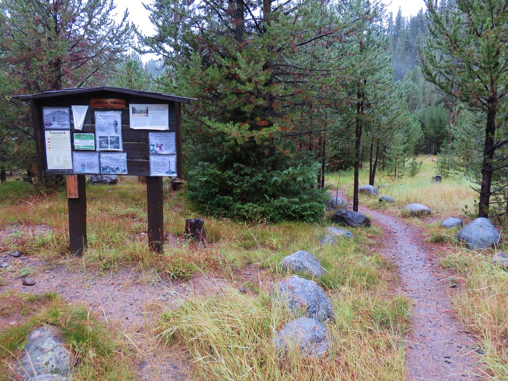
Our starting point for the day was another 2.5 miles away at the North Fork John Day Trailhead.

This trailhead is located at the North Fork John Day Campground at the junction of roads 73 and 52. At an elevation of 5200′ the trailhead was low enough that there was no snow and only a light rain was falling as we set off on the trail.
IMG_9667

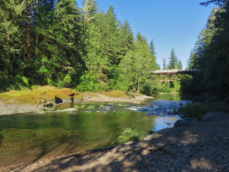
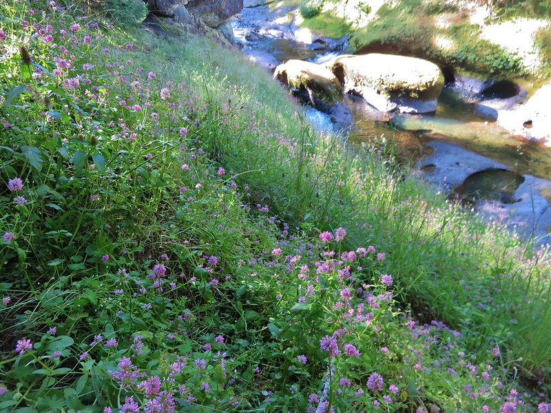
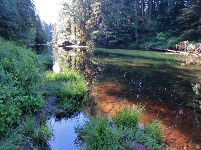
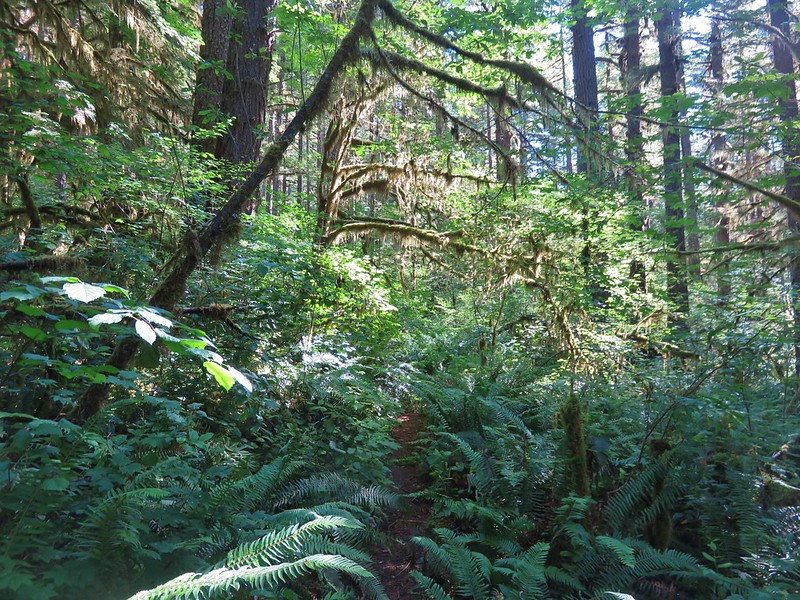
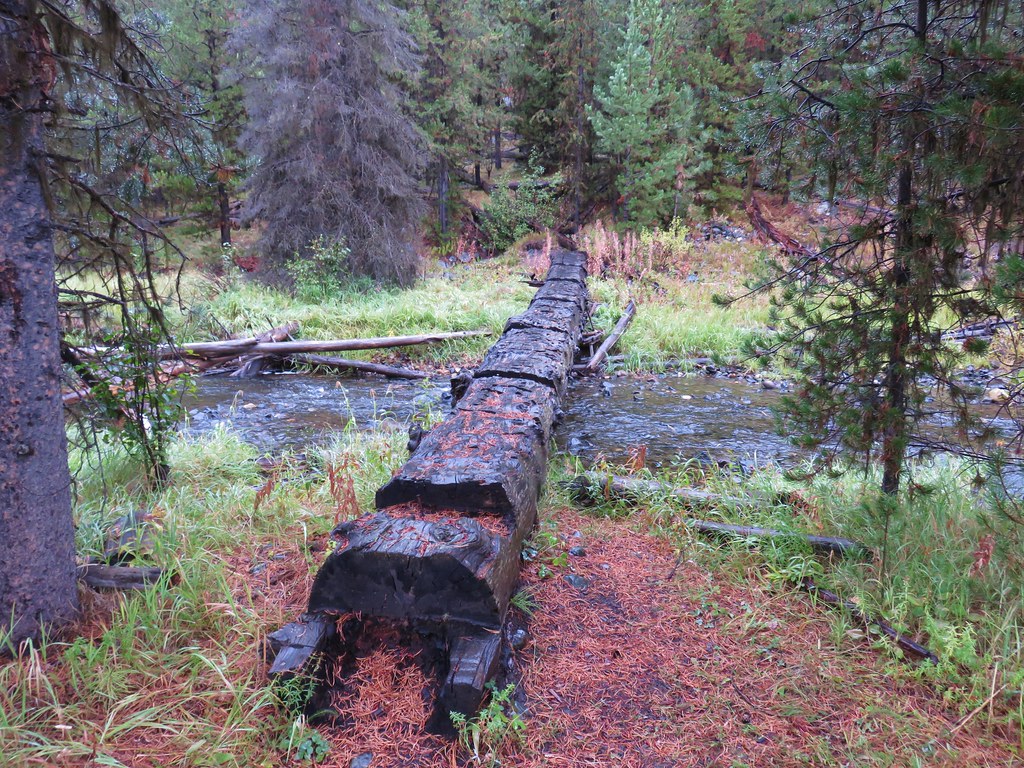
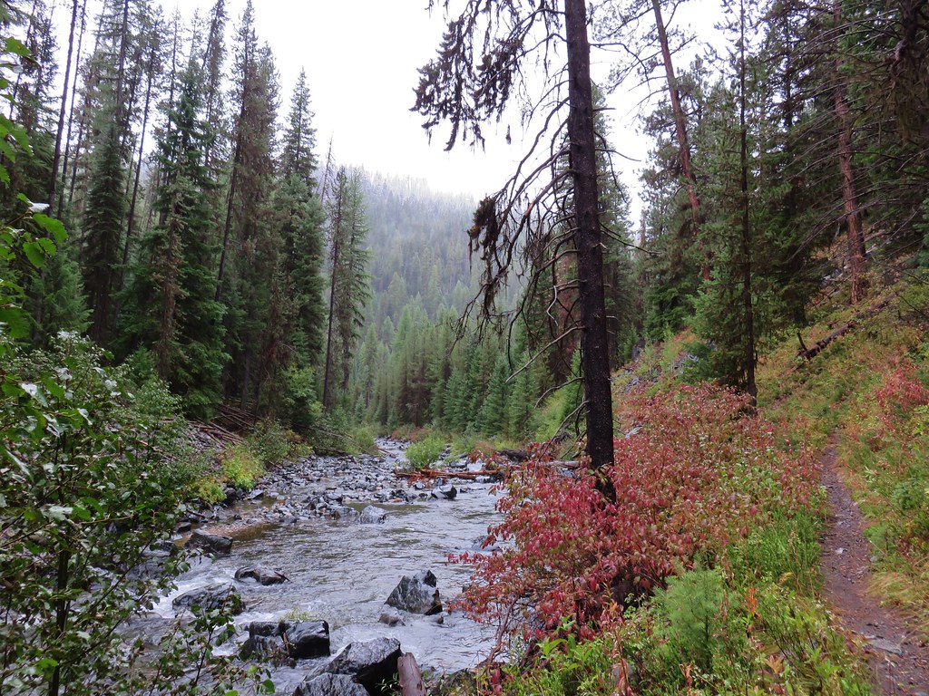
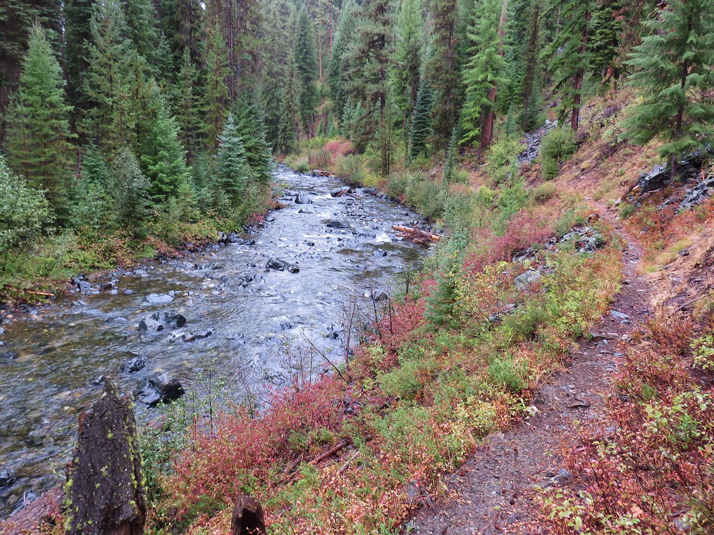
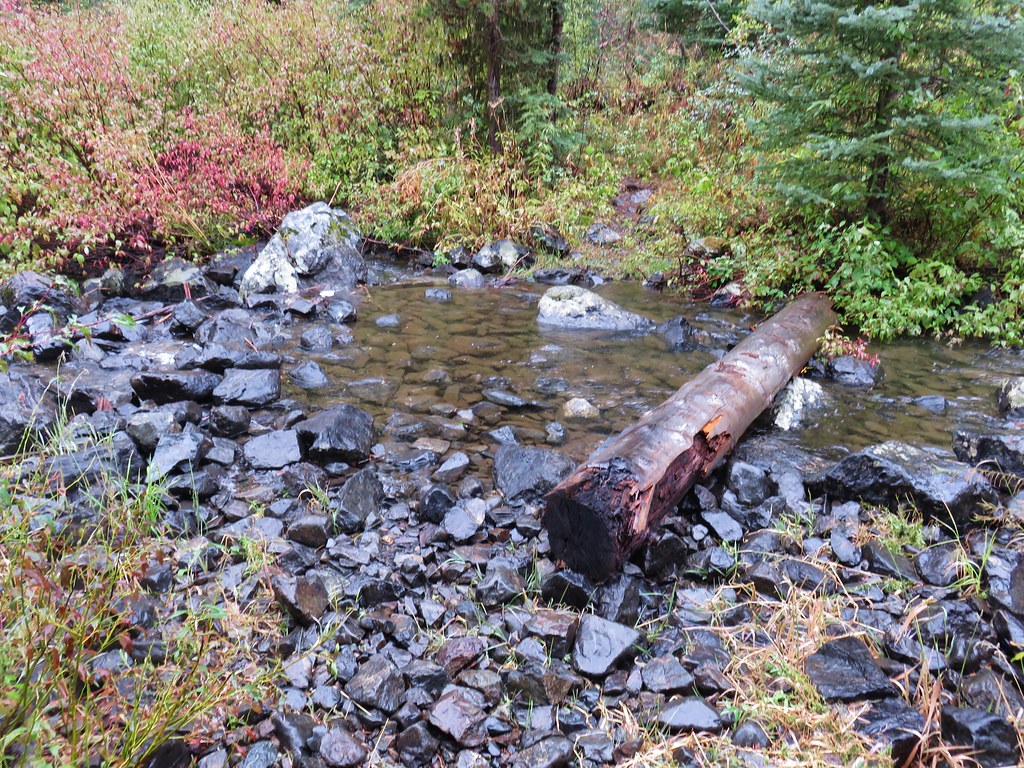
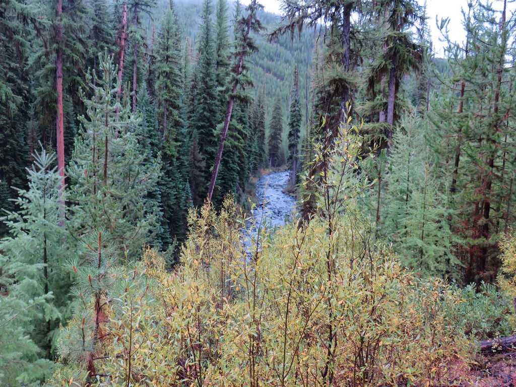
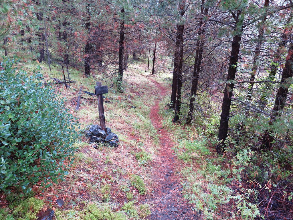
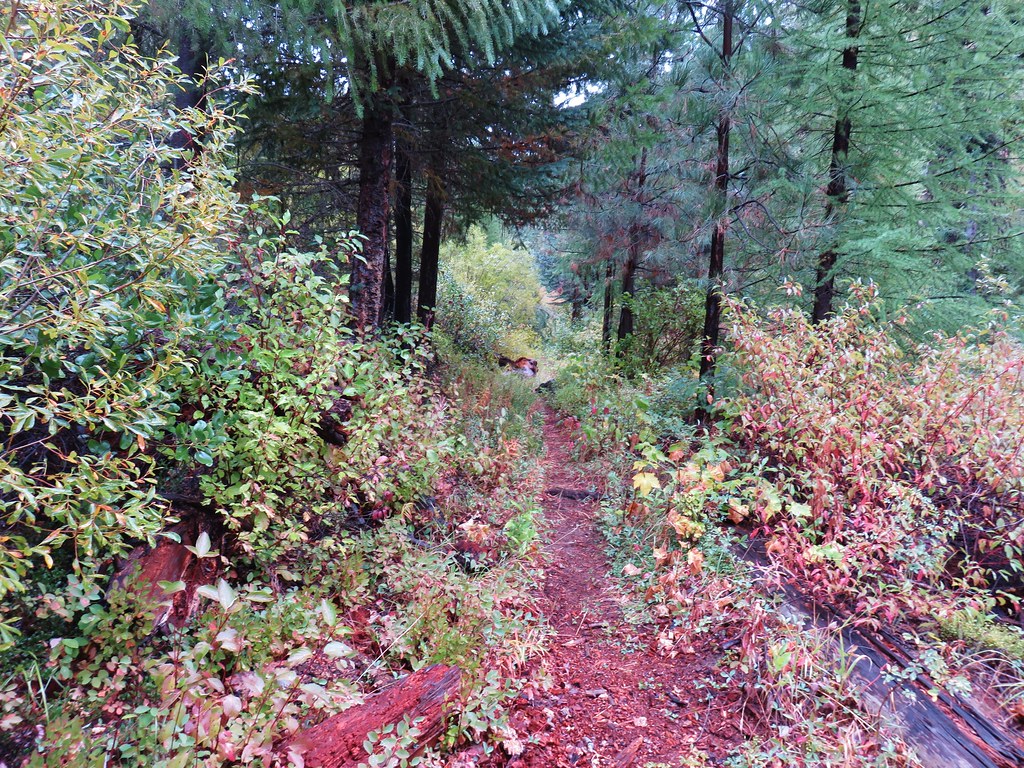
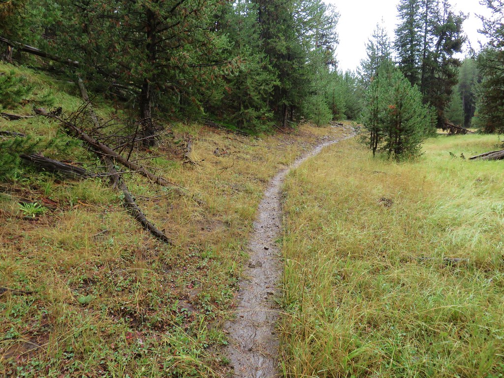
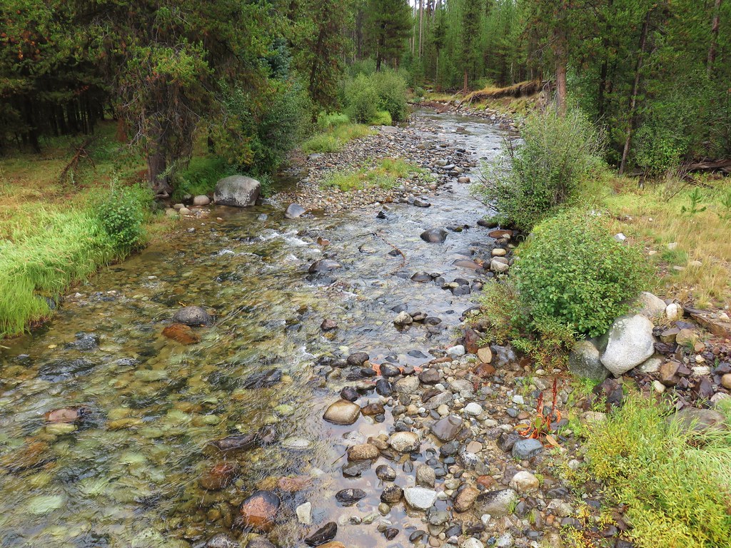
We crossed Trail Creek on a log then passed through a section of forest before arriving alongside the North Fork John Day River.
IMG_9671

IMG_9674

IMG_9678

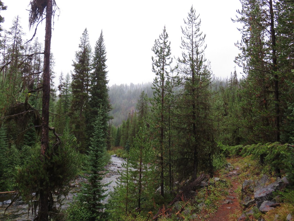
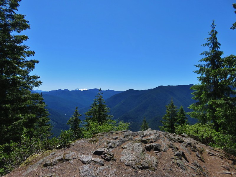
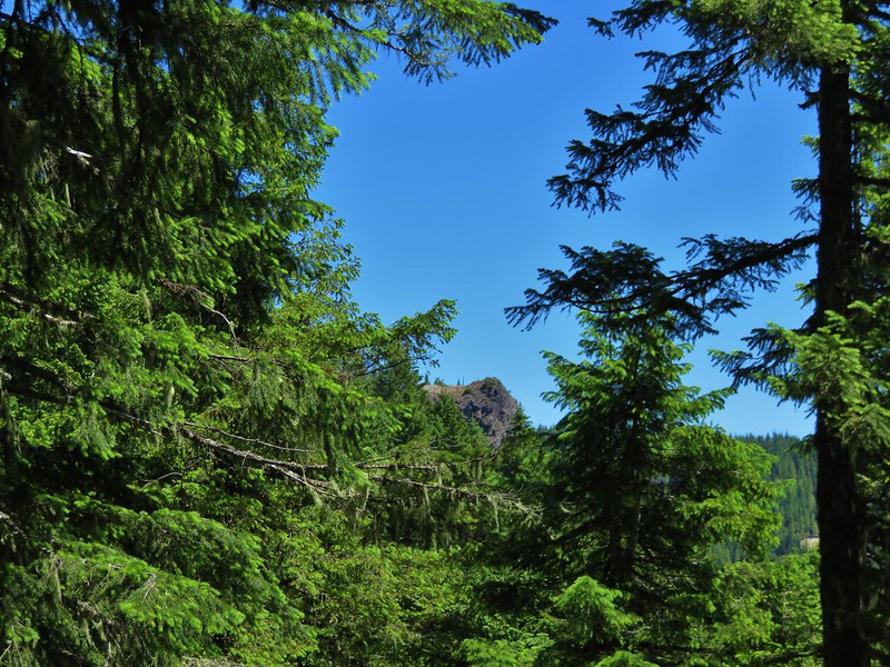
Soon we entered the North Fork John Day Wilderness.
IMG_9681

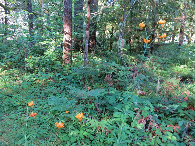
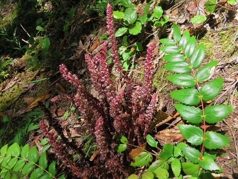
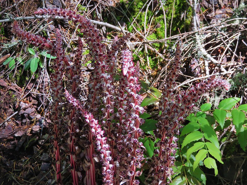
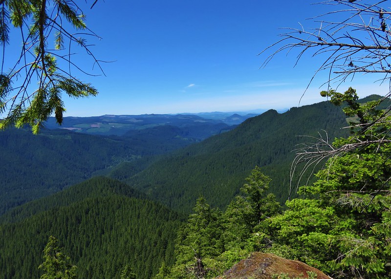
Just two weeks before we’d spent Labor Day weekend backpacking on Mt. Adams (Day 1 and Days 2 & 3) in 80 degree temperatures and we’d just driven through snowy winter landscape but along the river was the first time this year that it had felt unmistakably like Fall.
IMG_9686

IMG_9713

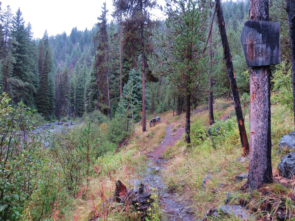
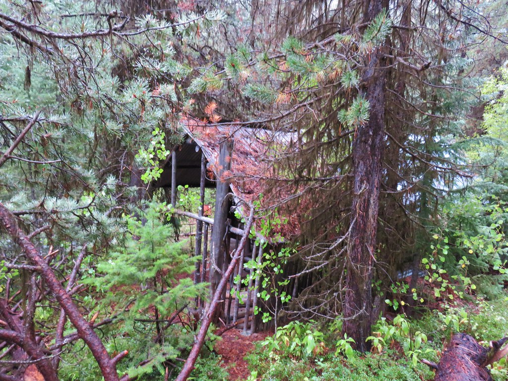
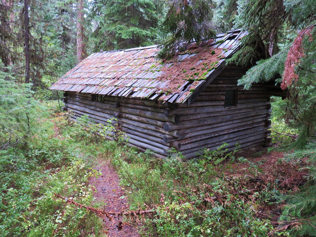
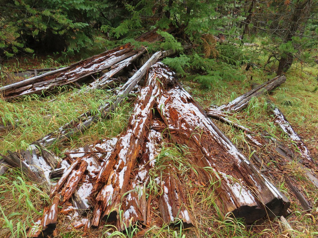
We passed several mining ruins before arriving at the “Bigfoot Hilton” at the 2.6 mile mark.
IMG_9694

IMG_9696

IMG_9720

IMG_9721

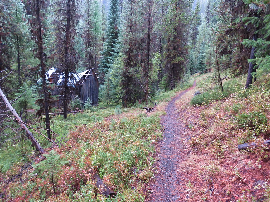
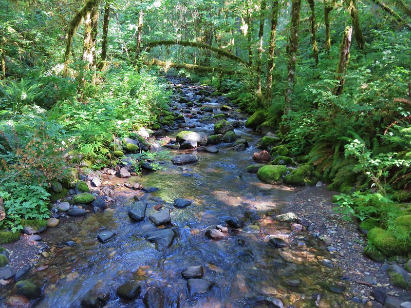
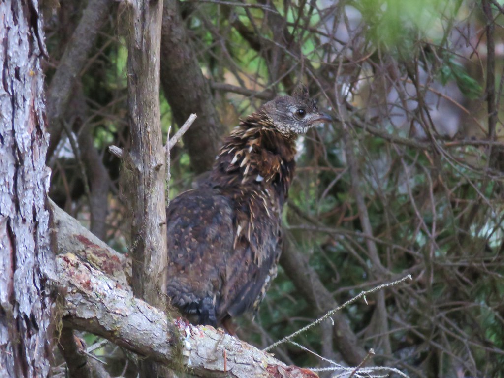
We hopped across Trout Creek just beyond the Bigfoot Hilton and continued further into the wilderness occasionally being startled by grouse.
IMG_9723

IMG_9725

IMG_9734

IMG_9709

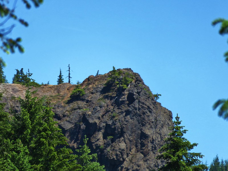
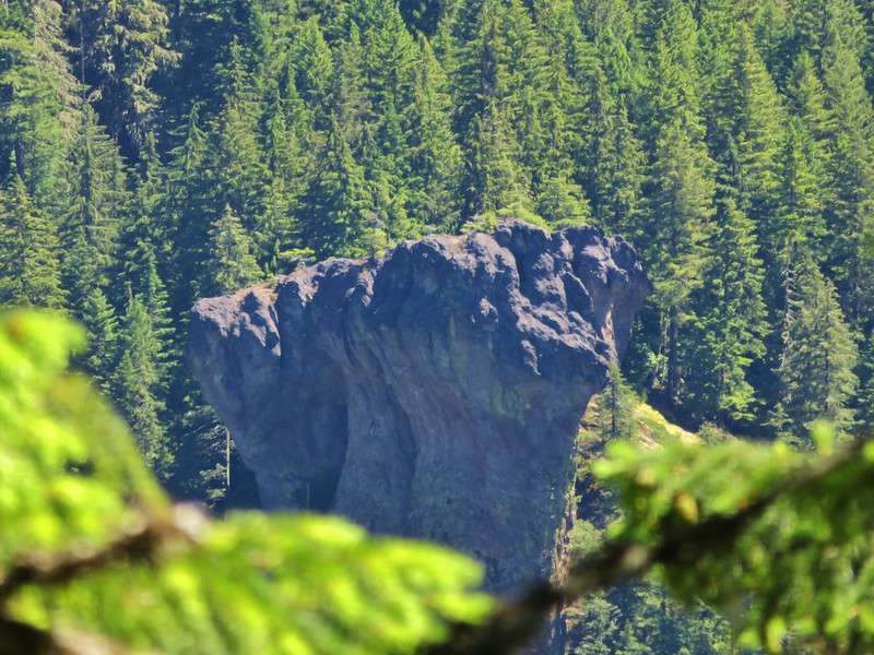
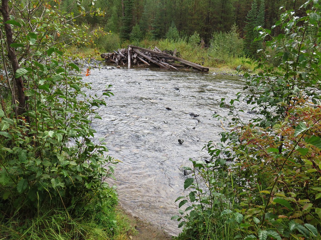
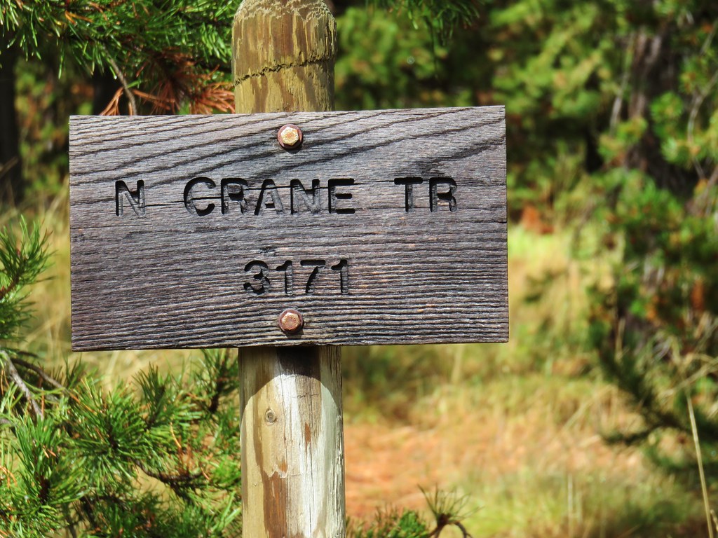
Four miles from the Bigfoot Hilton we came to a junction with the Crane Creek Trail.
IMG_9752

Here we turned left for .2 miles down to the North Fork John Day River.
IMG_9754

After talking with a group of bow hunters camped near by we faced a choice, go back the way we’d come or ford the river and continue on a loop. It would have been a little shorter to go back the way we’d come but the prospect of a loop was too appealing, besides we were already wet so staying dry wasn’t an option.
IMG_9755

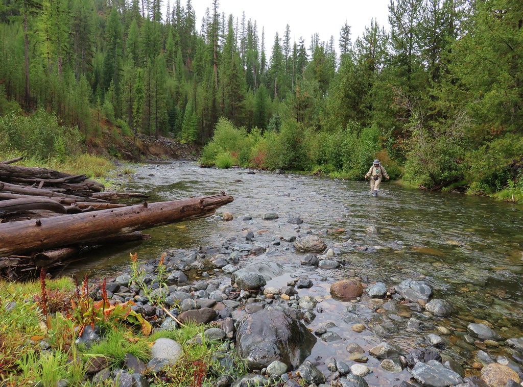
The calf deep water was reasonably warm all things considered which was a nice surprise. On the far side we met a couple of Oregon Department of Fish and Wildlife employees on their way to do a three day Chinook salmon survey. We wished them luck with the weather before continuing on our respective ways.

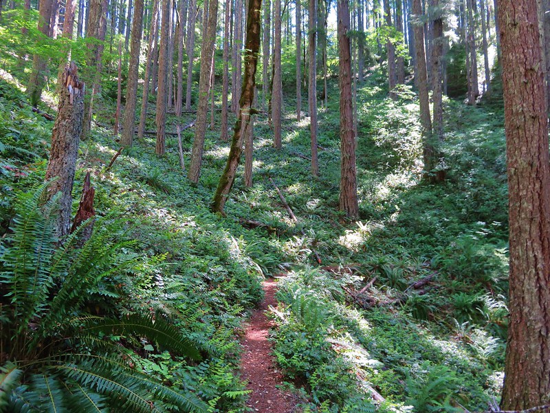
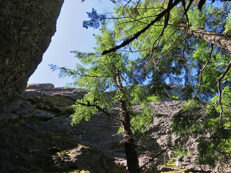
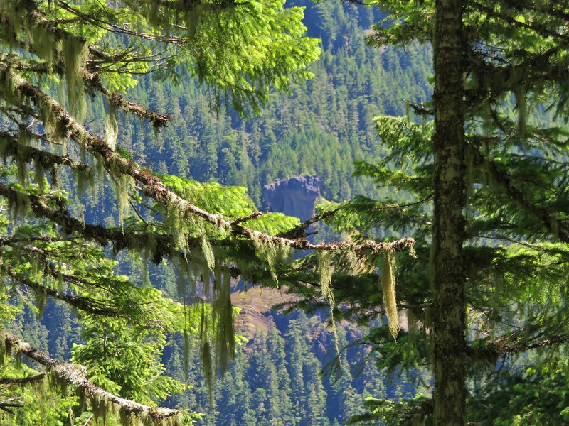
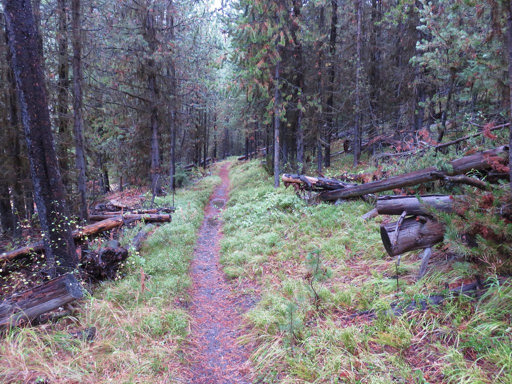
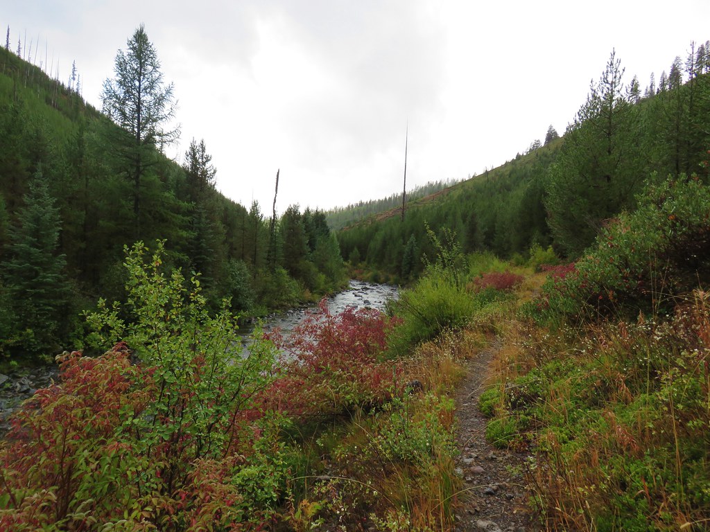
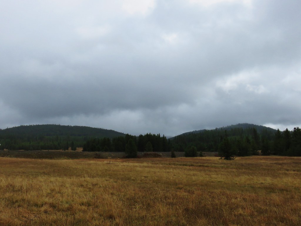
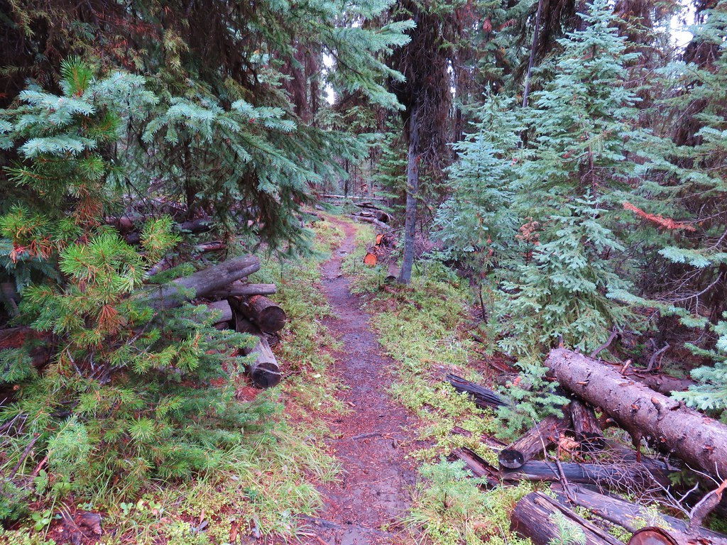
The Crane Creek Trail was much more overgrown than the North Fork John Day Trail but it was relatively free of blowdown.
IMG_9763

IMG_9769

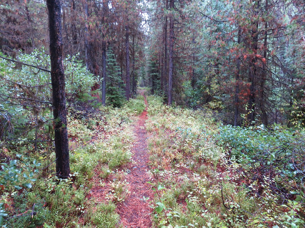
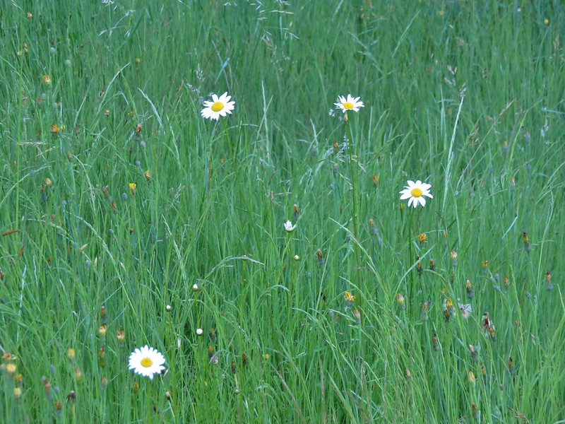
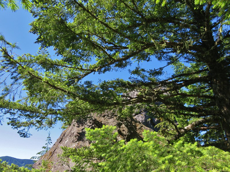
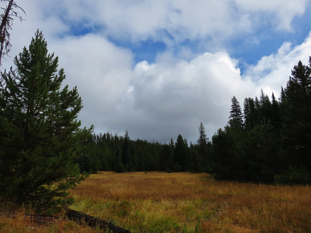
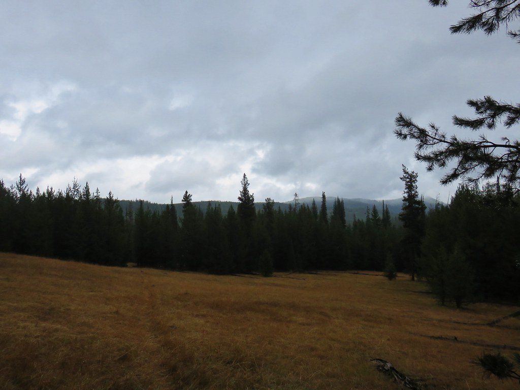
The trail climbed steadily for 4.1 miles to the Crane Creek Trailhead, the last portion passing through the meadows of Crane Flats where we found most of the snow had melted.
IMG_9783

IMG_9792

IMG_9800

IMG_9808

IMG_9810

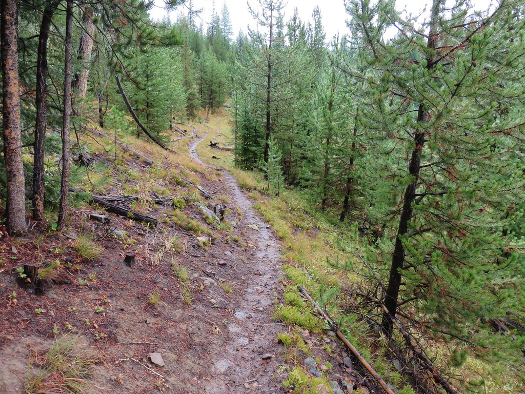
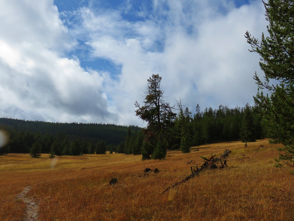
At the Crane Creek Trailhead we picked up the North Crane Trail which would lead us back to the North Fork John Day Trailhead.
IMG_9813

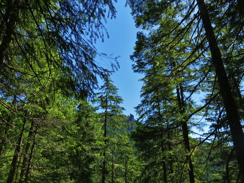
Remnants of the morning snow remained along this 2.6 mile trail as it passed through alternating meadows and forest.
IMG_9823

IMG_9828

IMG_9827

We had been expecting to have to ford the river again to get back to the trailhead but ended up taking a right at some point when the actual trail veered left and popped out onto Road 73 just before the river a quarter mile from our car. We crossed the river on the road and walked through the campground to our car.
IMG_9832

It was a much warmer hike than we had been expecting and a really enjoyable 14 mile loop. We would be heading back to the same area the next day for another hike at a higher elevation but for now it was time to head back to Sumpter and get cleaned up. Happy Trails!

Flickr: North Fork John Day River

Categories
Hiking Middle Santiam Old Cascades Oregon Trip report

Cascadia State Park and Rooster Rock

Once again we found ourselves rearranging our scheduled hikes after we had to cancel a planned visit to Central Oregon. We needed to stay home and finish giving our cat Buddy medication after he had a tooth extraction. We settled on a pair of hikes along Highway 20 east of Sweet Home, OR beginning at Cascadia State Park.

Cascadia State Park is less than 15 miles from Sweet Home and offers one year round picnic area and a camground, group tent site, and a second picnic area open from May 1st – September 30th. It also offers some short hiking trails which is what prompted our visit. After turning into the park and crossing the South Santiam River we parked at the west picnic area. The first trail we set our sights on was the Soda Creek Falls Trail. This trail began from the road to the group camps and day use area just before it crossed Soda Creek.
Soda Creek Falls Trailhead

The trail was a bit muddy in spots as it followed the creek up to the falls. The falls were set in a scenic canyon tumbling over and down basalt.
Soda Creek Falls

An easy path went down to the base of the falls and the low volume of water made it possible to walk right up to them.
Soda Creek Falls

Soda Creek Falls

We returned to where we had parked and walked across the entrance road to a sign for the Soda Springs Trail.
Soda Springs Trail - Cascadia State Park

This trail led down to a footbridge over Soda Creek and then on to Soda Springs.
Trail down to Soda Springs

Soda Springs

We followed the trail up from the spring site and then took a right hand path down some stairs to the South Santiam River.
Stairs in Cascadia State Park down to the South Santiam River

South Santiam River

We spent some time exploring on the exposed river rock where we spotted some aquatic bugs and small minnows.
South Santiam River

Bug in the South Santiam River

Minnows in the South Santiam River

After climbing back up from the river we continued through the east picnic area and walked along a service road which passed through a large meadow with a few flowers.
Daisies in Cascadia State Park

At the far end of the meadow we left the service road and passed through an off-leash area for pets where we found lots of tiger lilies.
Tiger lilies

From the off-leash area we picked up the River Trail which began at the group camp parking lot and led east along the South Santiam River. We took a couple of side trails, one to a meadow of plectritis and a second down to the river.
Plectritis along the South Santiam River

South Santiam River

Although there were no signs posted the trail eventually left the State Park and passed onto private land at the start of a series of bends in the path. We turned around here and headed back to the west picnic area and our car.

From Cascadia State Park we drove another 7 miles east to a pullout across from Trout Creek Campground. A pair of trails began here, the short Walton Ranch Interpretive Trail and the more strenuous Trout Creek Trail.
Walton Ranch Interpretive Trail Trailhead

Trout Creek Trail Trailhead

We began with the Walton Ranch Trail which crossed Trout Creek and climbed a little over a quarter mile to a viewing platform. From Winter to early Spring an elk herd winters in the meadow across Highway 20 from the platform but being June the only things we spotted were flowers.
Trout Creek

Interpretive sign along the Walton Ranch Interpretive Trail

Walton Ranch meadow

It was now time for the most difficult hike of our day. The Trout Creek Trail gains approximately 2400′ in 3.4 miles to the site of two former cabins near Rooster Rock in the Menagerie Wilderness. The wilderness contains several large rock pinnacles/formations which are volcanic in origin and popular with rock climbers.

To be honest this was a hike that had not been high on our list to do. Although it was included in all our guidebooks for the area none of them seemed to be all that enamored with this hike. It was described as being “short on highlights”, “a good conditioning hike”, and “the least interesting hike in the Old Cascades”. Having low expectations may have been a good thing in the end because we wound up enjoying the hike even though it did suffer from a lack of highlights, and it was quite a workout.

The trail climbed steadily the entire time. It was never overly steep but it was relentless and it never left the forest so there were no good views along the way. There were also no creeks or streams to cross along the route.
Trout Creek Trail

Trout Creek Trail - Menagerie Wilderness

Best view of Rooster Rock from the Trout Creek Trail
Rooster Rock from the Trout Creek Trail

There were a few flowers including lots of candy sticks along the way and some ripe red huckleberries too.
Madia
Madia

Rhododendron and huckleberries
Rhododendron and red huckleberries

Candy sticks
Candy sticks

Candy sticks

Candy sticks

There was effectively no view of Rooster Rock at Rooster Rock. A large boulder sat at its base and trees hid the rock.
Boulder near Rooster Rock

Rooster Rock from below

Rooster Rock behind a tree

We continued uphill from Rooster Rock forking right to the site of the former cabins that were used by the lookouts who staffed a lookout that had sat atop Rooster Rock once upon a time. The view from the former cabin site was better than we had expected. Rooster Rock was still out of view, but the view east extended up the South Santiam River canyon to the snowy peaks of North and Middle Sister.
North and Middle Sister from the former lookout site near Rooster Rock

North and Middle Sister from the former lookout site near Rooster Rock

Other familiar peaks included Cone Peak and Iron Mountain.
Cone Peak and Iron Mountain from the former lookout site near Rooster Rock

The rocks around the viewpoint were dotted with purple penstemon and yellow stonecrop.
Penstemon

Penstemon

From the cabin site a climbers trail continued deeper into the Menagerie Wilderness. The climbers trail would have eventually taken us to a forest service road on the north side of the wilderness and made it possible to visit Panorama Point, a viewpoint atop a large rock cliff. To get there the trail passes through a section of the wilderness that is closed annually from 1/15 – 7/31 to protect endangered species so we only went a little ways further into the wilderness in an attempt to find a better view of some of the other rock features. We turned around at some pink flagging that was in the area of the closure never having found a decent view. Panorama Point was visible for a moment through some trees as was another odd shaped pinnacle.
Panorama Point

Panorama Point

Rock pinnacle in the Menagerie Wilderness

Rock pinnacle in the Menagerie Wilderness

Heather did manage to find a spur trail that led to a view of Rooster Rock and to the west toward the Willamette Valley.
Rooster Rock from a viewpoint in the Menagerie Wilderness

Rooster Rock from a viewpoint in the Menagerie Wilderness

Looking west from a viewpoint in the Menagerie Wilderness

She also spotted the summit of South Sister barely rising above one of the foothills.
The snowy summit of the South Sister

On our way back to the car we were on the lookout for a wilderness sign. As we visit the various wildernesses I try and get a picture of a wilderness sign for each one and I needed one for the Menagerie Wilderness. We had started looking on the way up but not until we were well into the wilderness so as we neared the edge of the area we began looking back at the trees as we passed. We never did see an official sign so I took a picture of the wilderness regulation sheet on the information board at the trailhead instead.
Menagerie Wilderness sign

Someday we may have to try the Rooster Rock Trail (a shorter,steeper approach to Rooster Rock) in hopes that there is a fancier sign along that trail but until then we can at least mark off one more wilderness area we’ve visited. Happy Trails!

Flickr: https://www.flickr.com/photos/9319235@N02/albums/72157669592127776