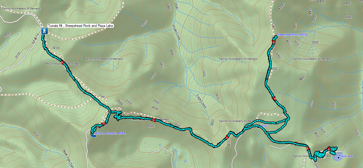
A heat wave arrived for the weekend which had me looking for a hike that might not be too warm. After checking the forecast for a few areas on NOAA the lowest high (78 degrees Fahrenheit) for hikes on our to-do list was in the Salmon-Huckleberry Wilderness near Sheepshead Rock and Plaza Lake.
My original plan for this hike was to start at the Twin Springs Trailhead aka Old Baldy East Trailhead and take the Plaza Trail past Sheepshead Rock to Salmon Mountain then drive (or road walk) on to the Plaza Lake Trailhead to visit the lake. As I was doing more research to prepare for the hike, I read a couple of different reports mentioning a rough 10.5-mile final stretch of road to that trailhead. An alternative was to drive to the Old Baldy West Trailhead, an entirely paved route which according to Google Maps was also an hour shorter drive from Salem. Starting here would put Salmon Mountain out of reach distance wise, but the route would pass the cutoff to Tumala Mountain which we had visited in 2019 (post).
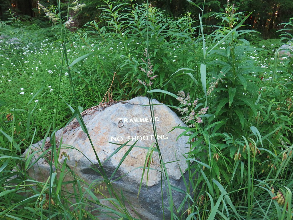
The plan was now set but the day before the hike Heather started feeling a bit under the weather. With her not feeling 100% we decided she would skip this outing. I set off extra early hoping to keep things as cool as possible arriving at the trailhead a little after 6am.

 Rhododendron at the trailhead.
I turned right on the Old Baldy Trail and after passing the Eagle Creek Cutoff Trail on my left I quickly remembered how steep some of the climbs were on this trail.
 Eagle Creek Cutoff Trail on the left just before the first steep climb.
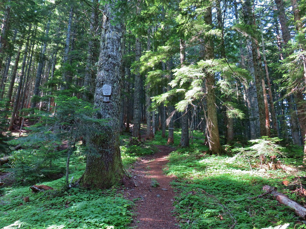
 Salmon-Huckleberry Wilderness sign. I would be in and out of the wilderness several times on my route.
 Pictures rarely capture the actual steepness of the trails but the third of a mile past this trail sign had me wondering if I was going to be able to complete my planned hike.
The trail leveled out for a short distance allowing me to catch my breath and then dropped to a saddle before climbing again, but at a more reasonable grade.

 Starting the descent to the saddle.
 The Fanton Trail joins on the right from below around three-quarters of a mile from the Old Badly West Trailhead.
 Coral fungus
Approximately 1.25-miles from the trailhead I arrived at a junction with the Tumala Mountain Trail.
 The Old Baldy Trail turns left here while the Tumala Mountain Trail continues straight.
 A small unreadable sign was the only identifier for the continuation of the Old Baldy Trail. I was a little concerned seeing blowdown on this trail from the junction but as it turned out the trail was in good shape and the trees that were down were easily stepped over.
I had decided to save Tumala Mountain for later since I had already been up to the summit. While it was only a third of a mile, I wasn’t sure about adding the extra distance and elevation on what promised to be a warm day. The other reason for waiting was that the Sun wouldn’t be between myself and Mt. Hood later in the day, and it surely would have been this early.
The Old Baldy Trail descended for a mile losing roughly 500′, most of it in the first third of a mile.

 One of four switchbacks in the first 0.3-miles.
 Cat’s ear lily

 Cascade lily
The trail leveled out as it passed under some rock outcroppings and crossed a scree slope where I heard the distinctive “meeps” of several pikas but was unable to spot any.

 Oregon sunshine
 Larkspur & ?
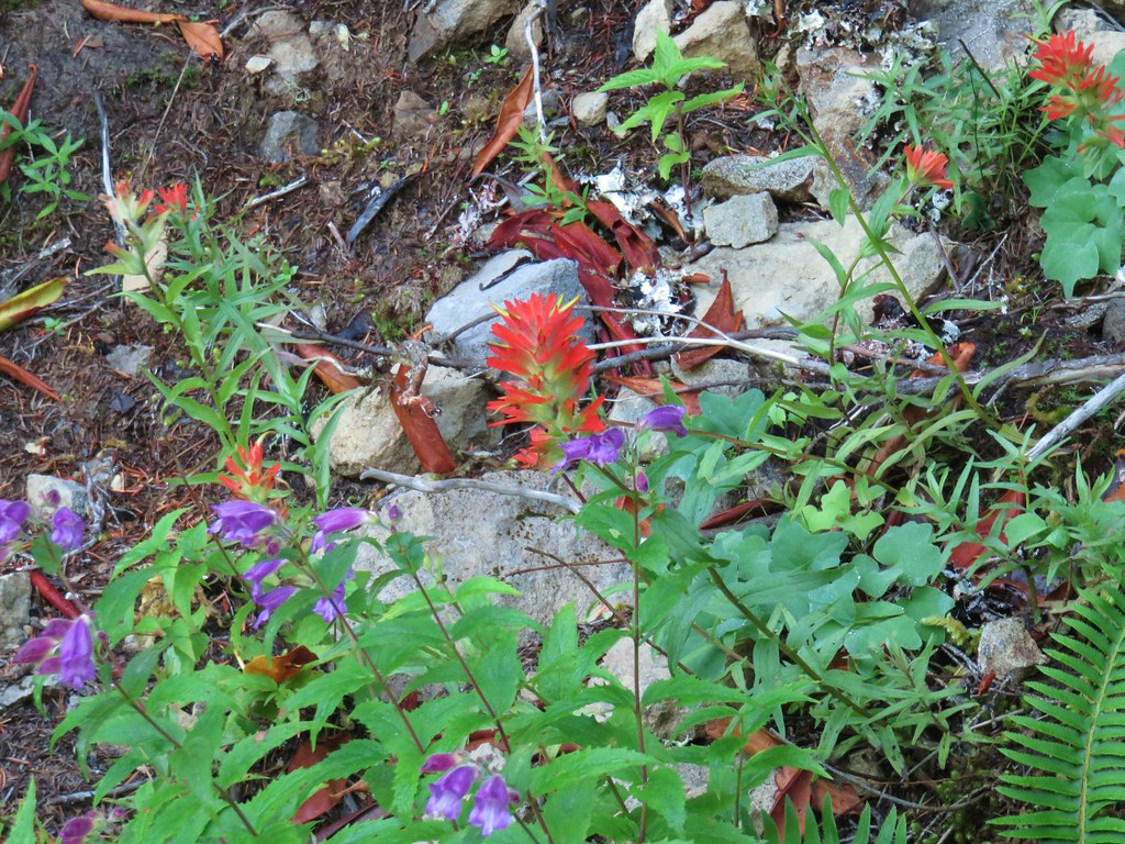
 Paintbrush
 Bunchberry, not sure what is causing the white at the end of the leaves. I’d never noticed that before.
 Lupine

 View at the scree slope
 I’m pretty sure there were at least three pikas down there somewhere.
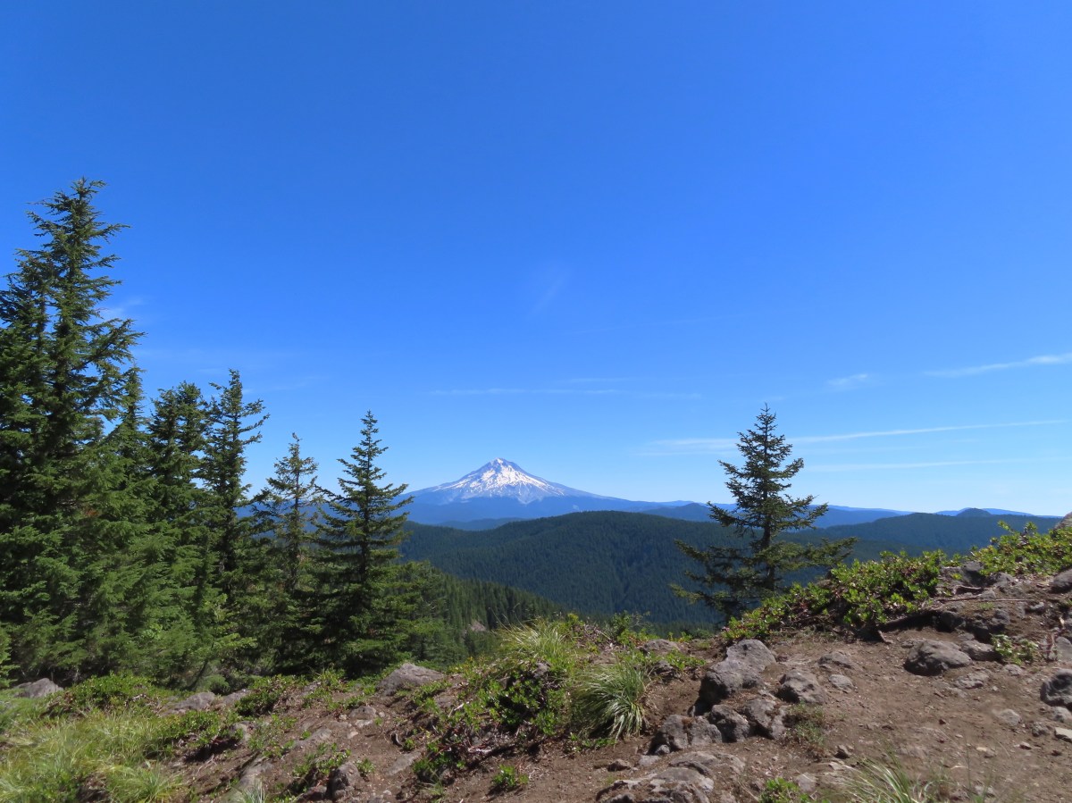
 Tumala Mountain in the center.
 From left to right is East Mountain, Thunder Mountain (post), Fish Creek Mountain (post), and Whaleshead. Sadly, all but Thunder Mountain were burned in the 2020 Riverside Fire.
Beyond the scree slope the trail began a gradual half mile climb to a ridge end where it then descended for a quarter mile to the Twin Springs Trailhead.
 Little prince’s pine
 Cascade lilies, a few lupine and a paintbrush.
 Carolina bugbane and foam flower.
 Spur trail from the Twin Springs Trailhead (Old Baldy East) on the right.
To reach the Plaza Lake Trail I would need to hike Forest Road 4610 just under a mile from the Twin Springs Trailhead while Sheepshead Rock was another 1.5-miles along what was now the Plaza Trail.
I had been wrestling with whether to visit Sheepshead Rock or Plaza Lake first. It was still early enough that the Sun would likely be influencing the quality of view from Sheepshead Rock and the trail to Plaza Lake would require a 500′ climb back up the half mile Plaza Lake Trail. Visiting the lake first would give the Sun time to travel further West and mean I would be making that climb a little earlier in the day. The argument for Sheepshead Rock first was that the lake was the only source of water along my route and doing the 3.2-mile out-and-back to the viewpoint before the lake would give me a better idea of whether or not I would need to replenish any water for my return hike. (I had brought an extra Hydro Flask full of water along with my usual 3-liters.) In the end visiting Sheepshead Rock first won out due to the water so I stayed straight on the Plaza Trail.

The Plaza Trail climbed very gently through the forest, at first running somewhat parallel to FR 4610 before turning left (North) at an old roadbed. This was the sight of the former Plaza Guard Station. Supposedly there was an old stone fireplace here but I wasn’t able to spot it at all.

 Part of the foundation at the former guard station site.
 The old road.
The trail continued its gradual climb crossing the “Plaza”, a wide area along the ridge where avalanche lilies were blooming in large numbers.


Mosquitos had been a bit of a nuisance all morning and here every time I stopped for pictures a high-pitched whine reminded me of their presence, so I kept my stops to a minimum.
 Not a big beargrass year but there was a few blooming along the trail.
Beyond the Plaza the ridge narrowed and the trail dopped a little to traverse along its side.

I was watching for a small spur trail to the right for Sheepshead Rock and was fooled once.
 I went up this trail to find it just immediately dropped back down to the Plaza Trail.
 The correct spur to Sheepshead Rock.
I turned up the spur trail and made my up Sheepshead Rock.

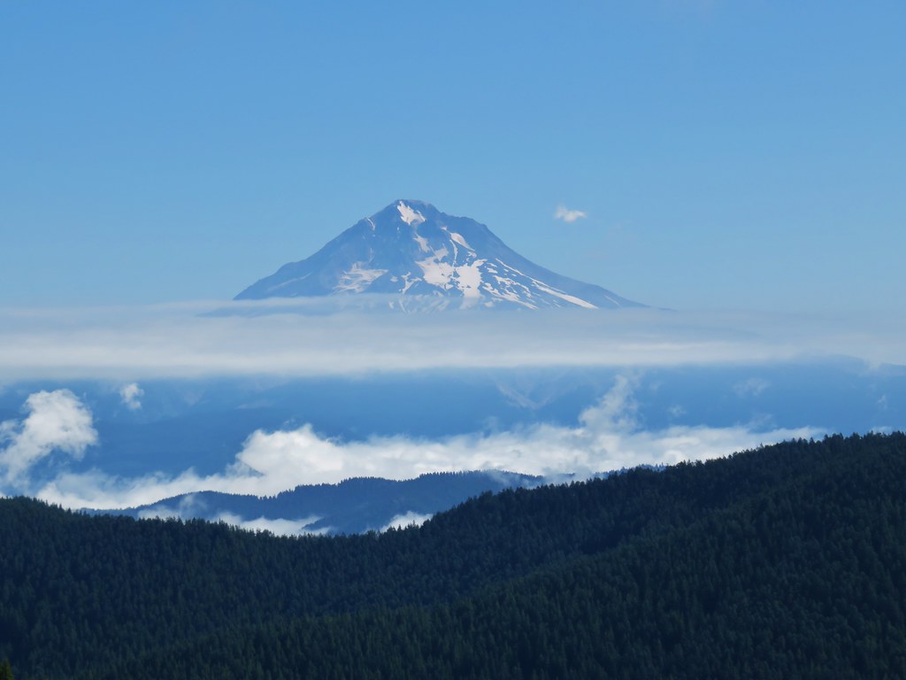
 Mt. Hood

 Mt. Adams and Mt. Hood
 Some light scrambling brought me to the top of the rock.
 Mt. St. Helens, Goat Rocks, and Mt. Adams in the distance. The high point to the left along the forested ridge is Wildcat Mountain (post).
 Mt. St. Helens
 Goat Rocks and Mt. Adams
 Mt. Hood with the South Fork Salmon River valley below.
 Orange agoseris
 Oregon sunshine and yarrow
 Saxifrage
 Penstemon
 Bluebells of Scotland
After a nice, albeit warm, break at the viewpoint I headed back toward the Twin Springs Trailhead. When I arrived back at the old roadbed I got a wild hair and decided to turn onto it. A quick check of the map showed that it was a more direct line to FR 4610 allowing me to cut some distance off total mileage for the day. There were a few downed trees along the way but for the most part it was easy walking and I arrived at FR 4610 in 0.3 miles.


I turned left on FR 4610 and followed it for 0.6 miles to a sign on the left for the Plaza Lake Trail Trail.
 Valerian
 Moth on an arnica.
 The Plaza Lake Trail sign on the left.
A very short, rough spur road led to a couple of parking spaces and the start of the Plaza Lake Trail.

The trail made seventeen switchbacks on the way down to the lake. I was thankful for these on the way back up as they kept the trail from ever being too steep.
 View from one of the switchbacks.
 Pacific coralroot
 Bunchberry with the more familiar all green leaves.
 Plaza Lake below from the trail.
 Twin flower
 There were some nice big trees along the trail.
At one time the Plaza Trail continued beyond the lake all the way to the Salmon River but now it effectively ends at the lake. (Note that there didn’t seem to be any viable campsites at the lake which might be one reason there were signs of people having camped at the trailhead.)

I took another break at the lake to watch the dragonflies, change into dry socks, and check my water supply.

 Looking up from the lakeshore.


After determining that I had sufficient water for the reminder of my hike I made the climb back up to FR 4610 and followed it back to the Twin Springs Trailhead. During the road walk I was passed by two OHVs, the first other people I had seen all morning.

 I’d missed Mt. Hood on the way down.
 Mt. Hood

 Anemones
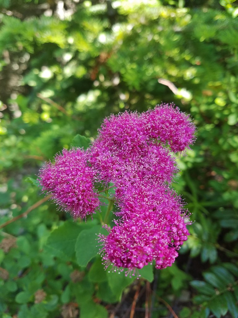
 Spirea and lupine
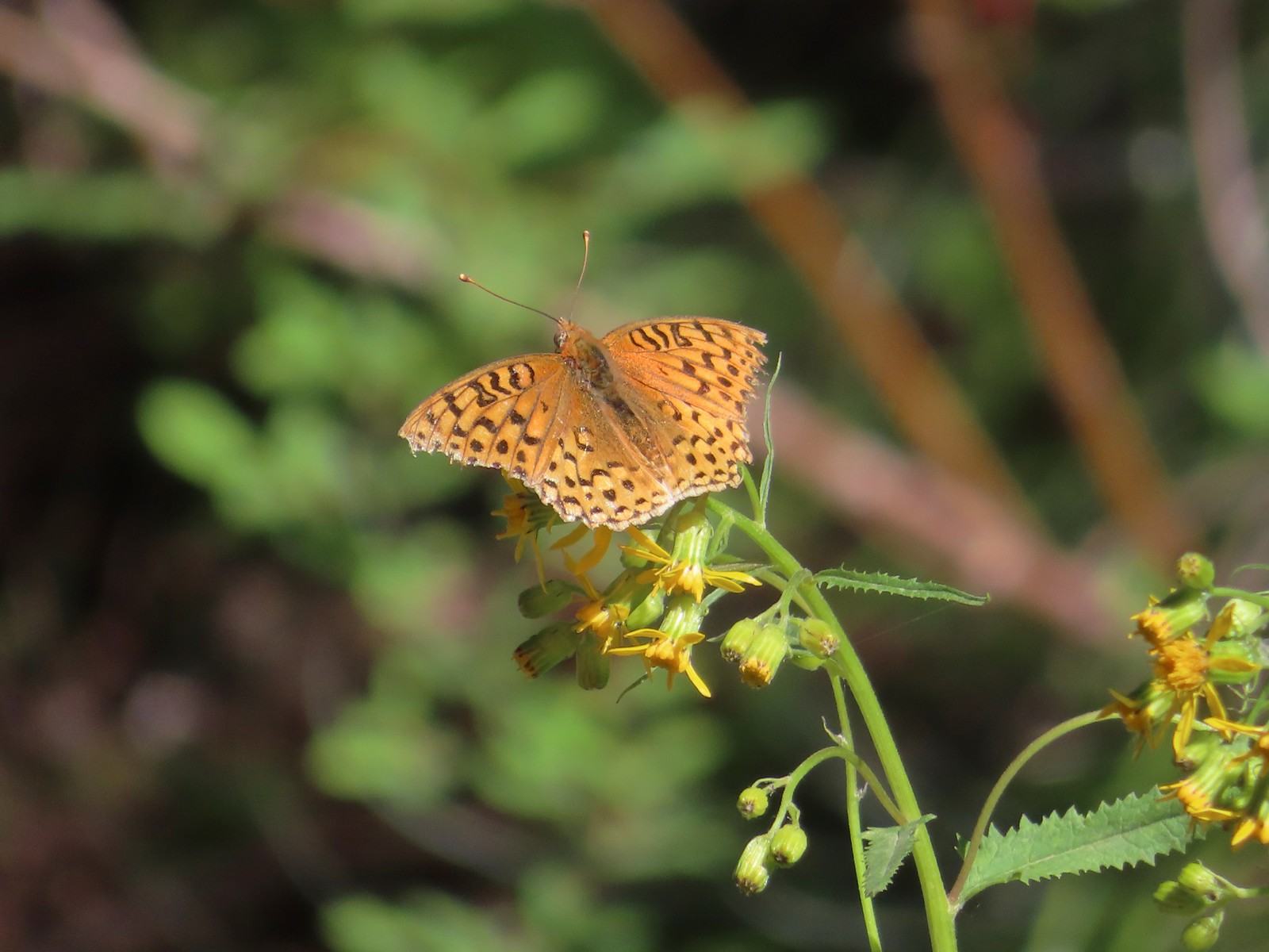 A fritillary butterfly.
 The former Twin Springs Campground was near the trailhead on the opposite side of FR 4610.
 The Twin Springs Trailhead.
 Old Baldy Trailhead sign at the Twin Springs Trailhead.
 Salmon-Huckleberry Wilderness sign (straight ahead) at the Old Bald/Plaza Trail junction.
I turned left onto the Old Baldy Trail and followed it approximately 1.8 miles back up to the junction with Tumala Mountain Trail.
 I stopped again at the scree slope to look for pikas. All was quiet as they apparently had retreated underground to avoid the heat, but with more light in the valley below I could make out a green meadow in the trees.
 Columbine along the trail.
 Grey jay
 Back at the Tumala Mountain Trail junction.
Having seen Mt. Hood from the Plaza Lake Trail and seeing that the view was indeed better than it had been earlier I turned left up the Tumala Mountain Trail and made the 0.3-mile climb to its summit.

 My first view of Mt. Jefferson on the day.
 Mt. Jefferson
 A yet to blossom rhododendron.
 Fading lousewort and valerian.
 A blooming rohdodendron.
I ran into the first other hiker of the day at the former lookout site. She mentioned that she had planned on hiking from the Old Baldy East Trailhead but wound up at the Old Baldy West Trailhead instead. She had put Old Baldy Trailhead as her destination in her driving directions instead of Twin Springs so it took her to the same trailhead I’d started at. The view from the summit was clearer than it had been on my previous visit.
 Mt. Hood. The scree slope is also visible through the trees on the hillside to the lower right.

I wandered along the rocky summit a bit to get different views. Along with the hiker at the former lookout site there was a radio operator and another pair of hikers in the area.
 Mt. Jefferson in the distance.
 Mt. Jefferson
 Three Fingered Jack and the Three Sisters
 More Cascade lilies.
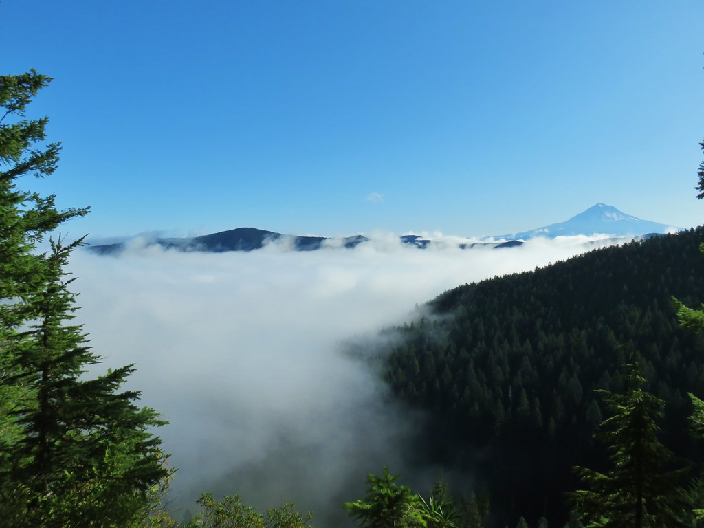
 Mt. St. Helens in the distance.
 Mt. St. Helens
 A better view of the scree field and the meadows below Tumala Mountain.
Parts of Mt. Adams were also visible, but I wasn’t able to find a spot without trees in the way to get a clear view. Satisfied with the views I headed back down to the Old Baldy Trail and then continued on returning to the trailhead.
 Penstemon and lupine.
 Passing the Fanton Trail junction on the way back.
 Looking at the final climb of the day from the saddle.
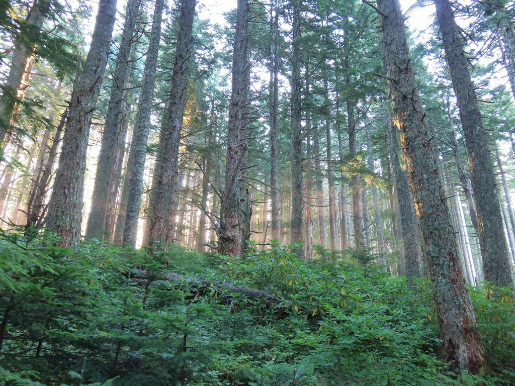
With most of the trails passing through forest there was a lot of shade so despite it reaching the 70s by the time I was finishing at Noon it never felt uncomfortably hot. I hadn’t needed all of my 3-liters of water, but I was close to needing to break into the Hydro Flask. The hike itself came in at 12.9 miles with 3240′ of elevation gain. {My shortcut on the closed road from the guard station site to FR 4610 cut 0.6-miles off.)
While I missed having Heather with me the combination of warm weather and mosquitos made this a good one for her to miss. She seemed to be feeling quite a bit better when I got home so hopefully I won’t be heading out solo again in the foreseeable future. Happy Trails!


 Wildcat Mountain (


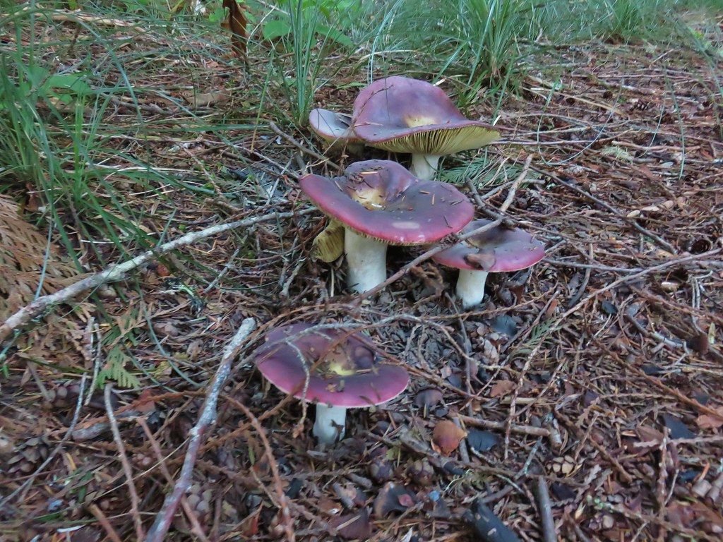
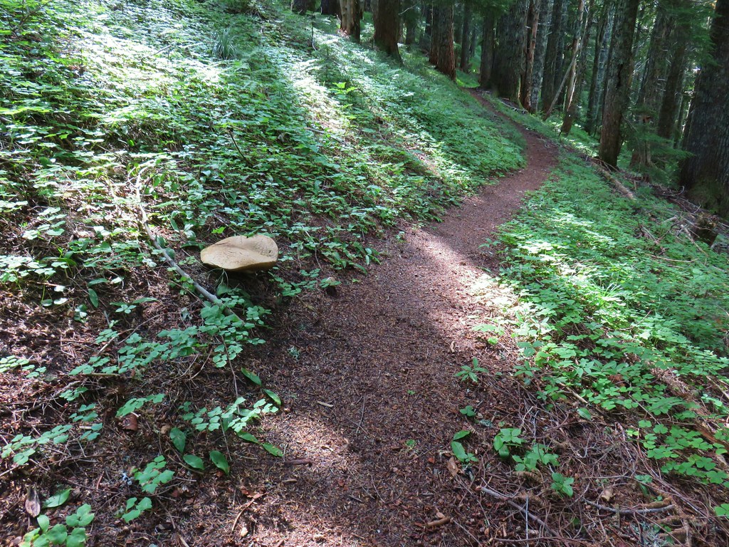 Huge mushroom along the downhill.
 Fanton Trail coming up from the right.


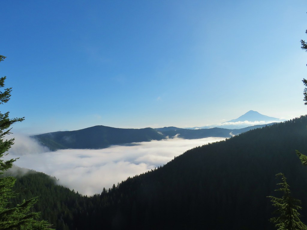
 Three Fingered Jack and the Three Sisters even further south.
 Looking west into the cloud covered Willamette Valley.
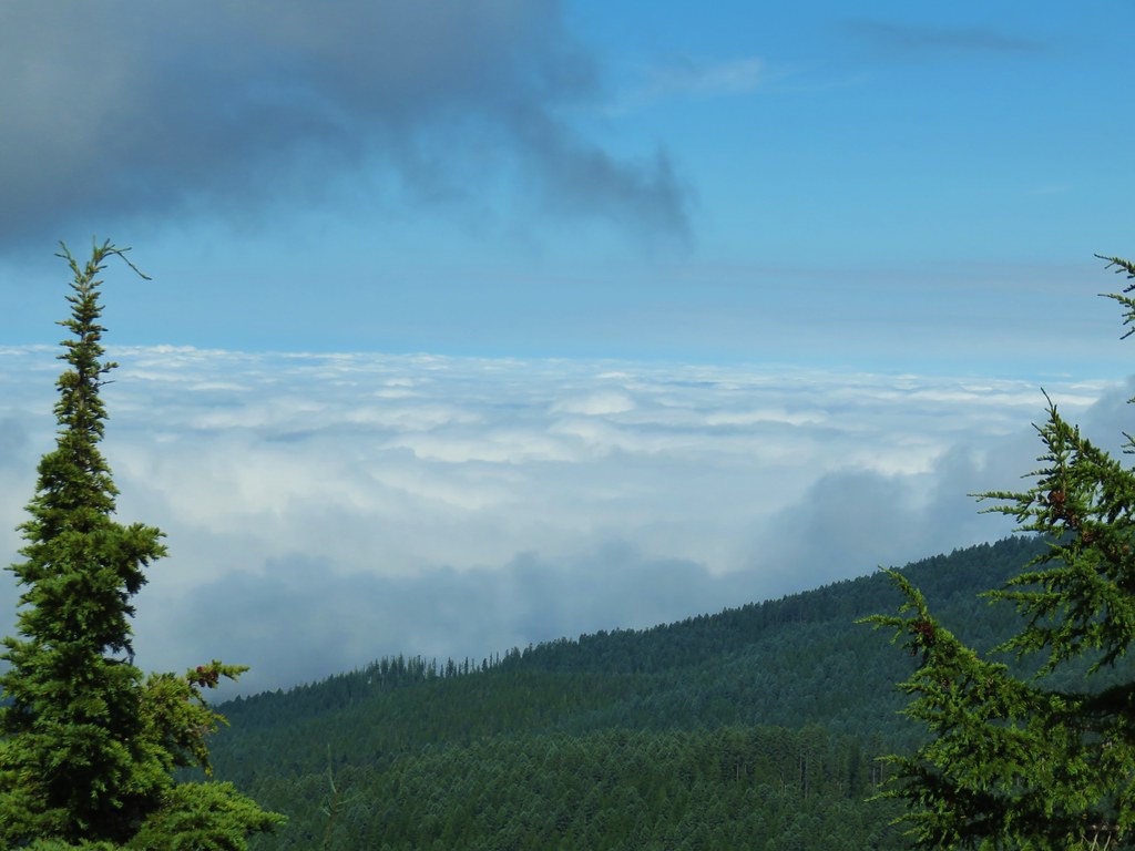
 Stairs to the former lookout.
 Mt. Hood from the former lookout site.