
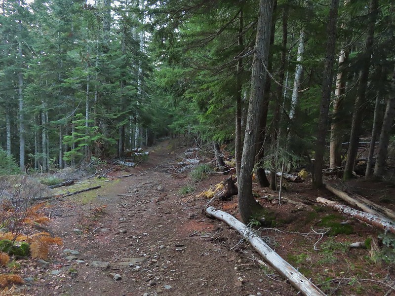
We’re continuing to whittle away at the hikes contained in Matt Redder’s various guidebooks (Off the Beaten Trail!) and were down to just two of the 55 hikes from the second edition of “Off the Beaten Trail”. One of those is a bit too far from Salem to be a day hike, but the Underhill Trail is just a 2:15 drive if traffic is cooperative. Leaving between 4:45 and 5am usually means that traffic isn’t a problem on the way to trailhead, but coming home is always a different story.
Reeder’s suggested hike for the Underhill Trail is an out-and-back to Fifteenmile Creek which for us came to 6.3-miles with approximately 1600′ of elevation gain.
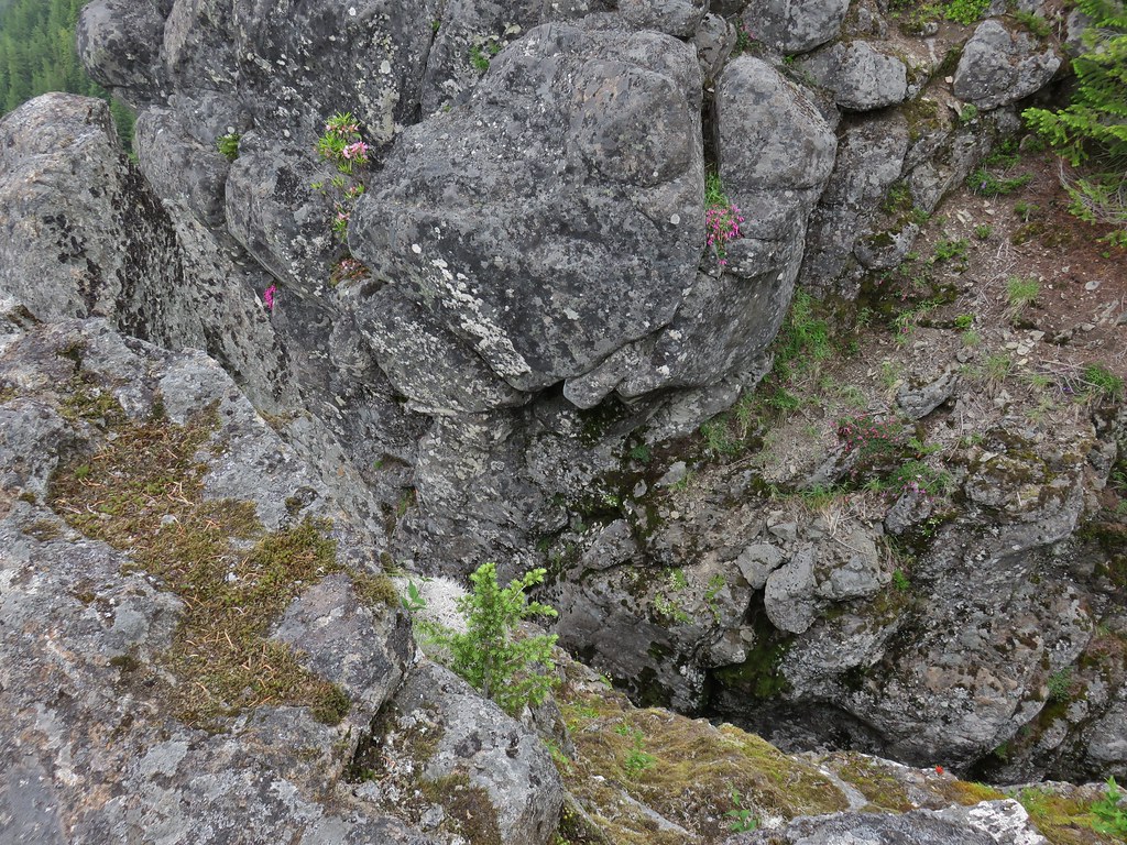
 Clearly the trail has been realigned based on where the map shows it is and where our track shows we were.
Since that hike alone would have led us to violating our self-imposed rule of not spending more time driving than hiking on day hikes we wanted to add some hiking miles. We had some options including continuing down Fifteenmile Creek three miles on a seldom used section of trail. We also could have hiked upstream along Fifteenmile Creek, but we had hiked the trails leading upstream in 2016 on an 11.9-mile loop (post). The third option was to try another nearby hike which is the option we chose. We picked the Eightmile Loop based on its proximity to the Underhill Trail (less than 5 miles) and length.
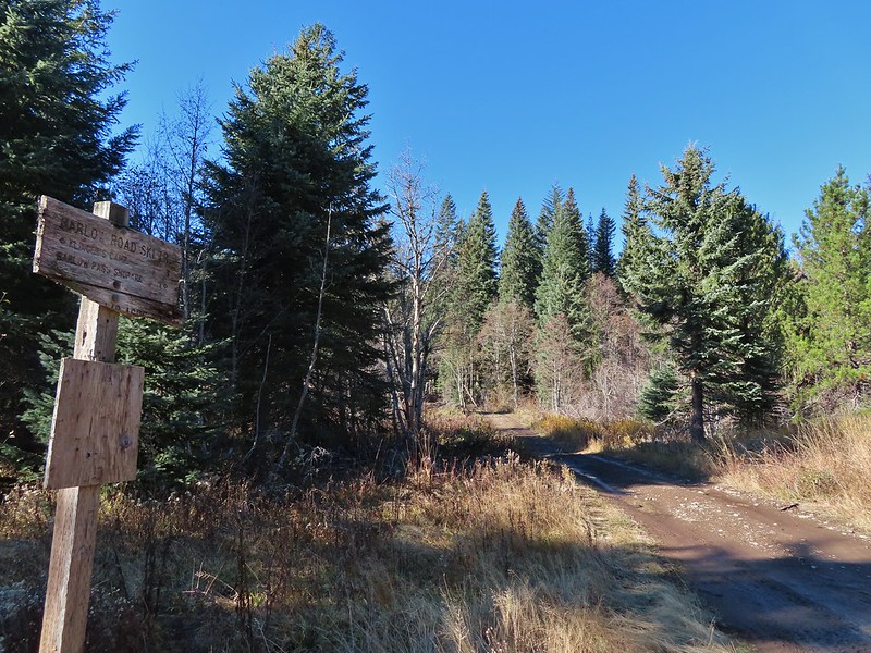
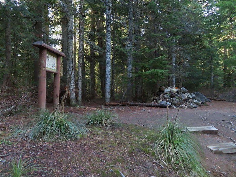
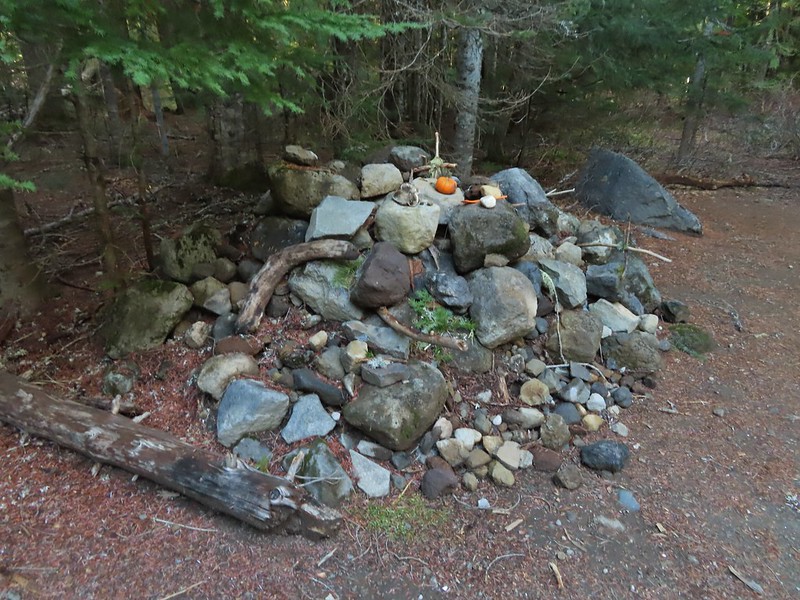
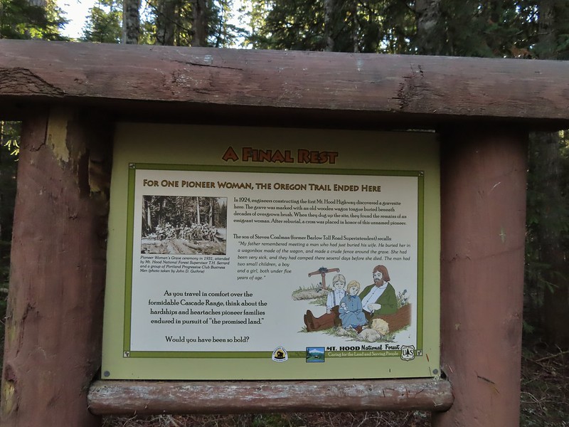
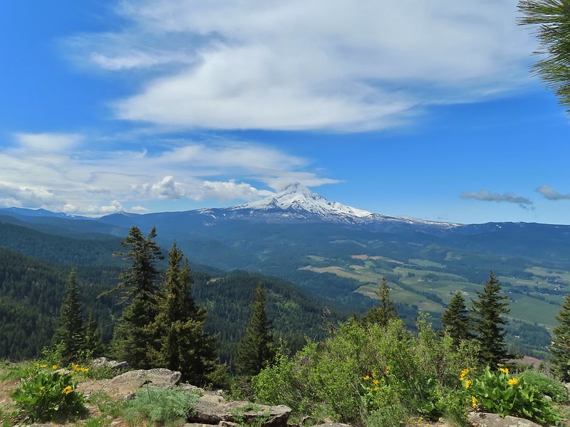
We began our day at the Underhill Site.


Scarlet gilia with the Underhill Site picnic shelter in the background.
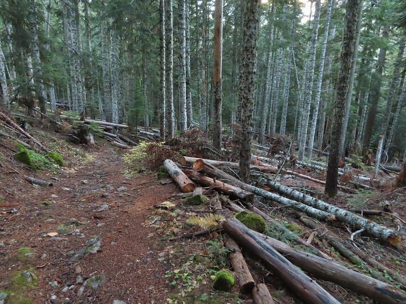
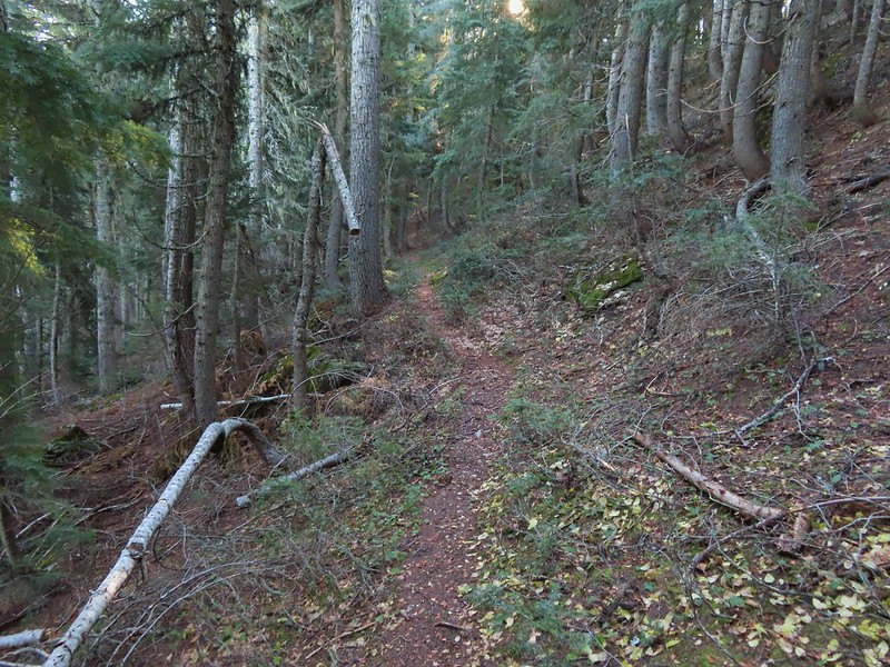
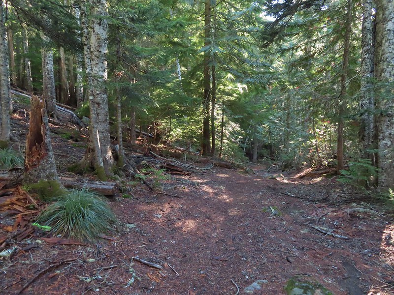
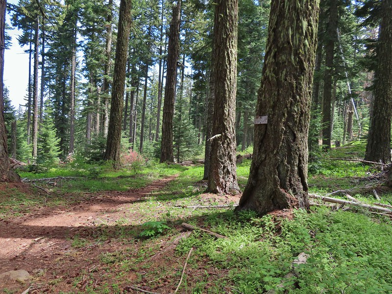
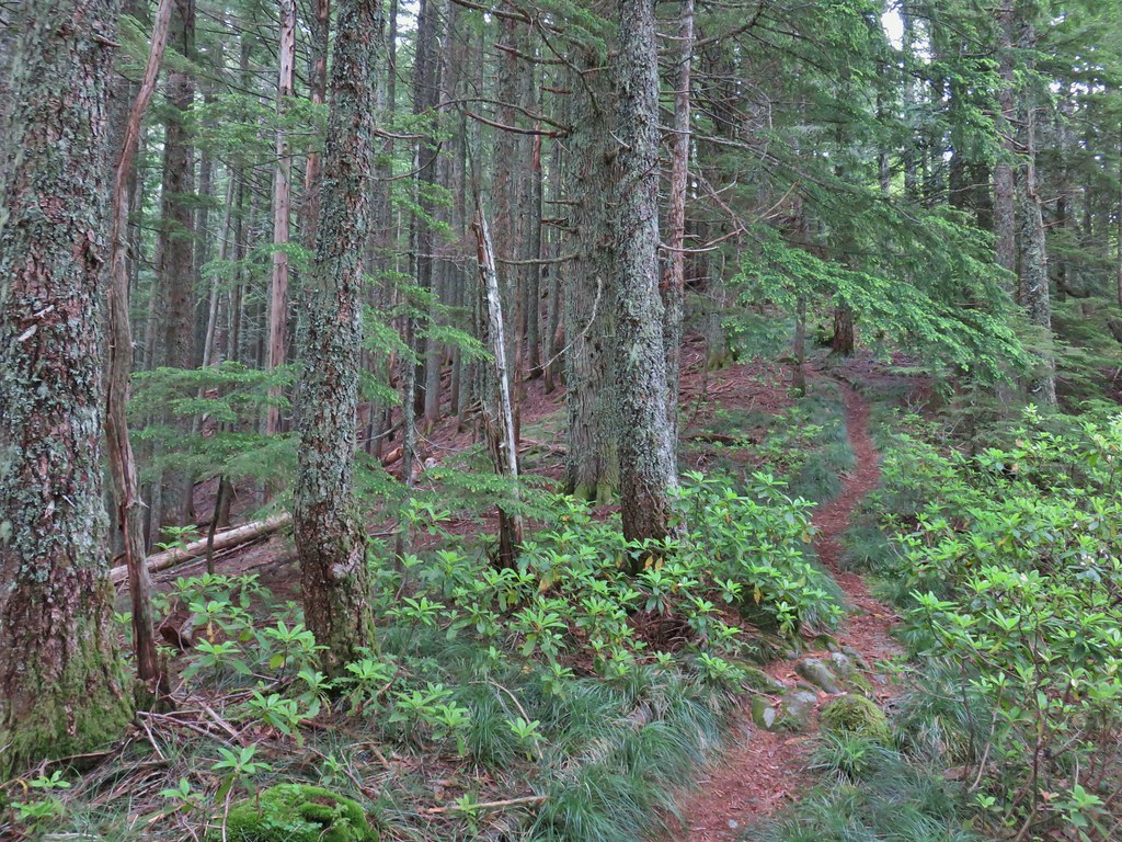
The Underhill Trail began next to a signboard and descended to cross Forest Road 4450.


Balsamroot

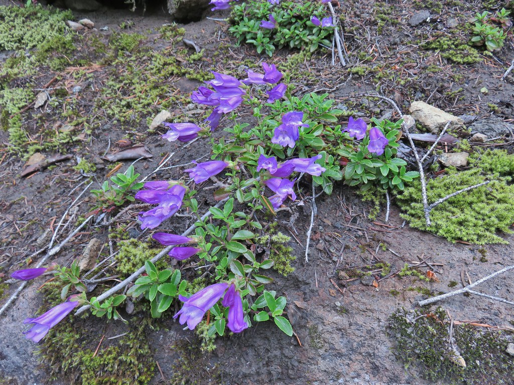
Penstemon

Rosy pussytoes

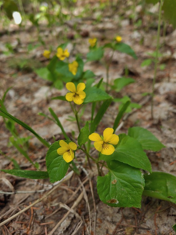
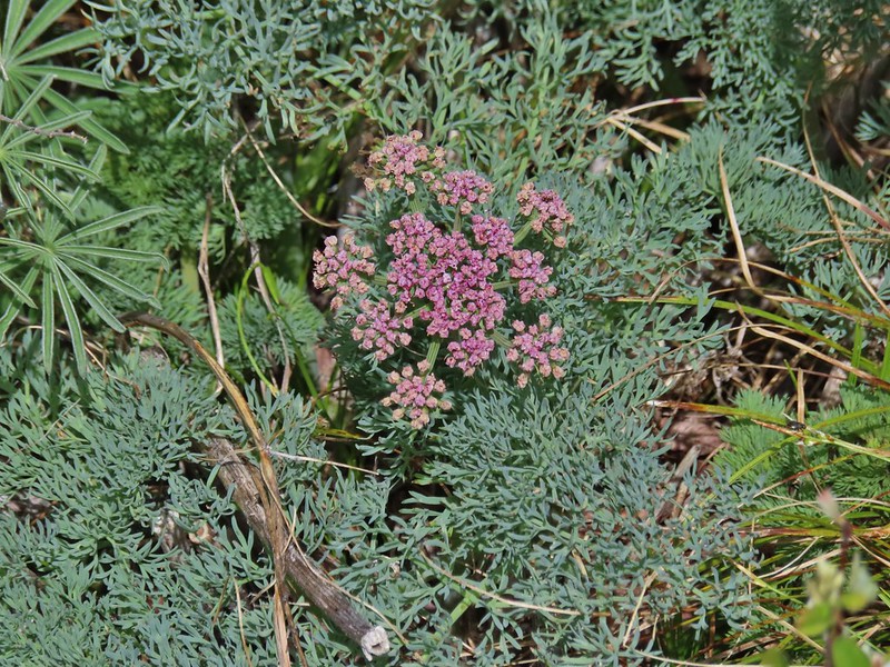
Lomatium

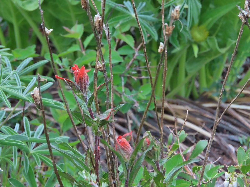
Paintbrush

Forest Road crossing.
Shortly after crossing the road we passed an old fence and then came to a fork in the trail.


Here the Old Cabin Loop Trail headed left while the Underhill Trail continued straight ahead. We decided to turn onto the Old Cabin Loop after looking at the map and seeing that it wouldn’t add too much distance to the hike (it added about a third of a mile).

The abandoned East Loop splits off from the Old Cabin Loop shortly beyond the Underhill Trail.
The Old Cabin Loop descended to a footbridge over Ramsey Creek where Scouts from nearby Camp Baldwin had placed some benches.


Ramsey Creek

After crossing Ramsey Creek the trail climbed to an unmarked junction with the Underhill Trail.


The first Queen’s cup blossom that we’d seen this year.

The junction with the Underhill Trail.
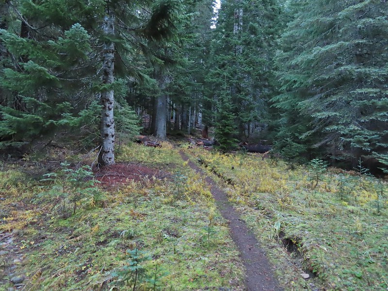
We turned left on the Underhill Trail and climbed gradually to Logging Gulch Road atop a ridge.

Penstemon along the trail.

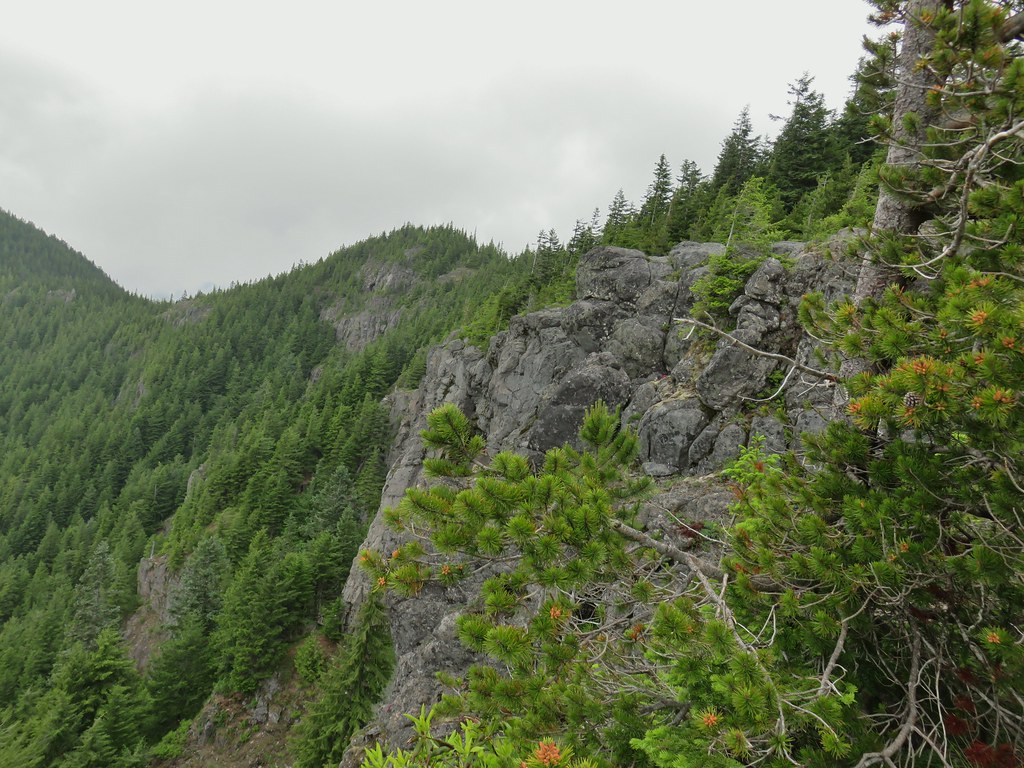
View of the opposite ridge from the trail.

Sliverleaf phacelia

Rayless arnica

Honeysuckle and snowberry

There were no signs at the road crossing but a small rock on top of a larger rock to the left on the far side of the road marked the continuation of the Underhill Trail.

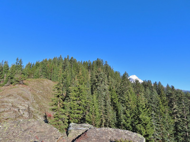
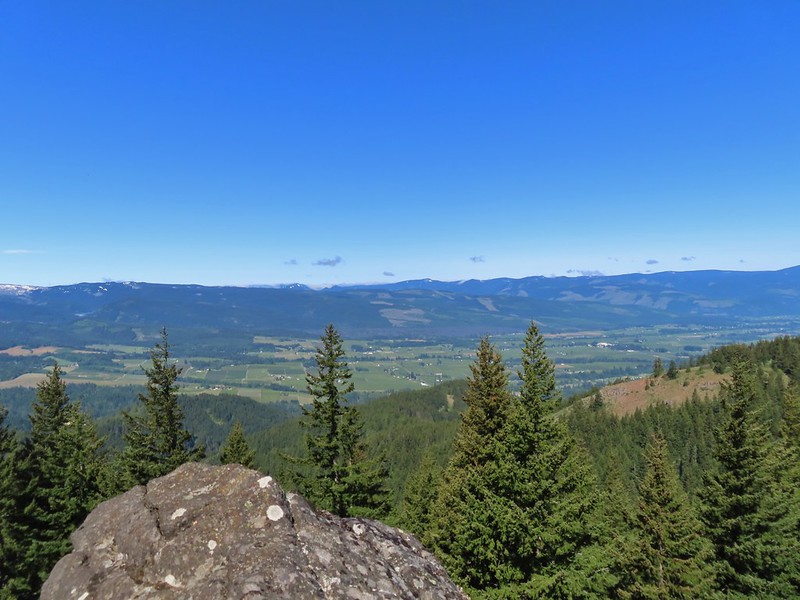
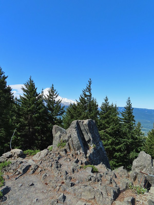
Lookout Mountain (post) from the road.

Closer look at Lookout Mountain.
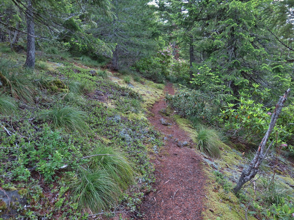
After crossing the road the Underhill Trail starts a 1.8-mile descent to Fifteenmile Creek. While this section of the trail loses over 800′ of elevation it managed to do so without ever feeling too steep. This was accomplished by good use of switchbacks and hopping ridges a couple of times.


Yarrow and white-stemmed frasera
 There was a lot of white-stemmed frasera blooming which was exciting because we had been too early for the bloom when we were in the area Memorial Day Weekend (post).

Flag Point is the highest point to the left and Lookout Mountain is behind the tree.

Buckwheat

Diamond clarkia

Onion

Nevada deervetch

Balsamoot covering the hillside. We were a few weeks late for the balsamroot bloom, but getting to see so much white-stemmed frasera made up for it.

Onion


Passing over a ridge.

Grand collomia

Gently heading down an open ridge.

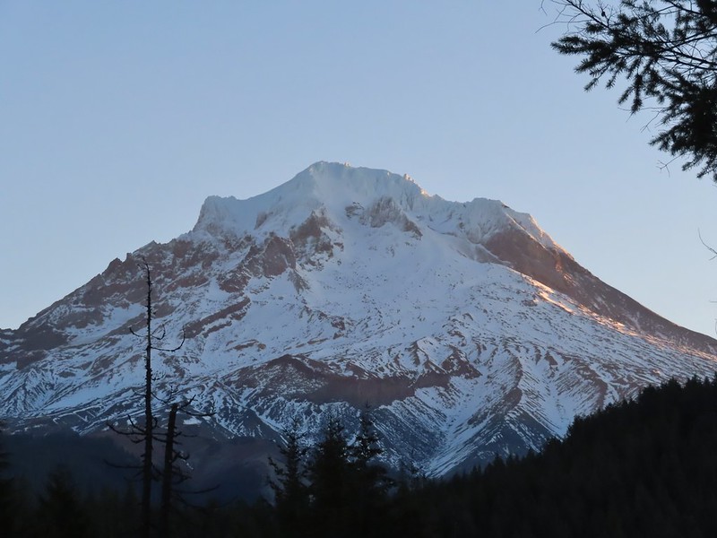
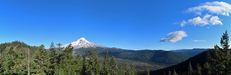
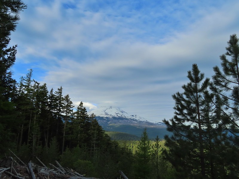
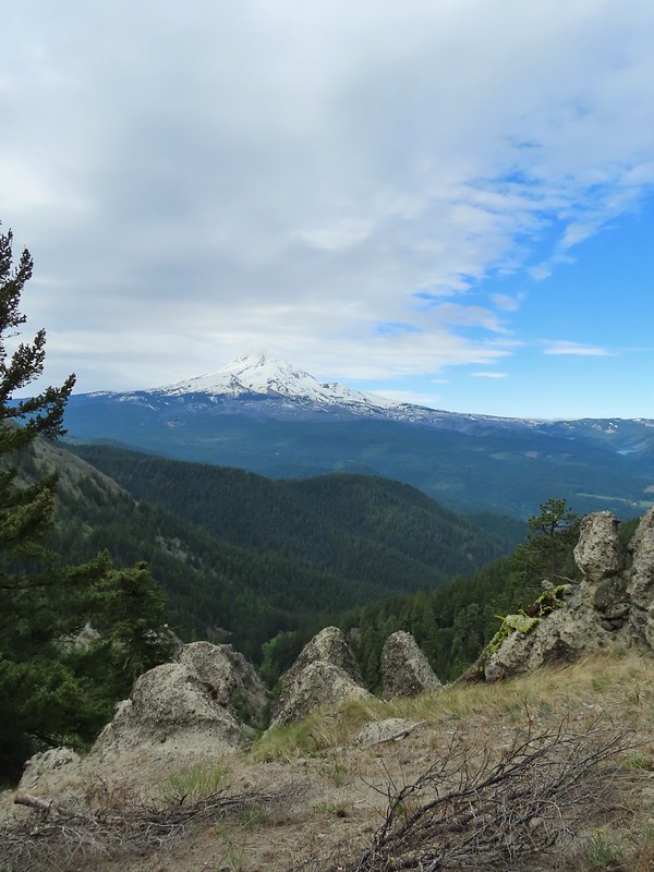
Mt. Hood making an appearance.

Mt. Hood

Desert yellow fleabane


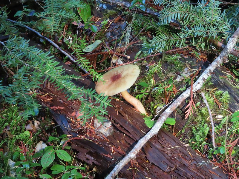
Pacific coralroot


The junction with the Fifteenmile Creek Trail.


Fifteenmile Creek
We took a short break at the creek before starting the climb back up to the Underhill Site. The reasonable grade of the trail kept the climb from feeling overly difficult.

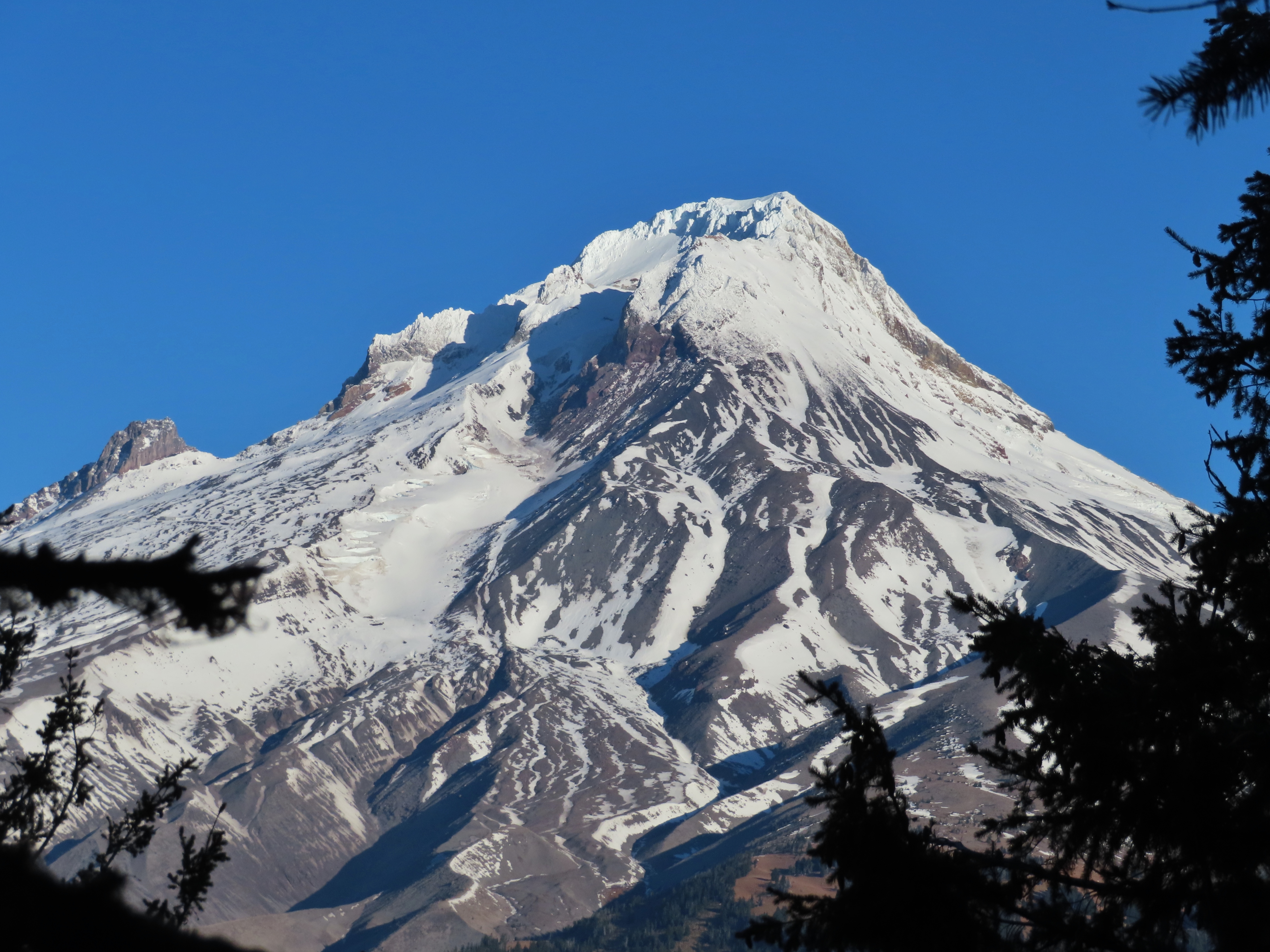
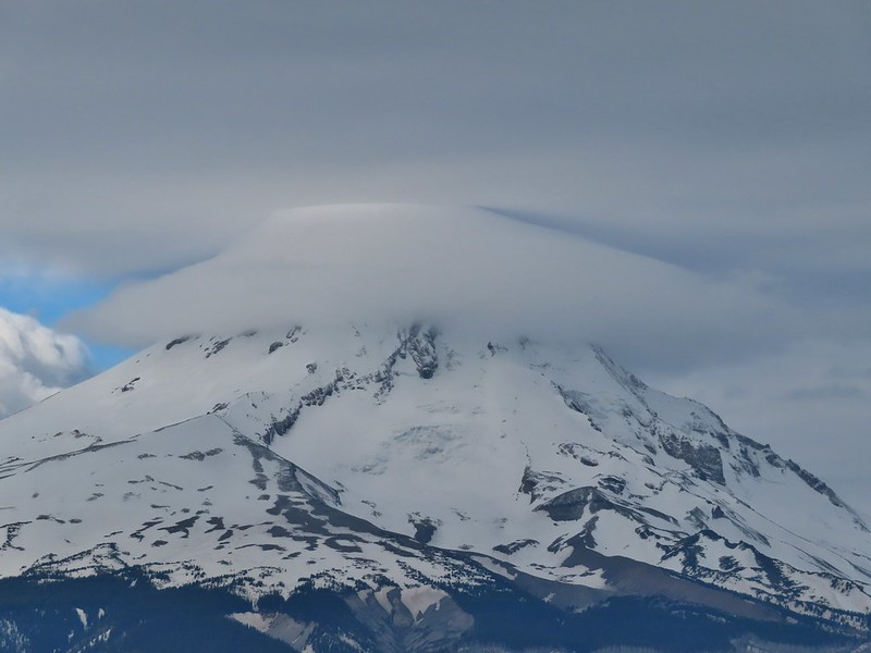
Mt. Hood from the Underhill Trail.

Sagebrush false dandelion

Western sulphur

Balsamroot covered hillside.

Beetles on white-stemmed frasera

Brief glimpse of Mt. Adams through the trees.

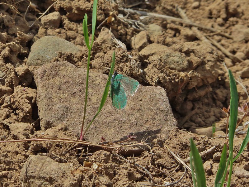
Swallowtail

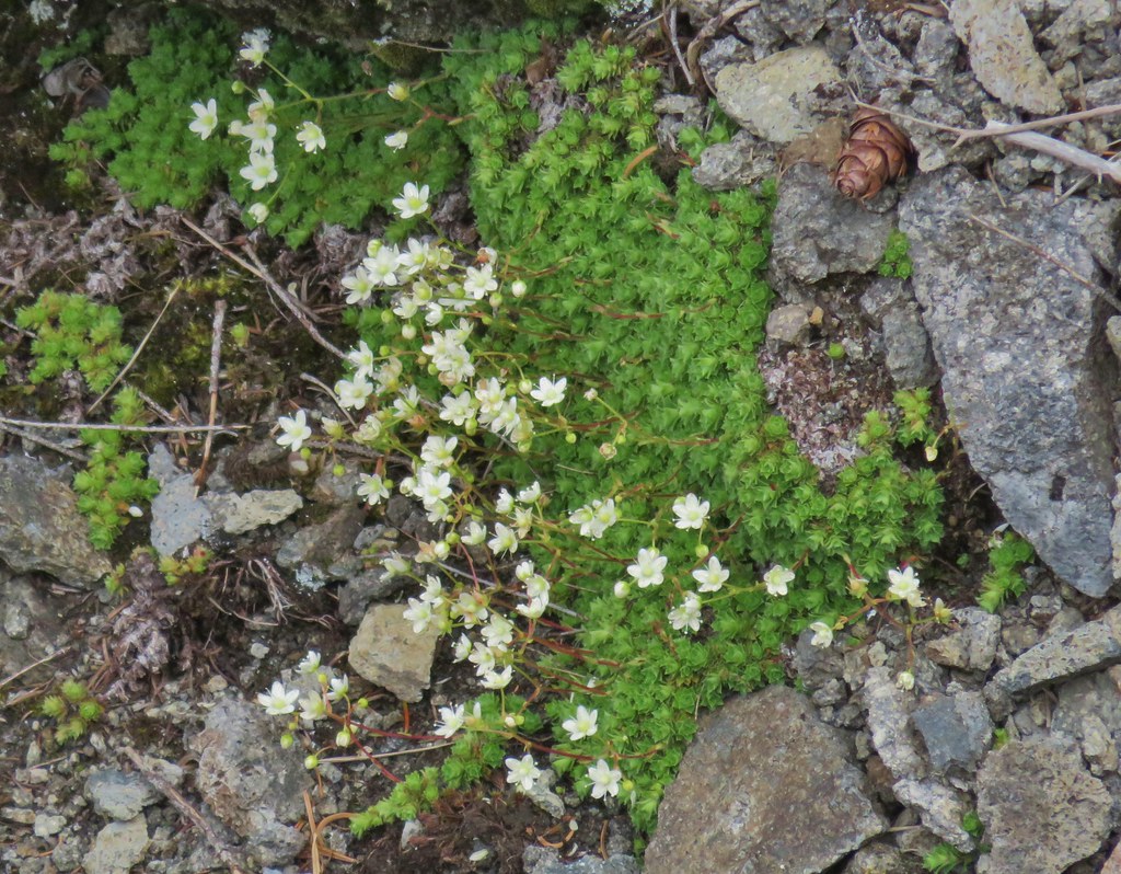
Woodland stars

Lupine
We went left sticking to the Underhill Trail when we reached the junction with the Old Cabin Loop Trail.


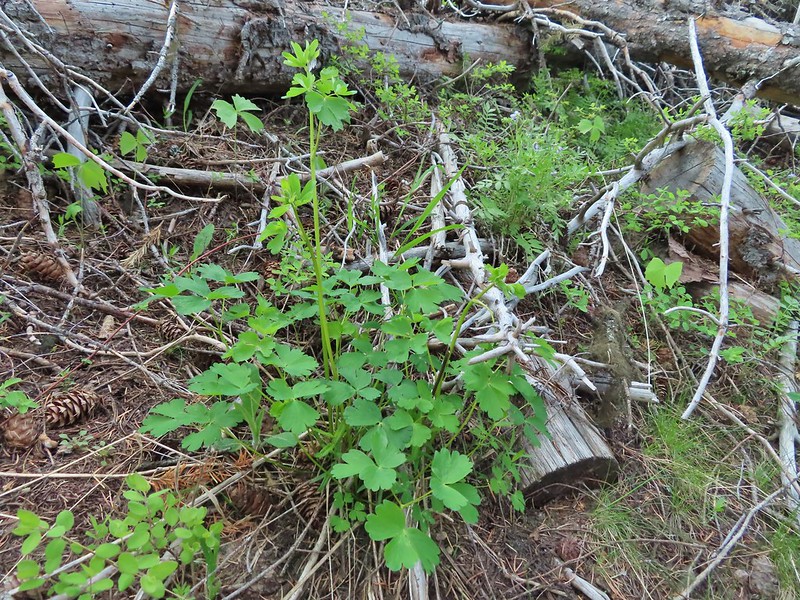
Vanilla leaf lining the trail.

Footbridge over Ramsey Creek.

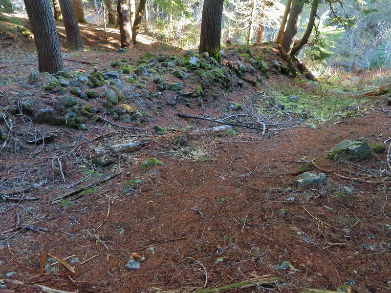
Old cabin ruins near Ramsey Creek.

Steep set of stairs leading up from the creek.

Passing the upper junction with the Old Cabin Loop Trail.
During the hike Heather was dealing with a blister on her foot which wasn’t causing a problem yet, but she was a little concerned that doing the whole Eightmile Loop might be pushing it. We’d talked about it and came up with a plan. I would drop her off at the Bottle Prairie Trailhead where we had originally planned to start the loop. I would then take the car to the day-use area at Eightmile Campground and start the loop from that trailhead. This would allow me to be following behind Heather and possibly catch up to her at the Fivemile Butte Lookout, and Heather would be able to skip approximately 3-miles of the loop along Eightmile Creek while still getting to see the views from the lookout site. It took just ten minutes to drive to the day-use area after dropping Heather off and I was quickly on my way behind her.

 Please note that this campground is one of several that the Forest Service has contracted private concessionaires to manage and there is a $10.00/day parking fee for day-use. An annual NW Forest Pass is accepted in lieu of the fee but a single day NW Forest Pass and some interagency passes may not be. There is conflicting information online through the Forest Service website and what is posted at the trailhead.
 Signage at the trailhead still shows that a variety of passes are honored there but the link for the campground provided above only lists the annual NW Forest Pass as accepted.
I followed the trail from the parking area down to Eightmile Creek and crossed it on a footbridge.


Beyond Eightmile Creek the trail switchbacked up to a crossing of Forest Road 4430 and then to a junction starting the actual loop.

The trail also crossed the campground road before climbing to FR 4430.

Raceme pussytoes
img src=”https://live.staticflickr.com/65535/54590353341_97b8774ccf.jpg” width=”500″ height=”375″ alt=”IMG_3383″/>
FR 4430

Sticky cinquefoil

The start of the Eightmile Loop.
The loop is more popular with mountain bikers than hikers, in fact we saw no other hikers on any of the day’s trails. We did see around a dozen mountain bikers on the loop trails though.
 Clockwise provides the gentlest climbing for the loop which is the direction we were hiking so I went left.
The trail gradually climbed for a little over 2.5-miles gaining over 650′ before arriving at the Bottle Prairie Trailhead.

Lupine


Columbine

The creek wasn’t visible for much of the 2.5-miles, but it was always within earshot.

Vanilla leaf

About a mile into the loop the trail crossed Eightmile Creek.

Eightmile Creek

Bunchberry

Western Jacob’s ladder


Arnica

Trillium

Valerian

Tall mountain bluebells

Eightmile Creek to the right of the trail.

Forest Road 120 near the Bottle Prairie Trailehad.

The Bottle Prairie Trailhead.
I located the sign for the continuation of the Eightmile Loop and headed up the trail.

Just beyond that trail sign I came to a fork where I went right on the unsigned Bottle Prairie Trail (the left fork was the Knebal Springs Trail

I learned later that Heather had gone left a short distance before realizing the mistake, something I too almost did.
A 0.4-mile climb brought me to another fork where the Bottle Prairie continued left and the Eightmile Loop split off to the right.


Duksy horkelia

Silvercrown along the trail.

This hillside was covered in buckwheat.

The OregonHikers Field Guild mentioned a short detour up the Bottle Prairie Trail to visit Perry Point, the site of a former crow’s nest lookout. At some point in the future we plan to hike a loop using the Bottle Prairie and Knebal Springs Trails and we will pass Perry Point then so I could have skipped the extension, but that’s just not in my nature so left I went.
I followed the Bottle Prairie Trail uphill a little over a quarter mile to a spur trail signed for Perry Point.

Flowers along the trail.

Penstemon, false sunflower, and scarlet gilia.

The spur trail toward Perry Point.

It was about two tenths of a mile out to the rocky point.

I failed to look for the remains of the old crow’s nest although there appears to be a small board at the top of the fir tree in the center.
 Mt. Adams between the trees.

Lookout Mountain from Perry Point.
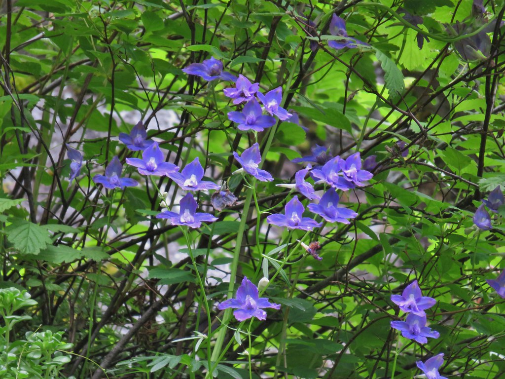
 Larkspur
After visiting the point I returned to the Eightmile Loop and turned left.

After a brief climb the trail gradually descended to a saddle where it crossed Rail Hollow Road.


Orange agoseris

Vanilla leaf


Anemones
On the far side of the road the trail once again began climbing. It was a gentle climb through some recent thinning activities which are intended to help stop invasive insect damage to the areas trees.


Moth on yarrow.


View toward Central Oregon.

The trail stayed below the top of the ridge where Rail Hollow Road was.

View toward Lookout Mountain.

A little over half a mile from the crossing of Rail Hollow Road I forked left at this unsigned junction to visit the Fivemile Butte Lookout where Heather was waiting.

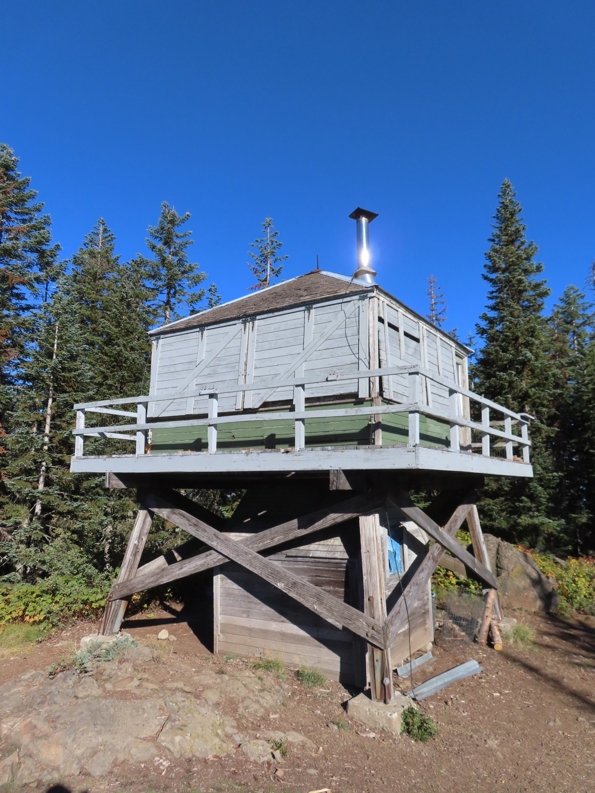
The rentable Fivemile Butte Lookout. Because the lookout is actively rented the Forest Service asks other visitors not to go up the tower.
Heather was sitting at a picnic table below the lookout and said she’d only been there about 15 minutes. She let me know where the views of Mt. Hood, Mt. Adams, and Mt. Rainier were.

Mt. Hood from below the lookout.

Mt. Adams and Mt. Rainier from a path to the north of the lookout.

Mt. Adams with Mt. Rainier to the left.

Paintbrush and yarrow.
 Rosy pussytoes
After a short break at the picnic table I started to get a little too warm in the sunlight and we resumed the hike together. From the junction with the spur to the lookout the trail began a series of long switchbacks that brought us down the hillside 1.6-miles to the junction at the start of my loop.


Large-flower triteleia

Stonecrop

Duskywing on penstemon.

The hill was fairly steep but the switchbacks made the descent nice and gradual.

Lupine and paintbrush along the trail.

Western tanager

Twinflower


Signs below marking the start/end of the loop.
After completing the loop we made our way to the car, changed shoes, and headed home. My hike including the side trips wound up coming in at a very fitting 8-miles.

My hike included approximately 1400′ of elevation gain.
These were a fun pair of hikes with lots of wildflowers and good variety in the forest types. Our timing was good for the flowers on the Eightmile Loop and okay for the Underhill Trail although as I mentioned earlier May would have been better for catching the balsamroot bloom there. We were also pleasantly surprised by how reasonably graded these trails were after a couple of extremely steep hikes in the area over Memorial Day Weekend. We’re looking forward to heading back to the area to experience more of the trails in the future. Happy Trails!
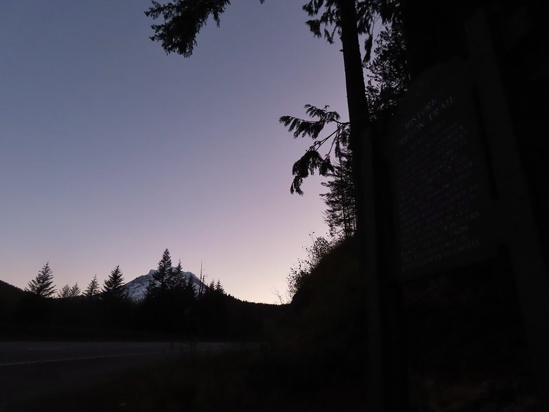
 Not having light until after 7am is rough for someone who likes to get an early start.
 The Salmon River Trail is located next to this interpretive sign near the trailhead.
 A flash was necessary as I set off.
 There was a very brief road walk along this section.
 There was also plenty of time along the Salmon River.
 I veered right at this picnic table to cross into the campground.
 The day use area at the campground.
 Water spigot at the day use area.
 It was hard to read the date for this cougar sighting, it appeared to be from June, but I couldn’t make out the year.
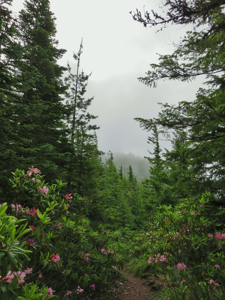
 Entering the Salmon-Huckleberry Wilderness
 One of the downed trees, this one covered both sides of a switchback.
 A rare viewpoint along the forested trail.
 A level stretch along a narrow ridge.
 A healthy looking paintbrush.
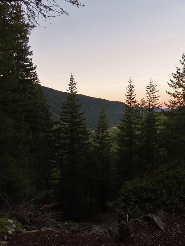
 The Sun rising above Hunchback Ridge.
 It was going to a be a bluebird day.
 Sign ahead marking the Hunchback Trail junction.

 One of the “downs”.
 This trail was also in good shape with just a few easy obstacles.
 I did not go investigate the source of the “water”, it could have been a trap (there is a spring shown on the map).
 Signs at the junction below Devil’s Peak.
 Mount Jefferson
 Olallie Butte (
 The lookout from the Mt. Jefferson viewpoint.
 Mt. Hood from the lookout.
 You can’t see Mt. Jefferson from the lookout due to trees.
 Trail signs at the Cool Creek Trail junction.
 Lookout Mountain(
 Mt. Hood from the Hunchback Trail.
 Arriving at the trailhead on FR 2613.
 It’s hard to make out in the photo but that is a giant pothole (crater) in the middle of the road seen from the trailhead.
 That is the trailhead at the end of the road on the right.


 There were some nice Fall colors along the Kinzel Lake Trail.
 There were also a few obstacles that were trickier than anything on the other trails involved in this loop.
 Salmon Butte (
 Nearing the Salmon River Trail.
 Trail sign at the Salmon River Trail junction.

 There wasn’t much water at all in any of the side creeks.
 There are several viewpoints just over 3.5-miles from the trailhead.
 The furtherst hump in the center is Huckleberry Mountain (
 Wilderness kiosk along the trail. There were self-issued permits here, but none at Green Canyon Way so I stopped and filled one out even though I was almost done with my hike (and out of the wilderness).

 Salmon River
 There were a couple of good-sized fish in the pool here.
 The trail arriving back at the trailhead.
 We had also parked here in 2021 for our Barlow Butte hike (


 The colors of Fall.
 Tom, Dick, and Harry Mountain (
 Mt. Hood teased an appearance a couple of times along the lower portion of the PCT. It was enough to see that there was a dusting of fresh snow on the mountain.
 The signed junction with the Yellowjacket Trail.
 The wet brush had me whishing I’d worn boots.
 The Yellowjacket Trail passing a small meadow.
 Makeshift footbridge along the trail.


 New snow on Mt. Hood.
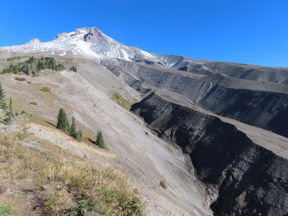
 The valley is the result of an eruption around 250 years ago.
 Pacific lupine
 At the end of the levee the route climbed a moraine then continued its gradual ascent to the Timberline Trail.
 Dark-eyed junco. There was a good variety of birds along the moraine, but this was the only one that sat still long enough to have its picture taken.
 Frost on a log. It was really nice to be hiking in the crisp cool air.
 Boy Scout Ridge from the moraine.
 The unsigned junction with the Timberline Trail.
 Mt. Hood from the junction.
 Sign for the PCT nearly absorbed by the tree.
 Lupine (broadleaf?)
 A few remaining blooms on the goldenrod.
 Signpost at the PCT junction ahead.


 The coyote with Mt. Hood looming behind.
 Mt. Jefferson to the south with the Three Sisters behind to the left.
 The Three Sisters and Mt. Jefferson
 The round peak along the far ridge is Gunsight Butte (
 We’d lost sight of the coyote until it ran across the trail not too far in front of us.
 More lupine
 A few remaining aster blossoms in the foreground.
 Timberline Lodge across the Salmon River Canyon.
 Looking back down the White River Valley. Barlow Ridge is the near hump on the right.
 Another look at Timberline Lodge.
 Despite all the cars at the lodge we would only encounter a half dozen other trail users until we were back at the Barlow Pass Trailhead.
 Small waterfall below the ridge.
 I turned around here where the Timberline Trail headed across the Salmon River drainage. The Silcox Hut is straight ahead on the side of the mountain.
 Looking back at the high point where Heather had stopped.
 Mt. Hood’s summit.
 The waterfall looking pretty small far below the mountain.
 It took us a moment to decide what the dark rounded peak straight ahead in the distance was. We eventually correctly identified it as Black Butte (
 Olallie Butte (
 Birds on mountain ash.
 The Timberline Trail junction.
 Beargrass meadow, there hadn’t been any blooms this year.
 Lousewort
 It was nearly 2-miles between the Timberline and Yellowjacket trail junctions.
 We were shocked to see a bunchberry that still had some petals, even if they were in sad shape.
 Mushrooms and fungi are not surprising this time of year.
 Highway 35
 Arriving at the Barlow Road.
 Our various hikes around the mountain. There are still a few areas where we could add a track or two. Happy Trails!
 We parked on the shoulder here and road walked three quarters of a mile to the official
  This is a good example of why we parked where we did.
 The official trailhead.


 A pair of Barrow’s goldeneye ducks enjoying a morning swim on the far side of the lake.
 The use trail
 Mushroom along the road walk back to the car.
 The somewhat obscured sign for the Anvil Lake Trail along spur road 5800-160.
 The pullout where we parked.


 The edge of Black Wolf Meadows.
 Sign in Black Wolf Meadows.


 The trail leaving the meadows.
 More mushrooms
 Rough-skinned newt

 Old sign near Anvil Creek.
 The dry bed of Anvil Creek.
 Coral fungus
 The sign for the spur trail ahead on the left.
 Pointer for Anvil Lake. According to the Oregon Hikers Field Guide this sign is likely over 50 years old based on the reference to S-502 which is currently known as FR 5820 which is another potential
 Anvil Lake


 Mt. Hood from the pullout.


 The road continuing to the left.
 Olallie Butte (
 Mt. Hood with Mt. Adams behind to the left.
 The view south toward Mt. Jefferson.
 Heather is the orange dot climbing up the side of the outcrop.
 Mt. Hood from the saddle.
 Signal Buttes is the pointy peak on the left and Salmon Butte (
 Salmon Butte now in the middle with Linney Butte the hump on the right of the double humps in the foreground and Devil’s Peak (
 Linney Butte, Devil’s Peak, Mt. Adams in the distance, and Mt. Hood.
 Wolf Peak in the foreground which is above Black Wolf Meadows.
 Mt. Jefferson from the former lookout site.
 Peaks in the Bull-of-the-Woods and Opal Creek Wilderness areas in the distance to the left and Fish Creek Mountain (
 The remains of the lookout on High Rock.
 A zoomed in shot of Mt. Adams.
 Mt. Rainier rising behind Devil’s Peak.

 The ground squirrel watching us as we passed below.
 Skipper along the road on the way down.
 Aster
Aster


 Another reminder that overnight permits are required in the wilderness.
 Low clouds in the valley.
 Mt. Jefferson through some of the snags with a few surviving trees on the right.
 Mt. Jefferson from the junction, note the rock cairn on the left marking the PCT.
 The cairn at the junction.
 Triangulation Peak (
 Whitewater Lake
 Triangulation Point and Bocca Cave (Trailheads still closed.)
 Tarn 0.3-miles from the junction.
 Mt. Jefferson reflecting in the tarn.
 Ducks on the tarn.
 The Sentinel Hills with Park Butte behind to the right. The Whitewater Trail (
 The fires did open up fairly consistent views of the mountain.
 A few remaining penstemon blossoms.
 Heading down to the Russell Creek crossing.
 This can be a tricky crossing at times, but there was a makeshift bridge which made it fairly easy this time.
 Aster and pearly everlasting near the creek.
 We started seeing more trees that had survived the fire as we got closer to Jefferson Park.
 Gentians and aster
 Grass-of-parnassus
 There were patches of burned forest along this stretch.
 Approximately 0.4-miles from the junction the trail crosses Whitewater Creek.
 From the other side of Whitewater Creek the views of Mt. Jefferson are amazing.
 Based on the barred sides I believe this is a black-backed woodpecker.
 Unofficial use trails are an issue in Jefferson Park which has prompted the Forest Service to install a number of “Closed for Rehabilitation” sign such as the one on the left side of the trail.
 They’ve also added quite a few signs to indicated sanctioned trails. Typically in wilderness areas the Forest Service tries to keep signage to a minimum, but overuse has led them to add additional signs.
 Another sign with Park Butte in background.
 The last of the pointers for Scout Lake.
 PCT heading for Park Butte and Park Ridge.
 Russell Lake pointer.

 Rhododendron at the trailhead.
 Eagle Creek Cutoff Trail on the left just before the first steep climb.
 Salmon-Huckleberry Wilderness sign. I would be in and out of the wilderness several times on my route.
 Pictures rarely capture the actual steepness of the trails but the third of a mile past this trail sign had me wondering if I was going to be able to complete my planned hike.
 Starting the descent to the saddle.
 The
The  Coral fungus
 The Old Baldy Trail turns left here while the Tumala Mountain Trail continues straight.
 A small unreadable sign was the only identifier for the continuation of the Old Baldy Trail. I was a little concerned seeing blowdown on this trail from the junction but as it turned out the trail was in good shape and the trees that were down were easily stepped over.
 One of four switchbacks in the first 0.3-miles.
 Cat’s ear lily
 Cascade lily
 Oregon sunshine
 Larkspur & ?
 Paintbrush
 Bunchberry, not sure what is causing the white at the end of the leaves. I’d never noticed that before.
 Lupine
 View at the scree slope
 I’m pretty sure there were at least three pikas down there somewhere.
 Tumala Mountain in the center.
 From left to right is East Mountain, Thunder Mountain (
 Little prince’s pine
 Cascade lilies, a few lupine and a paintbrush.
 Carolina bugbane and foam flower.
 Spur trail from the Twin Springs Trailhead (Old Baldy East) on the right.

 Part of the foundation at the former guard station site.
 The old road.


 Not a big beargrass year but there was a few blooming along the trail.
 I went up this trail to find it just immediately dropped back down to the Plaza Trail.
 The correct spur to Sheepshead Rock.
 Mt. Hood
 Mt. Adams and Mt. Hood
 Some light scrambling brought me to the top of the rock.
 Mt. St. Helens, Goat Rocks, and Mt. Adams in the distance. The high point to the left along the forested ridge is Wildcat Mountain (
 Mt. St. Helens
 Goat Rocks and Mt. Adams
 Mt. Hood with the South Fork Salmon River valley below.
 Orange agoseris
 Oregon sunshine and yarrow
 Saxifrage
 Penstemon
 Bluebells of Scotland

 Valerian
 Moth on an arnica.
 The Plaza Lake Trail sign on the left.
 View from one of the switchbacks.
 Pacific coralroot
 Bunchberry with the more familiar all green leaves.
 Plaza Lake below from the trail.
 Twin flower
 There were some nice big trees along the trail.

 Looking up from the lakeshore.


 I’d missed Mt. Hood on the way down.
 Mt. Hood
 Anemones
 Spirea and lupine
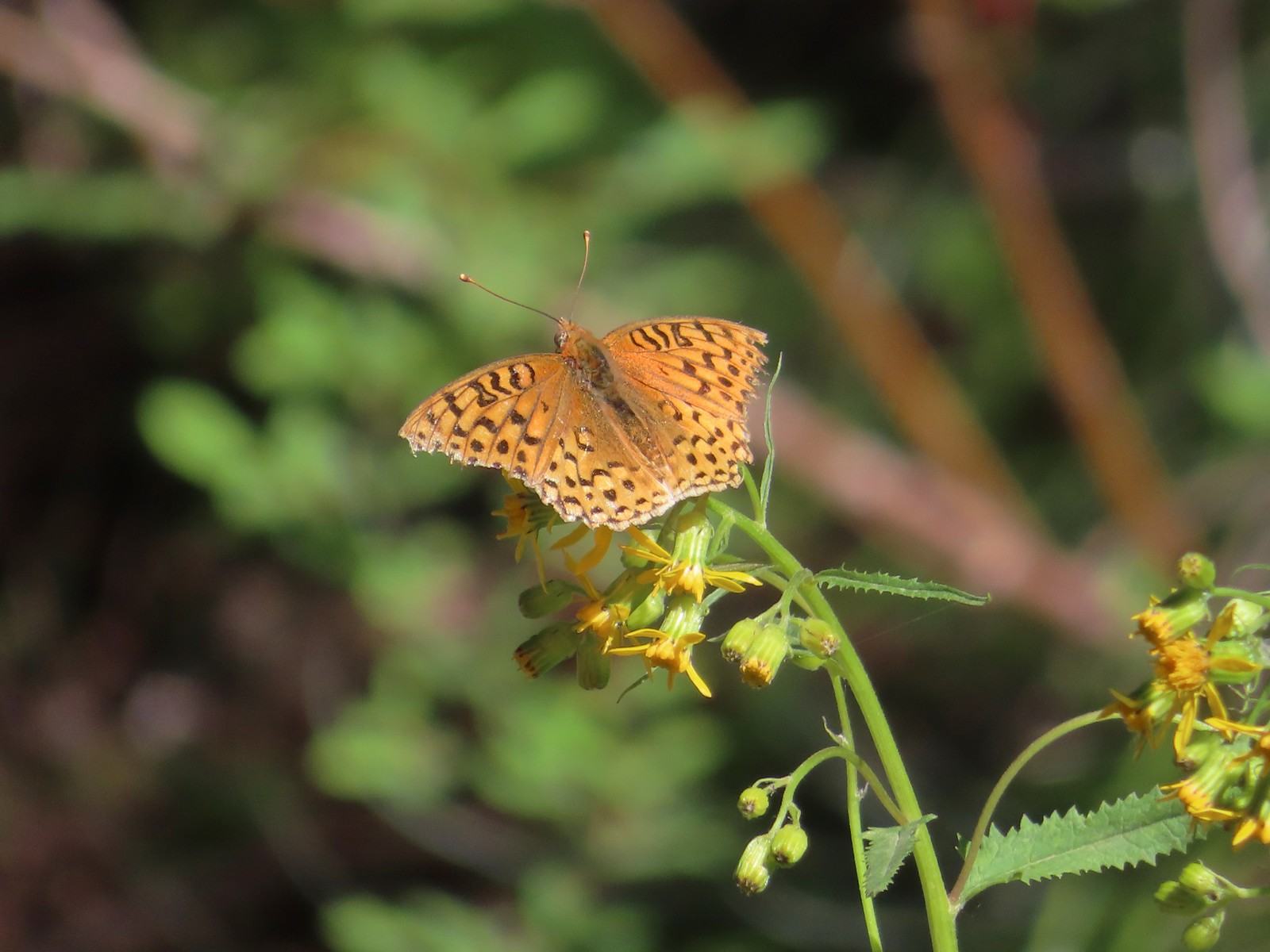 A fritillary butterfly.
 The former Twin Springs Campground was near the trailhead on the opposite side of FR 4610.
 The Twin Springs Trailhead.
 Old Baldy Trailhead sign at the Twin Springs Trailhead.
 Salmon-Huckleberry Wilderness sign (straight ahead) at the Old Bald/Plaza Trail junction.
 I stopped again at the scree slope to look for pikas. All was quiet as they apparently had retreated underground to avoid the heat, but with more light in the valley below I could make out a green meadow in the trees.
 Columbine along the trail.
 Grey jay
 Back at the Tumala Mountain Trail junction.
 My first view of Mt. Jefferson on the day.
 Mt. Jefferson
 A yet to blossom rhododendron.
 Fading lousewort and valerian.
 A blooming rohdodendron.
 Mt. Hood. The scree slope is also visible through the trees on the hillside to the lower right.
 Mt. Jefferson in the distance.
 Mt. Jefferson
 Three Fingered Jack and the Three Sisters
 More Cascade lilies.
 Mt. St. Helens in the distance.
 Mt. St. Helens
 A better view of the scree field and the meadows below Tumala Mountain.
 Penstemon and lupine.
 Passing the Fanton Trail junction on the way back.
 Looking at the final climb of the day from the saddle.
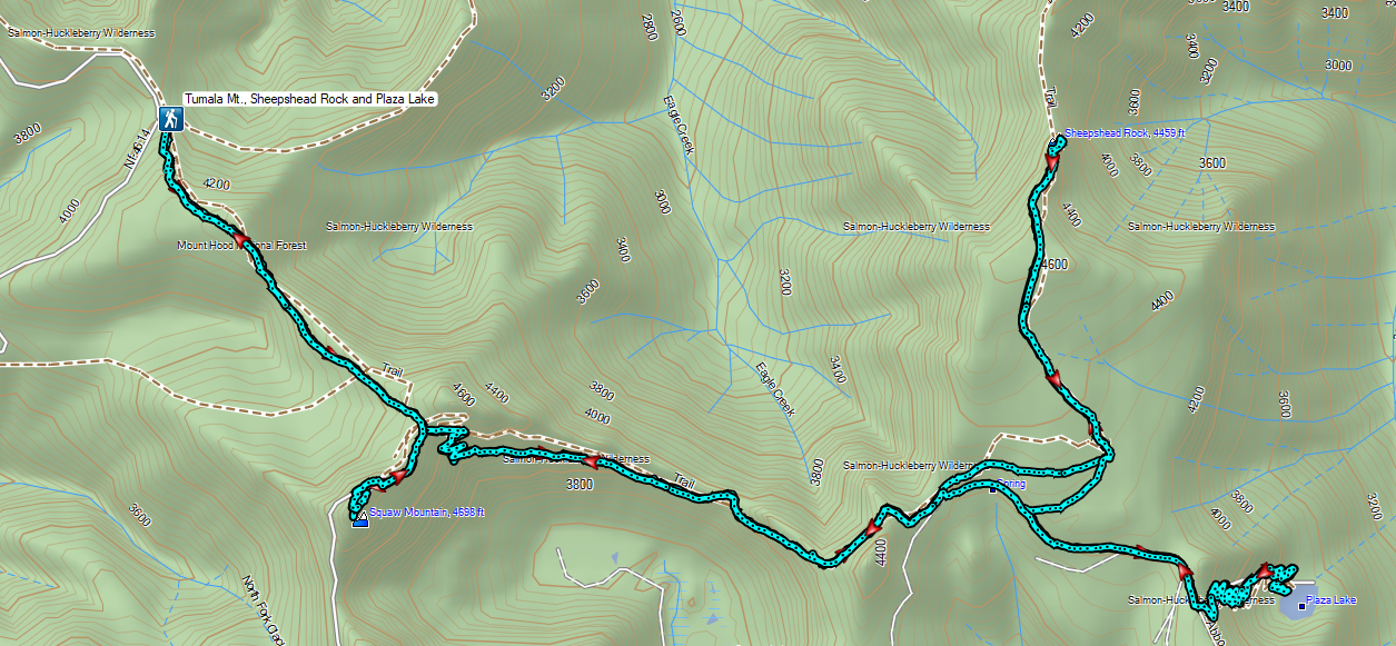

 Mt. Hood from the trailhead.


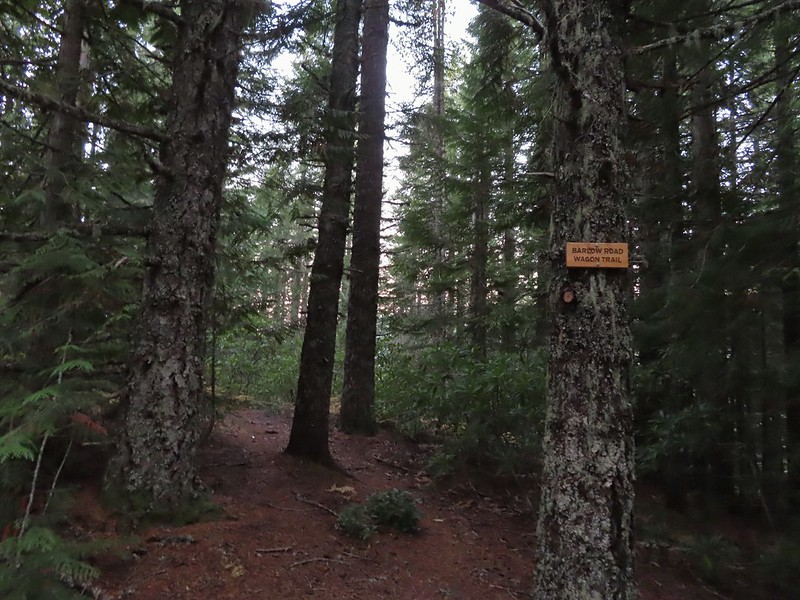
 The wagon chute.

 The left at the 4-way junction.
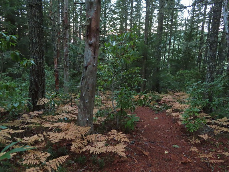
 Looking down the chute.
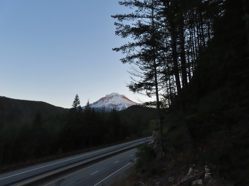
 Sunlight starting to hit the SE side of Mt. Hood.
 Ravens photo bombing a close up of the mountain.


 A portion of the original Barlow Wagon Road.
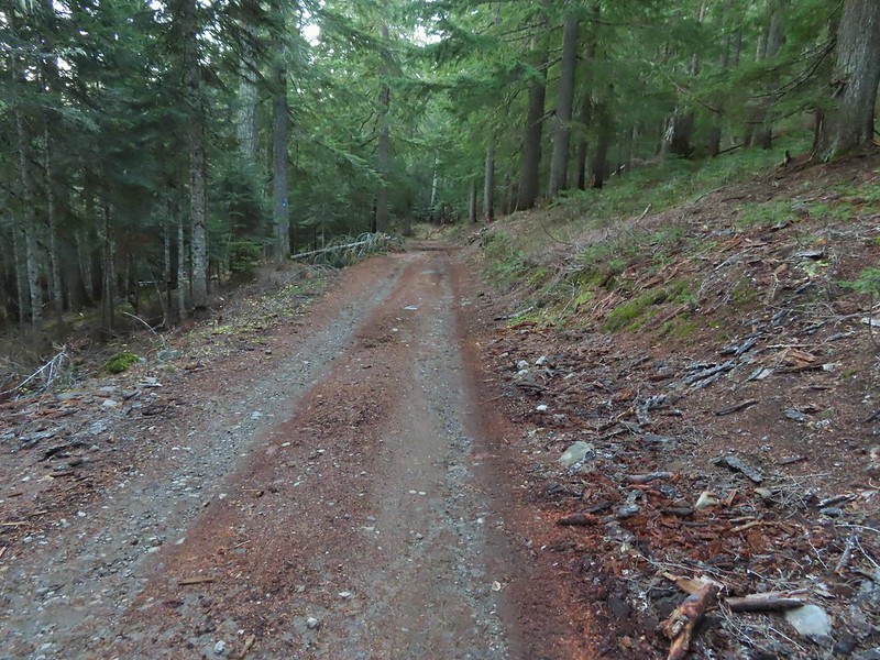 Barlow Road (FR 3530)
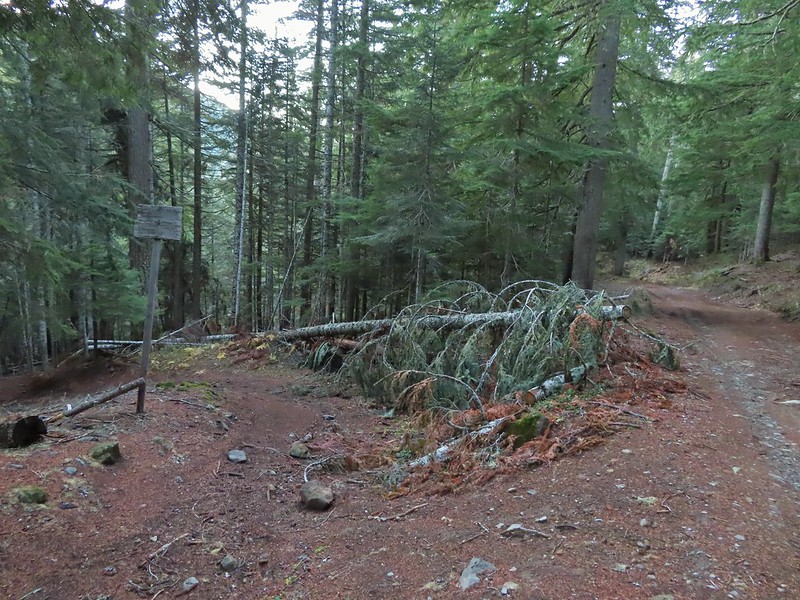


 Wilderness sign along the Barlow Butte Trail.
 Getting steeper.
 This was the worst of the blow down we had to navigate on this section.
 Nearing the junction.
 It was a little chilly with temps in the mid 30’s combined with a stiff breeze adding to the wind chill.
 On the right of the far ridge is Bonney Butte (
 Remains from the lookout.
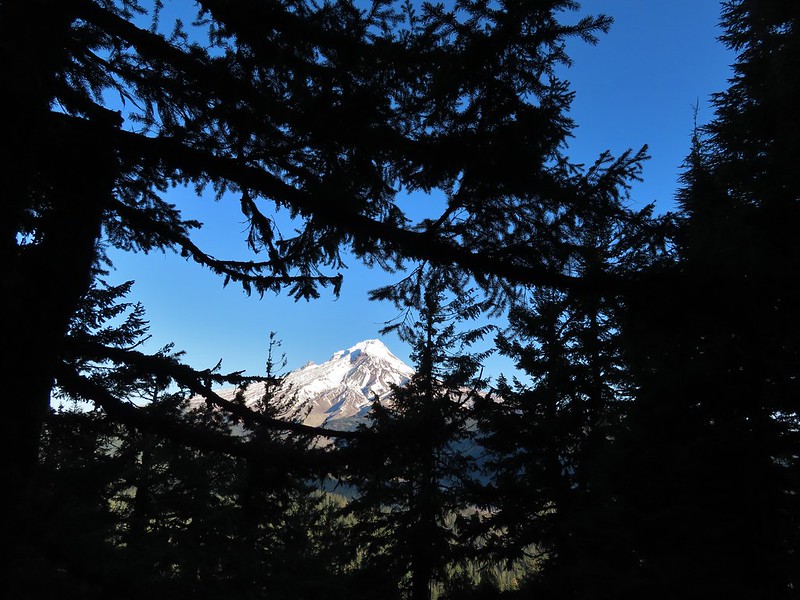
 Barlow Butte and the top of Mt. Hood.
 Frog Lake Buttes (
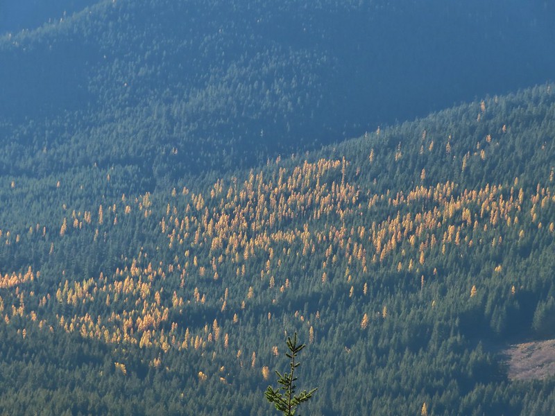 Western larches
 Mt. Jefferson behind some clouds.
 Sisi Butte (double humps) and Bachelor Mountain (


 Barlow Butte to the left of Mt. Hood.
 Mt. Jefferson still behind some clouds.
 Parts of Mt. Jefferson peaking through the clouds.
 Tom Dick and Harry Mountain (with the rock fields near the top).
 Small cairns in a meadow.
 One of the aforementioned diamonds.
 Approaching the high point.
 Clouds were starting to pass over Lookout Mountain at this point.
 Mt. Hood from the high point of Barlow Ridge.
 Carin in the trees ahead.
 Elk or deer tracks leading the way.
 Another section of frost.
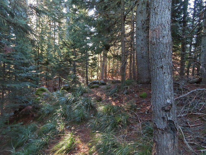 We took this as a blaze.
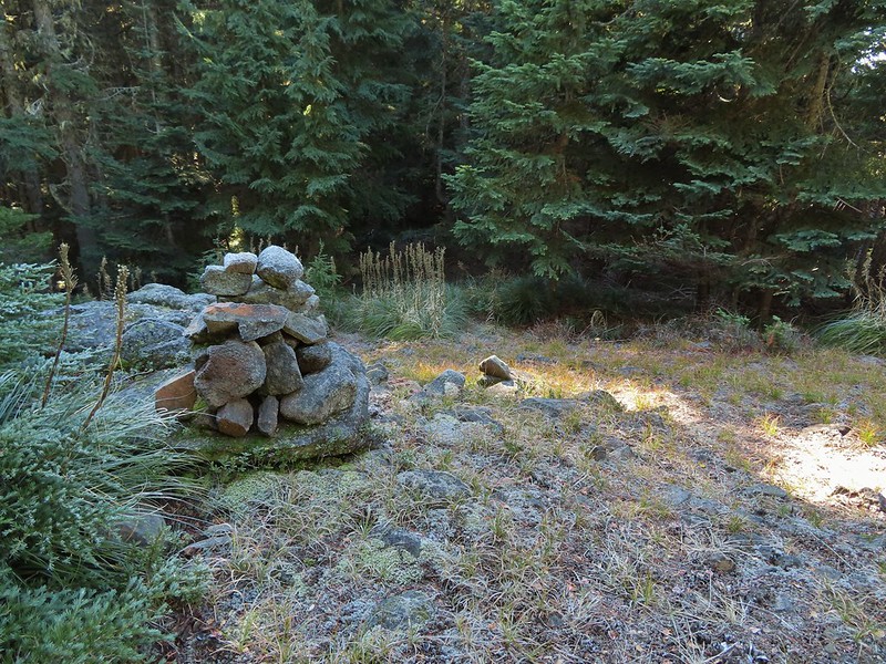 That blaze led to this large cairn.
 Things were starting to get interesting here.
 Stopped here to listen for pikas, no luck though.
 This could be trail.
 Still on the right track, note the folded trail sign on the tree at center.
 The small meadow.
 Officially off-trail now.
 This looked like a place the trail would go.
 A final look at Mt. Hood from Barlow Ridge.
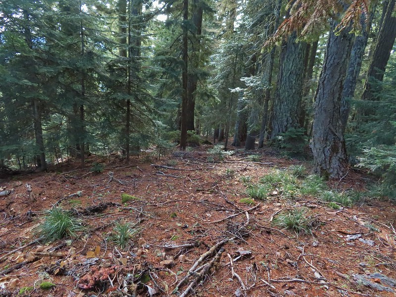 This doesn’t look so bad.
 One of several big trees we encountered.
 Little orange mushrooms, how appropriate for Halloween.
 Starting to encounter more debris.
 If there had been a trail good luck finding it.
 Heather coming down behind me.
 Pretty decent game trail here.
 This section was fun.
 A bigger orange mushroom.
 Uphill on this game trail.
 Thickets of brush kept us from getting all the way over to the ridge we needed so we just kept going downhill knowing that we would eventually run into one of the forest roads at the bottom.
 More steep fun.
 Look Ma a road!
 It doesn’t look that steep from down here.
 Barlow Road.
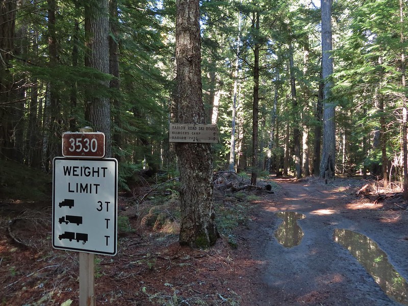


 Western larches above Barlow Road.
 Grindstone Campground
 Barlow Creek
 Crossing Barlow Creek near Devil’s Half Acre Meadow.
 Clouds on top of Mt. Hood towering over the trees.
 Barlow Road at the campground.
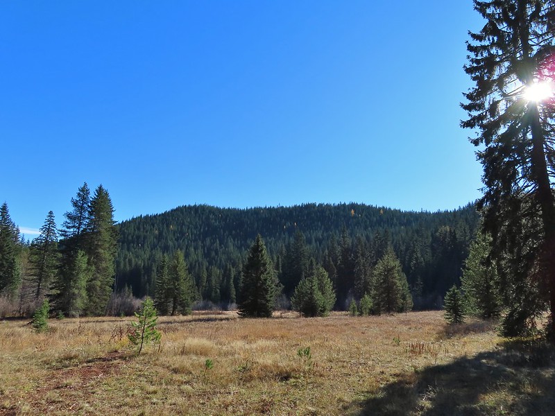 Devil’s Half Acre Meadow.
 Finally back to where we’d left the road in the morning.
 Arriving back at the Barlow Pass Trailhead
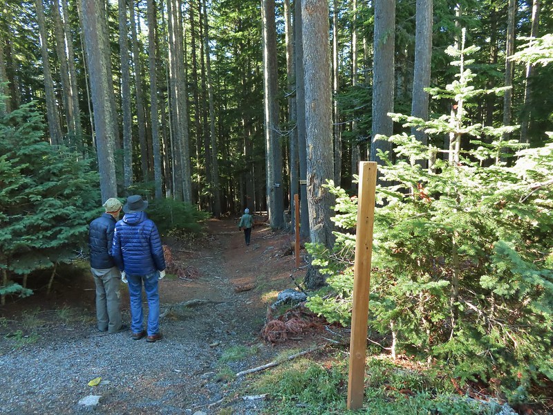 The first other people (not counting the two drivers in the pickups) that we’d seen all day.


 East Fork Salmon River


 Mt. Hood partly obscured by clouds from the parking area.

 Manzanita
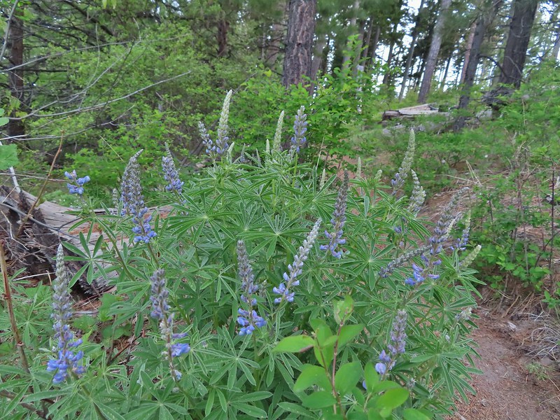 Lupine
 Mt. Hood again.
 Jacob’s ladder
 Red-flowering currant
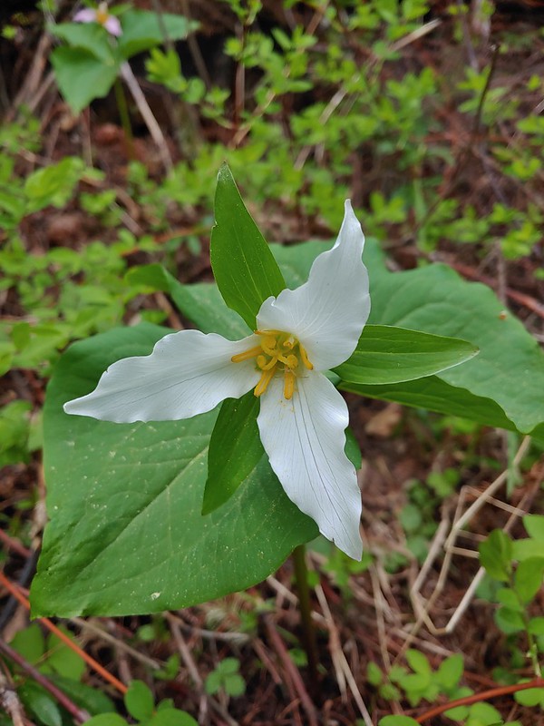 Trillium (can you spot the crab spider?)
 Sticky currant
 Western larch tree and red-flowering currant on the left.
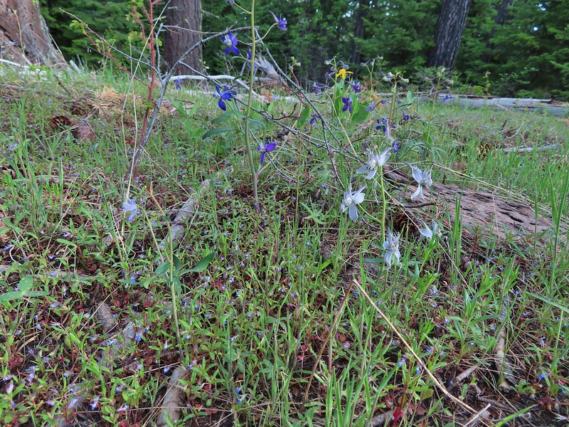 Larks spur and blue-eyed Mary
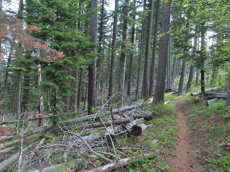
 Columbine well before blooming.
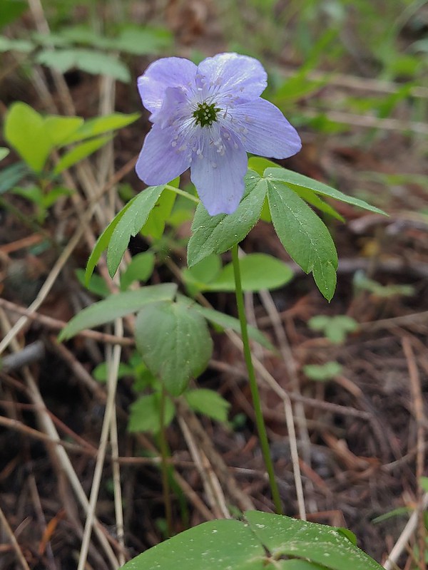 Anemone
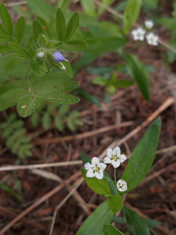 Largeleaf sandwort
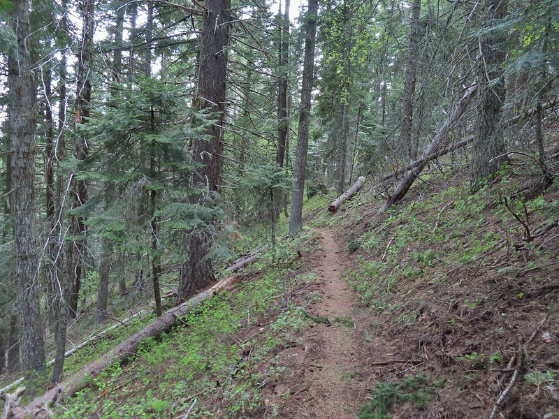
 Vanilla leaf getting ready to bloom.
 Arnica
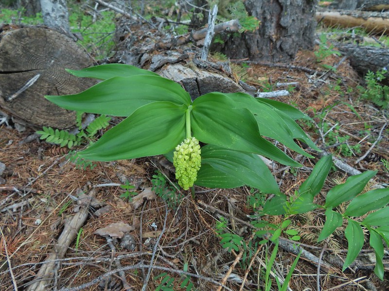 False solomons seal starting to bloom.
 Star-flower false solomons seal prior to blooming.
 Ballhead waterleaf
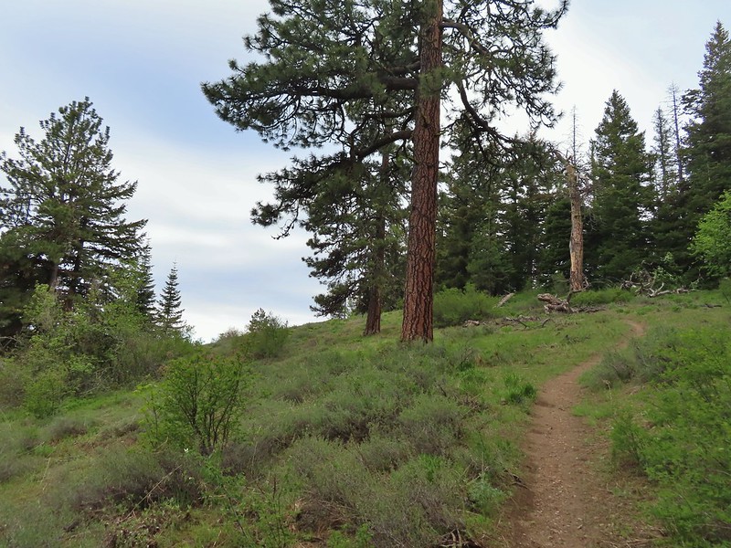 Ponderosa
 Scarlet gilia not yet in bloom.
 Balsamroot
 Hood River Valley and Mt. St. Helens
 Mt. St. Helens
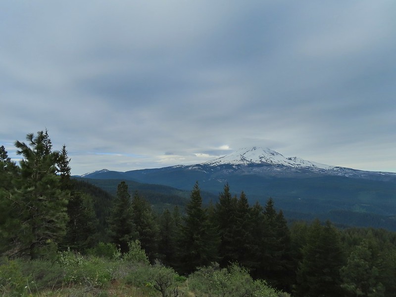 Mt. Hood
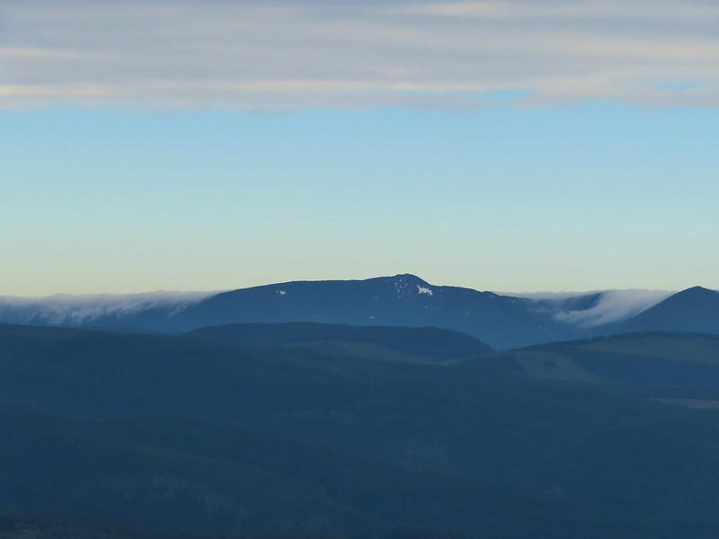 Indian Mountain (
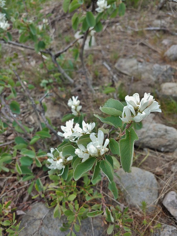 Western serviceberry
 Fairy bells
 Glacier lily
 Shellrock Mountain from the trail.

 First paintbrush of the day spotted in the little meadow.
 User trail to the left.


 Shellrock Badlands Basin, an eroded volcanic formation.
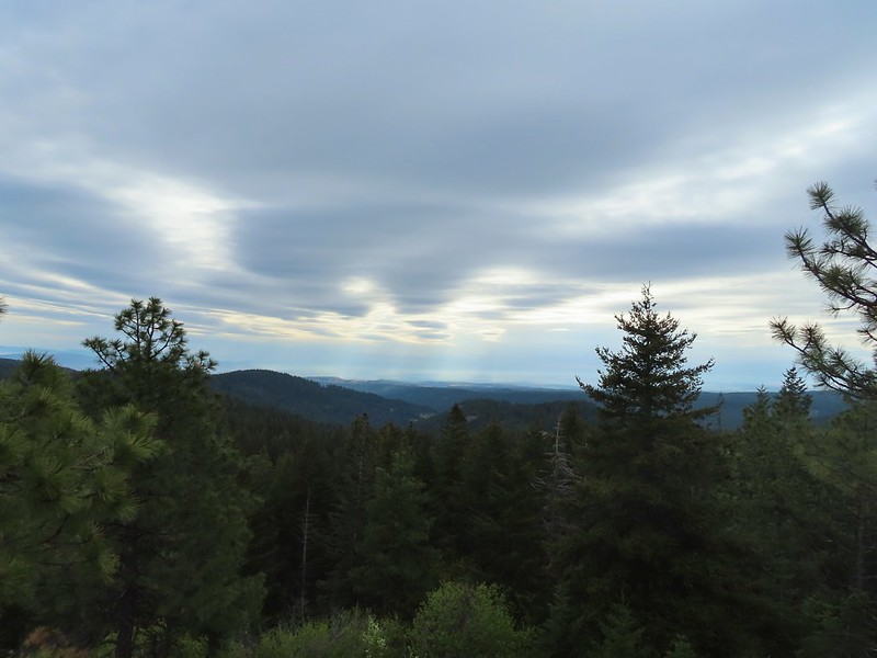 View east into Central Oregon.
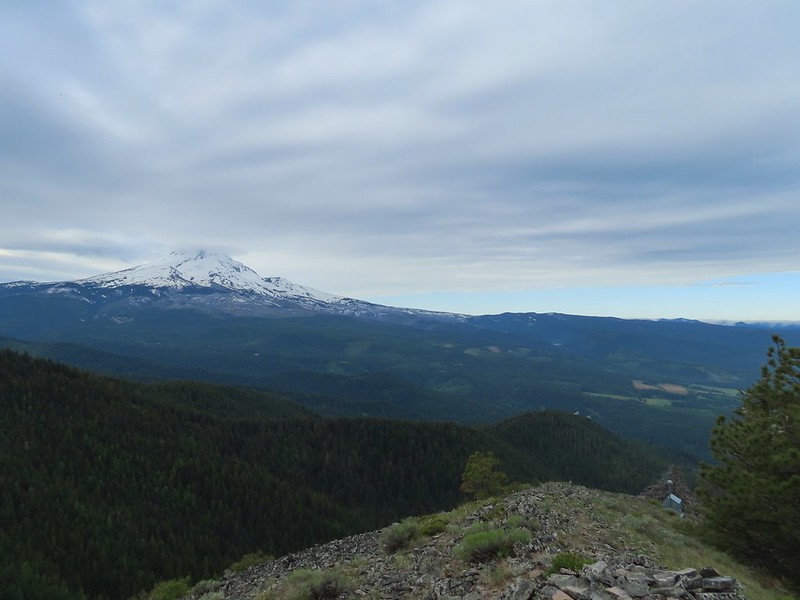 Mt. Hood
 Mill Creek Buttes with Lookout Mountain and Gunsight Butte (
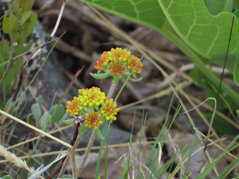 Buckwheat
 Bird below Shellrock Mountain.
 A whole lot of trillium.
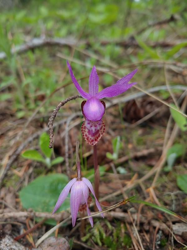 Fairy slippers
 Sign at the trailhead.


 parsley and popcorn flower.

 Lupine
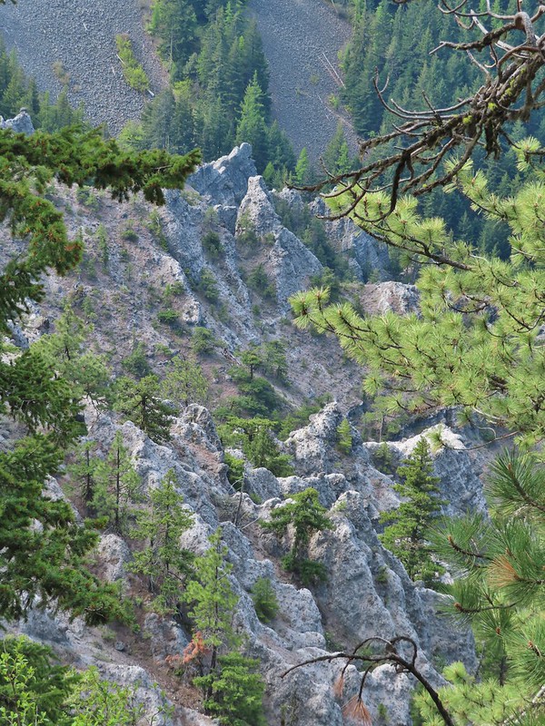


 I frequently have insects hitching rides, so often that we joke about me being an Uber for bugs.
 Rock out cropping in the Rim Rock section of trail.
 Tailed kittentails
 Western tanager female
 Western tanager male
 View from a rocky viewpoint just before crossing from the east side of the ridge back to the top.
 Phlox
Phlox


 Hood River Valley
 Clouds encroaching on Mt. Adams.
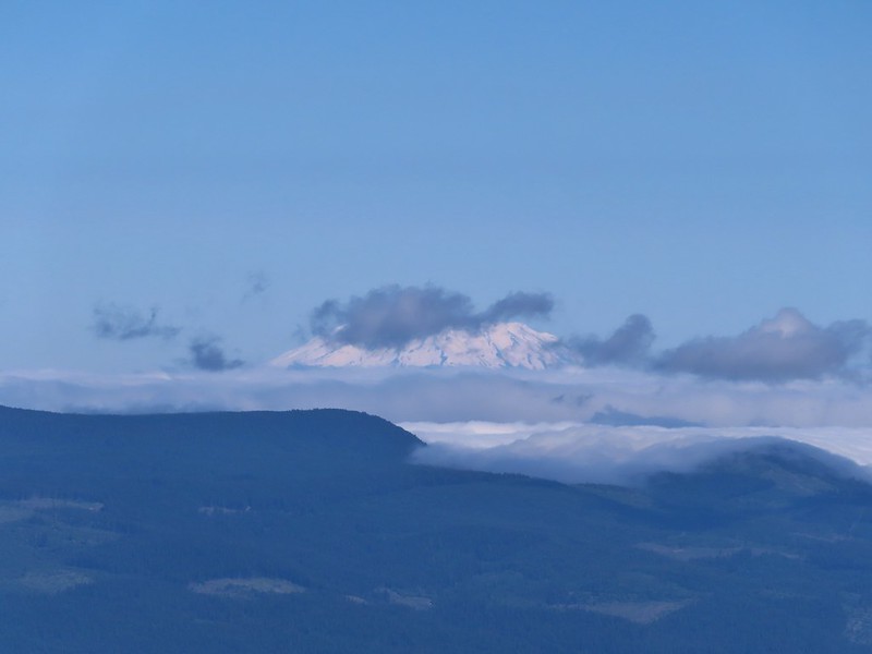 Mt. St. Helens
 The other viewpoint had a better view.
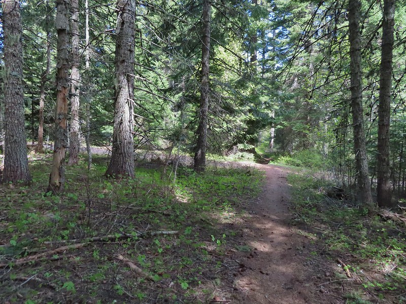 The first roadbed crossing.
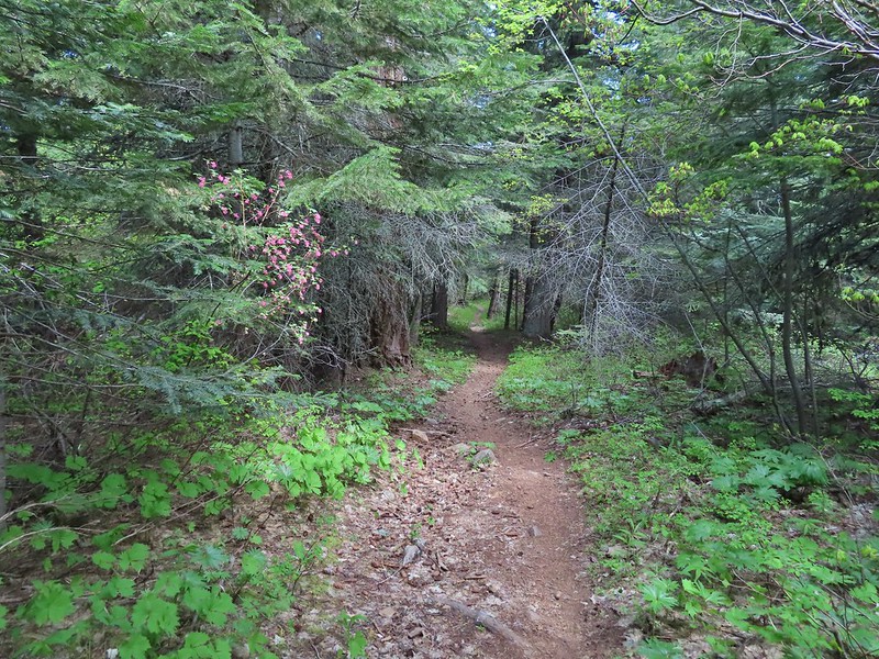
 Violets
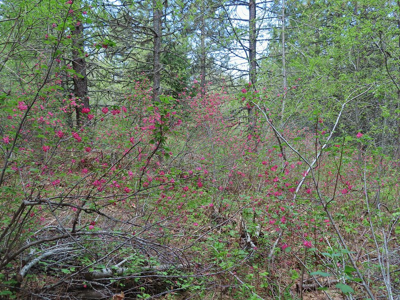
 Trail signs at the second road crossing.
 Coralroot sprouting
 Balsamroot and paintbrush
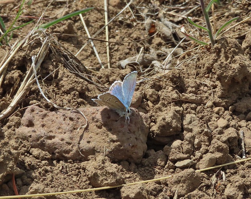

 Desert parsley
 Western stoneseed
 Wildflowers on the hillside.
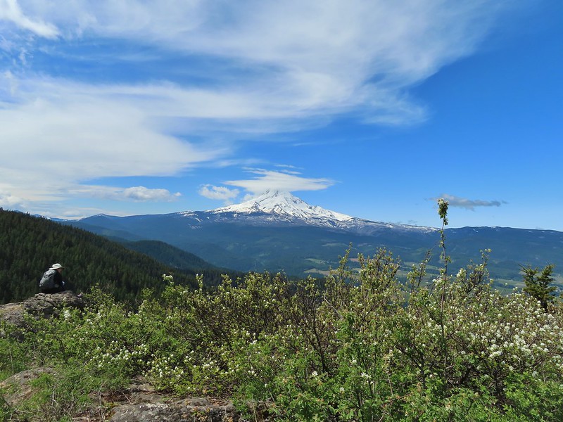
 Sign at the junction.
 Spur trail to Yellowjacket Point.
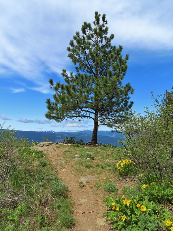
 No yellowjackets, just a robin.
 Things like this gooseberry shrub.
 Chipmunk
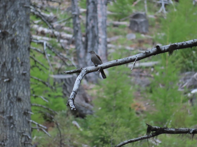 Townsend’s solitare?
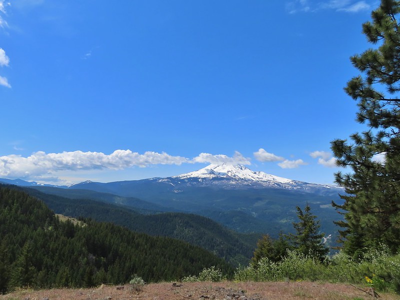 12:40pm
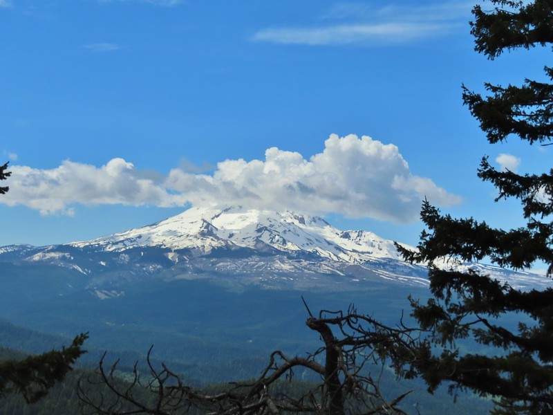 12:50pm
 1:00pm
 1:30pm
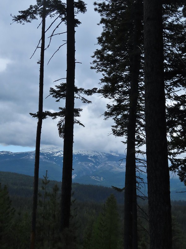 2:04pm
 Returning to the parking area at 2:11pm
 Parking area is just a wide spot in the road.
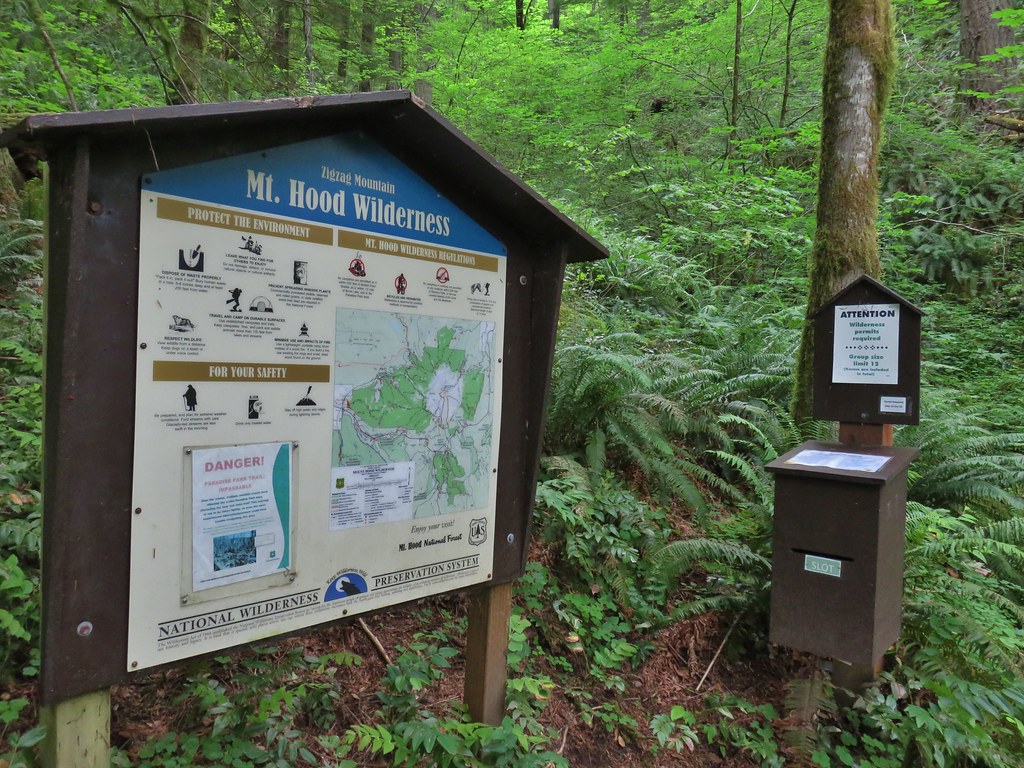
 Zigzag Mountain Trail entering the Mt. Hood Wilderness.
 Washington lilies
 Tiger lilies
 Self-heal
 Salal
Salal Candy sticks
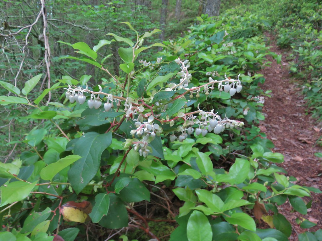
 Queen’s cup and bunchberry
 Anemone
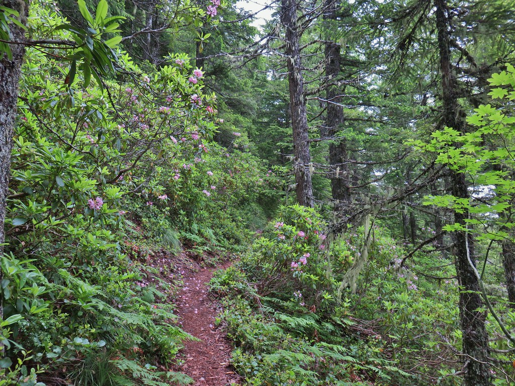


 Beargrass
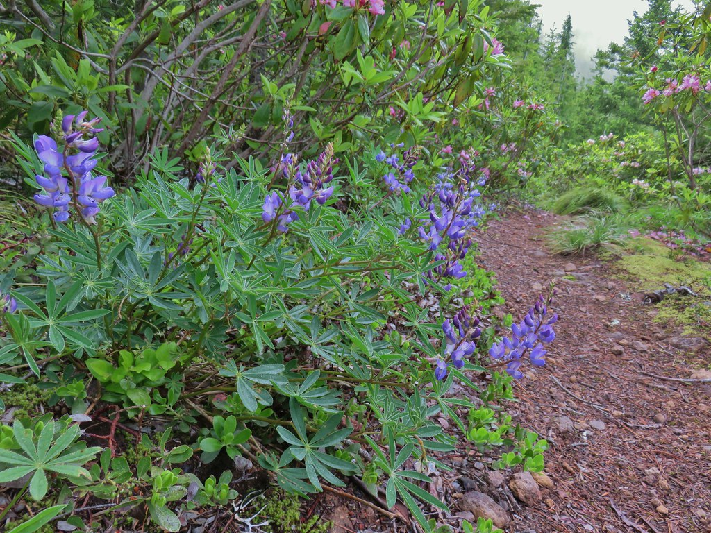 Lupine
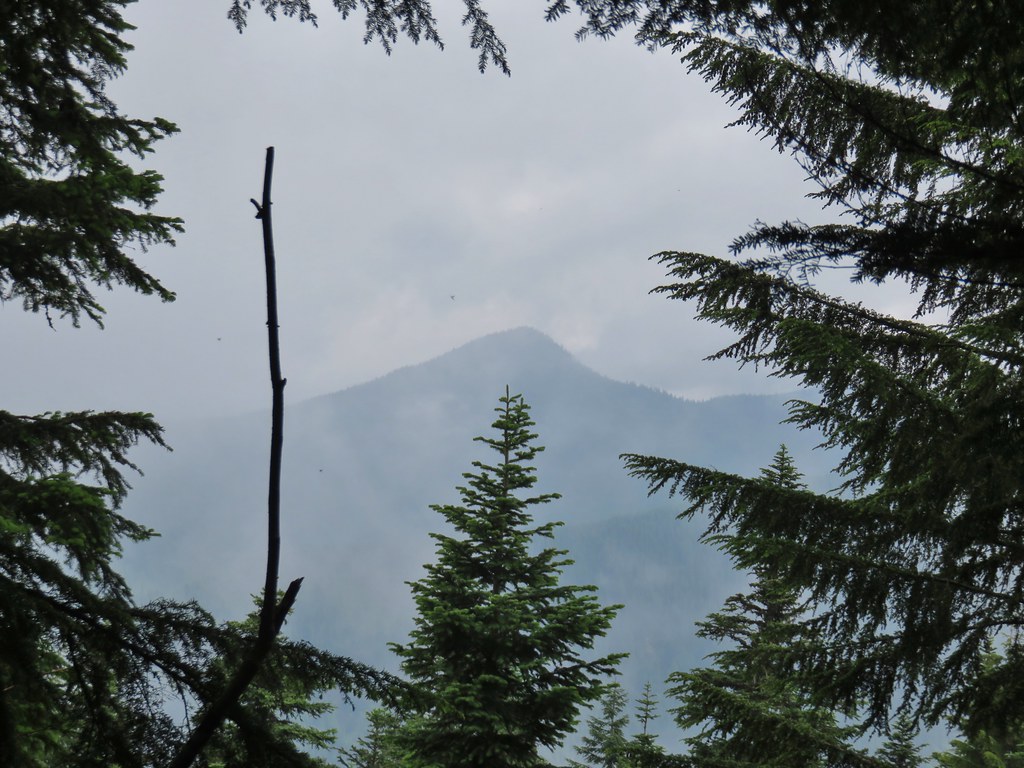
 Trillium along the north facing side of the ridge.
 Mushroom
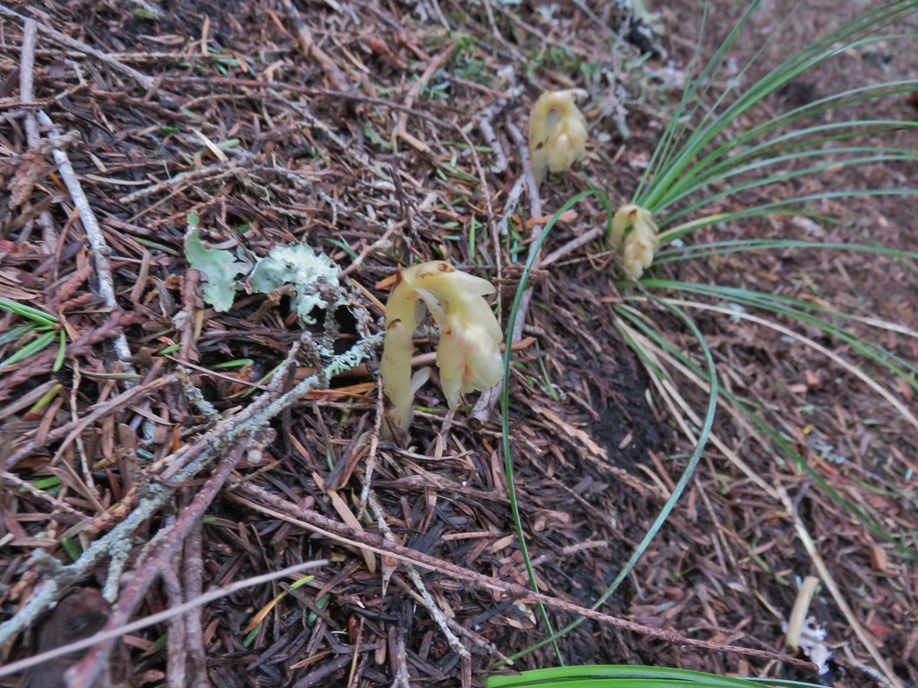 Pinesap
 Passing a rock outcrop.
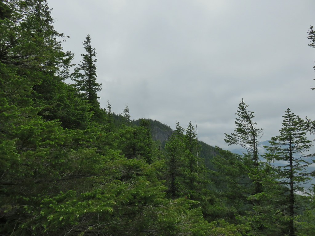 West Zigzag Mountain from the trail.
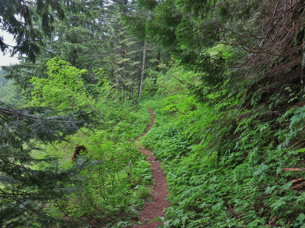 Back to the north facing side.
 Now on the south facing side.
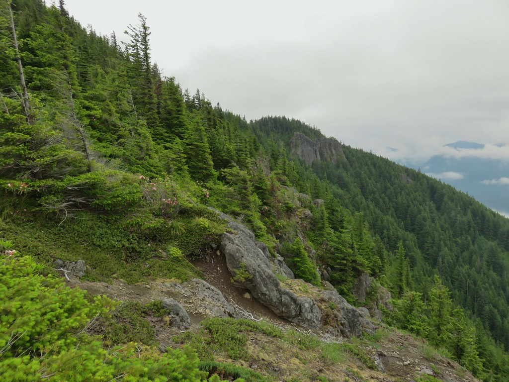

 Sub-alpine mariposa lily at the viewpoint.
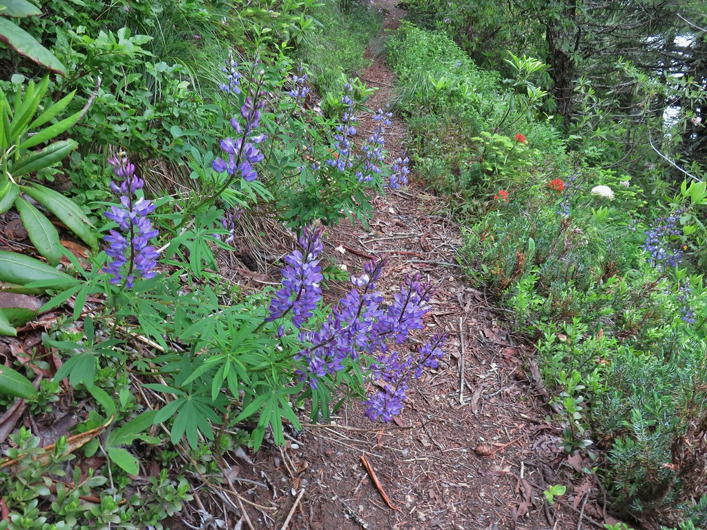 Lupine and paintbrush
 Beargrass and rhododendron
 Huckleberry
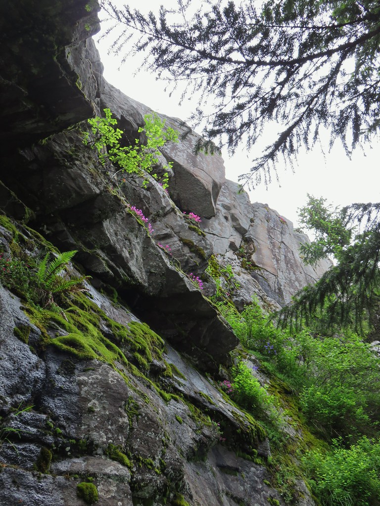 Cliff beardtongue
 Larkspur
 Phlox
Phlox More cliff beardtongue
 Penstemon
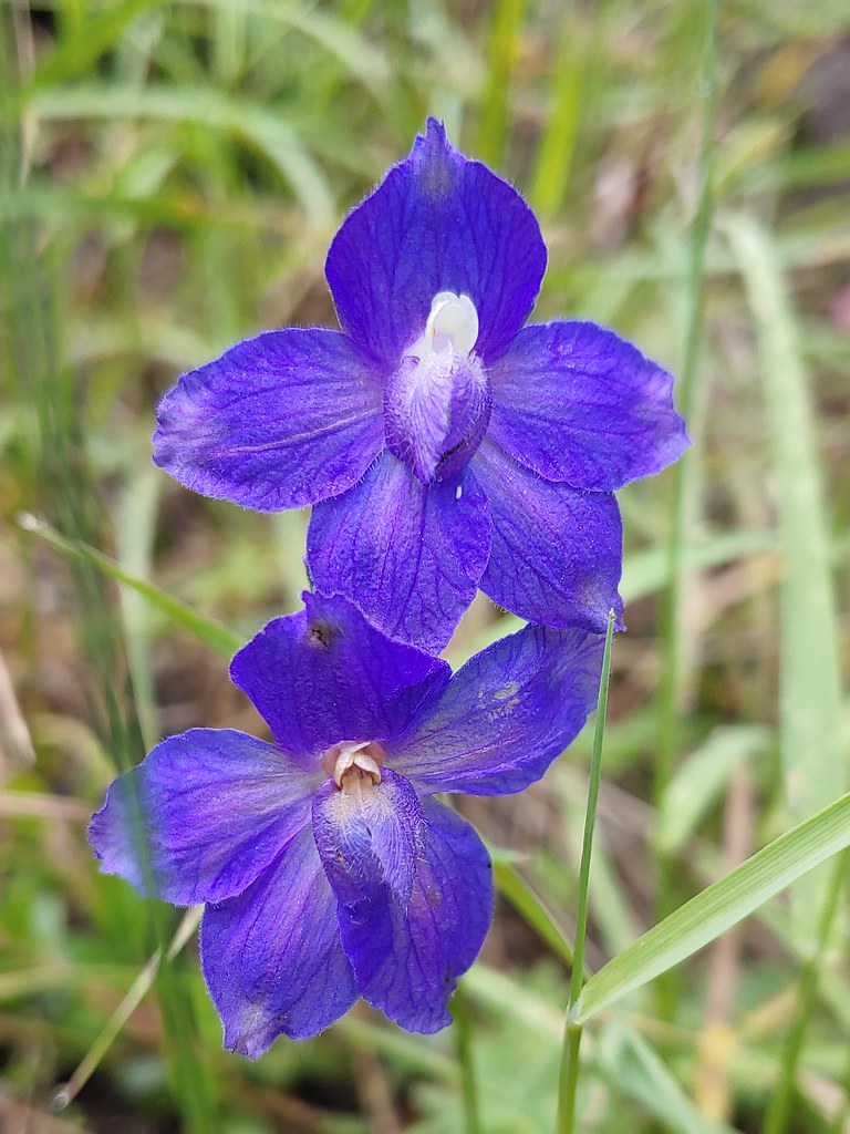 Larkspur
 On the ridge just before reaching the lookout site.


 Former lookout site in the tress to the left.

 Tufted saxifrage
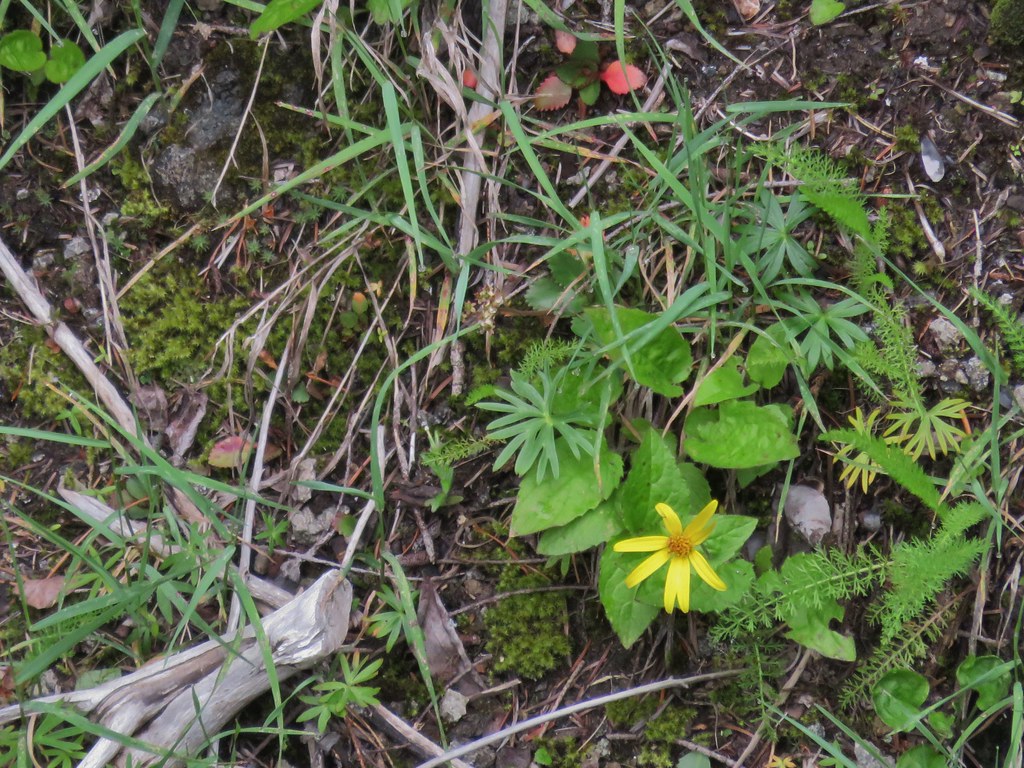 Arnica
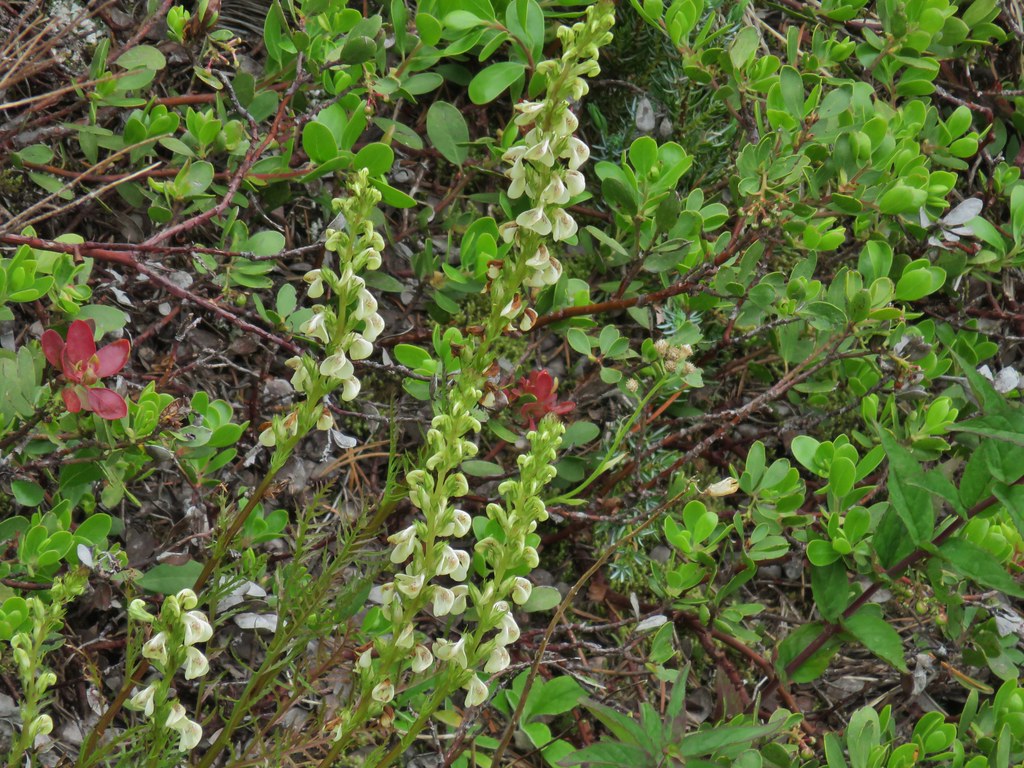 Lousewort
 Some of the rocks in Castle Canyon
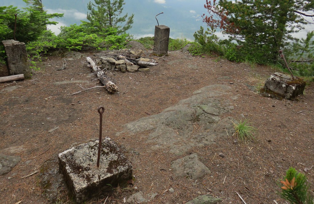
 View of the outcrop from the lookout site.
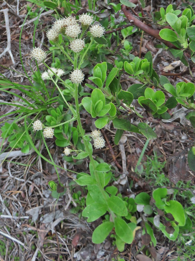 Raceme pussytoes
 Valerian
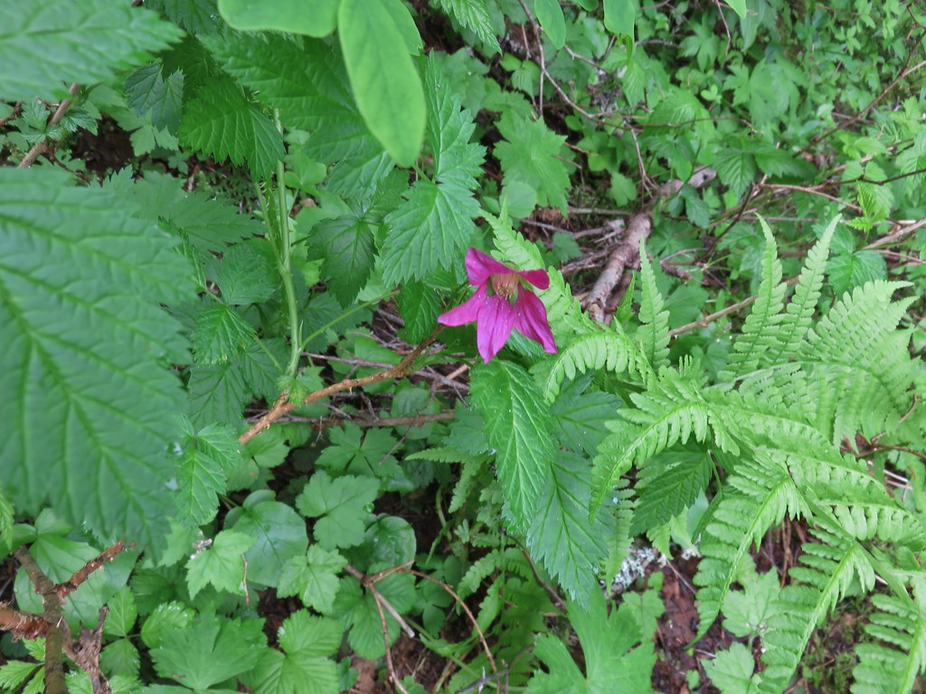 Salmonberry
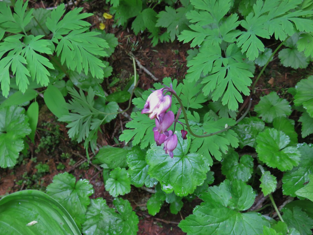 Bleeding heart
 Violet
 Monotropa uniflora aka ghost plant
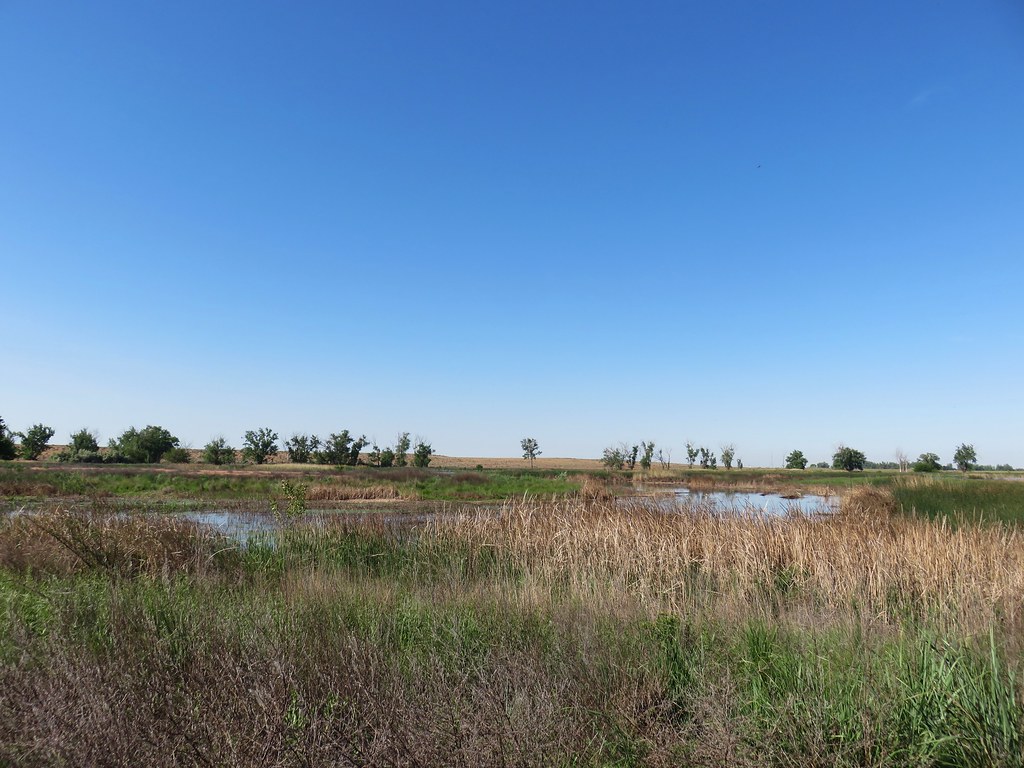 MCormack Slough in the Umatilla Wildlife Refuge.
 Looking towards Hells Canyon from Freezout Saddle.
 Wenaha River Canyon


 Road walk at Henry Haag Lake
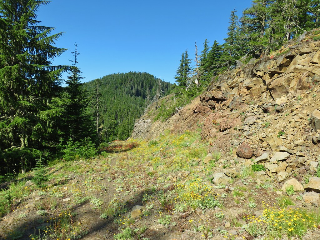 Decommissioned road to Baty Butte.
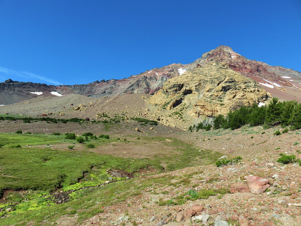 Cross country to Thayer Glacial Lake.
 Snow falling on our Freezout Saddle hike.
 Rain shower approaching at Cascade Head.
 Taking cover under a tree in the Mollala River Recreation Area as a rain shower passes overhead.
 Rainbow framing the Wallowa Mountains from the Feezout Saddle Trail.
 View from Cascade Head after the shower.
 View from the morning across the Mollala River Canyon.
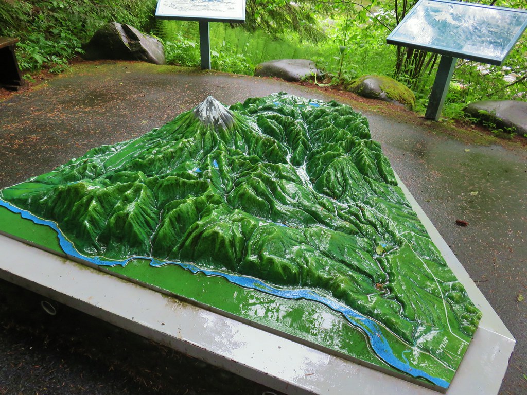 Neat 3D display at Wildwood Recreation Area.
 View atop Huckleberry Mountain.

 Gales Creek – Coast Range
 Dry Creek Falls – Columbia River Gorge, OR
 Camassia Natural Area – West Linn
 Two Chiefs and Table Mountain – Columbia River Gorge, WA
 Oak Island – Columbia River
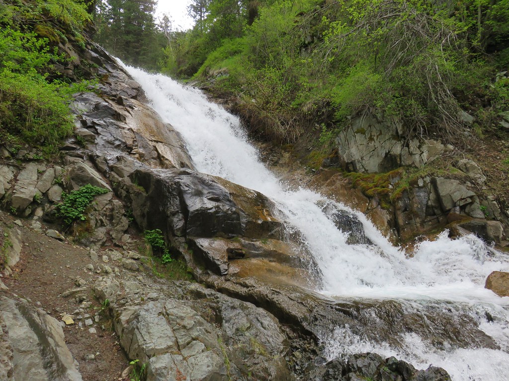 B.C. Creek Falls – Wallowa Mountains
 Wallowa Mountains
 Harsin Butte – Zumwalt Prairie
 Sardine Mountain – Willamette National Forest
 Gorton Creek Falls – Columbia River Gorge, OR
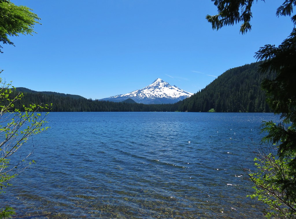 Mt. Hood from Lost Lake
 Mt. Hood from Vista Ridge
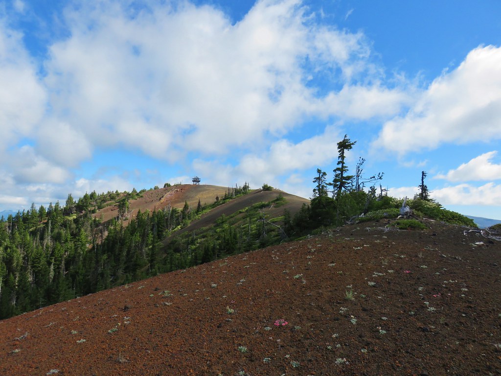 Sand Mountain Lookout – Willamette National Forest
 Cape Kiwanda and Haystack Rock from Sitka Sedge Beach
 High Lake – Mt. Hood National Forest
 Tidbits Mountain – Willamette National Forest
 Bunchgrass Meadow – Willamette National Forest
 Breitenbush Cascades – Willamette National Forest
 Mt. St. Helens from Cinnamon Ridge – Mt. St. Helens National Volcanic Monument
 Mt. Jefferson from Bear Point – Mt. Jefferson Wilderness
 Sawmill Falls – Little North Fork Santiam River
 Three Fingered Jack, The Three Sisters, and Mt. Washington
 Scramble route to Baty Butte – Mt. Hood National Forest
 Boulder Lake – Mt. Hood National Forest
 Drift Creek – Drift Creek Wilderness
 North Sister and Thayer Glacial Lake – Three Sisters Wilderness
 North Sister, Middle Sister, and The Husband from Four-In-One Cone – Three Sisters Wilderness
 Mt. Hood from Tumala Mountain – Mt. Hood National Forest
 Bull of the Woods Lookout – Bull of the Woods Wilderness
 Mt. Hood from Elk Cove – Mt. Hood Wilderness
 Mt. Jefferson and Hunts Cove – Mt. Jefferson Wilderness
 View from Olallie Butte – Warm Springs Indian Reservation
 Lillian Falls – Waldo Lake Wilderness
 Olallie Mountain Lookout – Three Sisters Wilderness
 King Tut – Crabtree Valley
 Mt. Jefferson from Ruddy Hill – Mt. Hood National Forest
 Henry Haag Lake – Scoggins Valley
 Waldo Lake and the Cascade Mountains from The Twins – Deschutes National Forest
 Bobby Lake – Deschutes National Forest
 Indian Henry’s Hunting Ground – Mt. Rainier National Park
 Fog over the valley from Mt. Pisgah – Eugene, OR
 Twin Peaks and Gifford Lake – Olallie Lake Scenic Area
 Mt. Adams from Lookout Mountain – Badger Creek Wilderness Area
 Mollala River Recreation Area
 View toward Washington from the Pacific Crest Trail near Indian Mountain – Mt. Hood National Forest
 Clackamas River – Mt. Hood National Forest
 Forest Park – Portland, OR
 Tilikum Crossing – Portland, OR