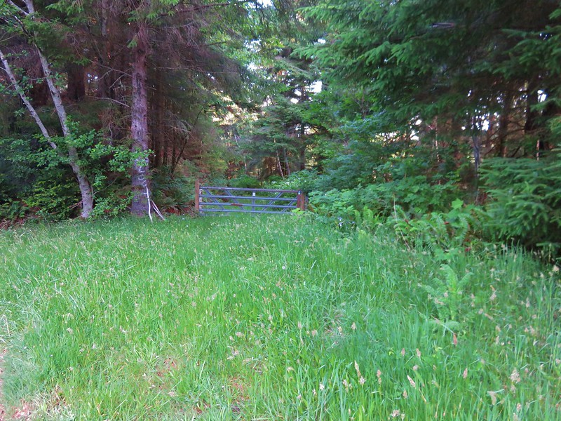
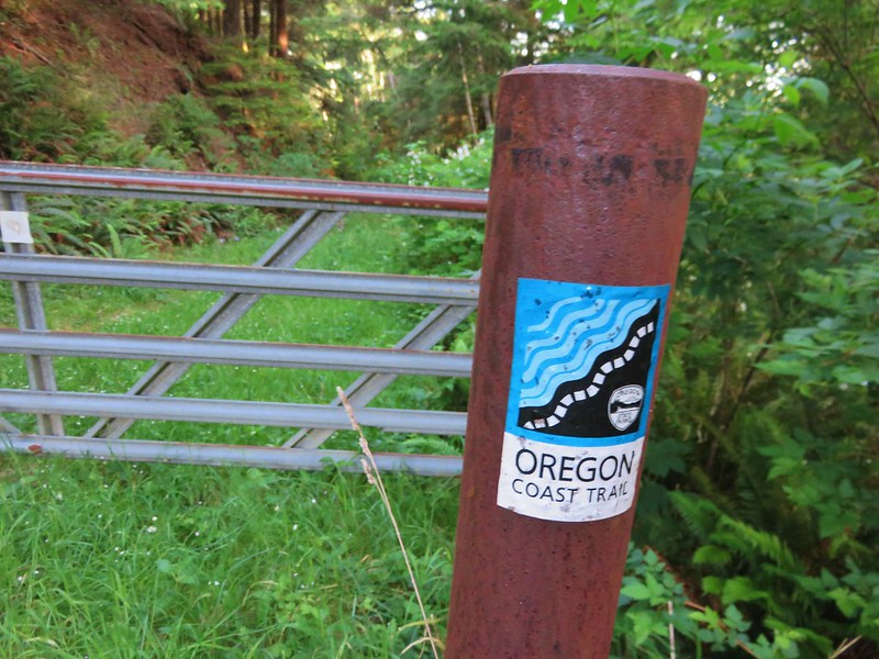
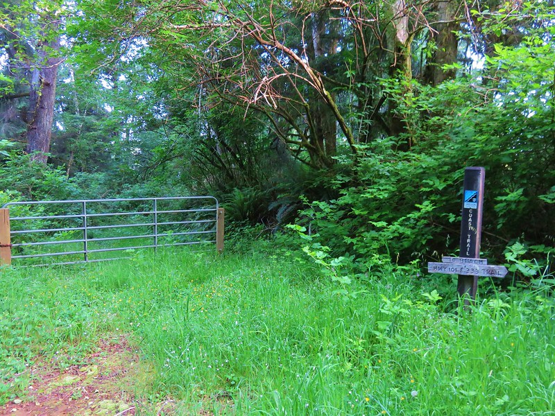
After our slow, bumpy drive to the Kalmiopsis Wilderness on Tuesday, Wednesdays hike was only about five minutes from our hotel in Gold Beach. We would be following a section of the Oregon Coast Trail through Cape Sebastian State Park. We began our hike at a gravel parking lot just off Highway 101 along Bellview Lane. A gate and sign for the Oregon Coast Trail were located just across Bellview Lane from the parking area.
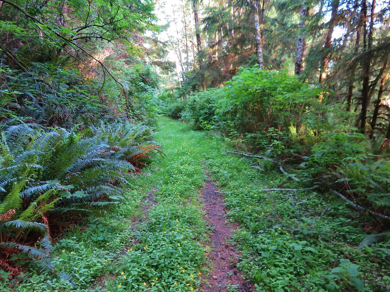
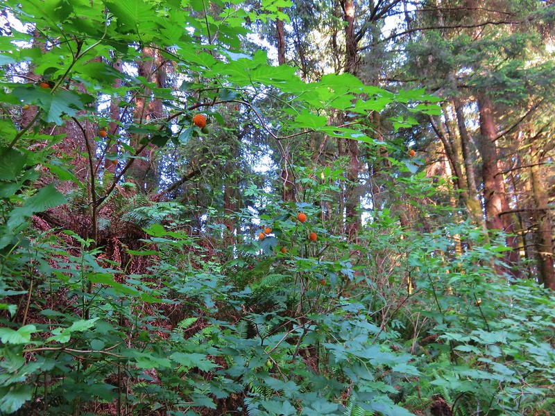
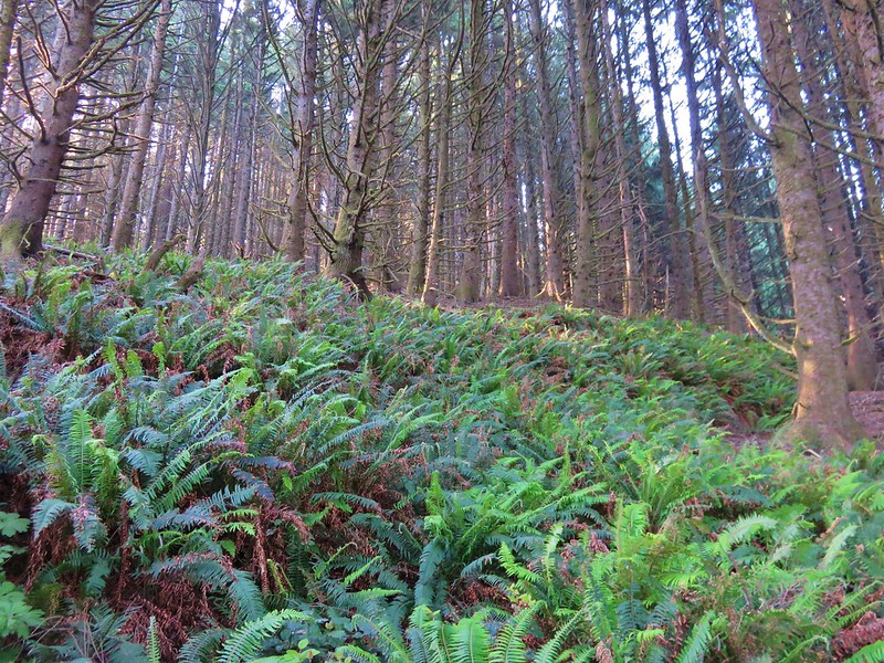
The trail was a grass and flower covered roadbed with some of the best salmonberries ever along the sides.
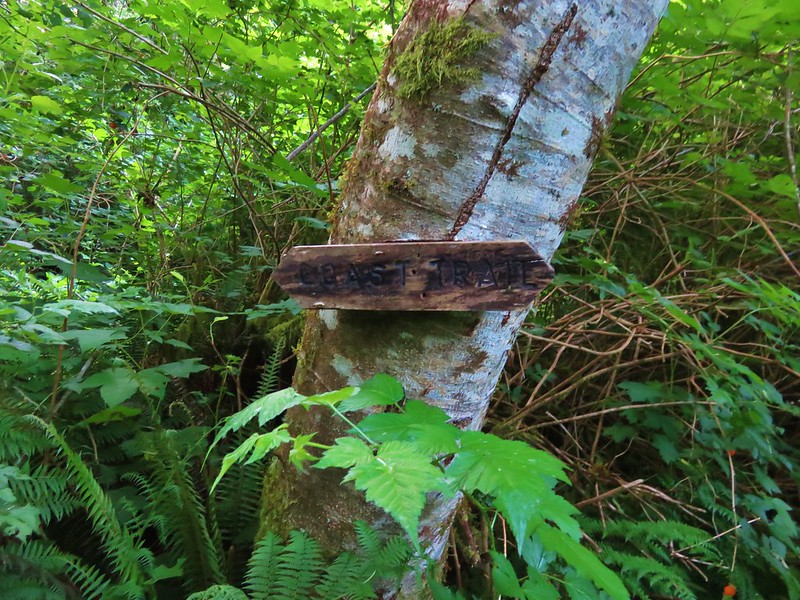
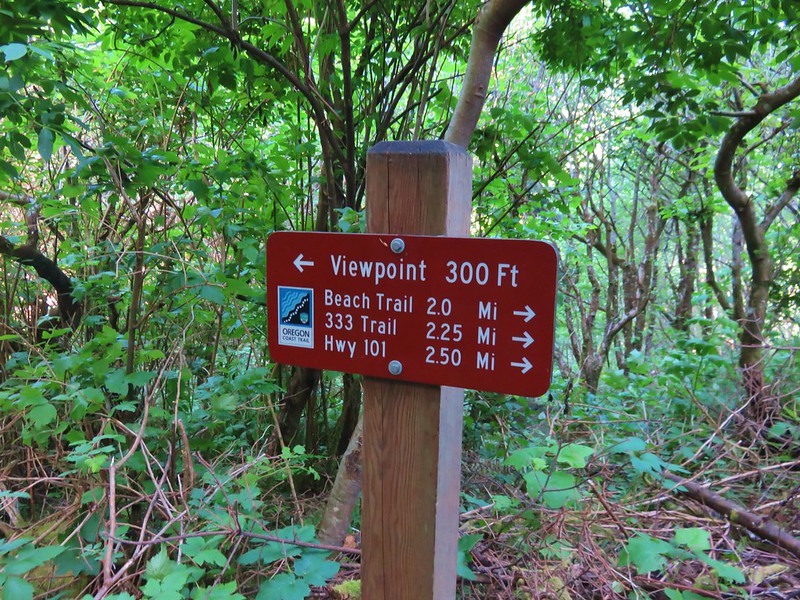
This section of the Oregon Coast Trail was well signed (we would discover later in the week this wasn’t the case for other sections).
This side path led 1.1 miles to a beach that we would visit on our way back.
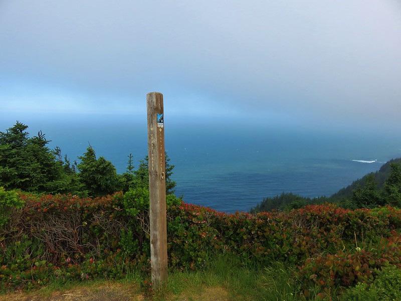
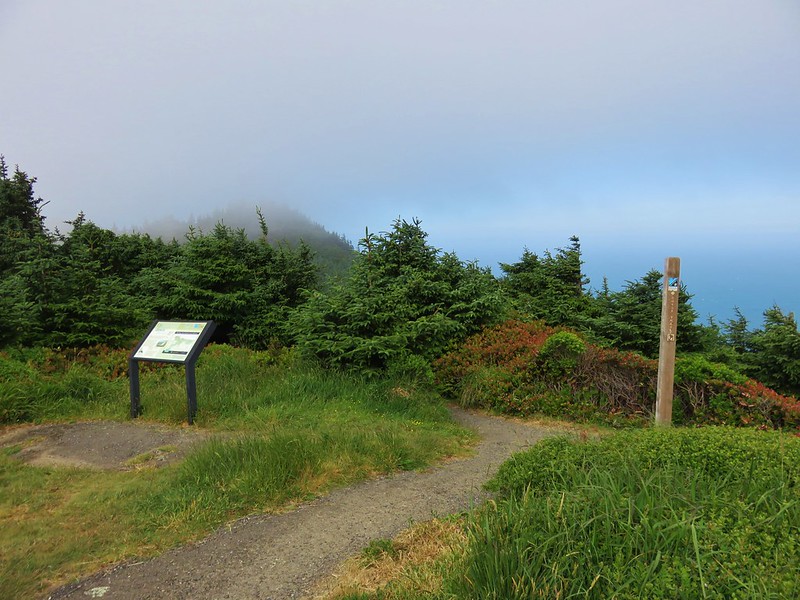
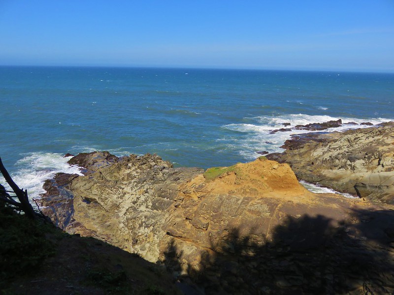
At the 2.3 mile mark a sign directed us to our first viewpoint.
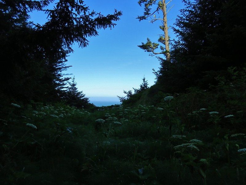
Beyond the viewpoint the Oregon Coast Trail climbed for .8 miles through the trees to a parking lot in Cape Sebastian State Park.

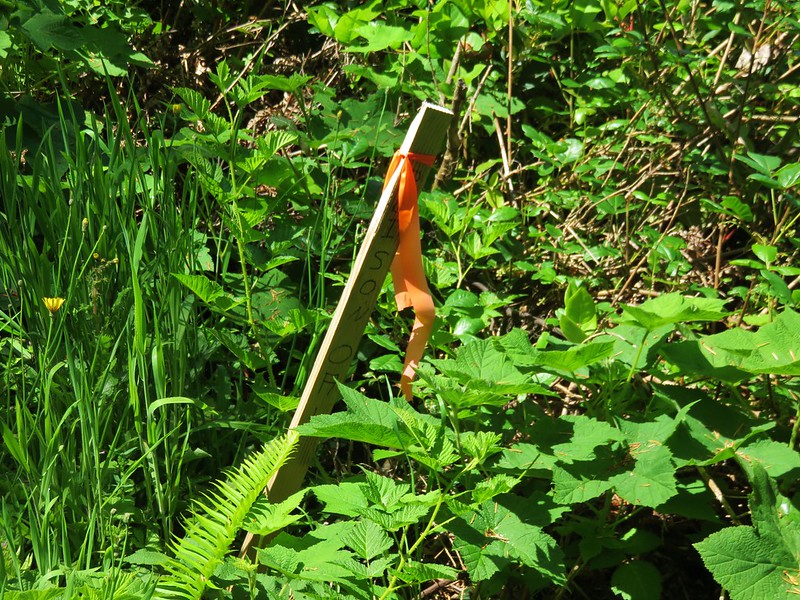
A 0.4 mile trail connected this parking lot with an upper parking lot with a better view, although we arrived just as a cloud was passing over. There was a small patch of poison oak marked with a stake along this stretch.

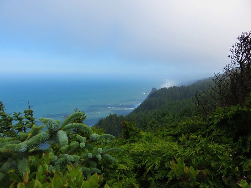
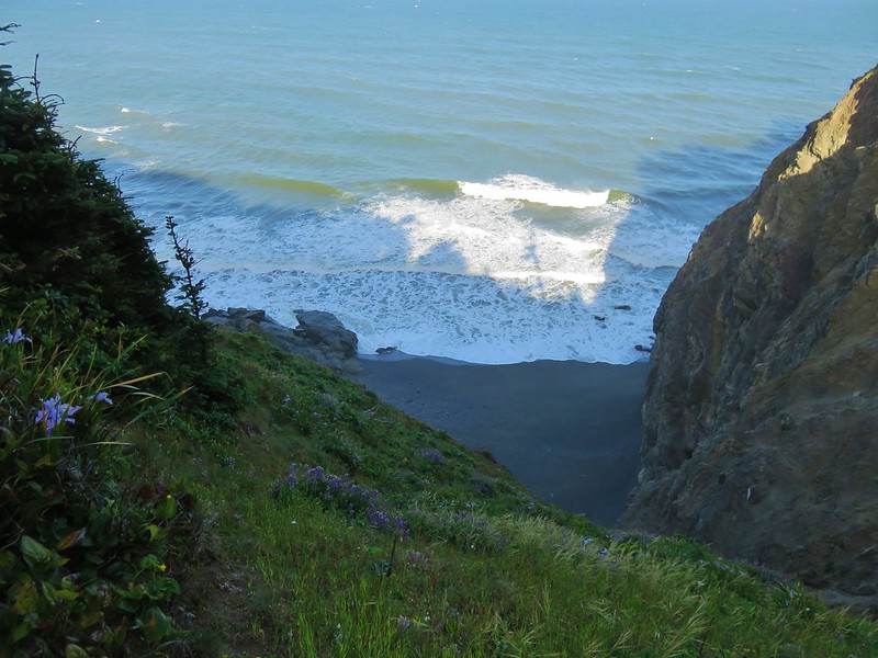
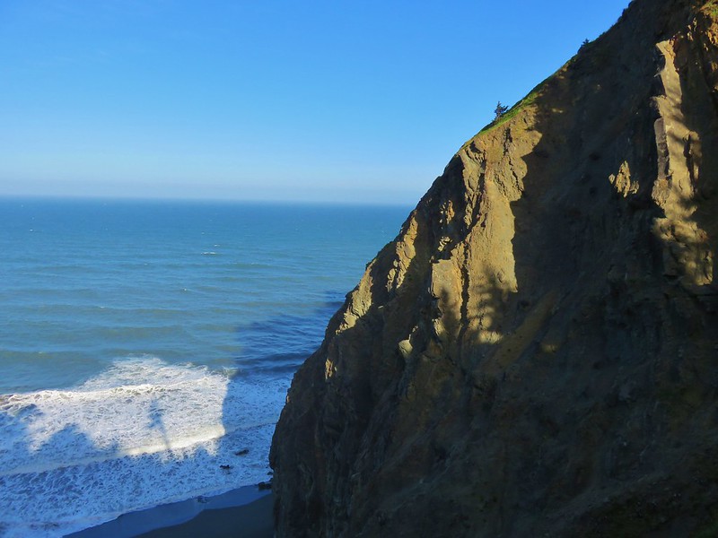
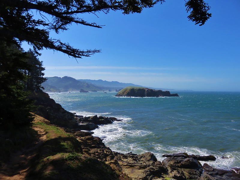
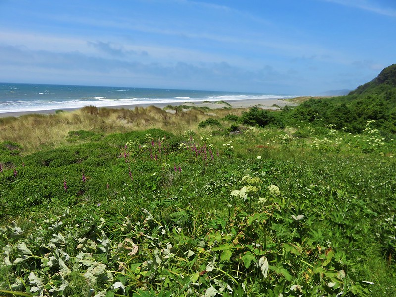
From this second viewpoint the trail passed through a windswept meadow then into a forest following an interesting ridge that ran parallel to the Pacific Ocean.
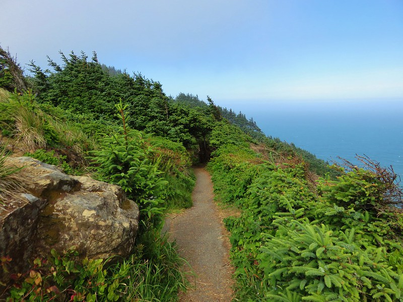
There was a viewpoint along they way with lichen covered rocks.

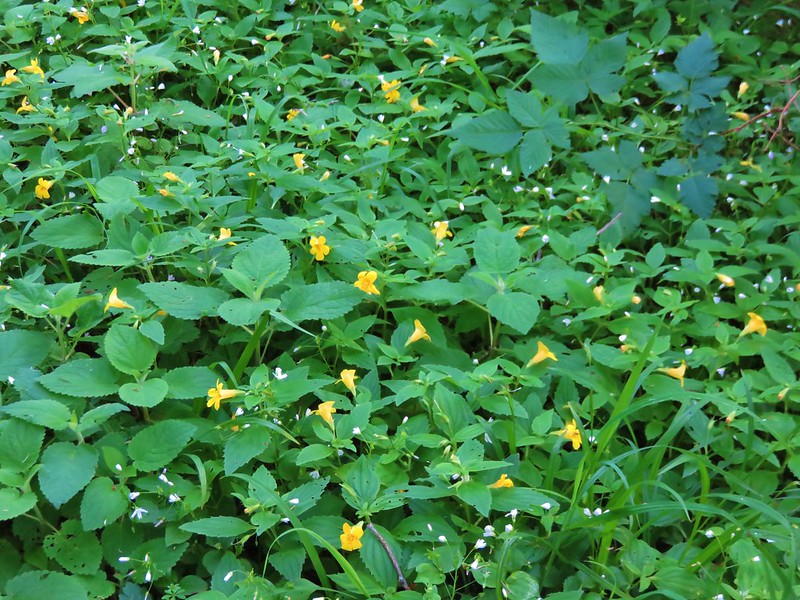
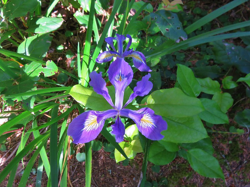
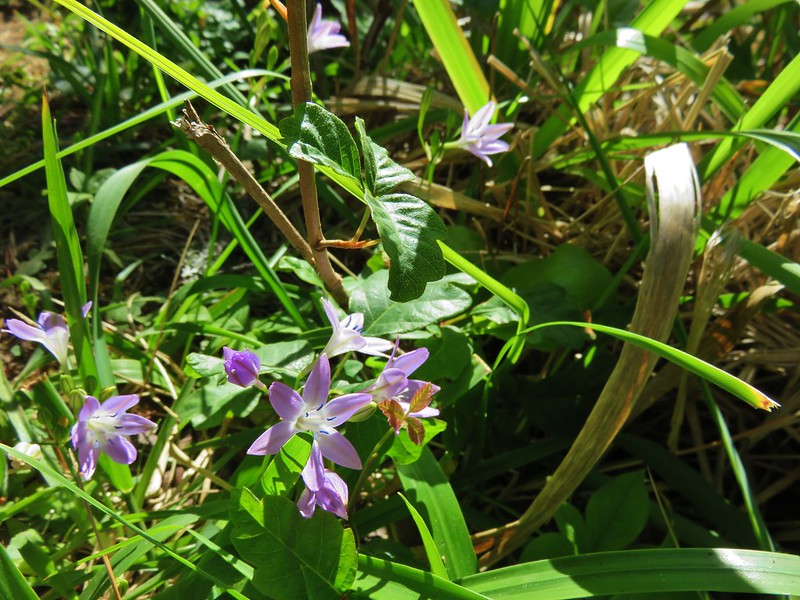
After .6 miles the trail began to descend through more open woods where a good number of flowers were blooming. Along with the flowers came a fair amount of poison oak.
Wild iris
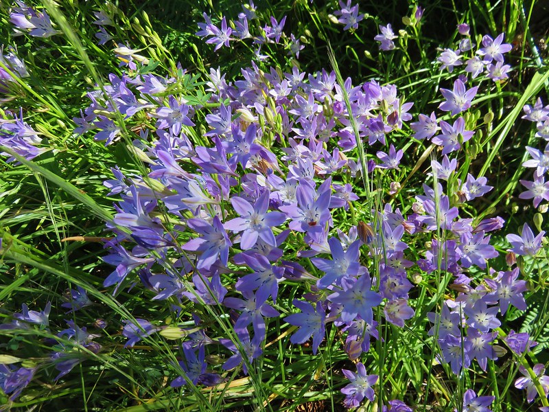
Bridges’ brodiaea and poison oak
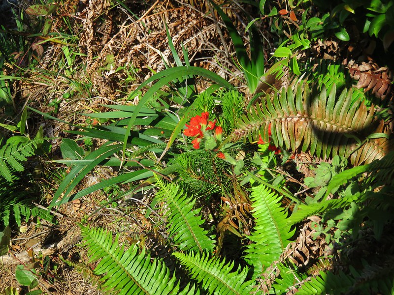
Paintbrush
Blueblossom

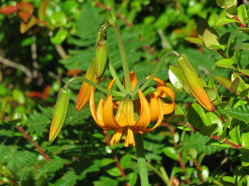
Columbian lily
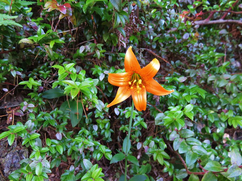
Another lily
More Bridges’ brodiaea
There were also some nice views along this 1.3 mile section of the trail.
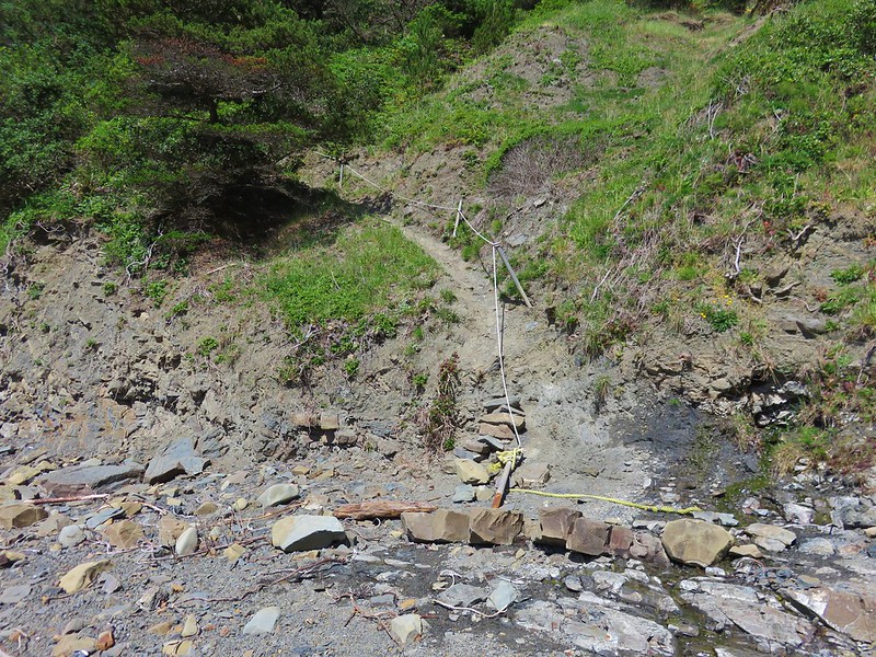
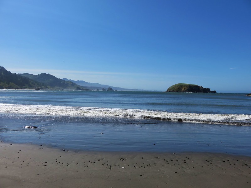
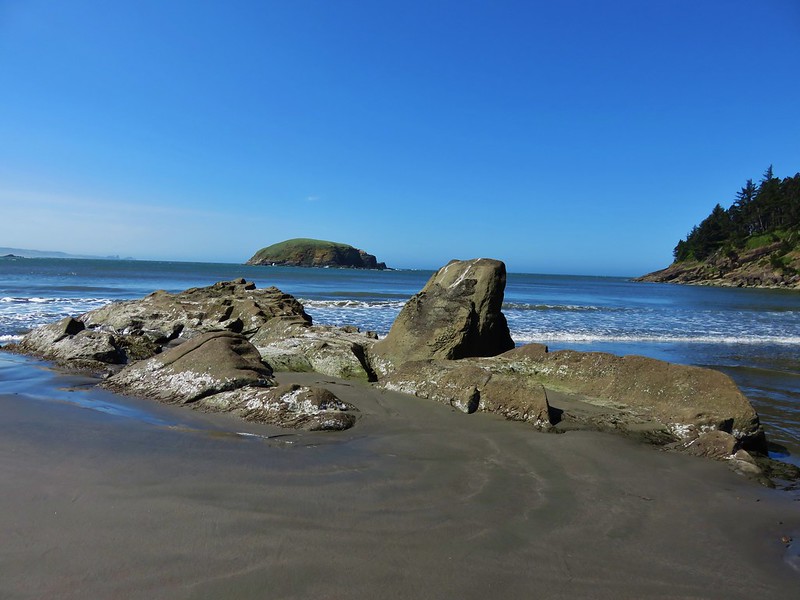
The trail eventually arrived at Hunters Beach but the final drop down to the actual beach was down a steep slope. Much of it had been worn away by the elements and a rope had been set up for assistance. To complicate the descent there was poison oak on both sides of the trail.
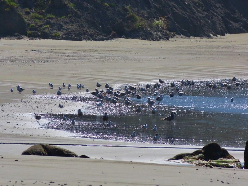
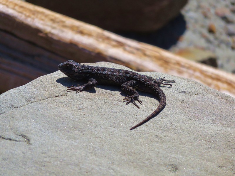
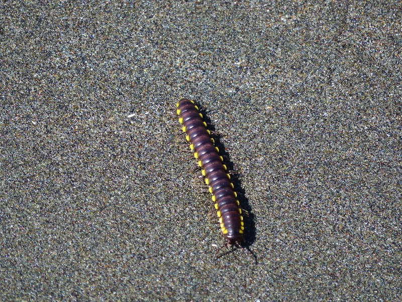
We made it down to the sandy beach where we joined a pair of deer, some birds, lizards, and a millipede.
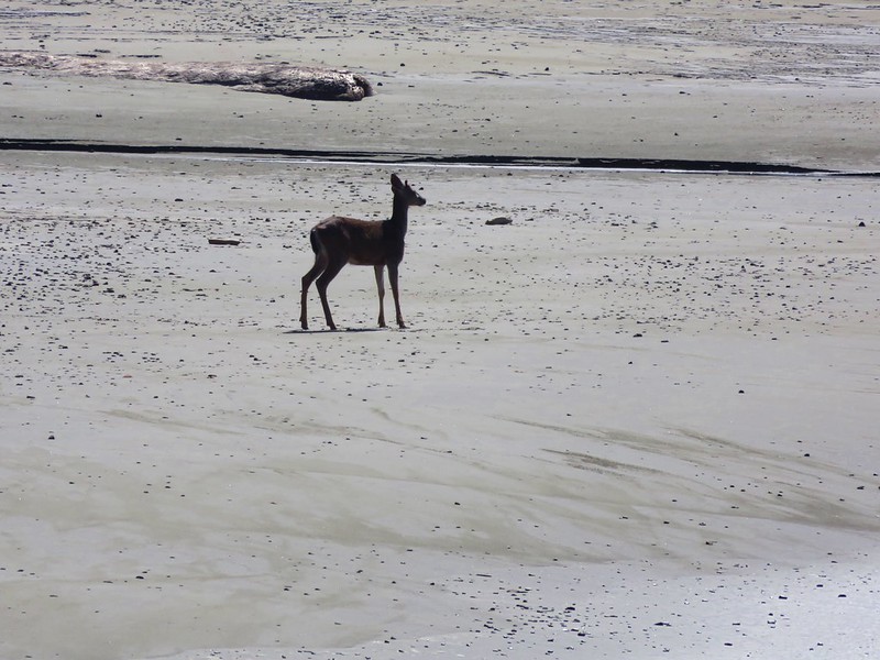
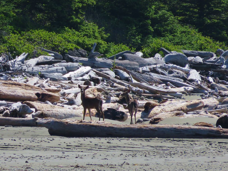
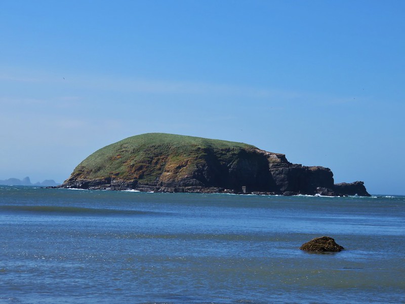
Hunters Island dominated the view from the beach.
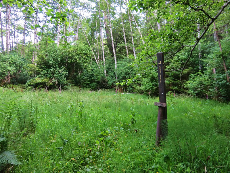
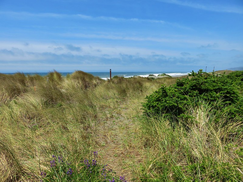
We returned the way we’d come being careful to avoid the poison oak retracting our steps all the way to the 1.1 mile side trail to a beach just a half mile from Bellview Lane. This path was along another old road that led down to an overgrown meadow.

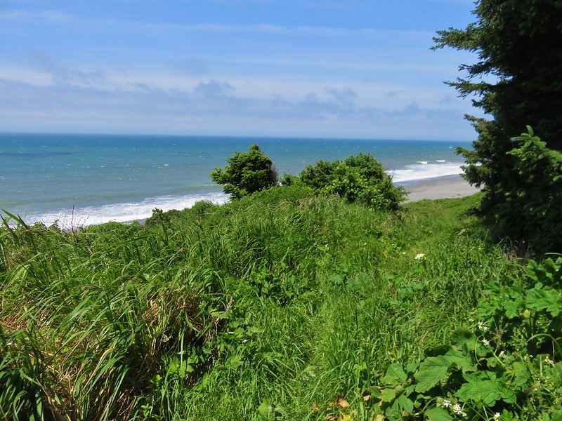
A faint path led through the vegetation to a post on the beach.
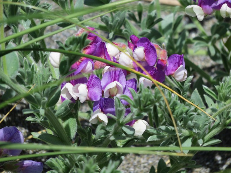
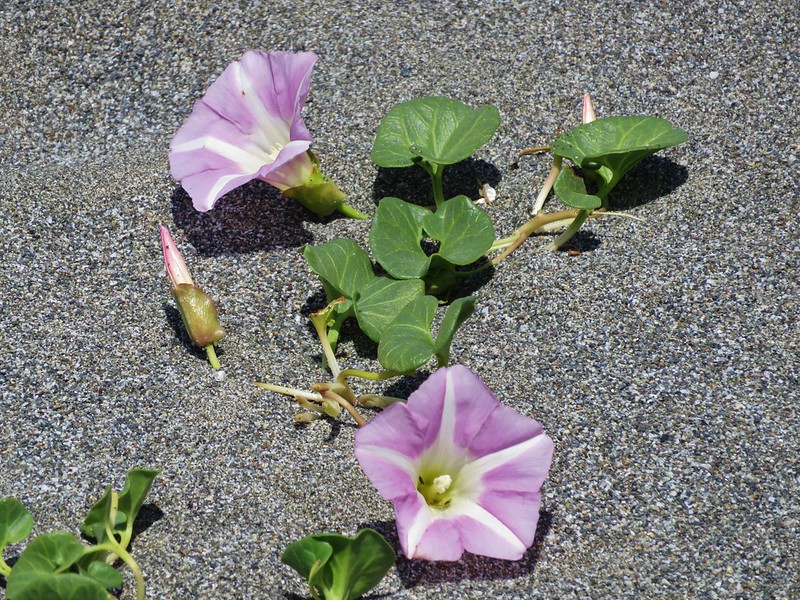
On this beach we found several new types of flowers.
yellow sand-verbena

silky beach pea
beach morning-glory
It was pretty windy and there wasn’t much cover to be found so after a brief stay we headed back up to Bellview Lane and our car. We picked this as our evening to find a local restaurant to try and picked the Barnacle Bistro in Gold Beach. The food was great and we each enjoyed a beer from Arch Rock Brewing Company. I had the Pistol River Pale while Heather tried the State of Jefferson Porter. It was a great cap to the day. Happy Trails!
Flickr: https://www.flickr.com/photos/9319235@N02/sets/72157666235841743

3 replies on “Cape Sebastian”
[…] travels took us on hikes further to the west (Cape Sebastian State Park), east (West Fork Wallowa Trail – Eagle Cap Wilderness), and south (Cliff Lake – Marble […]
Thank you for the photos. In your hiking along the Cape Sebastian area, did you ever see any old concrete structures? I am looking for the WW2 Radar that was supposed to have been located somewhere near Cape Sebastian.
We did not notice anything. I also read that there had been one there but I’m not sure exactly where it was located.