
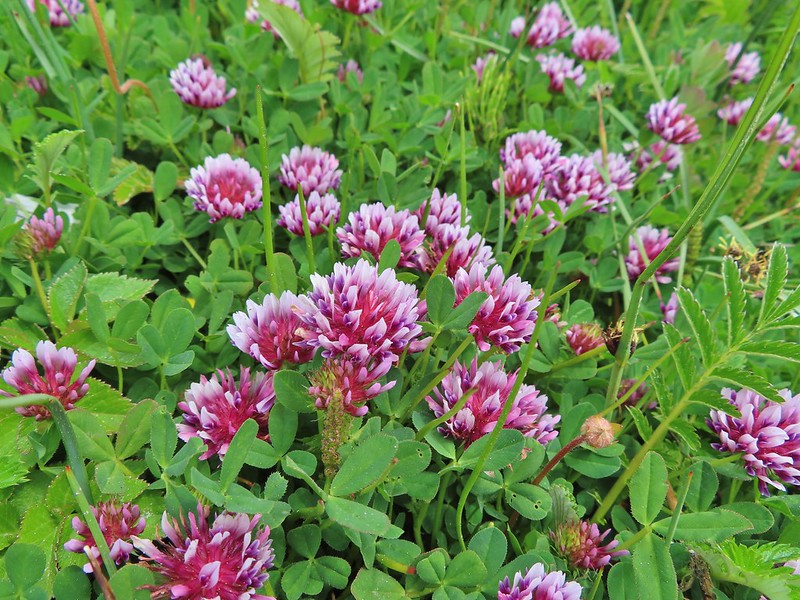
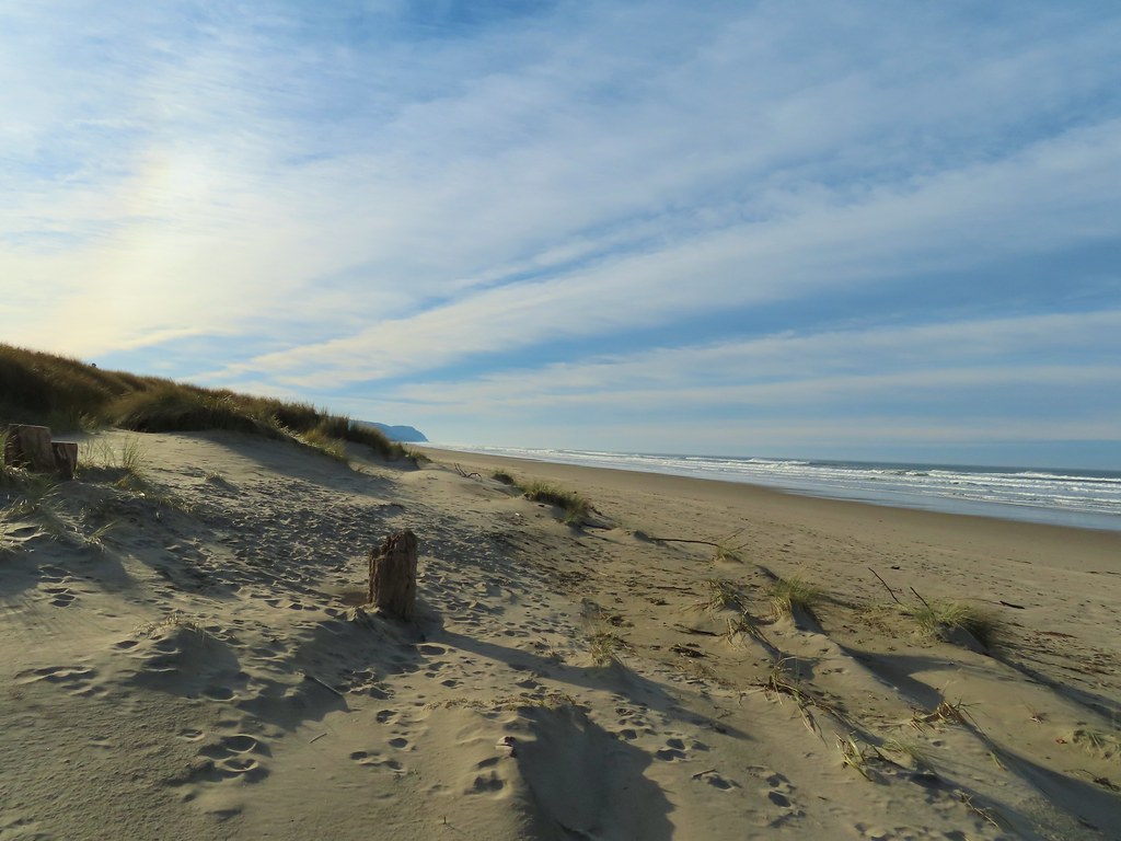
We had visited Neahkahnie Mountain in January 2014 (post) and had wanted to come back in Spring to hopefully see some wildflowers. The Oregon Coast Trail (OCT) crosses over Neahkahnie Mountain passing below a rocky viewpoint. In 2014 we had come from the north so this time the plan was to start from the south using a newer section of the OCT beginning in Manzanita, OR. Heather had other plans, so I was on my own for this outing, and decided that I would go up and over Neahkahnie Mountain and visit the Devil’s Cauldron before climbing back over to Manzanita.
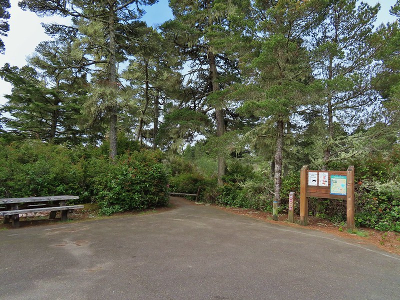
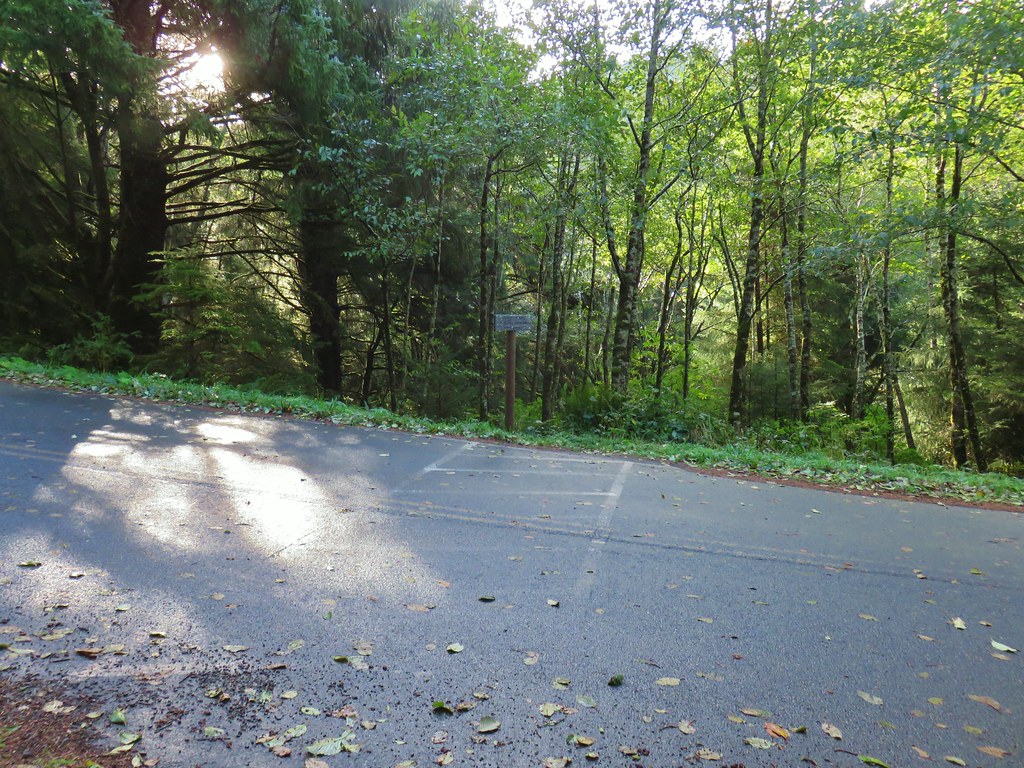
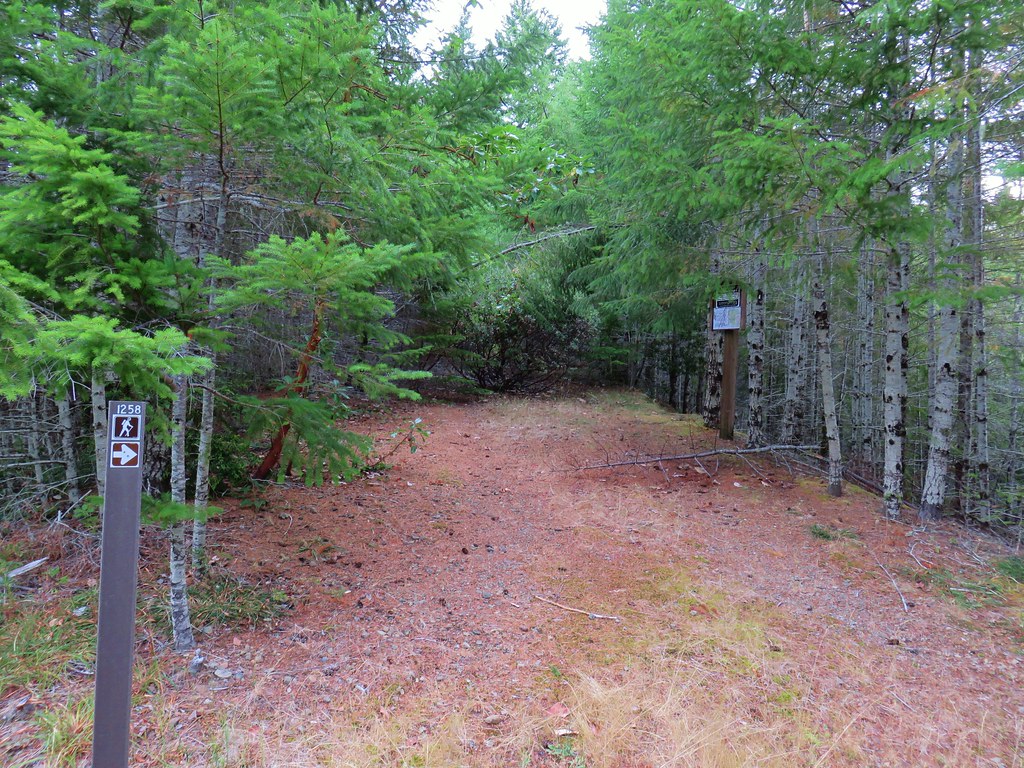
The trailhead for the OCT is just a pullout on the shoulder of Neahlem Road.
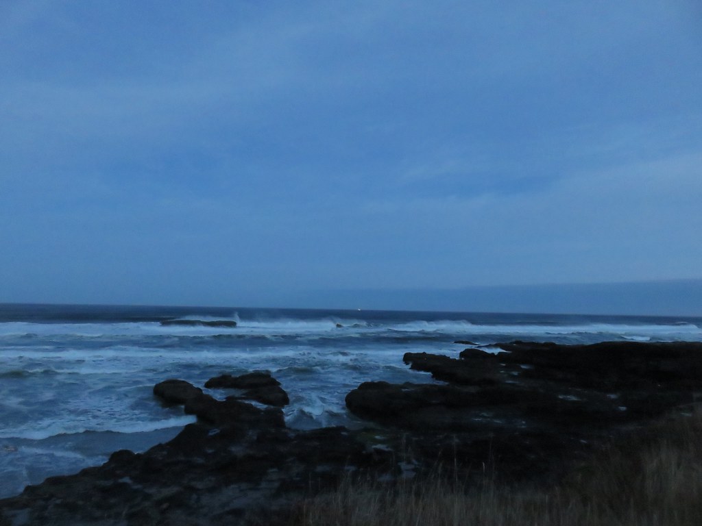
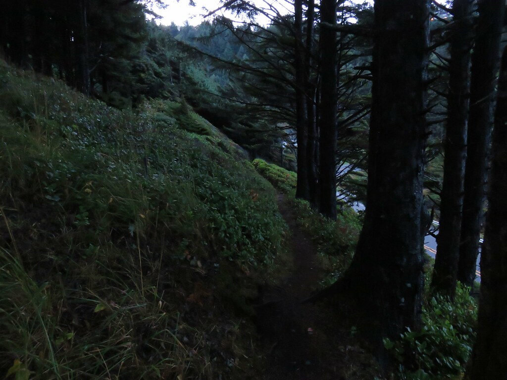
 I had arrived just after 6:30am so it was still a little dark as I set off.
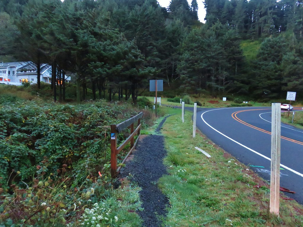
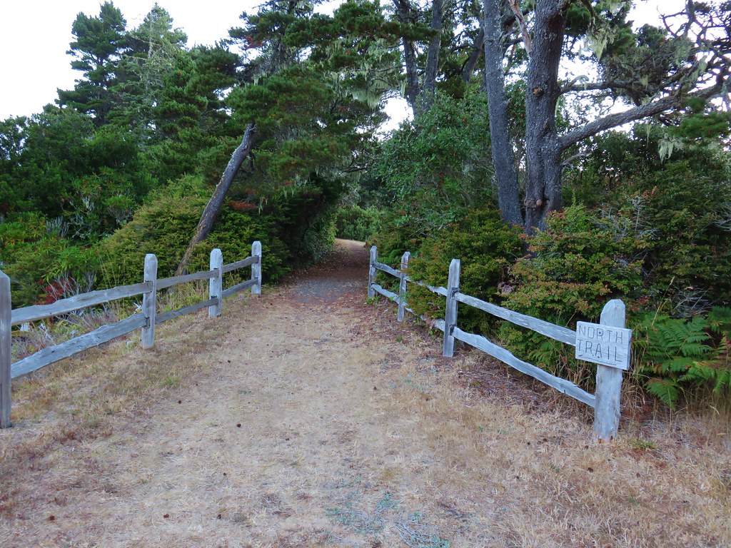
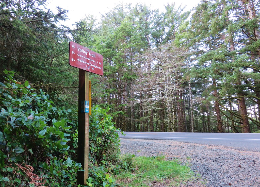
It was early enough that I didn’t have to worry much about traffic when I crossed Highway 101 from Nehalem Road to the signed Oregon Coast Trail.


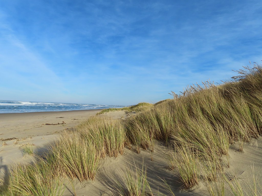
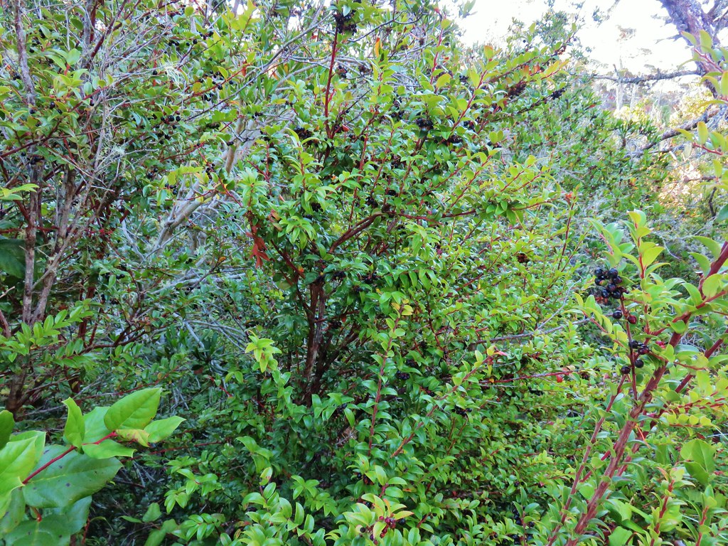
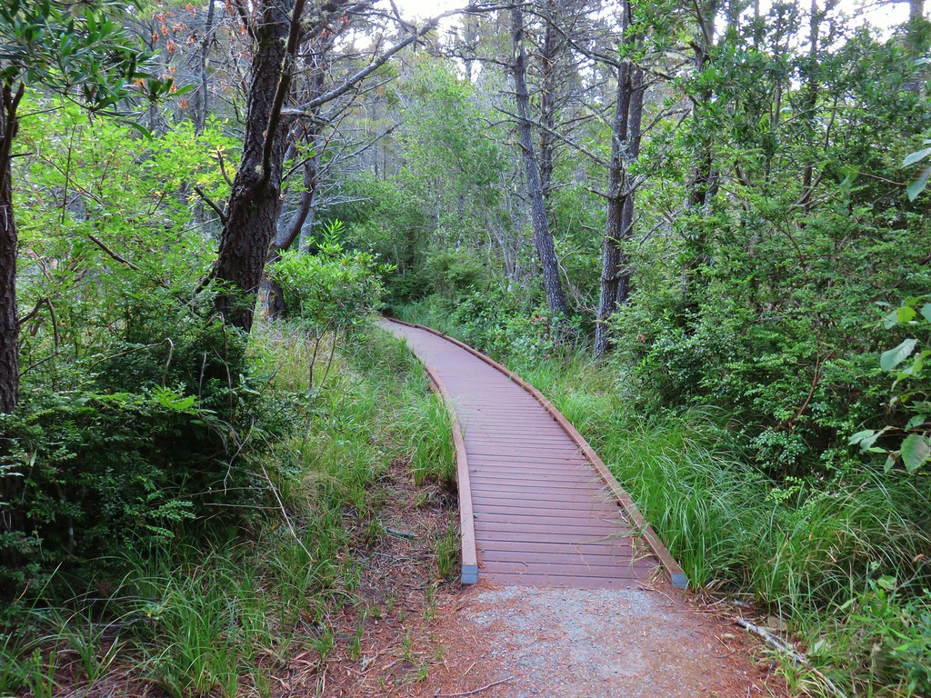
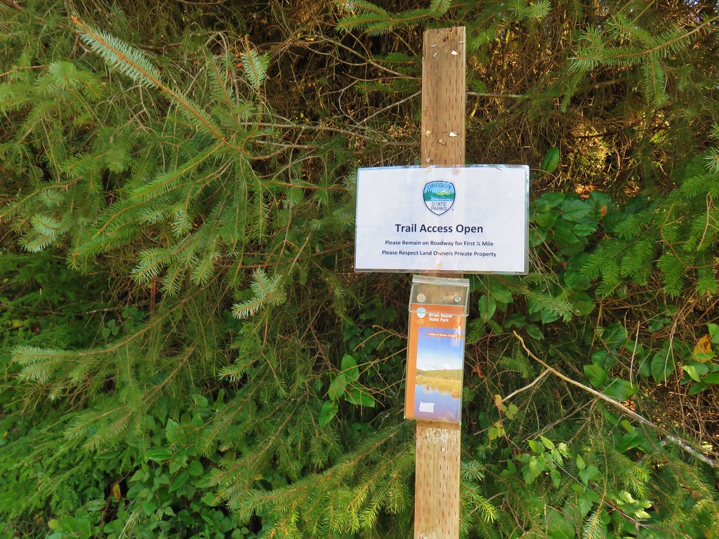
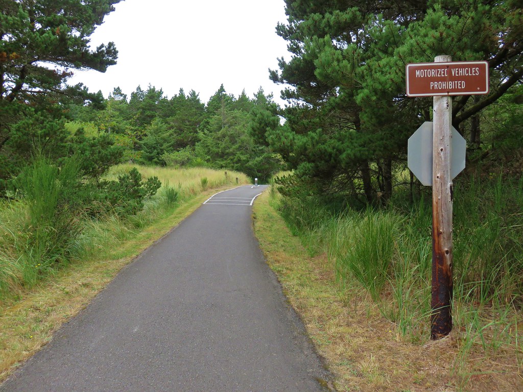
This 2.1-mile section of the OCT was constructed in 2020 and passes through the Neahkahnie Headwaters Preserve managed by the Lower Nehalem Community Trust.
 Please respect private landowners wishes when recreating to ensure that public access continues to be allowed.
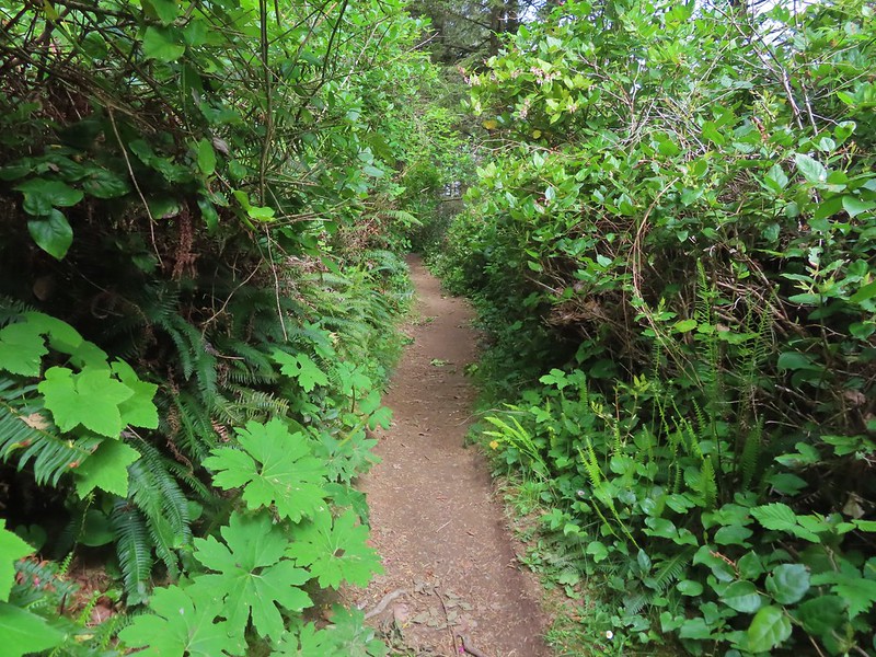
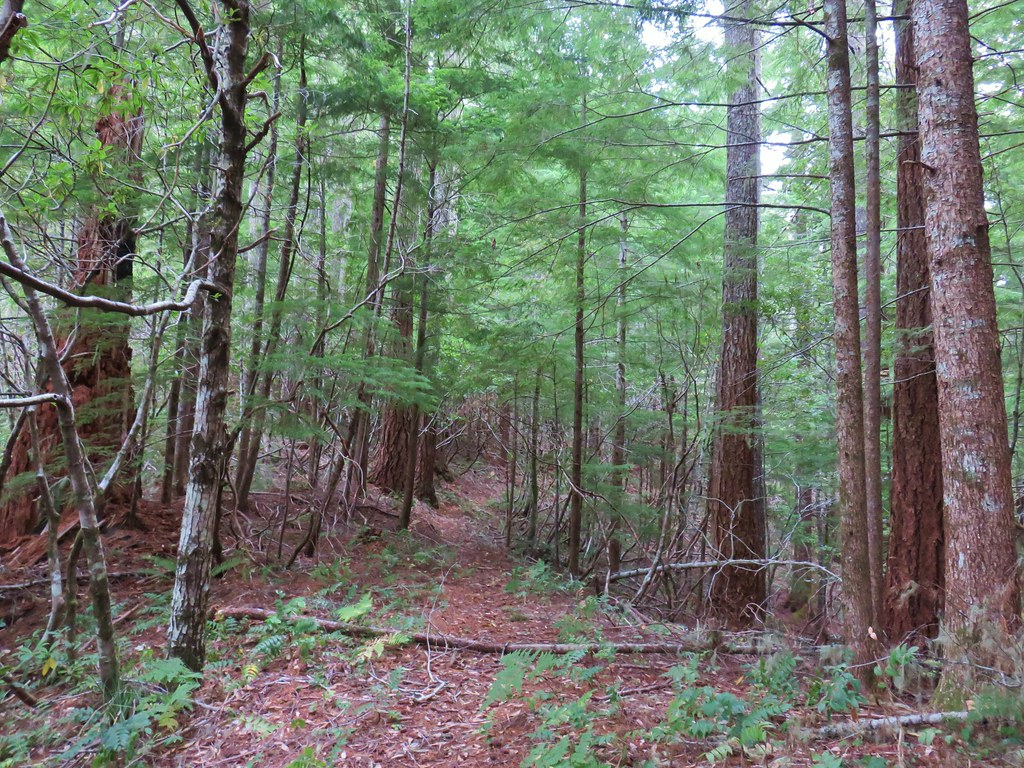
The trail began with a couple of ups and downs as it followed a powerline corridor.
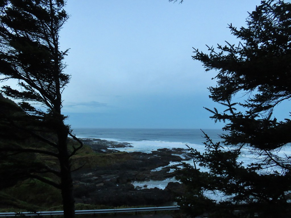
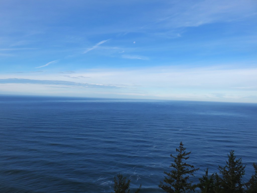
 Looking back at the sunrise.
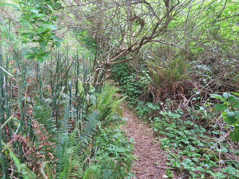
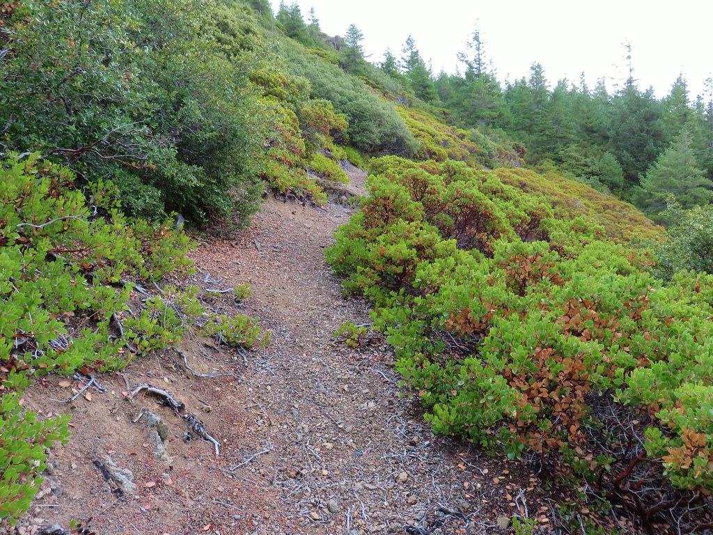
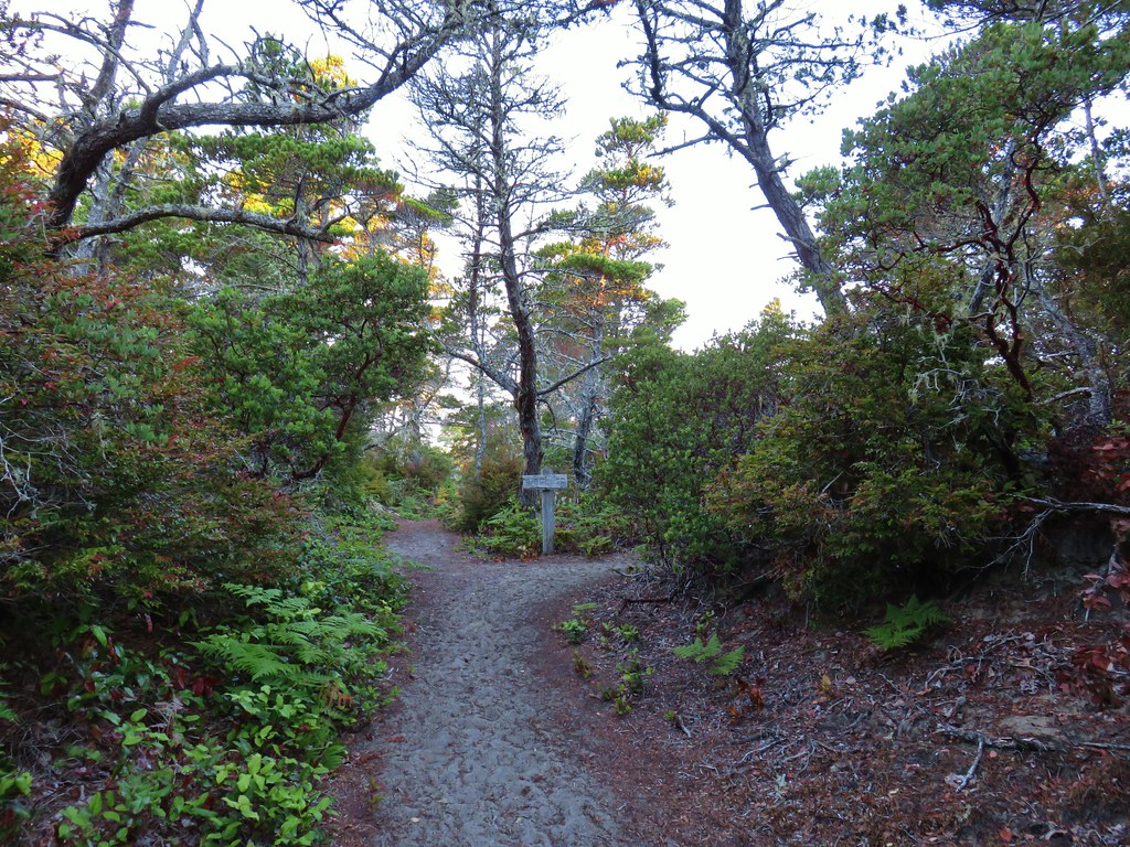
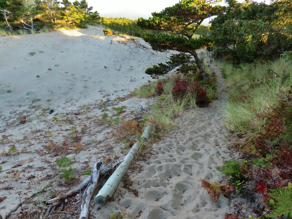
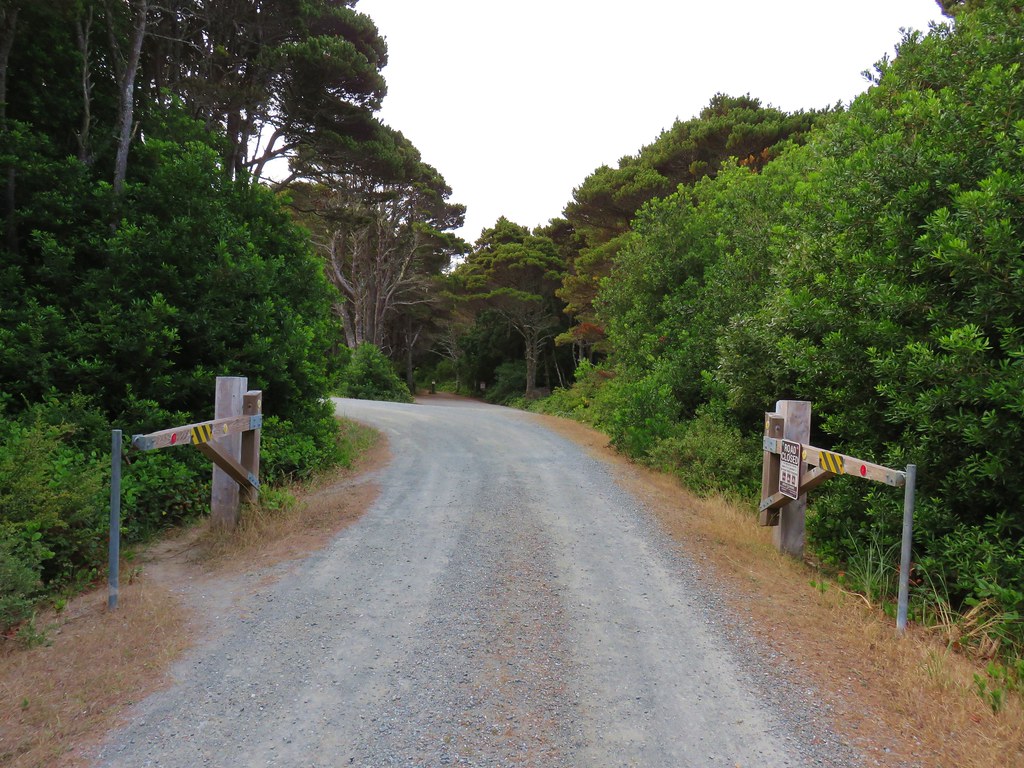
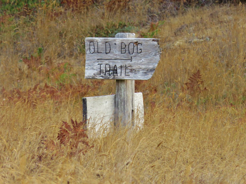
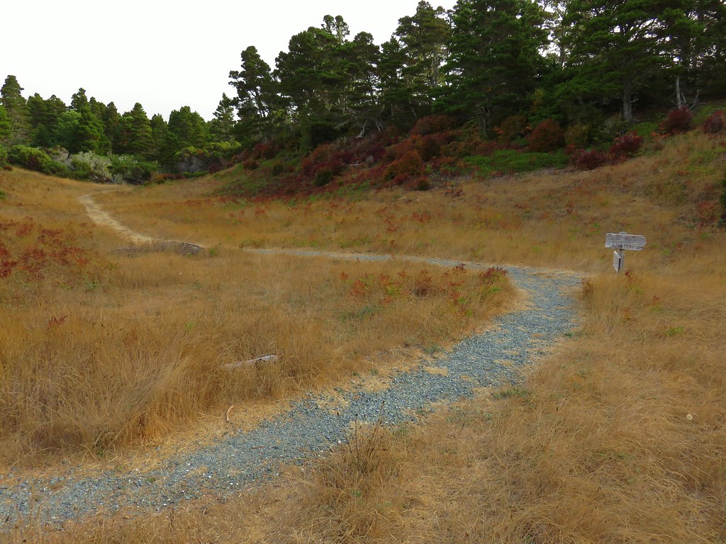
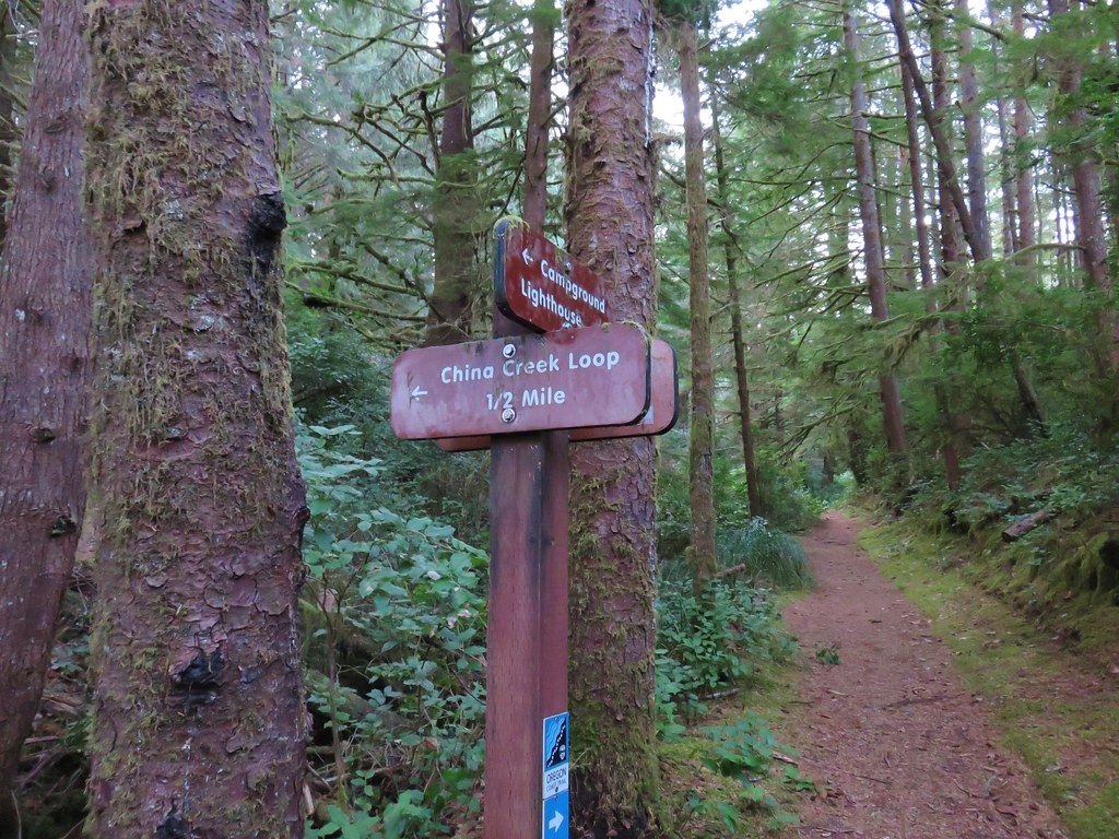
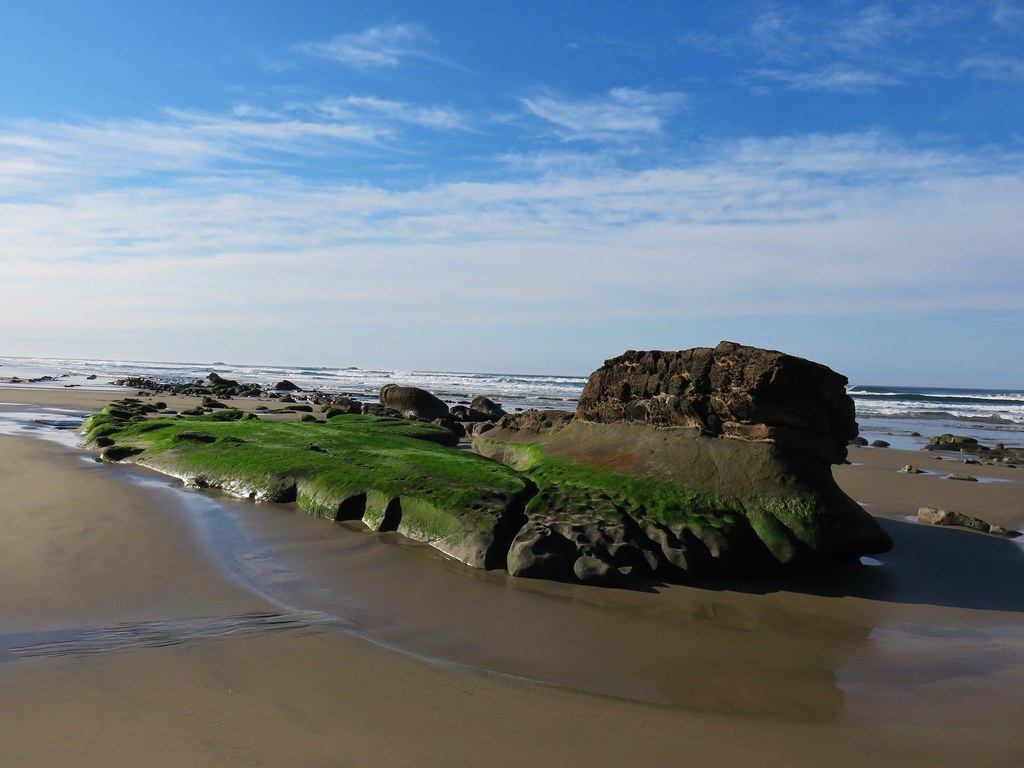
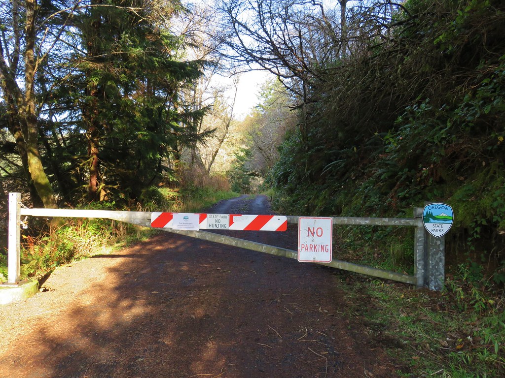
The trial eventually left the powerlines and passed through a few stands of trees before arriving at a clearcut. The trail continued climbing through the clearcut and then reentered the forest. Approximately two miles from the trailhead I arrived at a signboard along Road 38555 where I turned left, hiking downhill past a gate to the South Neahkahnie Mountain Trailhead.


 Entering the clearcut.
 Bleeding heart
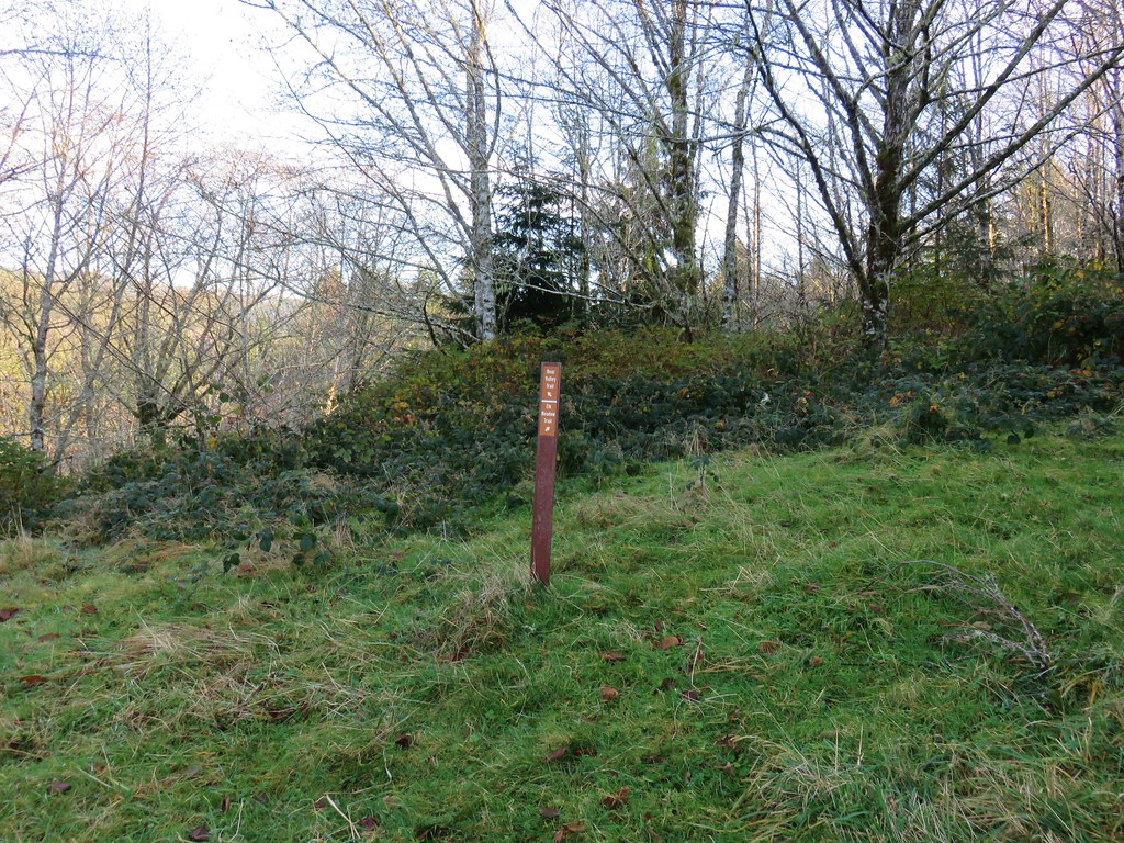
 The OCT is well marked.
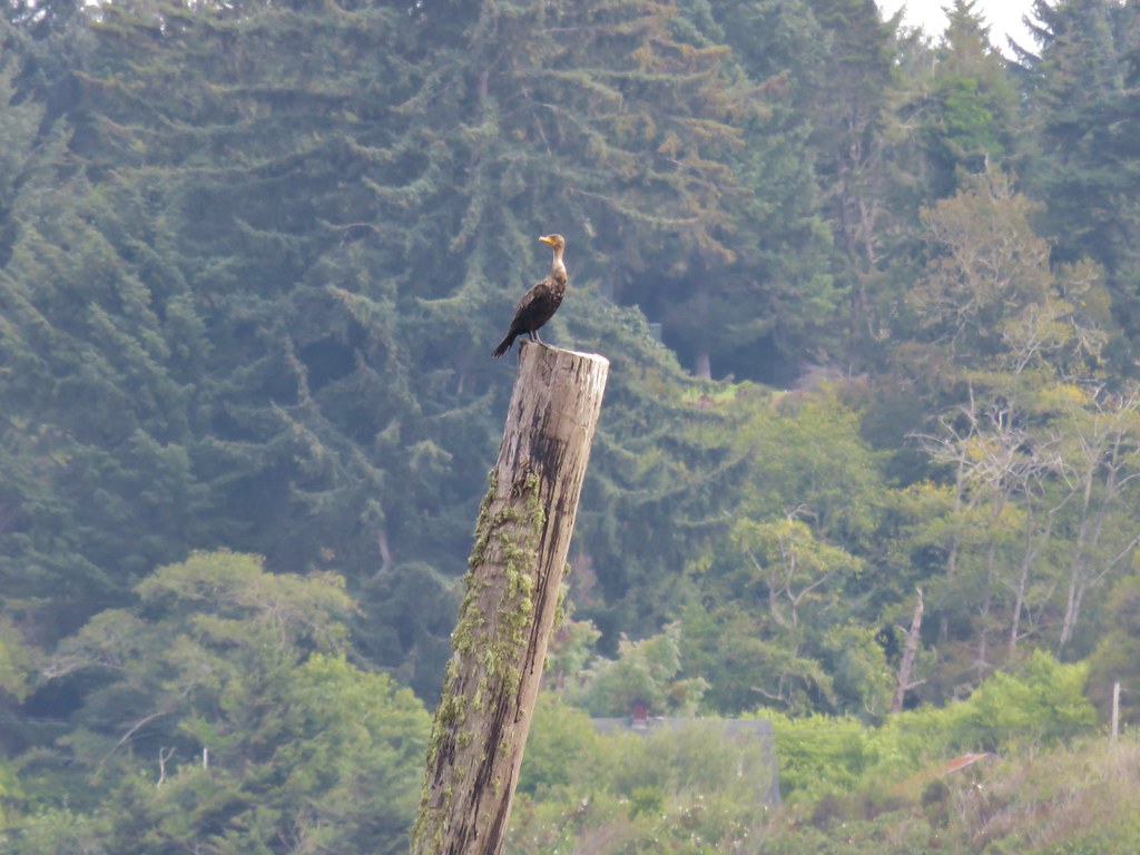
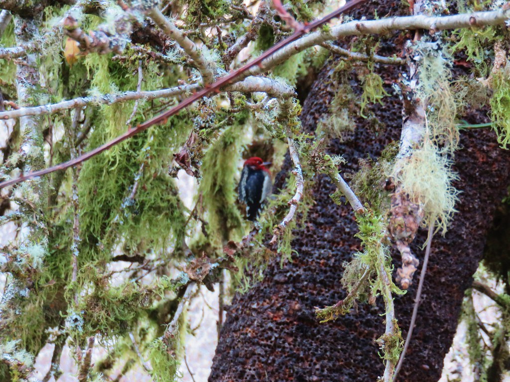
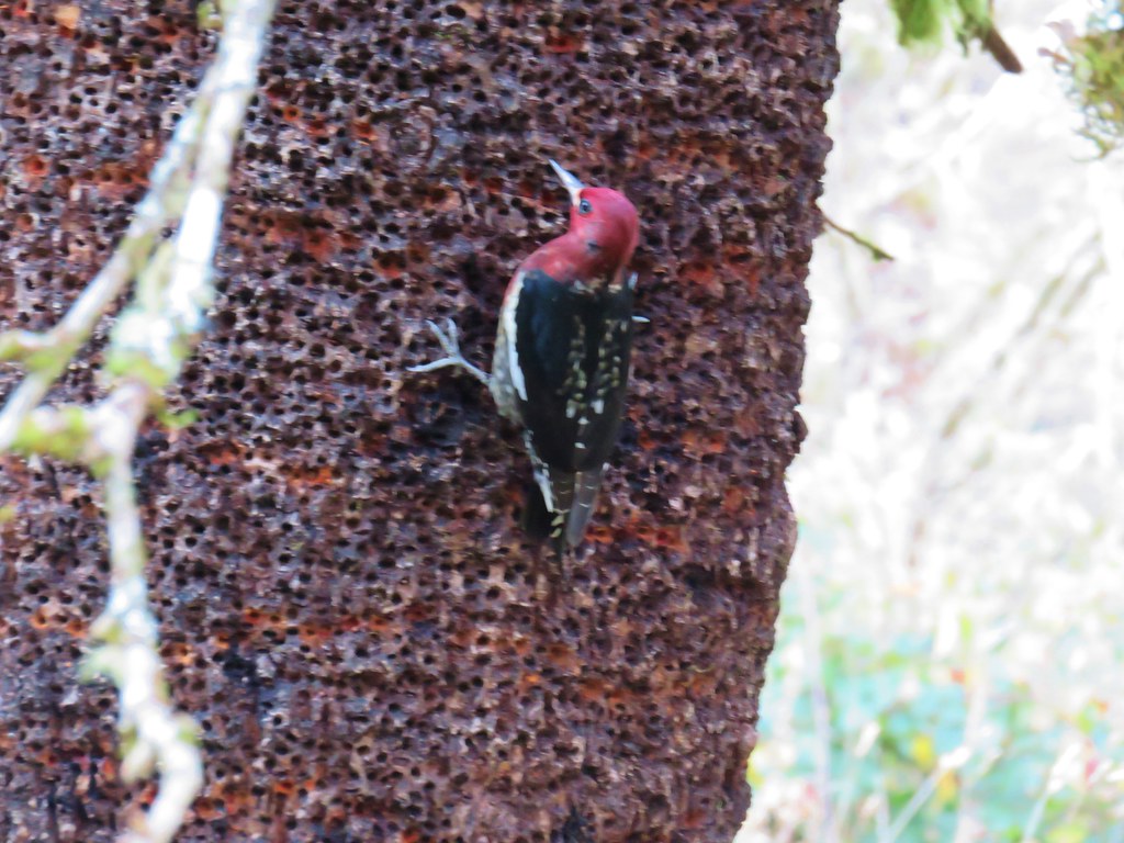
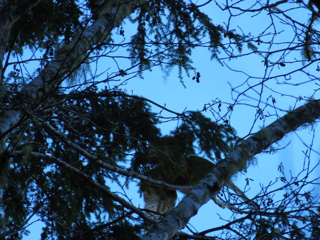
 Woodpecker
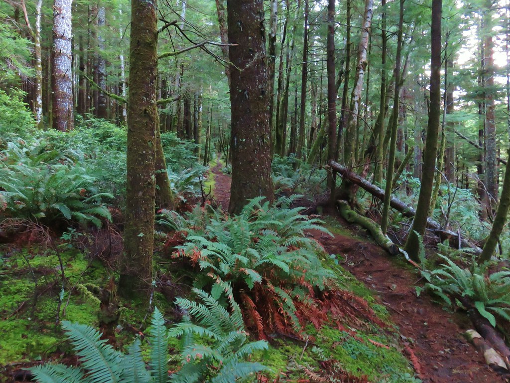
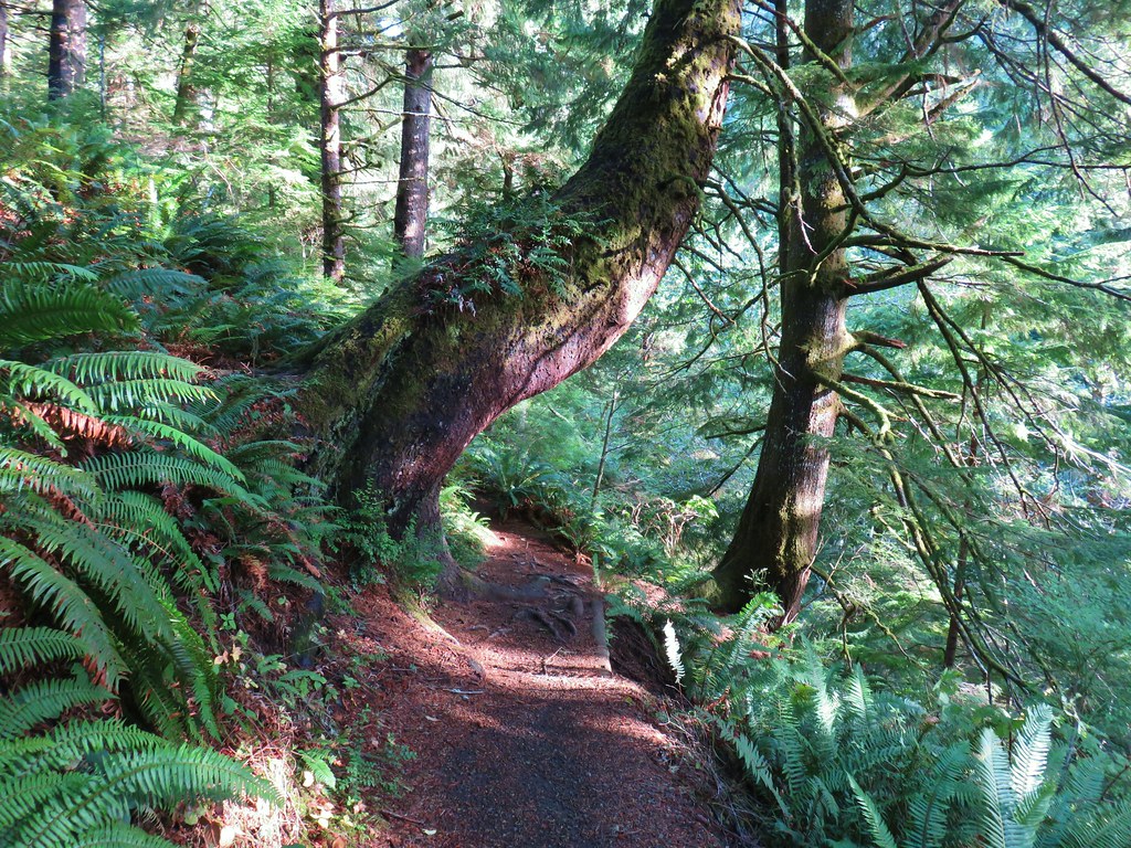
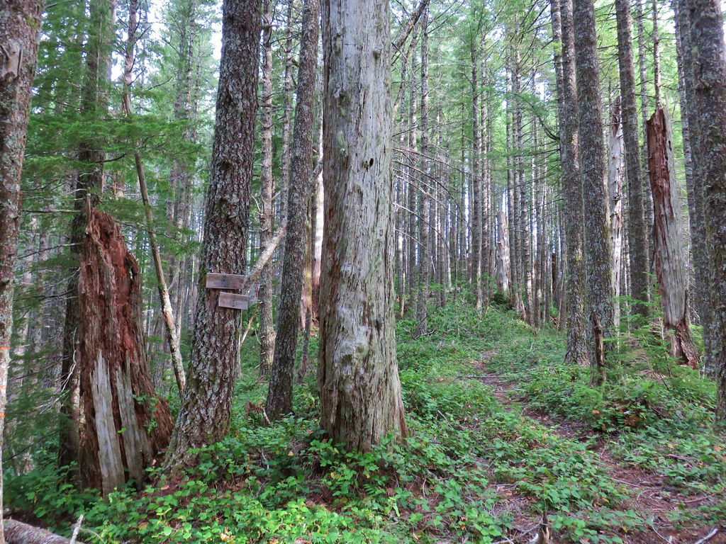
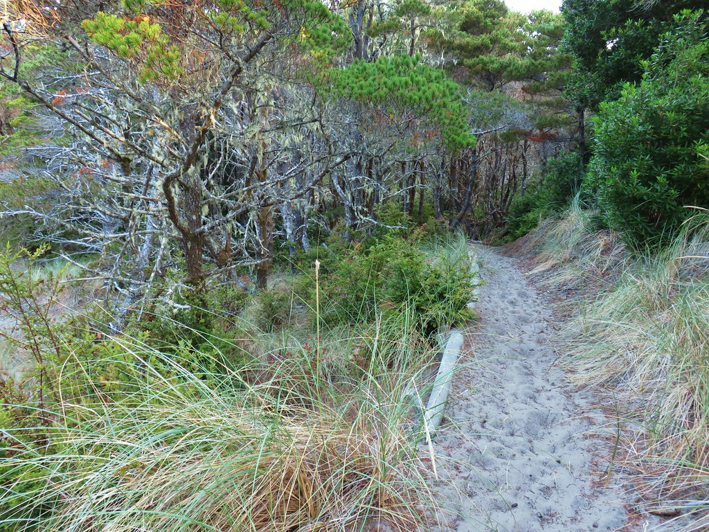
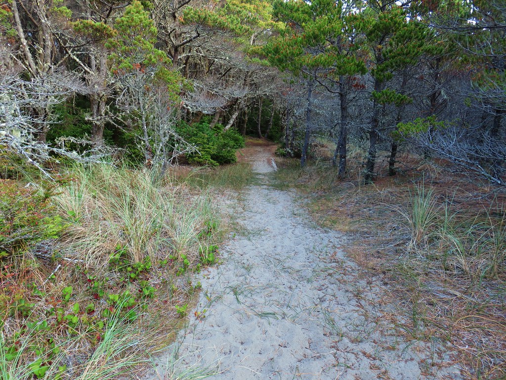
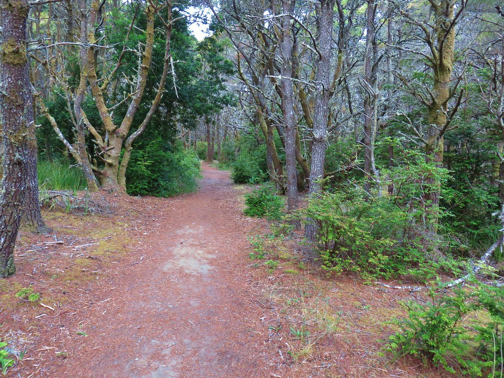
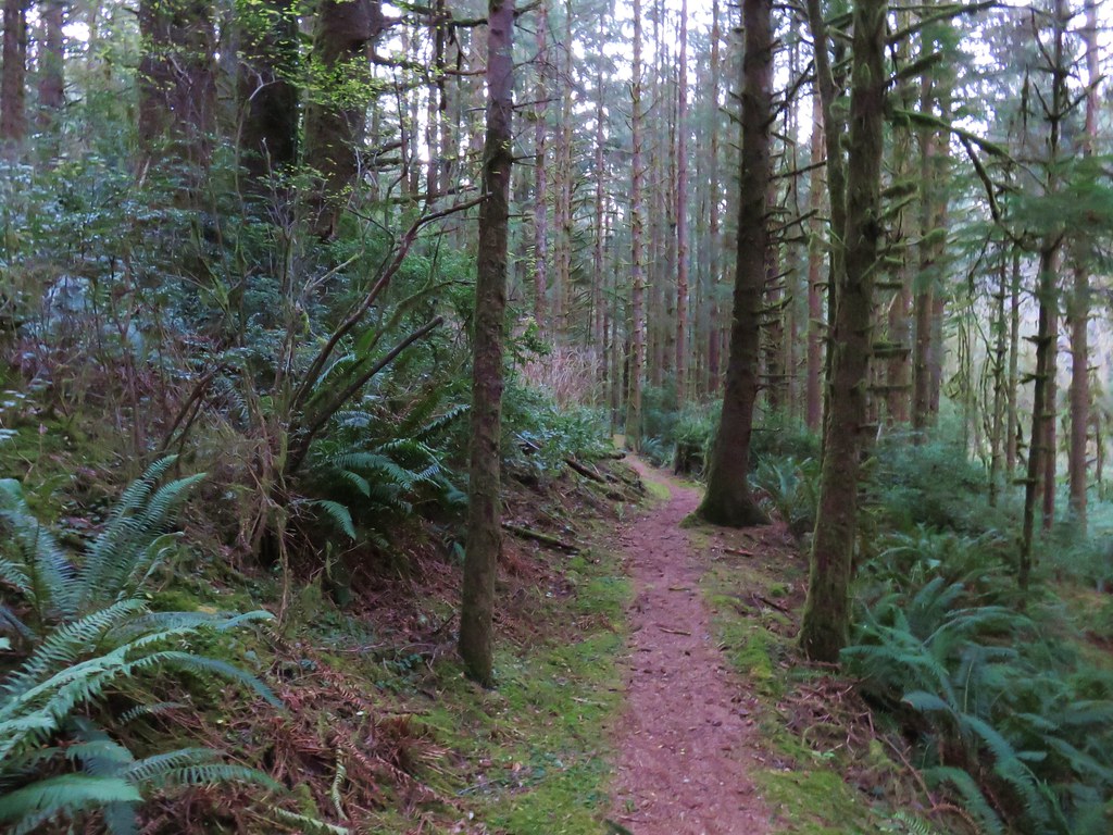
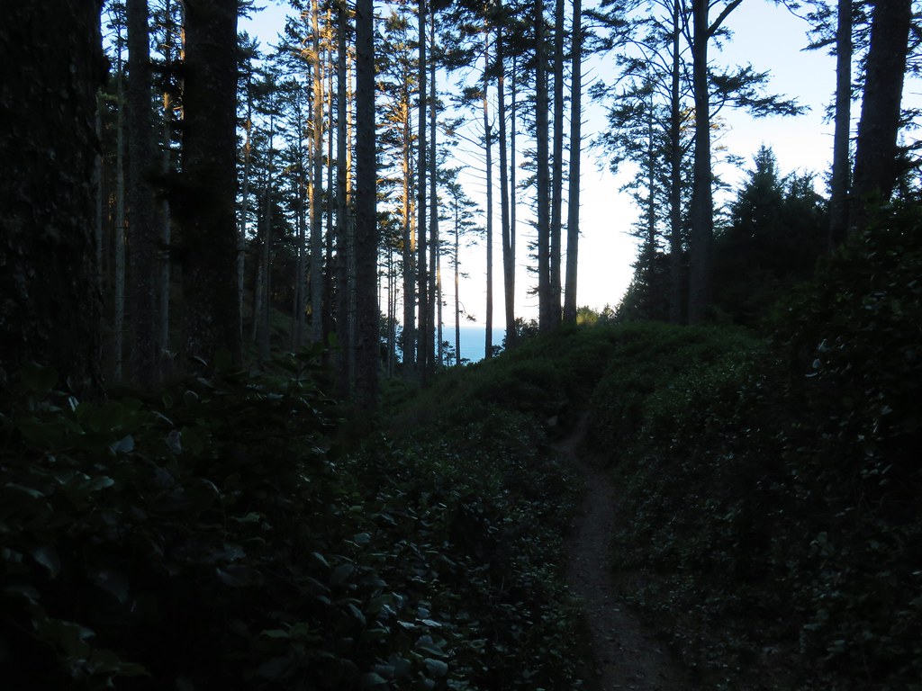
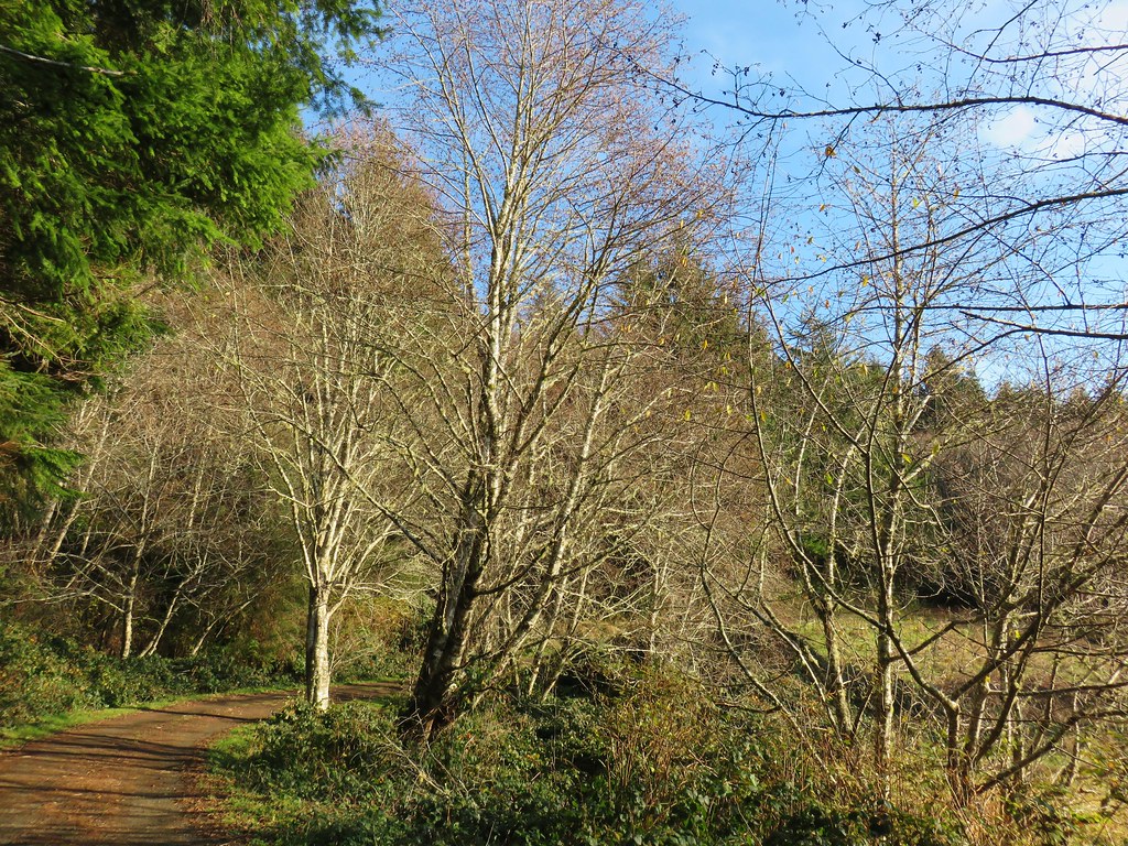
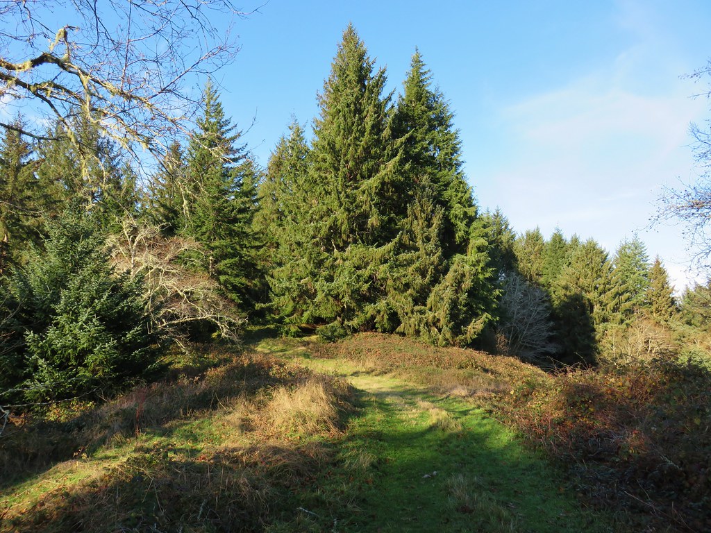
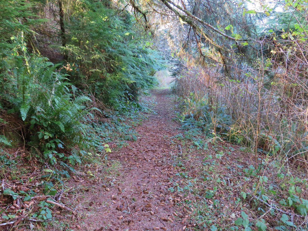
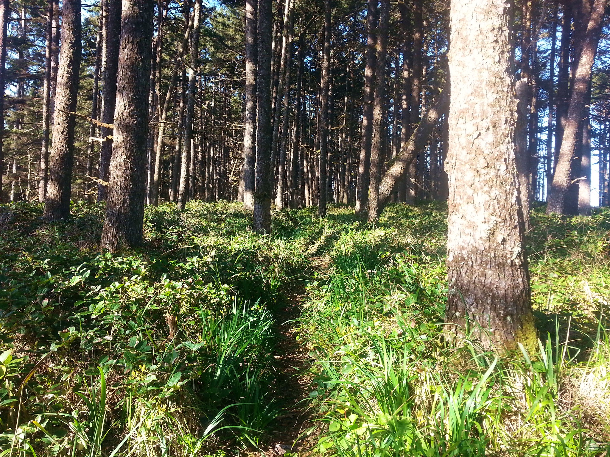
 Back in the forest.
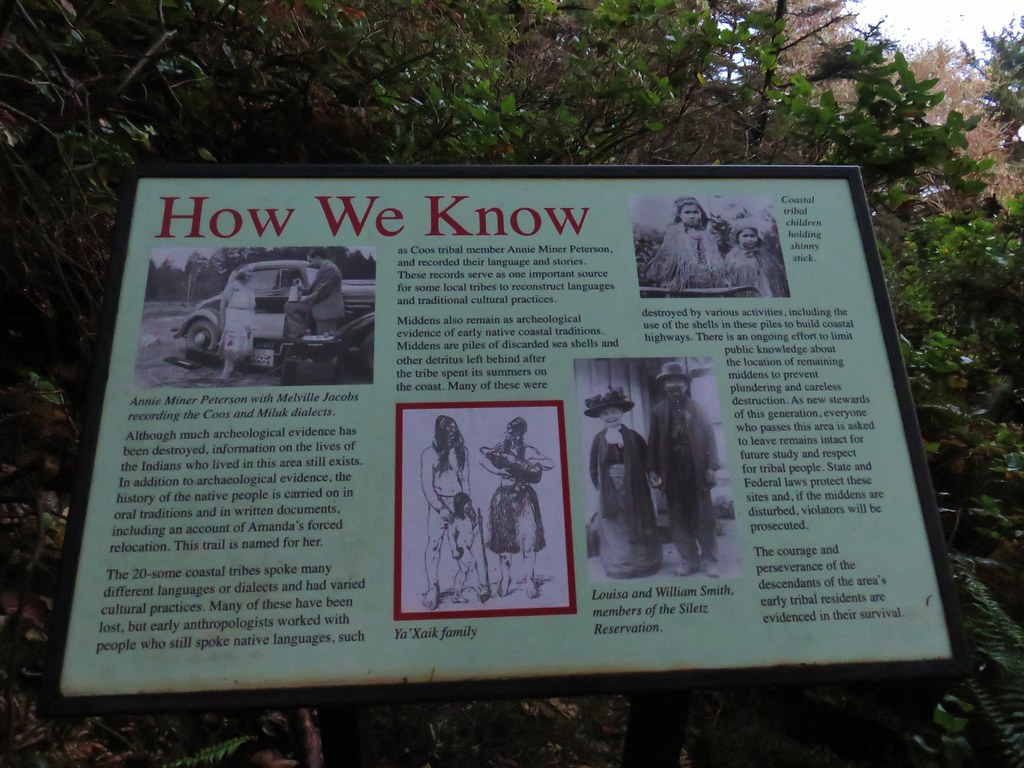
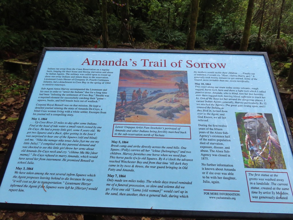
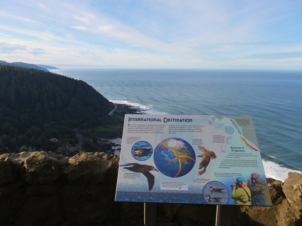
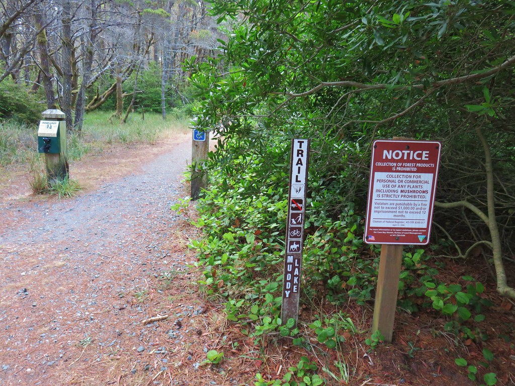
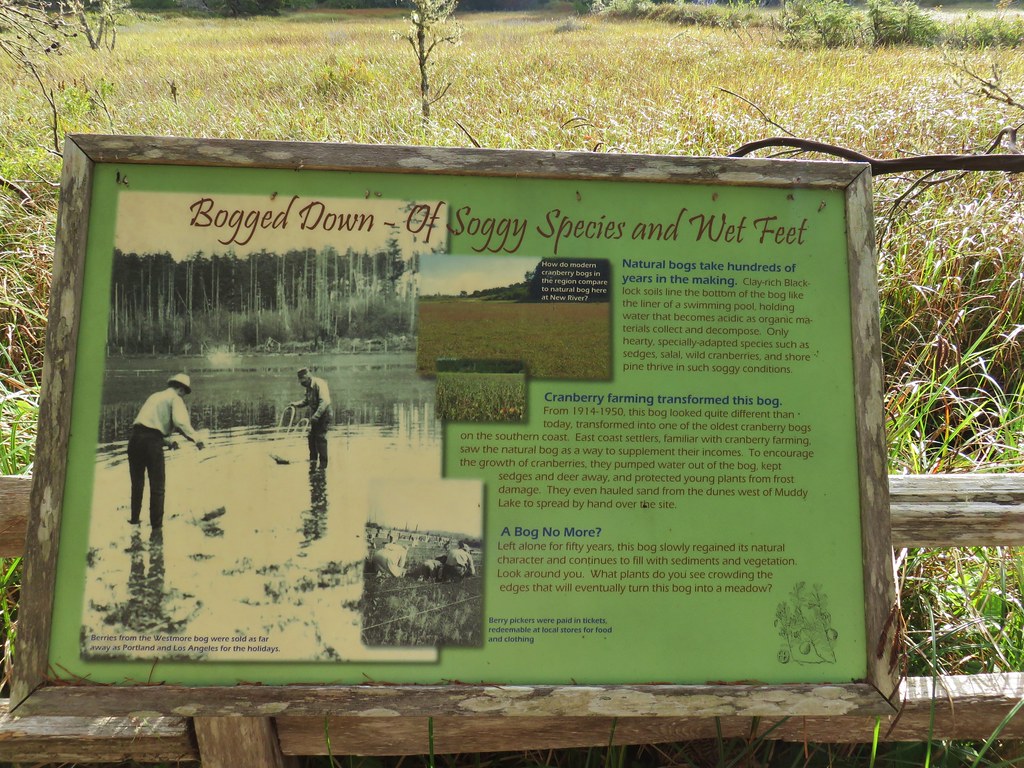
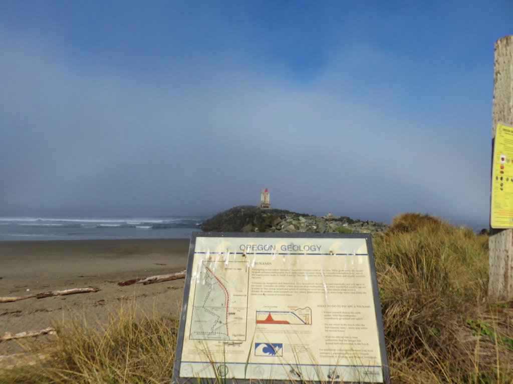
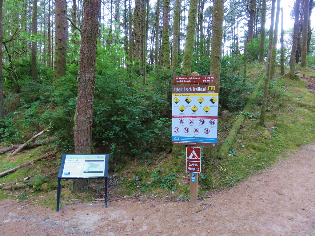
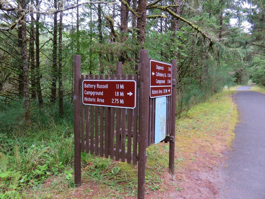
 Interpretive signs in the preserve.
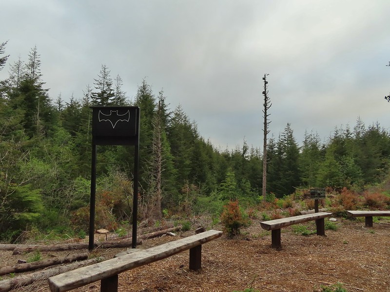
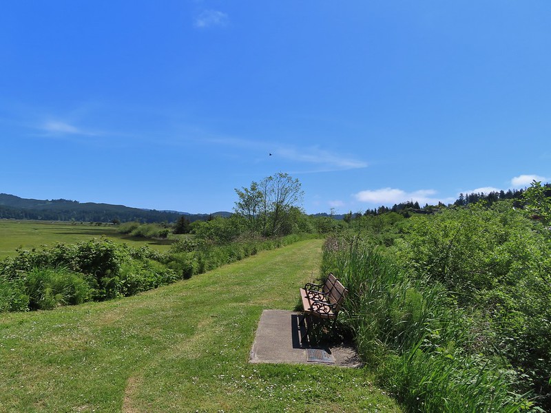
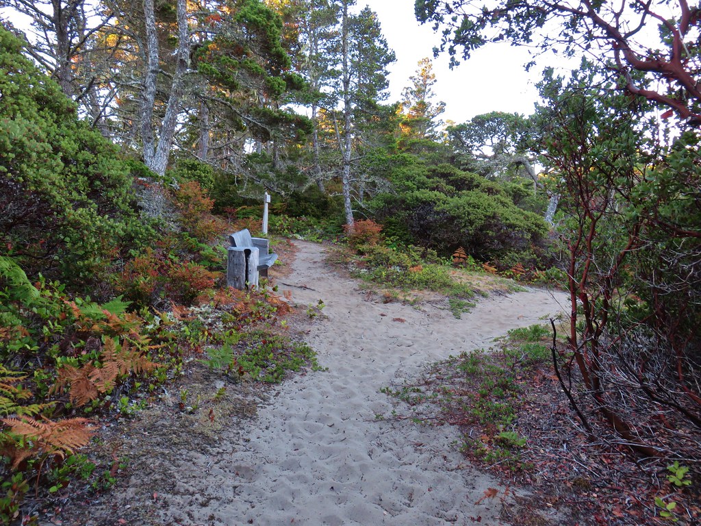
 Bench at a viewpoint.
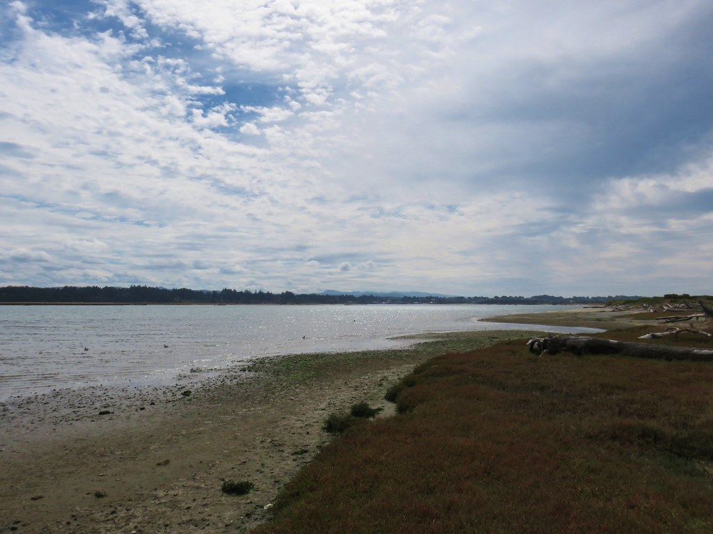
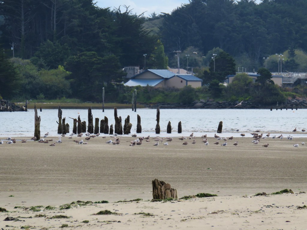
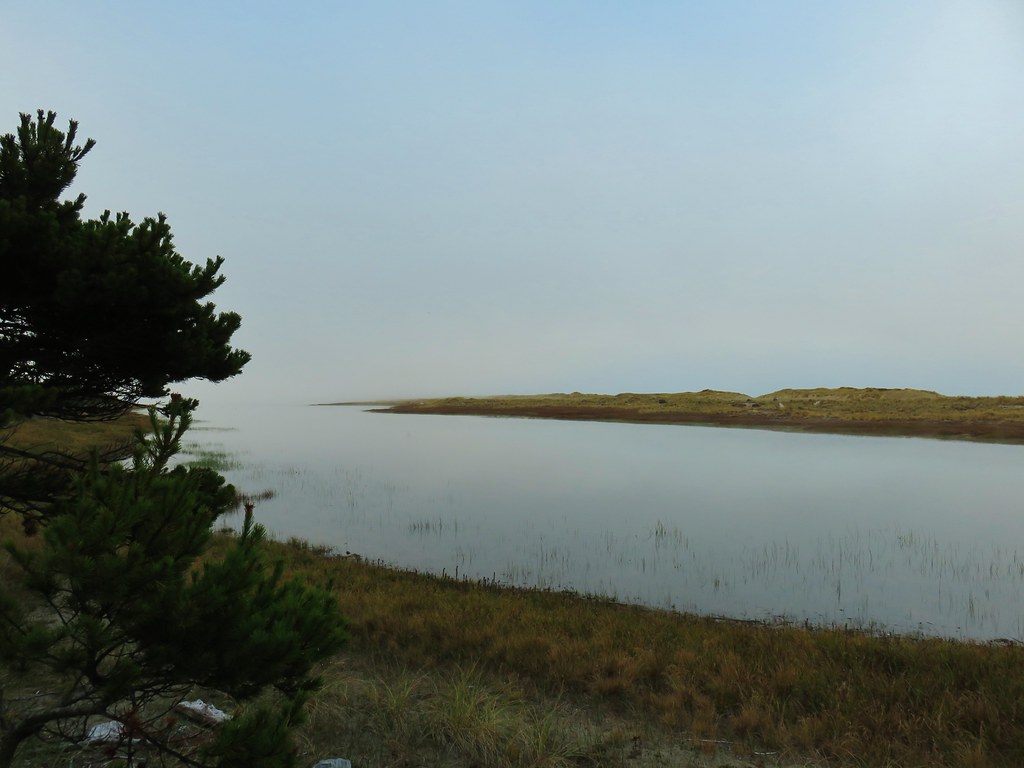
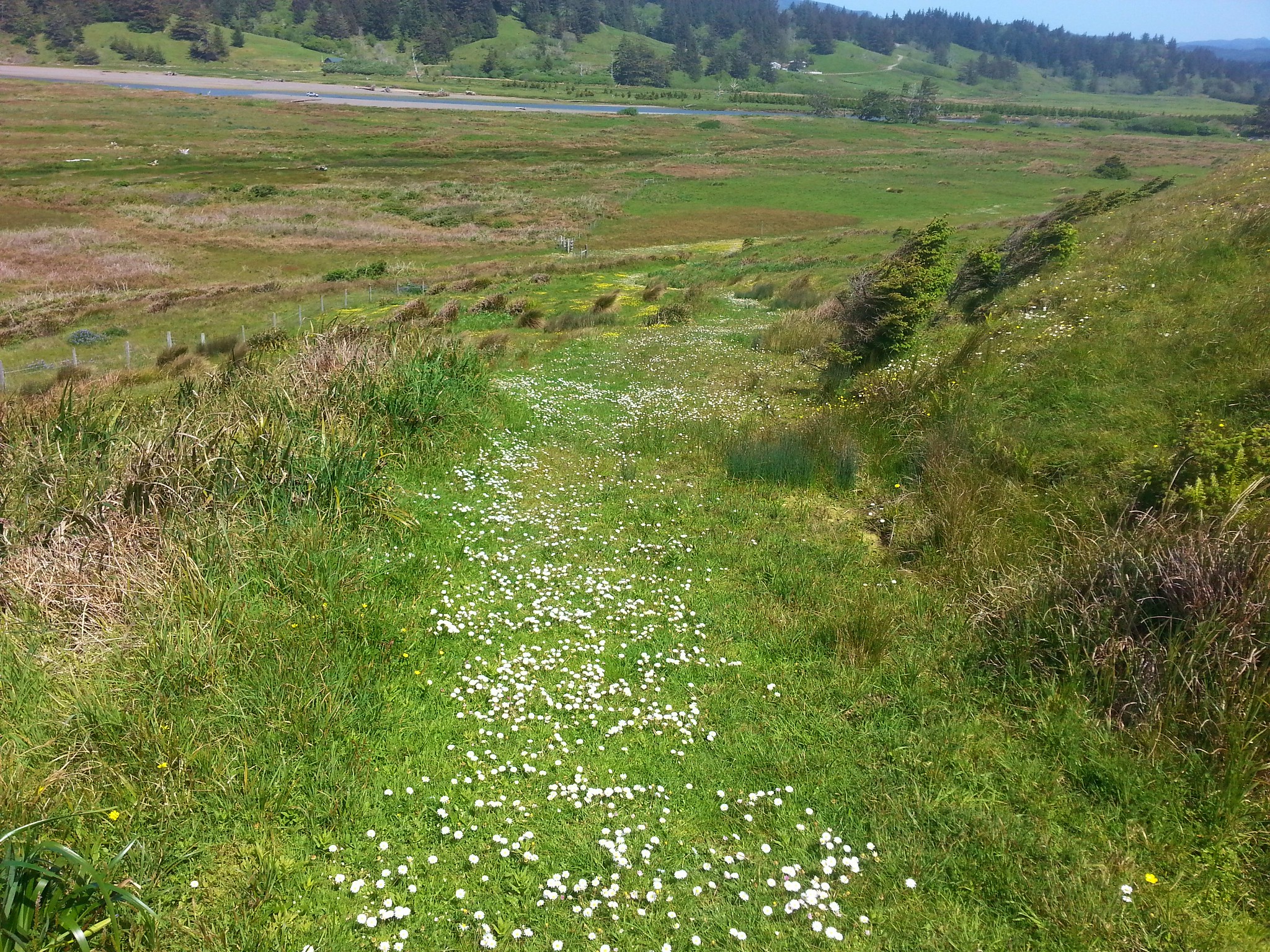
 Nehalem Bay (post) from the bench.
 Salmonberry blossom
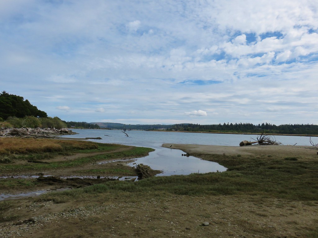
 Leaving the preserve.
 Violets and pink fawn lilies. These were the first pink fawn lilies I had seen, it seems that we hadn’t timed our coastal hikes right to catch their bloom in the past.


The trailhead was empty at 7:20am.
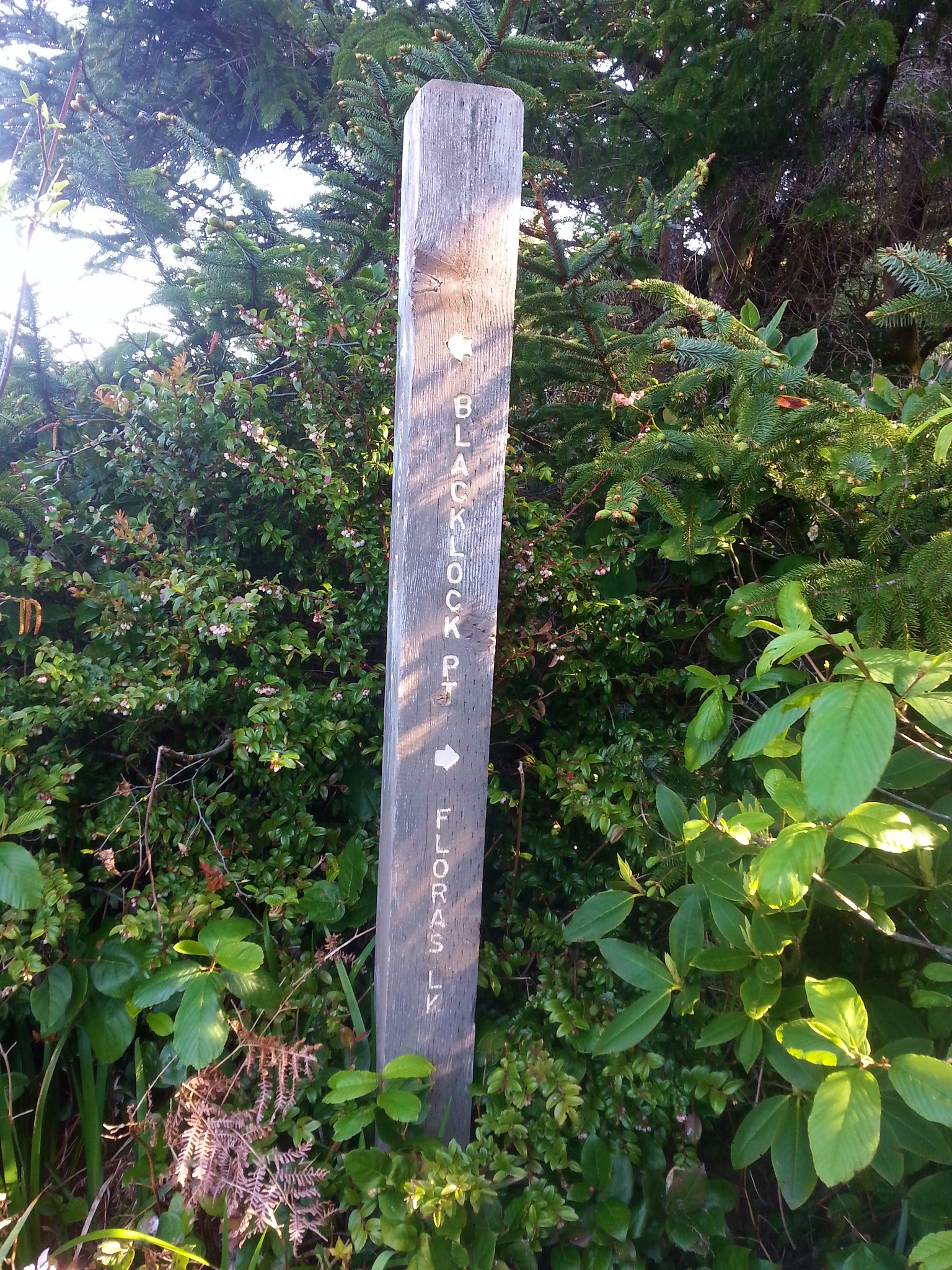
Trail signs identified the continuation of the OCT which began a series of approximately a dozen switchbacks through the forest.

 Trillium
 Fringecup

 Toothwort

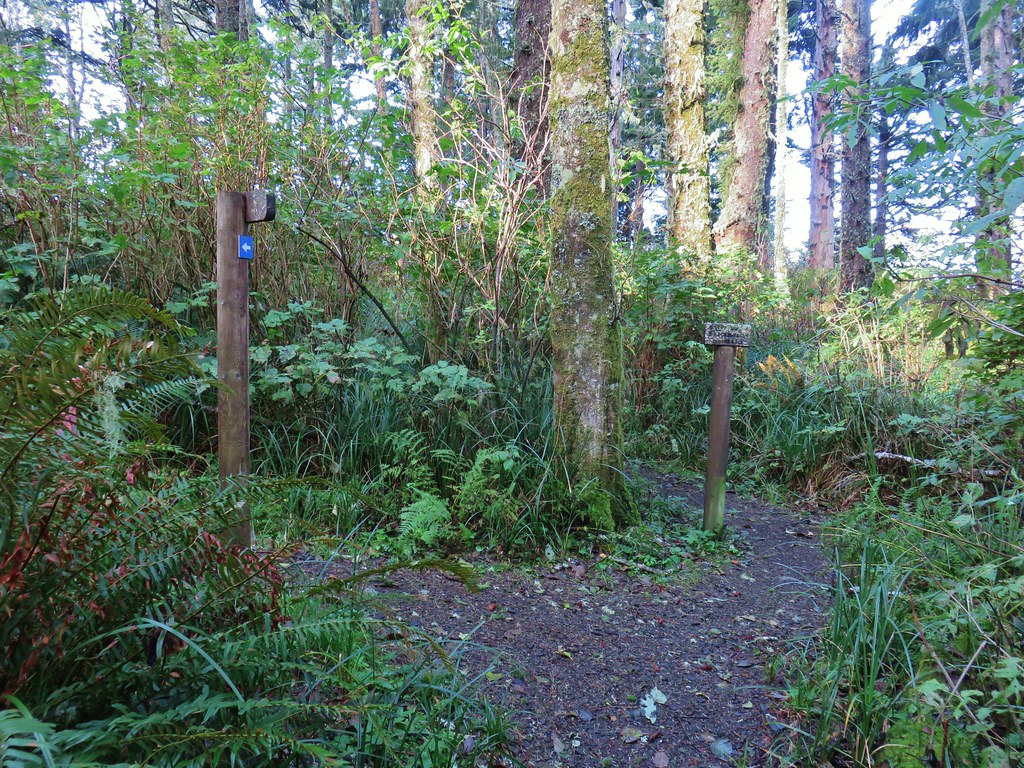
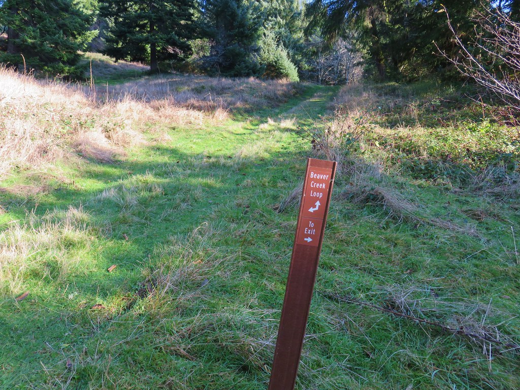
The switchbacks led to a 4-way junction with an old roadbed where the OCT continued on the opposite side.

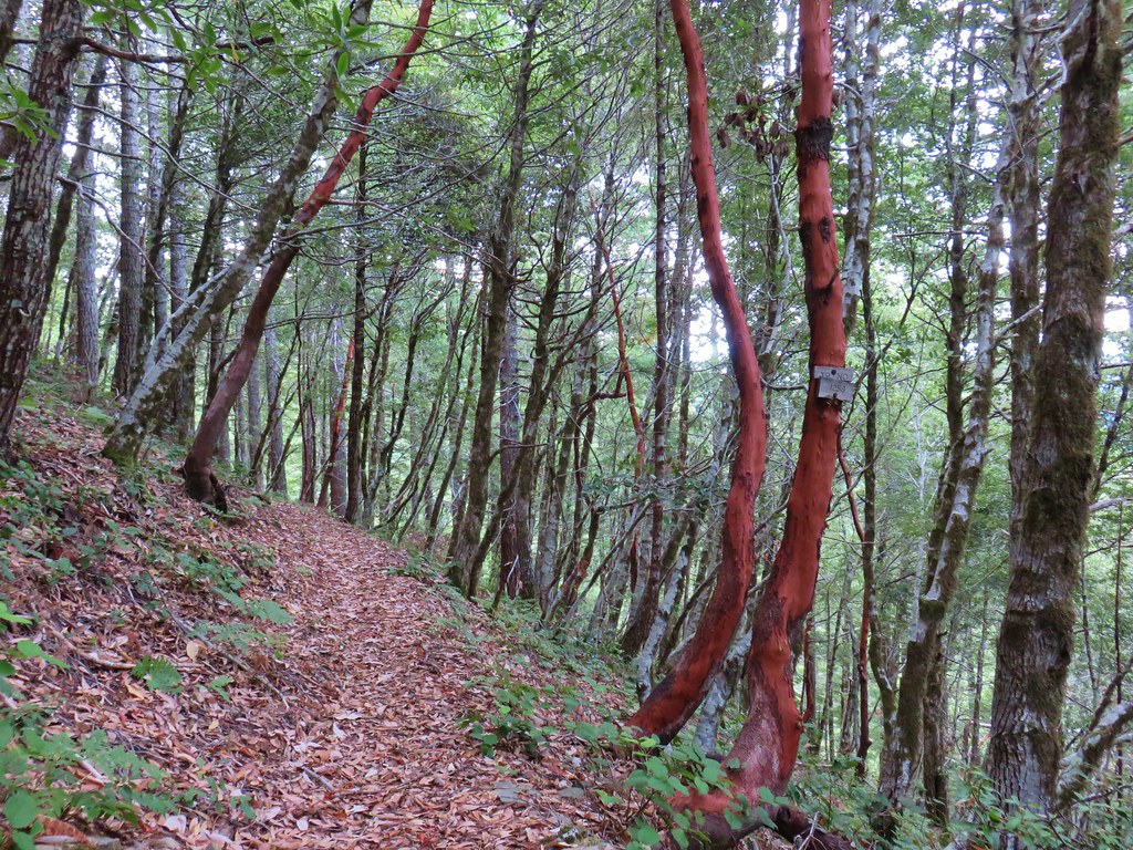
For the next half mile the trail traversed along the hillside below the summit ridge of Neahkahnie Mountain.

 I made use of this bench on the way back to take a break and do some stretching.
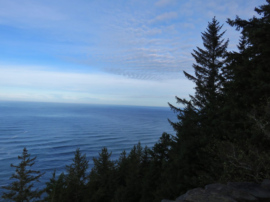
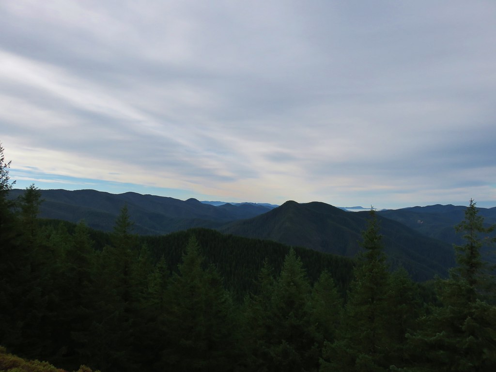
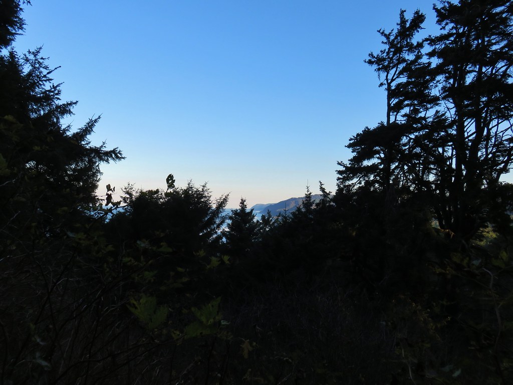
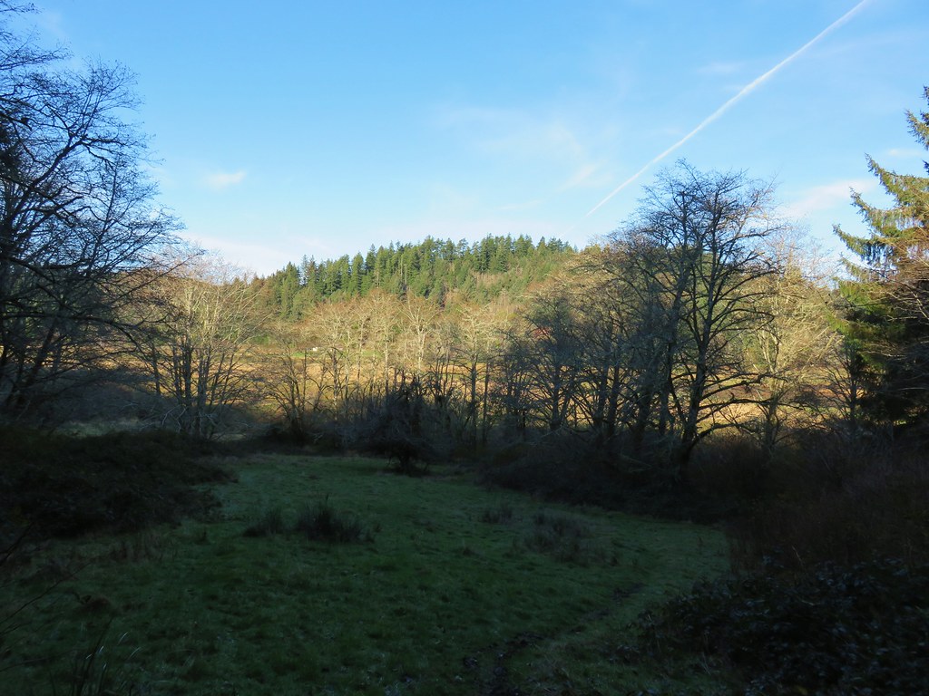
 View to the north.
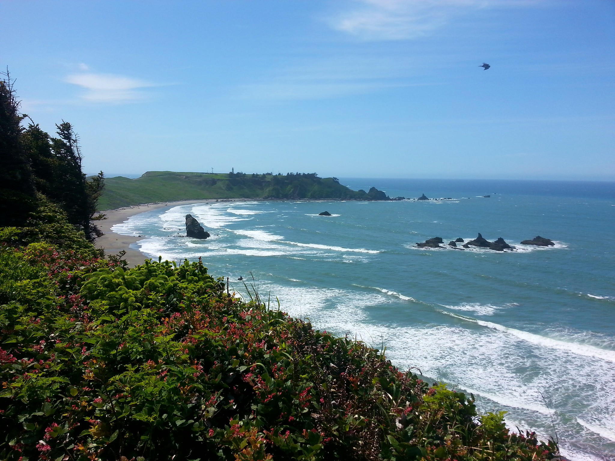
 Tillamook Head (post) and Haystack Rock (post)
After the half mile the trail made a switchback. The trail here was a little sketchy.

 It was obvious that there had been some work done to try and shore up this section of trail.
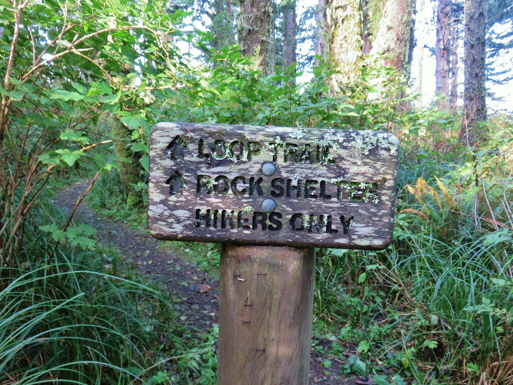
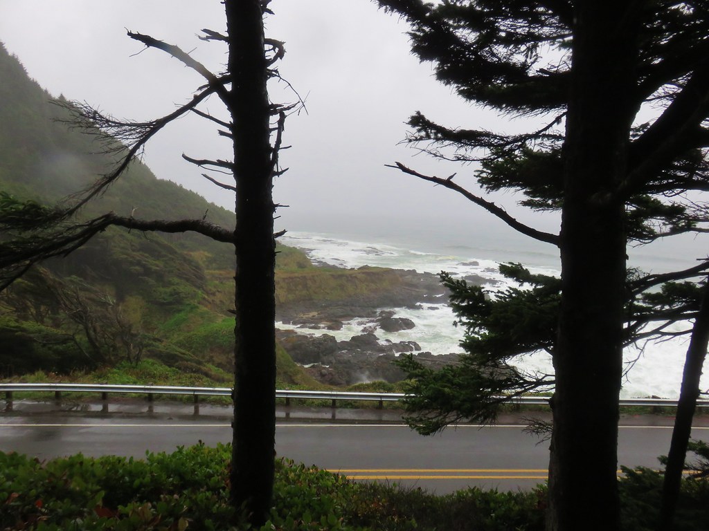
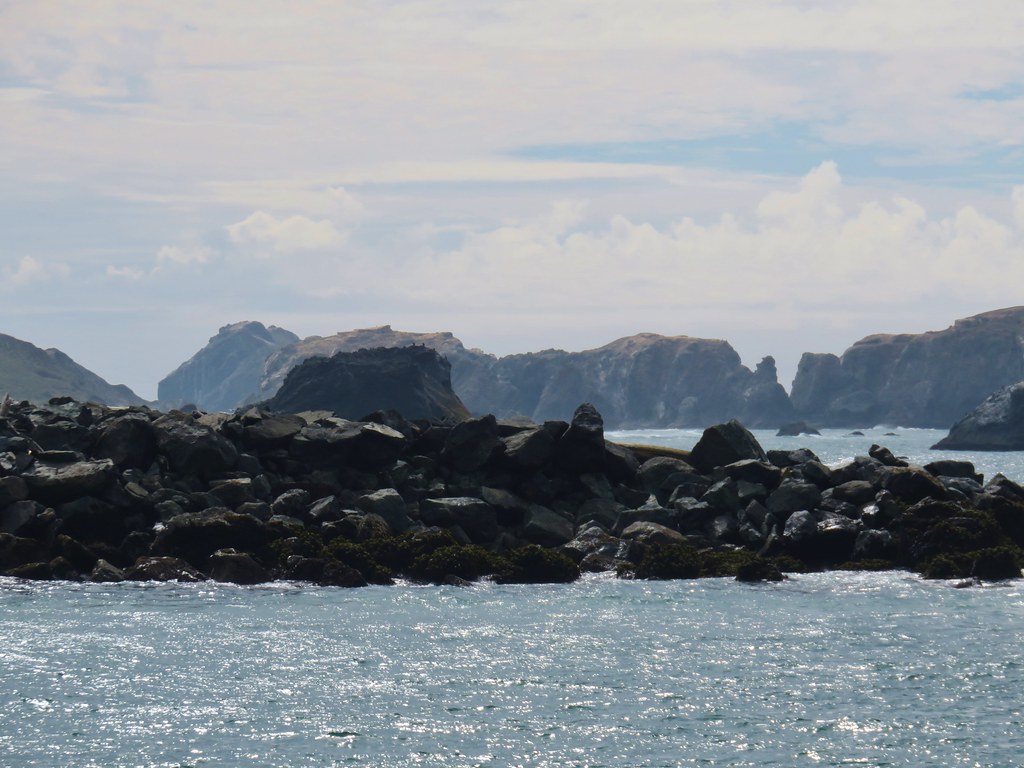
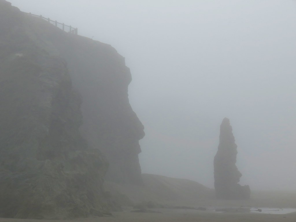
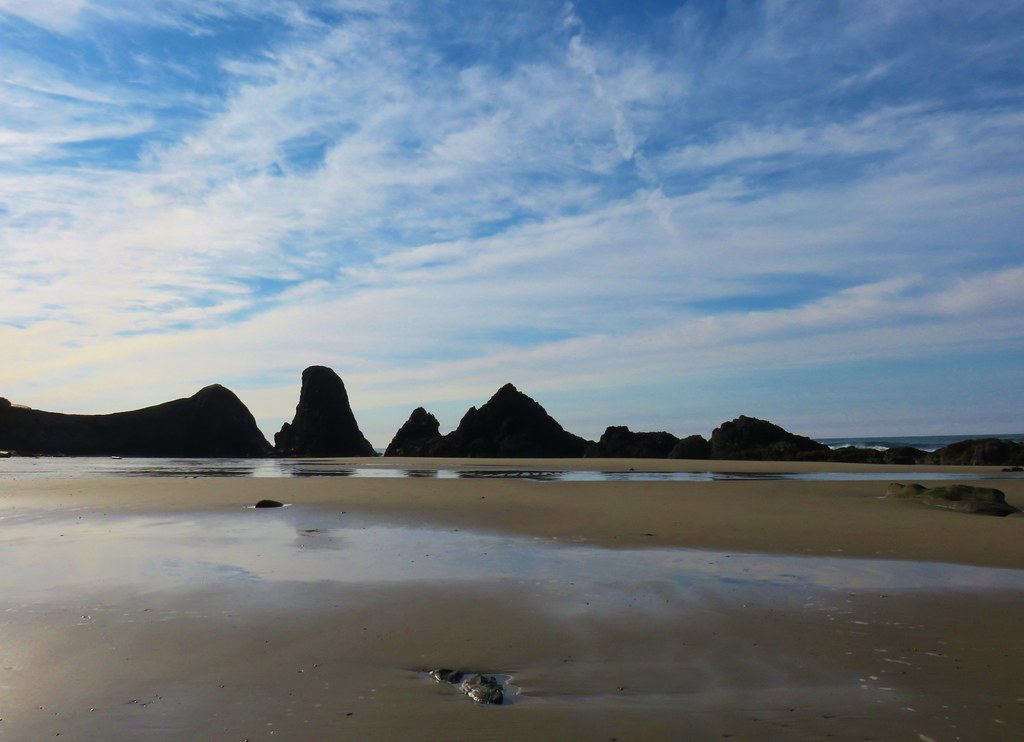
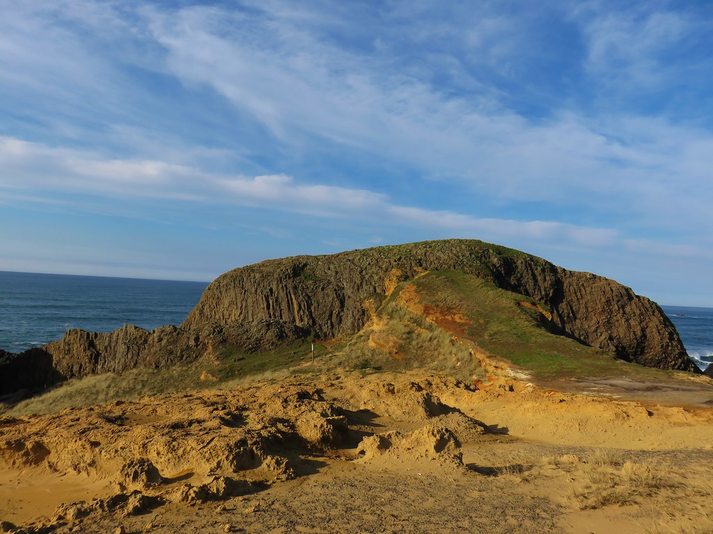
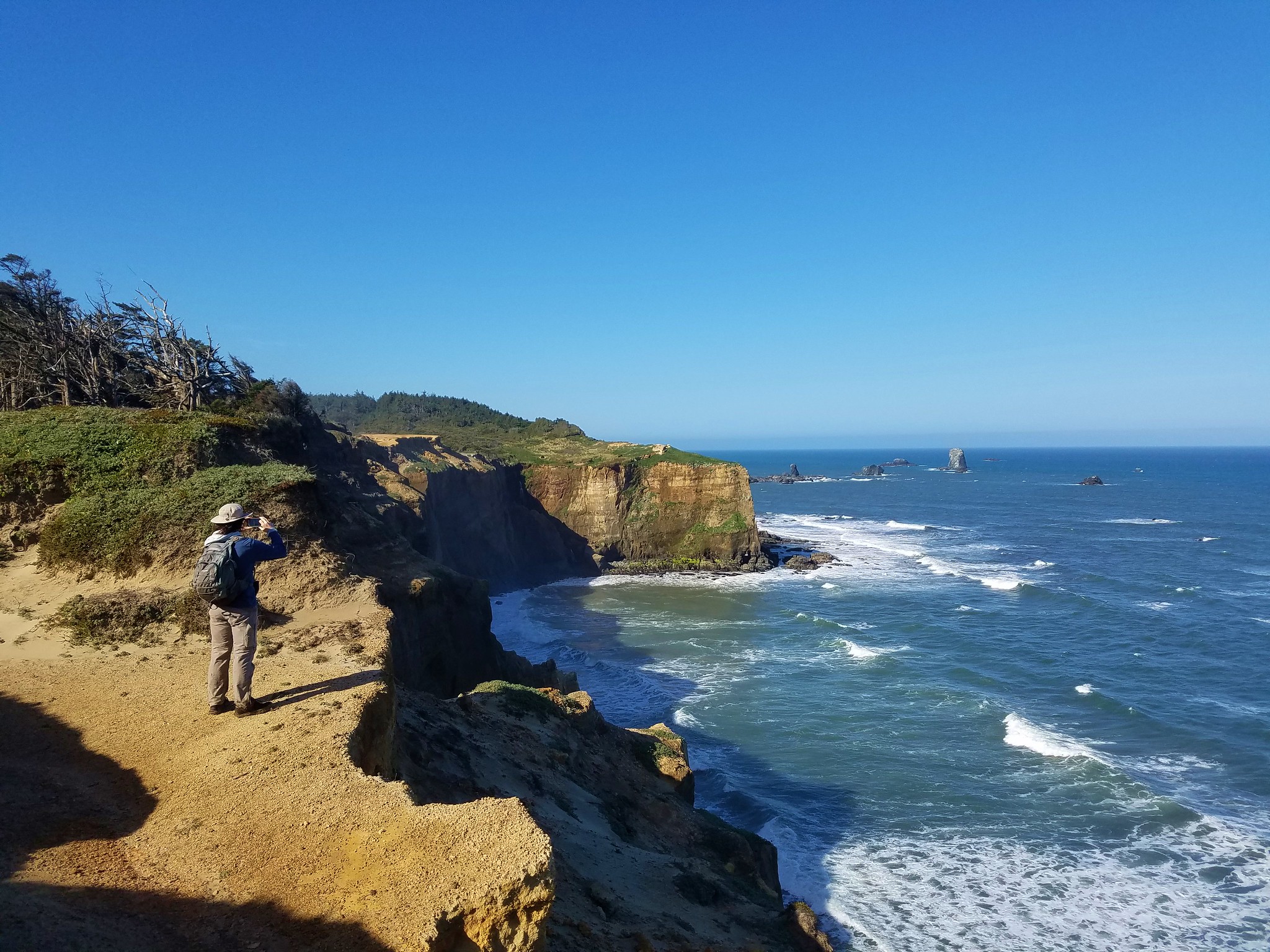
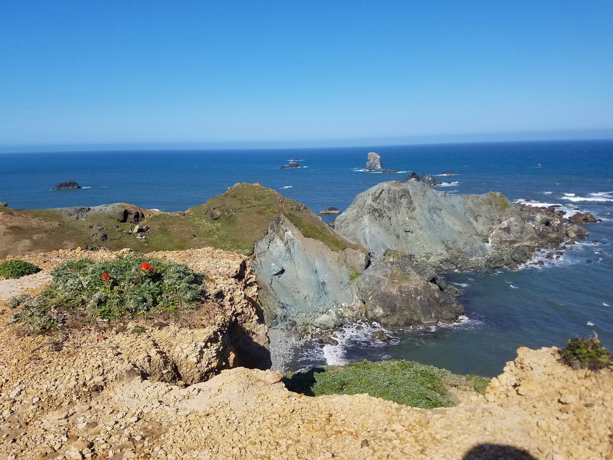
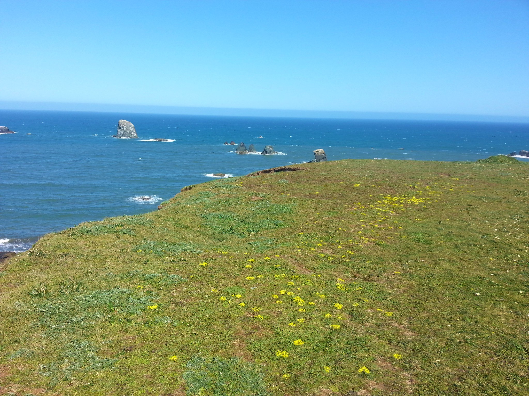
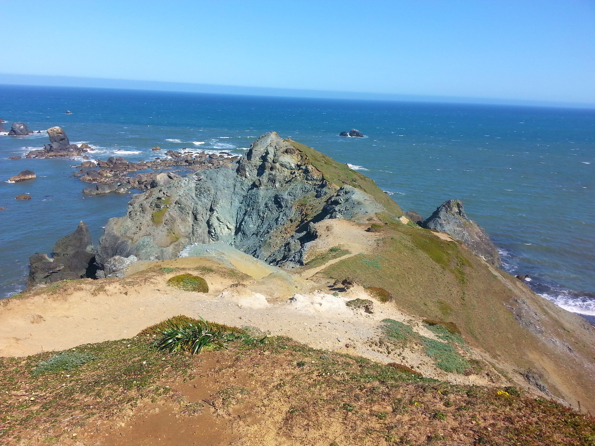
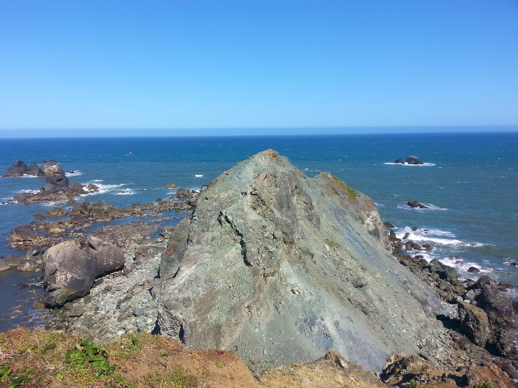
The trail continued to a saddle where a spur to the right led up a rocky spine to the viewpoint summit.

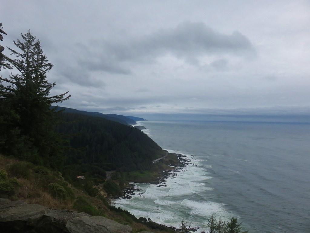
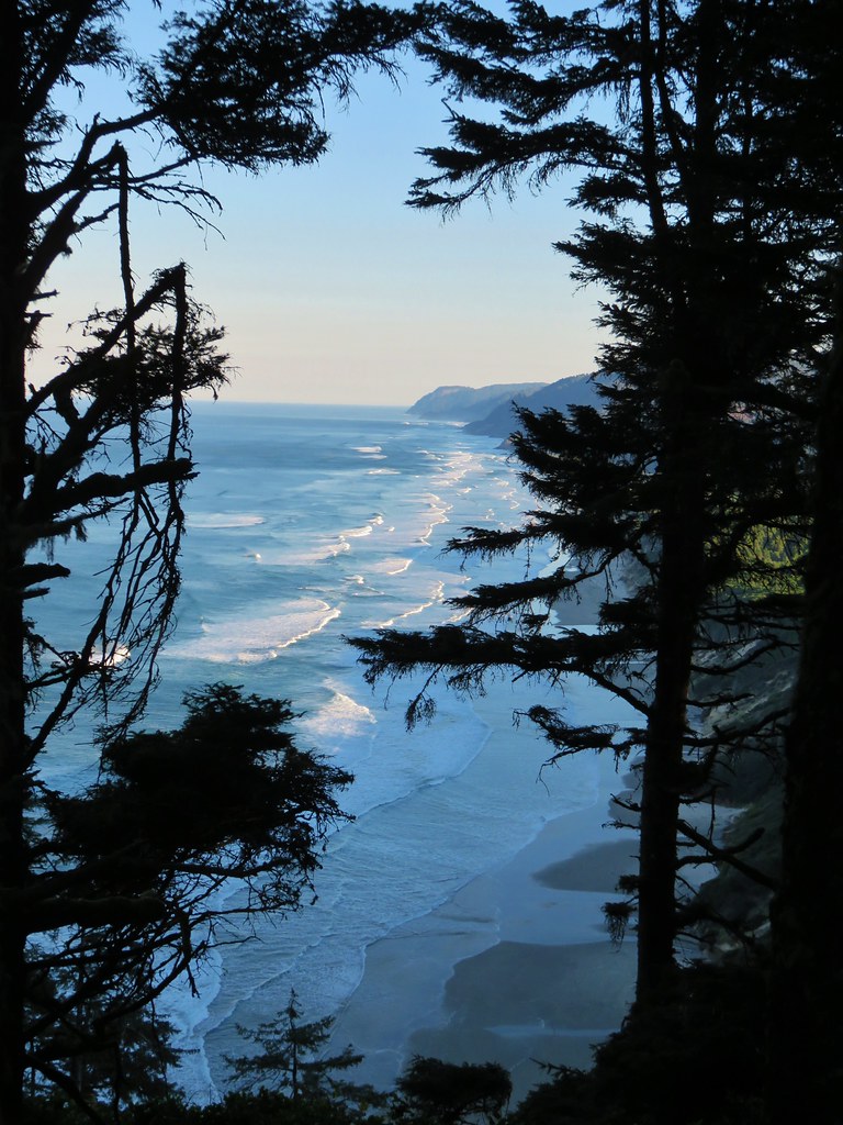
 The view south from the viewpoint.
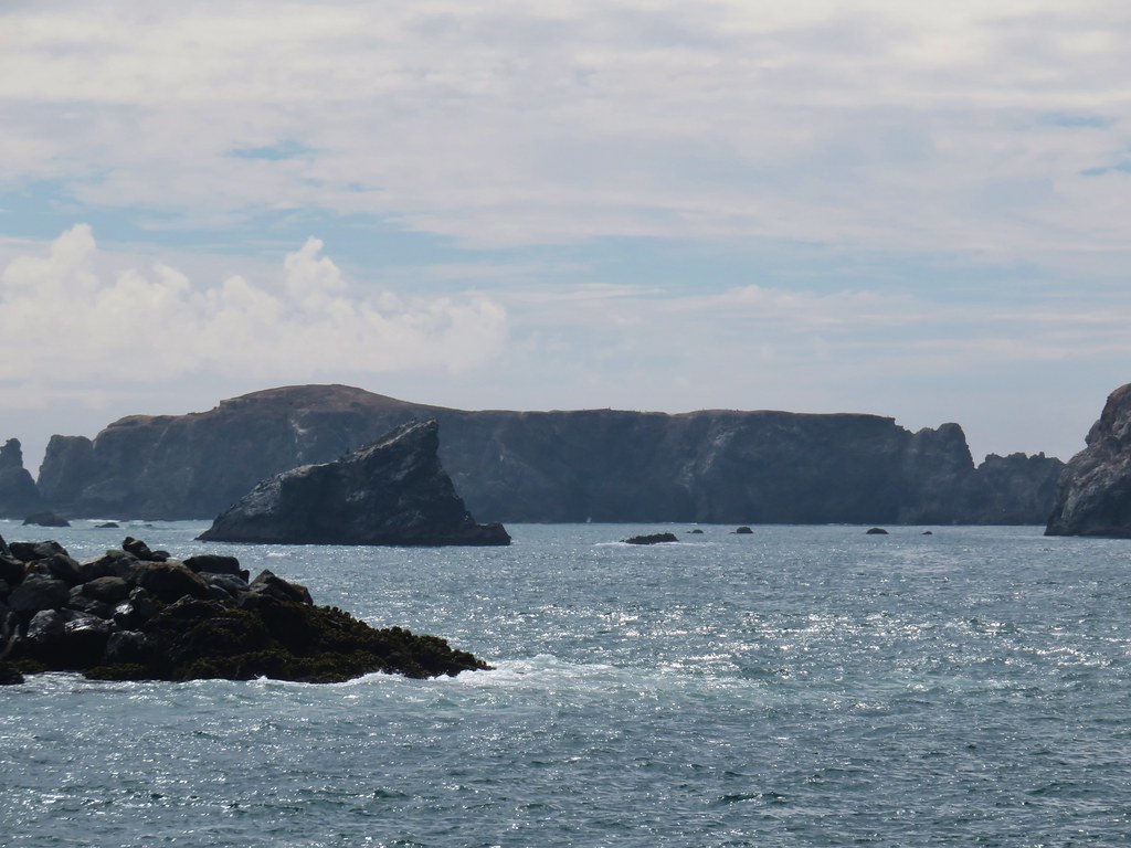
 Cape Meares (post), Three Arch Rocks, and Cape Lookout (post).
 Cascade desert parsley near the summit.
After taking in the view I returned to the OCT and continued north.

 Looking up at the viewpoint from the OCT.
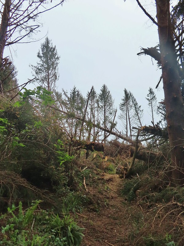
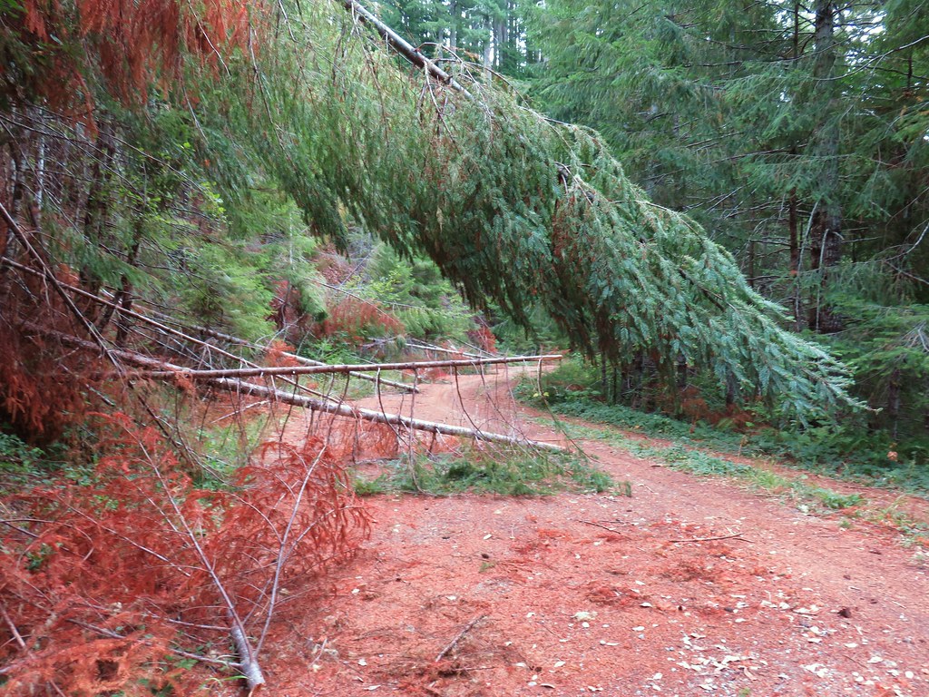
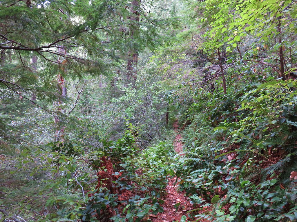
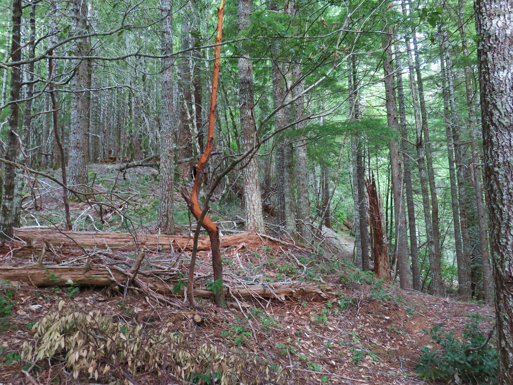
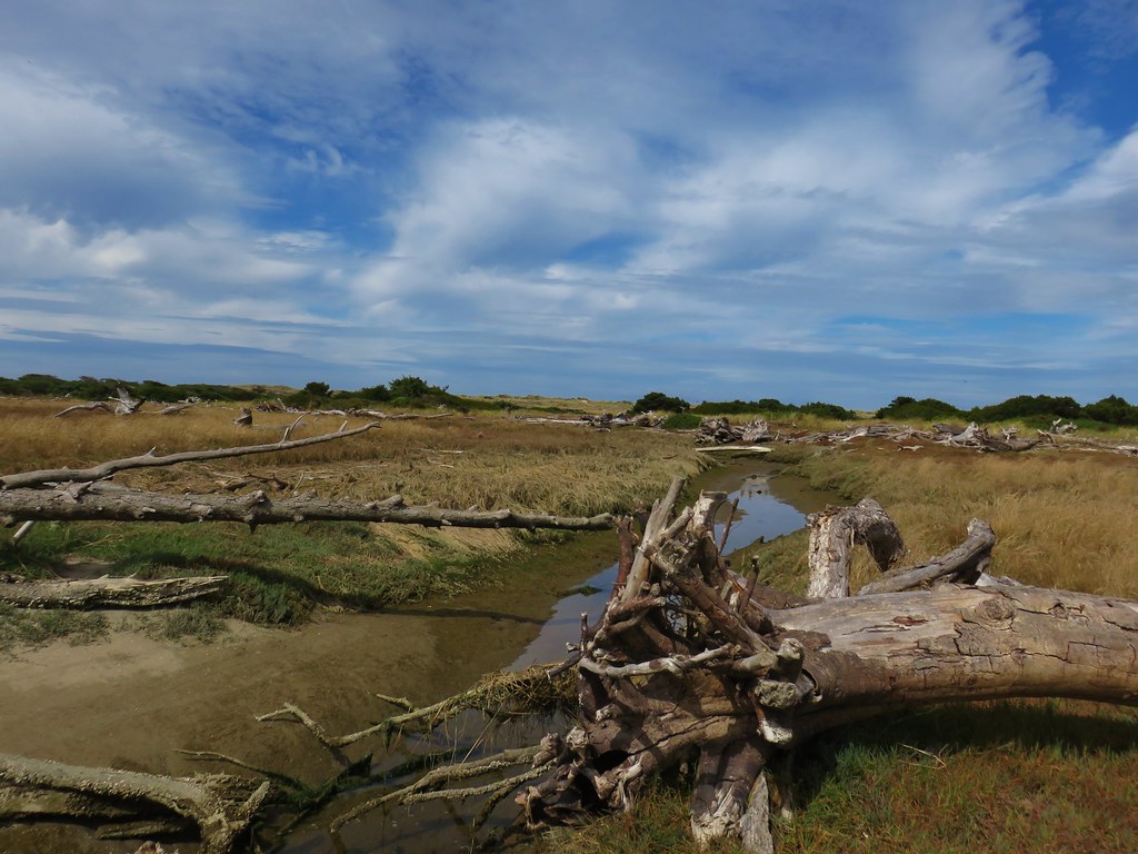
It was a little over 2-miles down to the North Neahkahnie Mountain Trailhead. A September 2020 windstorm had resulted in heavy blowdown to sections of this trail. The trail was closed until 2022 when crews were able to clear it.
 Trillium
 This was the only obstacle that required any sort of maneuvering.
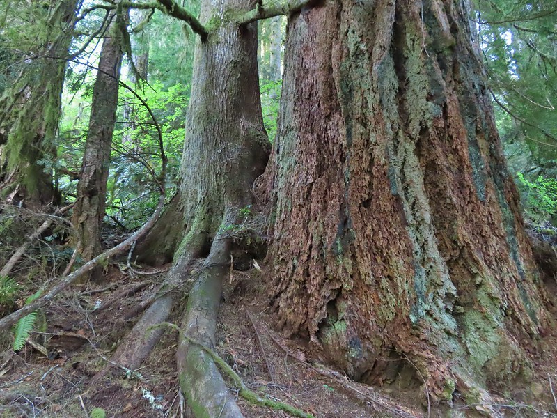
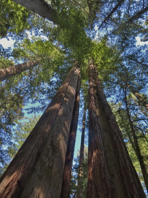
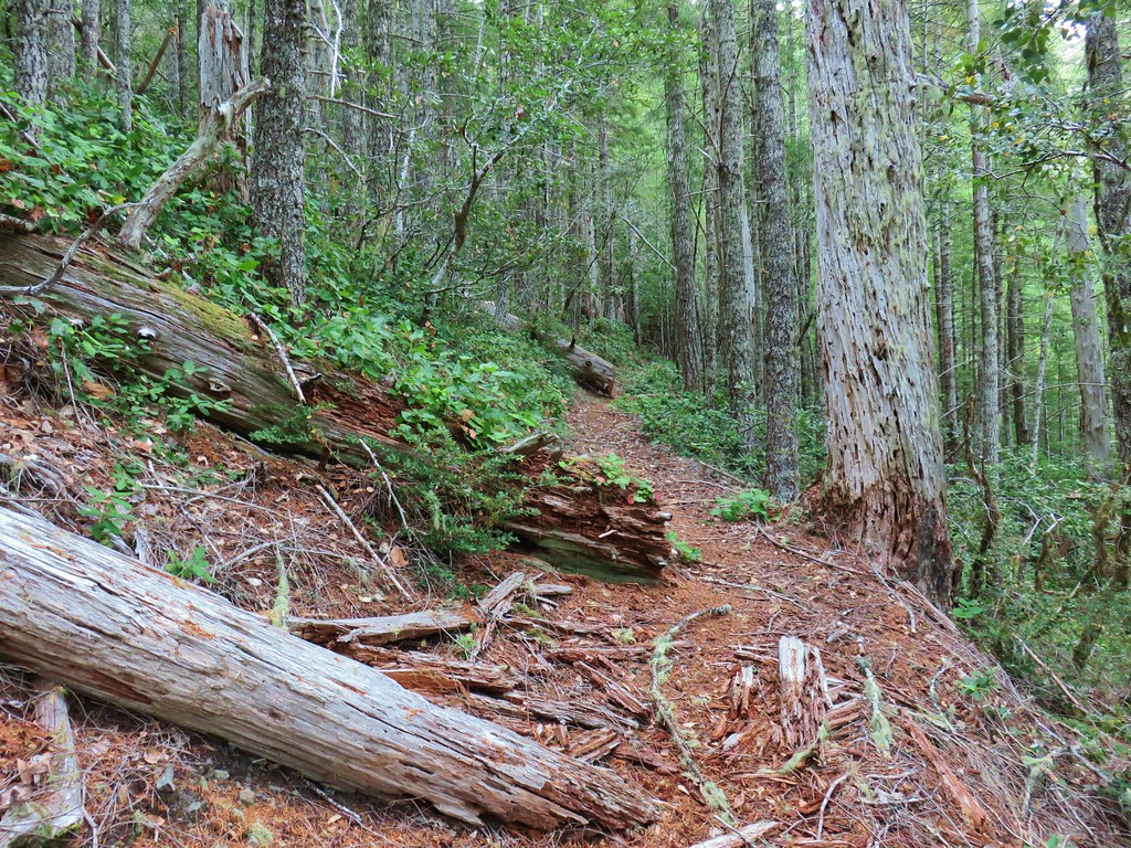
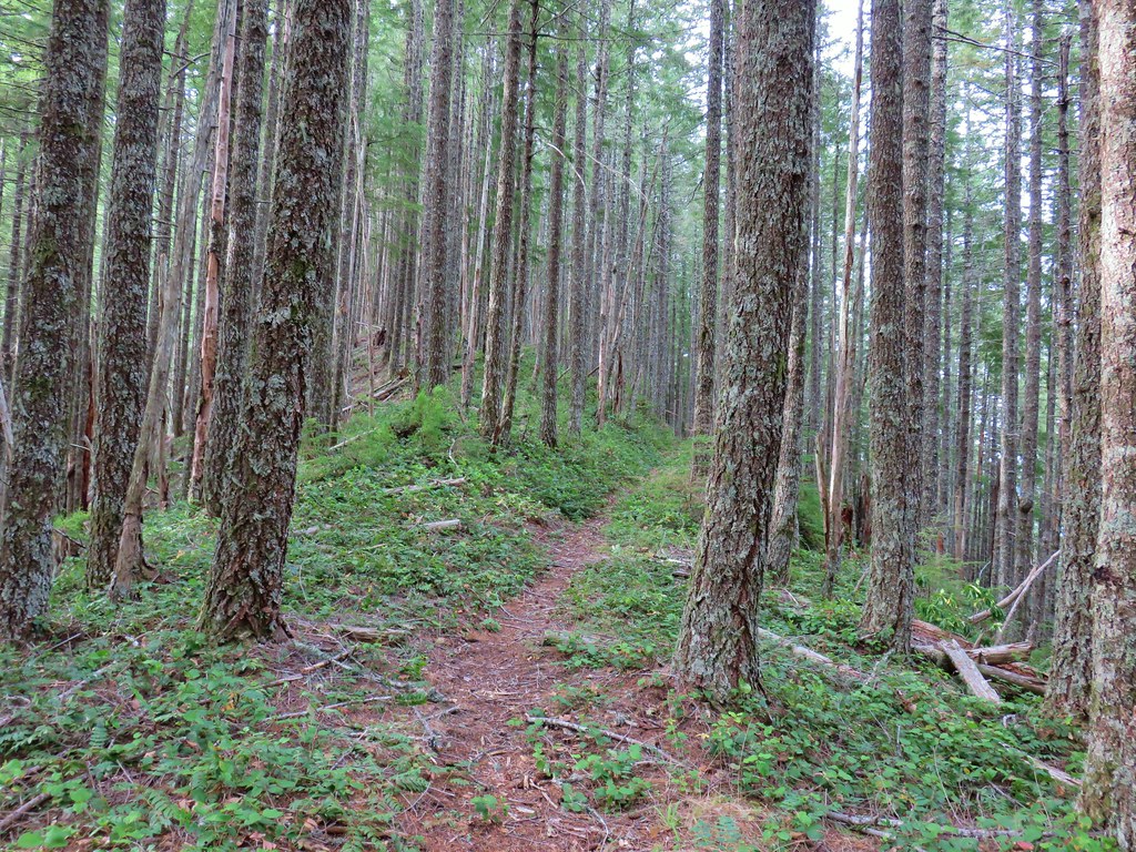
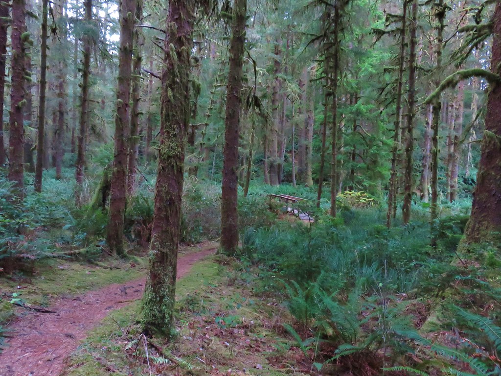
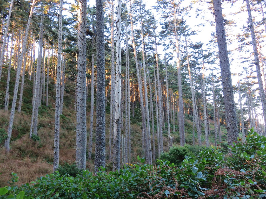
 There are some great trees along the upper section of the trail.
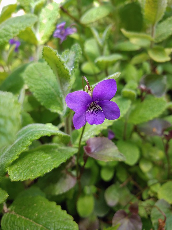
 Violets
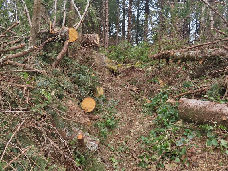
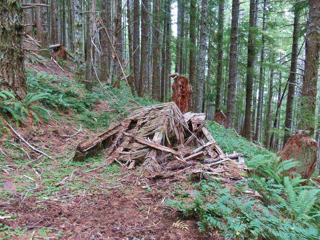
 Recent trail work.
 Anemones and violets.
 Entering the storm damaged area.
 Angora Peak (post) through the trees.
 Getting creative with the trail route.
 Out of the storm damage.
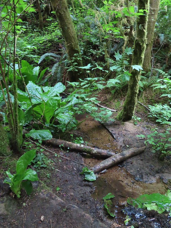
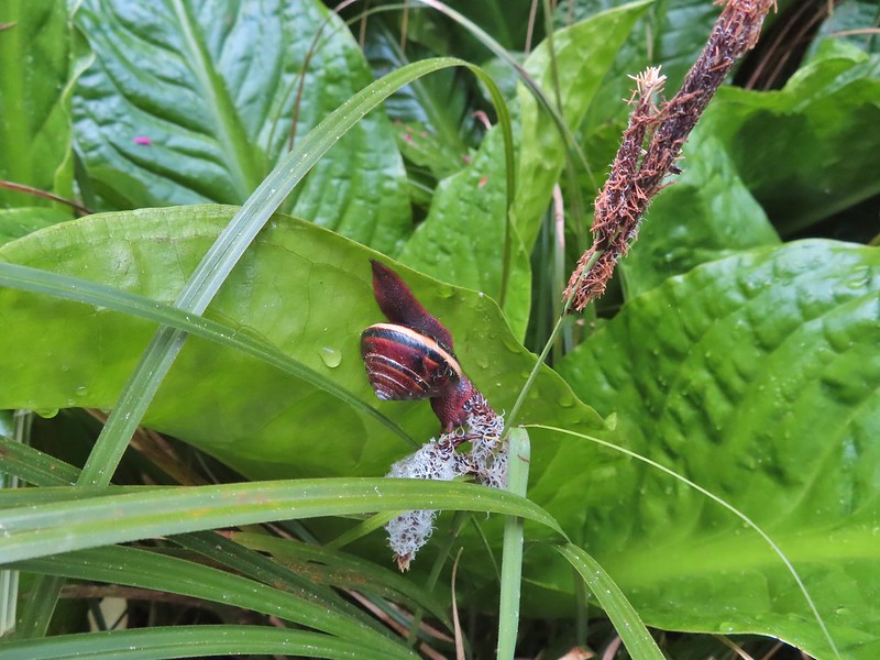
 Skunk cabbage
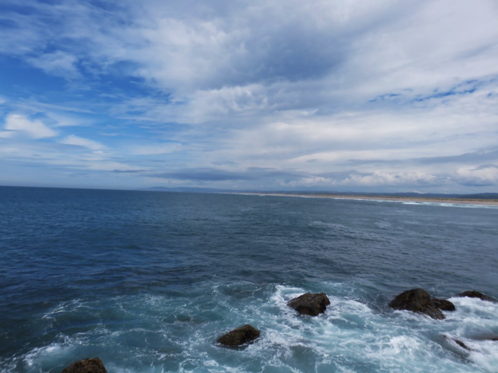
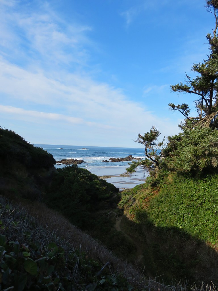
 Cape Falcon from the trail.
 Pink fawn lilies

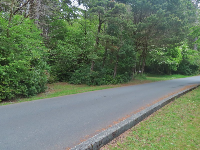
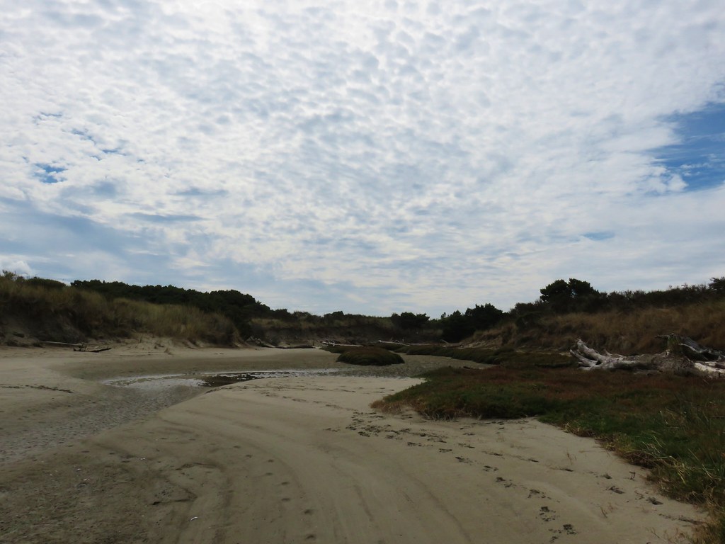
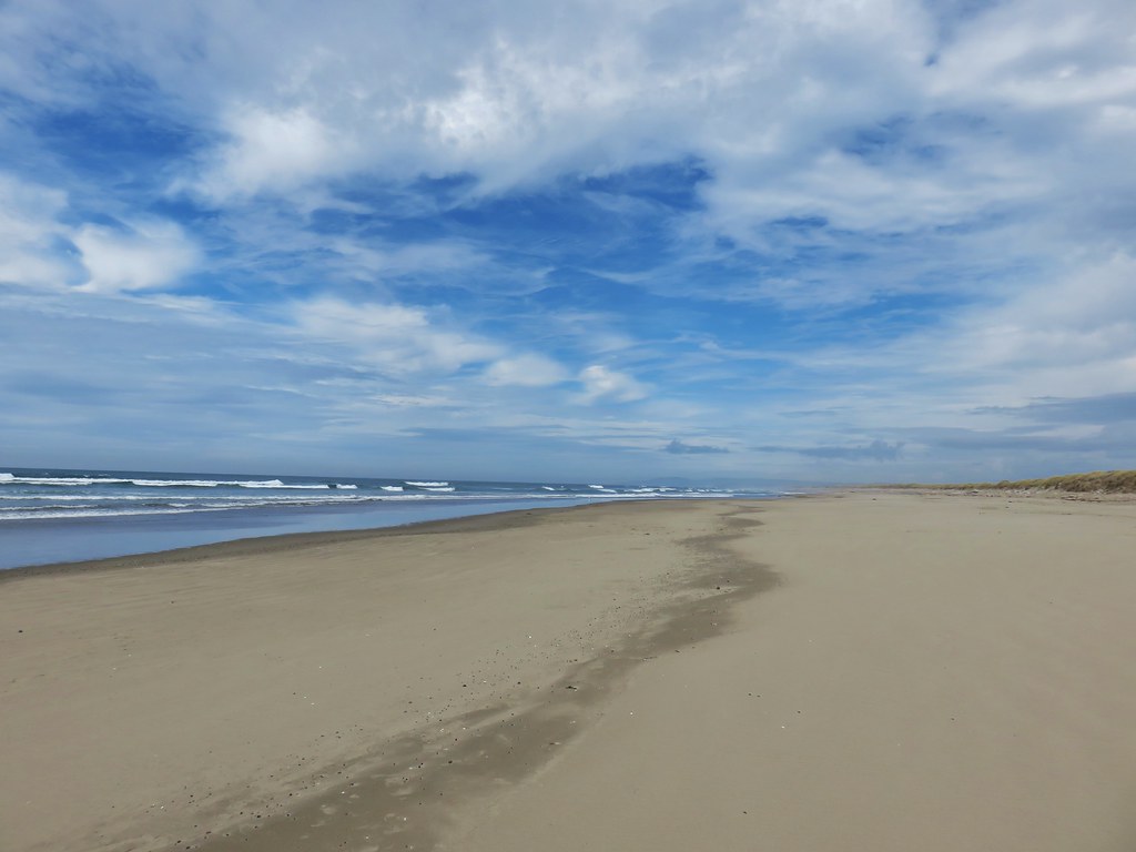
 Arriving at Highway 101 near the North Neahkahnie Mountain Trailhead.
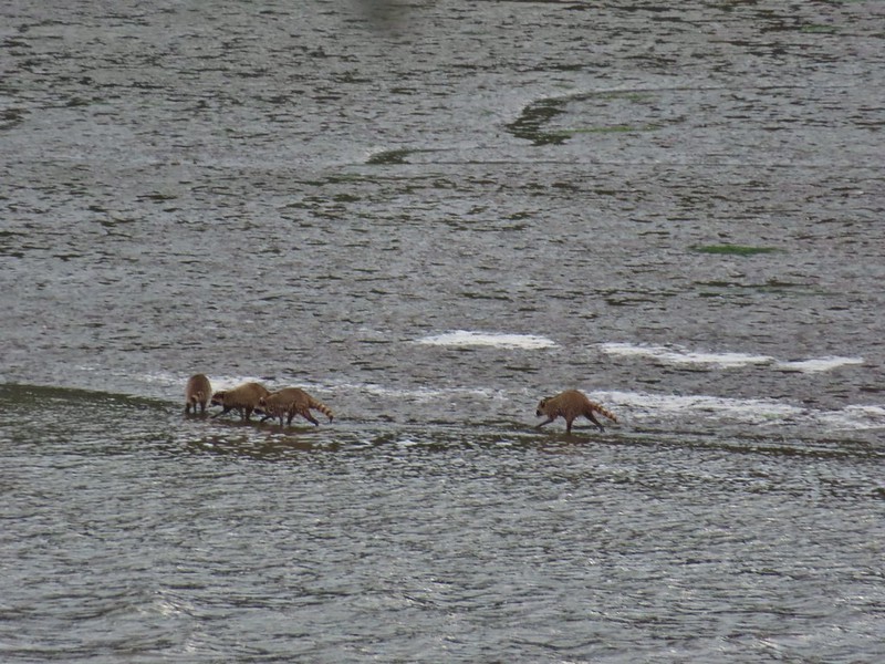
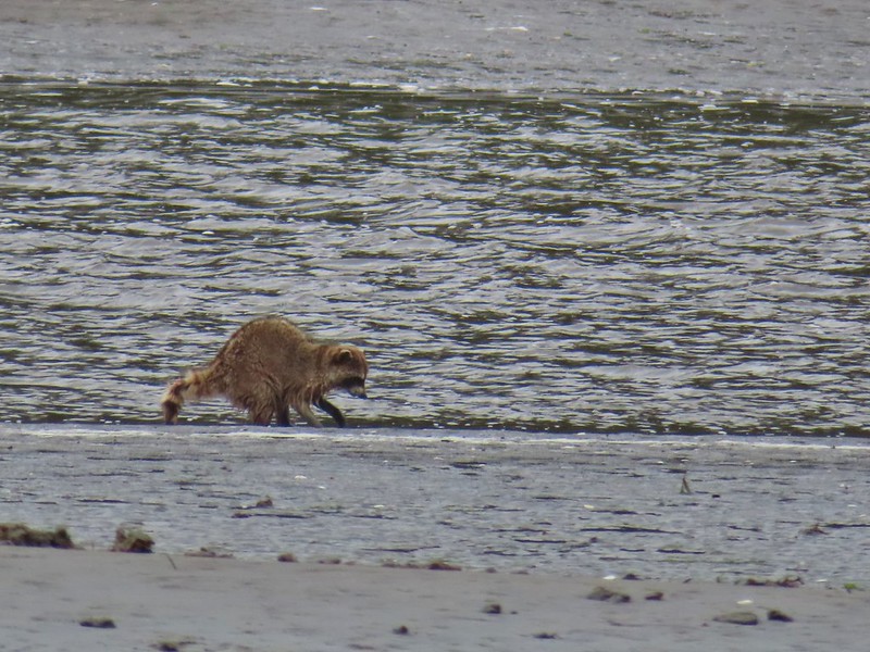
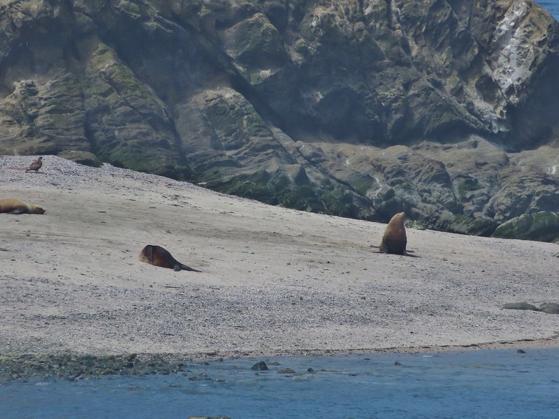
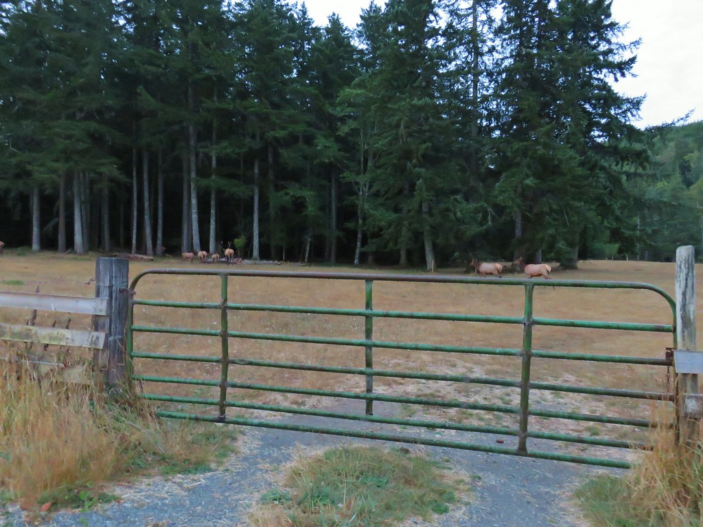
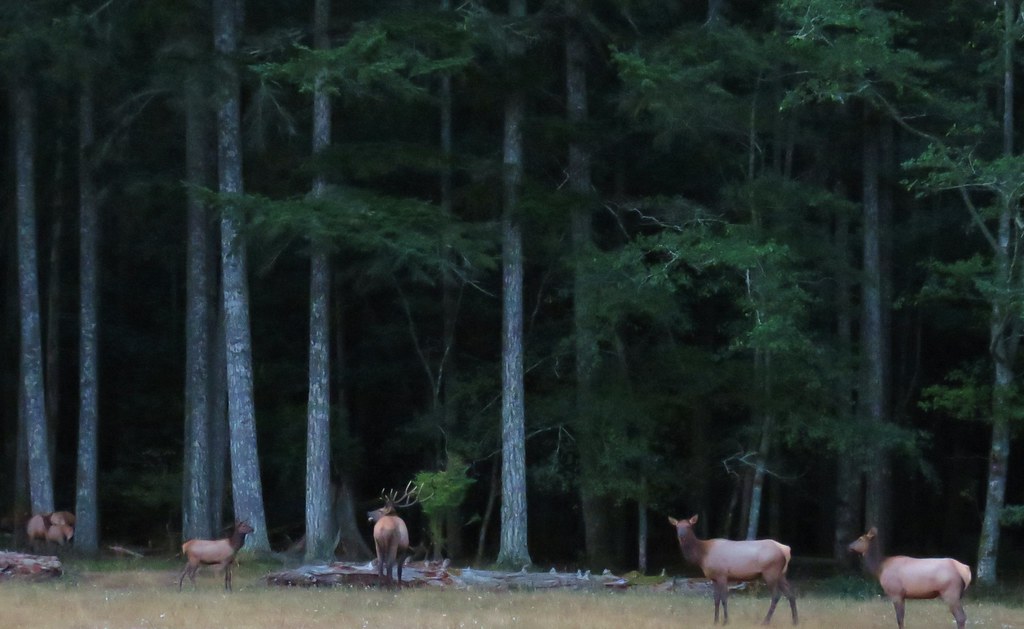
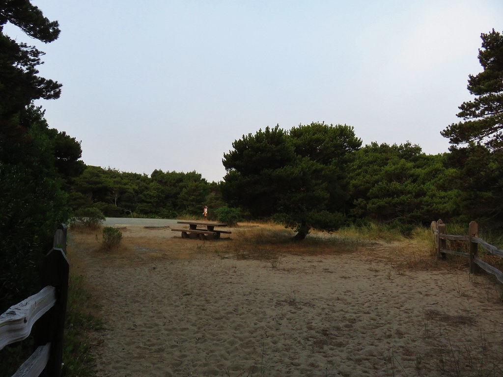
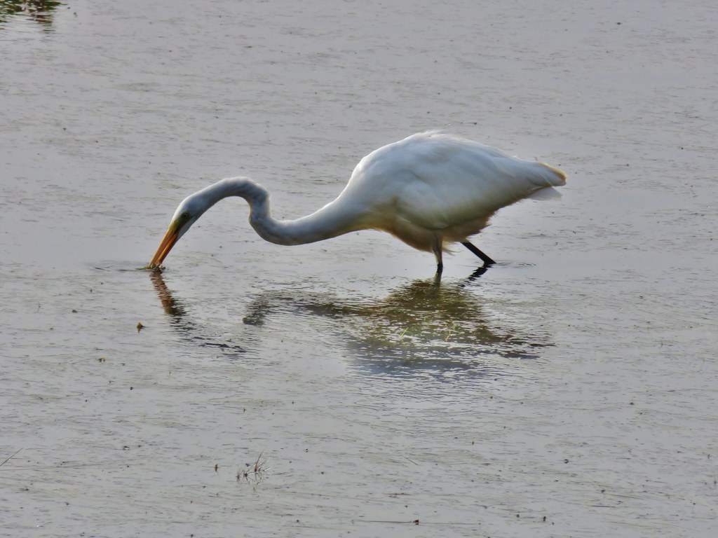
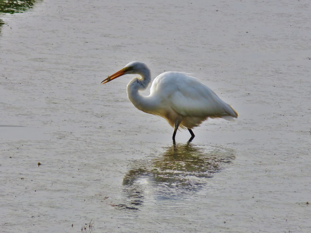
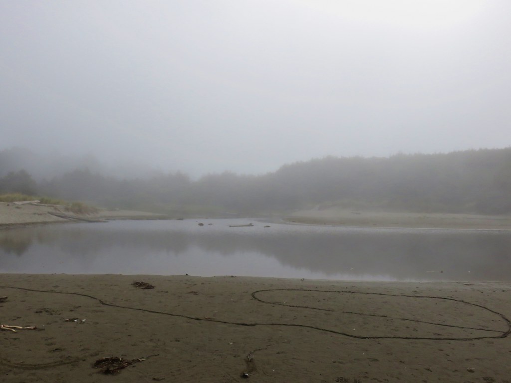
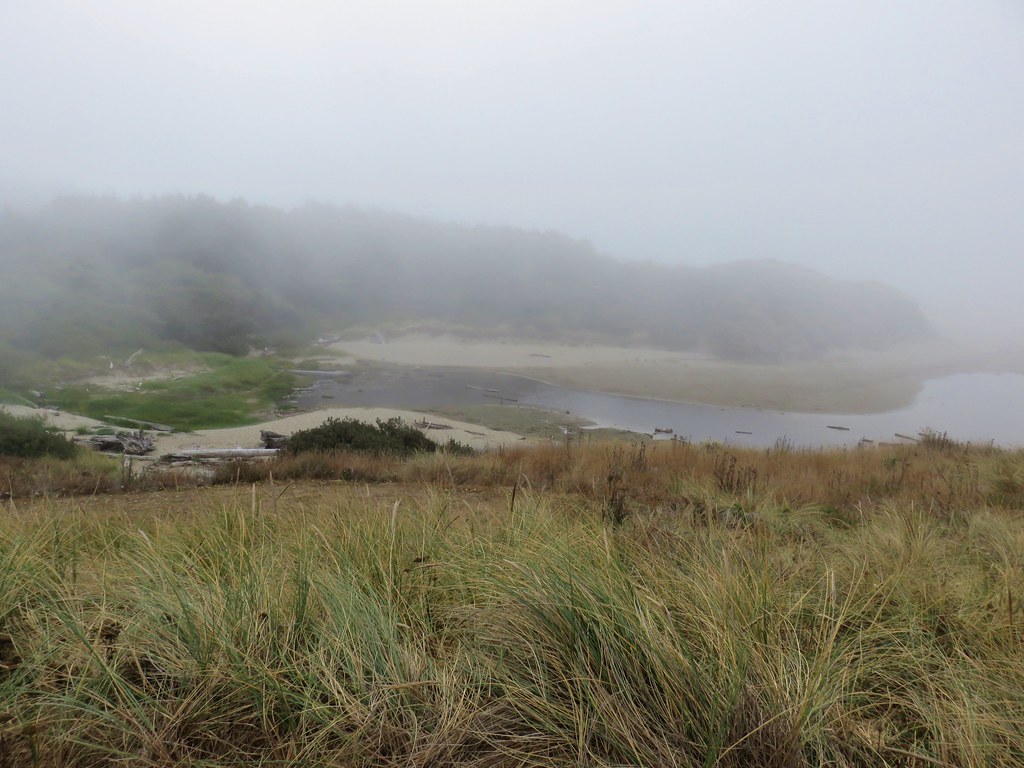
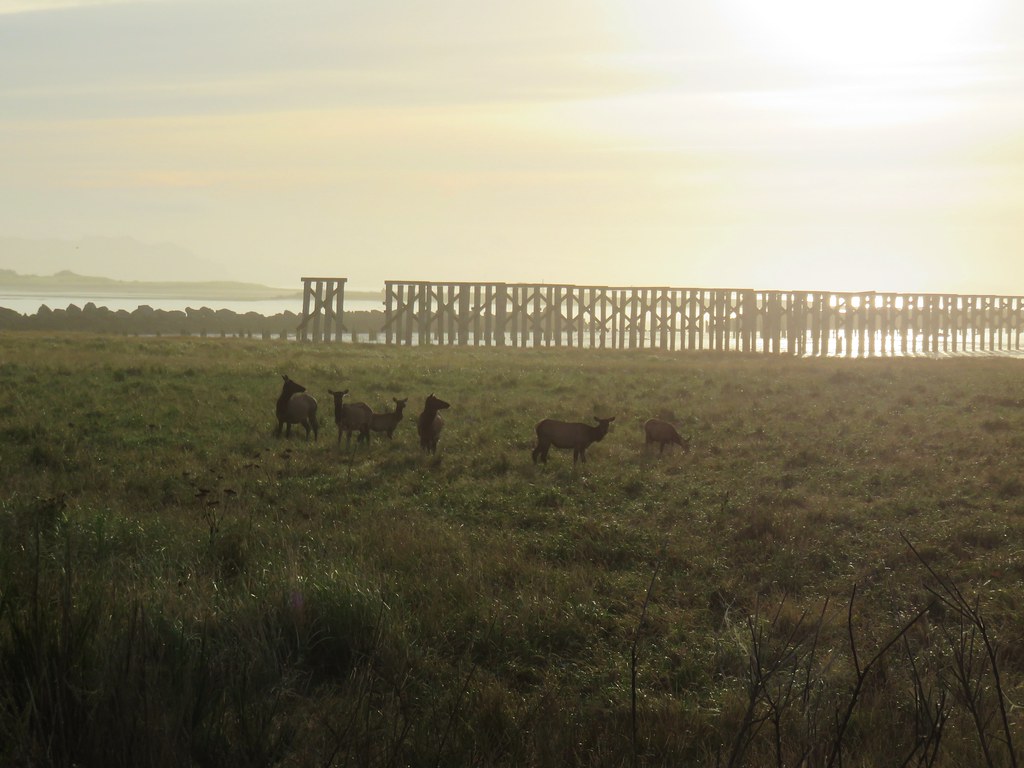
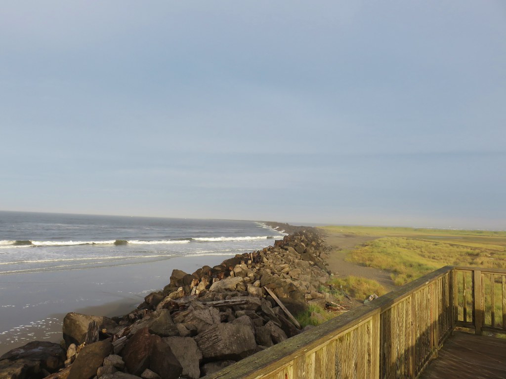
I dashed across the highway to the trailhead and immediately spotted a few elk in the meadow below the highway.


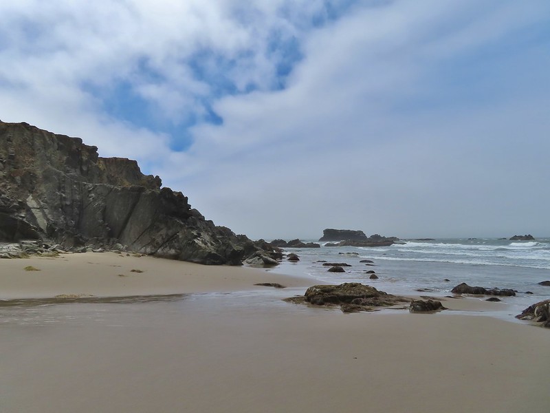
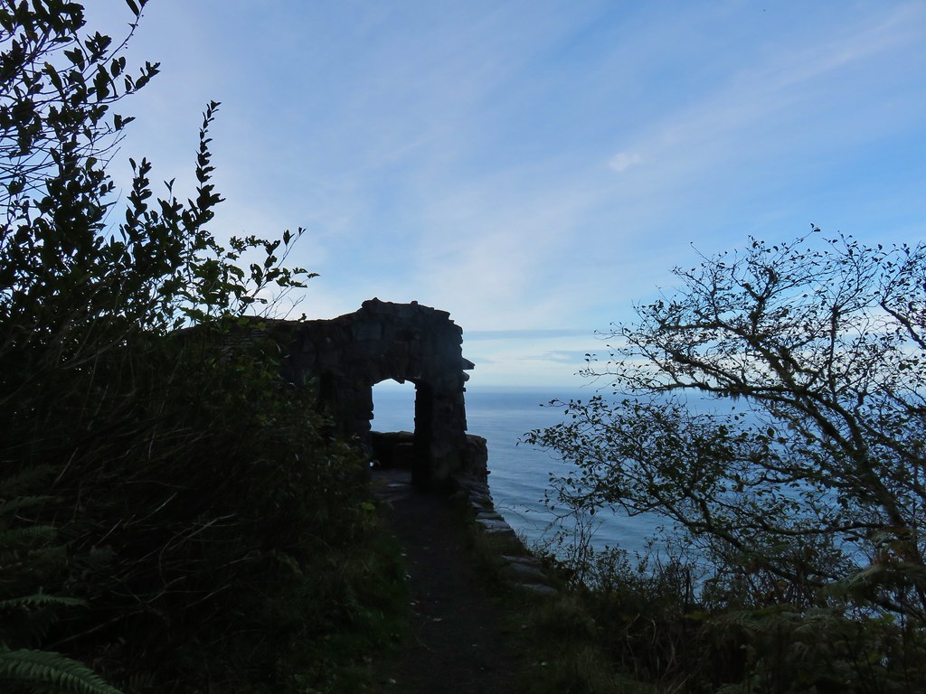
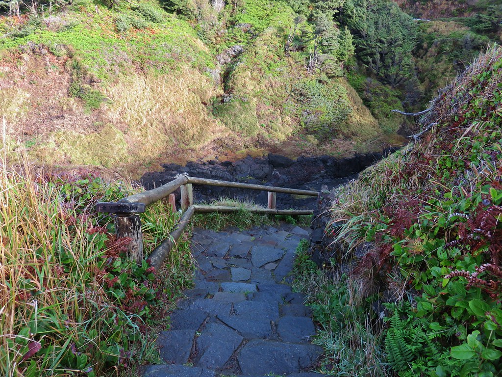
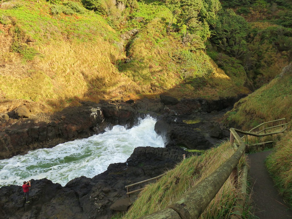
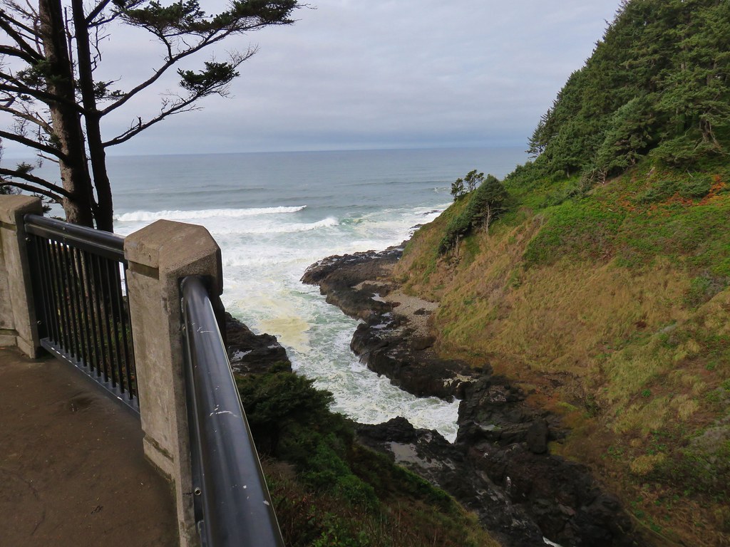
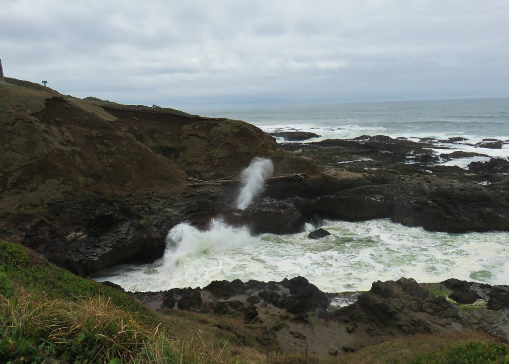
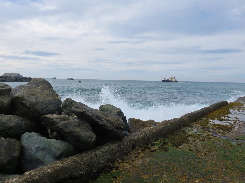
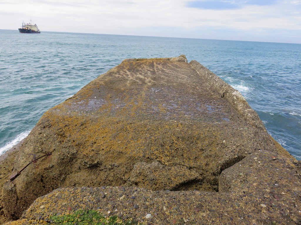
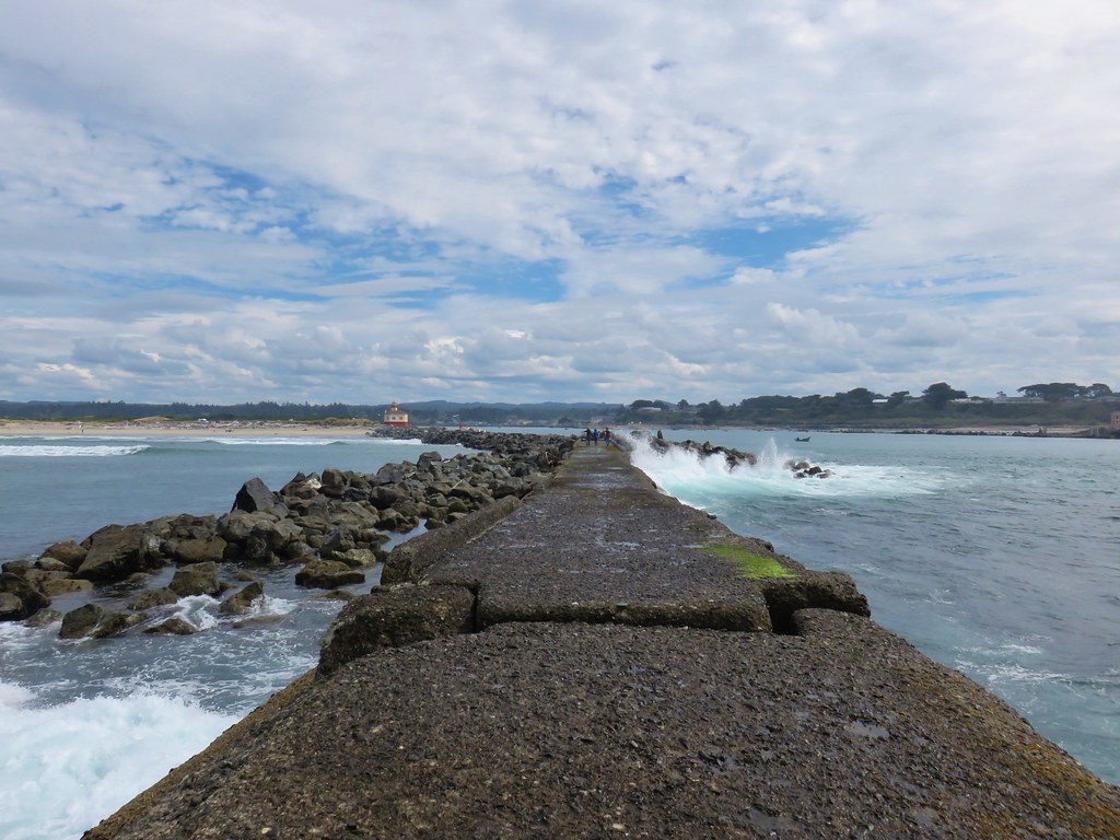
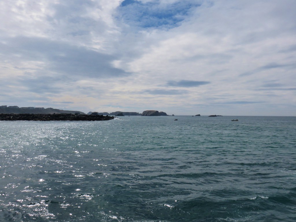
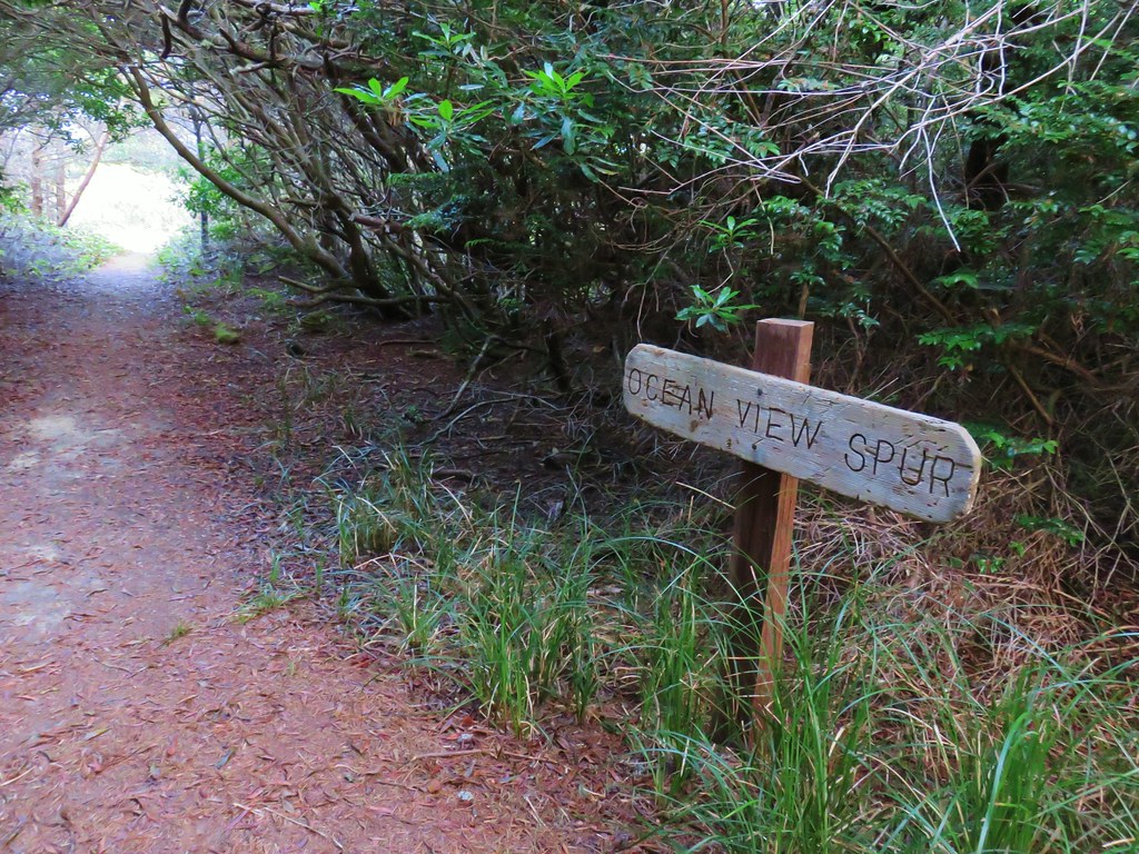
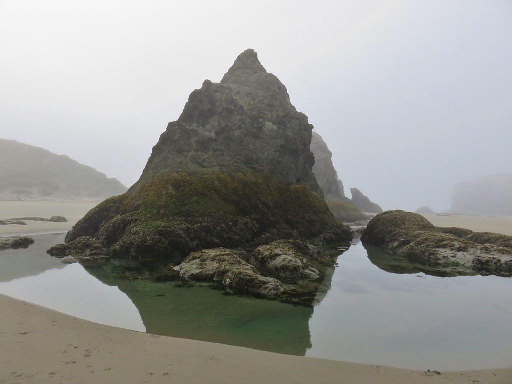
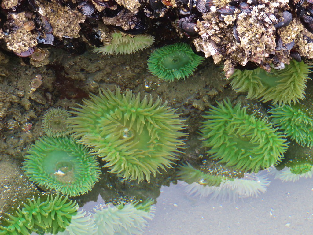
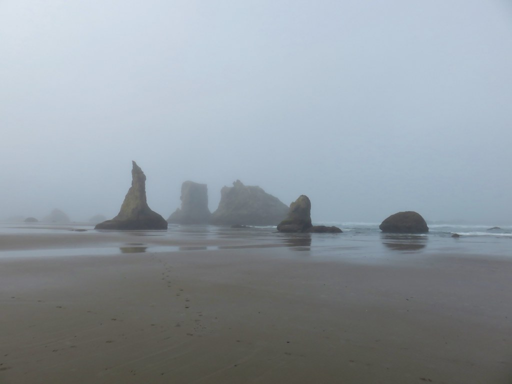
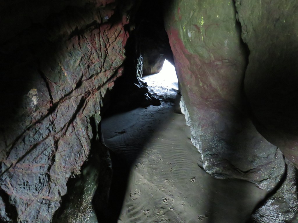
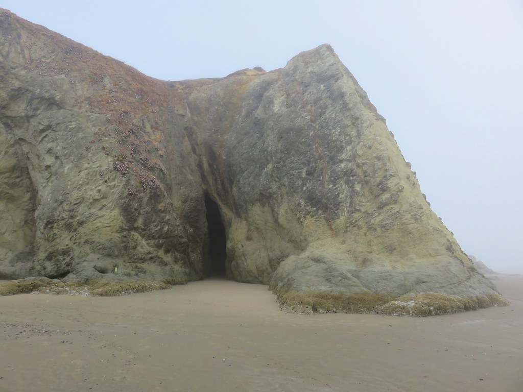
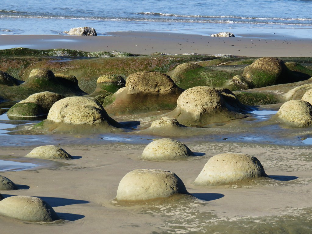
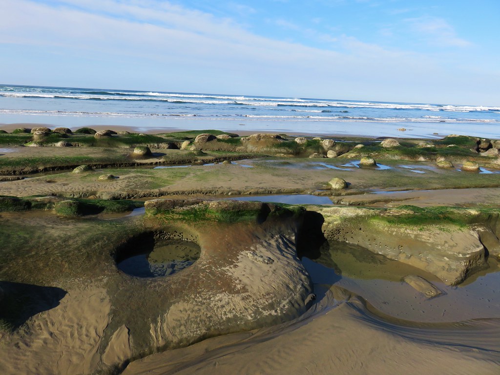
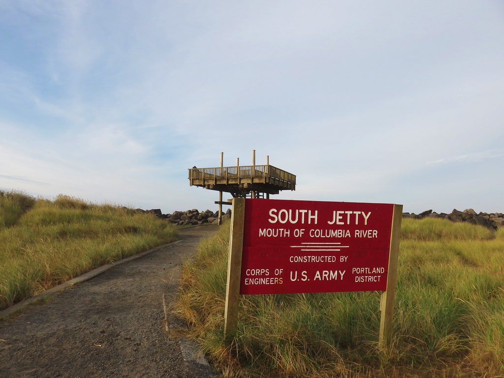
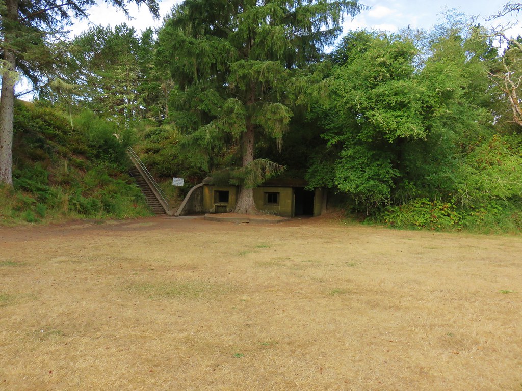
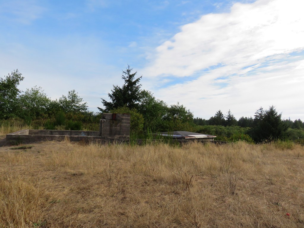
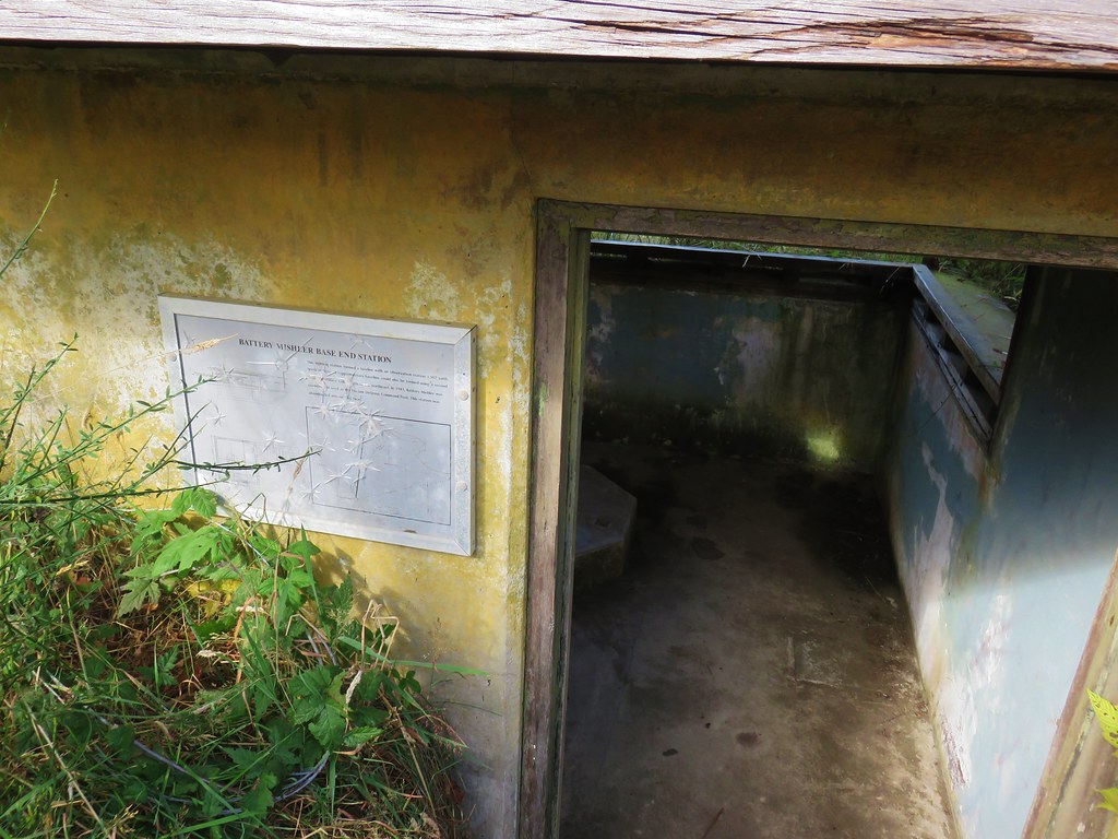
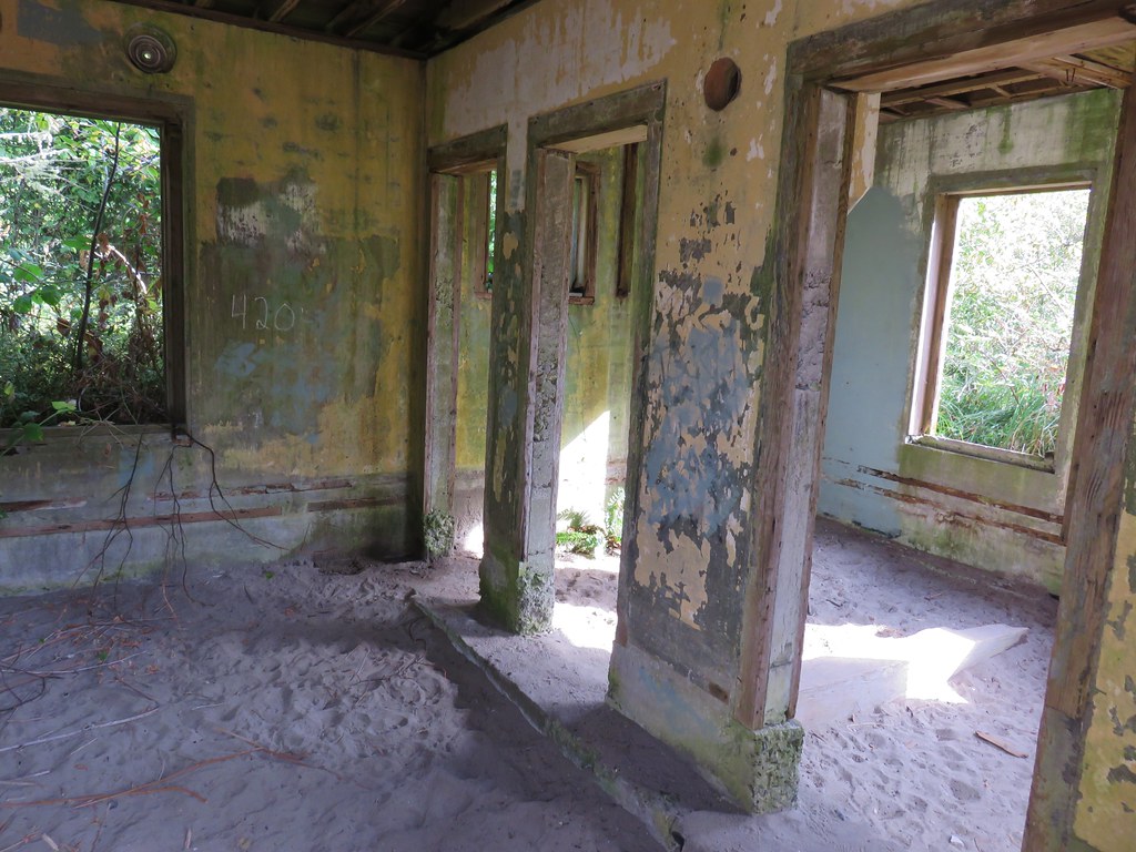
From the trailhead I picked up the Elk Flats Trail and followed it a tenth of a mile to the Devil’s Cauldron Overlook Trail.


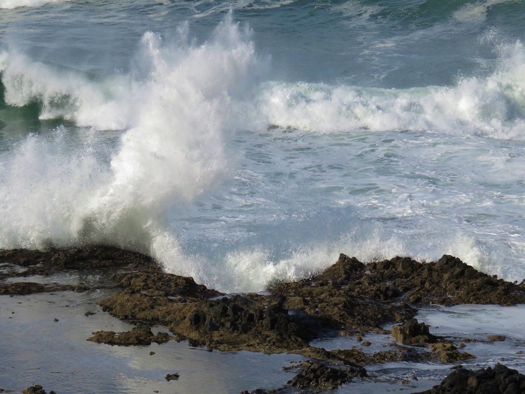
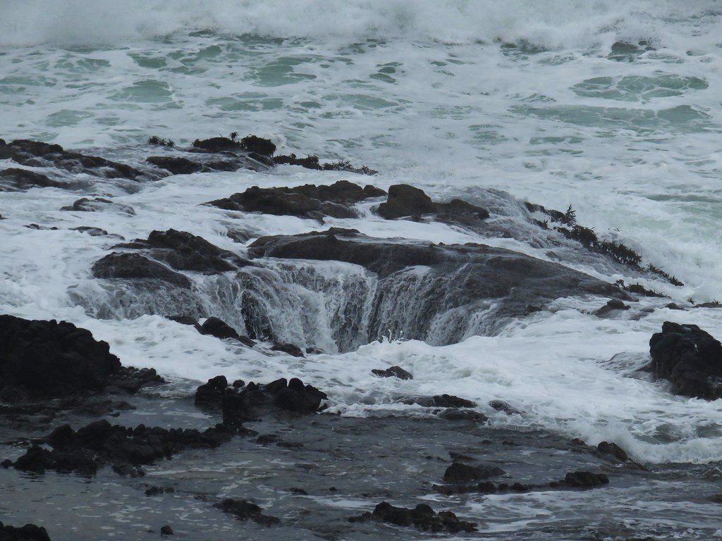
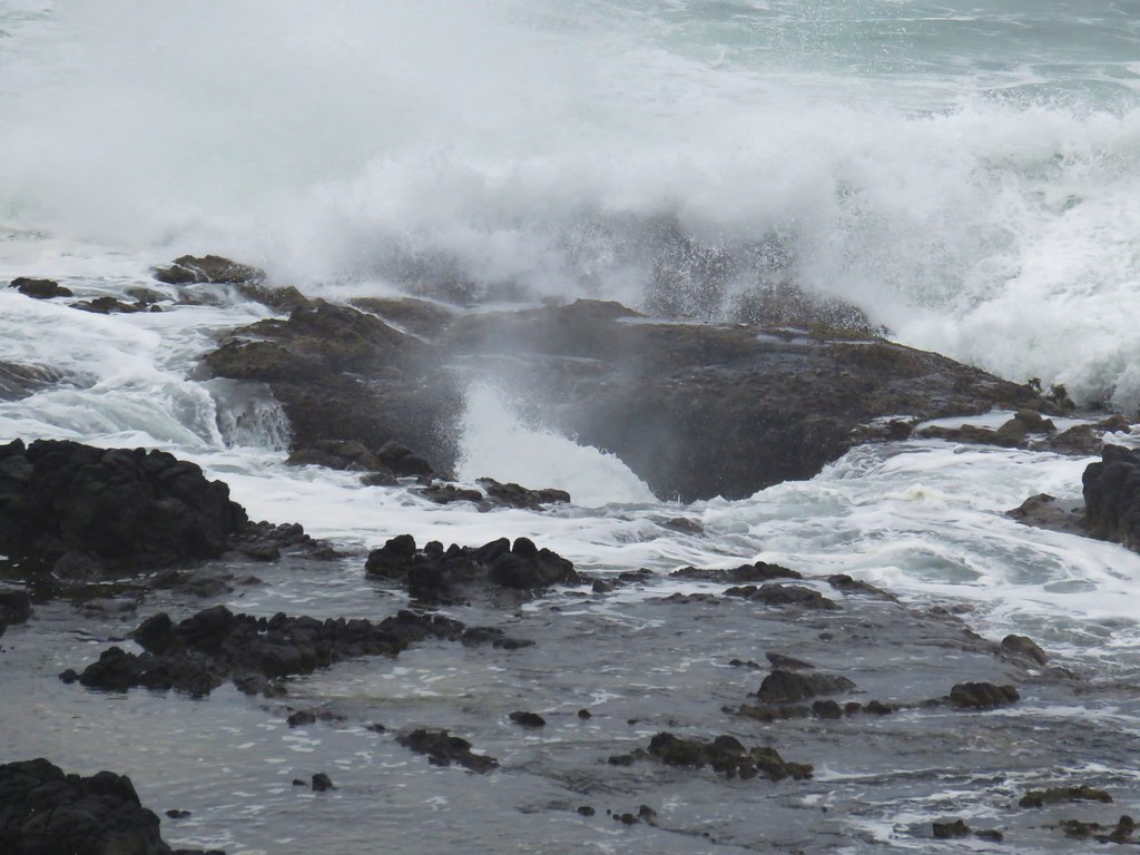
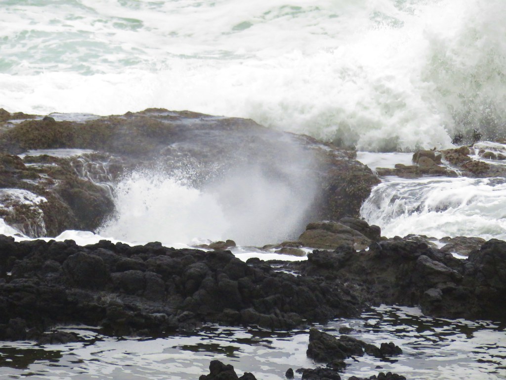
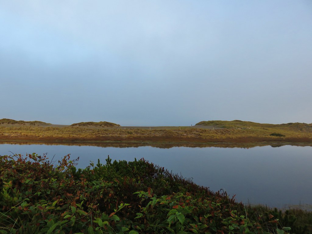
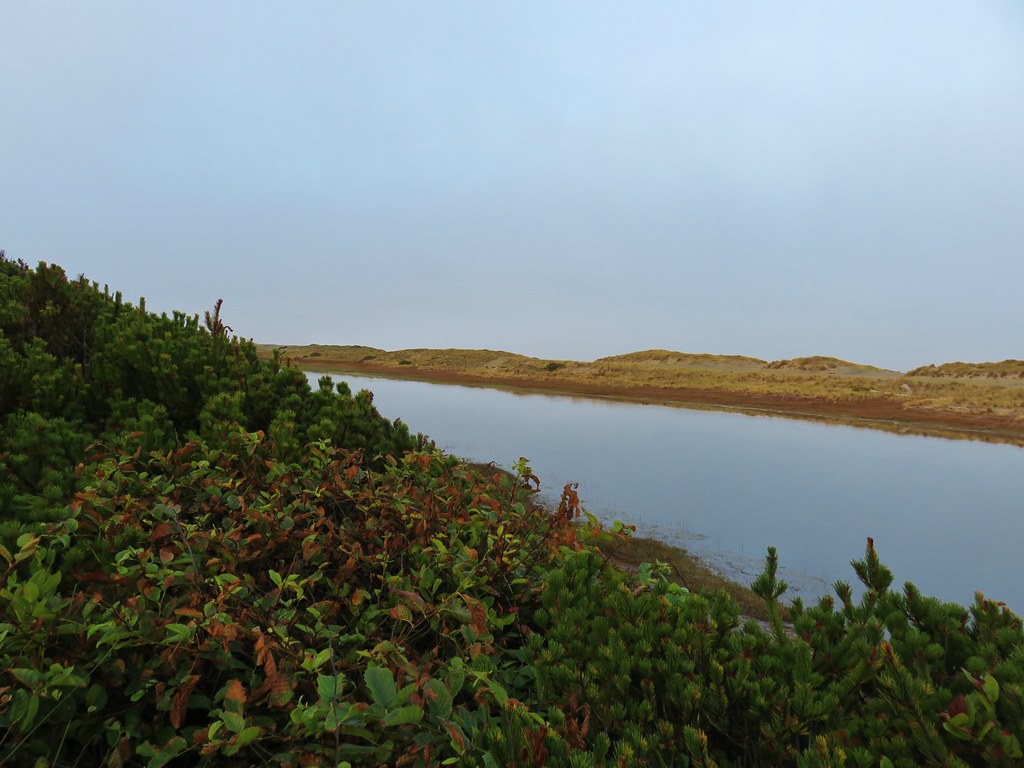
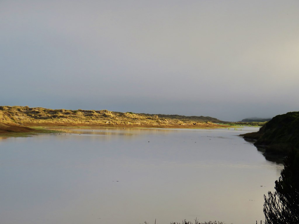
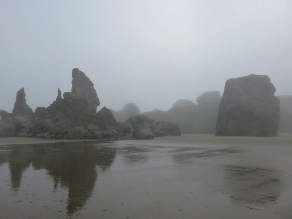
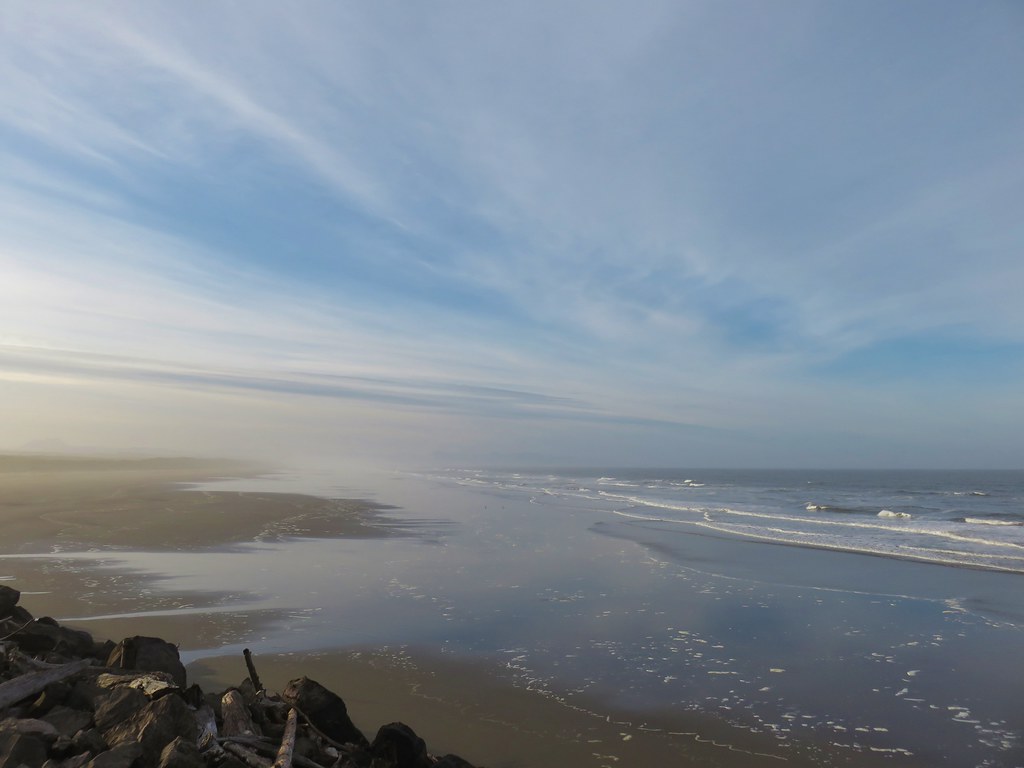
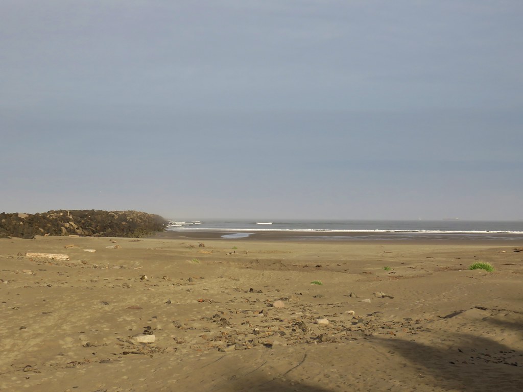
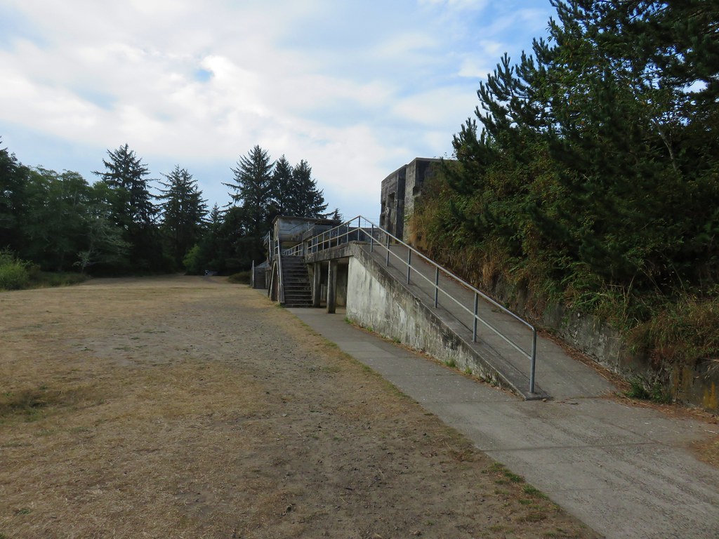
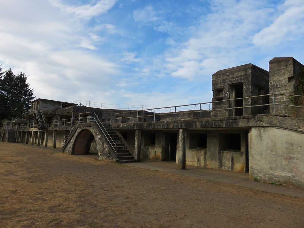
Another tenth of a mile brought me to the overlook.


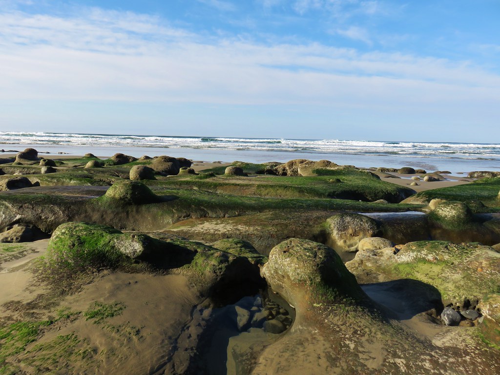
After admiring Devil’s Cauldron I headed back. The climb back up to the saddle below the viewpoint was approximately 1400′, and after having climbed over 1600′ from Manzanita, and I felt the burn.

 Snow queen
 He may have been moving faster than I was.
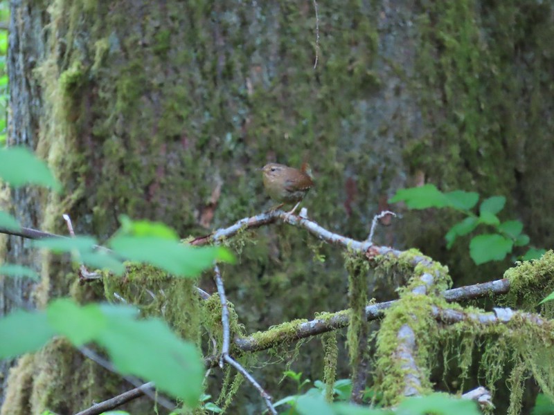
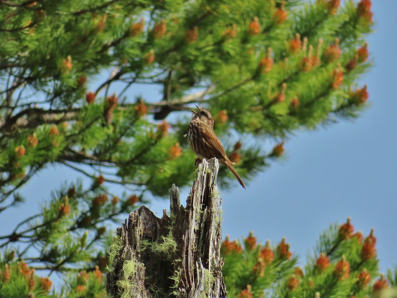
 There is nothing better than hearing wrens sing in the forest.
 More creative trail in the storm damaged area.
 Wood sorrel
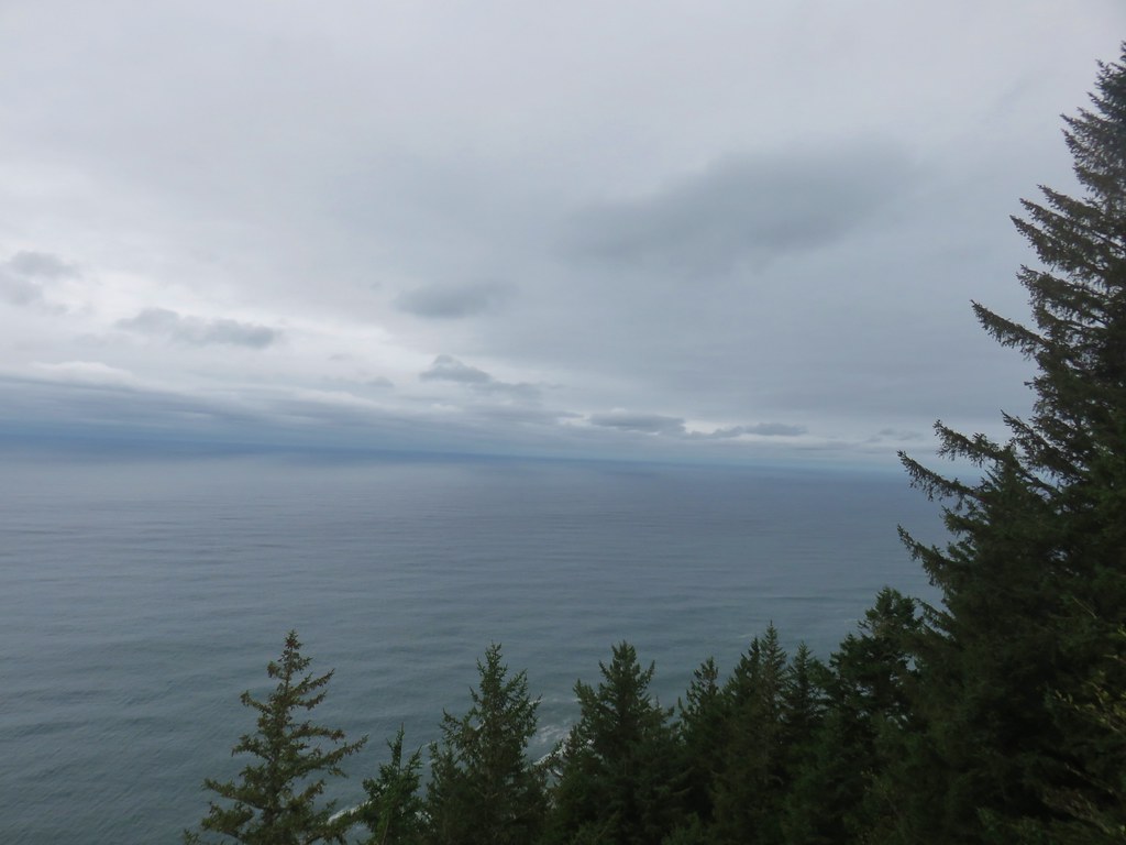
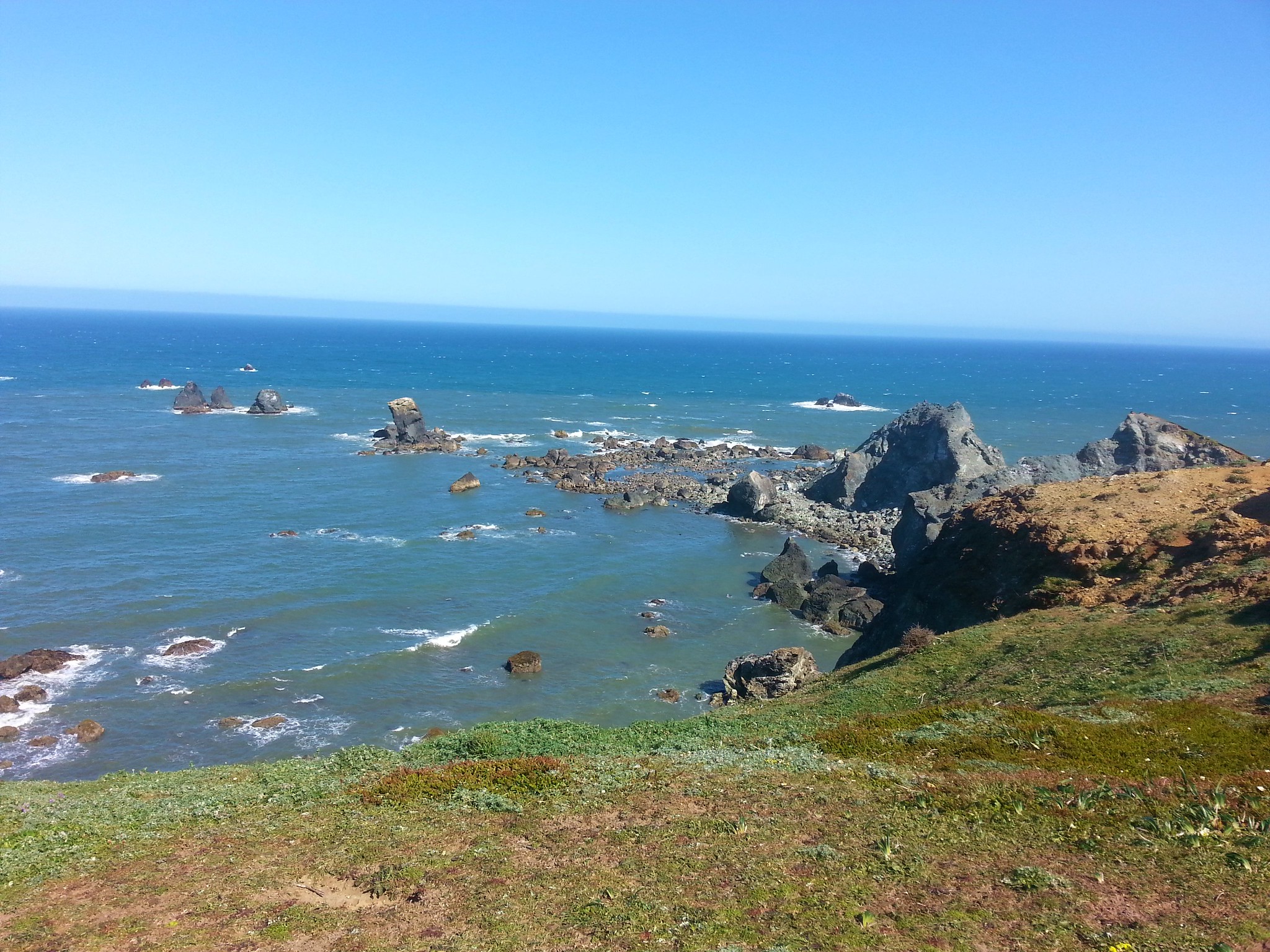
 The view if you don’t scramble up the spine.
Up to the point that I started back down from the saddle I’d passed 11 people on the trail, all of which were after having spent time at the viewpoint. On the way down I passed at least 30 people between the saddle and the South Neahkahnie Mountain Trailhead which was now packed with cars.

 Trillium with a touch of pink.
 Arriving at the packed trailhead.
Continuing on from the busy trailhead I only passed two more people before arriving back Nehalem Road and my lonely car.
 Leaving the crowds behind.
 Big patch of pink fawn lilies.

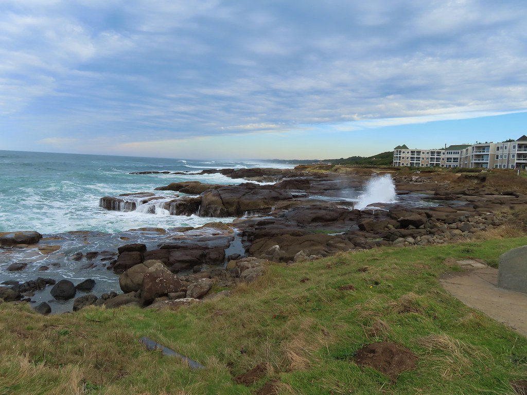
 Highway 101 from the powerline corridor.
 Margined white
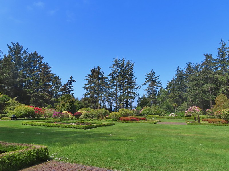
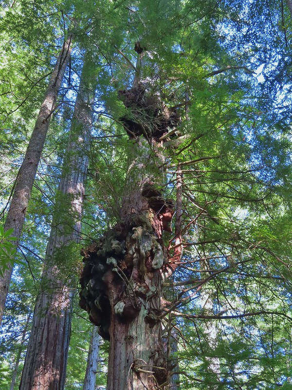
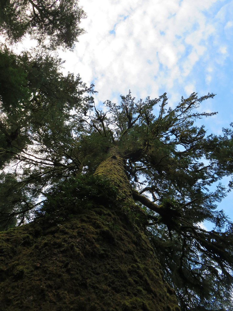
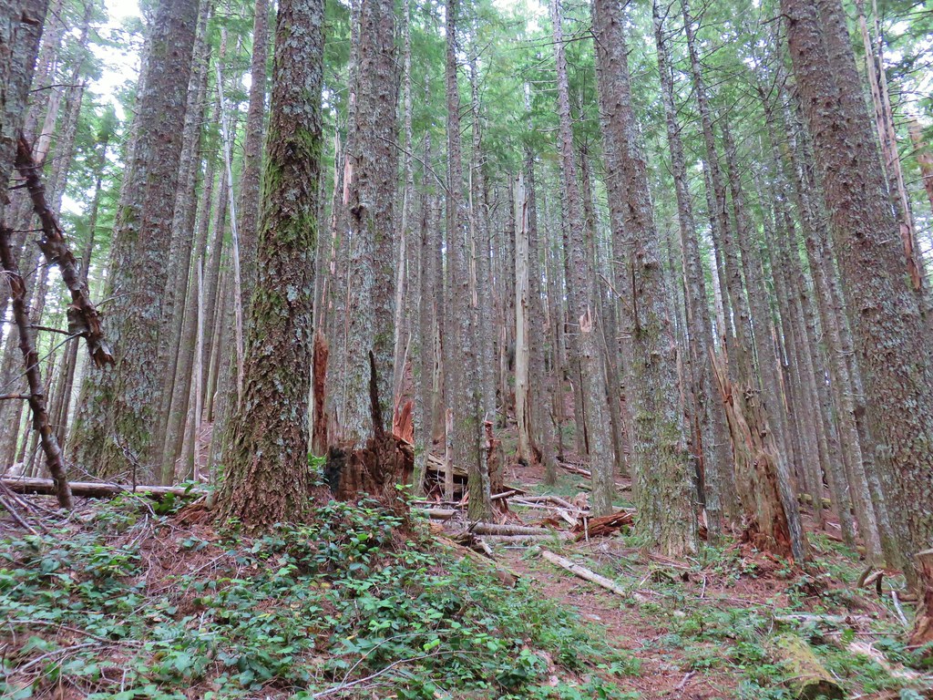
 One of the more impressive trees in the preserve.
 Nearing the Highway 101 crossing. I arrived just as a long line of traffic was passing by but was able to safely cross shortly afterward.
This hike came in at 11.6 miles and roughly 3000′ of elevation gain.

This was a good hike with quite a few wildflowers, some wildlife, and some nice views. It was also a good training hike for some of the alpine hikes with significant elevation gain later in the season. The various trailheads offer plenty of options for those who might not want to hike as far or climb so much, but even the shortest route (South Neahkahnie Mountain Trailhead) gains 840′ in 1.5-miles to the viewpoint. Happy Trails!


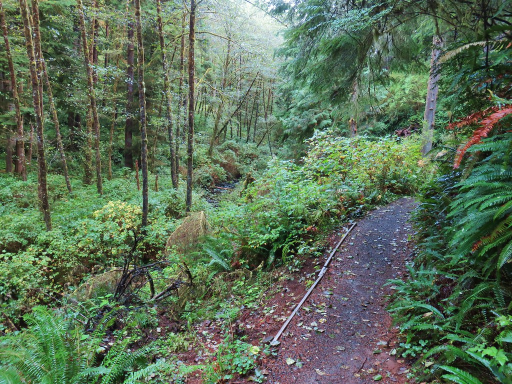
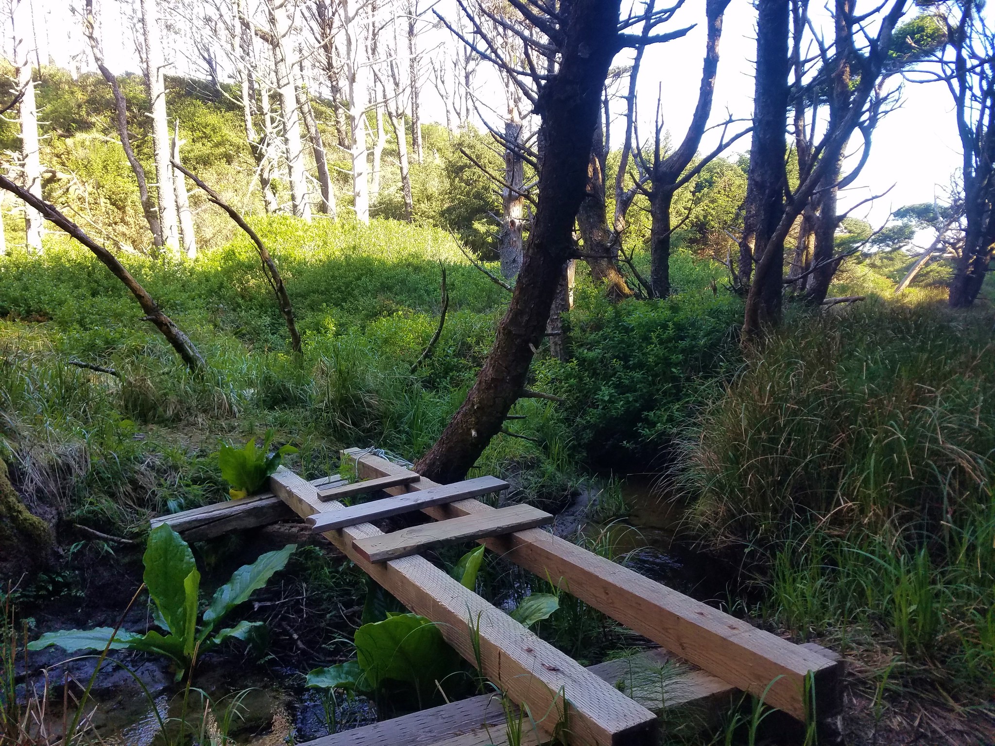
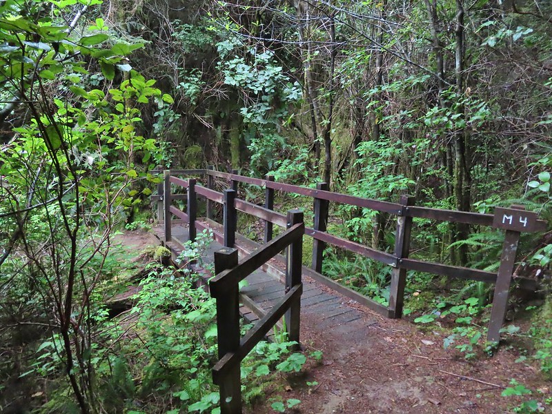 All the bridges had labels consisting of the first initial of the trail and then the bridge number making this the 4th bridge along the Middle Creek Trail.
 Interesting seat.
 That’s a fancy hat for a stump.


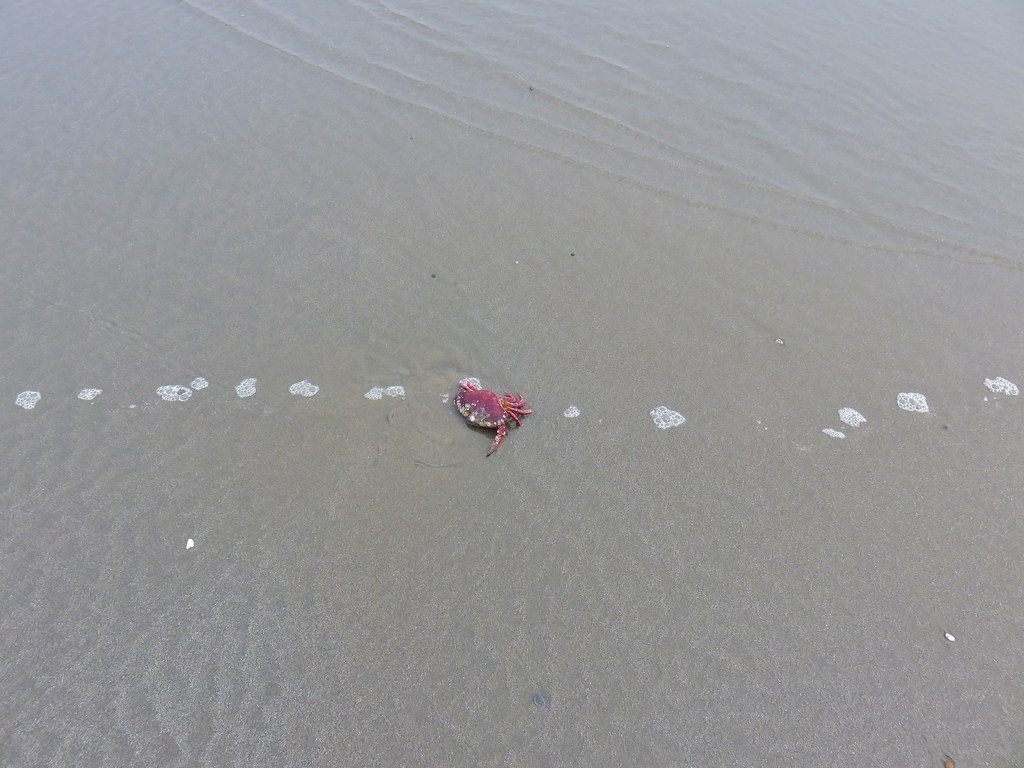
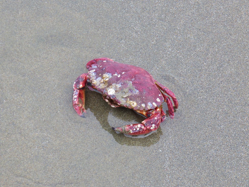
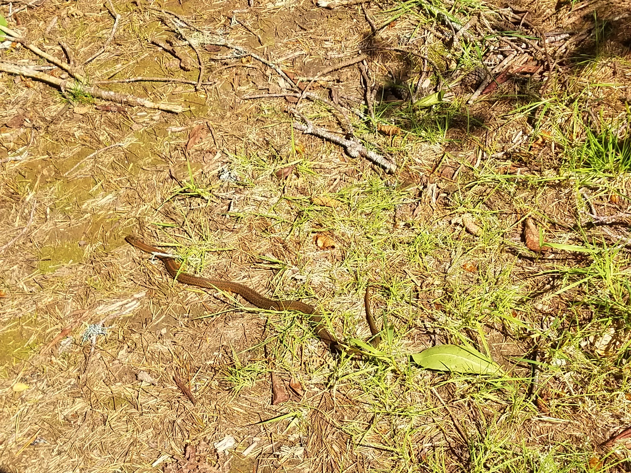
 We saw a lot of rough skinned newts on the trails, but what we were really hopping for was a Pacific Giant Salamander. No luck there this time.
 A few trillium still had petals.
 Woodpecker
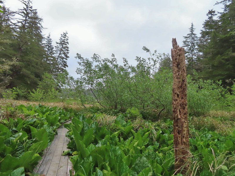


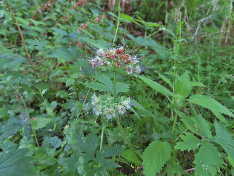
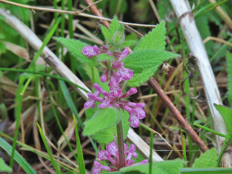 A hedgenettle
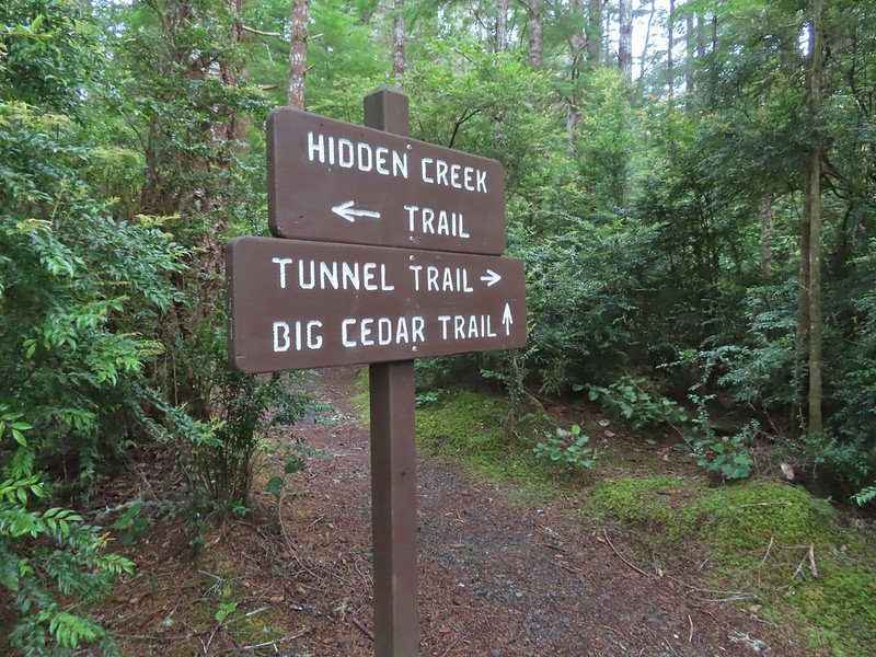


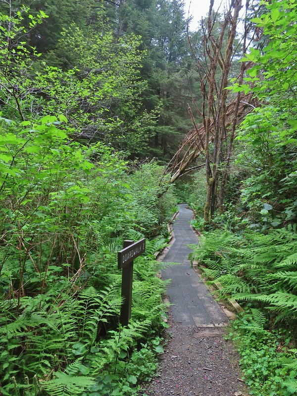
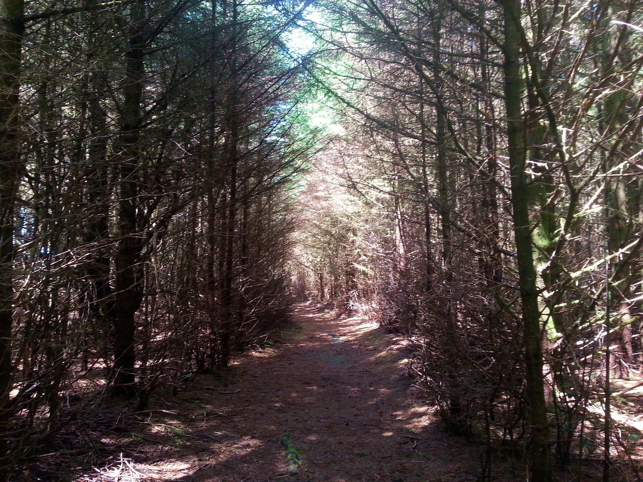
 Tunnel Trail indeed.


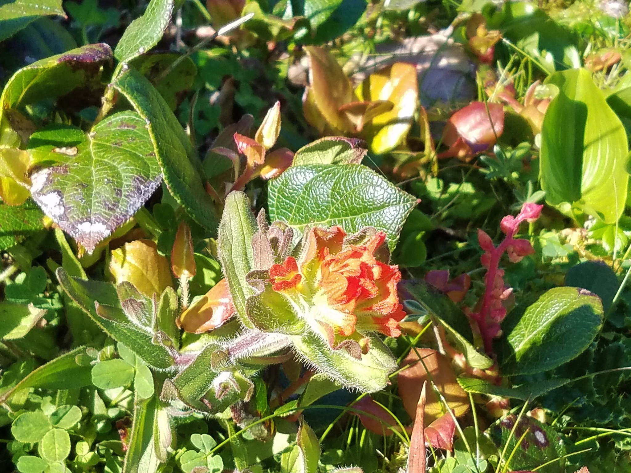
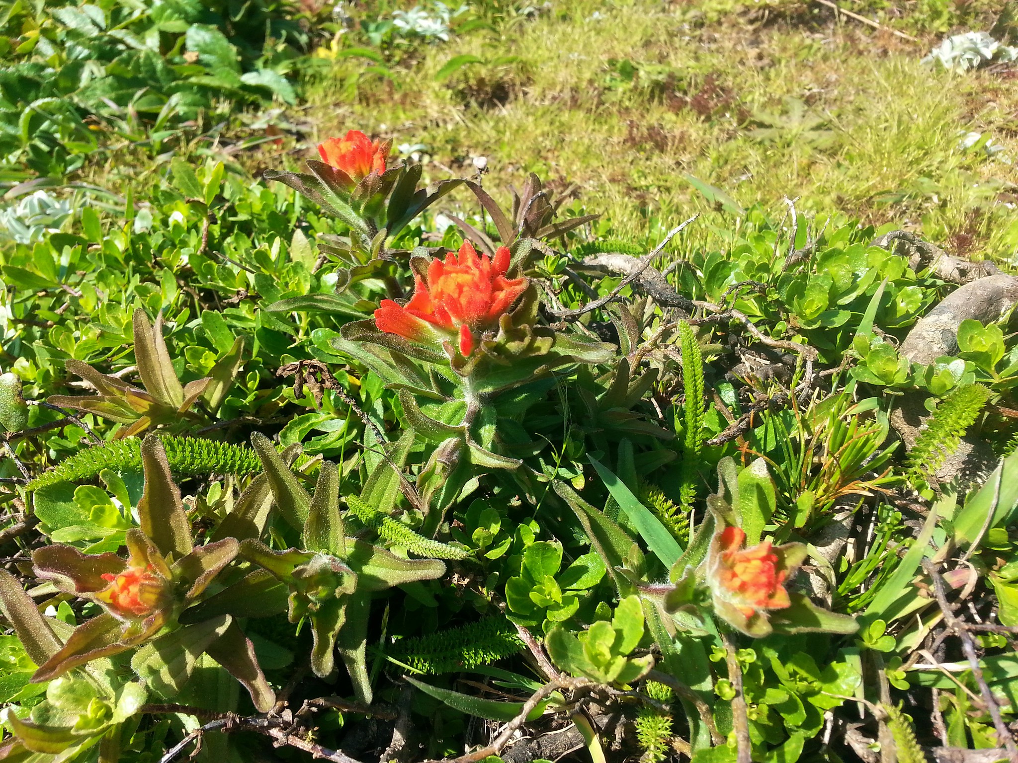
 Castilleja ambigua – Estuarine Paintbrush


 End of the line.
 South Slough
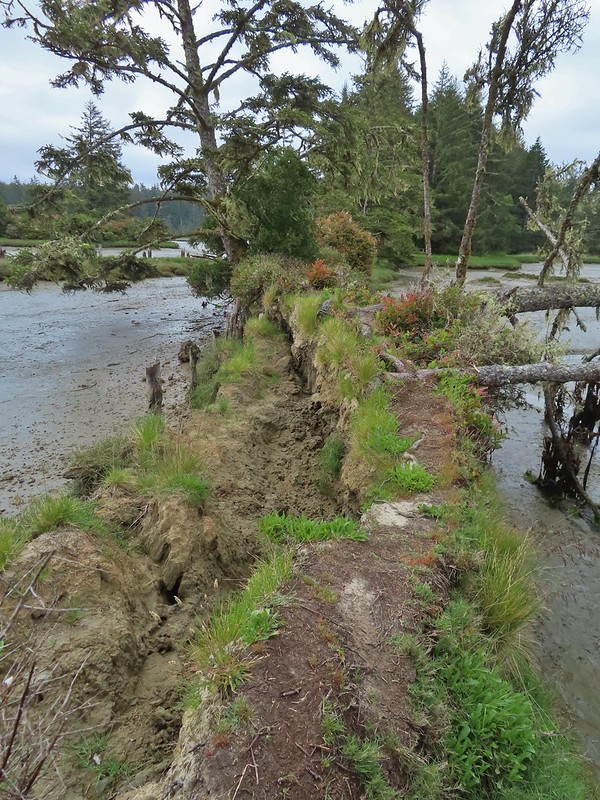 It was interesting to see how this uprooted tree peeled back a layer of the ground.
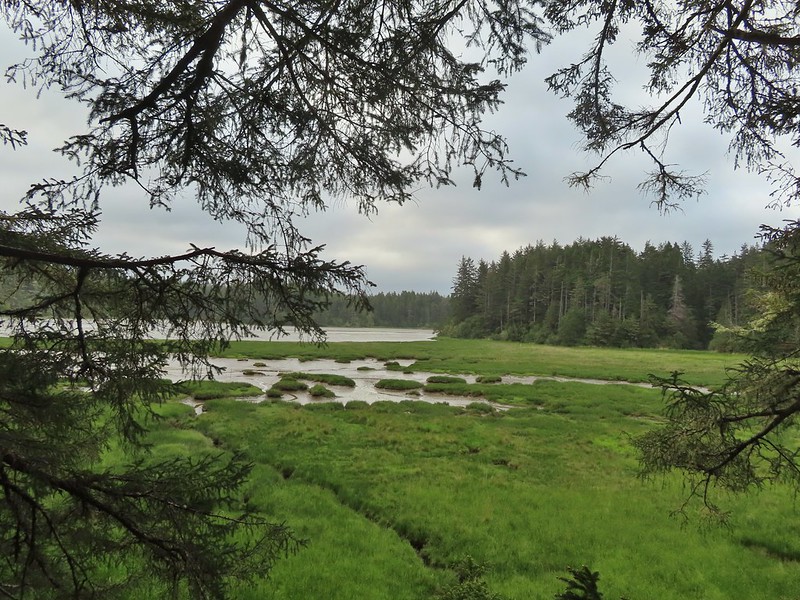
 Rhoades Marsh
 Sloughside Marsh
 Rhododendron


 Bleeding heart, fairy bells, and youth-on-age.


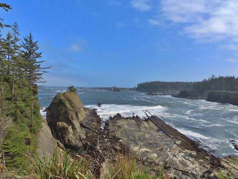
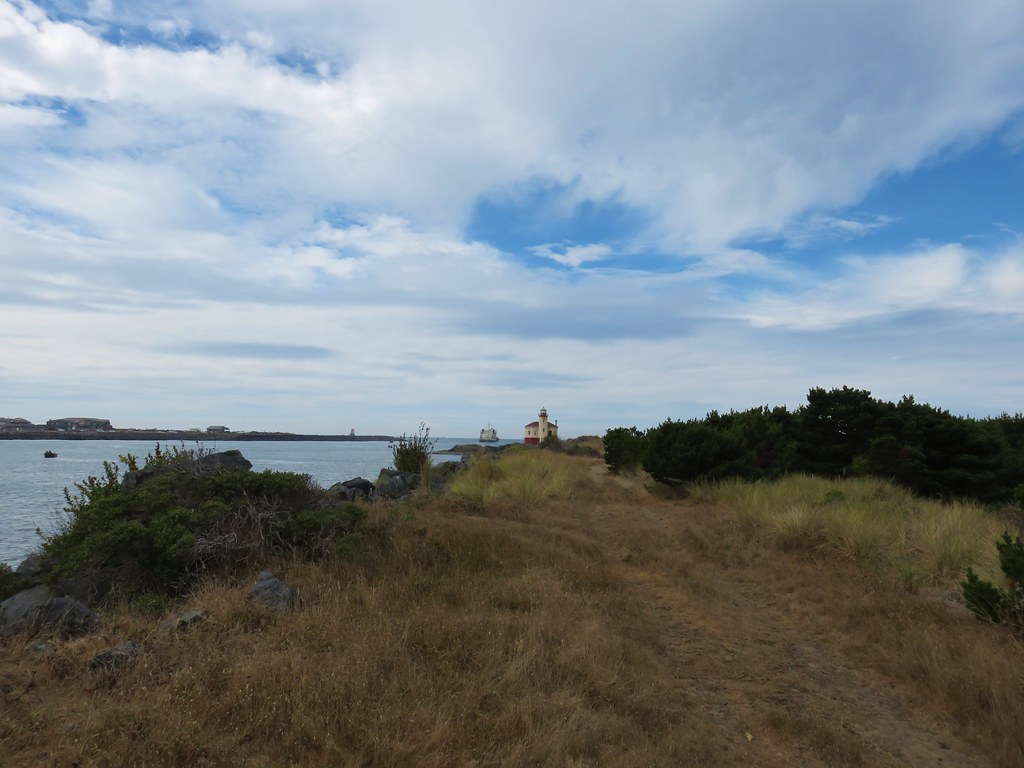
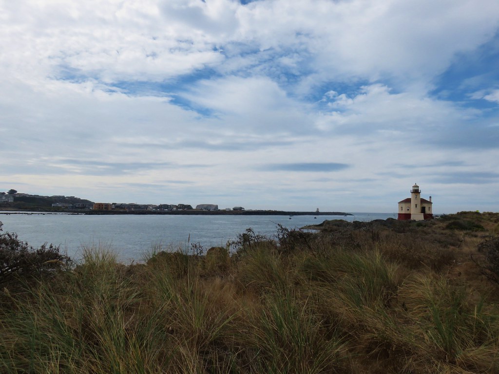
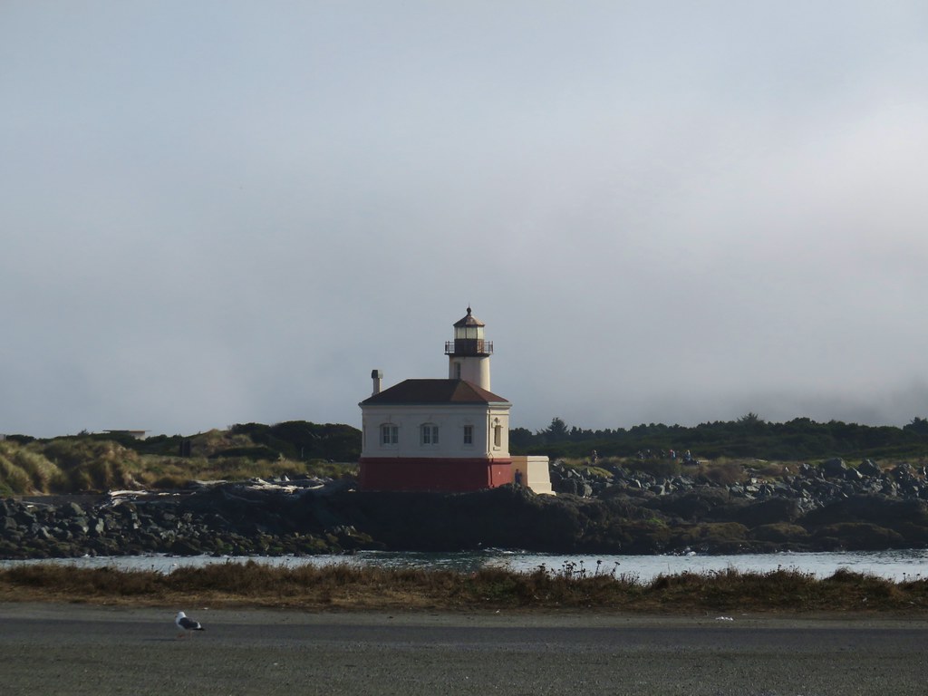
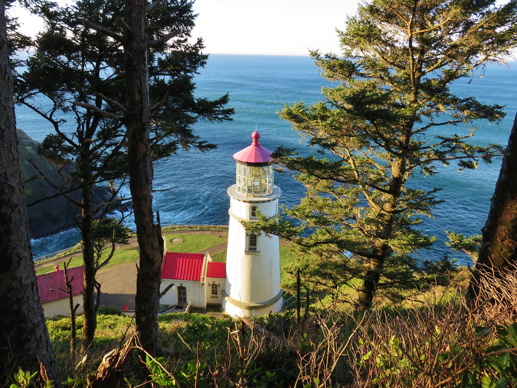
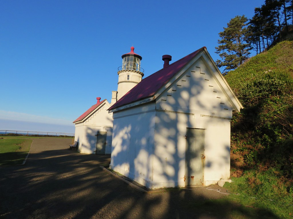
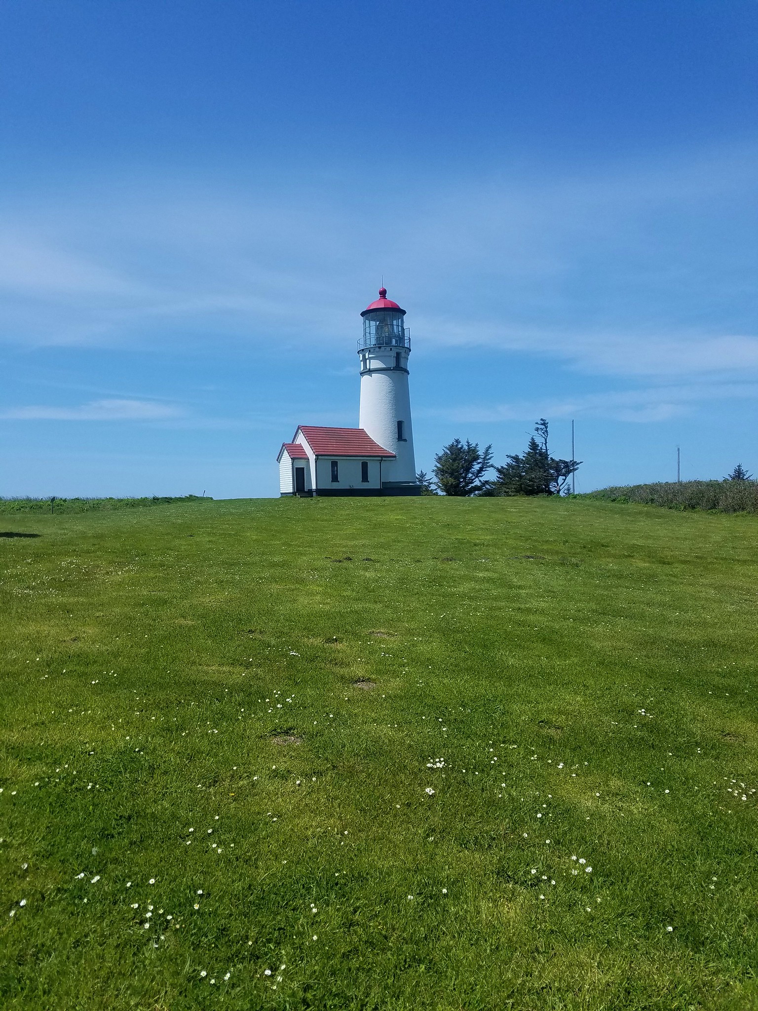
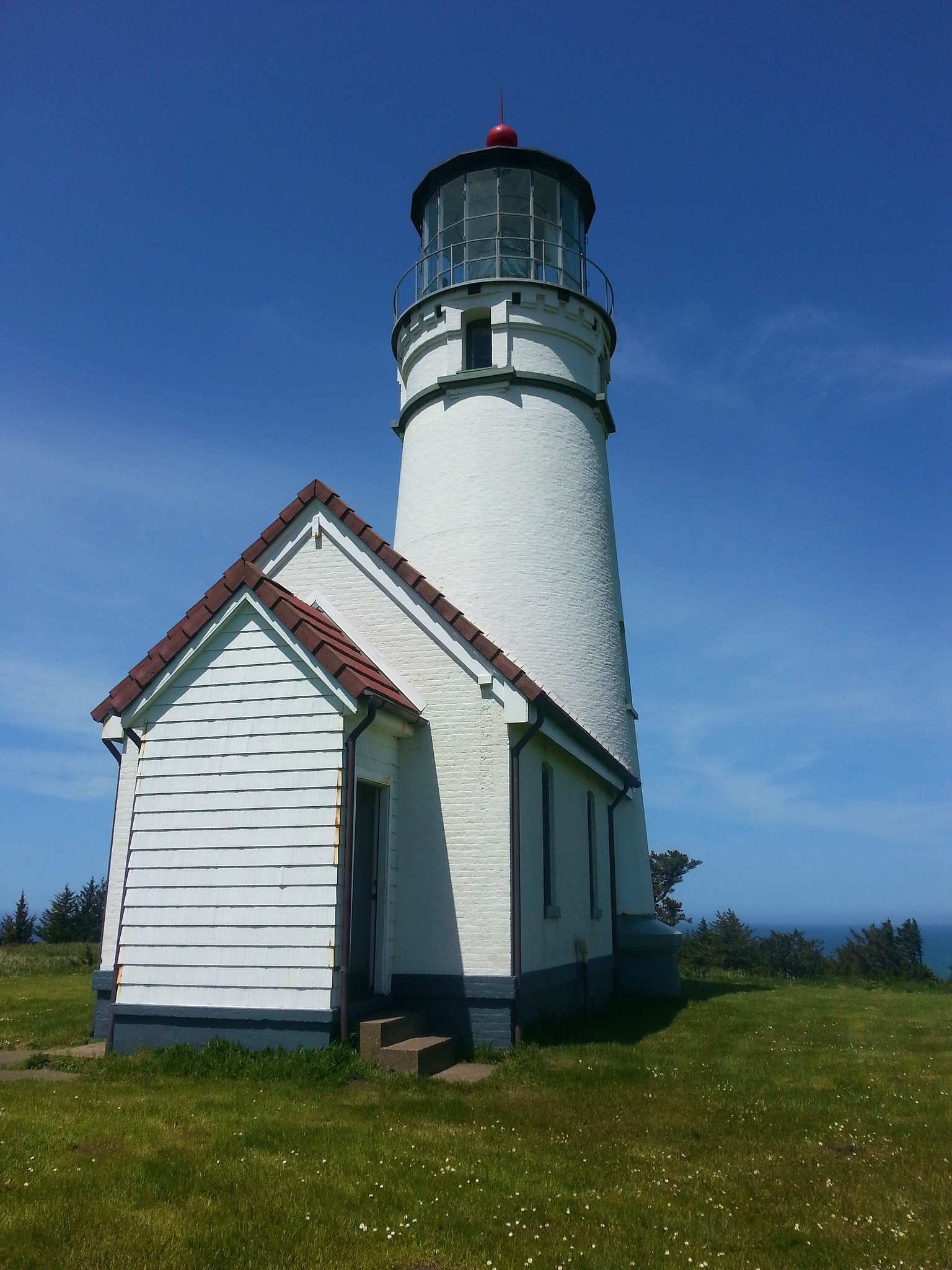
 Cape Arago Lighthouse (not on Cape Arago) on Chiefs Island.
 Salal
Salal
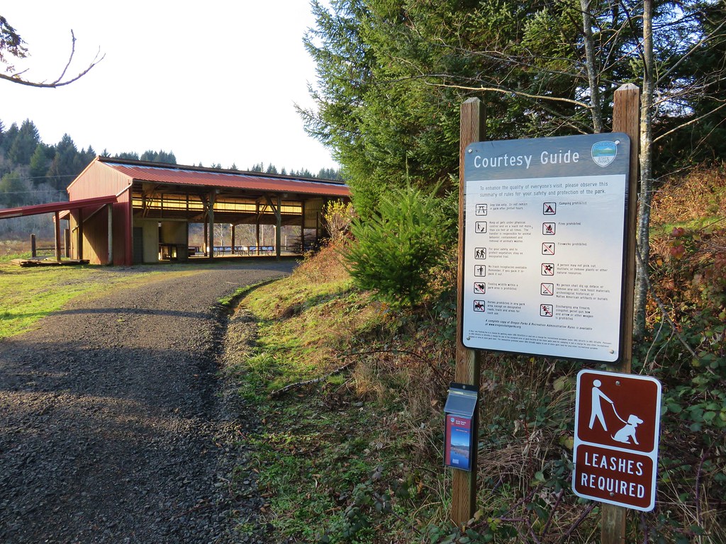
 The group campsite.


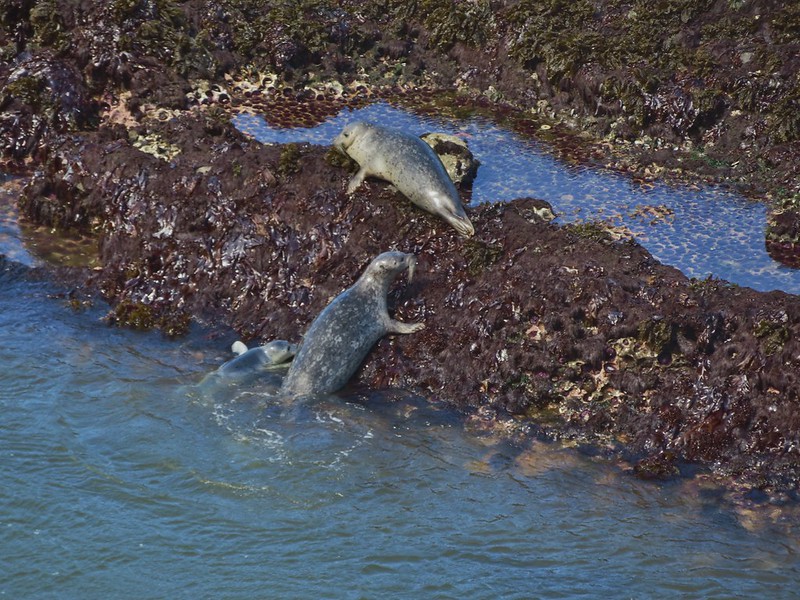
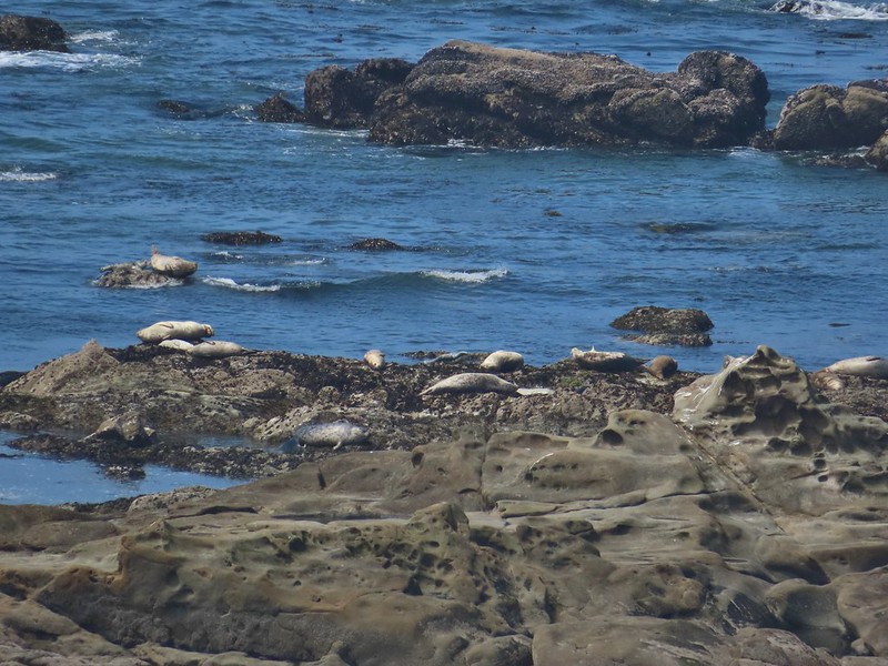
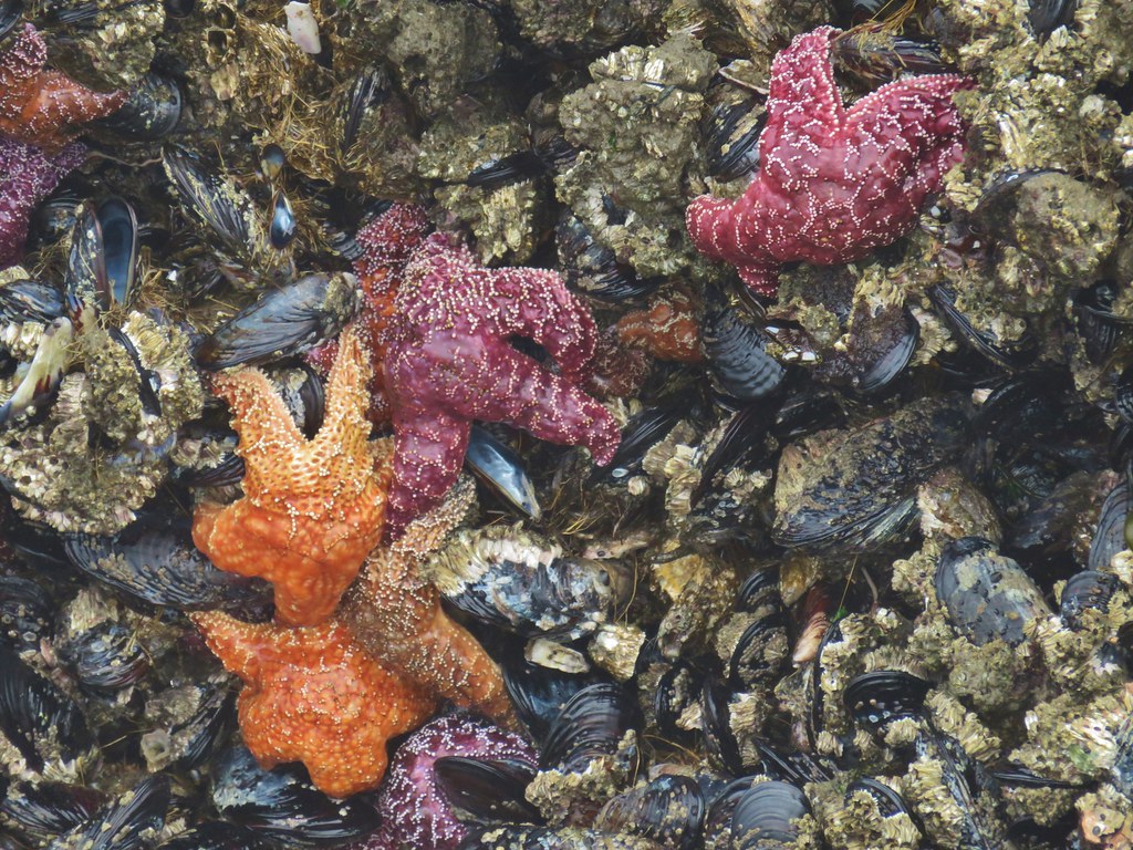
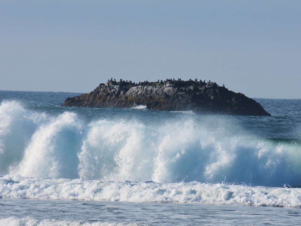
 Harbor seals in the lower right hand corner on the rocks.
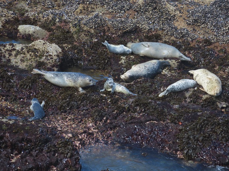

 Success!
 Paintbrush
 Sea thrift
 Mariposa lilies
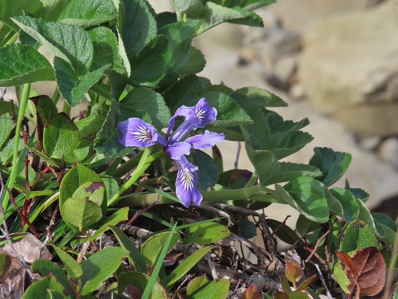 Iris
Iris Former tennis courts.
 View near the tennis courts.
 These roots explain how some of the trees that look like they should be plunging into the ocean don’t.
 Observation Building ahead on the cliff.


 Prickly Rhubarb from Chile

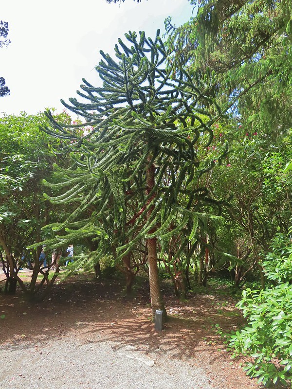 Monkey Puzzle Tree from South America
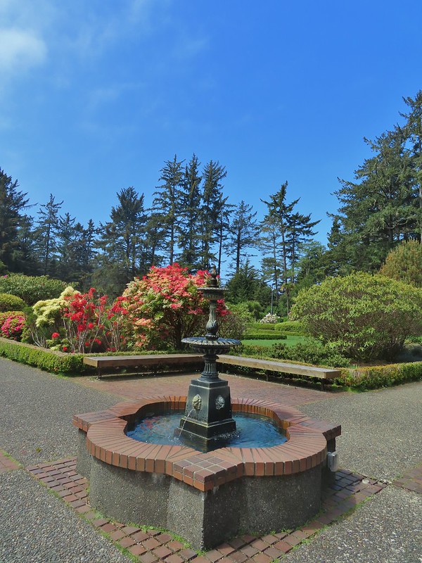
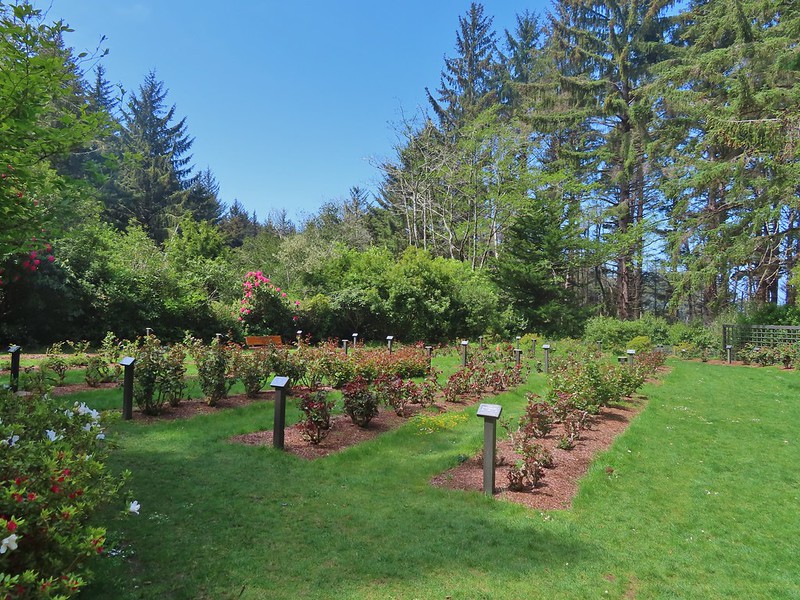 The yet to bloom rose garden.


 Looking back across Simpson Cove to the Observation Building.
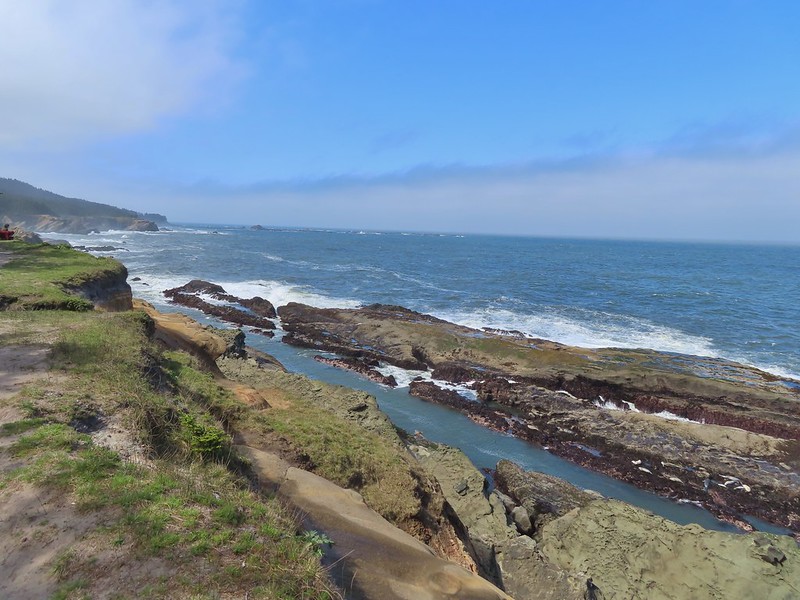
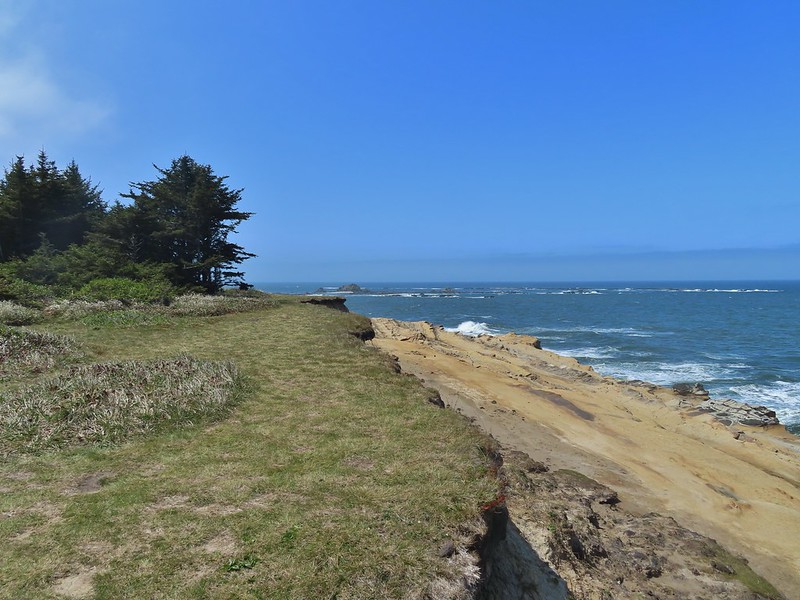 Simpson Reef extending into the Pacific.
 Shell Island in the middle of Simpson Reef.
 Sea lions and juvenile bald eagles on Shell Island.


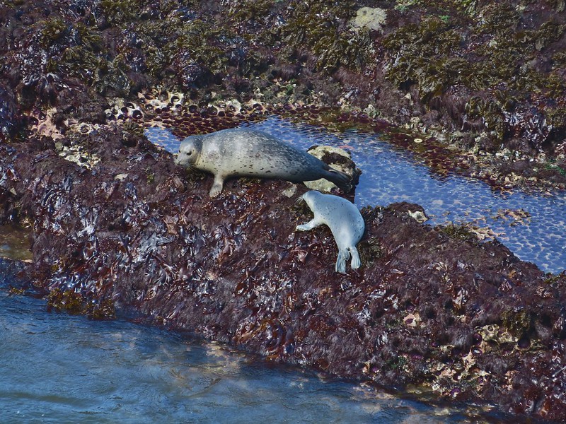
 Harbor seals on the reef.

 Coltsfoot
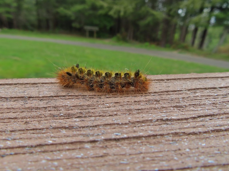
 Woolly bear caterpillar
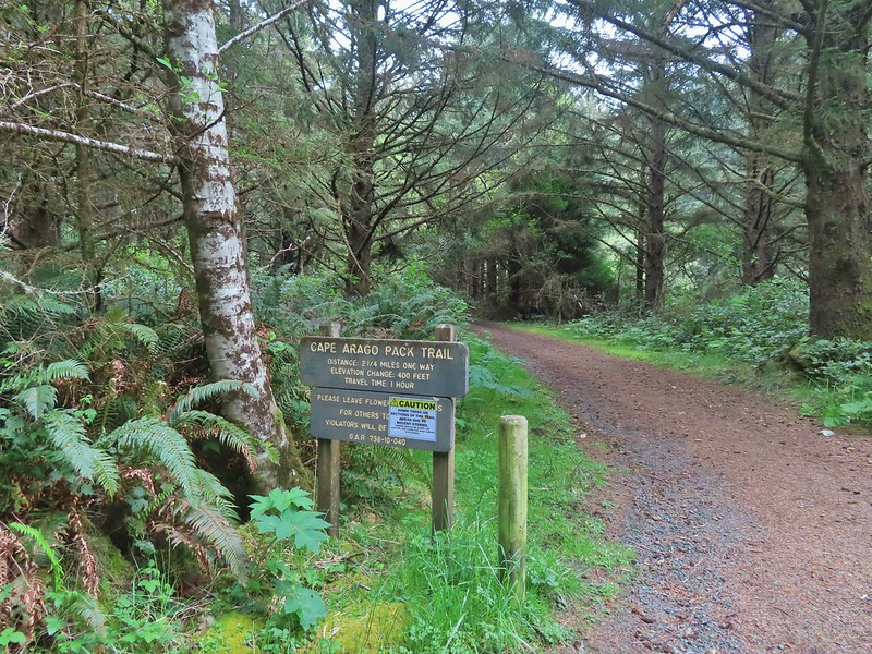 Looking back up the Pack Trail.

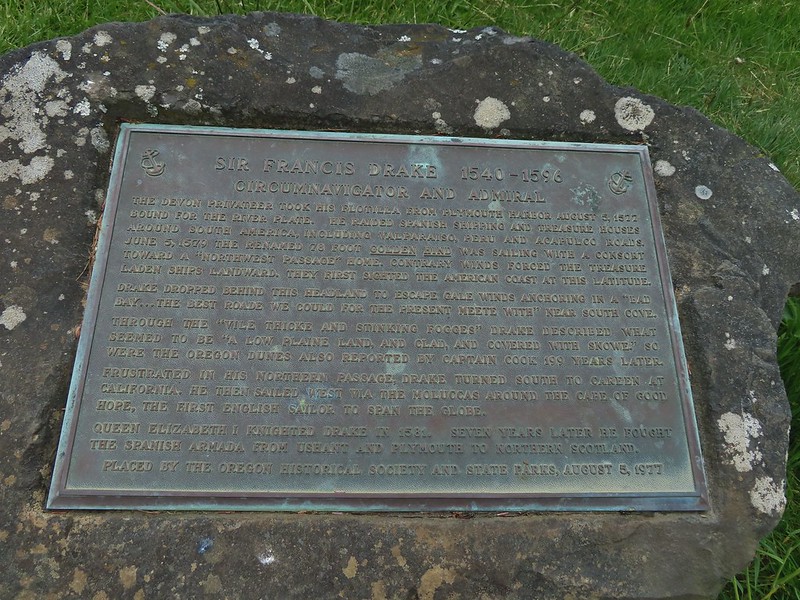 Plaque near the bench commermorating Sir Frances Drake’s visit to the area in 1579.
 Our stalker while we sat at the bench hoping we would leave some food behind (we didn’t).
 We thought we might be hearing things, but no it was a rooster crowing.
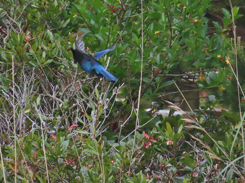 Stellar’s jay
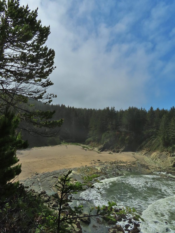
 North Cove (A trail down to that beach was closed for the season.)


 Heading down.
 Going up.

 The Cape Arago Pack Trail at the highway.


 Thimbleberry
 Salmonberry
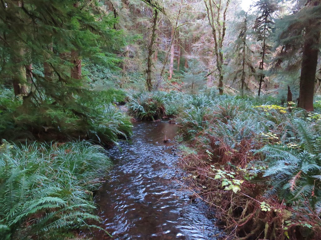
 McLeod Creek
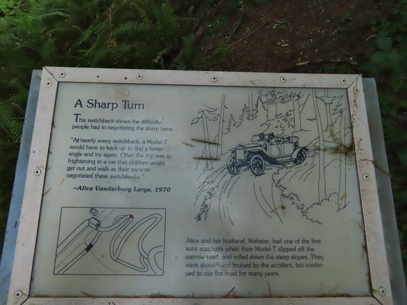
 One of the sharp turns.
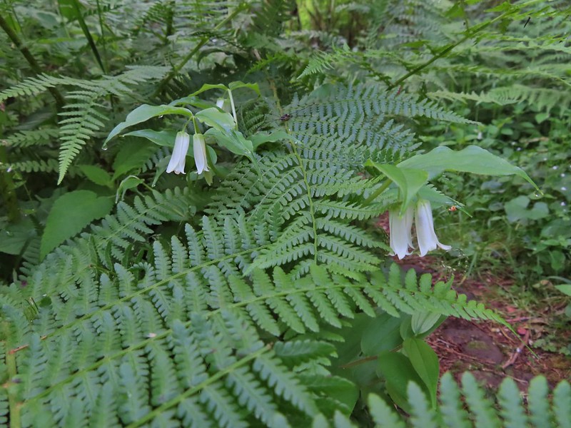 Fairy bells
 Columbine
 Bleeding heart
 Monkeyflower
 Sourgrass
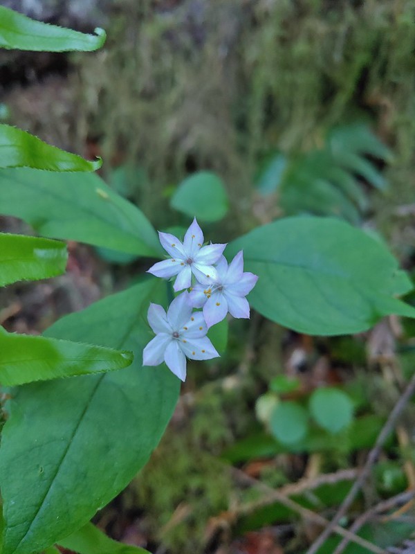 Star flower
 Trillium
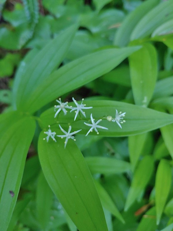 Star flower solomonseal
 Twisted stalk
 Wren – We heard lots of birds but didn’t see many of them.

 Waterleaf

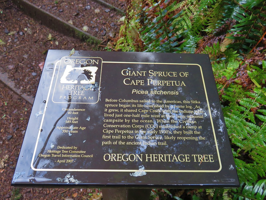
 Marker for a fire scarred Douglas fir. According to the brochure the last major fire in the area was in the 1860s.


 We had to climb over this big tree.


 Looking at the bridge at the north end of the lake.
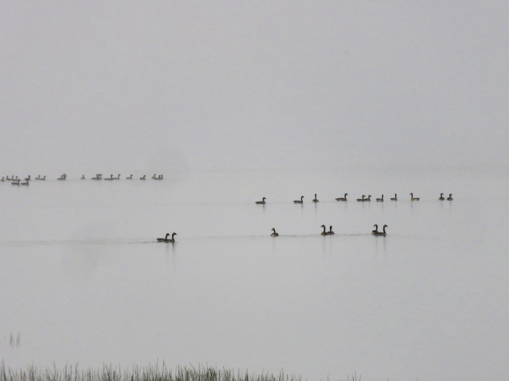
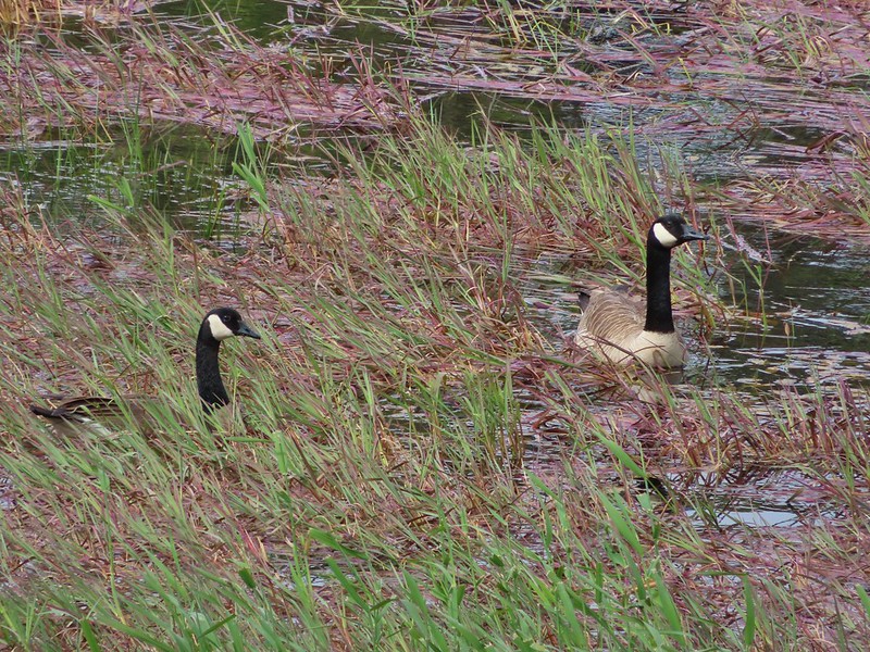 Canada geese
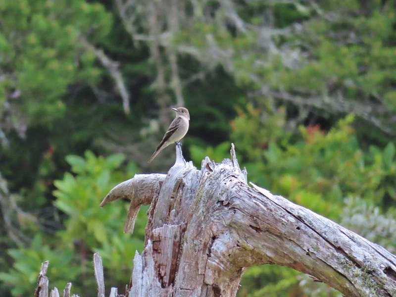
 Cormorants flying above the lake.
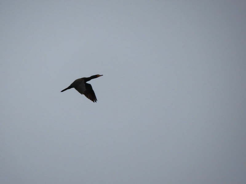 Cormorant
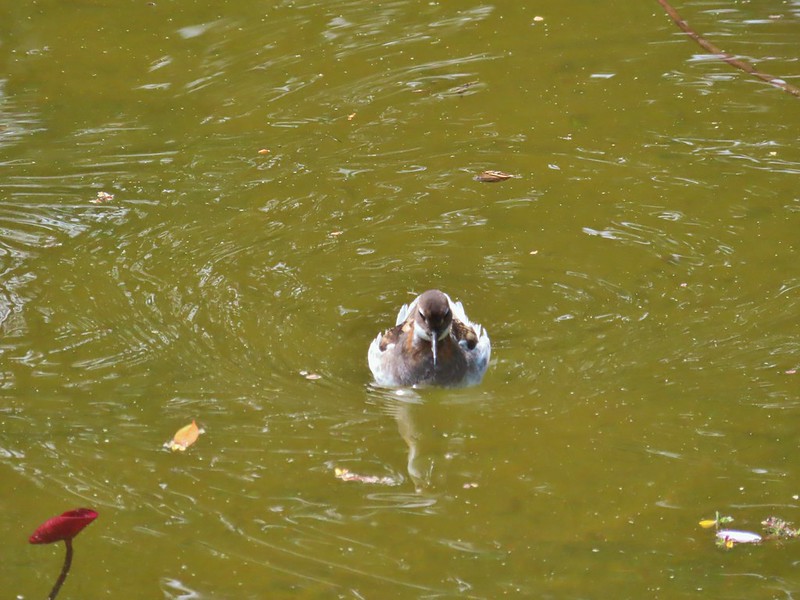
 Ring necked ducks
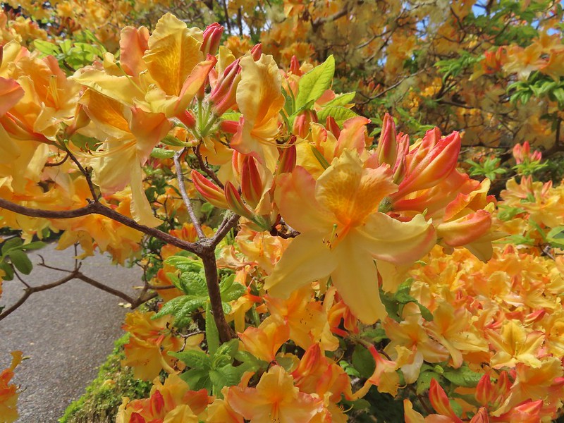
 Rhododendron
 Boardwalk at the south end of the lake.
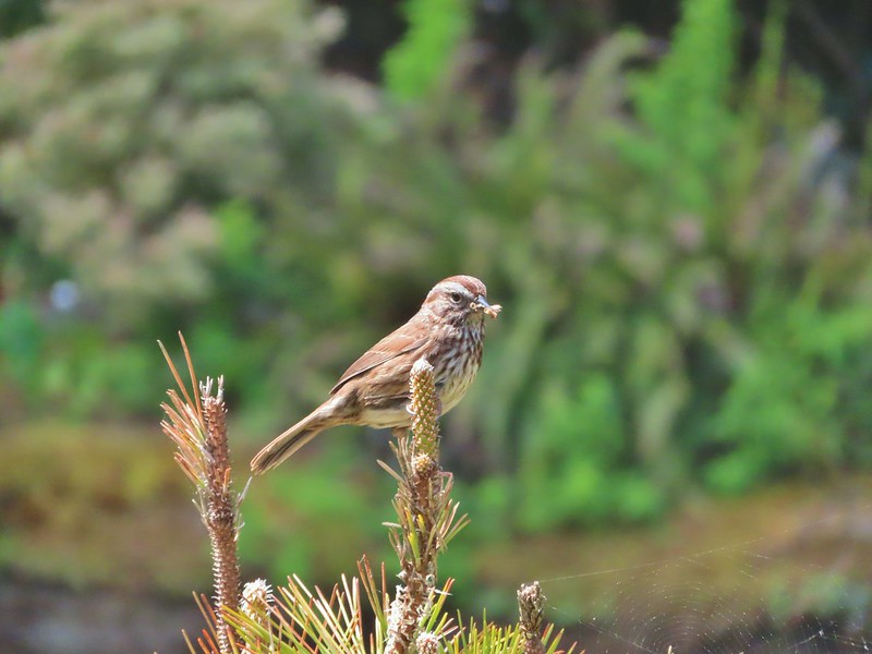
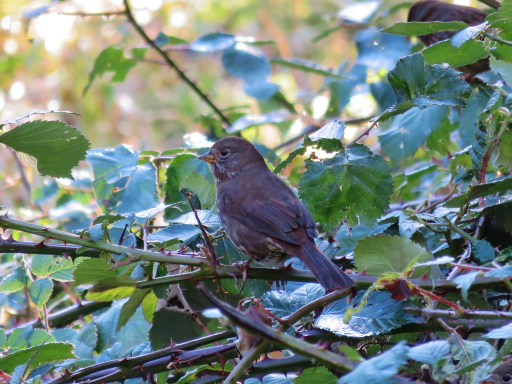
 Sparrow
 Coming up on the bridge at the north end.
 Yellow rumped warbler
 Finch
Finch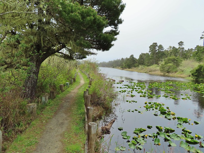
 The trail on the far side of the track.

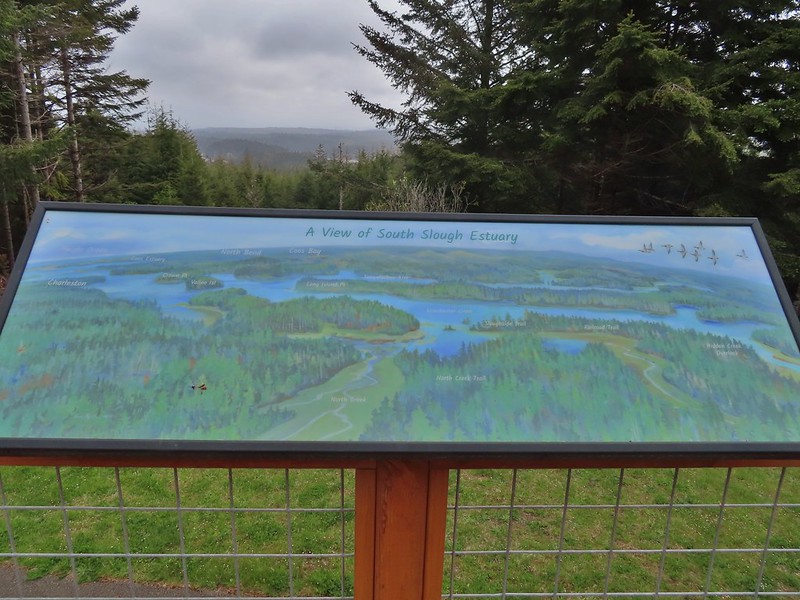
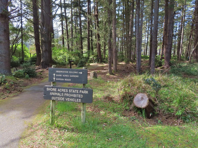
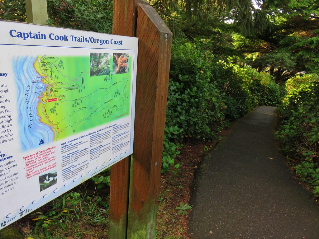
 One of three panels on a signboard at the start of the trails.
 This bench is at the junction.
 Sparrow near the junction.
 Heading to the observation structure.
 Looking toward Coos Bay along the Coos River.
 McCullough Memorial Bridge spanning Coos Bay.
 Wetlands from the end of the spur.
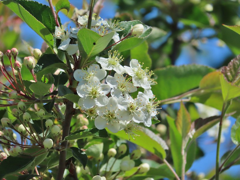 Bitter cherry
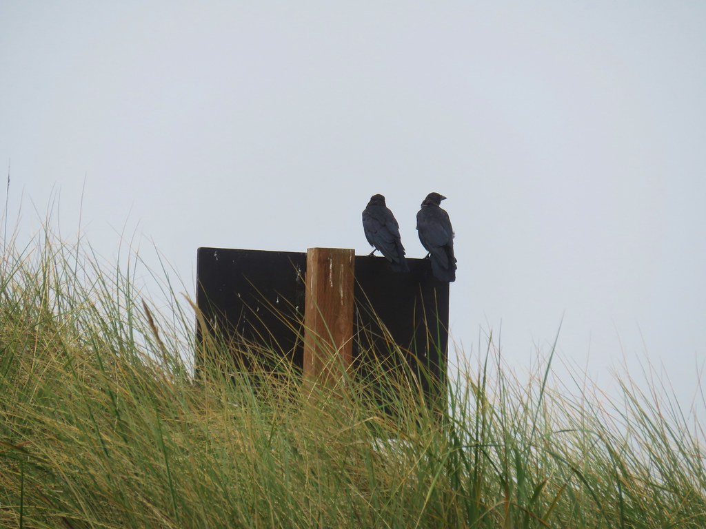
 Crow
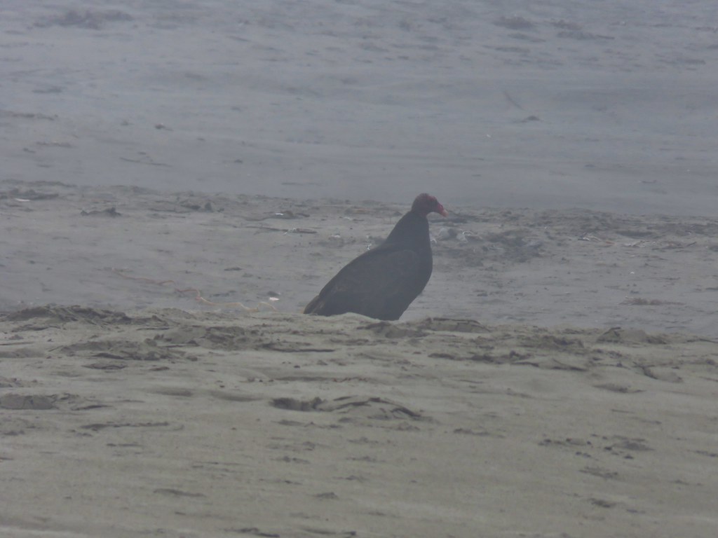
Crow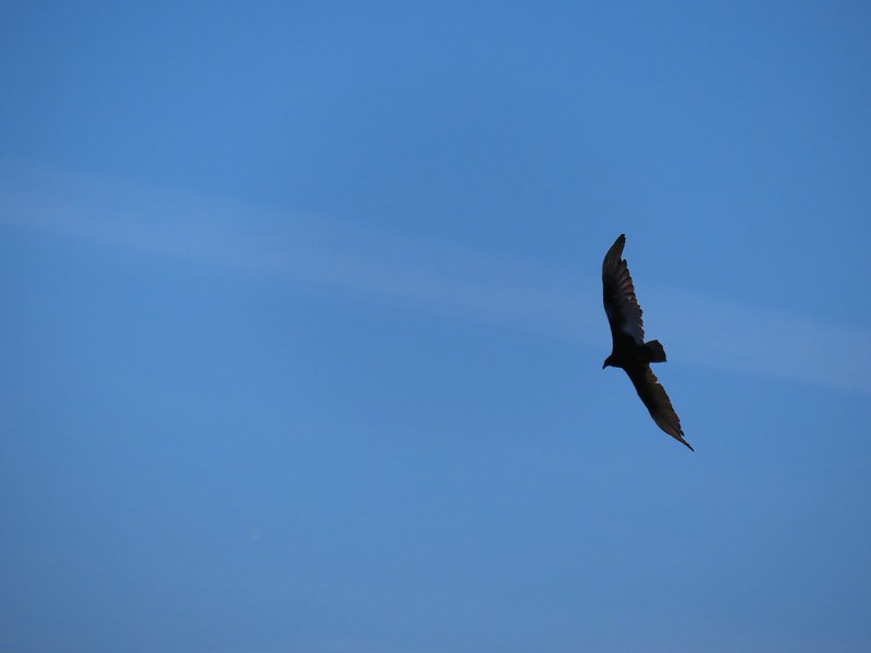 Turkey vulture
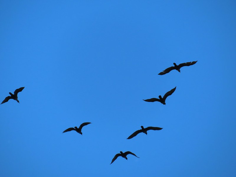 Cormorants overhead
 Canada goose with goslings
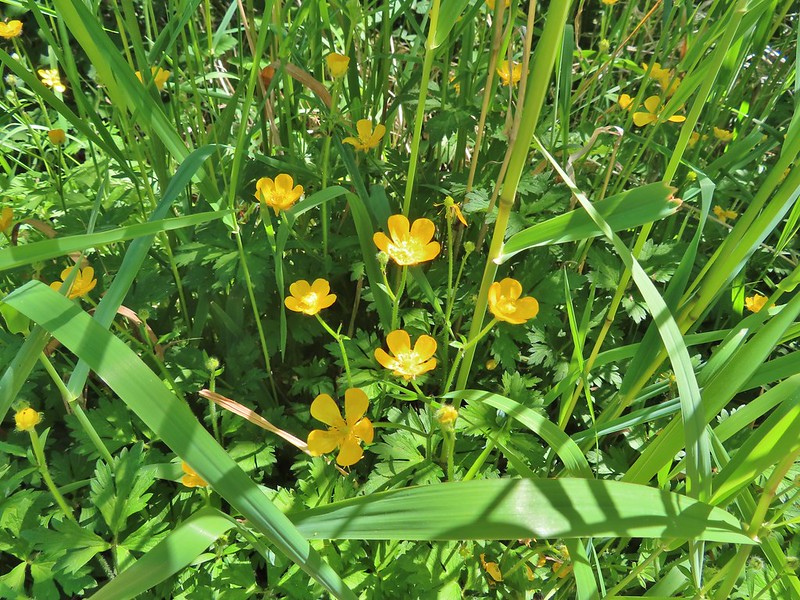 Buttercups
 Pale flax
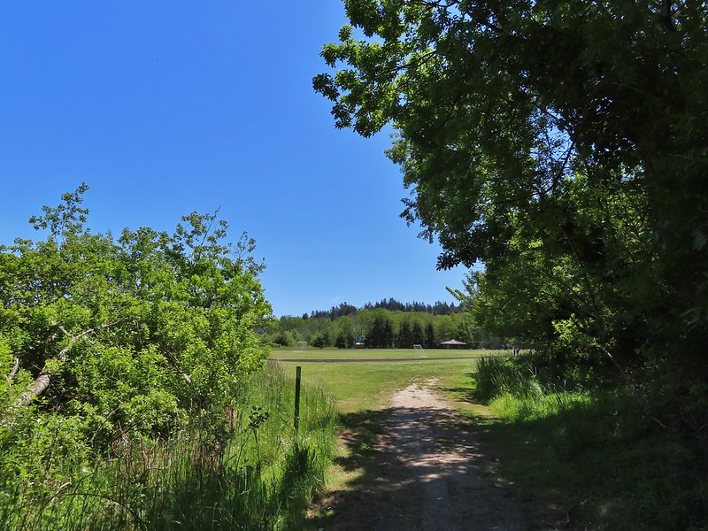 Arriving back at the field.
 Ground squirrel enjoying the view.
 Twomile Creek
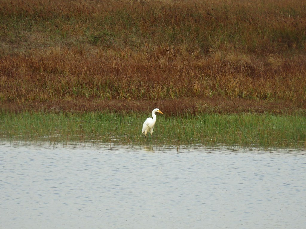
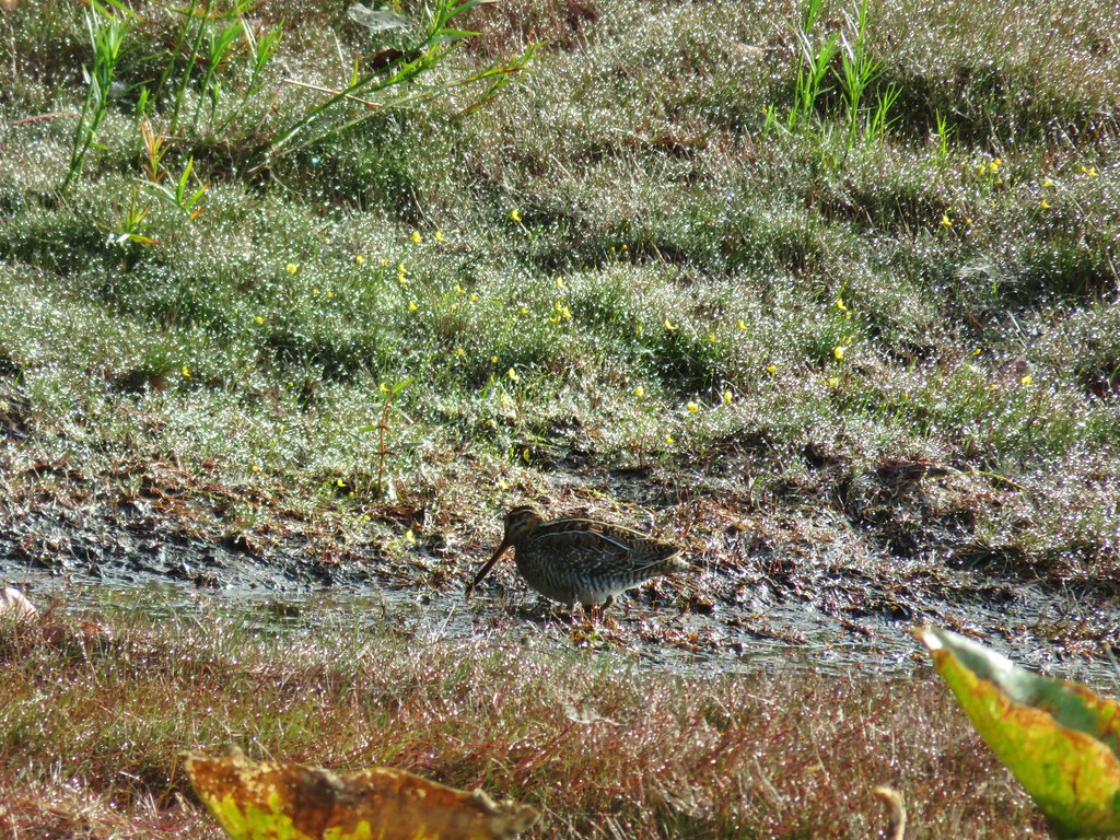
 Shore bird in the creek.


 Brass buttons (another non-native)


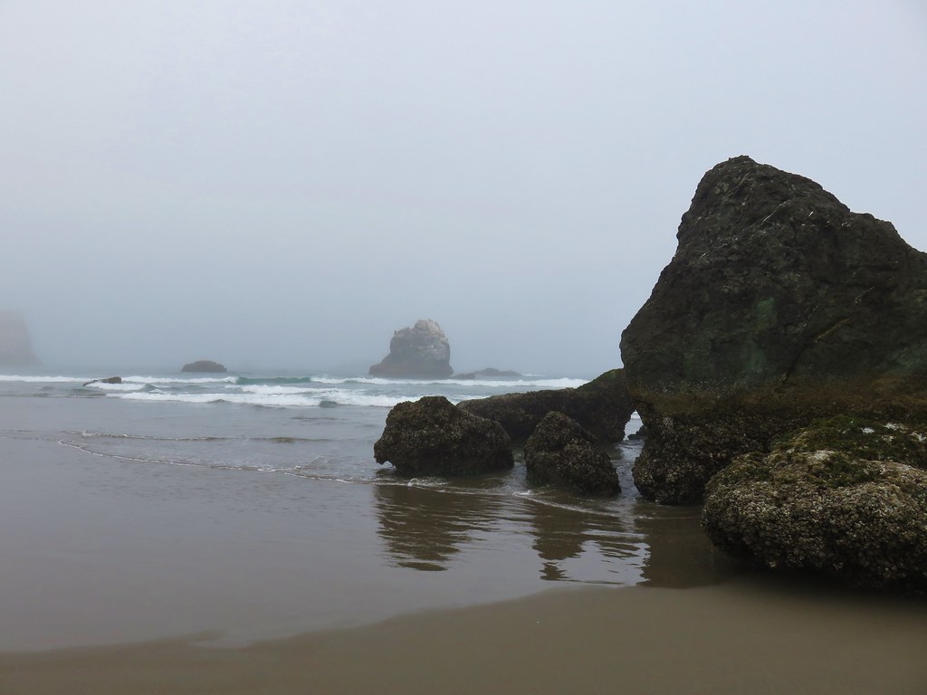
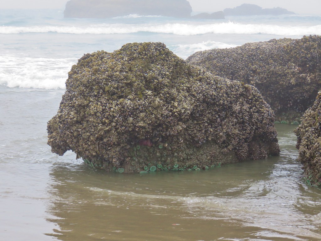
 Whiskey Run Beach lay on the other side of the rocks with another parking area 0.8 further south.
 A cormorant off Fivemile Point


 View from the bench.


 Coming up on the hollow trunk straight ahead.
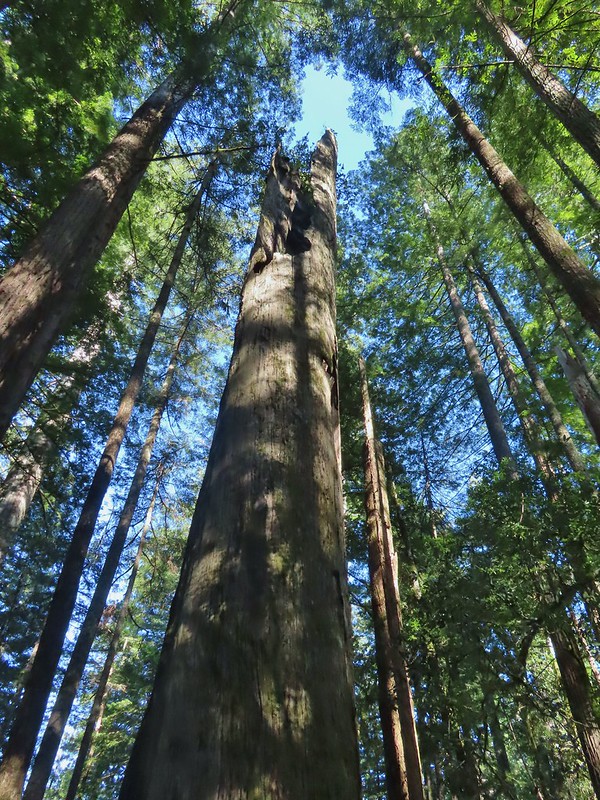


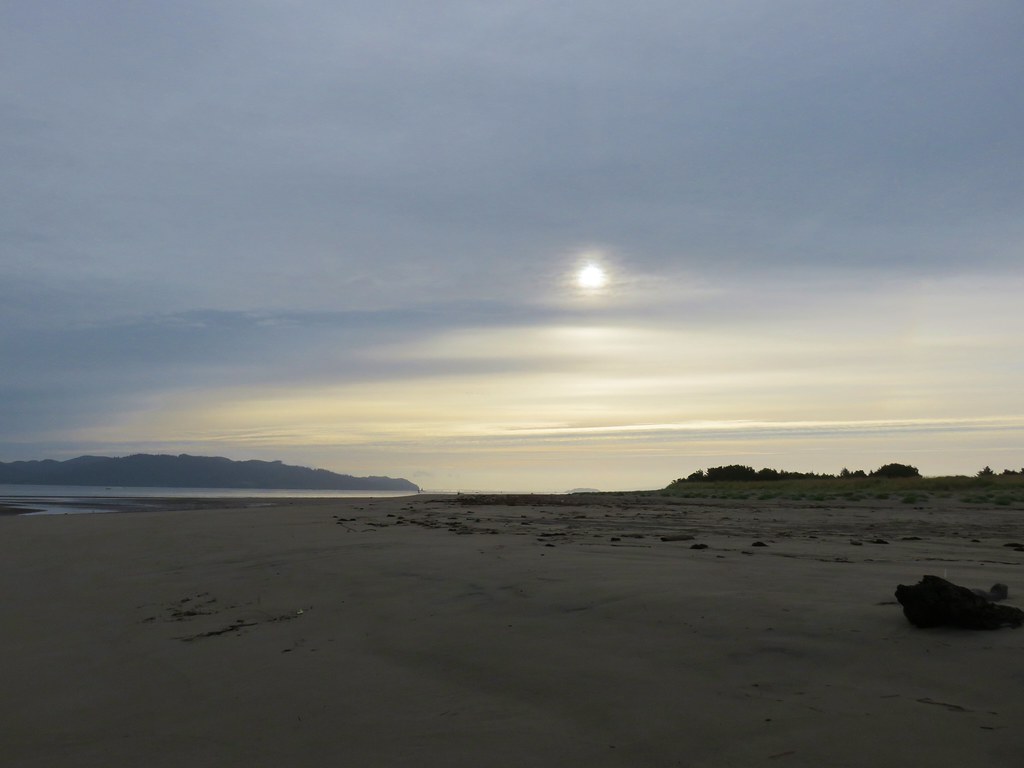
 Looking back south as the sunrise paints the clouds.
 A house on the cliffs.
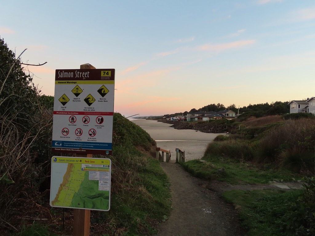

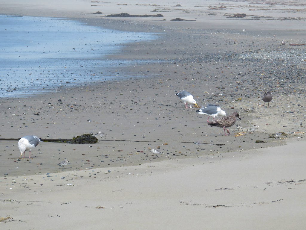
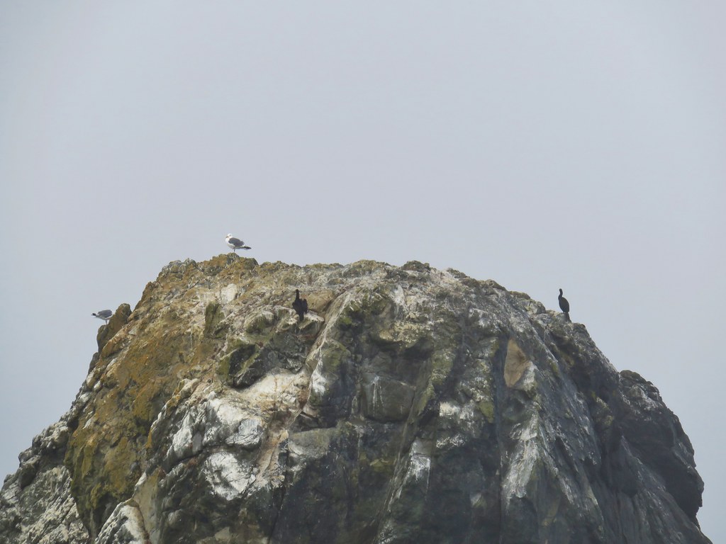
 Seagulls outnumbered people in the early part of the day.


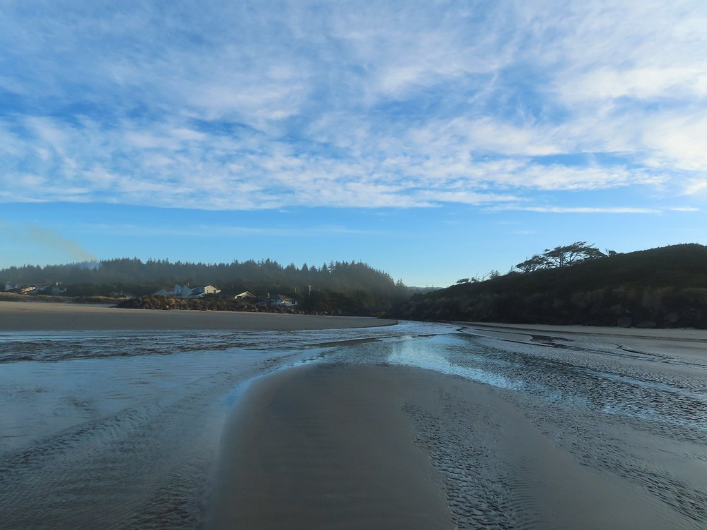
 Vinge Creek, about a mile down the beach, was crossable on small rocks.
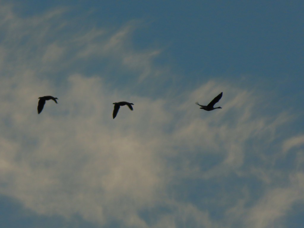 Geese flying overhead, we couldn’t make out what kind.
 At first we thought there were two weather vanes on the houses, a whale on the right and a heron on the left.
 It turned out to be a real great blue heron (but the whale was a vane).
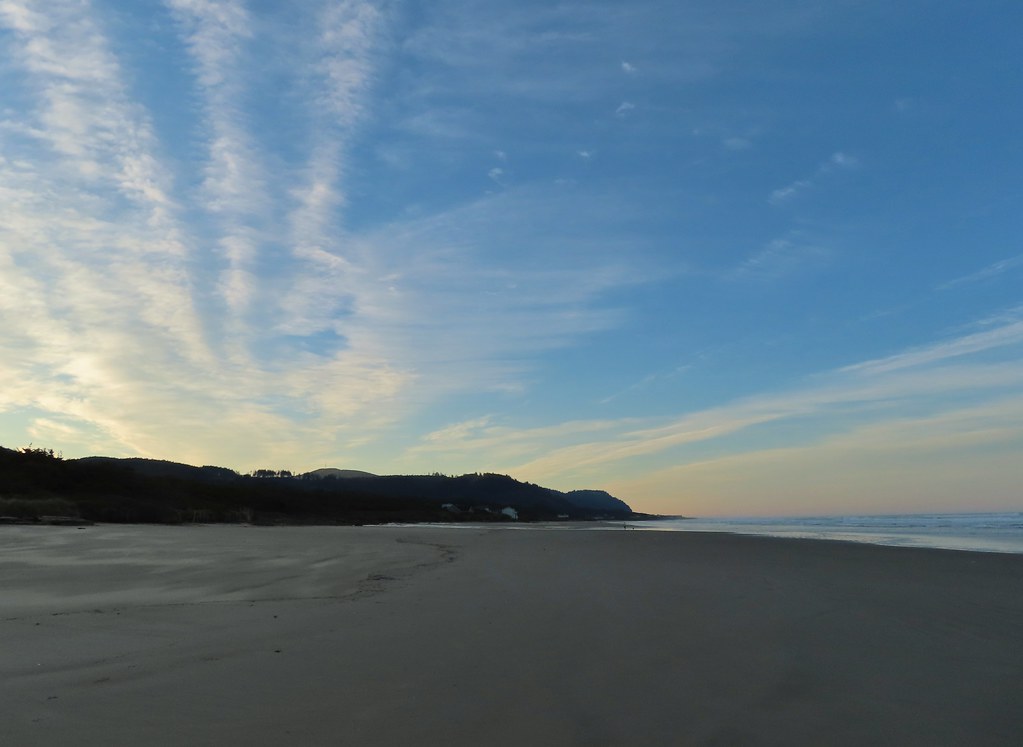 Looking south toward Cape Perpetua (
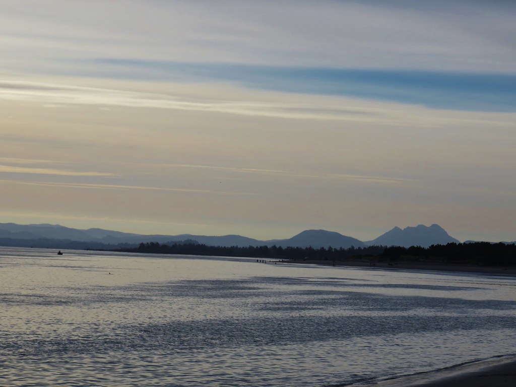
 View north.
 Sunlight on the wave tops.
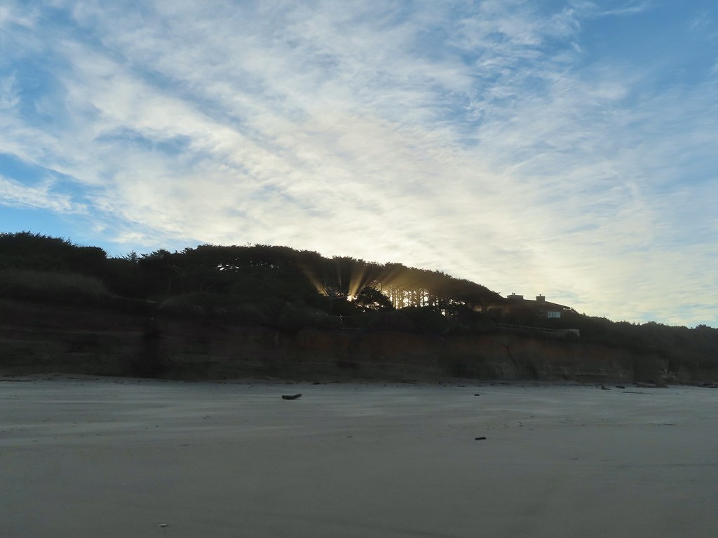 Sunlight bursting through the trees.
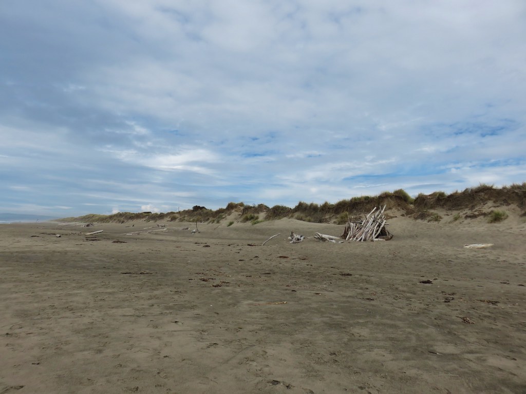
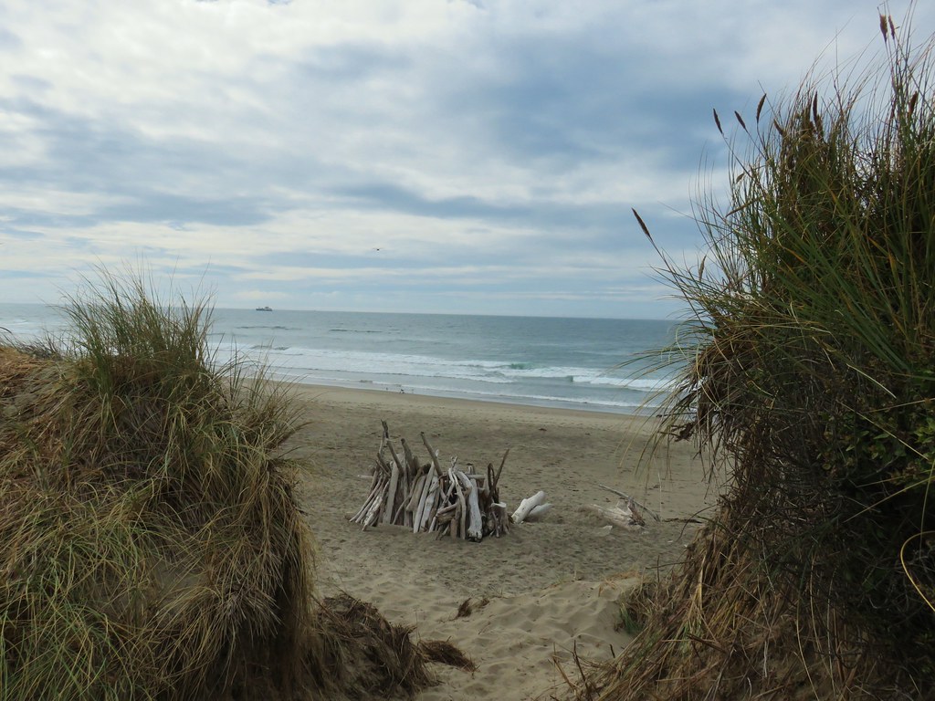
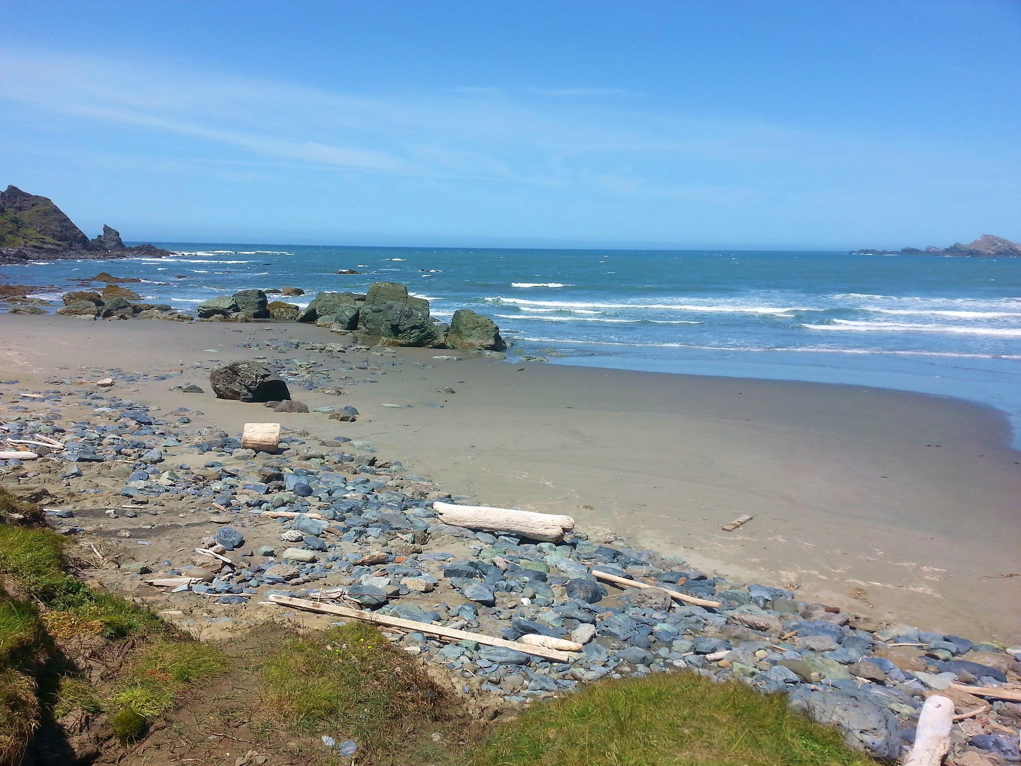
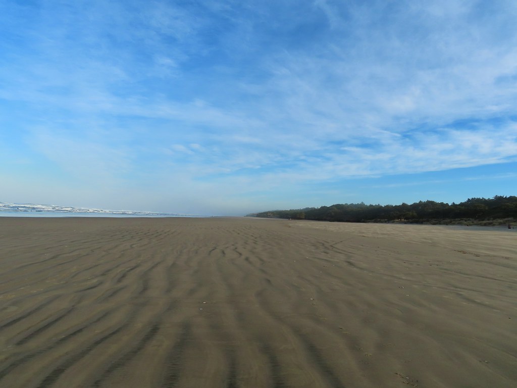 Wavy sand.

 Cape Perpetua from the dunes.
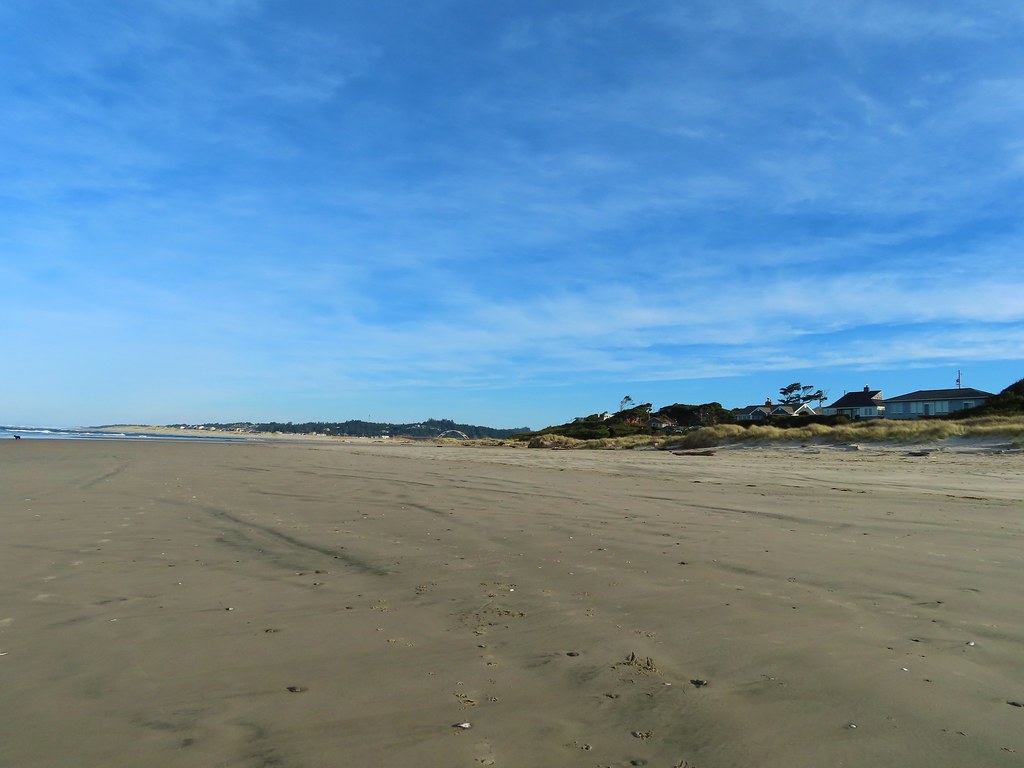
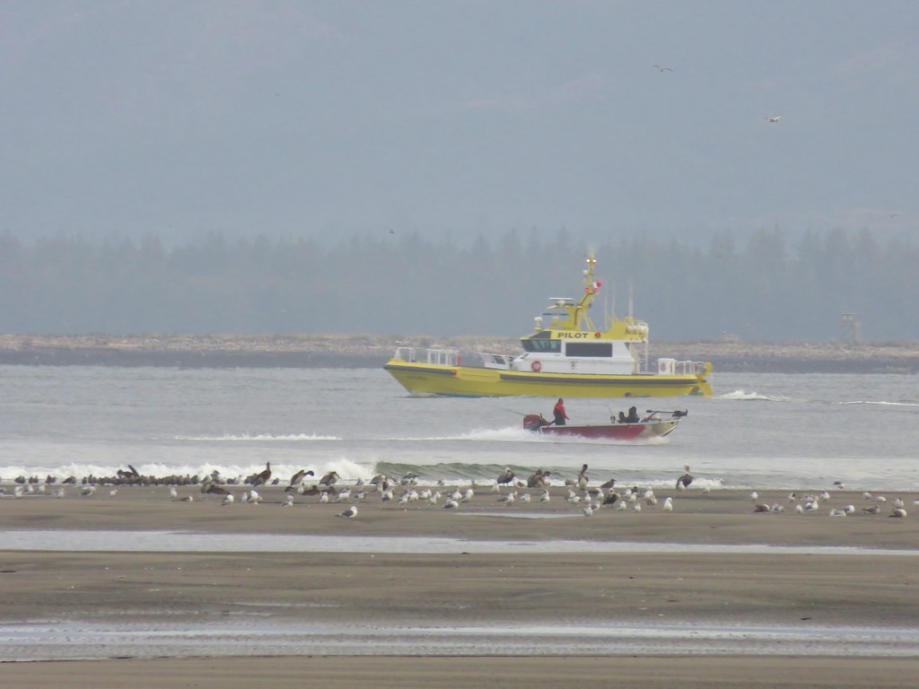
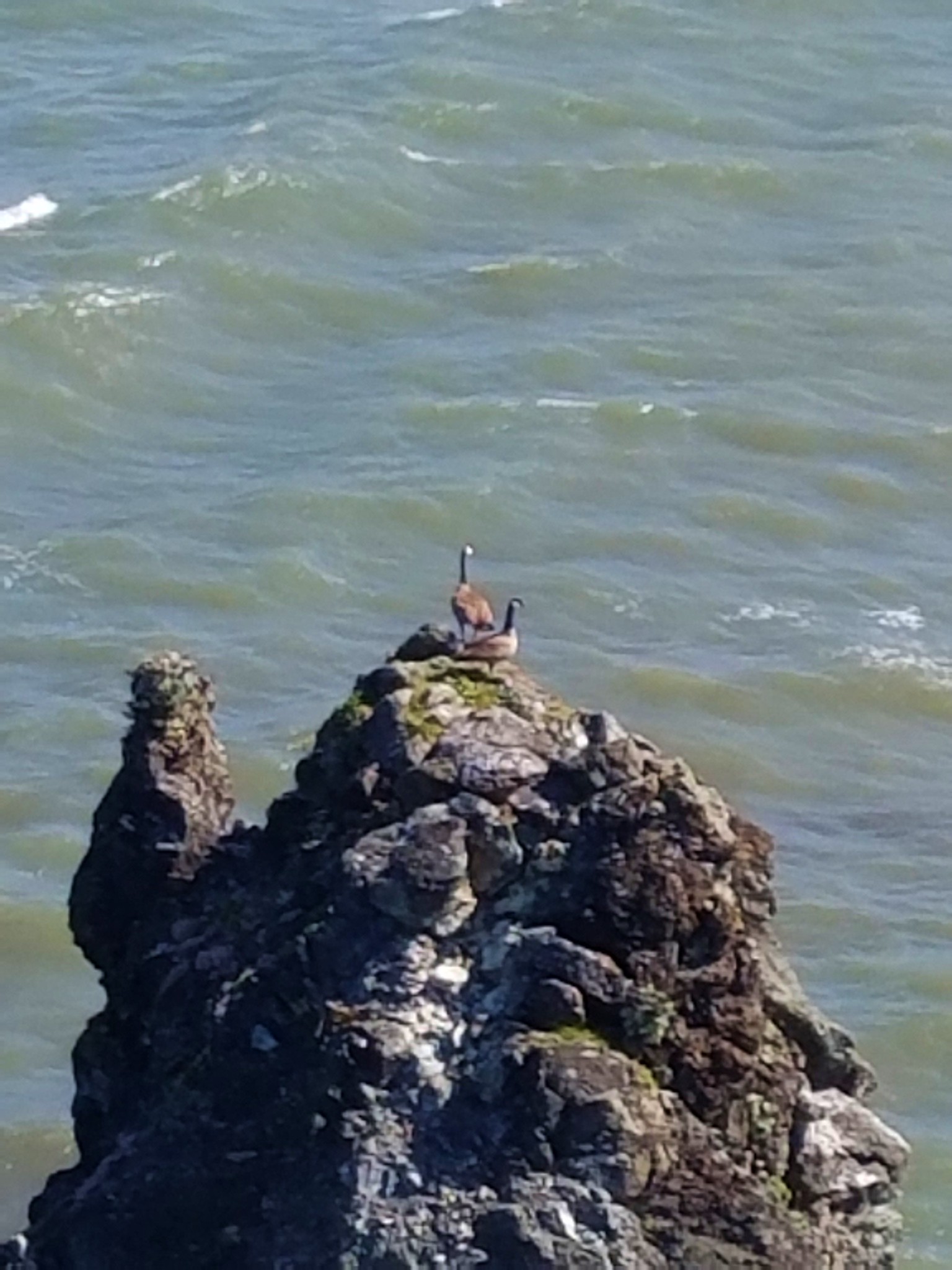
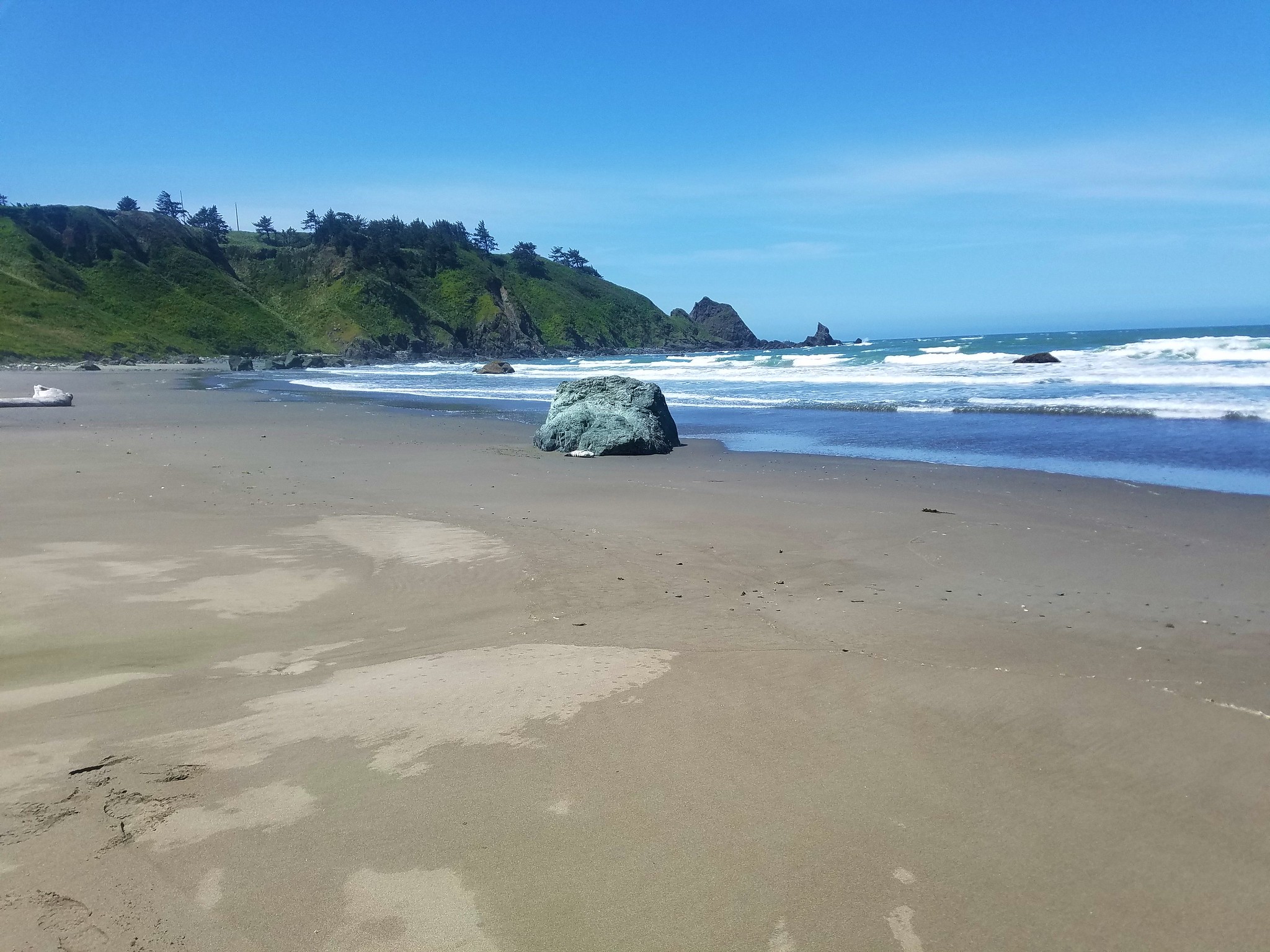
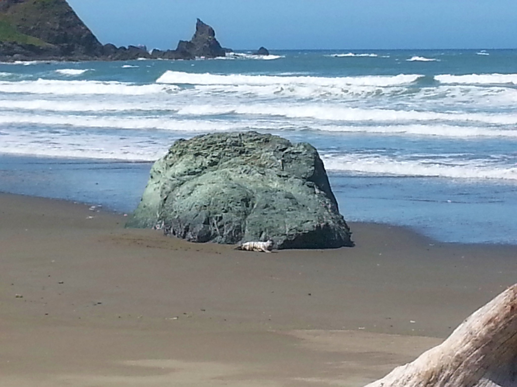
 Testing the 40 zoom feature on the Canon SX740HS.
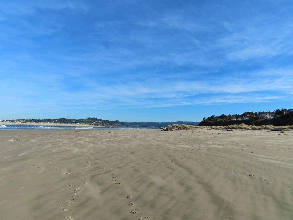 Heading for the log.
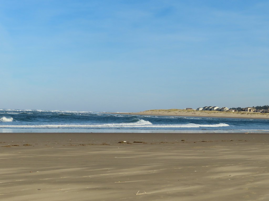
 View from the log.
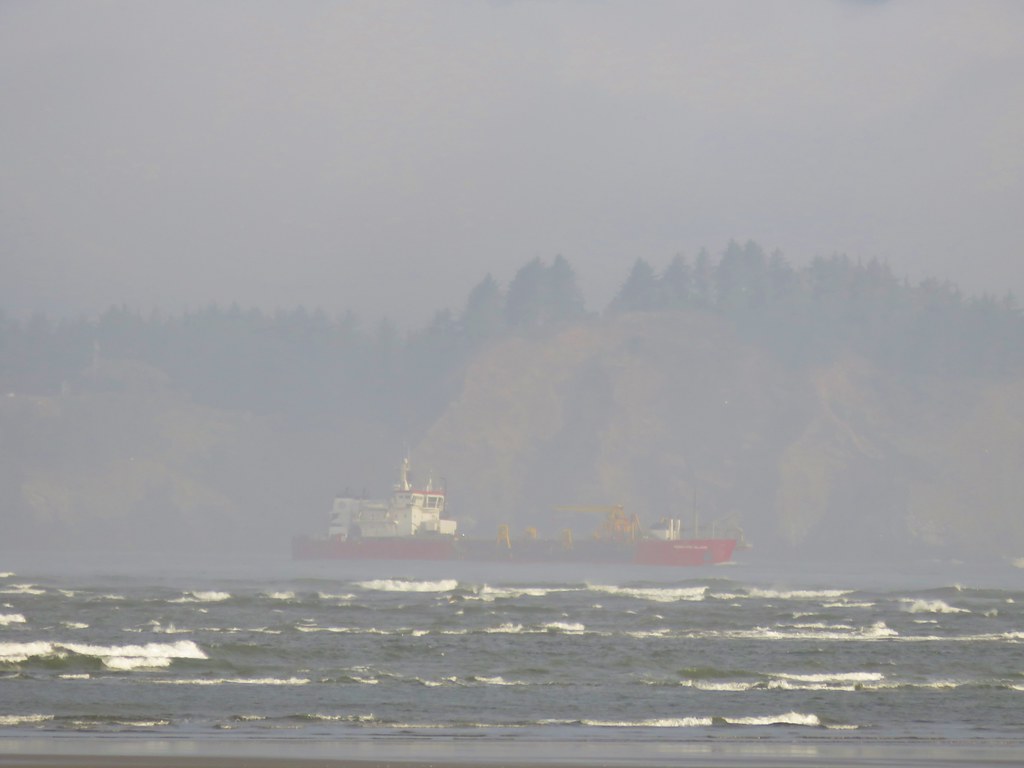
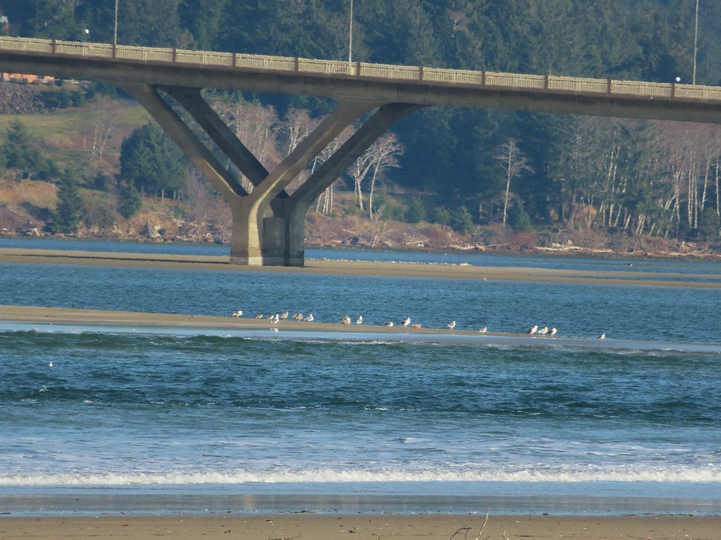 More testing of the zoom function. Seagulls on the near sandbar and seals on the one on the other side of the bridge.
 Looking at the dark cloud bank over the Pacific.
 Seal
Seal A little more cloud cover to the south over Cape Perpetua.
 More cloud action.
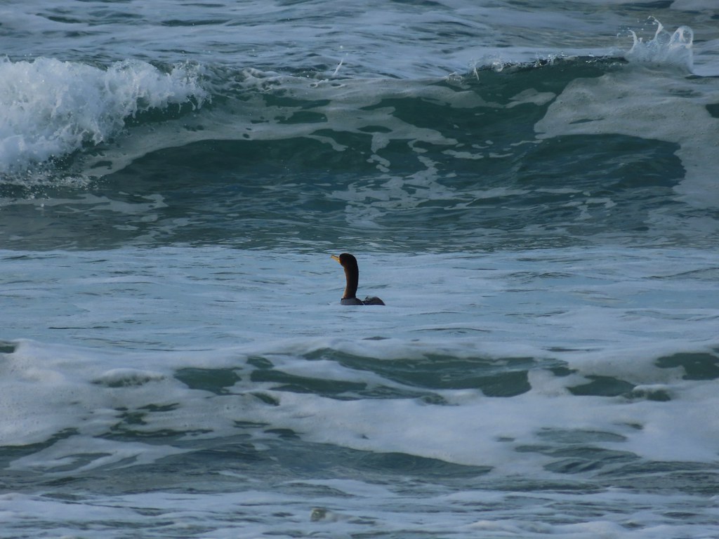 Cormorant
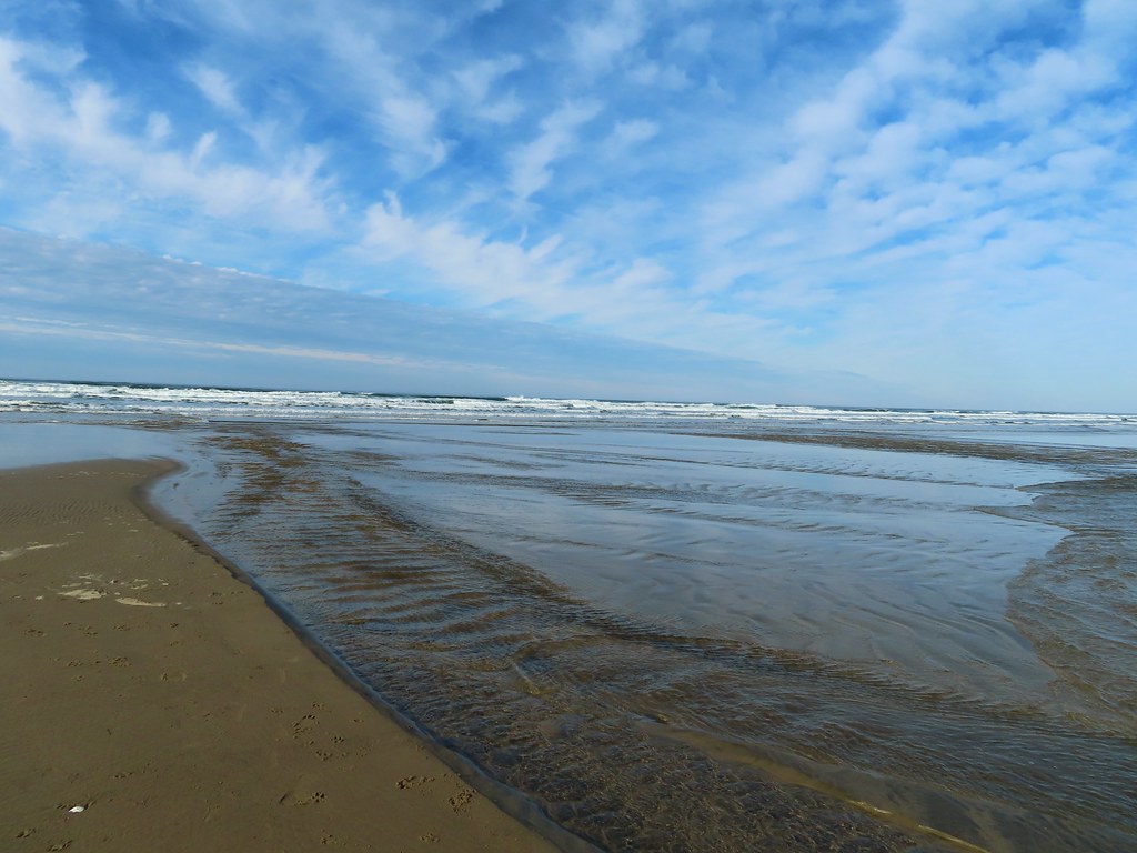 Reynolds Creek after fording.
 Finally starting to feel like it could start raining soon.
 The advancing line of clouds.
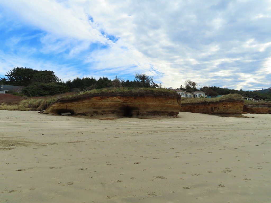 Another look at the arch.
 A kingfisher near the stairs up from the beach.
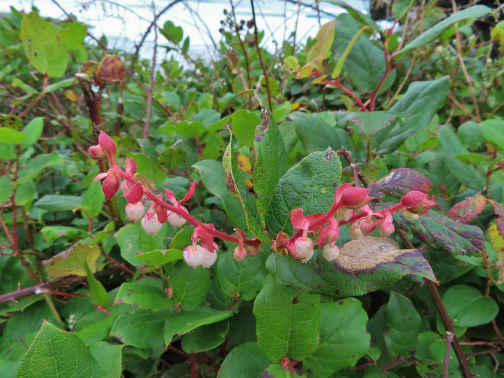 December blossoms on salal along the 804 Trail.
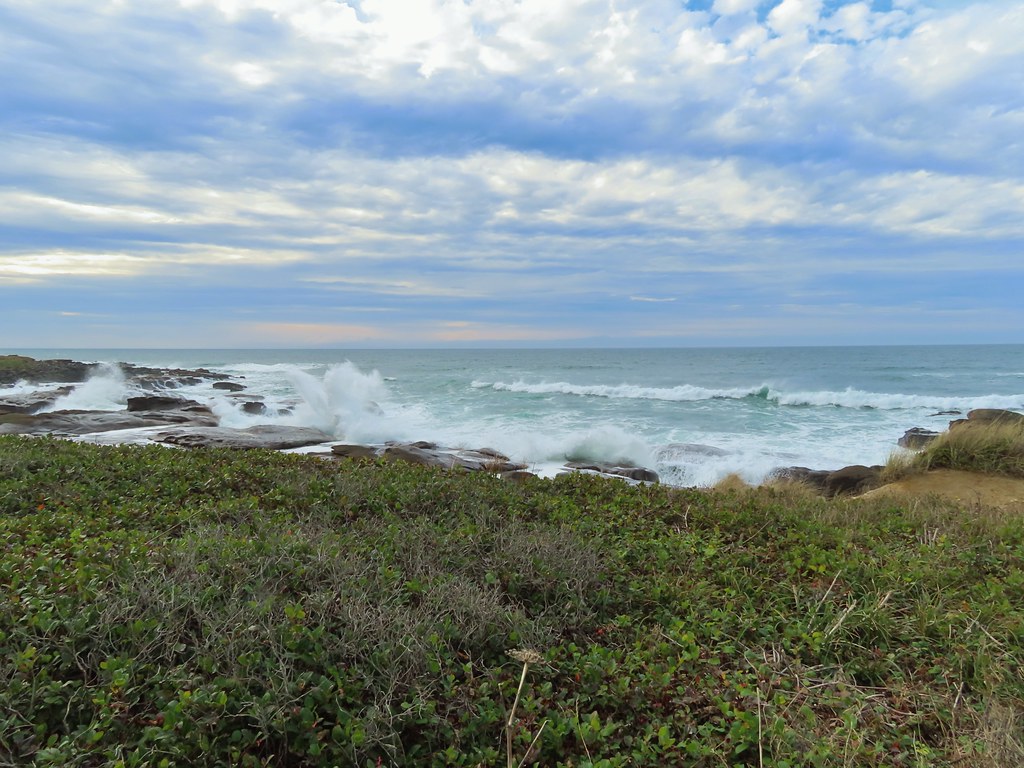


 Barklow Mountain West Trailhead
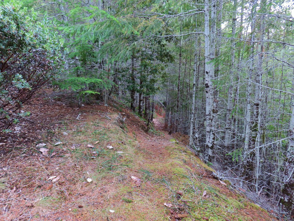


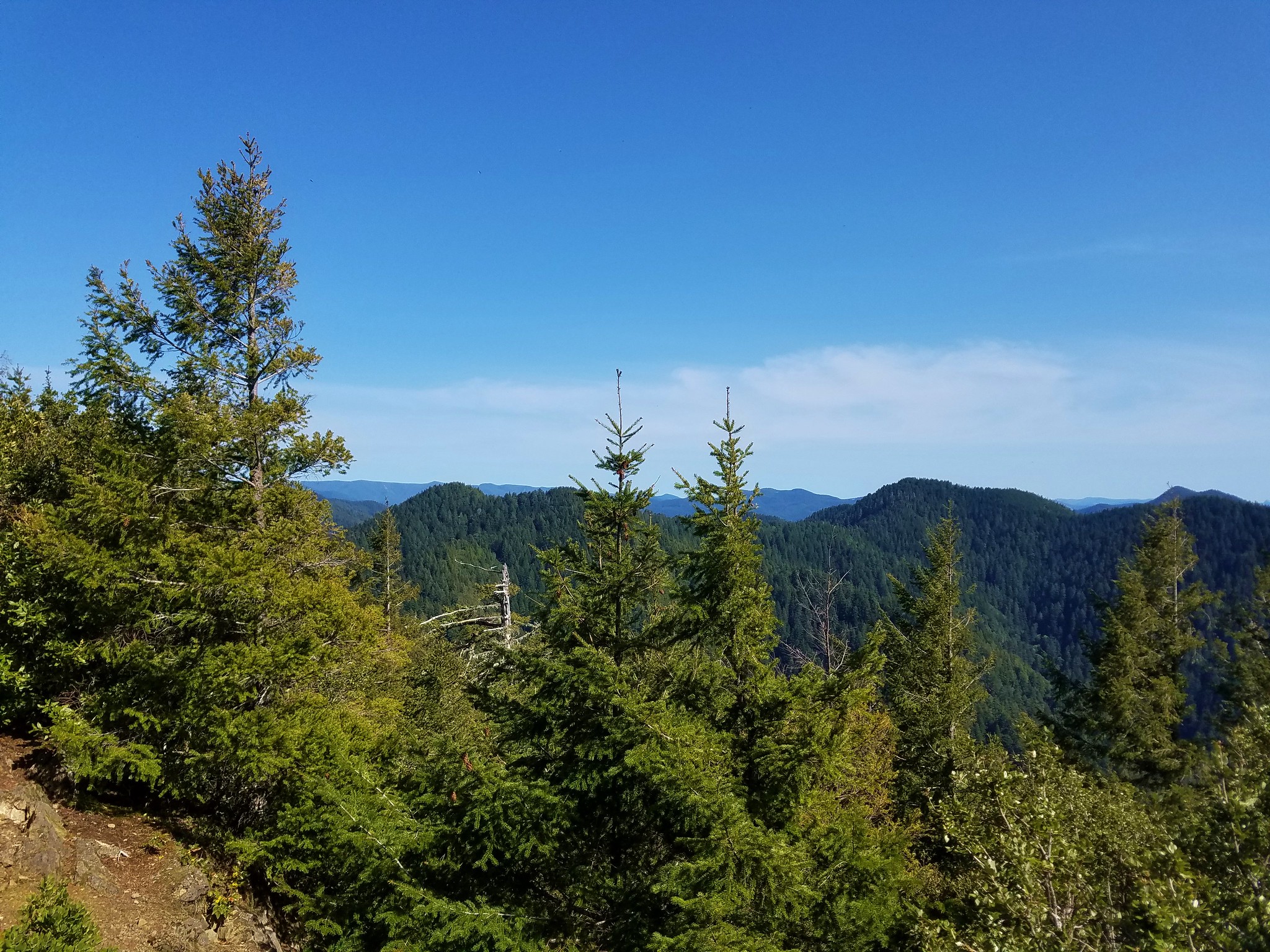
 Grassy Knob is on the horizon just to the left of the near trees.
 Copper Mountain from the lookout site.


 Hawk flying off
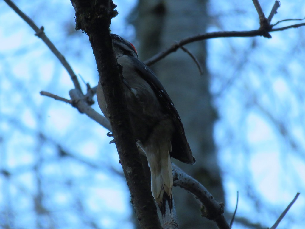

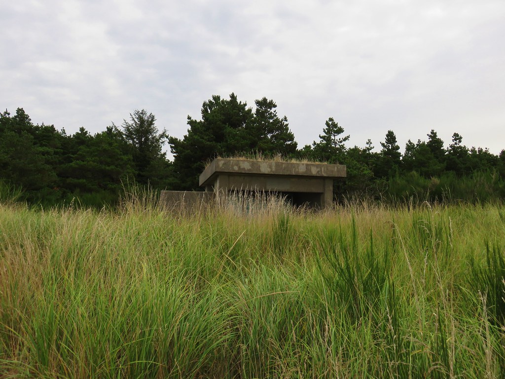
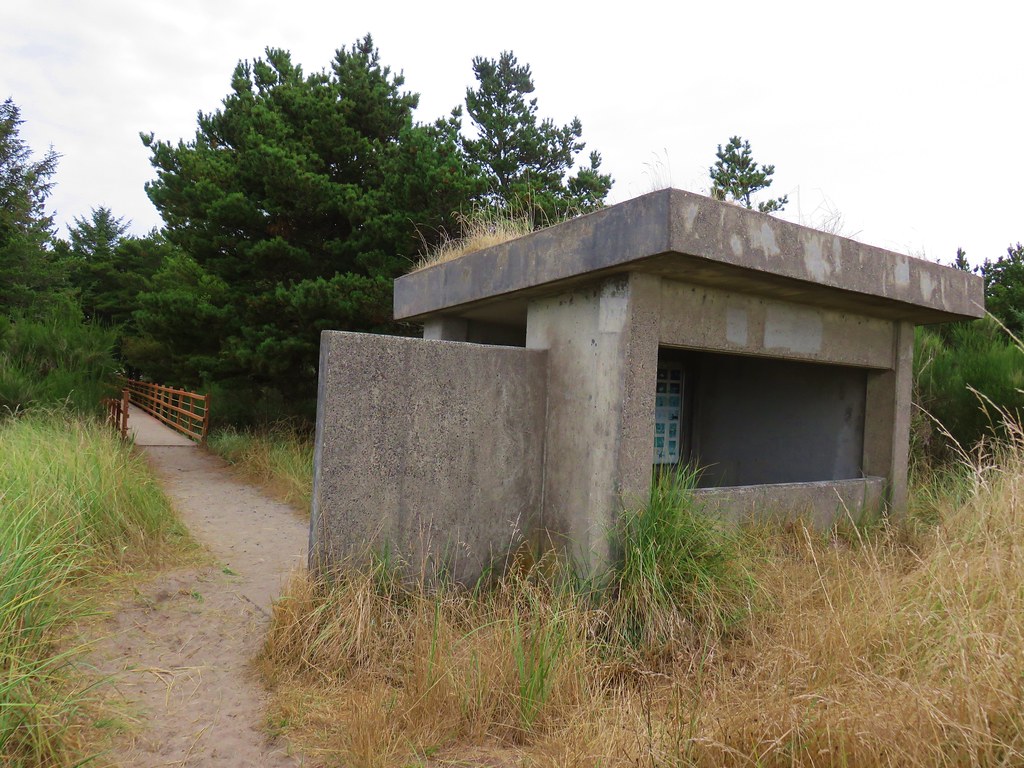
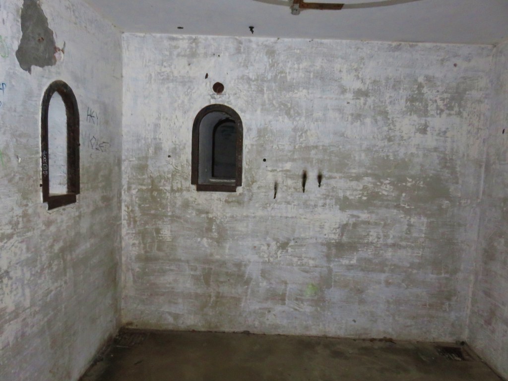
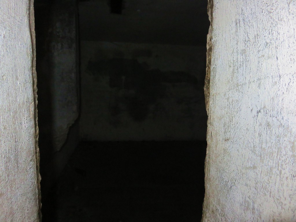
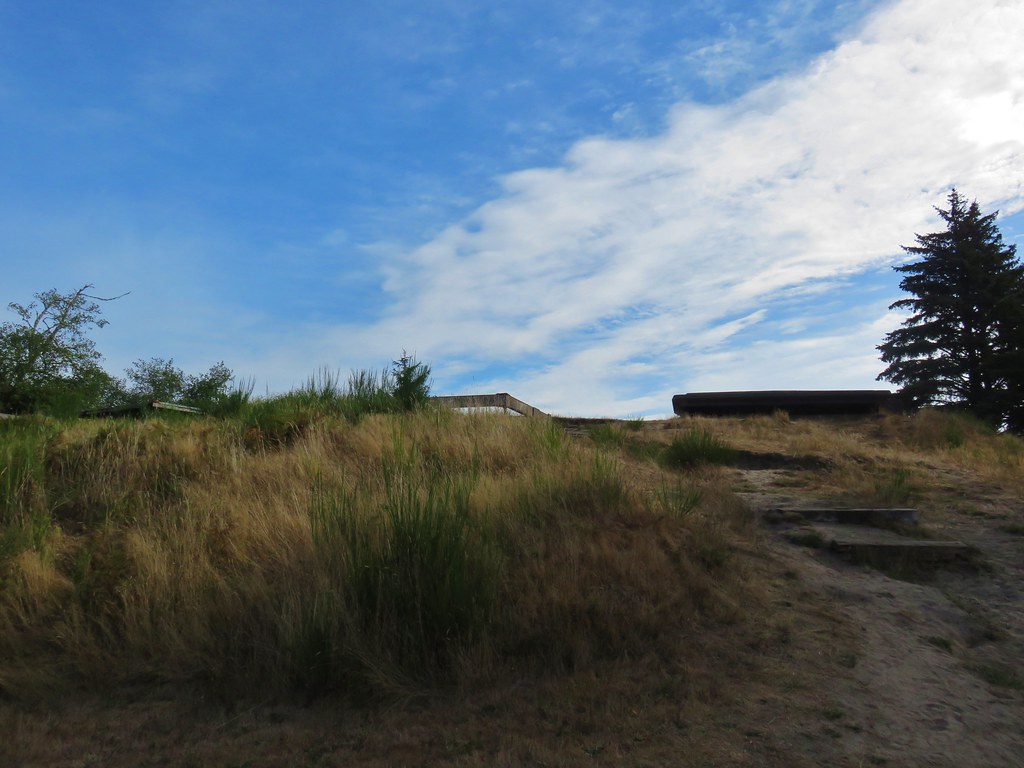
 view from the bunker.


