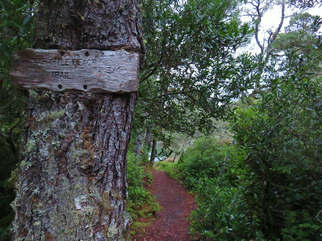
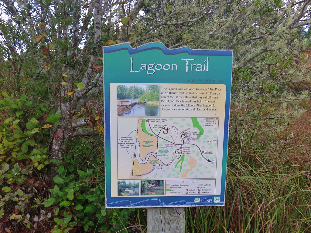
Our third day on the southern Oregon coast was set to be our longest day mileage wise with stops at the South Slough National Estuarine Research Reserve and Sunset Bay State Park. The second stop would allow us to hike through that park, Shore Acres State Park and Cape Arago State Park.
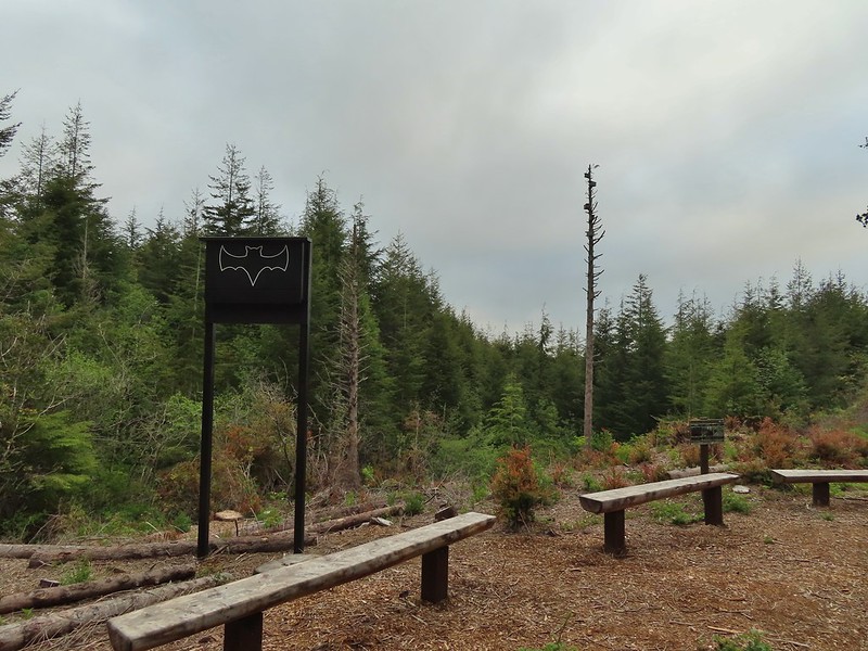
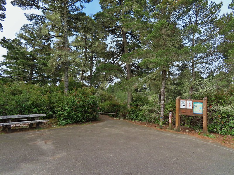
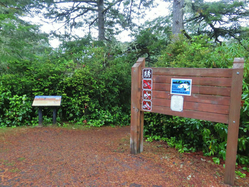
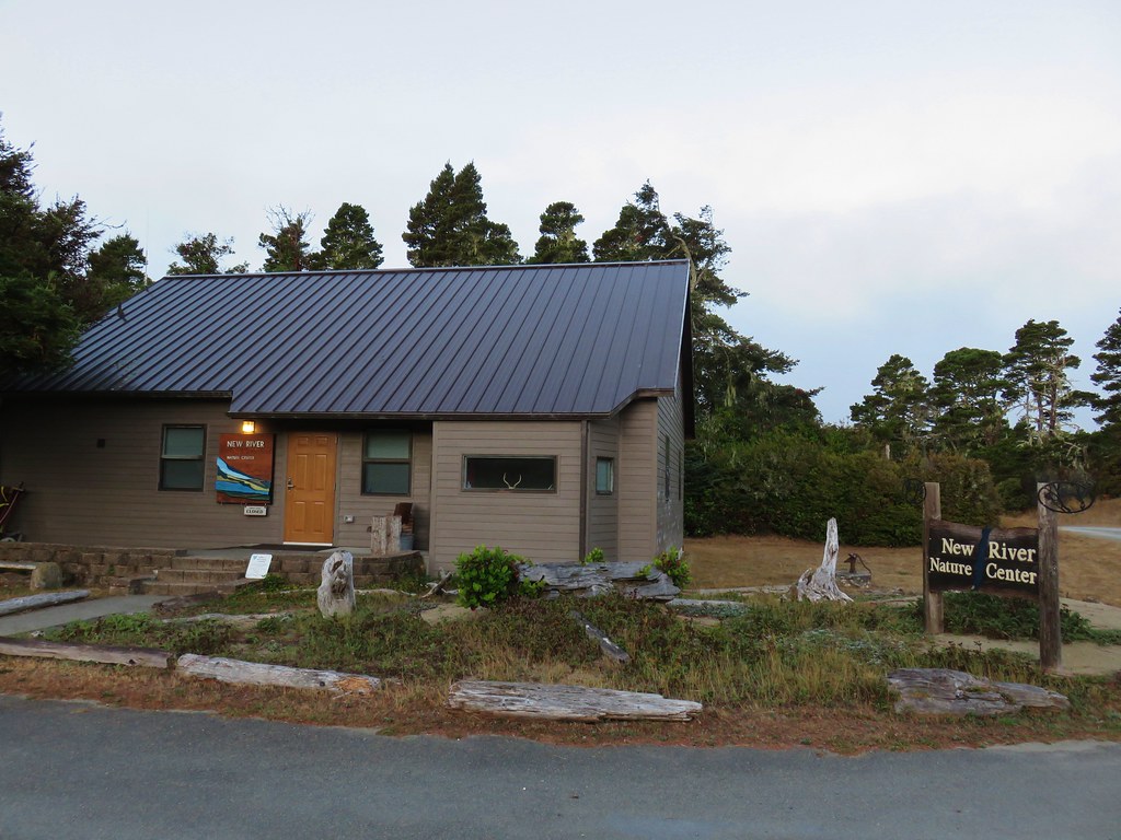
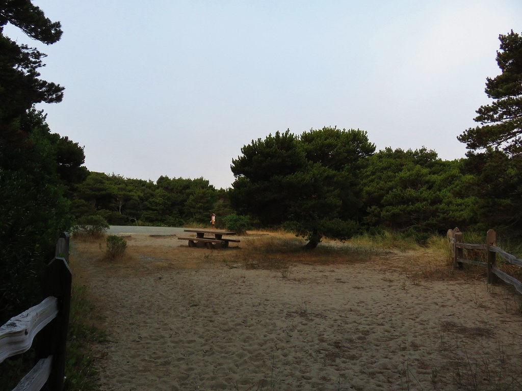
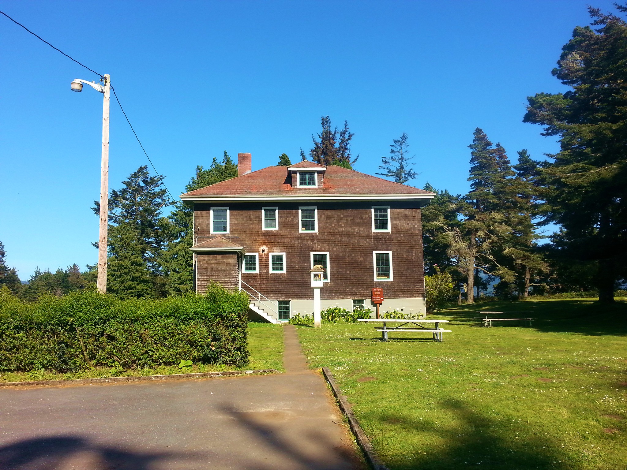
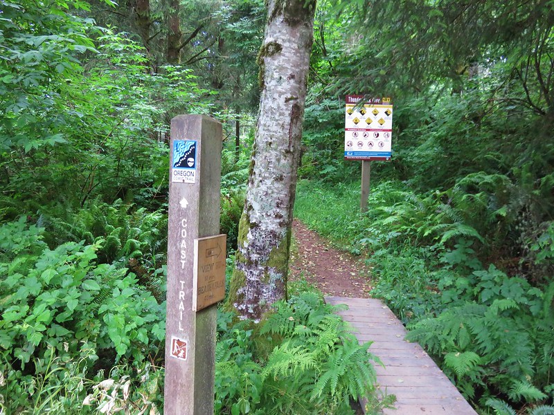
We started our day parking at the closed (stupid COVID) interpretative center at South Slough Reserve.

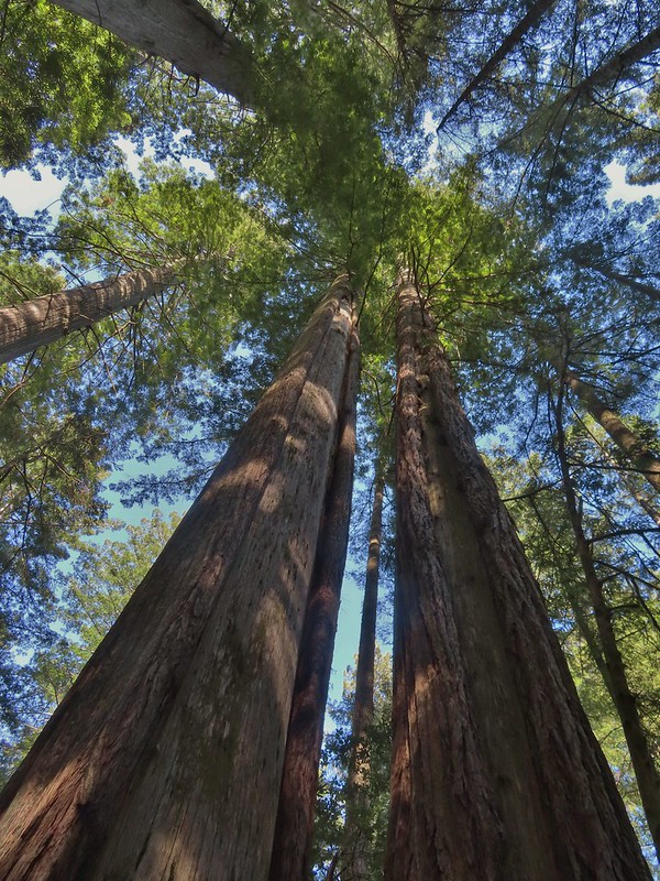
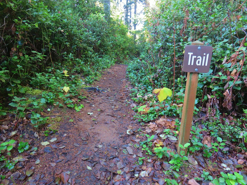
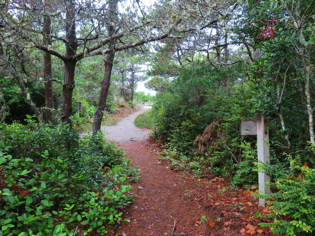
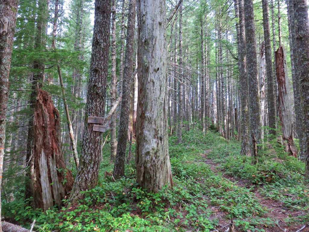
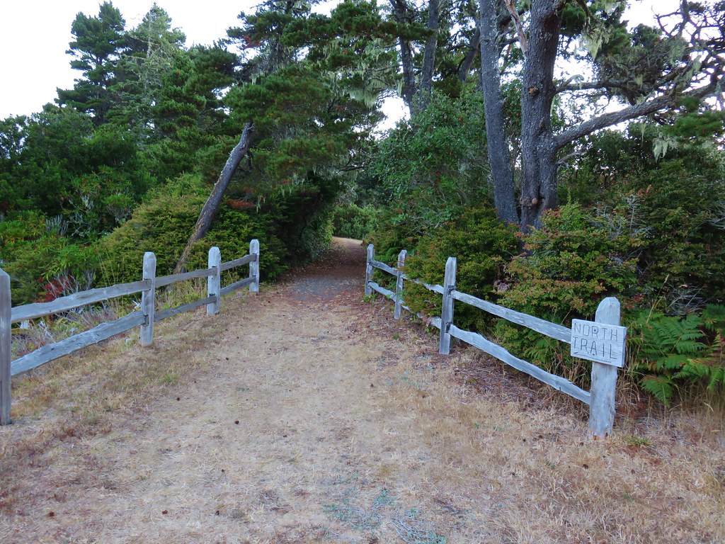
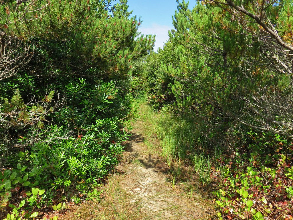
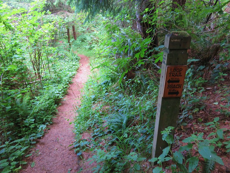
It looked like it would be full of good info and we’ll have to come back someday post pandemic when we can experience it. For now we settled for the trails walking behind the center and picking up the Ten Minute Loop Trail where we turned right.

After just a tenth of a mile we came to a junction with the Middle Creek Trail where we turned right detouring briefly to check out an opening where in better times talks are given by staff members.

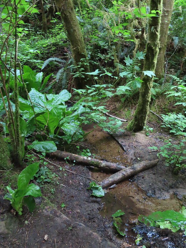
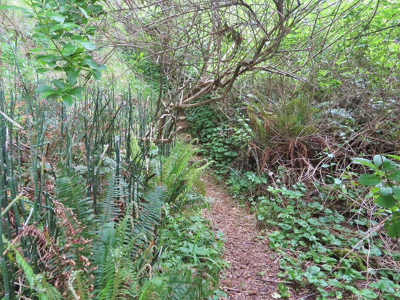
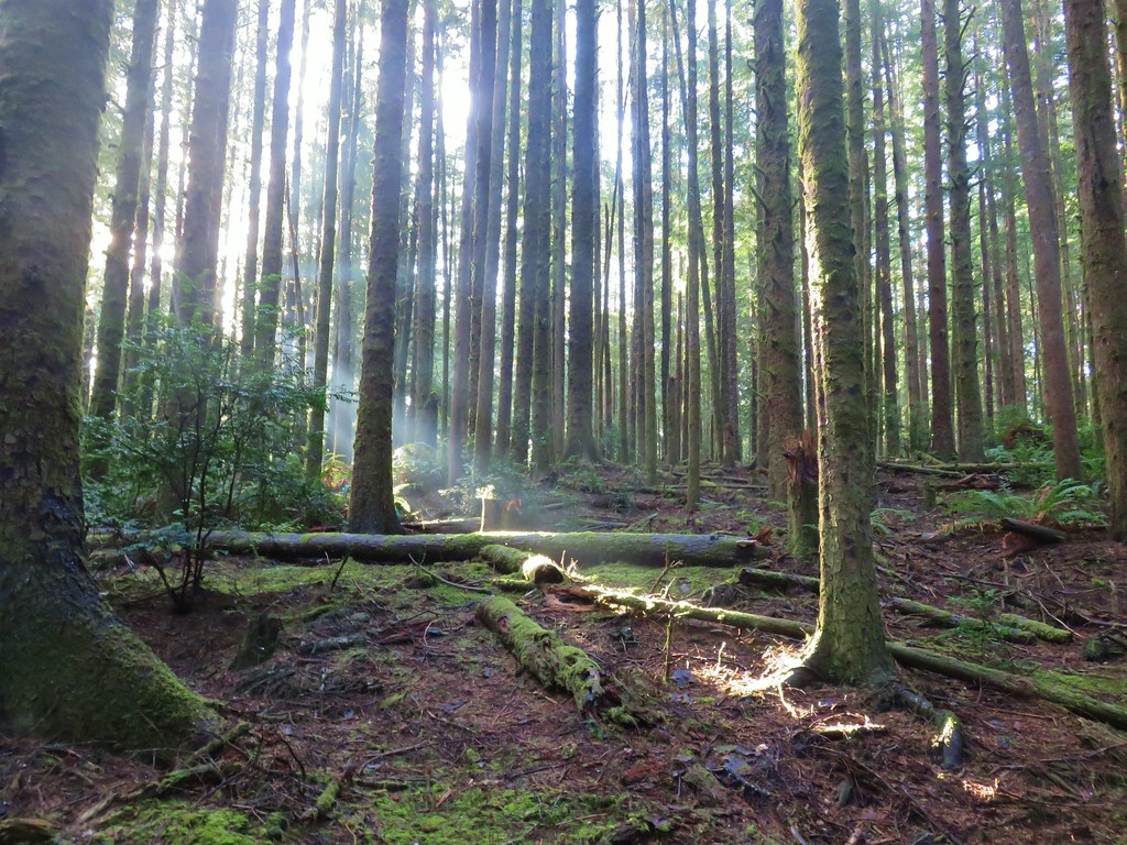
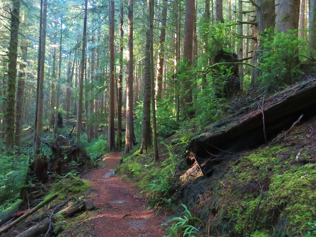
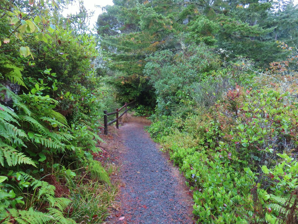
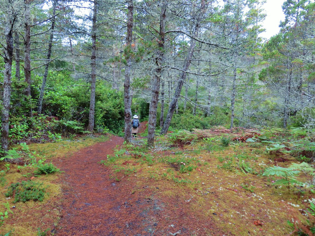
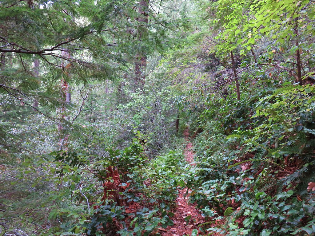
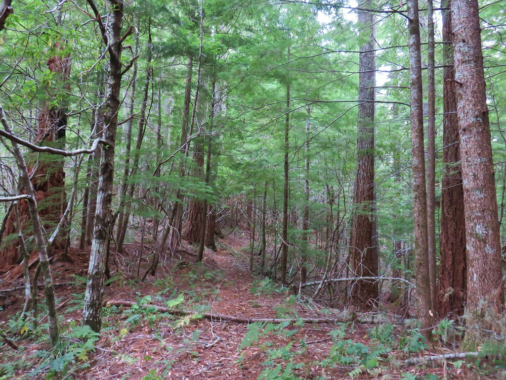
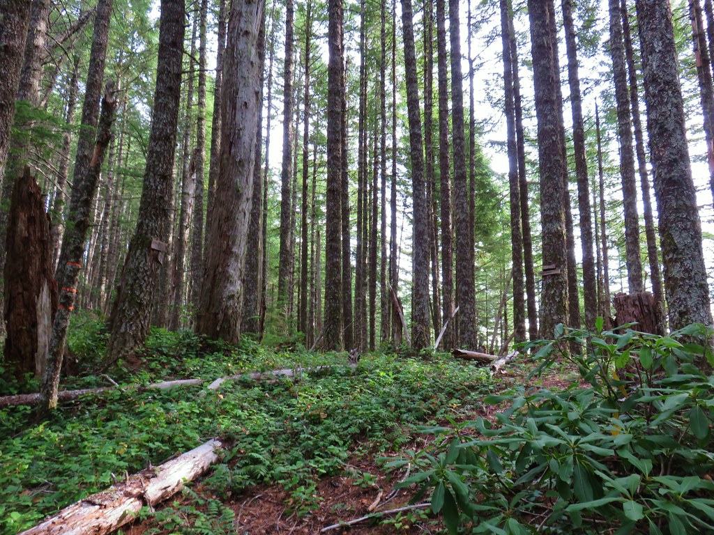
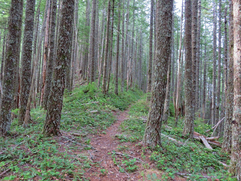
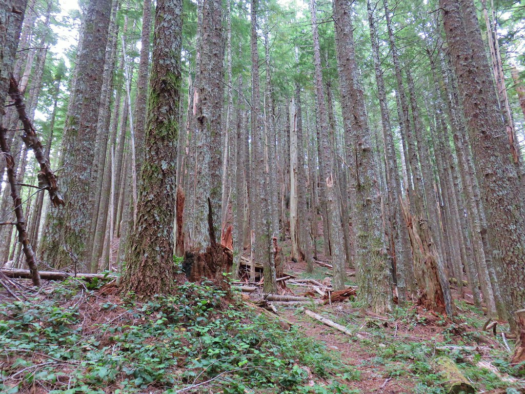
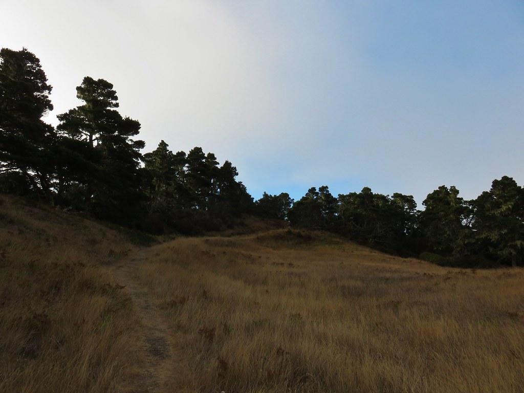
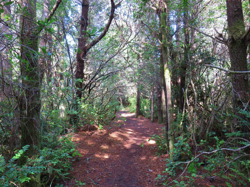
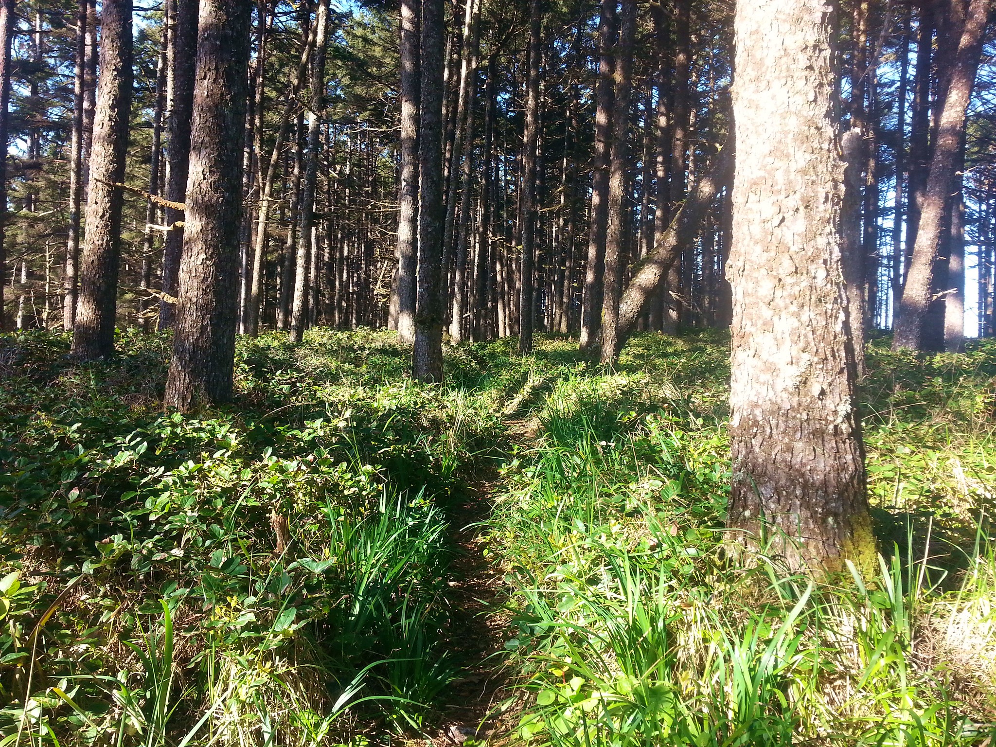
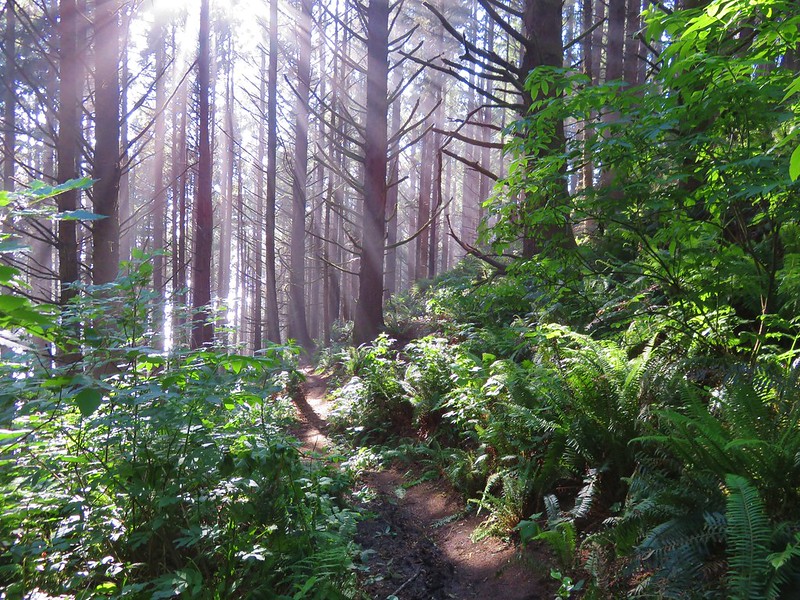
We followed the Middle Creek Trail downhill through a coastal forest to a road crossing where the Hidden Creek Trail continued on the far side.

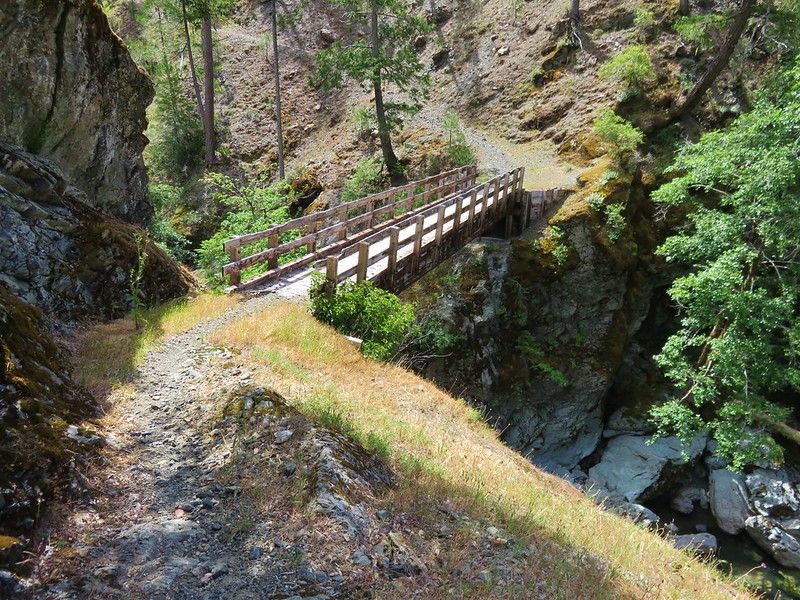
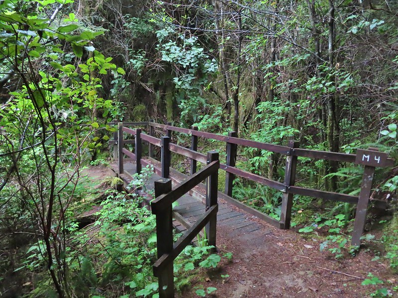 All the bridges had labels consisting of the first initial of the trail and then the bridge number making this the 4th bridge along the Middle Creek Trail.
 Interesting seat.
 That’s a fancy hat for a stump.


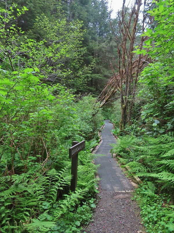
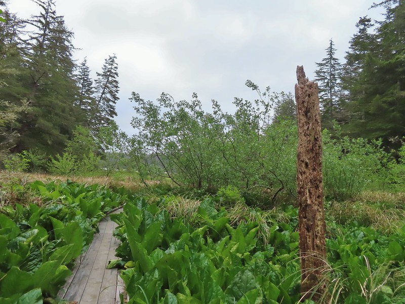
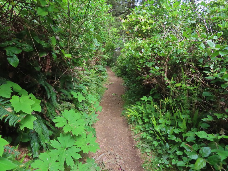
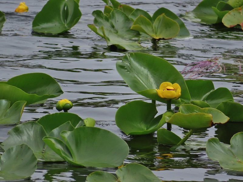
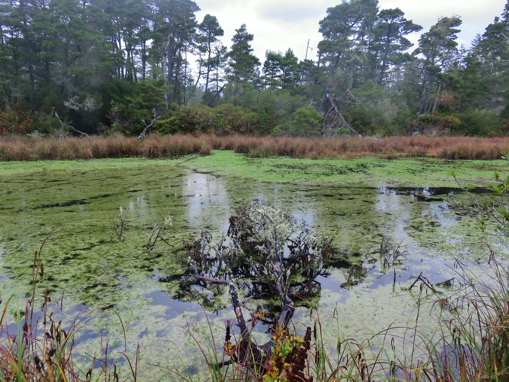
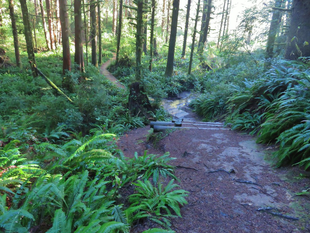
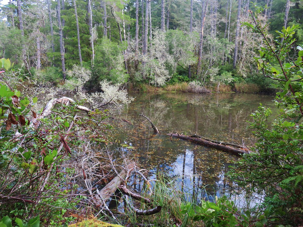
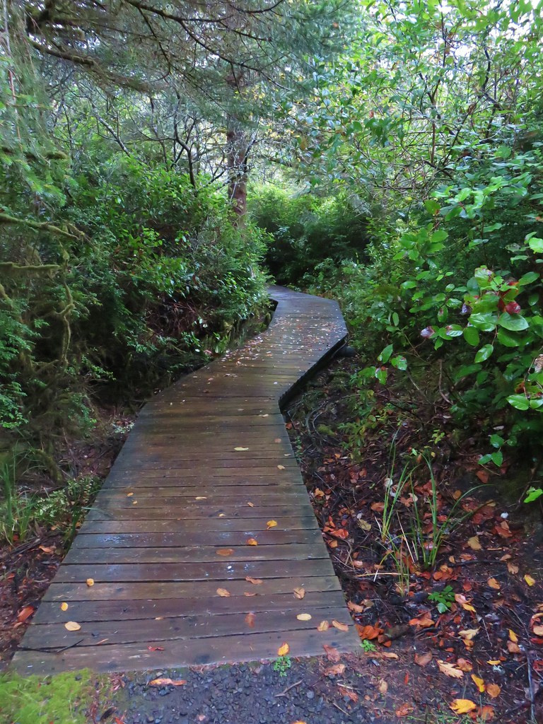
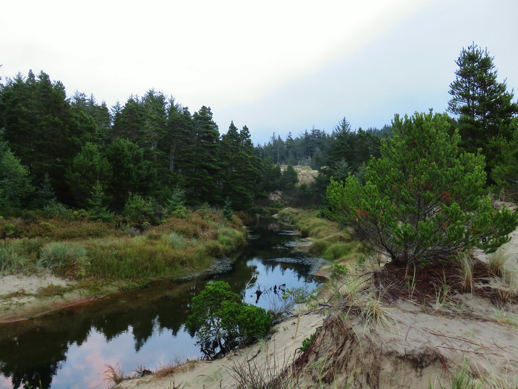
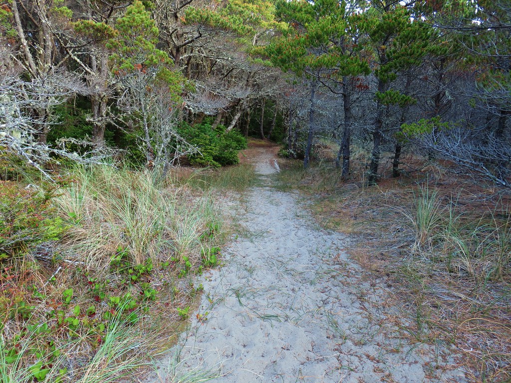
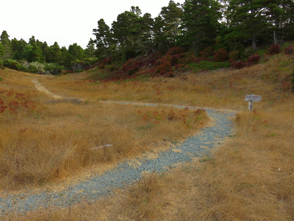
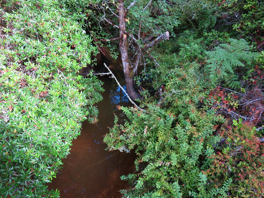
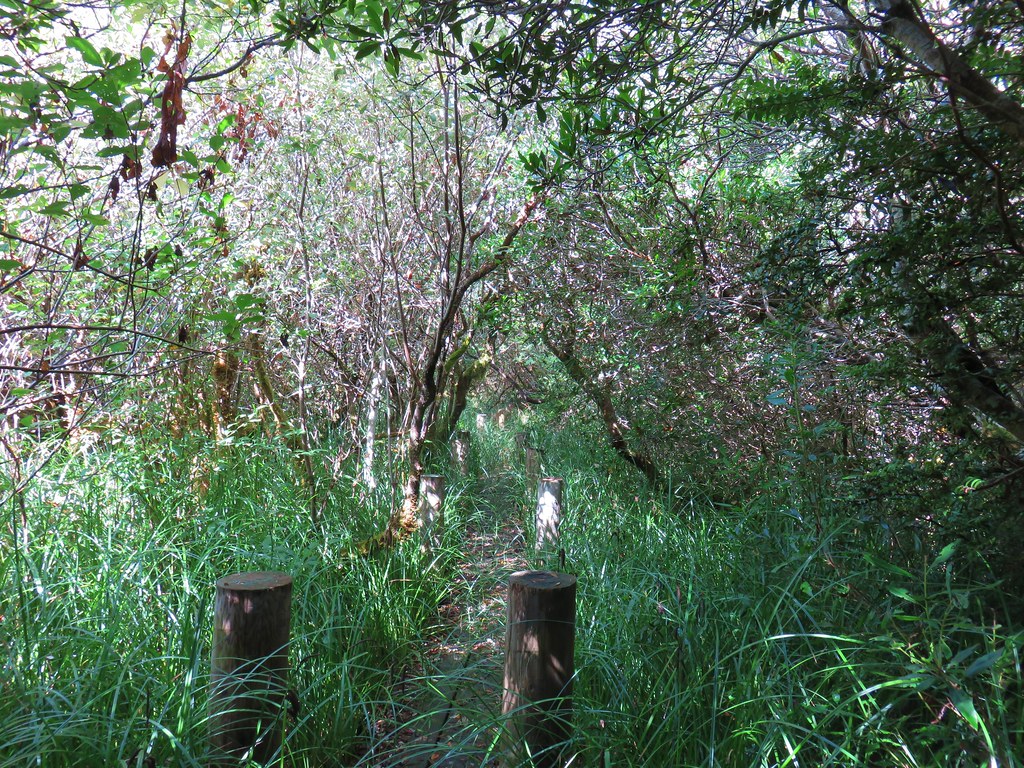
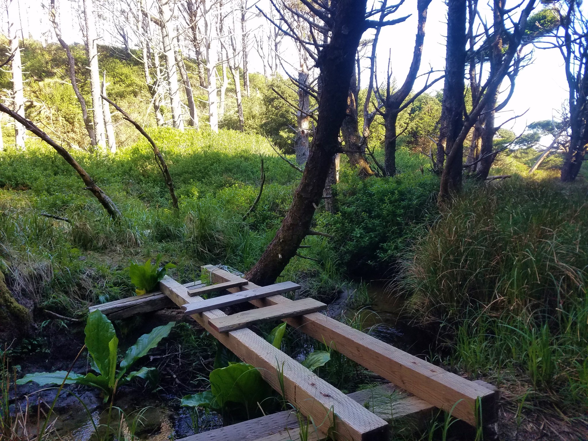
The Hidden Creek Trail continued downhill following the creek to Hidden Creek Marsh where a series of boardwalks passed through giant skunk cabbage patches. We stayed to the right each time the boardwalks split (they eventually rejoined along the way).

>
>

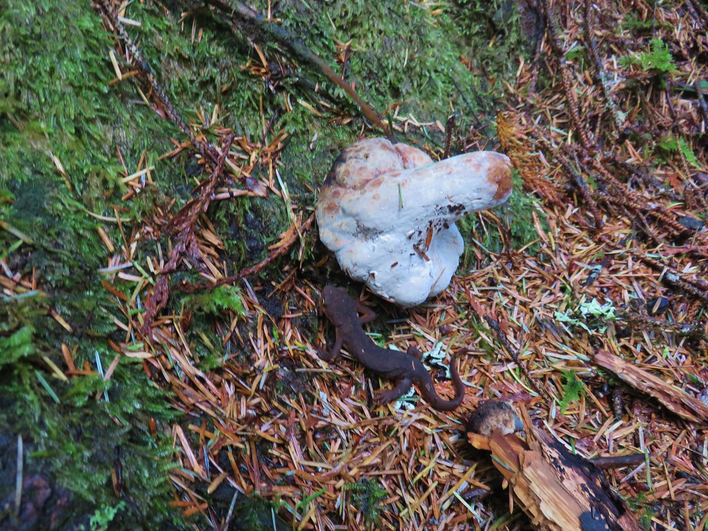
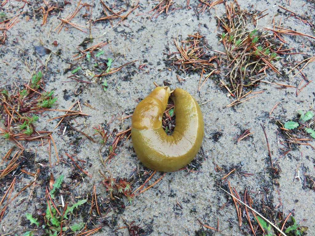
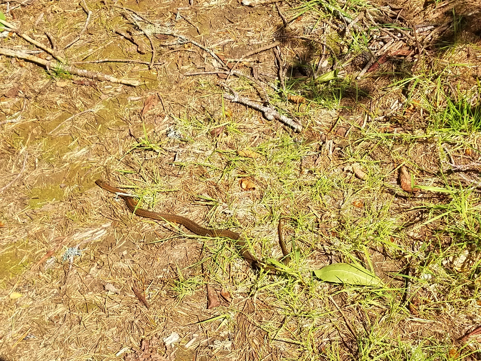
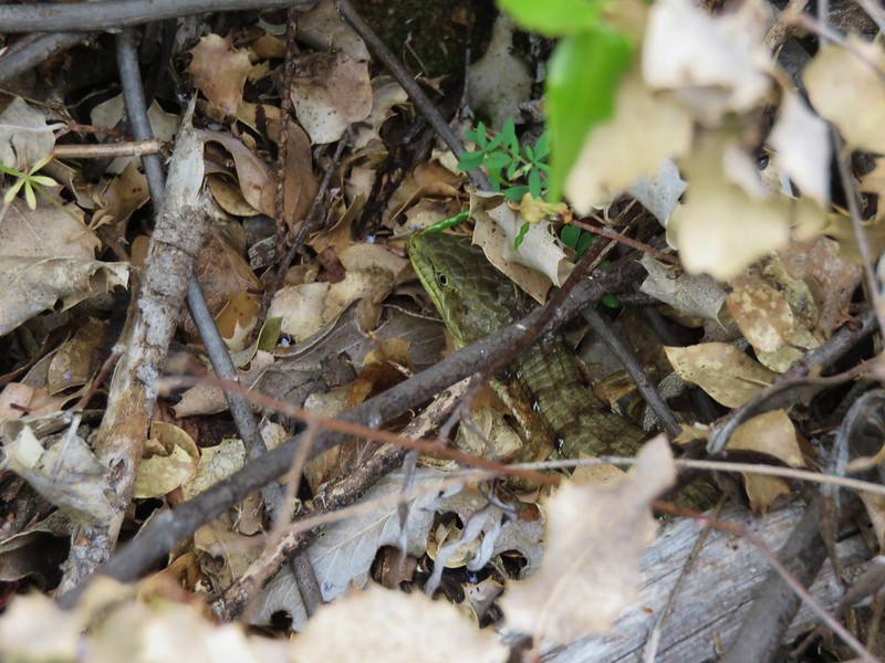
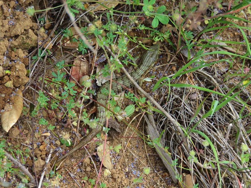
 We saw a lot of rough skinned newts on the trails, but what we were really hopping for was a Pacific Giant Salamander. No luck there this time.

 A few trillium still had petals.
 Woodpecker
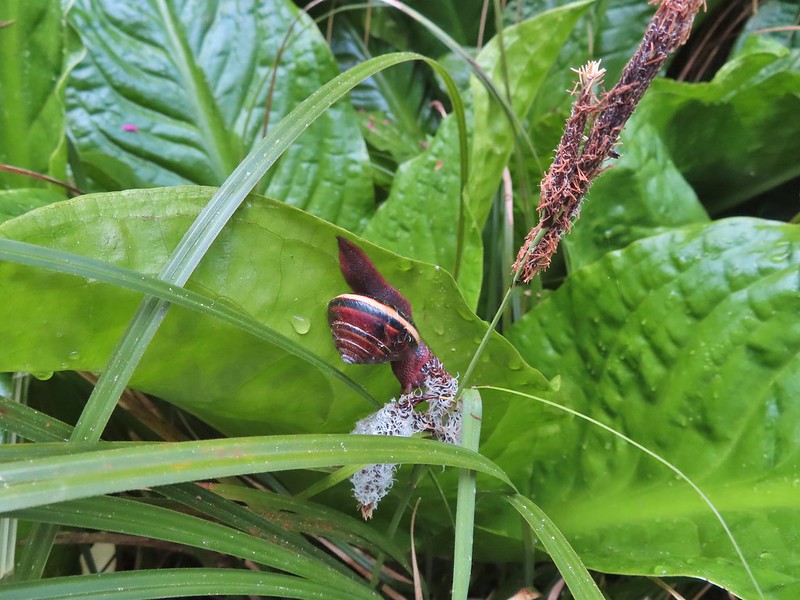
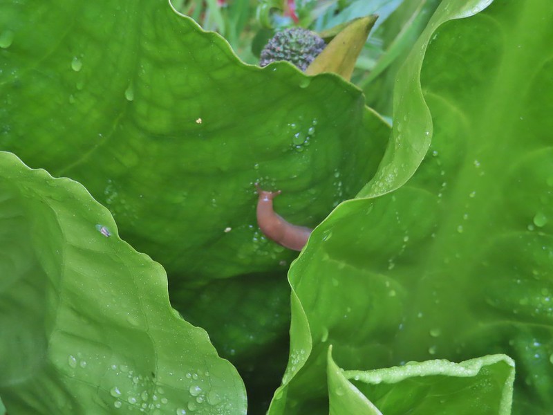
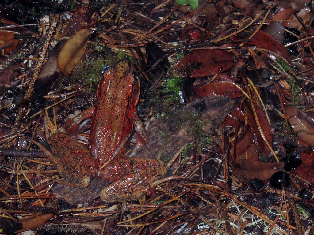
We heard a few frogs and we were looking in the skunk cabbage to see if we could spot any. We didn’t see any of the frogs but we did spot several others on the plants.


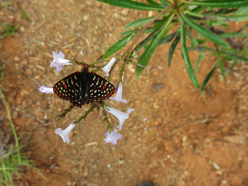
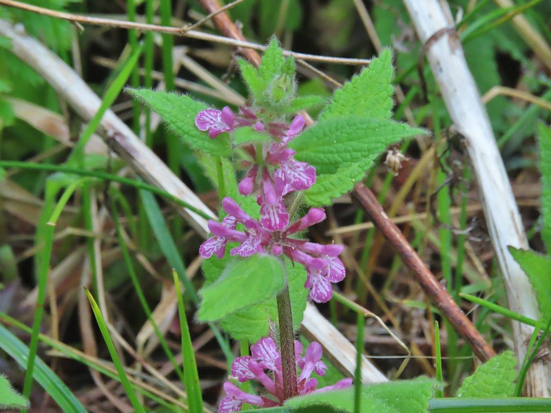 A hedgenettle
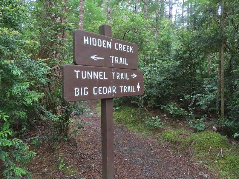
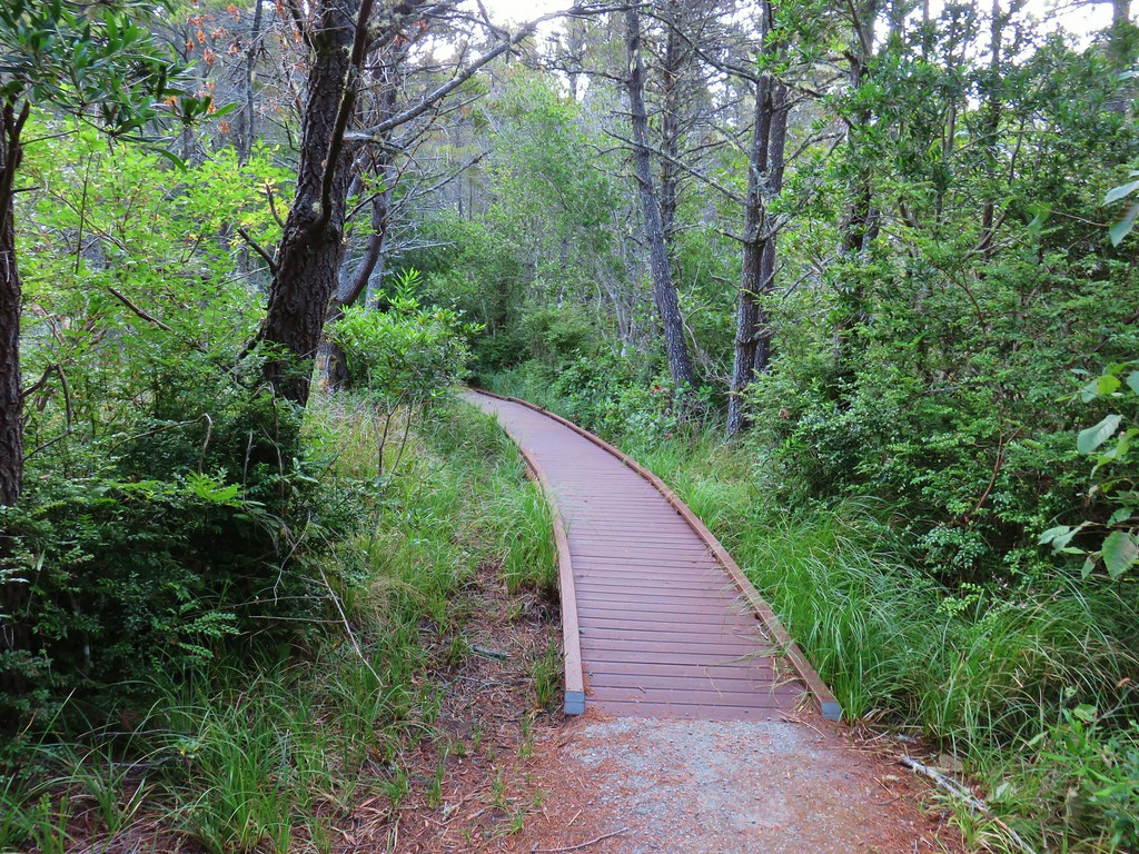
At the end of Boardwalk 2 the trail became the Tunnel Trail and headed back into the forest.
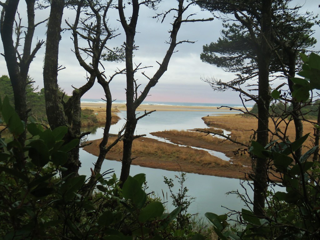
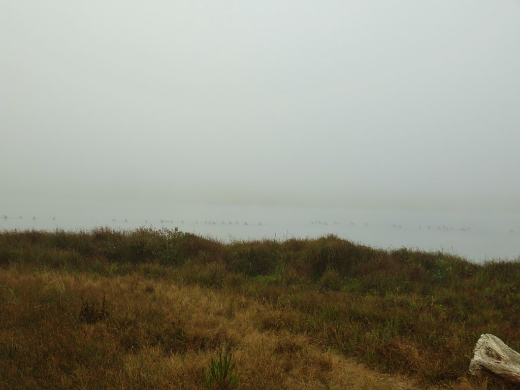
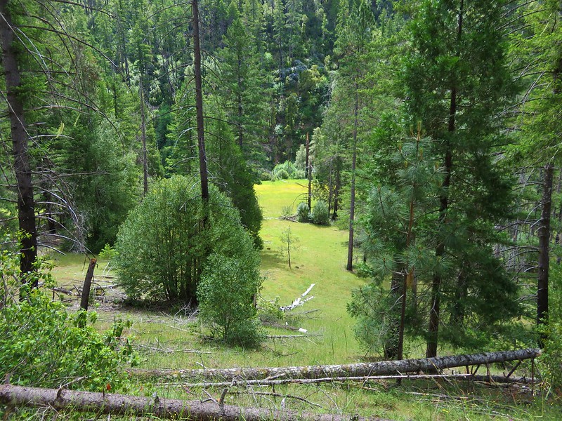
After a short climb we came to a nice big observation deck. The view was good but there wasn’t much to observe on this morning.

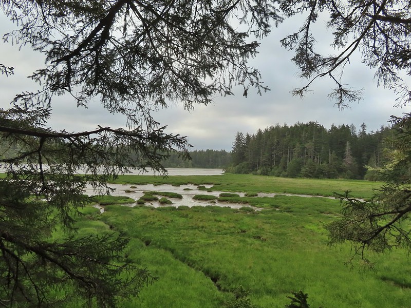
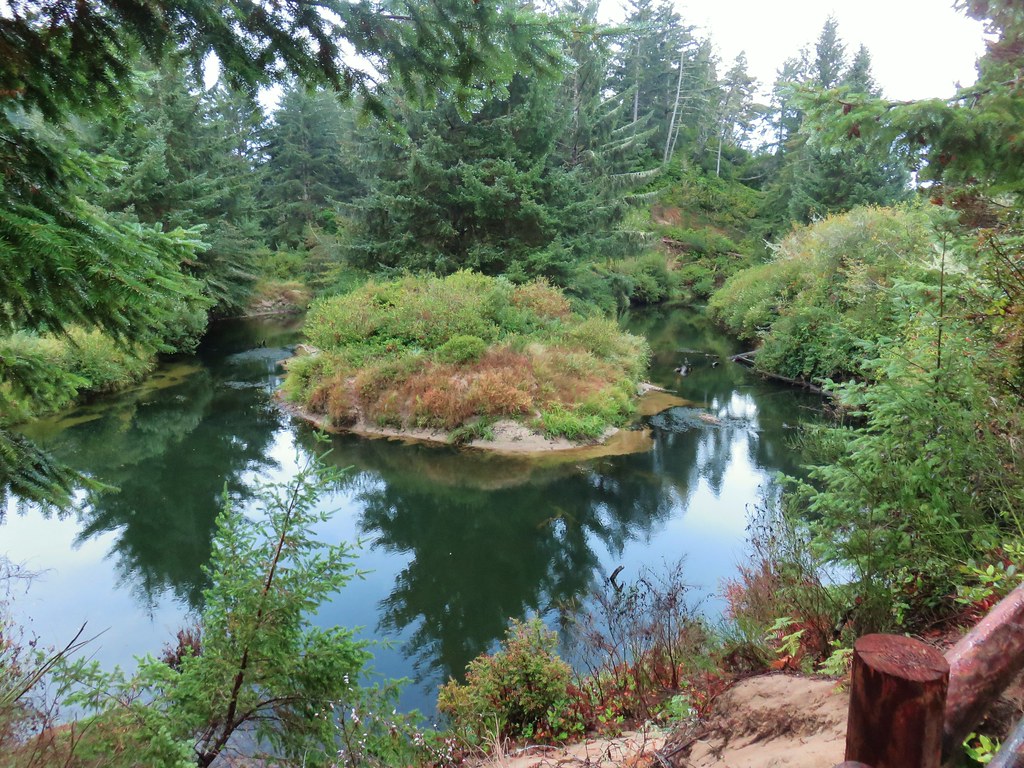
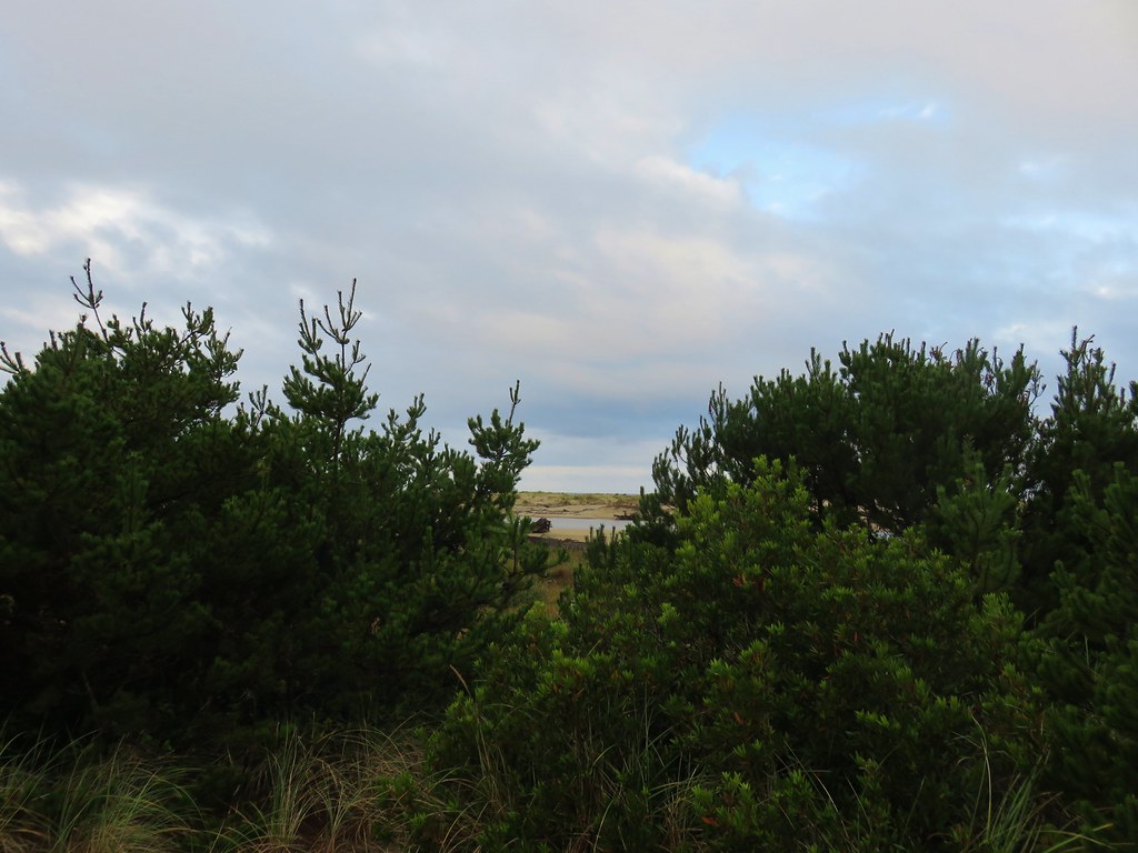
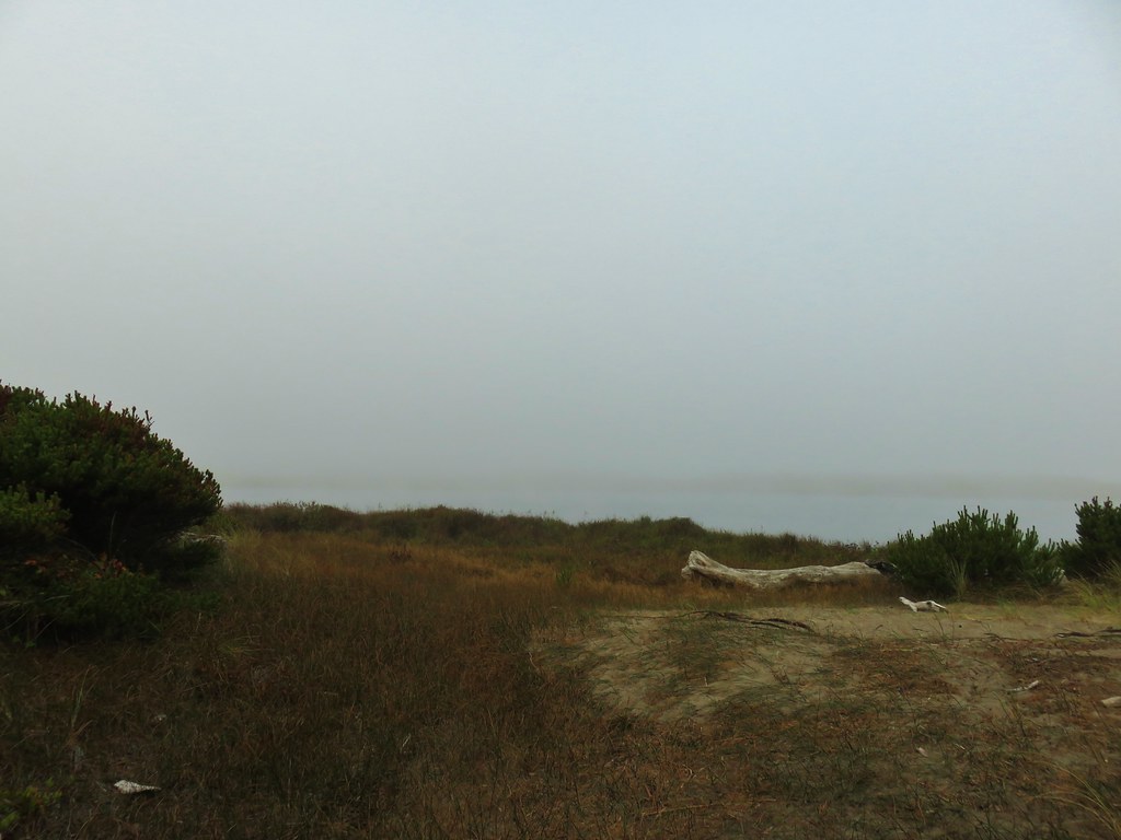
We ignored the Big Cedar Trail to the left when we passed it and continued on the Tunnel Trail passing a couple of more viewpoints out to the South Slough. While we had struck out at the observation deck we now could see movement which turned out to be over a half dozen raccoons crossing the mud flats in search of breakfast.

 Tunnel Trail indeed.


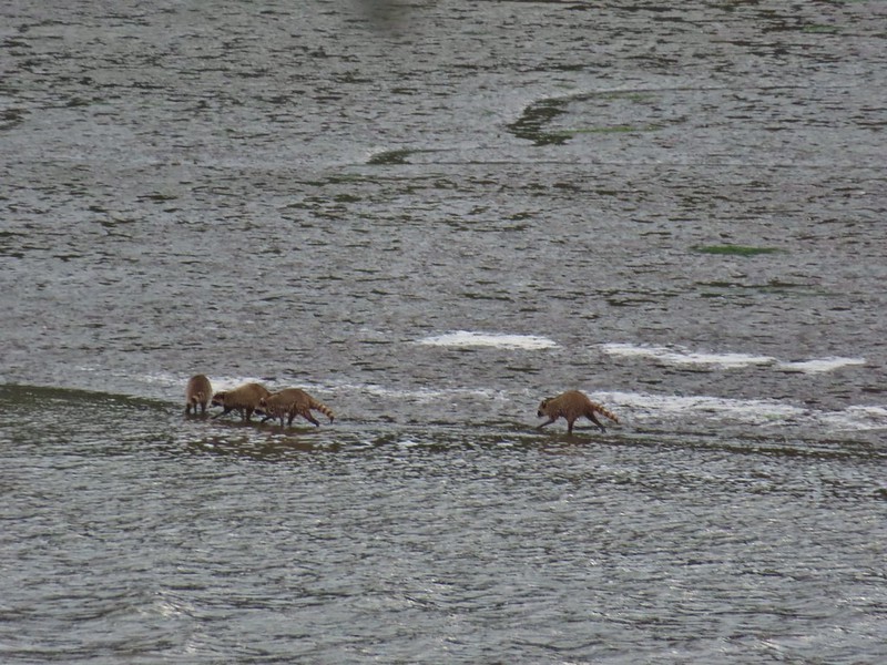
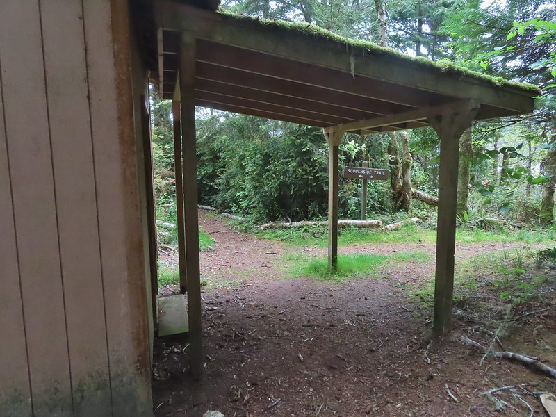
This marked the first time we’d seen raccoons on a hike and we had a lot of fun watching them search for snacks. Shortly after passing some restrooms the trail came to a junction where we headed downhill to a shed and another junction.

We turned right by the shed passing under an awning to the Sloughside Trail
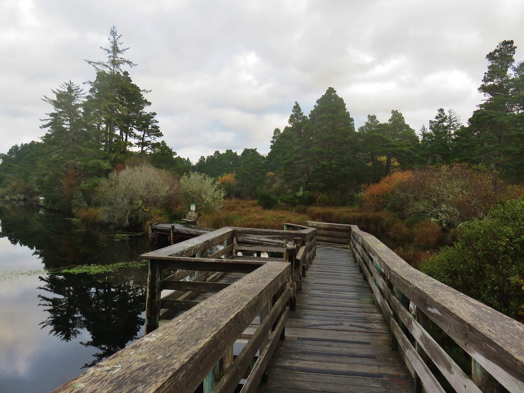
We turned right first passing several wooden decks before the trail ended along the slough.


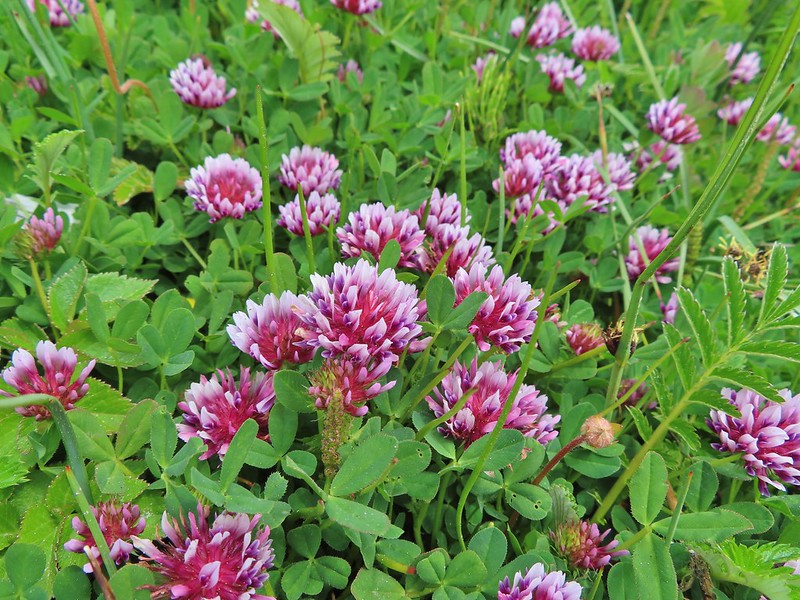
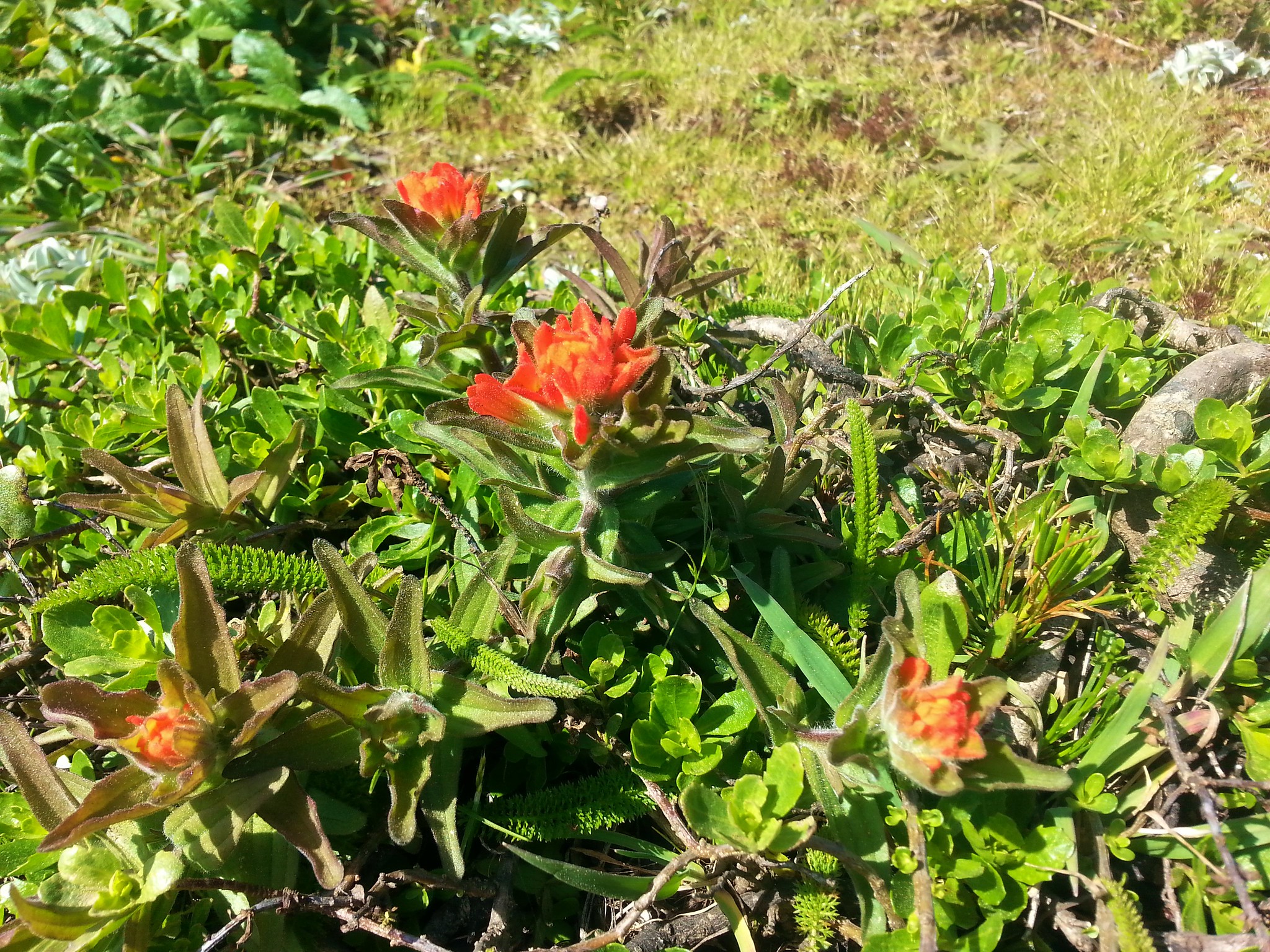
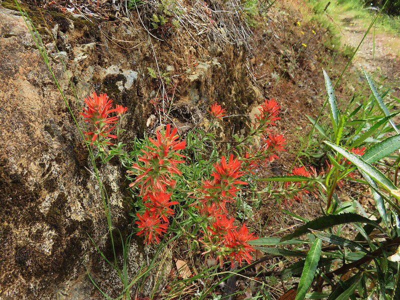
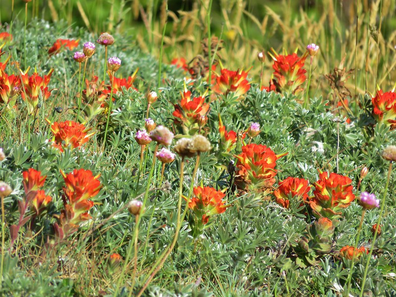
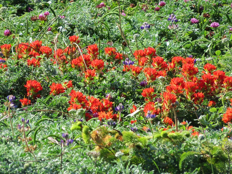
 Castilleja ambigua – Estuarine Paintbrush

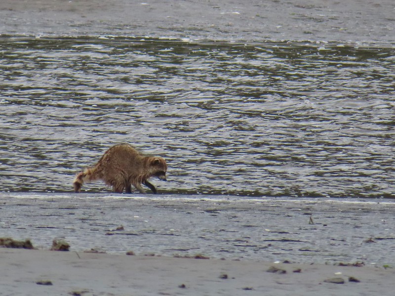
After watching more raccoons from the end of this spur we returned to the shed and took the left hand fork. This spur was a bit longer (still only .1 miles) and passed along a narrow strip between flats.


> End of the line.
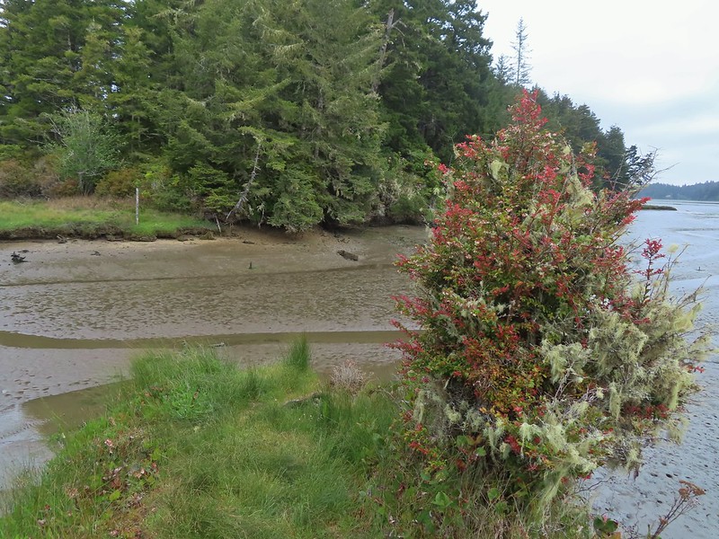
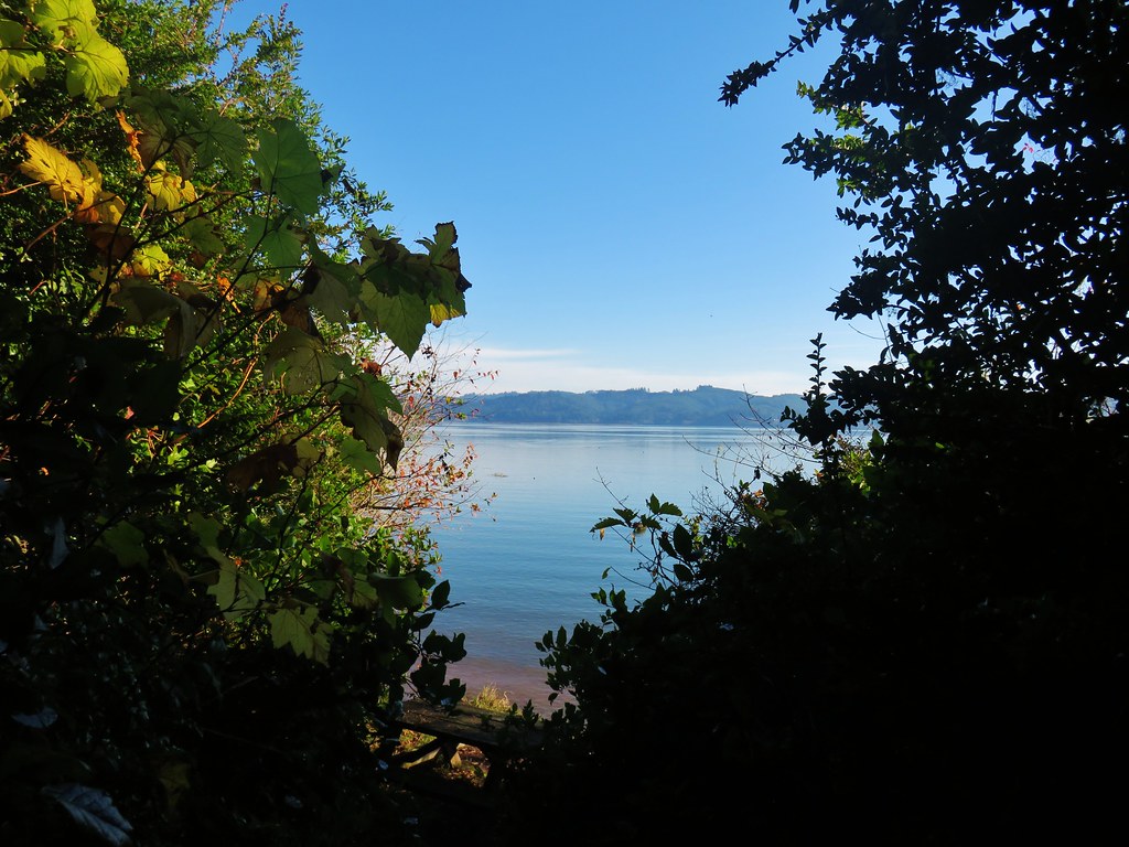
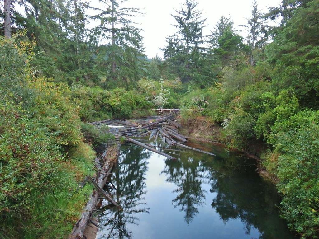
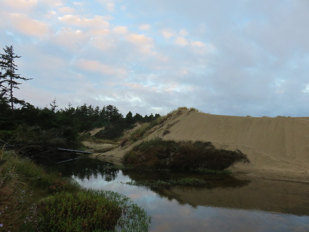
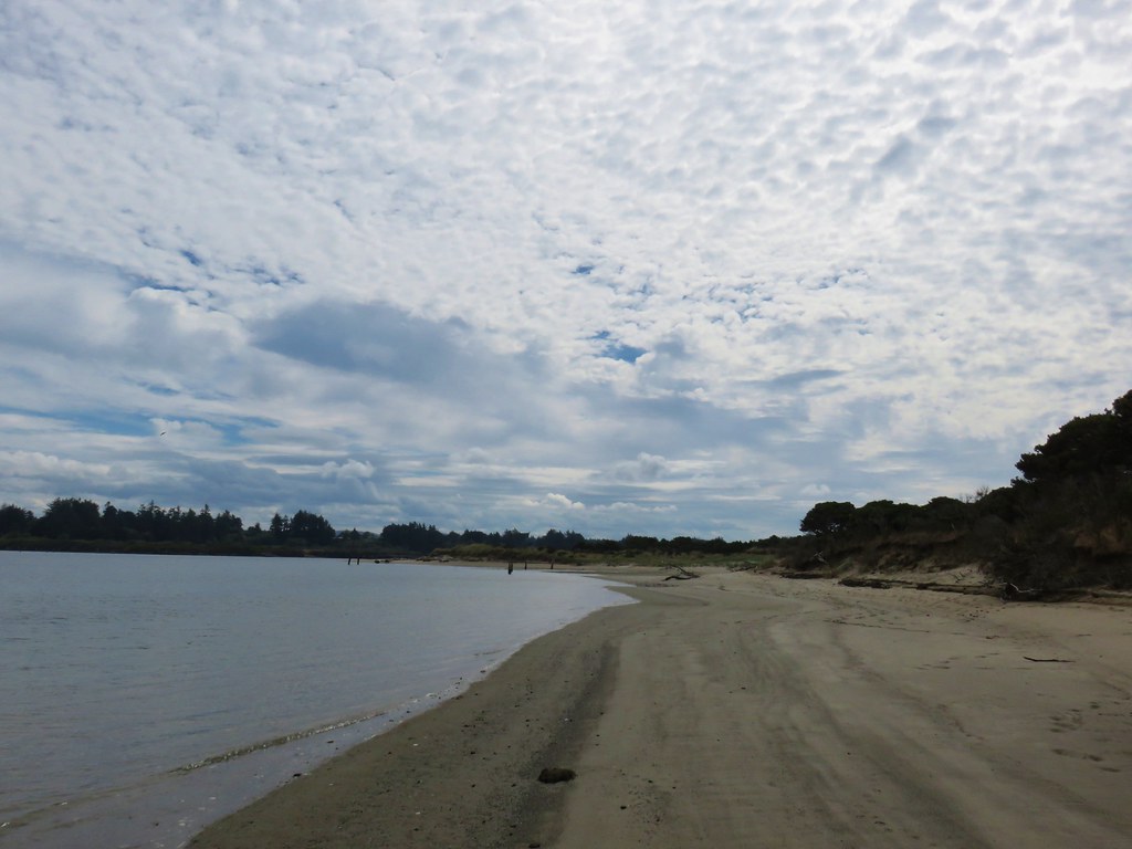
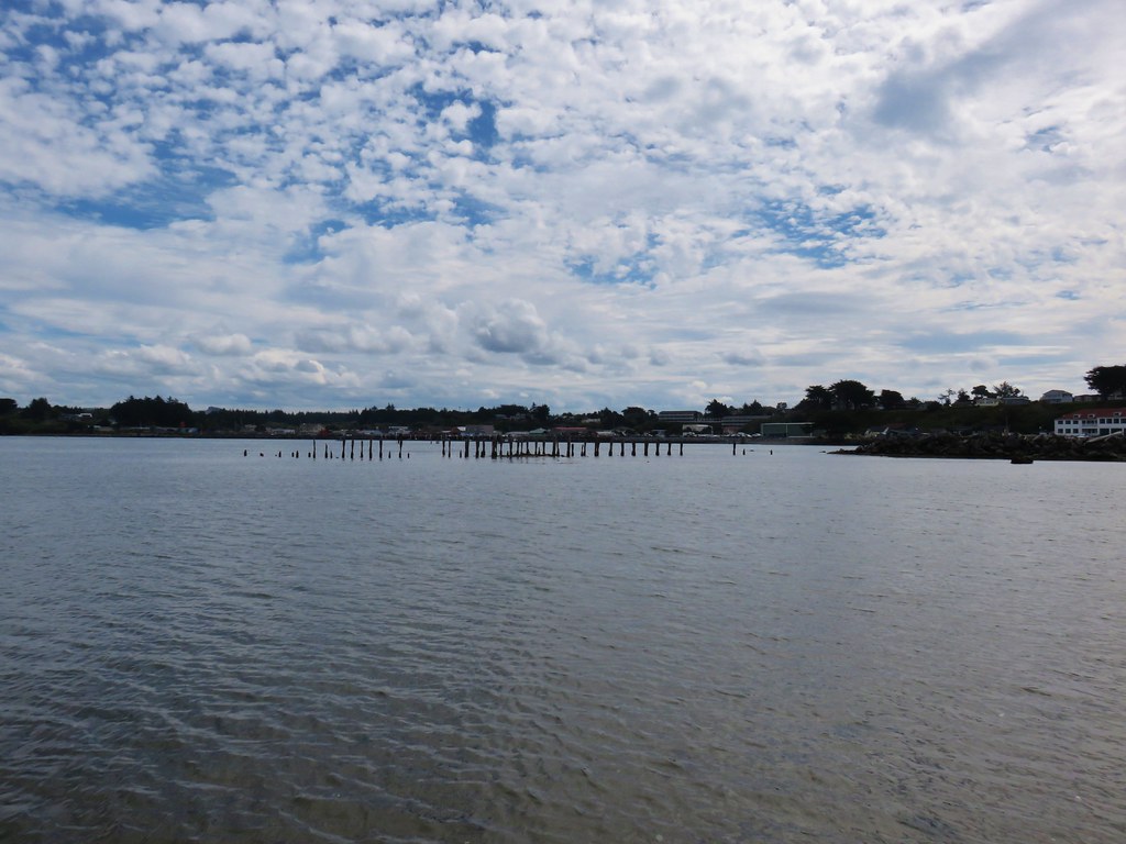
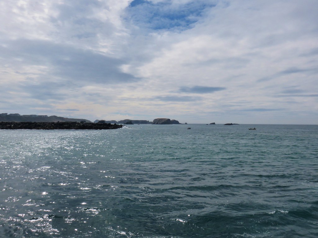
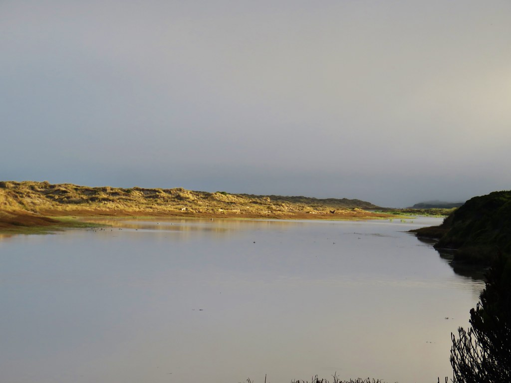
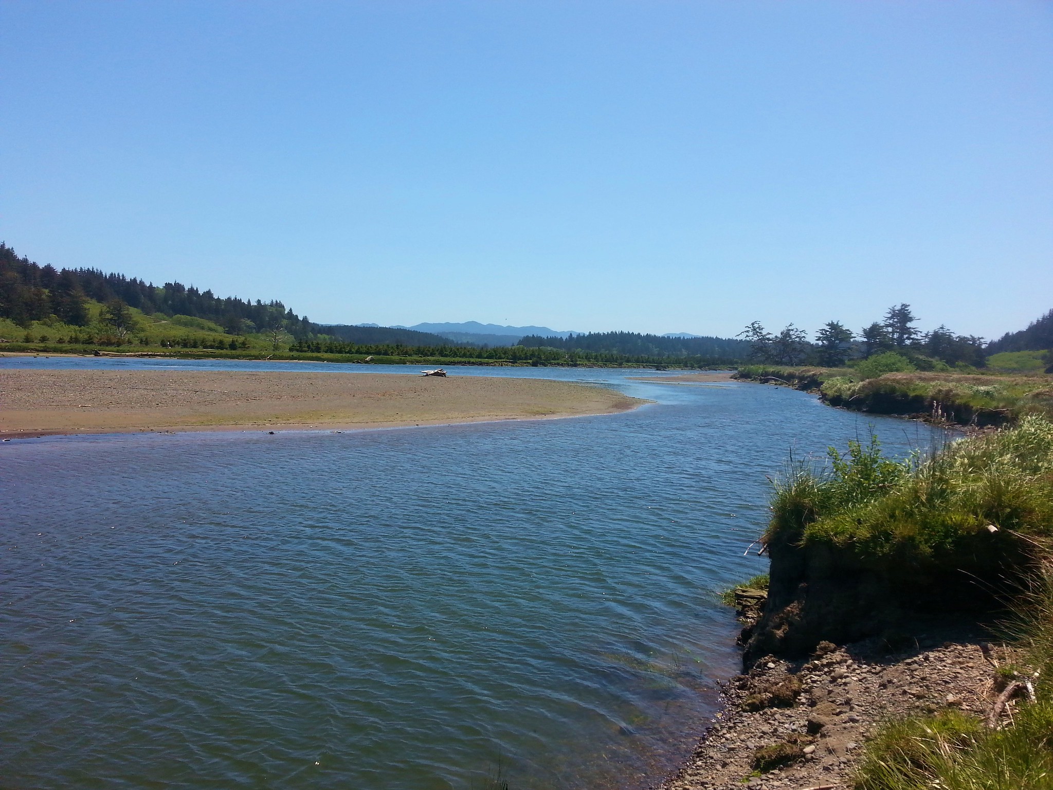
 South Slough
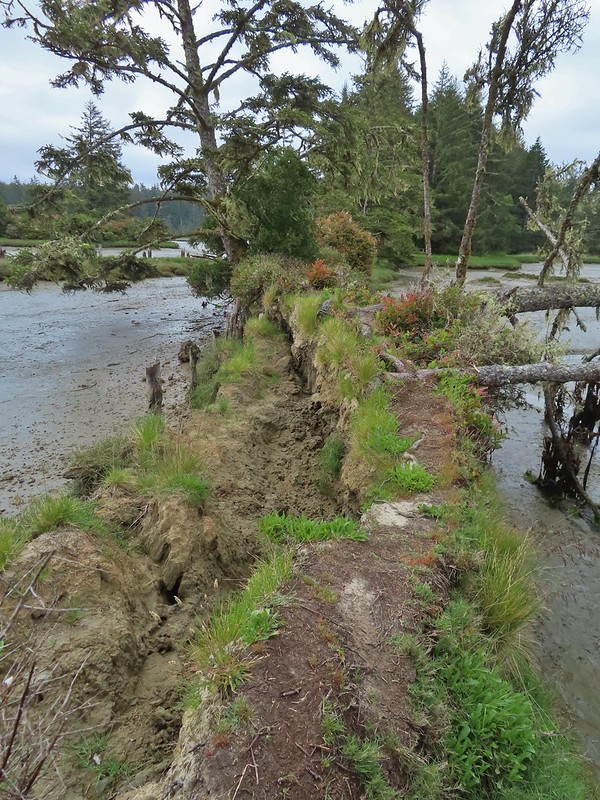 It was interesting to see how this uprooted tree peeled back a layer of the ground.
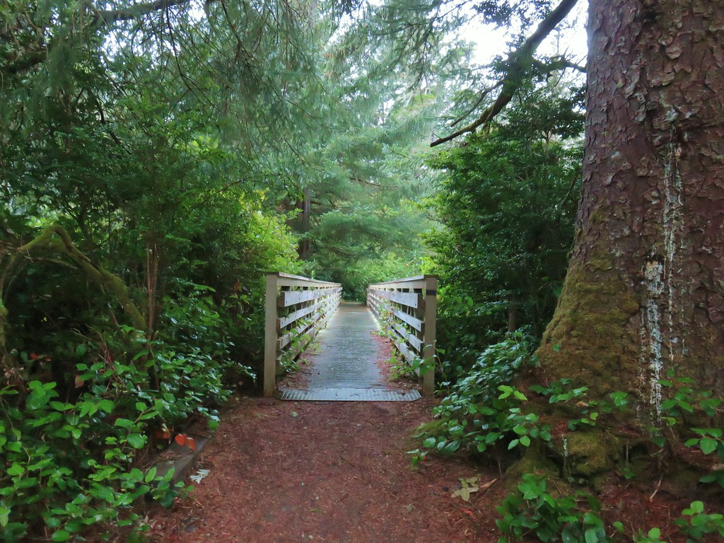
We again returned to the shed staying to the right and crossing a nice bridge on the North Creek Trail.

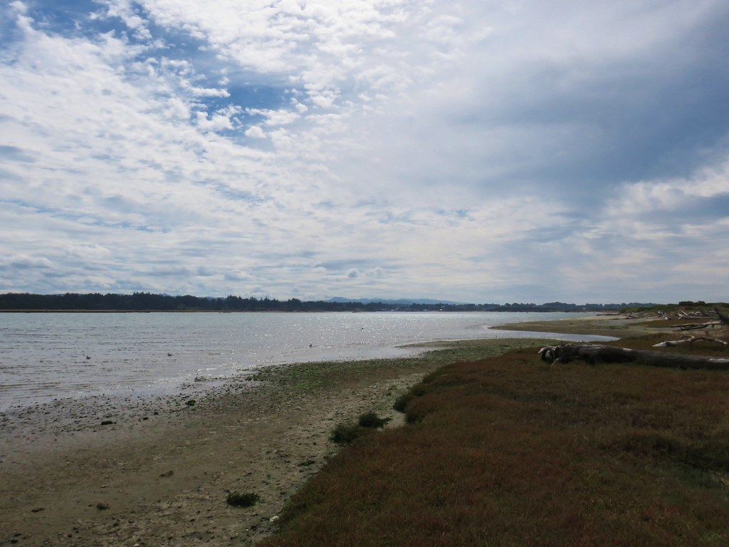
 Rhoades Marsh
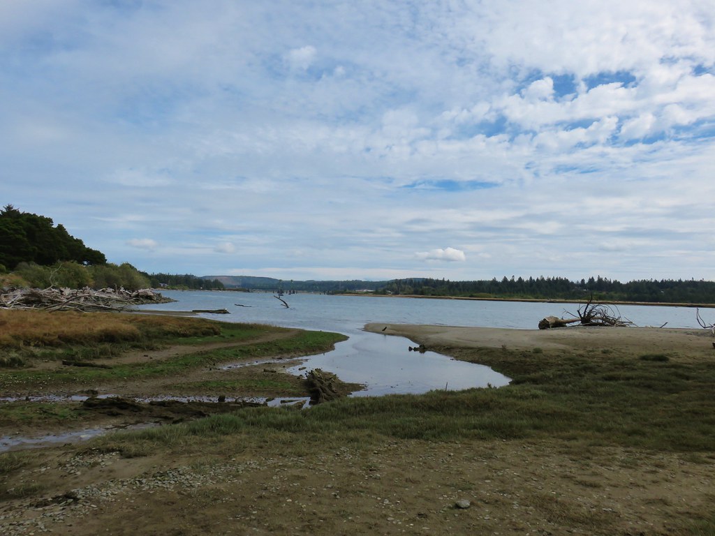
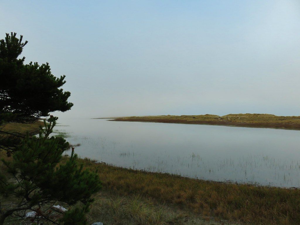
 Sloughside Marsh
 Rhododendron
A third of a mile along the North Creek Trail we came to the signed .15 mile North Creek Spur.

We decided to check it out and followed the short trail downhill to a different view of the Sloughside Marsh.


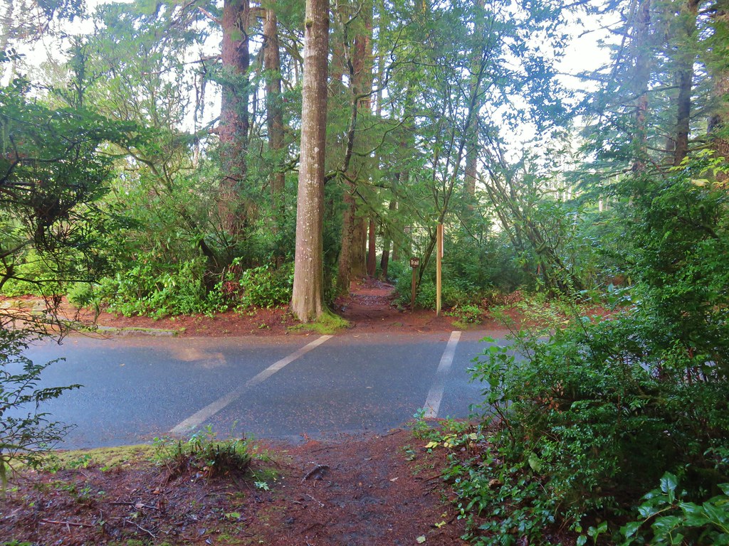
We returned to the North Creek Trail and followed it uphill back to the Ten Minute Loop Trail where we turned right for a tenth of a mile to the Interpretive Center.
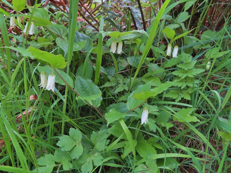
 Bleeding heart, fairy bells, and youth-on-age.

This was an excellent 4 mile hike with 300′ of elevation gain.

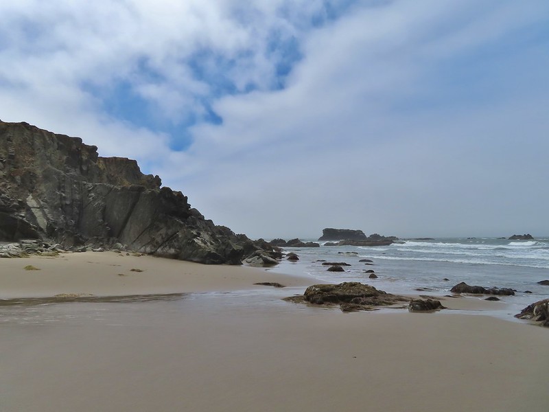
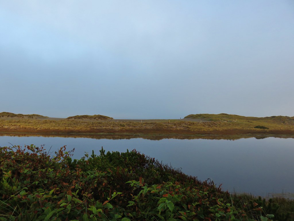
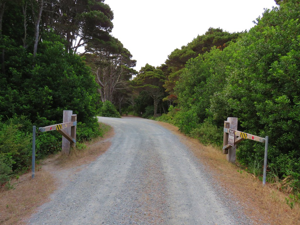
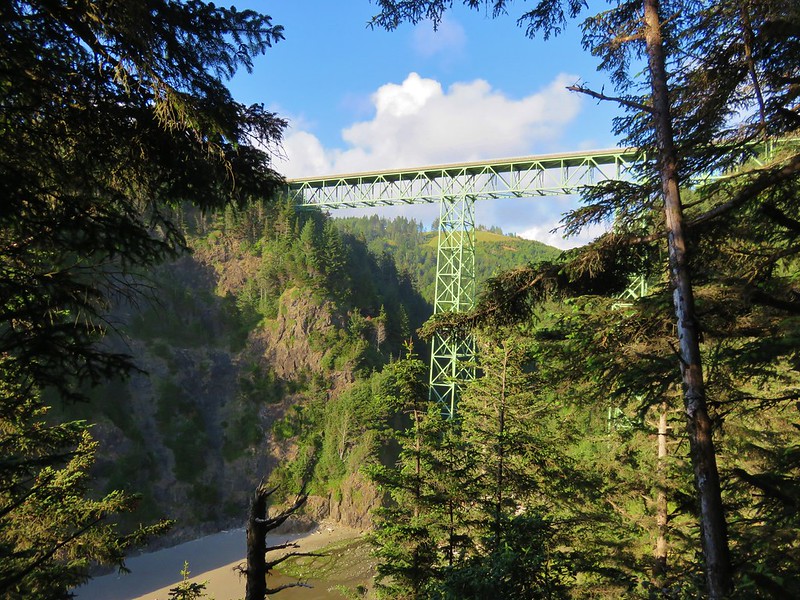
From the Interpretive Center we returned to Seven Devils Road and followed it north to Charleston were we turned left onto the Cape Arago Highway to Sunset Bay State Park, a total of 6.7 miles from the center. We parked at Sunset Bay Middle (there is a North, Middle, and South but we didn’t realize that before we parked) which added a tenth of a mile each way to our hike but we had a nice view of Sunset Beach and Bay.

We walked over to Sunset Bay South and picked up the Oregon Coast Trail at a bridge over Big Creek.


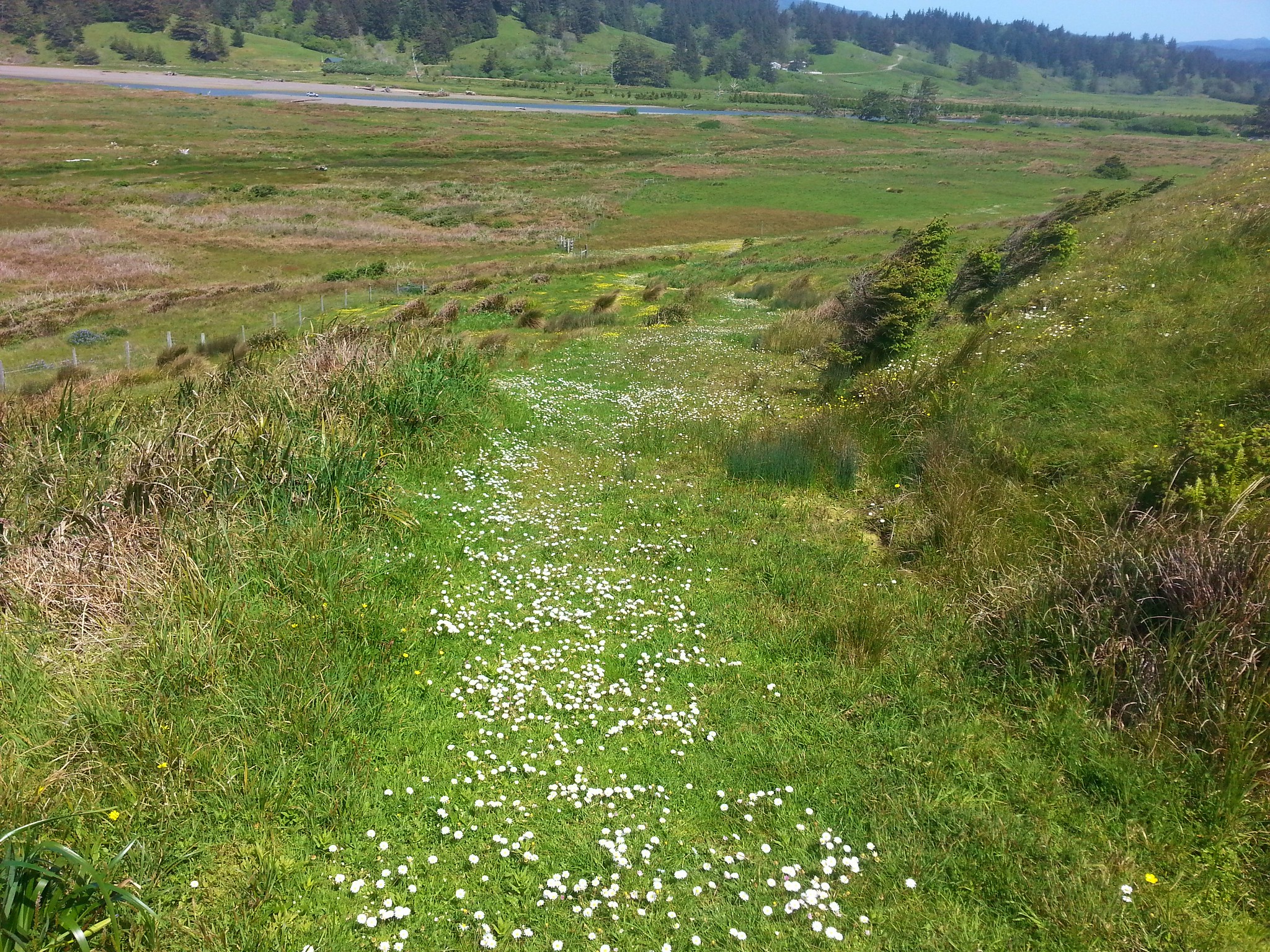
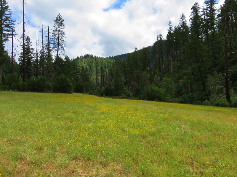
The trail climbed to the top of the cliffs overlooking the Pacific as it looped around a large grass clearing that in non-pandemic times acts as a group camp.

>

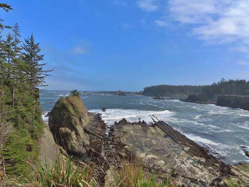
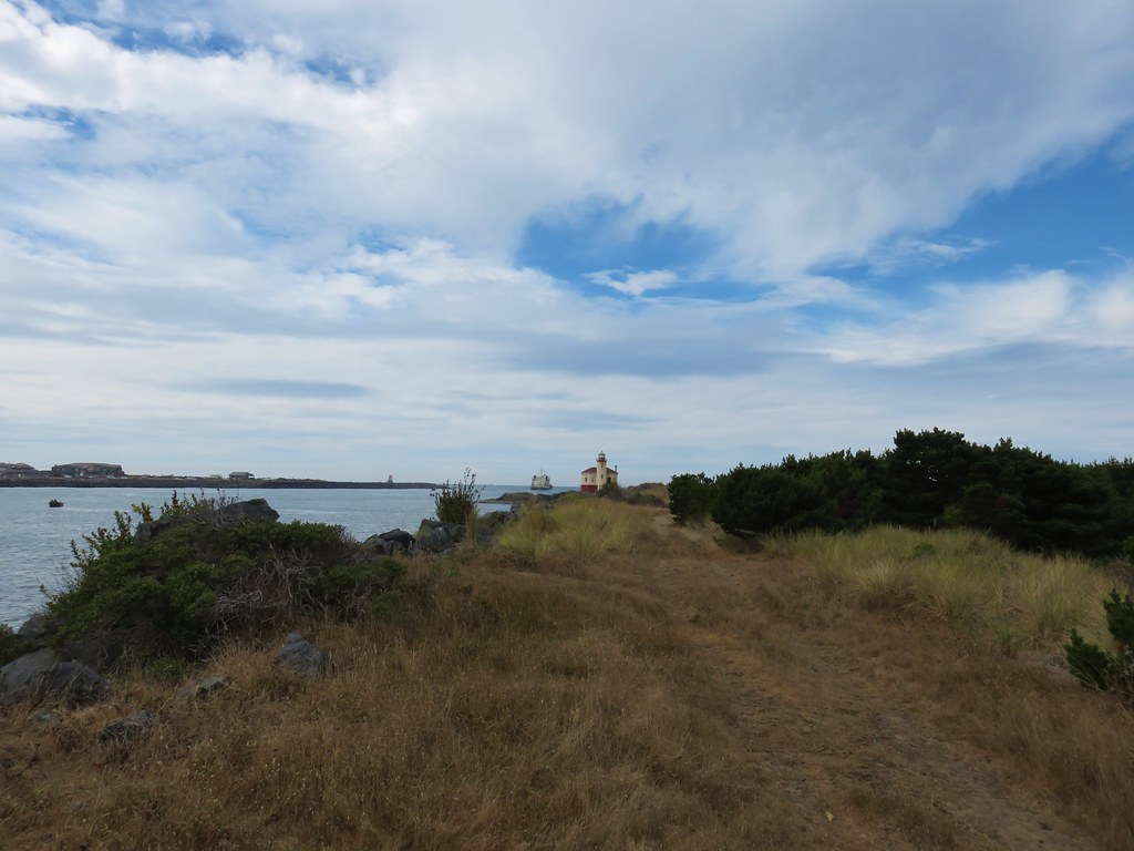
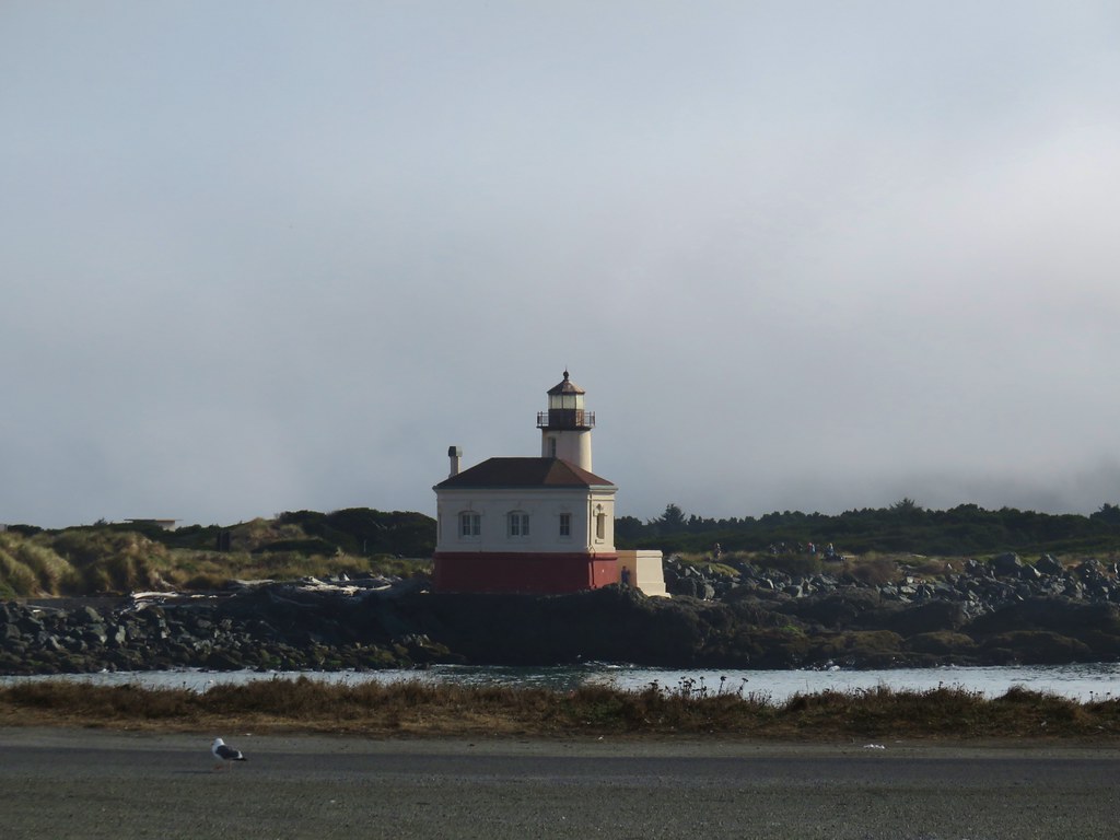
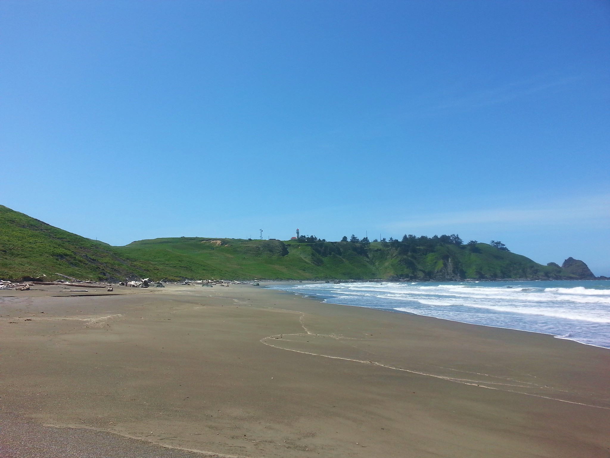
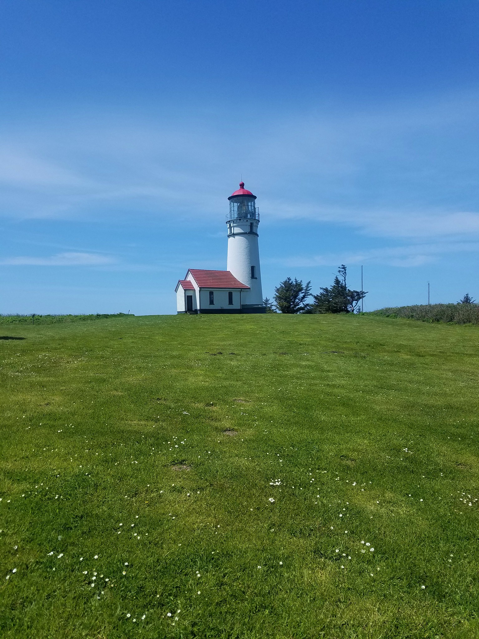
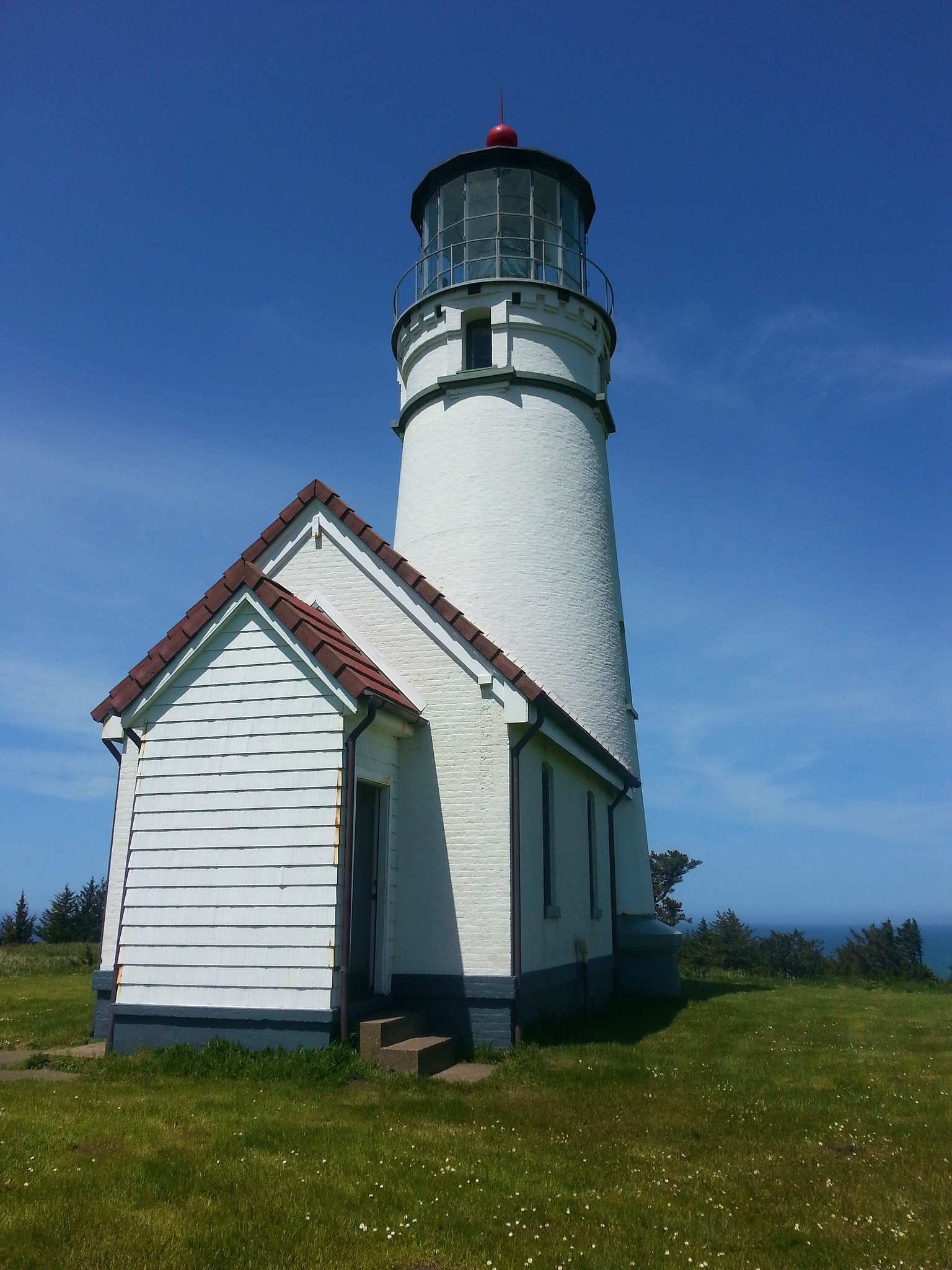
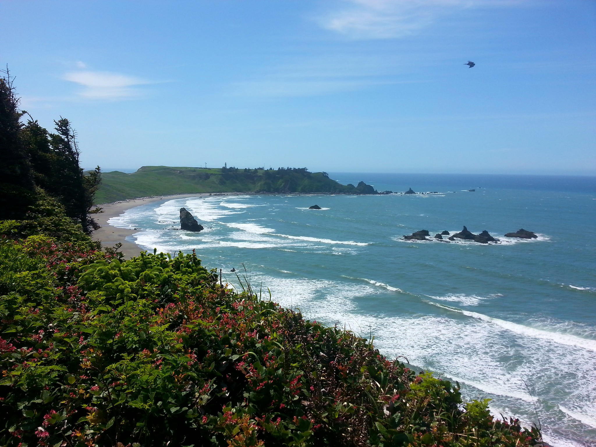
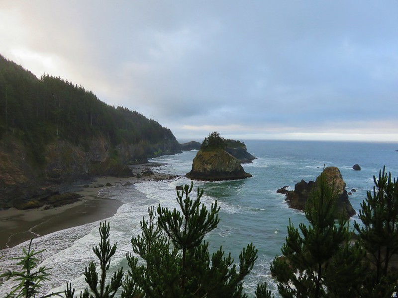
 Cape Arago Lighthouse (not on Cape Arago) on Chiefs Island.

 Salal
Salal
 The group campsite.
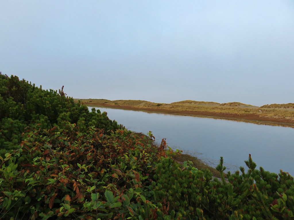
We followed pointers for the Oregon Coast Trail which briefly followed the shoulder of Cape Arago Highway as it passed Norton Gulch.


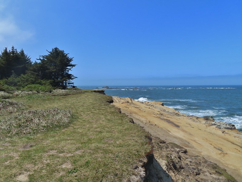
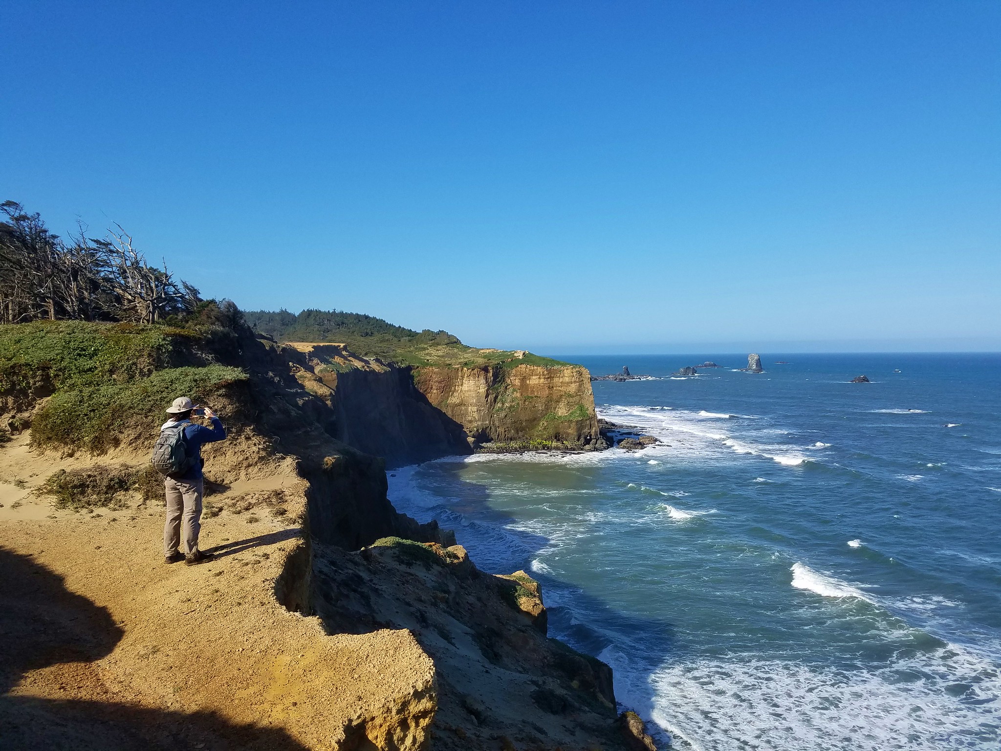
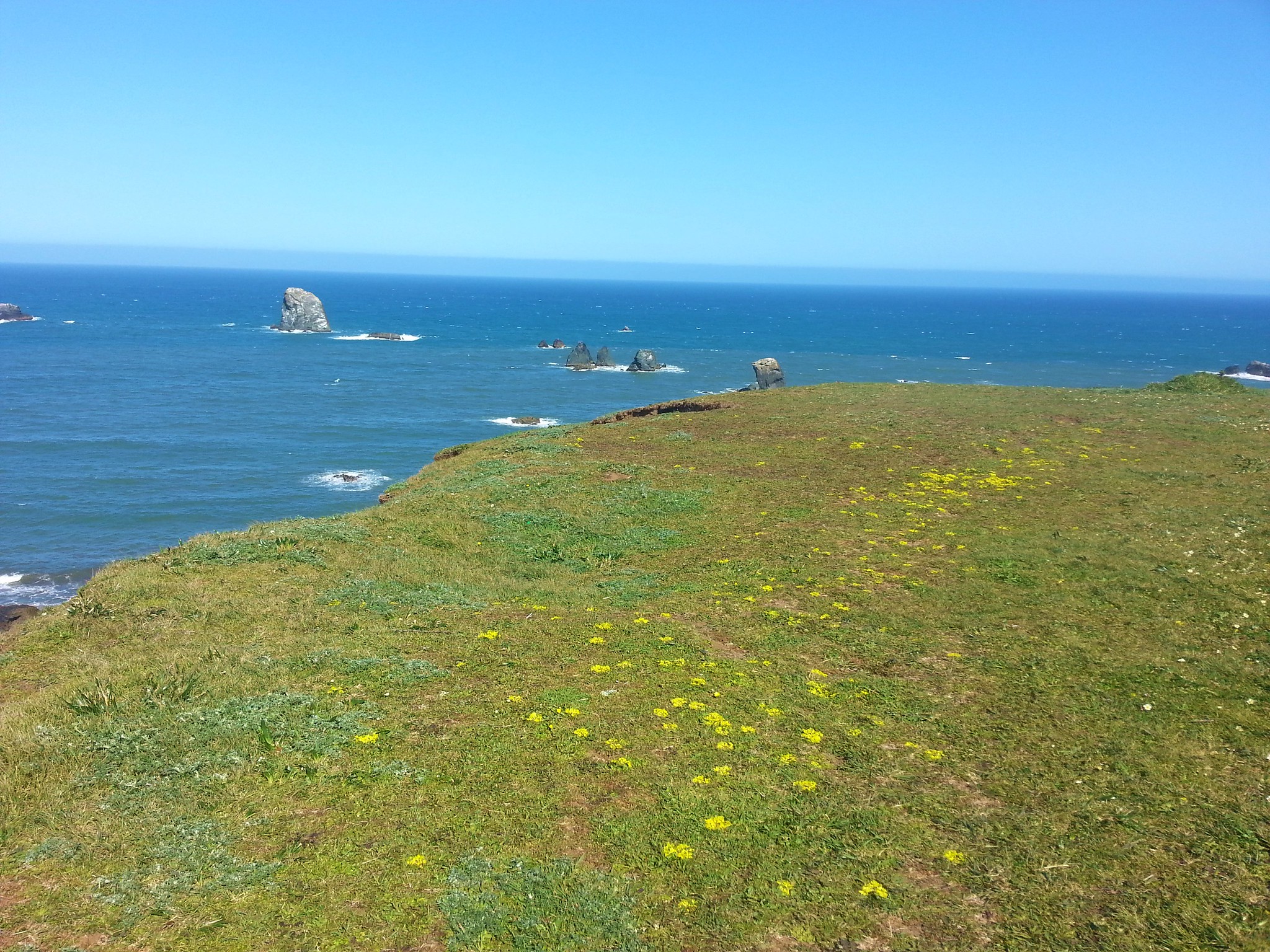
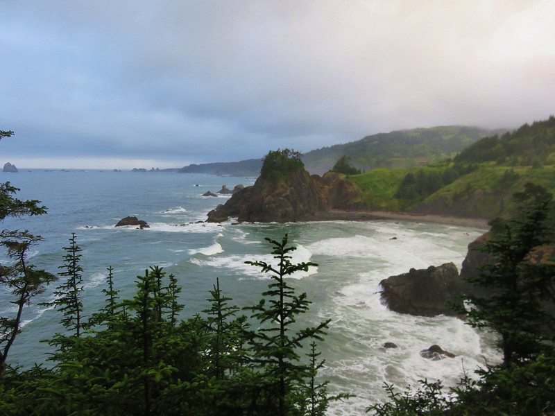
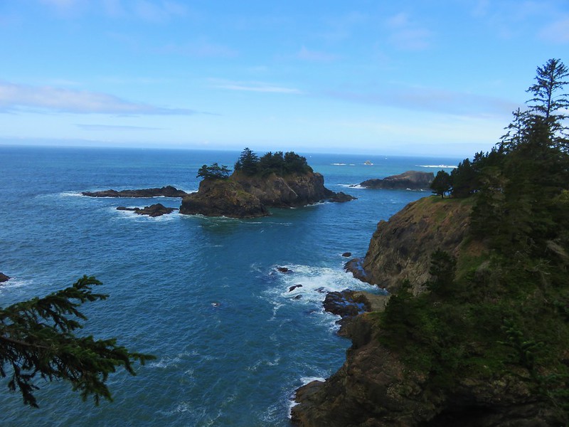
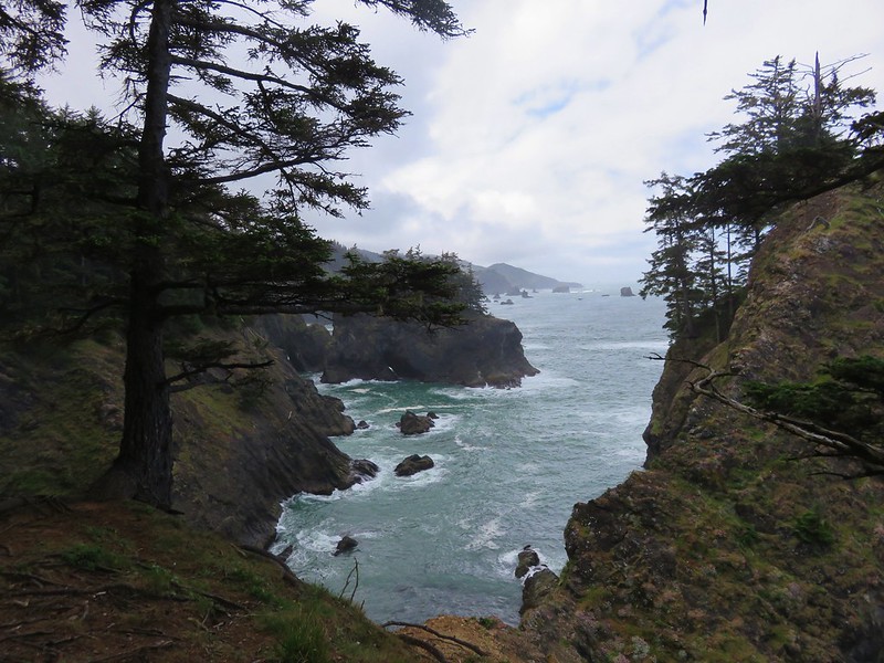
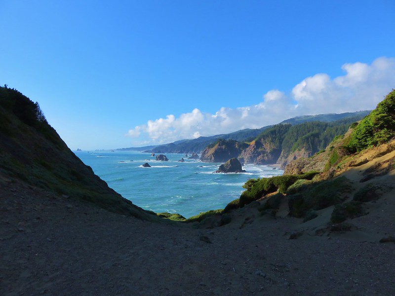
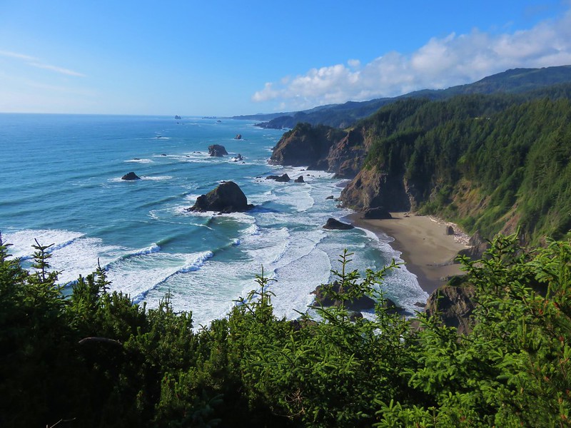
On the far side of the gulch the trail veered away from the highway and by staying right at junctions soon got back to the cliffs above the ocean providing some excellent views.


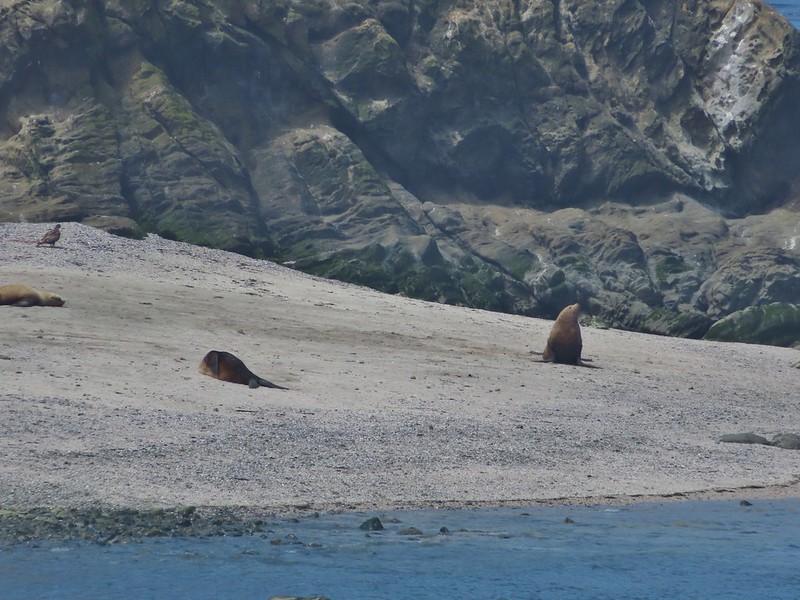
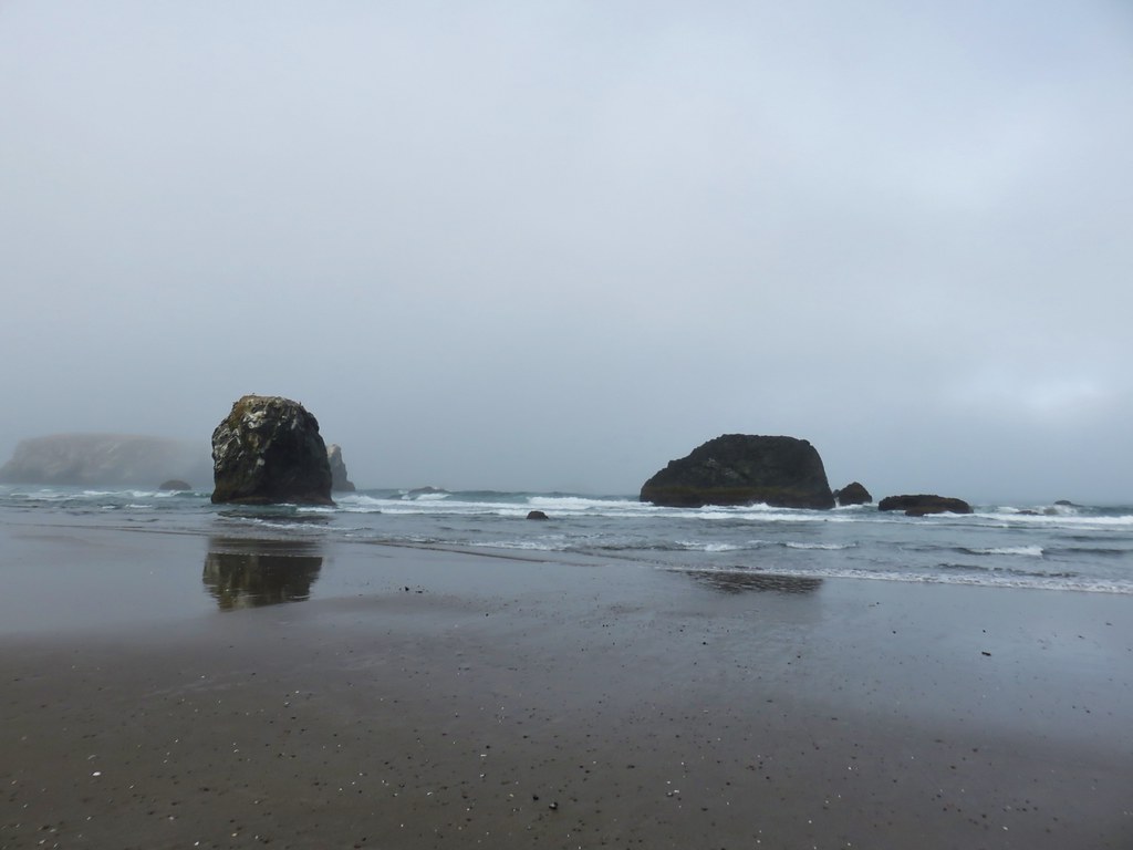
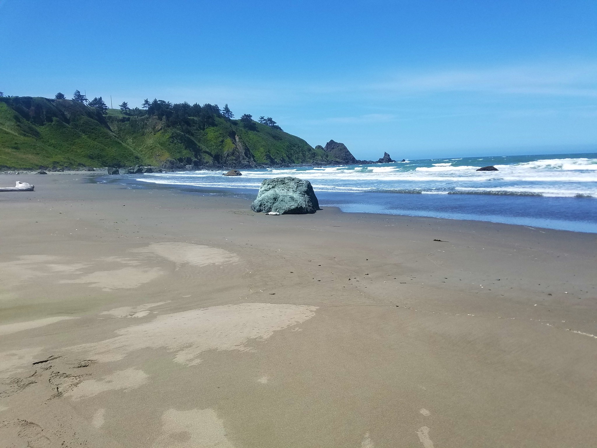
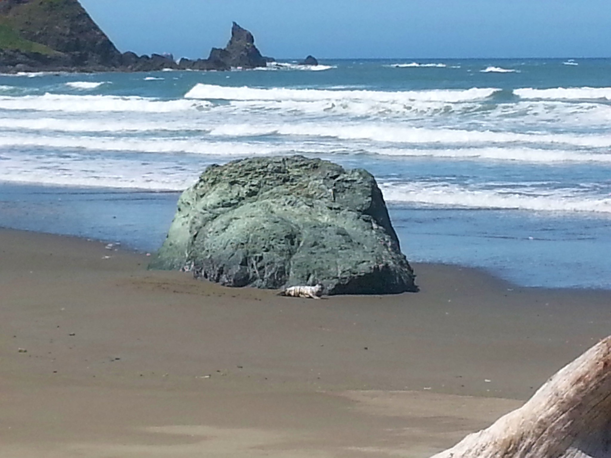
A long pause in our hike came when we stopped to watch some harbor seals on the rocks below us.
 Harbor seals in the lower right hand corner on the rocks.
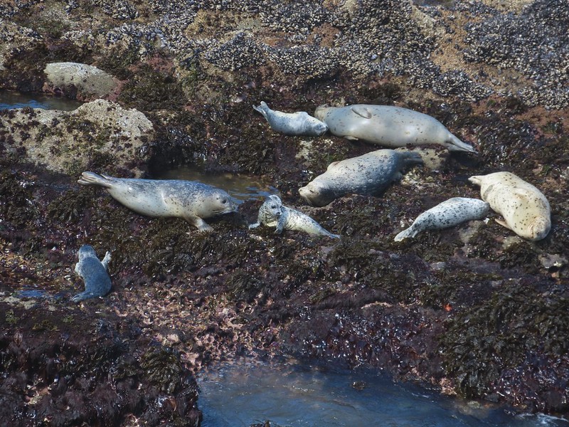
Drama was unfolding in front of us as one pup repeatedly attempted to follow its mother up onto the rocks only to slide back into the water. It finally found success and then back into the water they went. Apparently it was just a practice run.

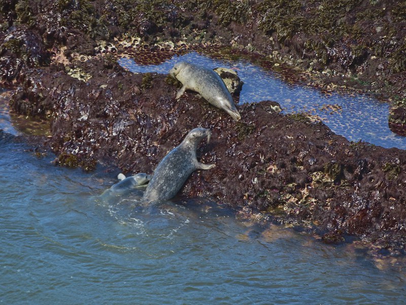
 Success!
After tearing ourselves away from the seal show we continued south along the cliffs.
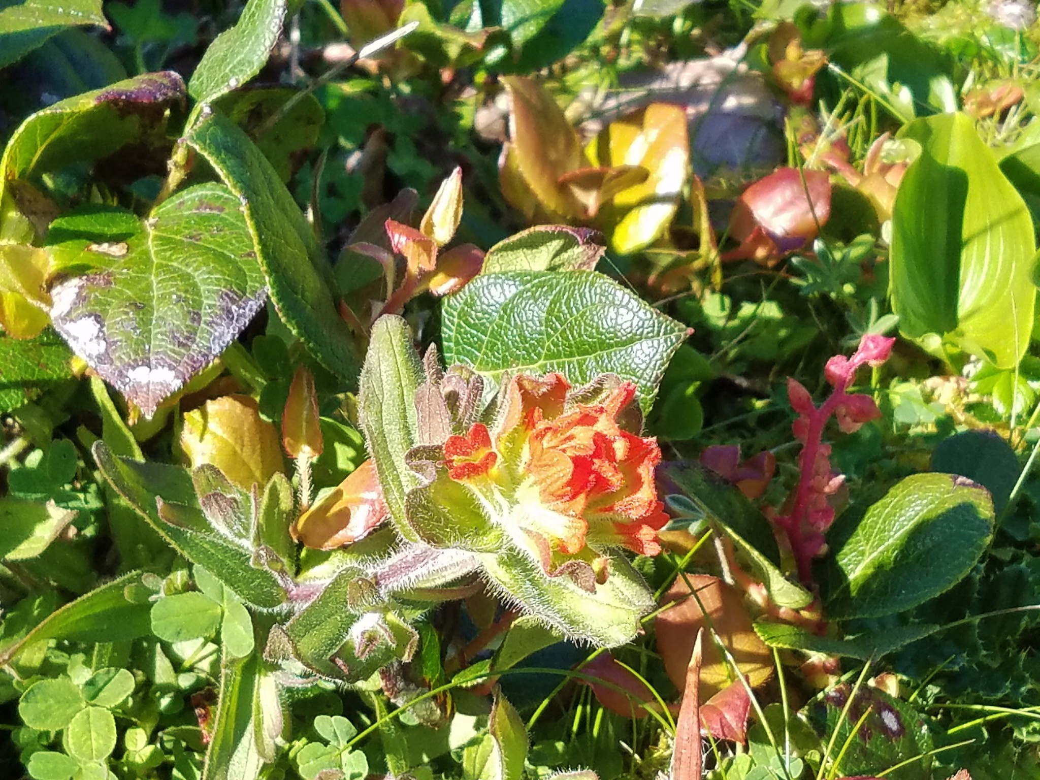
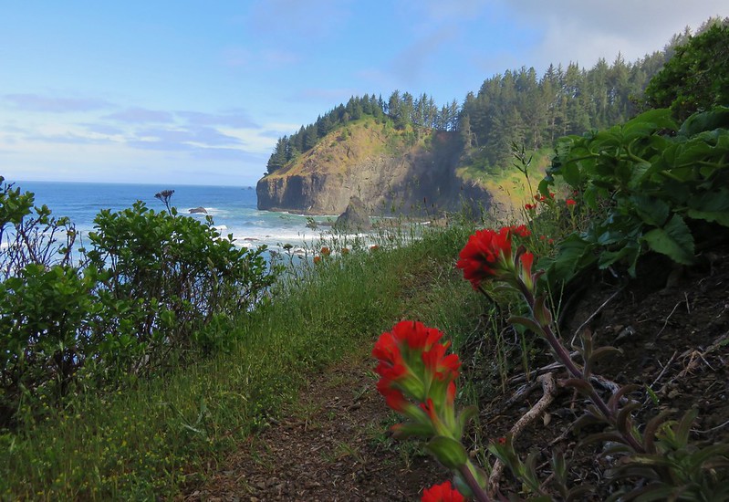
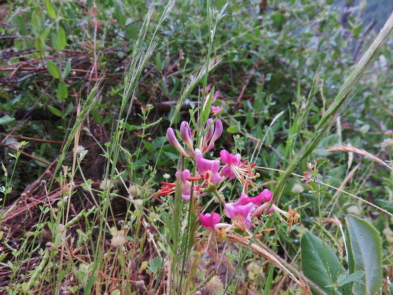
 Paintbrush
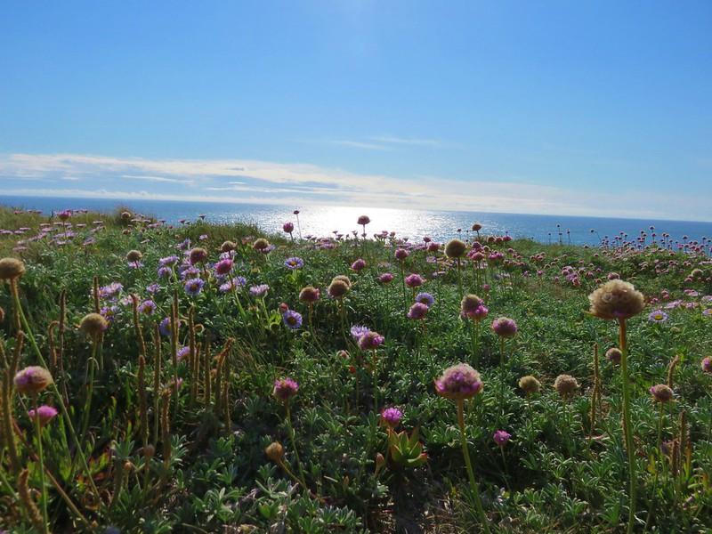
 Sea thrift
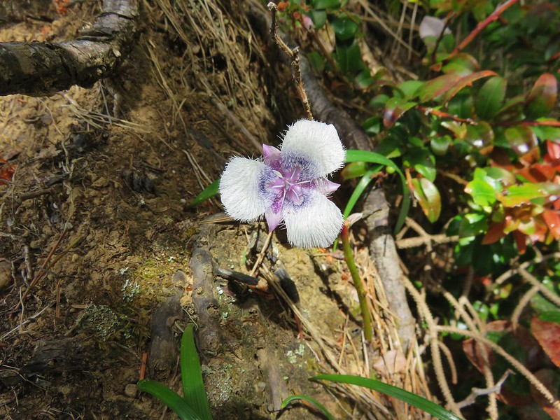
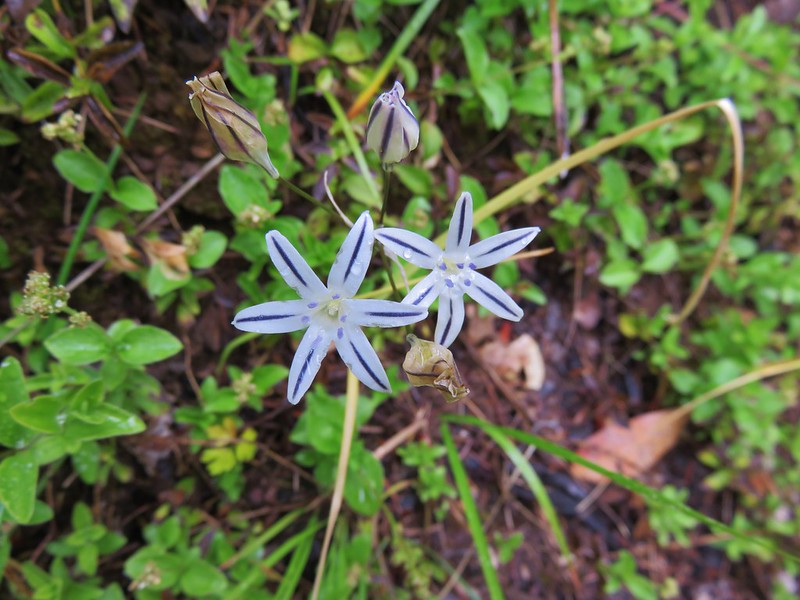
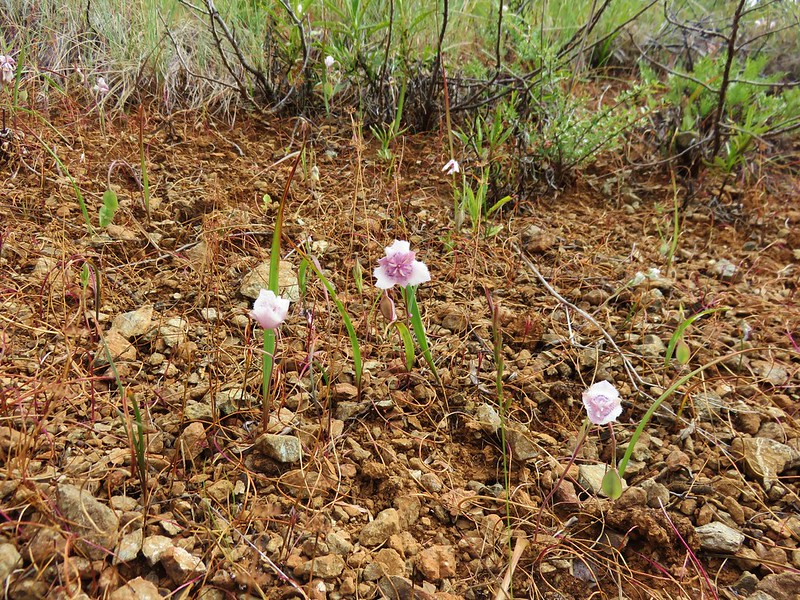
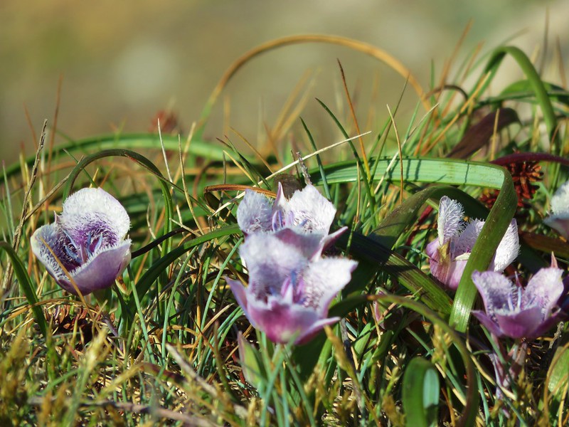
 Mariposa lilies
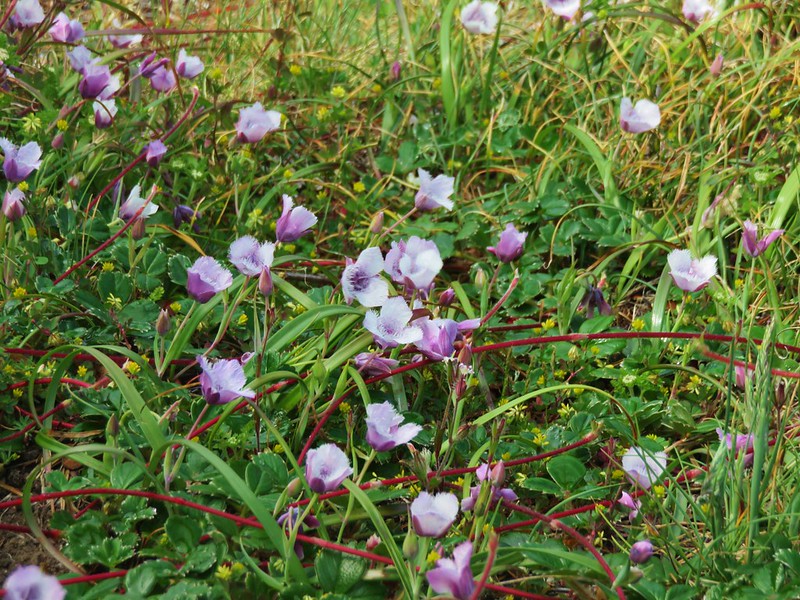
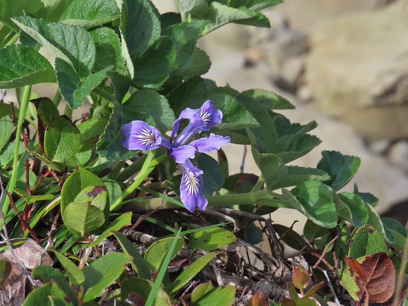 Iris
Iris
Just over two miles into the hike we came to the first noticeable remnants of the 1906 estate of timber baron Louis Simpson.
 Former tennis courts.
It was windy on the plateau and I couldn’t help but wonder how anyone could play tennis in the windy conditions that are often present on the coast.
 View near the tennis courts.
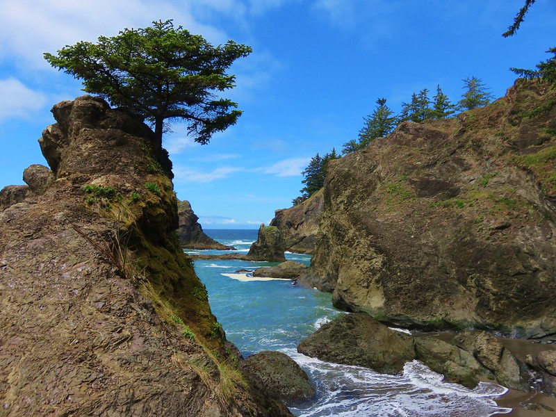
 These roots explain how some of the trees that look like they should be plunging into the ocean don’t.
 Observation Building ahead on the cliff.
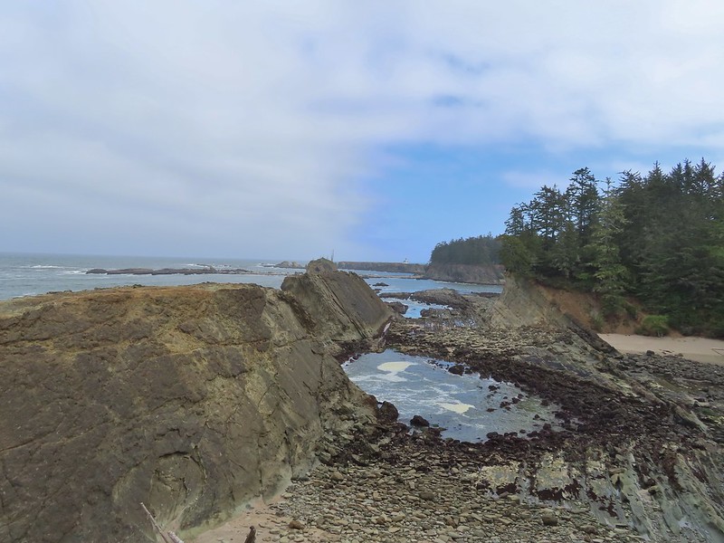
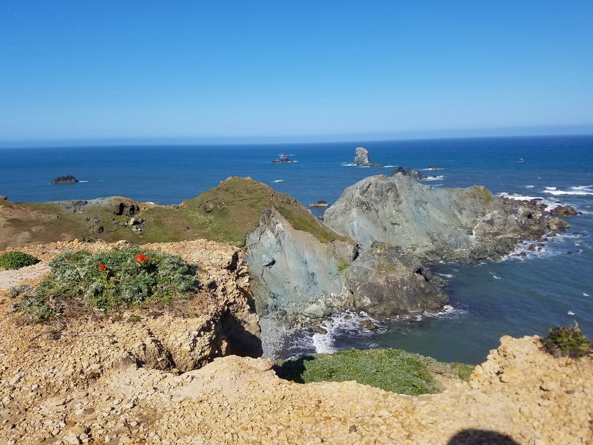
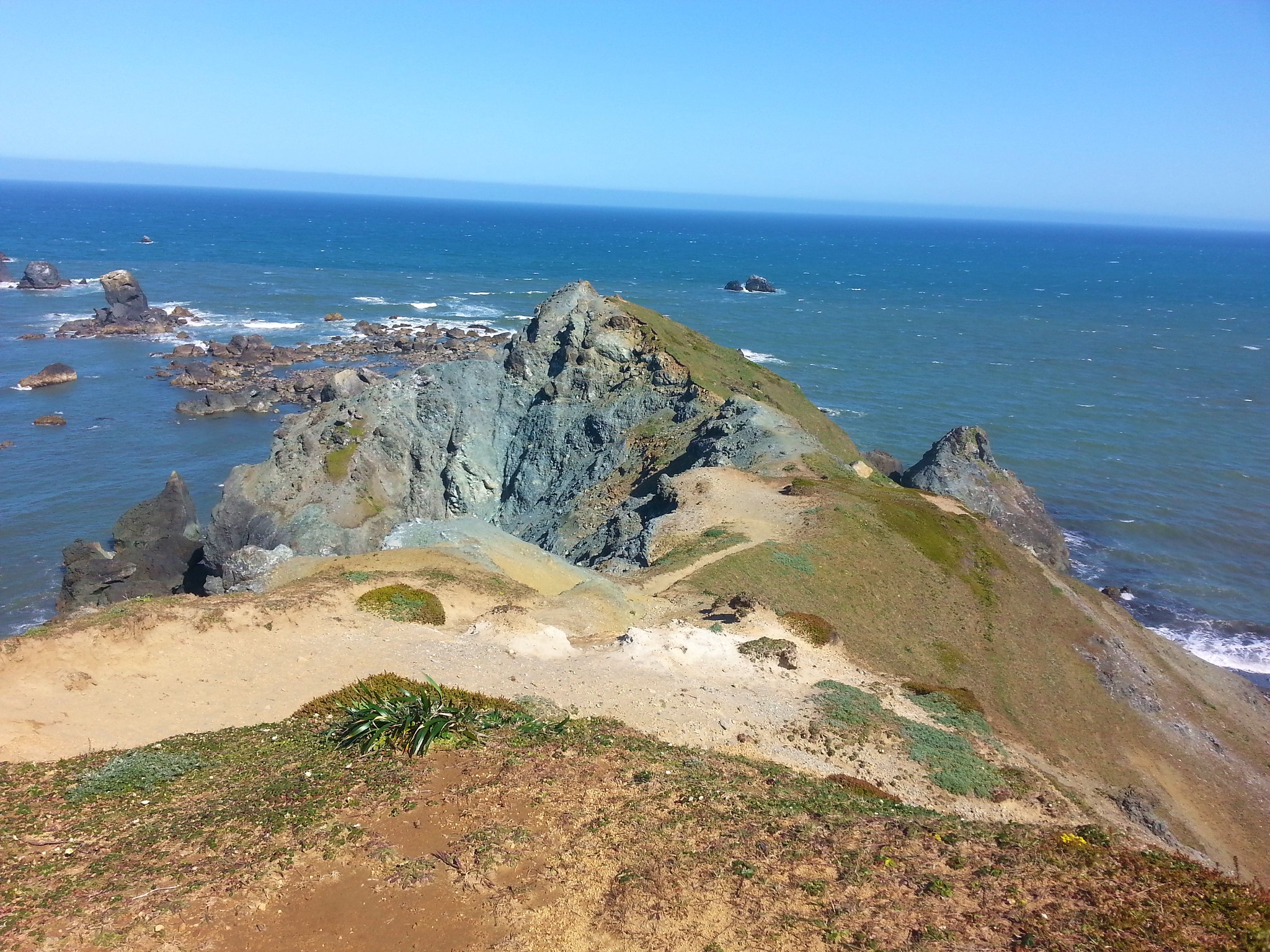
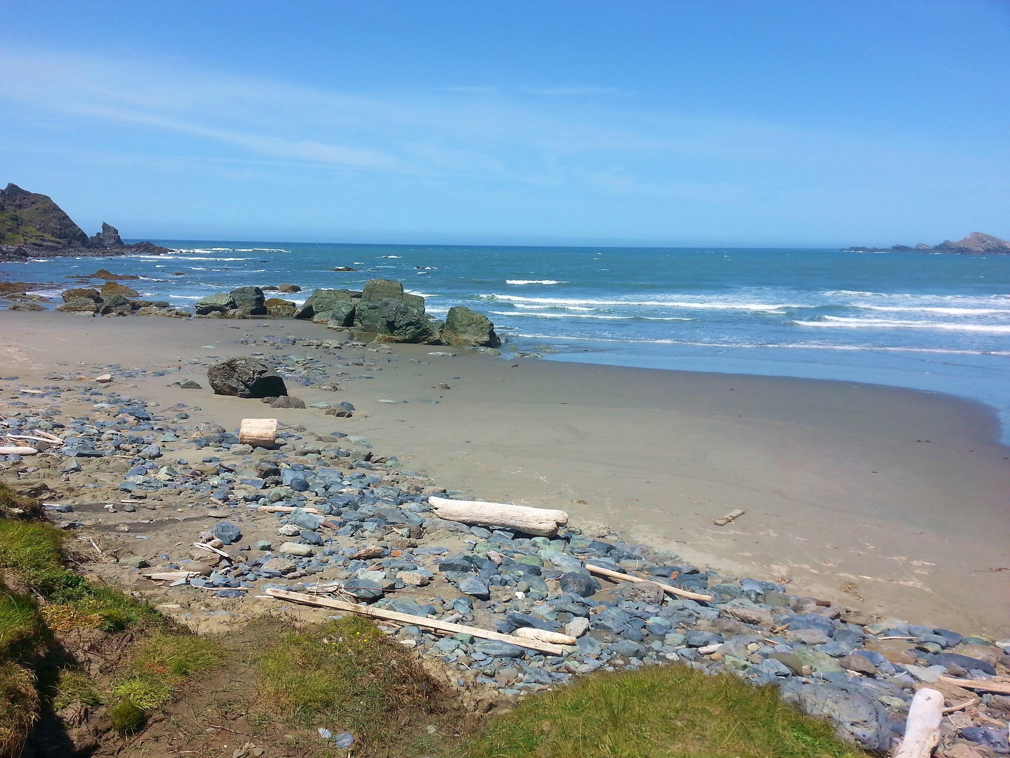
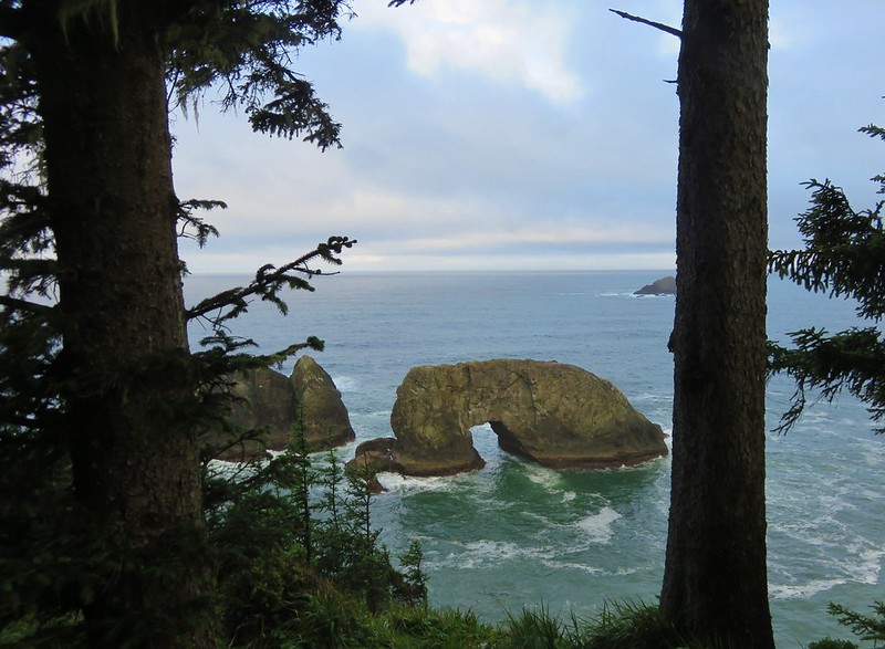
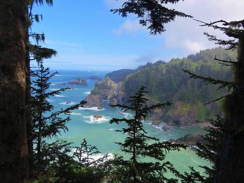
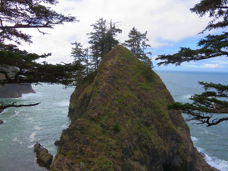
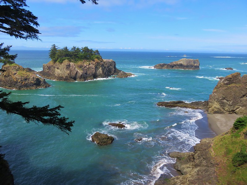
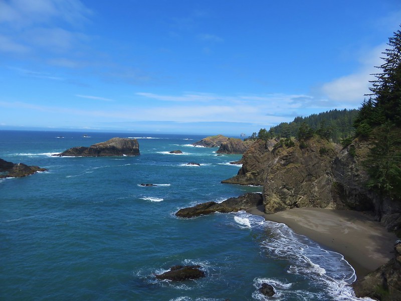
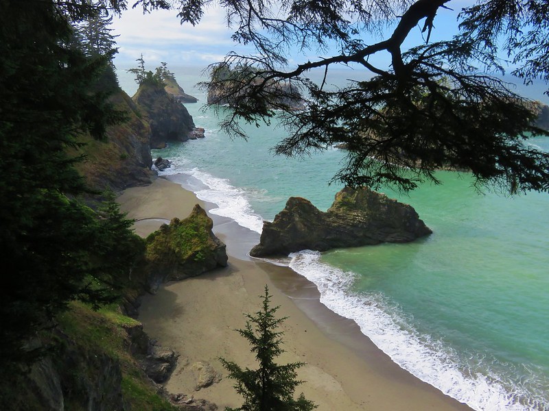
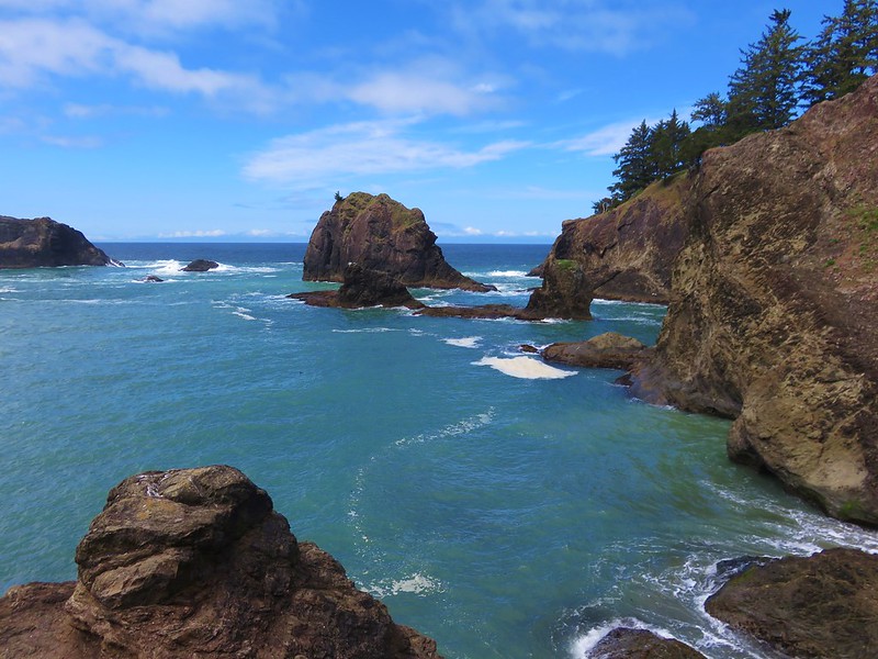
The rocks along the coastline here had been pounded and carved by the ocean into some interesting shapes and designs.


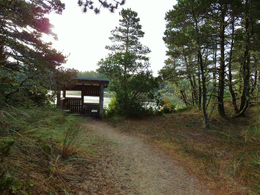
We walked past the Observation Building (closed due to COVID) to a viewpoint overlooking Simpson Cove.

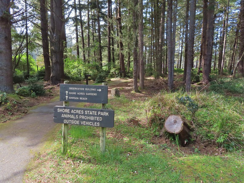
The Oregon Coast Trail dropped down to the cove before climbing again and continuing onto Cape Arago State Park but before we headed down we wanted to check out the Shore Acres Gardens which were open (limit of 75 persons at a time).


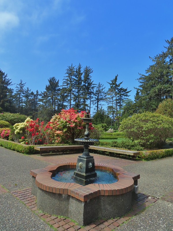
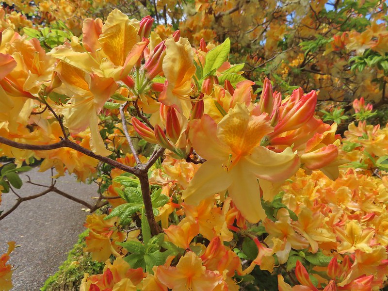
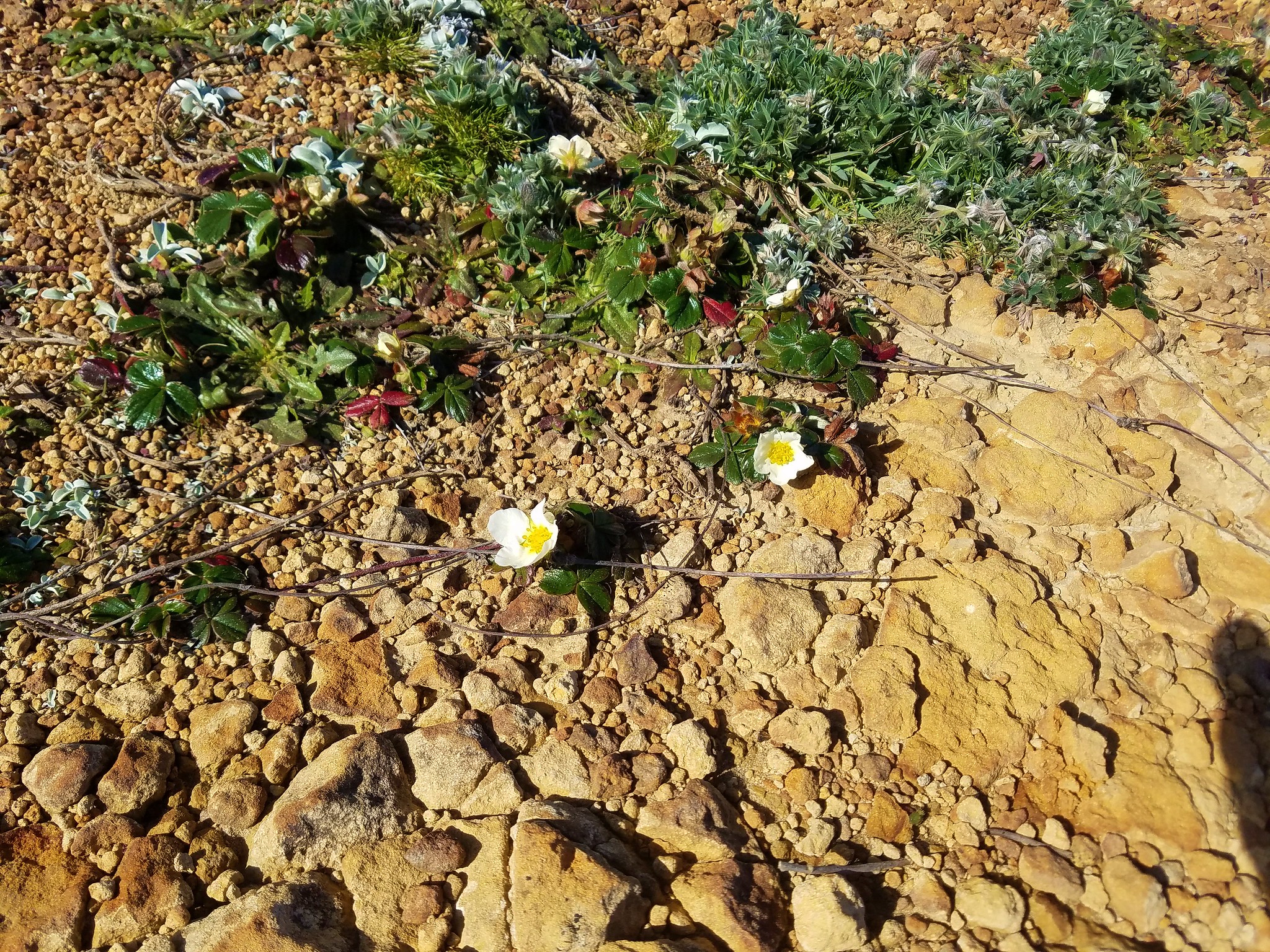
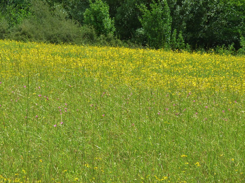
It was a little early yet for many of the flowers, especially the rose garden, but there was still a lot to see. The most impressive specimens to us were a plant and tree from South America.


>


 Prickly Rhubarb from Chile


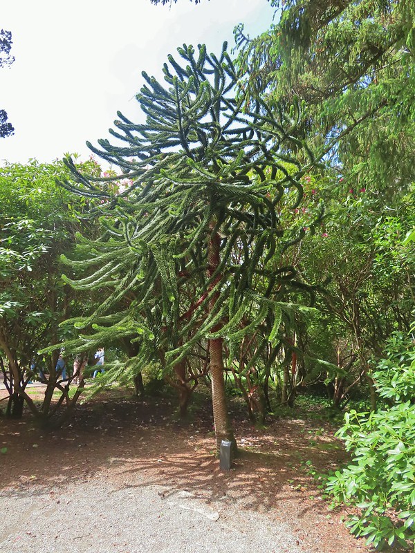 Monkey Puzzle Tree from South America
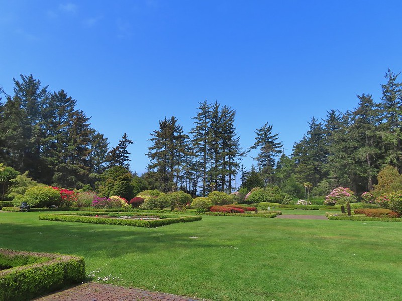
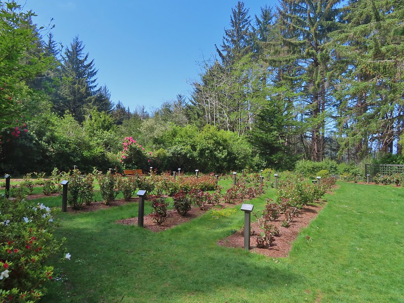 The yet to bloom rose garden.
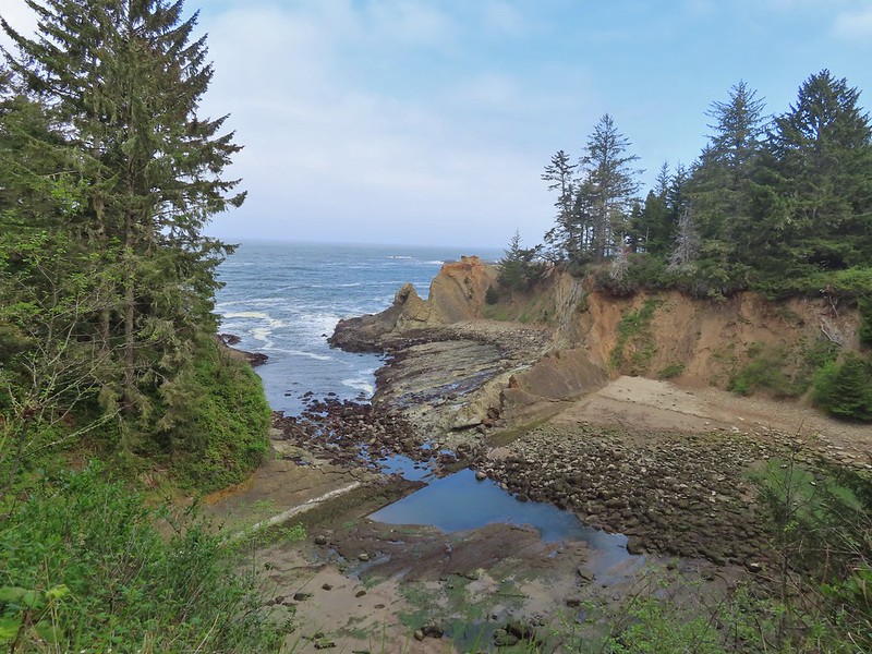
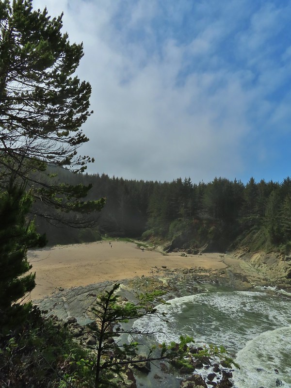
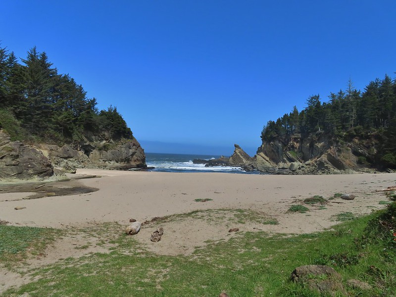
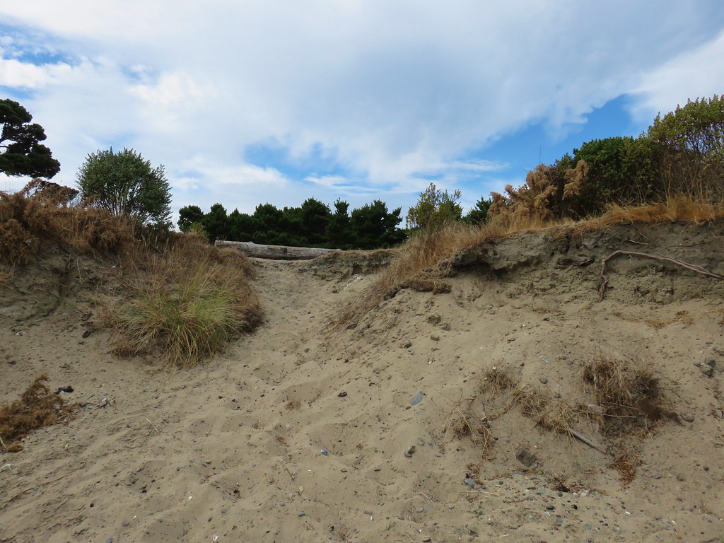
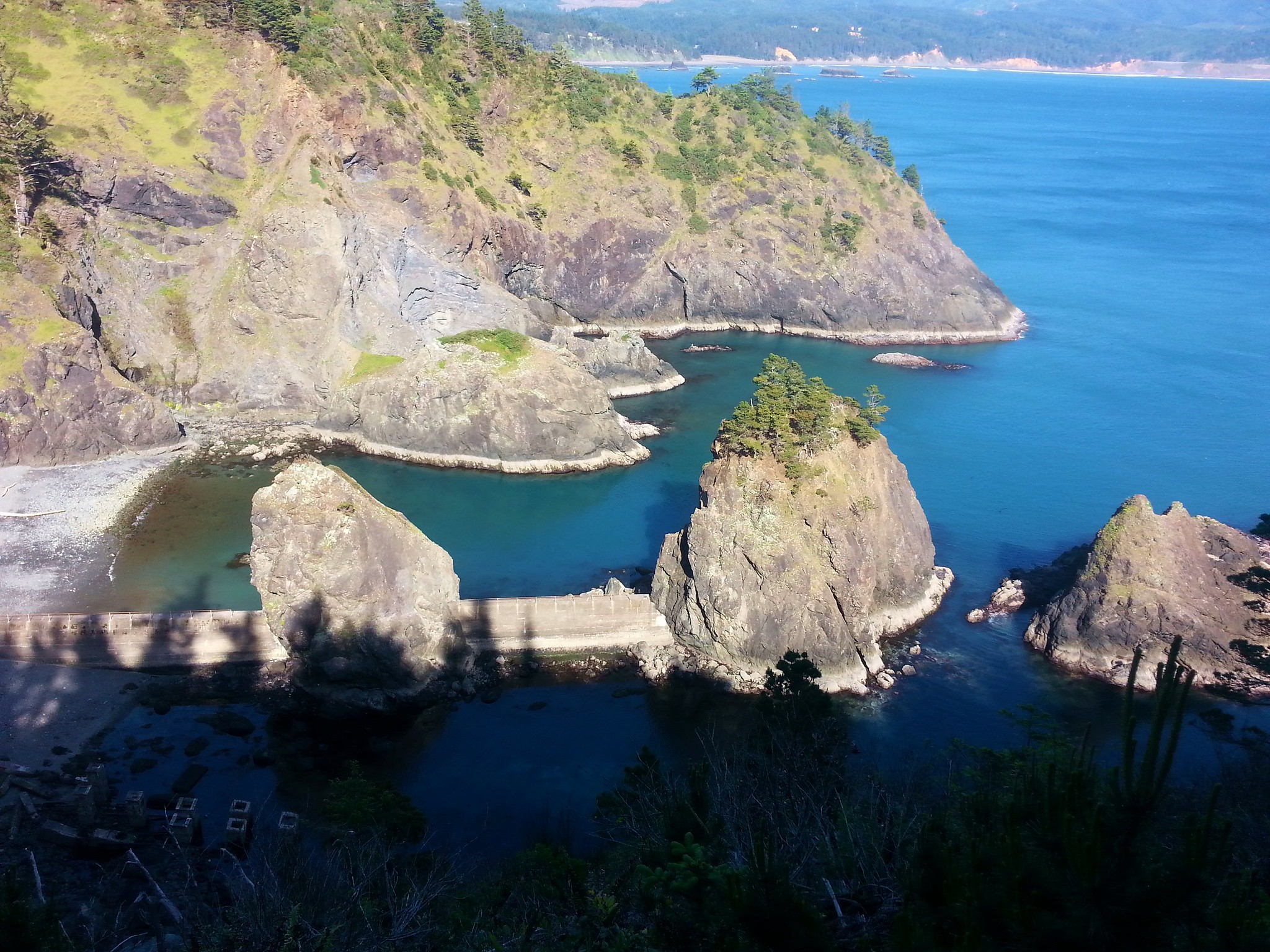
After winding our way through the gardens we returned to the Oregon Coast Trail and followed it down to Simpson Beach.

After climbing up from the beach we came to an unsigned junction where we turned right continuing to follow the cliff south for .9 miles to an overlook along the Cape Arago Highway of Simpson Reef.

 Looking back across Simpson Cove to the Observation Building.
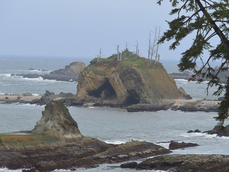
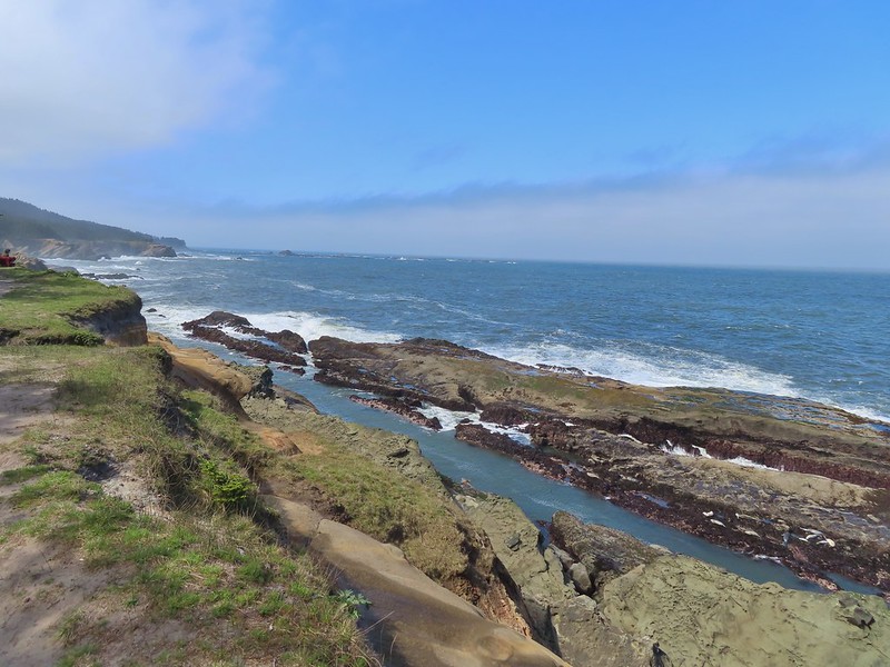
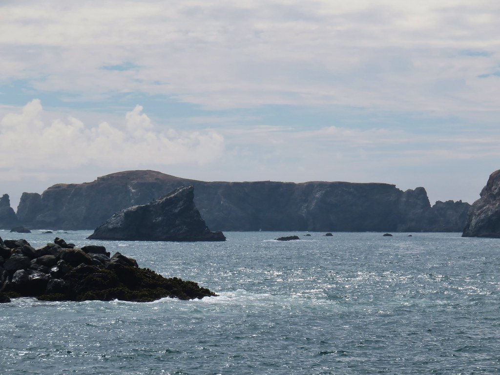
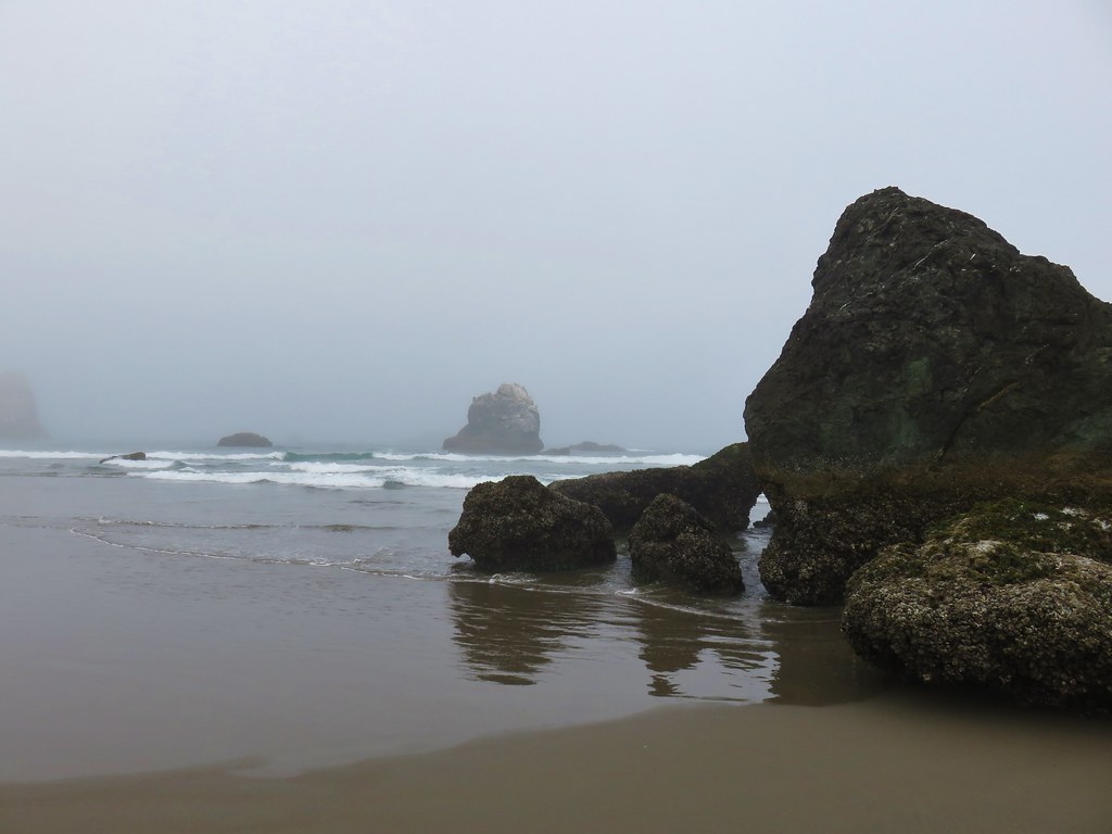
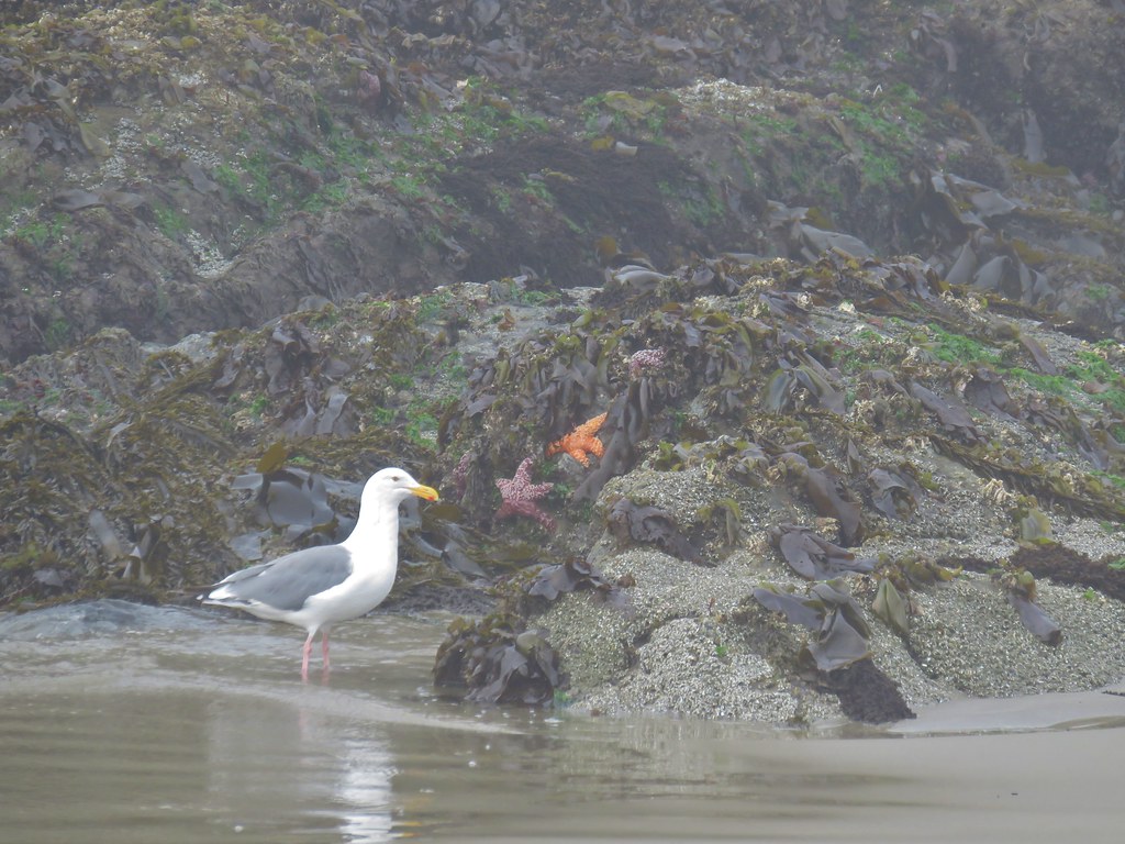
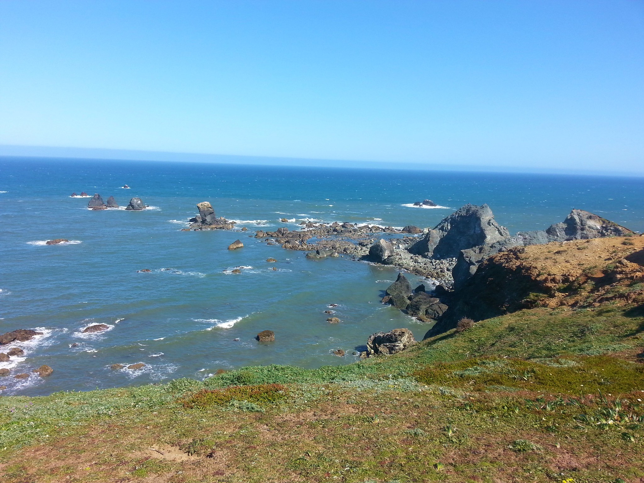
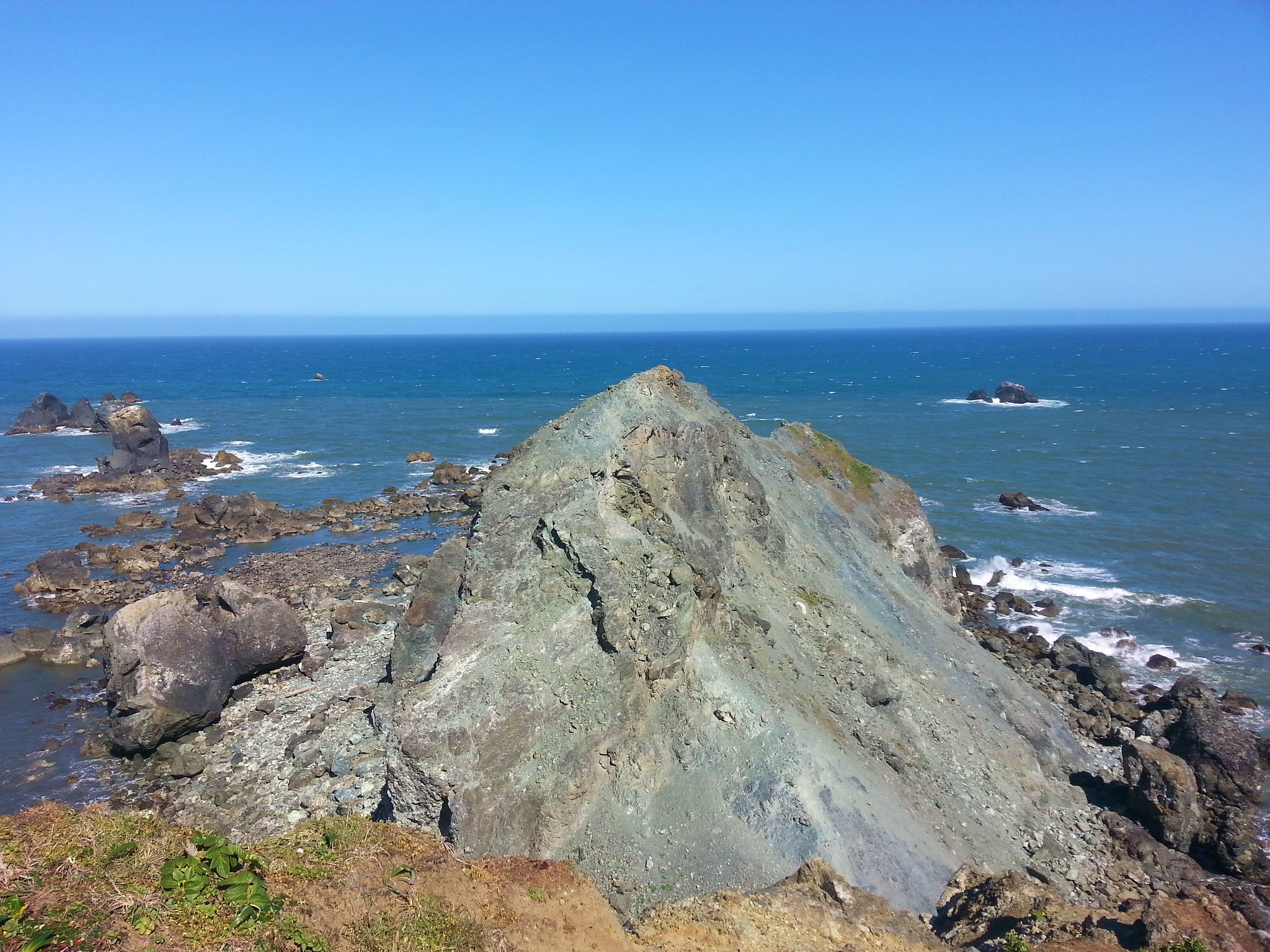
 Simpson Reef extending into the Pacific.

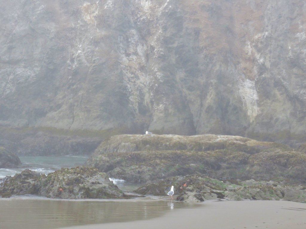
There was a lot of action going on out on the reef, in particular on Shell Island where sea lions barked and eagles engaged in aerial combat.
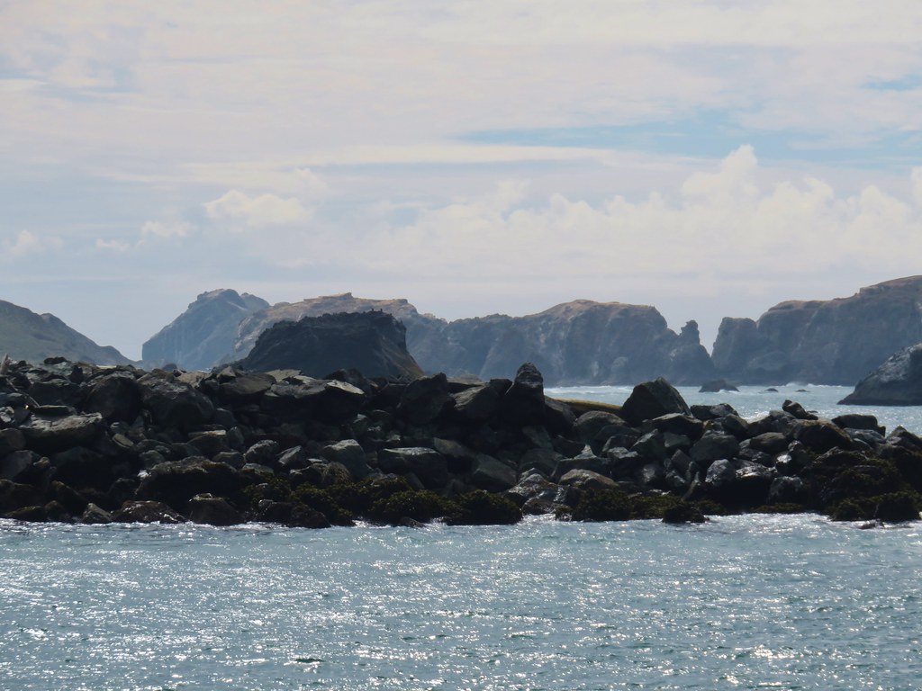
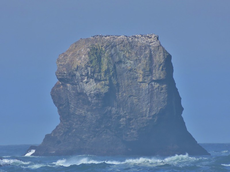
 Shell Island in the middle of Simpson Reef.
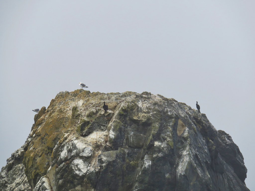
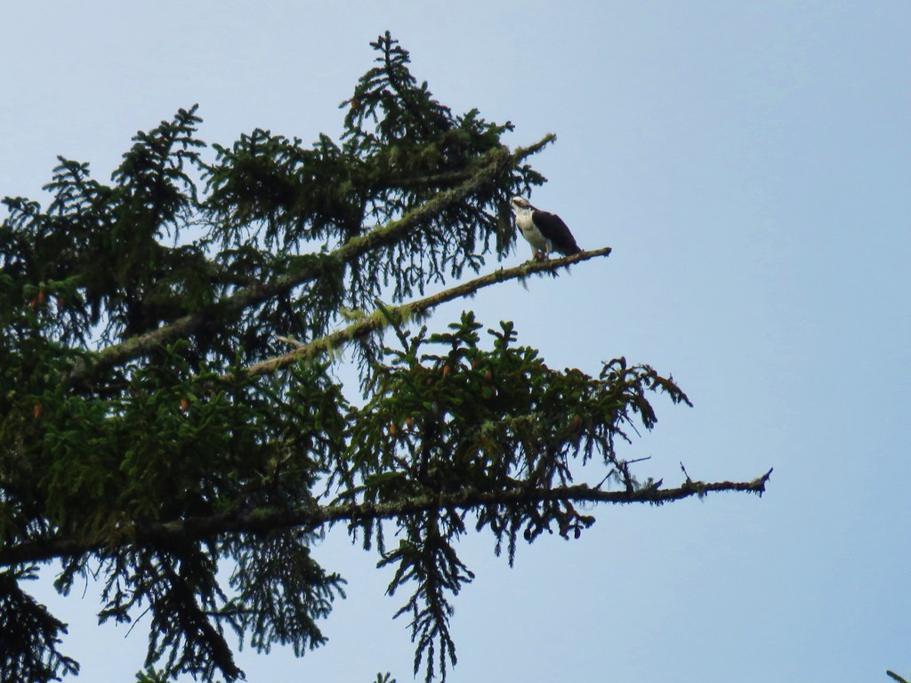
 Sea lions and juvenile bald eagles on Shell Island.


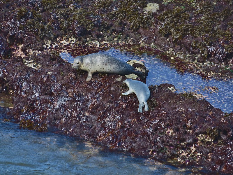
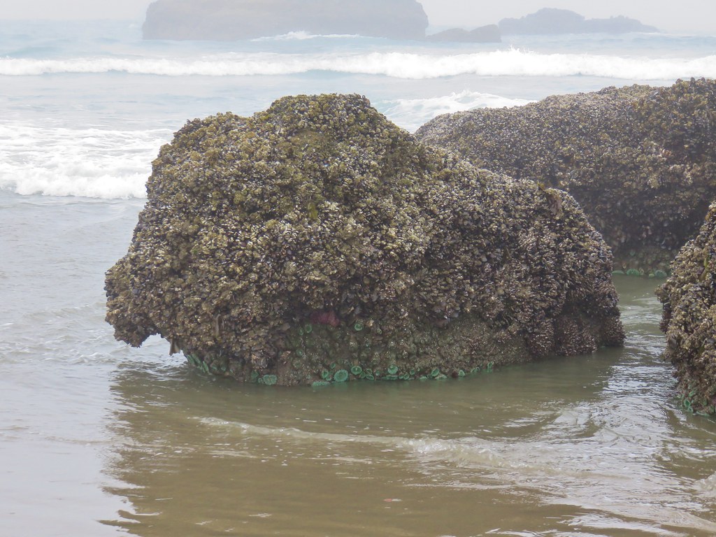
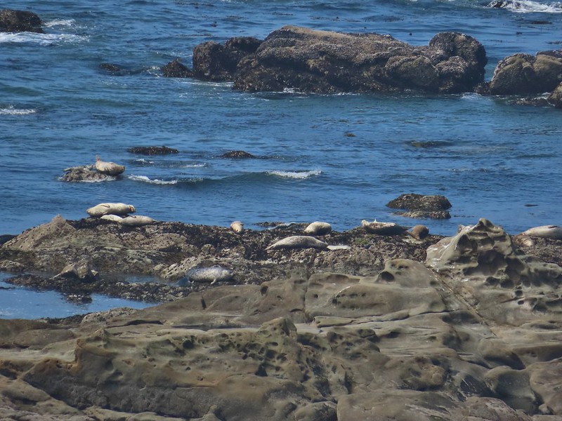 Harbor seals on the reef.
After watching the action for awhile we continued on our trek by crossing the Highway onto a hiking trail marked by a post.


 Coltsfoot
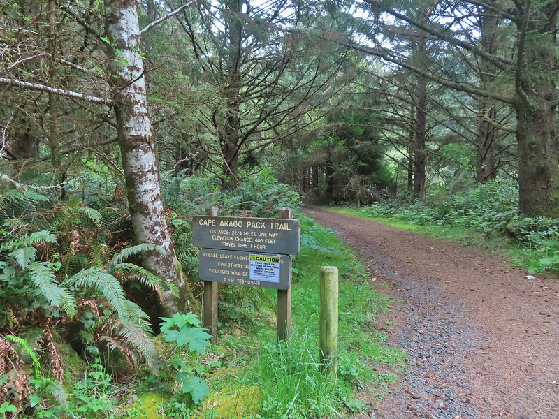
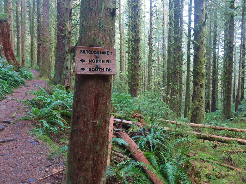
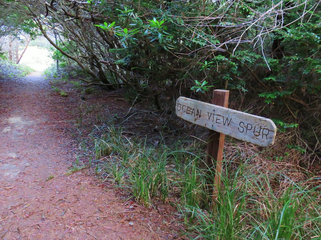
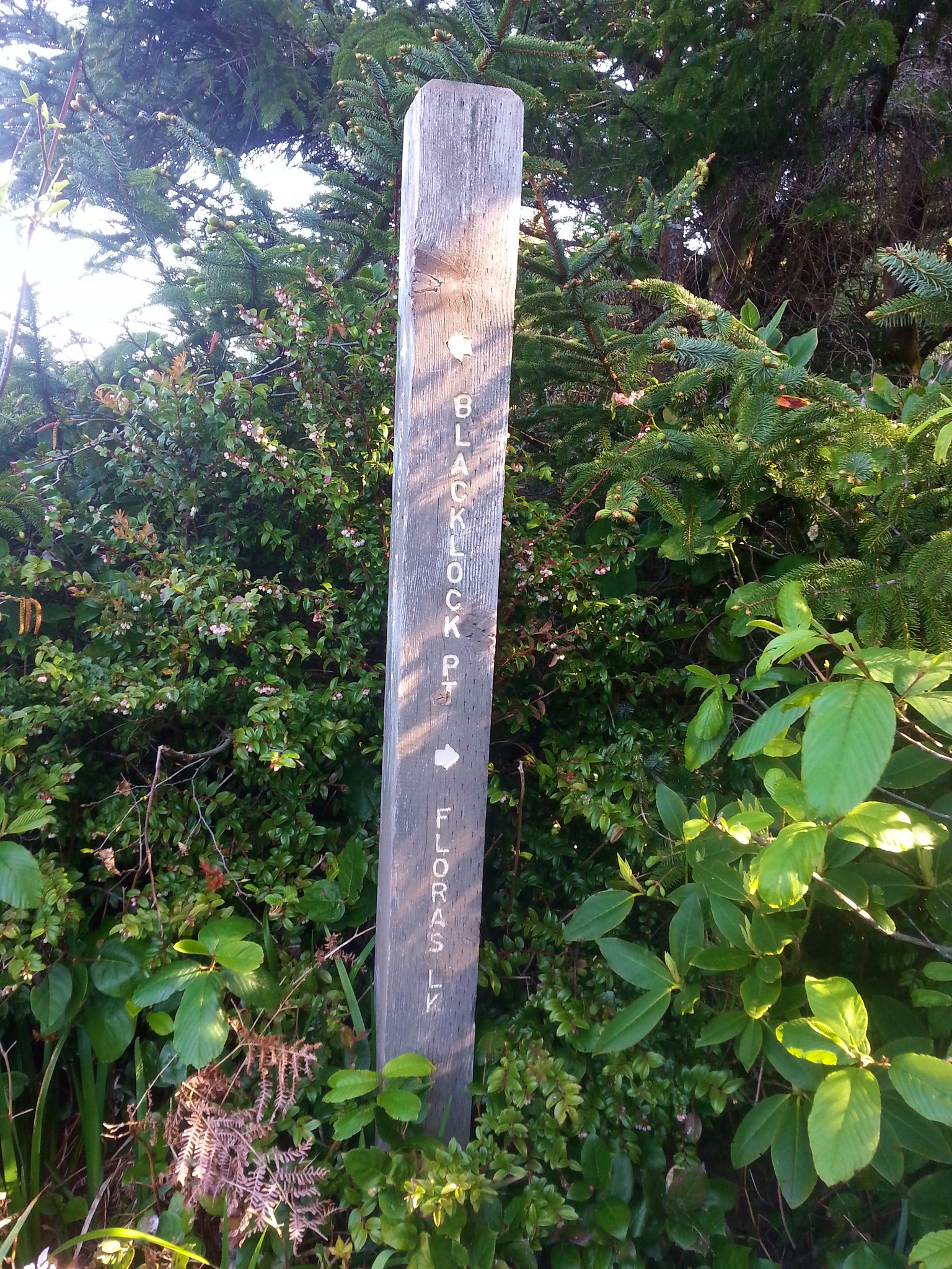
After a half mile on this trail we arrived at the Cape Arago Pack Trail.
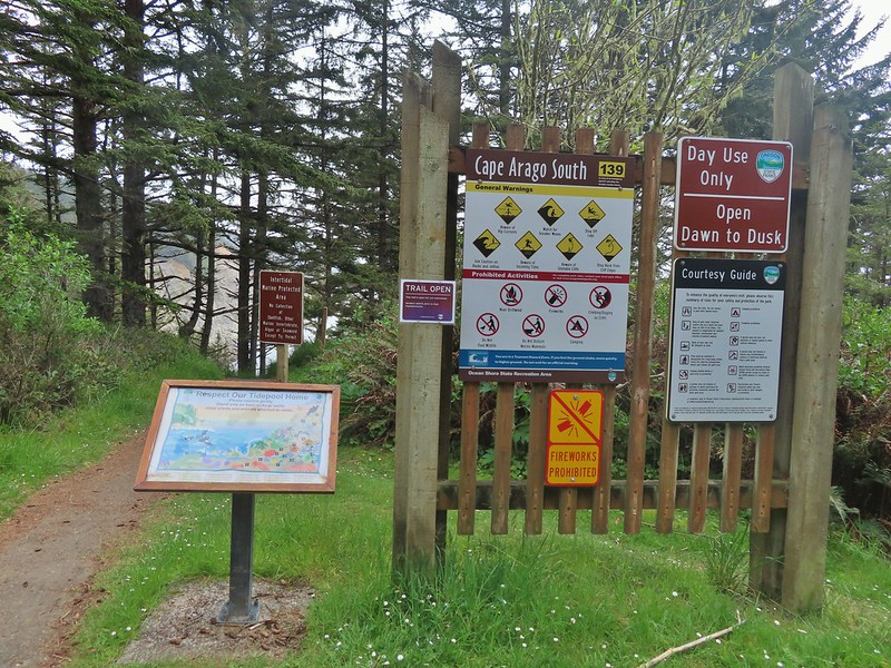
Left would loop us back to Shore Acres State Park while heading right would drop us into the main part of Cape Arago State Park. We turned right to check out more of the park and popped out near the South Cove of Cape Arago.
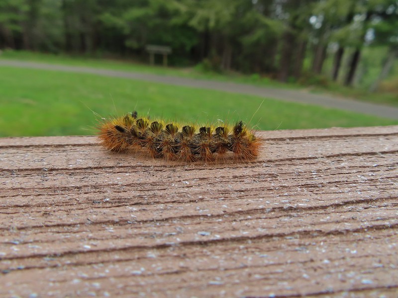
 Woolly bear caterpillar
 Looking back up the Pack Trail.
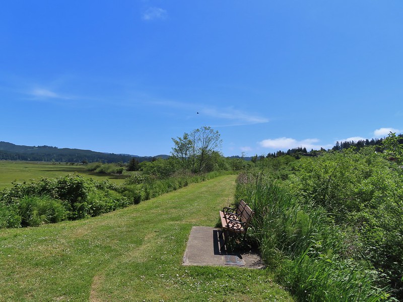
A short trail led down to the beach in the South Cove (and possible tidepools) but we were starting to feel the effects of 3 straight days of hiking and having to climb back up from the cove just didn’t sound appealing so we opted to take a break at bench overlooking the cove in a picnic area.

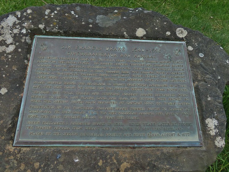 Plaque near the bench commermorating Sir Frances Drake’s visit to the area in 1579.
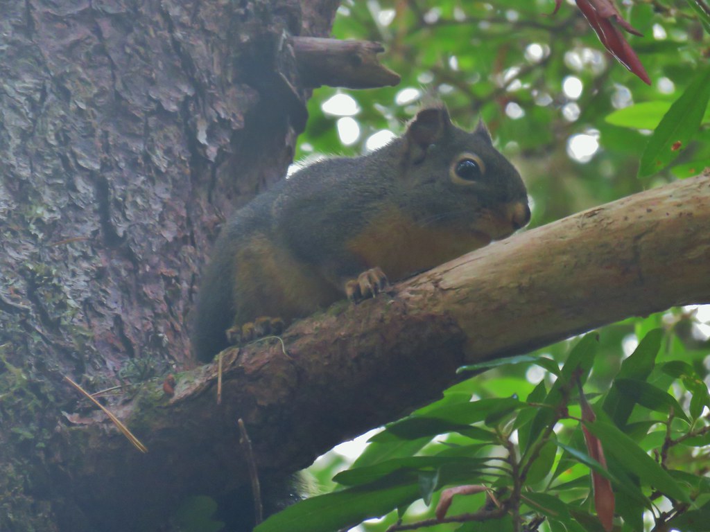
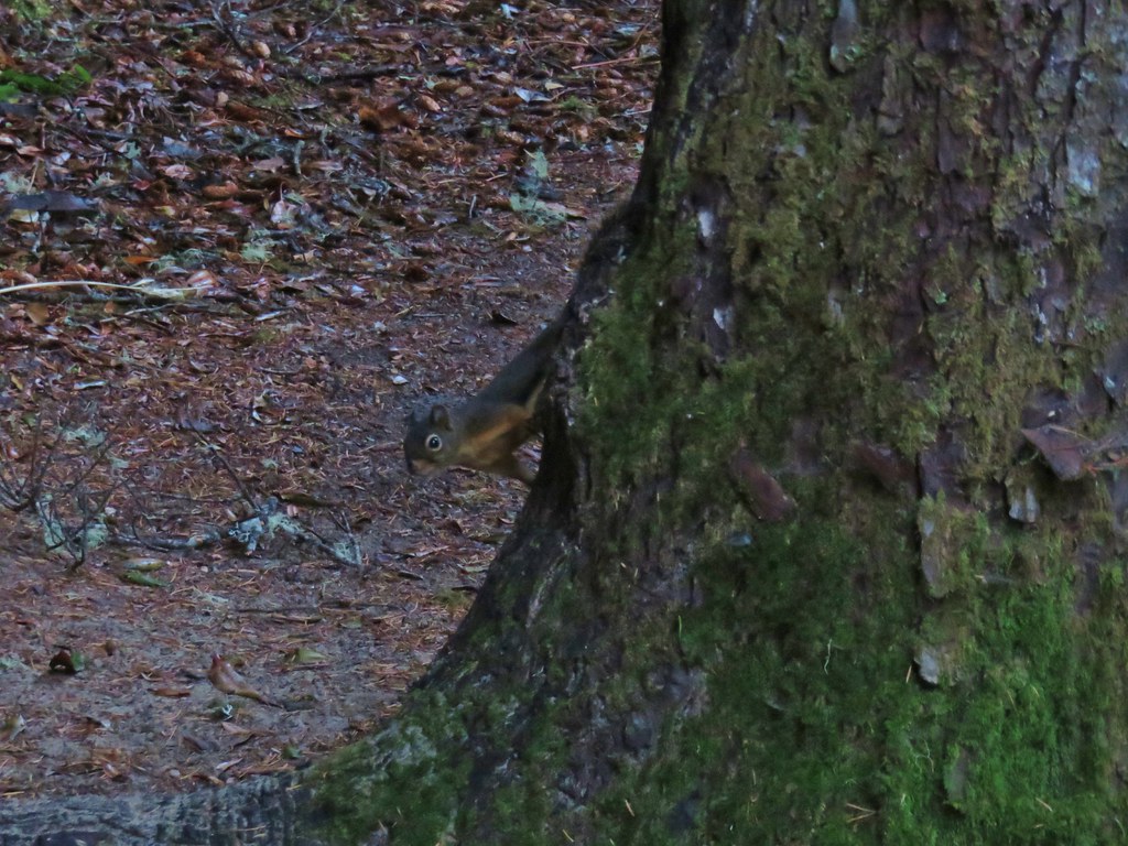
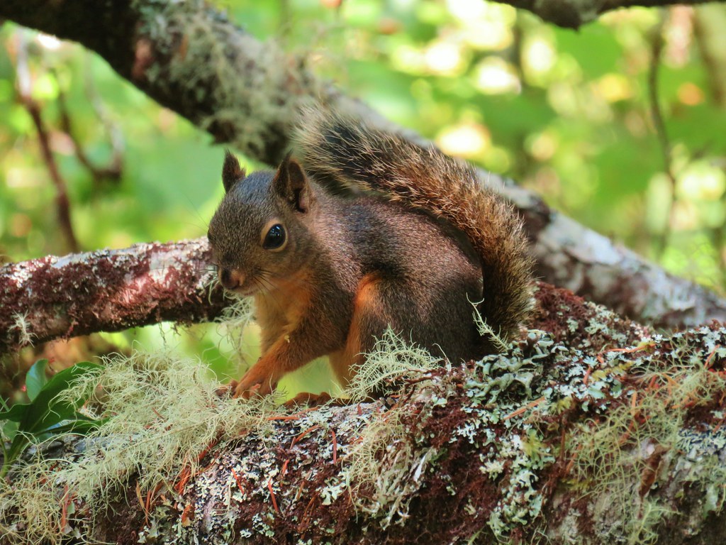
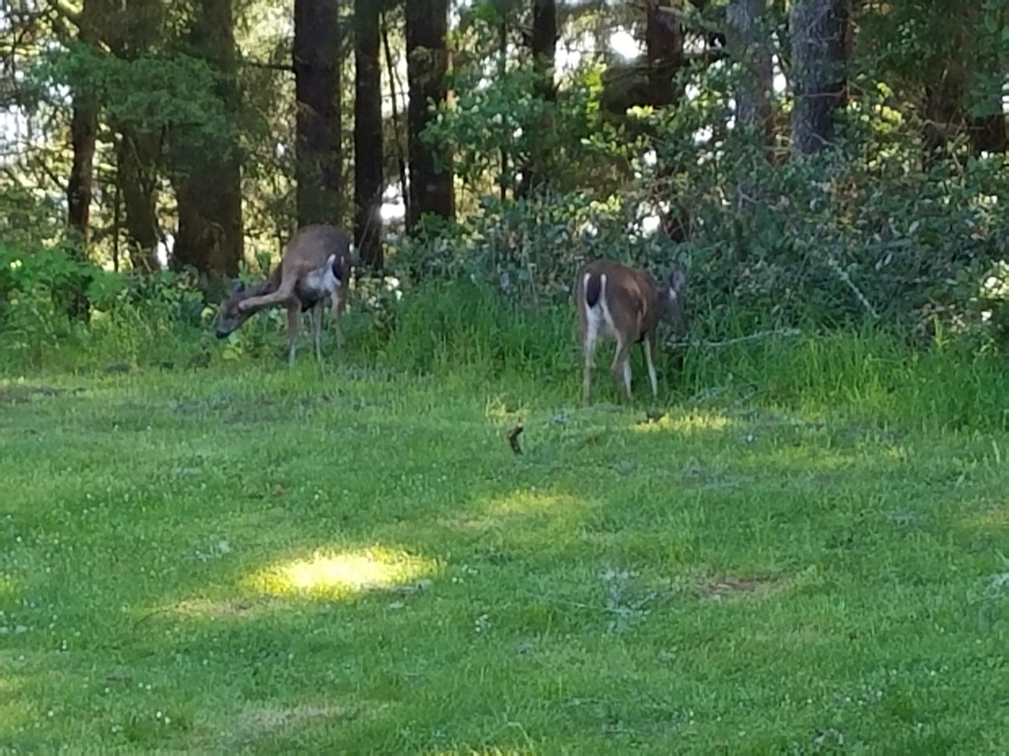
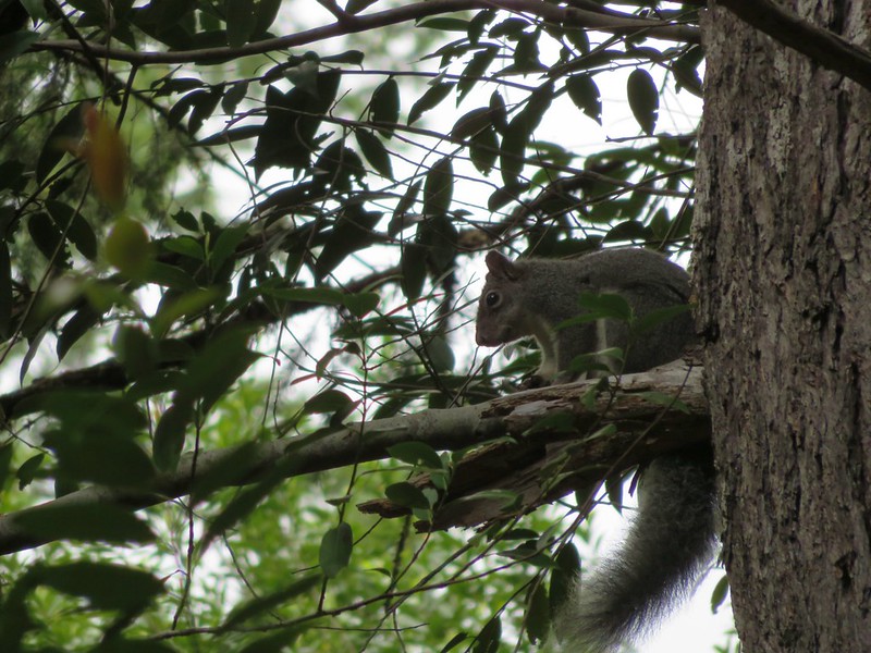
 Our stalker while we sat at the bench hoping we would leave some food behind (we didn’t).
After the break we continued to follow the parking area around Cape Arago passing Middle Cove and then arriving at the North Cove Trail.

 We thought we might be hearing things, but no it was a rooster crowing.
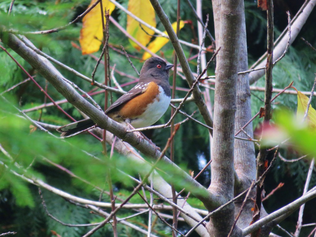
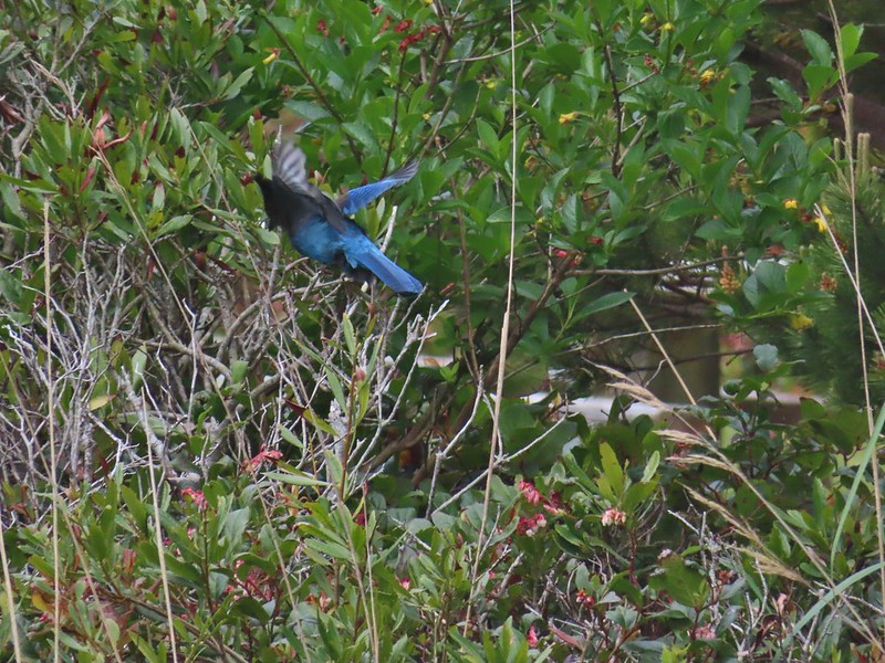 Stellar’s jay

We decided to take this trail as it only lost a little elevation on its way to a ridgeend viewpoint with a view of a different side of Shell Island.
 North Cove (A trail down to that beach was closed for the season.)


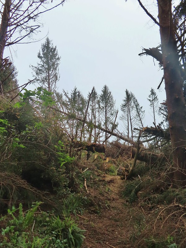
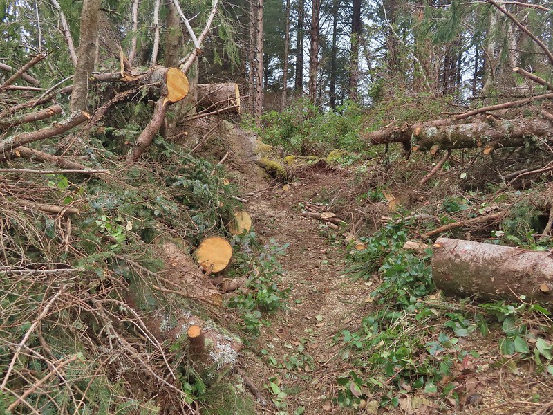
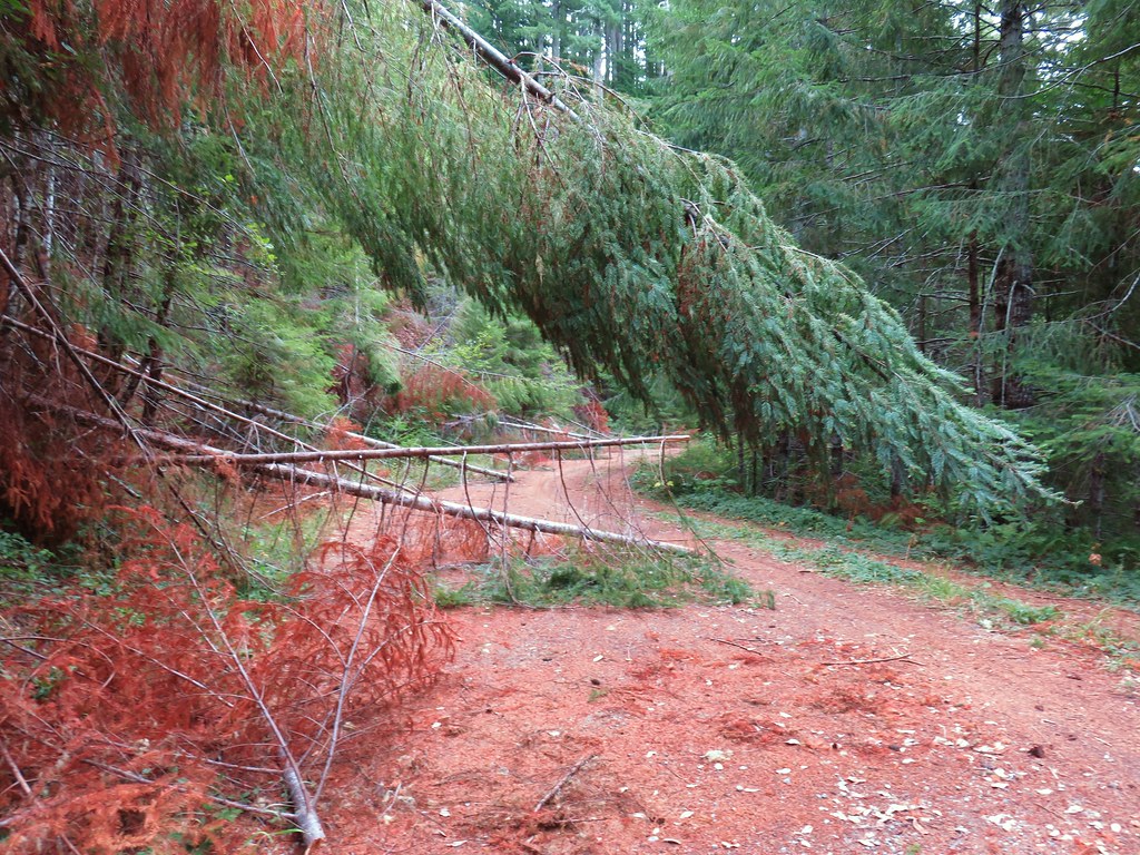
From the North Cove Trail it was shorter to continue around the parking loop to reach the Pack Trail instead of backtracking so that’s what we did. The Cape Arago Pack Trail gained approximately 300′ in just under a mile to reach its high point at 530′. There had been caution signs regarding storm damage which we found near the high point where a clearcut had left trees overly exposed to winds causing several large ones to be uprooted. Luckily crews had cleared the trail beacuse the size and amount of trees down here would have been very problematic to get past.


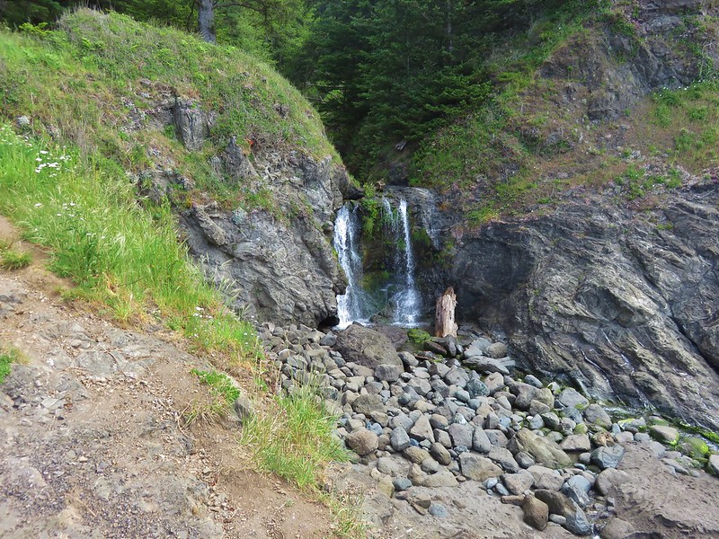
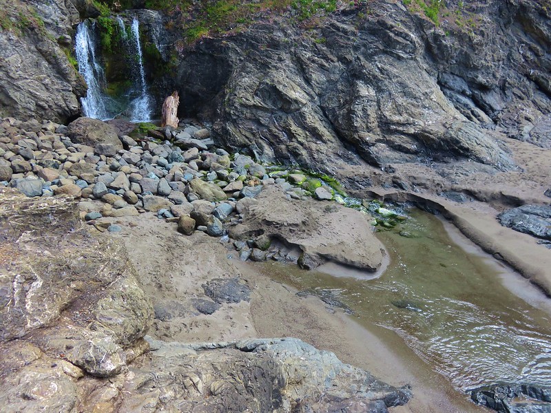
The trail then descended to a small stream crossing before climbing again to a ridgetop.
 Heading down.
 Going up.
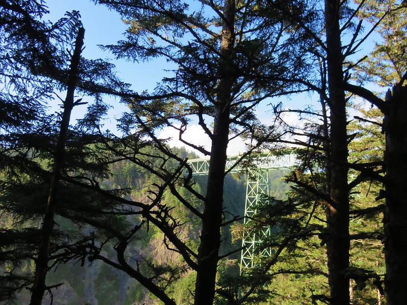
On the ridge we turned left at a junction on an old roadbed which followed the ridge down to the highway passing an old WWII radar installation bunker near the highway.


 The Cape Arago Pack Trail at the highway.
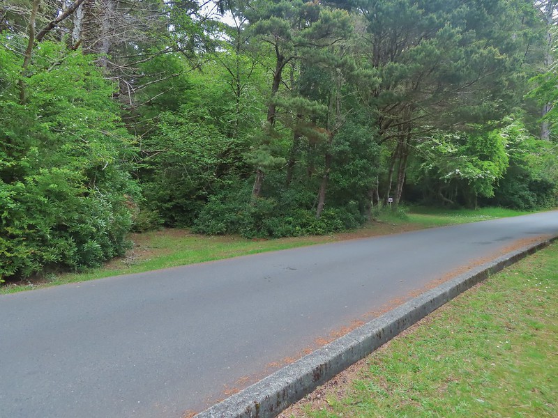
We recrossed the highway here into Shore Acres State Park.

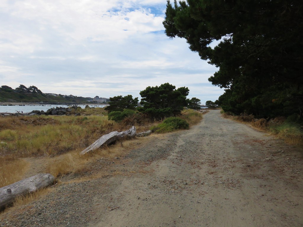
Just five hundred feet after crossing the road we came to the unsigned junction where we had turned right earlier after climbing up from Simpson Beach only we both missed it. Luckily we realized our mistake less than fifty yards later and got onto the right path. At this point we had hiked 12.5 miles on the day and it was closing in on 3pm due to all our extended breaks and we were getting tired. We decided to take the straightest path back to our car instead of following the Oregon Coast Trail as we had done earlier. We followed the entrance road in Shore Acres to the fee booth where we turned left on an old roadbed that now acts as a trail.


Going this way shortened our return trip by nearly 3/4 of a mile but it meant missing the views along the cliffs where we had watched the seals earlier. When we reached the Oregon Coast Trail we turned right and followed it back to the group camp at Sunset Bay State Park. We shortened our hike even further here by cutting through the empty camp, a move that shaved another 1/2 mile off the hike. It was a good thing too because our feet were not happy with us when we finally made it back to our car.
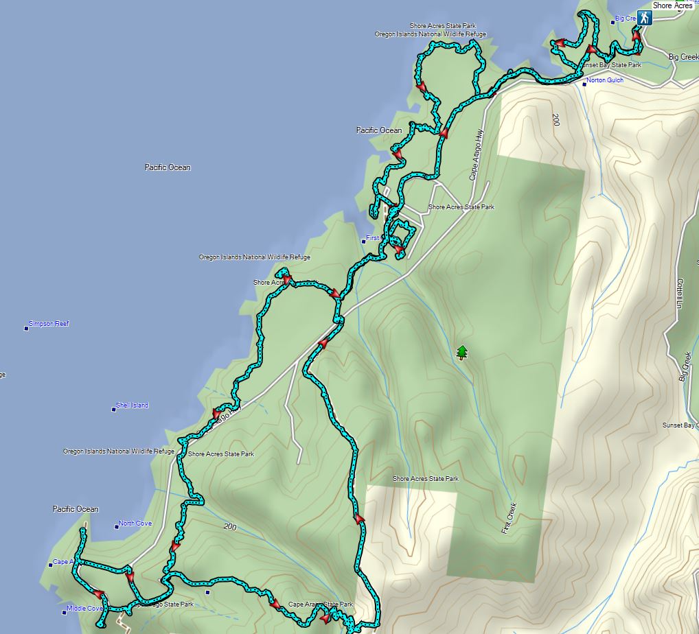
It had been a great day though with the two hikes combining for a 14.3 mile day. Happy Trails!


 Thimbleberry
 Salmonberry
 McLeod Creek
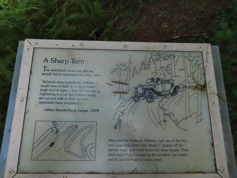
 One of the sharp turns.
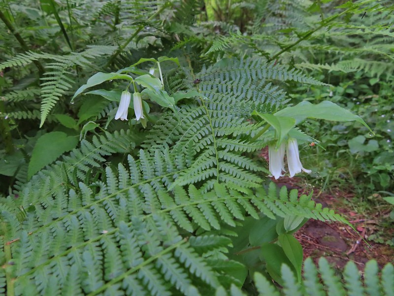 Fairy bells
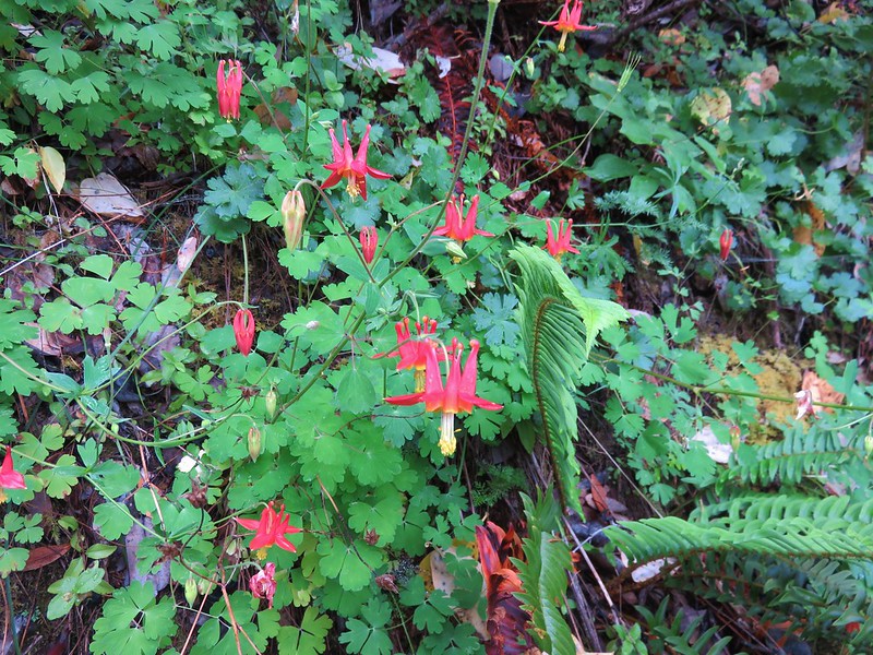
 Columbine
 Bleeding heart
 Monkeyflower
 Sourgrass
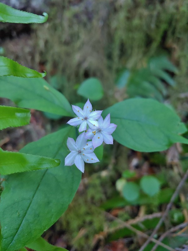 Star flower
 Trillium
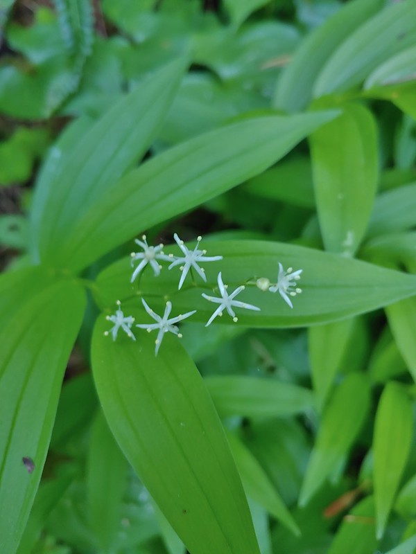 Star flower solomonseal
 Twisted stalk
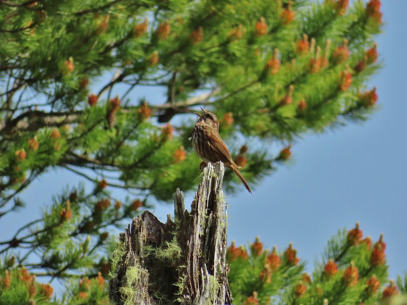
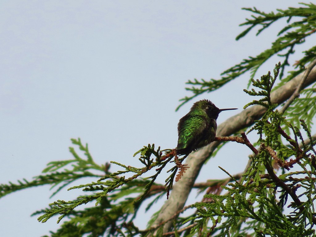
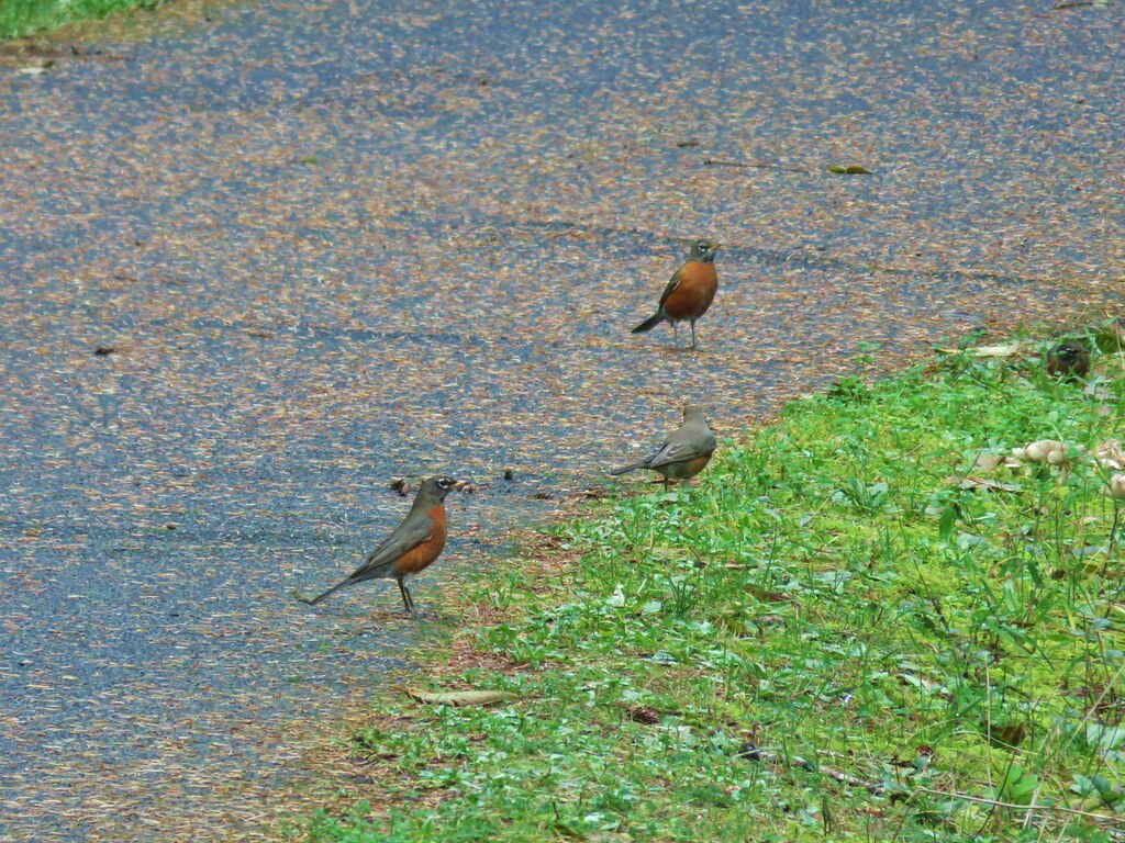
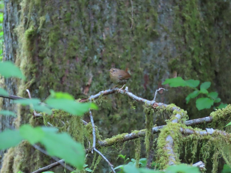 Wren – We heard lots of birds but didn’t see many of them.

 Waterleaf

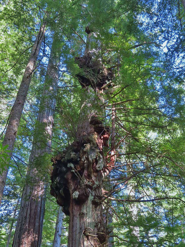
 Marker for a fire scarred Douglas fir. According to the brochure the last major fire in the area was in the 1860s.


 We had to climb over this big tree.


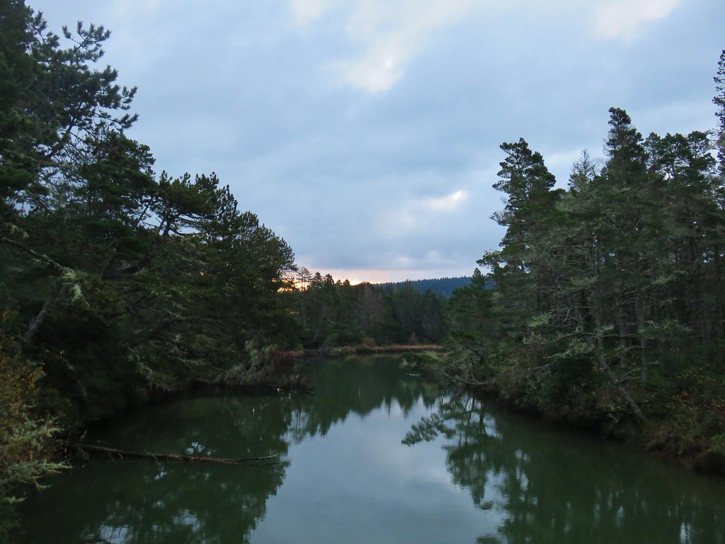
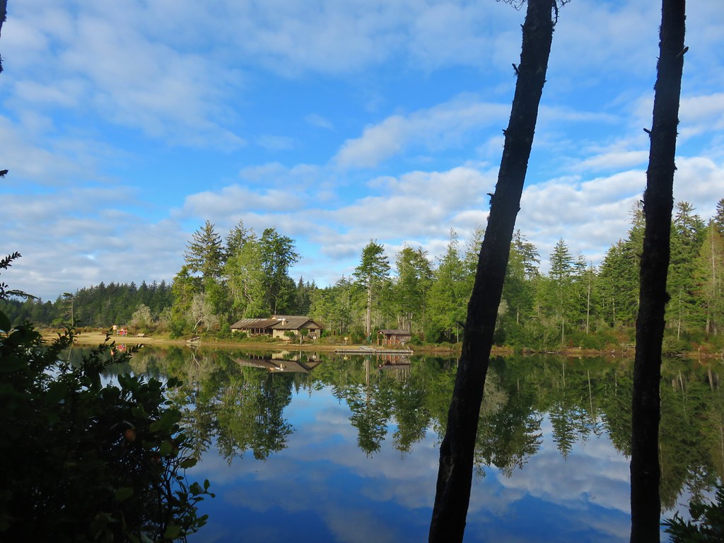
 Looking at the bridge at the north end of the lake.
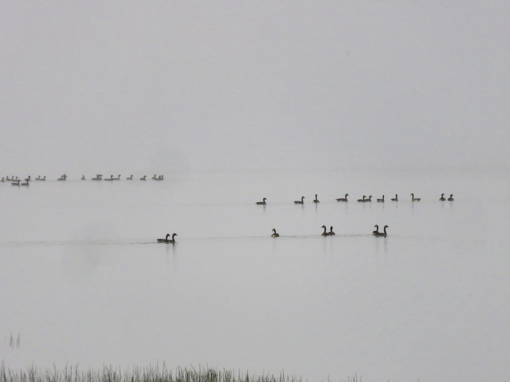
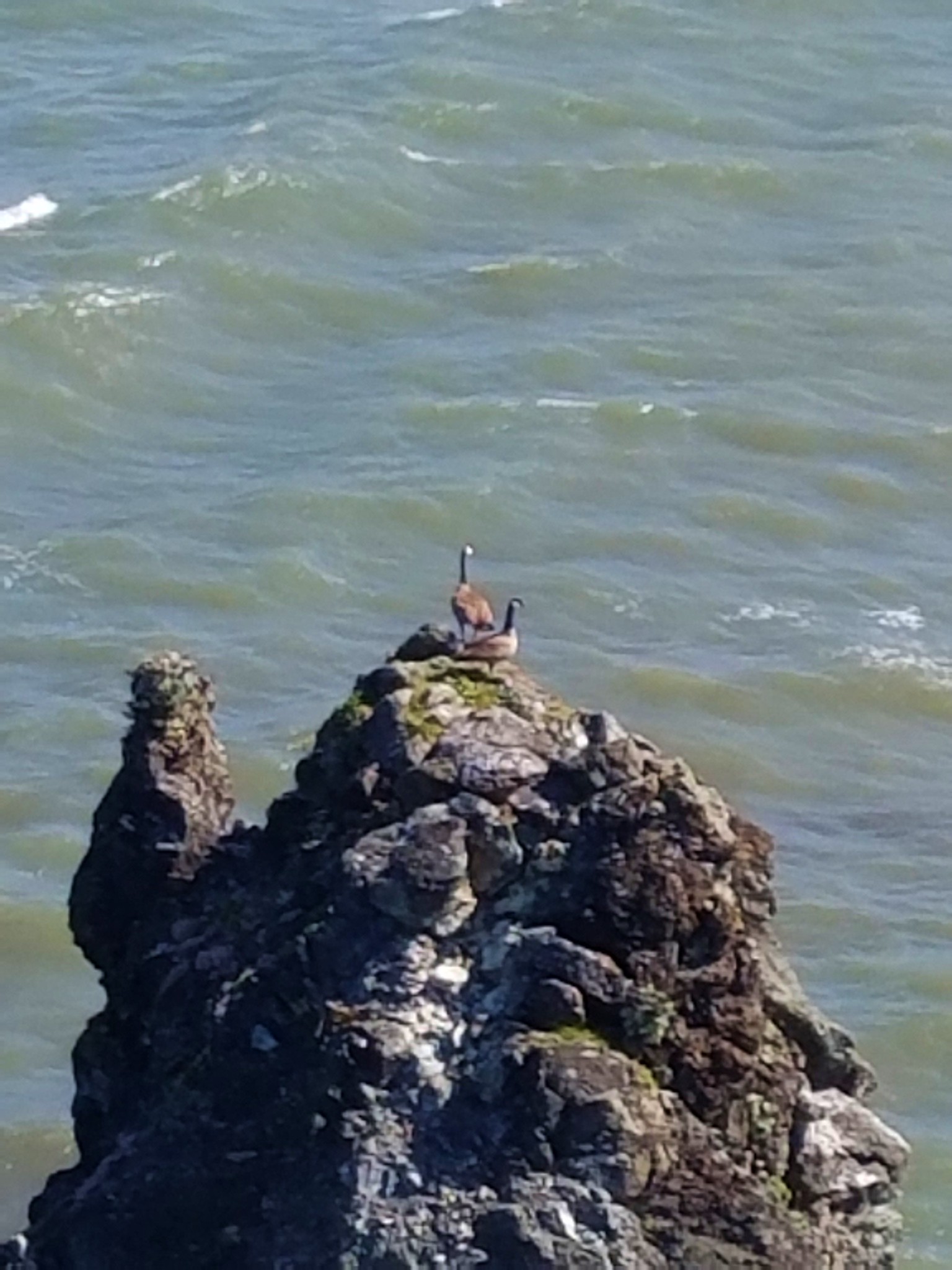
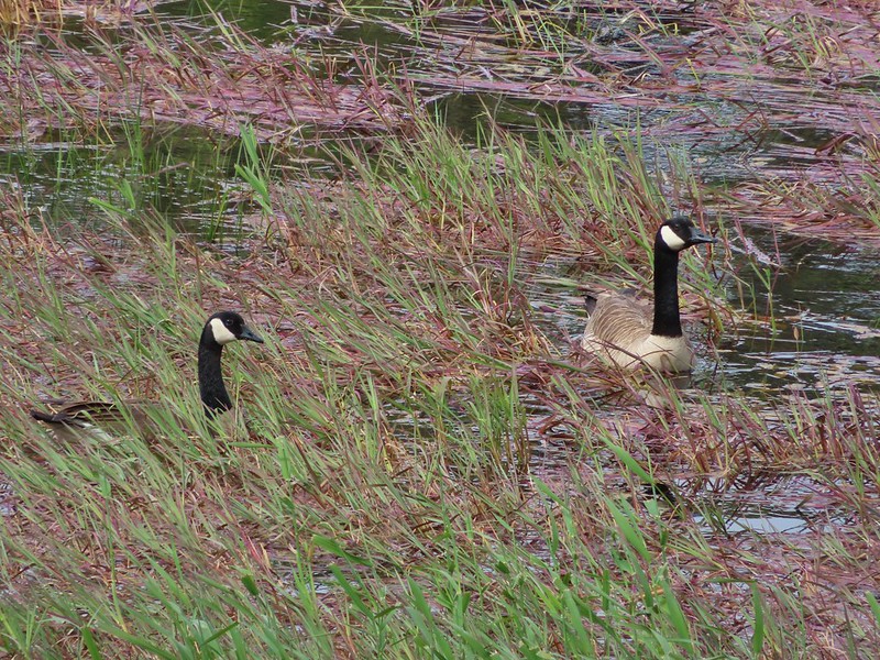 Canada geese
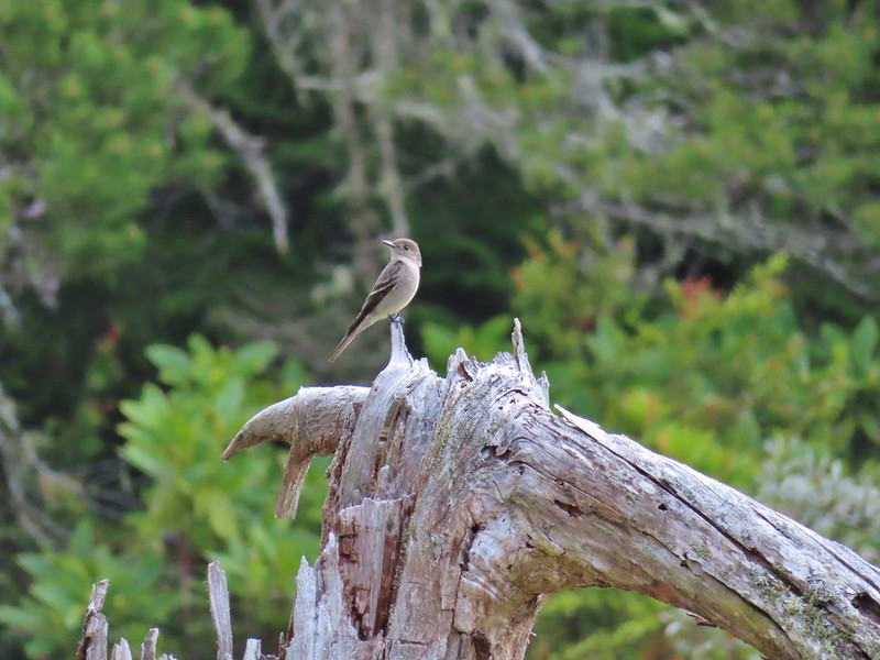
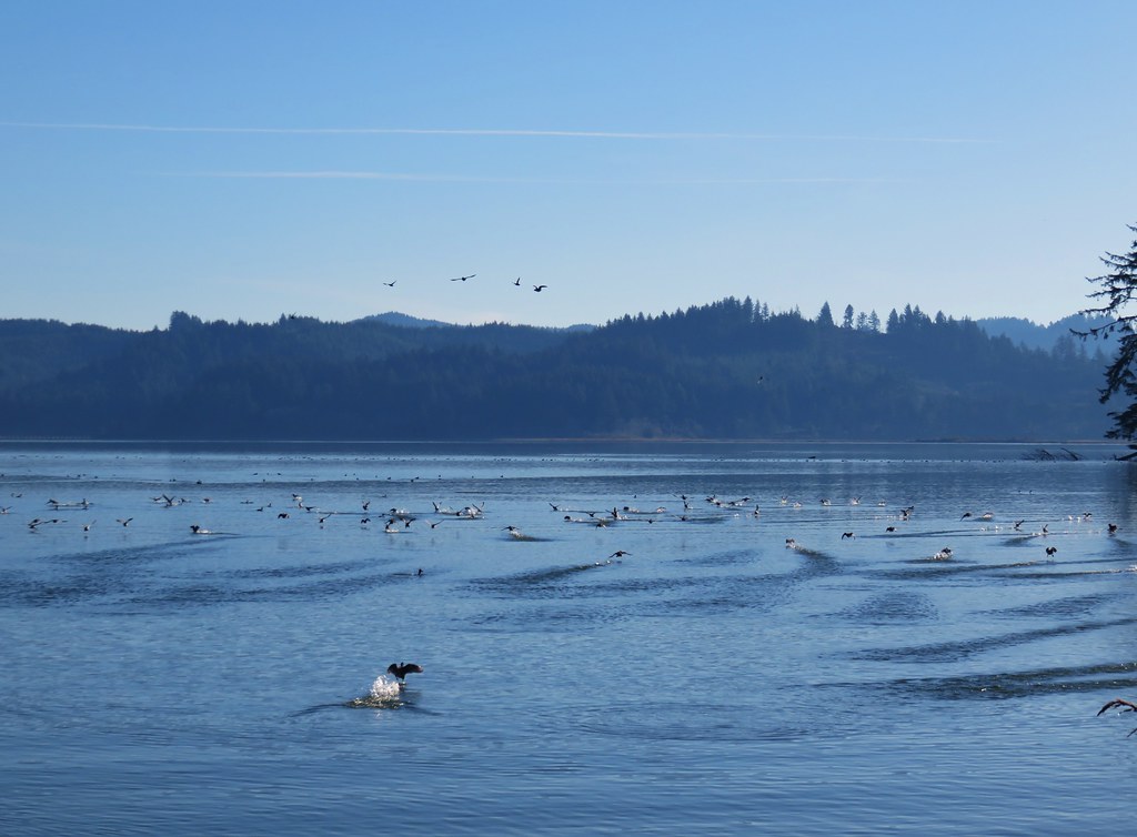
 Cormorants flying above the lake.
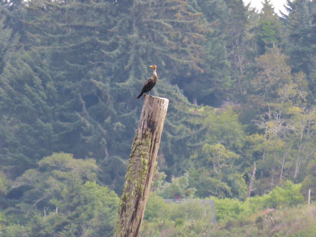
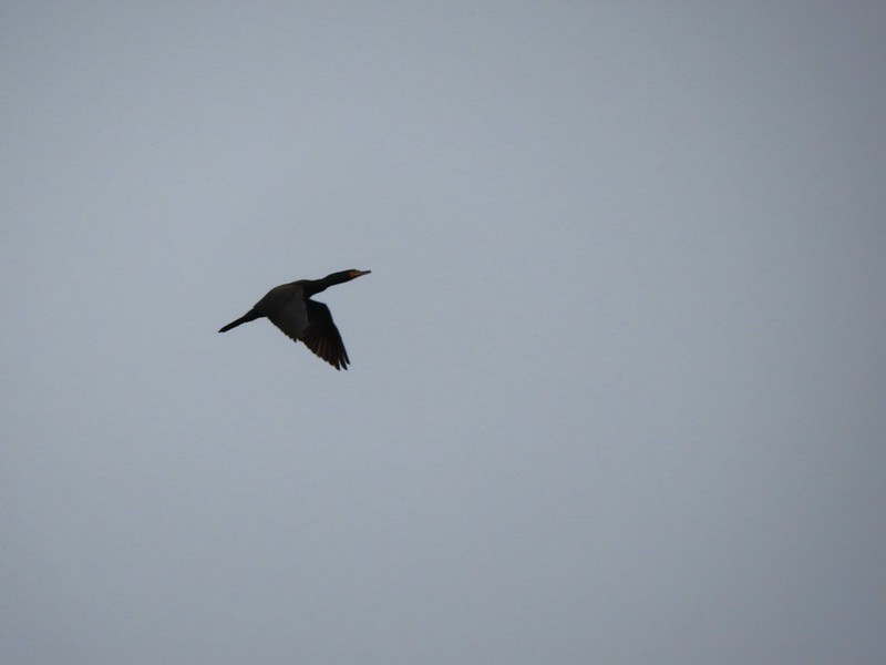 Cormorant
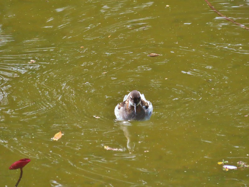
 Ring necked ducks
 Rhododendron
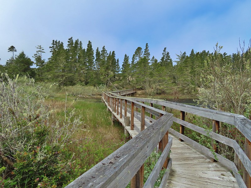 Boardwalk at the south end of the lake.
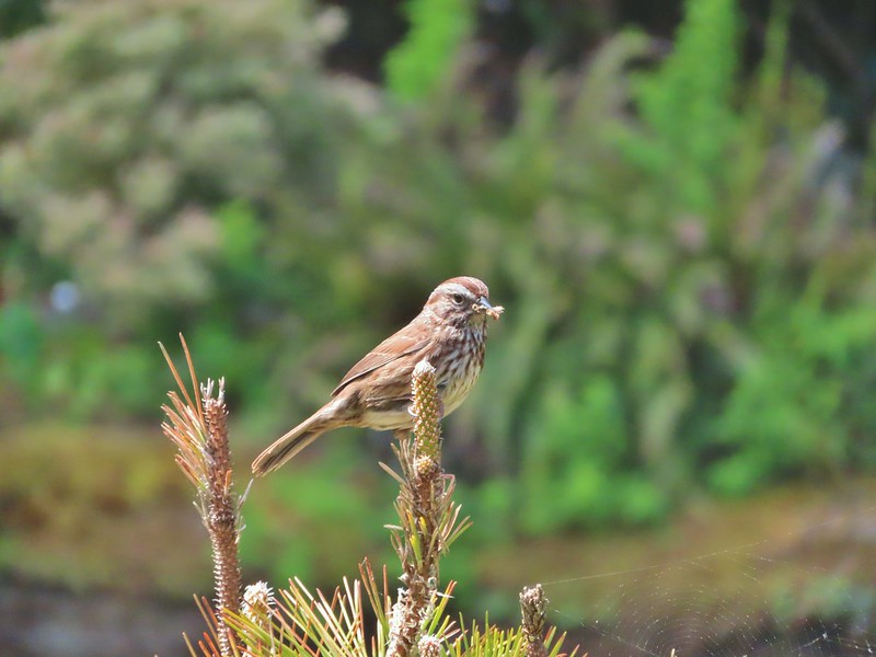
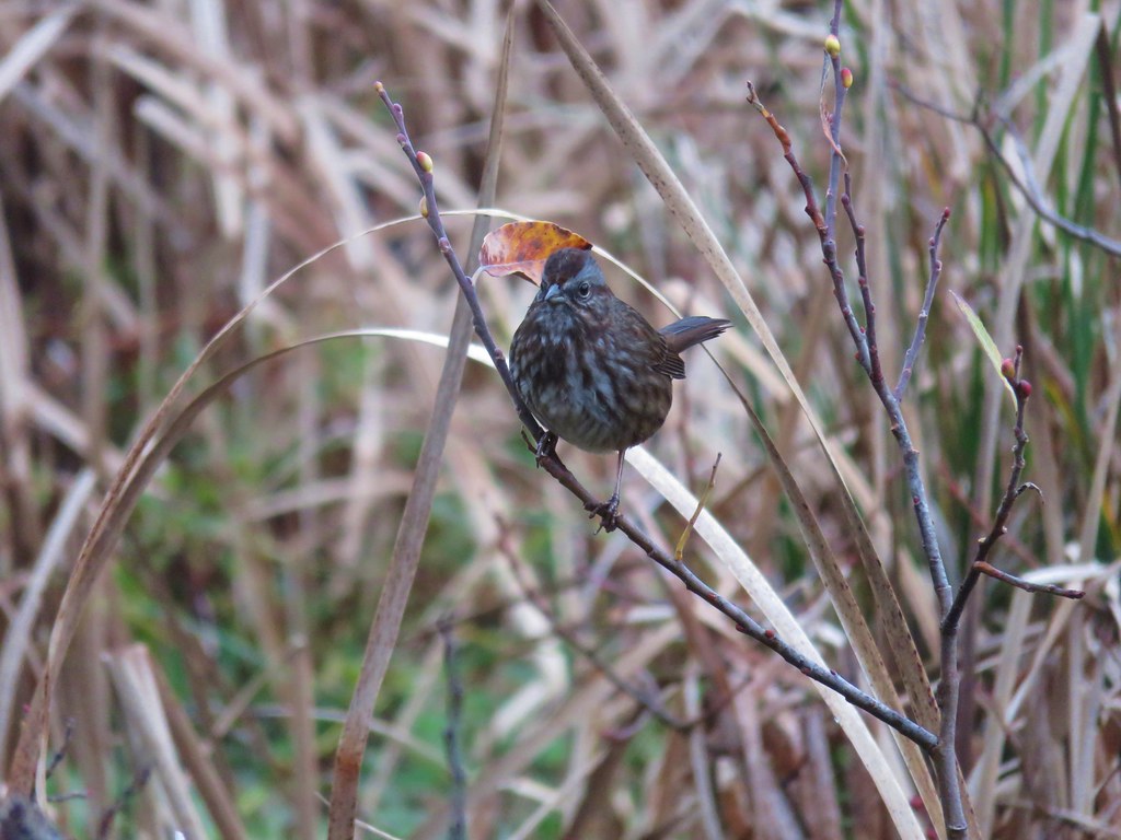
 Sparrow
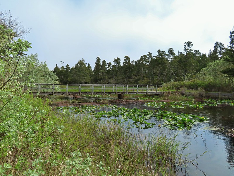 Coming up on the bridge at the north end.
 Yellow rumped warbler
 Finch
Finch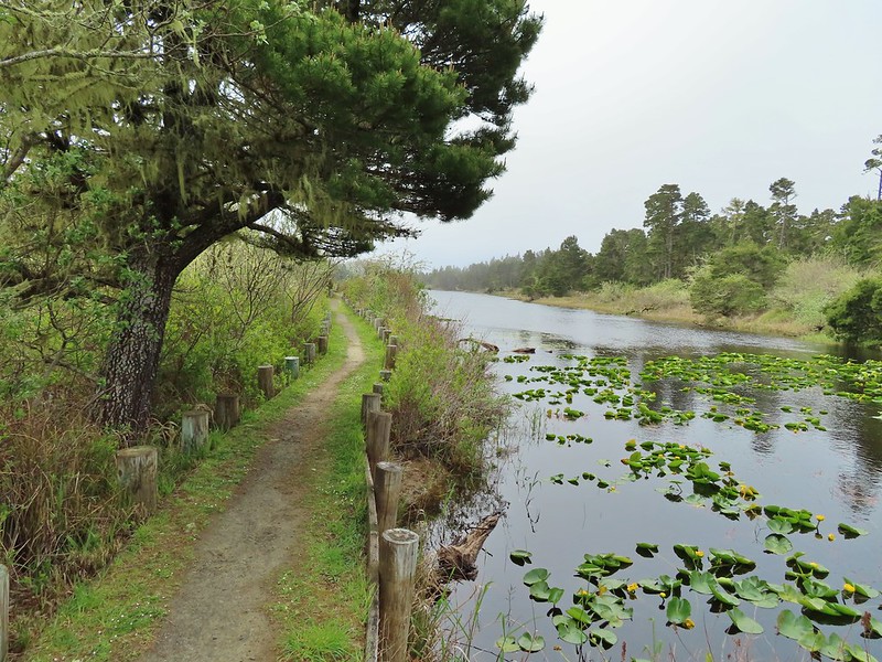
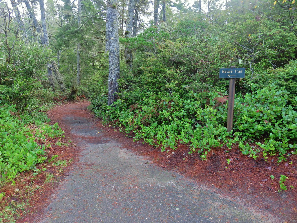
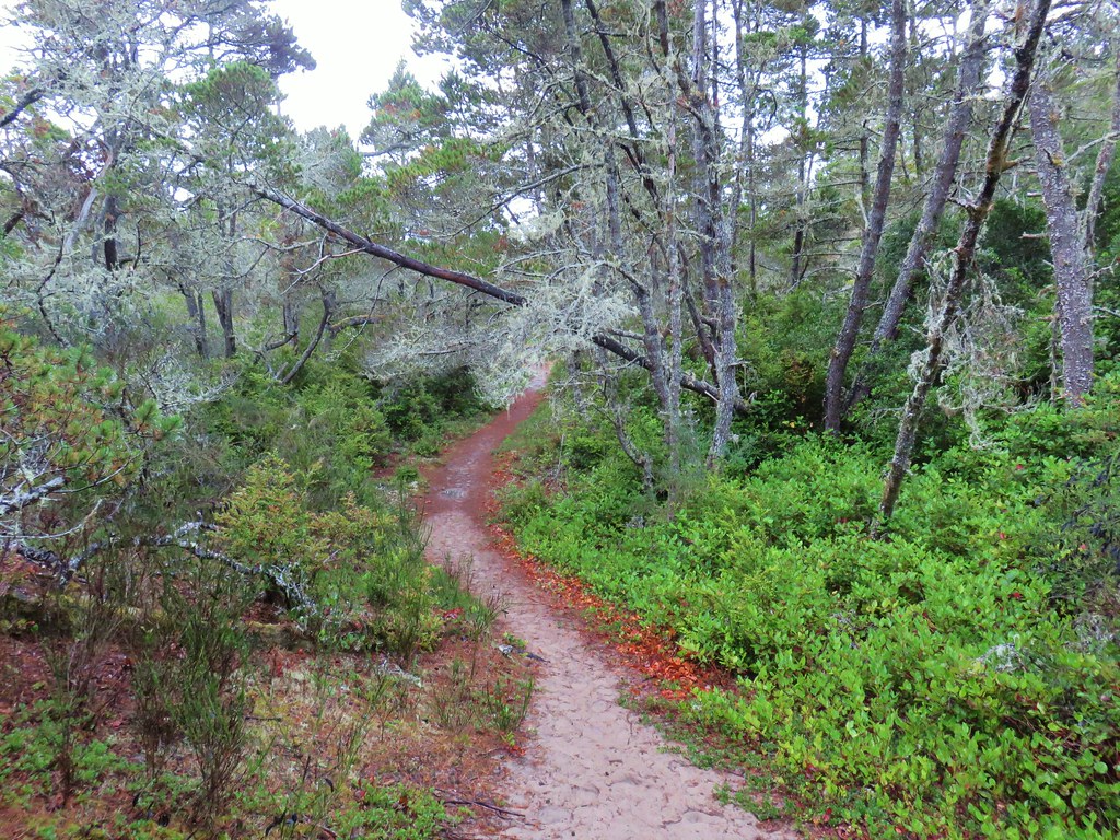
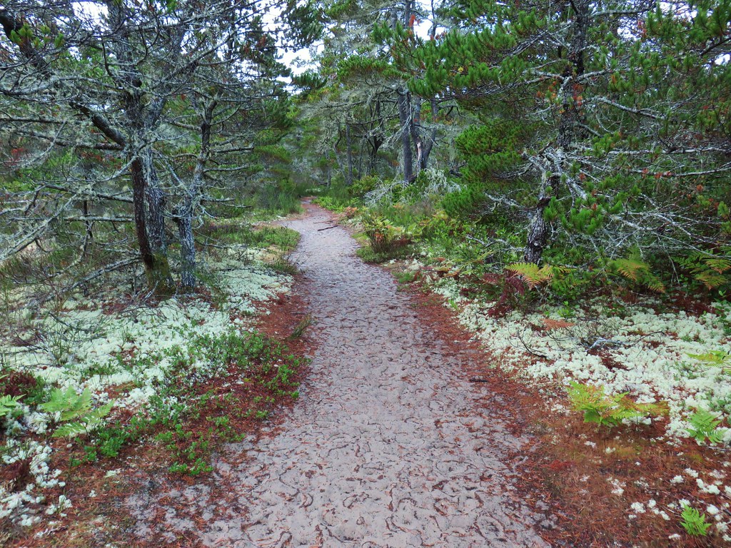
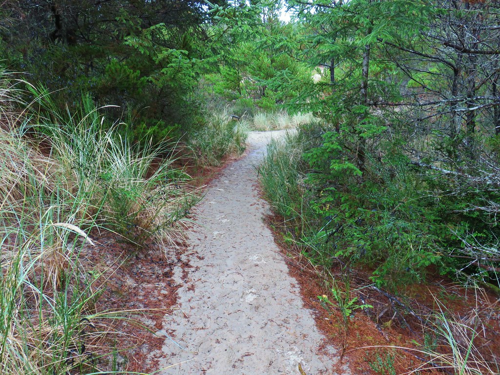
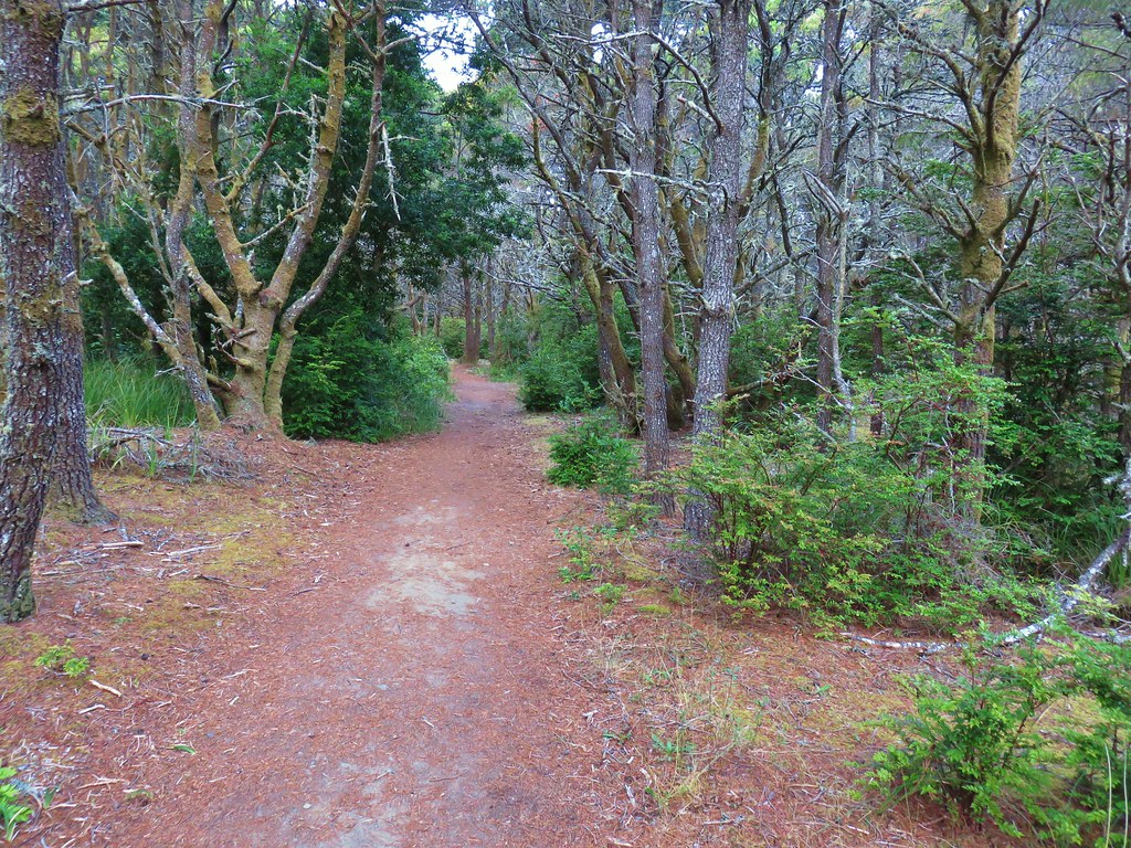
 The trail on the far side of the track.

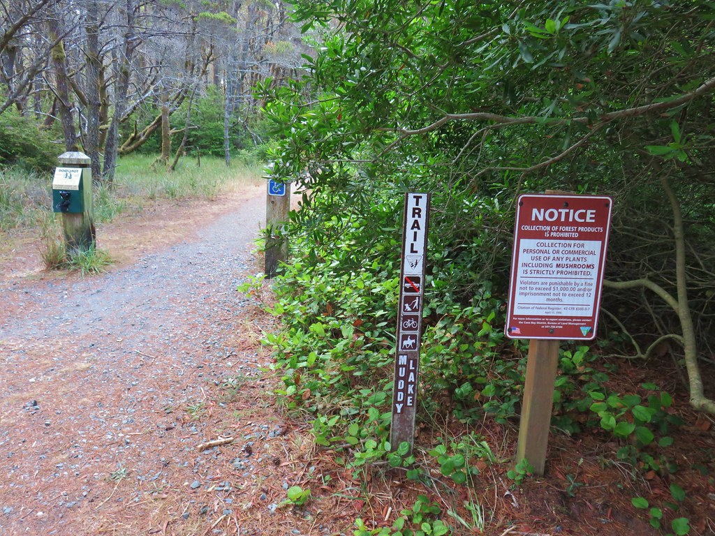
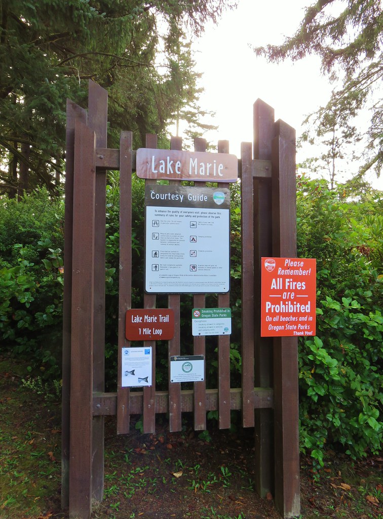
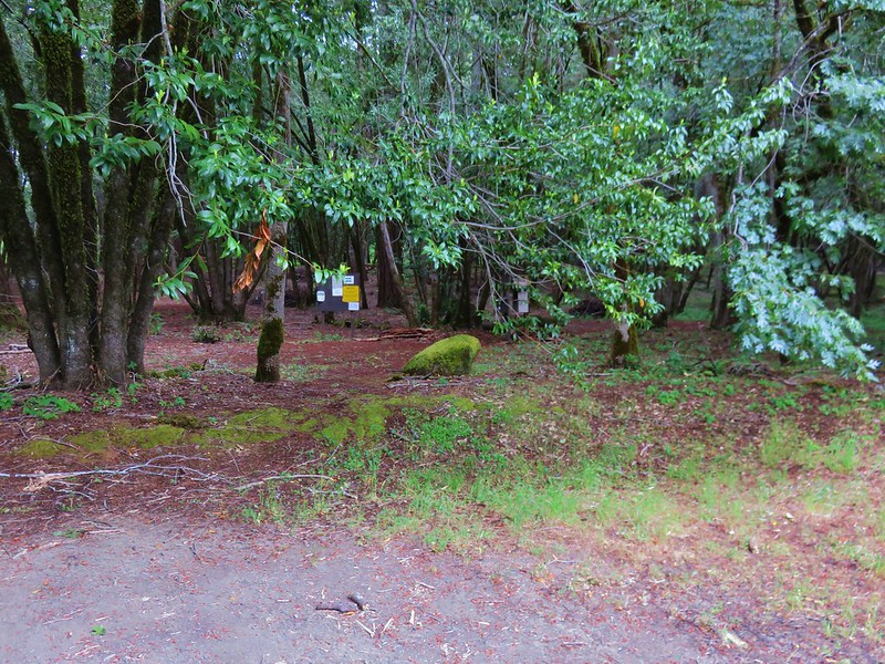
 One of three panels on a signboard at the start of the trails.
 This bench is at the junction.
 Sparrow near the junction.
 Heading to the observation structure.
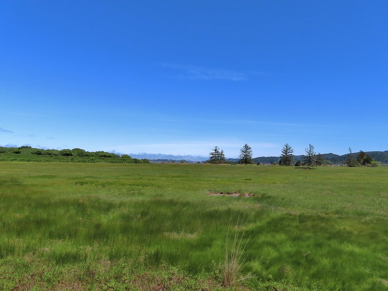 Looking toward Coos Bay along the Coos River.
 McCullough Memorial Bridge spanning Coos Bay.
 Wetlands from the end of the spur.
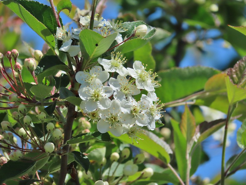 Bitter cherry
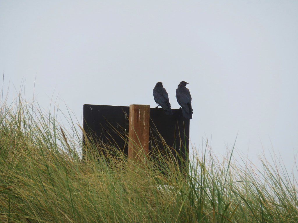
 Crow
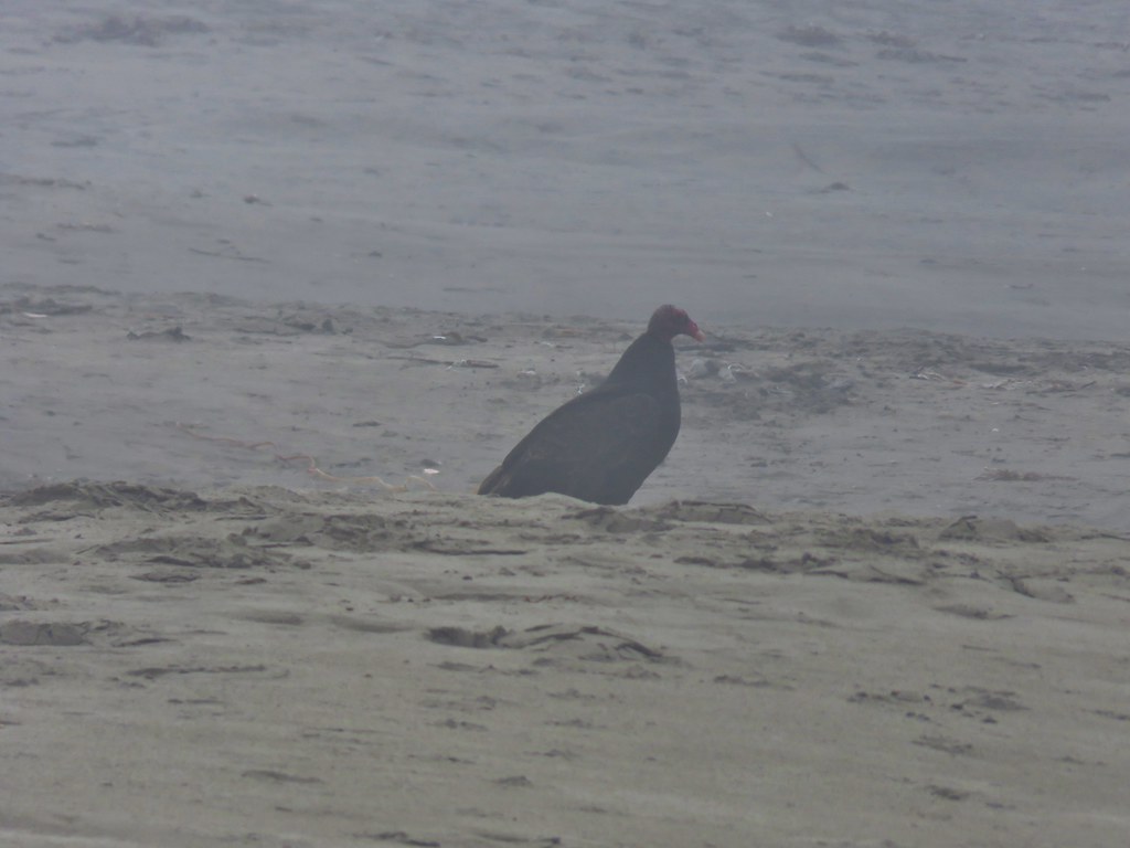
Crow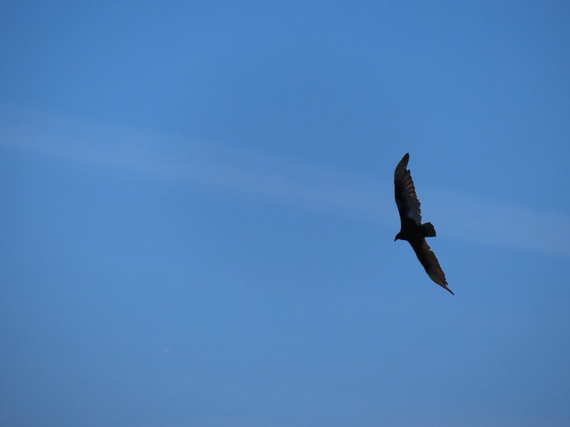 Turkey vulture
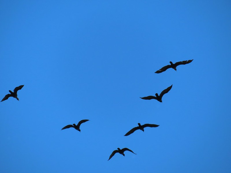 Cormorants overhead
 Canada goose with goslings
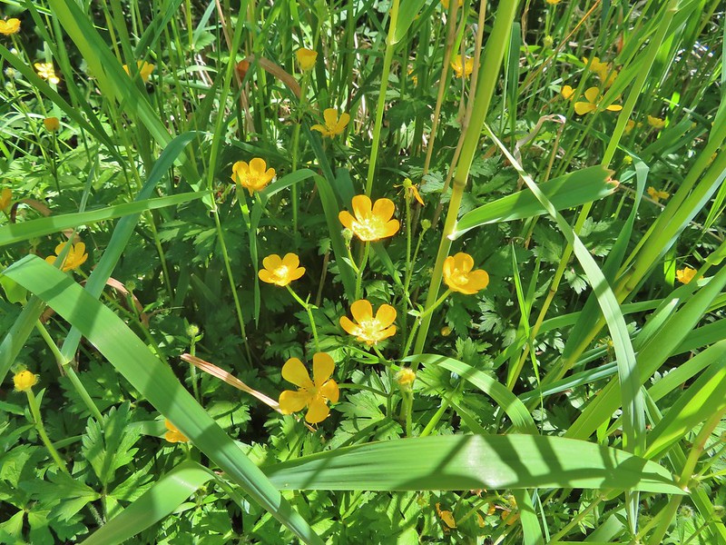 Buttercups
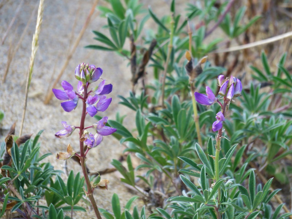
 Pale flax
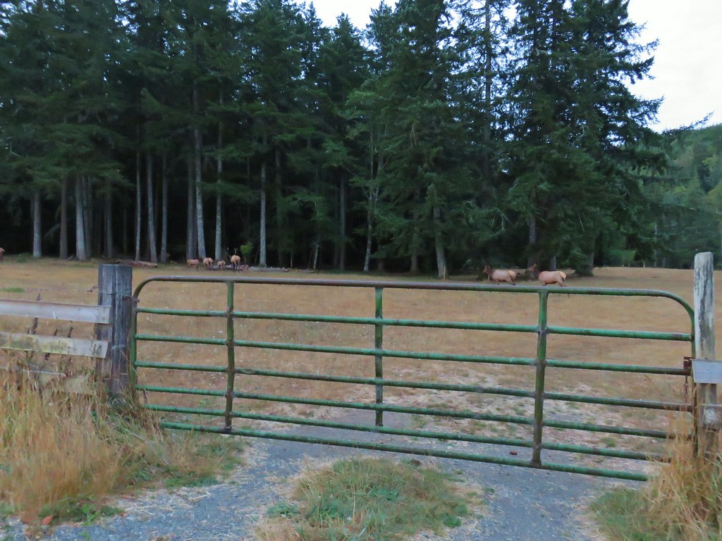
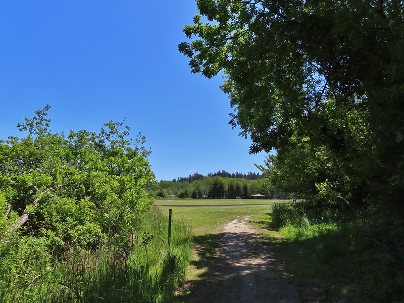 Arriving back at the field.
 Ground squirrel enjoying the view.
 Twomile Creek
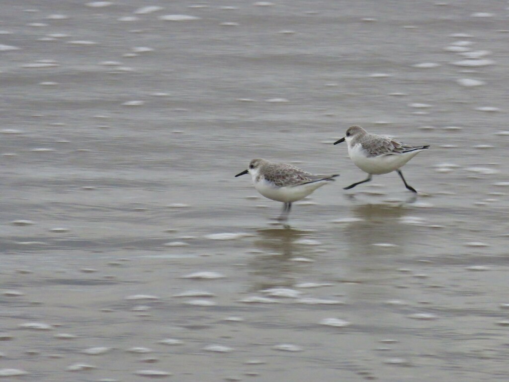
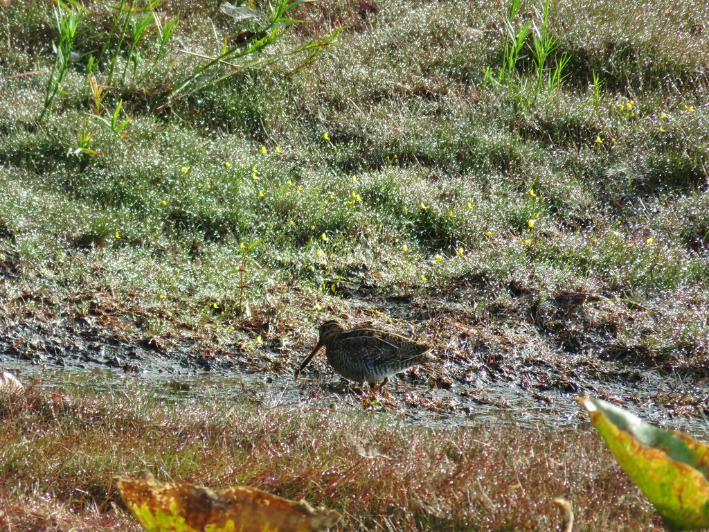
 Shore bird in the creek.
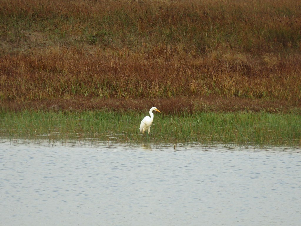


 Brass buttons (another non-native)


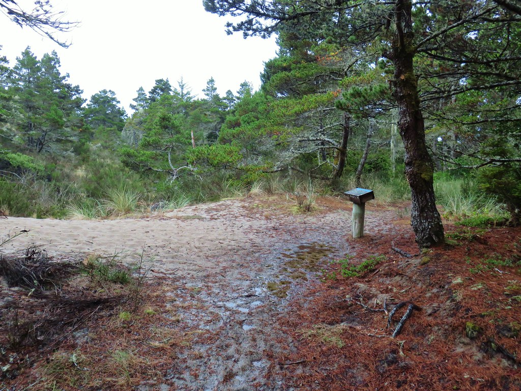
 Whiskey Run Beach lay on the other side of the rocks with another parking area 0.8 further south.
 A cormorant off Fivemile Point


 View from the bench.


 Coming up on the hollow trunk straight ahead.
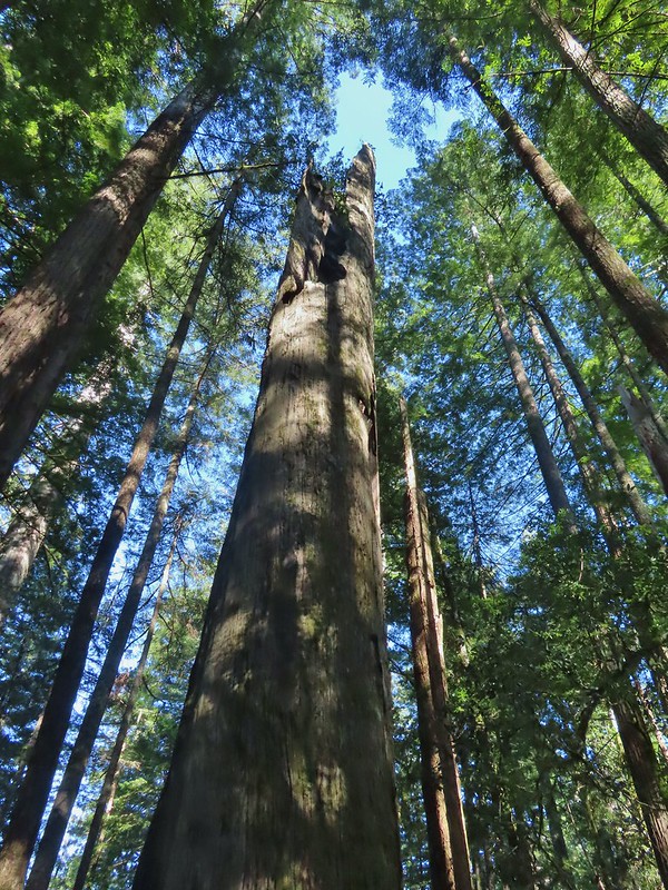


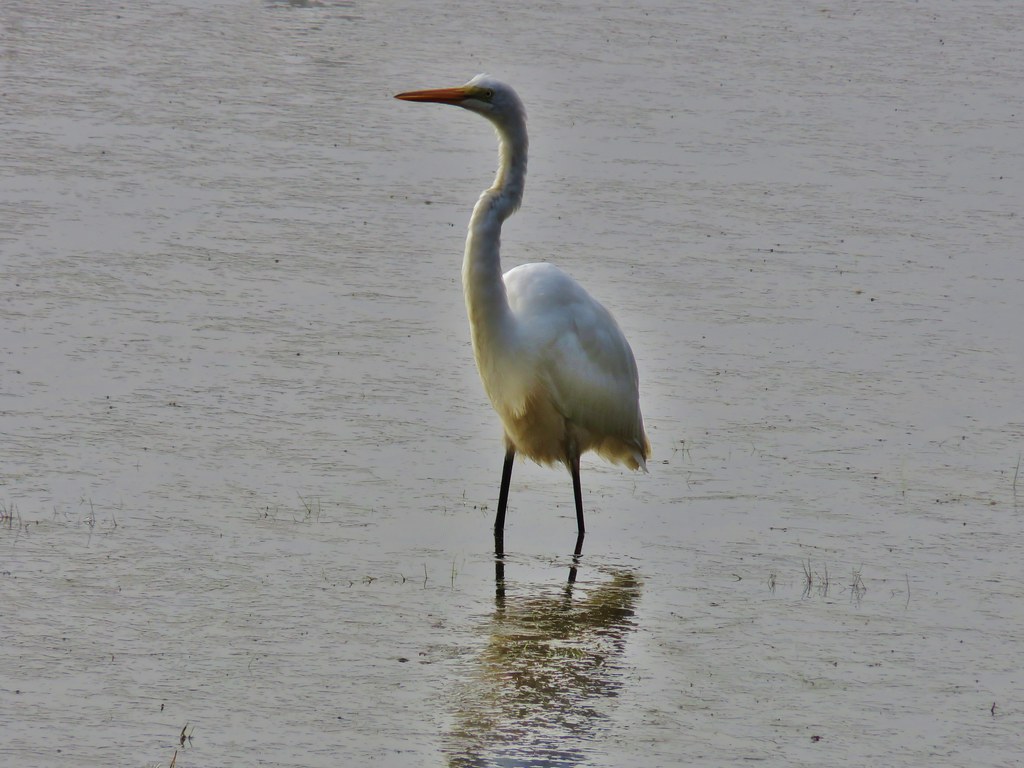
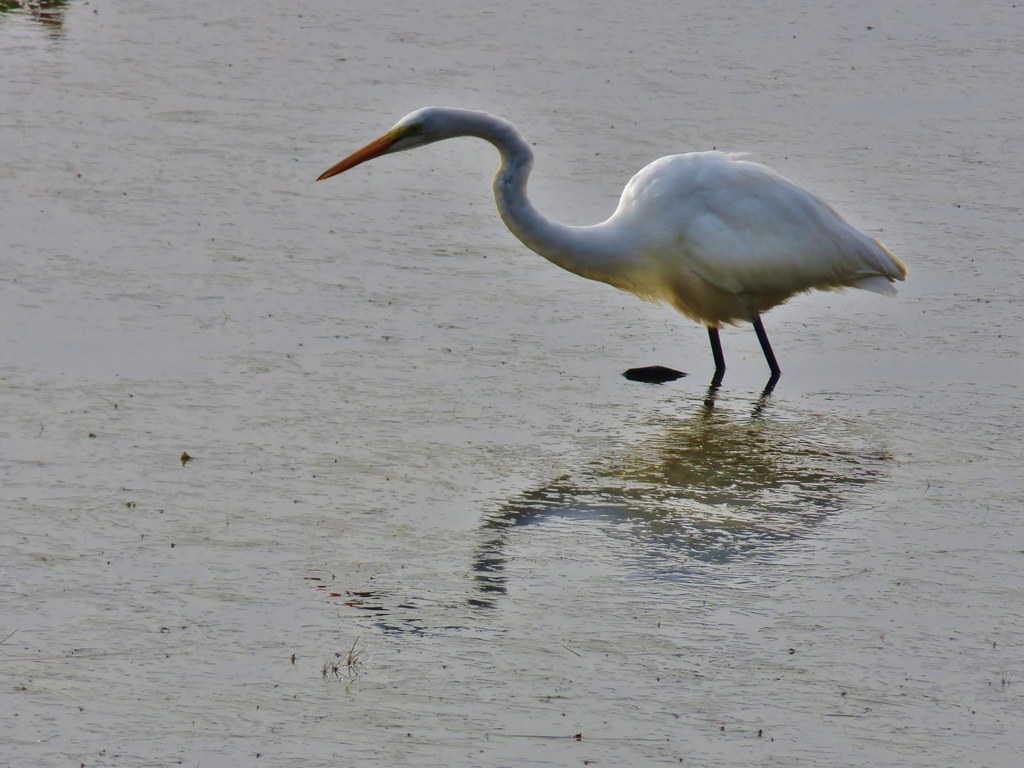
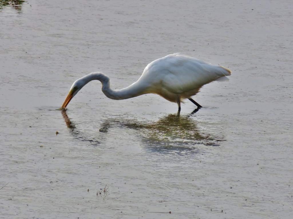
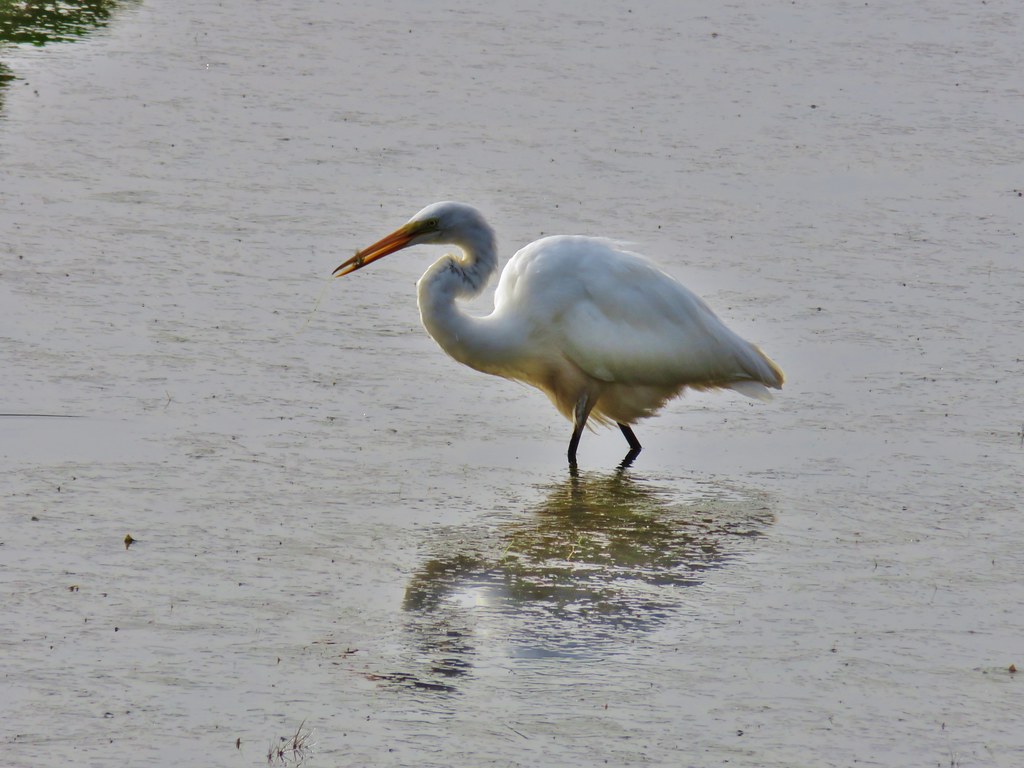
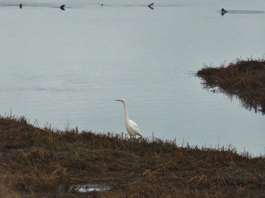 Egret
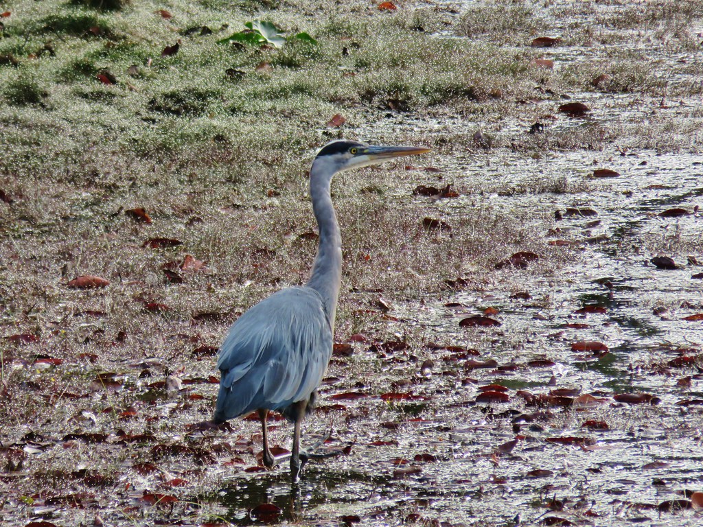
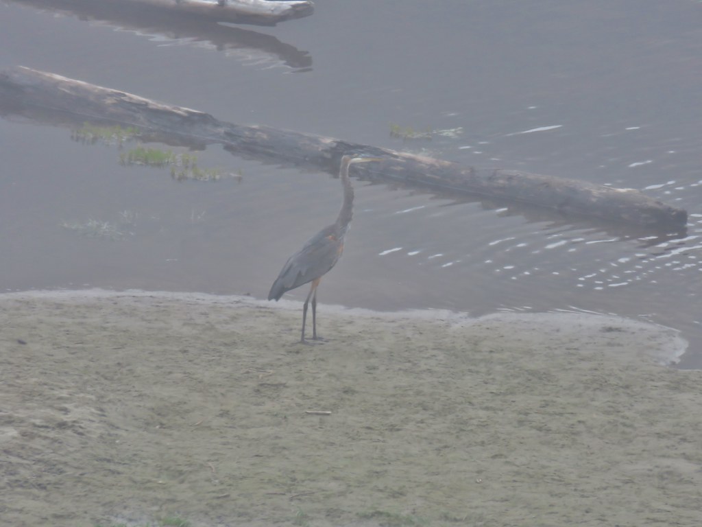
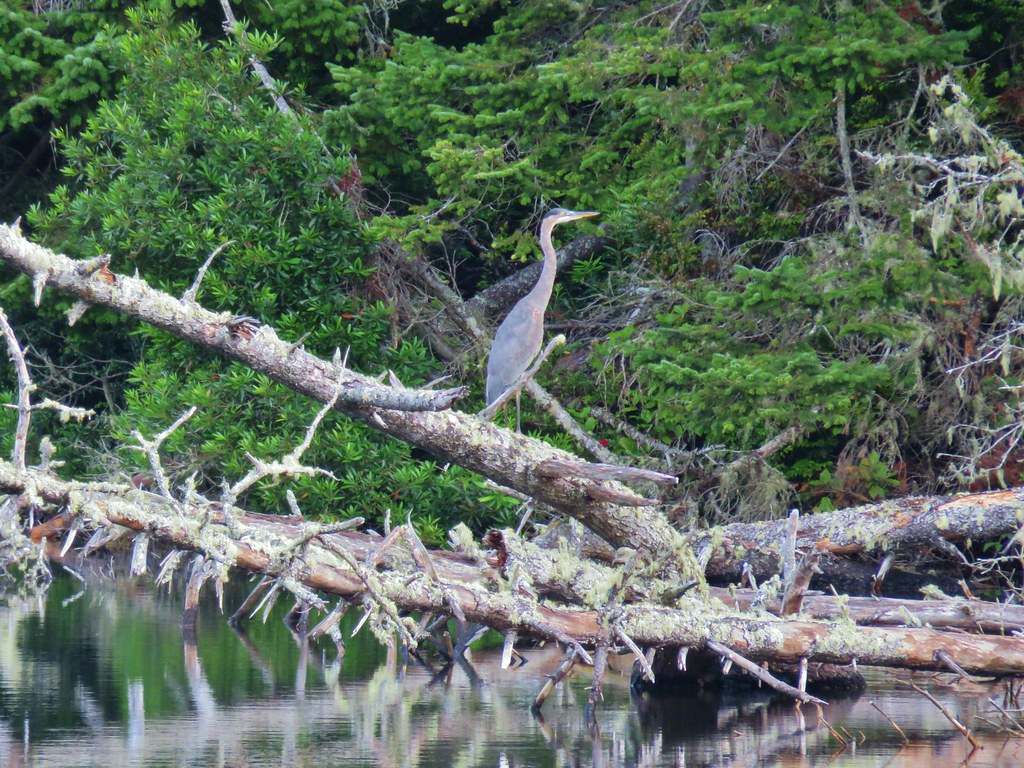
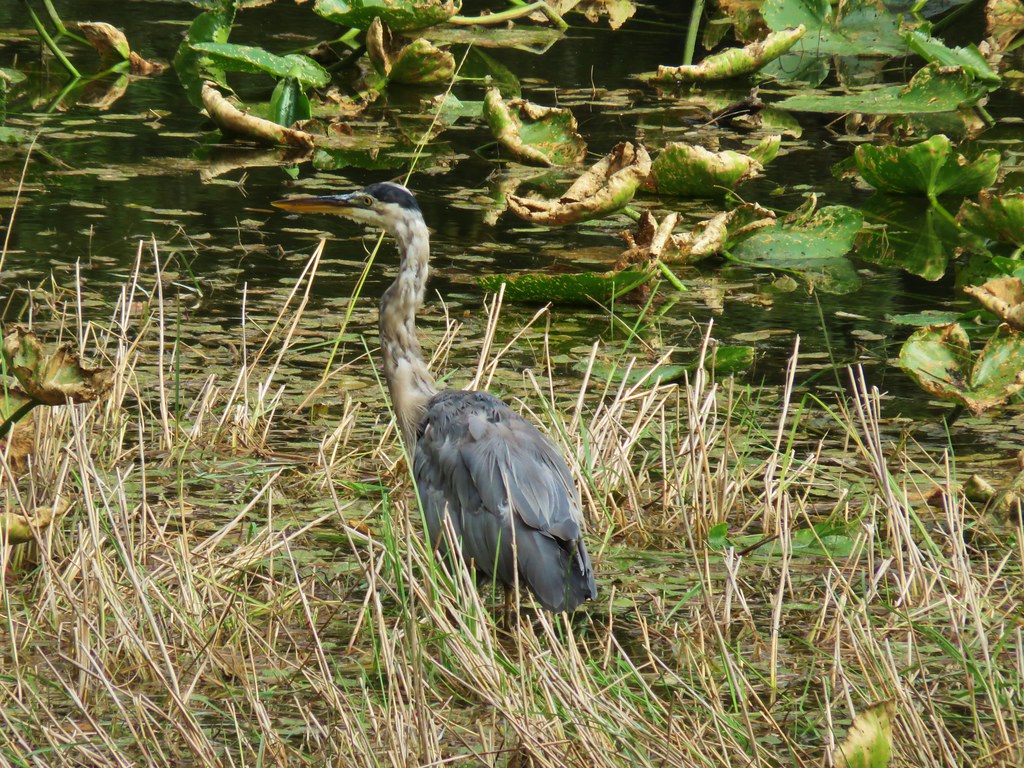
Egret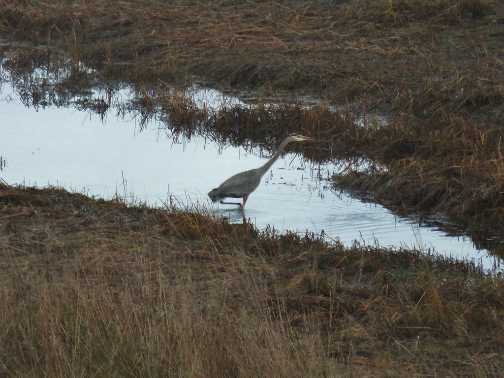 Great blue heron
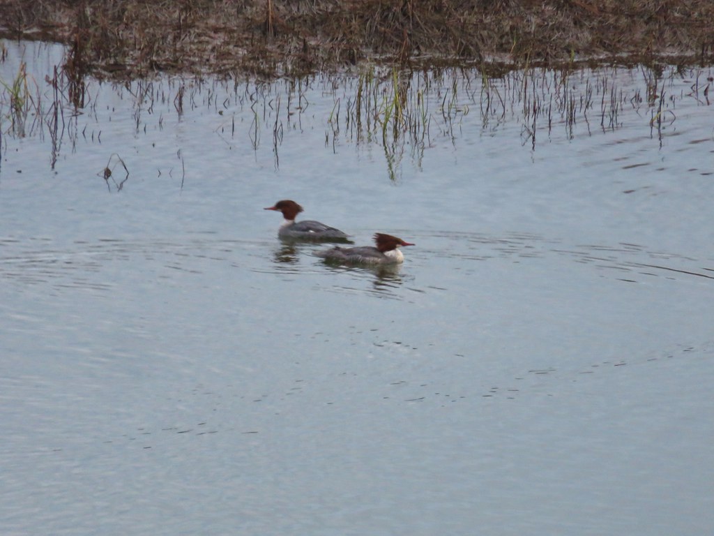 Common mergansers
 Bufflehead


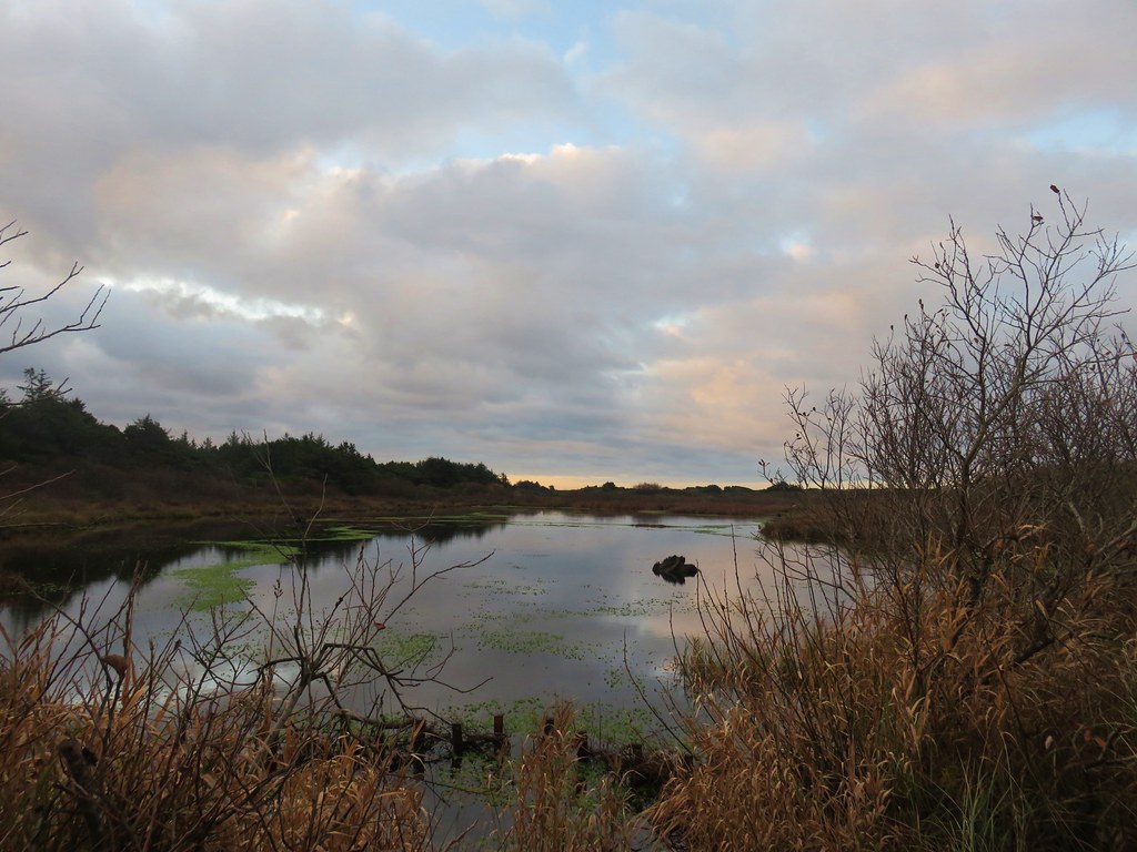
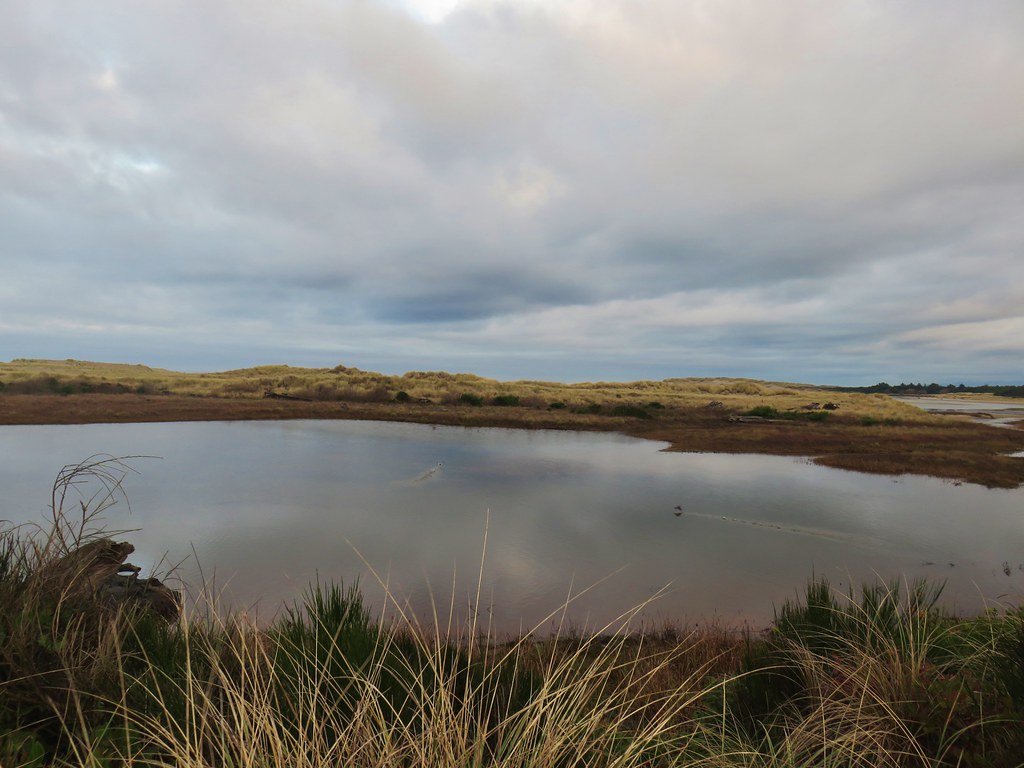


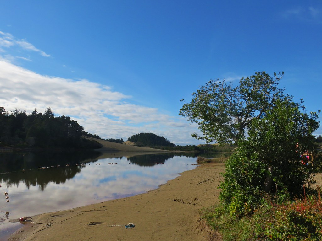


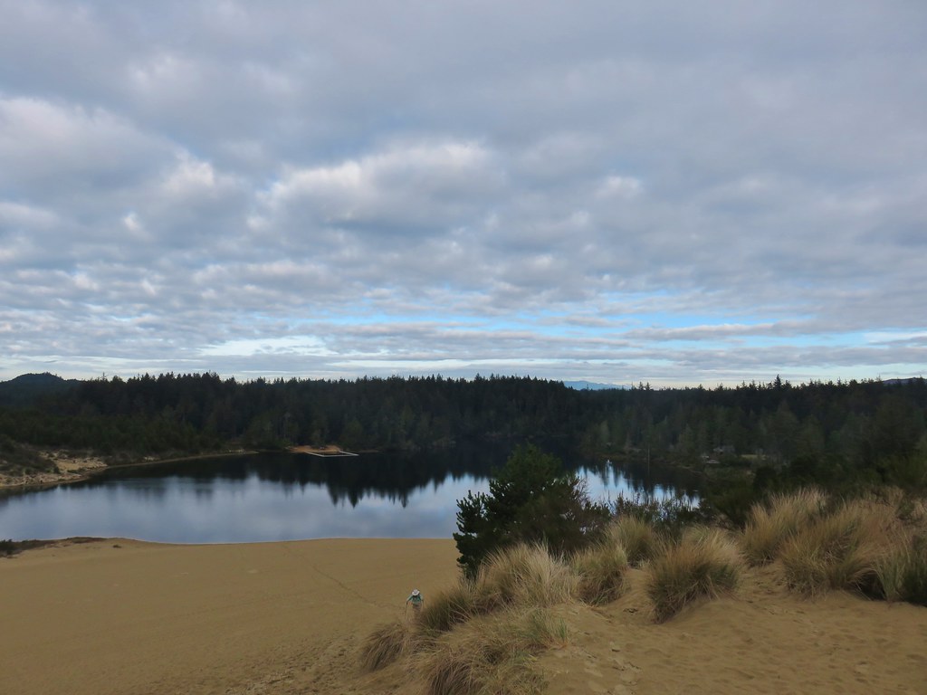
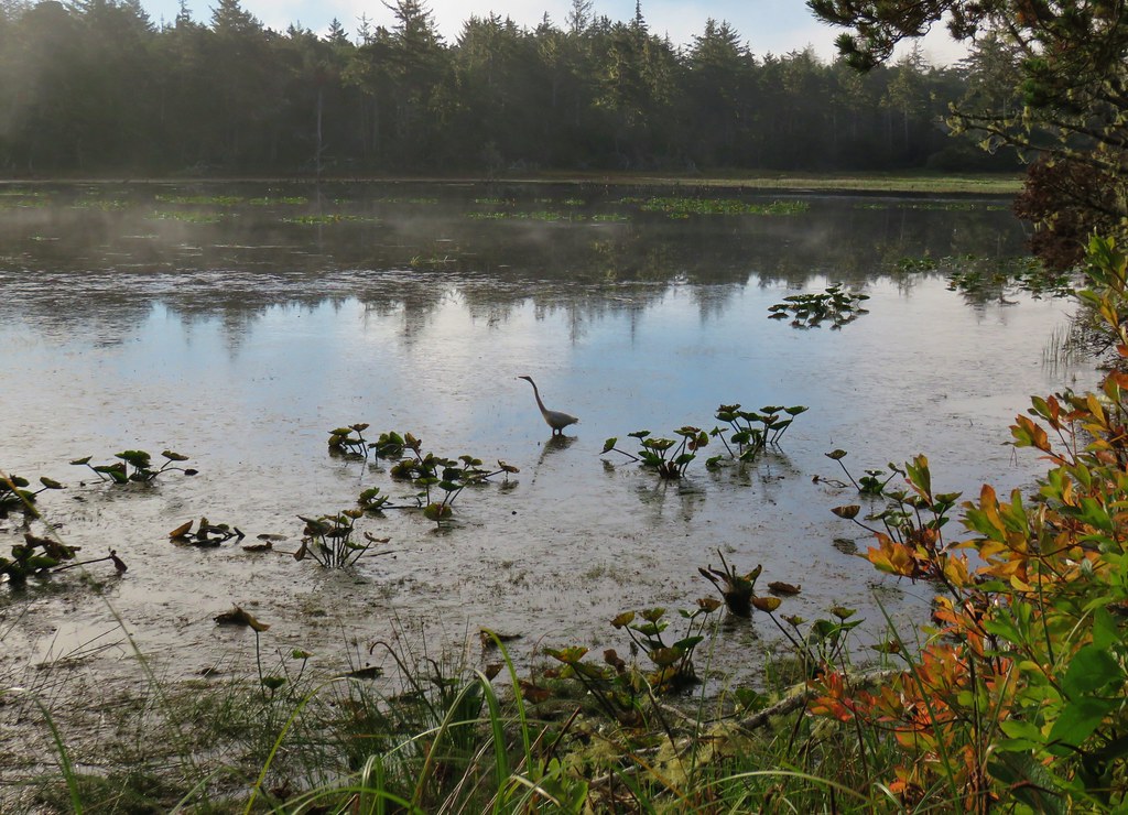
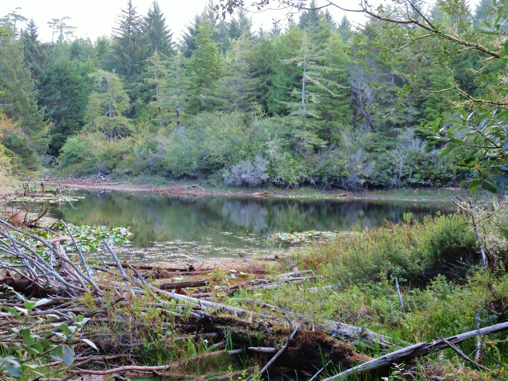
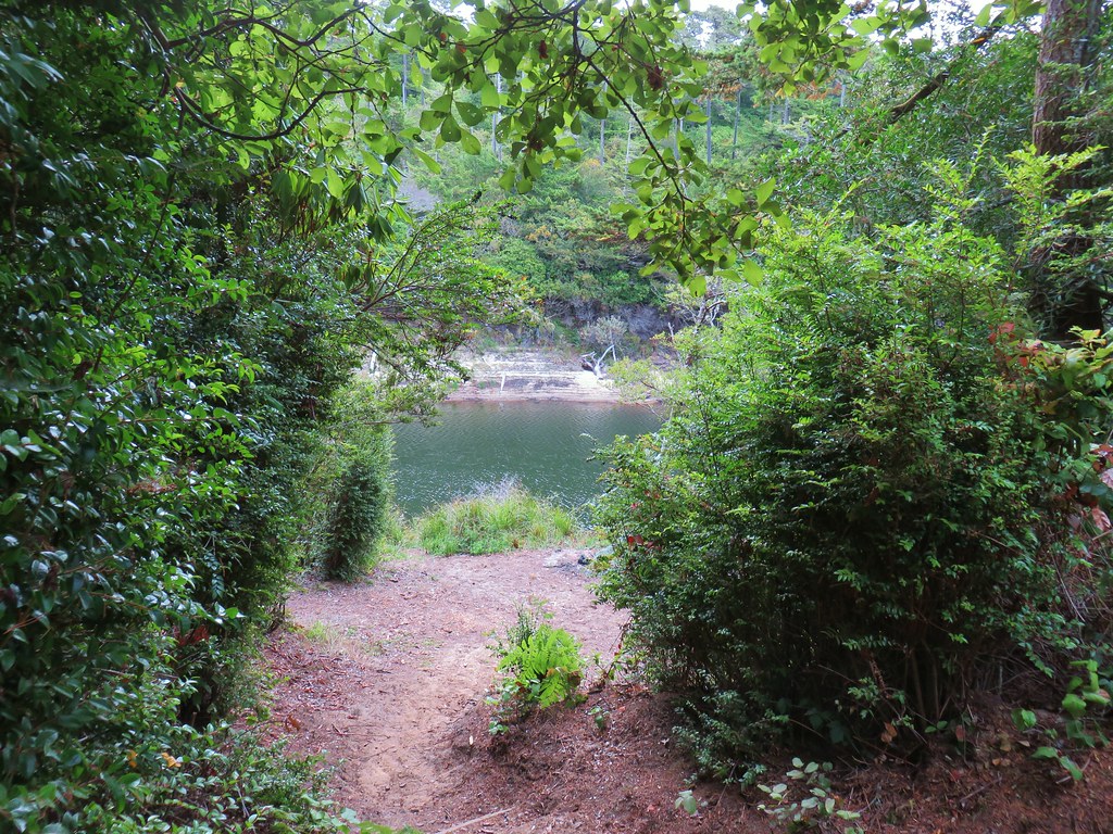
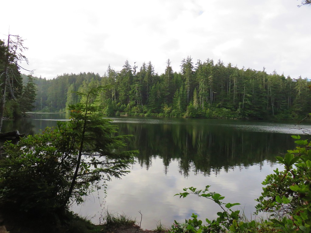
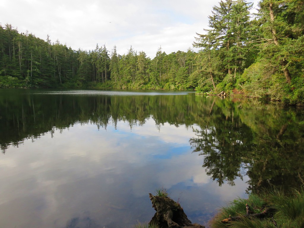
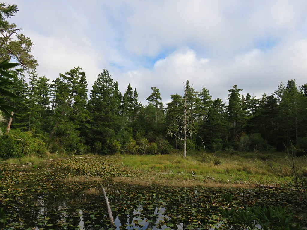
 Lily Lake
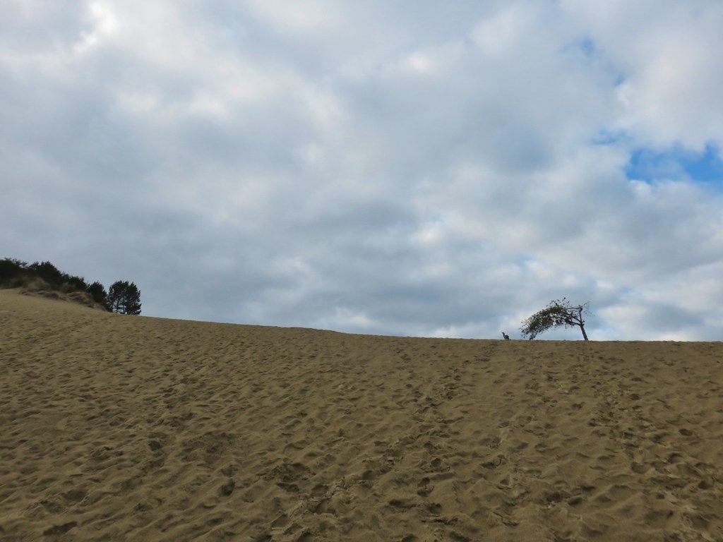
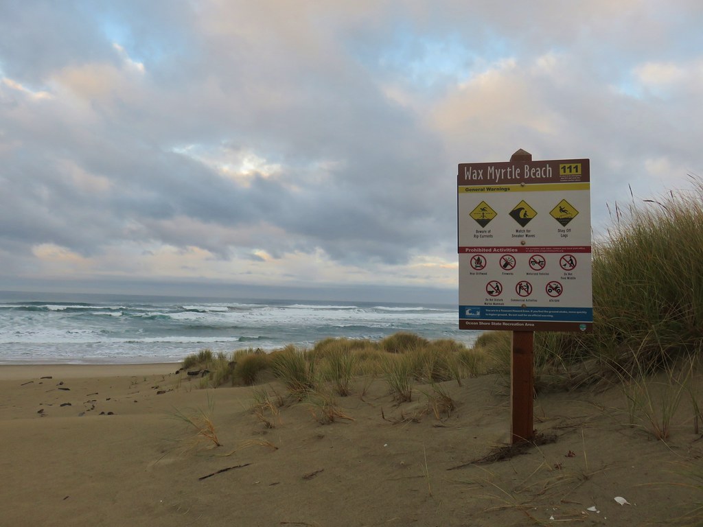
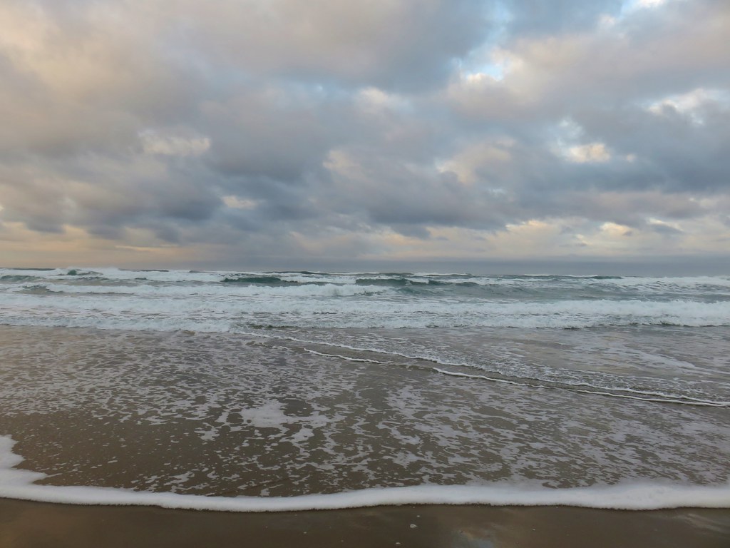
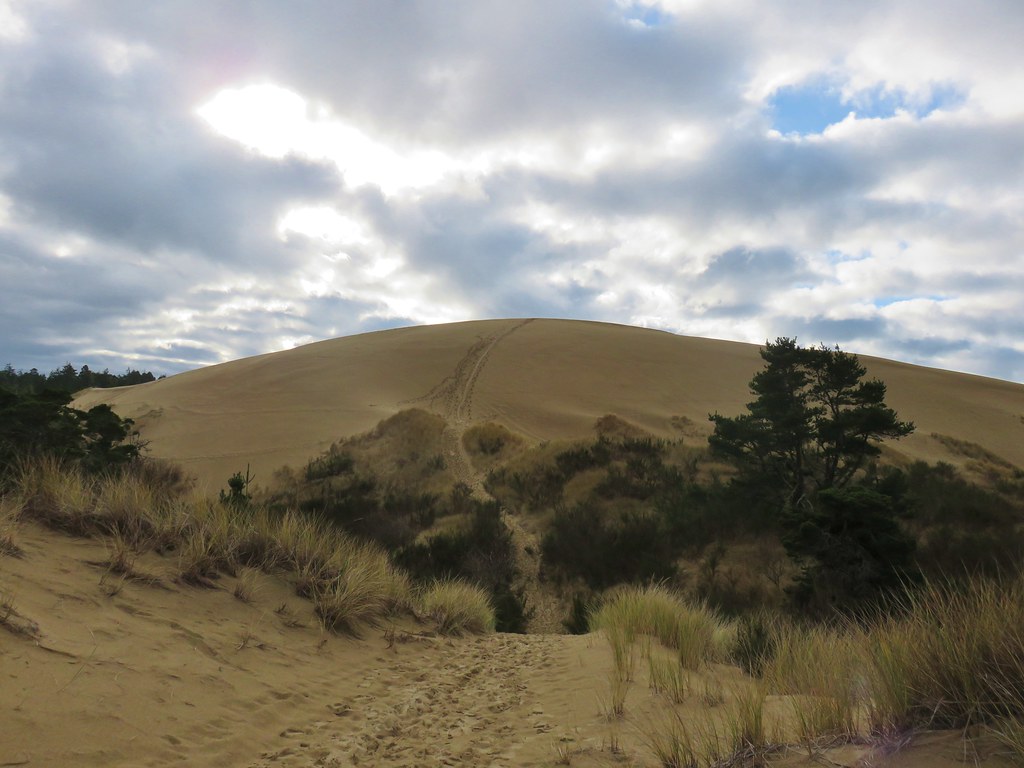
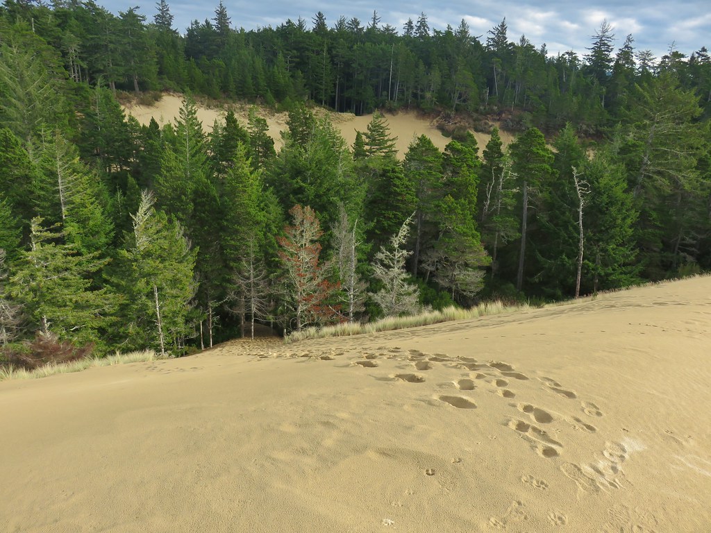
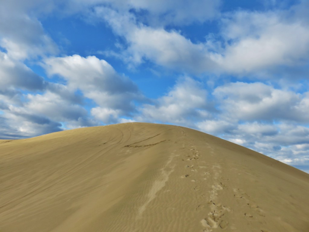
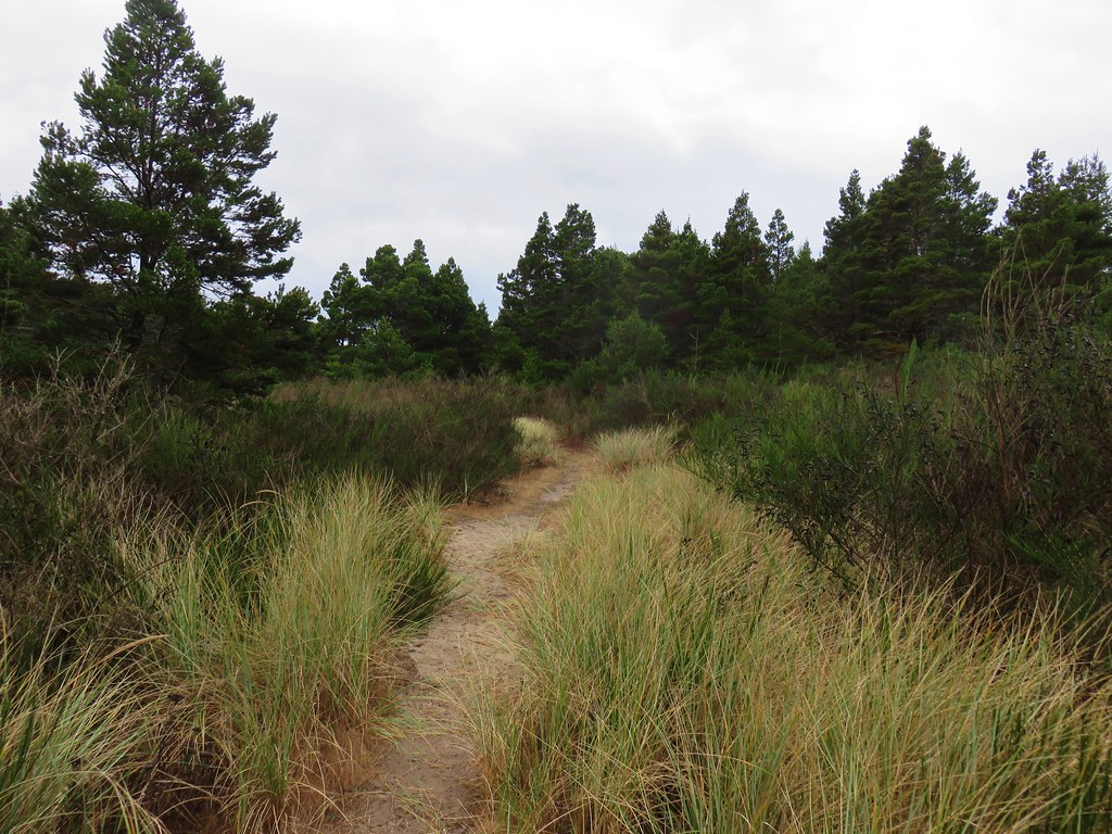
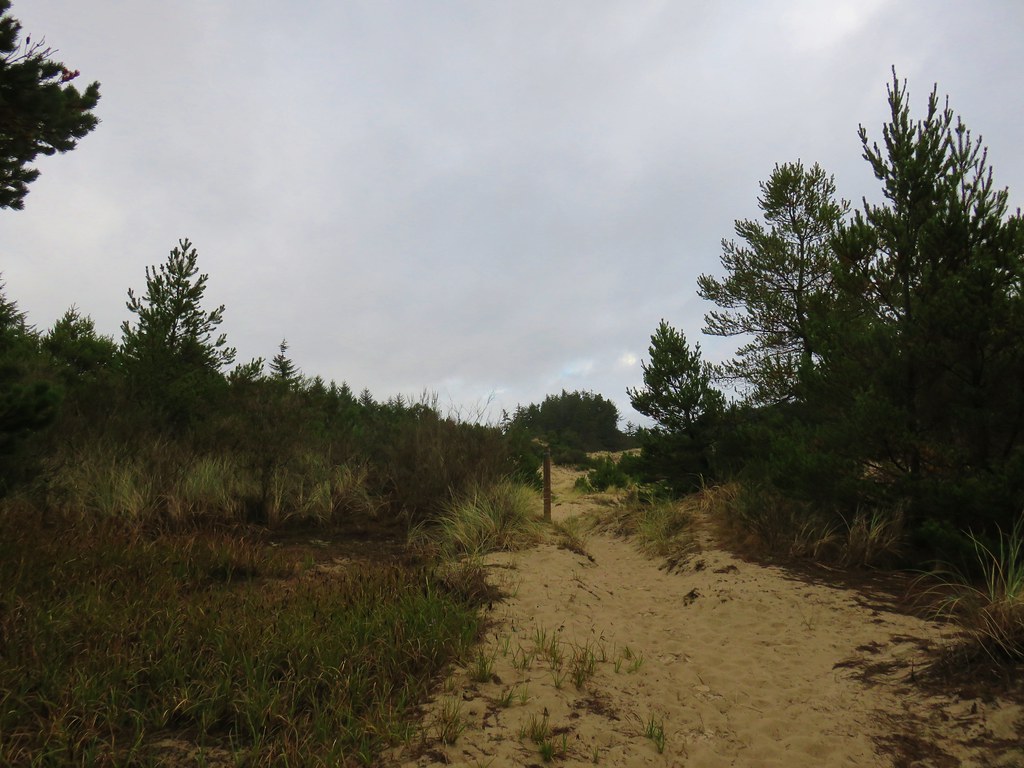
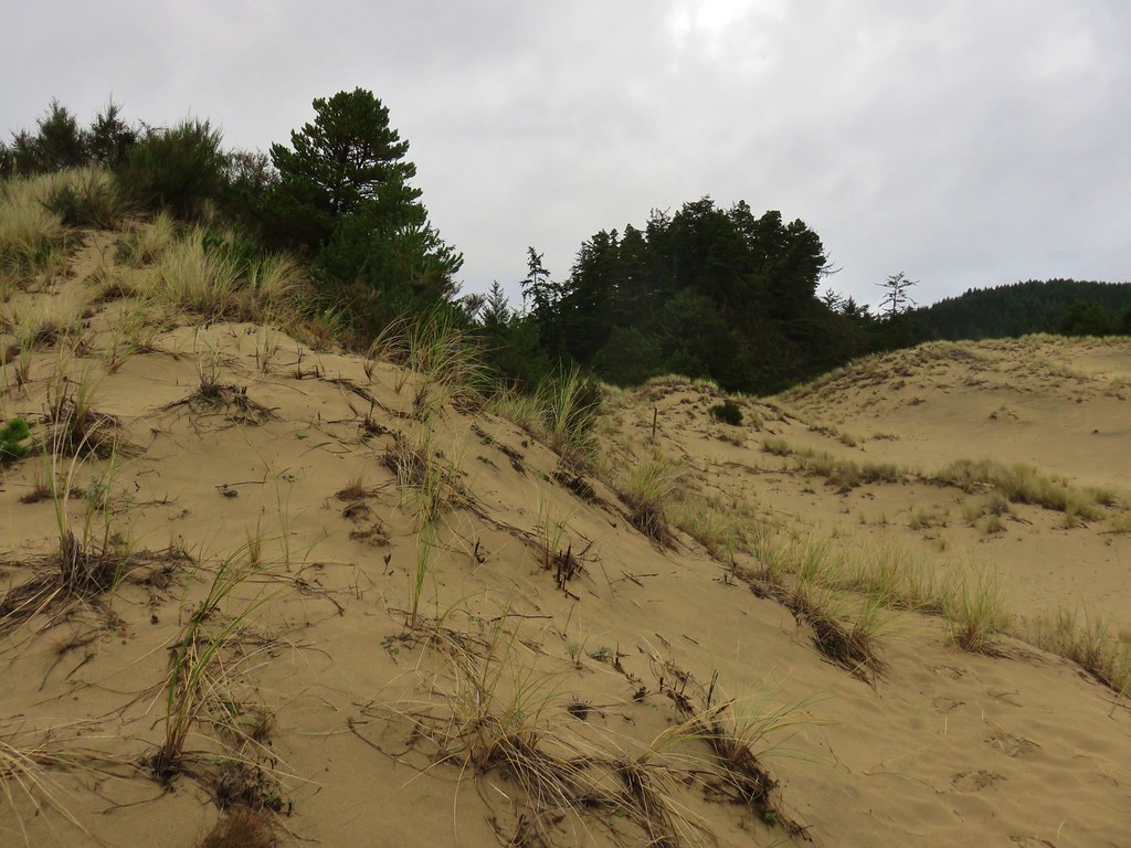
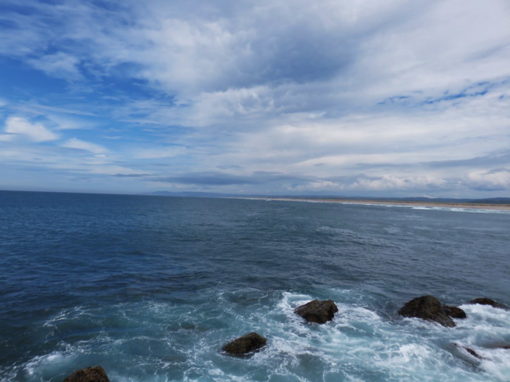
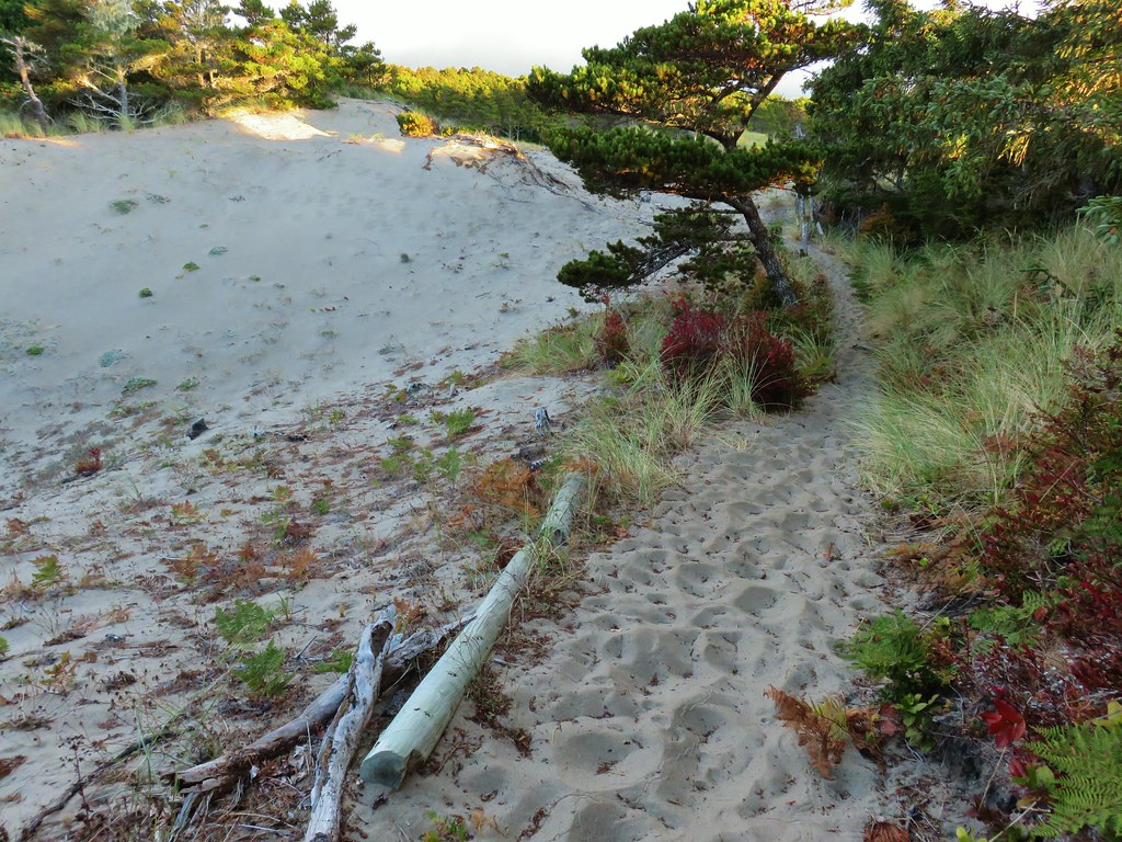
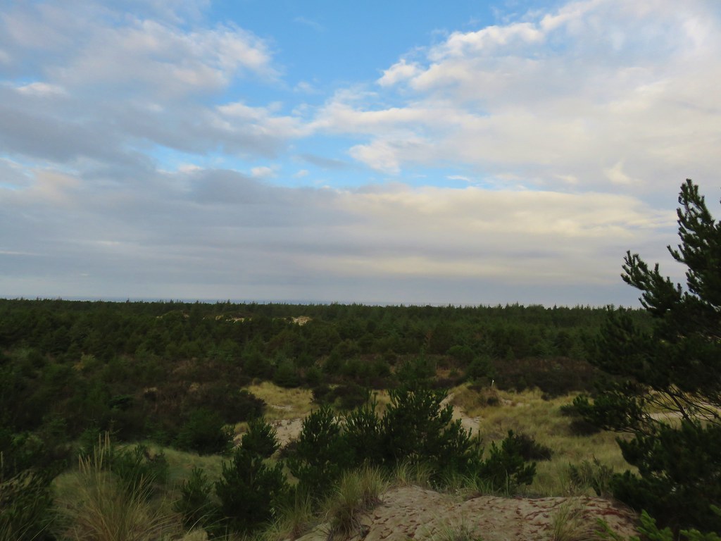
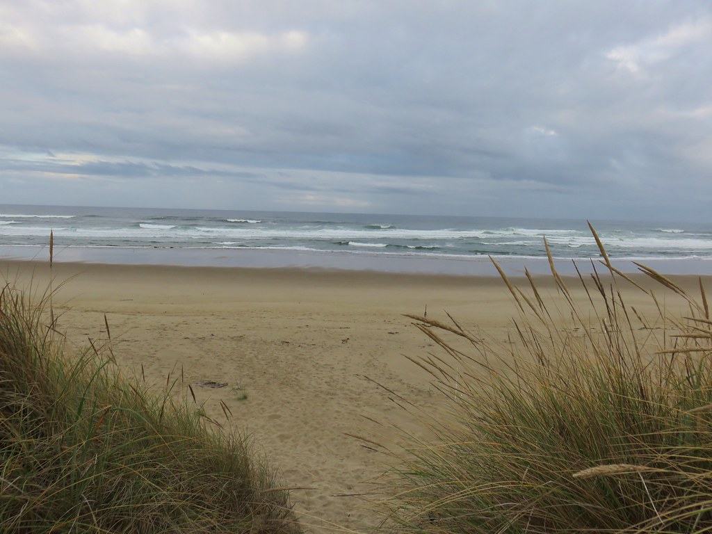
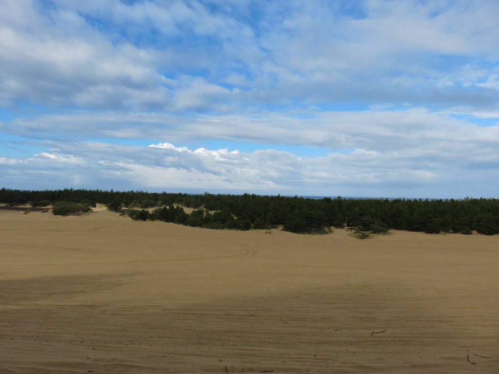
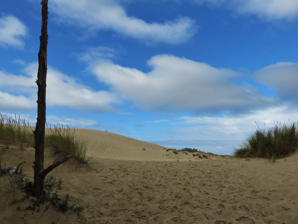
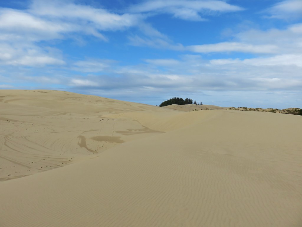
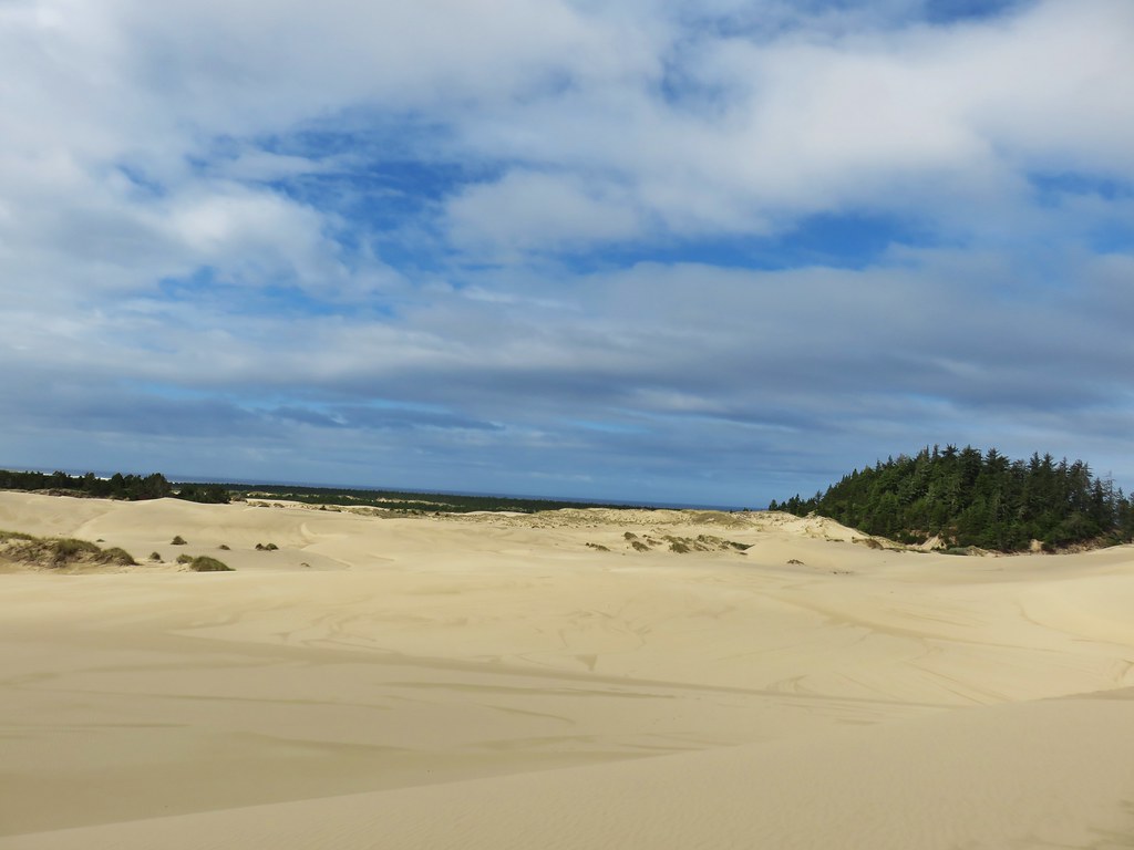
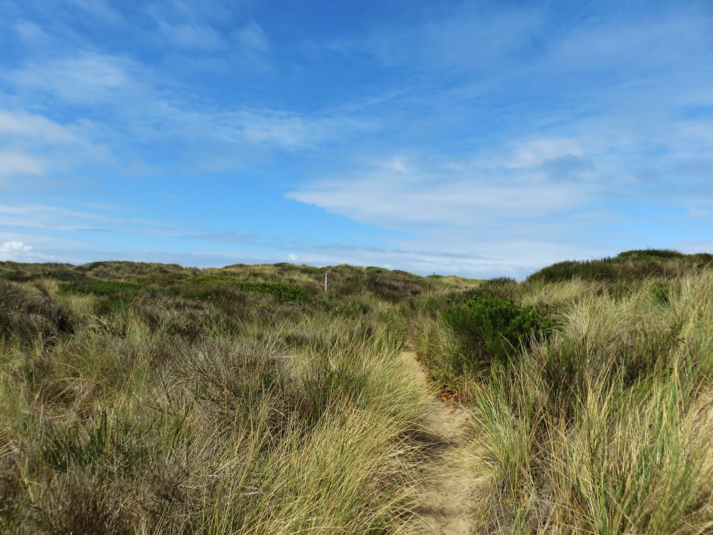
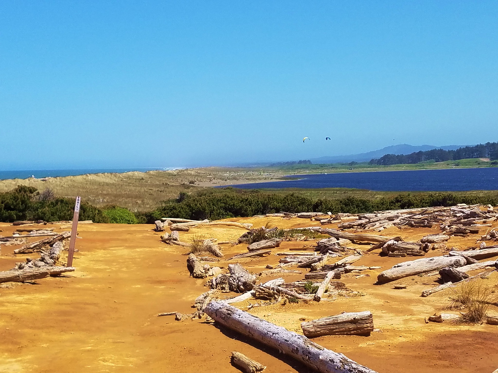
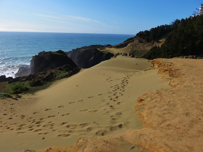
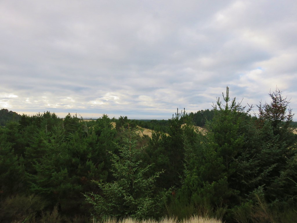 The Pacific Ocean from the dune.


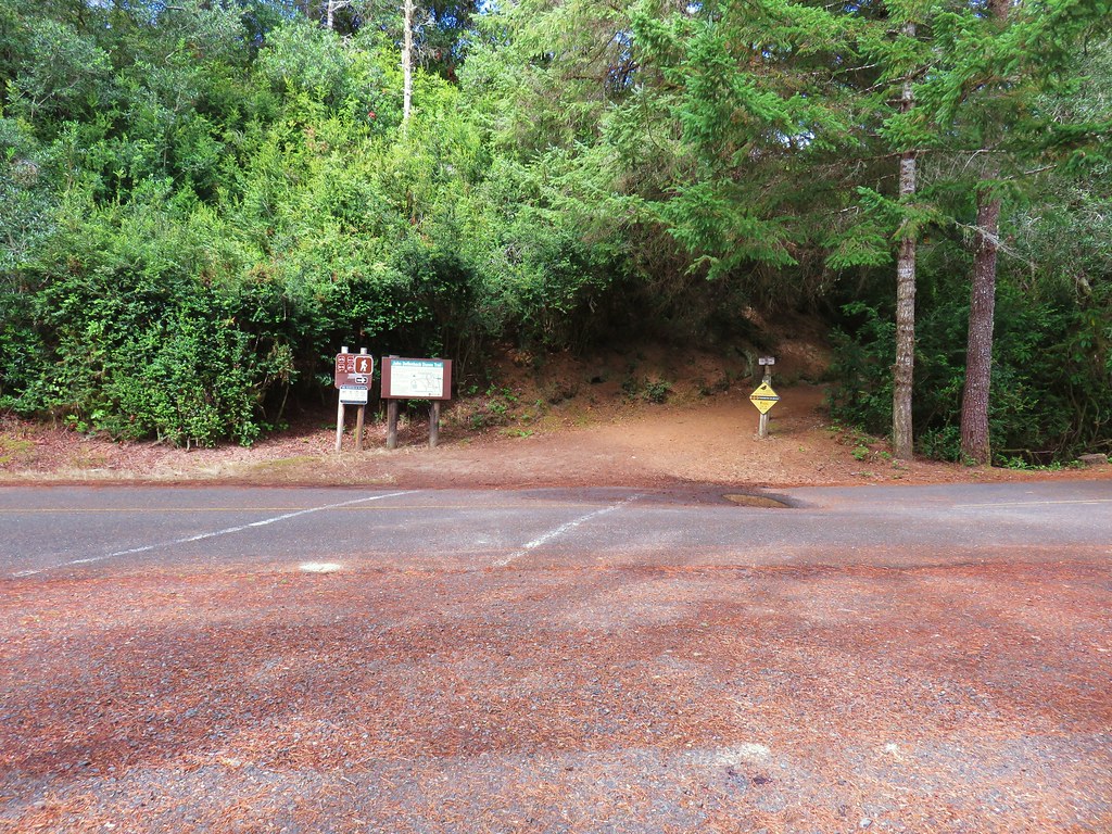
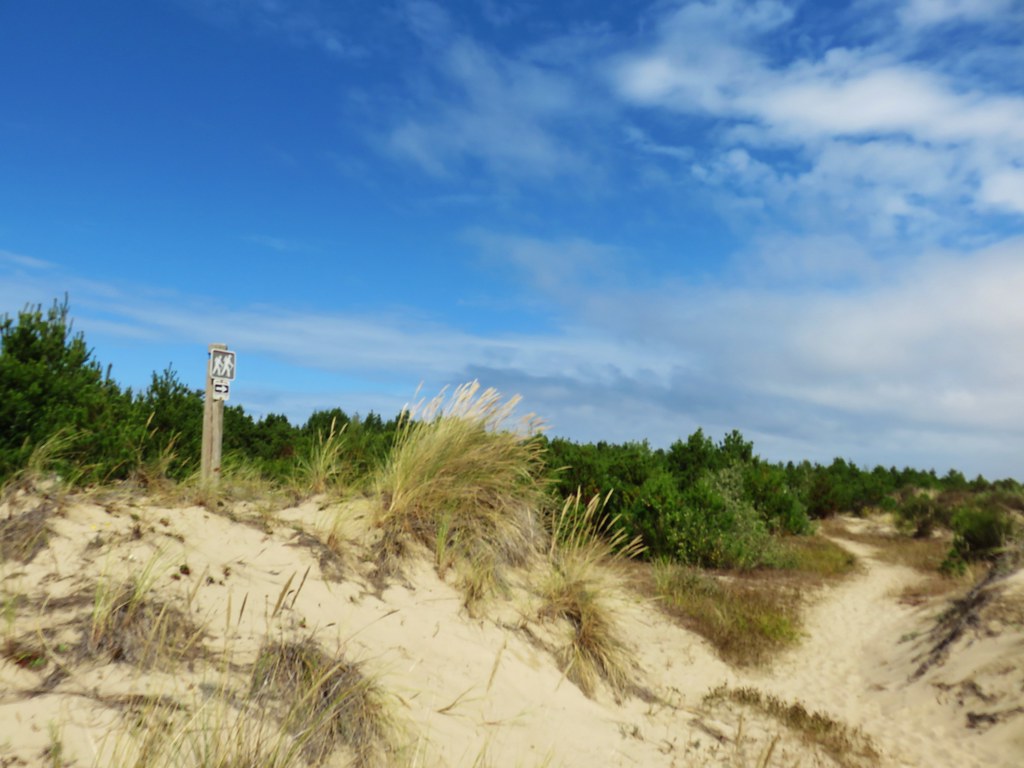
 Barklow Mountain West Trailhead


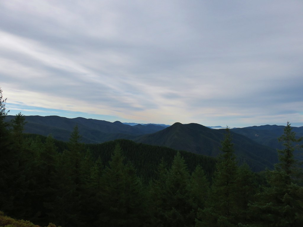

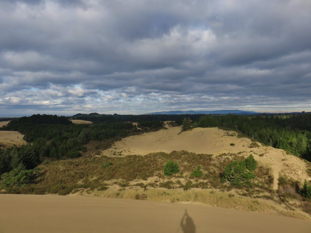
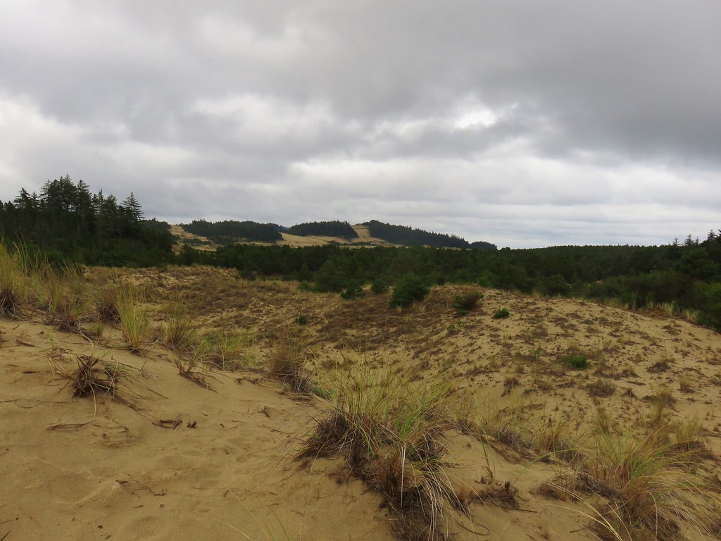
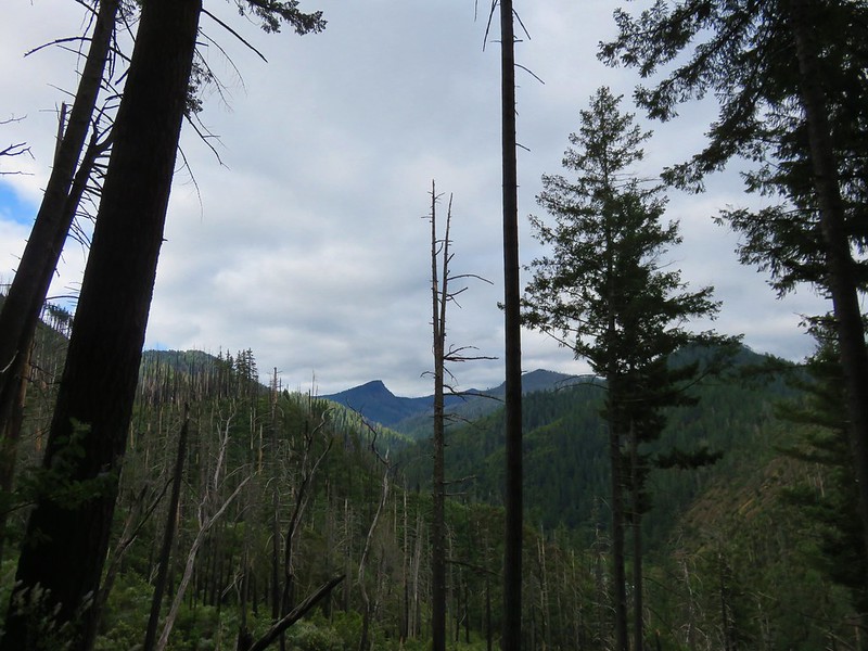
 Grassy Knob is on the horizon just to the left of the near trees.
 Copper Mountain from the lookout site.


