After spending the night camped by Zeb Lake in the Mountain Lakes Wilderness we packed up our tent and headed back down the Varney Creek Trail to the trailhead and our waiting car. Our plan was to spend the next two nights in the nearby Sky Lakes Wilderness and do some exploring in that area. We drove back to Highway 140 and headed east toward Medford for 12 miles and turned right onto Fourmile Lake Road (a.k.a. Forest Road 3661) and drove another 5.7 miles to the Fourmile Lake Campground where we parked at the Badger Lake Trailhead.
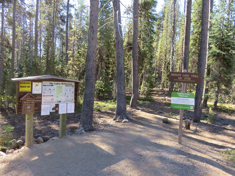
When I was penciling this trip out I had originally considered staying at the campground but the thought of being in such a popular car campground wasn’t very appealing so the plan I settled on was hiking into to one of the other lakes along the Badger Lake Trail. We threw our packs back on and set off on the trail hoping to find a quieter, more private place to set up camp. The trail led away from the campground to a junction with the Twin Ponds Trail which connects up with the Pacific Crest Trail near Squaw Lake.
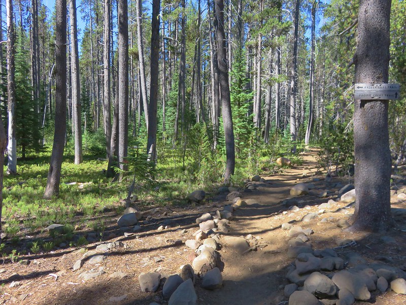
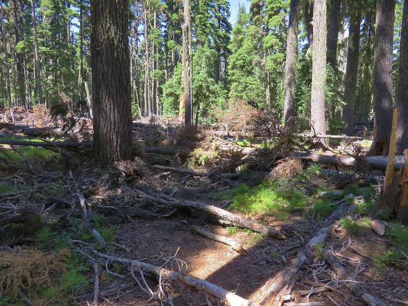
We turned left following the Badger Lake Trail as it passed through a forest of lodgepole pine.

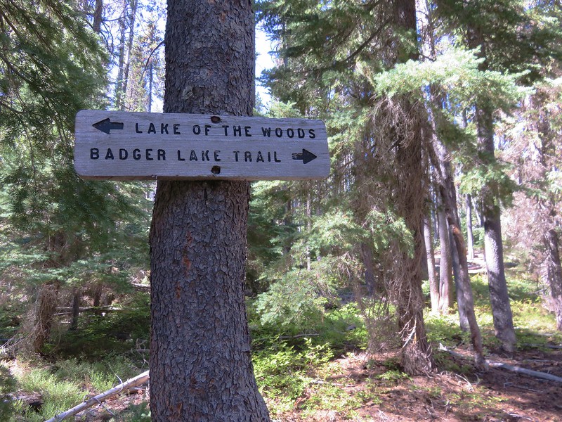
The trail veered back toward the campground to a crossing of Fourmile Lake Road near the campground entrance then swung away again into the forest and meeting up with the Rye Spur Trail which travels to Lake of the Woods.
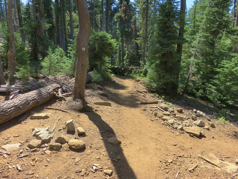
We crossed Cascade Canal .8 miles from the trailhead. The canal was built and Fourmile Lake dammed to drain the lake west toward Medford instead of to its original eastward route to Klamath Lake. At the canal there was a post with no signs attached and a road running perpendicular to the trail. There was no obvious continuation of the trail on the far side of the road so I checked the GPS map which showed the road making a small loop and the trail picking up on the far side of that loop. We decided to go around clockwise since that direction led us toward Fourmile Lake and we hadn’t had a good look at it yet. After climbing up on some of the boulders along the dam we were able to get a glimpse of the large lake.

The road made the loop just as the GPS had shown and we picked up a clear trail heading to the left into the forest. There was also a clear trail coming from the right which we decided we would follow when we were headed back to the trailhead. For now we headed left and soon entered the Sky Lakes Wilderness.

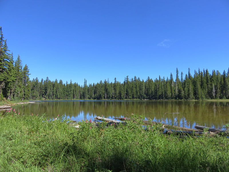
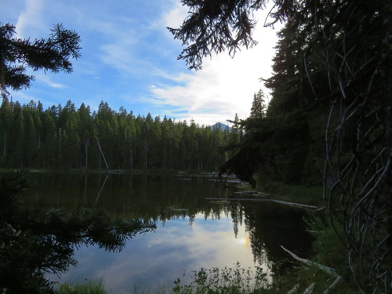
Fourmile Lake was once again hidden by trees until we were about three quarters of a mile from the canal. Finally a couple of side trails led to driftwood piles along the shore and views across the lake to Mt. McLoughlin.
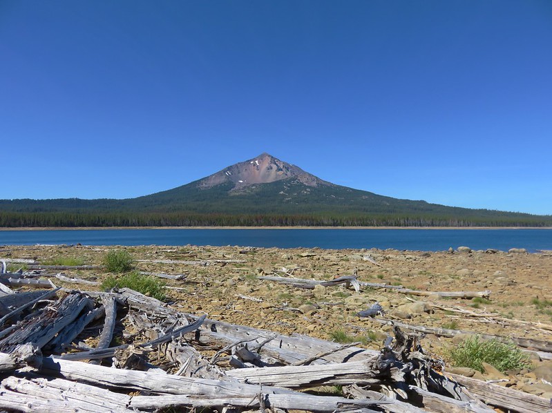
The best viewpoint was down a short path about .9 miles from the canal but we didn’t go down that trail until the following day. We were focused on finding a campsite and getting out from under our backpacks. The first lake after Fourmile Lake we came to was Woodpecker Lake. Located about one and three quarter miles from the canal this little lake was on the right hand side of the trail.

We stopped briefly to see if there were any campsites that were too good to pass up but we didn’t see anything obvious and we were starting to notice a few mosquitoes so we continued on to nearby Badger Lake.
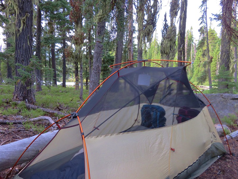
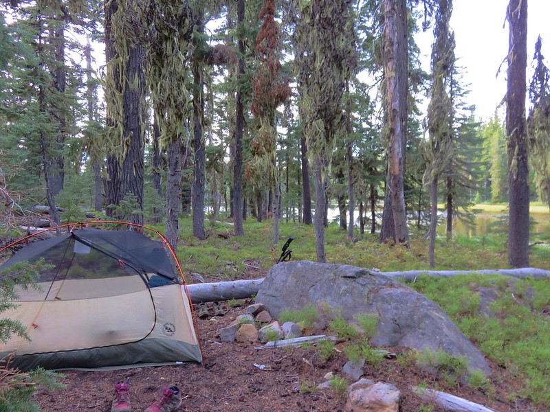
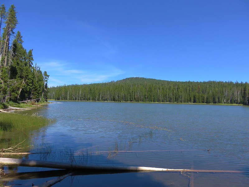
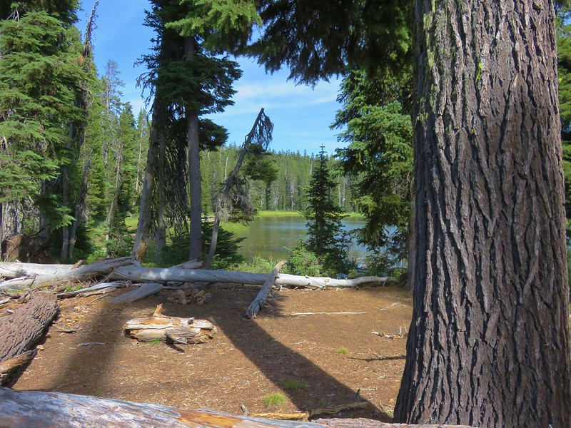
Badger Lake was less than a quarter mile from Woodpecker Lake and it was a little larger than it’s neighbor. We weren’t seeing any campsites along the southern end of the lake nor did there appear to be the usual use trail going around the lake anywhere. We continued on the trail along the lake for a few hundred feet without seeing anything. Looking back across the lake we thought the terrain on the SW side looked like it might be suitable for campsites so we decided to head back and check out that area. We headed cross country through the forest near the lake and did manage to find a few spots that clearly had been used as campsites at one time but they all looked like it had been awhile. We set our packs down in the best looking spot and did a little further exploration before deciding that we had identified the most suitable one.
After getting camp set up we strapped on our daypacks and continued on the Badger Lake Trail. We planned on going at least another 1.9 miles to Long Lake and then possibly continuing an additional 1.6 miles to the Pacific Crest Trail where we would only be .6 more miles from Island Lake and the Judge Waldo Tree.
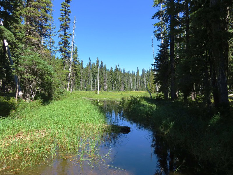
When we reached the northern end of Badger Lake we discovered a couple of established campsites but we were happy with the spot we’d picked. Just beyond these sites the trail crossed a small stream connecting that connected Badger Lake to a long meadow with a lily pad pond.
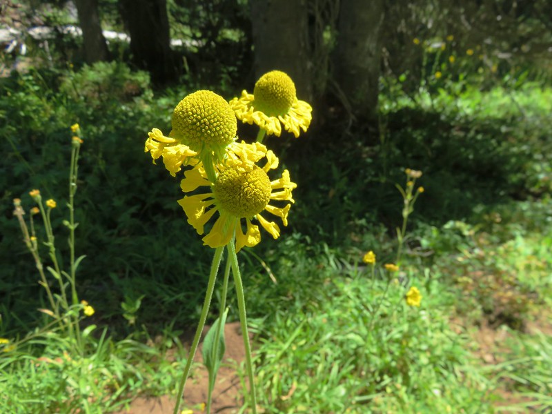
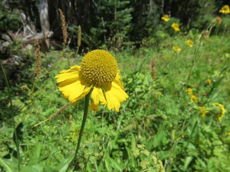
As we passed along the meadow we began seeing some wildflowers including several bigelow’s sneezeweeds.
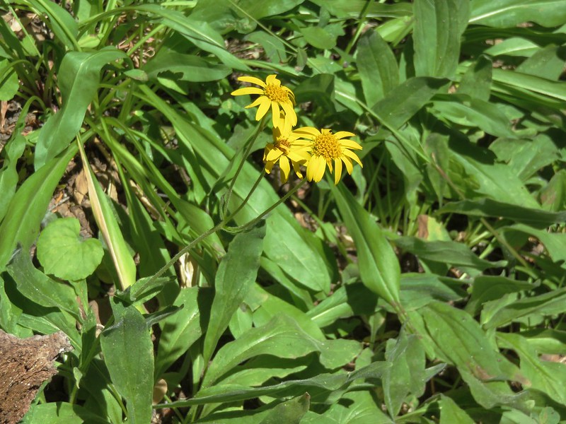
Arnica
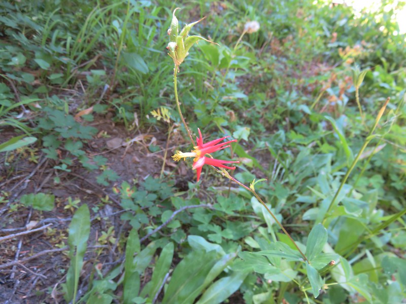
Columbine
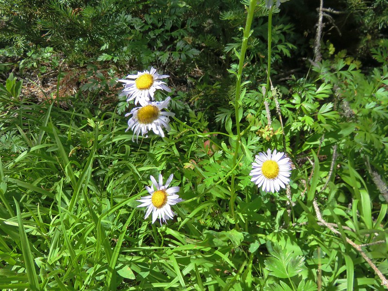
Aster
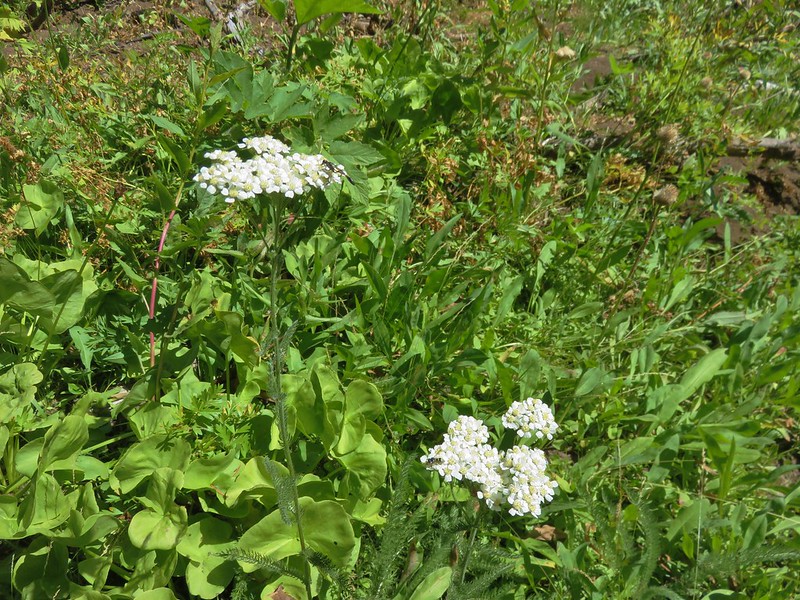
Yarrow
Bolander’s madia
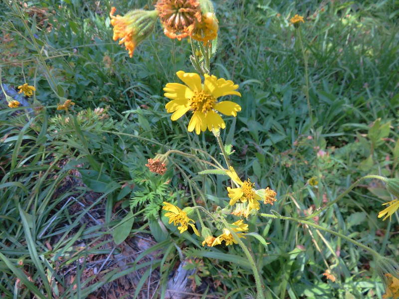
Bigelow’s sneezeweed
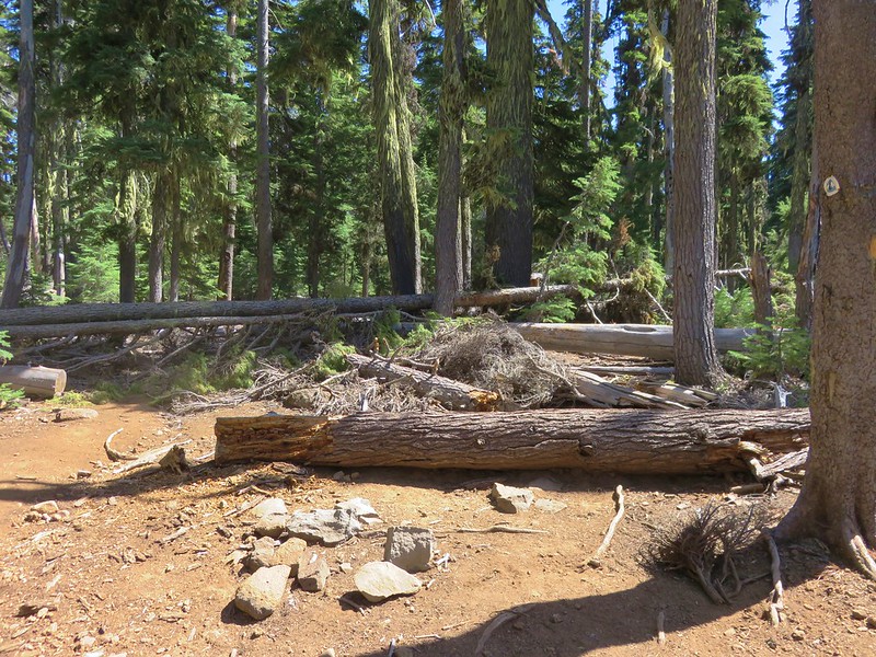
The trail had been skirting the meadow, but some large piles of blowdown had forced a reroute through the meadow where we had to carefully watch our step due to the presence of frogs. Having to go slow through the meadow made us easier targets for the small number of mosquitoes that were still present.

When arrived at Long Lake it was easy to see how it earned its name.
There were a number of campsites along the lake but no one was occupying any of them. We had passed a pair of hikers earlier that had been camped there and they said they didn’t see anybody while they had been there. It was only 1:45pm and we were feeling pretty good so we elected to continue on to Island Lake despite the increasing blowdown. There had been intermittent blowdown over the trail since the meadow, but beyond Long Lake the amount really increased.
On the plus side the entire trail was relatively level and we managed to reach the PCT without too much difficulty.
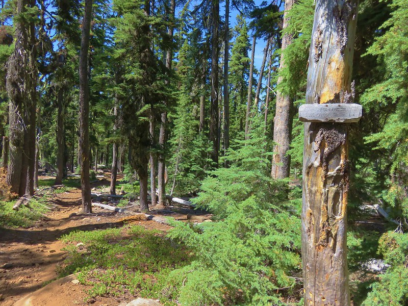
At the junction the Badger Lake Trail was hidden by blowdown.
On the opposite side of the PCT the Blue Canyon Trail appeared to be relatively clear.
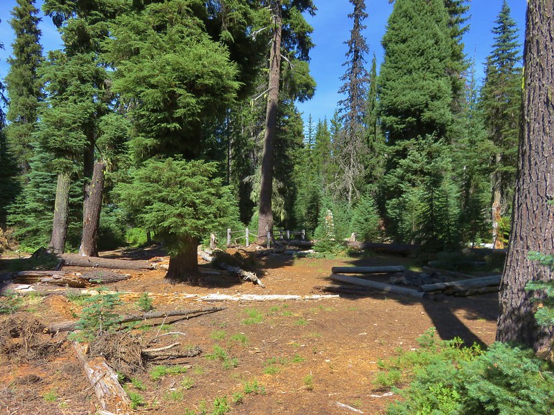
A quick downhill .2 miles along that trail brought us to a junction with the Red Lake Trail and in another .4 miles we reached the unmarked side trail that led to some campsites and the Judge Waldo Tree.
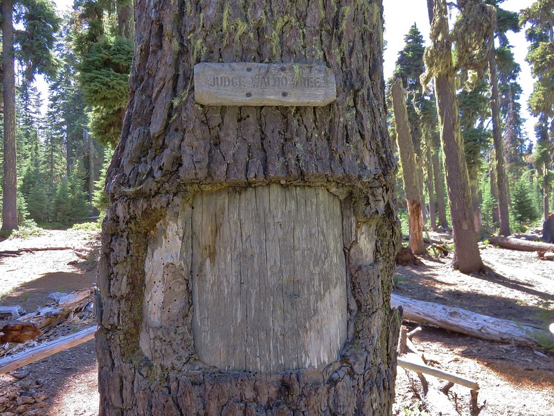
In 1888 a group of 5 horsemen led by conservationist Judge J. B. Waldo camped at Island Lake while riding from Willamette Pass to Mt. Shasta on what would become the route of the Pacific Crest Trail. While at the lake they carved their names in the tree (an act that current day conservationists would never consider doing now).
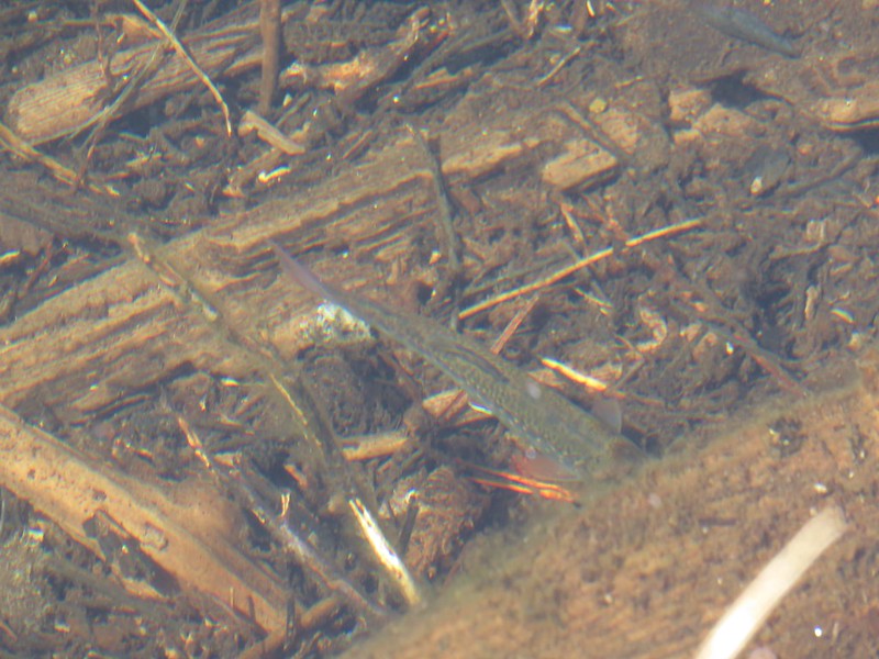
We took a break at the lake enjoying a snack before filtering some water for the evening. While we were getting the water we received a thorough fishing report from a young man who had been camped at the lake with his family. Apparently the fish had been going nuts over salmon eggs but they wouldn’t actually take the bait. 🙂

When we were finished filling our water we started back toward Badger Lake. When we got back to Long Lake we stopped to cook dinner and watch a group of ducks that were paddling around the lake.
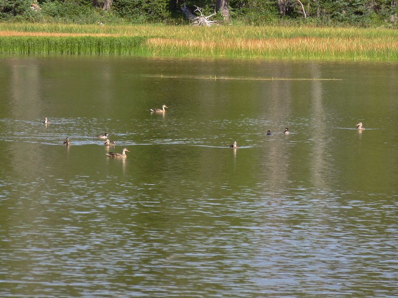
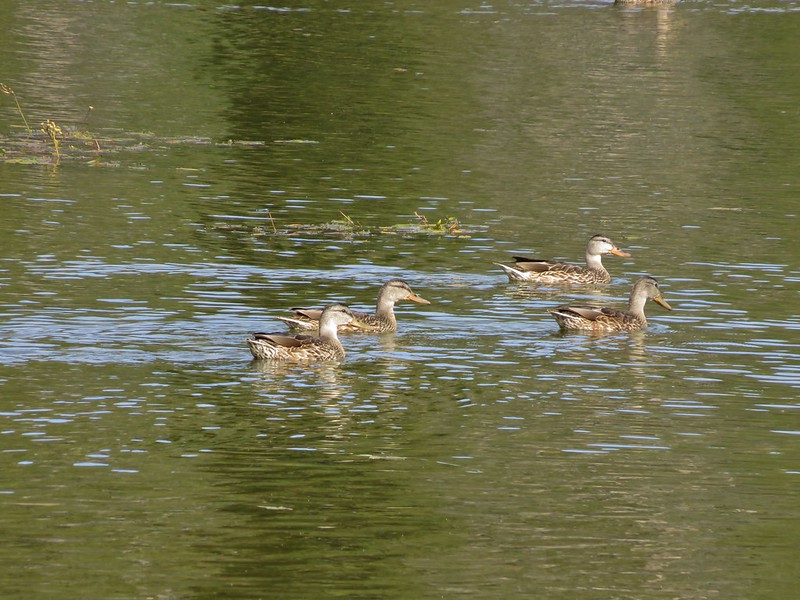
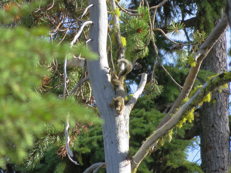
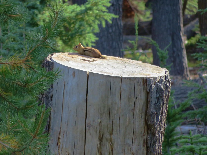
In addition to the ducks there were a number of small birds flitting around the trees along the shore as well as a Douglas and a Golden-mantled ground squirrels.
After dinner we returned to Badger Lake where the very top of Mt. McLoughlin was visible over the trees on the far end of the lake.
Just like the previous night at Zeb Lake we were the only ones camped at the lake. It was indeed a lot quieter than it would have been at Fourmile Campground. We had managed another long day, 17.6 miles in all, and had big plans for the next day as well – summiting Mt. McLoughlin.
Happy Trails!
Flickr: https://www.flickr.com/photos/9319235@N02/albums/72157673108018195

8 replies on “Sky Lakes Wilderness – Badger Lake Trail”
I am ashamed to say I have done very little in Southern Oregon since when I head north, I always seem to push a further into Oregon and head to Bend. Nonetheless, all these places you are posting about are practically in my backyard and have been on my to-do list for a long time. Your pictures of these places are, as usual, are easily the best I have seen on the net and give great insight to the trails and their beauty.
I think a lot of folks overlook it. I rarely see posts from these areas from anyone in the Oregonhikers forums. It seems like it mostly the locals from the Southern Oregon area that head out there.
You are right. It seems like most people from further north pull up short at Mt. Thielsen and Crater Lake. Folks from the south head to Mount Shasta, the Trinties or Marbles or (like me) push ahead to Crater Lake. I would say the area is a bit more subdued than the rest of the Cascades but that does not mean it lacks beauty. Have you ever considered going to the Warner Mountains?
I think that is exactly it, not as much wow factor in those areas.
I haven’t looked much at the Warner Mountains, will you be covering them in the new book? I’m always looking for more vacation ideas and they’re within the right distance.
Only one trail from the Warners will be in the book. I am including the hike up Pine Creek to the Warner Crest and then over to Patterson Lake. It is pretty spectacular though. Those mountains are well worth a visit. Mid summer has awesome wildflowers and, depending on where you go, it has tons of aspens for great fall color.
[…] the Oregon list. They were the Oregon Badlands, Kalmiopsis, Menagerie, Eagle Cap, Mountain Lakes, Sky Lakes, and Lower White River Wildernesses in Oregon and the Marble Mountain Wilderness in California. In […]
[…] & Northern California” guidebook (edition 4.2). We had visited Island Lake in 2016 (post) but from the other direction. Since that visit only covered 0.1 miles of the featured hike and the […]
[…] #40 Blue Lake Basin-Hiked 9/18/2022 #41 Mount McLoughlin-Hiked 8/27/2016 #42 Fourmile Lake-Hiked 8/26/2016 #43 Sky Lakes via Cold Springs-Hiked 9/24/2022 #44 Sky Lakes via Nannie Creek-Hiked 9/24/2022 […]