Lingering snow in the mountains has continued to force us to rearrange our planned hikes. We had planned on an extended weekend backpacking trip from 6/8 to 6/12 from Grayback Mountain to the Red Buttes Wilderness but by mid May it was clear that unless we wanted to deal with a good deal of snow we’d need to hold off on that trip. After much juggling on our spreadsheet our new plan was 4 days of hiking around Medford and Jacksonville.
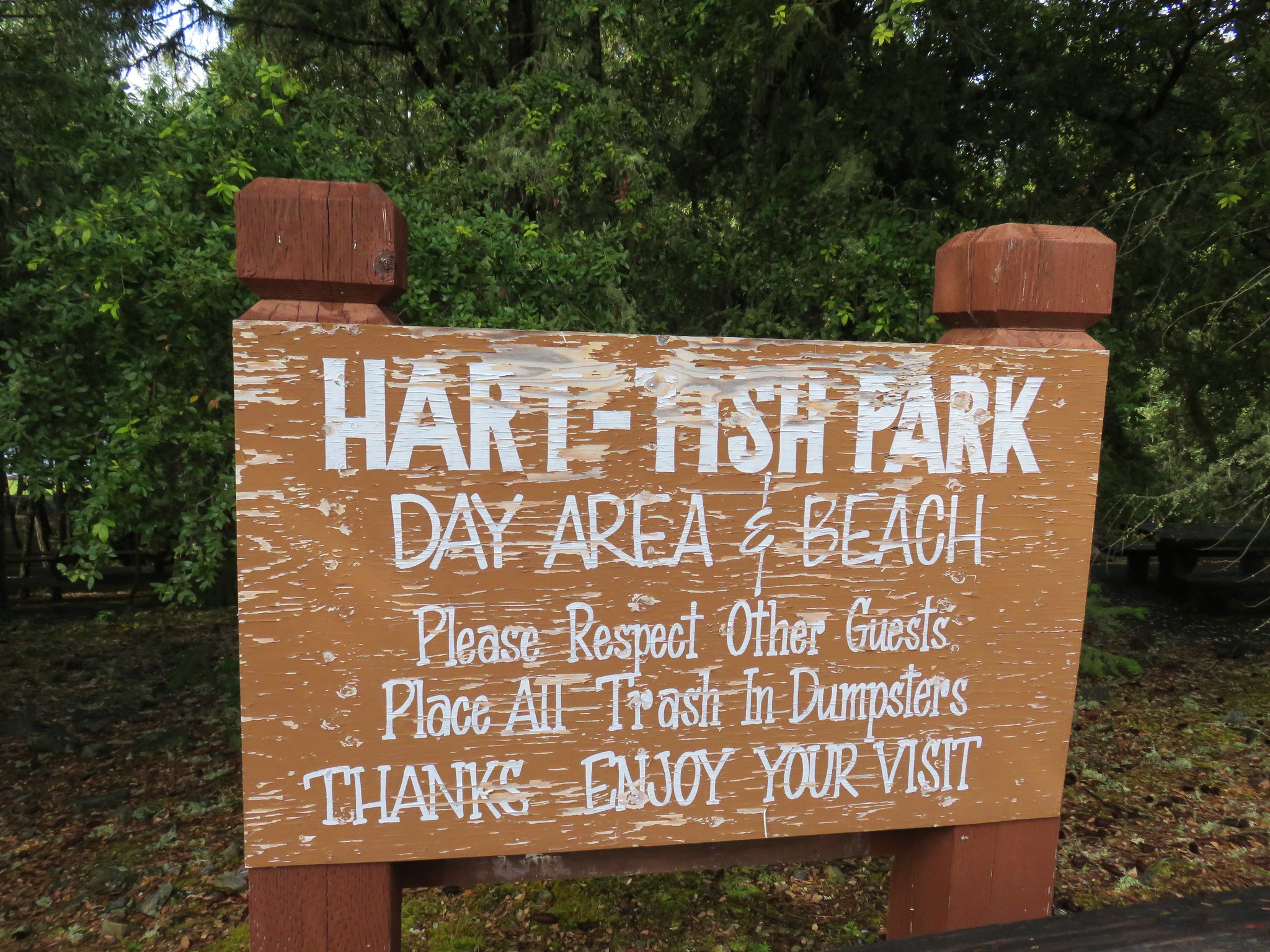
We set off early on Thursday morning heading south on I-5 to Medford. Our plan was to get a hike (or two) in before checking into our motel. Our first stop was at Hart-Tish Park at Applegate Lake. From Medford we followed Highway 238 through Jacksonville to Ruch where we turned left on Upper Applegate Road for 15.9 miles.
After picking up a $5 day pass at the Hart-Tish Store we set off from the day use area on a paved path toward Applegate Lake.
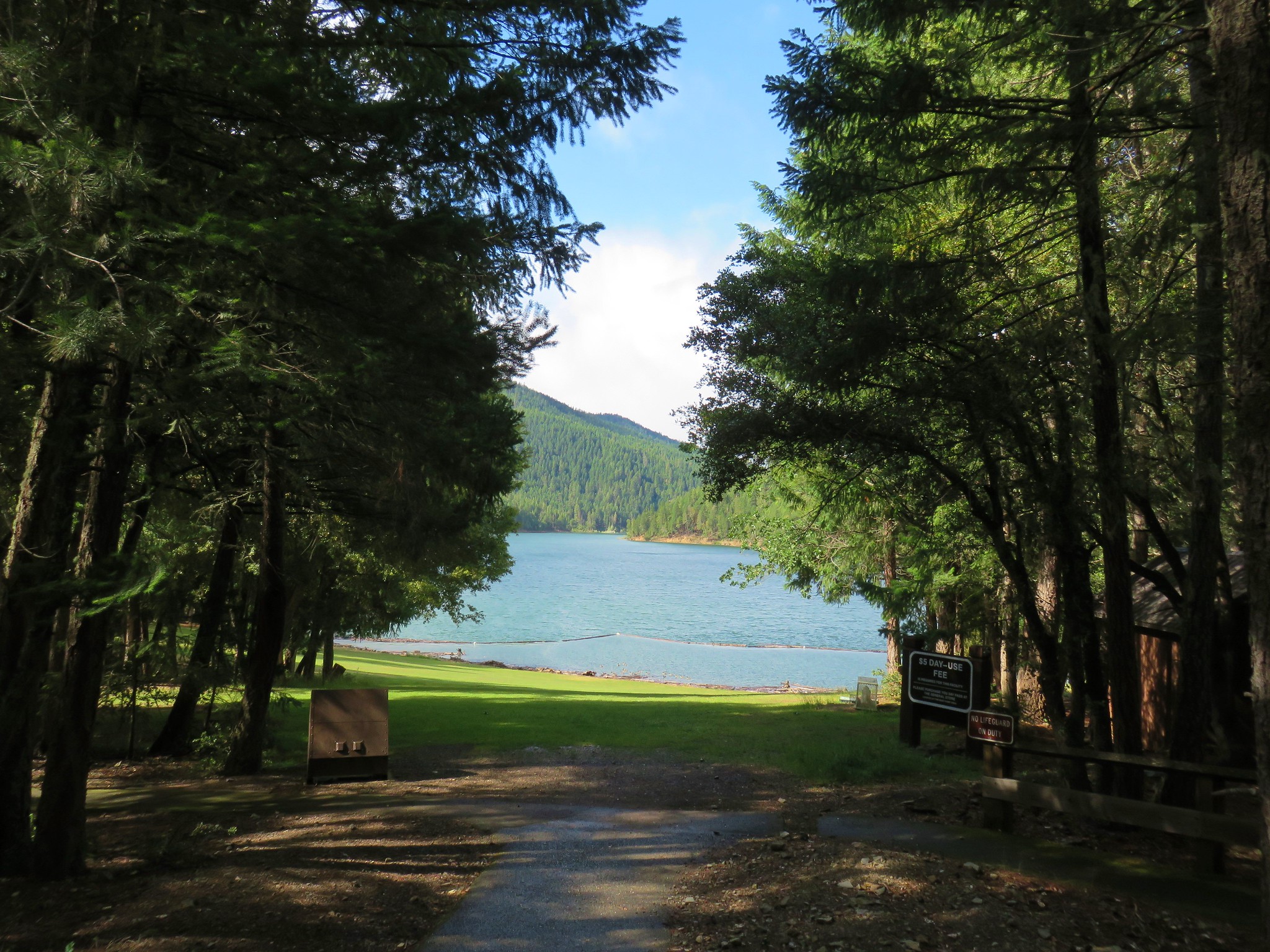
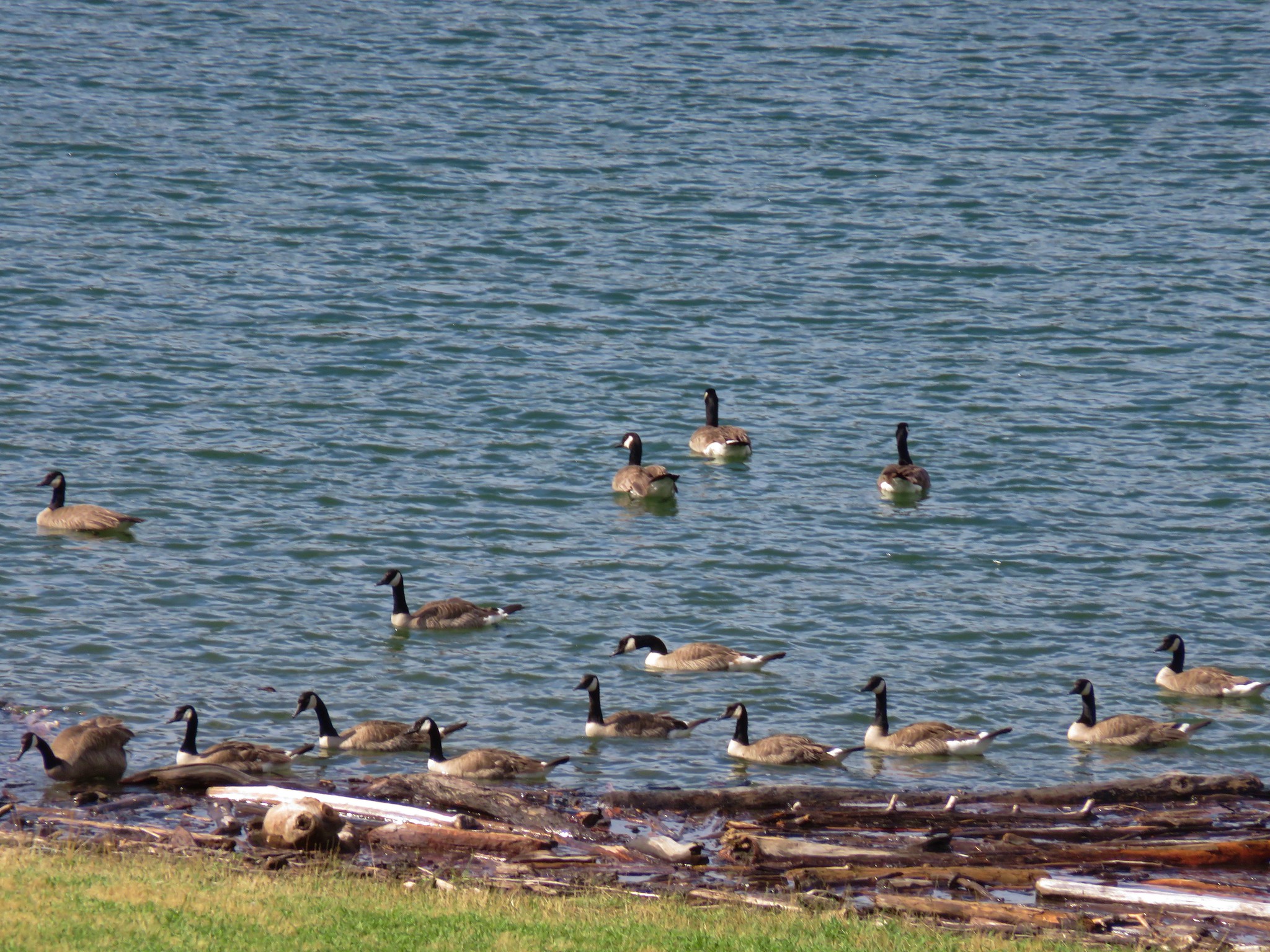
The lake was pretty busy for a Thursday morning.

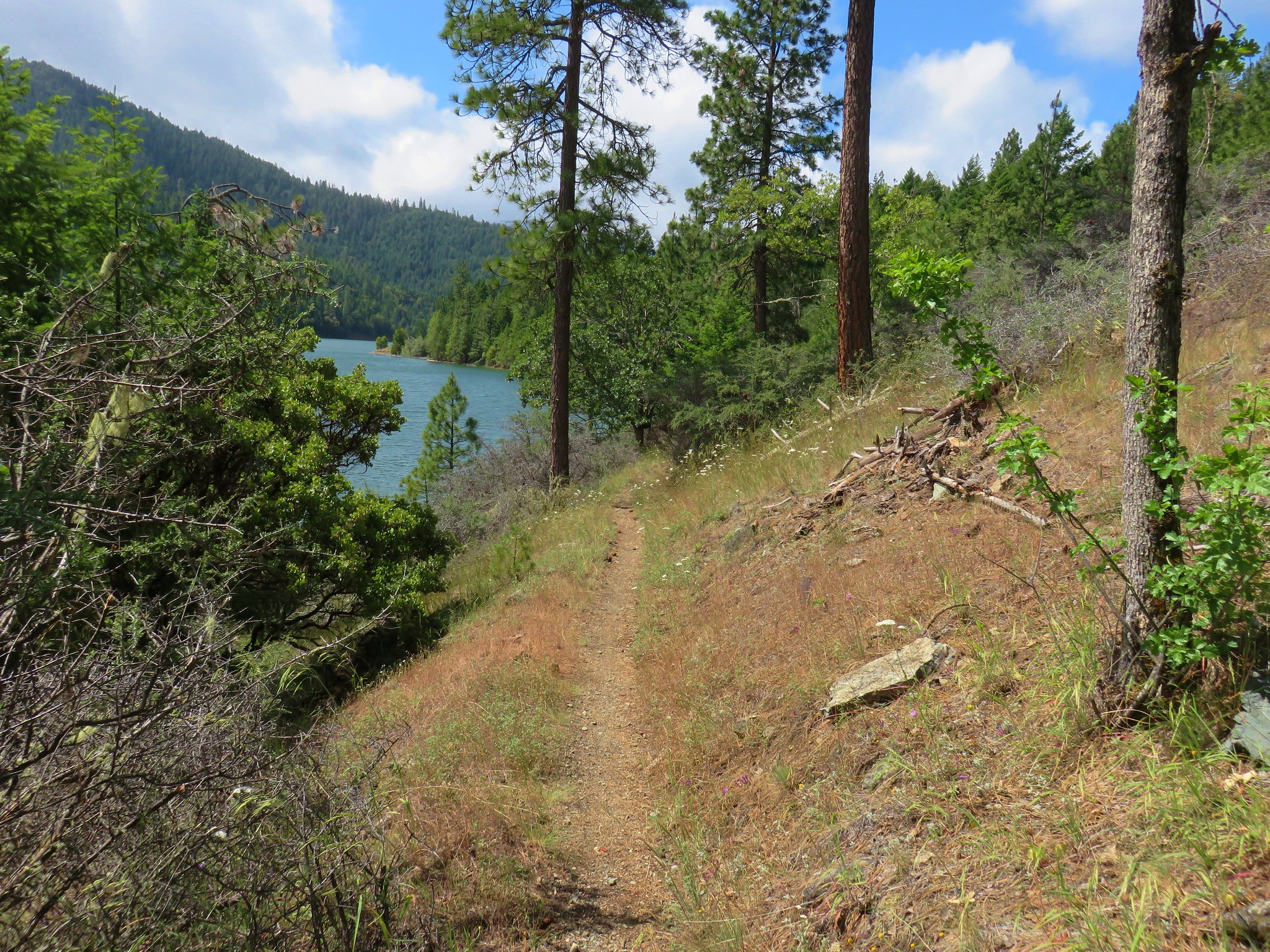
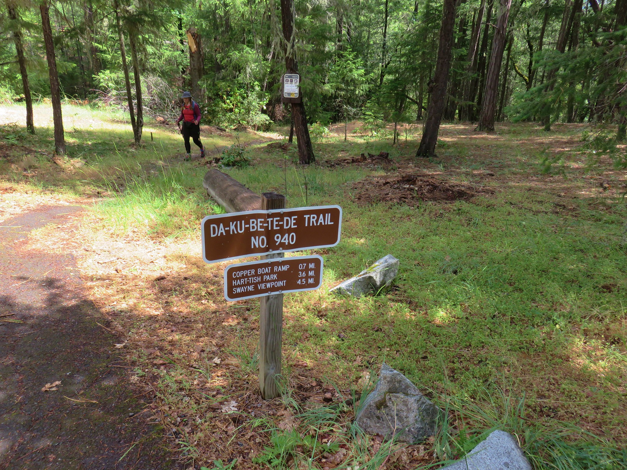
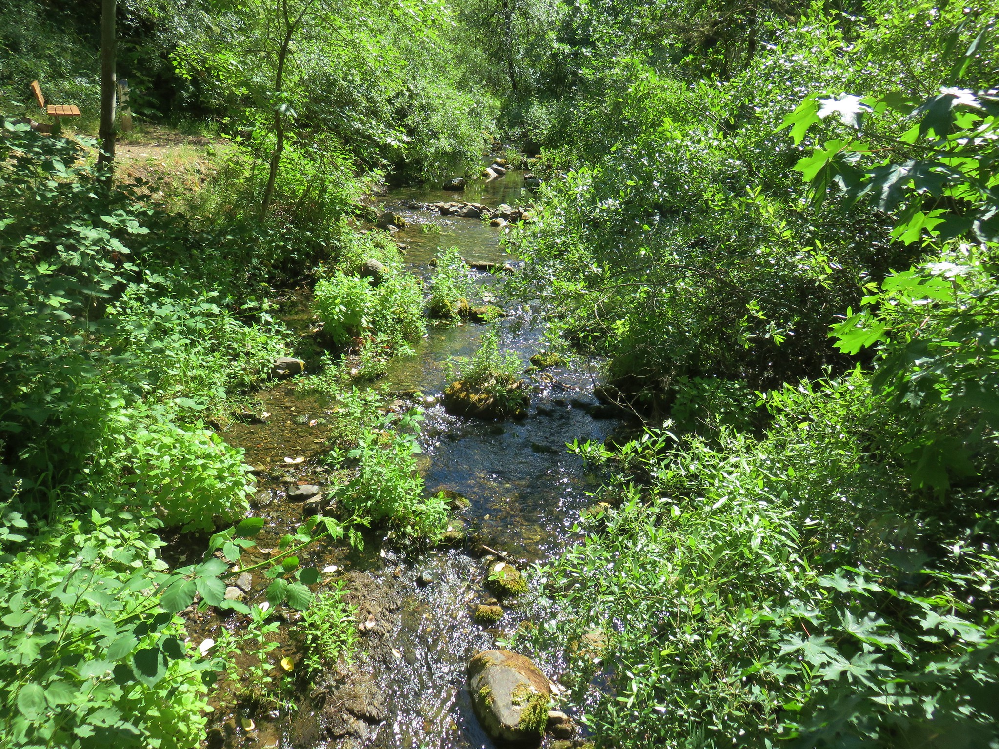
From the picnic area we turned right following the Da-Ku-Be-Te-De Trail along the lake shore.
The forecast had called for rain but it was shaping up to be a really nice day.
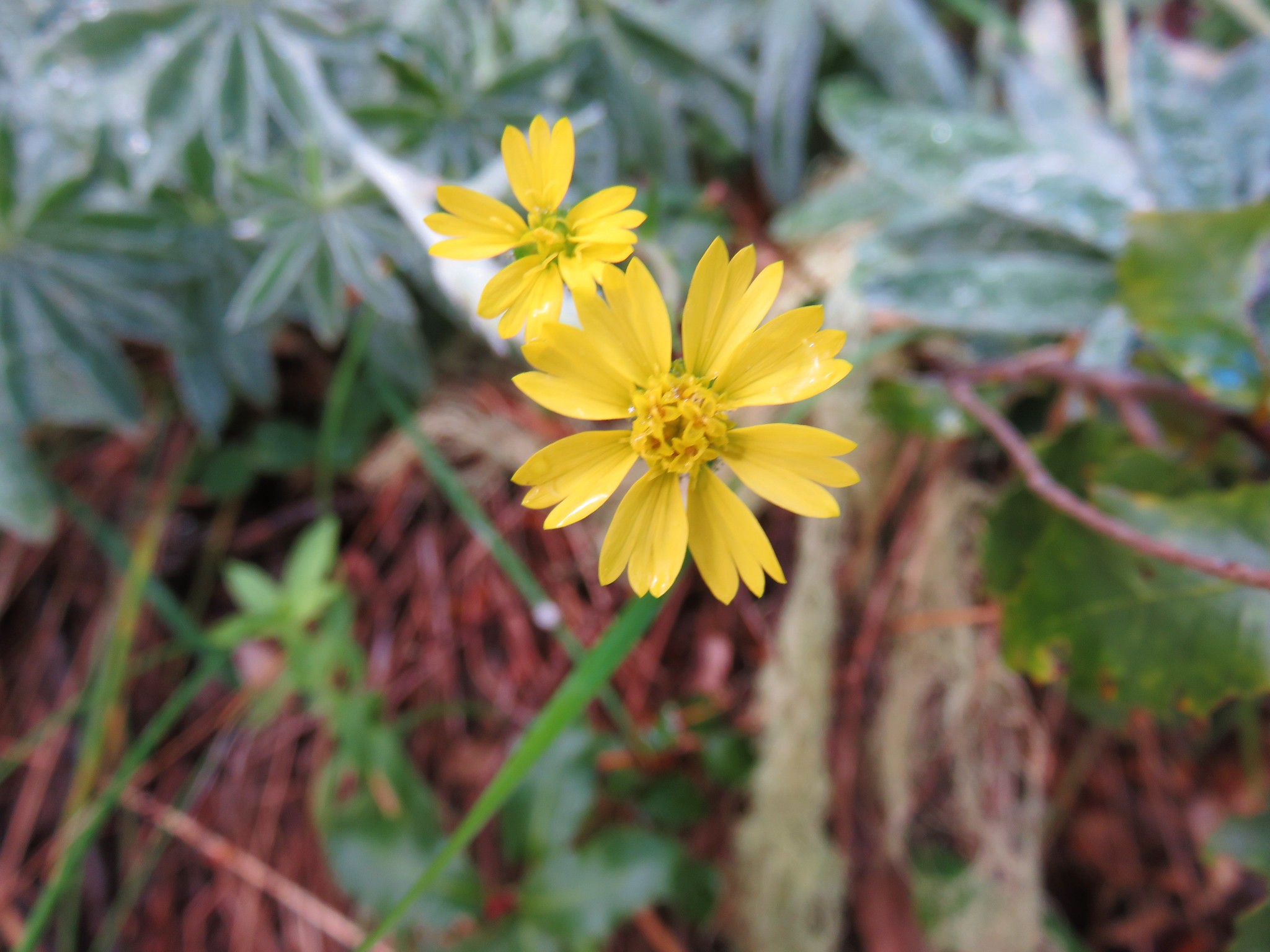
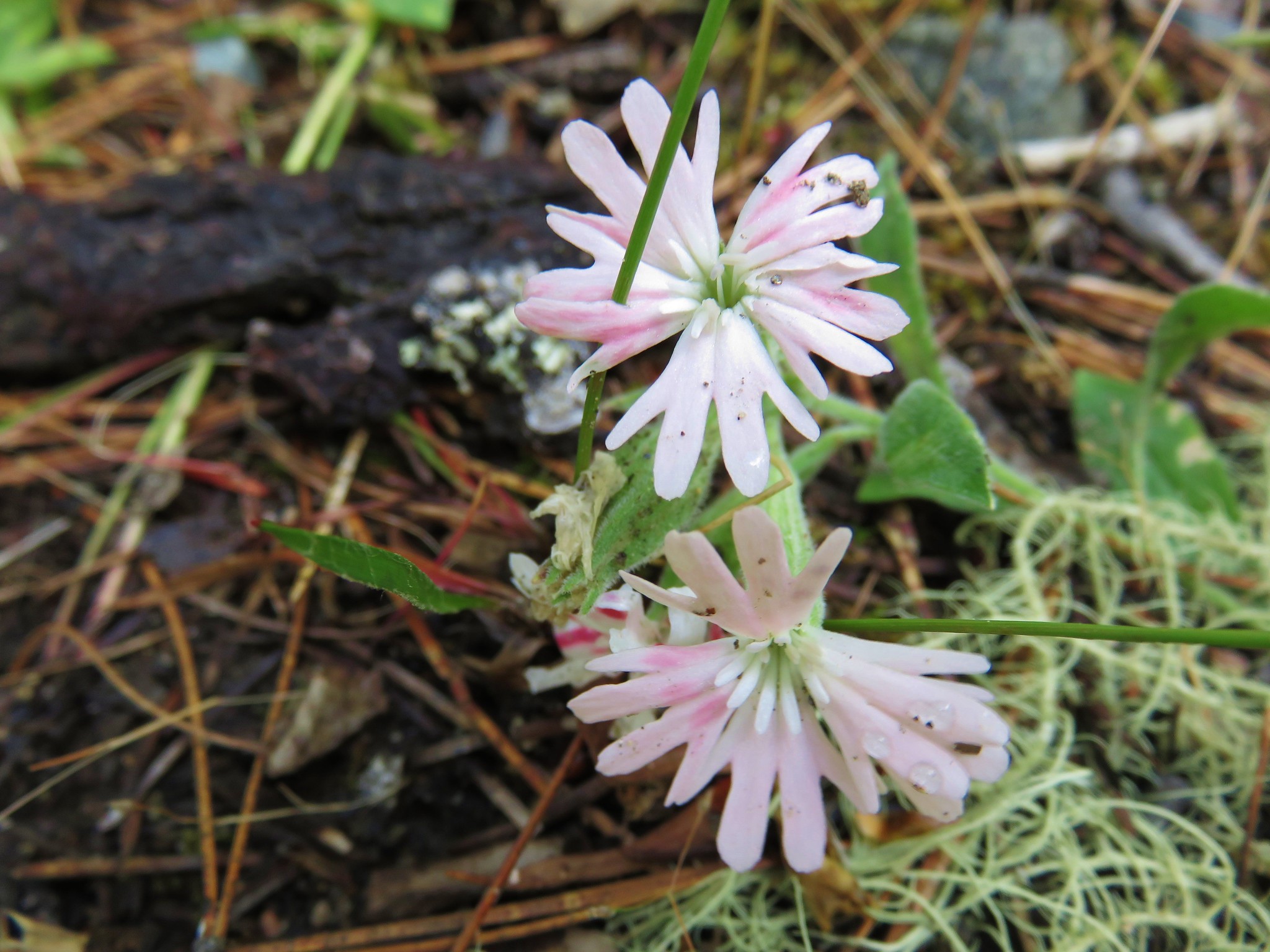
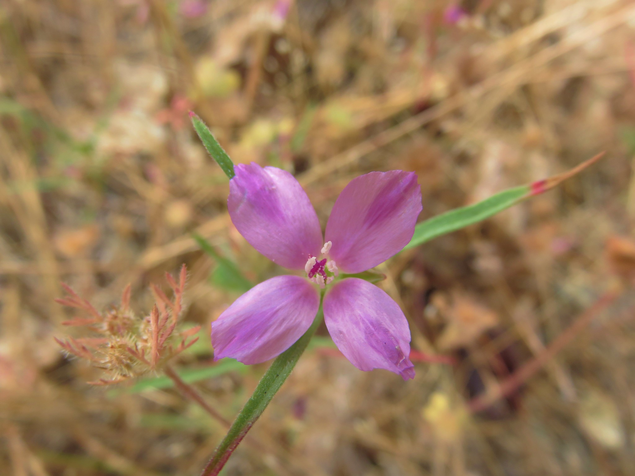
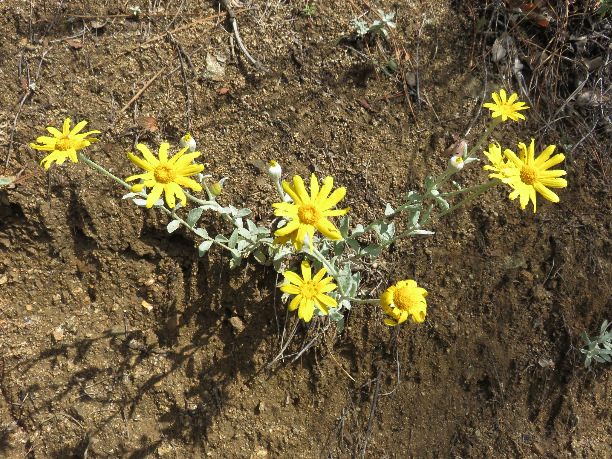
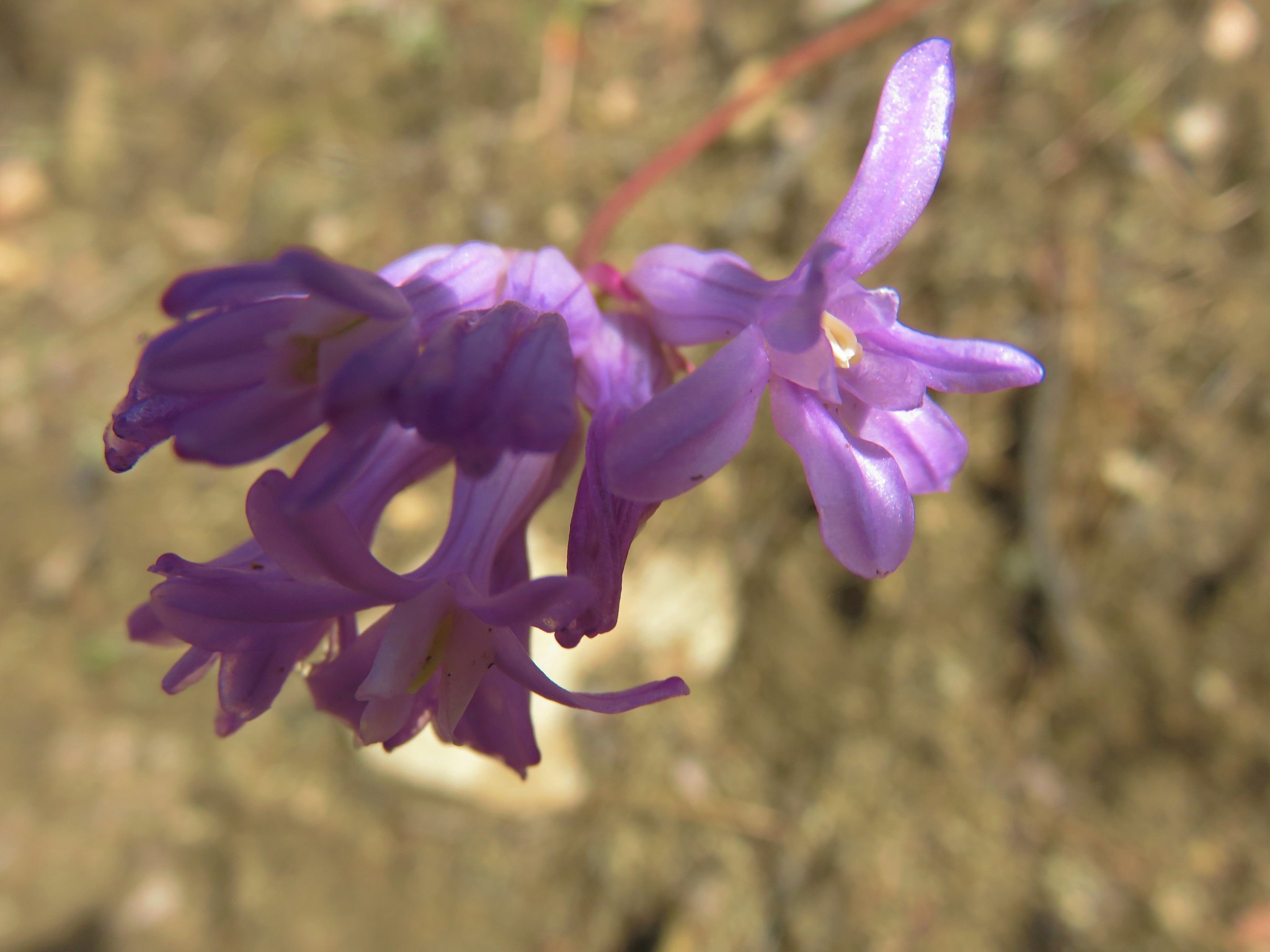
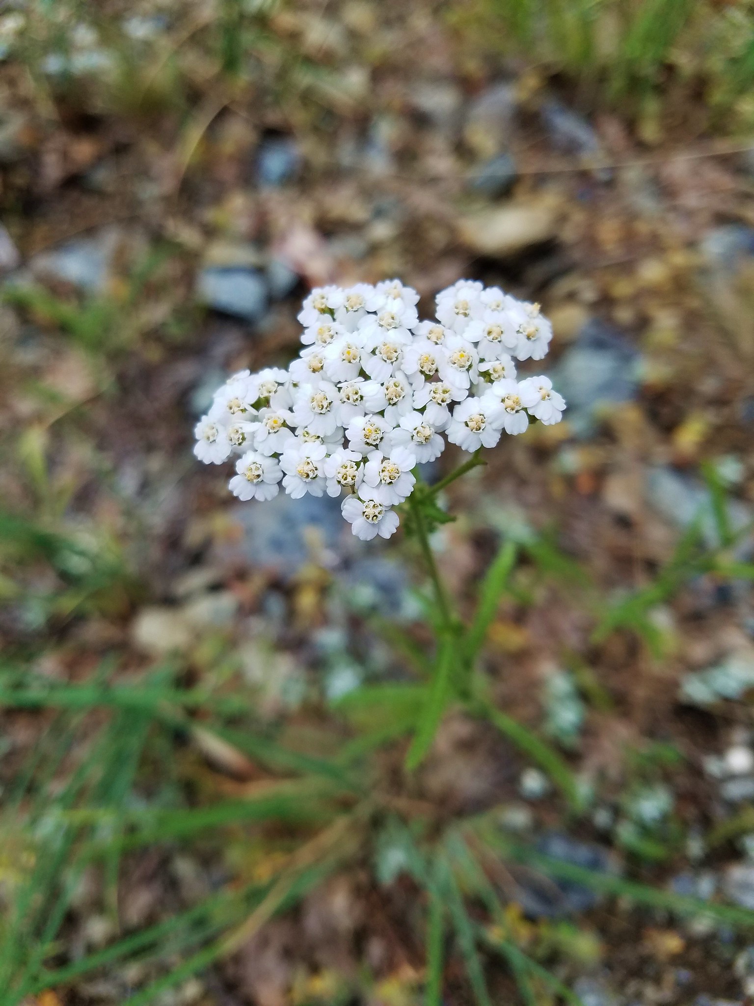
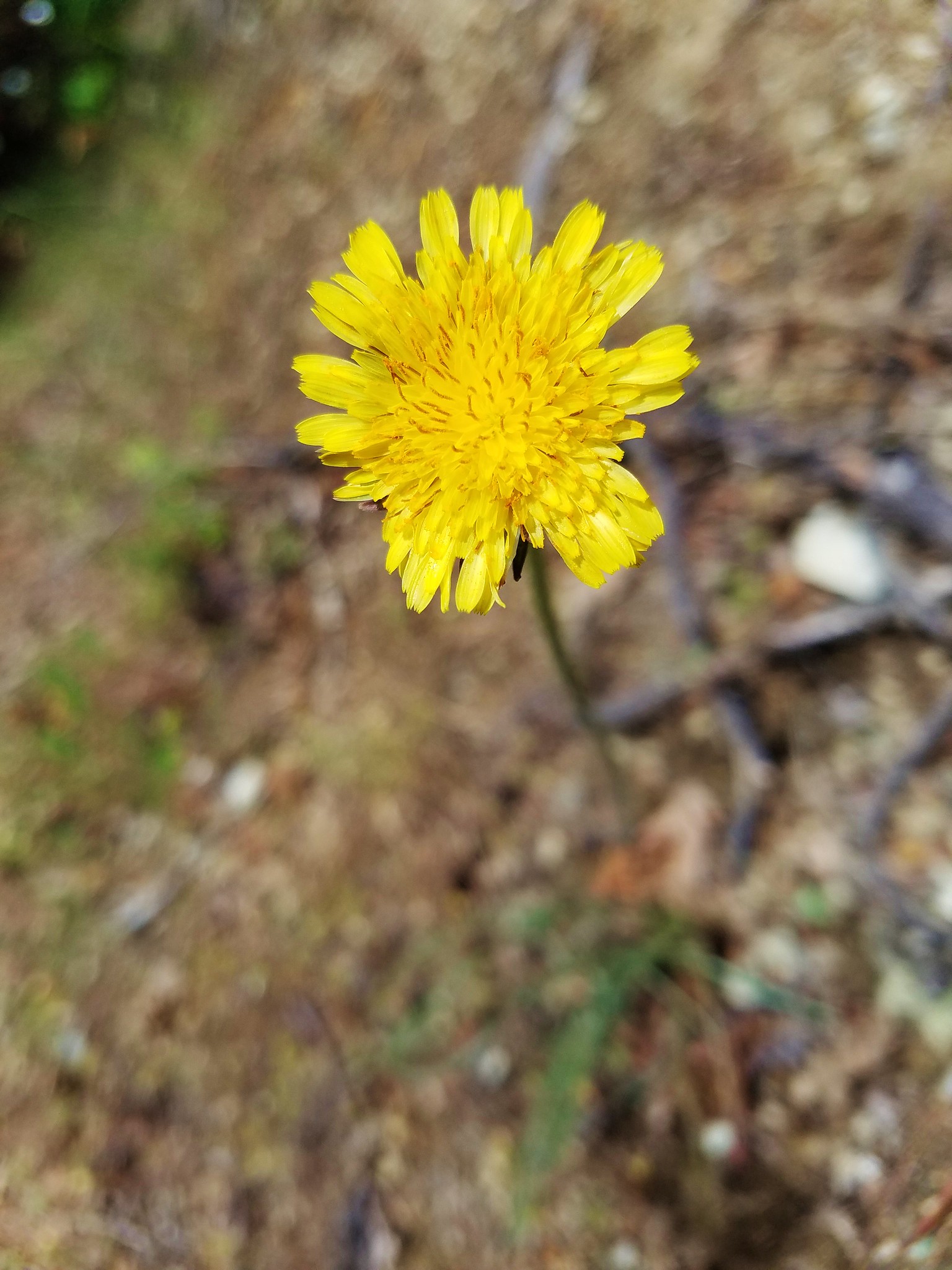
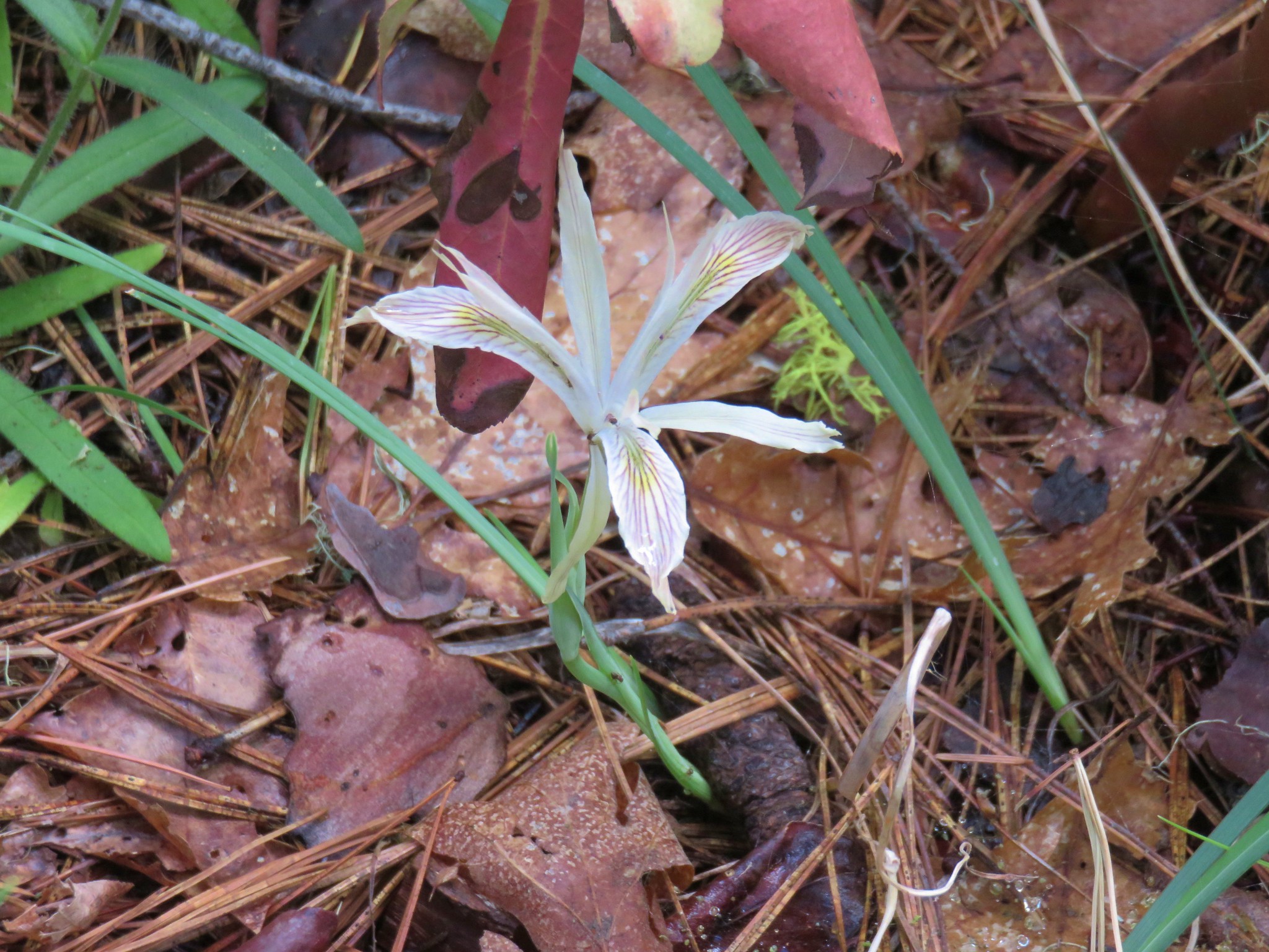
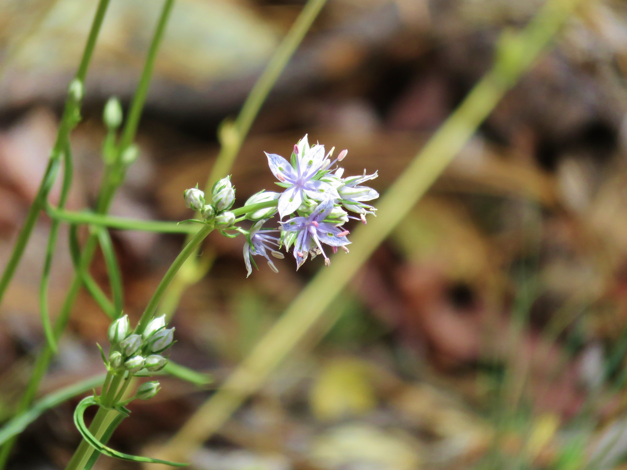
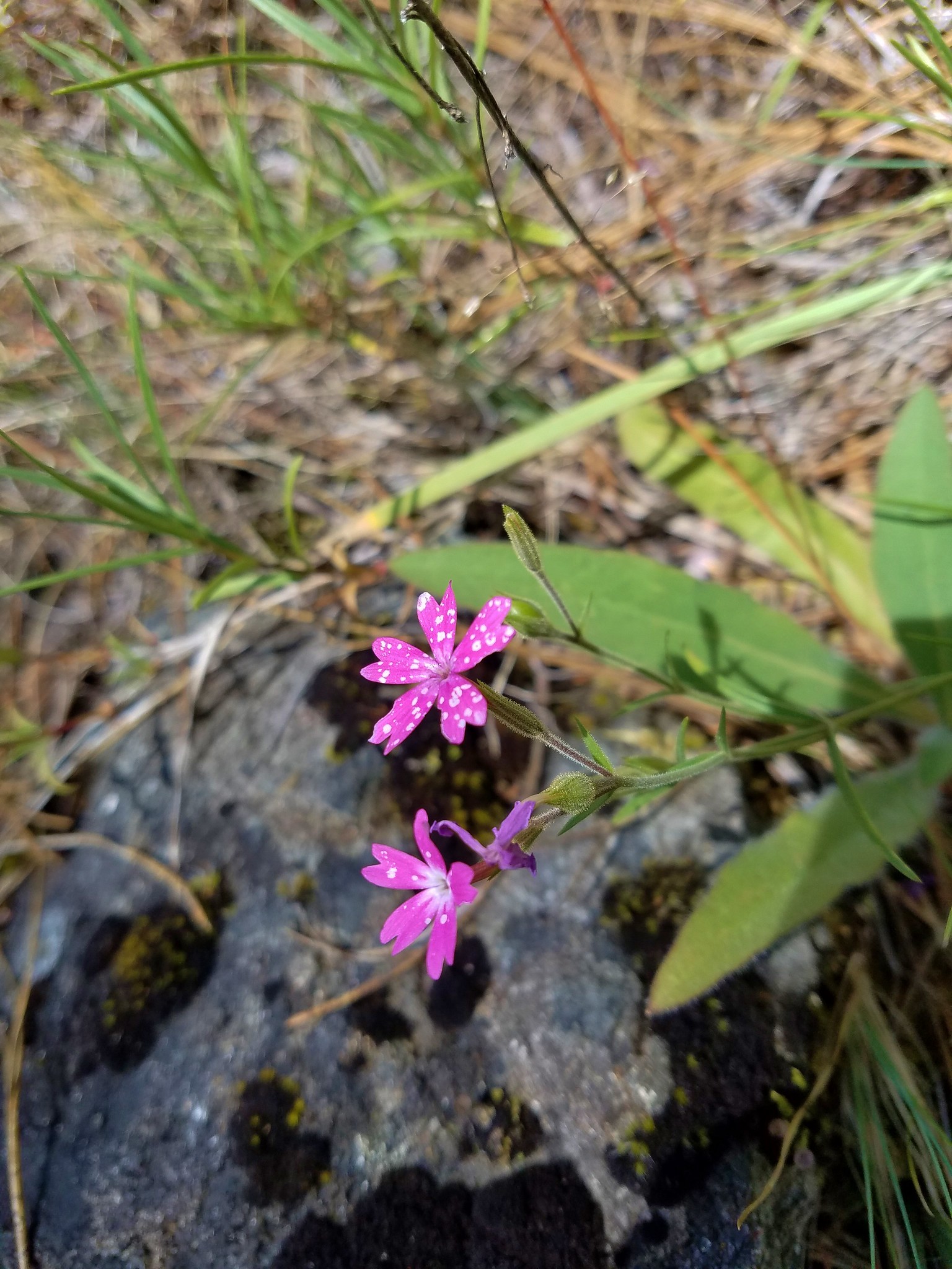
A nice variety of flowers were blooming along the level path.


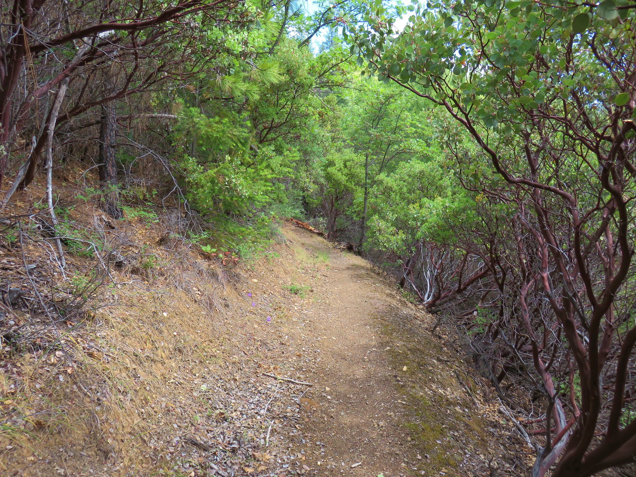
There was also a fair amount of poison oak but the trail was wide enough that it was never really an issue.
After 3.6 miles we arrived at Watkins Campground where we crossed Upper Applegate Road to the start of the Collings Mountain Trail.


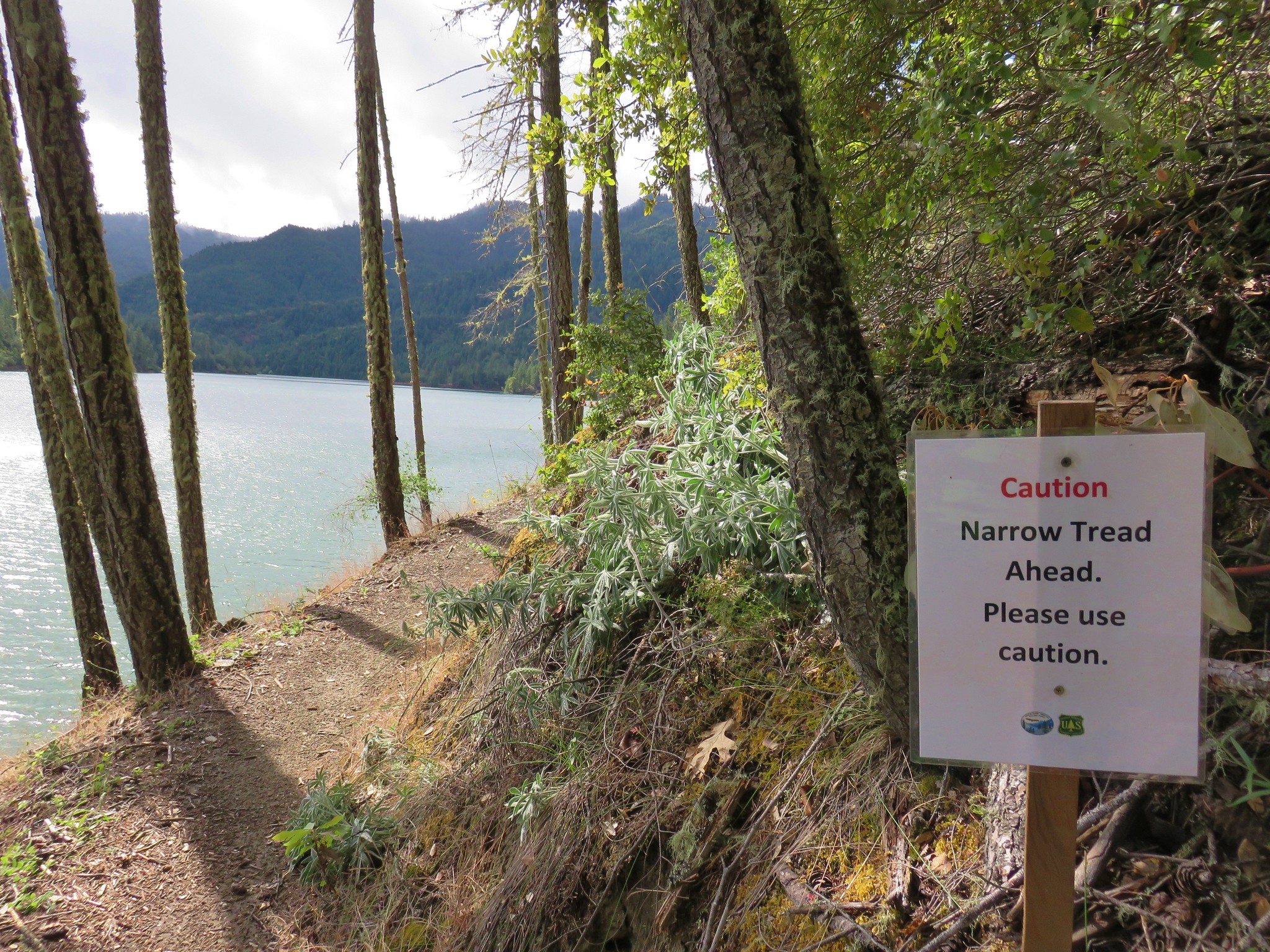
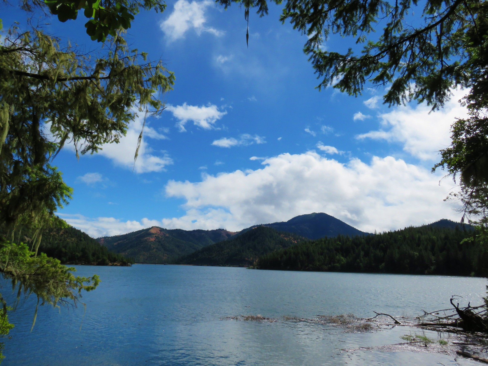
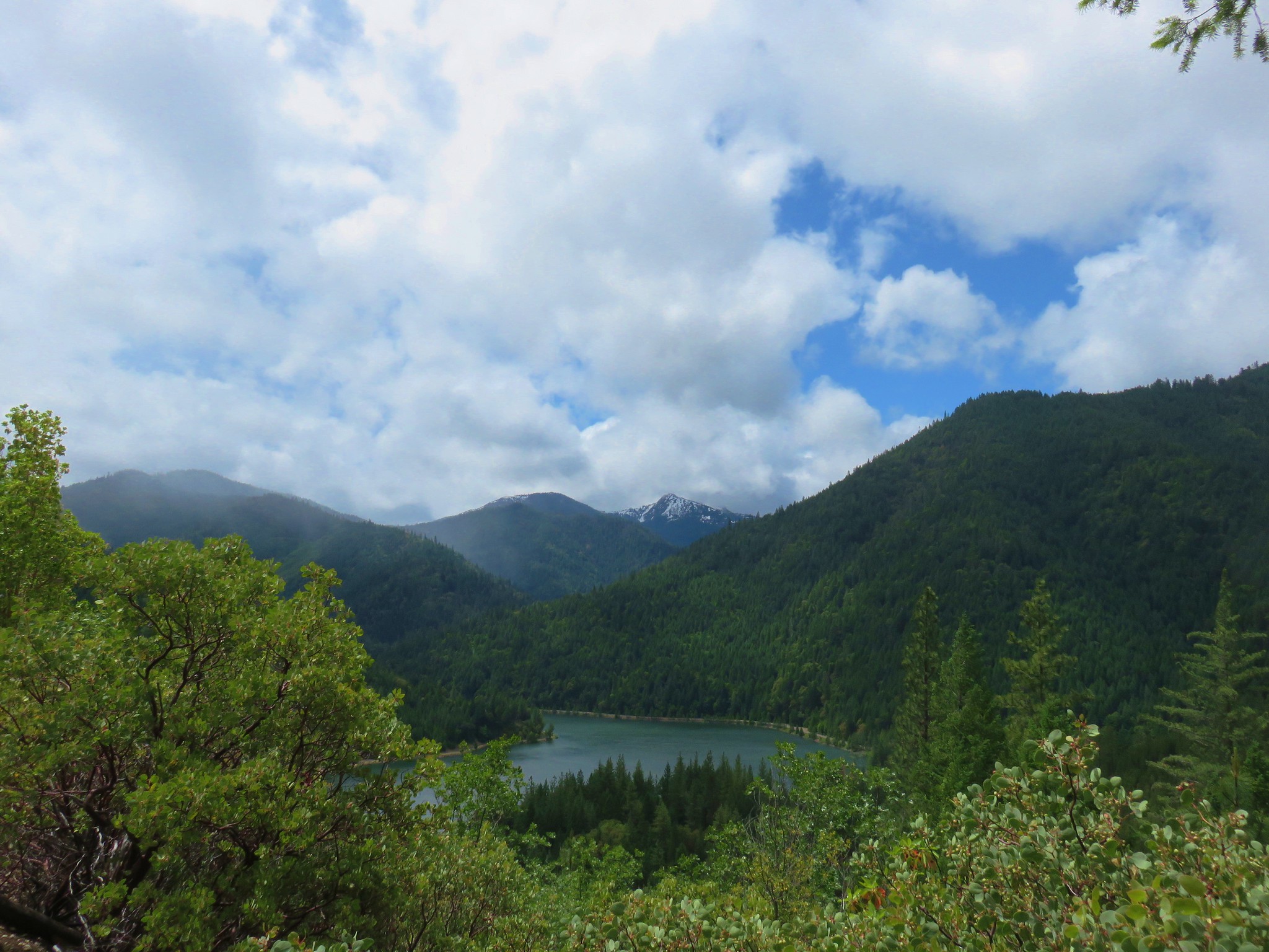
The 6.9 mile Collings Mountain Trail would lead us back to Hart-Tish Park after passing over the 3625′ summit of Collings Mountain. The trail climbed through a dry forest with occasional views down to Applegate Lake and to the snowy Red Buttes Wilderness beyond.
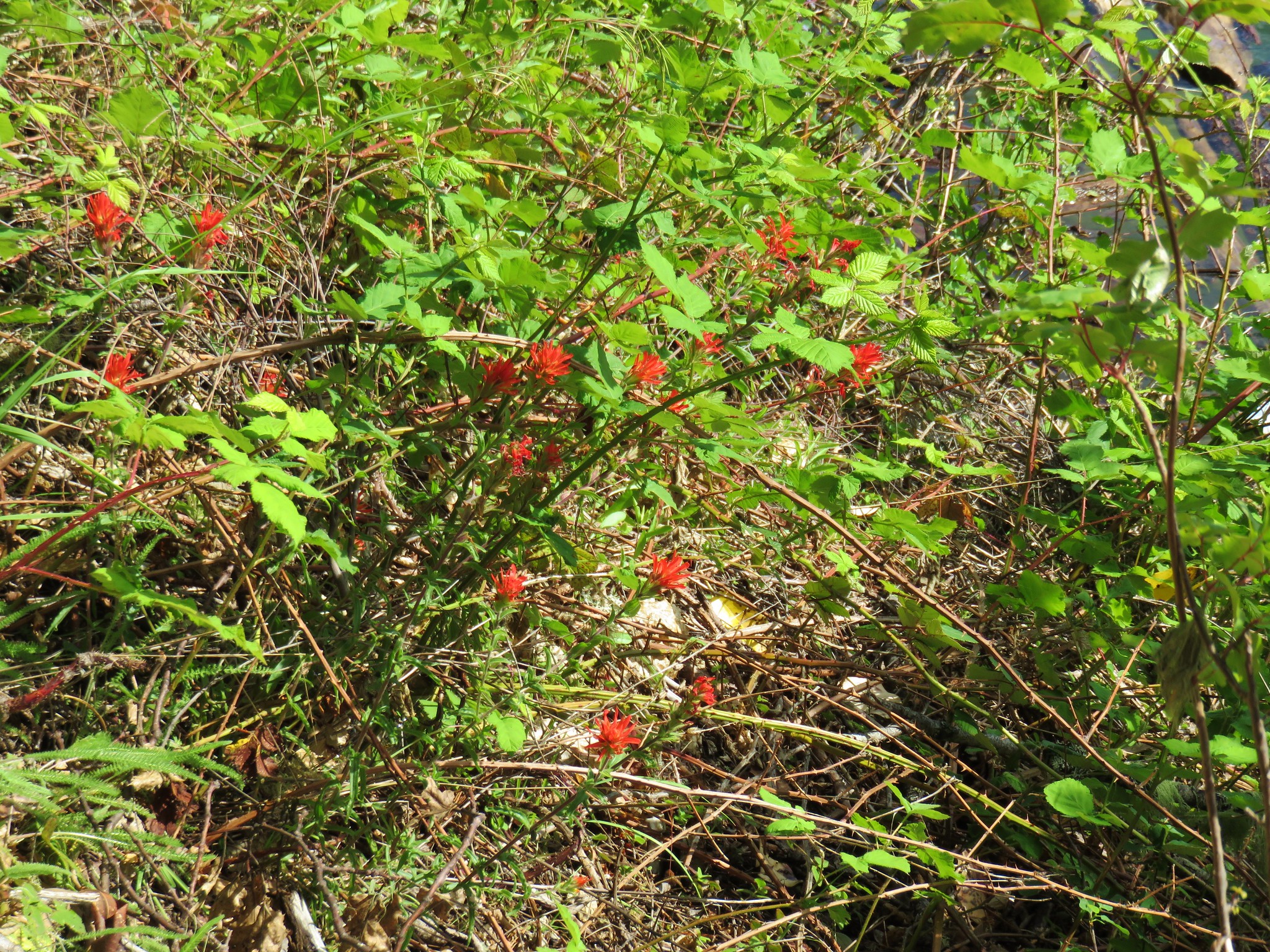
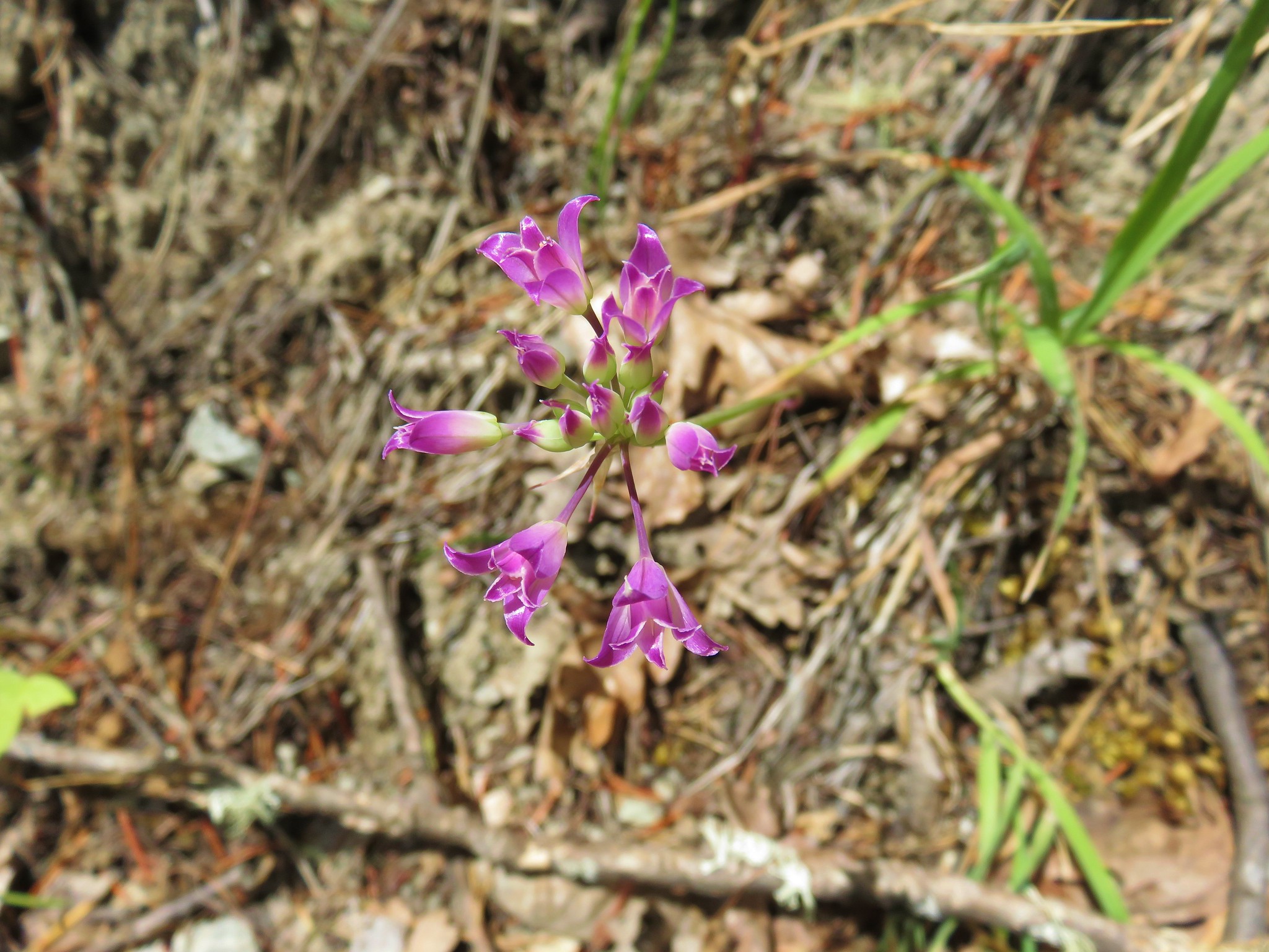
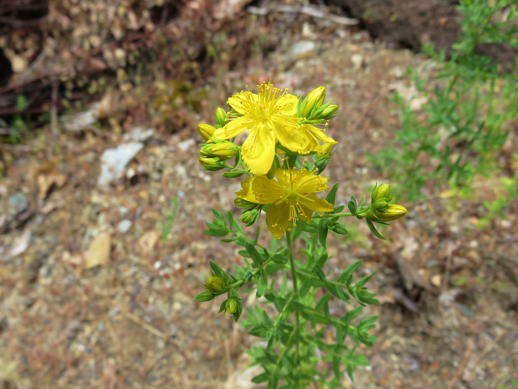
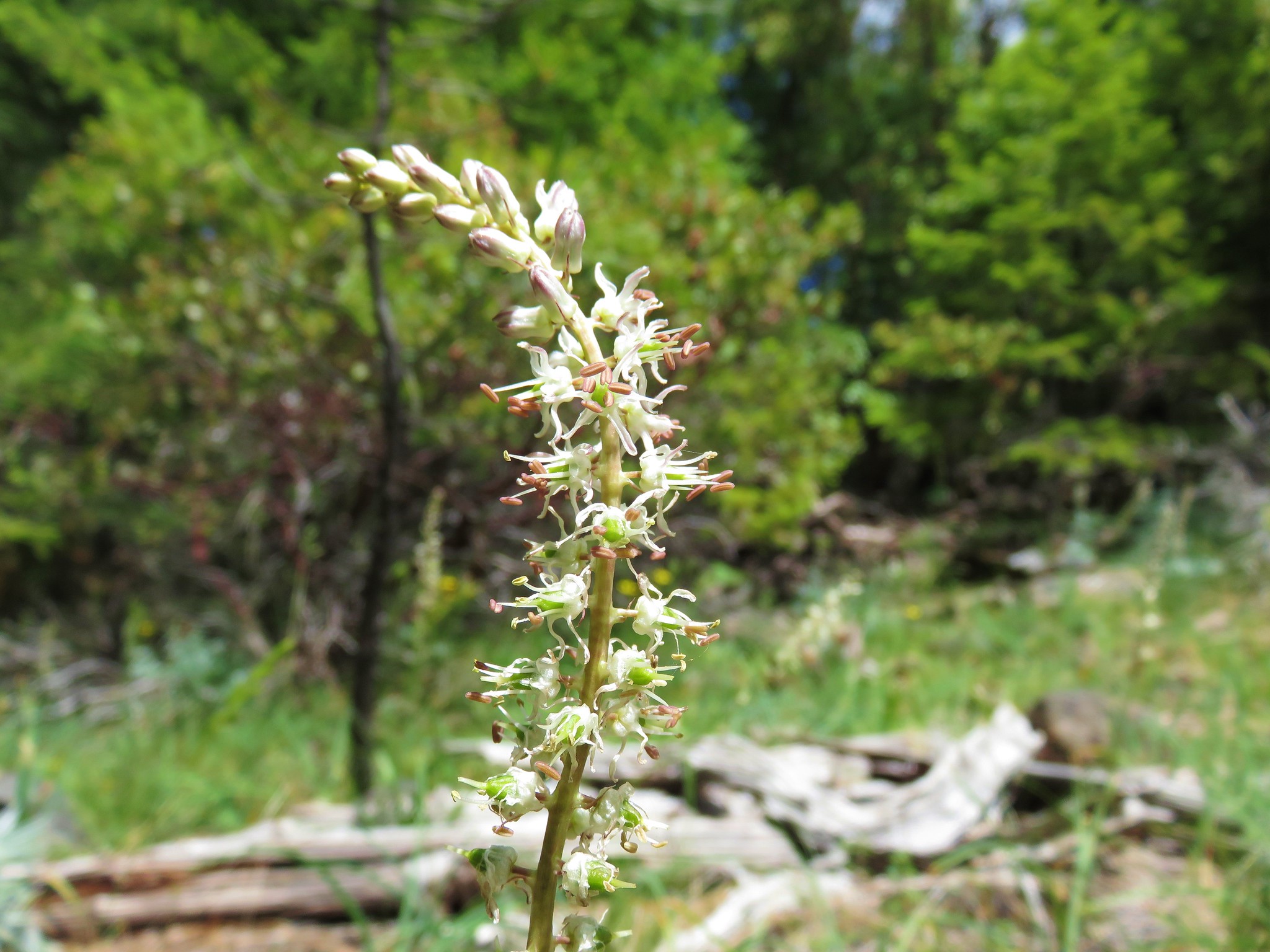
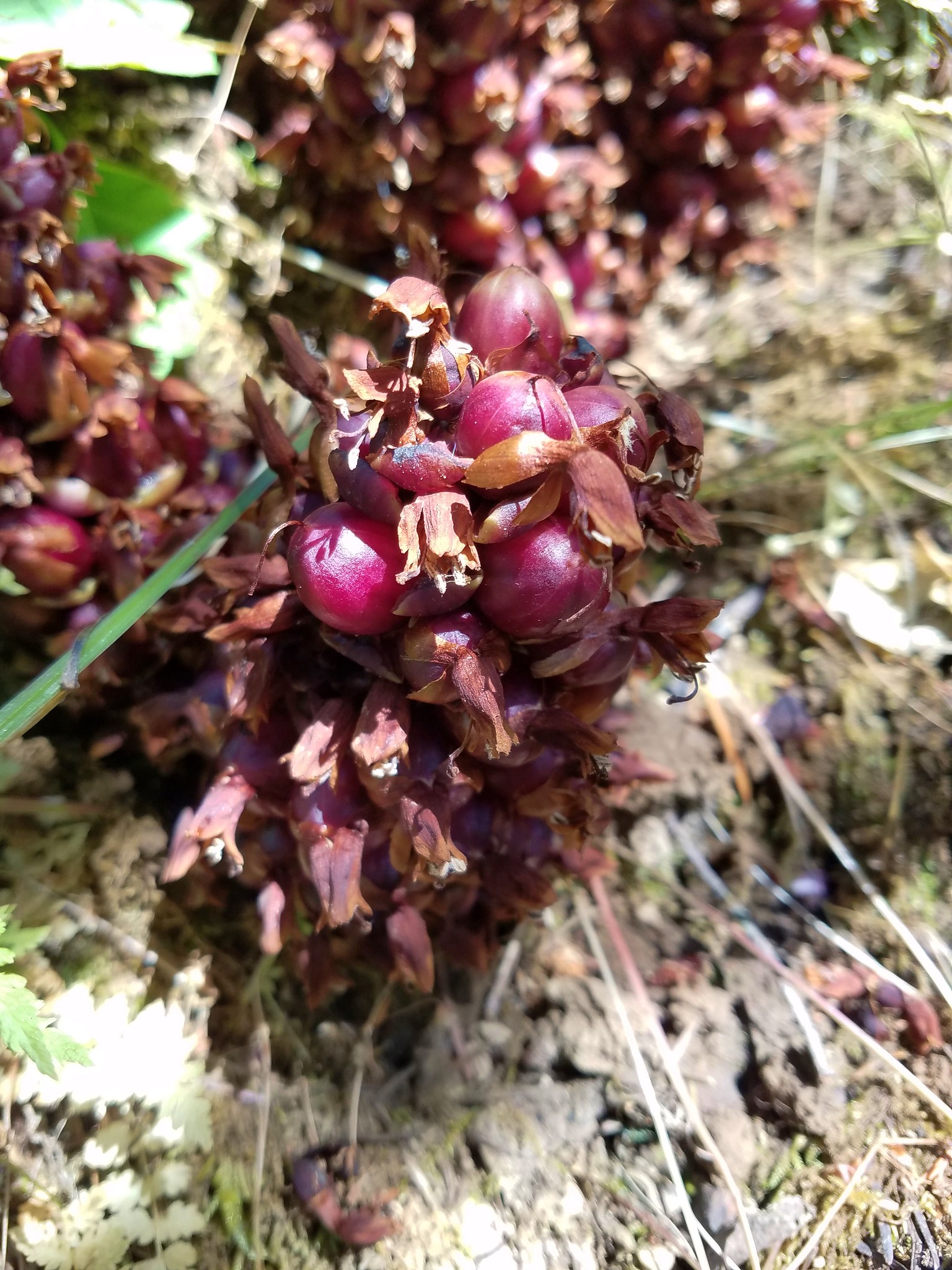
There isn’t really a view from the summit but we spotted a few additional types of flowers along the trail.
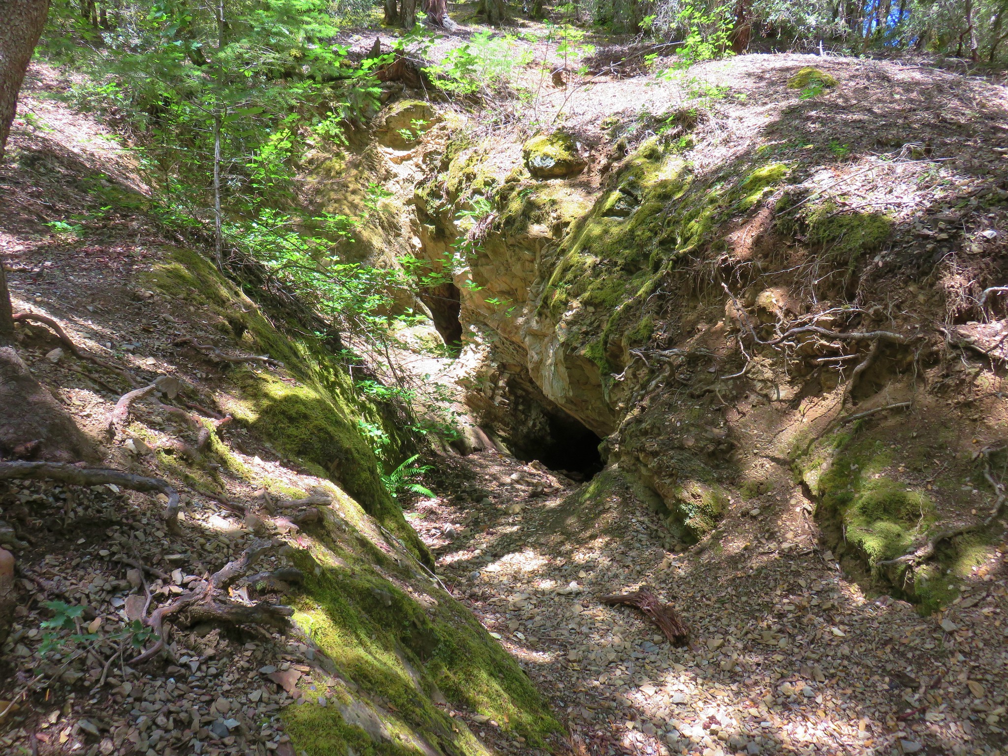
Just over three miles from the summit the trail passed a prospectors adit on the left.
Another quarter mile brought us to an unmarked but obvious side trail on the left that led uphill a short distance to a Bigfoot Trap which was unfortunately empty.

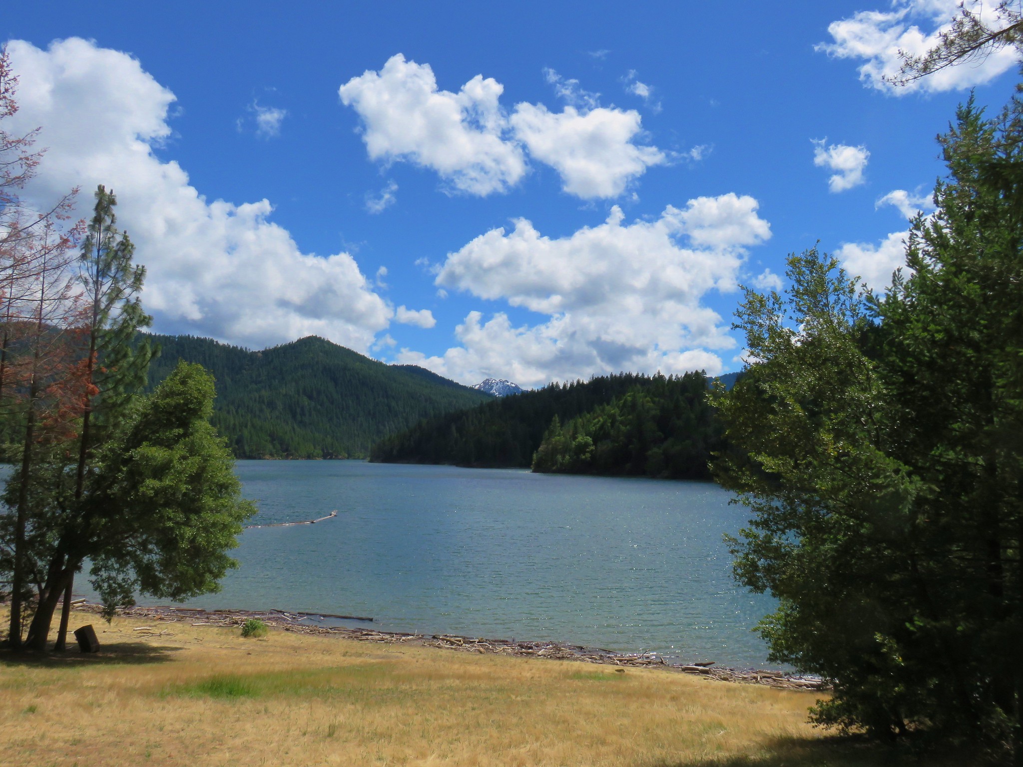
From the side trail it was a little over half a mile back to the the Hart-Tish Park day use area where the clouds had lifted enough to reveal Red Buttes beyond the far end of Applegate Lake.

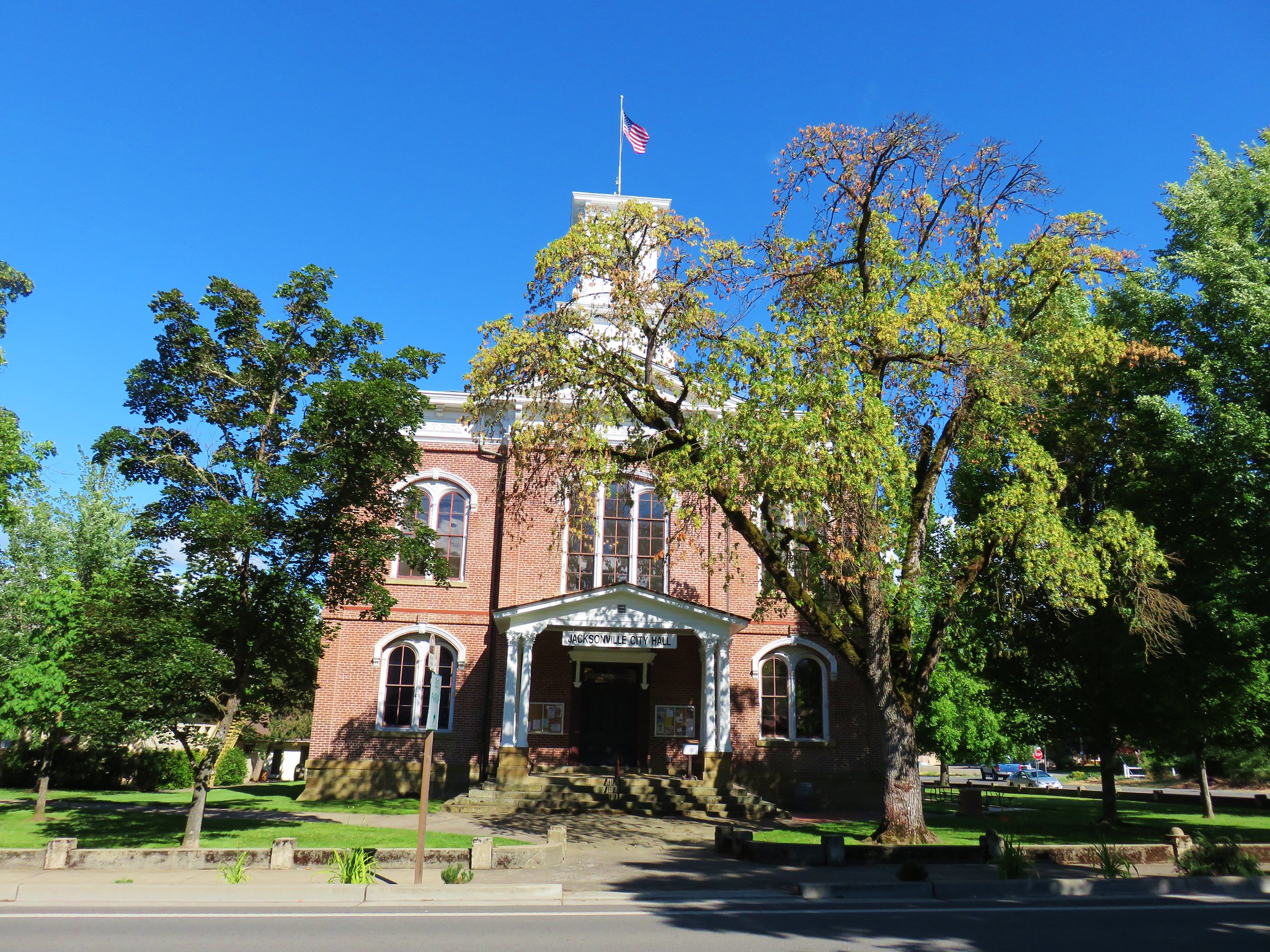
It was a little after 3pm when we arrived back at our car which meant we could check into our motel now, but we had one other hike planned for the day in Jacksonville. We drove back to the former gold mining town and parked near the visitors center at the end of C Street.
From the parking lot we followed stairs up to a crossing of Highway 238.
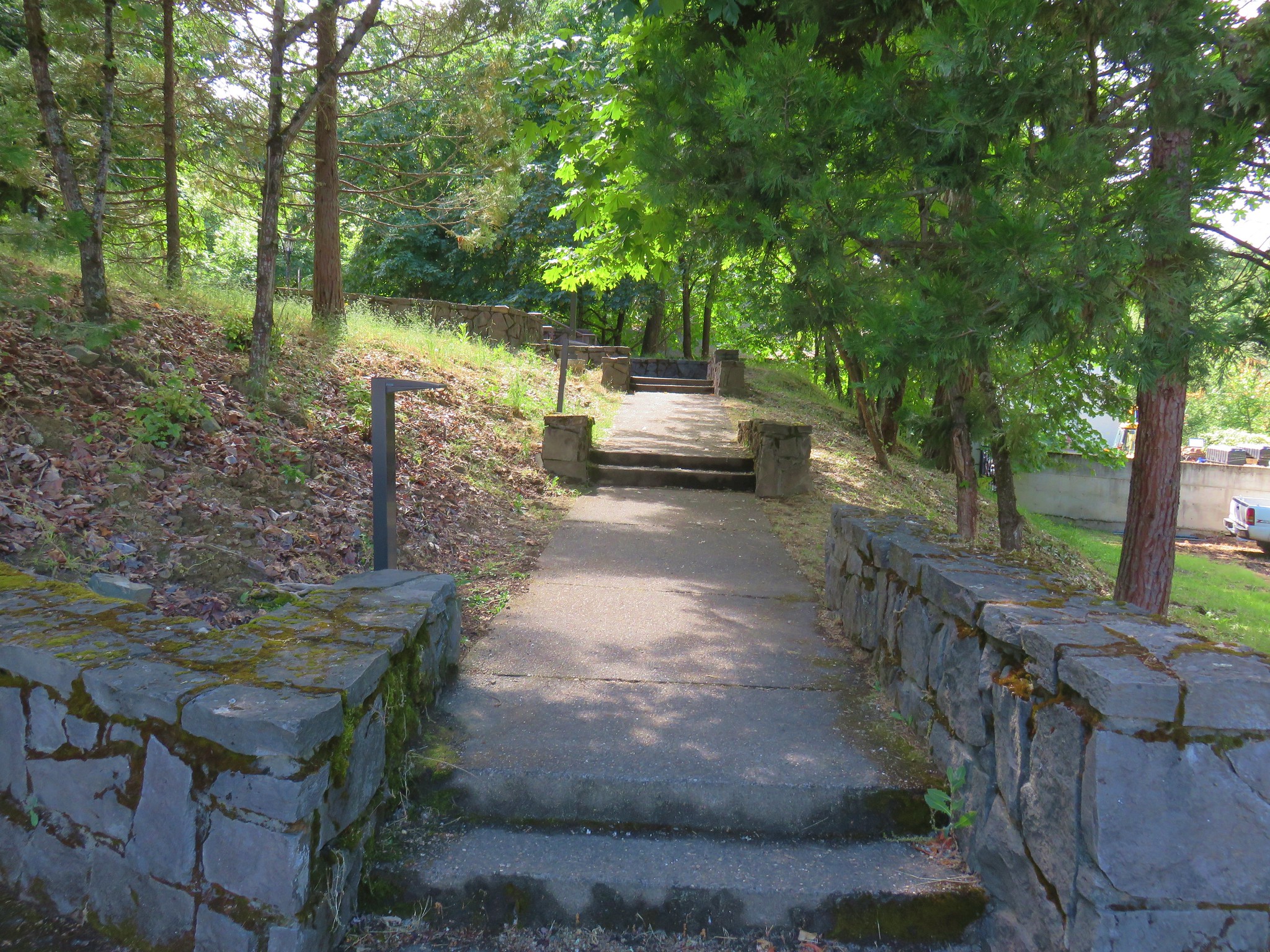
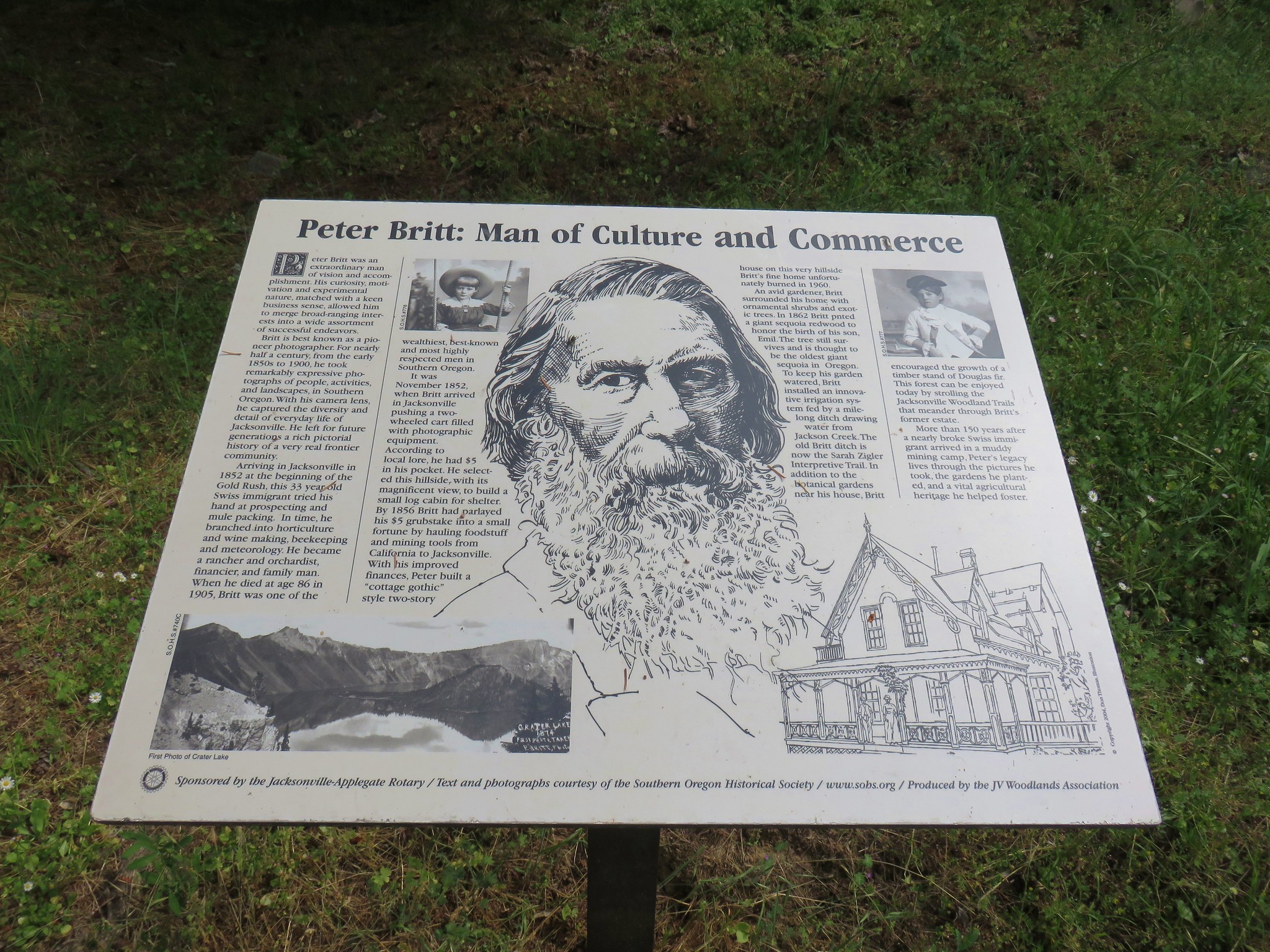
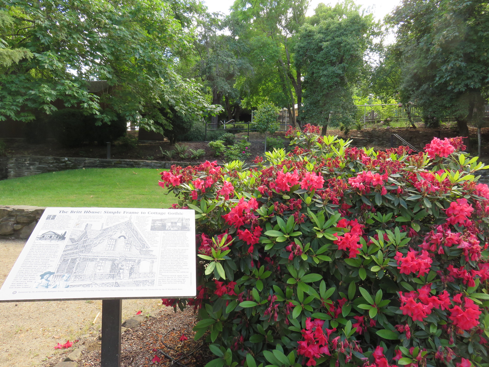
Another set of stairs brought us to Britt Gardens, the site of the home of Peter Britt that unfortunately burned down in 1960. Uphill to the left an open air amphitheater hosts the Britt Festival’s summer concerts.
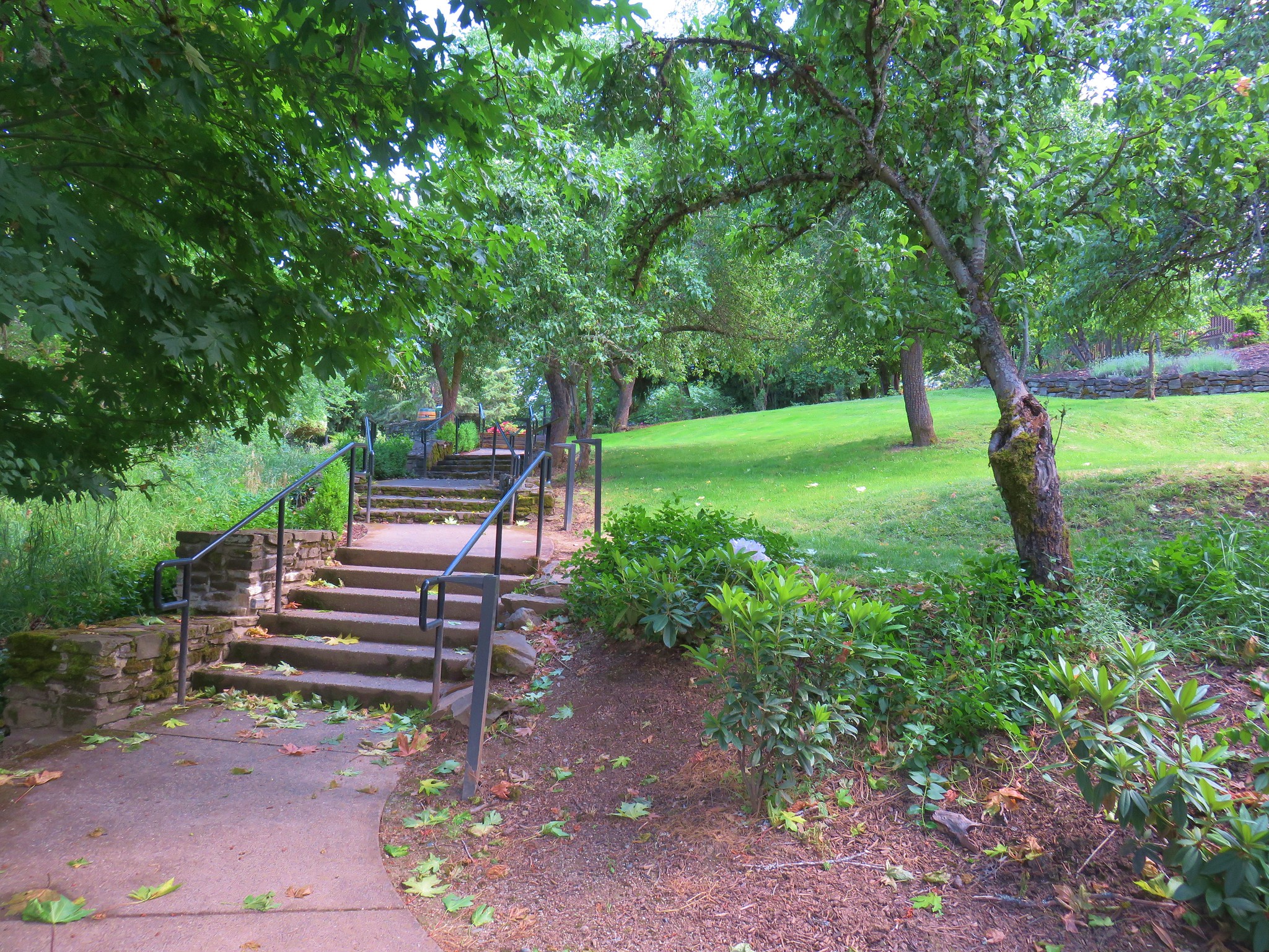
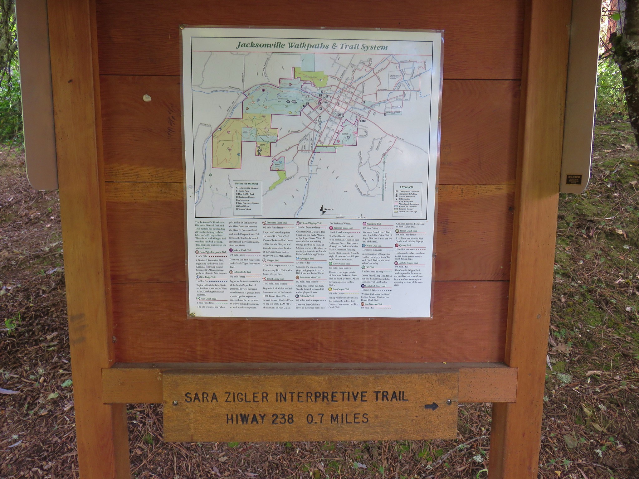
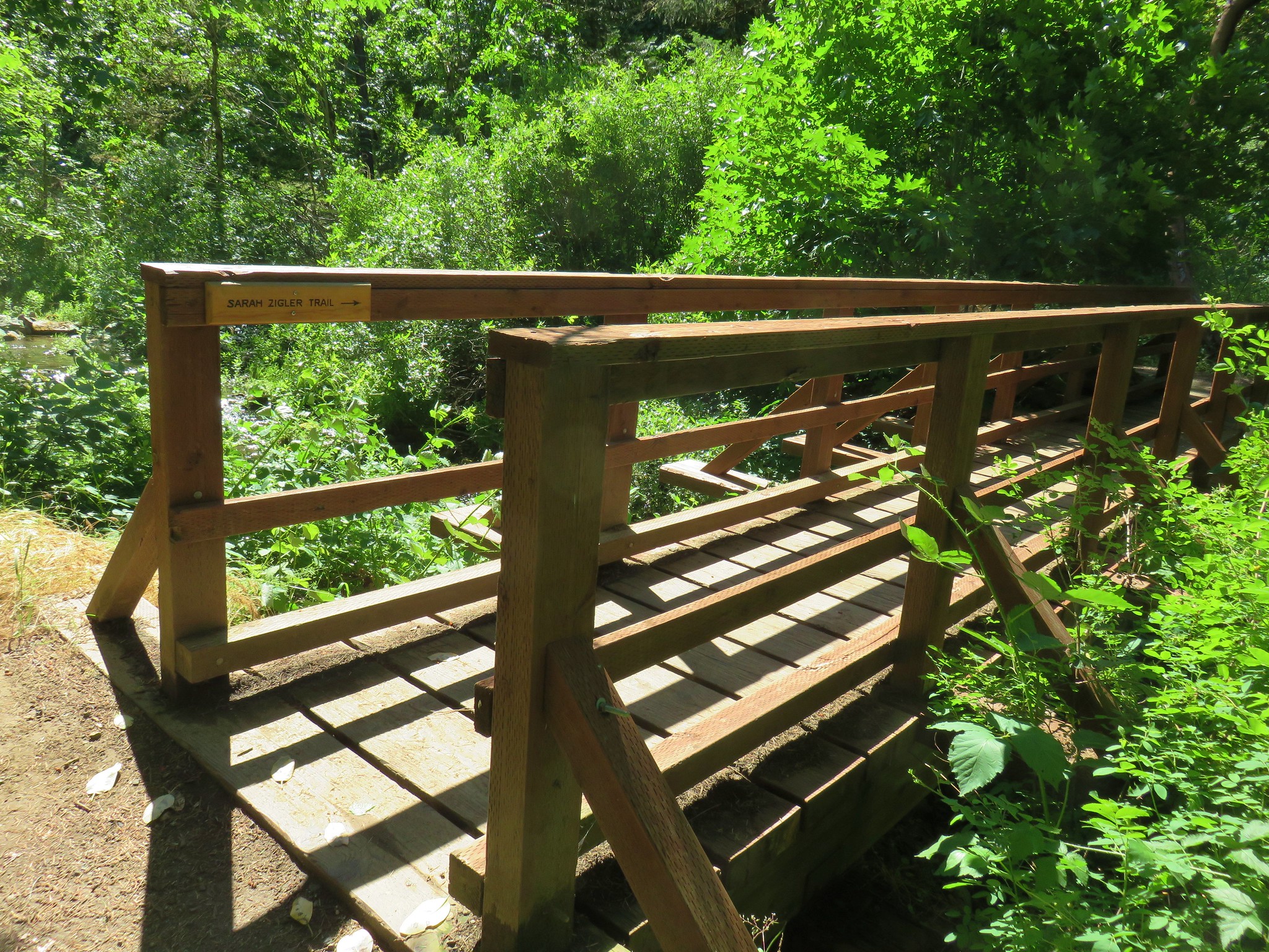
We followed a path to the right to a sign board for the Sara Zigler Interpretive Trail.
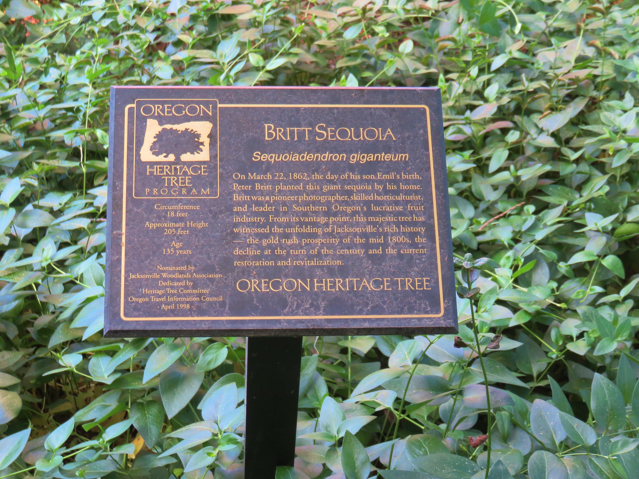
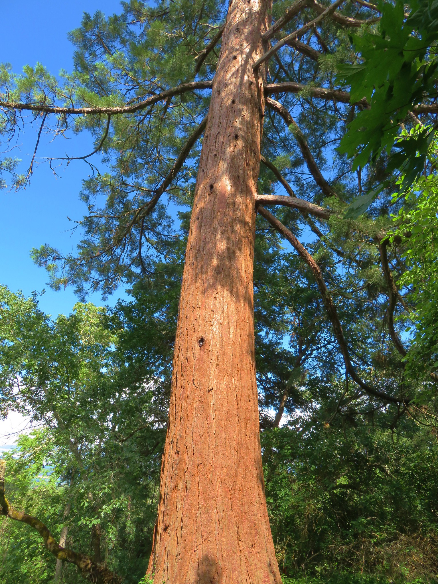
This trail passes the Britt Sequoia, a 4-foot-diameter tree planted by Peter Britt in 1862 on the day of his Son’s birth.
The trail traverses a hillside before dropping slightly to a crossing of Jackson Creek near another possible trailhead along Highway 238.
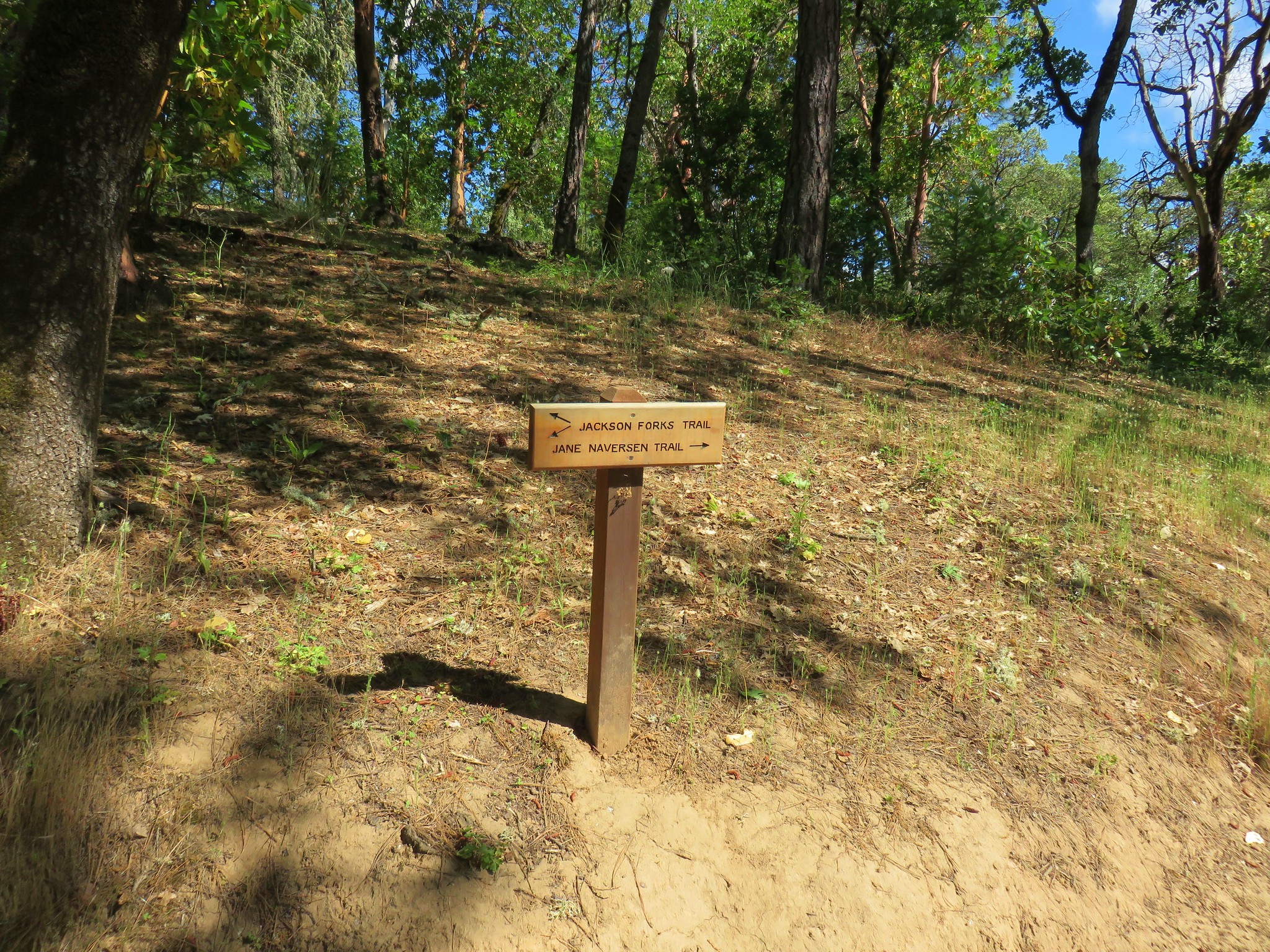
We took the Jackson Fork Trail from this parking area and quickly recrossed Jackson Creek.
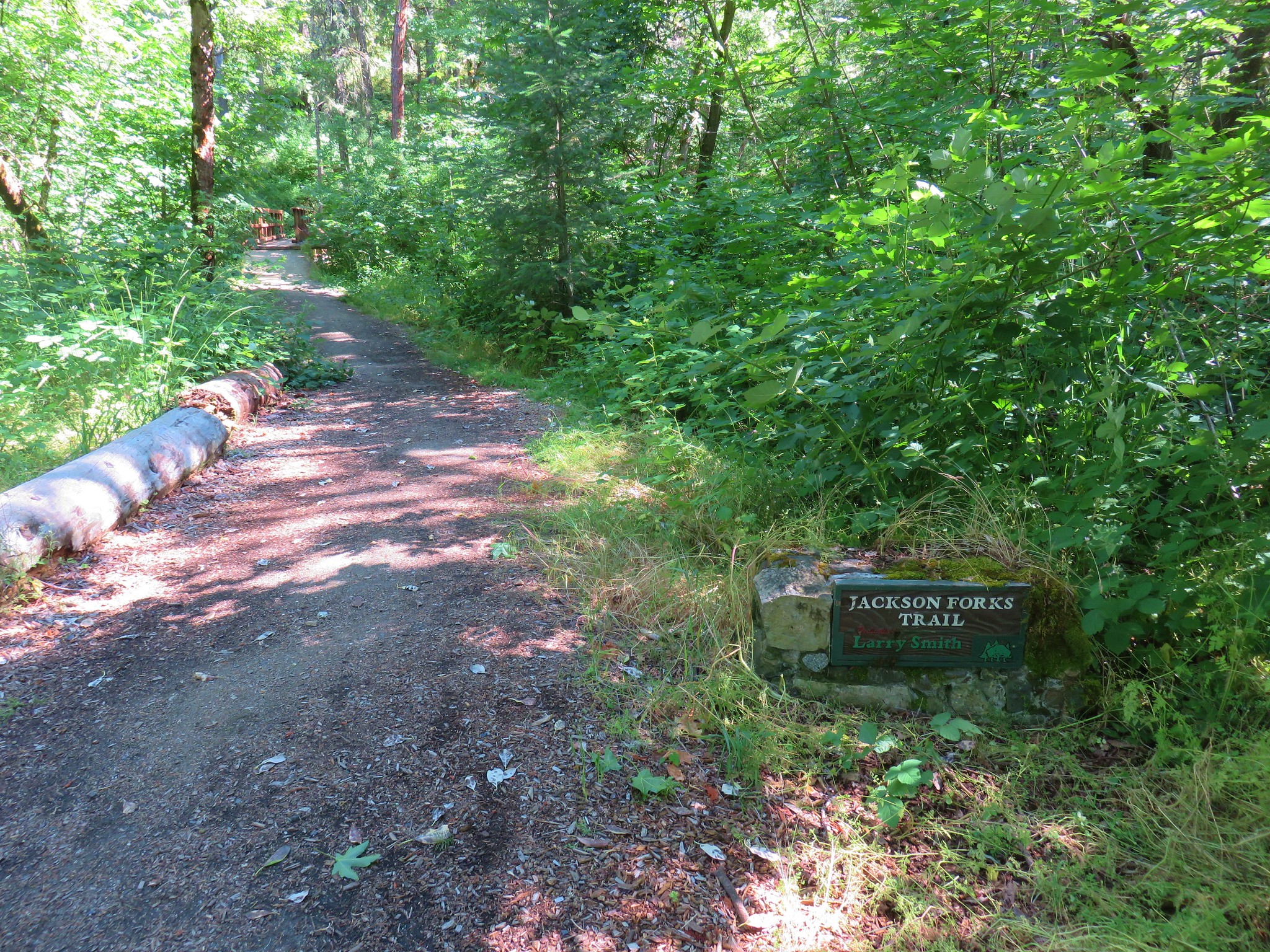
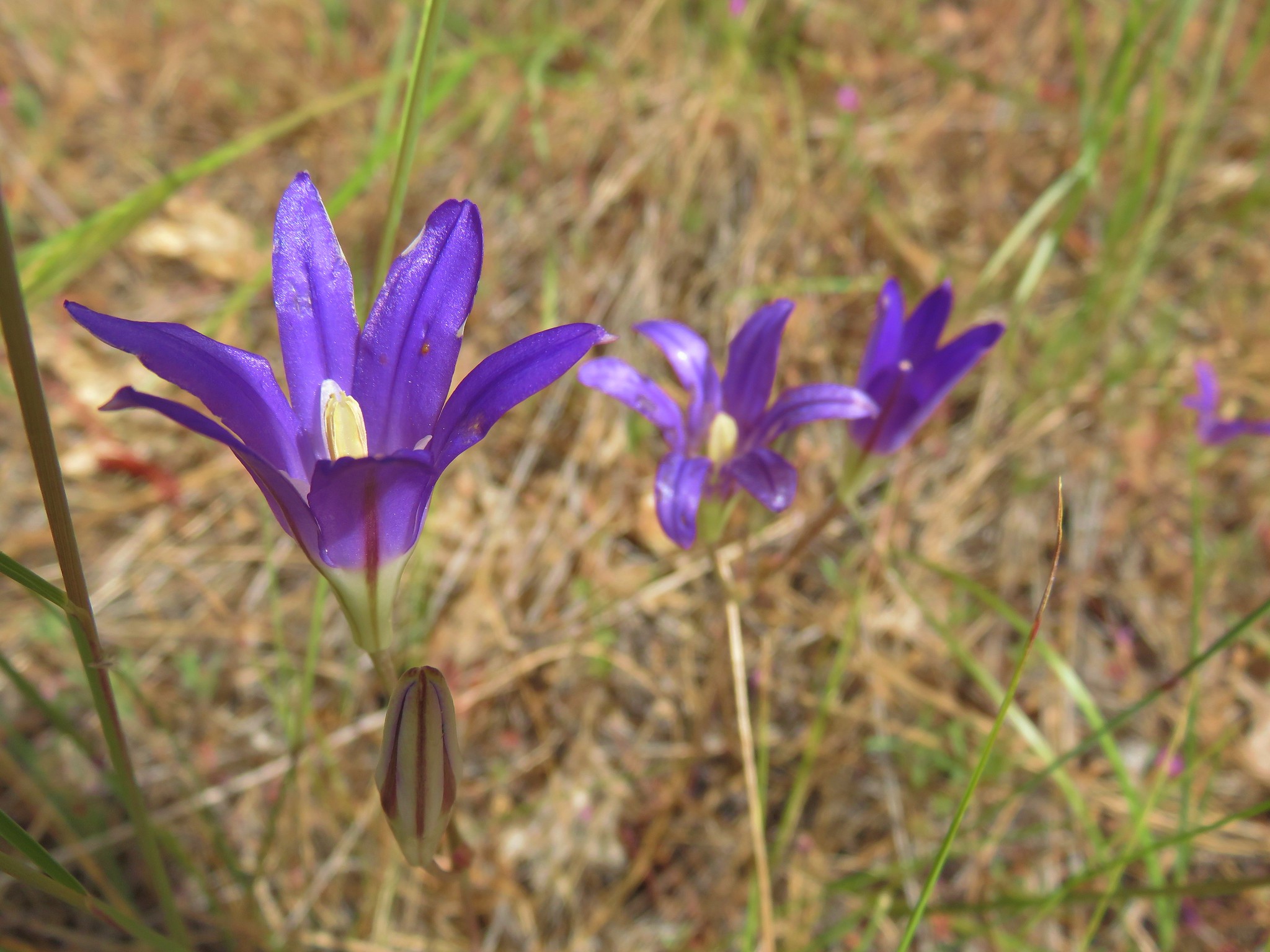
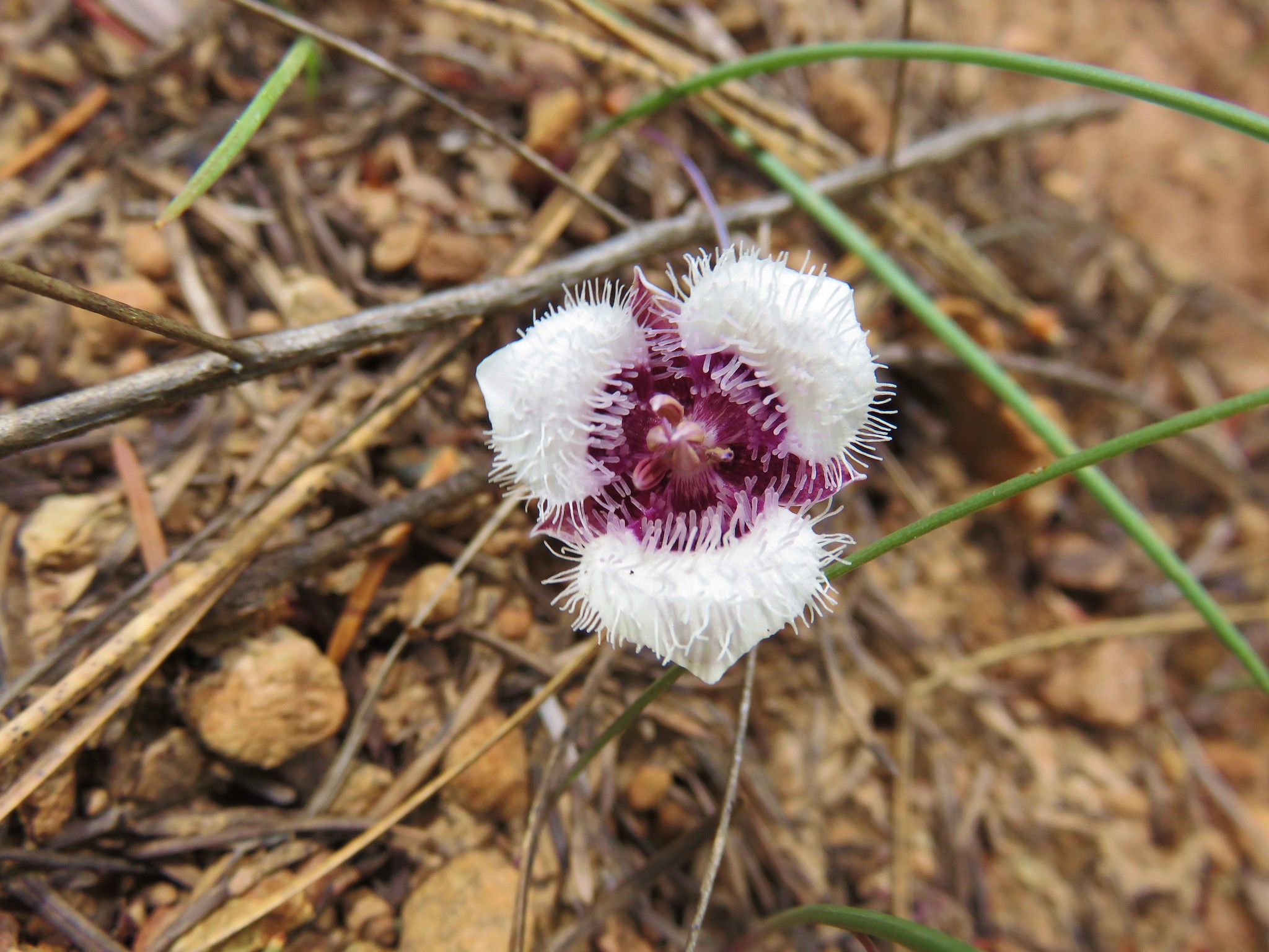
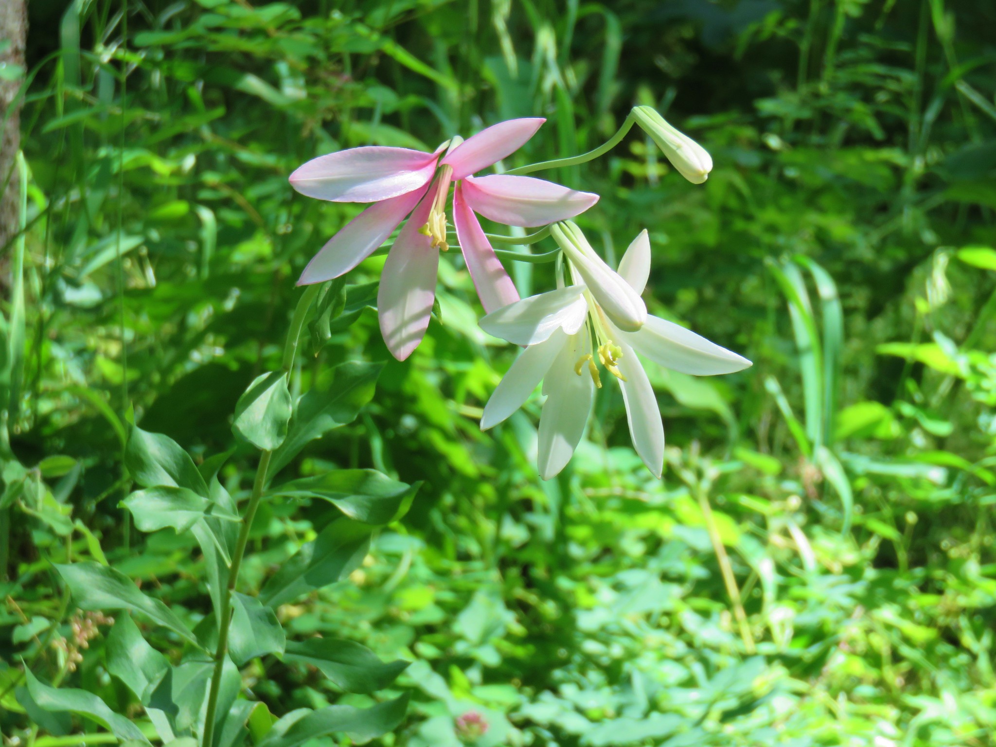
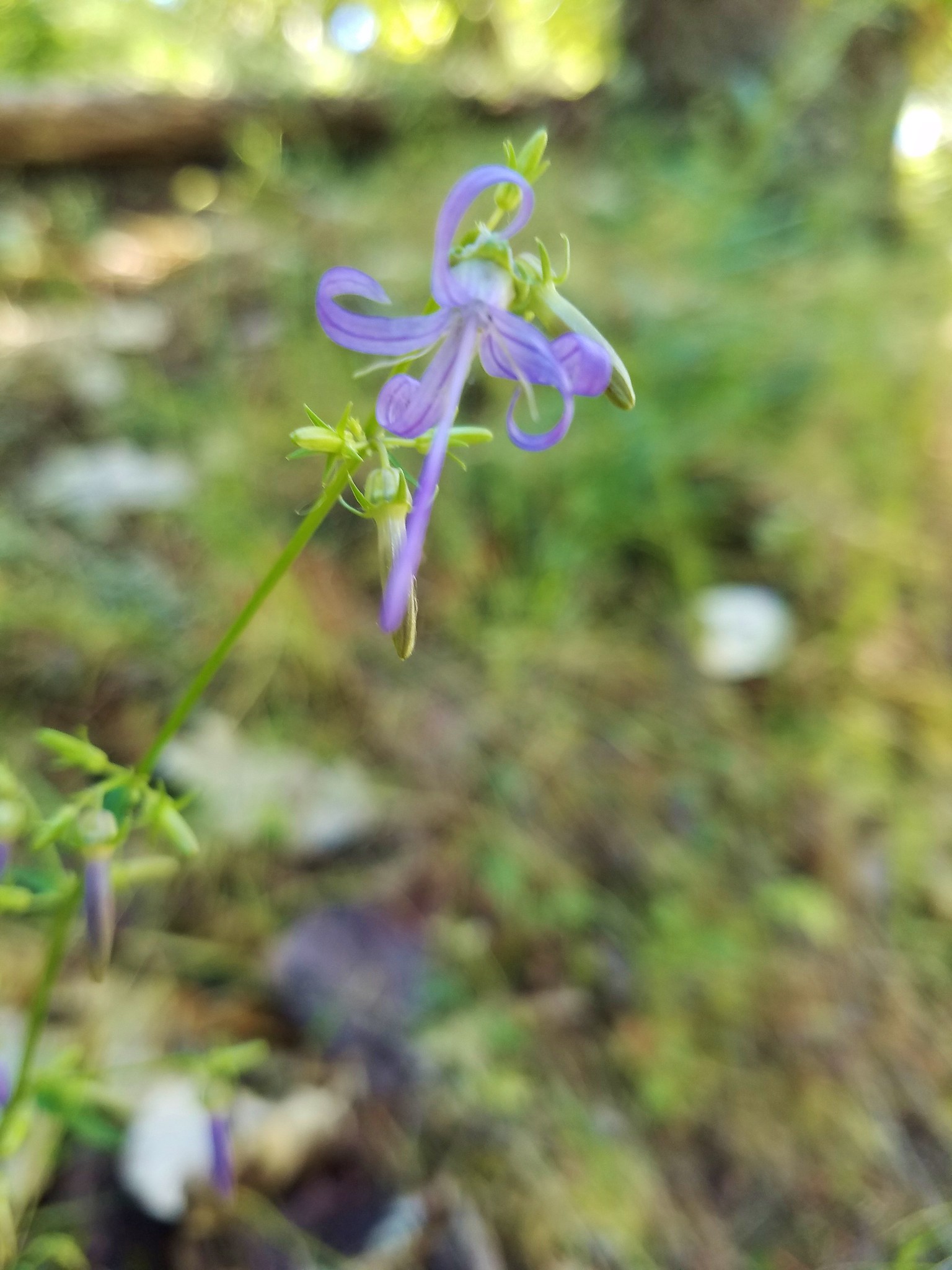
We followed the Jackson Fork Trail uphill where we spotted a a Washington lily, a California harebell, and several California ground cones.
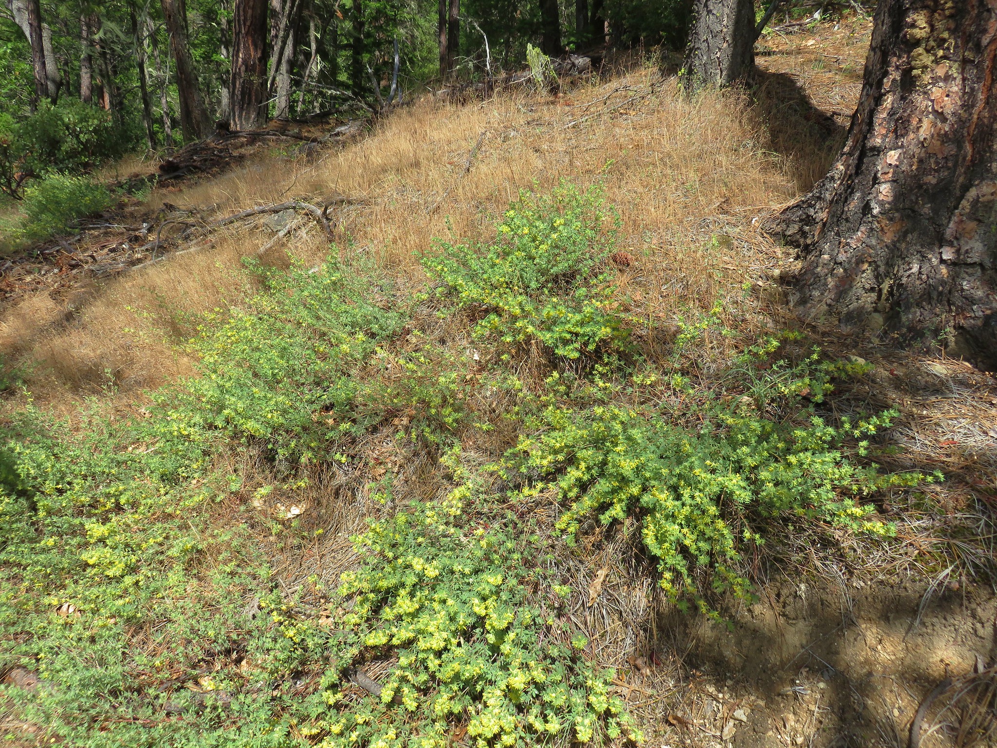
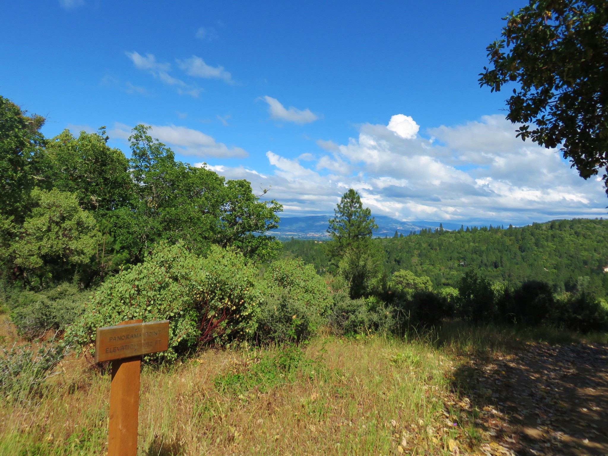
We stuck to the Jackson Fork Trail until we saw a pointer for Panorama Point at which point we followed pointers for it amid the oak grassland.


The horizon was too cloudy for us to see Mt. McLoughlin but on a clearer day it would have been visible from the viewpoint.
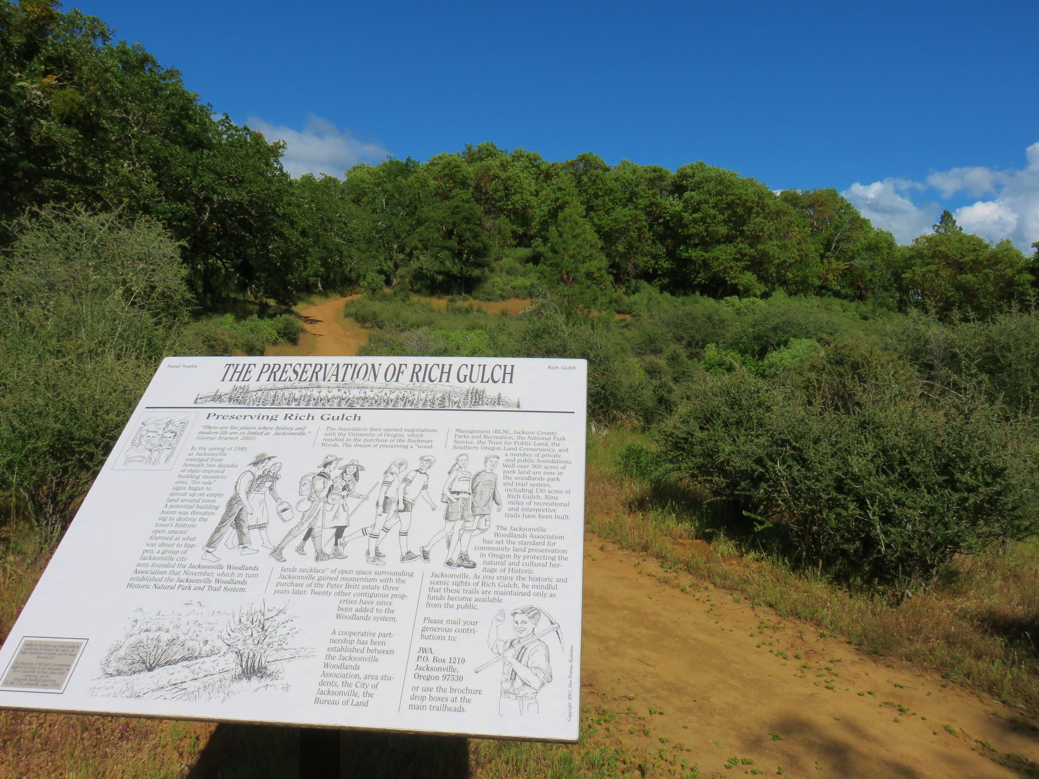
We continued past the viewpoint and descended into Rich Gulch.
Then we followed pointers for Oregon Street.

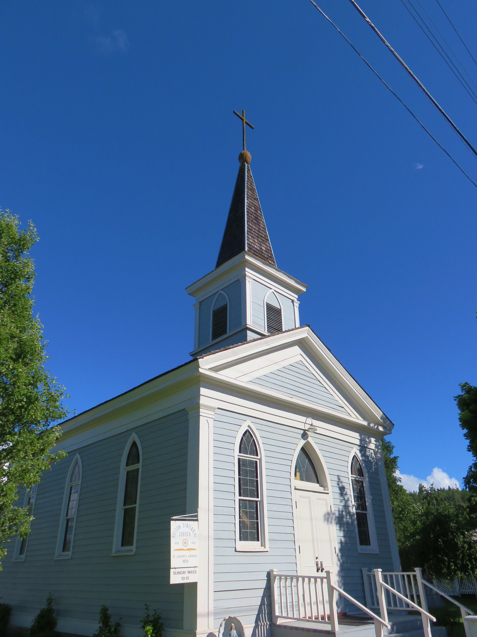
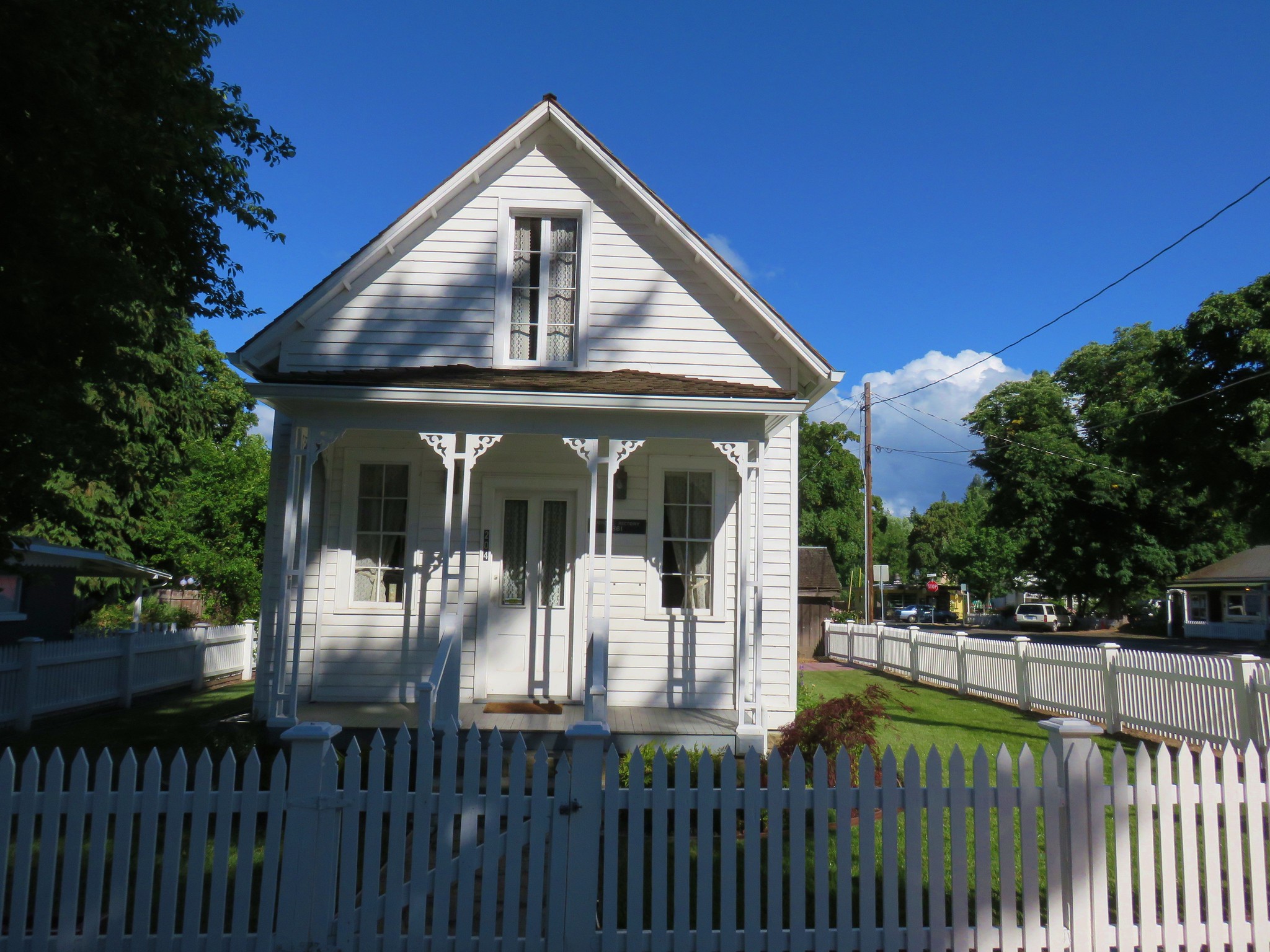
At Oregon Street we hopped onto the road and followed it into town where we took a brief walking tour of the historic buildings.
Before returning to our car we stopped at Bella Union for dinner. As it turned out they were celebrating their 29th birthday with free appetizers, birthday cake, and a champagne toast. The food and atmosphere were wonderful and an excellent way to finish off the first day of a vacation. Happy Trails!

8 replies on “Collings Mountain and Jacksonville”
Looks like you had at least one day of good weather. But did it hold through the weekend?
“from Grayback Mountain to the Red Buttes Wilderness” Was your original plan to backpack the Siskiyou Crest trail? If so, I have that on my list for this year too but am still waiting for the snow to melt off above 5,000 feet! The weather has not been the hiker’s friend so far this year!
Yep that was the plan. I was hoping to camp at the little lake up by Sucker Creek Gap then do the Tannen Lakes Loop the next day. Then staying near Grayback Meadows so we could go up it in the AM before heading home.
Two years ago, the Boundary Trail (#1207) from Sucker Gap south toward Tannen lakes was overgrown and impassible to the Tannen Lakes cutoff trail. I don’t know if it’s been brushed since then (doubt it) so you might have had a hard time following it.
Yeah the only other hikers we saw there in 2015 said the same so I was expecting a challeng.
[…] was supposed to be a hike along Applegate Lake on the opposite shore from our first day’s hike, but upon arriving at the French Gulch Trailhead we discovered that the Granite Man, an off-road […]
[…] made it possible to check that area off. We also had failed to count our Collings Mountain Loop (post) in Southern Oregon as having completed a portion of Sullivan’s Applegate Lake hike so we […]
[…] and given the distance never sounded too appealing so in 2017 when we hiked Collings Mountain (post) we made a loop incorporating Da-Ku-Be-Te Trail on the west side of the lake. That trail was not […]
[…] Trail-Hiked 5/27/2022 #60 Sterling Ditch Tunnel-Hiked 6/10/2017 5/2/2023 #61 Jacksonville-Hiked 6/8/2017 #62 Enchanted Forest-Hiked 6/11/2017 #63 Observation Peak-Hiked 6/15/2022 #64 Collings […]