
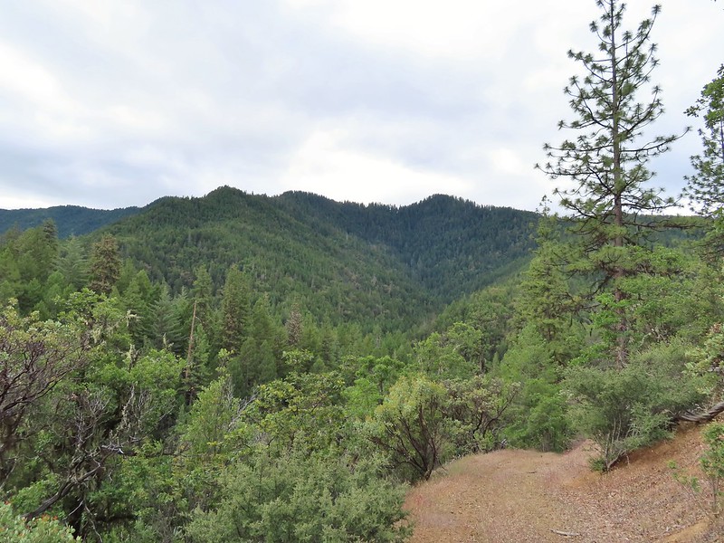
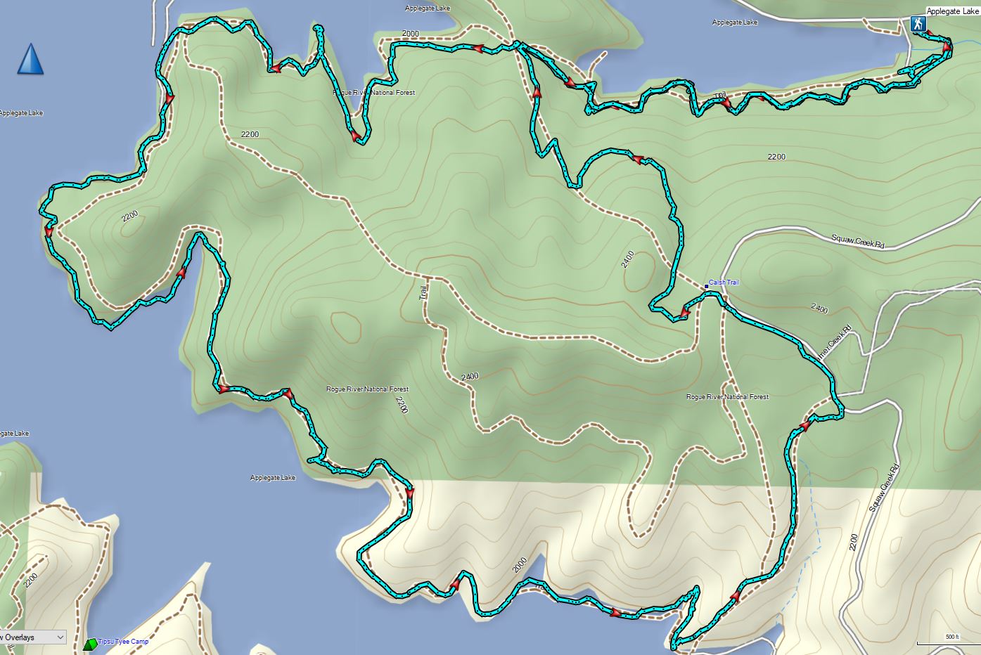
Having escaped the rainy weather thus far Sunday of Memorial Day weekend was yet another foretasted “chance of rain/showers” but also contained the words partly sunny. Today’s hike was another piece of one of Sullivan’s featured hikes that we had done a different portion of on a previous trip. For Applegate Lake Sullivan gives two options – a 6.4 mile peninsula loop starting at French Gulch and the 17.8 mile loop around the entire shore of the man made lake. Going around the lake requires a good amount of road walking mixed in with trails and given the distance never sounded too appealing so in 2017 when we hiked Collings Mountain (post) we made a loop incorporating Da-Ku-Be-Te Trail on the west side of the lake. That trail was not part of Sullivan’s 6.4 mile option which is located on the east side of the lake so today that hike was our goal. We had tentatively planned on lengthening his hike by following the Payette Trail beyond the Osprey Trail as an out-and-back extension. That idea was scrapped after our first hike of the trip at Mule Mountain (post) turned out to be a lot more challenging that expected leaving us a little depleted.
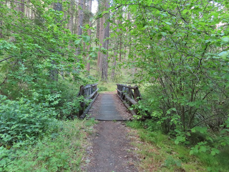
We began our hike at the French Gulch Trailehad a little before 7am.

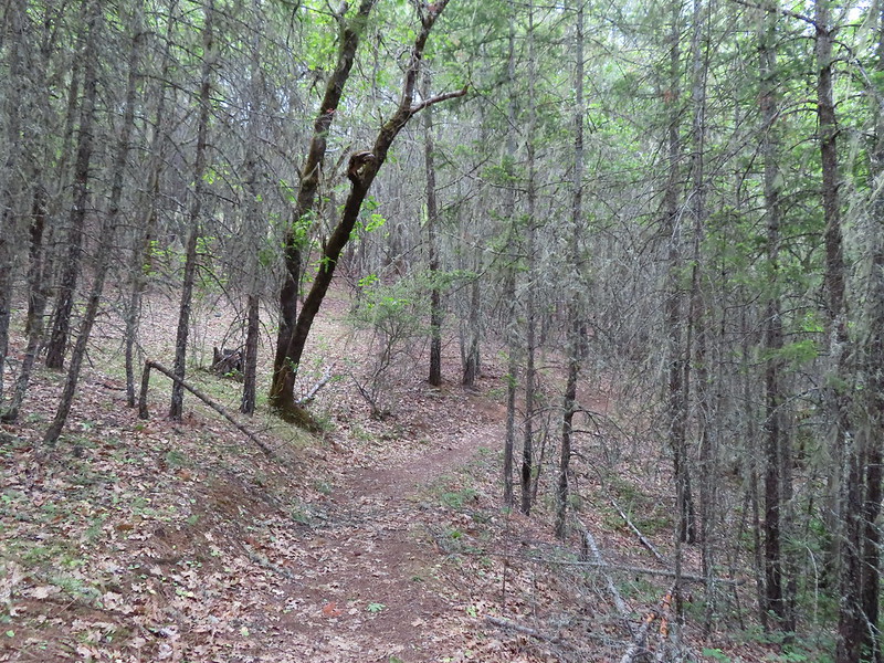
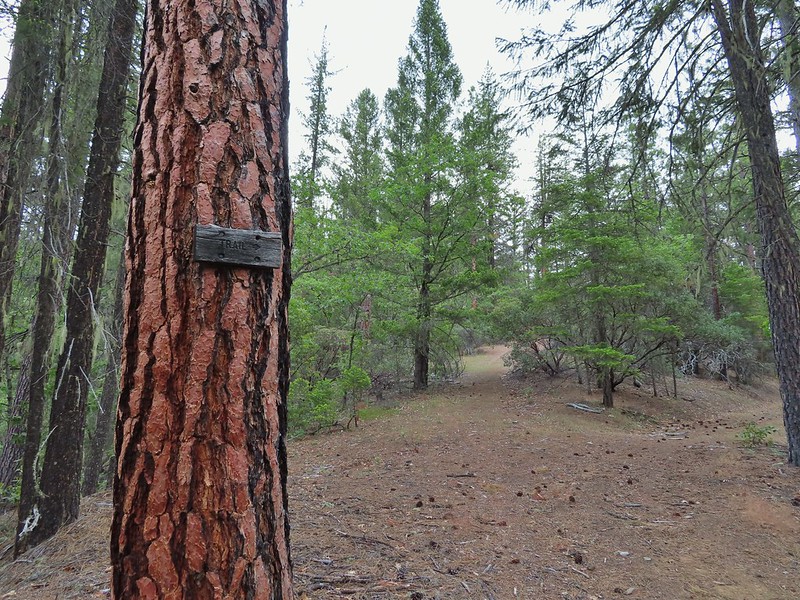
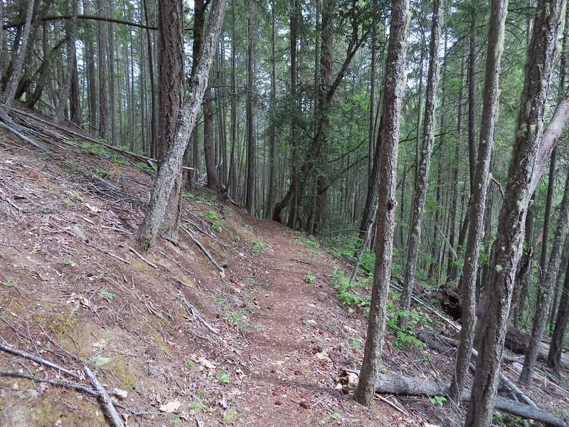
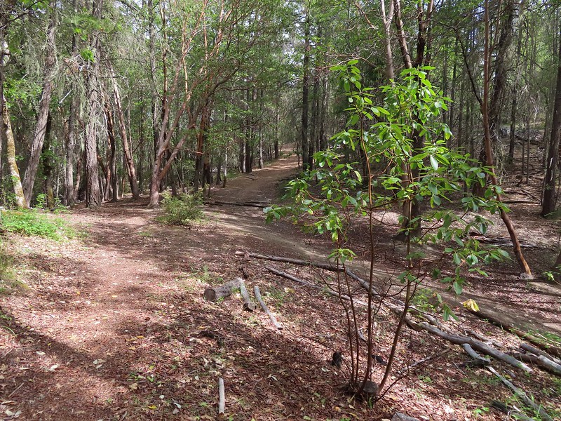
Here the Payette Trail headed downhill into the forest.

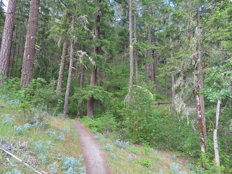
We followed this trail as it wound around the lake for a mile to a 5-way junction.
 Walk in campsite at French Gulch.
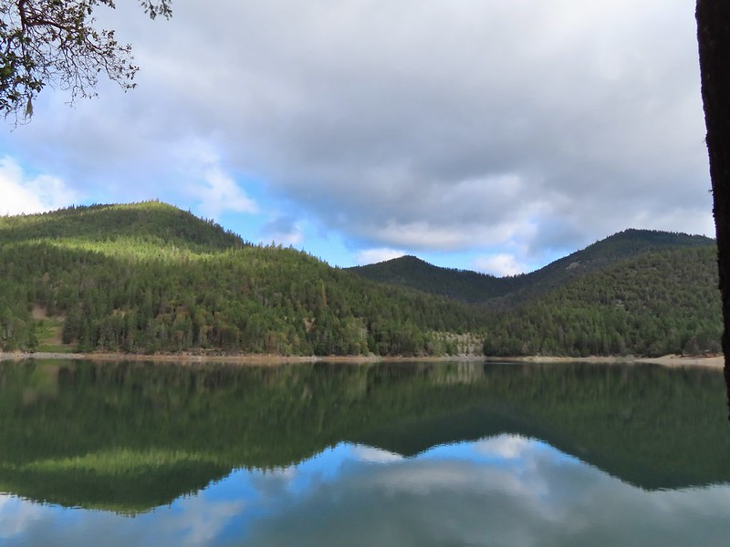
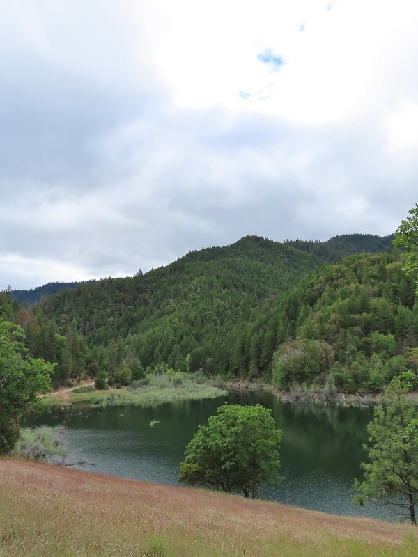
 French Gulch
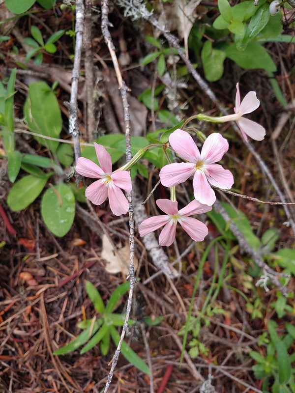
 Hooker’s Indian Pink
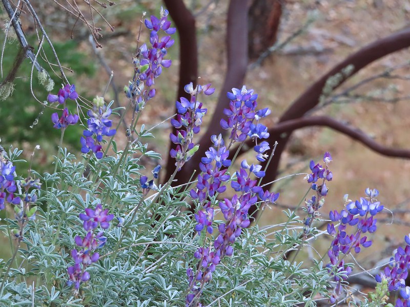
 White lupine
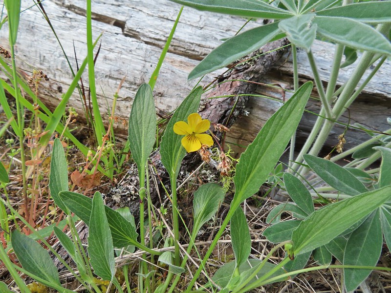 Violet
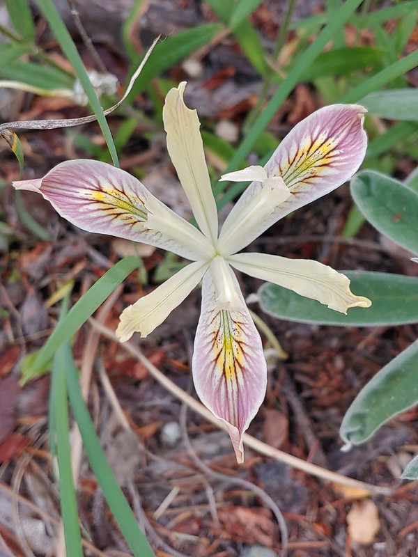 Iris
Iris
 Pretty face
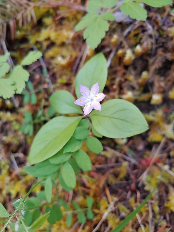 Starflower
 Columbine

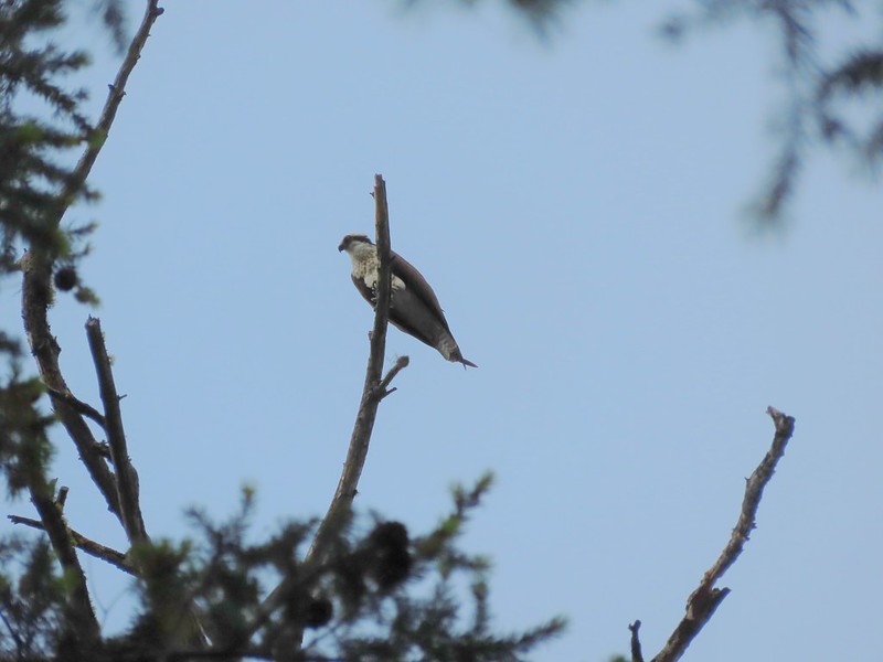 Osprey
 Ground cone
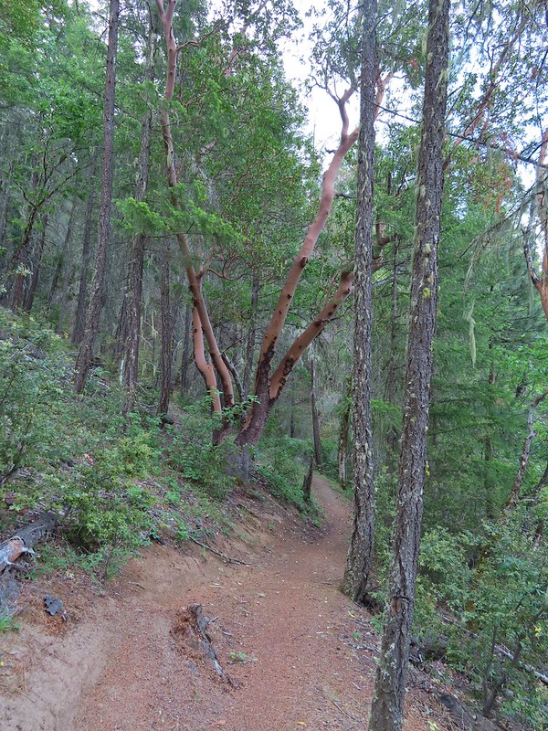
 Madrones near the the 5-way junction.
We stayed straight at the junction ignoring two trails to the right the led onto a smaller peninsula and the Calsh Trail on the left which would be our return route on the loop.
After another half mile we took a short trail downhill to the lake.
 The side trail to the right.


 Collings Mountain
After checking out the view from the lake we returned to the Payette Trail and in a quarter of a mile passed a junction with the Sins Bar Trail.

Just beyond the junction the Payette Trail became an old road bed.

 Penstemon
 Stricklin Butte in the distance.
Two tenths of a mile along the road we came to a fork where a pointer indicated the trail left the road to the right. We could see from the maps we had that the trail would rejoin the road in a little over half a mile so we had the option of following either.


We decided to split up here with me taking the trail while Heather stuck to the road where there was much less chance of encountering poison oak.

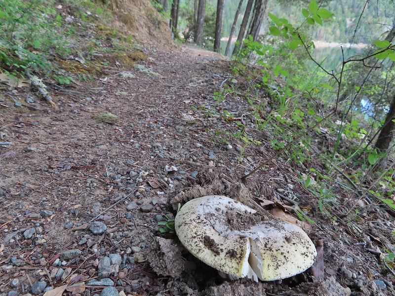 We didn’t see many mushrooms on the trip but this one was good sized.
 Collings Mountain on the left.

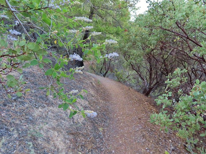 Deer brush and manzanita along the trail.
 Marble
 Rejoining the roadbed.
In another mile the trail split off from the road again, this time to the left while the road headed down into the lake.
 Oregon sunshine
 Kellog’s monkeyflower
 heart-leaf milkweed
 Blue gilia
 Ookow
Ookow
 Silverleaf phacelia
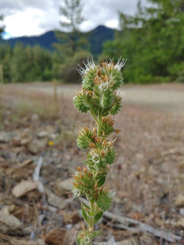
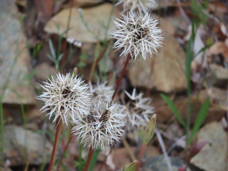 Blow wives?
 Lupine
 Payette Trail to the left.
We decided to stick to the road to see how much of it was above water. We made it a quarter mile before the road vanished but we were able to follow a use path uphill along the hillside to rejoin the Payette Trail.
 The road vanishing into the lake.
 Back on the Payette Trail.
At a signed junction with the Osprey Trail we turned uphill leaving the Payette Trail.

 Mallards

Heading up the Osprey Trail.
Approximately 0.2 miles up this trail we came to a fork. A small pointer on a tree seemed to indicate that the Osprey Trail was to the right which was another old roadbed.
The paper map we had did not show both a trail and a road so we weren’t certain which was correct, but based on the arrow pointing right and not straight up we turned onto the road and followed it uphill. As it turns out this was the wrong choice and if we’d have stopped to look out our GPS we would have known that.
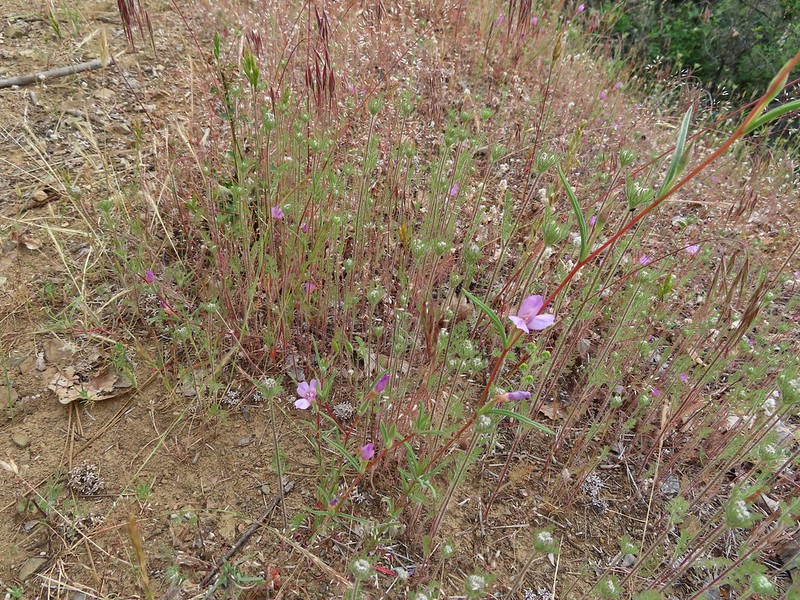 Clarkia
 Looking back down the road.
 Mariposa lily
The roadbed grew fainter the more we climbed and we eventually began to suspect we’d gone the wrong way which was confirmed when we finally did consult our GPS maps. The good news was that this road, appearing as a trail on the GPS, hooked up with Forest Road 1075 which the Osprey Trail also did. The bad news was that the two trails veered in opposite directions leaving us with a quarter mile road walk to reach the Dagelma Trailhead where the Osprey Trail terminated.

 This obvious trail split off from the road to the left. We’re not sure if it would have led us to the Osprey Trail possibly by old cabin ruins that are in the area or if it would have gotten us nowhere so we stuck to the road.
 The roadbed petered out a short distance from FR 1075 leaving a short cross-country scramble up to a pullout along the road where a section of barbed wire fence had been broken by what appeared to be an off-road vehicle of some sort based on tire tracks down the slope.
 Signboard at the pullout.
 Unintended road walk.
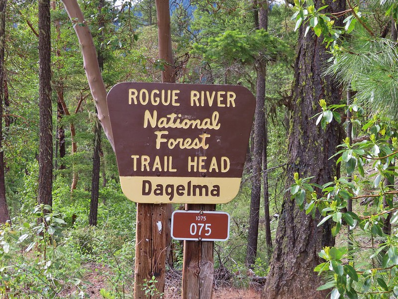
 The Dagelma Trailhead
 These chutes prevent equestrian and motorized users from passing through but also tend to attract poison oak.
The Osprey, Sinns Bar, and Calsh Trails all begin/end here with the Osprey being the left most, Sinns Bar center and the Calsh on the right. We took the Calsh Trail and headed downhill through the forest 0.7 miles to the 5-way junction at the Payette Trail.

 Northern phlox
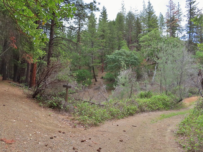
 The 5-way junction.
We turned right onto the Payette Trail and followed it back to the French Gulch Trailhead.
 Junco
Junco
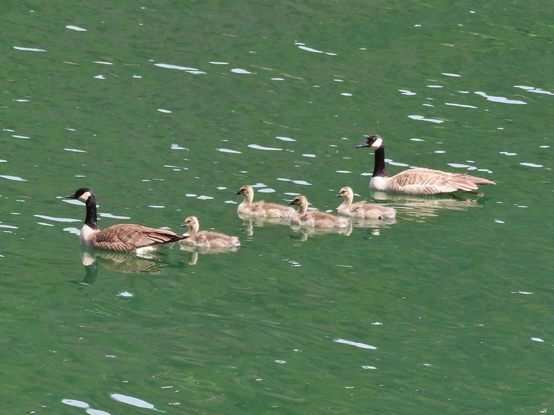 Canada geese in French Gulch.
It was another day without any significant precipitation despite the forecast and while there were a number of folks fishing near French Gulch and we’d heard others along the lake shore we didn’t encounter anyone else on the trails. We ended the day with a 6.4 mile hike, the same distance as Sullivan’s described hike despite a couple of deviations from it. My guess is we saved some distance following sticking to the road instead of turning inland on the Payette Trail then added about the same back by splitting off of the Osprey Trail.
This was a nice hike with a surprising variation in habitat and some nice views. We were however glad that we’d decided to shorten it though since we were both dealing with blisters we’d picked up 4 days (and hikes) earlier. Happy Trails!
Flickr: Applegate Lake

3 replies on “Applegate Lake – 05/29/2022”
That seeming trail split on the Osprey Trail at the collapsed miners cabin is actually the faded old access road to Salmon Arm. If you’d made a sharp left turn there, you would have stayed on the Osprey. Lots of trails (or almost trails) and few signs – it’s the Oregon way. 🙄
I figured you’d have the definitive answer to that one.
[…] Peak-Hiked 6/15/2022 #64 Collings Mountain-Hiked 6/8/2017 #65 Applegate Lake-Hiked 6/8/2017 5/29/2022 #66 Red Buttes-Hiked 10/27/2015 #67 Frog Pond-Hiked 6/18/2022 #68 Azalea Lake-Hiked 10/26/2015 […]