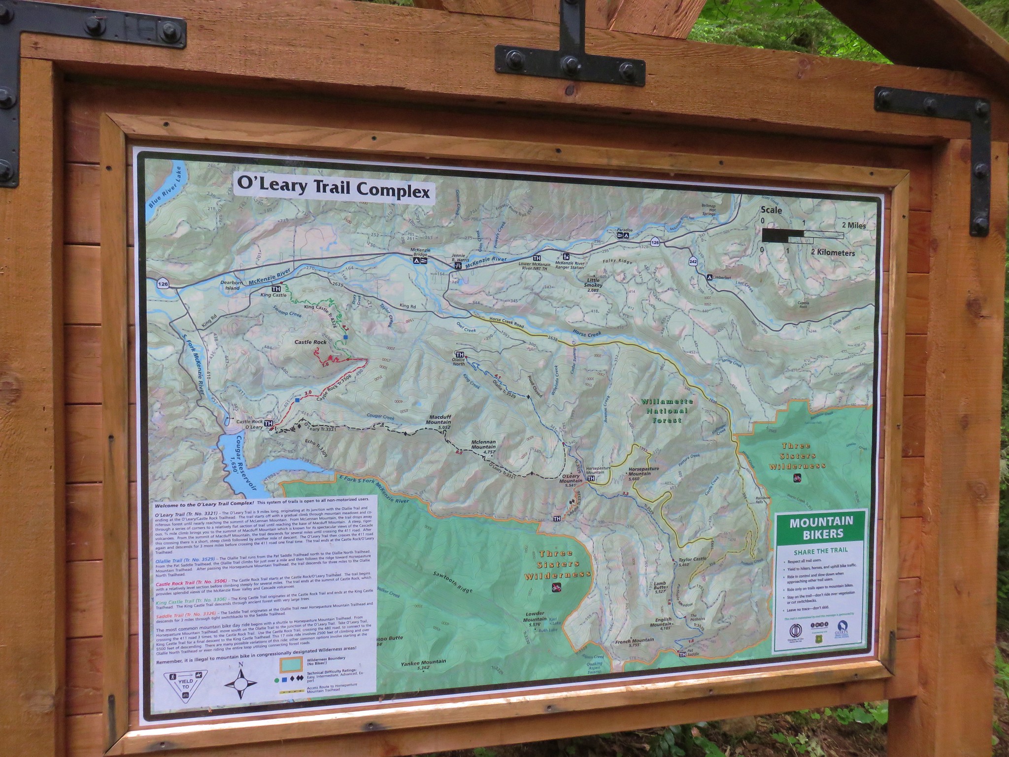
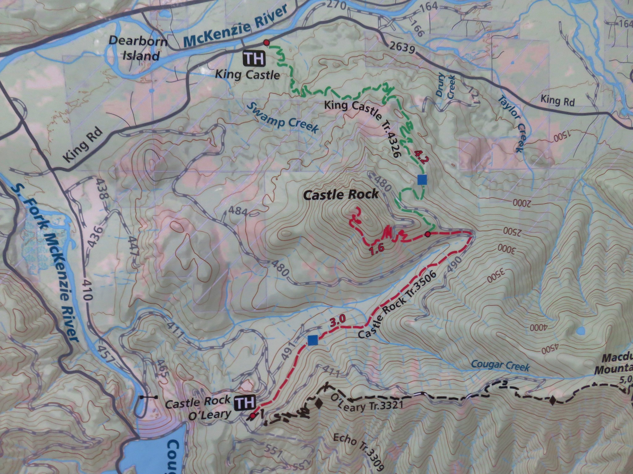
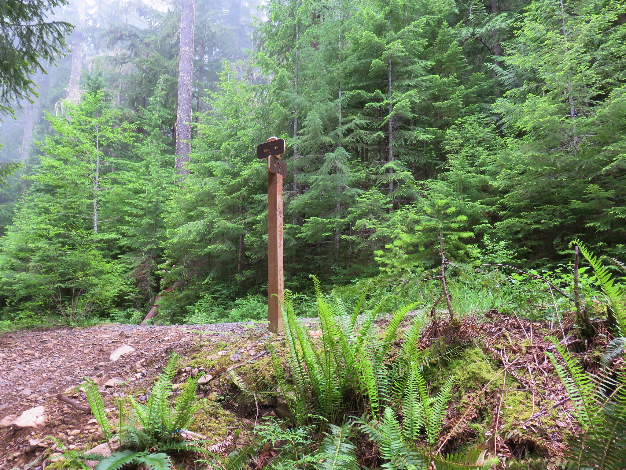
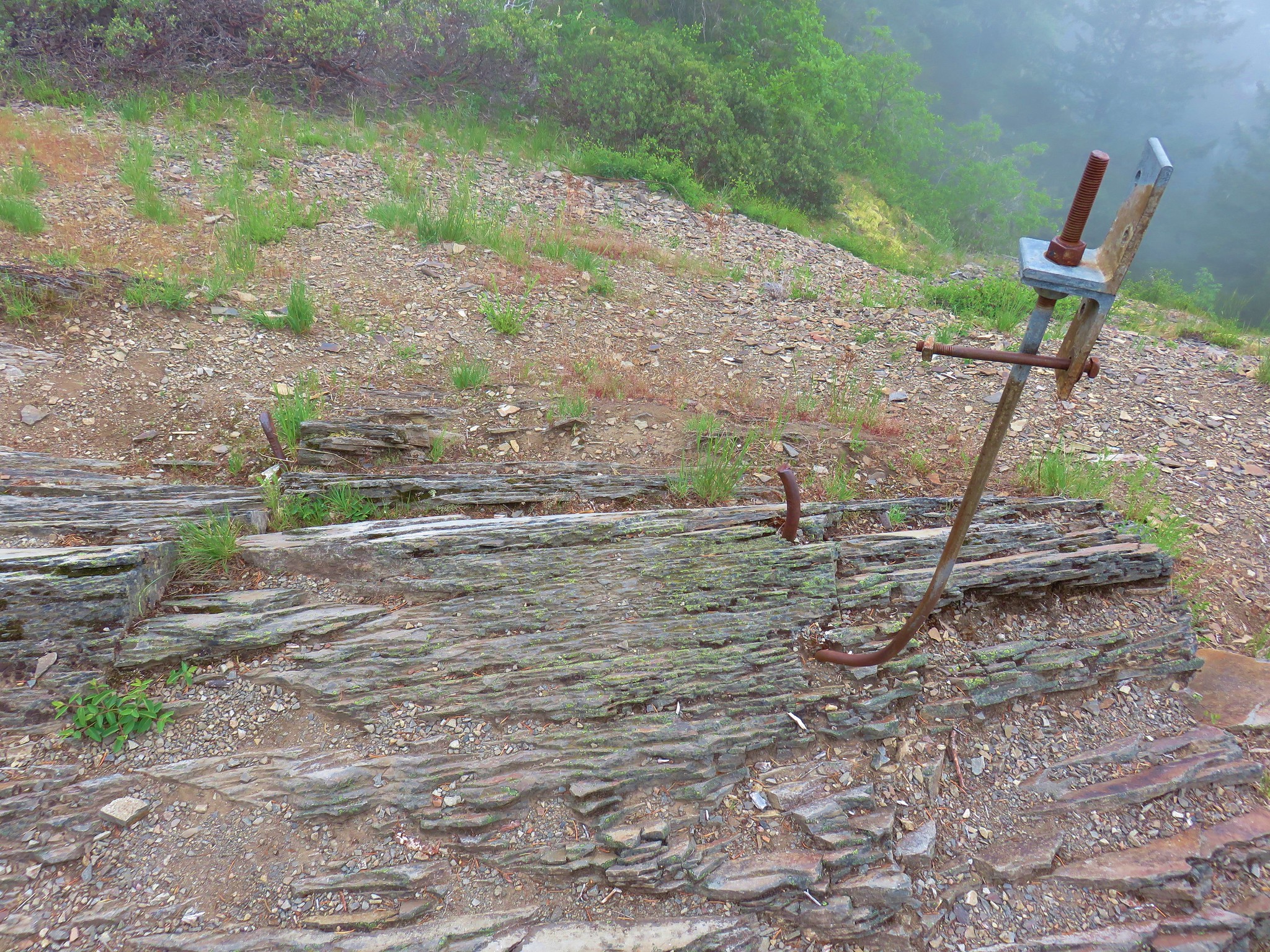
We continue to have to swap out our originally scheduled hikes due to the above normal snow levels and late melt this year. Our most recent hike to Castle Rock was the result of one such switch. Castle Rock it the site of a former lookout tower atop a 3808′ rocky outcrop. Castle Rock is located near the McKenzie River off Highway 126 approximately 5 miles beyond Blue River. There are several possible trailheads that can be used to reach the lookout site including an option at the end of Road 480 that would make the hike less than three miles. For our visit we chose to begin at the King Castle Trailhead. A map at this trailhead showed the entire O’Leary Trail Complex.
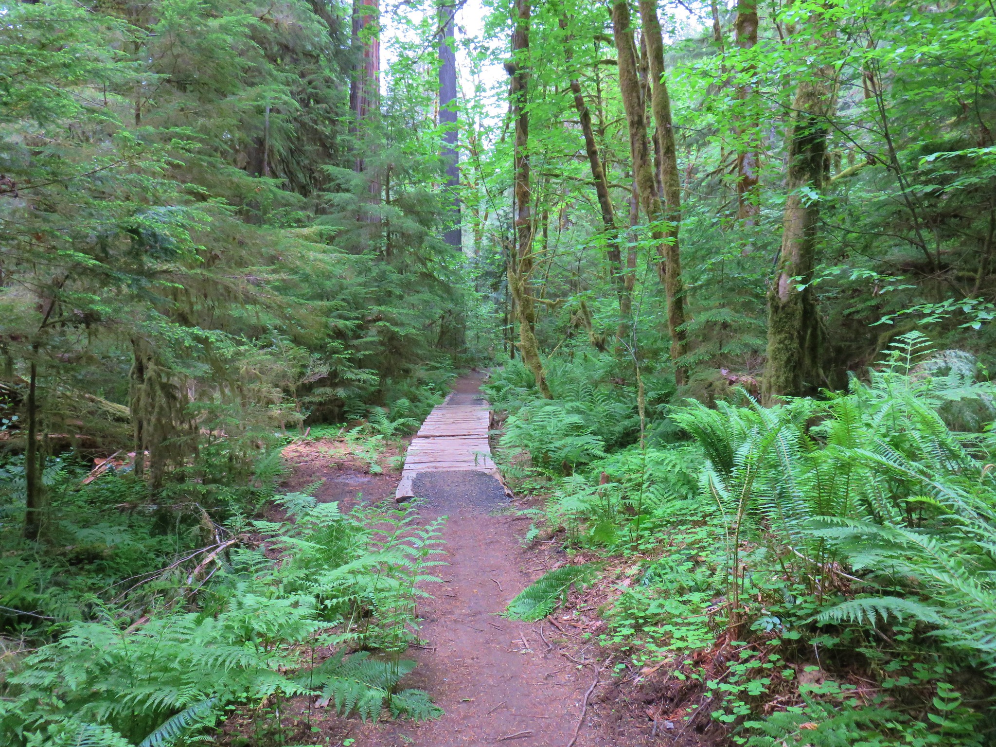
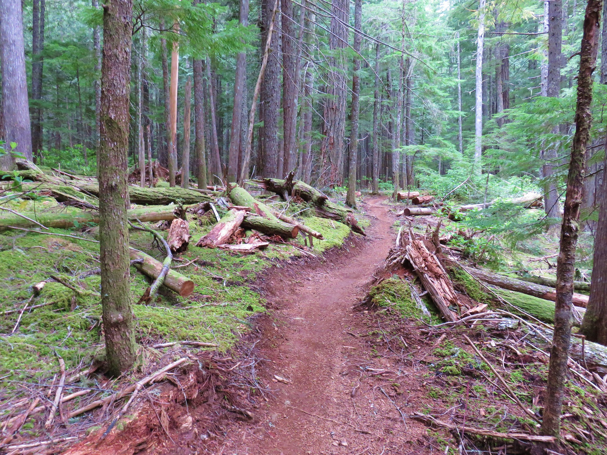
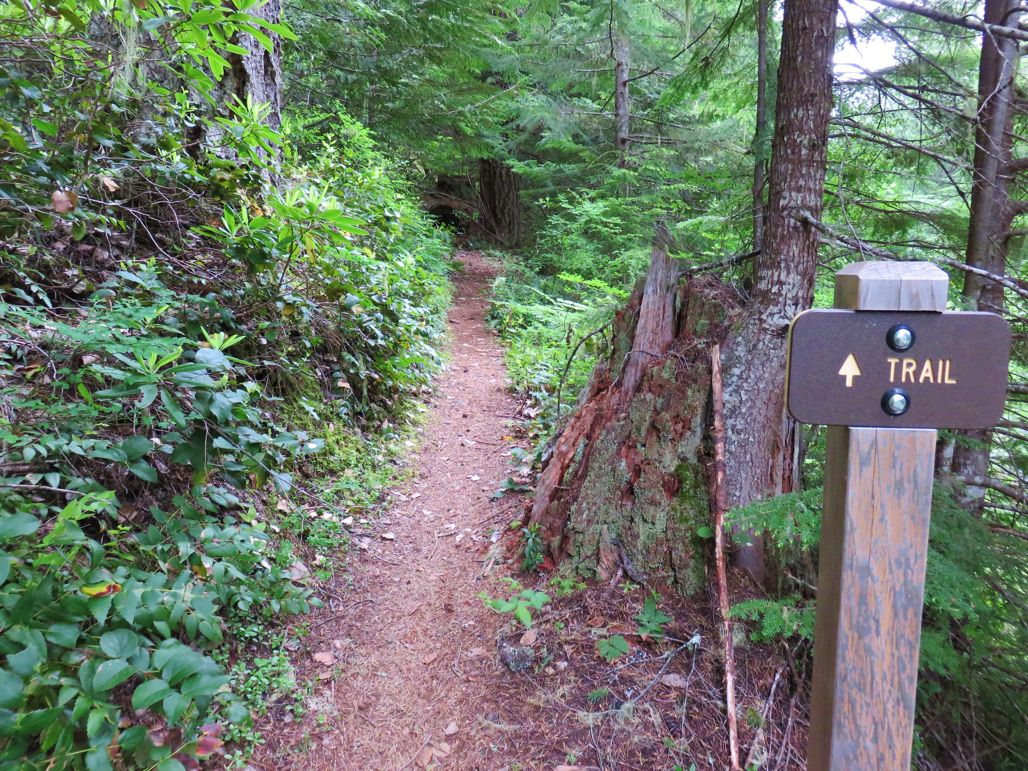
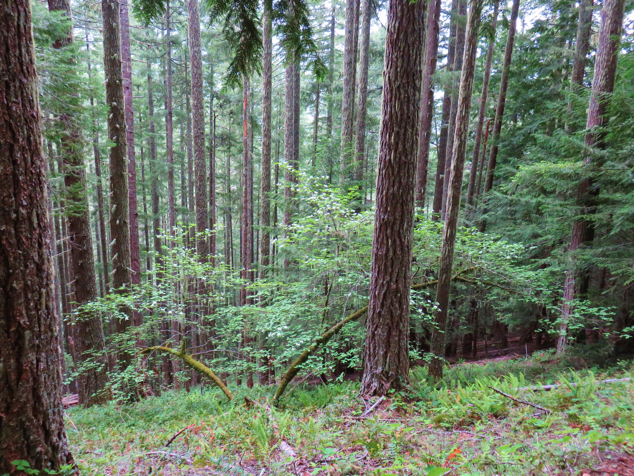
The trails in the area are open to mountain bikes and we did see a handful of riders but not until we were well into our descent. The King Castle Trail was in excellent shape as it passed through the forest.


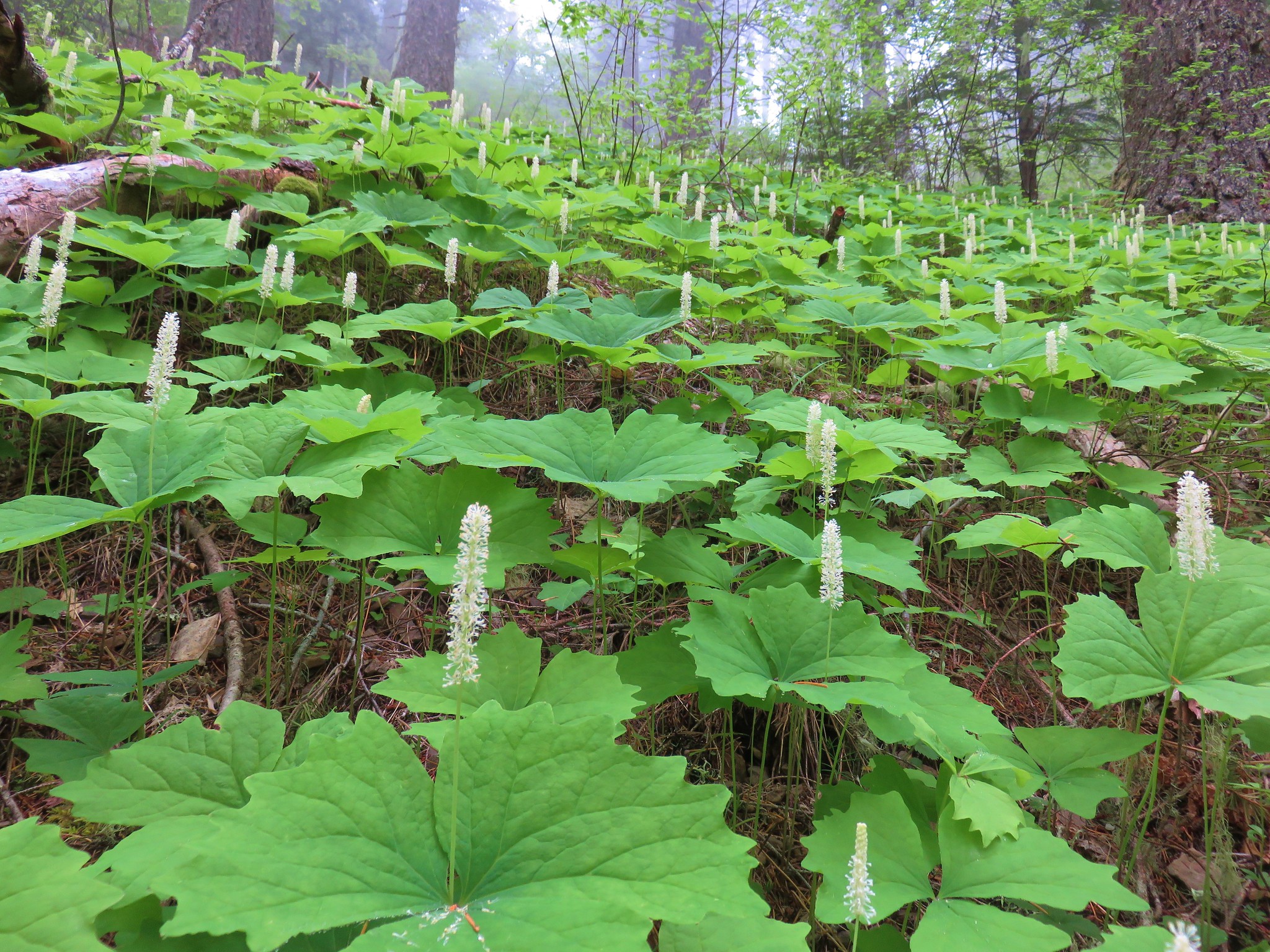
There were lots of woodland flowers in bloom.
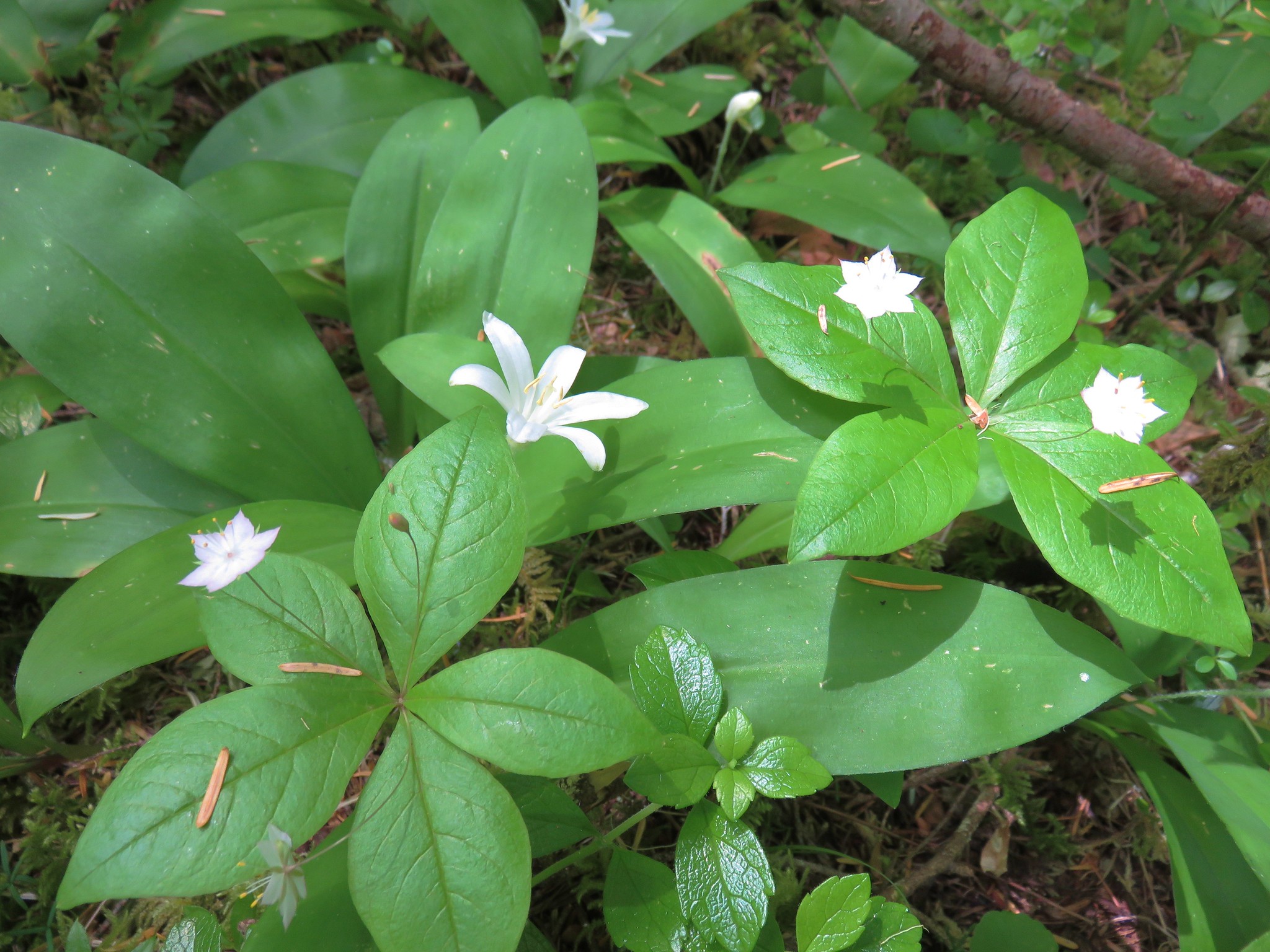
Star flower and queen’s cup
 Foam Flower
 Inside-out Flower
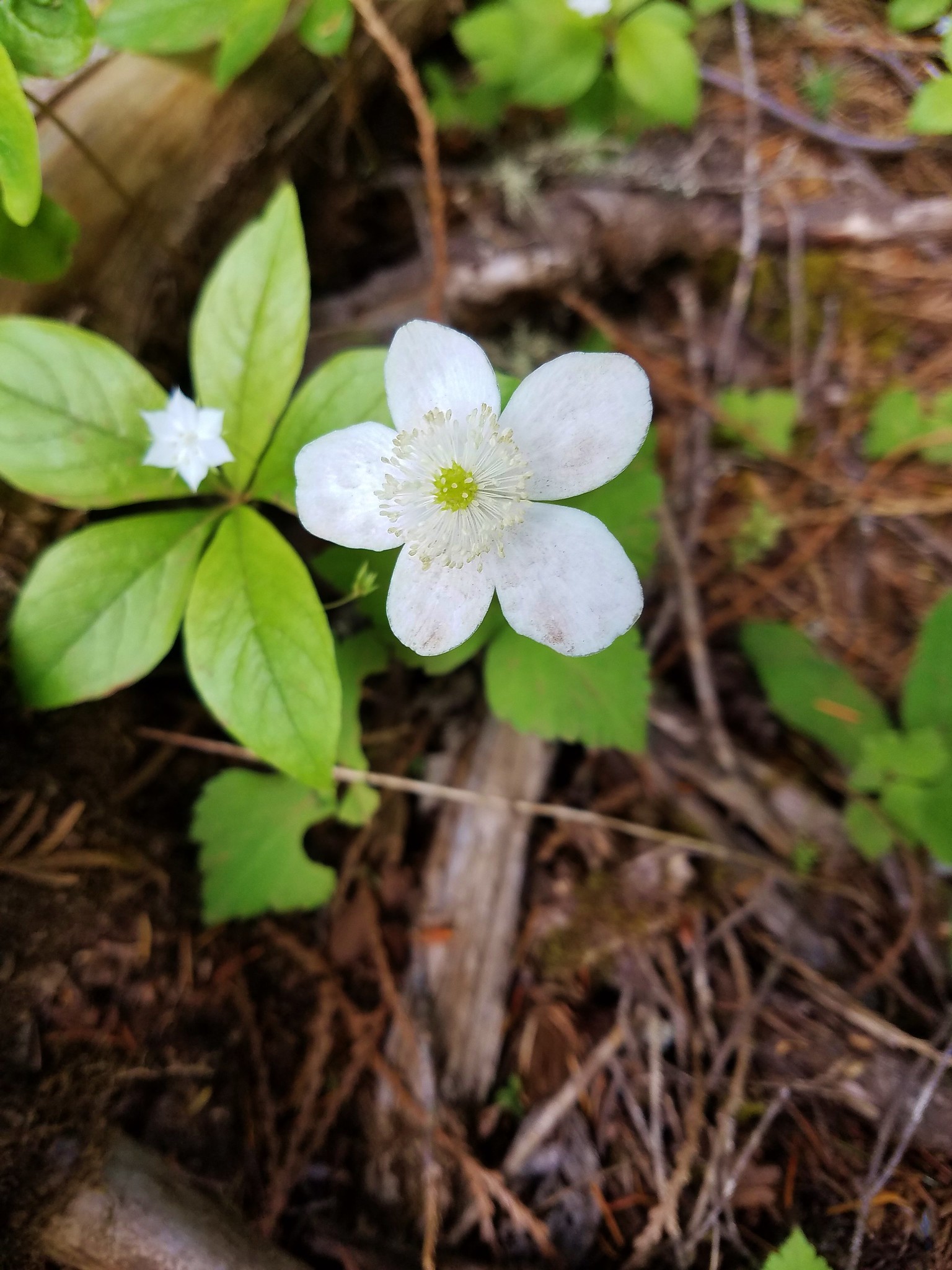
Anemone
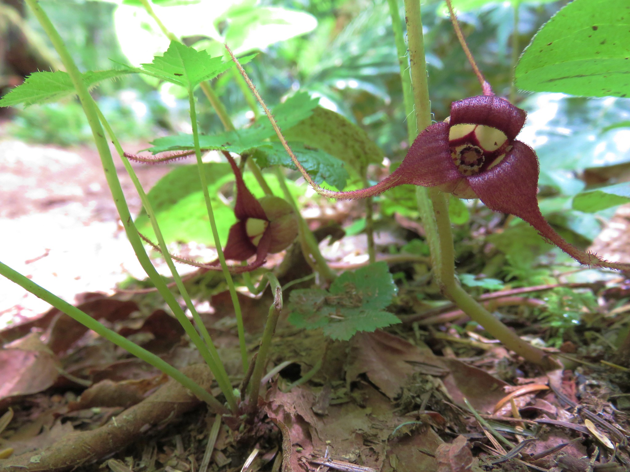 Wild Ginger
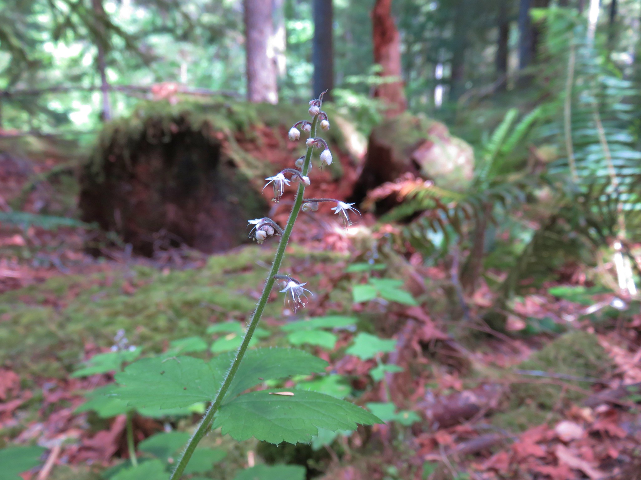
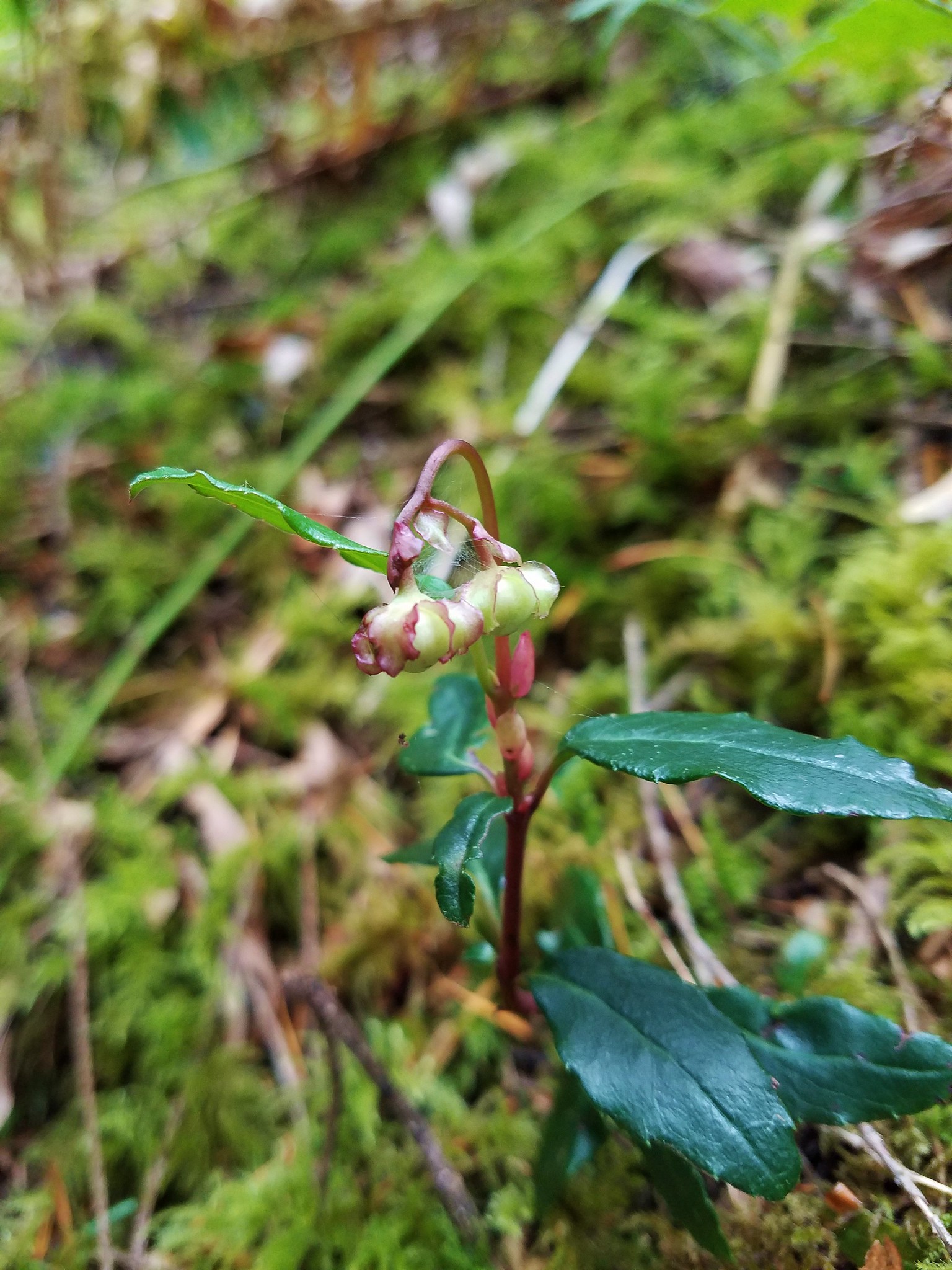 Wintergreen
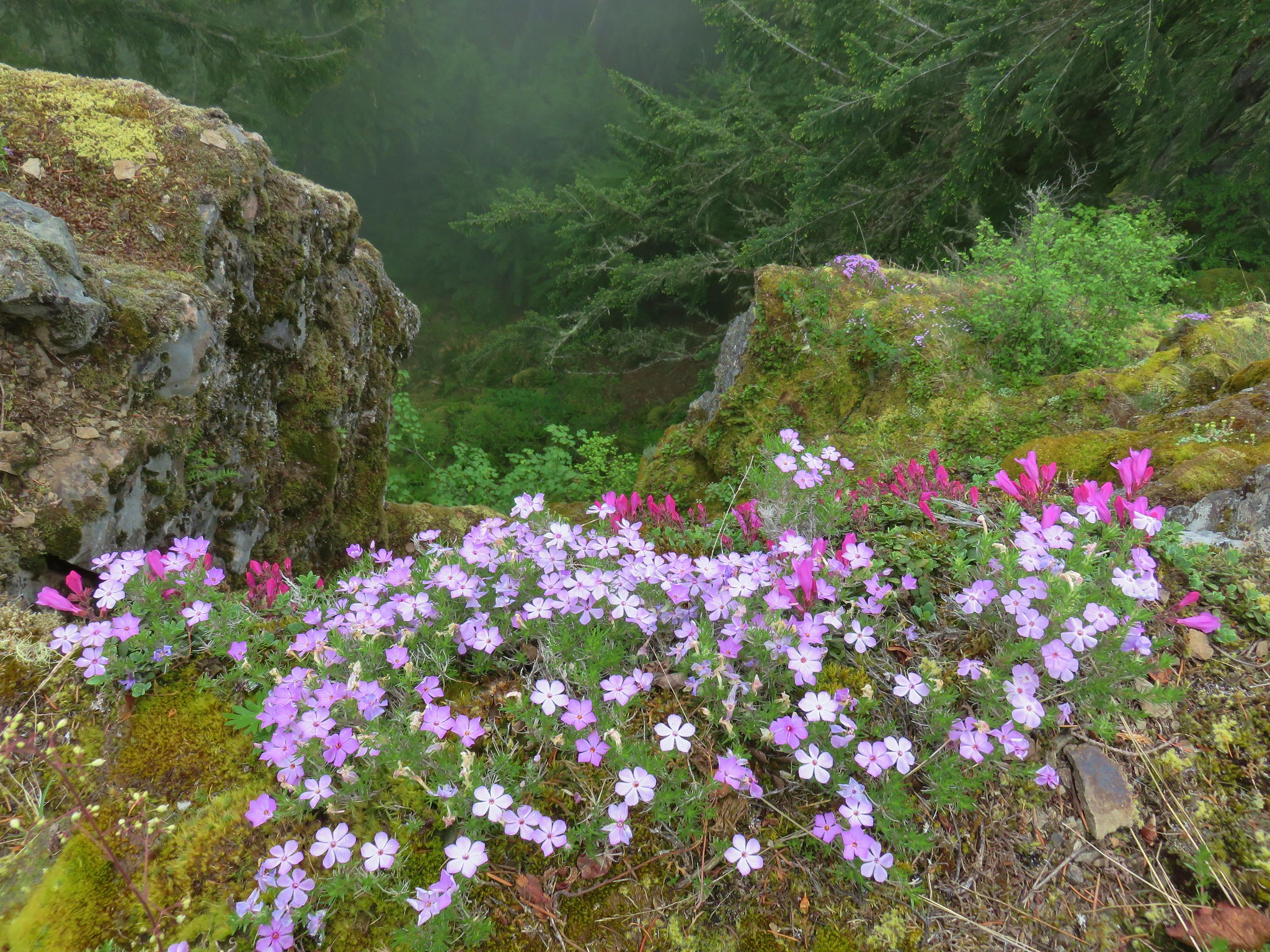
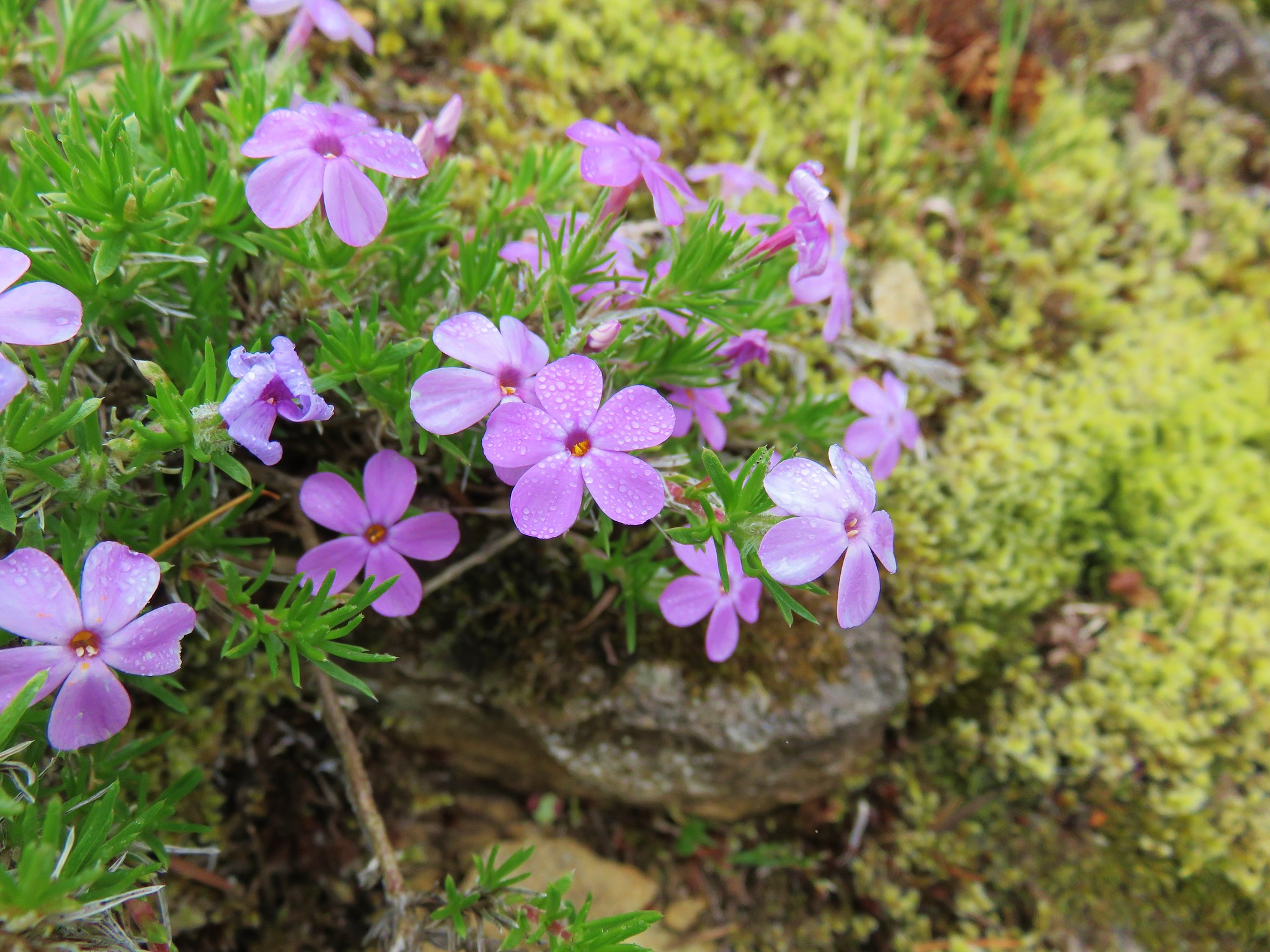
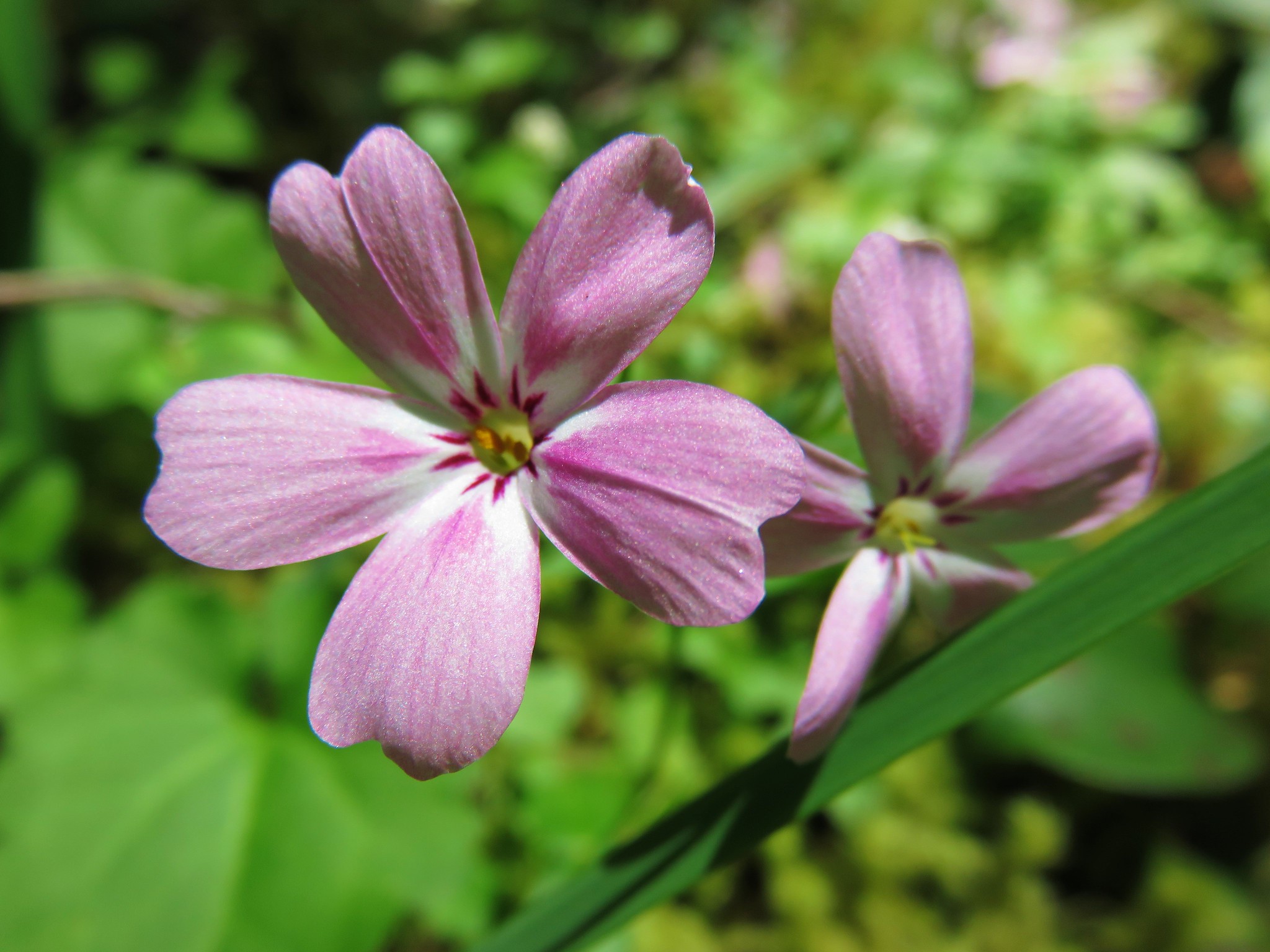 Northern Phlox
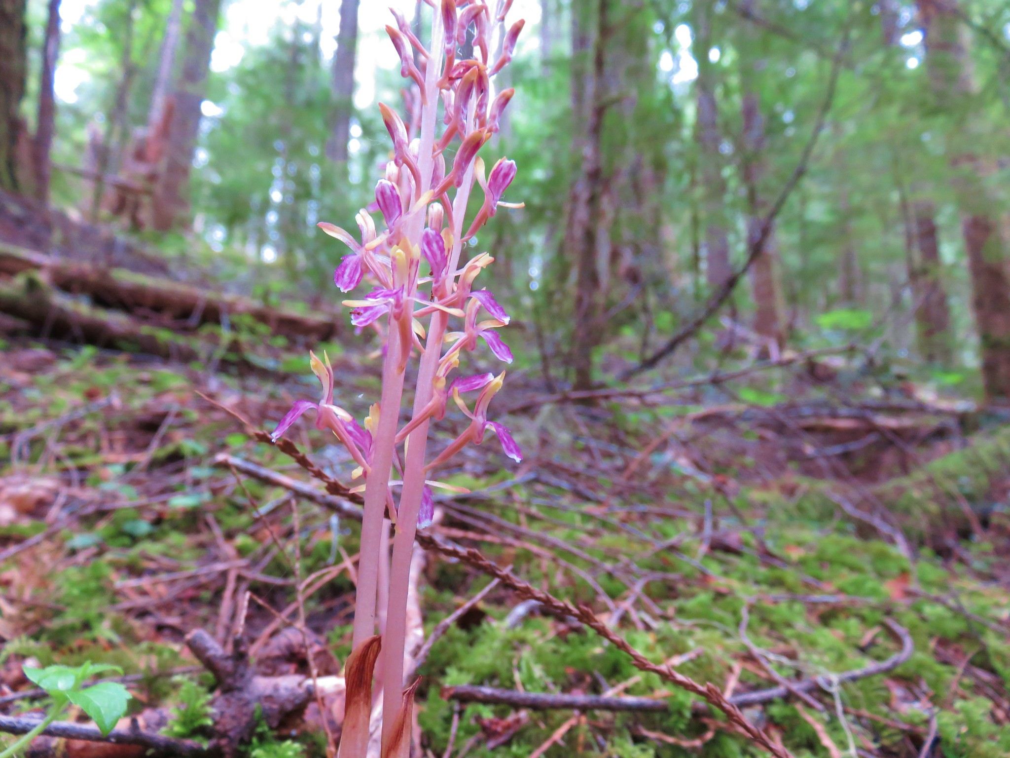
Striped coralroot

Spotted coralroot
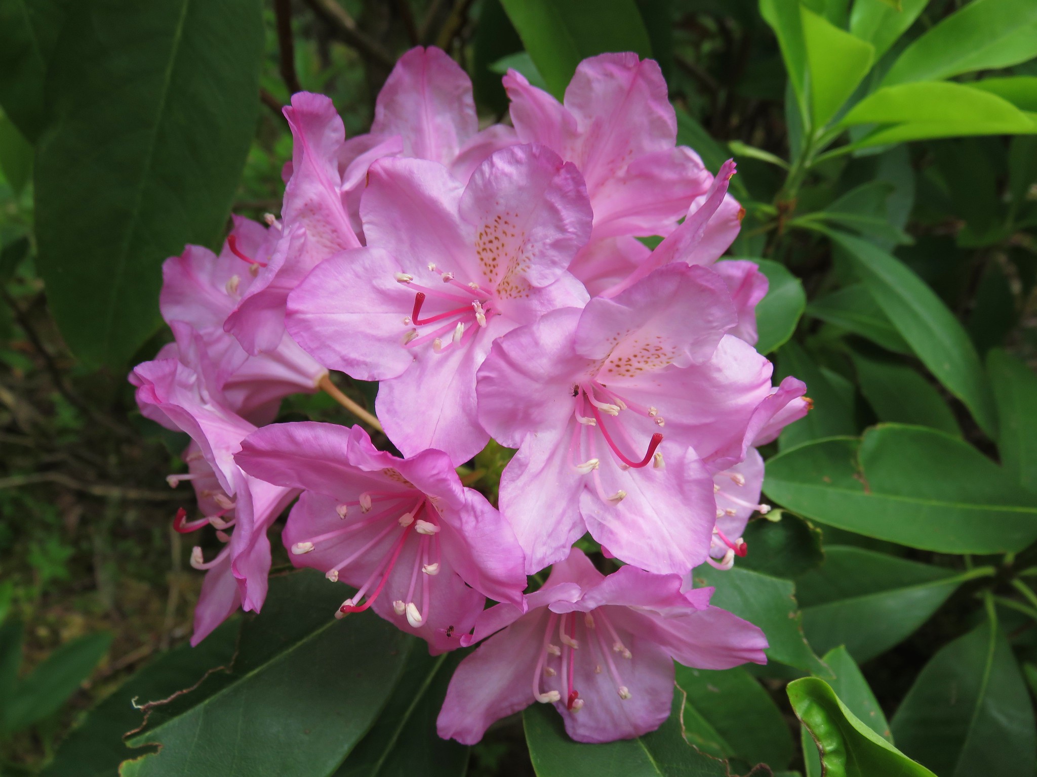
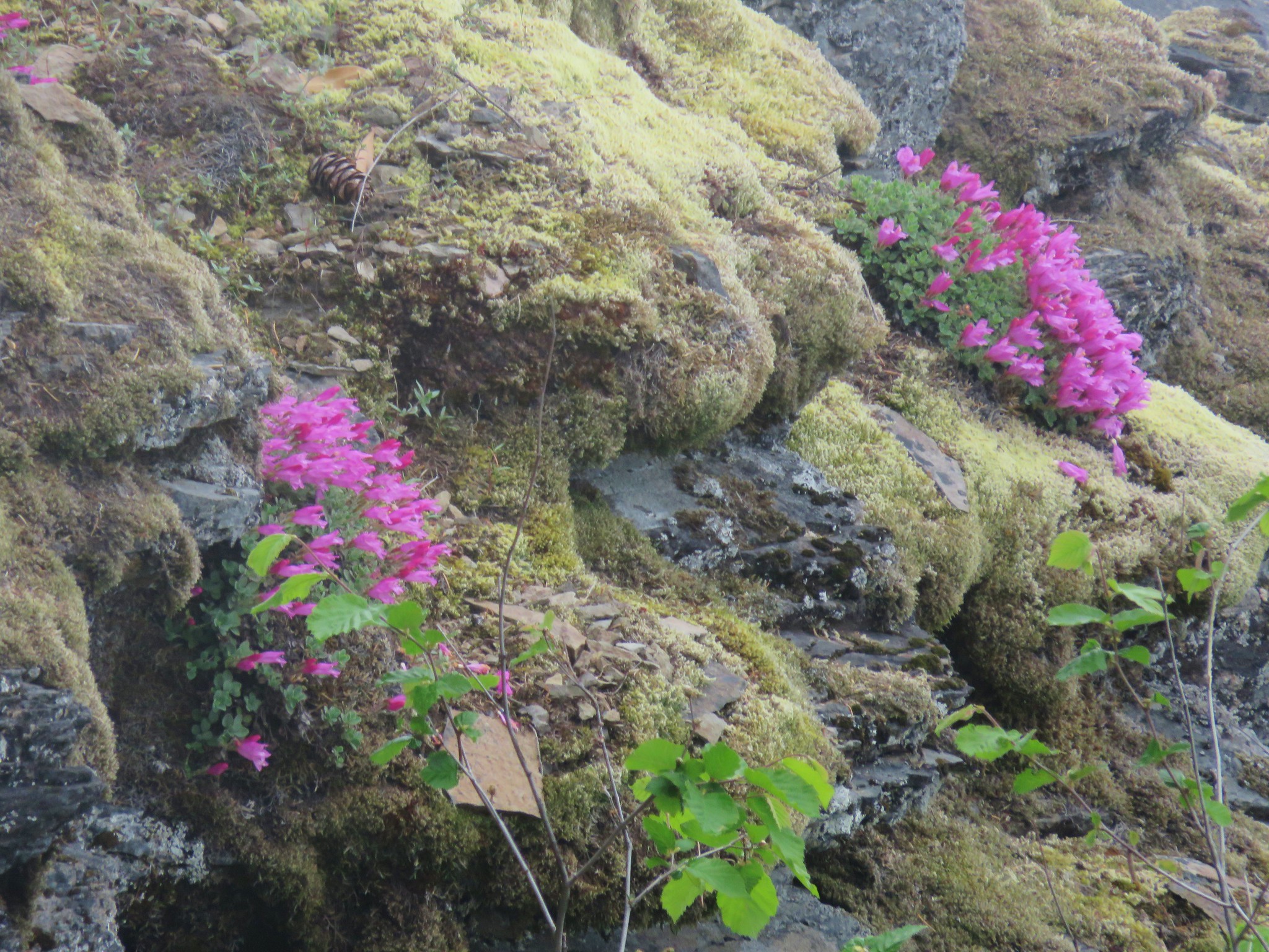
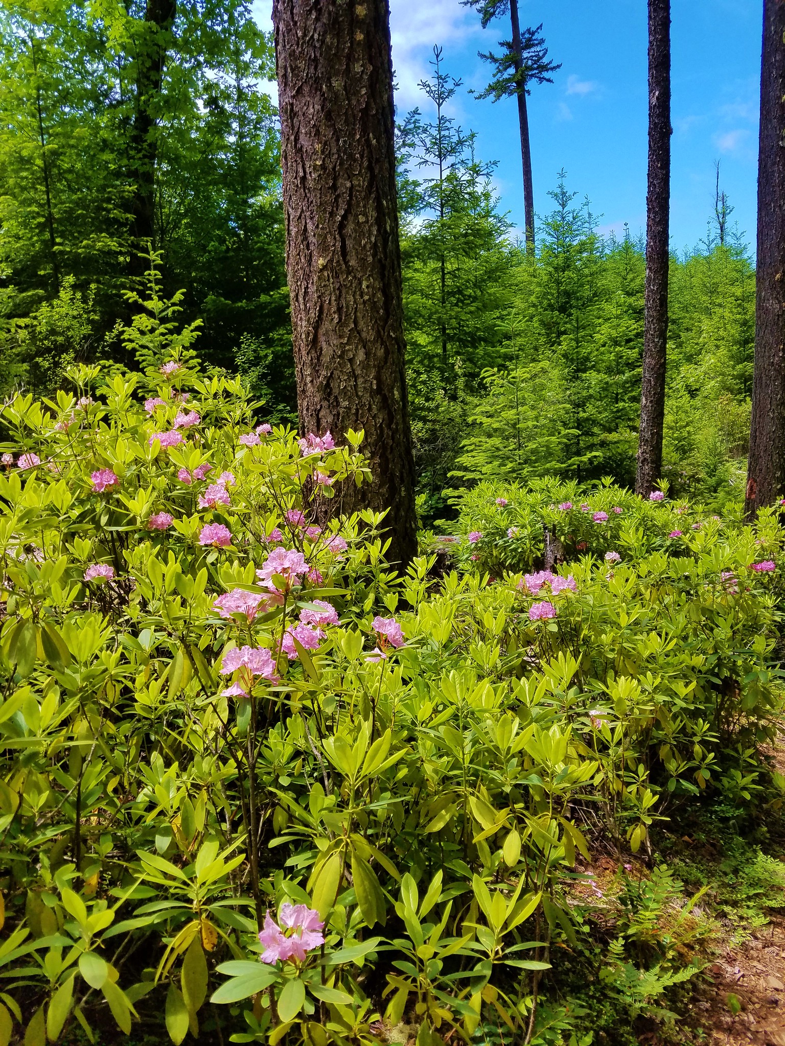
Rhododendron
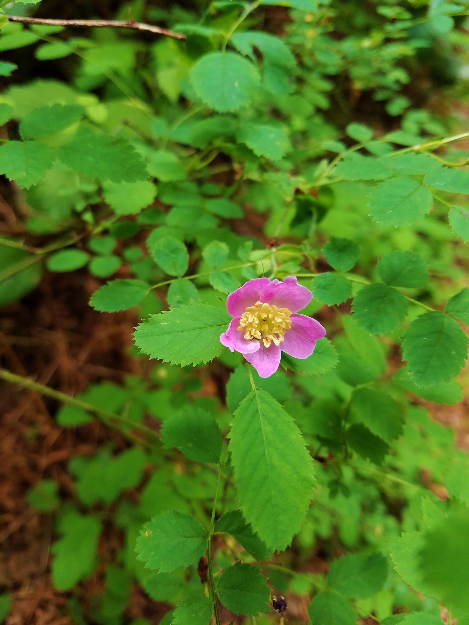
Wild rose
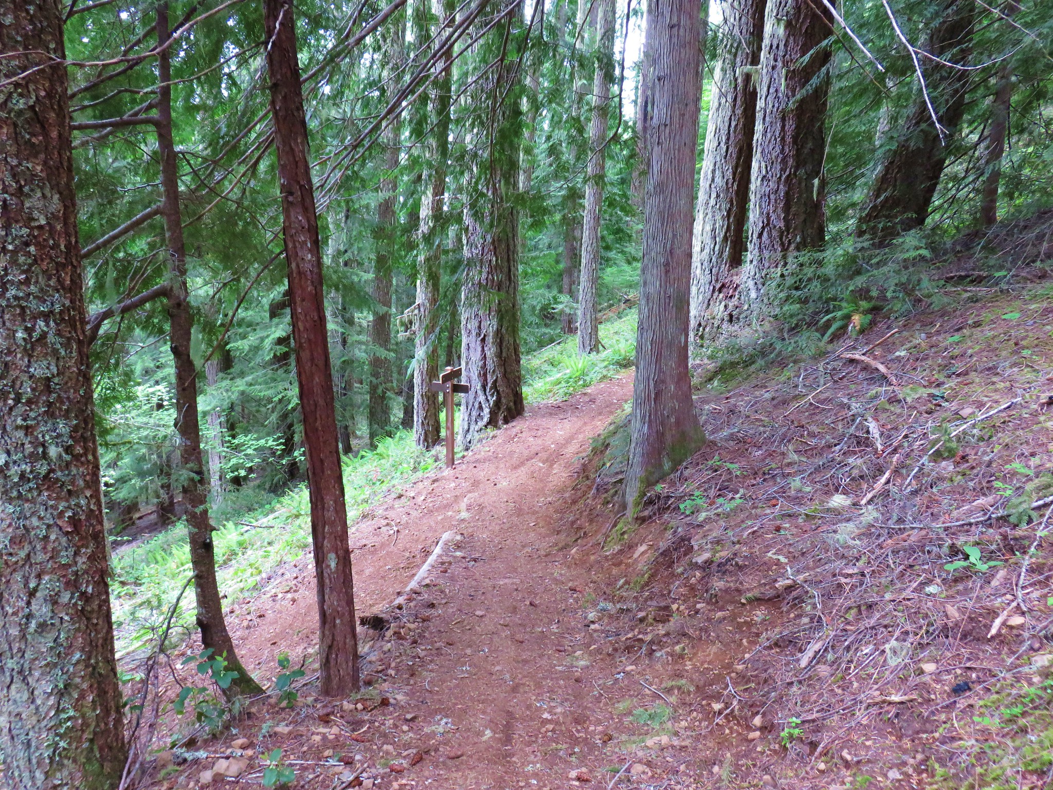
The trail climbed approximately 1500′ in almost 4 miles to a crossing of Road 480.
The trail continued on the far side of the road where it climbed for a bit before dropping slightly to a junction with the Castle Rock Trail.
A dogwood tree was in full bloom near this junction.

We turned right onto the Castle Rock Trail which climbed for another half mile to a junction with a trail from the upper trailhead along Road 480.

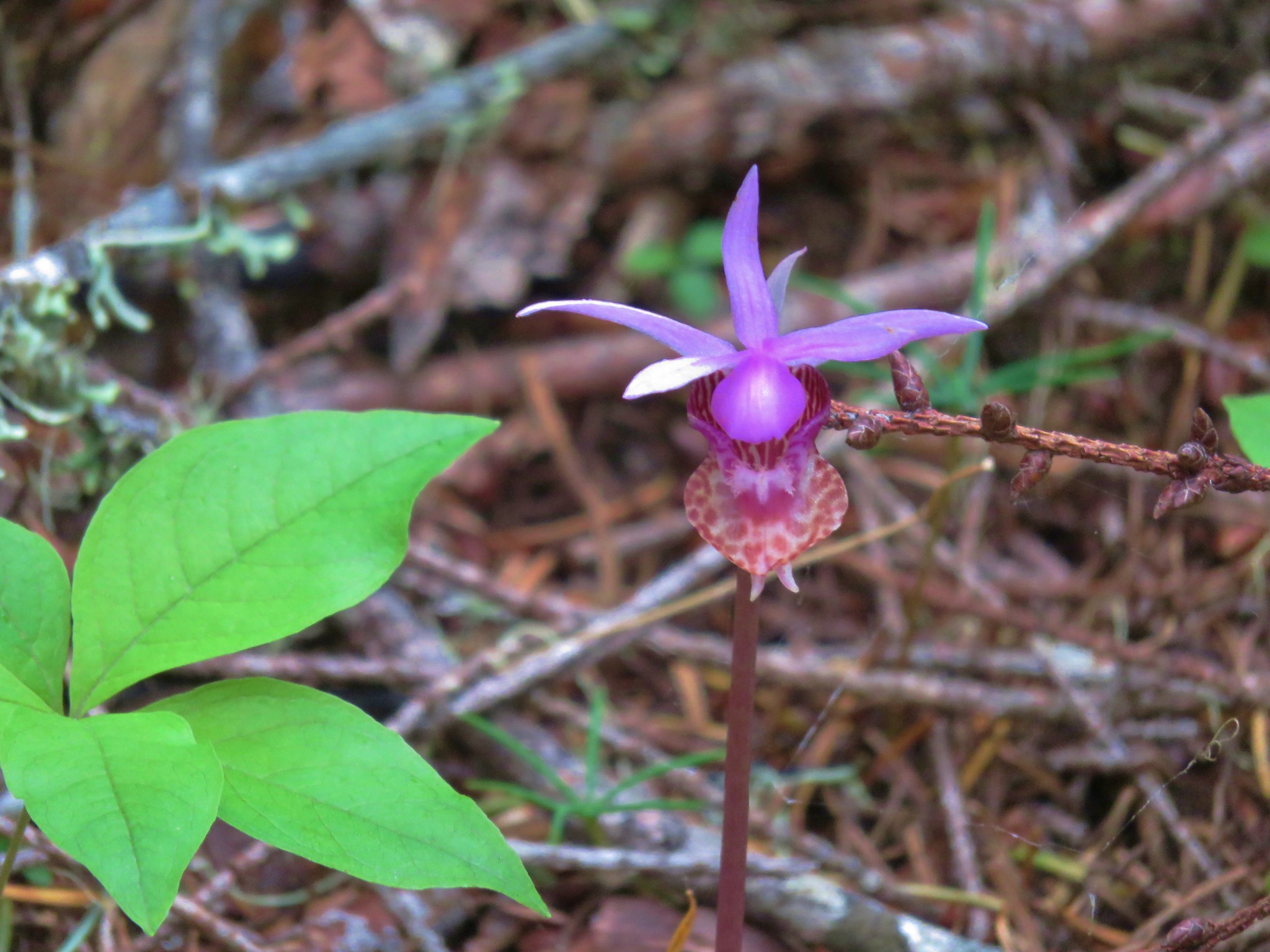
None of the climb had seemed particularly steep considering we knew we had a total of 2600′ to gain from the trailhead. We were expecting the final mile to seem quite a bit steeper but the trail made great use of switchbacks leaving the final 700′ to feel only slightly harder than the earlier 1900′. The flowers along the final mile had changed from those we had seen at the lower elevations. Here fairy slippers and vanilla leaf were still blooming.
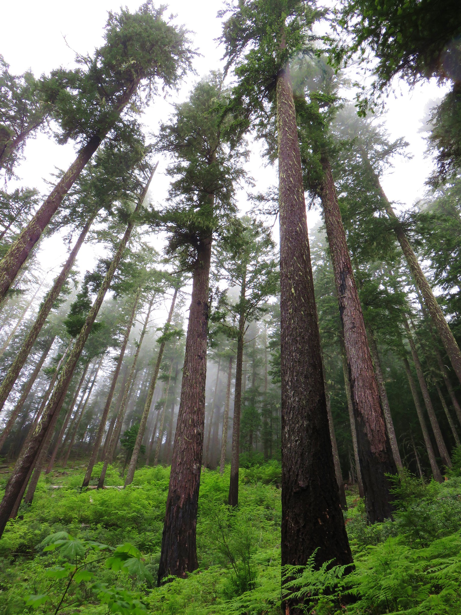
It had been an overcast morning and now we were climbing up into the clouds.
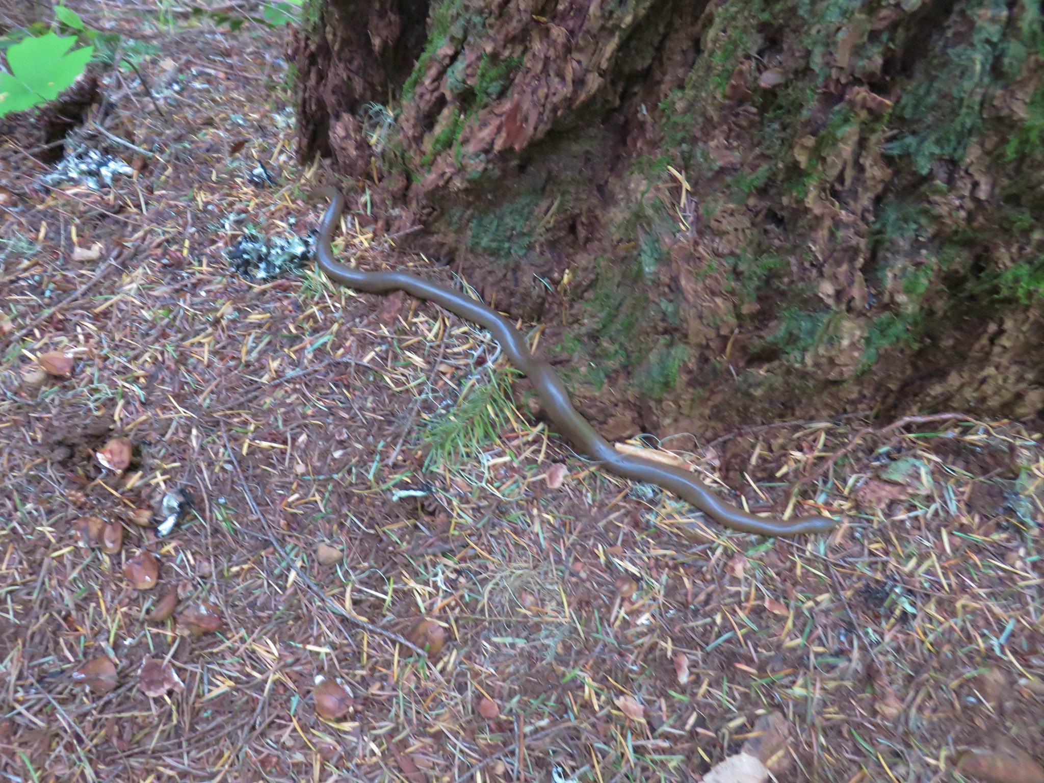
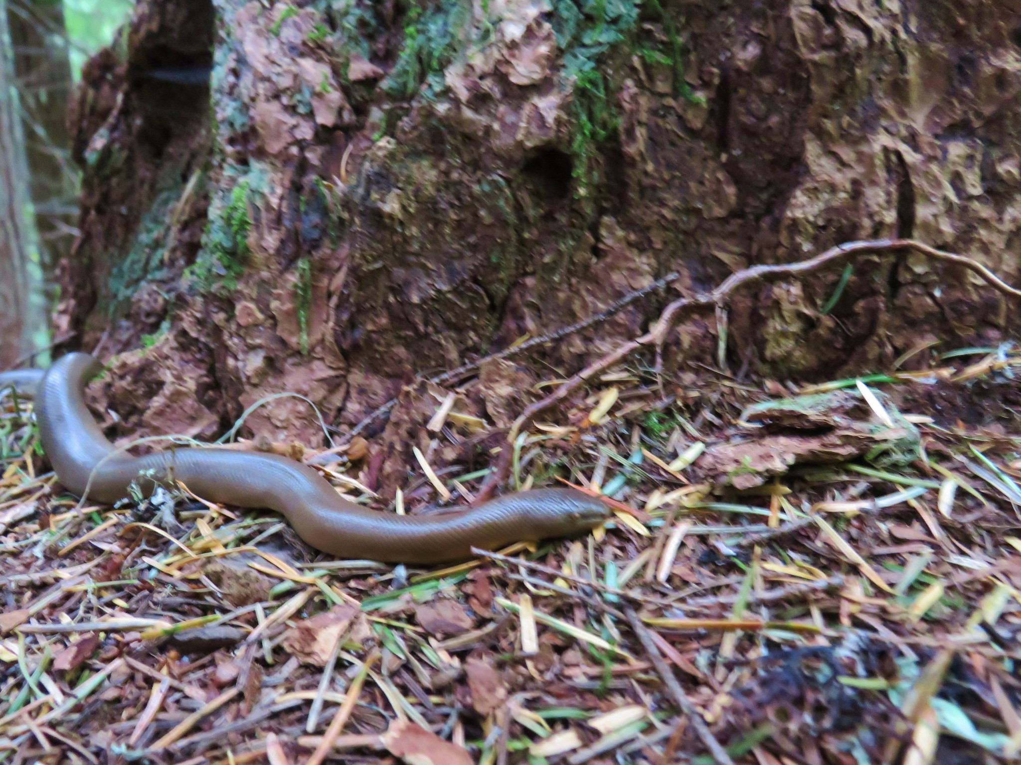
It was cool but not cold. Although, for a rubber boa, that we spotted next to a tree along the trail, it was way to chilly.
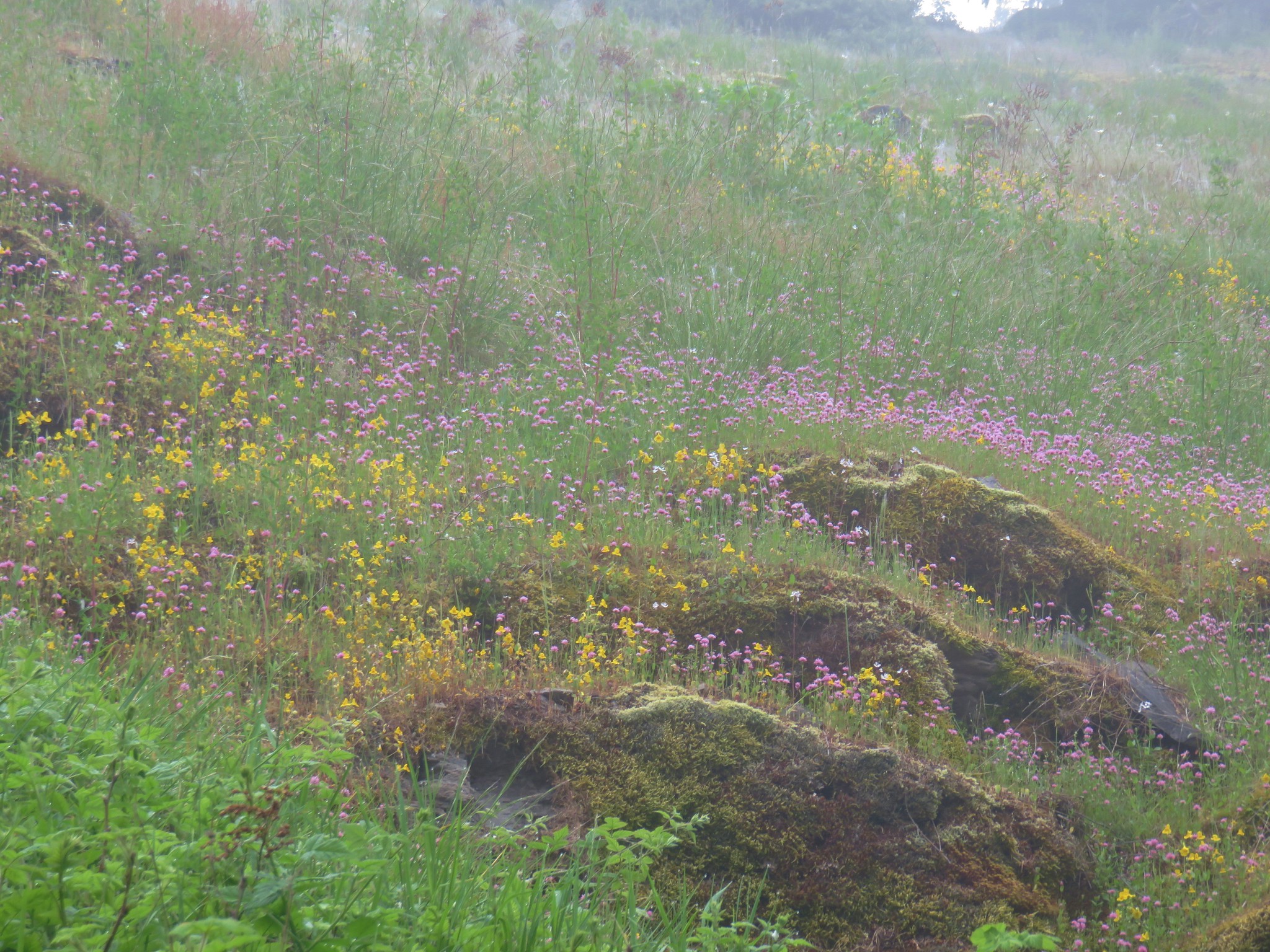
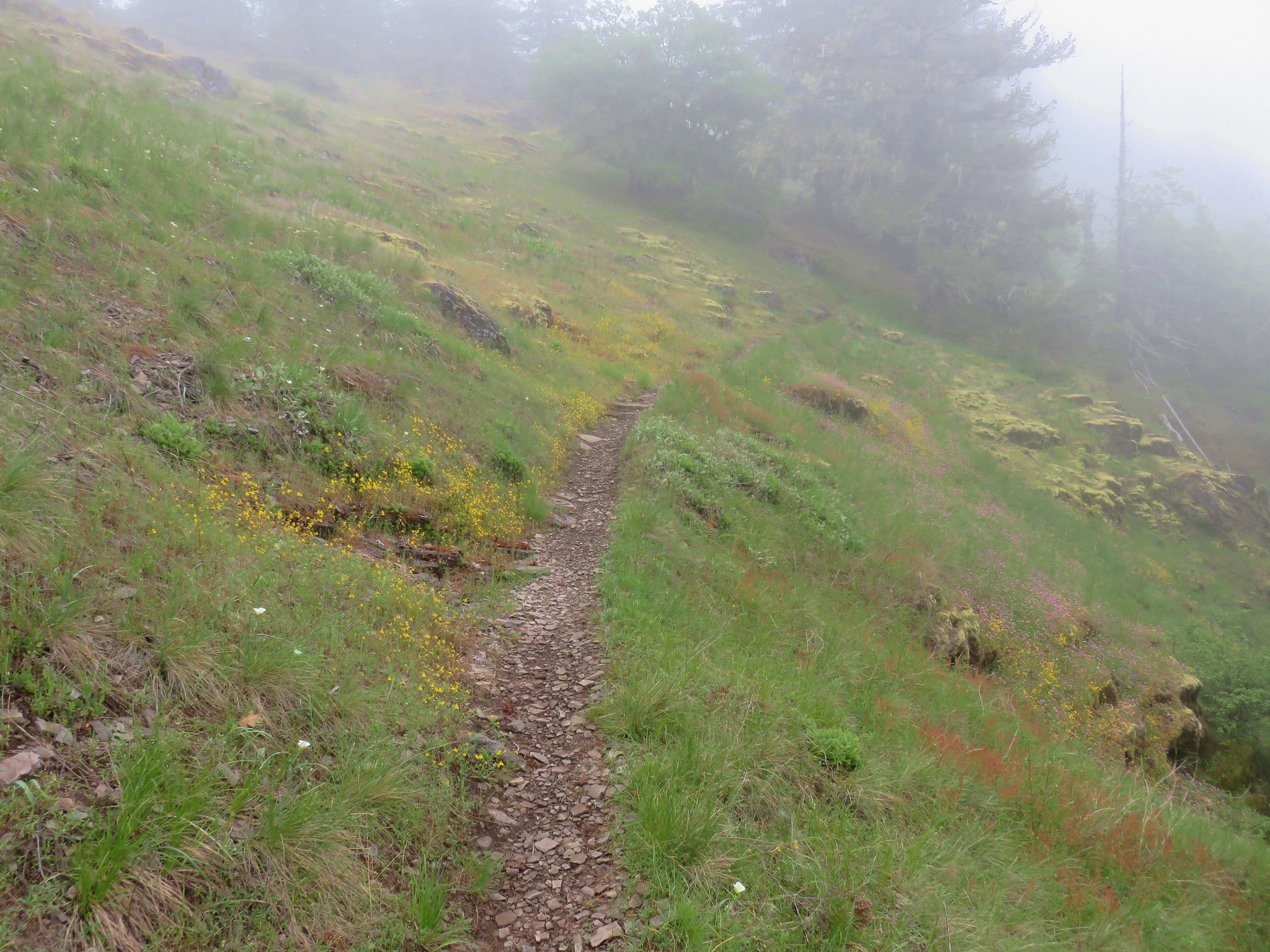
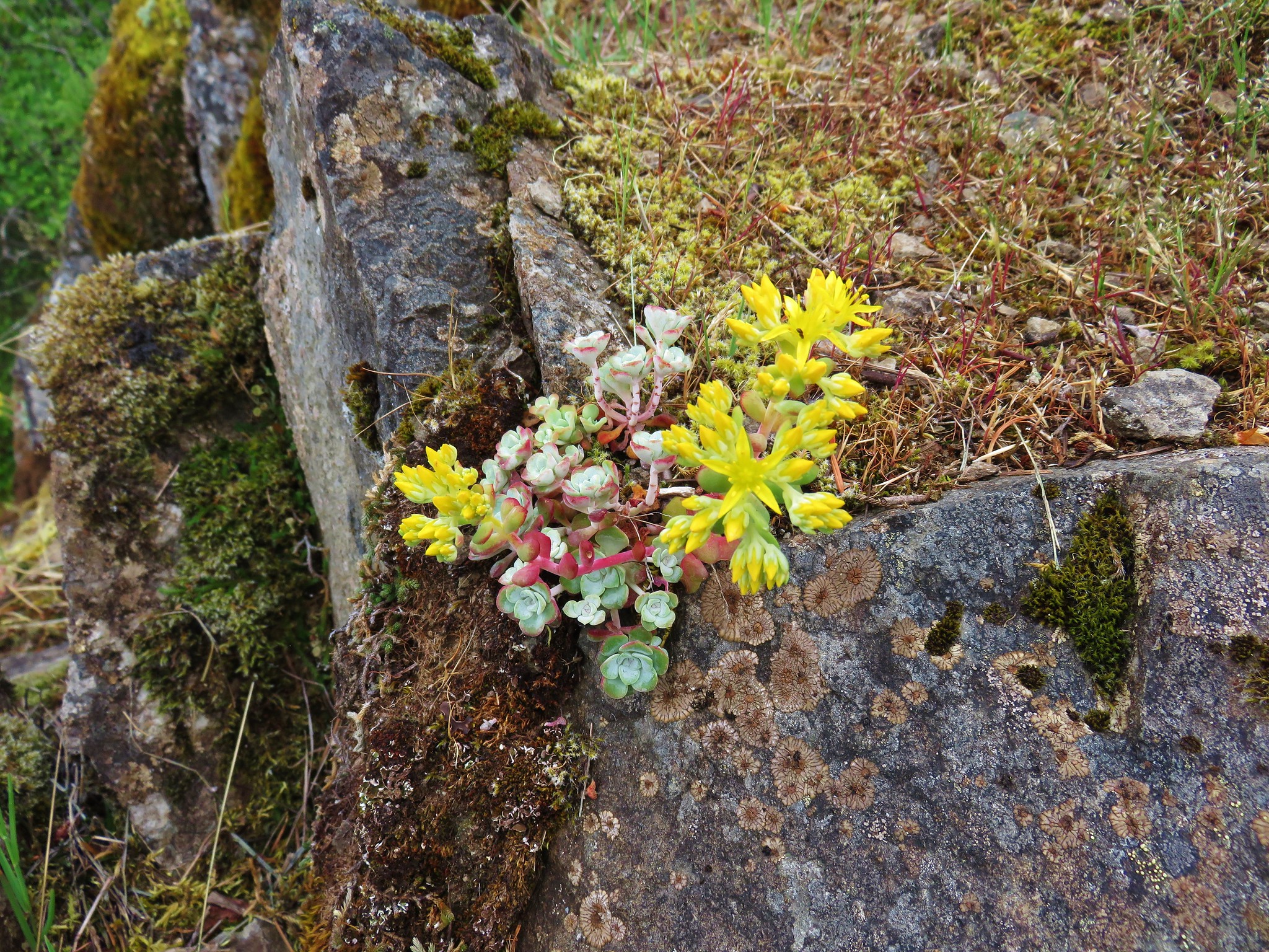
The trail switchbacked up to a meadow near some rocky cliffs where we found a surprisingly nice display of wildflowers.

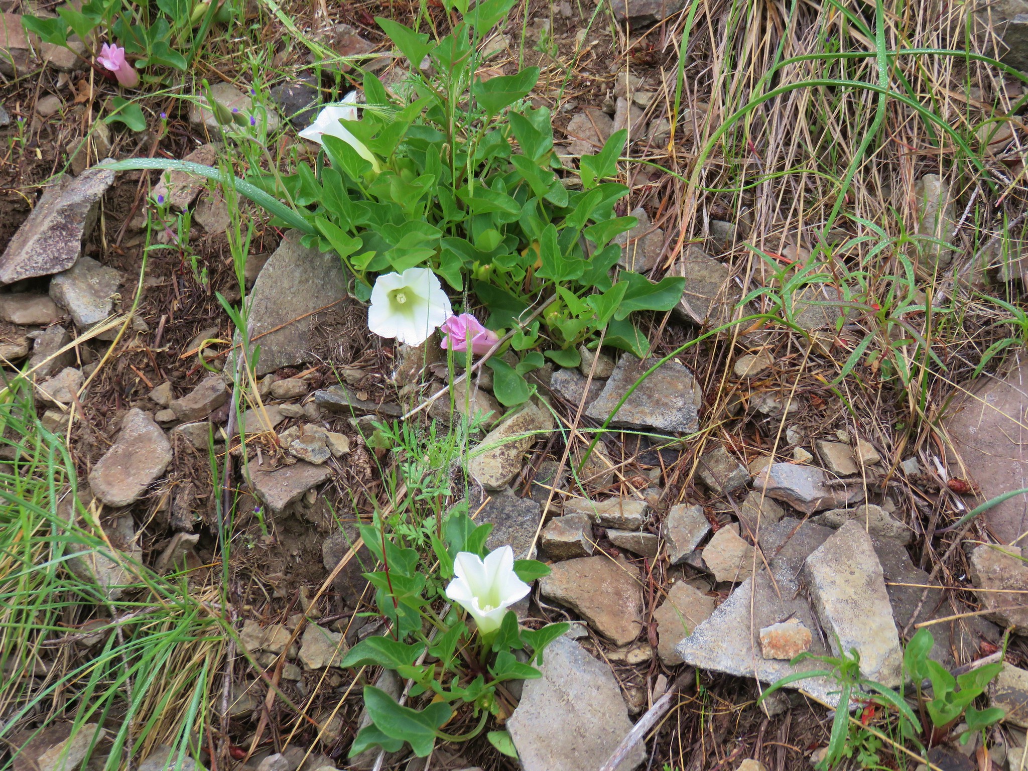
Bindweed
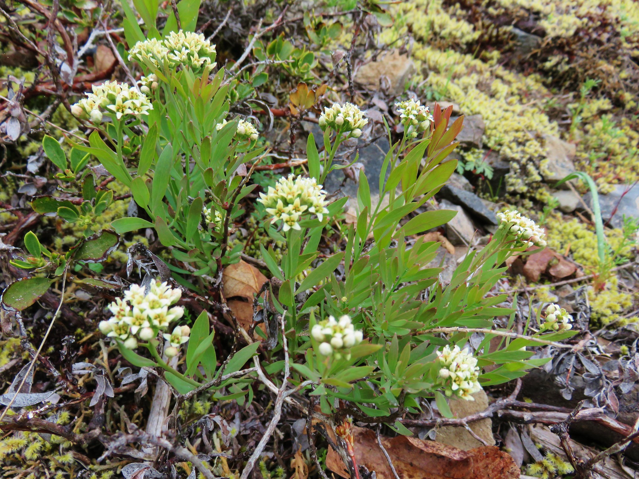
A saxifrage
 Cat’s ear lilies
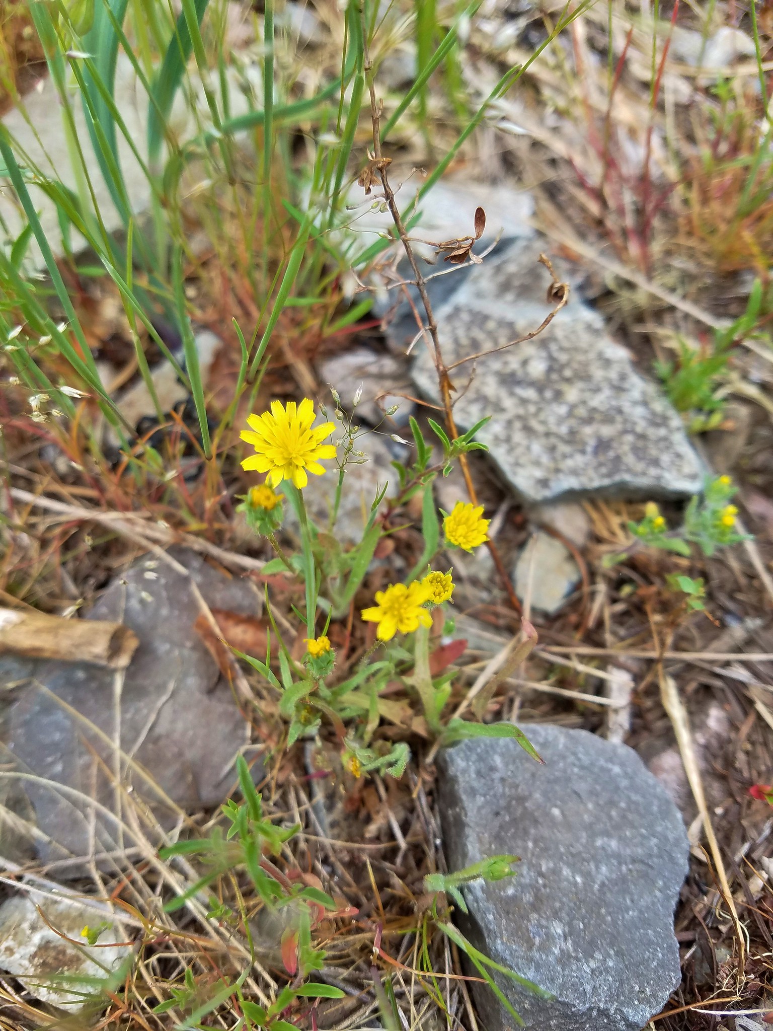 Annual agoseris
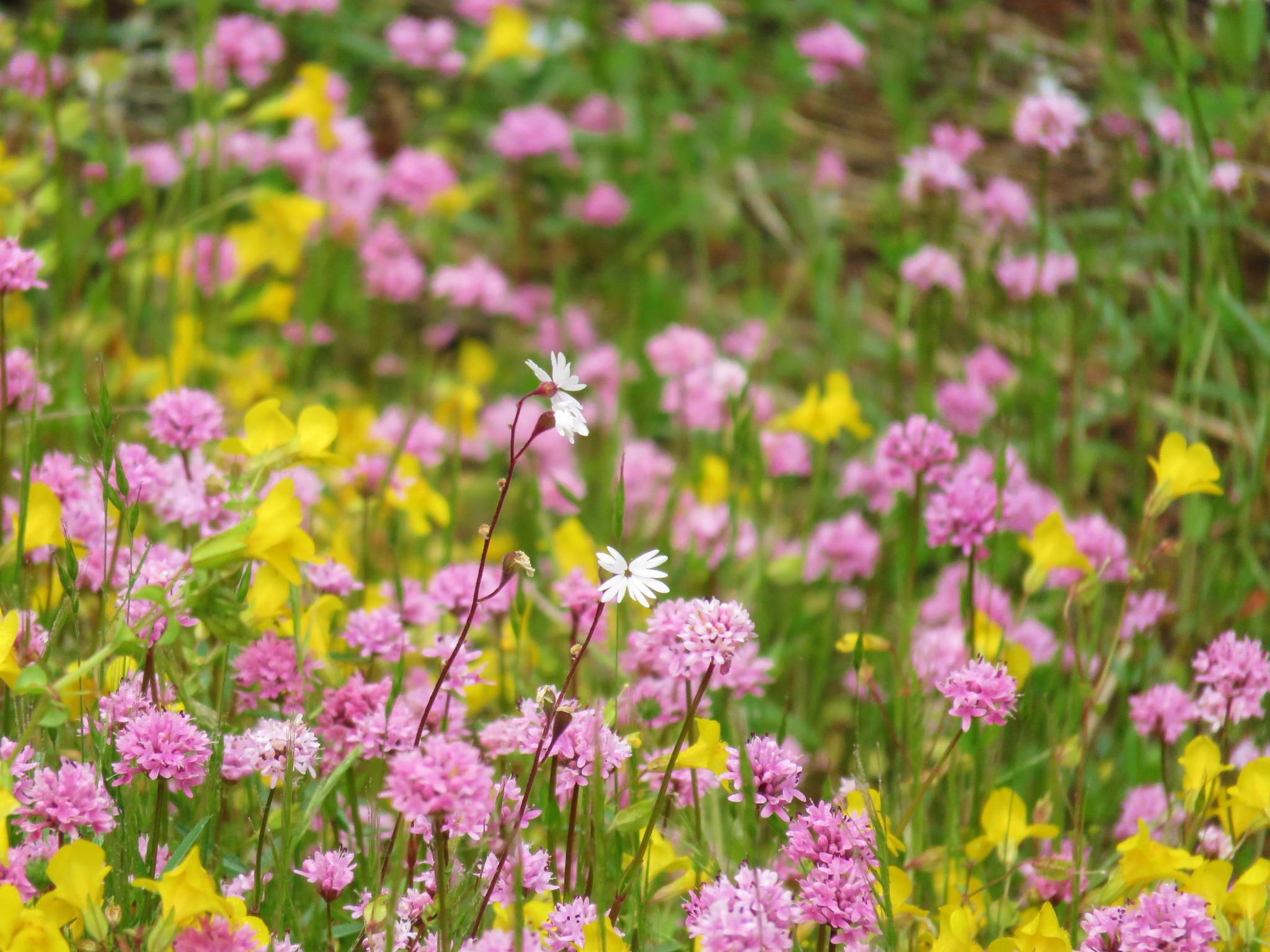 Prairie star and plectritis
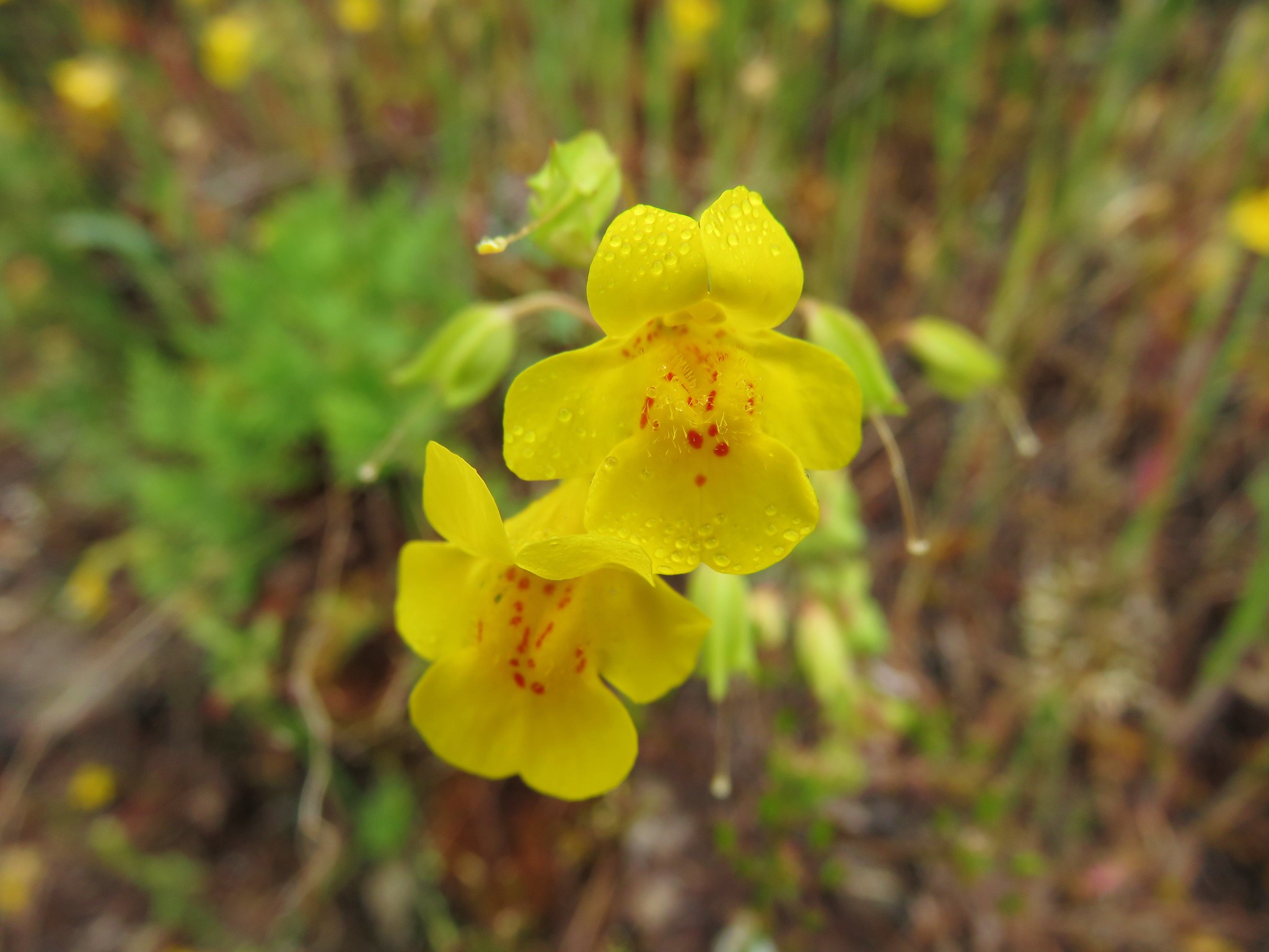 Monkeyflower
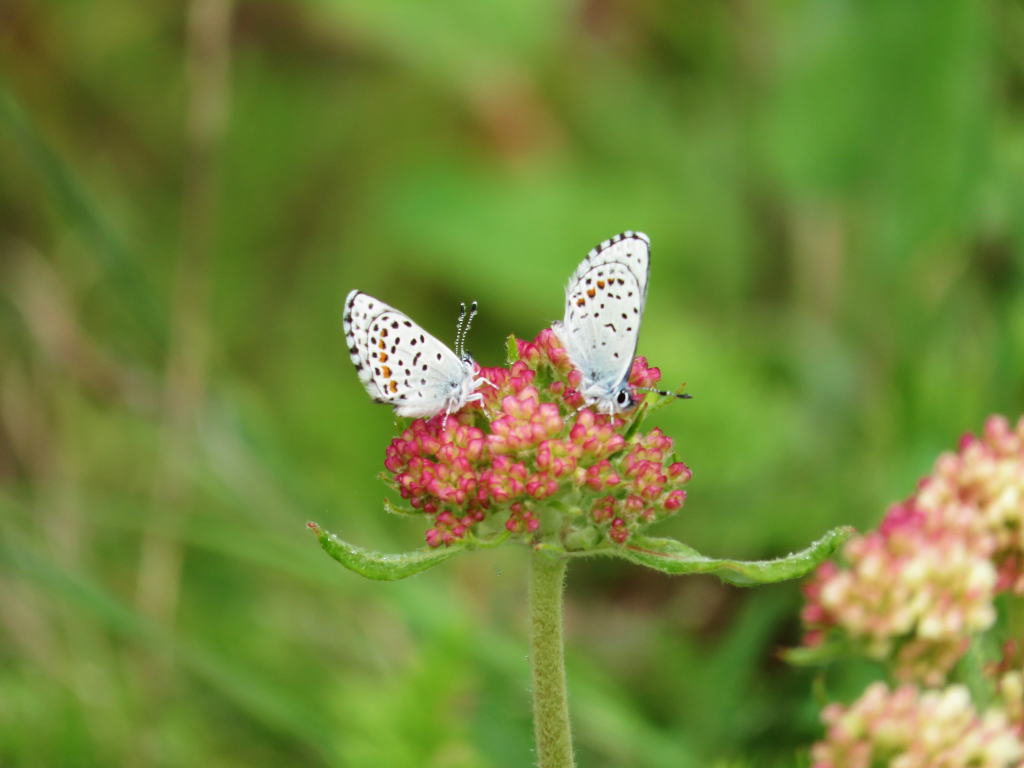 Butterflies on buckwheat
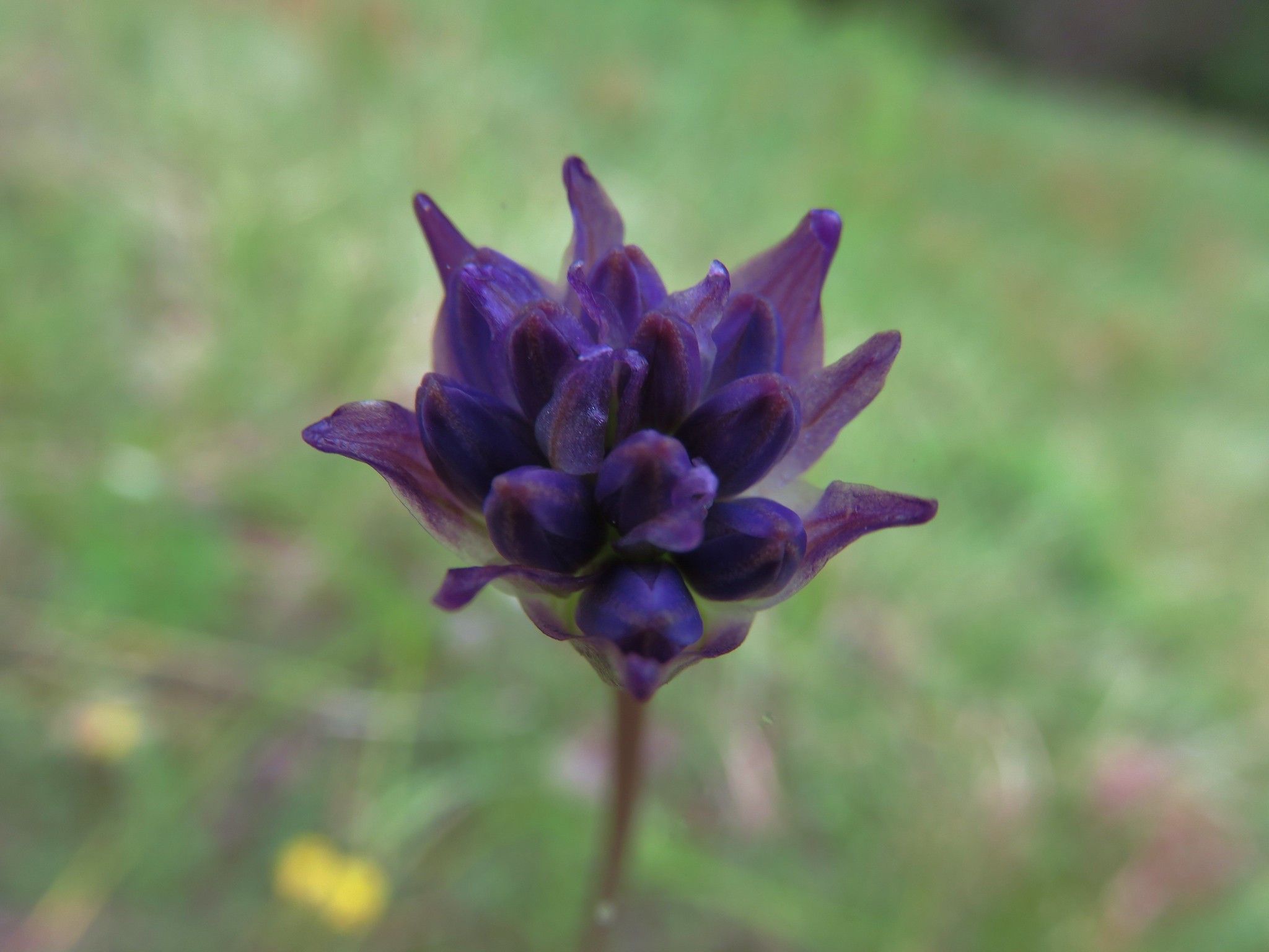 Ookow getting ready to bloom
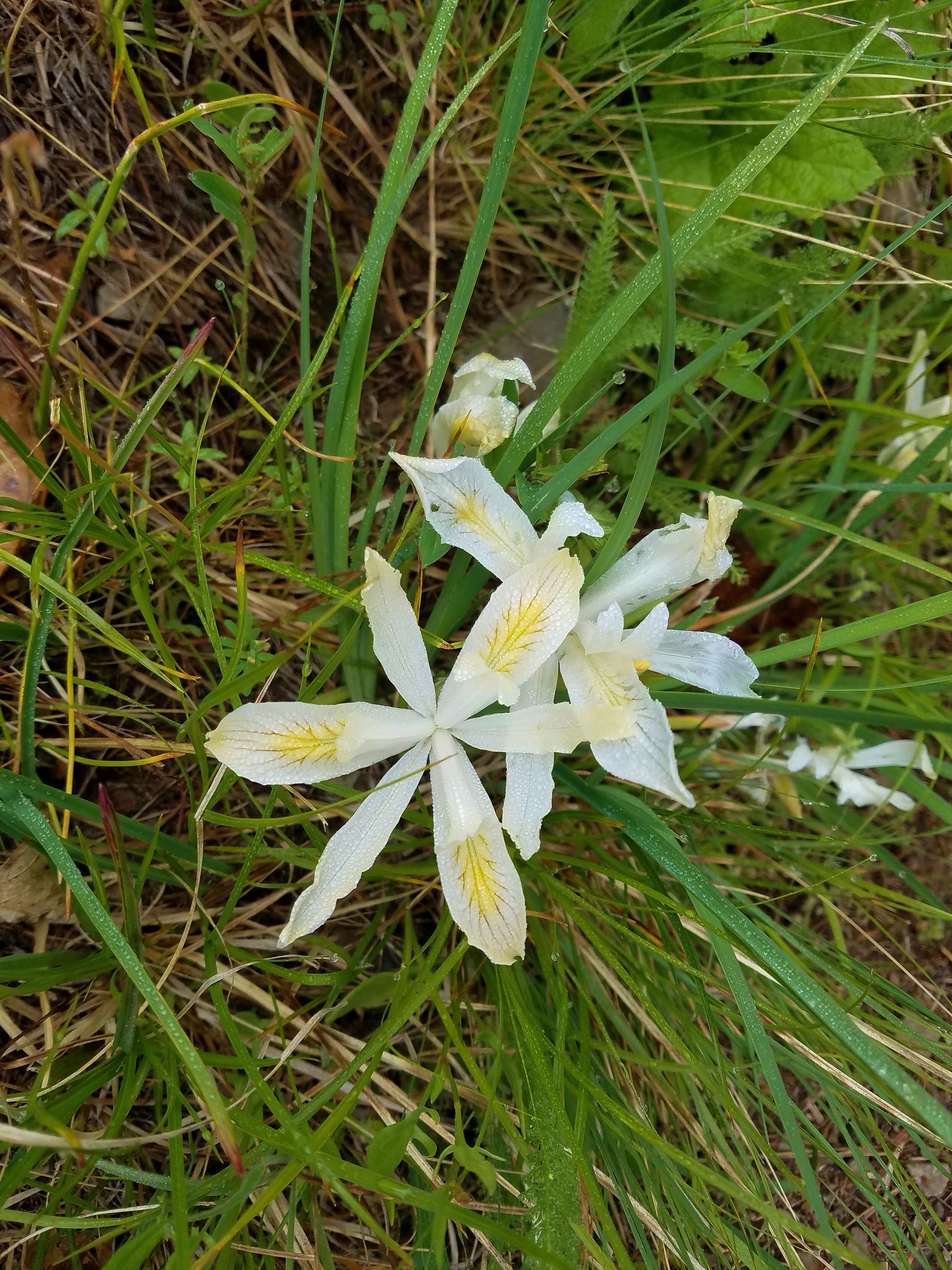 Yellowleaf iris
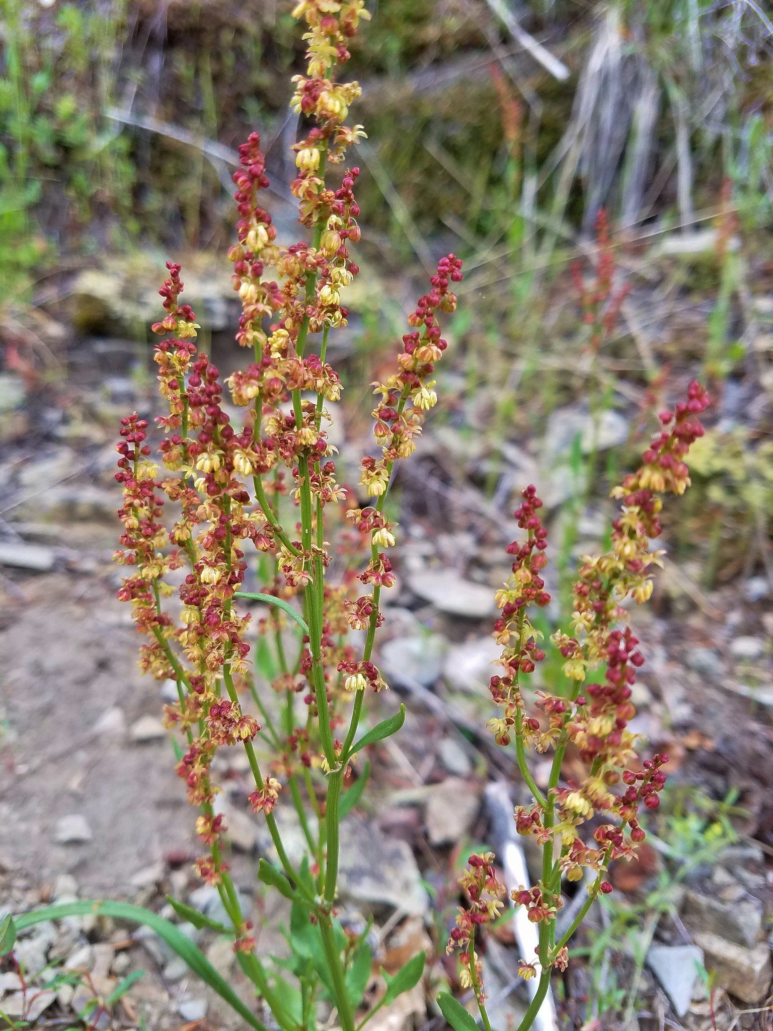 Sorrel
At the top of the meadow there was a viewpoint to the NE (with no view today) where several other flowers stood out.
 Parsley
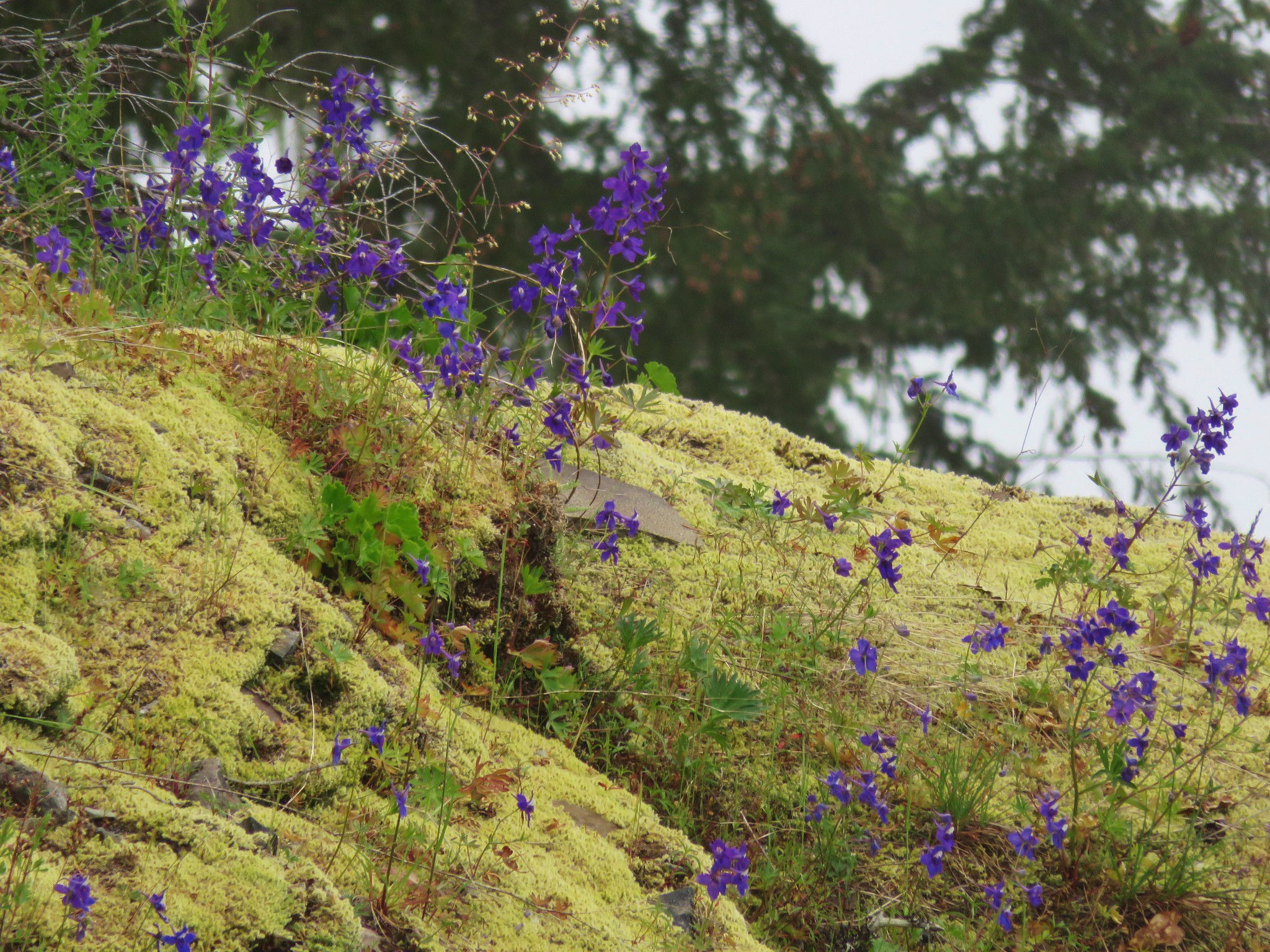
Larkspur
 Penstemon
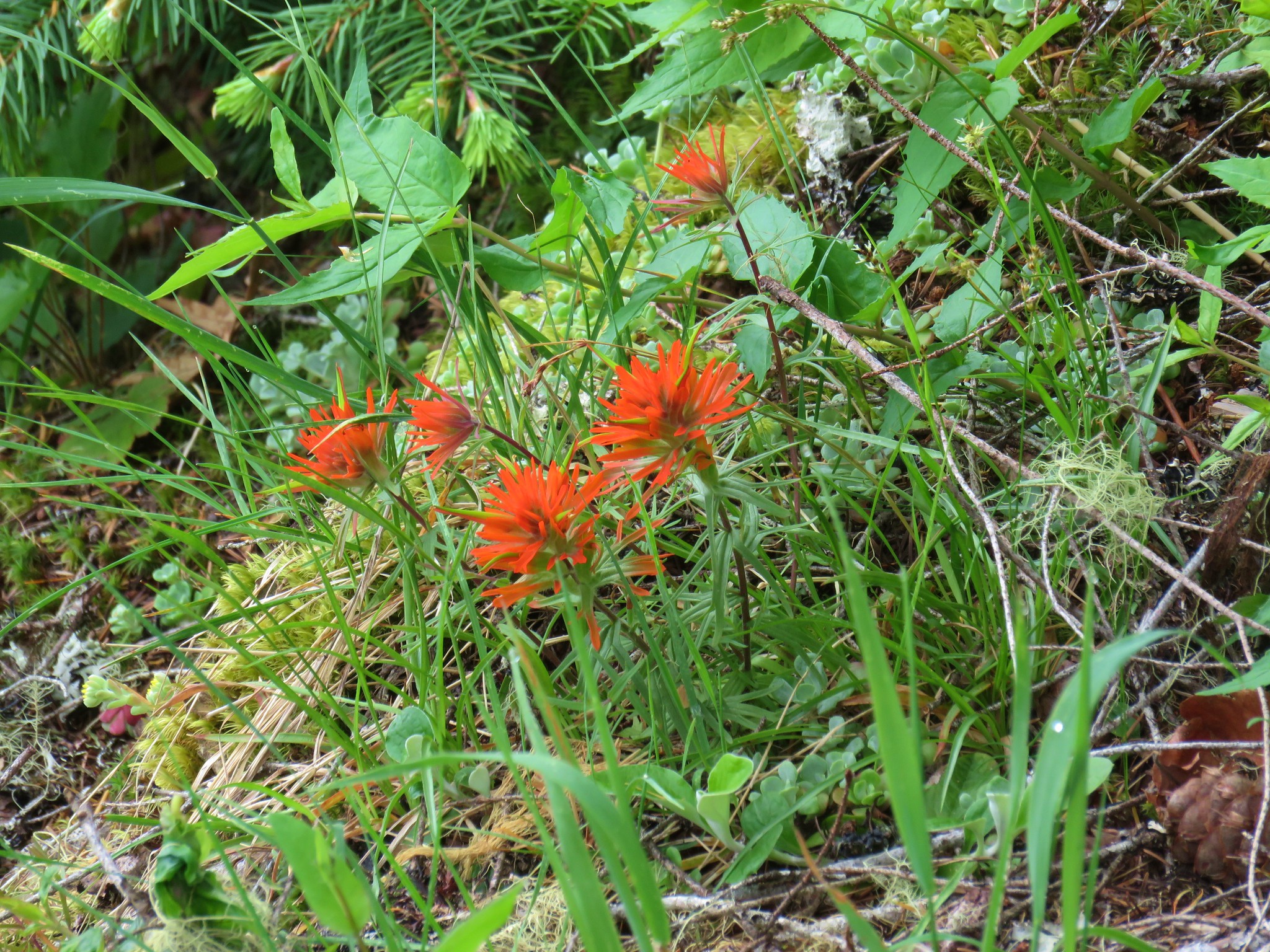 Paintbrush
The trail then climbed past some black oaks, chinkapin trees and a madrone to the old lookout site.

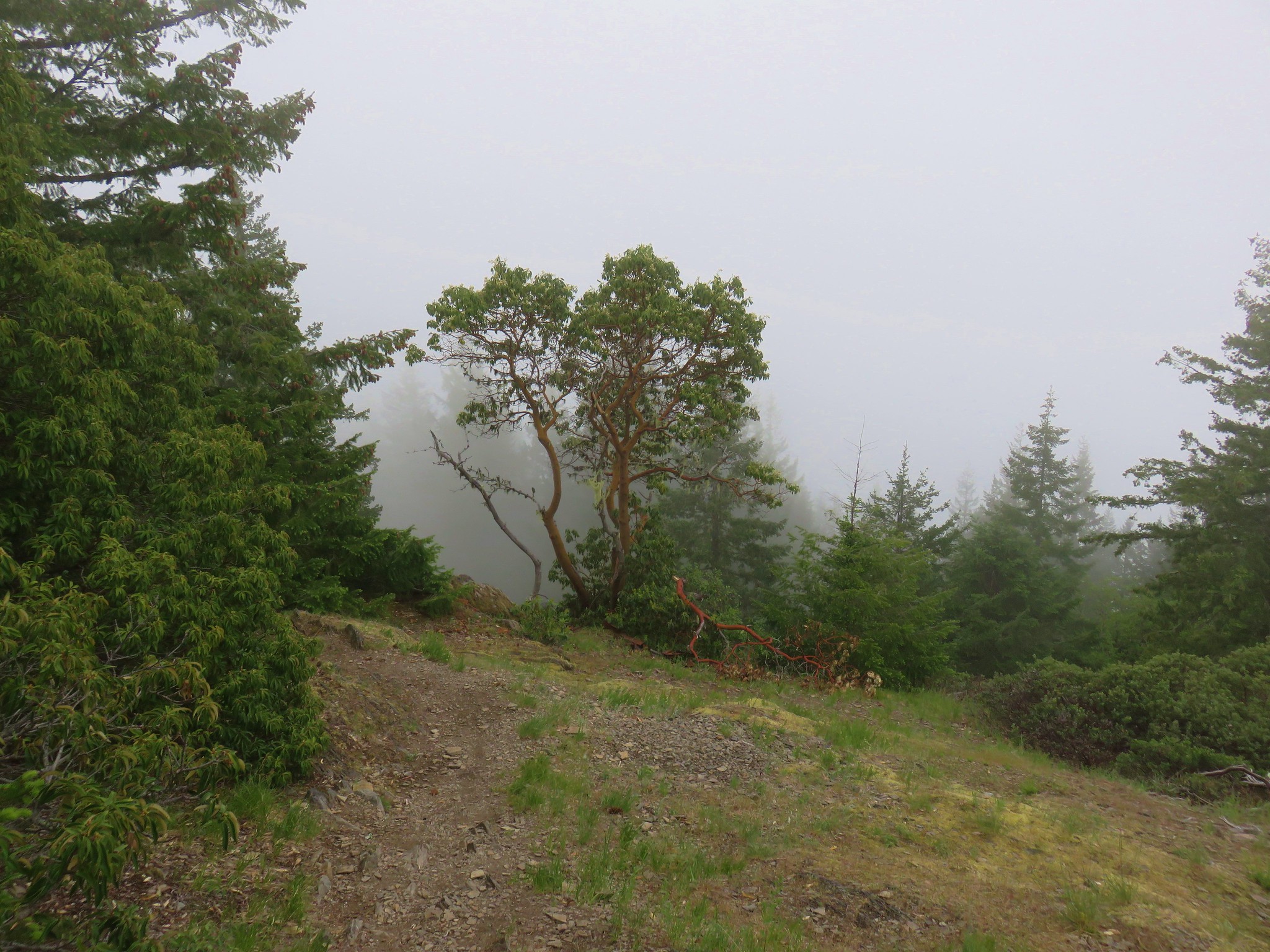

With the clouds surrounding us we weren’t going to be getting a view of the Three Sisters so we explored the rocks looking for more wildflowers before taking a break at the lookout site.
After resting and eating lunch, we headed back down through the little meadow. Here we noticed that there were little beetles on one particular type of plant.
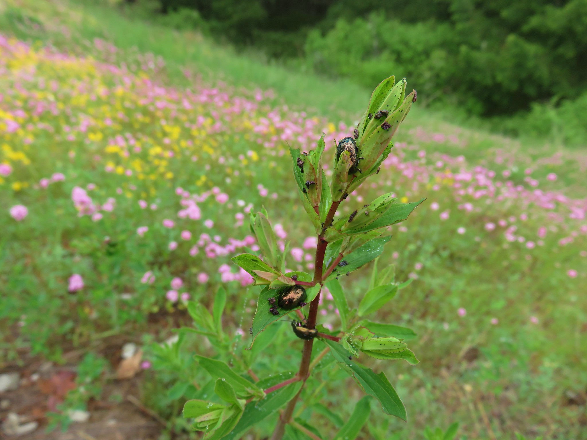
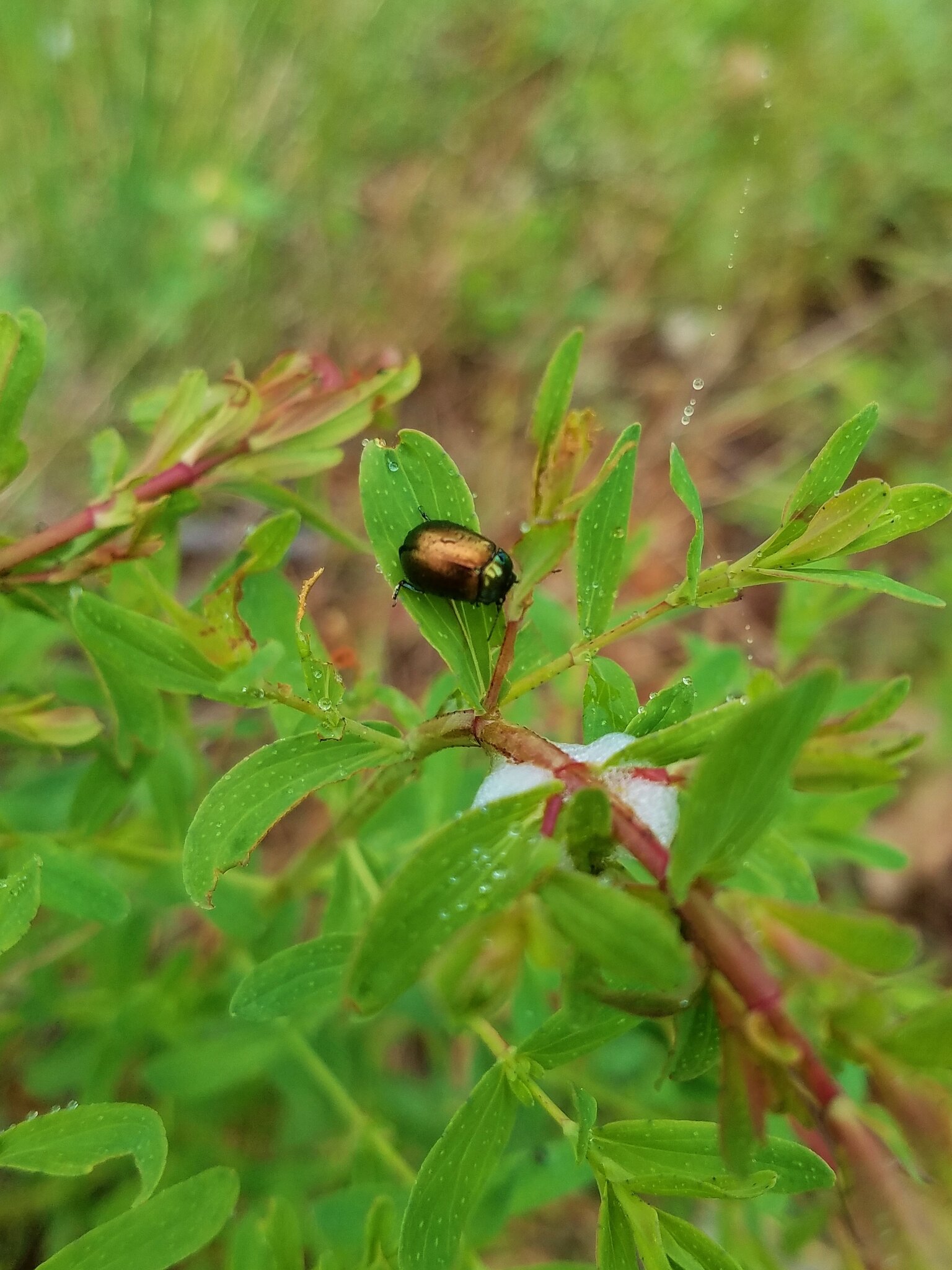
Neither of us had noticed them on the way up but they were on every one of those plants. It’s amazing how much we miss even when we think we are paying close attention. 🙂
Another example of that were the many candy sticks we noticed on the way back to the car. We had seen one a little ways off the trail on our way up to Castle Rock, but on the return trip we noticed at least a dozen others popping up along the trail.

The sun came out near the end of our hike leaving us to wonder if there would be a view at the top in the afternoon. One of the few drawbacks of starting first thing in the morning is that we often reach viewpoints before the morning clouds have burned off.
Even without the view though this had been a really nice 12.2 mile hike. It’s certainly one that we’d do again, especially since we didn’t get the view, and given it’s relatively low elevation it’s a good option when there is still snow higher up.
Happy Trails!
Flickr: Castle Rock

One reply on “Castle Rock”
[…] day near McKeznie Bridge, first to revisit Castle Rock where we’d missed the view in 2017 (post) due to clouds, then hike to MacDuff Mountain for the first time. When I checked Friday morning the […]