Day three of our Medford trip was supposed to be a hike along Applegate Lake on the opposite shore from our first day’s hike, but upon arriving at the French Gulch Trailhead we discovered that the Granite Man, an off-road running, triathlon and duathlon event, was taking place that day. That would have meant sharing the trail with numerous runners and mountain bikers which wasn’t all that appealing given that stepping off trail to let them pass wouldn’t be all that easy due to the presence of poison oak.
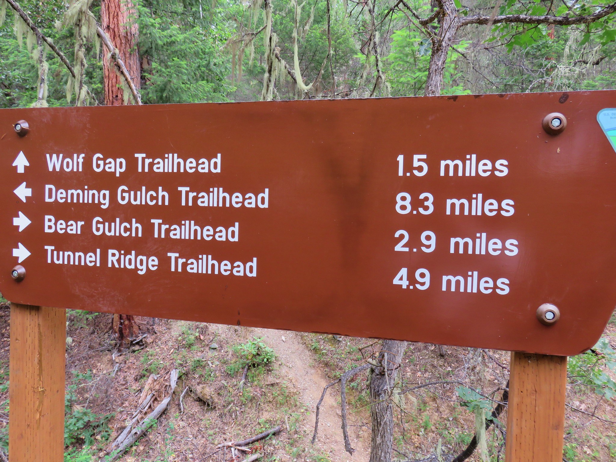
We went to plan “B” which was a hike in the Sterling Mine Ditch Trail system. The Sterling Mine Ditch Trail is a little over 17 miles long offering several different starting points and other trails in the area make loops possible. For our visit we decided to try an 11.6 mile loop described by Sullivan in his “100 Hikes in Southern Oregon” guidebook. His description of the hike starts at the Wolf Gap Trailhead on Armstrong-Deming Road (39-2-8) and finishing with a walk up that road to get back to the trailhead. We decided to park lower along Armstrong-Deming Road at the Deming Gulch Trailhead.

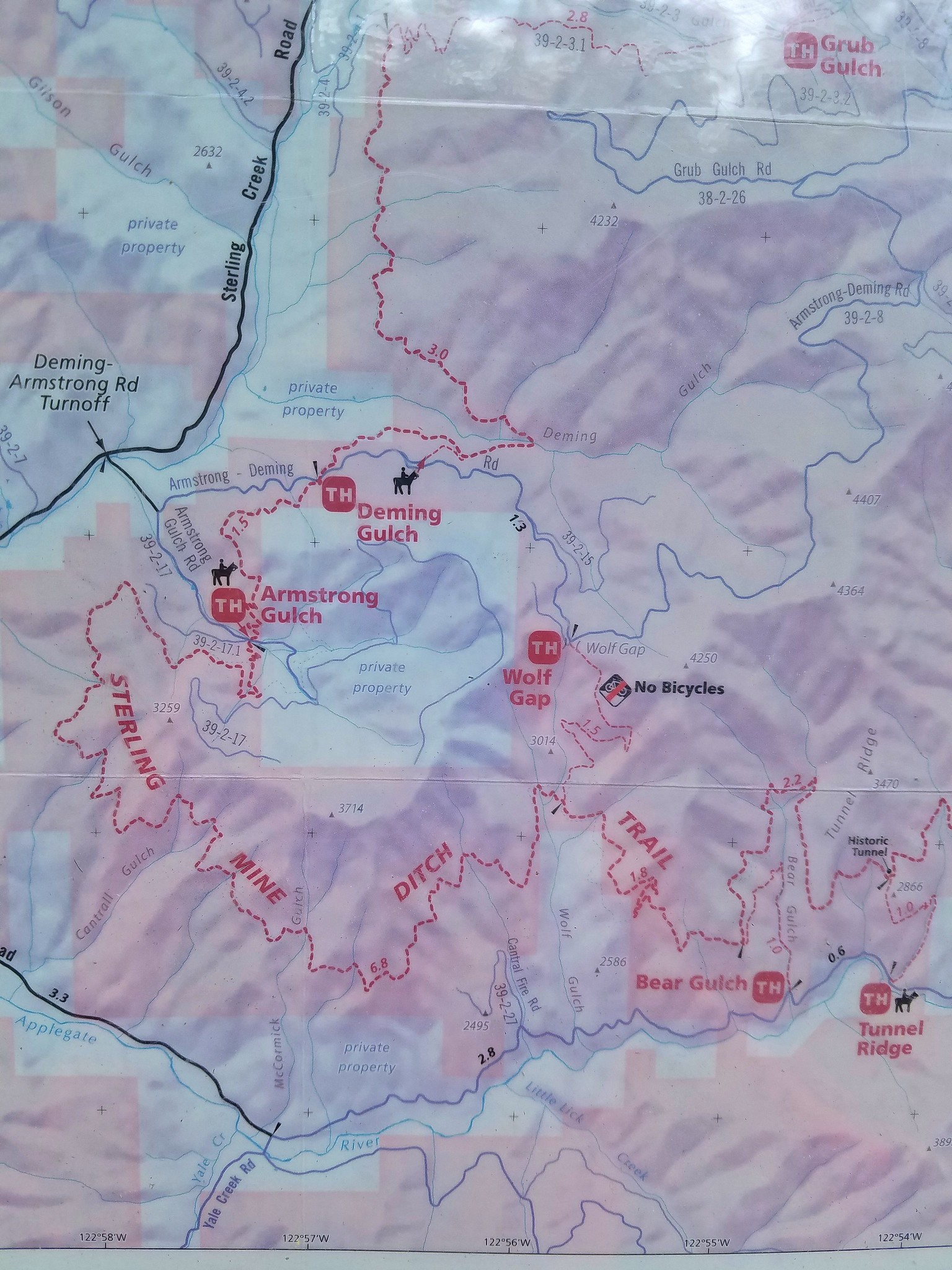
There wasn’t much parking along the shoulder of the road here which may be why he suggests starting at the larger Wolf Gap parking area, but we’d rather start with a road walk than end with one and we were the only car there so parking wasn’t an issue. We set off up the steep road on another better than forecasted morning.


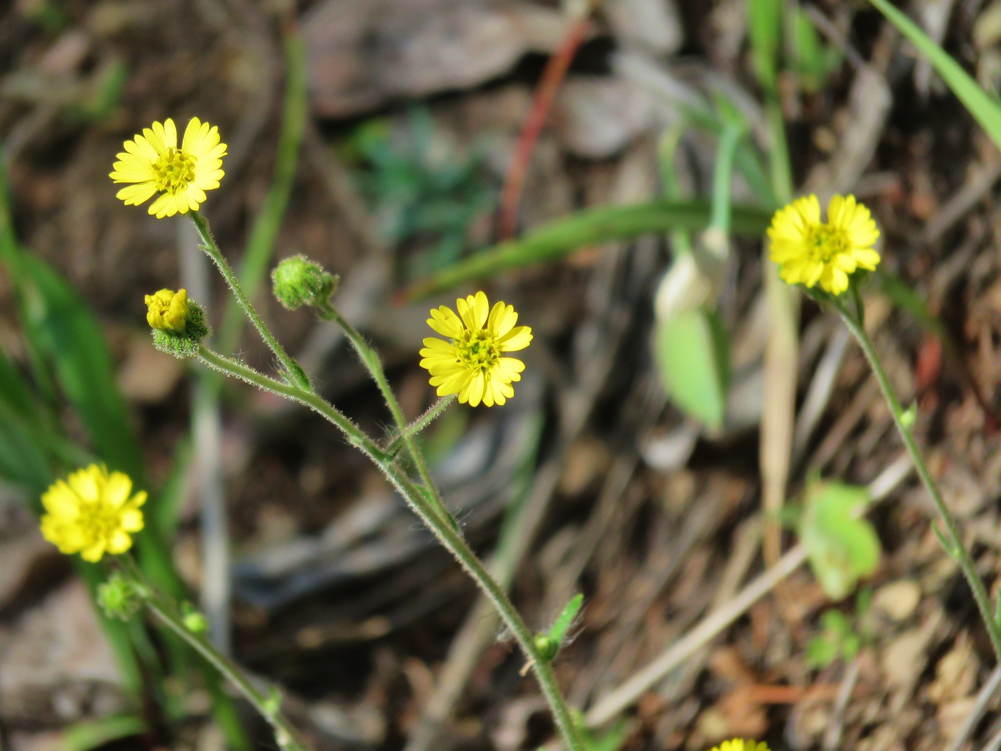
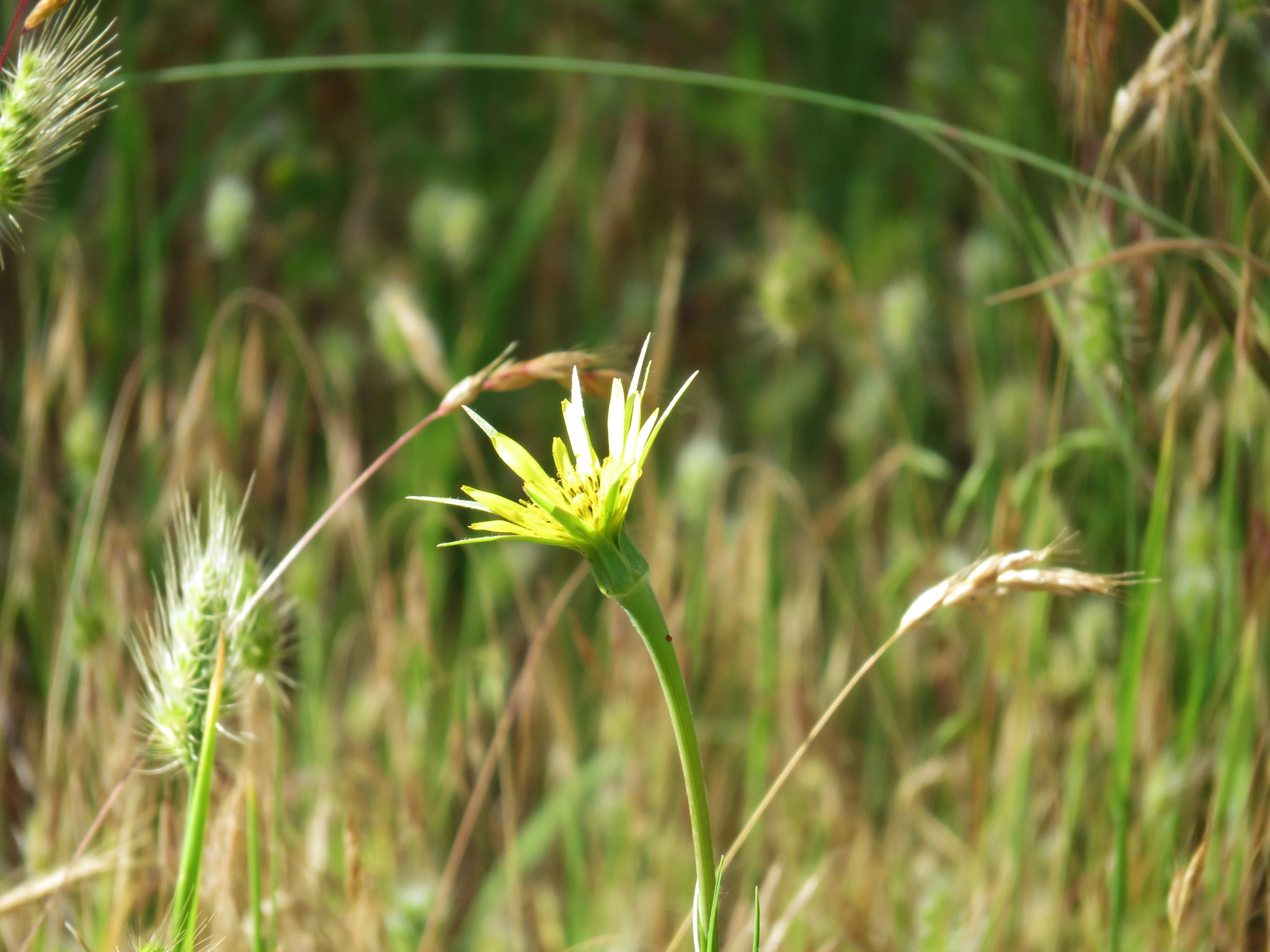
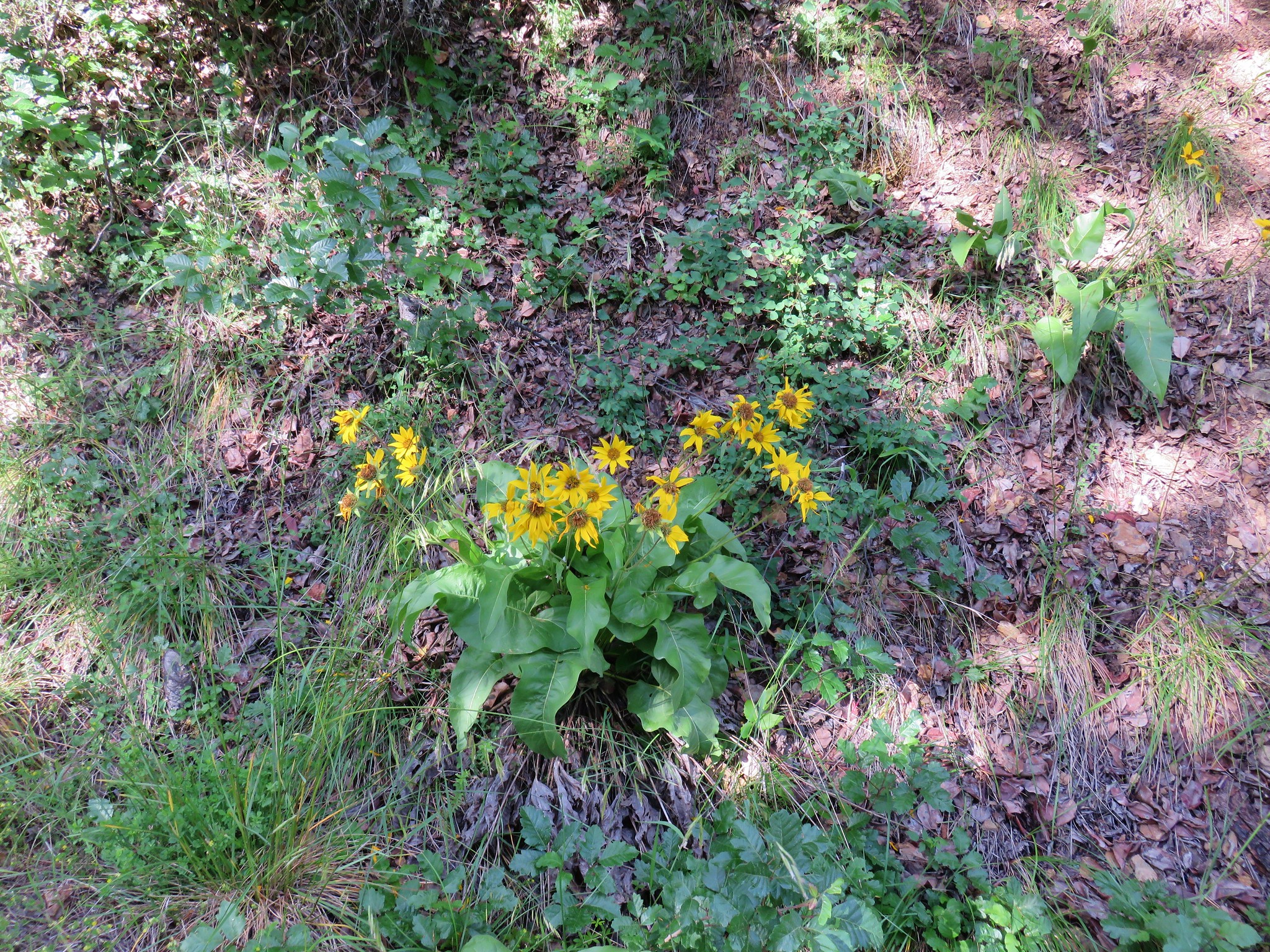
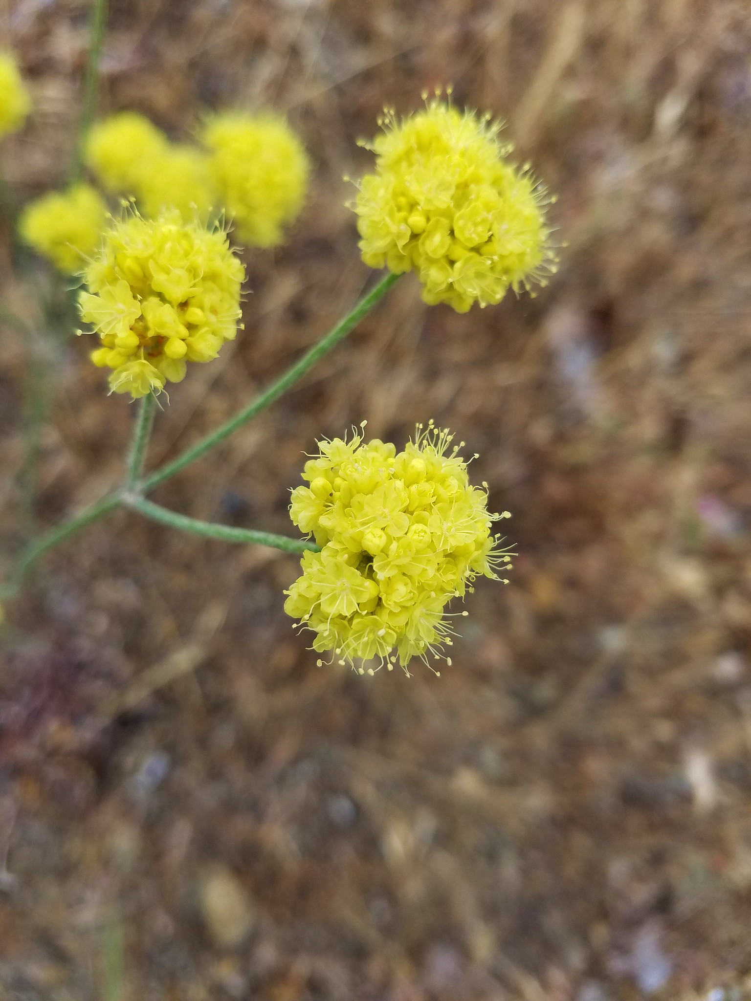
Road walks aren’t all bad as they usually sport a fair amount of roadside flowers and this walk was no exception.


After 1.8 miles, and 900′ of elevation gain, we arrived at the Wolf Gap Trailhead.

Given the steepness of the road we were really glad that we tackled that climb first and not at the end of our hike. From Wolf Gap we followed an actual trail uphill to the left.

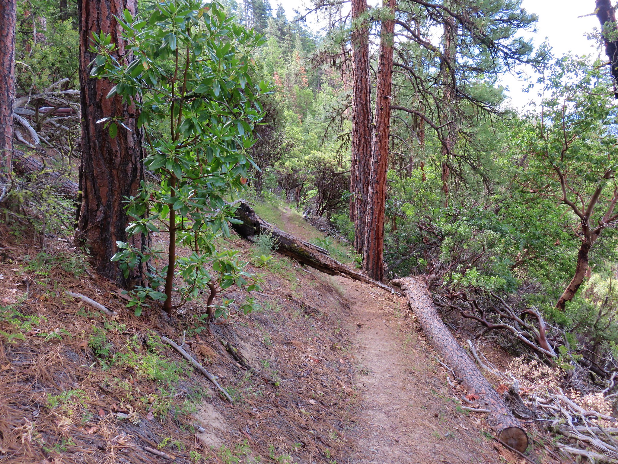
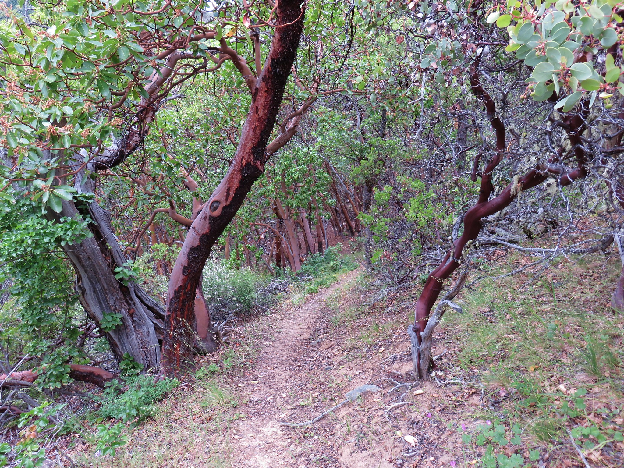
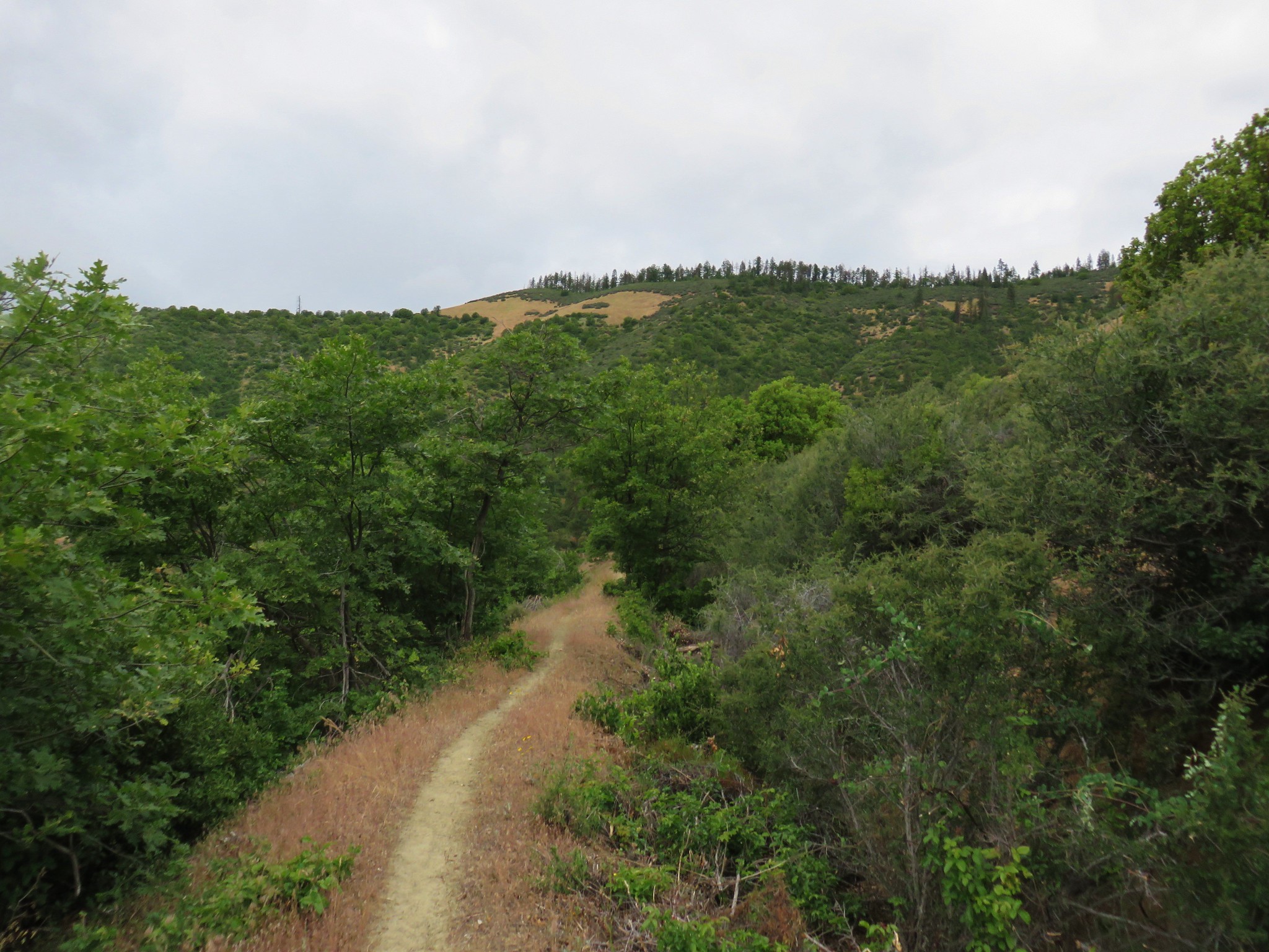
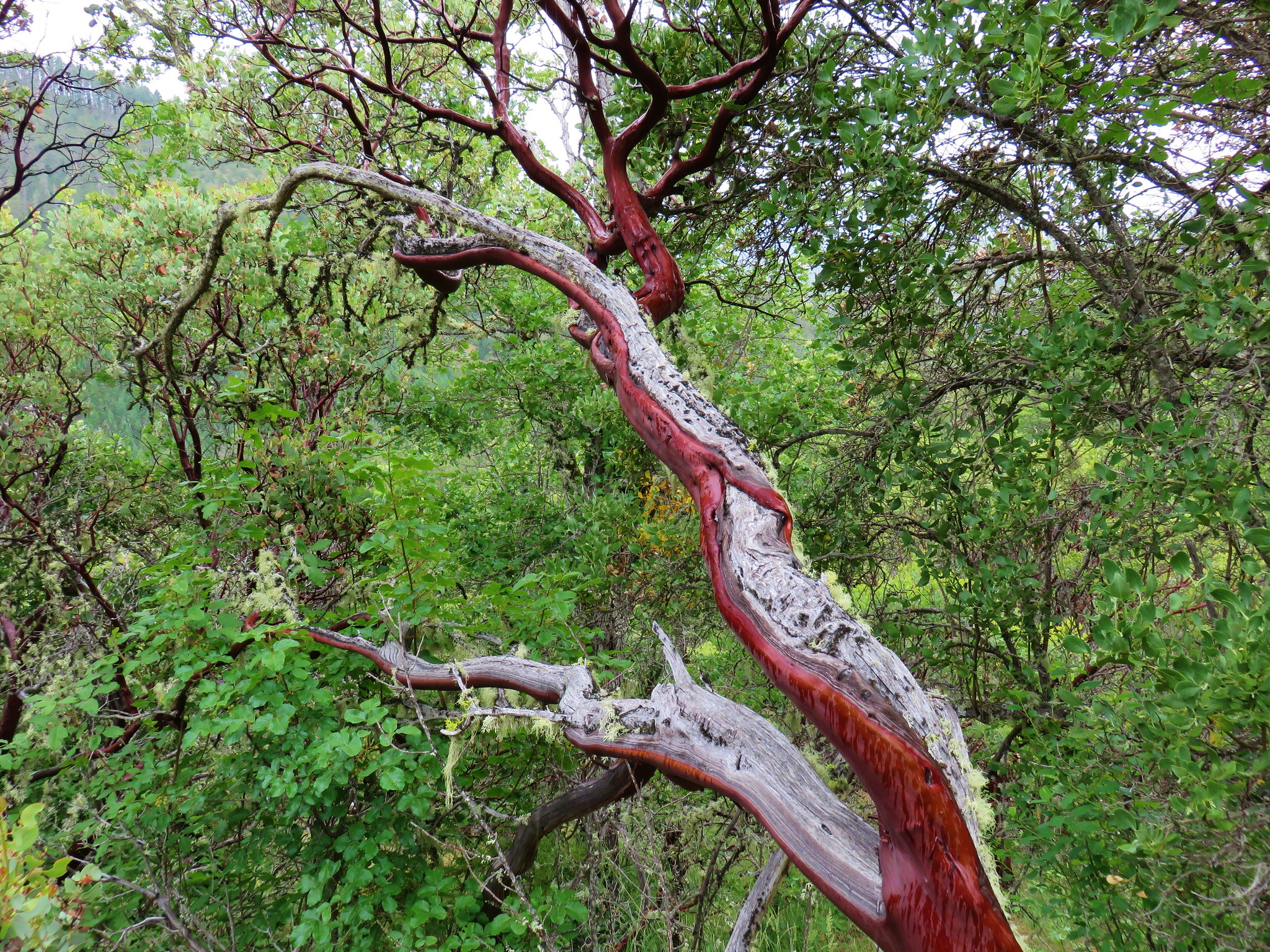
After a brief uphill the trail began to descend through a forest of ponderosa, oak and madrone.

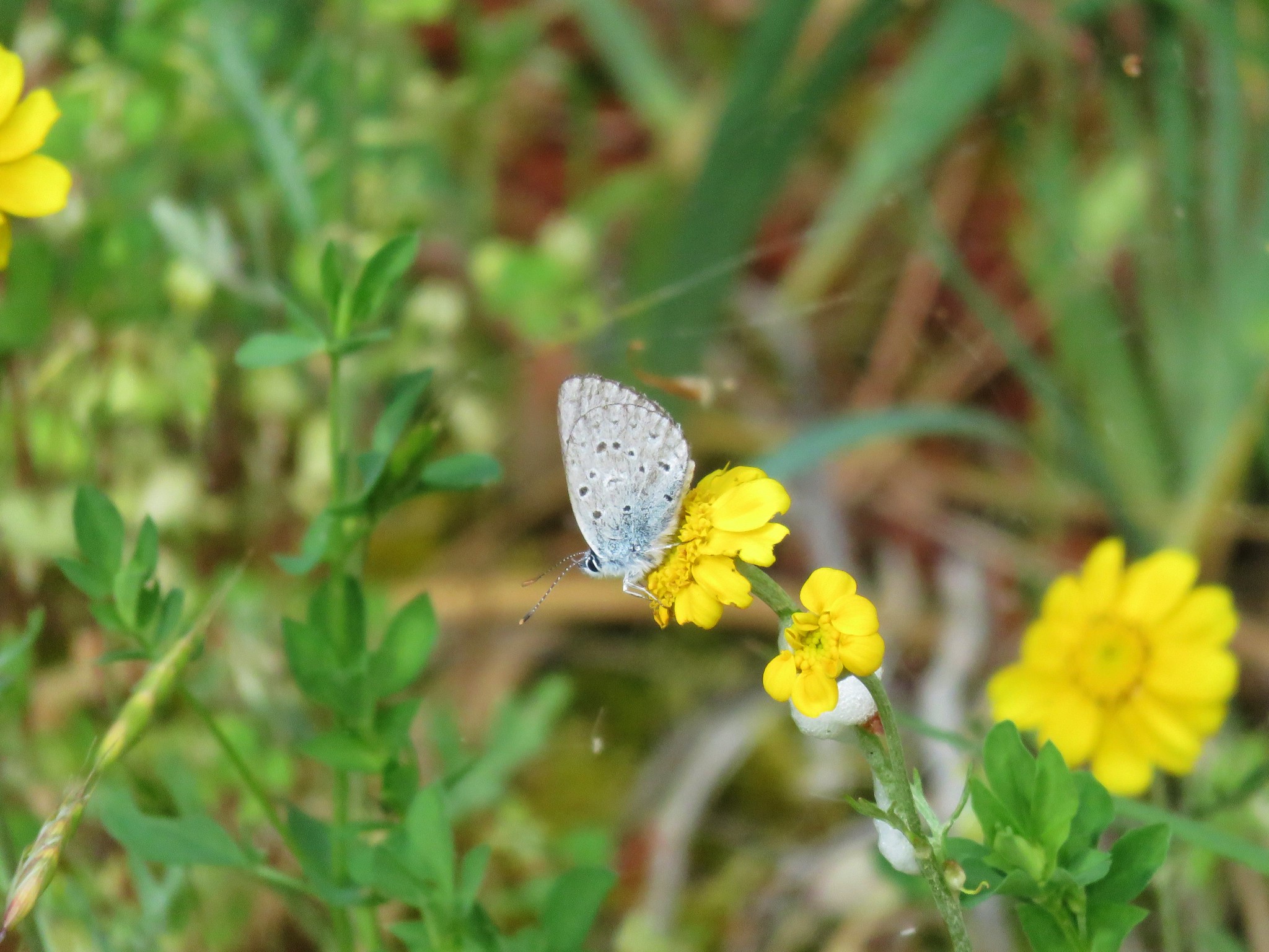
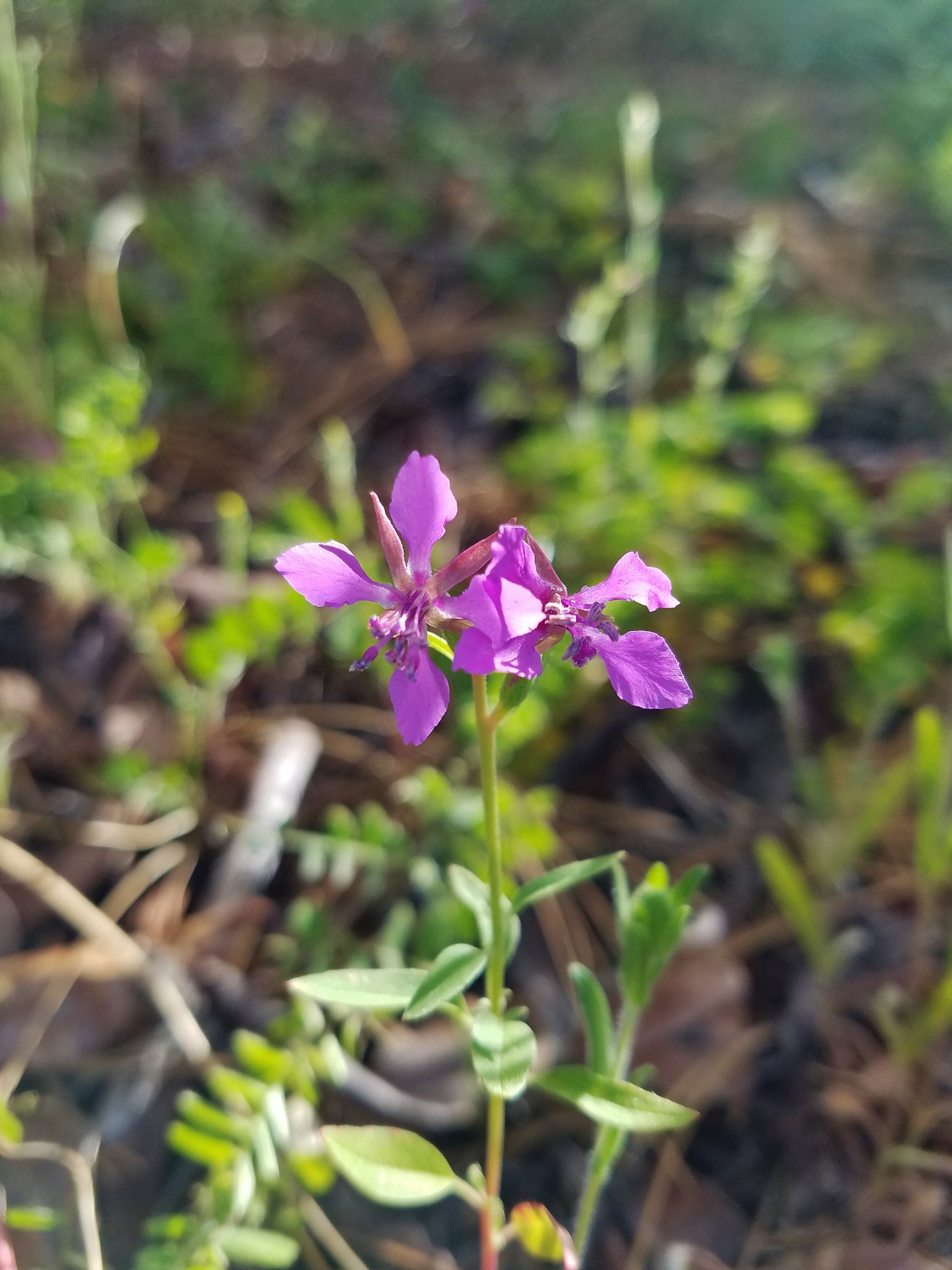
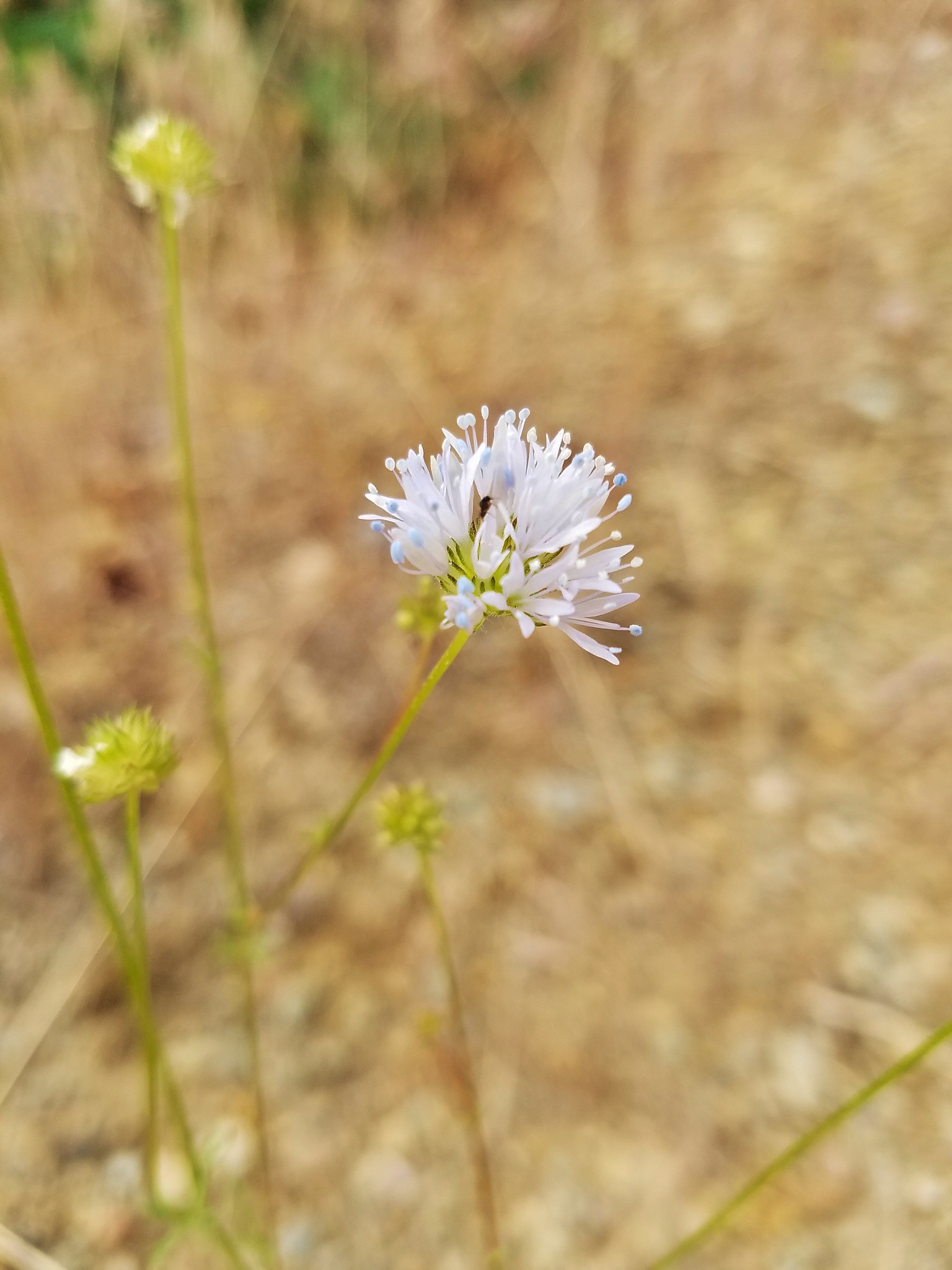
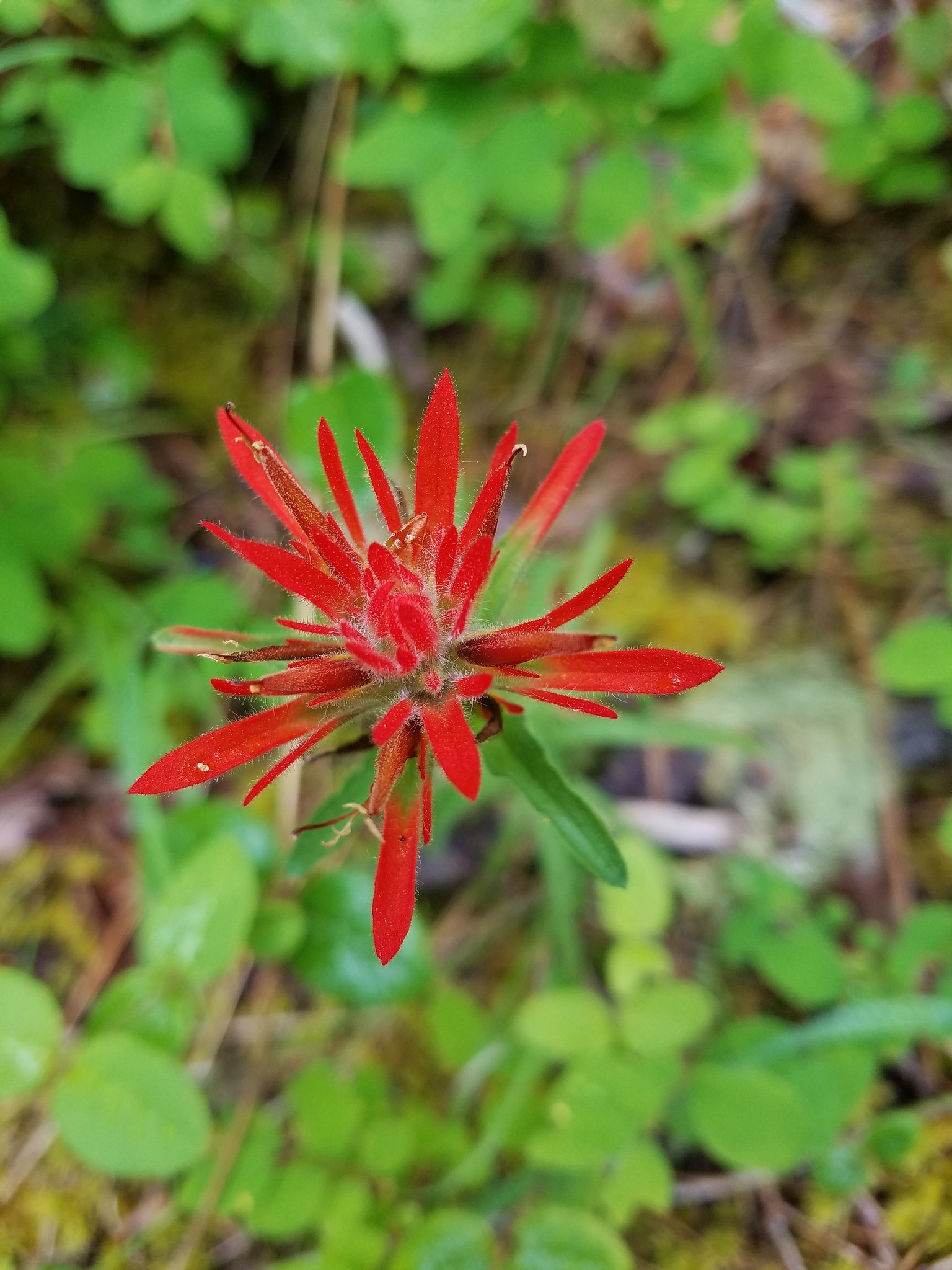
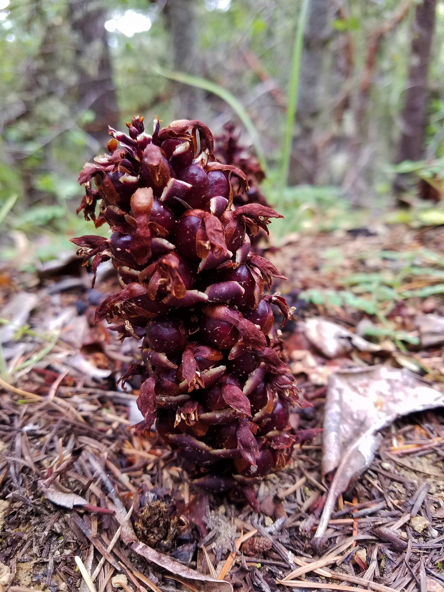
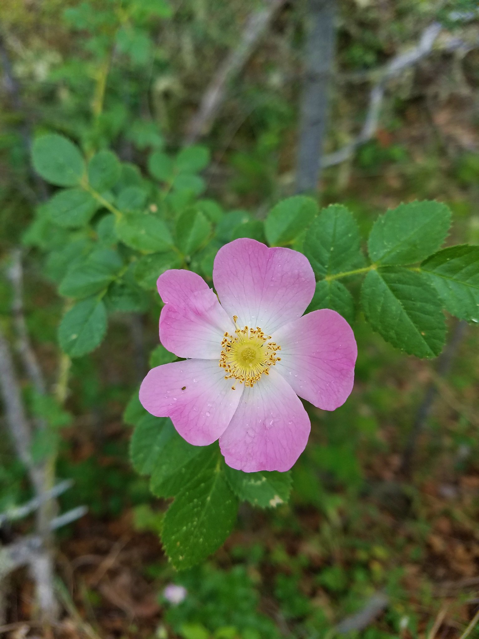
Here we spotted more flowers including some we hadn’t seen along the road.
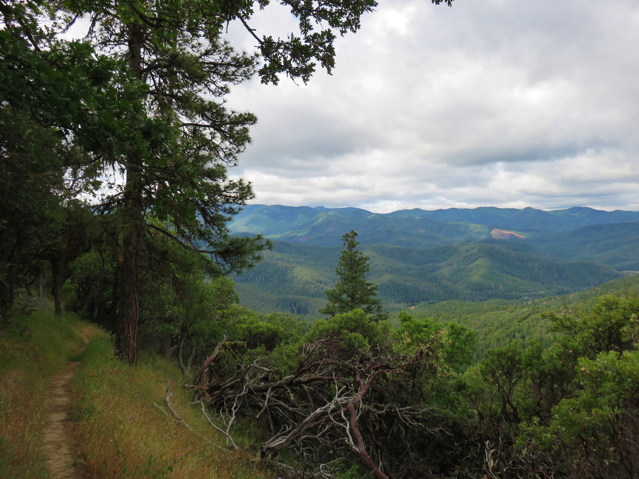
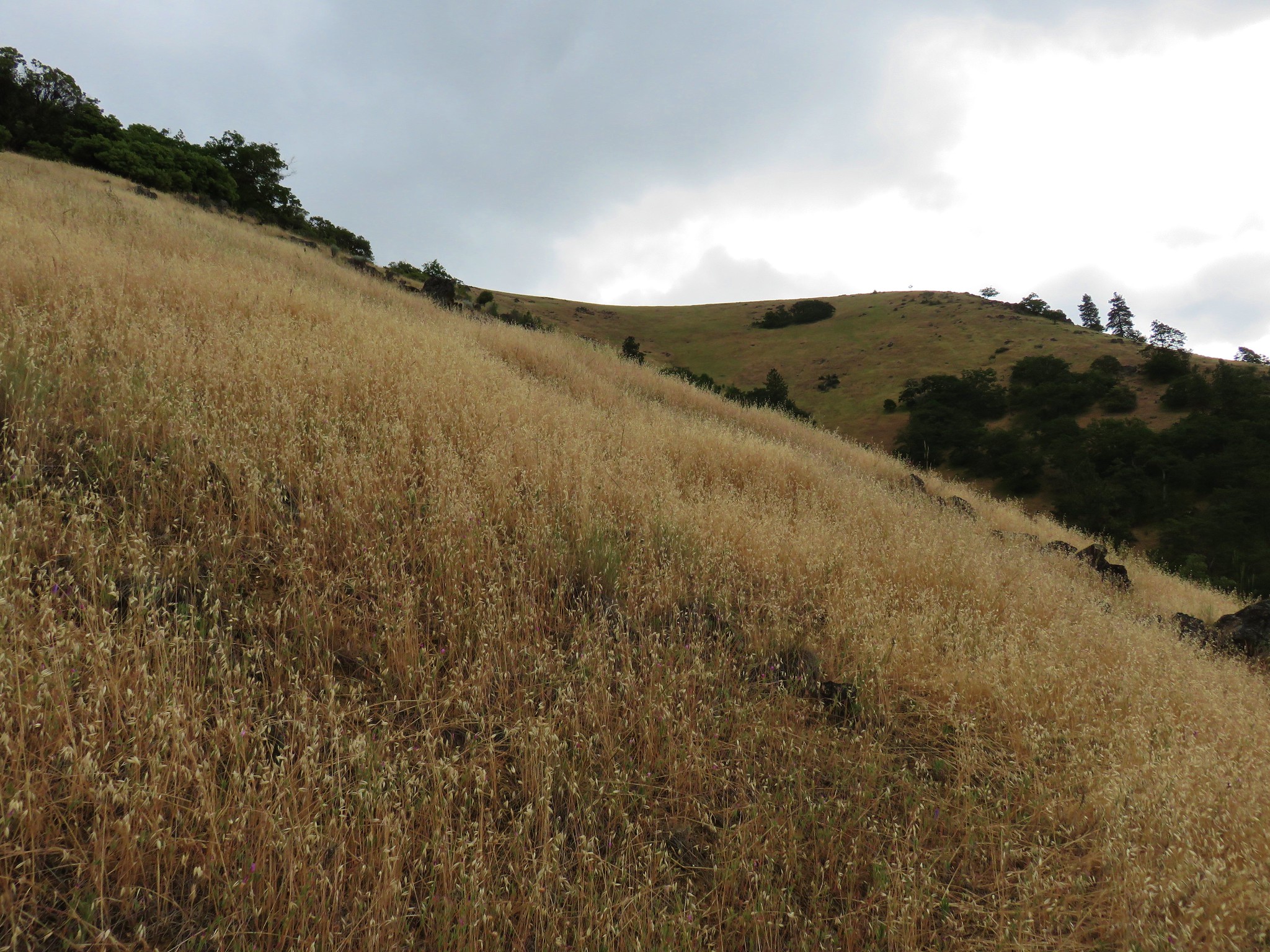
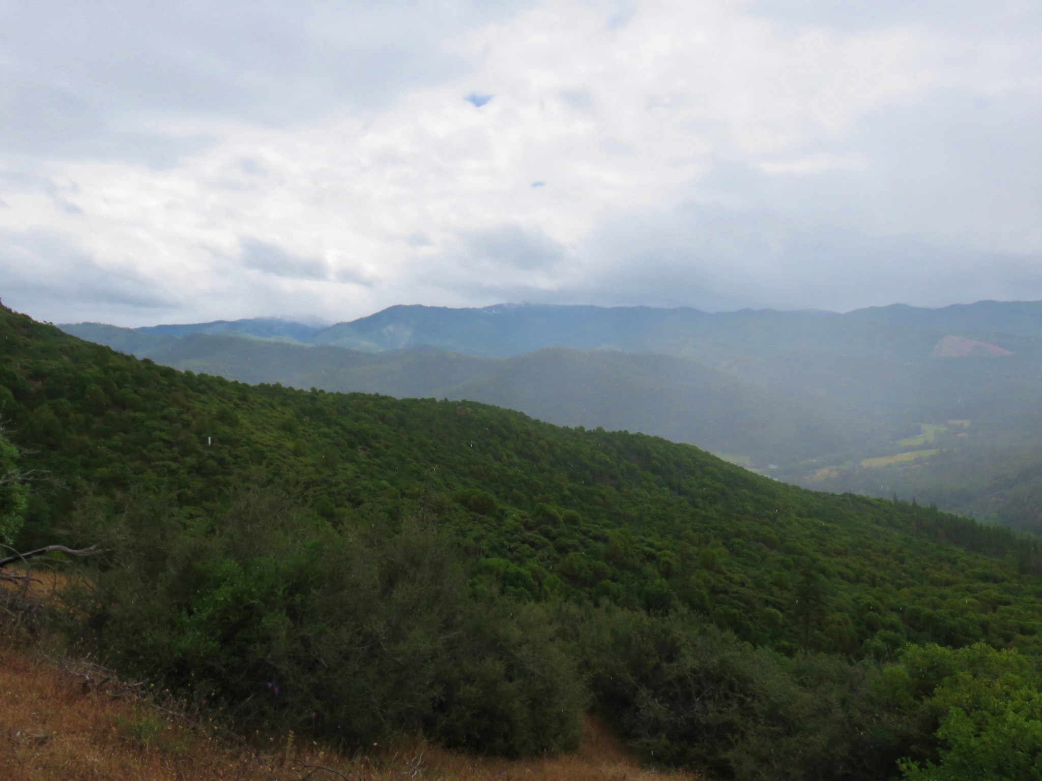
As we descended views began to open up across the valley.
The trail then crossed an open grassy hillside twice as it switchbacked down toward the Sterling Mine Ditch Tunnel.


The trail then reentered the forest where we passed a sign for a “Giant Double-Trunked Madrone”.
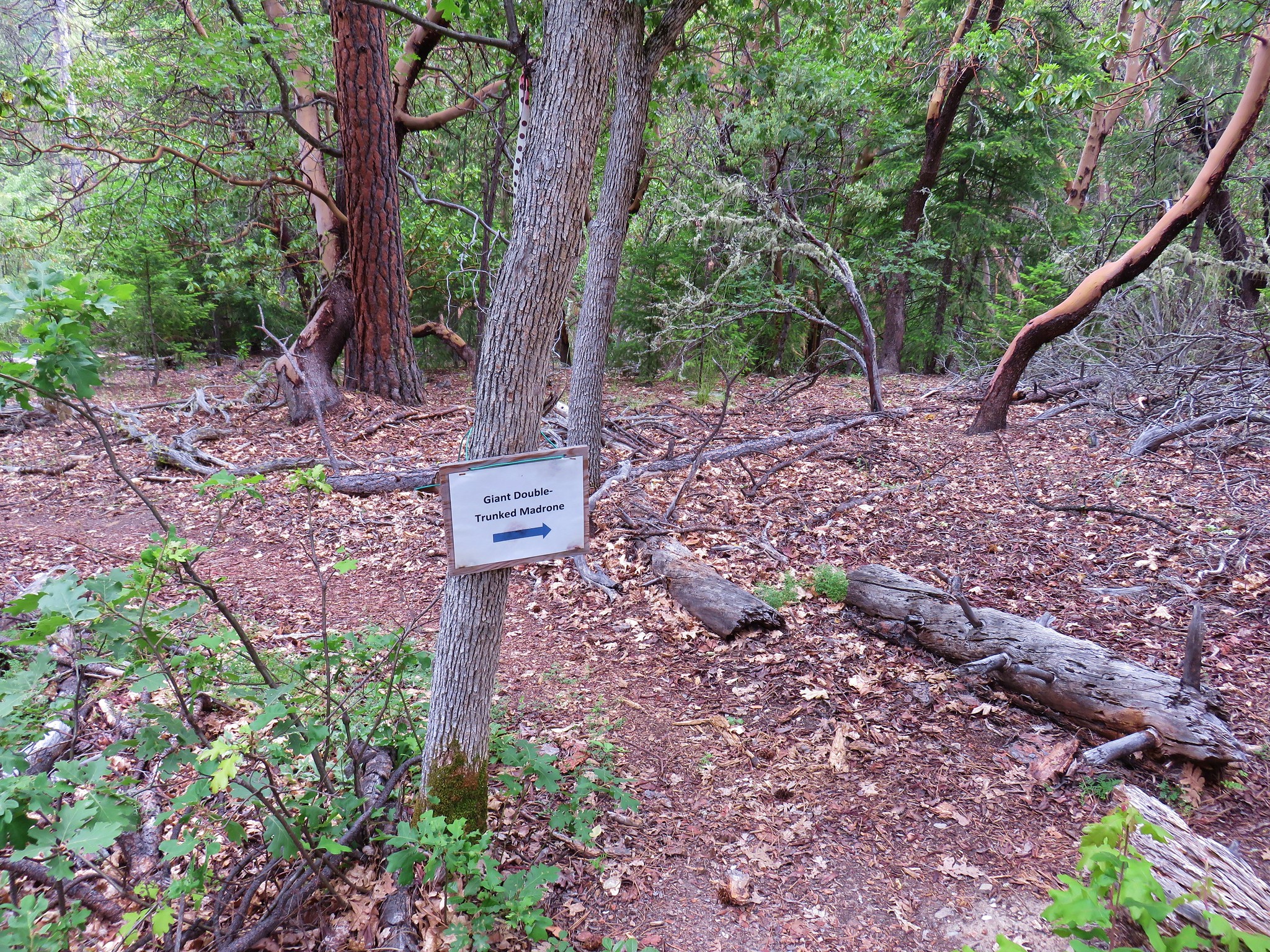
A faint trail led off in that direction but soon petered out. We weren’t sure where the tree was and there was just enough poison oak in the underbrush that we didn’t feel like bushwacking to try and find it so we returned to the trail and continued downhill.
Ticks were also becoming a nuisance. I was beginning to pick them up every few minutes while Heather was being mostly spared. We took to stopping whenever there was a nice area free of trail side poison oak to do some quick tick flicking.
We arrived at the Sterling Mine Ditch Trail a mile and a half from the Wolf Gap Trailhead.
The 26.5 mile Sterling Mine Ditch was hand dug in 1877 to bring water from the Little Applegate River to gold miners digging in the Sterling Creek Hills. The trail follows the ditch at a fairly level grade along the steep hillsides.


It was interesting to follow the ditch and the scenery was nice despite the clouds that had moved in. In fact we finally got a decent shower after being spared for the first 2 1/2 days.
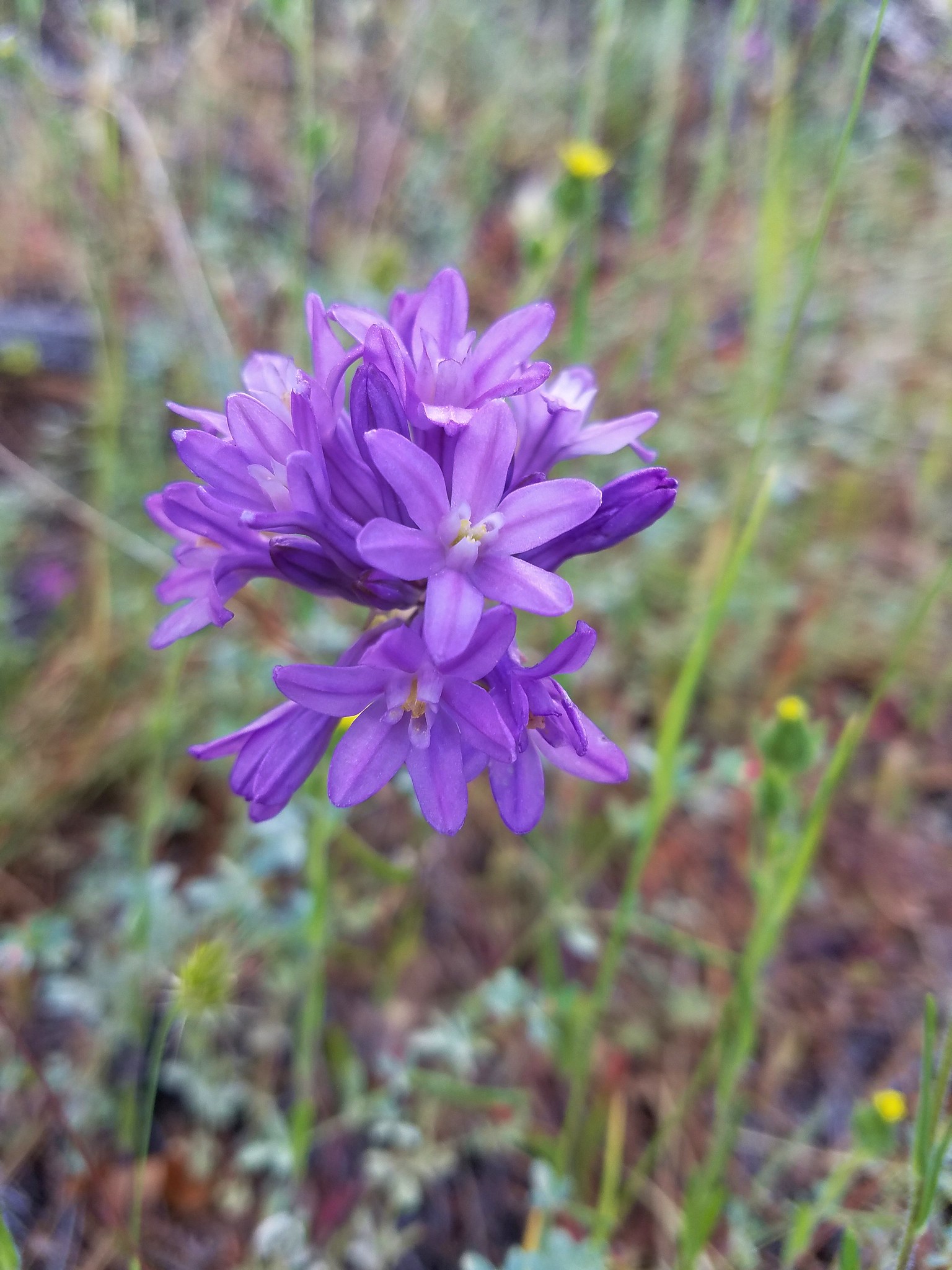
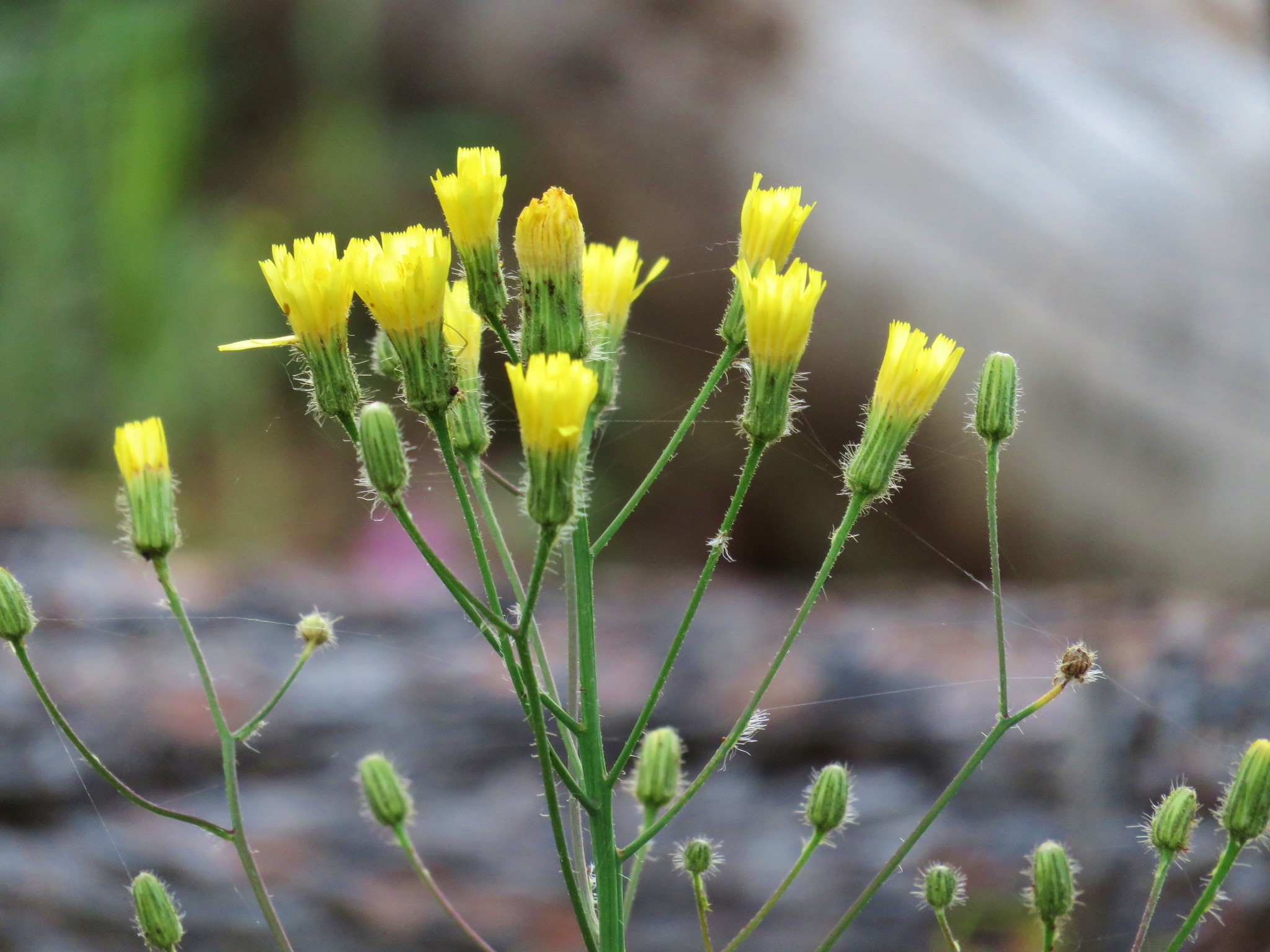
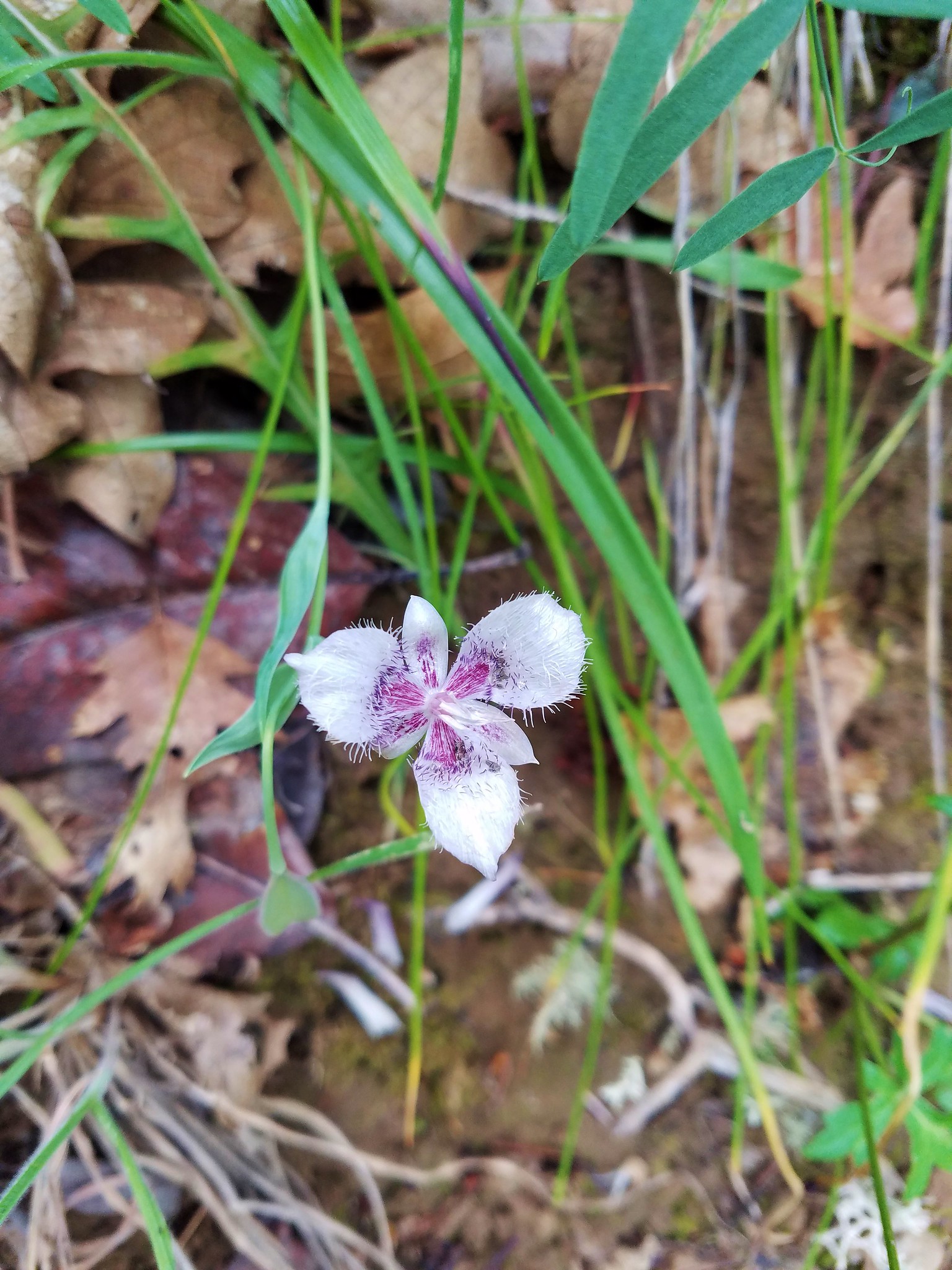
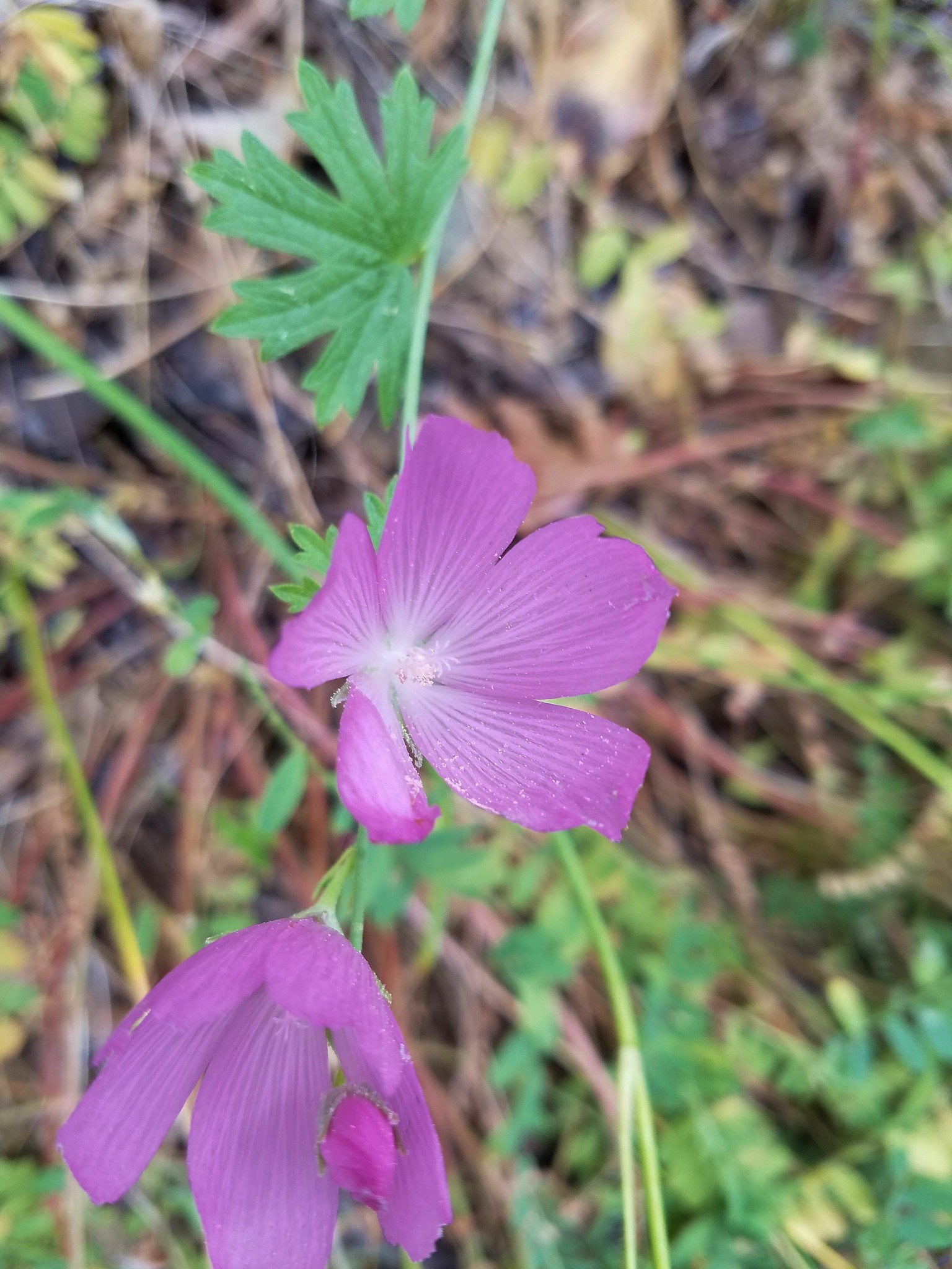
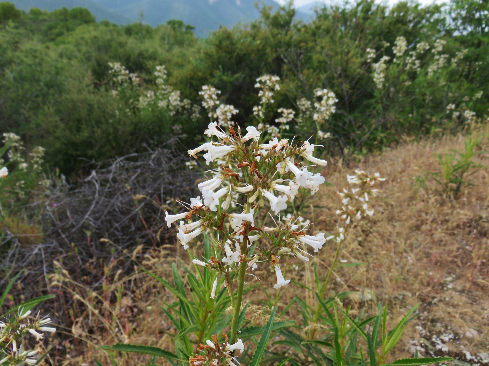
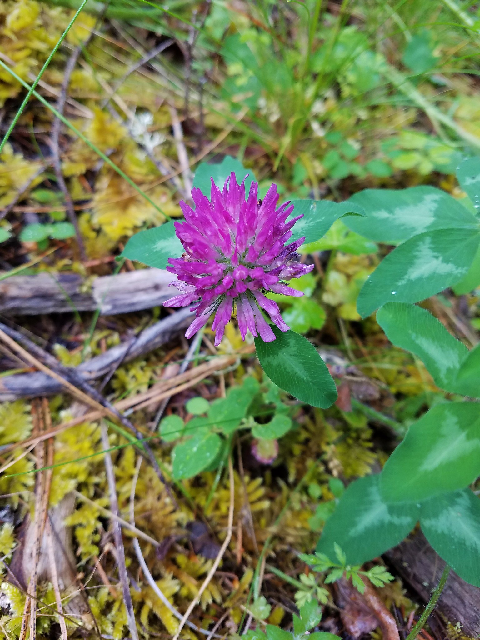
More wildflowers were found along the open hillsides.


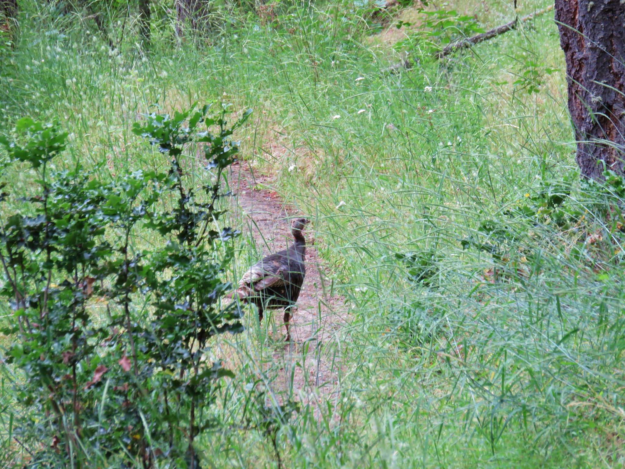
At one point we wound up behind a family of turkeys on the trail. It took a while to get past because every time mom would just about get everyone into the underbrush she’d pop back up onto the trail.

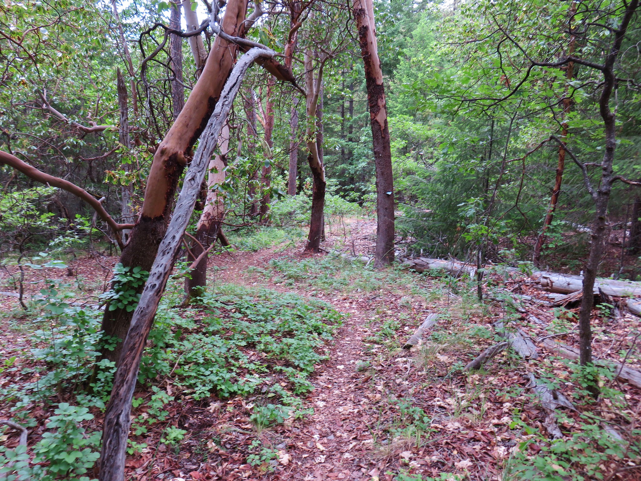
We had (mostly me) knocked several dozen ticks off our pants by the time we’d seen the turkeys and had been considering bailing from the trail at the Armstrong Gulch Trailhead to road walk back to Deming Gulch since picking up ticks in the middle of the road was unlikely. The trail soon left the drier slopes and entered a greener forest where the tick sightings decreased dramatically.

By the time we reached the side trail down to Anderson Gulch it had dawned on us that leaving the level Sterling Mine Ditch Trail for a road walk would be a lot of steep climbing so we decided to stick it out.

Once we reached the trail down to the Armstrong Gulch Trailhead it was only another 1.5 miles back to the Deming Gulch Trailhead anyway. We enjoyed the scenery along the final stretch and had minimal tick encounters.
Another good shower started just as we arrived back at our car. We’d timed it well and after a thorough tick check we were on our way back to Medford where we had a really good dinner at 4 Daughters Irish Pub.
The ticks had caused us to move a little faster than we would have liked. The scenery along the trail begged for a slower more observant hike. In any case it was a nice hike overall. Happy Trails!
Flickr: Sterling Mine Ditch

2 replies on “Sterling Mine Ditch”
[…] Ditch Tunnel. In June 2017 we had done an 11.8-mile loop starting from the Deming Gulch Trailhead. (post) We had counted that toward the featured hike, but it was actually part of the “Other […]
[…] Siskiyou Gap-Hiked 6/16/2022 #59 Jack-Ash Trail-Hiked 5/27/2022 #60 Sterling Ditch Tunnel-Hiked 6/10/2017 5/2/2023 #61 Jacksonville-Hiked 6/8/2017 #62 Enchanted Forest-Hiked 6/11/2017 #63 Observation […]