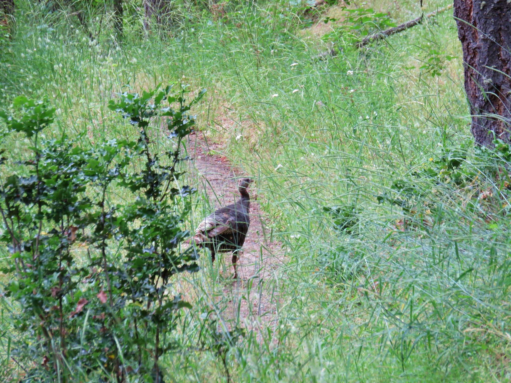
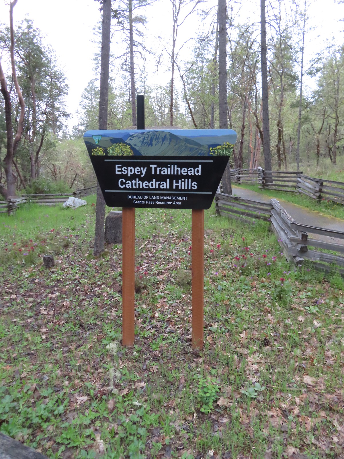
The second day of our Grants Pass vacation had the highest chance of rain showers with a forecast of 40% chance. We had a pair of hikes planned for the day. The first was a tour of the Cathedral Hills trails system just South of Grants Pass.
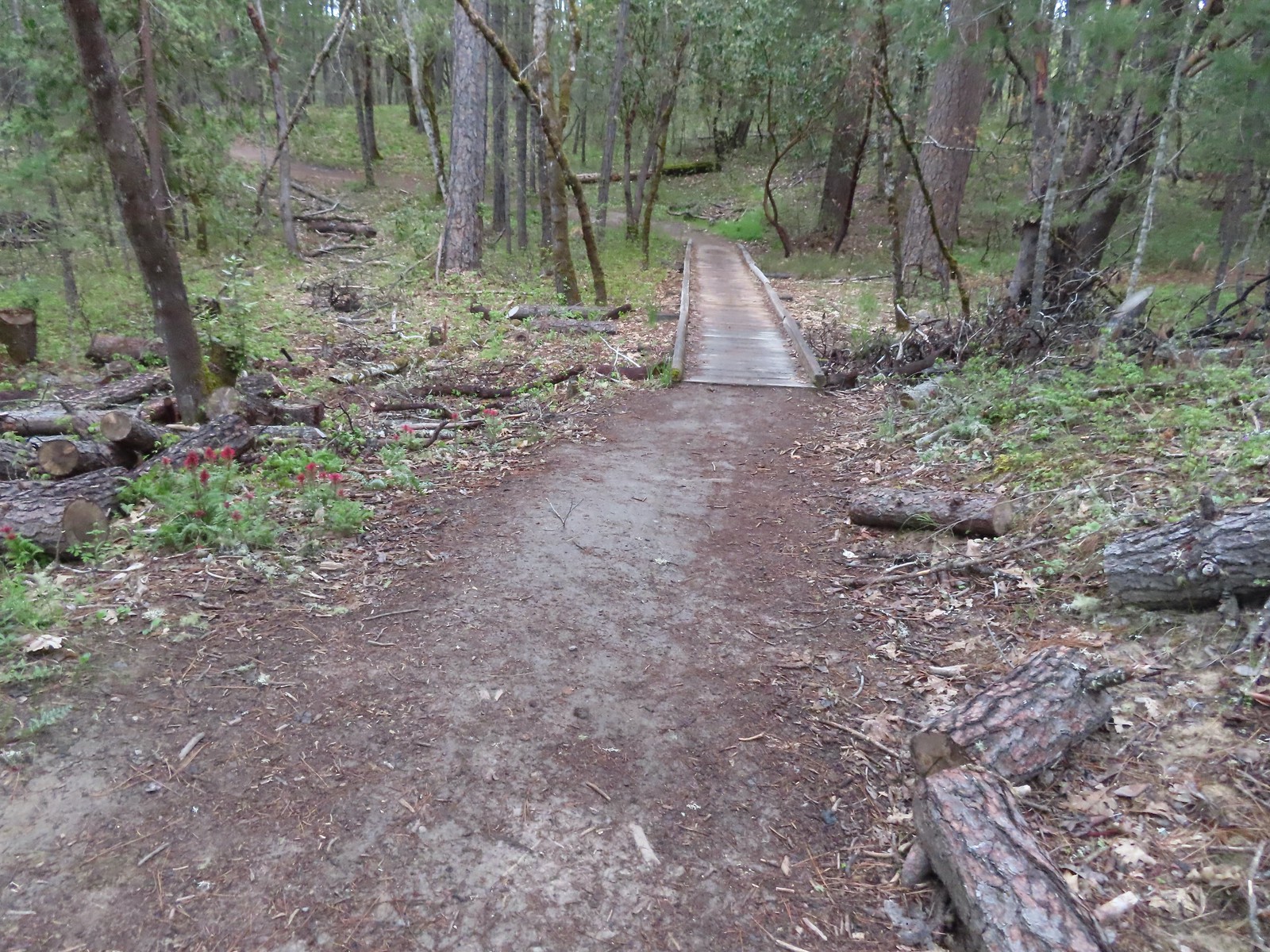
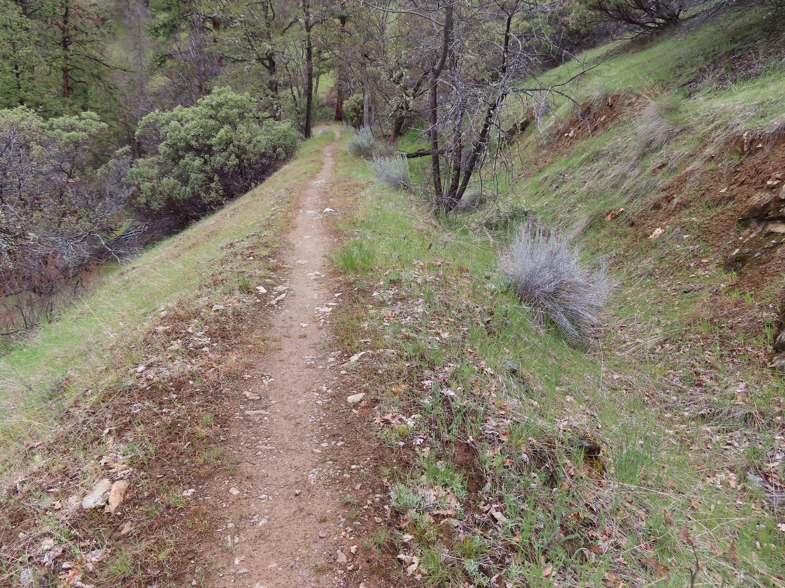
We made the roughly 10-minute drive from our cabin in Grants Pass to the Espey Trailhead arriving just before 7am.
We had seen one of the two wildflower species that were on our bucket list for this trip the day before. Red larkspur and been blooming in good numbers along the Rogue River Trail (post) and today we were hoping to check of the other, Indian Warrior.
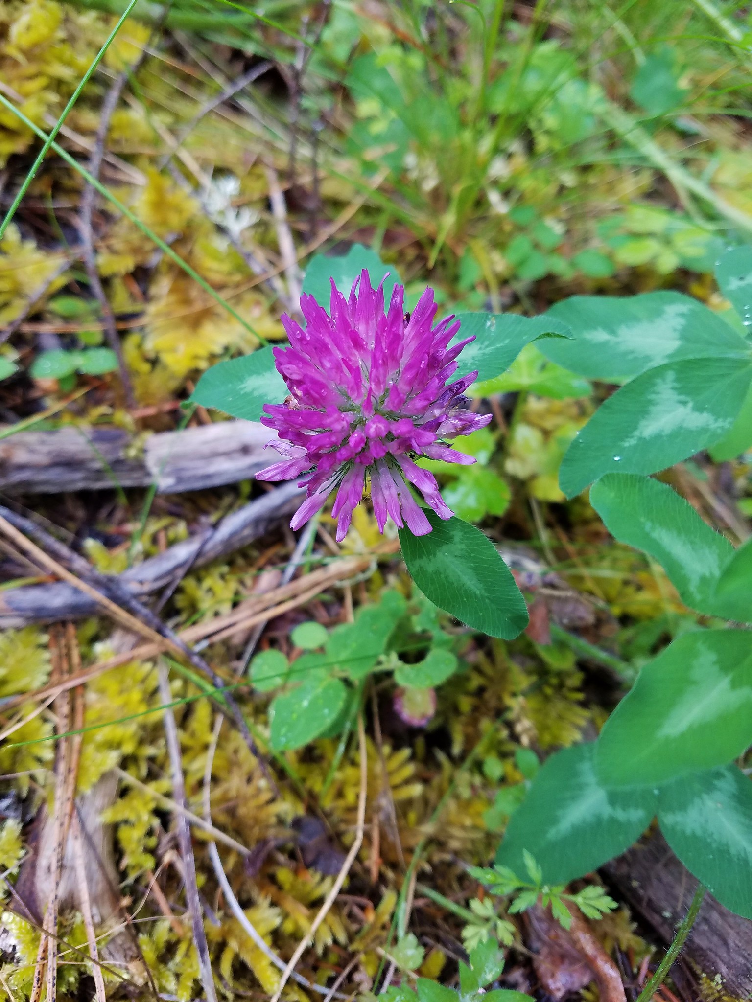
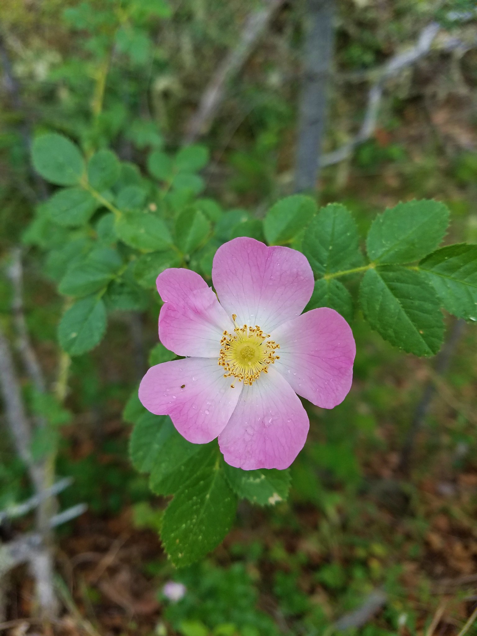
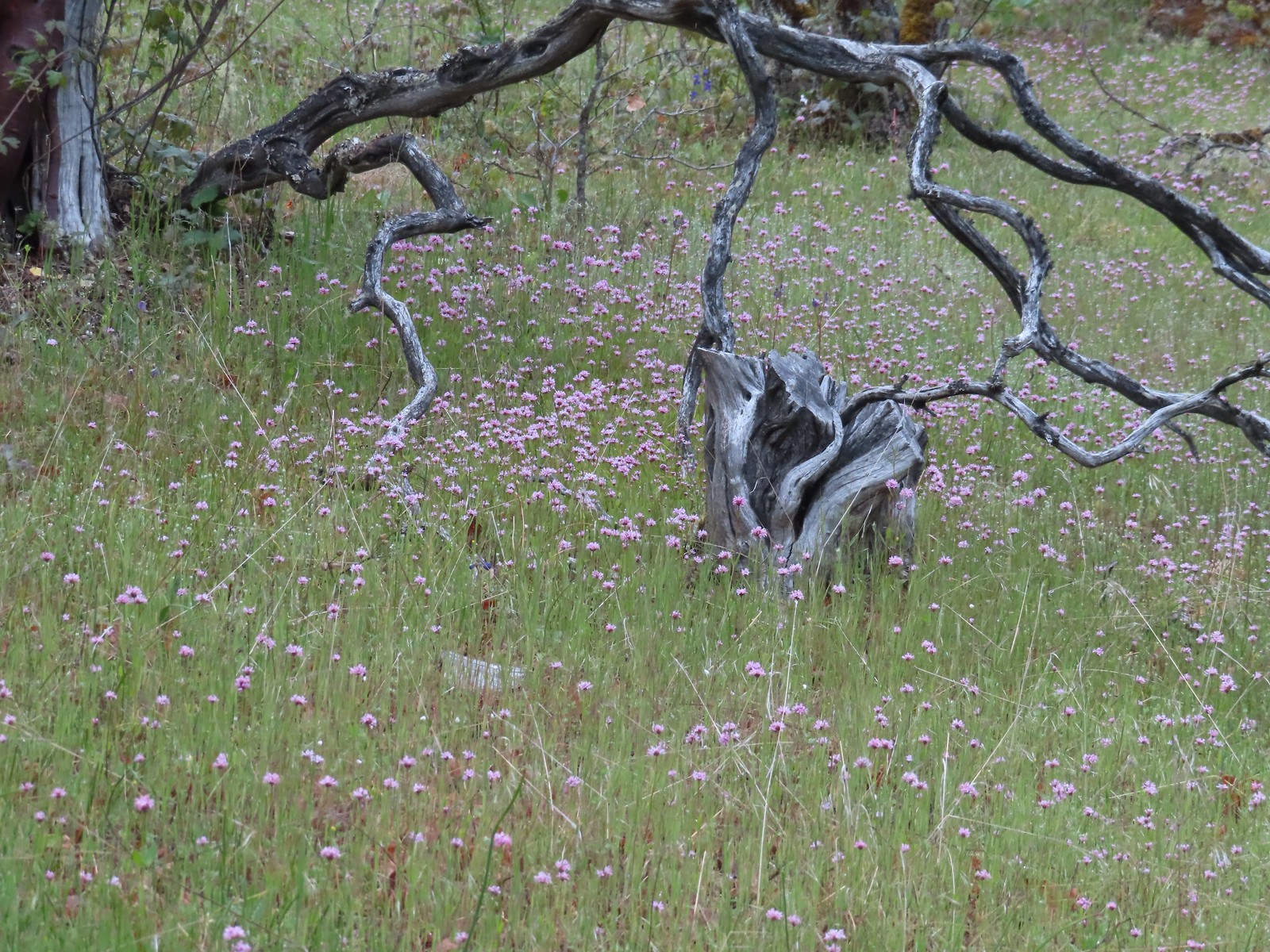
The area is home to a good number of wildflowers that bloom throughout Spring and Summer.
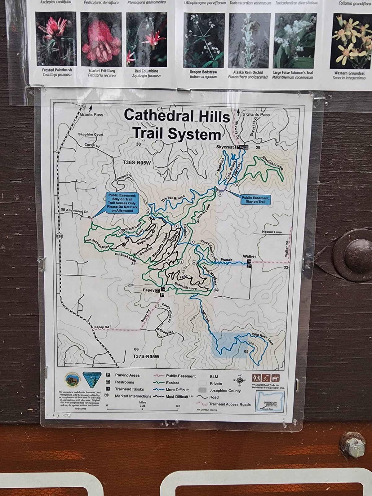
Sullivan’s featured hike here is one of four short hikes that make up hike #83 – Grants Pass Nature Trails (“100 Hikes/Travel Guide Southern Oregon & Norther California” edition 4.2). He describes the 3.4-mile Outback Loop. We were hoping to add more of the trails to our hike and decided on modifying the featured hike by adding on the Skycrest Loop and Ponderosa Pine Trail.
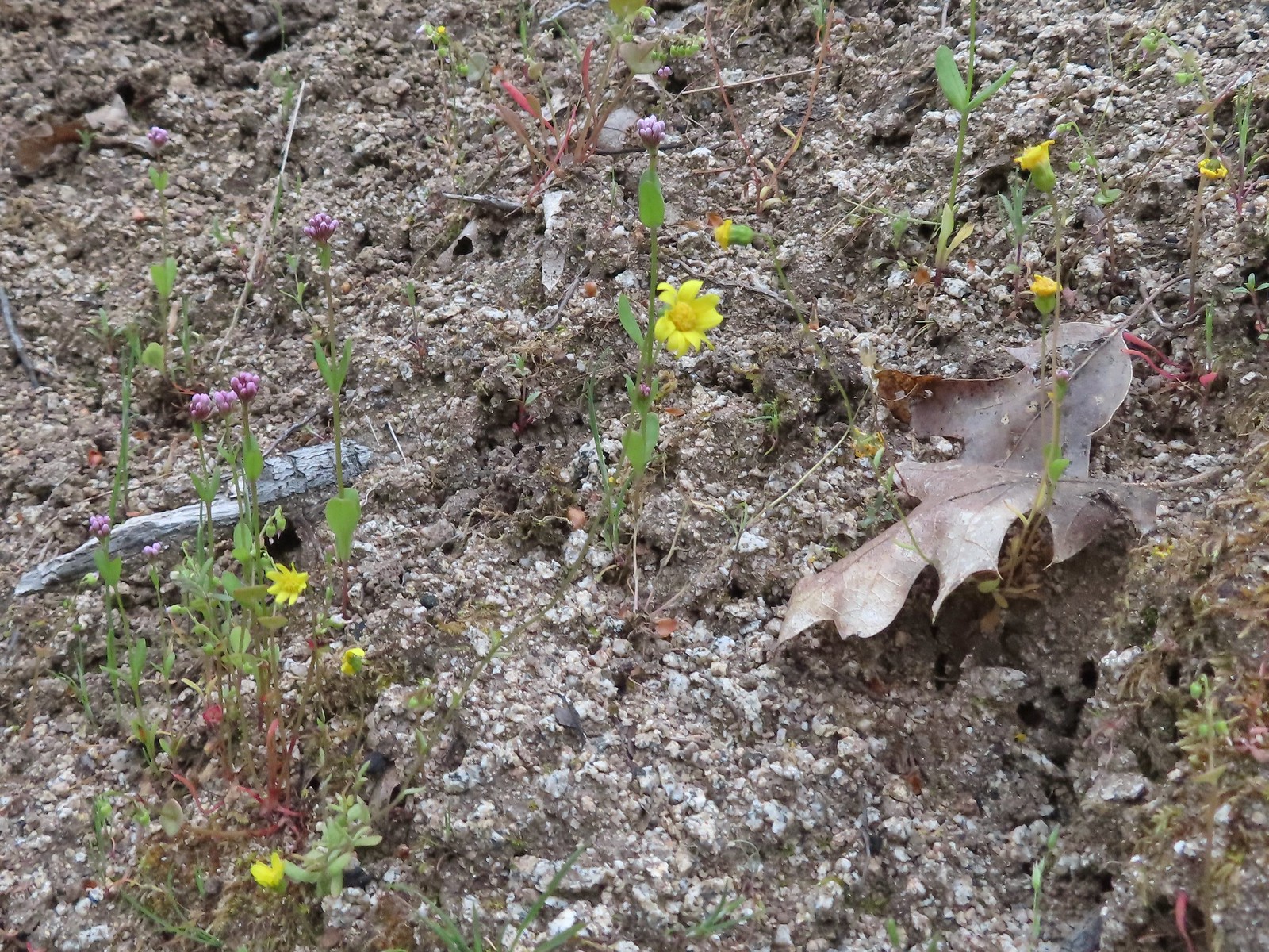
As was the case on our hike the day before we spotted our bucket list flower at the trailhead.
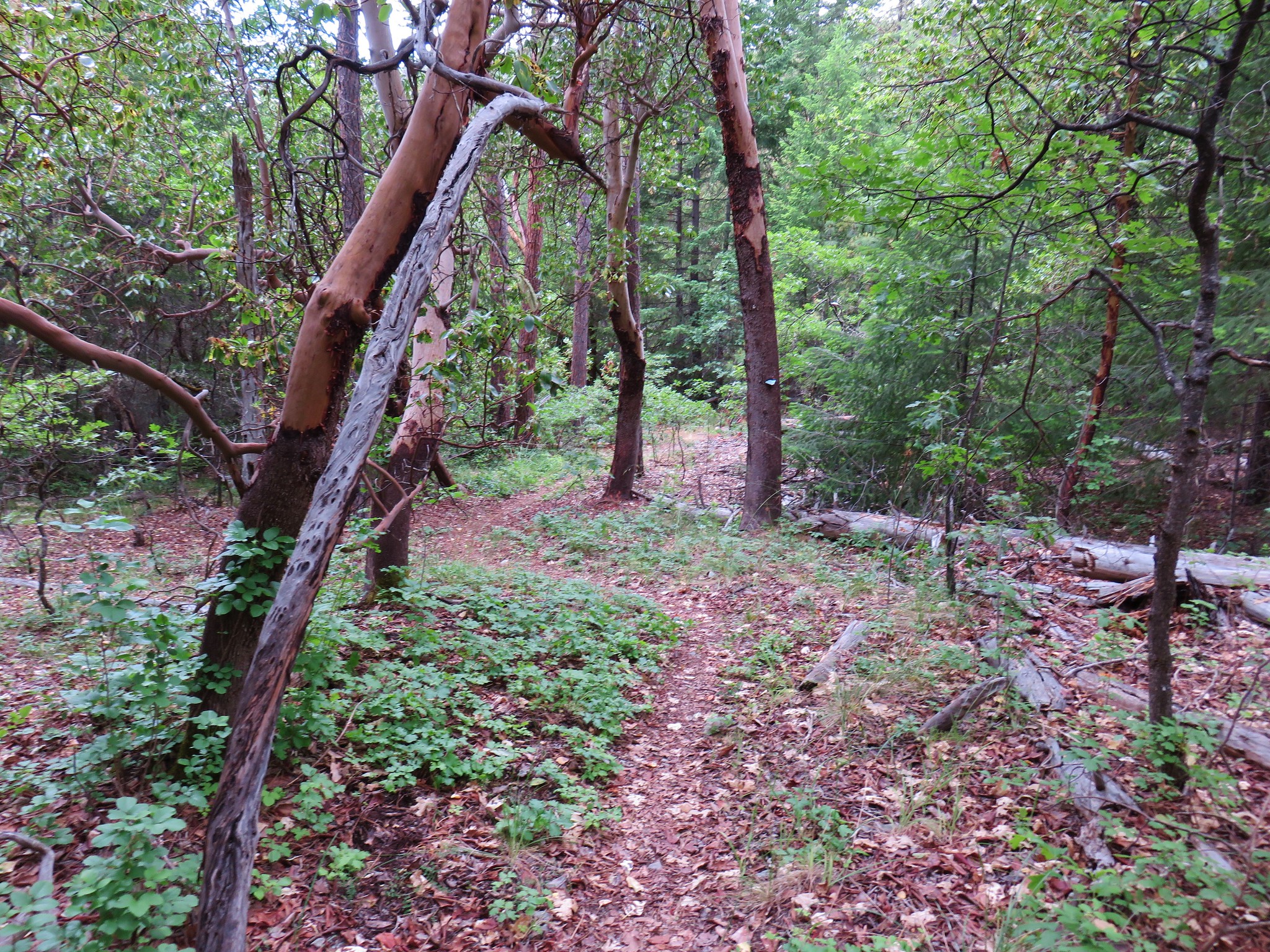
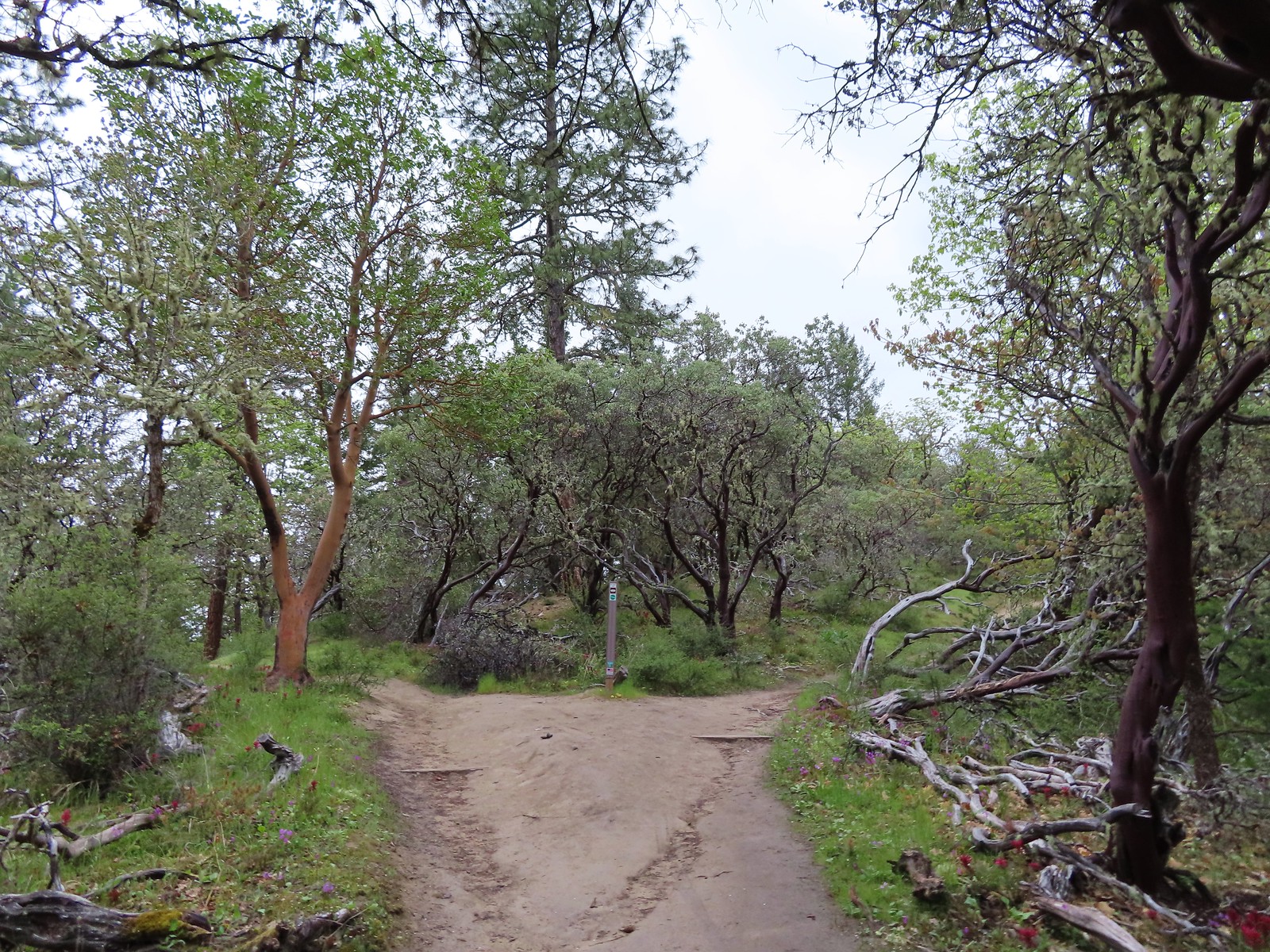
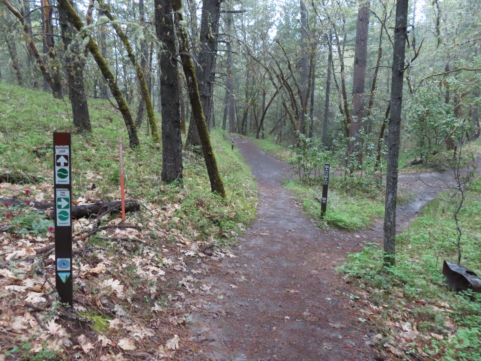
 There are a couple of the red Indian warrior behind and to the right of the trail marker.
 Indian warrior lousewort
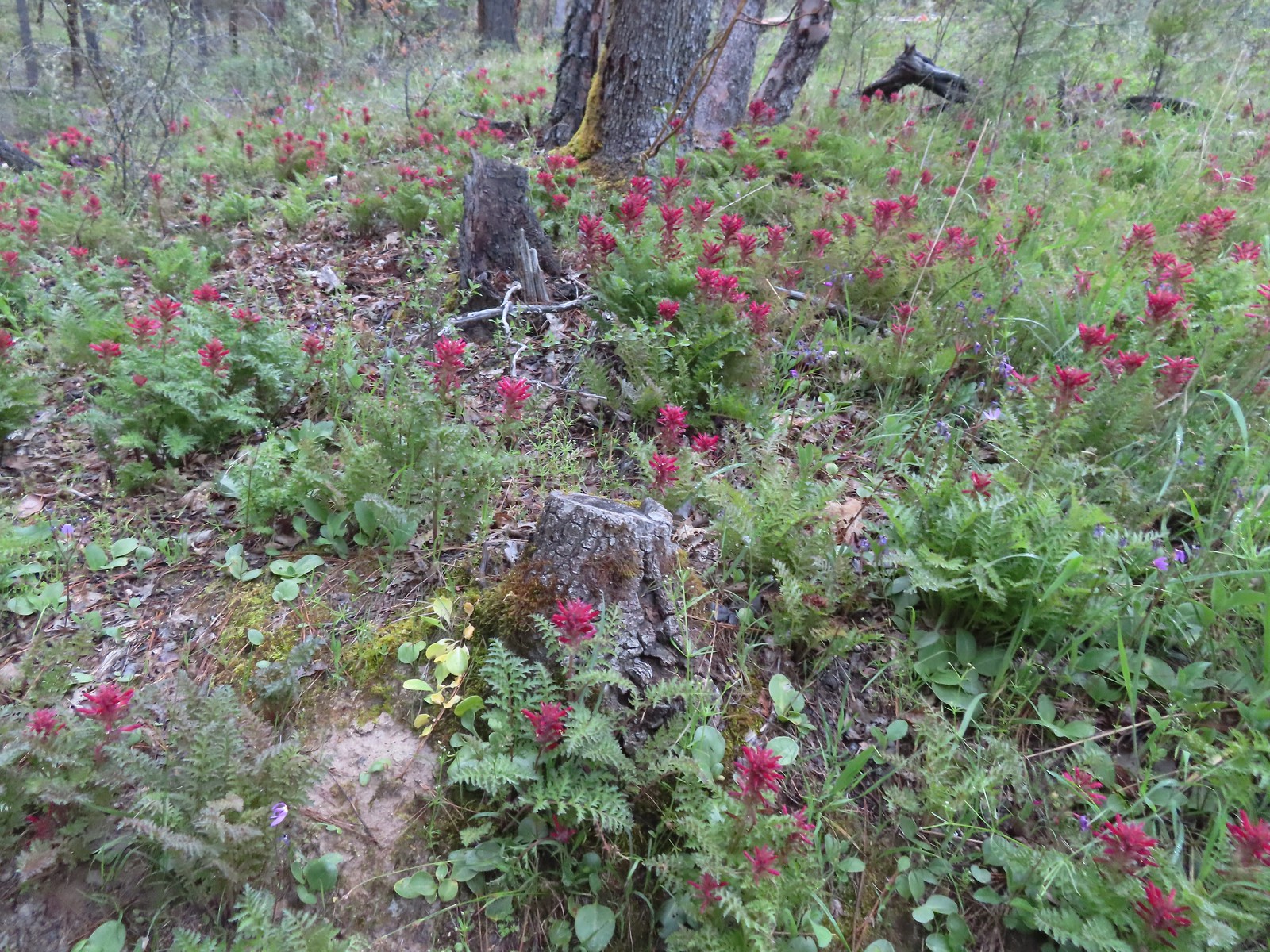
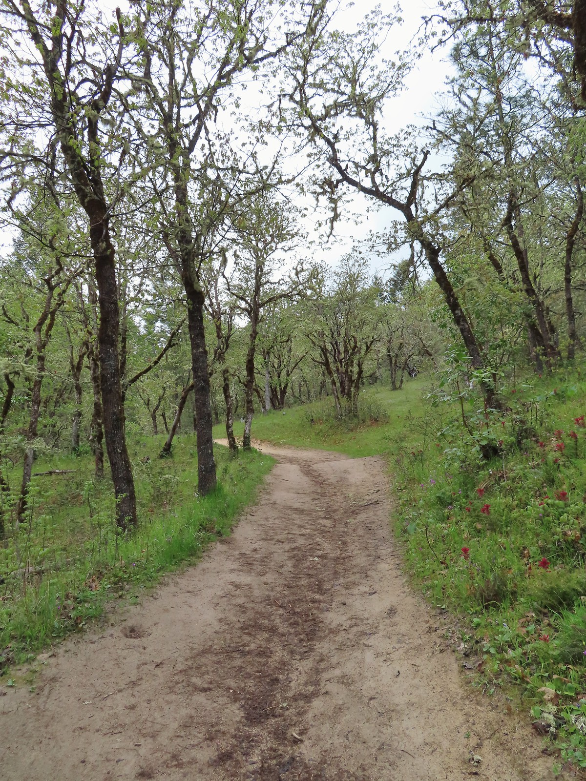
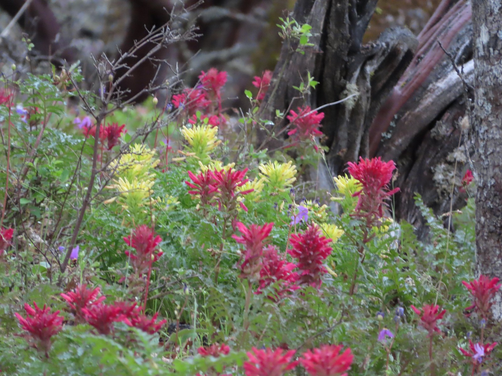
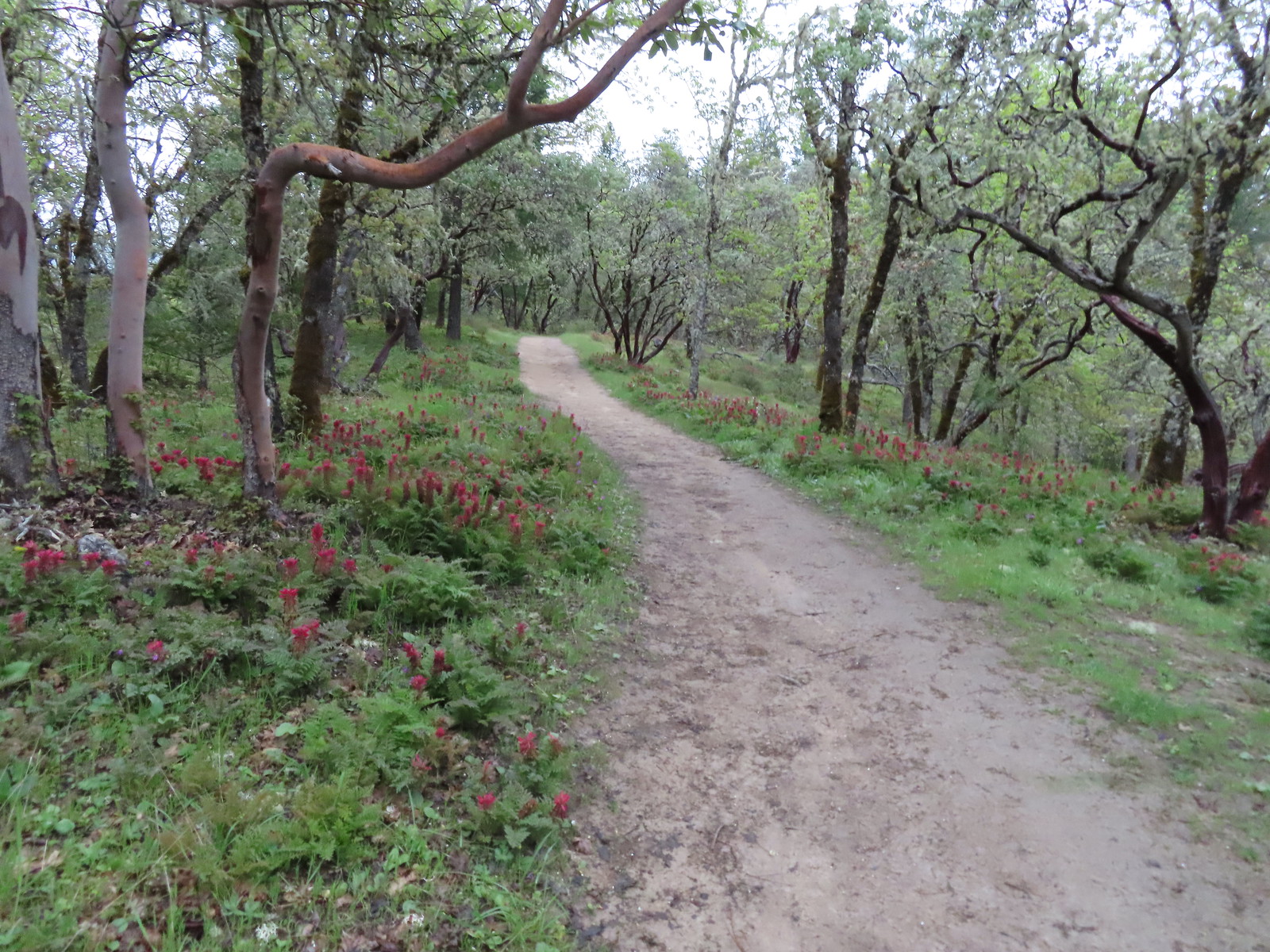
We started the Outback Loop in a counter-clockwise direction climbing 1.1-miles to a junction at a saddle. The Indian warrior was blooming in mass along with many other wildflowers.
 Scarlet fritillary along with poison oak. There was a lot of poison oak in the area but the trails were wide enough to keep users away from it.
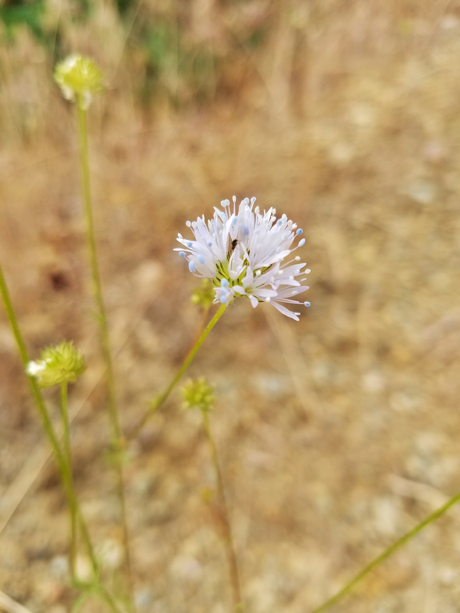
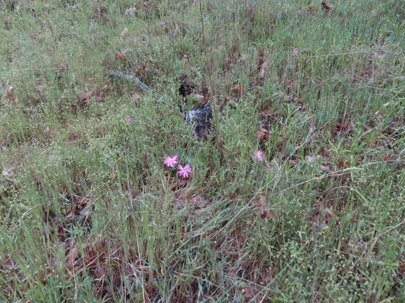
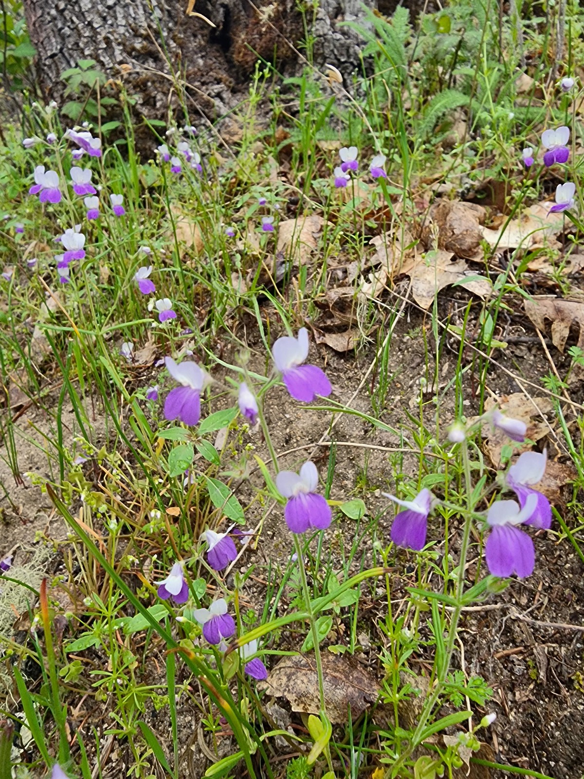 A blue-eyed Mary
 Shooting star
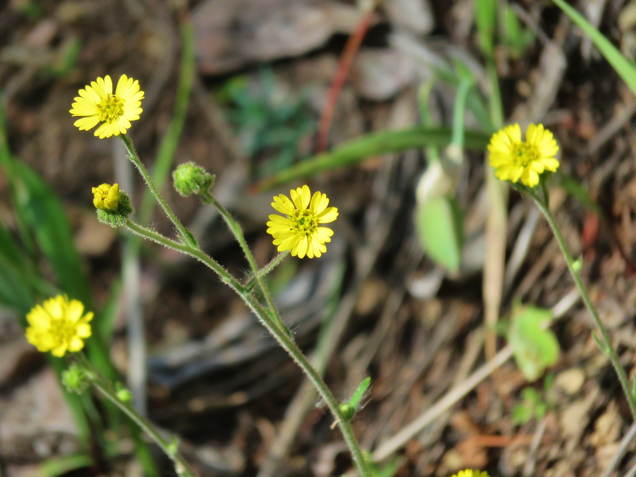
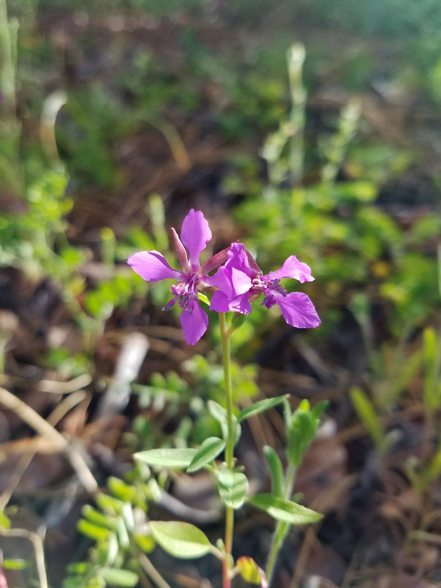
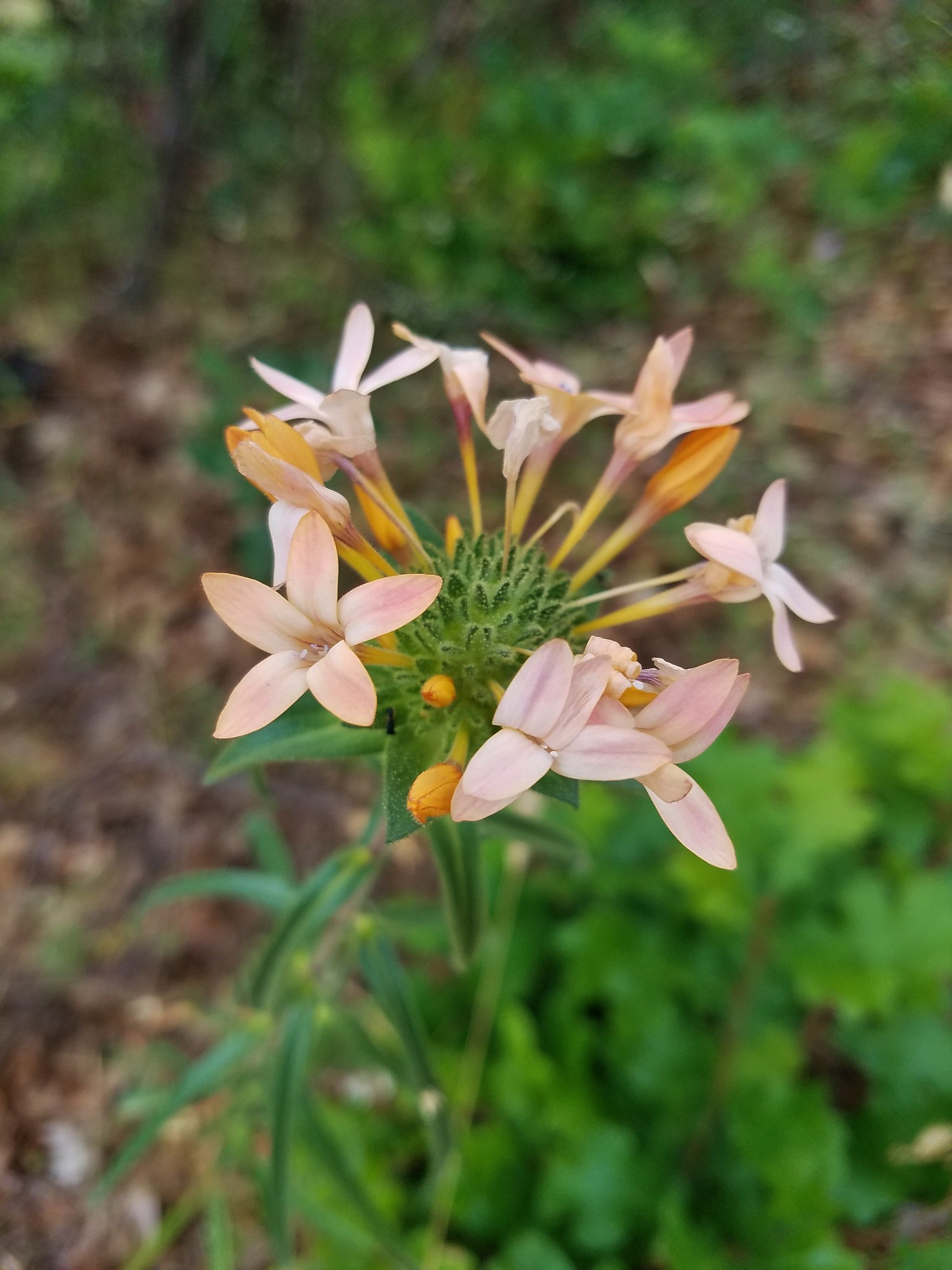
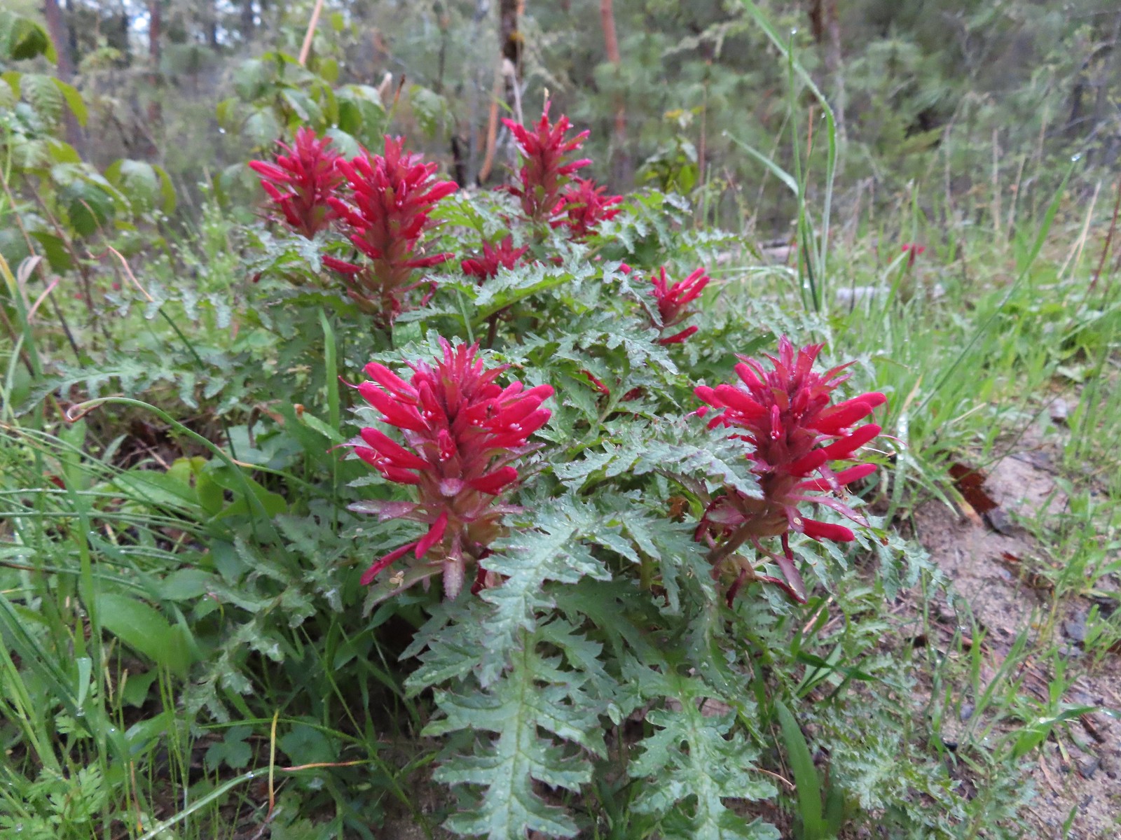
 Indian warrior
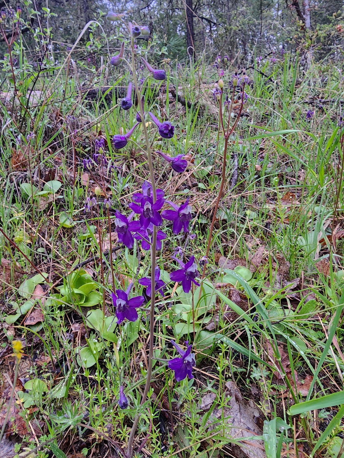 Larkspur
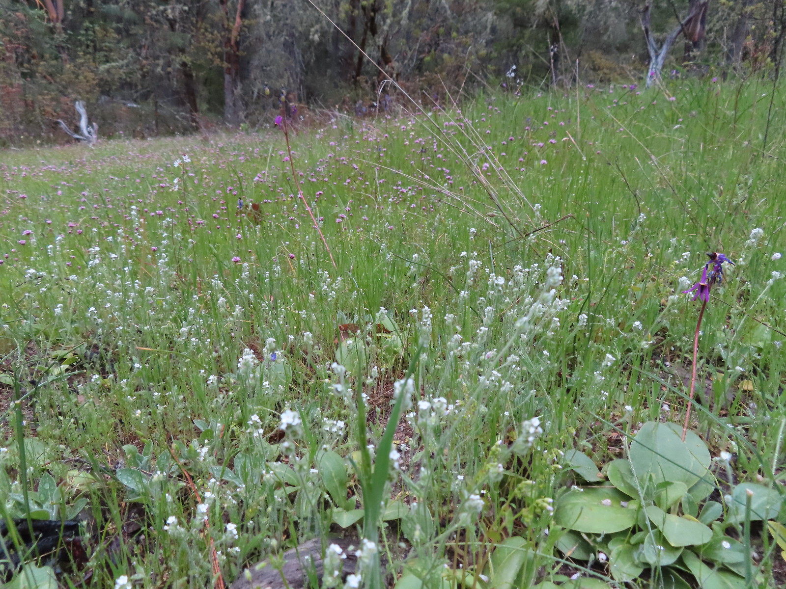 Cryptantha, shooting stars, and plectritis
 Plectritis
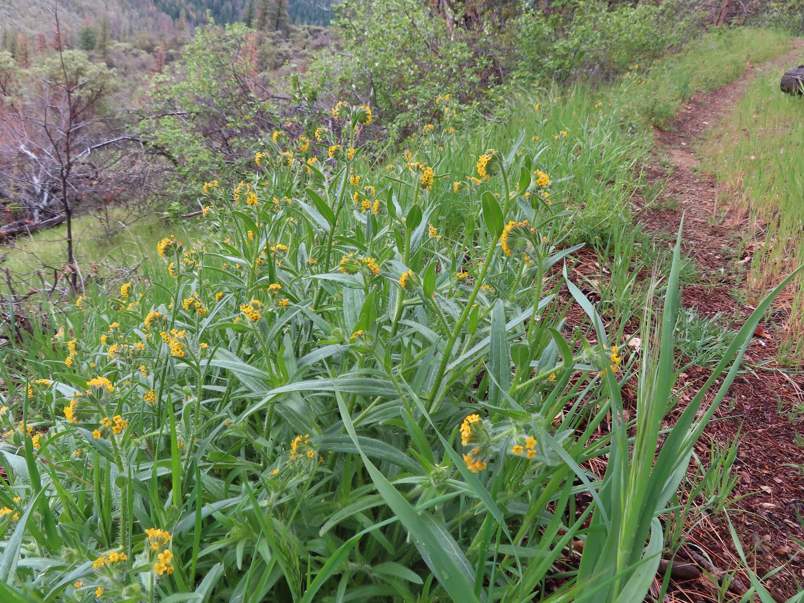
 Pacific houndstongue
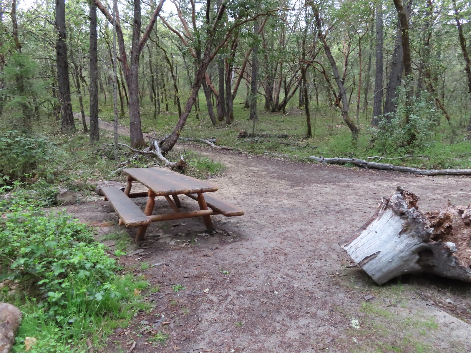 A picnic table at the junction with the Hogback Trail.
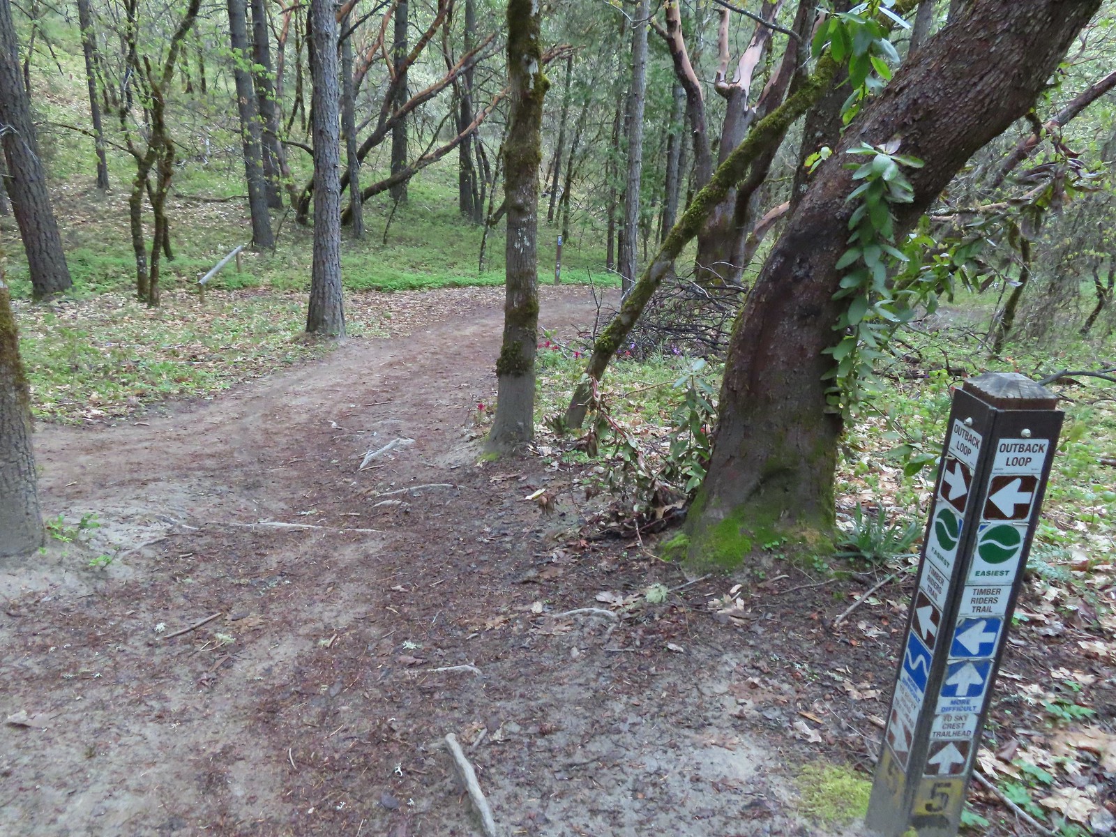
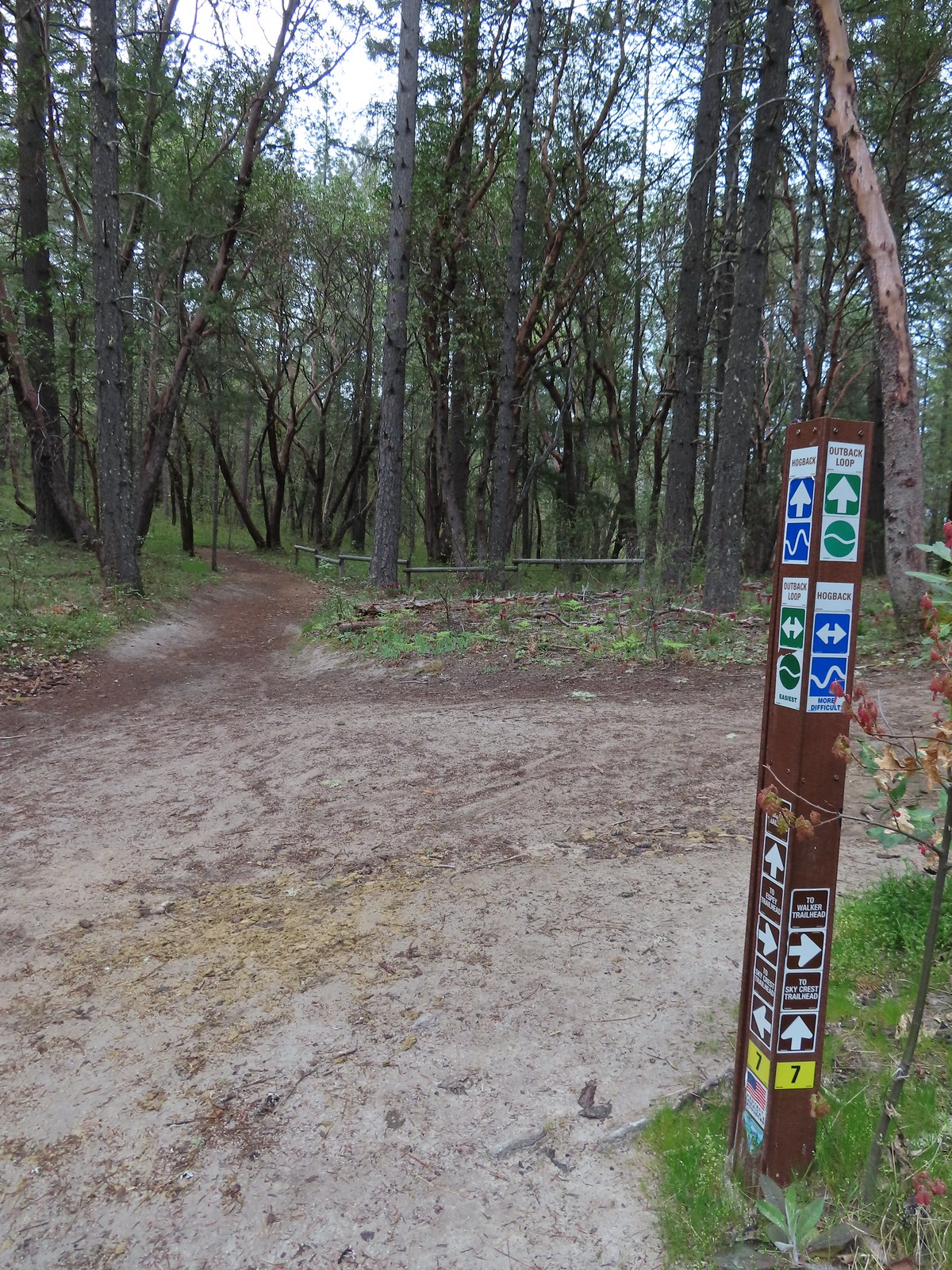 Most of the junctions had markers.

 Giant white wakerobin
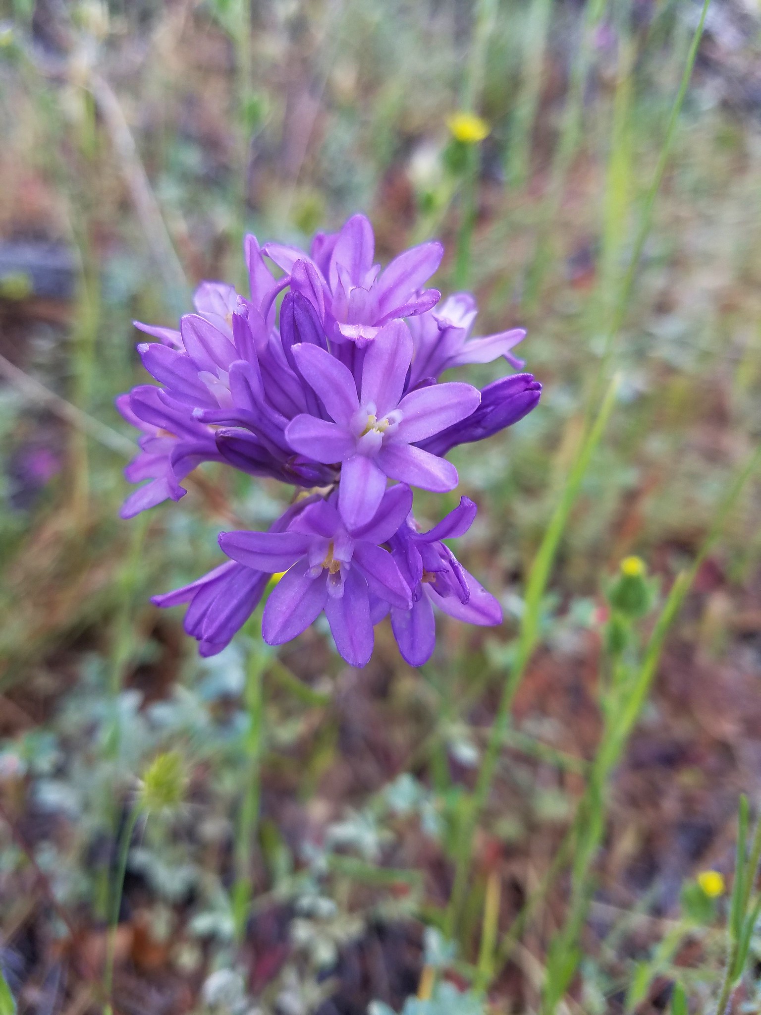
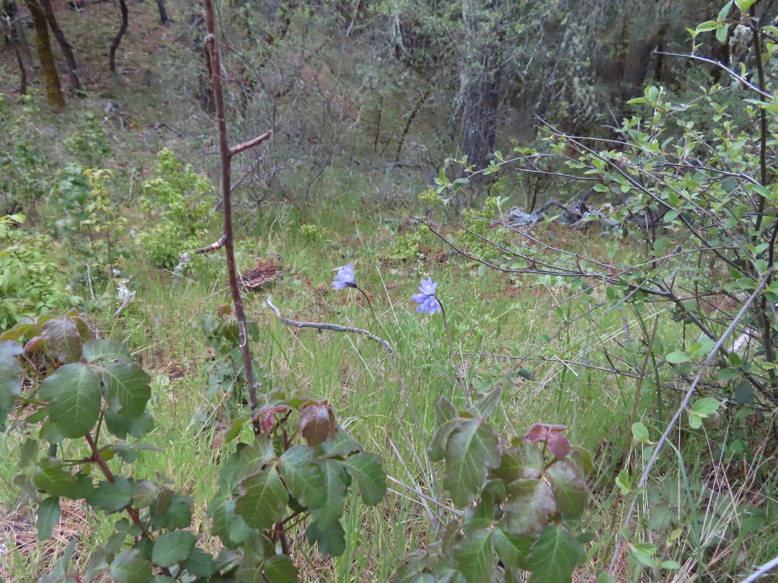 Blue dicks behind more poison oak.
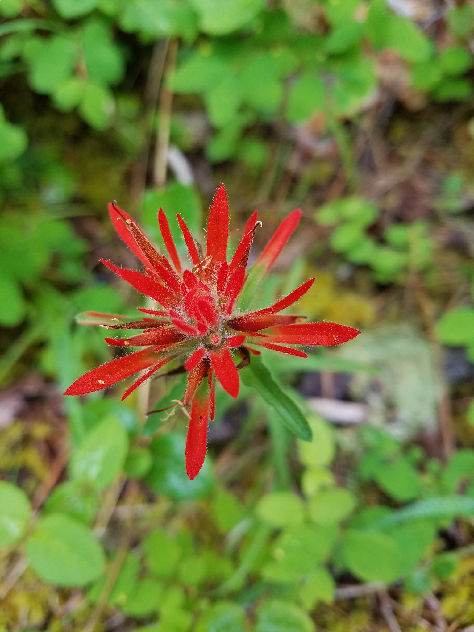
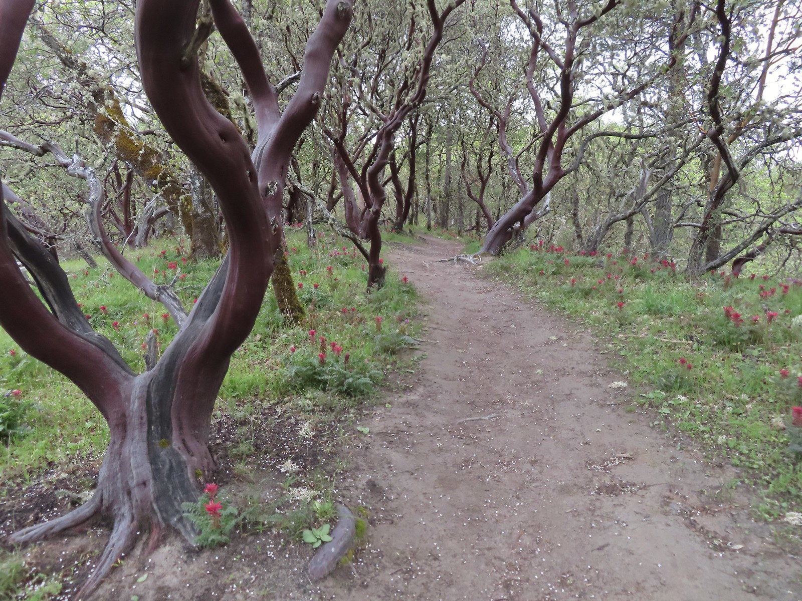
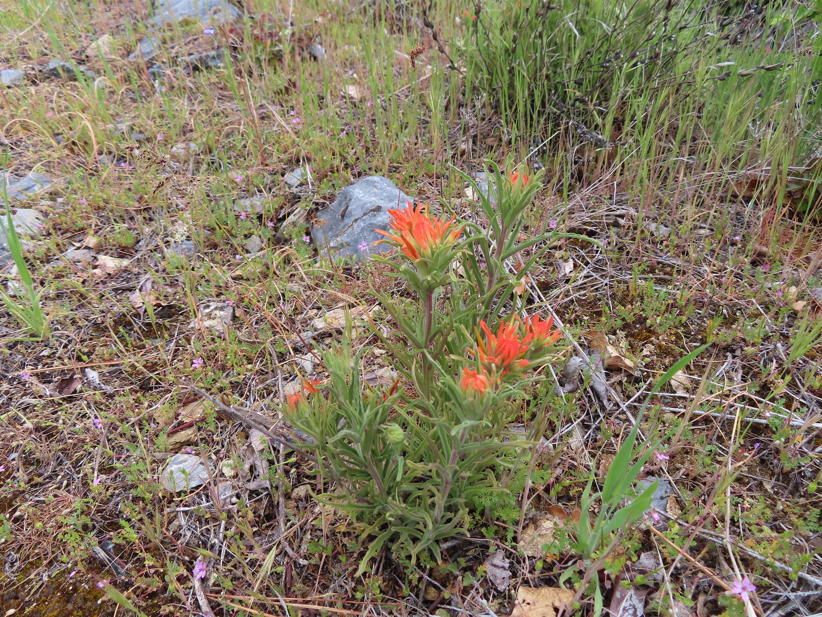
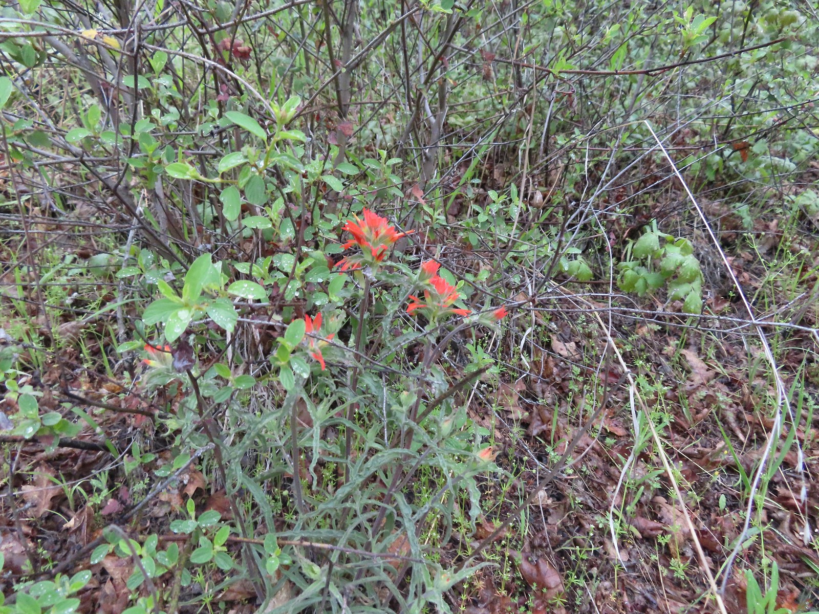 Paintbrush
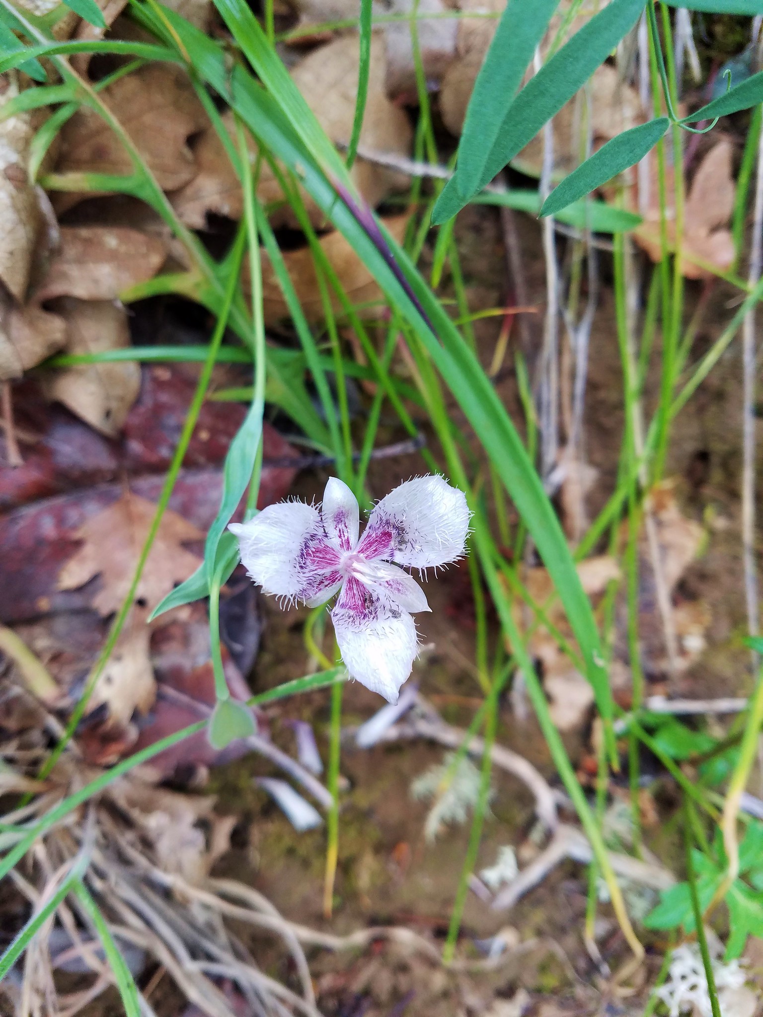
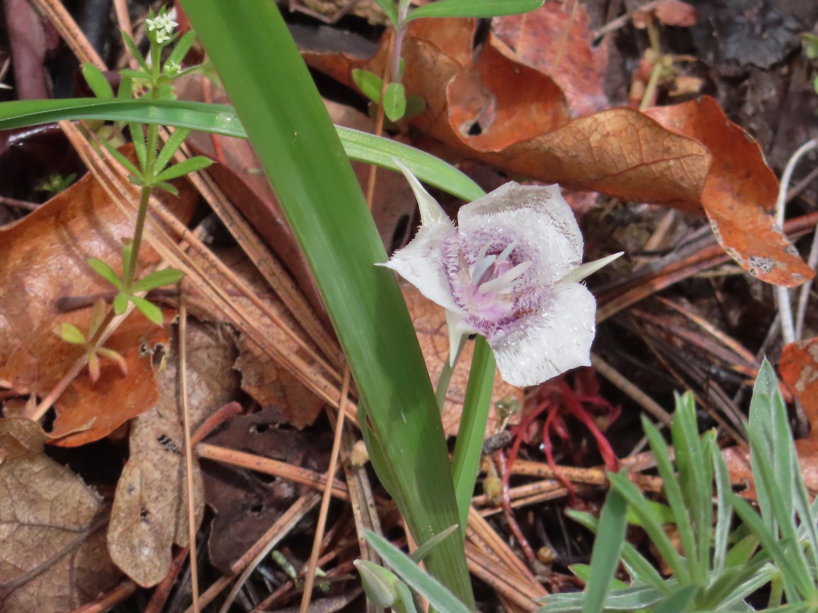
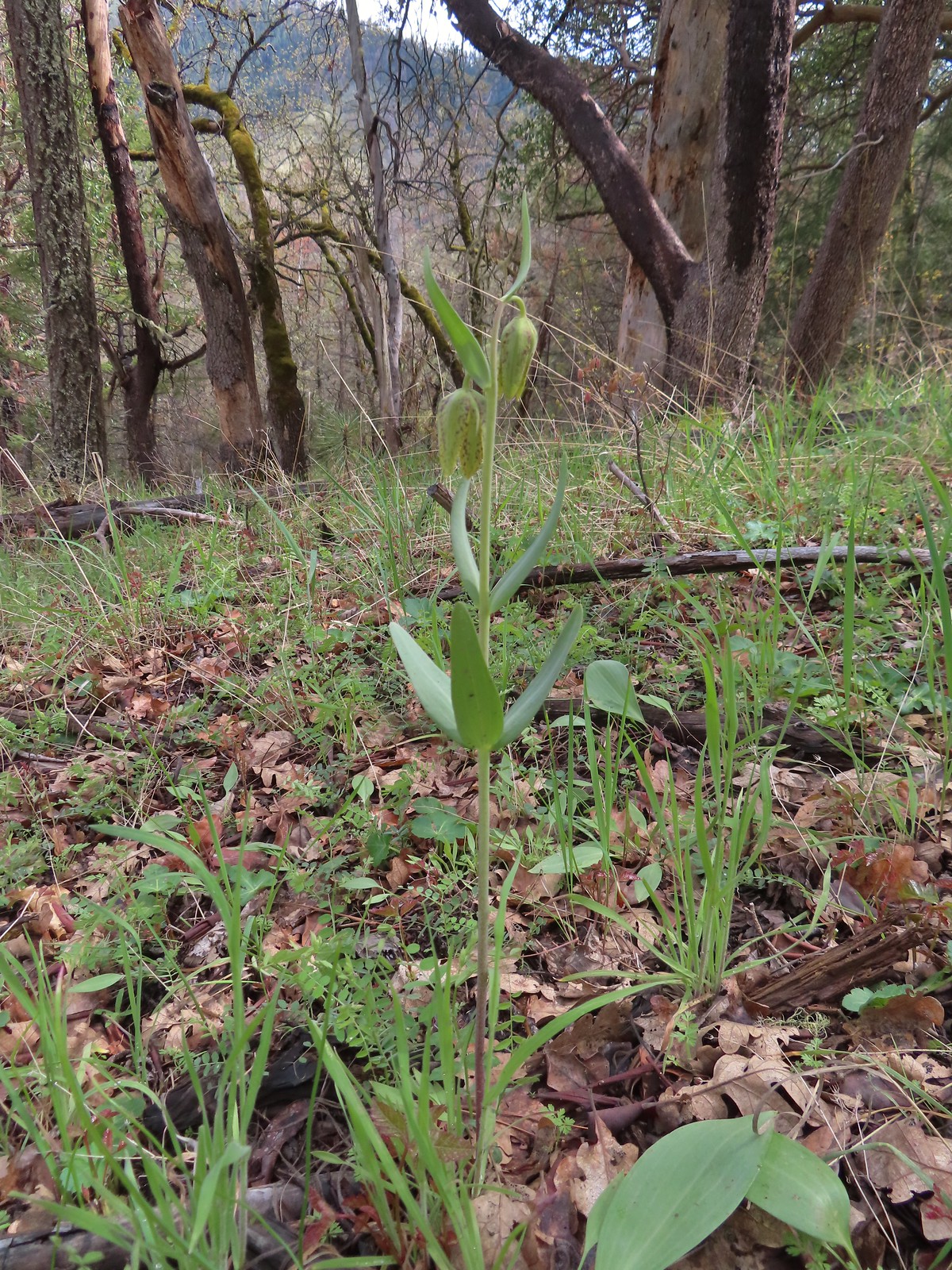
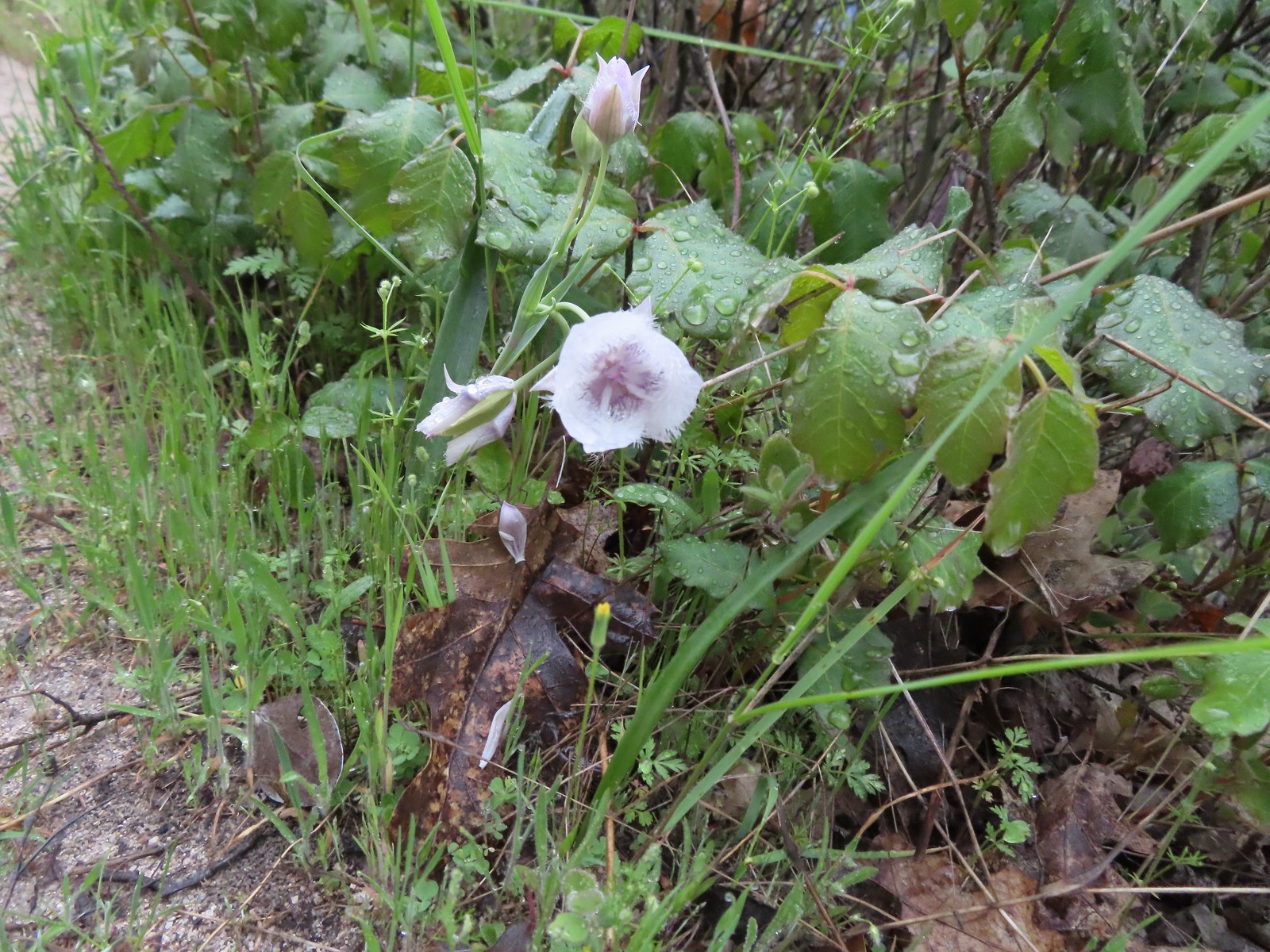 Tolmie’s mariposa lily
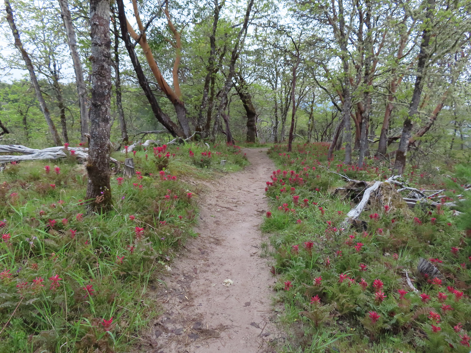
At the saddle we turned right onto the Timber Riders Trail then veered right after approximately a tenth of a mile following pointers for the Skycrest Loop.

 Henderson’s fawn lily
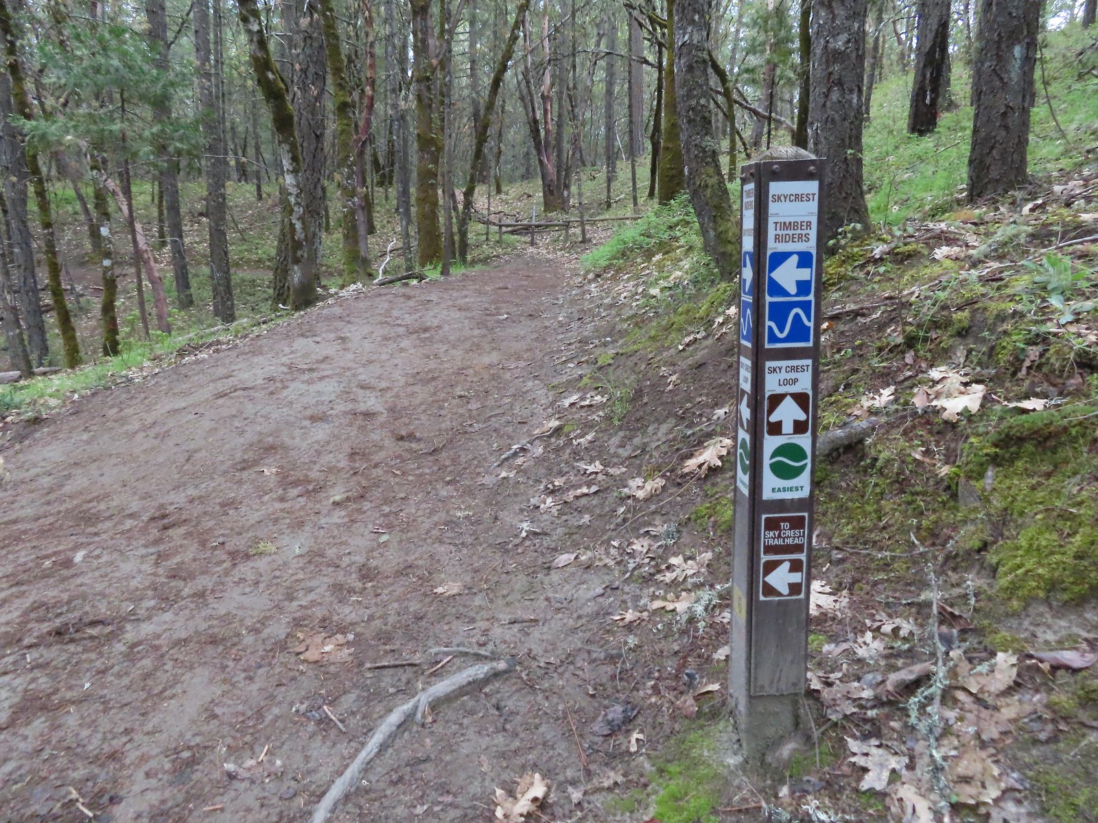 Pointer for the Skycrest Loop.
We hiked the Skycrest Loop counterclockwise. There were a few different flowers along the loop.
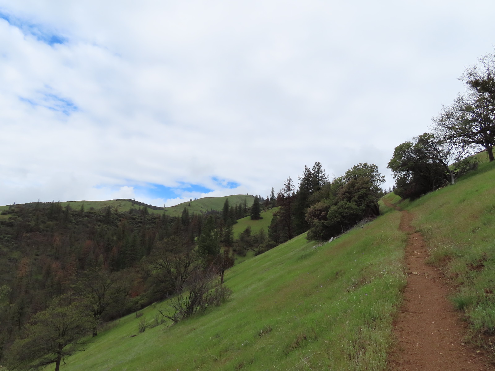
 The start of the loop.

 Skullcap (possibly Danny’s)
 Hooker’s Indian pink
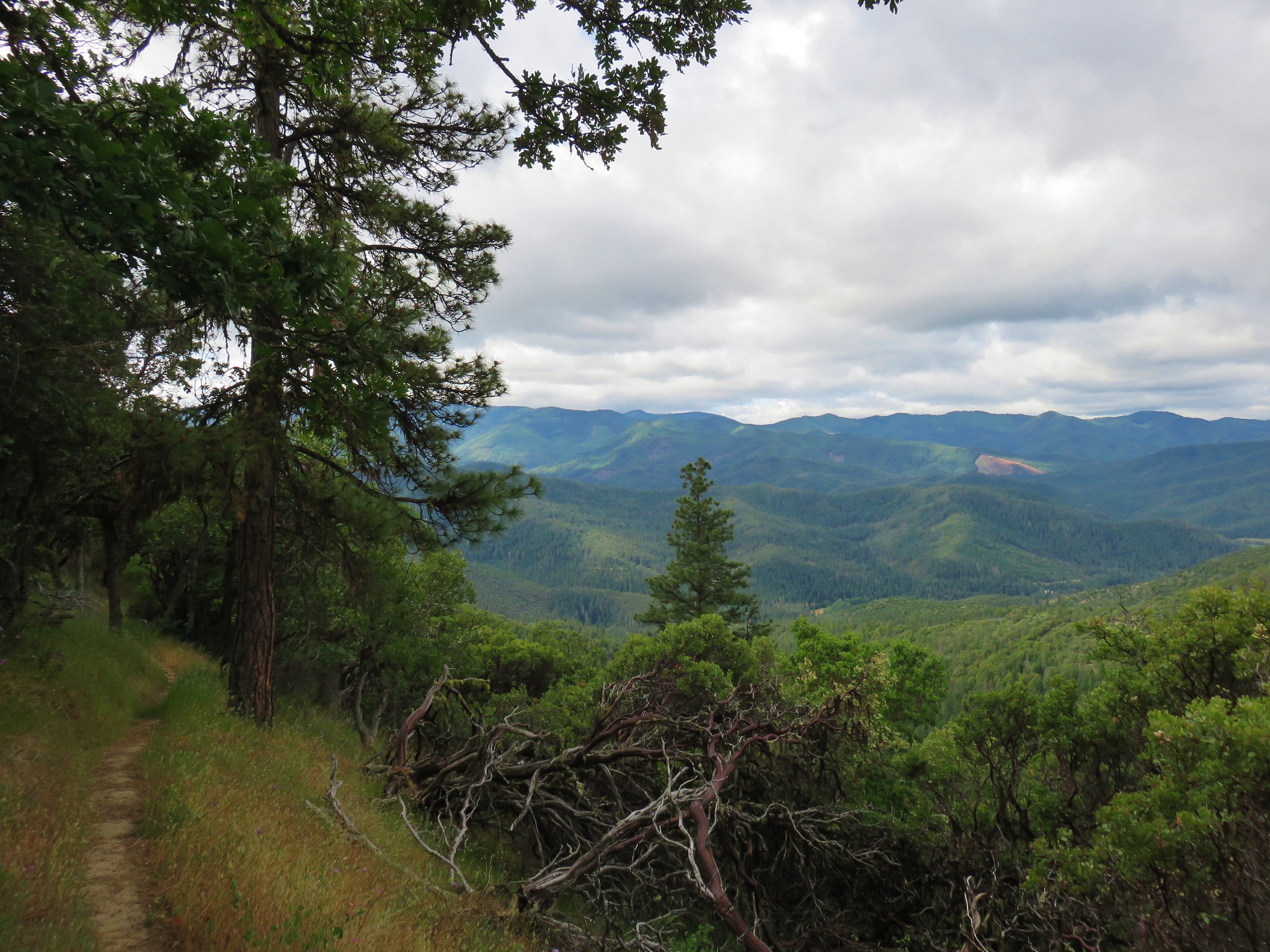
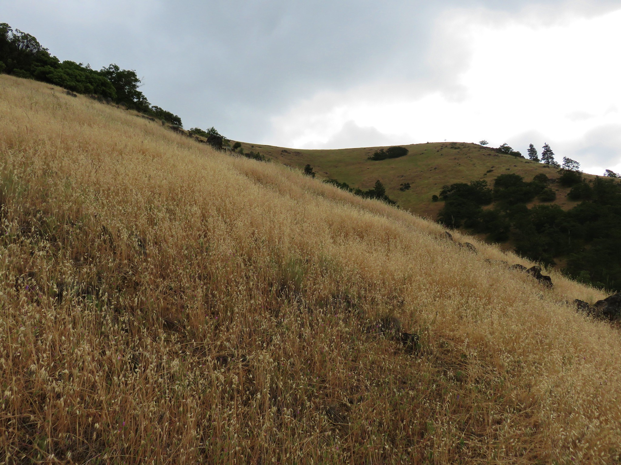
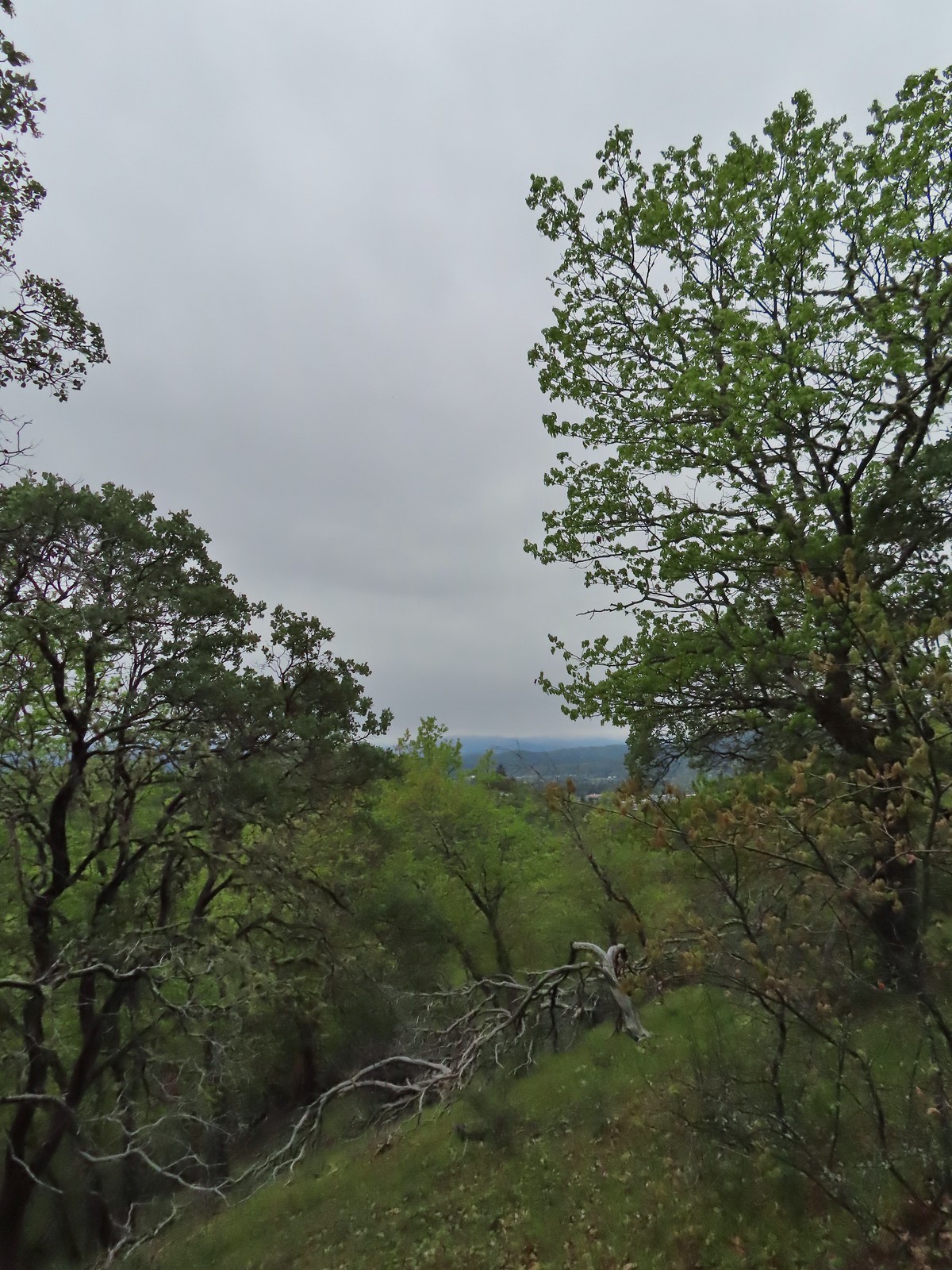
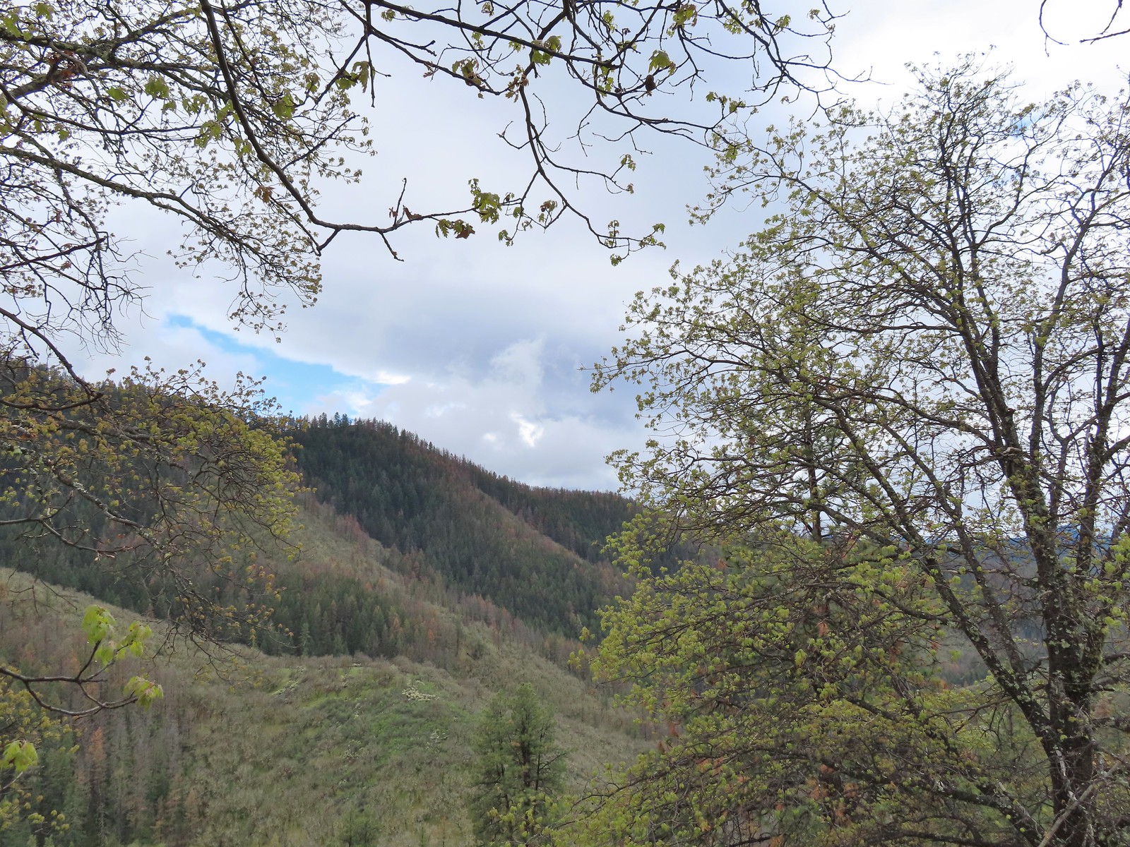
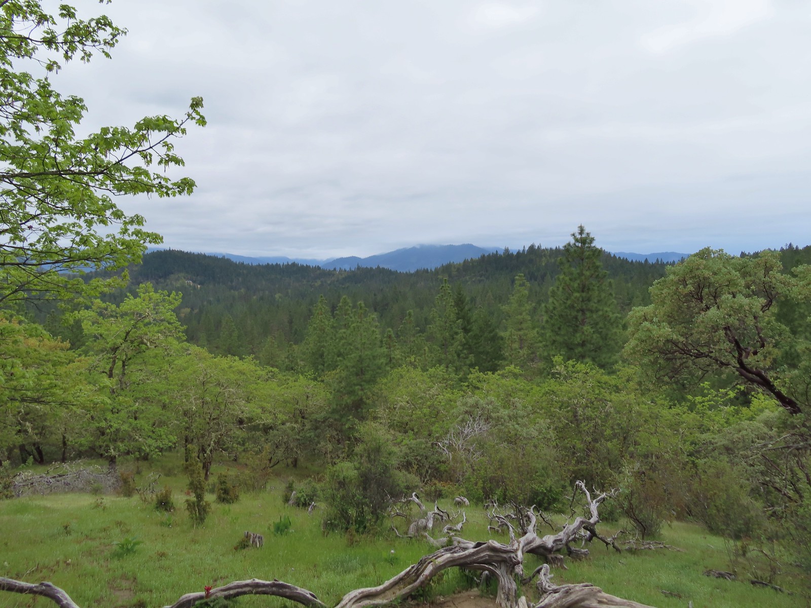 A cloudy view from the Skycrest Loop.
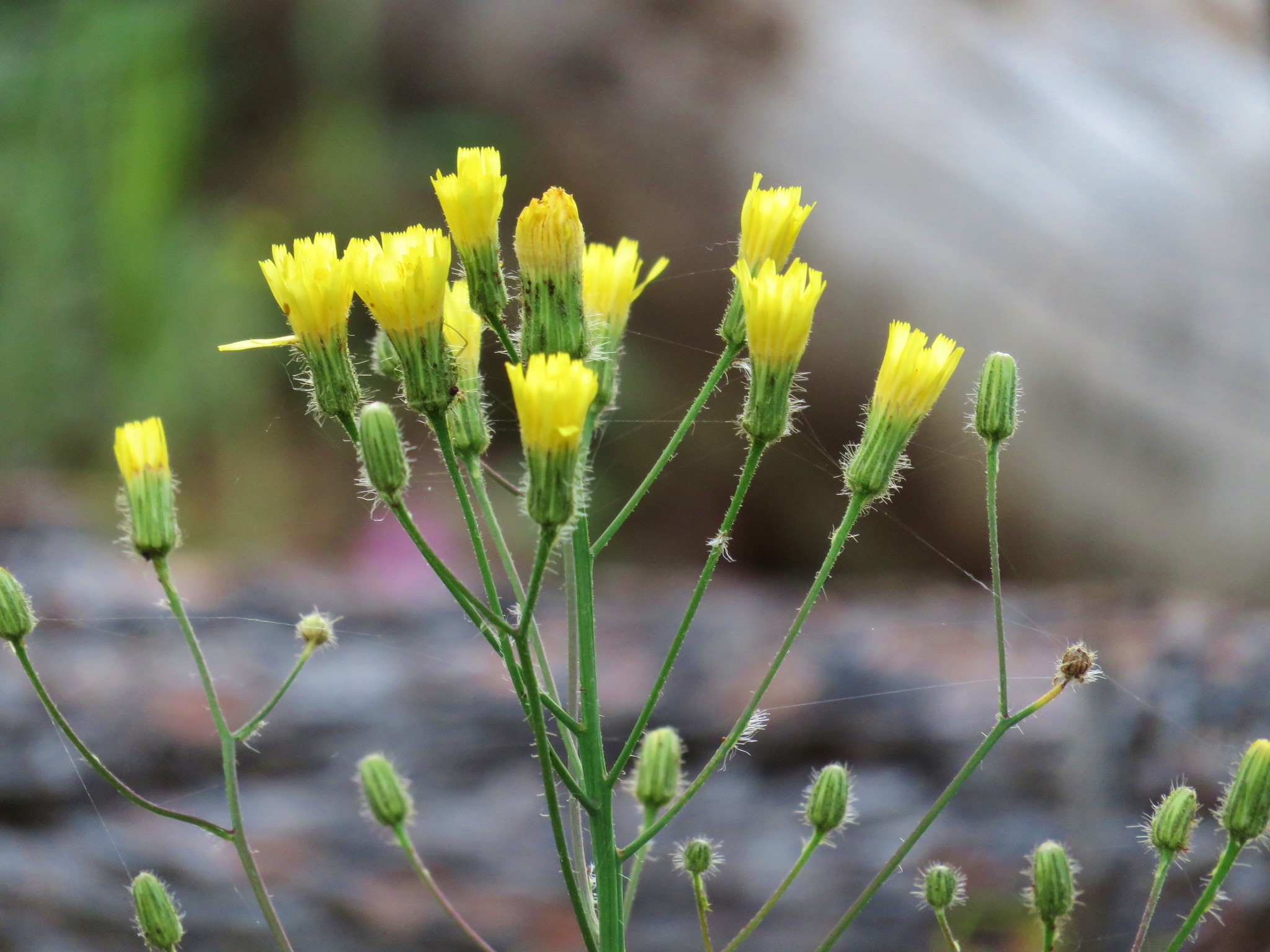
 Ragwort
 Indian warrior beneath white-leaf manzanita.
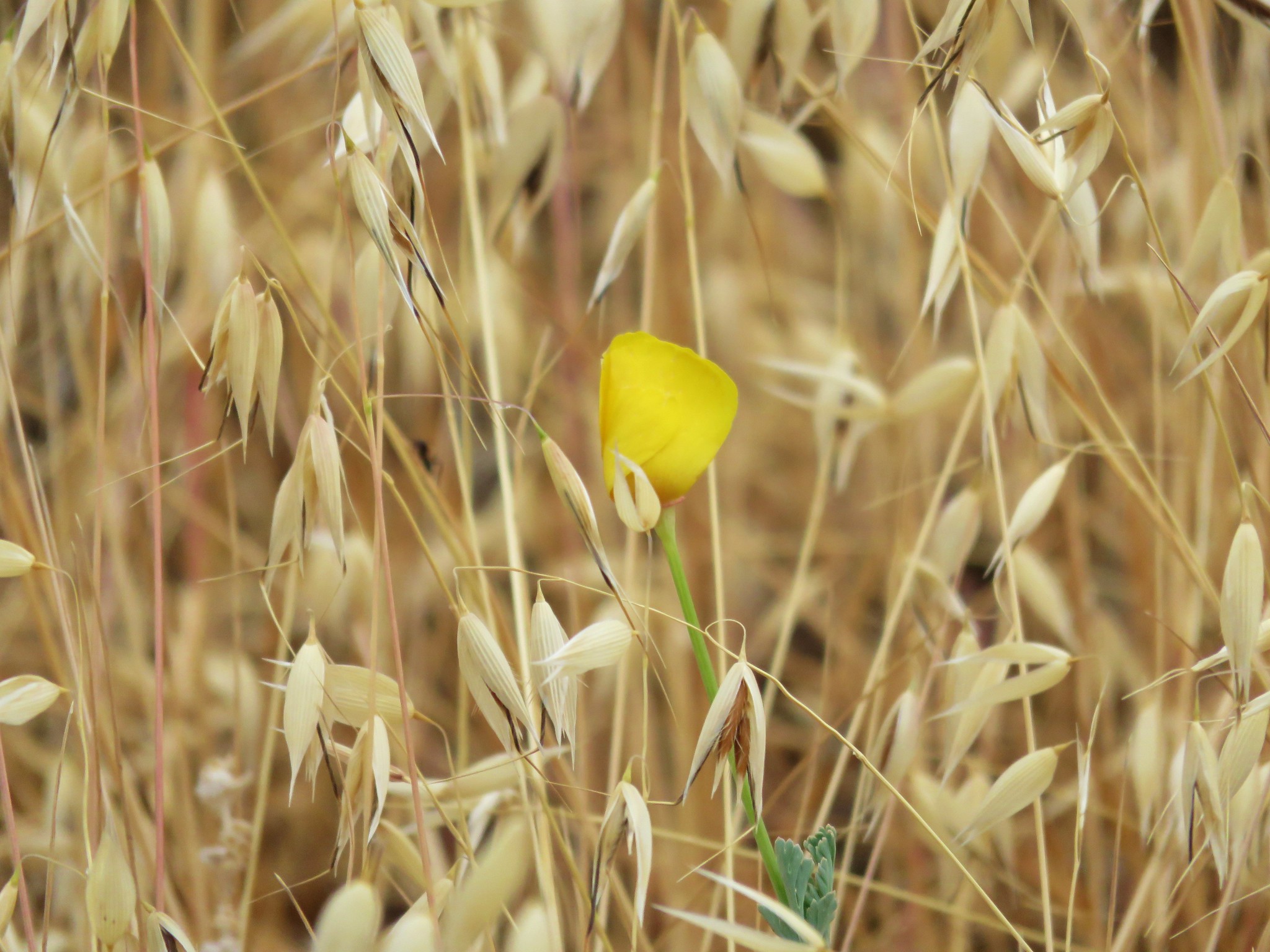
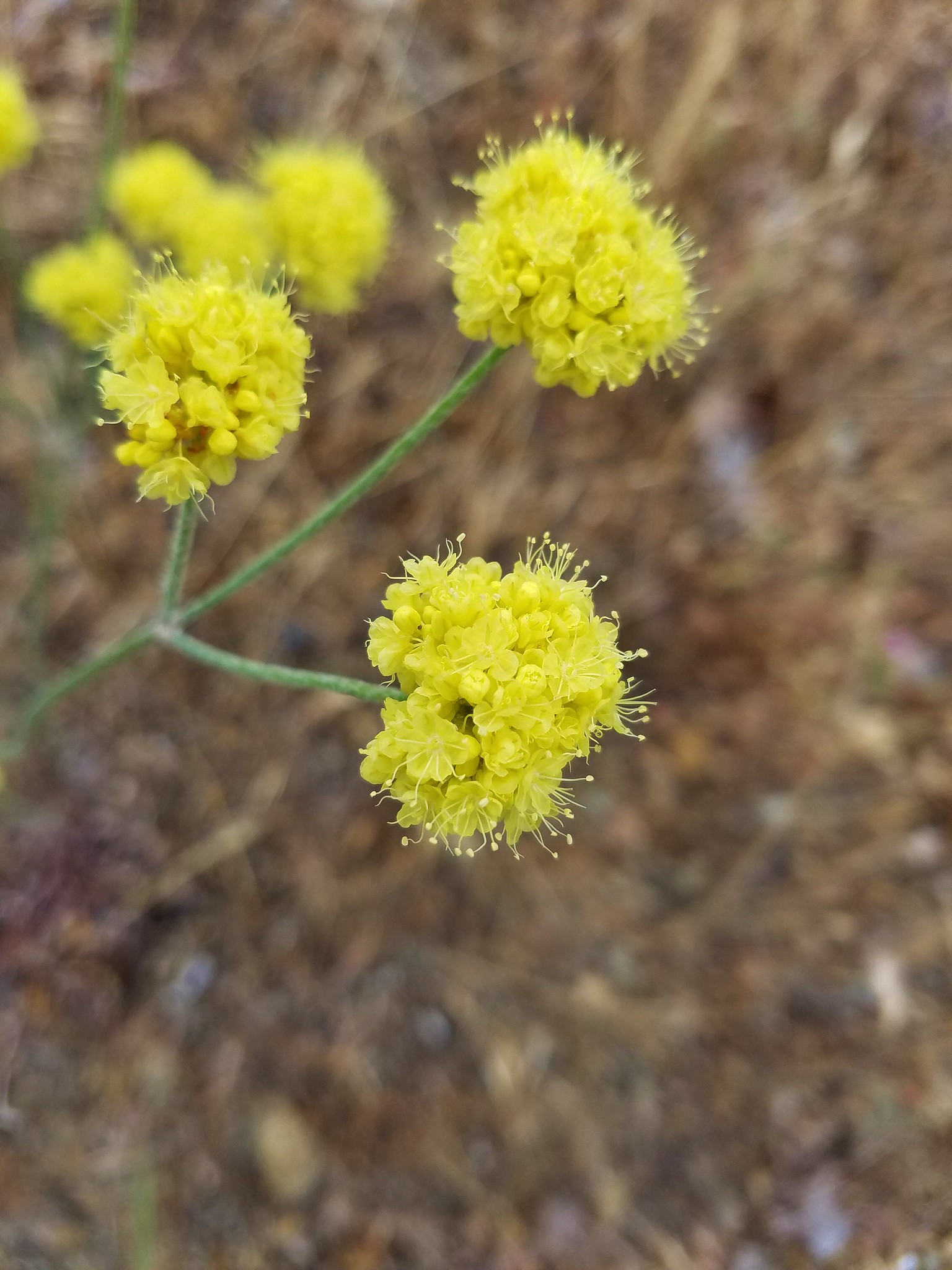
 Last of the gold stars.
 A few yellow Indian warriors.
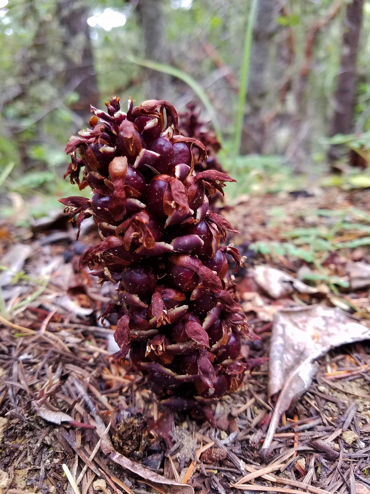
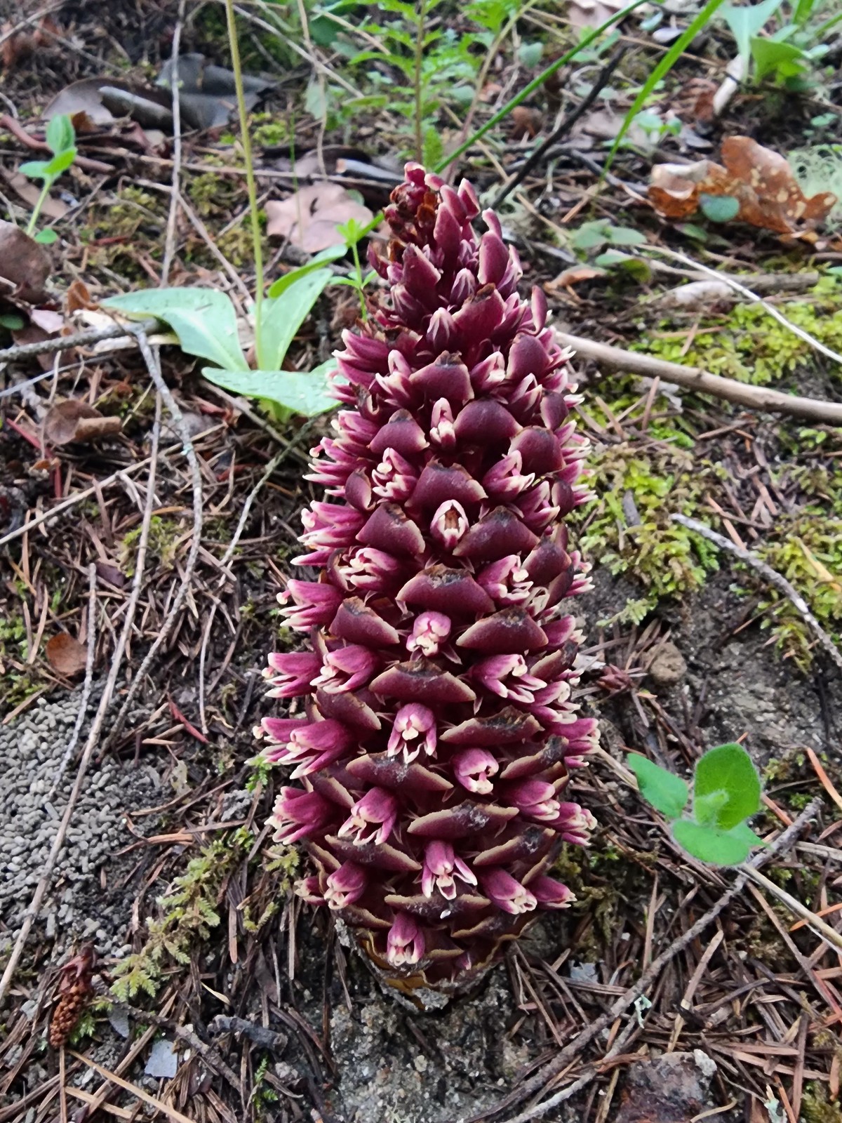 California groundcone
When we got back to the saddle and junction with the Outback Loop we got confused and wound up sticking to the Timber Riders Trail which was the furthest to the right.
 Even though it didn’t look familiar we both thought we’d come from the trail to the left earlier when in fact that was the continuation of the Outback Loop.
We followed the Timber Riders Trail for 0.9-miles thinking we were on the Outback Loop then we came to a junction with said loop and realized our mistake (after looking at the map). It had started raining at some point along this stretch and as a bonus a thunderstorm was heading our way.
 Rain clouds in the sky.
 Trail marker along the Outback Loop.
We turned right back onto the Outback Loop and picked up our pace a bit. We did decide to stick with the plan of detouring onto the Ponderosa Pine Trail in hopes of seeing a 117′ tall knobcone pine that is registered as the largest in the U.S. We turned right onto the Ponderosa Pine Trail but a combination of heavy rain, increasingly close lightning, and no signage for the tree caused us to miss it entirely.
 Turning onto the Ponderosa Pine Trail
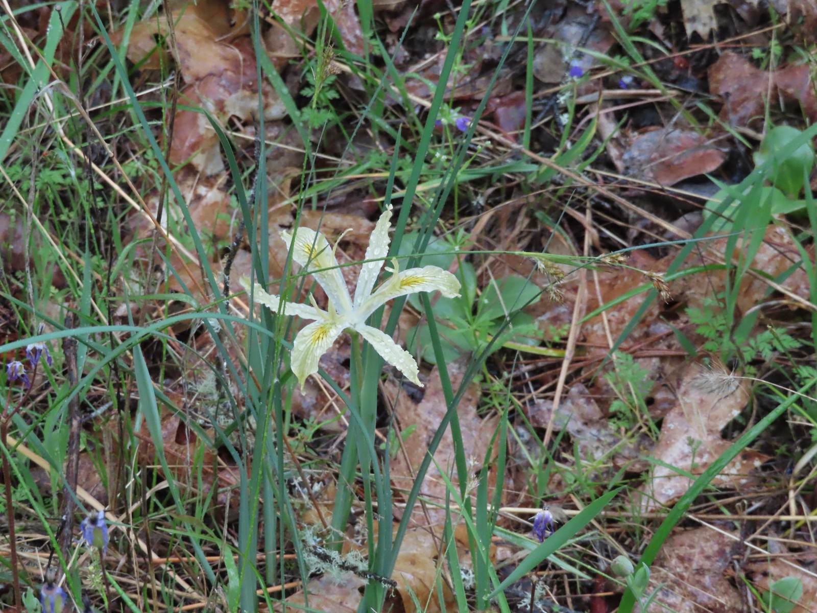 Iris
Iris
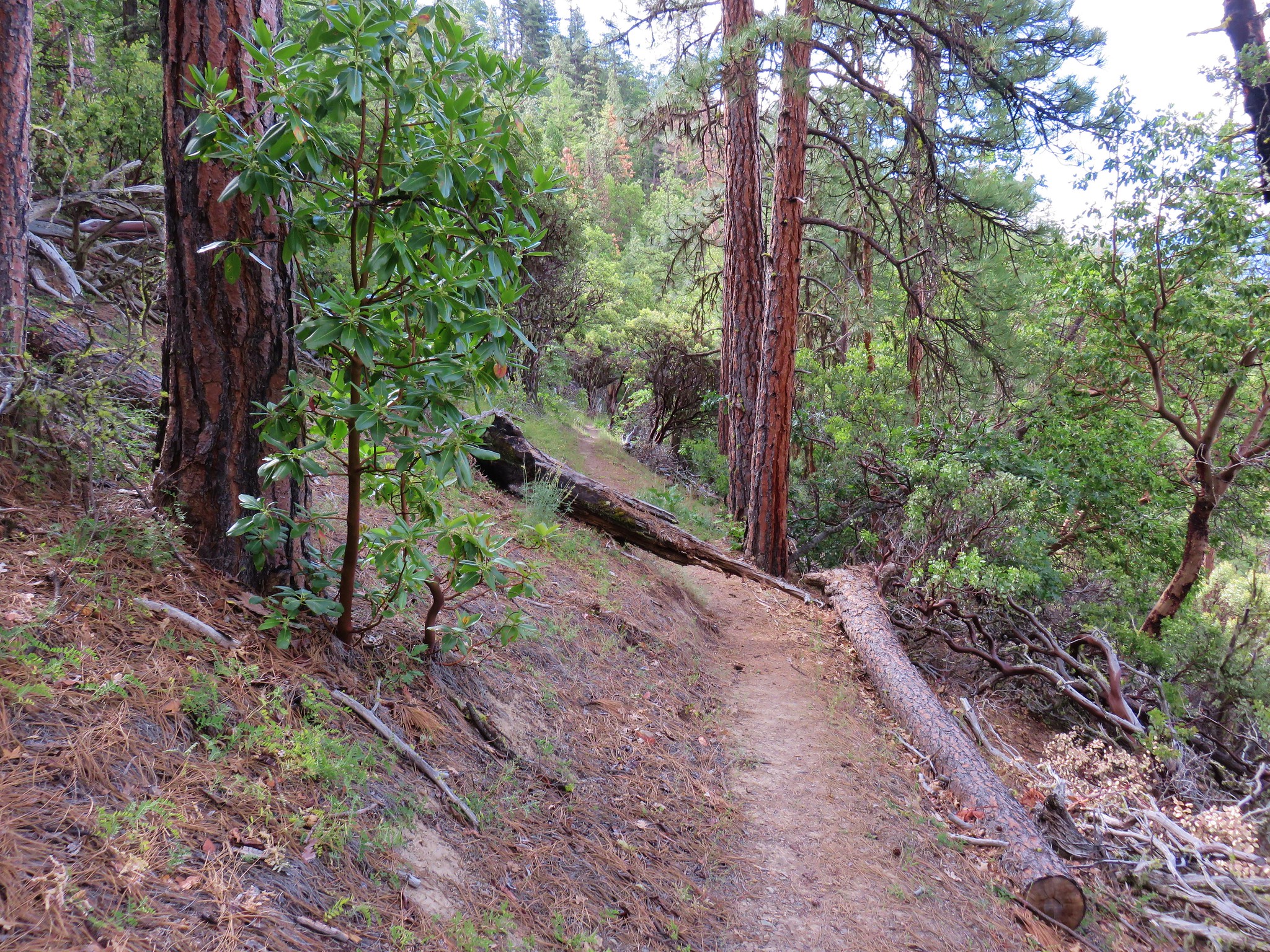
 Ponderosa Pine Trail
 Back onto the Outback Loop.
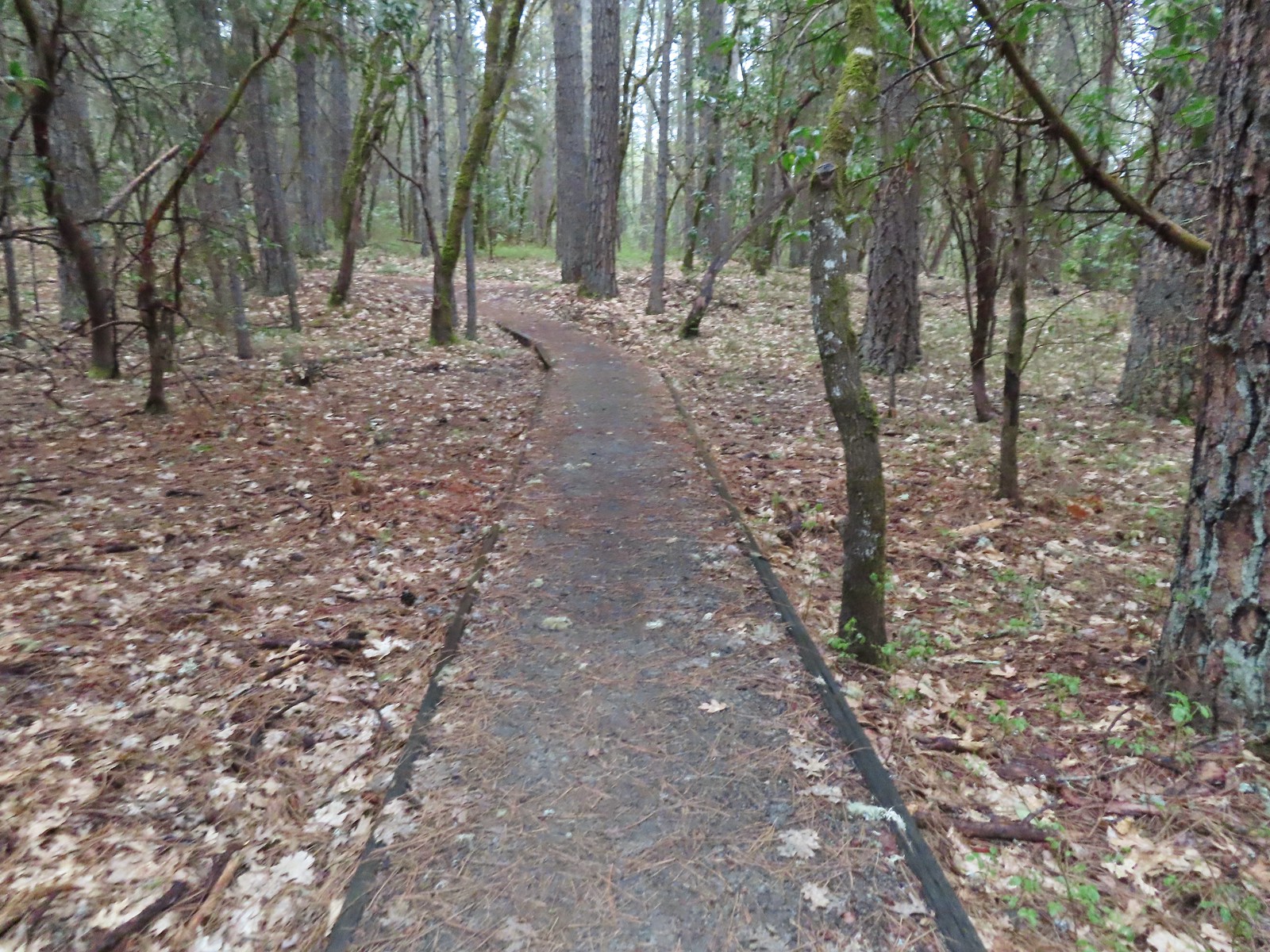
Once we’d turned right onto the Outback Loop it was just over three quarters of a mile back to the Espey Trailhead. We were pretty well drenched by this point (we hadn’t put our rain gear on, just our pack covers) and hustled our way back to the car.
 Quite a bit more water on the trail as we finished up.
In the end our hike here came to 5.4 miles with about 450′ of cumulative elevation gain.

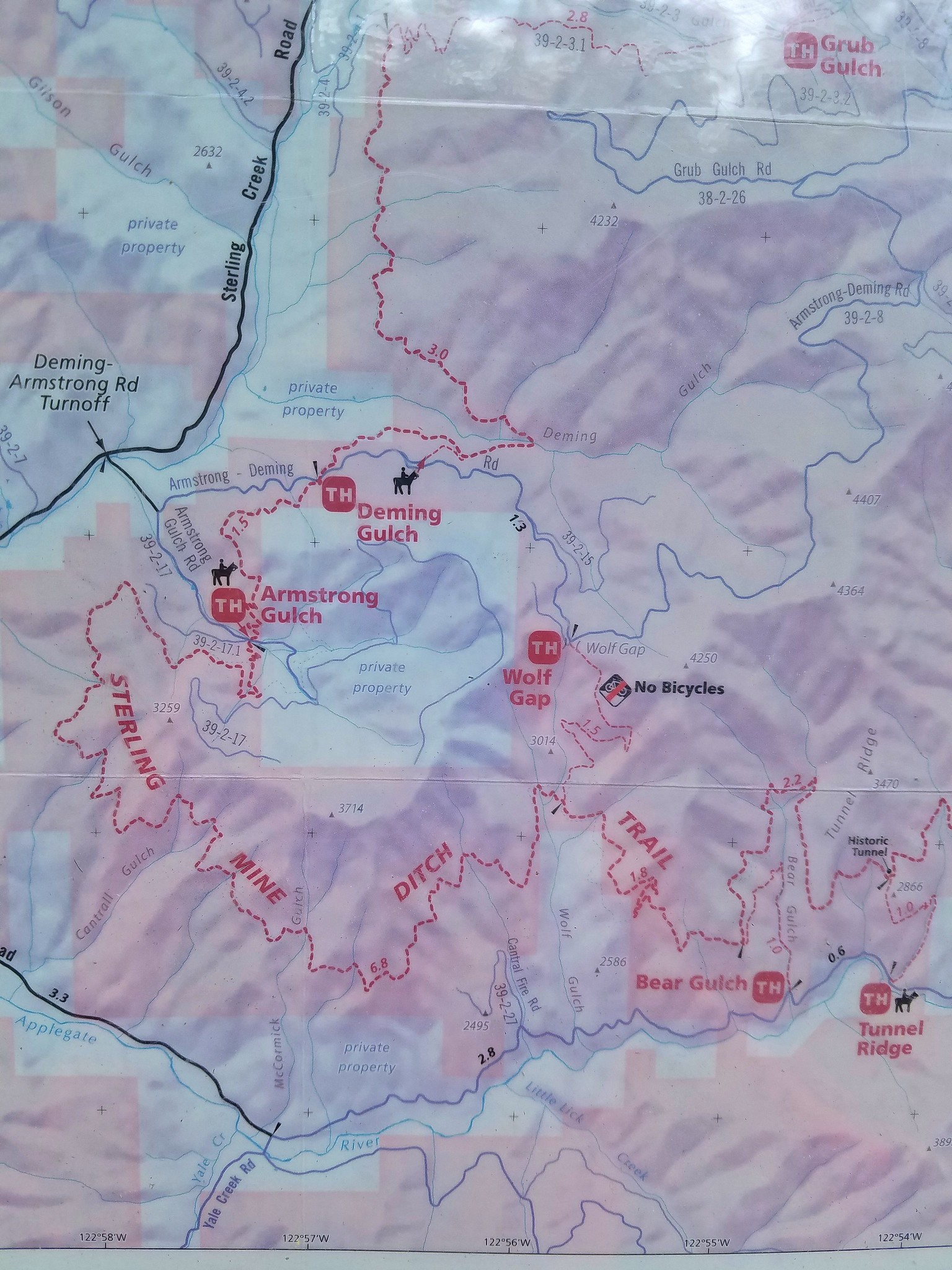
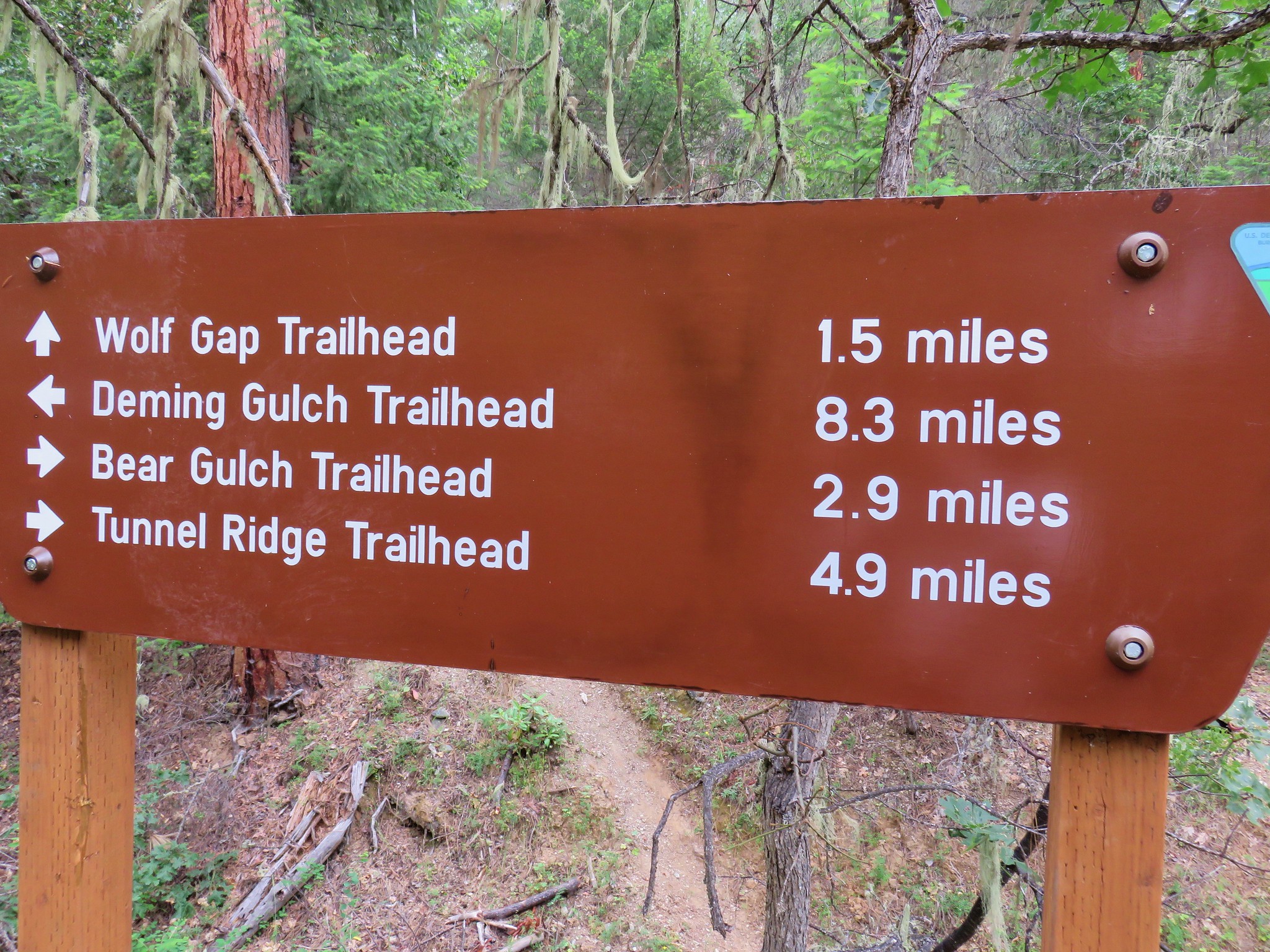
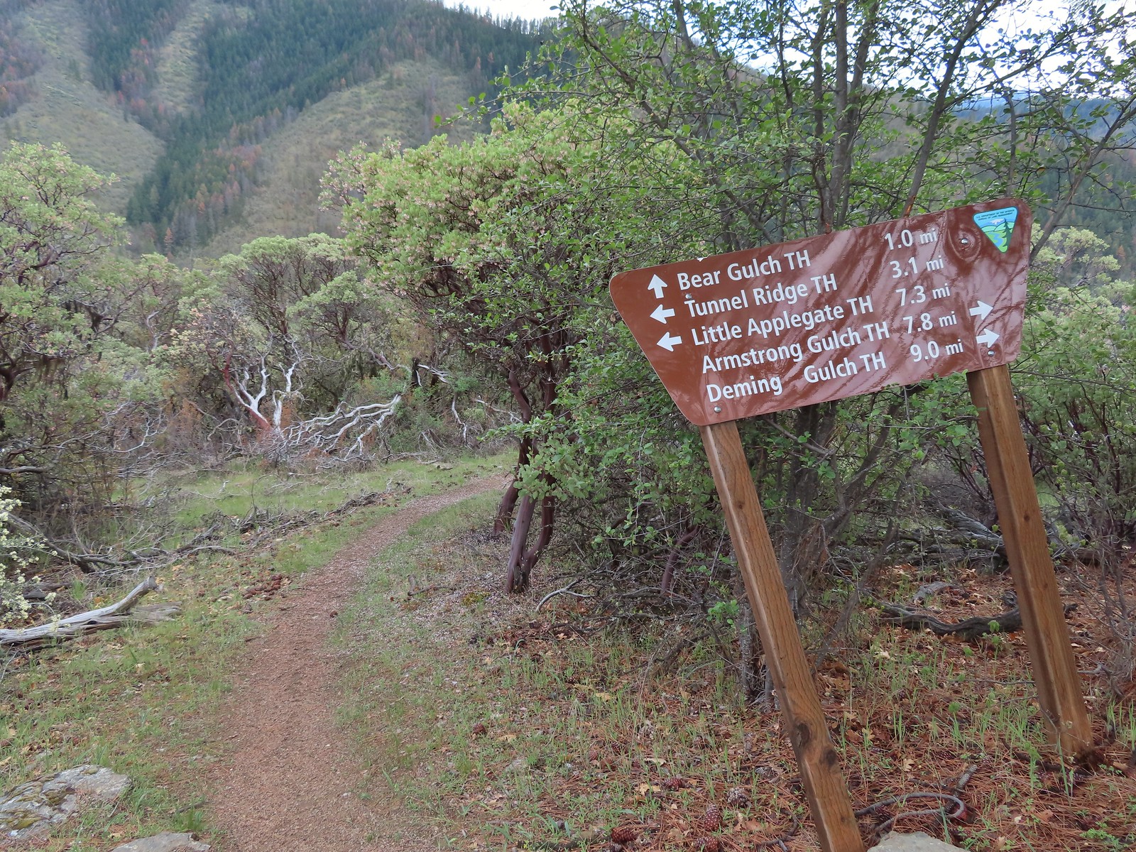
We decided to retreat back to our cabin and wait out the weather. We put our wet clothes in the dryer and relaxed for a bit until things began to clear up. A little after 11:30 that happened, and we headed back out with dry clothing and shoes. For our second hike of the day we were tying up a bit of a loose end on a featured hike that we’d already checked off as done, the Sterling Ditch Tunnel. In June 2017 we had done an 11.8-mile loop starting from the Deming Gulch Trailhead. (post) We had counted that toward the featured hike, but it was actually part of the “Other Options” for the entry. In most cases the other options include part of the main hike and so we count those but, in this case, none of that previous loop was part of the 4.8-mile loop that is featured.
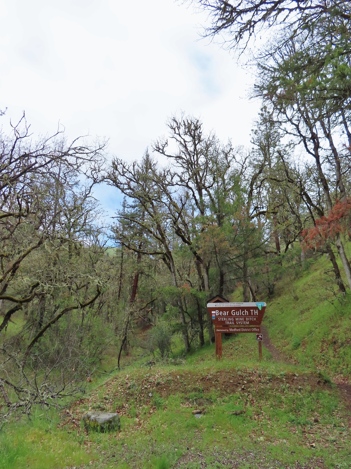
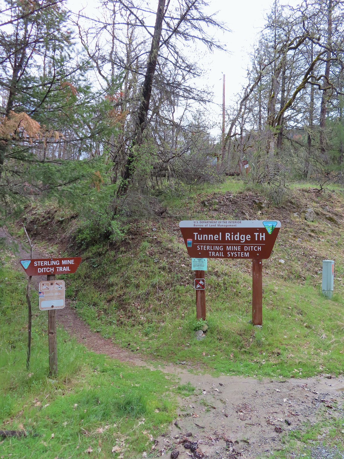
The featured loop Sullivan describes begins at the Tunnel Ridge Trailhead, passes by the Sterling Mine Ditch Tunnel, and ends with a 0.6-mile road walk between the Bear Gulch and Tunnel Ridge Trailheads. When road walks are involved, Sullivan tends to end the hike with them, but we prefer to start with the less exciting road walk so we opted to start at the Bear Gulch Trailhead instead. (There is less parking available at Bear Gulch so on busier days parking here might not be an option.)
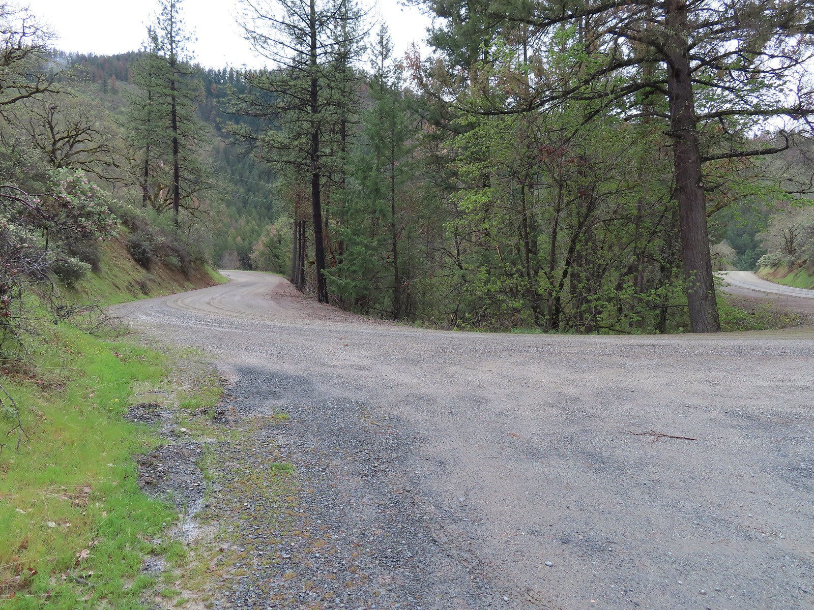
The road walk was pleasant as road walks go and we soon found ourselves at the Tunnel Ridge Trailhead.
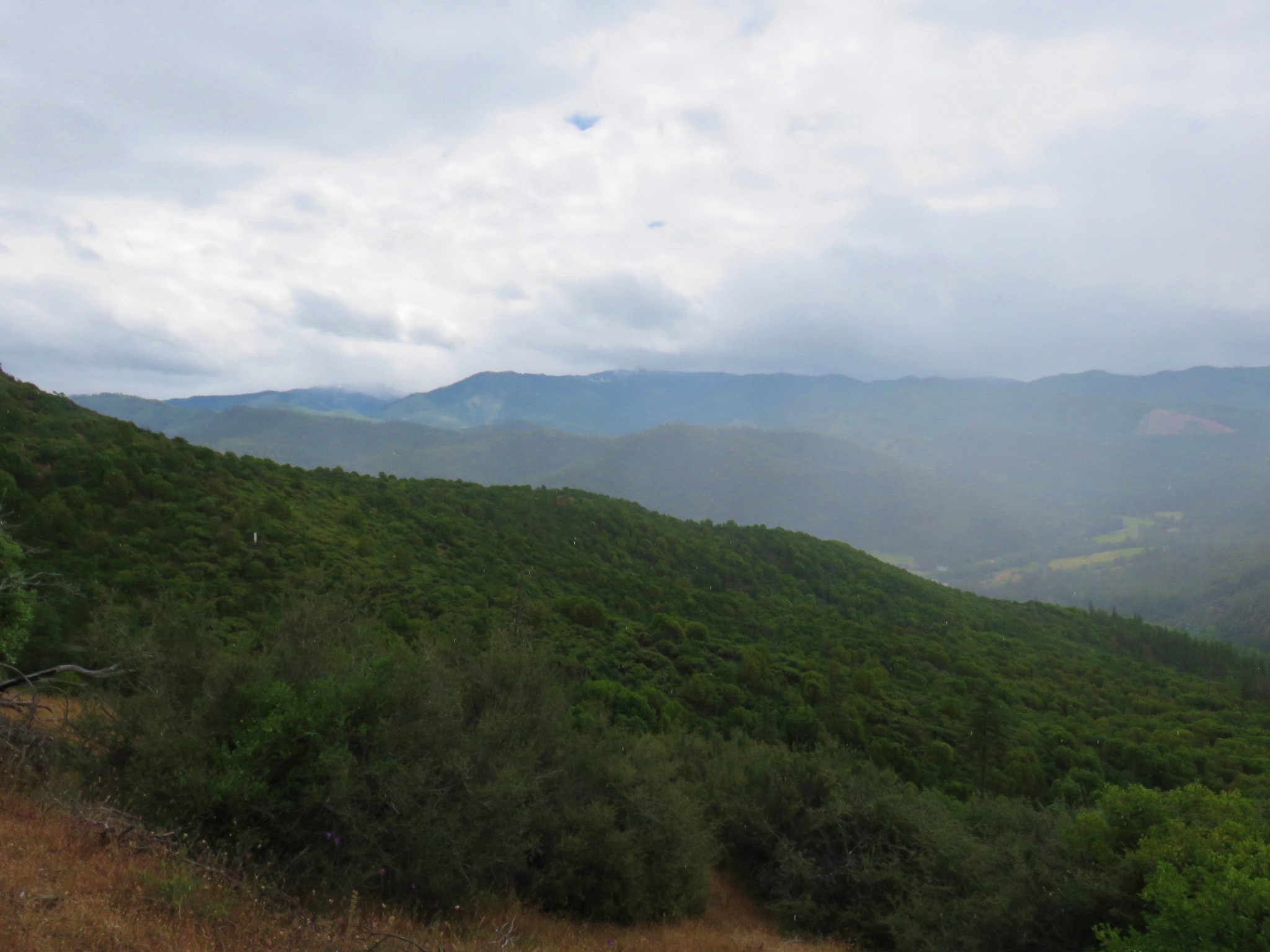
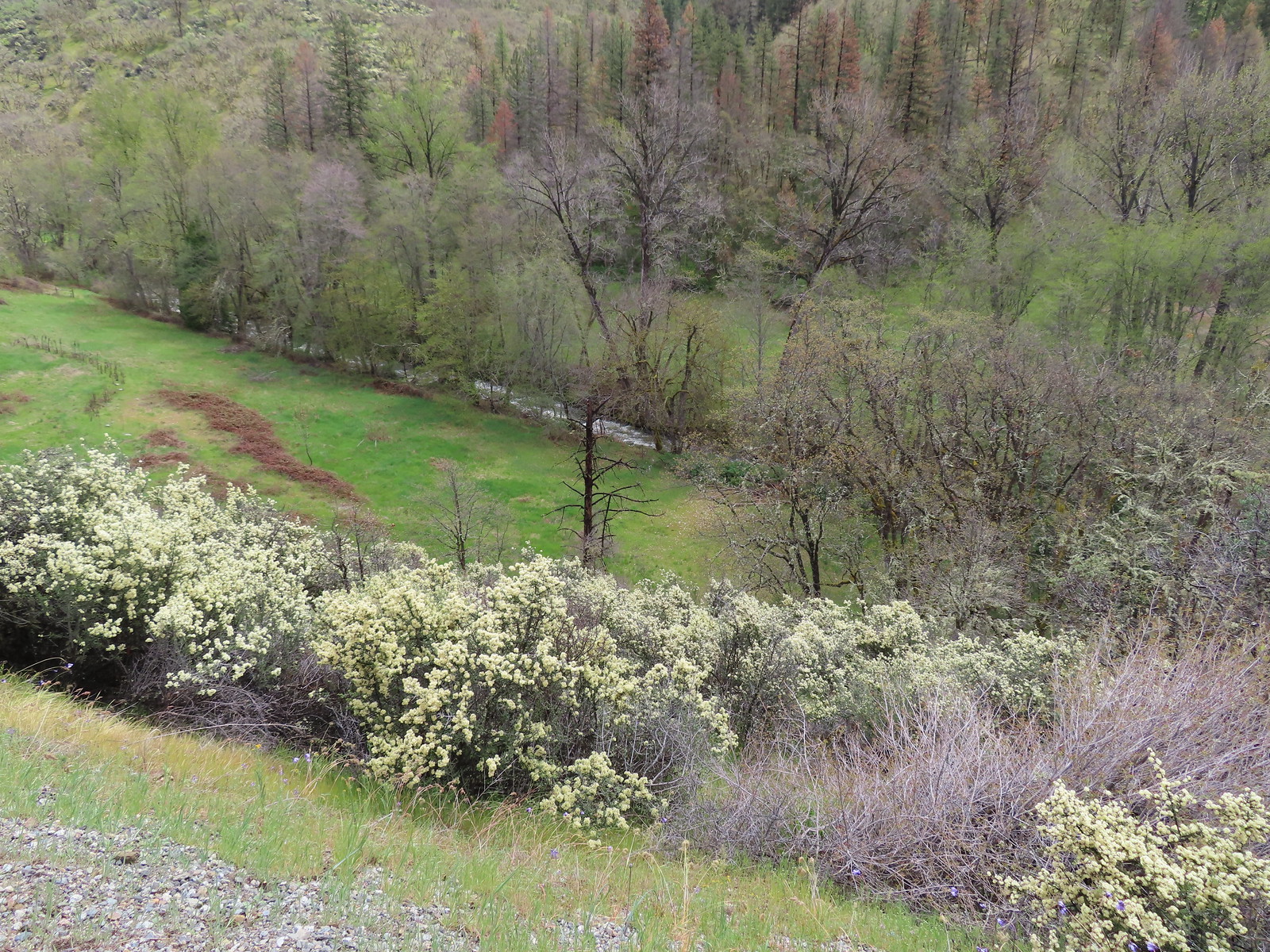
 View from the Bear Gulch Trailhead of Little Applegate Road.

 The Little Applegate River
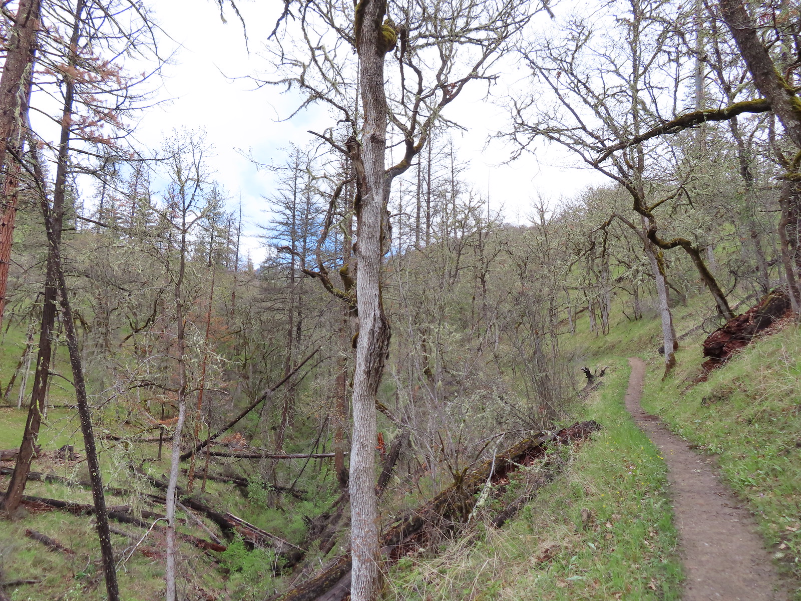
The trail climbed gradually for a mile gaining a little over 500′ to a junction on a saddle.
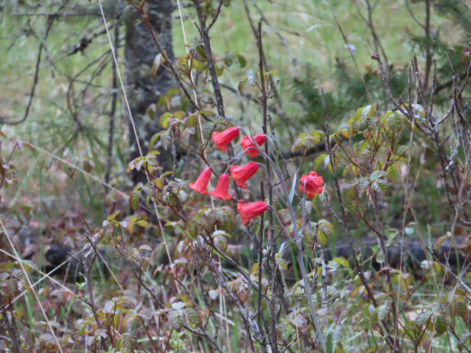
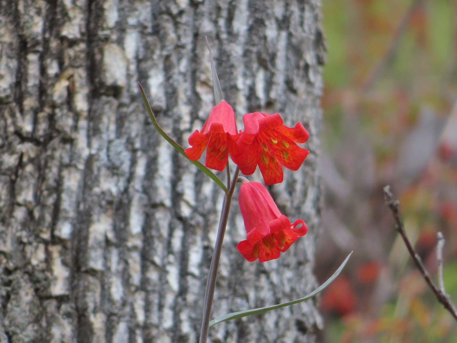 Scarlet fritillary
 Houdnstongue and a pacific waterleaf (white flower under a big leaf to the left of the houndstongue).

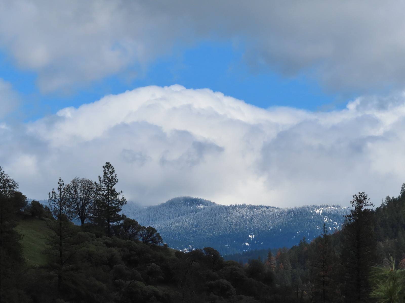
 A snowy Wagner Butte (post).
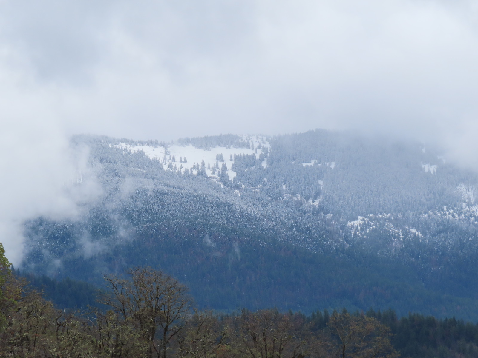 Based on the trees it looked like the thunderstorm provided some fresh snow at higher elevations.
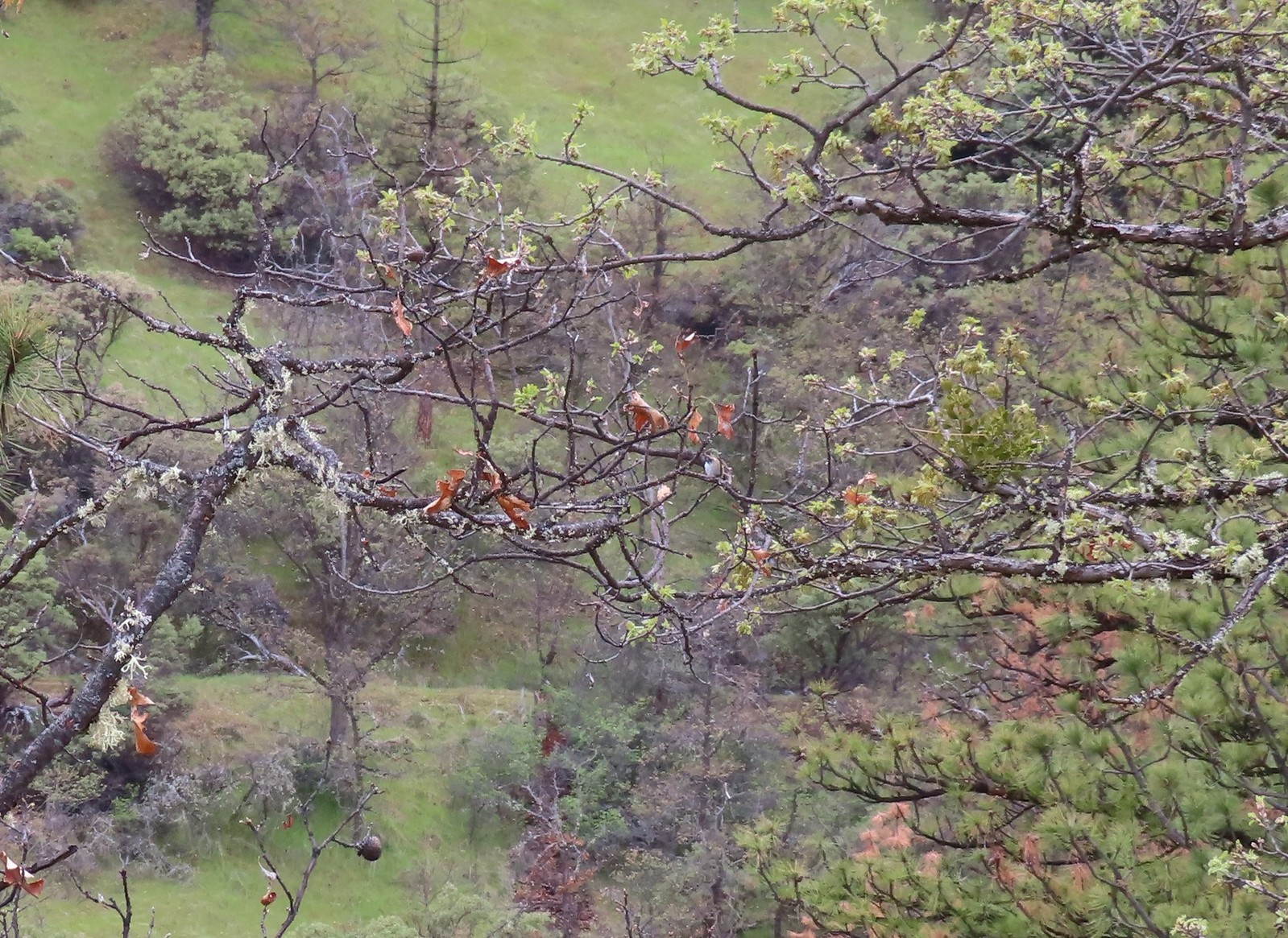
 Couldn’t really get a good picture but this might be a bushtit.
 There were a couple of nice benches along the trails here.
 Some of the view from the bench.

 Manzanita
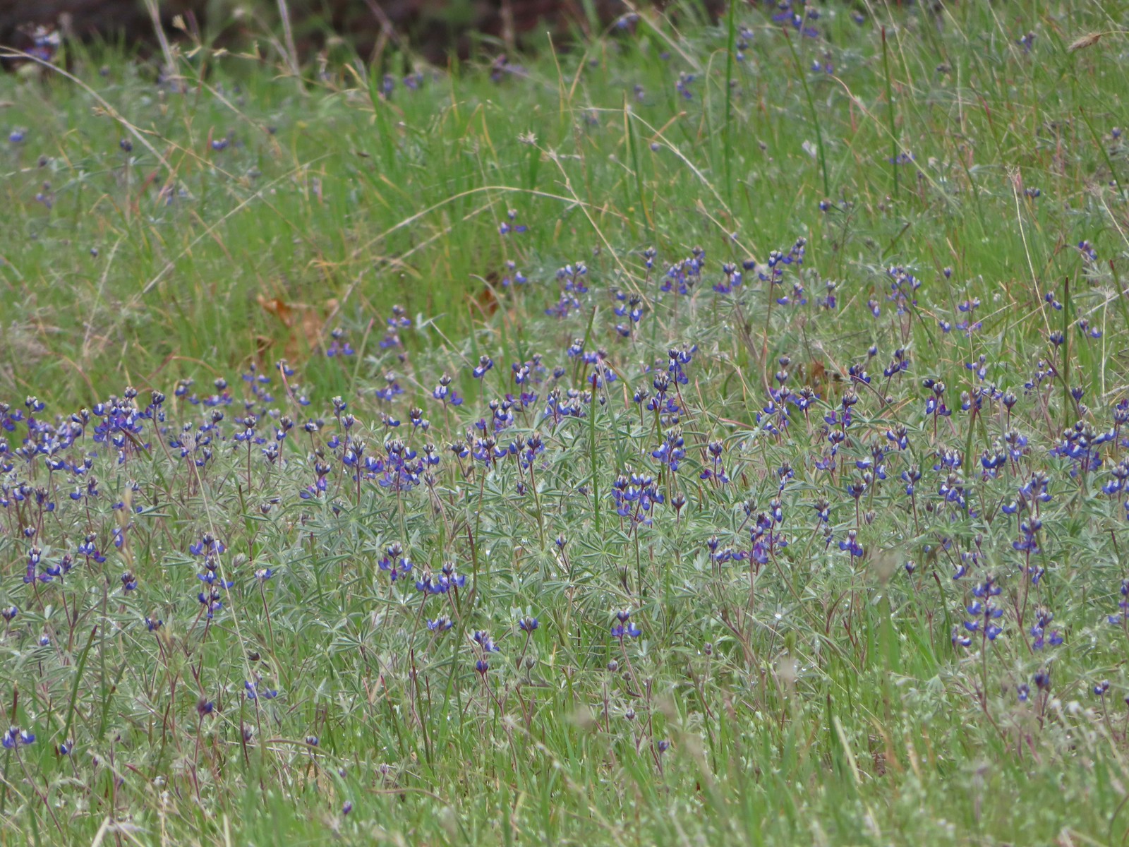 Lupine
 There is a hummingbird in the center on a branch.
 At the saddle a faint trail continued straight ahead toward the Little Applegate Trailhead. It didn’t appear to get much use.
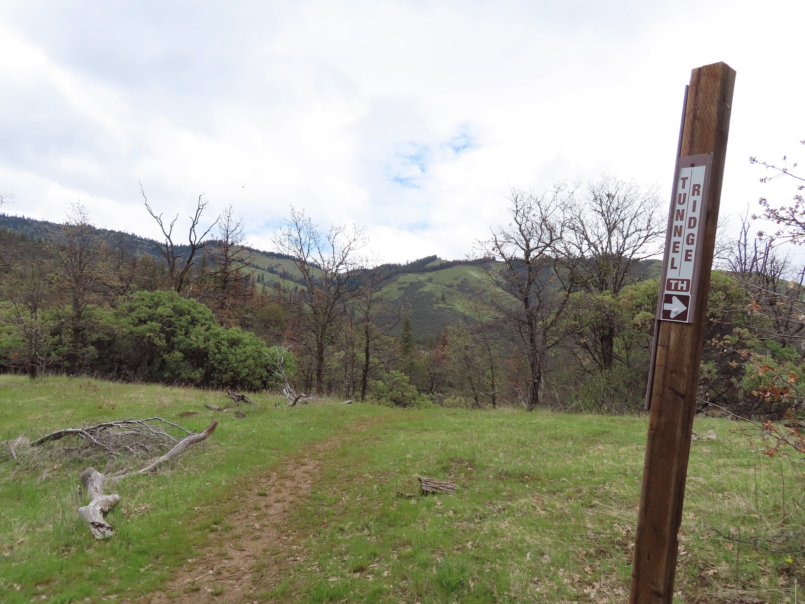
 Trail sign at the junction.
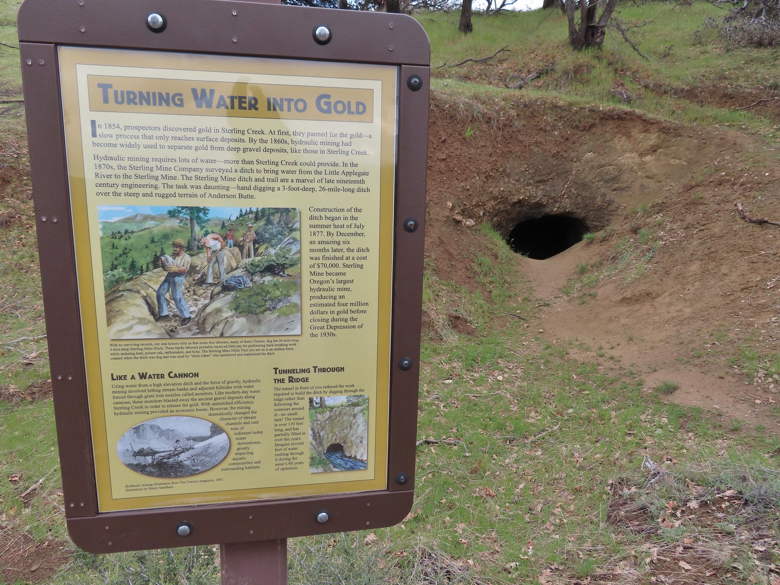
We followed the pointer for Bear Gulch and quickly found ourselves at the tunnel. Built in 1877 the tunnel is part of a 26-mile long ditch used to divert water from the Little Applegate River to the Sterling Gold Mine.
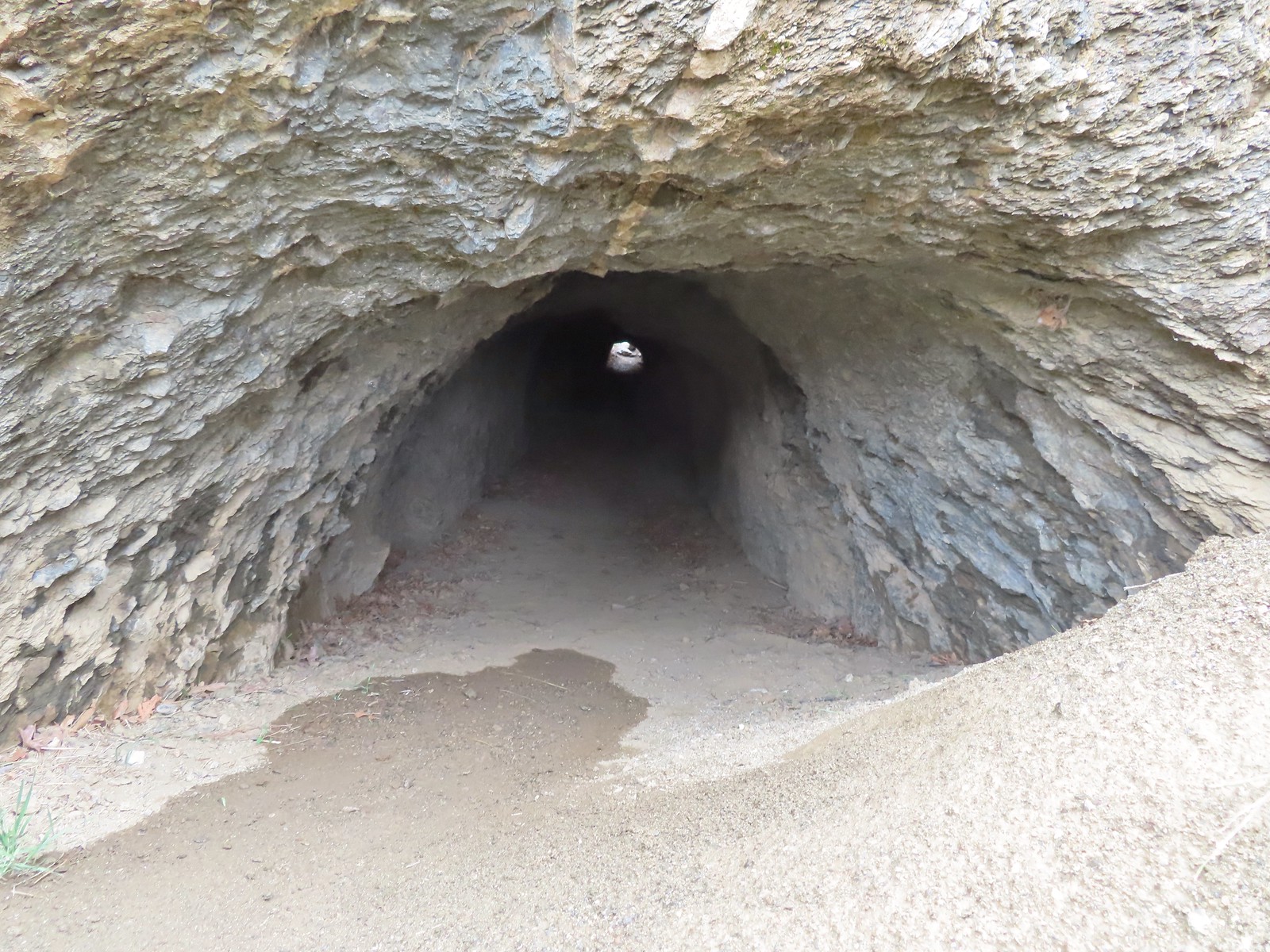
 I had to get a closer look.
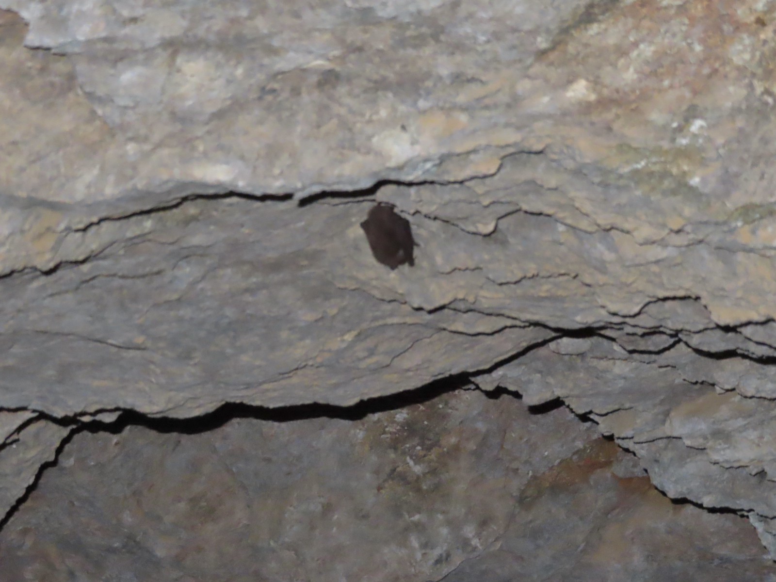 I didn’t go all the way through so as not to disturb this napping bat.
From the tunnel the trail follows the ditch and sometimes uses it as it traverses the hillside toward Bear Gulch.
 Fiddleneck along the trail.
 Another bench
 Emerging from the ditch.
 Scarlet fritillaries lining the trail.
 Paintbrush

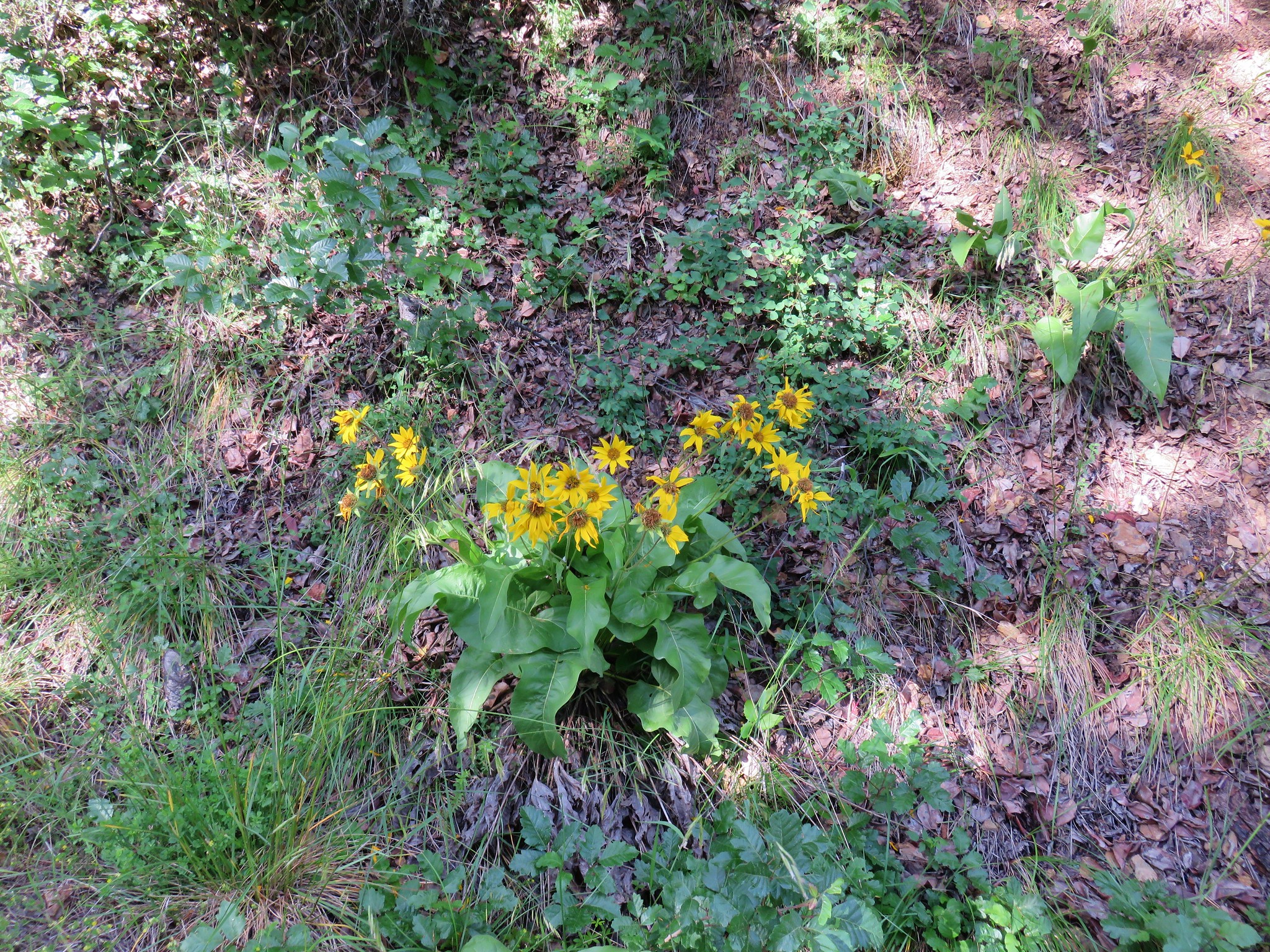
 Balsamroot
 Tolmie’s mariposa lily
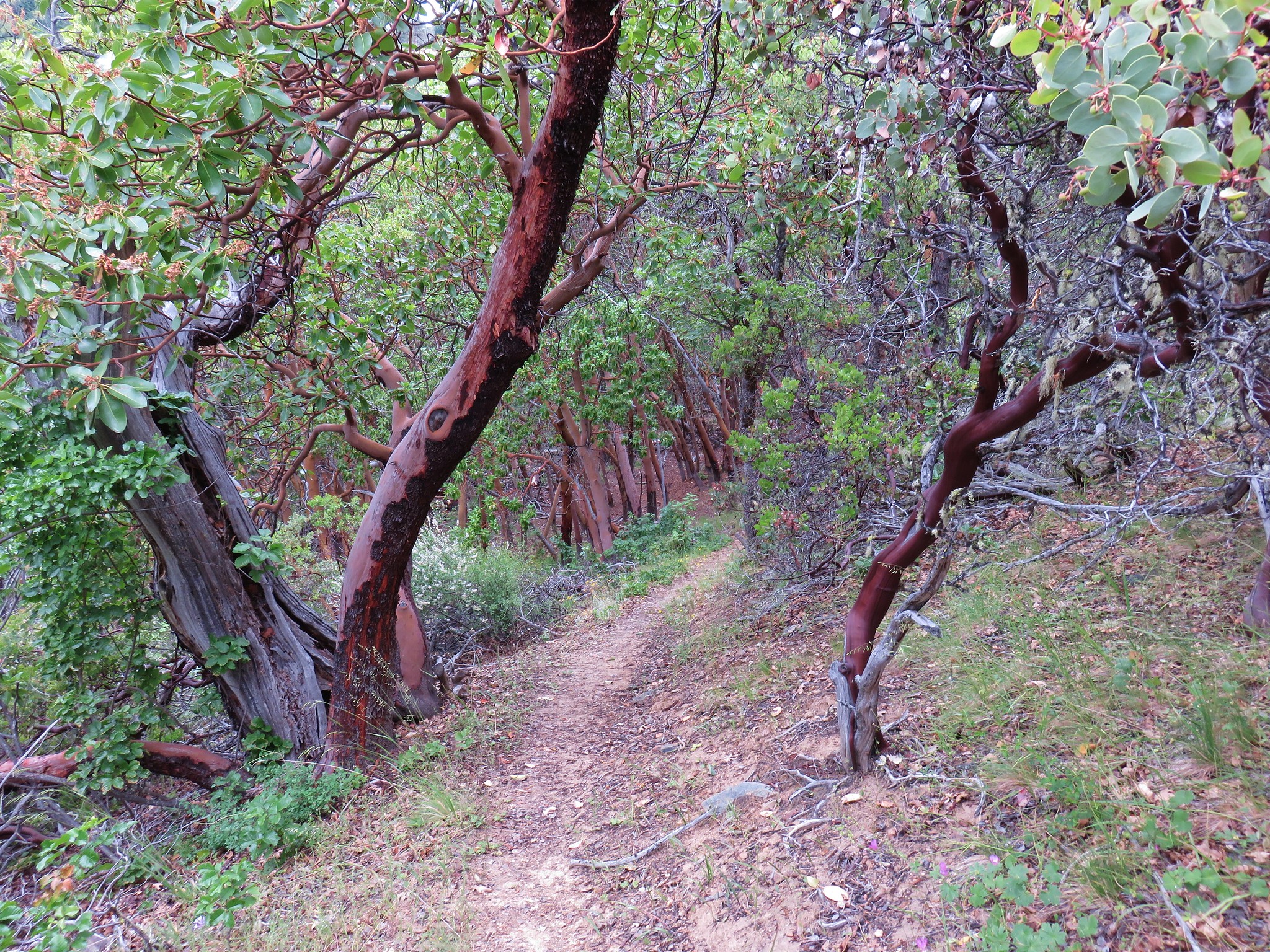
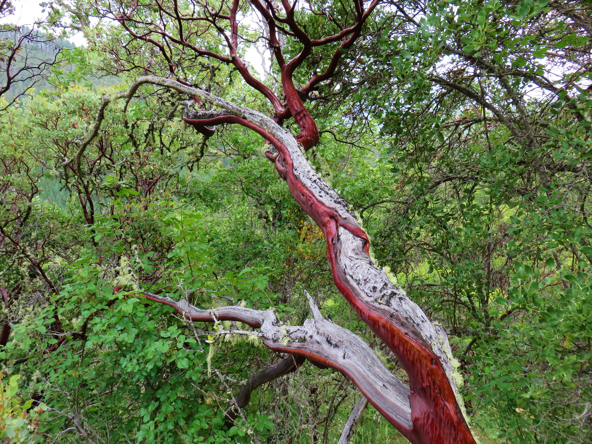
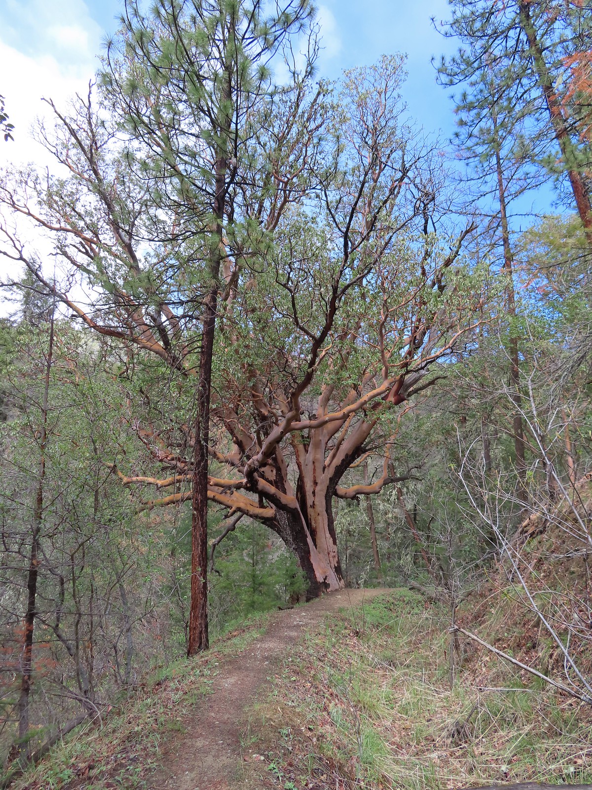 An impressively large madrone.
 Henderson’s fawn lilies
 More fresh snow on a ridge.
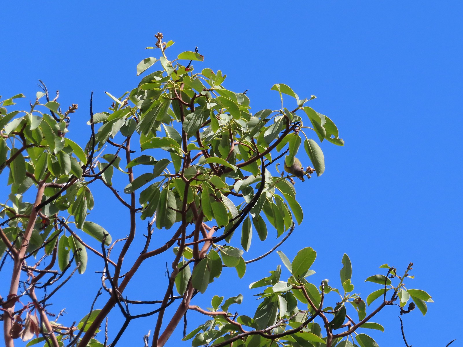 An upside-down warbler (upper right of the tree).
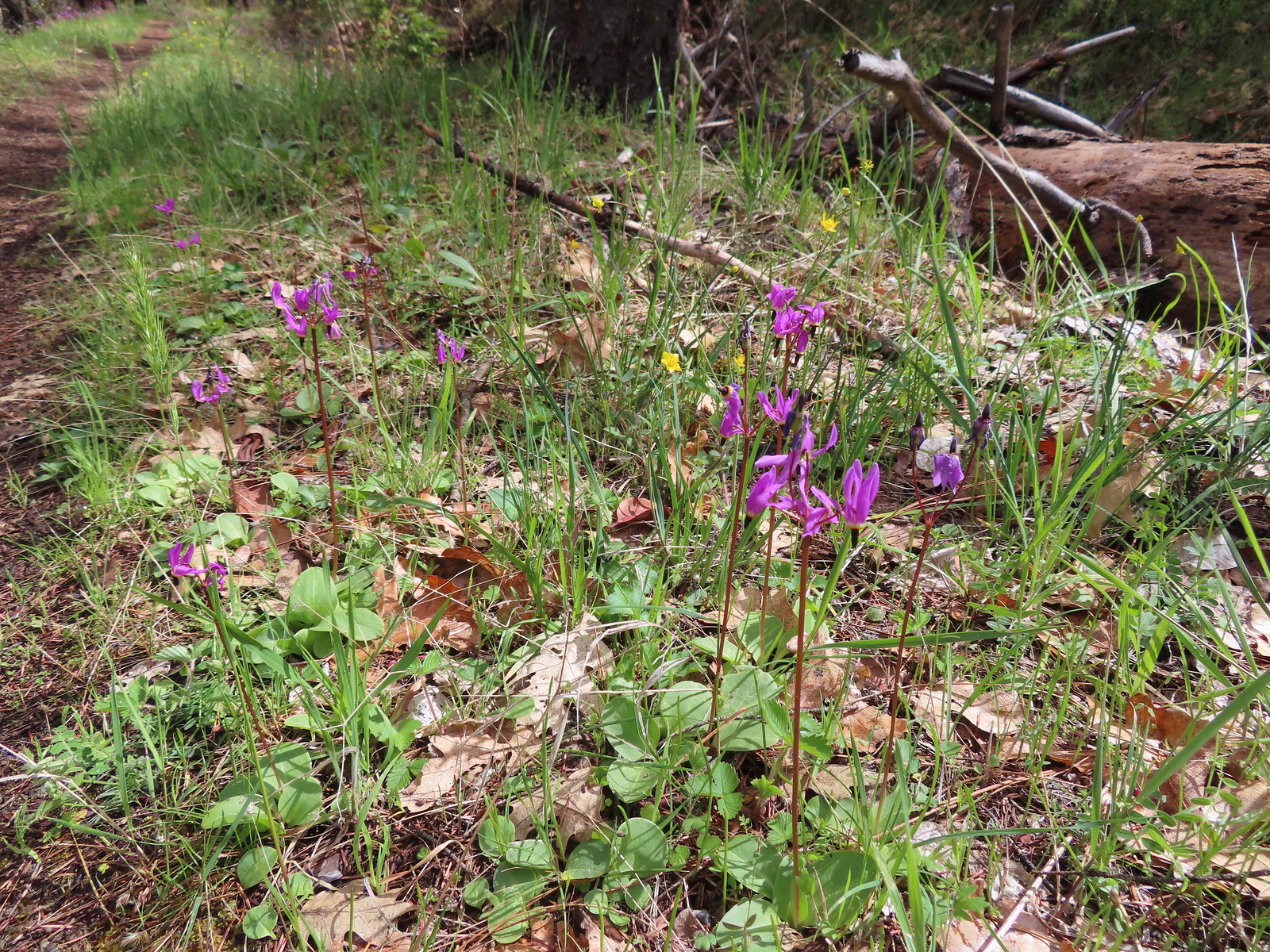 Shooting stars
We turned left at a sign for the Bear Gulch Trailhead and followed this path a mile downhill back to our car. This trail seemed a bit steeper than the one leading up from the Tunnel Ridge Trailhead so whichever you start at it seems best to do the loop counterclockwise.
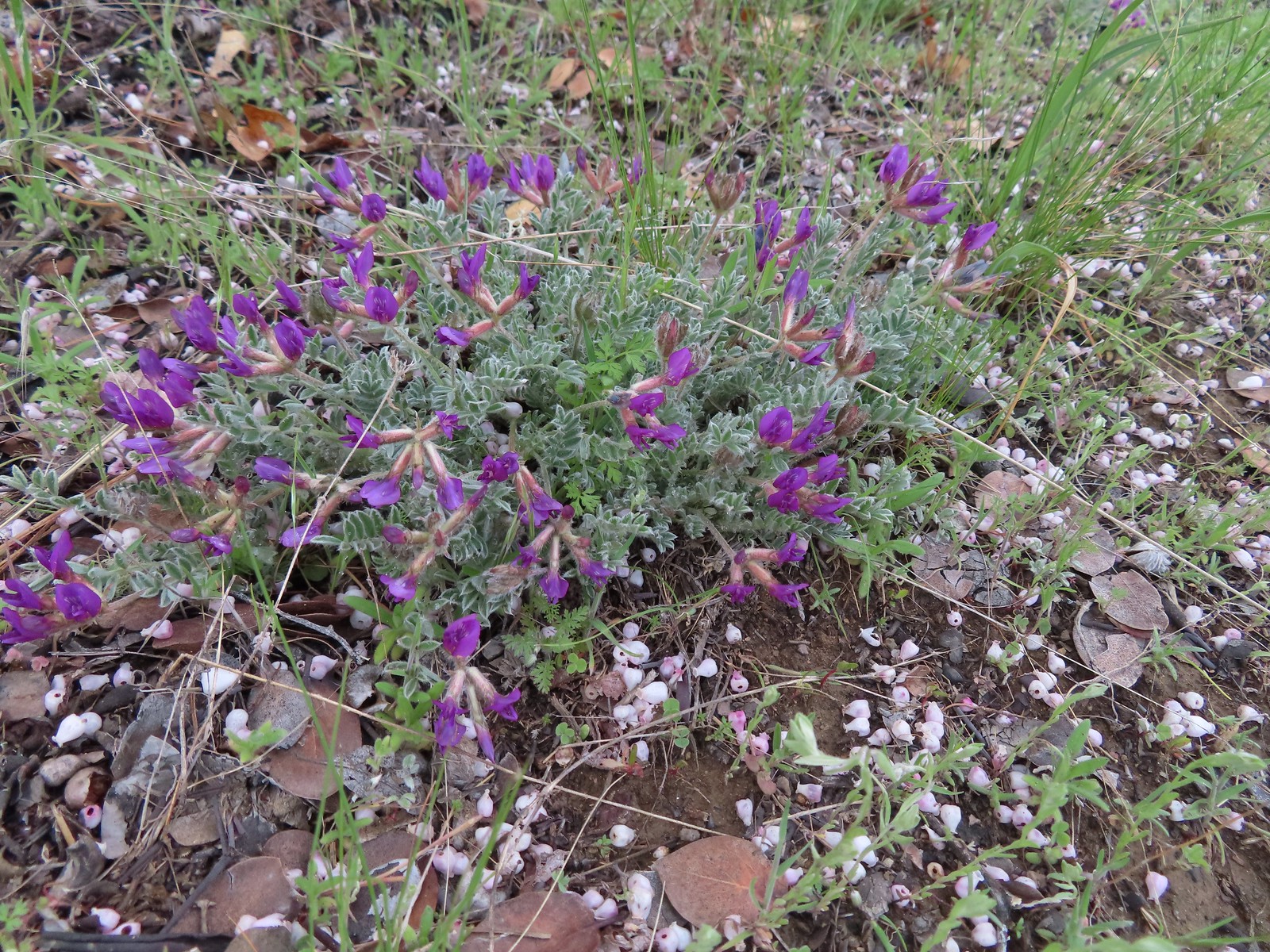 Woolly-pod milkvetch
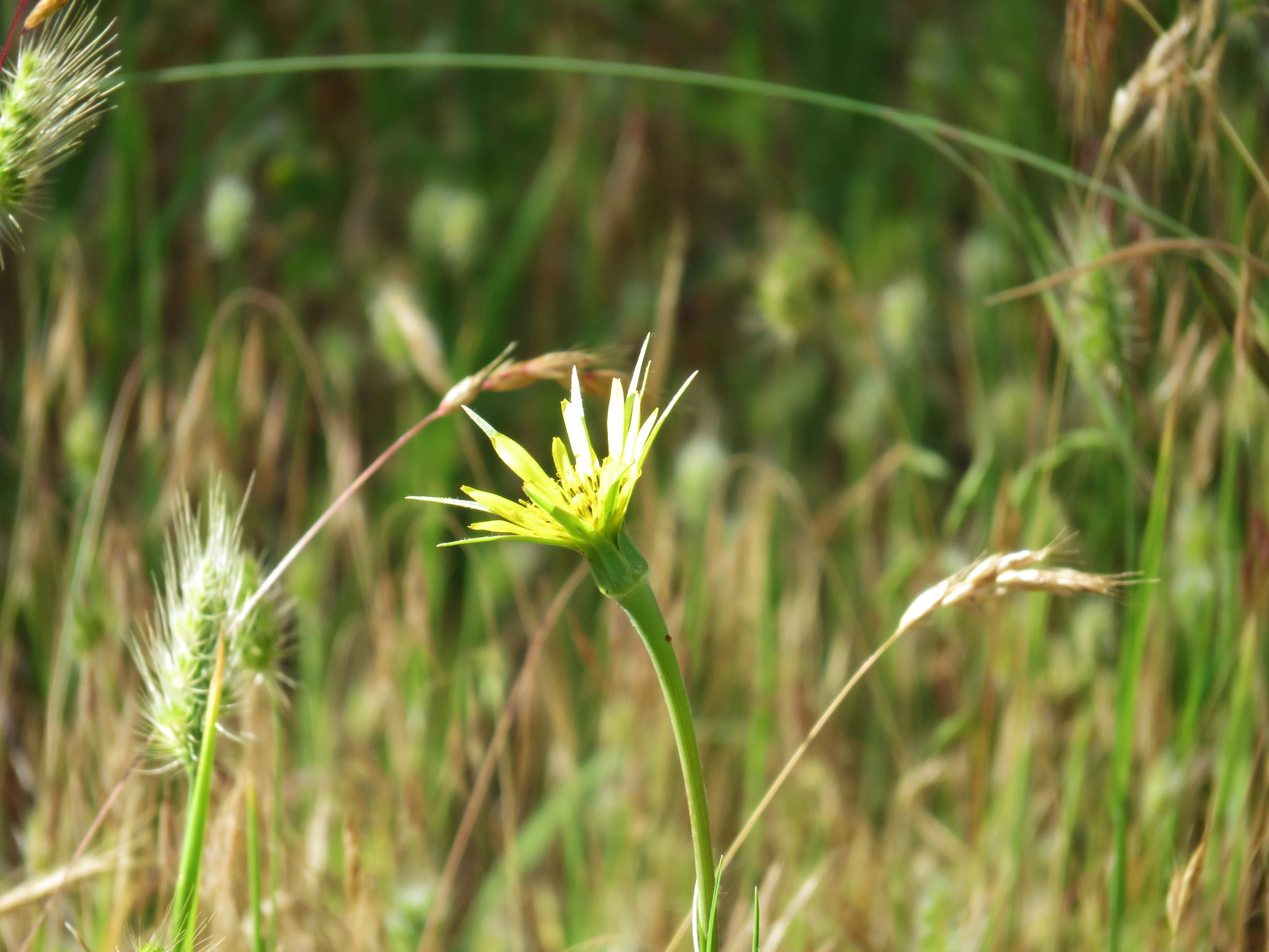
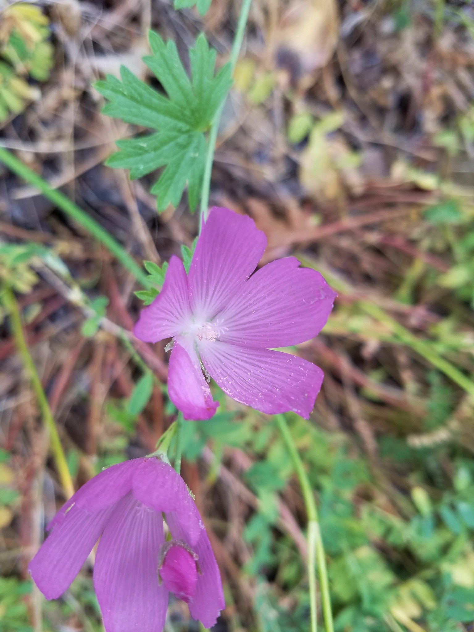
 A fritillary, just not sure which one.
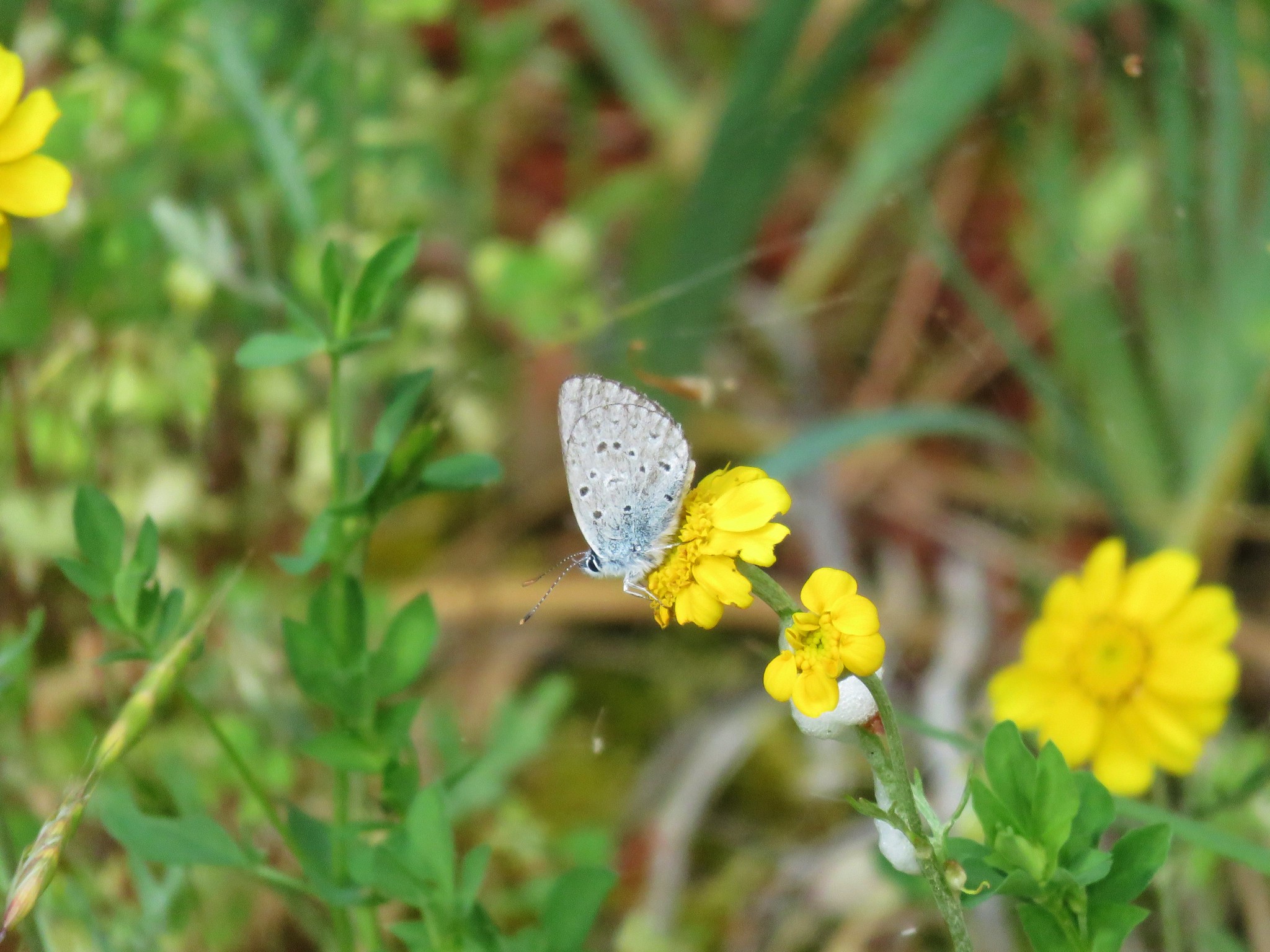
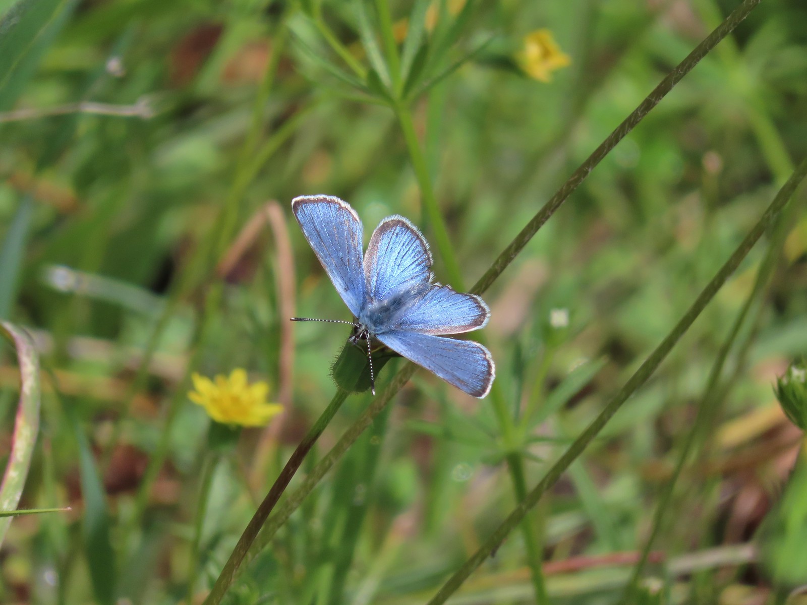 It was nice to start seeing some butterflies out and about.
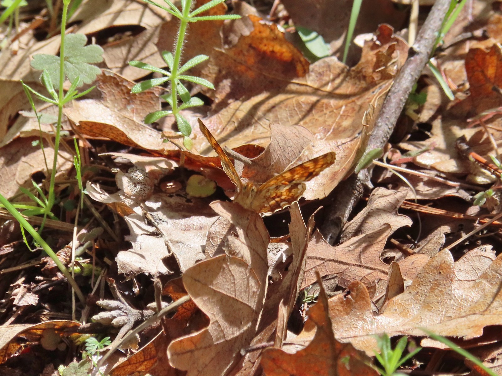 Another butterfly. It blends pretty well with the leaves.

 White-breasted nuthatch
 There was a decent amount of water running through parts of Bear Gulch as we neared the trailhead.
This loop came in just under five miles with 550′ of cumulative elevation gain giving us a total of 10.3 miles and 1000′ for the day.

After the morning drenching and surprise thunderstorm the day turned out really nice with partly sunny skies and some of the warmest temperatures that we’d have all week. Happy Trails!