For our first overnight outing of 2018 we chose the Salmon River Trail which we had previously visited on August 30, 2015. (post) That hike included approximately 3.5 miles of the 14 mile trail from the west trailhead. This time we would start from the east trailhead with our plan being to set up camp somewhere along the trail then continue to same viewpoint where we had turned around on our previous visit to complete the trail.
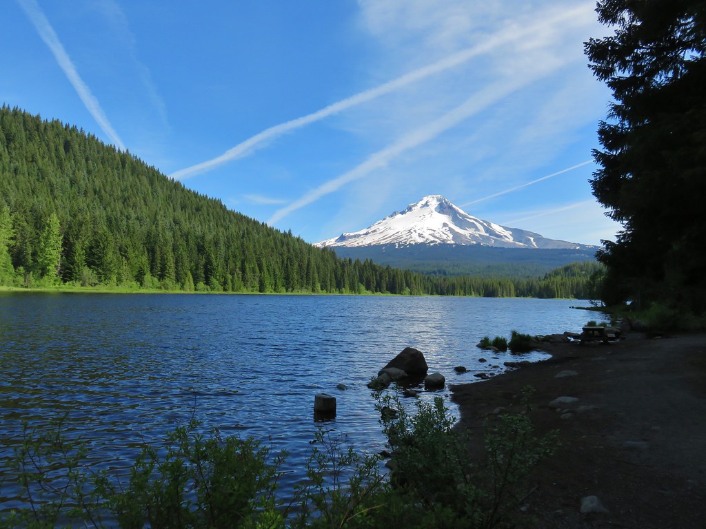
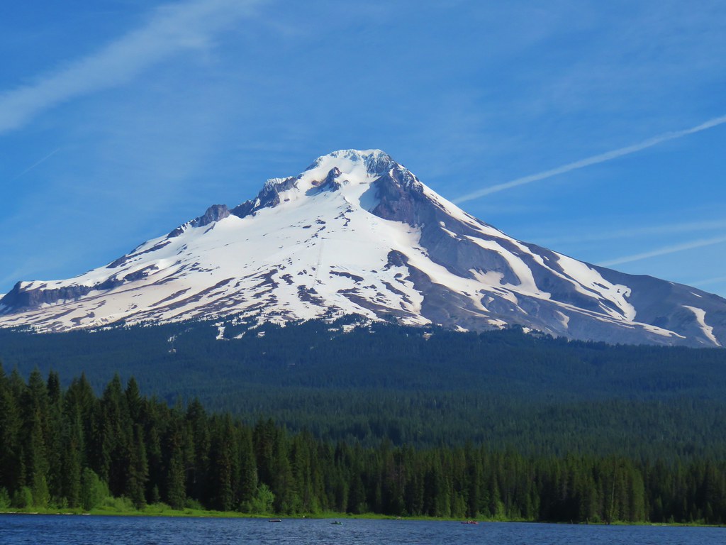
Before we could start our hike though we needed to get some water since the city of Salem’s water had been testing positive for a toxin. We stopped at the Trillium Lake picnicking area on our way to the trailhead and filled our packs there. We didn’t take the time to visit the lake since we were on a mission to start hiking but we did stop again on they way home to see the lake and its view of Mt. Hood.
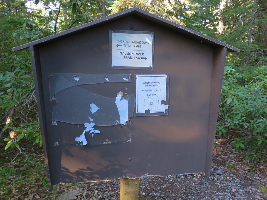
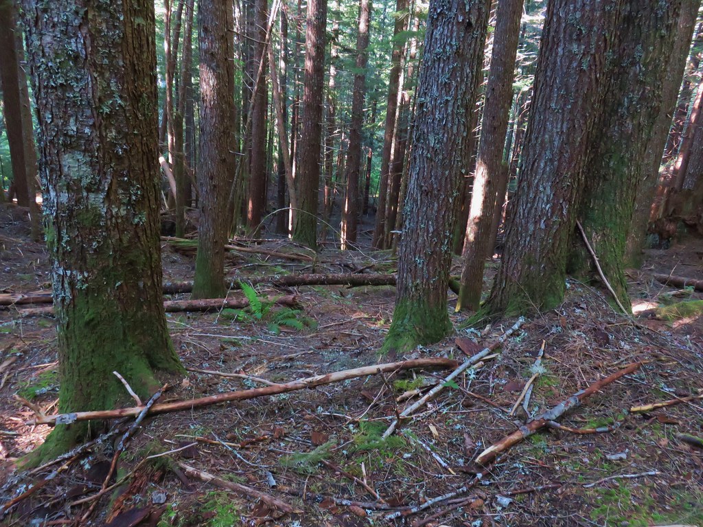
After filling up on water we continued to the trailhead where we were the only vehicle. The trailhead also serves as the north trailhead for the Jackpot Meadows Trail.
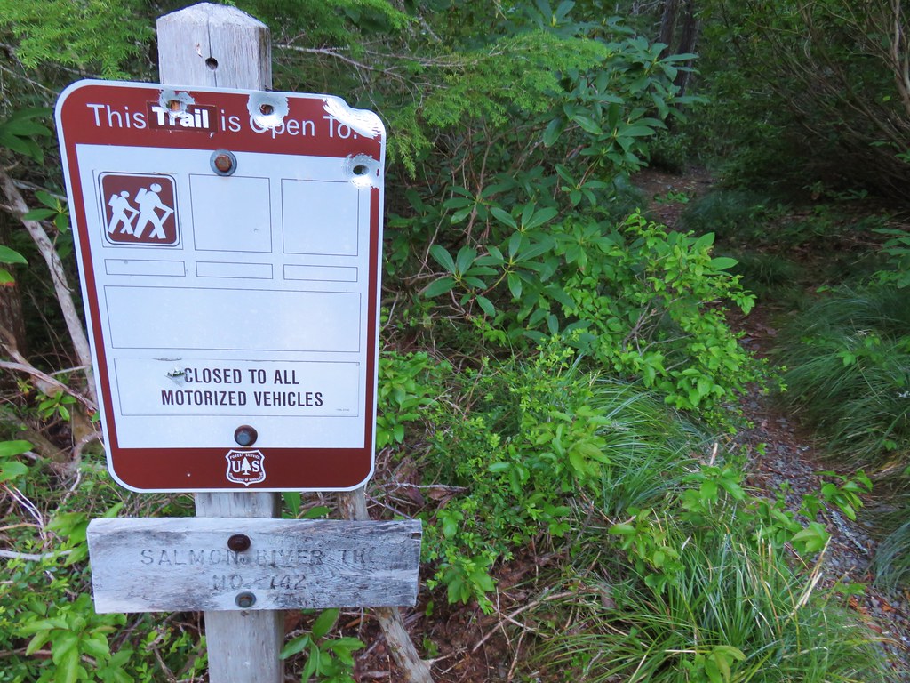
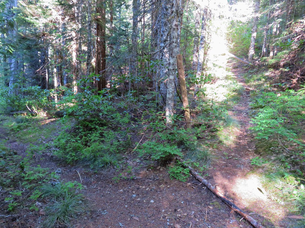
We took the signed Salmon River Trail and headed downhill.
The trail descended in the first quarter mile to a footbridge over Mud Creek which flows from Trillium Lake.
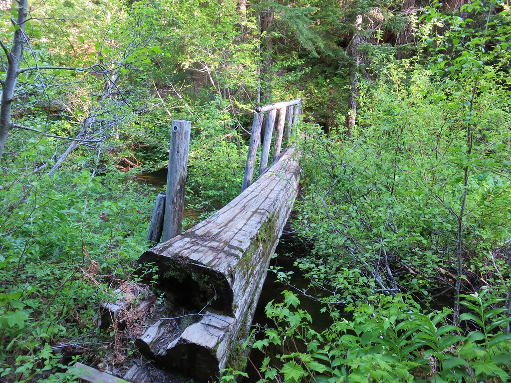
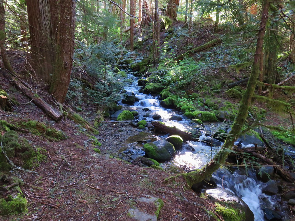
This was the only creek crossing with an official bridge. Over the next mile and a half the trail would cross Fir Tree Creek three separate times.
 1
1
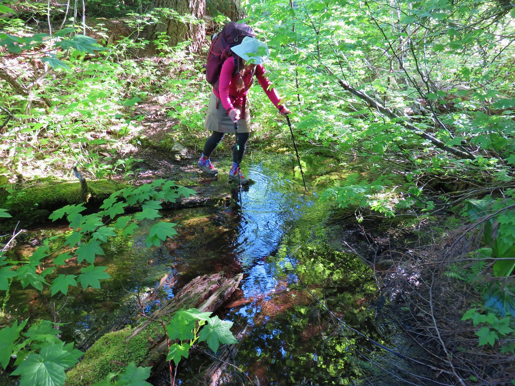 2
2
 3
3
Between the first and second crossings the trail passed a now abandoned section of trail that led up to the Dry Fir Trail.
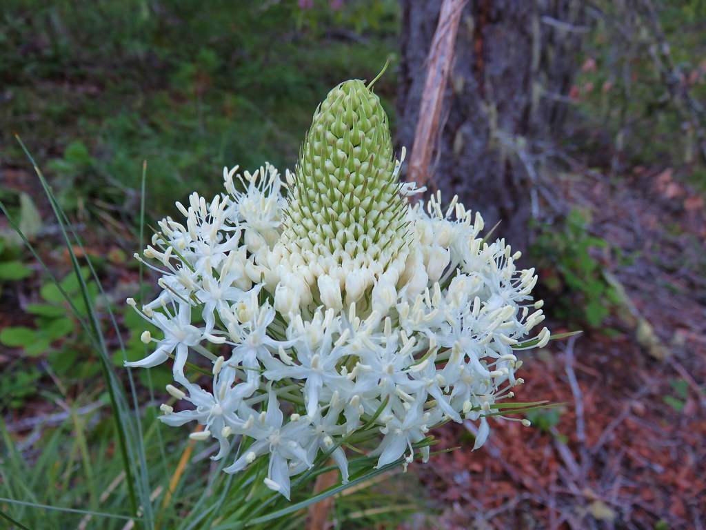
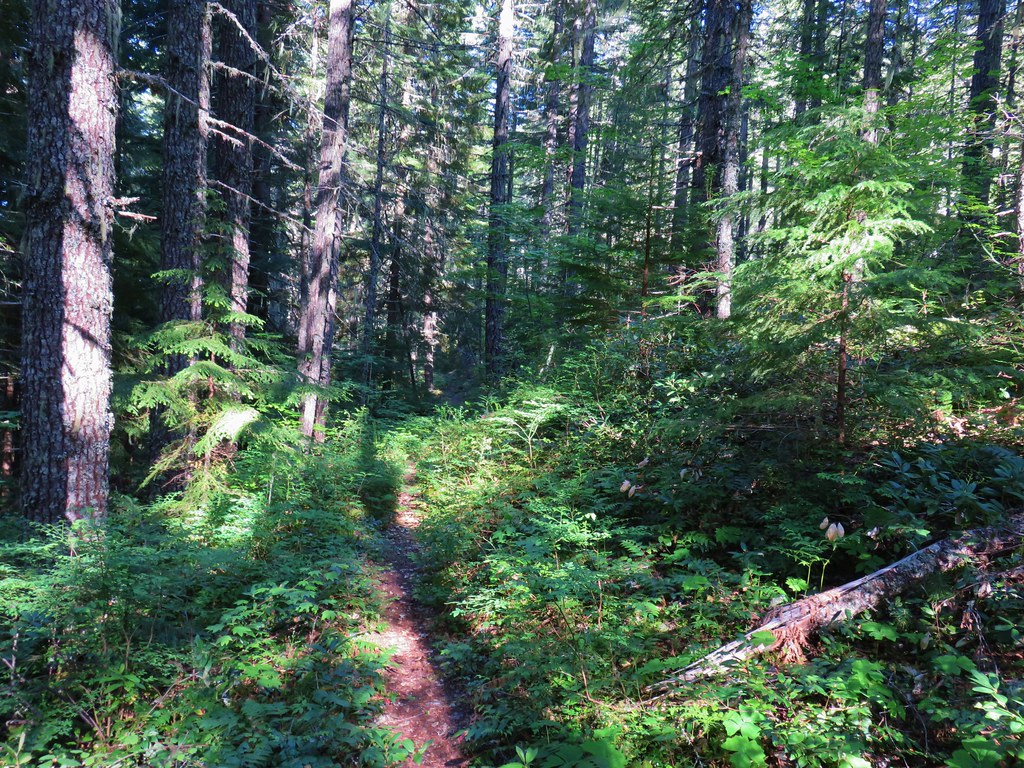
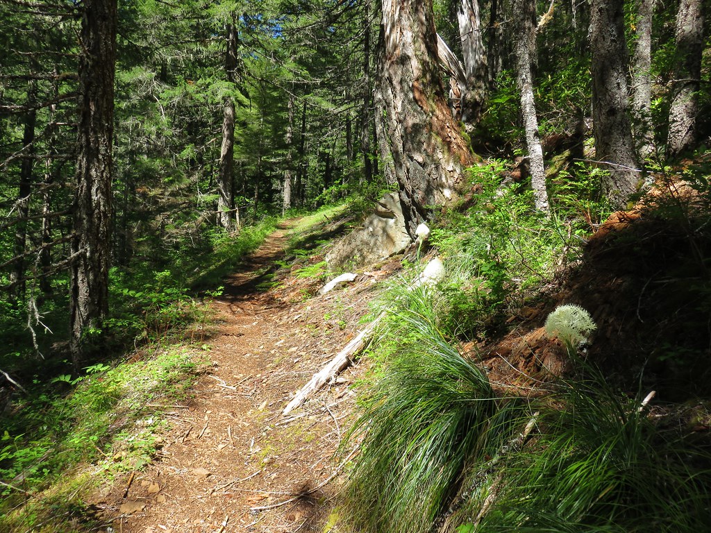
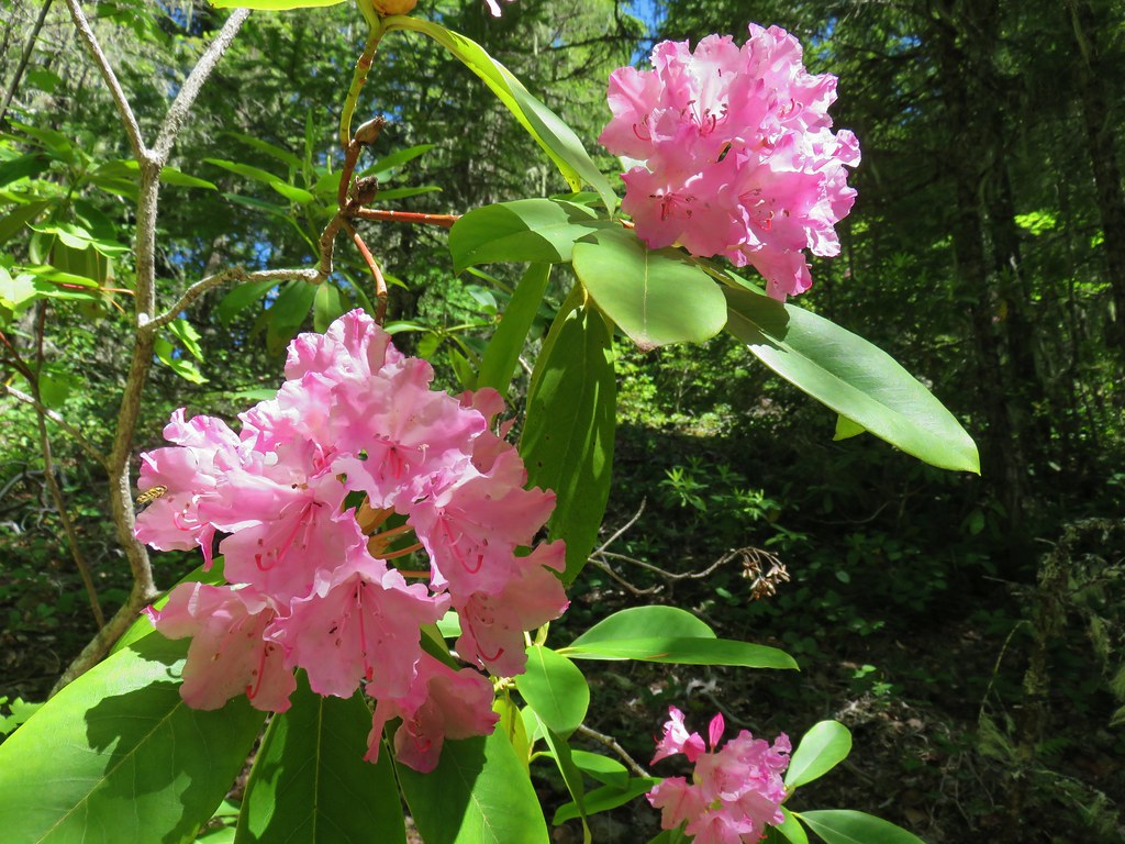
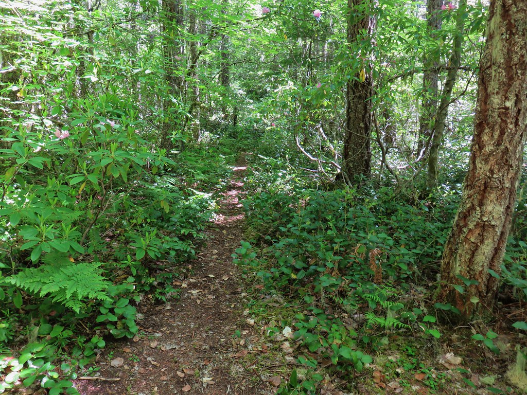
It also passed through some nice forest with rhododendron beginning to bloom along with a little beargrass.
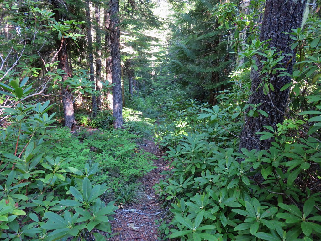
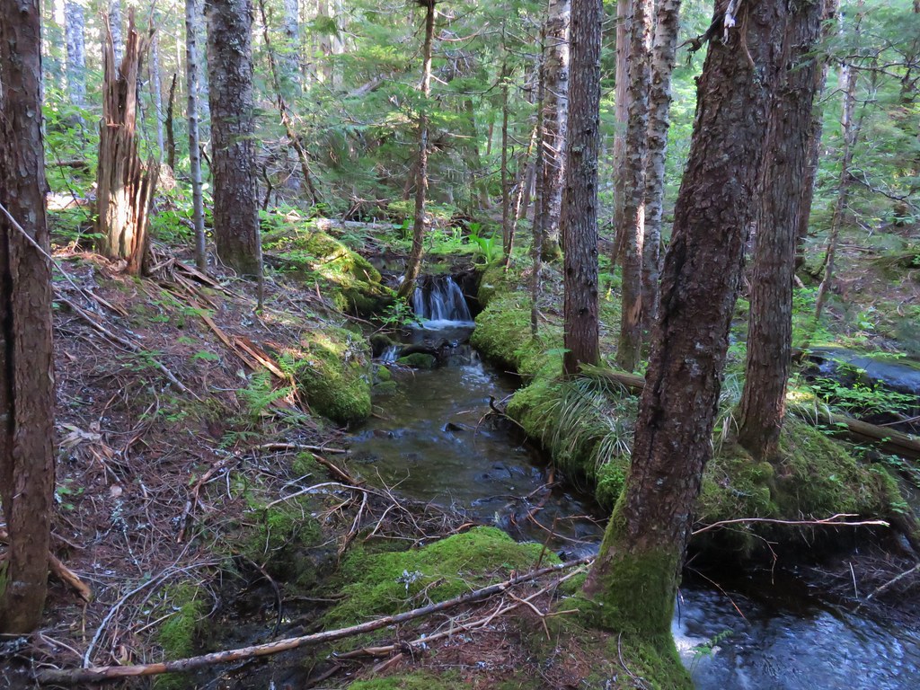
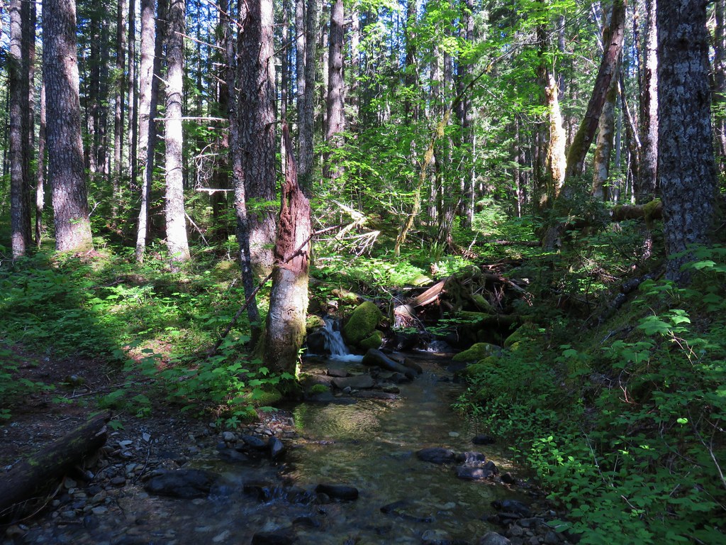
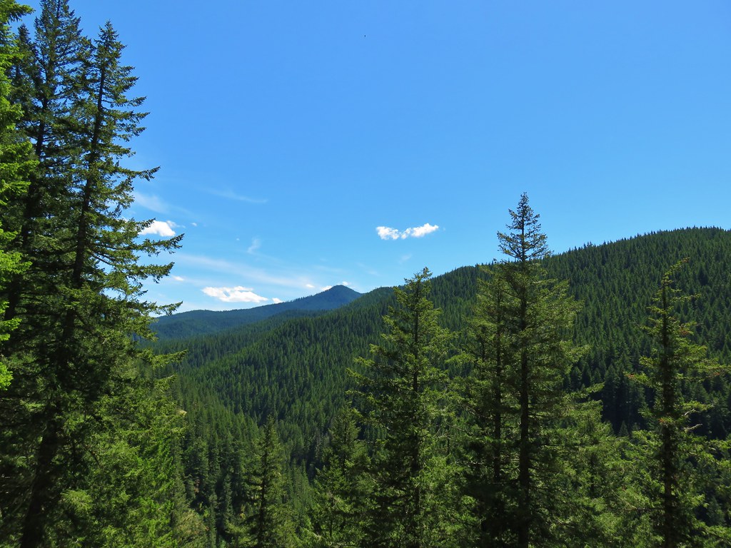
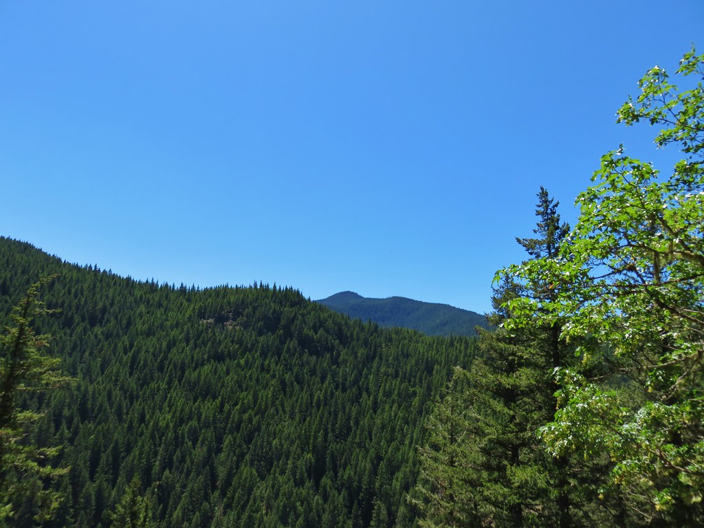
Beyond the third crossing of Fir Tree Creek we entered the Salmon-Huckleberry Wilderness and passed through a variety of scenery.
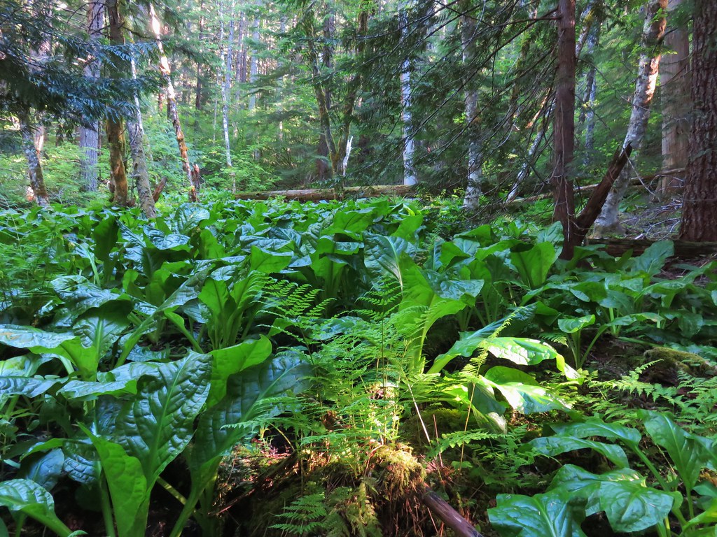
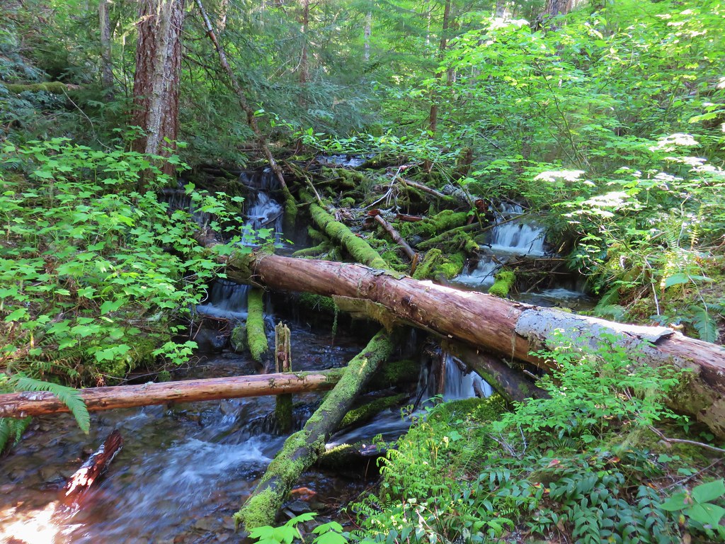
The trail also crossed more creeks.
We had passed a few possible campsites but felt they were too close to the trailhead, but after 5.5 miles we came to a junction with the Linney Creek Trail.

We had spotted some potential campsites along the Salmon River from above just before the junction so we turned down the Linney Creek Trail to check them out.

The remnants of an old bridge could be seen on the far side of the Salmon River where the Linney Creek Trail used to cross.
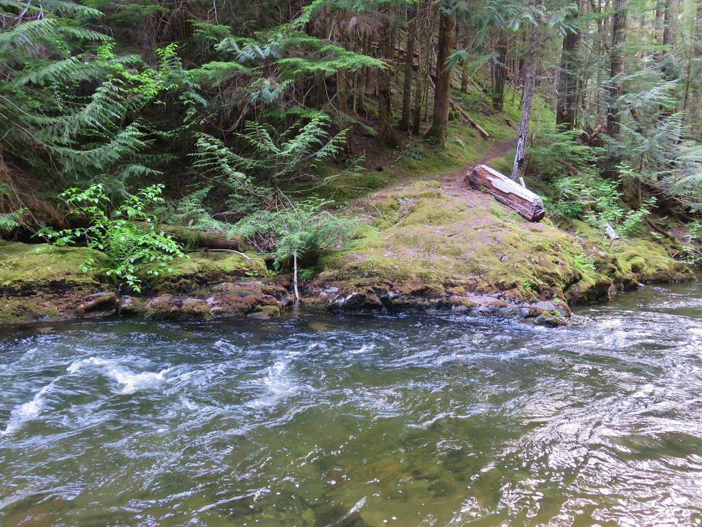
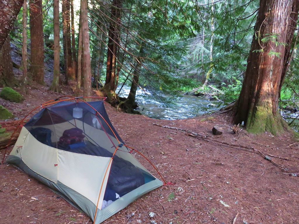
There was a nice large established campsite here which we claimed and set up camp.
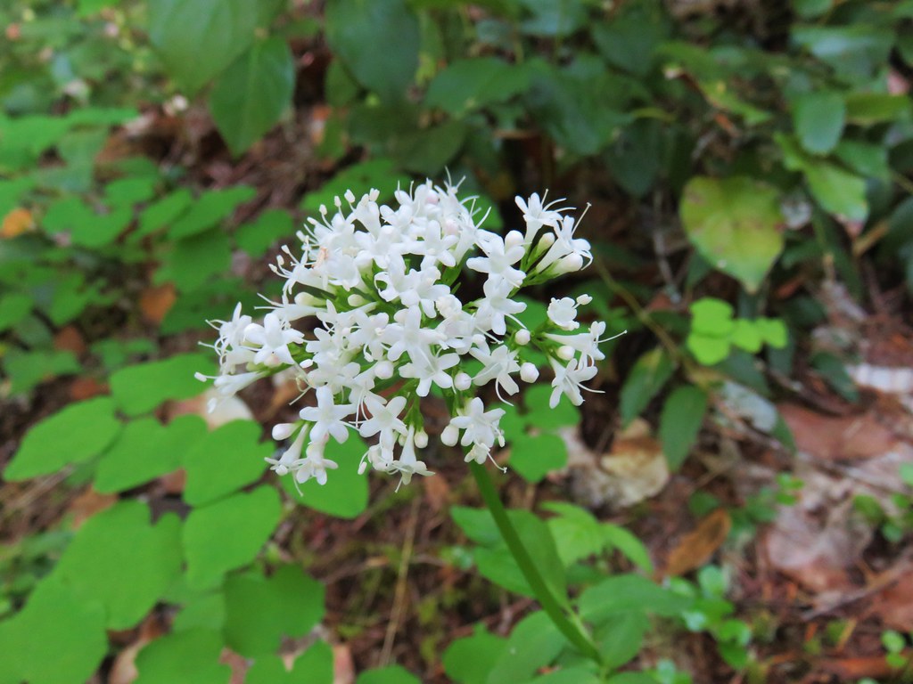
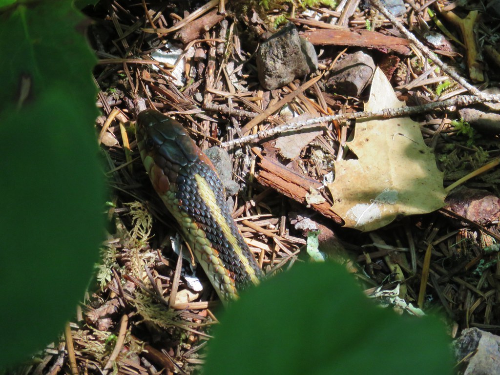
After getting set up we switched to our day packs and climbed the short distance back up to the Salmon River Trail and continued west. For the next three miles the trial continued above the Salmon River to a junction with the Kinzel Lake Trail. We began seeing more flowers along this stretch and also saw the first of two garter snakes for the day.
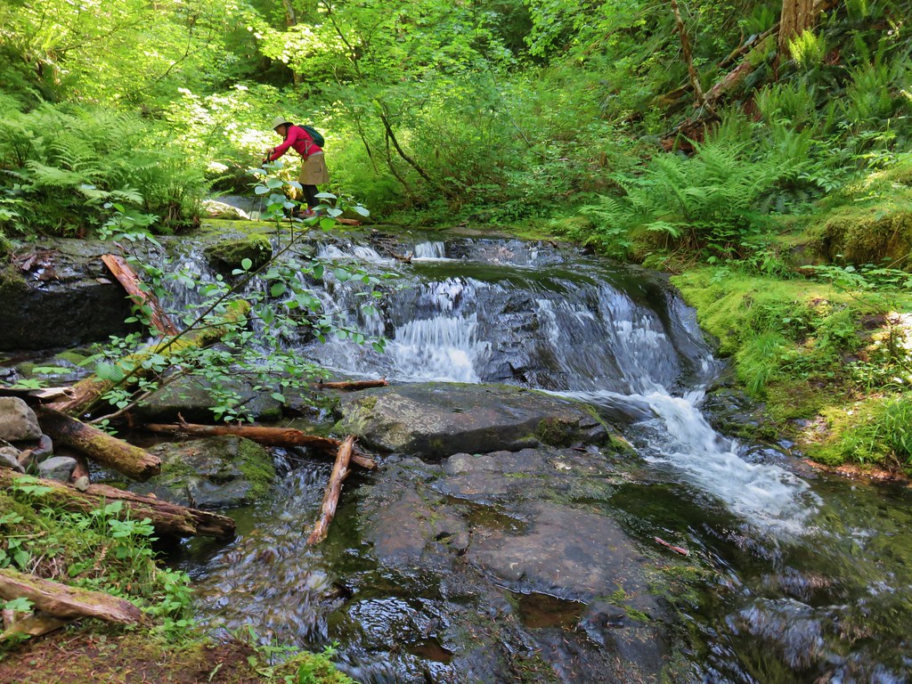
Shortly before reaching the Kinzel Lake Trail we crossed Kinzel Creek which had a small waterfall visible through trees.

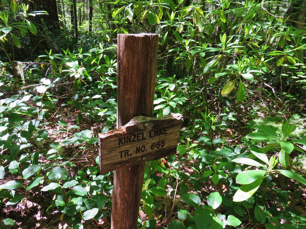
 Kinzel Lake Trail
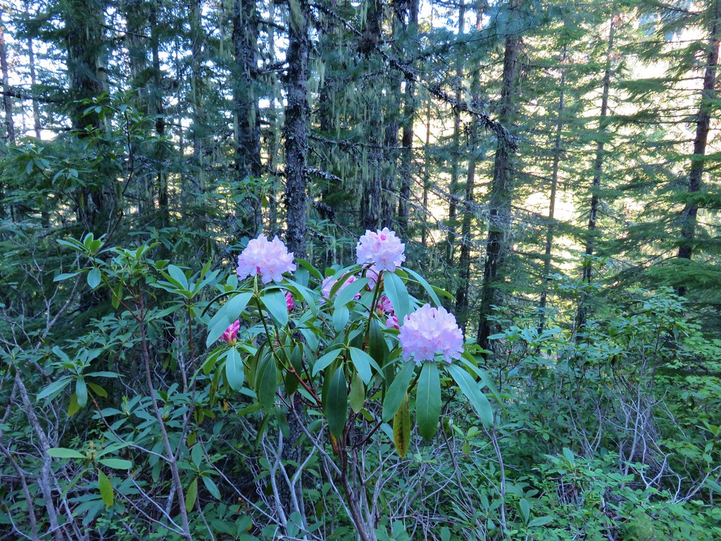
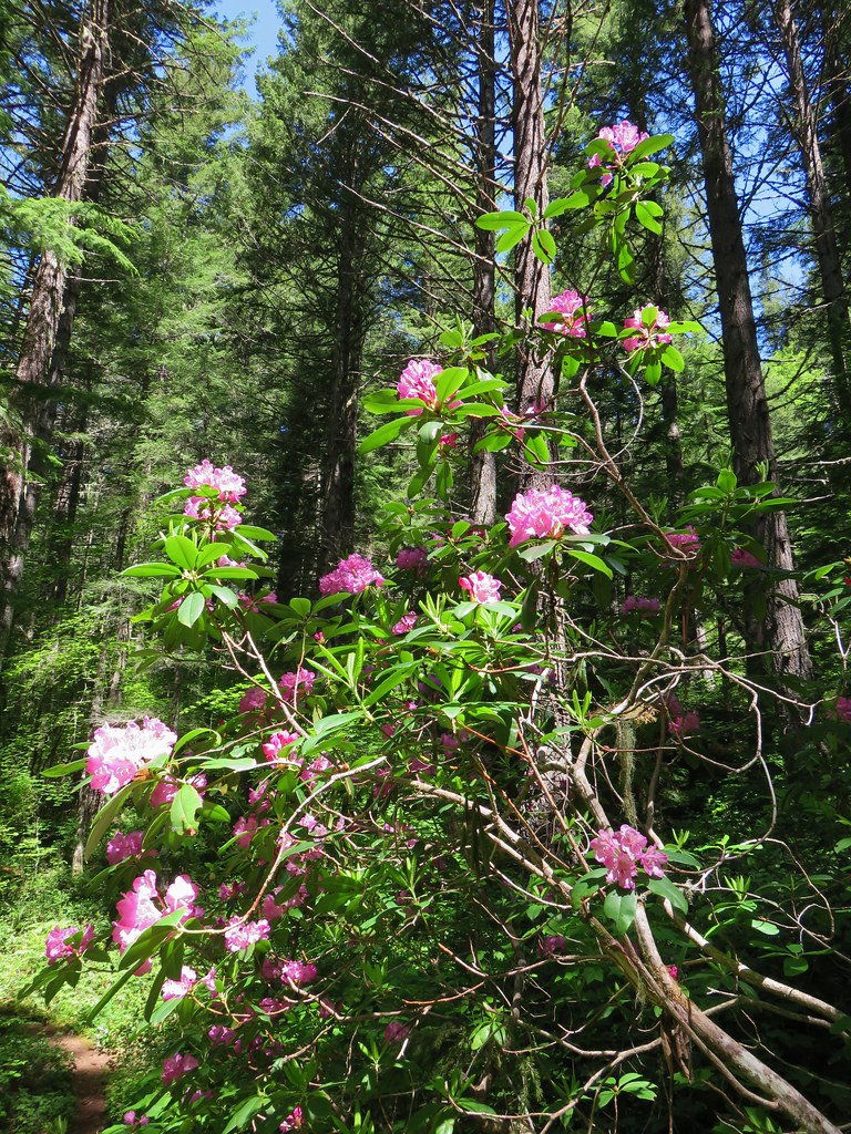
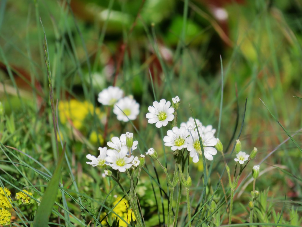
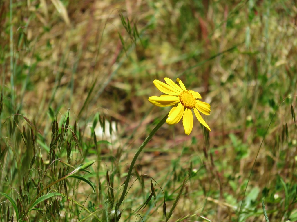
The flower display continued to improve beyond the Kinzel Lake junction with the rhodies now in full bloom.
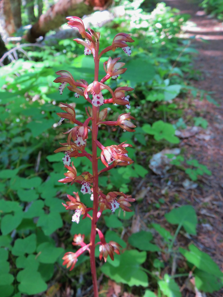 Spotted coralroot
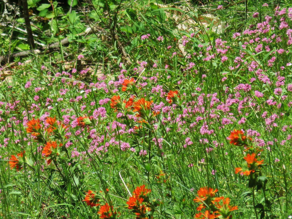 Paintbrush and plectritis
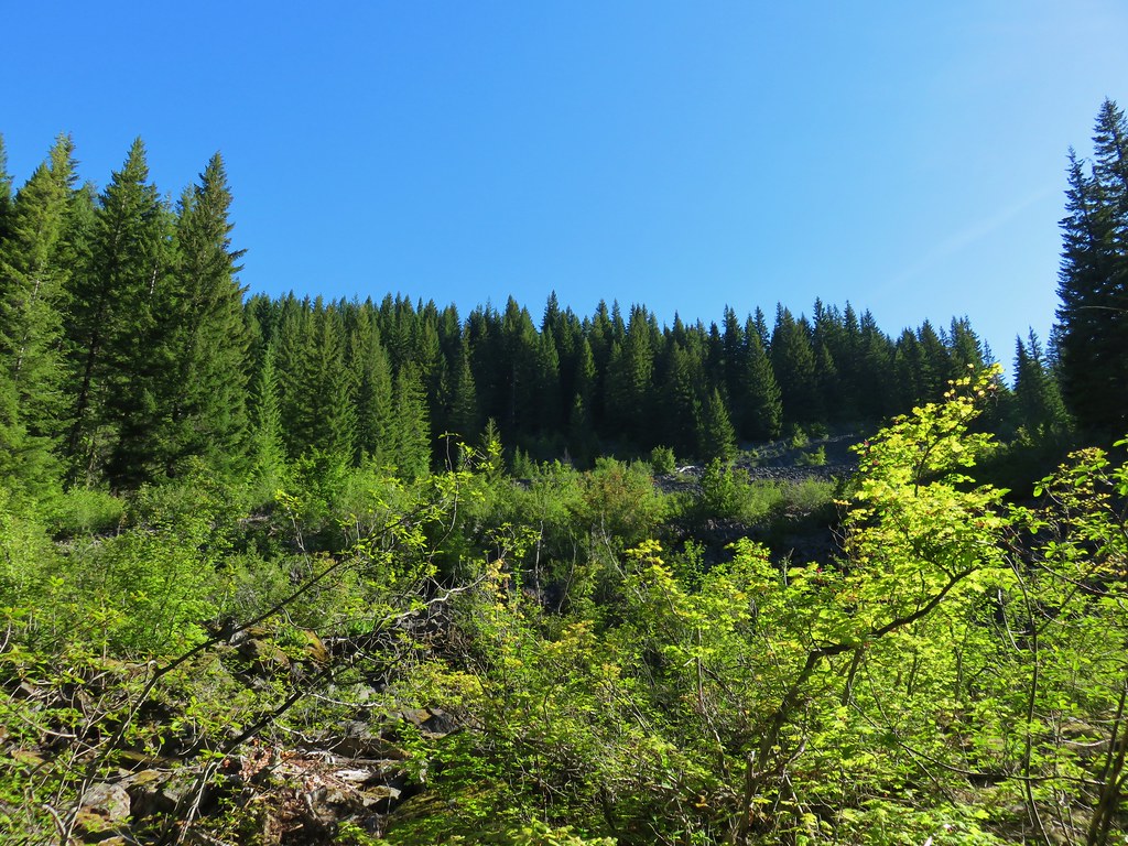
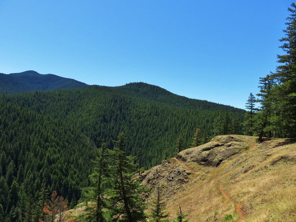
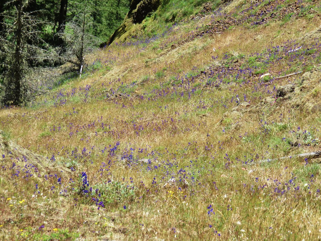
We also passed our first other person of the day when we spotted another backpacker camped near Goat Creek. A bit over a half mile beyond Goat Creek the trail entered a grassy area with the first real viewpoint of the day.
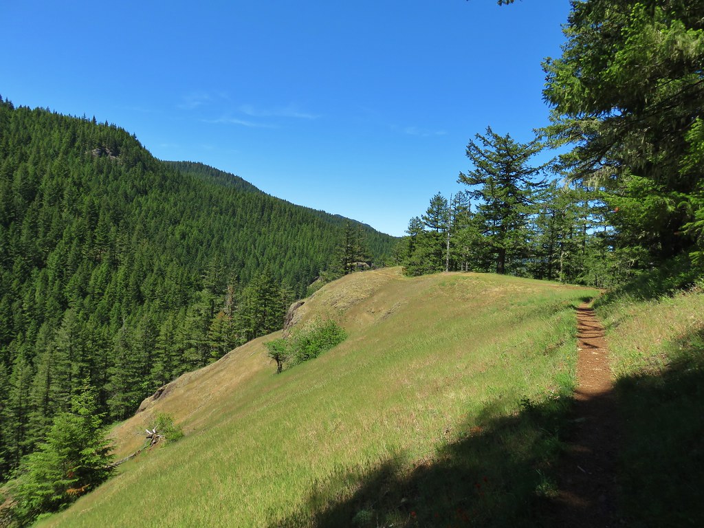
We turned out toward the viewpoint where we found more flowers and a limited view of the Salmon River below.
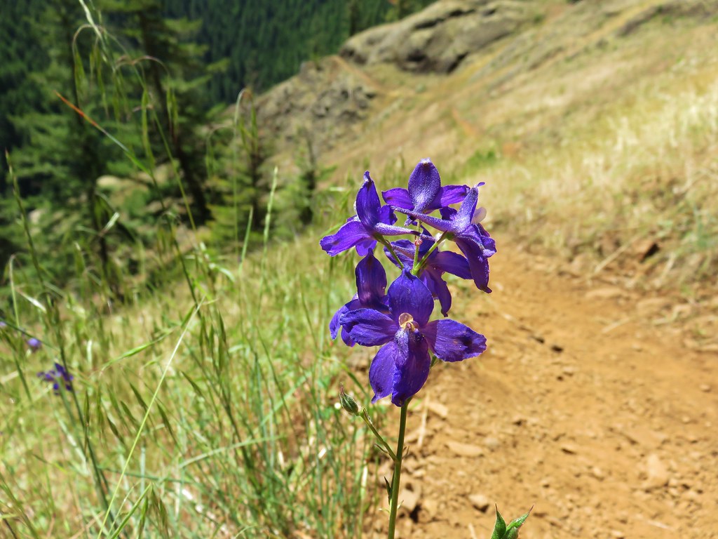
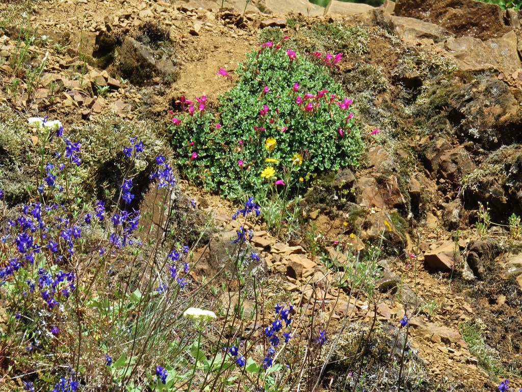
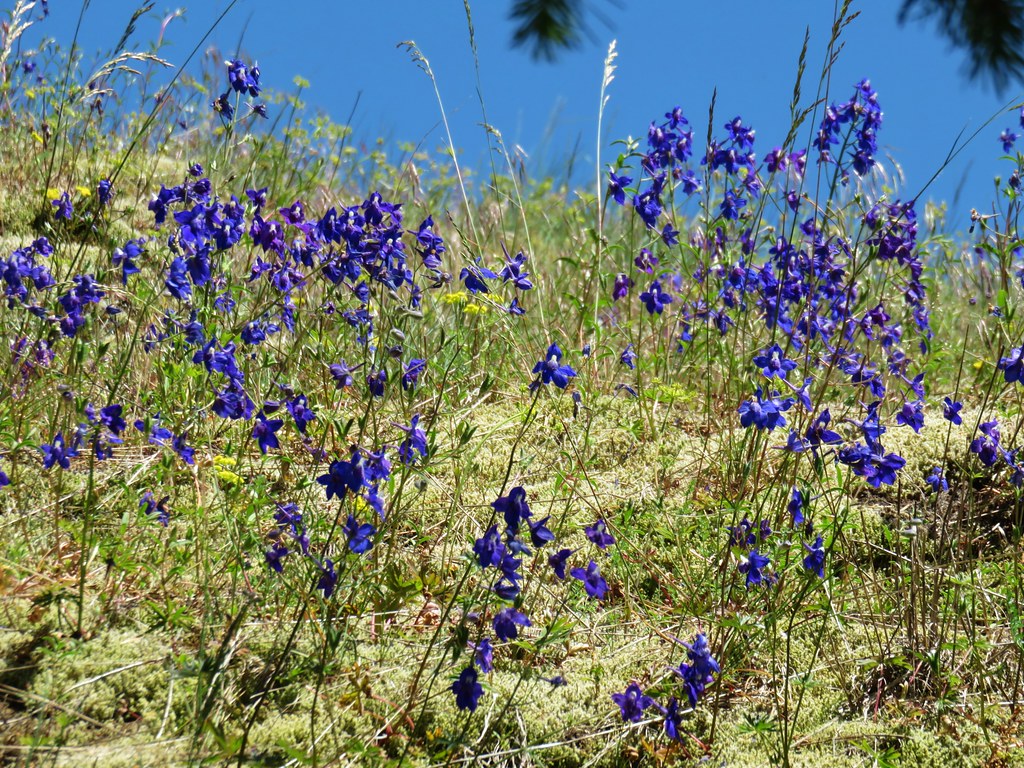
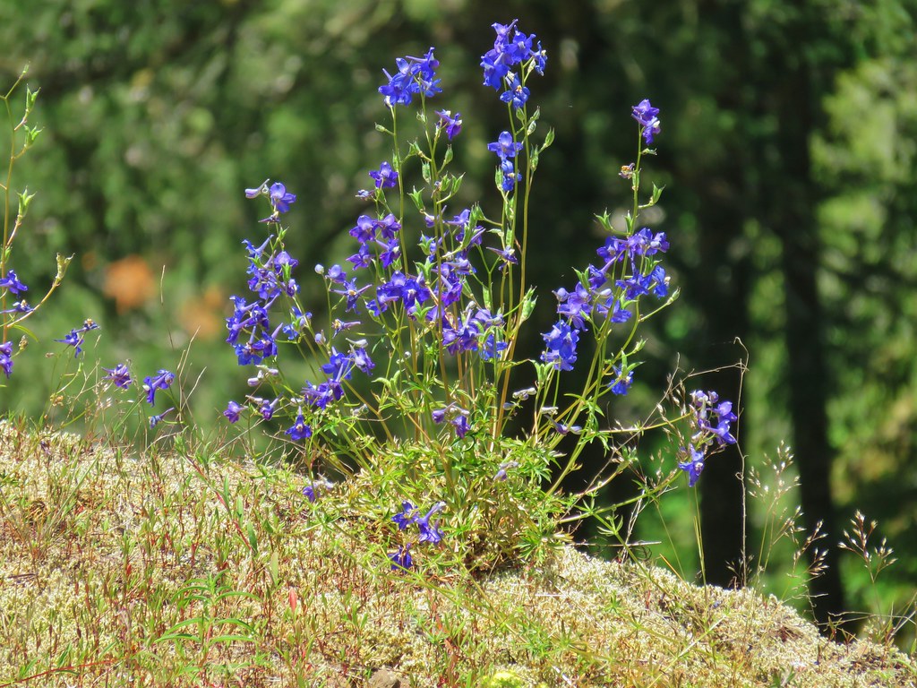 Larkspur
 Field chickweed
We knew from our 100 Hikes in Northwest Oregon guidebook that there was a series of three viewpoints along this section of trail. The third of which (coming form the east) being the only one we had visited on our previous hike. After the first viewpoint we passed by what appeared to be a use trail and kept going for a moment before deciding to go back and make sure this wasn’t the route to the middle viewpoint. It was not, but what it turned out to be was the very steep, rugged scramble to an overlook of Frustration Falls.
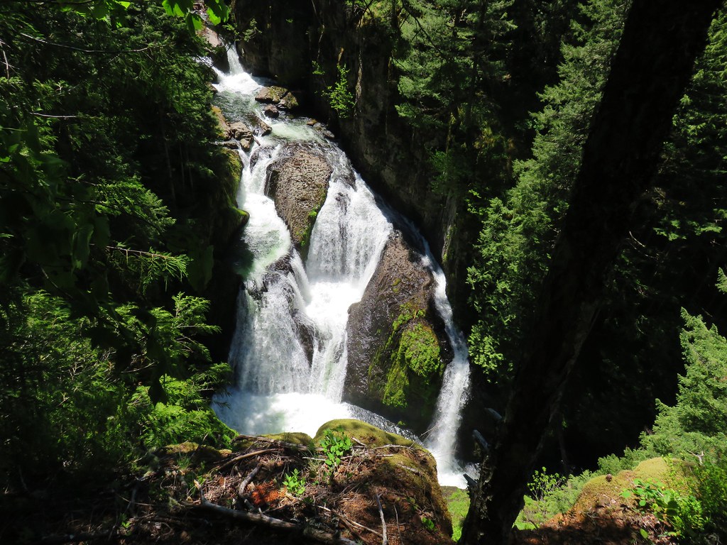
We were aware that there was a use trail to a view of these falls and originally had no intention of seeking it out. We lucked out in that the conditions were perfect on this day so the trail was not wet or muddy which could make it extra slick. It was slick enough just due to the steepness and loose rocks so we relied heavily on our poles. In all the trail lost around 350 feet in less than a quarter mile. This was definitely not a trail for everyone and anyone wishing to attempt it does so at their own risk. With that said we were happy to have accidentally stumbled on the trail and sat next to a small creek with it’s own fall for a bit admiring the thundering cataract below.

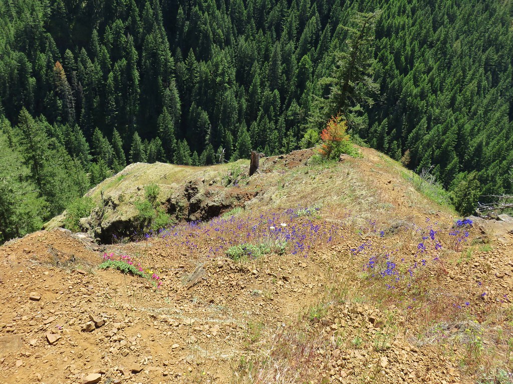
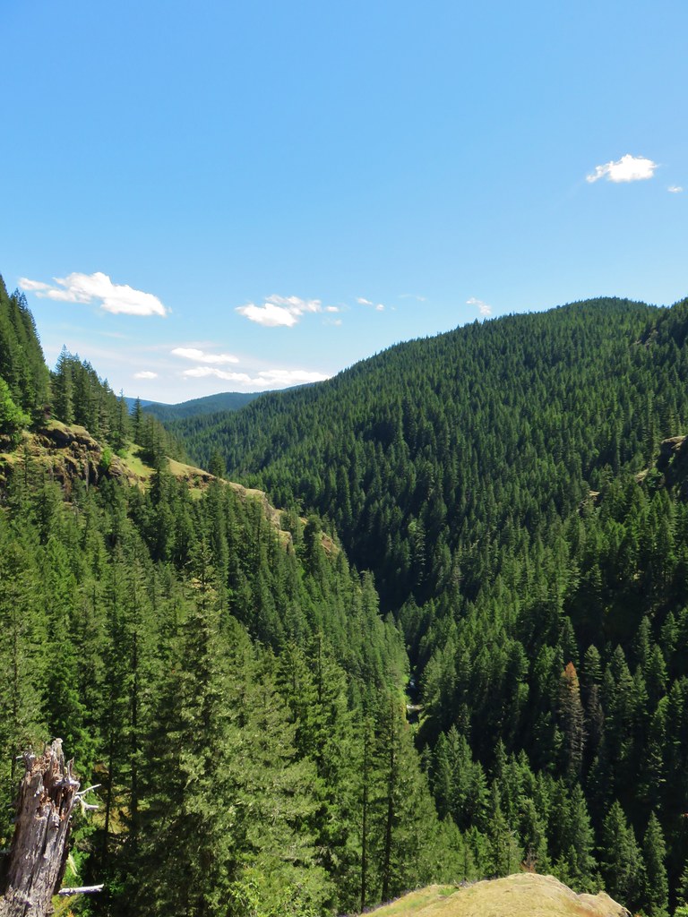
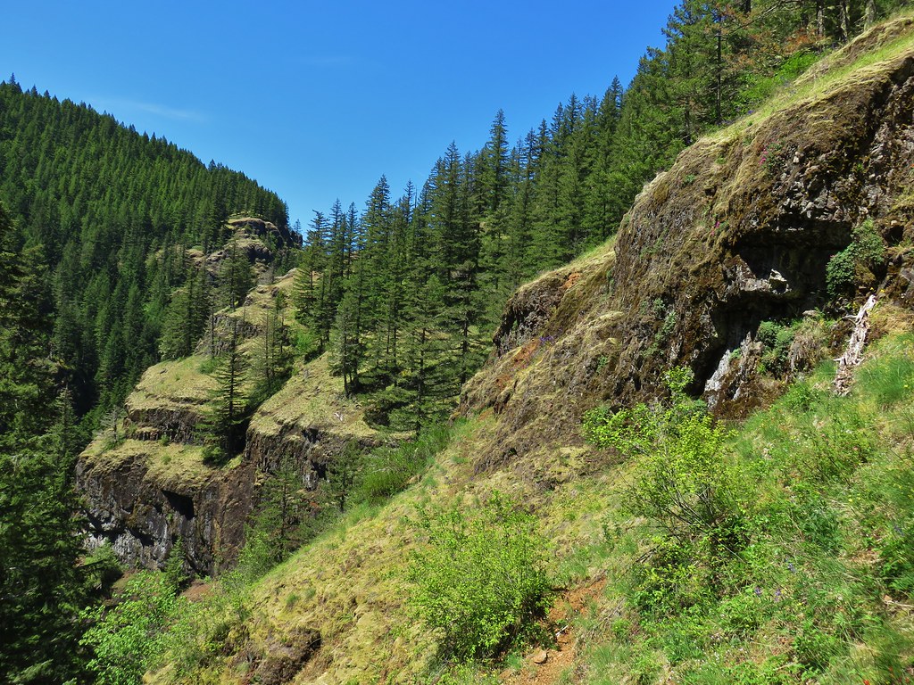 Cliffs along the hillside above the Salmon River
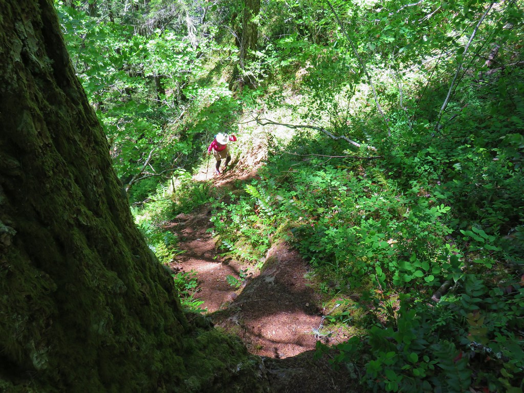
After the break we struggled back up the scramble path.
Shortly after being back on the Salmon River Trail we came to the actual middle viewpoint which didn’t have a view of the river at all just up and down the forested canyon.
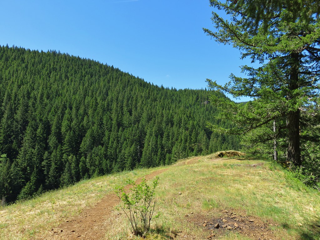
Another quarter mile brought us to the start of a familiar small loop around the final viewpoint area.
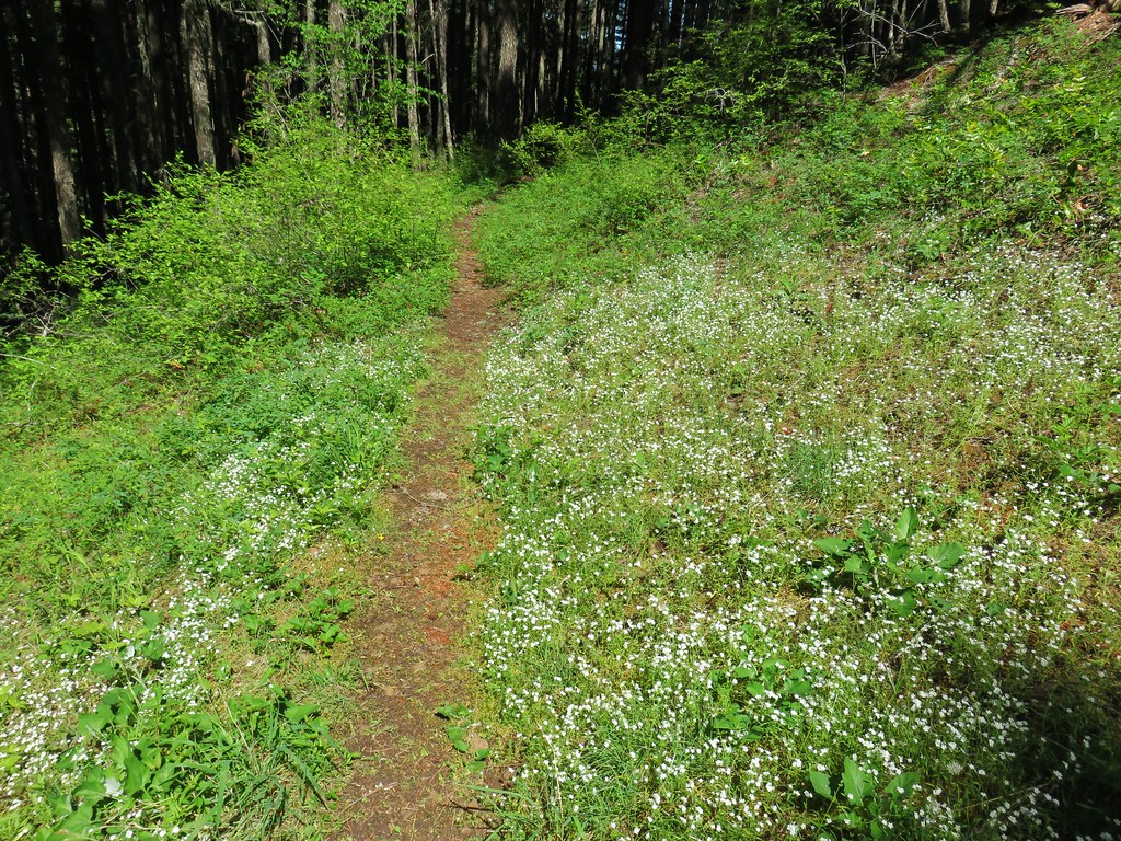
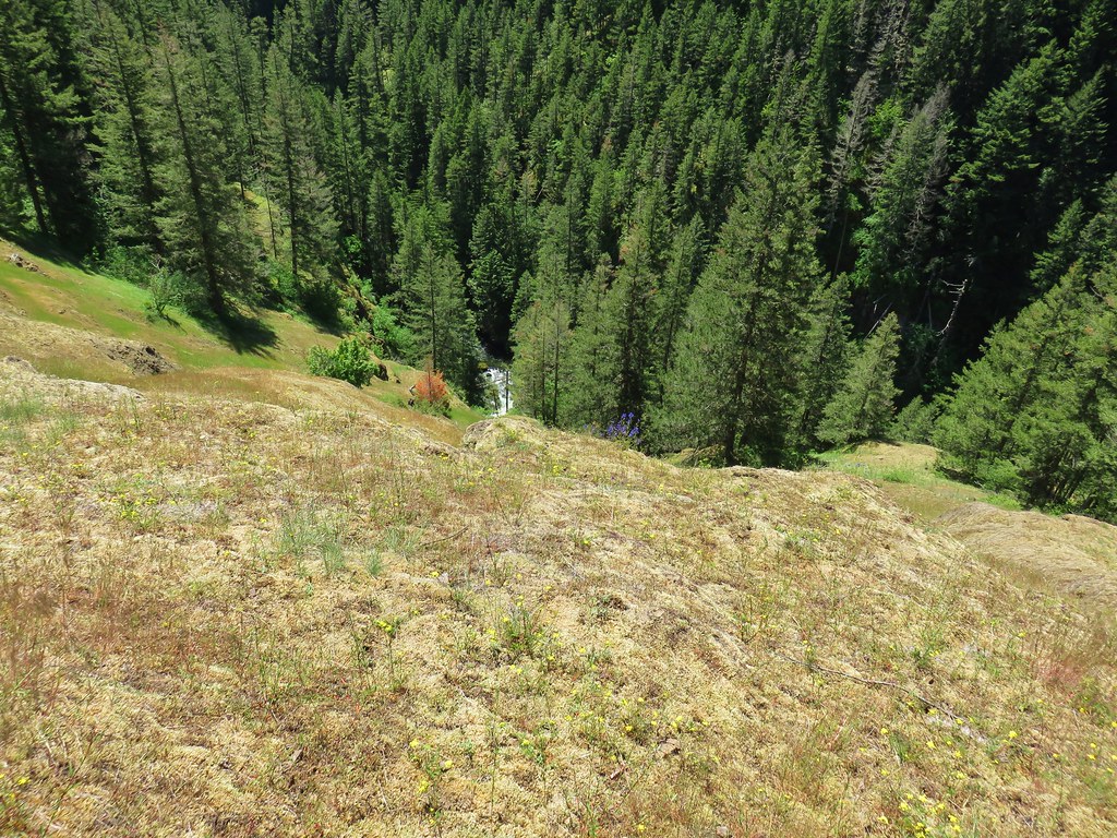
This was as far as we’d come from the west end of the trail and meant that we had now covered the entire Salmon River Trail. The grassy viewpoint here was full of June flowers which would be long gone at the end of August.
The view was quite a bit different too.

We finished the .4 mile loop and started back for camp. We had run into a few more hikers since Goat Creek but by the time we got back to the campsites along that creek we had passed them all. We saw one additional hiker between Goat Creek and the Kinzel Lake Trail then not another soul on the rest of the backpacking trip.
We got back to camp a quarter to five and relaxed for the rest of the evening. I had figured that it could be a 16 mile day if we decided to camp near Linney Creek, but I hadn’t figured in the side trips to viewpoints, the scramble trail down to the Frustration Falls view, or the hike up and down the Linney Creek Trail to the campsite. At the end of the day we’d covered closer to 18 miles so we were pretty well pooped. We were however excited to try out some new pieces of gear including an Enlightened Equipment quilt that Heather had recently purchased and for me it was a Thermarest Air Head pillow.
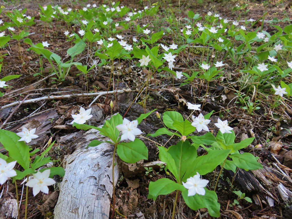
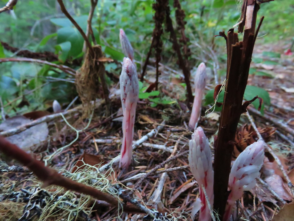
We were both pleased with our new gear and after a good nights sleep at what turned out to be a great campsite we were up at 5am ready to hike back to the trailhead. Even though we had hiked those same 5.5 miles the previous day we managed to spot some candy sticks starting to sprout that we’d missed on our way by the first time.
As I mentioned at the beginning of this post we stopped by Trillium Lake on the way home where we got some more water and took a look at the lake. This time we paid a $5 day use fee that attendants were collecting, apparently we were there early enough the day before that the attendants weren’t yet out. We figured we’ve paid $5 for two bottles of water before so why not.
Were looking forward to more overnight trips in the next several months and this was a great trial run for the new gear. Happy Trails!
Flickr: Salmon River Overnight

4 replies on “Salmon River Overnight”
Another beautiful hike!
[…] Salmon-Huckleberry – 2013, 14, 15, 17, 18 […]
[…] #64 Salmon River Trail – Hiked 8/30/2015 & 6/2/2018 […]
[…] I turned right on the Salmon River Trail. We had hiked this section of trail during an overnight trip in 2018 […]