
For our second hike of Labor Day Weekend we decided to head to Mt. Hood’s Timberline Lodge and hike up to the Silcox Hut.
The hike to the hut was one of the options Sullivan described in his Timberline Lodge Trails entry of “100 Hikes/Travel Guide Northwest Oregon & Southwest Washington”. We had done the longer options to meet our goal of hiking at least part of all 100 featured hikes in the book (post) so this was a chance to put a bow on this hike.
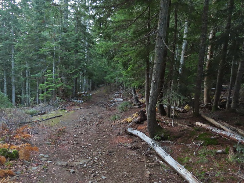
We parked at Timberline Lodge and hiked past the lodge on the Mountain Access Road.


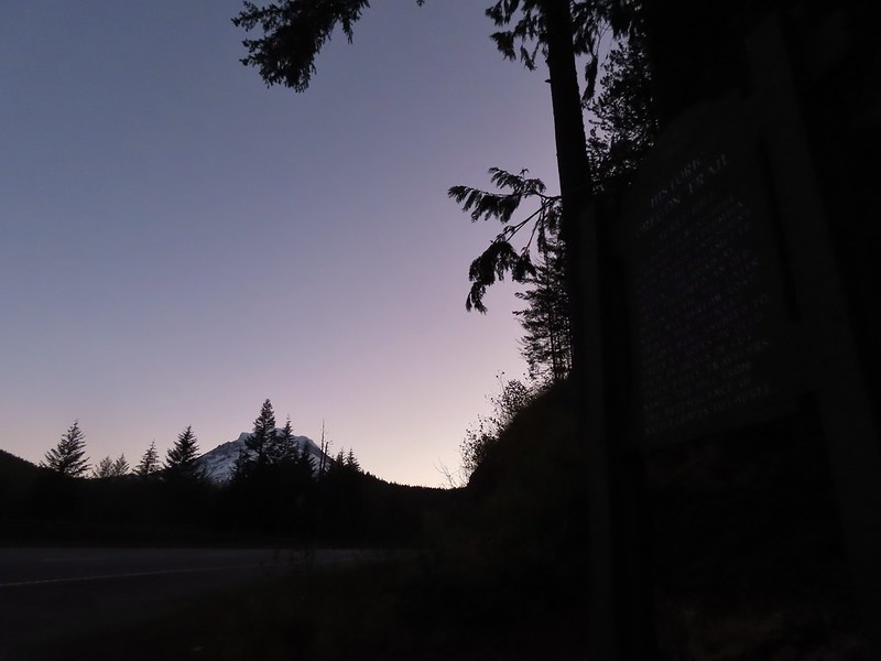
Sunrise from Timberline Lodge.

We followed the access road to a junction with the Timberline Trail/Pacific Crest Trail.


We angled to the right on a use trail looking for the Mountaineer Trail

The Mountaineer Trail heads uphill along the small ridge ahead.
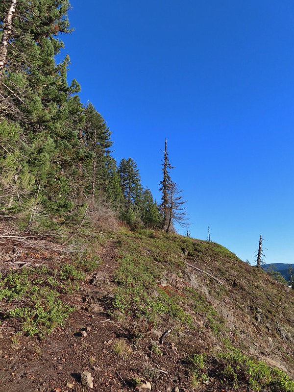
We turned left when we reached the small ridgetop and began the mile long, nearly 1000′ climb to the Silcox Hut.

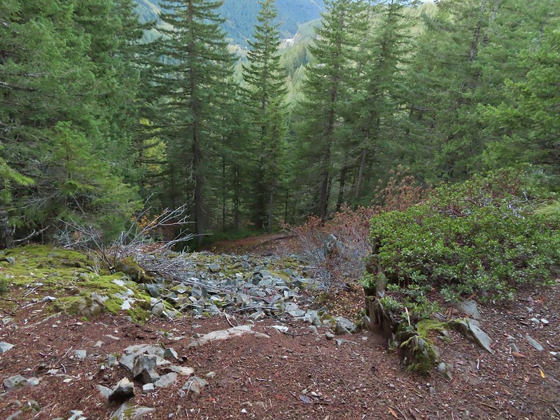
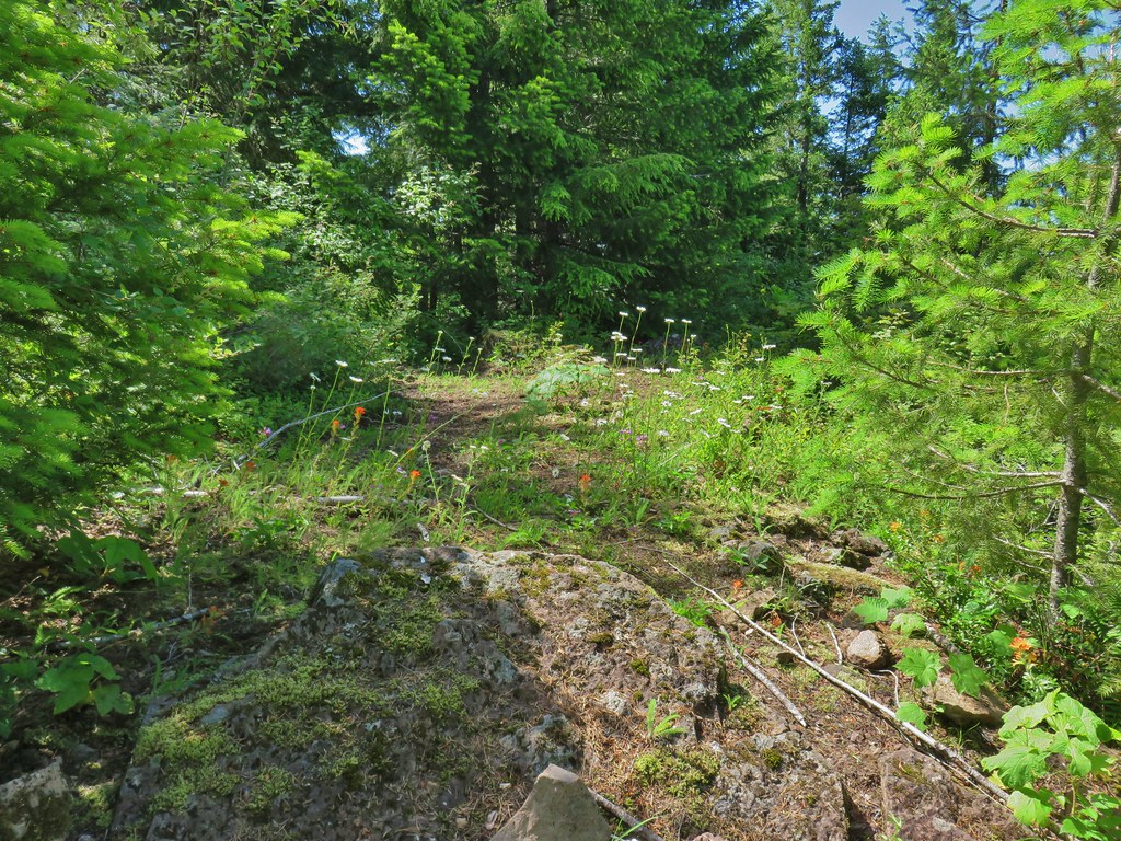
The trails are braided and there was also a dirt road that we followed for a bit, but as long as you head up along the ridge toward the buildings, you’re on track.


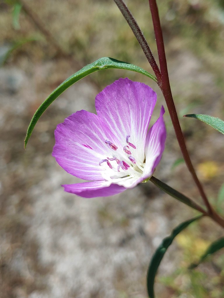
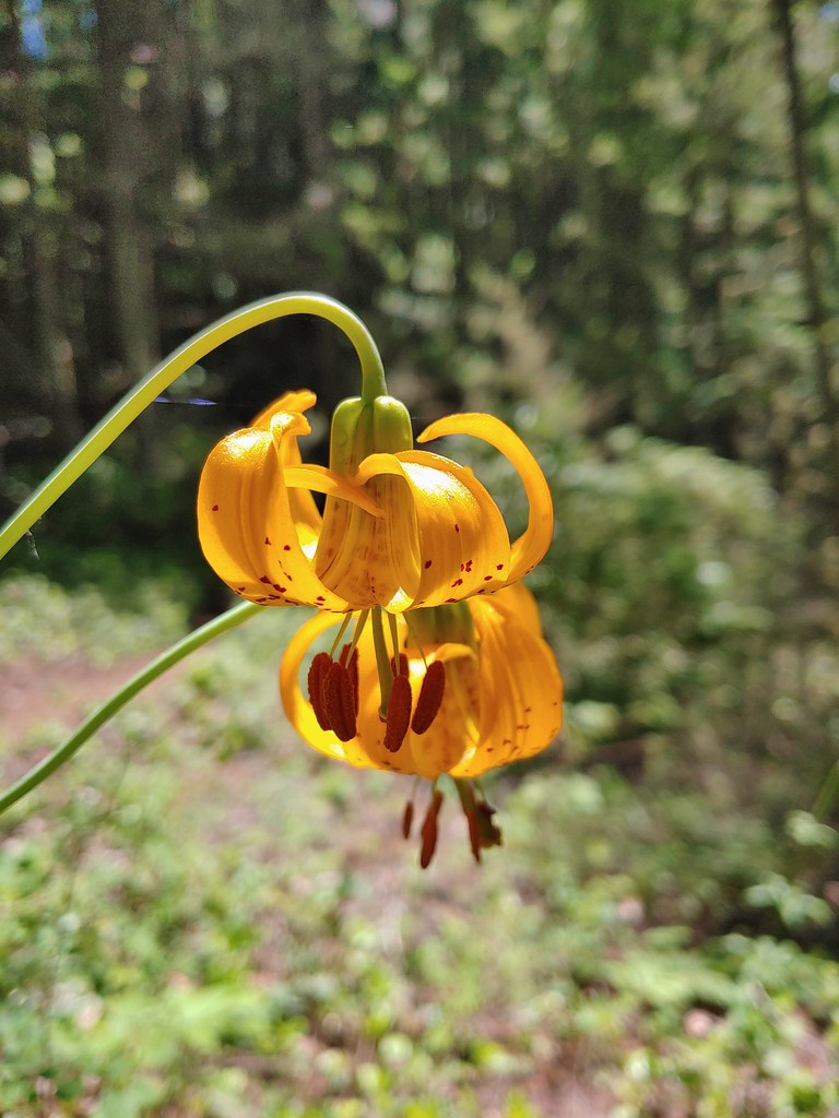
Aster

The Palmer Lift to the left of the Palmer Glacier.

The Magic Mile and Palmer Lifts to the left with the Silcox Hut to their right (a white van is parked in front).

Timberline Lodge below. The haze is from the numerous wildfires currently burning.

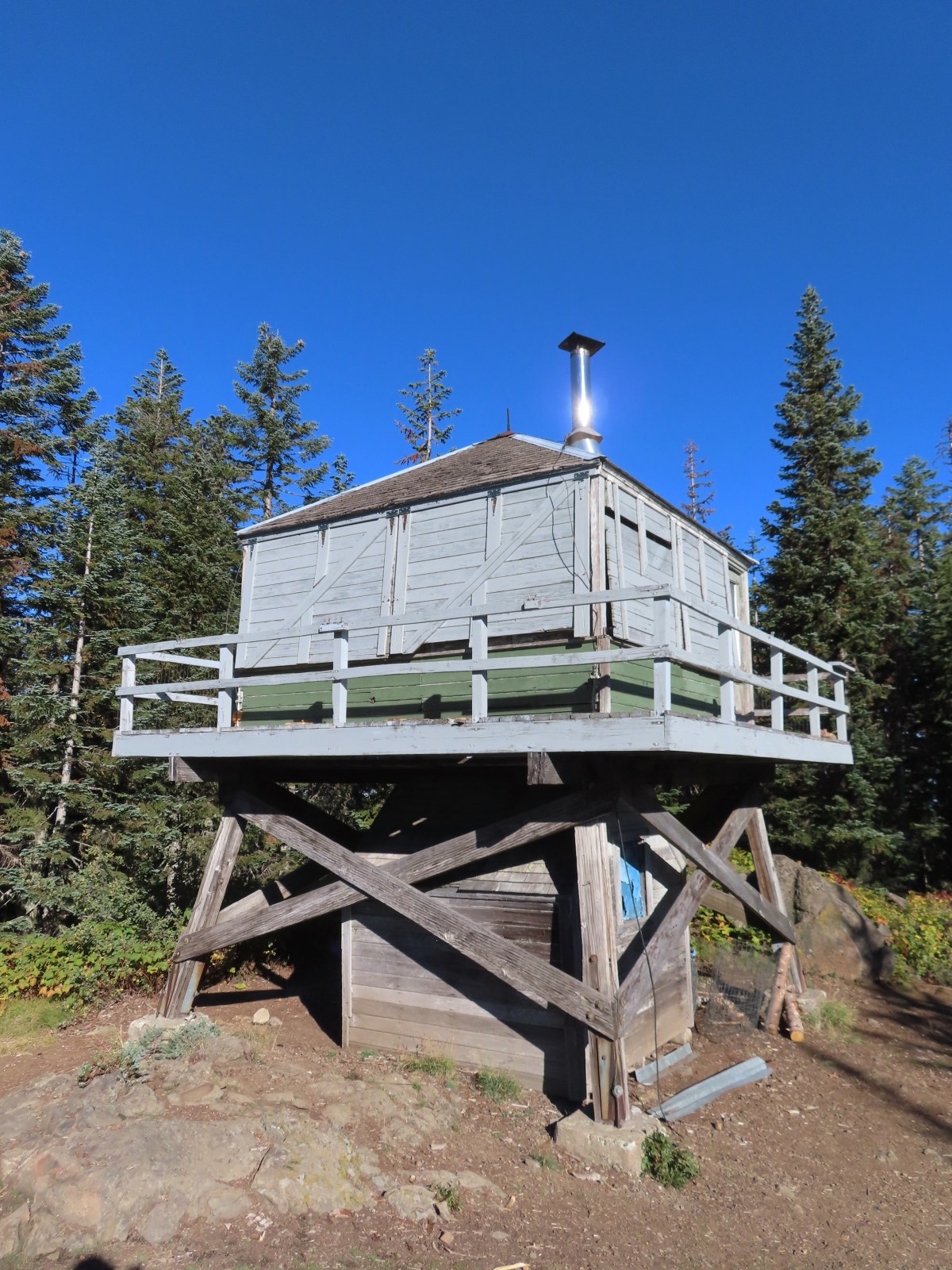
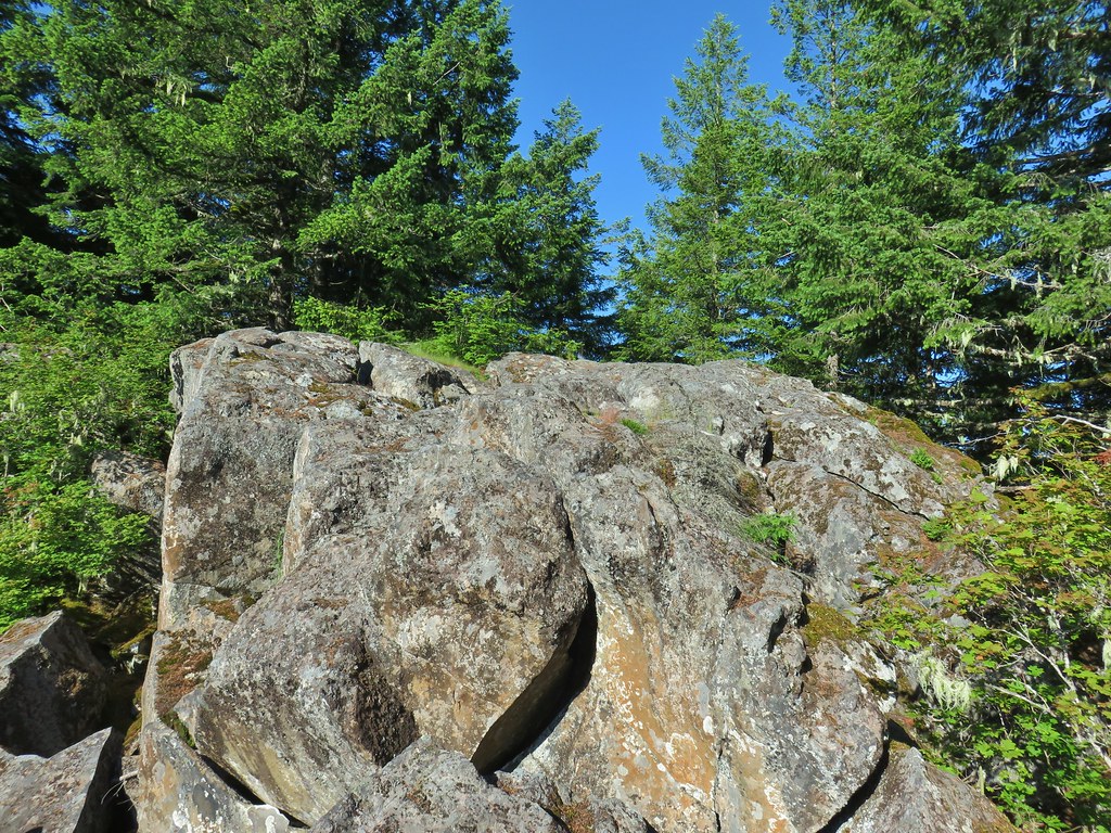
Silcox Hut and Illumination Rock

Mountain bluebird
There was a private event going on at the hut but there was a picnic table nearby where we took a break.


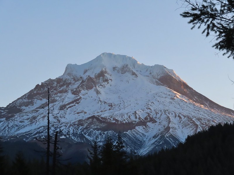
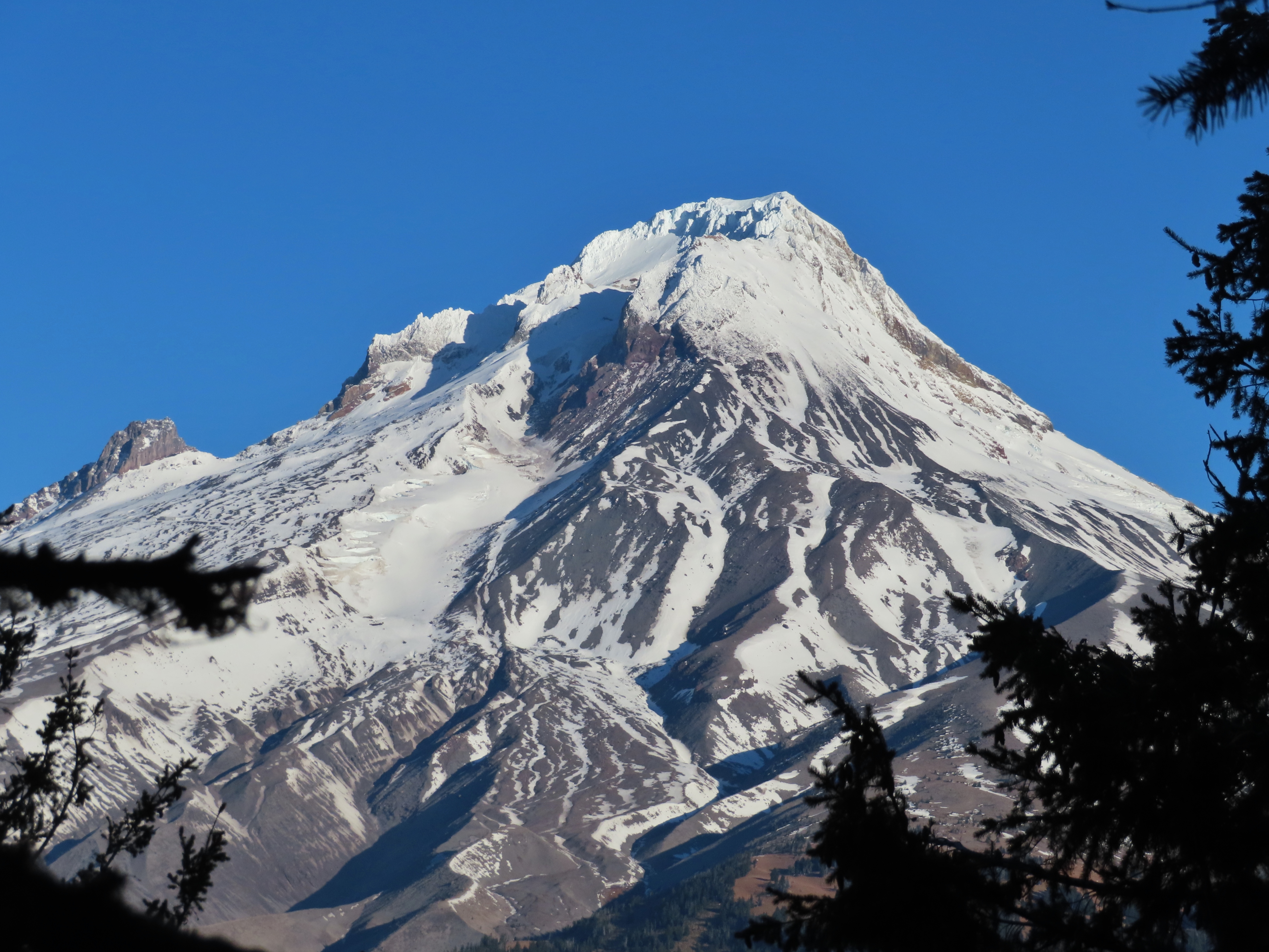
Mt. Hood from the Silcox Hut.
After our break we followed a road over to the ski lifts where we faced two options. Sullivan’s entry has you follow this road down below the Magic Mile Lift back to Timberline Lodge, but since we were going to head toward Paradise Park we picked up the Mountaineer Loop Trail which would drop us onto the Timberline Trail nearly three quarters of mile from the lodge.


The Magic Mile Lift runs during the summer allowing for a less strenuous climb to the Silcox Hut.
The Mountaineer Loop continues from the end of the first turn in the road below the Magic Mile Lift.

We should have stayed on the road between the two lifts but instead we went up and around them and wound up looking down at the curve where the Mountain Loop continued. We followed a use trail down to the curve.

Tundra aster

Pussy paws

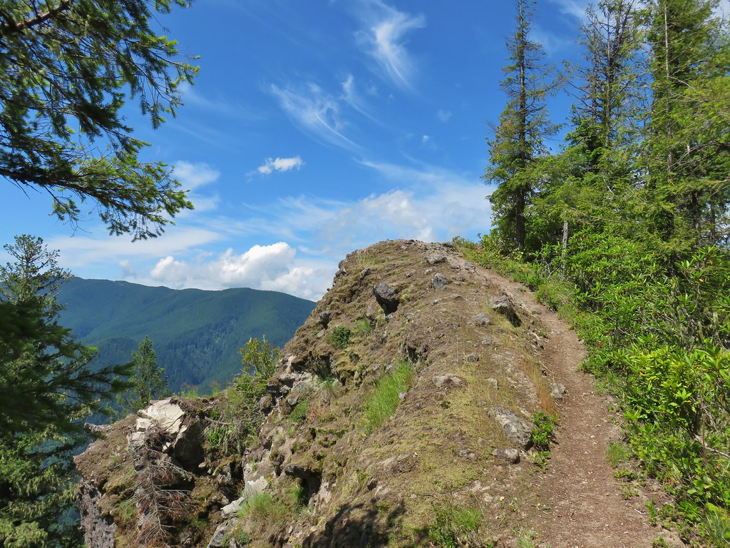
The large cairn ahead marks the trail.
Heather had decided that she was not going go all the way to Paradise Park and would instead turn around at the Zigzag River and return to the lodge to wait for me. Since I would be doing over 5.5 more miles than she we split up and I went ahead and reached the Timberline Trail first.


Illumination Rock

Looking down toward Timberline Lodge


Golden-mantled ground squirrel


I turned right onto the Timberline Trail and followed it for two and a half miles to the crossing of the Zigzag River.

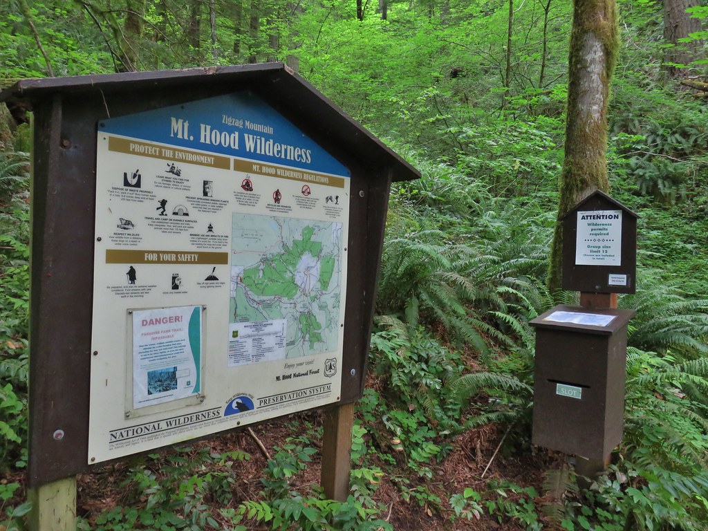
Wilderness information along the Timberline Trail.


Mt. Hood Wilderness signs at Sand Canyon West Branch.

The Timberline Trail on the far side of the Little Zigzag Canyon.

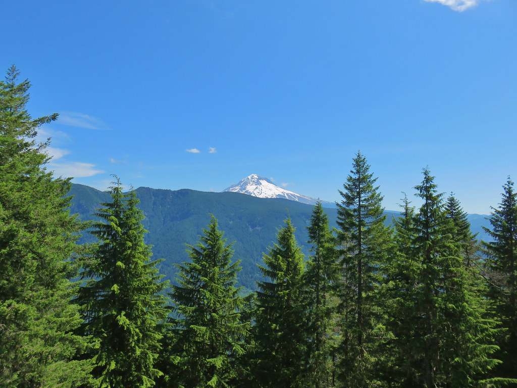
Mt. Hood from the Little Zigzag River.

Junction with the Hidden Lake Trail (post).


Tom, Dick, and Harry Mountain (post)

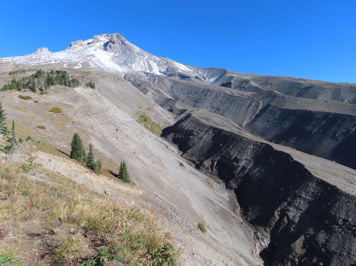
One and a half miles from the Mountaineer Trail the Timberline Trail arrives at viewpoint above the Zigzag River Canyon.

From the viewpoint it is a mile and 600′ down to the river.

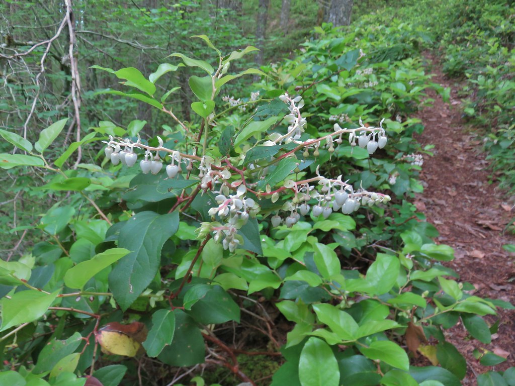
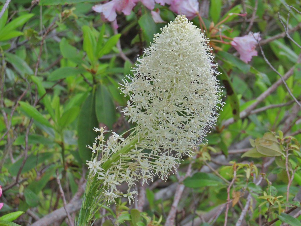
There was a lot of beargrass earlier in the year.


Big mushroom

Sickletop lousewort

Beardtongue

Grass-of-parnassus


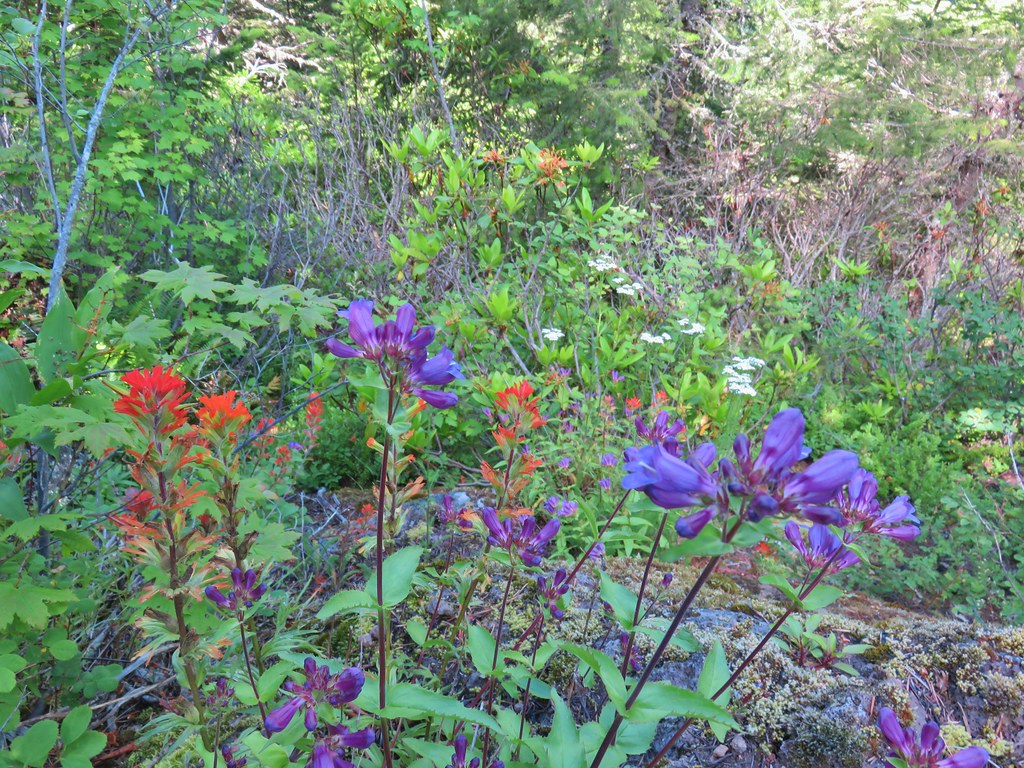
Paintbrush

Arnica

The trail crosses near the left of this photo. I was able to rock hop across and keep my feet dry.

Zigzag Falls

Zoomed in photo.

Heather went up to the falls when she got to the river.
A half mile climb gaining 250′ led up from the river to a junction with the Paradise Park Loop Trail where I turned right.


Another mile of climbing brought me to a junction with the Paradise Park Trail (post) in the middle of a wildflower meadow.


Pearly everlasting and paintbrush


Aster along the trail.


Trail sign at the junction ahead.

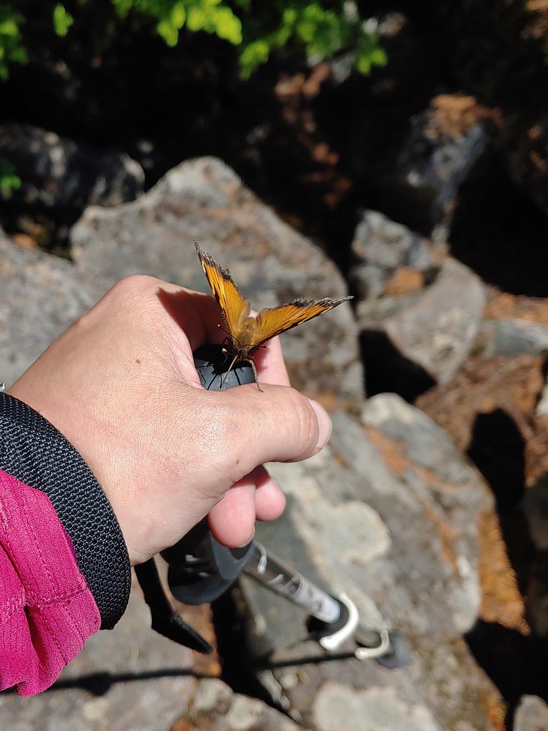
Fritillary butterfly.

The trail leveled out as it passed through the meadow and after a quarter mile I passed the ruins of the former Paradise Park Shelter.


Western pasque flower


Valerian

Monkeyflower

Pink and yellow monkeyflower and paintbrush near Lost Creek.

The shelter ruins.
I continued along the trail crossing another branch of Lost Creek and passing through wildflower meadows with views of Mt. Hood.


Fireweed


The iconic (and crowded) split rock on the hillside to the left.

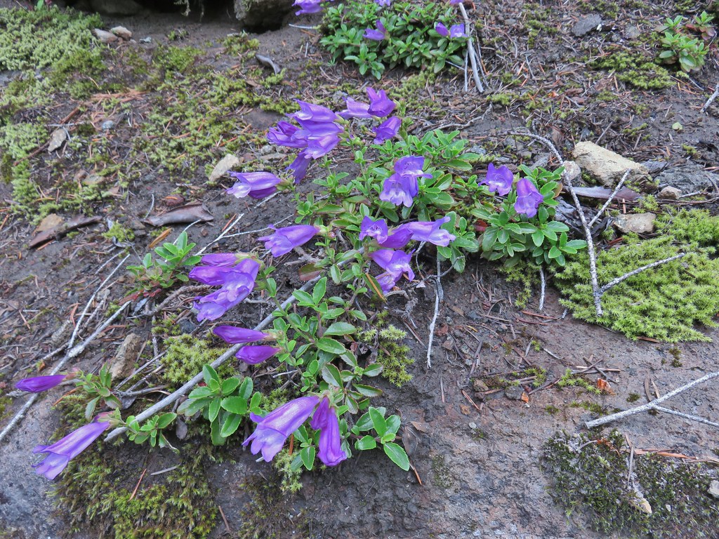
Gentians


Bistort, lupine, and groundsel


Part of the crowd at Split Rock.


Yocum Ridge (post) in the distance.
The trail eventually descended back into the forest and arrived back at the Timberline Trail a little over a mile from the shelter ruins.


The Timberline Trail/PCT junction.
I turned left on the Timberline Trail and started back toward the lodge. It was roughly 2.2-miles back to where I had turned up the Paradise Park Loop Trail and another 3.7 back to Timberline Lodge. I kept a good pace as I made my way back to the Zigzag River.


Monkeyflower

Heading down to Rushing Water Creek.

I heard several pikas in the rocks here but failed to spot any of them.

A barely flowing waterfall on Rushing Water Creek.


Looking back as I passed the Paradise Park Loop Trail.

My pace slowed considerably as I made the mile climb out of the Zigzag Canyon. In hindsight I should have stopped for water from the river, but I didn’t and wound up having to ration what I had left in order to make it back to the lodge. (The Little Zigzag River had no visible water this late in summer.)


Canada jay

Mt. Hood from the Zigzag Canyon overlook.
There was a lot of sneaky uphill on the way back to the lodge and I was dragging by the time I reached the Magic Mile chairlift which is where the last of my water was sipped.

The Palmer and Magic Mile Lifts on the hillside ahead.


The top of Timberline Lodge from beneath the Magic Mile Lift.

Heather had texted me and let me know she had gotten a table upstairs at the Ram’s Head Bar & Restaurant.

I made my way through the crowds, and after calling out a family for allowing their kids to throw rocks at a ground squirrel (sigh), I found her table. Heather got a Strawberry Spinach Salad which was refreshing, and I ordered the Maple Bourbon Bacon Meatballs. The food hit the spot and so did the couple of glasses of water I downed before we headed home.
My hike came in at 14.2-miles with approximately 3300′ of cumulative elevation gain. It was a challenging hike which I made more difficult by not stopping for water when I had the chance.

Happy Trails!
Flickr: Silcox Hut to Paradise Park


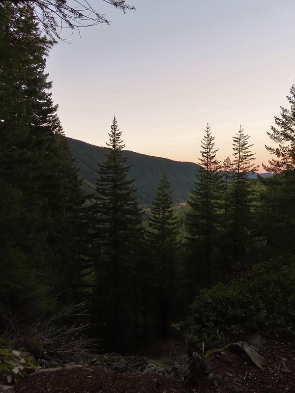
 Not having light until after 7am is rough for someone who likes to get an early start.
 The Salmon River Trail is located next to this interpretive sign near the trailhead.
 A flash was necessary as I set off.
 There was a very brief road walk along this section.
 There was also plenty of time along the Salmon River.
 I veered right at this picnic table to cross into the campground.
 The day use area at the campground.
 Water spigot at the day use area.
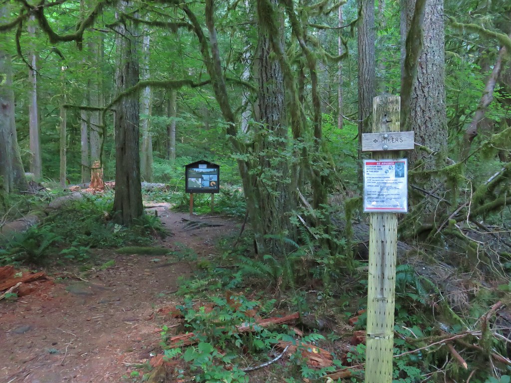
 It was hard to read the date for this cougar sighting, it appeared to be from June, but I couldn’t make out the year.
 Entering the Salmon-Huckleberry Wilderness
 One of the downed trees, this one covered both sides of a switchback.
 A rare viewpoint along the forested trail.
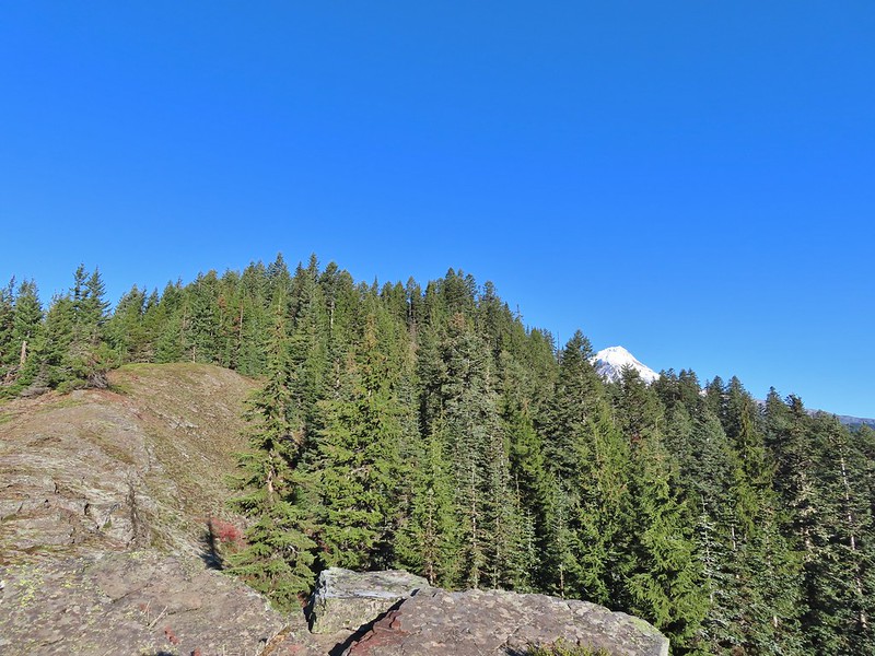
 A level stretch along a narrow ridge.
 A healthy looking paintbrush.
 The Sun rising above Hunchback Ridge.
 It was going to a be a bluebird day.
 Sign ahead marking the Hunchback Trail junction.

 One of the “downs”.
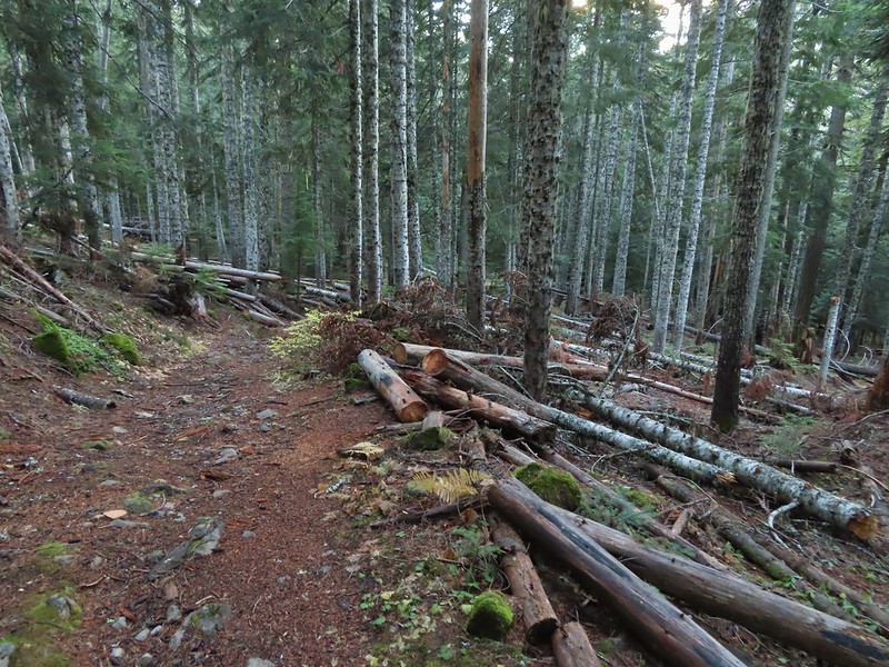
 This trail was also in good shape with just a few easy obstacles.
 I did not go investigate the source of the “water”, it could have been a trap (there is a spring shown on the map).
 Signs at the junction below Devil’s Peak.
 Mount Jefferson
 Olallie Butte (
 The lookout from the Mt. Jefferson viewpoint.
 Mt. Hood from the lookout.
 You can’t see Mt. Jefferson from the lookout due to trees.
 Trail signs at the Cool Creek Trail junction.
 Lookout Mountain(
 Mt. Hood from the Hunchback Trail.
 Arriving at the trailhead on FR 2613.
 It’s hard to make out in the photo but that is a giant pothole (crater) in the middle of the road seen from the trailhead.
 That is the trailhead at the end of the road on the right.


 There were some nice Fall colors along the Kinzel Lake Trail.
 There were also a few obstacles that were trickier than anything on the other trails involved in this loop.
 Salmon Butte (
 Nearing the Salmon River Trail.
 Trail sign at the Salmon River Trail junction.

 There wasn’t much water at all in any of the side creeks.
 There are several viewpoints just over 3.5-miles from the trailhead.
 The furtherst hump in the center is Huckleberry Mountain (
 Wilderness kiosk along the trail. There were self-issued permits here, but none at Green Canyon Way so I stopped and filled one out even though I was almost done with my hike (and out of the wilderness).

 Salmon River
 There were a couple of good-sized fish in the pool here.
 The trail arriving back at the trailhead.
 We had also parked here in 2021 for our Barlow Butte hike (


 The colors of Fall.
 Tom, Dick, and Harry Mountain (
 Mt. Hood teased an appearance a couple of times along the lower portion of the PCT. It was enough to see that there was a dusting of fresh snow on the mountain.
 The signed junction with the Yellowjacket Trail.
 The wet brush had me whishing I’d worn boots.
 The Yellowjacket Trail passing a small meadow.
 Makeshift footbridge along the trail.


 New snow on Mt. Hood.
 The valley is the result of an eruption around 250 years ago.
 Pacific lupine
 At the end of the levee the route climbed a moraine then continued its gradual ascent to the Timberline Trail.
 Dark-eyed junco. There was a good variety of birds along the moraine, but this was the only one that sat still long enough to have its picture taken.
 Frost on a log. It was really nice to be hiking in the crisp cool air.
 Boy Scout Ridge from the moraine.
 The unsigned junction with the Timberline Trail.
 Mt. Hood from the junction.
 Sign for the PCT nearly absorbed by the tree.
 Lupine (broadleaf?)
 A few remaining blooms on the goldenrod.
 Signpost at the PCT junction ahead.


 The coyote with Mt. Hood looming behind.
 Mt. Jefferson to the south with the Three Sisters behind to the left.
 The Three Sisters and Mt. Jefferson
 The round peak along the far ridge is Gunsight Butte (
 We’d lost sight of the coyote until it ran across the trail not too far in front of us.
 More lupine
 A few remaining aster blossoms in the foreground.
 Timberline Lodge across the Salmon River Canyon.
 Looking back down the White River Valley. Barlow Ridge is the near hump on the right.
 Another look at Timberline Lodge.
 Despite all the cars at the lodge we would only encounter a half dozen other trail users until we were back at the Barlow Pass Trailhead.
 Small waterfall below the ridge.
 I turned around here where the Timberline Trail headed across the Salmon River drainage. The Silcox Hut is straight ahead on the side of the mountain.
 Looking back at the high point where Heather had stopped.
 Mt. Hood’s summit.
 The waterfall looking pretty small far below the mountain.
 It took us a moment to decide what the dark rounded peak straight ahead in the distance was. We eventually correctly identified it as Black Butte (
 Olallie Butte (
 Birds on mountain ash.
 The Timberline Trail junction.
 Beargrass meadow, there hadn’t been any blooms this year.
 Lousewort
 It was nearly 2-miles between the Timberline and Yellowjacket trail junctions.
 We were shocked to see a bunchberry that still had some petals, even if they were in sad shape.
 Mushrooms and fungi are not surprising this time of year.
 Highway 35
 Arriving at the Barlow Road.
 Our various hikes around the mountain. There are still a few areas where we could add a track or two. Happy Trails!
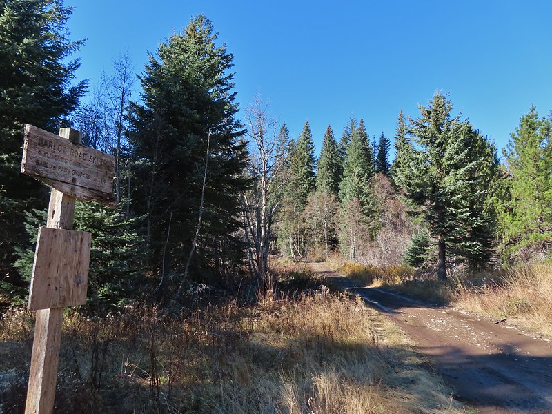
 We parked on the shoulder here and road walked three quarters of a mile to the official
  This is a good example of why we parked where we did.
 The official trailhead.


 A pair of Barrow’s goldeneye ducks enjoying a morning swim on the far side of the lake.
 The use trail
 Mushroom along the road walk back to the car.
 The somewhat obscured sign for the Anvil Lake Trail along spur road 5800-160.
 The pullout where we parked.


 The edge of Black Wolf Meadows.
 Sign in Black Wolf Meadows.


 The trail leaving the meadows.
 More mushrooms
 Rough-skinned newt

 Old sign near Anvil Creek.
 The dry bed of Anvil Creek.
 Coral fungus
 The sign for the spur trail ahead on the left.
 Pointer for Anvil Lake. According to the Oregon Hikers Field Guide this sign is likely over 50 years old based on the reference to S-502 which is currently known as FR 5820 which is another potential
 Anvil Lake


 Mt. Hood from the pullout.


 The road continuing to the left.
 Olallie Butte (
 Mt. Hood with Mt. Adams behind to the left.
 The view south toward Mt. Jefferson.
 Heather is the orange dot climbing up the side of the outcrop.
 Mt. Hood from the saddle.
 Signal Buttes is the pointy peak on the left and Salmon Butte (
 Salmon Butte now in the middle with Linney Butte the hump on the right of the double humps in the foreground and Devil’s Peak (
 Linney Butte, Devil’s Peak, Mt. Adams in the distance, and Mt. Hood.
 Wolf Peak in the foreground which is above Black Wolf Meadows.
 Mt. Jefferson from the former lookout site.
 Peaks in the Bull-of-the-Woods and Opal Creek Wilderness areas in the distance to the left and Fish Creek Mountain (
 The remains of the lookout on High Rock.
 A zoomed in shot of Mt. Adams.
 Mt. Rainier rising behind Devil’s Peak.

 The ground squirrel watching us as we passed below.
 Skipper along the road on the way down.
 Aster
Aster


 The barricade ahead.
 The trail before the barricade.
 This trail had seen maintenance at some point.
 Trail sign along the road.


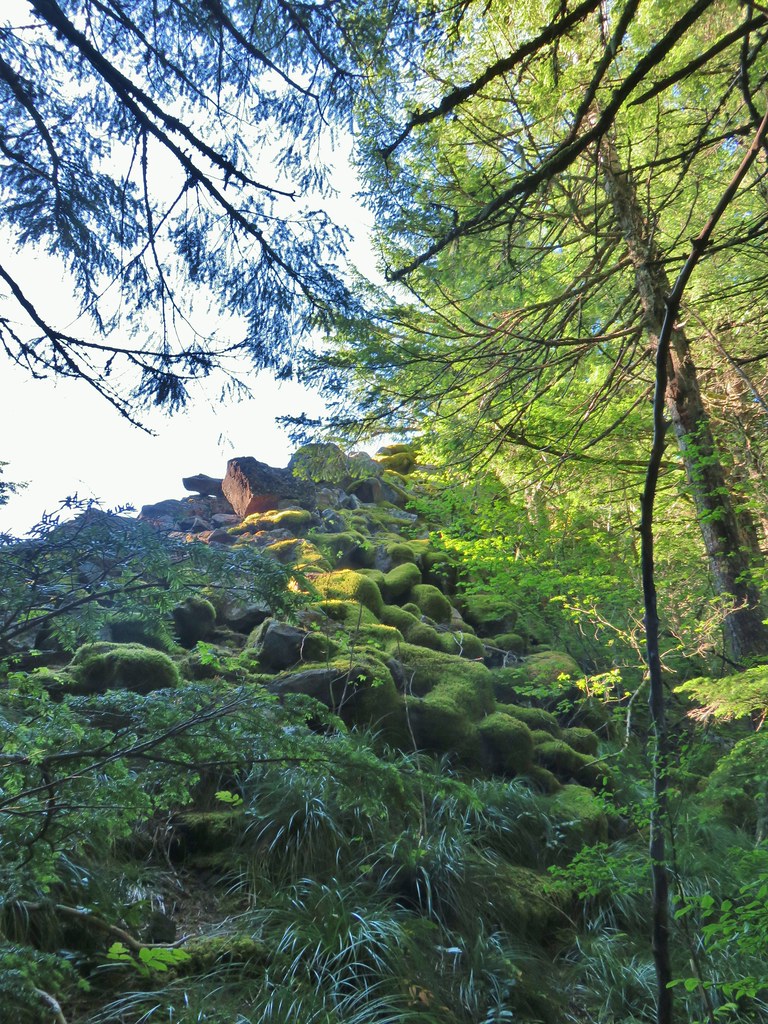
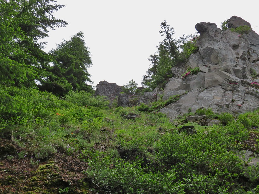
 Toward the end of the trail, we began to pass a series of volcanic rock formations.


 The western fin.
 Use trail along the western fin.
 View up Castle Canyon.
 Rock pillar across Castle Canyon.
 Devil’s Peak (
 Looking down from the end of the rock fin.
 Just after taking this picture on my way back I received my first sting.
 I actually followed a use trail several yards above the end of the trail just to make sure I wasn’t being followed.
 The trail on the other fin.
 The Castle Canyon Trail below the rock fin.
 <
< One of two red-breasted sapsuckers on the tree.
 The Castle Canyon Trail was approximately 0.2-miles East of the barricade that we’d seen from the use trail we turned up.
 We liked the colors of this plant carpeting the ground along the road.
 Back at the West Zigzag Trailhead.
 The upper junction with the loop trail was just 0.2-miles from the trailhead.
 We stuck to the Sandy River Trail on the way down.
 The Sandy River Midway Trail on the left was about 0.4 of a mile from the upper junction making a shorter loop (or figure 8) possible.
 The lower junction with the Jim Slagle Trail was 0.6-miles from the upper junction.
 The river is behind the trees at the top while the Sandy River Trail is clearly visible below.


 Registration box and signboard at the Mt. Hood Wilderness boundary.
 There were a few downed trees but nothing too difficult to navigate.
 The brush was mostly huckleberry bushes.
 Trail side snacks.
 McGee Creek Trail junction with the Timberline Trail.
 Blowdown from the September 2020 storms that also flamed the destructive wildfires across the state. For more information on the storms impact on Mt. Hood check out this Wy’East Blog
  Looking through the trees at one of the areas that suffered severe blowdown.
 It was a cloudy day. We got sprinkled on briefly a couple of times.
 Fireweed
 Pinedrop
 Avalanche lilies
 Paintbrush
 Valerian, spirea, and paintbrush
 Gentians
 Yellow monkeyflower
 A tributary of McGee Creek.
 Spirea along the Timberline Trail.
 Shooting star
 Pink monkeyflower
 Fleabane
 Beargrass
 False hellebore
 Partridge foot
 Lupine
 Lewis monkeyflower along a tributary of McGee Creek.
 Beardstongue
 Lousewort
 Dry pond surrounded by beargrass.
 The idiots camped in the meadow. There is even an arrow on the “Do not camp in meadow” sign pointing at the meadow. Please DON’T be these people.
 The second pond still had some water in it.
 Junction with the Mazama Trail (
 The butterflies weren’t out today but the bees were.
 The clouds just wouldn’t quite raise enough.
 Mountain heather
 Lupine and paintbrush
 Beargrass along the Timberline Trail.
 Paintbrush, partridge foot and lupine
 Signpost for the McNeil Point Trail.

 We’d never seen a paint colored like this before.


 Western pasque flower
 Lupine and two types of monkeyflower


 Pikas spend the Summer gathering greens for the rest of the year when they remain in their homes under the snows.

 Mountain heather and paintbrush.
 Saxifrage
 A variety of flowers.
 Avalanche lilies
 Sub-alpine fleabane
 Western pasque flowers
 Doe that was as surprised as we were when we spotted each other.

 Lewis monkeyflower
 The righthand fork.
 View from the plateau.
 Some low clouds to the East.
 Dwarf lupine
 A hiker on the righthand fork headed for the McNeil Point Shelter.

 Caves below the Sandy Glacier.
 Bluebells of Scotland
 The shelter below to the right.
 Muddy Fork
 Goldenrod
 With the clouds the view wouldn’t have been great from the ridge on this day.


 Patches of blowdown along Bald Mountain Ridge.

 Columbine
 Valerian
 Paintbrush and bistort
 Aster
Aster Chipmunk snacking on huckleberries.
 Meadow near the Timberline Trail.
 Arriving back at the Timberline Trail.
 Every once in awhile the trail was clear of other users.
 We’re always drawn to this rock fin above the Muddy Fork.
 Canada jay
 McGee Creek Trail junction.
 Bunchberry
 Is that sunlight?
 While the clouds never lifted from Mt. Hood we did experience a window of blue sky near the end of our hike.

 Mt. Hood from the trailhead.


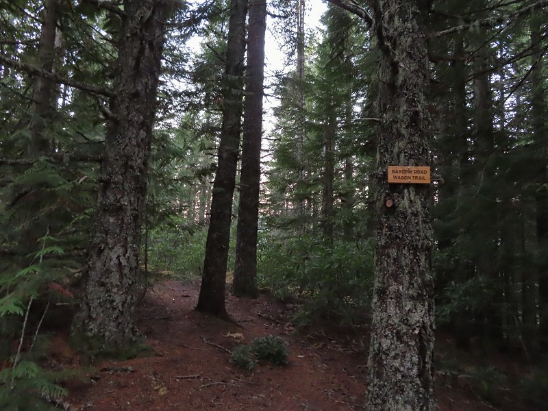
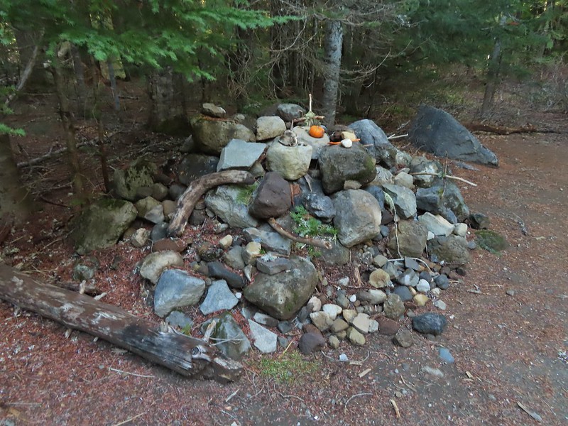
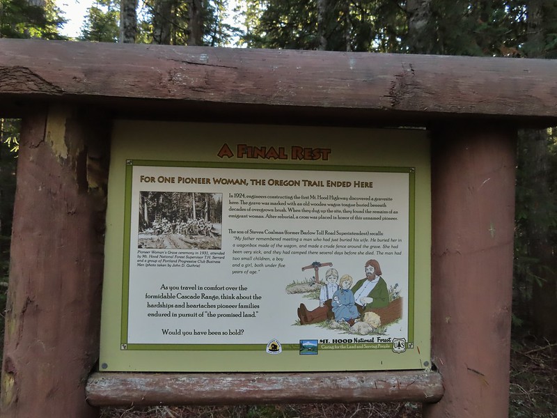
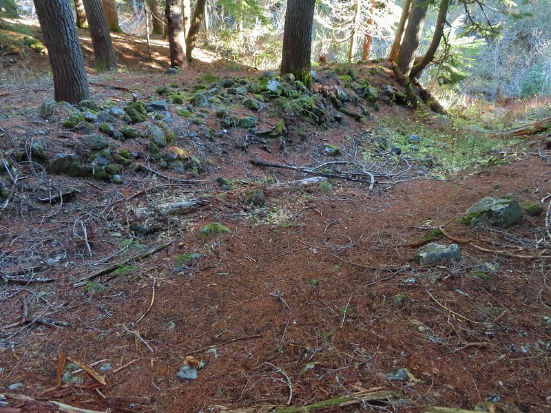
 The wagon chute.

 The left at the 4-way junction.
 Looking down the chute.
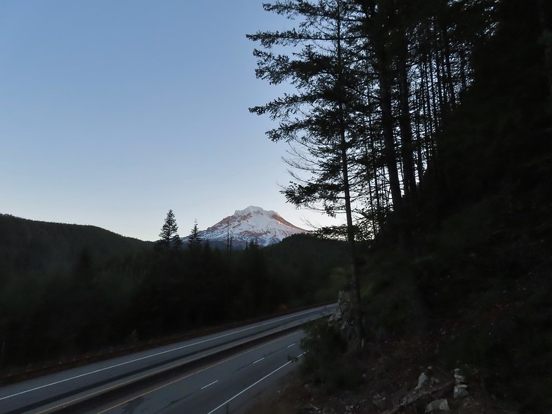
 Sunlight starting to hit the SE side of Mt. Hood.
 Ravens photo bombing a close up of the mountain.


 A portion of the original Barlow Wagon Road.
 Barlow Road (FR 3530)
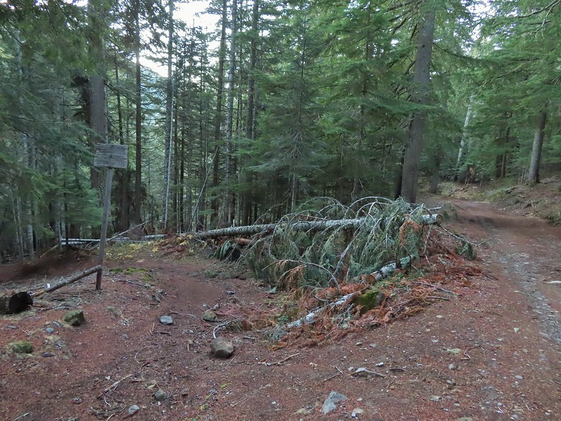


 Wilderness sign along the Barlow Butte Trail.
 Getting steeper.
 This was the worst of the blow down we had to navigate on this section.
 Nearing the junction.
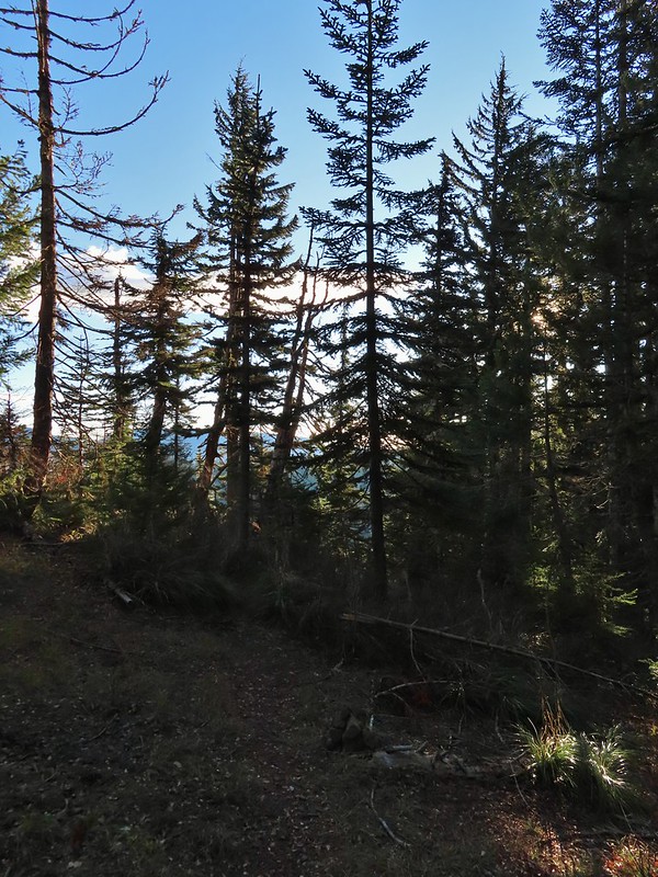
 It was a little chilly with temps in the mid 30’s combined with a stiff breeze adding to the wind chill.
 On the right of the far ridge is Bonney Butte (
 Remains from the lookout.
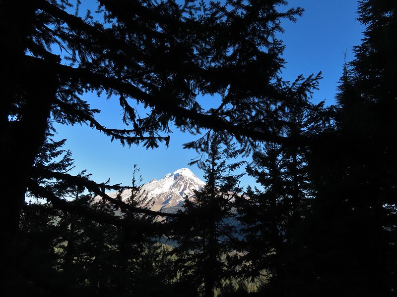
 Barlow Butte and the top of Mt. Hood.
 Frog Lake Buttes (
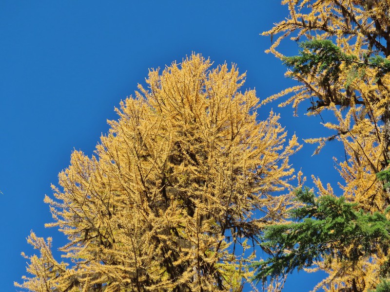
 Western larches
 Mt. Jefferson behind some clouds.
 Sisi Butte (double humps) and Bachelor Mountain (


 Barlow Butte to the left of Mt. Hood.
 Mt. Jefferson still behind some clouds.
 Parts of Mt. Jefferson peaking through the clouds.
 Tom Dick and Harry Mountain (with the rock fields near the top).
 Small cairns in a meadow.
 One of the aforementioned diamonds.
 Approaching the high point.
 Clouds were starting to pass over Lookout Mountain at this point.
 Mt. Hood from the high point of Barlow Ridge.
 Carin in the trees ahead.
 Elk or deer tracks leading the way.
 Another section of frost.
 We took this as a blaze.
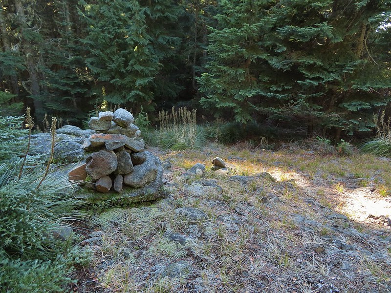 That blaze led to this large cairn.
 Things were starting to get interesting here.
 Stopped here to listen for pikas, no luck though.
 This could be trail.
 Still on the right track, note the folded trail sign on the tree at center.
 The small meadow.
 Officially off-trail now.
 This looked like a place the trail would go.
 A final look at Mt. Hood from Barlow Ridge.
 This doesn’t look so bad.
 One of several big trees we encountered.
 Little orange mushrooms, how appropriate for Halloween.
 Starting to encounter more debris.
 If there had been a trail good luck finding it.
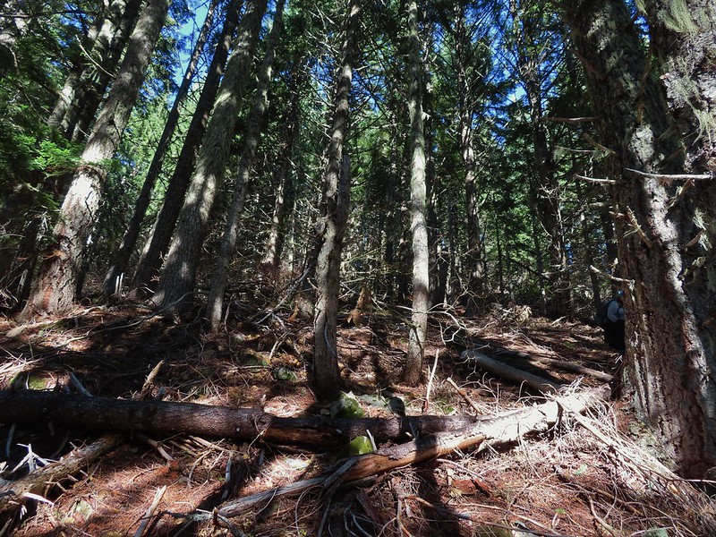 Heather coming down behind me.
 Pretty decent game trail here.
 This section was fun.
 A bigger orange mushroom.
 Uphill on this game trail.
 Thickets of brush kept us from getting all the way over to the ridge we needed so we just kept going downhill knowing that we would eventually run into one of the forest roads at the bottom.
 More steep fun.
 Look Ma a road!
 It doesn’t look that steep from down here.
 Barlow Road.
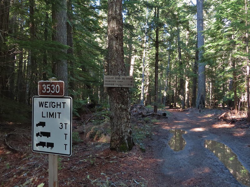


 Western larches above Barlow Road.
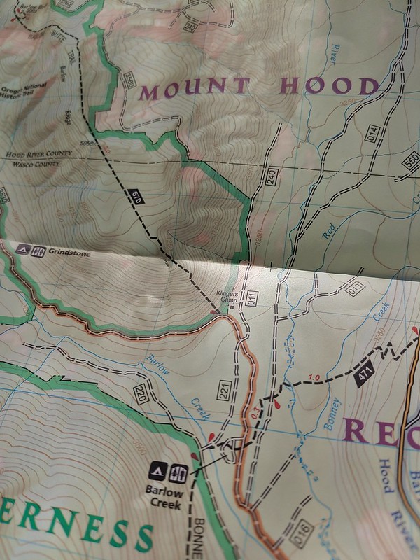
 Grindstone Campground
 Barlow Creek
 Crossing Barlow Creek near Devil’s Half Acre Meadow.
 Clouds on top of Mt. Hood towering over the trees.
 Barlow Road at the campground.
 Devil’s Half Acre Meadow.
 Finally back to where we’d left the road in the morning.
 Arriving back at the Barlow Pass Trailhead
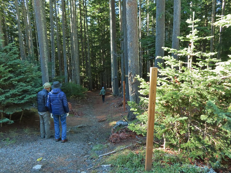 The first other people (not counting the two drivers in the pickups) that we’d seen all day.
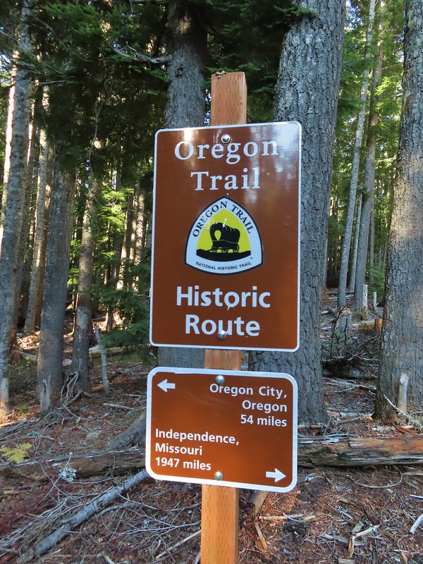


 East Fork Salmon River


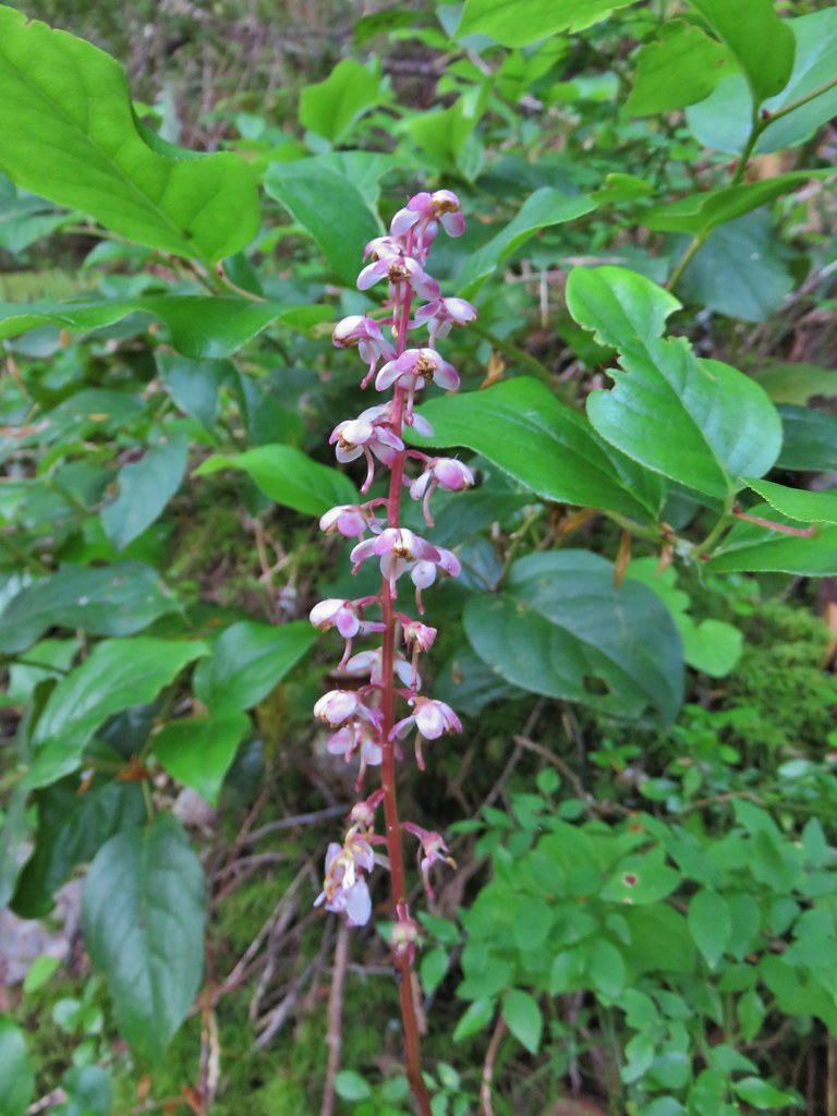 Pink pyrola
 Switchback below a rock outcrop.
 Looking down the hillside from the trail.
 Trail dropping to a saddle.
 Looking south across the Salmon River valley. The Bonanza Trail (
 Beardstongue (penstemon)
 Washington lily
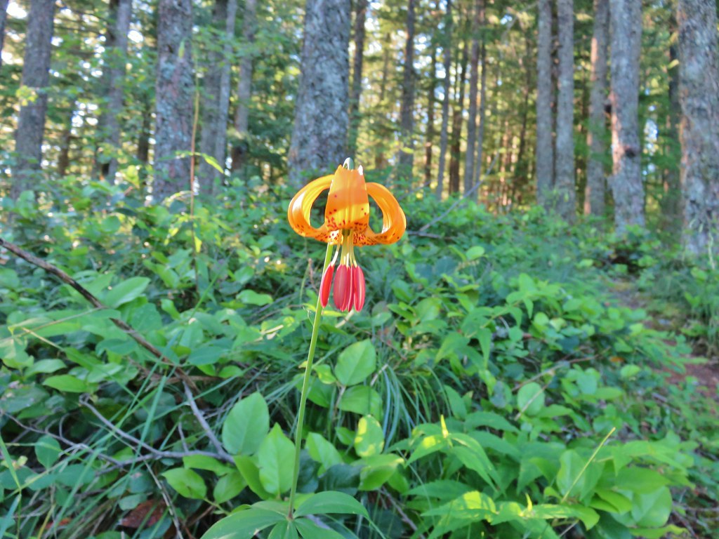 Tiger lily
 Penstemon
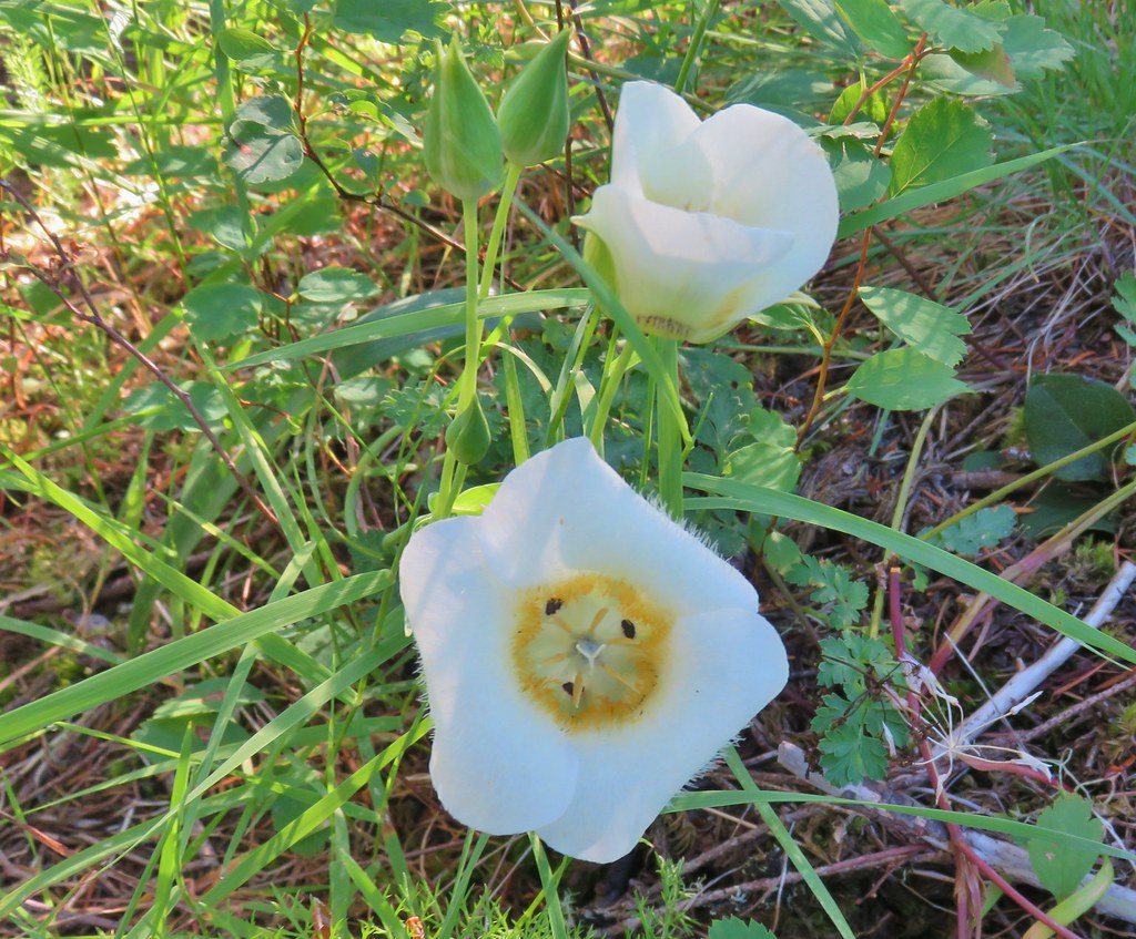 Sub-alpine mariposa lily (cat’s ear lily)
 Yarrow
 Starting the steep climb.
 Coming up to the cliffs.
 Cliffs along the trail.
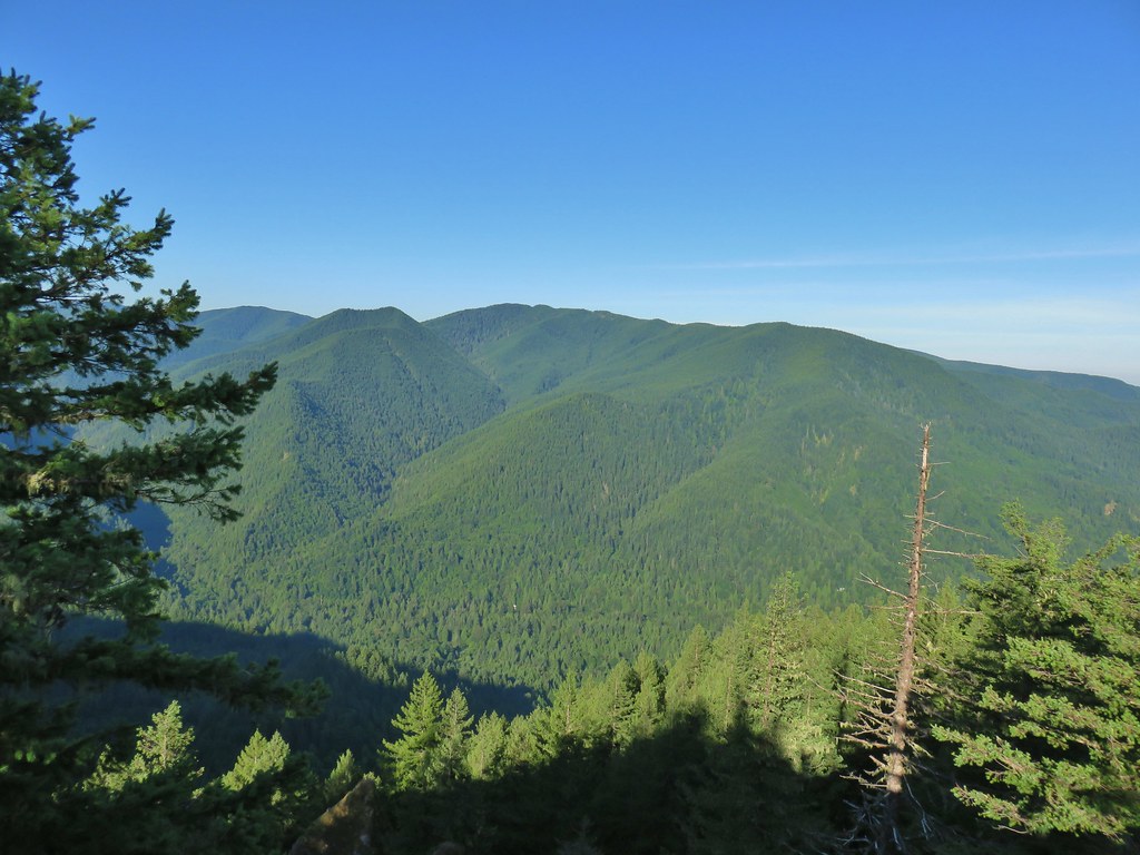 Huckleberry Mountain
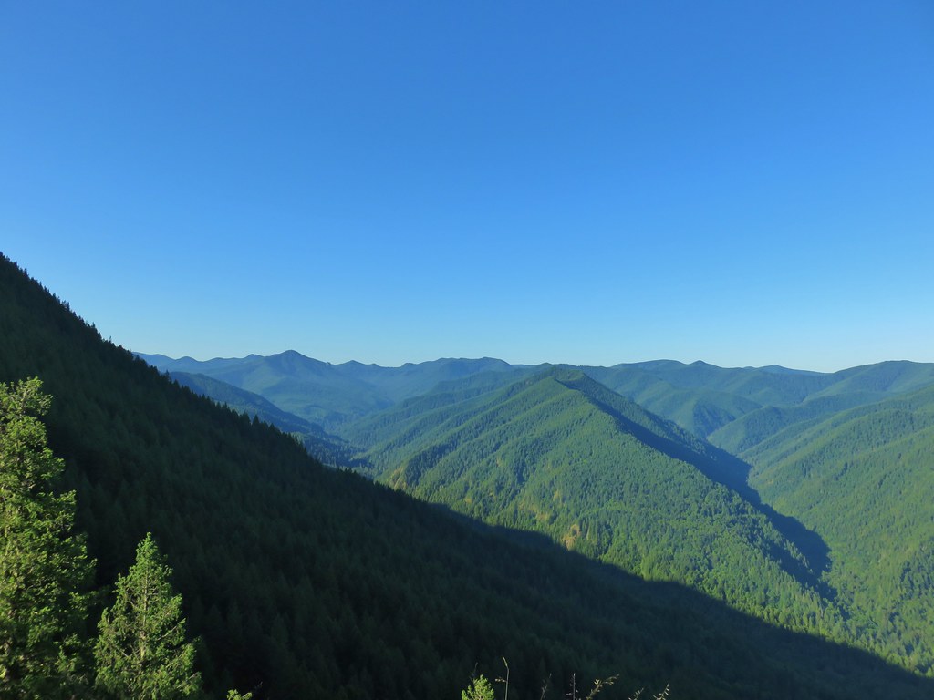 Salmon Butte (
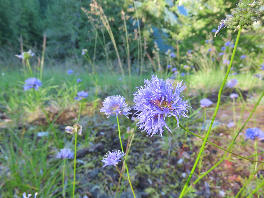 Blue-head gilia
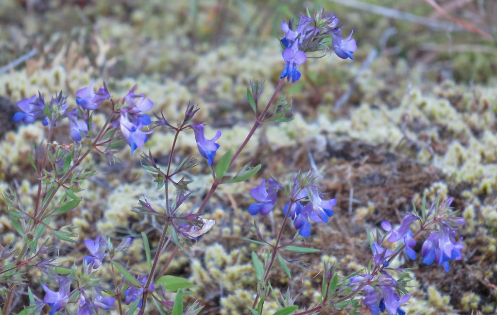 Blue-eyed Mary
 Oregon sunshine, blue-head gilia, penstemon and yarrow.
 Trail dropping toward the forest.
 Trail starting to climb again.
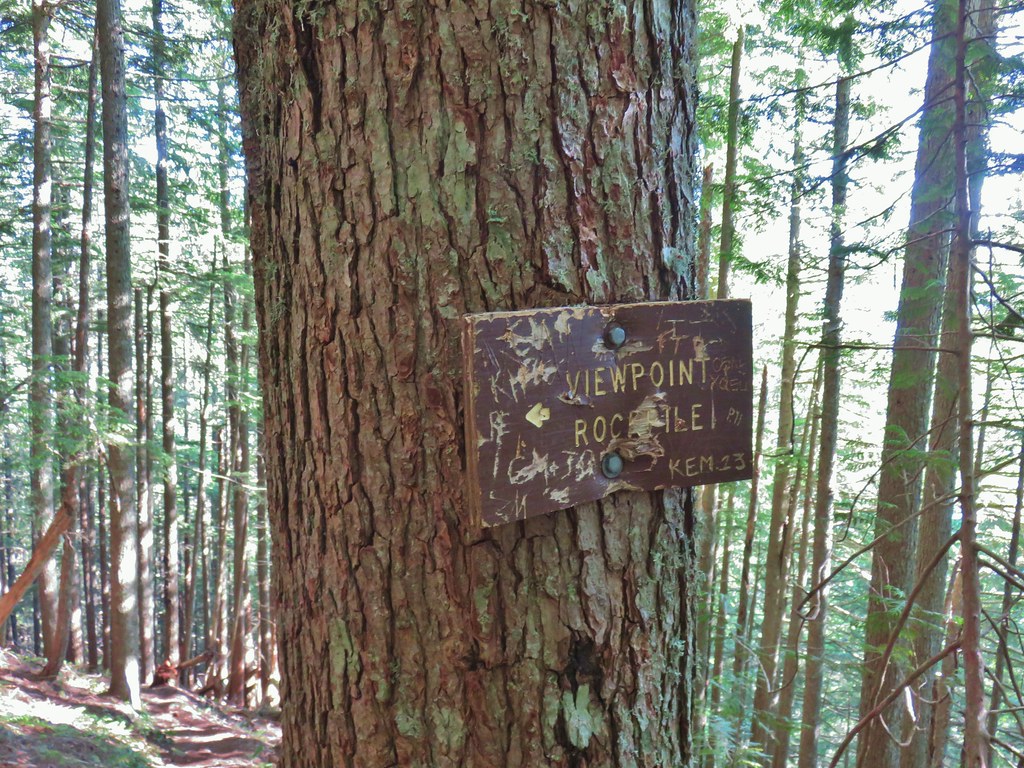 Sign for the viewpoint.
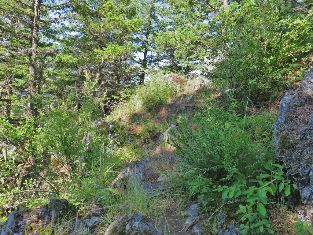
 The top of the rocks.
 Washed out view of Mt. Hood

 Pinesap
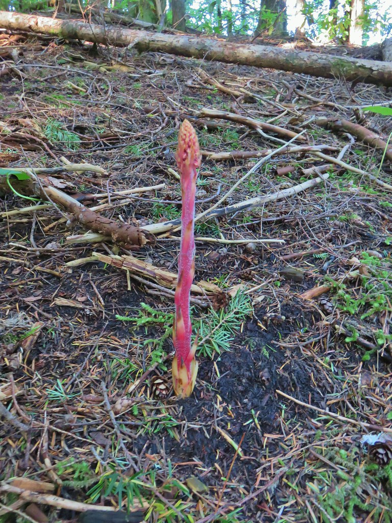 Pinedrop
 Pacific coralroot
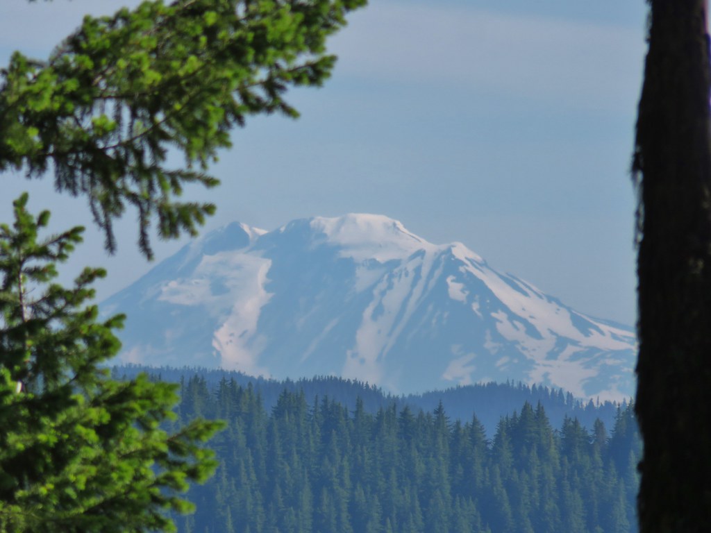


 Passing a rock outcrop on narrower tread.
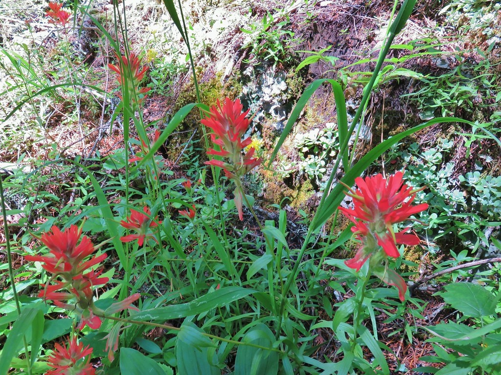 Paintbrush
 Rocky spine
 Columbine
 Climbing up the Hunchback Trail.
 Heather coming up the trail.
 Beargrass near the 4000′ elevation.
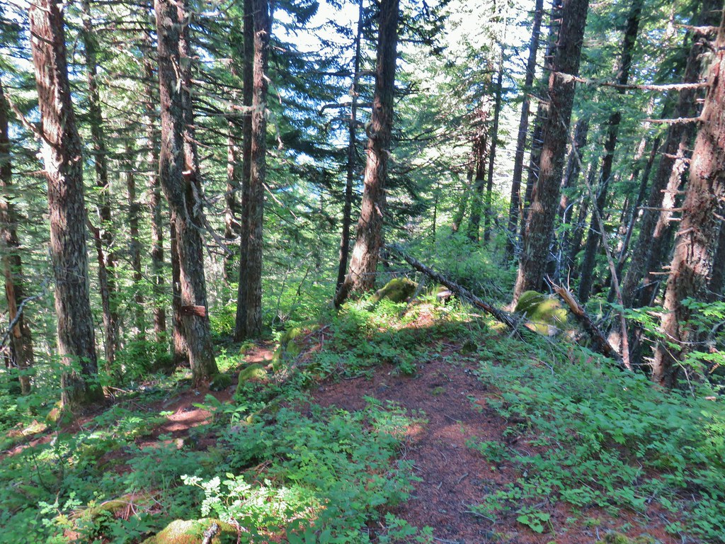 Heading down to the viewpoint sign.
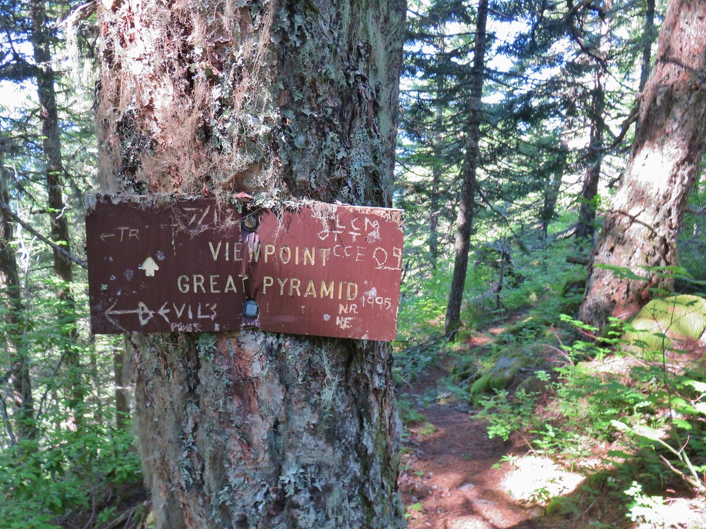 Side trail to the Great Pyramid.


 The cliffs of West Zigzag Mountain to the left of Mt. Hood where we’d been the week before (
 We weren’t entirely alone as Heather was visited by a butterfly.
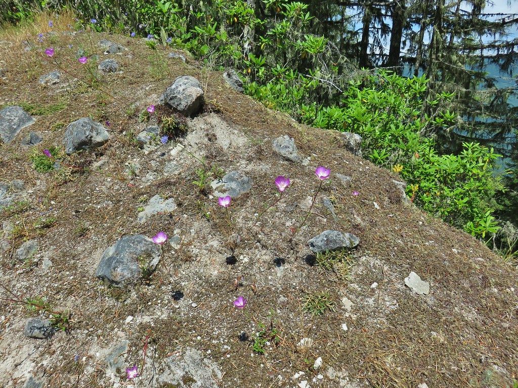
 Looking down into the Salmon River valley
 Looking west toward Highway 26
 Blue-head gilia
 Penstemon
 Tiger lilies
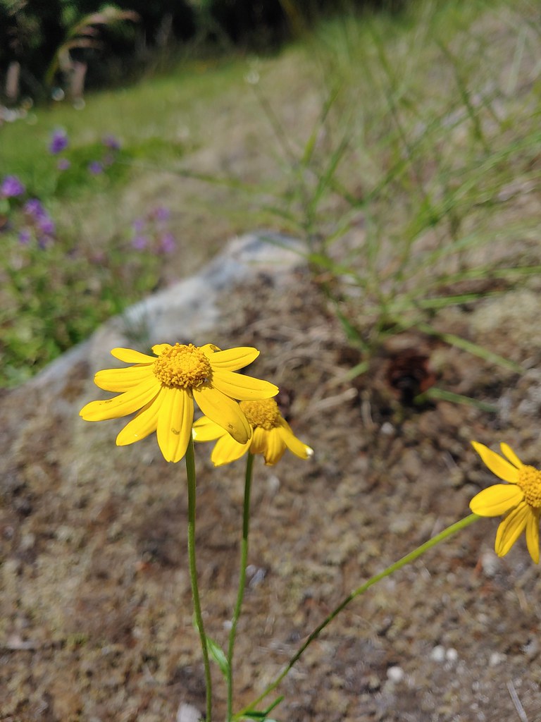 Oregon sunshine
 Cat’s ear lilies
 Parking area is just a wide spot in the road.
 Zigzag Mountain Trail entering the Mt. Hood Wilderness.
 Washington lilies
 Tiger lilies
 Self-heal
 Salal
Salal Candy sticks
 Queen’s cup and bunchberry
 Anemone
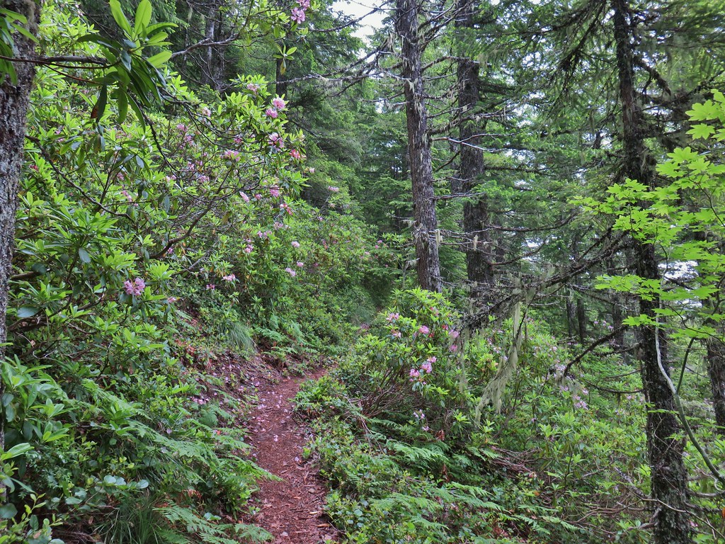


 Beargrass
 Lupine
 Trillium along the north facing side of the ridge.
 Mushroom
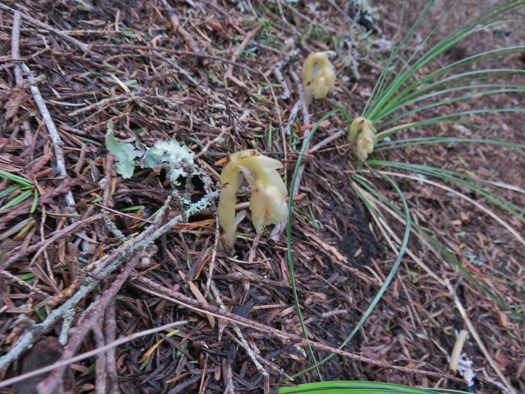 Pinesap
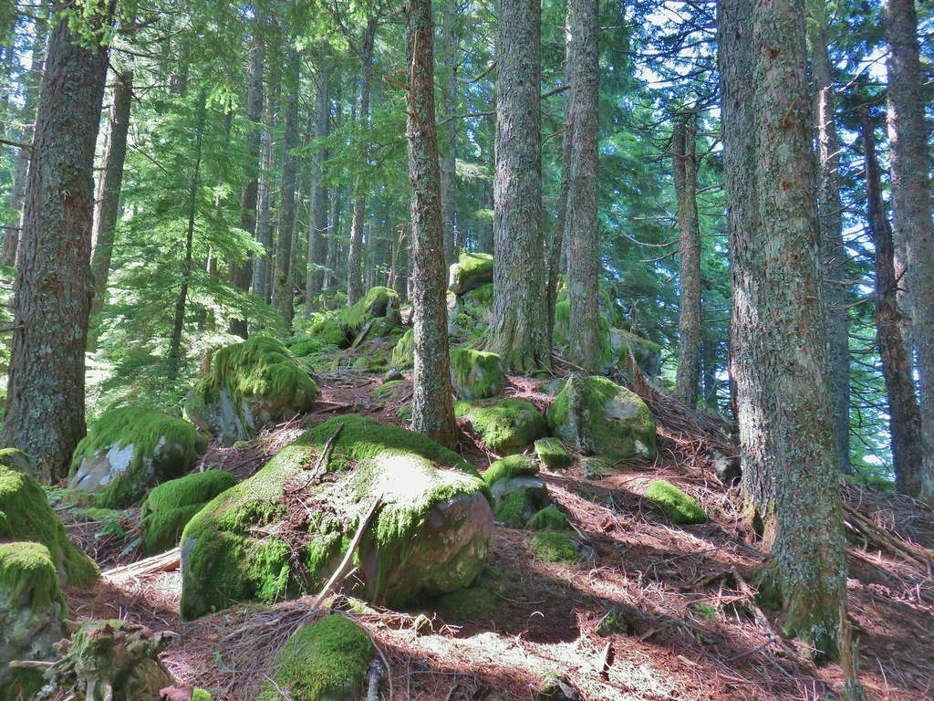
 Passing a rock outcrop.
 West Zigzag Mountain from the trail.
 Back to the north facing side.
 Now on the south facing side.

 Sub-alpine mariposa lily at the viewpoint.
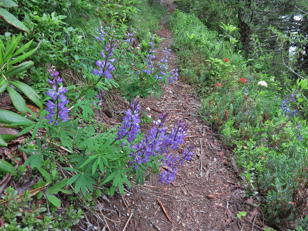 Lupine and paintbrush
 Beargrass and rhododendron
 Huckleberry
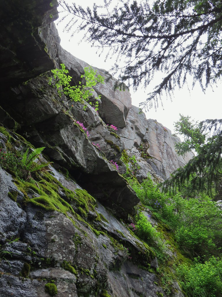 Cliff beardtongue
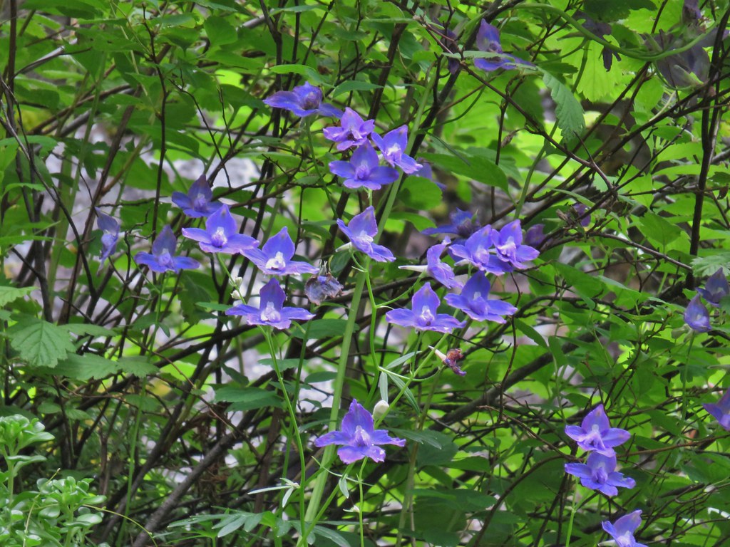 Larkspur
 Phlox
Phlox More cliff beardtongue
 Penstemon
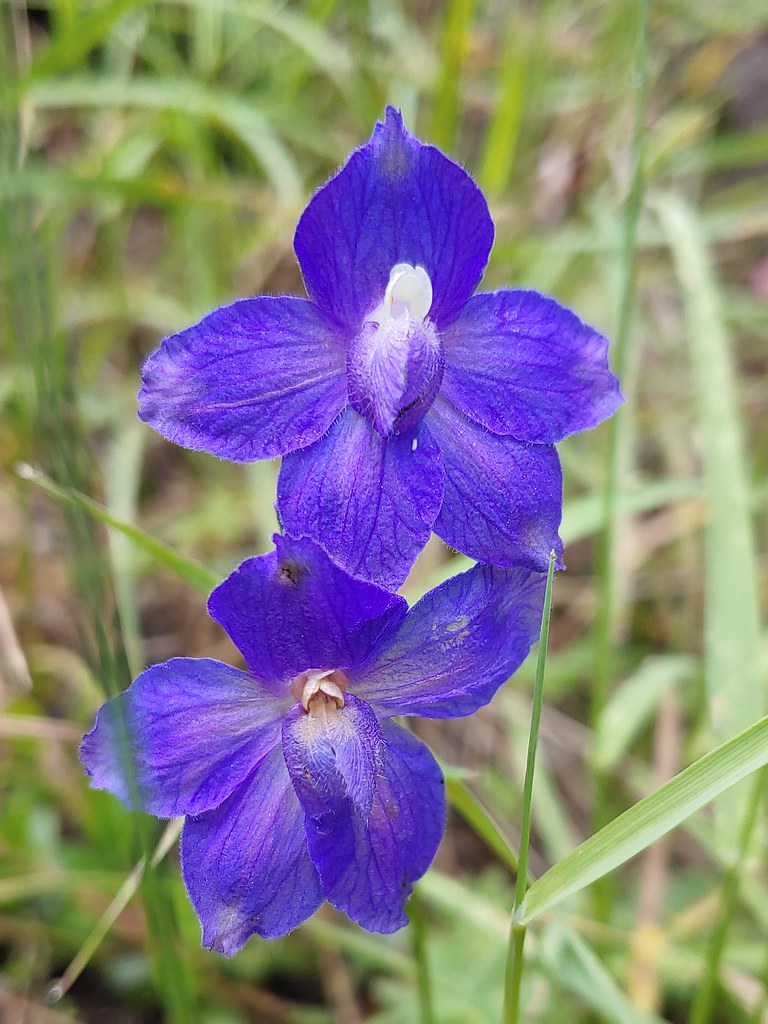 Larkspur
 On the ridge just before reaching the lookout site.


 Former lookout site in the tress to the left.

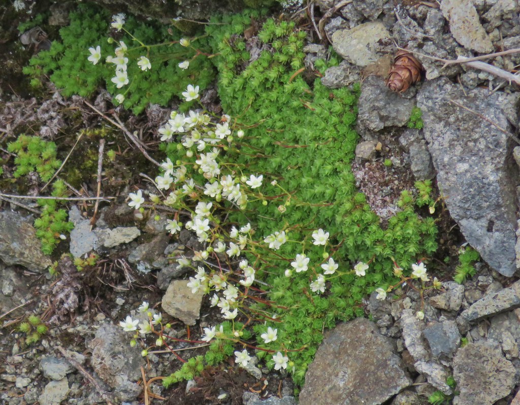 Tufted saxifrage
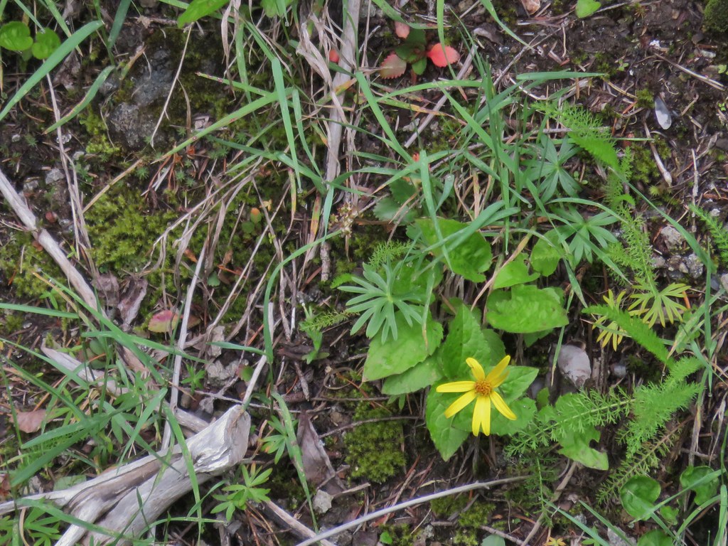 Arnica
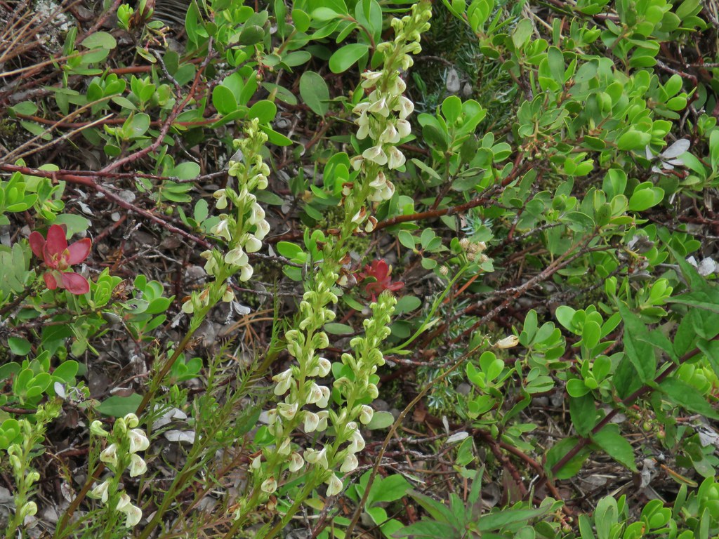 Lousewort
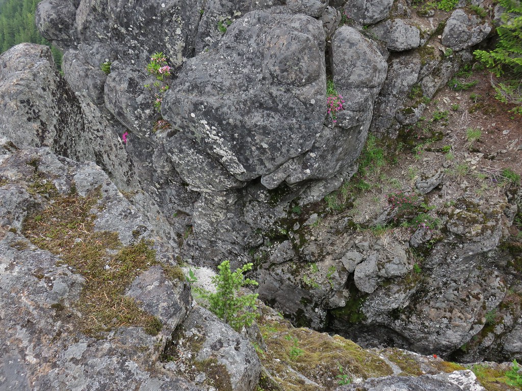
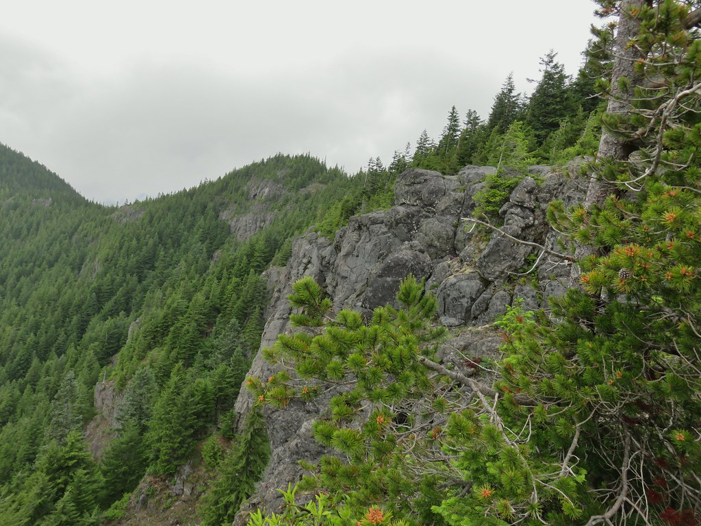
 Some of the rocks in Castle Canyon
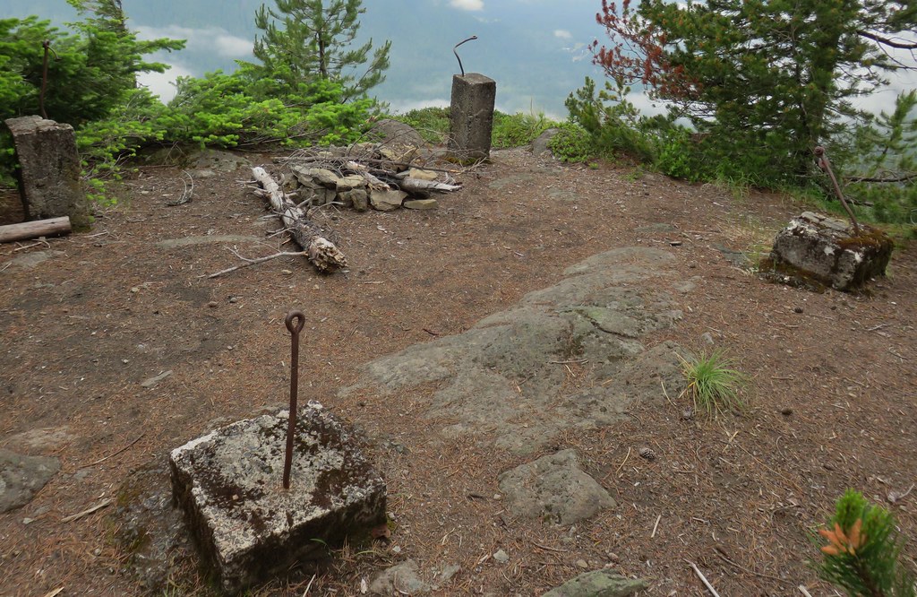
 View of the outcrop from the lookout site.
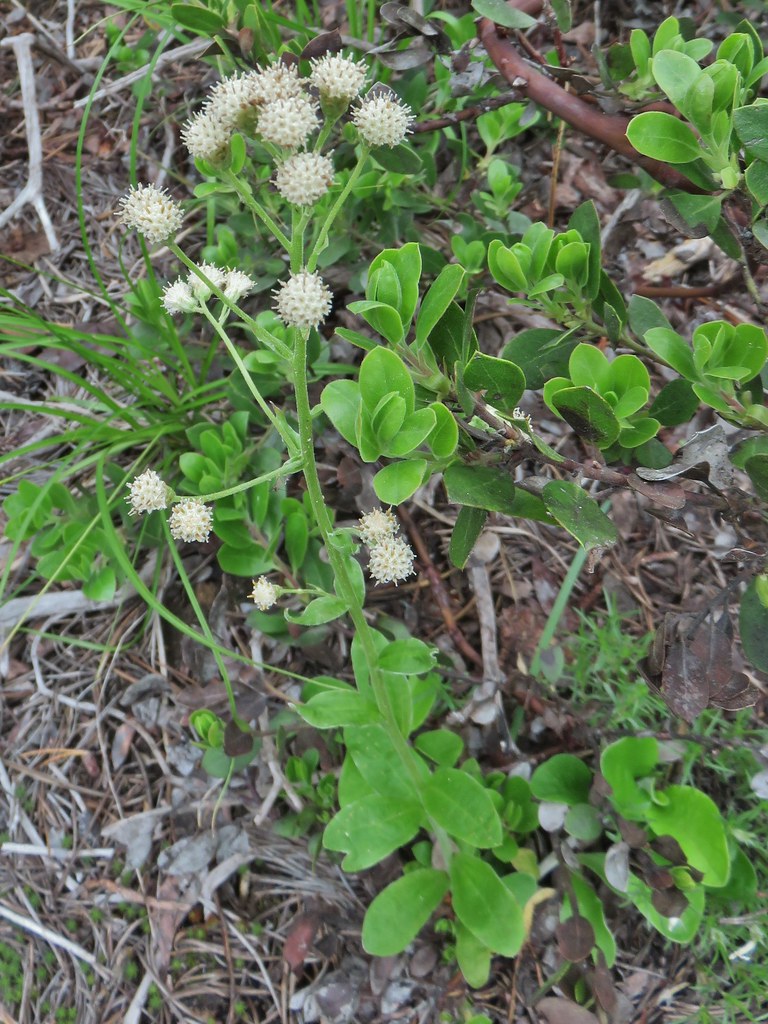 Raceme pussytoes
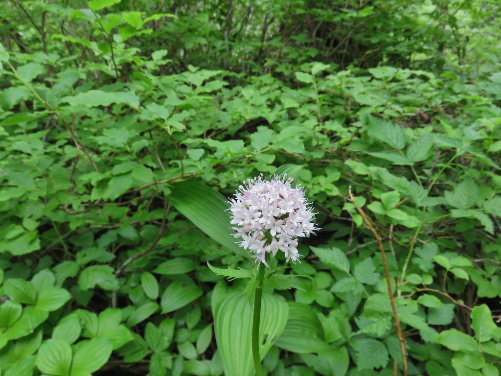 Valerian
 Salmonberry
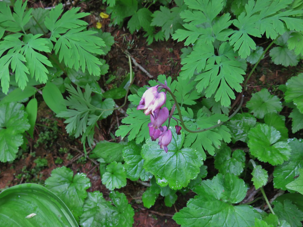 Bleeding heart
 Violet
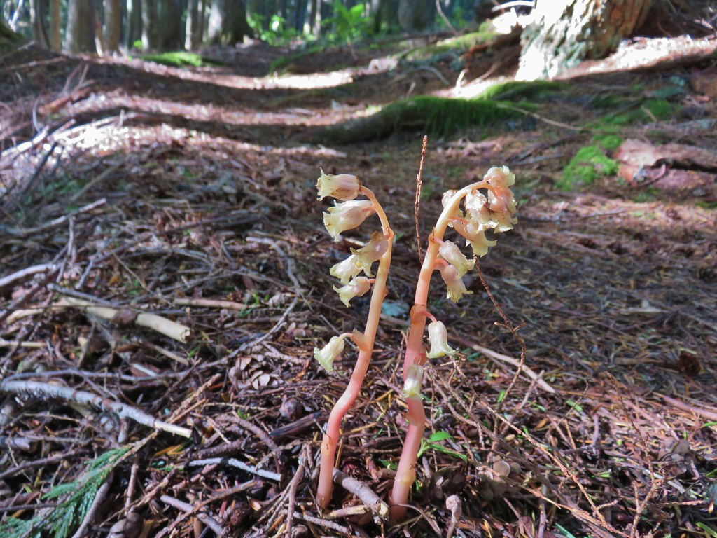
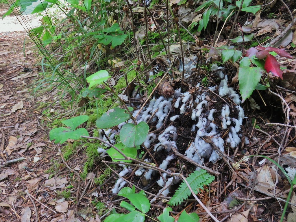 Monotropa uniflora aka ghost plant