For the most part the weather had been cooperating with us this year but that wasn’t the case on our most recent outing. Admittedly I had not rechecked the forecast the night before but just a couple of days earlier the predication was for mostly sunny skies and a high in the mid to upper 70s. It had been cloudy all week in Salem so when those clouds broke up in the afternoon the day before our hikes I took that as a sign that the earlier forecast was still correct. It was a little cloudier than expected as we left Salem the morning of our hikes and as we headed west on Highway 26 from Beaverton we started to notice a little moisture on the windshield.
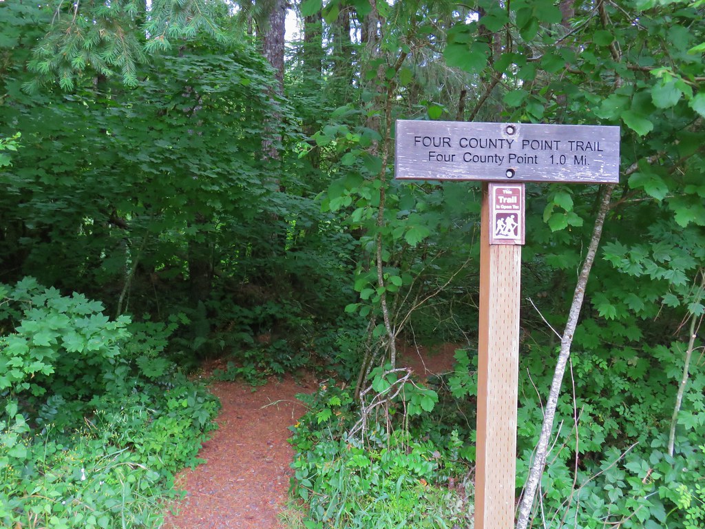
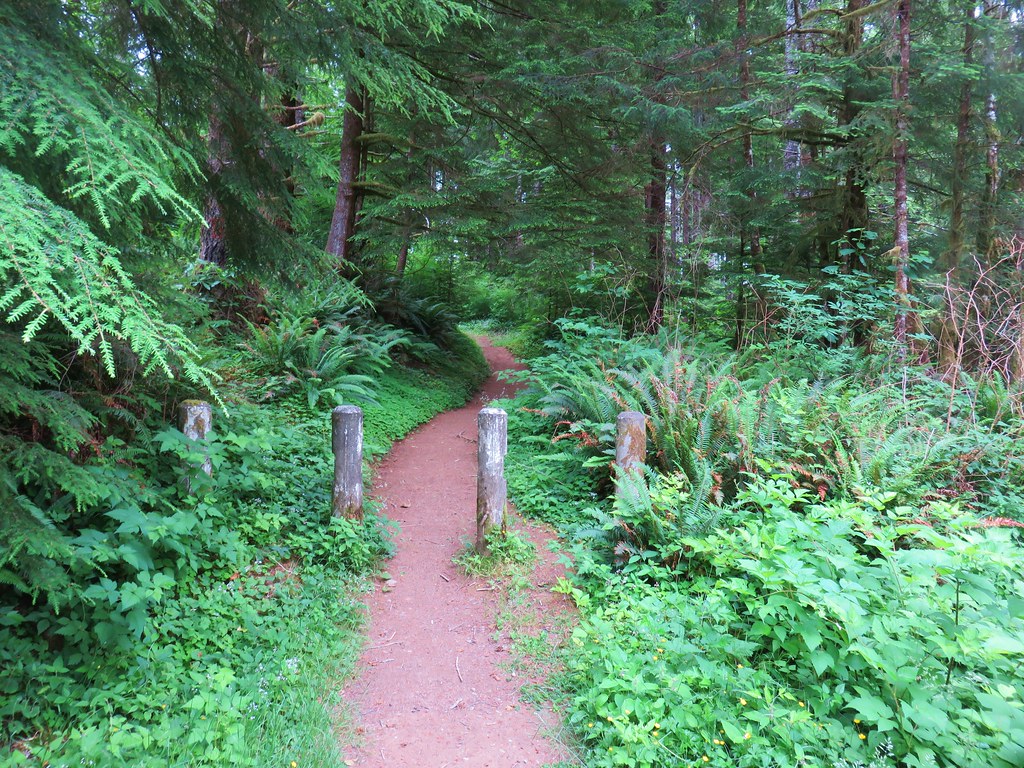
Our first stop for the day was at a small pullout on the north side of Highway 26 between mile posts 34 and 35. The Four County Point Trail begins here at a trail sign.
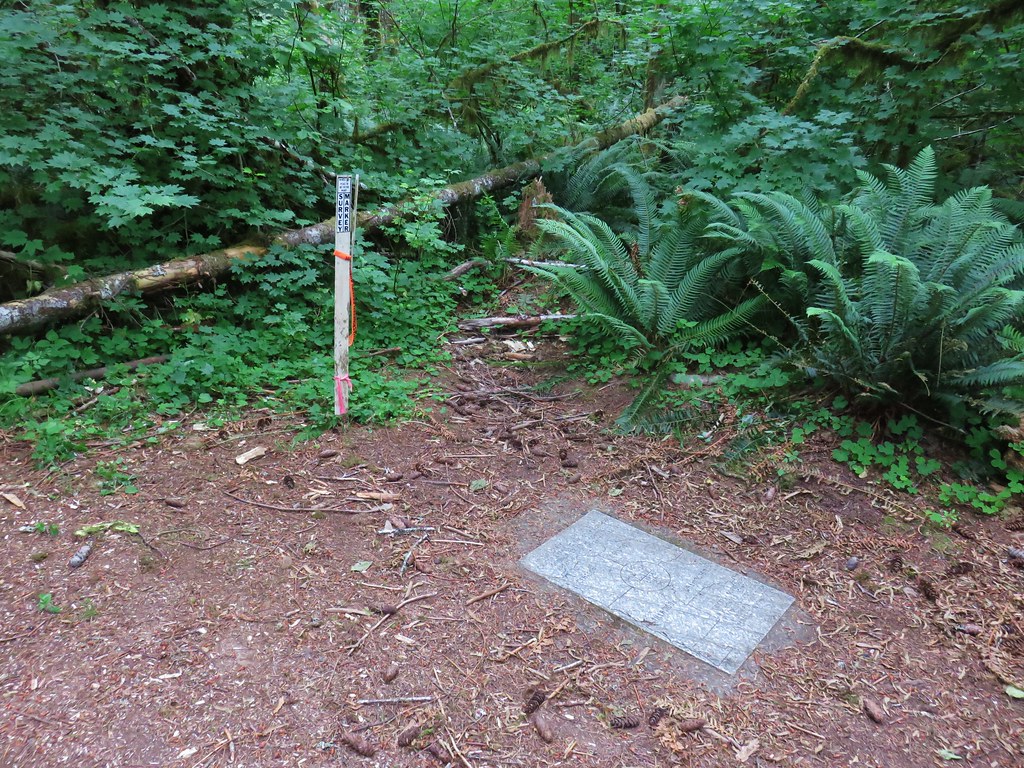
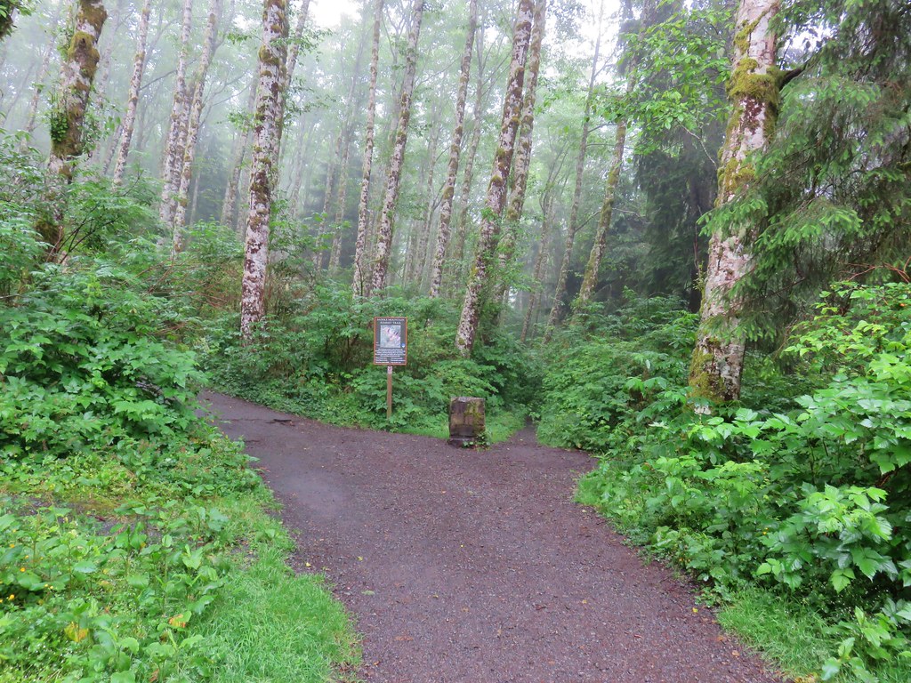
The trail quickly came to a fork and a post with no signage.

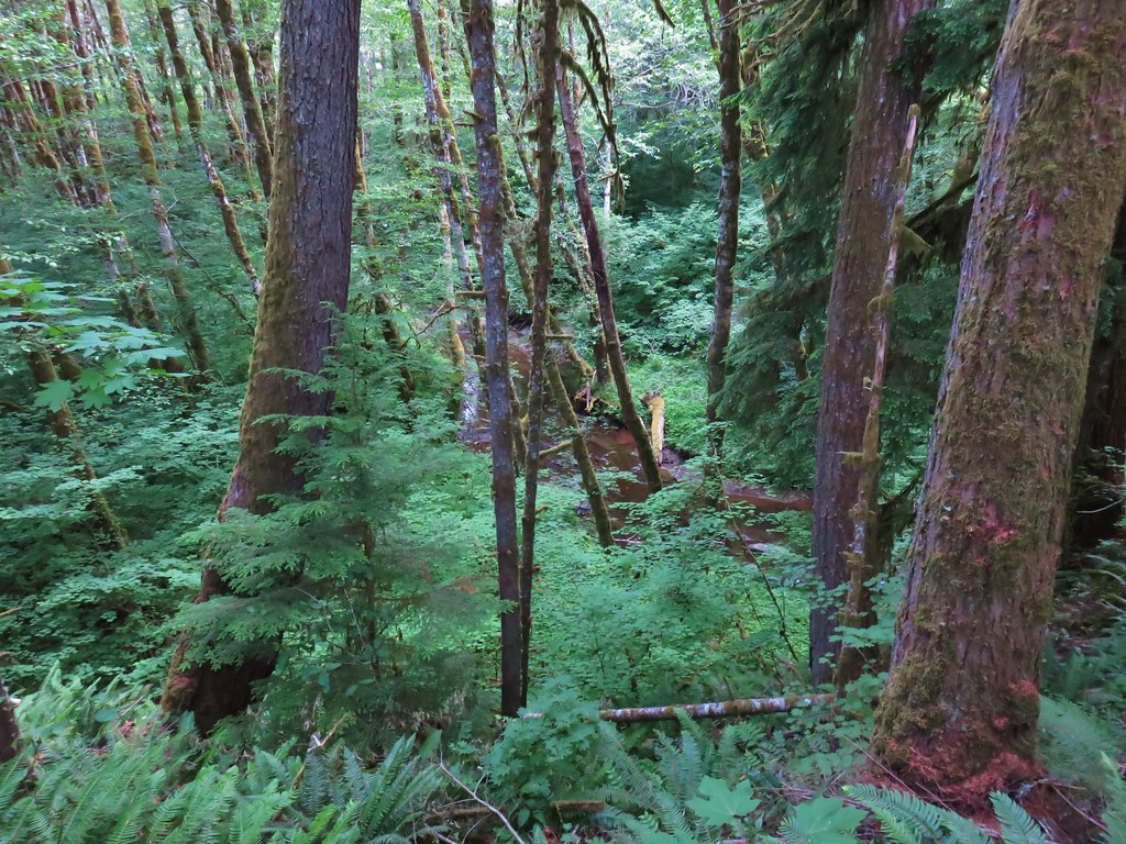
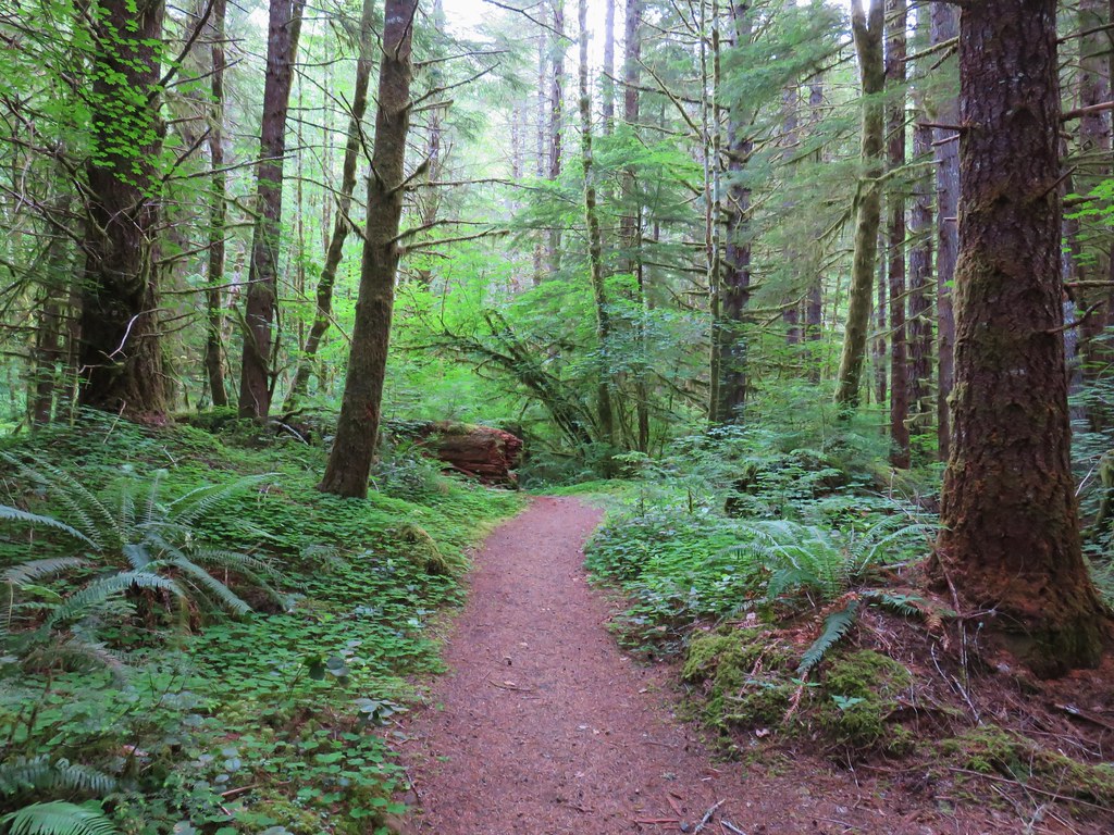
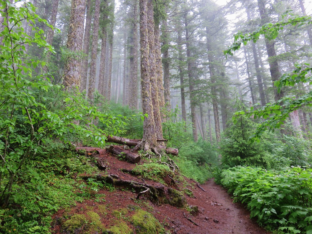
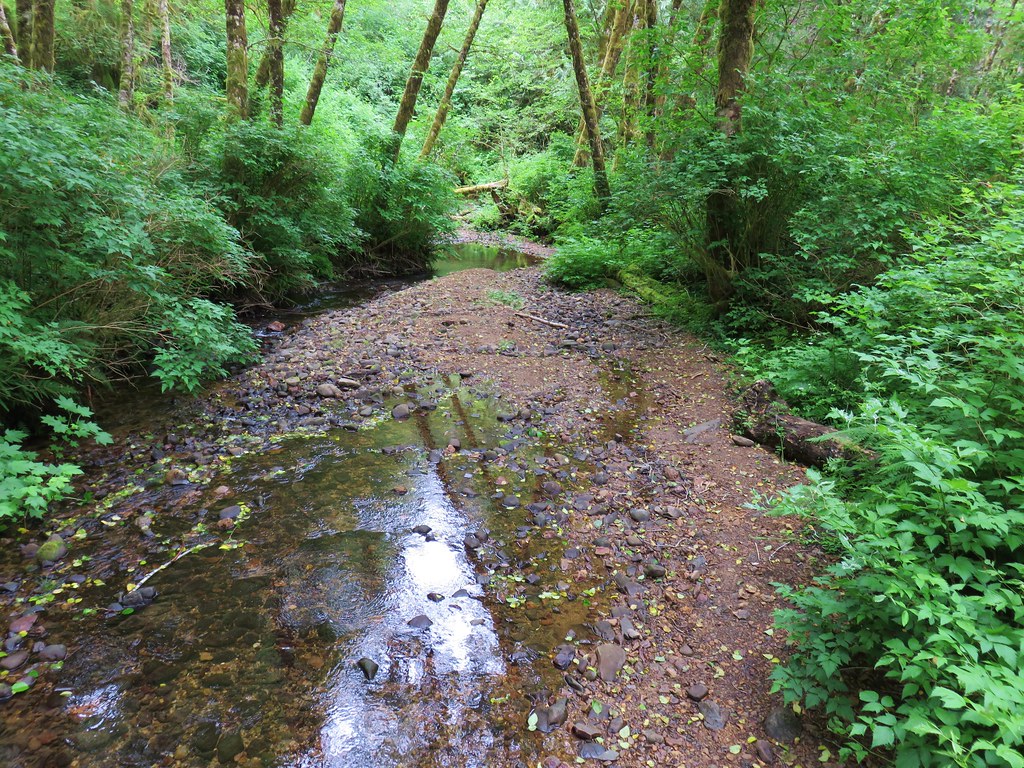
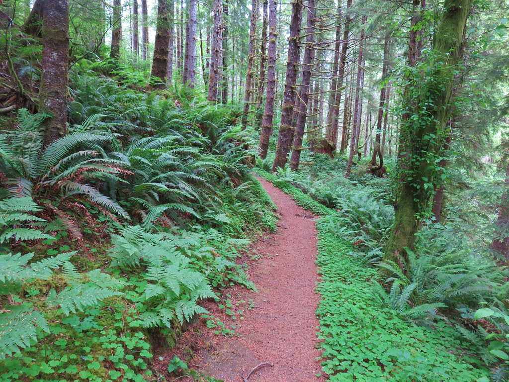
Left is the way to Four Corner Point so we took that fork and hike through a green forest (such a contrast after a week in Central and SE Oregon. The trail was between the highway on the left and North Fork Wolf Creek on the right.
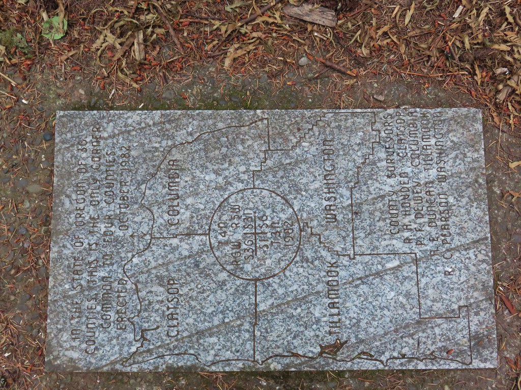
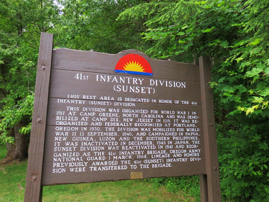
Between the highway being that close and a nearby public shooting range (which was busy even before 7am) this wasn’t exactly a tranquil hike but it ended at an interesting location, the meeting point of four counties: Clatsop, Columbia, Tillamook, and Washington.
Although the sign indicates that the trail length is a mile it’s closer to .8 miles to the plaque making it a nice warm up or leg stretcher. The noise and a visible clear cut did detract from the enjoyment.
Our next stop was just an additional six miles west of the pullout at the Sunset Rest Area.
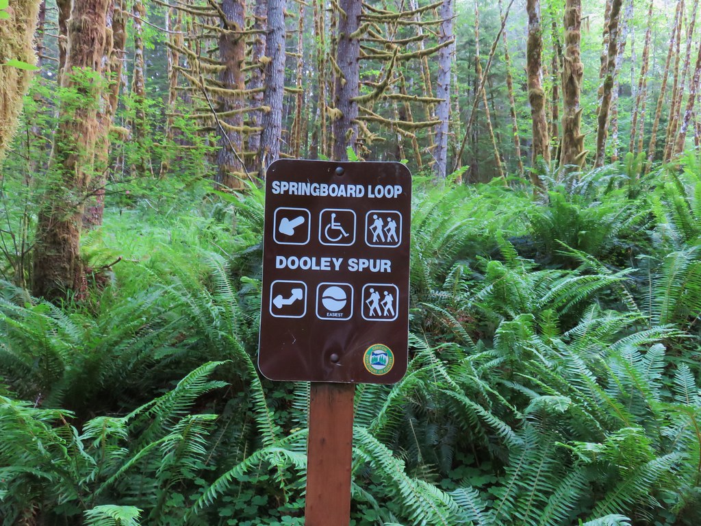
Here the Steam Donkey Trail offered two possible loop options.
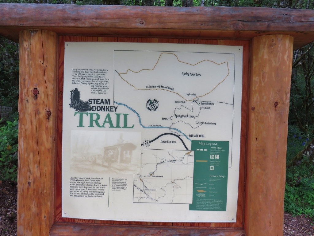
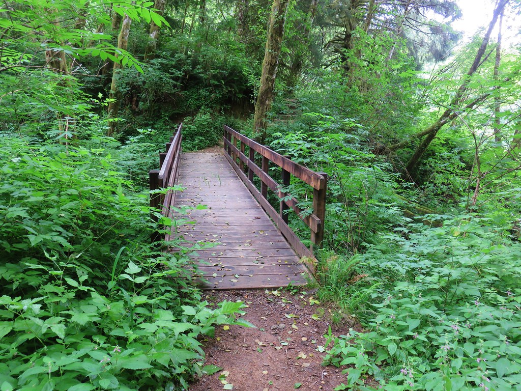
Both options are short so we did both the Springboard Loop and the Dooley Spur Loop which basically form a figure eight. The trail crossed South Fork Rock Creek on a footbridge before reaching the start of the Springboard Loop.
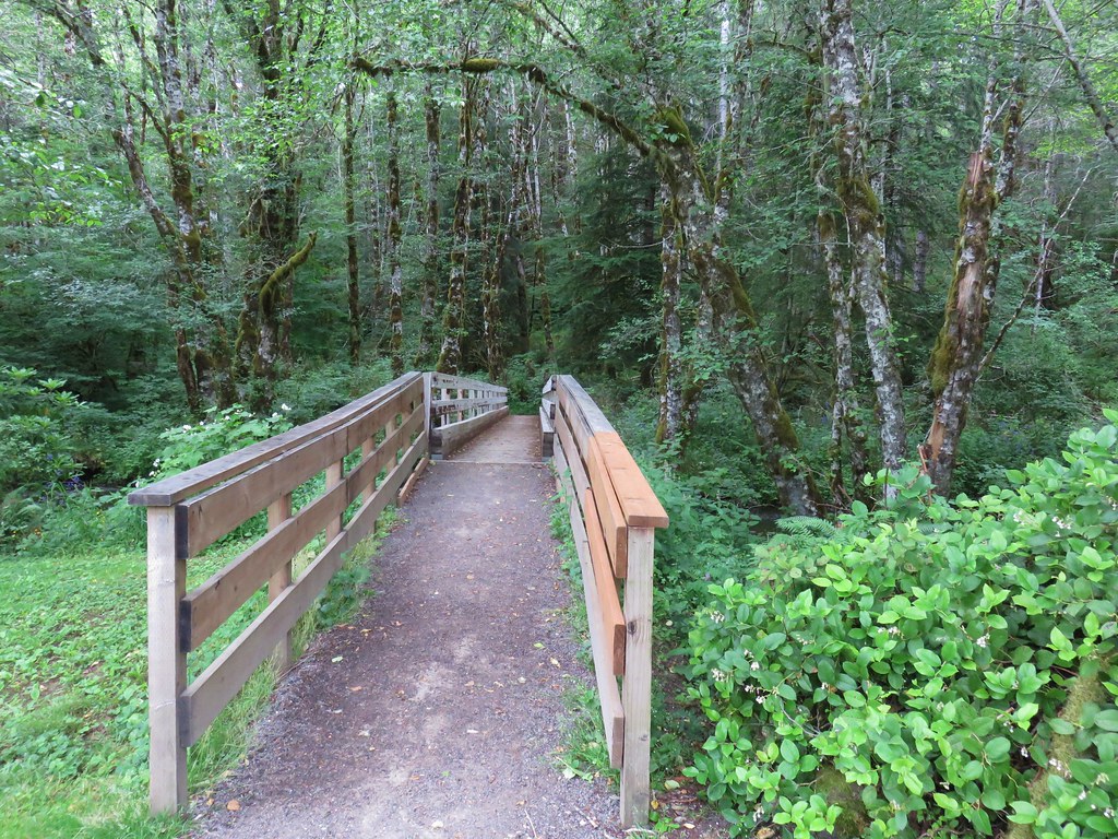
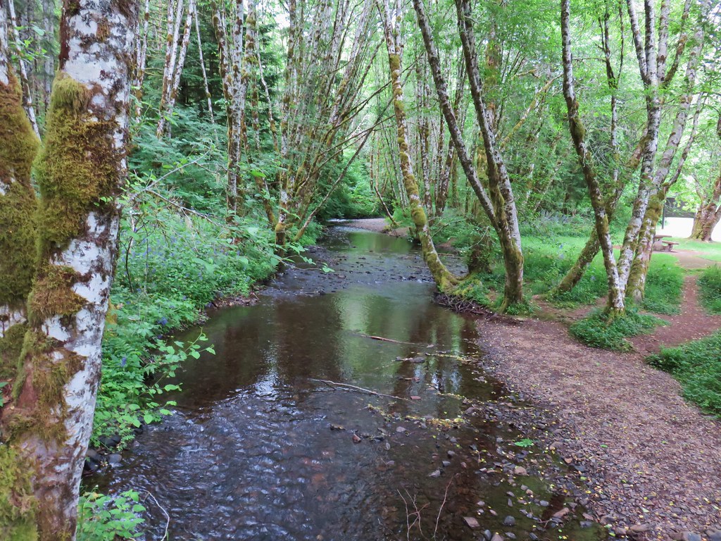
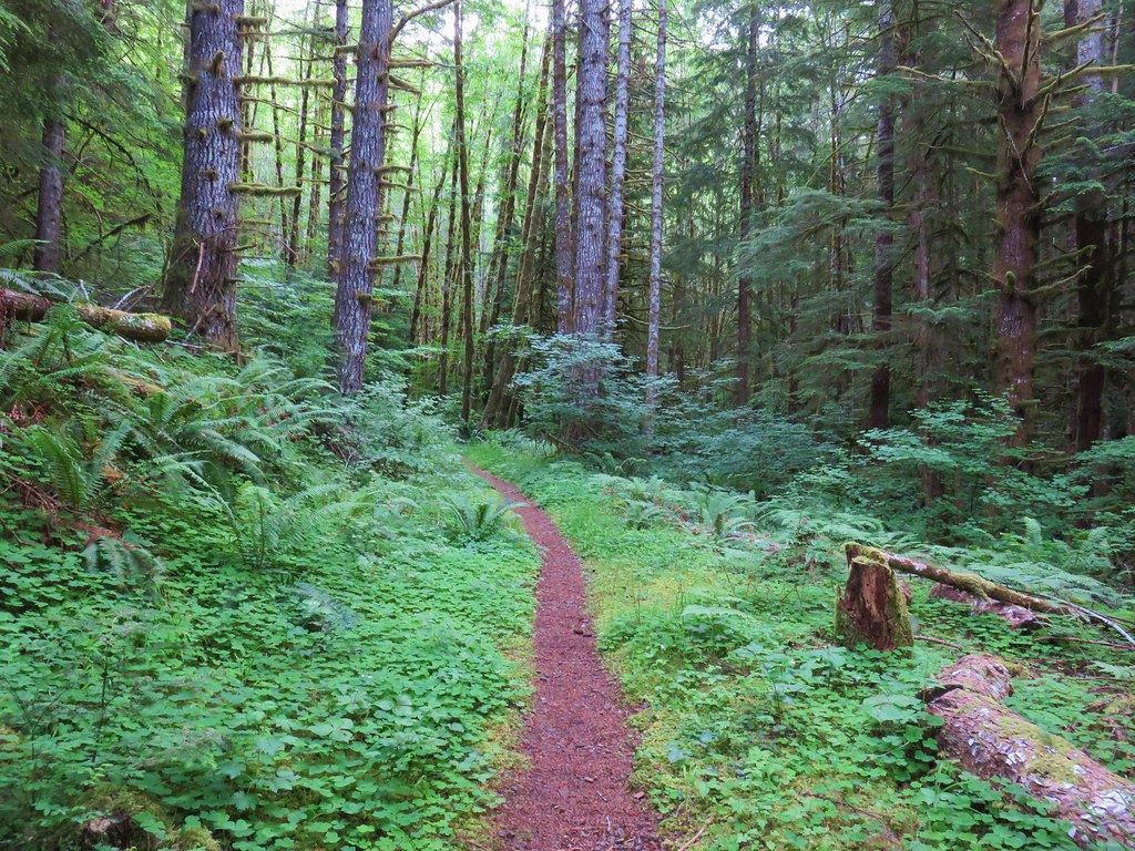
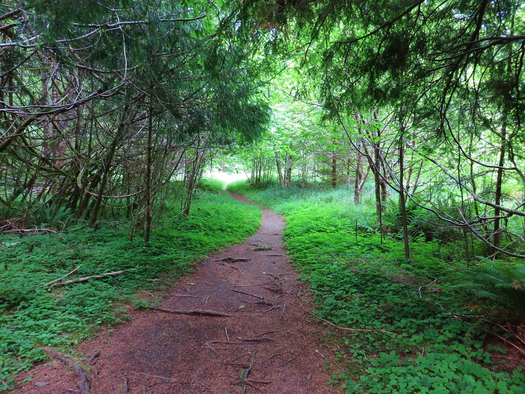
We opted to do the loop counter clockwise so we headed right through another lush green forest.
With the Springboard Loop only being .3 miles long we quickly arrived at a four way junction with the Dooley Spur Loop.
We turned right again for this .5 mile loop.
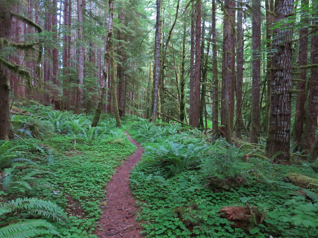
This was another nice leg stretcher and was much quieter than the Four County Point Trail and with options for .3 or .8 mile loops would be a good hike for youngsters.
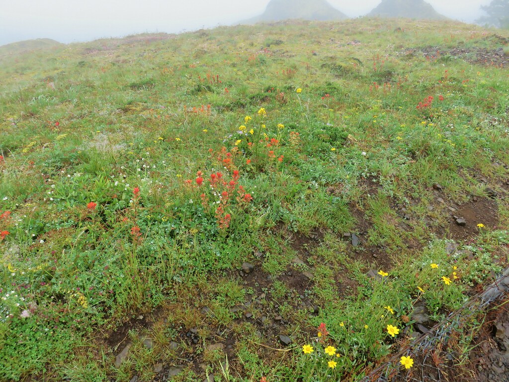
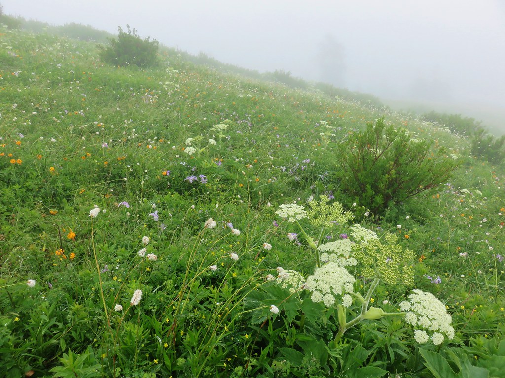
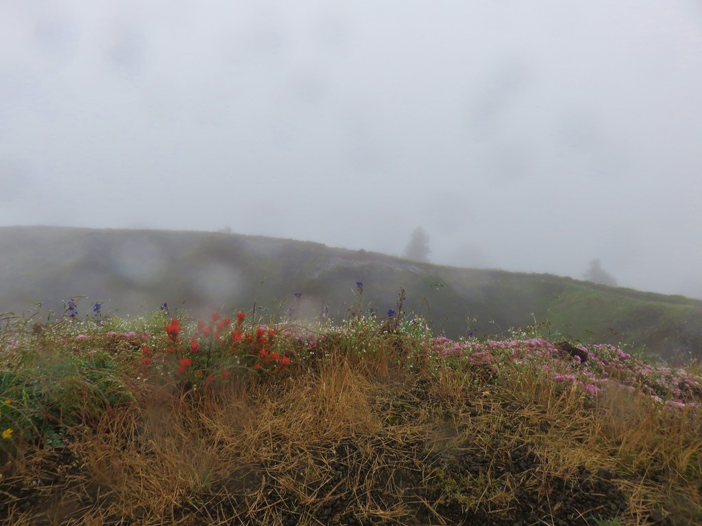
Our third stop of the day was for the only trail we had previously hiked, Saddle Mountain (post). Although it had been cloudy at our first two stops it hadn’t been raining and there had been one or two glimpses of blue sky so we were hopeful as we turned off Highway 26 near milepost 10 following the Saddle Mountain sign. The further along the 7 mile paved entrance road we went the wetter things got. When we arrived at the trailhead parking area there was a steady drizzle falling.
We set off uphill hoping that perhaps by the time we got to the summit the conditions would improve. At the .2 mile mark we turned right on the signed Humbug Mountain View Point spur trail.
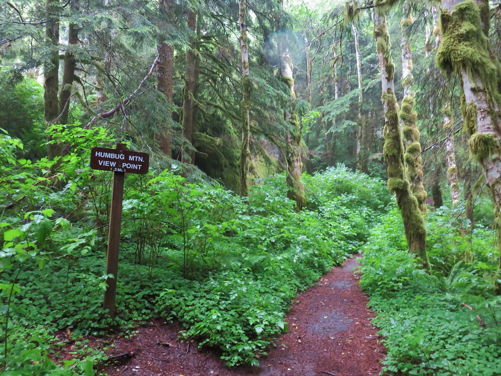
We didn’t expect a view given the conditions, but we’d been out to the viewpoint on our first visit plus we figured a little extra time spent down below gave that much more time for the weather to improve. There were indeed no views at the end of the .2 mile spur trail but we did see a few nice flowers along the way.

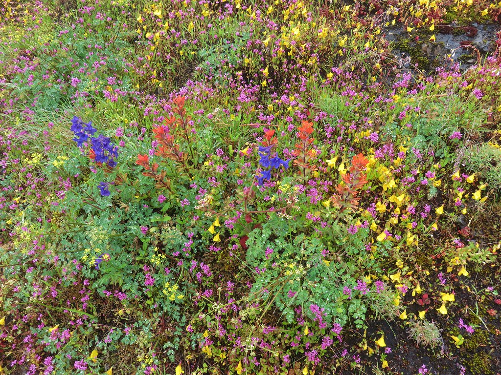
 Paintbrush
 Tiger lily
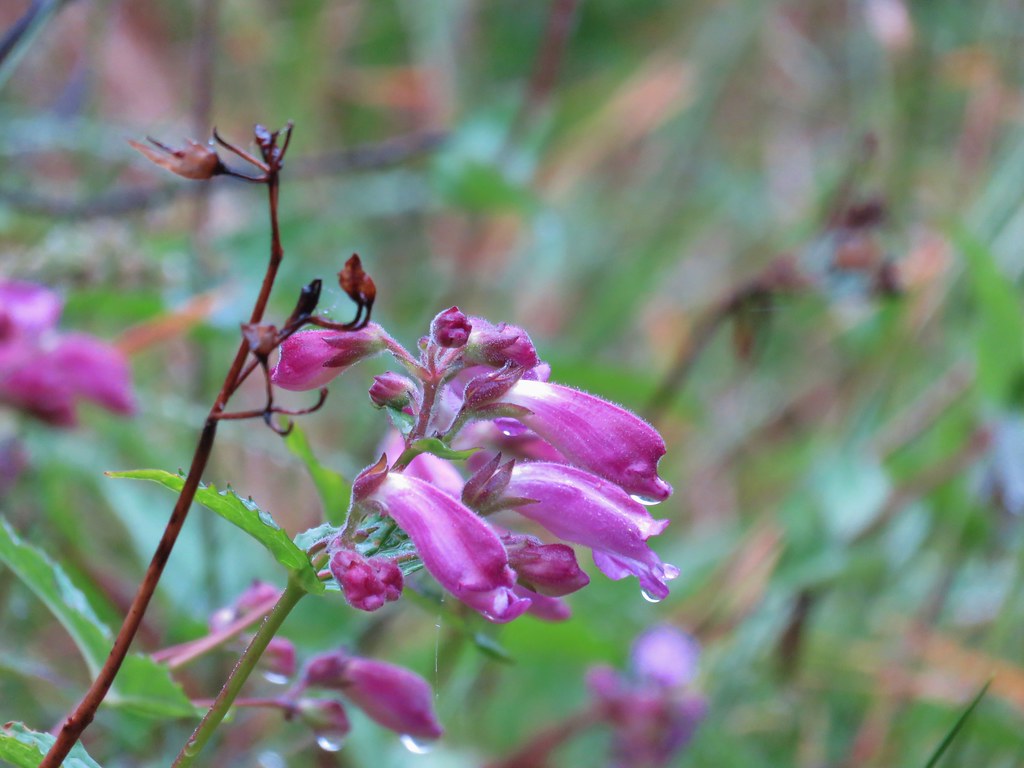 Penstemon
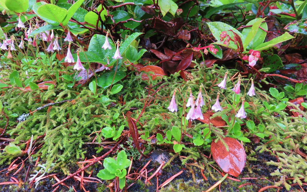 Twin flower
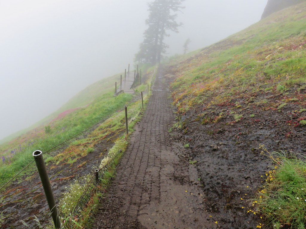
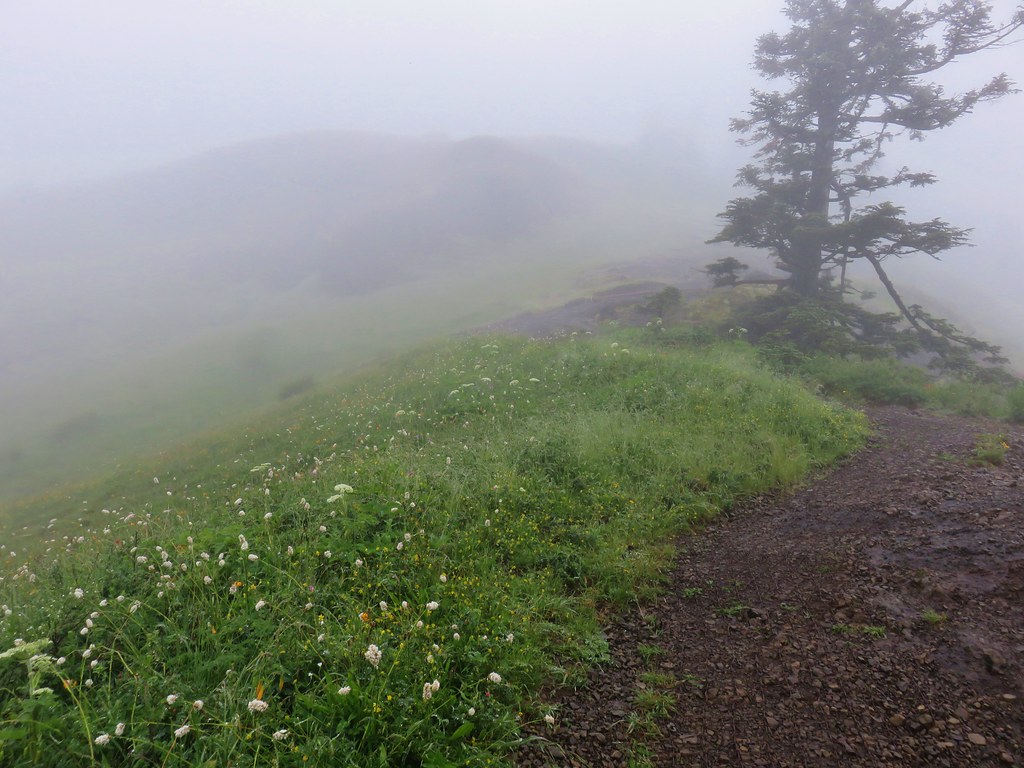
We returned to the Saddle Mountain Trail and continued up into the drizzle and fog.
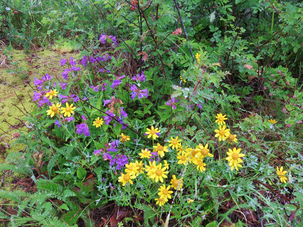
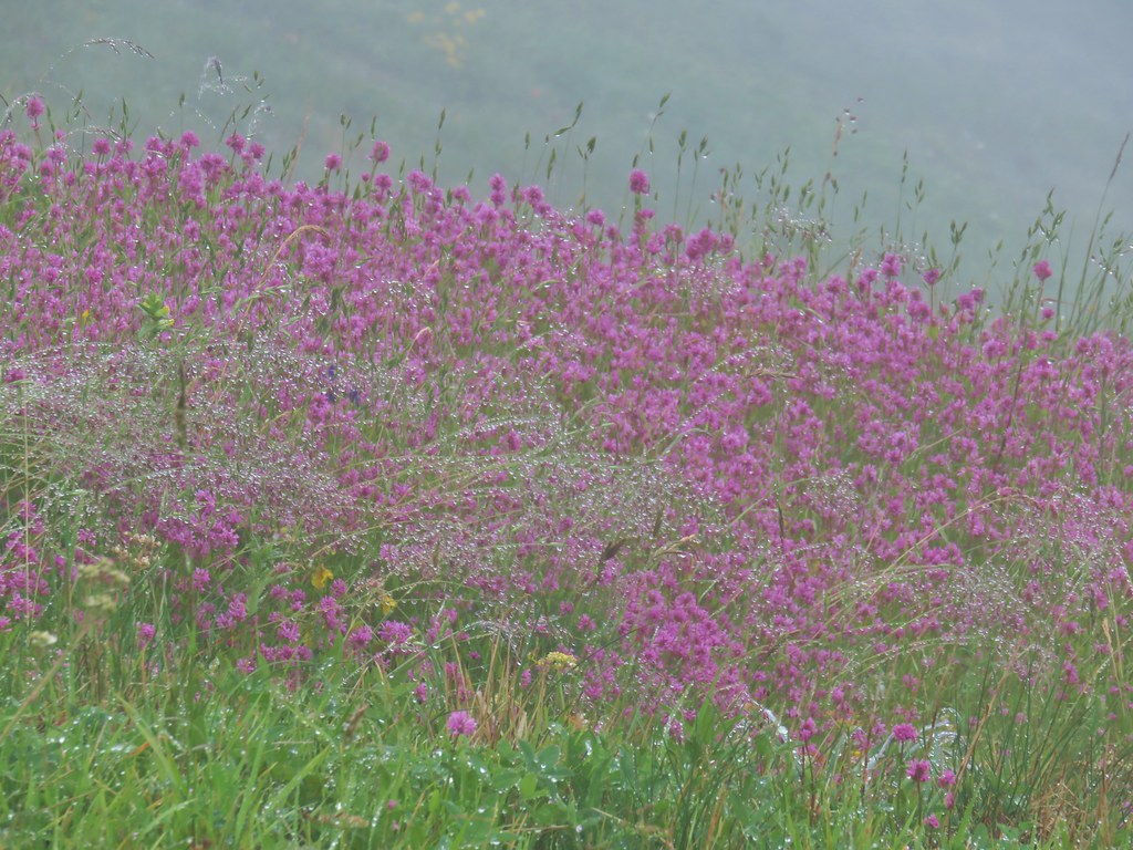
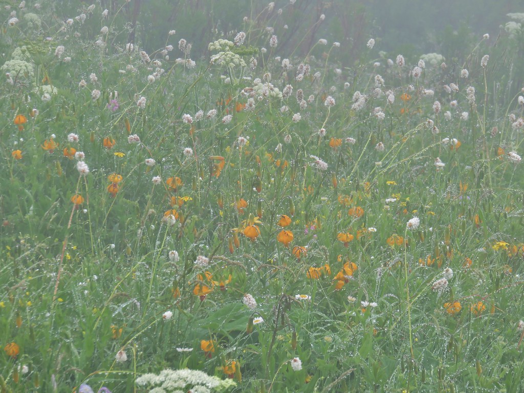
Our first visit had been on June 1st, 2013 which had been a few weeks too early for many of the flowers. It had also been a cloudy day so we were hoping that this time we would not only hit the flowers closer to peak but also have better views. The views were by far worse, but the flowers were so much better. Unfortunately the foggy, wet conditions limited sight and the ability to fully capture the beauty of the wildflower show along the 2.5 mile climb to the summit but here are a few of the highlights.
 Checkermallow
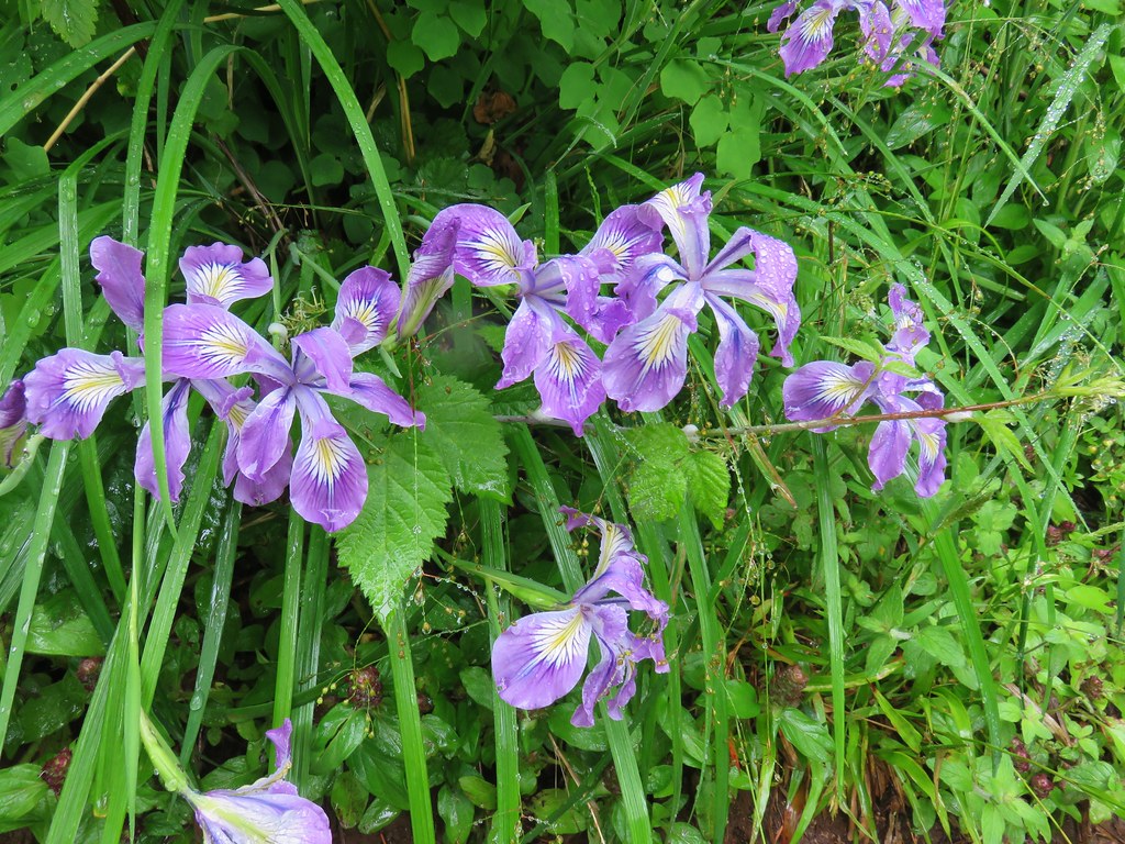 Wild iris
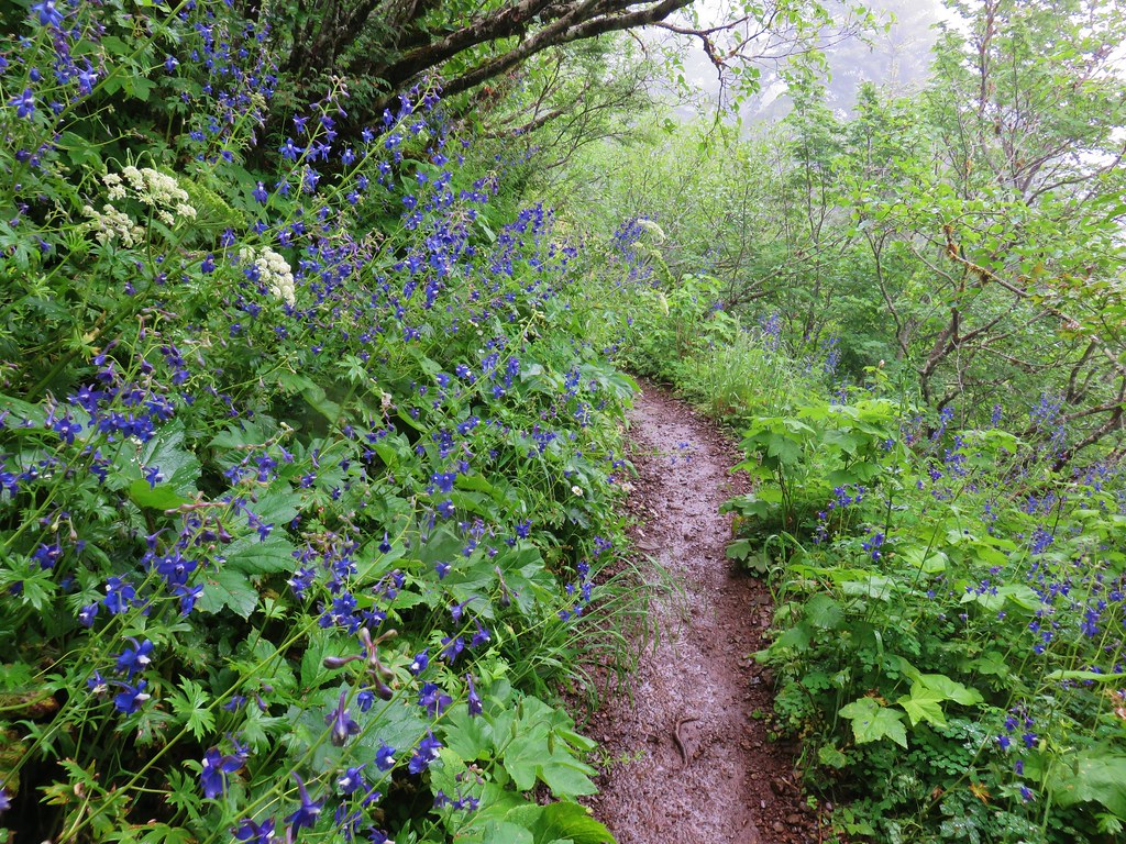
 Larkspur
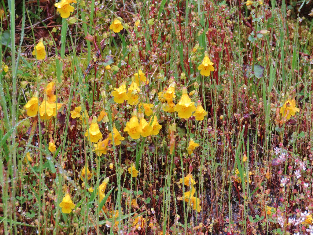 Monkeyflower
 Plectritis
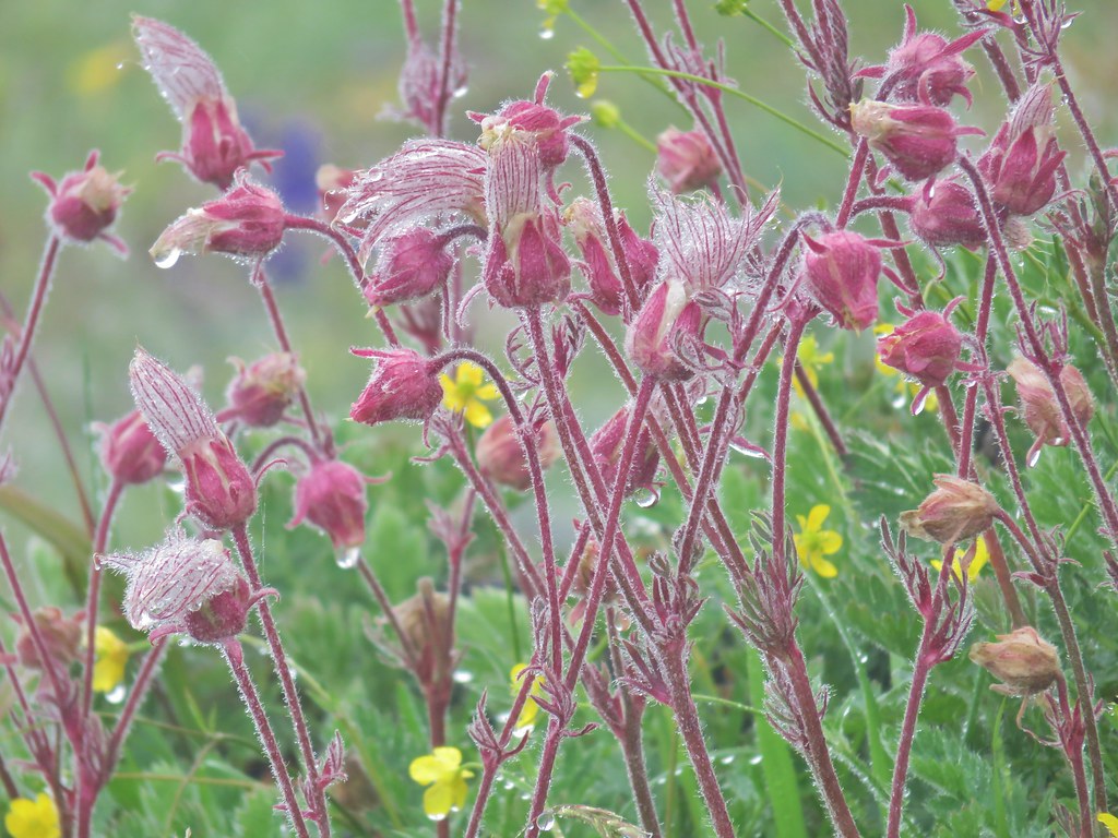 Old man’s whiskers
 Columbine

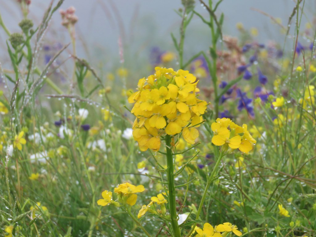 Wallflower
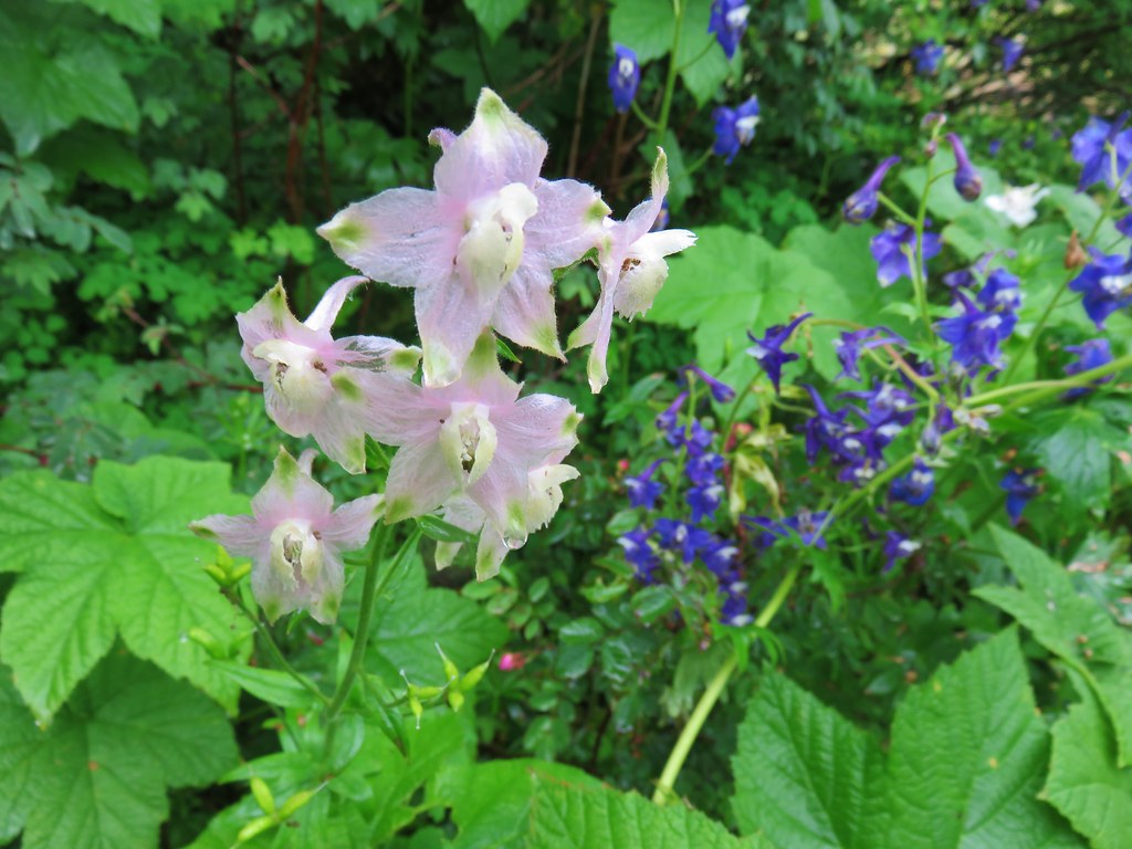
 Larkspur
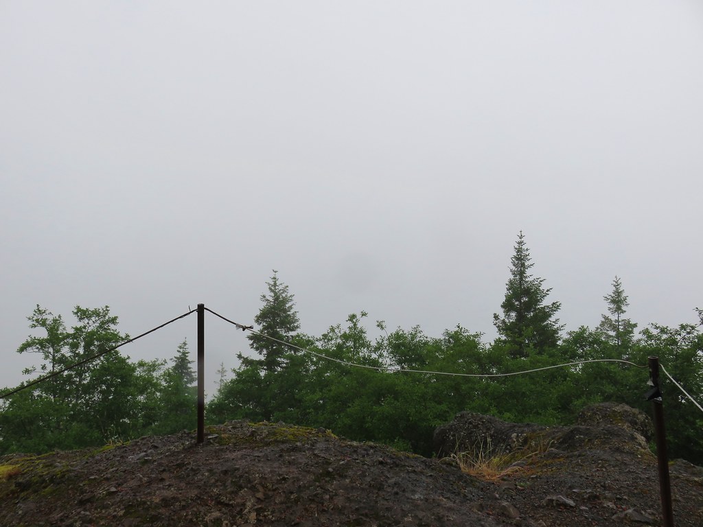
Having done the two other hikes we had gotten a little later start here than we normally would have so there were several people already at the summit when we arrived. A good breeze was bring moisture right up the hillside from the NW making it extra damp on top.
 Summit view
We didn’t stay long and were soon heading back down the steep, slick trail.
After our SE Oregon vacation, where we more often than not encountered no other hikers on the trails, the number of people trudging up Saddle Mountain on our way down was mind boggling. The place was a zoo despite the less than ideal weather. We had toyed with the idea of making this our last hike of the day instead of second to last and boy were we glad we hadn’t. We made our way back to the trailhead as quickly as possible given the slick conditions and seemingly stopping ever two minutes to let another uphill group go by.
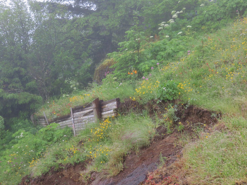
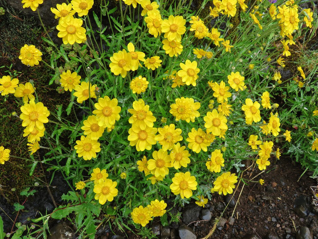
We drove back to Highway 26 and turned west once more heading for our final stop of the day. Six tenths of a mile from the Saddle Mountain turnoff we took a left leaving Highway 26 in favor of Highway 53. We followed this highway 4.7 miles to a sign for the Soapstone Lake Trail where we turned left onto a gravel road for .4 miles to the trailhead. The weather here was markedly better here than it had been at Saddle Mountain.
The Soapstone Lake Trail starts along the path of an old roadbed.
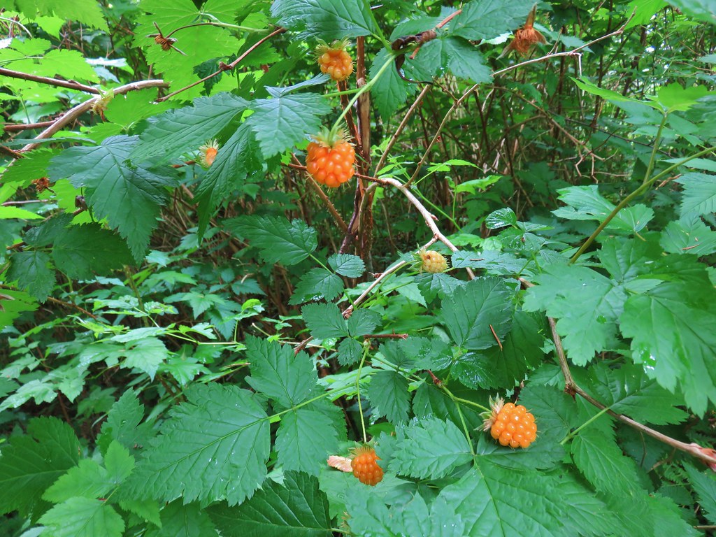
Ripe salmonberries (and a few huckleberries) lined the trail.
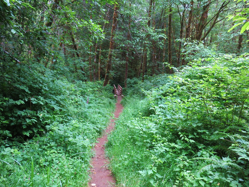
Near a meadow at the .6 mile mark the trail left the old road bed.
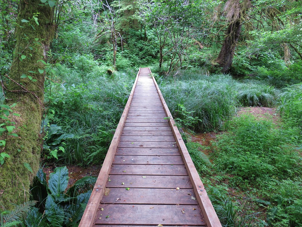
On the far side of the meadow the trail crossed Soapstone Creek on a footbridge.
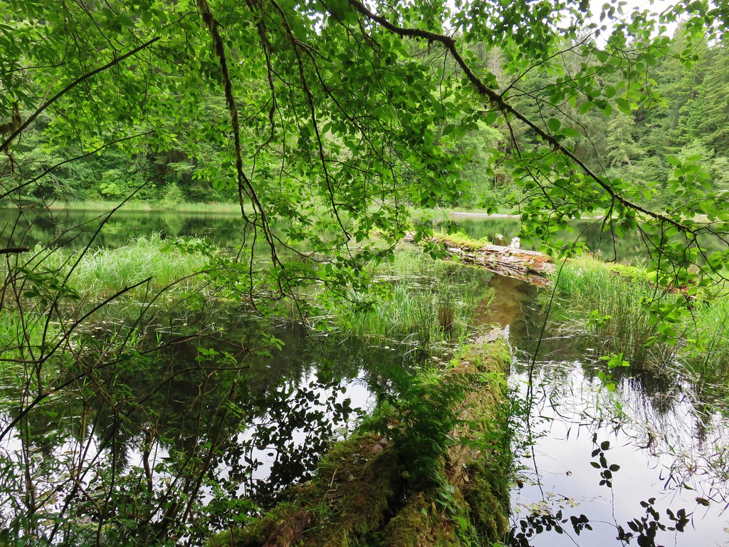
The trail then climbed a ridge for .3 miles to the start of a loop around the lake.

The trail to the left went downhill while the right hand fork went uphill. We decided to go left in order to end the loop on a downhill instead of a climb. The trail quickly crossed Soapstone Creek again and made its way around the east side of the lake.
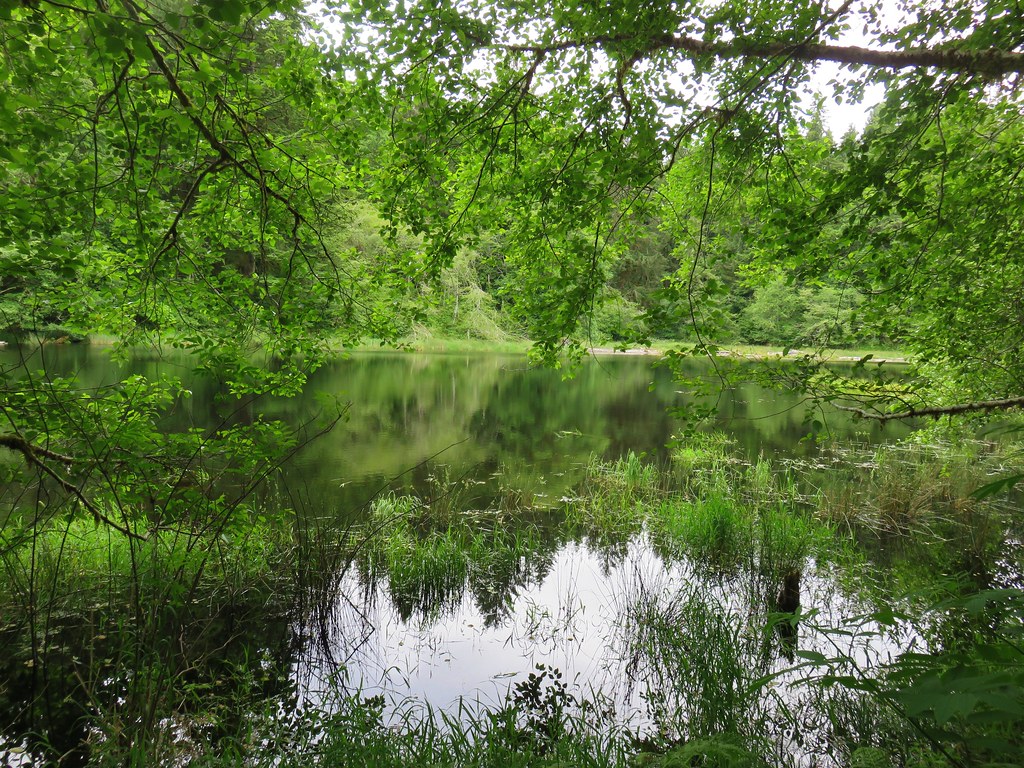
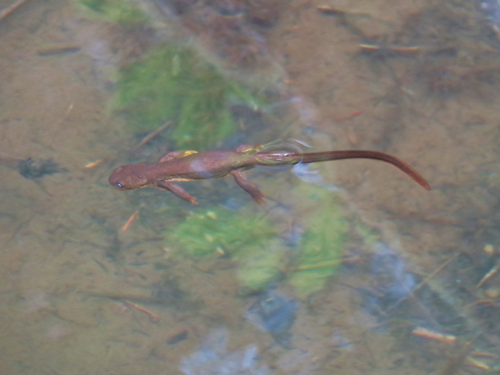
At then south end of the lake the trail crossed a swampy area on a boardwalk where we spotted several rough skinned newts in the water.
The loop continued around the west side of the lake, but here the trail climbed above and a little away from the water.
After passing a large camp site the trail descended to the start of the .8 mile loop and we returned the way we’d come. This had been another nice, short hike (2.8 miles total) that would be good for kids. The four hikes combined had only come to 10.4 miles with Saddle Mountain accounting for half of that total (and nearly all the elevation gain for the day). All in all it had turned out to be a pretty good day despite the disappointing weather on Saddle Mountain. C’est la vie as they say. Happy Trails!
Flickr: Four County Point, Sunset Rest Area, Saddle Mt. & Soapstone Lake

5 replies on “4 County Pt., Sunset Rest Area, Saddle Mt., & Soapstone Lake”
There sure are a lot of flowers in bloom and some that we don’t even have over here. I like the forest trails!
[…] repeated hikes is 5 and not 4 because Saddle Mountain was done on the same day as three new hikes (post). Below is a map showing all of our […]
[…] of three short hikes to lakes in that forest. We had visited Soapstone Lake on a previous outing (post) With many forests and parks still closed due to the tragic wildfires that claimed lives and […]
[…] #13 Saddle Mountain – Hiked 5/31/2013 & 6/23/2018 […]
[…] Saddle Mountain rose above a sea of clouds. Humbug Mountain and the aptly named Saddle Mountain (post) rising above the […]