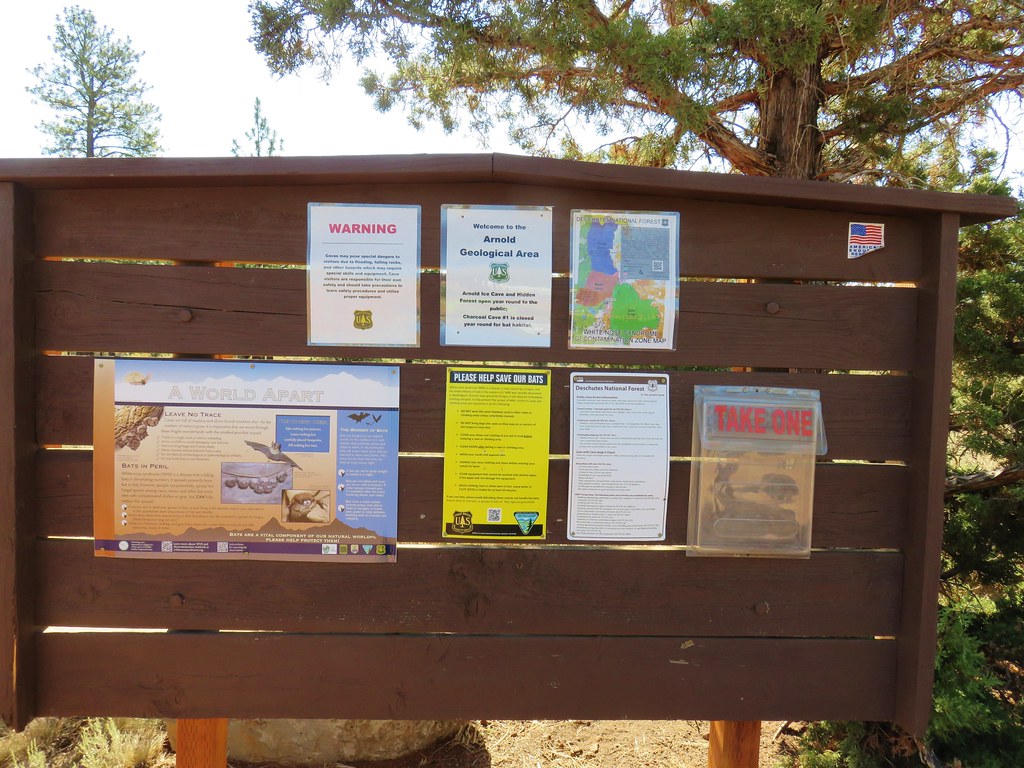
Our hike along French Creek Ridge (post) officially kicked off our July vacation it was the following day that we left home and headed for Central Oregon. We were ultimately heading to the Strawberry Mountains but we stopped in Bend to visit Heather’s parents and also to check out a few of the caves off China Hat Road. (Whenever visiting caves please be aware of White-Nose Syndrome and help protect bats.)
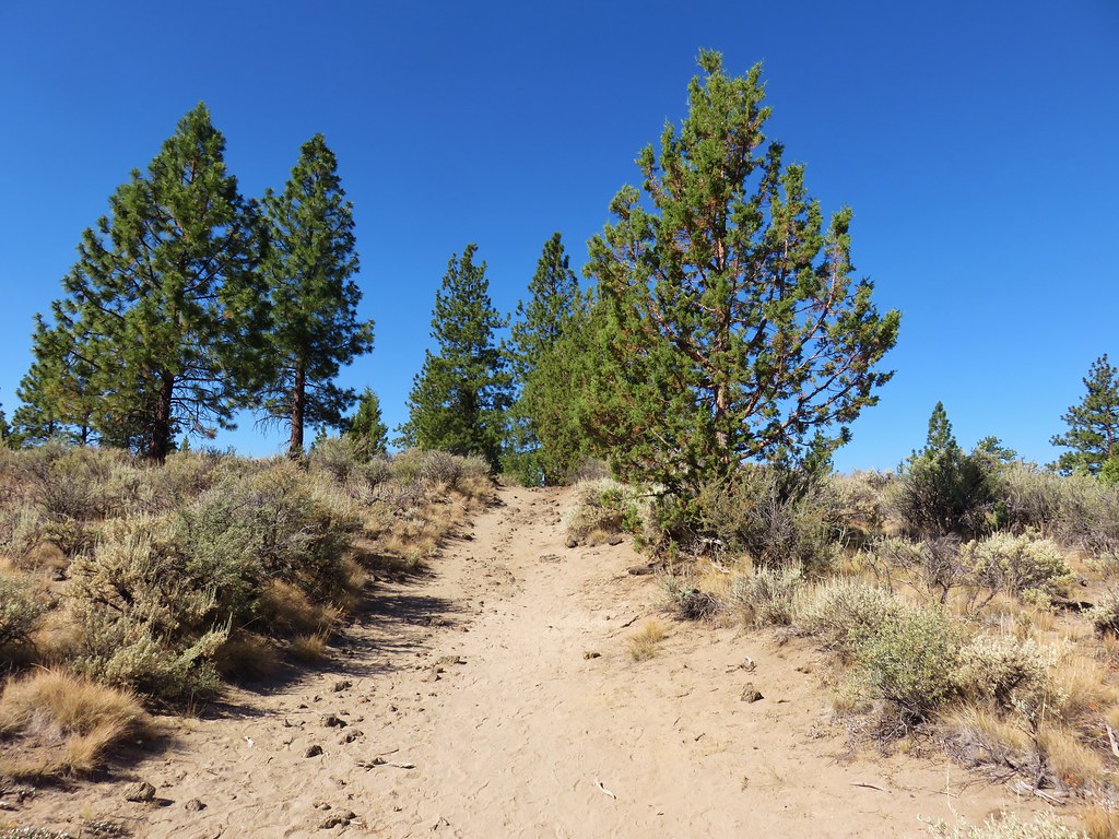
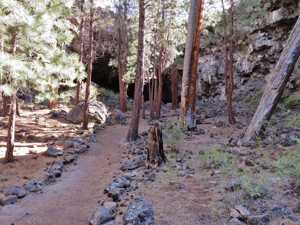
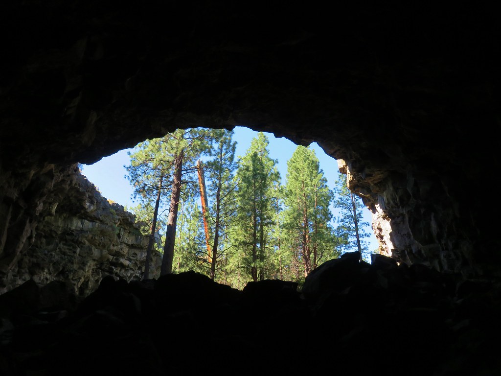
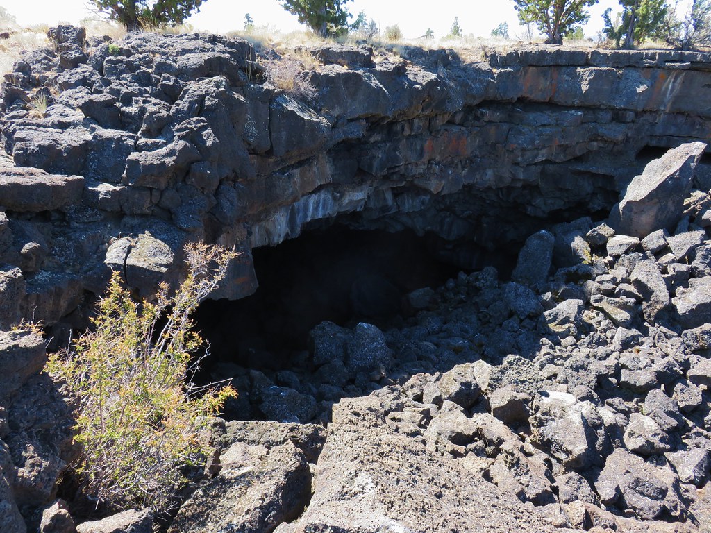
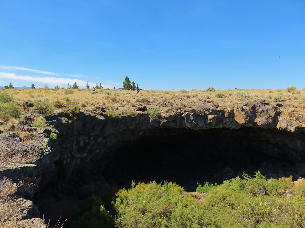
Our first stop was Boyd Cave.
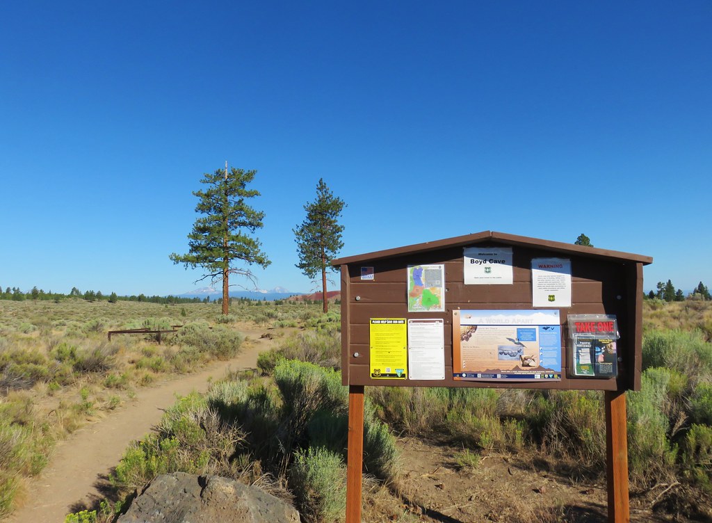
A short dirt path from the day use area led to the railed entrance of the lava tube.
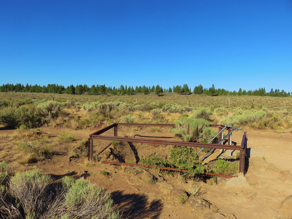
There was a rockfall warning at the entrance dated 5/26/18.
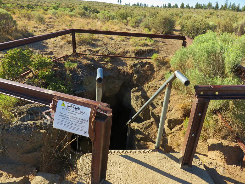
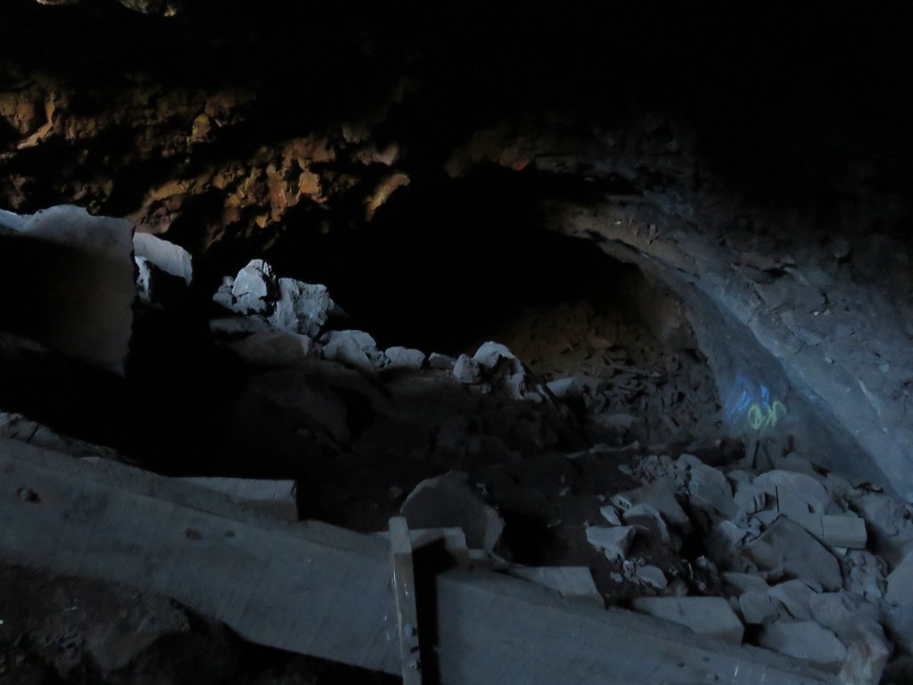
We proceeded with caution down into the cave.

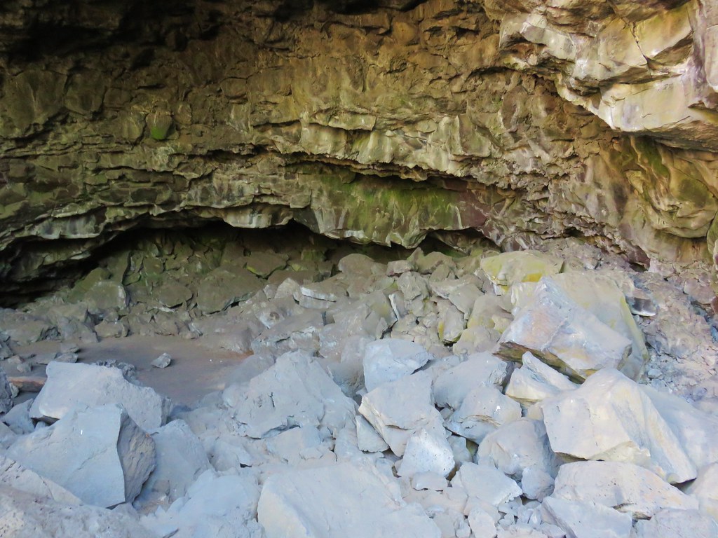
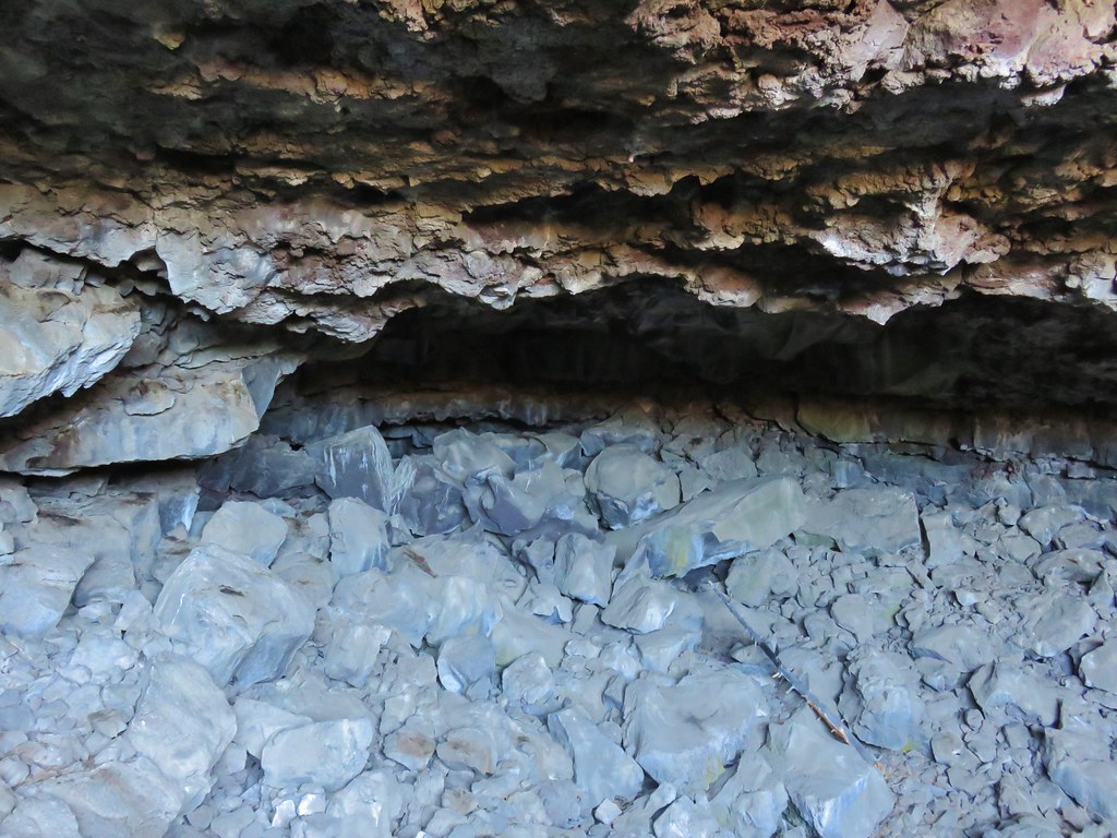
The cave was spacious with varying terrain on the cave floor.
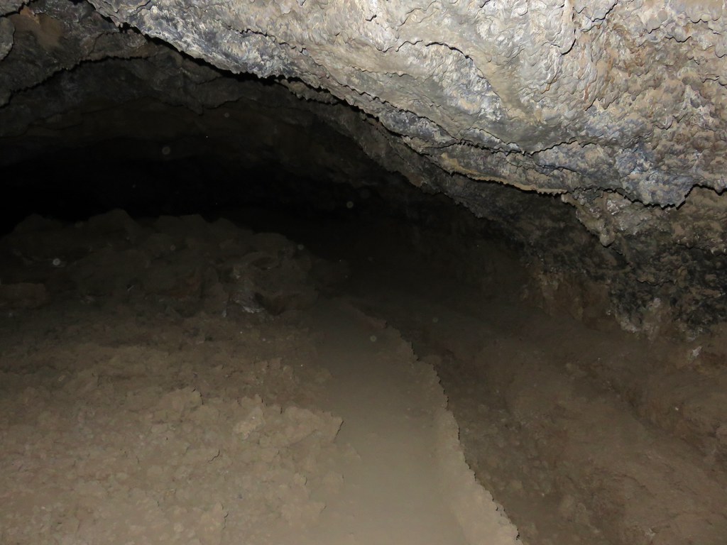
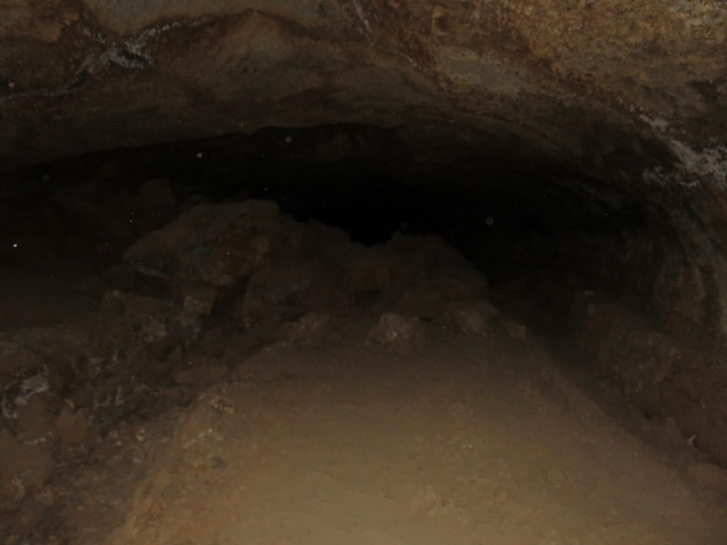

The cave extends for about half a mile to the left from the entrance and a very short distance to the right.

We explored as quickly as the terrain allowed given the warning at the entrance and then headed for our next stop at Arnold Ice Cave. To reach the parking area from Boyd Cave we continued east on China Hat Rd. an additional 3.1 miles and turned right onto FR 300 for half a mile to a parking area at a signboard.
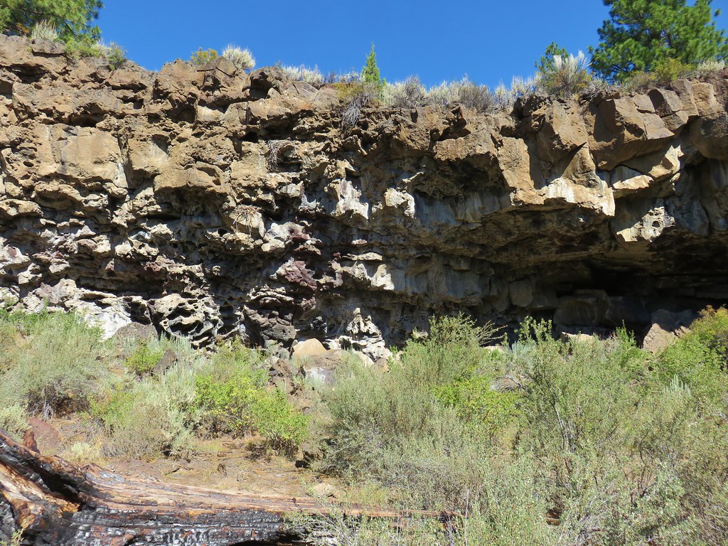
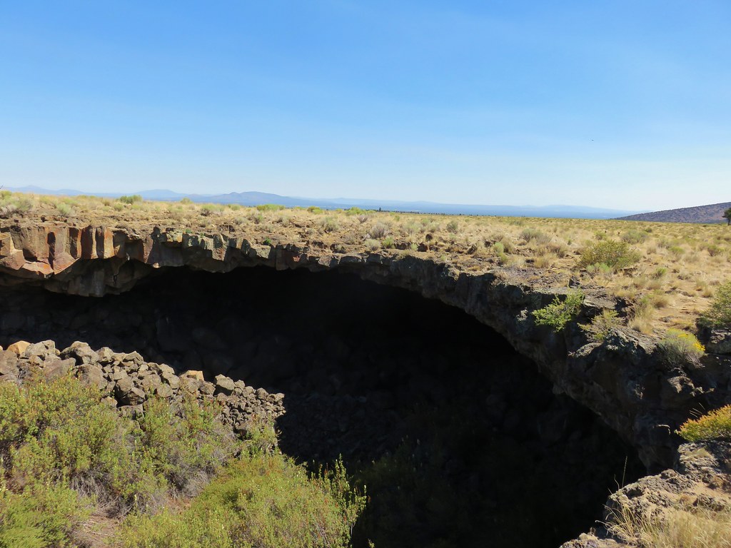
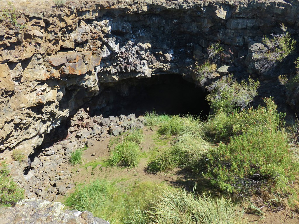
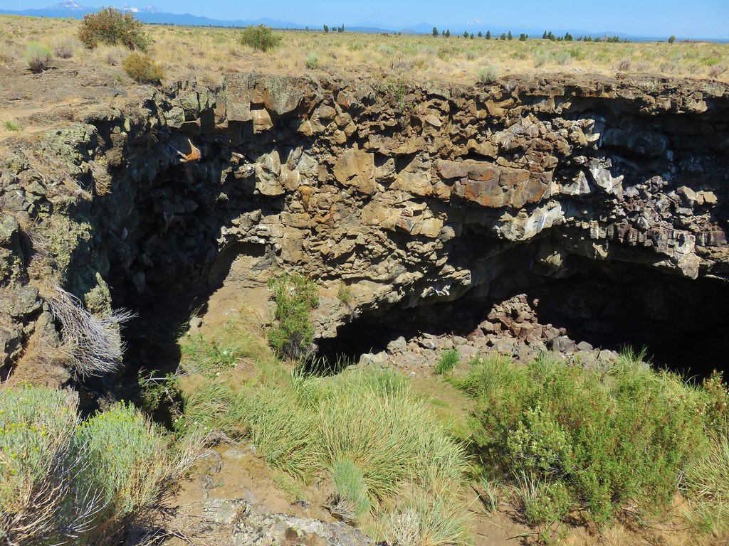
The entrance to Arnold Ice Cave is located just beyond and to the left of the parking area.
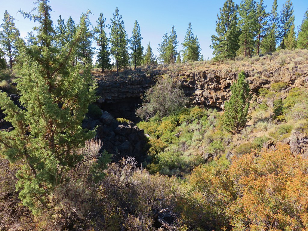
A path led down to the entrance where a semi-steep scramble past the remains of a staircase led down to the cave floor.
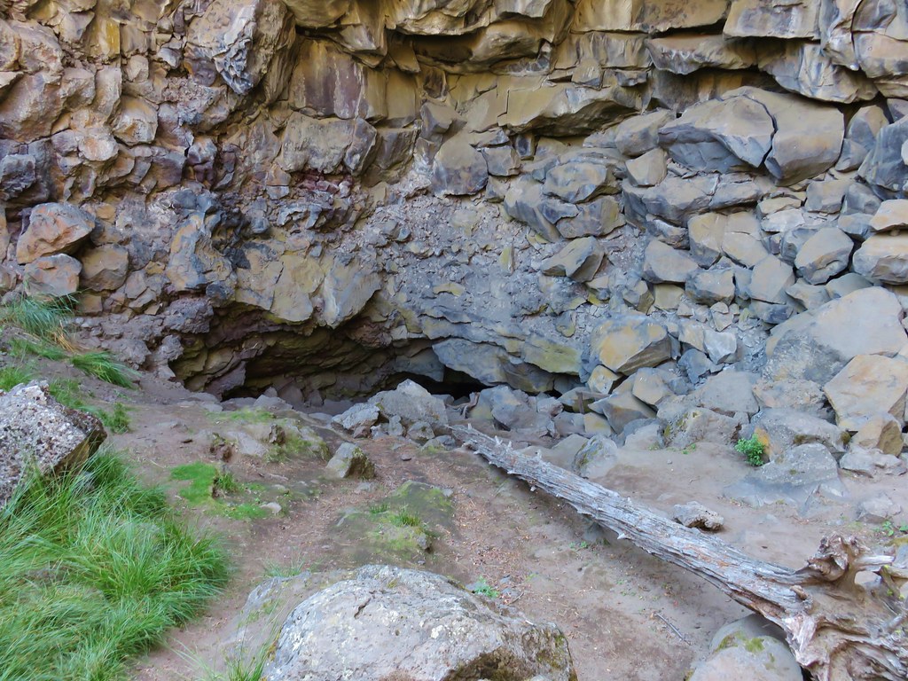
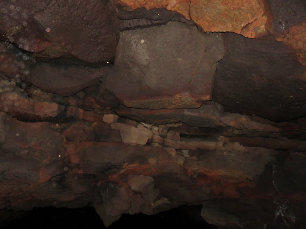
In the early half of the 1900’s ice from the cave was harvested for use by locals but that ended with the advent of refrigeration and since then at least a half-mile of the cave has become inaccessible as the ice has reclaimed that portion. It was too warm for any ice in the accessible part of the cave during our visit but there were some interestingly colored rocks along the ceiling.
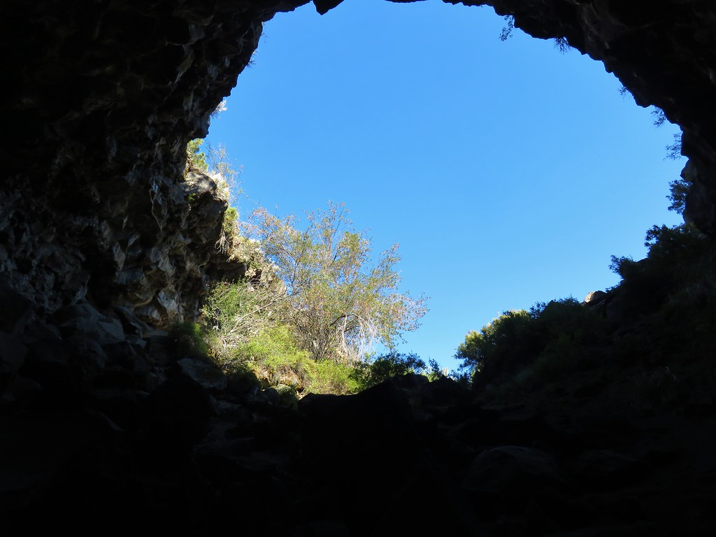
The cave extended just far enough to lose the light of the entrance before forcing us to turn around and climb back out.
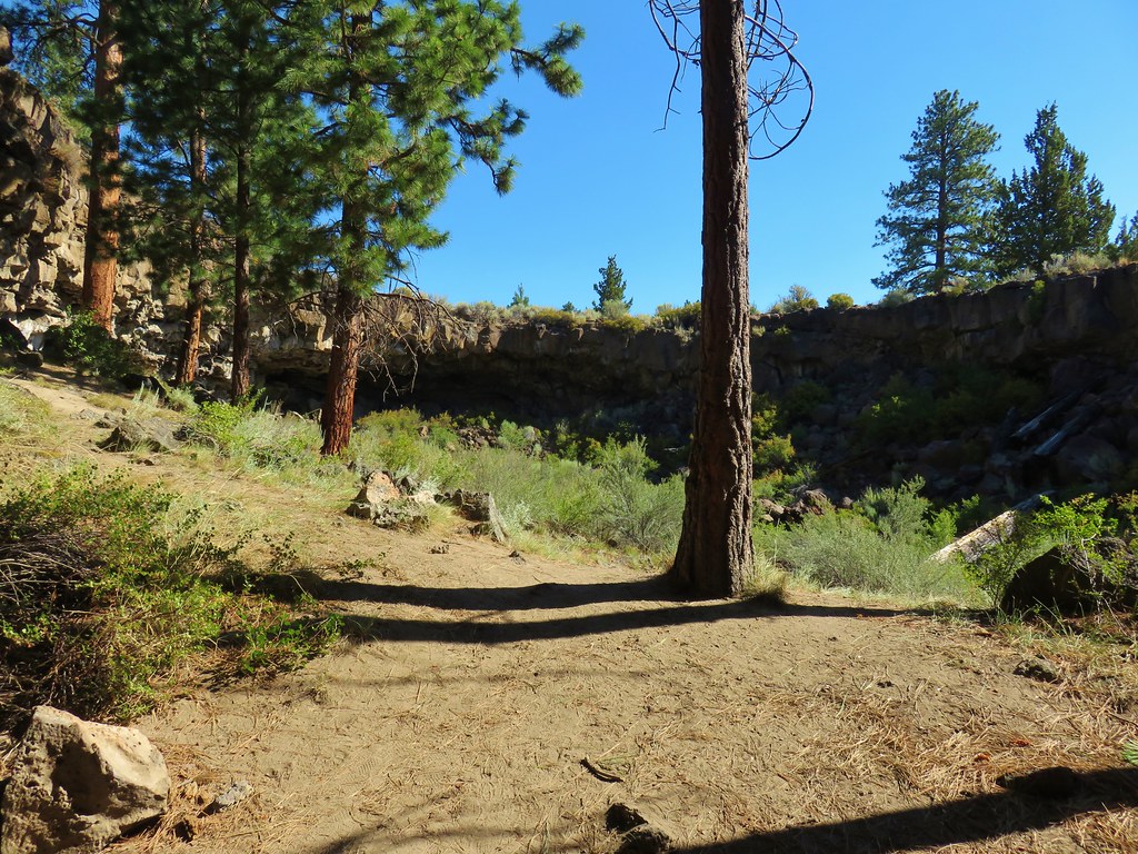
A more interesting cave (at least nowadays) was our next goal. Hidden Forest Cave is approximately a quarter mile from Arnold Ice Cave. To reach the cave we followed a dirt track south from Arnold Ice Cave.
This path quickly passed to the left of a pit where we kept straight on what became a narrower footpath after crossing another old roadbed. Soon we passed a second pit on our right.
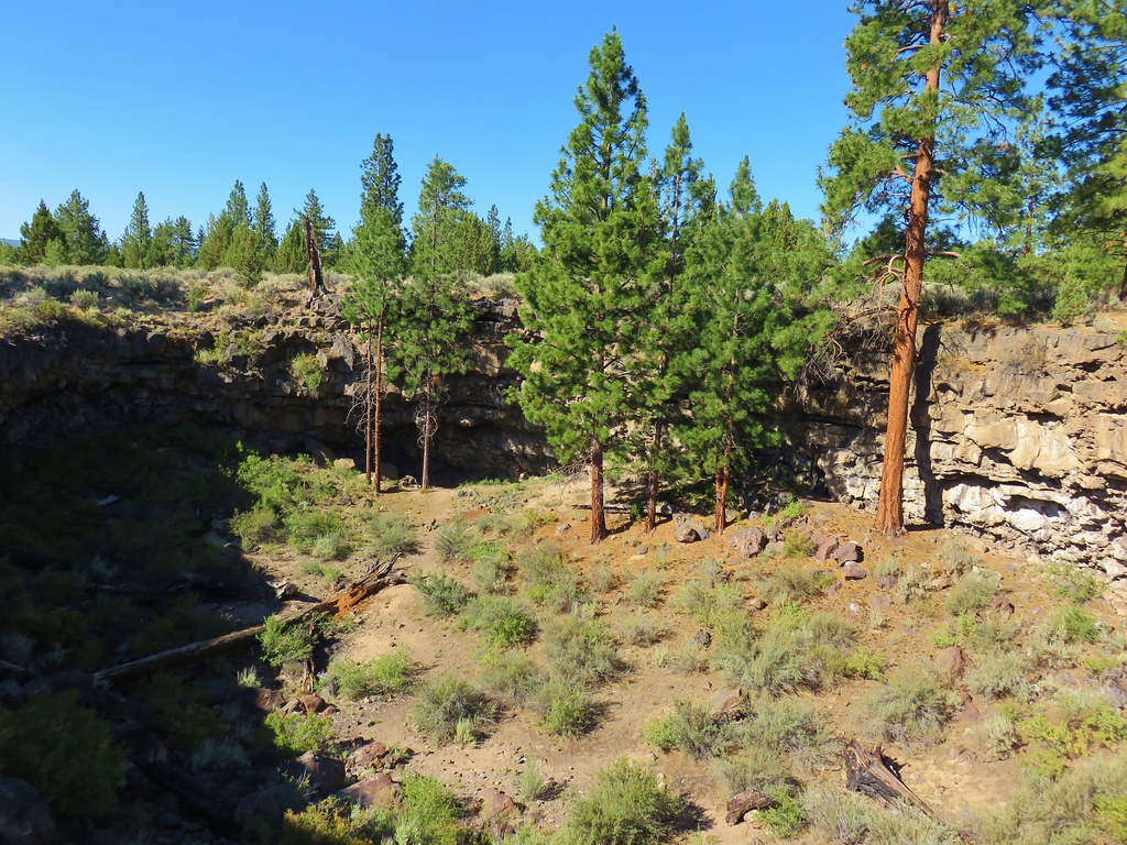
We kept close to the rim of this pit on the left then shortly after passing the second pit we crossed a second sandy roadbed and arrived alonside a third pit.
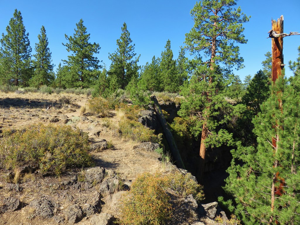
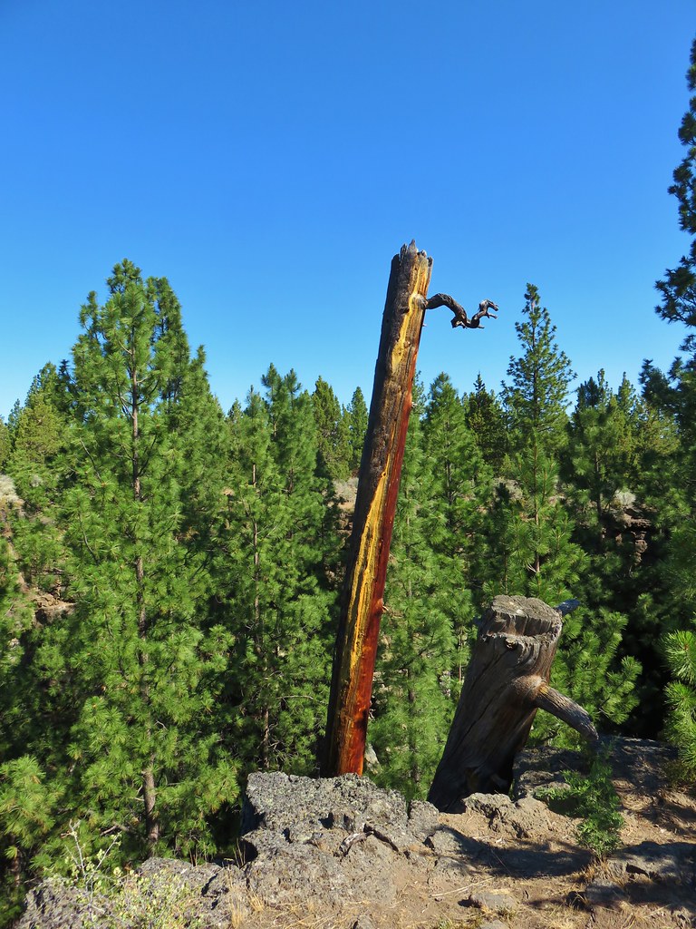
The entrance to Hidden Forest Cave lay at the NE end of the pit but the way down into the pit lay at the opposite end. We walked along the rim past a really colorful tree trunk and met a few of the locals.
We followed a path down into the pit where we found a few wildflowers blooming.

At the far end of the pit was the entrance to the cave.
The cave was a fairly short scramble to a small opening.

Climbing out of this opening brought us to the floor of the second pit we had passed.
After exploring this “hidden forest” we returned through the passage and headed back to our car.
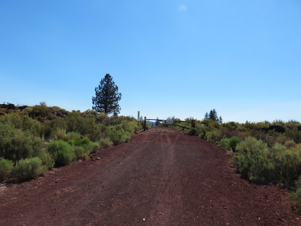
Our final stop for the day was along the closed Wind Cave entrance road. The small parking area is located along FR 200 which was just over a half-mile back along China Hat Road from FR 300 (2.5 miles east of the Boyd Cave entrance road). A stop sign on the north side of China Hat Road marks the correct road.
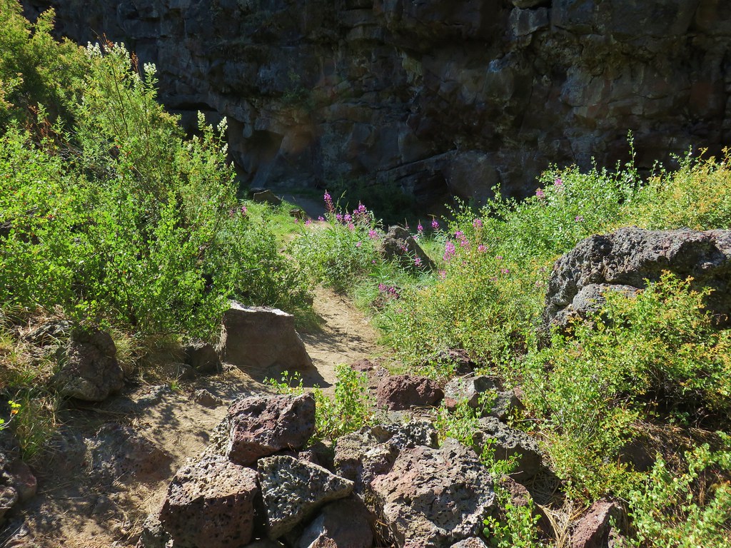
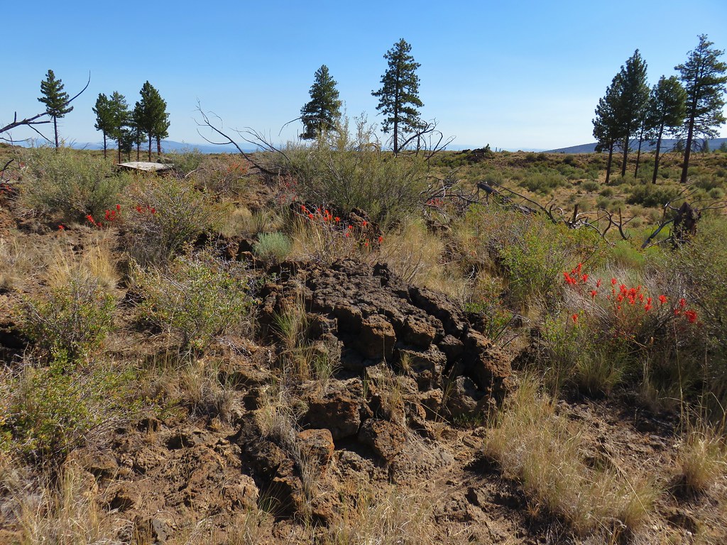
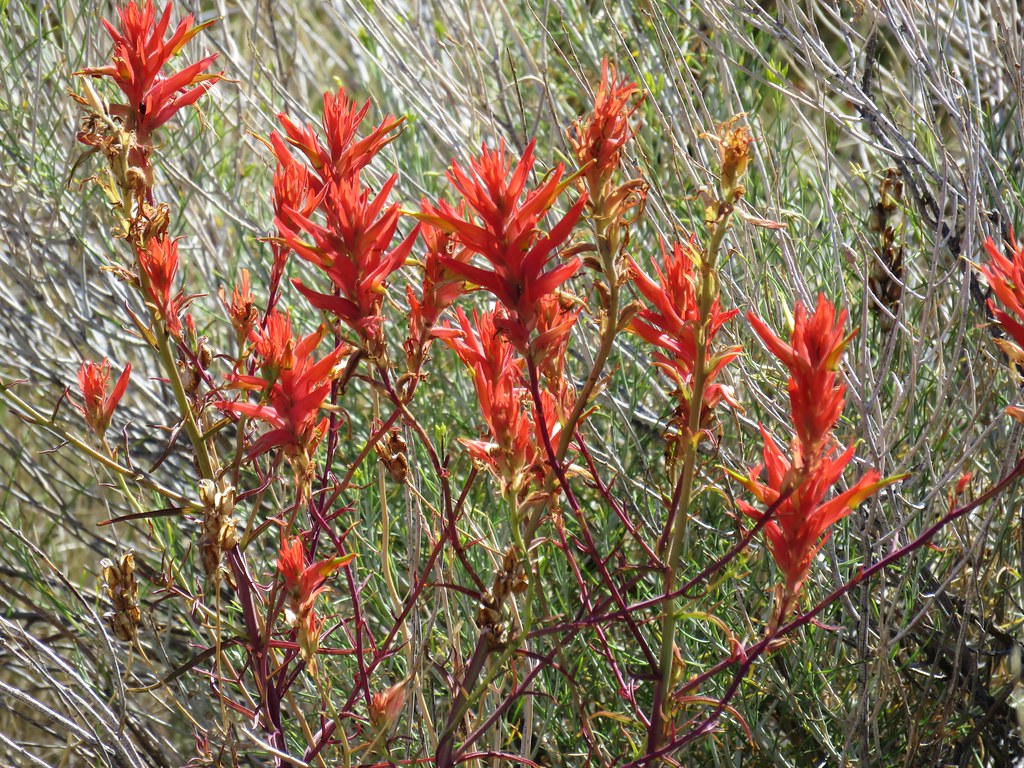
Wind Cave is closed year round to the public for bats but we hoped to visit Pictograph Cave which according to our guidebook and everything we could find online was only closed from October 15th – May 1st. In order to reach Pictograph Cave we followed the closed road for half a mile to the Wind Cave Parking area. Along the road we spotted some really bright Indian Paintbrush amid the sagebrush.
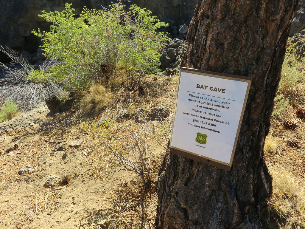
We also found the Bat Cave but there was no sign of Batman.

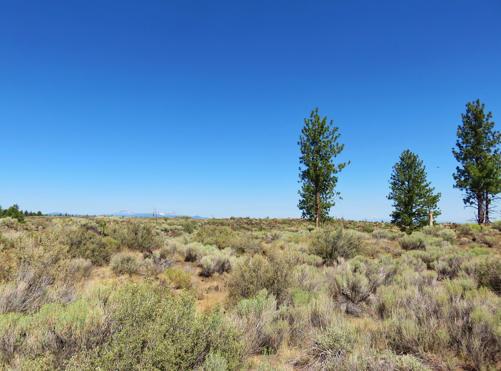
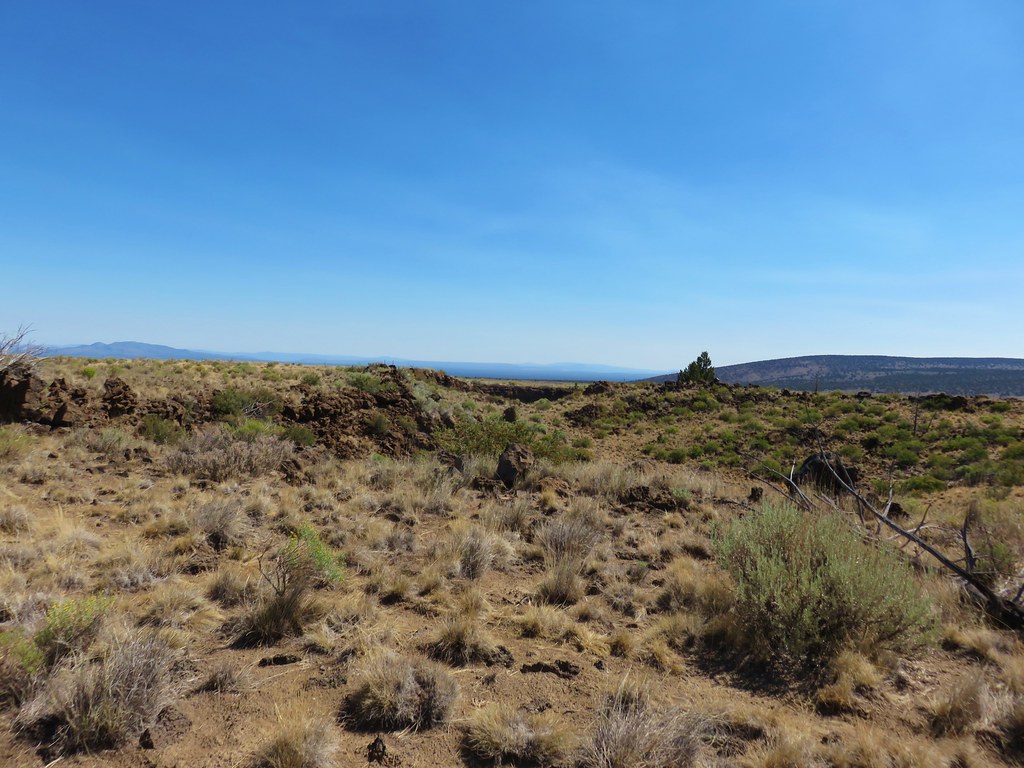
There was also a nice view of the snowy Cascades across the sagebrush of the high desert.
We arrived at the gated Wind Cave where our guidebook directed us to “..continue NE on the sandy double track road..”.

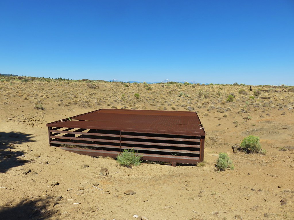
This is where our day began to get really interesting. The correct sandy double track was blocked by the log where the Wind Cave closure sign was attached as well as several boulders. A second sandy double track led directly north from Wind Cave past the covered entrance to its skylight.
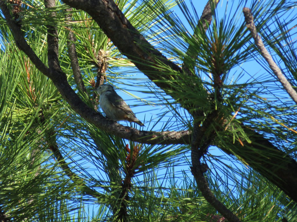
We hadn’t seen the correct track and hadn’t paid enough attention to the N versus NE direction this track was heading in and we just kept walking. We were supposed to follow the double track for approximately .7 miles to a gate with a railroad tie. After passing through the gate we were supposed to veer left and quickly pass through another barbwired fence before passing between two signed caves. The guidebook also said that if we crested a rise and could see the Cascade Mountains we’d gone too far. That last part had us really confused because we had been able to see the mountains the whole time as we followed the track we’d chosen. There was another set of footprints in the sand though so we followed them as the track became fainter. The scenery was nice and we spotted several birds including a few hawks and Heather noticed a pygmy short horned lizard.


After about fifteen minutes we’d completely lost the track and footprints and realized we’d done something wrong. I should have set up a waypoint on our GPS marking the cave location but hadn’t so using it was no real help. Luckily Heather had signal just long enough to pull it up on Google Maps on her phone. We used her phone to navigate towards the caves location but it wasn’t ideal. First off it was a lot harder to see exactly where we were in relation to the cave location using the phone vs the Garmin and secondly locations on Google Maps are not always correct (sometimes they are way off). We had already gone a little over half a mile and we wandered for another .9 miles in a wide arc in the direction shown on the phone before seeing what looked like it might be a cave near a barb wired fence.
It didn’t seem to match the description in the book but it was near the point shown on Google so we headed over to check it out.
It turned out to be a very shallow overhang.
At some point Heather’s phone ran out of power so we were once again left with only the Garmin which was still no help in this case. The immediate area we were in had several promising looking features and we wandered to the NE a bit checking possibilities. I finally spotted what appeared to be two sets of short sign posts amid the sagebrush way off in the distance. We headed over to check them out since the book had mentioned such signs. As we approached the nearest pair we spotted a large pit.
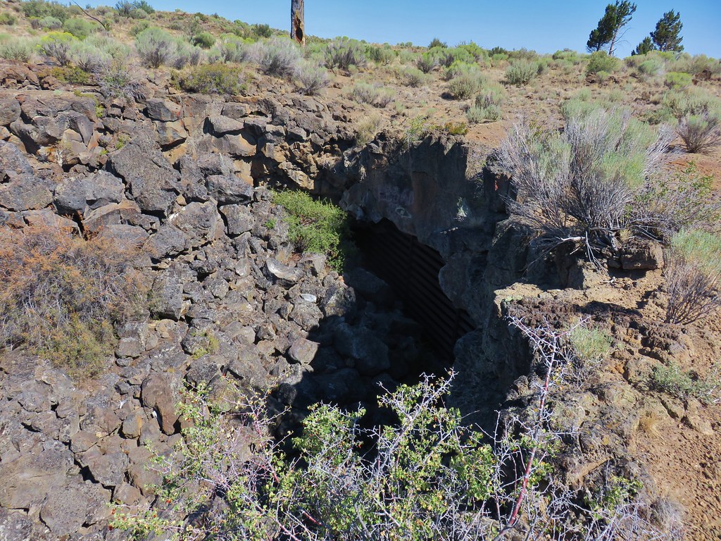
That was the SW opening with no way down. Just across from it was the NE pit which is the explore-able one only the restrictive sign indicated that the cave was now closed year round to protect bat habitat.

We stopped at the pits edge honoring the closure sign and were not able to pick out the pictographs near the right hand tunnel. At the time we weren’t entirely certain that these were indeed Pictograph Cave due to year round closure and not having followed the directions to get there.
We were hot and dusty and had hiked two and a half miles on what was supposed to be a 2.4 mile hike. At least from the cave we were able follow the guidebook directions backwards. We followed a dirt track SSE for .4 miles where we arrived at a railroad tie gate. Before passing through the fence we followed another track east now not being able to remember if after passing through the gate the guidebook had said veer left or right (we had left the book in the car opting to rely on pictures taken with the now dead cell phone). After a short distance we decided that we were on a wild goose chase and the pits we had seen must have been Pictograph Cave. We hiked back to the gate and passed through continuing on the sandy track. We soon ran into a family who asked us if this was the way to Pictograph Cave. We said we thought so explaining that we’d taken a wrong turn and come in form another direction, but there were two signed pits along the track. We continued on eventually arriving back at the Wind Cave turnaround where we discovered how we’d missed the correct sandy track.
We walked back along the road to our car and began to head back toward Bend. We had been hoping to go to the High Desert Museum after the hikes. Despite having spent a lot more time hiking to Pictograph Cave we still would have had 4 plus hours to spend there but two things happened on the drive back, a fire broke out near Bessie Butte along China Hat Road and our battery warning light came on. The fire was far enough off the road that it wasn’t closed yet as we passed by the first firetrucks on scene. Luckily the fire was controlled quickly and didn’t become a major incident.
The battery light was more of an issue. It was Sunday so many places weren’t open and all our user manual said was to stop driving immediately and call a dealer. That wasn’t an option on a forest service road with a fire nearby so we drove into Bend and stopped at the Toyota dealer but they didn’t have any mechanics on duty and couldn’t help. Next we tried a Valvoline Instant Oil but their battery tester was dead. From there we stopped at Baxter Auto where the store clerk was able to test the battery which was low, but that wasn’t necessarily the problem. It could be any number of things related to the electrical system but without a mechanic to check we couldn’t be sure. We then drove to a second Valvoline where, even though it was a long shot, we replaced the battery in hopes that it might work. It didn’t which meant it was likely the alternator. Our vacation plans were suddenly in flux.
We decided to rent a car Monday morning and go ahead with our planned backpacking trip and then we would try and get the car fixed at the end of the week when we returned. Thankfully Heather’s parents offered to take the car in Monday morning for us though and have any necessary repairs done while we were away.
With the plan set we reserved a rental to be picked up at 7:30 from Enterprise and then we realized that we hadn’t remembered our water filter. It was getting close to closing time for the few stores that were still open on a Sunday evening and Heather ran out to Big 5 in hopes of picking up a spare filter. They didn’t have any in stock so she wound up with Potable Aqua Water Purification Tablets. We hadn’t used the tablets before so this was going to be interesting. It was starting out to be quite the memorable vacation. Happy Trails!
