After our less than stellar end to our Sunday exploring caves off of China Hat Road near Bend (post)we were facing a later than planned start for our drive to the Strawberry Mountain Wilderness. Typically we’d be on the road by 5am but we had to wait until 7:30 to pick up a rental car before we could leave Bend. The folks at Enterprise were quick though and we were on our way a little before 8am.
Our entry point for our four day trip was the East Fork Canyon Creek Trailhead. From Bend we drove to Burns then north no Highway 395 just over 60 miles to County Road 65 where we turned right for 3 miles to a sign for Alder Gulch and Fawn Spring. Here we turned left onto Forest Road 6510 following the good gravel road for 1.5 miles. We then turned right onto another good gravel road, FR 812 which we followed an additional 2.8 miles to its end where we found a large group of equestrians just setting off on the trail.
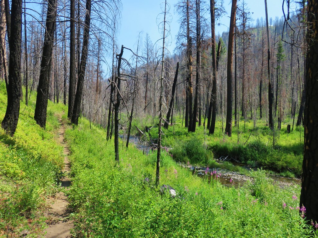
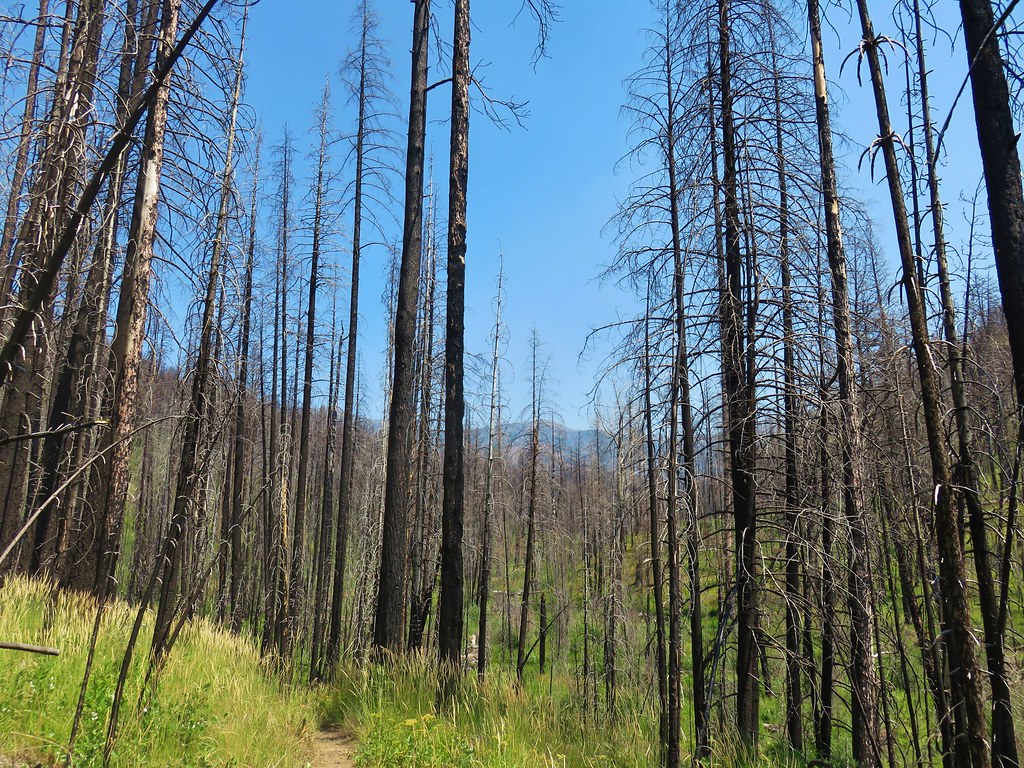
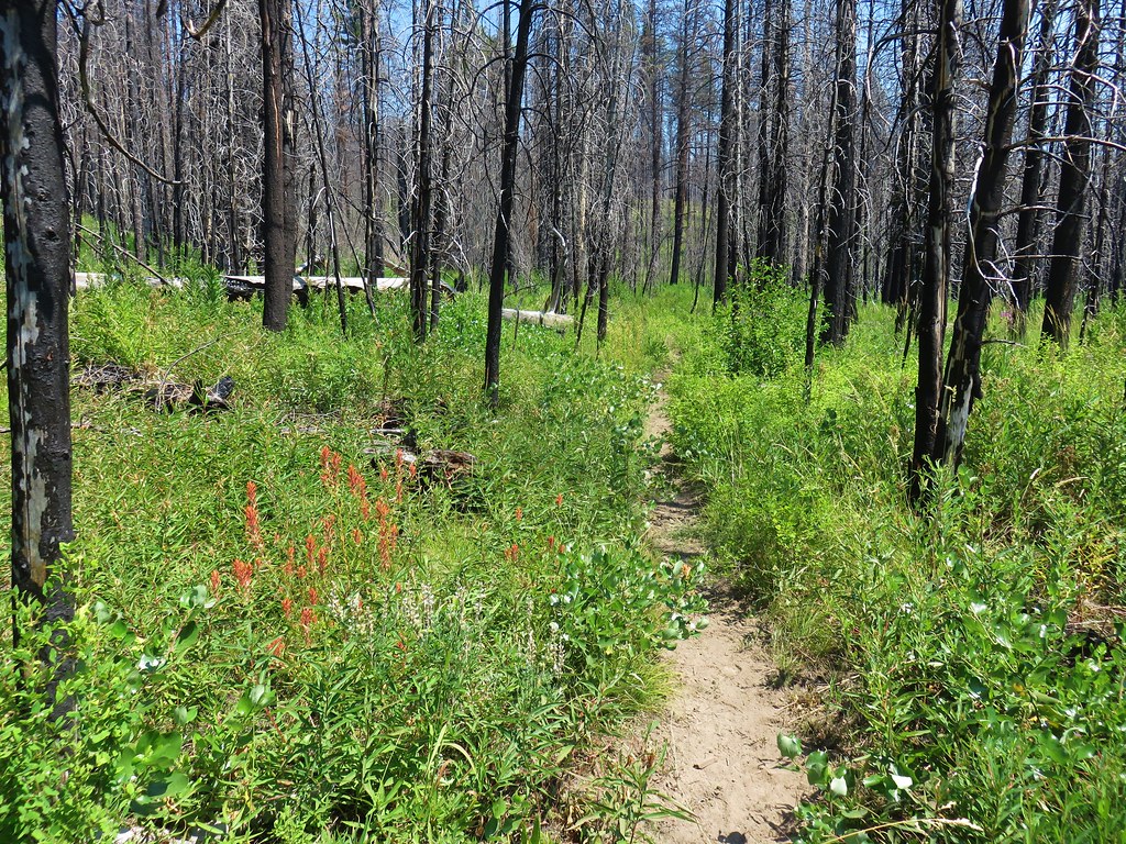
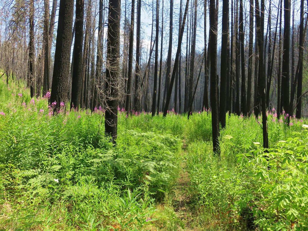
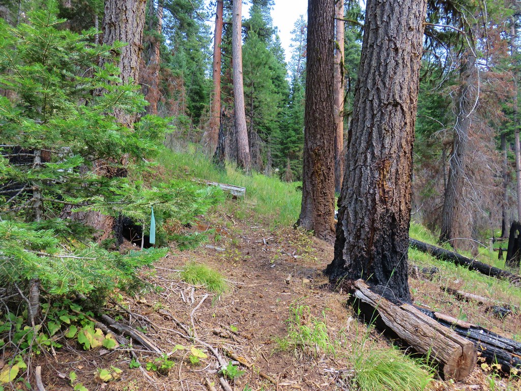
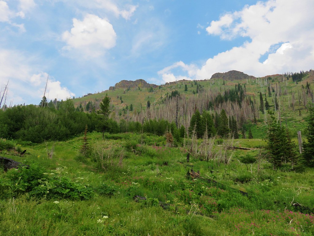
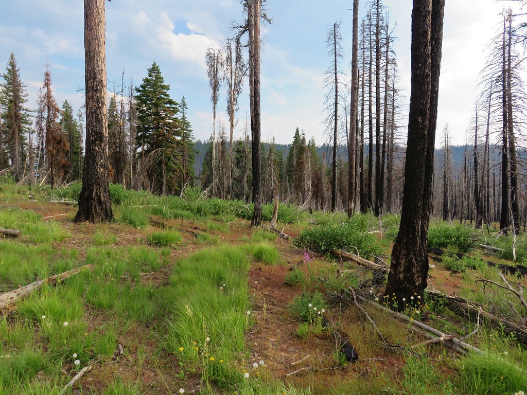
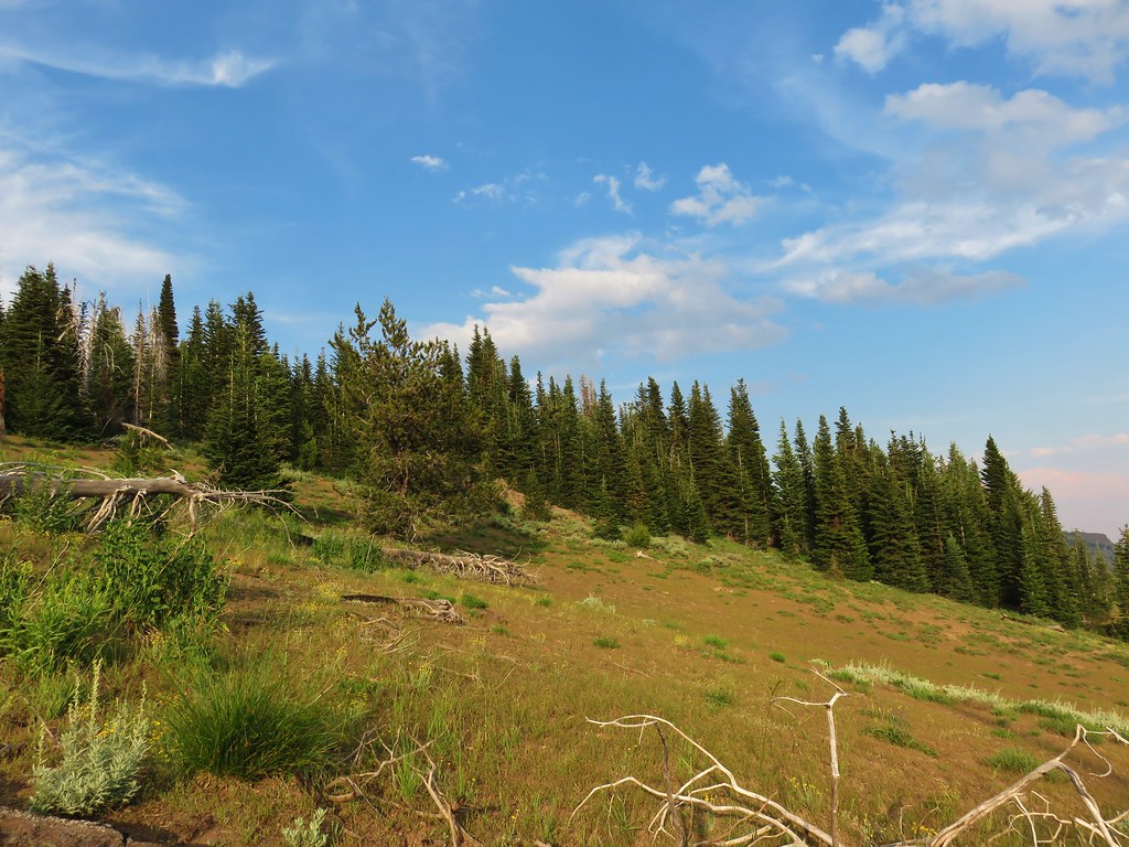
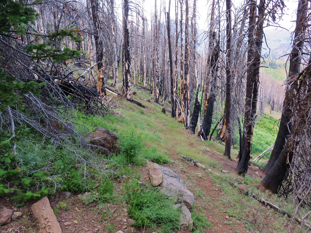
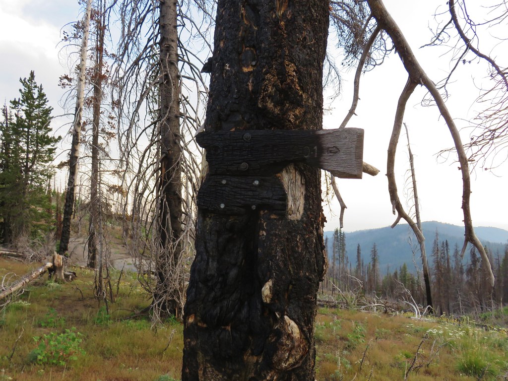
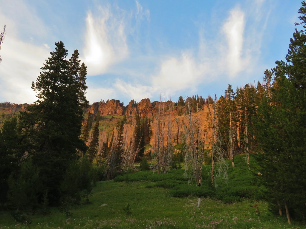
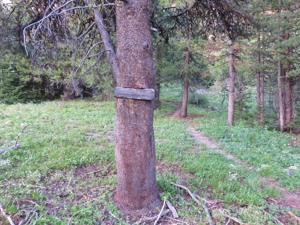
The entire area along the drive and much of the East Fork Canyon Creek Trail burned in 2015 so there wasn’t much in the way of signage for the start of the trail.
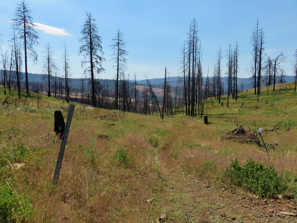
It was just after 11:30 when we set off and it was already rather warm. The trail began by losing a bit of elevation before leveling off as it passed below some rocky cliffs.
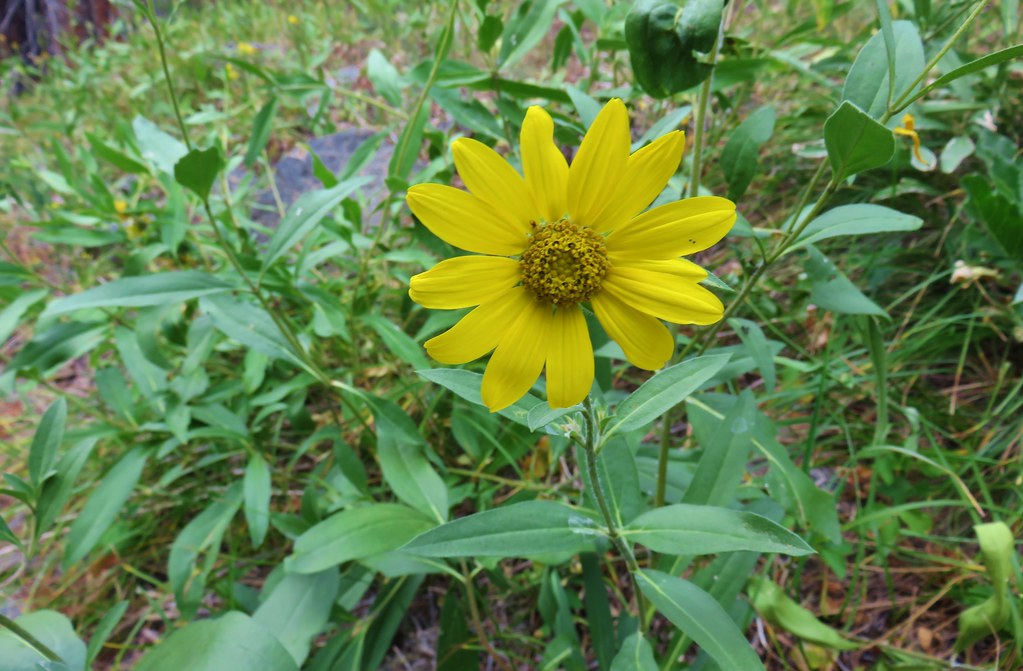
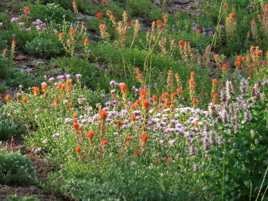
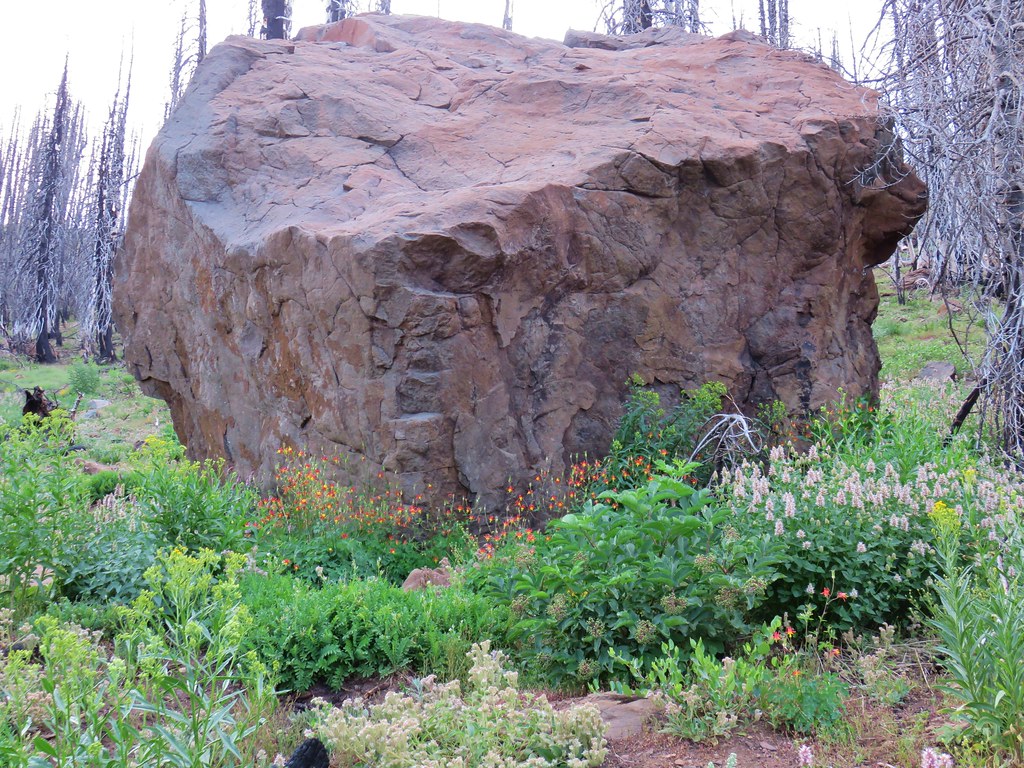
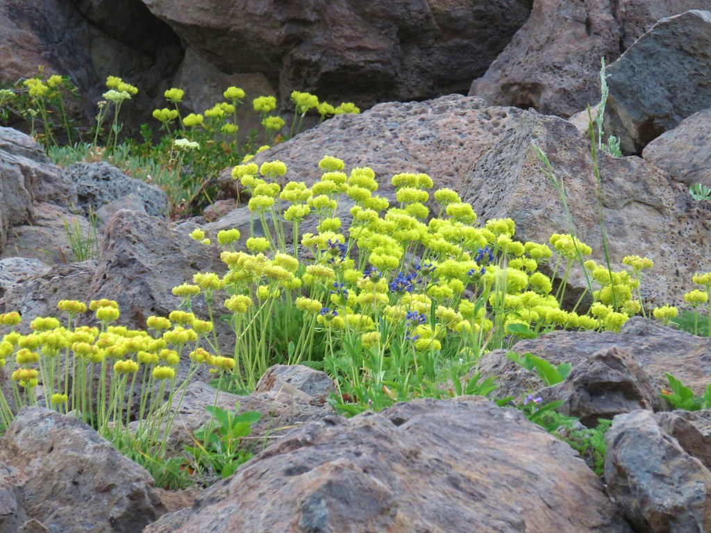
The lack of tree cover due to the fire didn’t help the heat situation but we did our best to distract ourselves from the heat by listening to the creek and looking at the flowers
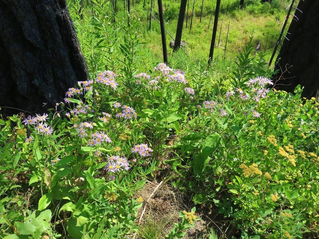
For the first two and a half miles the trail passed through grassy meadows a bit away from the creek as it gradually climbed up the canyon.
A little over two miles from the trailhead we spotted the equestrians setting up camp at the Yokum Corrals Camp.
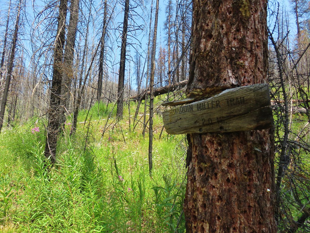
Three tenths of a mile from Yokum Corrals we came to a junction with the Tamarack Trail which led uphill to the Joaquin Miller Trail.
 Looking in the direction of the Tamarack Trail
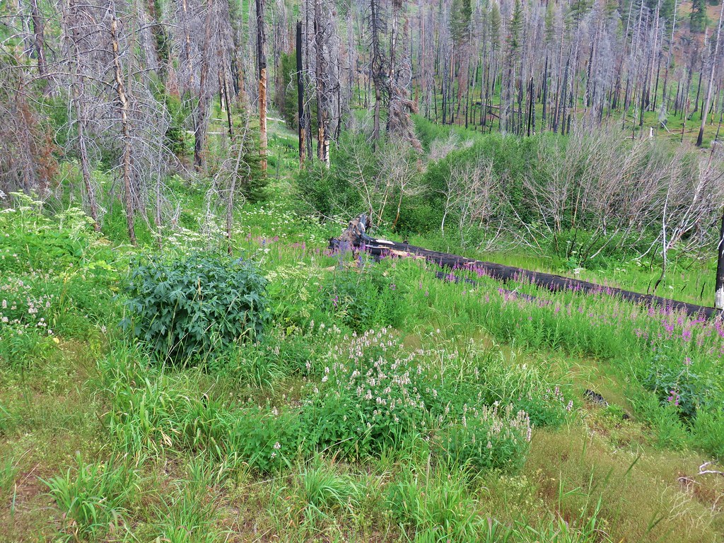
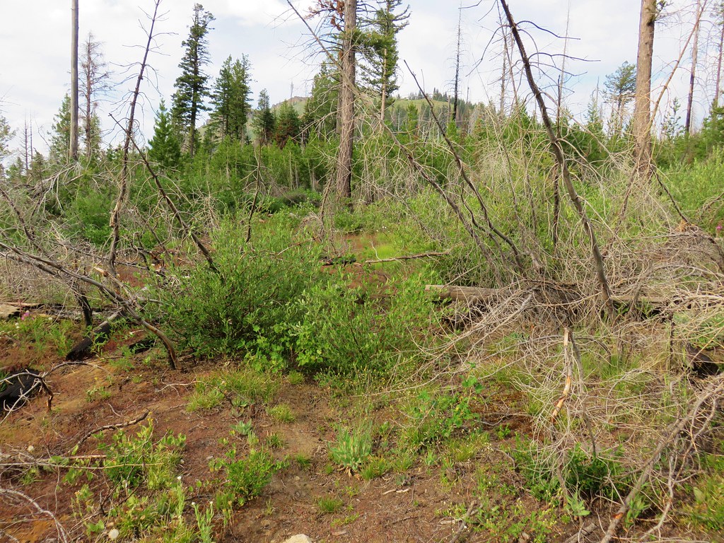
The East Fork Canyon Creek Trail was becoming more and more overgrown in spots beyond the corrals.
The vegetation wasn’t too difficult to push through but there were some thistles to avoid and I wound up with a few ticks on my pant legs. Heather was trying out a new pair of Insect Shield tights and they seemed to do the trick as we never did spot any attached to her. (She did wind up with a few mosquito bites during the trip tough.)
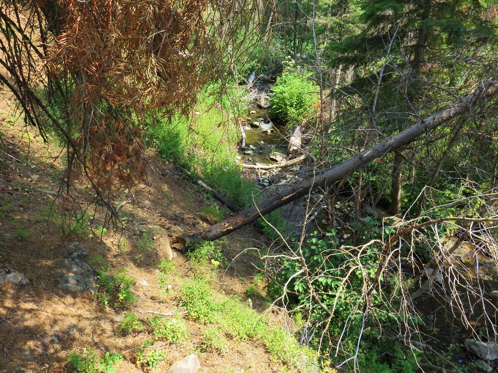
Near the three mile mark we came to Brookling Creek.
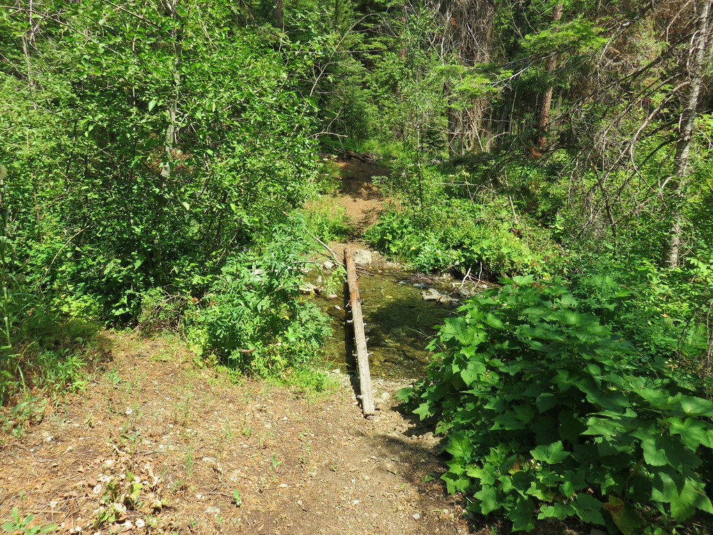
I made it across the creek dry footed but Heather decided to cool off by slipping on a rock and splashing down into the water. Luckily she wasn’t hurt, just wet and after wringing out her socks a bit we continued on. Approximately 1.7 miles from Brookling Creek we came to a fork in the trail where there was some orange flagging attached to a couple of trees.
The flagging appeared to have at one time blocked off the left hand fork but it was now broken. According the Garmin and our guidebook the trail stayed on the left hand side of the creek and the right hand fork here seemed to just go down to the creek so we took the left hand fork. The trail was fine for a quarter of a mile but when we arrived at East Brookling Creek we couldn’t see where it was supposed to cross or where it continued on the far side. To make matters worse the creek was choked with debris and the far bank was rather steep so our options of where to cross were limited. We managed to find some logs that got us across the creek and then we crashed uphill through the brush.
We were able to pick up the tread again with the help of some green flagging but noticed that there was also a trail on the south side of East Fork Canyon Creek.
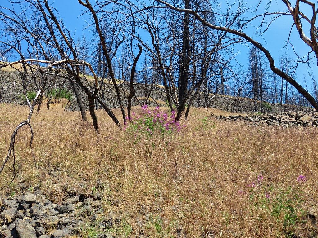
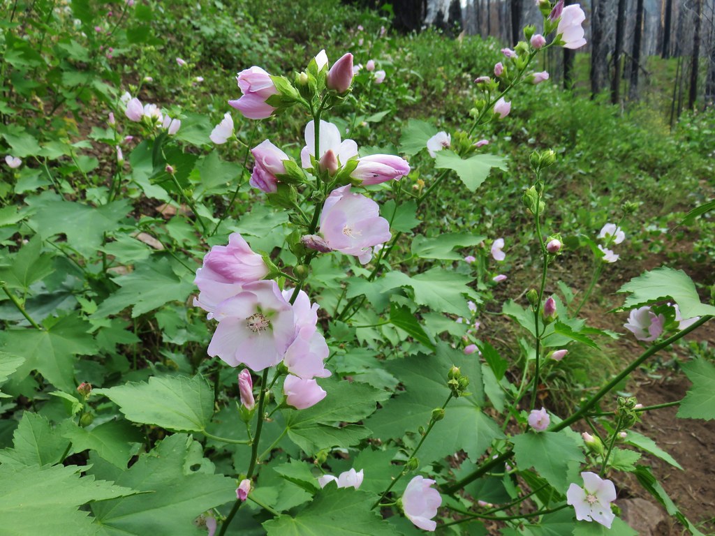
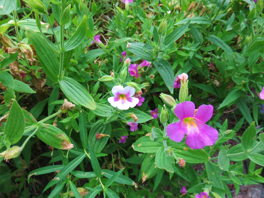
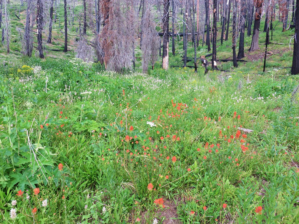
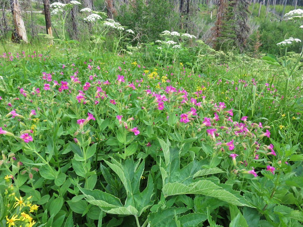
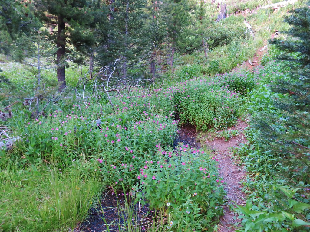
By that time we had already forgotten about the fork with the orange flagging and thought we had missed something near East Brookling Creek. A quarter mile beyond East Brookling Creek that trail recrossed East Fork Canyon Creek and rejoined the trail we were on. We were spotting more blooming flowers now including some light pink streambank globe mallow and dark pink monkeyflower.


About a mile from East Brookling Creek we once again found ourselves on the wrong side of a creek,this time Miners Creek. This time we were on the south side when we should have stayed on the north side. We were doing our best to bushwack up the creek to a point where the trail was supposed to make a hairpin turn across the creek. It finally dawned on me that the trail was only 30 to 50 feet above us as it ran SW for a short distance after the 180 degree turn before rounding a ridge end and continuing NE. It was a steep climb but we managed to link back up with the actual trail. I headed downhill to the hairpin turn to see if there were possible campsites for our last night near the creek and thought I saw a couple of options. As I headed back up to Heather I regretted my choice as it was nearing 3pm and it was really getting hot out.
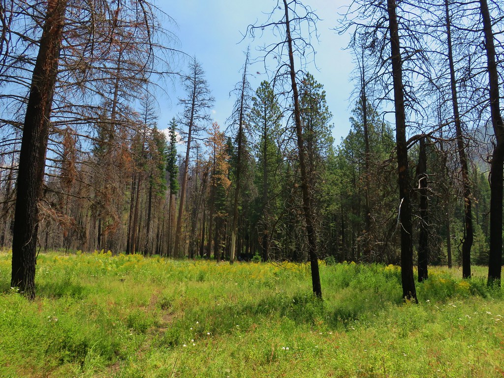
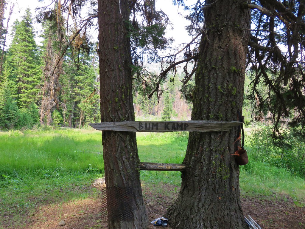
After climbing for another 1.2 miles we arrived at Hotel De Bum Camp. A large meadow with a campsite where it almost appeared a bum had lived. Someone had left lawn chairs and freeze dried meals at the site. By the looks of them they had been there awhile.
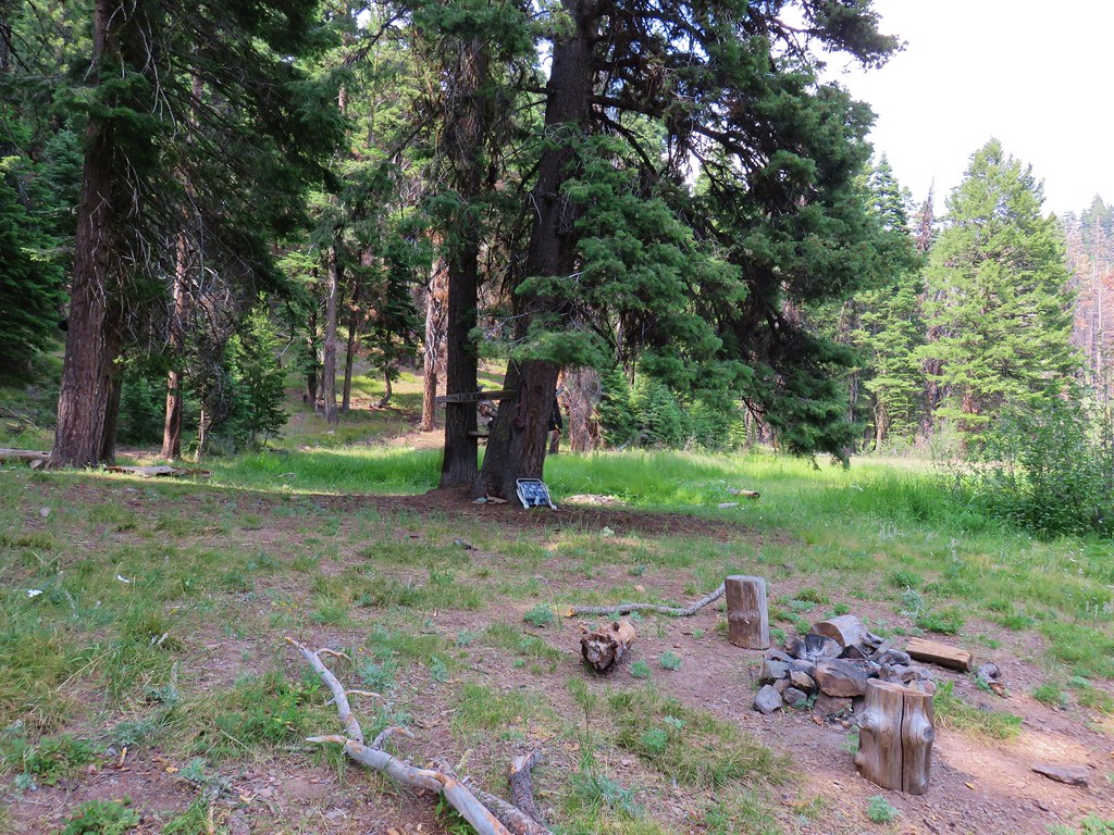
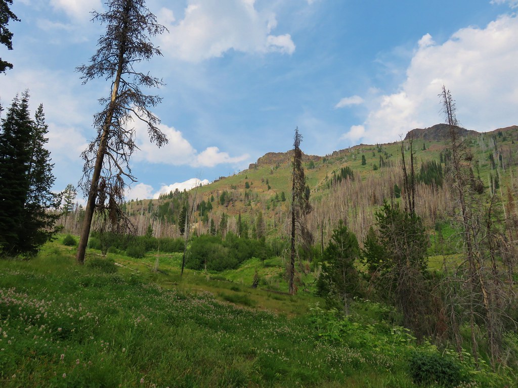
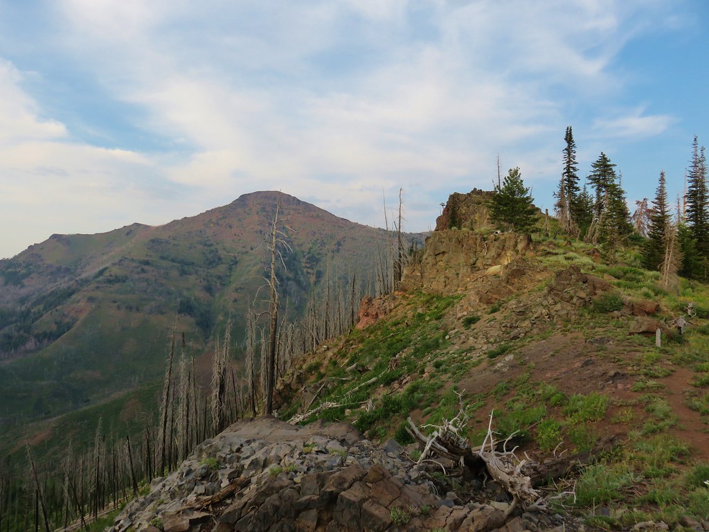
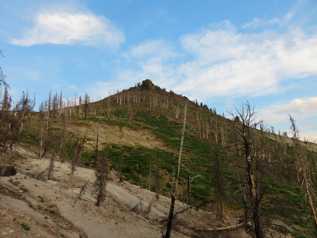
The meadow was nice though and our plan was for this to be our campsite for our final night of the trip. From the meadow there was a view of Indian Creek Butte which was a pretty sight but we also knew our destination for the day, Wildcat Basin, was over two and a half miles on the other side of it.

From Hotel De Bum Camp the trail gained 500′ over the next mile to another meadow below Indian Creek Butte where there was supposed to be a trail junction.
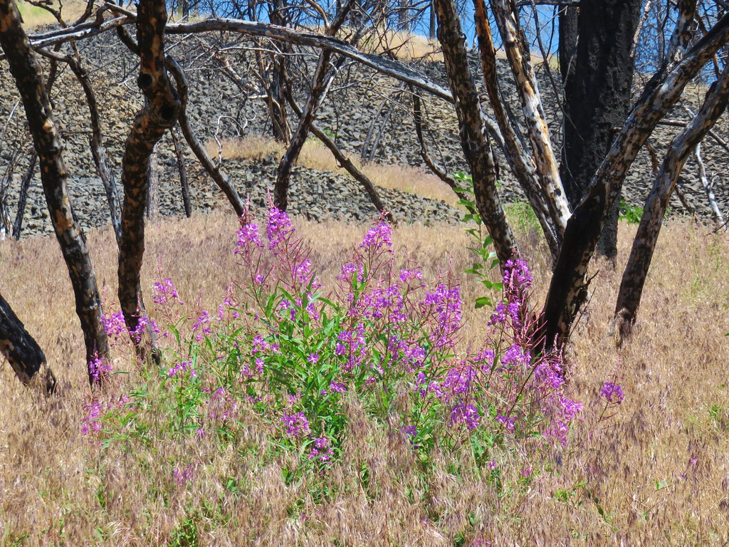
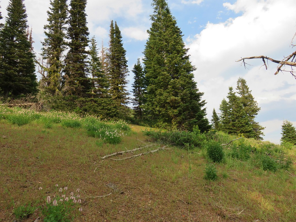
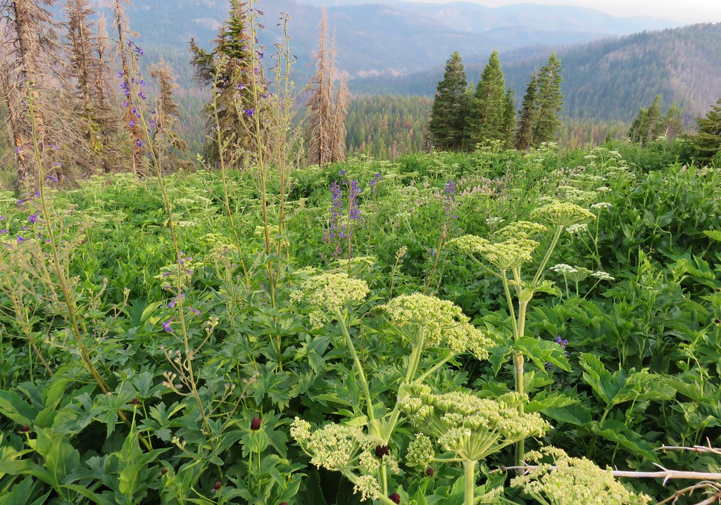
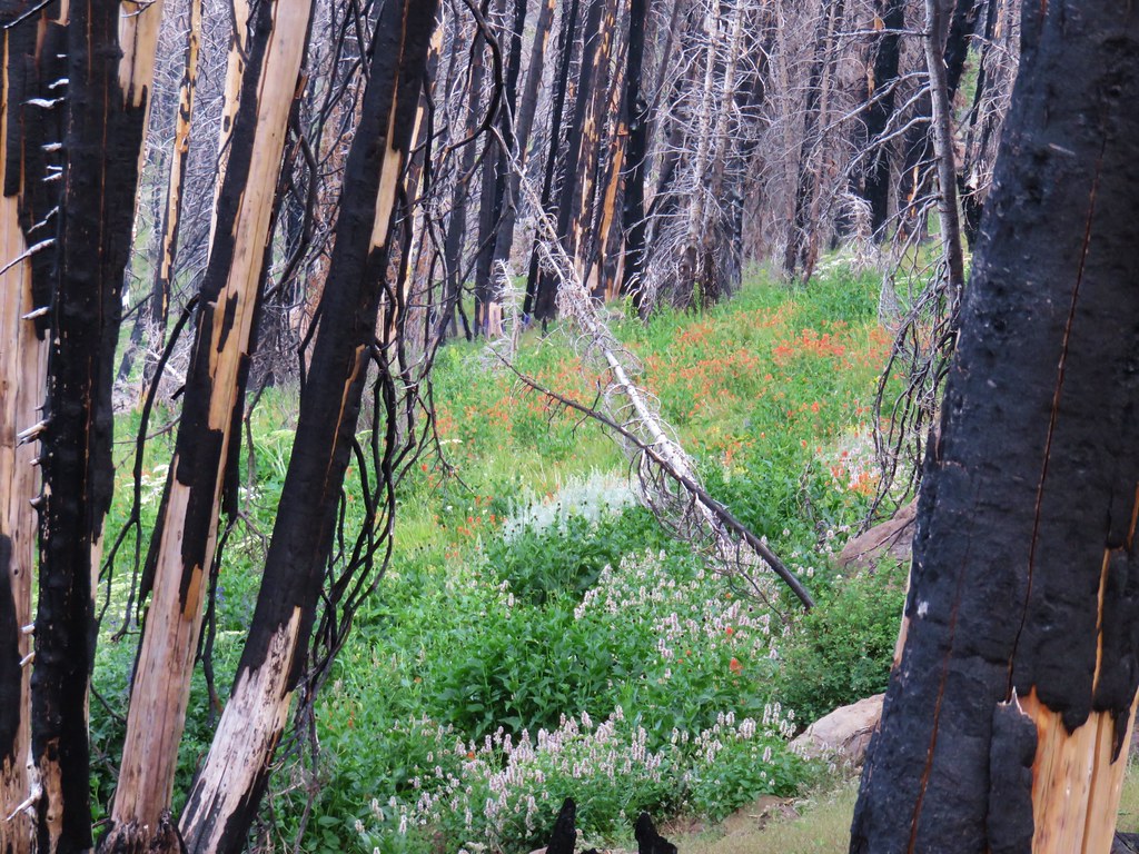
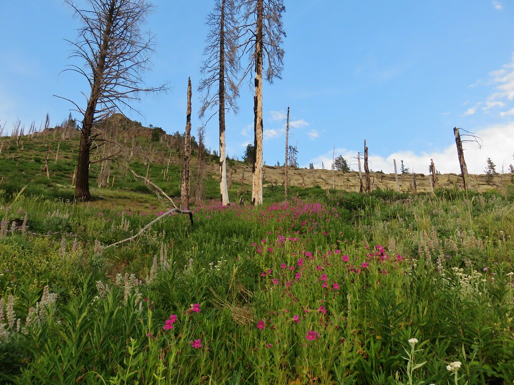
A nearby spring allowed for dense green vegetation and numerous wildflowers which appeared to have overtaken the trails in the area. We did find another set of lawn chairs at a nearby campsite and decided to take a short break and have dinner as well as try and cool down before pushing on.
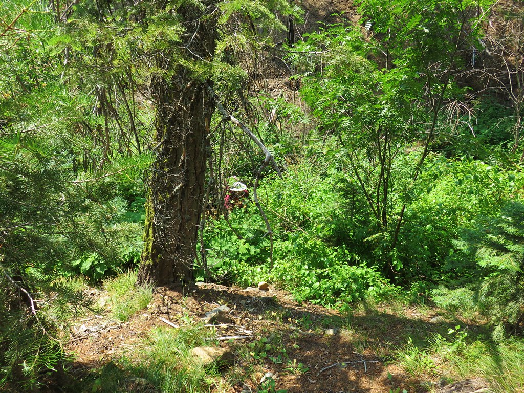
When it was time to move on we did our best to follow some blue flagging through the vegetation, across the spring to the right.
 Blue flagging is attached to a small burned tree 3/4 up the left hand side of the photo.
The next obstacle was a series of bent trees hanging over the trail.

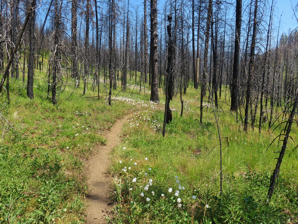
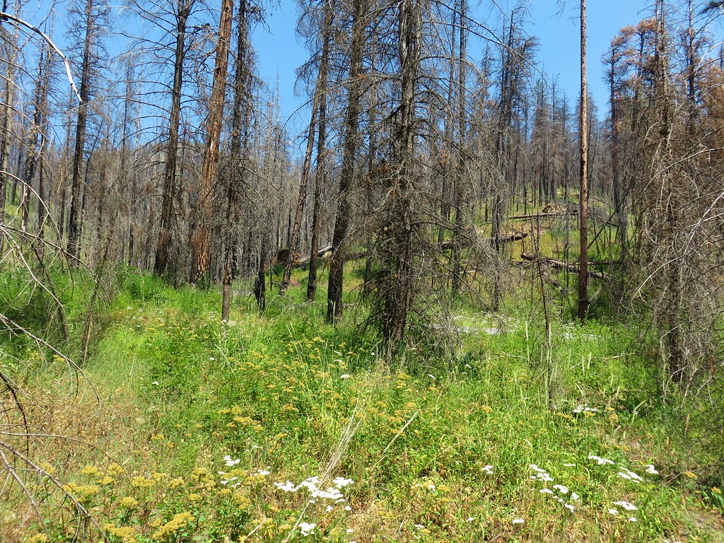
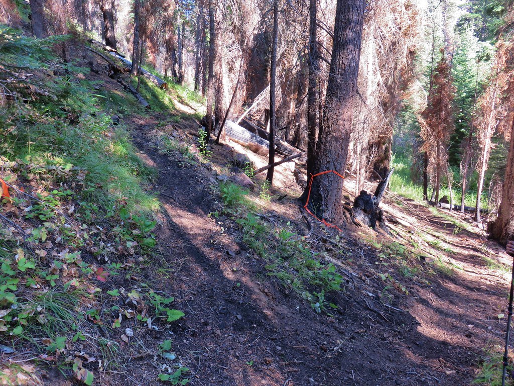
The trail then became a little easier to follow as it reentered the burned forest.

We were on the .6 mile section of the Table Mountain Trail. After the .6 miles our route was to turn right up the Table Mountain A Trail (Trail 5000) which is a mile long connector between the Table Mountain and Pine Creek Trails. We missed the faint unsigned junction at first but quickly realized our mistake (we would do the same thing on the way back three days later).
The Table Mountain A Trail was a mess at this end. Faint tread lead through tall brush with sporadic flagging or an occasional cut log as the only real indication that we were still on the right course.
That only lasted about a tenth of a mile and then the tread completely vanished.

We waited a little too long before consulting the GPS and wound up swinging too far to the SE and adding a tenth of a mile to our hike. After checking the GPS we worked our way back toward the trail (as far as we could tell it really was where the GPS said it was this time) and managed to pick it back up at some cairns amid unburnt trees.

It was after 6pm now and some clouds were helping to cool things down as we made our way around the SE side of Indian Creek Butte.

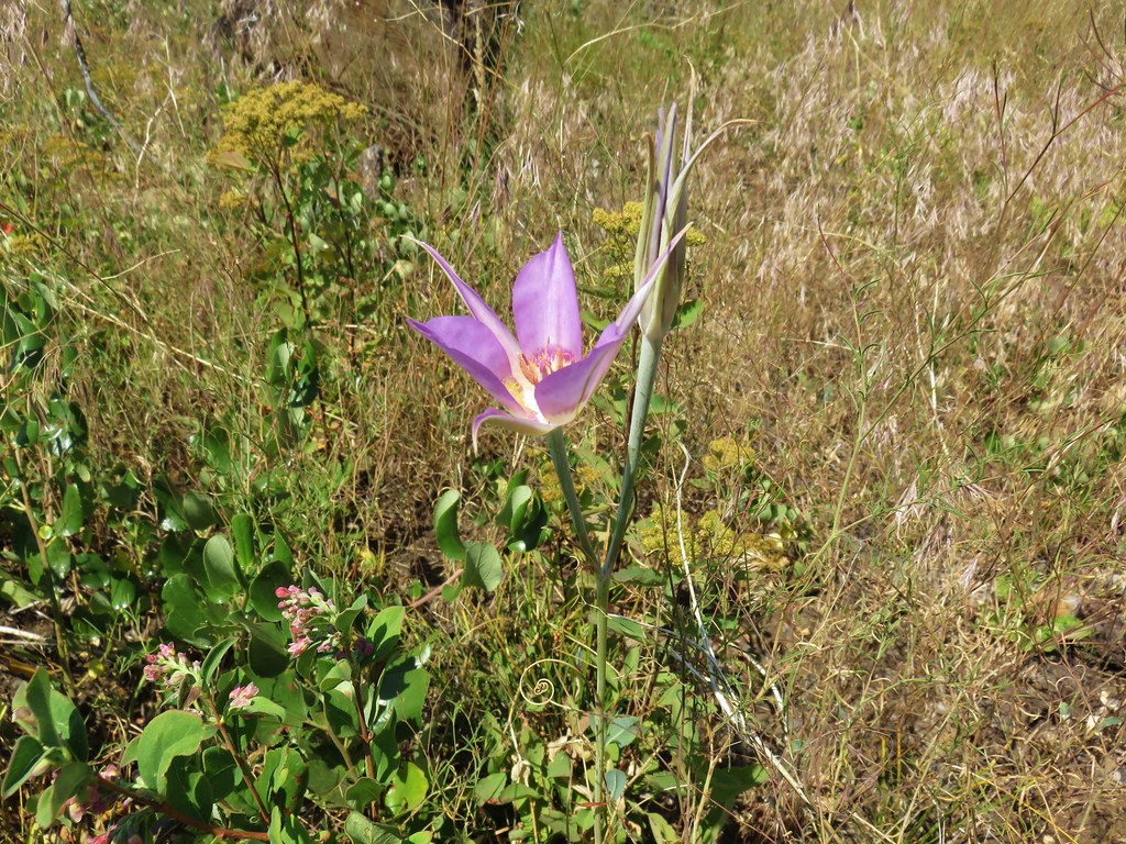
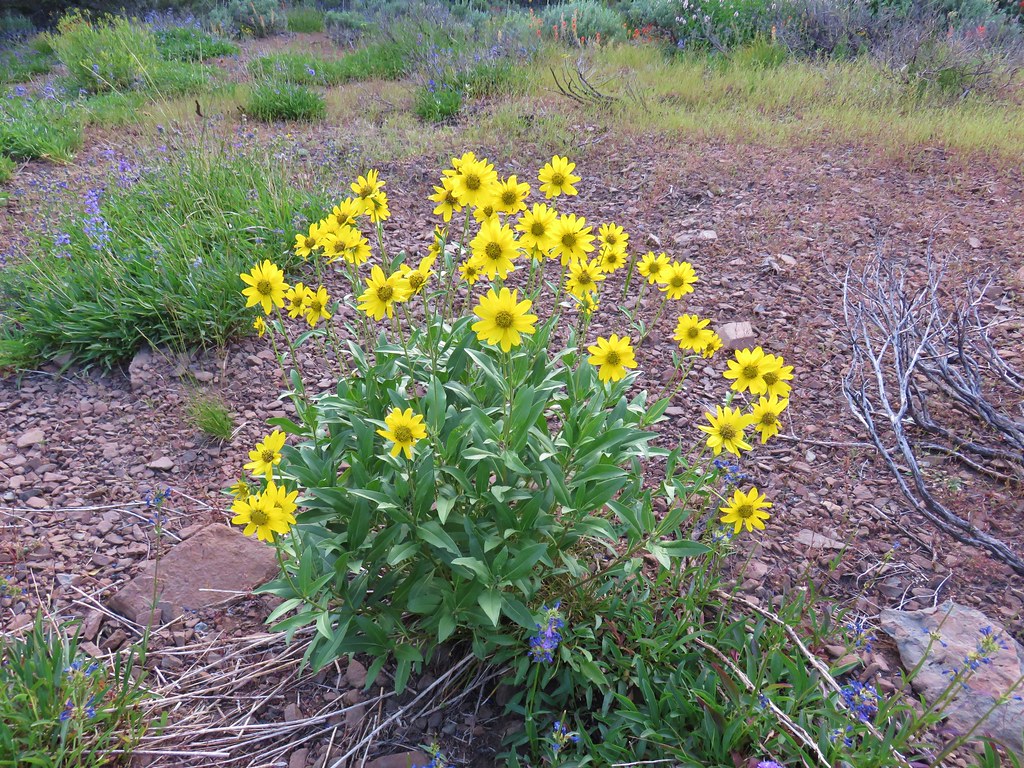
The trail was faint here too but were able to stick relatively close to it as we passed some nice wildflowers which we were too hot and tired to fully enjoy at that point.
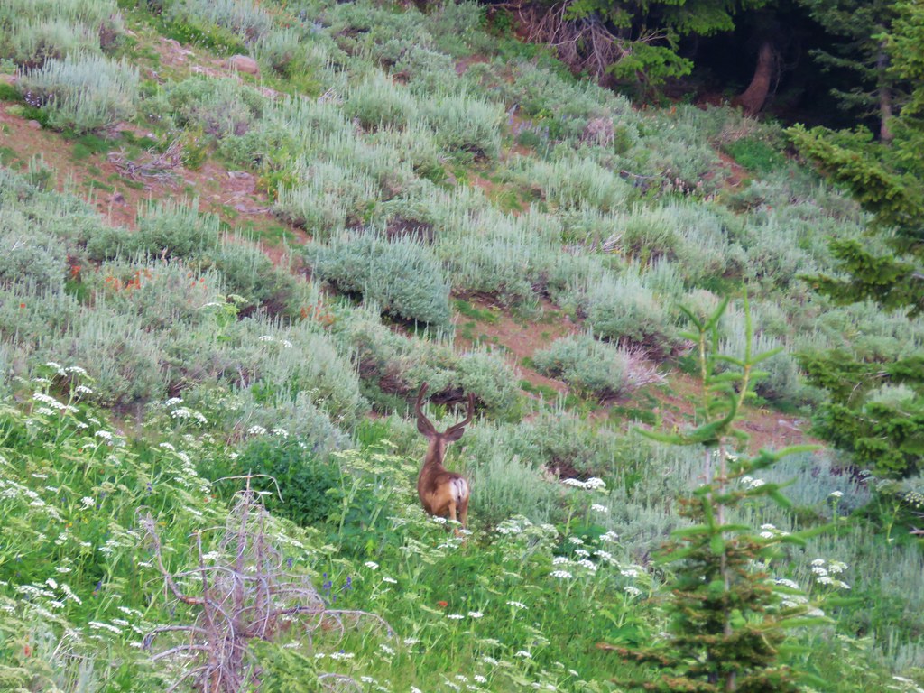
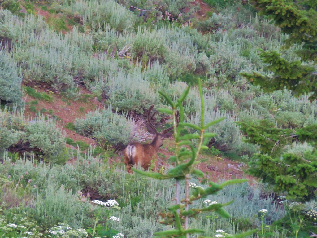
We did however stop to watch a nice buck pass through the brush below us.
At 6:45pm we spotted a downed trail sign in the distance marking the junction with the Pine Creek Trail.

Here we turned right onto the similarly faint Pine Creek Trail.
Once again the wildflowers were nice but we were now on a mission.
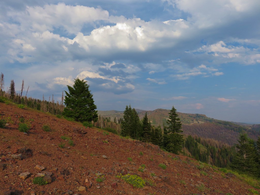
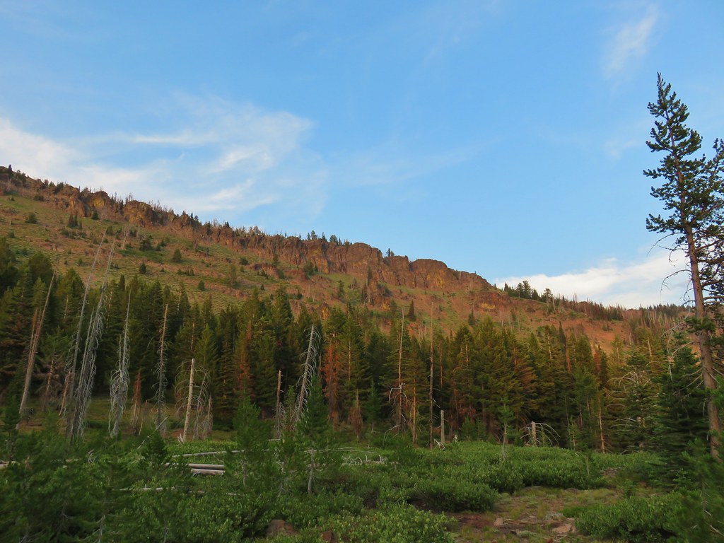
Just over half a mile from the junction we came to a viewpoint with a good look at Strawberry Mountain.
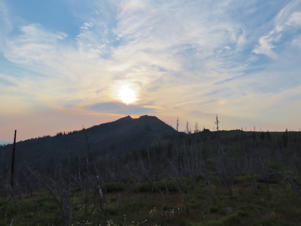
The trail continued along a ridge with Indian Creek Butte and the Sun behind us and a rocky ridge top and the Moon ahead.

Wildcat Basin was on the other side of that rocky ridge. A total of 1.4 miles from the previous junction we arrived at another junction.
We stayed right keeping to the Pine Creek Trail and passed to the SE of the rocky ridge.
The trail descended past some white volcanic ash formations.

Soon the trail found some green trees below striped cliffs.
A mile from the junction we arrived at the meadows of Wildcat Basin and another trail junction.
A very short distance to the east from the junction was Wildcat Spring and a campsite where we eagerly refilled our now empty bladders and set up our tent.
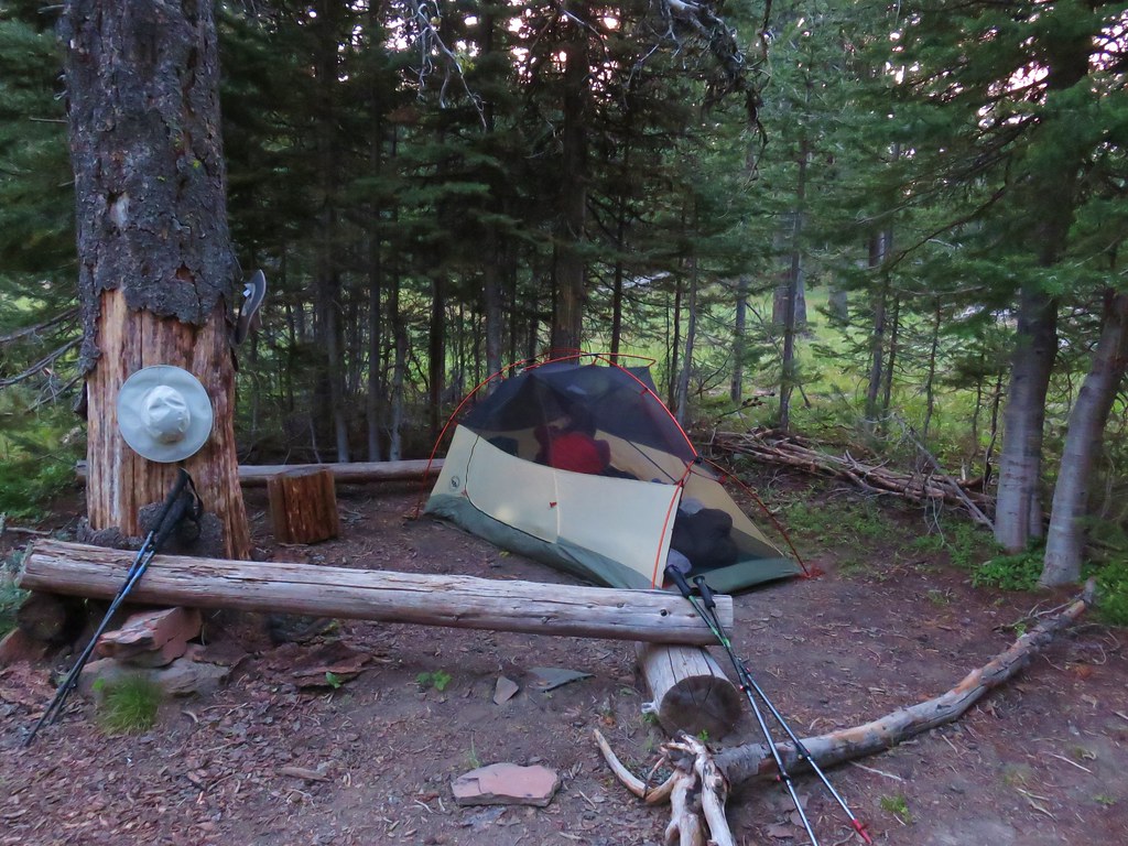
It was a little after 8pm by the time we were settled and we went straight to bed hoping that the going would be a little easier on day 2 with an earlier start and better traveled trails. Despite the issues it was still nice to see all the new scenery and wildflowers. Happy Trails!

3 replies on “Strawberry Mountain Wilderness Backpack Day 1 – East Fork Canyon Creek to Wildcat Basin”
[…] set off at 10:57. After the unrelenting heat two weeks earlier during our Strawberry Mountain trip (day 1 post)we were glad to find that the temperature was much friendlier […]
[…] after spending time in the Rogue-Umpqua Divide (post), Steens Mountain (post), Strawberry Mountain (post), and Copper-Salmon (post) wildernesses this […]
[…] #27 Wildcat Basin – Hiked 7/24/2018 […]