Several years back we set several hiking goals, one of which being to hike in all of Oregon’s federally designated wilderness areas. At that time there were 47 such areas in the State with two of those being off-limits to visitors (Three Arch Rocks & Oregon Islands are also National Wildlife Refuges that provide nesting habitat for sea birds as well as serving as pupping sites for marine mammals. To prevent disturbances public entry to any of the rocks/islands is prohibited and waters within 500 feet of the refuge are closed to all watercraft from May 1 through September 15.) In 2019 Congress added the Devils Staircase Wilderness to the list giving us a total of 46 designated wilderness areas to visit in order to complete this goal. Staring in 2019 we began posting annual updates on our progress (2020 & 2021) and we are excited to report that, unless any new wilderness areas are established in the future, this will be our last update. We managed to make it to the final four wilderness areas on our list, the North Fork Umatilla, Devils Staircase, Black Canyon, and Monument Rock, in 2021. We have to give credit to Bruce (Van Marmot) over at Boots on the Trail for not only getting to all 46 first but also providing inspiration and a lot of helpful information.
A little over 2.5 million acres are designated as wilderness throughout the State and range in size from 15 acres (Three Arch Rocks) to 355,548 acres (Eagle Cap). Oregon shares a wilderness with three of its bordering states. The Wenaha-Tuccanon is shared with Washington, Hells Canyon with Idaho, and Red Buttes with California. The areas are managed by three different federal agencies. The U.S. Fish and Wildlife Service (FWS) manages the Oregon Islands and Three Arch Rocks areas while the Bureau of Land Management (BLM) manages nine and the Forest Service manages forty-one. If you do the math those numbers add up to fifty-two. The reason for that is four of the areas, the Devils Staircase, Lower White River, Hells Canyon, and Wild Rogue are managed jointly by the Forest Service and BLM. Seven of the areas have no official trails, the two off-limit areas, and the Devils Staircase, Rock Creek, Lower White River, Bridge Creek, and Spring Basin wildernesses. Although irregularly shaped (except for the exactly 6 square mile Mountain Lakes Wilderness) the majority of the areas are a single unit. In addition to the Oregon Islands and Three Arch Rocks the Mount Hood (4), Mark O. Hatfield (2), Badger Creek (2),Salmon-Huckleberry (3), Clackamas (5), Soda Mountain (2), North Fork John Day (4), and Steens Mountain (2) consist of multiple separate areas.
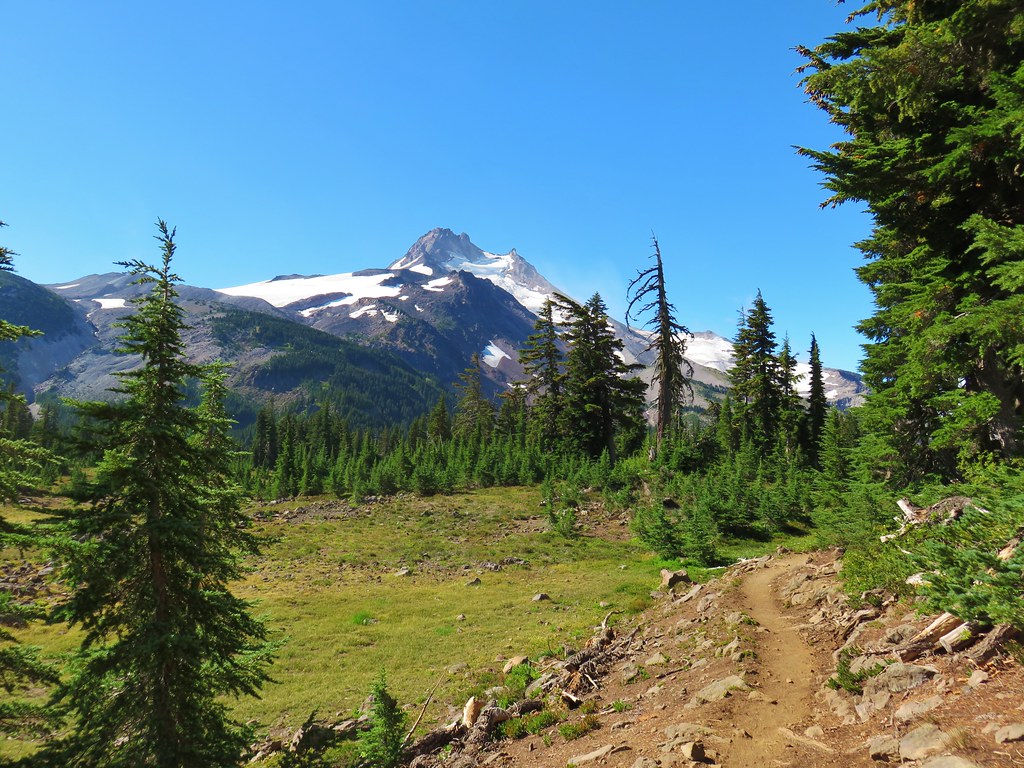
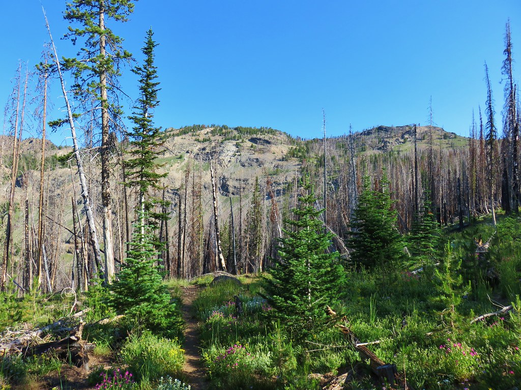
We visited our first Oregon Wilderness in 2009 when we visited Henline Falls in the Opal Creek Wilderness. Since then we have spent parts of 215 days in these special places. For sixteen of the areas it was only a single day while we’ve spent part of 30 days in the Three Sisters Wilderness. Below are some of our best memories from each of the wilderness areas. We hope you enjoy them as much as we enjoyed visiting them.
Badger Creek: 28,915 acres Days Spent in Wilderness-6


Black Canyon: 13.088 acres Days Spent in Wilderness-1


Boulder Creek: 19,911 acres Days Spent in Wilderness-1


Bridge Creek: 5,337 acres Days Spent in Wilderness-1


Bull of the Woods: 36,869 acres Days Spent in Wilderness-6


Clackamas: 9.465 acres Days Spent in Wilderness-2


Copper-Salmon: 13,724 acres Days Spent in Wilderness-1


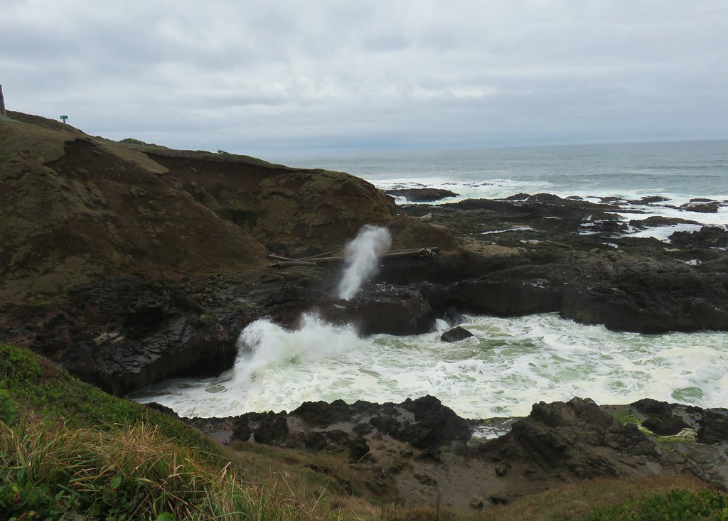
Cummins Creek: 9,026 acres Days Spent in Wilderness-1


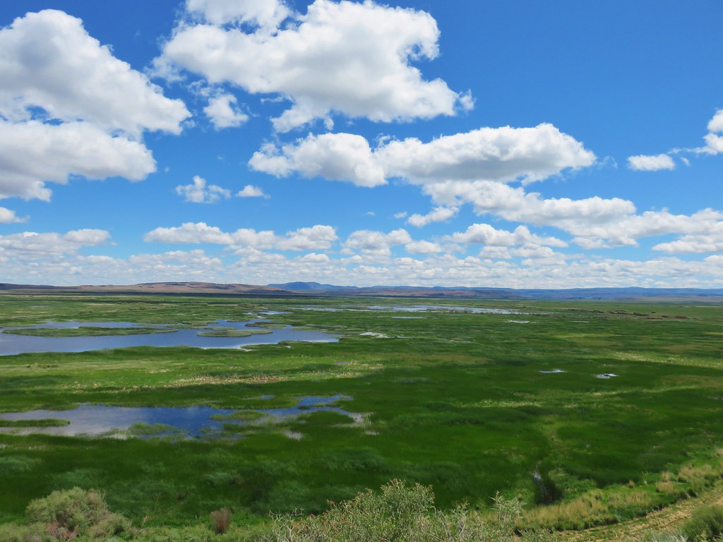
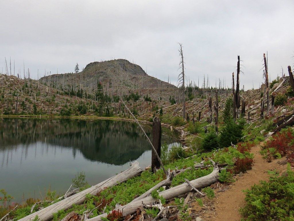
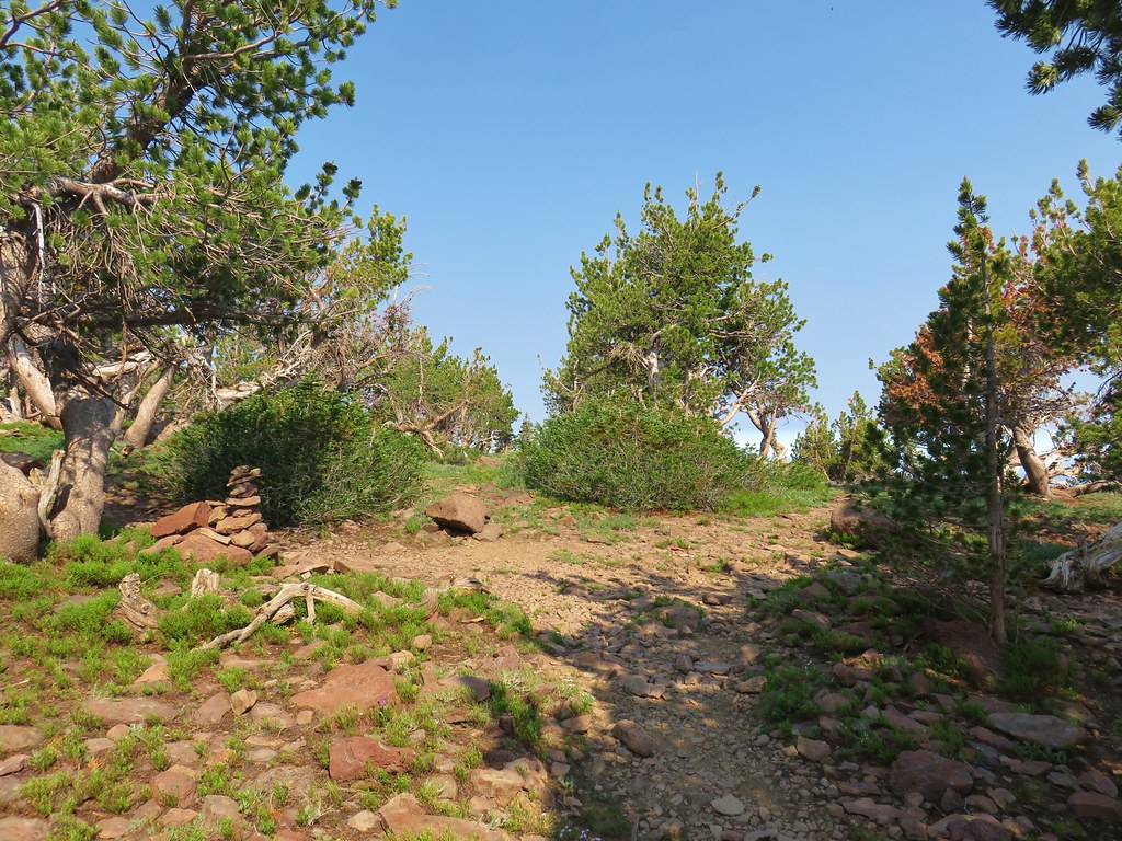
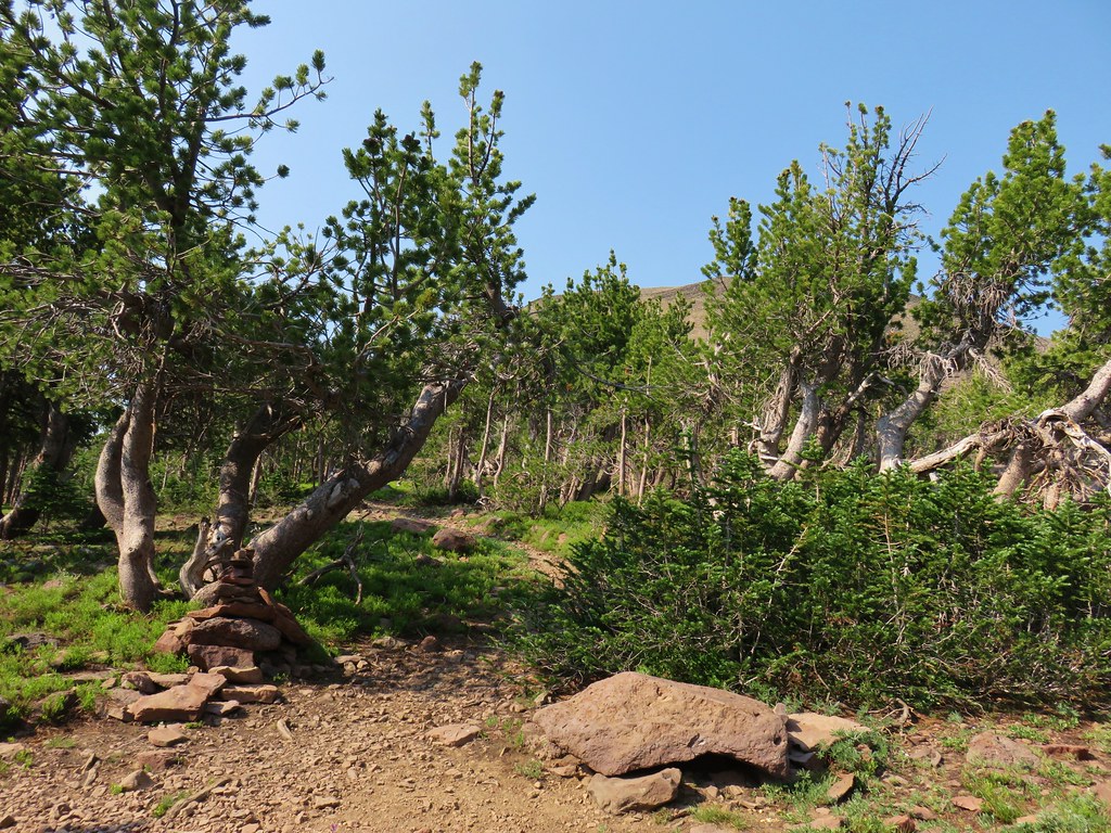
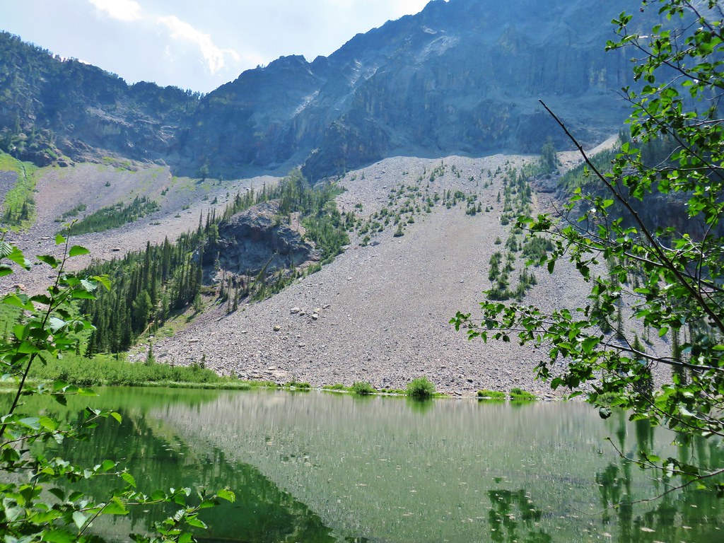
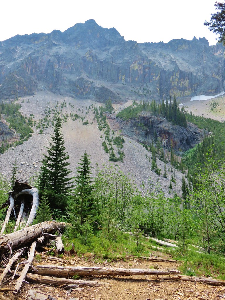
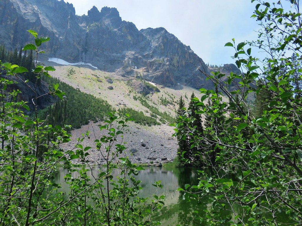
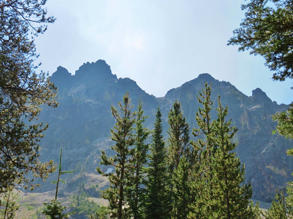
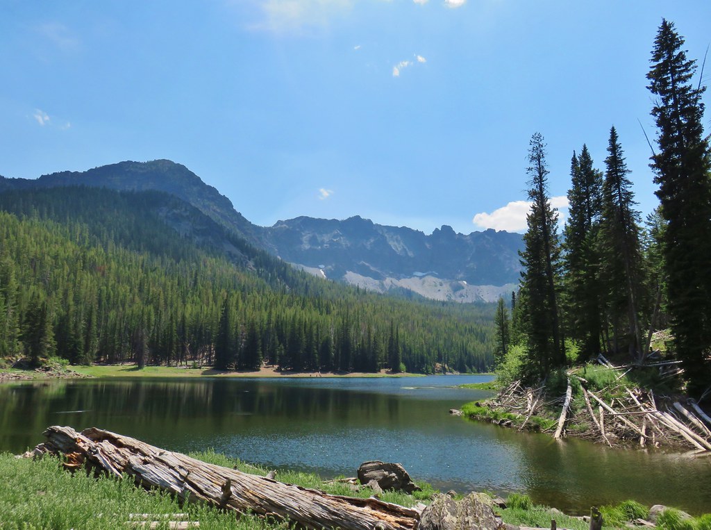
Devils Staircase: 30,787 acres Days Spent in Wilderness-1


Diamond Peak: 52,477 acres Days Spent in Wilderness-7


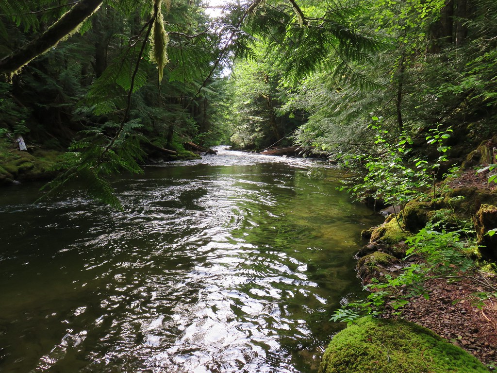
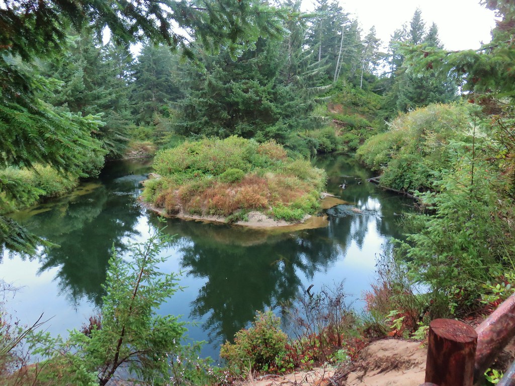
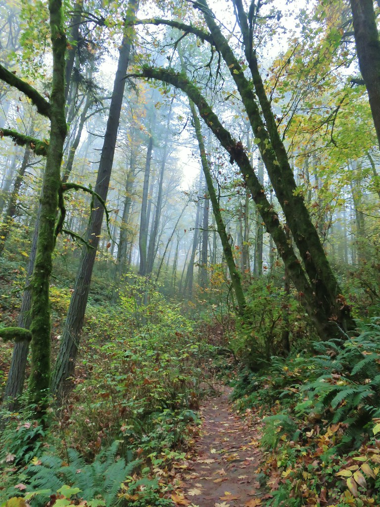
Drift Creek: 5,792 acres Days Spent in Wilderness-2


Eagle Cap: 355,548 acres Days Spent in Wilderness-5


Gearhart Mountain: 22,587 acres Days Spent in Wilderness-1


Grassy Knob: 17,176 acres Days Spent in Wilderness-1


Hells Canyon: 131,337 acres in OR (217,613 in ID) Days Spent in Wilderness-1


Kalmiopsis: 179,550 acres Days Spent in Wilderness-1


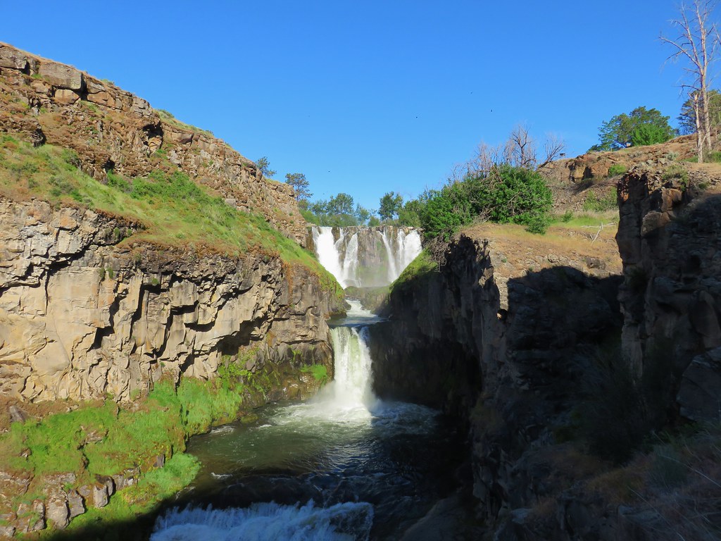
Lower White River: 2,871 acres Days Spent in Wilderness-1


Mark O. Hatfield: 65,420 acres Days Spent in Wilderness-12


Menagerie: 4,952 acres Days Spent in Wilderness-2


Middle Santiam: 8,845 acres Days Spent in Wilderness-2


Mill Creek: 17,173 acres Days Spent in Wilderness-1


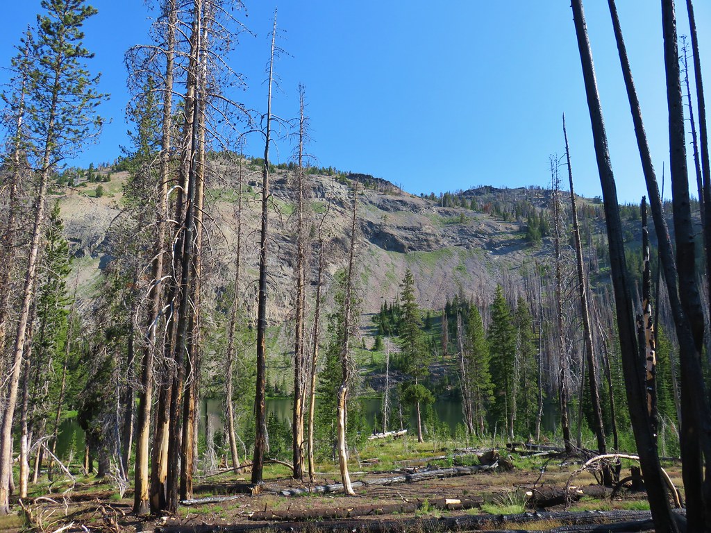
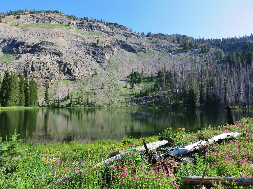
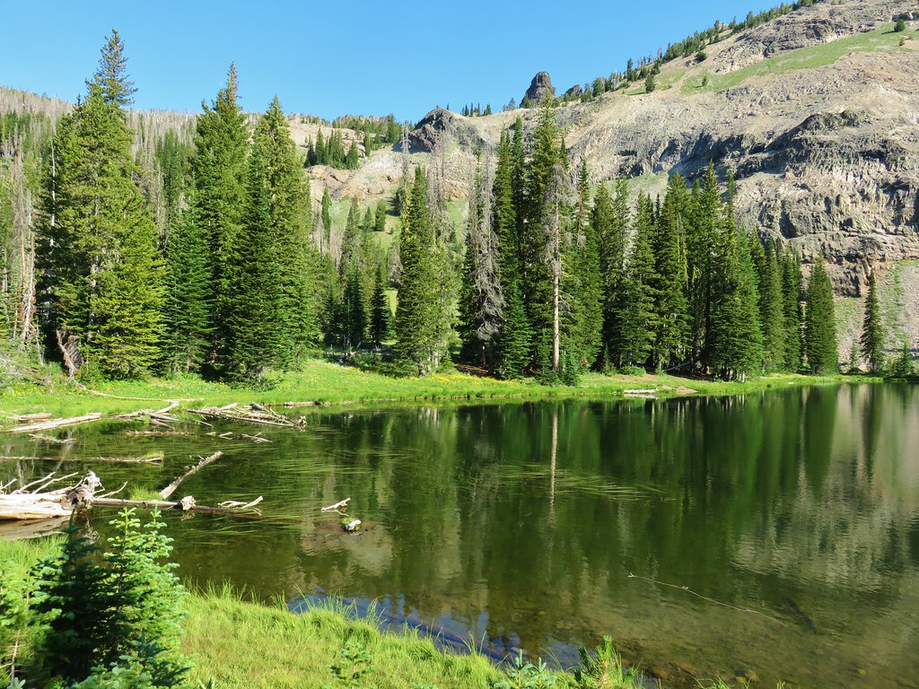
Monument Rock: 20,210 acres Days Spent in Wilderness-1


Mountain Lakes: 23,036 acres Days Spent in Wilderness-2


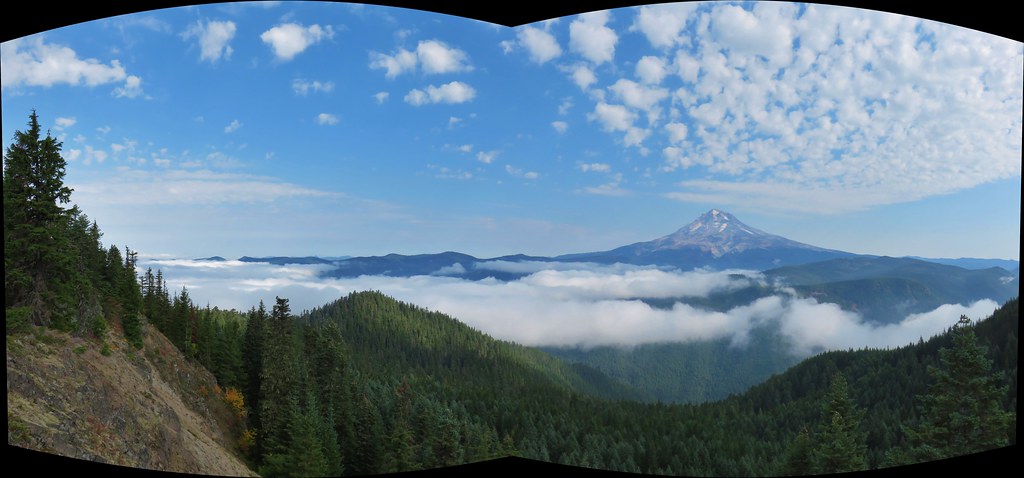
Mount Hood: 64,742 acres Days Spent in Wilderness-22


Mount Jefferson: 108,909 acres Days Spent in Wilderness-27


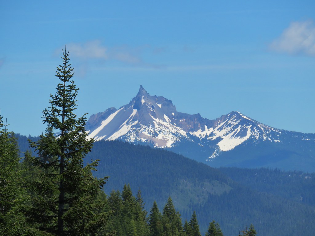
Mount Thielsen: 55,151 acres Days Spent in Wilderness-5


Mount Washington: 54,410 acres Days Spent in Wilderness-7


North Fork John Day: 120,694 acres Days Spent in Wilderness-8


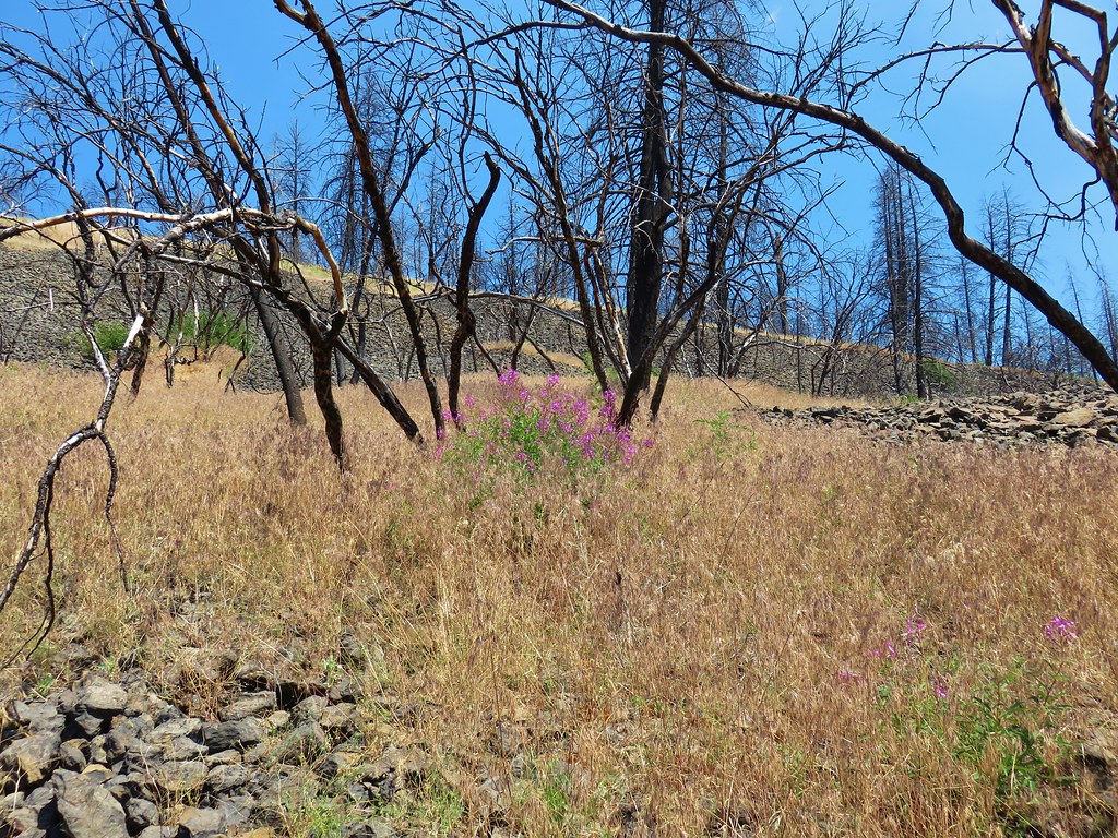
North Fork Umatilla: 20,225 acres Days Spent in Wilderness-3


Opal Creek: 20,774 acres Days Spent in Wilderness-6


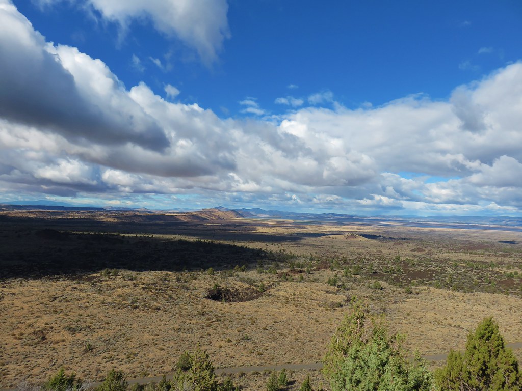
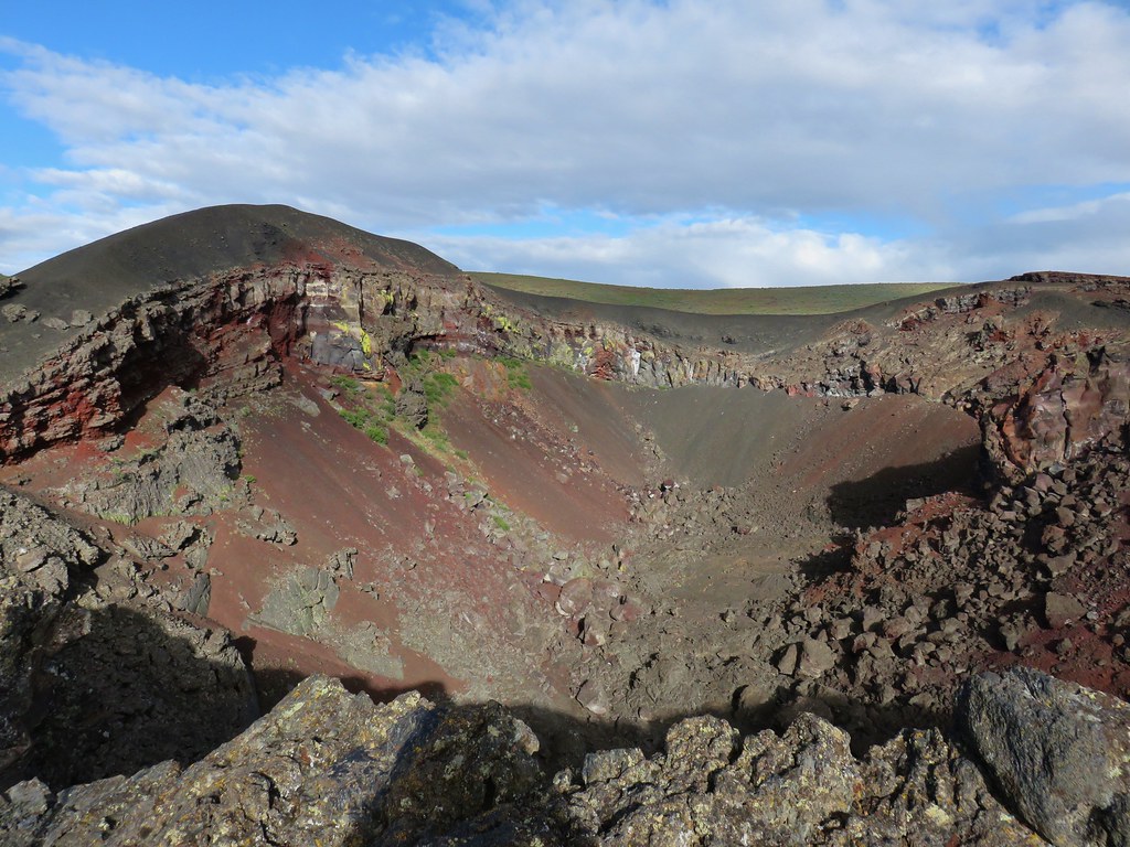
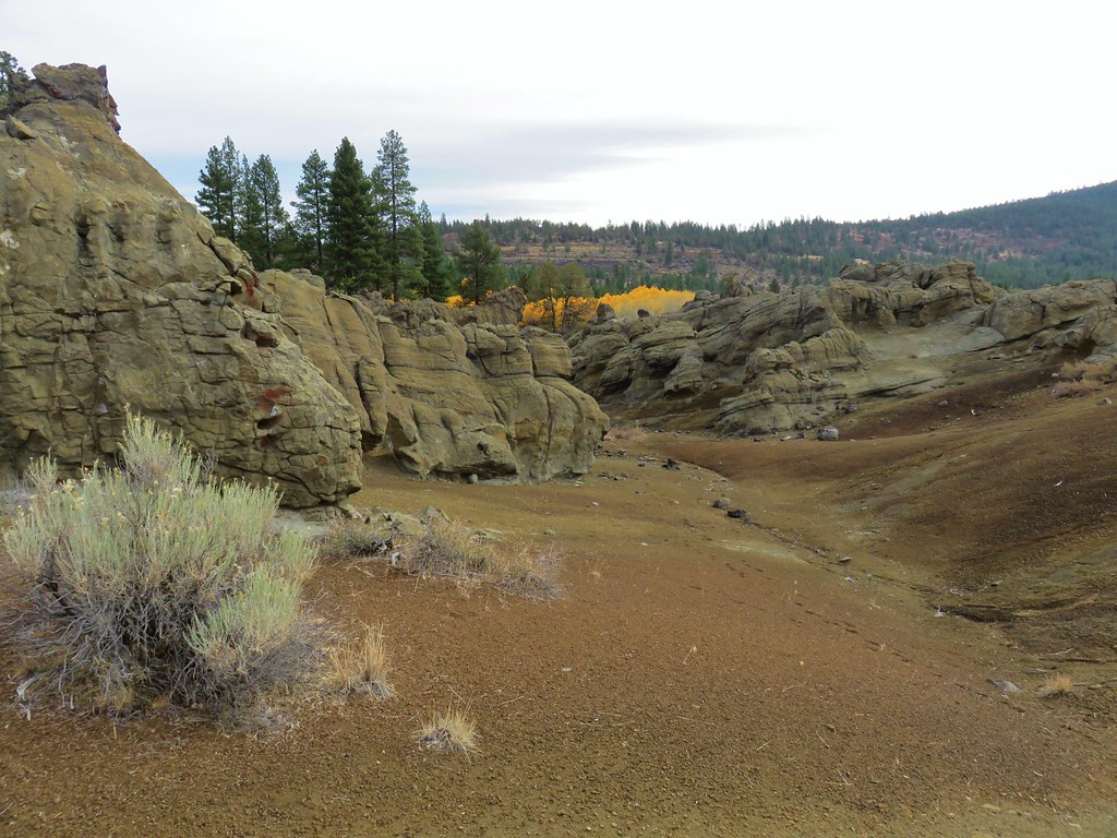
Oregon Badlands: 28,182 acres Days Spent in Wilderness-2


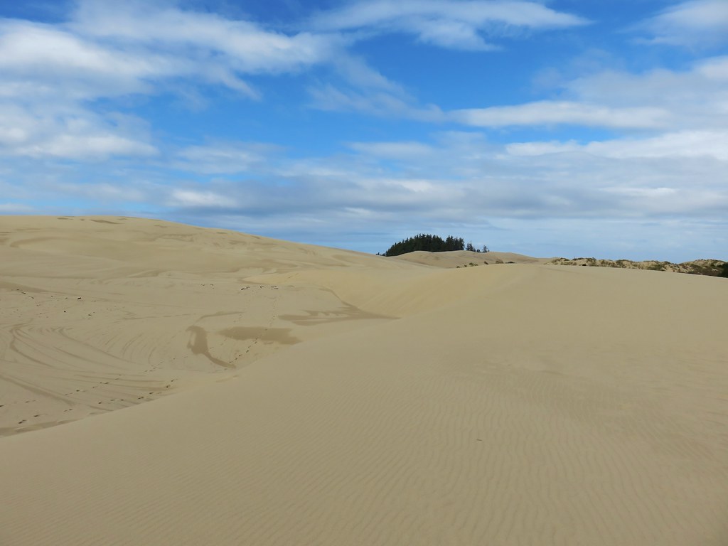
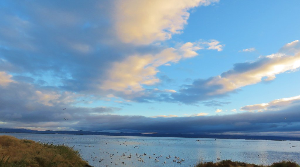
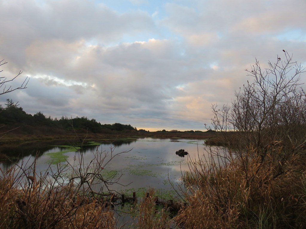
Oregon Islands: 925 acres Days Spent in Wilderness-0


Red Buttes: 3,777 acres in OR (20,133 in CA) Days Spent in Wilderness-2 in OR, (4 in CA)


 This photo is from CA but it actually shows the namesake Red Buttes
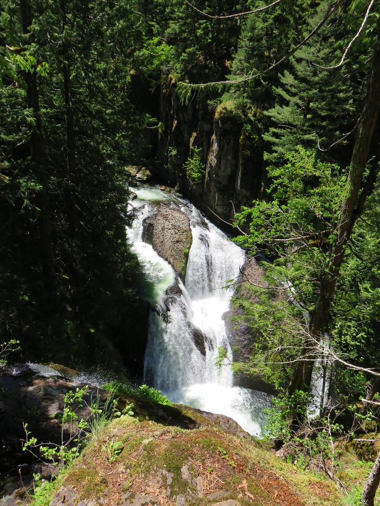
Roaring River: 36,548 acres Days Spent in Wilderness-1


Rock Creek: 7,273 acres Days Spent in Wilderness-1
 Closest thing to a “wilderness sign” we saw for this one.


Rogue-Umpqua: 35,749 acres Days Spent in Wilderness-6


Salmon-Huckleberry: 62,061 acres Days Spent in Wilderness-11


Sky Lakes: 113,687 acres Days Spent in Wilderness-3


Soda Mountain: 24,707 acres Days Spent in Wilderness-2


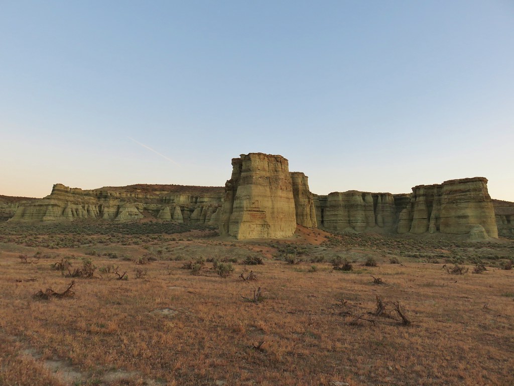
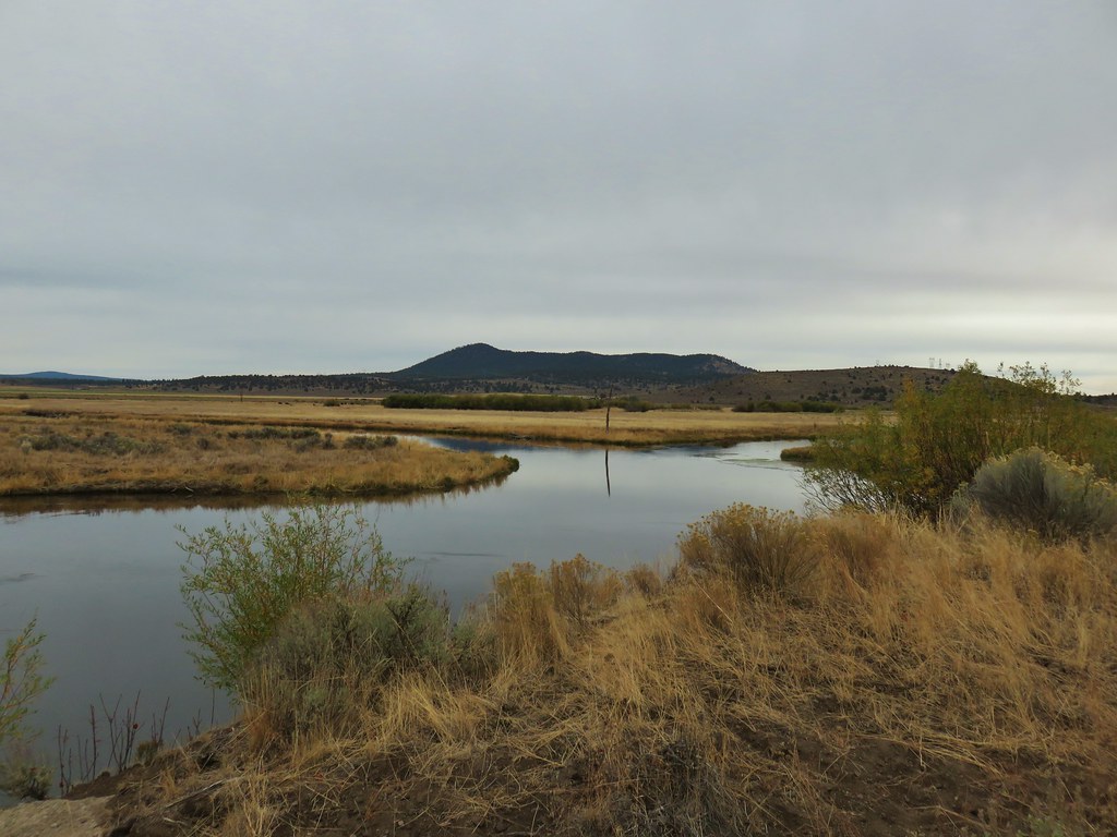
Spring Basin: 6,404 acres Days Spent in Wilderness-1


Steens Mountain: 170,202 acres Days Spent in Wilderness-5


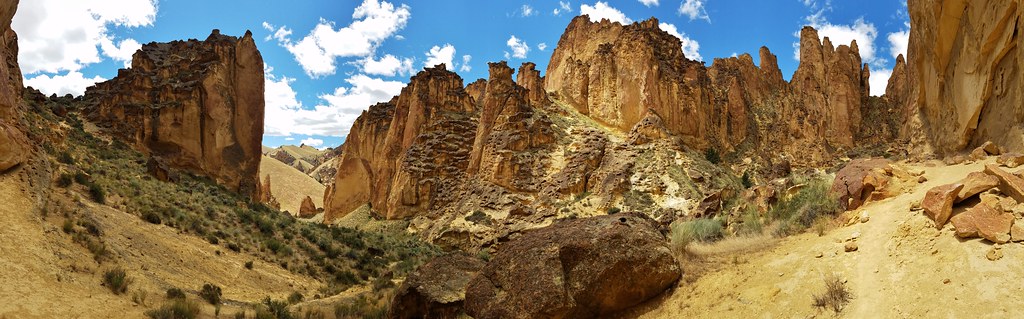
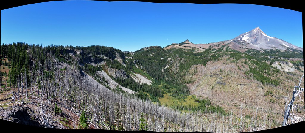
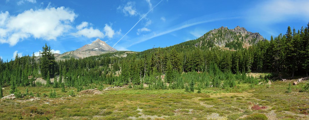
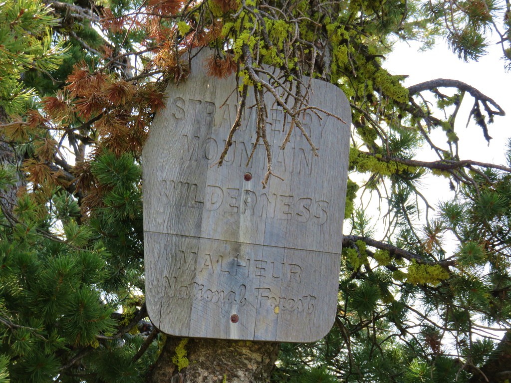
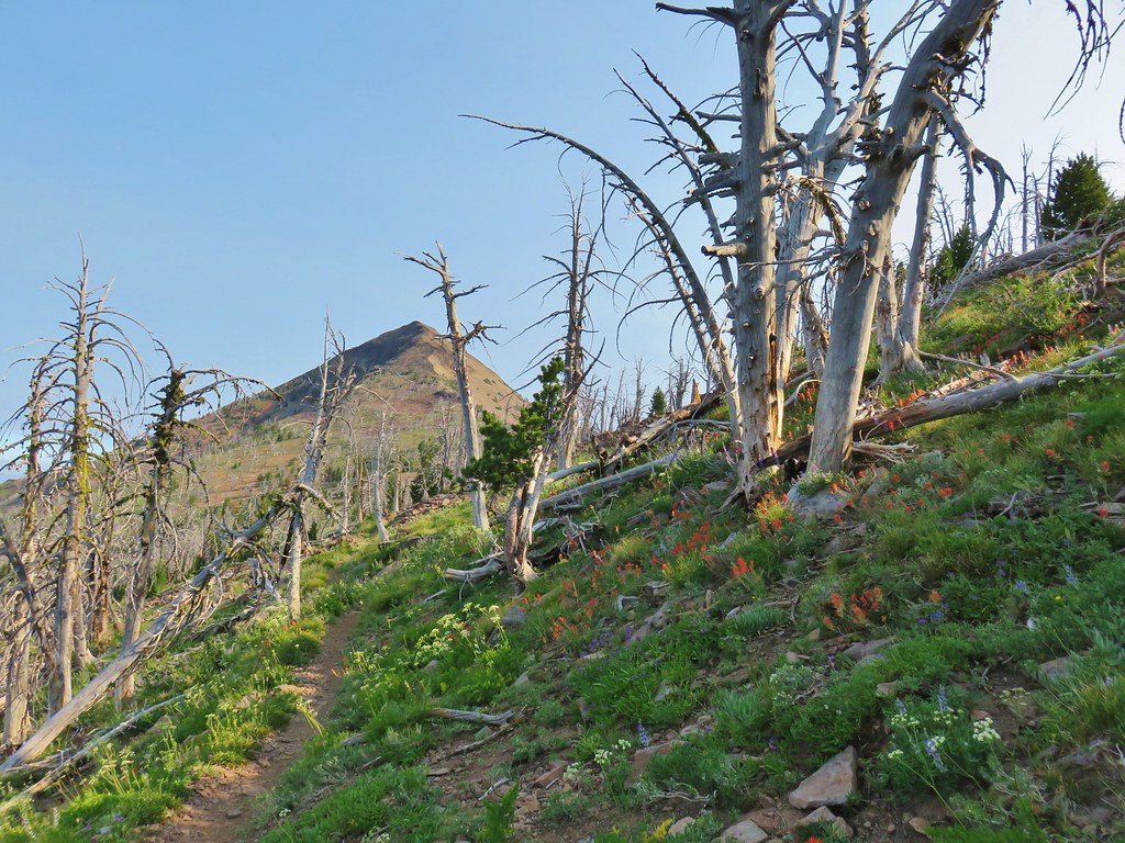
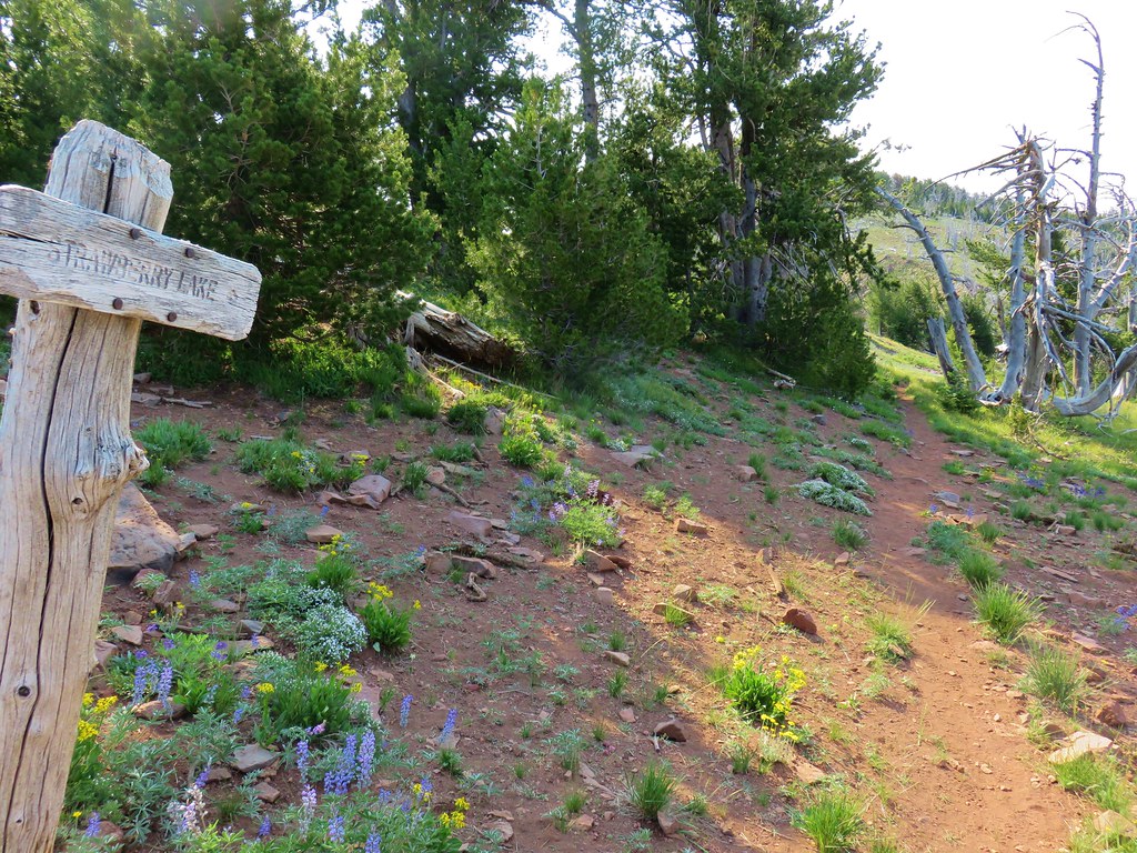
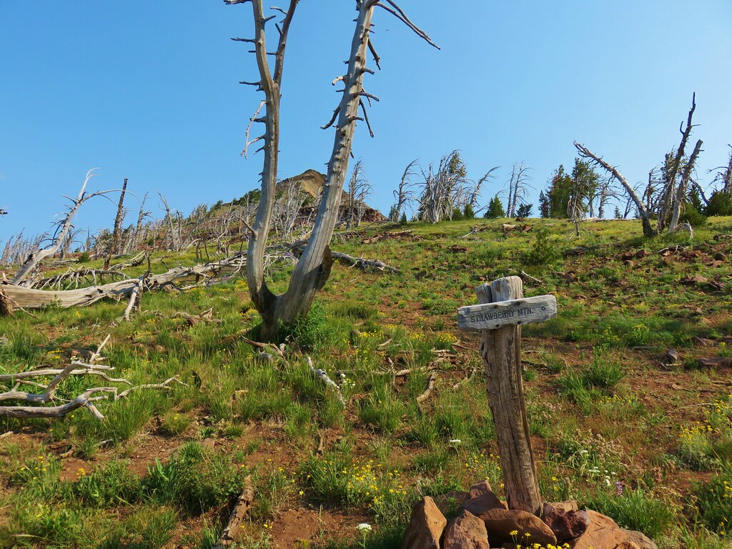
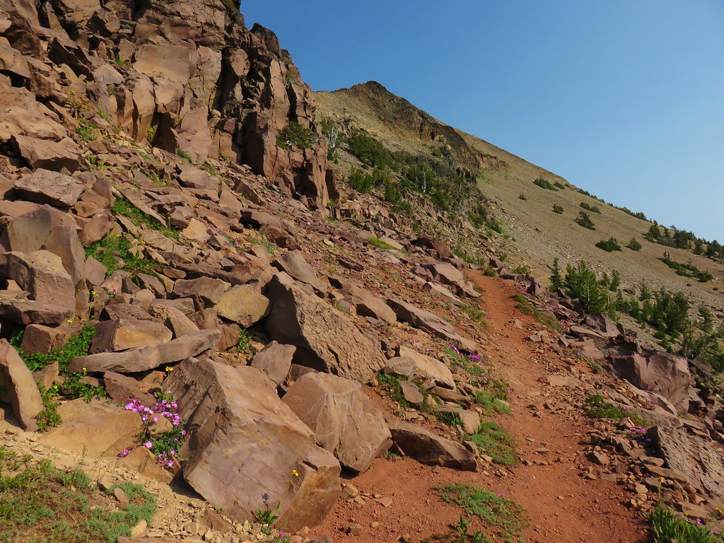
Strawberry Mountain: 69,350 acres Days Spent in Wilderness-5


Table Rock: 5,784 acres Days Spent in Wilderness-3


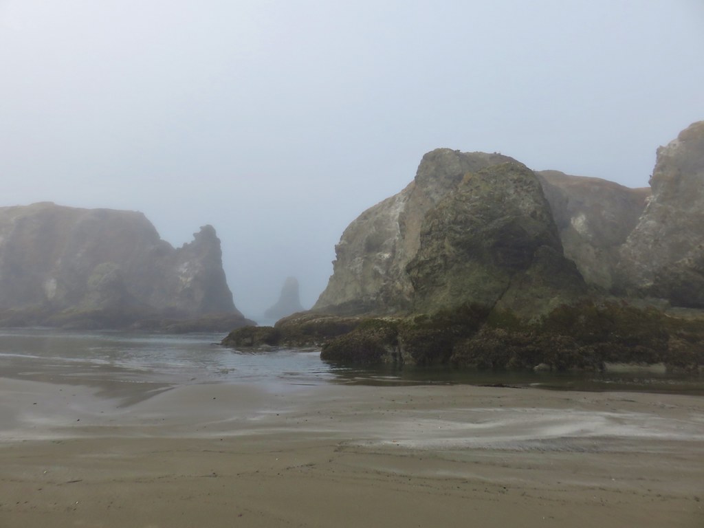
Three Arch Rocks: 15 acres Days Spent in Wilderness-0

Three Sisters: 283,619 acres Days Spent in Wilderness-30


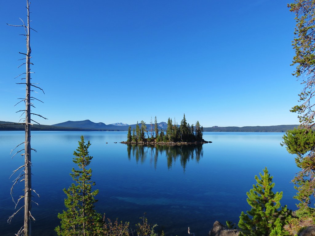
Waldo Lake: 36,868 acres Days Spent in Wilderness-6


Wenaha-Tuccanon: 65,266 acres in OR (176,737 in WA) Days Spent in Wilderness-2


Wild Rogue: 35,221 acres Days Spent in Wilderness-2


 I had started up to the left at the saddle but it was steep with gullies and some debris so we carefully turned around and parked below.
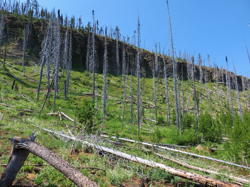
 Little Canyon Mountain from the saddle. A wildfire burned the area in 2015 and the trail up to Dog Creek.
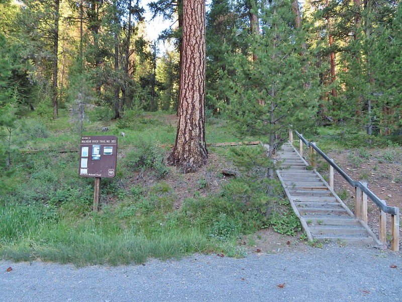
 The actual trailhead.
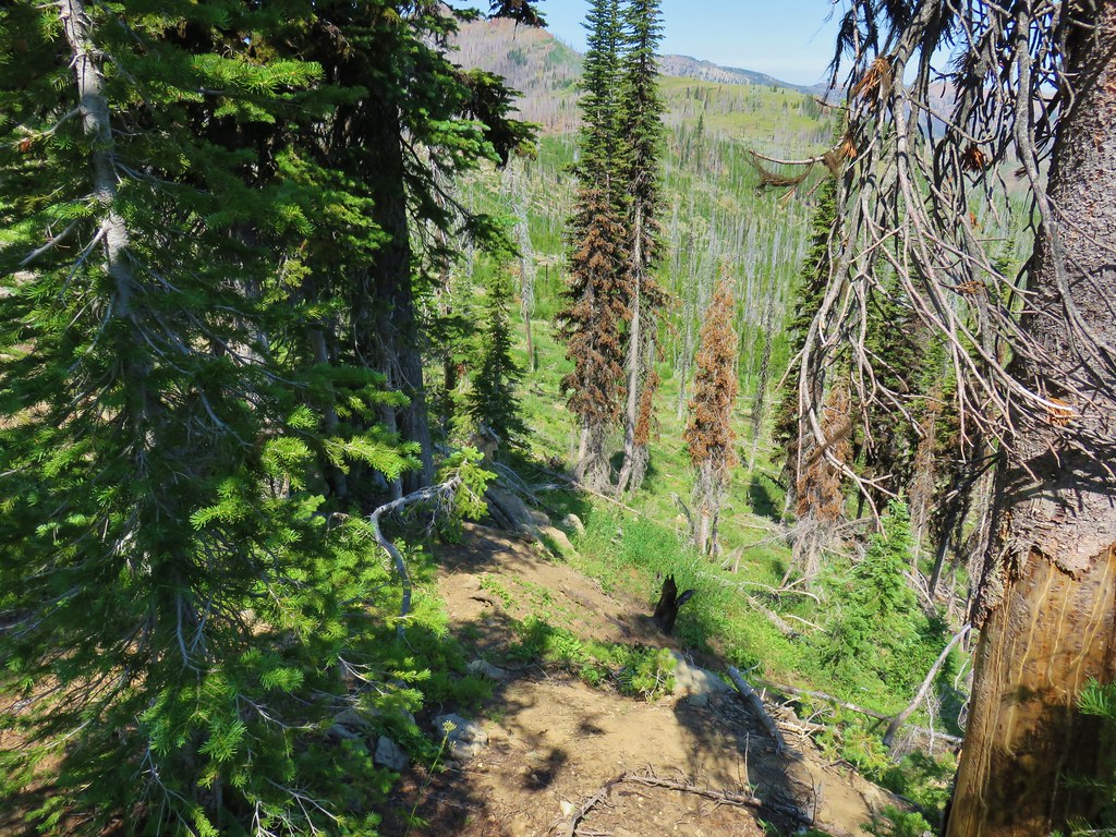
 Little Pine Creek flowed down this valley below Canyon Mountain.
 Yarrow along the trail.
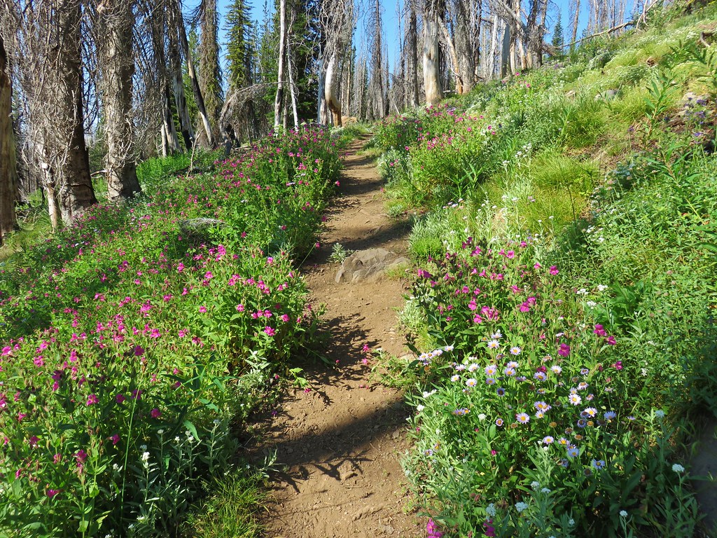
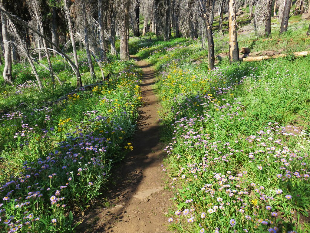
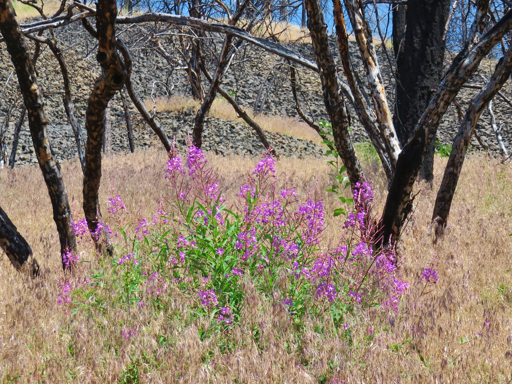
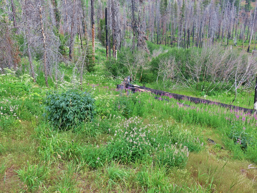
 Fireweed
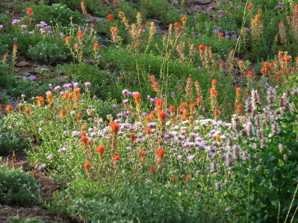
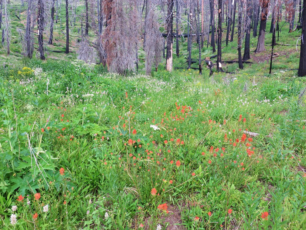
 Paintbrush
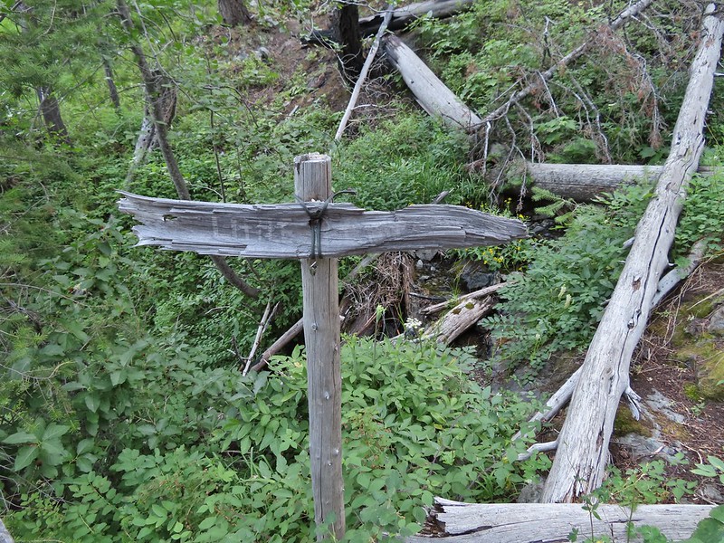
 Paintbrush and pearly everlasting
 Raspberries
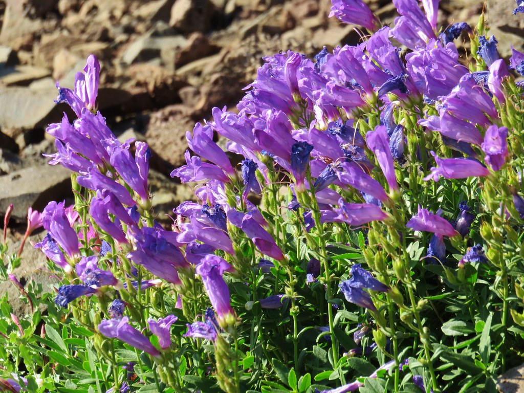
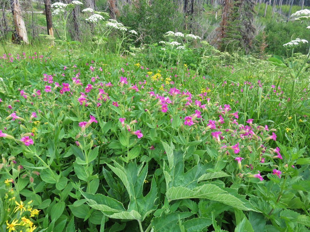
 We don’t recall seeing a penstemon with leaves like this before.
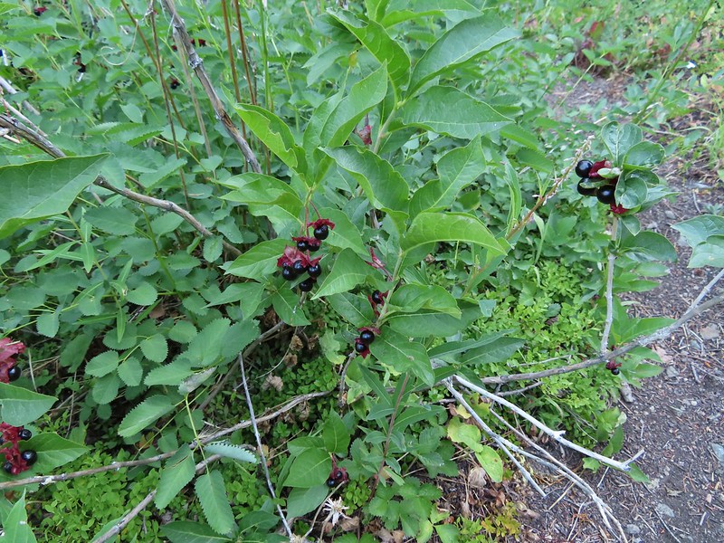 Twinberry (we did NOT sample)
 Sitka burnett (white)
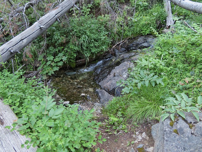
 Little Pine Creek at the crossing.
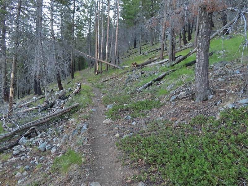
 Prince’s pine
 Mountain death camas
 Fringed grass of parnassus
 John Day below.
 Little Canyon Mountain behind the ridge we’d come around earlier.
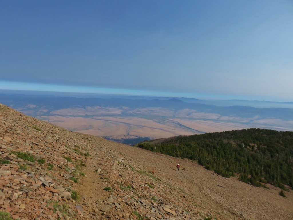
 The Aldrich Mountains to the west, our destination for the next day’s hike.
 Canyon Mountain
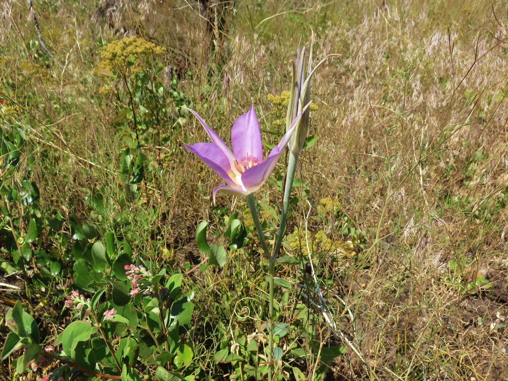
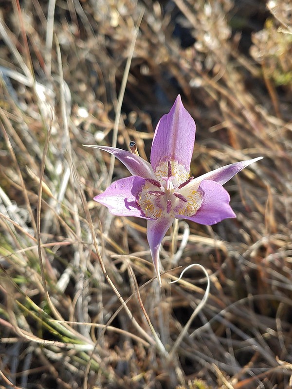 One of the sagebrush mariposa lilies.
 Dixie Butte and the Greenhorn Mountains to the NE
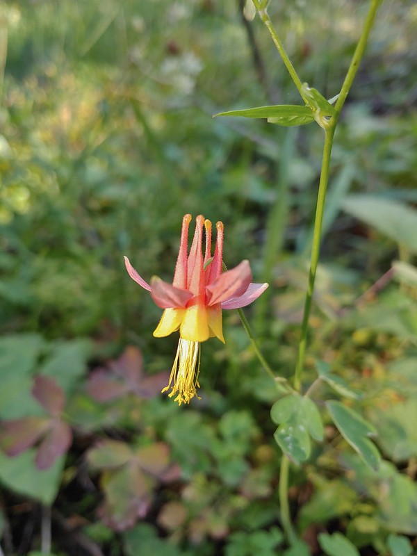 Columbine
 Swamp onion
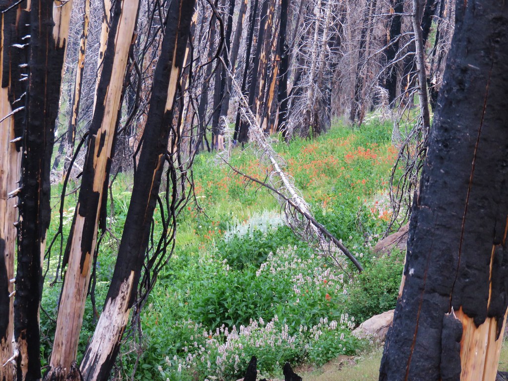
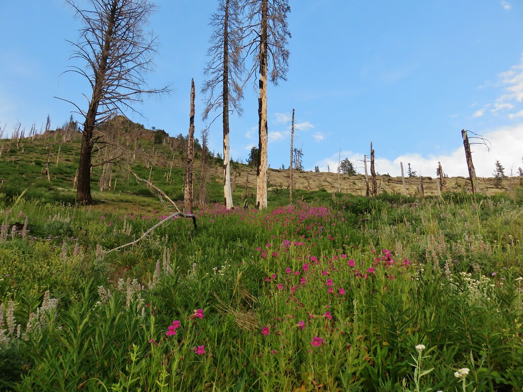
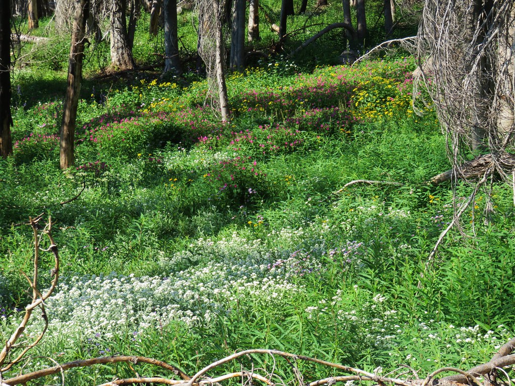
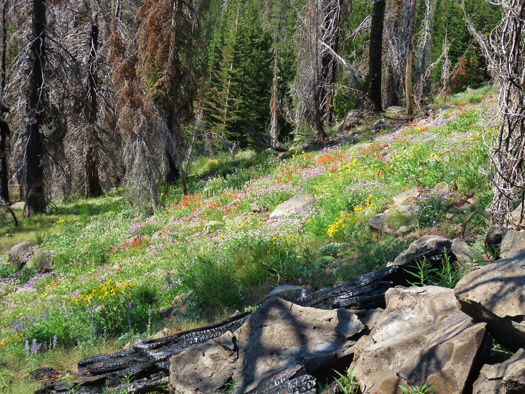
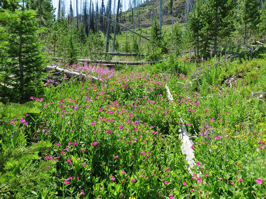
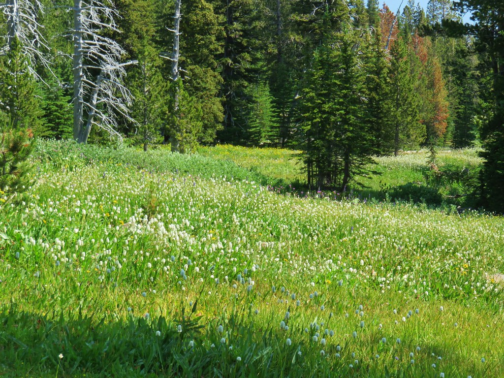
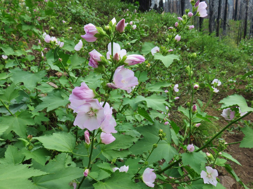
 Flowers at Dog Creek
 Twinflower
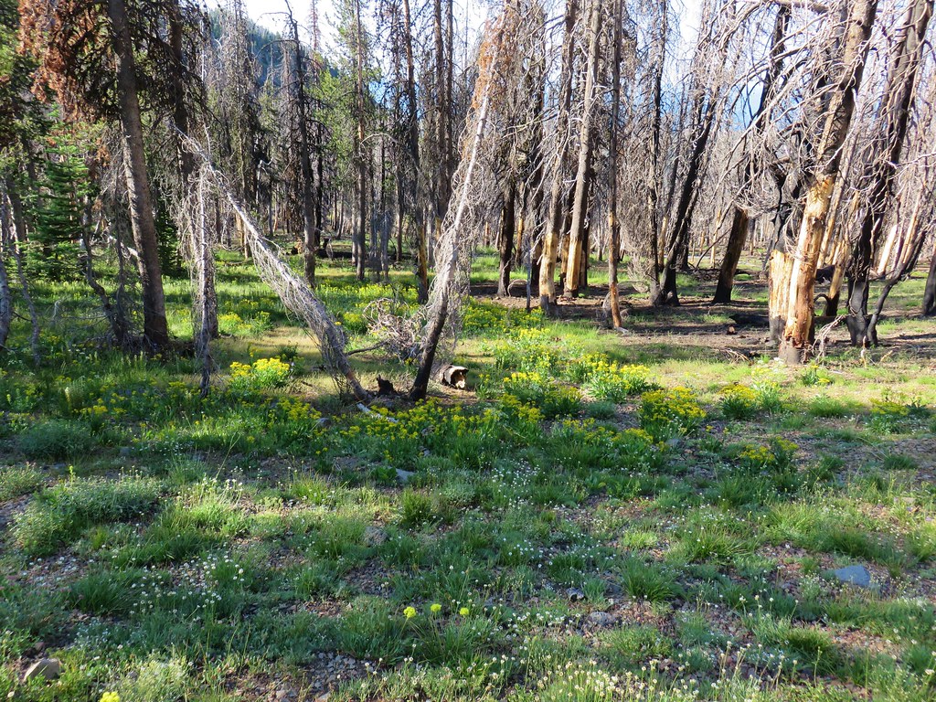
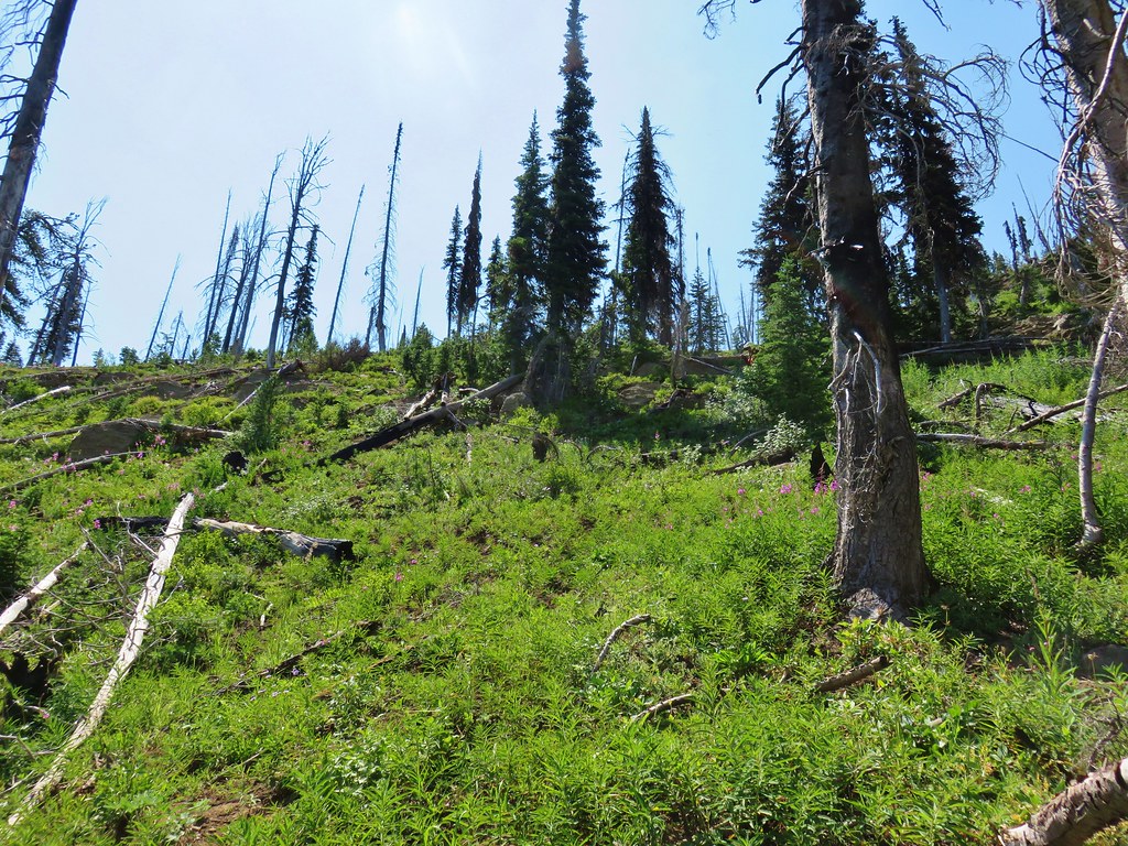
 There was a lot of elk sign along this section of the trail.
 A lot of sign.
 Looking back toward Canyon Mountain.
 The trail crossed over the ridge in a saddle with quite a bit of mountain coyote mint.
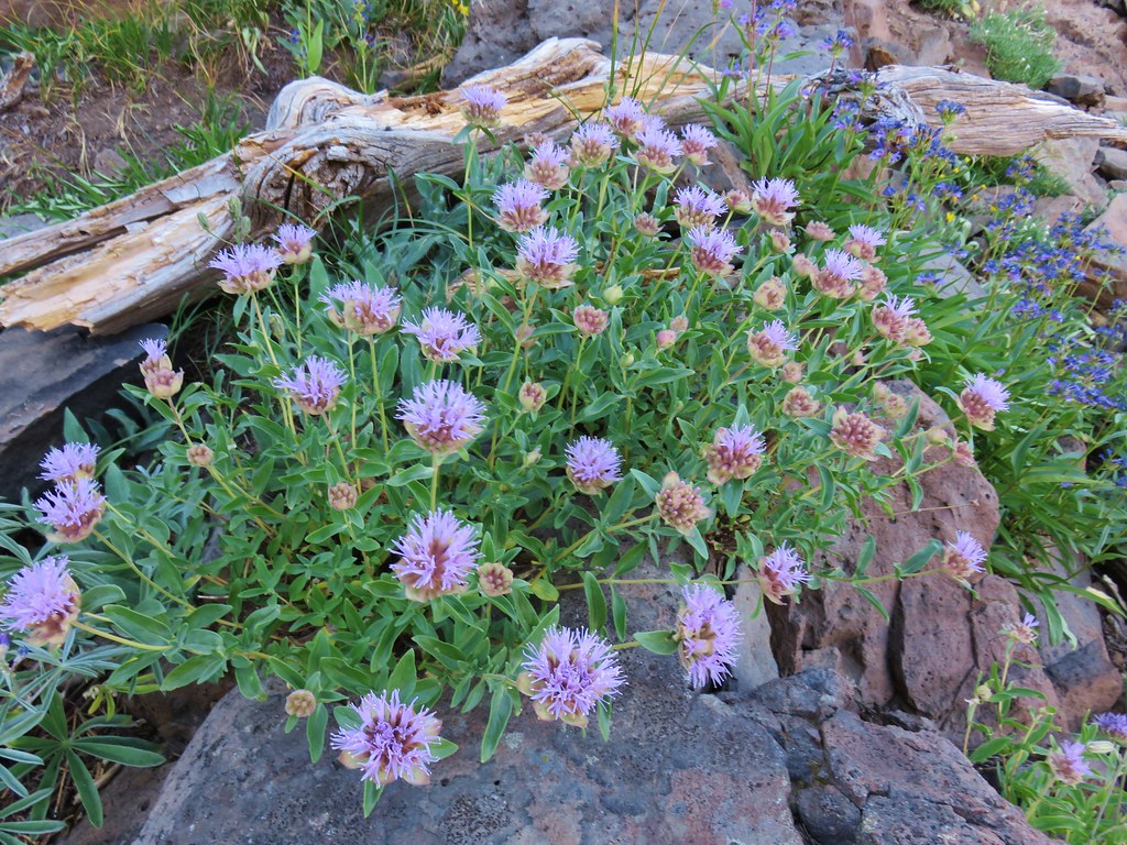
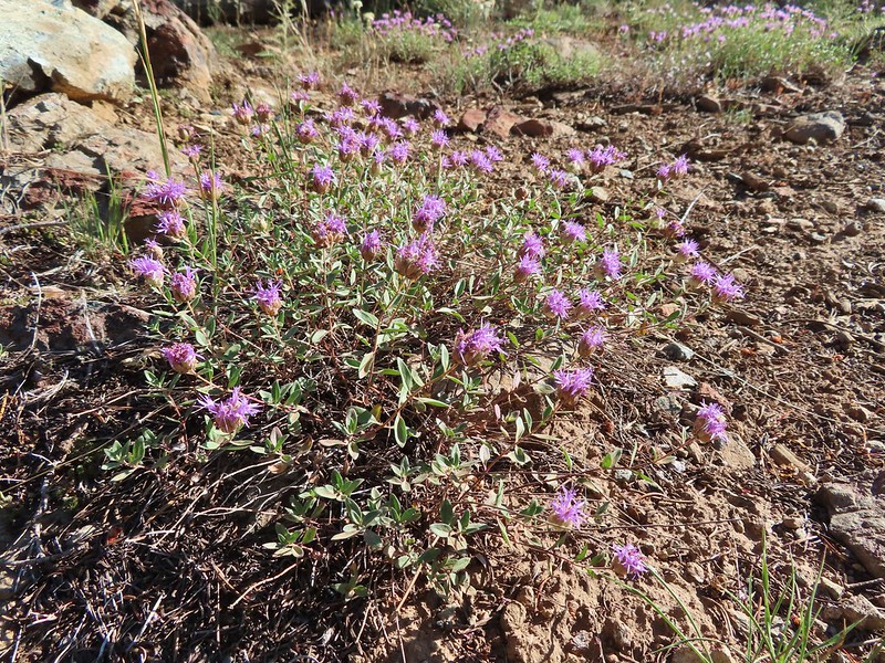 Mountain coyote mint
 Strawberry Mountain (
 Heading toward Dean Creek now.
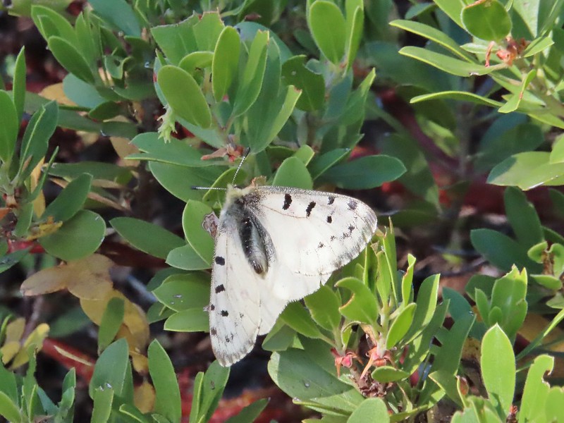
 A smaller raptor, it wouldn’t look at us so I’m not sure what type it was.
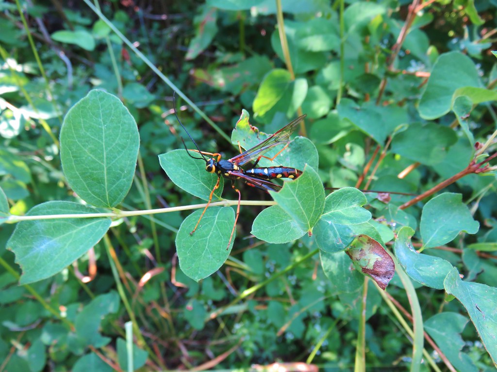
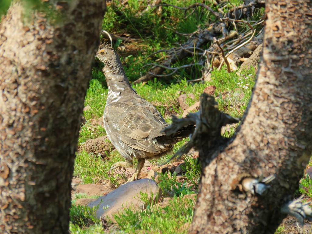
 Butterflies on western snakeroot. Side note we didn’t see a single snake or lizard all week which was really surprising to us.
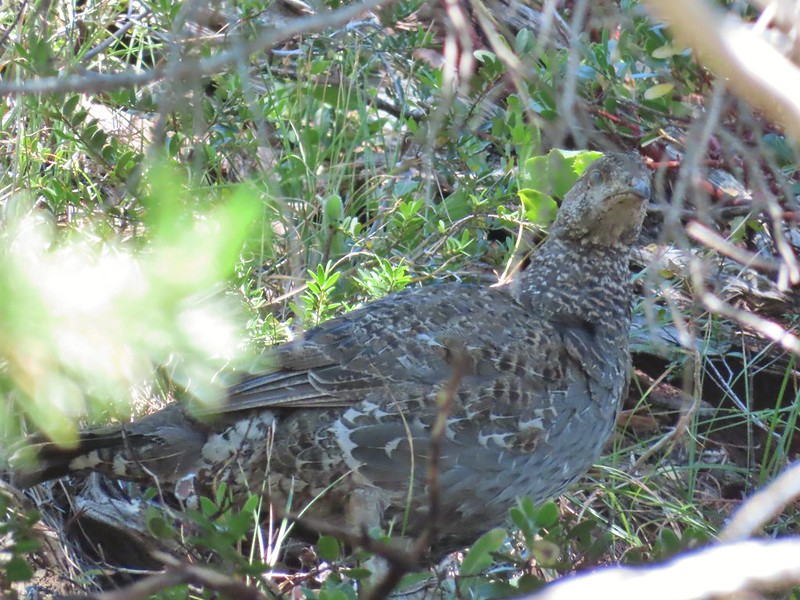 We did however see quite a few grouse.
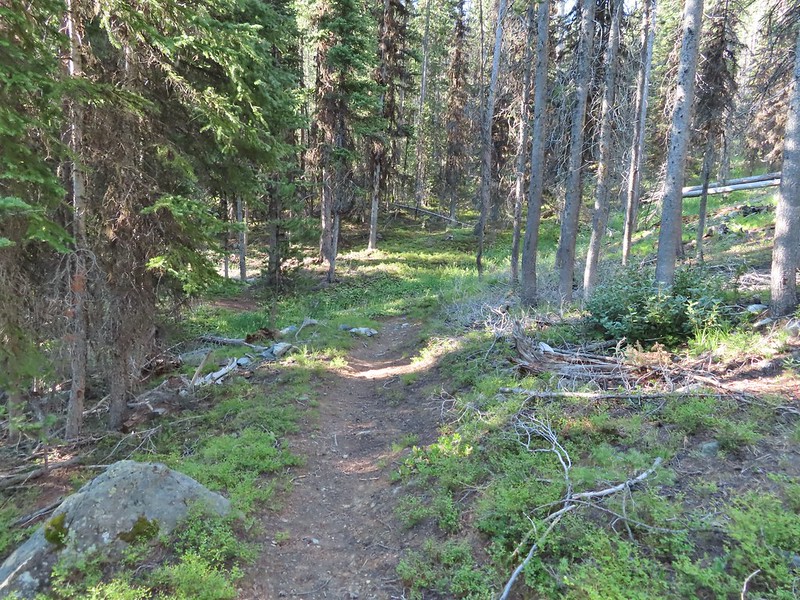
 The trail got a little brushy nearing Dean Creek.
 There wasn’t much water in Dean Creek but there was enough for a small cascade.
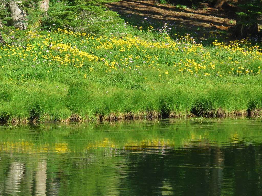
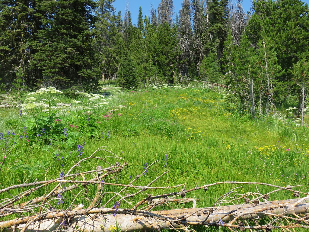
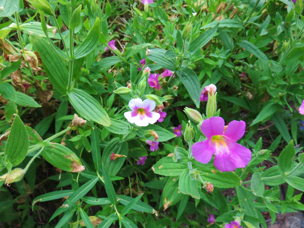
 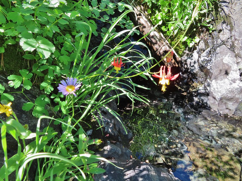 Wildflowers next to a small pool.
 Dean Creek
 Butterfly near the pool.
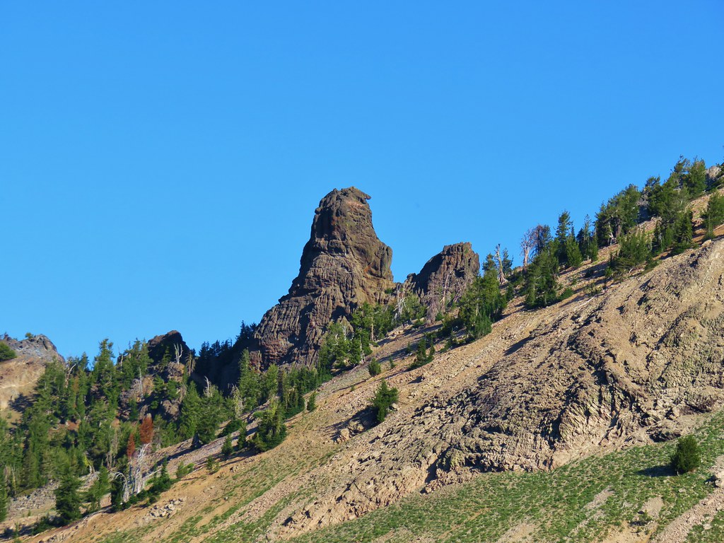
 Canyon Mountain
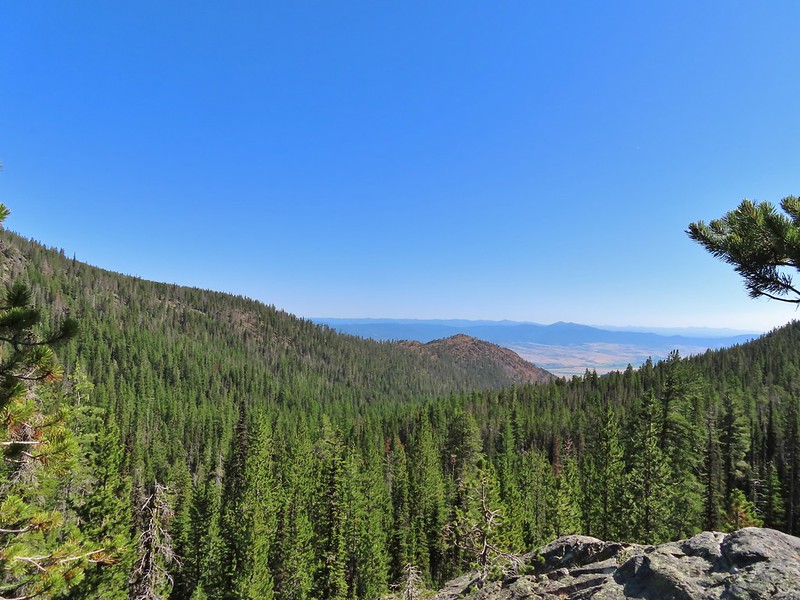 Dixie Butte with the Greenhorns on the left and the Elkhorns (
 Cones
Cones Lousewort
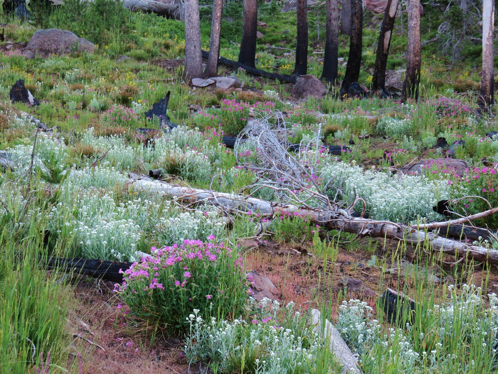
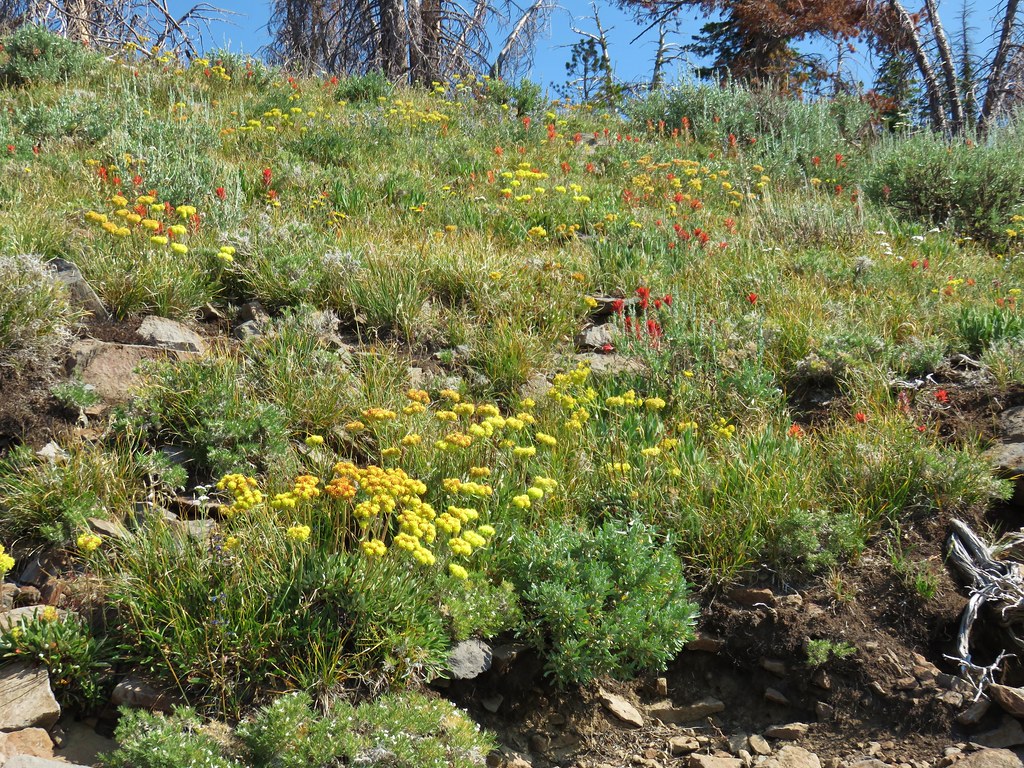
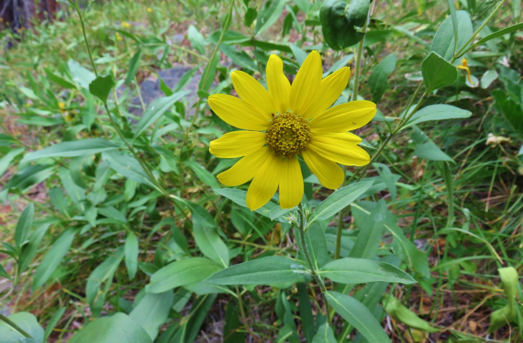
 Pearly everlasting, yellow flowers, and fireweed.
 An eagle?
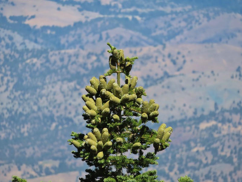 More cones
 Dragon fly
 A sulphur butterfly
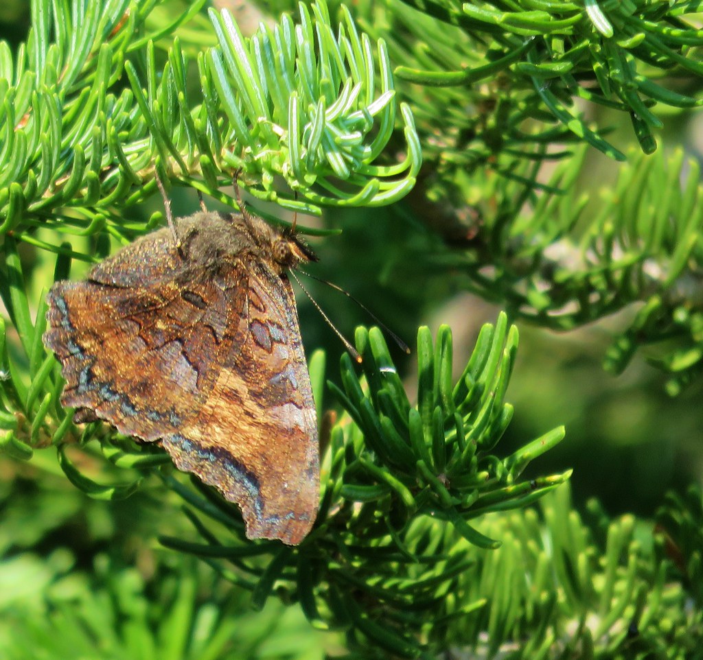
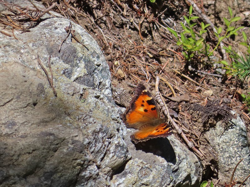 California tortoiseshell
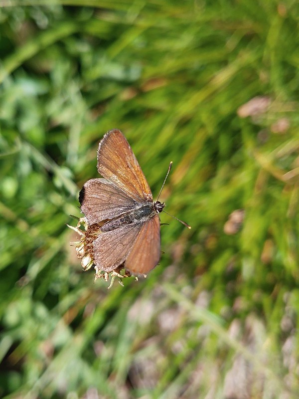
 Grouse
 Maiden fly
 Skipper
 Woodpecker
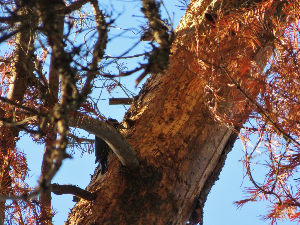
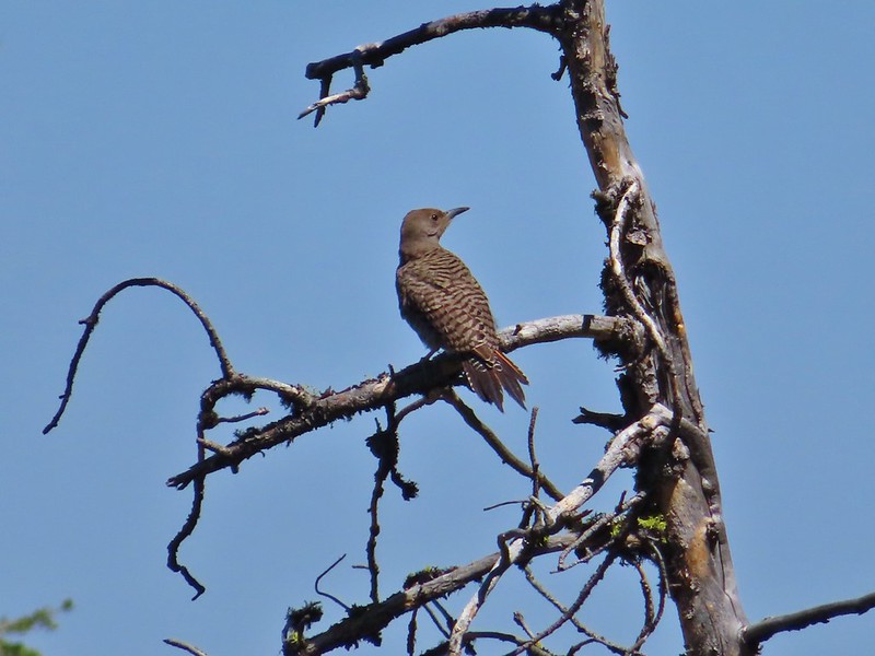 Northern flicker
 Mountain bluebird
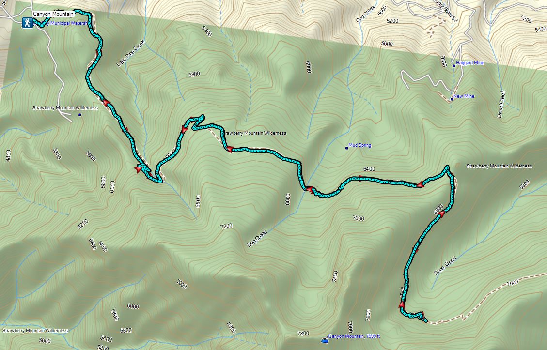

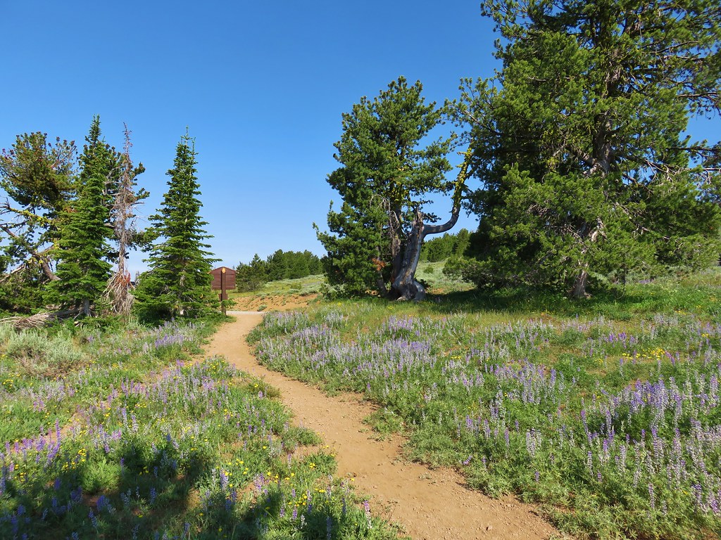
 Bench near the trailhead.
 Lupine along the trail.
 There was plenty of river access along the way.
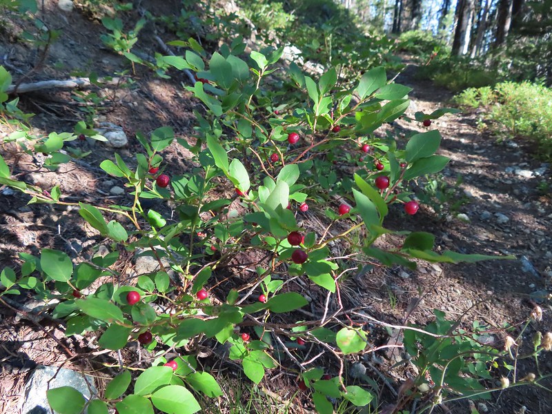
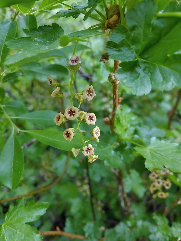 Currant
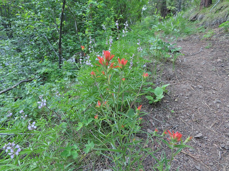 Paintbrush and lupine along the trail.
 Geraniums
 Ponderosa pines
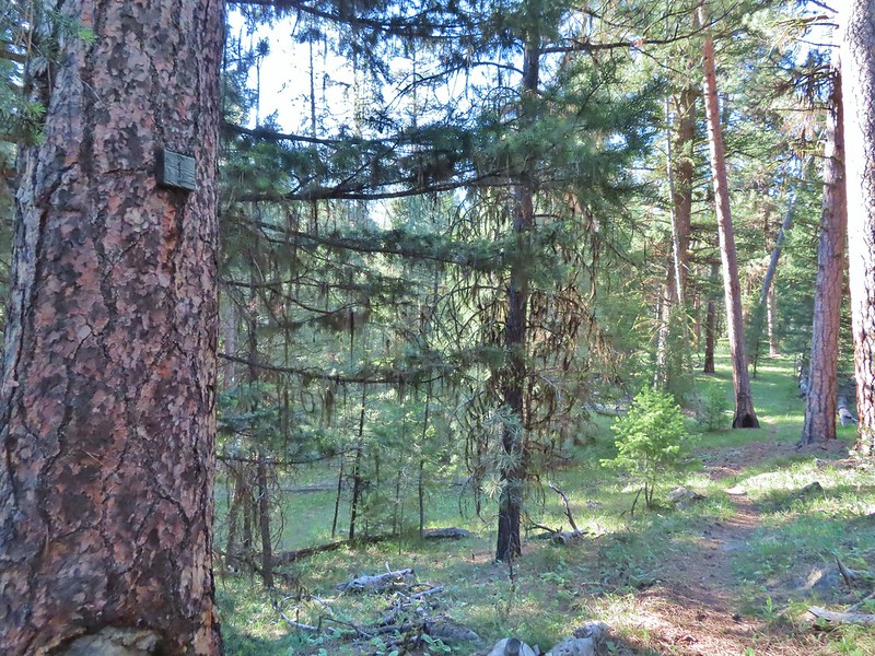 First 1
 Second 1
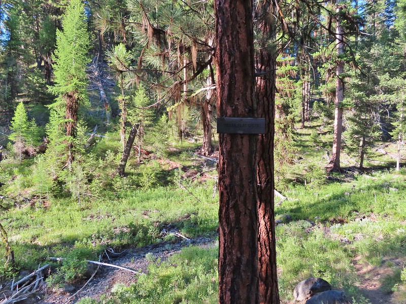
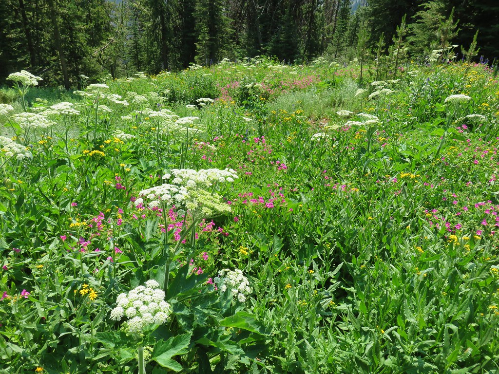
 Camas
Camas Balsamroot, columbine, geraniums and paintbrush.
 Photo from the afternoon on the way back.
 Photo from the afternoon on the way back.
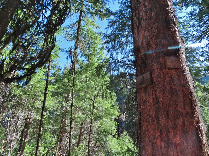 Tree marking mile 2.
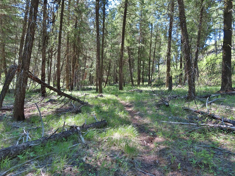
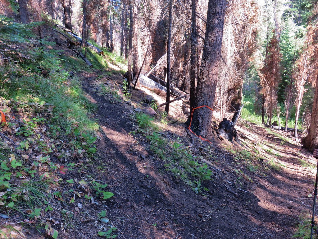
 Typical “obstacles” that were present along the trail.
 Columbine
 Cusick’s sunflower?
 Balsamroot or mule’s ears?
 Woodland stars
 Mile 4
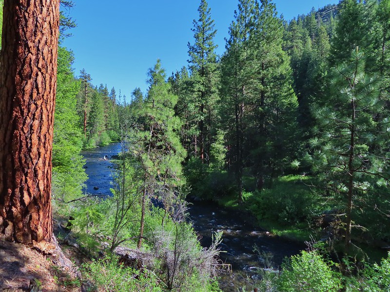

 Salsify and geraniums
 Sticky cinquefoil
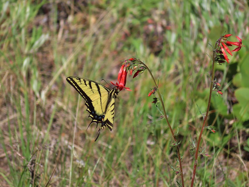 Swallowtail on scarlet gilia
 Geranium
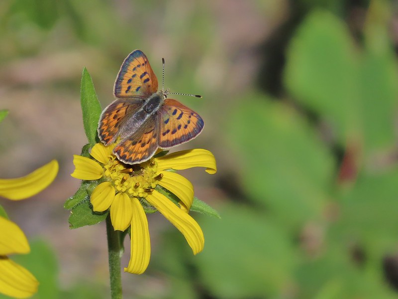 Some sort of copper butterfly
 A checkerspot
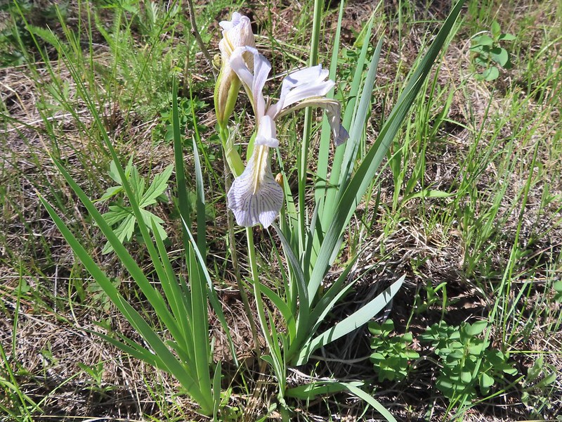 Iris
Iris Balsamroot (or mule’s ears)
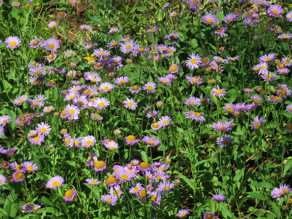
 A fleabane
 A different type of fleabane.
 Larkspur
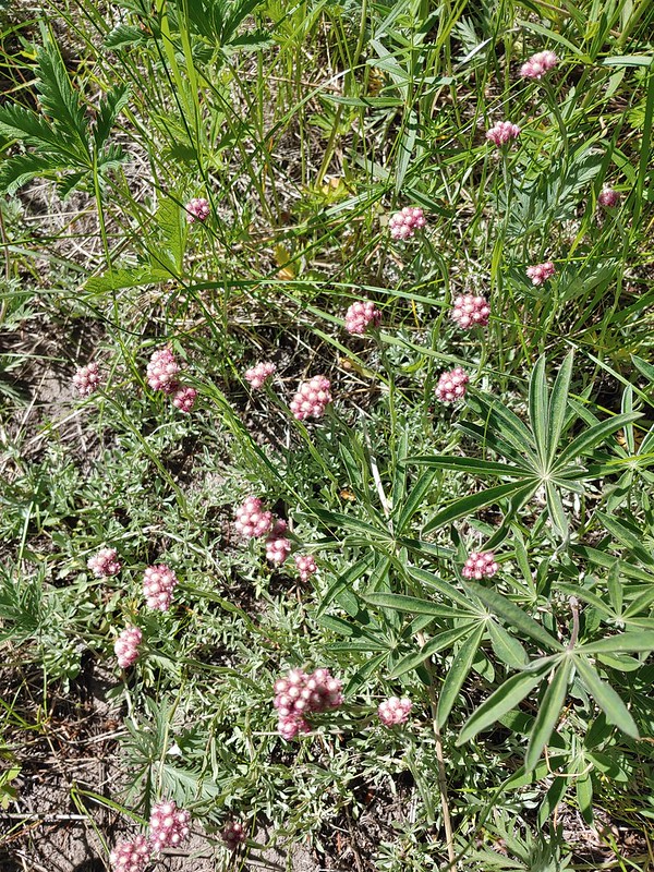 Rosy pussytoes
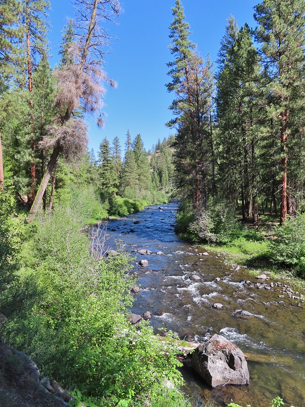
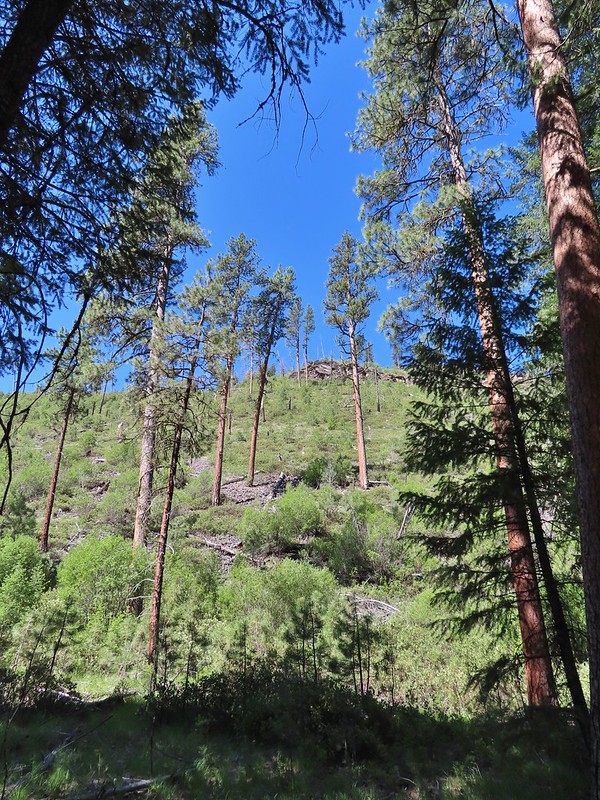 Hog Flat is up on top of the hillside.
 Mile 6 markers.
 Cracked egg in the trail.
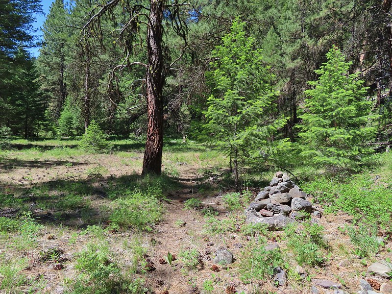 We passed this cairn around the 6.5 mile mark.
 We turned around here shortly after passing the cairn. It appeared the trail was beginning it’s climb and we took the cairn and downed tree as signs that it was time to turn around. We did just that and headed back keeping our eyes open for the mile 3 and 5 markers.
 A fritillary butterfly on an iris.
 Found 5
 This was a particularly tricky little muddy spot to stay dry crossing.
 And there’s “3”.
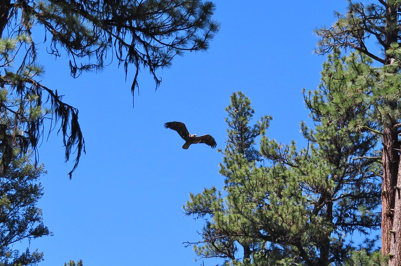 Immature bald eagle. We saw it on the way out in the same area but couldn’t get a photo. This time it flew right by me, and I think it was giving me the stink eye.
 Back at the trailhead.
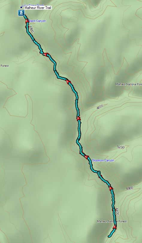
 Battle Ax Creek – 2014
 Mt. Jefferson from Russell Lake – 2016
 Drift Creek – 2010
 Mt. Washington from the Pacific Crest Trail – 2015
 The Three Sisters – 2014
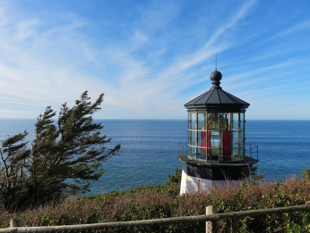
 Three Arch Rocks from Cape Meares – 2018
 Triple Falls – 2012
 Mt. Hood – 2015
 Bandon Islands – 2018
 Twin Pillars – 2011
 Howlock Mountain and Mt. Thielsen – 2014
 Table Rock – 2015
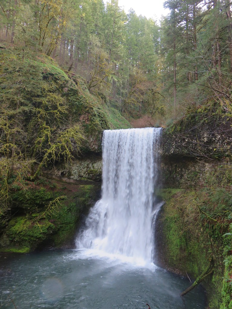
 Frustration Falls – 2018
 Trapper Creek – 2014
 View from Fuji Mountain – 2013
 Serene Lake – 2013
 Badger Creek Wilderness – 2014
 Donaca Lake – 2014
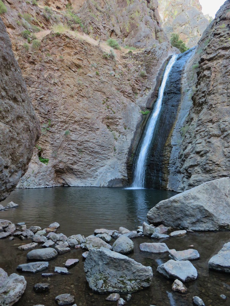
 Emerald Pool – 2018
 View from Boccard Point – 2015
 Red Buttes – 2015
 Oregon Badlands Wilderness – 2016
 Vulcan Lake – 2016
 Rooster Rock – 2016
 Glacier Lake – 2016
 View from Aspen Butte – 2016
 Mt. McLoughlin from Freye Lake – 2016
 White River – 2016
 Rock Creek – 2017
 Hedgehog Cactus – 2017
 Bridge Creek Wilderness – 2017
 Hanging Rock – 2017
 View from Grassy Knob – 2017
 Big Bottom – 2017
 Baldy Lake – 2017
 Cummins Ridge Trail – 2017
 Hummingbird Meadows – 2018
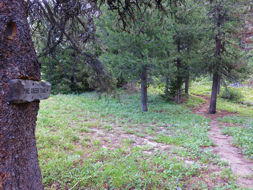
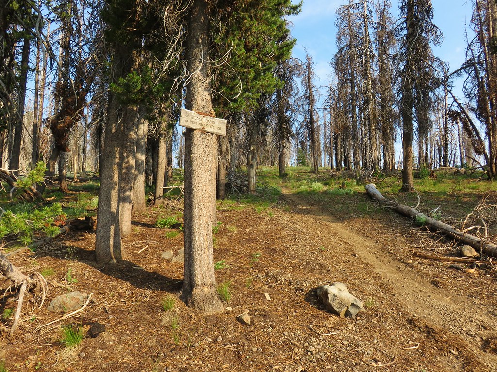
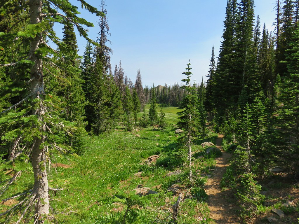
 View along the Pine Creek Trail – 2018
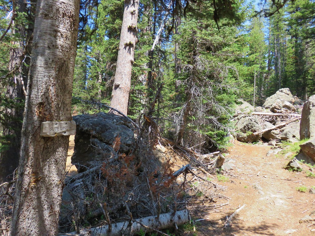
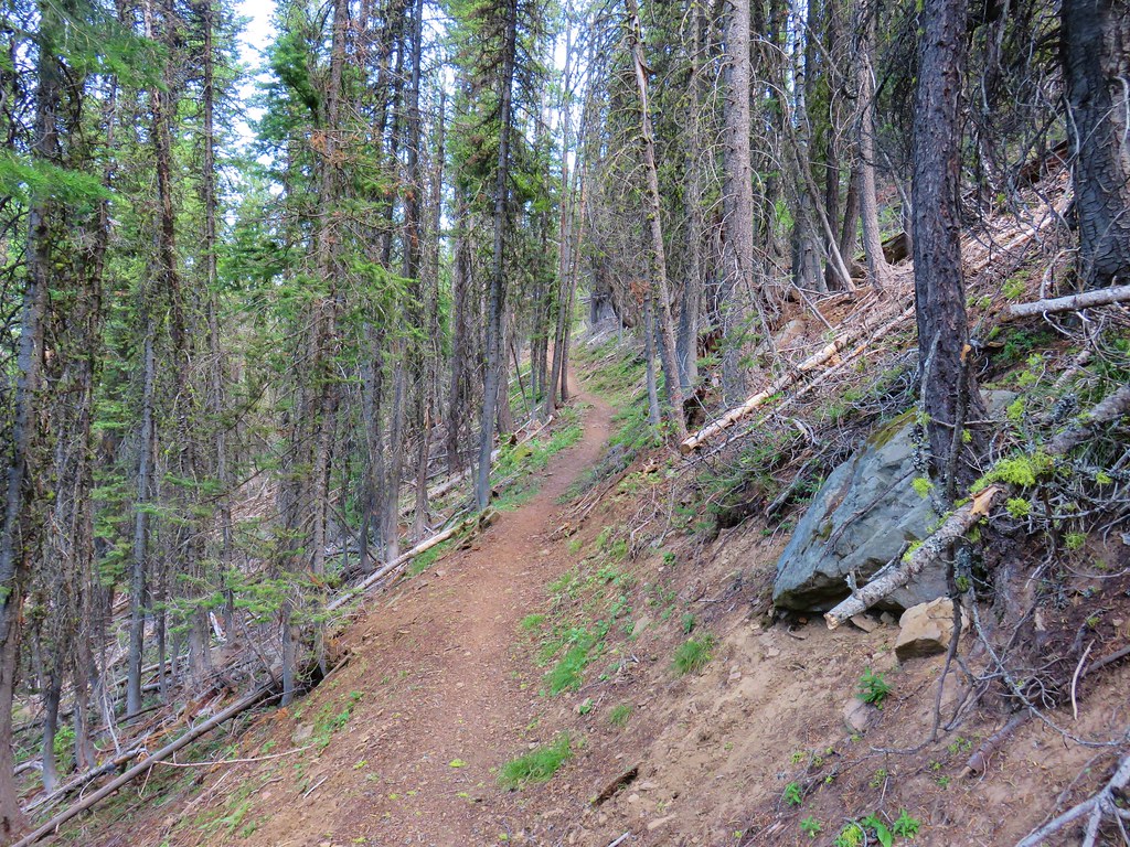
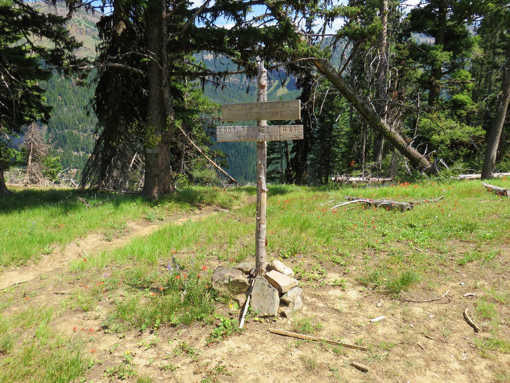
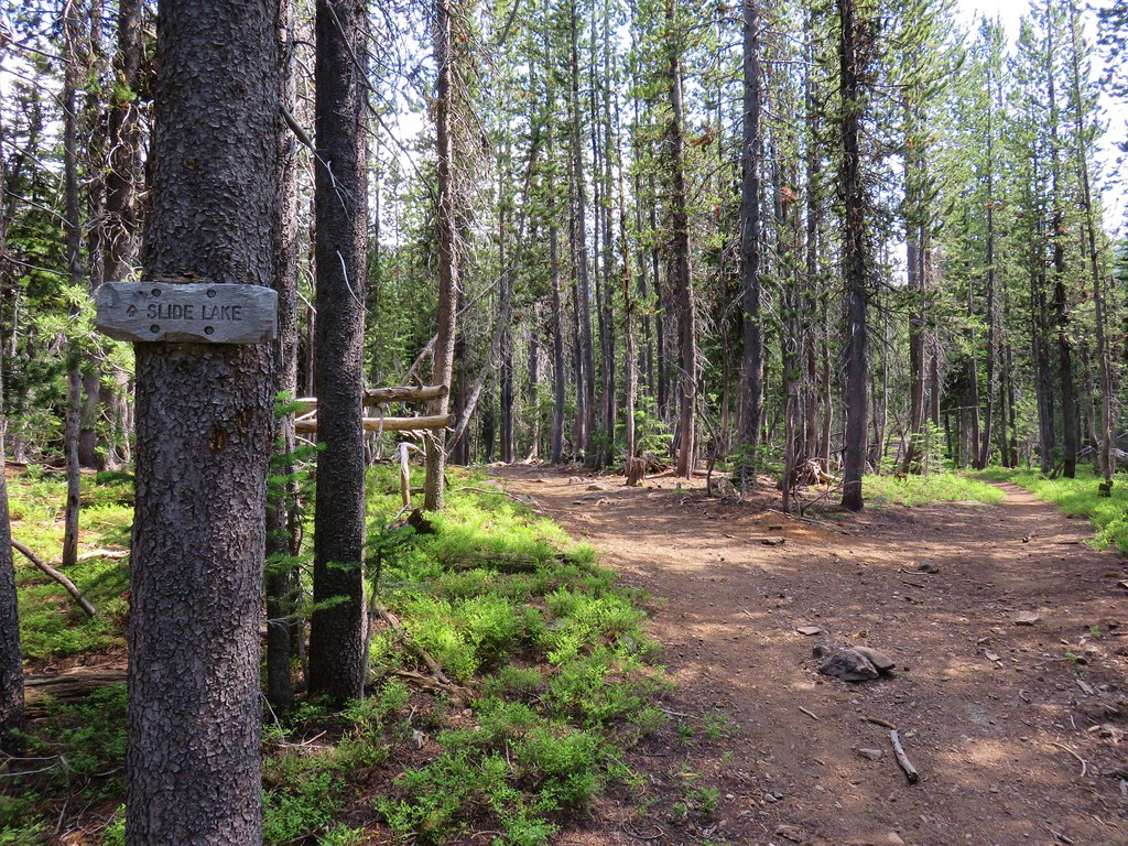
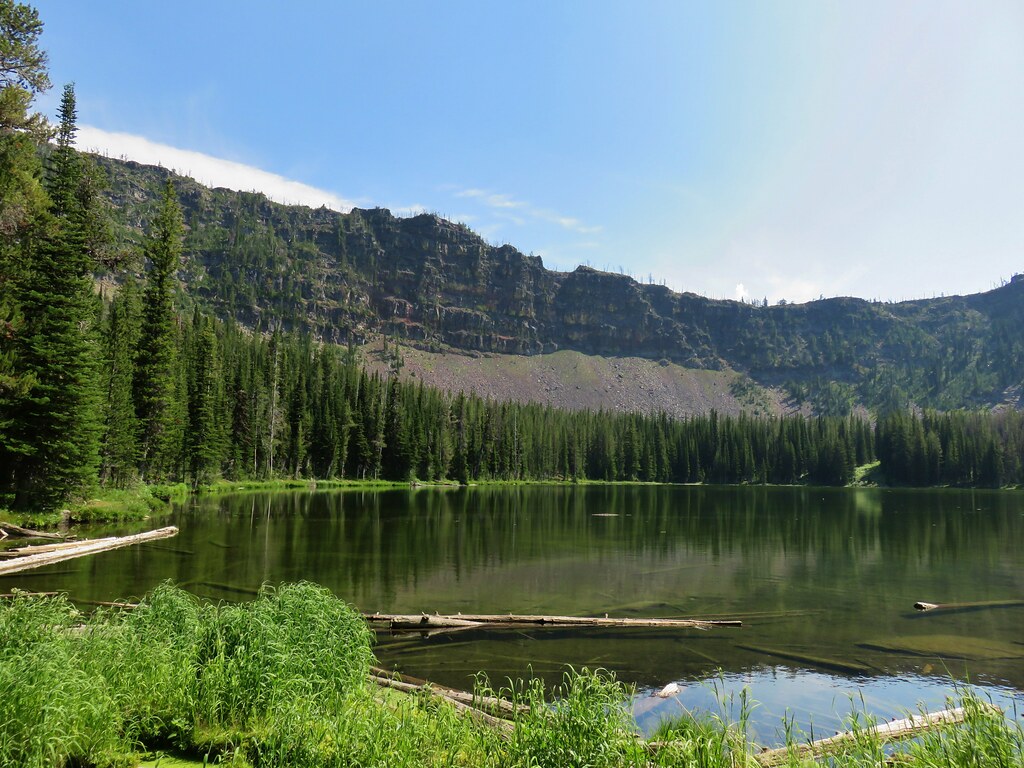
 Slide Lake – 2018
 Barklow Mountain Trail – 2018
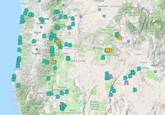


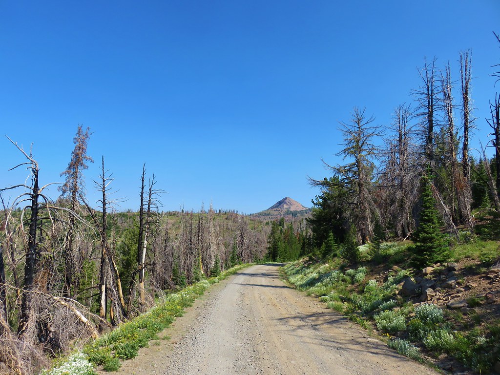 Strawberry Mountain from FR 1640.
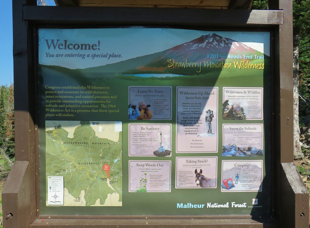


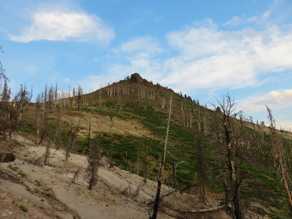
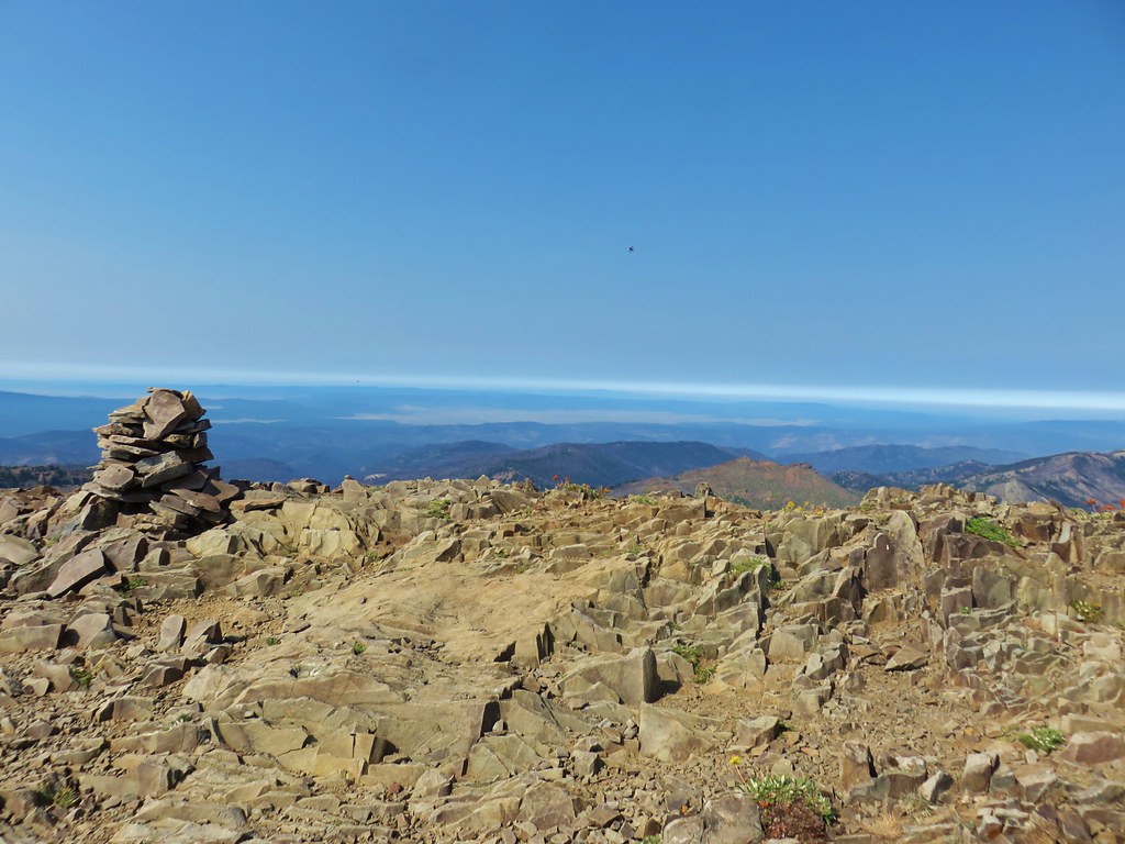
 Indian Creek Butte, the John Day Valley, and Strawberry Mountain

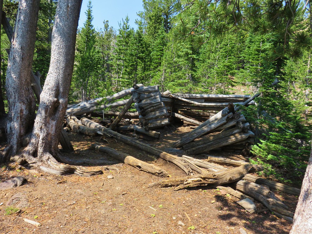
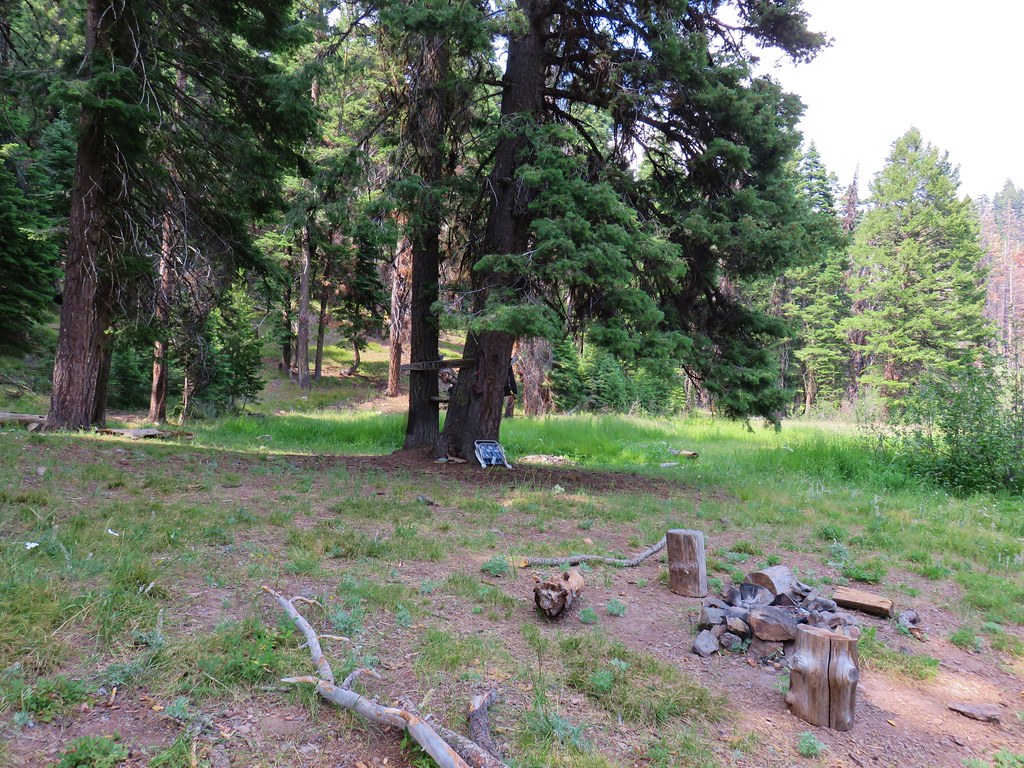
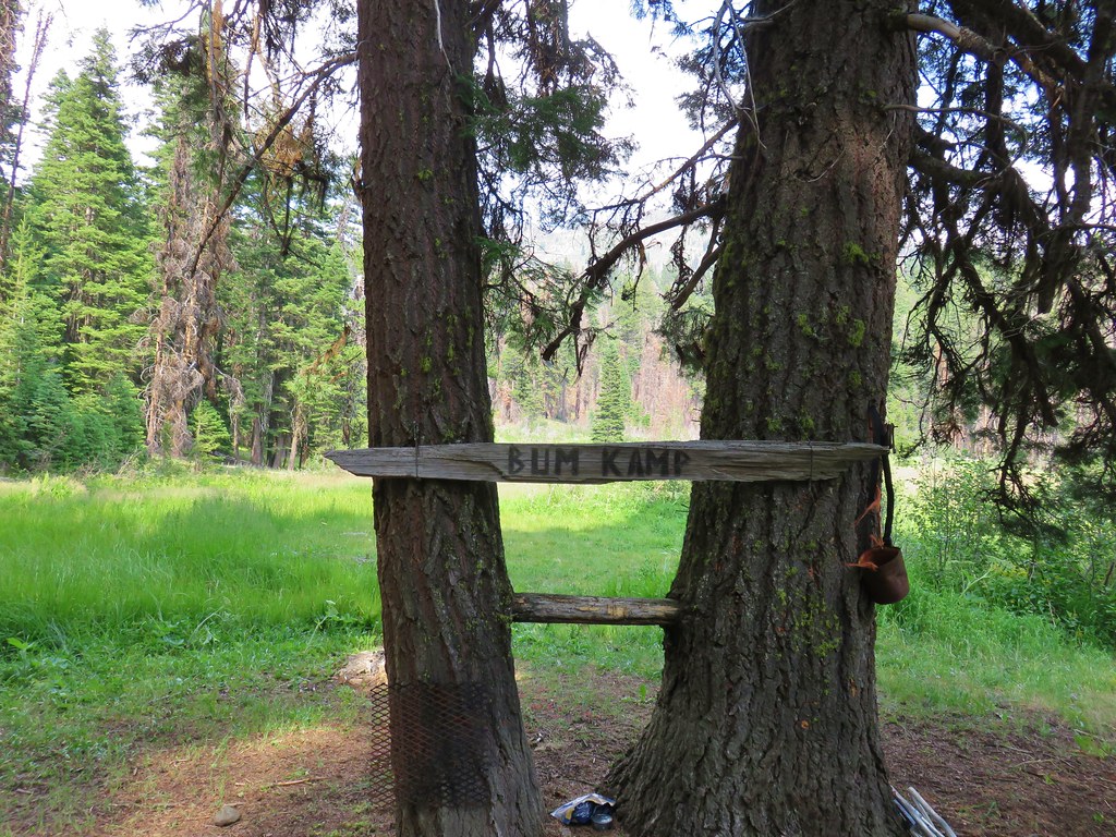
 A horse in the meadow at Hotel De Bum Camp
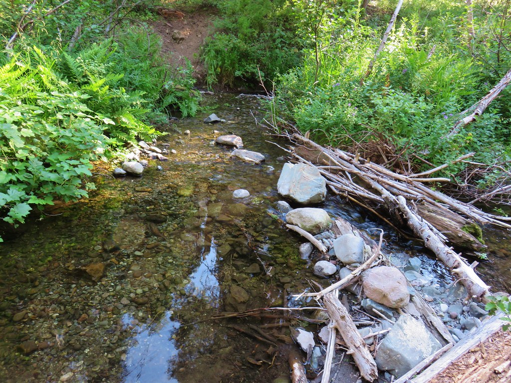


 Indian Creek Butte
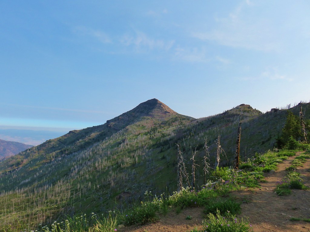 Strawberry Mountain

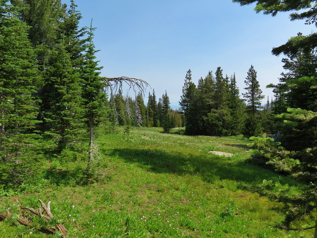
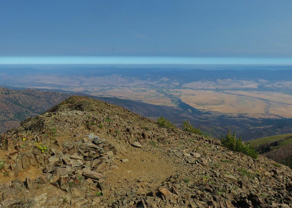 Looking north toward the John Day Valley
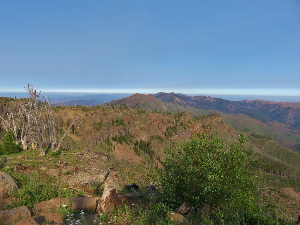
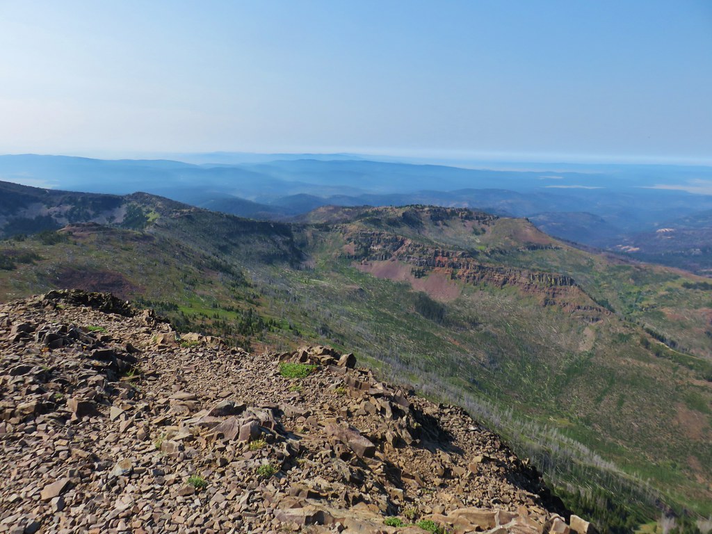 Looking SW toward Wildcat Basin
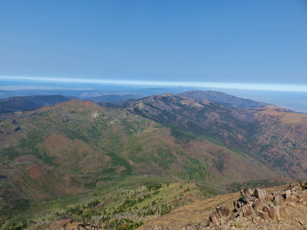 View west toward Indian Creek Butte and Canyon Mountain
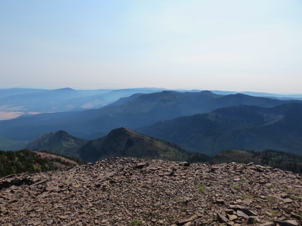 Looking NE
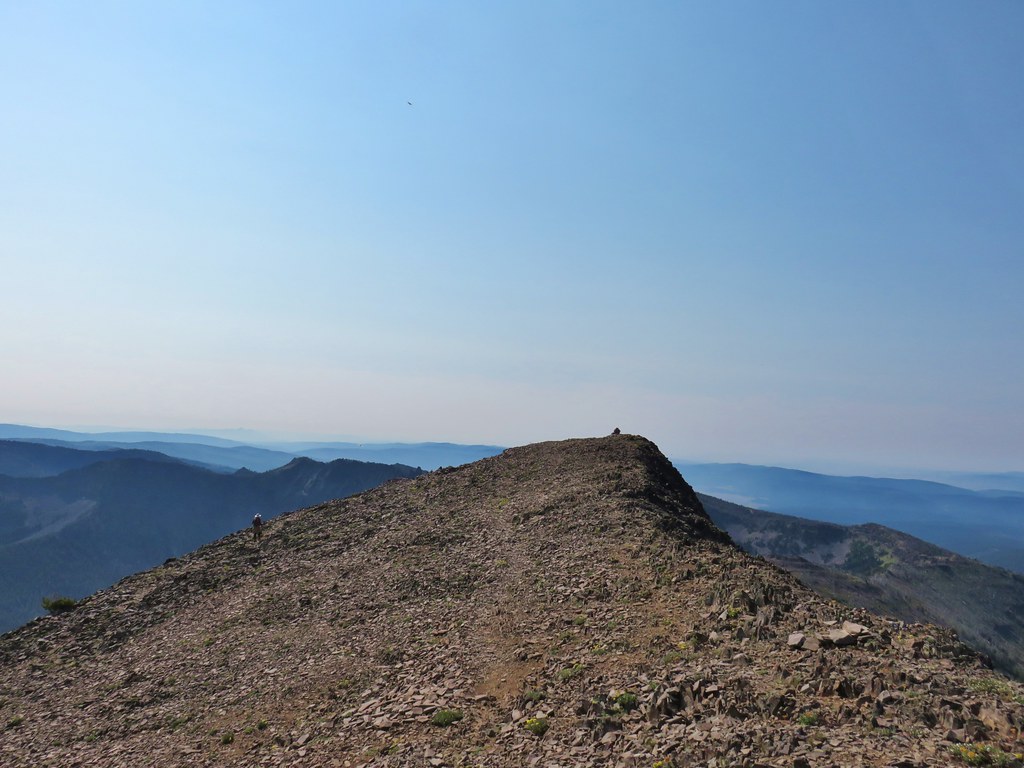 View east


 View from the chair.
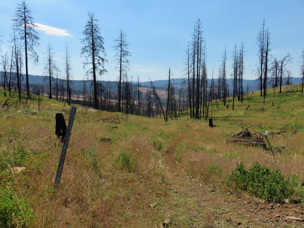
 Looking in the direction of the Tamarack Trail
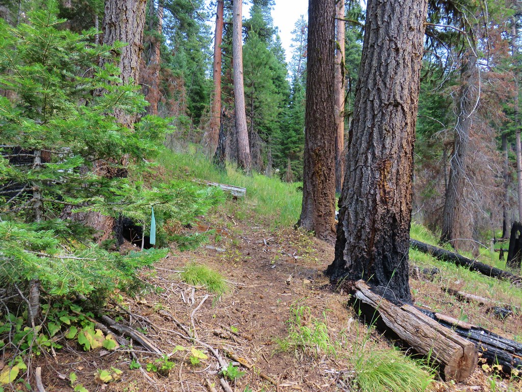


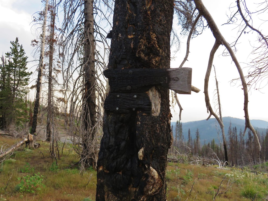
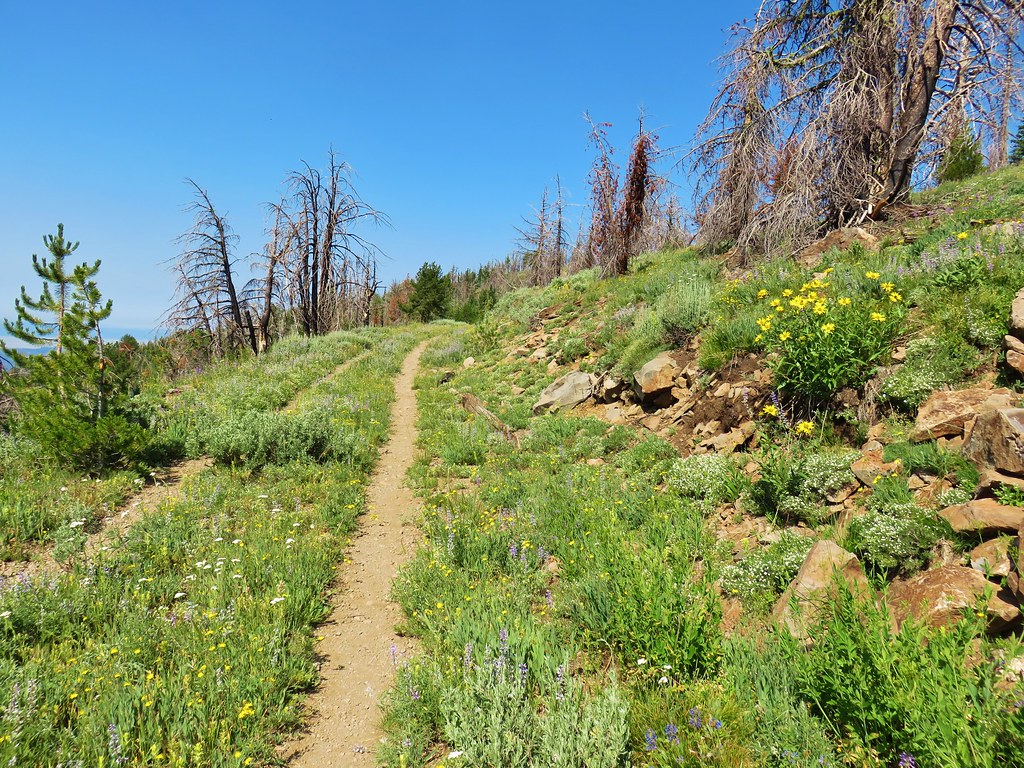
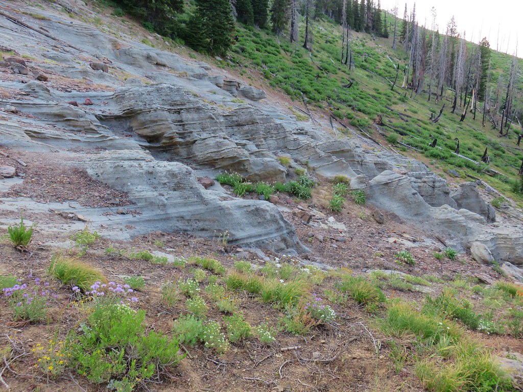
 Blue flagging is attached to a small burned tree 3/4 up the left hand side of the photo.