A dry forecast and a day off for Presidents Day seemed like a perfect excuse to get our February hike in. For this outing we’d picked the South Willamette Trail. This was yet another trail we had yet to hike and this seemed like a good time of the year to do so because the trail lacks any highlights or views that would be impacted by inclement weather.
The South Willamette Trail is basically a five mile long connector trail between the Hardesty Trailhead and the Eula Ridge Trailhead. We began our hike at the Hardesty Trailhead which had also been the starting point for our Goodman Creek hike (post).
A single trail leaves the trailhead to the left of a large signboard.
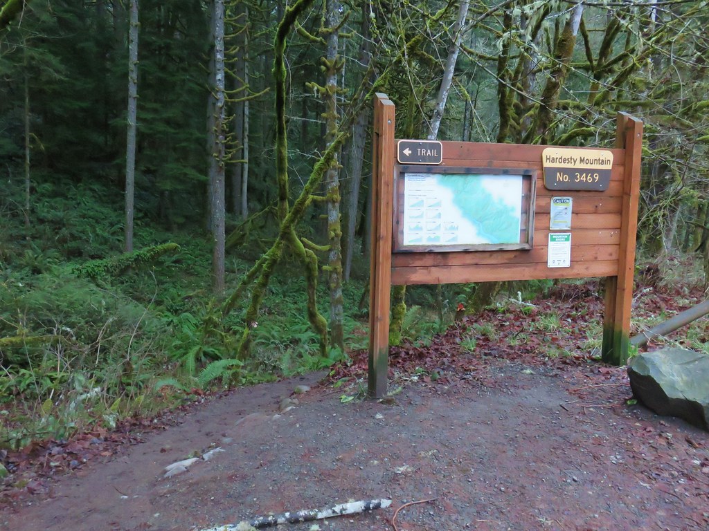
The trail is actually the Hardesty Trail which gains over 3000′ in five miles to the old lookout site atop Hardesty Mountain. Unless you’re looking for a training hike the old lookout site is now view less. For a slightly shorter and more scenic hike to that location start at the Mount June Trailhead instead as we did in 2013 (post).
Back to our current hike now. We followed the Hardesty Trail for .2 miles to the Goodman Creek Trail junction.

We stayed left continuing on the Hardesty Trail for another four tenths of a mile to the start of the South Willamette Trail.


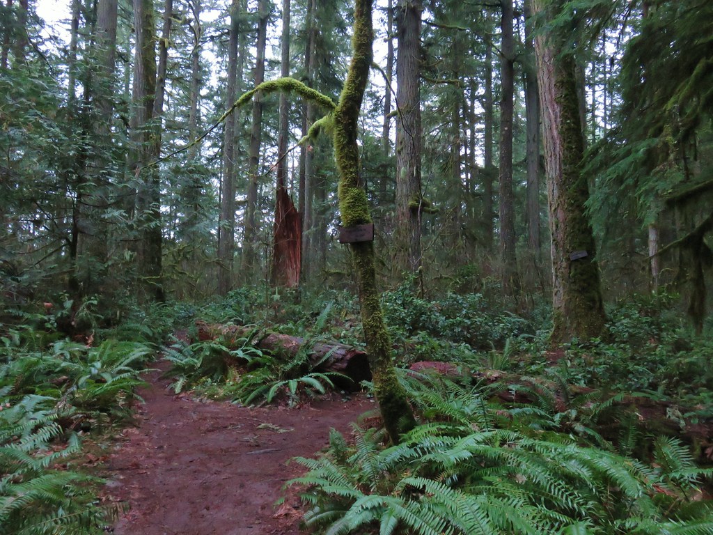
We stayed left again leaving the wider tread of the Hardesty Trail behind for the narrower but not overgrown South Willamette Trail.

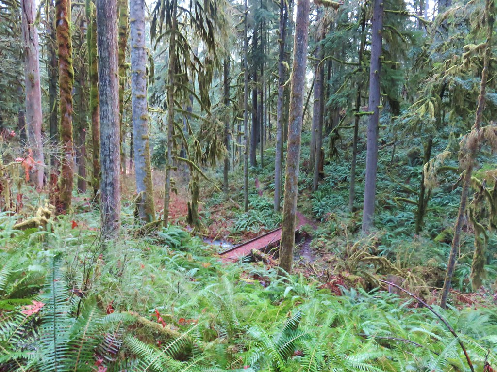
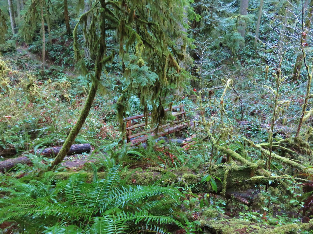
This trail runs parallel to Highway 58 but due to the presence of some private land holdings it bends back away from the highway which kept the noise down for much of the hike. There are not any views to speak of along the trail and although it crossed several creeks there are no waterfalls either. The trail simply passes through some different types of forest on its way from one end to the other. A half mile from the Hardesty Trail a nice footbridge brought us over an unnamed seasonal creek.

A half mile later we were crossing another unnamed creek.

This was followed by a footbridge over Crale Creek just a tenth of a mile later and a log crossing of another stream just beyond that.

The trail then made a slight climb to cross Crale Creek Road.

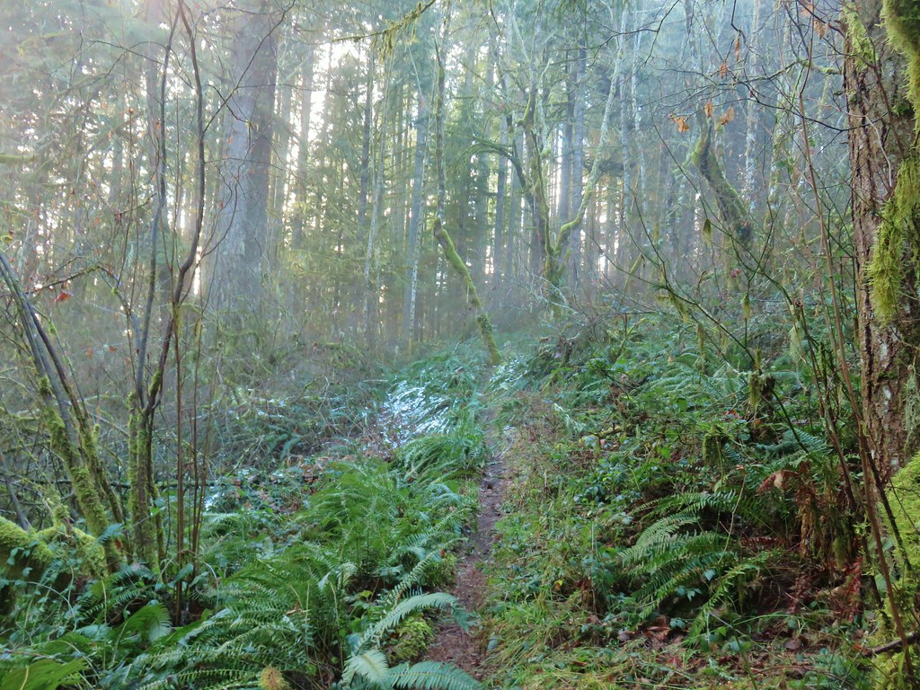
The trail climbed steadily for the next 1.75 miles gaining approximately 400′ to reach its high point at an elevation just over 1400′. There was just a little left over snow scattered about along the way.
The Sun was shining overhead as we began to descend to a footbridge over Harper Creek.

From there we climbed up and around a ridge gaining 280′ in half a mile before dropping again, this time to a bridge less crossing of North Creek.
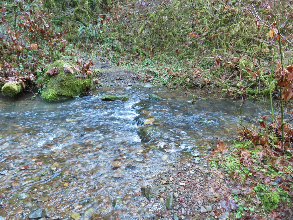
There was just enough water to prevent a dry rock hop across the creek and a pair of logs downstream were too slick and angled to be worth risking so we decided to make North Creek our impromptu turn around. We were only about a tenth of a mile from the Eula Ridge Trailhead so we had covered most of the trail and I had especially been struggling all morning.
We returned the way we’d come listening to the birds and watching for the small purple blossoms of snow queen.
 Wren signing along the trail

I had had a sore throat when I’d woken up and by the time we made it back to the car I was chilled. I spent the rest of the day and the next in bed ill which actually made me feel a little better about having struggled so much on a 10.8 mile 1600′ elevation gain hike.
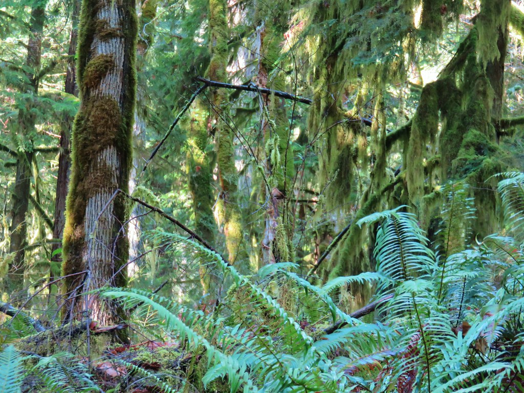
The South Willamette Trail is definitely not a big reward hike, there are no views to speak of and aside from the few small creeks no real attractions along the way other than a nice green forest. That being said it was a good moderate winter hike and it’s open all year save for the worst storms. Happy Trails!
Flickr: South Willamette Trail

2 replies on “South Willamette Trail”
excellent hike under the green giants
[…] I got a little over a quarter mile up the Lawler Trail before realizing my mistake. The worst part was I’d climbed over 250′ in that quarter mile. I retreated to the trailhead and went right on the Eula Ridge Trail which dropped to a crossing of South Creek before climbing to a junction with the South Willamette Trail (post). […]