What do you do the day after a 16.5-mile loop with 4355′ of elevation gain (post)? If you’re me, you make a questionable decision. With another sunny day in the forecast before showers moved in, I decided that I would finally check out the Eula Ridge Trail near Eugene. This 4.2-mile-long trail gains over 3000′ from Highway 58 to its end at the Hardesty Trail. The trail is very steep, so steep in fact that the Forest Service description states “After a short descent into a saddle, the really steep climb begins. This is a good place to turn back.” The saddle in question is just over 1.5-miles from the trailhead and marks the start of 16 switchbacks. The switchbacks are nowhere near as steep as the remainder of this trail. From the end of the trail it is just three quarters of a mile to the top of Hardesty Mountain (post), but there is no view from that peak. When we visited Hardesty Mountain it was on an out-and-back from the Mount June Trailhead. That hike gained approximately 2100′ of elevation. My bright idea was to combine the two to revisit Mount June where there was a view.
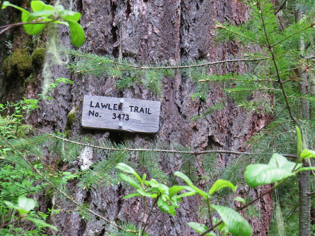
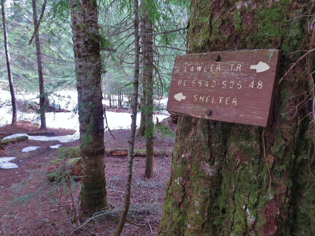
I set off just after 7am from the Eula Ridge Trailhead and immediately went the wrong way when I forked left on the Lawler Trail.
 This trail would eventually end at the LoneWolf/Patterson Mountain Trail (post).
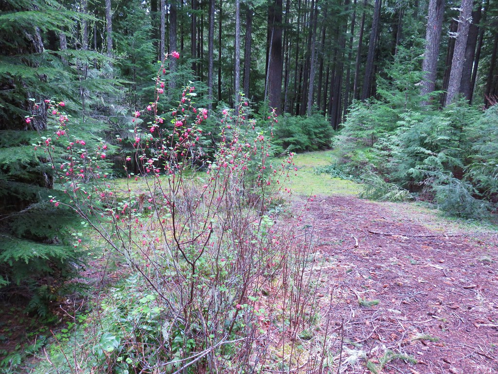
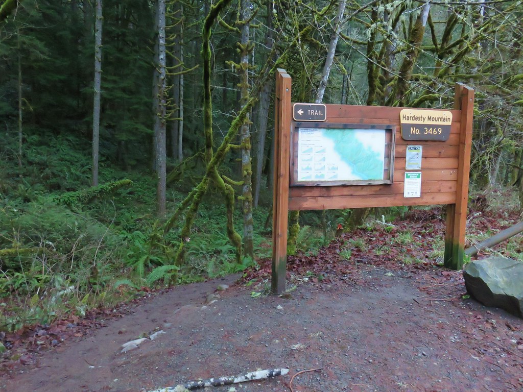
 The small trailhead along Highway 58.
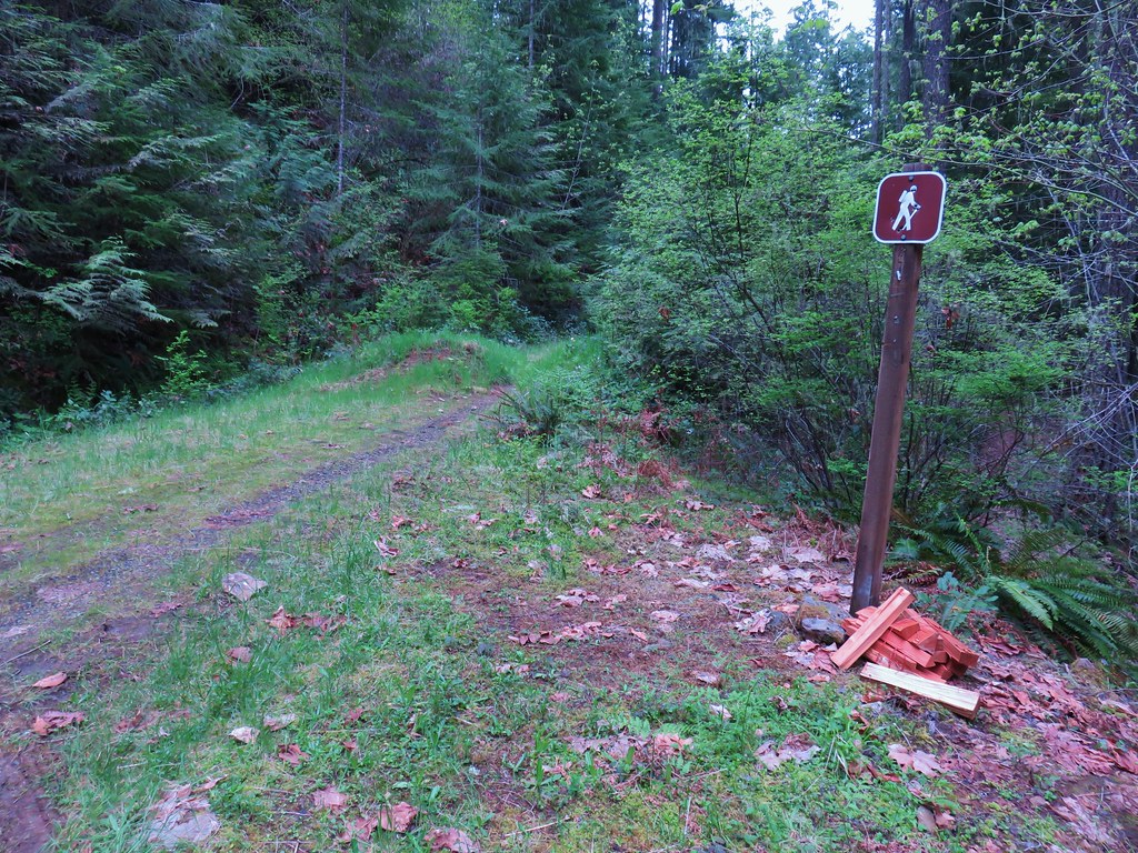
 Wrong way dummy.
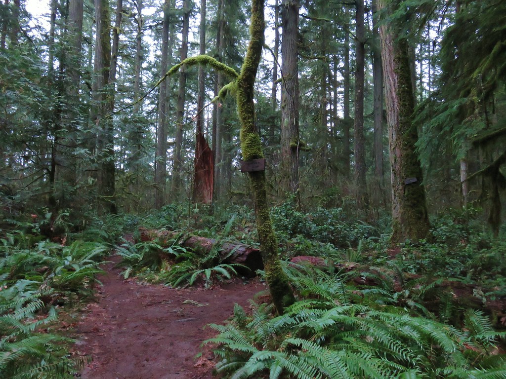
I got a little over a quarter mile up the Lawler Trail before realizing my mistake. The worst part was I’d climbed over 250′ in that quarter mile. I retreated to the trailhead and went right on the Eula Ridge Trail which dropped to a crossing of South Creek before climbing to a junction with the South Willamette Trail (post).

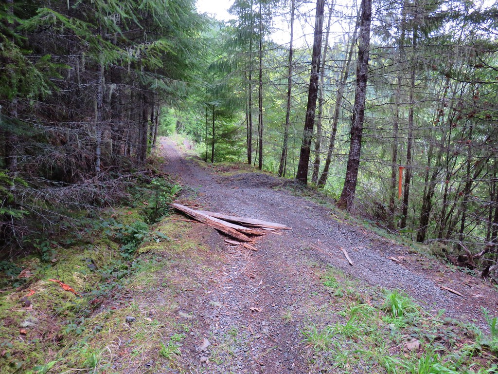
 The South Willamette Trail to the right.
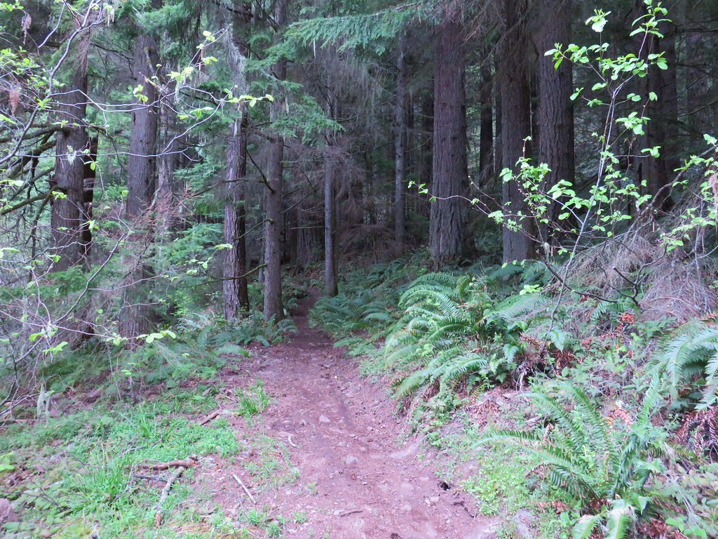
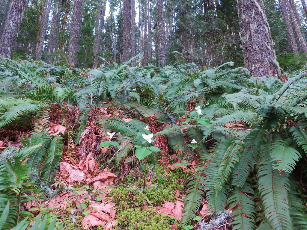
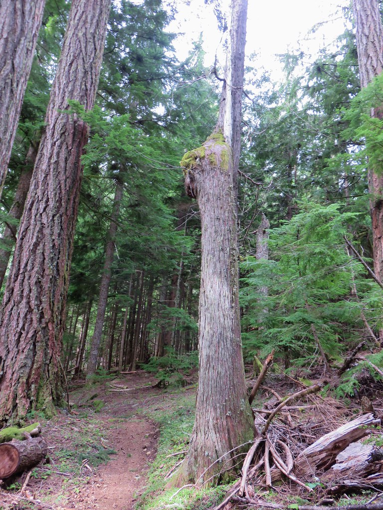
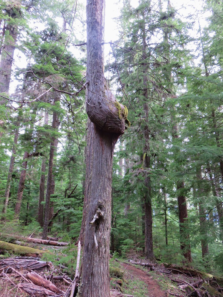
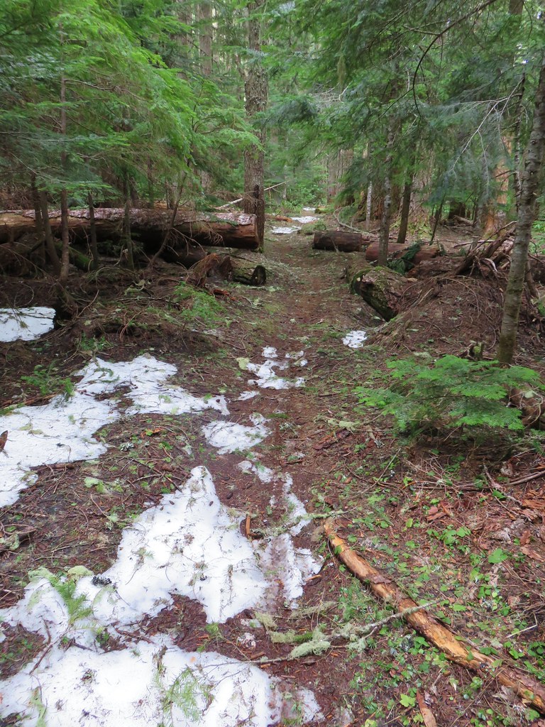
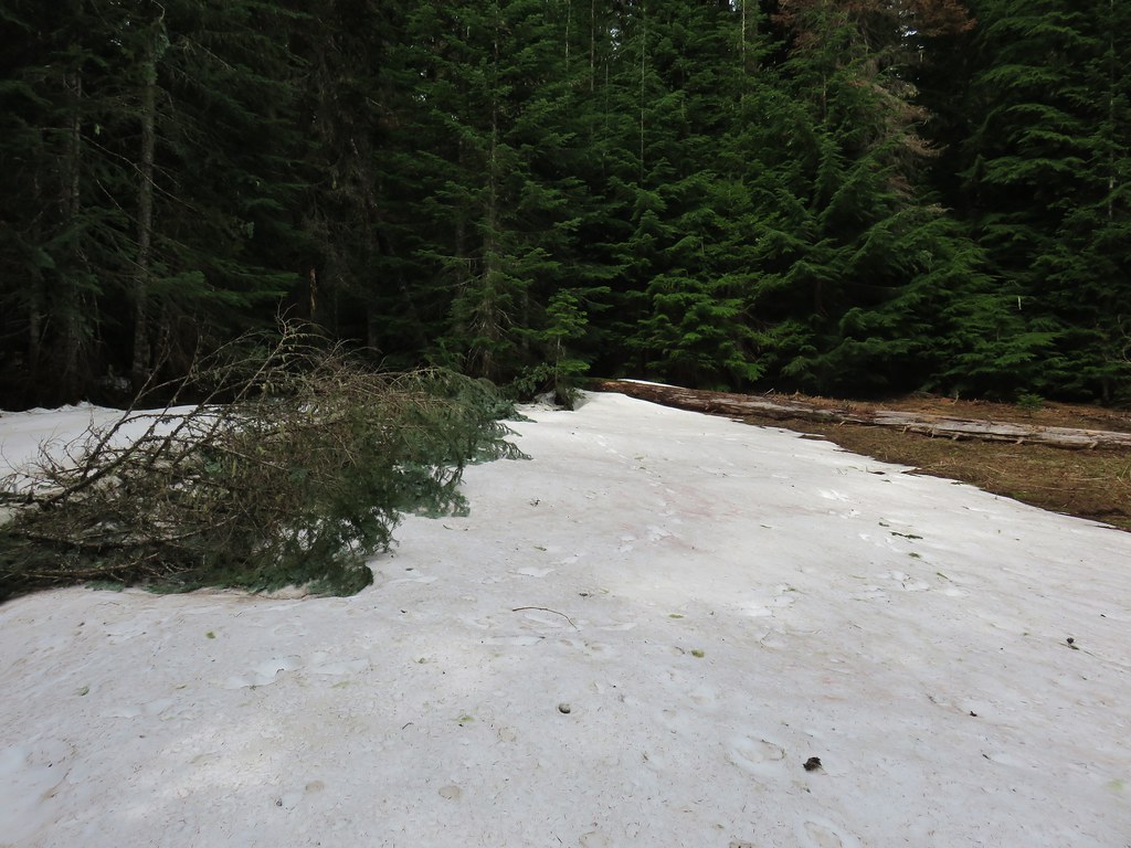
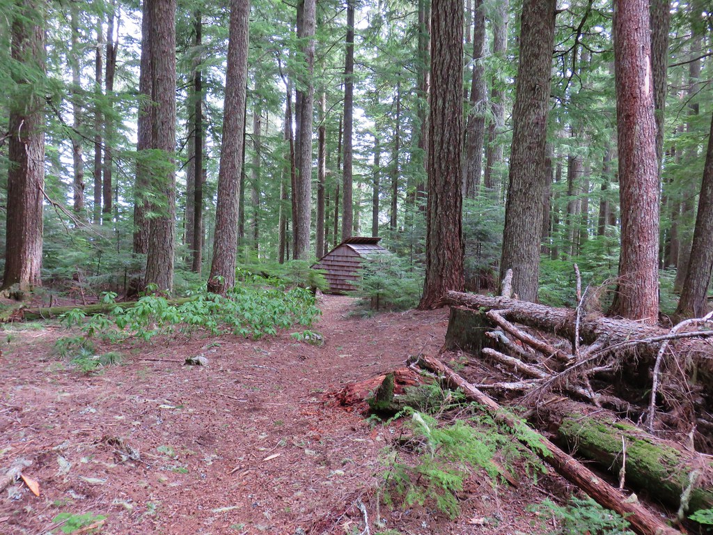
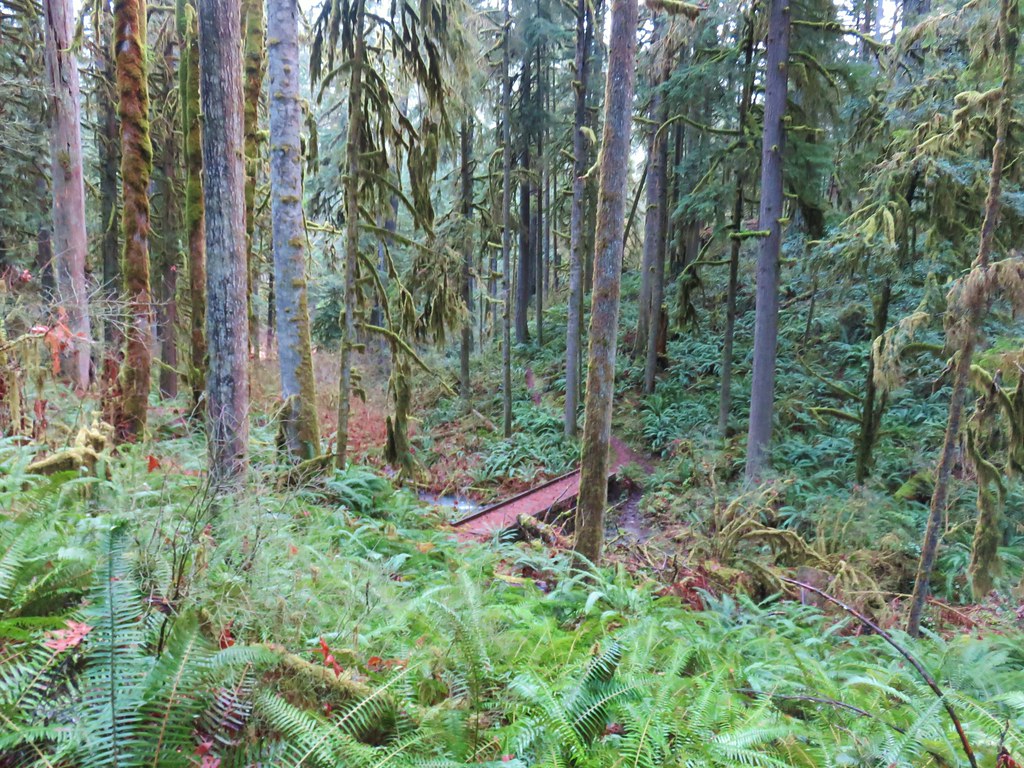
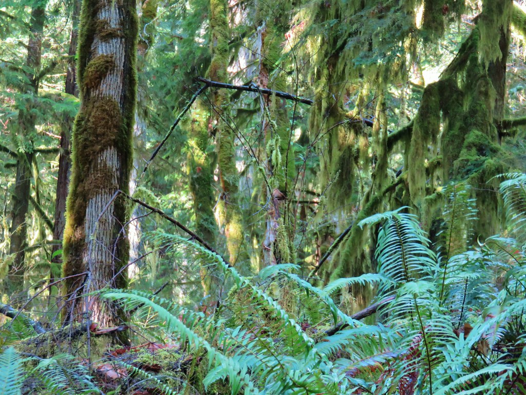
This trail was heavily damaged in a February 2019 storm, but it has since been cleared and was free of any blowdown for its entire length. The trail is forested with no views to speak of, but the forest is very nice. I had a lot of time to study it during my many breaks as I made my way uphill.


 It was clear that mountain bikers use this trail regularly.


Near the 3.75-mile mark the trail passes a rocky spine which is actually an arch. I couldn’t see the arch from the trail, but thanks to Hike Orgon I knew it was there.

 I actually waited until I was on my way down to step off trail and look at the arch.
 Eula Ridge Trail sign at the Hardesty Trail junction.
I turned left on the Hardesty Trail and climbed another 240′ in 0.4-miles to a fork.

 The lefthand fork leads to the viewless summit while the right is the Hardesty Cutoff Trail which bypasses the summit.
I went right forgoing the 100′ climb to the summit which would have also added a little distance to the day. In 0.2-miles I arrived at a junction with the Sawtooth Trail.

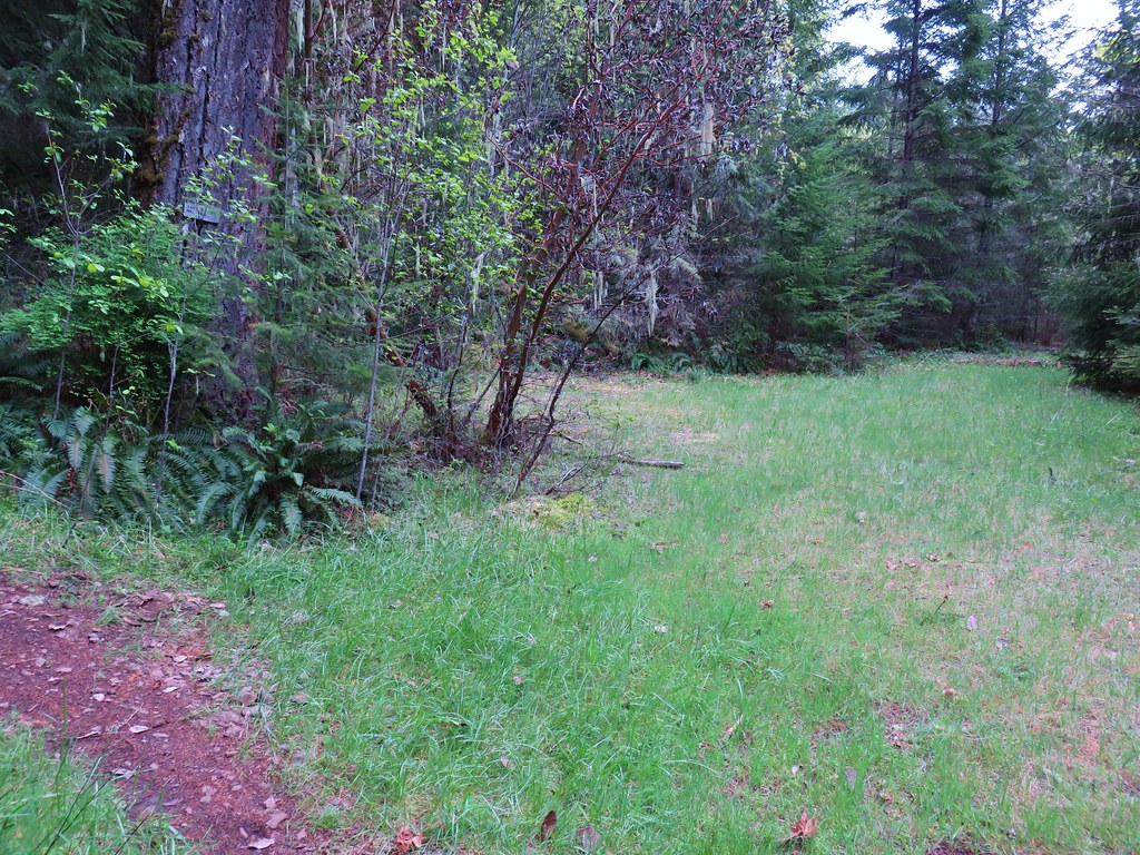
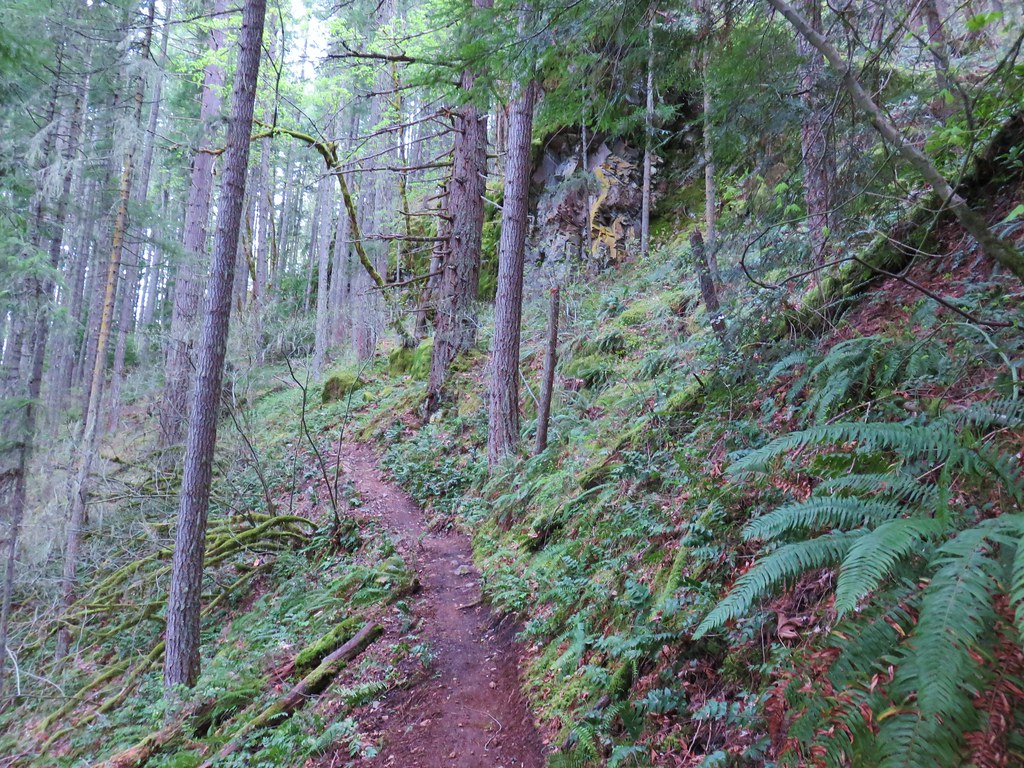
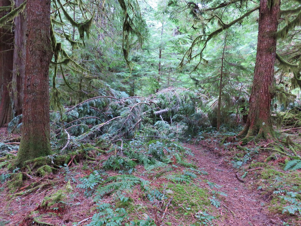
 Forest below the Hardesty Cutoff Trail.
 The Sawtooth Trail dropping to the right.
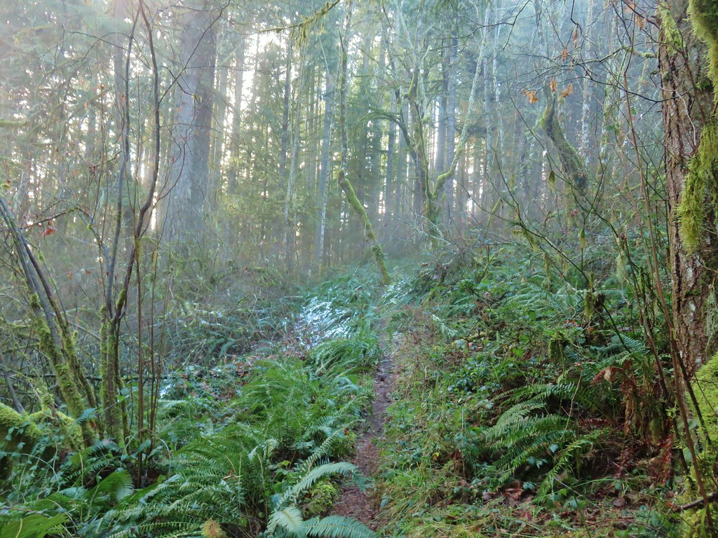
I briefly considered abandoning my original plan here, but it was only 9:40am. I decided to continue on, but with a turnaround time of 11:30am. If I hadn’t made it to Mt. June by then so be it. I had completely forgotten just how many ups and downs there were along the Sawtooth Trail, and how steep some of them were.
 I was not looking forward to climbing back up some of these sections later.
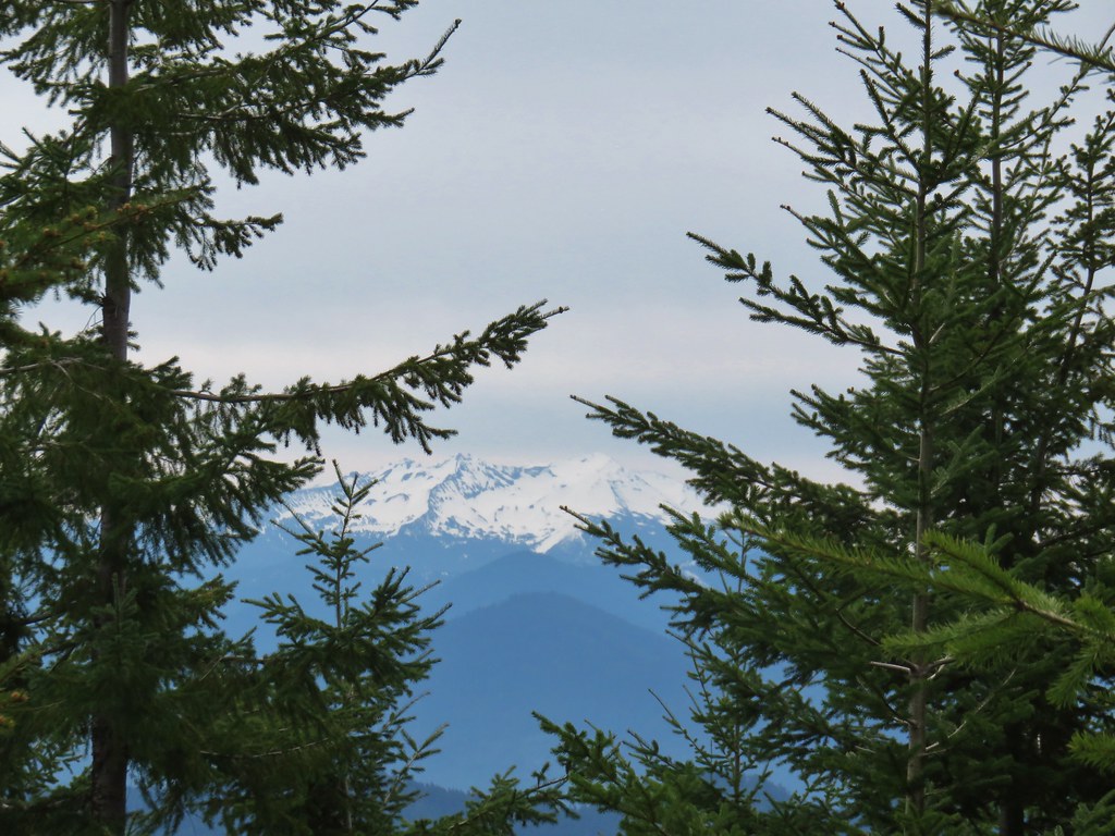
 Another saddle.
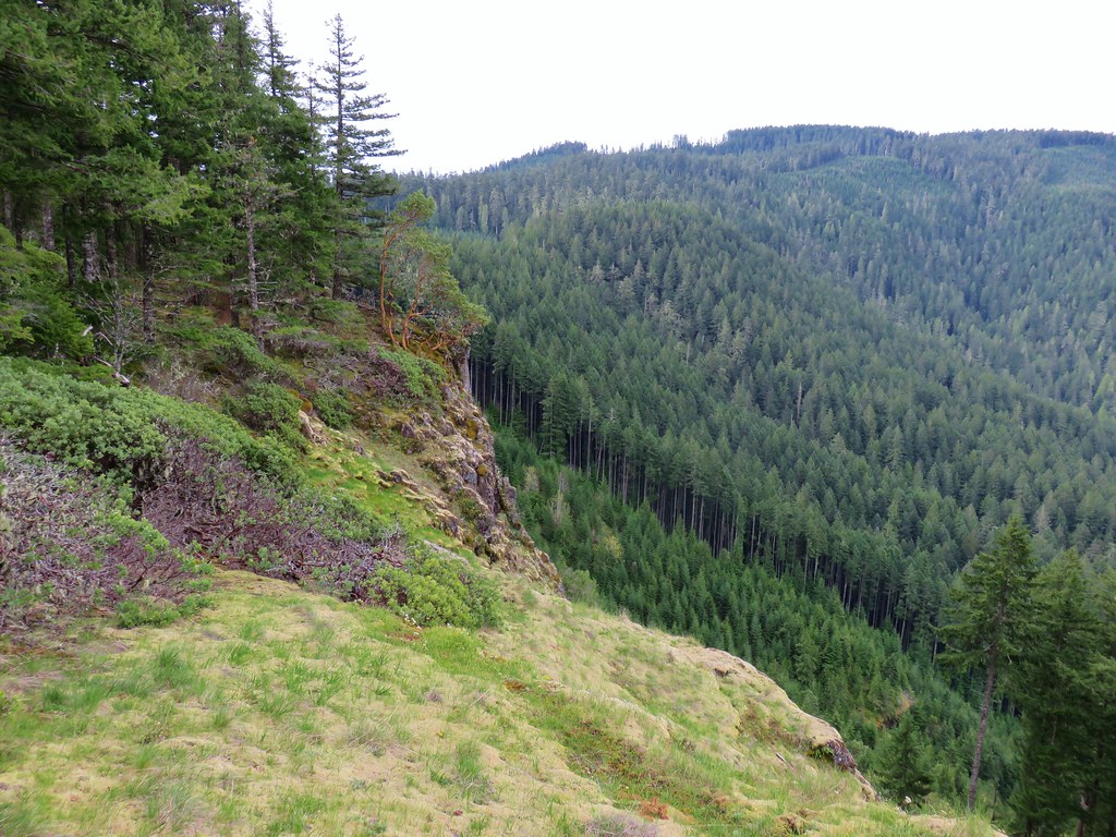
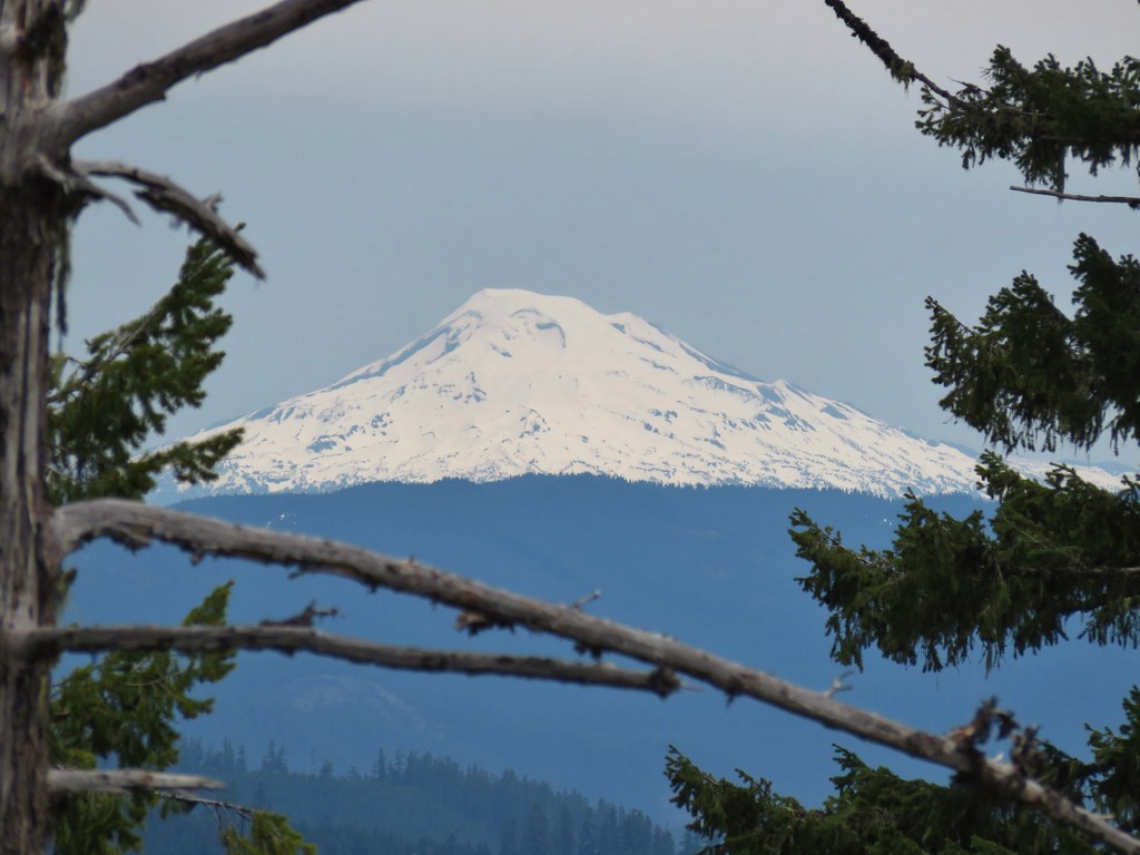
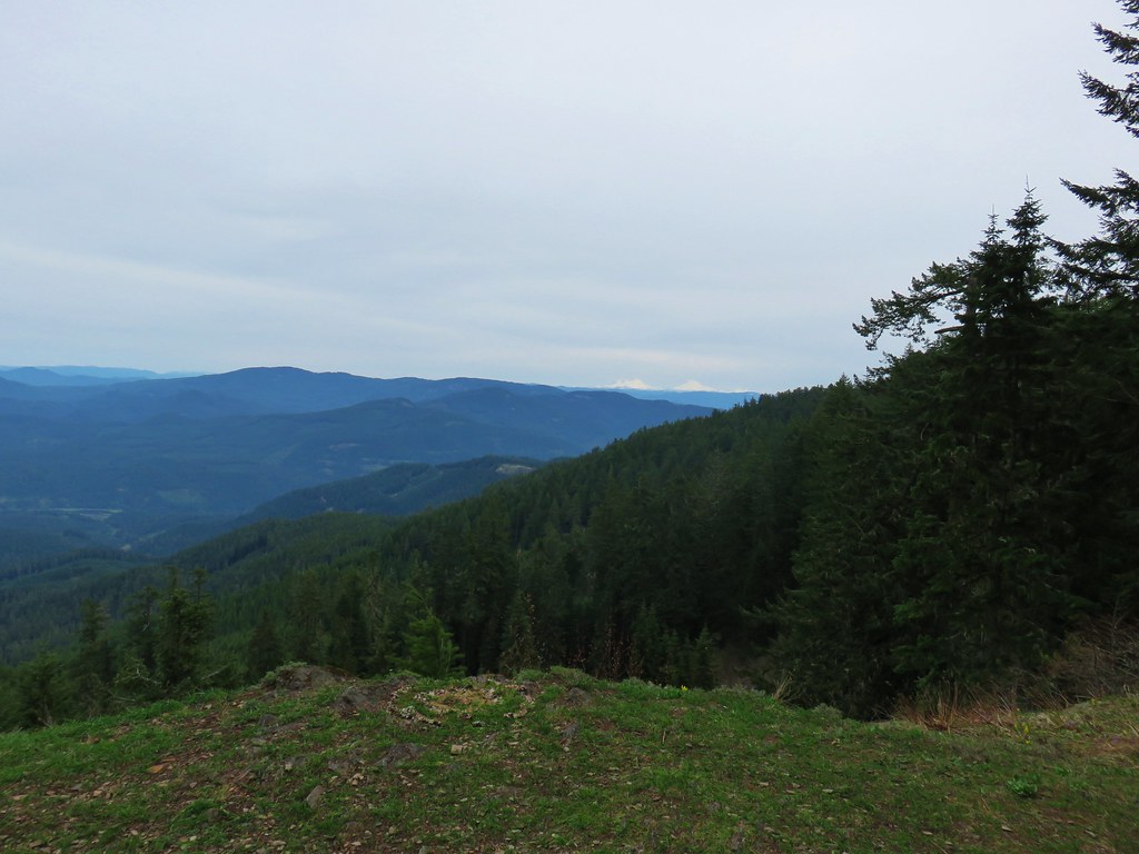
 A view through the trees.
 I passed the Hardesty Way Trail 1.5-miles from the Hardesty Cutoff Trail.
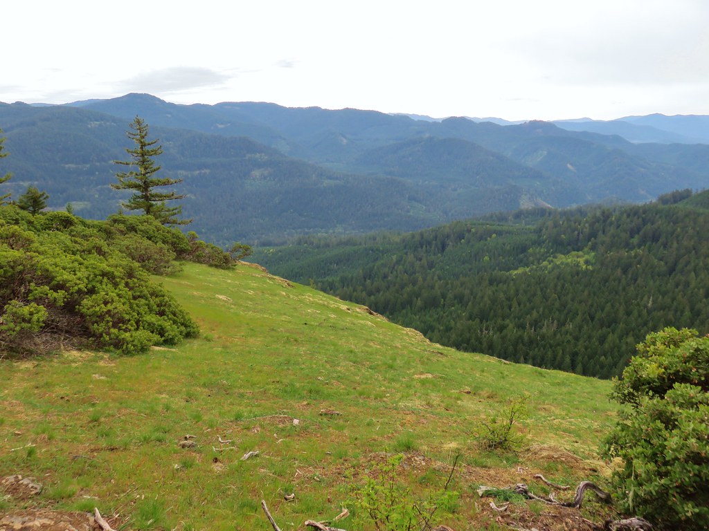
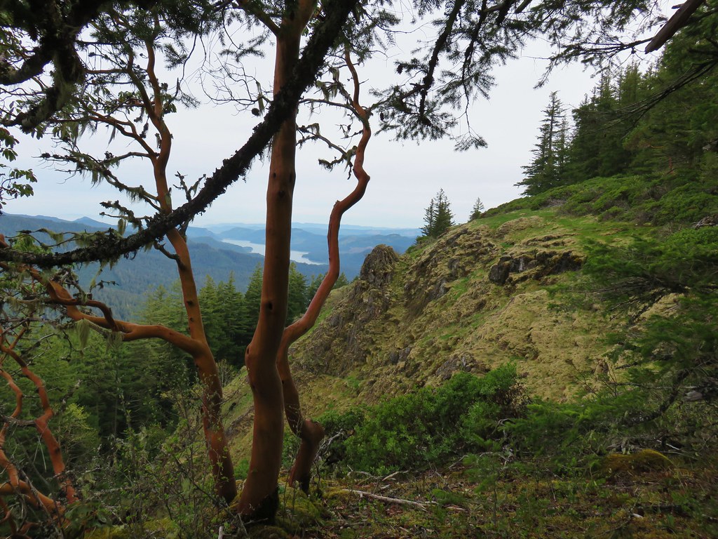
Just under two miles from the Hardesty Cutoff Trail the Sawtooth Trail makes two switchbacks downhill to drop below Sawtooth Rock where it enters a grassy hillside.

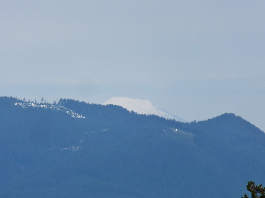
 Mount June from the hillside.
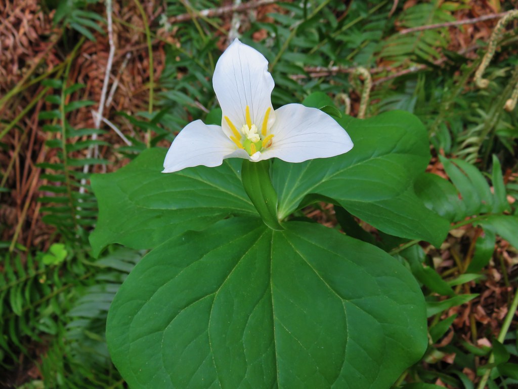
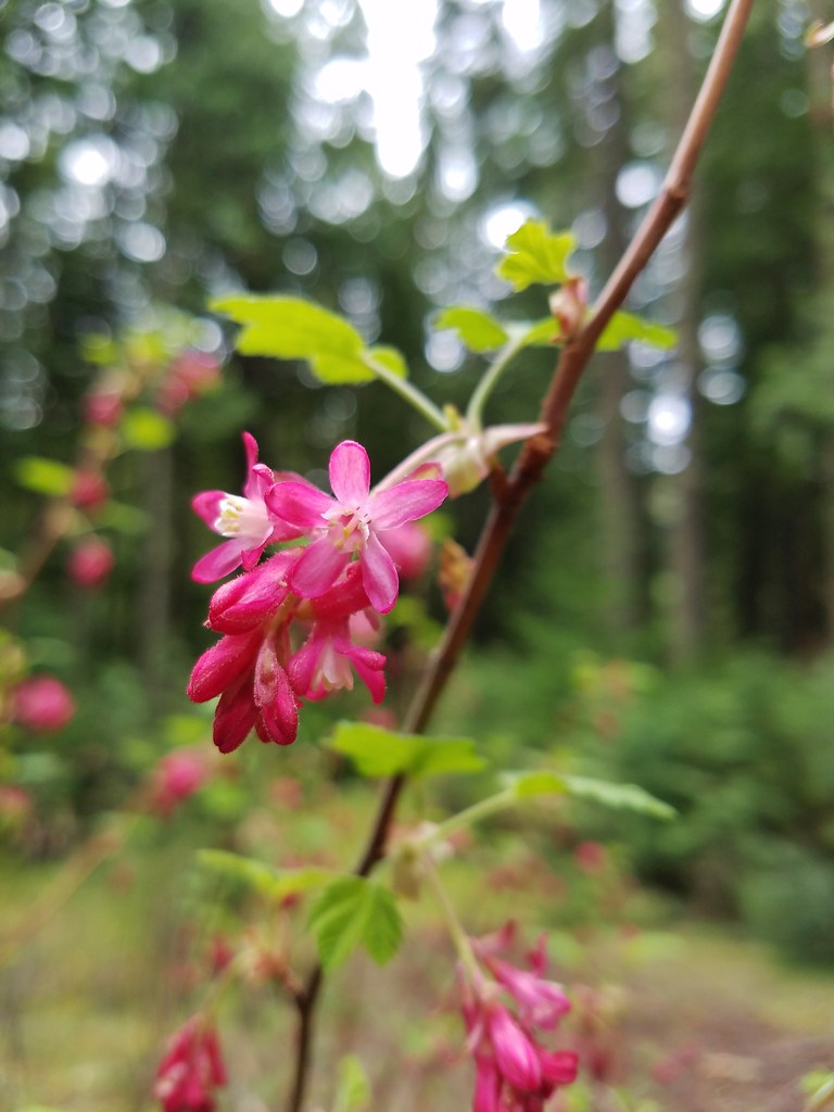
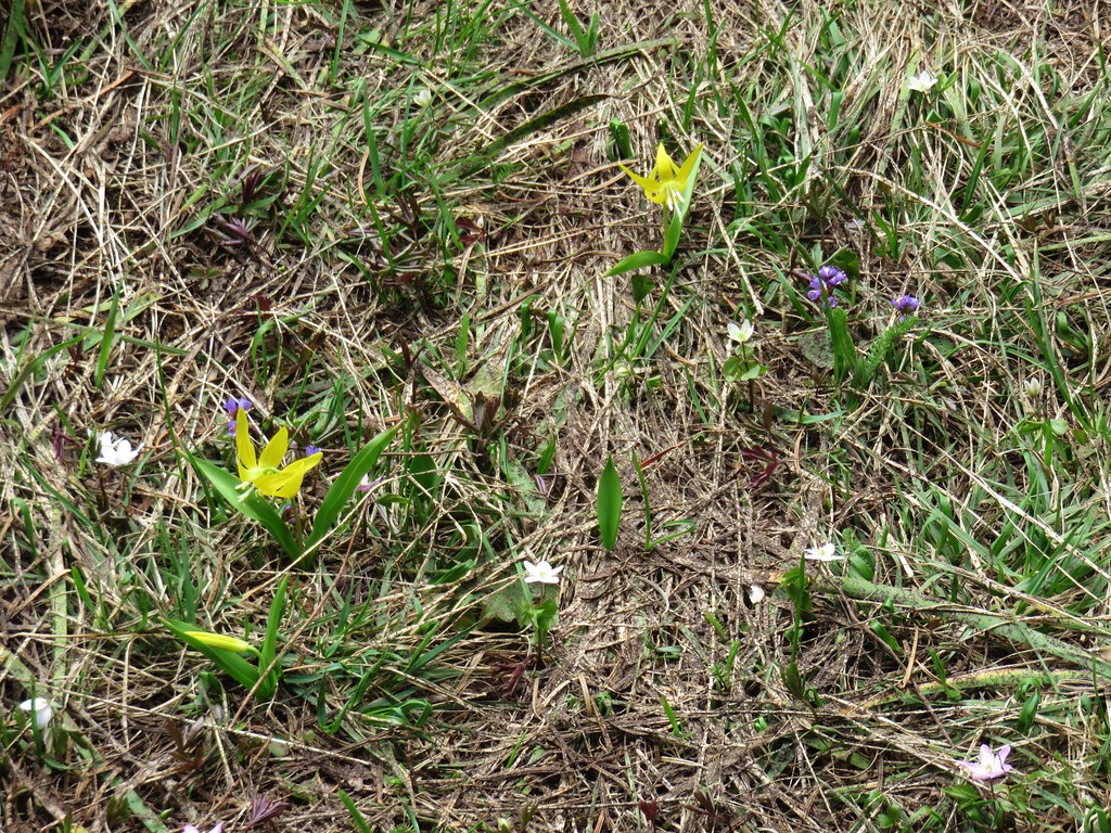
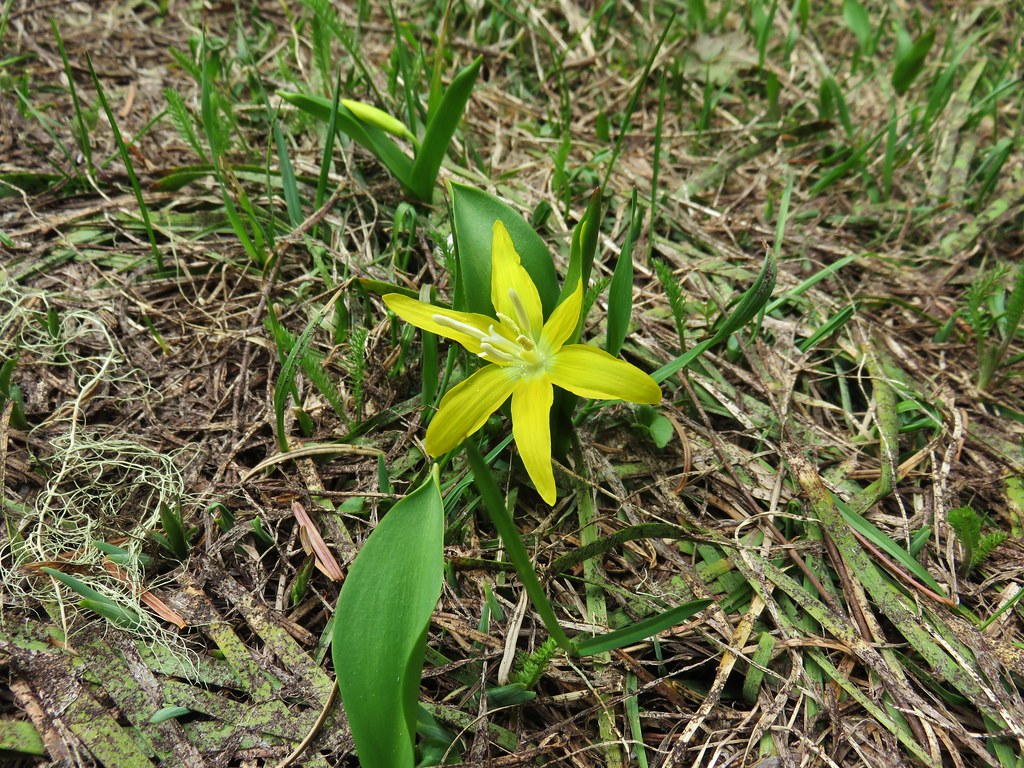
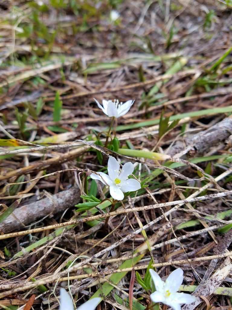
 Wallflower
I paused in the middle of the open hillside to again rethink my plan. It was now a quarter after 10am so I was fine on time but seeing Mt. June reinforced just how much more climbing lay ahead. I checked my water supply and found that I hadn’t been drinking enough. I still had close to two liters in my pack plus a Hydro Flask with extra water and a small Gatorade. I drank half the Gatorade and continued on. Two-thirds of a mile beyond Sawtooth Rock I came to a junction in yet another saddle.
 Junction with the Lost Creek Trail.
 The pointer for Eagles Rest (post) is the Lost Creek Trail.
Another 0.7-miles brought me to the Mt. June Trail at, you guessed it, another saddle.
 I called this section “rhododendron ridge”.

 The Mt. June Trail coming up from the right.
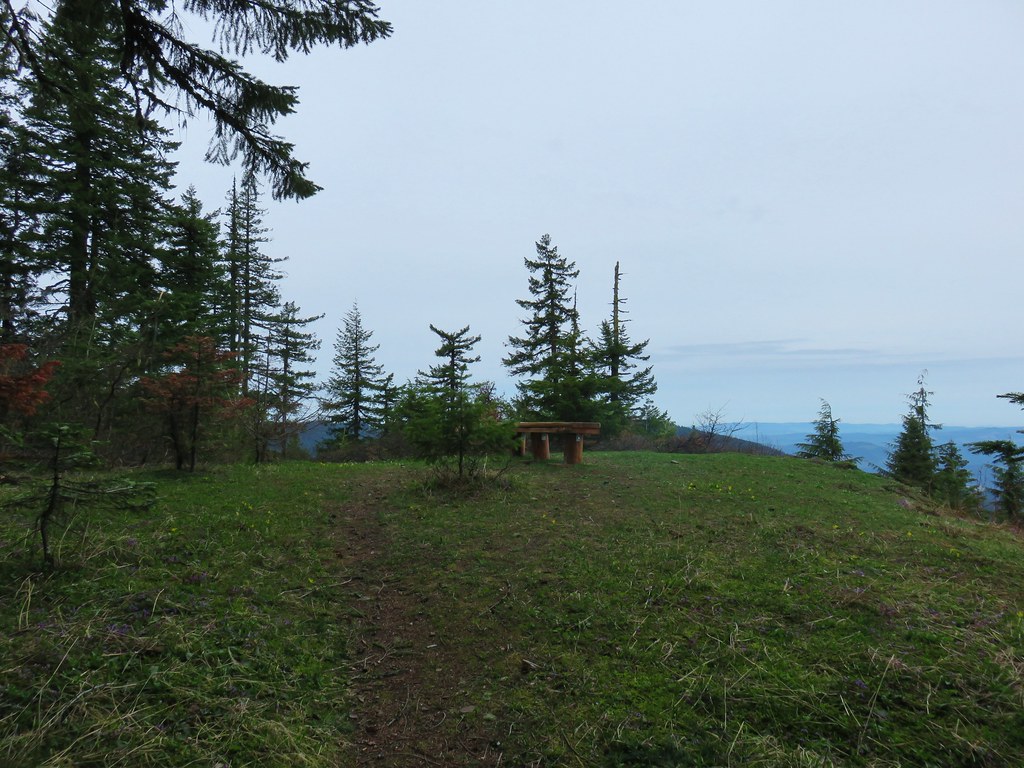
It was now just after 11am and I was facing a half mile, and nearly 550′, climb to Mt. June’s summit. I headed up and stopped at the first good sized log along the trail to finish off the Gatorade, eat some sweet and salty snack mix, and rest for a few minutes. After the break I headed up the steep trail arriving at the summit at 11:27am.


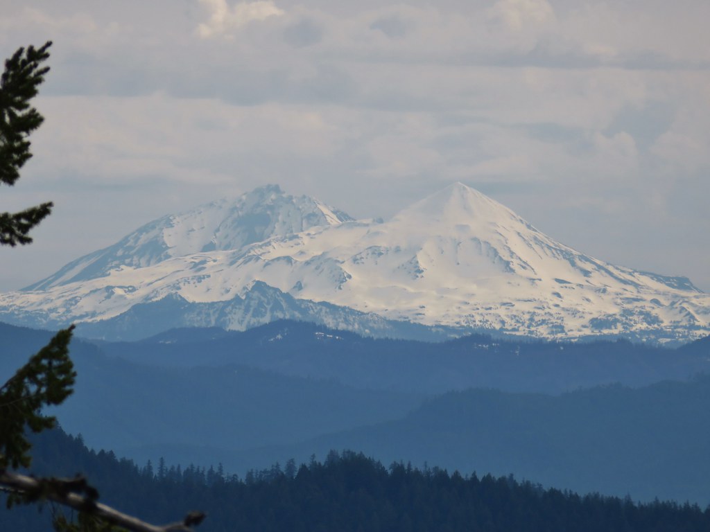
Unfortunately, the view was less than ideal. The recent warm weather had allowed the many fires still burning to pick up intensity which led to additional smoke.

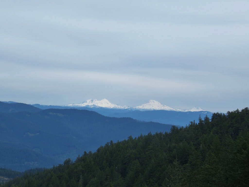
 If you look closely, you can see the tops of the Three Sisters poking up over the smoke in the distance. The open hillside in the foreground is the meadow below Sawtooth Rock and the hump just behind is Hardesty Mountain.
After another short break, and a change of socks, at the summit I started back. I was feeling okay on the downhills and the more level sections, but whenever the trails became at all steep my legs let me know they weren’t happy.
 Heading down from the summit.
 Climbing the hillside below Sawtooth Rock.
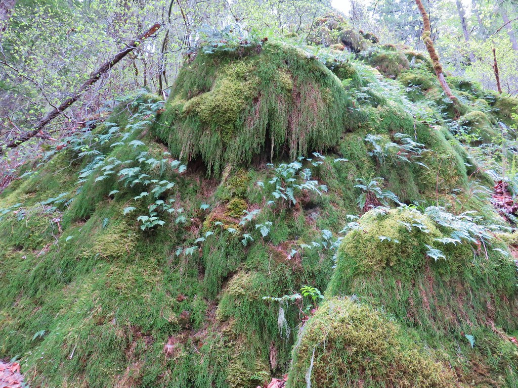
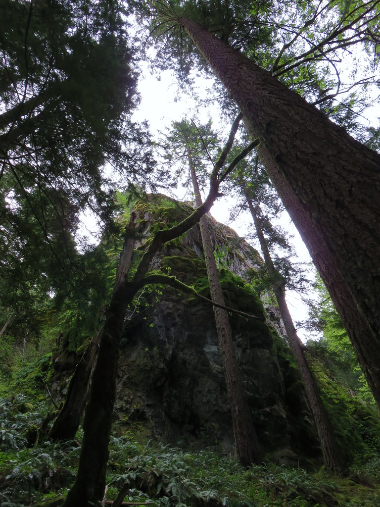
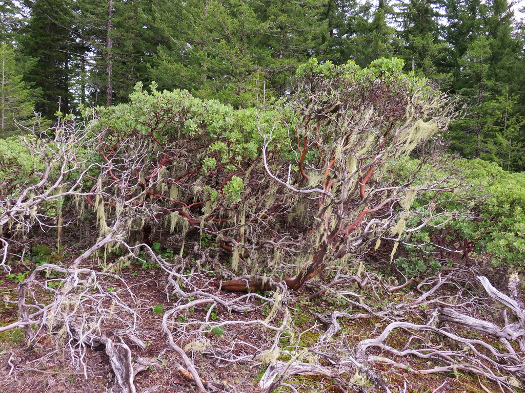
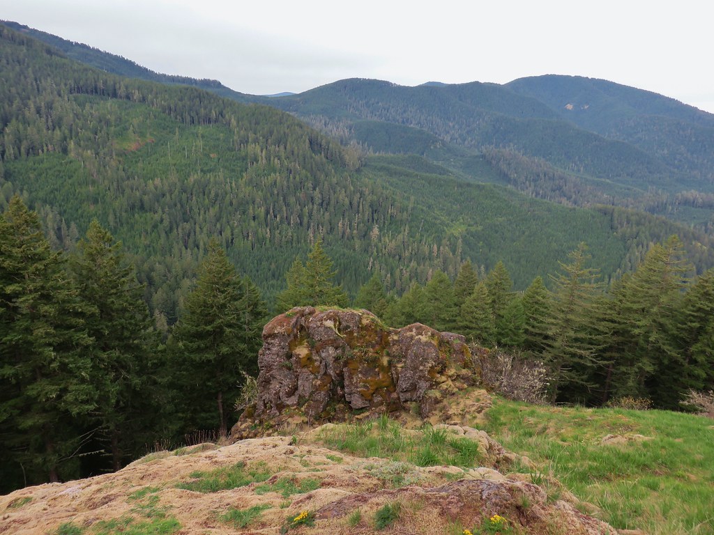
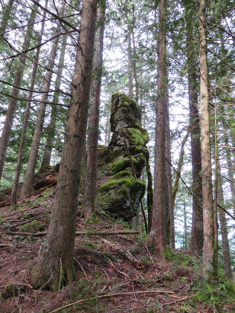
 Sawtooth Rock
 There was just a little smoke now and then in the forest.
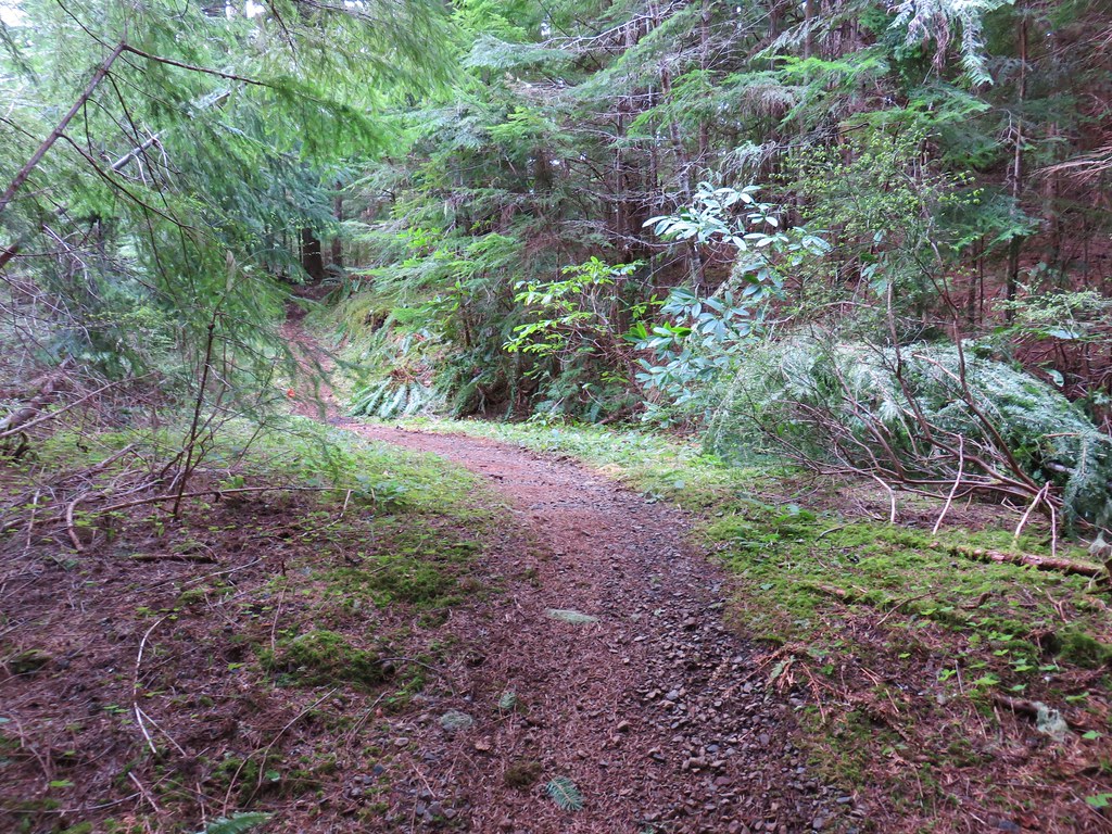
 The Eula Ridge Trail coming into view.
I arrived at the Eula Ridge Trail at 1:19pm and bombed down the steep trail as carefully as possible. There are a lot of loose rocks/pebbles along the trail so my trekking poles came in very handy.

 There wasn’t much in the way of Fall colors along the trail, but these leaves really stood out.
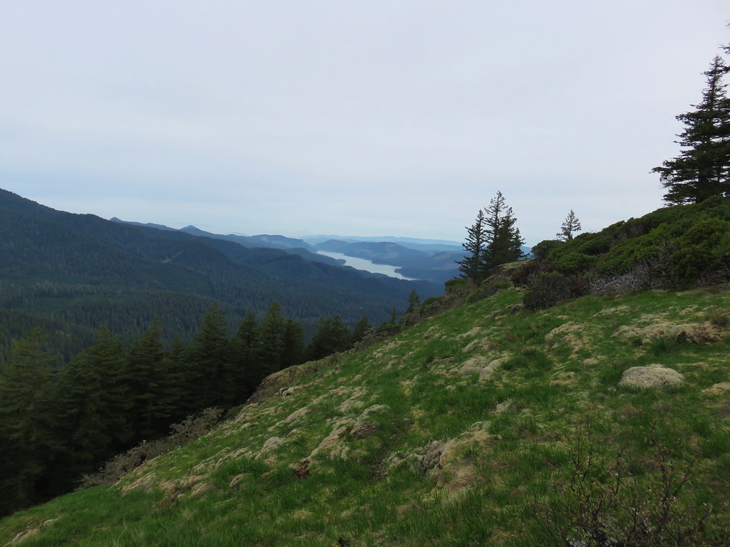
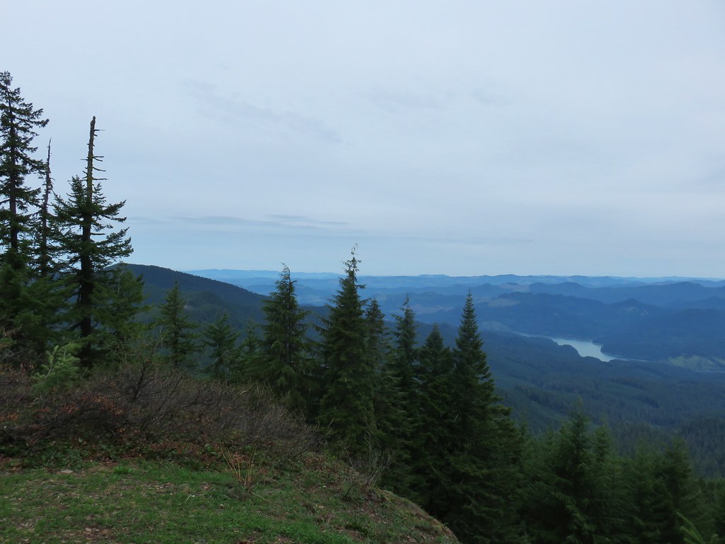
 Lookout Point Lake (Middle Fork Willamette River) from the trail.
 There was one more small uphill on the far side of South Creek before dropping to the trailhead.
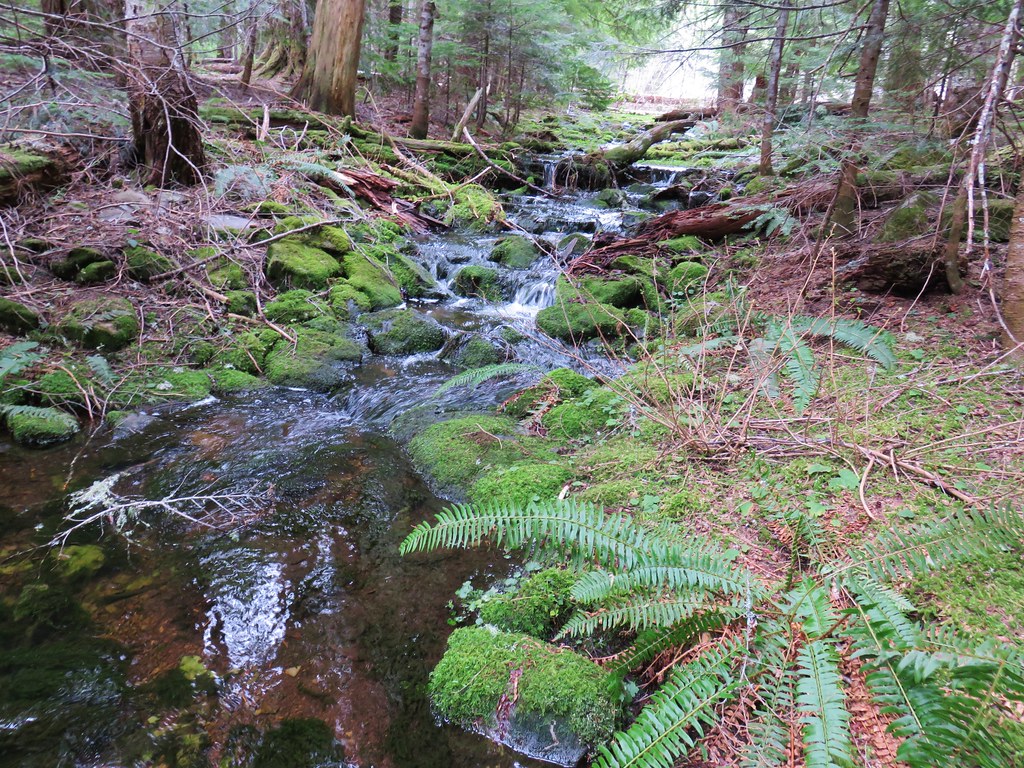
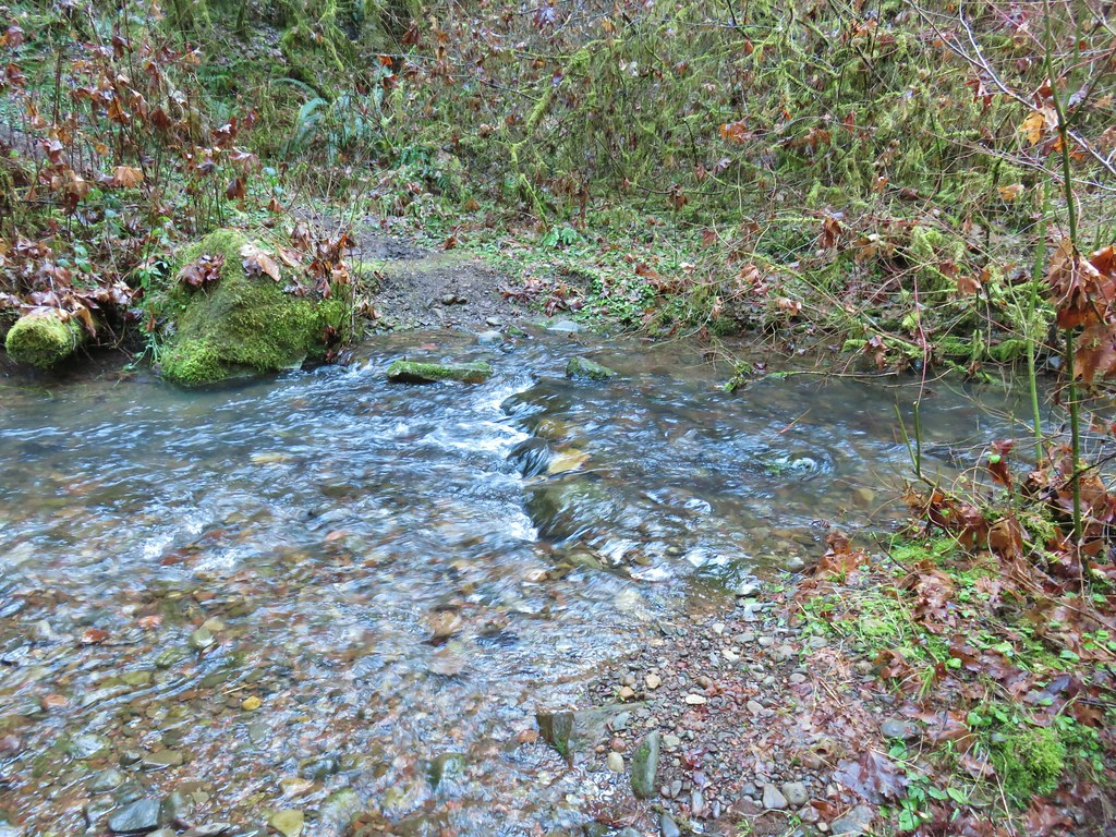
 South Creek

I made it back to the car at 3:00pm. My Garmin clocked in at an even 17-miles and I estimated close to 5300′ of cumulative elevation gain.

This was a real challenge, especially the day after another difficult hike. It does make for one heck of a training hike, and I didn’t see another person the entire day. Happy Trails!
Flickr: Eula Ridge to Mount June


 Wren signing along the trail