**Note the area around Little Boulder Lake burned in the 2023 Boulder Fire.**
For the final hike of our vacation we again used one of Matt Reeder’s hikes as inspiration. We based this hike off of his Boulder Lake and Bonney Butte description (Hike #31 in “Off the Beaten Trail”). The starting point for Reeder’s 8.8 mile hike is the Boulder Lake Trailhead but for us that would mean a 3+ hour drive. A little research on Oregonhikers.org though gave us the idea to start at the Wamic Road Trailhead (okay it’s more of a pullout along the road than an actual trailhead) located along Forest Road 48 (Wamic Road) 6.5 miles from Highway 35. Starting here would take approximately 45 minutes off the drive time each way but it added over 4 miles and 1600′ of elevation gain to the hike.
Even though we were watching for the Bonney Meadows Trail we only spotted it as we passed by so we had to turn around and go back. We had been scanning the shoulder for the trail and missed a big white X in the road marking the spot.

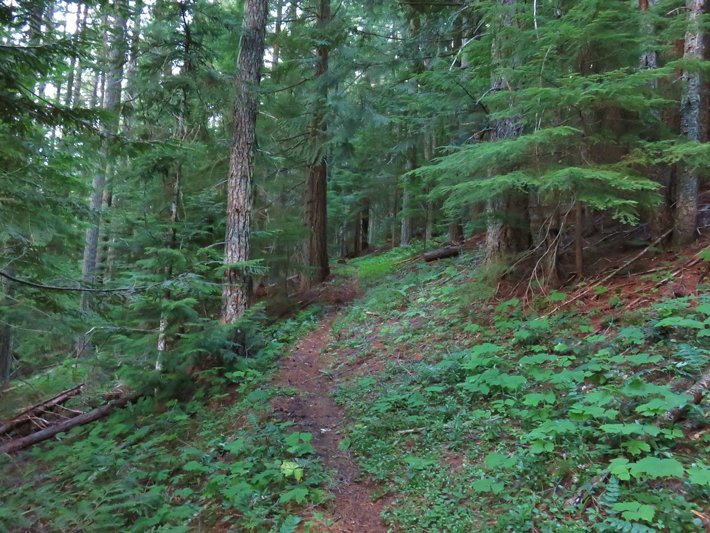
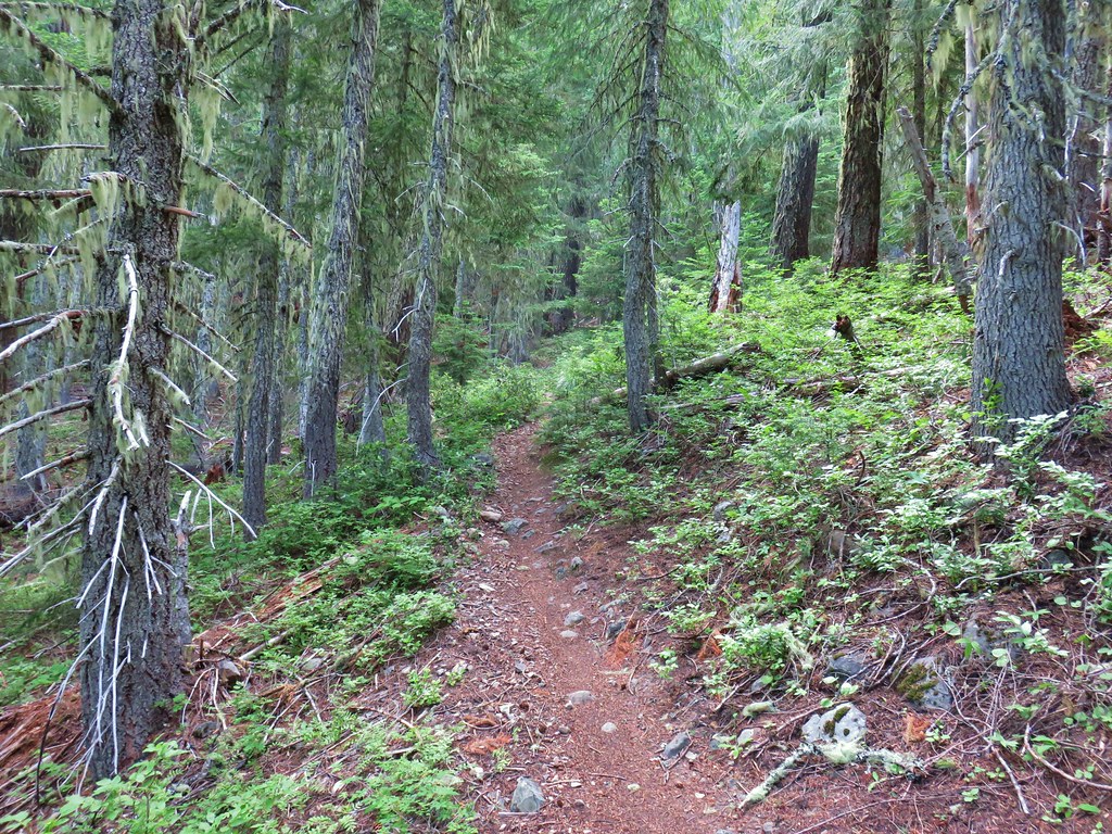
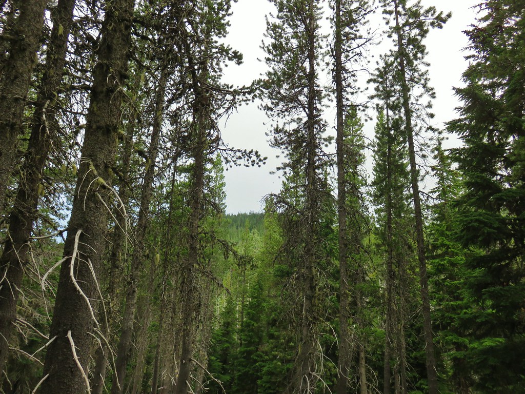
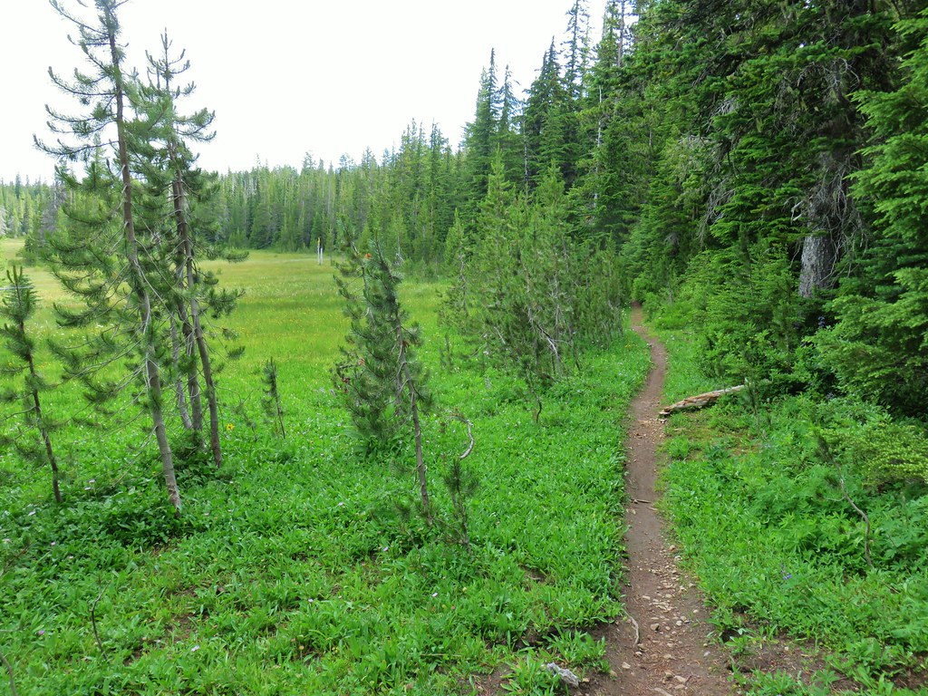
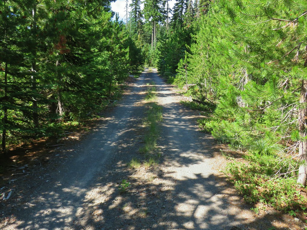
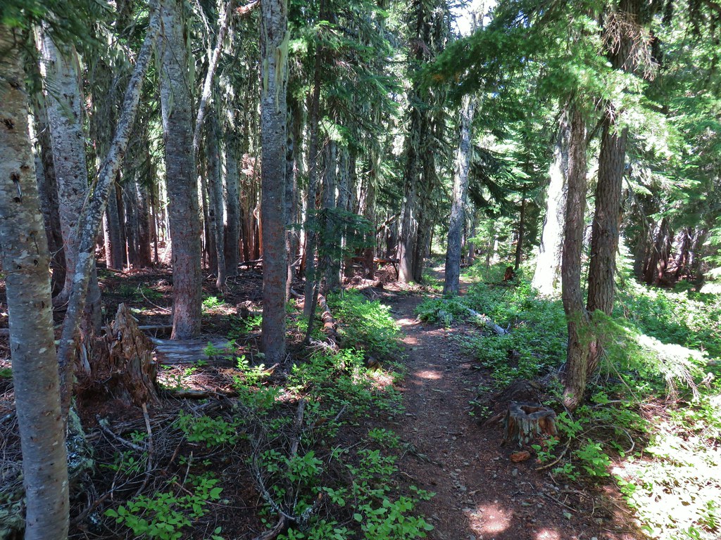
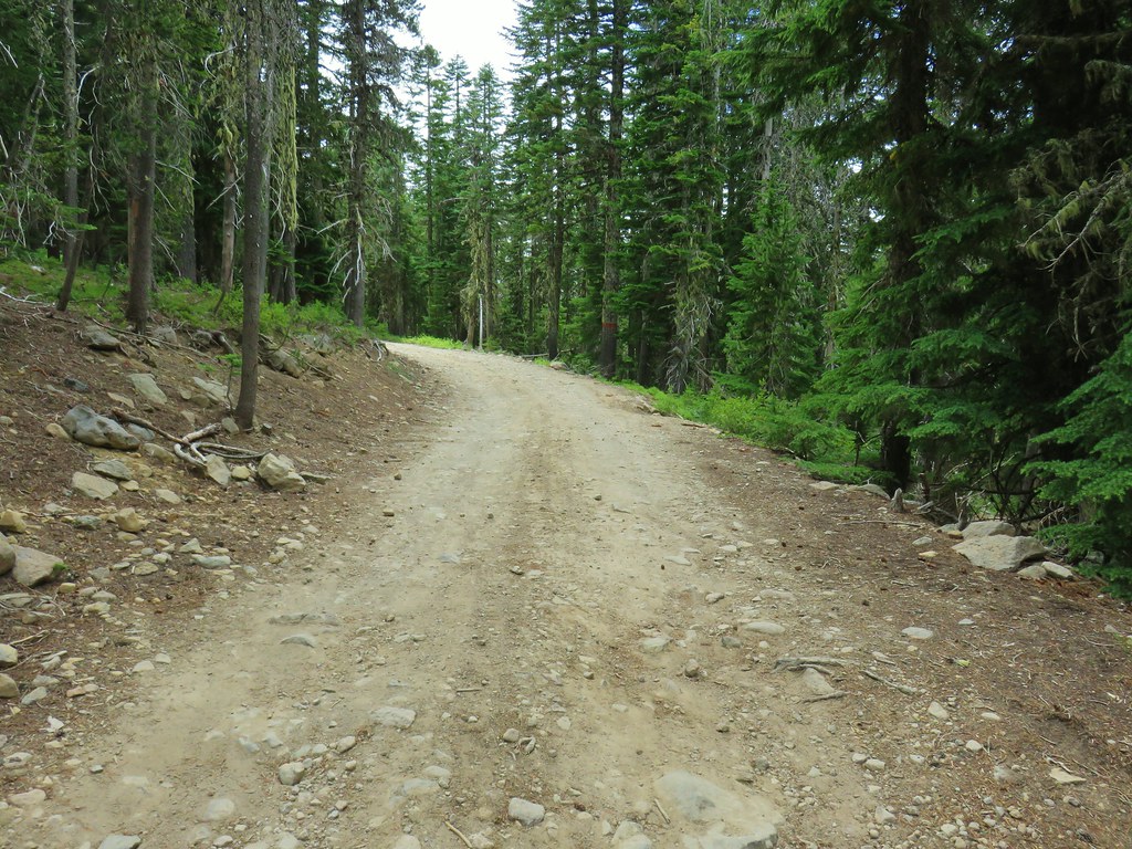
The Bonney Meadows Trail climbed from the start angling up the hillside as it passed through a nice mixed forest. The climb was constant but never particularly steep.

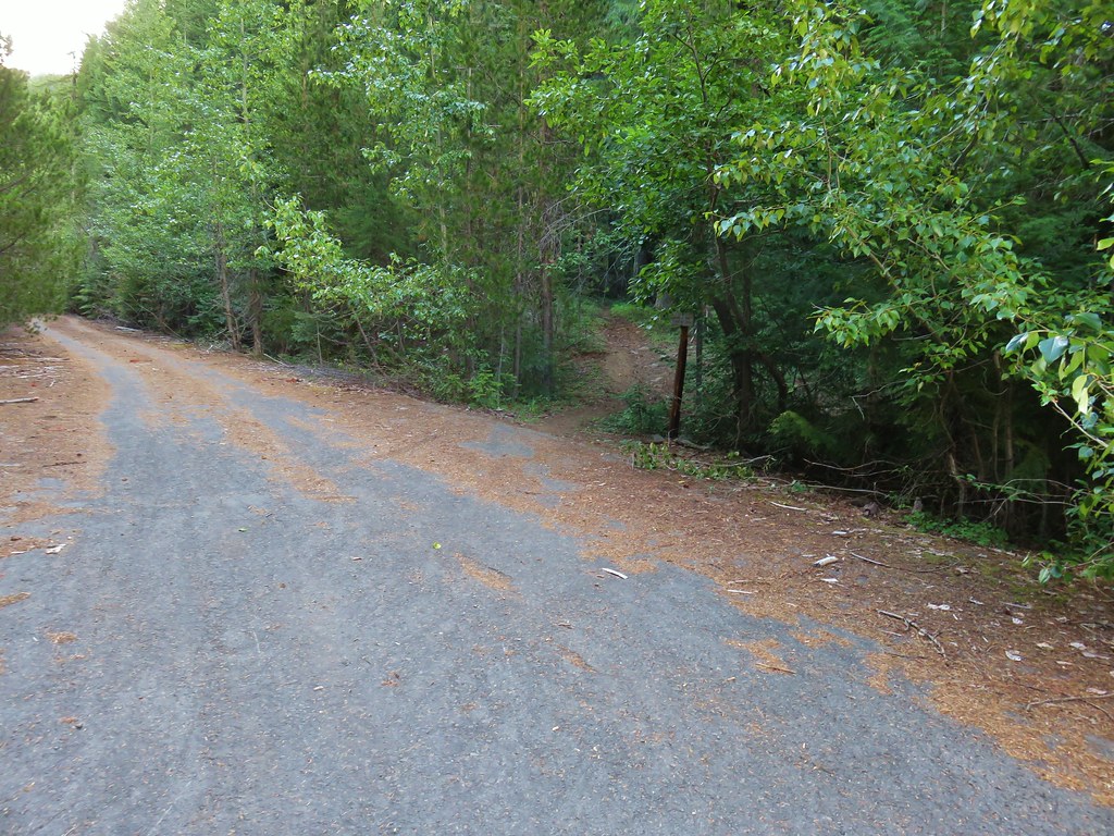
Approximately a half mile from Wamic Road the trail arrived at FR 4890 which it followed to the left for a short distance to a wide intersection.

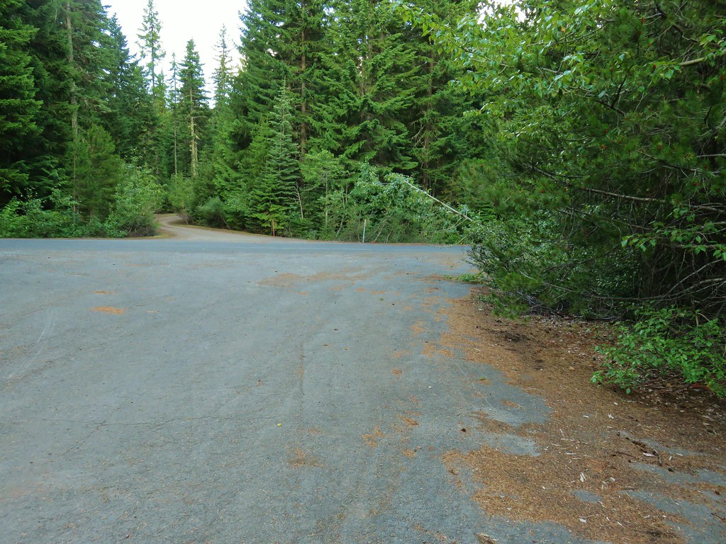
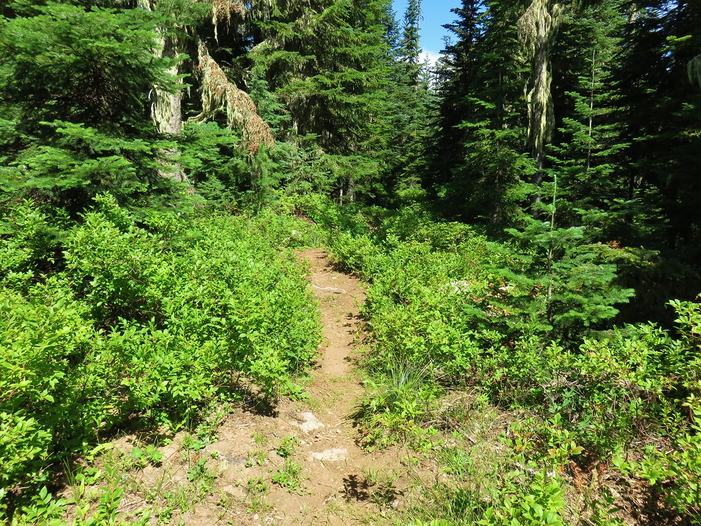
The trail resumed a short distance up a spur road to the left at the intersection.
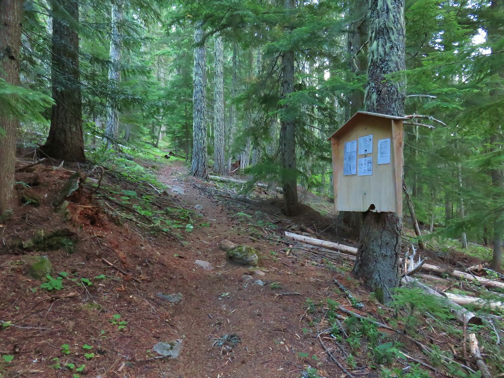
Shortly after passing a signboard near the road we entered the Badger Creek Wilderness.

The forest changed subtly as we gained elevation.

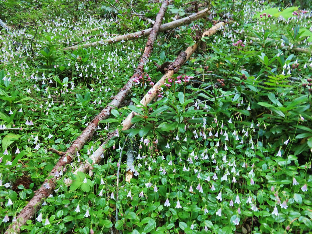 Twin flower and prince’s pine
After approximately 2 1/4 miles we left the wilderness and arrived at Bonney Meadows Road.
We faced a choice here. We could have turned left and walked up the road a little over half a mile to the gated road up Bonney Butte or we could continue on the Bonney Meadows Trail and visit the Boulder Lakes before heading up Bonney Butte later in the day. We’d had a fairly clear view of Mt. Hood from Highway 35 at the White River Bridge, but it was overcast in that direction now so we opted to try for Bonney Butte later. We crossed the road and continued on the trail.
 Overcast skies over Bonney Butte

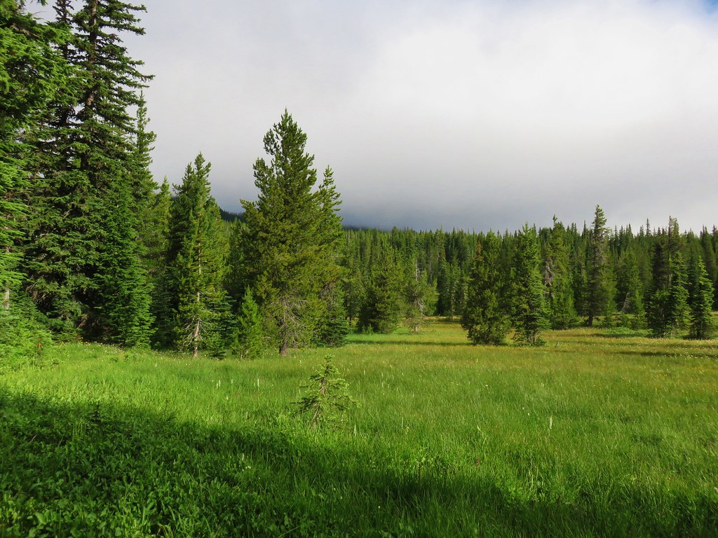
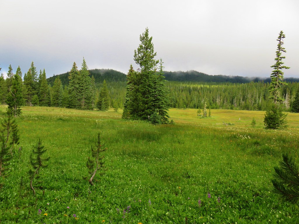
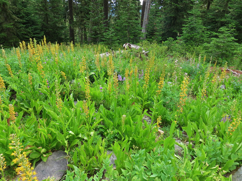
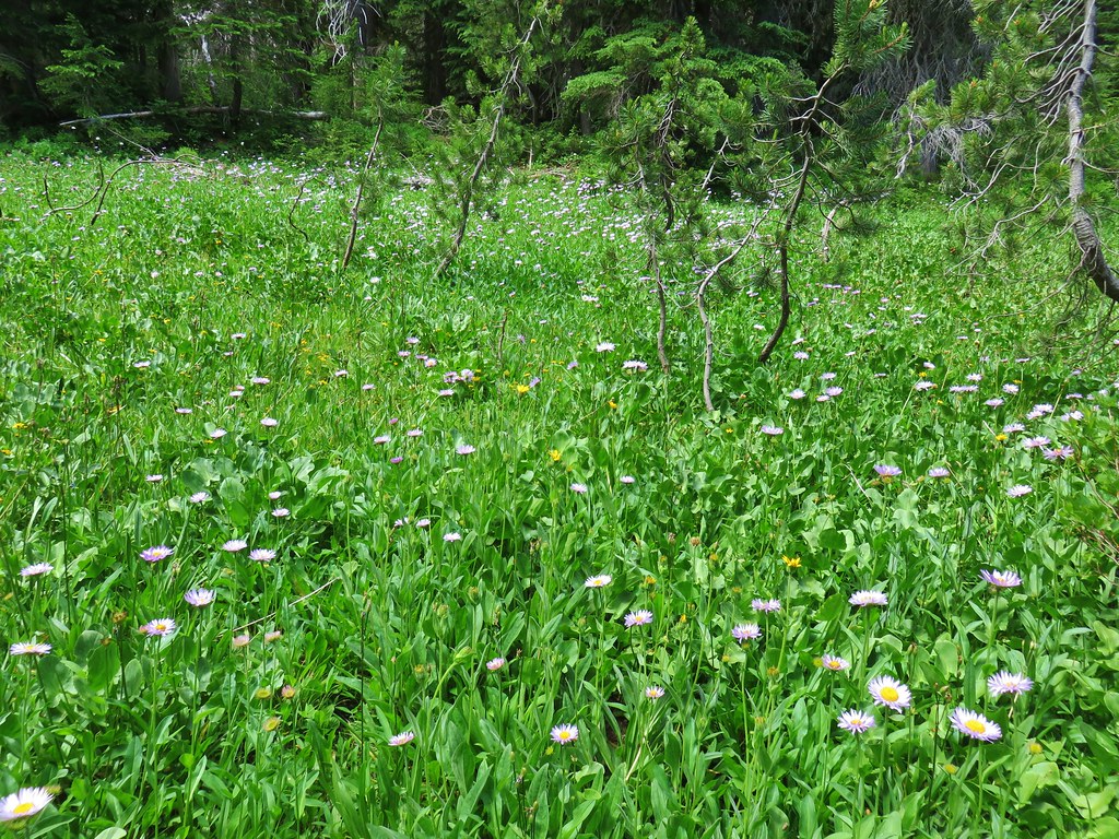
The Bonney Meadows Trail began to pass along the outskirts of Bonney Meadows.
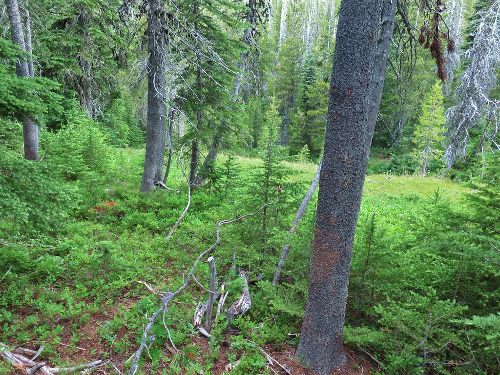
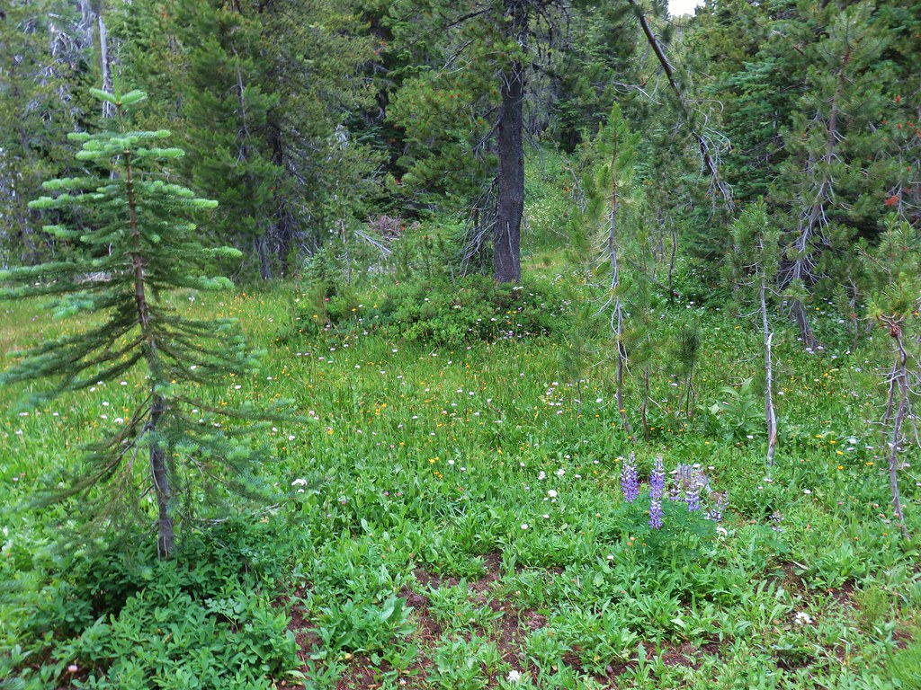
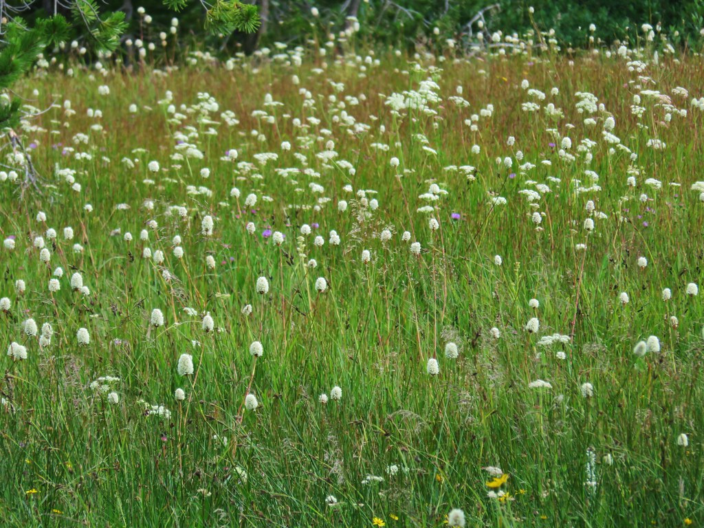
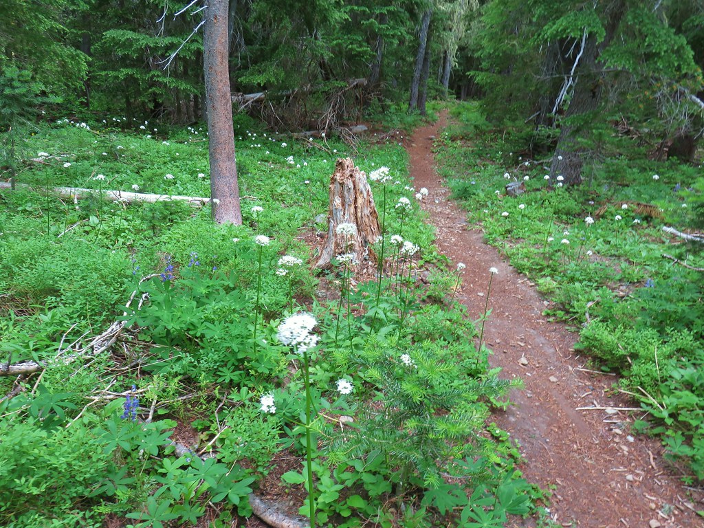
It was past prime for the flowers but there was still a decent number to be seen.


 Mountain chickadee
The meadows were bigger than we had expected and on a clearer day we would have been looking across them at the top of Mt. Hood.
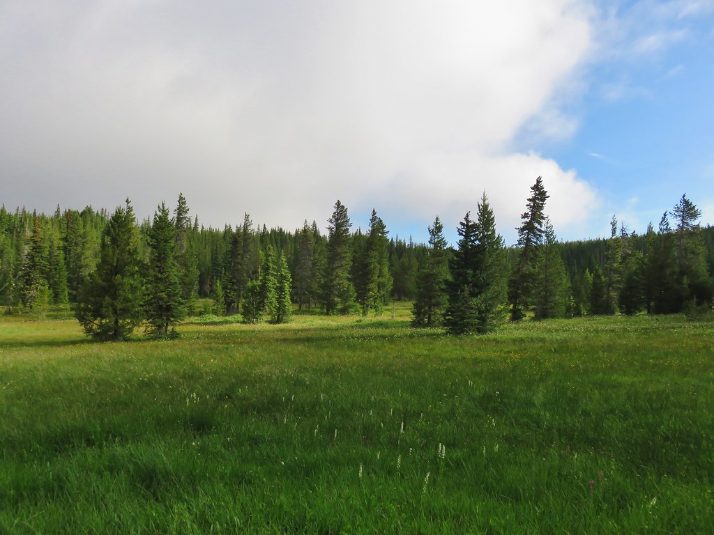
As it was we settled for looking at the different flowers still in bloom.
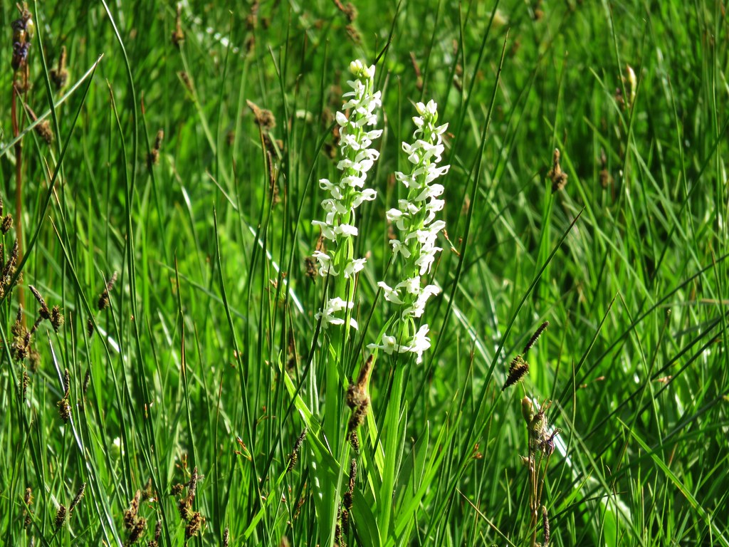 Bog orchids
 Shooting star
 Elephants head
 Lupine
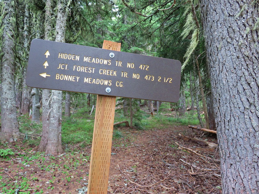
We ignored the Hidden Meadows Trail which left to the right a quarter mile from the road crossing.
Just beyond that junction we passed a small pond as we continued our way around the Bonney Meadows.

 Clouds dropping down after passing over Bonney Butte, it looked like we’d made a good choice.

A half mile from the Hidden Meadows Trail junction we arrived at a second junction, this time with the Forest Creek Trail. This would be our return route from the Boulder Lakes but the trail also forms a loop with the Hidden Meadows Trail.

 Mt. Hood should be straight ahead.
We continued on the Bonney Meadows Trail for another eighth of a mile to a third junction. Here we turned right onto the Boulder Lakes Trail.

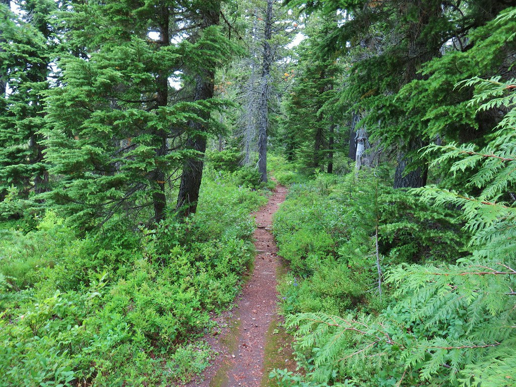
After a short stint passing by more meadow the Boulder Lake Trail dove downhill.

 Mock orange


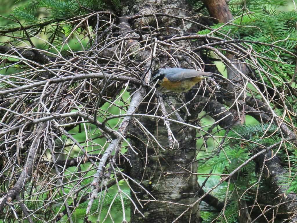
There had been a decent number of small birds around the meadows but as we headed down this forested hillside we started seeing dozens of little birds flying every which way. A couple of times they zoomed right by our heads, possibly plucking insects out of the air. We noticed several different types but getting any of the little guys to sit still long enough for pictures was a challenge.
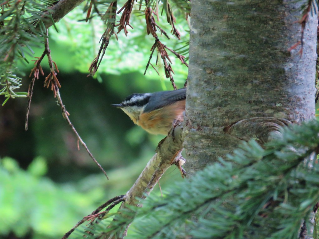
 Red-breasted nuthatch
 Another nuthatch
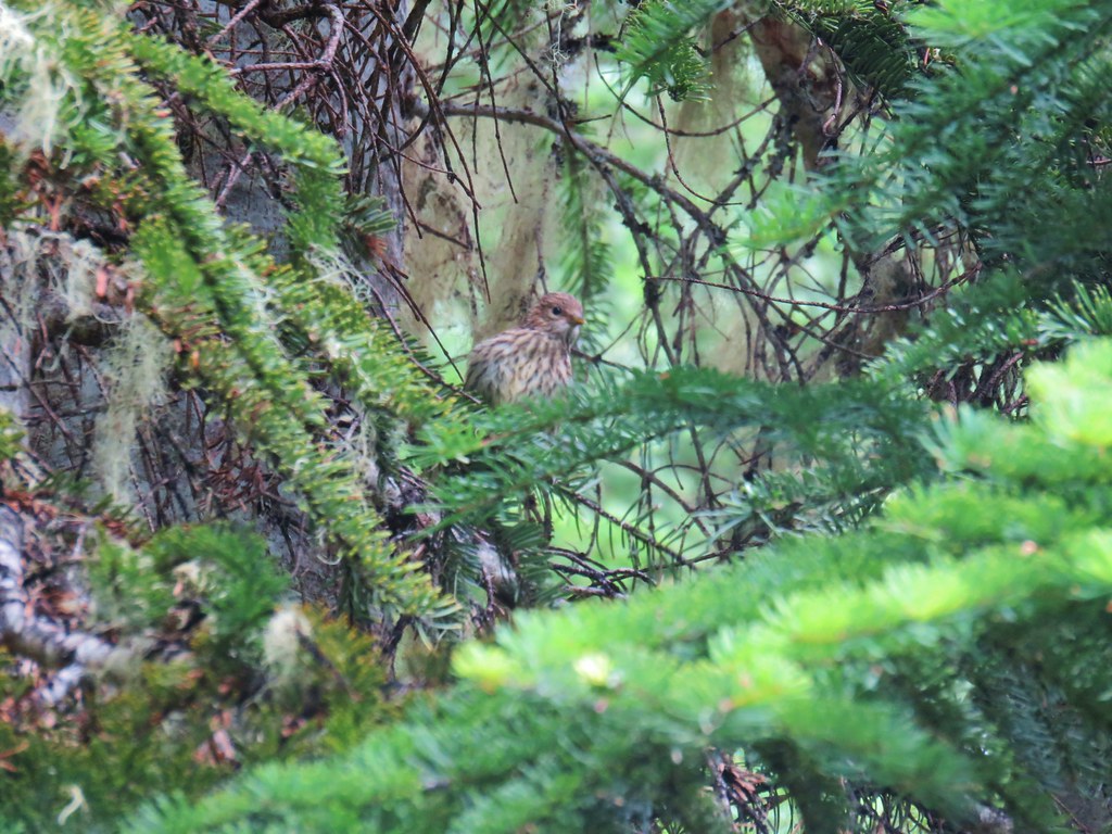 Sparrow
After .4 miles on the Boulder Lake Trail we came to a switchback where the trail turned SE and leveled out a bit near a spring.

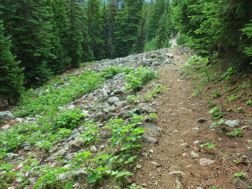
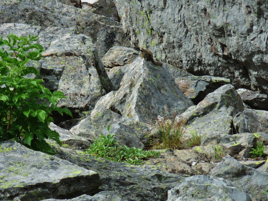
Beyond the spring the trail passed a series of talus fields where we spotted pikas, golden-mantled ground squirrels, chipmunks, and more birds.
 First pika
 Second pika
 Paintbrush

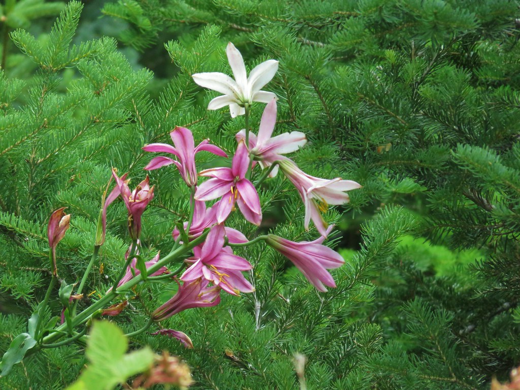 Washington lily
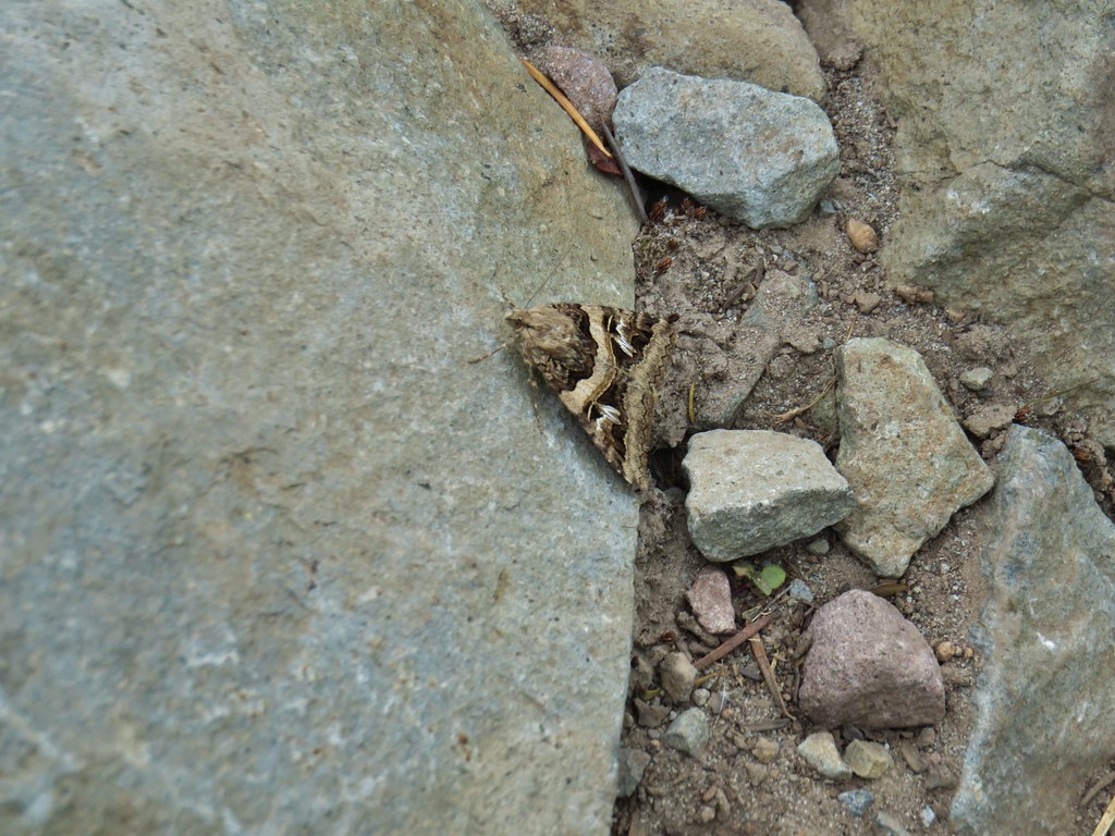 Moth
Moth
 Golden-mantled ground squirrel
 Chipmunk
 Penstemon
 Tall bluebells
 Rainiera
 Nuthatch

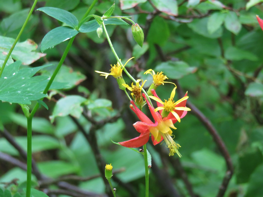 Columbine
 Gray jay
After passing by Kane Spring (off trail to the NE) near the 1.5 mile mark the trail dropped down for a quarter mile to Boulder Lake.


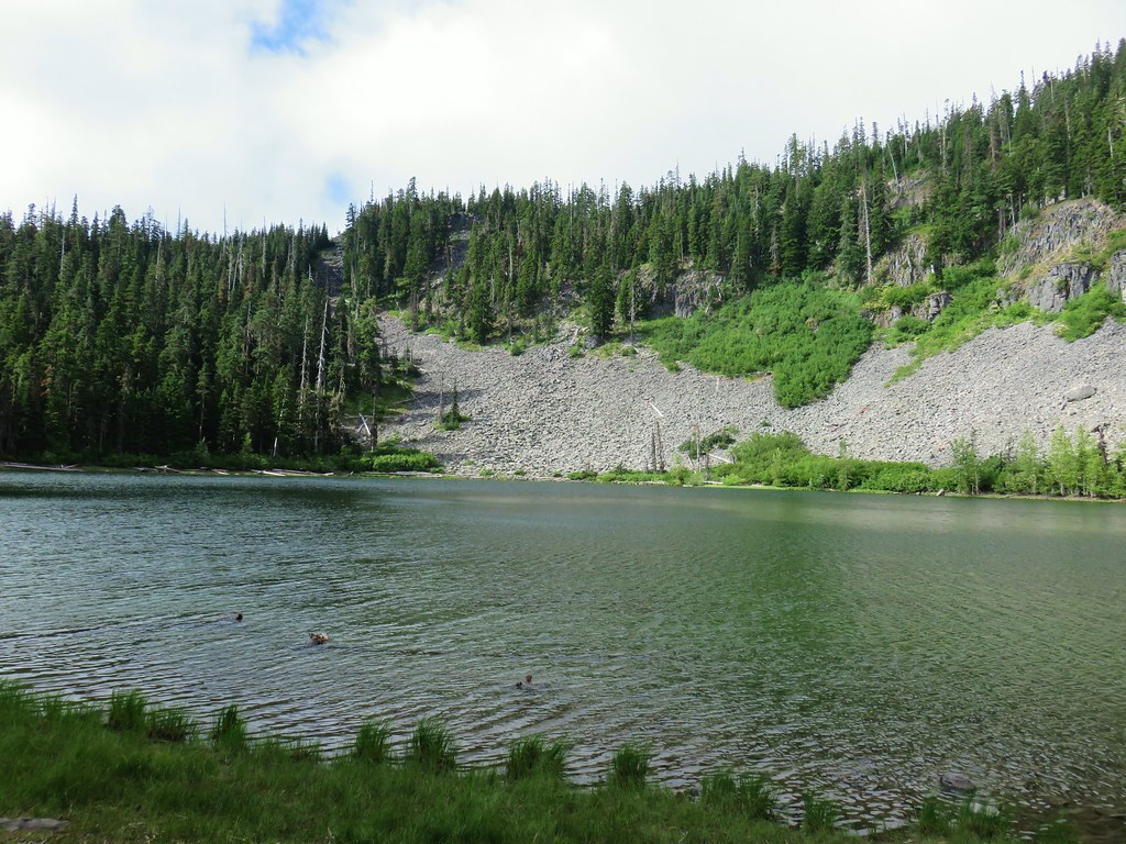

There were a couple of groups camping at the lake but also some vacant spots. We walked along the lake shore trail checking out a couple of the empty camp sites before arriving at a junction with the trail coming from the Boulder Lake Trailhead on Forest Road 4880.

We took a short detour and followed this trail a tenth of a mile to check out Spinning Lake.

 Spinning Lake
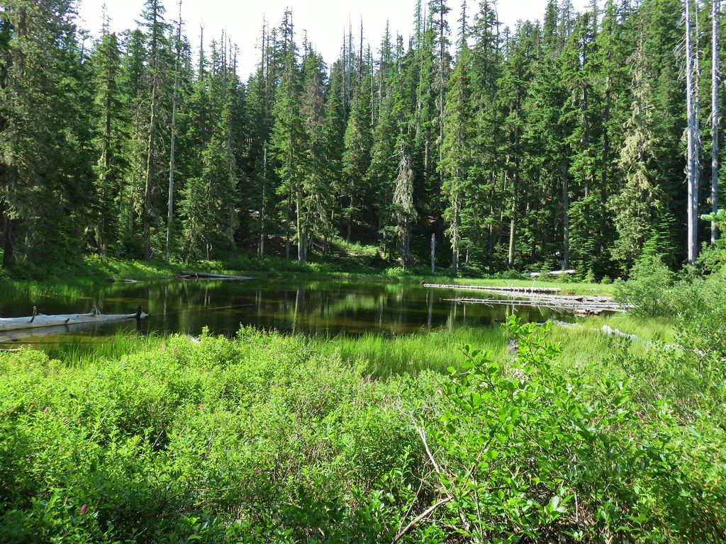
After taking a quick look at the little lake we hiked back up to Boulder Lake and turned left following a point for the Little Boulder Lake Trail.

This trail made a short climb and then descent over a ridge before arriving at Little Boulder Lake in half a mile.


The trail ended at Little Boulder Lake but several short paths led to a road to the SE of the lake.
After sitting by the lake we hiked to the road and turned right.
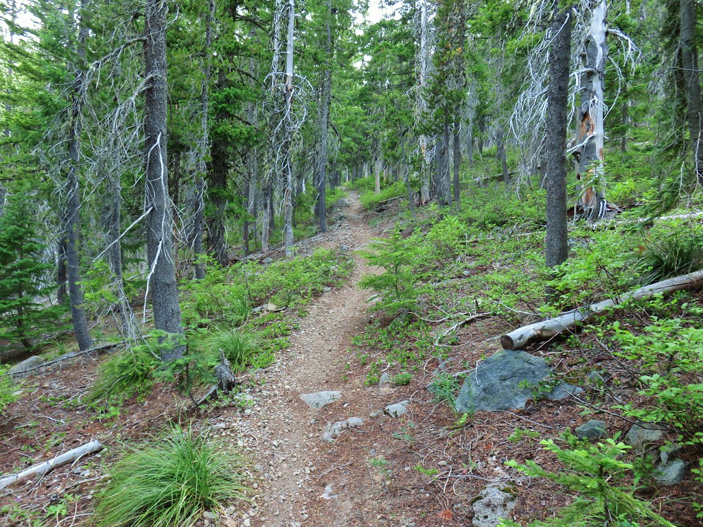
The road gradually climbed for a little over three quarters of a mile to a ridge top where the Forest Creek Trail crossed over. We turned right onto the trail which passed though some old clear cuts where huckleberries were ripening. We passed a couple of berry pickers not far from the road in fact.


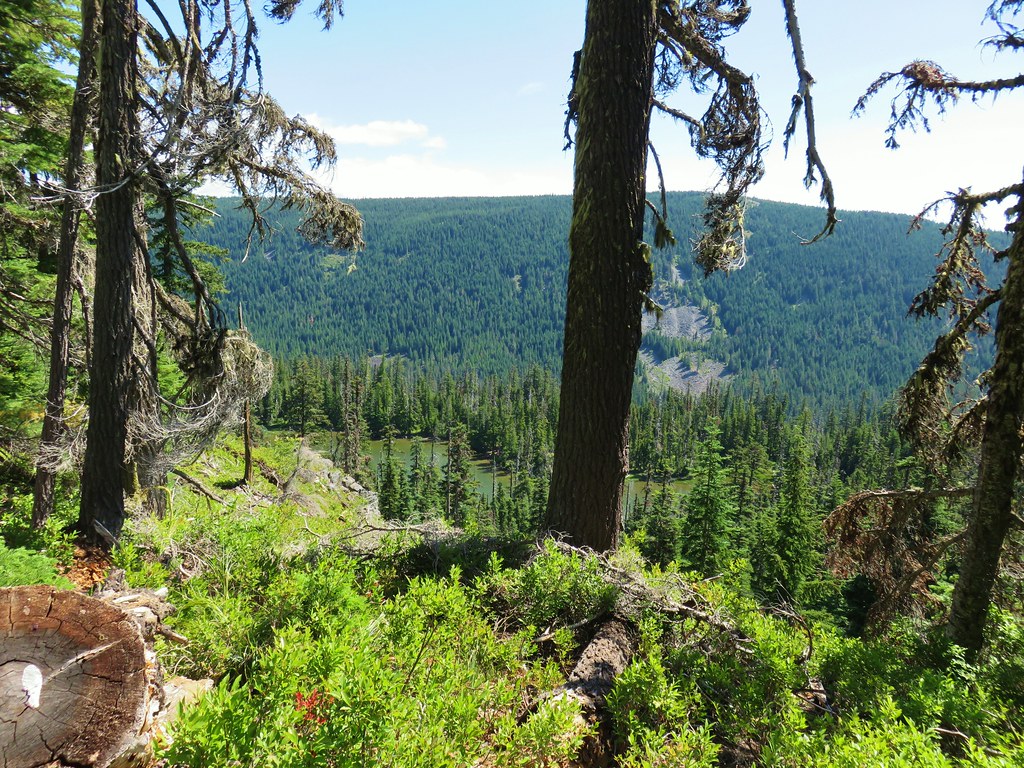
We climbed along the ridge for almost a mile before coming to a cliff top viewpoint above Little Boulder Lake.

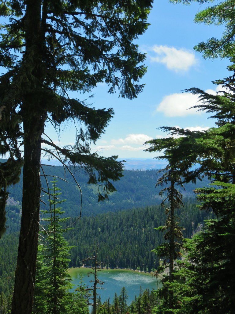
The trail continued its gradual climb beyond the viewpoint on its way to Echo Point, the high point of the trail. A little over 1.25 miles from the Little Boulder Lake viewpoint a short off-trail jaunt led us to a view of Boulder Lake.

We arrived at Echo Point in another .2 miles.

 Gunsight Butte, Lookout Mountain, and Badger Butte.
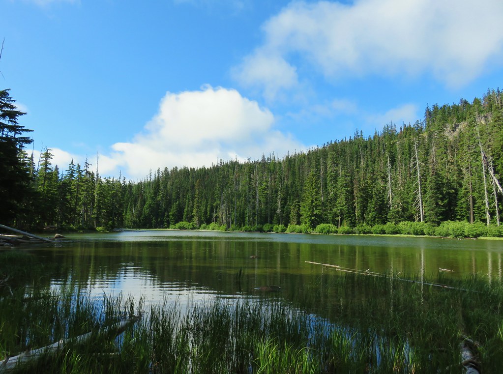
 Boulder Lake from Echo Point
After taking a break at Echo Point we began the .3 mile descent down to the Bonney Meadows Trail where we discovered Mt. Hood making a bit of an appearance.
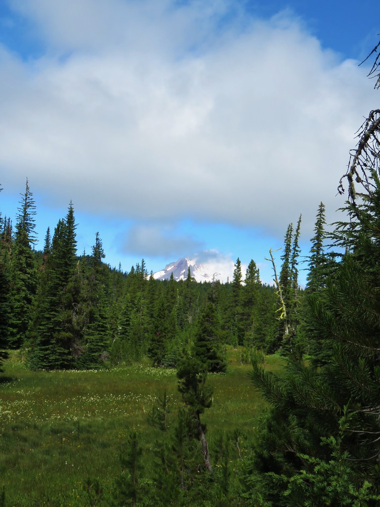
We took that as an encouraging sign for Bonney Butte and turned right on the Bonney Meadows Trail retracing the eighth of a mile to the Boulder Lake Trail junction. This time we turned left toward the Bonney Meadows Campground.

The trail crossed Bonney Creek before arriving at the campground.

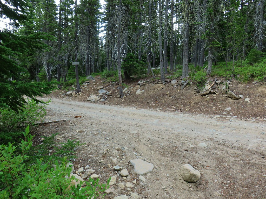
We turned right at the campground and followed the entrance road to Bonney Meadows Road where we turned right.


We followed this rocky road for .3 miles to the gated road up Bonney Butte where we turned left.


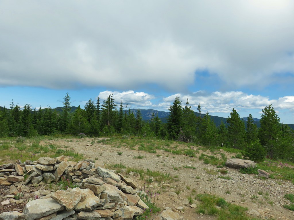
We hiked up this very rock road a half mile gaining 250′ to the summit of Bonney Butte.


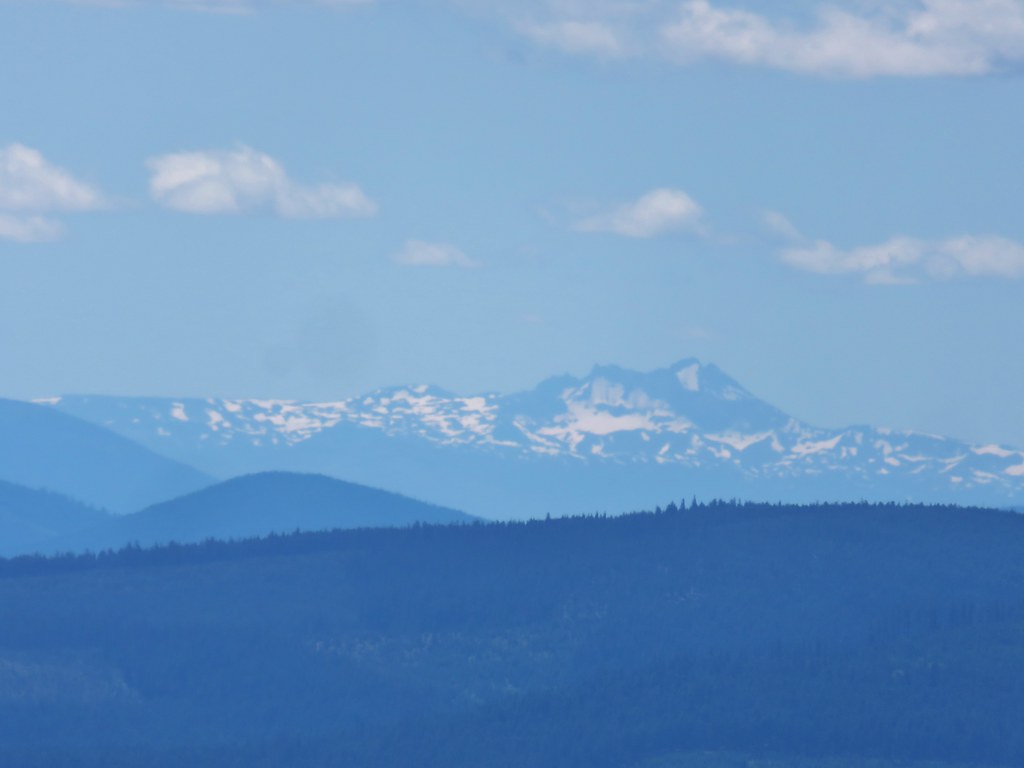
Just prior to the summit was a viewpoint where it appeared that there were fewer clouds to the south. Mt. Jefferson was partially hidden but Broken Top and the Three Sisters looked to be under mostly blue skies.

 Broken Top
 Broken Top, The Three Sisters, and Mt. Jefferson
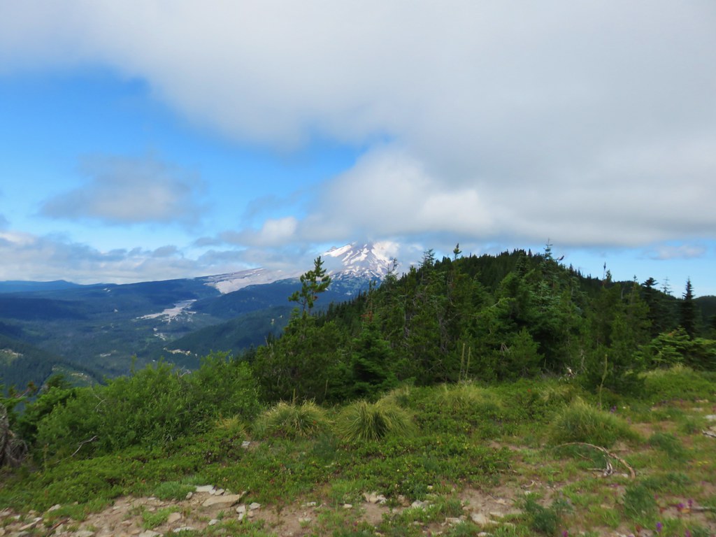
Upon arriving at the summit we found a stubborn cloud between us and Mt. Hood.

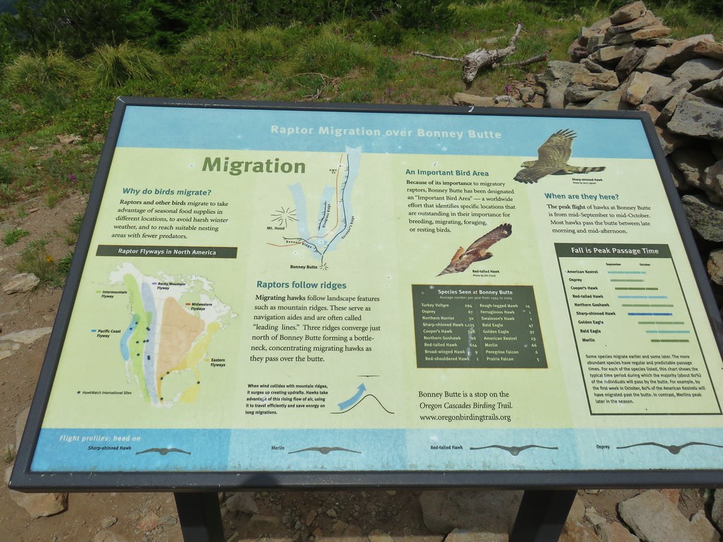
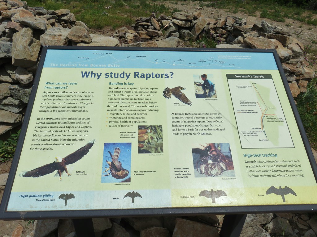
Plaques at the summit recount the history of the Bonney Butte fire lookout as well as telling about raptor migrations. Hawkwatch International volunteers perform raptor counts here from late Summer into Fall.


We spent some time reading the plaques and hoping that the clouds would miraculously part long enough to get a clear view of the mountain but it wasn’t to be.
 Highway 35 bridge over the White River
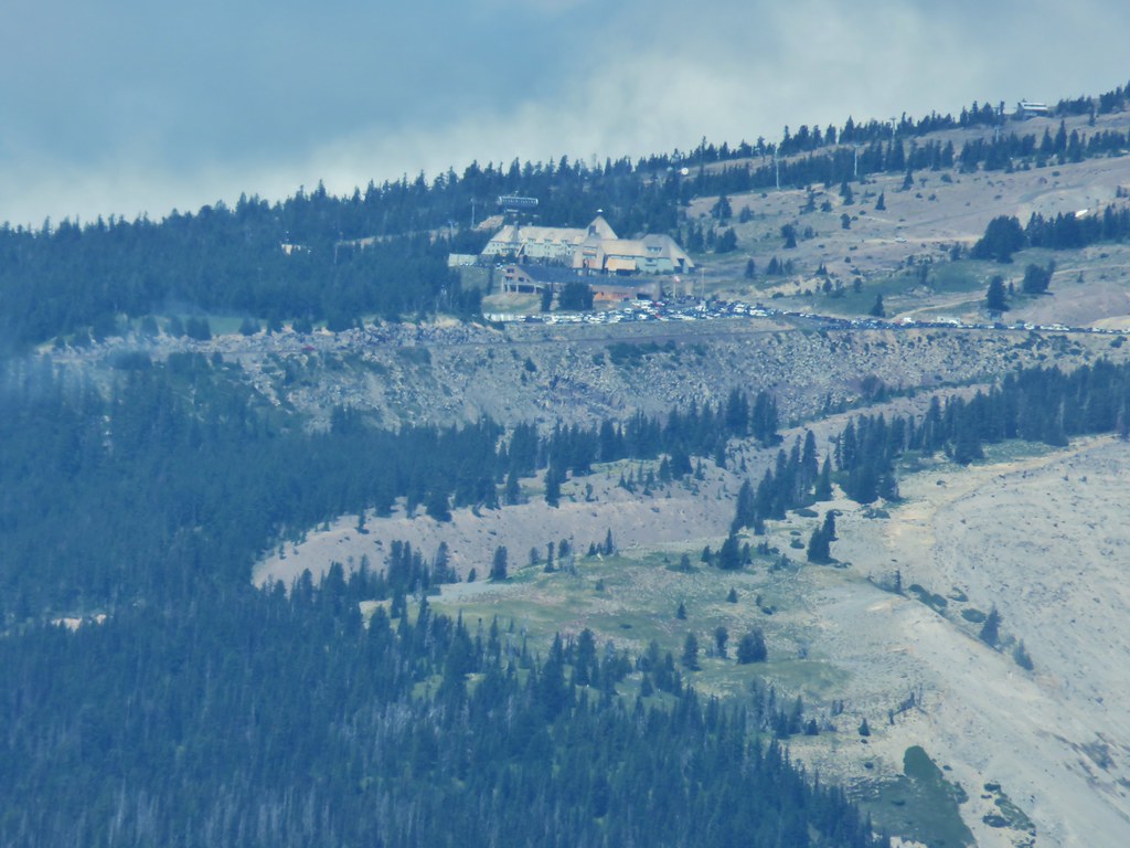 Timberline Lodge
 Close but no cigar.
 Turkey vulture
 There’s the summit for a second.
The view was better to the north where the peaks of the Badger Creek Wilderness were cloud free.
 Lookout Mountain (post) in the center.
We finally called it when it became apparent that the clouds were not going to relent and headed back down to Bonney Meadows Road.

 Bonney Meadows
We walked back along the road past the campground entrance for .2 miles. Just after crossing Bonney Creek we came to the Bonney Meadows Trail where we had come up to the road that morning.
 Bonney Creek
 Approaching the Bonney Meadows Trail
We turned downhill and headed back to Wamic Road. After reentering the Badger Creek Wilderness there were a couple of negatives. First fresh mountain bike tracks had been made in the trail cutting into the sides in some places. Mountain bike are not allowed in designated wilderness areas so this was disappointing. The other bummer was the steady sound of gunfire that was coming from the spur road near the junction where the Bonney Meadows Trail shortly follwed FR 4890. Despite ending on a bit of a downer the majority of the hike was excellent and we were already planning a return trip, possibly during the raptor count some year.
Starting at Wamic Road the hike wound up being 14.3 miles according to the GPS and gained between 3000 and 3500′. Going in the direction we had on the loop past the Boulder Lakes kept the steepest setions of trail as downhills which helped make the hike feel a little less challanging than the numbers sound. It was a good bookend to our vacation. Happy Trails!
Flickr: Bonney Meadows and Boulder Lakes

4 replies on “Bonney Meadows and Boulder Lake – 7/27/2019”
[…] On the right of the far ridge is Bonney Butte (post). […]
[…] round peak along the far ridge is Gunsight Butte (post) and Bonney Butte (post) is along the broad rise to its […]
[…] Mountain(post), Gunsight Butte (post), and Bonney Butte (post) along the far […]
[…] Butte (post) on the far […]