
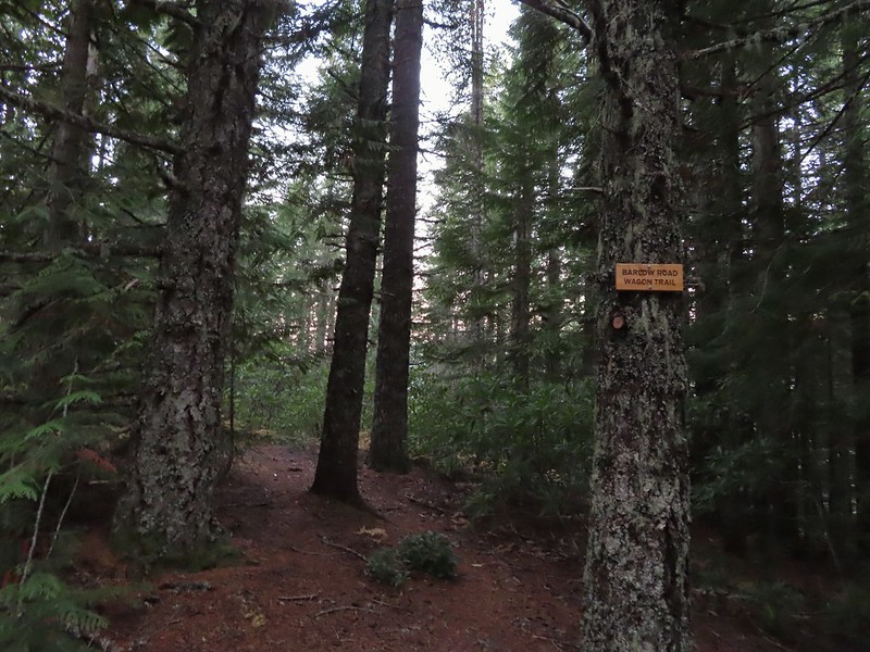
We ended our hiking season with a bang, a pair of stops along the Barlow Wagon Road with an off-trail adventure, great views and beautiful weather. Created in 1846 the “Barlow Road” provided an alternate route along the Oregon Trail which previously ended at The Dalles where emigrates were forced to find passage down the Columbia River. The 80 mile road led from The Dalles to Oregon City crossing several rivers and the Cascade crest along the way. The wagons also had to navigate Laurel Hill’s steep descent and our first stop of the day was to visit the Laurel Hill Wagon Chute, the steepest drop along the road.
We parked at the small pullout along Highway 26 that serves as the Laurel Hill Trailhead.
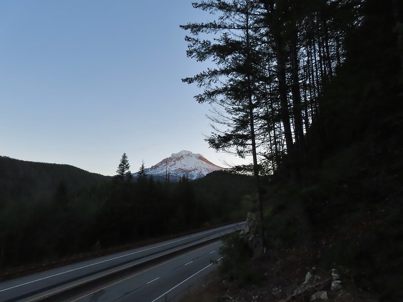
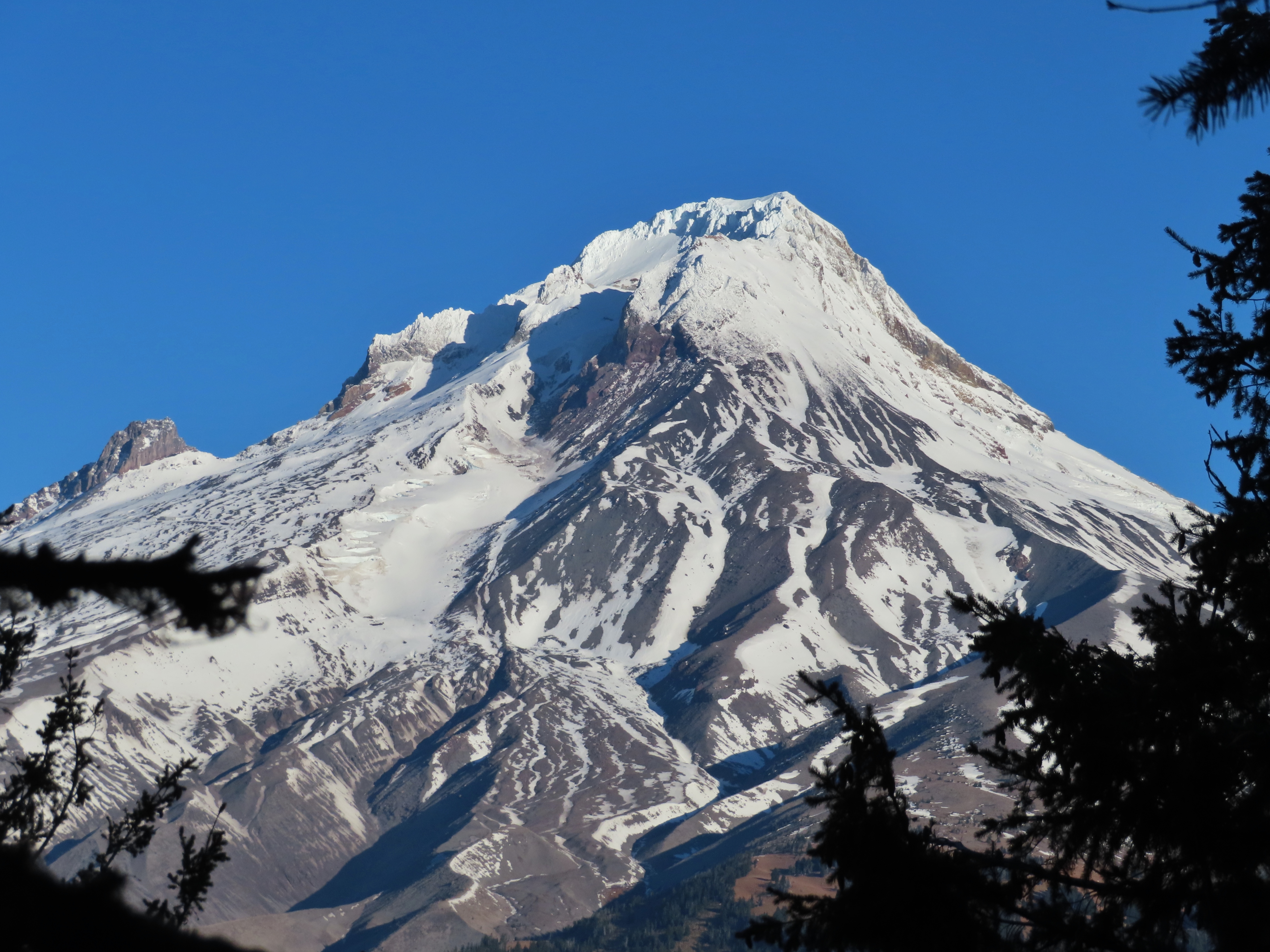
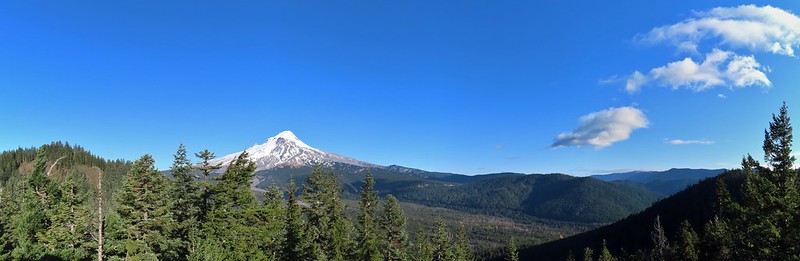
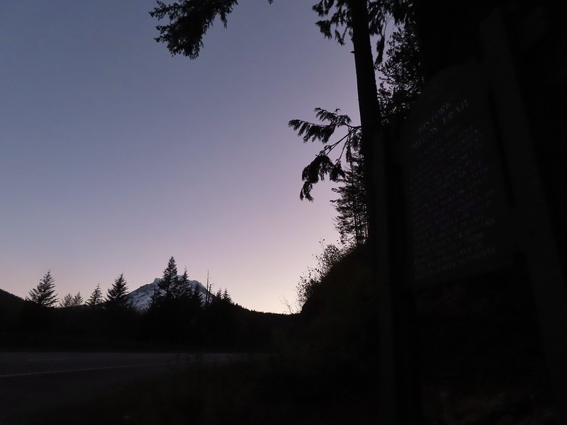 Mt. Hood from the trailhead.

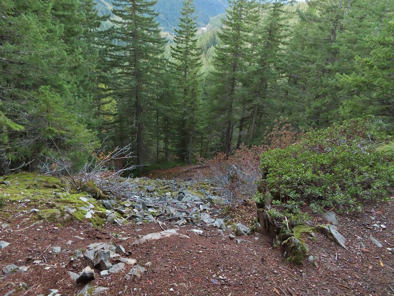
We followed the trail uphill on stairs to an abandoned section of the Mt. Hood Highway then turned right to find the bottom of the rocky chute.


 The wagon chute.

A trail to the right of the chute led uphill to a 4-way junction where we turned left and followed this path a short distance to the top of the chute.

 The left at the 4-way junction.
 Looking down the chute.
After reading the sign near the chute and trying to picture actually lowering a wagon down the chute we returned to the old highway walking a short distance past the chute to a viewpoint above Highway 26.
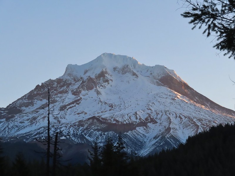 Sunlight starting to hit the SE side of Mt. Hood.
 Ravens photo bombing a close up of the mountain.
We backtracked from the viewpoint and descended down the stairs to our car.

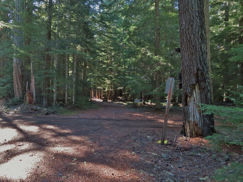
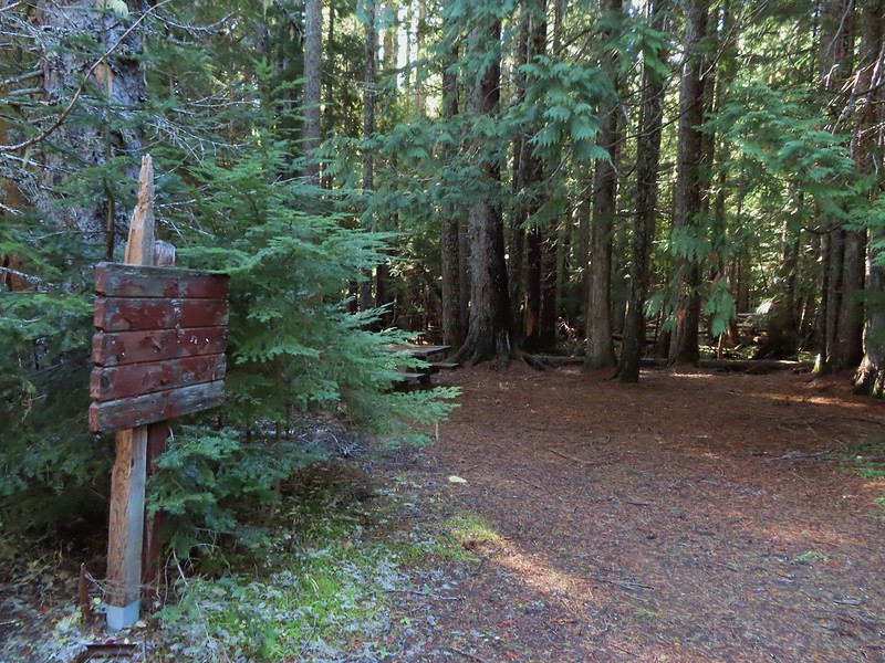
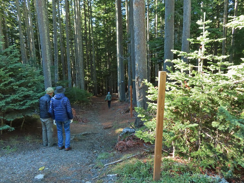
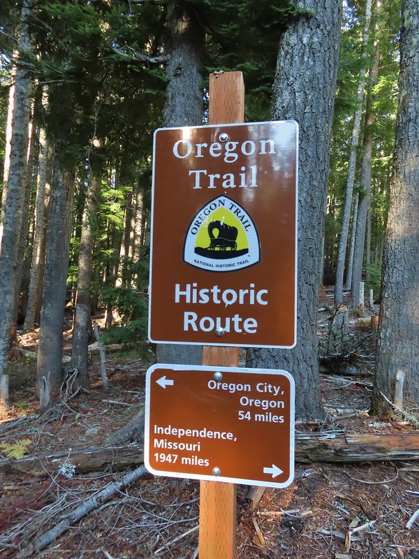
We then drove east through Government Camp to Highway 35 before turning right onto FR 3531 at a pointer for Barlow Road and the Pacific Crest Trail. After 0.2 miles we parked at the Barlow Pass Trailhead/Sno-Park. Both the Barlow Wagon Road and the Pacific Crest Trail pass through the trailhead. After parking we headed to a picnic table and sign boards on the south side of the parking area.

The PCT was on our right heading south toward Twin Lakes (post) while the Barlow Wagon Road lay straight ahead.

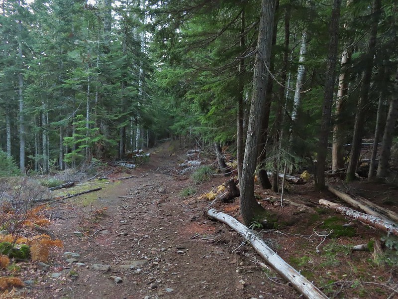
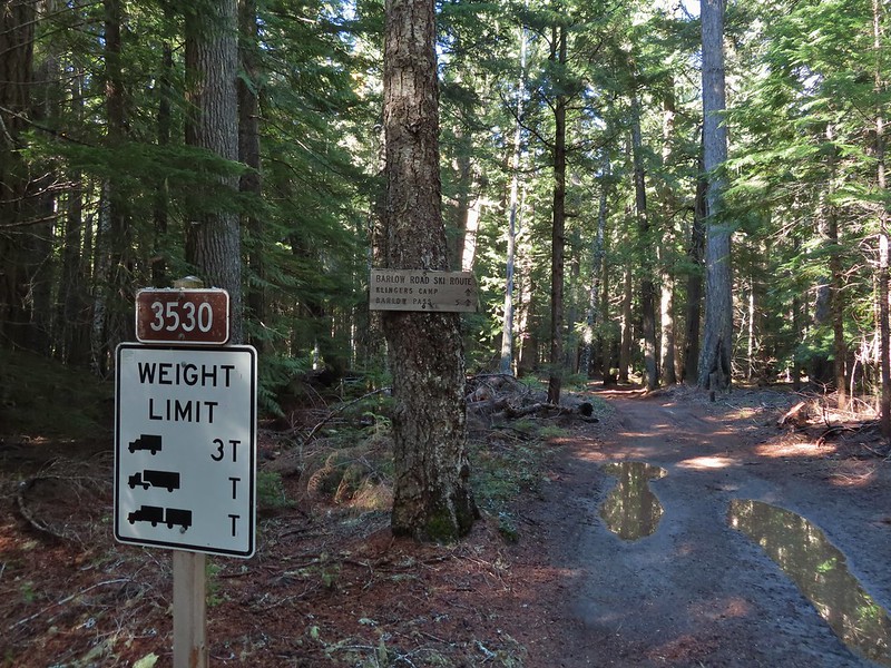
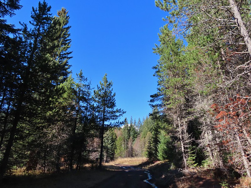
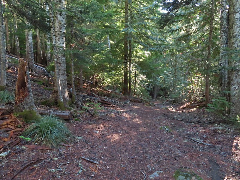
We followed the wagon road for approximately a tenth of a mile before it joined FR 3530 (Barlow Road).
 A portion of the original Barlow Wagon Road.
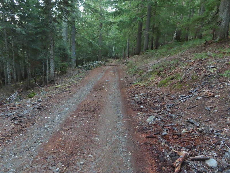 Barlow Road (FR 3530)
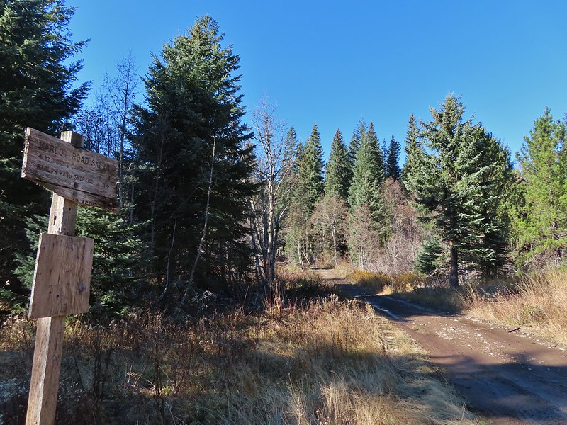
Just 40 yards after joining FR 3530 the Barlow Butte Trail veered downhill at a signpost.
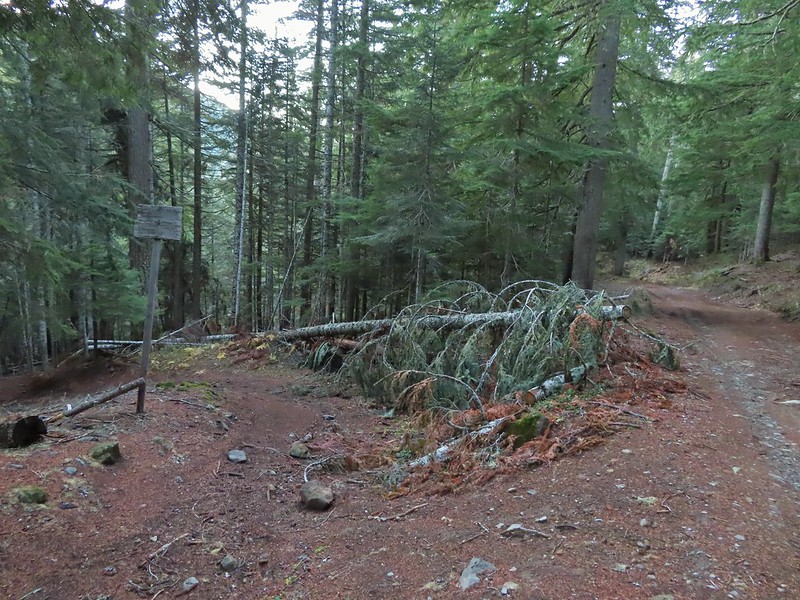
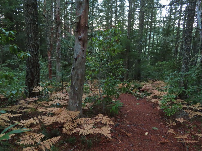
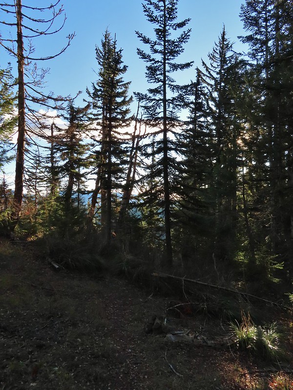
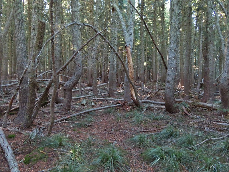
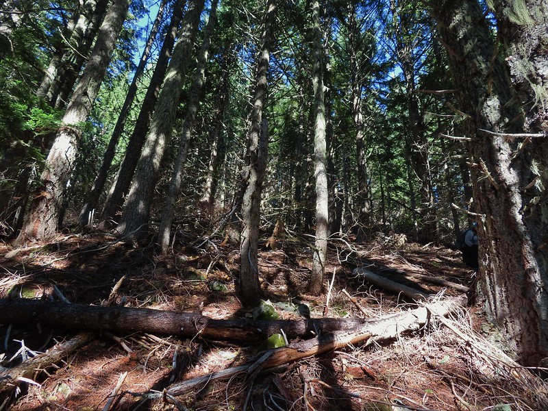
The trail was still following the route of the wagon road as it passed through a forest that was hit hard by last Winter’s storms.

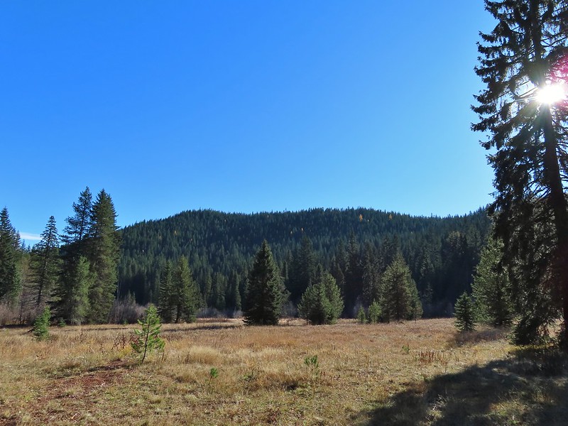
At the half mile mark we came to a junction with the Barlow Creek/Devil’s Half Acre Trail in a small meadow.

Following pointers for the Barlow Butte Trail and Mineral Springs Ski Trail we turned left here.

The trail began a gradual 0.4 mile climb to another junction where the Barlow Butte and Mineral Springs Ski Trail parted ways.


We made a hard right here sticking to the Barlow Butte Trail which quickly entered the Mt. Hood Wilderness.
 Wilderness sign along the Barlow Butte Trail.
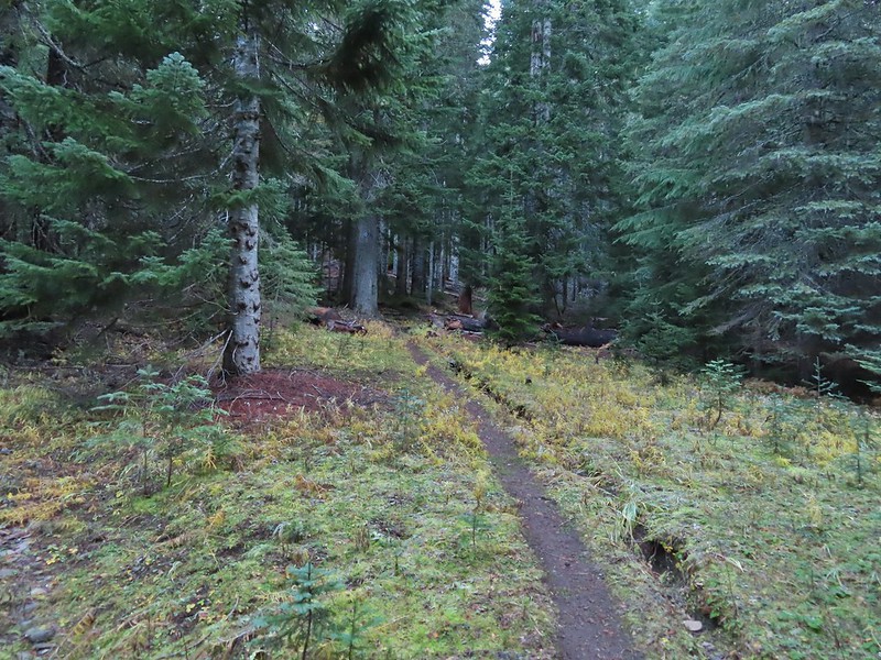
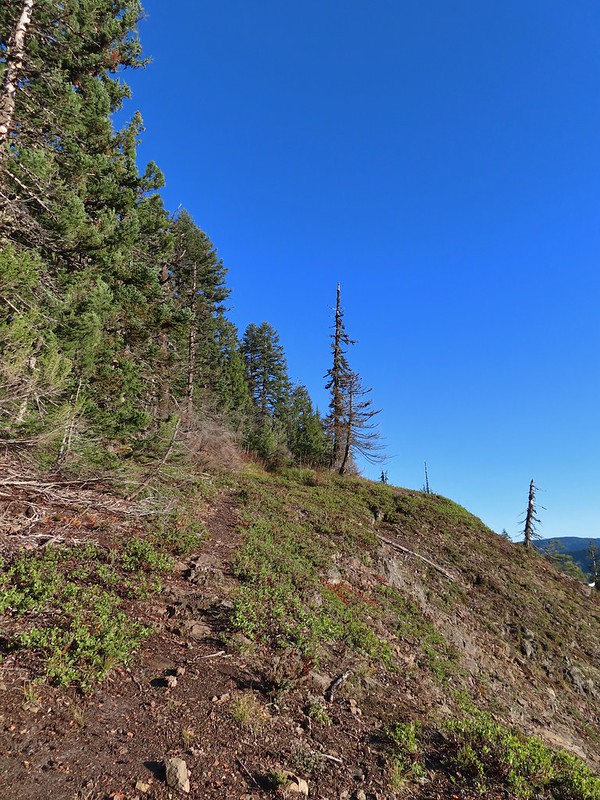
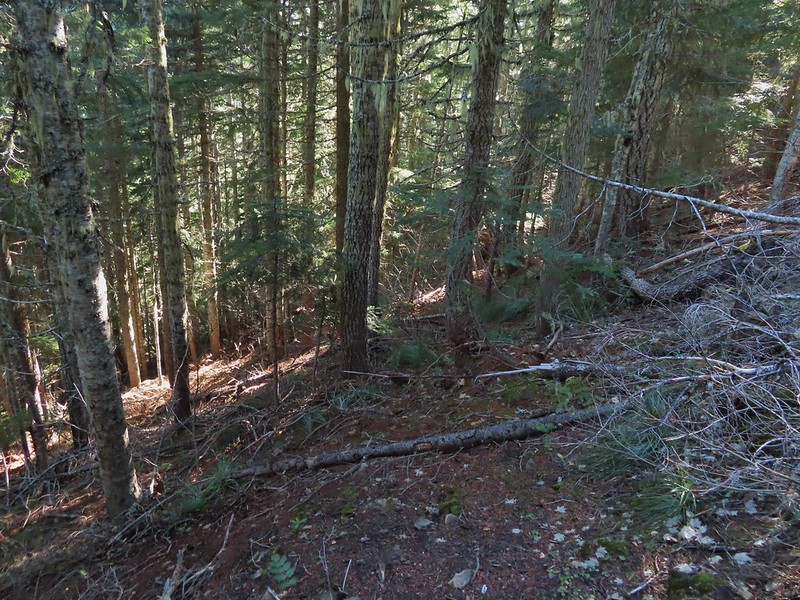
It was a mile from the junction where the Mineral Springs Ski Trail parted ways to the next junction. The trail climbed gradually at first but soon steepened as it began a series of switchbacks.

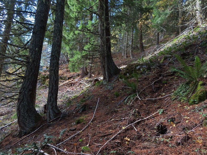
 Getting steeper.
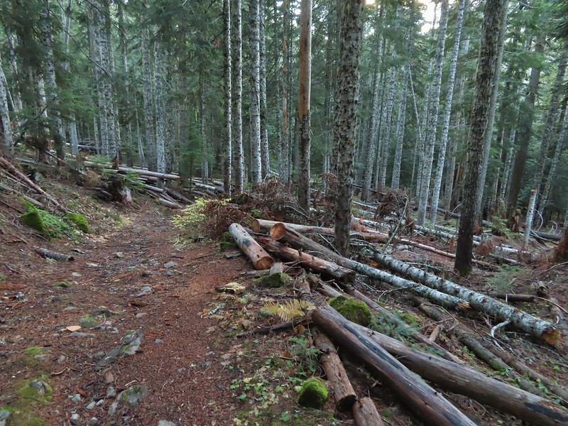
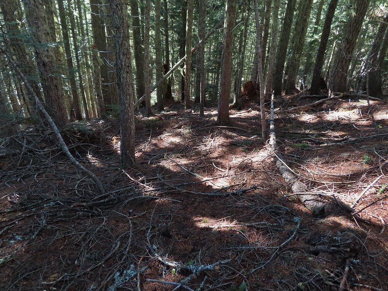
 This was the worst of the blow down we had to navigate on this section.
 Nearing the junction.
A small rock cairn marked the junction where a spur trail led left up to the old lookout site on Barlow Butte.
We turned left on the spur trail which began with a great view to the NE of the Badger Creek Wilderness including Lookout Mountain and Gunsight Butte (post)
 It was a little chilly with temps in the mid 30’s combined with a stiff breeze adding to the wind chill.
 On the right of the far ridge is Bonney Butte (post).
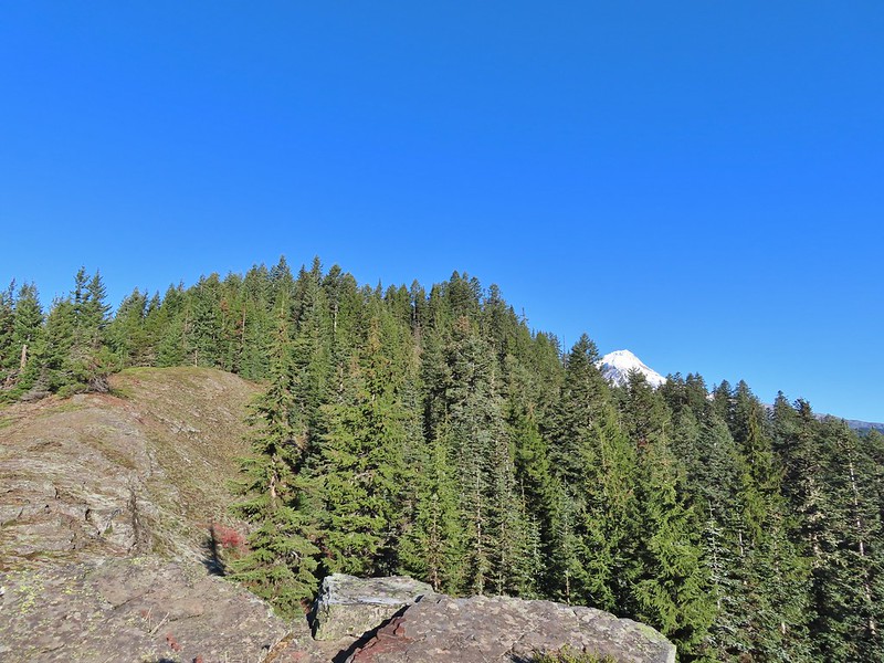
The summit of Barlow Butte is overgrown now with trees but just downhill from the former lookout site was a small rock outcrop with a view of Mt. Hood.

 Remains from the lookout.
The Oregon Hikers Field Guide mentions a better viewpoint on yet another rock outcrop below this one but we didn’t scramble down to it. Instead we planned on visiting a couple of other viewpoints on the Barlow Butte Trail further along Barlow Ridge. So after a short break trying to use the trees to block the wind we headed back down to the Barlow Butte Trail and turned left (downhill) at the small rock cairn. The trail passed through a stand of trees before popping out on a rocky spine.
 Barlow Butte and the top of Mt. Hood.
 Frog Lake Buttes (post) is the hump in the center.
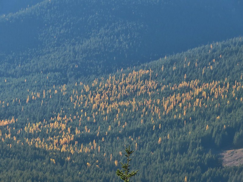 Western larches
 Mt. Jefferson behind some clouds.
 Sisi Butte (double humps) and Bachelor Mountain (post).
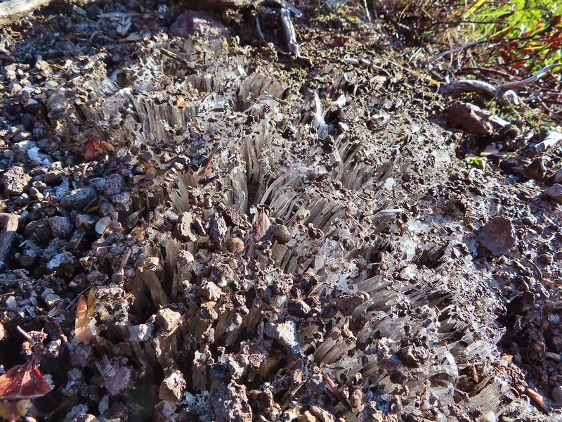
The rocks were a little frosty in spots so we had to watch our footing, especially dropping off the rocks back into the forest.

This is a good point to mention that the Oregon Hikers Field Guide has you turn back here for their Barlow Butte Hike but there is a second hike in the guide, the Barlow Ridge Loop which describes a possible 10.5 mile loop. This hike is listed as a “lost” hike due to the Forest Service having abandoned the trail along the remainder of Barlow Ridge. The Barlow Butte Trail at one time followed the ridge to its end and descended to Klingers Camp. We were keeping the loop option open but were planning on turning back possibly at the high point of the trail.
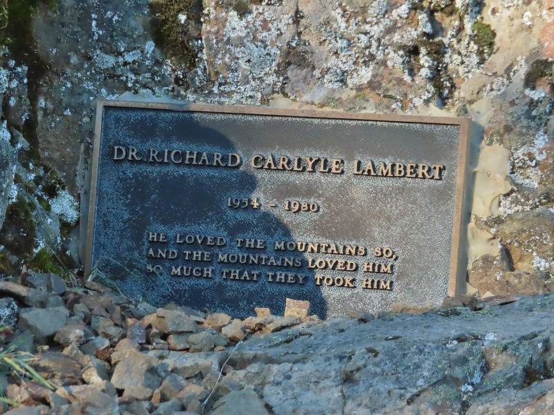
The next marker along Barlow Ridge was Lambert Rock which we reached a half mile from the small rock cairn on Barlow Butte.
It’s possible to carefully scramble up this rock past a memorial plaque for Dr. Richard Carlyle Lambert who perished while hiking in Utah.


The view of Mt. Hood was spectacular from the rock but the stiff breeze and cold air made for a short stay.
 Barlow Butte to the left of Mt. Hood.
If not for the clouds to the south the Three Sisters and Mt. Jefferson would have also been visible from the rock.
 Mt. Jefferson still behind some clouds.
Beyond Lambert Rock the trail dropped a bit into a saddle where another small rock cairn marked an unofficial cutoff trail to the left that leads downhill to FR 3560.

We continued to the right on the Barlow Butte Trail and 0.4 miles from Lambert Rock detoured to the right to what we hoped might be another viewpoint. Trees blocked the view north to Mt. Hood and east to Lookout Mountain. Again there would have been a decent view of Mt. Jefferson from this spot but we did have a good view west to Tom Dick and Harry Mountain above Mirror Lake (post)
 Parts of Mt. Jefferson peaking through the clouds.
 Tom Dick and Harry Mountain (with the rock fields near the top).
We continued on following the increasingly faint trail another third of a mile to it’s high point and another great view of Mt. Hood. While the trail was faint there were often cairns, blazes or diamonds marking the correct path.
 Small cairns in a meadow.
 One of the aforementioned diamonds.
 Approaching the high point.
 Clouds were starting to pass over Lookout Mountain at this point.
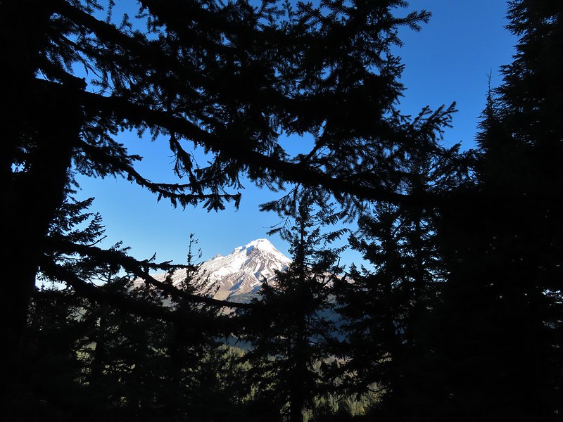
 Mt. Hood from the high point of Barlow Ridge.
Up to this point the trail had been fairly easy to follow and there hadn’t been much blow down over it so we decided to continue along the ridge at least to the point where it started to steepen on it’s way down to Klingers Camp. For the next three quarters of a mile the trail was still visible at times and the occasional marker let us know we were still on the right course.
 Carin in the trees ahead.
 Elk or deer tracks leading the way.
 Another section of frost.
 We took this as a blaze.
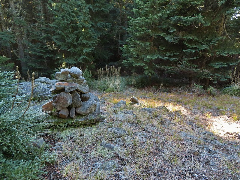 That blaze led to this large cairn.
 Things were starting to get interesting here.
 Stopped here to listen for pikas, no luck though.
 This could be trail.
 Still on the right track, note the folded trail sign on the tree at center.
We lost the trail for good in a small beargrass meadow which was my fault. While I had brought a topographic map that showed where the trail was supposed to be I was navigating primarily based off of what I remembered reading from the Oregon Hikers field guide. I had remembered most of it well but had forgotten the part where “the trail swings off the ridge to the right….”. All I remembered was that the route eventually dropped steeply down the nose of a ridge. Not realizing it was the nose of a different ridge I kept us following Barlow Ridge for another 0.2 miles.
 The small meadow.
 Officially off-trail now.
 This looked like a place the trail would go.
 A final look at Mt. Hood from Barlow Ridge.
Not realizing that we were off the trail alignment we decided that the hiking had been easy enough up until now that we would go ahead and try for the loop. Down we headed looking in vain for any sign of trail. Several times we convinced ourselves that we’d found it, but it turns out if it was anything it was game trails.
 This doesn’t look so bad.
 One of several big trees we encountered.
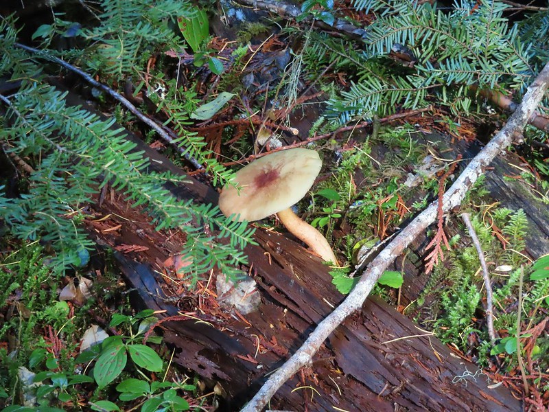
 Little orange mushrooms, how appropriate for Halloween.
 Starting to encounter more debris.
 If there had been a trail good luck finding it.
 Heather coming down behind me.
We lost over 600′ of elevation in three quarters of a mile and things were only getting steeper. It was at this point that I turned my brain on and pulled the map out of Heather’s pack. I quickly saw what I’d done wrong, we were following the wrong ridge line down and should have been one ridge to the SW. The problem now was there was a stream bed between us. We backtracked up hill a bit and followed a game trail across the trickling stream and attempted to traverse over to the correct ridge.
 Pretty decent game trail here.
 This section was fun.
 A bigger orange mushroom.

We struggled down and across, occasionally having to backtrack or veer uphill to find safer passage.
 Uphill on this game trail.
 Thickets of brush kept us from getting all the way over to the ridge we needed so we just kept going downhill knowing that we would eventually run into one of the forest roads at the bottom.
 More steep fun.
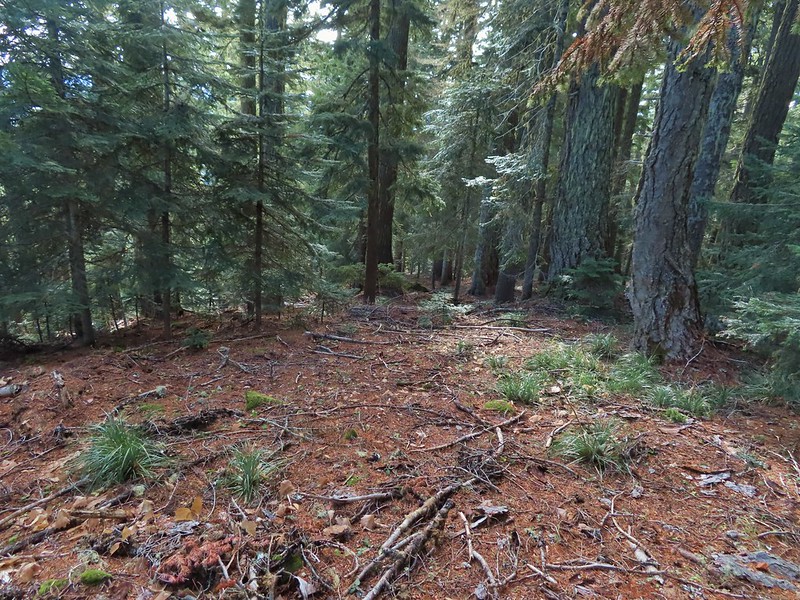
We eventually made it to flat ground in a forest of young trees and ferns.

We could tell using our GPS that despite all of that we were only about two tenths of a mile from Klingers Camp. We were even closer to FR 240 and being tired of off-trail travel we headed straight for the road.
 Look Ma a road!
We turned right on this road and followed it to a junction with Barlow Road.
 It doesn’t look that steep from down here.
 Barlow Road.
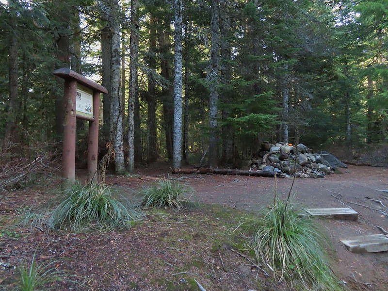
We turned right onto Barlow Road and followed it 150 yards to Klingers Camp.

After visiting the camp we continued on Barlow Road for five miles back to the Barlow Pass Trailhead. Along the way two pickups drove past us in the other direction. At the 1.6 mile mark we passed the Grindstone Campground and near the 4 mile mark the entrance to the Devil’s Half Acre Campground.


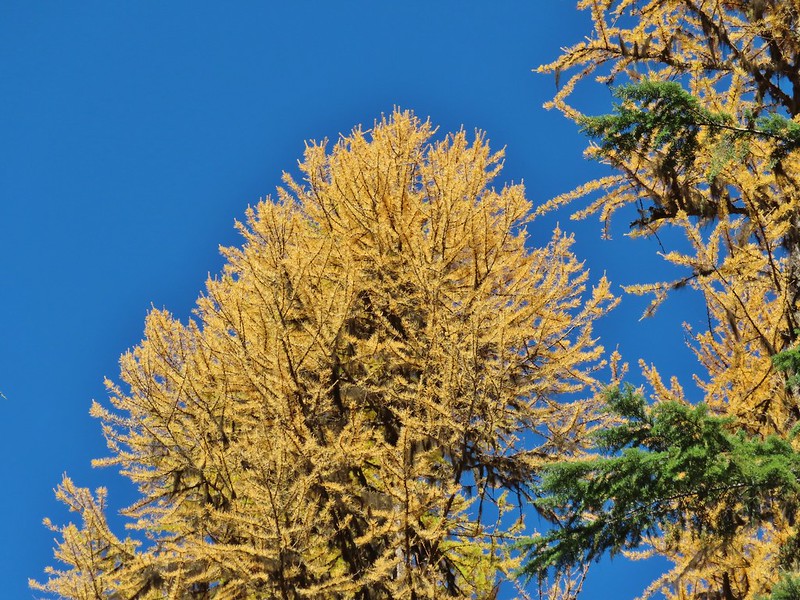 Western larches above Barlow Road.
 Grindstone Campground

 Barlow Creek
 Crossing Barlow Creek near Devil’s Half Acre Meadow.
 Clouds on top of Mt. Hood towering over the trees.

 Barlow Road at the campground.
 Devil’s Half Acre Meadow.
We could have taken the Devil’s Half Acre Trail from the campground to the Barlow Butte Trail but we weren’t sure what the condition was and the Field Guide didn’t mention taking it so we played it safe and trudged up the road.
 Finally back to where we’d left the road in the morning.
 Arriving back at the Barlow Pass Trailhead
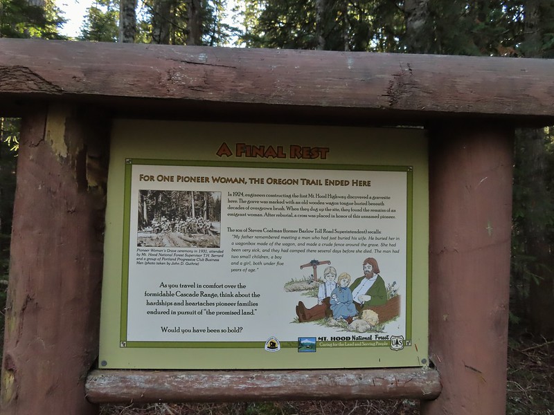
Before we attempted the crazy loop we had planned on also making the 2.2 mile round trip hike to the Pioneer Woman’s Grave on the other side of Barlow Pass and then stopping at the Castle Canyon Trail for a final short hike. Neither of us had any interest in making another stop at this point but we were interested in the grave site. Unfortunately Heather’s plantar was acting up. Surprisingly, given the lack of good ideas we’d displayed so far, we came up with a alternate plan. Heather would drive to the Pioneer Woman’s Grave Trailhead while I hiked the Barlow Wagon Road to it. The trailhead is located right next to the grave site so Heather didn’t have to worry about her plantar and now I only needed to hike a little over a mile downhill.
 The first other people (not counting the two drivers in the pickups) that we’d seen all day.
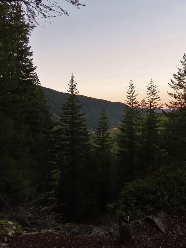
I hustled down the wagon road stopping along the way at another nice Mt. Hood viewpoint.


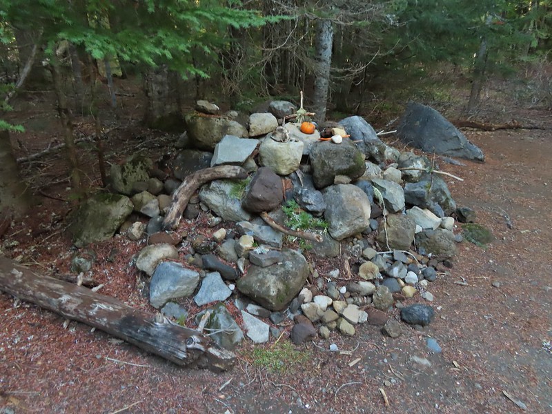

I did take the time to walk down the road 60 yards to the East Fork Salmon River to check out some stonework and wagon ruts left by the emigrants.
 East Fork Salmon River

The 10.5 mile loop hike turned into 12 miles due to our being off course and wandering around trying to figure out where we were going so my day wound up being just under 14 miles total with approximately 3100′ of elevation gain. Heather got all the elevation gain with 1.2 miles less traveled. I probably wouldn’t try that loop again but I’d be lying if I said I wasn’t kind of curious what it would be like to actually follow the field guide correctly. Happy Trails!

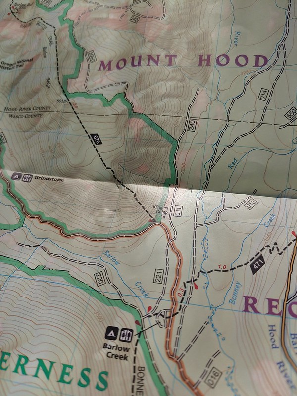
For reference here is where the trail is shown on the map we were carrying and here is a link to the map in the field guide.
Flickr: Laurel Hill Wagon Chute and Barlow Ridge Loop

2 replies on “Laurel Hill Wagon Chute and Barlow Ridge Loop – 10/30/2021”
[…] #74 Laurel Hill – 10/28/2017 & 10/30/2021 […]
[…] It was a little wet, and 35 degrees Fahrenheit (2 Celsius) when arrived at the nearly empty Barlow Pass Trailhead. We had also parked here in 2021 for our Barlow Butte hike (post). […]