
In the original version of our 2024 hiking schedule we’d planned on visiting Jackson Bottom Wetlands Preserve and Rood Bridge Park in March, but the thing about wetlands is that they tend to be wet. We’d been waiting for all of the trails at Jackson Bottom to dry out, and according to online reports that had finally happened.
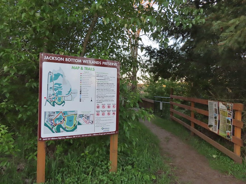
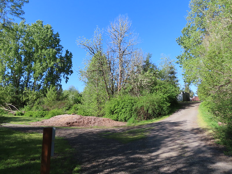
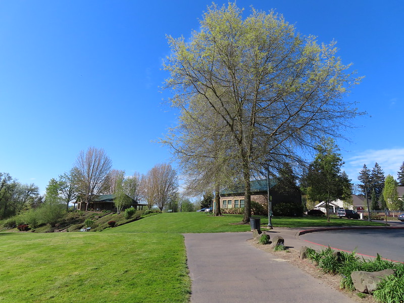
Both the preserve and park are located in the city of Hillsboro with the preserve being home to a nature center open 10am – 4pm seven days a week. We began our day at Jackson Bottom by parking at the south entrance near the nature center. (We did not visit the nature center primarily due to the fact that we finished our hike here before 9:30am.)

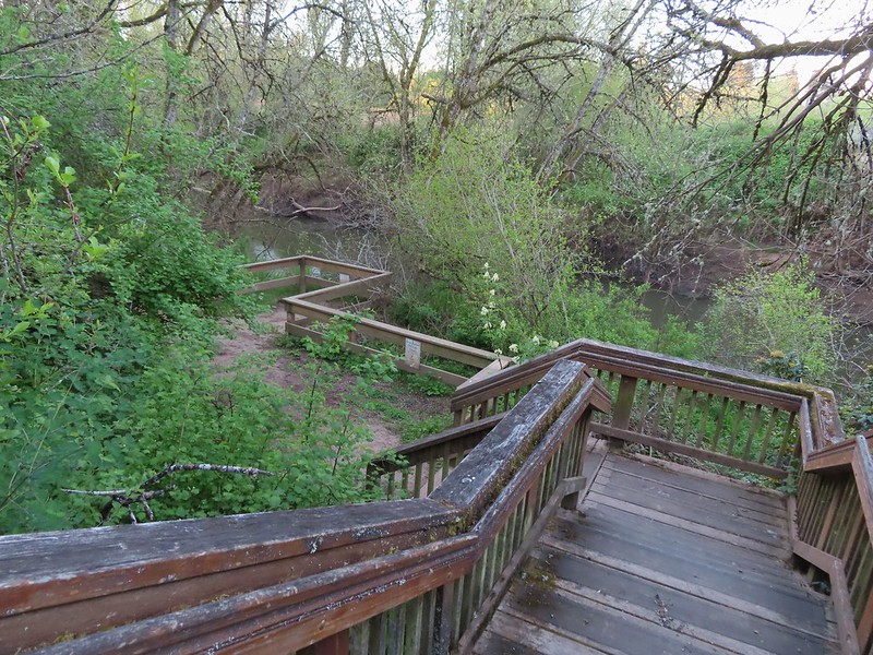
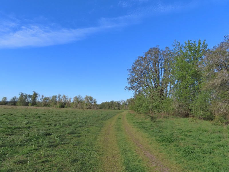
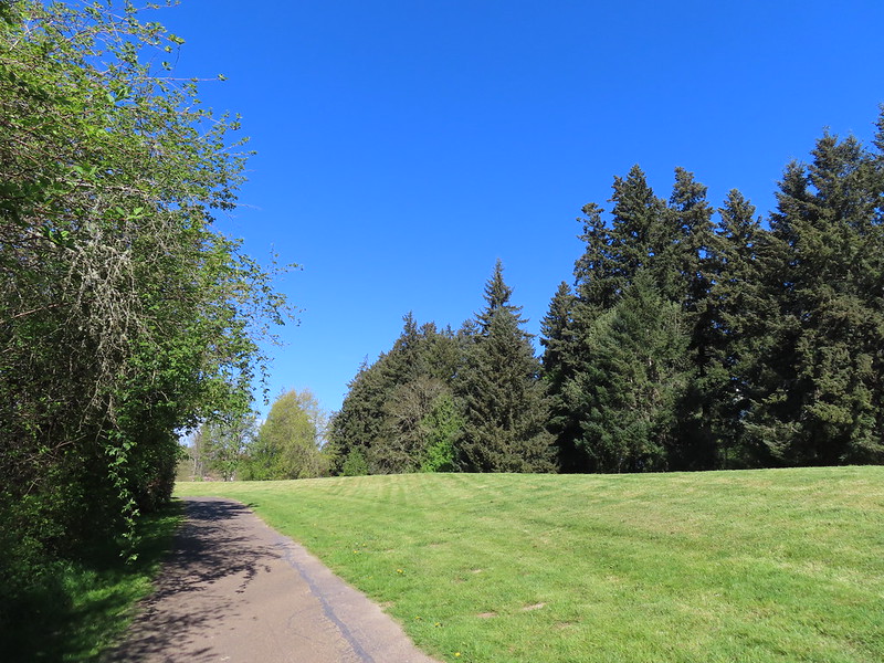
A network of trails provides numerous options to explore. For our hike we began on the River Trail at the SW corner of the parking lot.
This trail descended a staircase to a view of the Tualatin River.

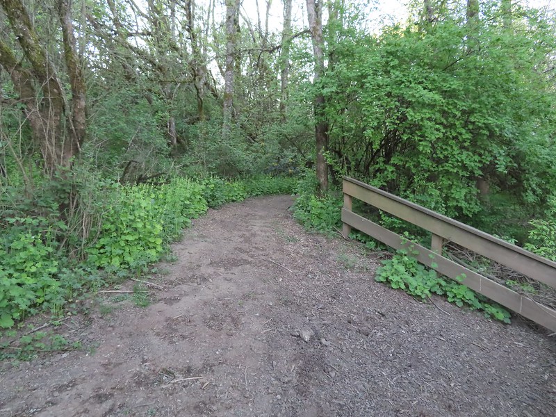
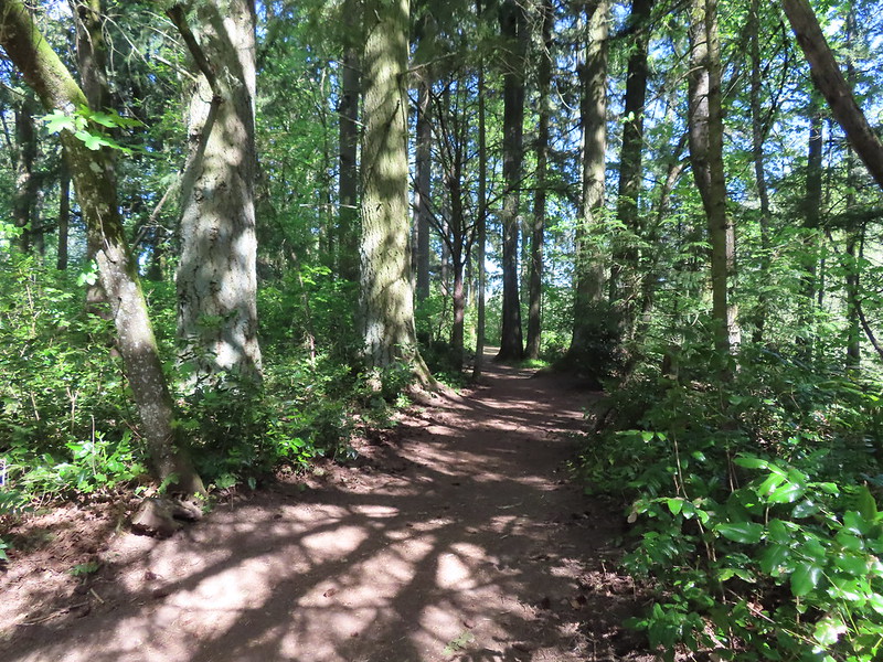
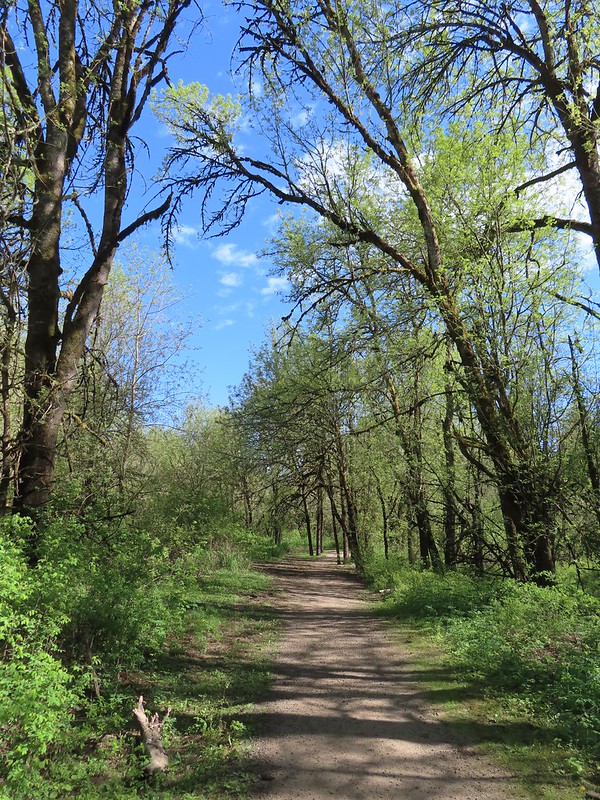
The trail follows the river through woods with several varieties of Spring wildflowers.
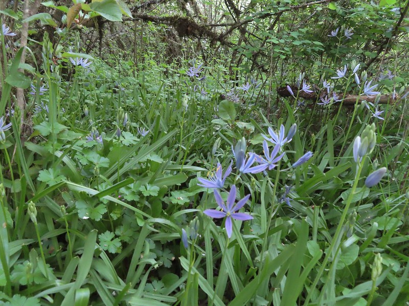 Camas
Camas
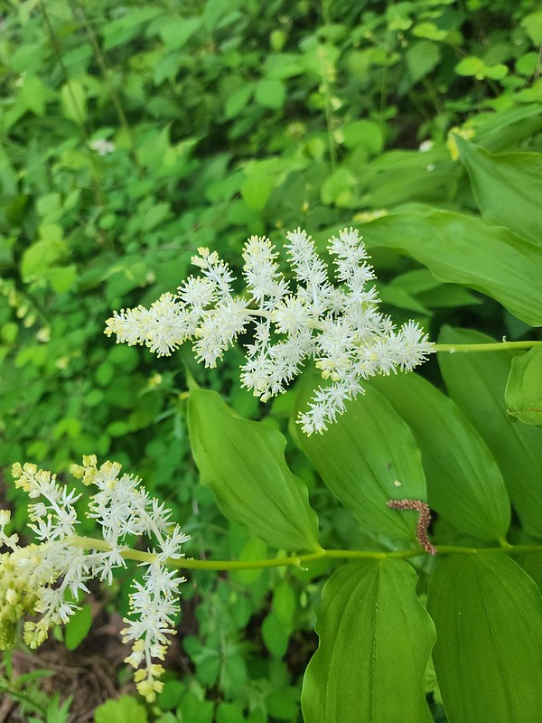 Solomonseal
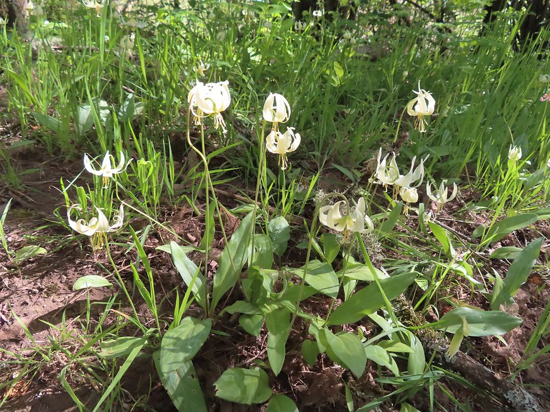
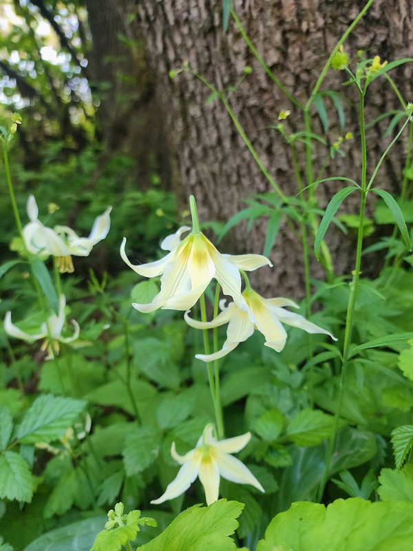 Fawn lilies
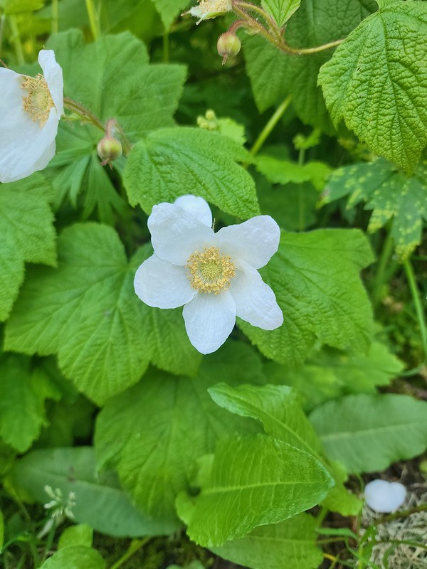 Thimbleberry
 Giant purple wakerobin
The River Trail ended at the Kingfisher Marsh Loop where we turned right.
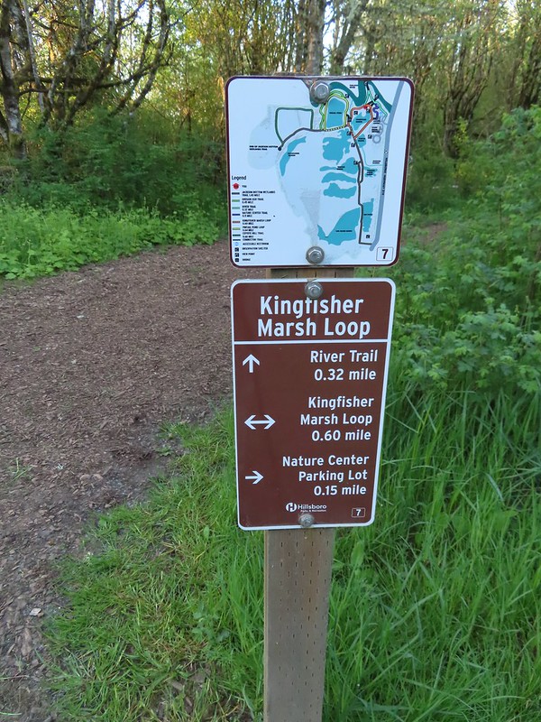 The trail signs were very helpful in keeping us on track.
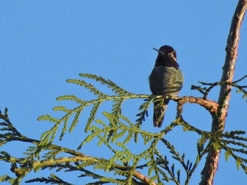 Anna’s hummingbird
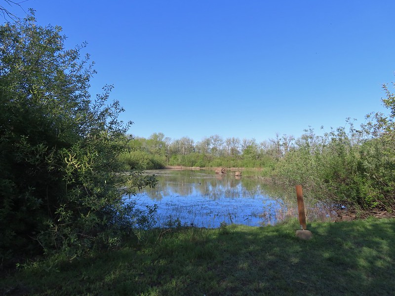
 Viewpoint overlooking Kingfisher Marsh.
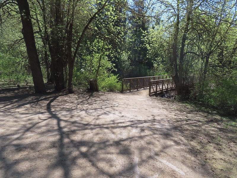
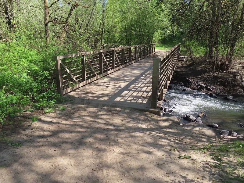
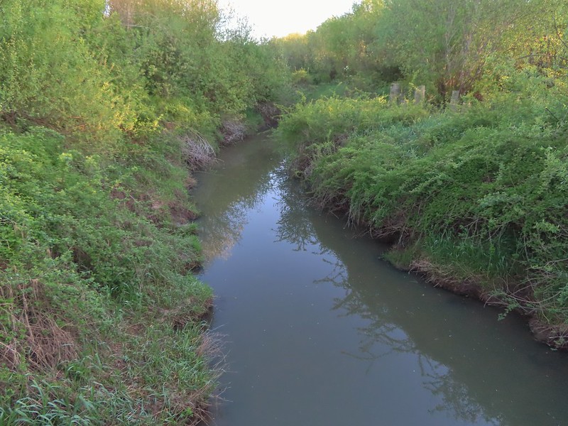 The trail crossed Jackson Slough on a footbridge.
After crossing the slough we turned right on a connector trail that brought us to the Pintail Pond Loop where we once again turned right.
 Pintail Pond Loop
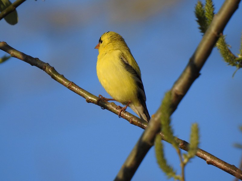 American goldfinch
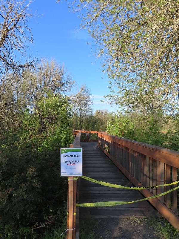
A short distance from the connector trail junction we passed the Ash Trail which was temporarily closed due to unstable conditions.
We would have preferred sticking to the Pintail Pond Trail even if the Ash Trail had been open simply because the Pintail Pond Trail provided constant views of the pond where numerous ducks, geese and other birds could be seen.
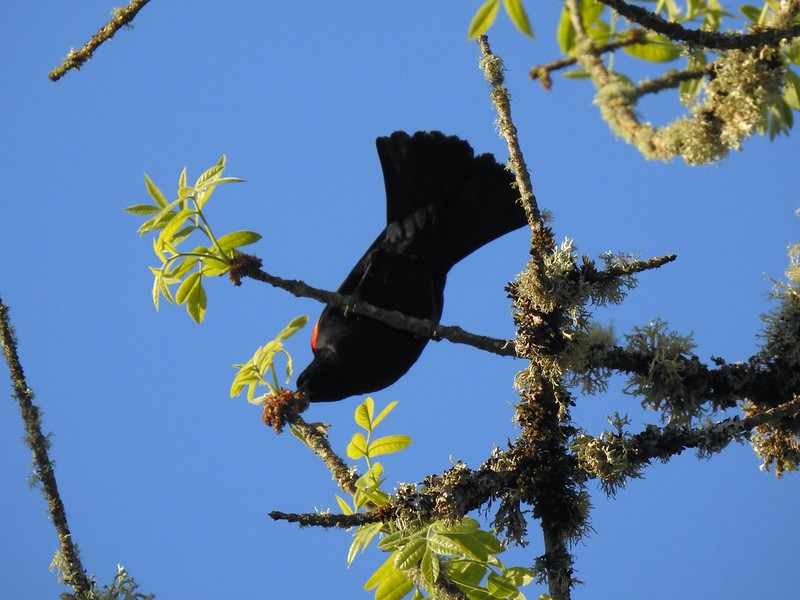 Red-winged blackbird
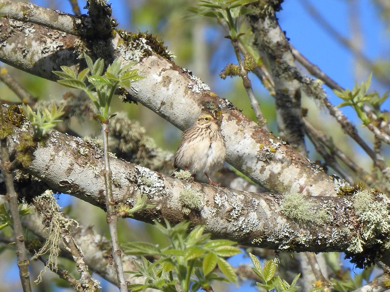
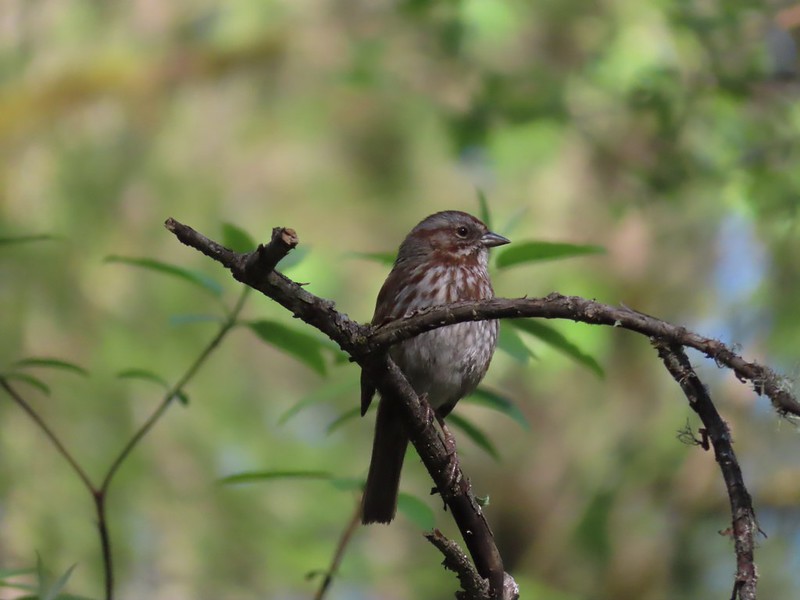
 Sparrow
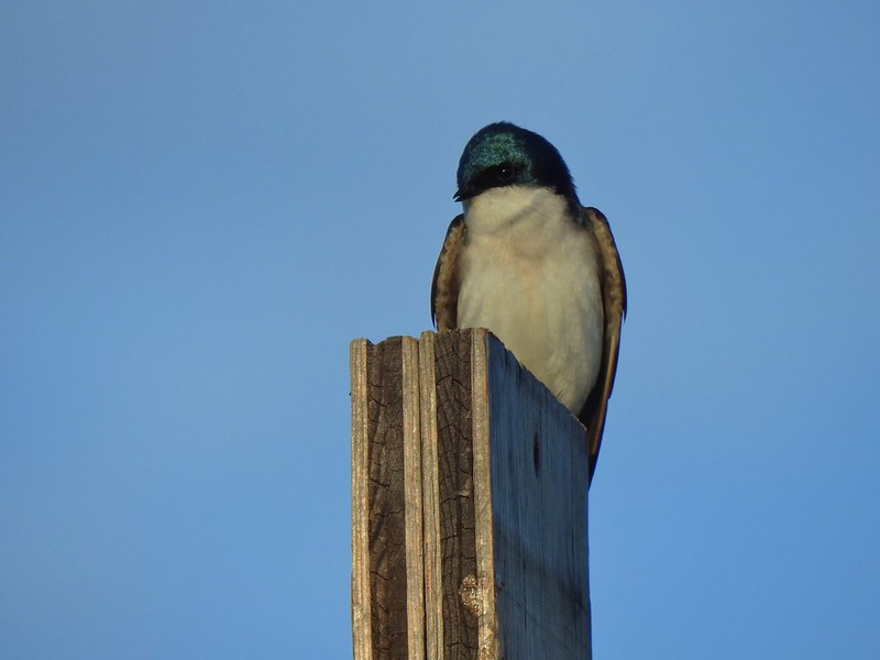
 Purple martins
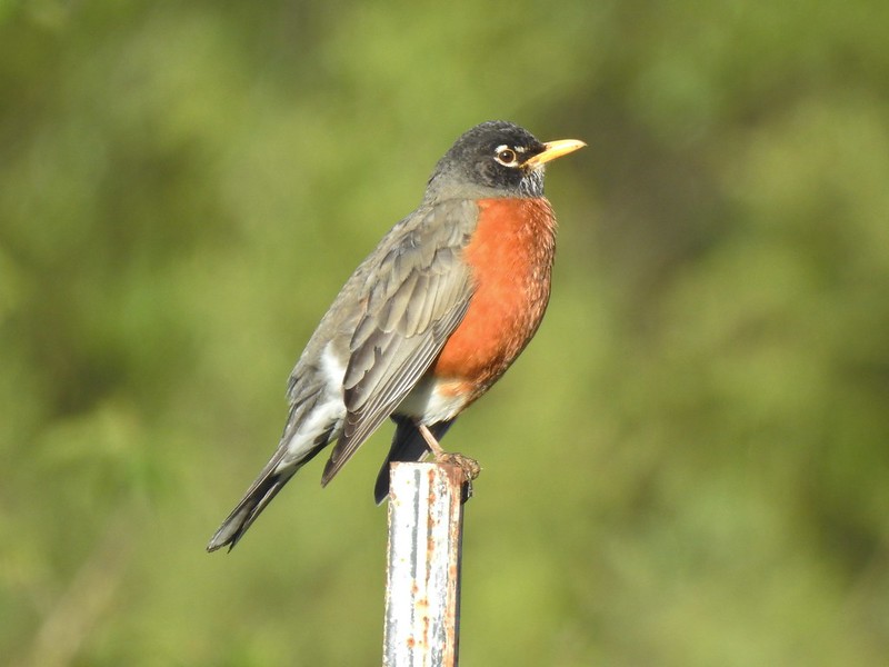
 American robin
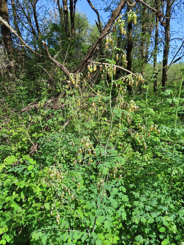
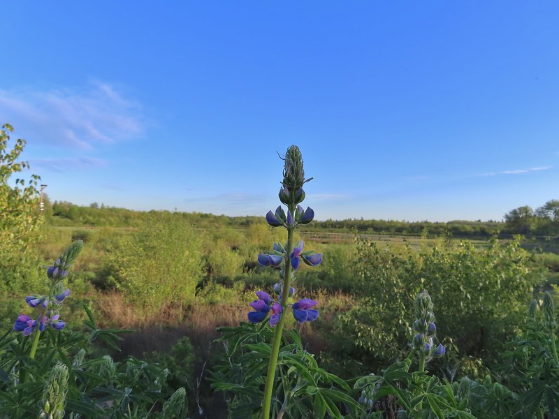 There is a lot of lupine in the preserve but only a few had started blooming.
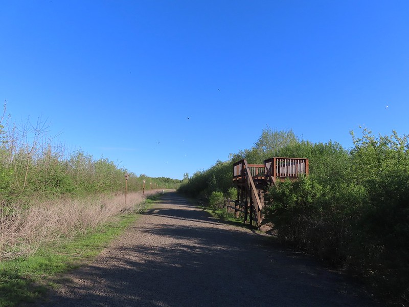
There was a connector trail down to the Ash Trail near a covered viewing deck, but again we opted to stay on the pond loop.

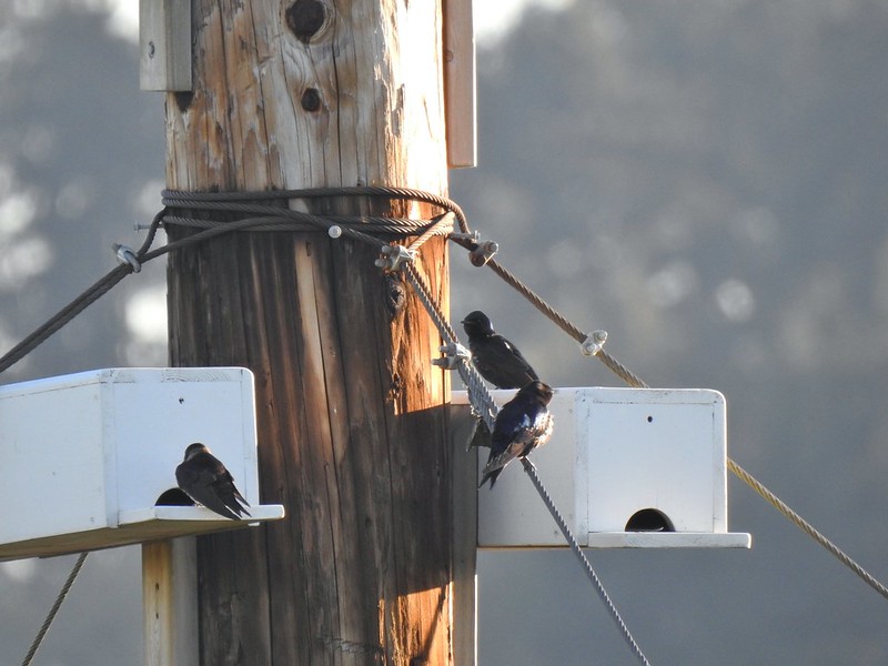
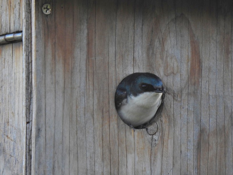
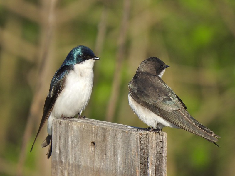
We paused near the viewing deck to watch the tree swallows glide around their houses.

 Pintail Pond
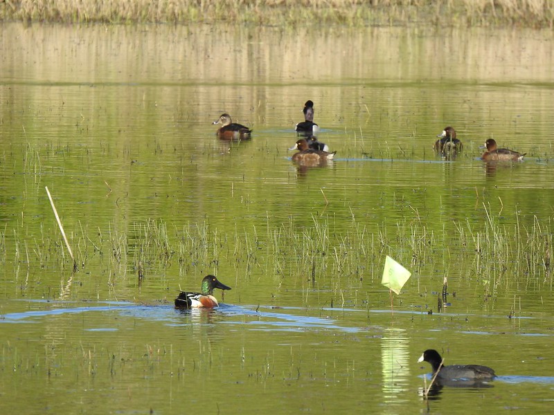
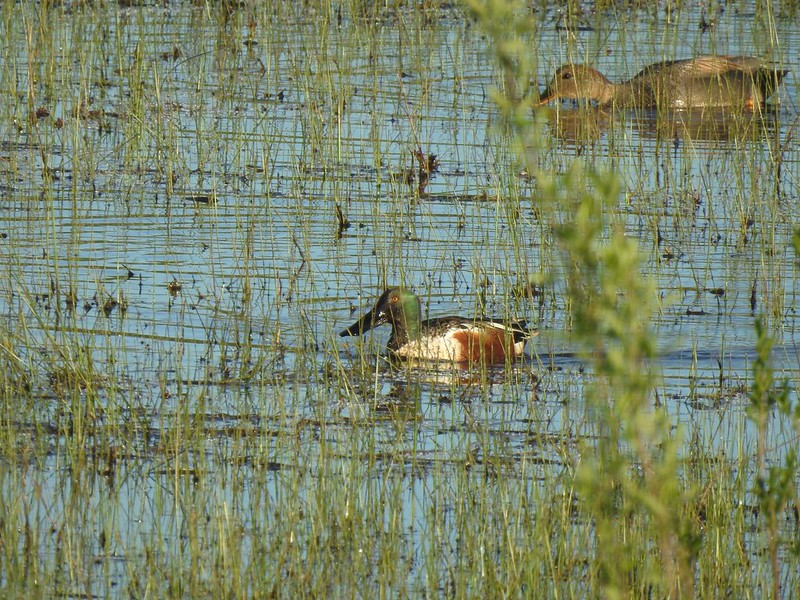 Northern shoveler drake and a gadwall
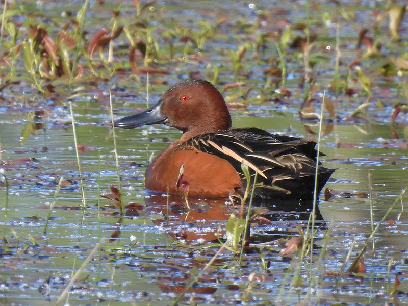
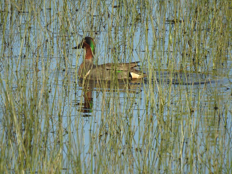 Green-winged teal
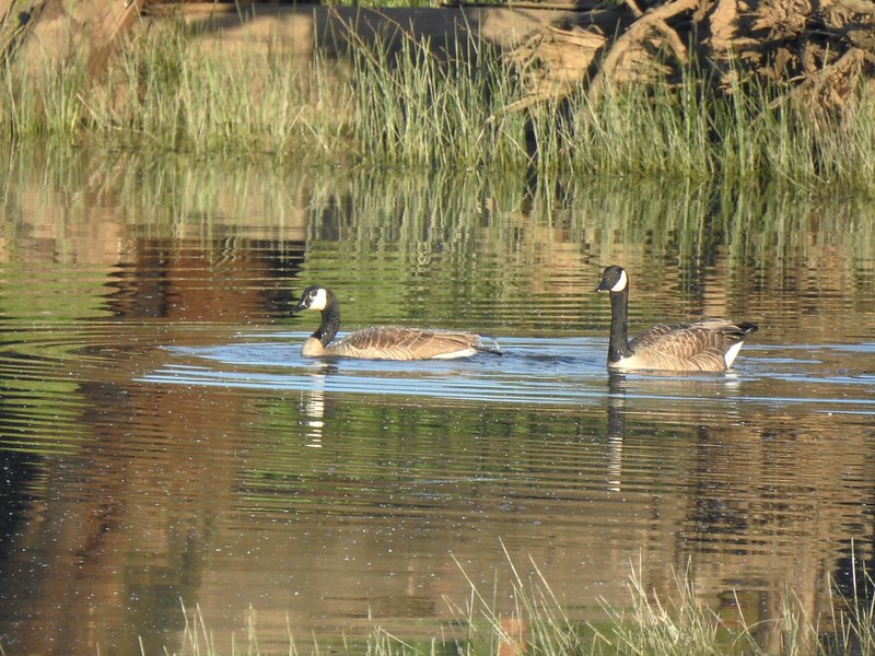 Geese
Geese
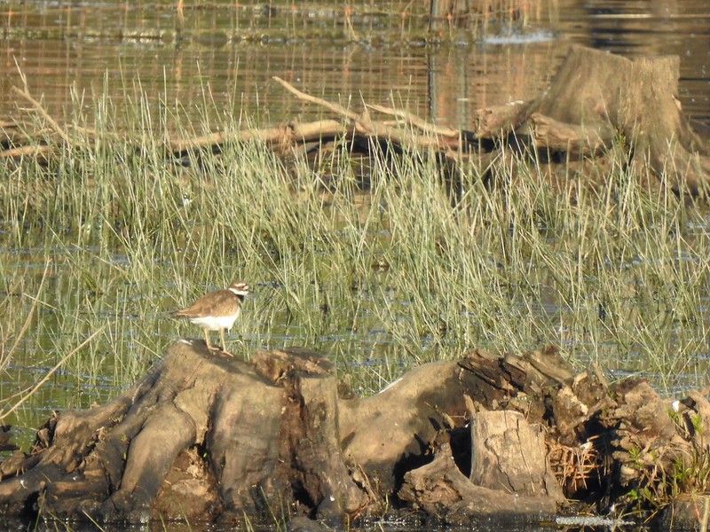 Killdeer
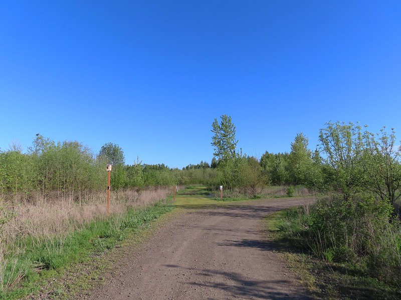
At the northern end of the pond we arrived at the Jackson Bottom Wetlands Trail where we turned right.

We followed this trail past the northern end of the Ash Trail to a junction with the Coyote Hill Trail where, you guessed it, we turned right.
 More camas
 The Ash Trail.
 Orange-crowned warbler
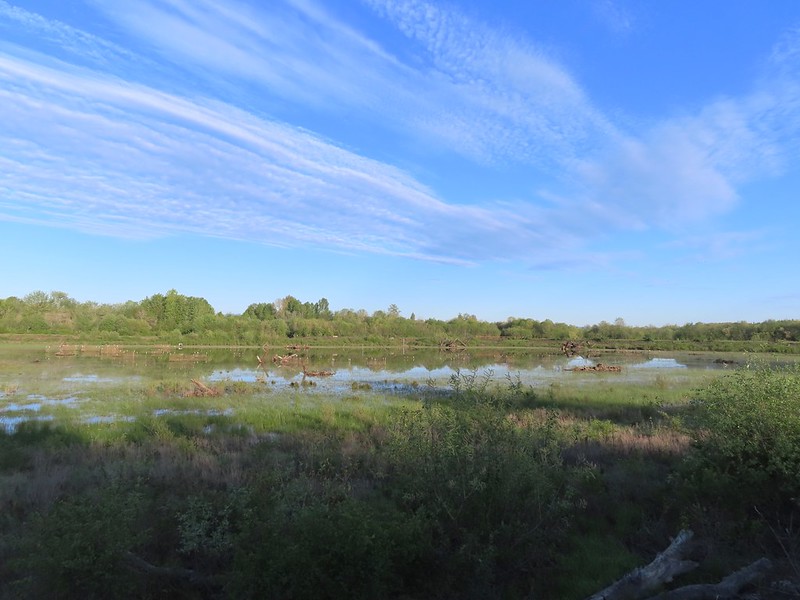
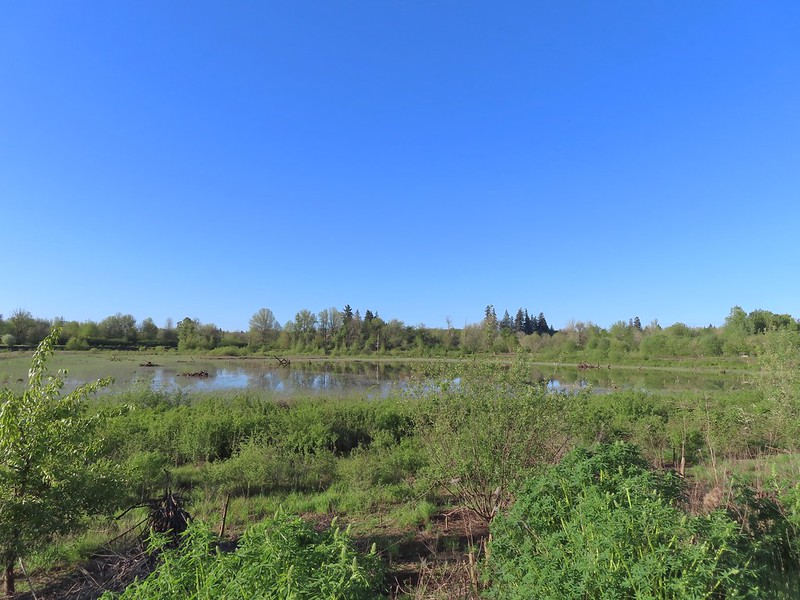
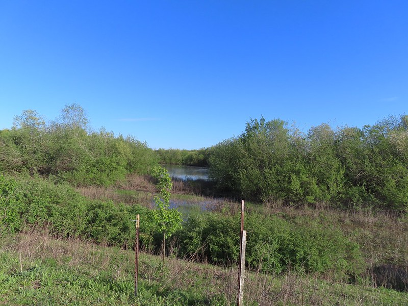
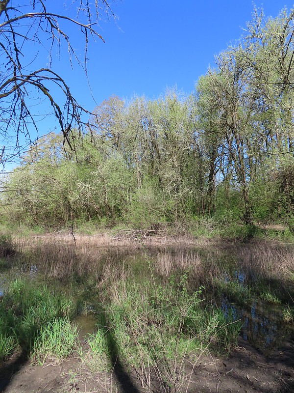
 Jackson Bottom Wetlands
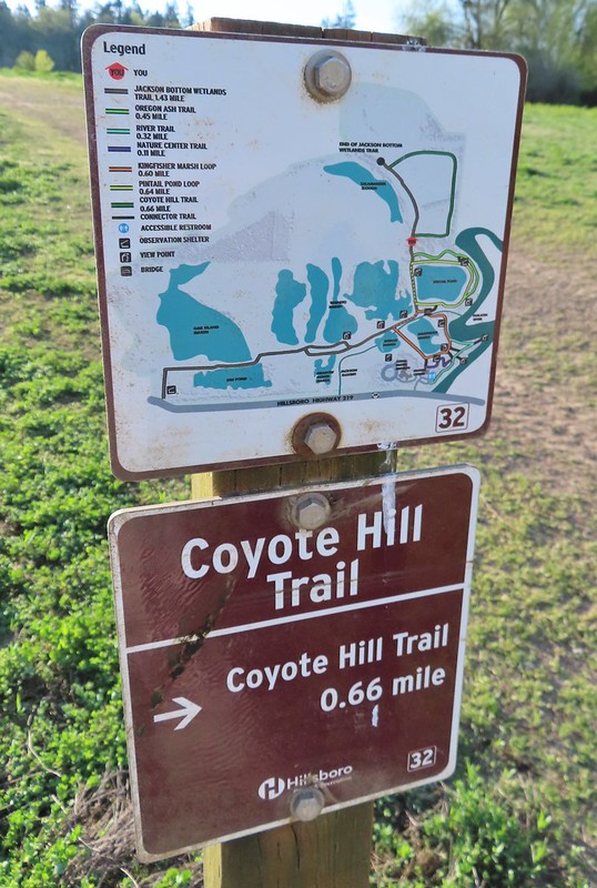 Can’t emphasize enough how helpful the map/pointer combinations are.
The Coyote Hill Trail doesn’t actually climb a hill, but rather it loops around a meadow with a view of Coyote Hill.

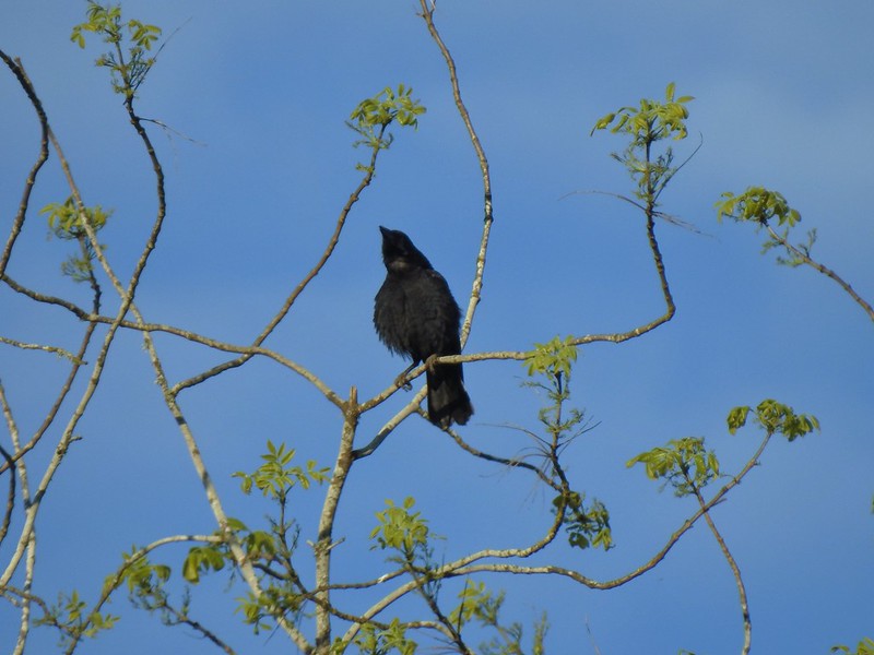 Noisy crow
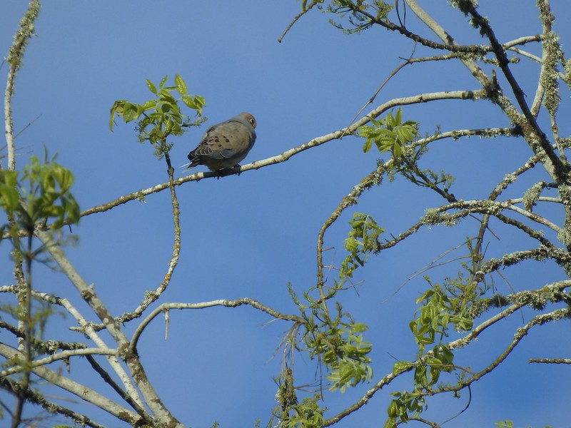 Mourning dove
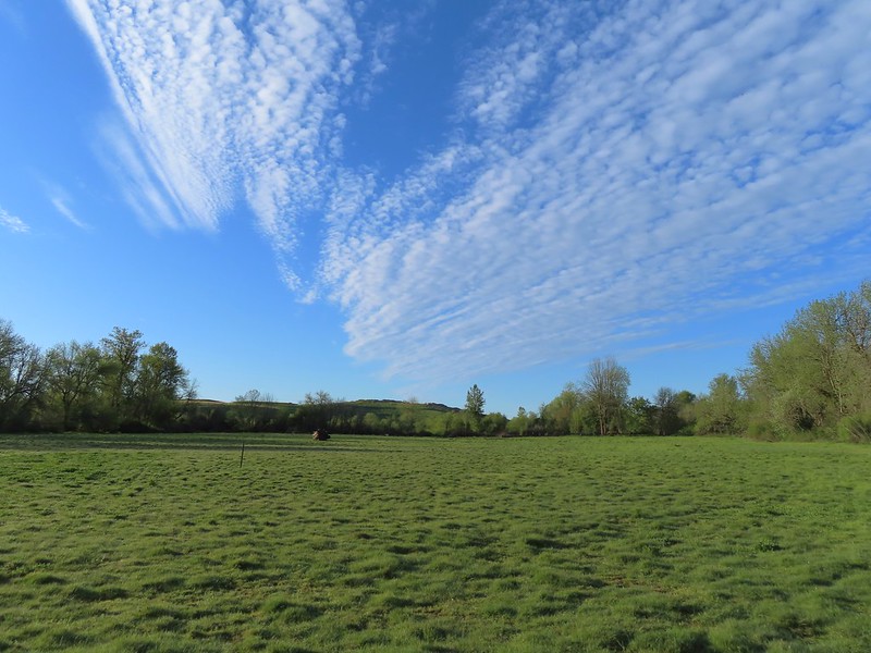 Our assumption was that that is Coyote Hill in the distance.
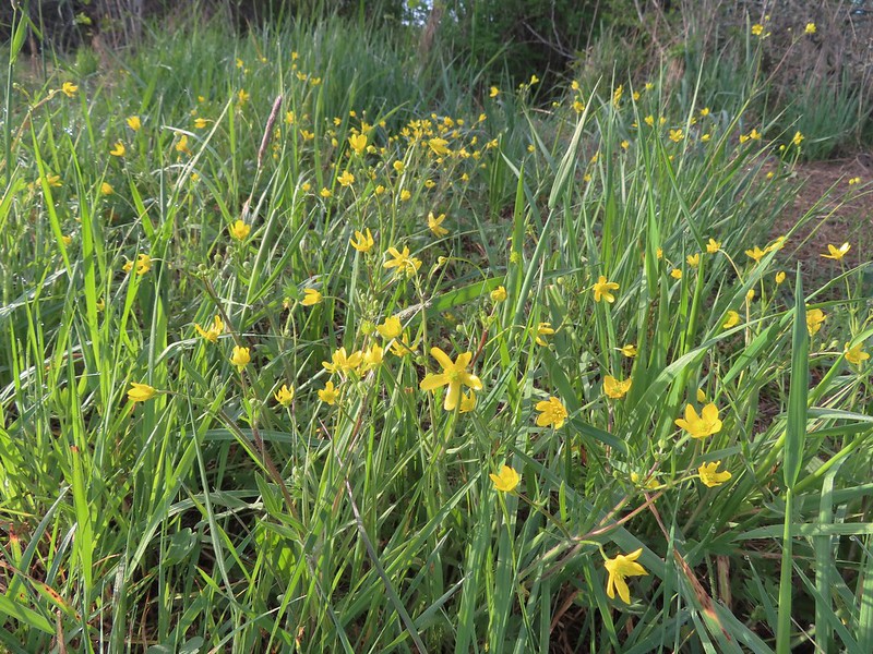 Western buttercups
 Some houses on the wetlands border.
 Golden-crowned sparrow
The Coyote Hill Trail brought us back to the Jackson Bottom Wetlands Trail near its end. We finally made a left turn and headed back toward Pintail Pond.
 End of the trail.
 Savannah sparrow
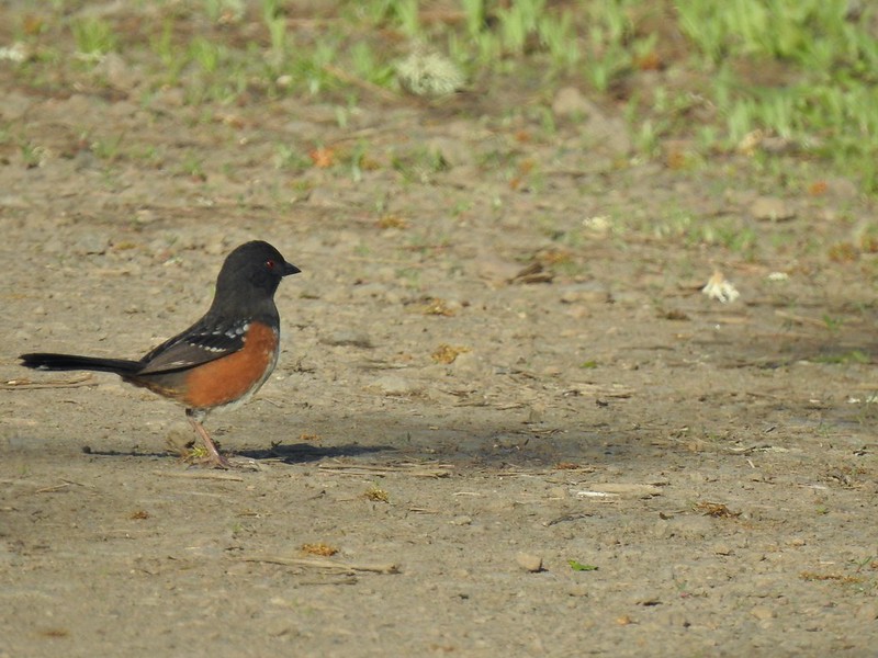 Spotted towhee
 Passing Pintail Pond.
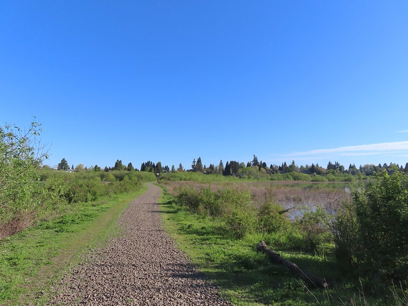
We stayed right at junctions following the Jackson Bottom Wetlands Trail to its end at Jackson Bottom North Trailhead.
 Wapato Marsh
 White-crowned sparrow
 American robin
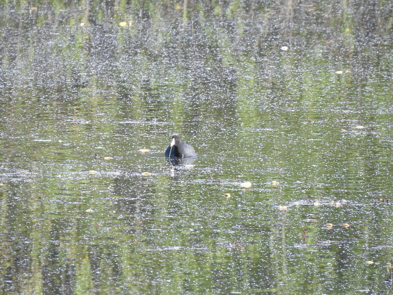 American coot
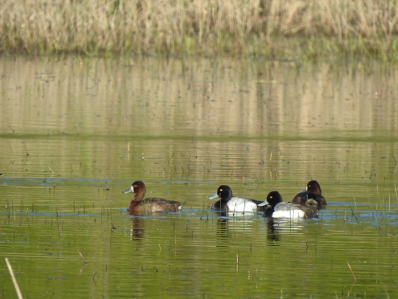
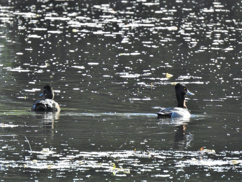 Ring-necked ducks
 Wapato Marsh
 Cormorants
 Raised viewing platform with many tree swallow photobombs.
 This couple was having quite the discussion.
 The Bobcat Marsh Trail on the left.
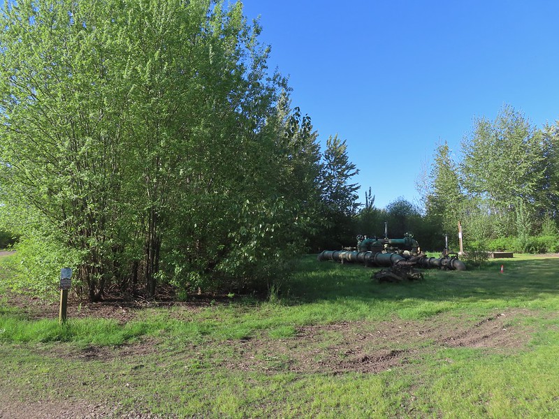 Water treatment pipes at the other end of the Bobcat Marsh Trail.
 NW Pond
 The trail passed between the NW Pond on the left and Oak Island Marsh on the right.
 NW Pond had a variety of waterfowl. This is a northern shoveler drake, ring-necked duck pair, four lesser scaups, and an American coot.
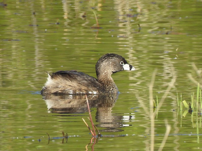 Pied-billed grebe in NW Pond
 Lesser scaups
 Goose and mallards
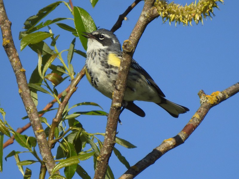 Yellow-rumped warbler
 The northern trailhead.
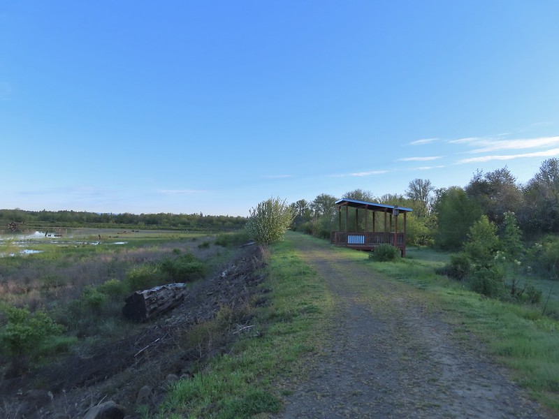
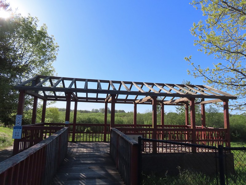 Viewing platform at the trailhead.
On the way back we took the Bobcat Marsh Trail which passed Meadow Mouse Marsh.
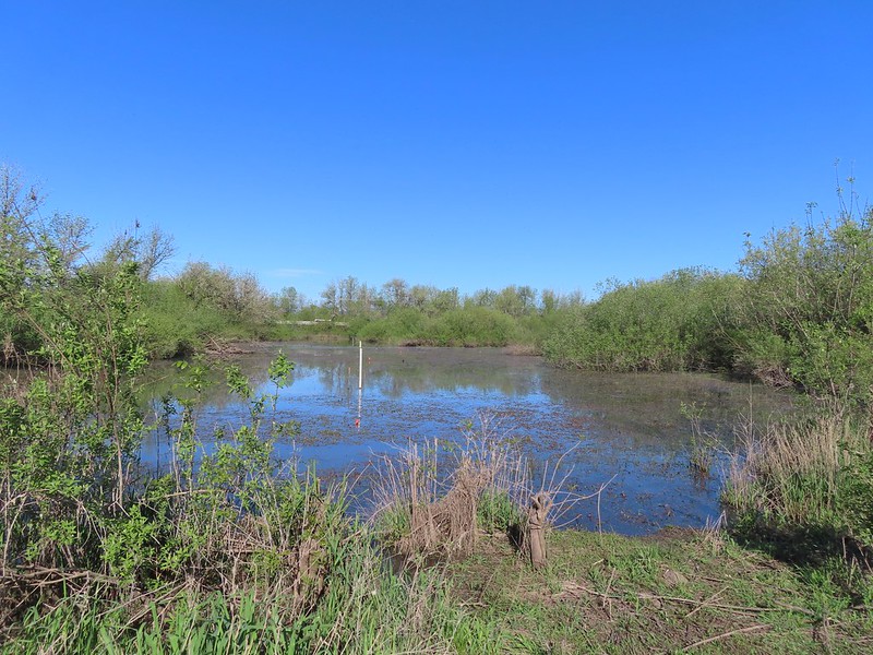
 Cinnamon teal on Meadow Mouse Marsh
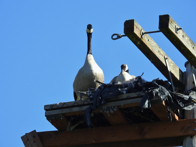
Near the southern end of the Bobcat Marsh Trail a pair of geese were nesting on a pole and were noisily fending off a second pair of geese.

After rejoining the Jackson Bottom Wetlands Trail we followed it back to the Kingfisher Marsh Loop where we turned right.
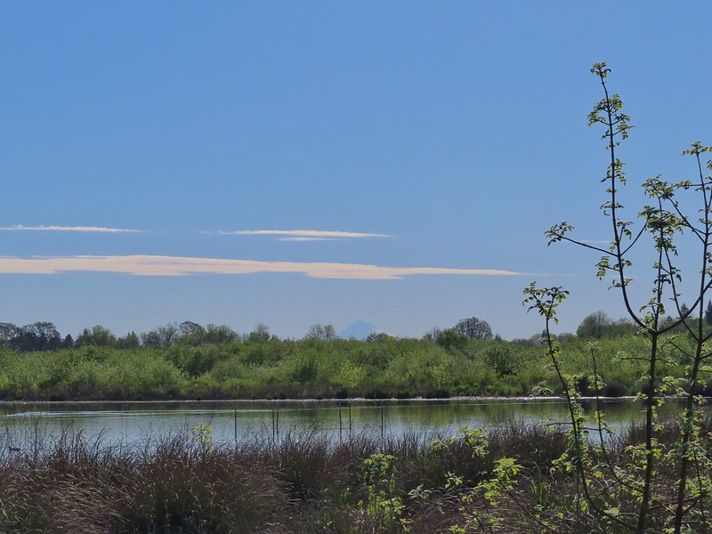 Mt. Hood beyond Wapato Marsh
 Back on the Kingfisher Marsh Loop.
We followed this trail to a junction below the Nature Center where we stayed straight at a junction and climbed a small hill to the Nature Center Trail.
 The Kingfisher Marsh Loop turned left here.
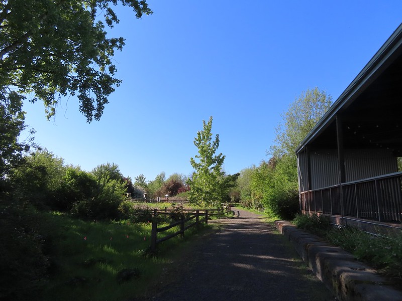
The trail passed behind the Nature Center to some gardens.
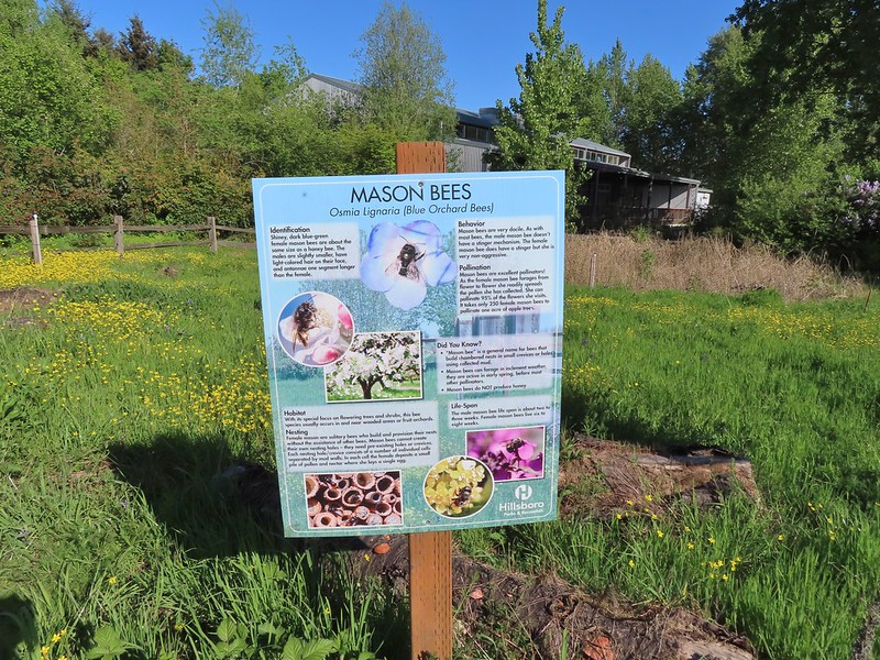
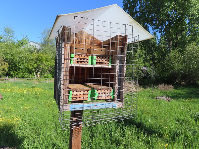 Mason bee house
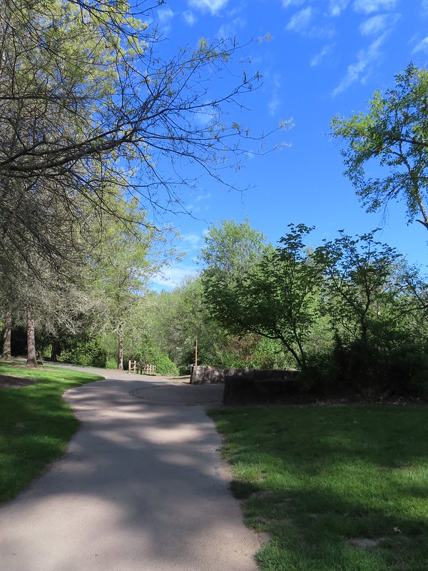
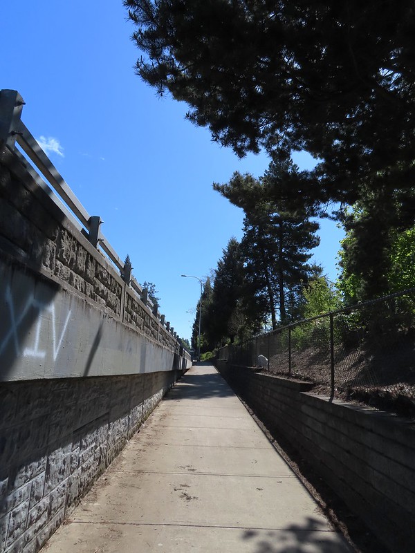
We followed the Nature Trail down to the River Trail which we followed back to the parking lot. Our hike here came in just under 5 miles with just 50′ of elevation gain. From the parking lot we drove 4.3 miles to Rood Bridge Park (it’s less than 2 miles as the crow flies).

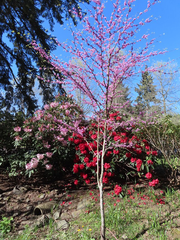
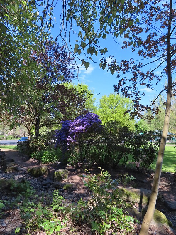
The parking area here is rather large, but we chose to park at the northern end near the playground. From our parking spot we made our way toward the rhododendron garden.
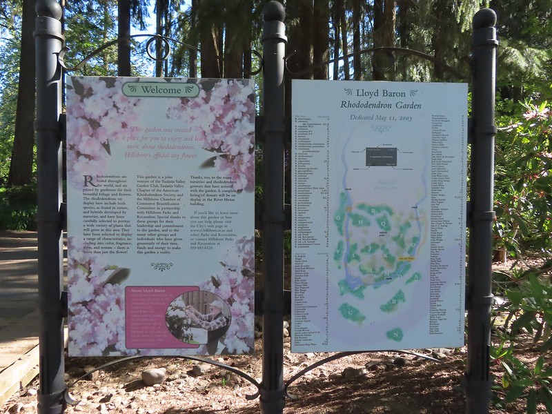 Sign for the rhododendron garden.
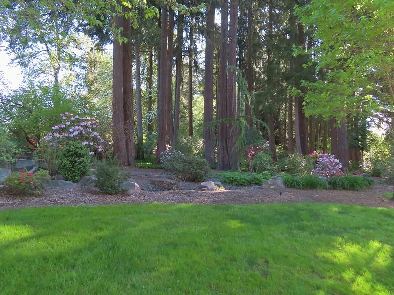
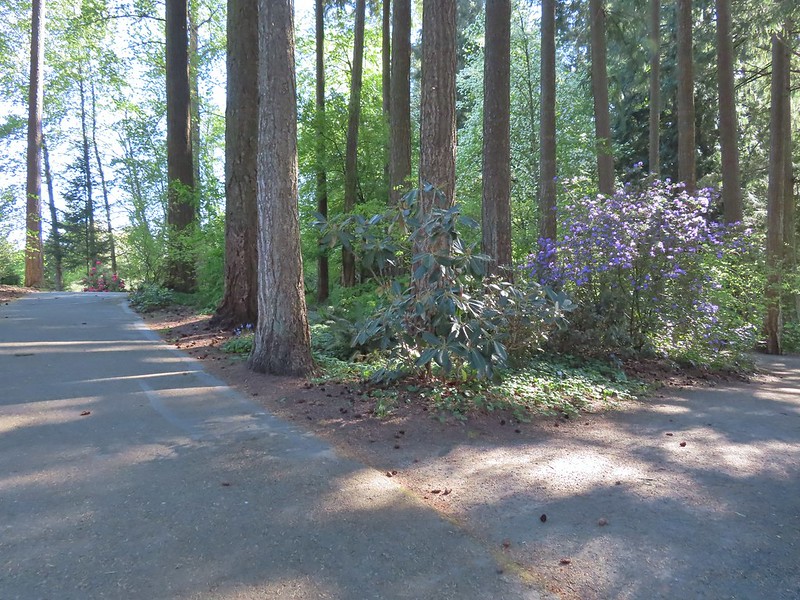
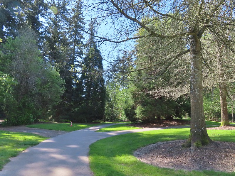
Numerous paths loop through the garden, but we stayed mostly to the right as we made our way east to the Woodland Pond.
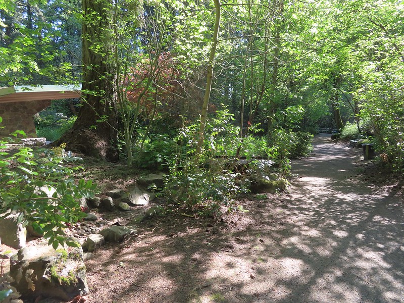
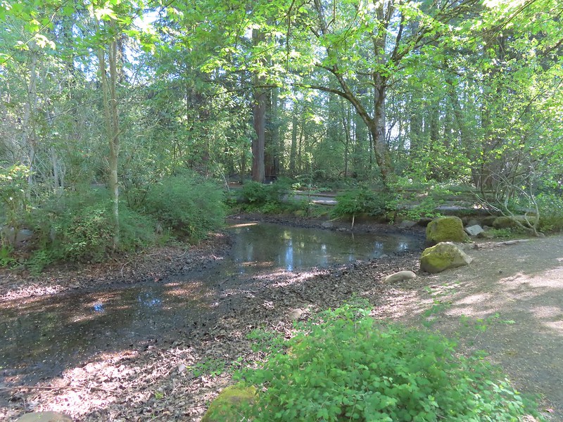 The Woodland Pond
At the pond we turned right on a paved trail which led us to the Rock Creek Trail.
 Heading for the Rock Creek Trail.
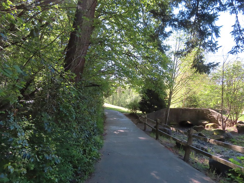
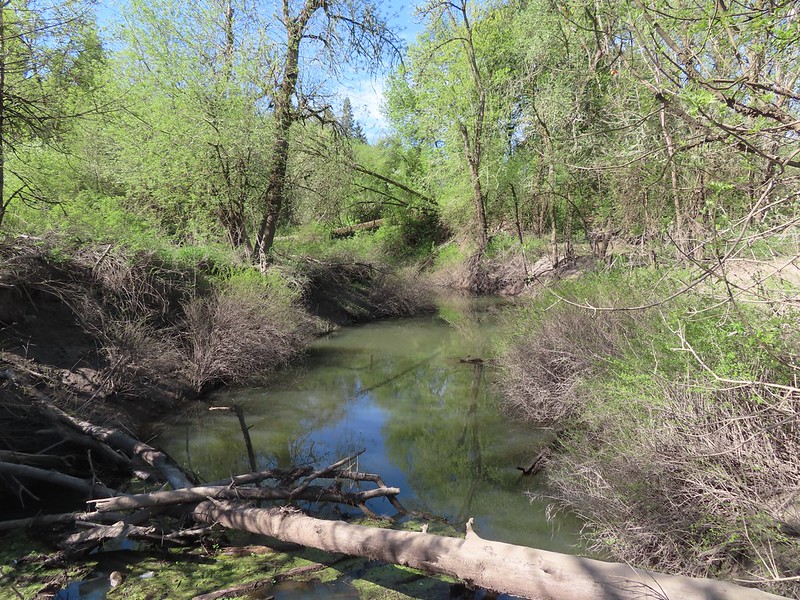
 Rock Creek from the Rock Creek Trail.
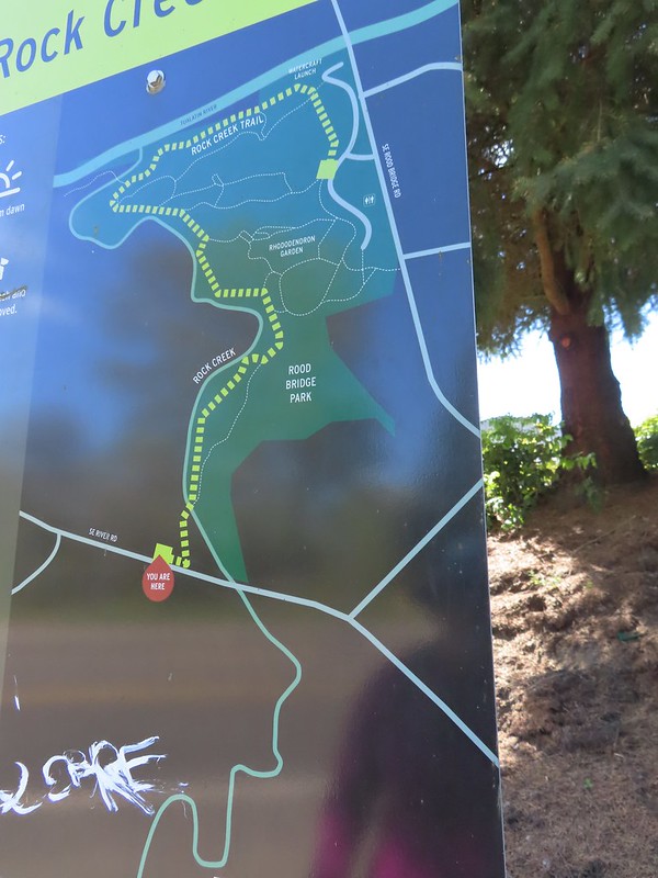
We were familiar with the Rock Creek Trail having hiked its two other segments in May 2022 (post). The eventual plan is for the three current segments to be connected to make a single 8-mile trail. We turned right onto the Rock Creek Trail and followed it to a junction with Lakeside Loop Trail where we took another right.
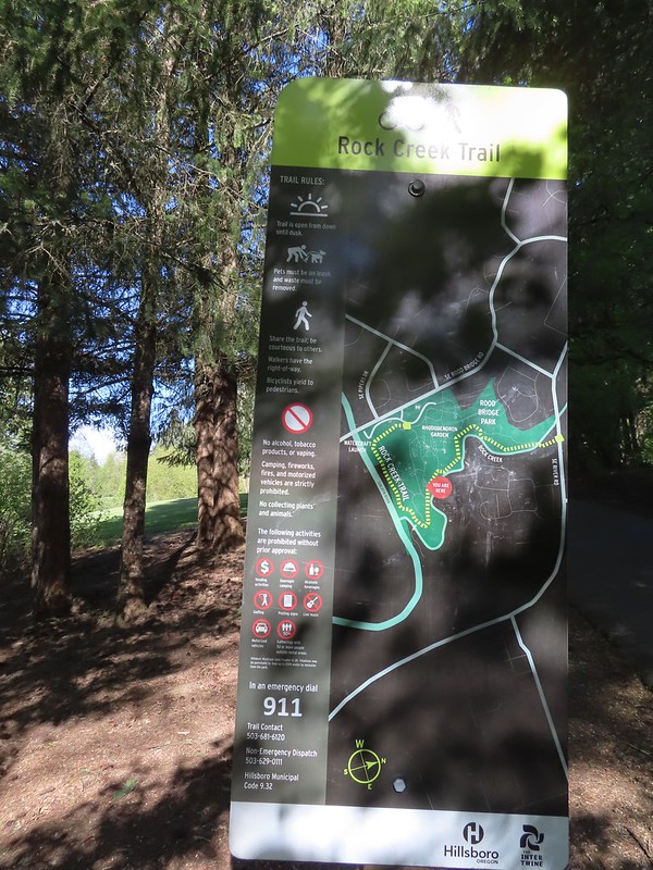 The maps for the park were a little tougher to follow as most of the trails weren’t named and there were a lot of interconnected short segments.
We followed this paved path past a trail leading downhill to a lake.

We stuck to the paved trail which brought us back to the parking lot and the beginning/end of the Rock Creek Trail.
 The junction ahead is where the Rock Creek Trail beings/end according to the Rock Creek Trail maps. Maps of Rood Bridge Park simply refer to this as part of the “Main Trail Loop”, if they label it at all.
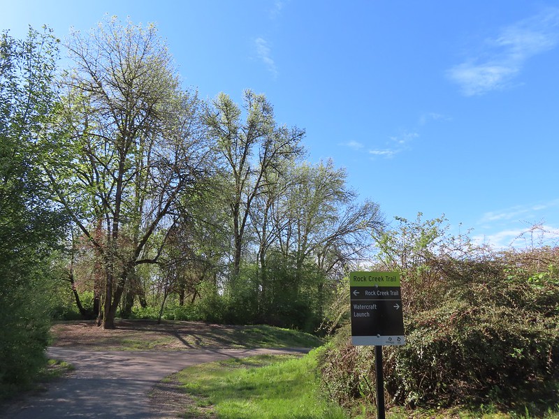
We followed the Rock Creek Trail downhill past a sign for a watercraft launch along the Tualatin River. The trail then followed the river before arriving at junction with the Lollipop Loop.


 Mallards
 Footbridge at the start of the Lollipop Loop.
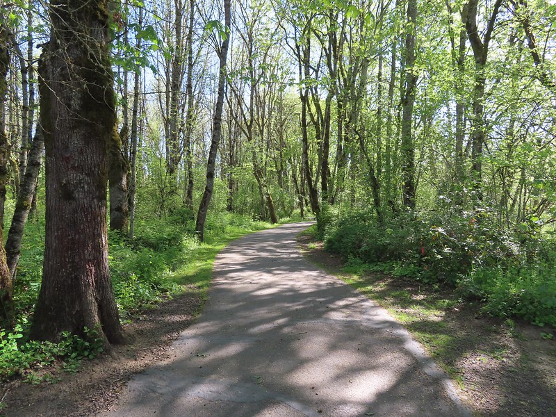
We crossed Rock Creek on the footbridge and quickly found ourselves climbing a short but steepish hill to a forested ridge. The loop began a short distance after the trail flattened out.

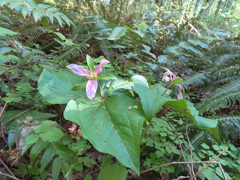
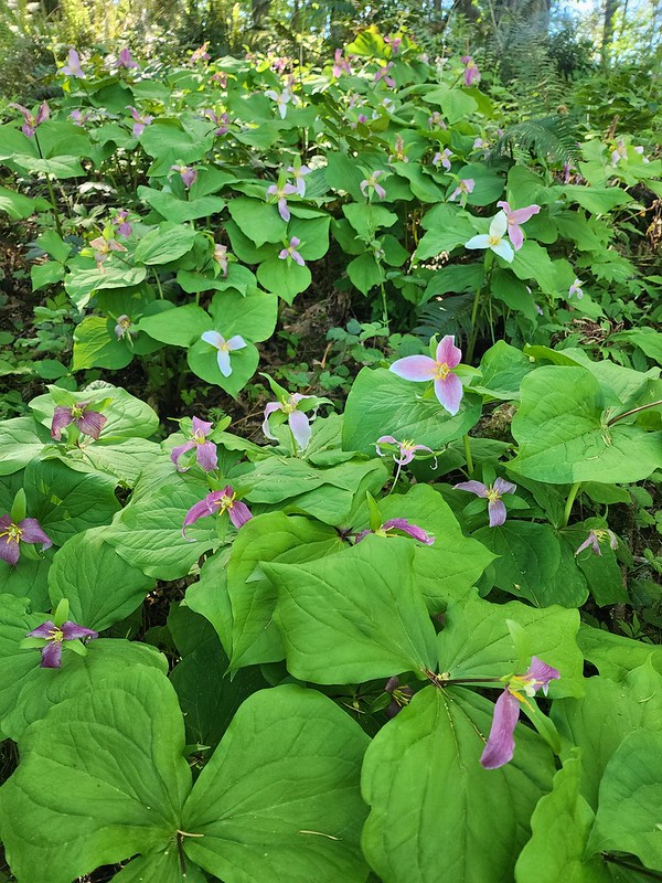
As we had for most of the day we went right when the trail split and followed the path through the woods. There were several use trails cutting through the center of the loop as well as some spur trails leading to nearby homes, so it took some trial and error to find the “official” trail. We managed to only veer off course once, but we spent a fair amount of time pondering which way to go at several junctions. The highlight of this loop was the abundance of trillium. We were just catching the tail end of the bloom, but it was impressive.
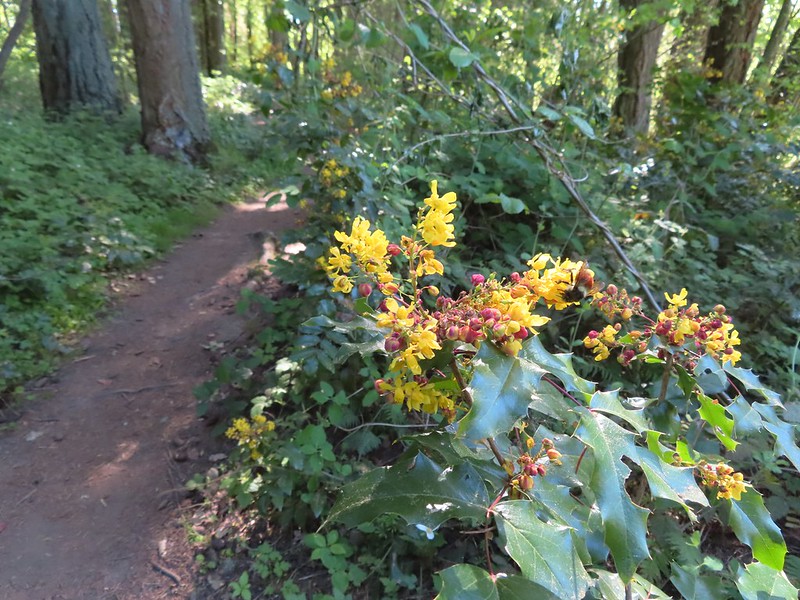 There was a fair amount of Oregon grape as well.

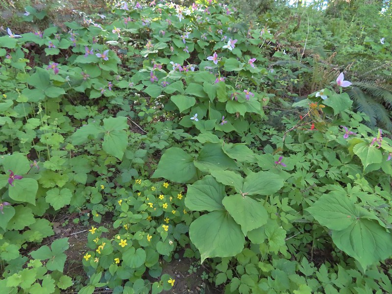 Violets and trillium
After completing the loop we returned to the Rock Creek Trail, turning right and climbing back to the junction where we’d turned onto the Lakeside Loop earlier.
 Western meadowrue
 Fawn lilies
We veered right off of the paved trail onto a dirt path since it was a much more inviting surface.
The dirt path rejoined the paved path behind the Rhododendron Garden and playground.
We continued on the Rock Creek Trail as it passed behind the playground area and descended back down to Rock Creek on what was now a dirt/gravel trail.

 Sparrow
 Footbridge over Rock Creek.
Just over 100 yards beyond the footbridge the trail arrived at S 1st Avenue where the segment currently ends.
We turned around at street and headed back, taking a somewhat muddy spur trail that ran parallel to the main trail for 0.2 tenths of a mile just to change things up on the way back. When we got back to the Rhododendron Garden we passed through again on different paths to see more of the plants.
 Left is the dirt path we’d taken earlier, straight is the Rock Creek Trail, and right led to the Rhododendron Garden.


This hike was approximately 2.5-miles with 100′ or so of elevation gain giving us just under 7.5-miles and 150′ of elevation gain for the day.
 Jackson Bottom on the left and Rood Bridge to the right.
Both of these destinations would be great for kids. (Note dogs and bicycles are not allowed at Jackson Bottom.) We enjoyed Jackson Bottom a little more given the wildlife, but Rood Bridge was a nice park and the trillium display along the Lollipop Loop will not be forgotten. Happy Trails!

2 replies on “Jackson Bottom Wetlands and Rood Bridge Park – 04/20/2024”
We really enjoyed looking at all the birds!
[…] previous visit here was last April (post) and we hiked the majority of trails here during that visit, so this was a near repeat except I […]