**Note the 2020 Lionshead Fire burned the area covered by this hike.**
At the beginning of the year we had requested the Friday before Labor Day Weekend off in hopes of backpacking around Diamond Peak (With a side trip up to the summit) but with our backpacking plans on hold while we care for our elderly cats we switched our plans to day hikes instead. For our first hike we chose Olallie Butte.
Before getting into the trip report we wanted to point out that this hike is in part located on the Warm Springs Reservation. It wasn’t entirely clear whether or not non-tribal members are allowed on the trail. We did some research before heading out and discovered that this uncertainty has existed for some time. We decided to go ahead and start the hike but were prepared to turn around if there were any signs posted letting us know that the trail was off-limits. There were several other nearby hikes that are still on our to do list so we had plenty of alternate options if that did happen.
The hike starts at a nondescript pullout under some power lines. We were a little apprehensive upon arriving at the trailhead, not because we were worried the trail would be closed, but rather due to the clouds that were overhead. The forecast had called for sunny skies on the butte so we hoped that either the clouds would be burning off or we would be climbing above them. We had tried for a similar view two other times by climbing nearby Double Peaks (post) and Ruddy Hill (post), but had been foiled by clouds on both of the trips.
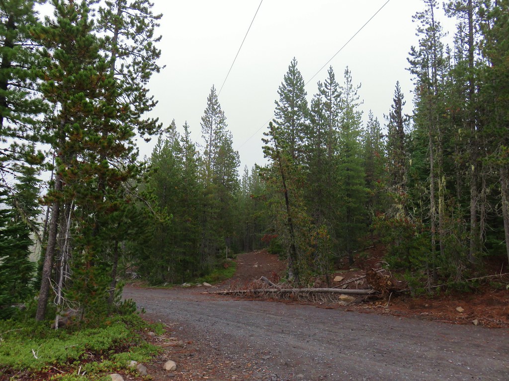
The actual trail was marked by some pink flagging off a dirt road across from the parking area.

After just a tenth of a mile we arrived at the Pacific Crest Trail where there was what appeared to be a newer sign for the Olallie Butte Trail.
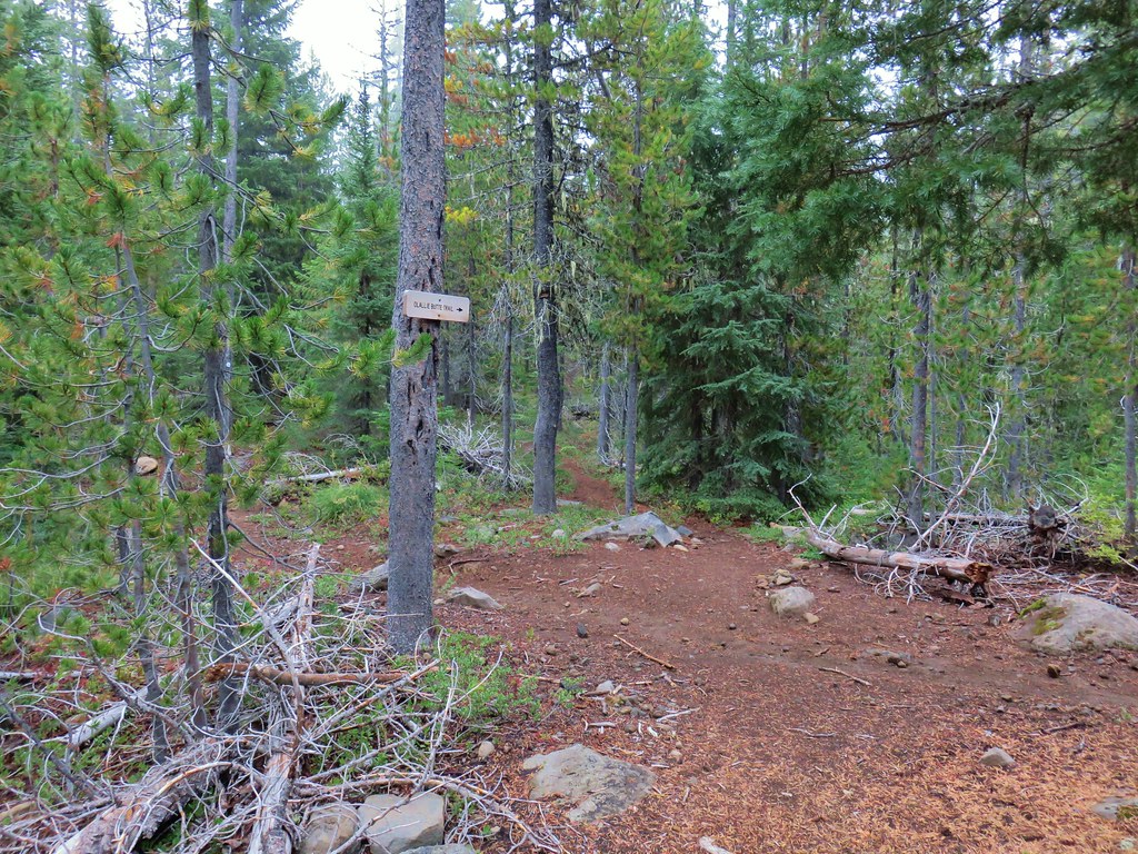
 Trail sign with the PCT heading north behind it.
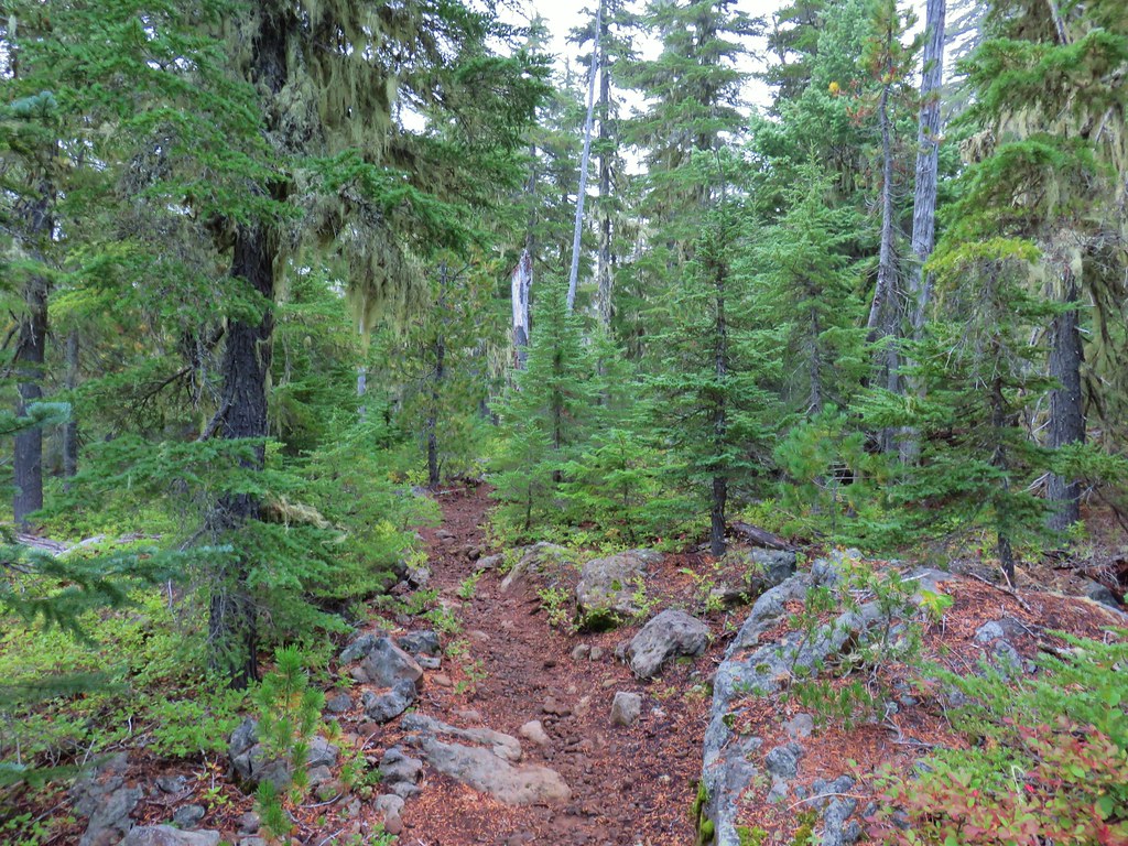
We crossed the PCT and headed uphill through the forest which was very typical for the Olallie Lake Scenic Area.


After approximately a mile and a half of gradual climbing we came to a sign announcing the start of the Warm Springs Reservation.


There were no signs of restricted access so we continued on making sure that we remained on the trail and respected the area.

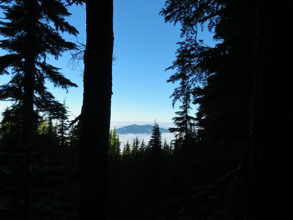
We did indeed emerge from the clouds not long after entering the reservation which allowed for occasional views of nearby Sisi Butte and Mt. Hood.
 Sisi Butte
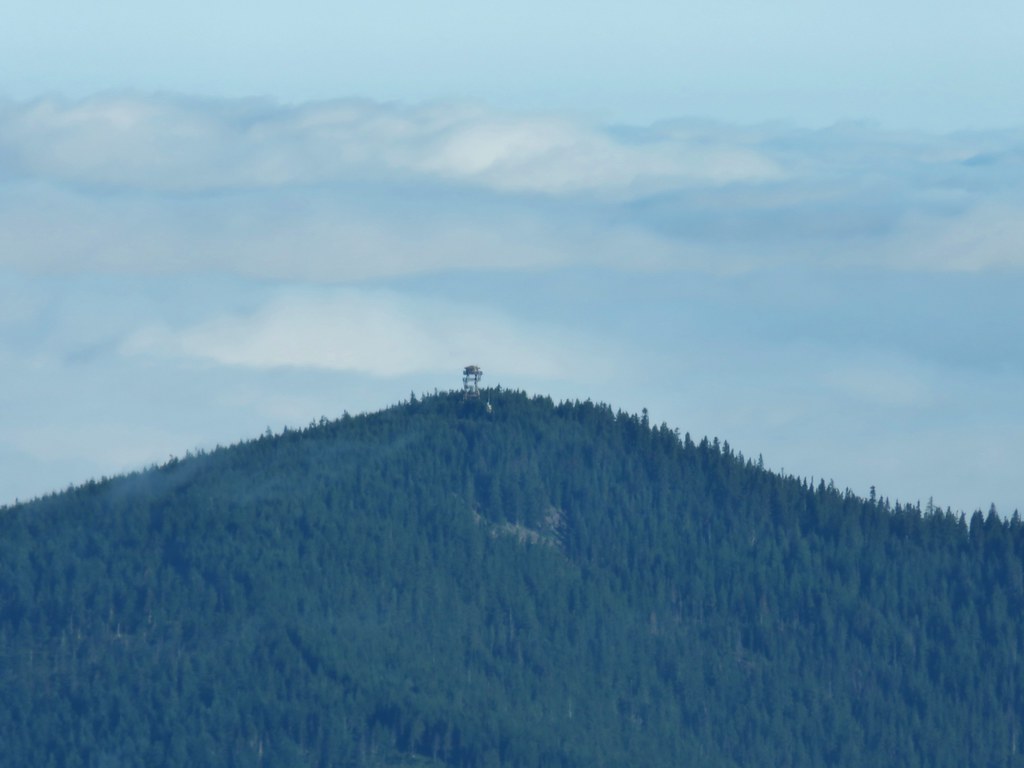 Lookout tower on Sisi Butte
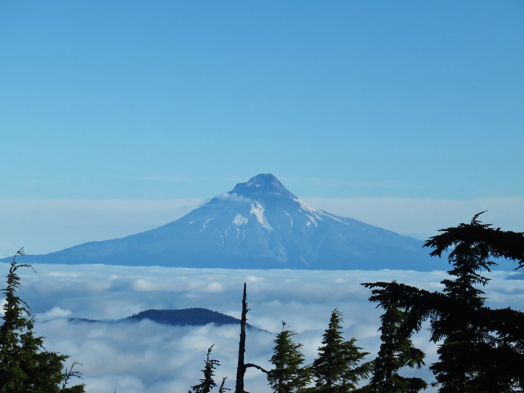
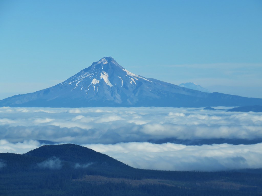
 Mt. Hood
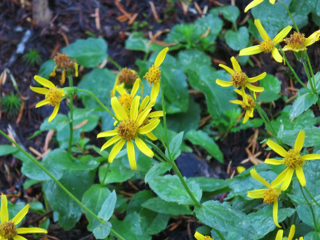
It was too late in the year for most of the flowers but there was a little color left on a few of them.


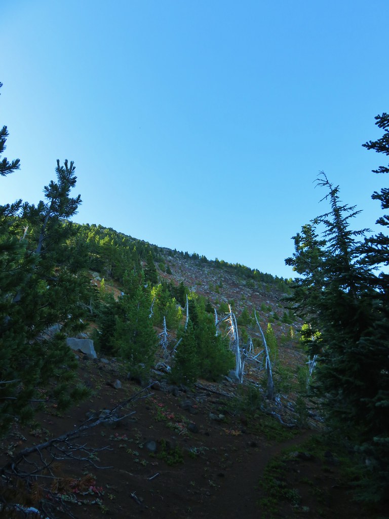
Just beyond the three mile mark the trail leaves the forest and traverses a cinder slope beneath the summit.

The view south to Mt. Hood is unobstructed here.

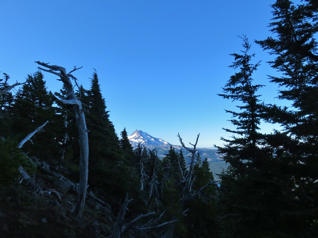
Shortly before starting a series of swtichbacks we got our first look at Mt. Jefferson through some trees.

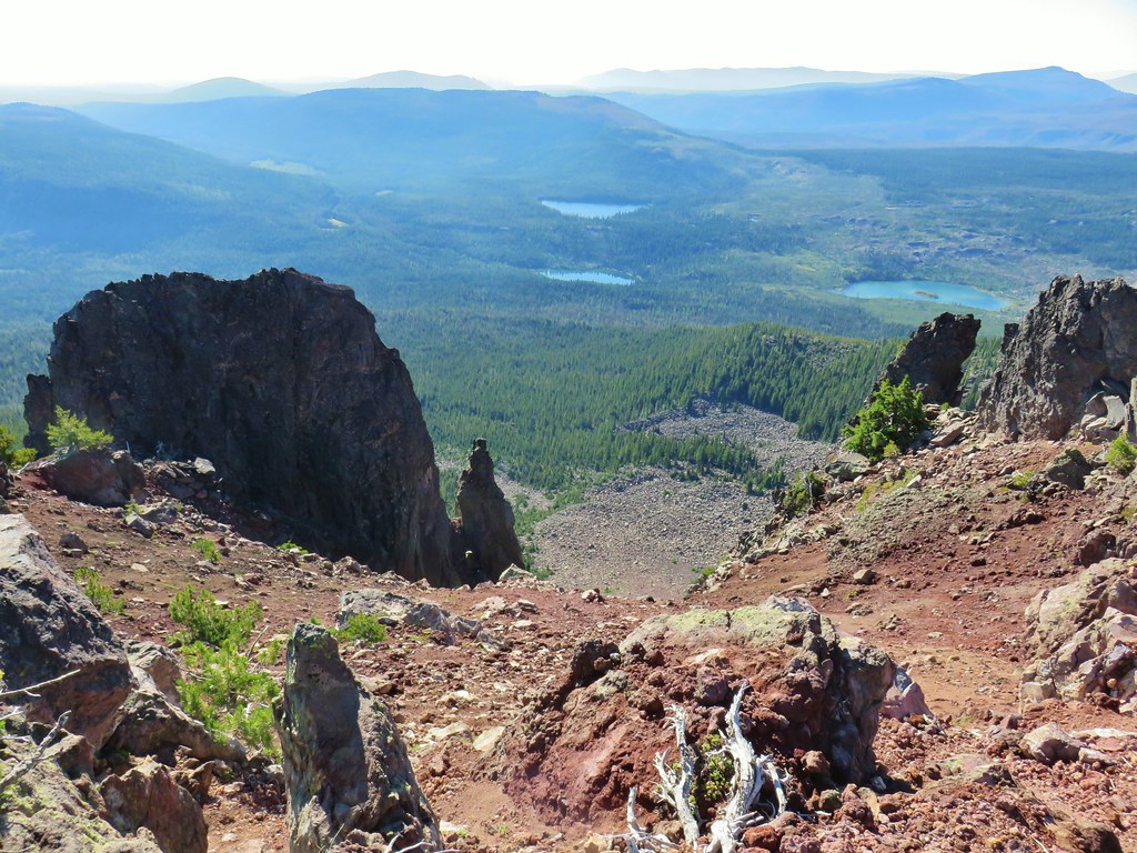
The view of Mt. Jefferson improved as we climbed and soon Olallie and Monon Lakes joined the scenery along with several more Cascade peaks further to the south.
 Olallie Lake
 Monon Lake just beyond Olallie Lake (Timber Lake is the smaller lake in the trees to the west.
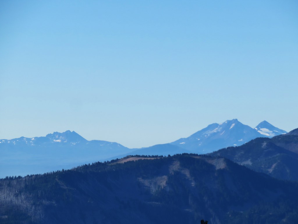 Broken Top and The Three Sisters
There were also some familiar features from earlier this year.
 Dinah-mo Peak and Bear Point (post)
 Bear Point
After completing the switchbacks the trail arrived at a saddle atop the broad summit of Olallie Butte. To the north were the remains of a former lookout tower while a close up view of Mt. Jefferson awaited to the south.
 Lookout tower remains


We started by visiting the southern end of the summit to get that close up view of Mt. Jefferson and the many lakes between that mountain and the butte.
 Starting from the left – Trout Lake with Boulder Lake beyond, Island Lake, Dark Lake, Long Lake. The three smaller lakes are Lake Mary (closest), Lake Marie (middle), and Lake Alice (furthest). Lake Hazel is the small lake up and to the right of those three. All of these lakes are part of the Warm Springs Reservation and off-limits unless a permit to visit has been obtained.
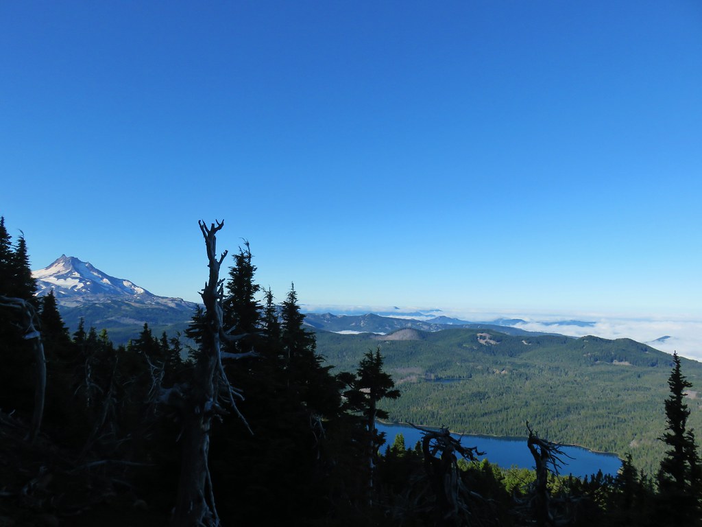
 Monon, Olallie, and Timber Lakes in the Mt. Hood National Forest to the west.
 Mt. Jefferson
An interesting feature on this end of the butte is a natural rock arch.


We eventually pulled ourselves away from this view to head over to the former lookout.

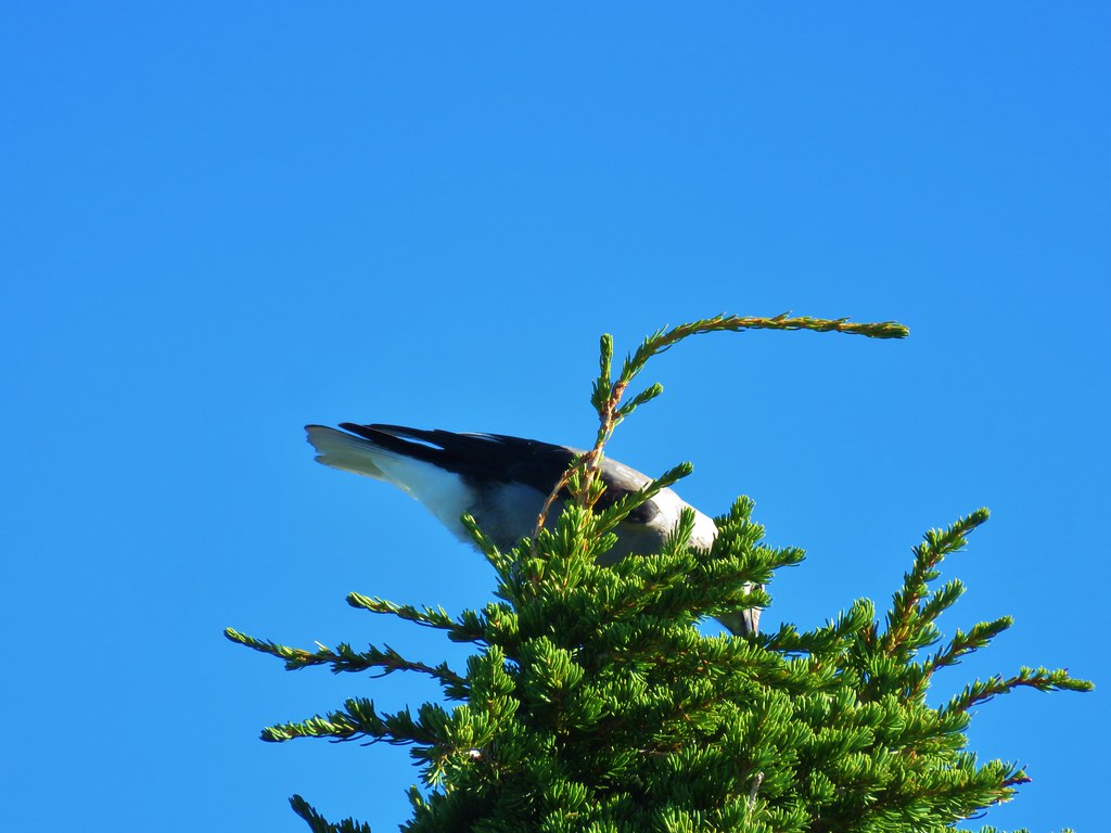
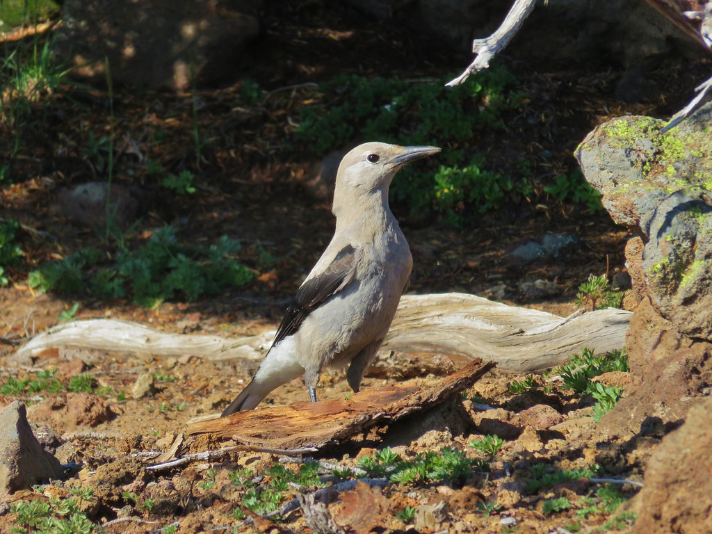
We found a pair of Clark’s nutcrackers enjoying breakfast.


The clouds were receding to the north which revealed Mt. Adams behind the right shoulder of Mt. Hood and further to the west we could just make out Mt. St. Helens above the clouds.

 Mt. St. Helens as a dark spot on the horizon.
 Mt. Adams beyond Mt. Hood
 Mt. Jefferson from the lookout site.
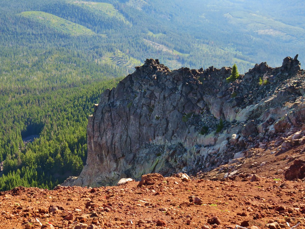
There were more rock fins on the NE side of the butte but no rock arches.
We visited the south end of the summit once more before heading back down the trail. The view was a little different on the return trip as the clouds had departed creating several additional views of Mt. Hood along the lower portions.

We had planned to pack out any litter we found on the reservation as one of the things that could easily lead to the explicit closure of the trail would be damage to the area but we didn’t see any other than the remains of the old lookout while on the reservation. On the other hand closer to the trailhead we removed a shoe sole, a couple of crushed cans, and a pile of apparently discarded clothing and a tent fly.
Other than the trash this was a spectacular hike. The views were great and we didn’t see any other hikers. For us this was roughly an 8 mile hike gaining 2700′ of elevation. Despite that number the climb was never particularly steep making it feel a little easier than might be expected. Happy Trails!
Flickr: Olallie Butte

11 replies on “Olallie Butte – 8/30/2019”
[…] There was a nearly immediate view across part of the lake to Olallie Butte which we had recently climbed (post). […]
[…] After a short climb the view ahead opened up to Olallie Butte which we’d climbed earlier in the year.(post) […]
[…] Sisters, Mt. Washington, Three Fingered Jack (just the very top), Mt. Jefferson, and Olallie Butte (post) were visible in the […]
[…] Jefferson and Olallie Butte (post) behind the […]
[…] Butte (post) and Mt. […]
[…] Hood with Olallie Butte (post) in front and a faint Mt. Rainier behind to the […]
[…] Butte (post), Mt. Jefferson, the Three Sisters, and Three Fingered […]
[…] Butte (post) in front of Mt. […]
[…] Butte (post) and Mt. […]
[…] Mt. Jefferson and Olallie Butte (post). […]
[…] Sisi Butte in the center with Olallie Butte to the right (post). […]