**Unfortunately the Flag Point Lookout burned in the 2026 Grasshopper Fire**
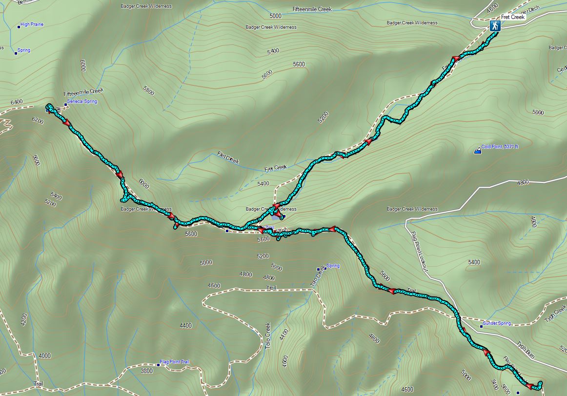
For the second weekend in a row we abandoned plans for a night in the tent in favor of day hike. Similar to the weekend before the forecast for was for a mostly sunny and warm Saturday followed by rain and/or snow moving in Saturday night through the end of the weekend. We decided on the Fret Creek Trail in the Badger Creek Wilderness. Our plan was to take that trail to the Divide Trail and visit the Flag Point Lookout to the east followed by Lookout Mountain to the west. While we had been to Lookout Mountain twice before (2014, 2019) we had not visited the Flag Point Lookout nor had we hiked the lower portion of the Fret Creek Trail. We were hoping to get some good views and see some of the areas Western Larch trees as they began to turn color.
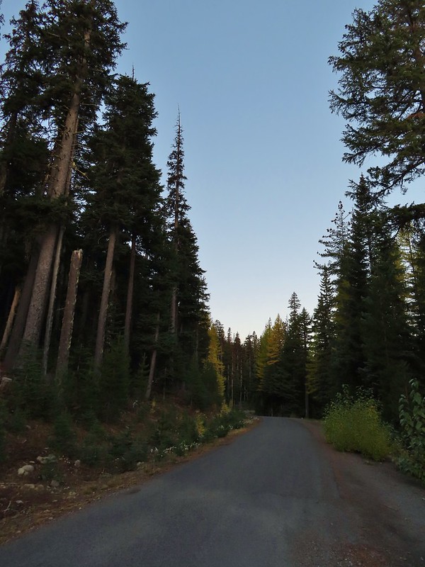
The Fret Creek Trail starts between Fifteen Mile Campground (post) and Fret Creek along Forest Road 2730 across from a trailhead sign at a pullout on the left.

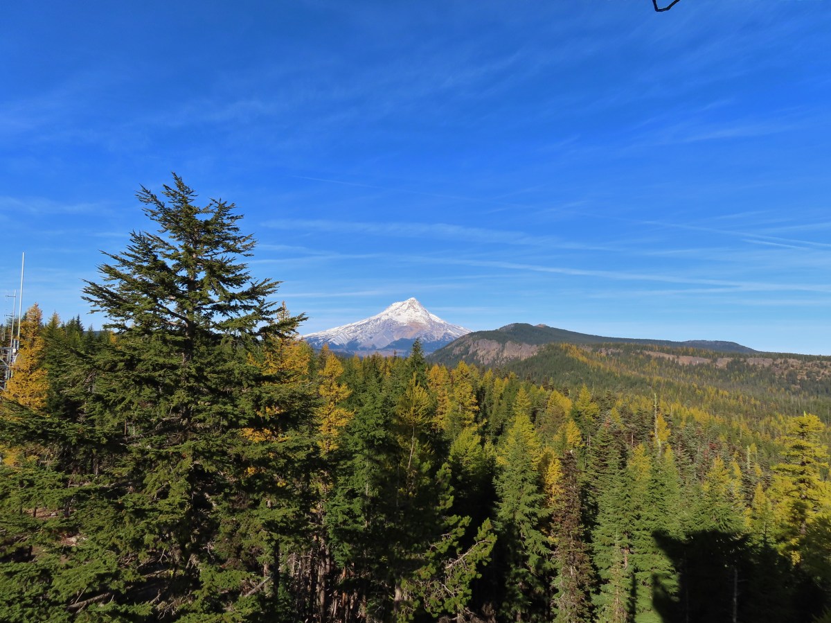
 A few larches along Road 2730
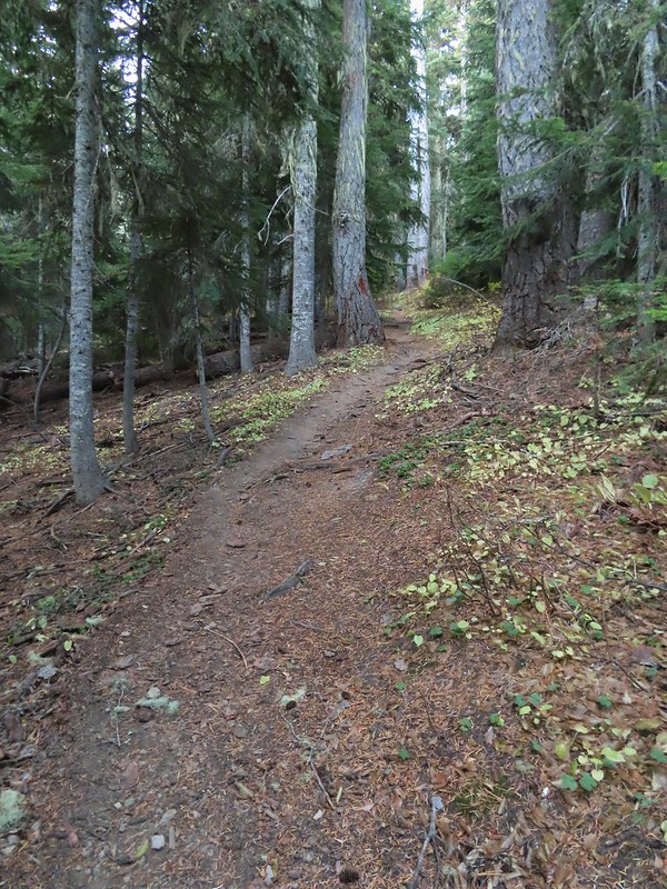
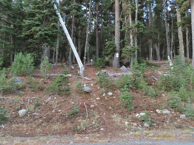 Fret Creek Trail across from the pullout.
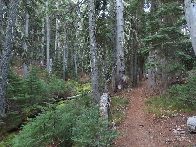
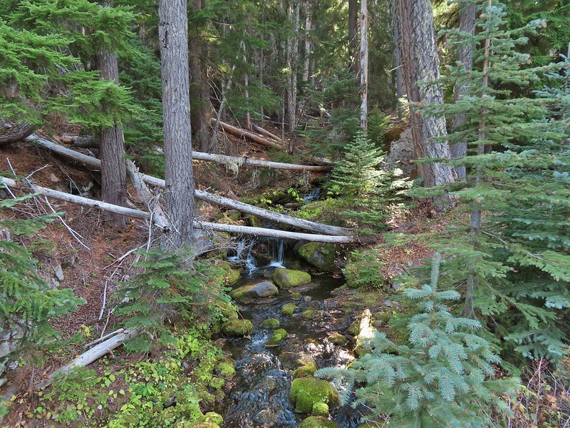
For the first third of a mile the trail climbed fairly steeply above Fret Creek.
 Entering the Badger Creek Wilderness.

The trail eventually leveled off crossing Fret Creek several times before once again launching steeply uphill before arriving at Oval Lake just under 2 miles from the trailhead.


 Starting to climb again.
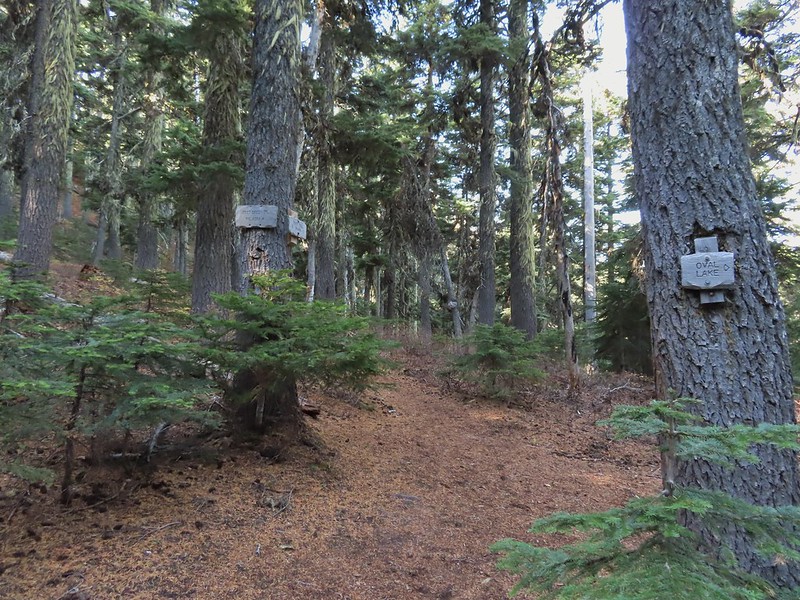
 Sign for Oval Lake.
The small lake is just off the trail but has several campsites in the surrounding forest.
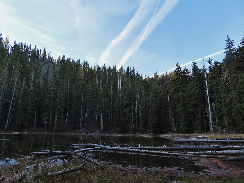
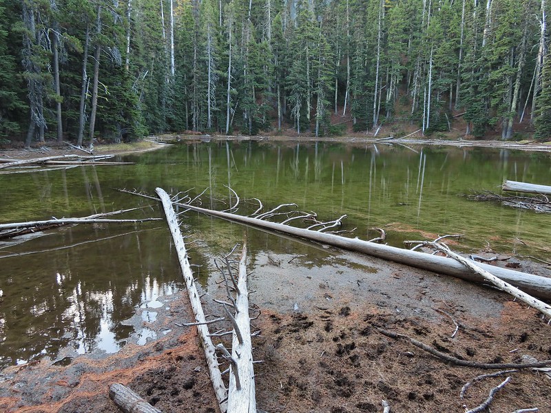
We’d visited the lake briefly in 2014 during our first ever backpacking trip and it looked quite a bit like we’d remember but with less water given the time of year.
 June 28, 2014
After checking out the lake we continued climbing on the Fret Creek Trail for 0.2 more miles to its end at the Divide Trail.
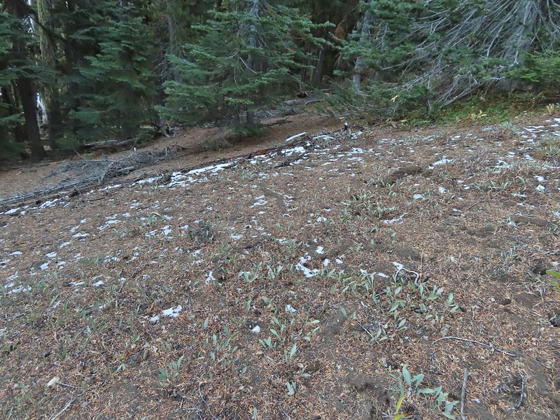 A bit of snow left from the recent snowfall.
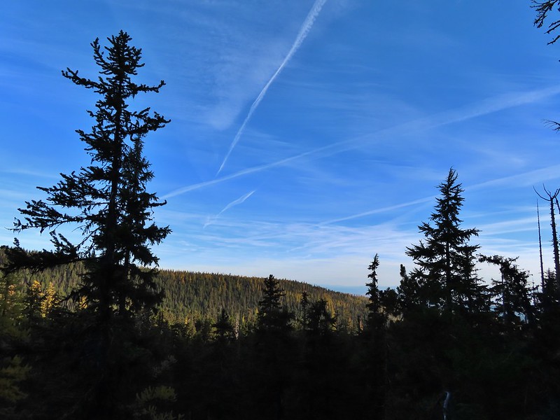
 The Divide Trail.
We turned left on the Divide Trail and climbed for 0.3 miles to a ridge crest where we took a side trail out to Palisade Point. This rock outcrop has a nice view south across the Badger Creek Wilderness to Mt. Jefferson and the Three Sisters.

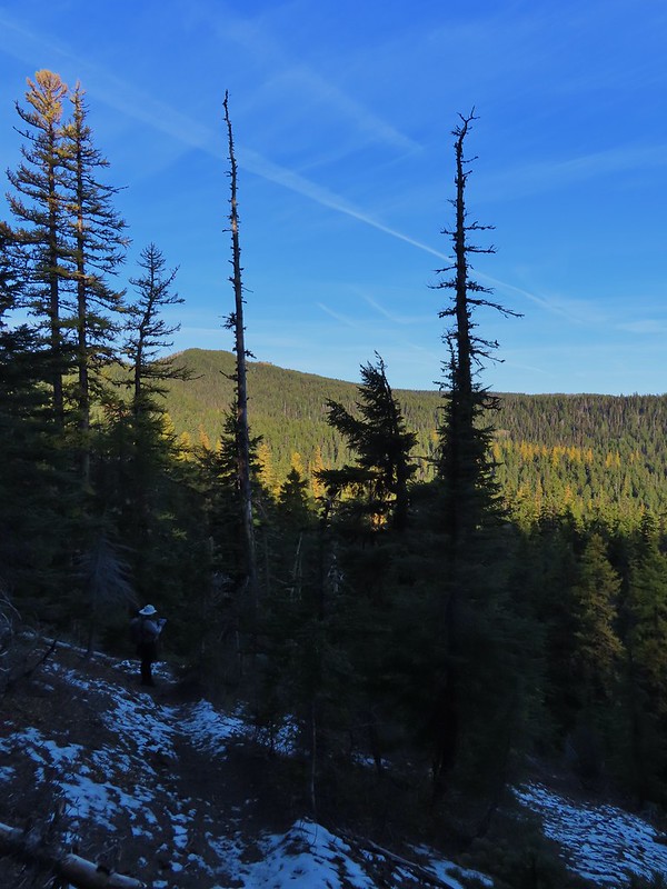
 Some snow near a switchback along the trail.
 Mt. Adams starting to peak over a ridge to the north.
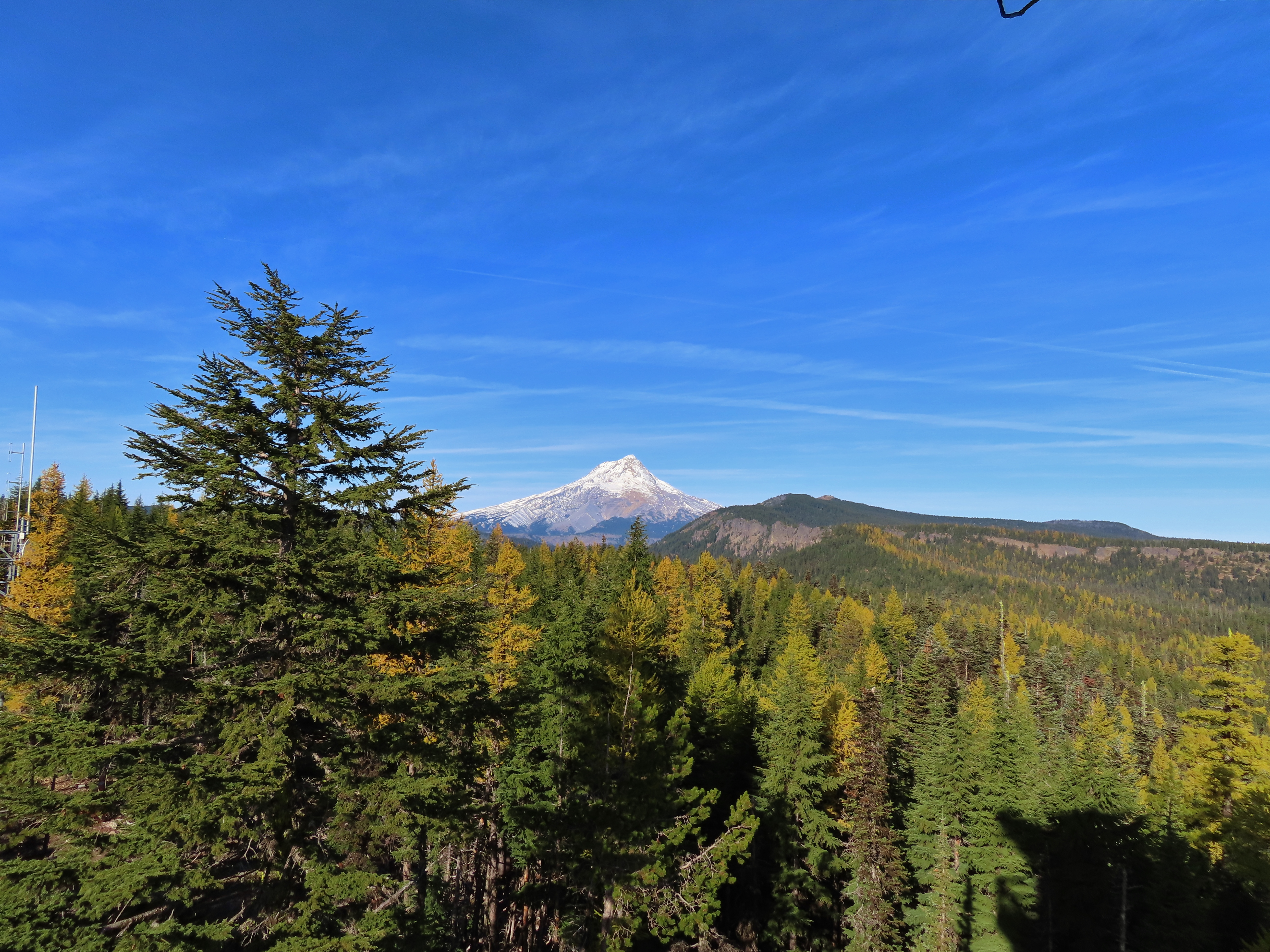
 Mt. Adams with some larch trees in the foreground.
 Lookout Mountain from the Divide Trail (The bare peak in between the two bare snags. Just to the right of the left snag.)
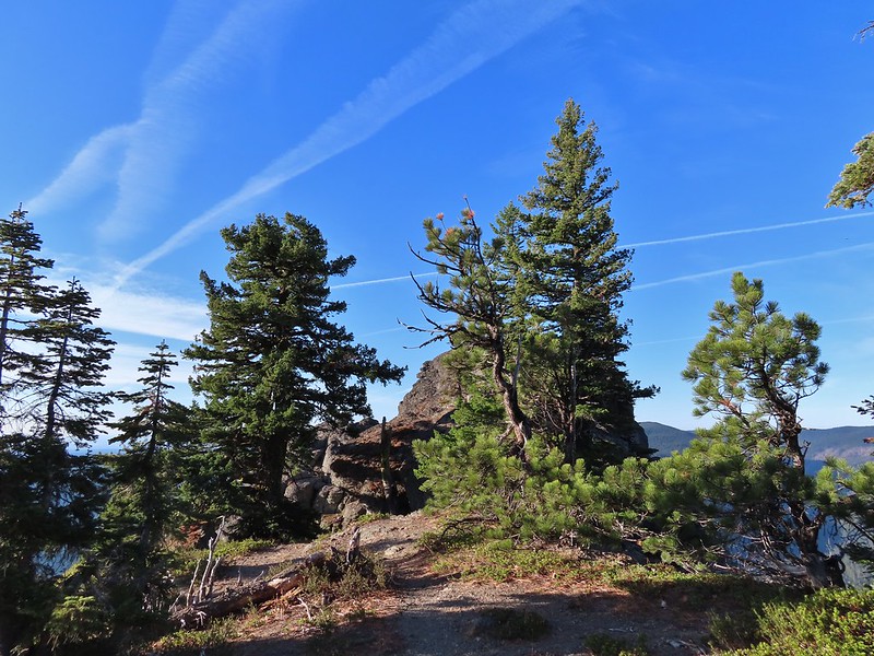 Side trail to Palisade Point.
 Broken Top, The Three Sisters, Mt. Washington, Three Fingered Jack (just the very top), Mt. Jefferson, and Olallie Butte (post) were visible in the distance.
 Mt. Jefferson with the tip of Three Fingered Jack to the left and Olallie Butte to the right.
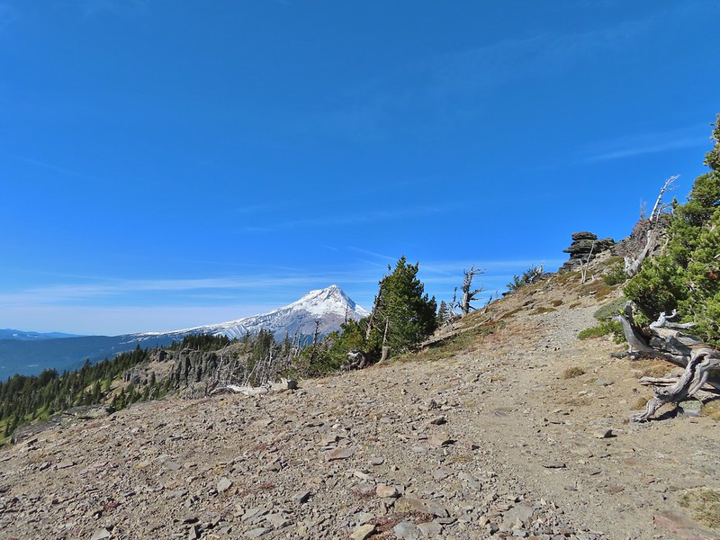
 Mt. Hood peaking up over the rocks.
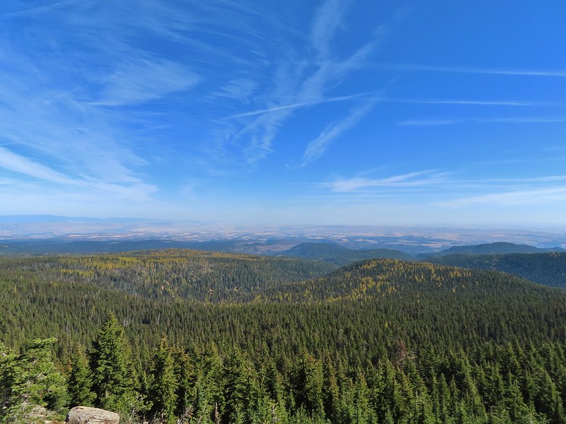
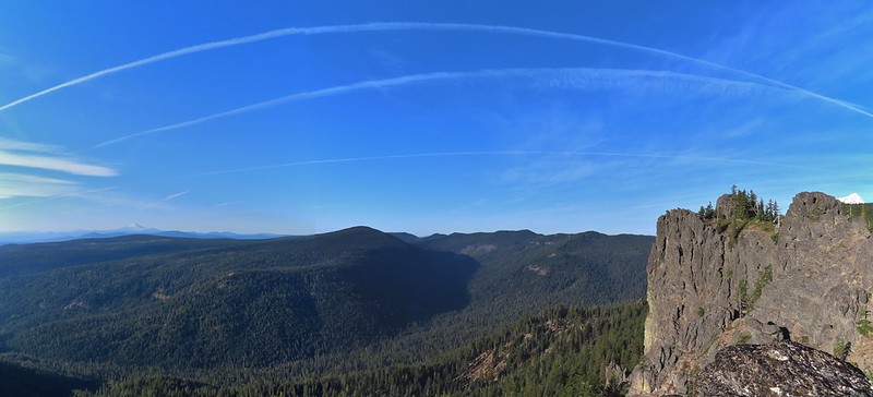 Panoramic view with Badger Creeks valley below.
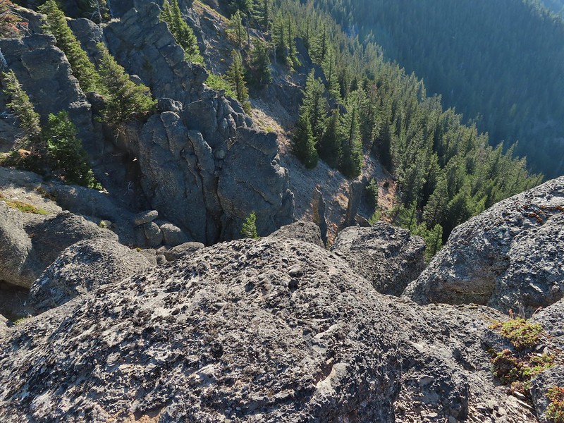 Rocks below Palisade Point.
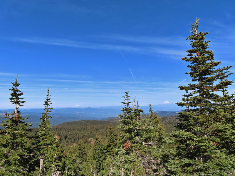
After the stop at Palisade Point we continued east along the ridge for 1.2 miles losing a little over 300′ to Flag Point Lookout Road (NF 200). Occasional views opened up along the way.
 We ran into this jumble of downed trees shortly after leaving Palisade Point but fortunately it was the worst of the obstacles.
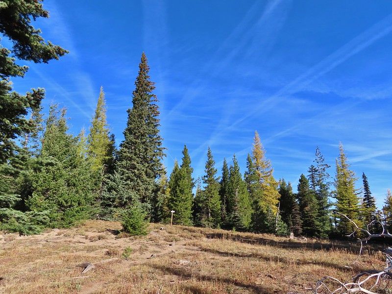
 Flag Point Lookout from the trail.
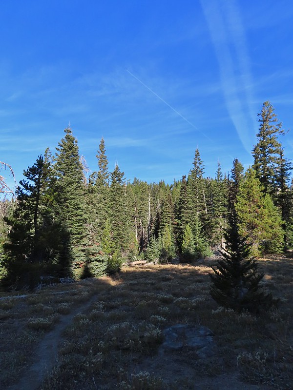 A small meadow that was full of flowers a couple of months ago.
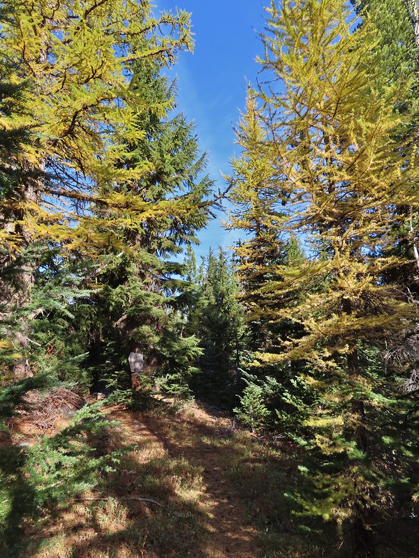
 A stand of larches.
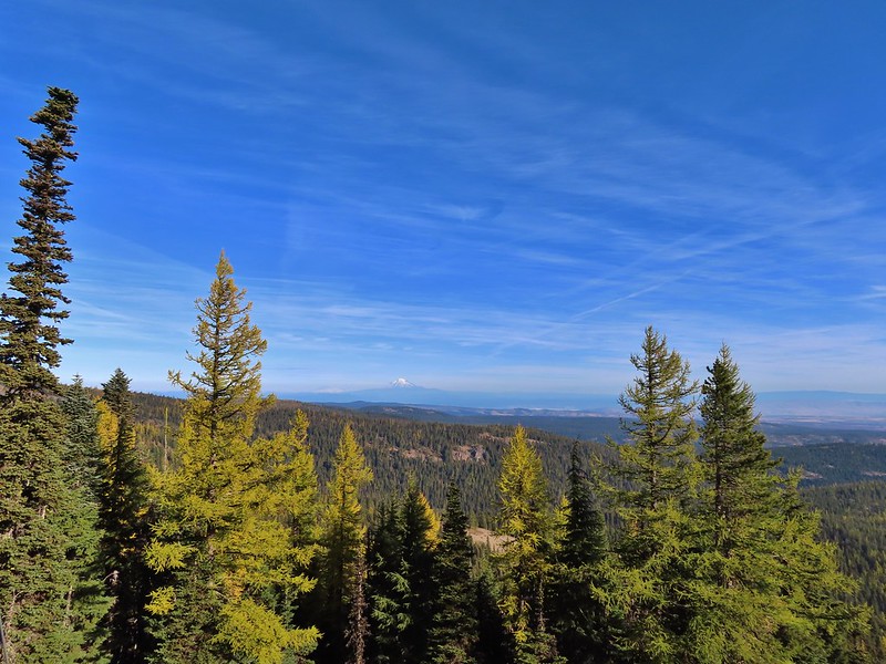
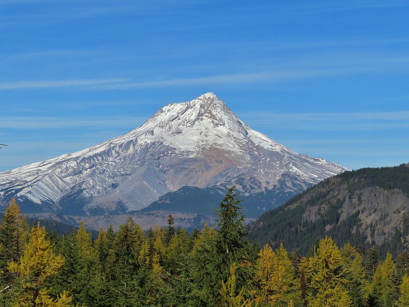
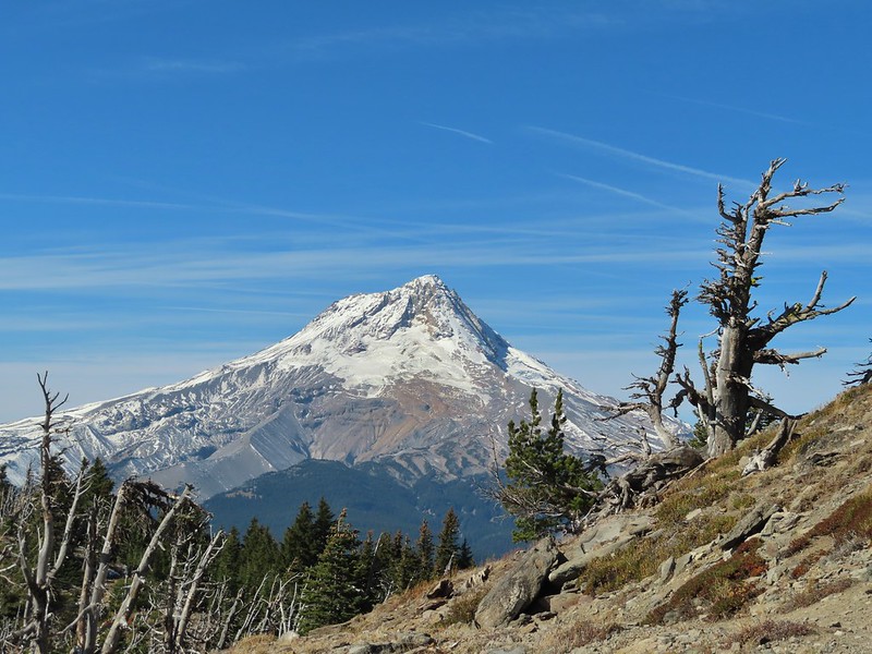
 A better view of Mt. Hood.
 Zoomed in.
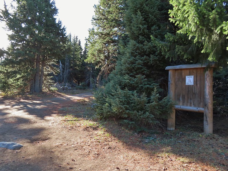
 Looking back through larches at a Badger Creek Wilderness sign near Road 200.
 Looking back at the Divide Trail.
We had been to this junction on our 2014 backpacking trip where we turned off the Divide Trail here onto the Badger Creek Cutoff Trail to hike down to Badger Creek. This time we took Road 200 which led to the Flag Point Lookout in 0.8 miles.
 Road 200

 Chipmunk
 Nearing the lookout.
The lookout is staffed in the Summer and used to be available as a rental during the Winter but the Forest Service discontinued that a few years ago.
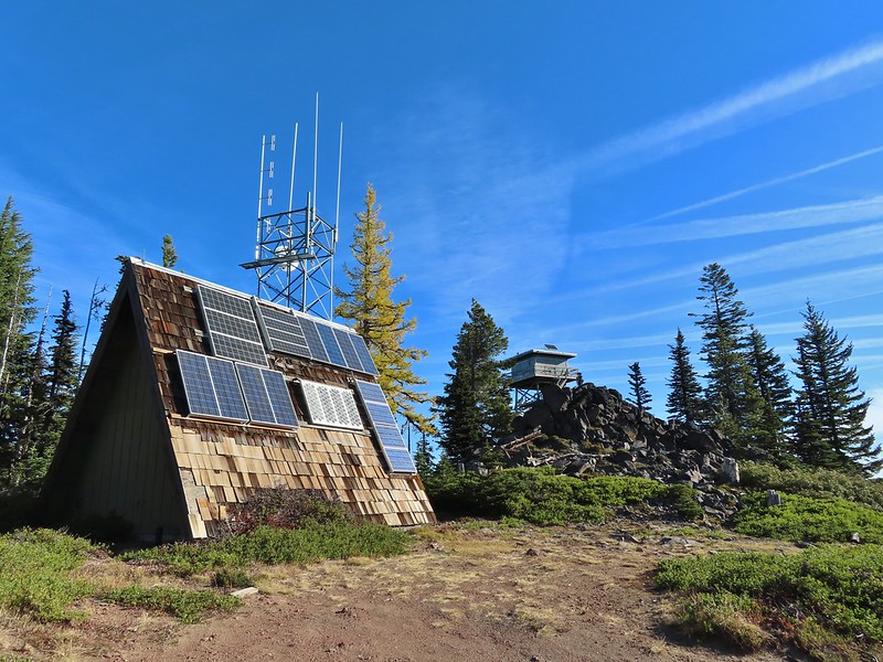

A gate blocks access to the platform and tower but climbing the stairs below the gate provided for some more excellent views.
 Mt. Rainier and Mt. Adams to the north.
 Mt. Rainier and Mt. Adams

 Three Fingered Jack, Mt. Jefferson, and Olallie Butte
 View east to the hills above the Columbia River.
We spent quite a while admiring the views and then more time attempting to spot one of the pikas that we could hear in the rock field below the lookout. Alas none of the little rock rabbits wanted to make an appearance but several robins did.

We headed back to the Divide Trail and stayed straight at the junction with the Fret Creek Trail. It was just 1.6 miles to Lookout Mountain and on such a beautiful day we couldn’t pass up the chance of another spectacular view.
 Passing the Fret Creek Trail.
 We did need to gain almost 800′ of elevation to reach Lookout Mountain which at times was a fairly steep climb.
 Another viewpoint along the way where Badger Lake was visible.
 Badger Lake
We had seen our first fellow hikers on our return from Flag Point and now we were seeing more of them as well as a little more snow.


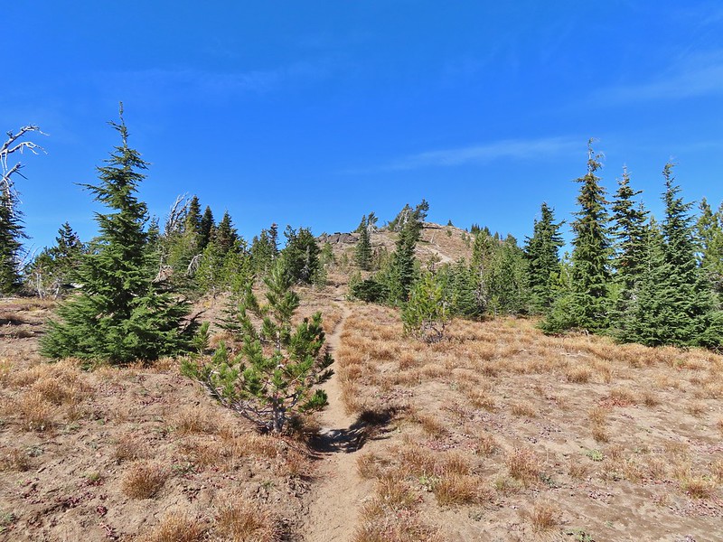 The final pitch to the summit, there is at least one hiker visible up top.
 Looking back to Flag Point.
 Looking NE toward The Dalles and the Columbia River.
 Mt. St. Helens, Mt. Rainier, and Mt. Adams
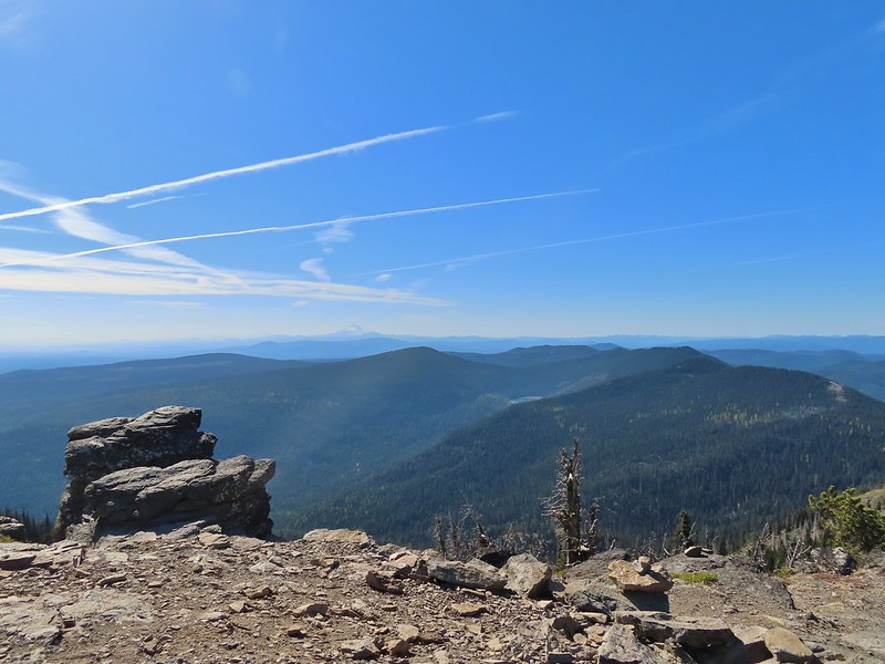 View south past Badger Lake to Mt. Jefferson.

After another nice break we headed back, but just under half a mile from the summit we turned right on a side path to what Sullivan labels the Helispot. Several campsites were located here and yet another amazing view.
 Flag Point from the Helispot.

 And of course Mt. Hood again.
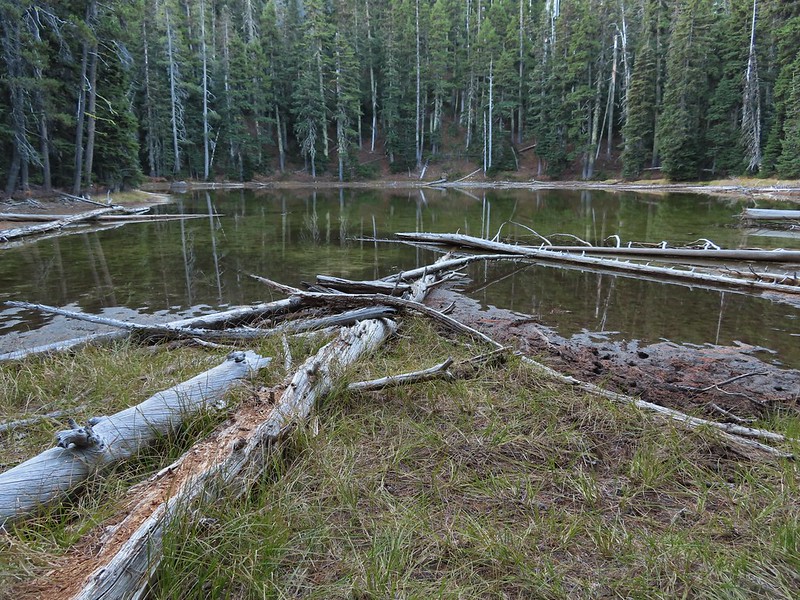
After exploring the Helispot area we hopped back onto the Divide Trail and returned to the Fret Creek Trail. We made a final quick stop at Oval Lake before returning to our car and heading home.


 Fret Creek from the road near the trailhead.
The hike was just over 13 miles with approximately 2800′ of elevation gain. A number of shorter options could be done and longer trips are also possible with the numerous trails in the Badger Creek Wilderness.
It was great to see the mountains with fresh snow and nice to have some snow on the ground after the dry Spring and Summer. They are calling for a La Nina Winter which could mean plenty of precipitation. After this year we would welcome it. Hopefully it will be in the form of snow for the mountains and not rain though. Happy Trails!
Flickr: Fret Creek to Flag Point

4 replies on “Fret Creek to Flag Point and Lookout Mountain – 10/16/2021”
[…] #85 Lookout Mountain – Hiked – 6/28/2014, 10/13/2019, & 10/16/2021 […]
[…] Mt. Hood and Lookout Mountain (post). […]
[…] here are hiding Mt. Hood which should be visible behind the ridge. What is visible is Flag Point (post) in the middle with the Flag Point Lookout […]
[…] Mountain (post) from the […]