A less than ideal forecast had us looking for a hike that wasn’t view dependent and wouldn’t be too negatively impacted by rain. Crabtree Lake in Crabtree Valley seemed to fit the criteria and it was a featured hike in Sullivan’s 4th edition of his “100 Hikes in the Central Oregon Cascades” guidebook.
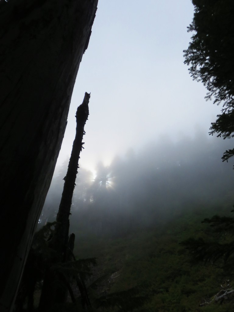
It was a cloudy, drizzly, morning as we headed for the trailhead NE of Sweet Home, OR. Although we knew there was a nice view of Mt. Jefferson from the trail that wasn’t the main goal of the hike so missing out on it wouldn’t be too disappointing. As we climbed along the BLM road to the trailhead we emerged from one set of clouds to find that we were in between cloud layers and so were the mountains. We parked at the junction of BLM road 11-3E-35.3(aka S. Fork Packers road) and the final .9 mile gravel road to the actual trailhead.
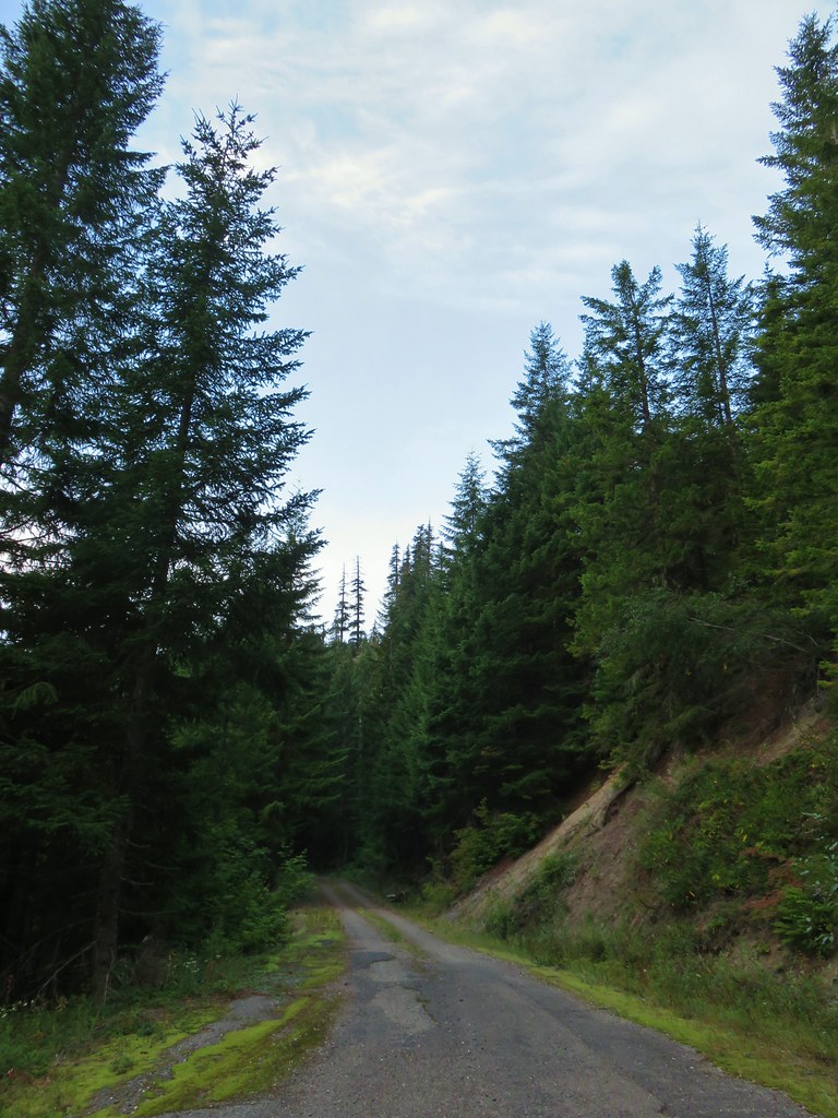 The gravel road from the junction.
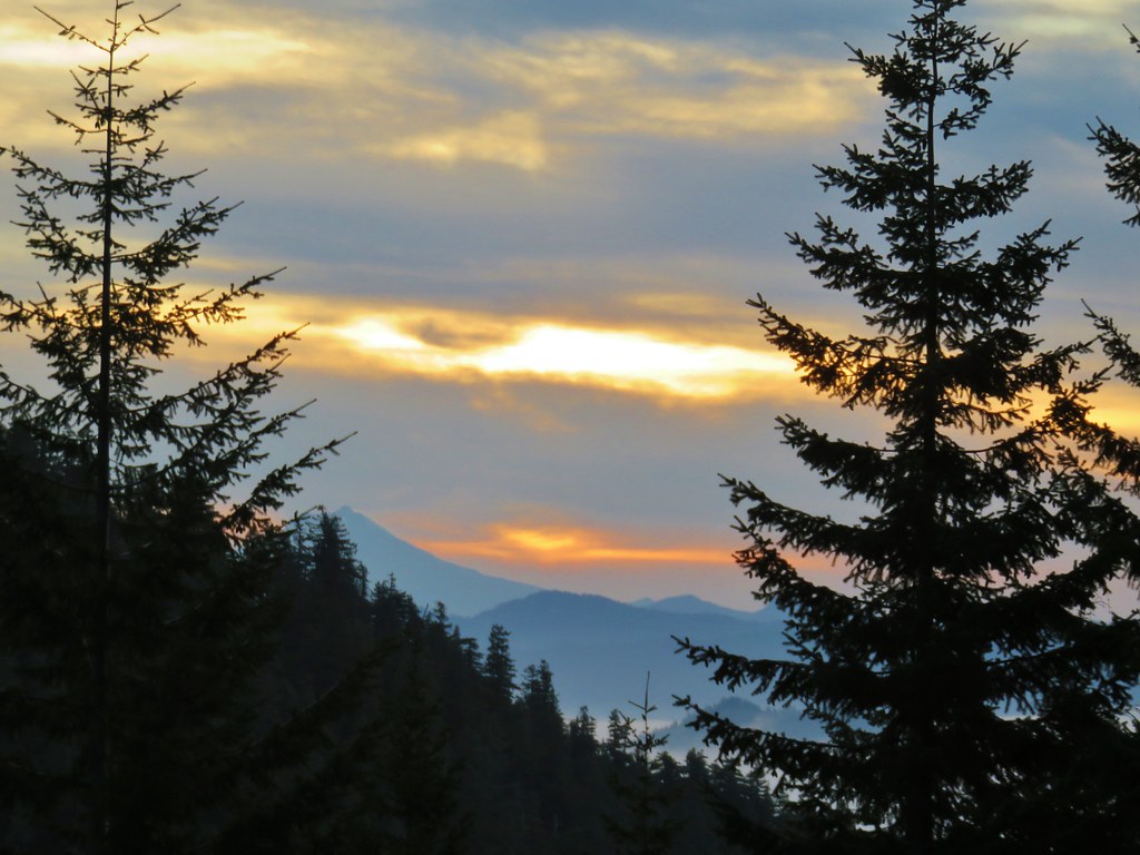
The gravel road was in pretty good shape, but we had opted to walk it primarily due to the fact that from the trailhead the hike would be under 5 miles (excluding any exploration). The extra 1.8 miles would give us enough more time hiking that we wouldn’t break our hike to drive timie ratio rule. As we walked up the road we got a nice view of Three Fingered Jack in a beautiful sunrise.


A bit later Mt. Jefferson became visible.

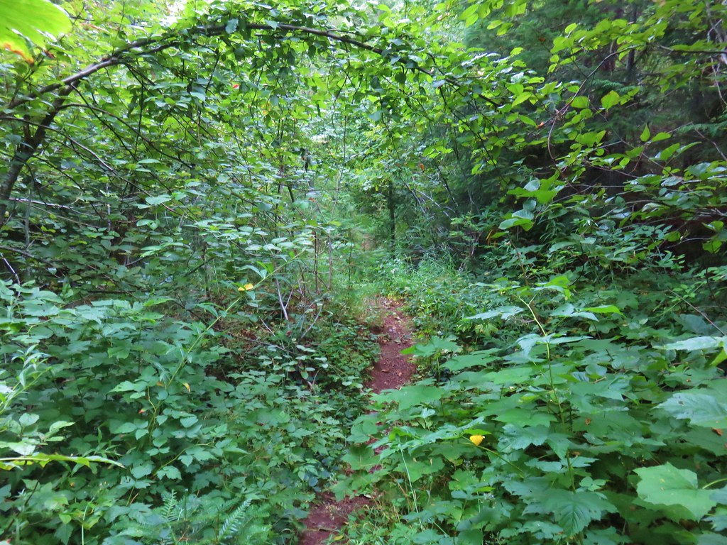
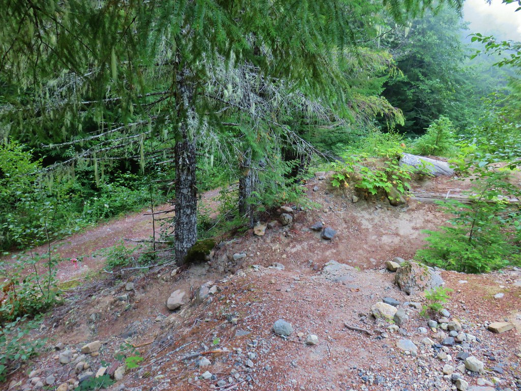
The actual trail begins at a berm where the road has been closed.
It then follows the road bed around a ridge end in .3 miles where the viewpoint of the mountains is.

 Coming up on the viewpoint.
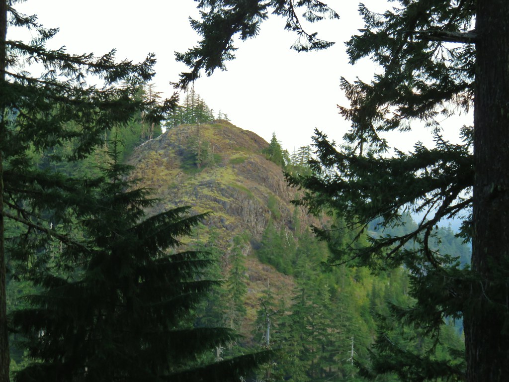
Instead of not having a view we were treated to a beautiful scene.
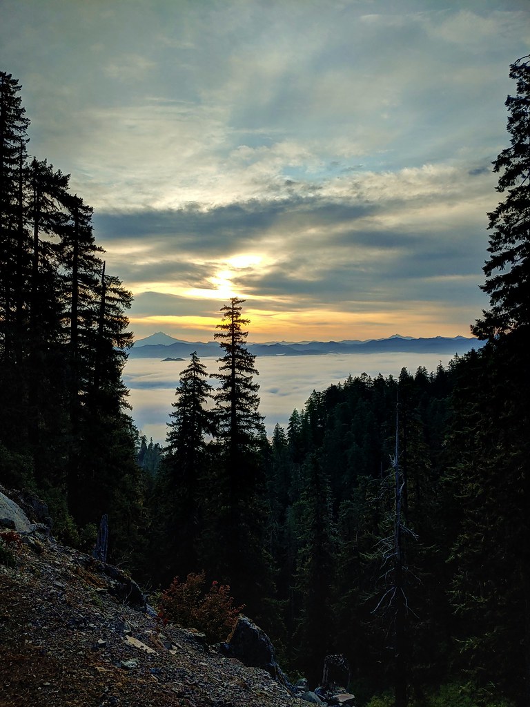
 Mt. Jefferson
 Three Fingered Jack
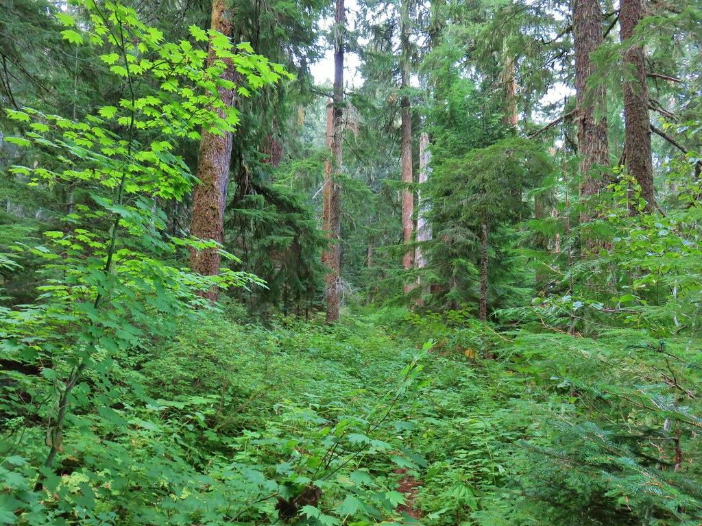
After oohing and awwing over the view we rounded the ridge end and began a 1.1 mile descent to a junction. There were a few left over flowers and dozens of rough skinned newts. We had to really watch were we stepped due to their presence on the trail.
 Maybe a ragwort?
 Yarrow
 St. John’s wort
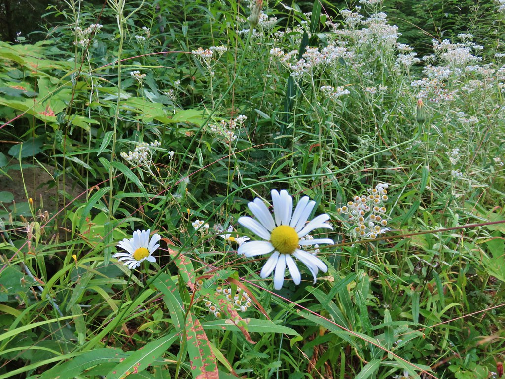 Daisy and pearly everlasting
 Beardstongue
 Fireweed
 Not a flower but colorful maple leaves.
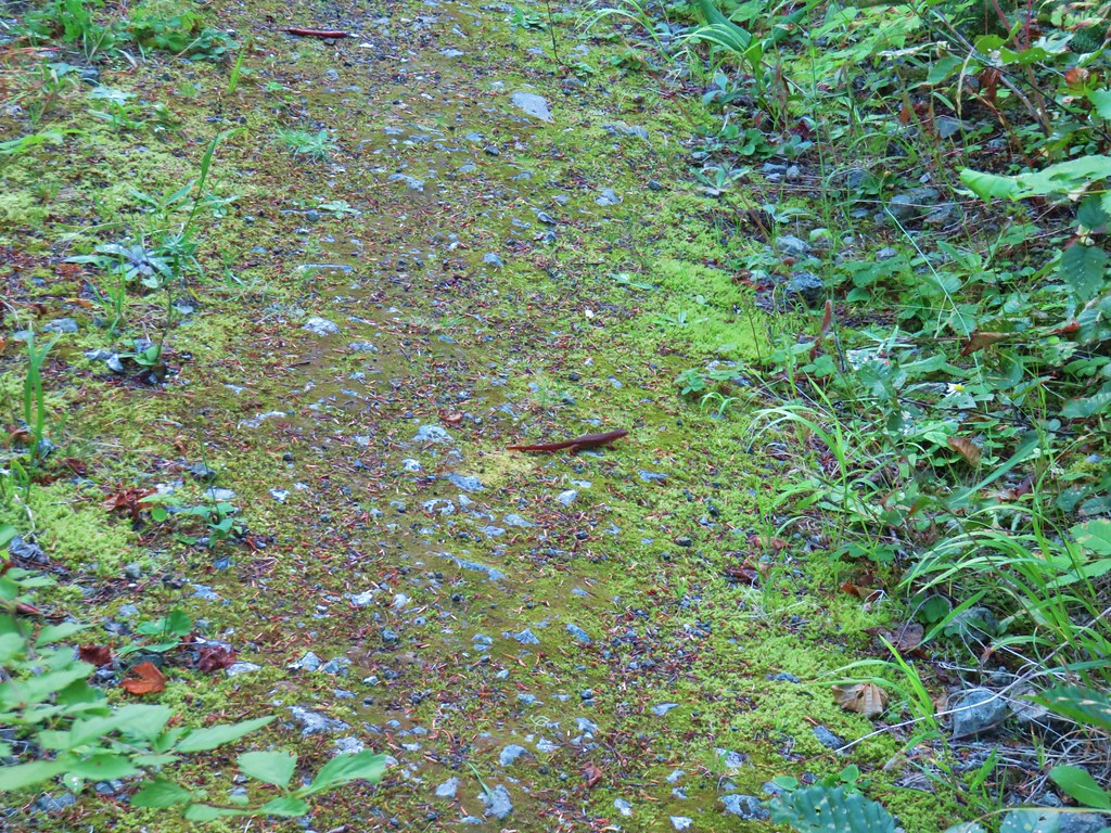 A common sight on the trail.
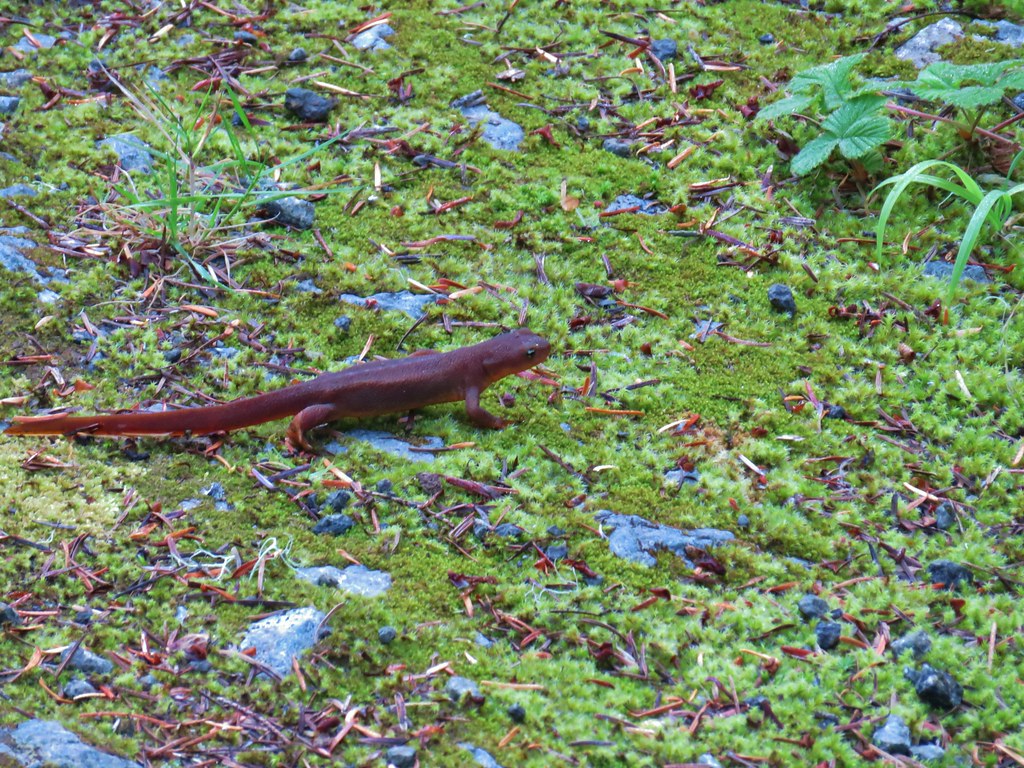 Rough skinned newt
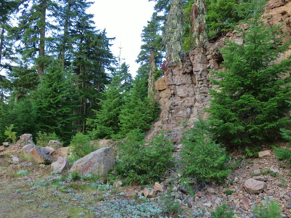
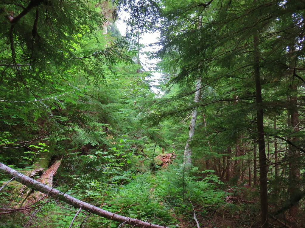
Although there were no mountain views on this side of the ridge there were a couple of openings to the west across Crabtree Valley.


At a barricade we turned left and dropped down to another roadbed.
We turned left and started a gradual climb along this road. It wasn’t clear what the status of this road is, at times it looked like there were some tire marks but we didn’t run into any vehicles along the .4 mile stretch to some concrete barricades.

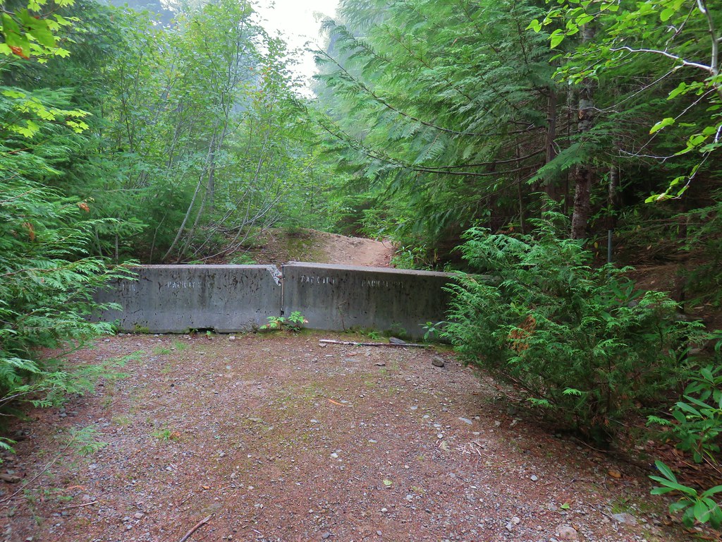
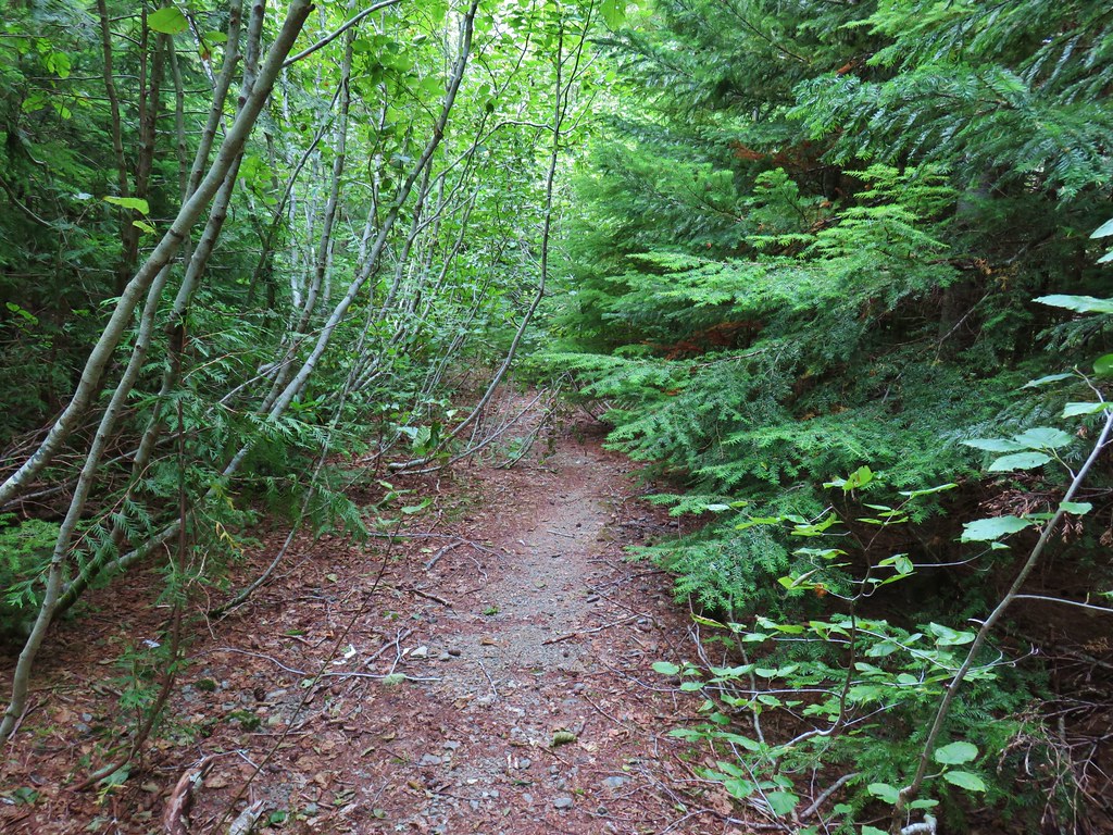
The roadbed became more of a trail beyond the barricade continuing uphill another .3 miles to Crabtree Lake.


We found a few tents set up along the shore (there were 2 cars at the trailhead and one where we had parked along the lower road). We checked out the lake near the outlet where we found yet more rough skinned newts in the water.


We followed a trail around the lake to the left and headed down to the lake shore for another view.

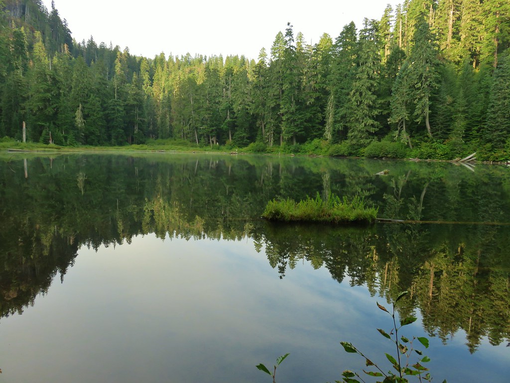
We would later find out from some of the campers that there was an otter swimming in the lake while we were taking these pictures that we hadn’t seen. (I couldn’t find it in the photos either 😦
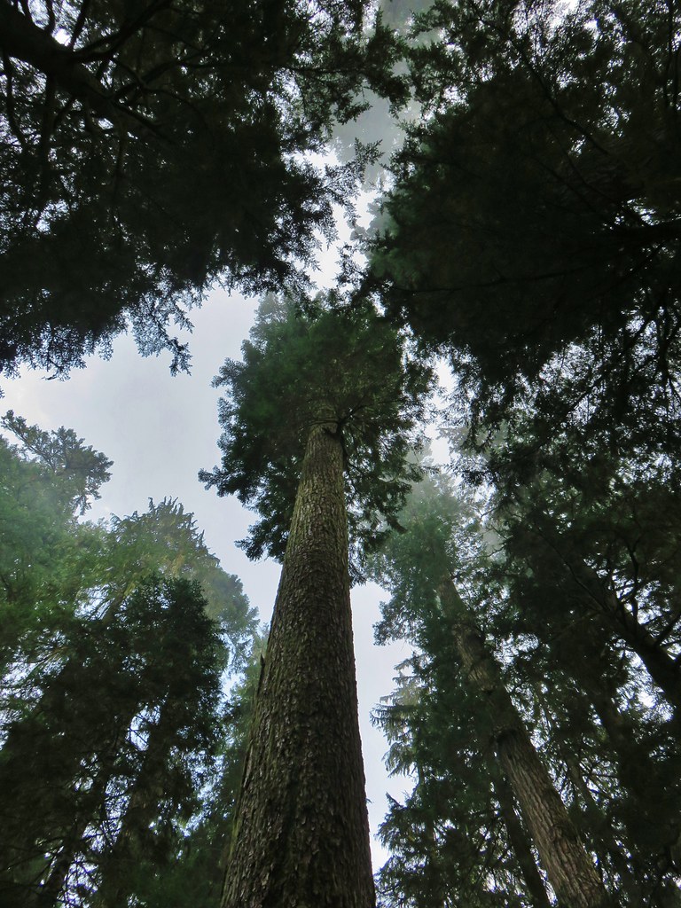
Now that we had seen the lake it was time to do a little big tree hunting. Crabtree Valley’s cliffs have protected the trees here allowing for some of Oregon’s oldest surviving trees. We followed the trail around the lake until it petered out near some empty campsites.
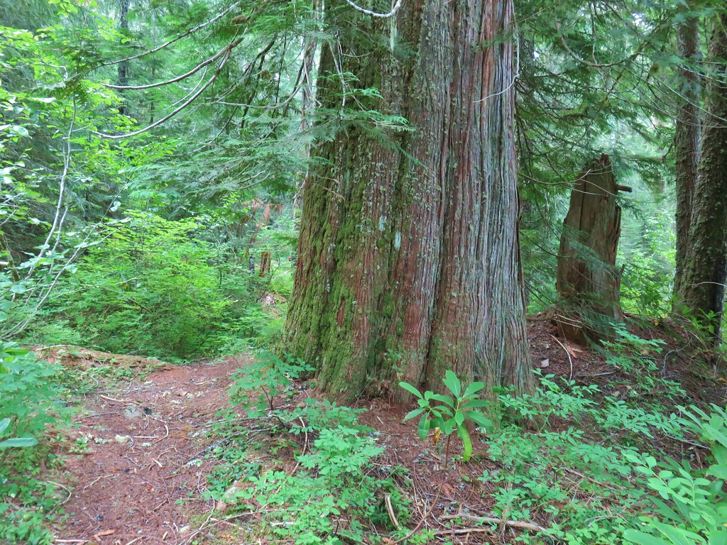 Old growth cedar
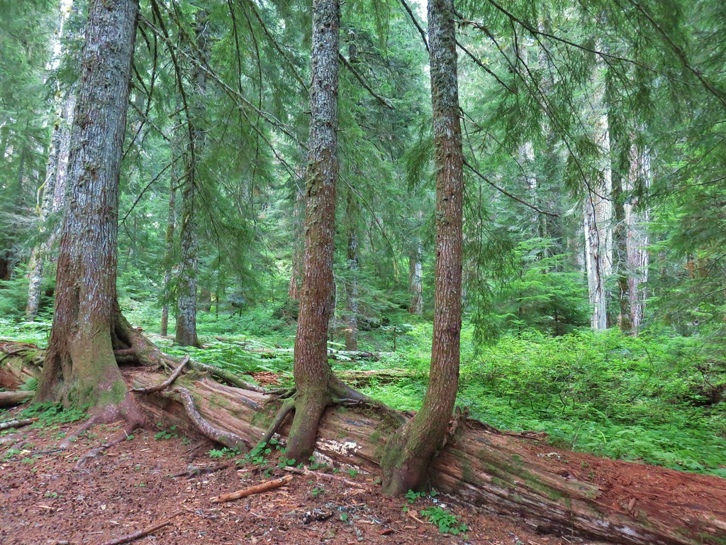
The basin here is home to a 270′ Douglas fir that has been dubbed “Nefertiti”. We had the GPS coordinates for the tree and decided this would be a good time to practice using our Garmins. We plugged in the coordinates and immediately ran into an issue, our devices didn’t agree even though they are the same make and model. We decided to try the location showing on my device first and made our way cross country to those coordinates. While there were many large old growth trees we weren’t convinced that any were the 8′ diameter tree we were looking for.


We turned to Heather’s location next which resulted in our best guess as to the identity of the tree.
Whether on not we actually found Nefertiti we saw a lot of massive old growth, some of which may be close to 1000 years old. We headed back and almost went out to a viewpoint that overlooks Waterdog Meadow (a small lake and meadow that Crabtree Creek passes through after leaving Crabtree Lake) but a combination of fog and campers being set up near the viewpoint kept us from checking it out.
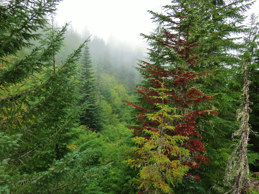 A less impressive viewpoint near the creek but the fog below made passing through the camps to reach the viewpoint pointless.
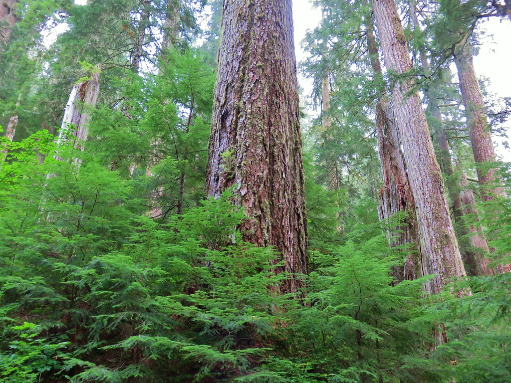
After hearing about the otter we left the lake and headed back. Before returning to the trailhead though there was another tree in the valley we were hoping to visit. King Tut, a 9′ diameter Douglas fir, is located off trail. Sullivan described the route as rugged and not recommended so we were prepared to turn back at any point. We again used GPS coordinates, which again disagreed, to find the tree. There was at times a rough trail to follow but any sign of it ended before reaching the tree.
We remained undeterred and picked our way through and around thorny berry bushes and devil’s club to the location showing on my GPS. There was a very large cedar in the area, but no King Tut.
 The cedar trunk through some branches.
We turned to Heather’s device and made our way to that location where we found what we believe to be the estimated 800 year old behemoth.


Having found this tree at the location shown by Heather’s GPS we were more confident that the tree we identified as Nefertiti using her device was probably correct as well.
Even though we were able to locate (we think) the tree, like Sullivan we wouldn’t recommend this excursion, especially without map and navigational skills.
We then headed back and climbed out of the valley along the road where the newts had been mostly replaced by other critters and the view of Mt. Jefferson was just a memory.
 Fritillary butterfly
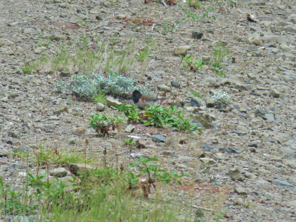 Dark eyed junco
 Bumble bee
 Back at the viewpoint.
It had been a great hike and despite having missed seeing our first otter we had seen a lot more than we were expecting. Between parking where we did and visiting the trees we turned the 4.6 mile hike into an 8.7 mile adventure. Happy Trails!
Flickr: Crabtree Lake

5 replies on “Crabtree Lake – 9/07/2019”
you take awesome photos, do you still hike in the winter?
Thank you. Yes we do hike all year but not nearly as often in Winter.
We went back to lower Linton falls a few days ago and tried scrambling past the top of lower Linton falls. There were so many fallen logs that were gigantic, my son threw his hands up and we finally gave up and turned around. Also we did not have enough time but would love to give it one more attempt sometime in the future?
[…] of that list are cougar, bobcat, beaver, otter (Apparently there was one swimming in Crabtree Lake (post) while we were there this year but we didn’t notice it.) porcupine, wolf, and wolverine. The […]
[…] #19 – Crabtree Lake 9/7/2019 […]