**Note the 2020 Lionshead Fire burned the area covered by this hike.**
A series of wet storms passed through Oregon just in time for an extended weekend of hiking. With a sunny forecast for Thursday we headed back up to the Olallie Lake Scenic Area to check off another one of Sullivan’s featured hikes (Monon Lake) and to revisit Ruddy Hill since our first time up this peak was viewless (post). With the addition of Ruddy Hill to the Monon Lake hike we used Matt Reeder’s “101 Hikes in the Majestic Mt. Jefferson Region” for additional inspiration and came up with our own hike mashup.
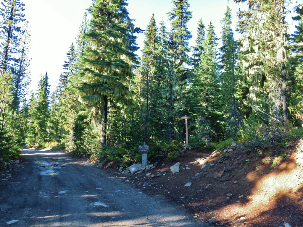
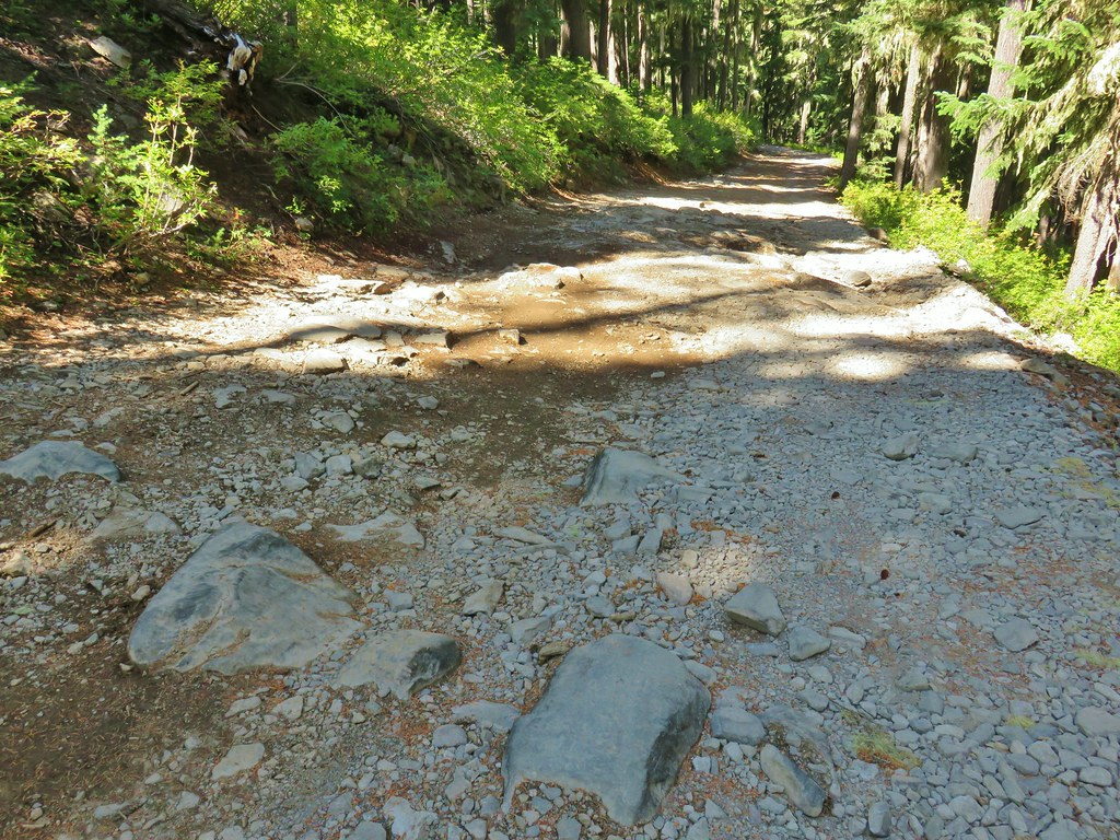
In addition to Monon Lake and the view from Ruddy Hill we also wanted to see Timber and Horseshoe Lakes for the first time. Our plan was to start our hike at Monon Lake and do a clockwise loop with side trips up Ruddy Hill and to Timber Lake. This meant driving past the Olallie Lake Resort on the infamous Skyline Road to the northern Monon Lake Trailhead. The road was passable in our Outback and the recent rains helped clearly identify the numerous potholes along the way.
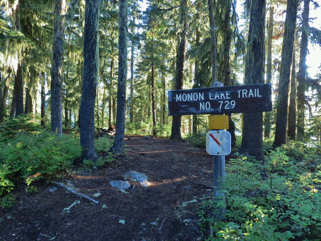
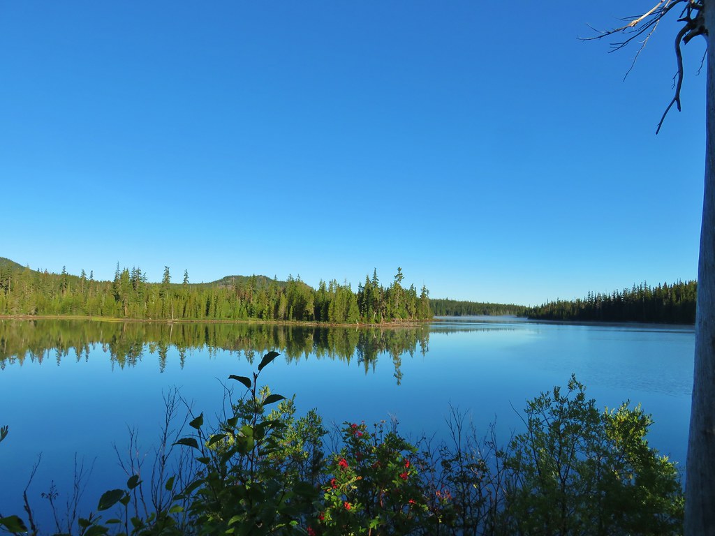
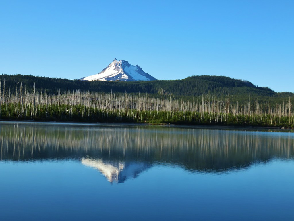
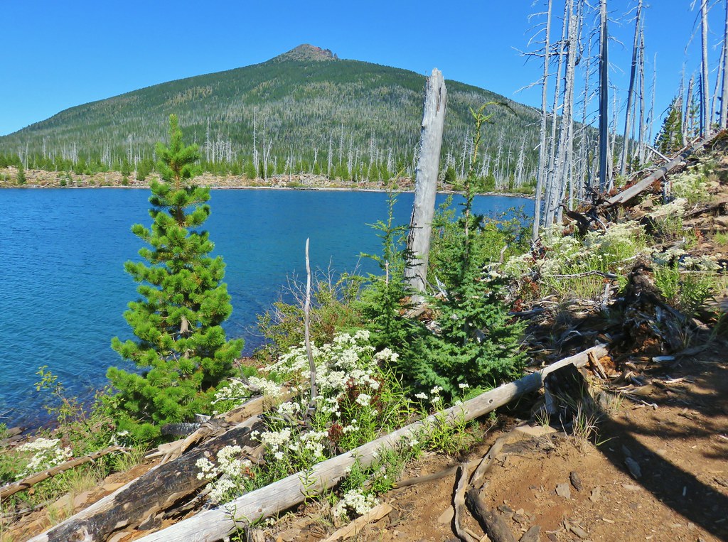
There was a nearly immediate view across part of the lake to Olallie Butte which we had recently climbed (post).
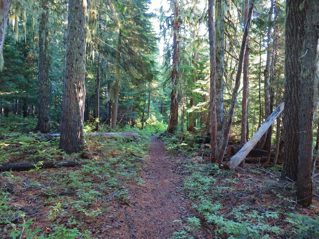
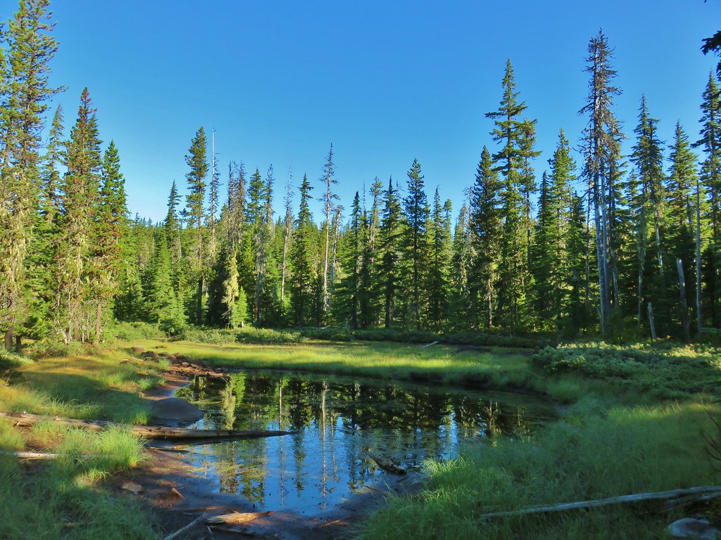
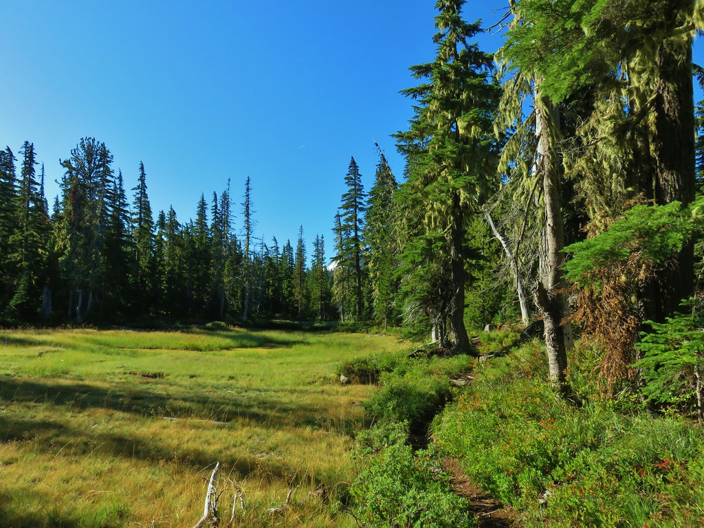
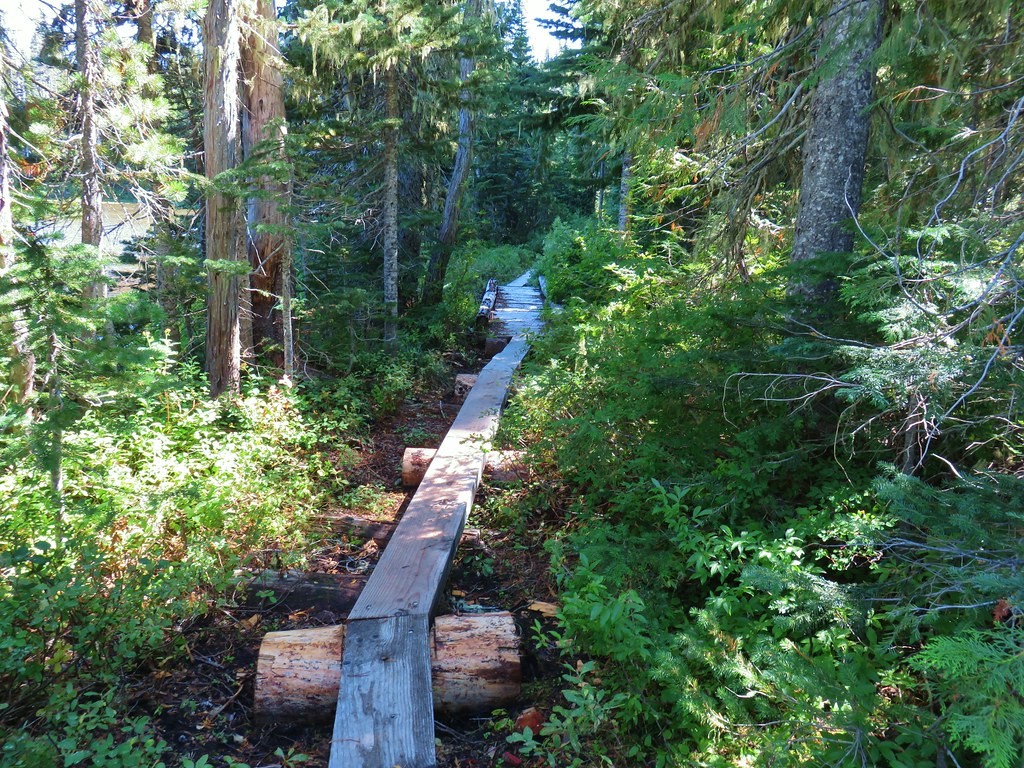
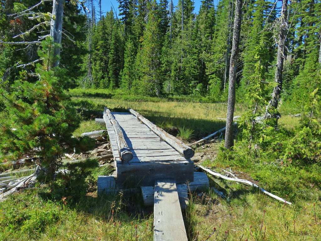
The trail began to curve around the northern end of the lake passing through a section of forest before reaching some boardwalks and bridges in a meadow between Monon Lake and a smaller unnamed lake to the north.
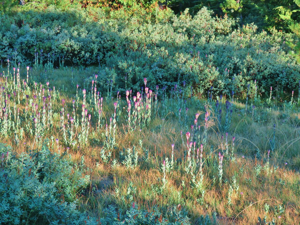 Fading gentians
 A few gentians still holding their blue color.
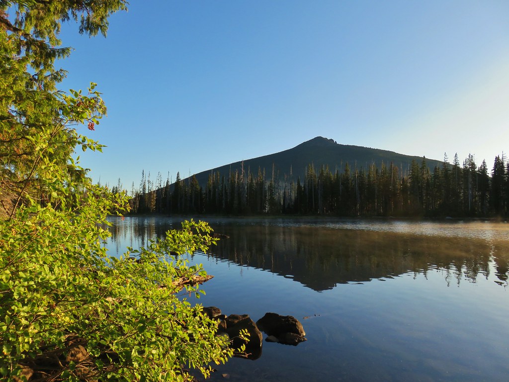
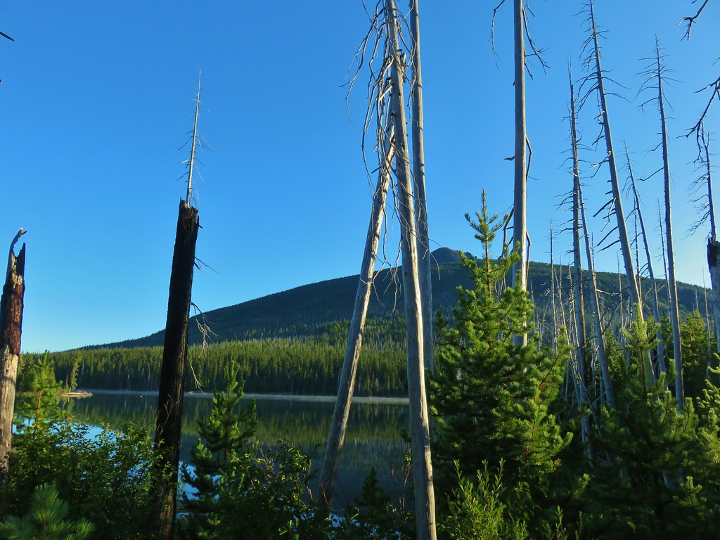
 Olallie Butte and the unnamed lake.
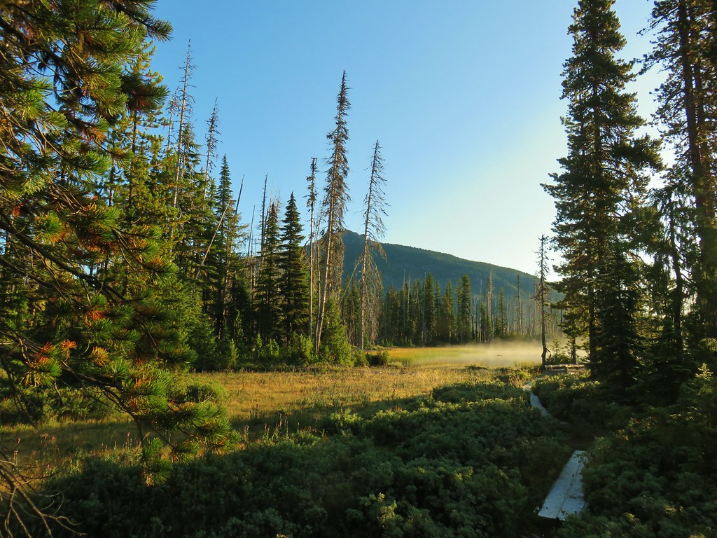
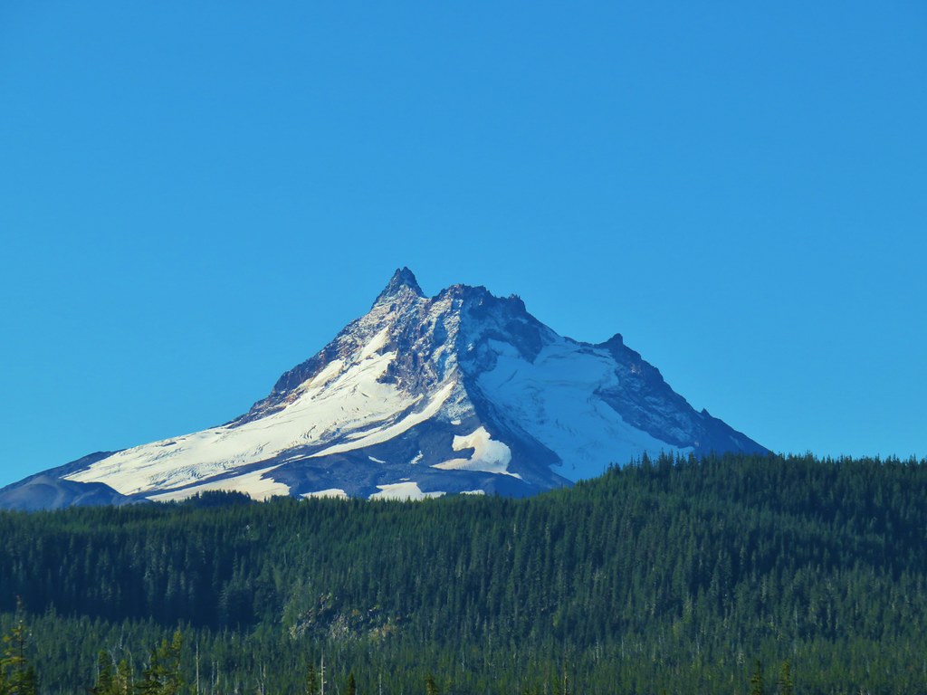
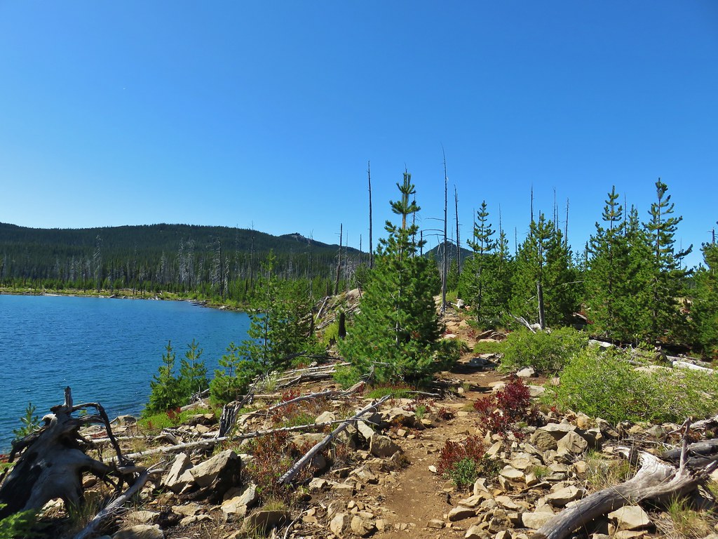
There were plenty of views across Monon Lake as the trail entered a fire scar. More and more of Mt. Jefferson was revealed as we continued east.
 The tip of Mt. Jefferson sticking up above the high point on the ridge.
 More of the mountain (Ruddy Hill is the round butte to the right.)
 Dusting of new snow on Mt. Jefferson
 Duck on the lake.
 A little more of Mt. Jefferson showing.
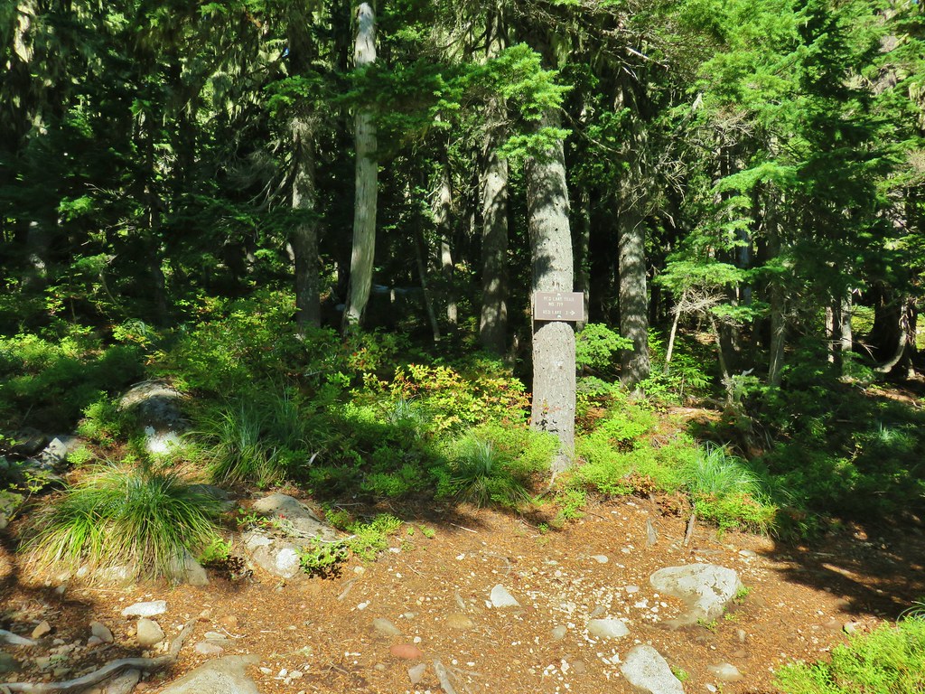
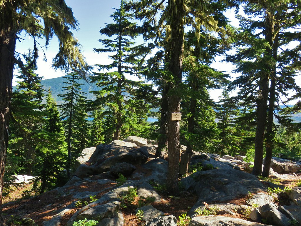
The trail climbed atop a small rocky hill above the lake which happened to be where a trial junction was hidden.
 View from atop the rocks.
The Monon Lake Trail continues to the right around the lake while the Mon-Olallie Trail forked left for .3 miles to the Olallie Lake Trail. We completely missed the Monon Trail and the small rock cairn marking the junction.
 The small rock cairn coming from the opposite direction on the Monon Lake Trail later in the day.
Having missed the junction where we had planned to go right we wound up on the Mon-Olallie Trail which passed Mangriff Lake on the left.

Just beyond Mangriff Lake was Nep-te-pa Lake on the right.

By the time we realized that we had missed our junction we were nearing Olallie Lake so we decided that we would just do our loop in the opposite direction of what we had planned. The Mon-Olallie Trail ended at an obvious and signed junction near Olallie Lake.
We turned right and after a nice view of the lake entered a stand of green trees.

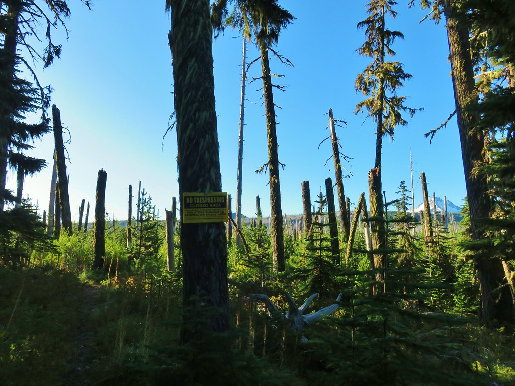
Approximately .4 miles from the Mon-Olallie Trail junction we arrived at another junction with the Long Lake Trail at the border of the Warm Springs Reservation. Unlike the trail up Olallie Butte this trail was clearly marked as closed to the public.
We continued around Olallie Lake passing numerous spectacular views of Mt. Jefferson.

 Mergansers

Three quarters of a mile from the Long Lake Trail junction we came Paul Dennis Campground.

A brief road walk brought us to the Olallie Lake Resort where we followed a trail between the lake and some cabins.


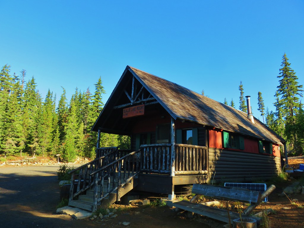
The views of Mt. Jefferson from the resort were great and we stopped at the dock and the picnic area for photos.


We passed through the picnic area and popped onto Skyline Road where we turned left for three tenths of a mile to the Red Lake Trail.
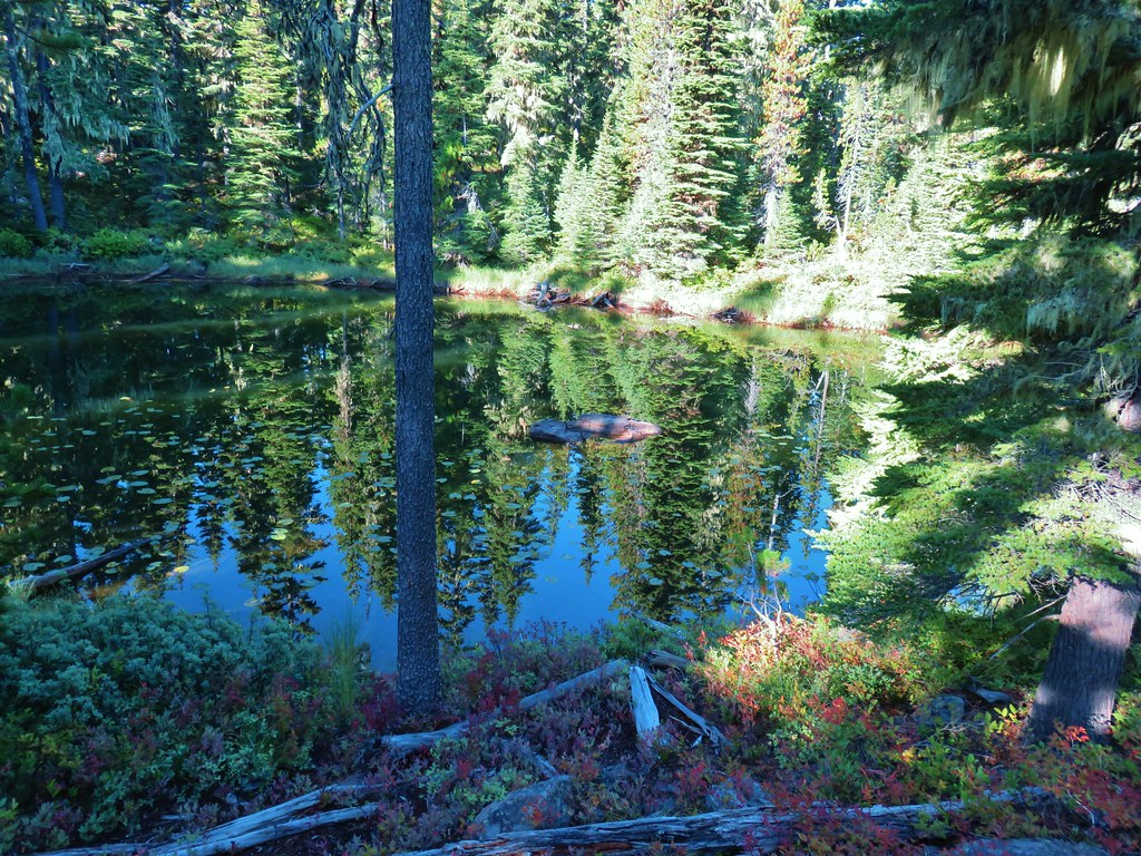
We had come down this trail to visit Olallie Lake during our previous Ruddy Hill hike. That had been a 17.9 mile day so we had skipped the side trail to Timber Lake. After a .7 mile gradual climb past several small ponds we arrived at the junction with the Timber Lake Trail.


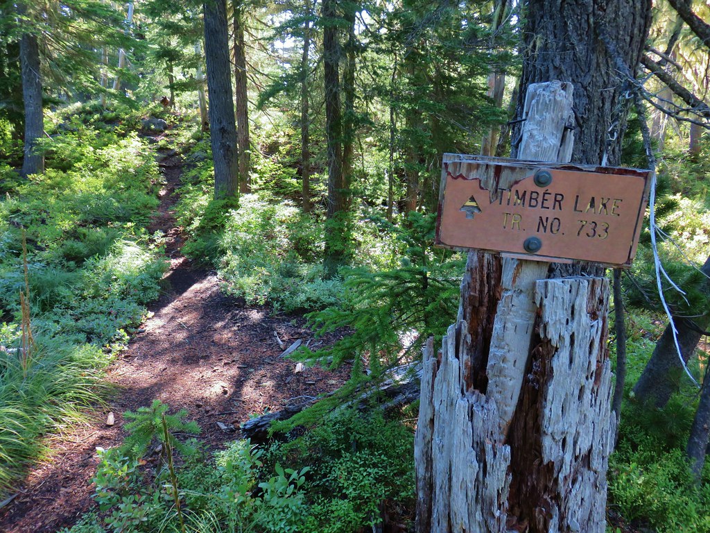
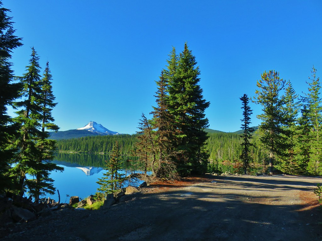
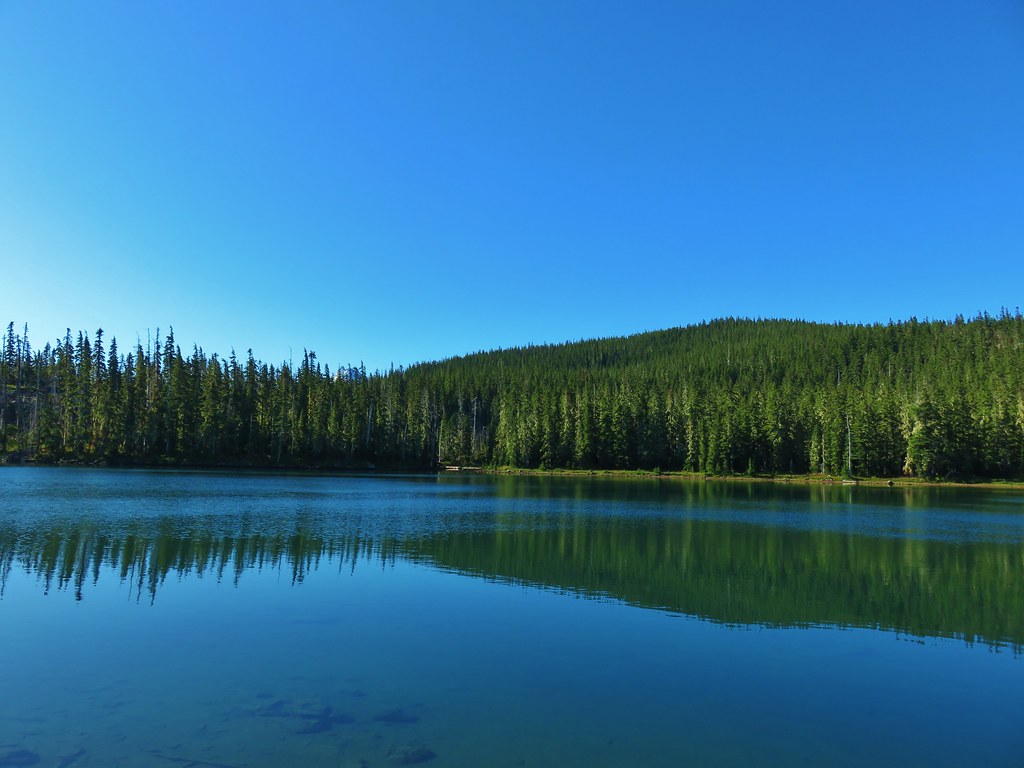
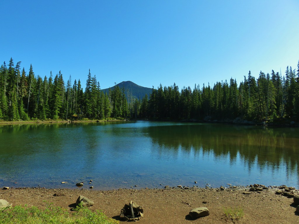
We turned down this trail and followed it .6 mostly level miles (there were two short but steep climbs over ridges) to Timber Lake.

We followed a path along the northern shore of the lake until we had a decent view of the top section of Mt. Jefferson.


After getting our view of the mountain we returned to the Red Lake Trail. We turned left and continued the gradual climb to the Pacific Crest Trail. In a little over a quarter mile we arrived at Top Lake.
At the NW end of the lake the Red Lake Trail forked right but we turned left passing a nice view of Olallie Butte.
This connector trail climbed steeply via a series of switchbacks to an unsigned junction with the Pacific Crest Trail near Cigar Lake where we turned left (south).
 Rock cairn along the PCT marking the connector trail.
 PCT lookout.

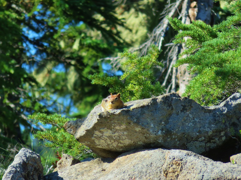
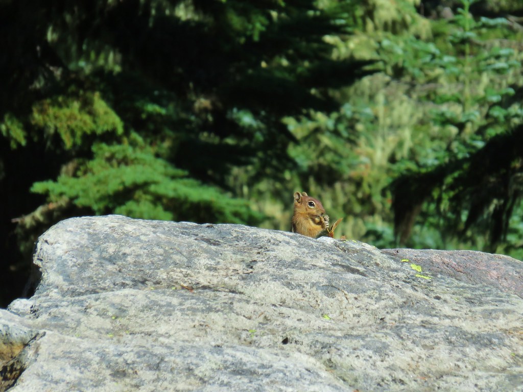
 Golden-mantled ground squirrels at Cigar Lake.
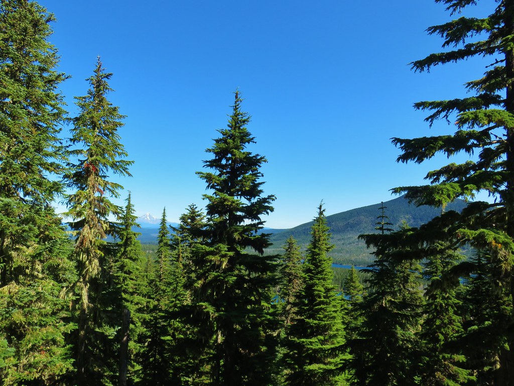
The southern end of Cigar Lake is the location of the Double Peaks Trail. We had taken this trail twice hoping for nice views to no avail. (One was the 17.9mi hike including Ruddy Hill, the other was in 2013.) It would have likely been a great view now, but the .7 mile trail is frustratingly steep and we just didn’t feel like tackling it again. On the other hand the PCT remained fairly level over the next mile as it passed Upper Lake then a meadow with a view of Mt. Jefferson.

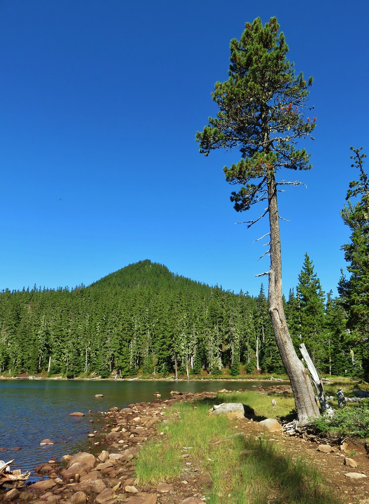 Double Peaks from Upper Lake
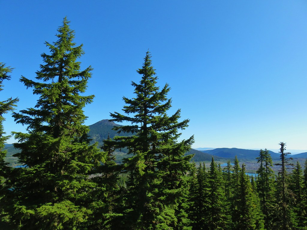
At the meadow the PCT turned left and began a brief climb up a butte. A third of a mile into the climb we passed the Many Lake Viewpoint. Here we had a nice view of Mt. Hood (and many lakes).

 Company at the viewpoint.
We continued south from the viewpoint and were soon descending along a forested hillside when we heard an elk bugle. We guessed that it was a bow hunter but hoped it was an actual elk. Our guess was right though and we stopped to briefly talk to the hunter before continuing on.
 Approximate location when we heard the “elk” bugle.
Just over a mile from the Many Lakes Viewpoint we arrived at the Ruddy Hill Trail where we turned right leaving the PCT.

The nearly half mile trail was quite a bit steeper than we’d remembered but we soon found ourselves on the red topped summit looking at the view of Mt. Jefferson that we had missed on our previous visit.


Although there was no view north, the view to the west was good with the peaks of the Bull of the Woods Wilderness.
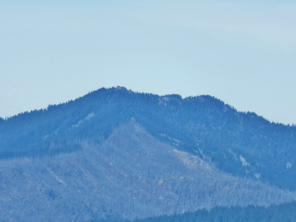
 Flat topped Battle Ax Mountain to the left to the fire scarred summit of Schreiner Peak to the right.
 Battle Ax (post)
 Bull of the Woods (post)
After resting at the summit we headed back down the PCT and continued south another .2 miles where we turned left on the “Rondy Trail”.


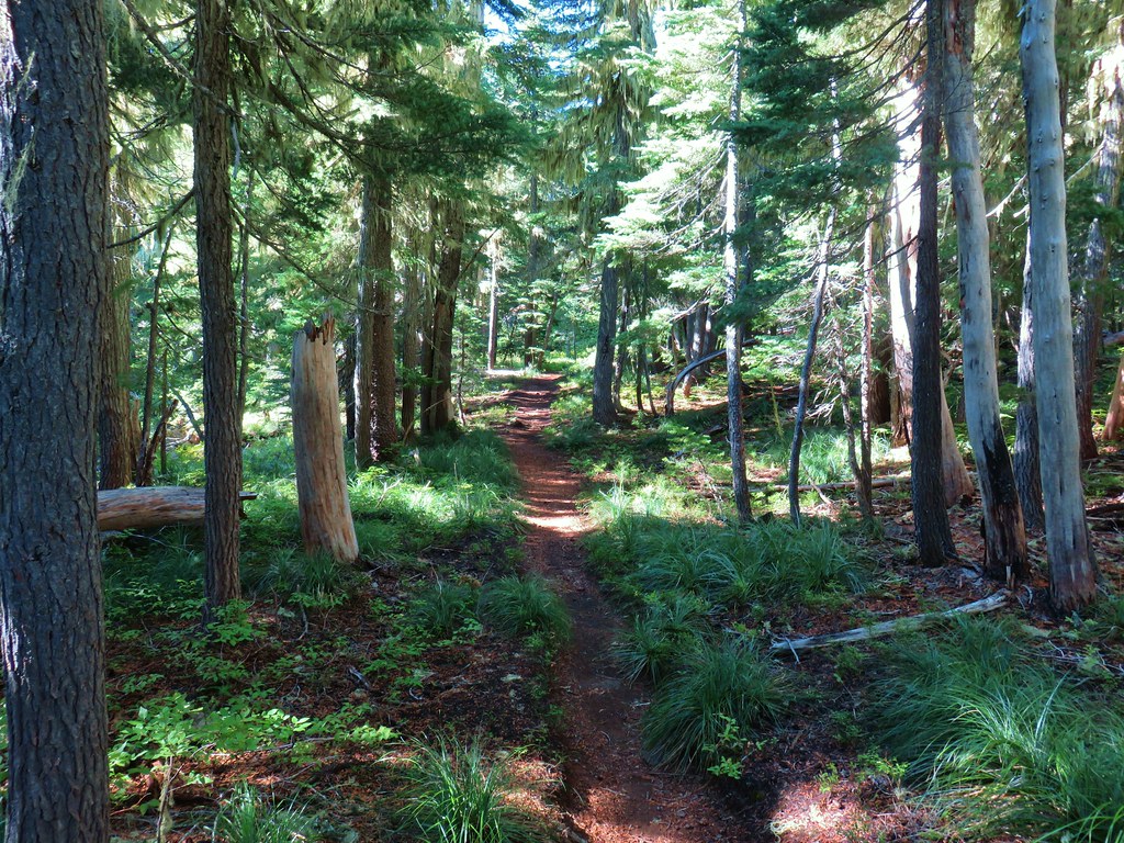
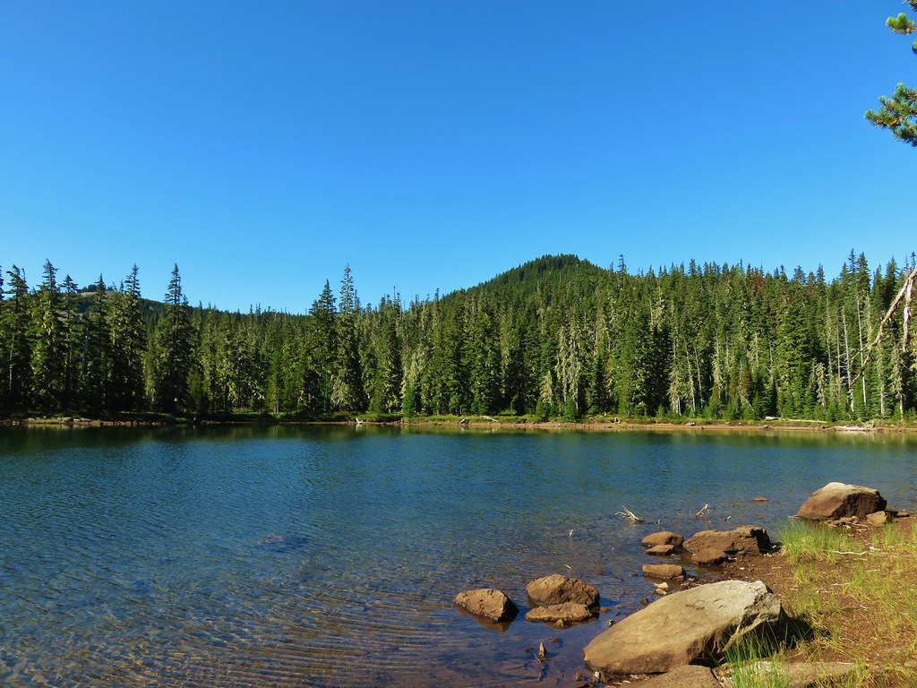
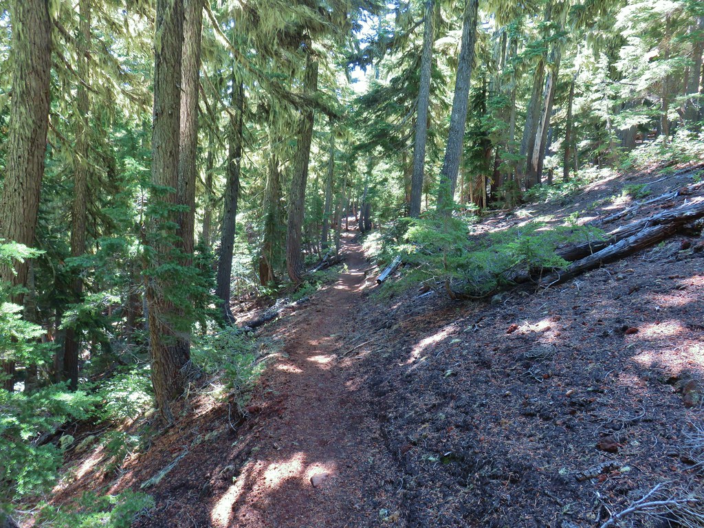
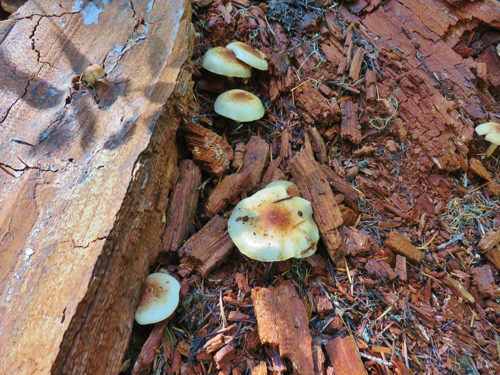
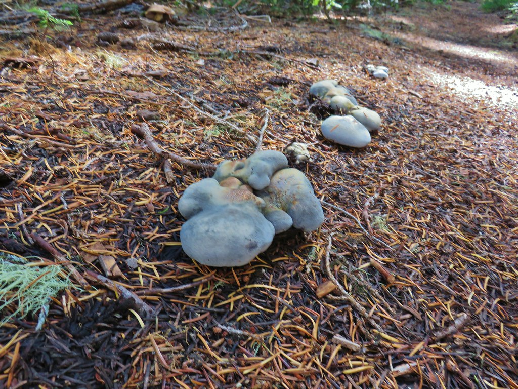
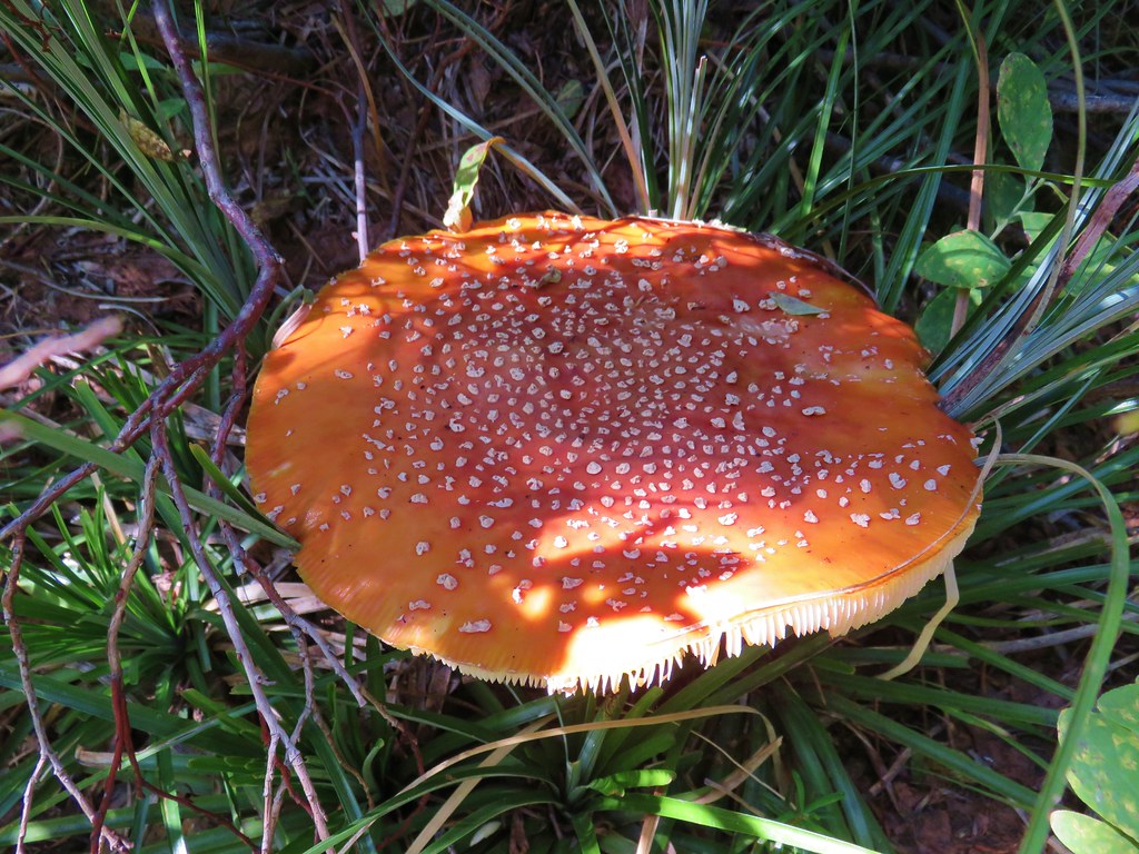
This trail descended a drainage before leveling out and arriving at Horseshoe Lake in three quarters of a mile. There was a nice variety of mushrooms along the way.


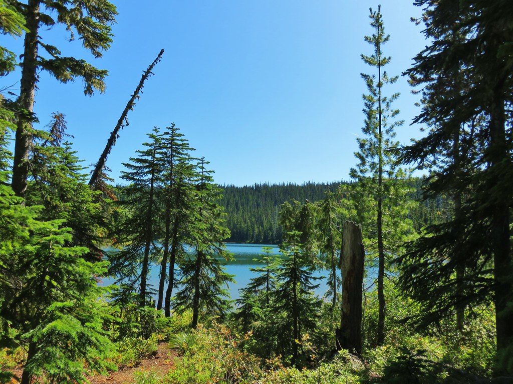
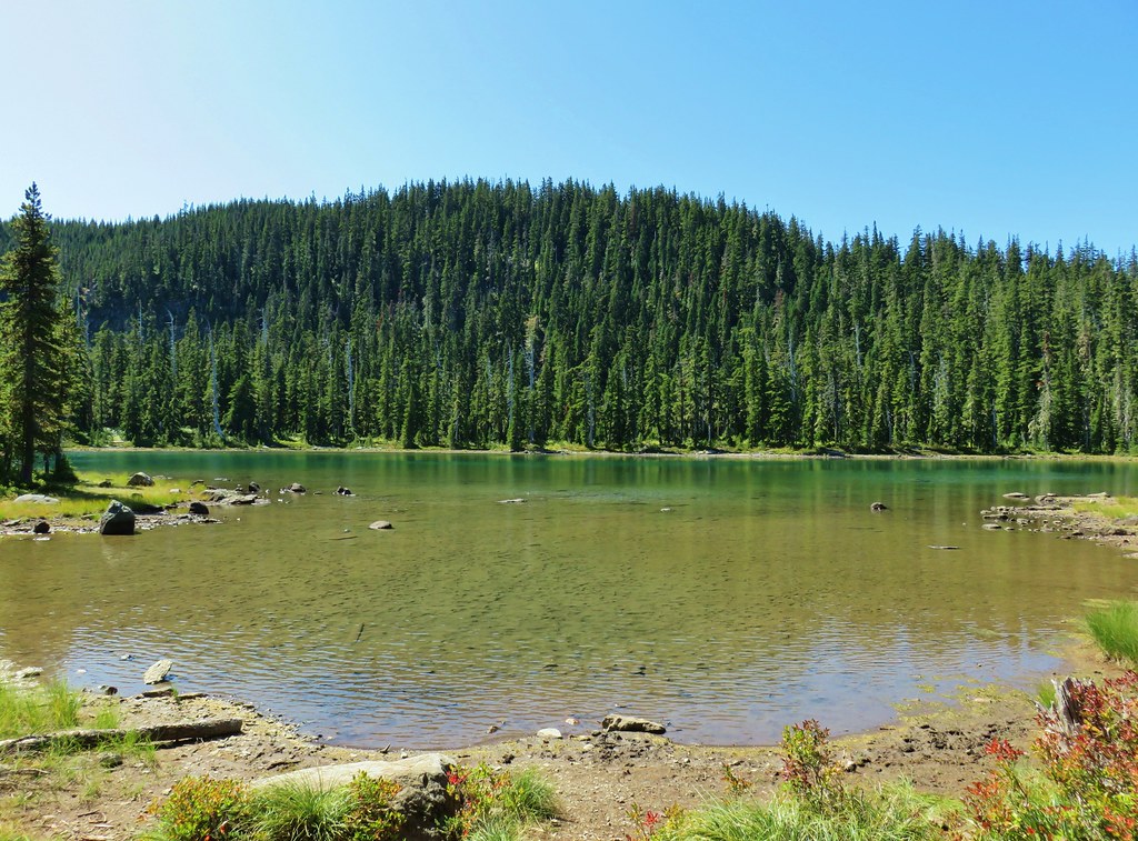
We followed the trail along the lake shore to the Horseshoe Lake Campground located right on Skyline Road.


For second time on this hike we went the wrong way and turned right on Skyline Road thinking it was an entrance road to the campground. We had only gone a tenth of a mile before realizing our mistake and turning around. We followed Skyline Road north for a mile. We were eager to get a firsthand look at what many consider one of the worst trailhead roads in NW Oregon. It was certainly a bad looking road but the section we hiked wasn’t quite as bad as some we’d seen in eastern and southeastern Oregon. It may well be worse beyond Horseshoe Lake though.
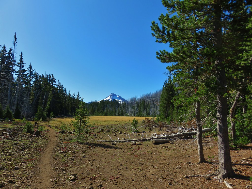
When we arrived at the southern end of Monon Lake we were just .3 miles from our car, but we turned onto the Monon Lake Trail to finish that trail. The views of Olallie Butte from this end of the lake were spectacular.


More boardwalks were present as we passed through the forest along this end of the lake.
We soon found ourselves back in the fire scar which just provided more views of the lake and Olallie Butte.


A little over a mile from the road the trail began to curve around to the west where we once again had views of Mt. Jefferson across the lake.

One and a quarter miles from the road we were back on top the rocks above the lake and heading for the junction we’d missed that morning.
We then followed our route from the morning back to our car. We had hopped that the Sun would have coaxed some of the gentians to open, but it appeared to be too late in their life cycle for that to happen.

Our loop with side trips came in at 13.6 miles with approximately 1500′ of elevation gain. It was a beautiful day and so nice to have been able to get that view from Ruddy Hill. Happy Trails!
Flickr: Monon Lake- Ruddy Hill Loop

4 replies on “Monon Lake-Ruddy Hill Loop – 9/12/2019”
[…] Another 2.2 miles on the PCT brought us more colorful foliage, another frozen pond, and a glimpse of Mt. Jefferson before arriving at Skyline Road just north of Olallie Lake (post). […]
[…] the final two miles of our drive we passed at least two dozen cars heading toward Olallie Lake (post). We guessed that there must be some sort of race happening which turned out to be correct, the […]
[…] Monon Lake – Hiked 9/12/2019 Burned 2020 Lionshead […]
[…] little better view of Mt. Rainier. The red butte in the foreground is Ruddy Hill (post). The burned area is more of the 2020 Lionshead fire […]