We were down to the last weekend of the month so in order to get our monthly hike in we were going to have to deal with whatever weather we were dealt. Heading into Saturday the forecast was for rain everywhere I checked so we decided to stick to our original plan which was to visit a series of lakes in the coastal range. That plan was scrapped on Friday night when I checked the trail conditions and discovered that one of the ones that we’d be on had been closed this month due to heavy storm damage. Plan B had been a nearly 3 hour drive to Reedsport, but a 100% chance of rain didn’t warrant that long of a drive. I looked to our 2021 hikes and decided on Netarts Spit at Cape Lookout State Park which was a more reasonable hour and a half drive away.
We set off just before 6am with all our rain gear and drove to the Cape Lookout Day Use Trailhead where we purchased a $5 parking pass and noted that it was in fact not raining here.

We suspected it was just a matter of time and put our rain gear on before starting off. One of the issues with last minute hike swaps is that it limits the amount of time we have to read up on the hike. The Netarts Spit hike is featured in two of our books by Matt Reeder (“Off the Beaten Trail” and “PDX Hiking 365”) as well as in the Oregonhikers.org field guide. I had looked at both and noted that while Reeder’s description indicated to hike along the beach the field guide mentioned an inland route for the first portion. After walking down to the beach near a picnic shelter we walked back up to the shelter and followed a path north through some trees.


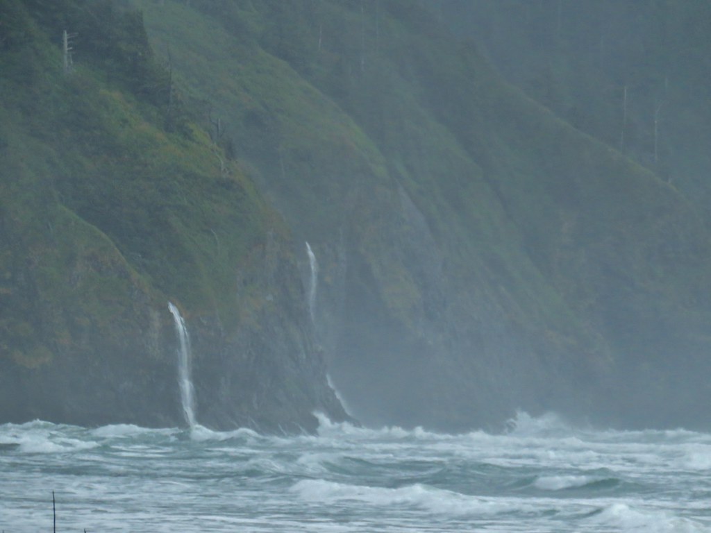
The view south from this path was dominated by Cape Lookout jutting out into the Pacific. Several waterfalls could be seen on it’s flanks.

When we came to another beach access point just before a gated section of the campground we decided to head down to the beach.
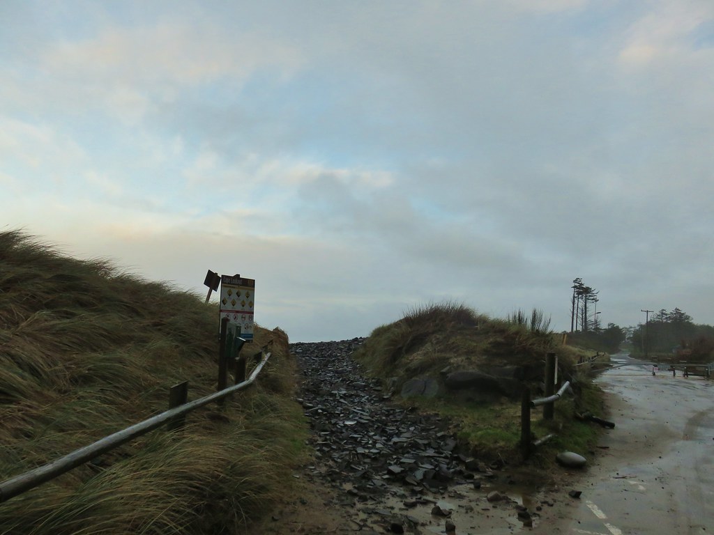
Had I studied the entry in the field guide more thoroughly I would have known that it recommends following the road through the campground to avoid the cobblestones along the beach here.

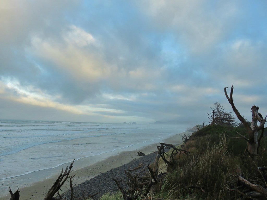
The tide was just high enough that in order to stay out of the Ocean we were forced to walk on these rocks and they are not fun. Ankles were rolling and twisting in all sorts of directions as we stumbled along.
 Ocean coming right up to the rocks.
When we got our next chance we popped back up off the beach into the campground following a gravel track past some group tent sites.

We’d already seen one bald eagle fly overhead and here we spotted another one sitting in a tree ahead.

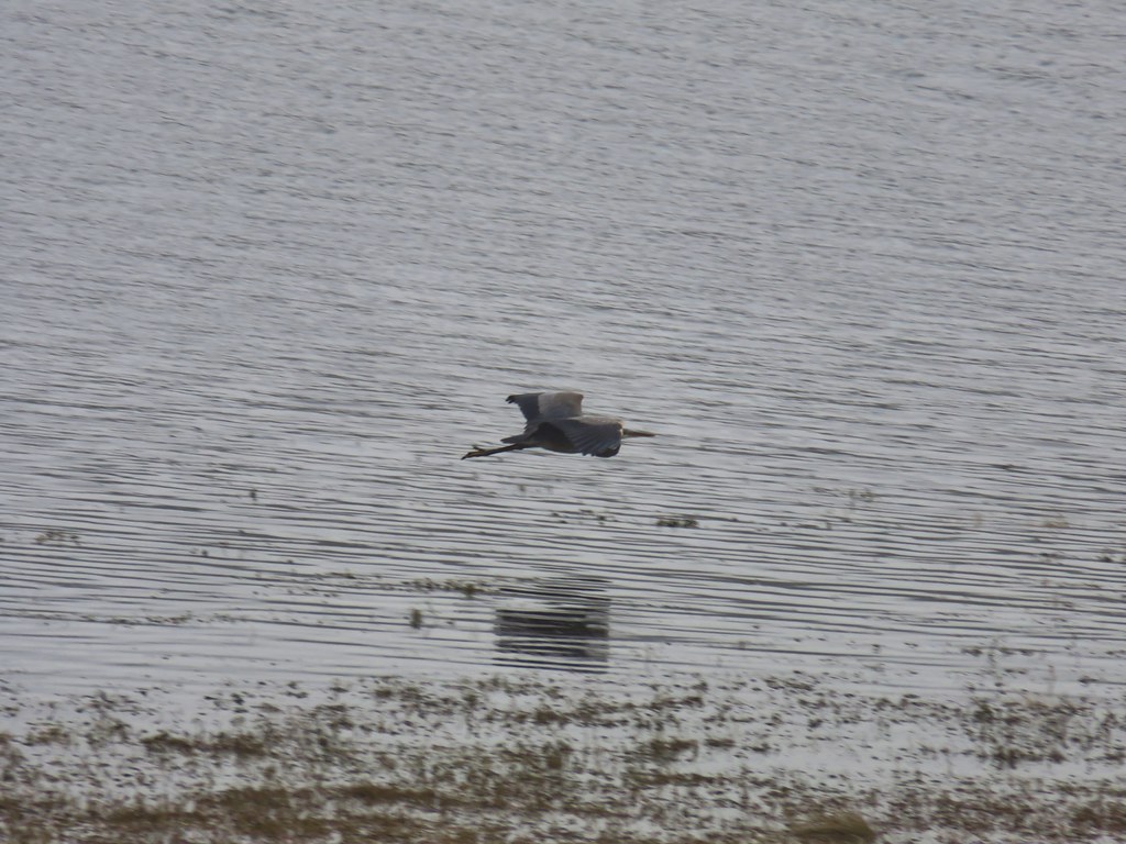
While watching the eagle a great blue heron flew over.

Beyond the group tent sites the road was gated and turned into a grassy path with Netarts Bay to the right and dunes to the left.
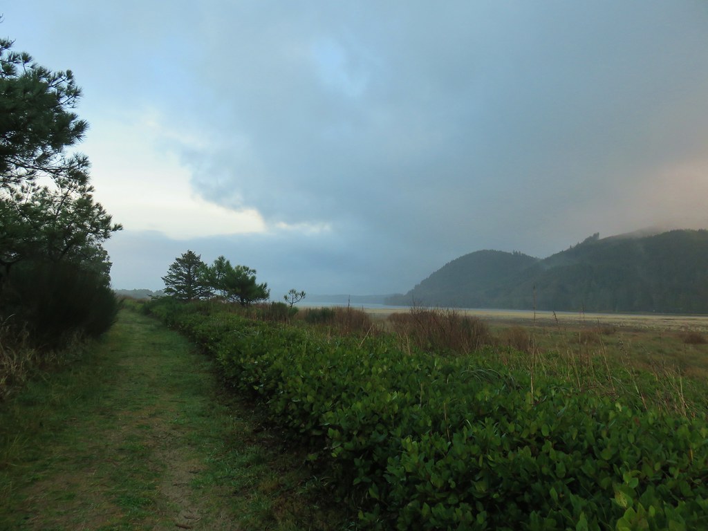

The grassy roadbed soon ended at a stand of trees where a clear trail continued.

 Trail at lower right with a little standing water.
The field guide had mentioned that sections of this trail may have standing water but we weren’t quite prepared for long stretches of calf deep ponds. Heather was smart enough to find a deer path a little higher up on the left side (Which was something the field guide said you might have to do but in my quick reading I hadn’t picked up on that.) I tried sticking to the trail for a bit, but after a while in the water my feet starting getting cold so I joined her. We made the decision to try and follow one of these paths up and over to the beach which we managed to do.
Then it was just a matter of finding the best spot to drop back down onto the beach, and more cobblestones, yay.
Luckily it wasn’t long before we were able to drop onto the sand.
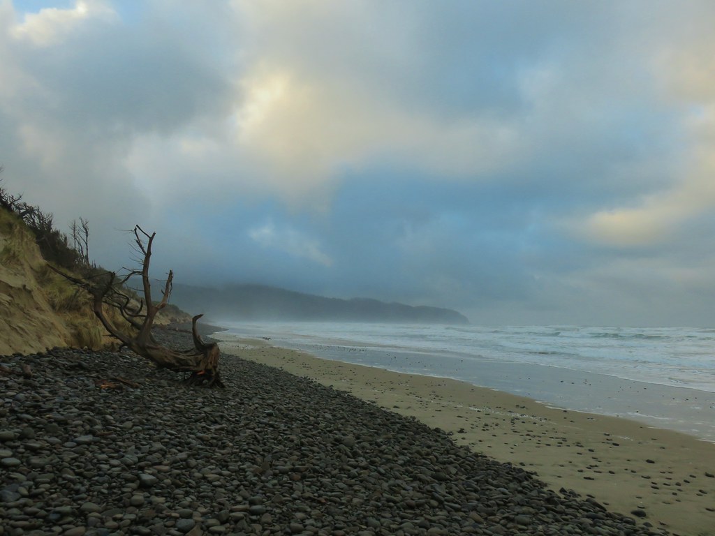
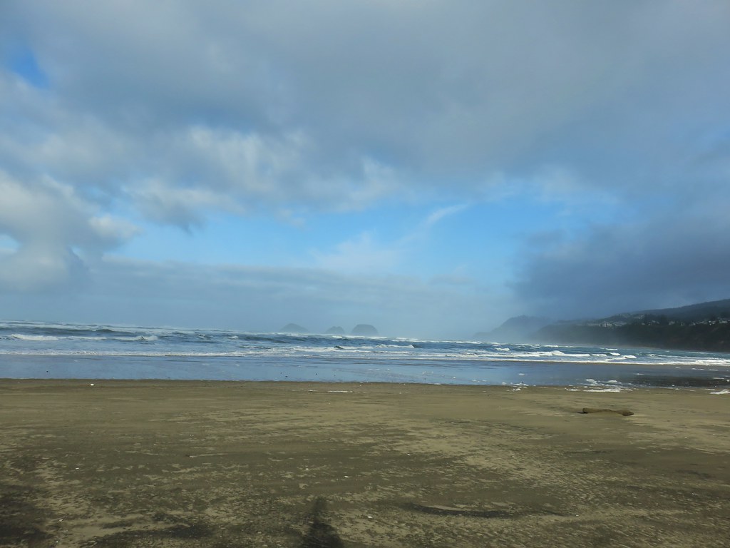
There was a lot more blue sky than we’d been expecting which was a pleasant surprise. To the north we could see the Three Arch Rocks although a perpetual fog seemed to be hanging over them.
 Three Arch Rocks – one of two wilderness areas in Oregon off limits to visitors.
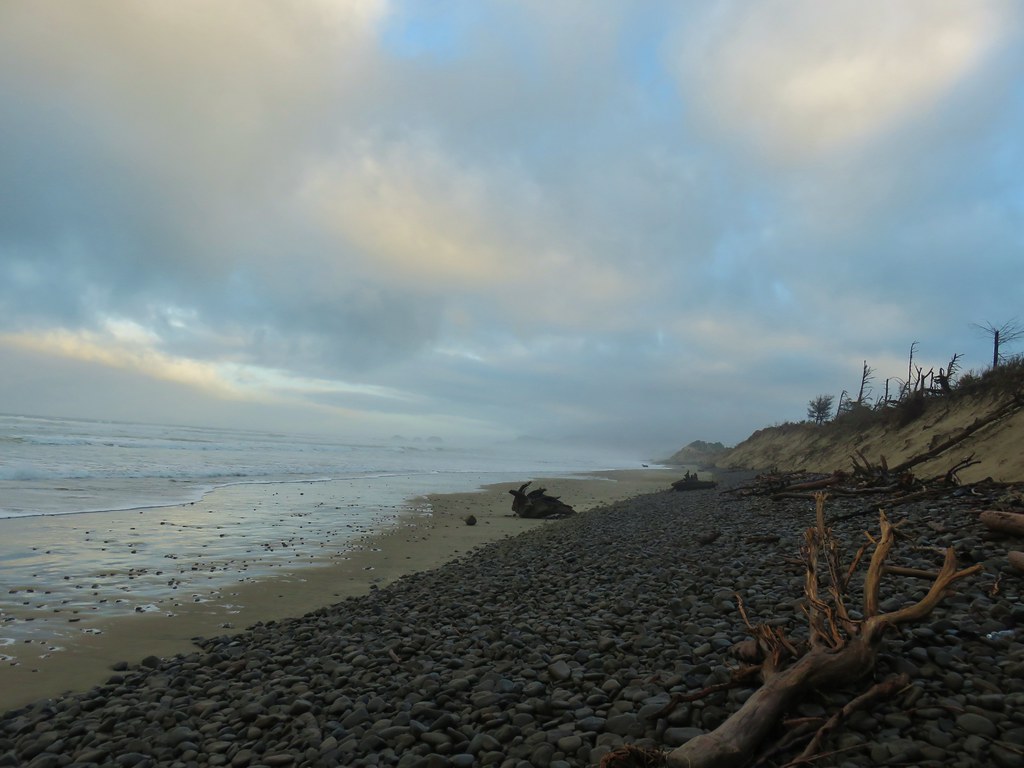
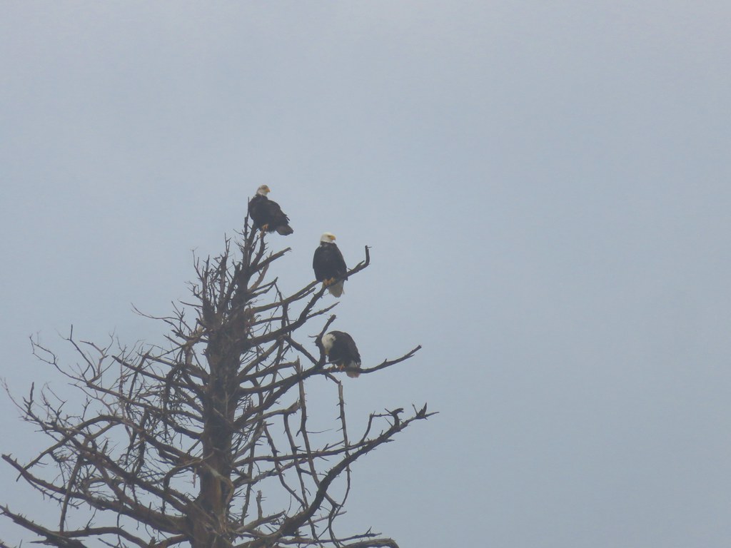
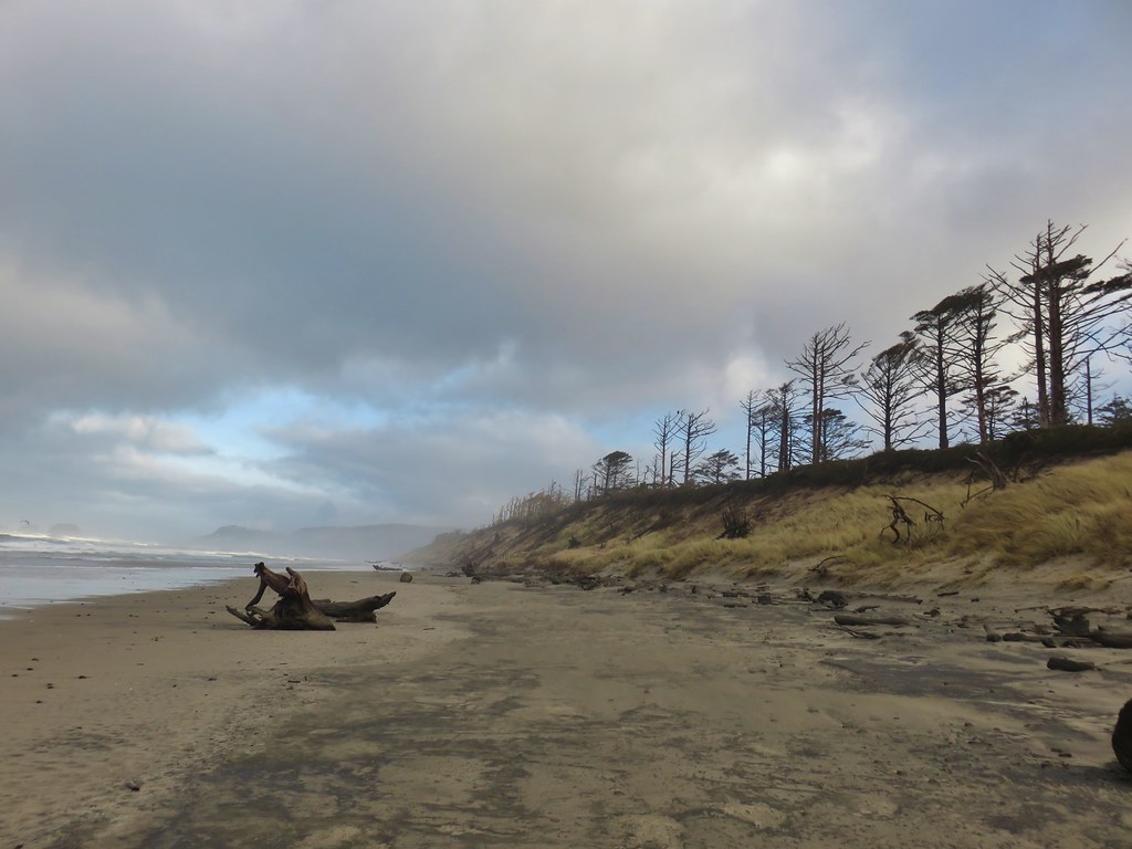
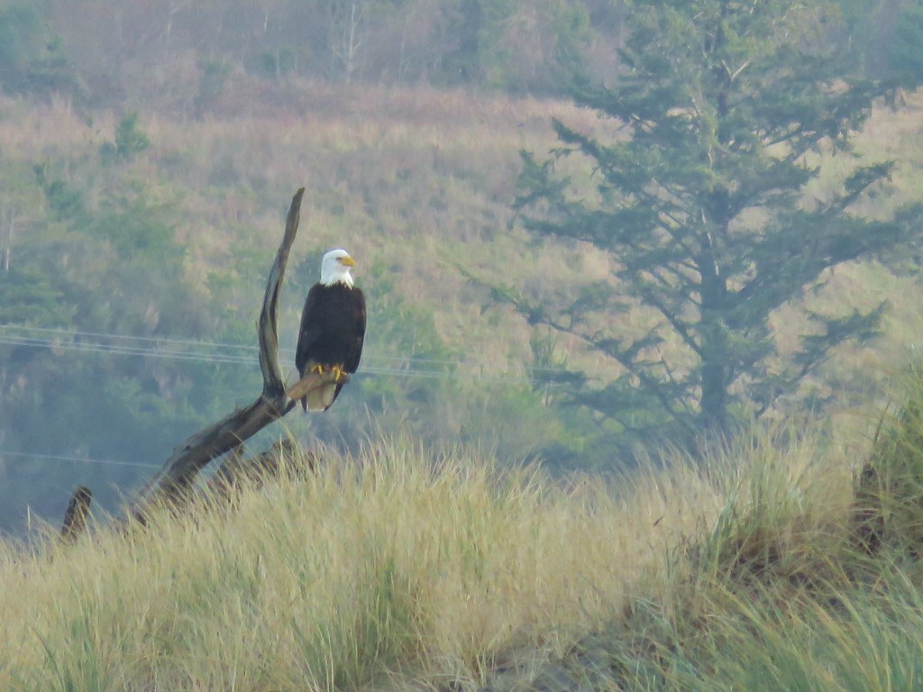
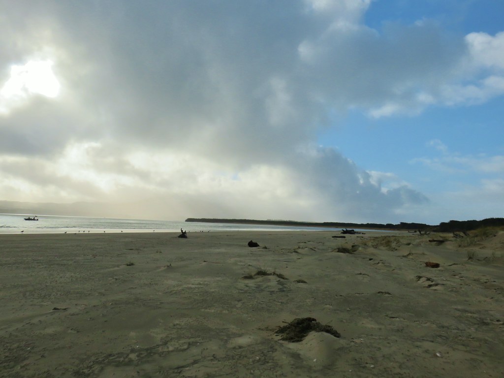
We were able to spend the next 4 miles to the end of the spit on the beach. There were no other people in sight (until the fishing boats in the bay). There were a few seagulls here and there and we saw at least 8 different Bald Eagles counting at least 6 congregated in a short stretch of trees.


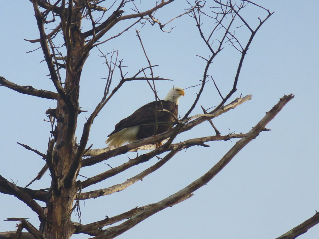
A final eagle awaited near the end of the spit.

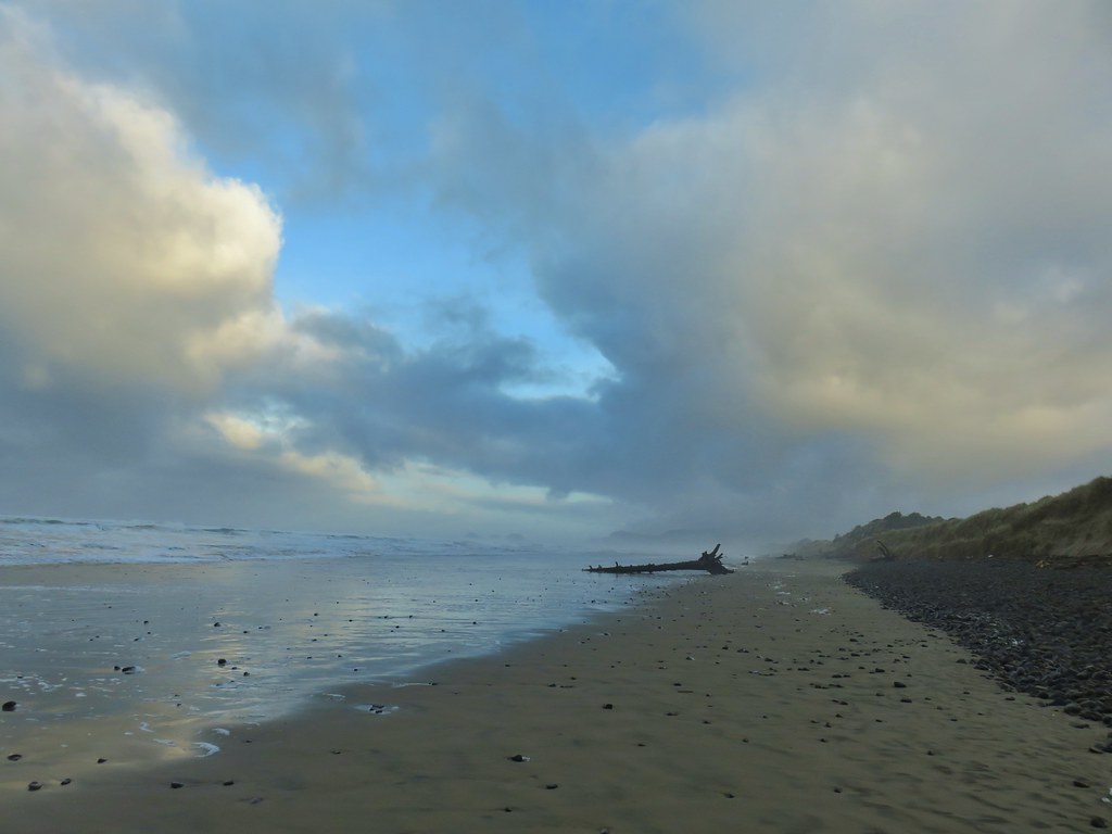
We were hoping that by the time we got to the turn around point we’d have a better look at Three Arch Rocks but the view wasn’t much clearer than it had been all morning.


We had stubbornly kept our rain gear on waiting for the forecast to come to fruition, but we stopped here to remove it since we were way too warm. We then made a short loop around the tip of the spit to look at the bay before starting back.

One thing that both Reeder and the field guide agreed on was that it was impossible to travel along the bay due to marshy conditions so we started back down the beach.
The tide was coming in and we noticed that waves were starting to cover the entire beach and forced us up into the dunes a bit where we followed some deer tracks for awhile.

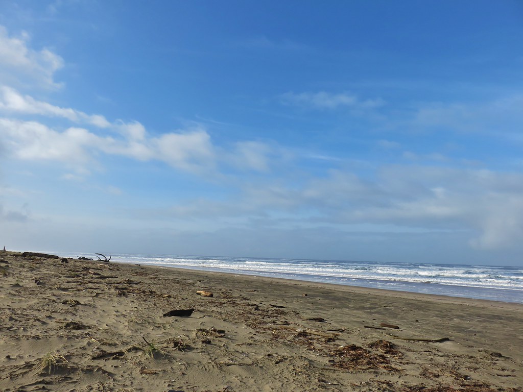
We spent the majority of the next three and a half miles staying up as high on the dunes as possible which made for some more difficult travel. The grass on the dunes is surprisingly sharp tipped and it was all pointing north so we were walking directly into the points. The thickness of the grass also meant that you couldn’t really tell what the terrain underneath was like so there were plenty of awkward steps, although no falls. I had done that on the beach when I tripped over a small piece of driftwood.
 Looking back north from the dune crest.
 Looking north at what was to come.
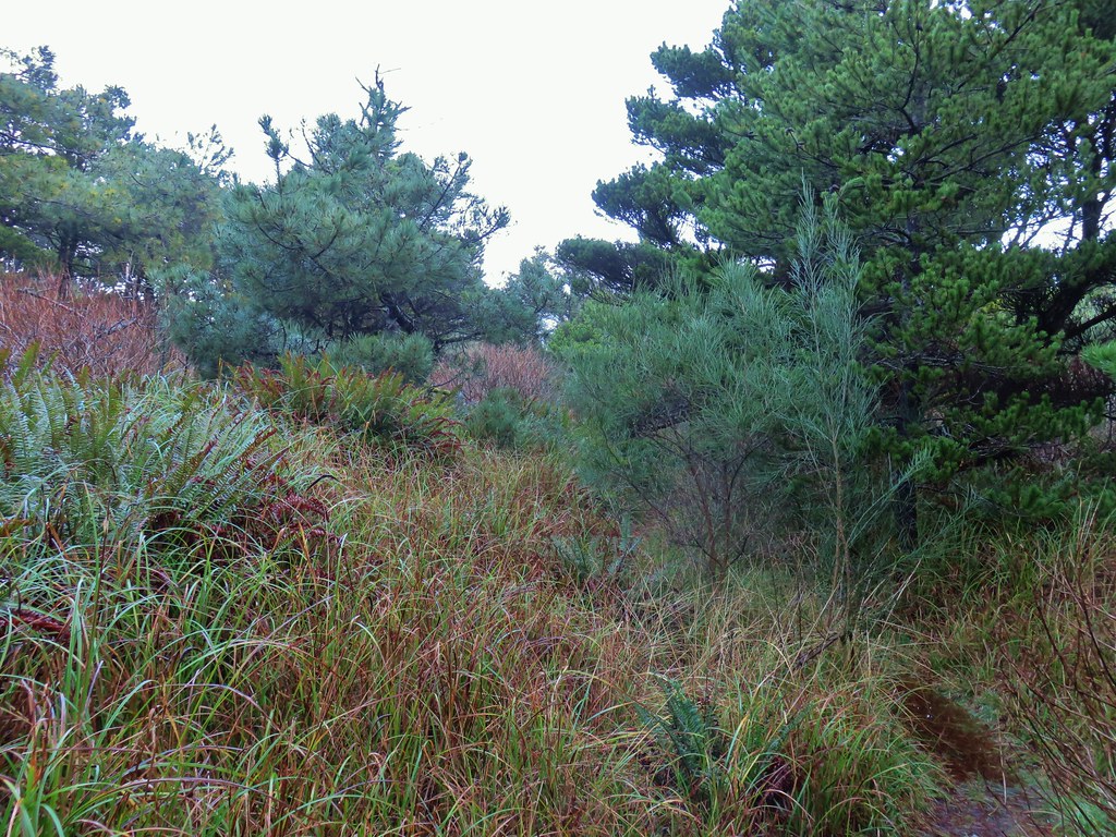
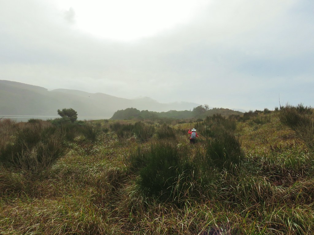
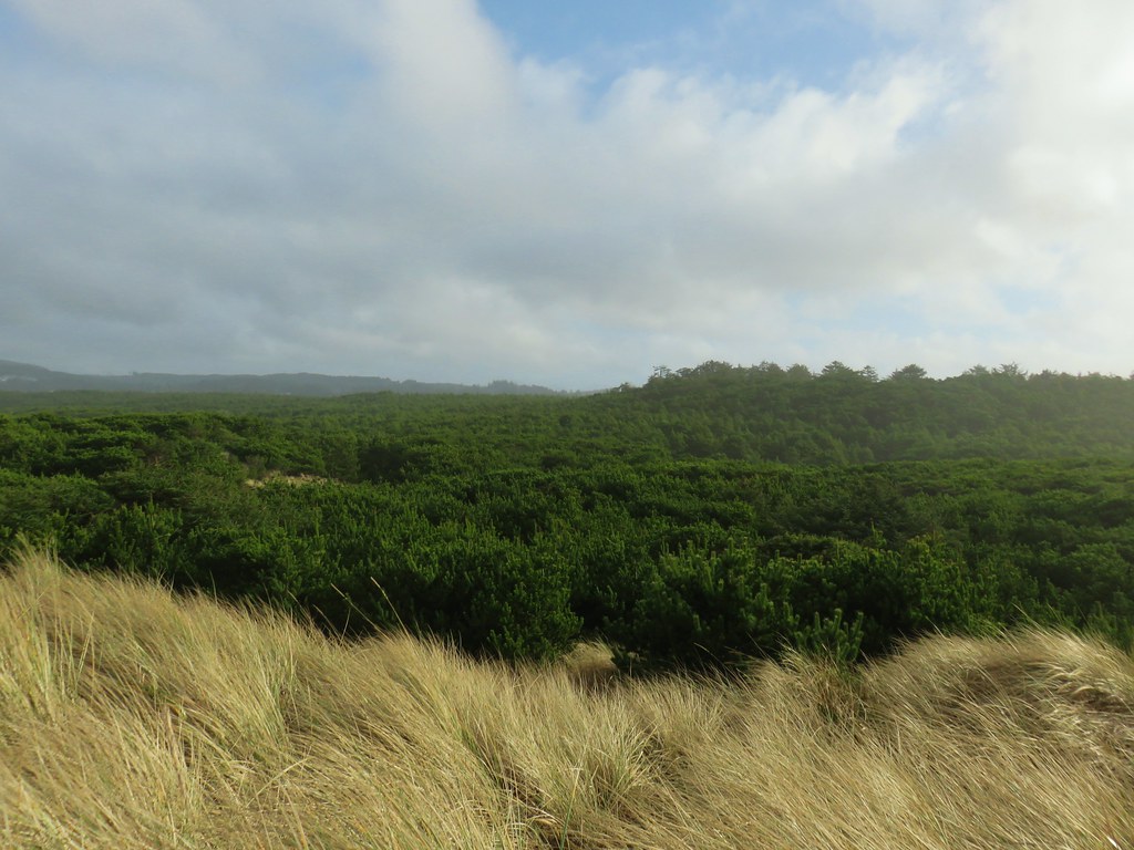 Thick forest between the bay and the dune.
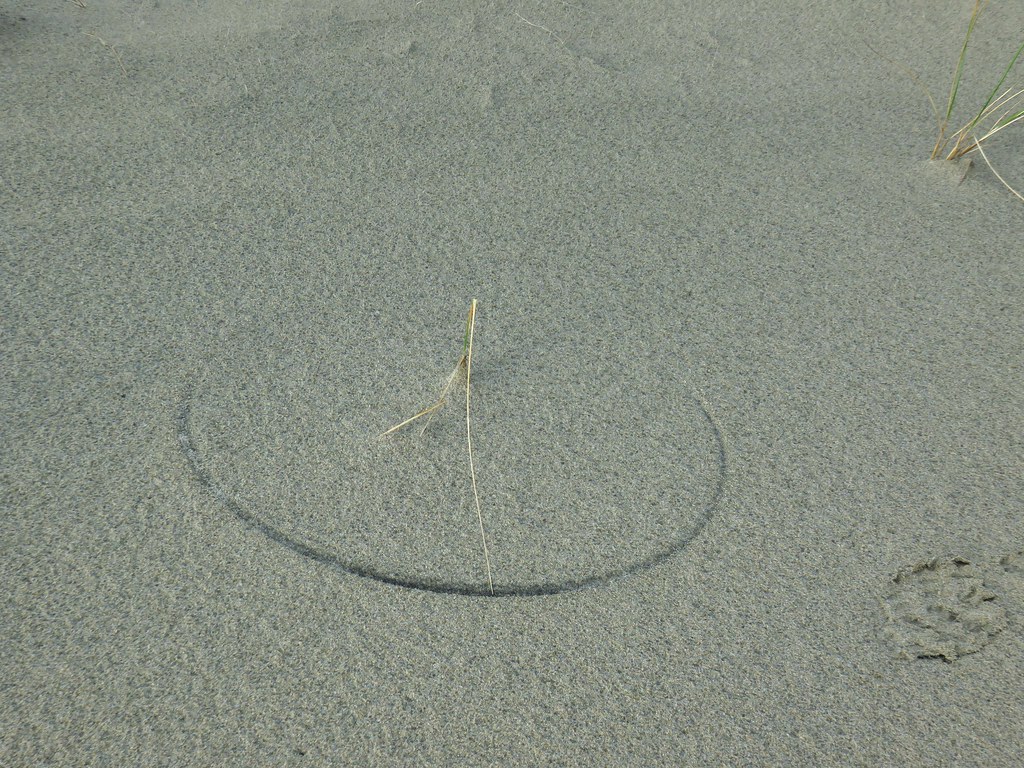 One of several semi-circles created by grass going back and forth.
Being up on the dune did allow for some views of the bay where we spotted birds including surf scooters and great blue herons.


We were forced down onto the backside of the dune as we neared the point where we had crossed over the beach that morning. Here a maze of game trails led in all directions. The trick was attempting to avoid the thorny rose stalks and blackberry bushes as well as thickets of nearly impassable salal.
We eventually made it back to the submerged trail and grassy track from earlier which we followed back to the campground and then stuck to the paved road as we returned to trail leading between the campground and picnic shelter.
 Cape Lookout from the trail to the picnic shelter.
 Seagull atop the shelter.
Our GPS put our hike at 11.1 miles which was in line with the field guides 11.2 and a little longer than Reeder’s 10 miles. We both agreed that it may have been the hardest hike we’d done along the coast due to the tricky terrain, although part of it might also be that it had been over a month since our previous hike and we’re a bit out of hiking shape. In any event it felt like an adventure which was nice and the fact that the rainy forecast turned into just a mostly cloudy day with a couple of sun breaks made for a great start to 2020’s hikes. Happy Trails!
Flickr: Netarts Spit

6 replies on “Netarts Spit – 1/25/2020”
Nice Skies!
Nice trip. You might also try the next bay to the north, Bay Ocean Spit. A better trail and interesting history.
It’s been several years but we did Bay Ocean back in 2013. The history of the failed development was one of the things that drew us there.
[…] After reaching the cliff we headed back to the Tunnel and then continued South along the beach 2.3-miles to Hodgdon Creek across from Netarts Spit (post). […]
[…] to the Cape Lookout Day Use Area where Heather and I had parked for our Netarts Spit hike in 2020 (post). Assuming I had anything left in the tank after returning from the North Trail I planned on hiking […]
[…] Occasional sightings have occurred at Coquille Point and Face Rock in Bandon (post), Netarts Bay (post), Cape Perpetua (post), and Yaquina Head (post). Even when the puffins are present spotting them […]