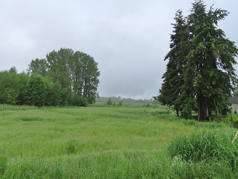
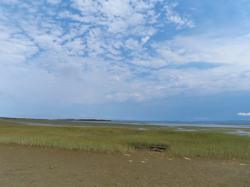
Last year we did something different and split our 2022 wildlife gallery into two posts, one feathered and one featherless. As with all our wildflower and wildlife posts any corrections or additions to our attempts at identifying what we’ve photographed is greatly appreciated. One last note, while we really enjoy taking pictures as a way to record what we see on our hikes, we are by no means photographers. We use our phones and a point and shoot camera on the auto setting, so the pictures are far from professional, but we hope you enjoy them. We also practice Leave No Trace Principles including Principle 6: Respect Wildlife which means observing from a distance, never feeding, and respecting any area wildlife closures.
For this year’s gallery the photos will be in date order, because why not?
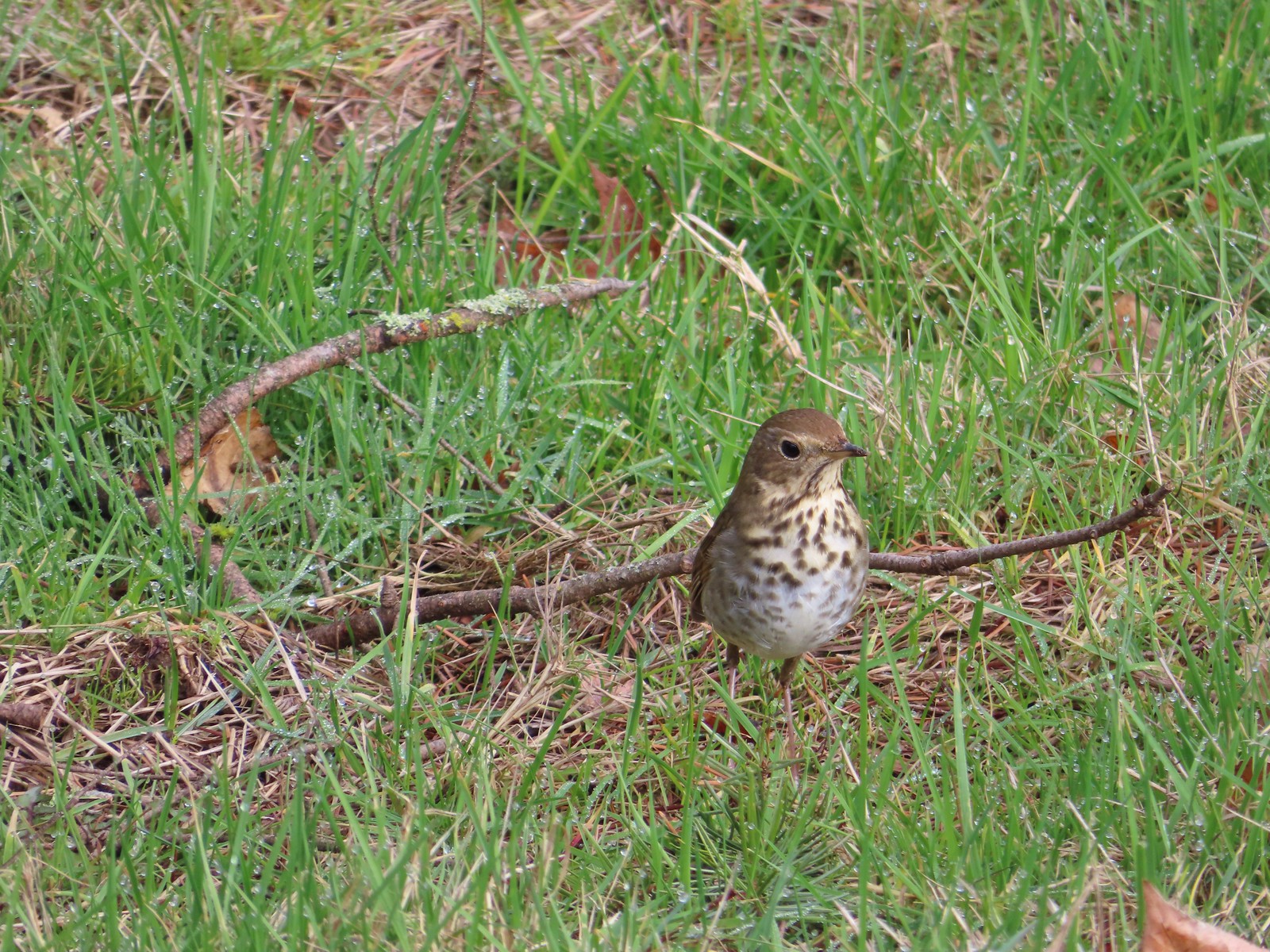 Hermit thrush – 2/11/23, Council Crest Park, Portland
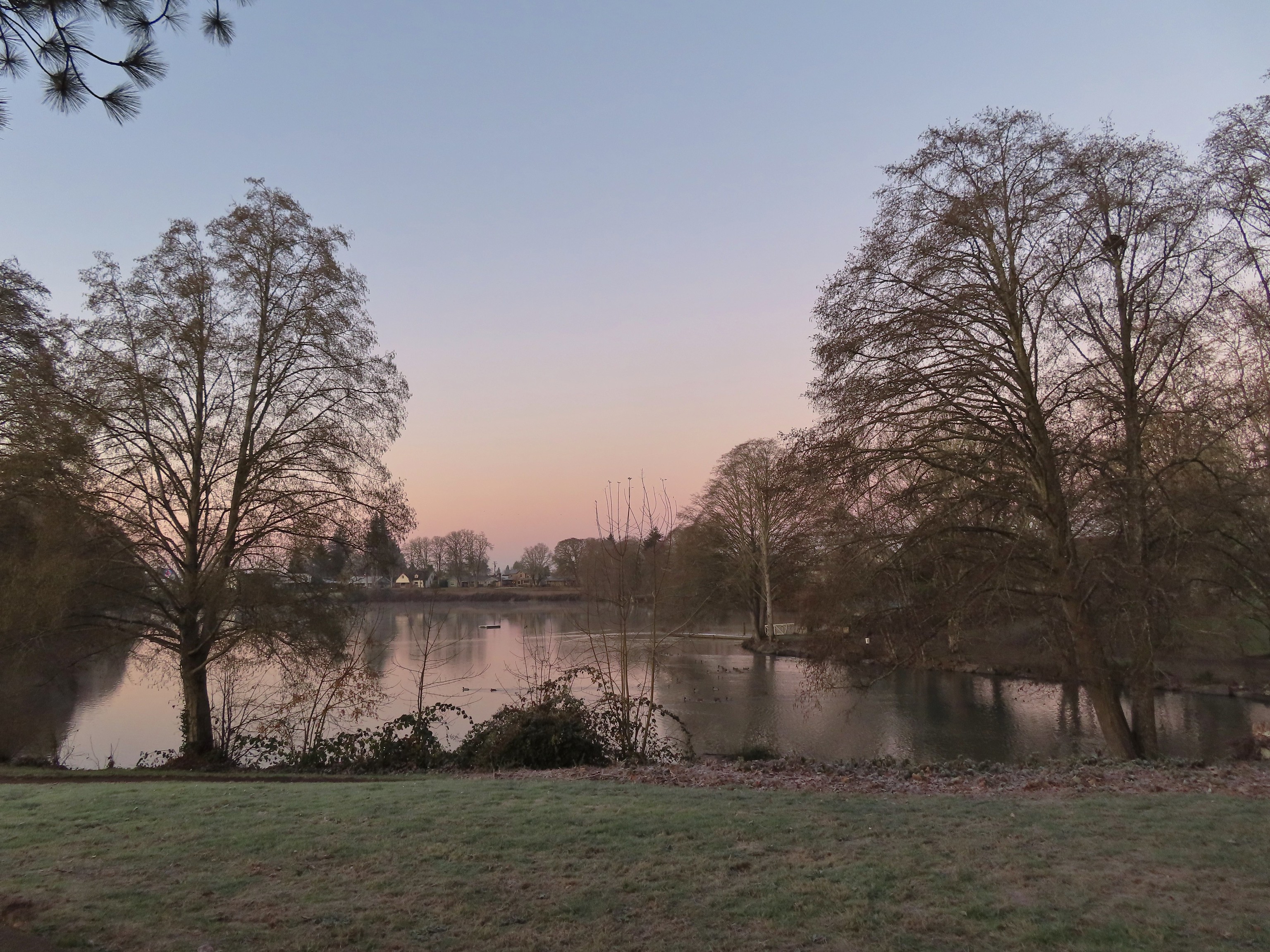
 Pied billed grebe – 3/19/23, Minto-Brown Island Park, Salem
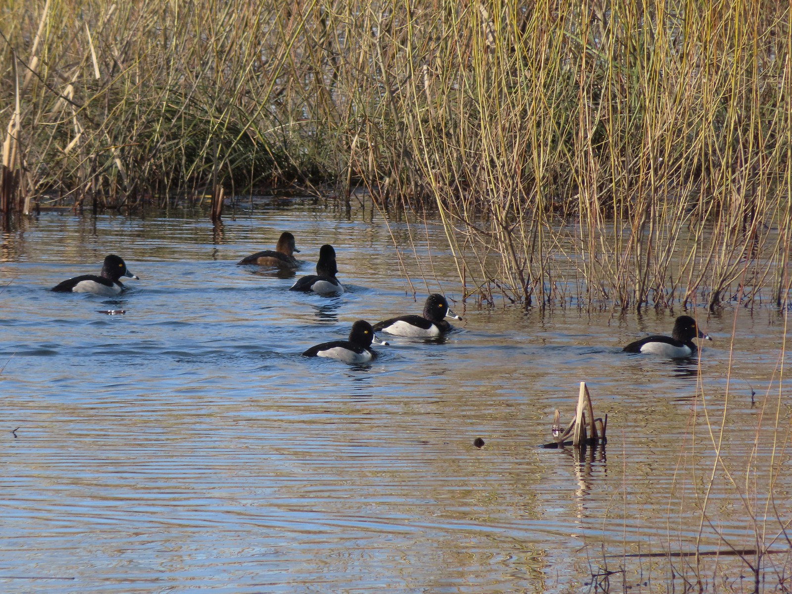
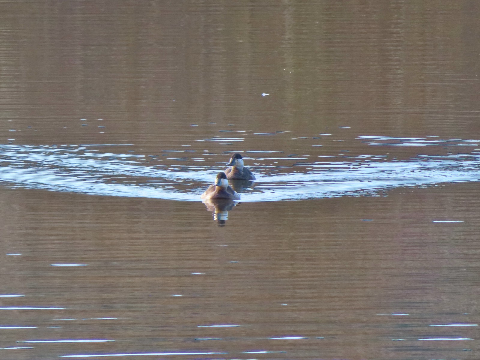
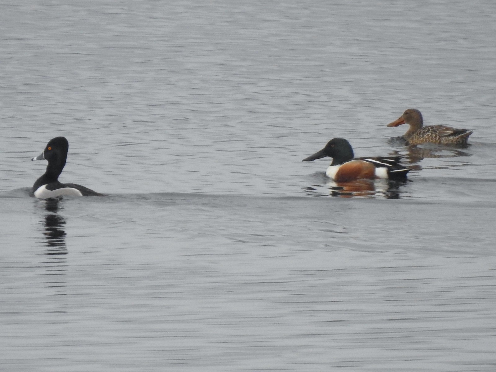
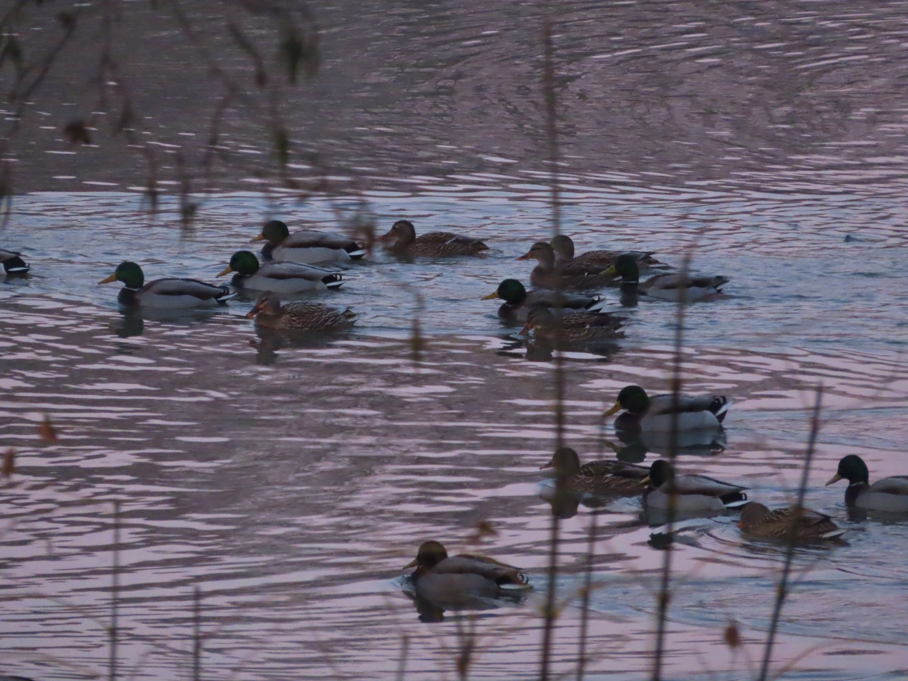
 Ring-necked duck – 3/25/23, Minto-Brown Island Park, Salem
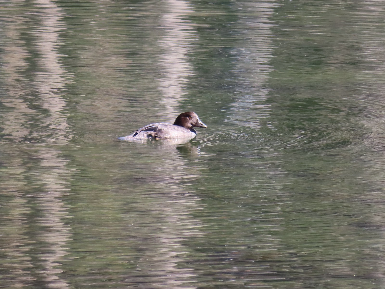
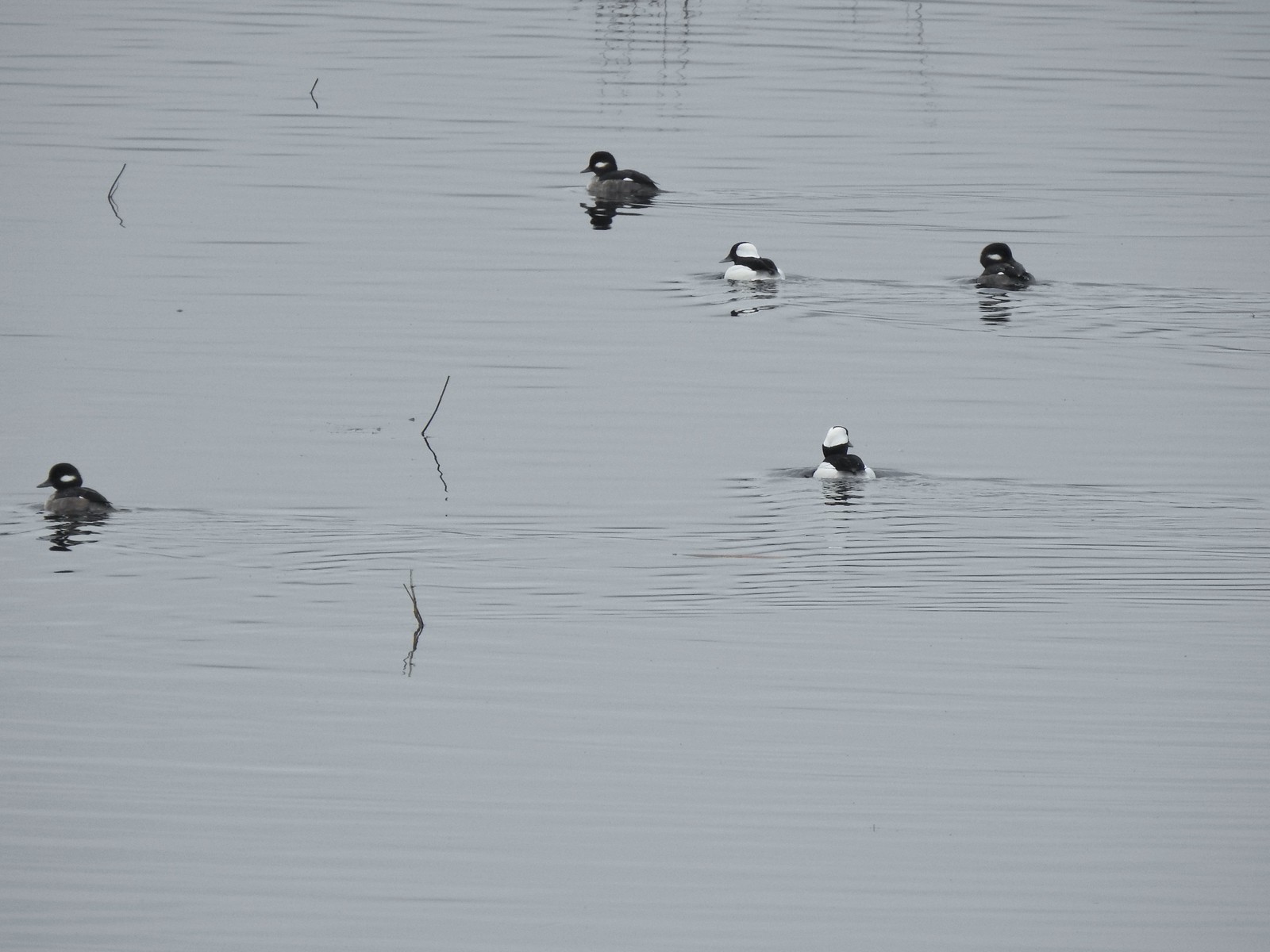
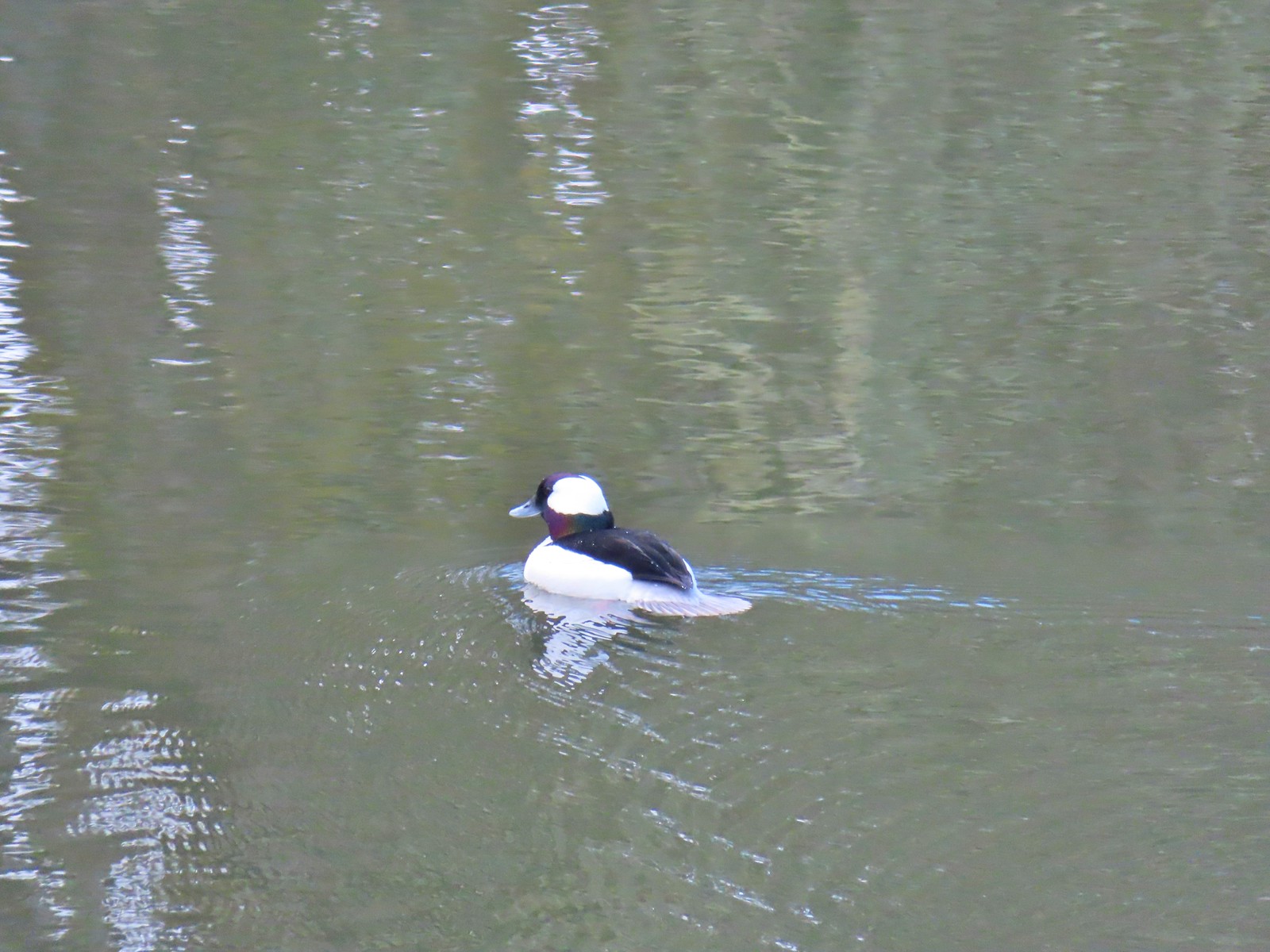 Bufflehead – 3/25/23, Minto-Brown Island Park, Salem
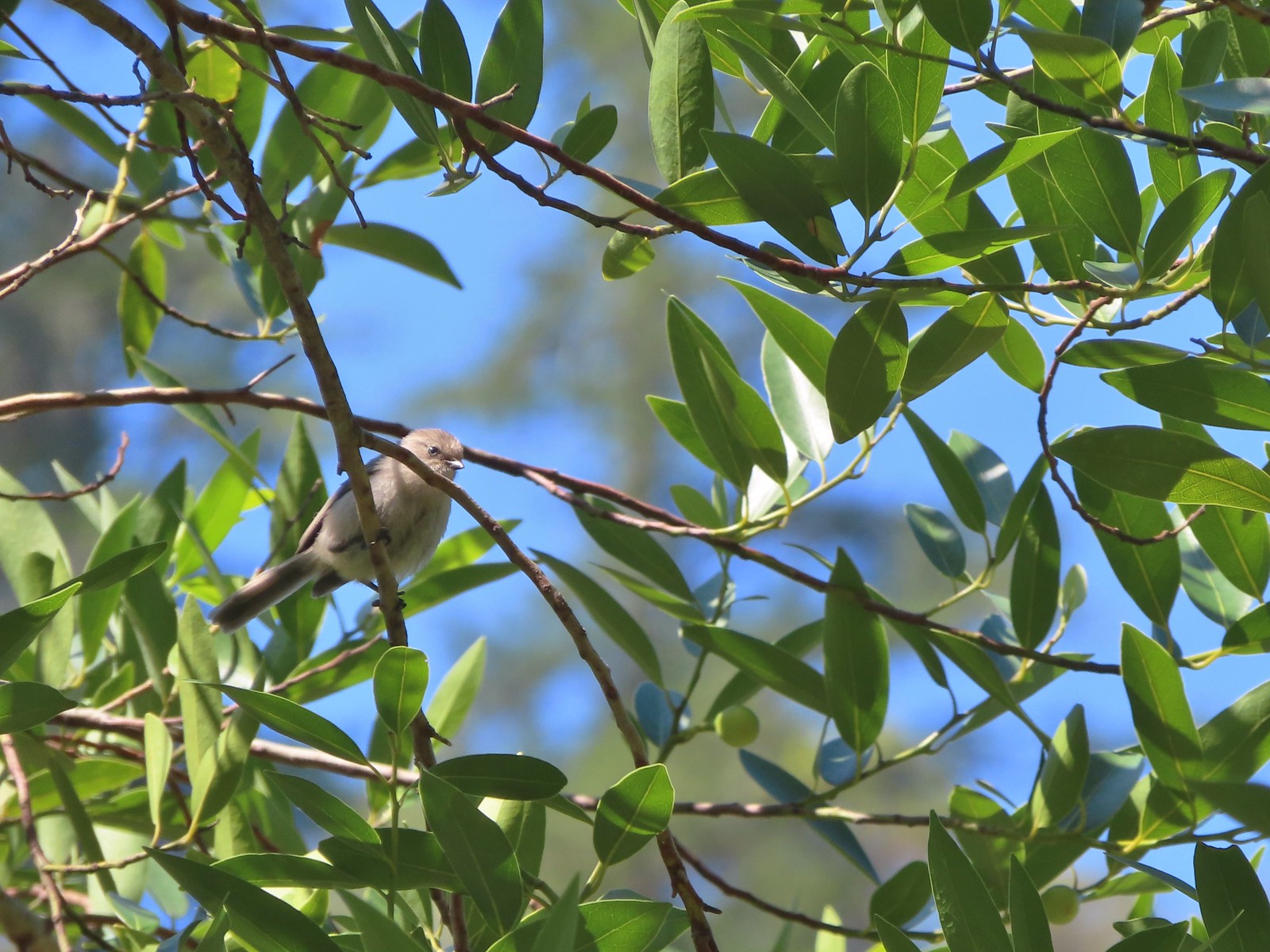
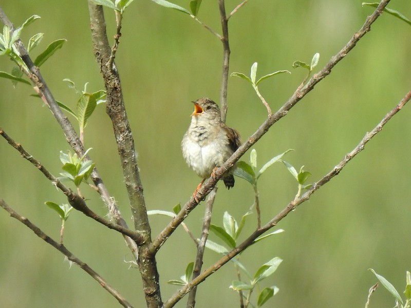
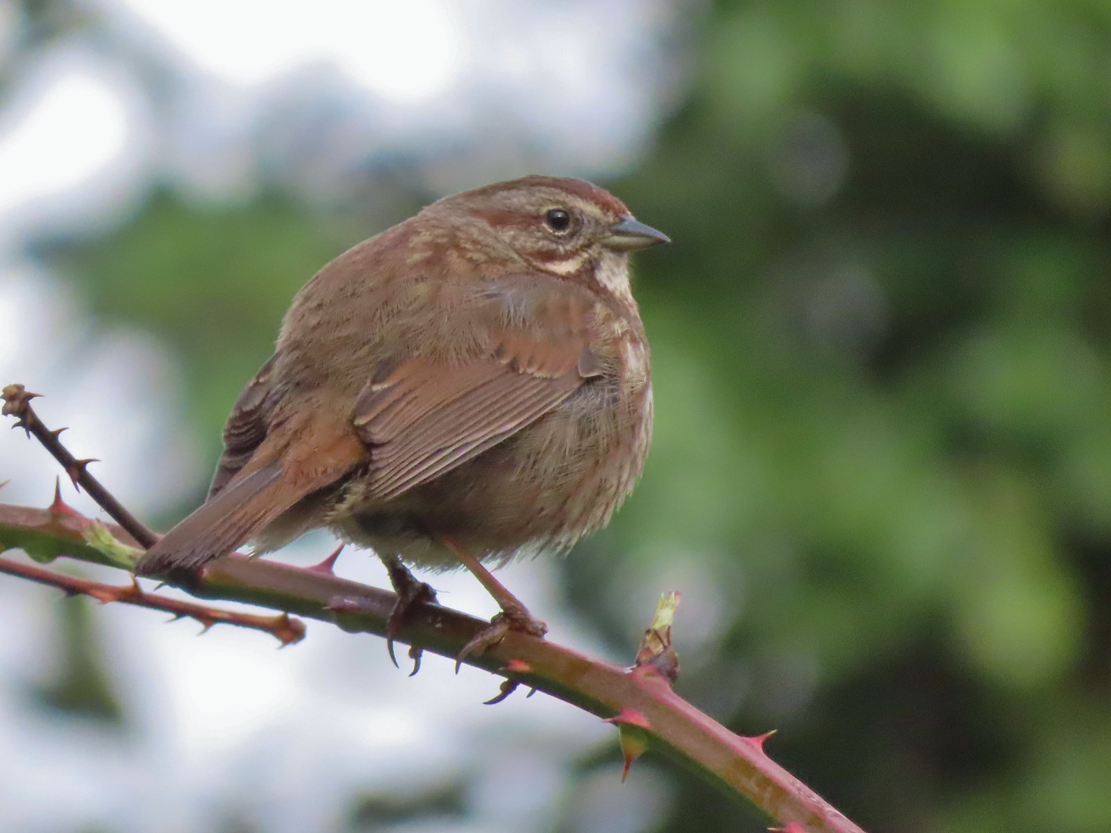 Sparrow – 3/25/23, Minto-Brown Island Park, Salem
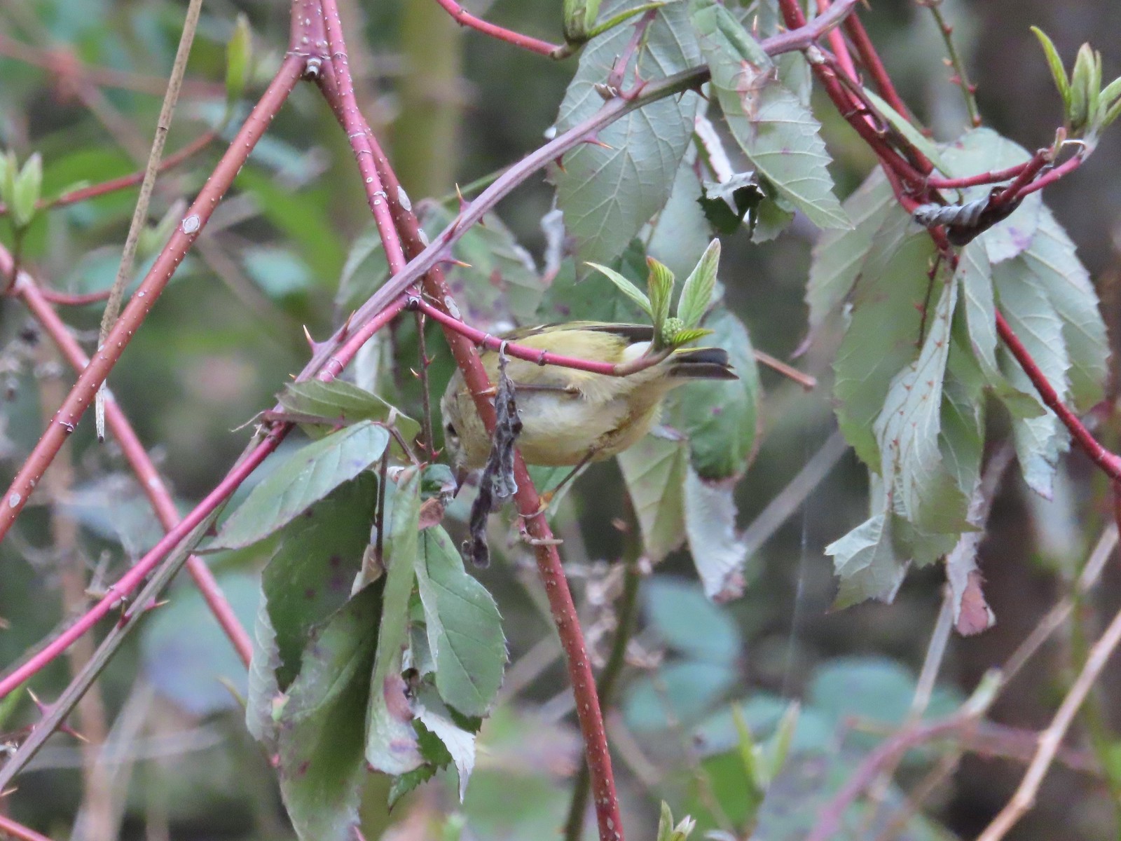
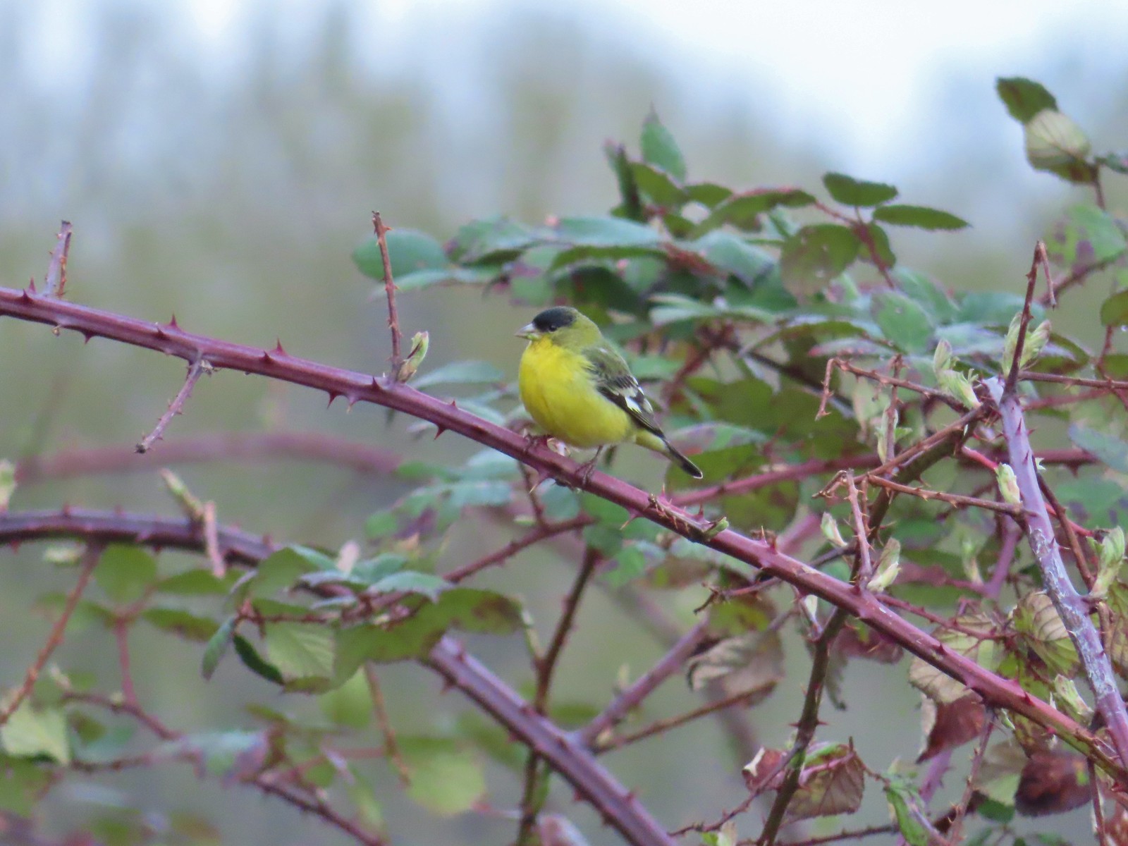 Lesser goldfinch – 4/8/23, Minto-Brown Island Park, Salem
 Ruby-crowned kinglet? – 4/8/23, Minto-Brown Island Park, Salem
 Egret – 4/8/23, Minto-Brown Island Park, Salem
 Marsh wren – 4/13/23, Baskett Slough National Wildlife Refuge, Rickreall
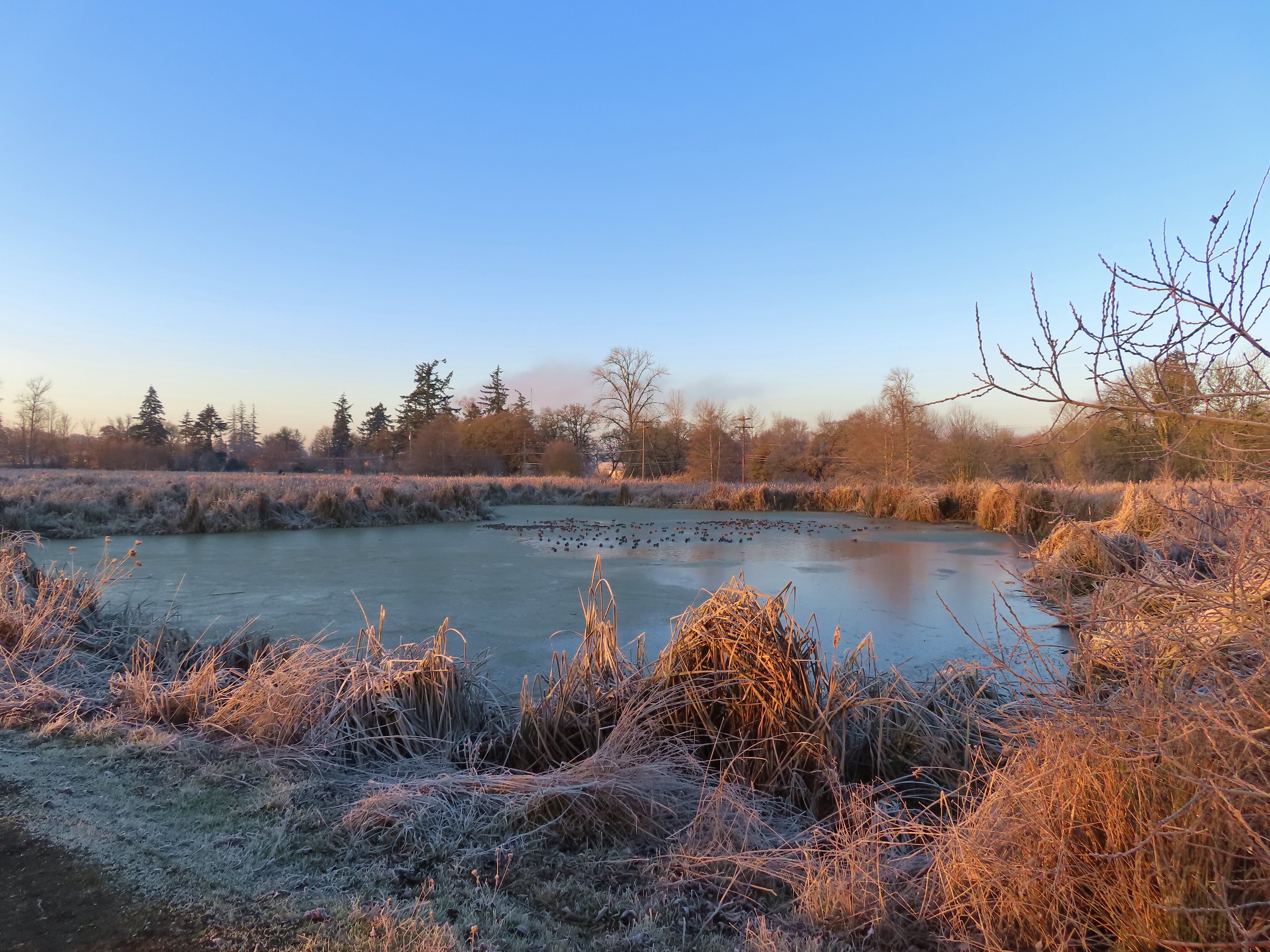
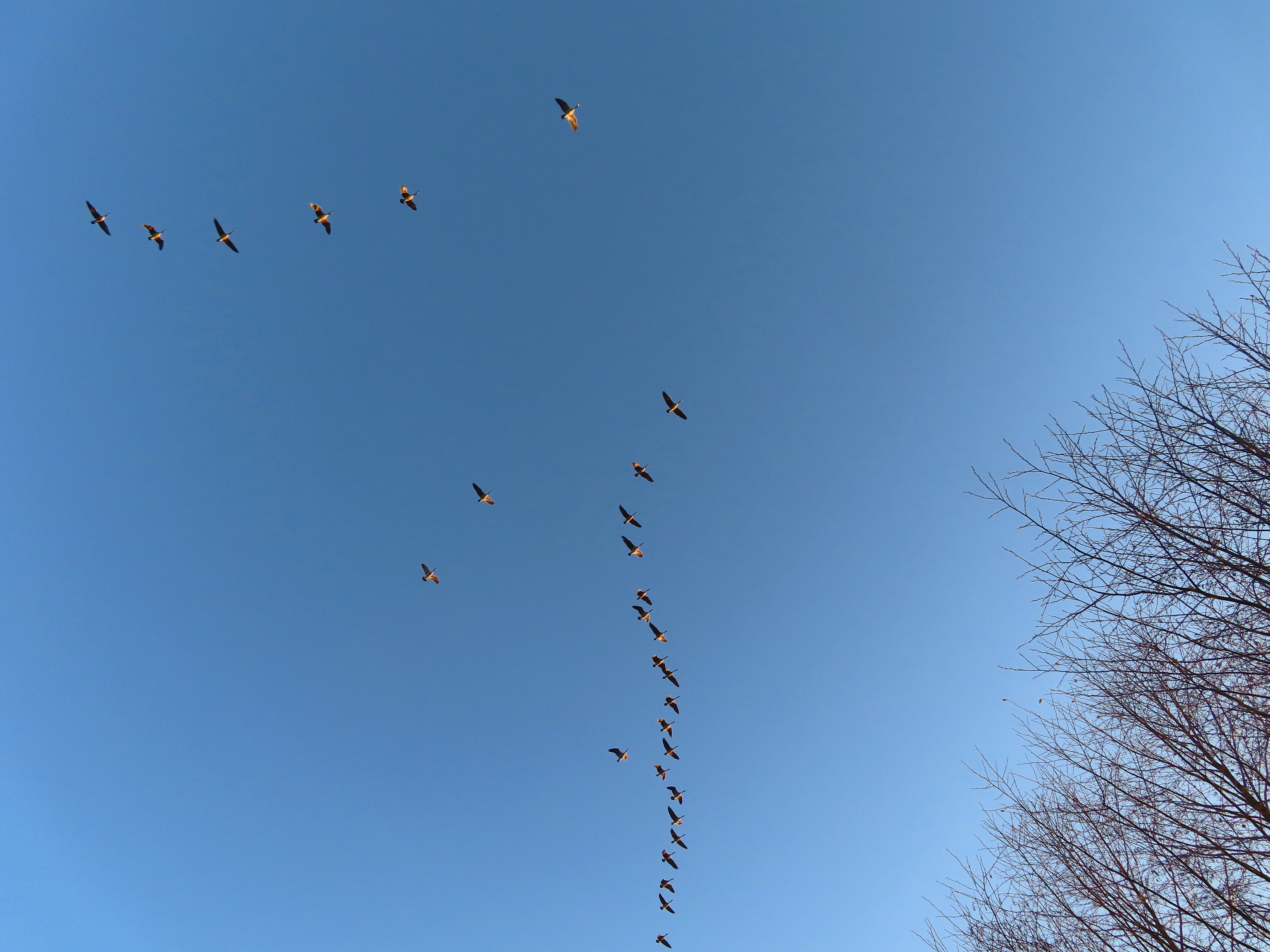
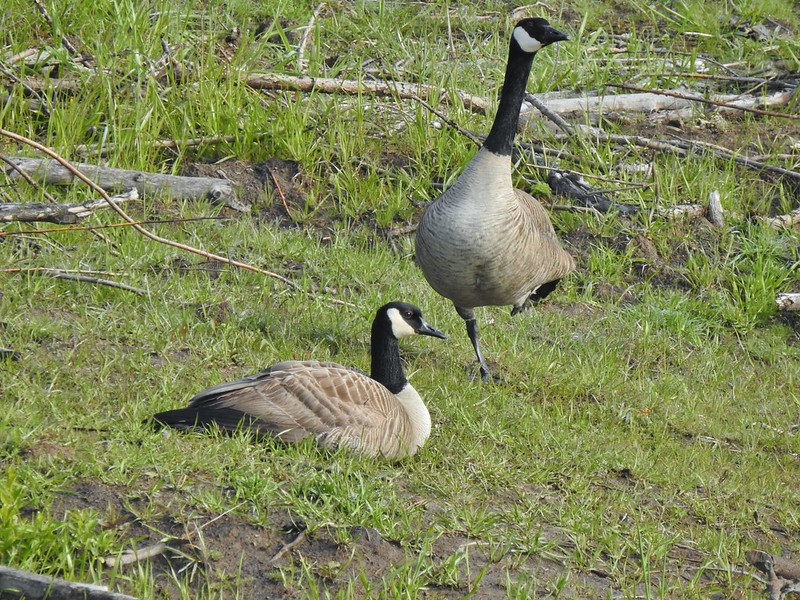
 Geese, I believe both cackling and Canada – 4/13/23, Baskett Slough National Wildlife Refuge, Rickreall
 California quail – 4/13/23, Baskett Slough National Wildlife Refuge, Rickreall
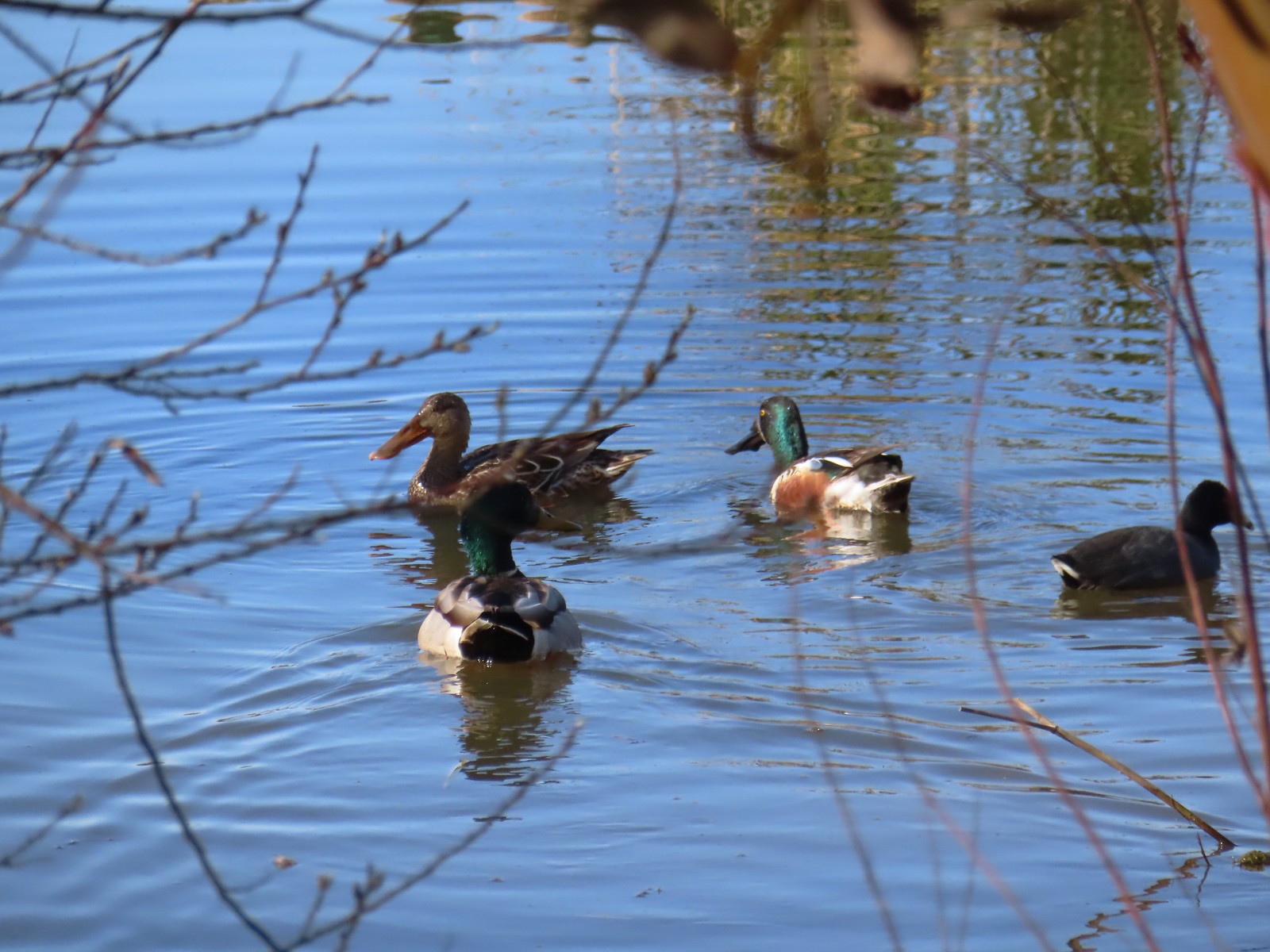
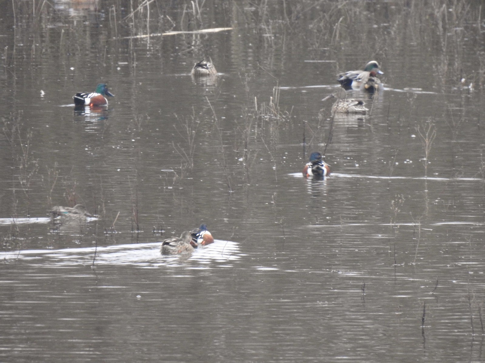
 Northern shoveler – 4/13/23, Baskett Slough National Wildlife Refuge, Rickreall
 Western meadowlark (Oregon’s state bird) – 4/13/23, Baskett Slough National Wildlife Refuge, Rickreall
 Red-winged blackbird – 4/13/23, Baskett Slough National Wildlife Refuge, Rickreall
 Ruddy duck – 4/13/23, Baskett Slough National Wildlife Refuge, Rickreall
 Savannah sparrow – 4/13/23, Baskett Slough National Wildlife Refuge, Rickreall
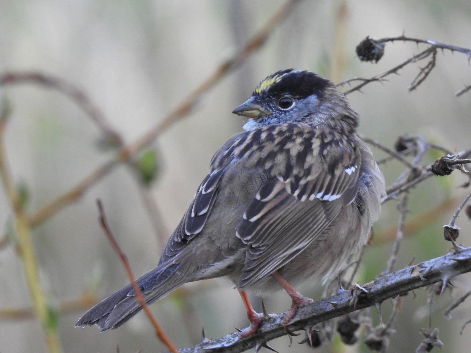 Gold-crowned sparrow – 4/14/23, Minto-Brown Island Park, Salem
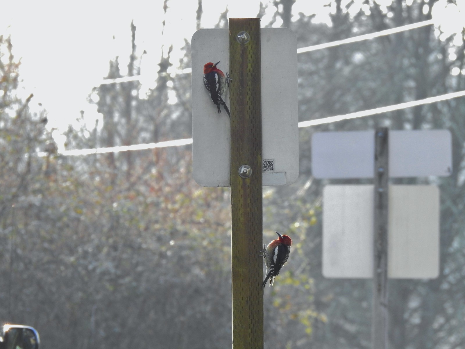 Red-breasted sapsuckers – 4/14/23, Minto-Brown Island Park, Salem
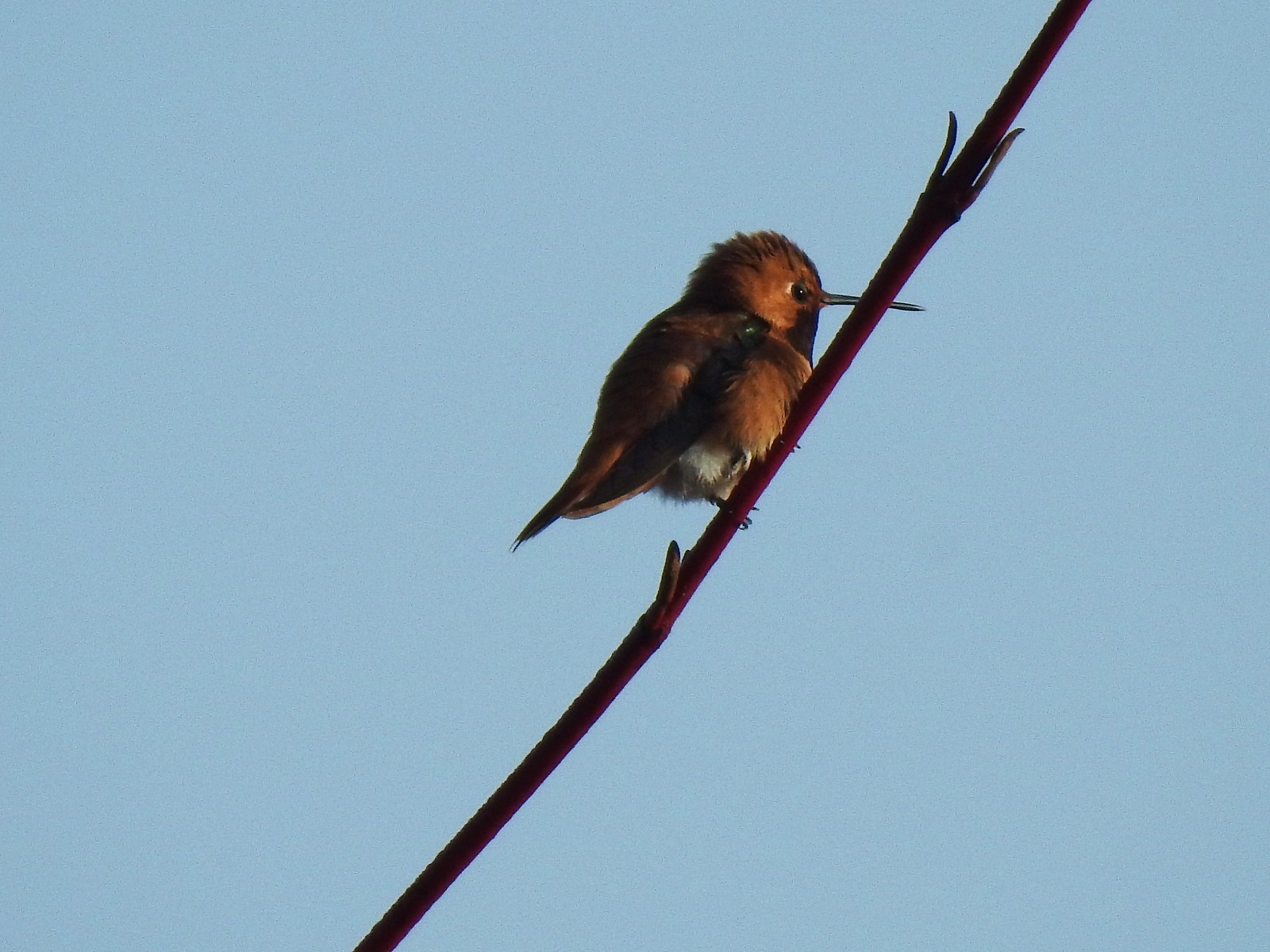 Hummingbird (Rufous?) – 4/14/23, Minto-Brown Island Park, Salem
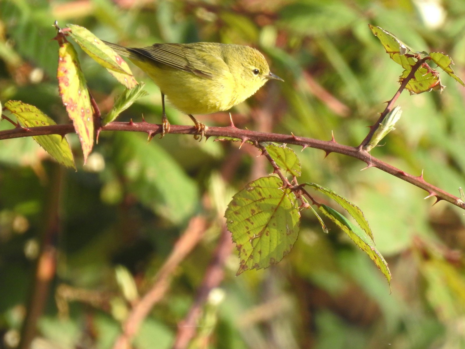 Orange-crowned warbler – 4/14/23, Minto-Brown Island Park, Salem
 Dark-eyed junco – 4/14/23, Minto-Brown Island Park, Salem
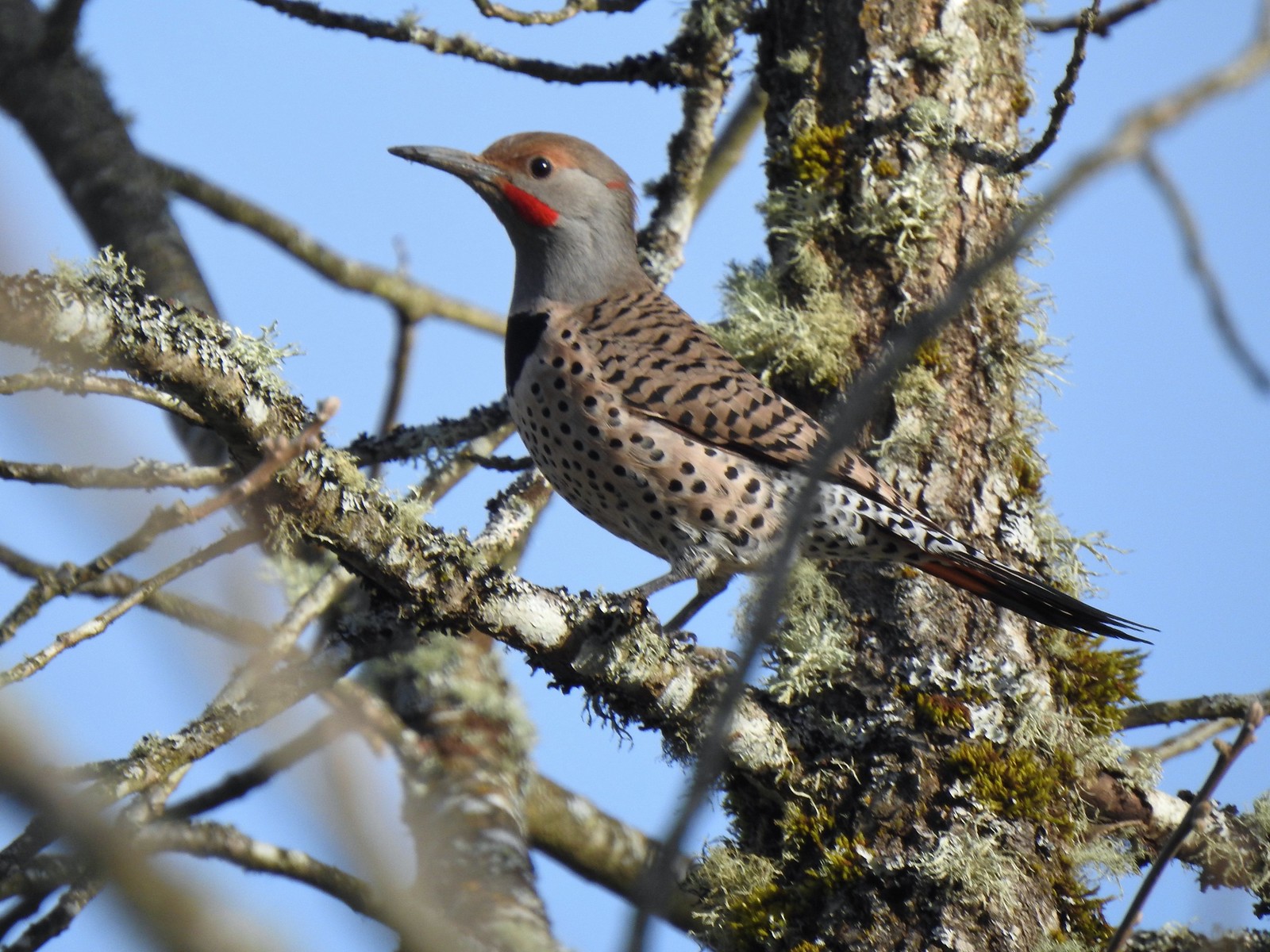 Northern flicker – 4/14/23, Minto-Brown Island Park, Salem
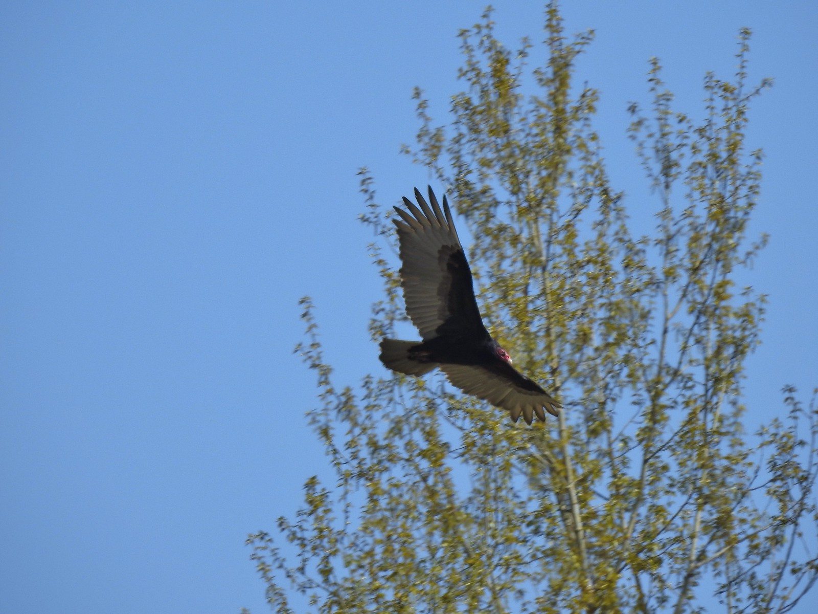 Turkey vulture – 4/14/23, Minto-Brown Island Park, Salem
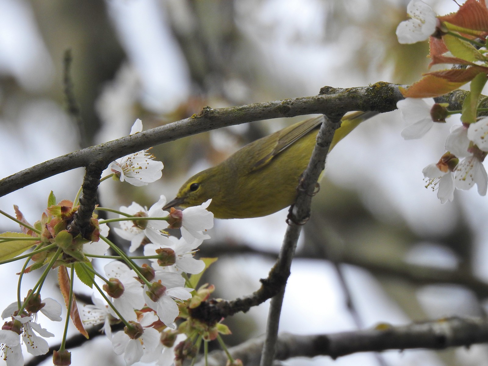 Warbler? – 4/22/23, Dave Clark Riverfront Path, Albany
 Osprey – 4/22/23, Dave Clark Riverfront Path, Albany
 Cormorant – 4/22/23, Dave Clark Riverfront Path, Albany
 Red-winged blackbird (female) – 4/22/23, Talking Water Gardens, Albany
 Green-winged teal – 4/22/23, Talking Water Gardens, Albany
 Yellow-rumped warbler (Audubon’s) – 4/22/23, Talking Water Gardens, Albany
 Black phoebe – 4/22/23, Talking Water Gardens, Albany
 Acorn woodpecker – 4/22/23, Talking Water Gardens, Albany
 Hawk – 4/22/23, Talking Water Gardens, Albany
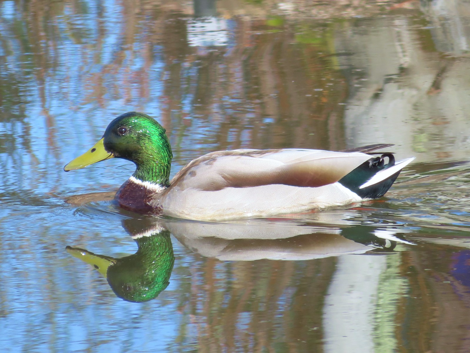
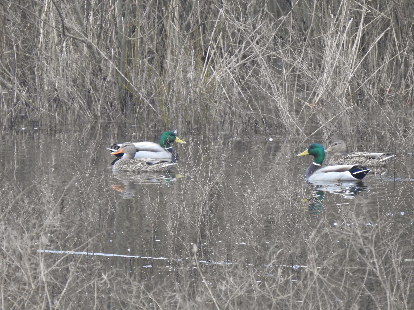
 Mallards – 4/22/23, Talking Water Gardens, Albany
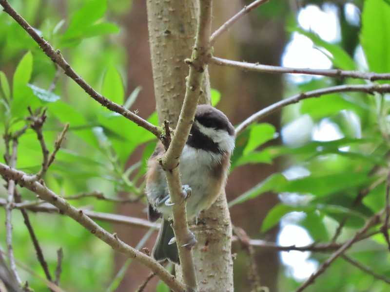
 Chickadee (chestnut-backed?) – 4/22/23, Talking Water Gardens, Albany
 Nashville warbler – 4/29/23, Canemah Bluff Nature Park, Oregon City
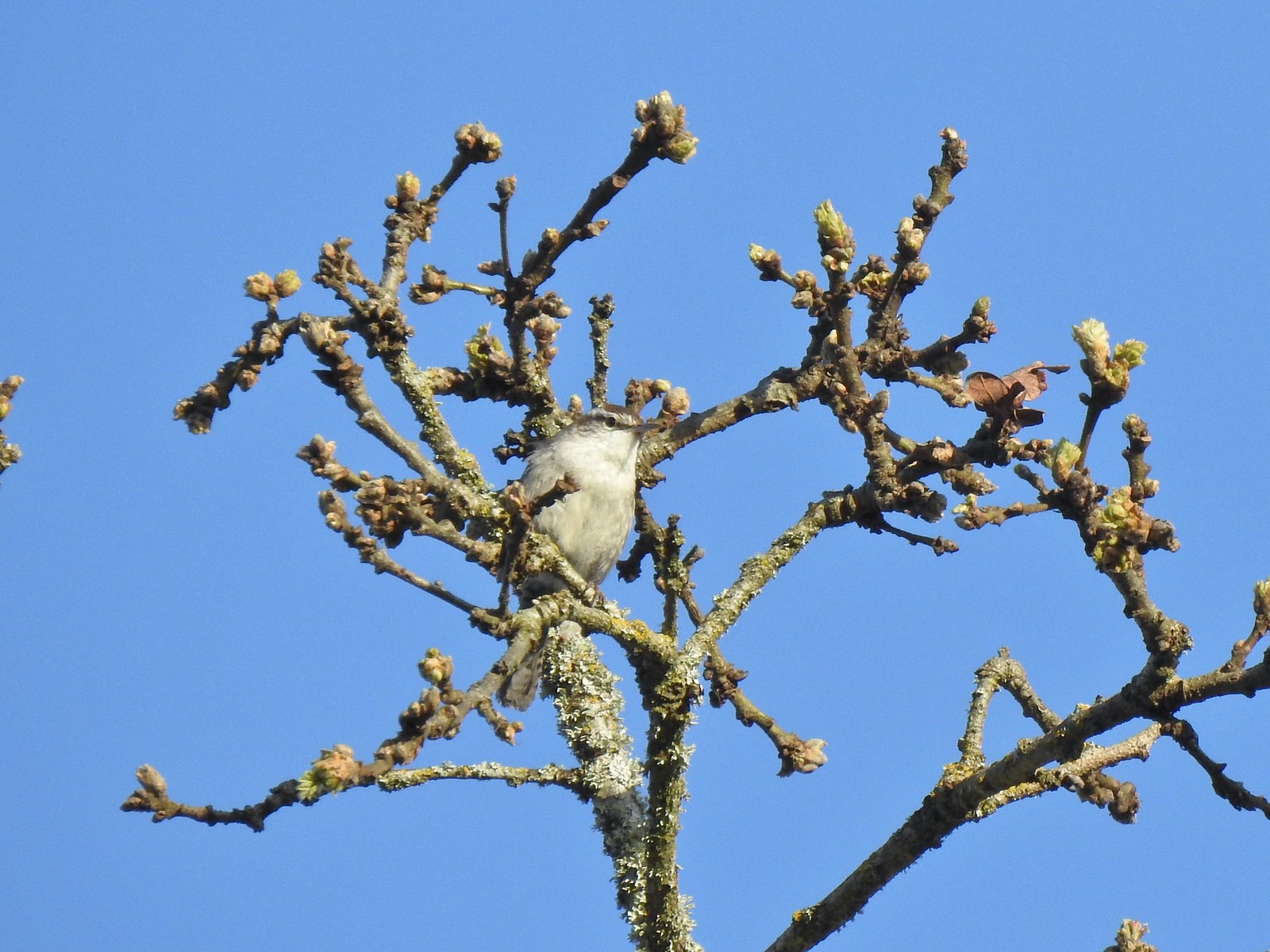 Bewick’s wren – 4/29/23, Canemah Bluff Nature Park, Oregon City
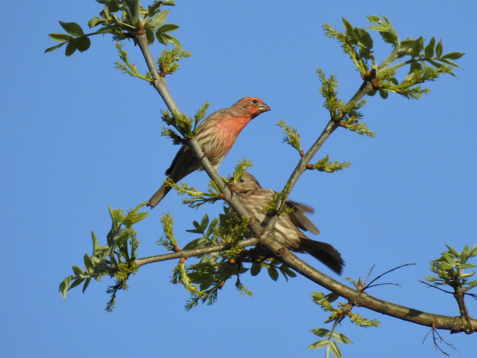 House finches – 4/29/23, Canemah Bluff Nature Park, Oregon City
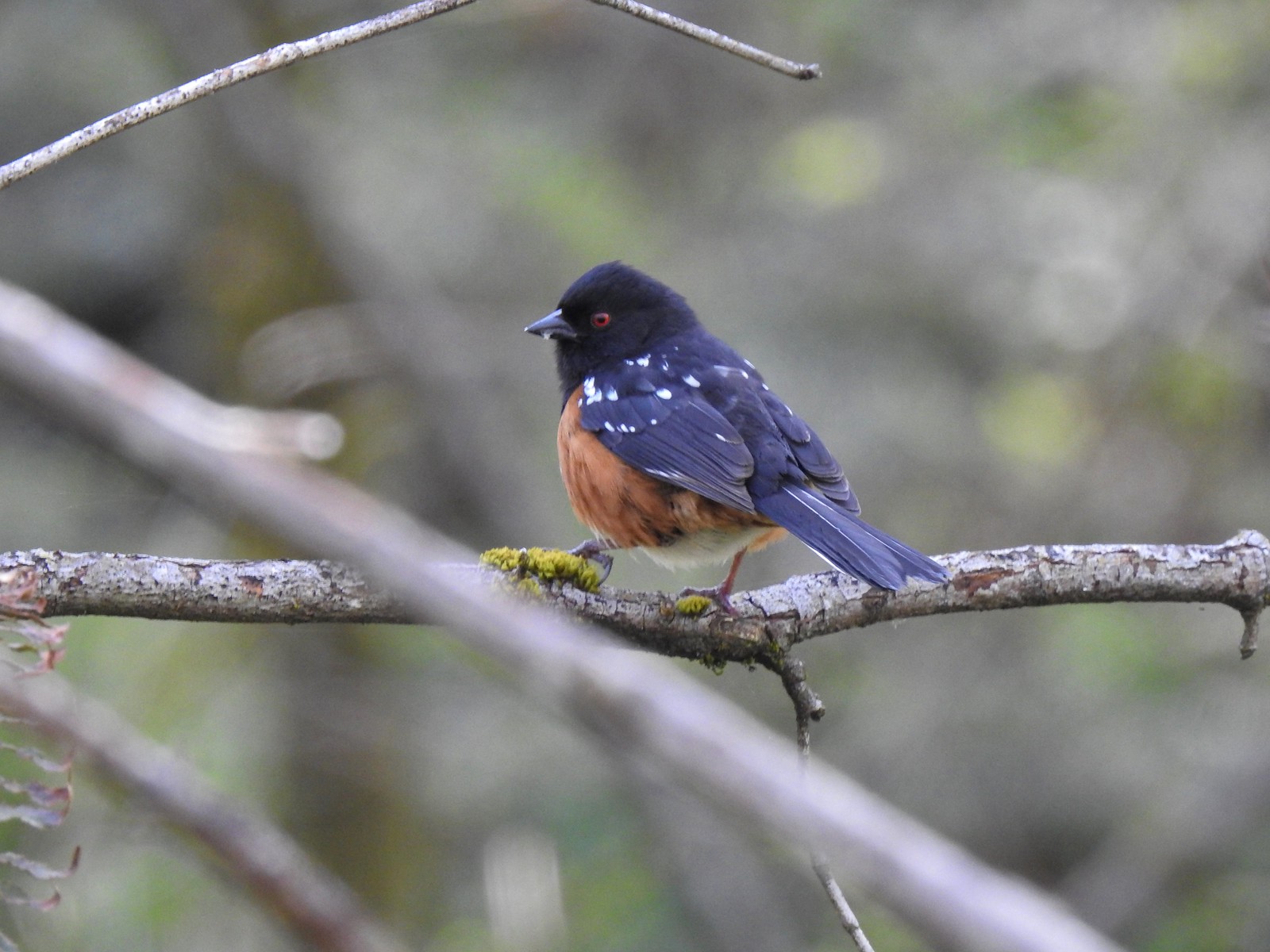 Spotted towhee – 4/29/23 Newell Creek Canyon Nature Park, Oregon City
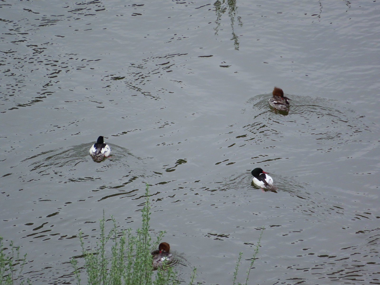 Common mergansers – 5/1/23, Rogue River National Recreation Trail, BLM Medford District
 Bullock’s oriole – 5/1/23, Rogue River National Recreation Trail, BLM Medford District
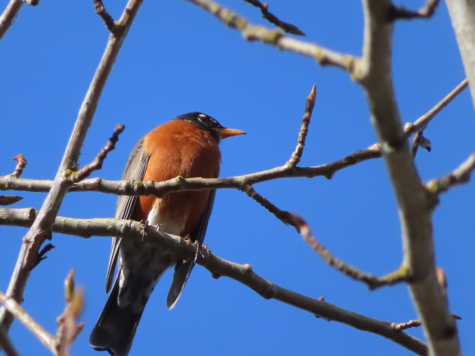
 American robin – 5/1/23, Rogue River National Recreation Trail, BLM Medford District
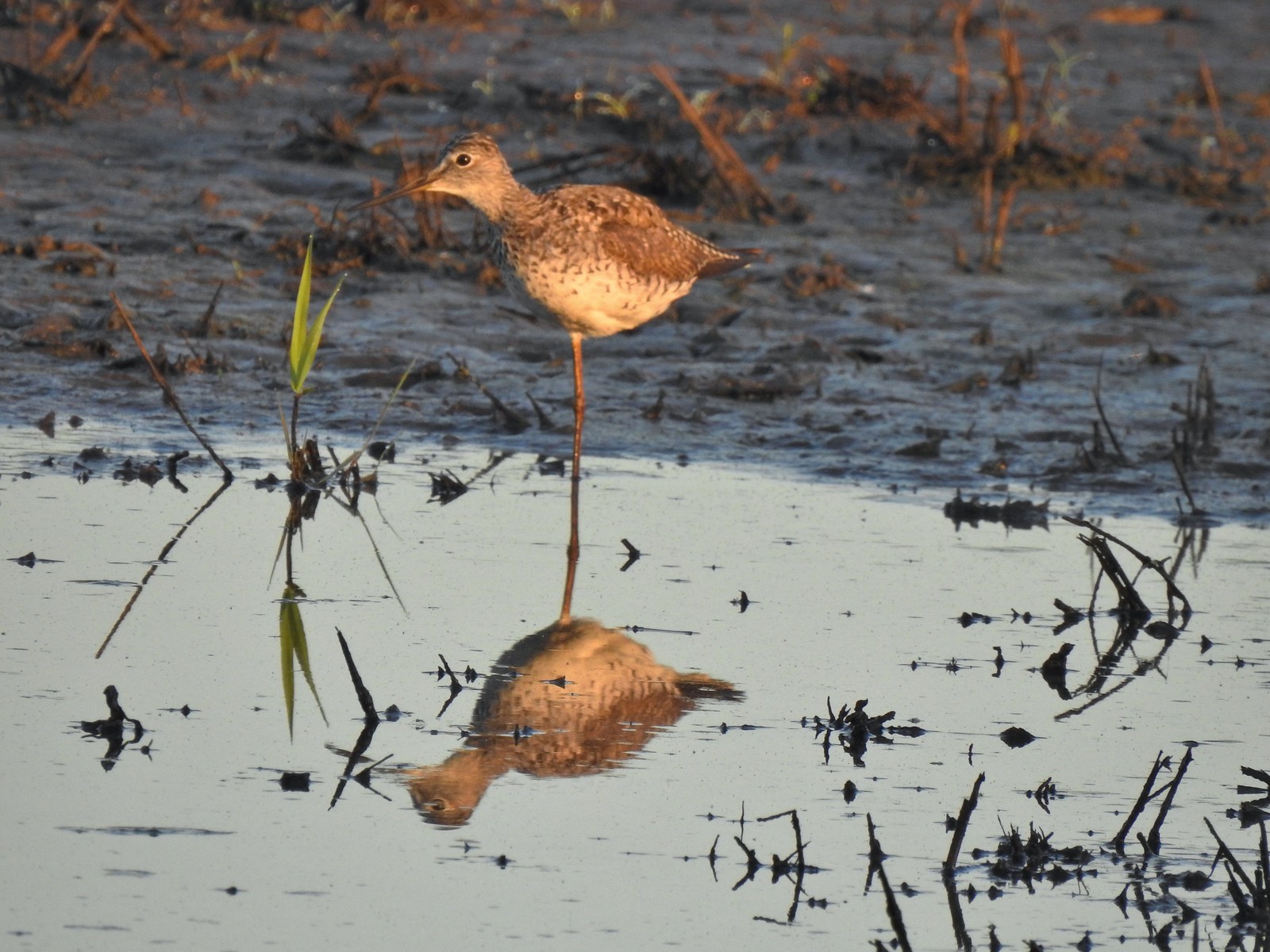 Greater yellowlegs – 5/13/23, Tualatin River National Wildlife Refuge, Sherwood
 Mourning dove – 5/13/23, Tualatin River National Wildlife Refuge, Sherwood
 Gadwall – 5/13/23, Tualatin River National Wildlife Refuge, Sherwood
 Killdeer – 5/13/23, Tualatin River National Wildlife Refuge, Sherwood
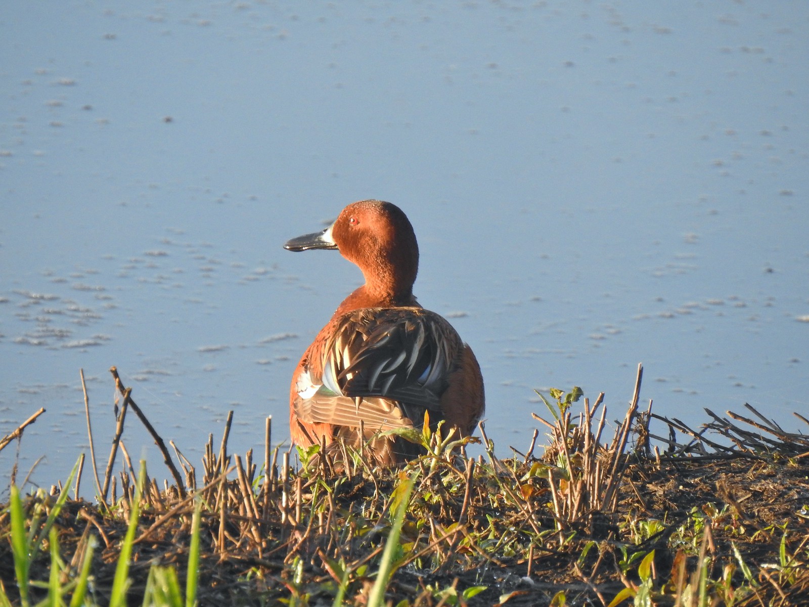 Cinnamon teal – 5/13/23, Tualatin River National Wildlife Refuge, Sherwood
 Anna’s hummingbird – 5/13/23, Tualatin River National Wildlife Refuge, Sherwood
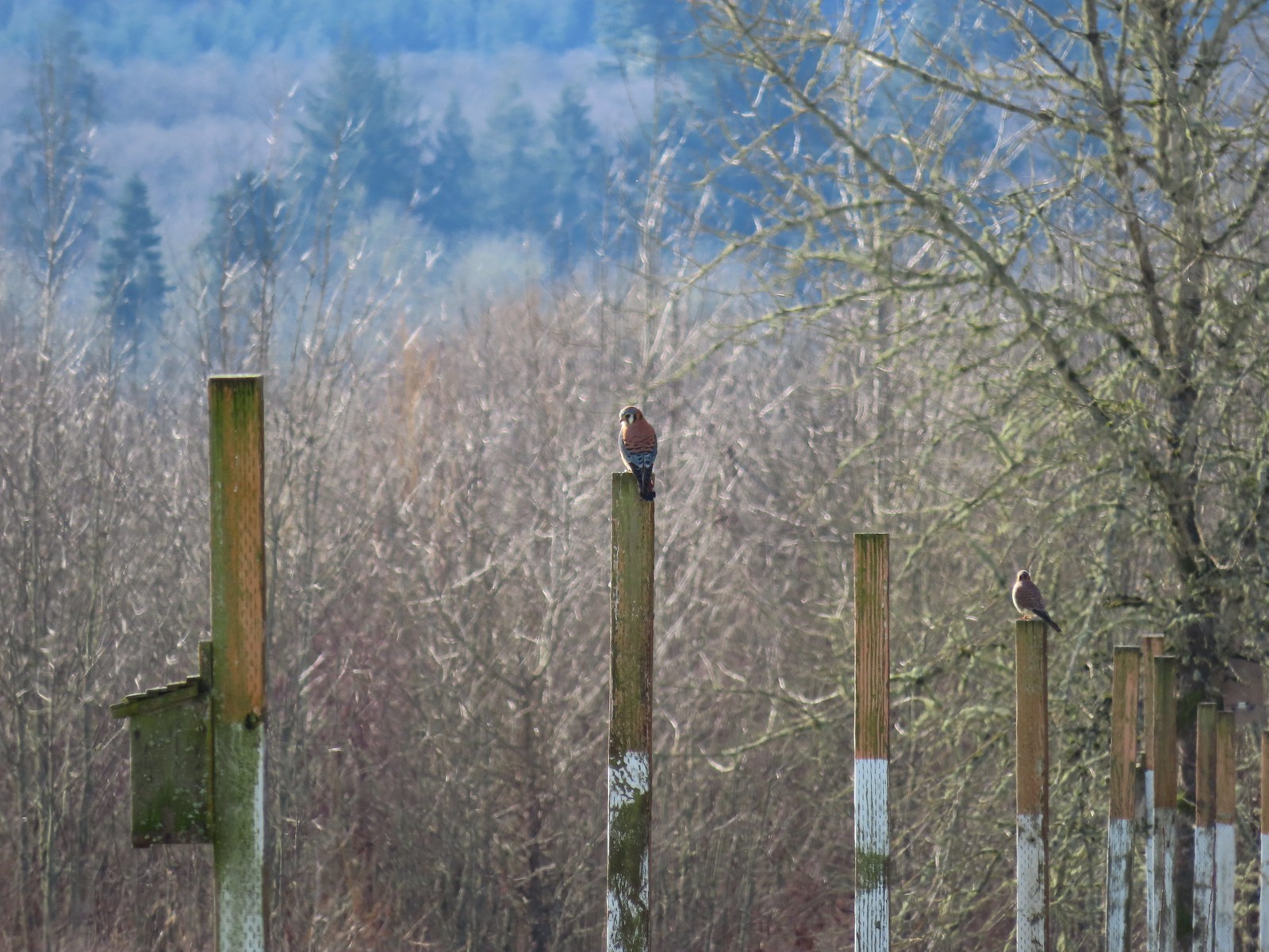
 American kestral – 5/13/23, Graham Oaks Nature Park, Wilsonville
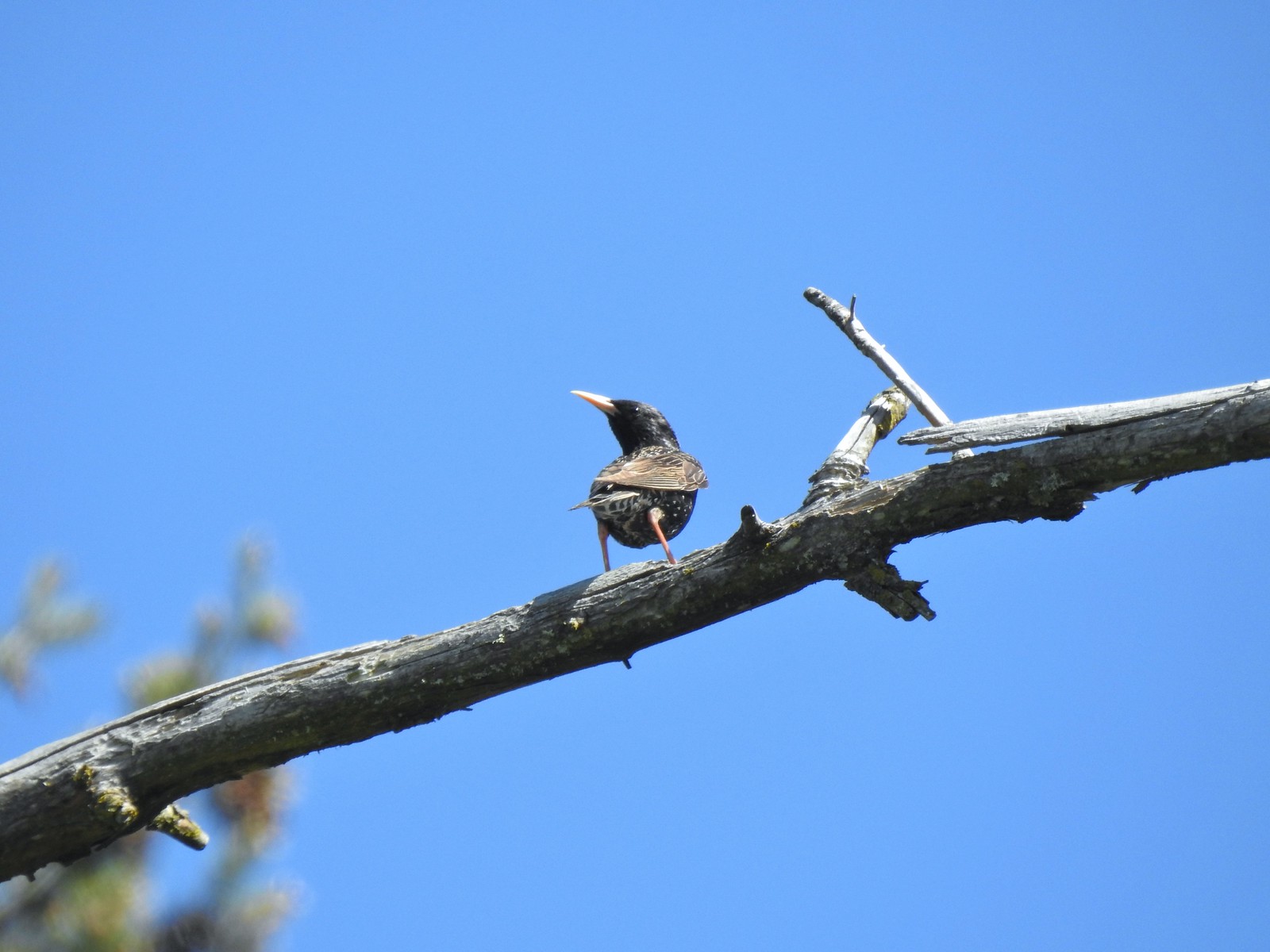 European starling – 5/13/23, Graham Oaks Nature Park, Wilsonville
 Wood duck – 5/23/23, Stigerwald Lake National Wildlife Refuge, Washougal, WA
 Belted kingfisher – 5/23/23, Stigerwald Lake National Wildlife Refuge, Washougal, WA
 American goldfinch – 5/23/23, Stigerwald Lake National Wildlife Refuge, Washougal, WA
 Spotted sandpiper – 5/23/23, Stigerwald Lake National Wildlife Refuge, Washougal, WA
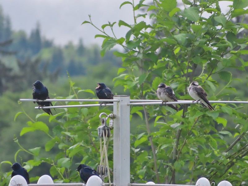
 Purple martin – 5/23/23, Stigerwald Lake National Wildlife Refuge, Washougal, WA
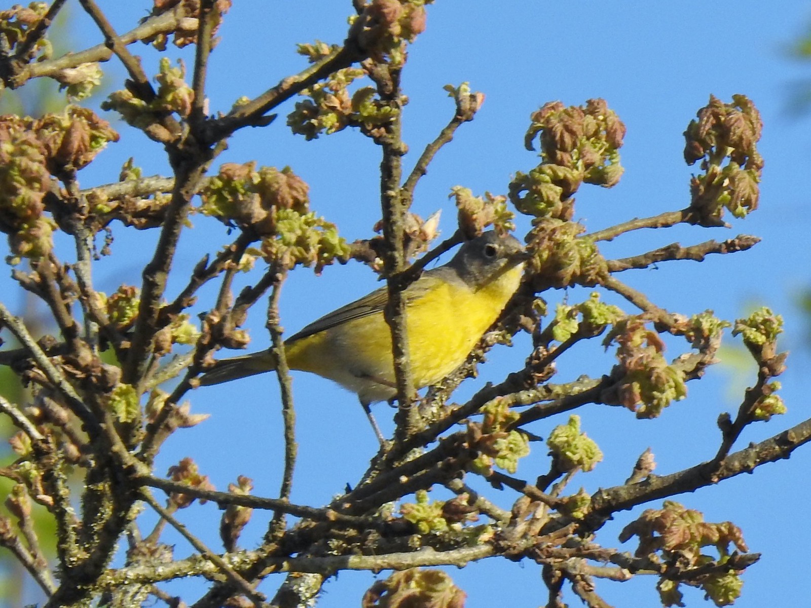
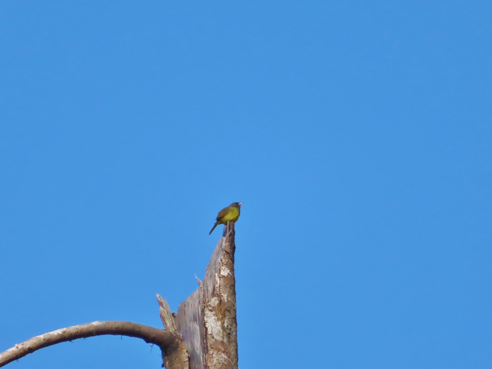
 Common yellowthroat – 5/23/23, Stigerwald Lake National Wildlife Refuge, Washougal, WA
 American bittern – 5/23/23, Stigerwald Lake National Wildlife Refuge, Washougal, WA
 Lark sparrow – 5/28/23, Criterion Tract, BLM Prineville District
 Horned lark – 5/28/23, Criterion Tract, BLM Prineville District
 Mountain bluebird – 5/28/23, Criterion Tract, BLM Prineville District
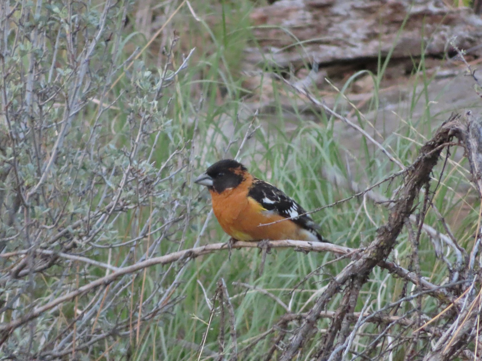 Black-headed grosbeak – 5/29/23, Riley Ranch Preserve, Bend
 Lewis’s woodpecker – 5/29/23, Tumalo State Park, Bend
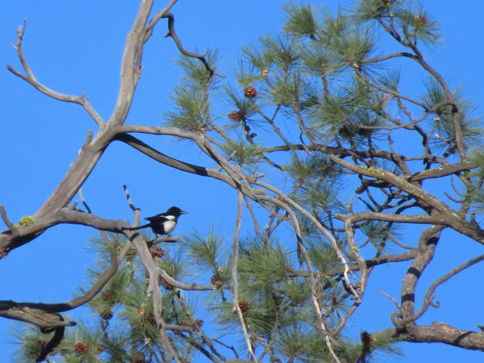 Magpie – 5/29/23, Tumalo State Park, Bend
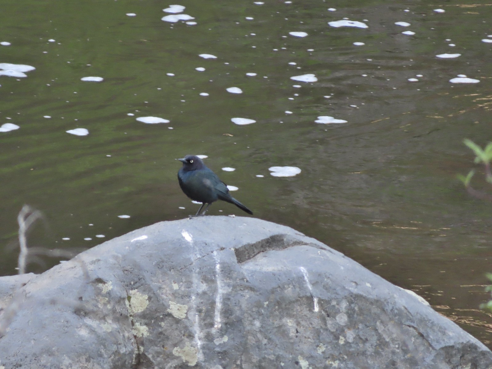 Black-headed cowbird – 5/29/23, Tumalo State Park, Bend
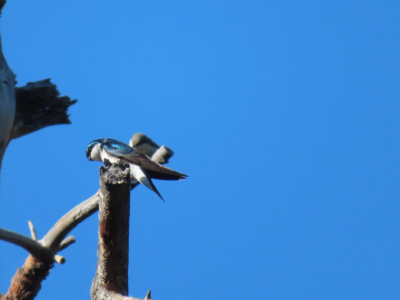 Tree swallow – 5/29/23, Tumalo State Park, Bend
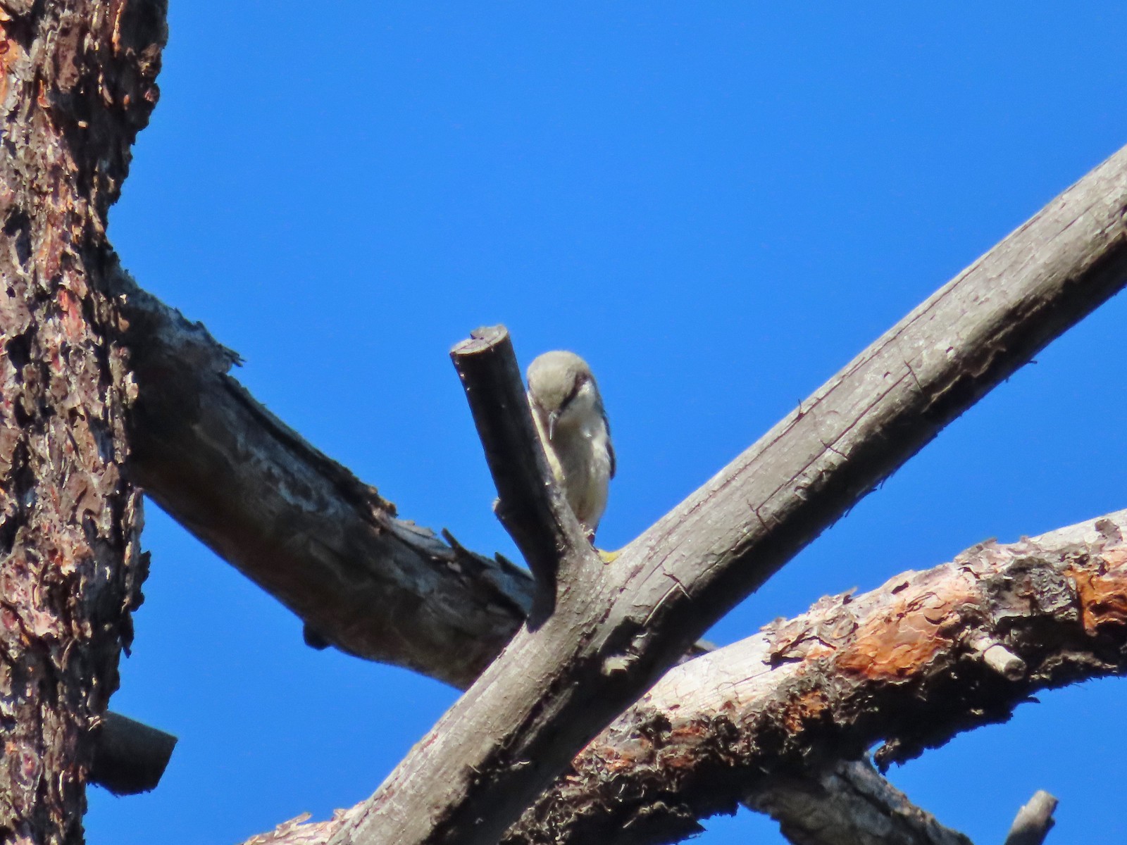 Pygmy nuthatch? – 5/29/23, Tumalo State Park, Bend
 Lazuli bunting – 6/3/23, Conboy Lake National Wildlife Refuge, Trout Lake, WA
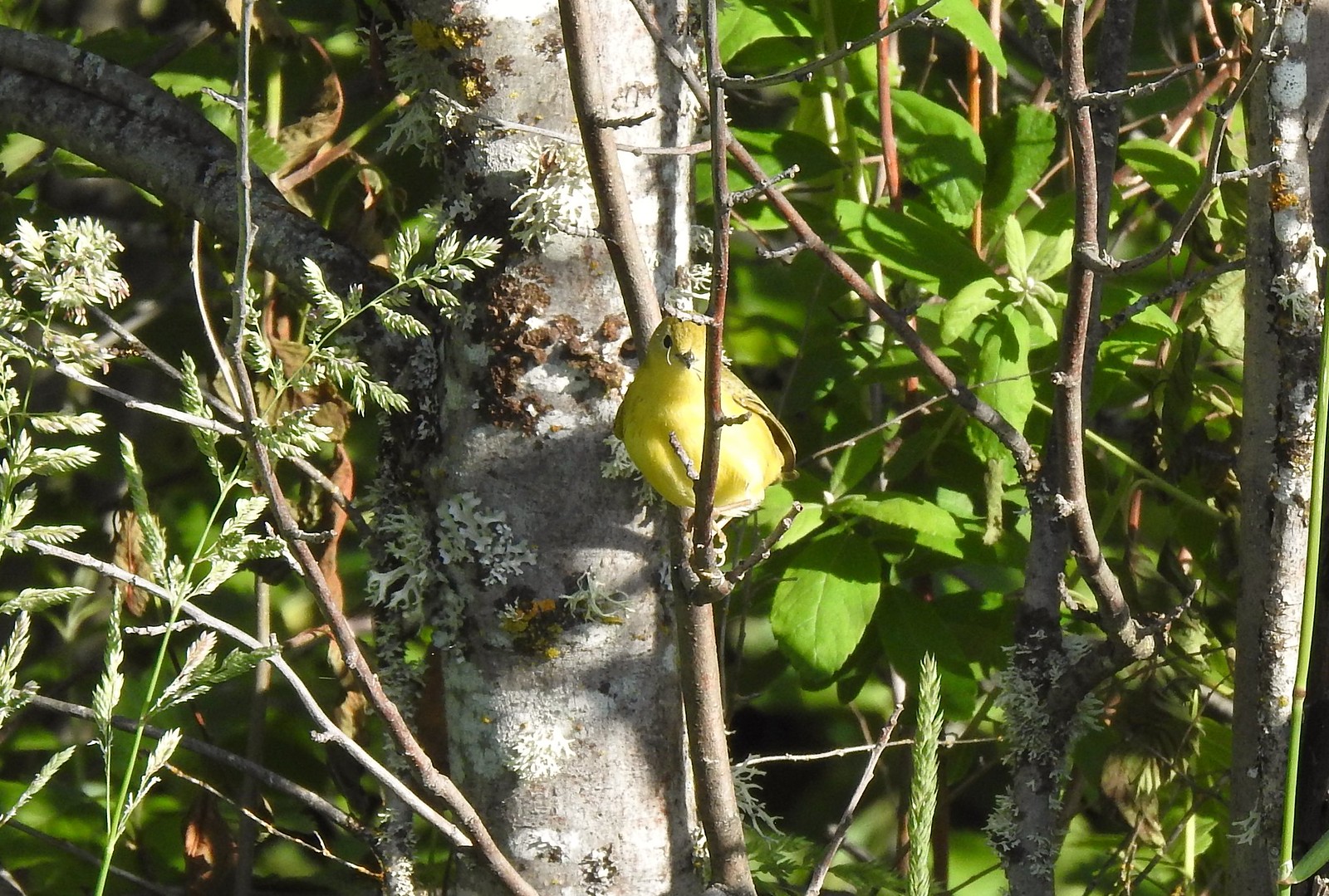 Yellow warbler – 6/3/23, Conboy Lake National Wildlife Refuge, Trout Lake, WA
 Western bluebird – 6/3/23, Conboy Lake National Wildlife Refuge, Trout Lake, WA
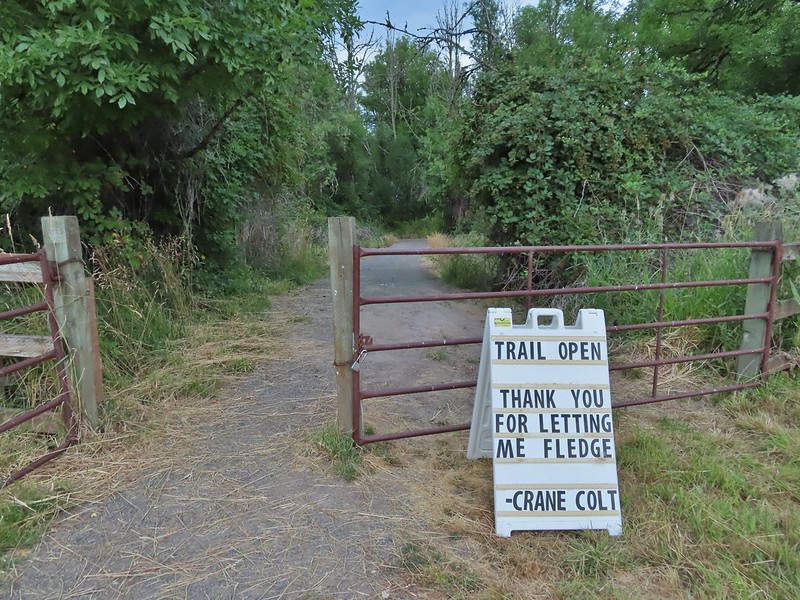
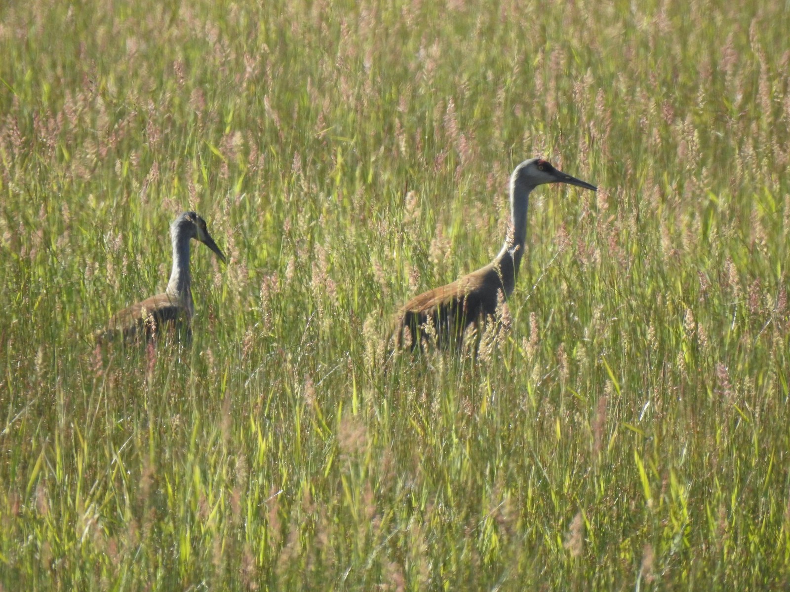 Sandhill cranes – 6/3/23, Conboy Lake National Wildlife Refuge, Trout Lake, WA
 Warbling vireo – 6/3/23, Conboy Lake National Wildlife Refuge, Trout Lake, WA
 Raven – 6/11/23, Lewis & Clark Trail, Hermiston
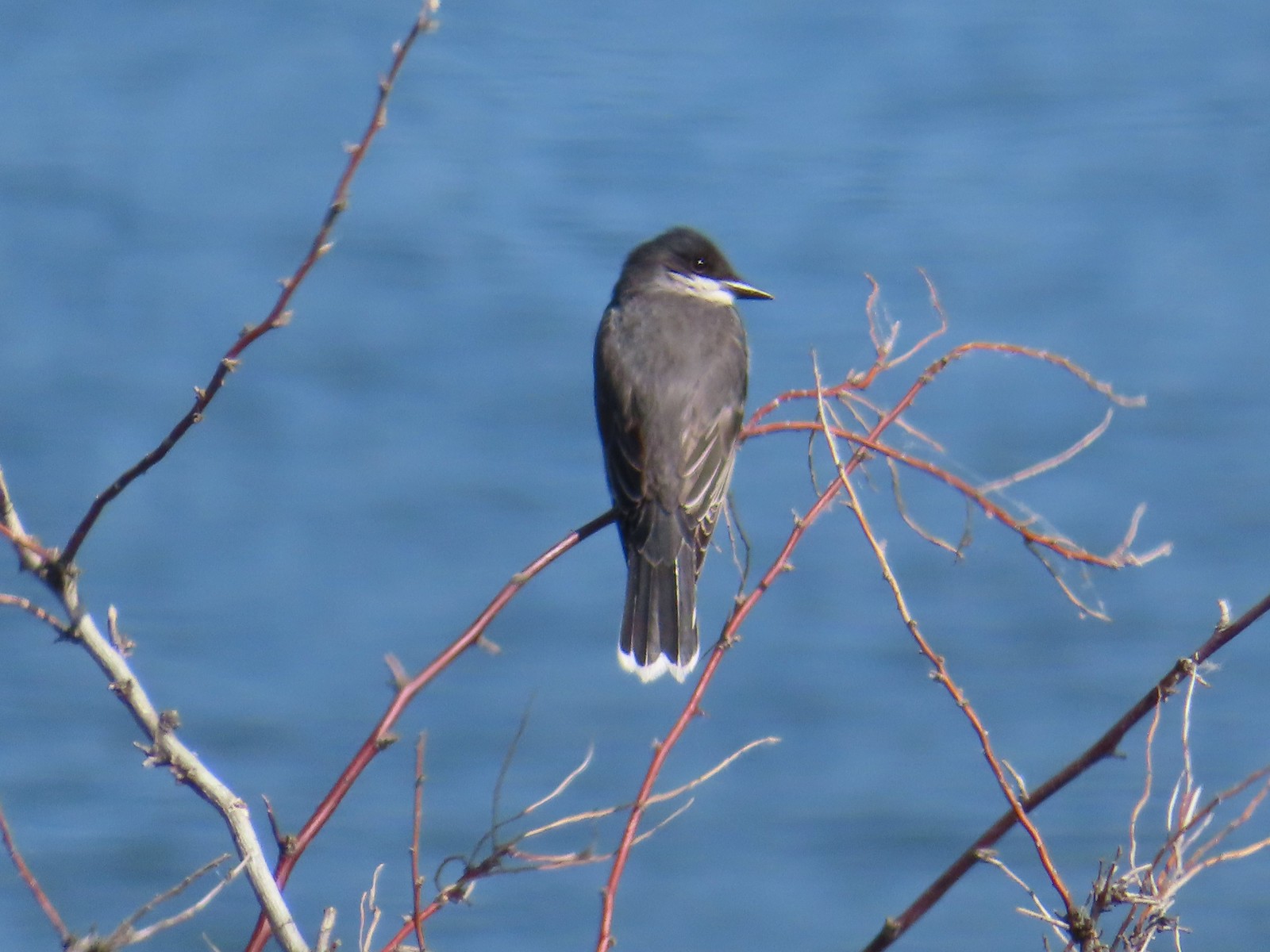 Eastern kingbird – 6/11/23, Lewis & Clark Trail, Hermiston
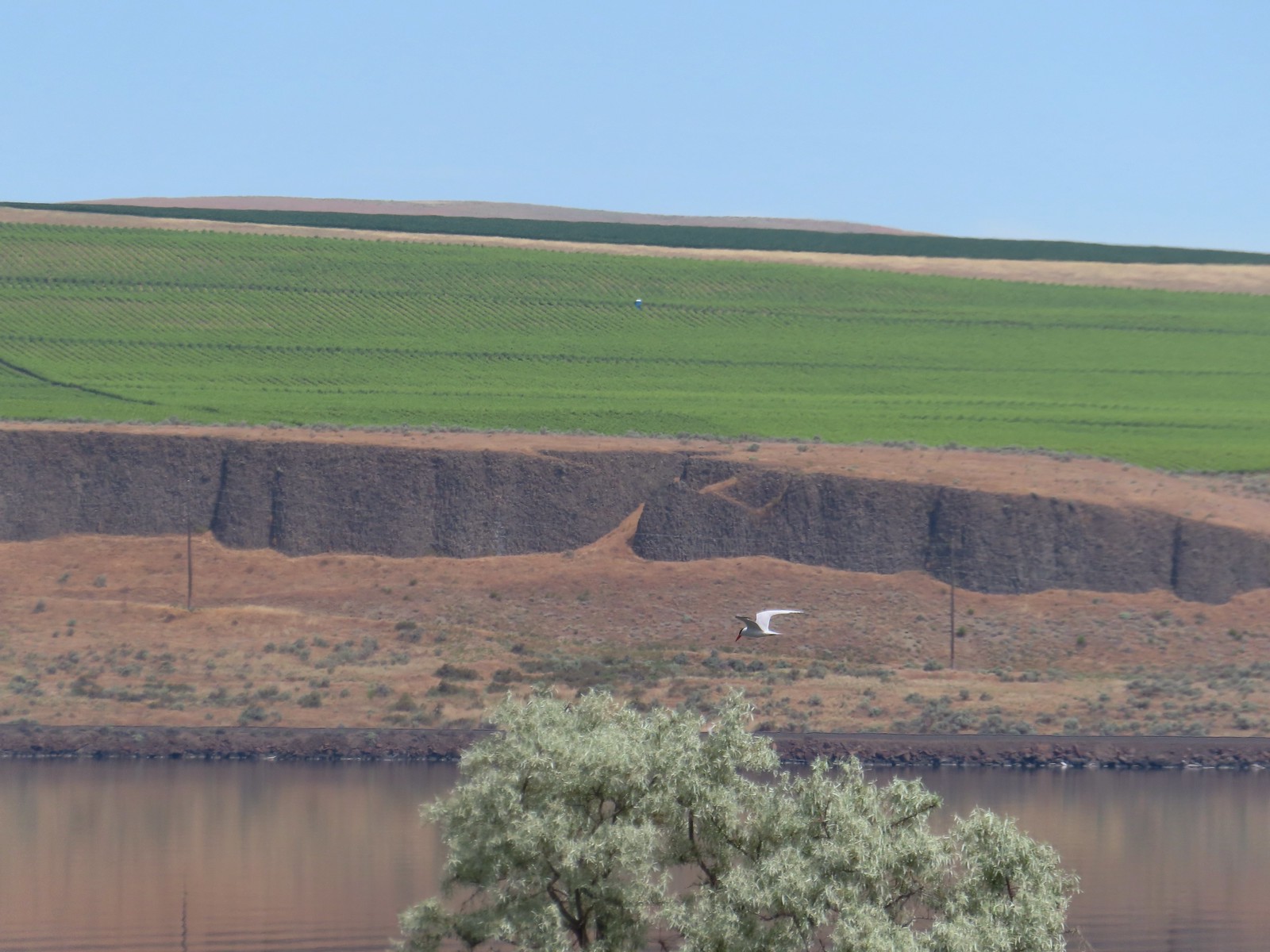 Caspian tern – 6/11/23, Lewis & Clark Trail, Hermiston
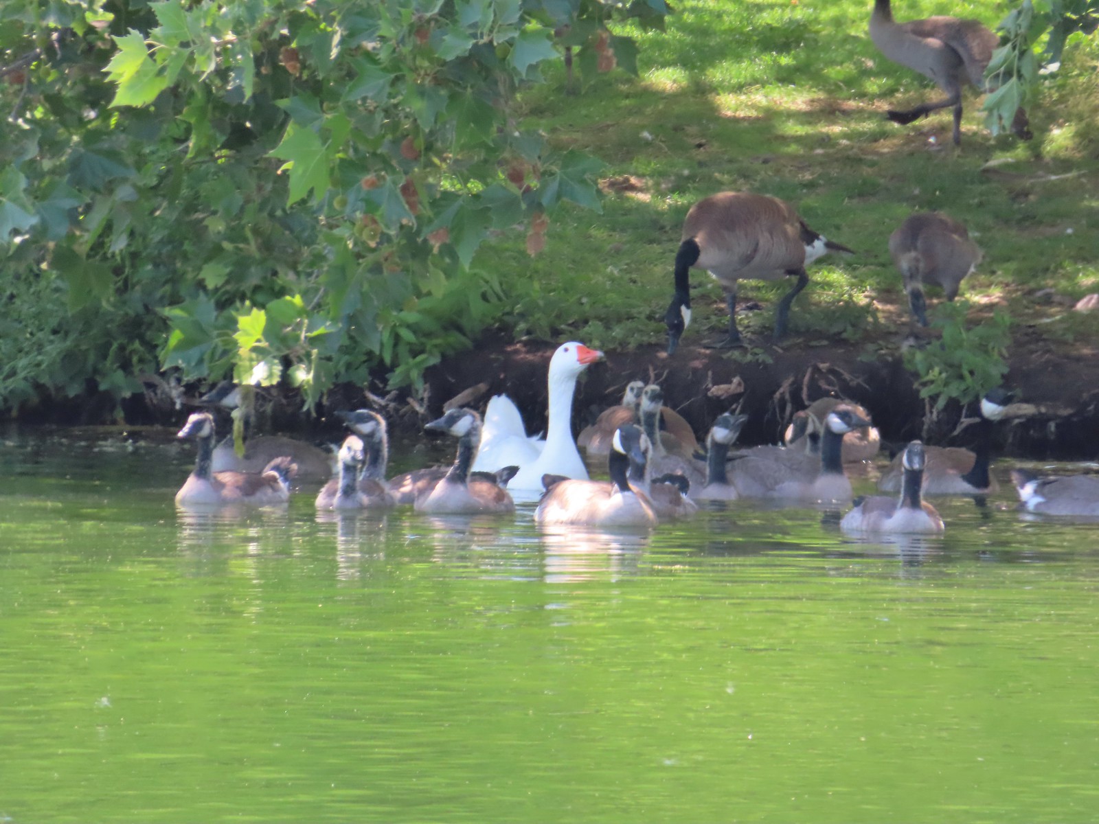 Geese – 6/11/23, Hat Rock State Park, Hermiston
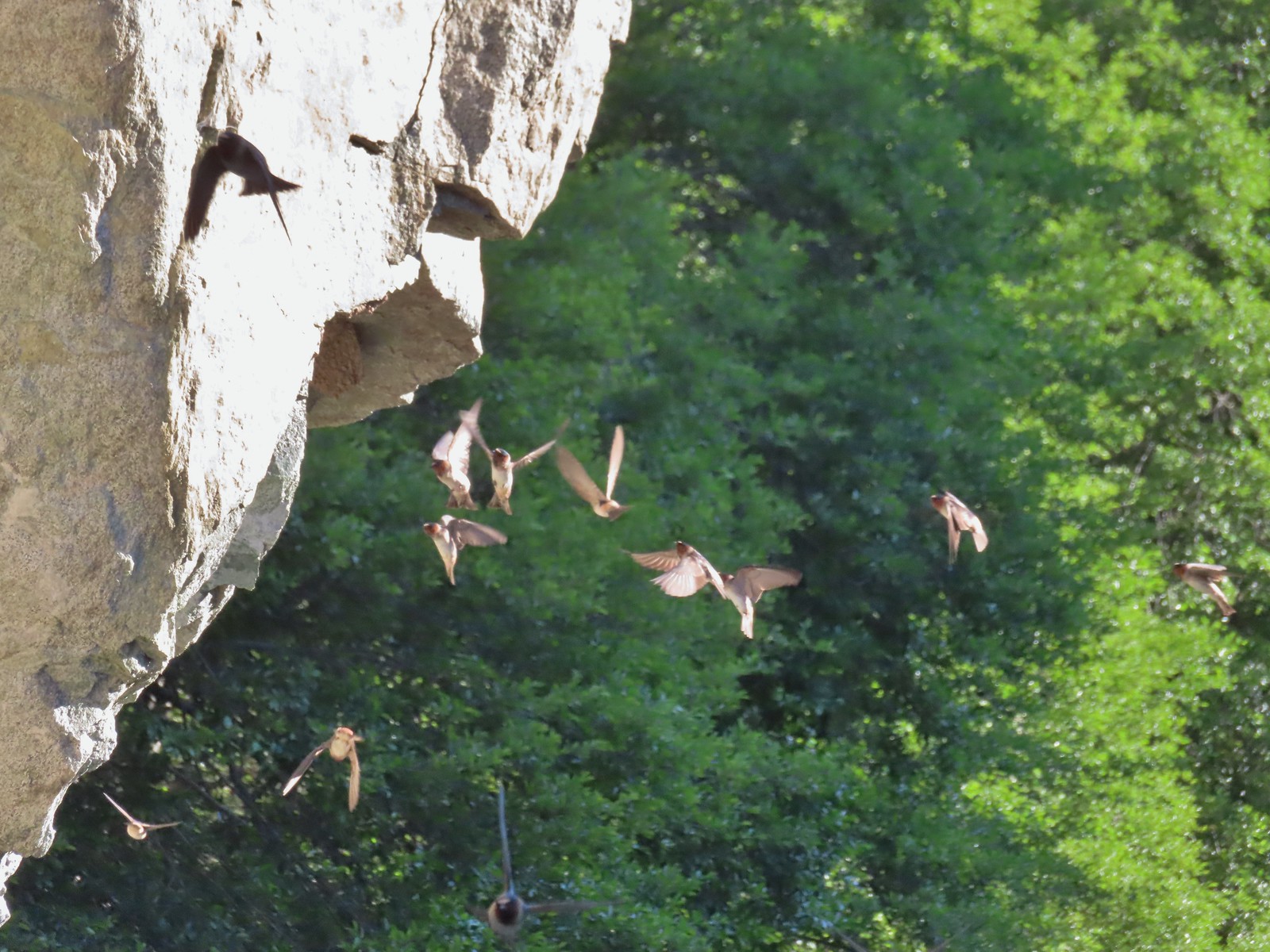 Cliff swallows – 6/14/23, Imnaha Trail, Hells Canyon National Recreation Area
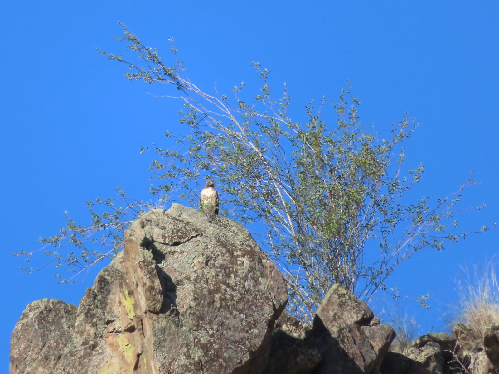 Hawk – 6/14/23, Imnaha Trail, Hells Canyon National Recreation Area
 Common nighthawk – 6/15/23, Hells Canyon National Recreation Area, Wallowa-Whitman National Forest
 Chipping sparrow – 6/15/23, Hells Canyon National Recreation Area, Wallowa-Whitman National Forest
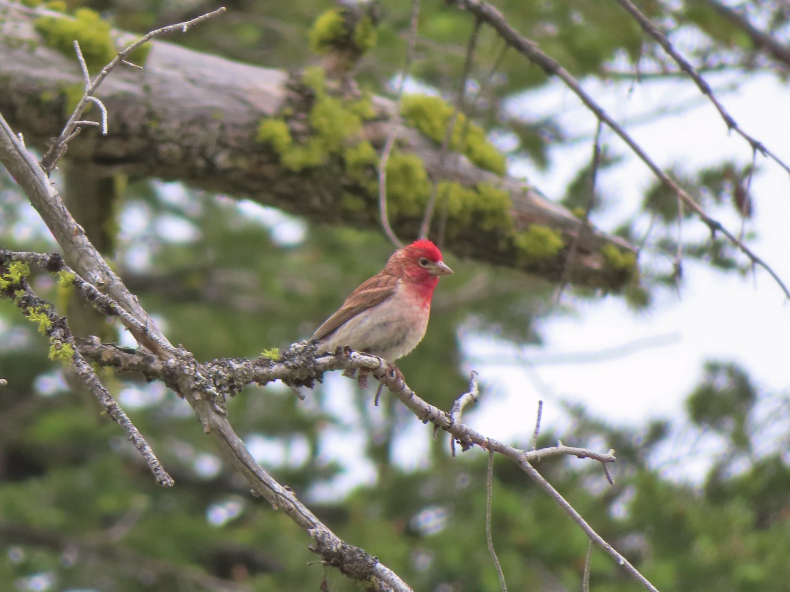 Cassin’s finch – 6/15/23, Hells Canyon National Recreation Area, Wallowa-Whitman National Forest
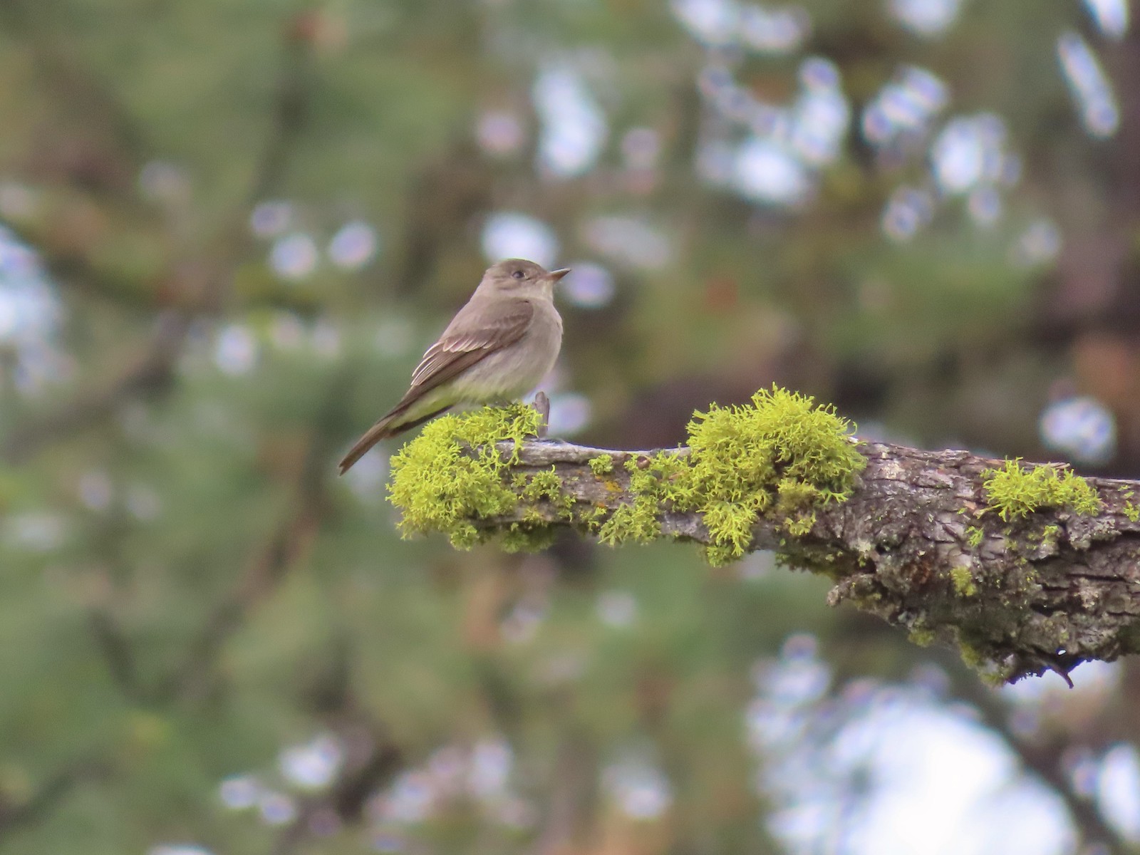 Western wood pee-wee – 6/15/23, Hells Canyon National Recreation Area, Wallowa-Whitman National Forest
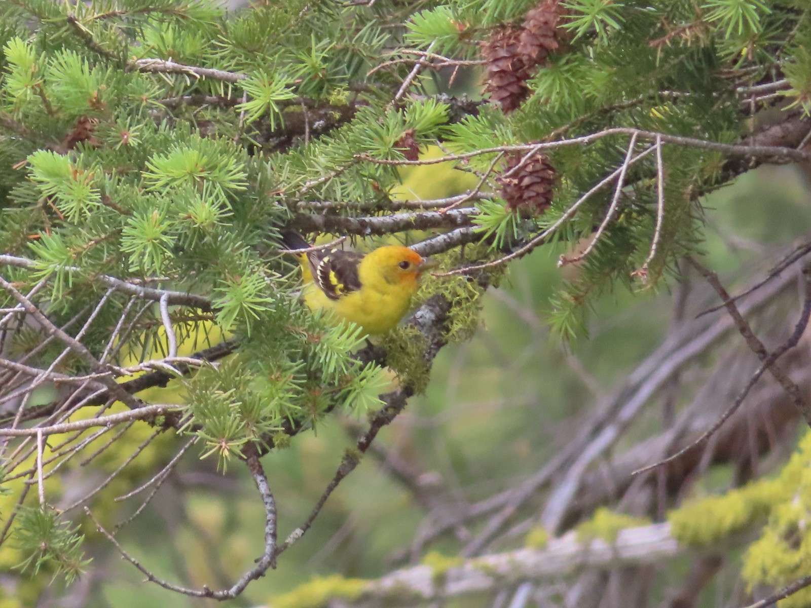 Western tanager – 6/15/23, Hells Canyon National Recreation Area, Wallowa-Whitman National Forest
 Red-eyed vireo – 6/16/23, Trail 1890, Hells Canyon Wilderness
 Bushtit – 6/24/23, Rogue River National Recreation Trail, Wild Rogue Wilderness
 Macgillivray’s warbler? – 6/25/23, North Umpqua Trail, BLM Roseburg District
 Woodpecker – 6/25/23, North Umpqua Trail, BLM Roseburg District
 Hawk – 6/25/23, North Bank Habitat, BLM Roseburg District
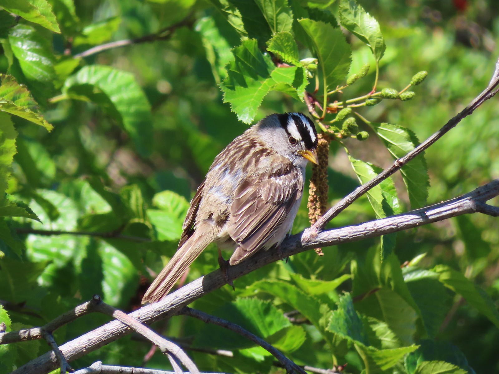 White-crowned sparrow – 7/1/23, Boundary Trail, Mt. St. Helens National Volcanic Monument
 Cedar waxwings – 7/1/23, Boundary Trail, Mt. St. Helens National Volcanic Monument
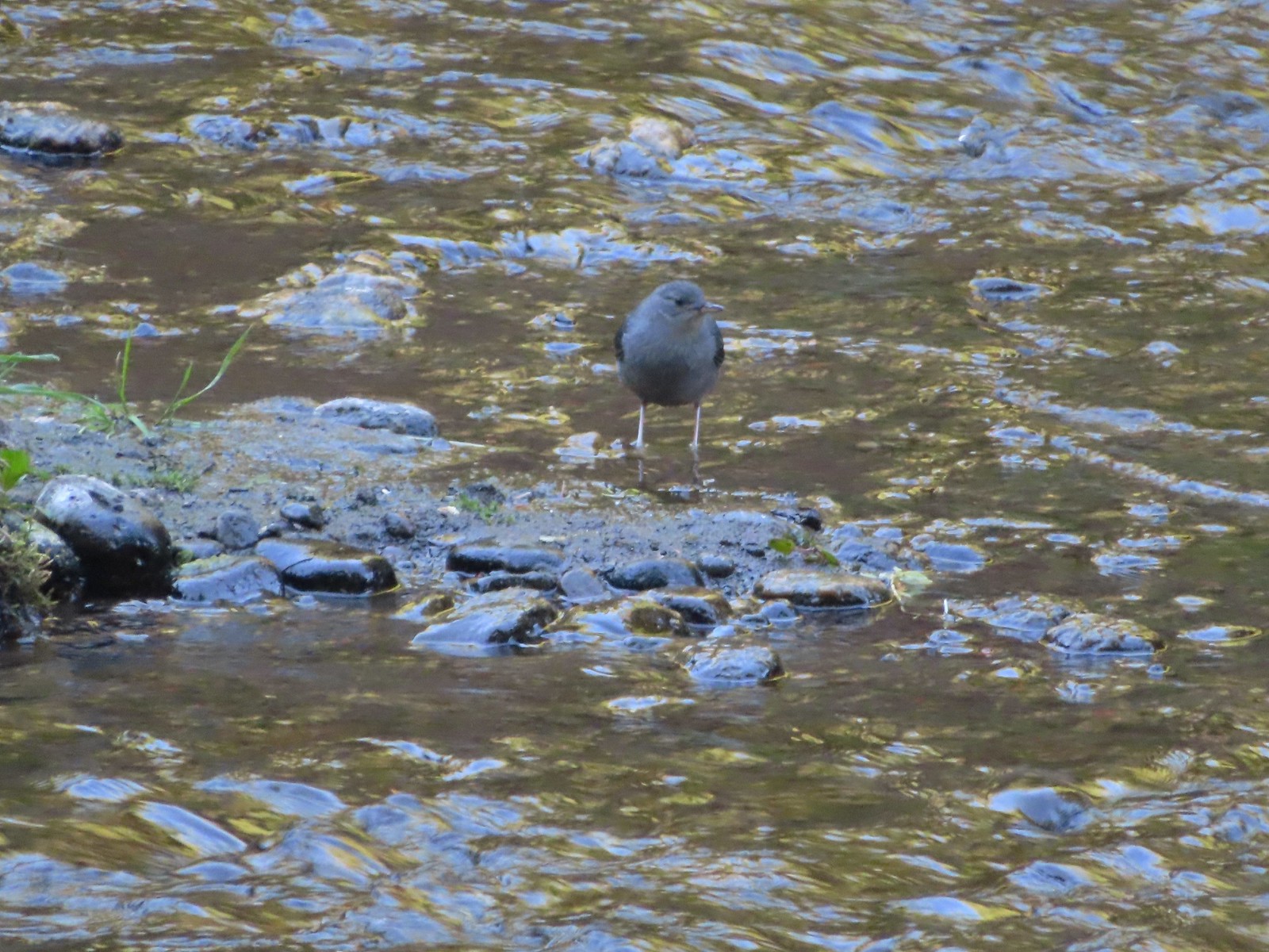 Ouzel – 7/22/23, Metolius River Trail, Deschutes National Forest
 Sooty grouse – 7/22/23, Metolius River Trail, Deschutes National Forest
 Canada jay – 8/5/23, Timberline Trail, Mt. Hood Wilderness
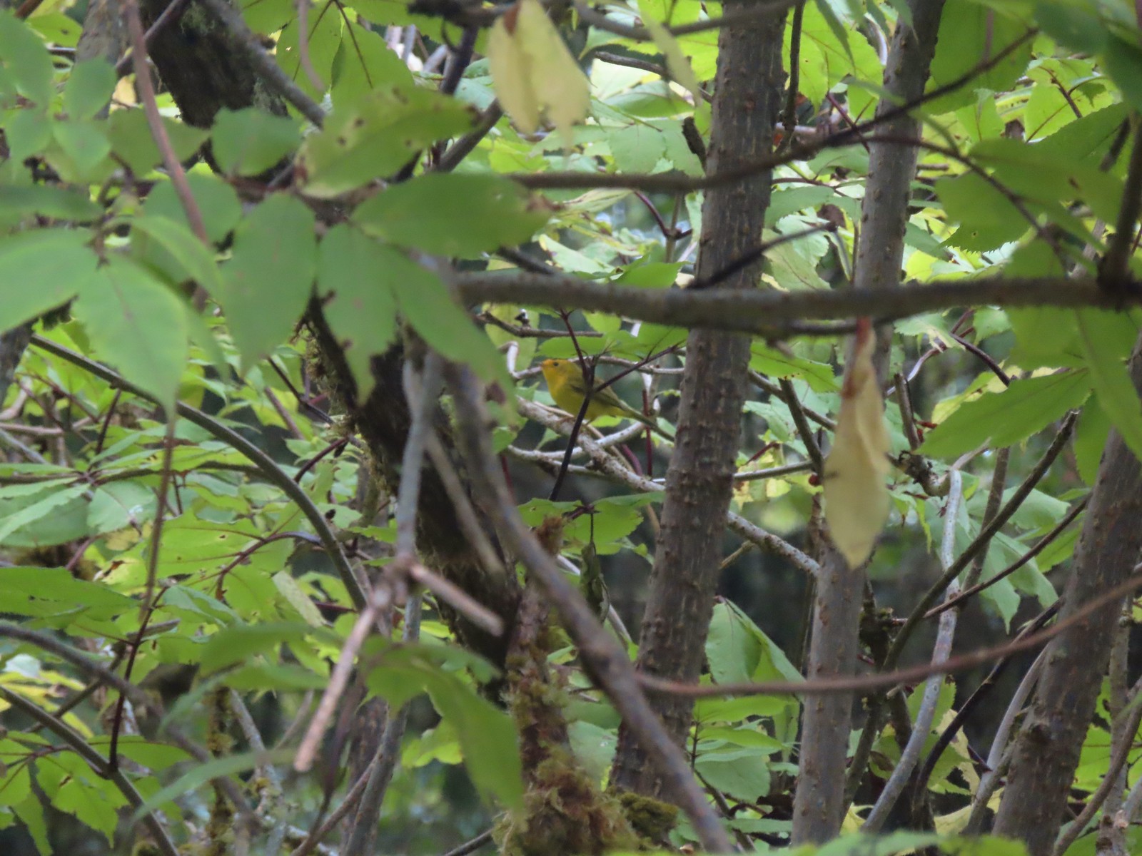 Wilson’s warbler? – 8/29/23, Nestucca Bay National Wildlife Refuge, Cloverdale
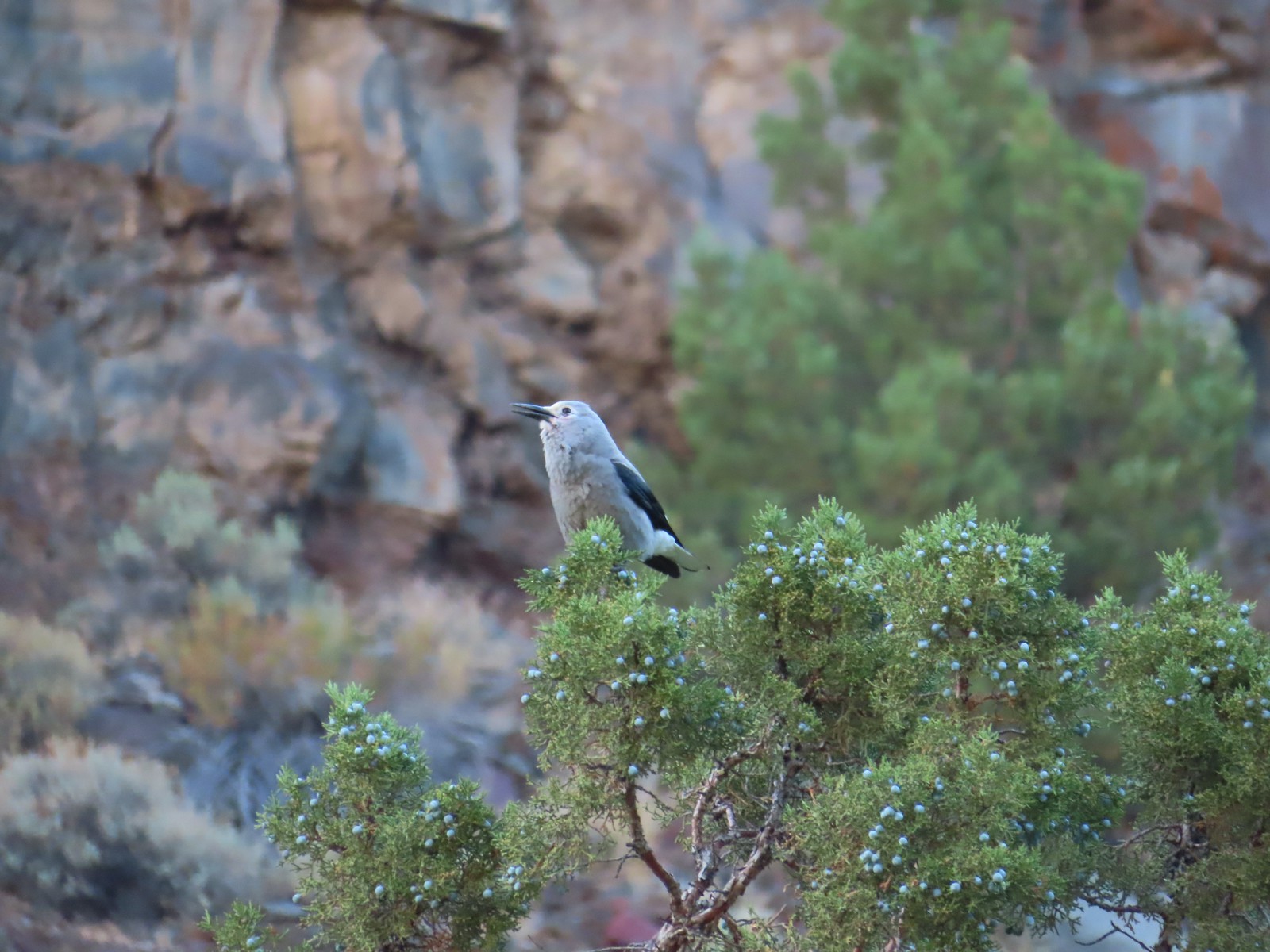 Clark’s nutcrakcer – 9/2/23, Dry River Canyon, BLM Prineville District
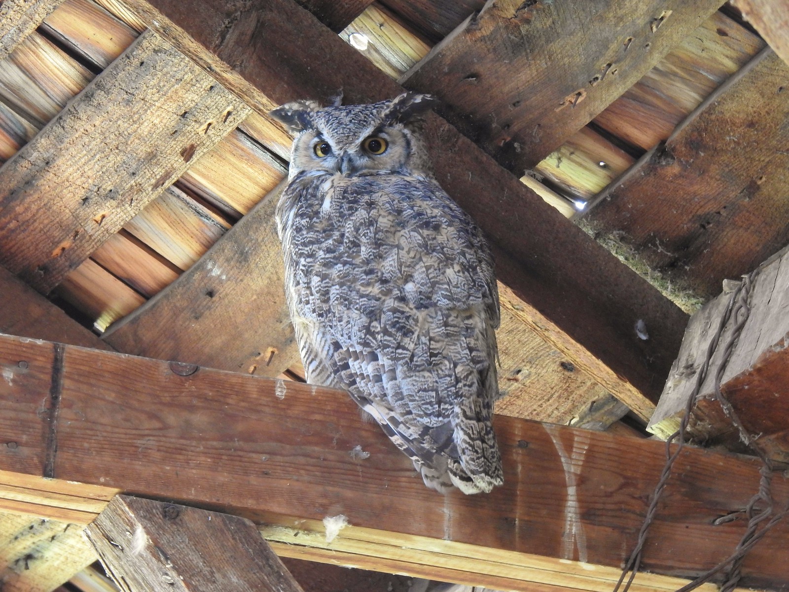 Great horned owl – 9/3/23, P Ranch, Malheur National Wildlife Refuge
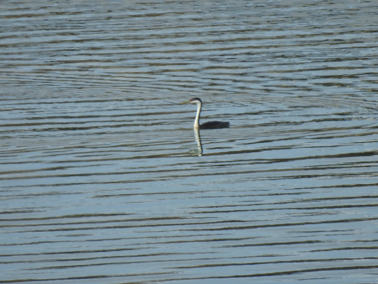 Western grebe – 9/3/23, Krumbo Reservoir, Malheur National Wildlife Refuge
 Unidentified bird – 9/3/23, Krumbo Reservoir, Malheur National Wildlife Refuge
 White-faced ibis – 9/3/23, Cental Patrol Road, Malheur National Wildlife Refuge
 Ring-necked pheasant – 9/3/23, Central Patrol Road, Malheur National Wildlife Refuge
 Townsends solitaire – 9/4/23 Fryrear Canyon, BLM Prineville District
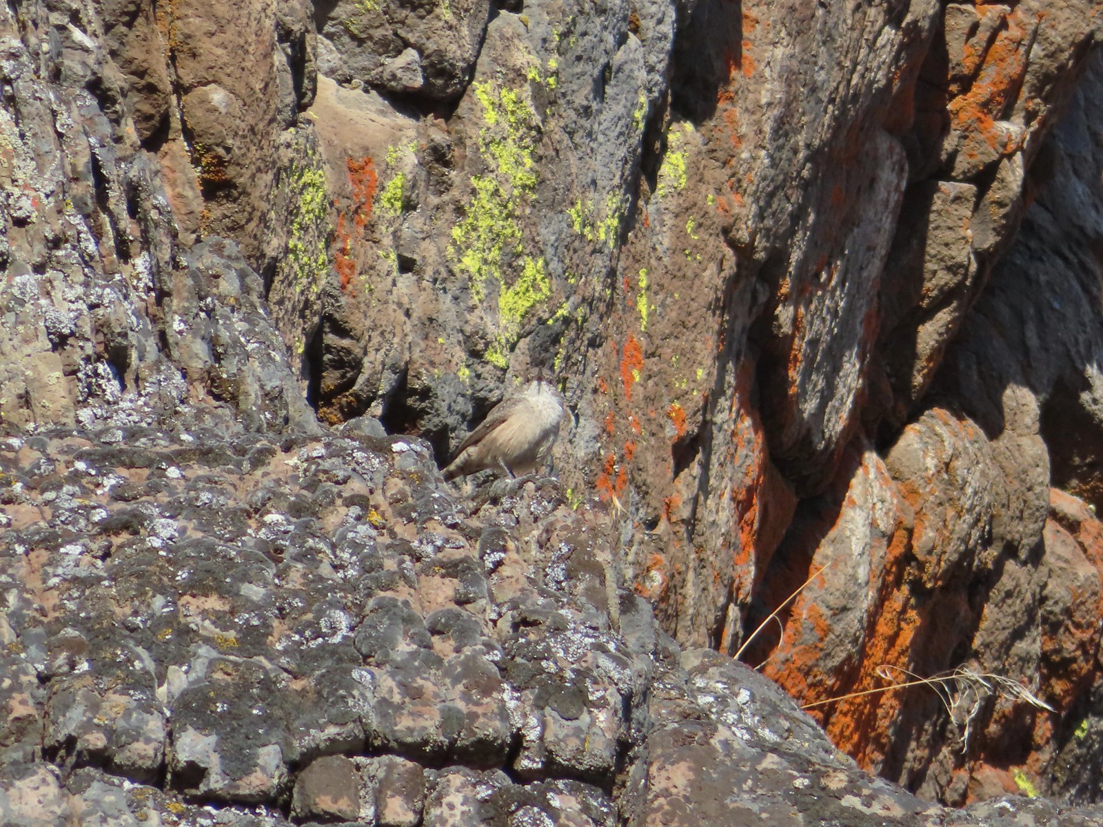 Rock wren? – 9/4/23 Fryrear Canyon, BLM Prineville District
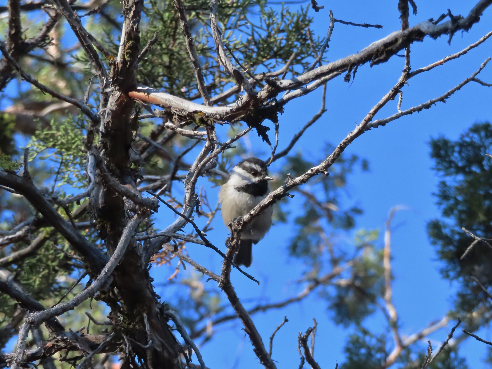 Mountain chickadee – 9/4/23 Fryrear Canyon, BLM Prineville District
 Black-backed woodpecker – 9/9/23, Pacific Crest Trail, Sky Lakes Wilderness
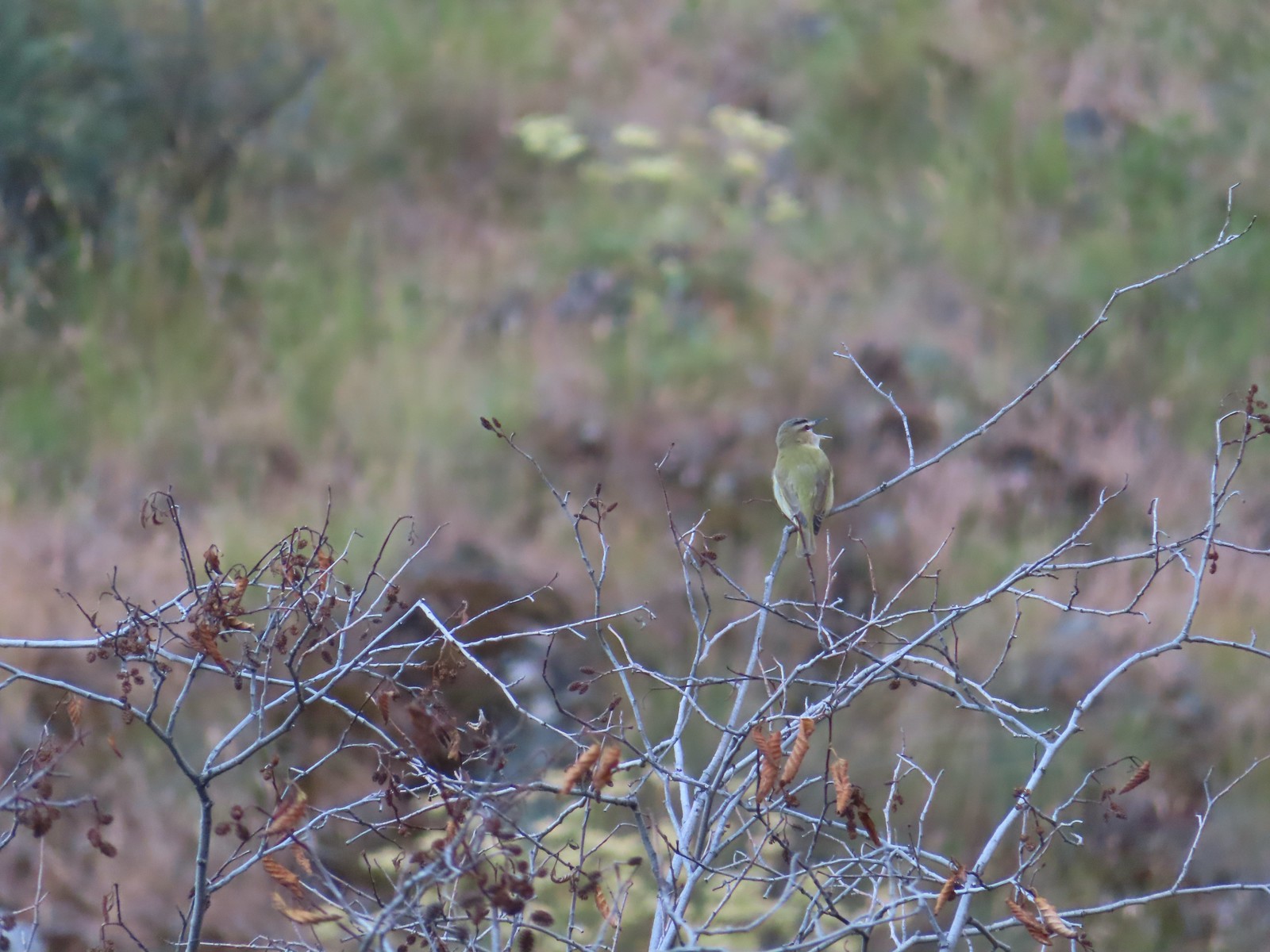
 American pipit – 9/9/23, Devil’s Peak, Sky Lakes Wilderness
 Golden eye – 9/16/23, Fish Lake, Mt. Hood National Forest
 White-breasted nuthatch – 9/16/23, Fish Lake Trail, Mt. Hood National Forest
 Stellar’s jay – 9/30/23, Big Creek Park, Newport
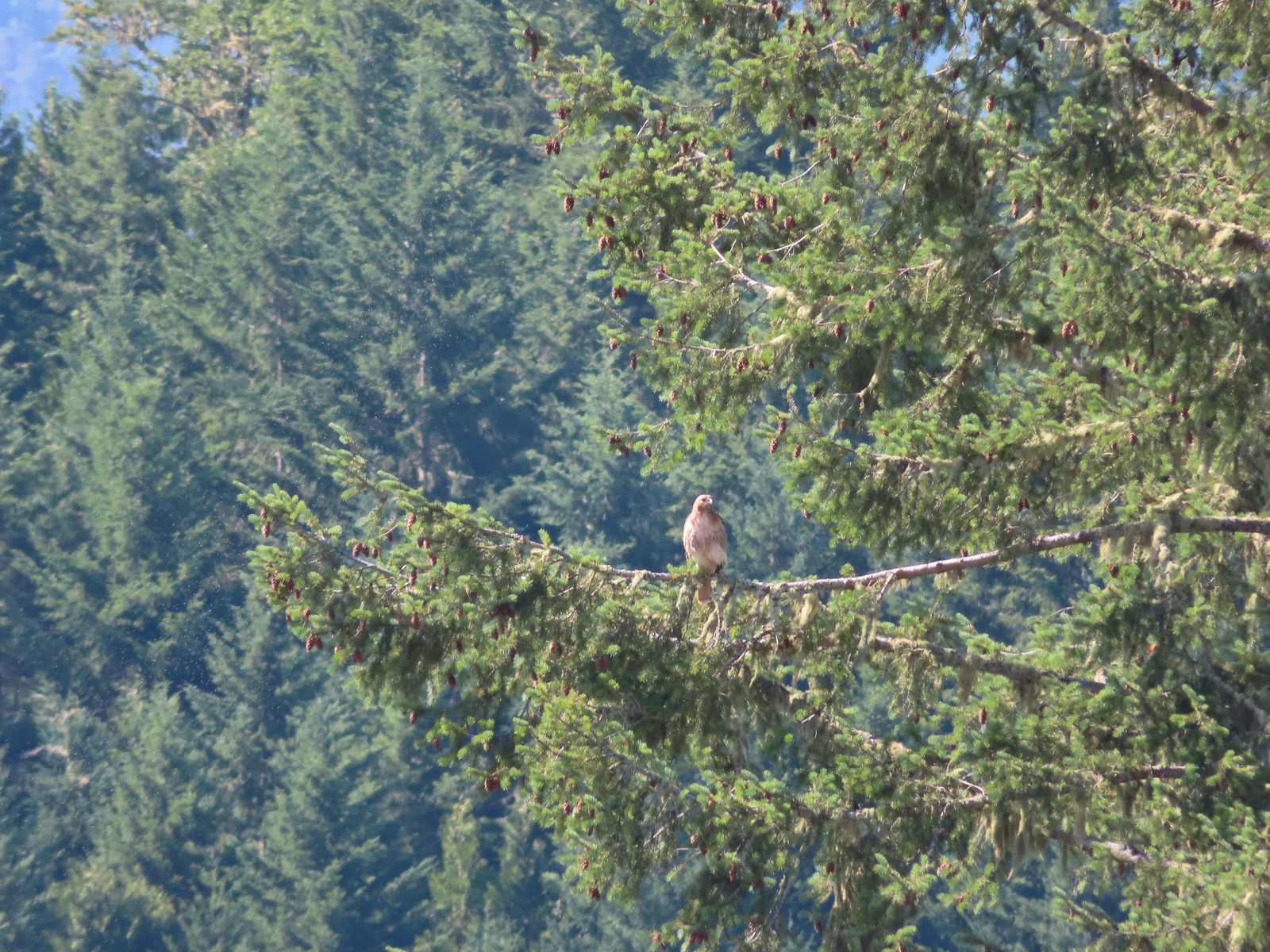
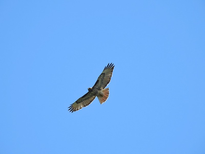
 Red-tailed hawk – 9/30/23, Strom Boulder Ridge, Burnt Woods
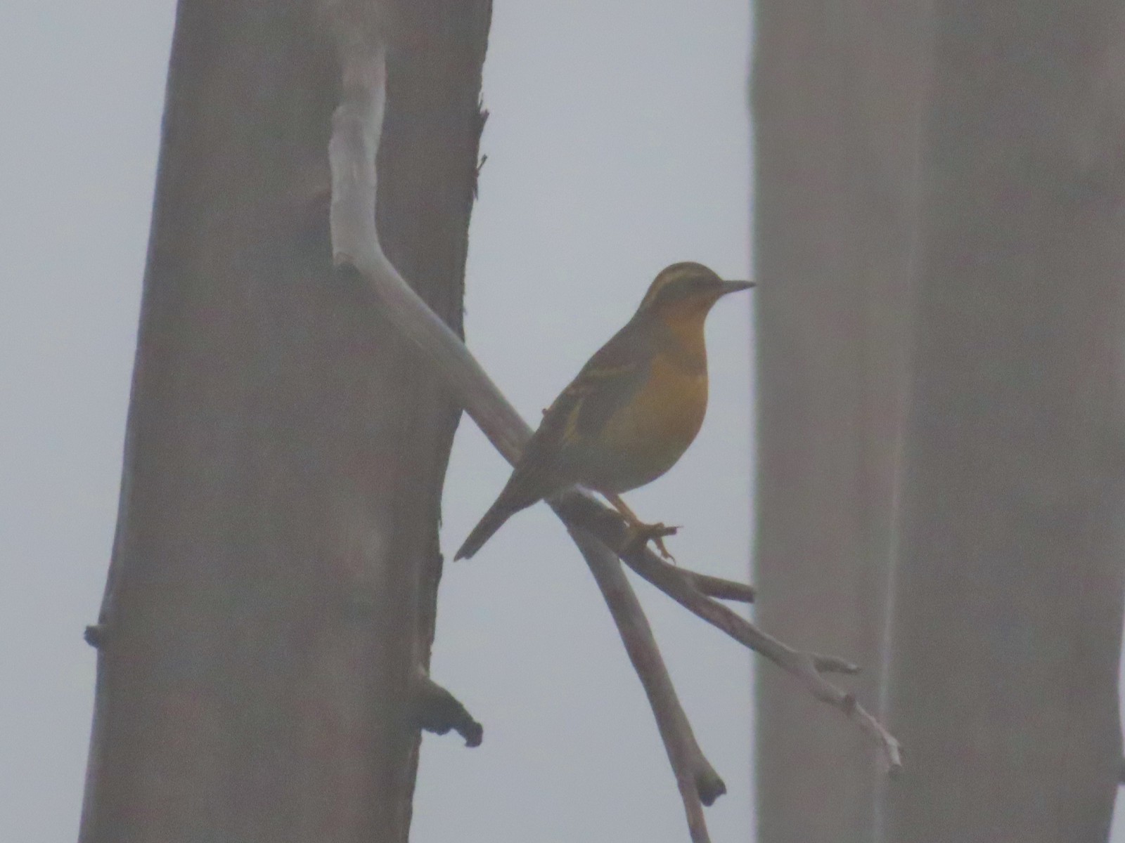 Varied thrush – 10/9/23, Babyfoot Lake Trail, Kalmiopsis Wilderness
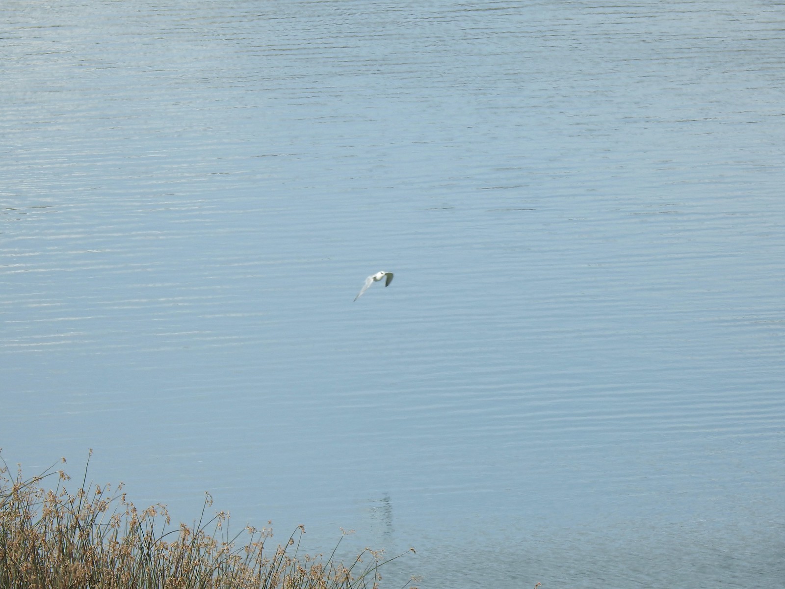
 Seagull – 10/28/23, Oceanside Beach, Oceanside
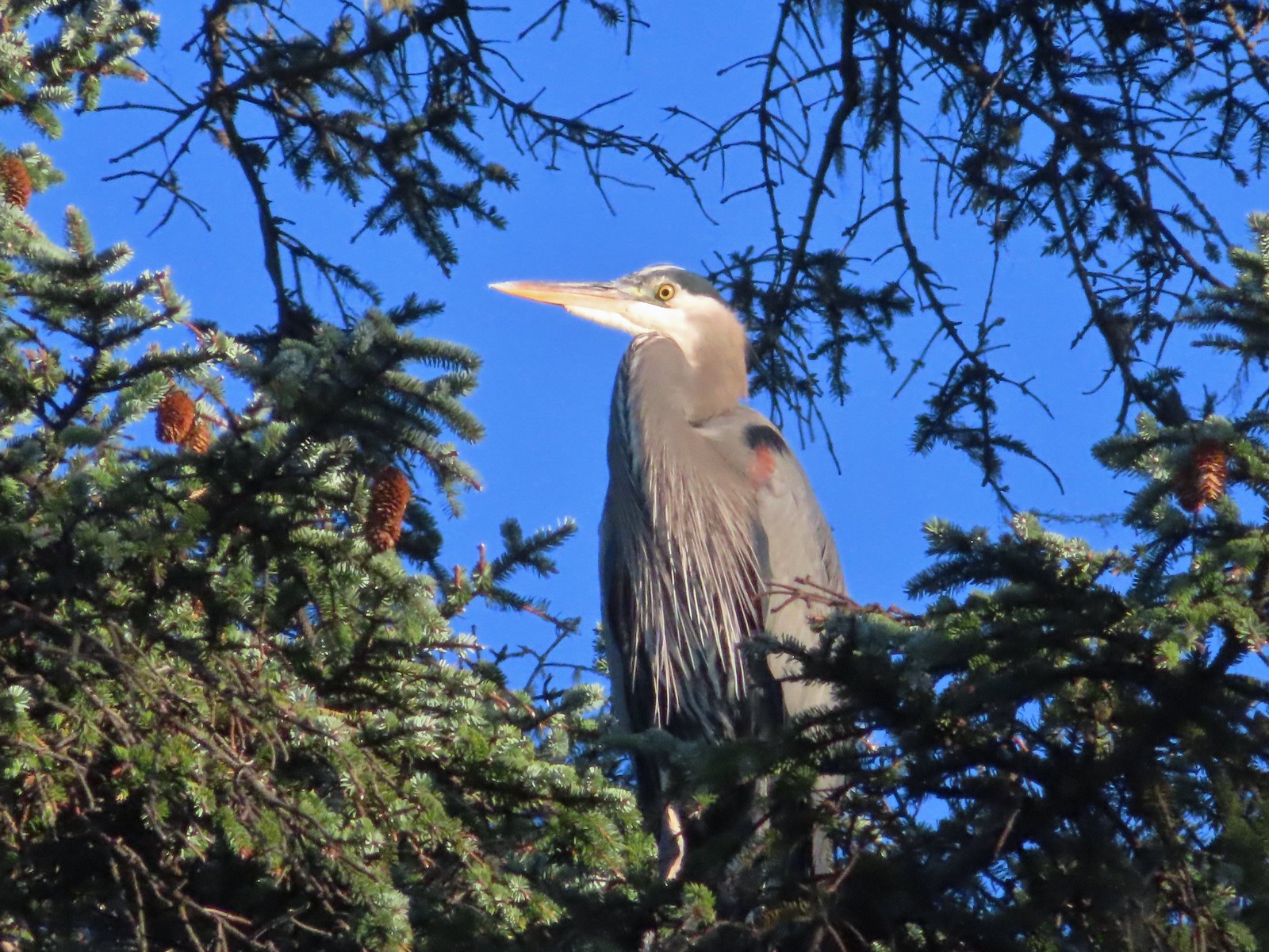 Great blue heron – 10/28/23, Oceanside Beach, Oceanside
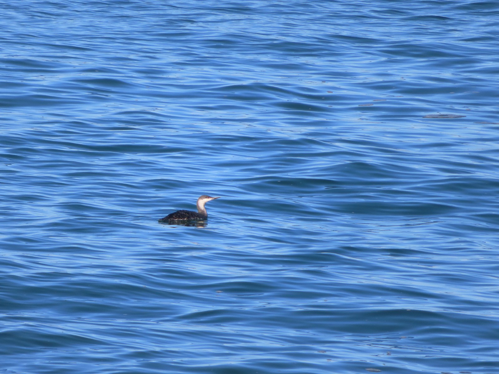 Red-throated loon – 10/28/23, Pacific Ocean, Oceanside
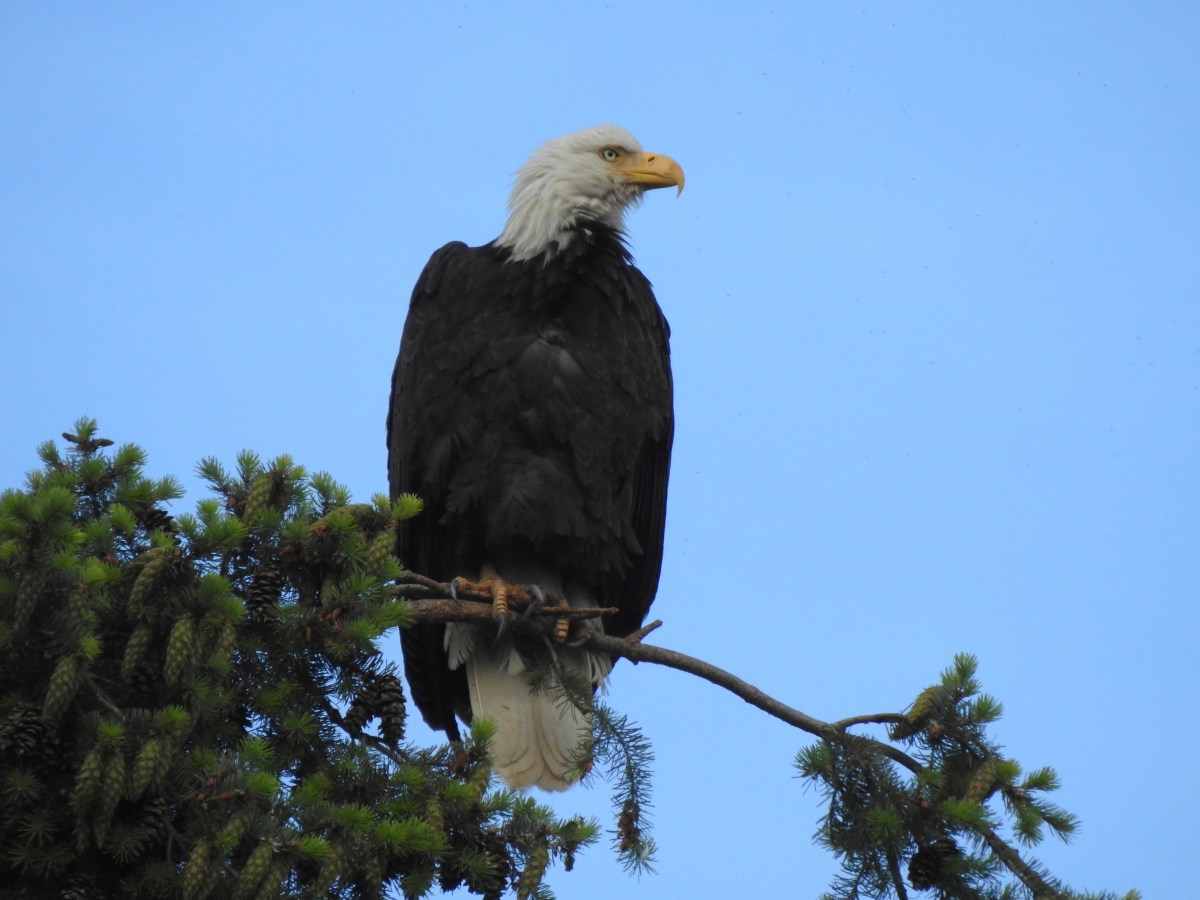
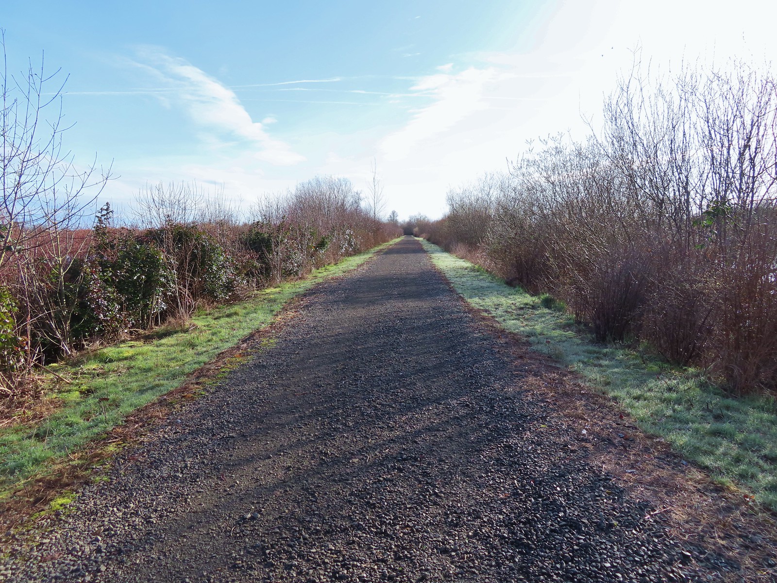
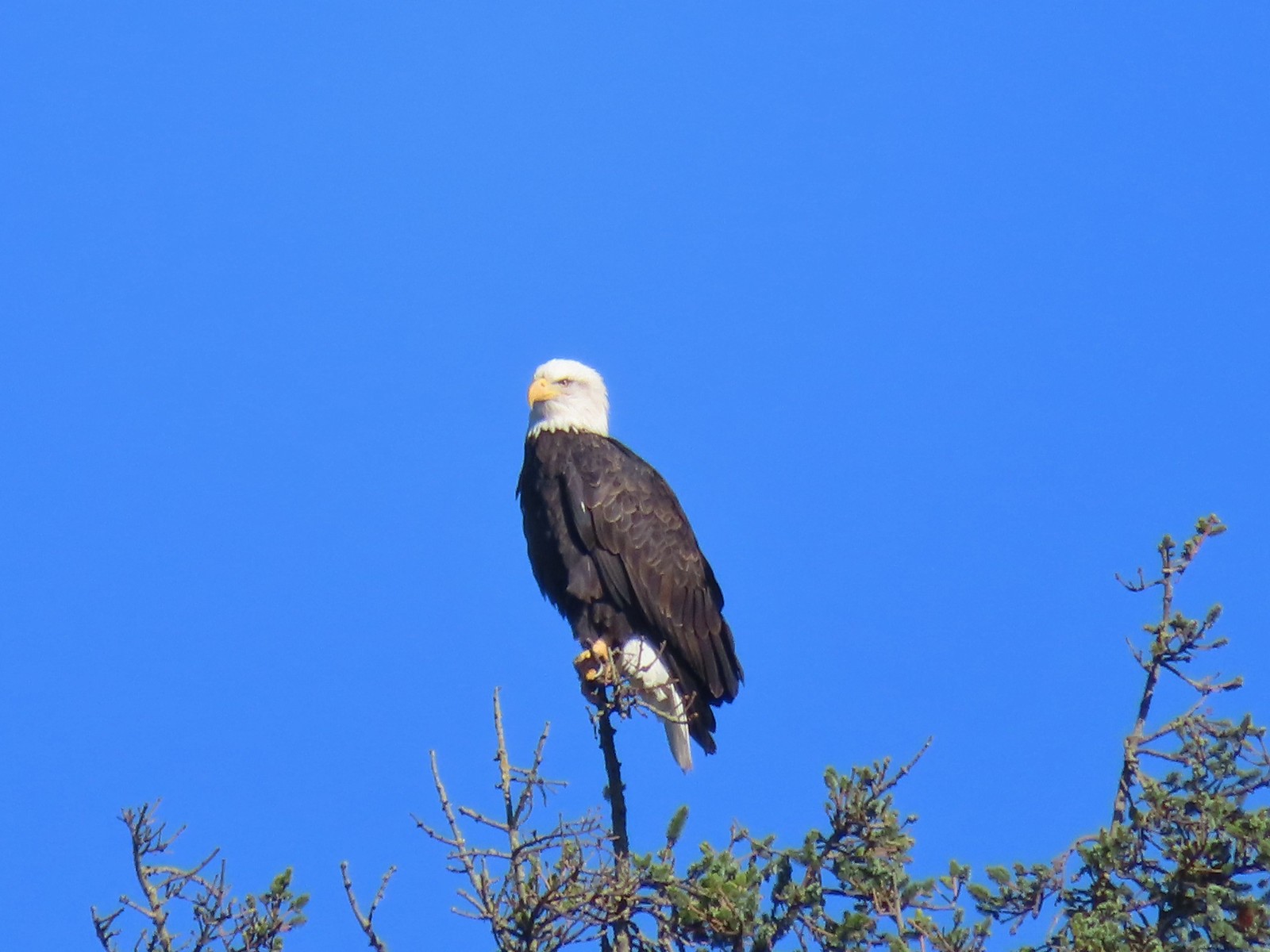 Bald eagle – 10/28/23, Tillamook Wetlands, Tillamook
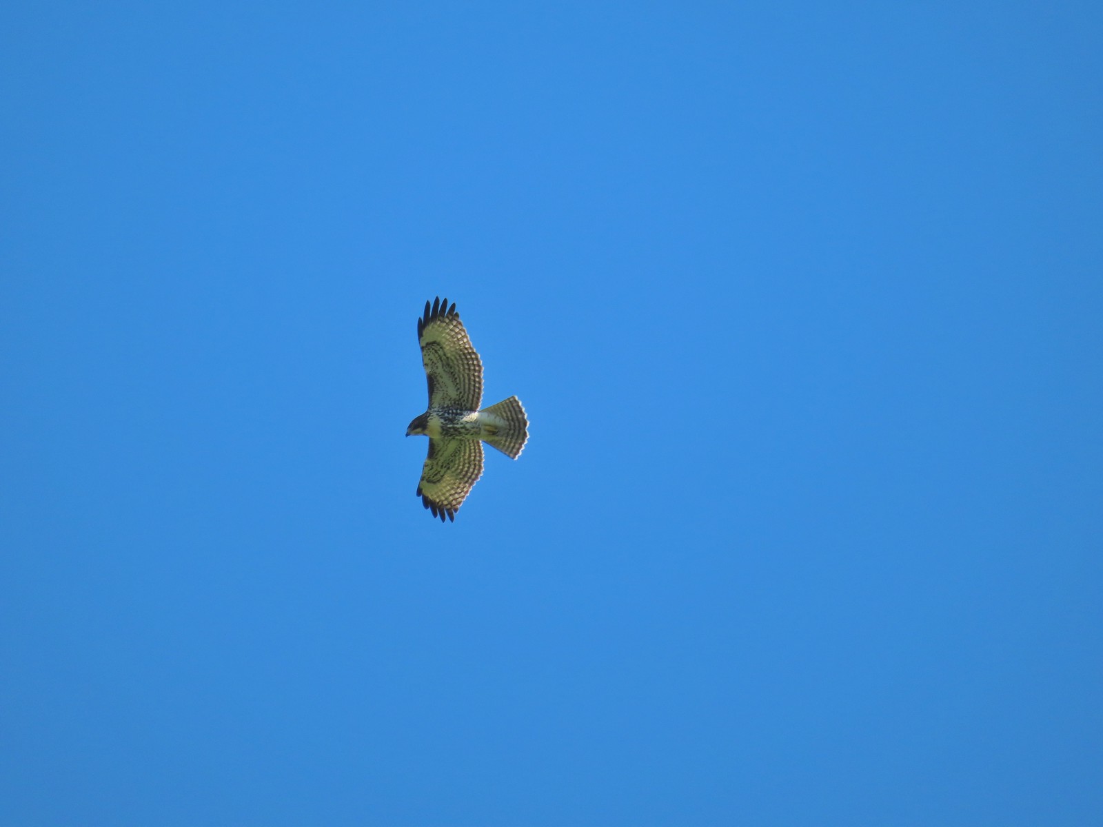 Hawk – 10/28/23, Tillamook Wetlands, Tillamook
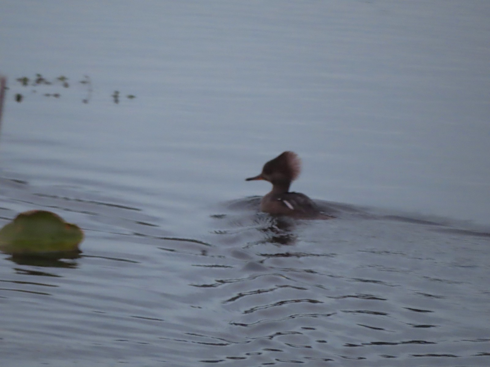 Hooded merganser – 11/18/23, D River, Lincoln City
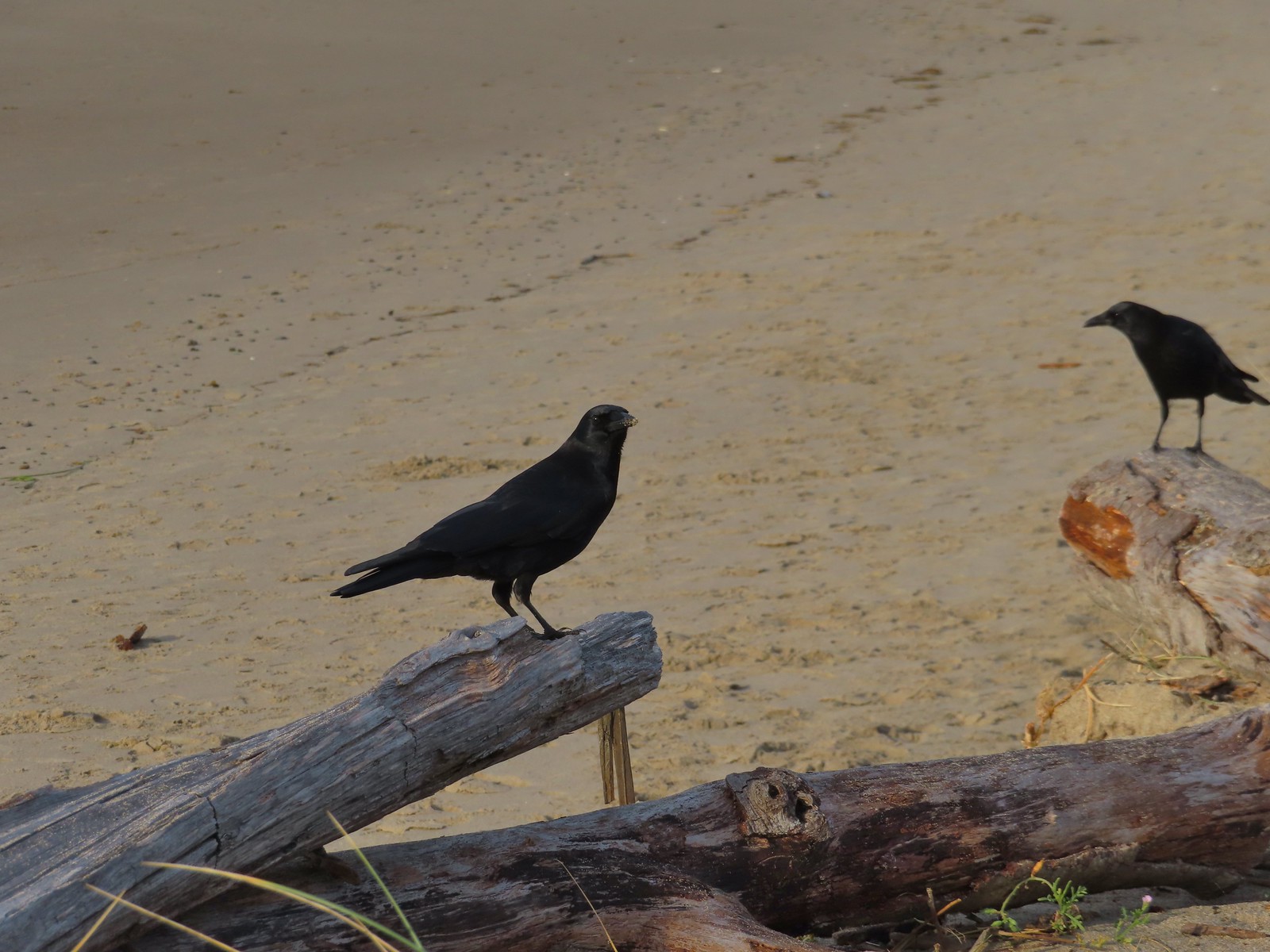 Crows – 11/18/23, Siletz Bay, Lincoln City
 Brown pelicans – 11/18/23, Siletz Bay, Lincoln City


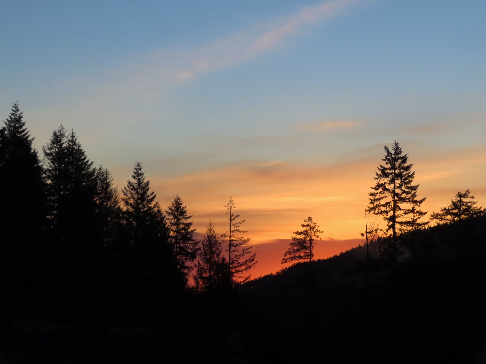 Sunrise from the trailhead.
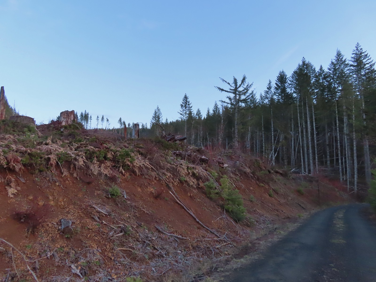 Clear cut at the trailhead.
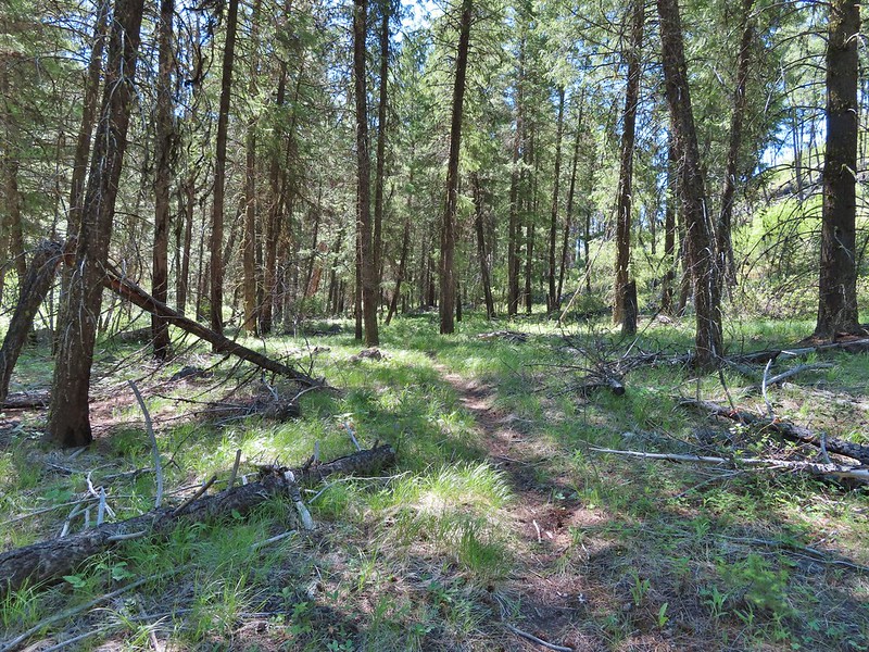
 This was the view through the forest from Maple Creek Road around the 80-yard mark.
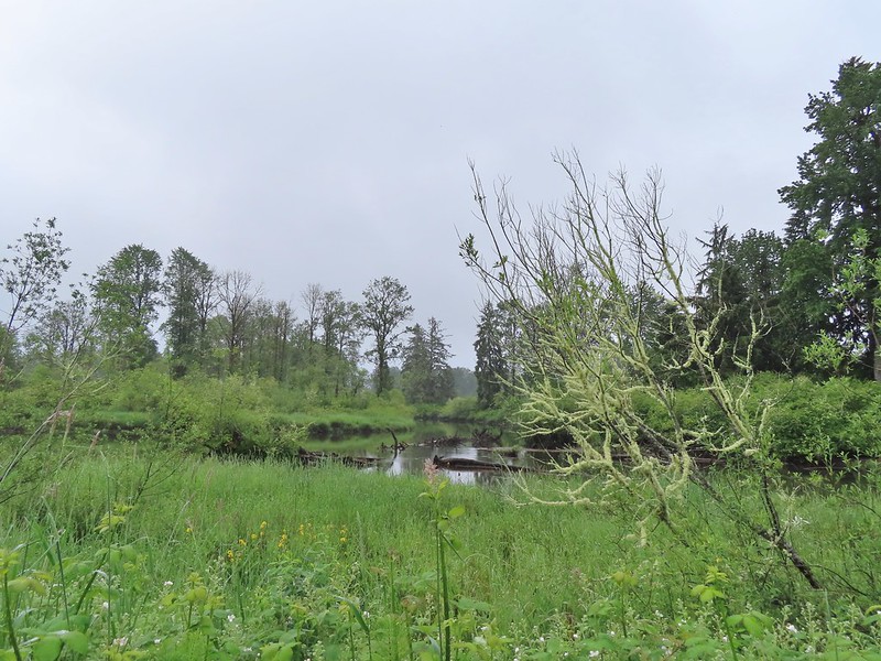
 We could hear the Tualatin River in the valley below and I managed to get far enough down the hill to get a glimpse of the water. I had descended from a pullout with a fire ring about 50-75′ looking for the old roadbed, but I still couldn’t make out where it actually was and had been slipping a lot on wet wood.
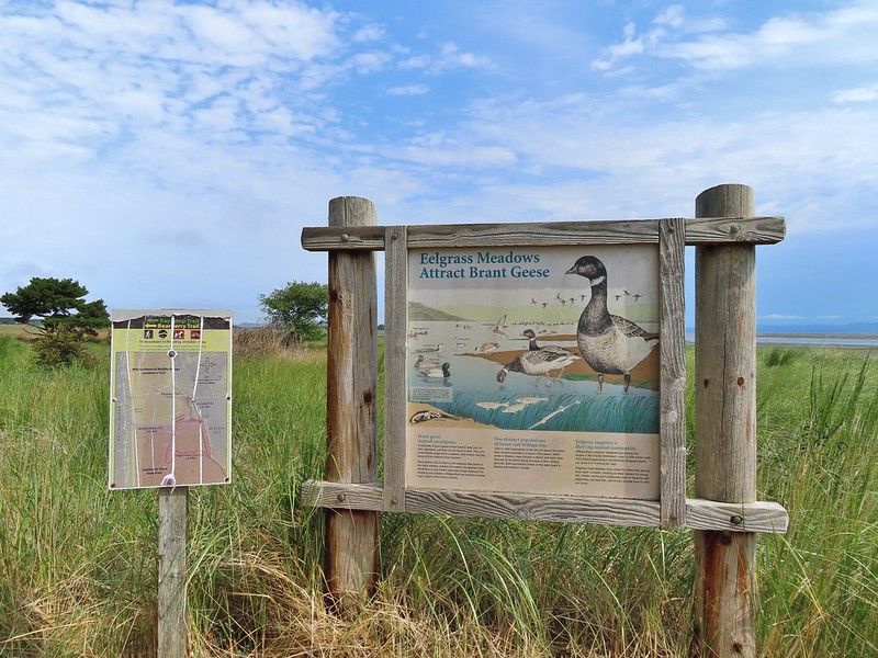
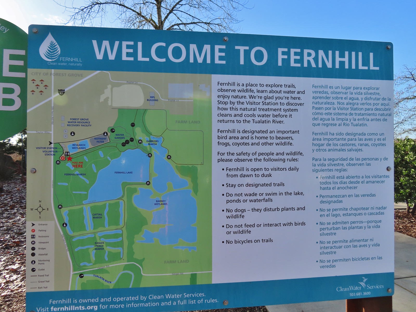 Map and information at the trailhead.
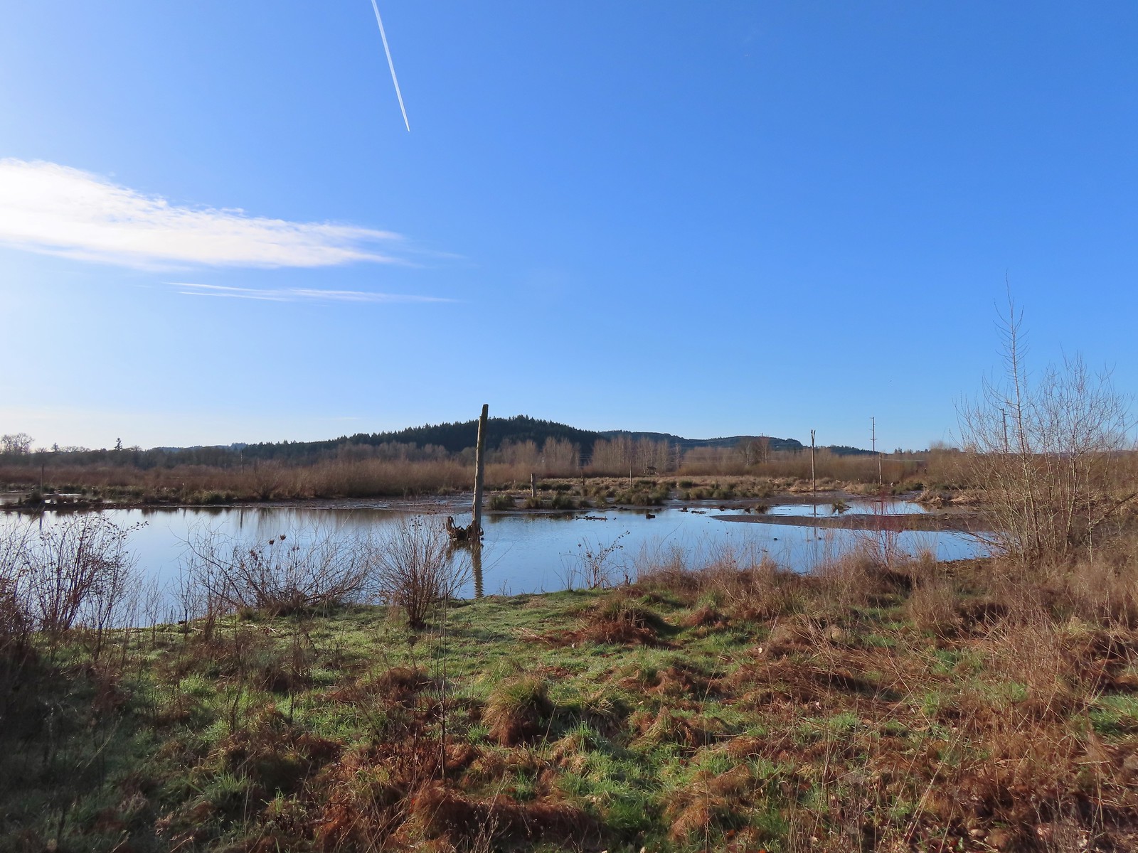
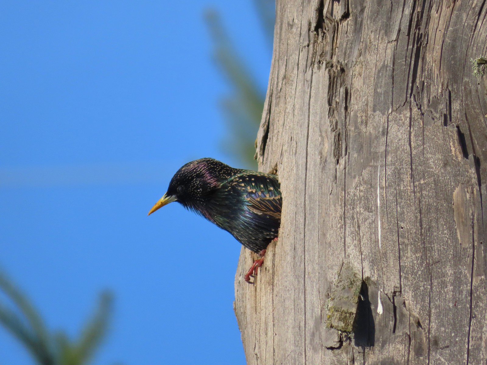 Starling
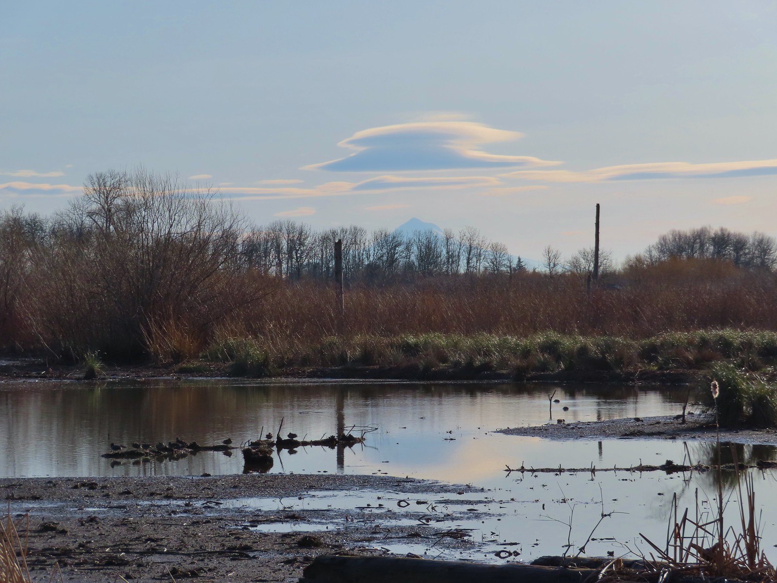 Lenticular clouds over Mt. Hood in the distance.
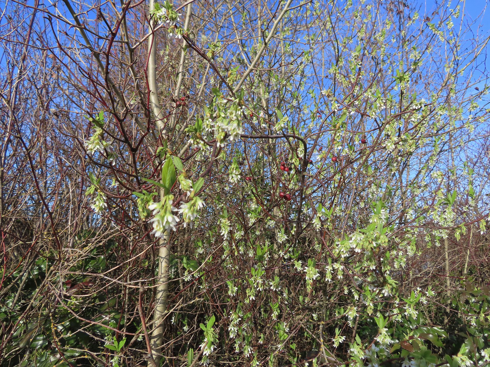 Our first wildflower of the year is Indian plum in 2024.
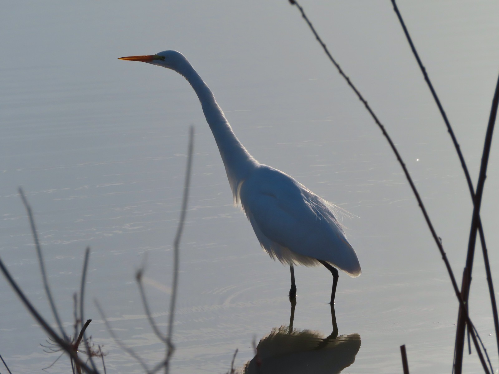 Egret
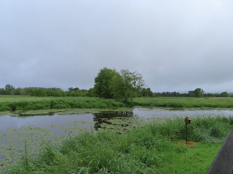
Egret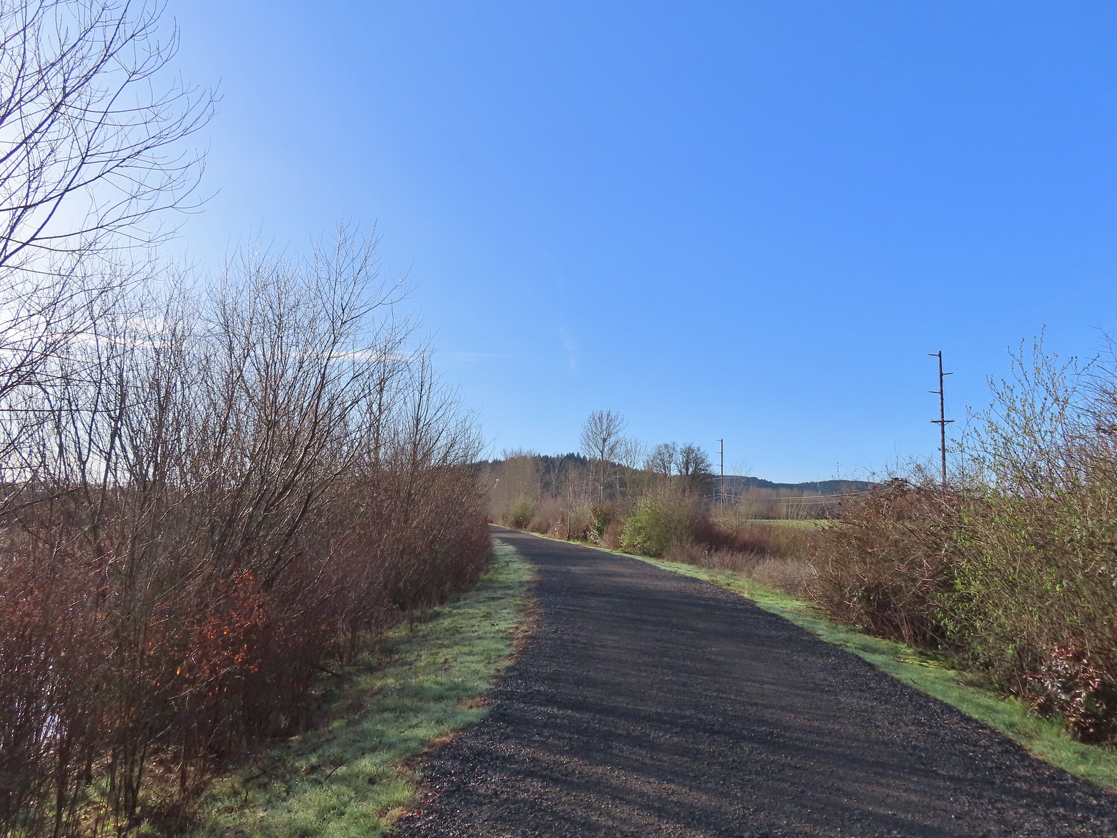 Path at Fernhill Wetlands.
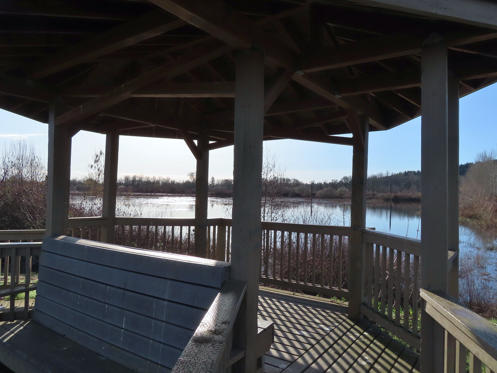 Gazebo overlooking Cattail Marsh.
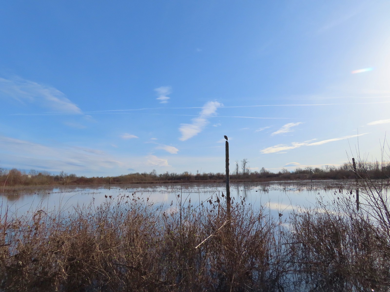 Great blue heron on a post above Cattail Marsh.
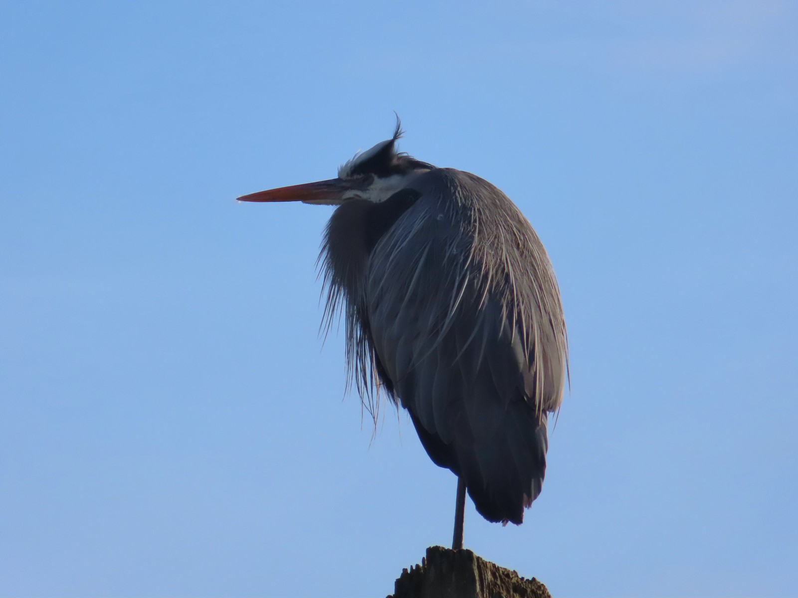
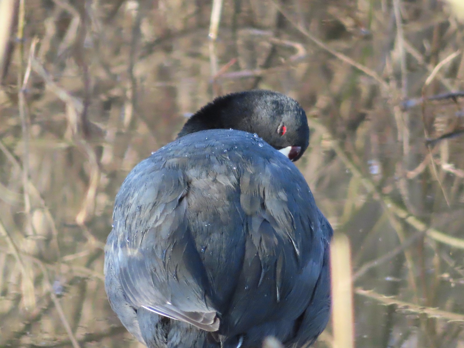 American coot
 Another great blue heron.
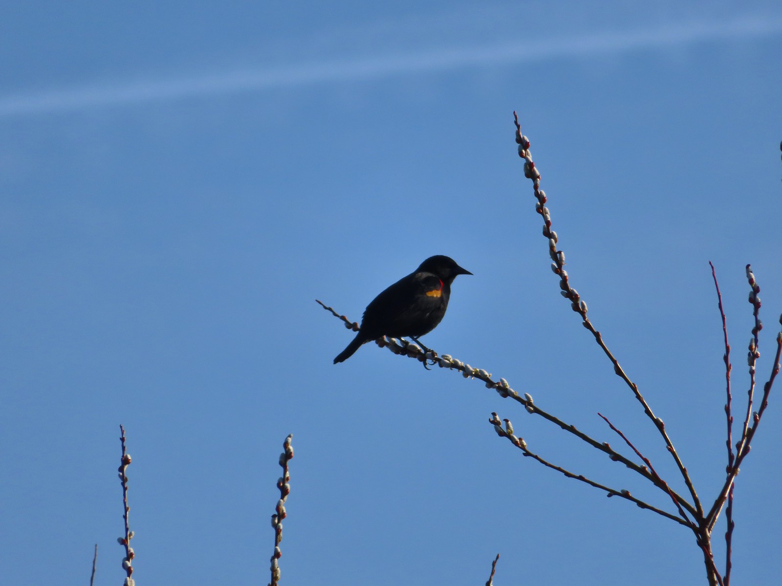 Red-winged blackbird
 Hawk flying over Eagles Perch Marsh.

 Ring-necked ducks
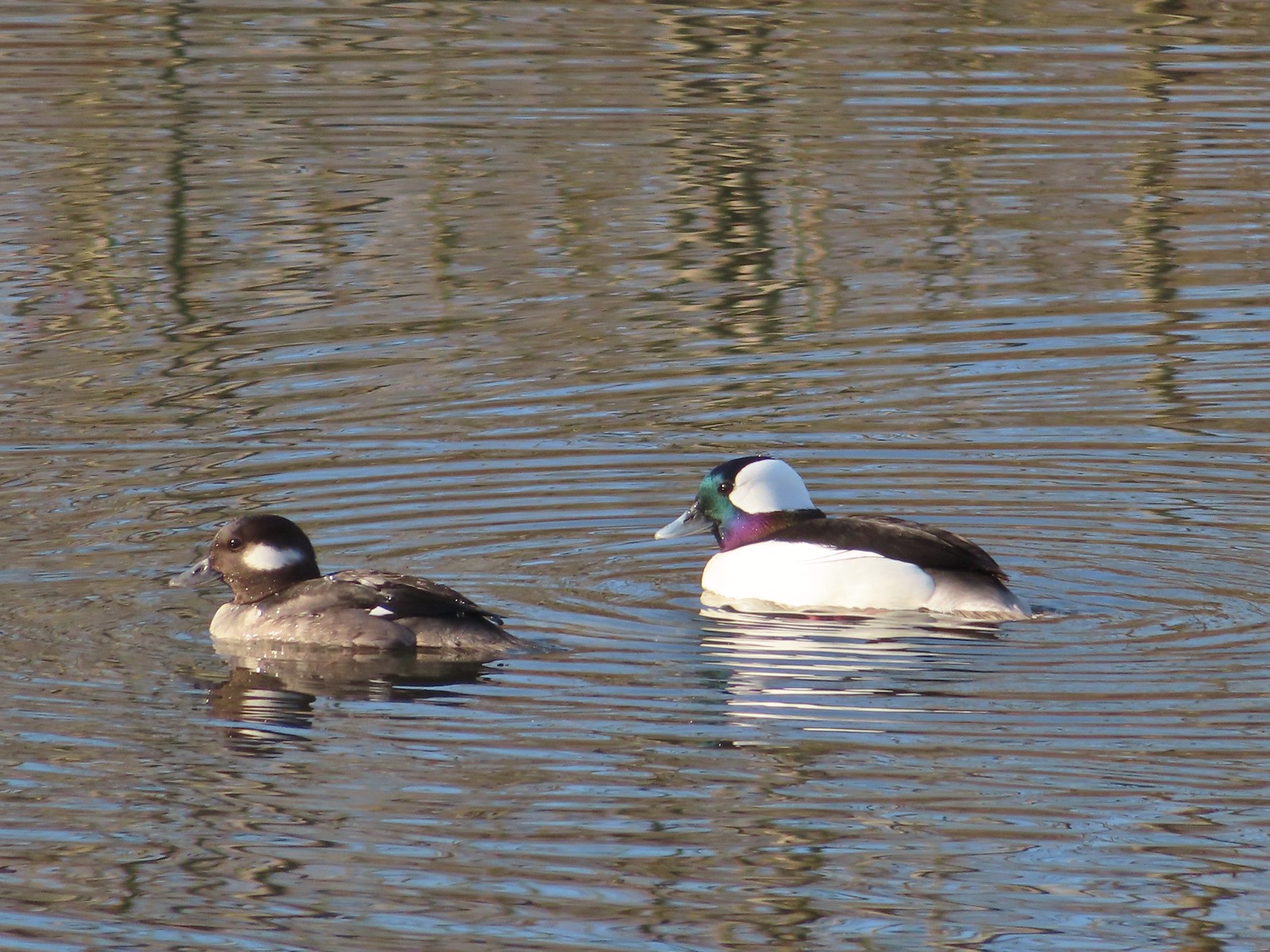 Buffleheads
 This one might be a hooded merganser?
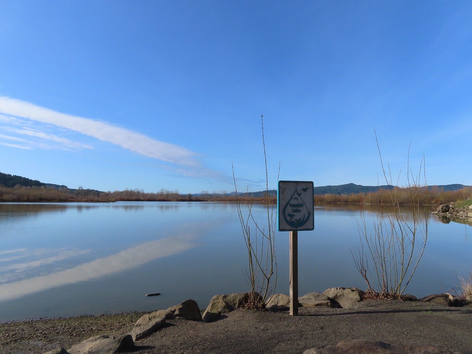
 Fernhill Lake
 This is where the trail turned east (for obvious reasons).
 Barney wetlands


 Double-crested cormorant on a post in Barney Wetlands.
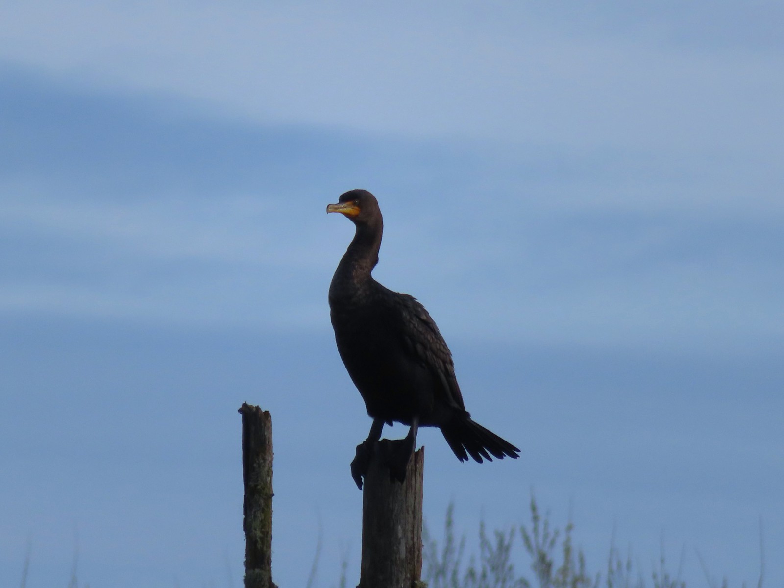 Double-crested cormorant
 Drying off in the sun.
 Nurtia at a bench near Dabblers Marsh
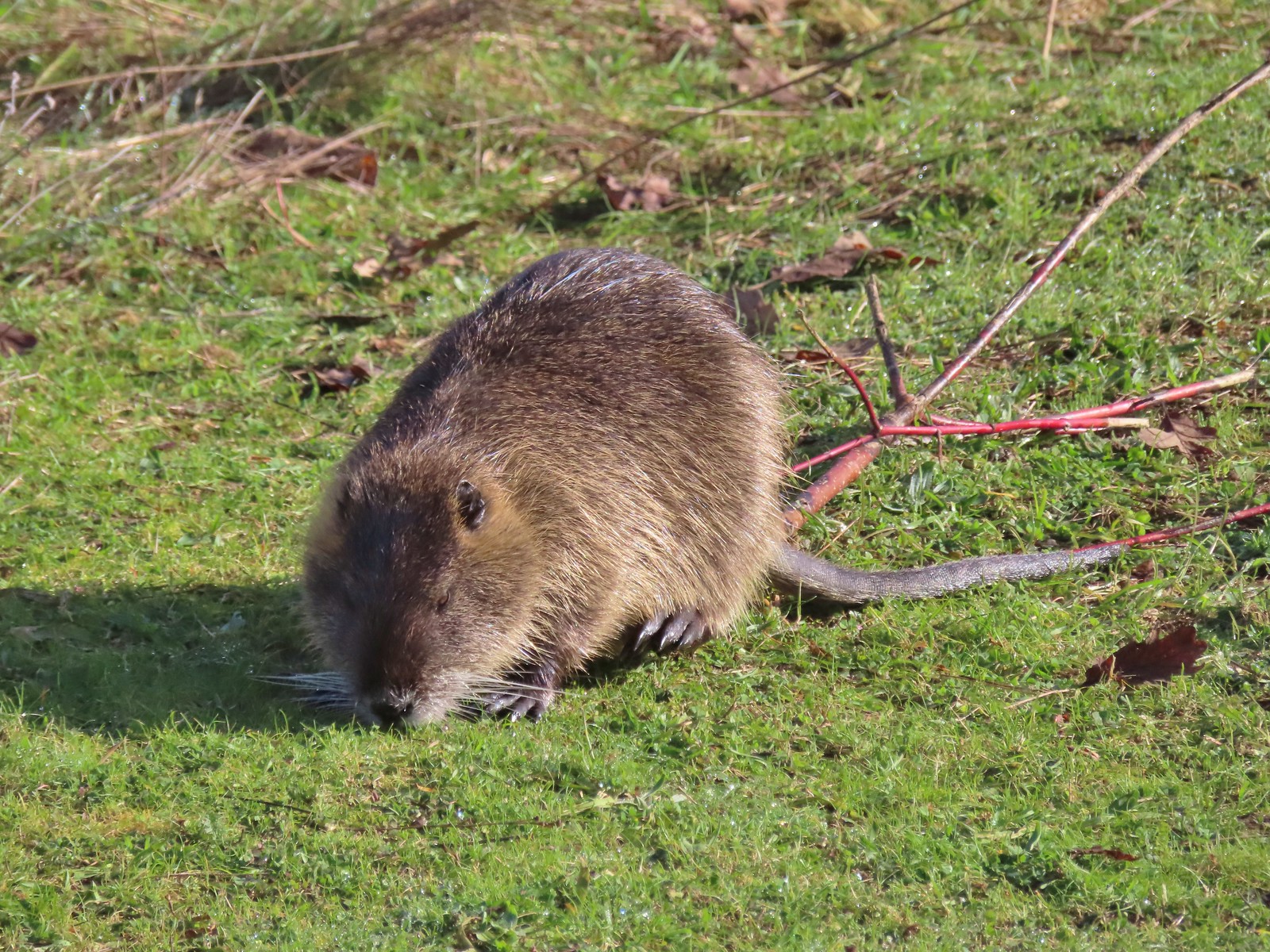 Nutria
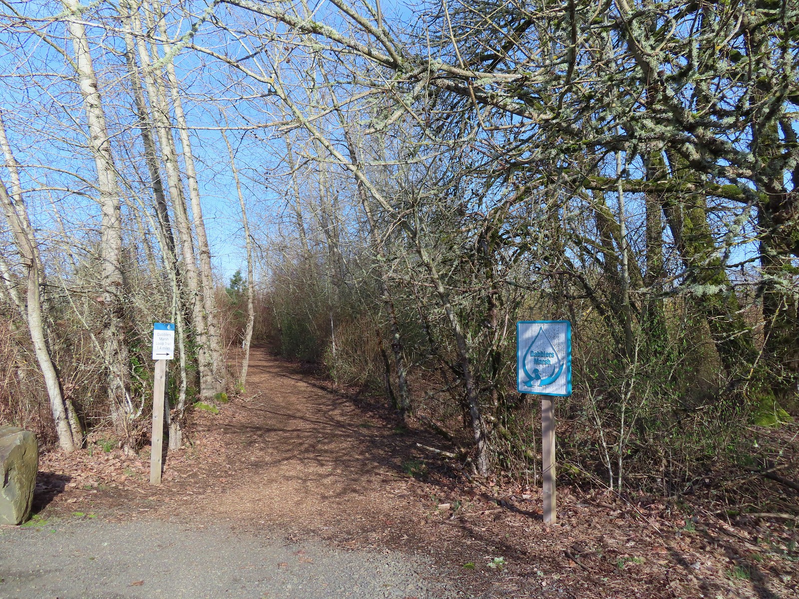
 Dabblers Marsh
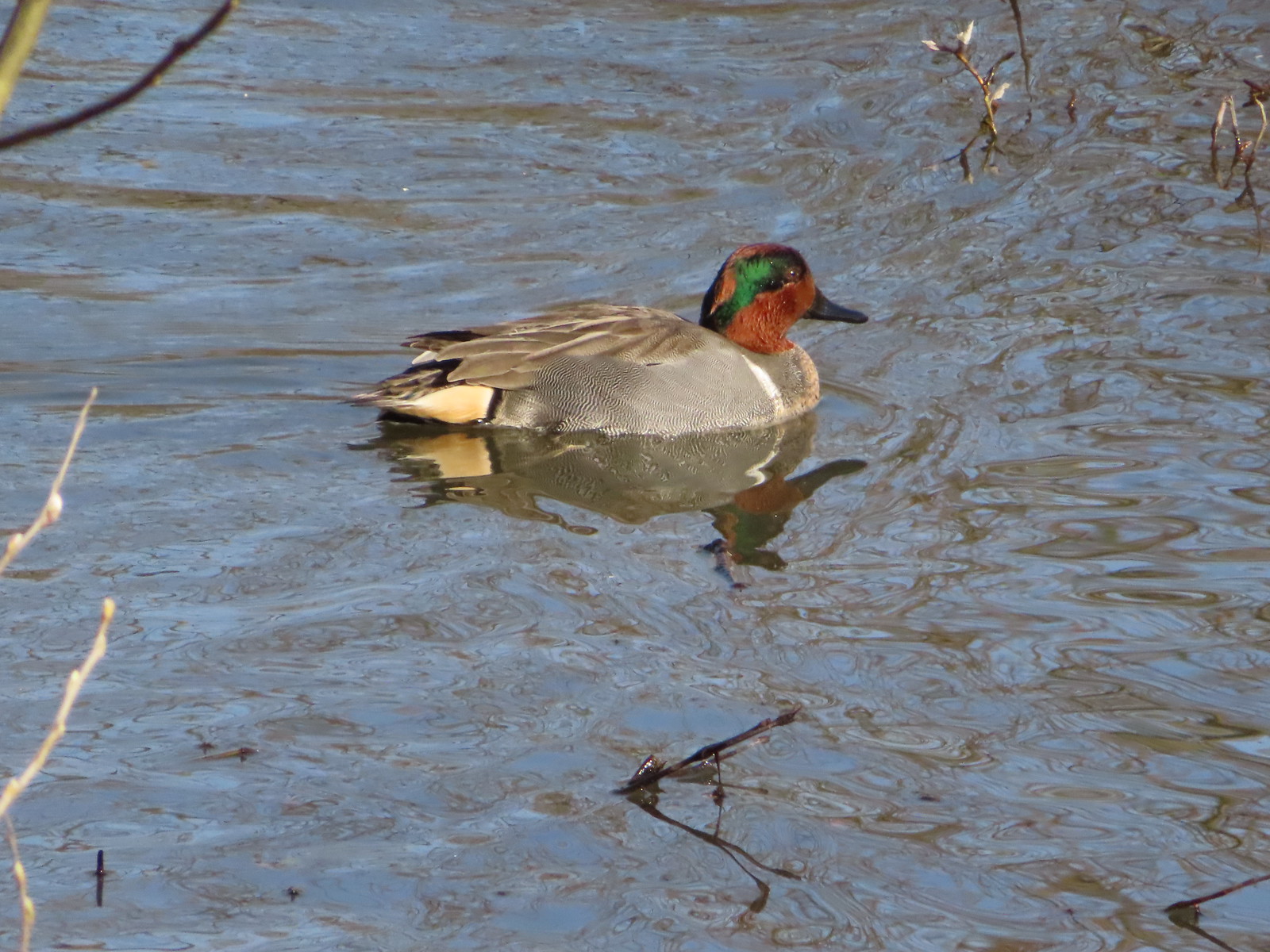 Green-winged teal
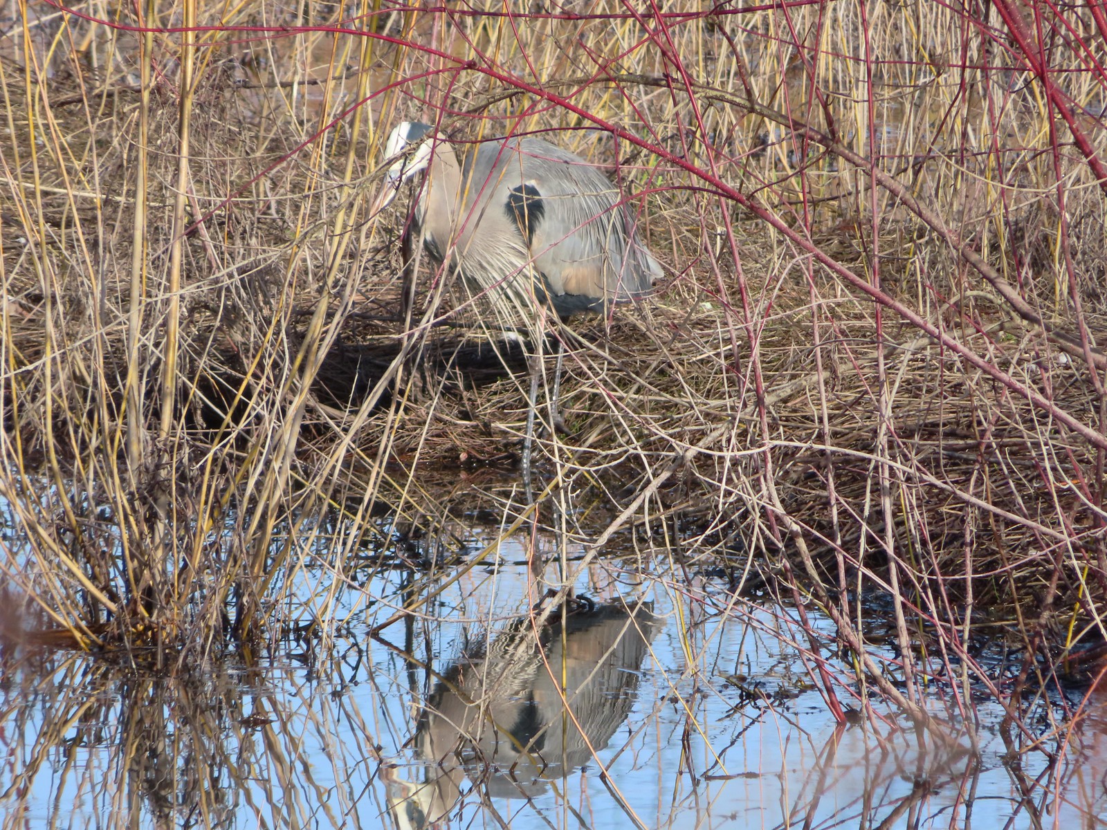 Great blue heron
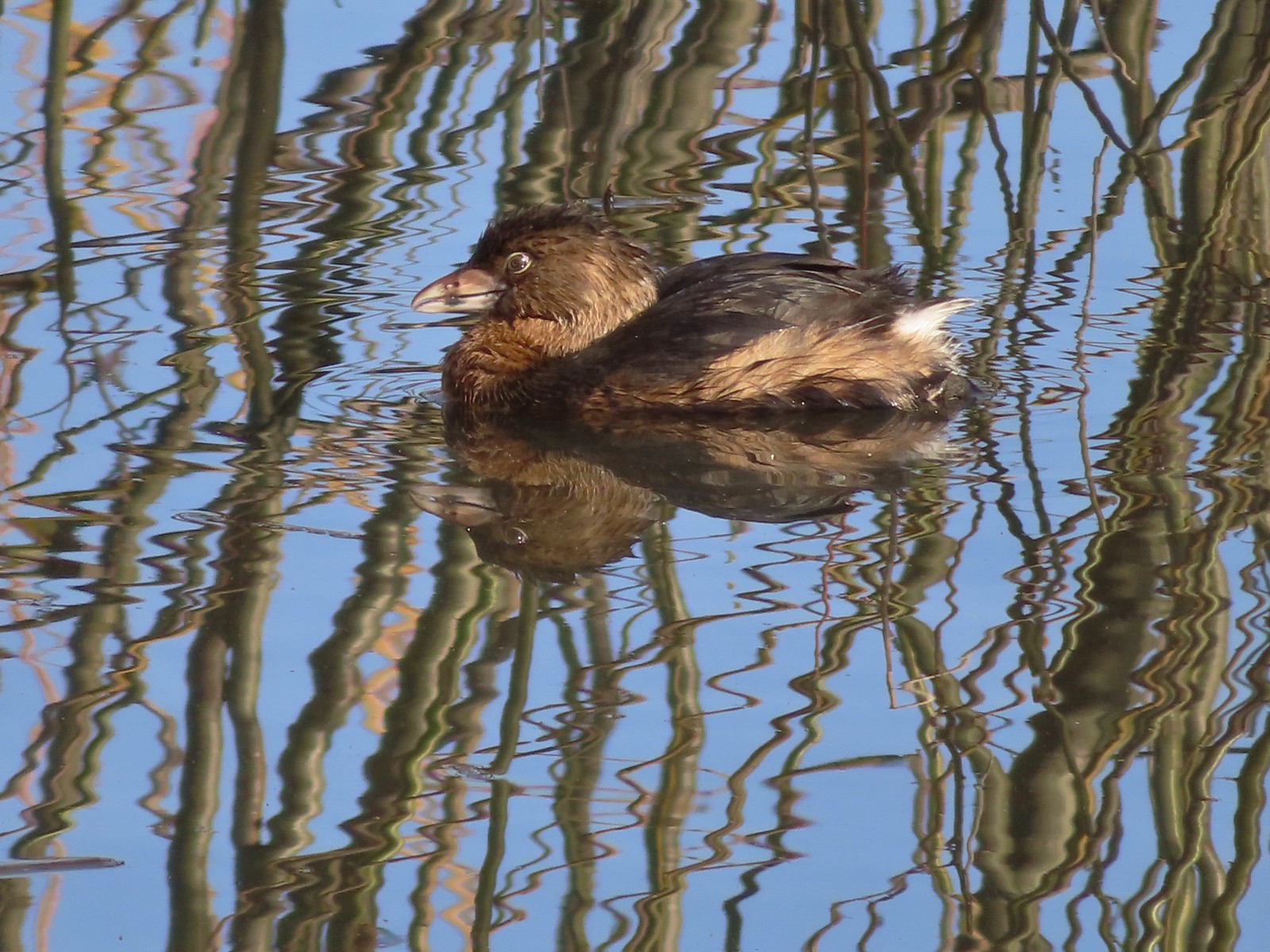 Pie-billed grebe
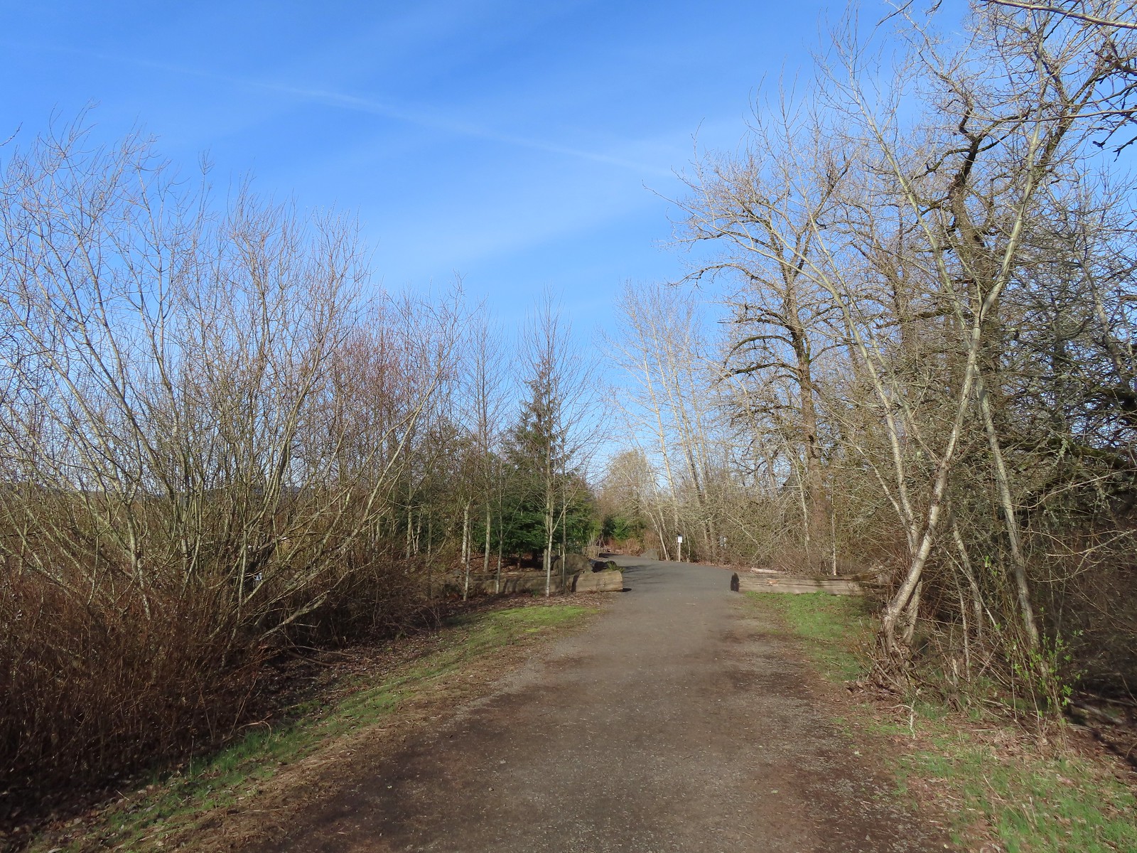
 Robin
Robin
 The start of the loop at the edge of the farmland. We stayed left opting to hike the loop clockwise.
 Anna’s hummingbrid
 A gaggle of geese in the field.
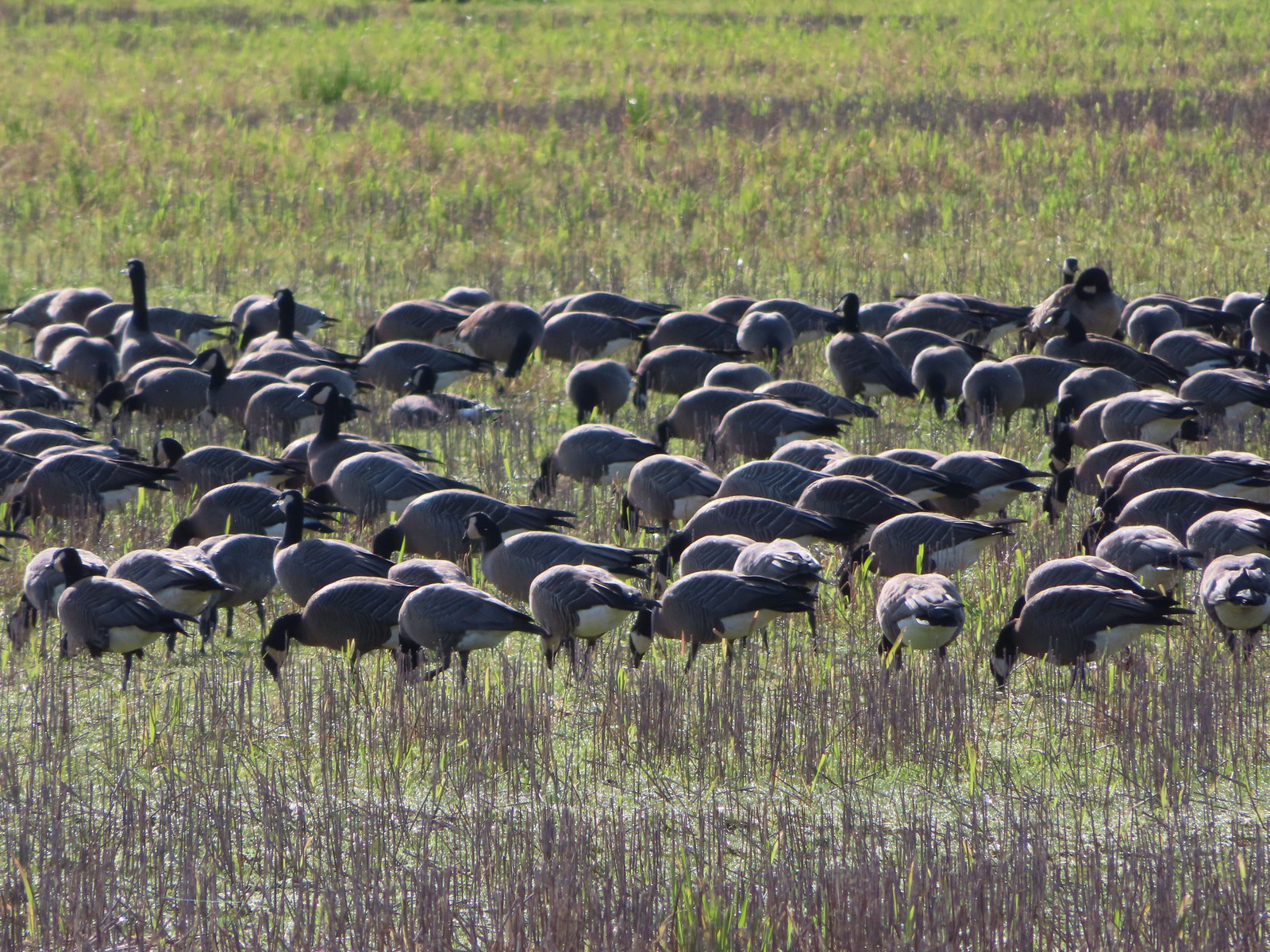
 American kestrels manning their posts.
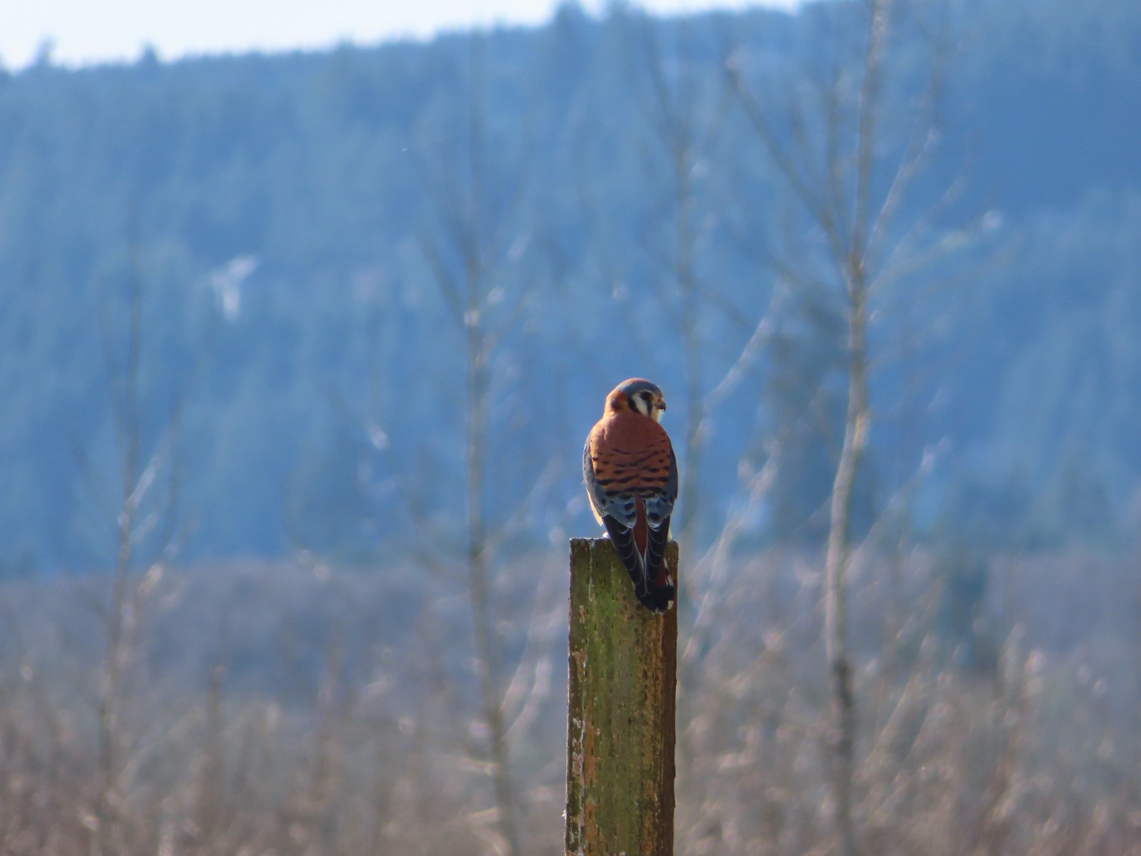
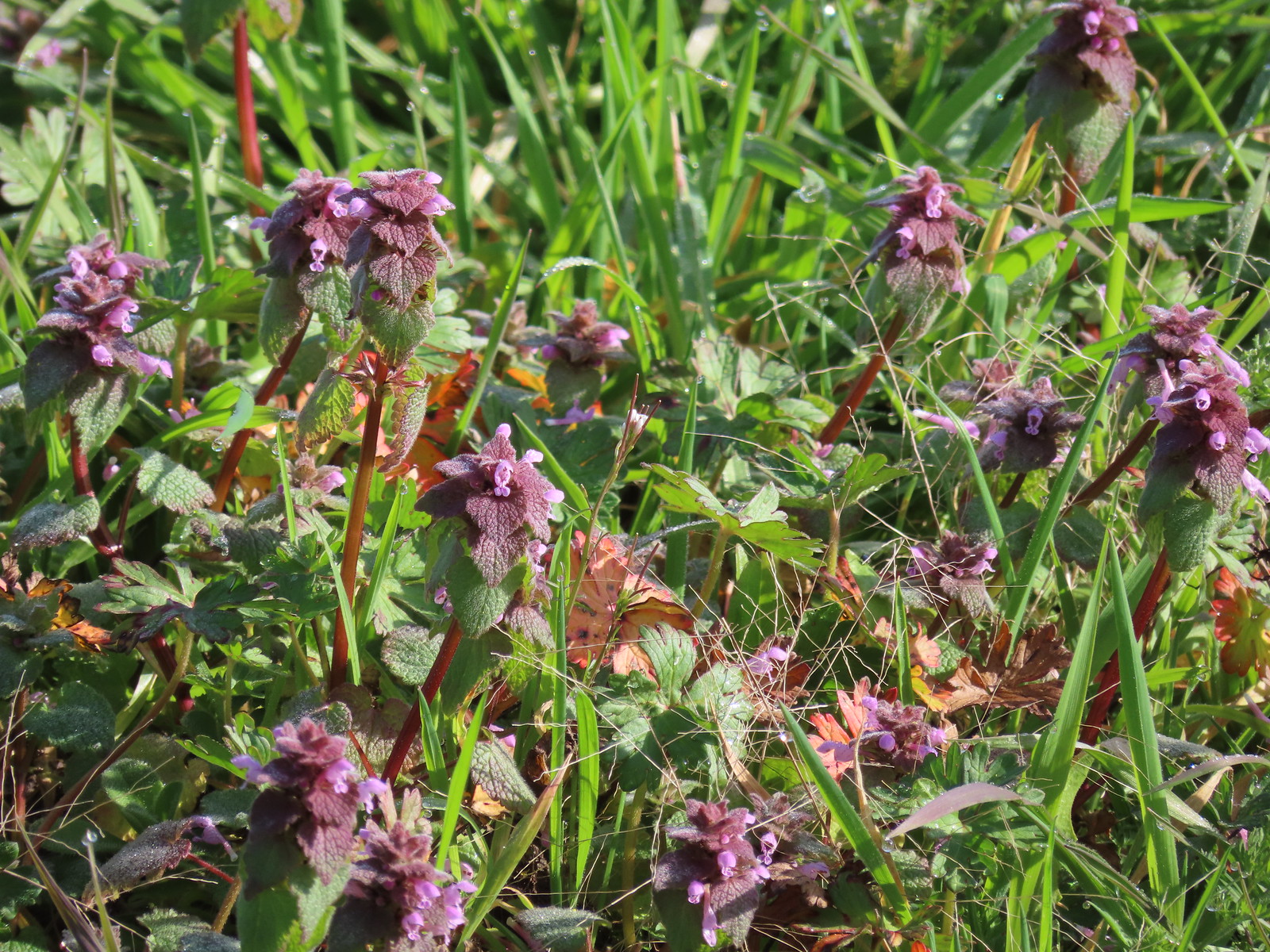 Purple dead-nettle
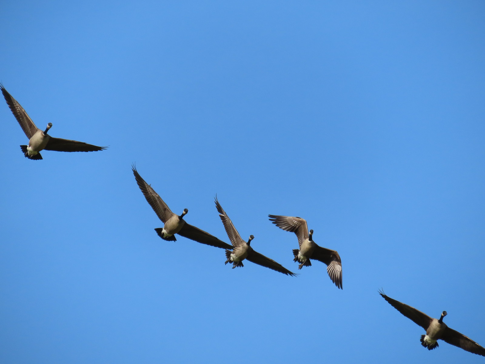 More geese coming in for a landing.
 Near the end of the loop the trail left the field along Dabblers Marsh.
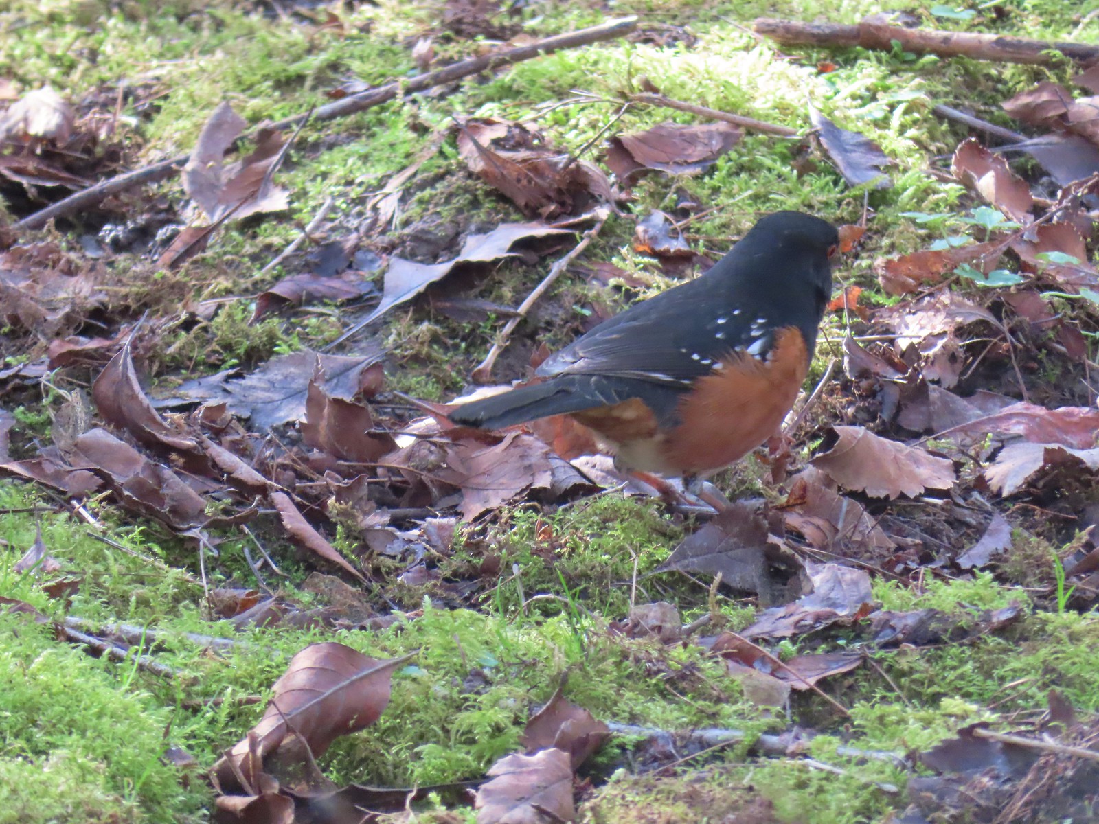 Spotted towhee
 Rabbit
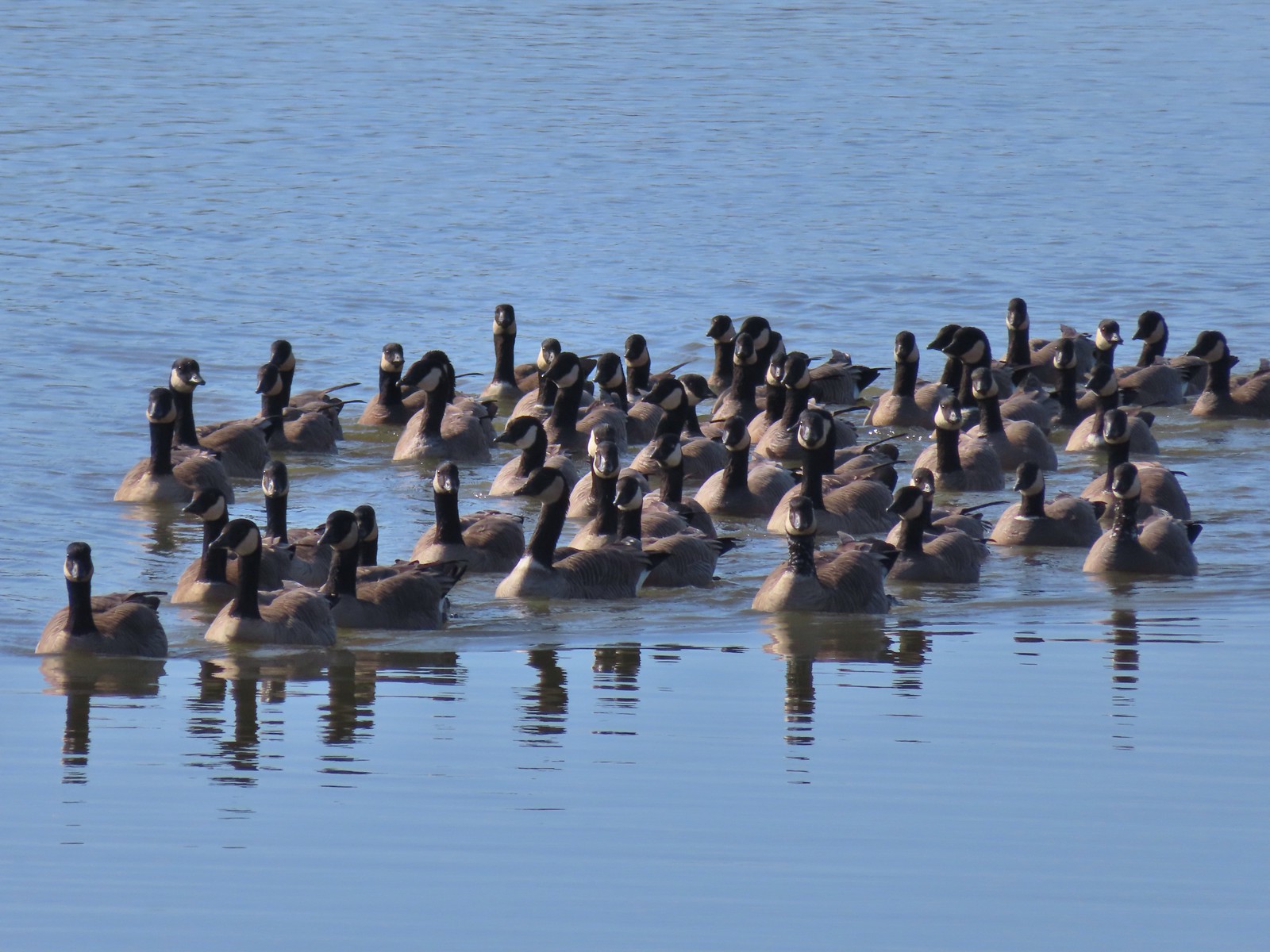 Geese on Fernhill Lake
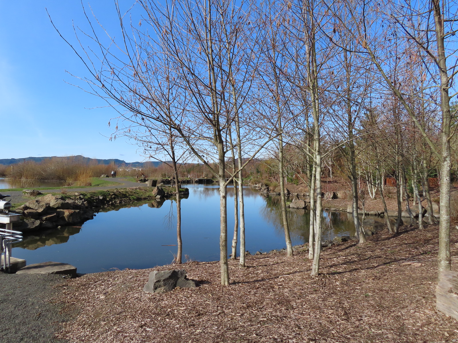
 Mallard drake
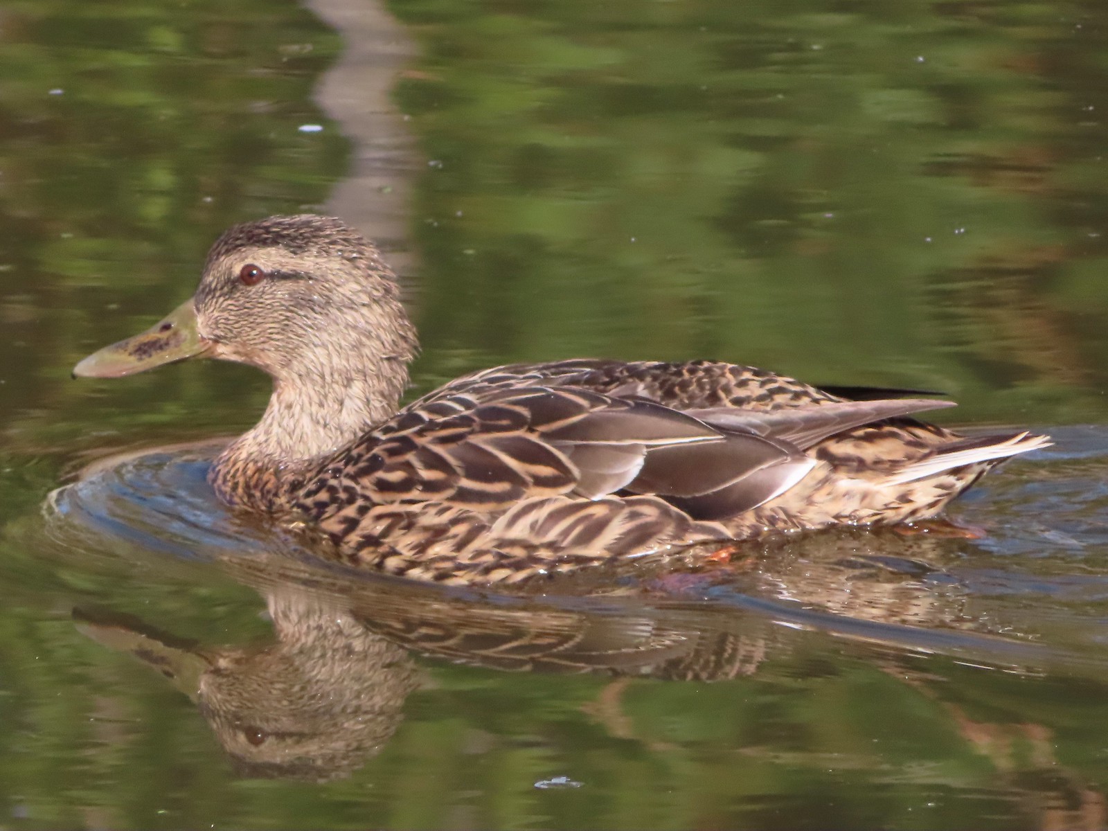 Mallard female
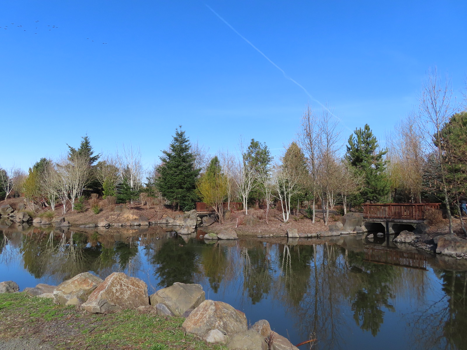 Water Gardens
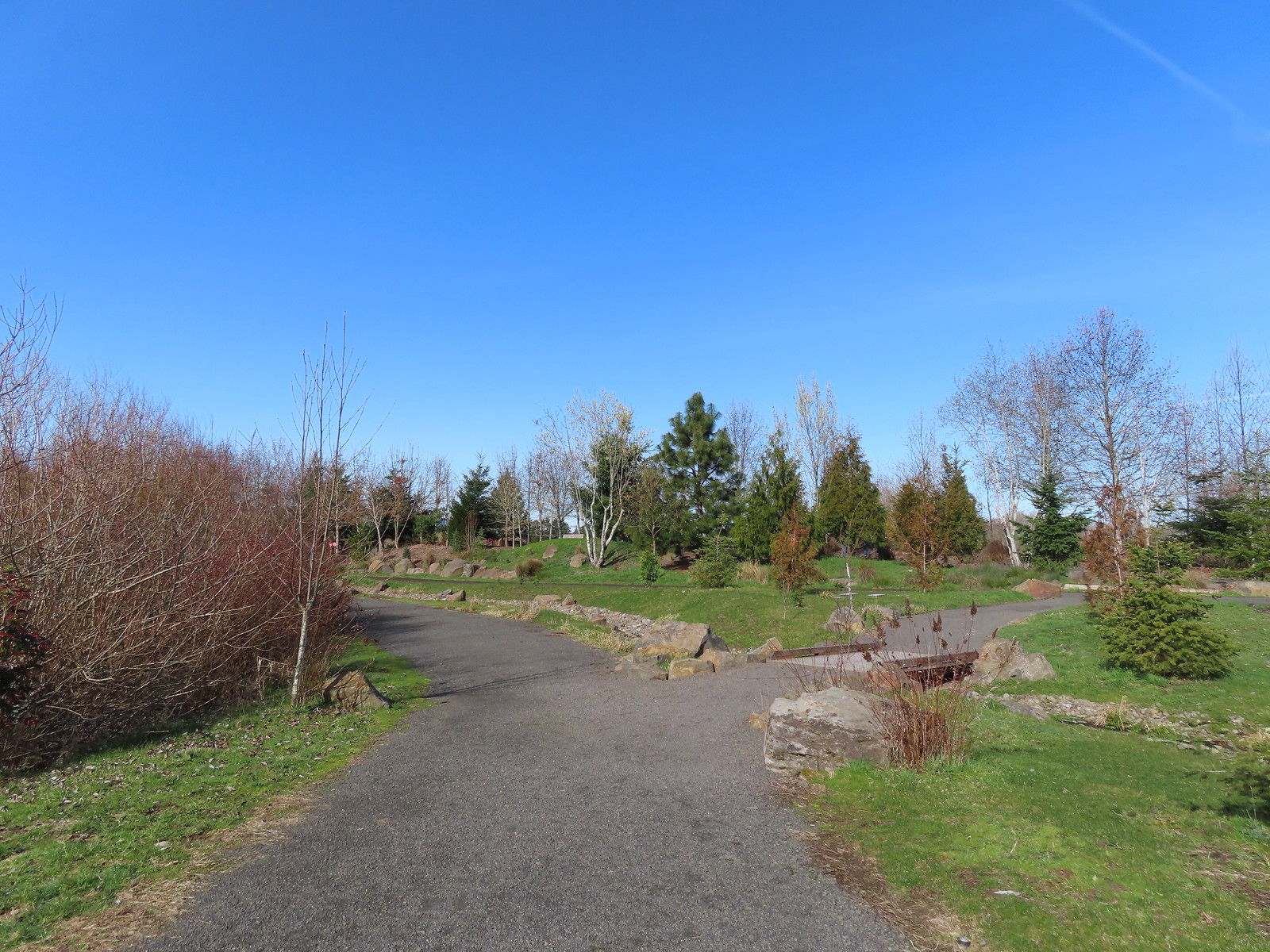

 Northern shovelers, a mallard, and a coot.
 Oregon grape beginning to bloom.
 Northern shoveler
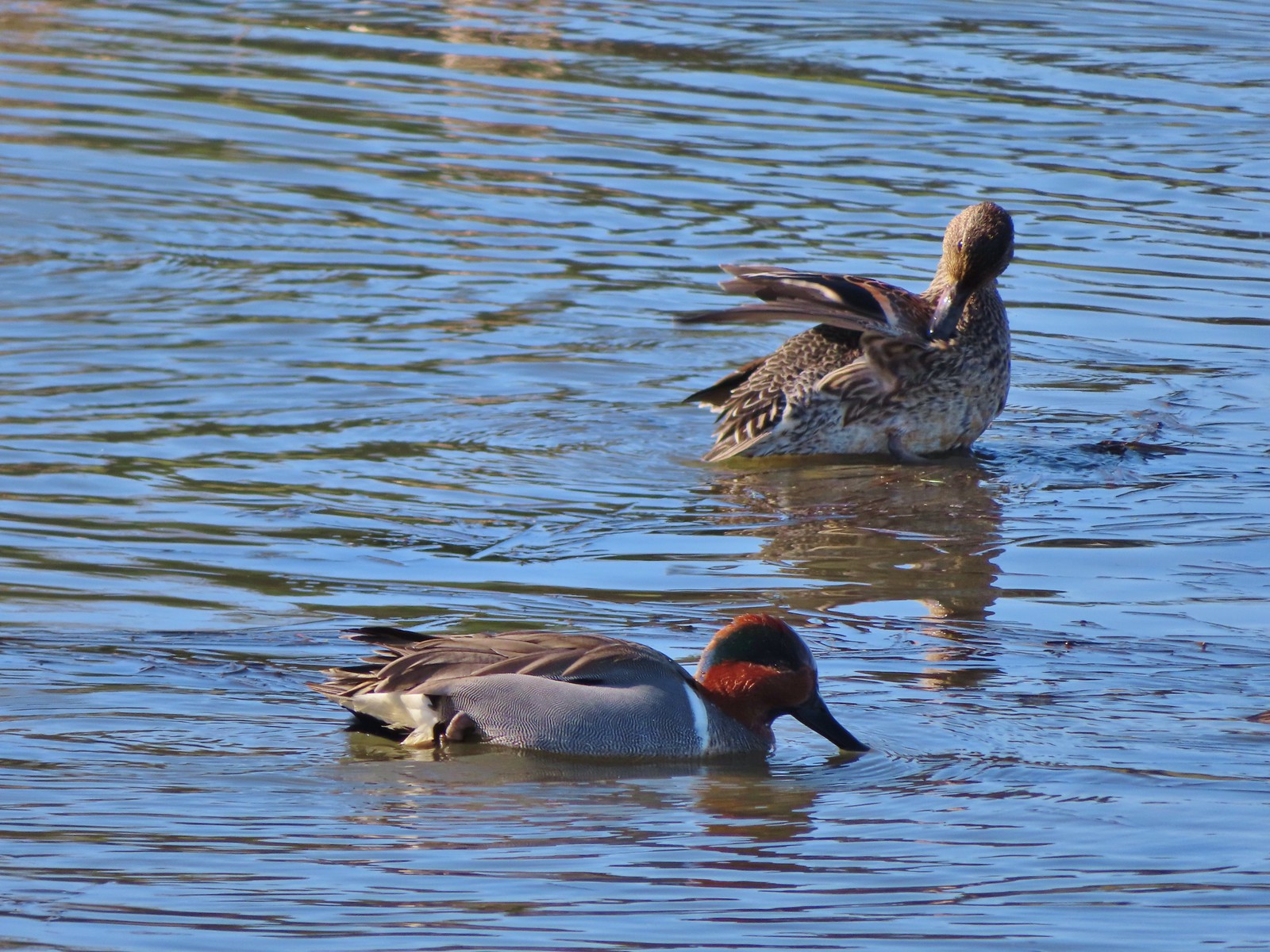 Green-winged teal pair
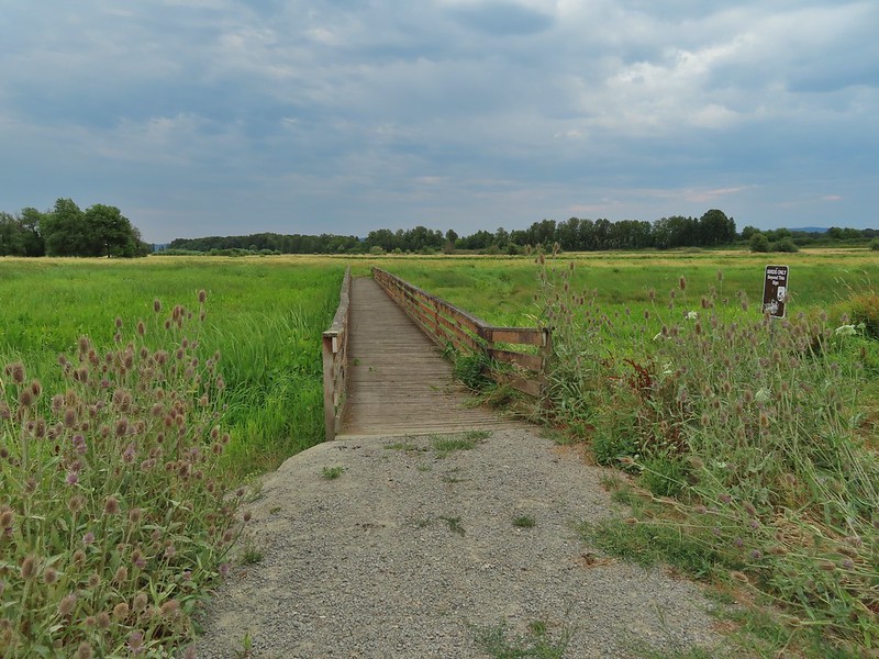
 Path along the Research Wetlands.
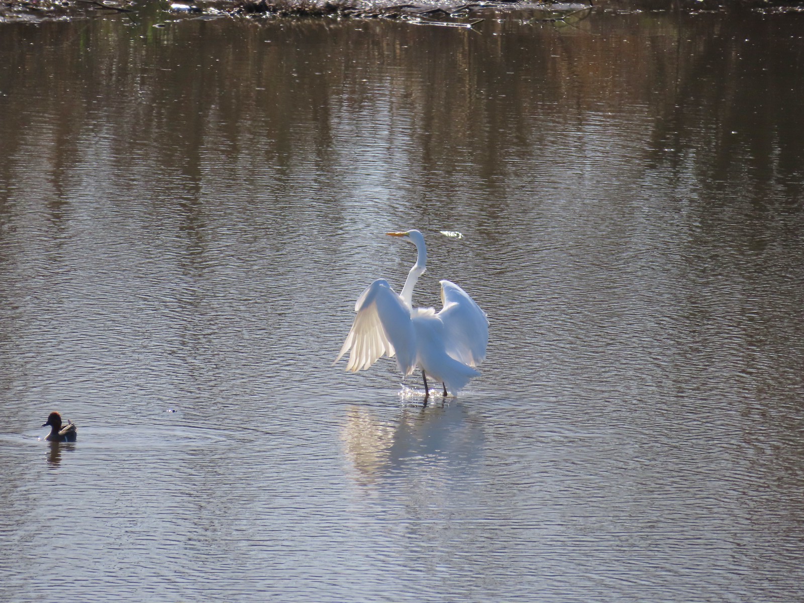 Egret near the parking lot at Fernhill Marsh
 Looking back at the Research Wetlands from the near the trailhead.


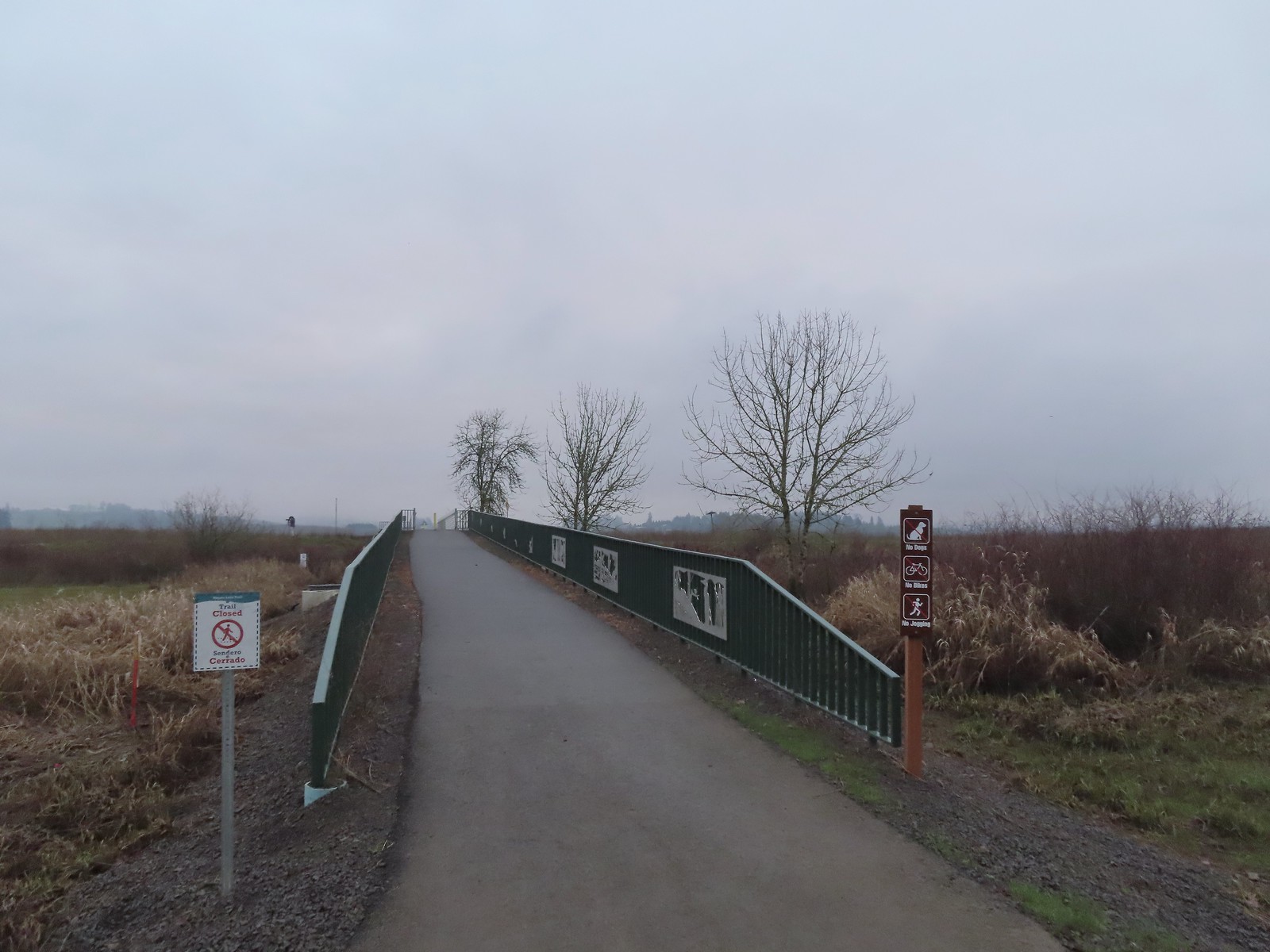 We were a little confused by the sign on the left here stating the trail was closed. The website and signboard had said nothing about a closure and the gate at the far end of the bridge was open and others were already out on the levee. We assume they just hadn’t taken the sign down after the seasonal closure period.
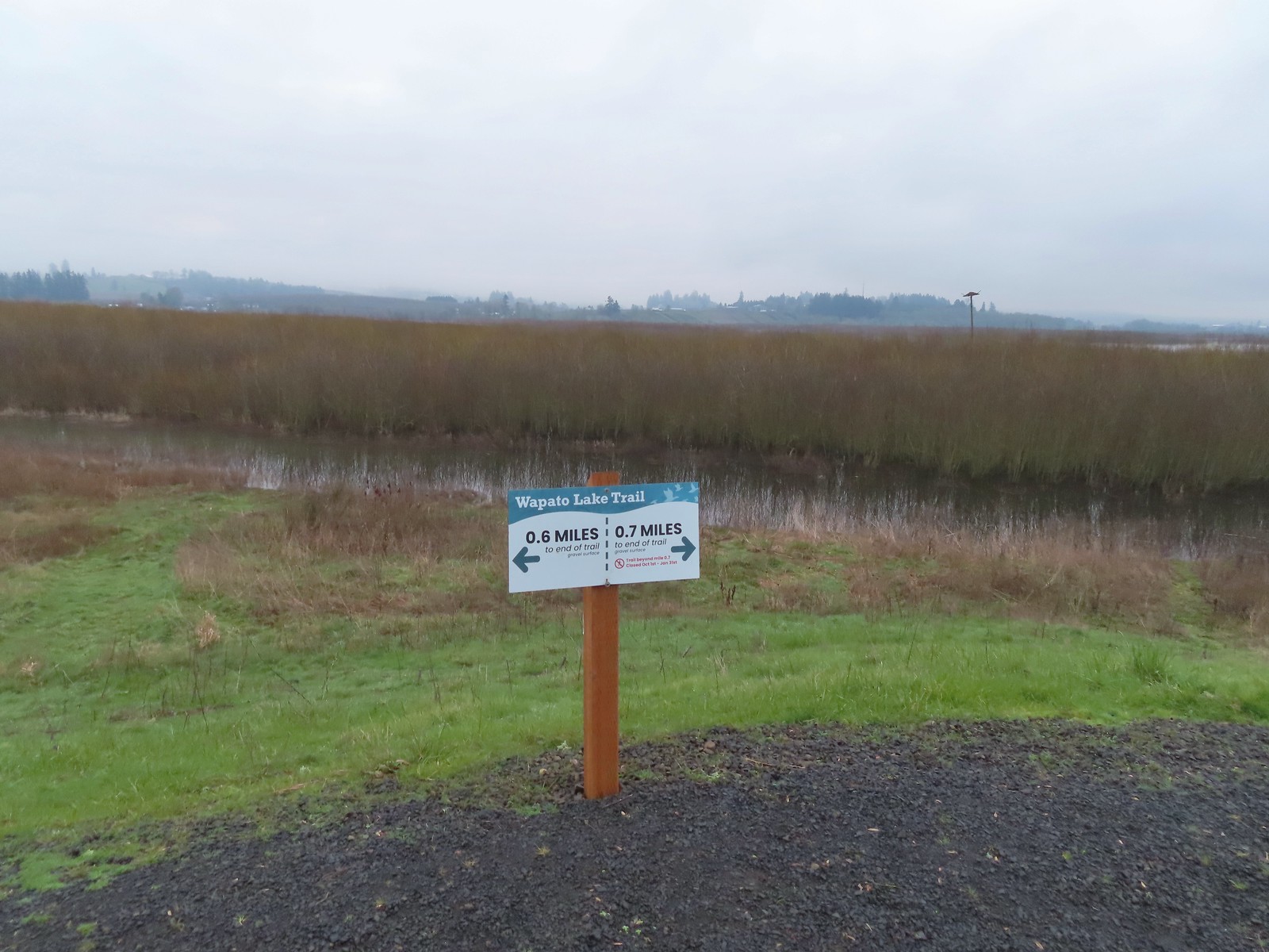 Pointers on the levee.
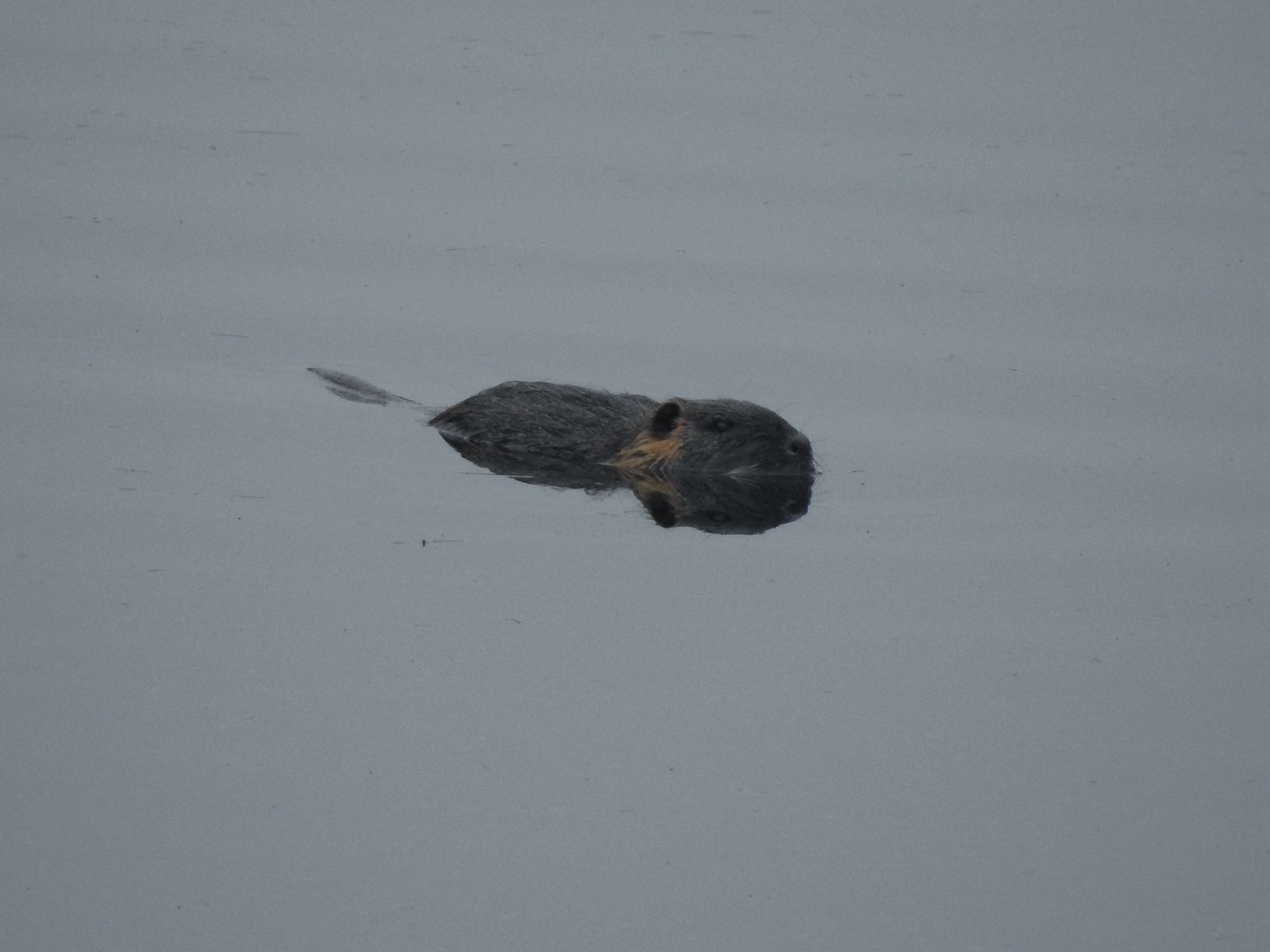 Nutria (sigh). We had hopped it was a beaver but alas the whiskers give it away.
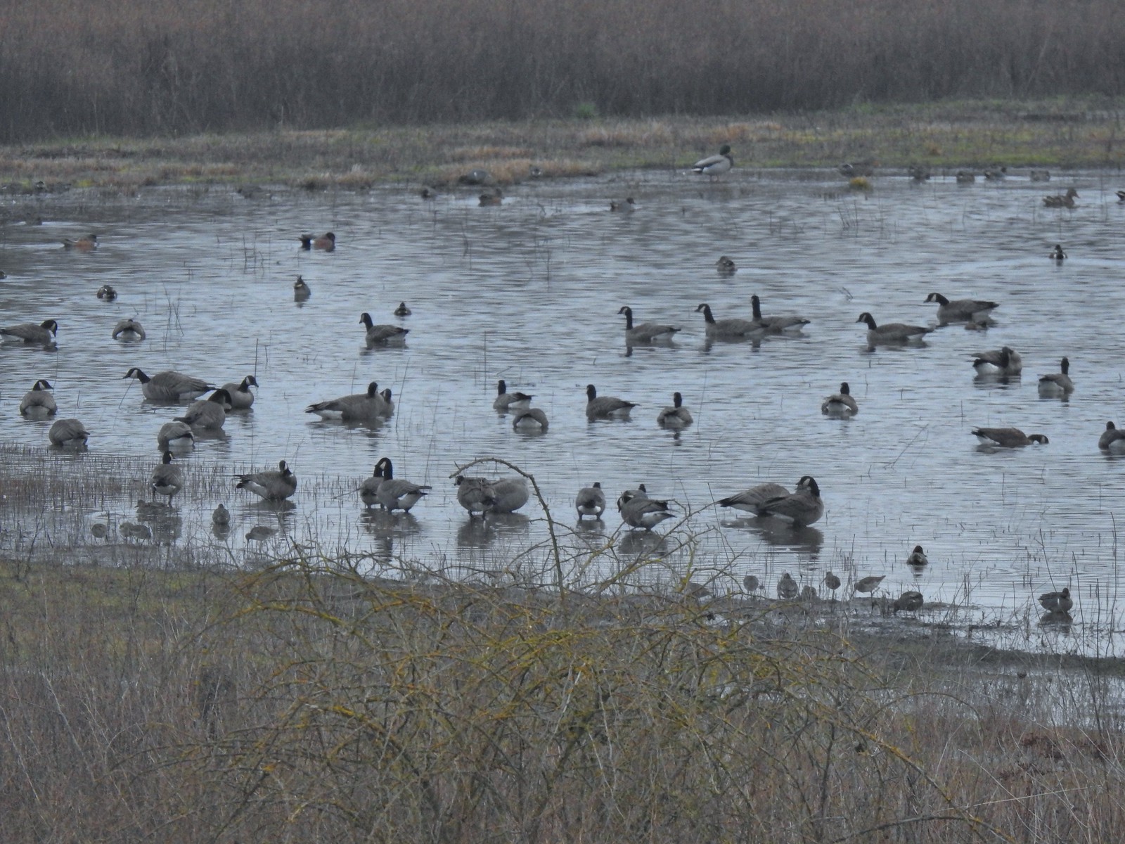 Geese, several species of ducks, and some shore birds.
 A great blue heron along Wapato Creek.
 Great blue heron
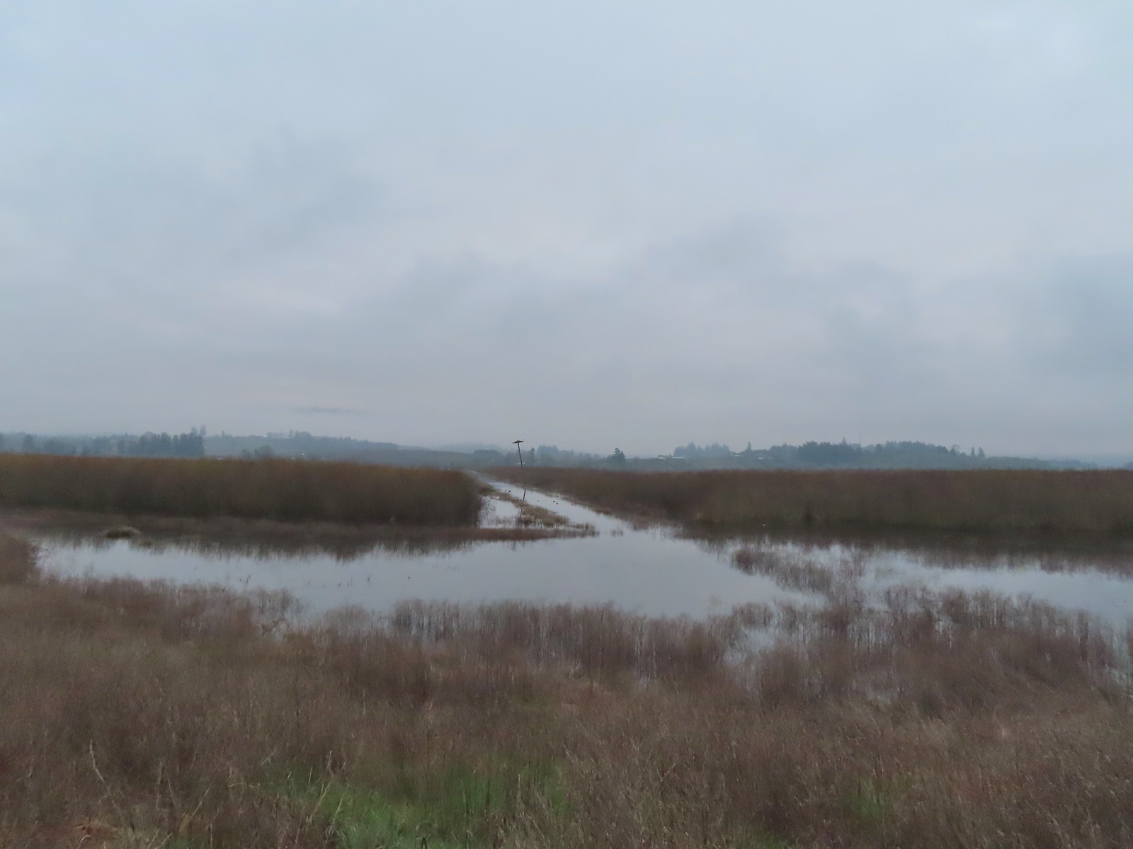 Wapato Lake
 Beaver lodge
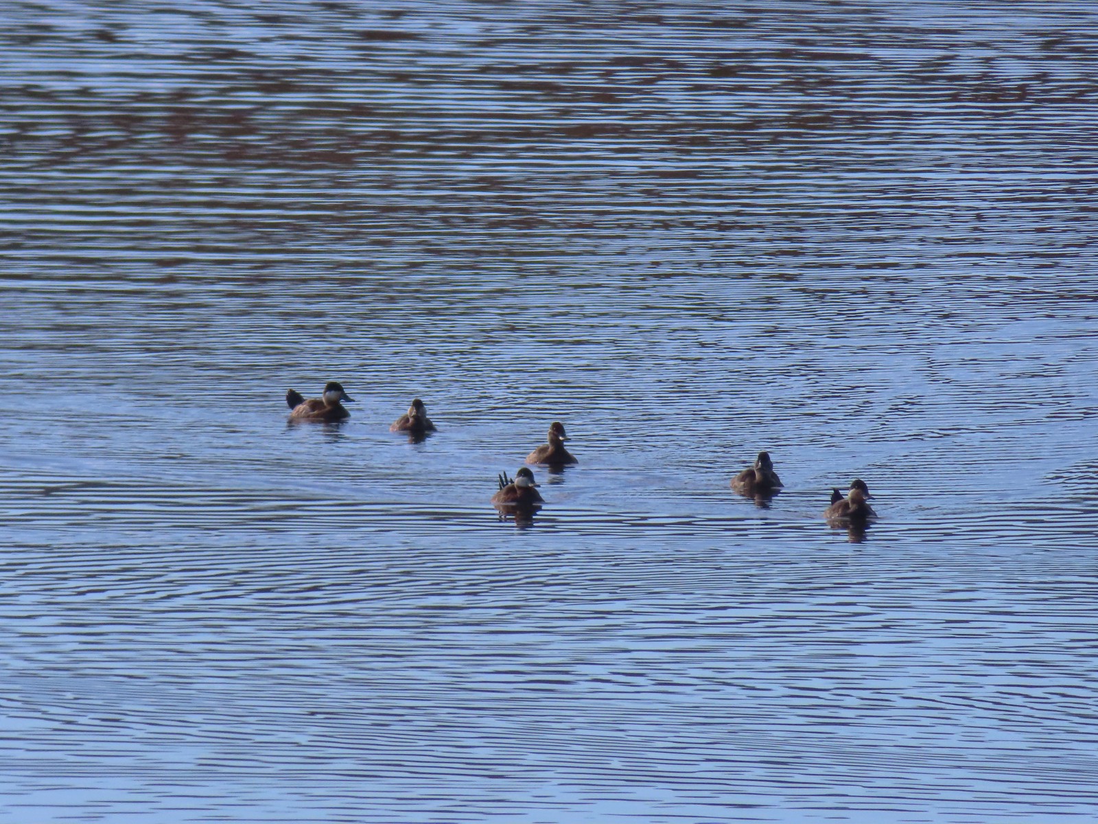
 Northern shovelers and an American wigeon
 Of course we forgot to bring binoculars making it even harder to make out which types of ducks were out there.
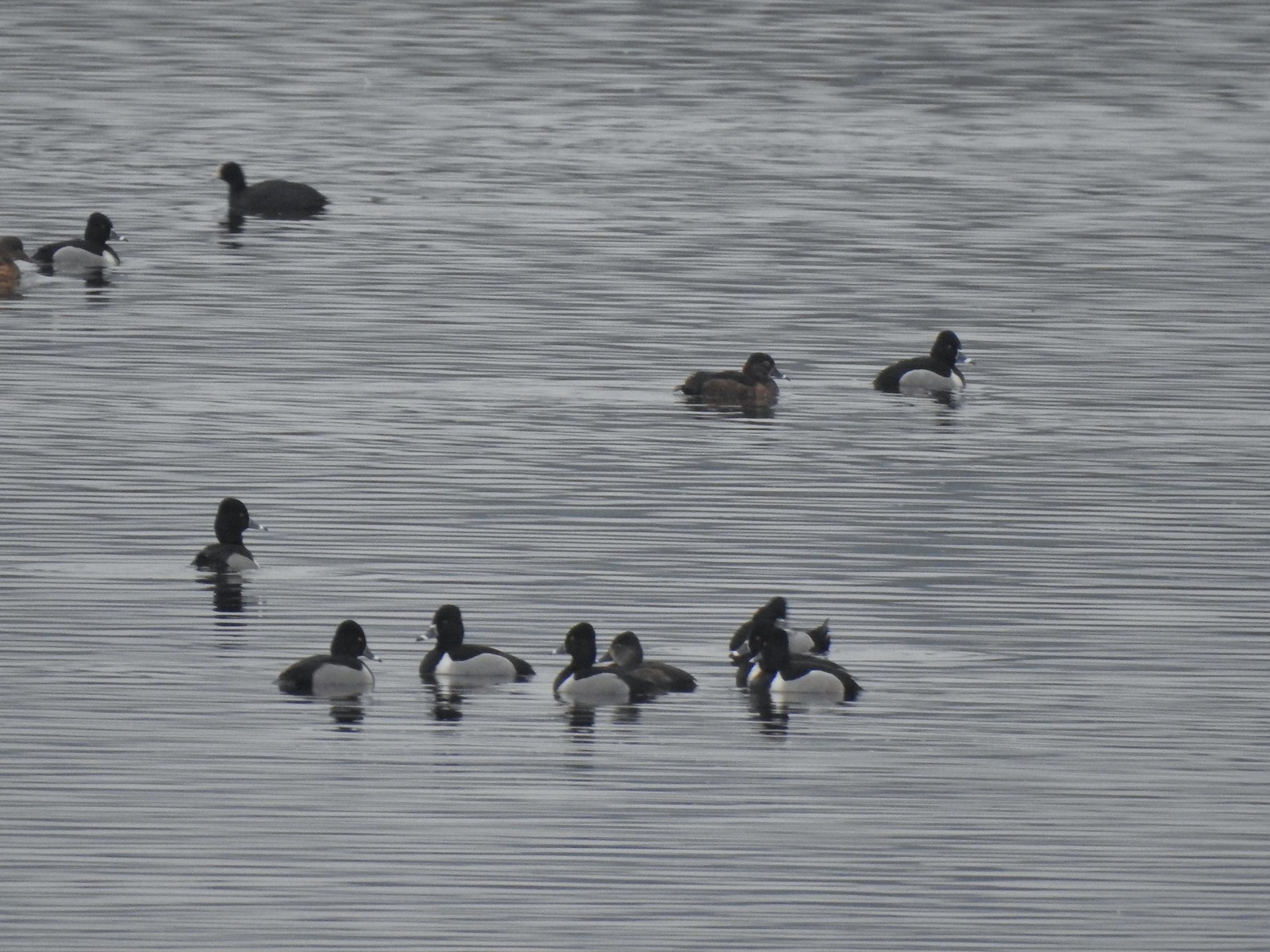 Ring-necked ducks with an American coot in the background.
 Ring-necked duck and northern shovelers
 Reflections in Wapato Lake
 There is virtually no shade along the lake which wasn’t an issue today but could be in the heat of Summer. There are however three benches along the levee allowing for a place to sit and watch the birds.
 Lesser scaups
 Ducks flying over the lake.
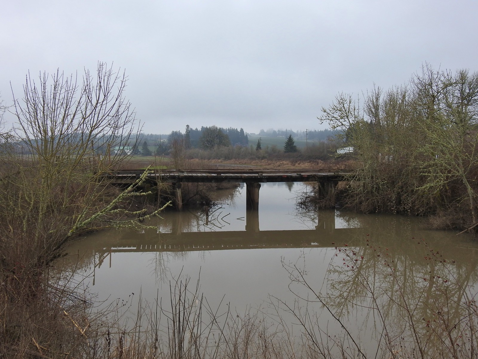 Old bridge over Wapato Creek. The gravel surface ended at this bridge.
 The coyote running off through the brush.
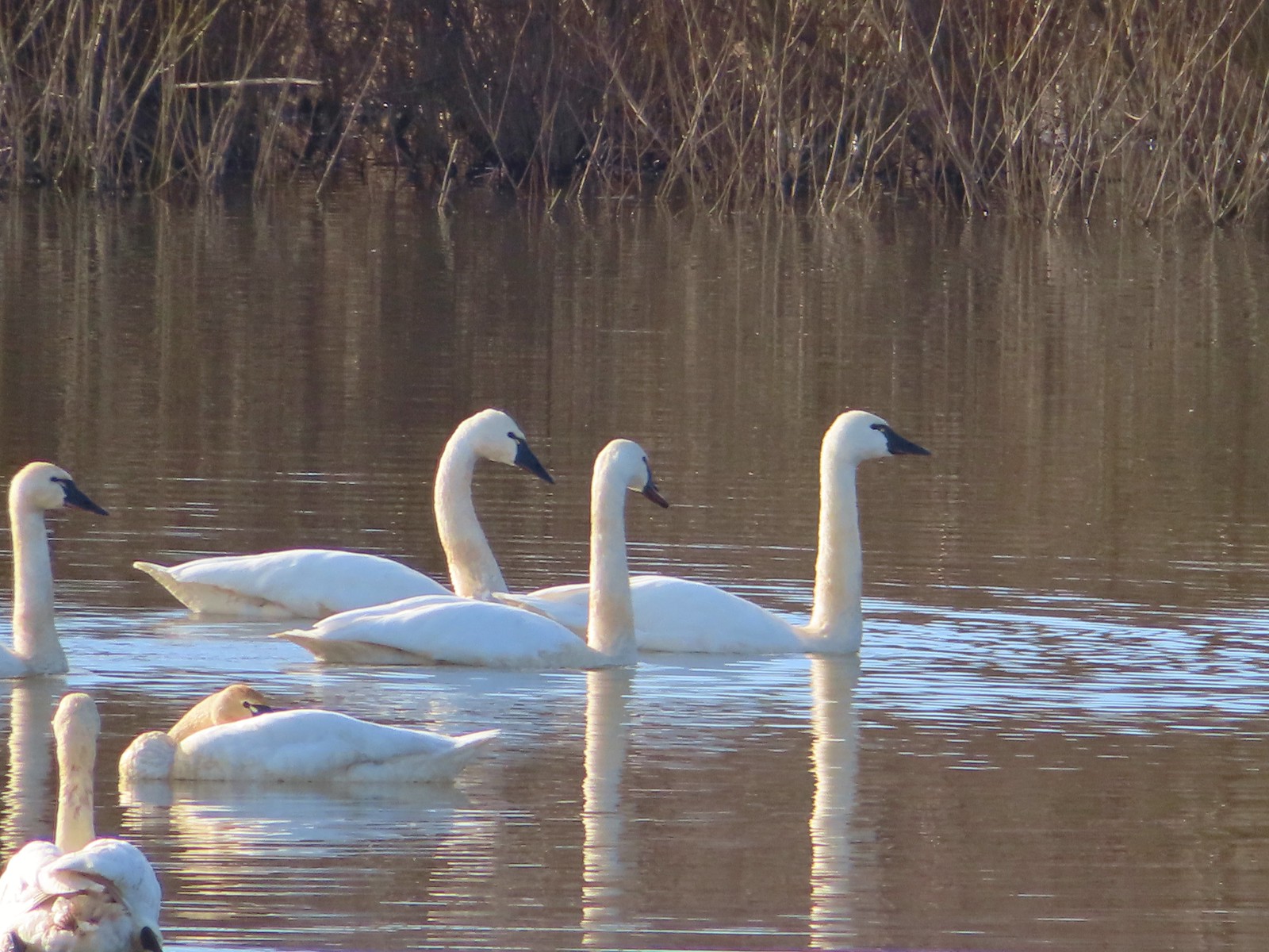
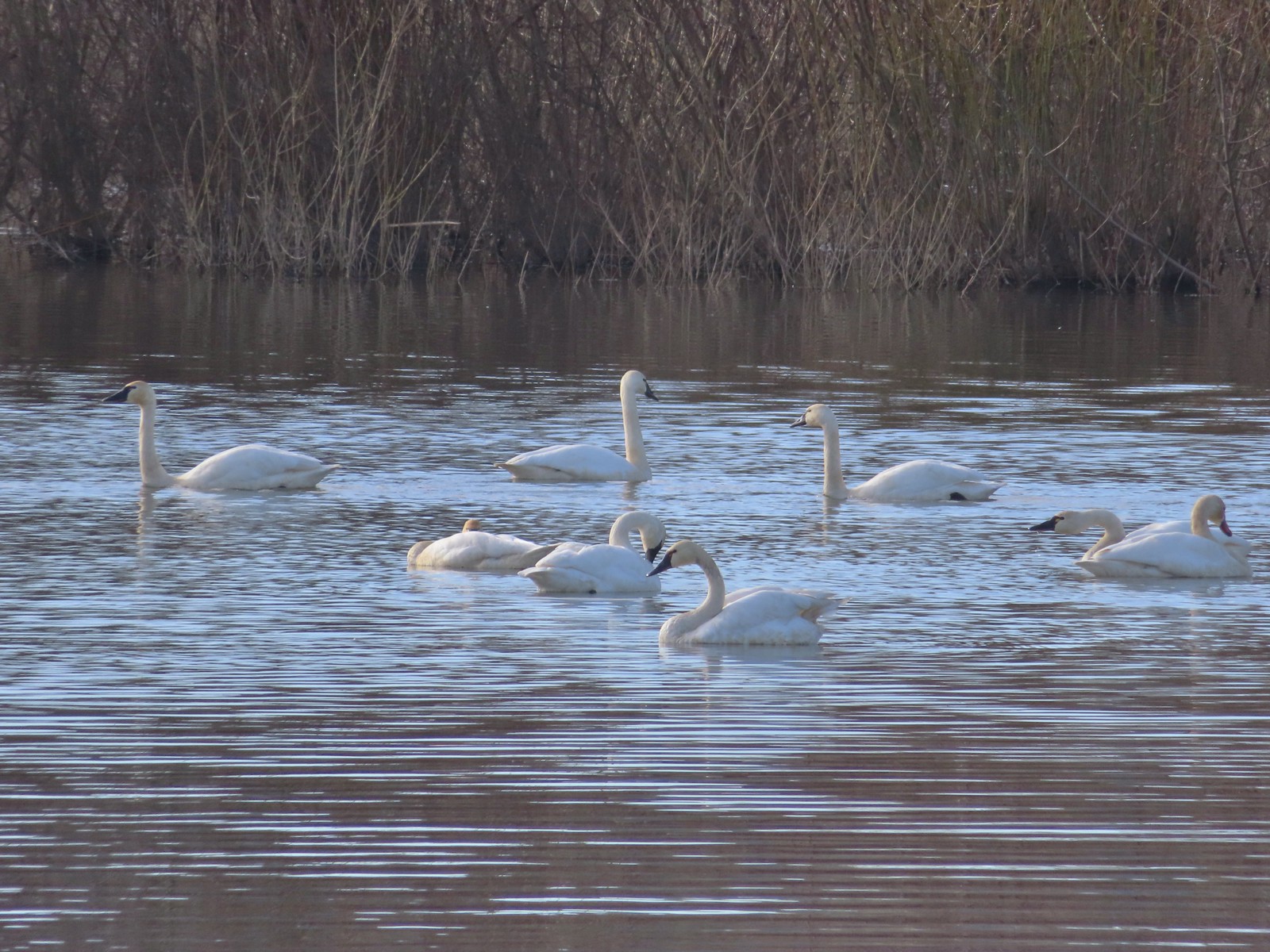
 Tundra swans
 Tundra swans
 We decided to turn around at this bridge even though the levee continued. It appeared that the water was further away from the levee going forward and we hadn’t planned on going much more than 3-miles today.
 Northern pintails and some green-winged teals.
 American wigeons and a pair of green-winged teals.
 There were a couple of times that blue sky seemed imminent.
 Buffleheads
 Iowa Hill (
 More buffleheads
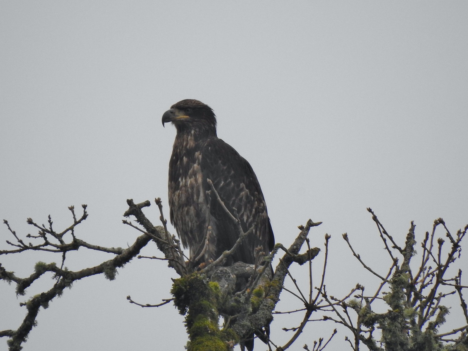 Immature bald eagle
 Sparrow
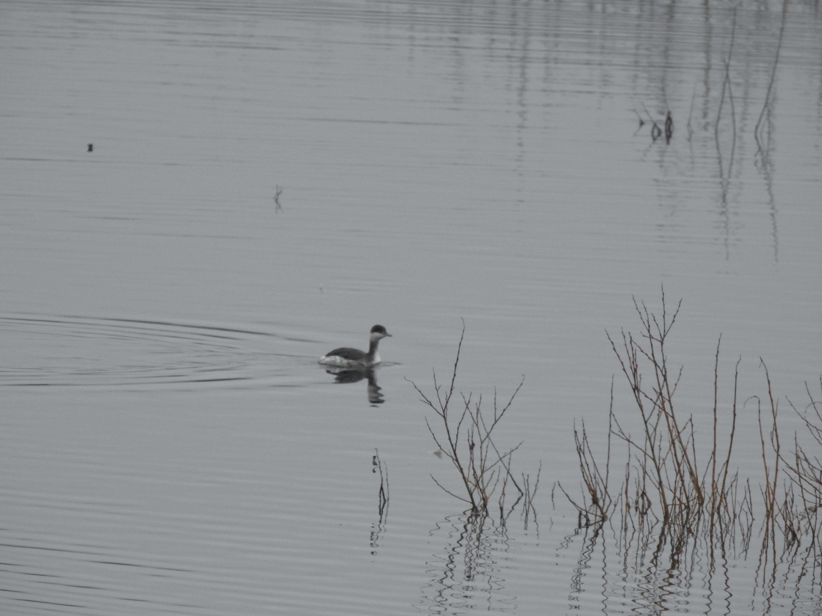 Horned grebe
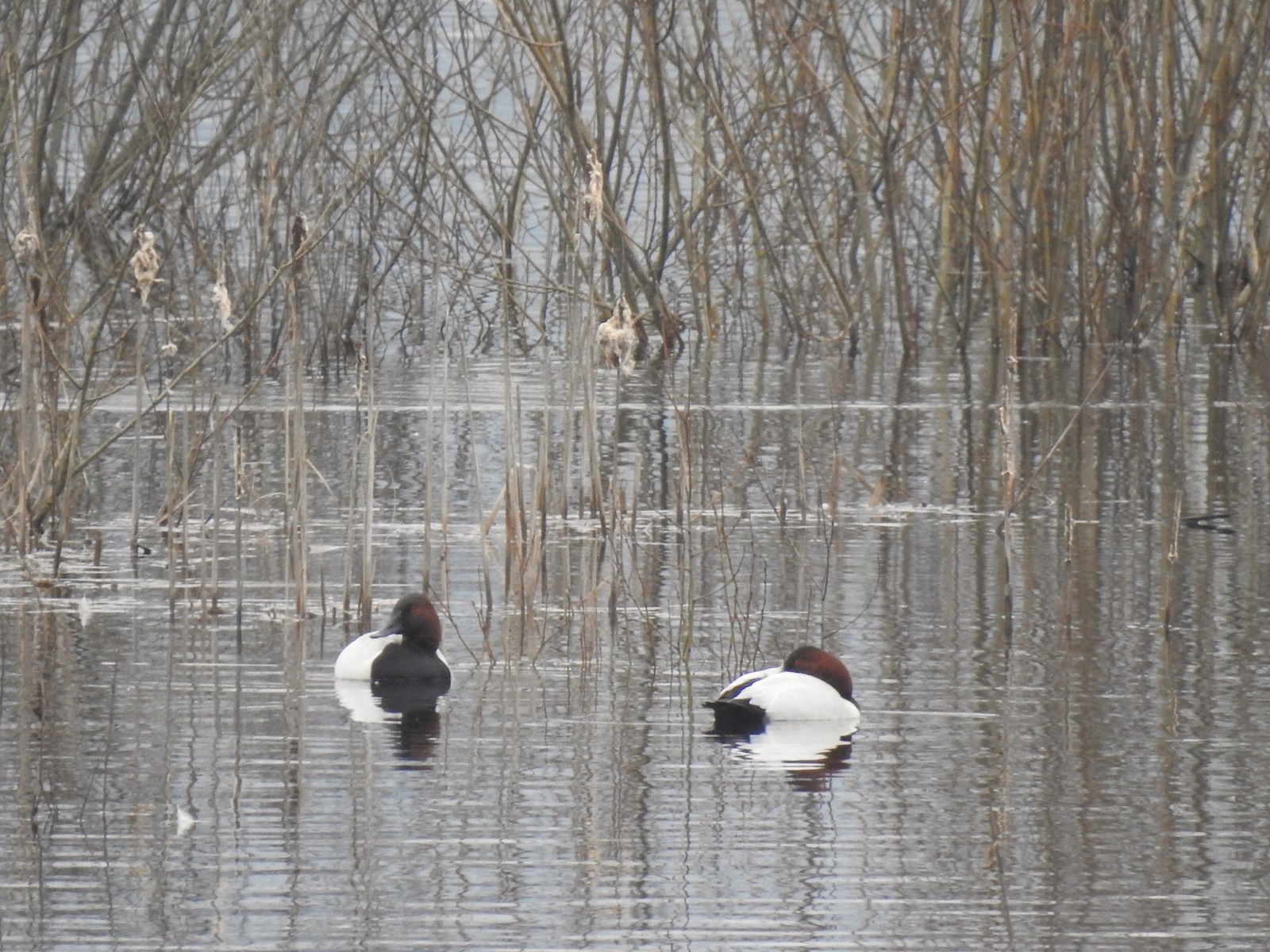 Canvasbacks, another first for us.
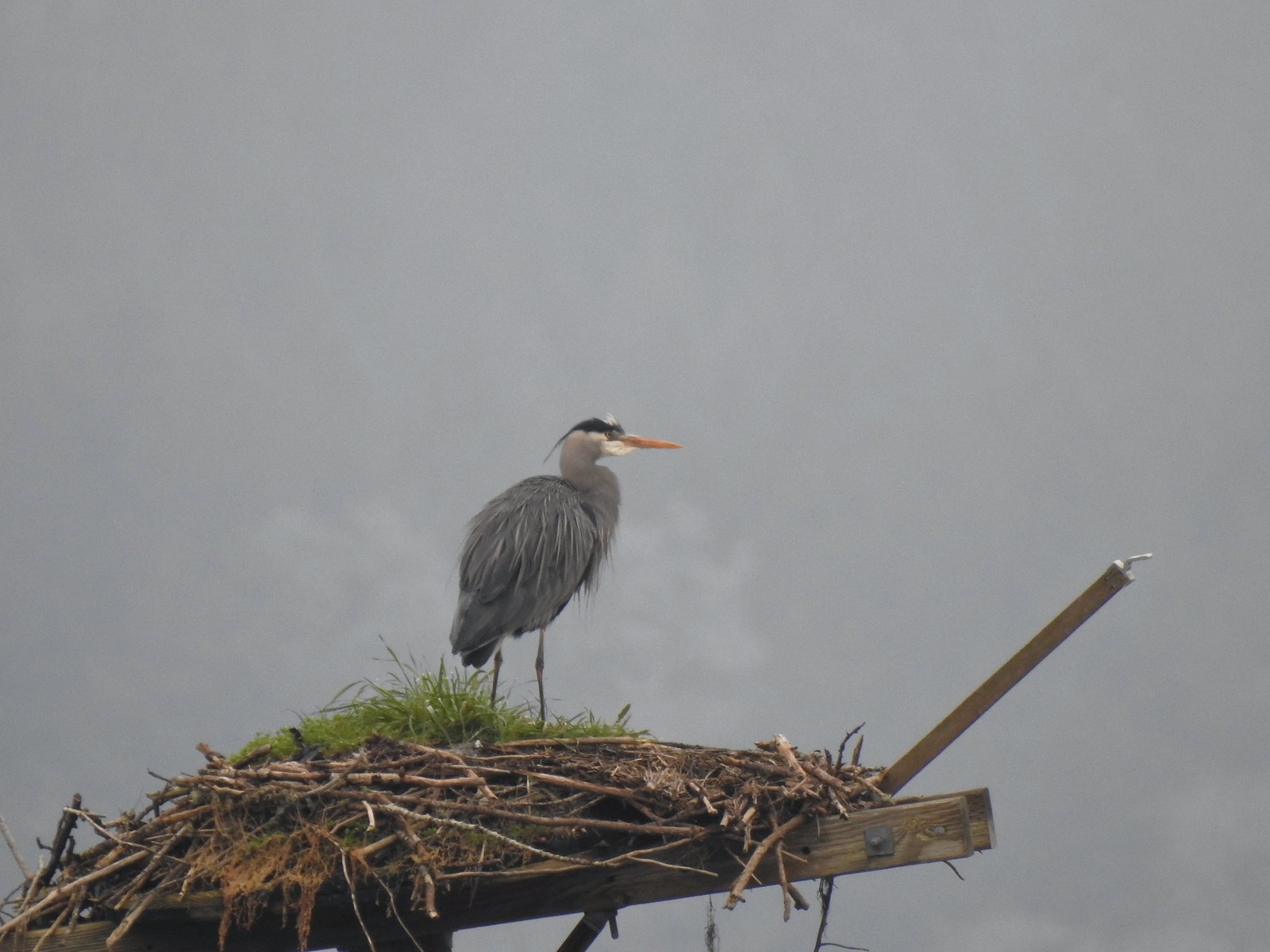 Great blue heron on the osprey nest.
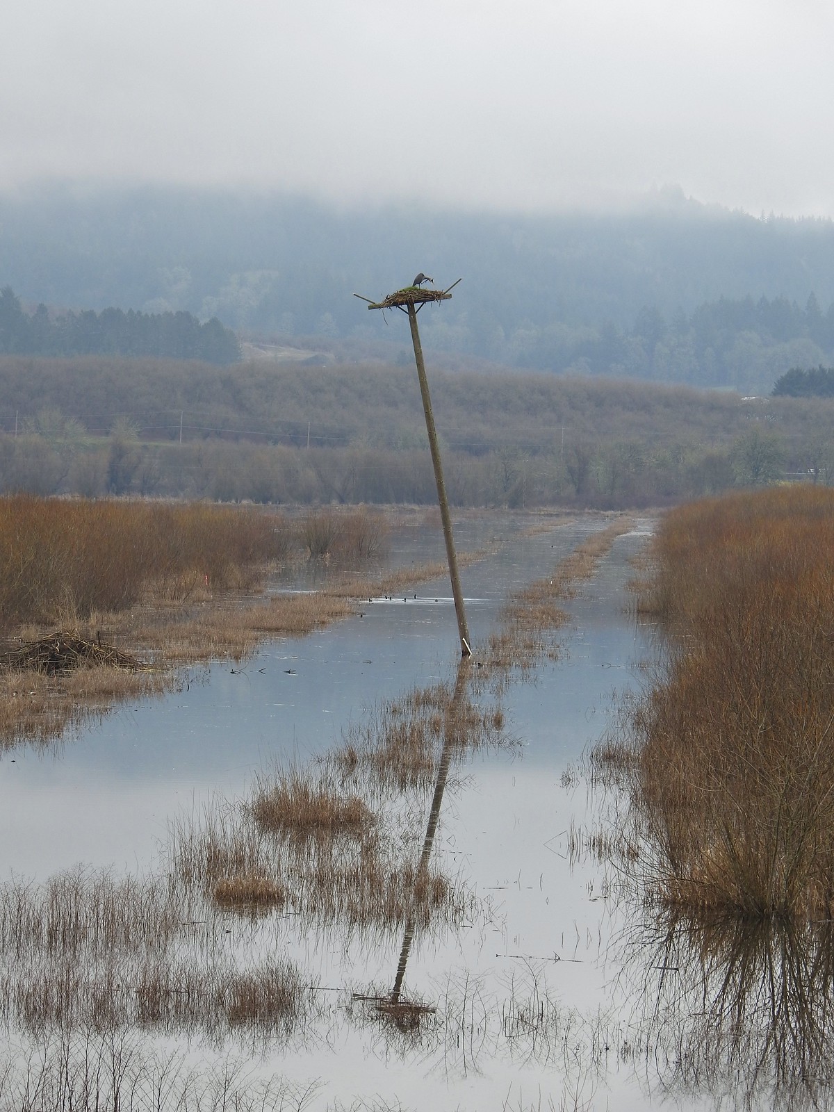 Ther heron on the nest.
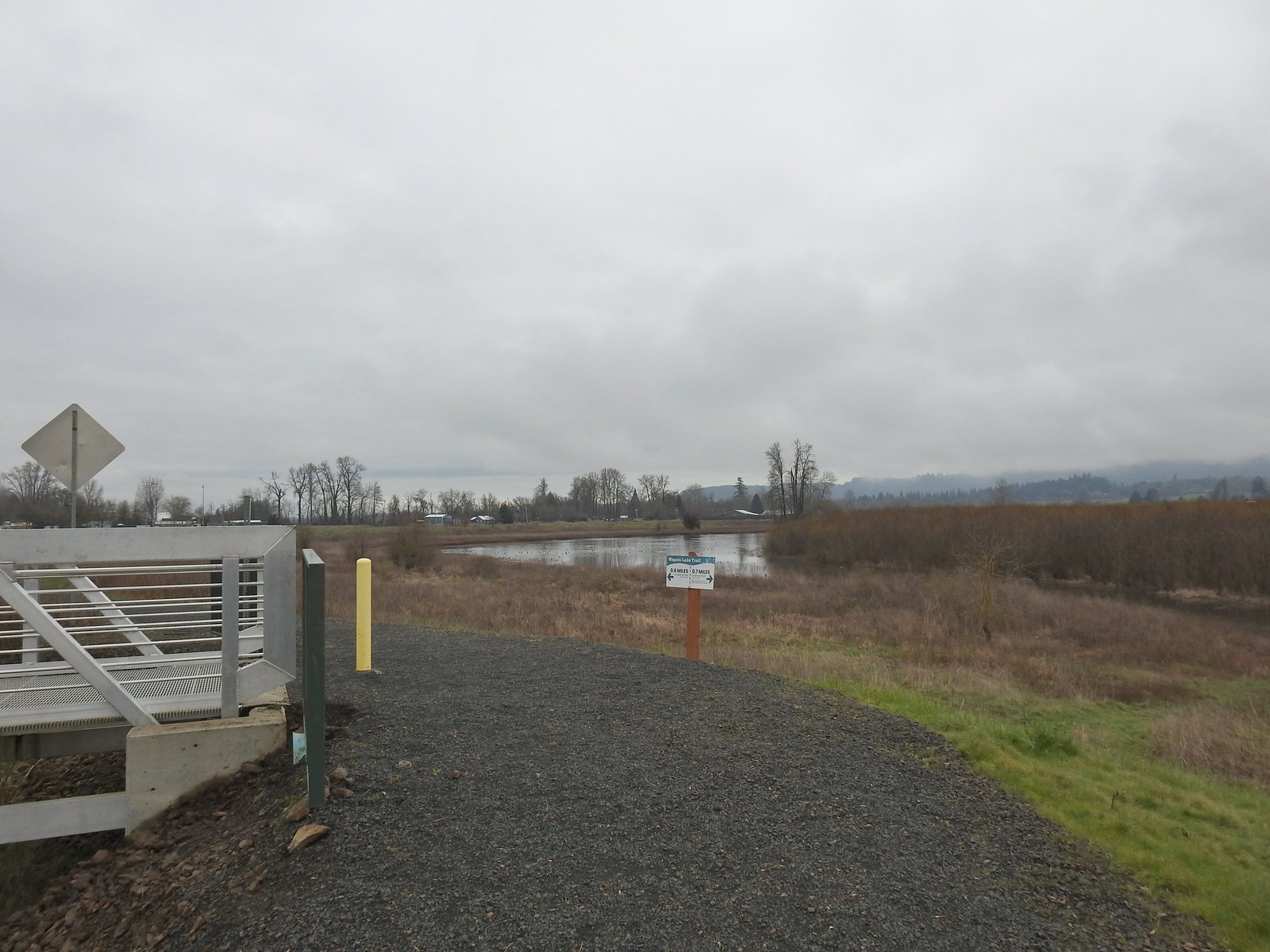
 Mallards
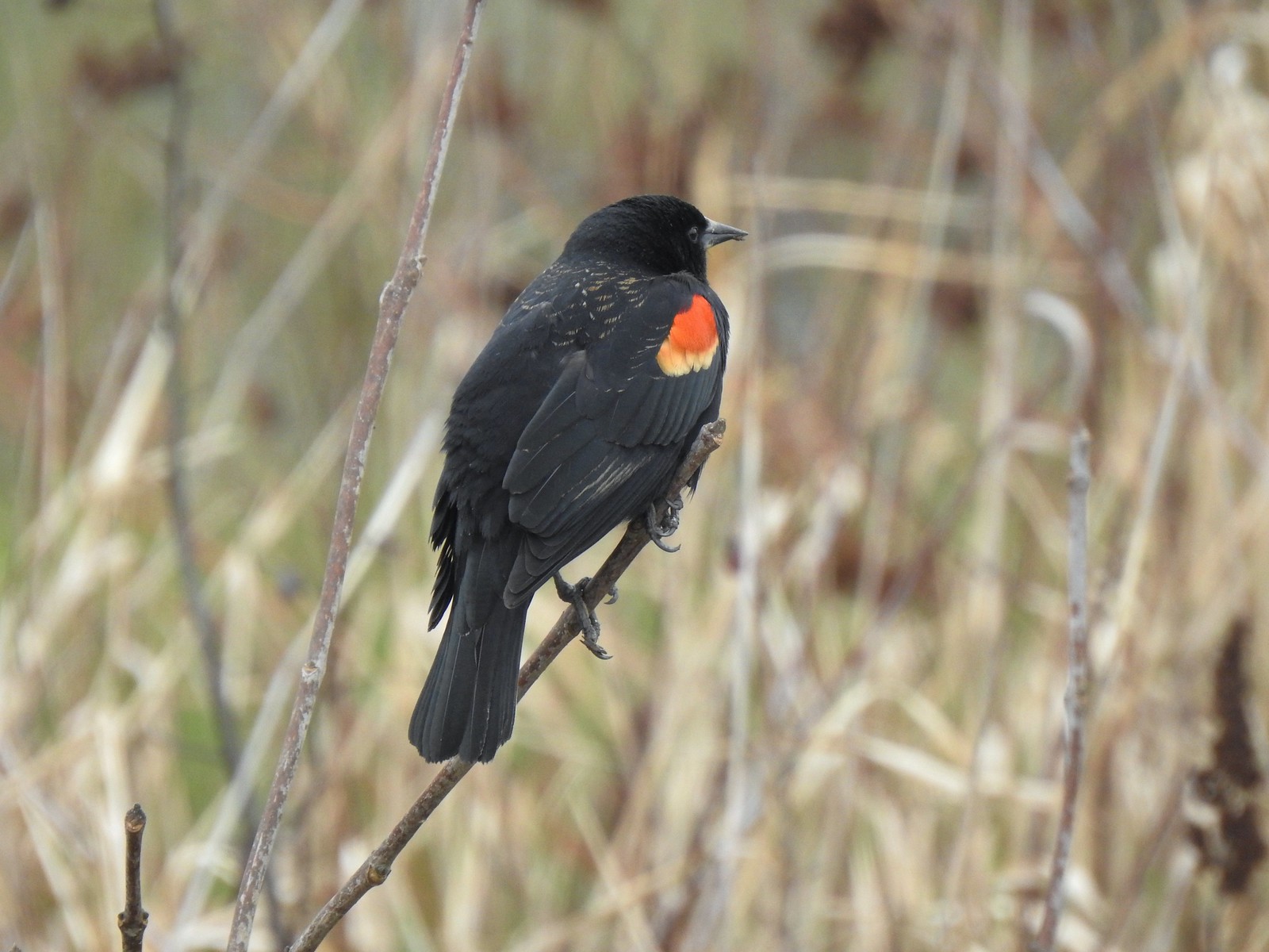 Red-winged blackbird
 Bald eagle
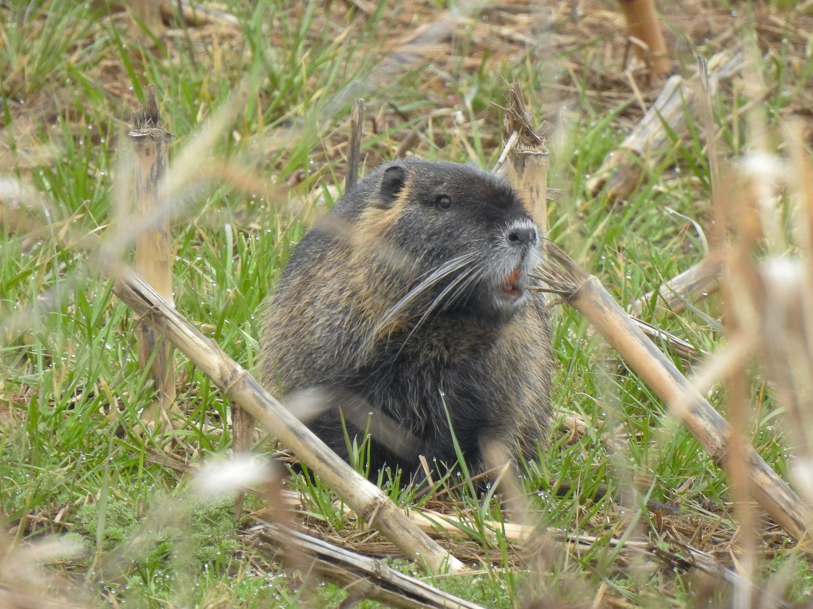 Nutria
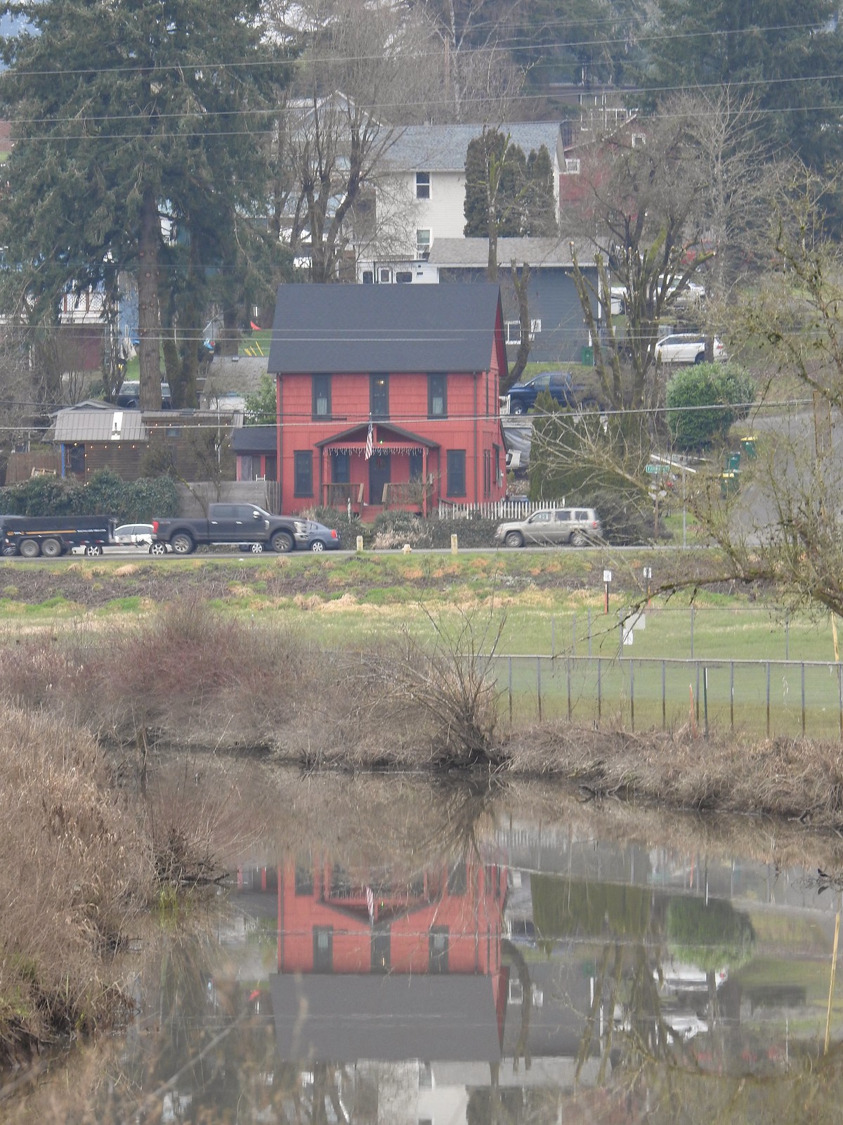 Gaston from the refuge.
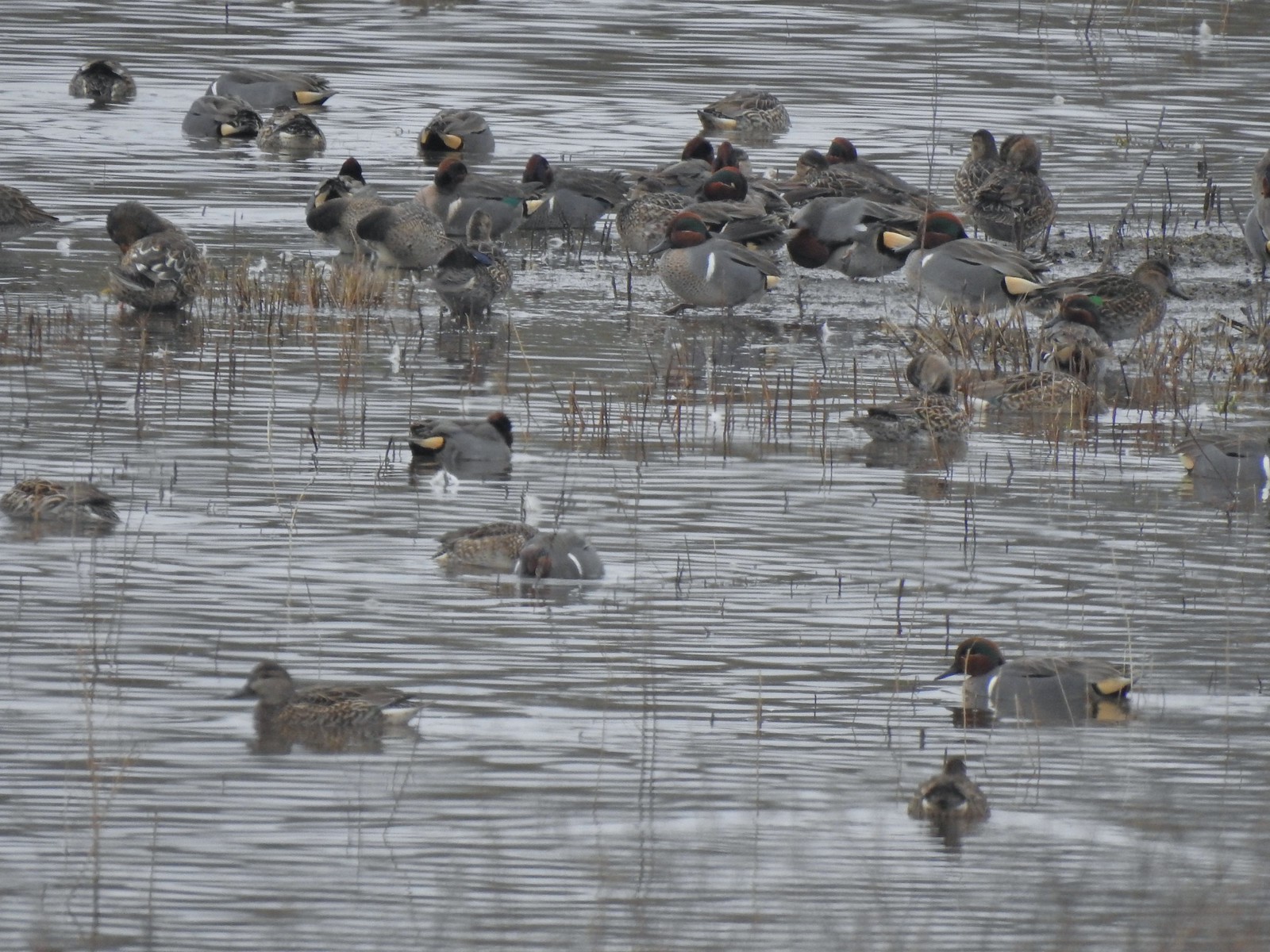 Green-winged teals
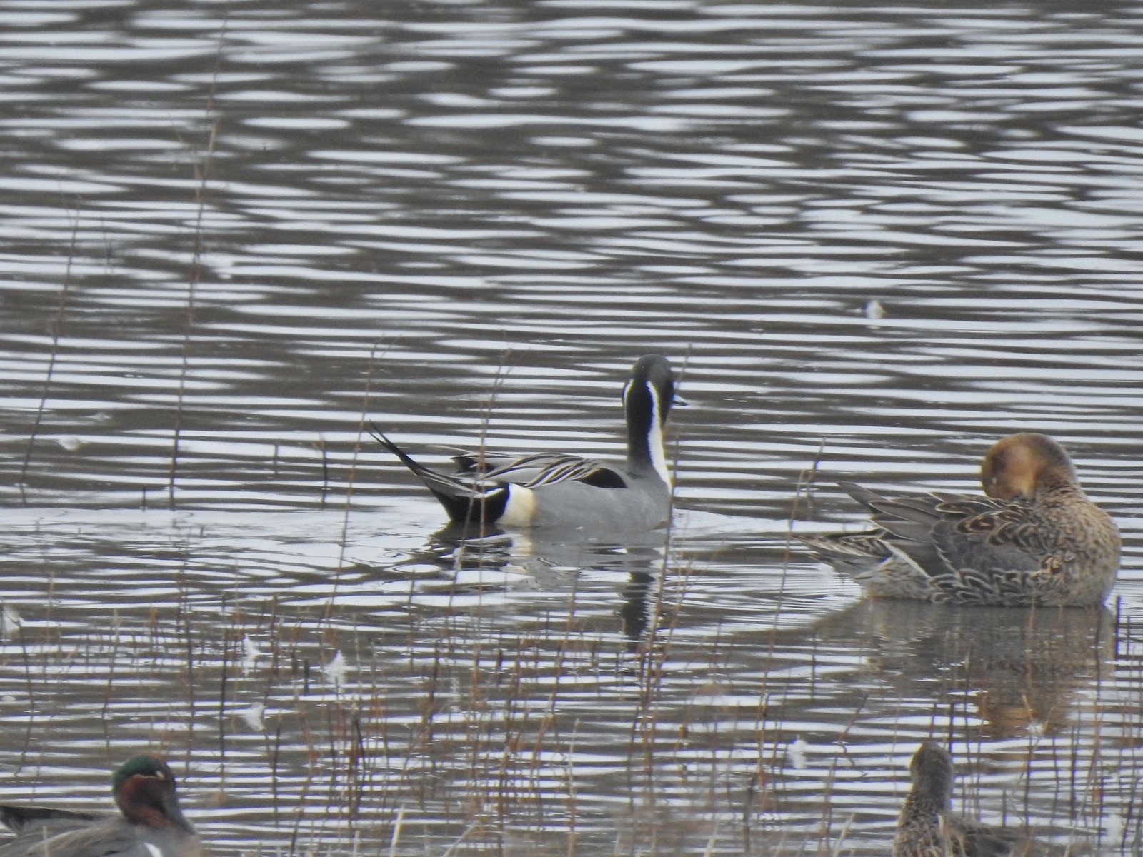 Northern pintails
 Mostly American wigeons and green-winged teals
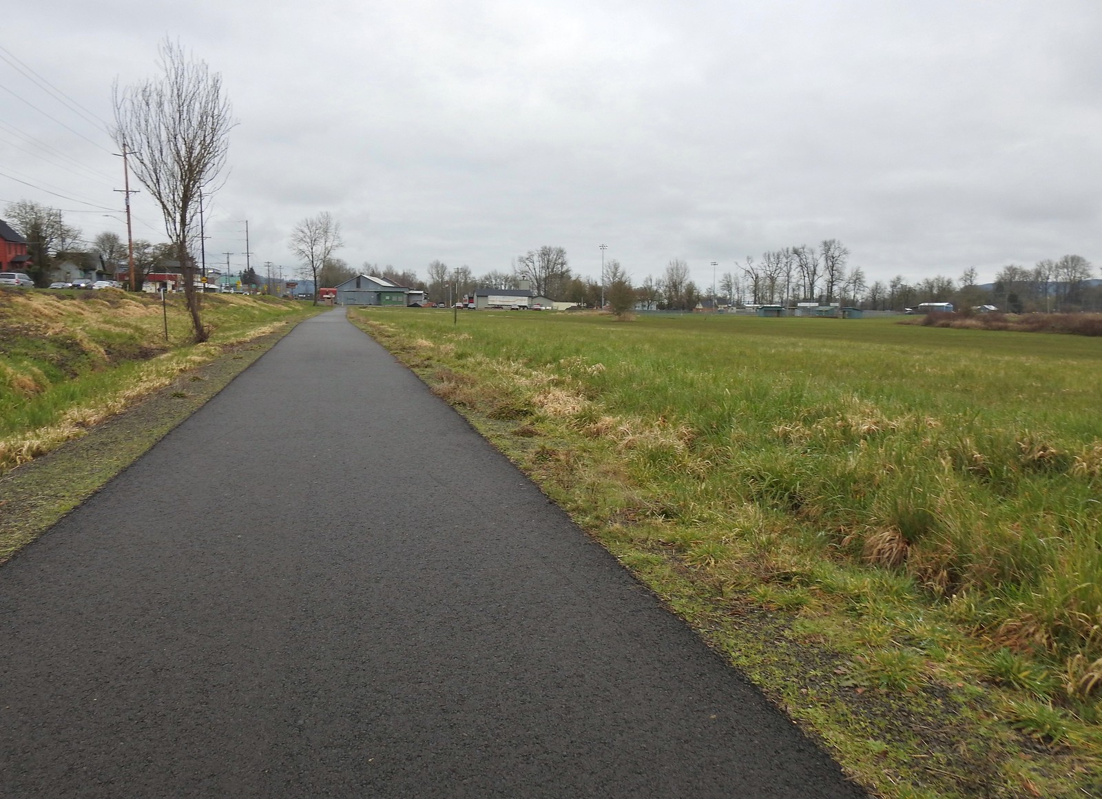 On the paved path back to the parking lot.


 Waverly Lake at sunrise.
 Mallards
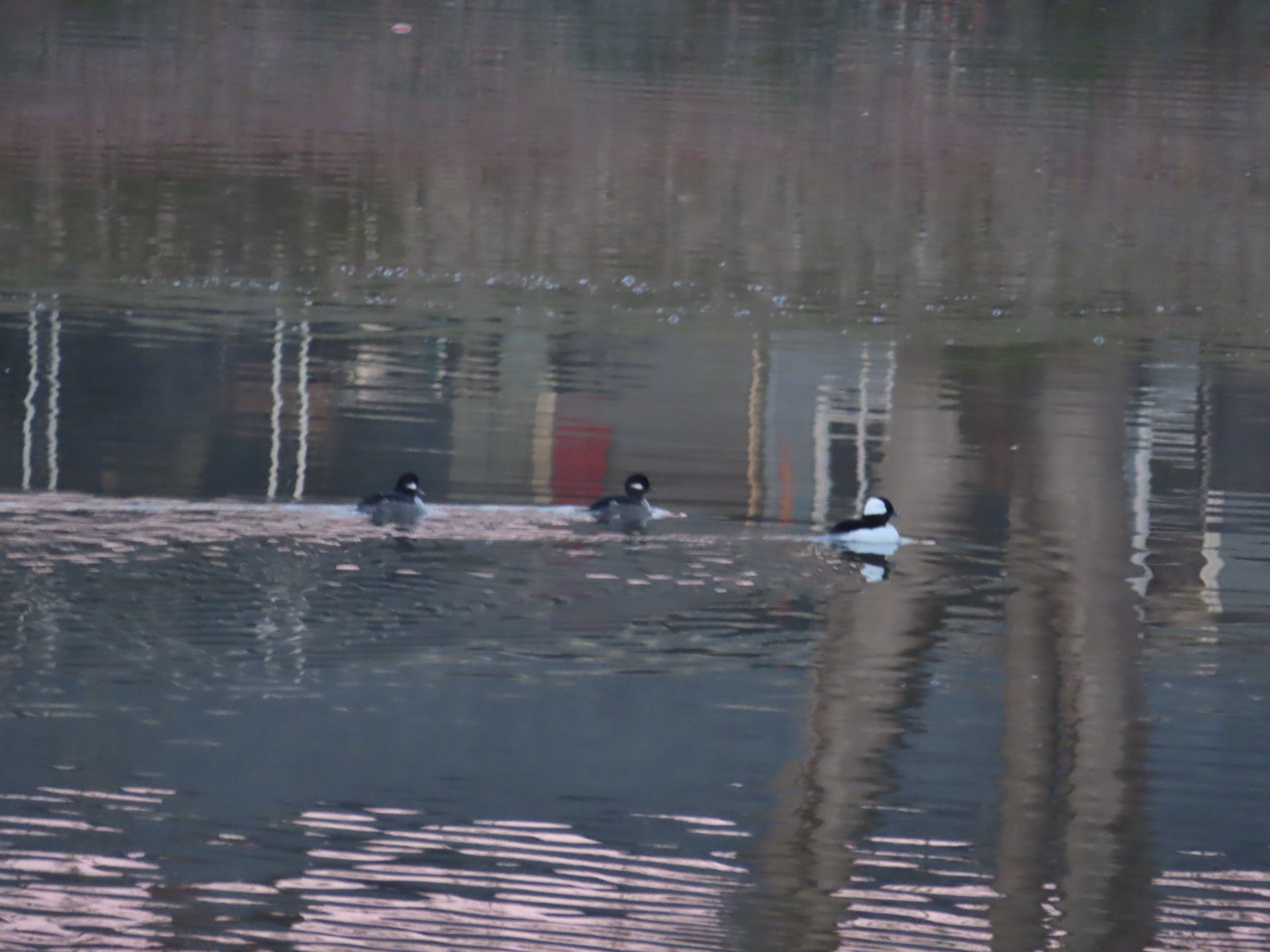 Buffleheads
 I think this is a ruddy duck.
 American coots
 Guessing these are some sort of domestic/mallard? crossbreeds. Very interesting looking.
 More mallards near Cox Creek
 Cox Creek flowing toward Waverly Lake.
 Nearing the outlet of Cox Creek.
 We almost got off-track here. This path on the right (just after passing under some railroad tracks) does lead into the wetlands but it wasn’t part of the Oregon Hikers described hike.
 One of several interpretive signs along the trails.
 Frosty leaves, it had been a chilly 28 degrees when we started out.
 Simpson Park
 The Simpson Park Trail is a 1 mile out and back along the Willamette River. It also offers access to the Riverfront Trail which one could follow SW almost 3.5 miles to Monteith Riverpark at the mouth of the Calapooia River. With Heather being limited to shorter hikes for now that wasn’t an option today but will be something we look forward to trying in the future.
 Map on a welcome sign.
 Frozen leaves


 American wigeons
 Bald eagle fly over
 Flock of geese flying over
 One of many unsigned intersections.
 Robin
Robin One of two memorials in the gardens.


 Bufflehead
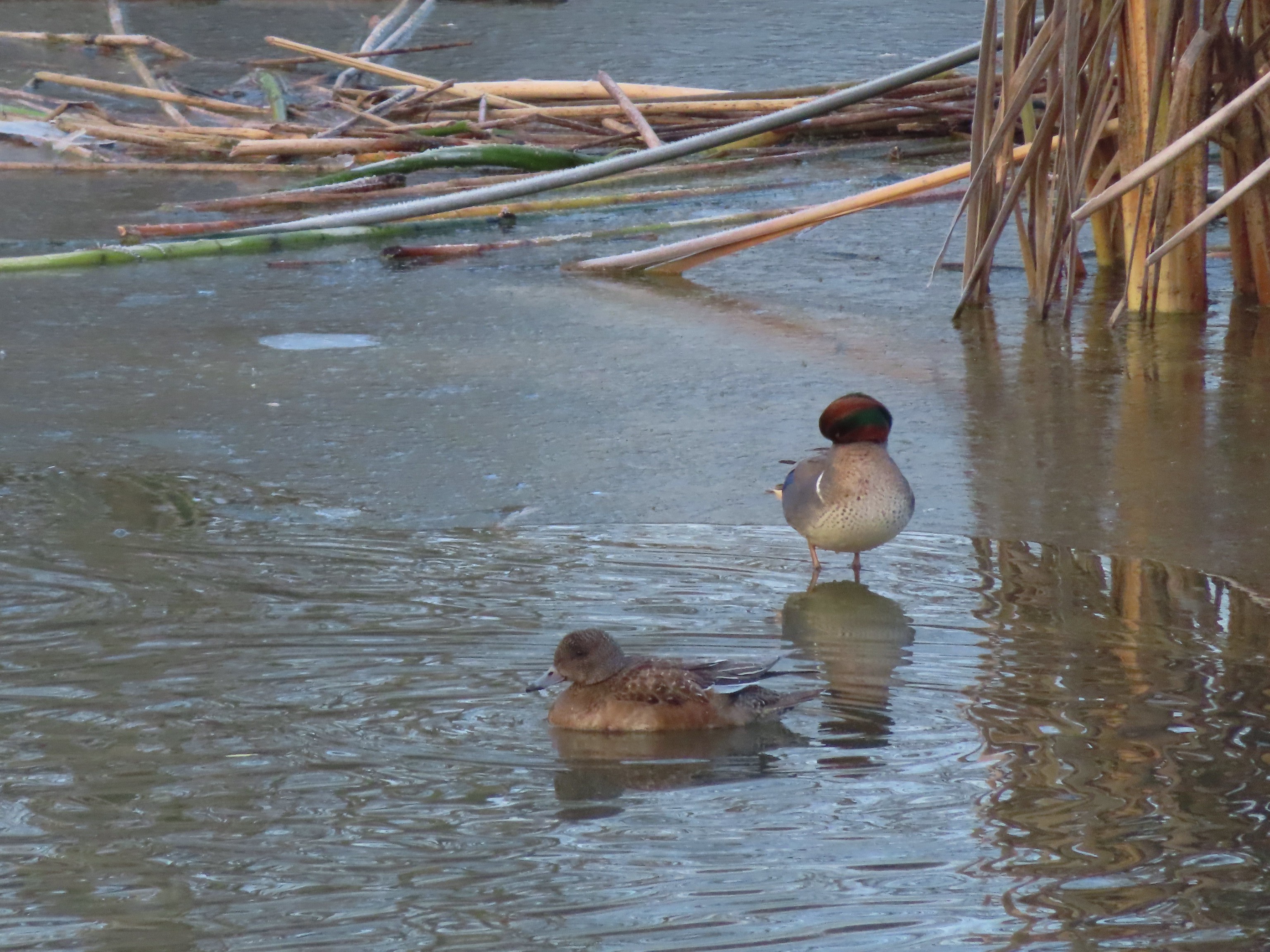 Green winged teal
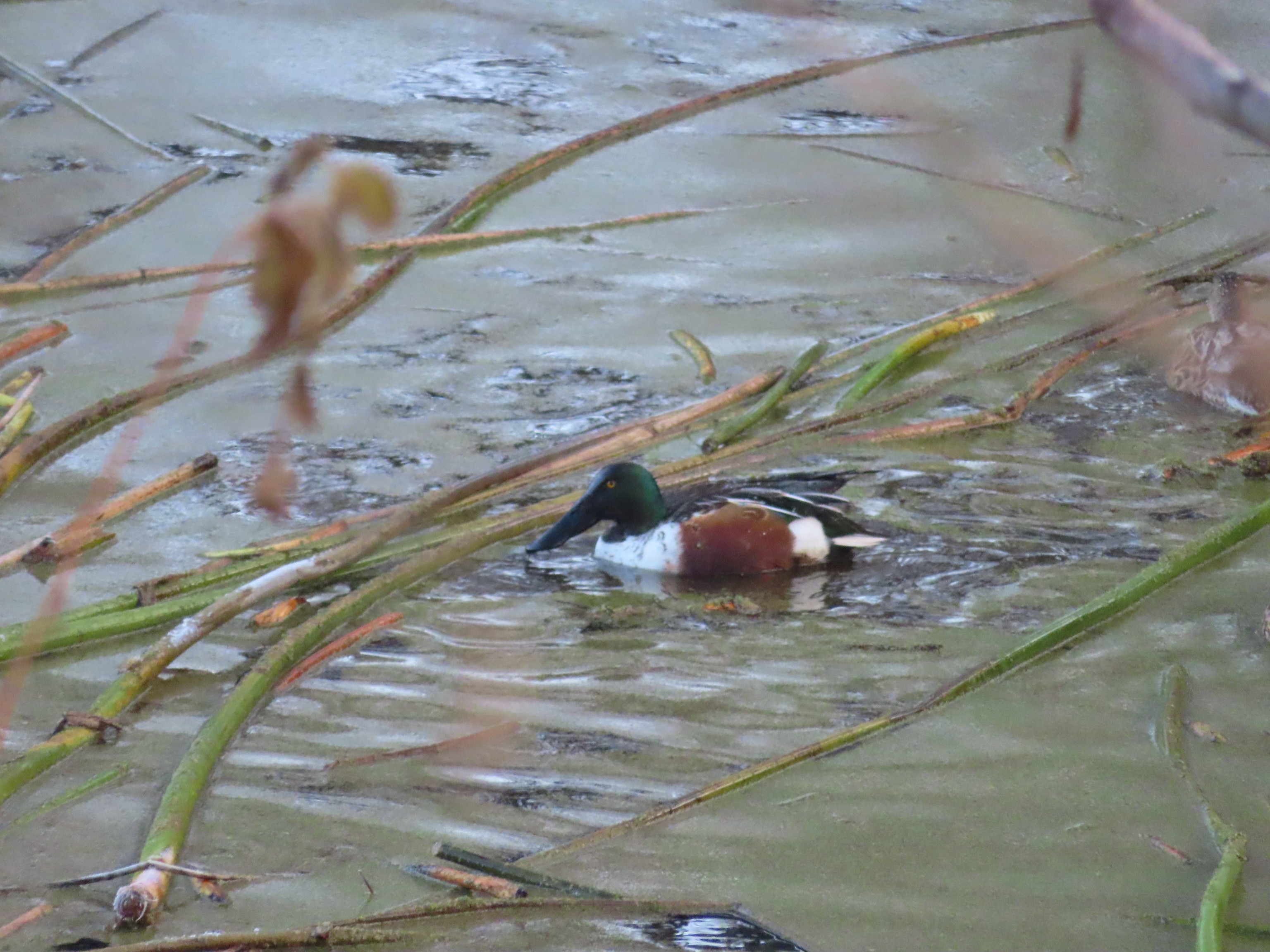 Northern shoveler
 Frost
Frost Simpson Park across a pond.
 Fishermen heading into the fog at Waverly Lake.
 Mallards hanging out in the fog.
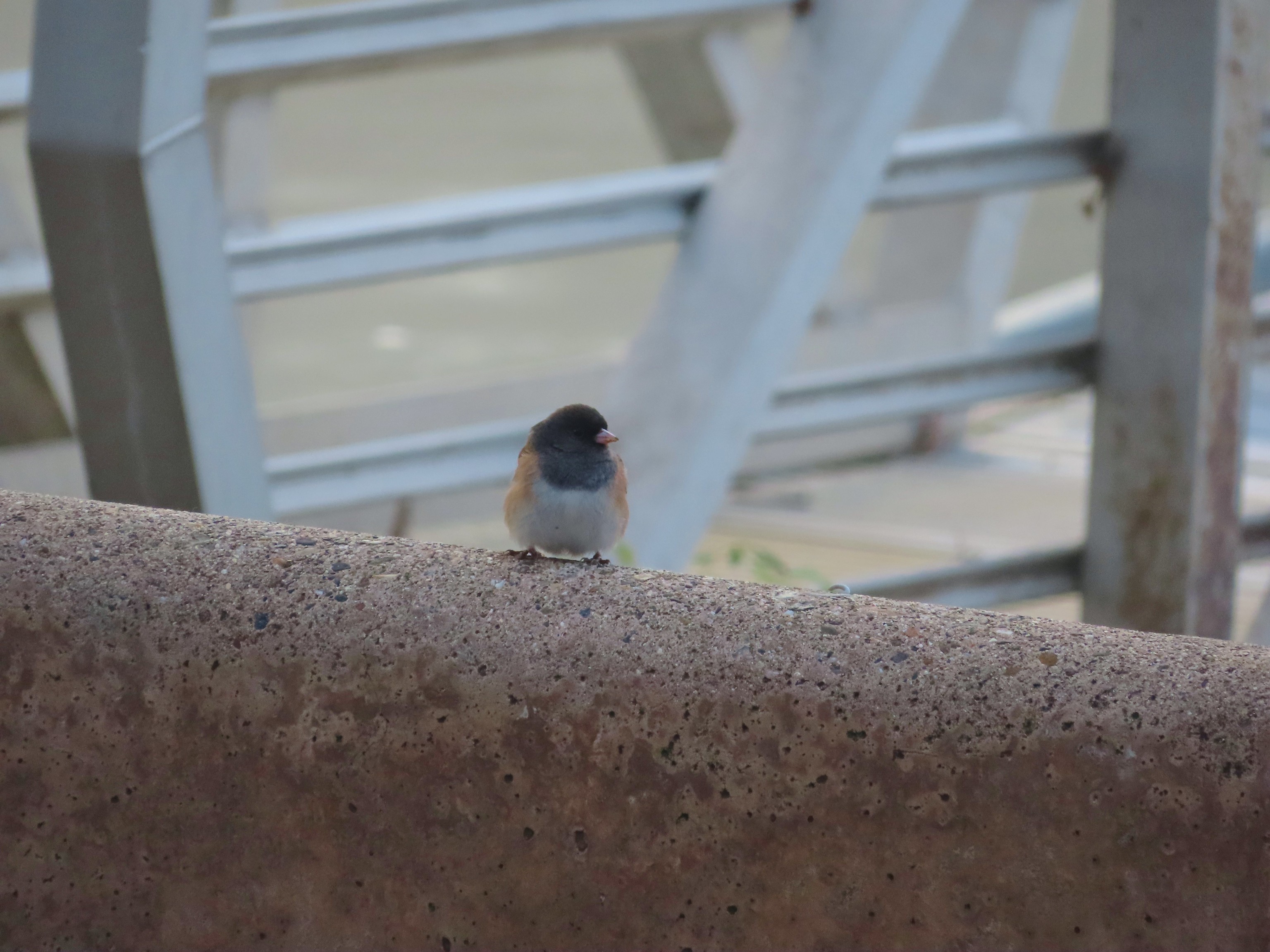 Dark eyed junco
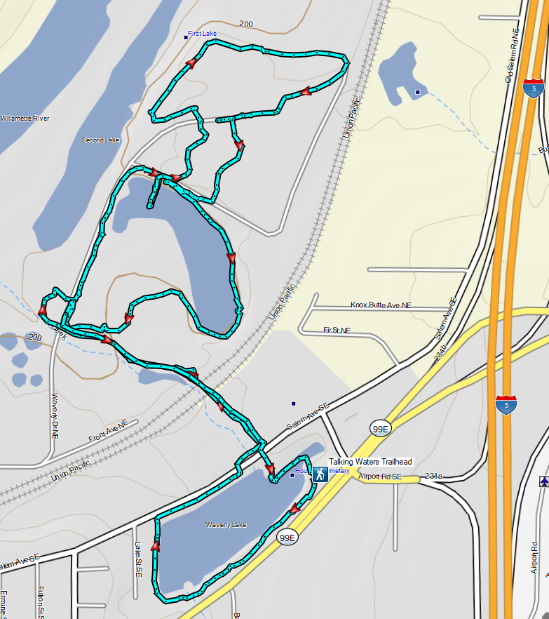


 A damp and cloudy morning.
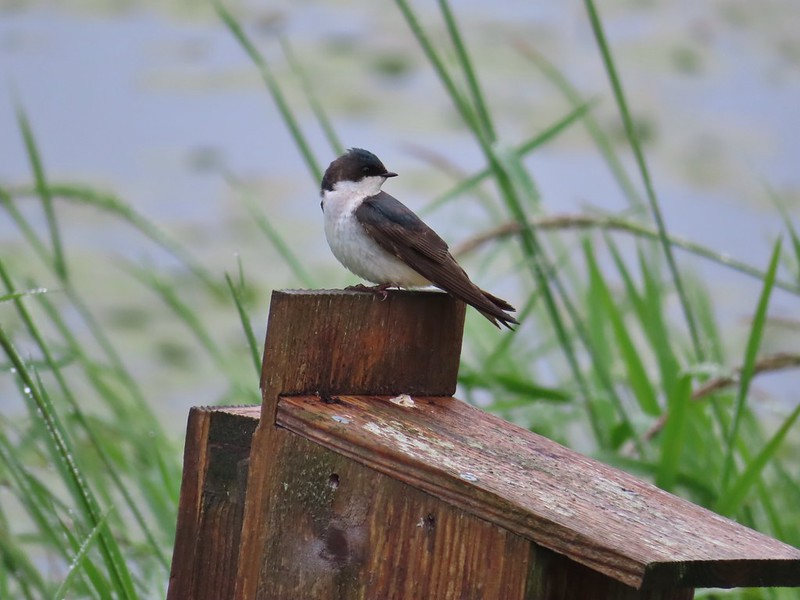 Swallow
 Indian Jack Slough and the garage from Refuge HQ.
 Elochoman Slough
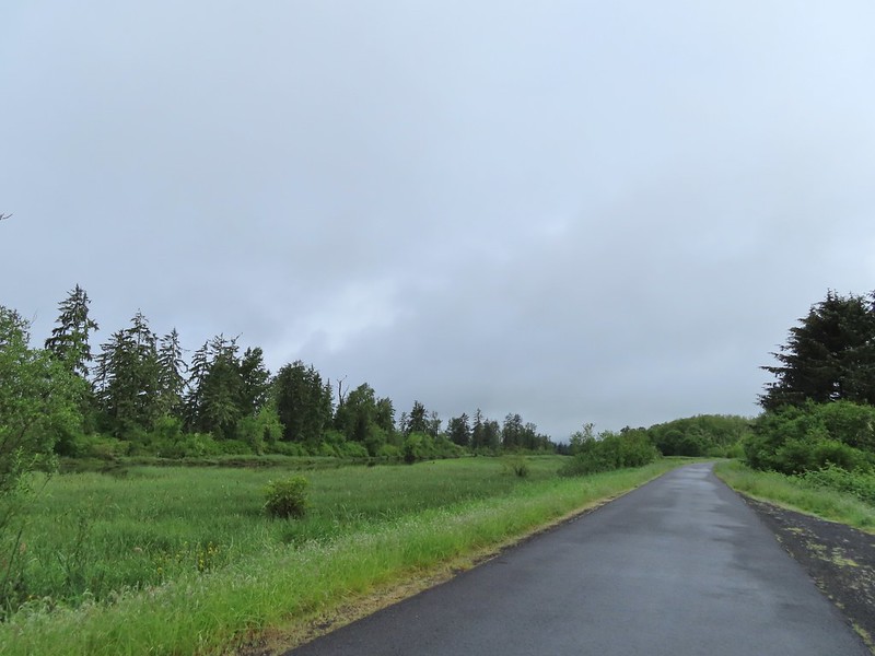 The first of many bald eagles we spotted (atop the dead tree across the slough).
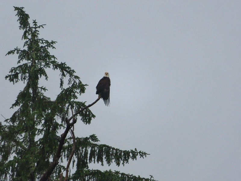 Working on drying out.
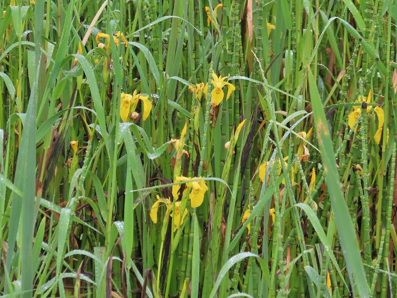 Lots of non-native yellow flag iris in the area.
 Little birds such as this sparrow were everywhere but rarely sat still.
 A different eagle waiting to dry.
 There are at least 5 birds in the tree including four goldfinches.
 A male goldfinch takes off.
 The morning clouds were starting to break up as forecasted.
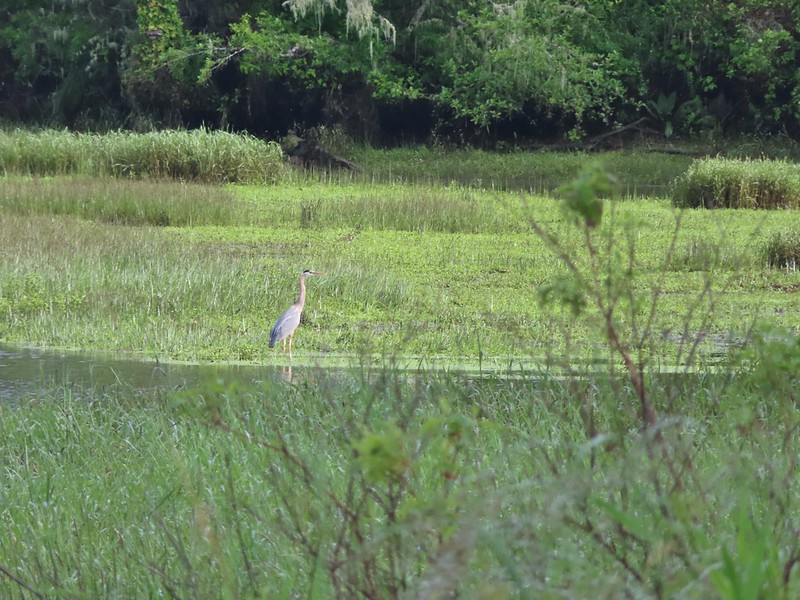 One of many great blue herons.

 A male wood duck.
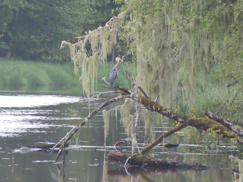 Another great blue heron with the female wood duck on the log below.
 The first of several osprey.
 Cattle in a field along the road.
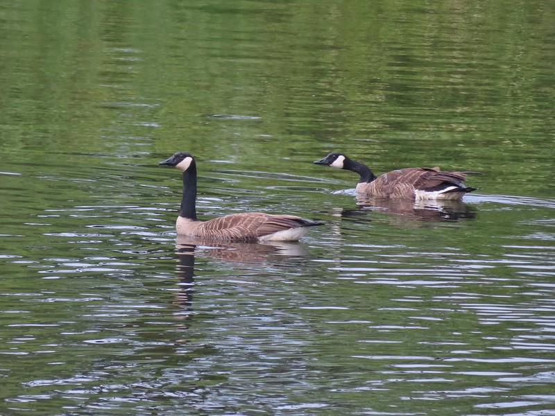 Geese
Geese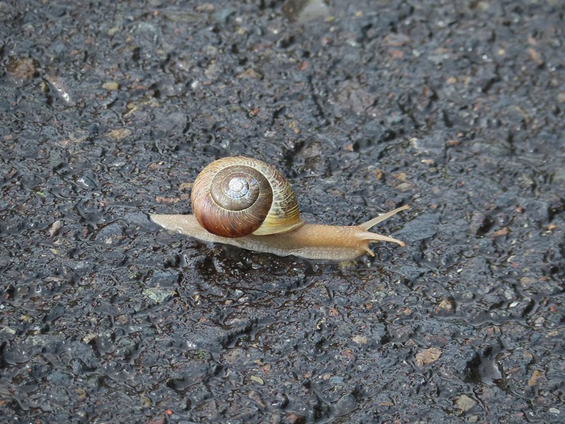 Snail crossing the road.
 Maybe a yellow warbler. I had to use the digital zoom to get between the branches so it’s not the clearest photo.
 There was a pole with a bunch of bird nests hung from it near the start of the trail. We’d never seen one like it before.
 Bald eagle in the same area.
 Slug on lupine
 A different type of lupine.
 Lupine, daisies and yellow gland-weed.
 Bumble bee needing to dry out.


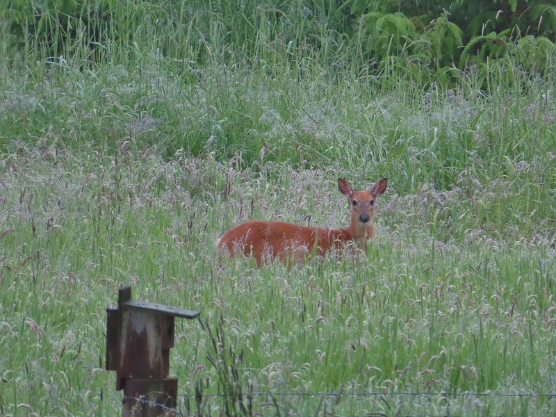
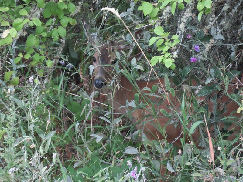
 A look at the white tail. He gave us a better look but in that one he was also doing his business so we stuck with this uncentered, slightly blurry version.
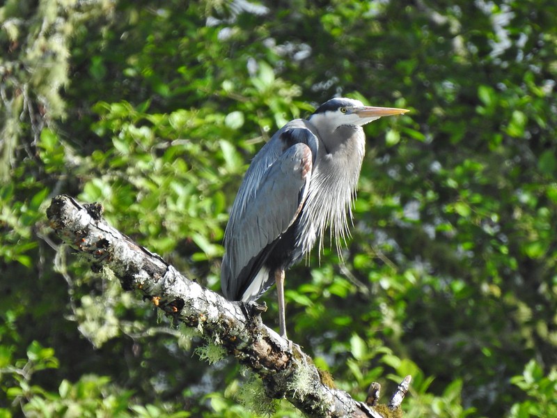

 Guessing marsh wren.
 Ducks
Ducks Goose with goslings.
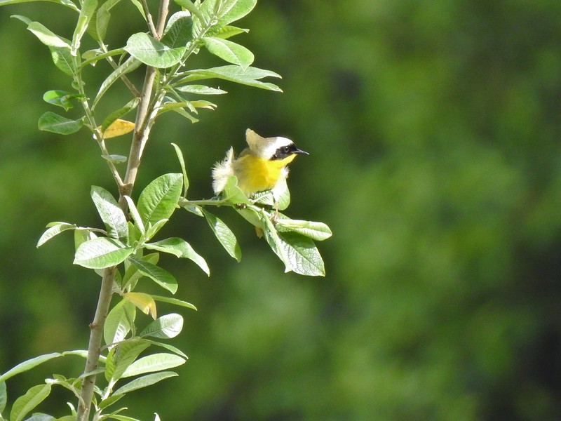 Common yellow throat.
 Male gadwall?
 There was pretty much non-stop bird song throughout the day.
 Traffic on the Columbia River.
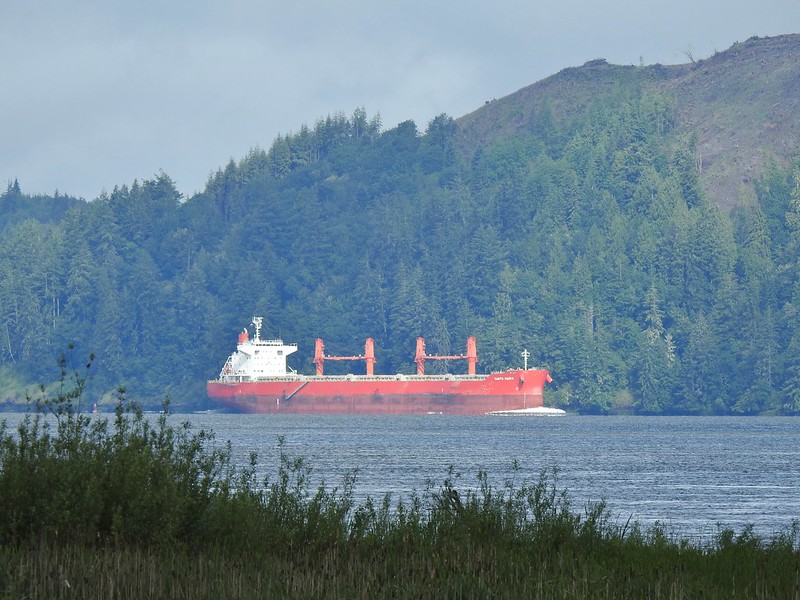 The Santa Maria on the Columbia.
 Female brown-headed cowbird?
 Flowers along the levee.
 American robin
 Red-winged blackbird chasing a heron.

 Note the sign does not indicate that you cannot reach the HQ from the road, it simply says it is 5 miles round trip. Online it adds that hikers must exit the trail the way they entered.
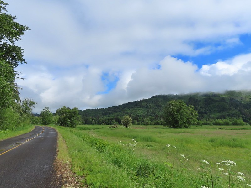
 Roses along the road.
 Muskrat
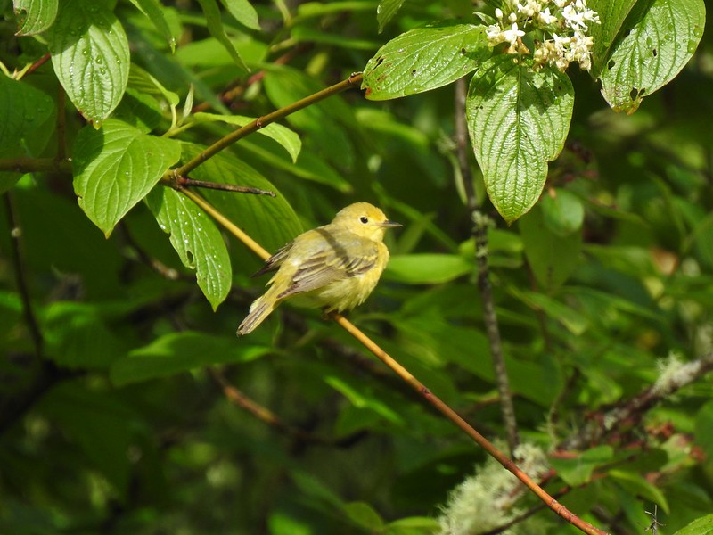 Warbler
 Osprey
 Brooks Slough Road junction.
 Another eagle sitting near the top of the first tall tree on the far side of the slough.
 Interesting shrub along the road.
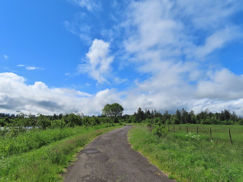 The partly sunny skies had indeed materialized.
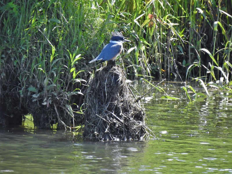 Kingfisher
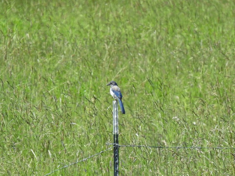 California scrub jay
 White pelicans
 Some sort of ornamental shrub/tree but it had cool flowers.
 Turkey vulture
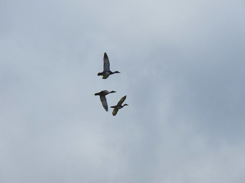 Couldn’t tell what type of ducks they were.
 Alger Creek somewhere in the grass flowing into Brooks Slough.
 Pond on the other side of the road.
 Black pheobe?
 Red-tailed hawk
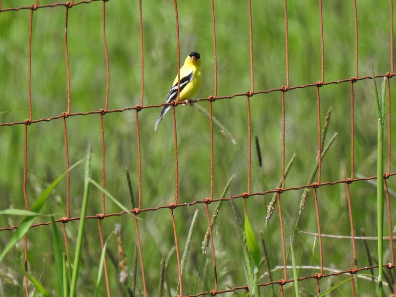 American goldfinch
 Swallowtail
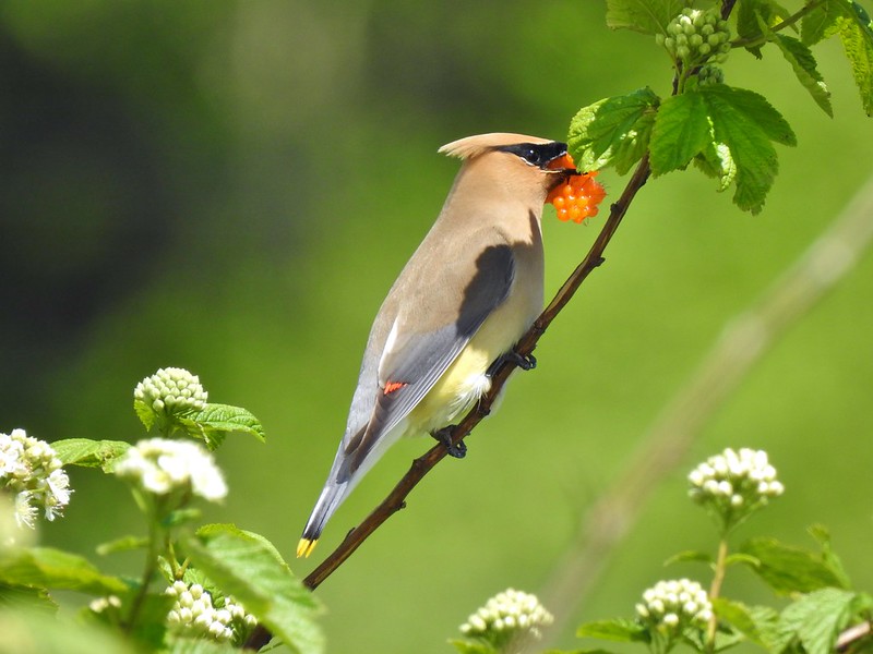 Cedar waxwing with a salmonberry.
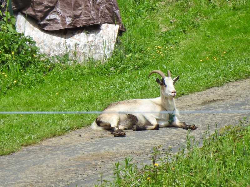 Goat lounging in a driveway across the highway. There had actually been a black goat in nearly the same spot on our first pass.
 Caterpillar
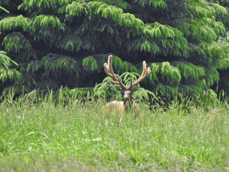
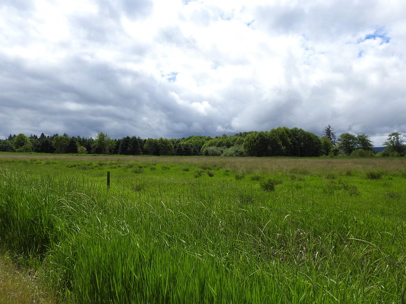 The elk is in the center of the photo near the tree line.
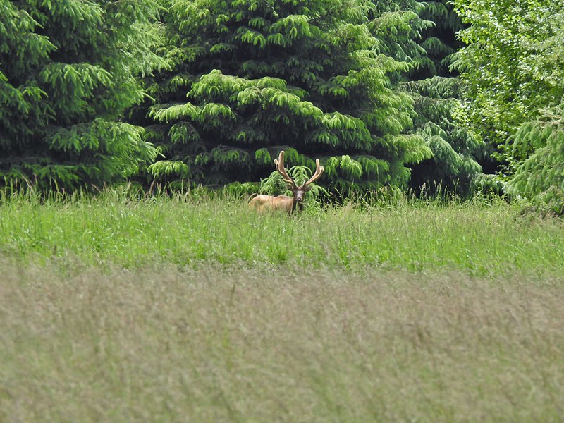


 Here is a not so decent picture of the egrets.
 One of the bitterns in flight.
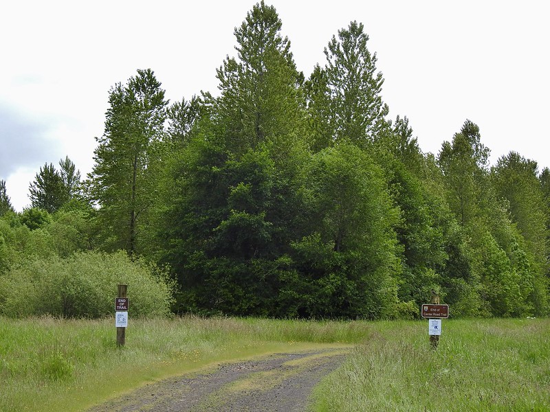


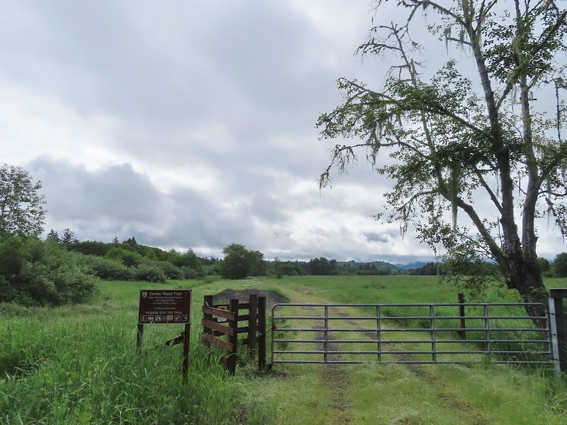
 Heather spotted this garter snake along Center Road. Another animal to add to the days list.
 Back at the White-tail Trail.
 It had cooled down again which provided some relief as we trudged back.
 A second turtle
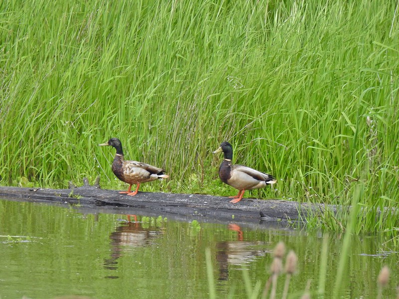 Mallards
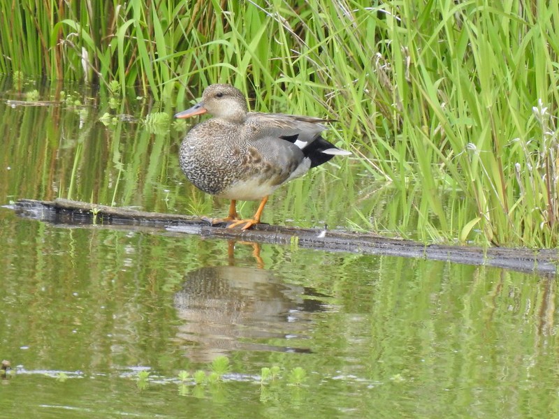
 Way more water in the afternoon.
 Another kingfisher. It was in the same tree as the heron had been earlier that morning when we were watching the bucks.
 Family swim
 By Steamboat Slough Road we had all kinds of blisters/hotspots on our feet.
 Arriving back at the refuge HQ.
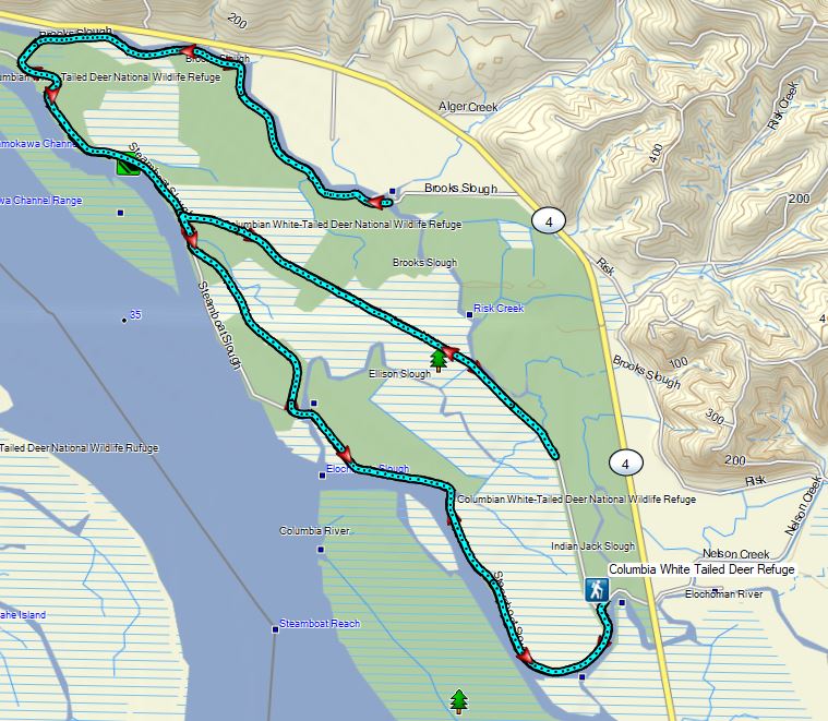


 Camas
Camas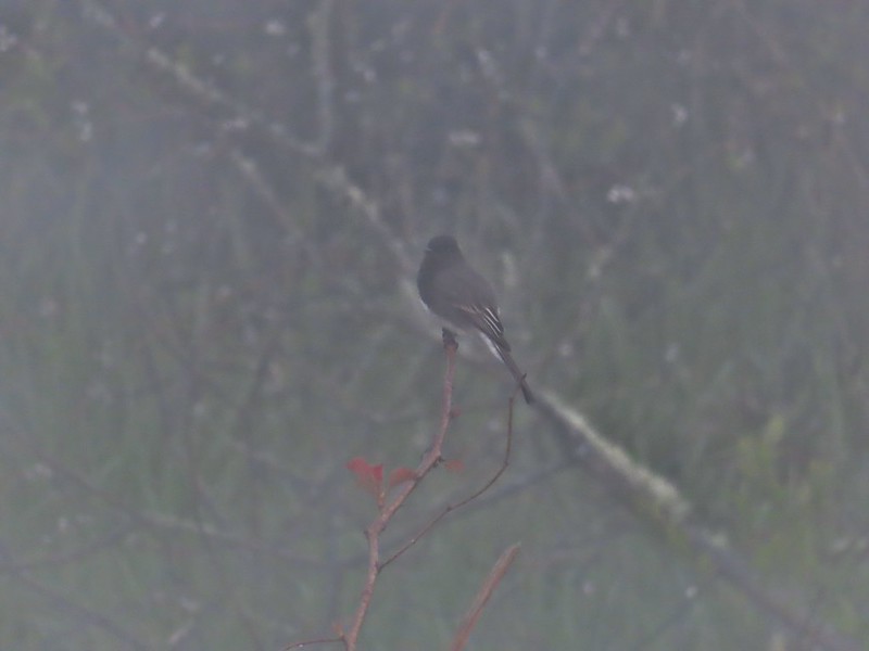 Black phoebe in the fog. It’s the only one seen all day so despite the poor quality I kept the photo.
 Wet spider webs are the best.
 There was a brief respite in the fog before it rolled in again.
 The fog bank waiting to move back in.
 Teal Marsh
 Northern flicker
 A very grumpy looking spotted towhee
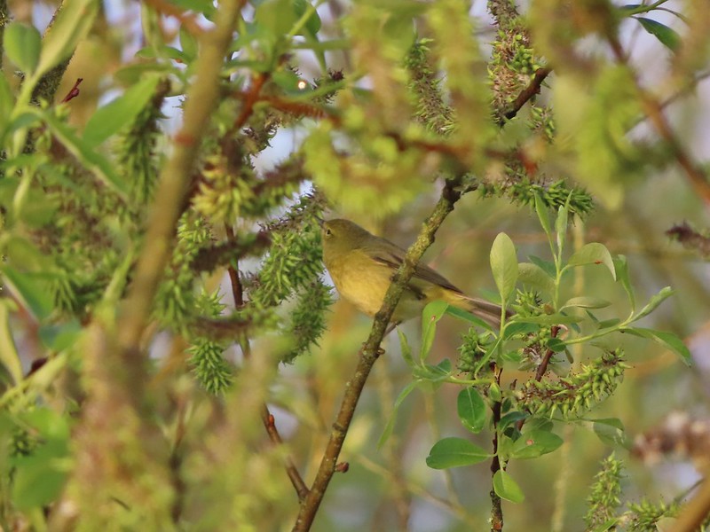 I have a hard time identifying some of these little birds. This one may be an orange-crowned warbler.
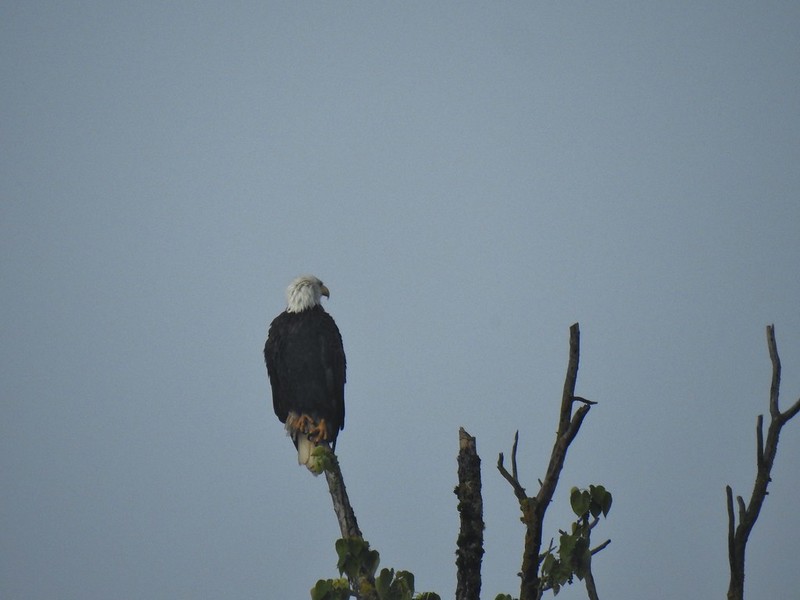 A bald eagle that was across Willow Marsh.
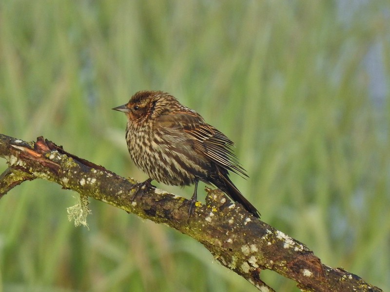 Female red-winged blackbird
 Buffleheads
 A less grumpy looking spotted towhee
 Here comes the fog again.
 Black capped chickadee
 Yellow-rumped warbler (Audubon’s)
 Red-winged blackbird
 Wrens can be tricky too, I think this is a marsh wren.
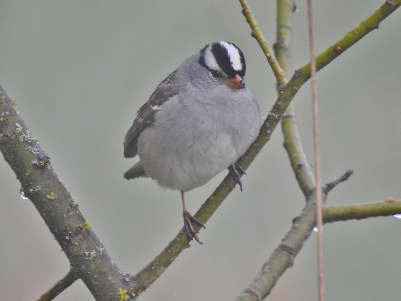 White-crowned sparrow
 Song sparrow
 Eagle Marsh, still can’t see much.
 Bashaw Creek
 Egret Marsh from the blind.


 Lots of fringecup along the trail.
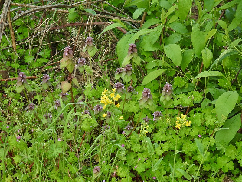 Purple deadnettle and field mustard
 Common yellow-throat
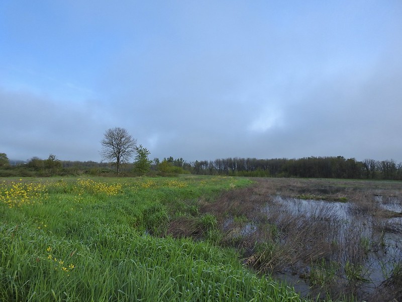 Looking back along the eastern side of the marsh. There was a lot less water this year.
 Water level on 4/13/21.
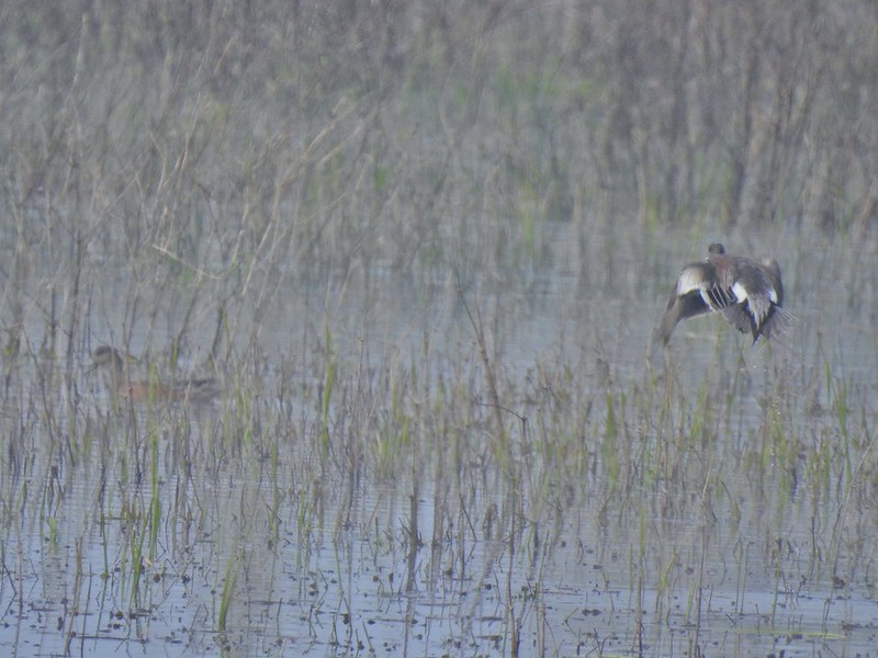 Seeing them was a lot easier than getting photos.
 Canada flamingo?
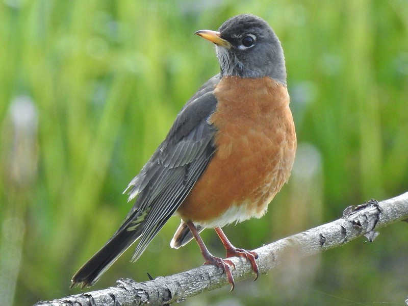 American robin
 Dunlin Pond from the boardwalk.

 Egret Marsh
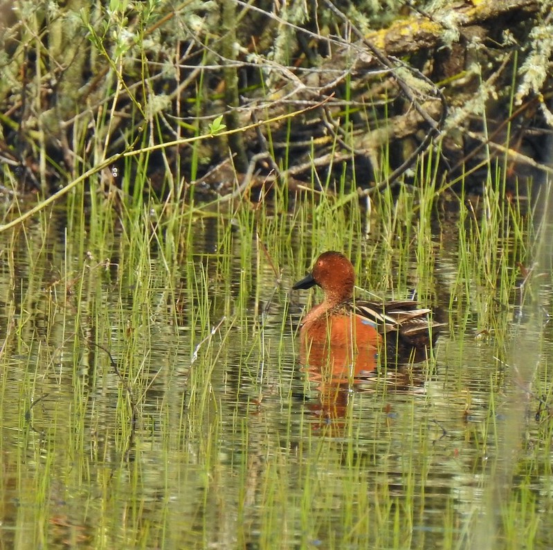
 Ring-necked ducks.
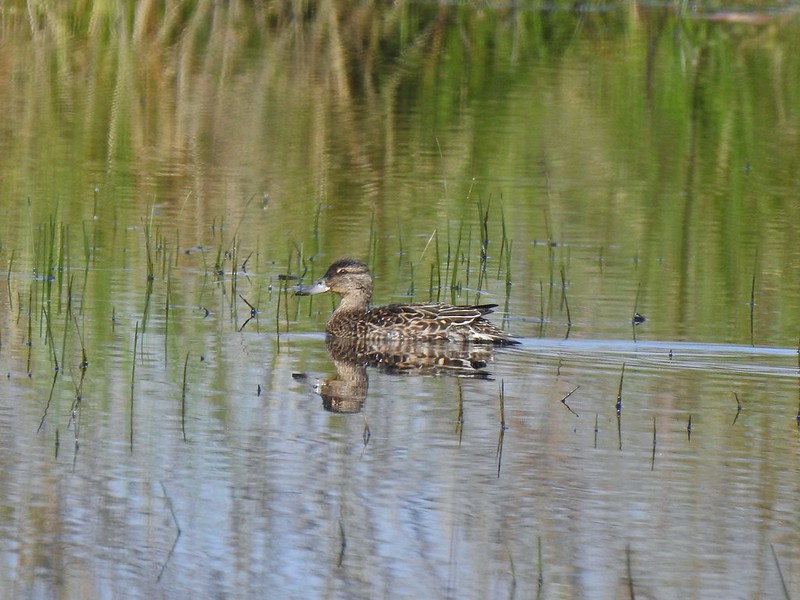 Anyone know if this is a female cinnamon or blue-winged teal?
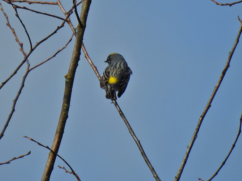 Another yellow-rumped warbler (Audubon’s) showing off its yellow rump.
 Egret Marsh
 The trail around Egret Marsh.
 I think these might be long-billed dowichters. Please correct me if I’m wrong.
 Heading to the right turn. Egret Marsh is on the left and Mallard Marsh on the right. A huge flock of geese had just taken to the sky.
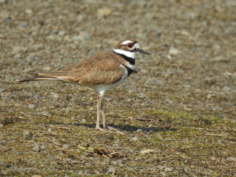 Killdeer
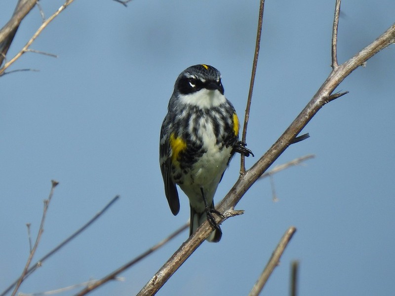 Today I realized that there are two yellow-rumped warblers, this one is a Myrtle, note the white throat compared to the yellow throat of the Audubon’s above.
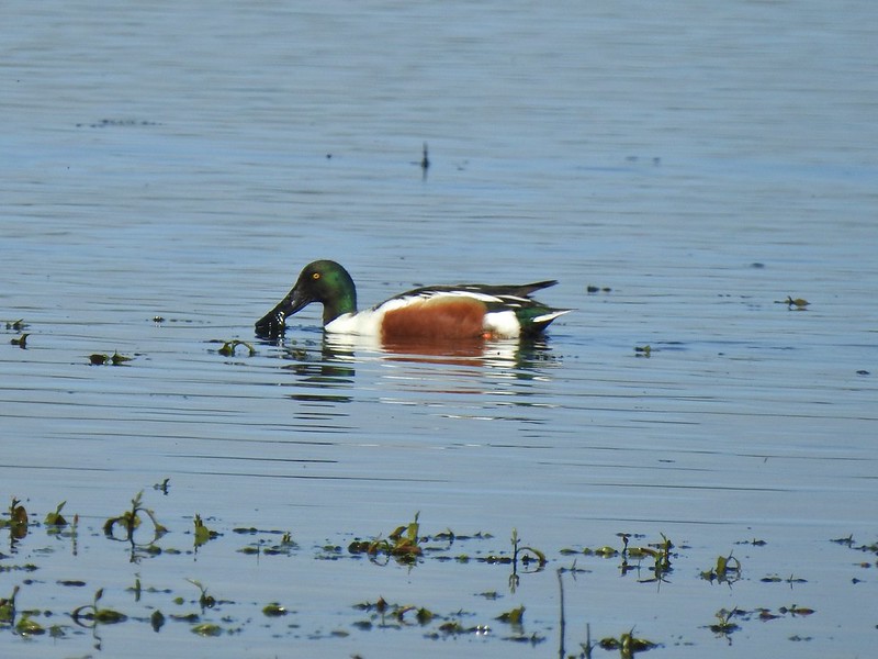 Northern shoveler
 Mohoff Pond and Mallard Marsh
 Canada goose with various ducks in the background. At least one of the ducks is a ruddy duck which is one I hadn’t seen yet (that I know of). They were too far to get clear photos of though.
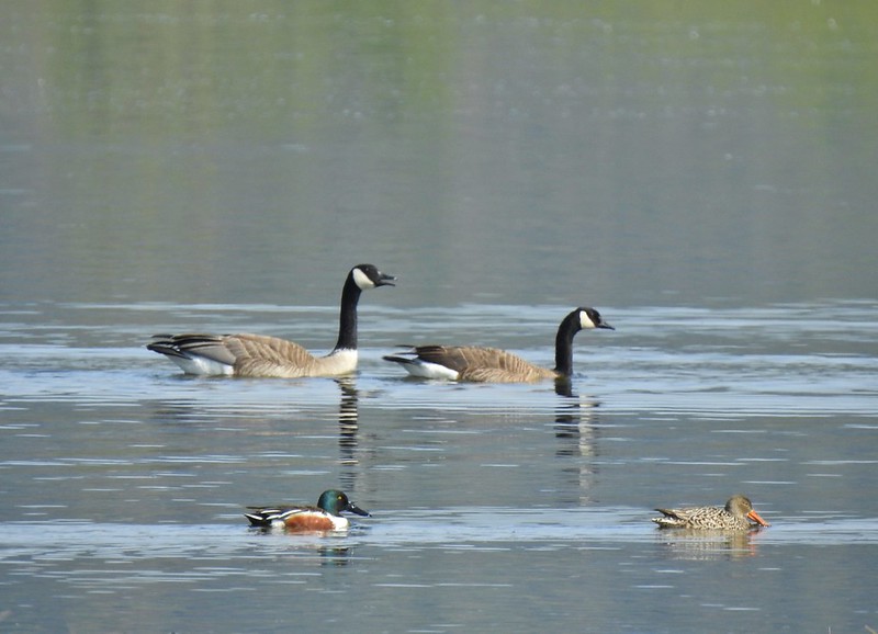 Canada geese and northern shovelers giving a good size comparison.
 The black dots in the sky here aren’t geese, they are little insects that followed me along the dike.
 Not Canada geese flying over.
 Immature bald eagle.
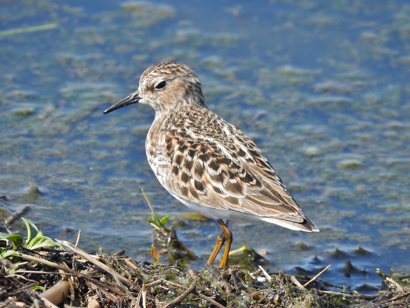 Sandpiper
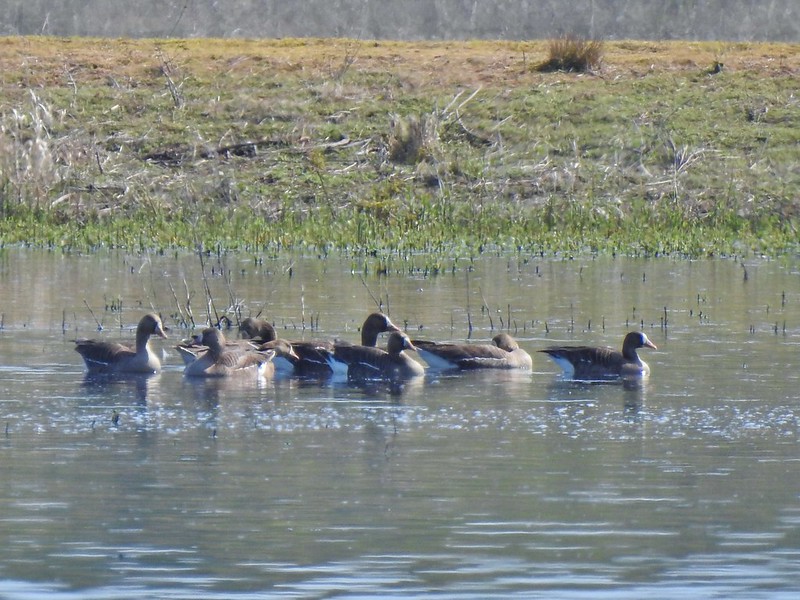 Greater white-fronted geese, another first.
 Bushtit. Several flew in here but I couldn’t make them out once inside so I took a few pictures hoping to get lucky.
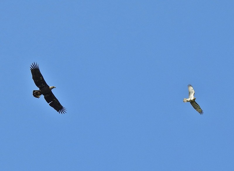 Can anyone ID the hawk? Another thing that I find difficult.
 Swimming lessons, Canada goose style.


 Buttercups
 Meadow checker-mallow
 Columbine
 Yarrow
 Possibly Nelson’s checker-mallow
 Lupine that will be blooming soon.

 Iris
Iris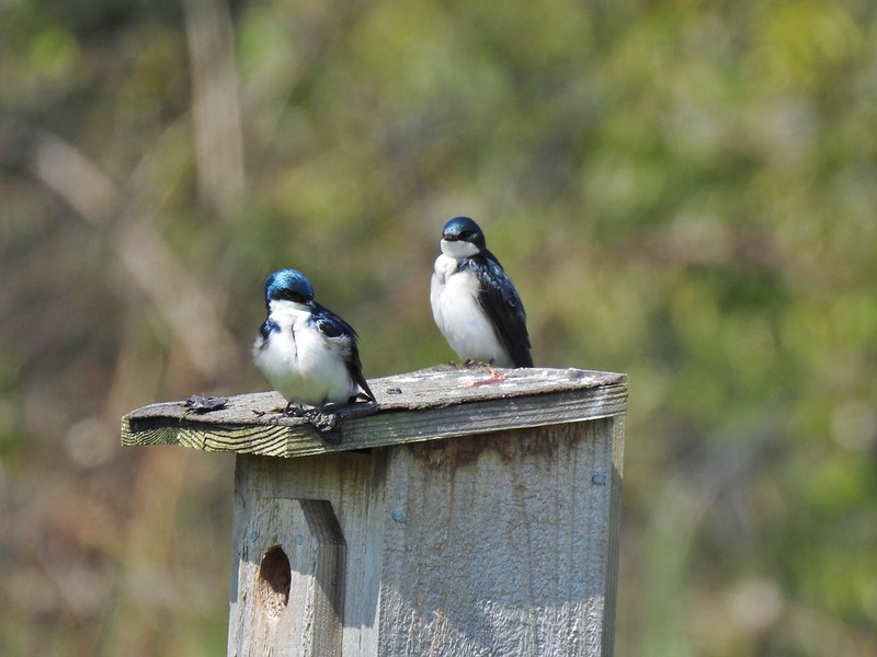 Swallows
 Mary’s Peak (
 Bower Slough
 Ducks in the slough.
 South East Lake which was mostly dried up at this point in the year.
 Apparently deer can’t read based on the trail leading past the sign.
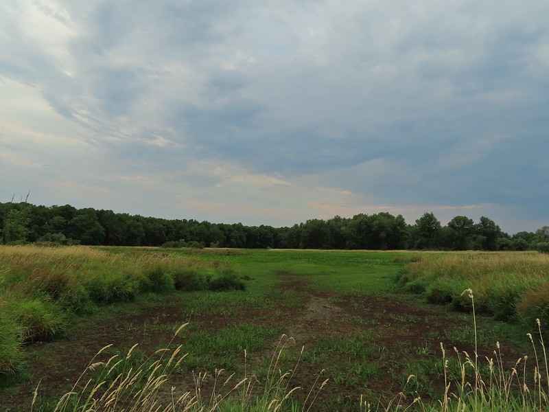 The bed of South East Lake
 Some moisture passing through this morning.
 Dove
Dove Walking along a cleaner looking portion of the slough.
 Bridge/boardwalk between Middle Lake (left) and West Lake (right).
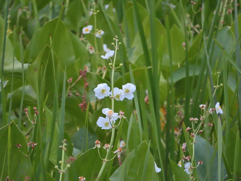 Wapato blossoms
 Lots of ripening blackberries.
 Second crossing of Bower Slough near the end of the loop.


 Great blue heron
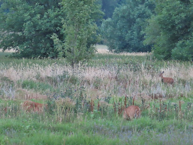
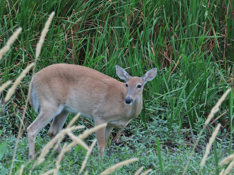 Doe
Doe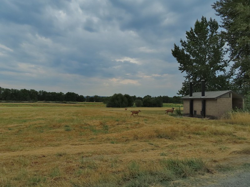 Deer near the restrooms/fee booth.

 <
<
 Doe in the brush near the tracks.


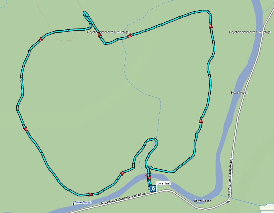
 Carty Lake Trail and Duck Lake
 Ducks on Duck Lake
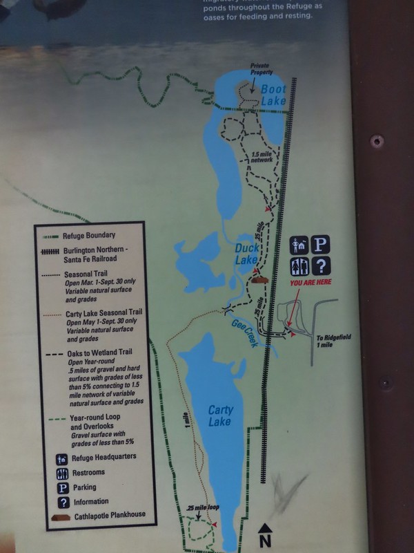
 Paved and dirt options allow for a mini-loop near the start, later the trails are all dirt.

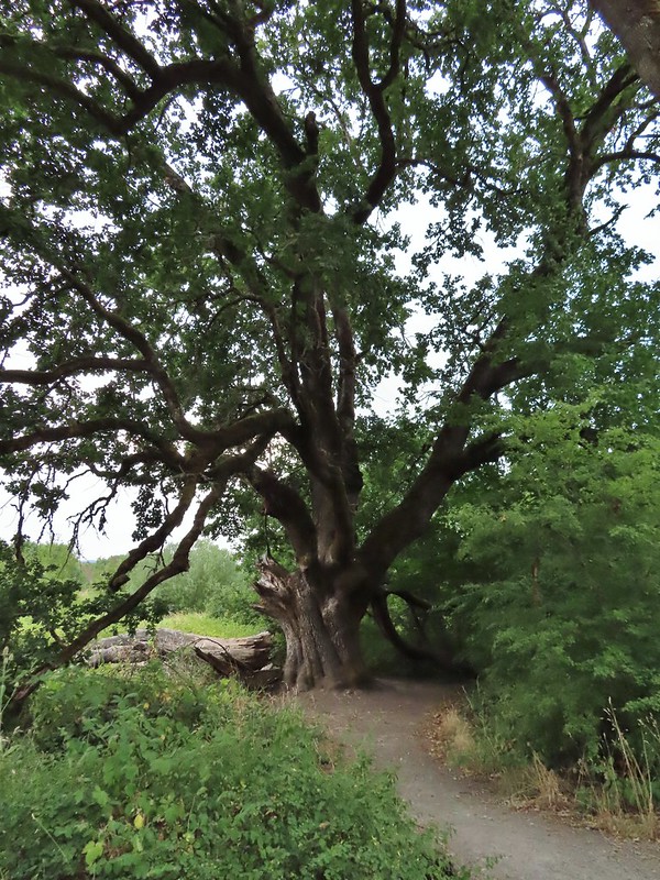 Big oak
 One-way pointers for a second loop.
 The trails can reportedly be quite muddy during the wet season but the current drought meant a hard packed surface.
 Bright red poison oak climbing some of the tree trunks.
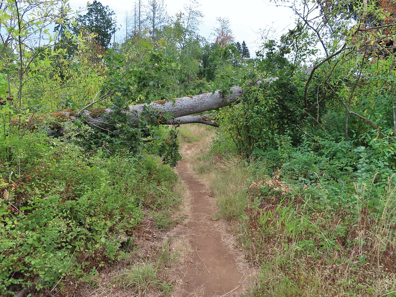 A bit of a low bridge.
 Spotted towhees
 Onward toward Carty Lake.
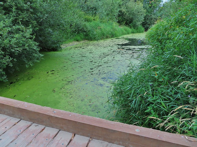 Gee Creek
 Orange jewelweed along Gee Creek.
 Carty Lake also lacking much water.
 Bindweed
 A primrose
 Wapato at Carty Lake
 The trail turning south toward the Port of Ridgefield.


 Lots of salal along the trail.

 Map near the platform.
 High tide had been between 7 and 8am so the water was retreating from the Bay.
 Looking south.


 Looking back along the trail.
 Cresting the dune.
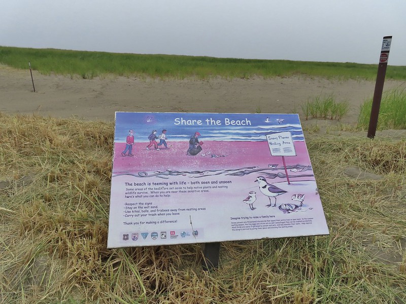 Snowy plover sign, a common sight along the beaches in Oregon too.
 Bayberry Trail passing through the snowy plover closure area.
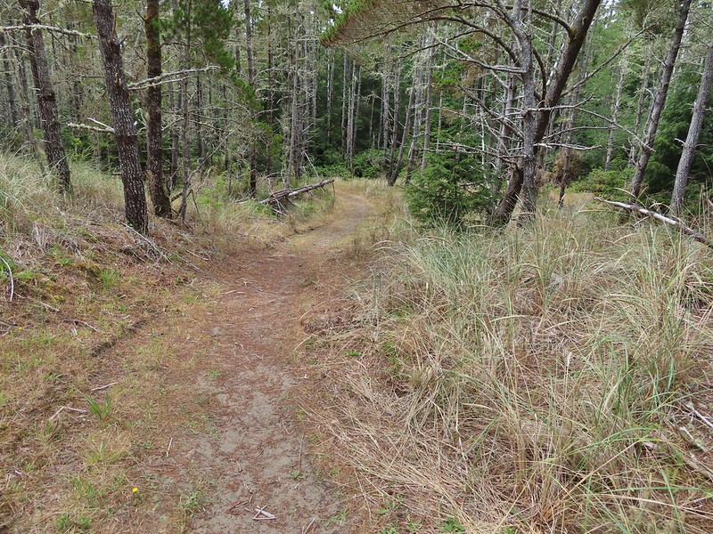
 Bumblee on American skyrocket.


 Chestnut backed chickadee
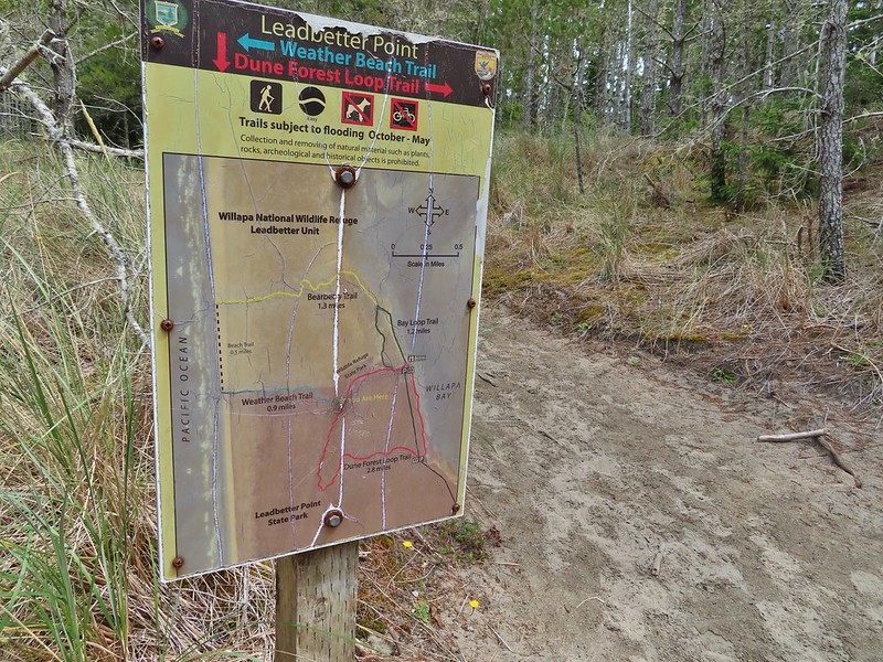

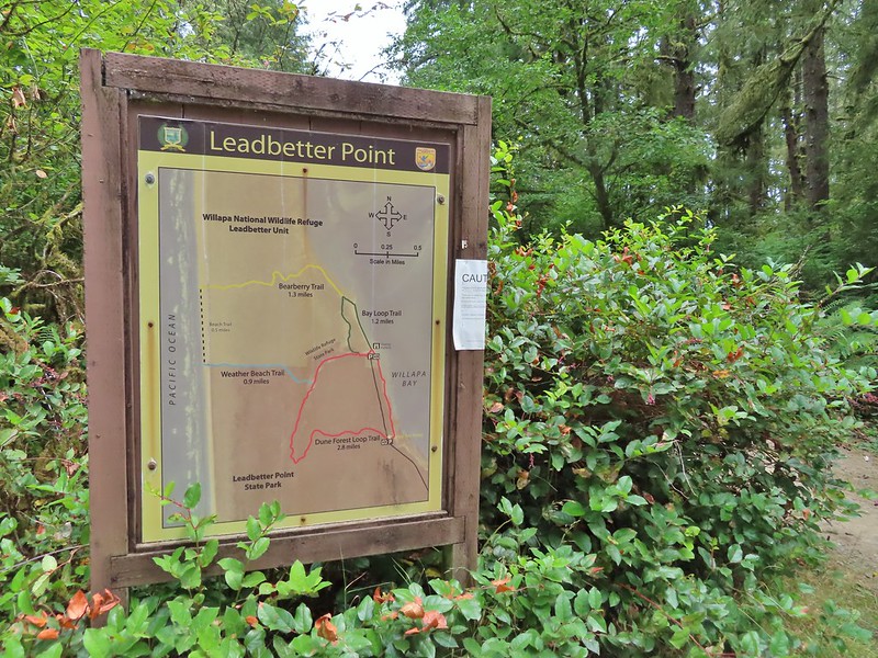
 Someone had written “umpassable (sic) swamp” below the word loop on this sign. This is when we began to guess why Sullivan had you turn left at the Weather Beach Trail junction.
 Slug and a mushroom. We both thought of Alice in Wonderland.

 Signboard at the southern trailhead.


 Looking back over one of the trees.
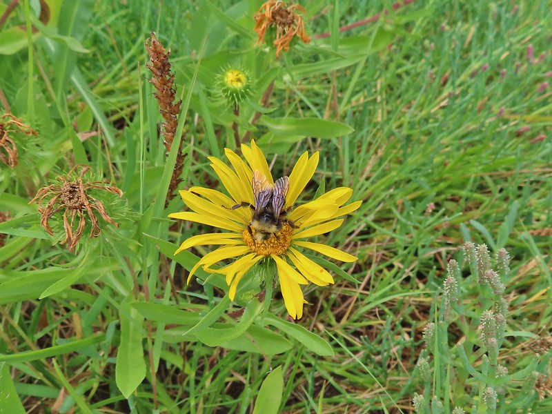 Bumble bee on gumweed.
 A pair of great blue herons in Willapa Bay.
 The eagle has landed.
 Crow attack
 Looking for a quite place to eat.
 We didn’t see what happened to the kill, if the eagle got to eat it or not.
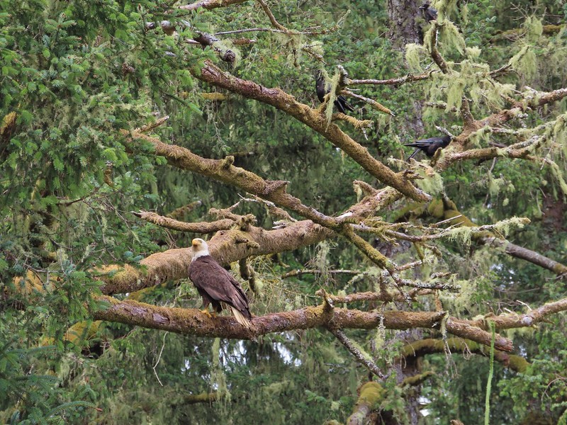 The crows weren’t leaving the eagle alone.
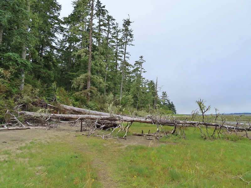 Last of the trees to navigate.
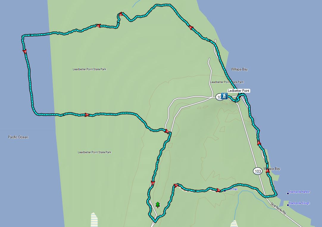

 Bench near the trailhead.
 Lupine along the trail.
 There was plenty of river access along the way.
 Currant
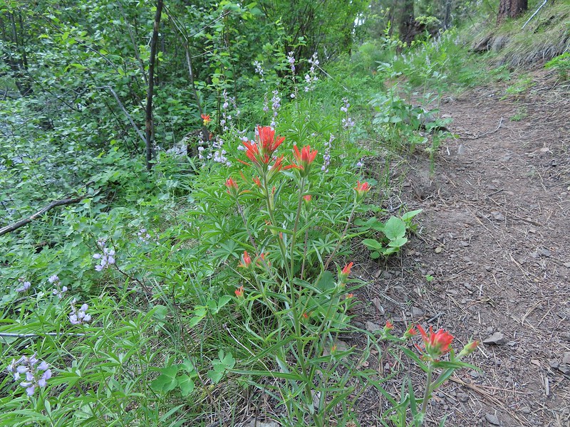 Paintbrush and lupine along the trail.
 Geraniums
 Ponderosa pines
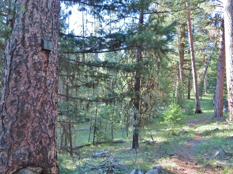 First 1
 Second 1
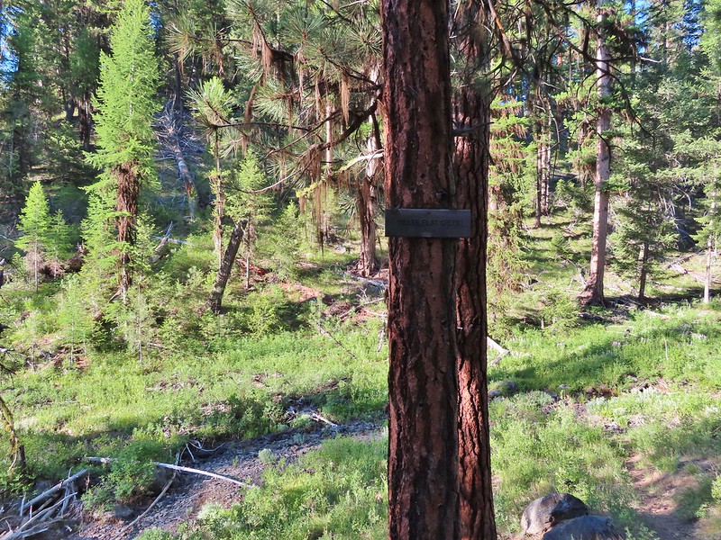
 Camas
Camas Balsamroot, columbine, geraniums and paintbrush.
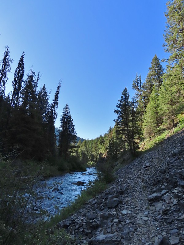
 Photo from the afternoon on the way back.
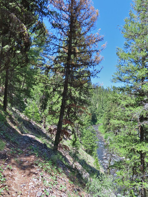 Photo from the afternoon on the way back.
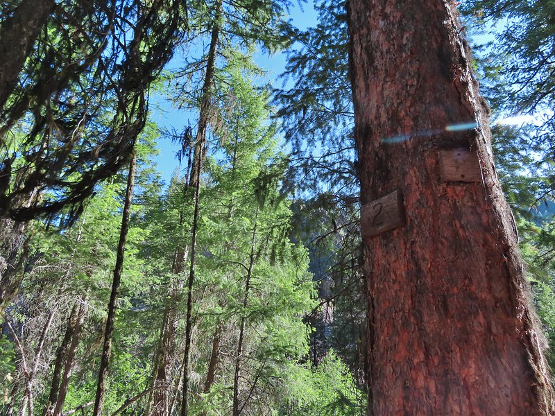 Tree marking mile 2.
 Typical “obstacles” that were present along the trail.
 Columbine
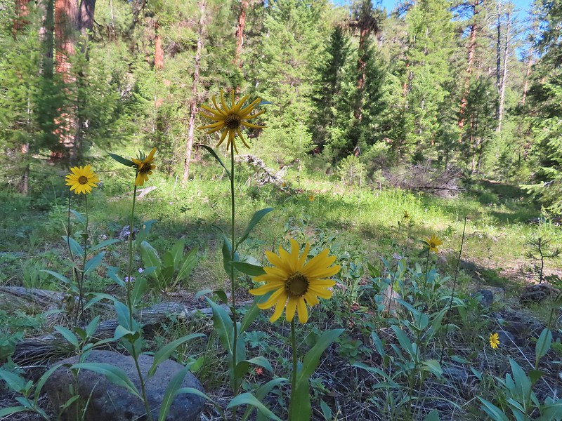 Cusick’s sunflower?
 Balsamroot or mule’s ears?
 Woodland stars
 Mile 4

 Salsify and geraniums
 Sticky cinquefoil
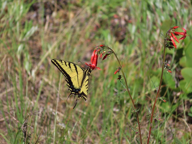 Swallowtail on scarlet gilia
 Geranium
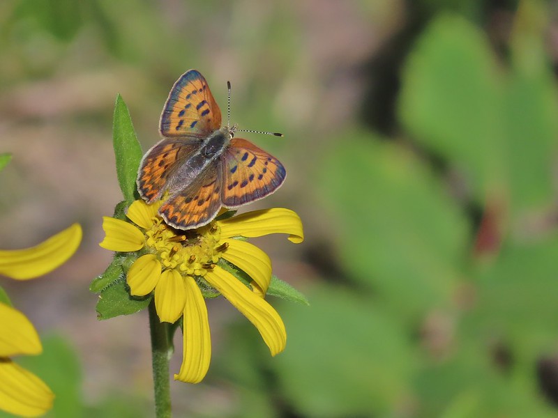 Some sort of copper butterfly
 A checkerspot
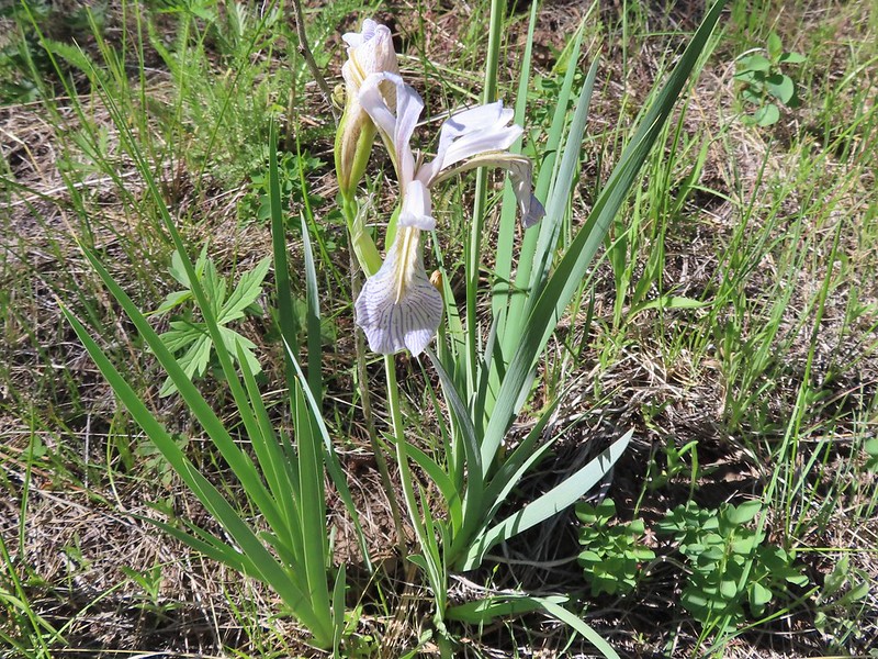 Iris
Iris Balsamroot (or mule’s ears)
 A fleabane
 A different type of fleabane.
 Larkspur
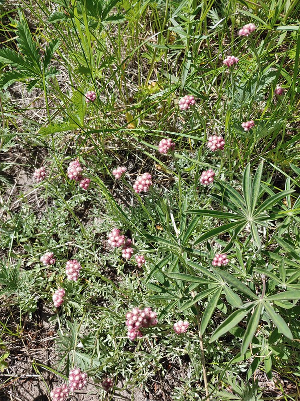 Rosy pussytoes
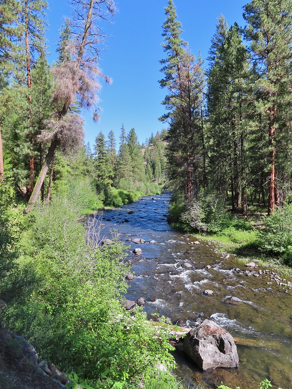
 Hog Flat is up on top of the hillside.
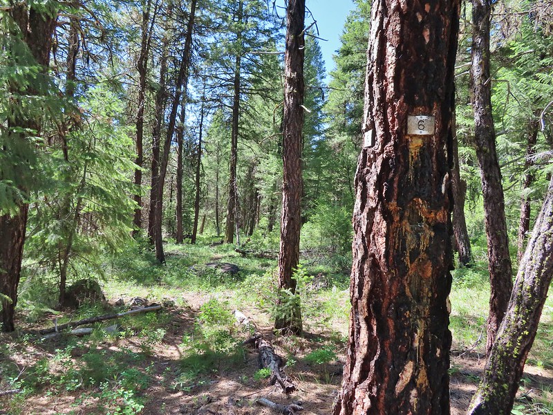 Mile 6 markers.
 Cracked egg in the trail.
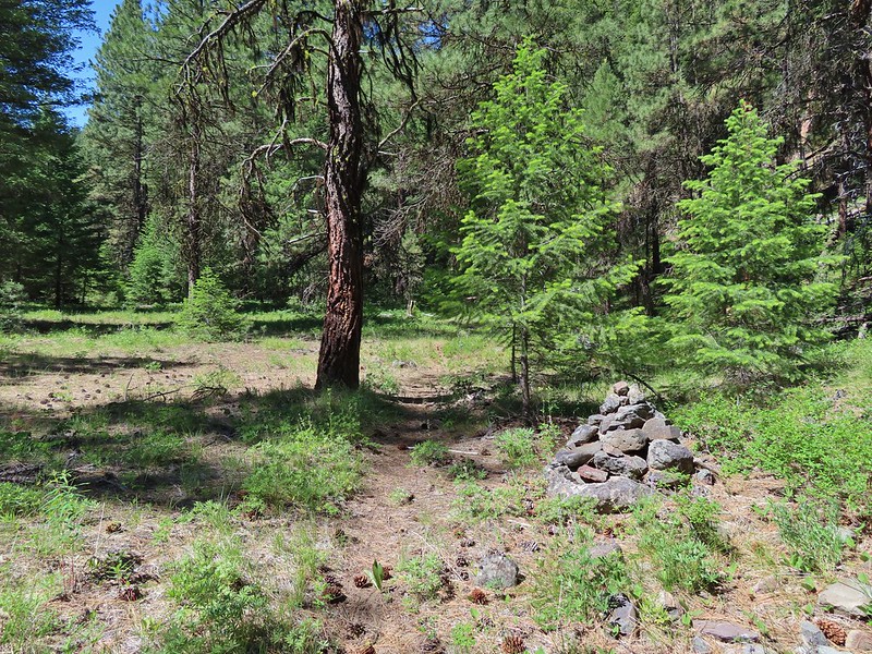 We passed this cairn around the 6.5 mile mark.
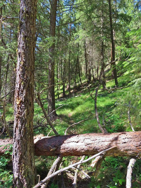 We turned around here shortly after passing the cairn. It appeared the trail was beginning it’s climb and we took the cairn and downed tree as signs that it was time to turn around. We did just that and headed back keeping our eyes open for the mile 3 and 5 markers.
 A fritillary butterfly on an iris.
 Found 5
 This was a particularly tricky little muddy spot to stay dry crossing.
 And there’s “3”.
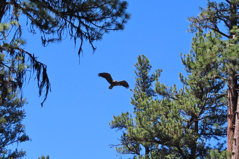 Immature bald eagle. We saw it on the way out in the same area but couldn’t get a photo. This time it flew right by me, and I think it was giving me the stink eye.
 Back at the trailhead.
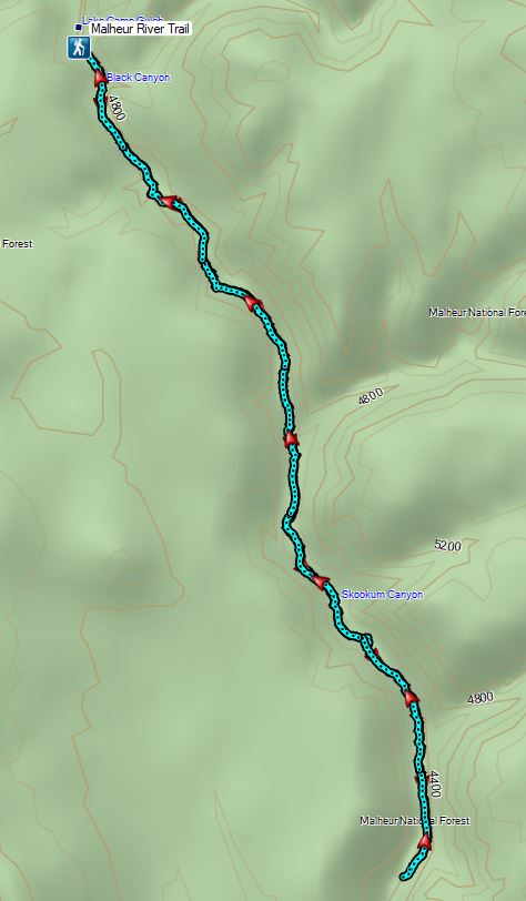
