We continued to adjust our hiking plans to allow us our best chances of social distancing and visiting areas that are actually open. In January our plans for the three day weekend had been to stay in Roseburg and take day hikes along Highway 138. With staying in motels not the greatest way to socially distance, those plans were a no-go so we looked next to our 2021 plans. Those plans were a three day backpacking trip along the 30+ mile Middle Fork Trail SE of Oakridge to complete one of Sullivan’s featured hikes in his Central Cascades book, Indigo and Chuckle Springs (hike #83 in the 5th edition). This would be our first backpacking trip together since early September 2018 having skipped 2019 so that we could take care of our ill cat Buddy. (Heather did an overnight trip with some friends to Elk Lake Creek so she had been out once in 2019.)
The hike he describes is an easy 4.4 miles starting at the trailhead by Indigo Springs Campground. Doing the hike that he describes would have violated a couple of our self imposed rules. First the driving time to that trailhead for us would have been over 3 hours and secondly the amount of time spent hiking would have been less than the driving time (by a lot). My solution was to turn it into a backpacking trip by starting just south of the Sand Prairie Campground near milepost 12 of Rigdon Road (Forest Road 21). The plan was to hike around 13 miles on Saturday and then set up a base camp. Sunday we would hike the remaining distance to Indigo and Chuckle Springs and the return to camp and hike back out Monday morning. Our itinerary remained the same for the trip, but for reasons I’ll get to later the distances were not quite what we had planned on.
The Middle Fork National Recreation Trail stretches from Sand Prairie Campground to Timpanogas Lake (post).
There are a number of trailheads and access points for the Middle Fork Trail and we chose to start at the FR 2120 Trailhead.
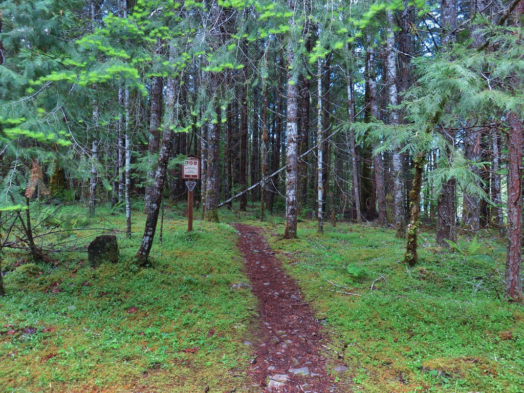
A short distance from the trailhead we crossed Buck Creek on a nice bridge.
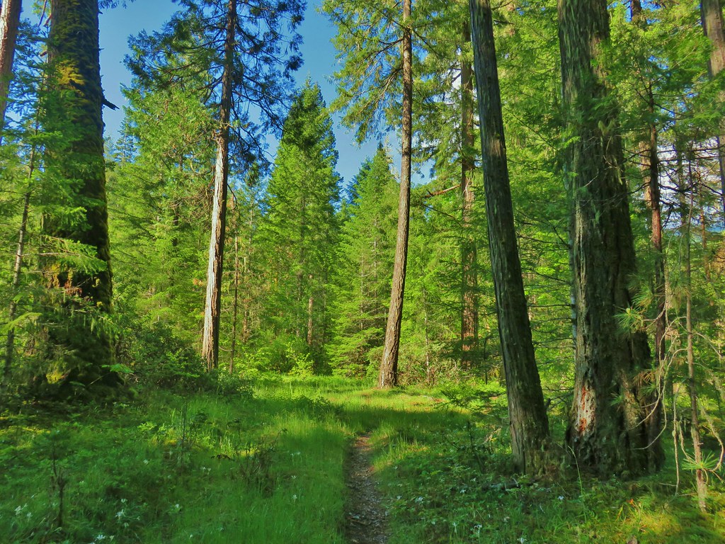
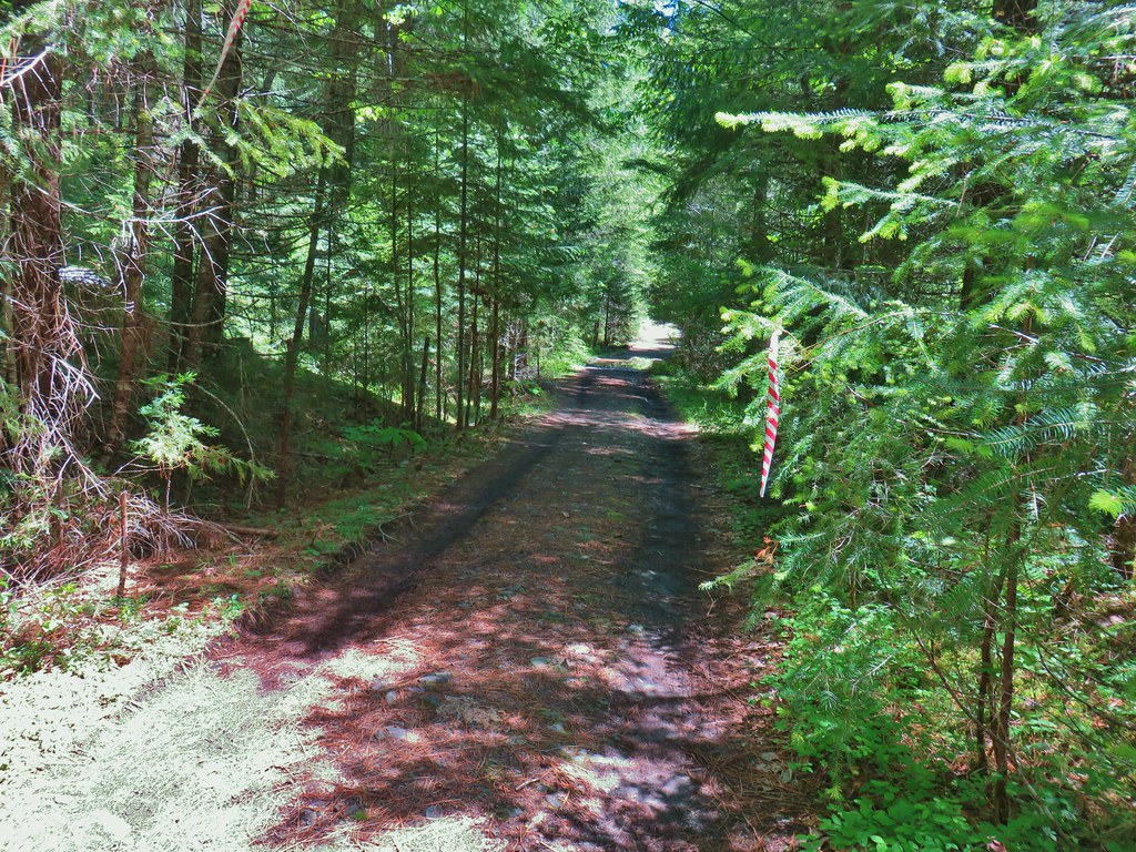
For the first 5 miles the trail was relatively flat with a few ups and downs. This section was to the east of the Middle Fork Willamette River and to the west of Rigdon Road (FR 21). There were occasional glimpses of the river as well as some time spent along and on FR 21.
 Middle Fork Trail along FR 21.
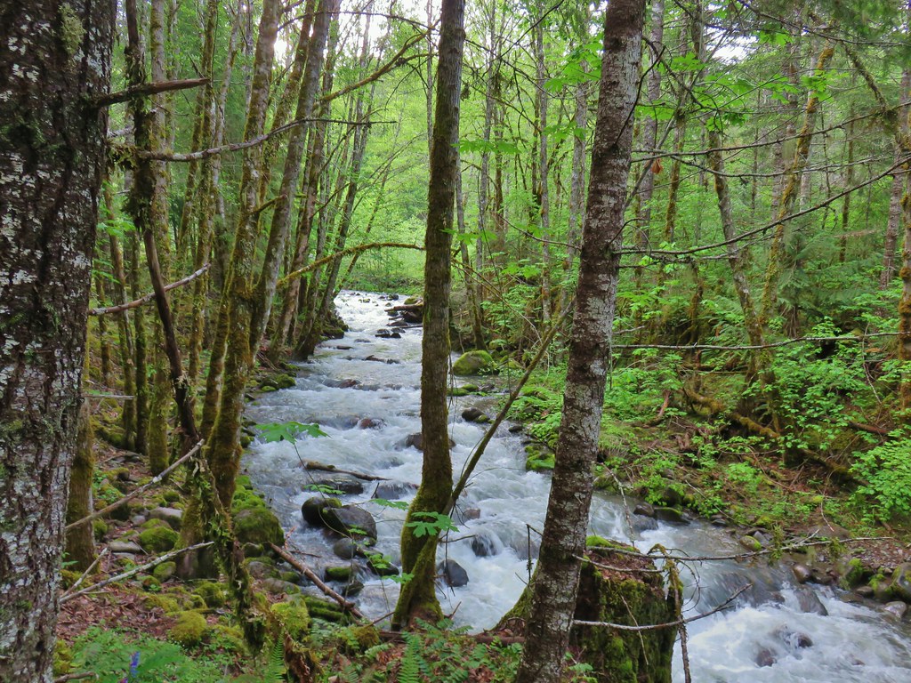
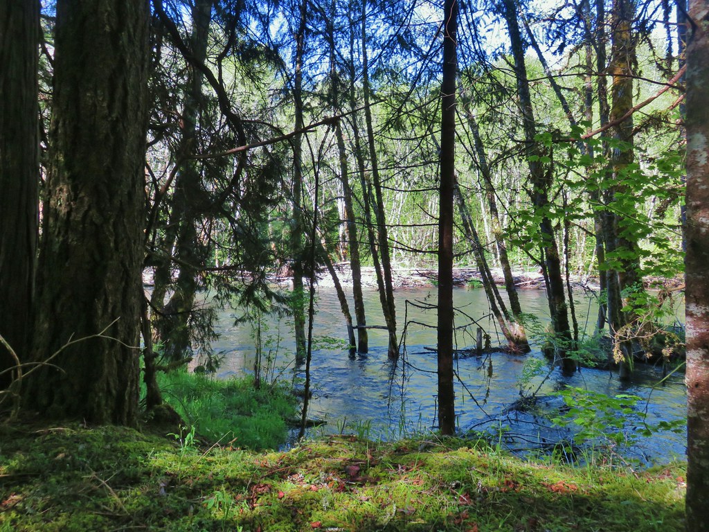
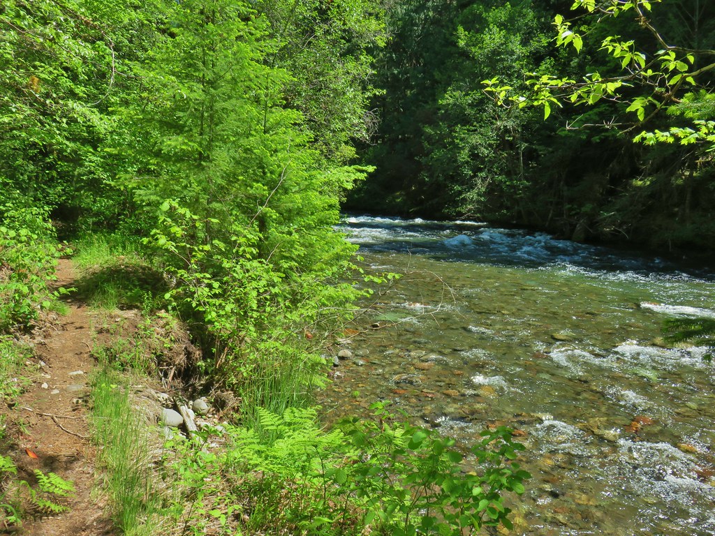
 One of only a couple of spots where we were able to get to the river.
Where the trail crossed roads either signs or flagging were present to identify the continuation of the trail.
 Orange flagging on the left after crossing a gravel road.
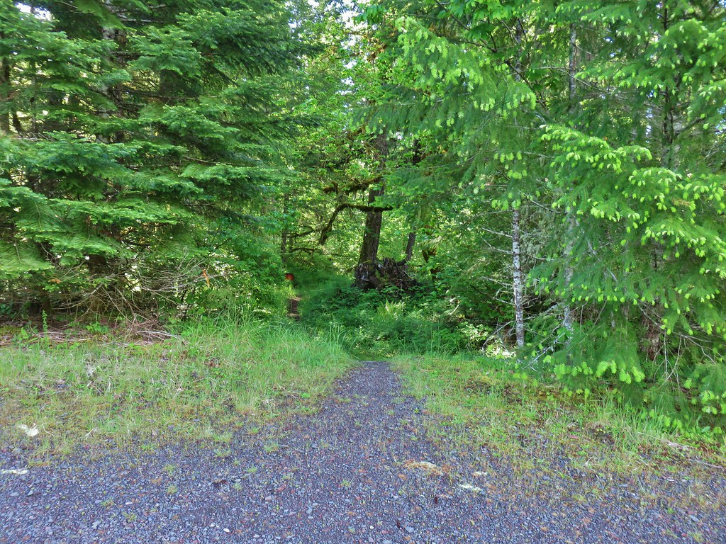
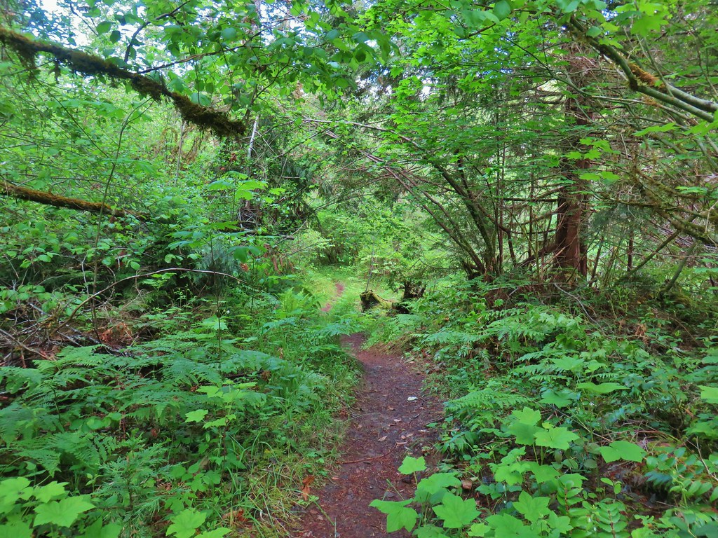
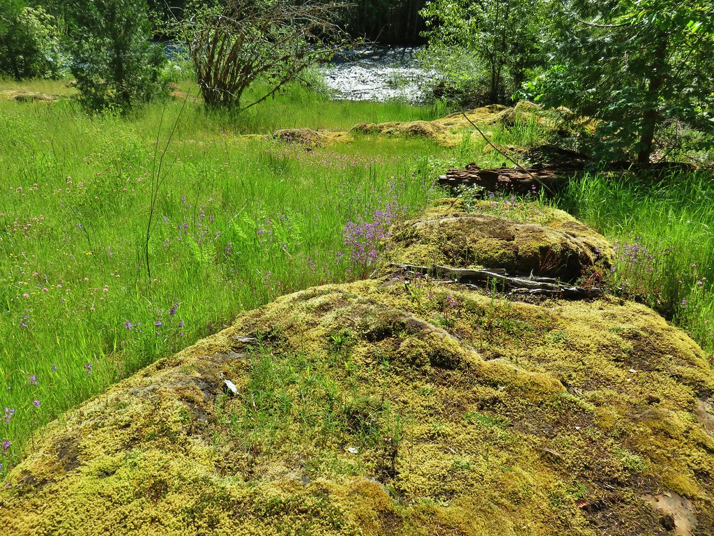
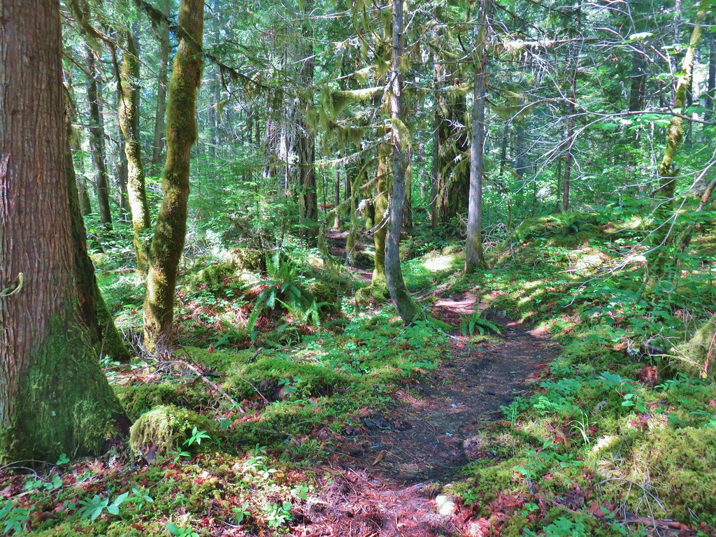
The scenery was mostly green forest with a few meadows and a couple of creek crossings along the way. There were a few woodland flowers present as well as some patches of poison oak.
 Thimbleberry
 Cone Creek
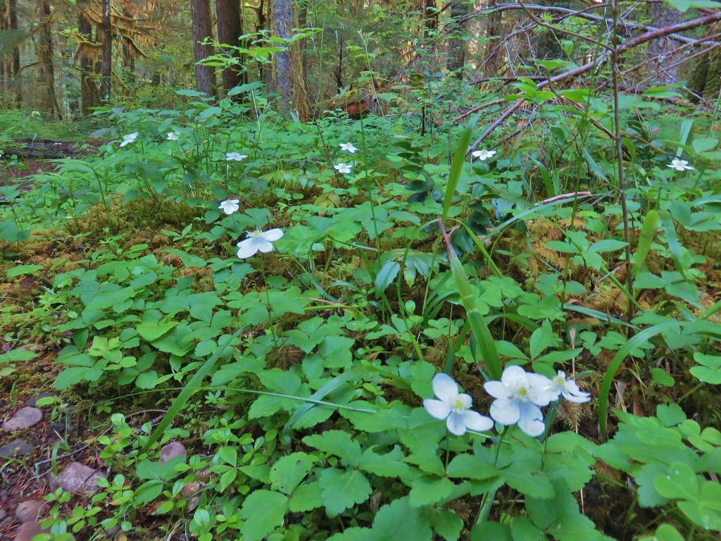 Anemones
 Footbridge over Bills Creek
 Queen’s cup


 Columbine
 Yellowleaf iris along the Middle Fork Trail.
 Pine Creek – At first it looked like they put the bridge in the wrong spot, but there was another branch to the creek.
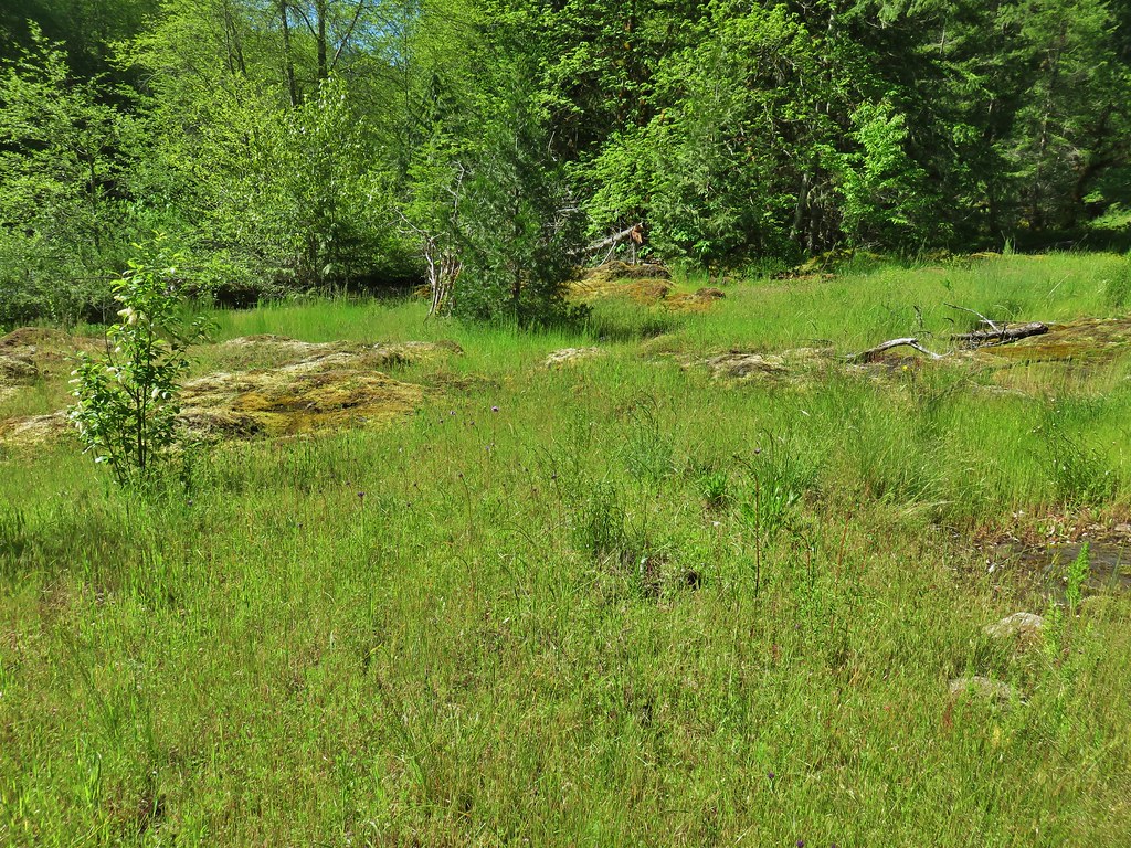
 Small meadow along the trail.
At the 4.4 mile mark the trail popped us onto FR 21 for a little over a quarter mile before resuming along the river.


This was short lived though as we quickly found ourselves back on FR 21 near its junction with FR 2127.

Here the trail crossed the river on the bridge.


 Common merganser on the river below the bridge.
The bridge crossing marked the start of what Sullivan’s map showed to be a 5.2 mile section along the western side of the Middle Fork Willamette River before recrossing on bridge at FR 2134 (our Adventure Maps, Inc. Oakridge Oregon Trial Map showed the section as 5.4 miles).
 Sign at the Road 2127 Trailhead.
With FR 21 now on the opposite side of the river this section was a little quieter and more scenic. There was still occasional poison oak to keep an eye out for and somewhere along this stretch a tick hitched a momentary ride on my pant leg before being flicked off.

 Mossy stump along the trail.
 Lots of grass along portions of the trail, one of these areas was probably where the tick hopped on.
A highlight of the section was a series of rocky seeps long the river where patches of wildflowers were blooming.


 The ookow wasn’t quite blooming yet.
 Tolmie’s mariposa lily
 Monkeyflower and tomcat clover
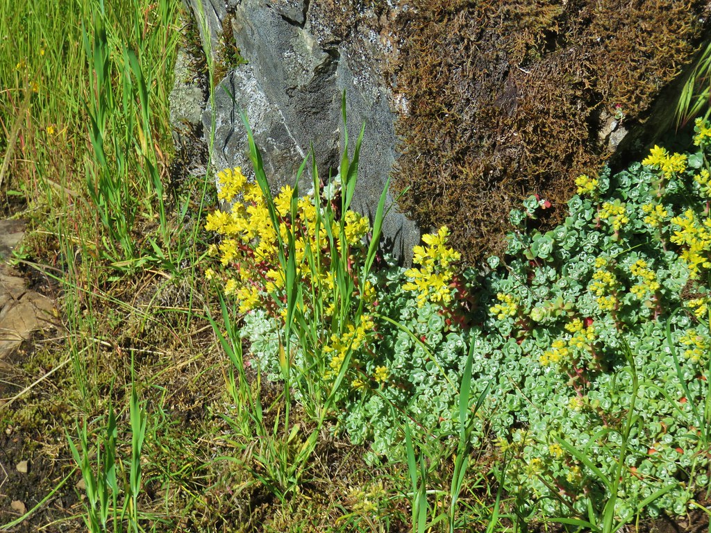 Stonecrop
 Plectritis and giant blue-eyed Mary
 Giant blue-eyed Mary
 Buttercups

The trail reentered the forest where we spotted a couple of different coralroots.
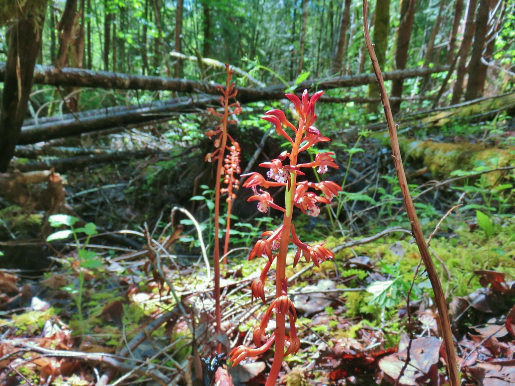 Spotted coralroot (with a caterpillar)
 Striped coralroot
Two miles into this section we came to our first real obstacle of our trip. I had watched a series of Youtube videos from Hike Oregon of the trail including this section (video and in her video from a few years ago there was a footbridge over Indian Creek. No such bridge existed now. The water was flowing pretty quickly and although it looked doable it didn’t look like the easiest ford we’d done. We went ahead and gave it a go.

We managed to get across and continued on to find a second ford a short distance later. This one was just through some very slow moving water though.

It was pretty smooth sailing for the next two miles but then we came to a sign announcing a trail closure and reroute.


 Chocolate lilies

The reroute sent us away from the river to FR 201 where we crossed Coal Creek on a bridge to FR 2133. The Forest Service map for the reroute showed that the trail will eventually continue on the other side of FR 2133 extending to FR 2134 but for now the reroute followed FR 2133 for one and a quarter miles to FR 2134.
 Completed section of the reroute.
 More signs at FR 201
 FR 201 crossing Coal Creek.
 Coal Creek
 Road walking on FR 2133
Once we made it to FR 2134 we were back on the original route of the Middle Fork Trail as it once again crossed the river, this time using FR 2134’s bridge.


The reroute had added a mile to our hike for the day and we weren’t done yet. The next section of trail between FR 2134 and Sacandaga Campground was listed as just under 5 miles and we were hoping to find a camp site close to the middle of the section.
The trail picked up at the north end of the bridge (the river had turned and was now flowing east to west as opposed to the first section when it was flowing to the north).

 Simpson Creek
 Northern phlox
 Don’t know what type of fungus this is but it looked neat.
We were once again between the river and FR 21 and crossed several primitive forest roads.
After 2 miles it began to veer away from the road a bit to what appeared on the topographical map as a wide relatively flat area where we were hoping to find our camp site. We hadn’t passed many established (or even semi-established sites). We had seen one near Indian Creek and we had also seen one tent set up on an rocky island separated from the trail by a small channel of the river.
We passed up a couple of possible sites along decommissioned road beds hoping to be a bit closer to the river than they had been so when we did get back along the river we started looking.
There wasn’t much, the trees and underbrush was thick enough that there weren’t many areas with enough room for a tent. Heather spotted a more open area in the trees about 2.8 miles from FR 2134 that looked promising but I stubbornly continued for another quarter of a mile before turning back because her spot appeared to be the best choice. We set up camp amid the trees on the opposite side of the trail from the river.

There was a nice little opening along the river nearby where we were able to cook our meals and watch the river flow by.

Our plan for a 13 mile first day turned into 14.5 miles due to the extra mile added by the reroute and my continuing past our eventual campsite a quarter mile and having to come back to it. The lower portions of the trail had been a bit of a mixed bag. We hadn’t expected as much poison oak as we’d seen along the way and the reroute had been a bit of a bummer since road walking, even if it’s dirt/gravel is a lot harder on us than a nice trail. The scenery was nice and there had been quite a few wildflowers but being so close to paved FR 21 for much of the hike and having a large number of other road crossings where car campers were present didn’t allow for much of a remote feeling. The middle section (prior to the reroute) was probably the nicest, but having to ford Indian Creek probably isn’t for everyone.
On the plus side we only encountered one other hiker on the trail and our campsite turned out to be pretty comfortable with a nice thick layer of cushy duff to sleep on. Happy Trails!
Flickr: Middle Fork Trail Day 1

4 replies on “Middle Fork Trail Backpack Day 1 – 5/23/2020”
[…] the 14.5 mile hike to find our campsite the day before (post) we woke up a little before 6am and ate breakfast by the river. We were excited to spend a day […]
[…] the Indian Creek ford we had done on our first day backpacking the Middle Fork Willamette River (post). With that being said neither of us were keen on soaking our feet this early in the hike and […]
So pretty! I’ve never done this hike yet, thanks for sharing.
[…] first backpacking trip of the year was over Memorial Day weekend (post) but since then we hadn’t had an opportunity to break out our tent. Sleeping Beauty, a 3 mile […]