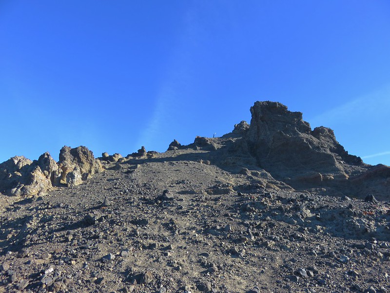
**Note the 2024 208 MF Fire burned the area around Indigo Springs and the 2025 Emigrant is currently burning near Chuckle Springs in the 2009 fire scar.**
After the 14.5 mile hike to find our campsite the day before (post) we woke up a little before 6am and ate breakfast by the river. We were excited to spend a day without our full packs. Based on my calculations we were anticipating the mileage for the day to be close to 14 miles (it was more but we’ll get to that later) so a lighter weight pack was welcome.
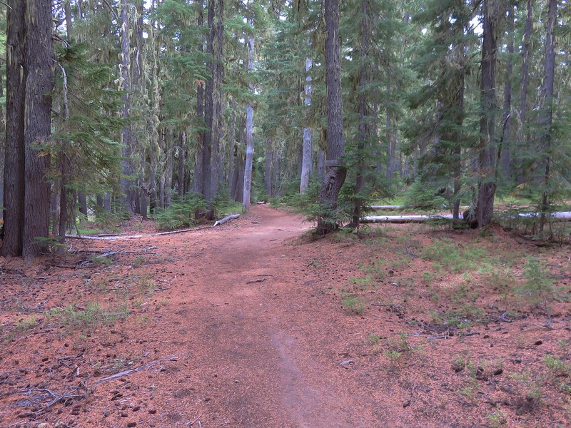
We set off just after 7am and the trail began to climb away from the river not far from where we’d camped.
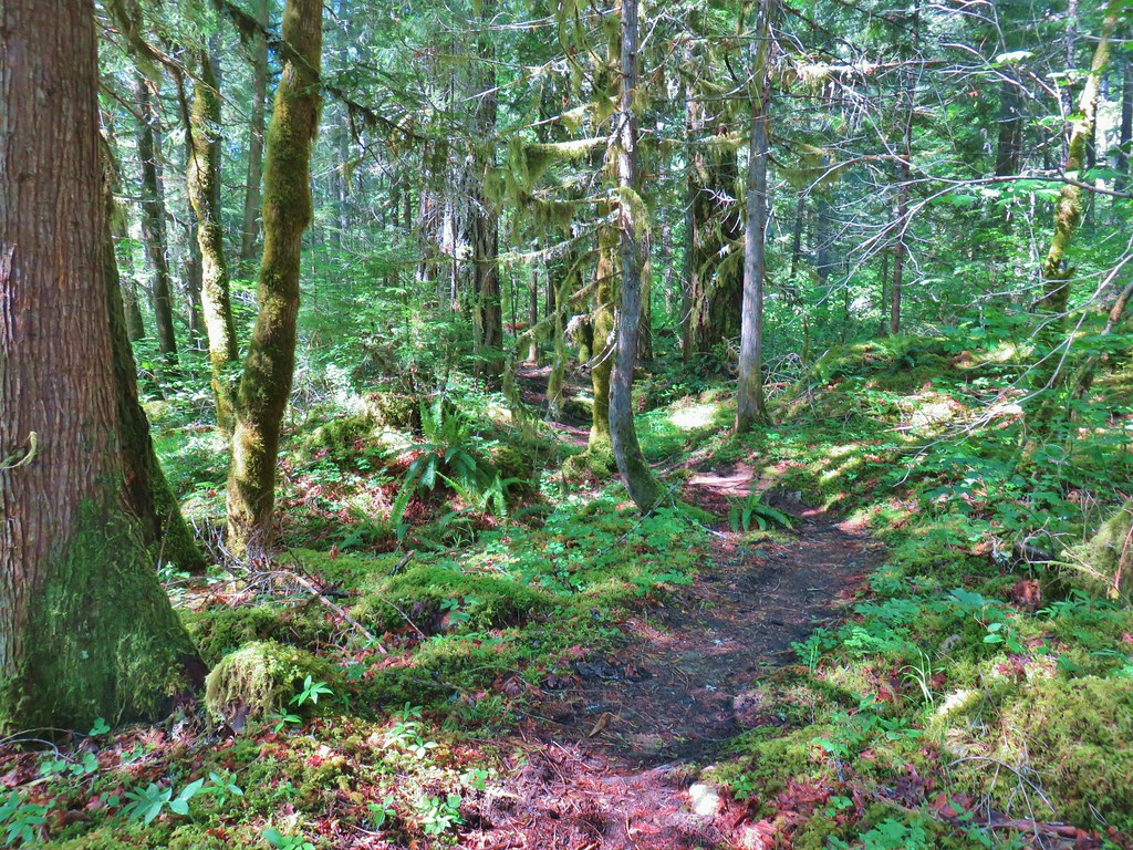
There was still a bit of that pesky poison oak present when the conditions were just right but we could tell we were gaining elevation by the change in the forest and some of the flowers we were starting to see.
Vanilla leaf
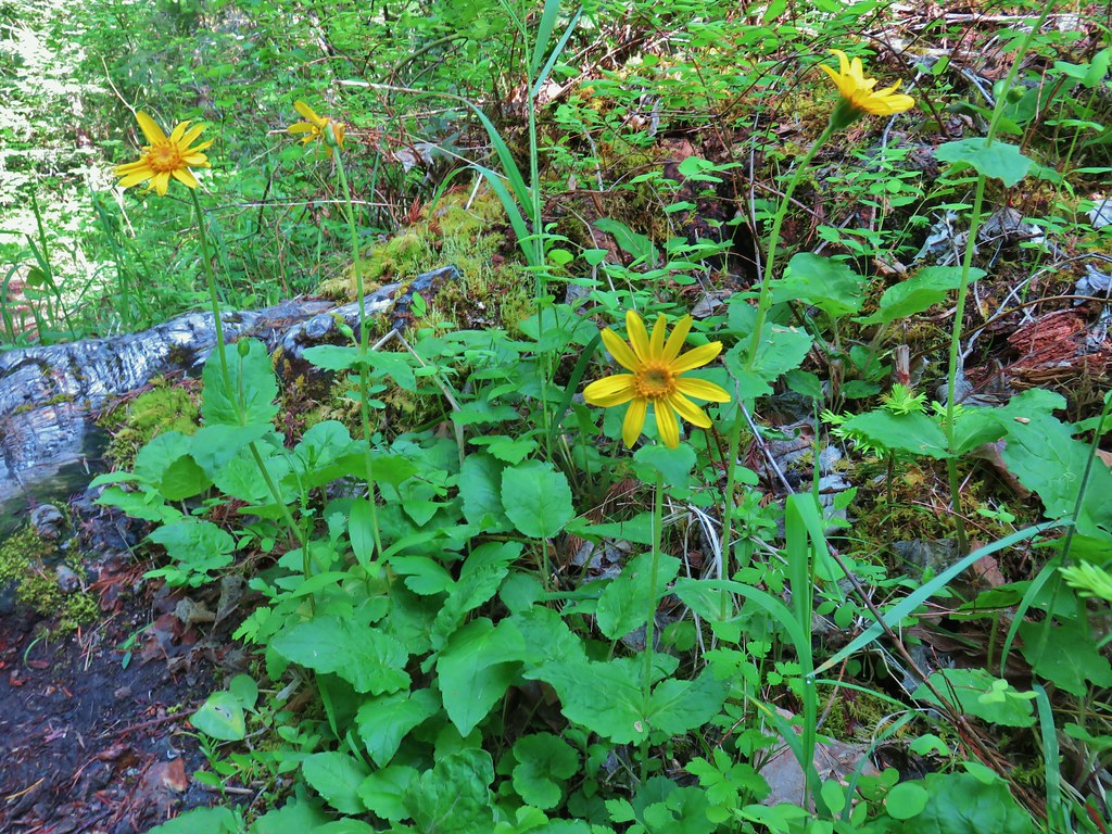
Arnica

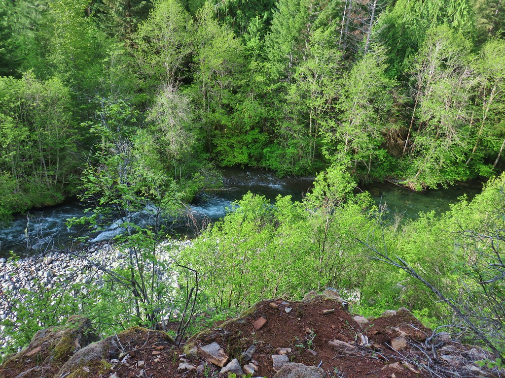
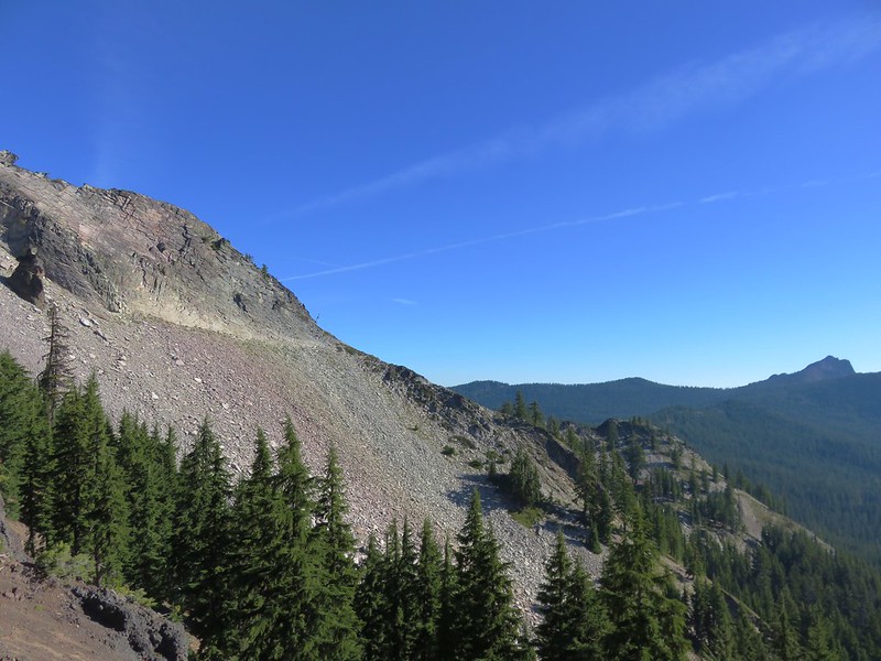
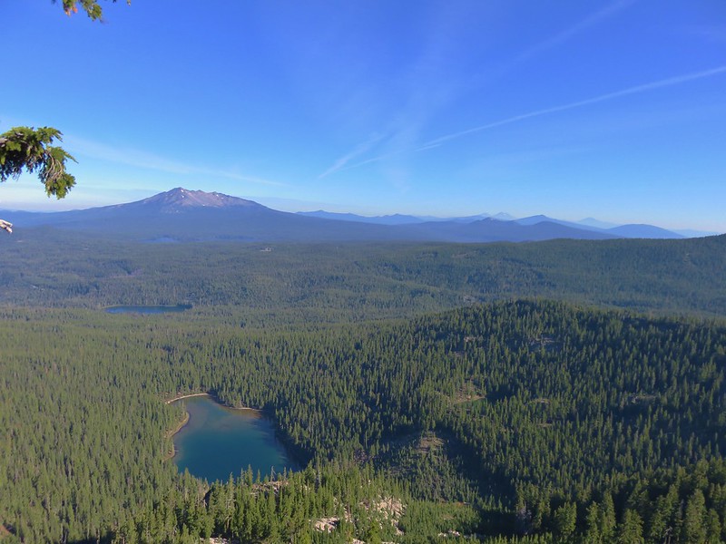
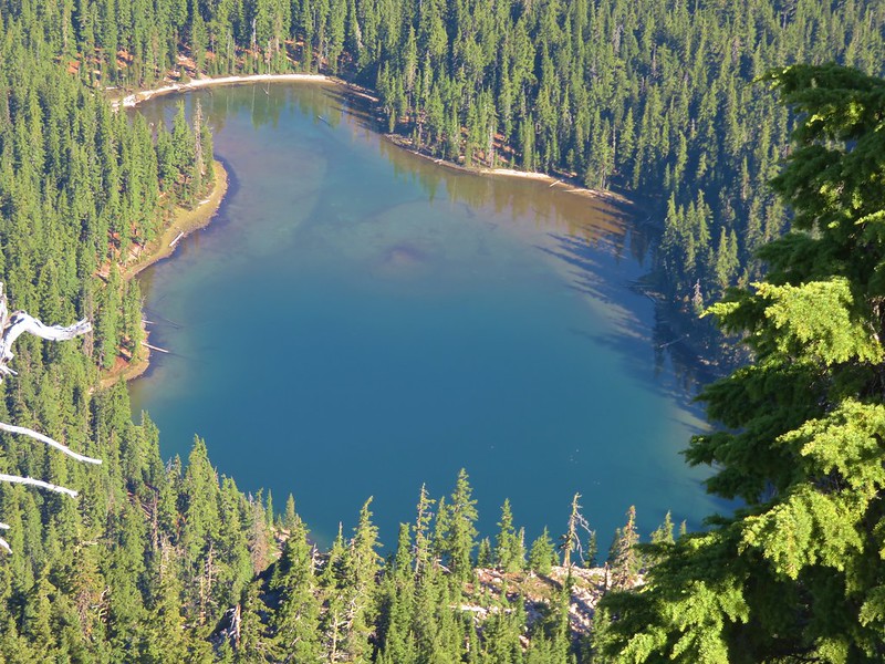
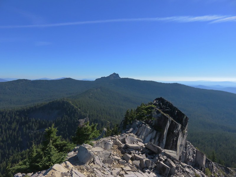
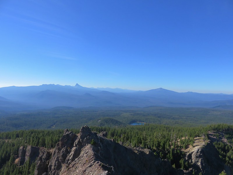
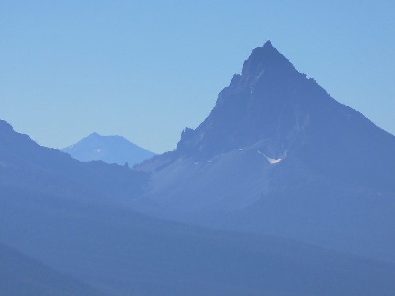
Viewpoint above the river.
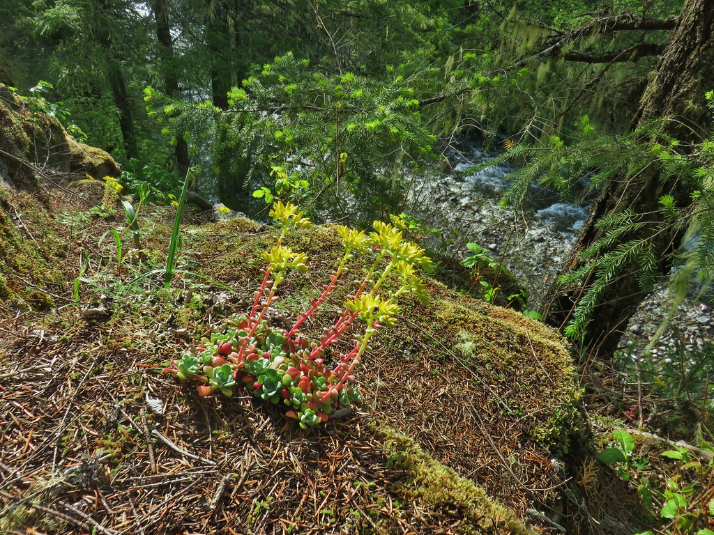
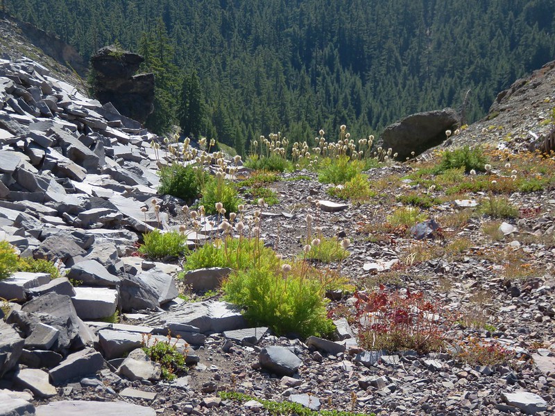
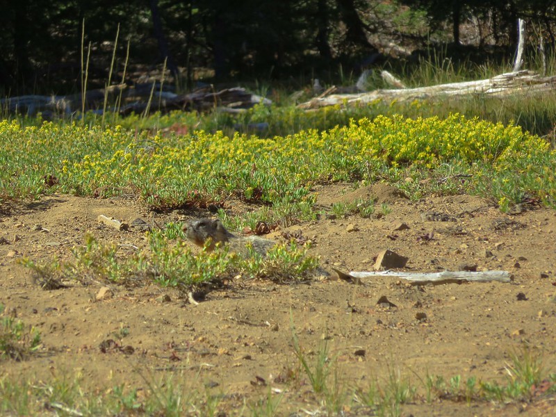
Stonecrop
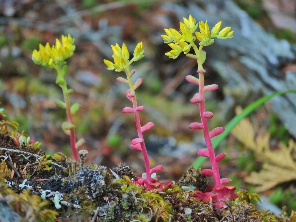
Closer look at some stonecrop.
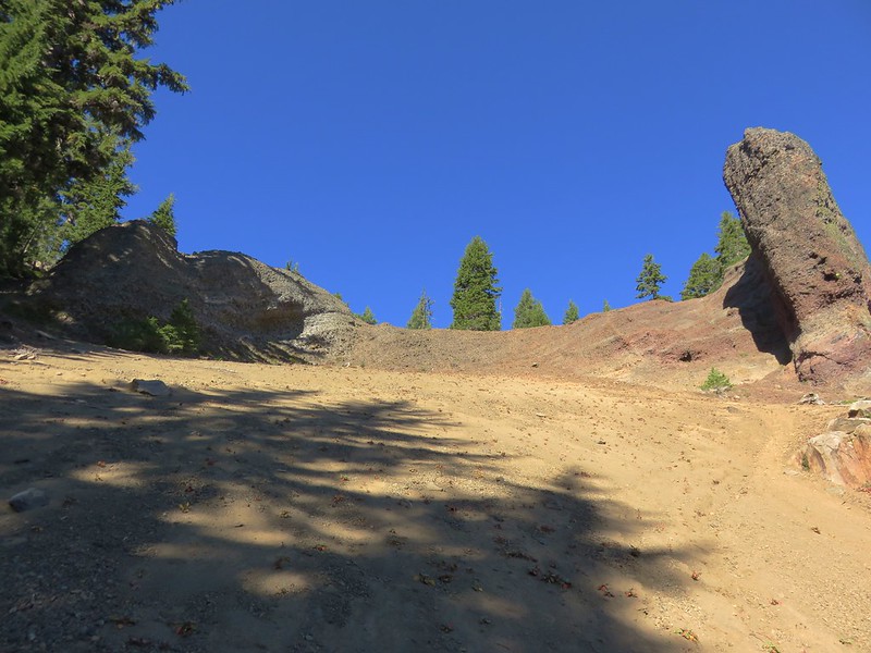
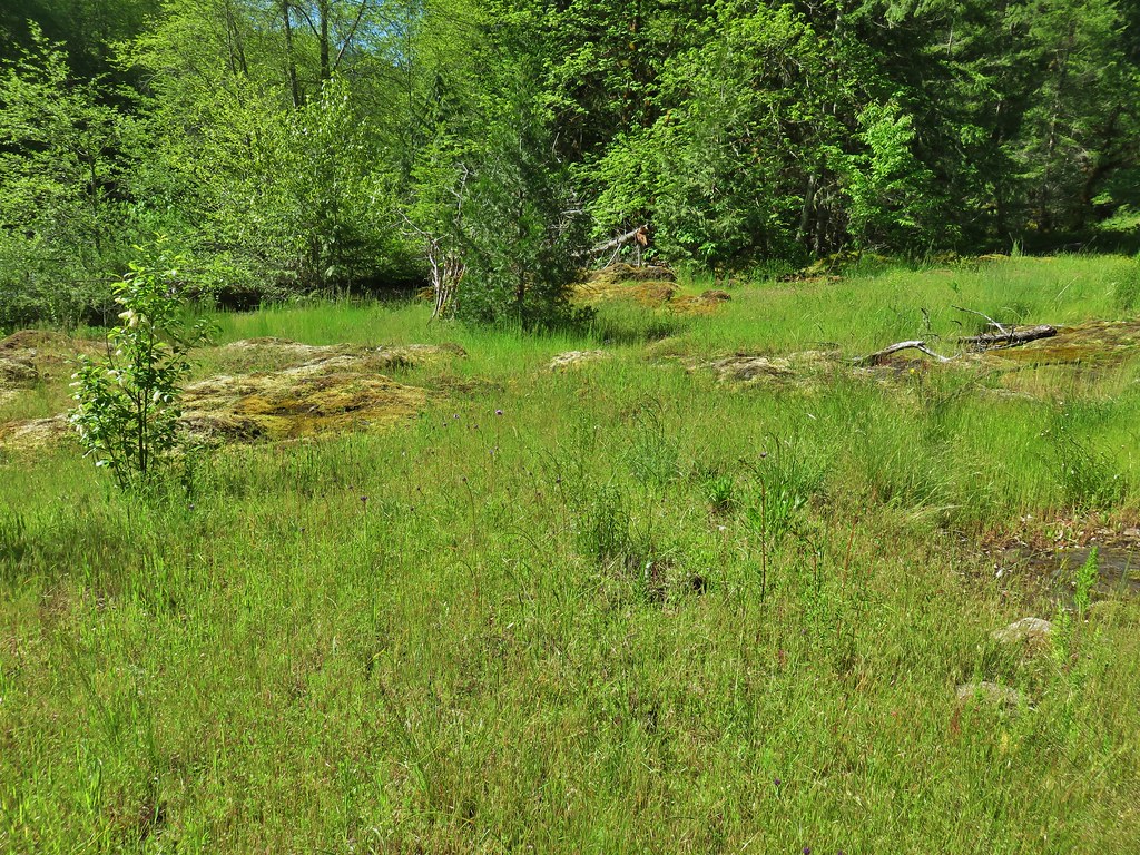
Just under 2.5 miles from camp we arrived at the lovely Rigdon Meadows near Sacandaga Campground (which I had begun referring to as Scandinavia because I couldn’t figure out how it was supposed to be pronounced).
 Camas and buttercups at Rigdon Meadows.
The campground remained closed due to COVID-19 and the road was gated but there were several campers parked near the meadows.
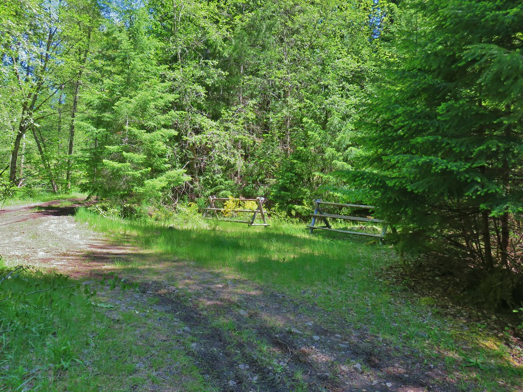
Gate at the closed entrance to Sacandaga Campground.
We picked up the trail on the other side of the gate where it joined the route of the Oregon Central Military Wagon Road.
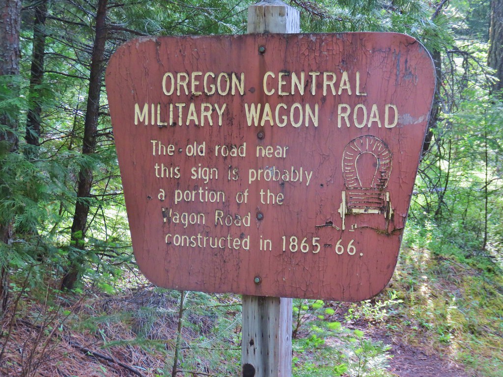
The wagon road was planned to stretch from Eugene, OR to Fort Boise in Idaho but much of it was nothing more than a rudimentary trail (Wikipedia) that allowed private companies to acquire public lands along the stretches of road that they “completed”.
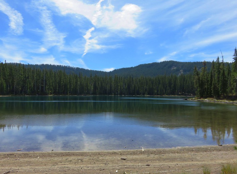
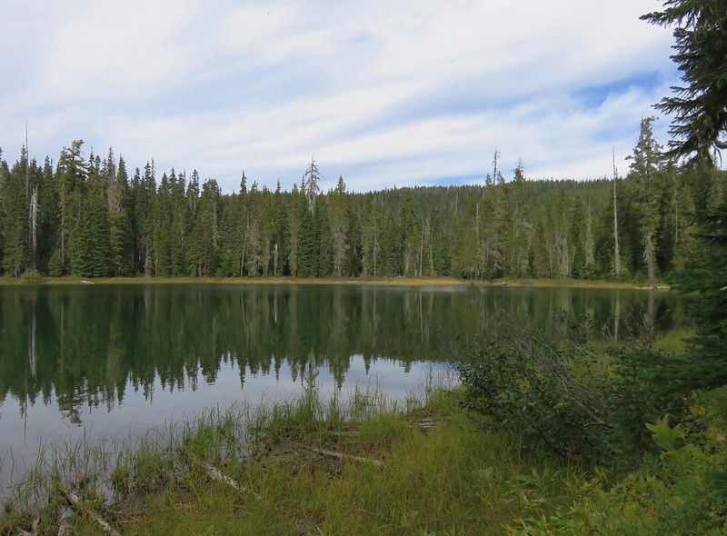
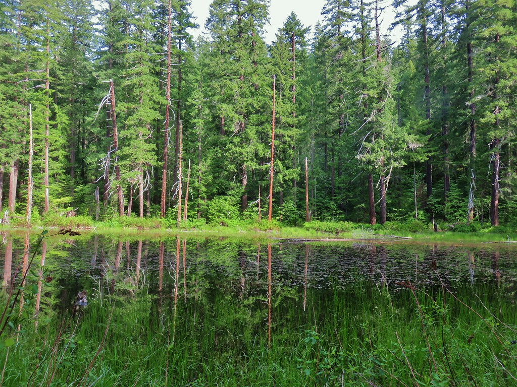
This 1.2 mile section of the wagon road passed a small unnamed lake near its crest.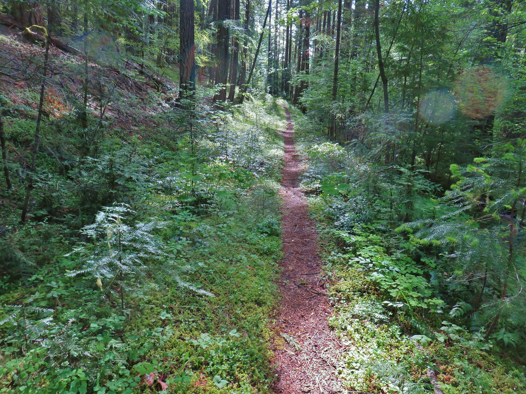
The other end of this portion of the wagon road was located near a meadow where some idiot had driven onto the grass from a nearby forest road.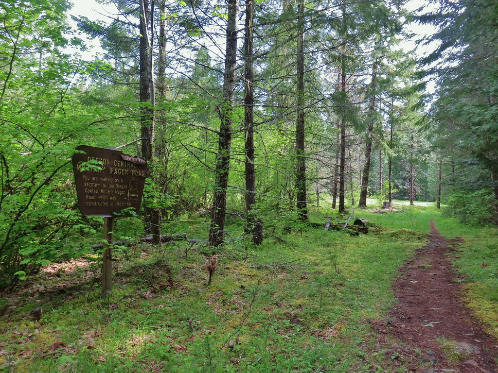

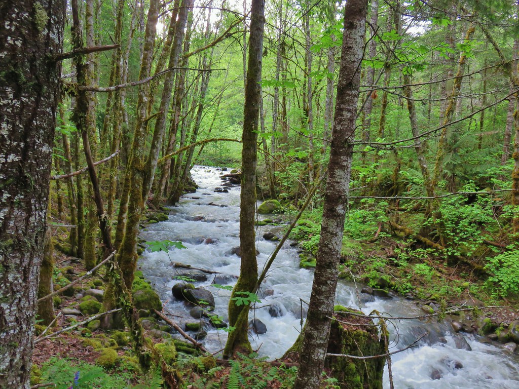
About a half mile after crossing the road the trail crossed Noisy Creek.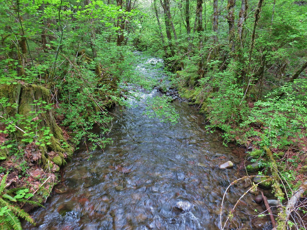
A short distance later we crossed another muddy forest road and then came to a decent sized creek that wasn’t on either our paper or GPS maps.
After the mystery creek we came to the signed Swift Creek which was the widest creek we’d crossed on the trip.

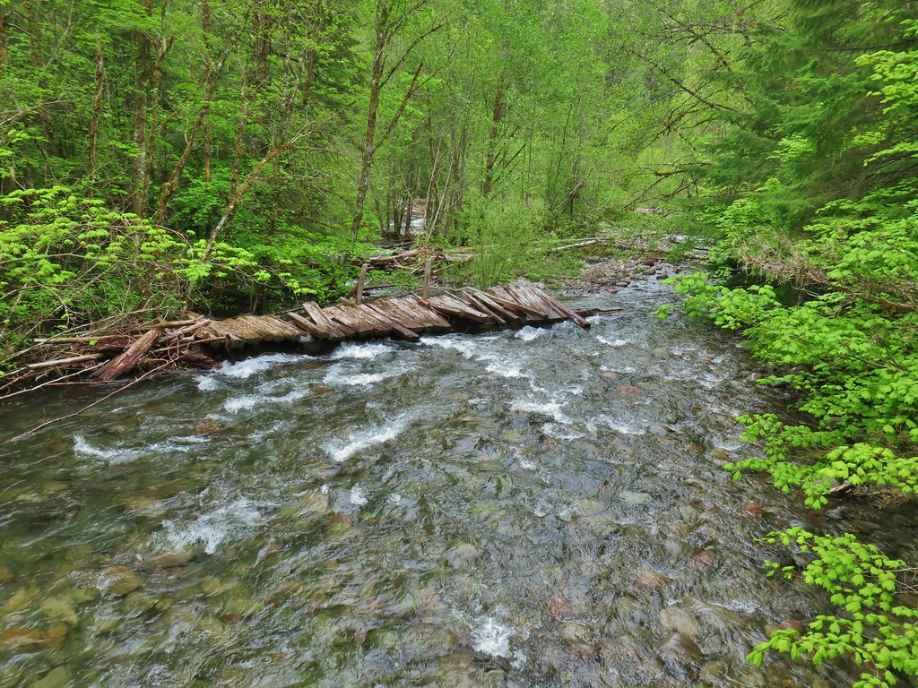
Former bridge over Swift Creek.
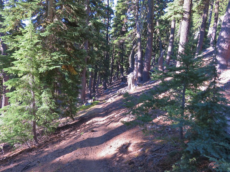
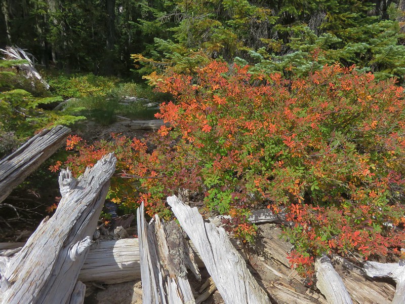
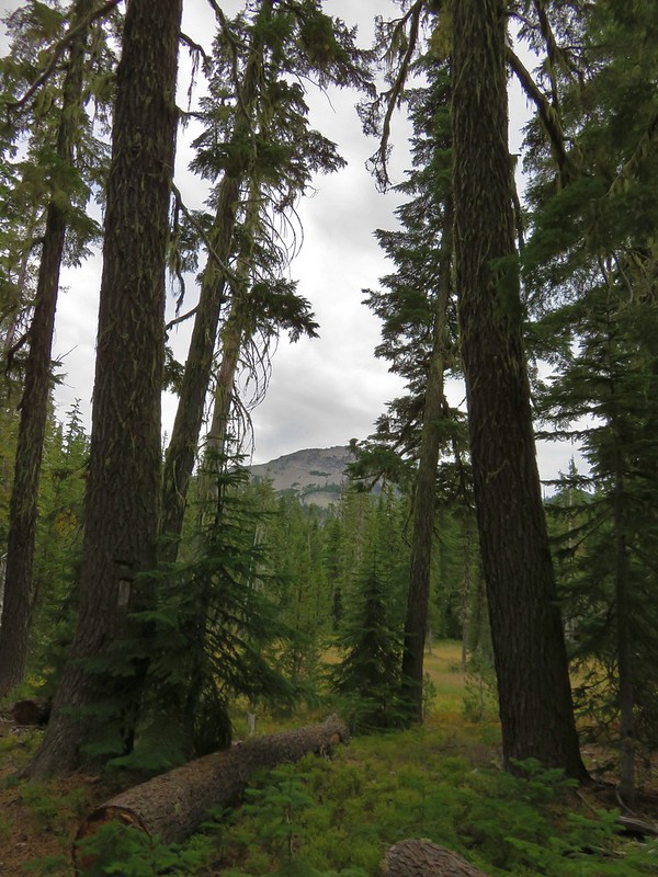
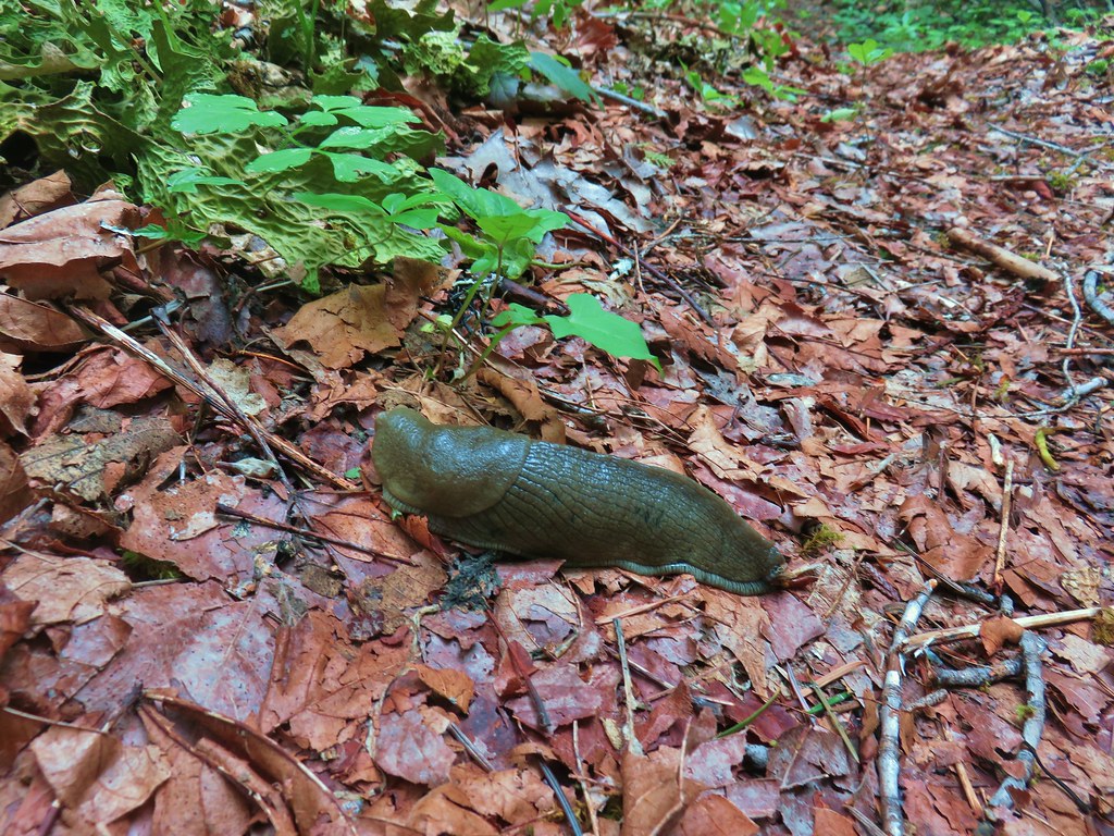
The scenery really began changing beyond Swift Creek. We hadn’t seen any poison oak since the wagon road and now we were in a drier forest with huge ponderosa pines and cedars. We were also high enough now to see some blooming rhododendrons. I did manage to pick up my second tick of the trip somewhere in this area.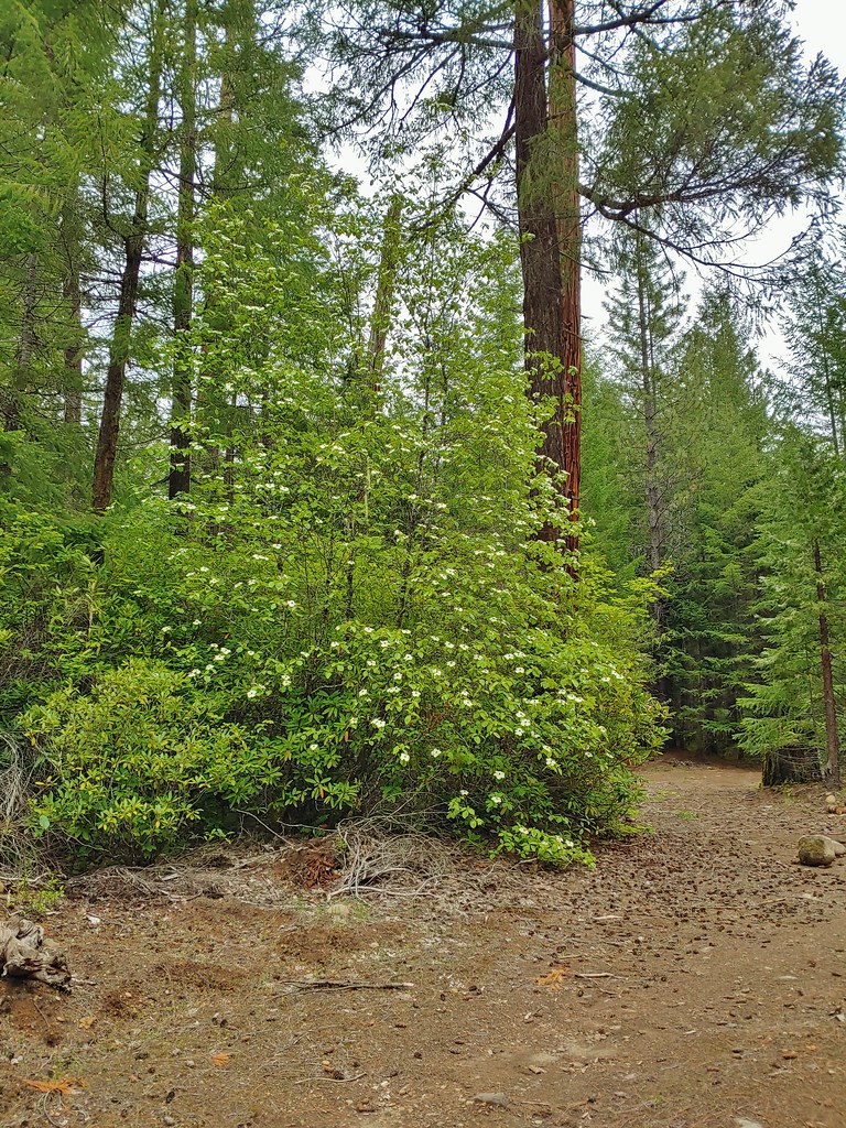
Ponderosa behind a dogwood tree.

Rhododendron near the dogwood tree.

Cedar
The trail dropped down towards the river to a wetter area between Skunk and Found Creeks.
Skunk Creek
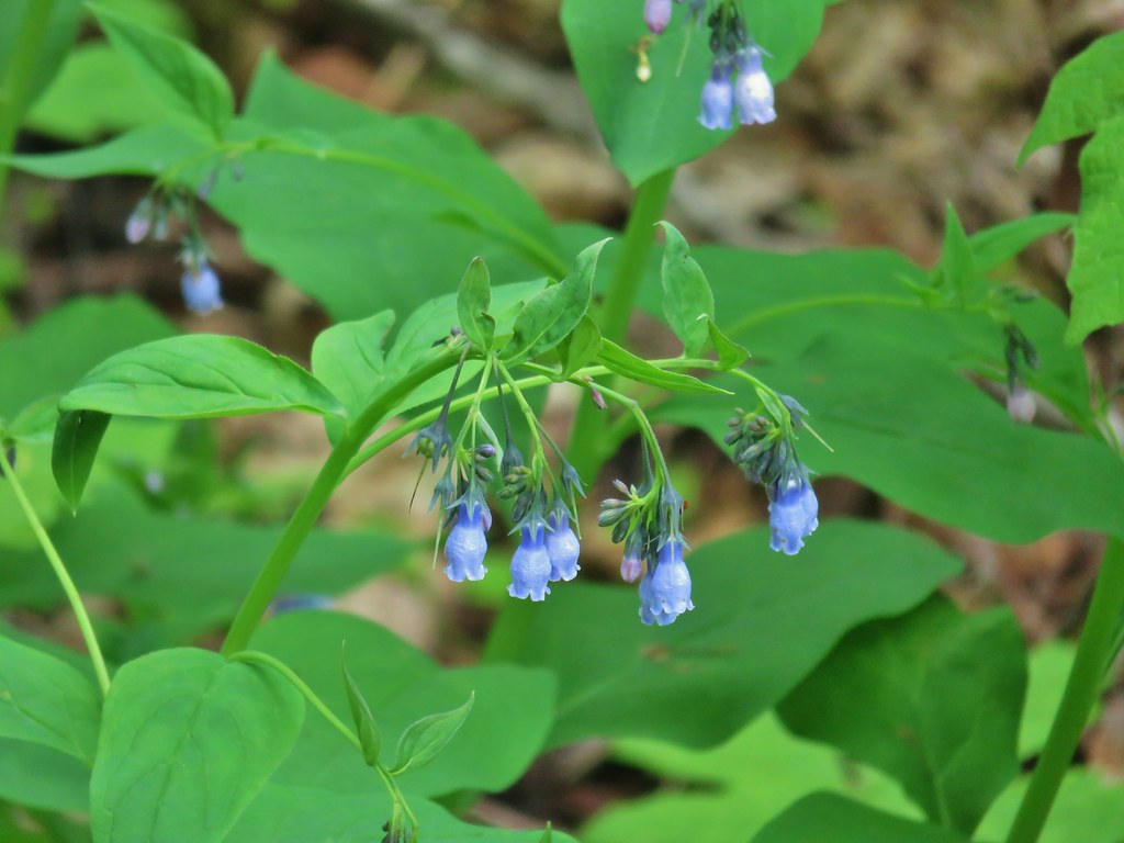
Tall bluebells
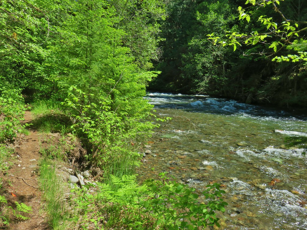
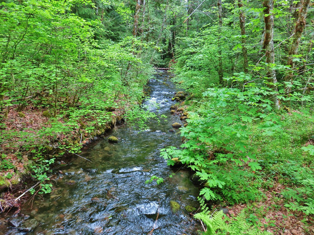
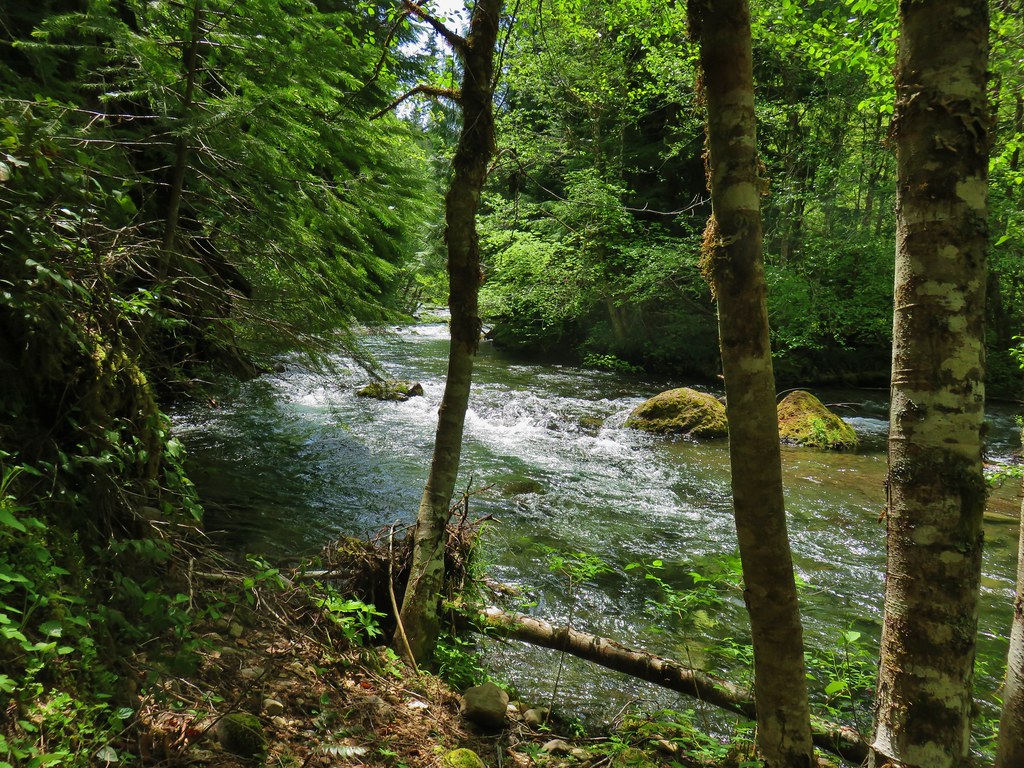
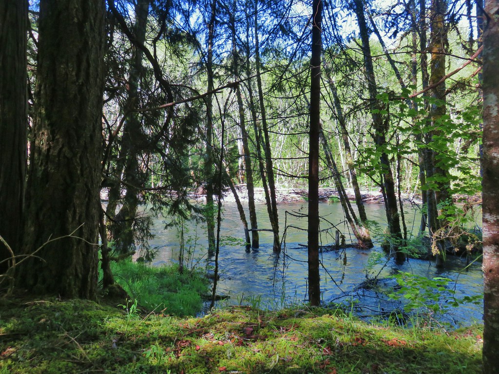
The Middle Fork Willamette River was a narrower here and doing it’s best to erode the riverbank.

The narrower Middle Fork Willamette River
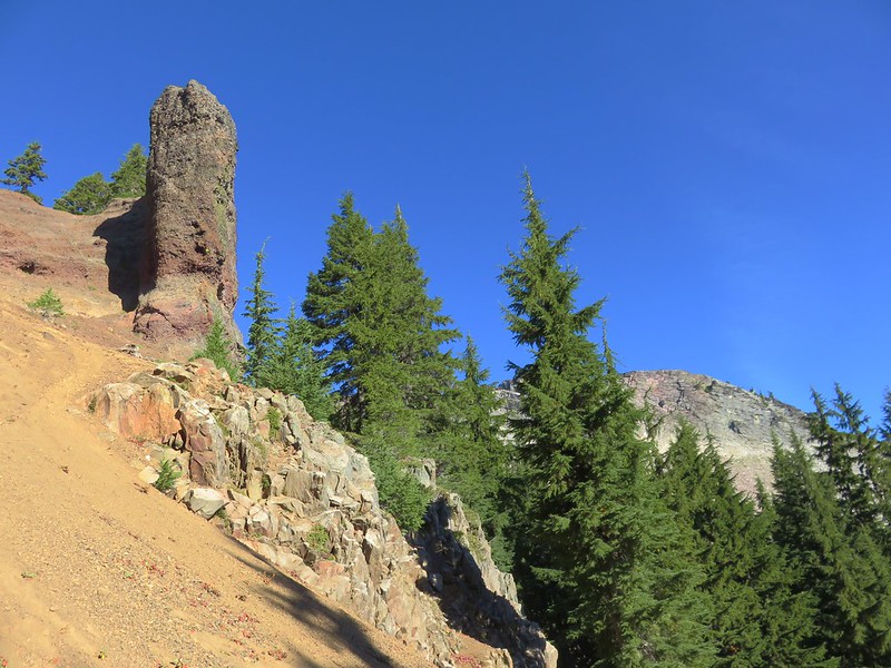
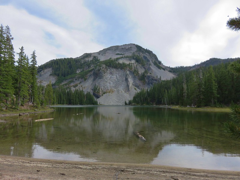
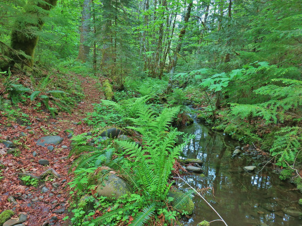
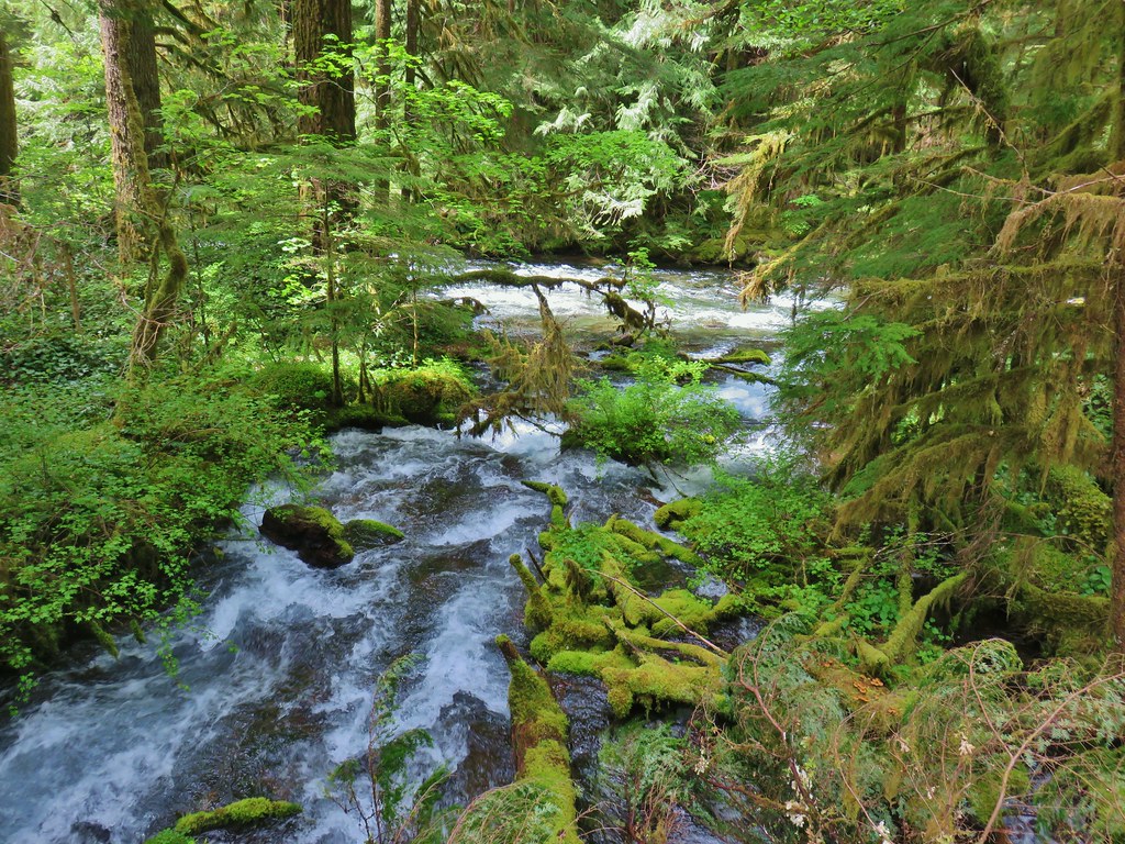
The trail soon began to climb above the river along some basalt cliffs where several springs flowed out from the rocks earning the moniker of Cliff Springs.

On the far side of the springs the trail dropped again to a crossing of Indigo Creek.
Before reaching the creek we stopped to listen to a wren signing.
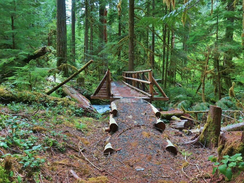
Bridge over Indigo Creek.
Indigo Creek empyting into the Middle Fork Willamette River.
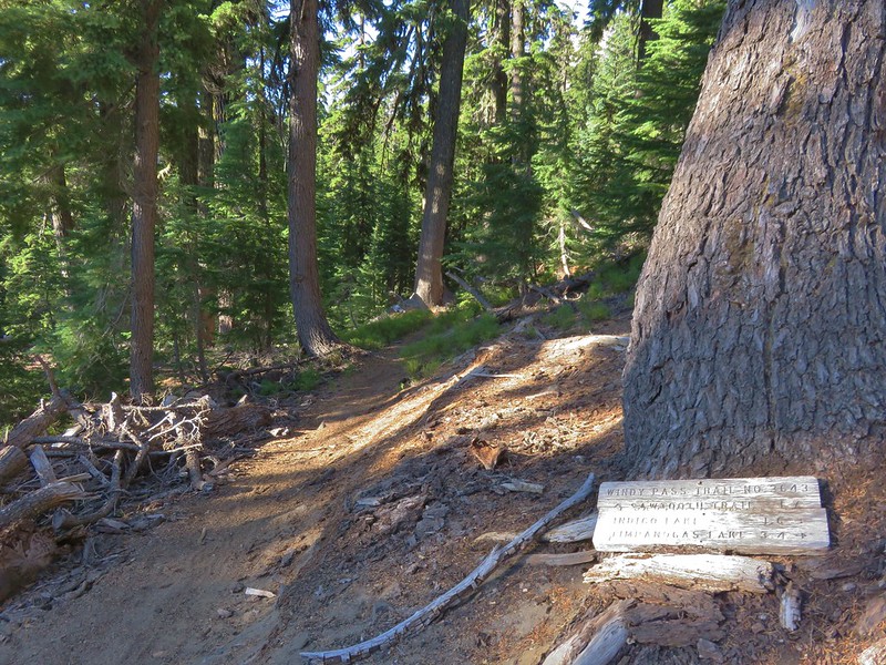
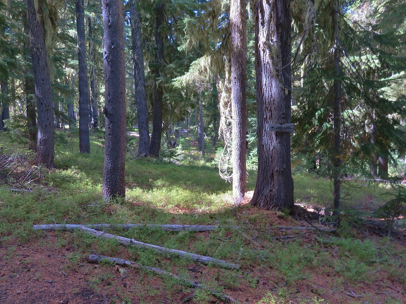
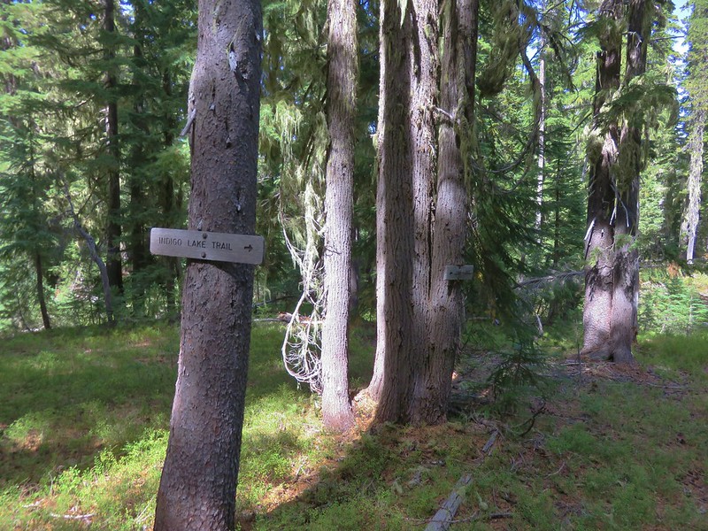
About a tenth of a mile from Indigo Creek we arrived at a junction where a trail to the left had a pointer for Indigo Springs.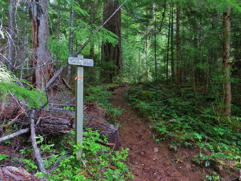
We turned up this short trail and climbed to FR 21 where we again turned left and followed the paved road a short distance to the entrance of Indigo Springs Campground.
Coming to FR 21.
The status of this particular area was a bit hazy. The 3 site campground was closed as well as the restrooms, but the Willamette National Forest had opened all day-use trailheads (not the restrooms at those with toilets). We walked up the access road to the 1 parking spot trailhead (which was occupied with a second car nearby). We were proceeding under the understanding that trails and trailheads were open and it was only using the campsites, restrooms, and picnic tables that was still prohibited so we followed the 0.2 mile loop clockwise around Indigo Springs.
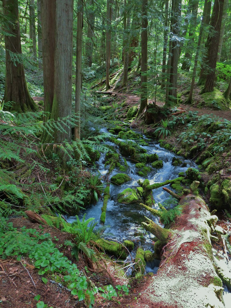
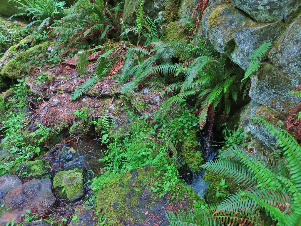
Indigo Creek
There were several springs feeding the creek amid mossy green rocks.


Apparently the route of the wagon road passed here too.
After admiring the springs we returned to the Middle Fork Trail and continued up river toward Chuckle Springs.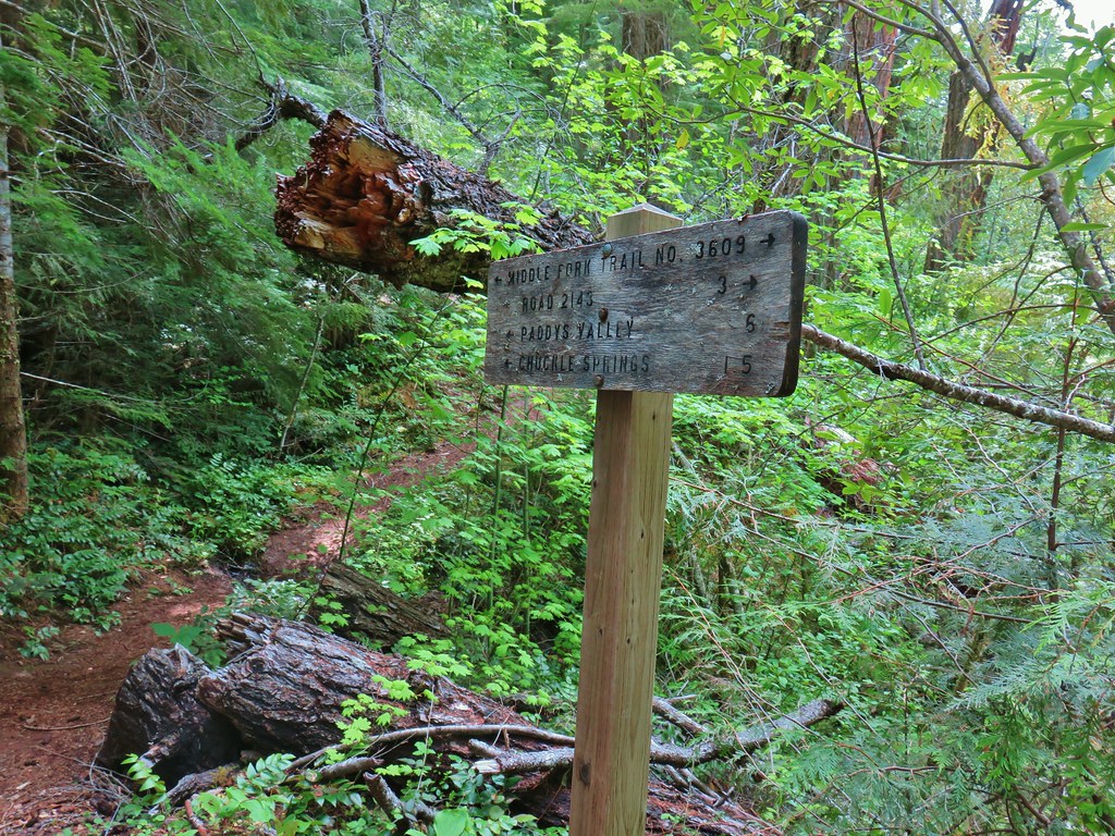
The trail dropped down to the river and spent a good deal of time right along it with a few easy access points, something that there hadn’t been many of thus far during our trip.

Fairy slippers
There was a bit of an up and down though and we encountered the one significant tree down of the entire trip along one of the ups.

Luckily it wasn’t too difficult to get around and we were soon headed back down to the riverbank.


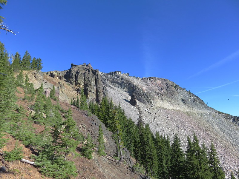
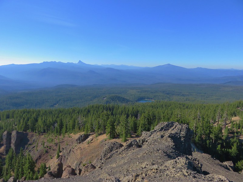
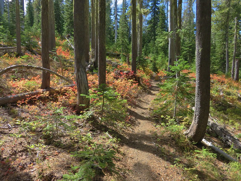
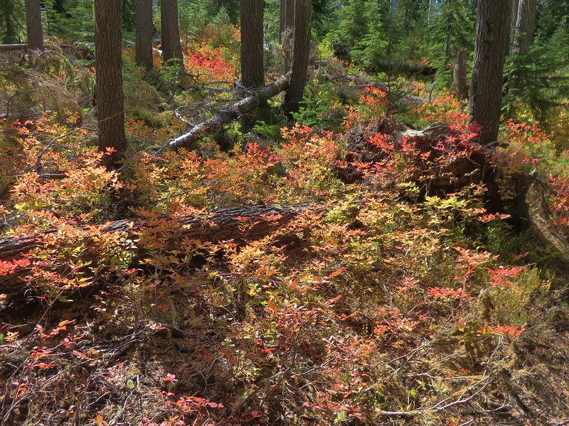
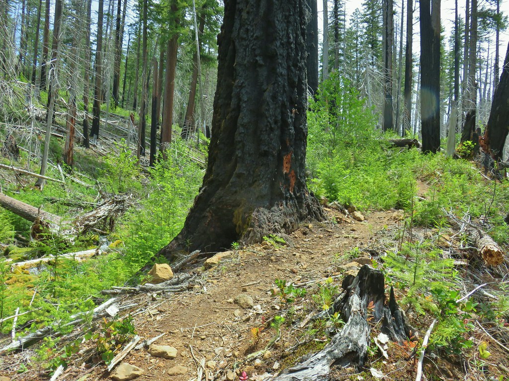
After just over a mile we began to enter the scar of a 2010 fire.
Just after entering the fire scar a butterfly landed on the Garmin followed by a second landing on my right shoe.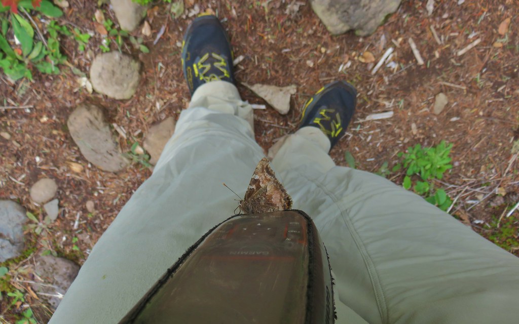

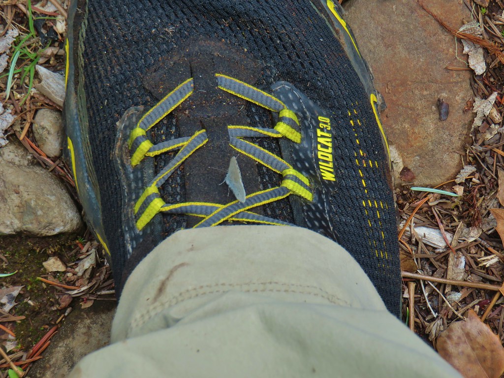
These were much nicer insects to have on me than the ticks.
The trail had split here at one time but the right hand fork along the river was now blocked by a small log and appeared possibly abandoned although a footbridge remained in place.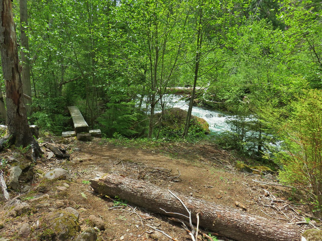
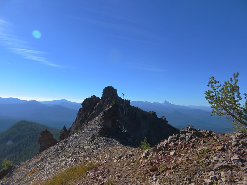
The way to Chuckle Springs was to the left though so we headed left and soon began climbing up a narrow ridge above Chuckle Creek.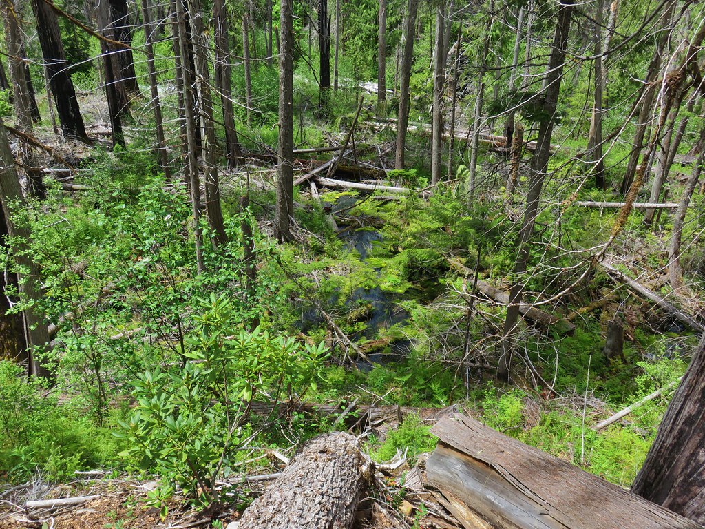
We crossed the creek on a footbridge and continued up the ridge alongside the creek.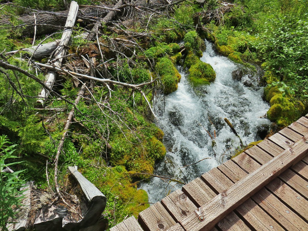

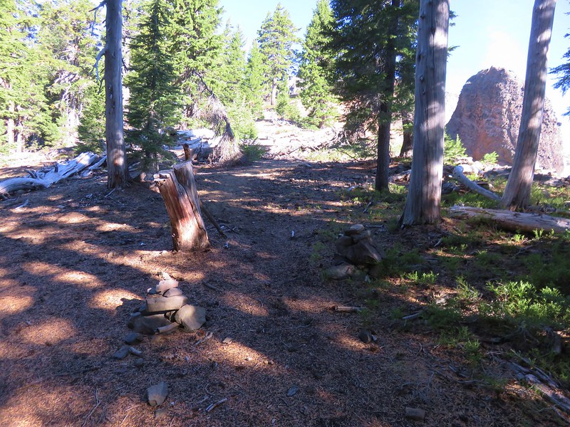
A quarter mile from the fork we arrived at another fork where the Chuckle Springs Trail joined from the left.
A very short trail led down to a picnic table where there were two groups of people talking. We had encountered two of them before reaching Cliff Springs and the other 3 were new to us. Given social distancing guidance we took a seat on some logs near the junction and waited for them to depart before heading down to the springs.


Not quite as impressive as Indigo Springs these were still a nice green oasis amid the burn area. We didn’t stay long just in case others were on their way and sure enough we ran into another couple on their way to the springs at the junction. We left the spring to them and headed back to camp.
The return trip was livened up by a couple of snakes. Heather is not the biggest snake person but she does pretty well with them all things considered. The first snake was a garter snake stretched across the trail in one of the ponderosa pine areas.
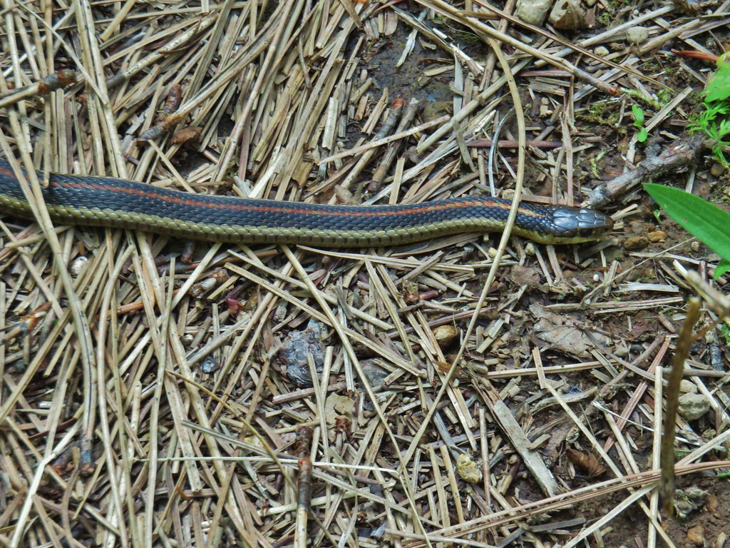
This snake had no intention of moving to the point that we thought it might have been dead (it wasn’t).
Then as we were passing Rigdon Meadows I walked right by a good sized gopher snake laying in the middle of the road bed. Heather spied it though and stopped in her tracks.
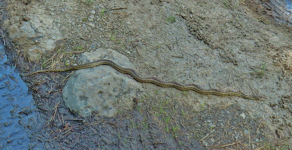

This snake also seemed intent to stay put until Heather started to go around it. Every time she took a step it would move just a bit closer to her. After about 3 rounds of this game I moved forward and the snake took its cue to head off into the grass and let Heather pass.
We stopped about one and a quarter miles from camp along the river to cook dinner and refill our water supply which had gotten fairly low. I had managed to miscalculate the distance for the day which we had clued into on the way back. For some reason, I apparently was unable to double the first portion of our hike from camp to Sacandaga Campground. I had estimated that we were roughly 2 miles from the campground and by not doubling those 2 miles I was coming up with 13.8 miles instead of 15.8. We were actually closer to 2.5 miles from the campground which would have boosted the mileage to 16.8. Add in a little extra wandering and we wound up just over 17 miles for the day.
The spot we’d found by the river had a nice view and we were joined by a caterpillar and had a brief visit from an ouzel.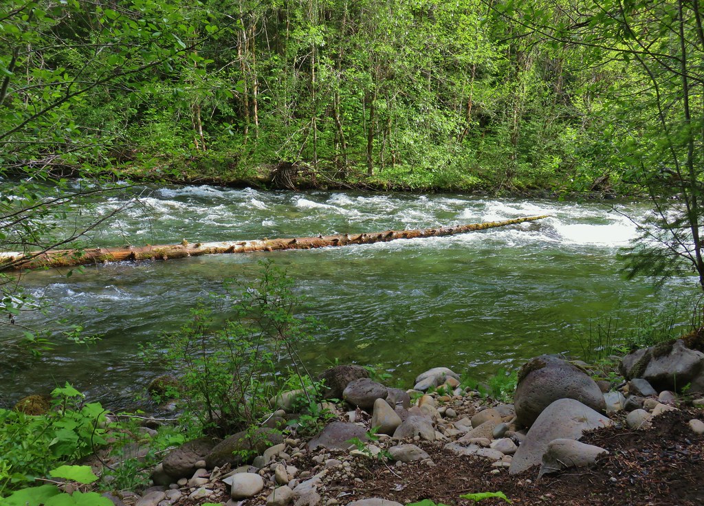


We were pooped by the time we made it back to camp and we both had developed some impressive blisters. My best was on my right pinky toe and Heather’s was on one of her big toes. It was clear that we’d be spending some time applying moleskin and bandages in the morning before heading back to the car.
We turned in for the night thinking about the long hike out. I was thinking about the way we were feeling, the extra distance due to the reroute, and the ford of Indian Creek and worrying that by the time we got to that ford the combination of the sore feet and tired legs would make it even more difficult than it had been on Saturday. Additionally coming from the opposite direction might also be trickier. On Saturday getting into the creek was fairly easy and the trickiest part was just after passing the center (and strongest current) there were several large rocks which we had to step up onto. Coming from the other direction we would need to drop off of those rocks into the strongest current. I wasn’t loving that idea so Heather and I started talking about options. Both the reroute and the fords were along the same section of trail between FR 2134 and FR 2127. We got the idea to see if it looked like road walking FR 21 between the two bridges would be any shorter and from the look of it on the maps it would be so we decided that was our plan for the hike out.
We woke up at first light and packed up our little campsite and then ate breakfast along the river before throwing our packs on and heading back.
Our little meal site along the river.
We stuck to the plan and when we arrived at FR 2134 we hopped up onto the shoulder of FR 21 and started pounding the pavement.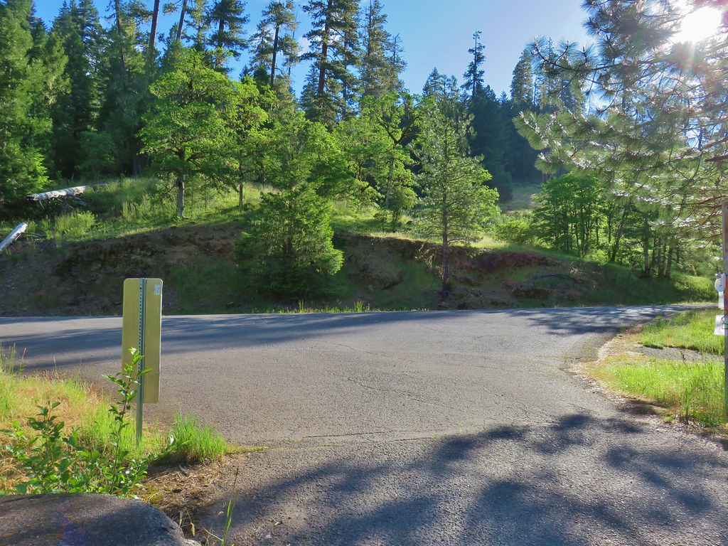
The road walk was pretty brutal on our already sore feet, but there wasn’t a whole lot of traffic and we got to see some different things this way. It was also close to 2 miles shorter than if we had stuck to the trail.
Youngs Rock Trail – A hike for another time.


Oregon geraniums

Oregon sunshine

Plectritis and the only larkspur we spotted all trip.

Boulder Creek Falls
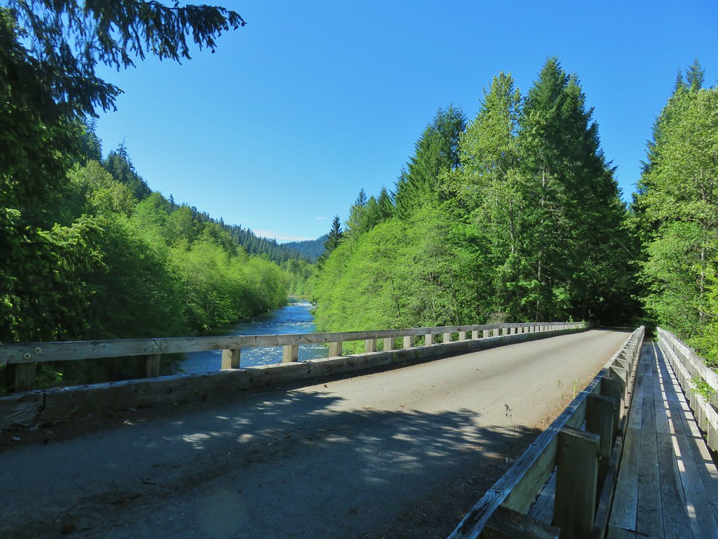
When we finally arrived at FR 2127 we took a break on the bridge.
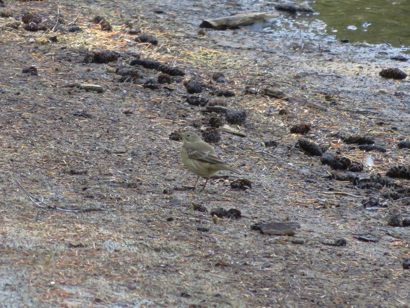
The highlight of the final leg of our hike was spotting a pair of harlequin ducks floating on the river. It’s only the second time we’ve seen these colorful ducks.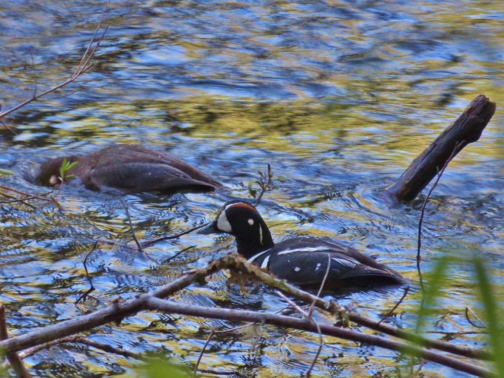
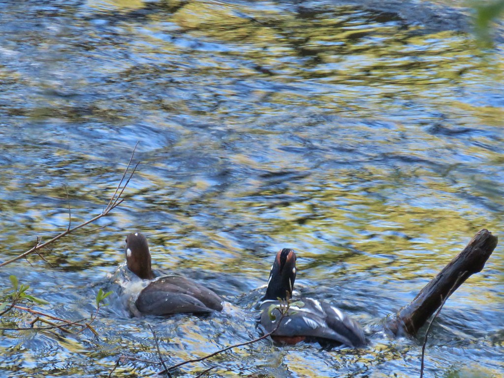
Our distance for this final day was 12.1 miles giving us a total of 43.7 miles over the three days. I said to Heather “Leave it to me to turn a 4.4 mile easy hike into a nearly 44 mile hike.” I’m not sure if she found that as funny as I did. 😄
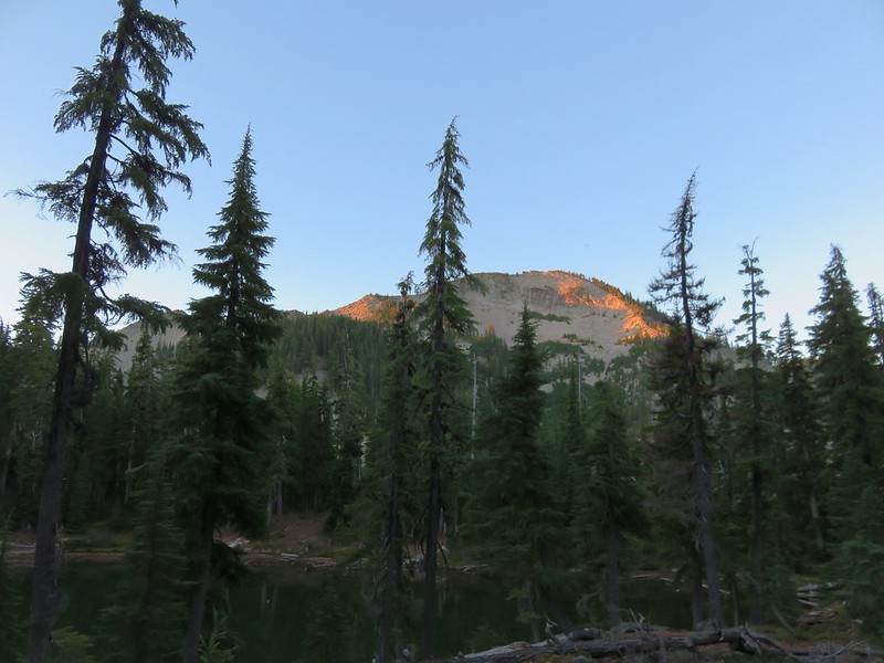
If I were to do it over (and the bridge over Indian Creek was replaced) I would have started at FR 2127 instead of 2120. That first 5+ miles didn’t have quite the scenery of the other sections, and it had the most poison oak. It also would have allowed us to camp closer to the springs making that day more reasonable. The view at Little Pine Openings sure was nice though.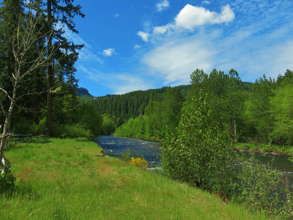
Overall though it was a good trip and it was just nice to be out again. Happy Trails!
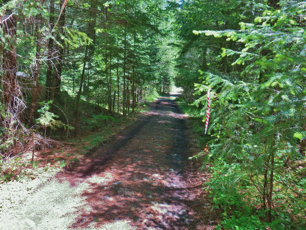
 Middle Fork Trail along FR 21.
 One of only a couple of spots where we were able to get to the river.
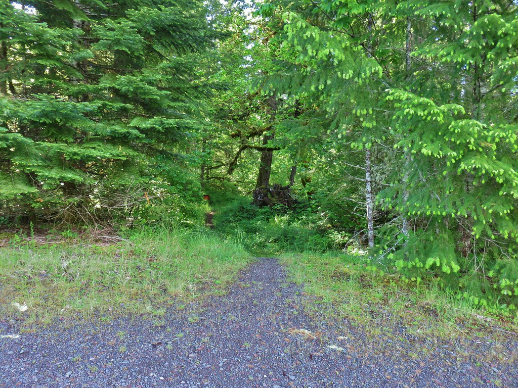 Orange flagging on the left after crossing a gravel road.
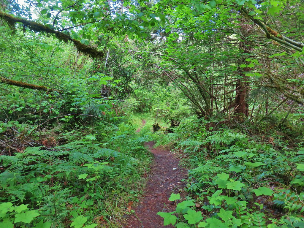
 Thimbleberry
 Cone Creek
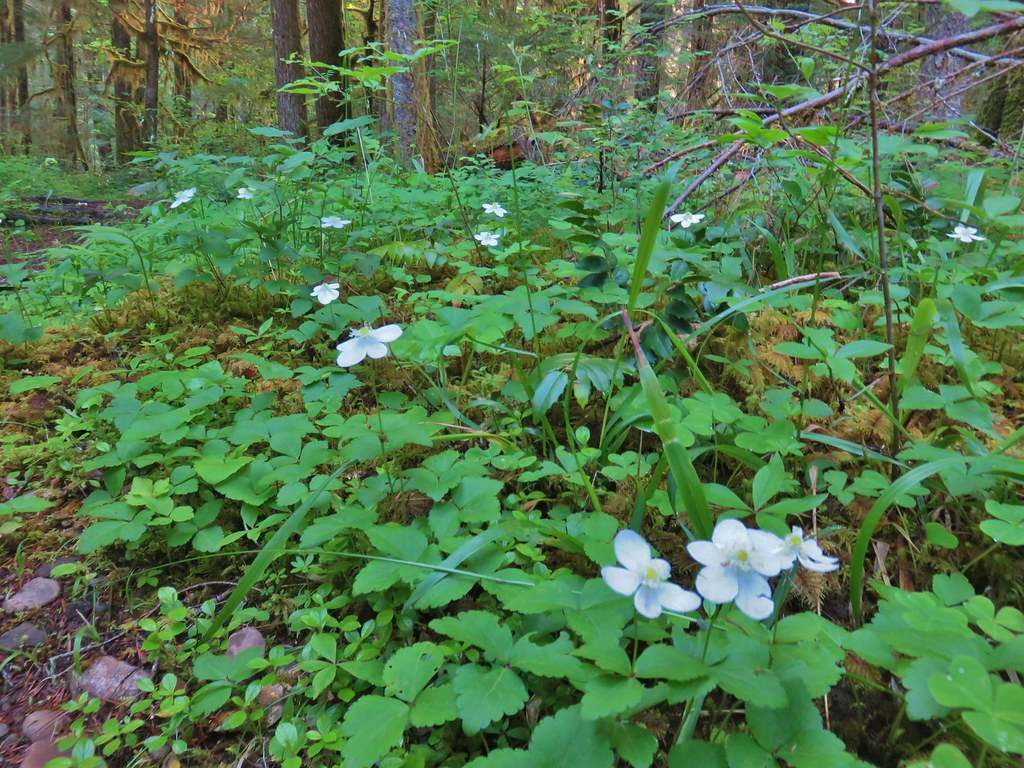 Anemones
 Footbridge over Bills Creek
 Queen’s cup

 Columbine
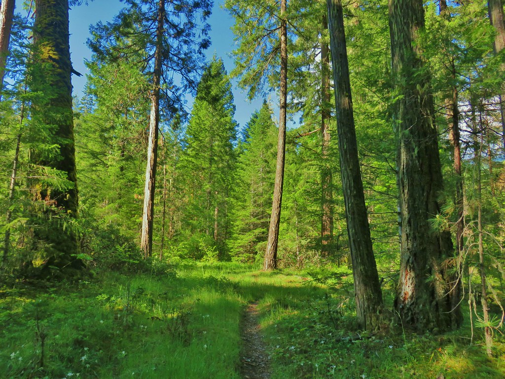 Yellowleaf iris along the Middle Fork Trail.
 Pine Creek – At first it looked like they put the bridge in the wrong spot, but there was another branch to the creek.
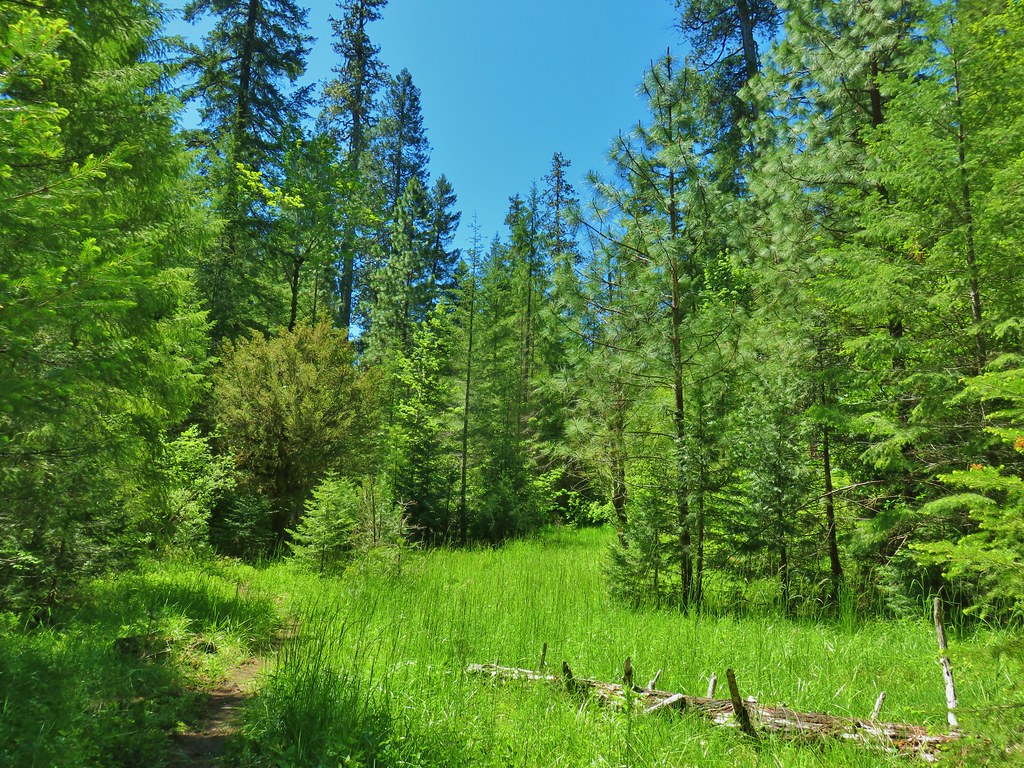
 Small meadow along the trail.


 Common merganser on the river below the bridge.
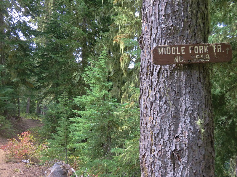
 Sign at the
 Mossy stump along the trail.
 Lots of grass along portions of the trail, one of these areas was probably where the tick hopped on.

 The ookow wasn’t quite blooming yet.
 Tolmie’s mariposa lily
 Monkeyflower and tomcat clover
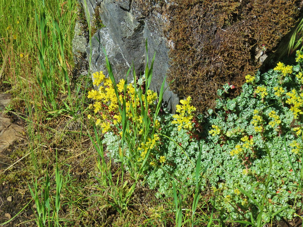 Stonecrop
 Plectritis and giant blue-eyed Mary
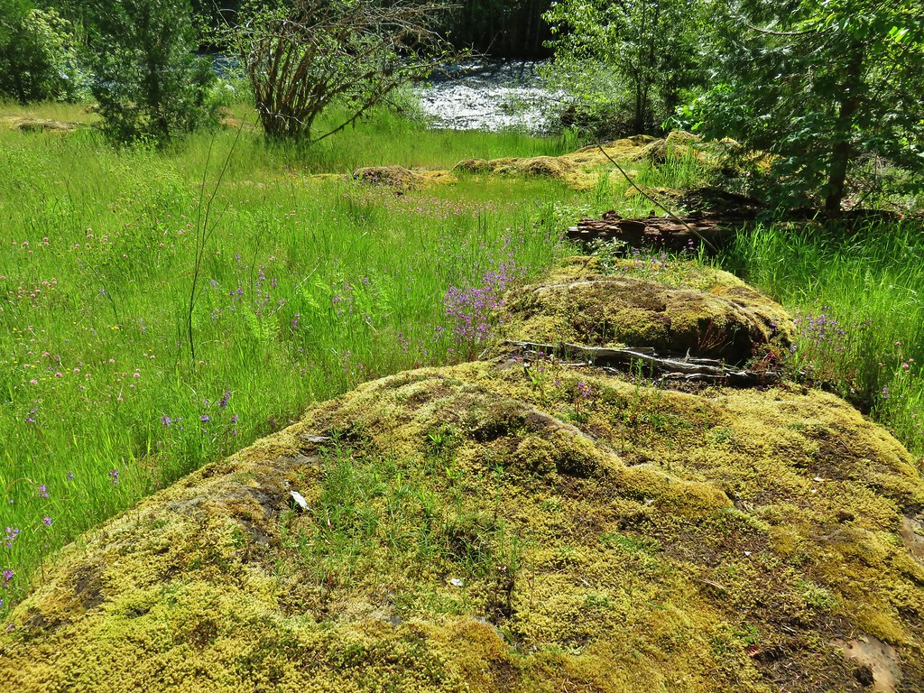
 Giant blue-eyed Mary
 Buttercups
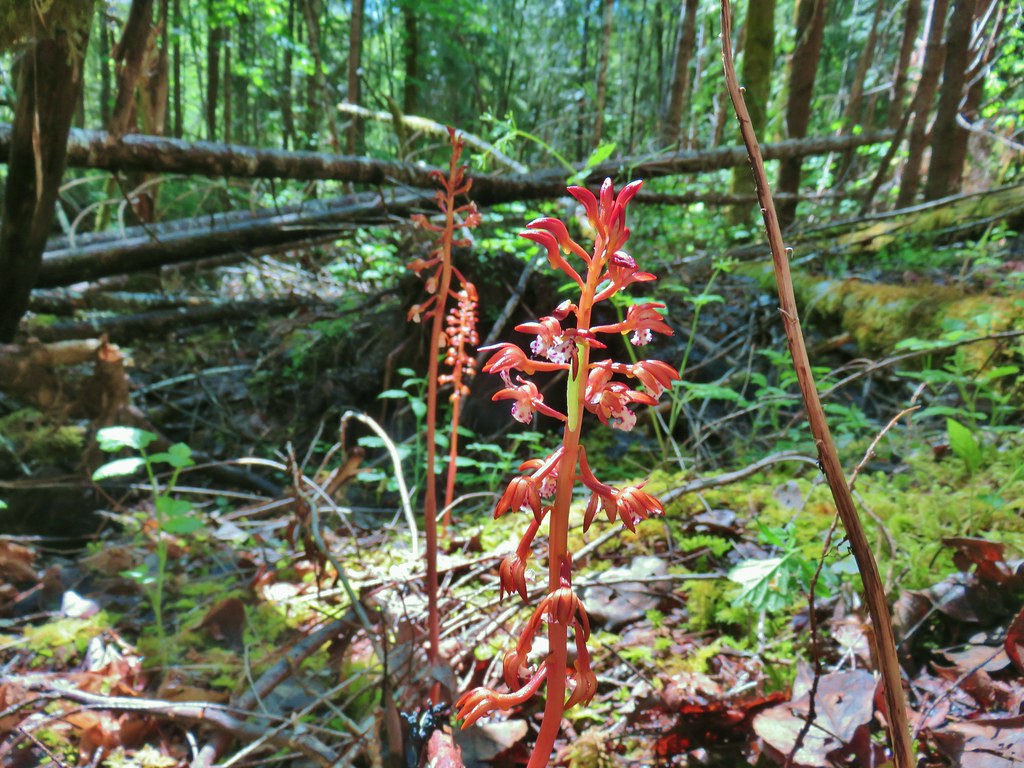 Spotted coralroot (with a caterpillar)
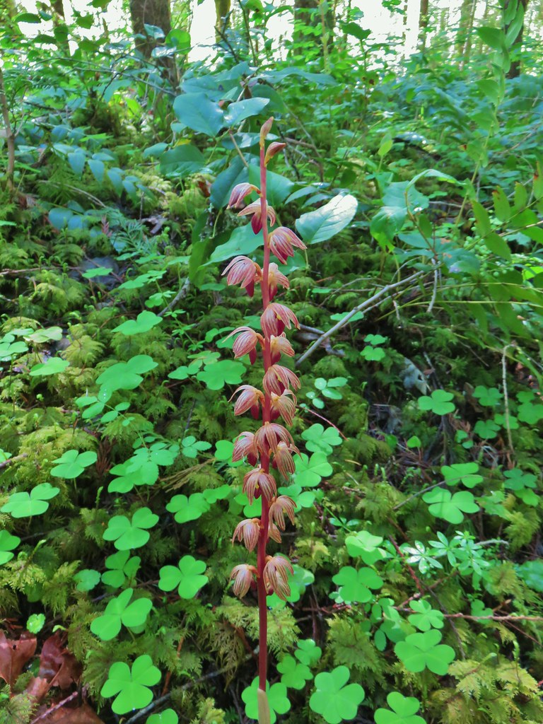 Striped coralroot


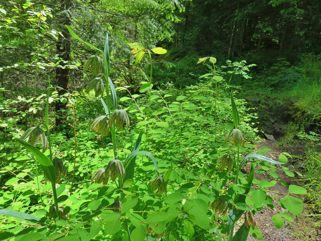 Chocolate lilies
 Completed section of the reroute.
 More signs at FR 201
 FR 201 crossing Coal Creek.
 Coal Creek
 Road walking on FR 2133


 Simpson Creek
 Northern phlox
 Don’t know what type of fungus this is but it looked neat.