**Note a portion of this hike burned in the 2022 Cedar Creek Fire.**
We ended our August hikes with an overnight stay near Waldo Lake. After several days of smokey skies the weather had shifted and most of the smoke had been pushed out of the area. The exception to that was the smoke being produced by the Terwilliger Fire burning east of Eugene along Cougar Reservior and into the Three Sisters Wilderness. 😦
We were hoping that the smoke from that fire wasn’t going to be aimed right at us all weekend. Things were off to a good start when we arrived at the Jim Weaver Trailhead at the north end of Waldo Lake. The sky was a crisp blue but the sky wasn’t the only thing that was crisp. The temperature gauge in the car had read 36 degrees when we’d parked.
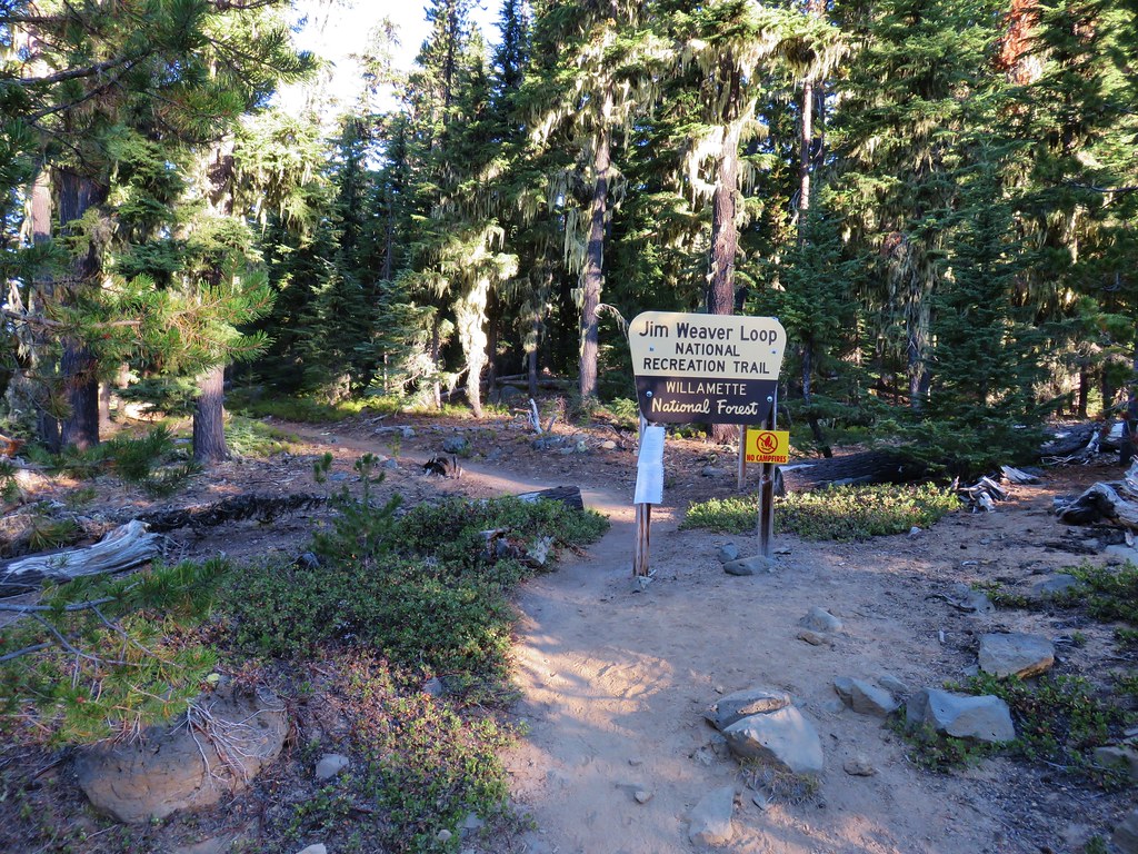
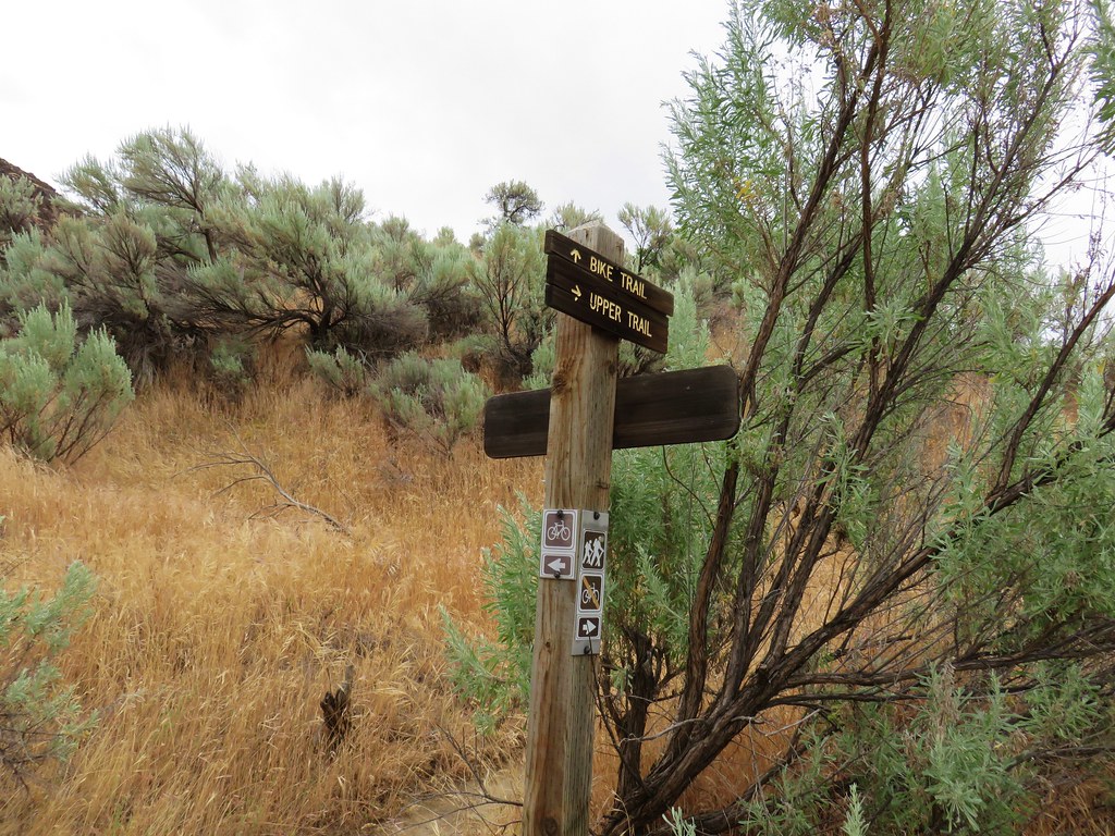
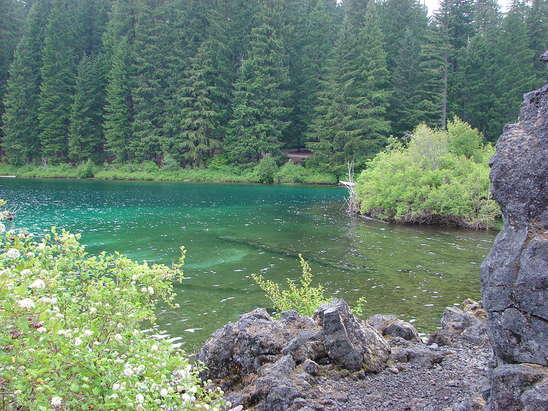
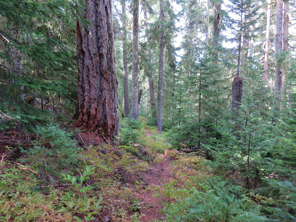
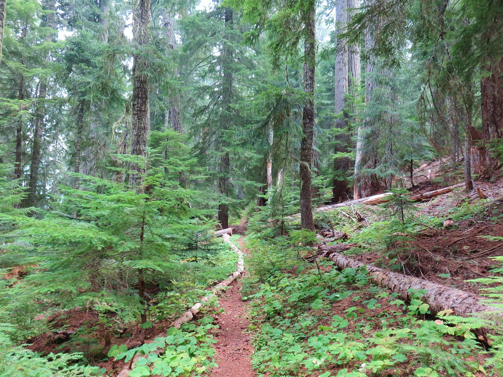
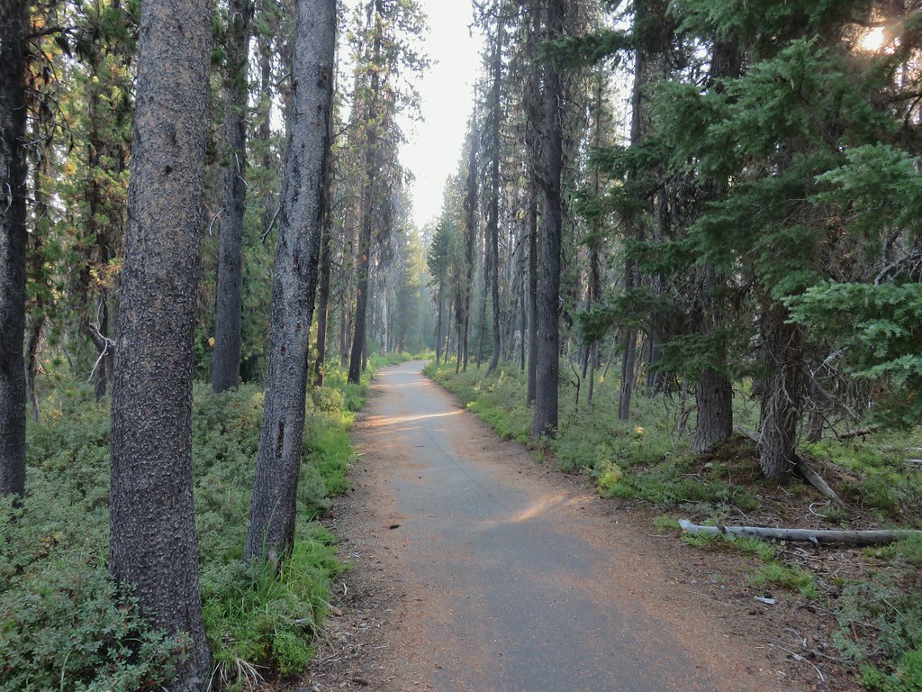
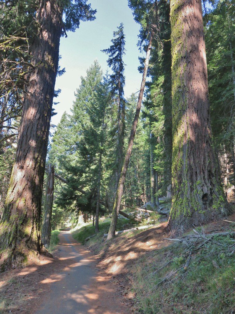
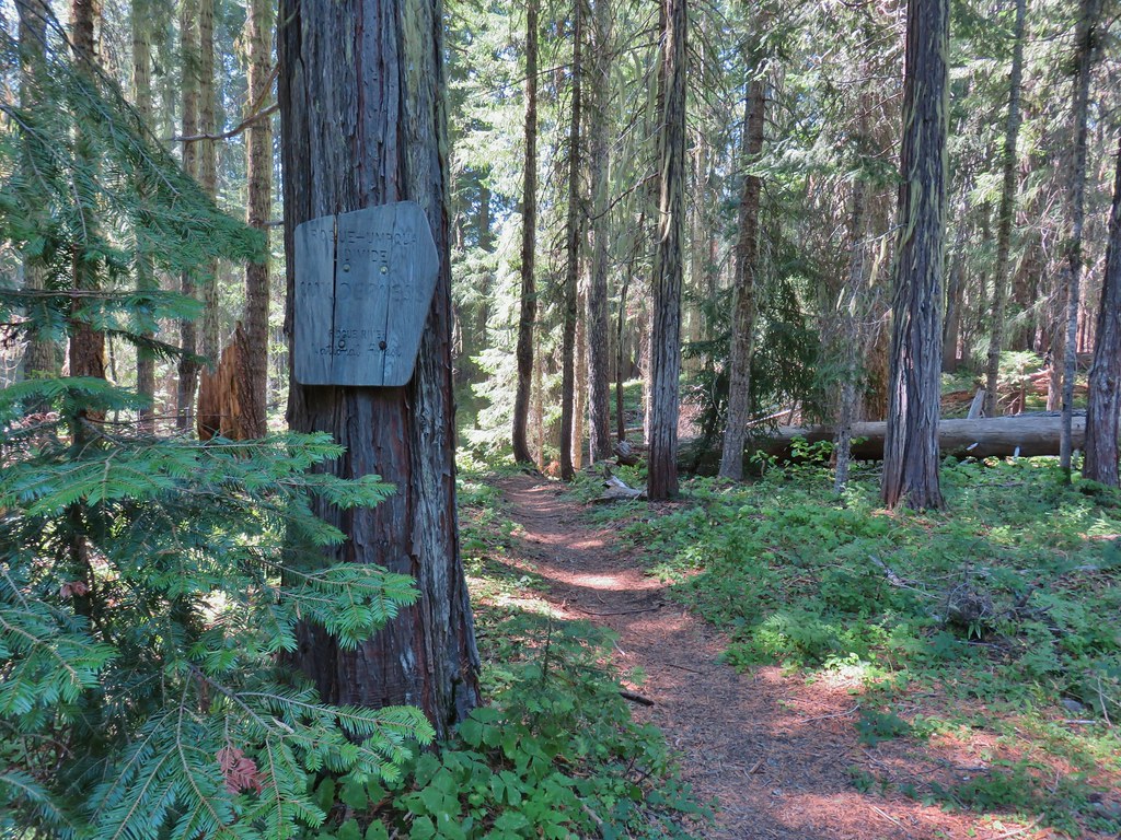
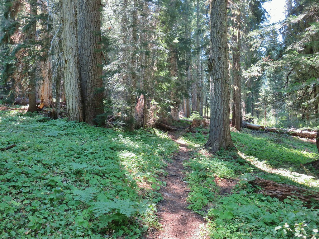
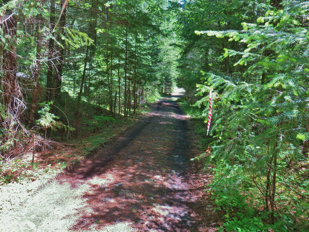
From the parking area we walked down to boat ramp and turned right at a Shoreline Trail sign.

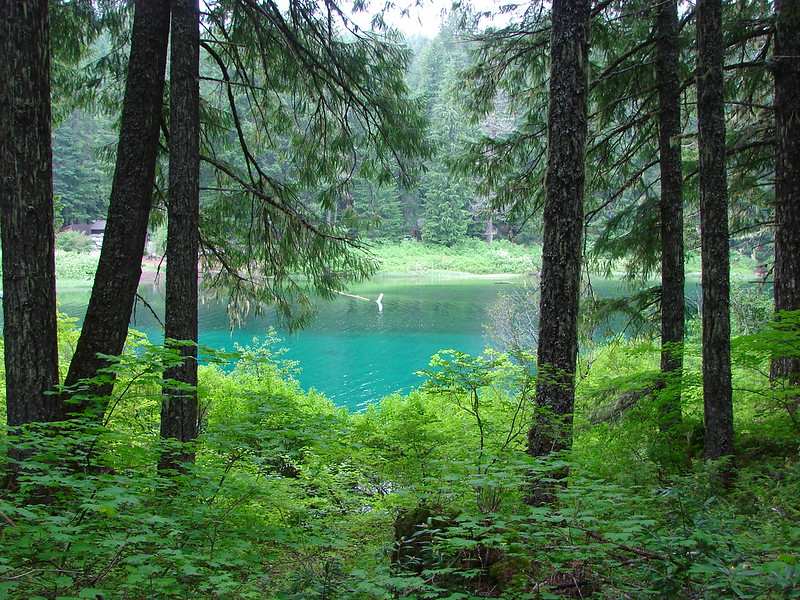
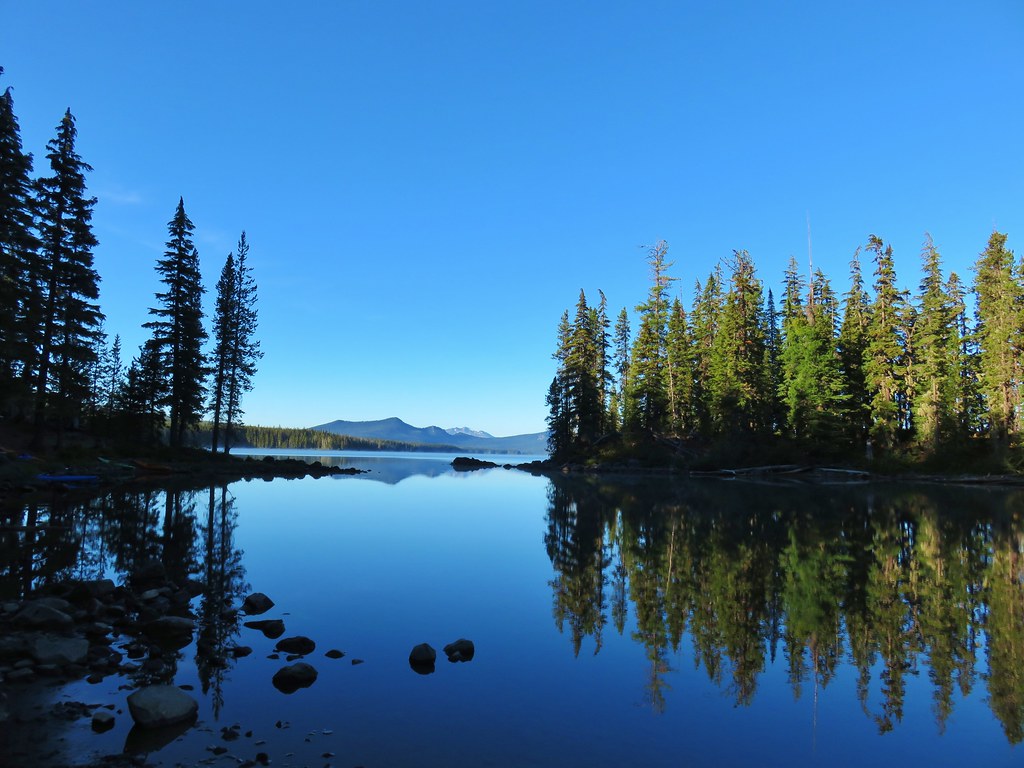
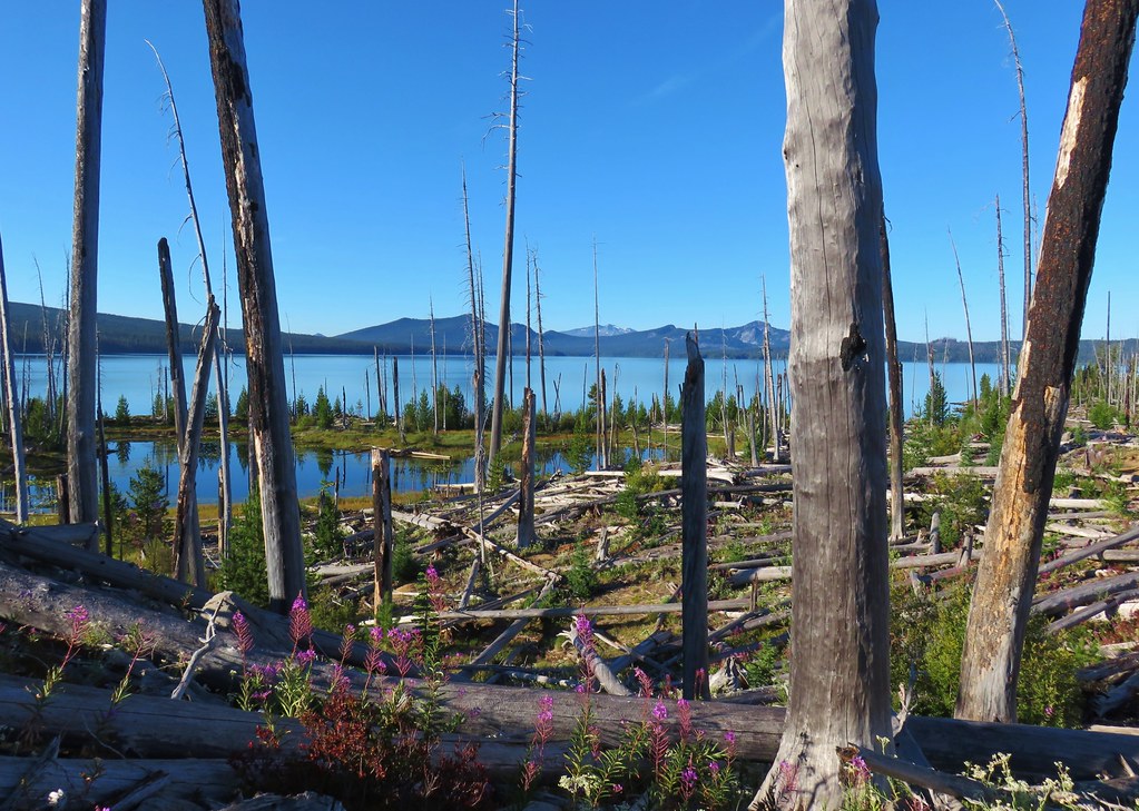
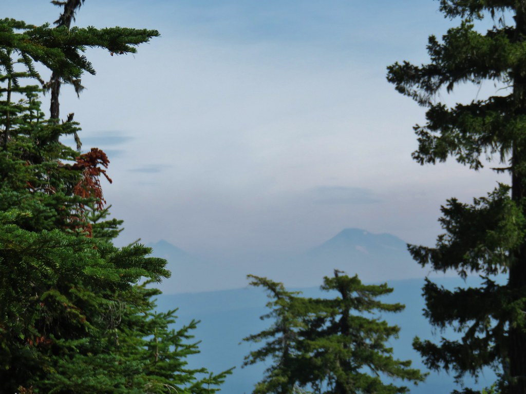
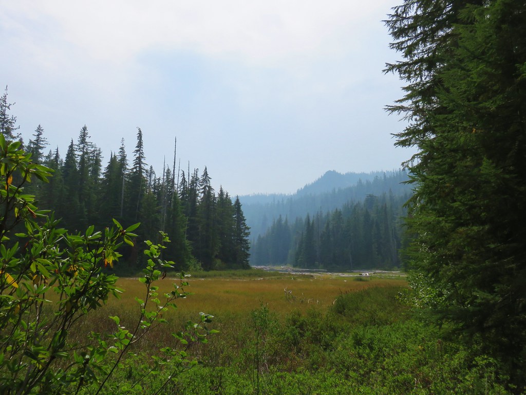
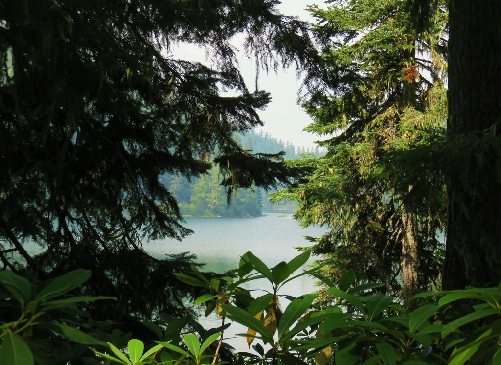
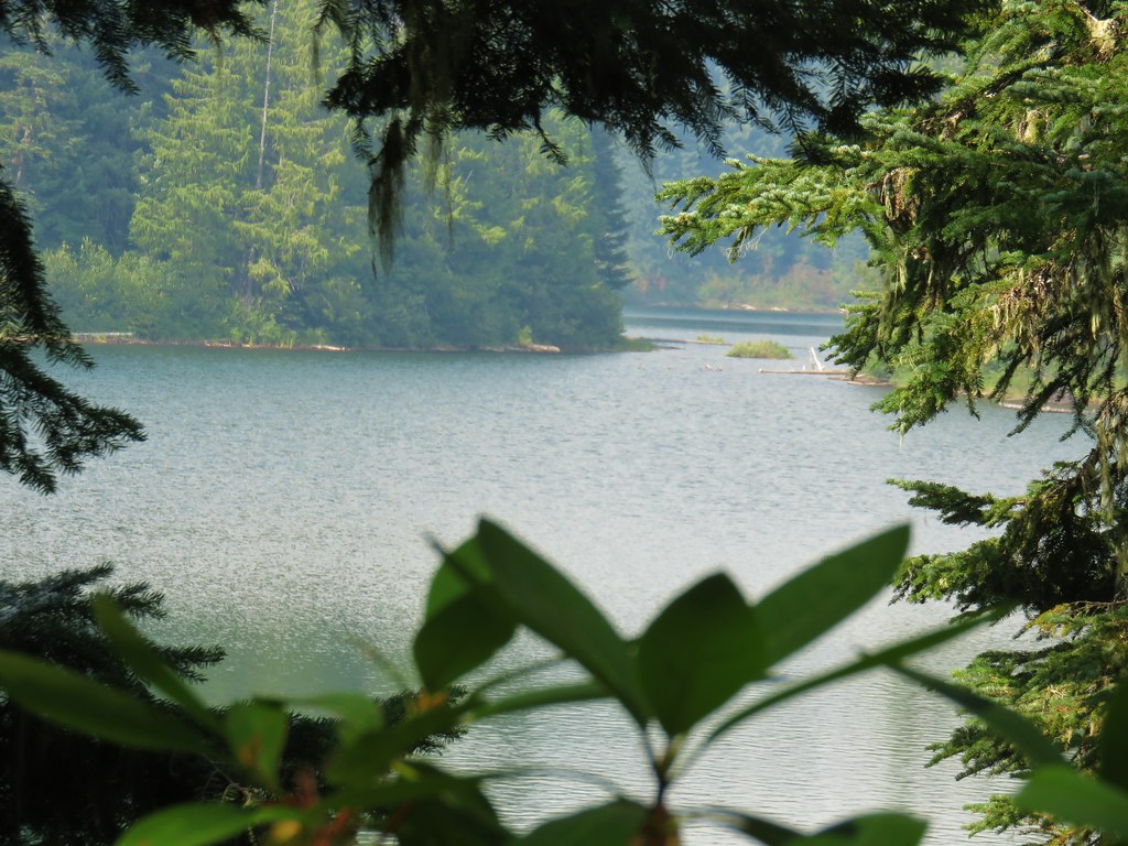
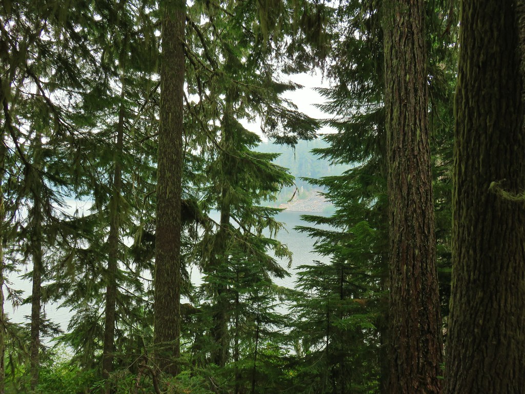
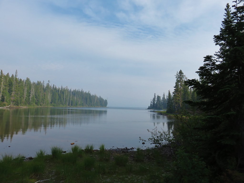
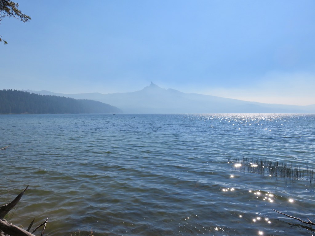
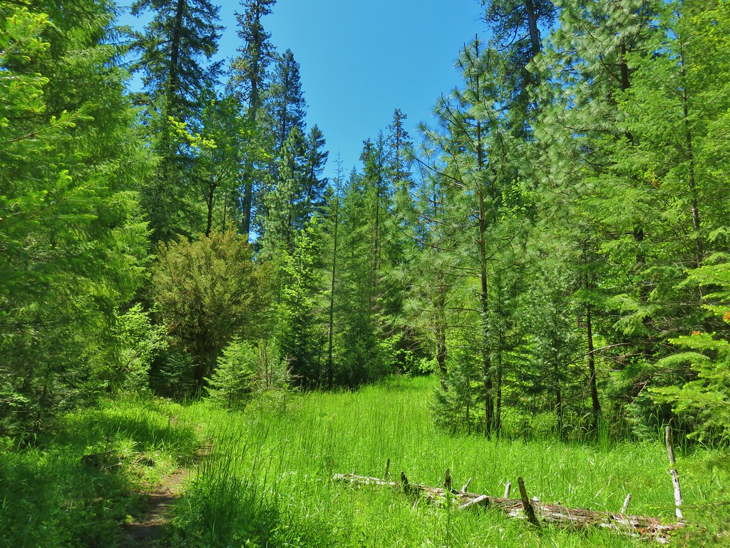
Initially the trail passed through green trees with occasional views across the lake to Diamond Peak and Fuji Mountain (post).

 Diamond Peak to the left and Fuji Mountain directly behind the island
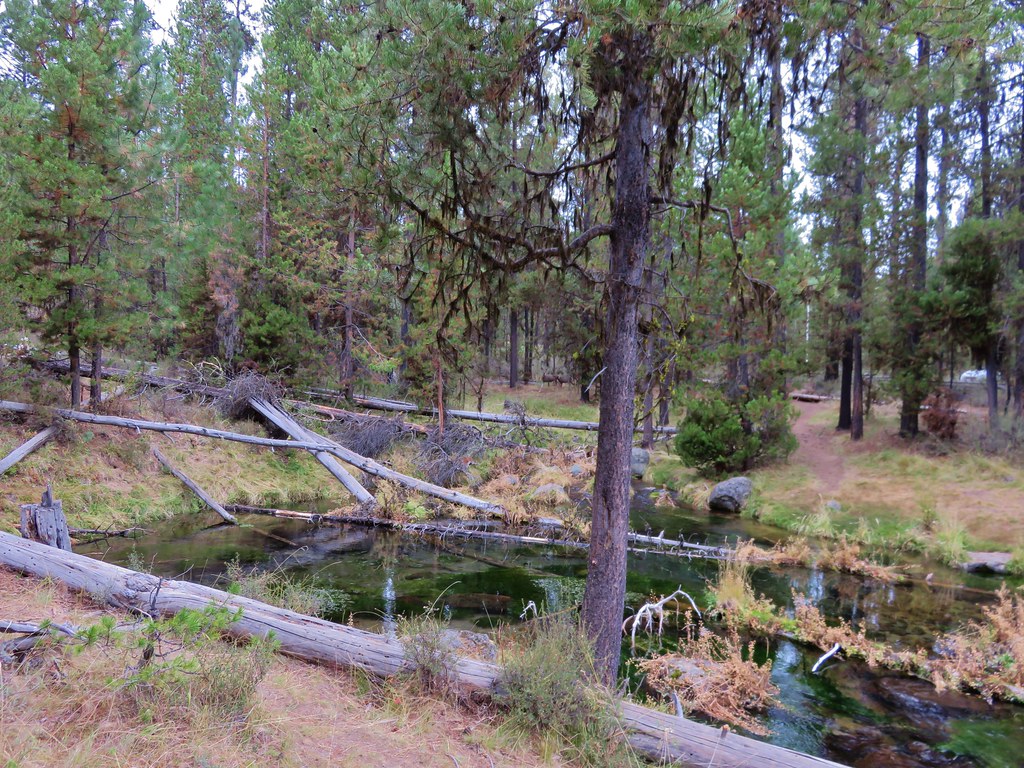
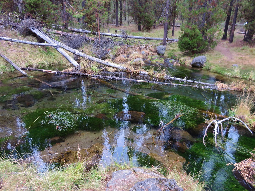
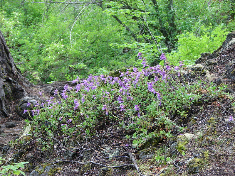
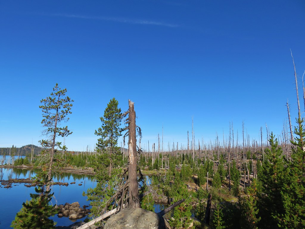
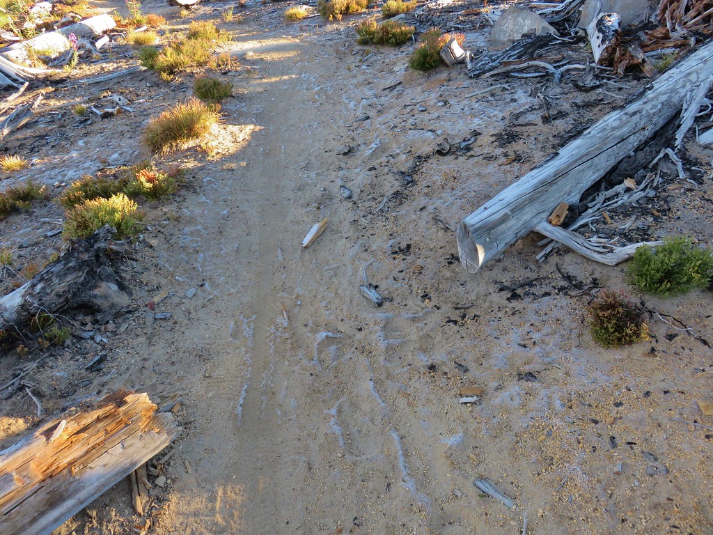
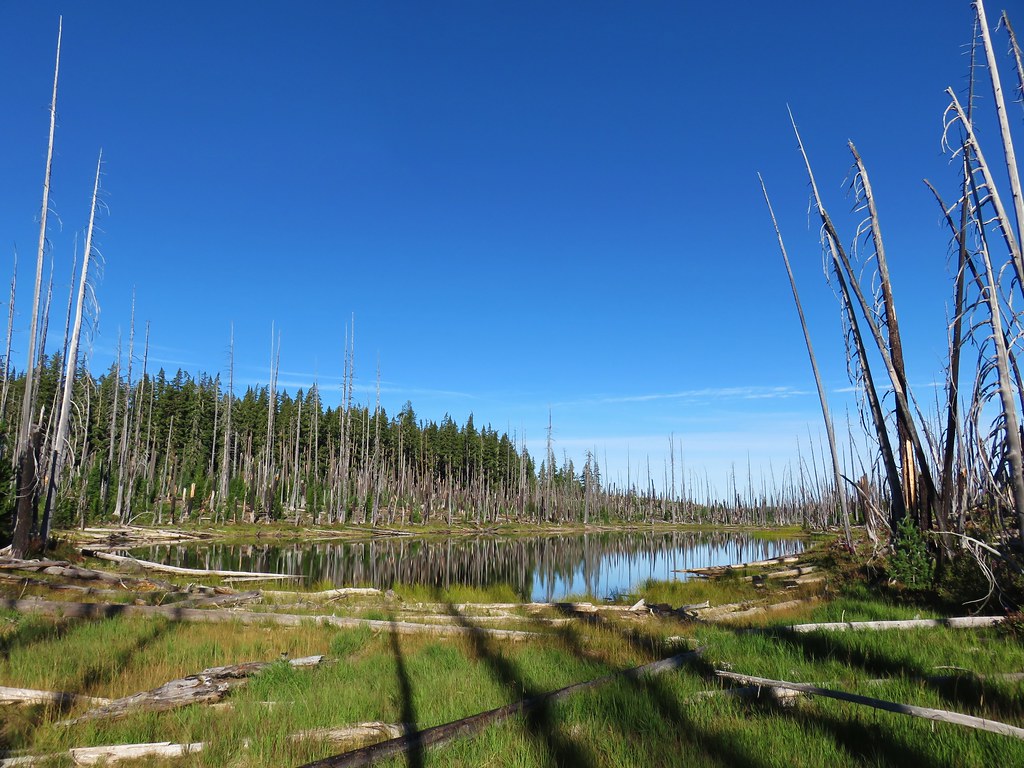
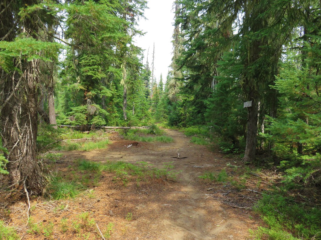
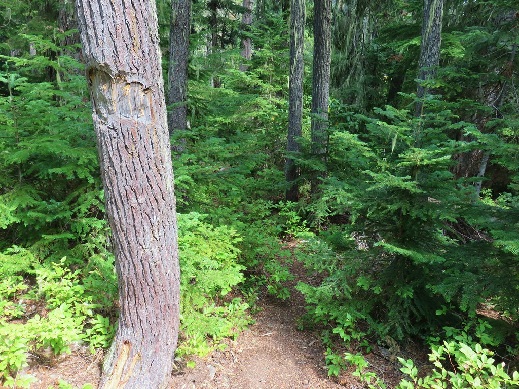
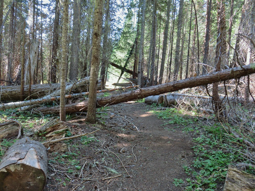
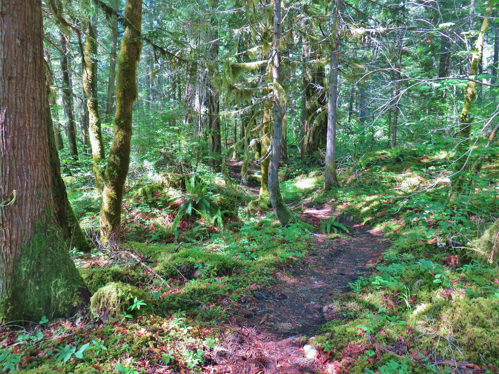
Soon the trail entered the fire scar of the 1996 Taylor Burn.
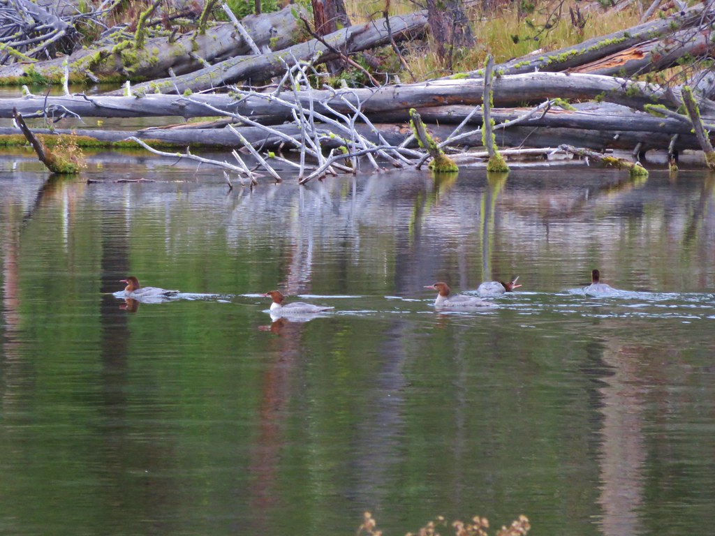
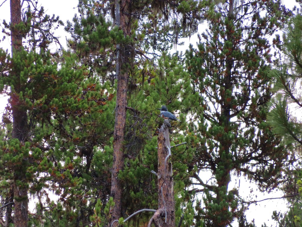
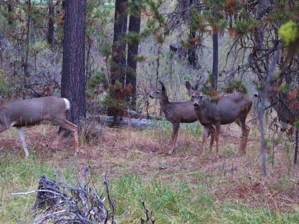
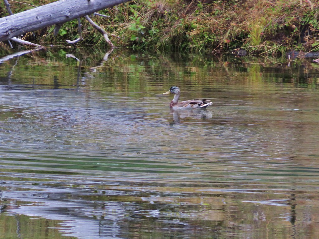
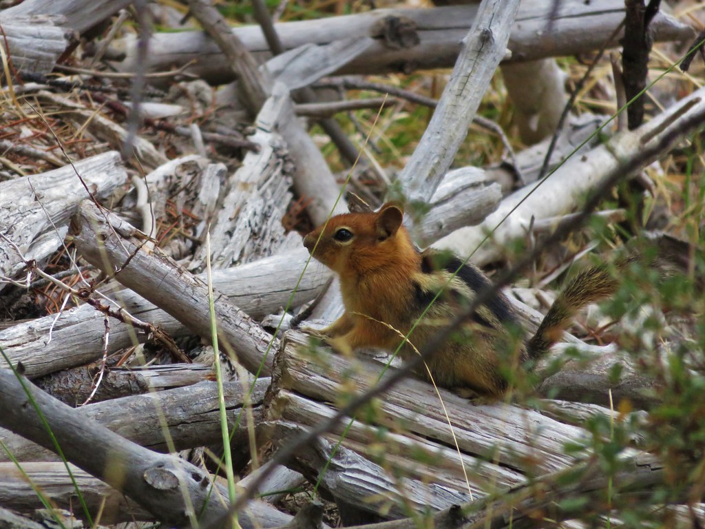
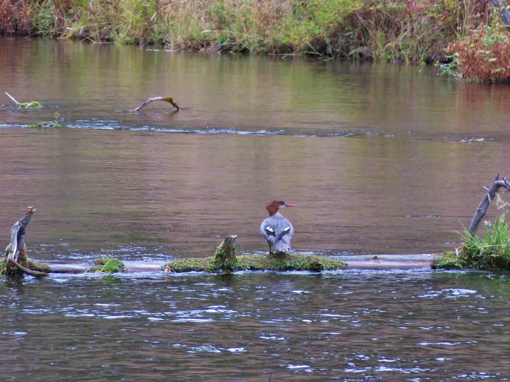
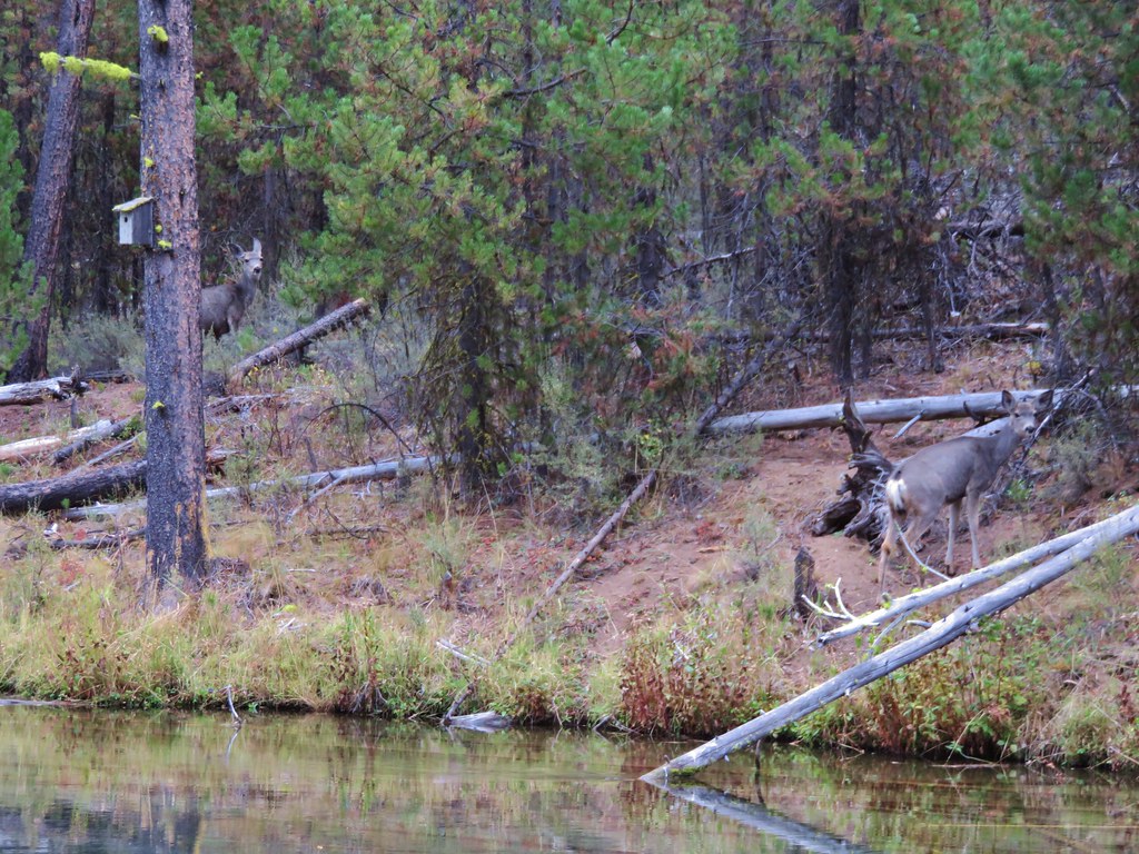
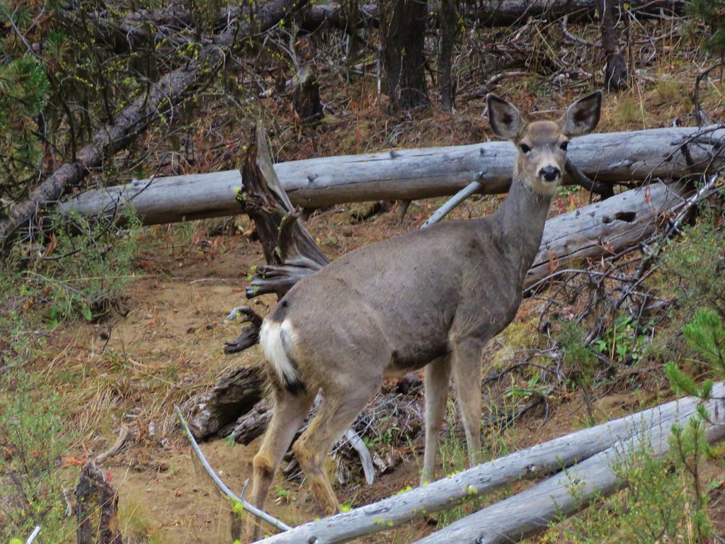
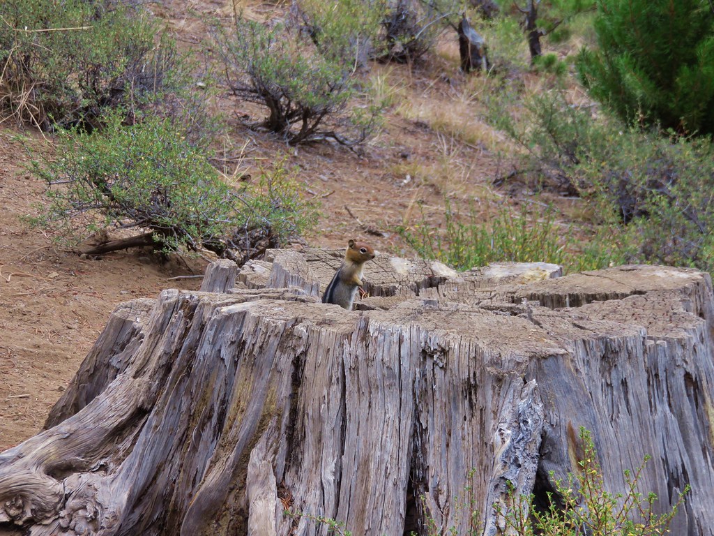
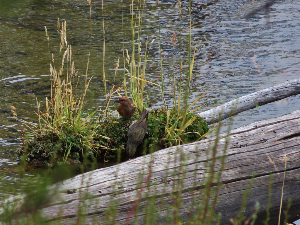
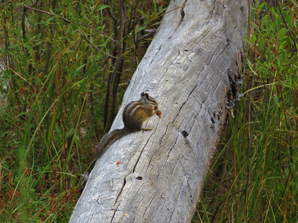
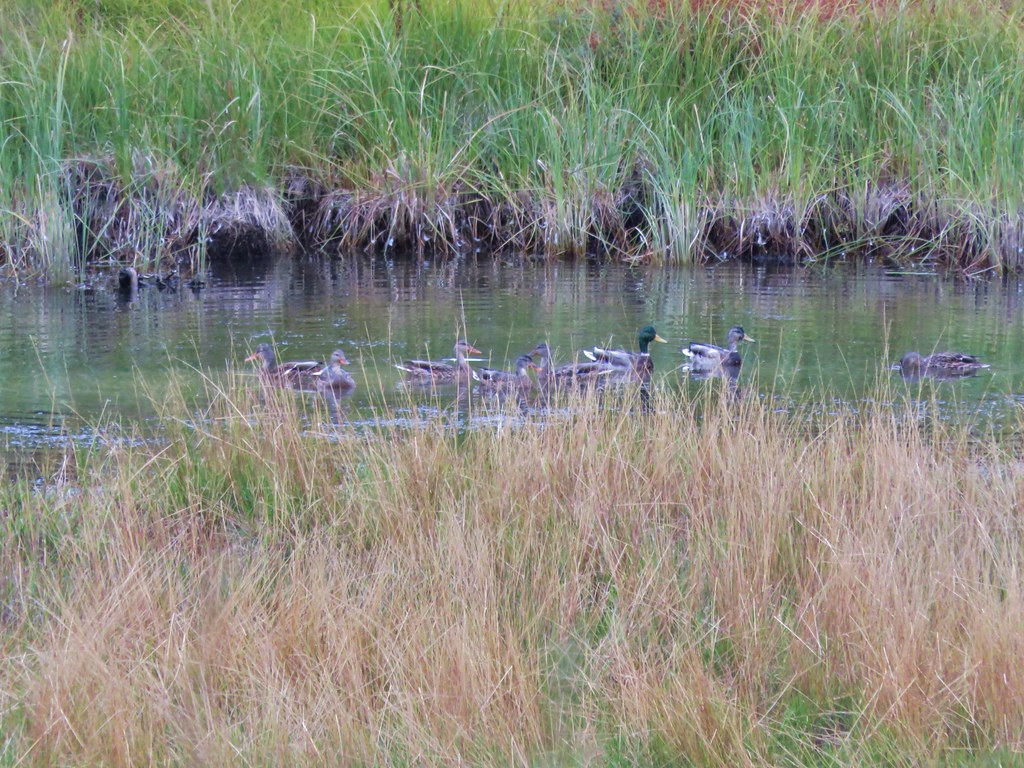
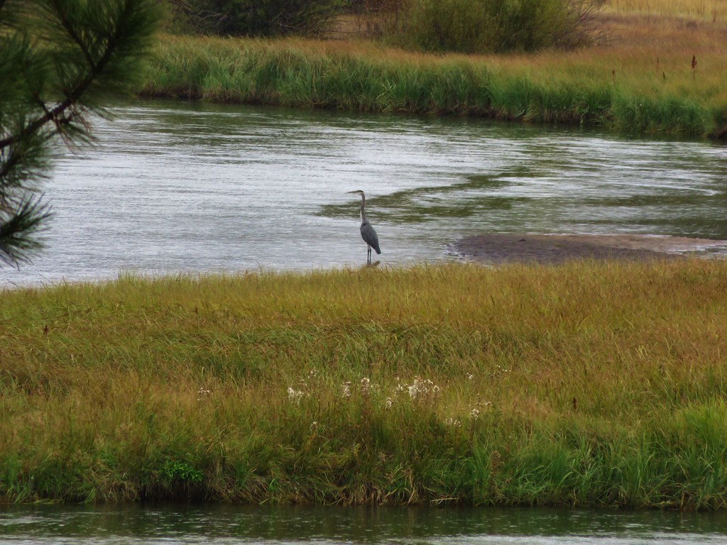
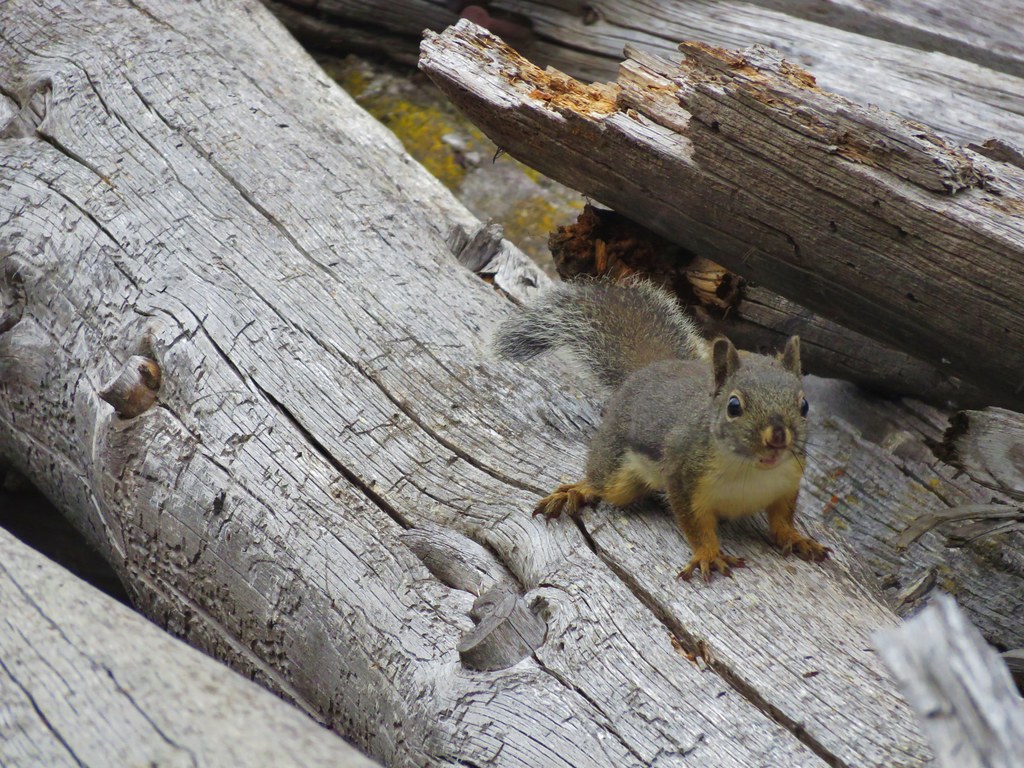
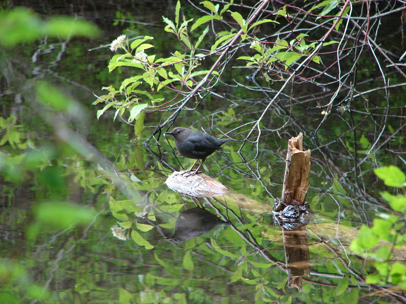
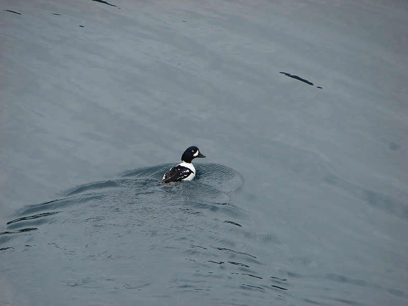
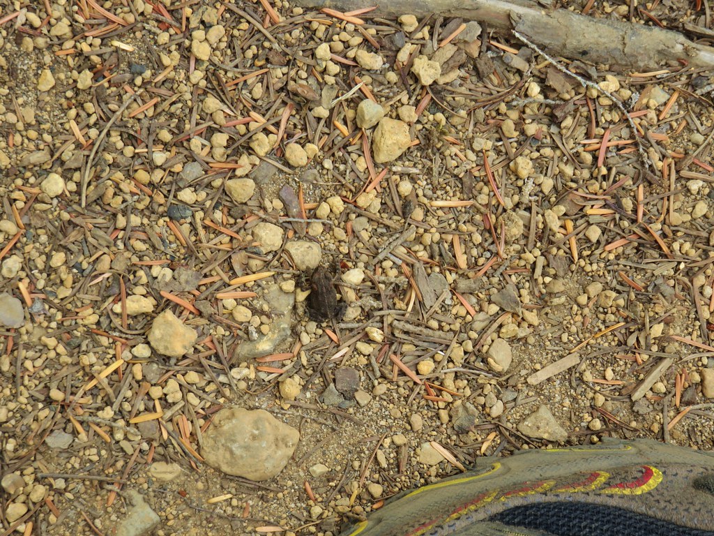
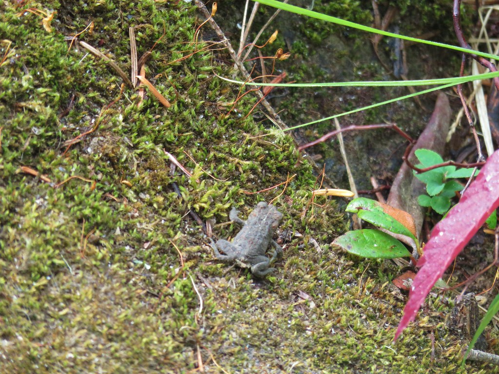
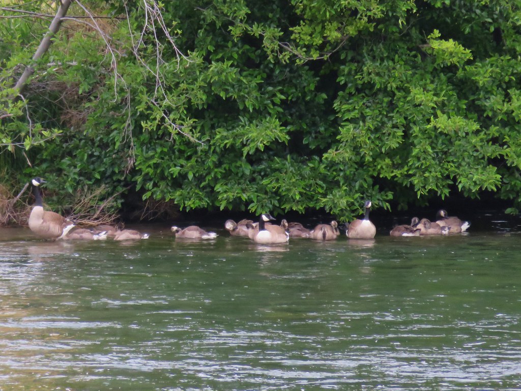
Despite the frosty morning the wildlife was out in force.

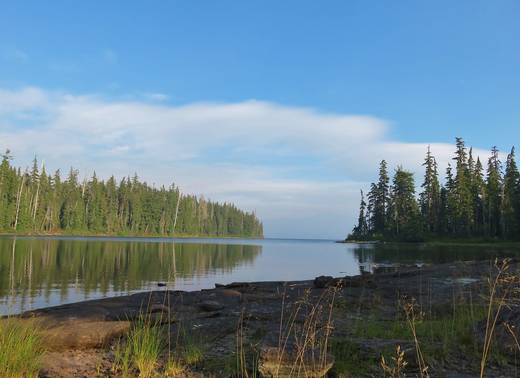
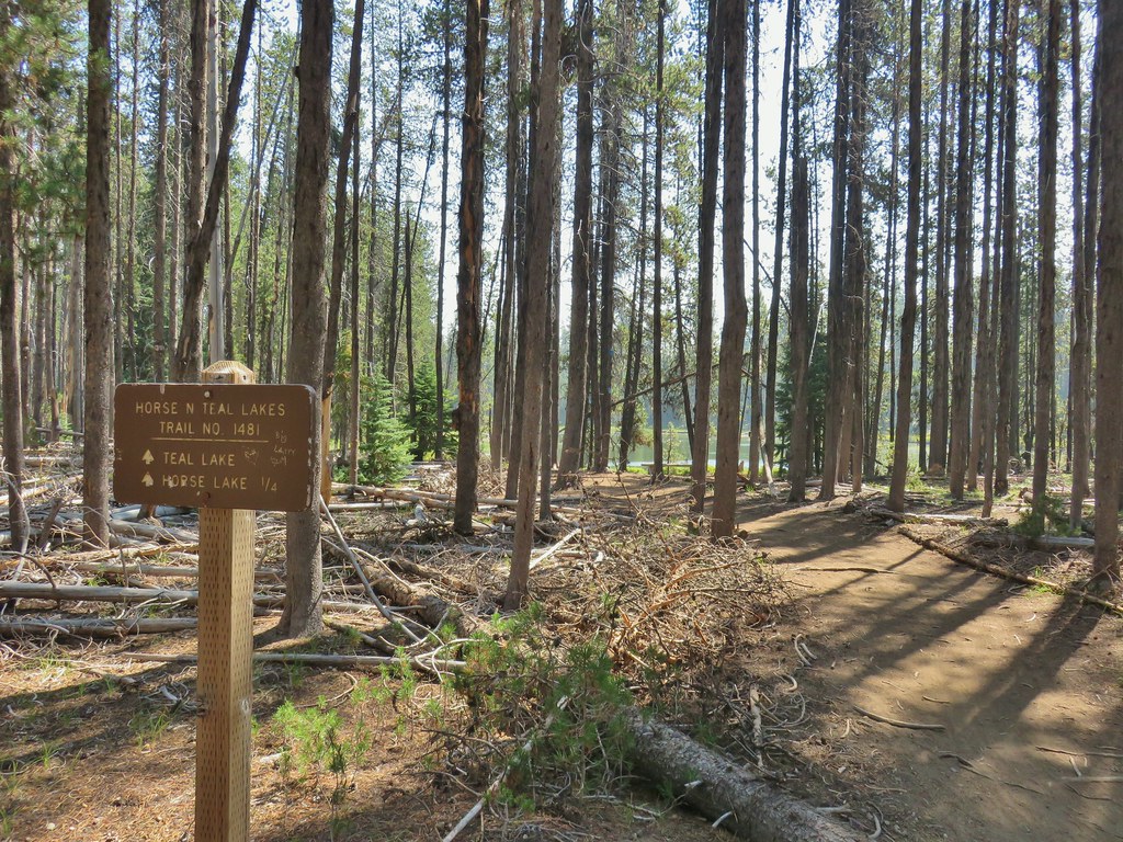
After 2.3 miles we passed a trail signboard for the Rigdon Lakes Trail. We planned on returning the next day via that trail so for the time being we stuck to the Shoreline Trail for an additional 1.4 miles to another trail signboard, this time marking the Wahanna Trail. Along the way we’d passed Conim Lake on our right just a bit before leaving the Talor Burn fire scar.
 Wahanna Trail
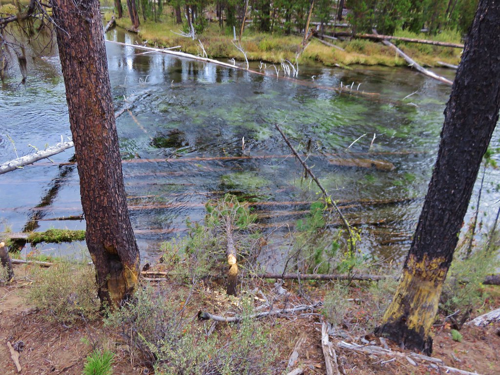
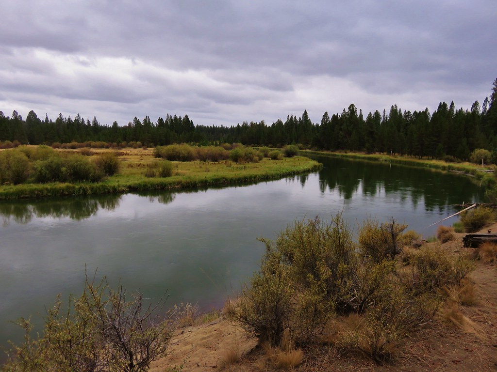
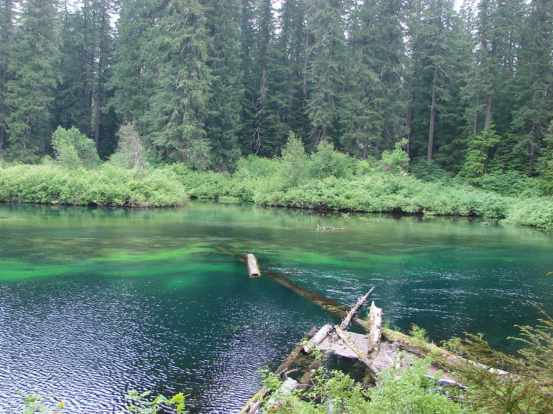
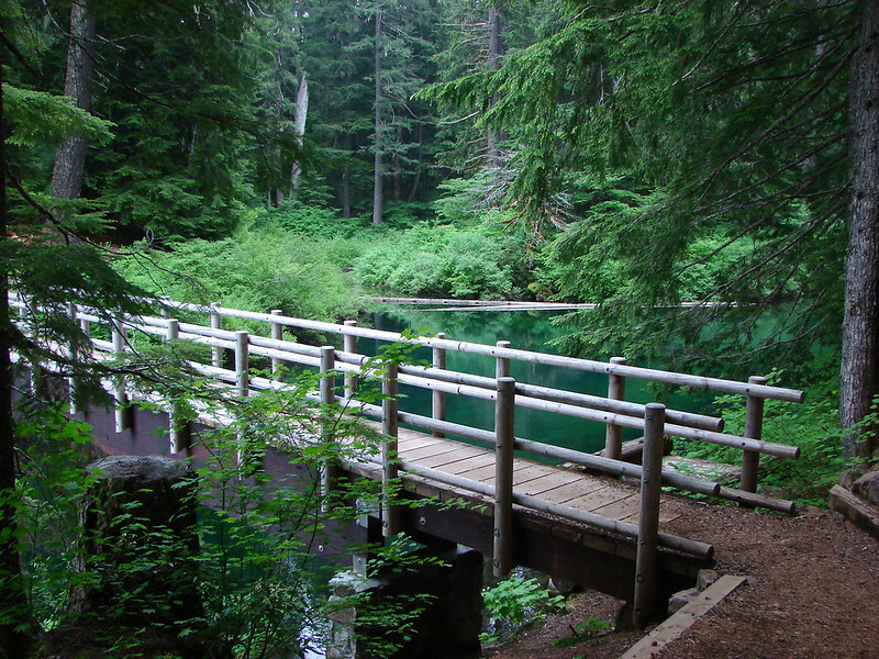
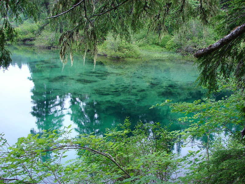
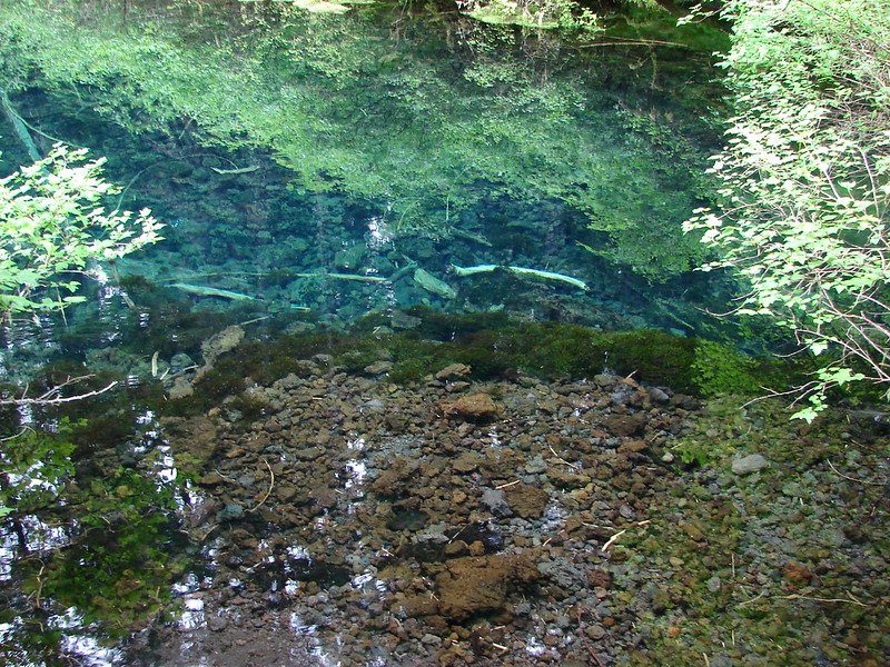
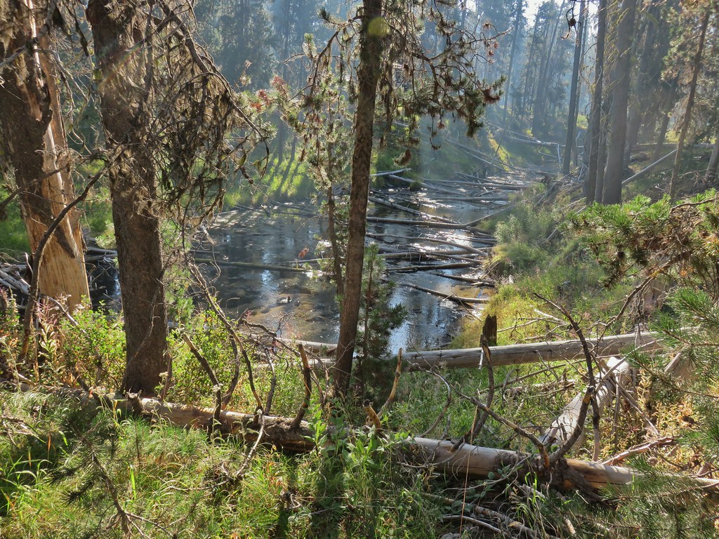
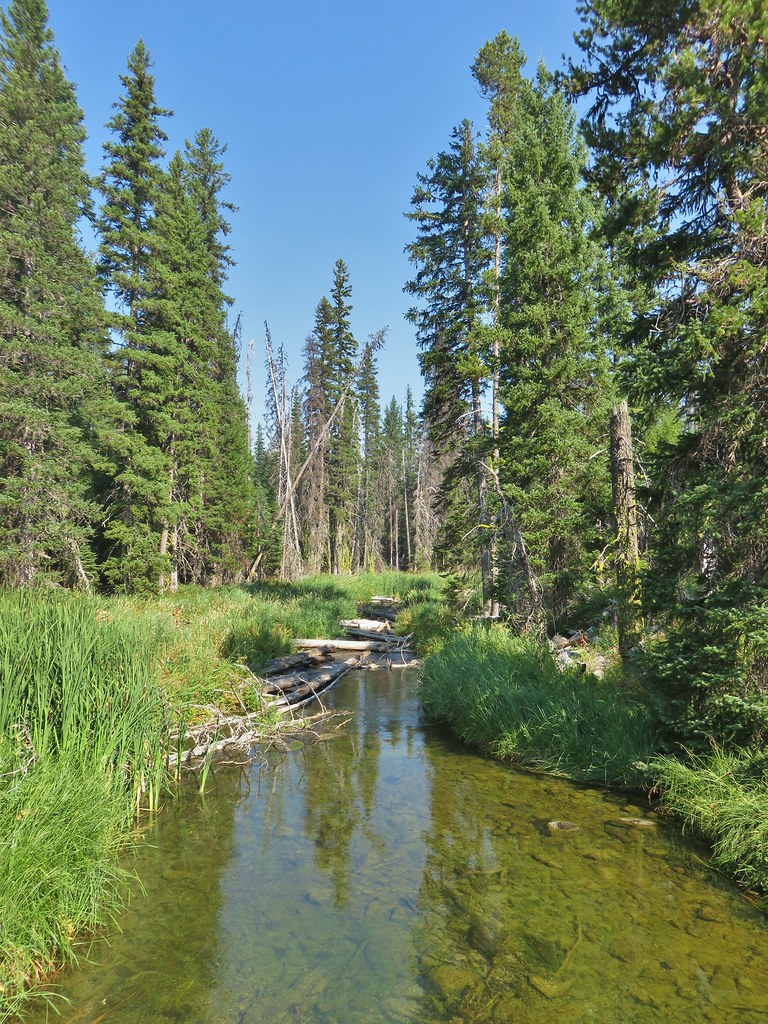
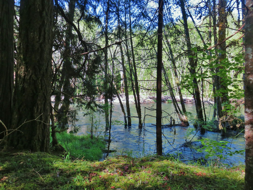
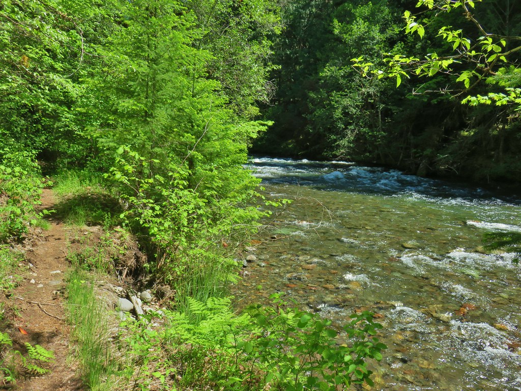
Just beyond the Wahanna Trail junction we came to the North Fork Middle Fork Willamette River flowing from Waldo Lake.
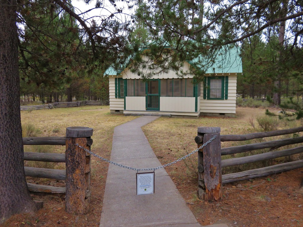
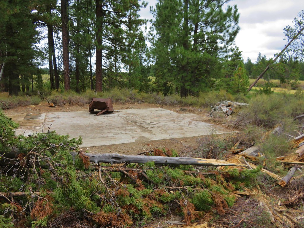
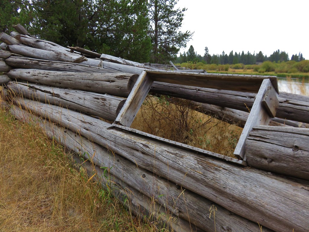
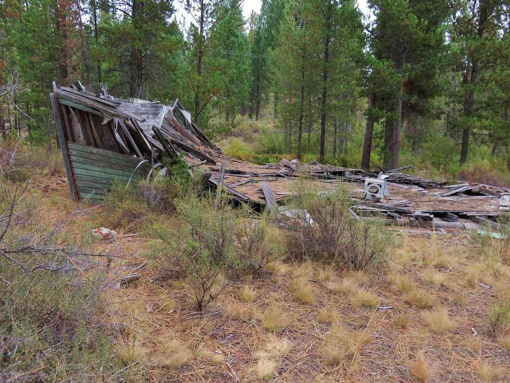
A side trail to the left here led passed a small outbuilding to Dam Camp where we had hoped to find a camp site but that area was already spoken for so we settled for a spot further back from lake.
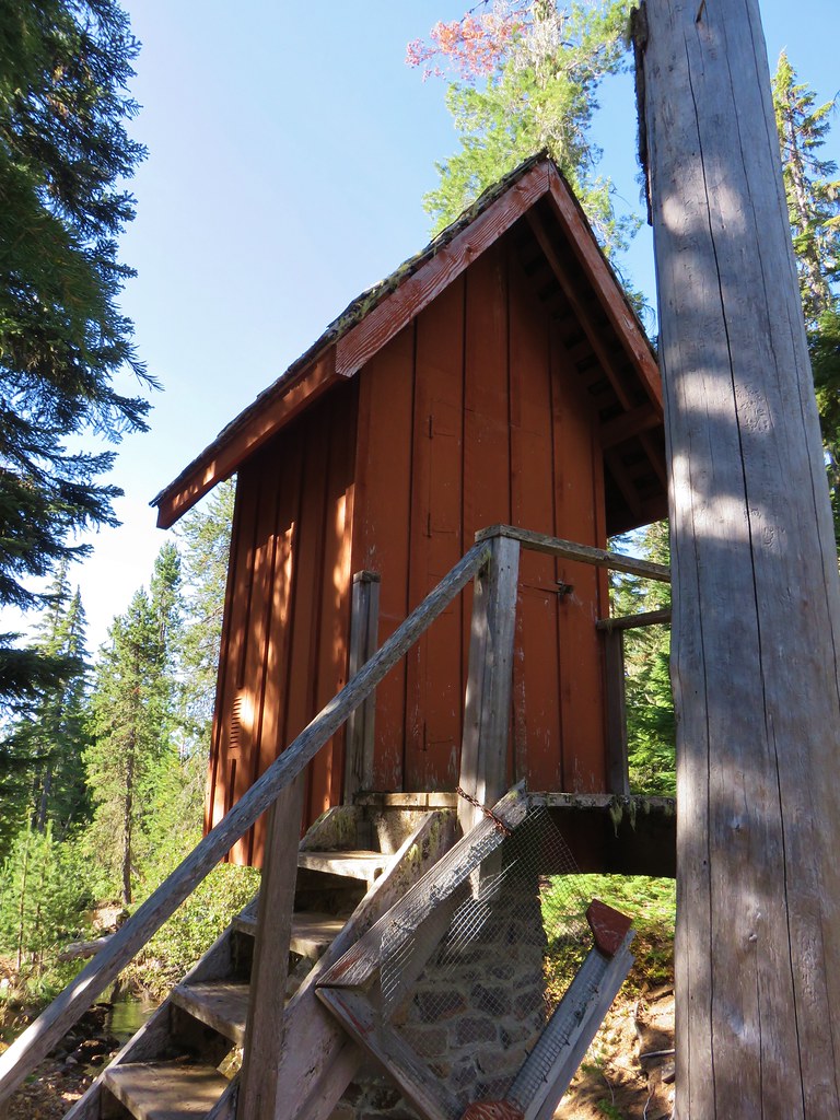
 Dam Camp is to the left in the trees and rhododendron

This worked out to be a fine spot despite not being close to the lake as it was closer to the Wahanna Trail which we would be taking then next day on our way to the Rigdon Lakes Trail. After getting camp set up we put on our day packs and continued beyond the river crossing just a tenth of a mile to a fork where the Wahanna Trail forked downhill to the right (the Wahanna and Shoreline Trail briefly share tread).

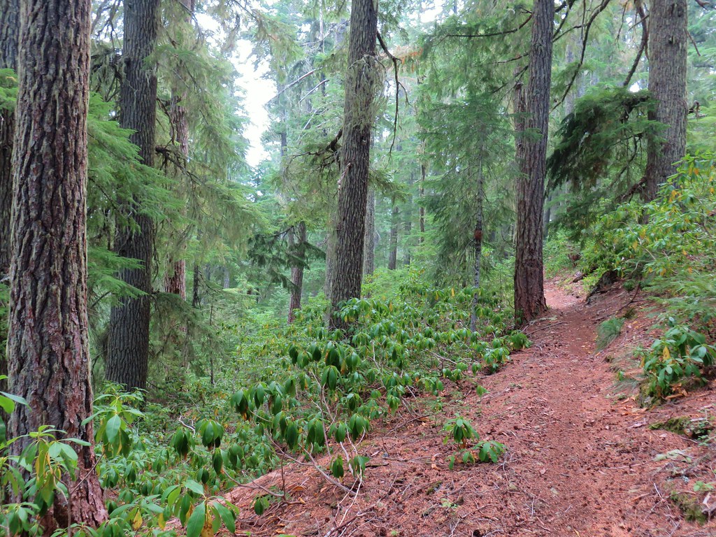
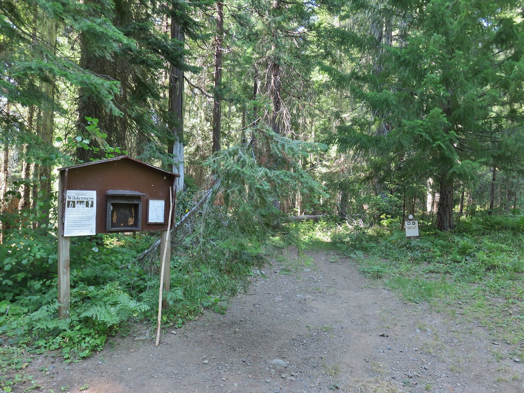
The trail promptly entered the Waldo Lake Wilderness.

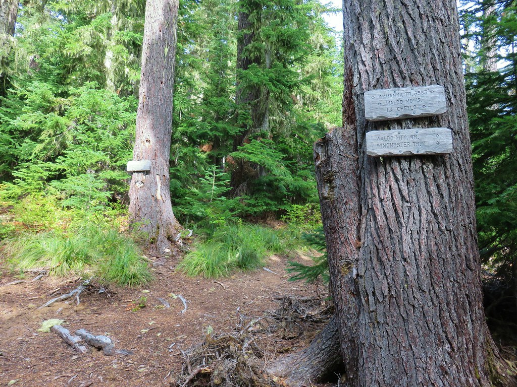
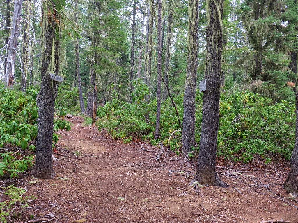
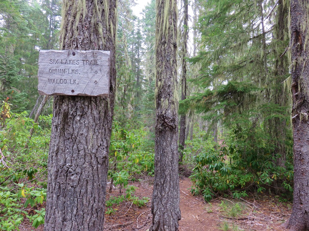
Just a quarter mile from the fork the trail forked again. This time the Wahanna Trail forked to the left while the right hand fork was the Six Lakes Trail.
Here we faced a choice. If we stayed left we could complete a long loop past Lake Chetlo and along Winchester Ridge and eventually following the Six Lakes Trail from its other end past the Quinn and Eddeeleo Lakes. Alternatively we could go right and after visiting the lakes turn back or decide to complete the loop in the opposite direction. We were feeling ambitious and felt up to the loop so we decided to go left. This way we would be saving the bulk of the lakes for the end of the loop.
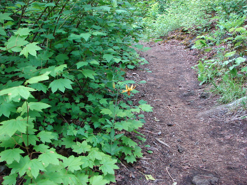
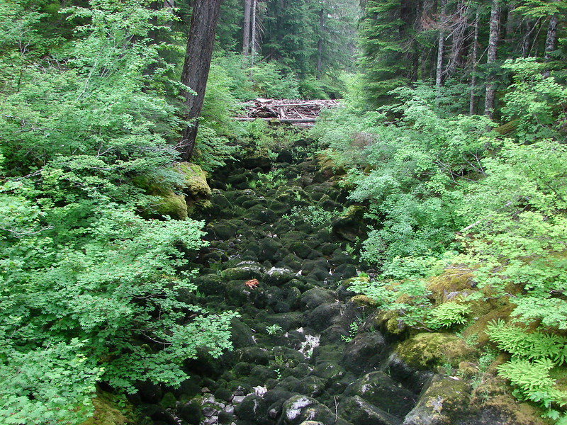
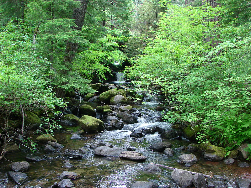
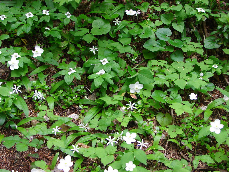
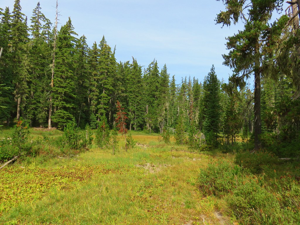
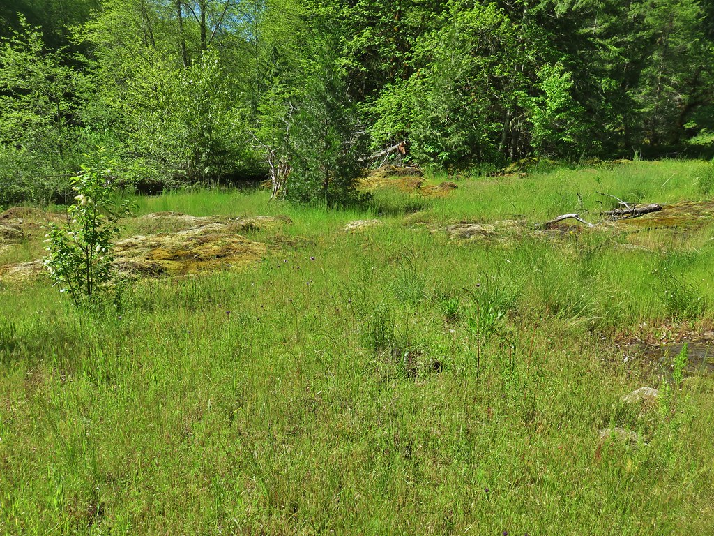
The trail remained relatively level for the next mile passing through a forest full of huckleberry bushes and several small meadows.
It was along this section that we encountered the only other people we would see during the loop. After 1.2 miles we spotted Lake Chetlo through the trees on our left.
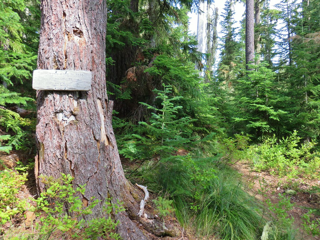
Expecting to find a side trail down to the lake we continued on but the trail began to climb up and away from the lake. Less than a quarter mile later we were at a junction with the Winchester Ridge Trail and that had been the only look we had at Lake Chetlo.
We turned right onto the Winchester Ridge Trail which climbed steeply for a little over half a mile to another junction. We had been on this section of trail before in 2012 as we were coming down from the Waldo Mountain Lookout and heading for Elbow Lake (post).
We turned right at this junction as well to continue on the Winchester Ridge Trail which now leveled out somewhat as it traveled along the ridge.
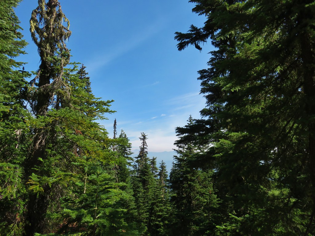
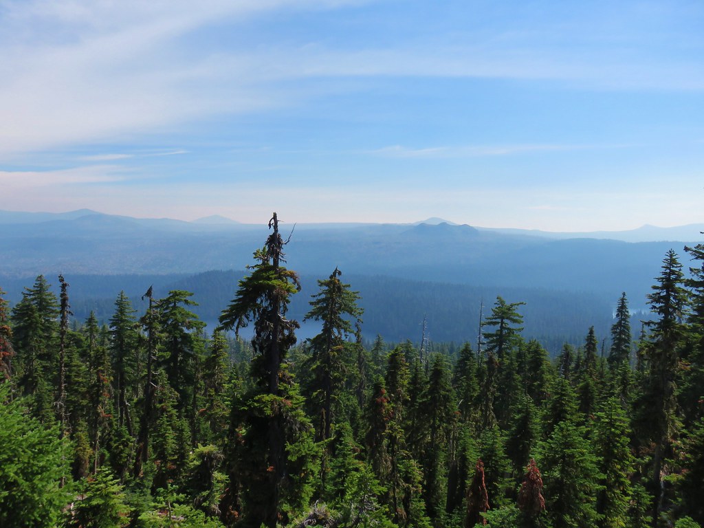
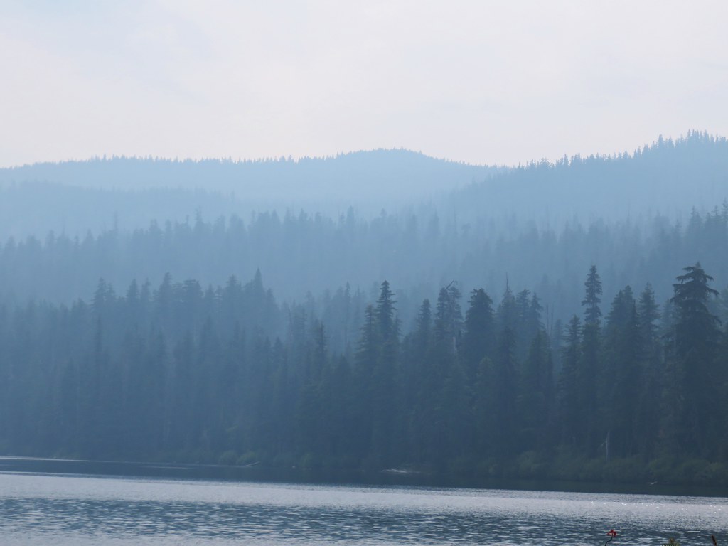
The blue skies from the morning were quickly being replaced by smoke from the Terwilliger Fire as we made our way along Winchester Ridge. There aren’t many views from this trail to begin with and the couple that we did get we could just barely make out the Three Sisters to the NE.
 South Sister

 The Three Sisters
 Rigdon Butte beyond the Eddeeleo Lakes from the Winchester Ridge Trail
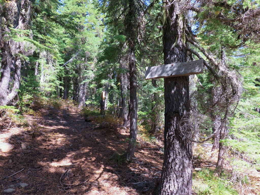
Not only does the Winchester Ridge Trail suffer form a lack of views, but there aren’t many distinguishable landmarks along the way. A little over two and a half miles from the fork though the Waldo Meadows Trail came up from the left.
That trail went downhill for .5 steep miles to Swann and then Gander Lakes, neither of which we could not see from the Winchester Ridge Trail. The trail climbed briefly beyond this junction before descending to yet another junction with a trail on the left. This time with the Winchester Trail, a total of 1.8 miles from the Waldo Meadows Trail.
The Winchester Ridge Trail ends at the Winchester Trail. We stayed straight at the junction and followed the Winchester Trail for a half mile to its end at the Blair Lake Trail.


We turned right onto the Blair Lake Trail.

We had hiked the western end of this trail in 2015 on what remains to this day as the best beargrass hike ever. (post)
The Blair Lake Trail descended for a mile to Lower Quinn Lake which was unfortunately suffering from the increased smoke.
After a brief stop at the lake we continued on the Blair Lake Trial for another quarter mile before reaching the signed junction with the Six Lakes Trail.
We turned right onto this trail which climbed gradually for the next half mile to a fork where we went right to visit Upper Quinn Lake.

Although the smoke wasn’t bad enough to cause us any issues with breathing or our eyes it was putting a damper on the views of the lakes. At Upper Quinn Lake we found a few empty campsites and lots of little frogs.
Somewhere along the way we wound up losing the trail (most likely in one of the campsites) and had to bushwack back to the Six Lakes Trail. Once we had regained the trial we turned right and in just a tenth of a mile spotted the northern end of Long Lake beyond a grassy meadow.
Again we erroneously assumed there would be obvious side trails leading to the lake but the Six Lakes Trail passed on the opposite side of a rocky ridge for nearly a mile which hid the lake from sight.
When the GPS showed that we were nearly past the lake we decided to try and bushwack through the rhododendron to the southern end of the lake. We had managed to make it most of the way there when we spotted a tent set up near the shore. Not wanting to stumble into someones camp we settled for an obstructed view through the trees.
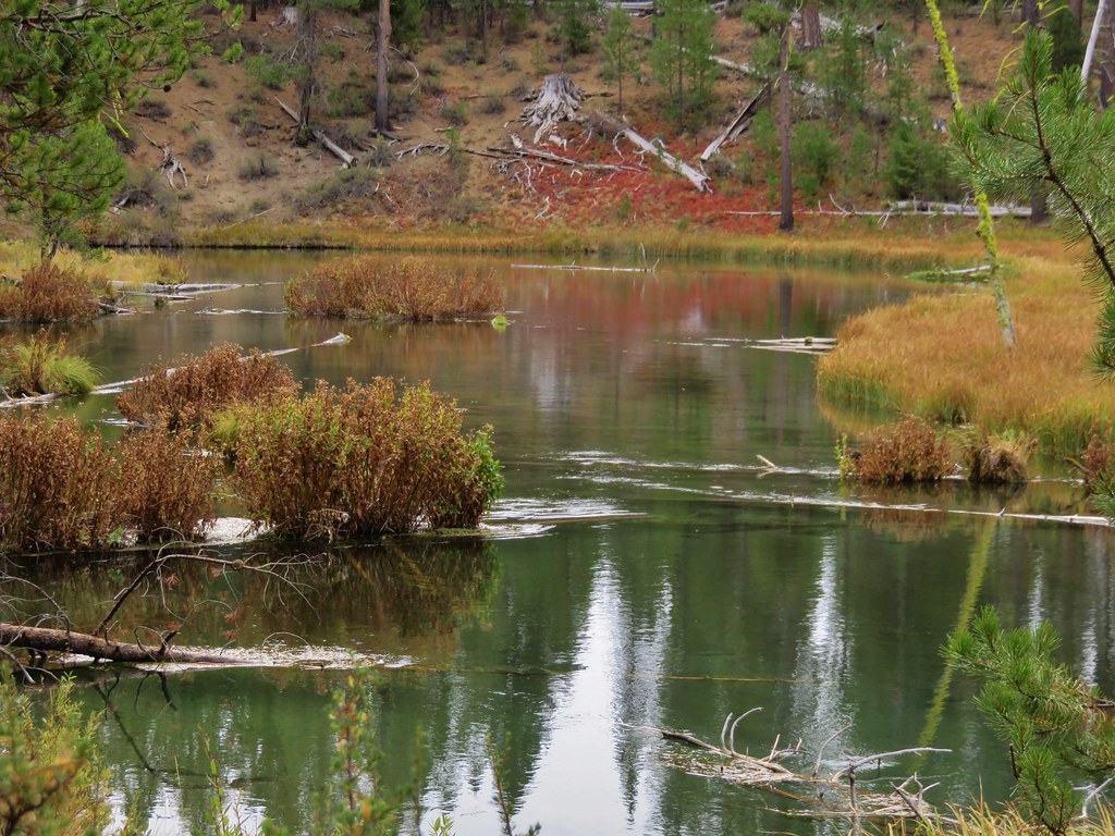
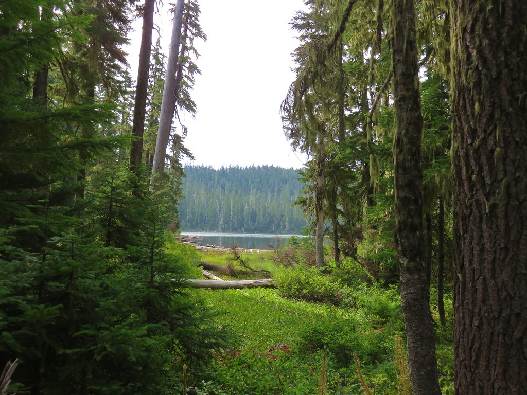
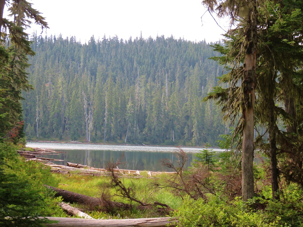
We left Long Lake and continued for another half mile toward Lower Eddeeleo Lake. Shortly before reaching the lake there was an obvious side trail to the left.
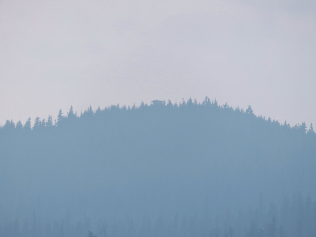
This side trail led across a dry outlet creek to an open area along the lake shore. We took a longer break here. We could just make out the old Waldo Mountain Lookout through the smoke.

We might have taken an even longer break if not for the yellow jackets who were just a little too interested in us for my liking. We left the lower lake and returned to the Six Lakes Trail which climbed a short way above the lower lake which was barely visible through the trees.
Just under one and three quarter miles from the side trail to Lower Eddeeleo Lake we came to a short side trail to Upper Eddeeleo Lake on our right. We stopped again briefly at this lake which had a little sunlight glinting off the water.

The next lake on the map was Round Lake which lay below and to the east of Upper Eddeeleo Lake. The Six Lakes Trail wound around the lake but never got very close to it and the one side trail we spotted heading to the lake would have required a steeper climb back up than either of us were willing to do at that point so we once again settled for a very limited view through the trees.
The Six Lakes Trail climbed up a ridge away from Round Lake for the final mile of its 6.6 mile length before dumping us back out on the Wahanna Trail.

According to our GPS we had hiked a total of 19.4 miles at that point and still had the quarter mile climb back up to the Waldo Lake Shoreline Trail. We had known that this was going to be a long day but by our calculations we were expecting closer to a 17 mile day. We had also brought our dinner with us thinking we could eat it at one of the lakes, but between the smoke, yellow jackets, and a few hardy mosquitoes we hadn’t found a spot where we really wanted to sit for an extended time.
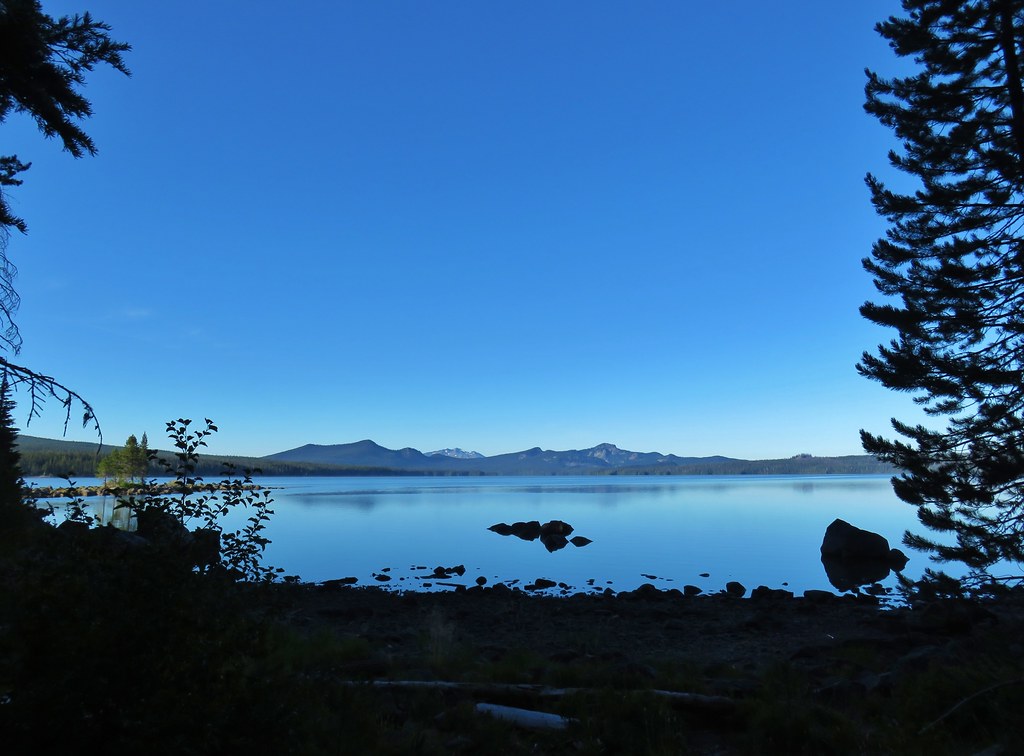
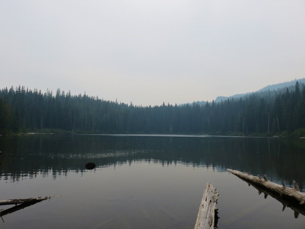
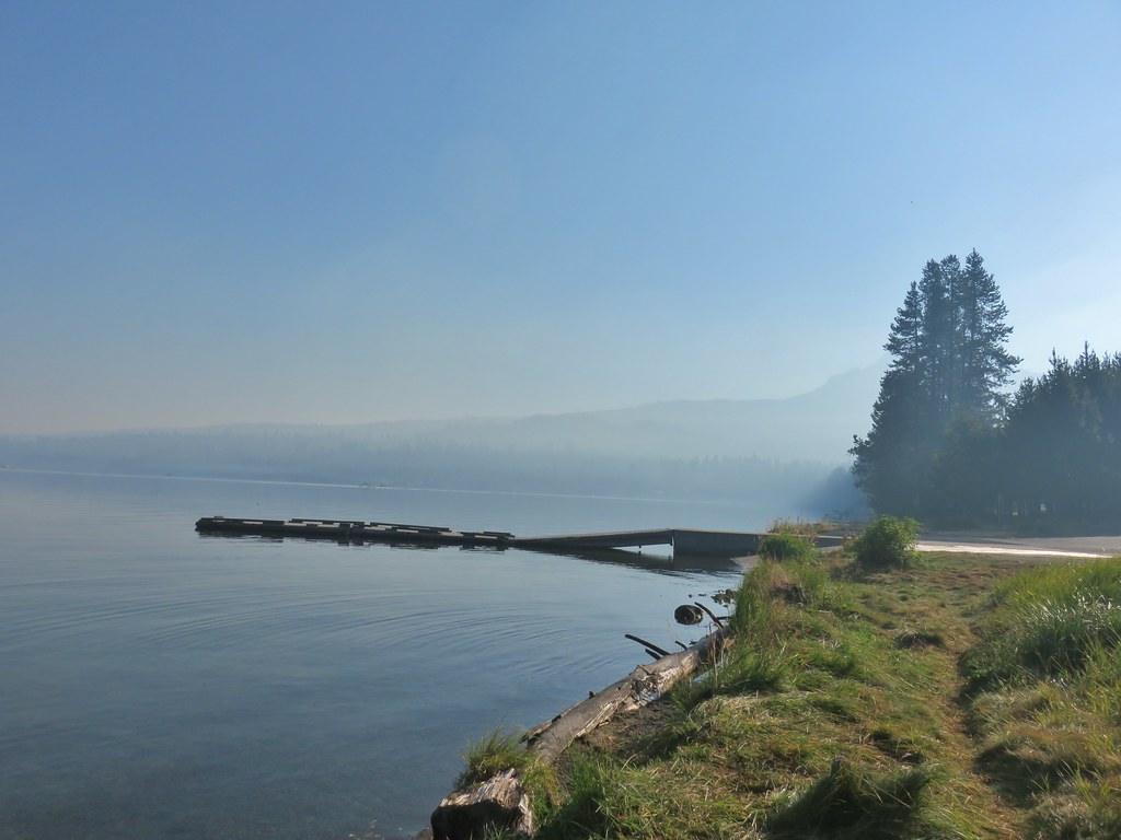
When we got back to the Shoreline Trail we turned right (away from camp) hoping to find a spot along Waldo Lake to eat. Fortunately we only had to go about 100 yards where we found a trail down to the rocky sore across from Dam Camp.
Even better was the fact that the smoke was starting to move out of the immediate area bringing back some of the blue sky from the morning.
We tried a new meal, three cheese chicken pasta, which wound up being underwhelming. It sort of fit with much of the day. The hike was nice but nothing really stood out and the smokey conditions at the lakes didn’t help. It also seemed like most of the lakes were very similar in that they were surrounded by forested hillsides but nothing dramatic.
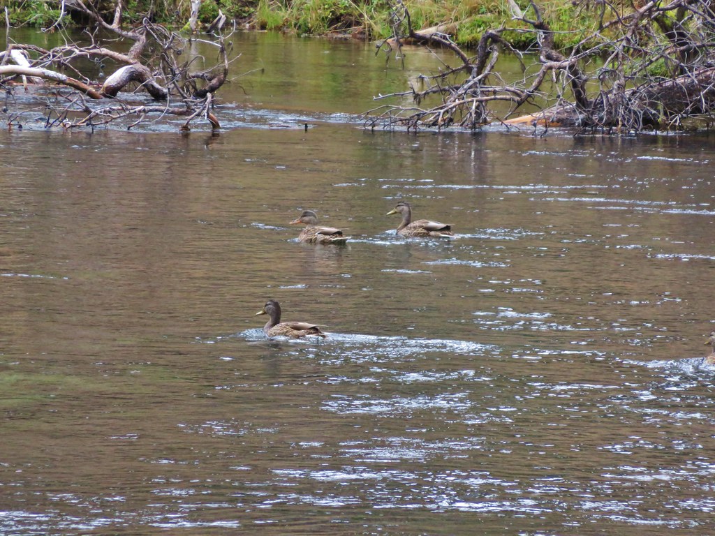
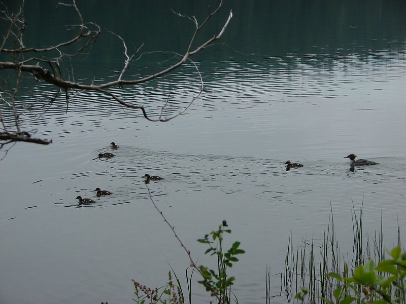
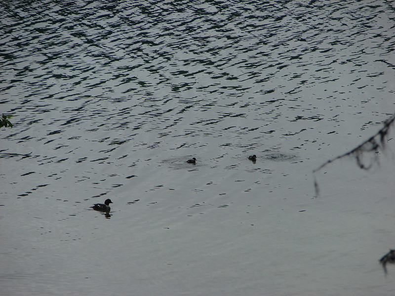
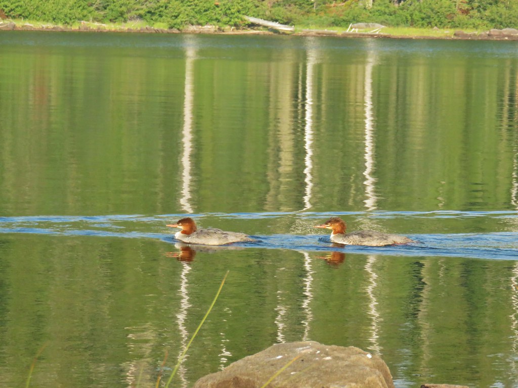
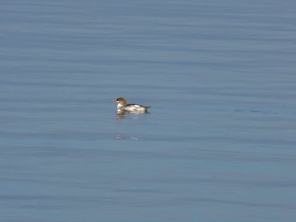
We sat out on the rocks for quite a while watching a paddle boarder and a canoe float around on the lake as well as having some mergansers swim by.
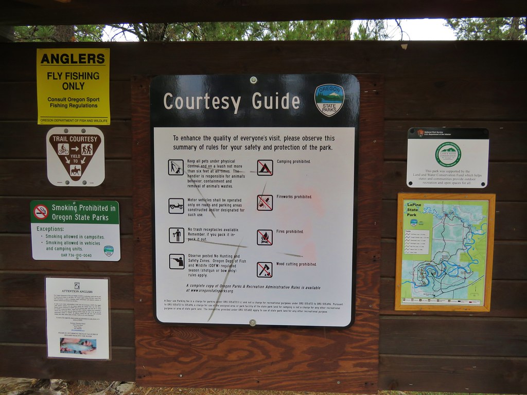
It was quite a bit busier at the lake than where we normally camp and after getting a little chilly and returning to our tent to put on some extra clothing we noticed that a family? that had set up camp near where we had eaten had lit a campfire. Just a couple of days earlier the Willamette National Forest had announced a ban on all campfires and we had seen numerous posted signs that morning. On top of the illegal campfire we were also being treated to the melodious (NOT) sounds of someones portable music player. Thankfully the music died down and at one point we heard someone yell to the family that they needed to put the fire out. We went to bed hoping that the next day would be just a bit better. Happy Trails!
Flickr: Waldo Lake Wilderness Day 1


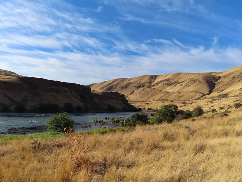
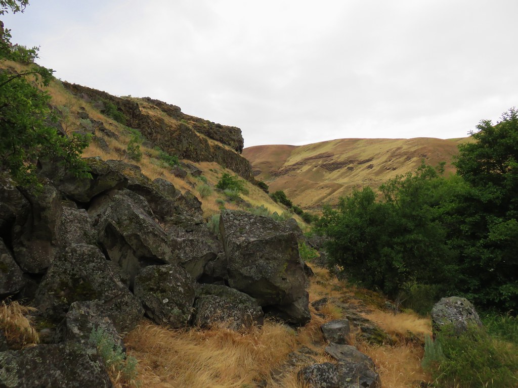
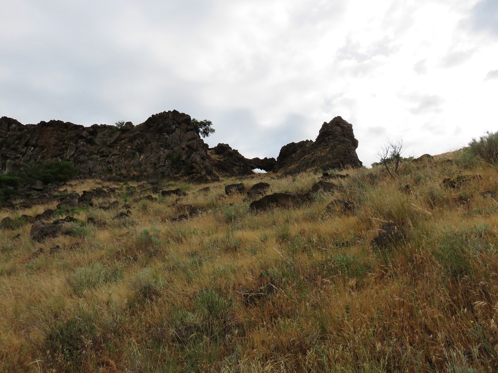
 Sunlight on Haystack Butte in Washington.
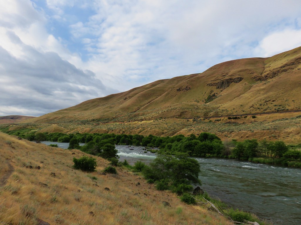
 Part of Moody Rapids.
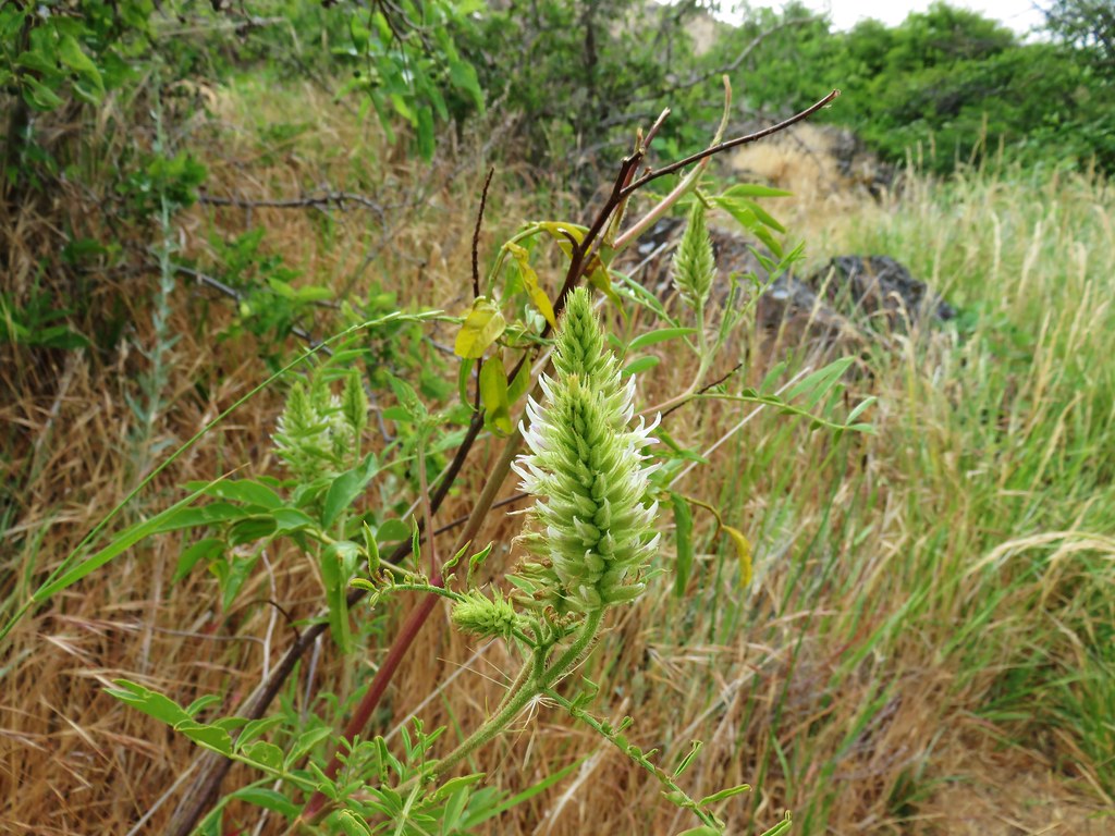
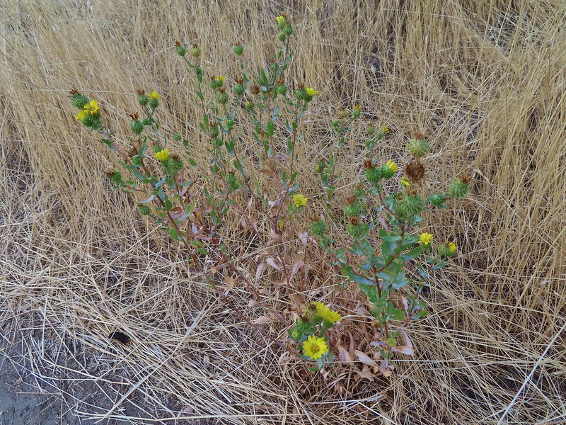 Gum weed
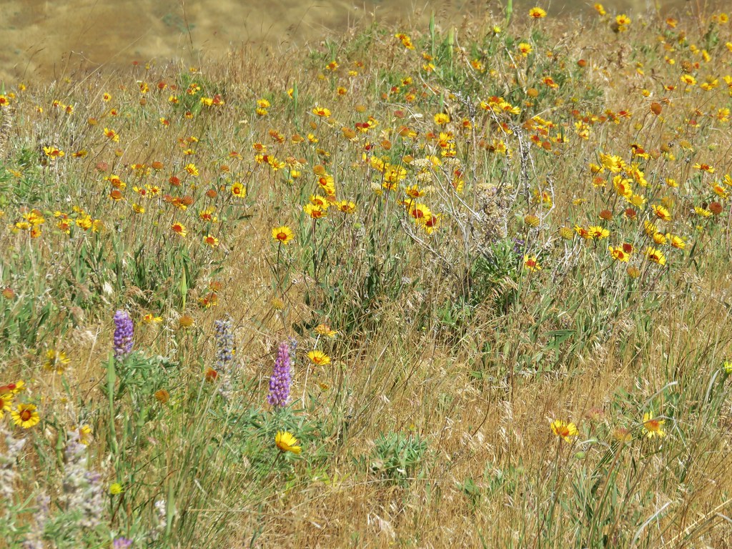
 The last petals on a blanket flower.
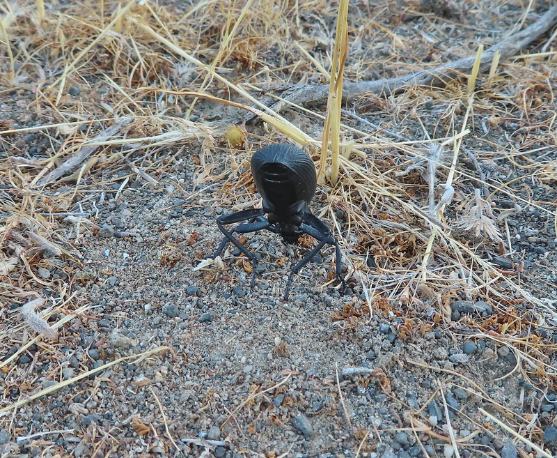 We saw several of these large beetles, all prepared to defend themselves.
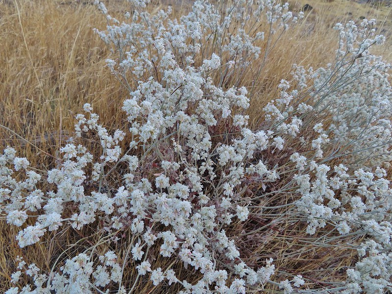 Snow buckwheat
 Chicory
 Seagull
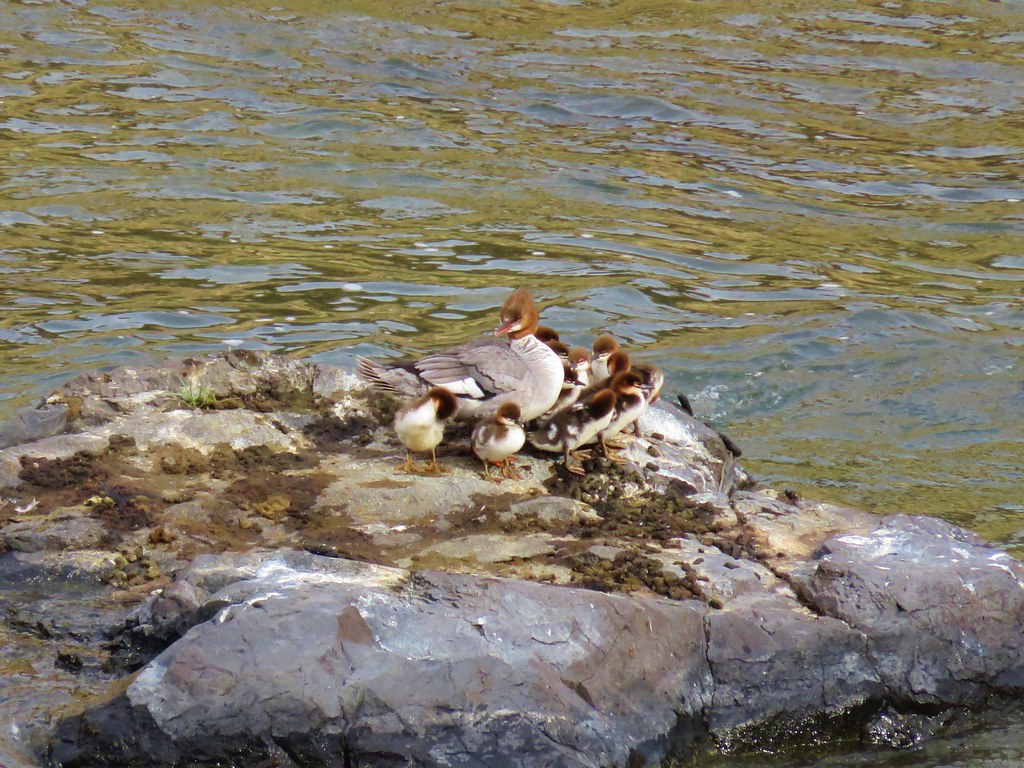
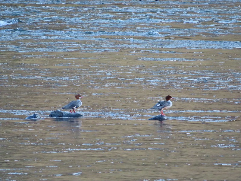 Mergansers
 Sparrow
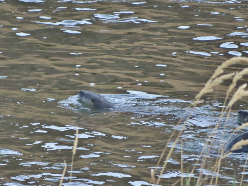 One blurry otter head and another partial otter on the right.
 A bunch of tree branches, oh and an otter in the water.

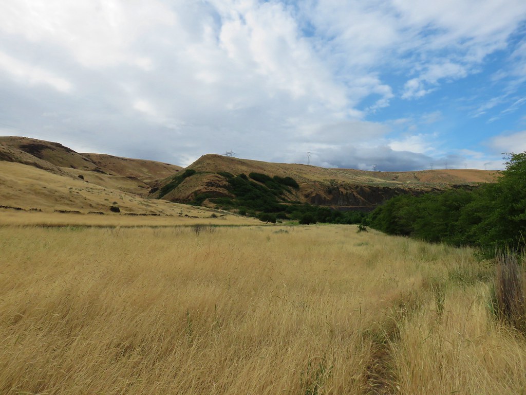
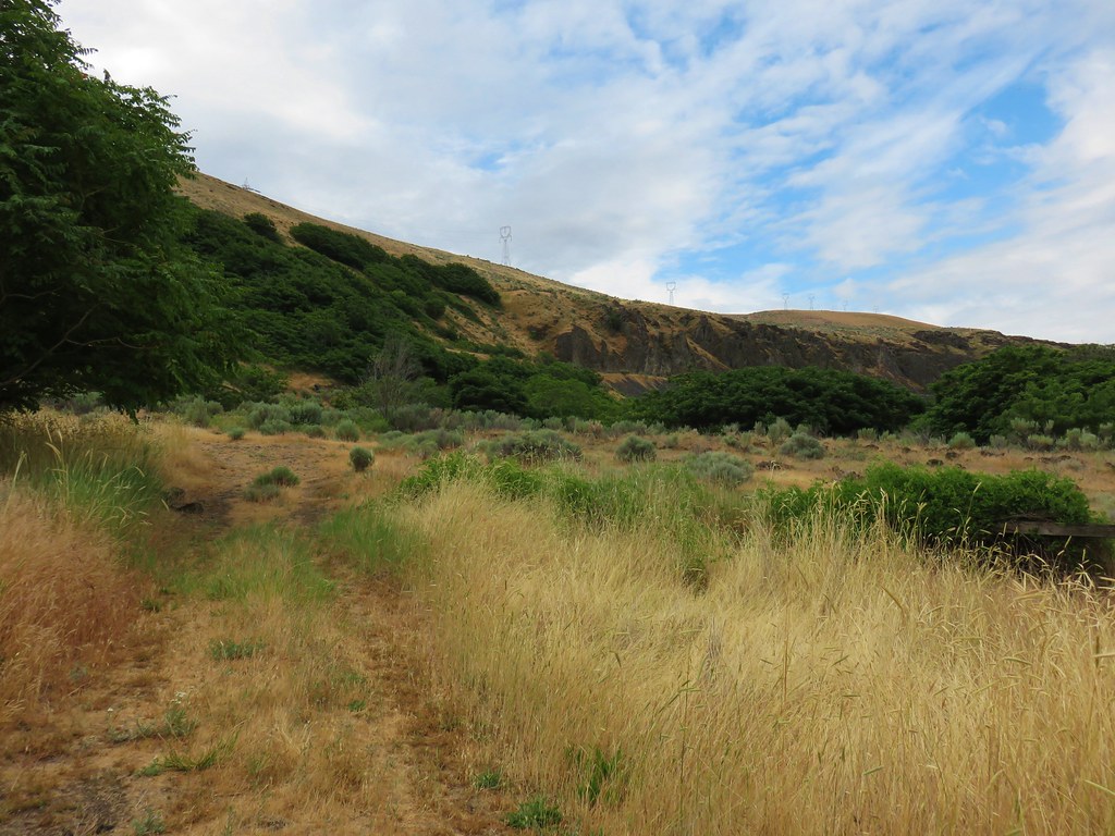
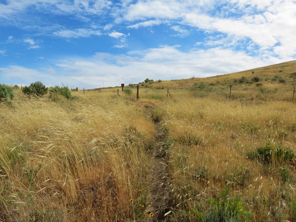
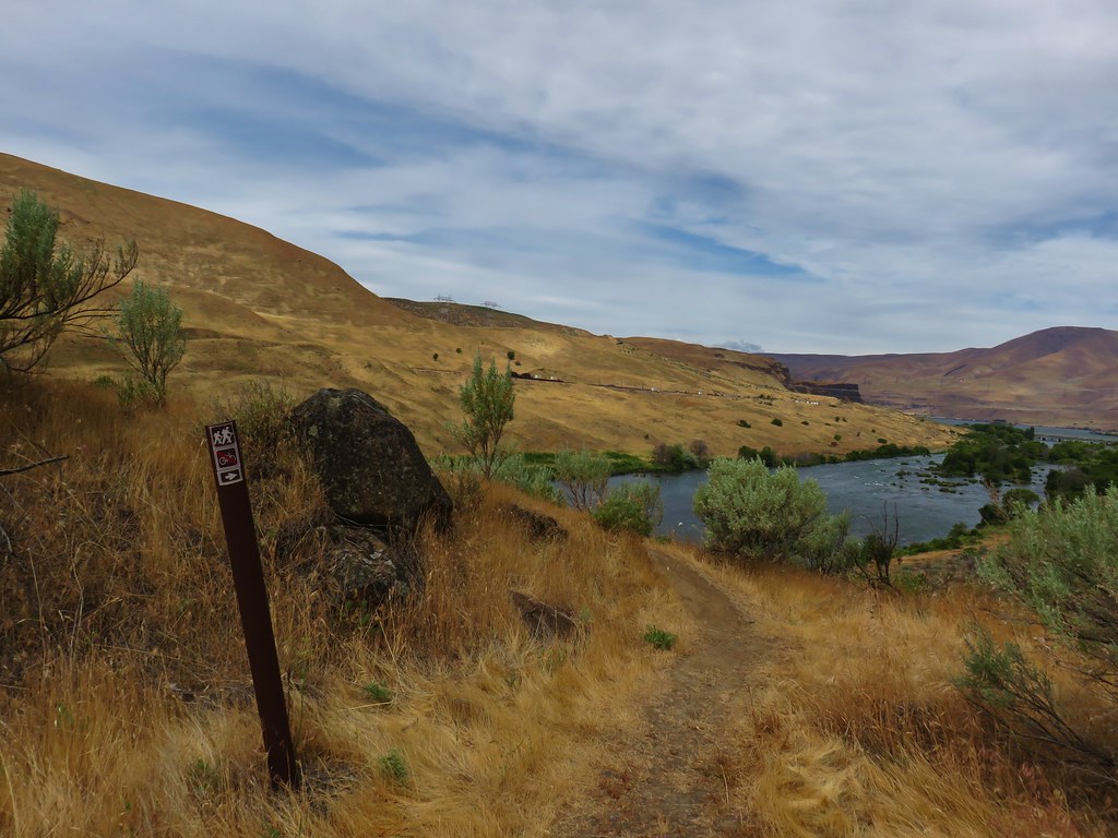
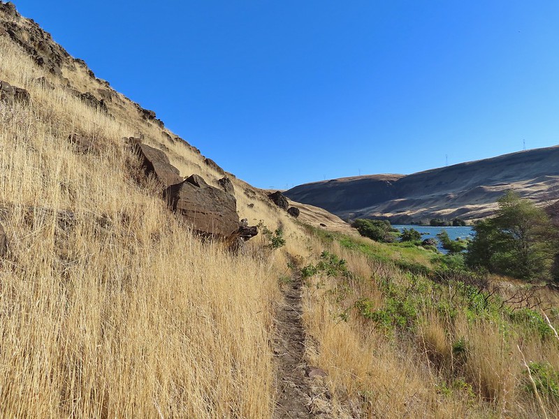
 At times there were multiple trails to choose from.
 Rattlesnake Bend is up ahead but we stopped here for a bit to watch a heron getting breakfast.

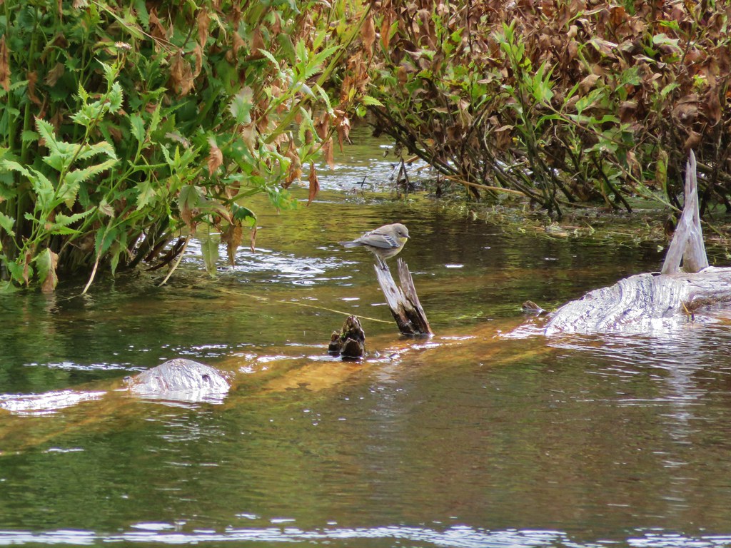
 A sparrow, possibly a Savannah sparrow.
 The trail climbed higher on the hillside for a bit to avoid some thick vegetation below.
 Rattlesnake Bend
 Railroad tracks above the trail.
 Looking back from Rattlesnake Bend near where we turned around.
 Rattlesnake Rapids
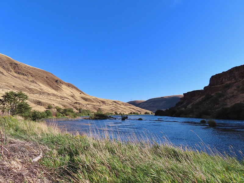
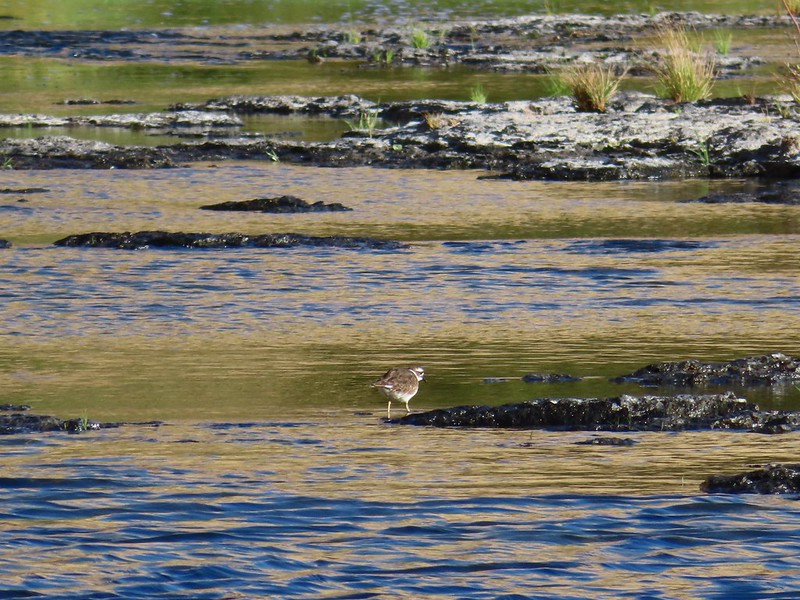 Killdeer
 An older channel?
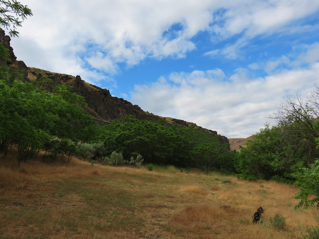

 Had to go back up to avoid the vegetation here.
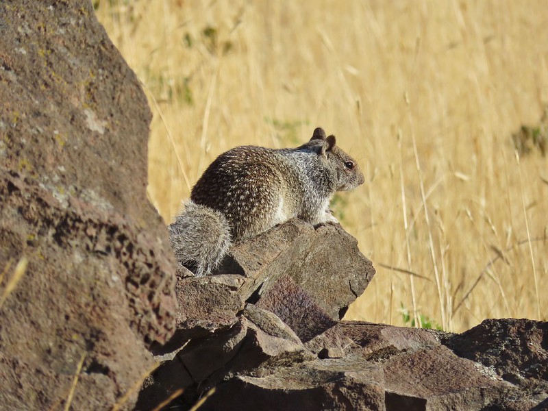 Ground squirrel
 Heron flying up river.
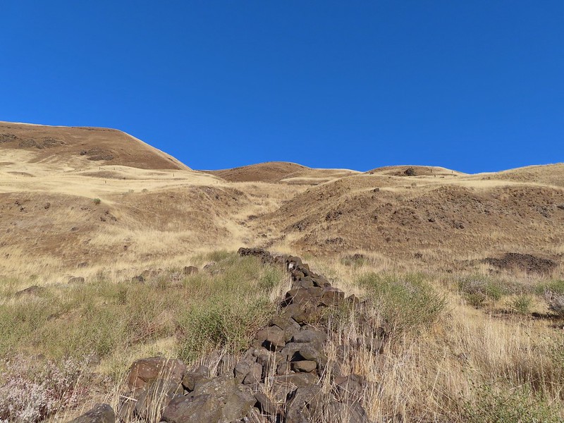 Old rock wall along the way.
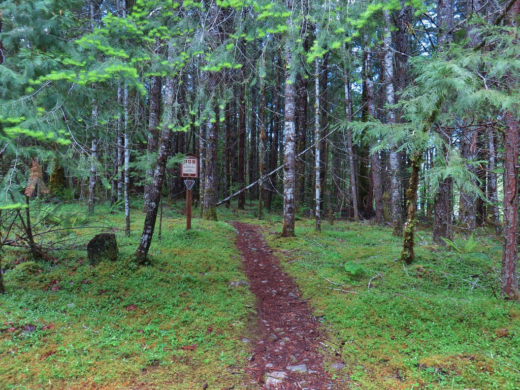
 Typical use trail.
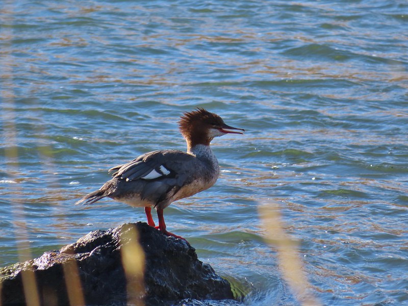 Merganser
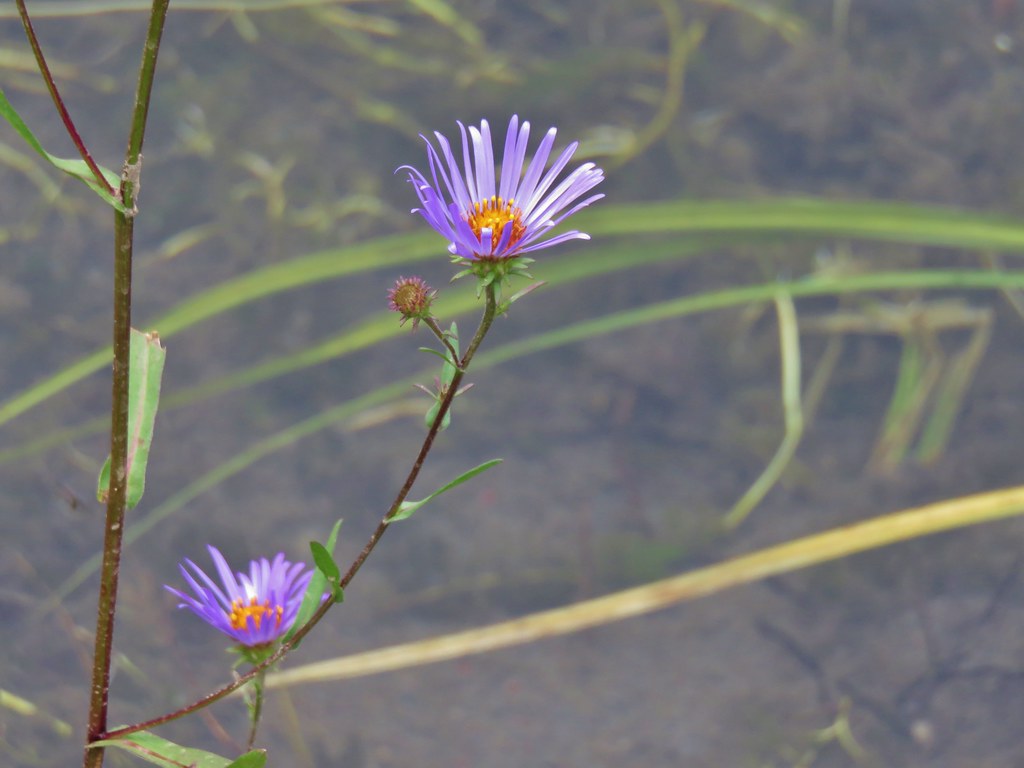
 Aster
Aster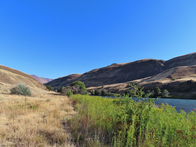
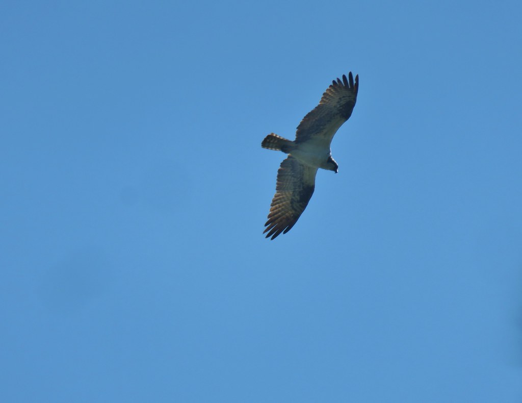
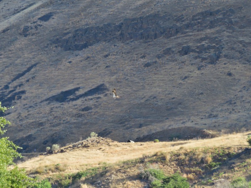 Osprey showing up the fishermen.
 Finch
Finch More birds near the spring.
 Little yellow birds, maybe warblers?
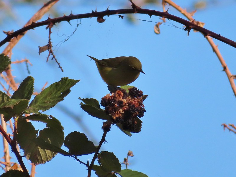 One of the yellow birds on a blackberry plant.
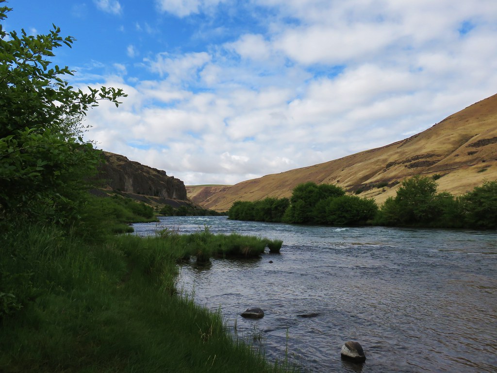
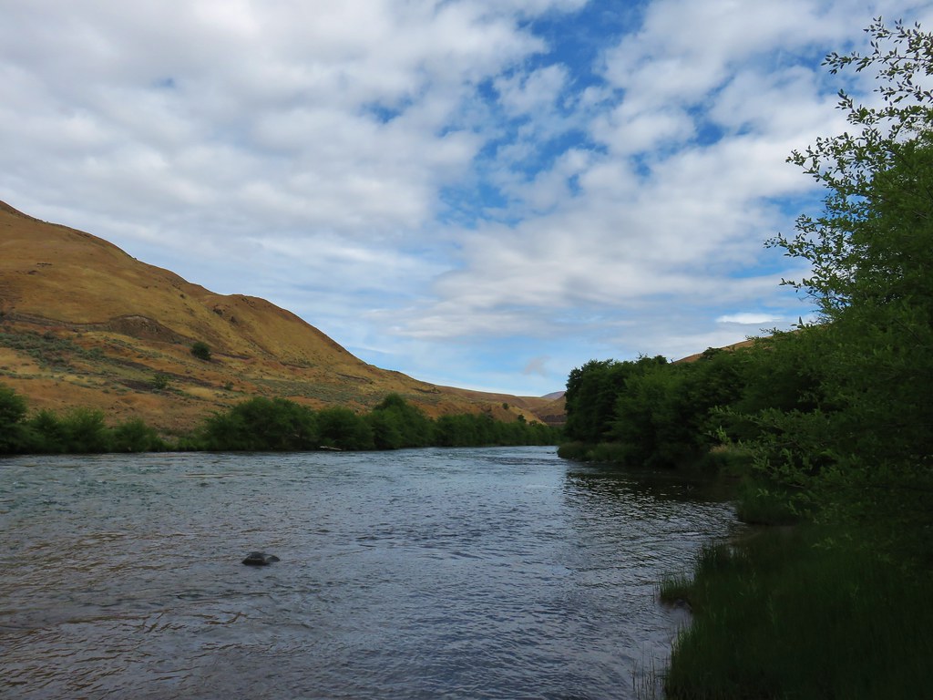
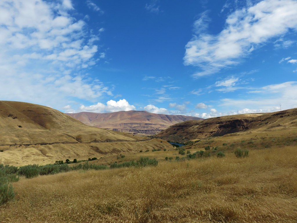
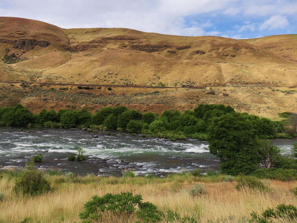
 Moody Rapids
 Haystack Butte
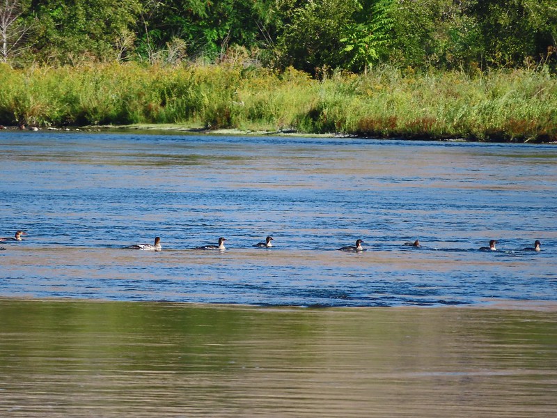 A line of mergansers.

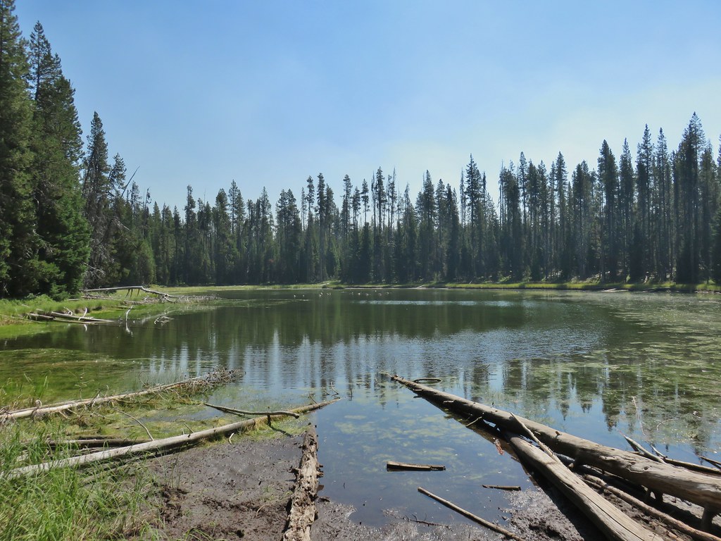
 Horse Lake
 Lesser yellowlegs
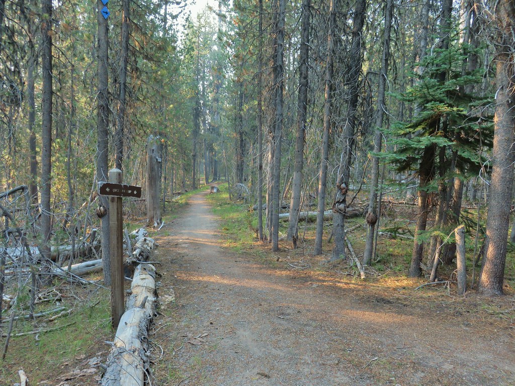


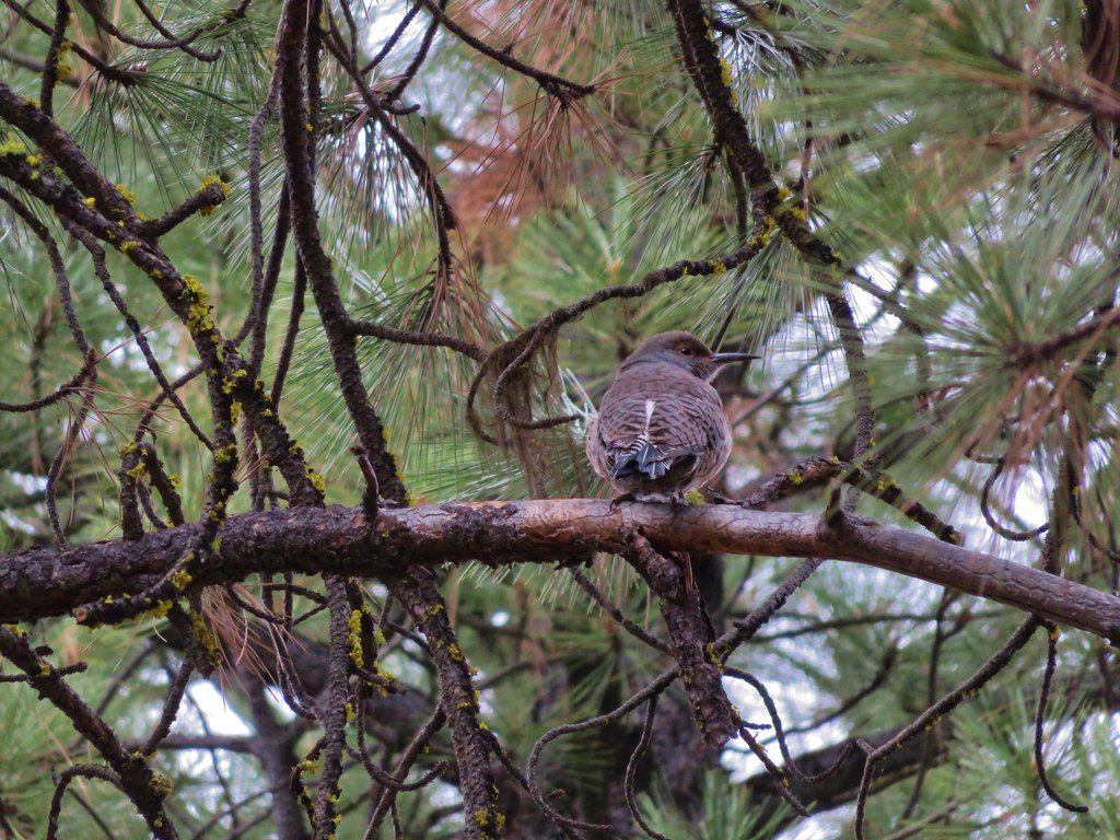
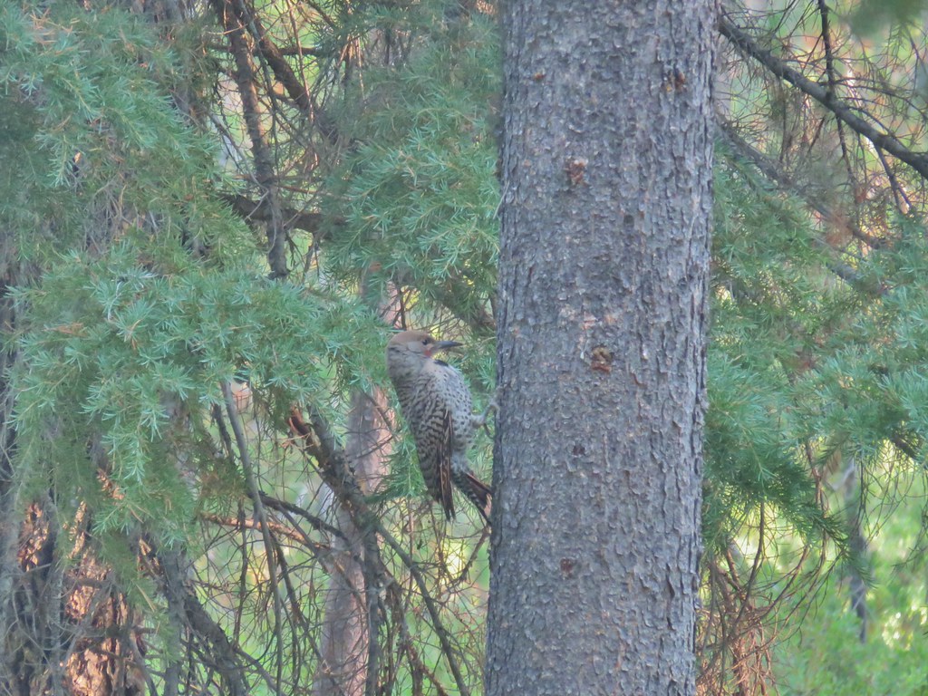 Northern flicker

 Mt. Bailey beyond the meadow.
 Mt. Thielsen from the South Shore Picnic Area
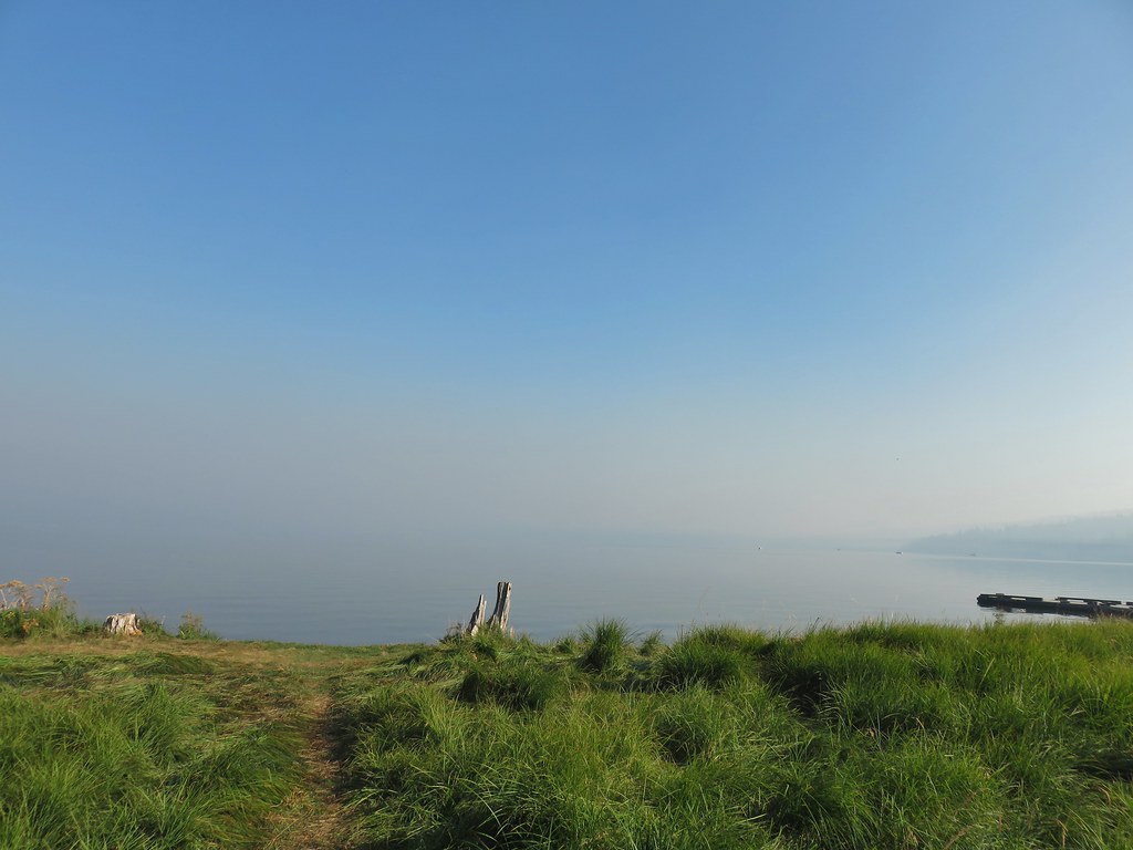 Diamond Lake underneath the smoke.
 Mt. Bailey
 Mt. Thielsen from the boat dock.
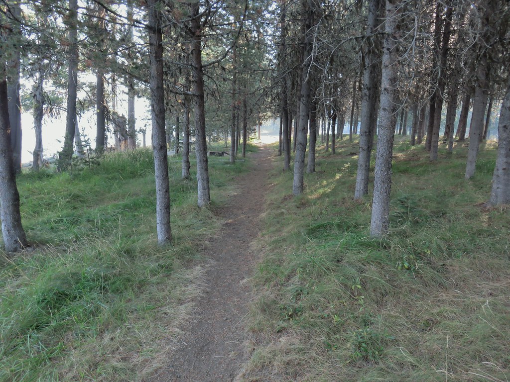 Picnic tables in the picnic area.
 Short Creek (it really is short)
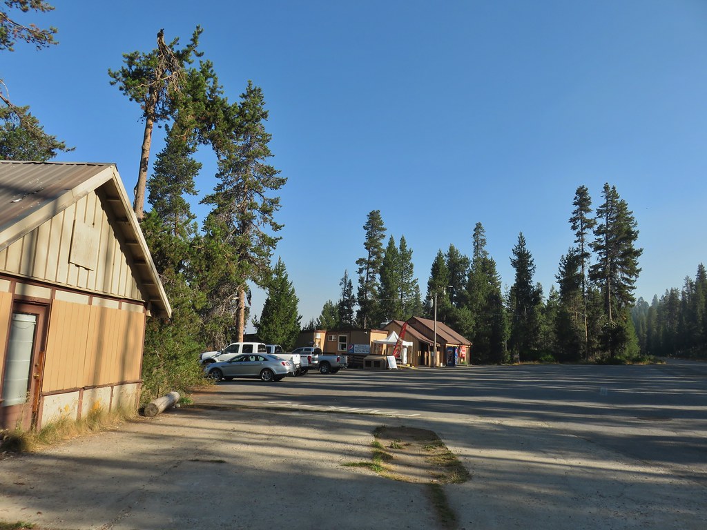 Resort buildings between the RV park and campground.
 Sign instructing users to follow painted bike symbols through the campground.
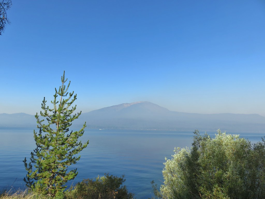
 Common merganser
 Goldeneyes
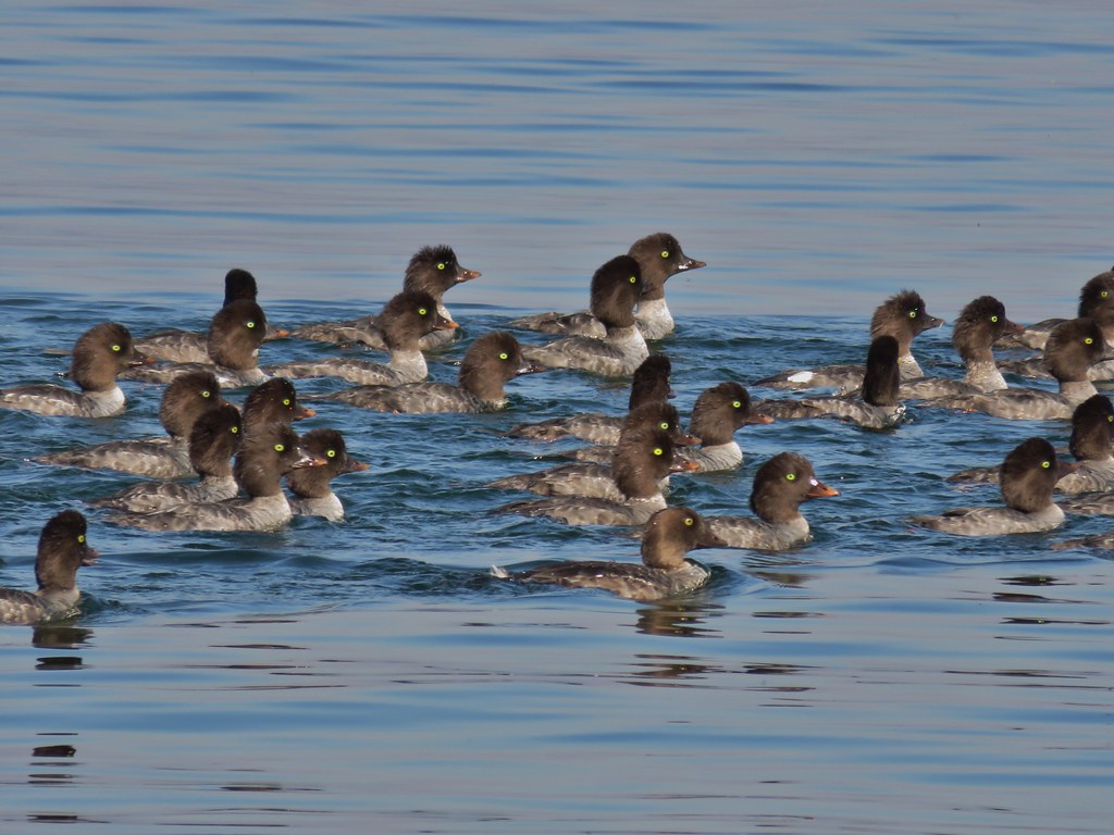

 Mt. Bailey again.
 Arriving at the lodge area.
 Seagulls


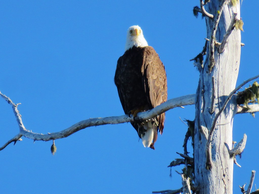
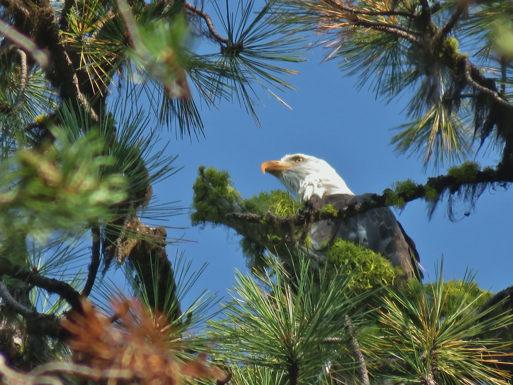 Bald eagle
 I’ve been spotted
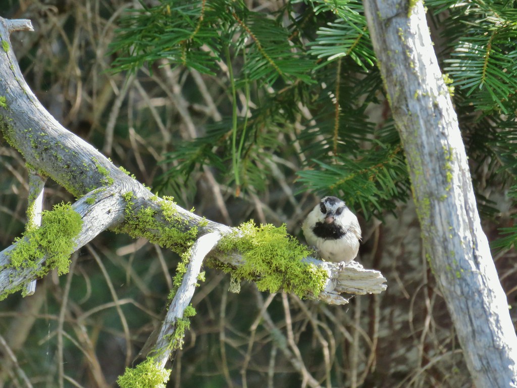 Chickadee with a seed or nut.
 Junco in some fireweed.
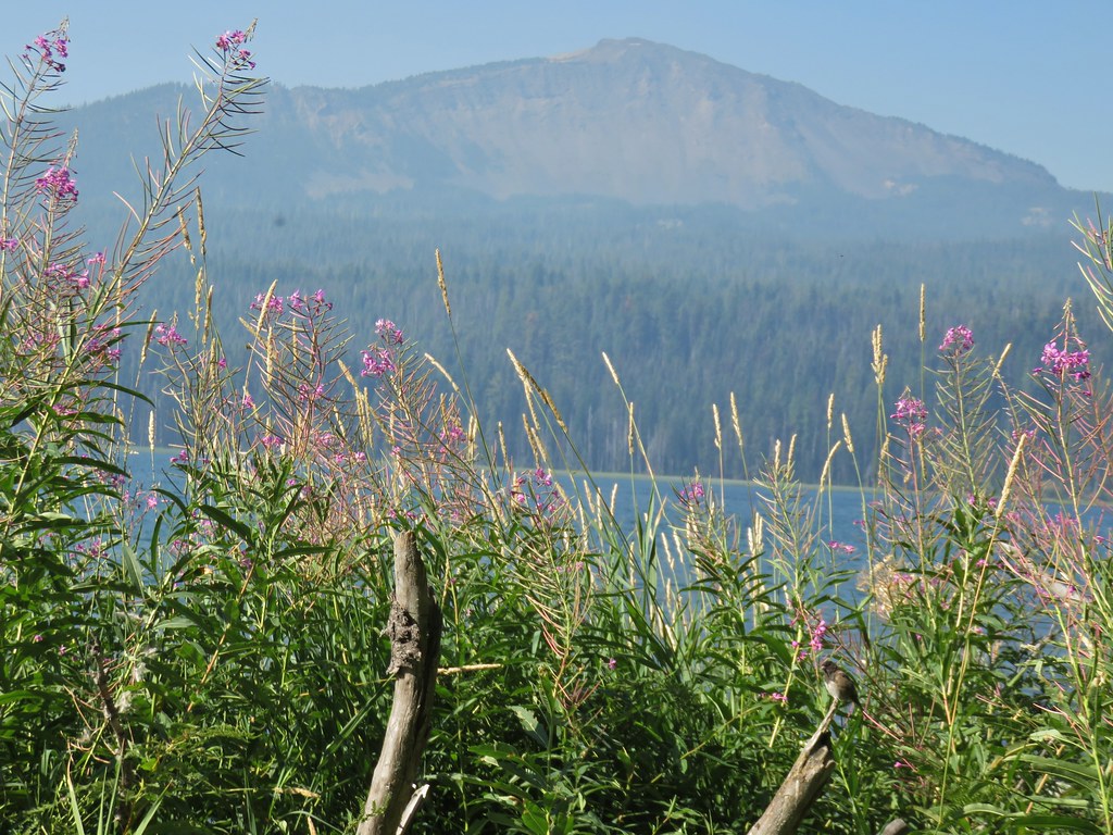 The junco with Mt. Bailey in the background.
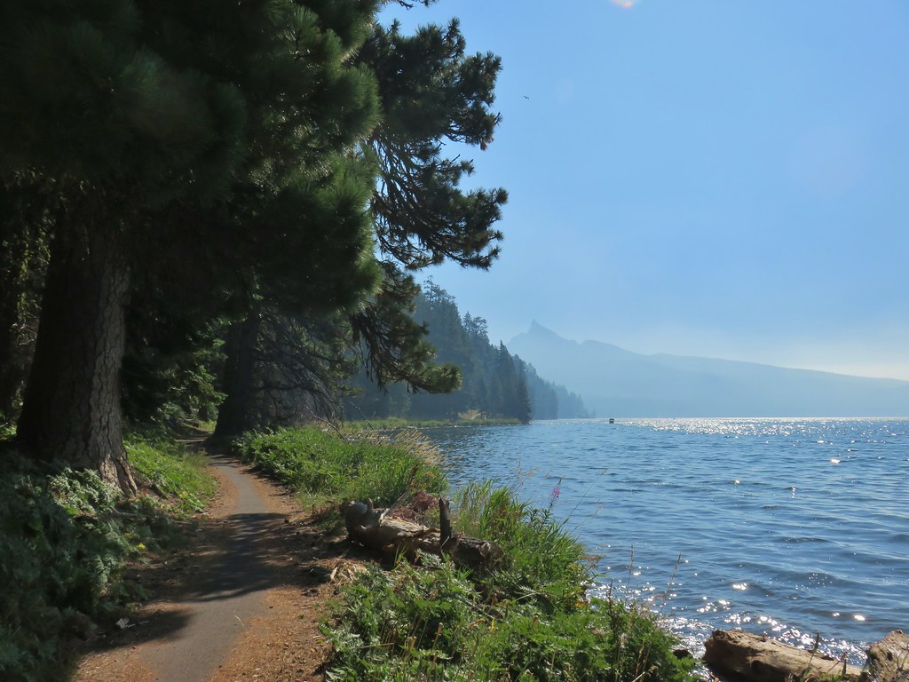 Looking back at Mt. Thielsen
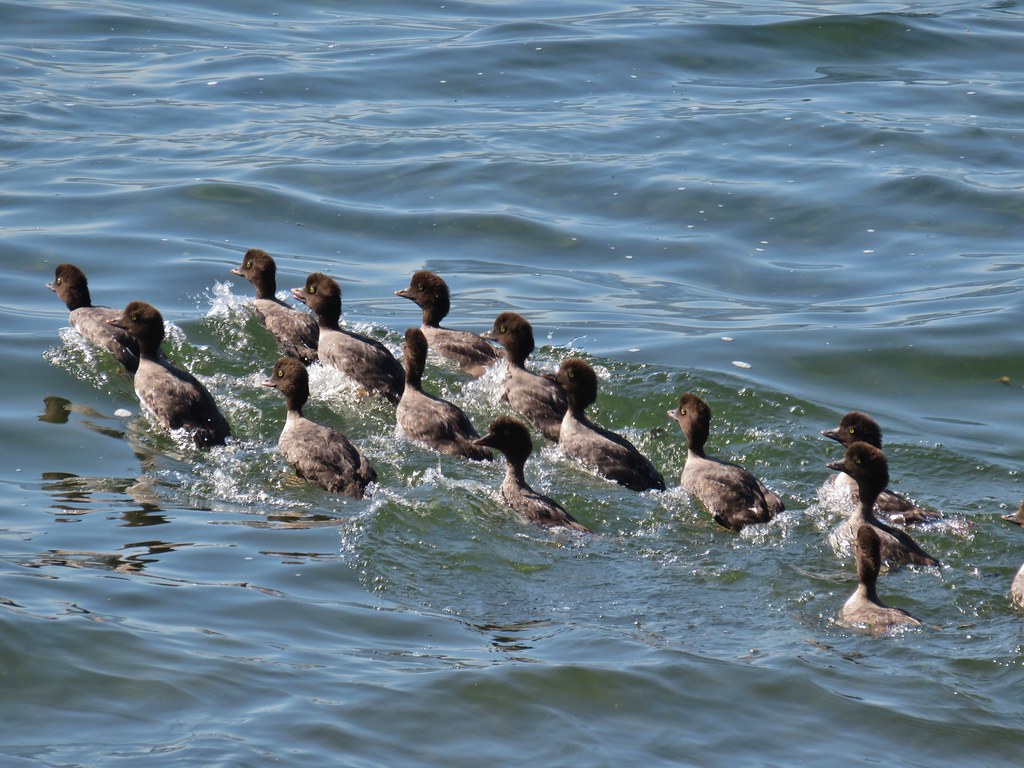 More goldeneyes
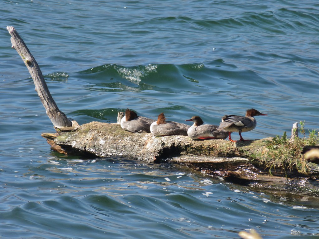 Mergansers


 Osprey

 Cormorant
 Howlock Mountain to the left and Mt. Thielsen


 Back on the lake side of FR 4795.


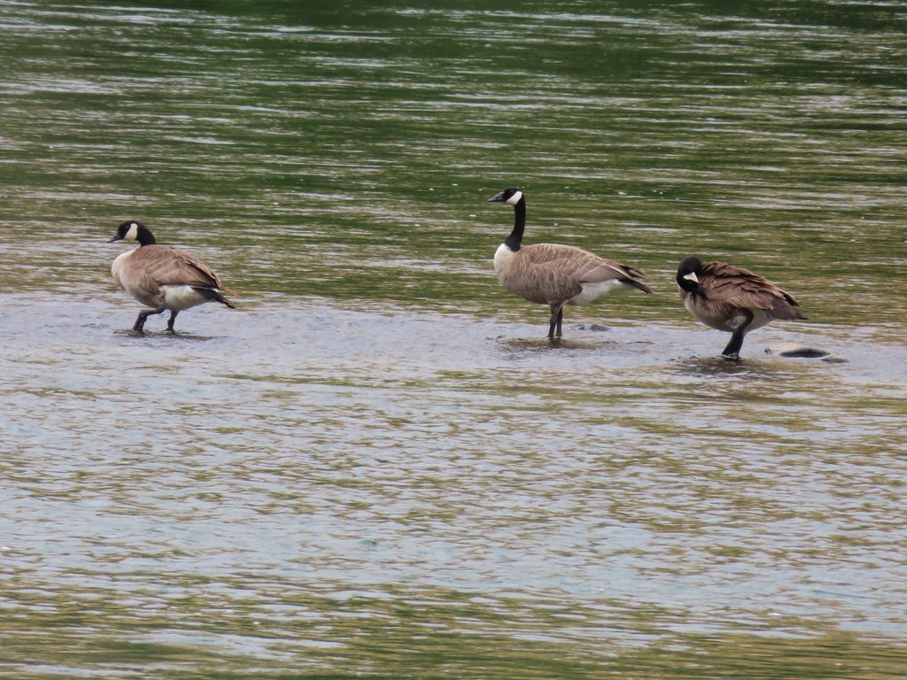
 Canada geese at Teal Lake.
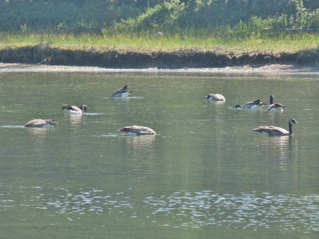


 hedgenettle and aster.
 Monkeyflower
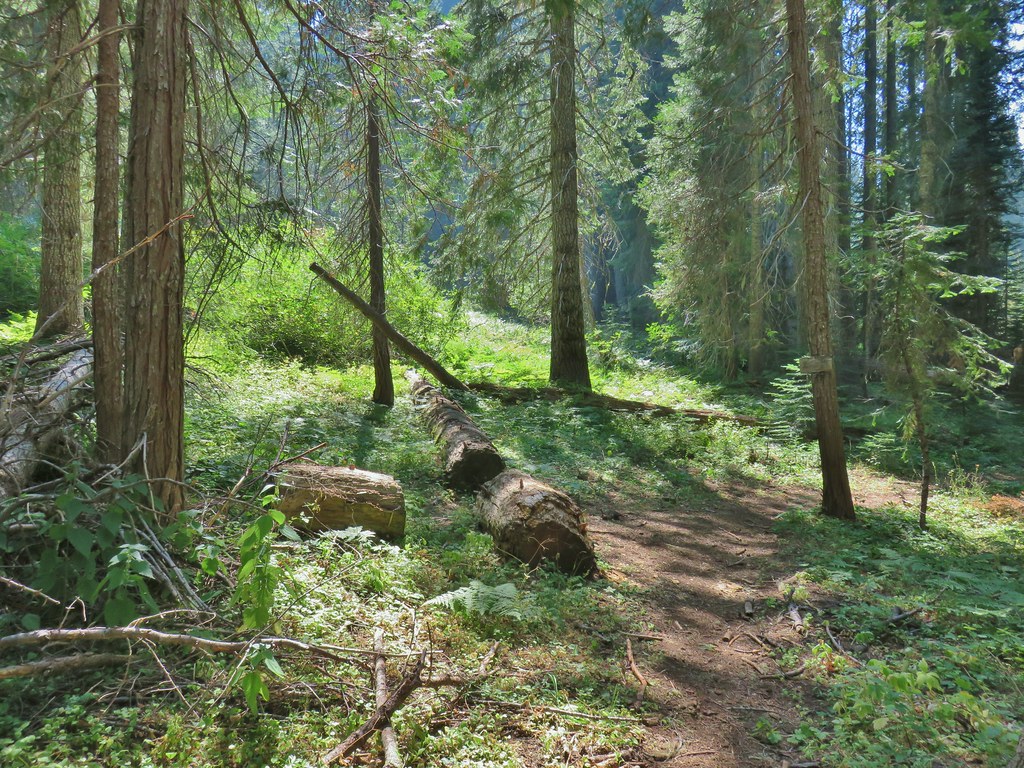


 Wiley Camp Trail on the right.
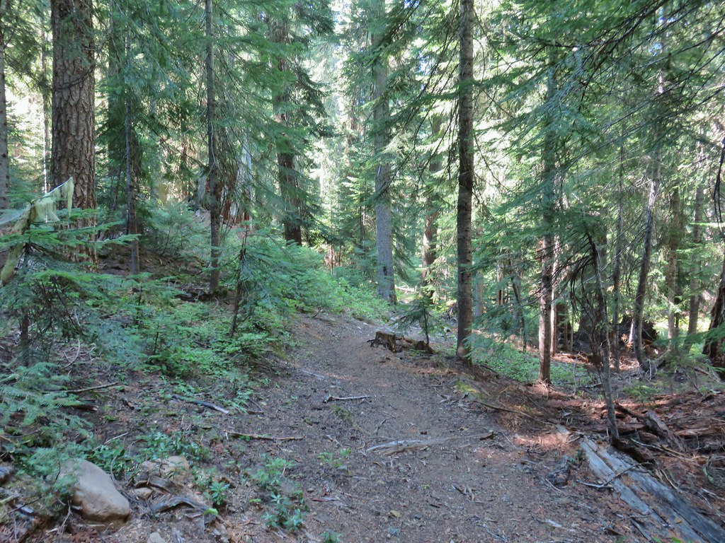

 Wiley Camp sign
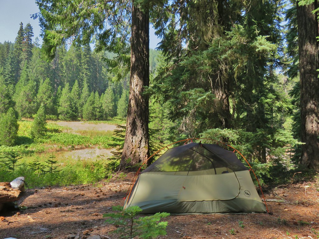

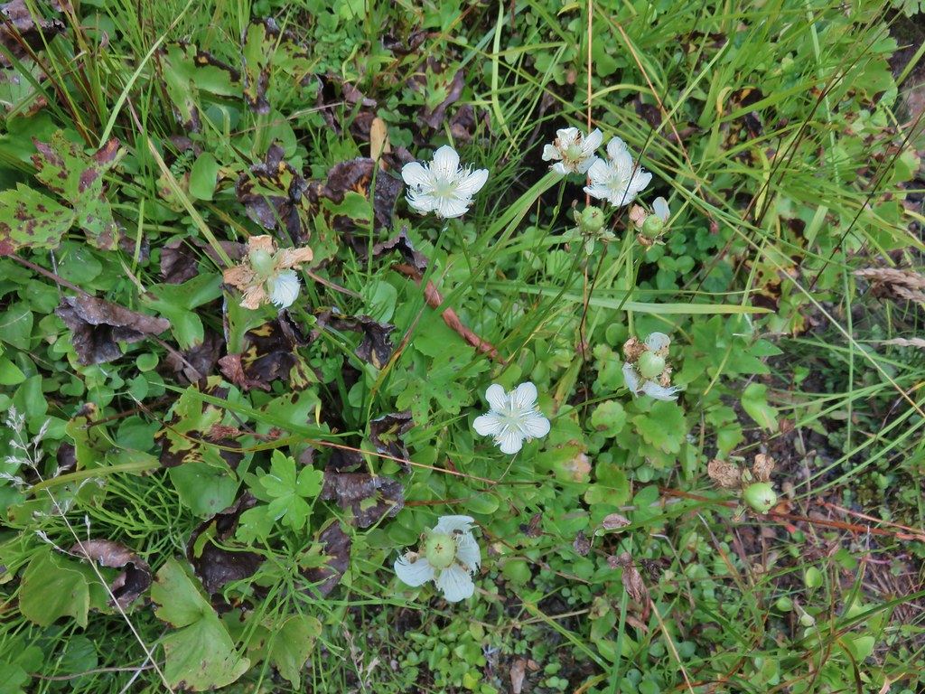 Grass of parnassus
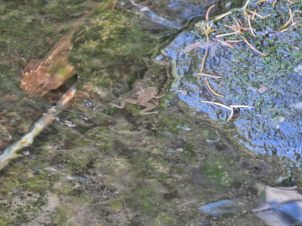 Frog
Frog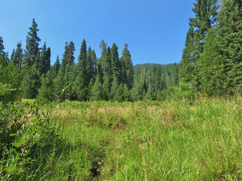 Trail leading up from the creek into the meadow.
 Big cedar at the edge of the meadow.
 Cairn and pink flagging (small tree to the right) marking the Wiley Camp Trail.
 Elder berry
 Twisted stalk

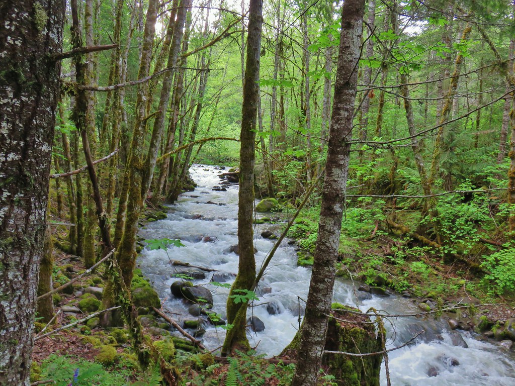
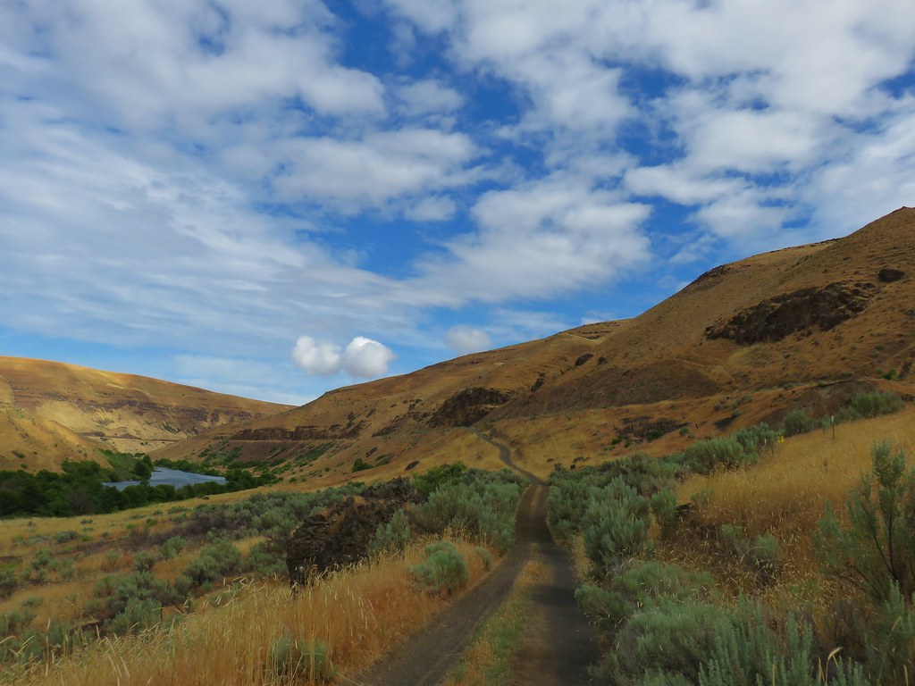
 Middle Fork Trail along FR 21.
 One of only a couple of spots where we were able to get to the river.
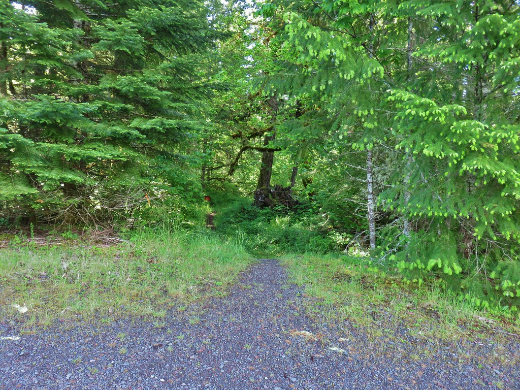 Orange flagging on the left after crossing a gravel road.
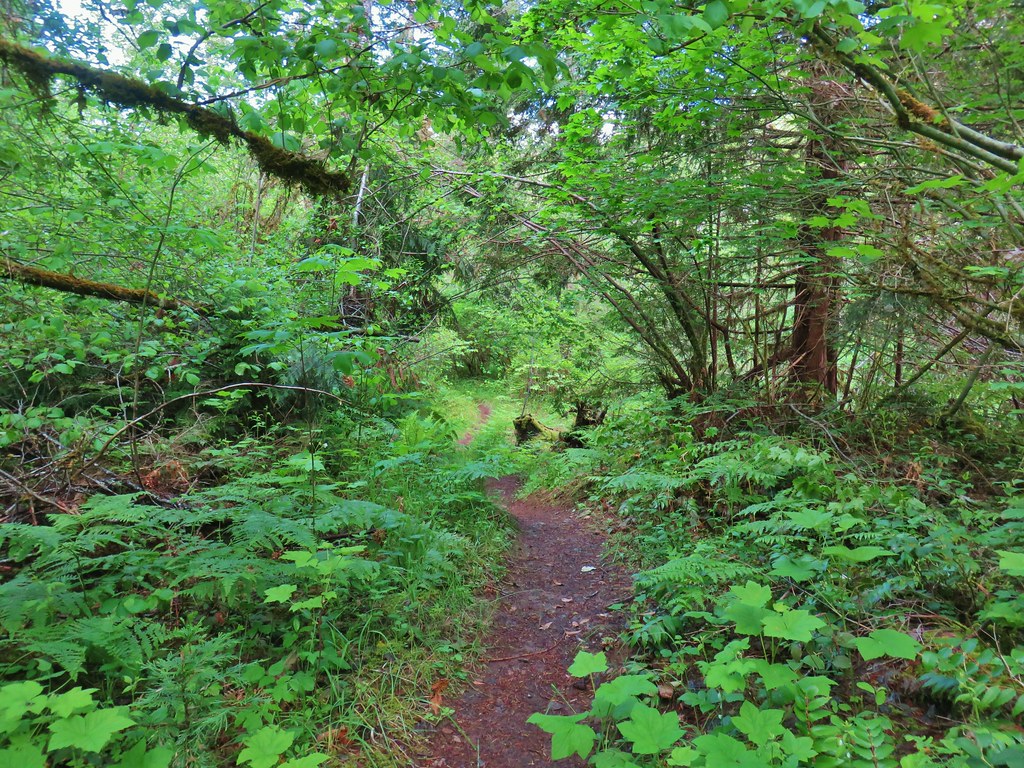
 Thimbleberry
 Cone Creek
 Anemones
 Footbridge over Bills Creek
 Queen’s cup

 Columbine
 Yellowleaf iris along the Middle Fork Trail.
 Pine Creek – At first it looked like they put the bridge in the wrong spot, but there was another branch to the creek.
 Small meadow along the trail.


 Common merganser on the river below the bridge.
 Sign at the
 Mossy stump along the trail.
 Lots of grass along portions of the trail, one of these areas was probably where the tick hopped on.

 The ookow wasn’t quite blooming yet.
 Tolmie’s mariposa lily
 Monkeyflower and tomcat clover
 Stonecrop
 Plectritis and giant blue-eyed Mary
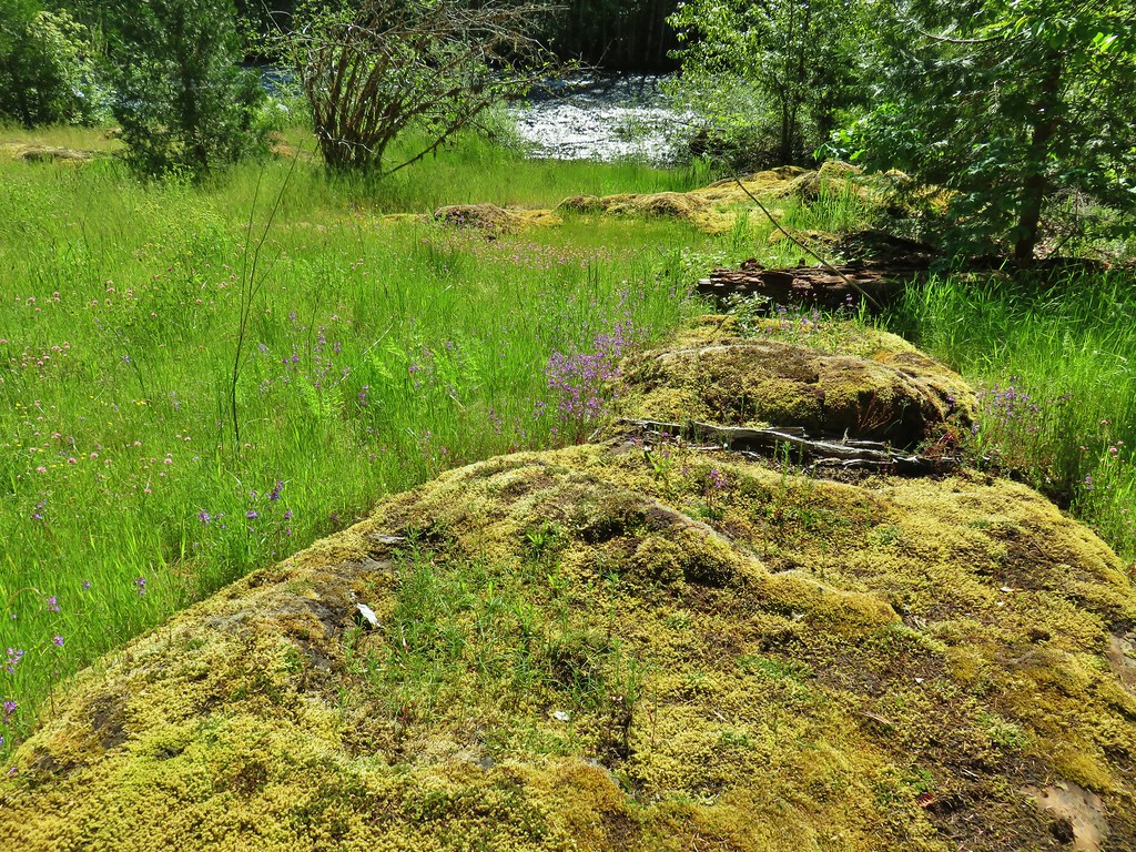
 Giant blue-eyed Mary
 Buttercups
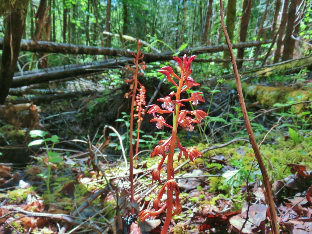 Spotted coralroot (with a caterpillar)
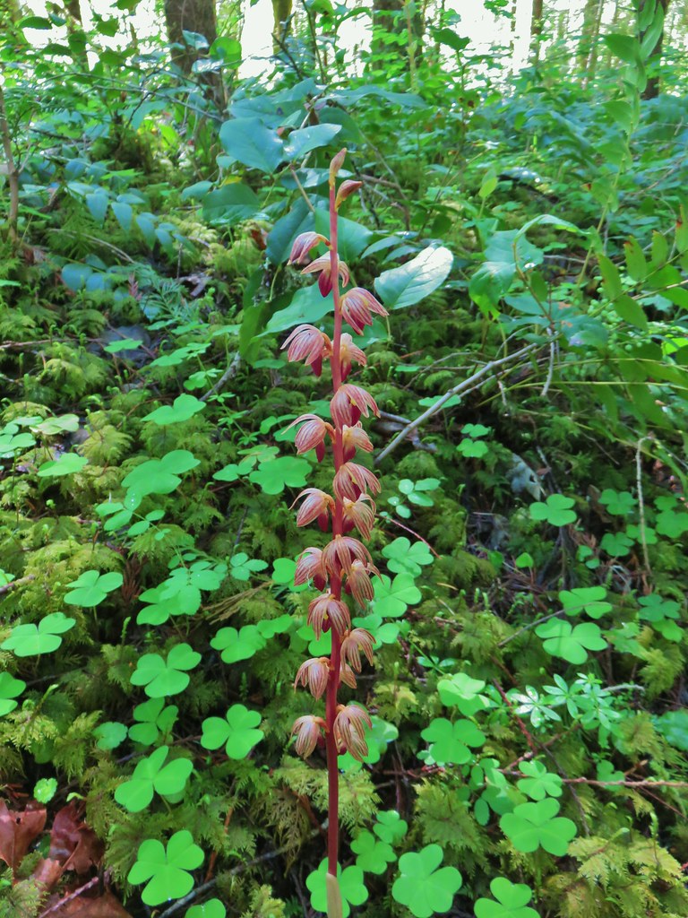 Striped coralroot


 Chocolate lilies
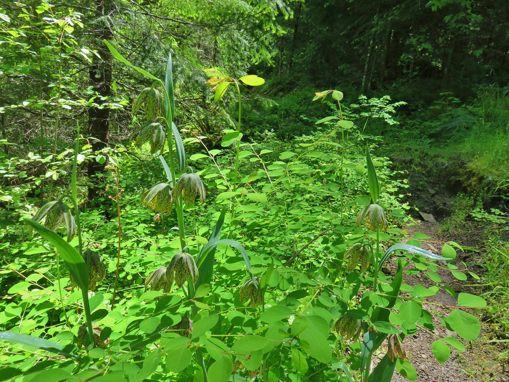
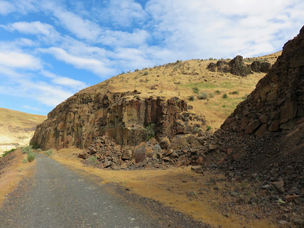
 Completed section of the reroute.
 More signs at FR 201
 FR 201 crossing Coal Creek.
 Coal Creek
 Road walking on FR 2133


 Simpson Creek
 Northern phlox
 Don’t know what type of fungus this is but it looked neat.
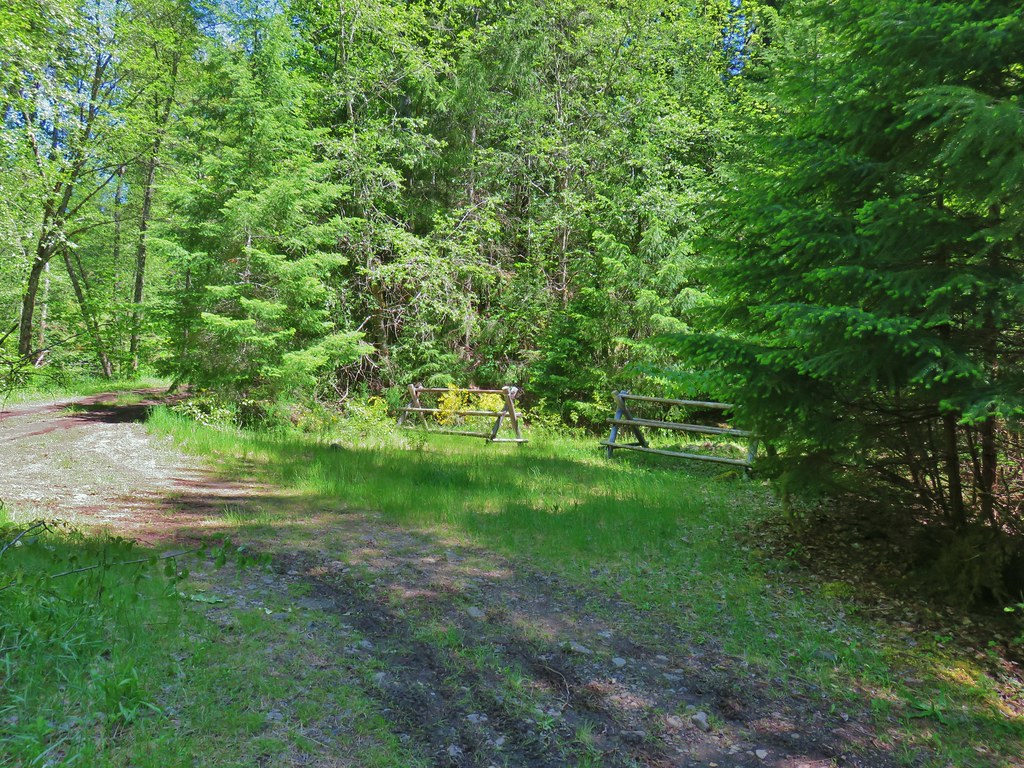


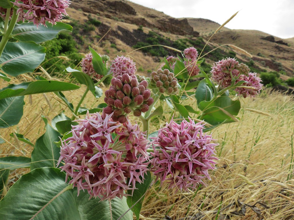 Showy milkweed
 Chicory
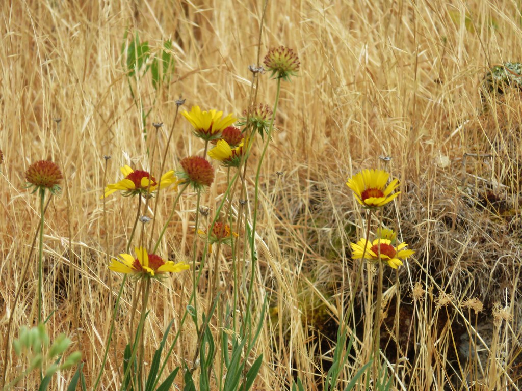 Blanket flower