After a week of 90 degree temperatures much needed rain arrived just in time for the weekend. Most of the west is in the midst of a drought so the the rain is welcome but it meant looking for a plan B for our hike. We decided to stick relatively close to home and revisit Mary’s Peak (previous post), this time via the North Ridge Trail. In addition to only being about an hour away the forecast for the area was better than any of the other alternatives that I had looked at with NOAA calling for a 30% chance of showers and partly sunny skies over the Woods Creek Trailhead. We figured that gave us the best chance for a dry hike (lol) and if the weather wasn’t great at least we had been there before when it was better.
While we were encouraged by a good sized patch of blue sky between Monmouth and Philomath the trailhead was under the cover of low clouds.

A couple of trails led into the trees from the parking area on Woods Creek Road. The trails led to what was the Old Peak Trail which was abandoned for a time but appeared to be in good shape now. The Siuslaw National Forest page for the trailhead indicates that this is now part of the North Ridge Trail extending downhill (northeast) 2.2 miles to Peak Road although they do not show said trail on their map.
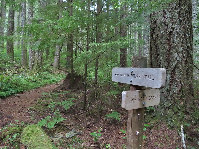
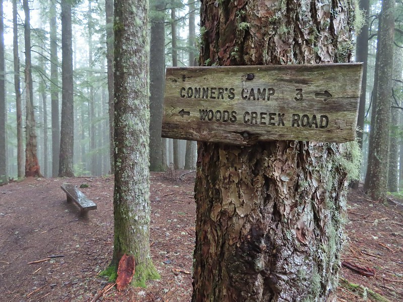
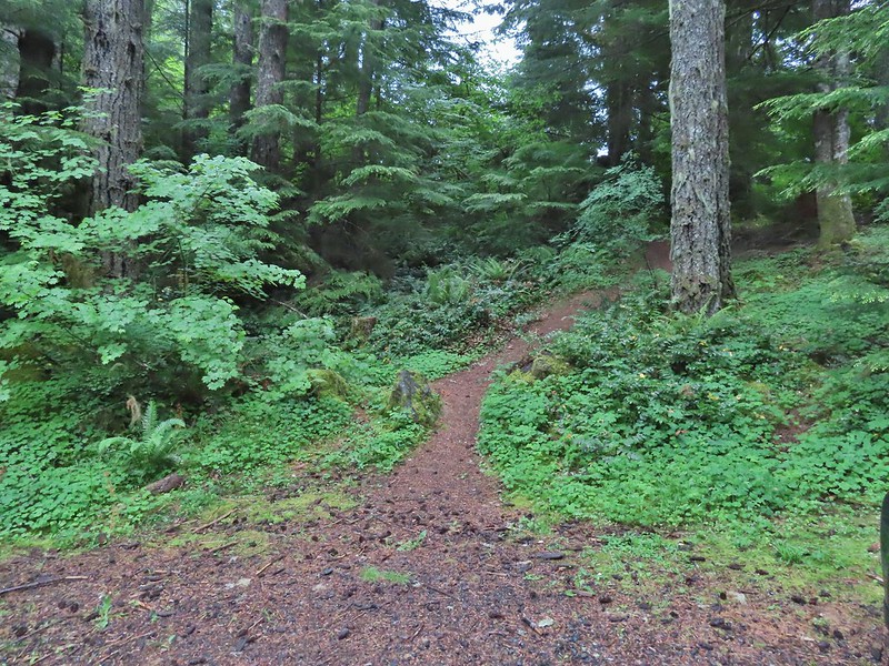 We took this trail from the parking area to the North Ridge Trail where we turned right at a signboard.

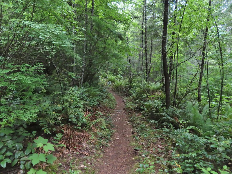
We followed the trail for approximately 100 yards before popping out onto Woods Creek Road just uphill of the gate near the parking area (on our return we simply followed the road down to the car).
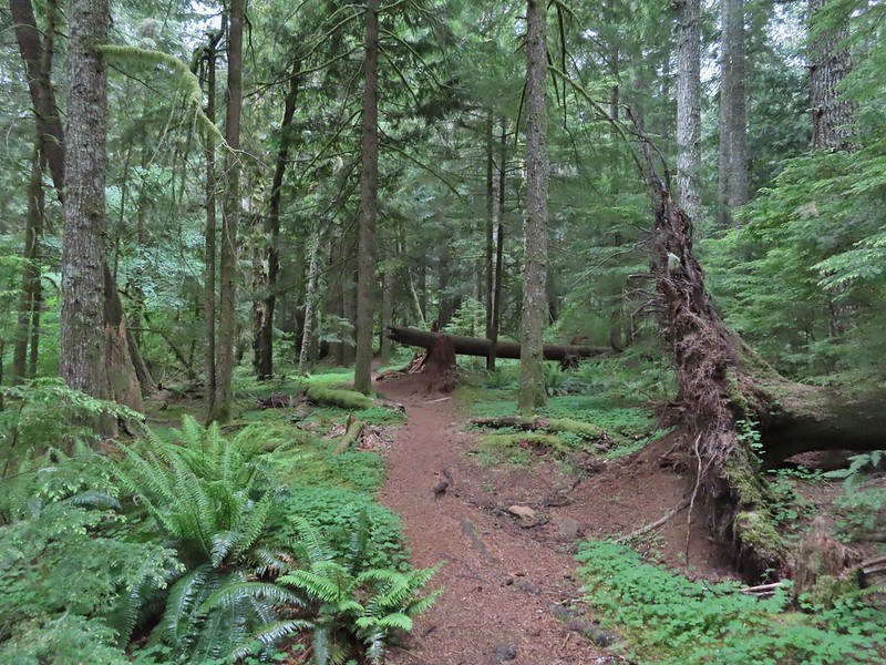
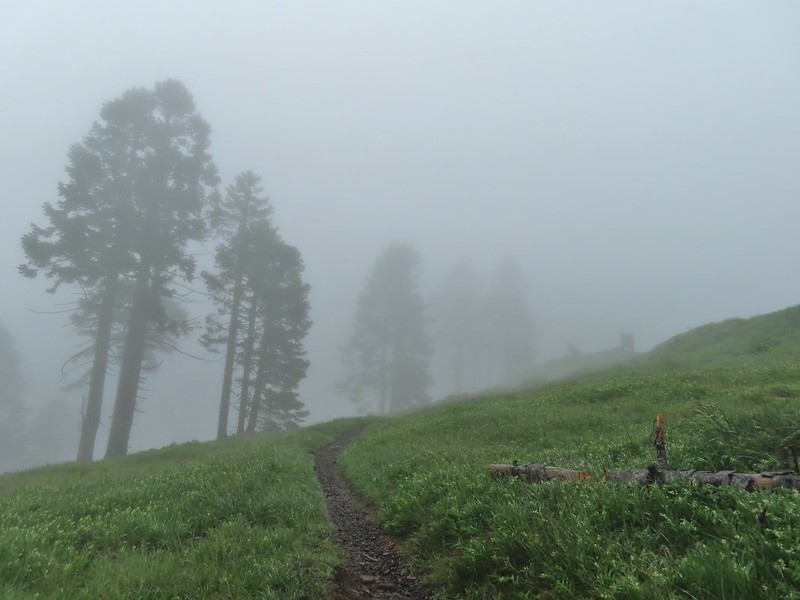
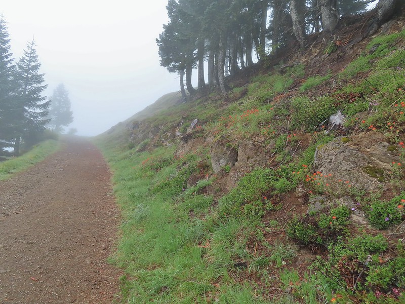
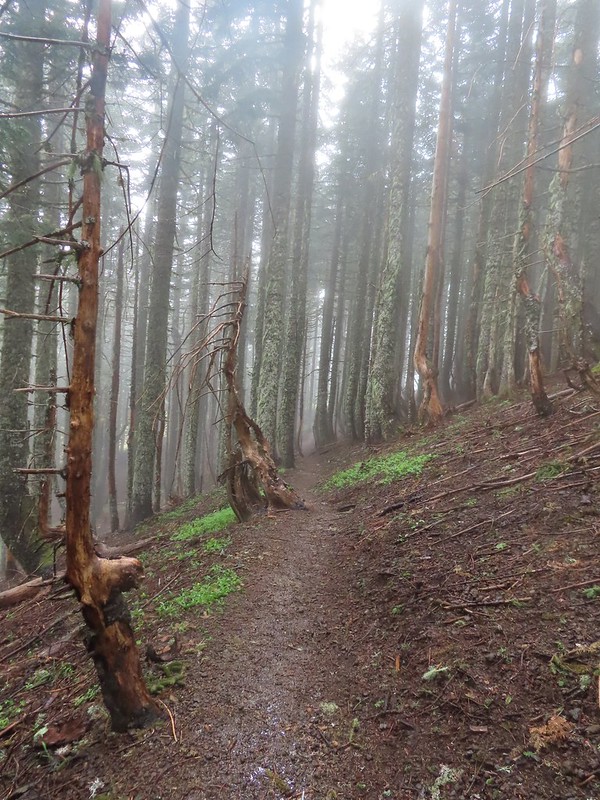
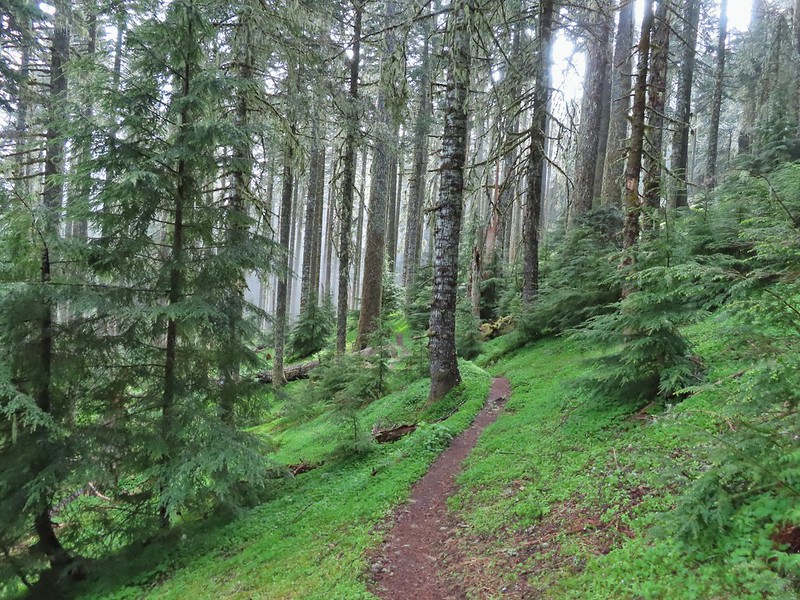
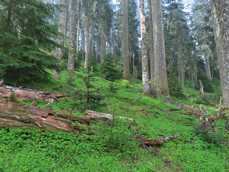
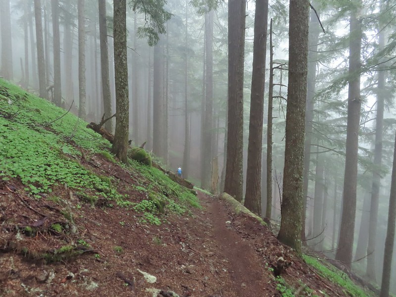
The North Ridge Trail continued on the other side of the road and began a 3.5 mile climb to a junction with a tie trail connecting the North and East Ridge Trails. On our last visit in 2014 we had come down the North Ridge Trail to the junction and taken the tie trail to get back to the East Ridge Trail and our car at Conner’s Camp. The North Ridge Trail gained 1400′ over the 3.5 miles using a number of switchbacks to keep the grade from ever being very steep. The green forest was filled with fog which was depositing moisture on the trees that was then falling to the forest floor so even though it wasn’t “raining” it may as well have been.
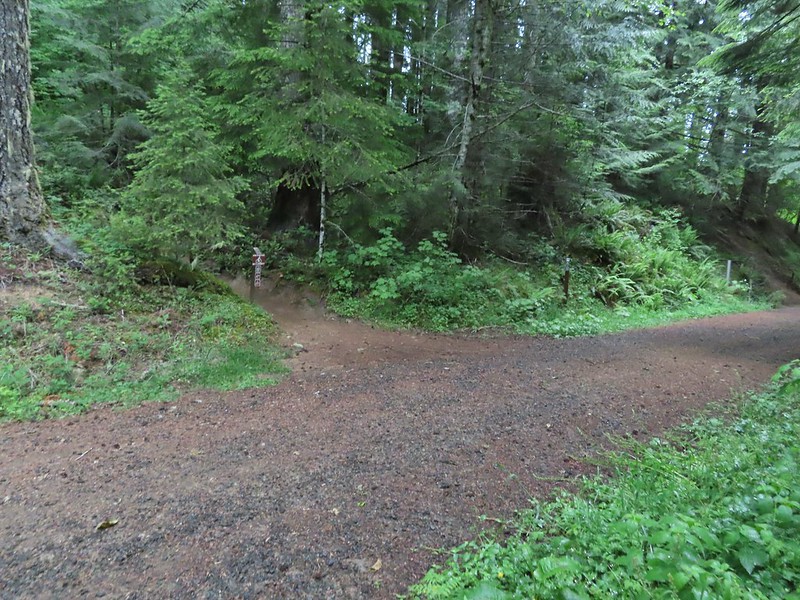
 Signboard along the North Ridge Trail at Woods Creek Road.
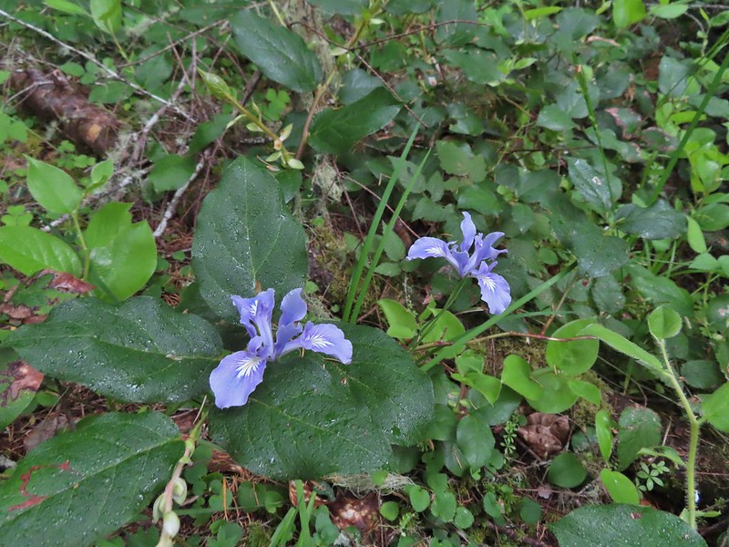 Iris
Iris
 Near the half mile mark we ignored this pointer to the left. Looking at the map there are roads looping back to Woods Creek Road and also to Conner’s Camp but what their conditions are we don’t know.
 Monkeyflower


 Wren
Wren
 Thimbleberry

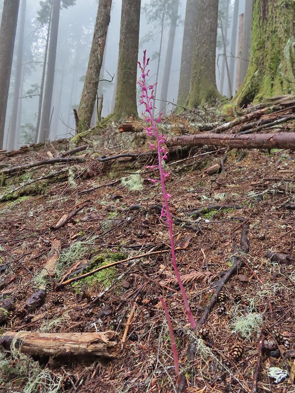 Pacific coralroot
 Anemones
 Vanilla leaf along the trail.
 Lots of vanilla leaf.
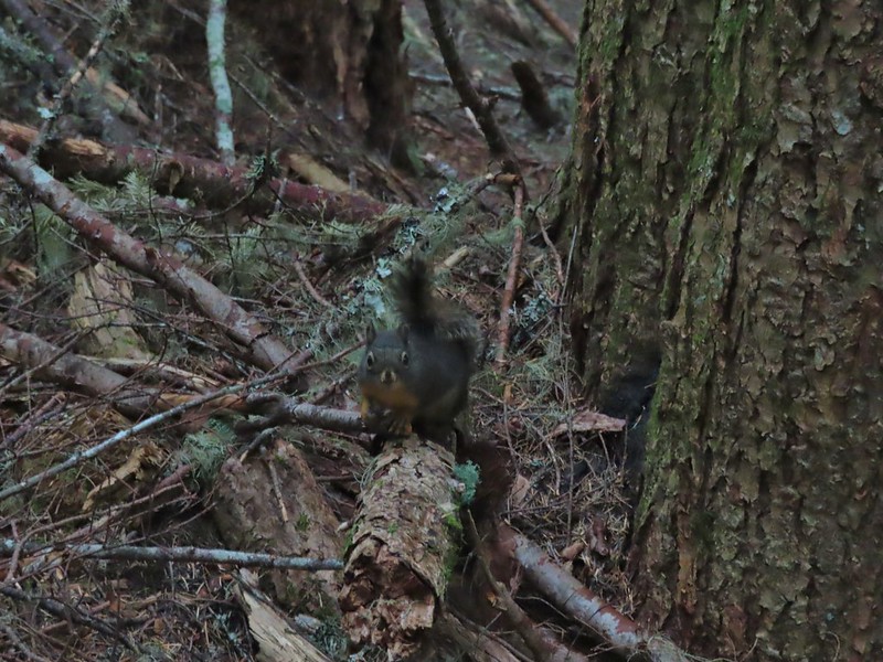 Douglas squirrel.
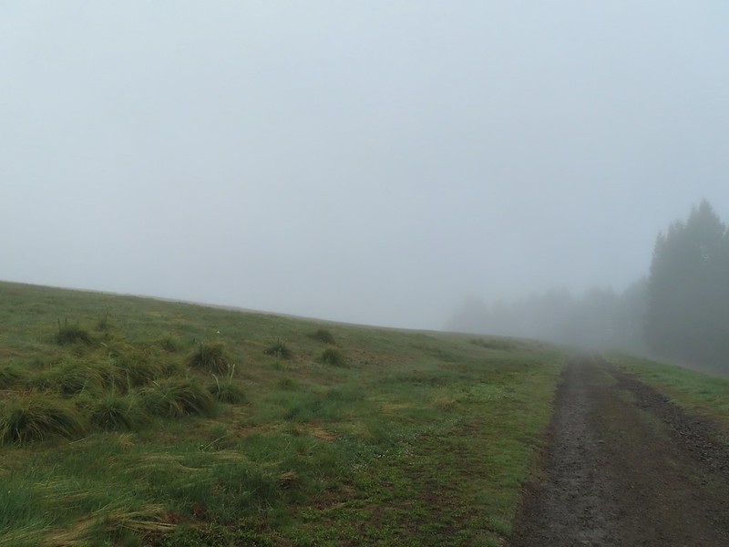
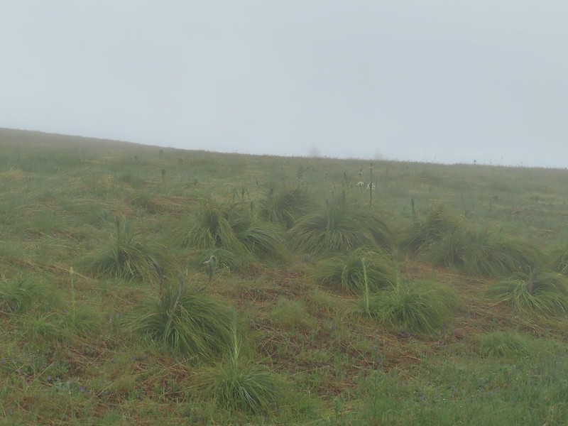
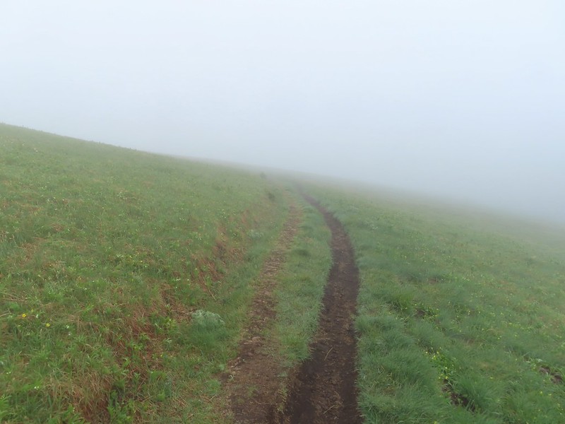
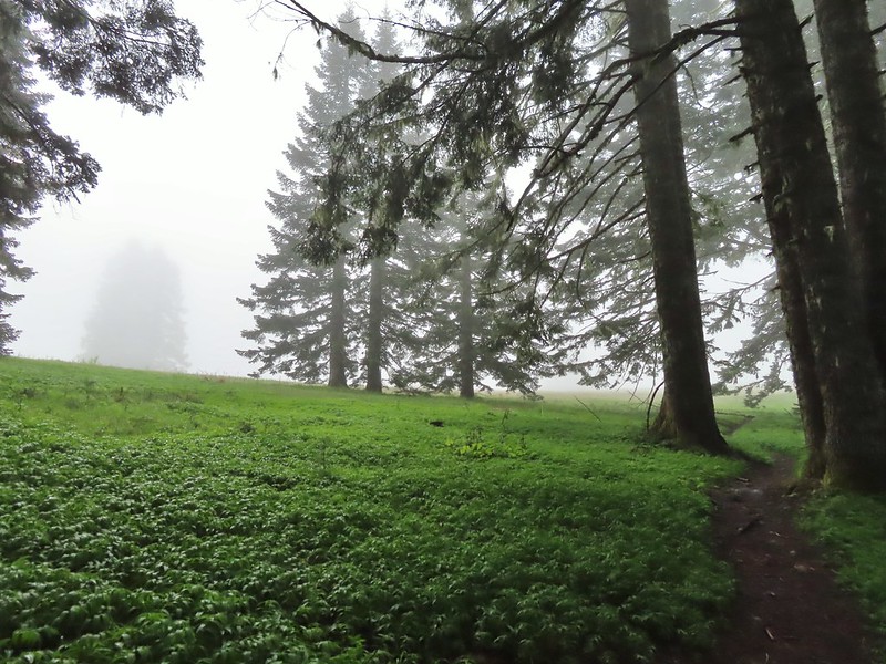
 The higher we went the foggier it got.
 Bench at the junction with the tie trail.
We stayed right at the junction continuing uphill on the North Ridge Trail for another 0.7 miles to the Mary’s Peak Overlook parking area. We were starting to get pretty wet, and so was the trail, by this point.

 Some of the trillium still had petals.

 Signboard for the overlook on the hillside to the right.
When we exited the trees below the overlook we were able to confirm that it wasn’t raining despite all the water falling from the trees. It was however windy and that wind combined with damp skin/clothes and upper 40 degree temperatures made it cold at the overlook.

We quickly dropped downhill on the East Ridge Trail, which also ended at the overlook and were going to then head uphill on Summit Trail but we forgot what that junction looked like and when we came to a set of old steps after just 500′ we got confused. The steps led uphill into a jumble of downed trees. This was apparently an older route and the actual Summit Trail junction was just another 100 feet or so away.
 The junction from later in the morning with the Summit Trail heading uphill to the right and the East Ridge Trail down to the left.
Since we were unsure we headed back to the overlook and took the gated road uphill.
 Going to be a beargrass year.
 Beargrass
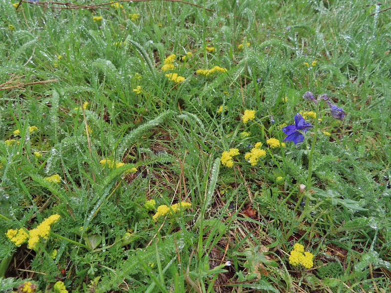
 Larkspur in the wet grass.
After 0.3 miles on the road we came to the Summit Trail/Summit Loop Trail junction. We stuck to the road opting to do the loop clockwise.
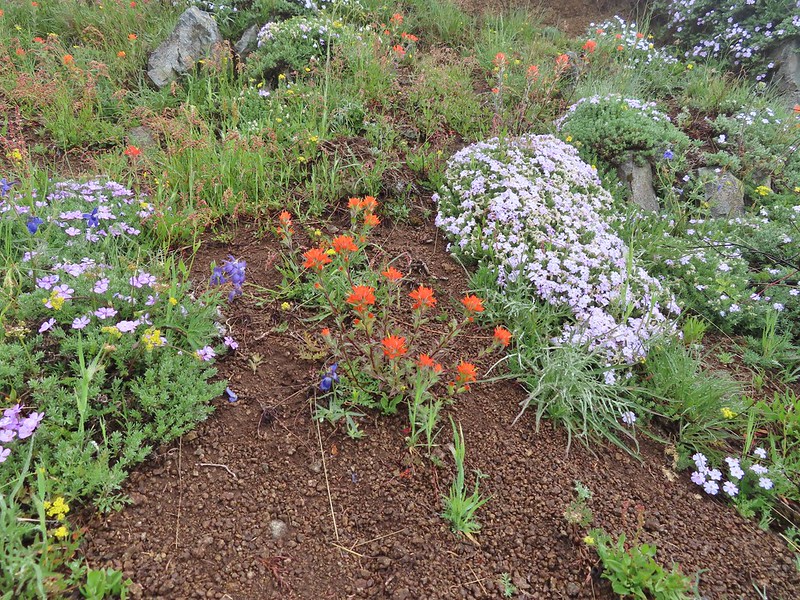
The road cut between the junction and the summit host a nice display of flowers including large patches of paintbrush, larkspur, phlox, and penstemon. Lupine, parsley, field chickweed, blue eyed mary, buttercups and ragwort were also present.
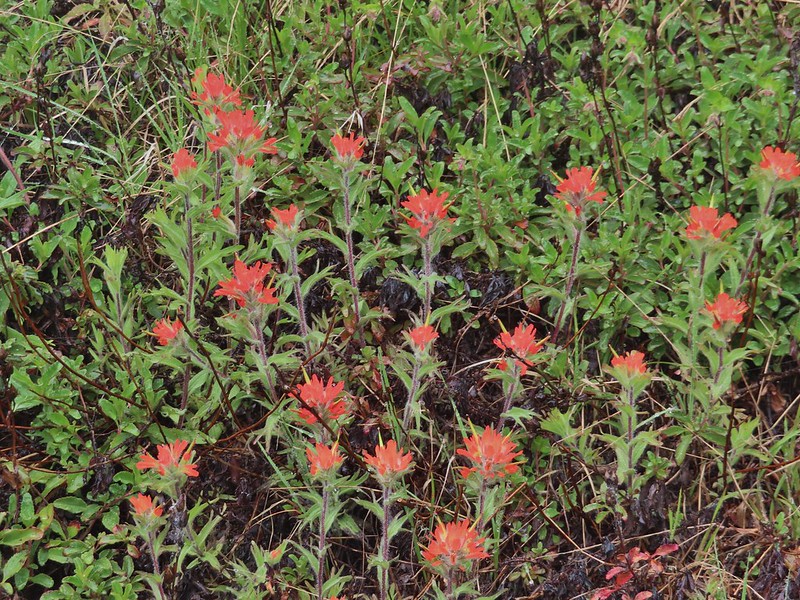 Paintbrush
 Penstemon
 Field chickweed
 Parsley
 Blue-eyed Mary
 Ragwort in front of lupine that had yet to bloom.
 Phlox
Phlox

 Lupine
 Buttercups and larkspur
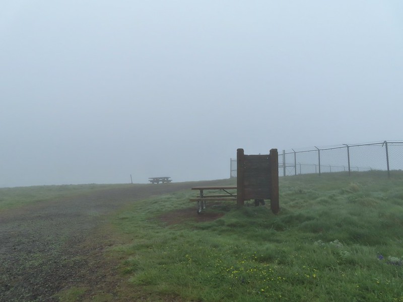
The wind was once again an issue at the summit (the highest peak in the Oregon Coast Range at 4097′).
 Heather hiding behind the summit signboard to try and keep out of the wind.
Needless to say there was no break taken at the picnic table here and instead we headed downhill on the Summit Loop Trail.
 Lots of lupine yet to bloom.
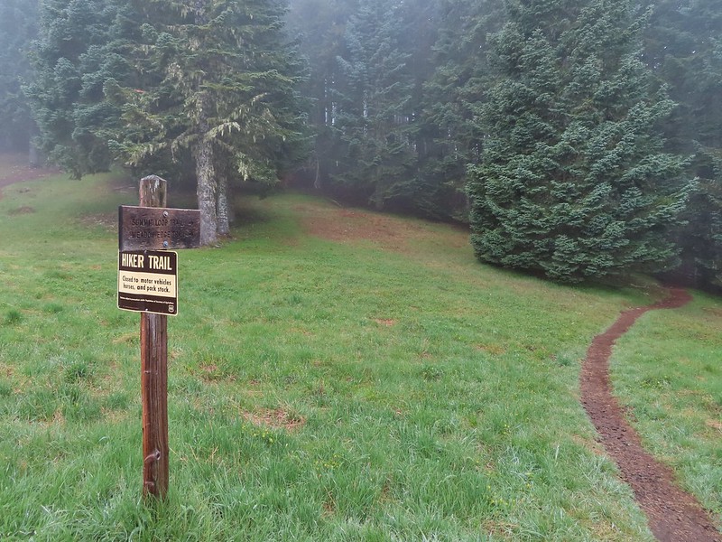
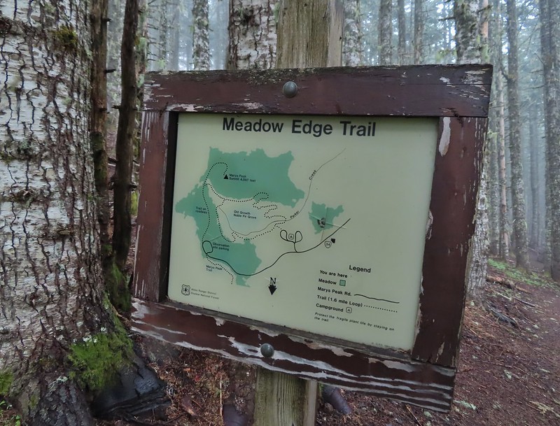
At an unsigned fork we went left descending further through the meadows then reentering the forest before coming to a junction with the Meadows Edge Trail after 0.2 miles.


We turned left here to take the Meadows Edge Trail which we had not been on before. The 1.6 mile trail makes a loop around a grove of old growth noble fir losing and regaining 450′ in elevation along the way.
 As the name implies the Meadows Edge Trail occasionally entered the meadows before returning to the forest.
 For a brief moment a bit of sunlight hit the forest and we thought maybe the sky would clear up.

 Salmonberry bushes near Parker Creek.
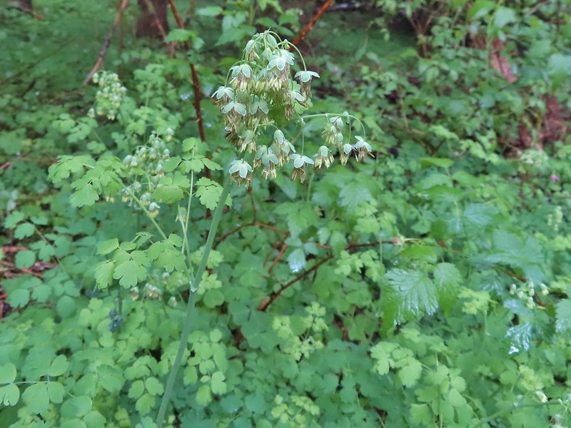 Western meadowrue
 Spur trail to the Mary’s Peak Campground.
 Fairybells and star flower solomonseal
 The sky was in fact not clearing up.
 Bleeding heart and sourgrass.
 Fawn lilies in the meadow.
When we had finished this lovely loop we returned to the Summit Trail and followed it for 100 yards to the 4-way junction on the gated road.
 Signs at the road junction.
We could have crossed the road and followed the Summit Trail down to the East Ridge Trail but we still were under the mistaken impression that the trail might be impassable so we returned to the Overlook via the road and picked up the East Ridge Trail there. Shortly after having turned onto that trail we passed the actual Summit Trail junction and realized that we could have indeed taken it from the road. We followed the East Ridge Trail beyond the Summit Trail junction for 1.2 miles where signs and a bench marked the junction with the tie trail.
 The wet conditions were starting to really hinder picture taking at this point.

We turned left onto the tie trail and followed it another 1.2 miles to the North Ridge Trail junction.


 Striped coralroot
 North Ridge Trail junction
It was 3.5 miles back downhill to the car and the gentle grade made for a pleasant return trip. The clouds also began to finally lift and we finally did see some patches of blue sky.
 Heather descending in the fog.
 Cutleaf goldthread
 Millipede
 Is that some blue sky out there?
 Not much but it is blue.
Our hike came in at 13.1 miles with around 2500′ of elevation gain. We could have shaved a tenth of a mile or two off by taking the Summit Trail down to the East Ridge Trail and skipping the Meadows Edge Loop would have saved another 1.6 (but that was a really nice loop).

Despite the wet conditions and lack of “partly sunny skies” it was a nice hike and the conditions kept the popular trails from being too busy, although we did see a couple dozen other users. Hopefully we won’t have to do too much more shuffling of our planned hikes but if we do I always have a few options standing by. Happy Trails!

13 replies on “Mary’s Peak via the North Ridge Trail – 06/05/2021”
What a beautiful hike! I am sure it was rather cool and damp, but your photos are lovely!
Thank you!
[…] #44 Mary’s Peak – Hiked 2009 (day unknown), 6/1/2014, & 6/5/2021 […]
[…] Peak (post) in the distance, the highest peak in the Oregon Coast […]
[…] Peak (post) with a cloud just blocking the […]
[…] Despite the clouds breaking up we didn’t have a view of Marys Peak, the highest peak in the Oregon Coast Range (post). […]
[…] Peak (post) is really hard to make out, but it is on the far left of the […]
[…] After crossing a saddle we gained views SE to Mary’s Peak (post) […]
[…] come stopping a couple of times to watch birds flitting between the trees. Mary’s Peak (post) from the […]
[…] Peak (post) with a few clouds below its […]
[…] We had our first heat advisory of the year issued for the weekend which prompted us to think twice about the 12 plus mile loop with over 3400′ of elevation gain that we had on our schedule for this week. I went looking at some of the hikes I had on our schedule for future Junes hoping to find something a little less strenuous and landed on the Rogers Peak Loop. This was another Oregon Hikers Field Guide entry. That entry described a 7.1-mile loop with 1065′ of elevation gain and an optional visit to Blue Lake which would add about 1.25-miles and 450′ of extra elevation gain. At 3706′ in elevation Rogers Peak is the third highest peak in the Coast Range behind 4319′ Mt. Bolivar and 4097′ Marys Peak (post). […]
[…] Peak (post) from Dimple […]
[…] Peak (post) in the […]