Following our hikes at Coffin & Bachelor Mountain we both wound up sick with a nasty head cold. Heather’s lasted almost two weeks and was almost feeling back to normal on the Sunday of Juneteenth weekend. I was fortunate to not get hit as severely and was starting to feel quite a bit better on Juneteenth. After resting for one more day I had planned to head to Mary’s Peak on Saturday the 20th however my left hip had other ideas. When I woke up it was hurting pretty bad so instead of hiking in the morning before heading to my cousin’s daughter’s graduation party, I spent the morning trying to loosen things up. By the time we left the party that afternoon it was back to feeling normal, so I decided to give it another try Sunday morning. Things were still okay in the morning, so the hike was on.
Heather decided that she wasn’t quite feeling well enough for a strenuous hike so headed out solo to the East Ridge Trail on Mary’s Peak starting from the Connor’s Camp Trailhead.

I had left my route open not knowing how my hip, or any of the other back and lower body issues I’ve been in physical therapy for, would react to hiking. My plan was to take the East Ridge Trail up to the Summit Loop Trail to visit the summit of the highest peak in the Coast Range. My route back was open with a couple of possible loop combinations or simply heading straight back down the East Ridge Trail.

Faded trail maps at the information board at Connor’s Camp.
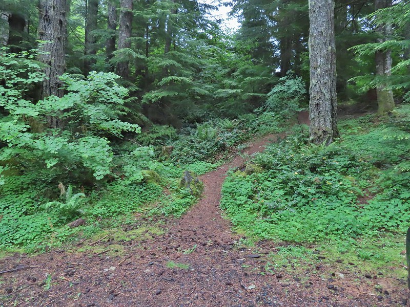
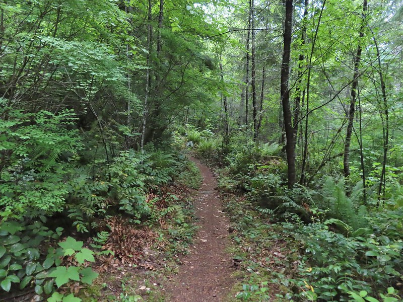
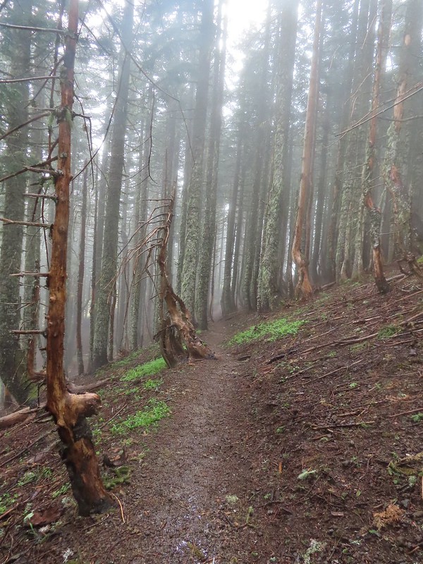
I hadn’t started from this trailhead since 2014 (post) but the forest was as pretty as I had remembered.


Columbine and iris

Rattan’s beardtongue (Penstemon rattanii)


Pink pyrola


Little prince’s pine
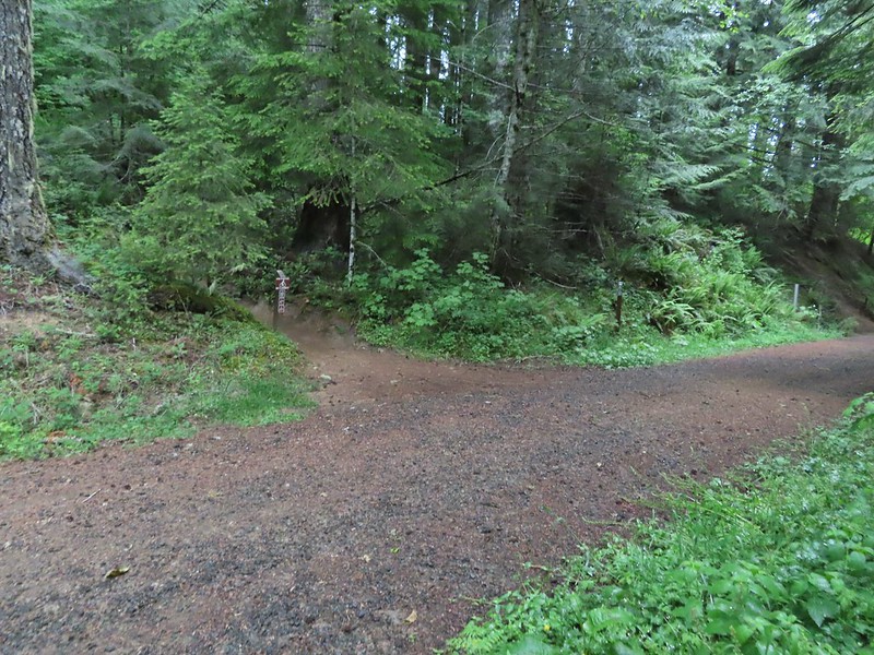
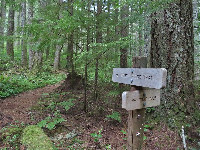
Just over a mile from the trailhead, near a bench, the trail arrives at a junction with the Tie Trail.

At the junction the East Ridge Trail made a switchback and began a fairly steep 1.2-mile climb to the Summit Loop Trail.

The number of wildflowers that I was seeing in the forest increased as I climbed.

Vanilla leaf

Fringecup

Anemones

Small-flowered alumroot

Lupine

Chickweed

Inside-out flower


Arrowleaf groundsel starting to bloom with thimbleberry and columbine blossoms lining the trail.

Monkeyflower


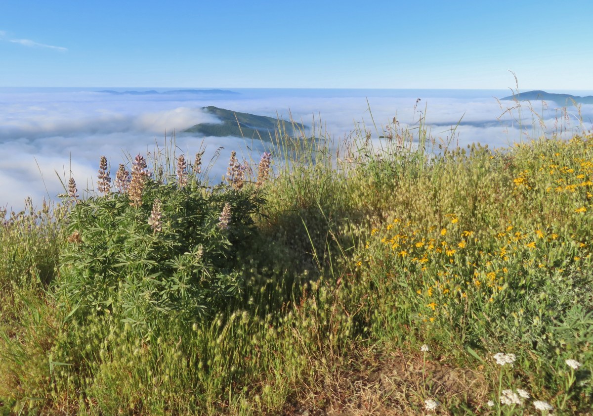
A layer of clouds was covering the valley below.

Trail sign at the junction with the Summit Loop Trail.
In another tenth of a mile I came to a new unsigned junction. A steep trail switchbacked up to the right that hadn’t been there on our previous visits. This is a 2025 reroute created by the Trailkeepers of Oregon (TKO) to move a portion of the trail out of sensitive habitat.

This is a photo from later in the morning as I came down to the junction on the new section.
I opted to stay left on the more gradual portion of the loop and soon left the trees.

Queen’s cup

Chipmunk

The trail climbed through the meadow to Mary’s Peak Road.

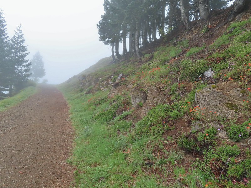
Penstemon along the trail.

The summit of Mary’s Peak ahead.

Mary’s Peak Road

Beargrass
I turned left onto the road and followed it up and around to the summit in 0.4-miles. While the flowers were past peak there were still a few left and for the first time, I could see the Cascade Mountains. On previous visits clouds had always been in the way.


Paintbrush

One of two grouse that were on the road.

Penstemon and chickweed

Mt. Jefferson to the left of the dead tree and the Three Sisters to the right.

The Three Sisters

Towers on the summit.

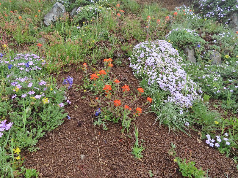
Oregon sunshine and bluehead gilia

Paintbrush, Oregon sunshine and bluehead gilia

Catchfly

Cascade desert parsley

Wallflower

Blue head gilia

Olympic onions

The Mary’s Peak West Ridge

The last of the larkspur.

What was left of the phlox.

At the summit.
I took a short break at the summit to take in the views and then took a clear trail downhill to the NE.

Mt. Hood in the distance to the NE.

Tiger lily

Looking back up at the summit.
The trail veered to the NW toward the west ridge of Mary’s Peak before turning east and leaving the meadows.


Shortly after entering the forest I forked left at junction on the Meadows Edge Trail (trail 1325). While on the summit I had decided to do this 1.6-mile loop before heading back.

The Summit Loop Trail I’d come down to the left and the Meadows Edge Trail to the right.
Fifty yards later I stayed left again to hike the loop clockwise. The loop stays primarily in the forest with a couple of forays along the edge of meadows. The forest along this trail might be my favorite in the area.

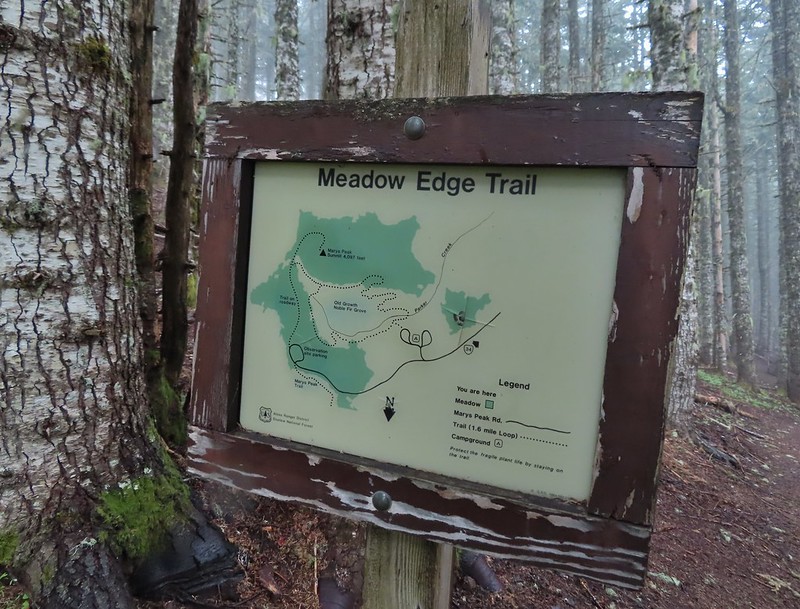
Map at the start of the loop.

Queen’s cup


The summit towers from the loop.


Moth

Bleeding heart


Footbridge over Parker Creek.

Avens, foam flower, and youth-on-age.

Columbine

Junction with a spur to Mary’s Peak Campground.

An almost ripe salmonberry.


False starry solomon’s seal and a violet.


Beargrass

Nearing the end of the loop.
After completing the loop I turned left and headed back to the Summit Loop then completed that loop.

Mary’s Peak Road on the other side of the trees.
I hiked a short distance down Mary’s Peak Road to check out the beargrass display then walked back and turned uphill (left) on a clear trail that headed NE.


Looking back down at Mary’s Peak Road.
This is the section of the Summit Loop that was realigned by TKO in 2025. The trail leads to some barriers at the top of the hill where the reroute begins.


Butterfly

Mt. Hood in the distance above the clouds.

The Three Sisters

The old alignment went directly over the hill and down to the day use parking area.

The new alignment.
The new section of trail entered the forest on the NE side of the hill and steeply descended via switchback to the junction at the start/end of the Summit Loop (pictured above).

Looking down the switchbacks.
I turned left and hiked downhill to the next junction where I decided to take the longer route back to the trailhead by taking the North Ridge Trail to the Tie Trail and follow that back to the East Ridge Trail.

I headed left here.
This trail led up to the day use area.


California figwort

The day use area.

White crowned sparrow

Looking back toward the summit.
The North Ridge Trail began at the far end of the parking area.

I followed this trail downhill for three quarters of a mile to the junction with the Tie Trail.

Daisies along the trail near the day use area.


Star flowers


Bench at the junction.
I turned right onto the Tie Trail and followed it 1.2 fairly level miles to the East Ridge Trail.


Stripped coralroot

Pacific coralroot


Monkeyflower

Twinflower

Honeysuckle
I was delayed while I battled my nemesis, the varied thrush, in an attempt to get a picture.

The Tie Trail was in good shape, just a bit overgrown near the junction with the East Ridge Trail.

After completing the Tie Trail I followed the East Ridge Trail back downhill to the trailhead.


Thimbleberry and vetch

The trailhead through the trees.
Today’s route came in at 8.6-miles with approximately 1750′ of elevation gain.

This was the longest hike I’d done since my leg/back issues began in February, and it was the best I’d felt after a hike since then as well. I’m still having some issues, but this was encouraging. Happy Trails!
Flickr: Mary’s Peak

 We took this trail from the parking area to the North Ridge Trail where we turned right at a signboard.
 Signboard along the North Ridge Trail at Woods Creek Road.
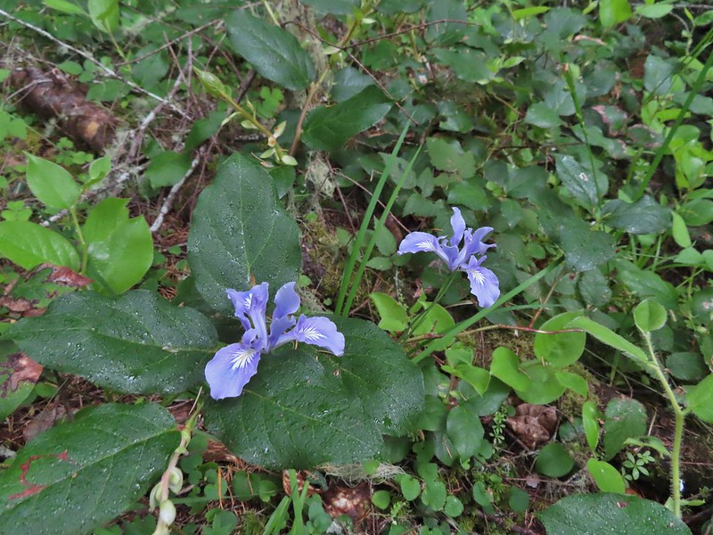 Iris
Iris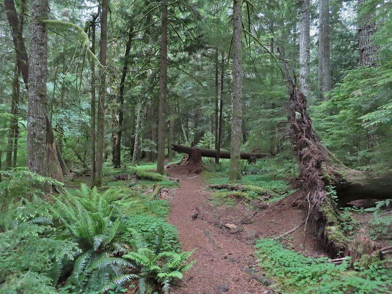
 Near the half mile mark we ignored this pointer to the left. Looking at the map there are roads looping back to Woods Creek Road and also to Conner’s Camp but what their conditions are we don’t know.
 Monkeyflower

 Wren
Wren Thimbleberry
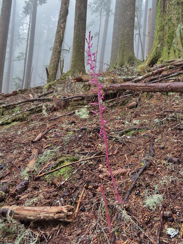 Pacific coralroot
 Anemones
 Vanilla leaf along the trail.
 Lots of vanilla leaf.
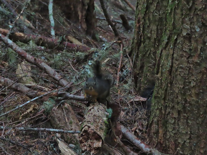 Douglas squirrel.
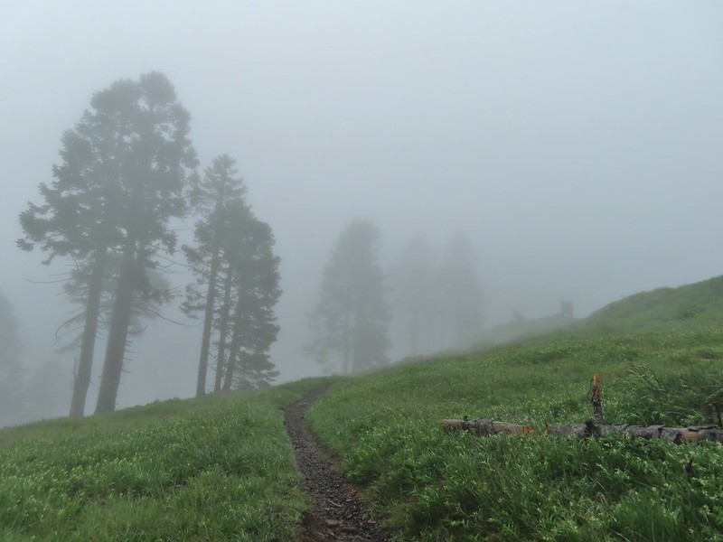
 The higher we went the foggier it got.
 Bench at the junction with the tie trail.
 Some of the trillium still had petals.
 Signboard for the overlook on the hillside to the right.
 The junction from later in the morning with the Summit Trail heading uphill to the right and the East Ridge Trail down to the left.
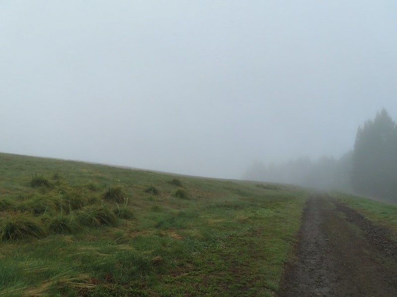
 Going to be a beargrass year.
 Beargrass
 Larkspur in the wet grass.
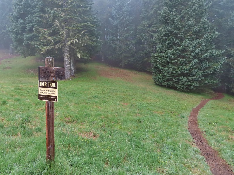
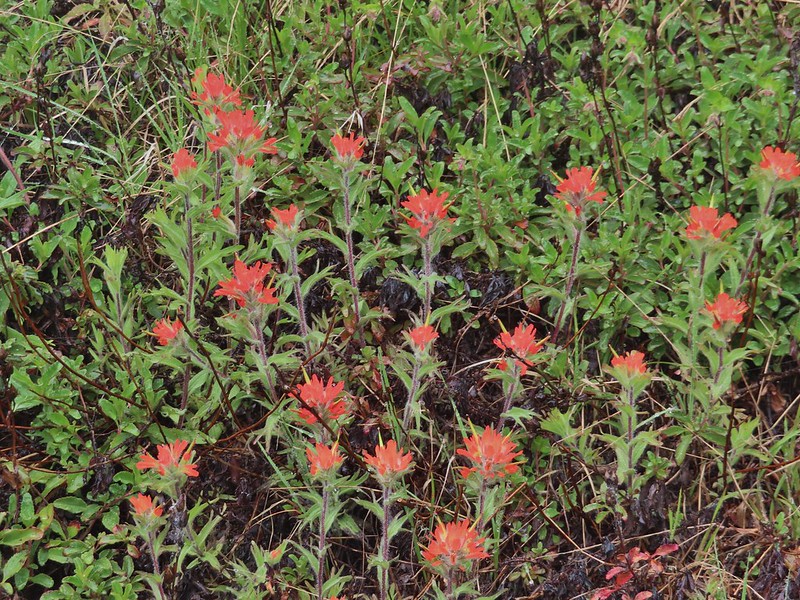 Paintbrush
 Penstemon
 Field chickweed
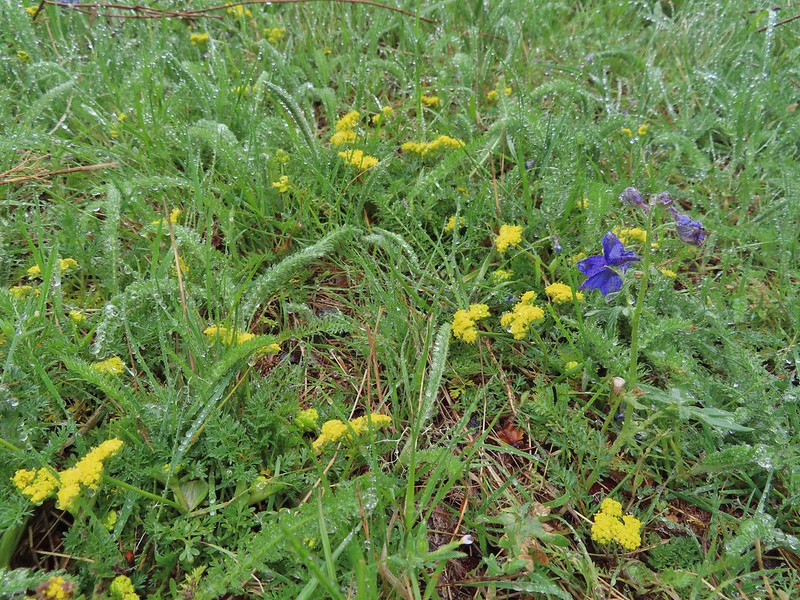 Parsley
 Blue-eyed Mary
 Ragwort in front of lupine that had yet to bloom.
 Phlox
Phlox
 Lupine
 Buttercups and larkspur
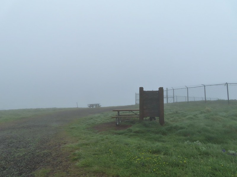 Heather hiding behind the summit signboard to try and keep out of the wind.
 Lots of lupine yet to bloom.

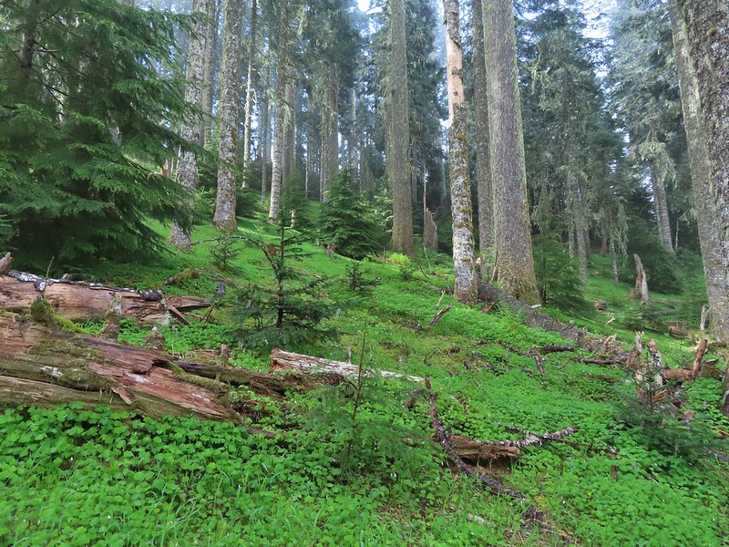
 As the name implies the Meadows Edge Trail occasionally entered the meadows before returning to the forest.
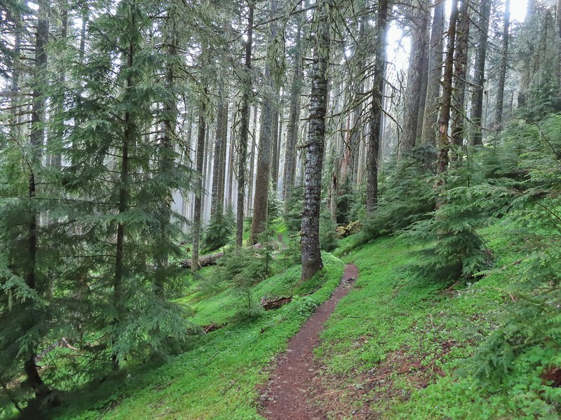
 For a brief moment a bit of sunlight hit the forest and we thought maybe the sky would clear up.
 Salmonberry bushes near Parker Creek.
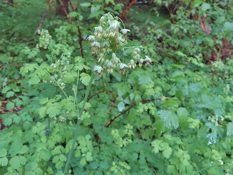 Western meadowrue
 Spur trail to the Mary’s Peak Campground.
 Fairybells and star flower solomonseal
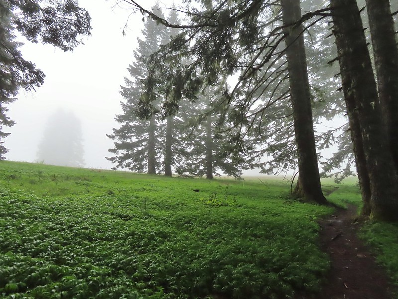 The sky was in fact not clearing up.
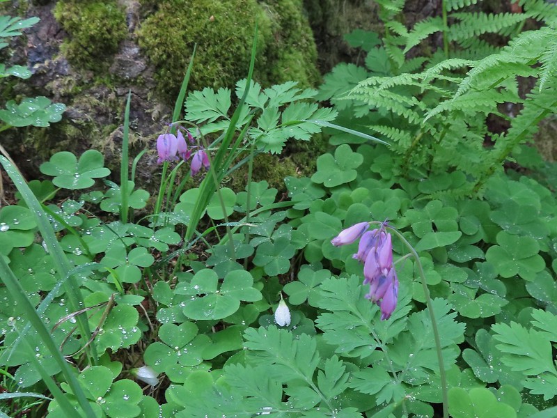 Bleeding heart and sourgrass.
 Fawn lilies in the meadow.
 Signs at the road junction.
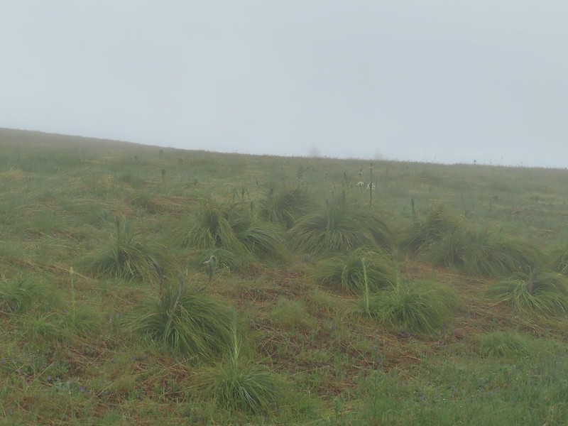
 The wet conditions were starting to really hinder picture taking at this point.


 Striped coralroot
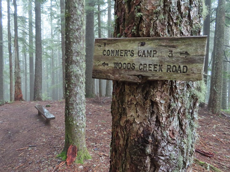 North Ridge Trail junction
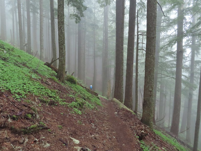 Heather descending in the fog.
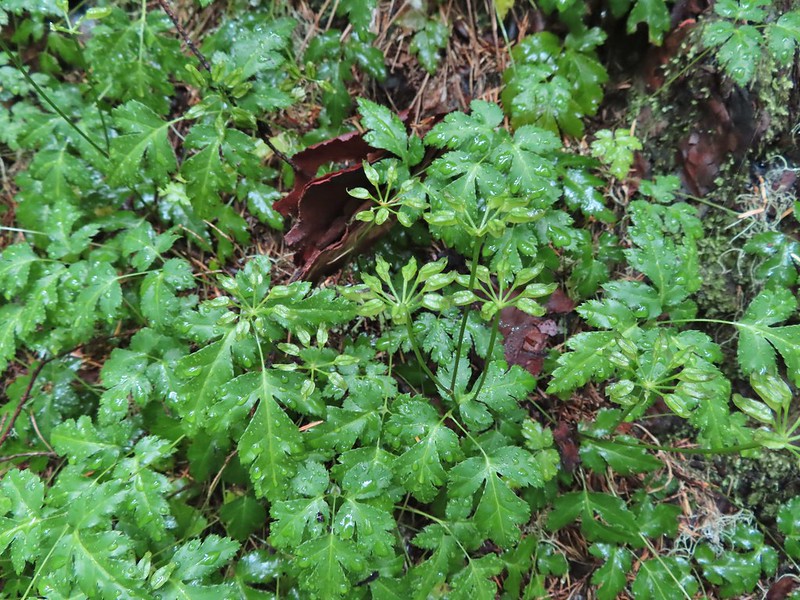 Cutleaf goldthread
 Millipede
 Is that some blue sky out there?
 Not much but it is blue.
