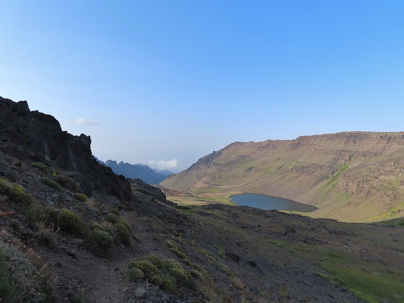
On Tuesday a change in the weather had pushed much of the smoke away from Steens Mountain which is what we had hopped would happen in anticipation for our drive up the Steens Mountain Loop Road on Wednesday. The shift in weather also brought cooler temperatures which had made the previous days hike at Big Indian Gorge one of the more comfortable (temperature wise) of the year thus far. We once again got an early start hoping to reach the first of four planned stops around 6am and immediately realized that it was a lot cooler than it had been Monday or Tuesday. In fact the car was showing 39 degrees when we set off. Since the Steens Mountain Resort where we were staying was located along the Steens Mountain Loop Road we simply left the resort and turned right driving past the entrance to the Page Springs Campground and gradually climbing up the fault block Steens Mountain. By the time we arrived at the left turn for our first stop the Kiger Gorge Viewpoint 19.1 miles beyond the Page Springs Campground the temperature was down to 30 degrees. Luckily we try and come prepared so we had jackets, Buffs, and gloves although in hindsight we could have been a little more prepared. There was a decent breeze which made it feel a lot colder than 30 degrees.

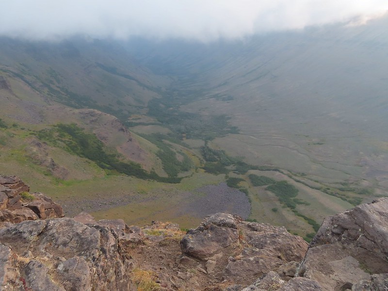
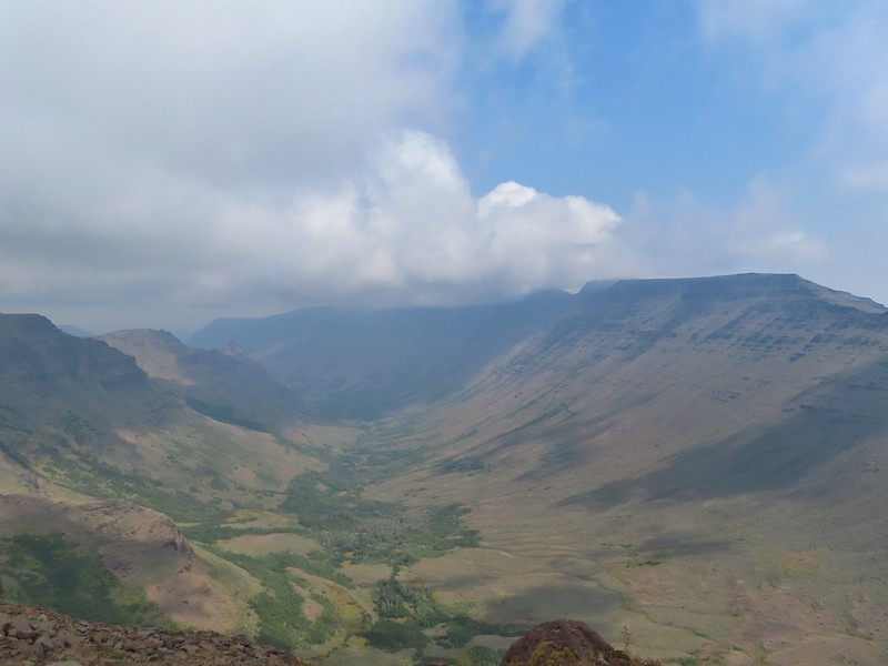
The Kiger Gorge is one of 5 glacier carved valleys on Steens Mountain and is the largest and most scenic. We were fortunate to arrive just before some clouds moved in.


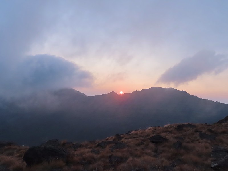 Still some smoke to the east as shown by the red Sun.

 Here come the clouds.
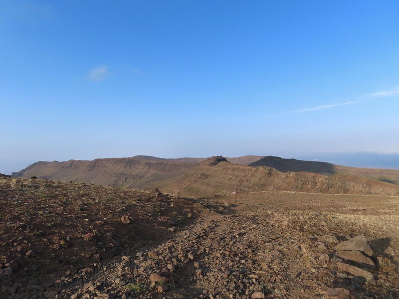
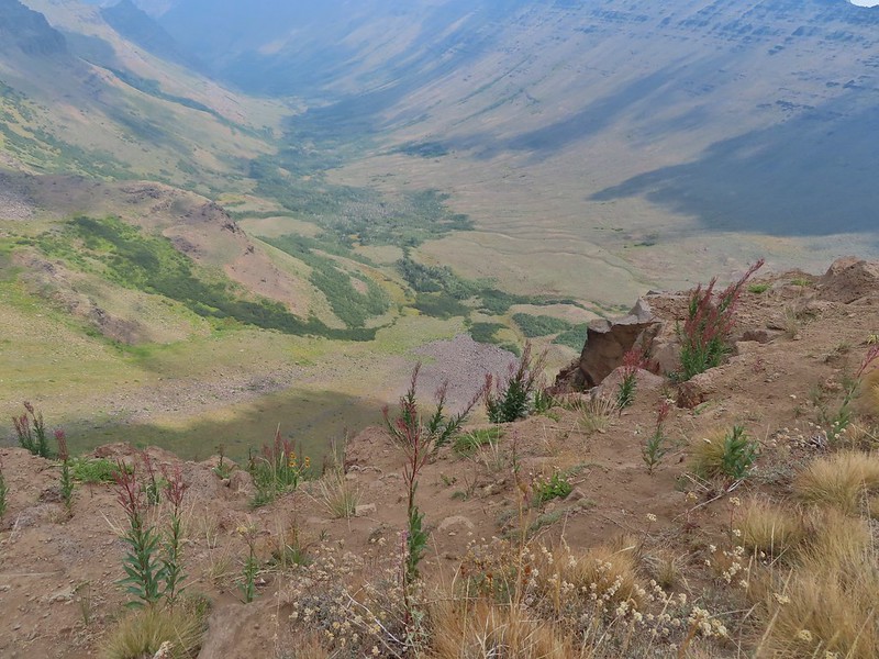
With the clouds moving in we hustled back to the car and continued on the loop road another 2.7 miles to a four-way junction where we turned left at a pointer for the East Rim Viewpoint where the clouds had not yet reached.


 Between the Sun and haze it was hard to see much of the ragged eastern side of Steens Mountain or the Alvord Desert (post) below.
 Frozen thistle
 The Alvord Desert through the haze.
 A look back at the parking area.
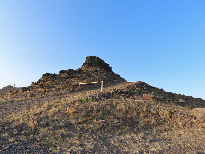
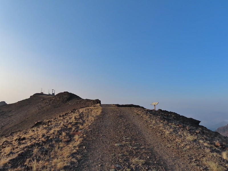
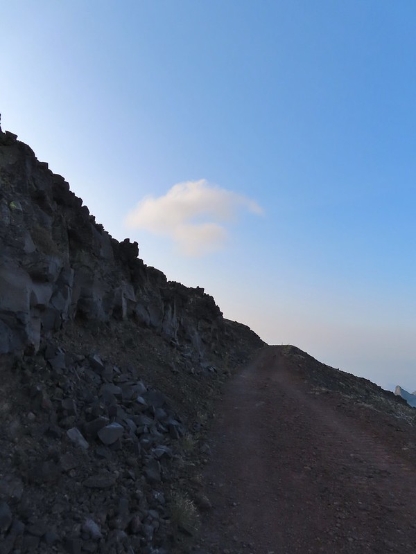
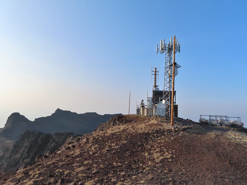
After checking out this view we returned to the 4-way junction and turned left at a pointer for Wildhorse Lake following this road for almost two miles to a parking area below the 9741′ summit of Steens Mountain. A gated road led uphill the final half mile to some towers on the summit.
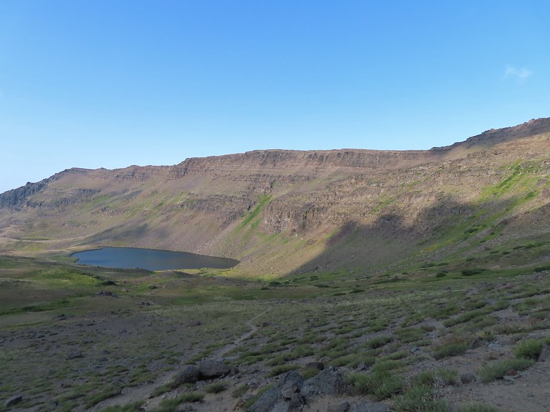
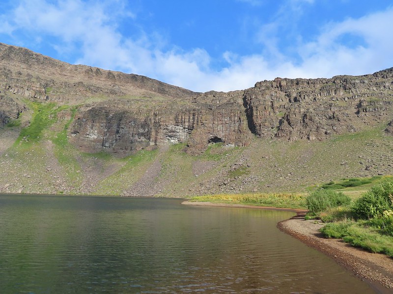
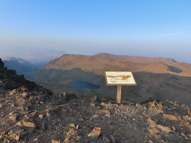 Wildhorse Lake below the summit.

 The rocks here provided a little protection from the freezing wind.
 Big Indian Gorge (post) from the summit.
 Heather getting a closer look at Wildhorse Lake.
 Not much snow left up here.
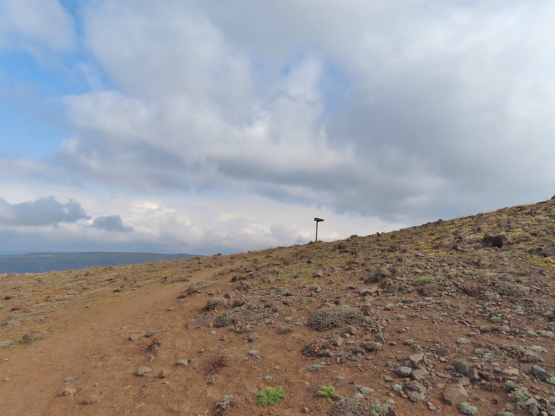
After checking out the summit we walked back down past the gate and turned left at a post on a trail heading downhill to a registration box.


The trail split here with the left hand fork heading downhill for a mile to Wildhorse Lake. The tread was a little dicey near the top but soon became better as it switchbacked down to a small bench before steepening quite a bit along a small stream.
 Typical tread near the top.
 Buckwheat
 The bench.
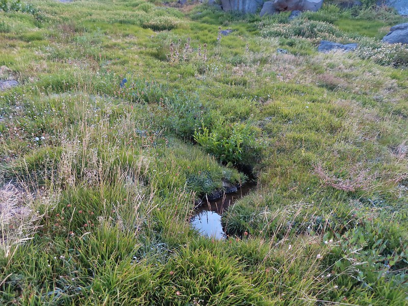 The small stream.
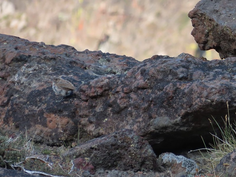 A wren.
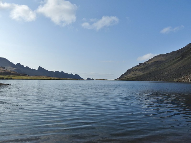
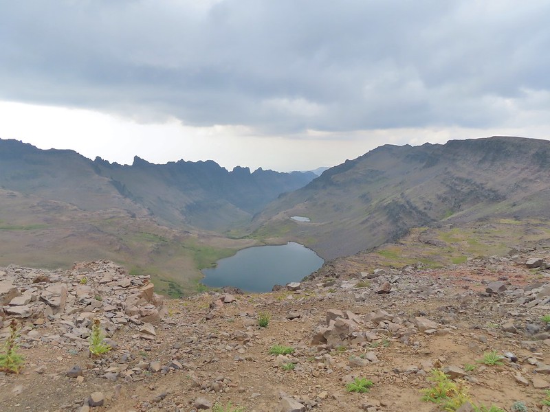
 Wildhorse Lake from near the end of the bench.
 We were a little disappointed to see just how late we were for most all of the wildflowers. I don’t know how much the drought this year affected the timing or if it blooms that much earlier in SE Oregon but the remains of what looked to have been an excellent display were all we were left with.
 A few stone steps began the steep descent along the stream.
 A few of these little yellow flowers were still in bloom.
 This was a mass of pink monkeyflower a few weeks ago.
 A look up at the summit.
 The trail descending less steeply to the lake.
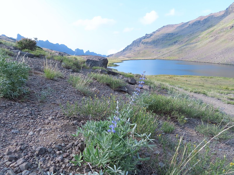 A lone lupine blooming near the lake.
 A pair of paintbrush and the remainder of some aster or fleabane.
 A ground squirrel near the lake.

We rested for a bit by the lake where there was thankfully not much of a breeze and then explored along the shore.

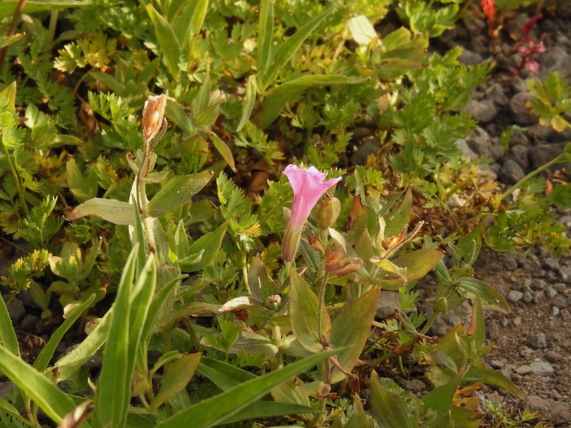 The only pink monkeyflower blossom we spotted.
 Ranger buttons
 Mountain coyote mint

 Cascade grass-of-parnassus


 Gentians
 Wildhorse Creek
 Looking down along Wildhorse Creek.
 Wildhorse Lake and Steens Summit.
After checking out the lake we started back up the trail as a few more clouds began to move in.


 Rockfringe willowherb
 Raptors soaring above Steens Mountain.
When we had both reached the registration box we took the other trail fork downhill. Sullivan shows this unofficial trail leading to a pass above Little Wildhorse Lake after in a mile but mentions having to use your hands in an update on his website Oregonhiking.com but that “adventurous hikers should have no trouble”.

 Big Indian Gorge

 The summit from the unofficial trail.
 The trail on the ridge.
 Looking ahead at the ridge the rocky outcrop looked a bit intimidating.
 The view out over Big Indian Gorge.
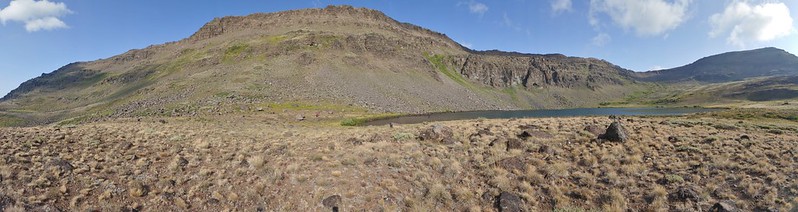
 Wildhorse Lake
After a small saddle the trail came to the final rock fin along the ridge and I followed some clear tread along the left side of the outcrop.

In hindsight the correct route was probably up onto the top of the ridge and the right hand side was a very steep loose rocky slope because the path I was following just ended at a small slide.
 I turned back here, I’m not that adventurous.
I retraced my steps and met Heather at the small saddle. She was not liking this little trail and at that point neither was I. Between the cold, incoming clouds, and steady breeze we decided we’d seen enough and retreated back to the trailhead.
 Darker clouds over the summit from the trailhead.
 A little better view of the Alvord Desert.
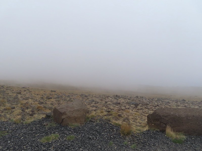
<img src="https://live.staticflickr.com/65535/51394274589_2328a93b39_c.jpg" width="800" height="600" alt="IMG_2994">Here comes the cloud.
 The view as we prepared to drive off.
Our hike here came to a little over 6 miles with approximately 1400′ of elevation gain.

We drove back the way we’d come instead of completing the loop. Two reasons, the final downhill stretch to South Steens Campground was reportedly rough and recommended for 4×4 high clearance vehicles (In fact the folks at the resort recommended going counter-clockwise and driving up from that side if we were going to drive the loop) and we had a low tire pressure light on. It had come on when we’d driven over a cattle guard that morning which we were hoping was simply due to the cold temperatures but we didn’t want to try driving a rougher road in case. Going back the way we’d come would also gave us an opportunity to stop at the viewpoints again if the conditions looked better. The East Rim Viewpoint was in the middle of the clouds though so we drove on by but did detour to the Kiger Gorge Viewpoint again.
 We did stop along the way to take a couple of photos.
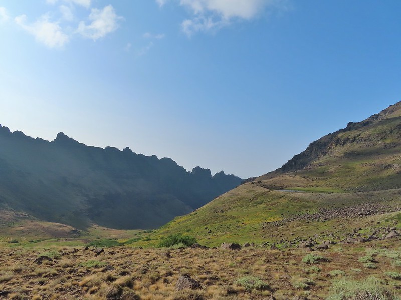
 Our planned hike for the next day was up this gorge.
The view was a little better and a little warmer at Kiger Gorge.


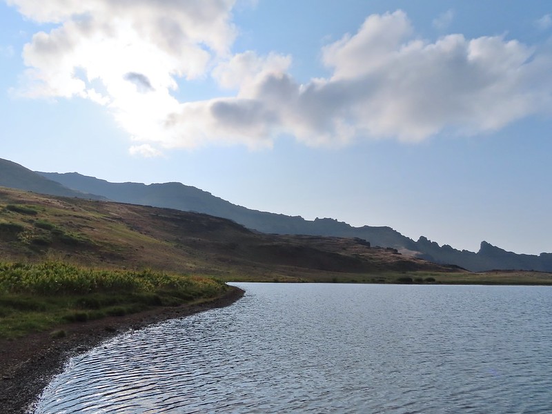
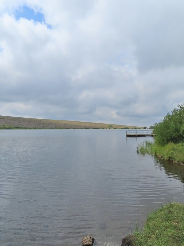
We made one final stop on the way back to the resort by pulling into Fish Lake (5.7 miles from the turn for the Kiger Gorge Viewpoint). There is no hike here but we wanted to see the lake.
The tire pressure light was still on when we got back to the resort so after showering we made the hour plus drive north into Burns to visit Les Schwab. Ironically we had had to stop in this same Les Schwab the last time we were in the Steens area due to a low tire pressure light in our Rav 4. That turned out to be a nail stuck in the tire but this time it was simply a low reading in the right rear tire. They made sure there was nothing stuck in it and that it wasn’t leaking and they had us back on our way in no time. We really appreciate the service we get from every Les Schwab we visit. It was a nice evening at the resort and the clouds made for a dramatic setting Sun.

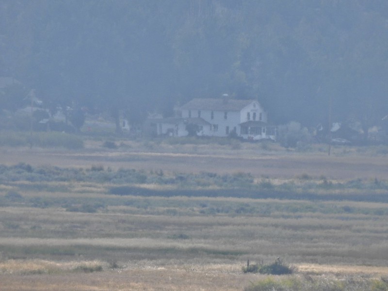 The historic Frenchglen Hotel zoomed in on from the resort.

This was our final night here and we’d be leaving early the next morning to hike along the Little Blitzen River before driving on to Fields (and getting milkshakes). Happy Trail!
Flickr: Steens Summit

3 replies on “Steens Mountain Summit – 08/18/2021”
[…] Gorge (post) in the […]
[…] #89 Steens Summit – Hiked 8/18/2021 […]
[…] had a low tire pressure light come on near the Alvord Desert in 2018, on Steens Mountain in 2021, and three different times in 2022 (Siskiyou Peak, Siskiyou Wilderness, and Russian […]