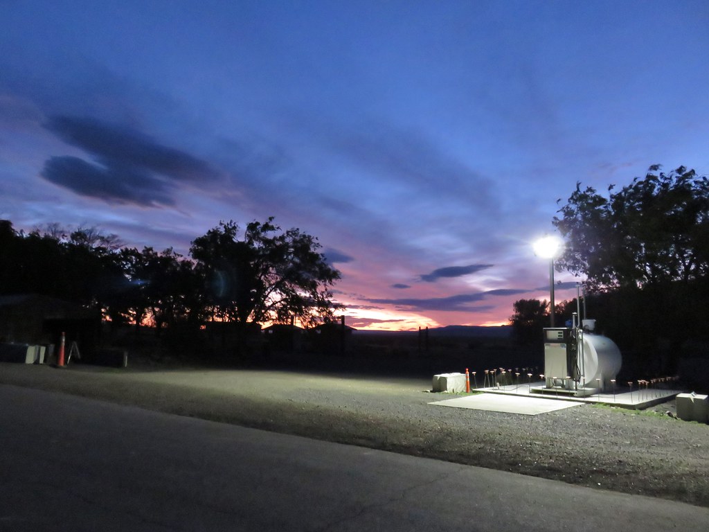
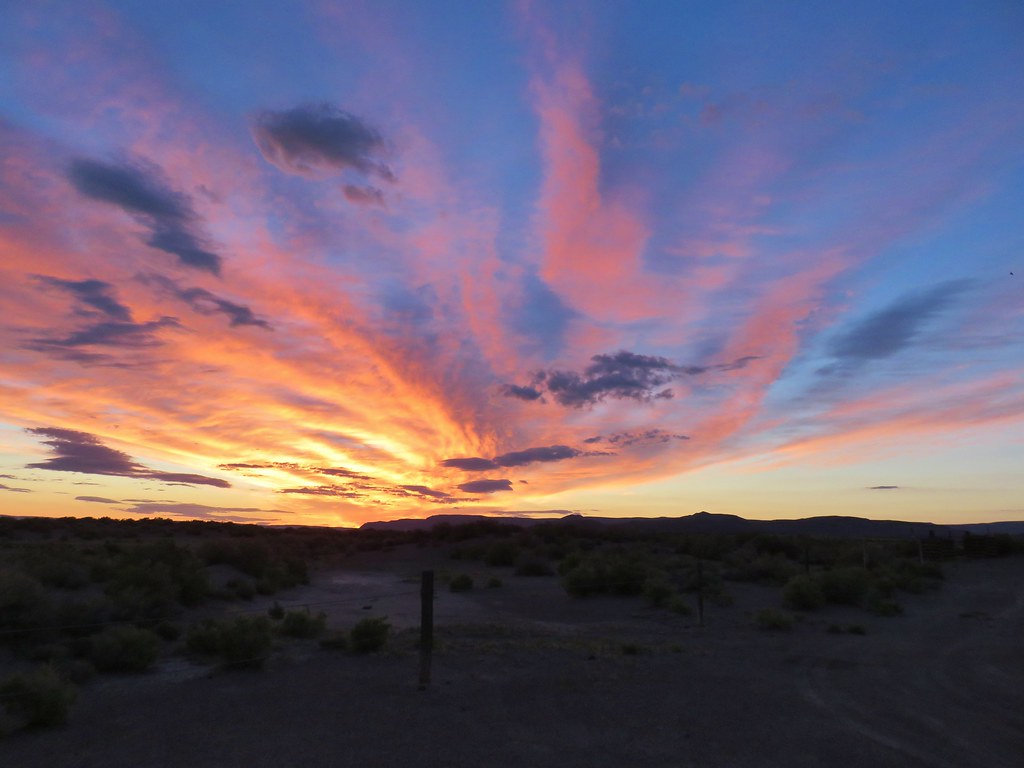
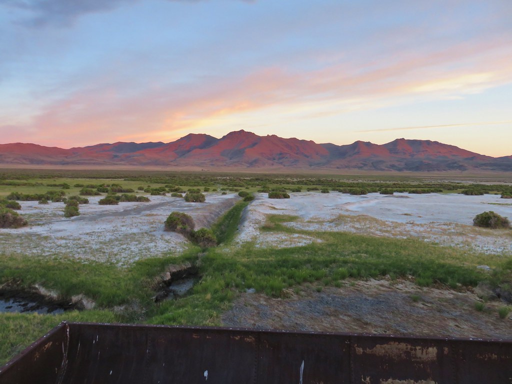
Day 6 of our vacation was the day we began our journey home. Of course we had some hiking to do along the way. We had three hikes planned along the East Steens Road on the way to Burns from Fields. We were still operating on Mountain Time so we wound up awake before dawn and were leaving Fields Station as the sun began rising. It was the first morning where we got to see a good desert sunrise.
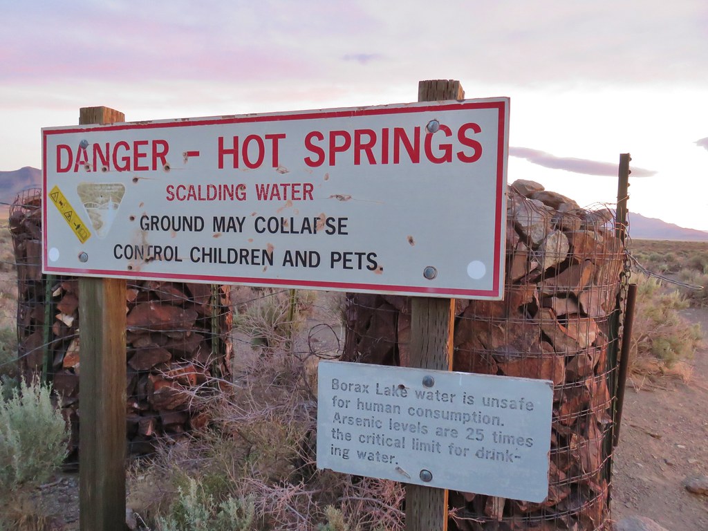
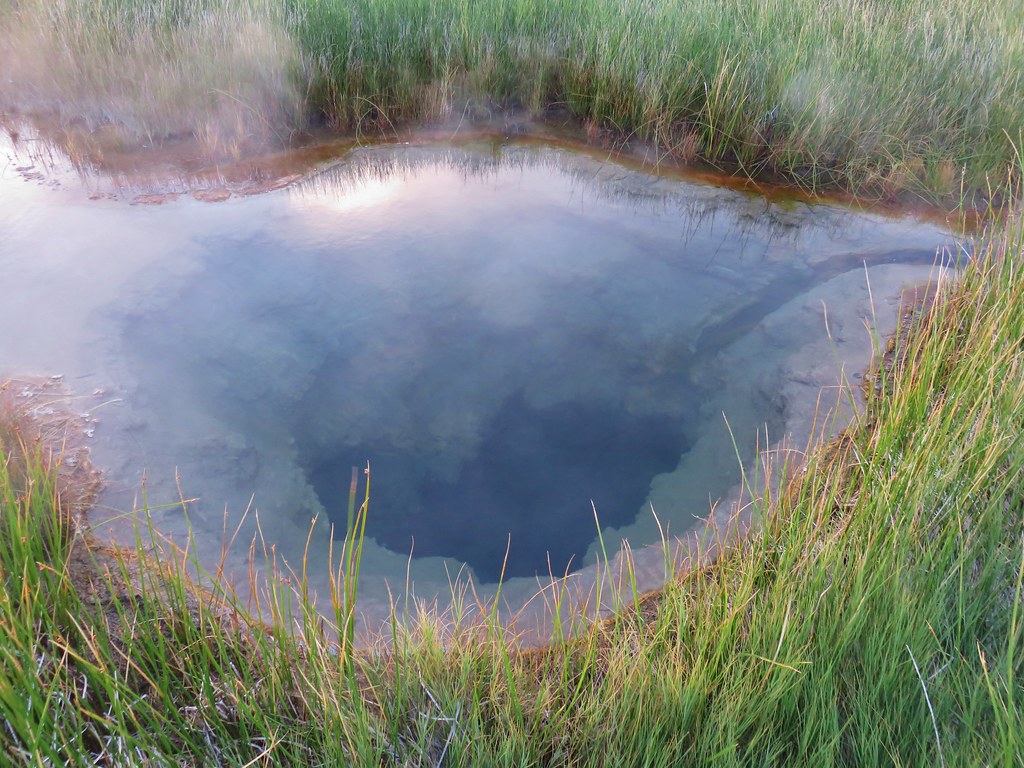
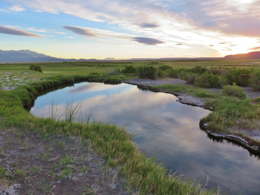
Our first stop was at Borax Hot Springs which was just a five and a half mile drive away so we arrived while the spectacular sunrise show was still in full swing. After passing a warning sign on the road in we parked at a fence with a closed gate.
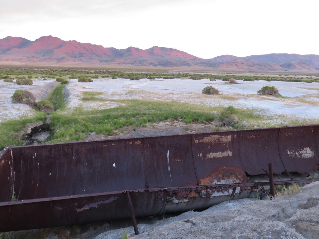
Now owned by the Nature Conservancy the area was once used to collect sodium borate crusts which were dissolved to make borax. We followed an old road bed for a half a mile past a pair of large vats used in that process to Borax Lake.
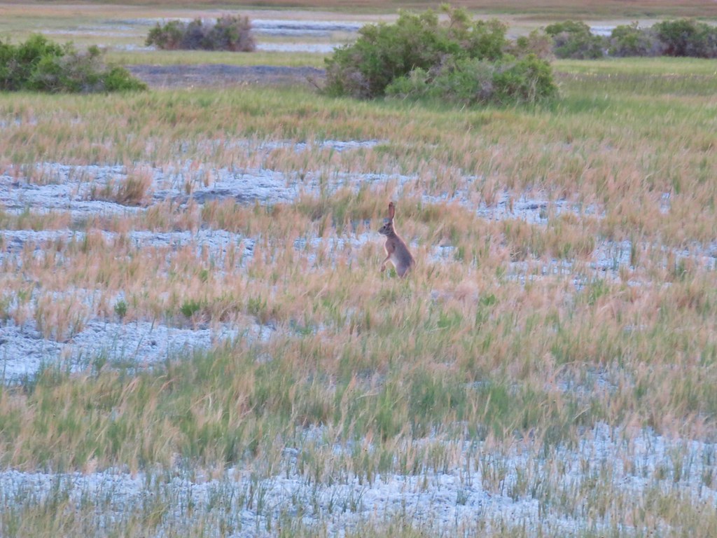
We saw a couple of jack rabbits along the way.
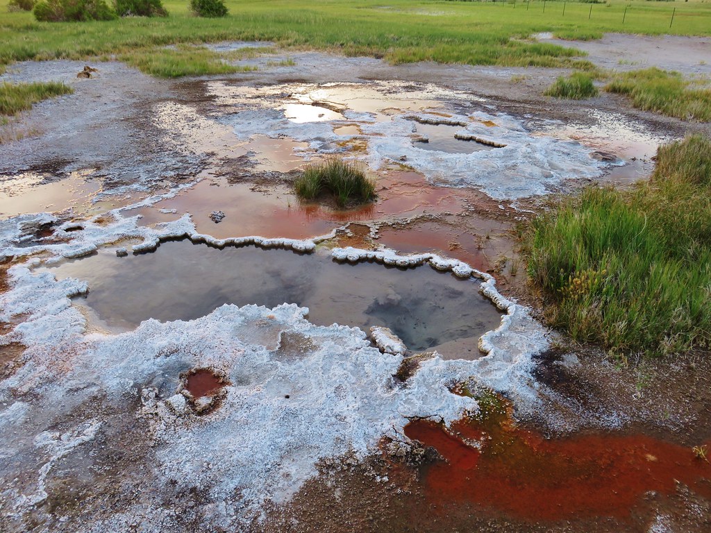
Borax Lake has an arsenic level 25 times acceptable levels and is considered fatal to humans. The only creatures able to survive in the lake are the Borax Lake chub that can withstand those levels.
We continued following the road beyond the lake which now passed a series of bubbling hot springs on the right.

The springs varied in size and colors making each one we passed interesting in its own way.

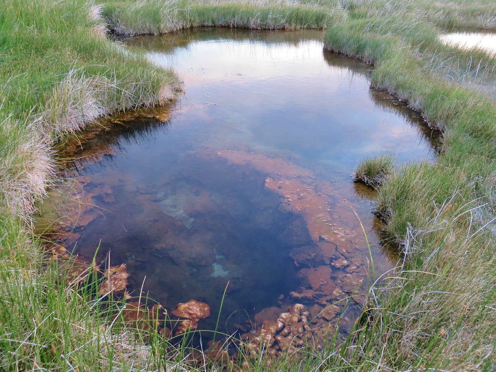
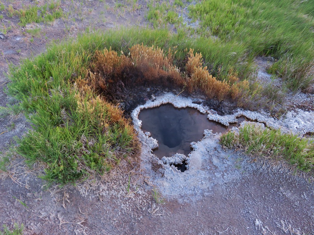
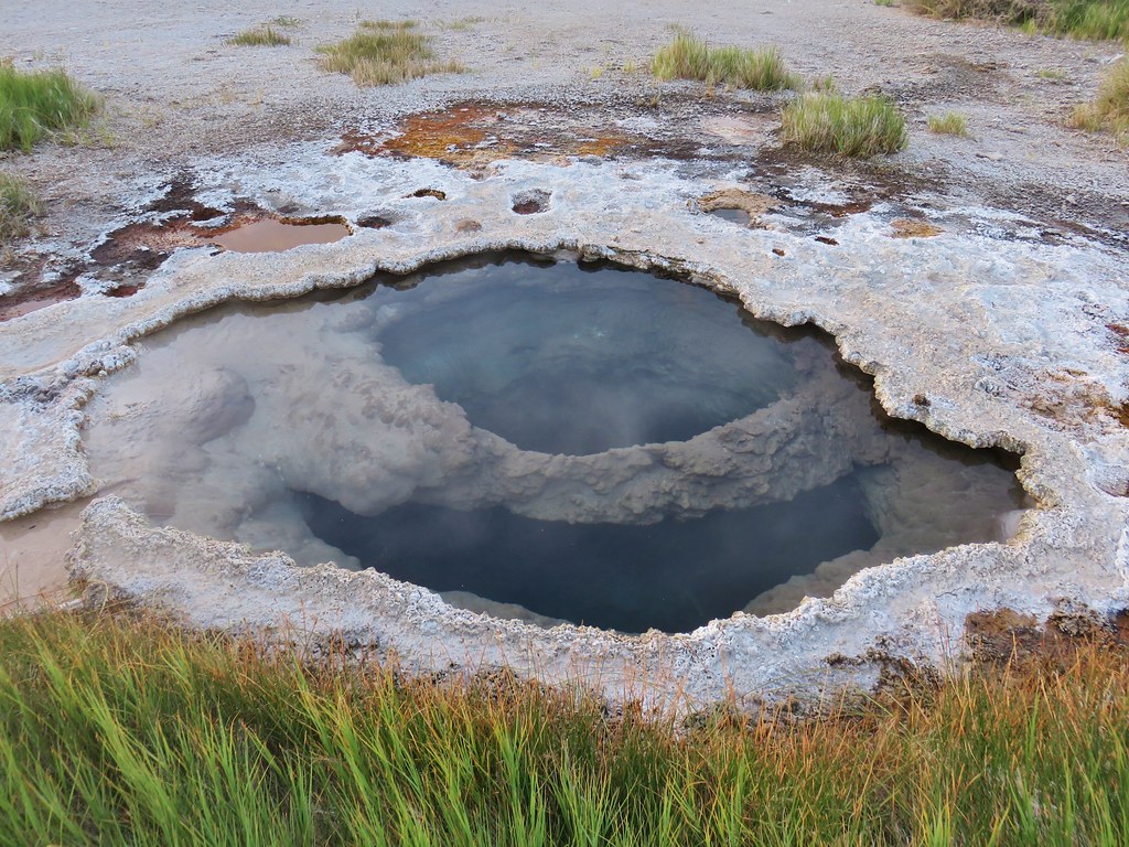
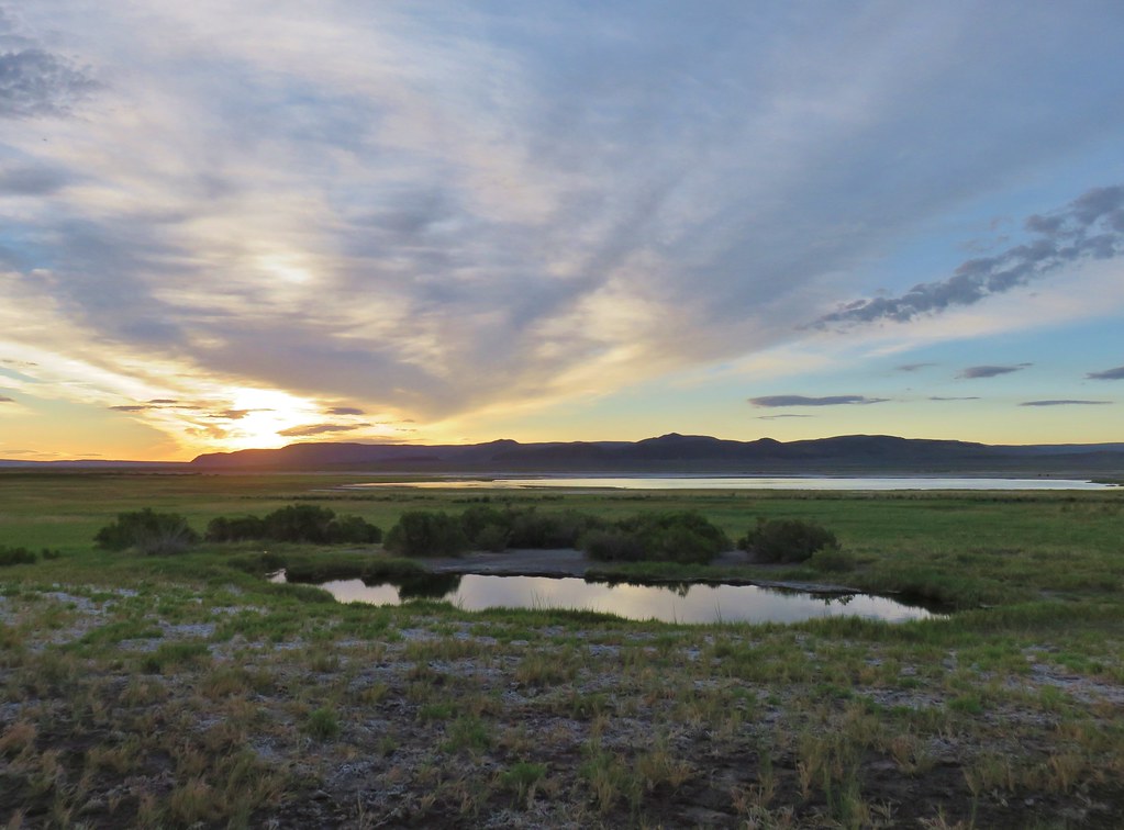
A half mile from Borax Lake we crossed a fence to the final series of pools.
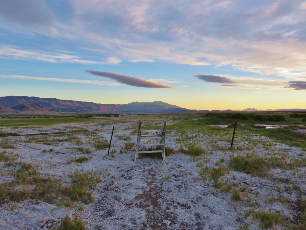
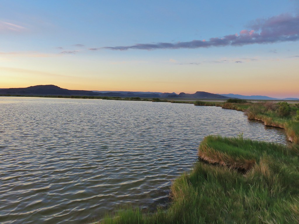
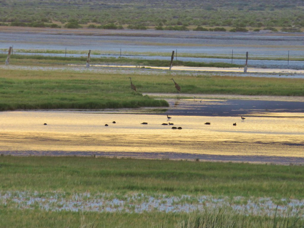
We turned back where the road veered left at the last pools. Here Alvord Lake could be seen in the distance where numerous birds were enjoying the arsenic free water.
We headed back the way we’d come returning to our car and heading back towards East Steens Road. As we drove along the power line road used to reach the trailhead we spotted something furry along the right side. It was a badger! It took off running but paused briefly to look back at us when I stopped to try and take a picture. It was too quick though and disappeared into the sagebrush. We knew there were badgers in the area but never expected to see one.
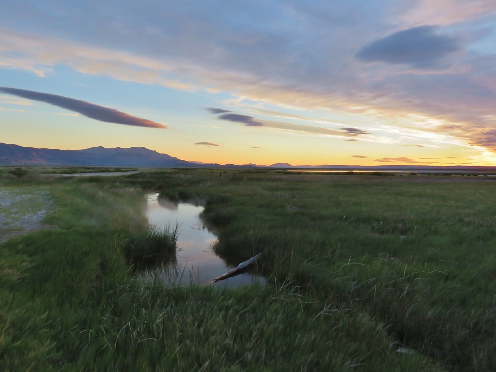
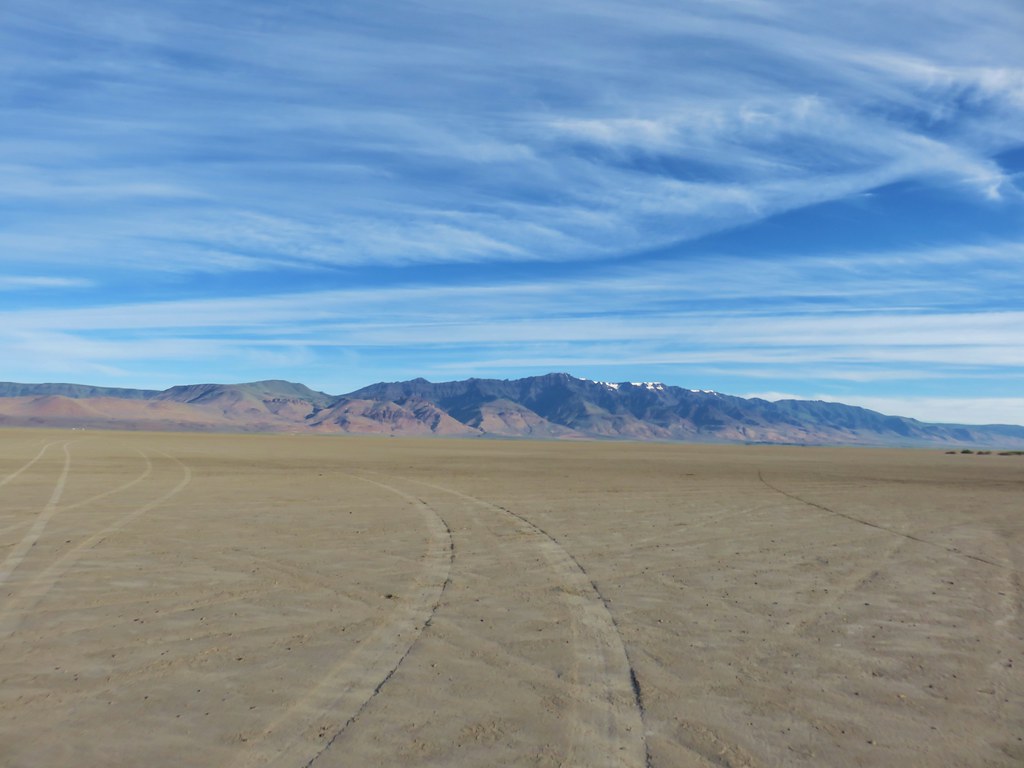
We got back onto East Steens Road and headed north. At some point our low tire pressure light came on which given the roads we’d been on up to that point wasn’t all that unexpected. We turned right at a sign for Frog Springs where we turned down a bumpy .2 mile road to a parking area and restrooms. This was the way to our next hike but also gave us an opportunity to look at the tires. The left rear was a little suspect but I also checked the gas cap which didn’t seem tightened all the way and can also cause that light to come on. The other possibility was the spare tire. We decided to continue on since if it was the gas cap it could take several miles for the light to go off. From there we followed an even bumpier road a tenth of a mile to the playa of the Alvord Desert.
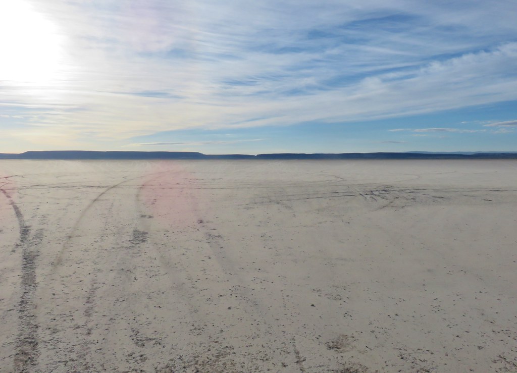
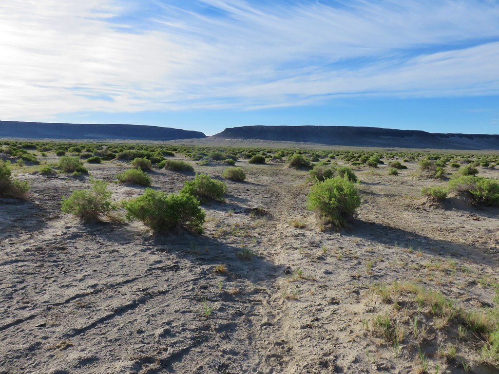
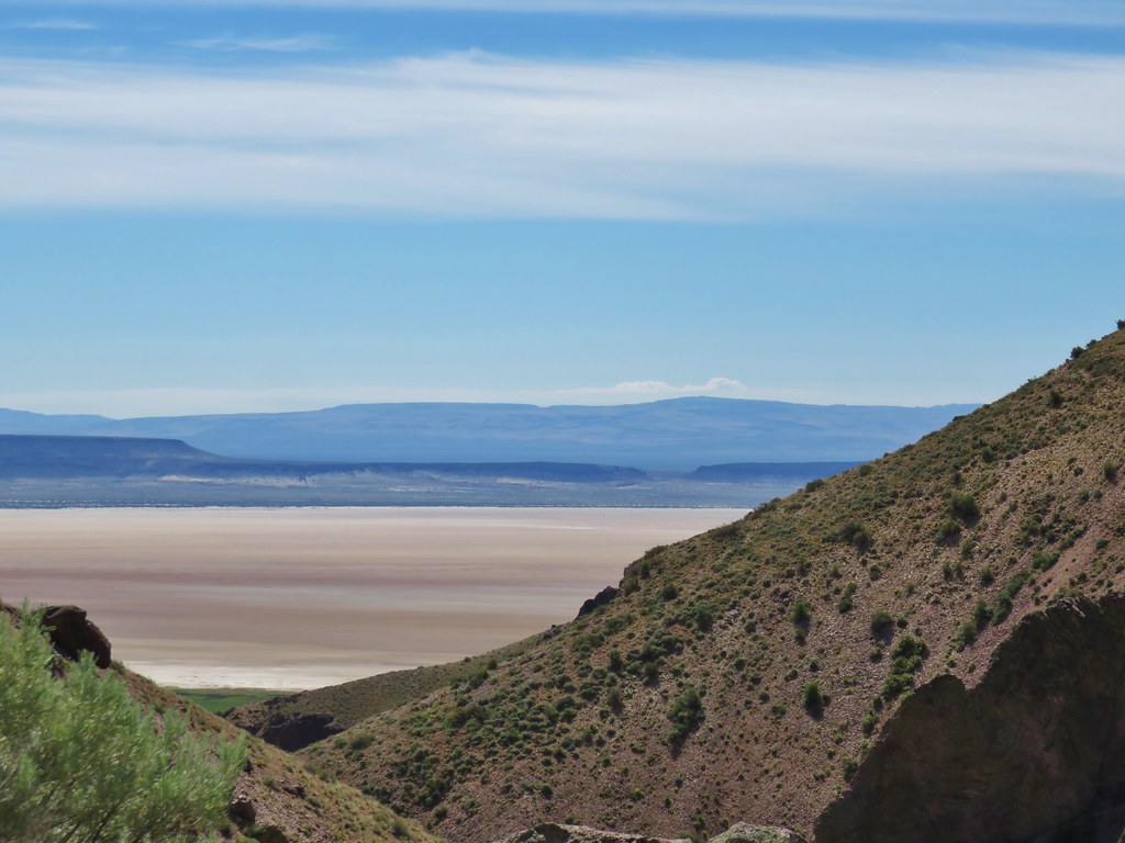
Our next hike began on the other side of this ancient lake bed five and a half miles away. I had set up a way point on our GPS unit for the approximate location that our guidebook suggested we park at for the hike to Big Sand Gap. I turned the unit on and we drove across the playa with Steens Mountain in our rear view mirror.
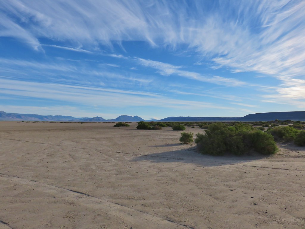
The only trails to Big Sand Gap are wild horse trails made by the Kiger mustangs as they visit a marshy spring near the edge of the playa. The hike description we were following called for a .3 mile hike left around the spring before following the horse trails into the gap. That was easier said then done as the spring was not visible at ground level and it was only described as a slight rise to the left.
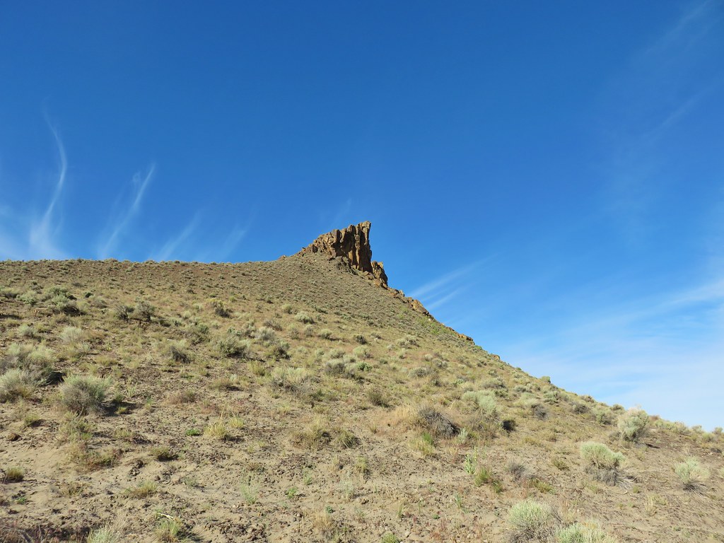
Big Sand Gap on the other hand was much easier to locate ahead of us.
We did our best to locate the spring but got pulled a little too far right by some pink flagging on some greasewood bushes and wound up on the wrong side of the marshy area.
It was okay though as the wild horses had made a clear path on this side of the spring as well.
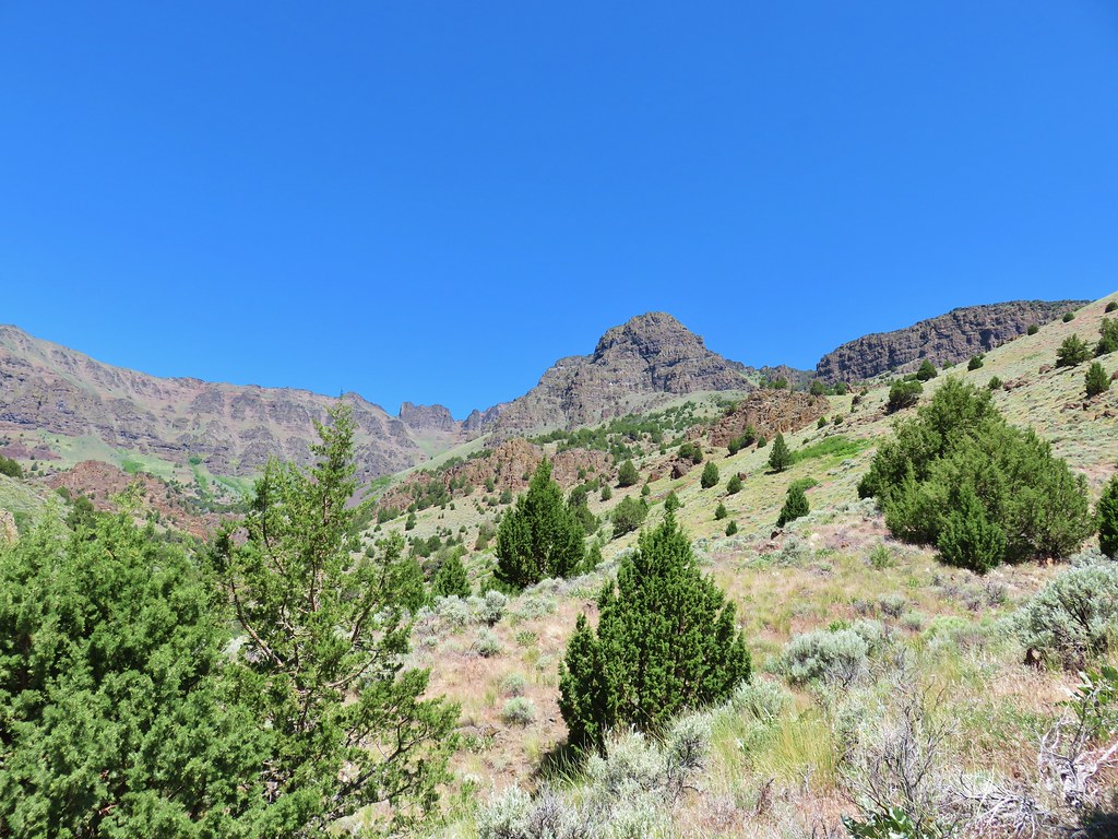
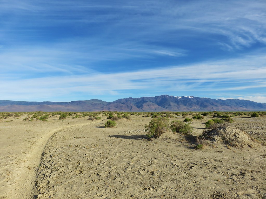 Steens Mountain from a horse trail.
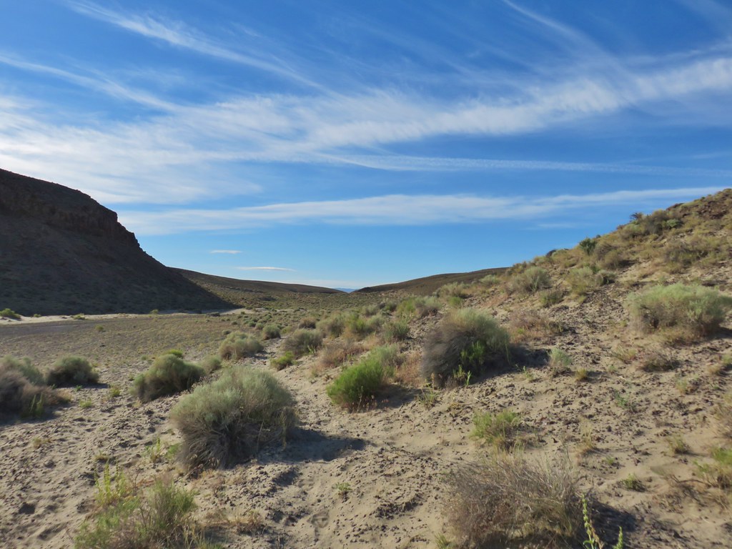
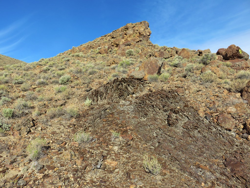
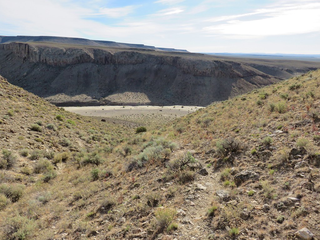
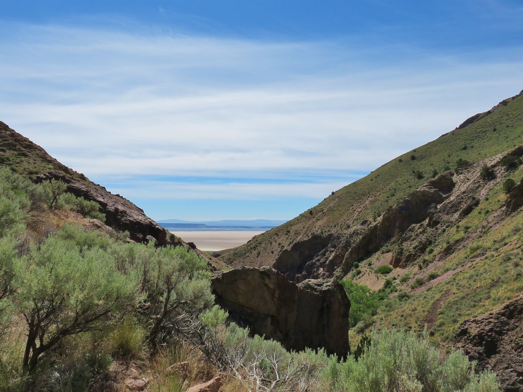
There was in fact a confusion of horse trail but we simply kept our eyes on Big Sand Gap and took which ever trail seemed most direct at that moment. Approximately 1.6 miles from the spring we reached the gap.
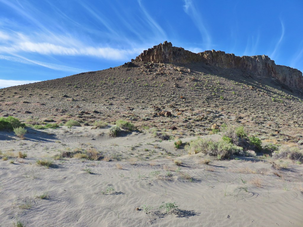
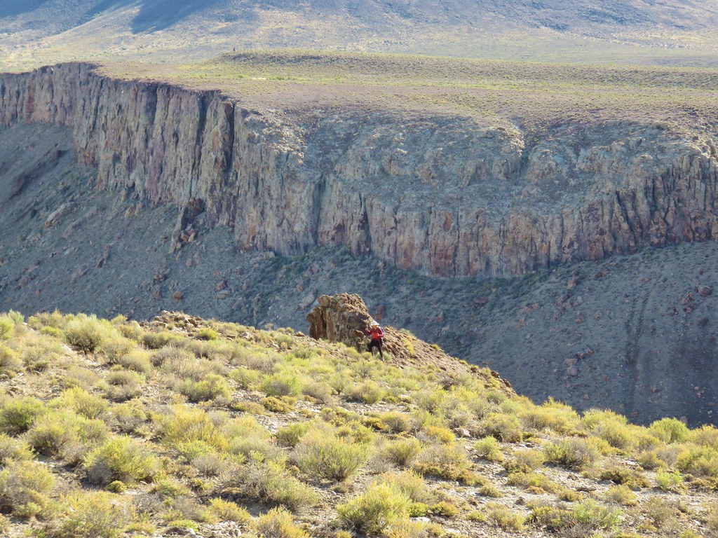
Here we turned right and headed up a fairly steep slope toward the rim of the cliff.
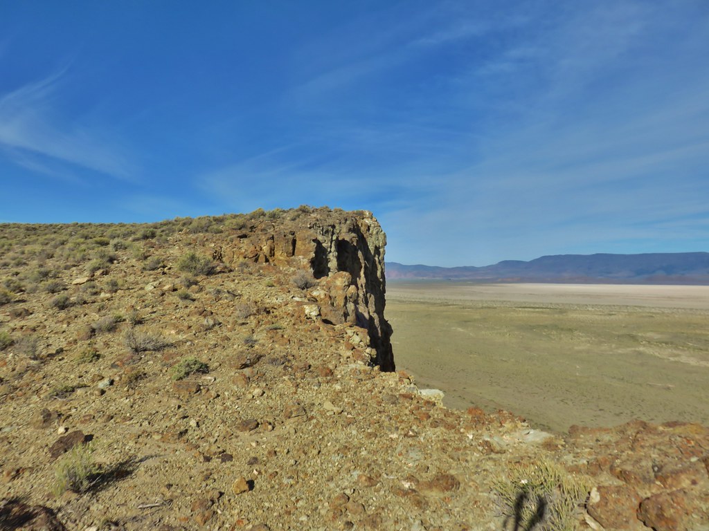
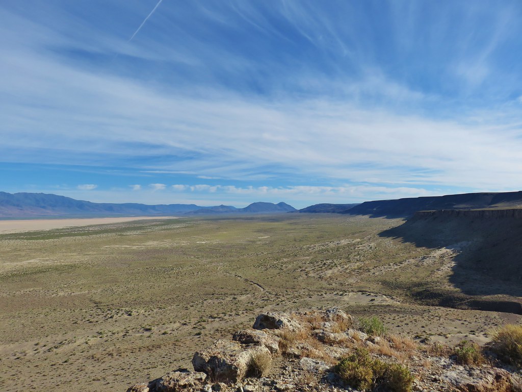
We had to go behind a rock outcrop and work our way up to a higher point where the views of the Alvord Desert below and Steens Mountain beyond were amazing.

On our climb up we’d both noticed a horse trail on the next hillside over that at least appeared a little less steep. We decided to follow that trail back down.
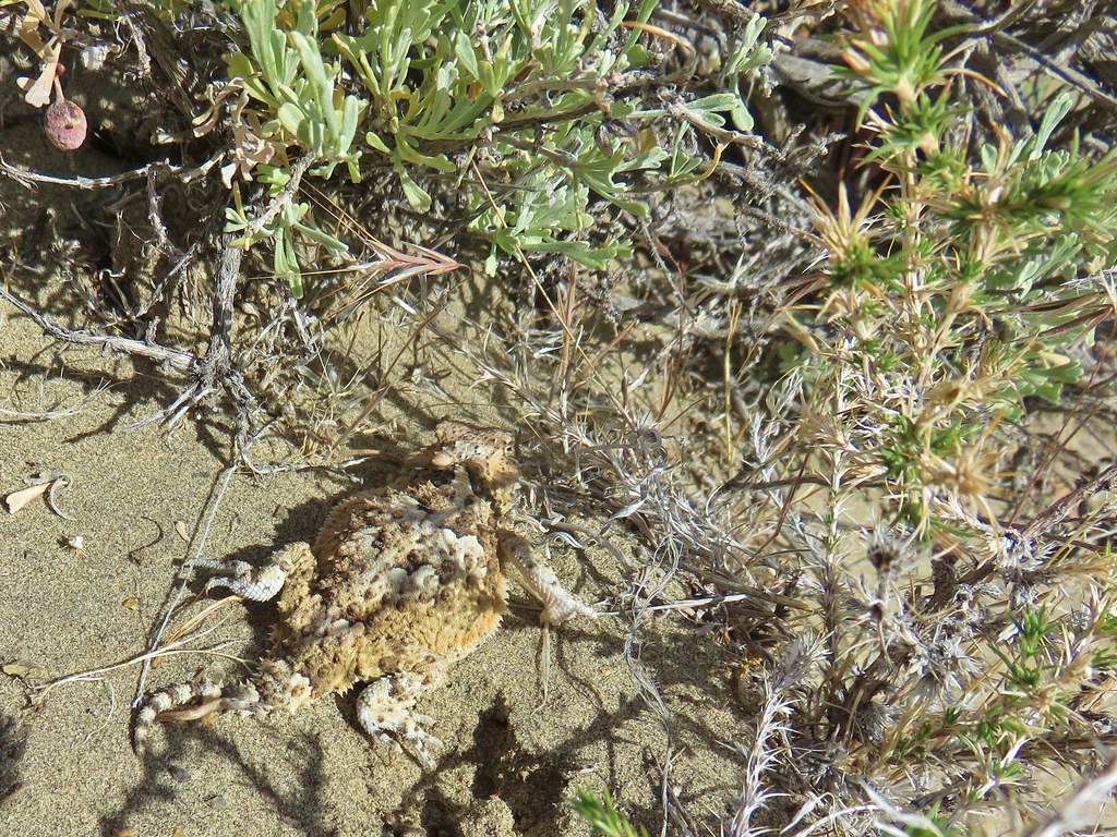
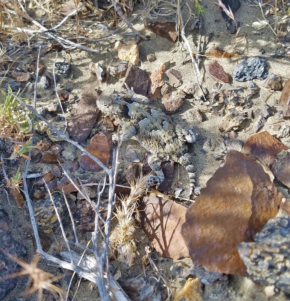
Near the bottom of this trail we cut cross country toward the opening of Big Sand Gap and started seeing lizards.
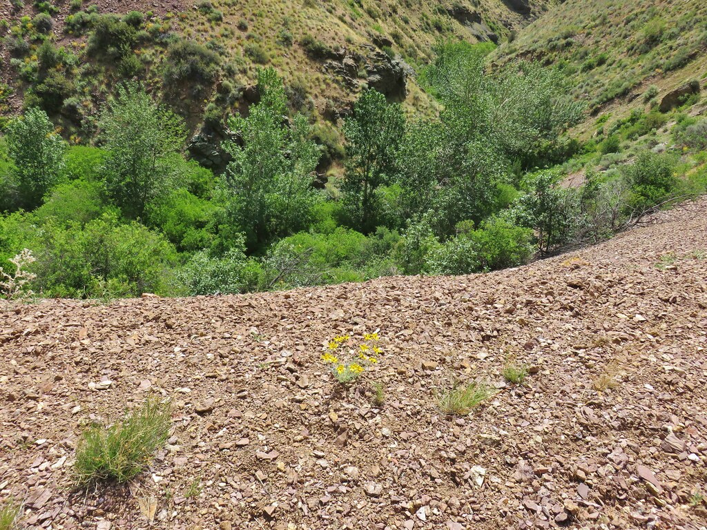
From the gap we could see our car and decided that we would try and take a slightly more direct route back instead of skirting the spring. Extending a line from our car across the desert to Steens Mountain we were able to find an identifiable peak that we would be able to see even when we lost sight of our car.
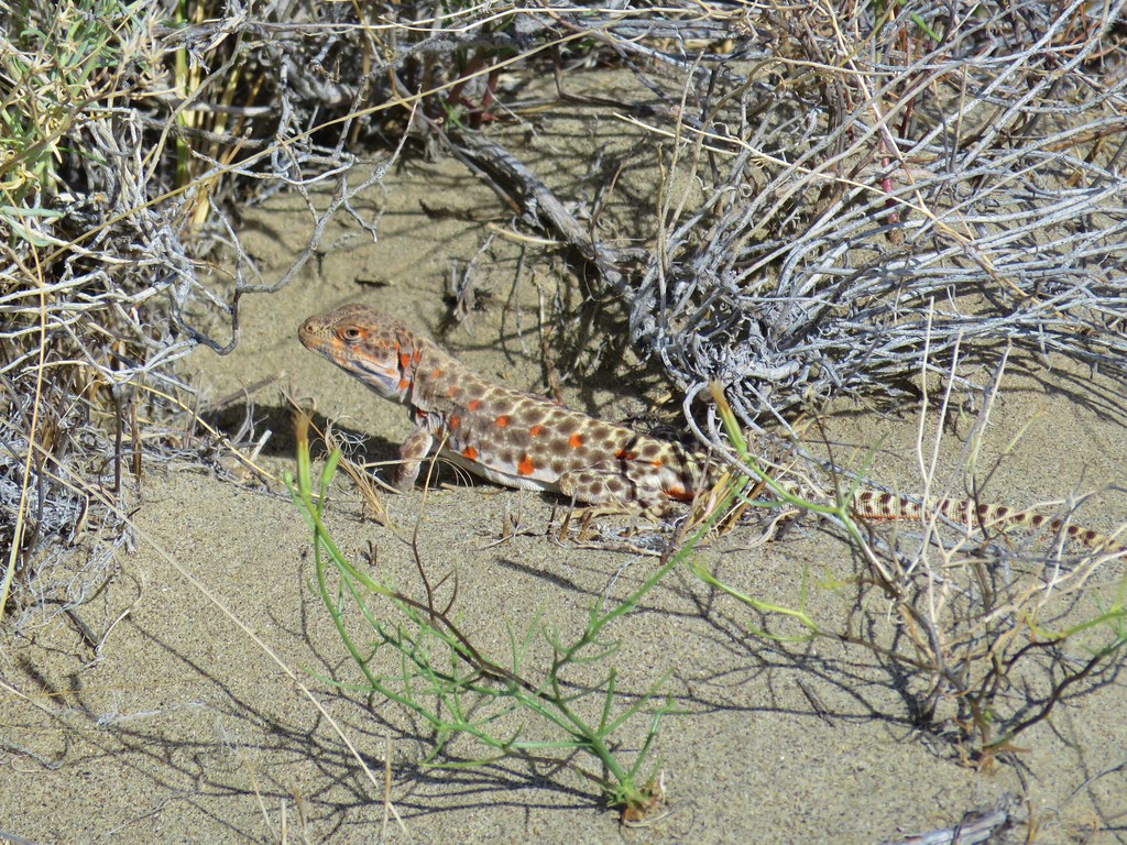
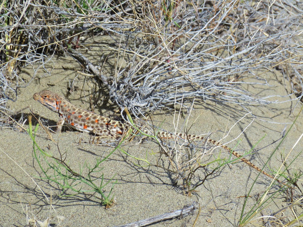
With our bearing identified we set off but quickly got side tracked by some leopard lizards. We saw a couple and one was nice enough to pose for a while.
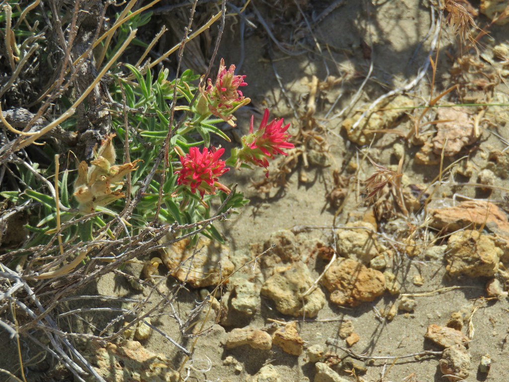
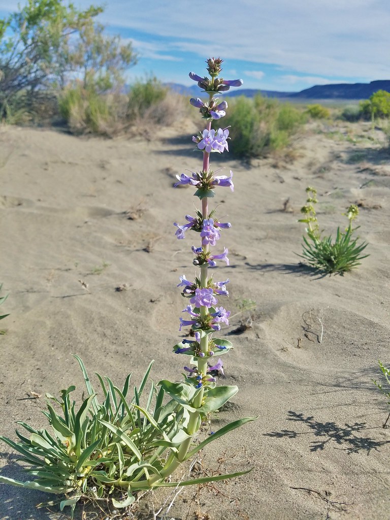
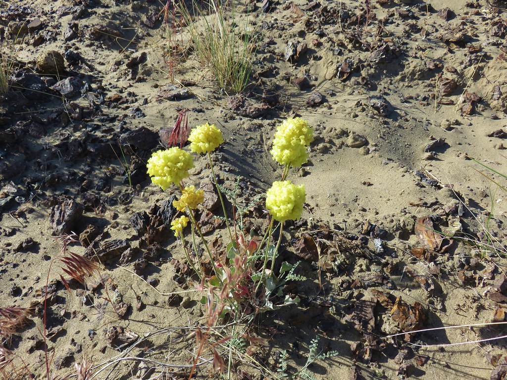
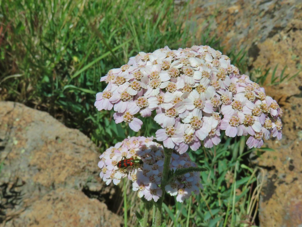
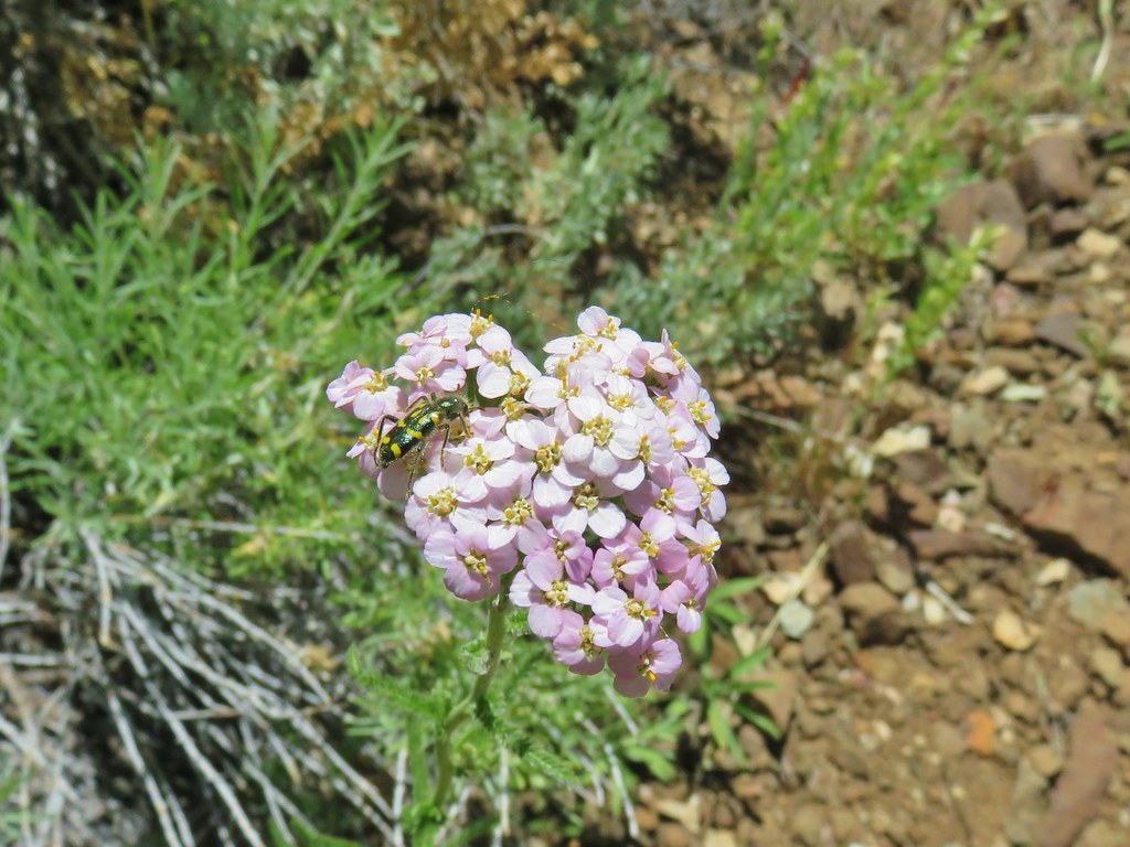
In addition to the lizards we saw a few hardy desert wildflowers.
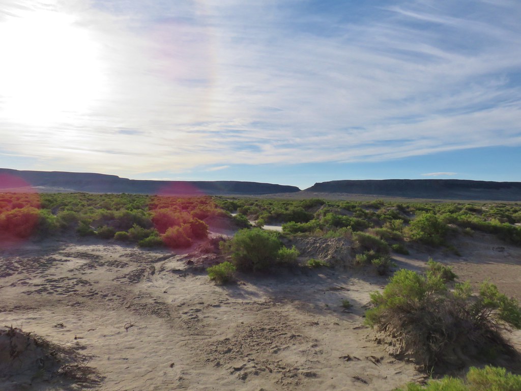
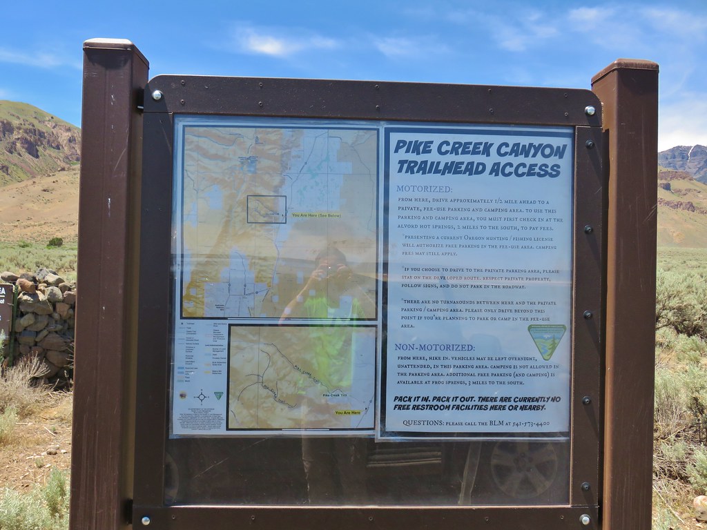
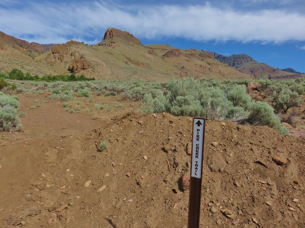
Our heading was good and we were able to go almost directly to our car completing the hike in just under 5 miles. We drove back across the playa with our low pressure light still on and returned to East Steens Road. We turned right and continued north for 2.3 miles to Alvord Hot Springs where we picked up a $5 permit for the Pike Creek Trail and then continued north an additional 2.2 miles to a signed turnoff on the left for Pike Creek.
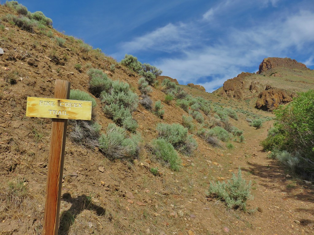
The half mile road to the trailhead was really rough and we quickly wished we had parked back at the sign so when we reached a spot where we were able to park off the road we did so and hiked the final short distance following posts for the Pike Creek Trail.
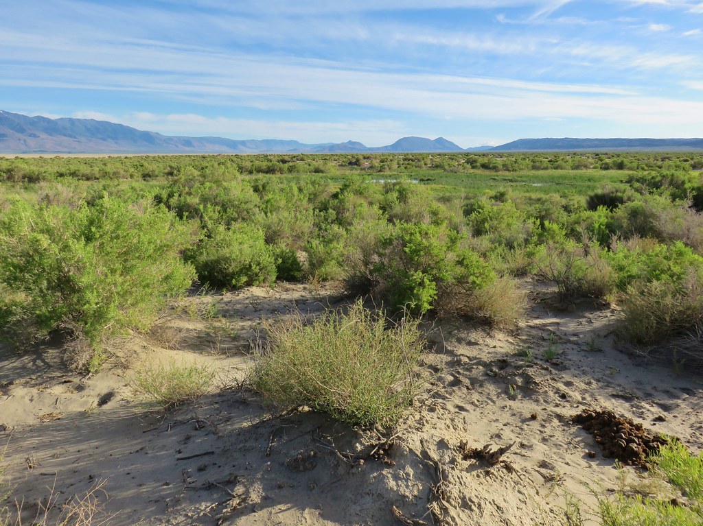
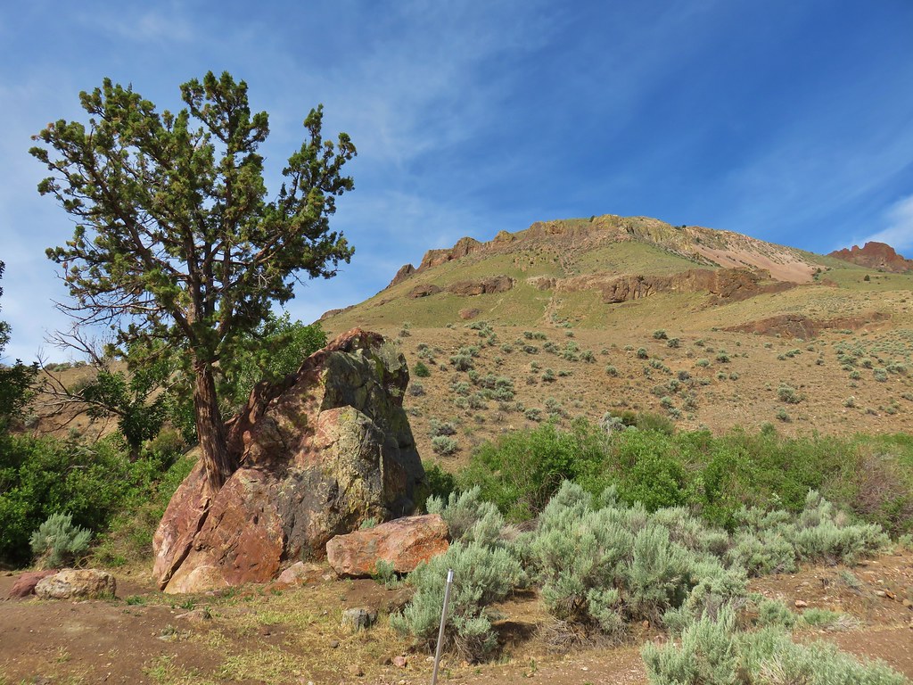
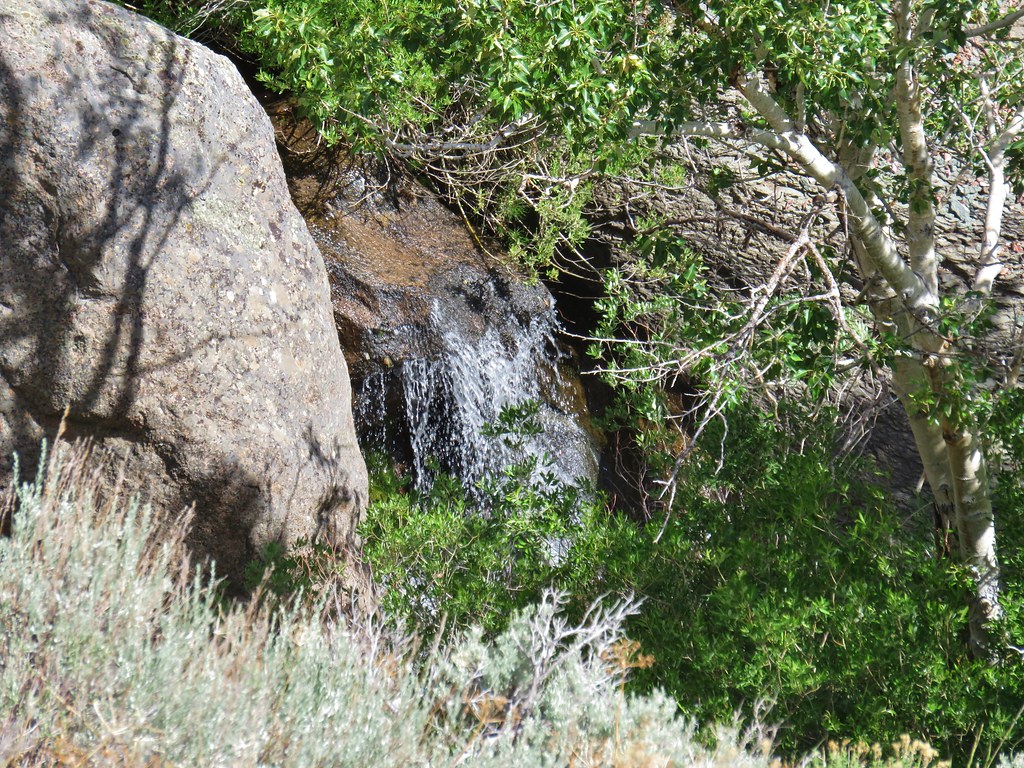
The well marked route followed a closed roadbed to the Pike Creek Campground, where a juniper was growing out of a split rock, and then across Pike Creek.
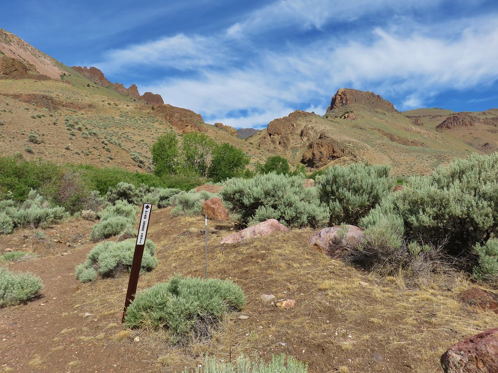

A wooden trail sign awaited on the far side of the creek where we followed an old mining road uphill to a registration box.

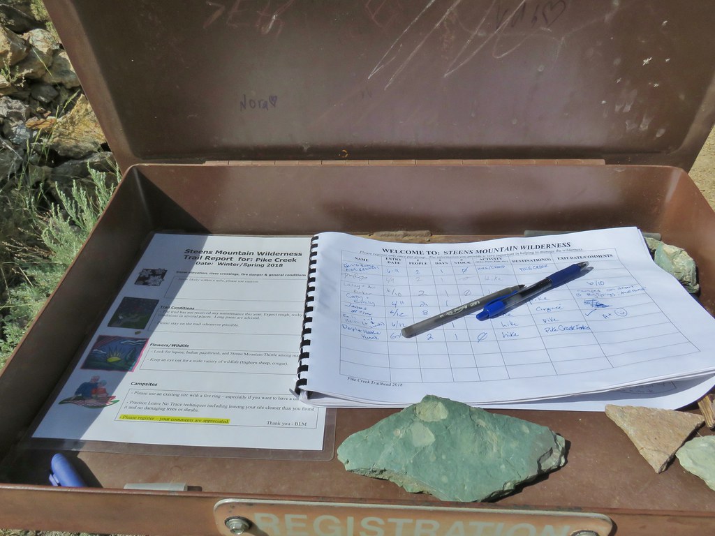
After signing in we continued uphill on the old roadbed toward Steens Mountain.

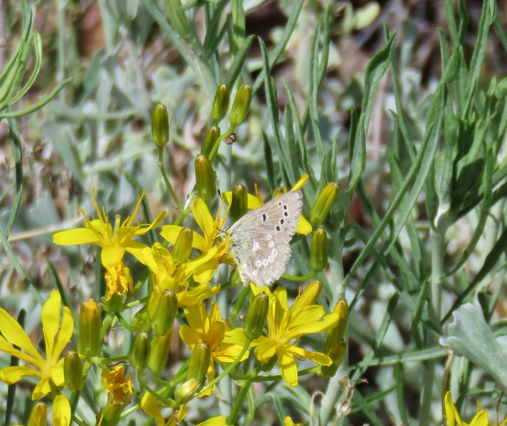
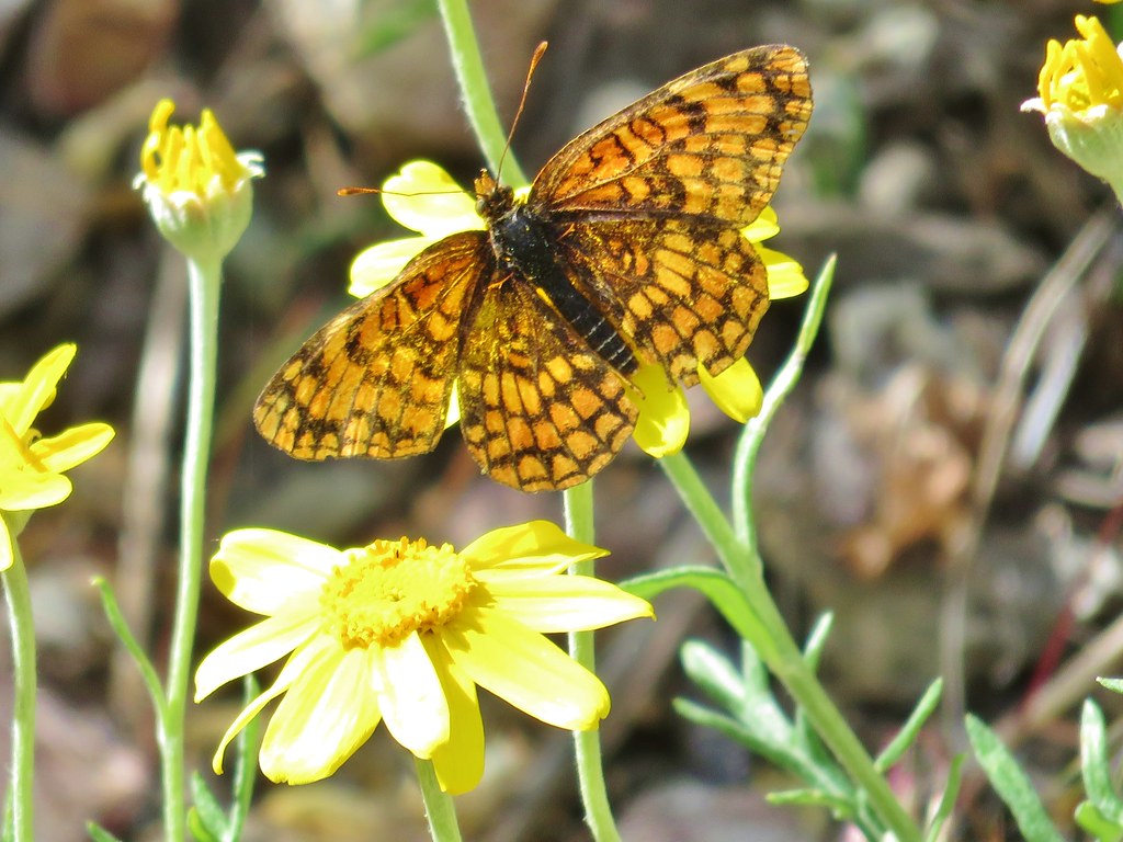
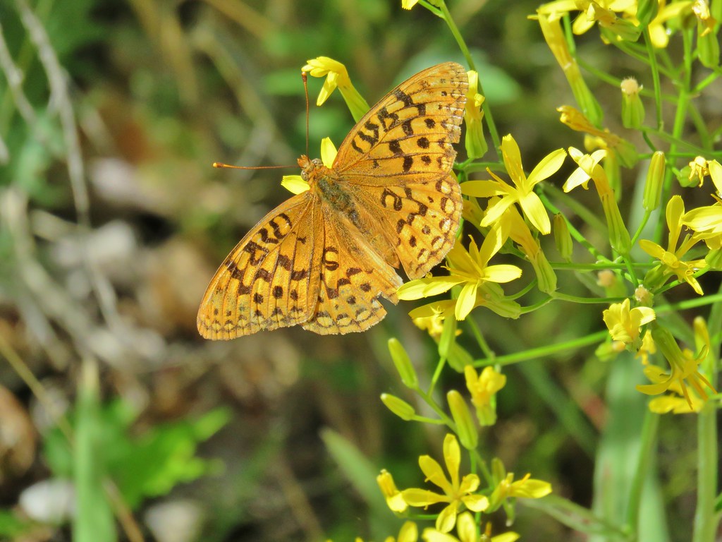
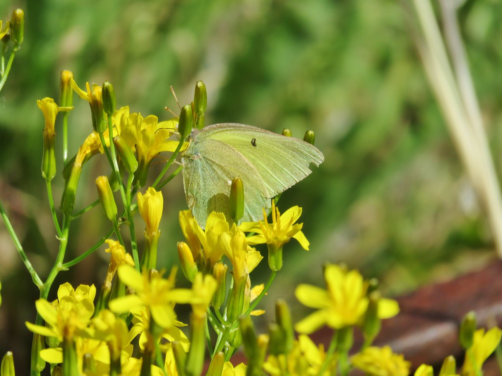
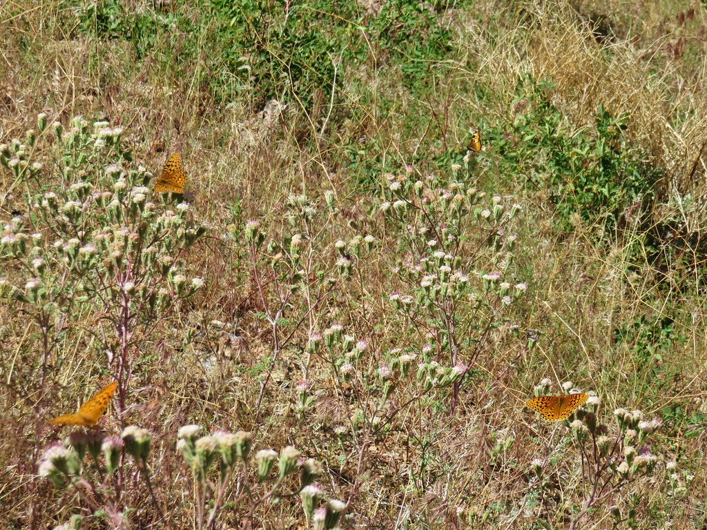
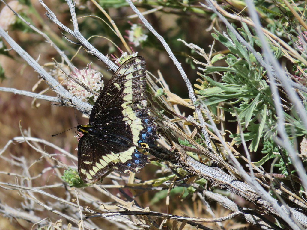
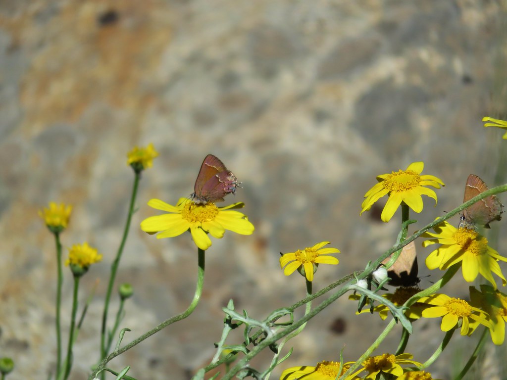
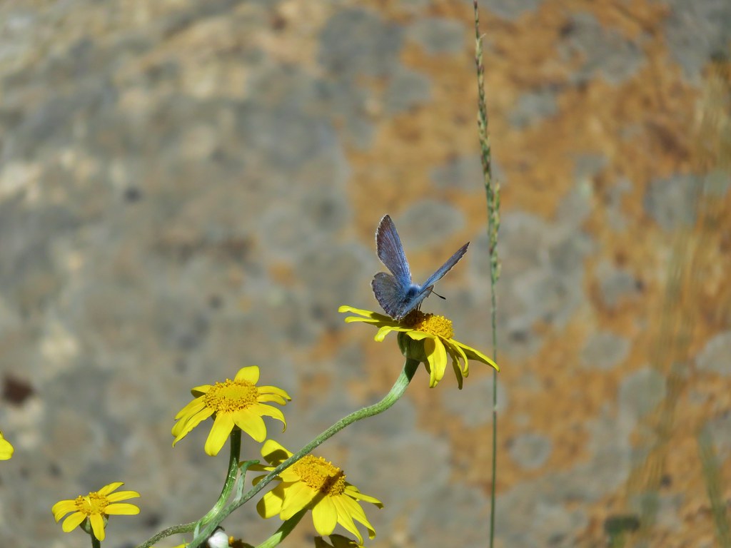
As we hiked along we were surprised at the number and variety of butterflies along the trail.

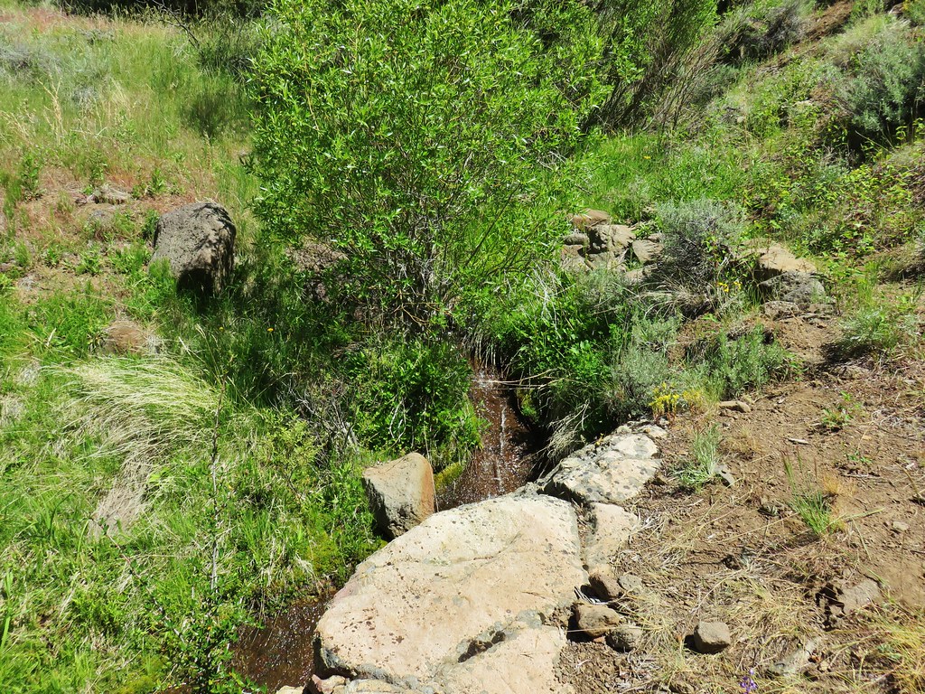
Pike Creek was quite a ways below the trail and mostly hidden by the green vegetation it supported.
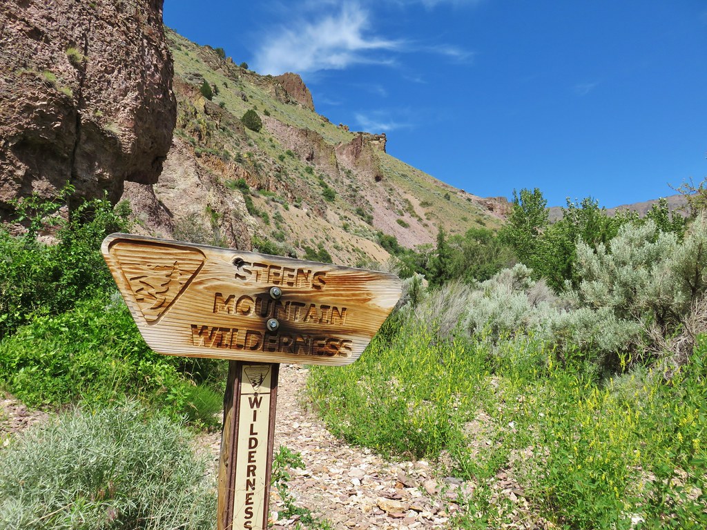
Just over a mile from the campground we passed into the Steens Mountain Wilderness, making this the 36th different designated wilderness area we’d visited in Oregon.
Shortly after entering the wilderness area the trail crossed Pike Creek again and then began to climb away once more. Steens Mountain continued to grow closer ahead of us and behind us we could see the Alvord Desert and Big Sand Gap on the other side.

We had left the old mining road behind at the crossing where a mine shaft and nearly hidden dynamite shed remain.
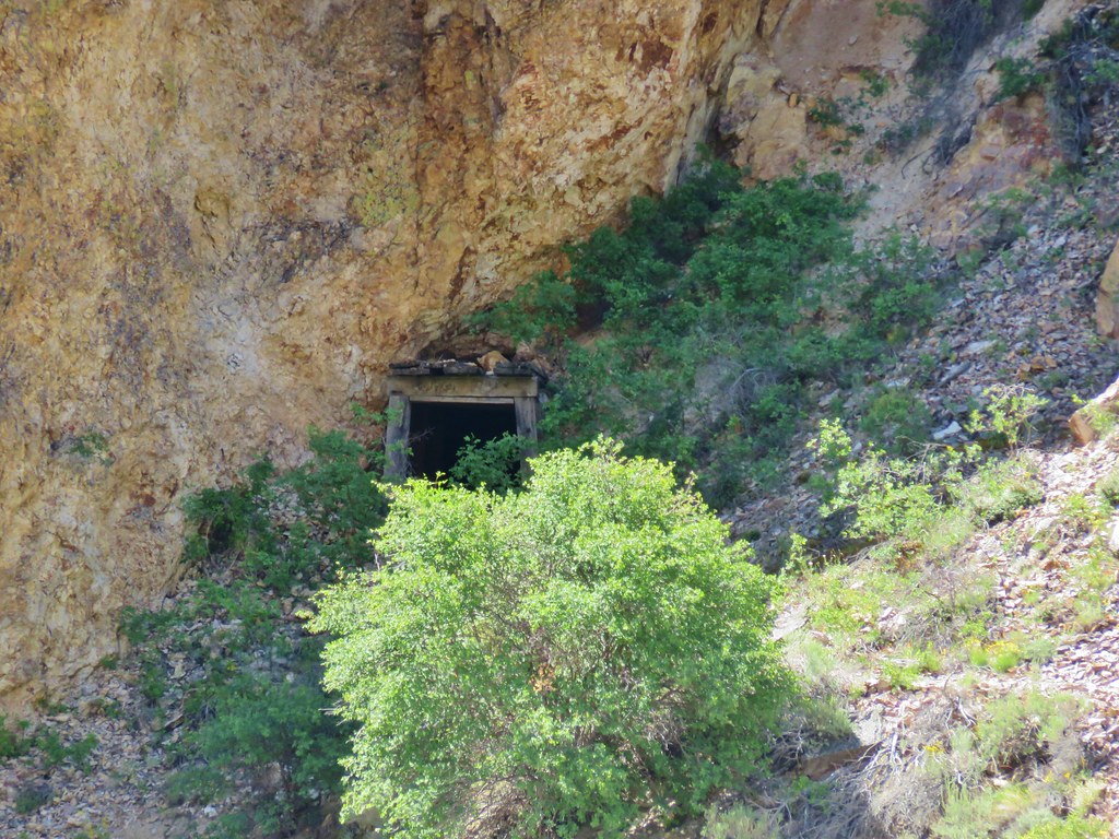 Mine shaft
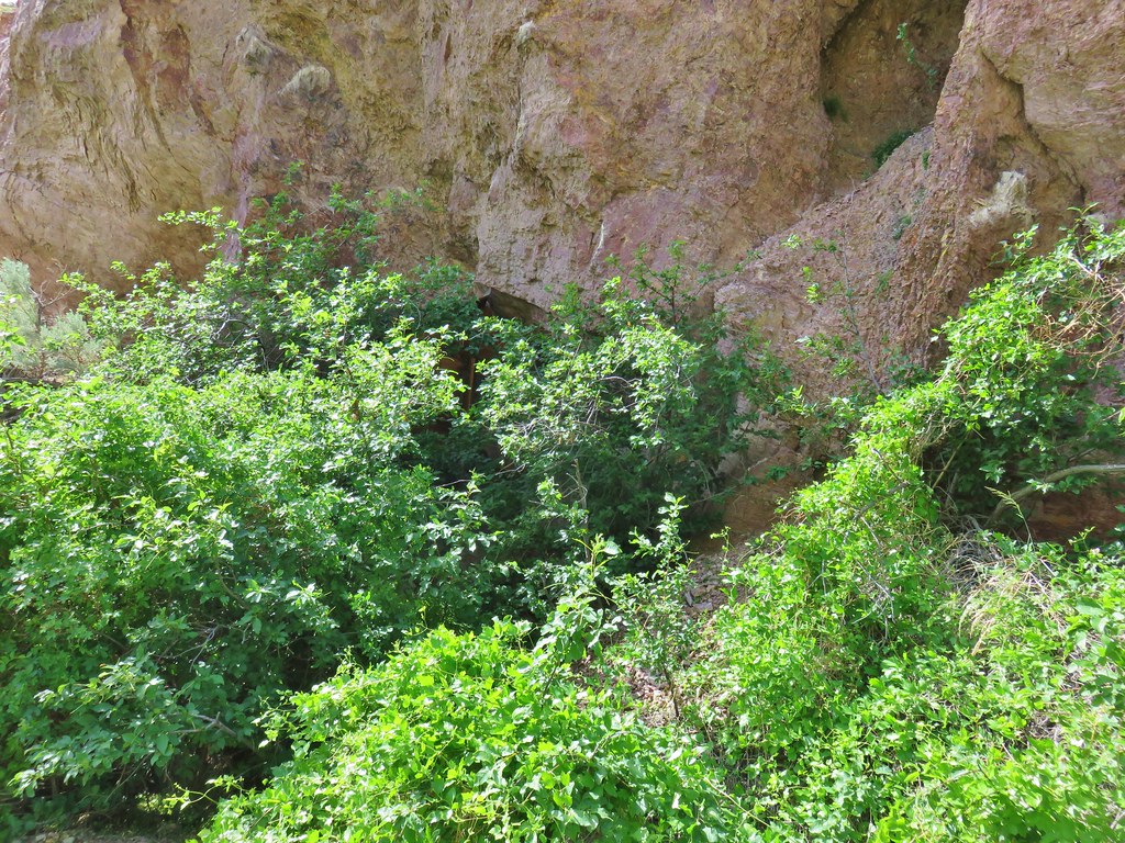 Hidden dynamite shed
The trail now climbed via a series of switchbacks up the canyon. We entertained ourselves by looking for different butterflies amid the flowers.

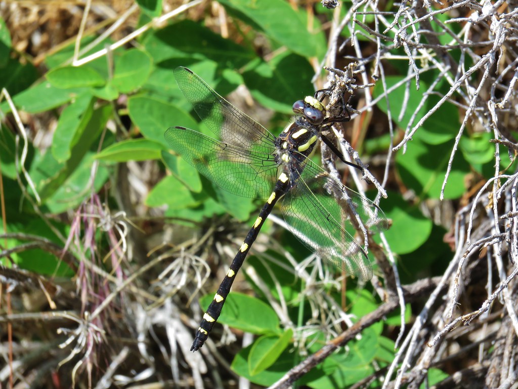
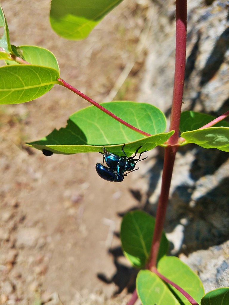
Butterflies weren’t the only interesting insects that we saw during the hike.
After a little over a mile and a half of climbing since the second crossing we arrived at our turn around spot, the first of three forks of the creek.
The views just before the creek were a little better than at the creek itself but there were some convenient rocks to sit on under the cover of a juniper tree which provided some nice cool shade while we had a snack and watched even more butterflies.


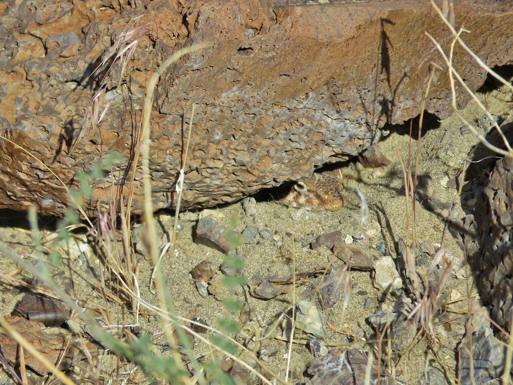
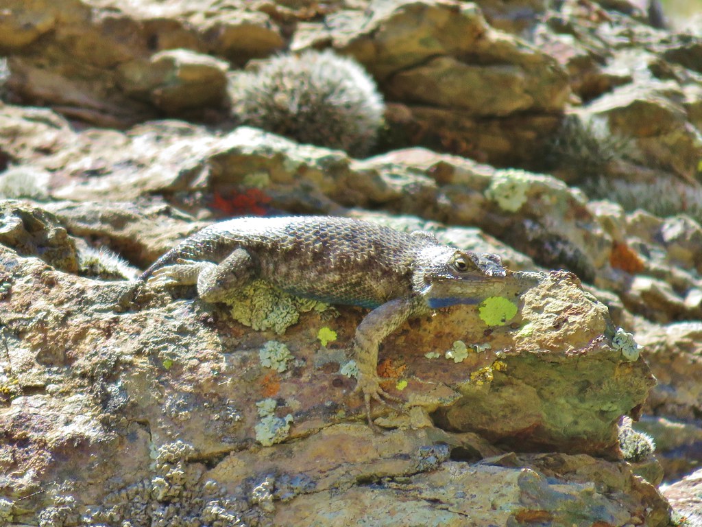
We returned the way we’d come under the watchful eye of a local.
At 5.8 miles round trip this was the longest of the three hikes that day and definitely the one with the most elevation gain.
We once again checked our tires which seemed to still look the same under the eyeball test so when we reached East Steens Road we once again headed north on our way to Burns. It was just after 3pm when we arrived in Burns and we headed straight for the Les Schwab Tire Center to have them check things out. They confirmed that the left rear tire was a little low so we had them pull it off and do a more thorough check. It turned out that it wasn’t the rocks that had done us in but a small nail which I am convinced was placed in the road by the badger.
After being taken care of by the good folks at Les Schwab (free of charge) we checked into the Silver Spur Motel for the night. In the morning we had another hiked planned then we’d be off to Bend for another visit with Heather’s parents. Happy Trails!

7 replies on “Borax Hot Springs, Big Sand Gap, and Pike Creek – SE Oregon Vacation Day 6”
[…] areas left to visit after spending time in the Rogue-Umpqua Divide (post), Steens Mountain (post), Strawberry Mountain (post), and Copper-Salmon (post) wildernesses this […]
Where exactly did you guys end up parking to hike out to Big Sand Gap? I can’t find any guidebook or info on the location. Really hoping to get out there this summer. Love your guys’ blog!
We used the 3rd edition of William L. Sullivan’s “100 Hikes/Travel Guide – Eastern Oregon”. From the Playa Access along East Steens Rd. ( 2.3 miles south of Alvord Hot Springs) we drove across the playa to the GPS locationN42 29.236 W118 23.211 which Sullivan gives in the book. Good luck, it was a great place to visit.
[…] Steens Mountain – 2018 […]
[…] haze it was hard to see much of the ragged eastern side of Steens Mountain or the Alvord Desert (post) […]
[…] #93 Pike Creek – Hiked 6/14/2018 […]
[…] pressure adventures. We’ve had a low tire pressure light come on near the Alvord Desert in 2018, on Steens Mountain in 2021, and three different times in 2022 (Siskiyou Peak, Siskiyou Wilderness, […]