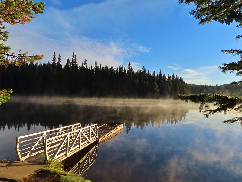
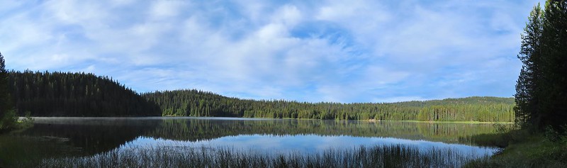
After spending the night in Pendleton we headed back to the same area in the Blue Mountains where we had hiked the day before on the Wenaha River Trail (post). We started our day at the Jubilee Lake Campground. (We had passed the entrance road the day before on our way to the Timothy Springs Trailhead.) An earlier version of this trip had us staying at the campground given the hike here and it’s proximity to the other two trails that made up the trip but sleeping in a comfy bed won out over a tent in a busy campground. After paying the $3 day use fee we parked near the boat ramp where the morning sunlight was just hitting the lake.
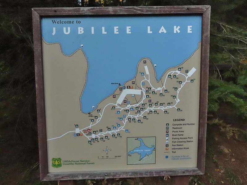

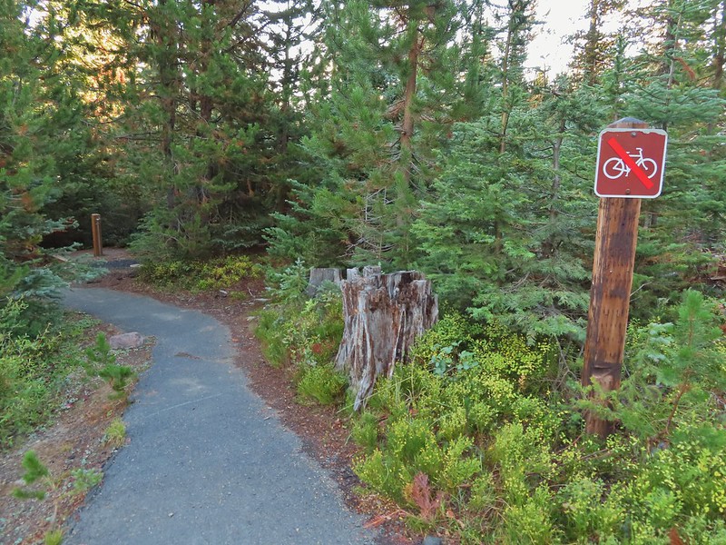
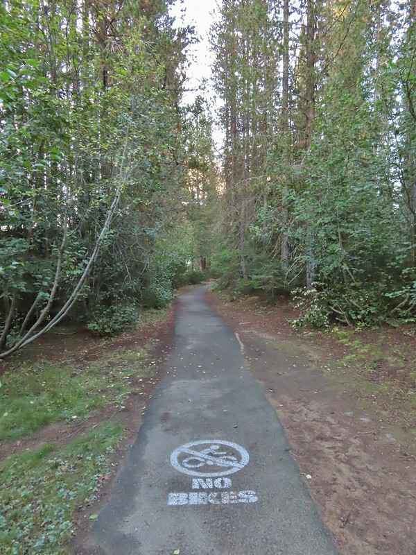
The Jubilee Lake Trail loops around the the lake and is one of two hikes Sullivan lists for hike #42 in his “100 Hikes/Travel Guide Eastern Oregon” 3rd edition guidebook. He recommended hiking the loop counter-clockwise so we headed right from the boat ramp past a picnic area and onto a paved trail.

From the boat ramp the trail winds around the lake for three quarters of a mile to the lake’s dam which was built in 1968. We passed several picnic tables and viewpoints along this stretch.


The trail passed over the dam and continued on the far side switching from paved to dirt tread.


 This squirrel was making an impressive amount of noise with its mouth full.
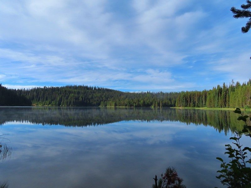
 Passing around one of the lake’s arms.
 One of several bridges over creeks.
 Mergansers
There were several benches positioned along the trail. We got a kick out of this one which was right next to a nice view of the lake but it was facing directly into some trees.

 The view next to the bench.
 The view from the bench.
 Going around another arm.
 A checker-mallow
 Aster
Aster
 Forest as we neared the campground again.
 Arriving back at the ramp.
The loop around the lake came in at just about three miles which we thought was a perfect distance for a hike around a lake. Longer loops around lakes often begin to feel repetitive but this one didn’t. We were also glad we stopped here first as there wasn’t anyone out on the lake while we hiked nor did we pass any other users on the trail (there were a couple of fishermen/hunters behind us at one point). From Jubilee Lake we then drove to our second stop at the Rough Fork Trailhead near Mottet Campground. The final 1.5 miles to this trailhead on FR 6043 were rough and probably only passable with a high clearance vehicle.
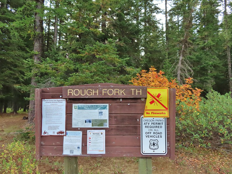
From the trailhead we followed a sign for the Rough Fork Trail.

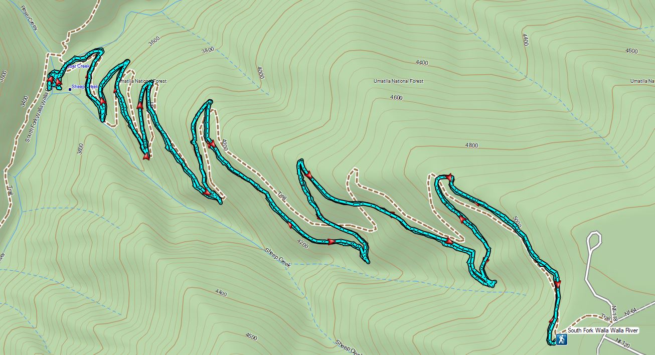
The Rough Fork Trail descends nearly 1900′ in 3.3 miles. Twelve switchbacks allow the grade to never be too steep and there were nice views nearly all the way down to the South Fork Walla Walla River Trail.
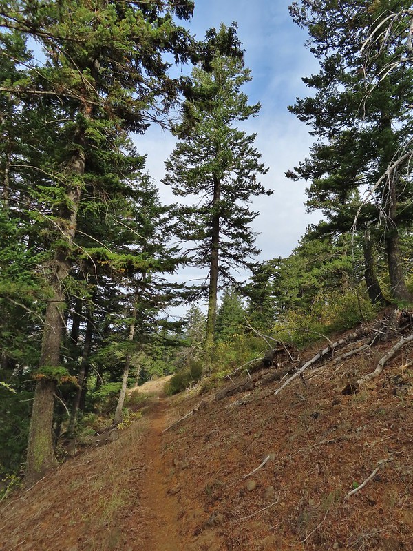
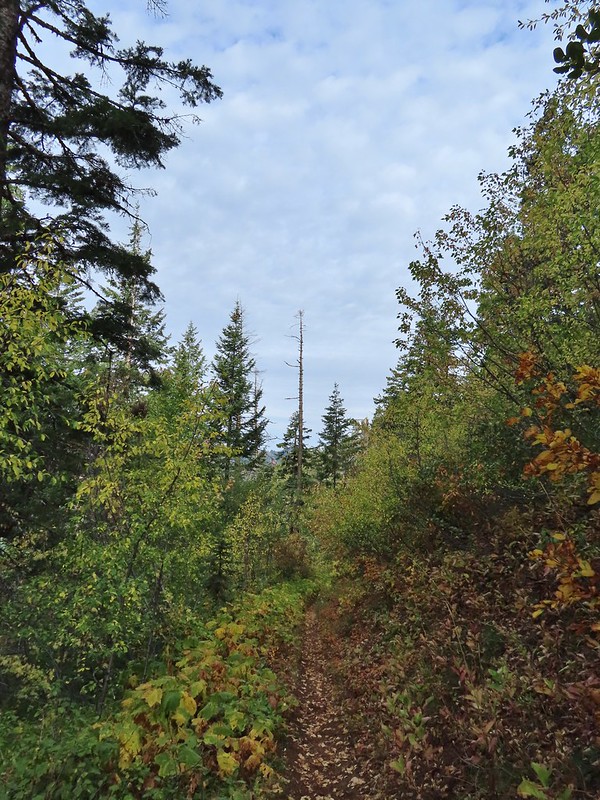
 The first part of the trail passed through a stand of trees.
 View to the west along the South Fork Walla Walla River canyon.
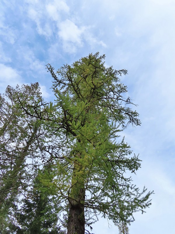
 Loved the top of this tree.
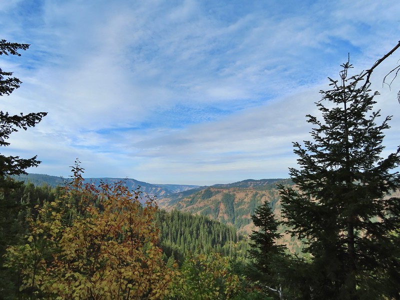
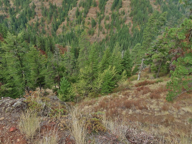
 Another view, there was just a hint of smoke in the air giving the hillsides a blue tint which is where the name “Blue Mountains” comes from. Apparently smoke has been a common occurrence here for a long time.
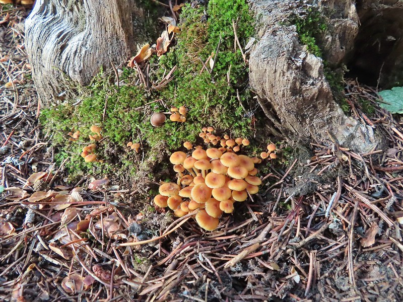
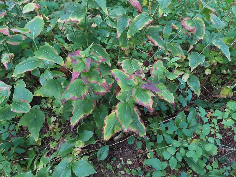
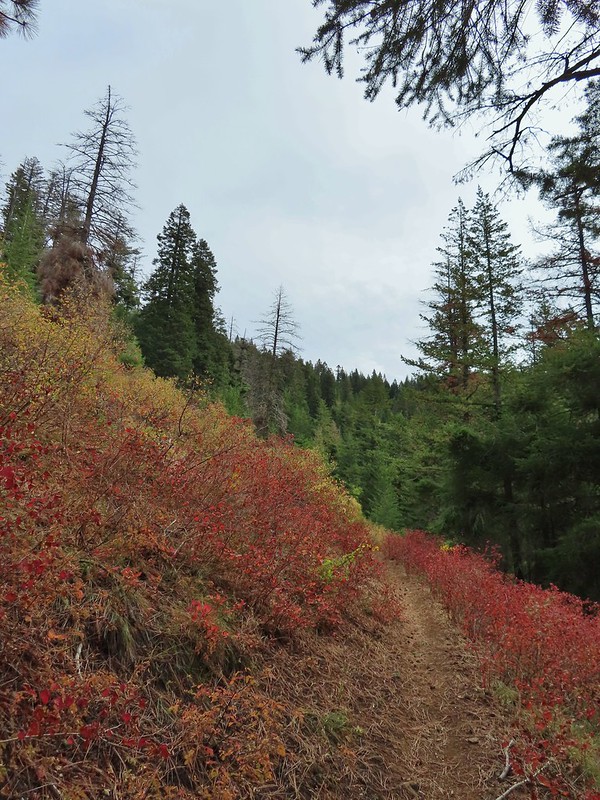
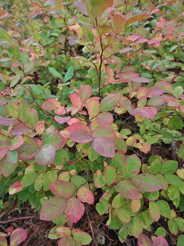 There was a lot more Fall color along this trail.
 Paintbrush
 Cone flower
 Aster amid some thimbleberry leaves.
 Vine maple


 Looking down toward the Sheep Creek.

 Finally found the river.
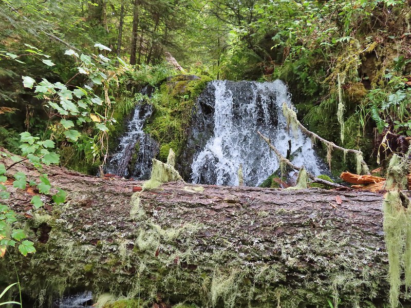
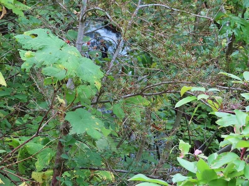 There was a 6 to 8′ waterfall along Sheep Creek but no way to get a clear view of it through the thick vegetation on a steep hillside.
As we neared the river the trail leveled out in a lusher forest.


 Two types of clover.
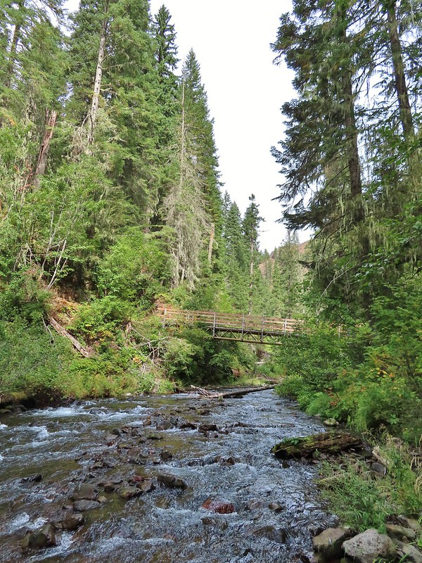
 Footbridge over the South Fork Walla Walla River.


There was a small campsite near the bridge where we took a break and watched an ouzel dip up and down on rocks in the river.


 Reser Creek on the left joining the South Fork Walla Walla River just upstream from the bridge.
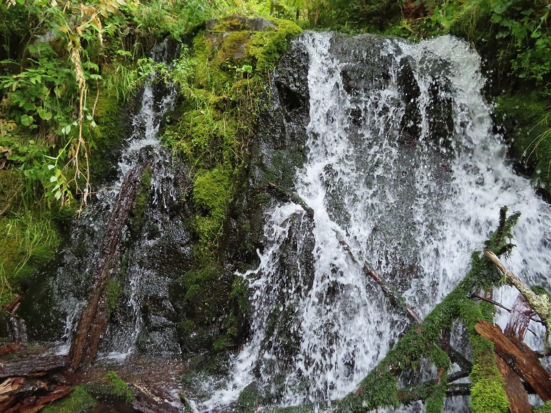
There was another small cascade on Sheep Creek near the river which I was able to reach with a little effort.
 There were just enough exposed rocks for me to work my way downstream from the bridge to Sheep Creek.
After enjoying the river we headed back up having completed Sullivan’s suggested hike here. We could have continued two more miles downstream to Box Canyon but adding another four miles to our day didn’t seem necessary. The climb up wasn’t as bad as we’d feared. The grade along with a cooling breeze that would come and go helped immensely.

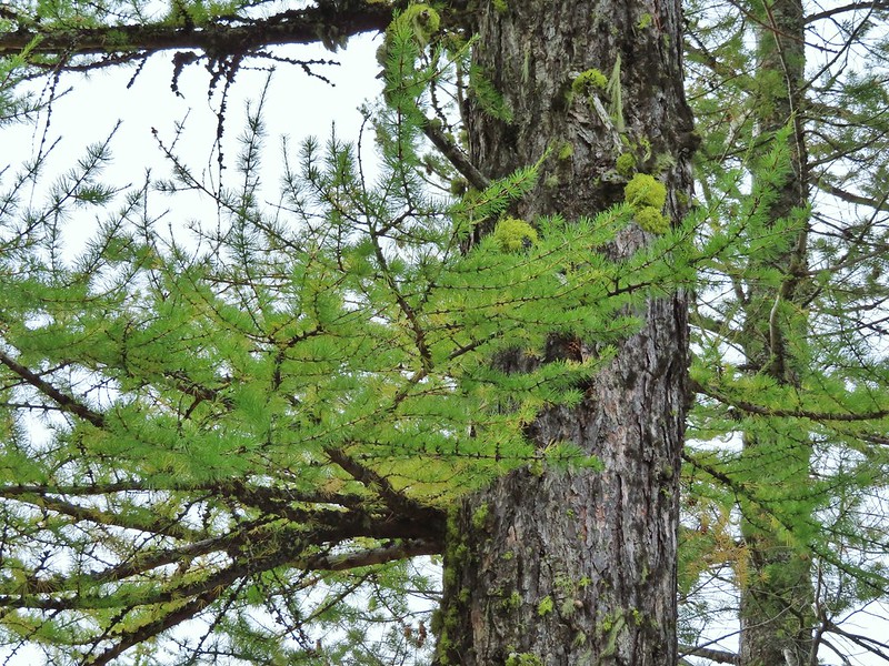
 A couple of the larch trees were just starting to turn color for the fall.

 A scarlet gilia blossom waiting to fall off.
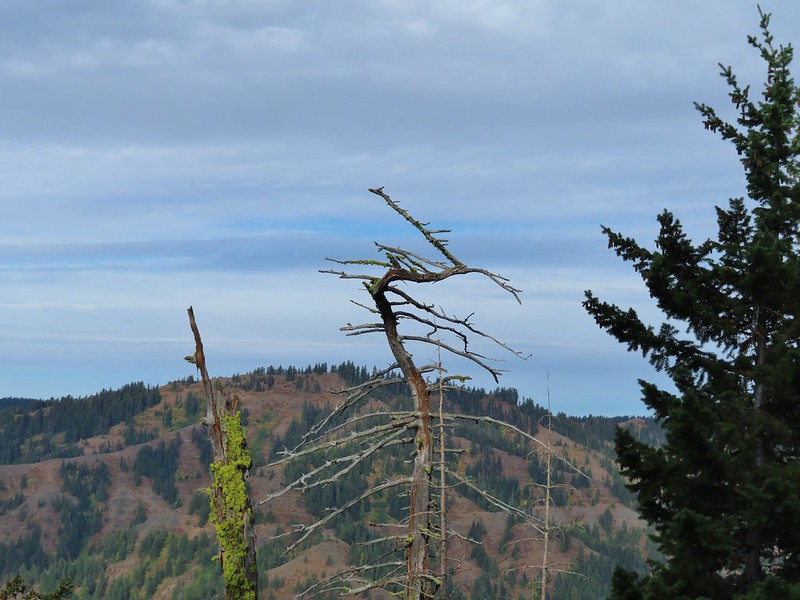
 A final view back over the canyon with the crooked tree.
The hike came in at the expected 6.6 miles giving us a total of 9.6 for the day.
We were done early enough to spend a relaxing afternoon in Pendleton where we discovered that a lot of the downtown restaurants were closed on Sundays. We wound up eating at Thai Crystal which turned out to be a good choice. These two hikes finished off Sullivan’s featured hikes in the northern Blue Mountains but that doesn’t mean we wont be back. There are more trails in the area and all our hikes there so far have been enjoyable. Happy Trails!

One reply on “Jubilee Lake and the South Fork Walla Walla River – 09/12/2021”
[…] #44 Jubilee Lake – Hiked 9/12/2021 […]