For the second year in a row our September vacation plans were disrupted by wildfires. The reality we are facing is that this may well be the norm now and maybe September isn’t the best time to try and take a hiking trip. We’d been avoiding October due to the erratic weather that time of year but it might be time to rethink that. Unlike last September when we scrapped our plans and just stayed home staying inside to avoid the smoke this year we had a viable back up plan. Our original plan was for a long weekend in Union Creek near Crater Lake National Park but that area seemed to be ground zero for unhealthy air quality so we canceled our reservations there and watched the weather and smoke forecast waiting until Friday to make our final decision. A favorable forecast put Pendleton as our first choice but according to the Forest Service website two of the three trails we planned on hiking were showing as closed. The entire Umatilla National Forest had been closed earlier this year due to wildfires but those were either out or mostly contained and the closure area had been greatly reduced. I reached out to the Forest Service and they confirmed that despite what the website said the trails we were planning on hiking were open.
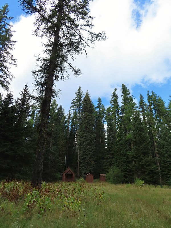
It was a 5 to 5 1/2 hour drive from Salem to the Timothy Springs Trailhead for our first hike of the weekend on the Wenaha River Trail. We had hiked on this trail in 2019 but from the other end near Troy, OR (post). The trail is just under 31.5 miles long but for this hike we planned on following the trail downhill for 4.5 miles to Milk Creek which is Sullivan’s longer option for his featured hike #43 in the 3rd edition “100 Hikes/Travel Guide Eastern Oregon”. We arrived to find the campground at the trailhead full of bow hunters which we had expected this time of year. We parked in a dirt area not far from the historic Timothy Springs Guard Station because the only spot open at the actual trailhead would have meant parking over grass which we didn’t want to do given the fire danger.
 The guard station.
 The only “parking spot” open near the actual trailhead.
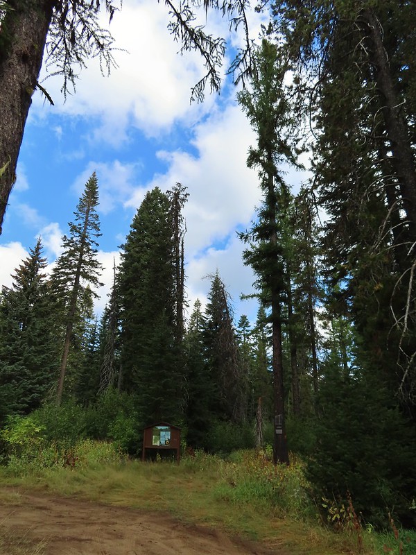
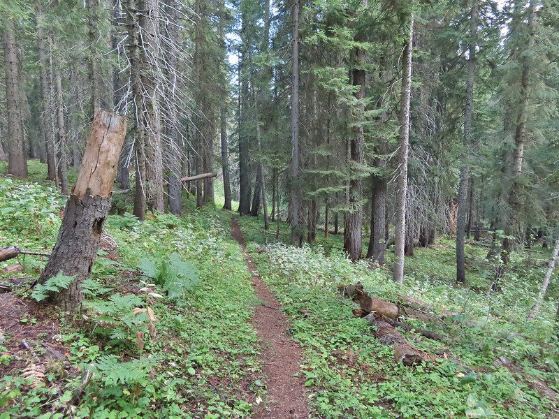
The trail immediately entered the Wenaha-Tucannon Wilderness.


The trail descended gradually through a the forest crossing a couple of small streams before reaching the South Fork Wenaha River at the 2.3 mile mark.
 There was a lot of cone flower along the trail.
 It had rained the night before but most of the moisture had already dried up or evaporated.
 There were just a few flowers hanging on.
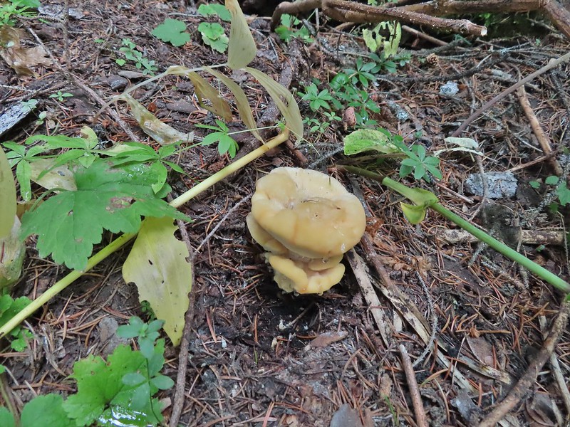
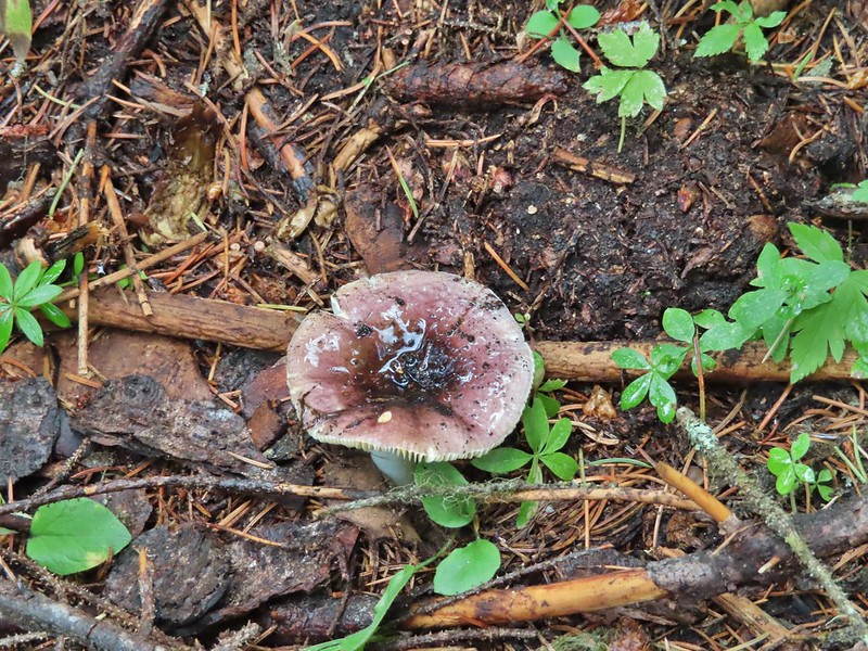
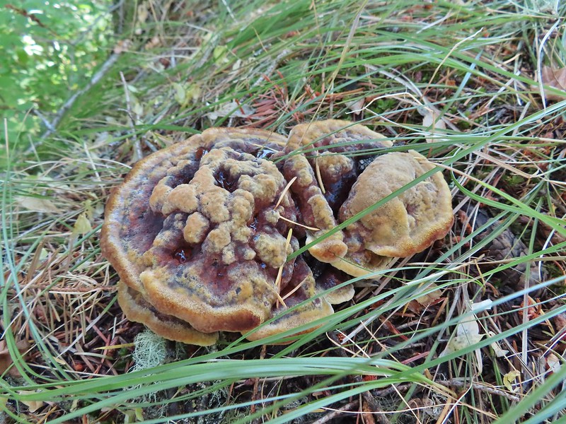
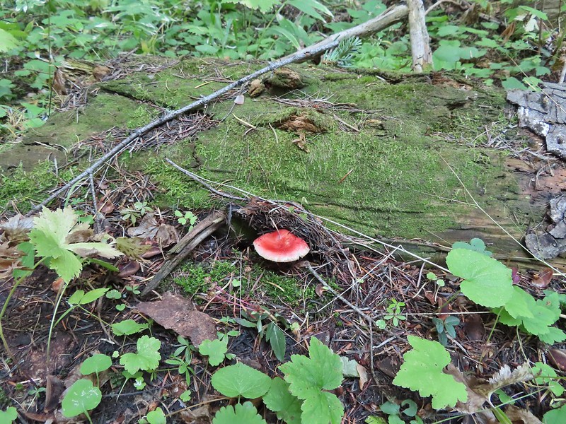
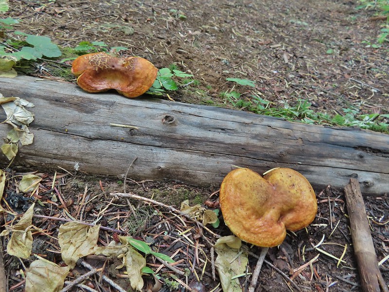 There was also a nice variety of mushrooms.
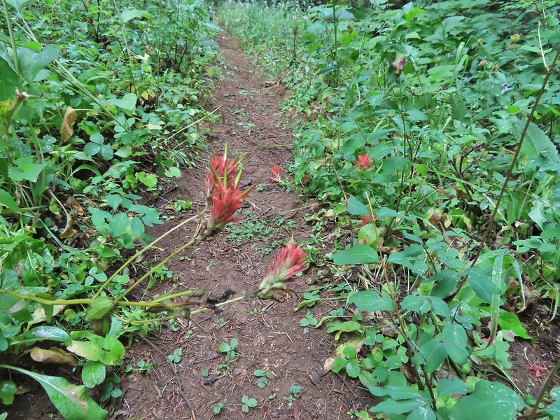 Paintbrush


 One of the small streams.
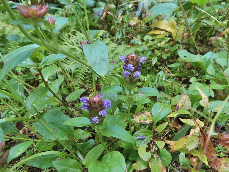 Self-heal
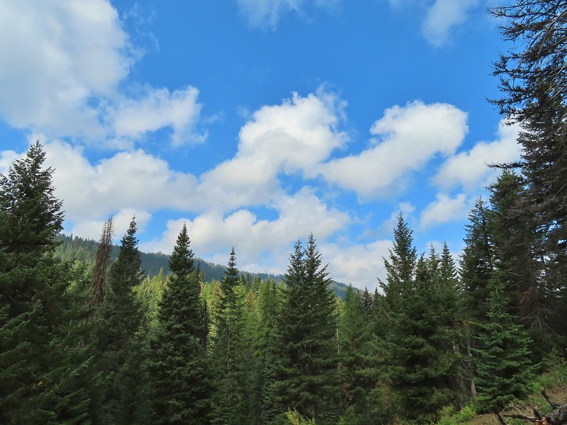 There weren’t many views along the trail but this one was nice.
 Pearly everlasting
 Ghost pipe
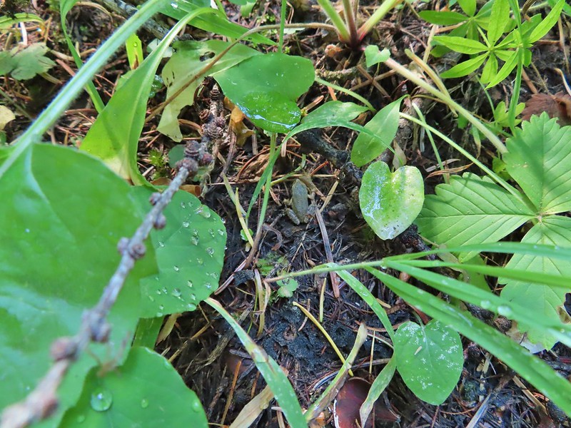 This was one of the smallest frogs we’ve seen. When I first saw it jump I mistook it for a grasshopper.
A short distance before reaching the river we passed what Sullivan described as 6′ waterfall. There wasn’t much water flowing this time of year so we had to picture it mostly.


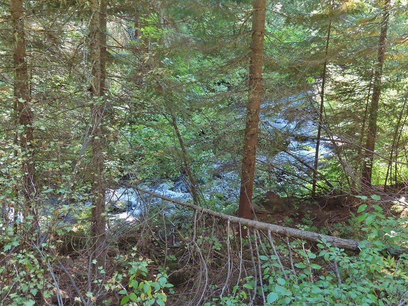
 South Fork Wenaha River
The river was just wide enough and the logs wet enough that crossing dry wasn’t an option so we forded the river, it was maybe mid-calf at its deepest. A brief climb on the far side quickly put us above the river as the trail traversed a rock hillside.


The views were better along this section as it gradually descended to Milk Creek 2.2 miles beyond the South Fork Wenaha ford.


 One of two snakes we came across, both the harmless types.

 South Fork Wenaha River
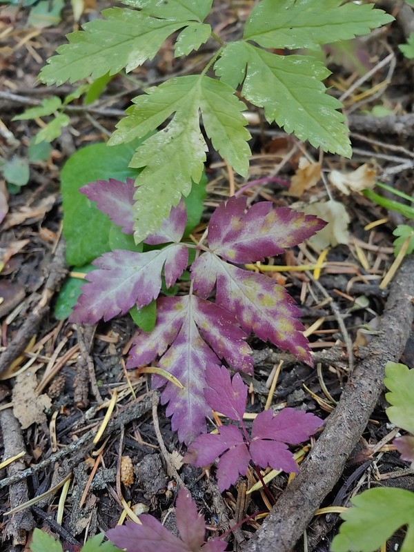
 Fall colors along the trail.

 Milk Creek with the Wenaha River Trail continuing on the far side.
 Milk Creek joining the South Fork Wenaha River.
 Elderberry near Milk Creek
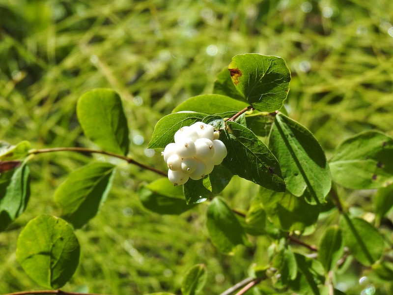 Snowberry
After a nice break at Milk Creek we began the 1300′ climb back to the trailhead. It was a fairly uneventful return trip but we managed to spot a few flowers and mushrooms along the way that we’d missed on our first pass.

 Might be an aven?

 Coral fungus

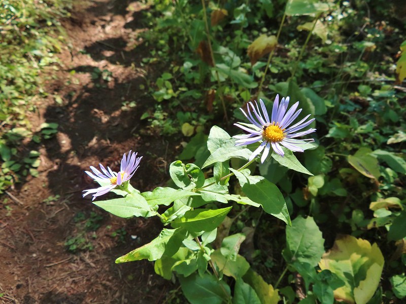 Aster
Aster
 A lone arnica still blooming.
This was a pleasant 9.1 mile hike and despite it being bow hunting season most of the hunters were already back in camp when we arrived so we only saw one group of three people the entire hike.

It was interesting to see the difference in the forest and terrain between the upper and lower ends of the Wenaha River Trail too. We then drove to Pendleton and after a little hiccup in our plans checked into a motel and then went to OMG! Burgers & Brew for dinner. Happy Trails!
Flickr: Upper Wenaha River

2 replies on “Upper Wenaha River – 09/11/2021”
[…] to the same area in the Blue Mountains where we had hiked the day before on the Wenaha River Trail (post). We started our day at the Jubilee Lake Campground. (We had passed the entrance road the day […]
[…] This marked the first time 3 hikes from the same guidebook marked the furthest in different directions. For obvious reasons the eastern most hike was not from the coast book but from the eastern book. That was our hike on the Wenaha River Trail. (post) […]