With a day off and a mostly sunny forecast we looking for a viewpoint hike for our 50th outing of the year. There were two hikes left on our 2019 schedule that fit the bill and it came down to which one kept us out of Portland’s traffic (since it was a weekday) and that was the hike to Lookout Mountain and Gunsight Butte east of Mt. Hood. We had been to the top of Lookout Mountain in the Badger Creek Wilderness Area during our inaugural backpacking trip (post) but there had been no view that day.
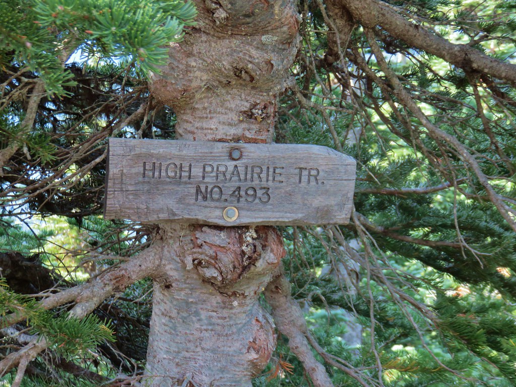
On that previous visit we had started from High Prairie which is less than a half mile from the summit of Lookout Mountain, but this day we chose to start from Highway 35 at the Gumjuwac Trailhead.
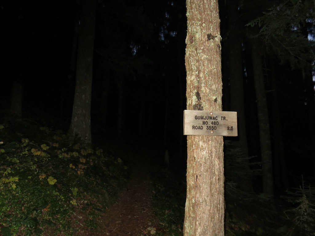
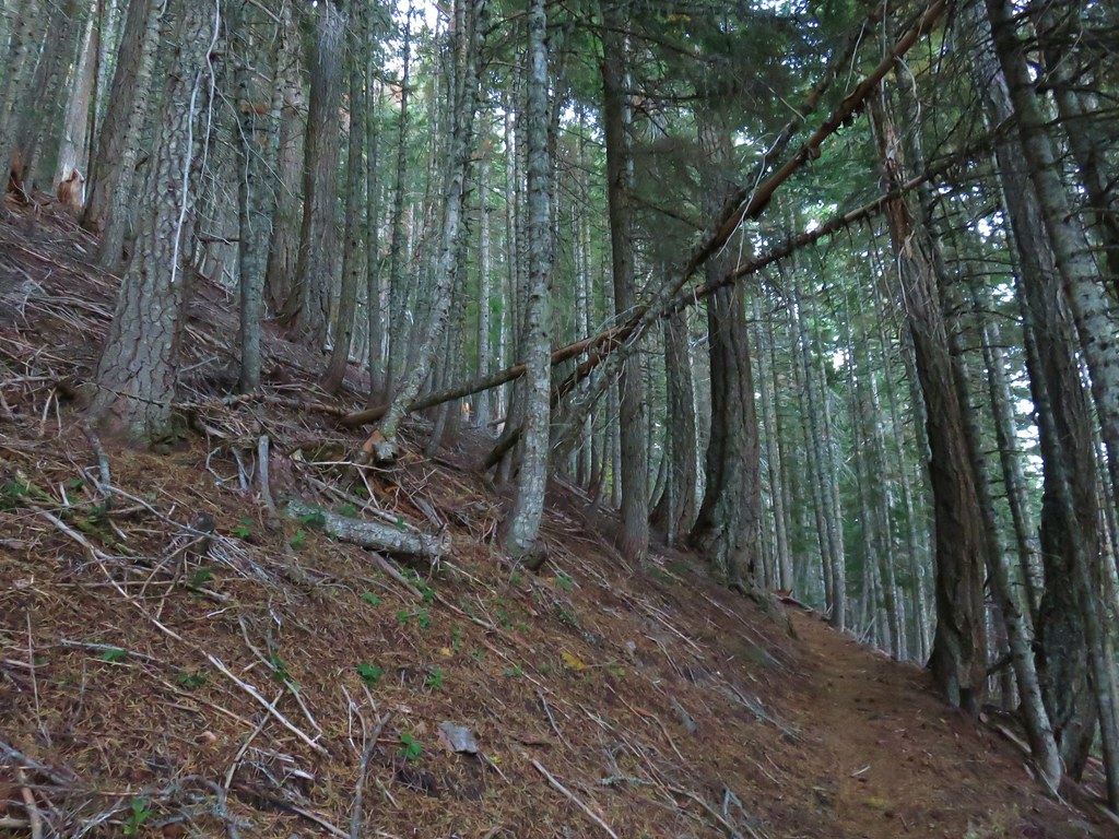
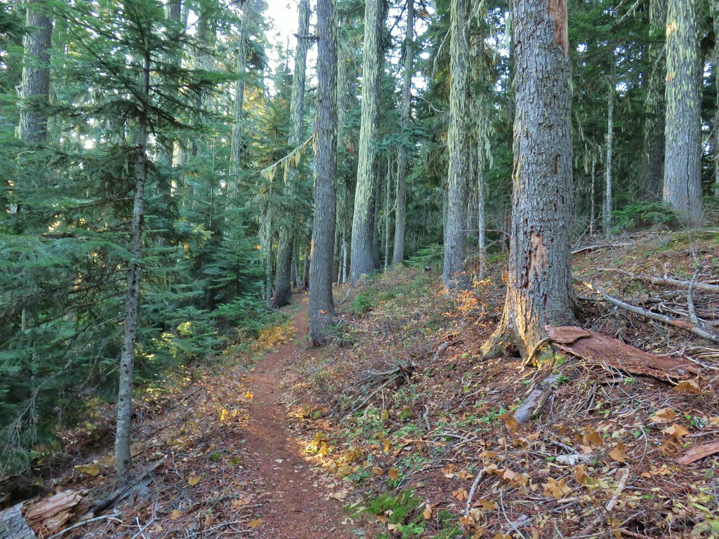
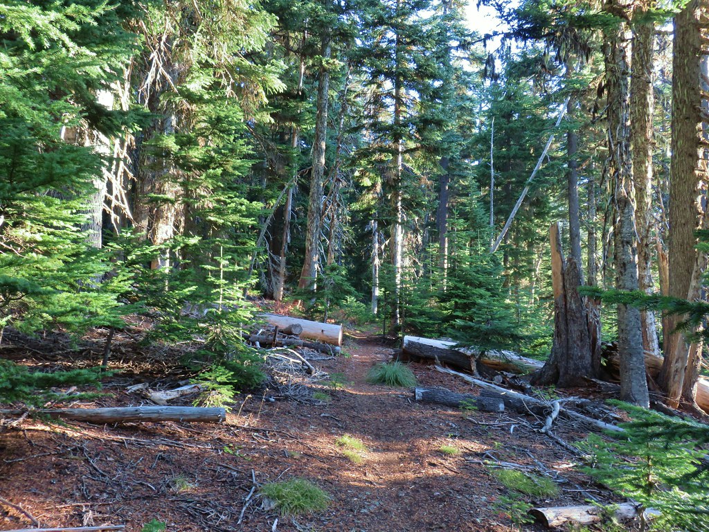
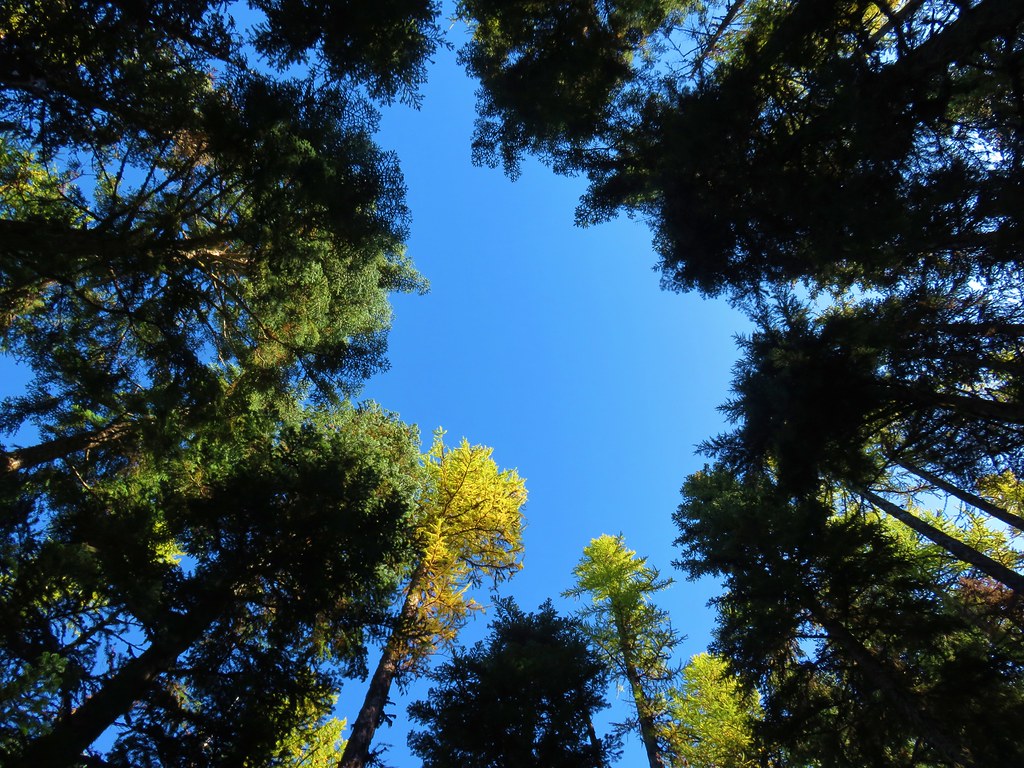
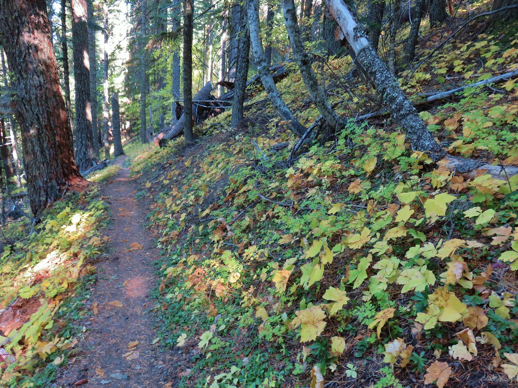
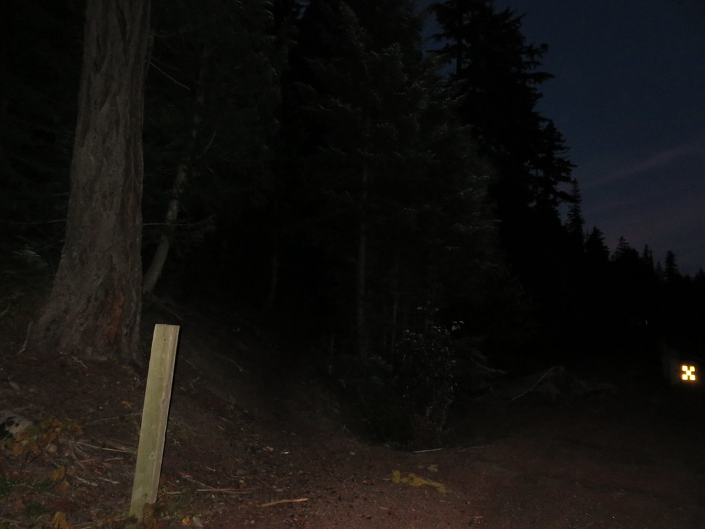 Gumjuwac Trail at Highway 35.
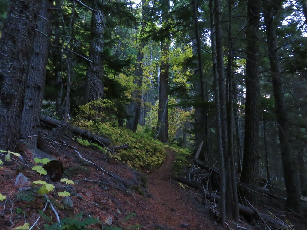
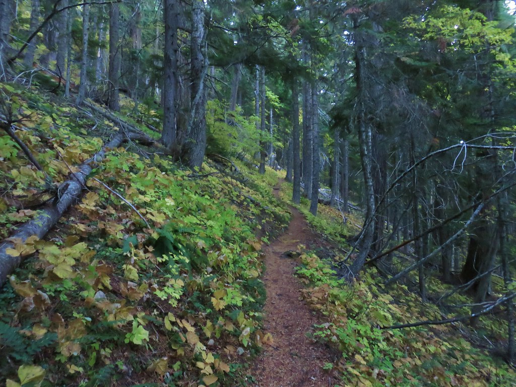
From Highway 35 the Gumjuwac Trail wasted no time in heading up hill toward Gumjuwac Saddle.
The lower portion of the trail climbed via a series of switchbacks before straightening out a bit gaining almost 1900′ in just over two and a half miles to the saddle. There were brief glimpses of Mt. Hood, Mt. Adams, and Mt. Rainier through the trees which improved as we climbed.
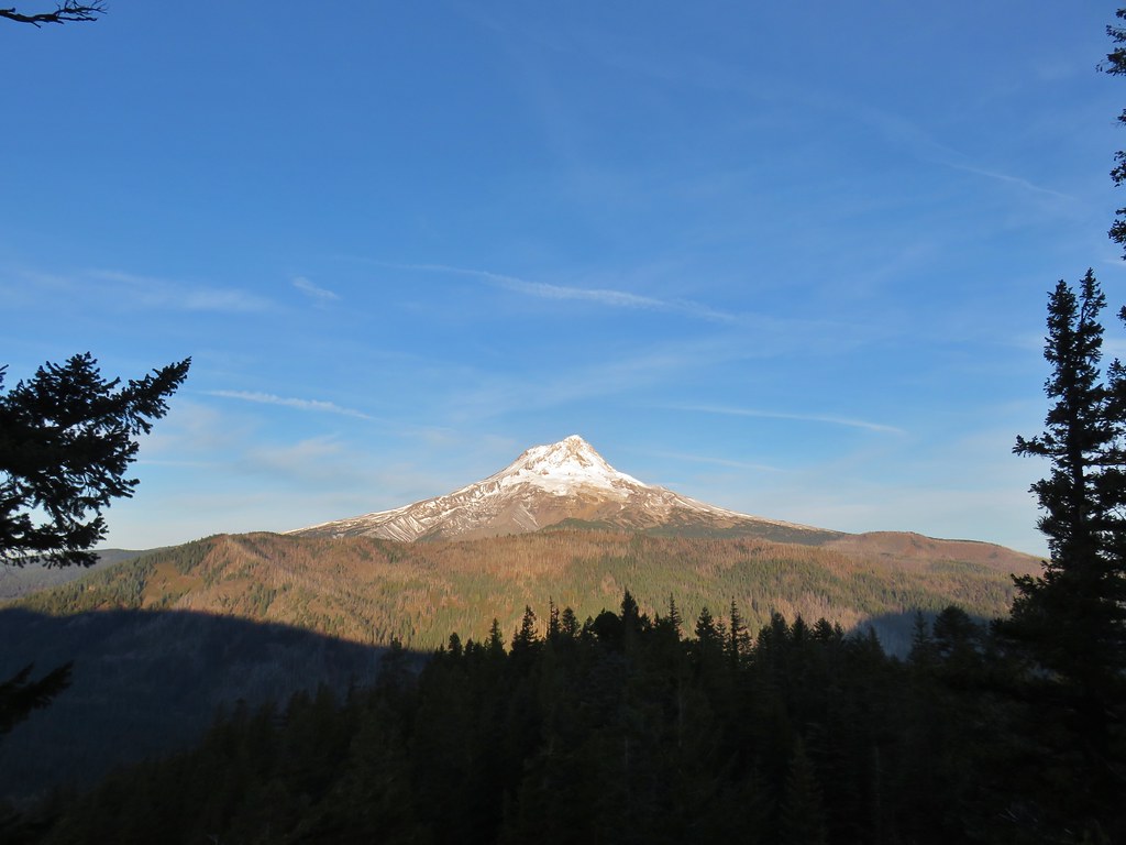
 Mt. Hood in the morning Sun.


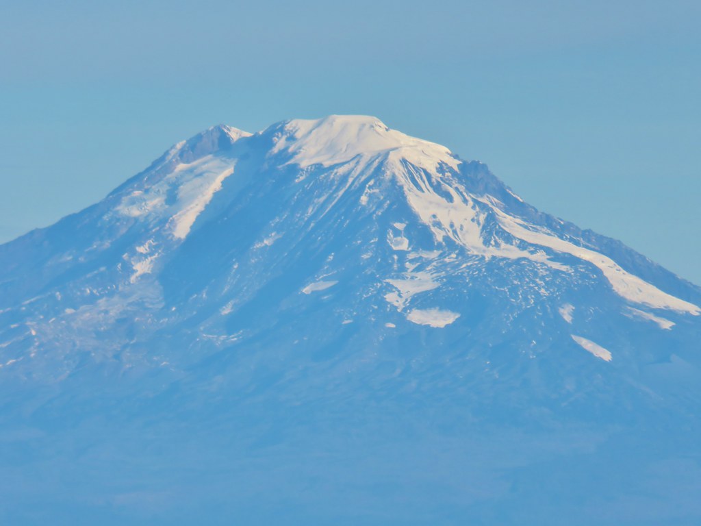
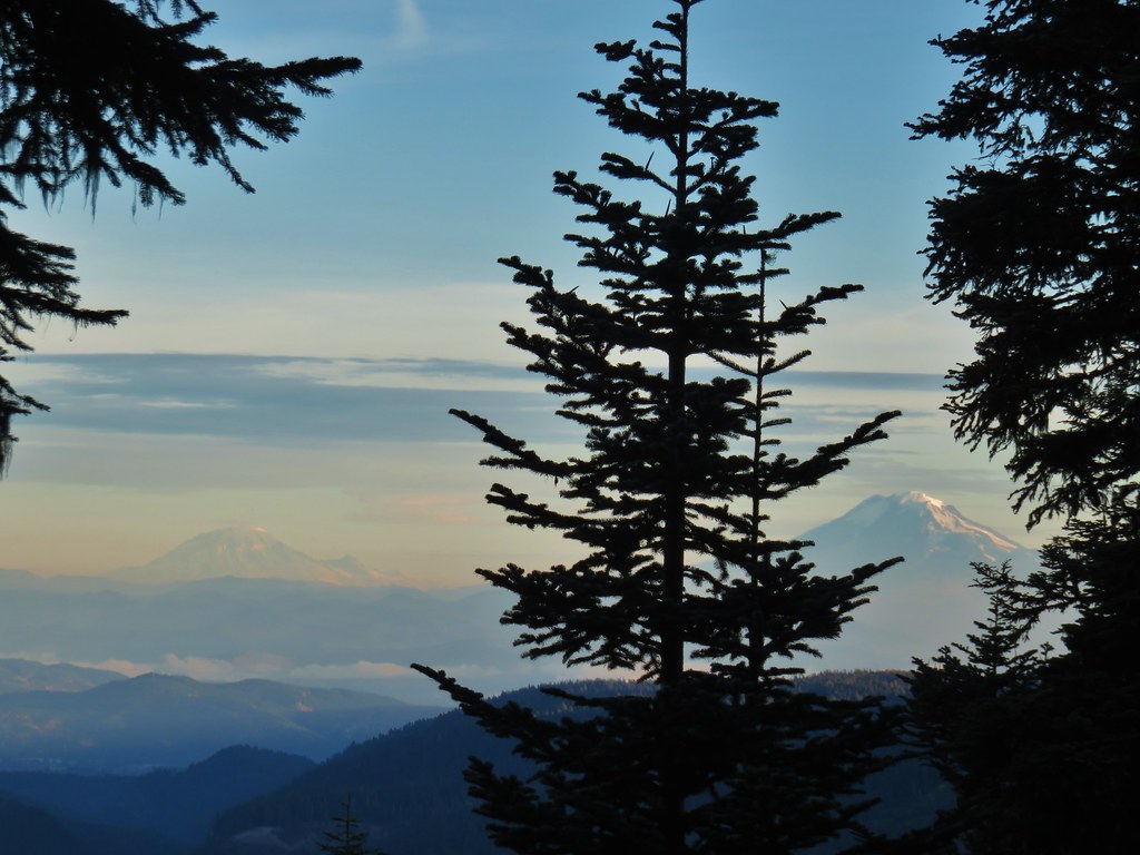 Mt. Rainier and Mt. Adams
 Mt. Adams
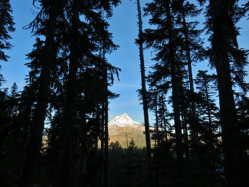
 Finally an unobstructed view of Mt. Hood.
 Gumjuwac Saddle
From Gumjuwac Saddle we turned left onto the Divide Trail which briefly paralleled Bennett Pass Road.

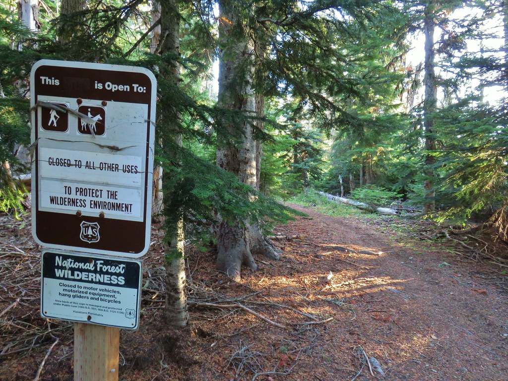
The Divide Trail soon entered the Badger Creek Wilderness.
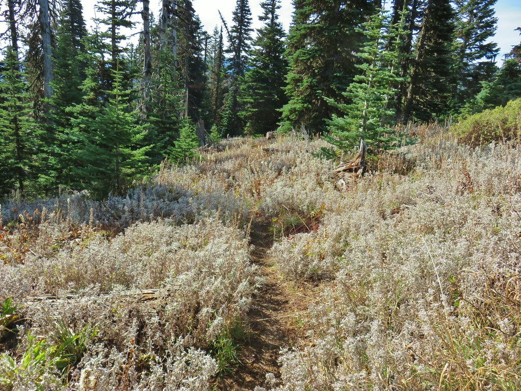
We had been on this stretch of trail while returning to our car during the backpacking trip so it was a little familiar, but that trip had been in late June so much of the vegetation looked different as we passed from forest into a series of meadows.
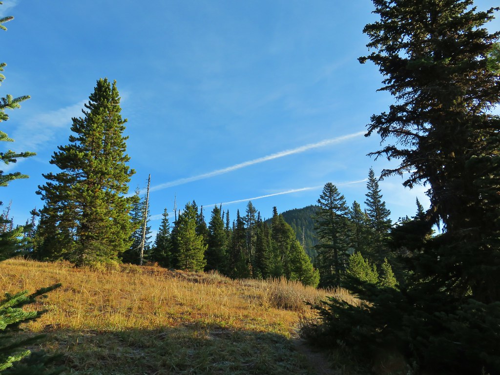

The wildflowers were long gone but we did get a view of Mt. Hood that hadn’t been there on the previous visit.
A pair of raucous ravens provided a bit of entertainment as they harassed an unwelcome hawk.
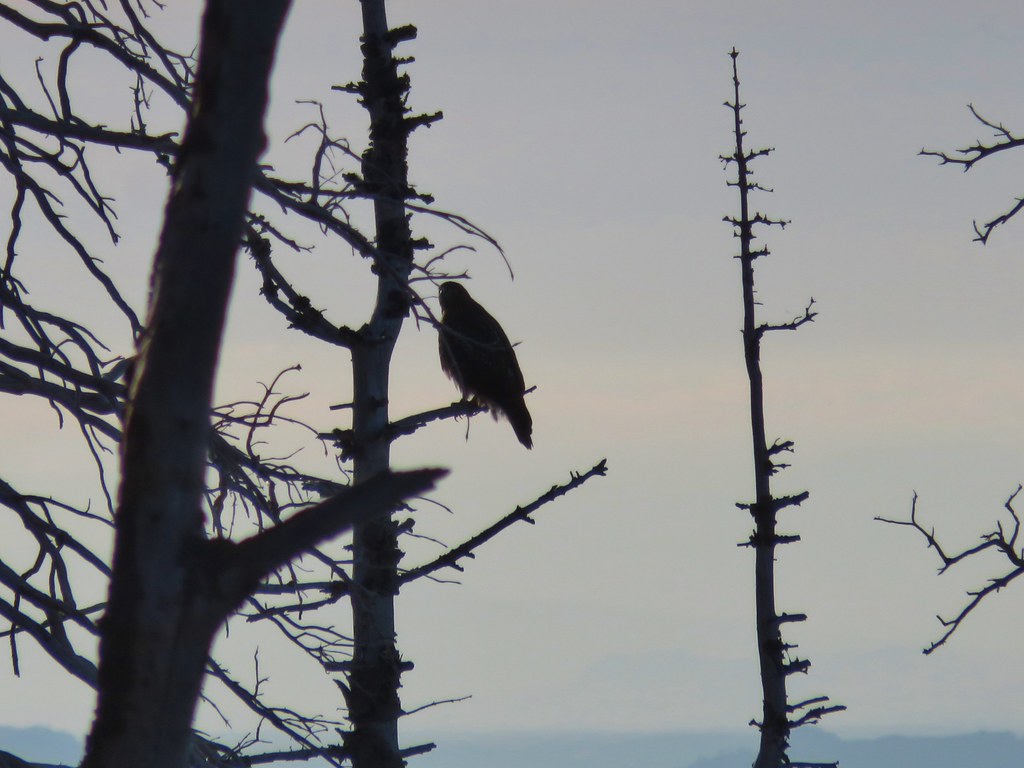 The hawk.
 A less than thrilled raven.
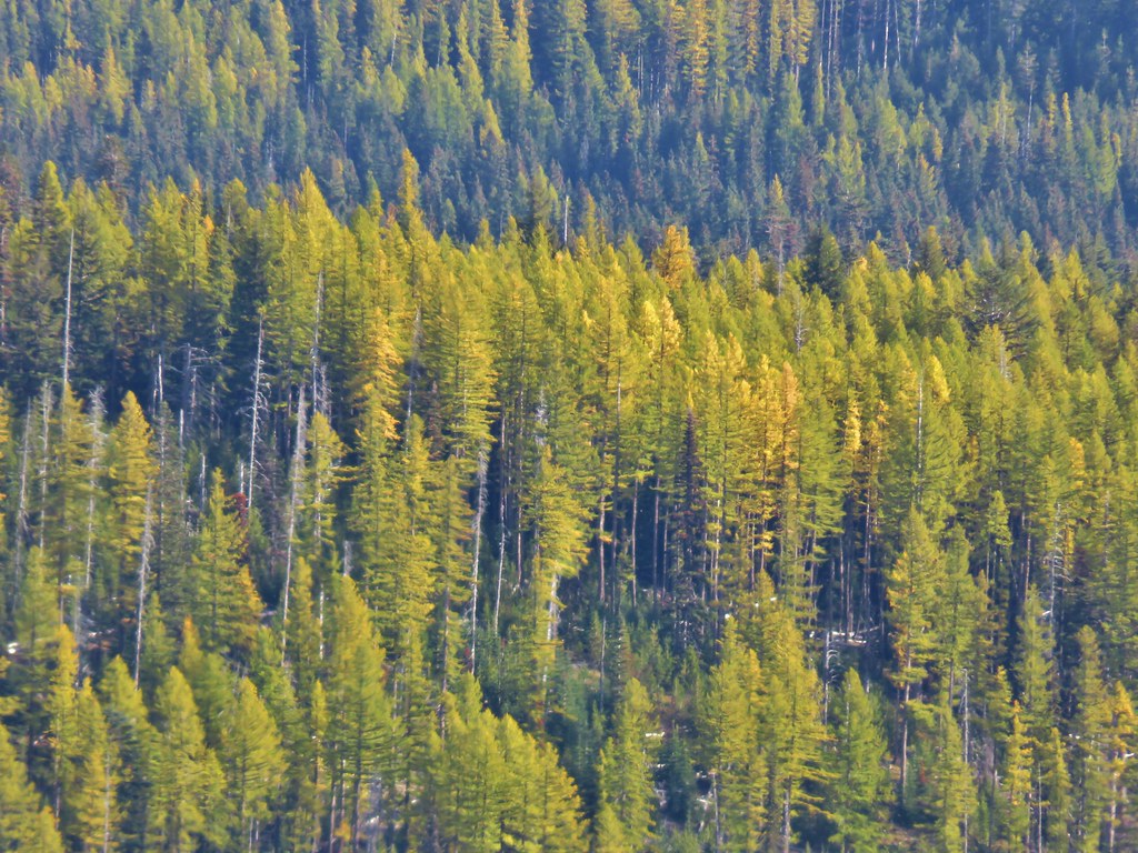
There was another thing that we were hoping to see and that was larch trees turning color. Larches are a deciduous conifer whose needles turn a yellow/gold in the Fall. We were hoping that the recent cold temperatures had helped start the process early and there were a few larches scattered about on the distant hillsides in the process of turning.
 Light green to yellow larches on the hillside behind the raven.
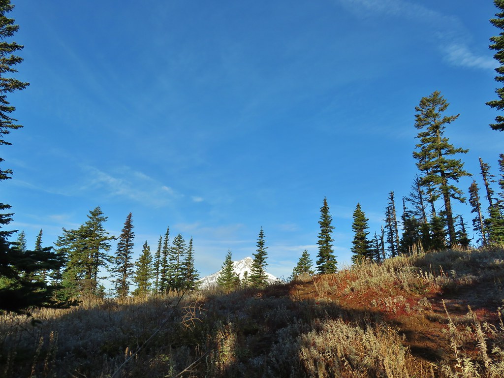
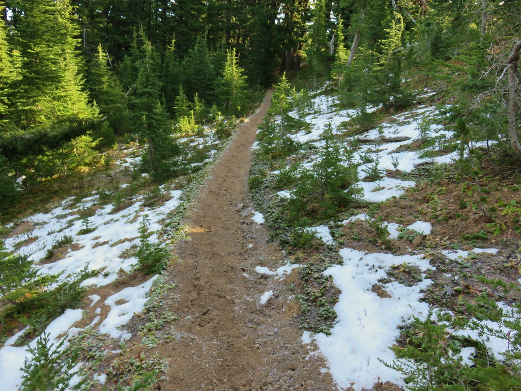
The trail left the meadows and began a series of switchbacks on the forested flank of Lookout Mountain where we ran into a little snow left over from the week before.

As we climbed we got another good look at Mt. Hood and Mt. St. Helens as well as a number of Cascade peaks to the south.

 Mt. St. Helens
 View south.
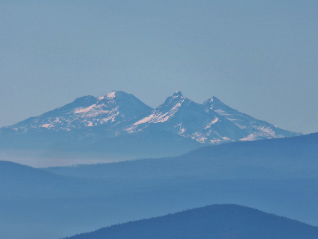
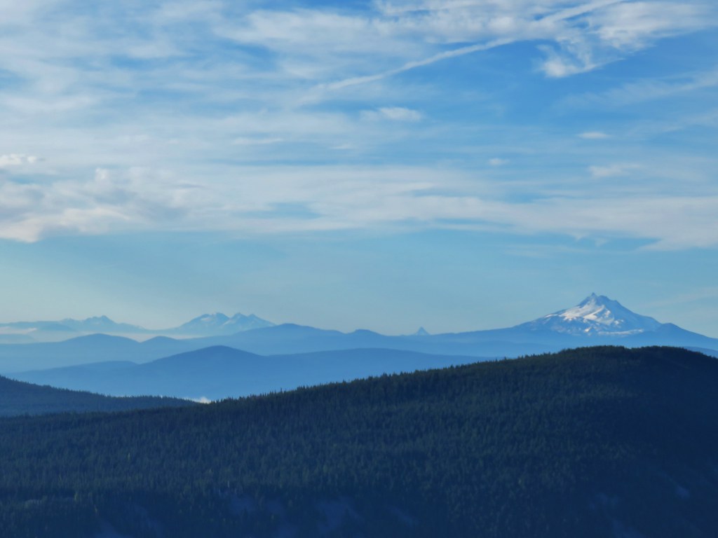 From L to R: Broken Top, The Three Sisters, Mt. Washington, and Mt. Jefferson.
We had expected to run into the High Prairie Loop Trail about 2 miles from the Gumjuwac Saddle but we missed the final switchback and ended up following a deer trail uphill to rejoin the official trail. We came to a rocky viewpoint where we could see the summit to the east and had a great view south.


 Mt. Jefferson
Beyond the viewpoint the trail passed over to the north side of the ridge into the trees where a little more snow remained.

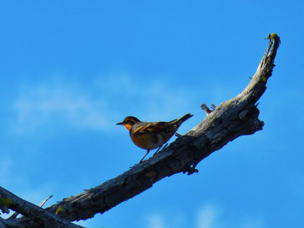
There were a number of birds in the area, many of them varied thrushes which you might know are a nemesis of mine. We see them a lot but rarely can I get even a semi-decent picture. On this hike though I lucked out and one landed on a limb that I was already focused on and I was able to get an only slightly blurry photo.
As we neared the summit we came to the other end of the High Prairie Loop.

We stayed right on the Divide Trail which passes just below the summit where a short spur trail brought us the rest of the way.
 Approaching the summit.
 Lookout on Lookout Mountain.
 Flag Point Lookout in the distance.
 Flag Point Lookout
As we came around to the summit we could see that the larches further east in the wilderness were a bit further along than those we’d seen so far.


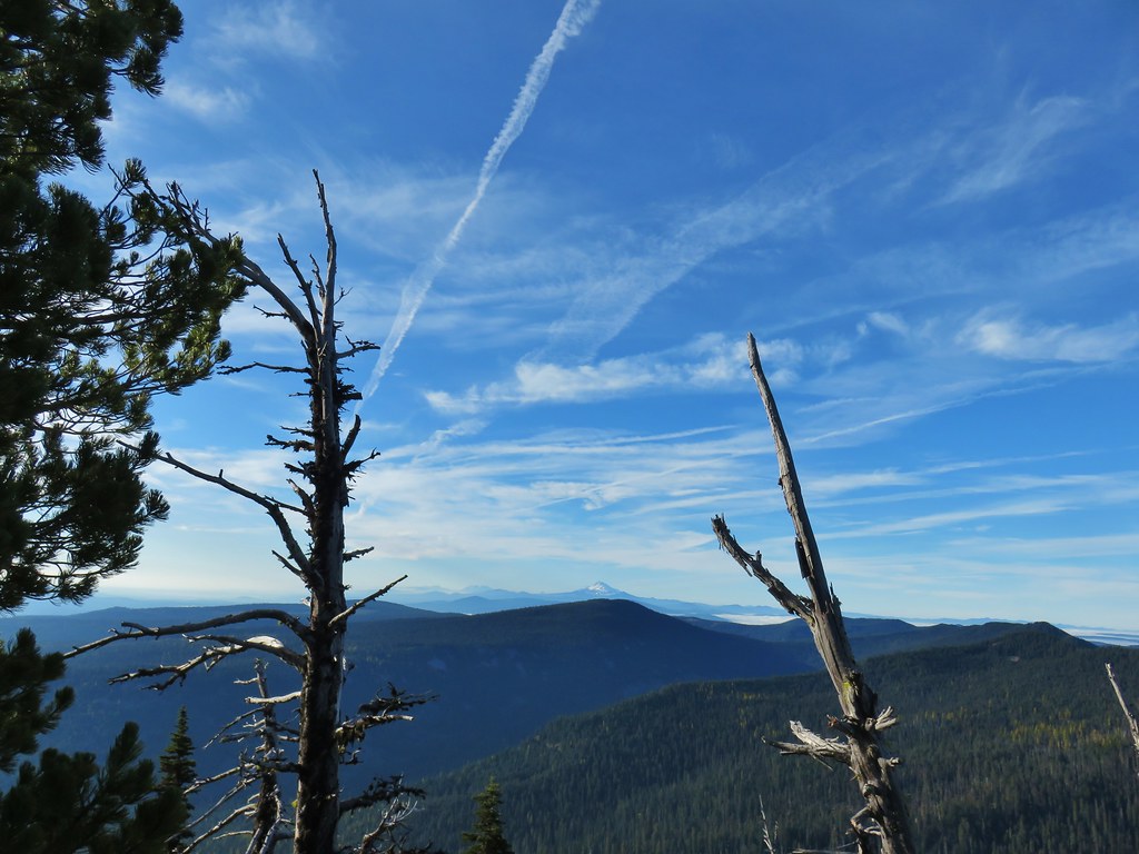
The view was excellent, making up for the clouds on our first visit. A total of 10 Cascade peaks were visible with Mt. Hood being front and center.
 Mt. St. Helens, Mt. Adams, and Mt. Rainier
 Mt. St. Helens
 Mt. Rainier
 Mt. Adams
 Mt. Hood
 Mt. Jefferson followed by Mt. Washington, The Three Sisters, and Broken Top
 The Three Sisters
After a long break we started to get a little chilly just sitting up on the summit so we started back down. This time we stayed on the official trail and found the end of the High Prairie Loop that we’d missed on the way up.
We had stopped briefly near a small talus field as we descended the switchbacks and Heather spotted a pika that was gathering tree bits, presumably getting ready to spend the winter underground.

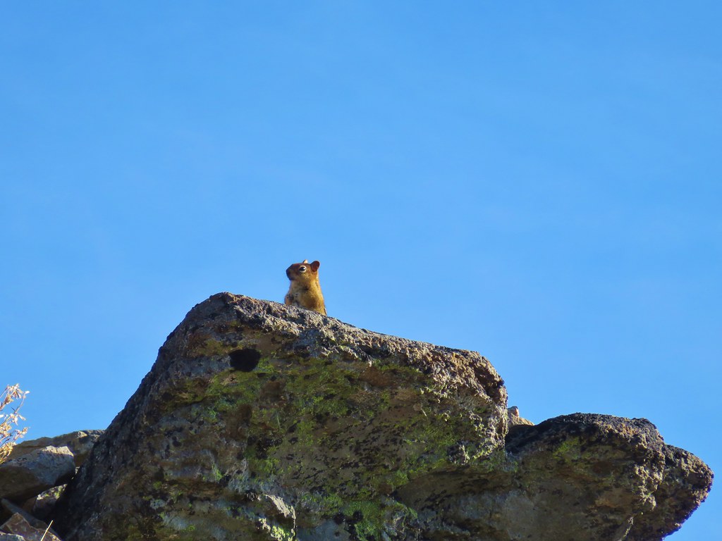
The pika wasn’t the only critter running around on the rocks.

We made our way back through the still frosty meadows and returned to Gumjuwac Saddle.
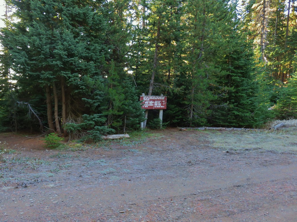
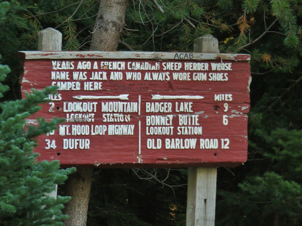
The saddle can be a bit confusing as several trails converge at Bennett Pass Road here. The Gumjuwac Trail coming up from Highway 35 crosses the road and continues down the other side to the Badger Creek Trail, the Divide Trail crosses the Gumjuwac Trail and descends to Badger Lake (we came up this way on the backpacking trip). We nearly started back down that trail this time before realizing that the trail to Gunsight Butte (the aptly named Gunsight Butte Trail) was on the other side of Bennett Pass Road.

We headed up this trail which began a gradual climb through trees which included a few larches.


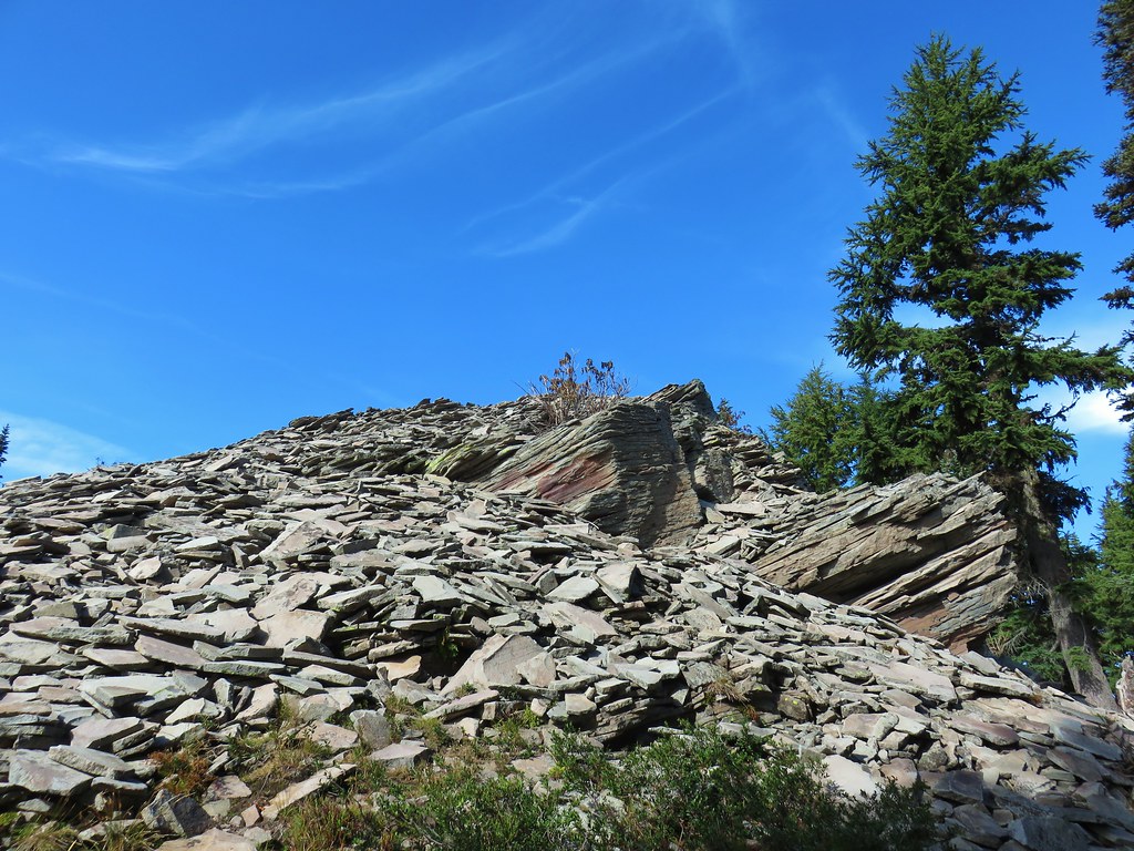
The trail emerged from the forest into a burn scar along a rocky ridge with a view.

 Lookout Mountain from the Gunsight Butte Trail.
 Clark’s nutcracker
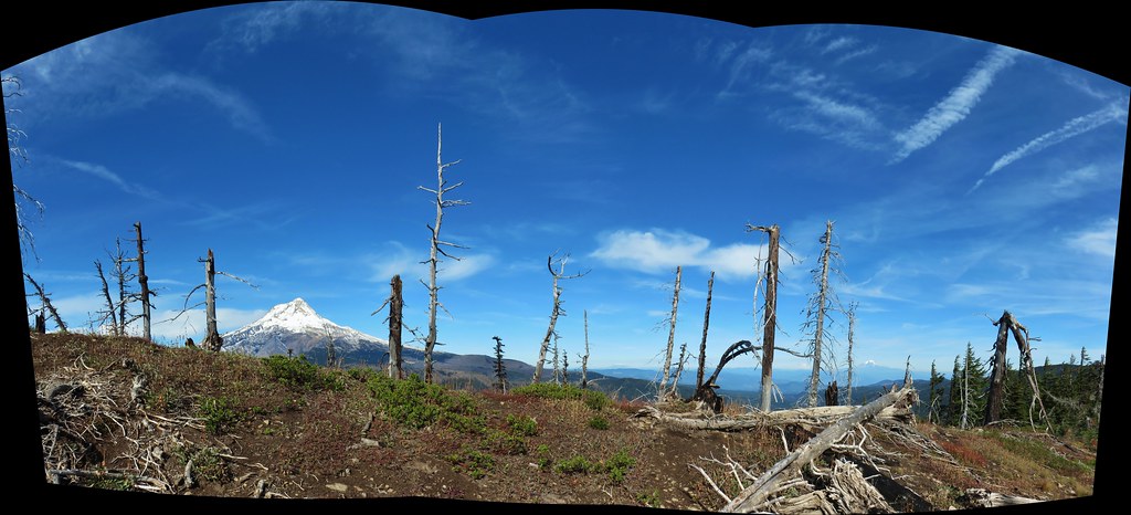
After a mile and a half we found ourselves crossing over the forested summit of Gunsight Butte. Another .1 miles, slightly downhill, brought us to a rock pile with yet another view of Mt. Hood.


It wasn’t quite as impressive a view as Lookout Mountain but it was still pretty good. We returned to Gumjuwac Saddle and then turned down the Gumjuwac Trail for the final 2.5 miles of the day.

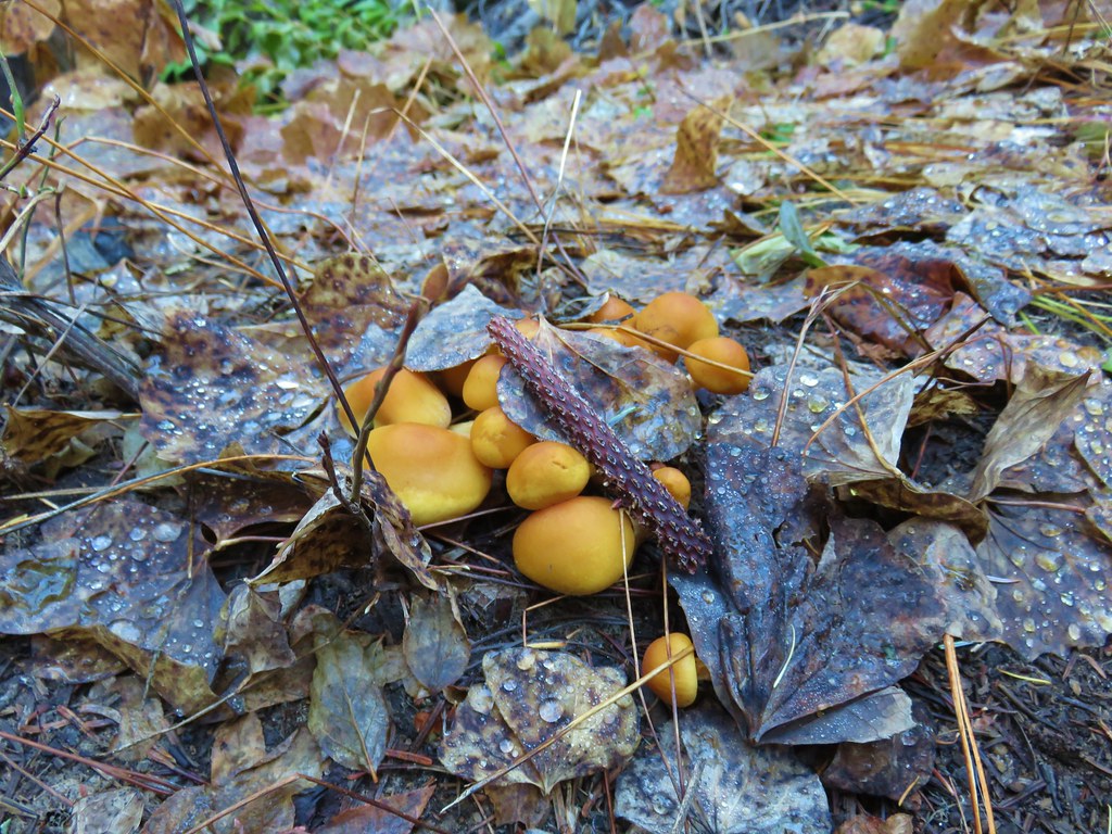
We took our last looks at Mt. Hood from the trail then enjoyed the signs of Fall as we descended.


This was a 13.2 mile hike with around 3600′ of elevation gain making it a pretty good workout. This may have been our last viewpoint hike for the year, and if it is, it was a great one to end on. Happy Trails!

7 replies on “Lookout Mountain and Gunsight Butte – 10/14/2019”
[…] Creek Buttes with Lookout Mountain and Gunsight Butte (post) behind to the […]
[…] followed by Lookout Mountain to the west. While we had been to Lookout Mountain twice before (2014, 2019) we had not visited the Flag Point Lookout nor had we hiked the lower portion of the Fret Creek […]
[…] We turned left on the spur trail which began with a great view to the NE of the Badger Creek Wilderness including Lookout Mountain and Gunsight Butte (post) […]
[…] Lookout Mountain – Hiked – 6/28/2014, 10/13/2019, & […]
[…] round peak along the far ridge is Gunsight Butte (post) and Bonney Butte (post) is along the broad rise to its […]
[…] Mountain(post), Gunsight Butte (post), and Bonney Butte (post) along the far […]
[…] Mountain in the foreground with Lookout Mountain (post) behind to the […]